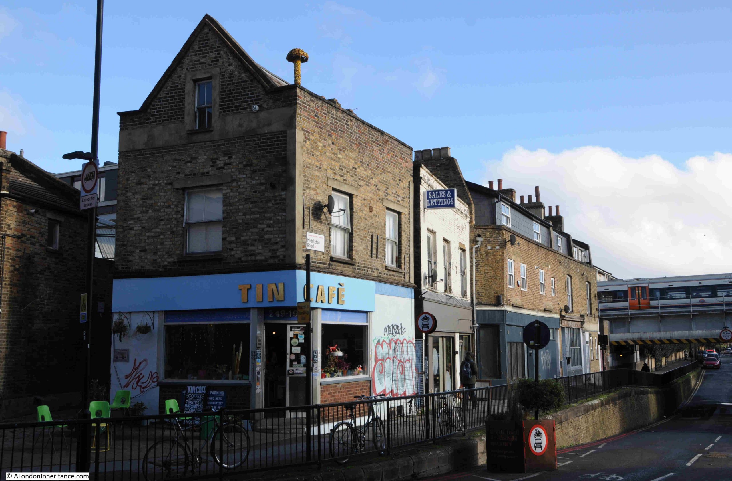
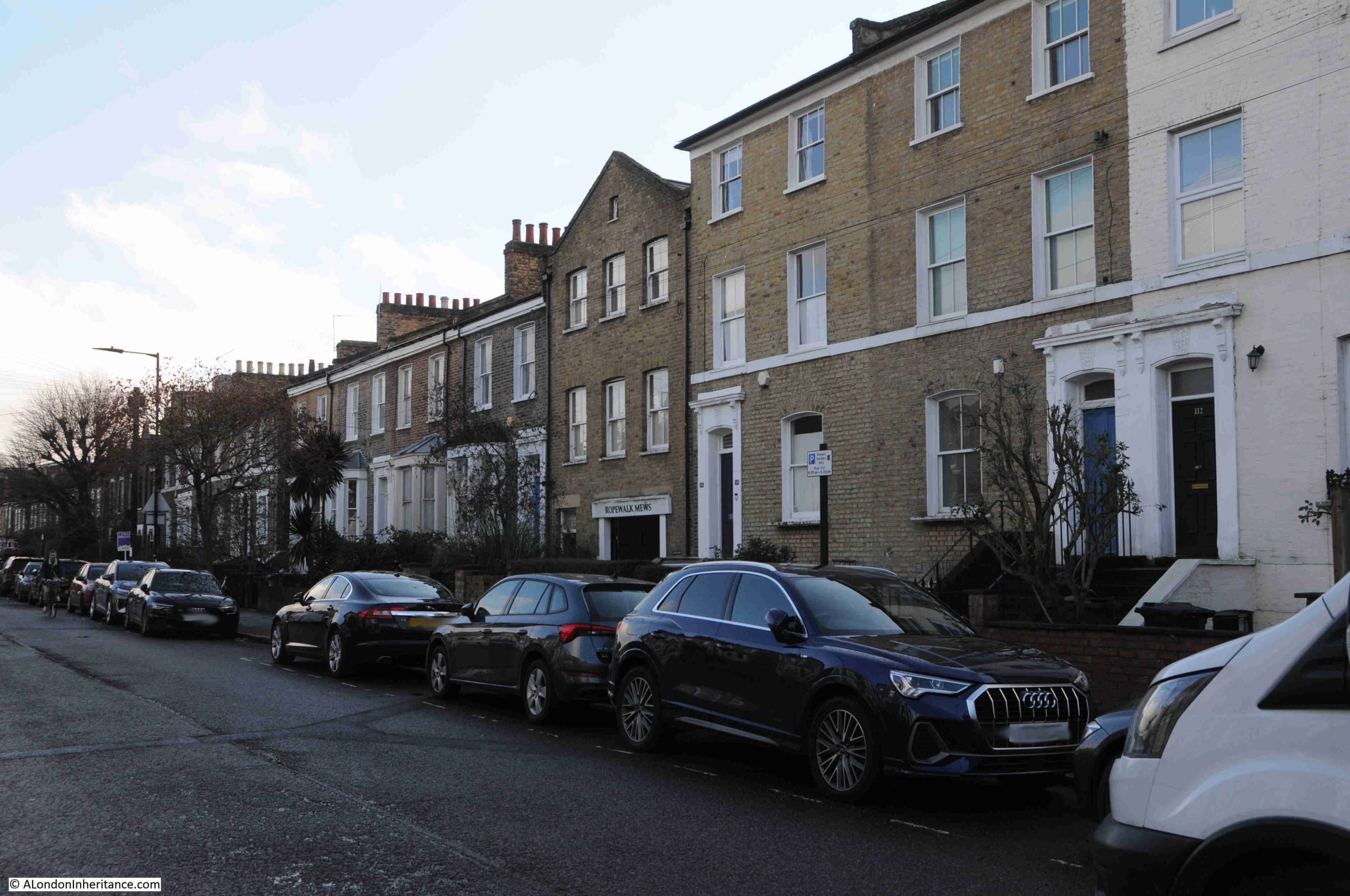
This week, I am continuing my walk around parts of the London Borough of Hackney, searching for the location of some 1980s photos, and looking at how streets which are today mainly long rows of residential homes, were once far more diverse.
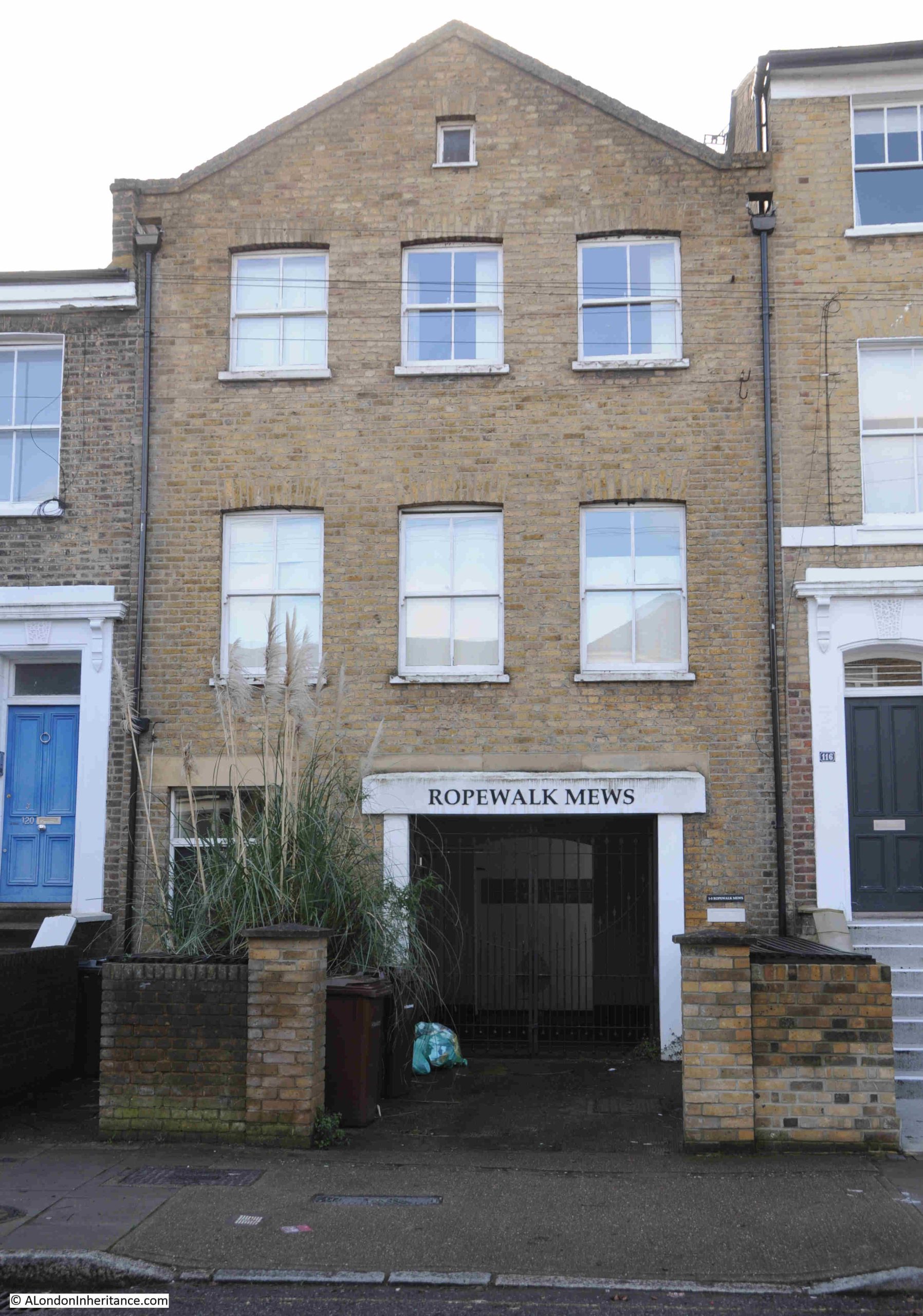
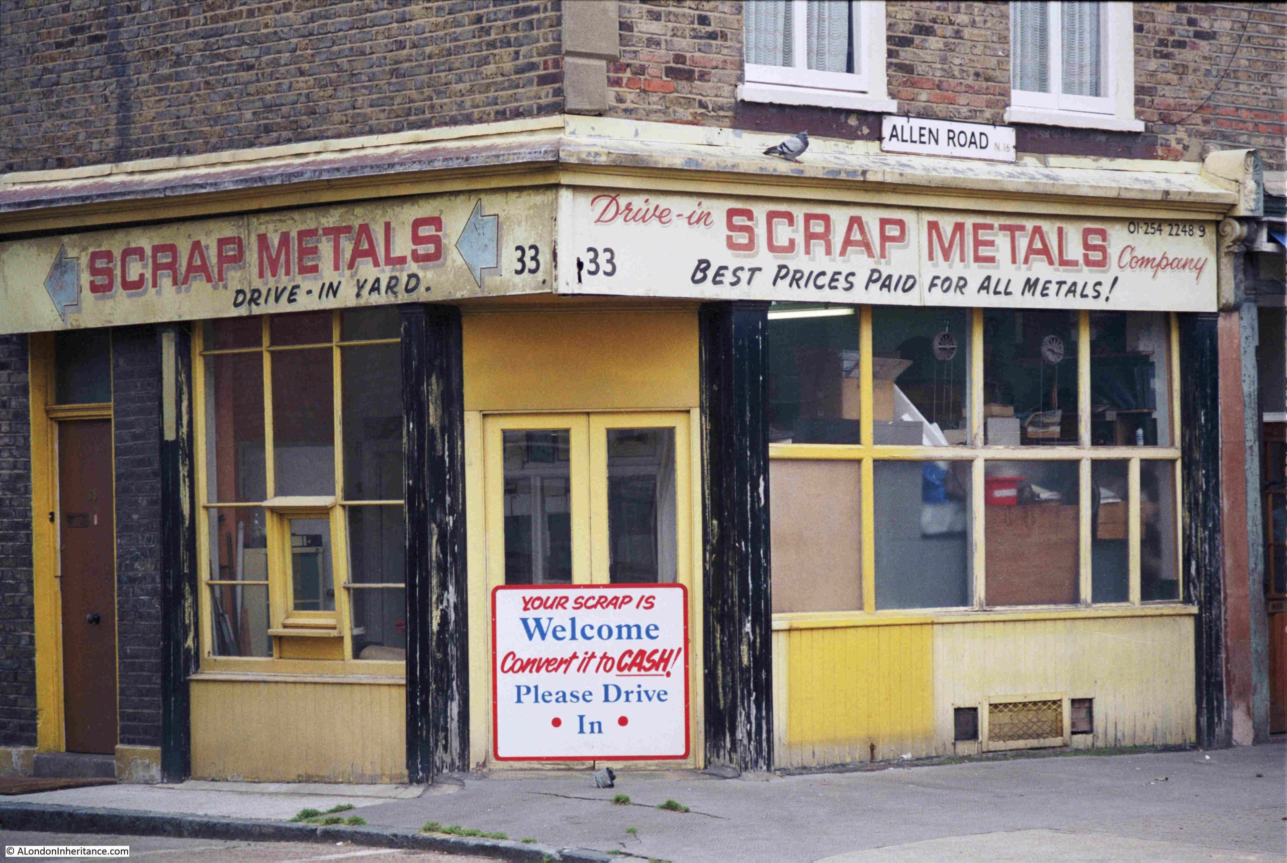
I am in Allen Road, Stoke Newington, and in the mid 1980s, at number 33 Allen Road, was a scrap metal dealer:
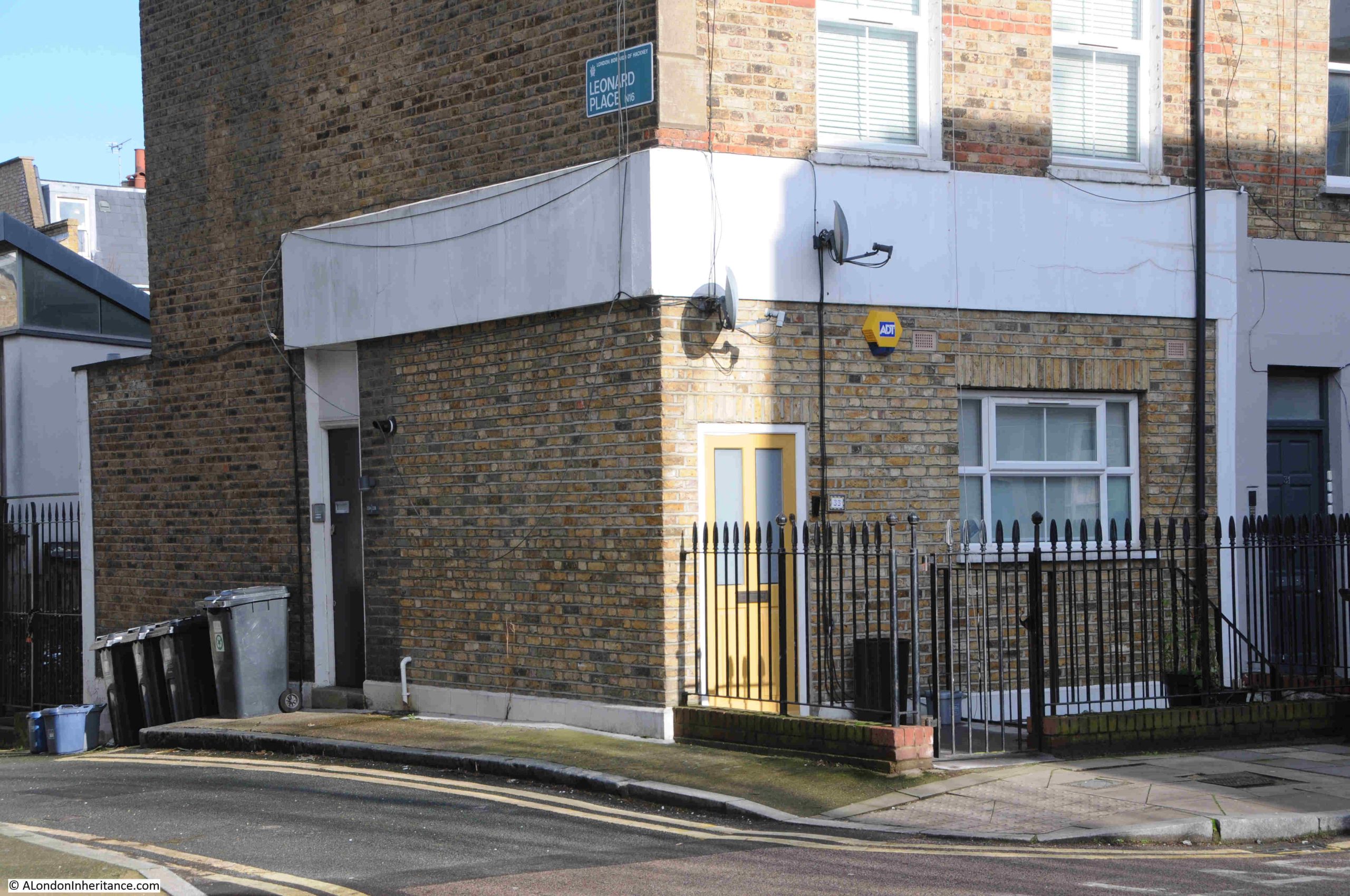
Today, the scrap metal dealer’s business is now residential:
The signage on the scrape metal dealer advertised that there was a drive-in yard to the side, and this is what made number 33 the perfect location for such a business, as it was the only building in Allen Road with a large yard at the back.
The entrance to the yard today:
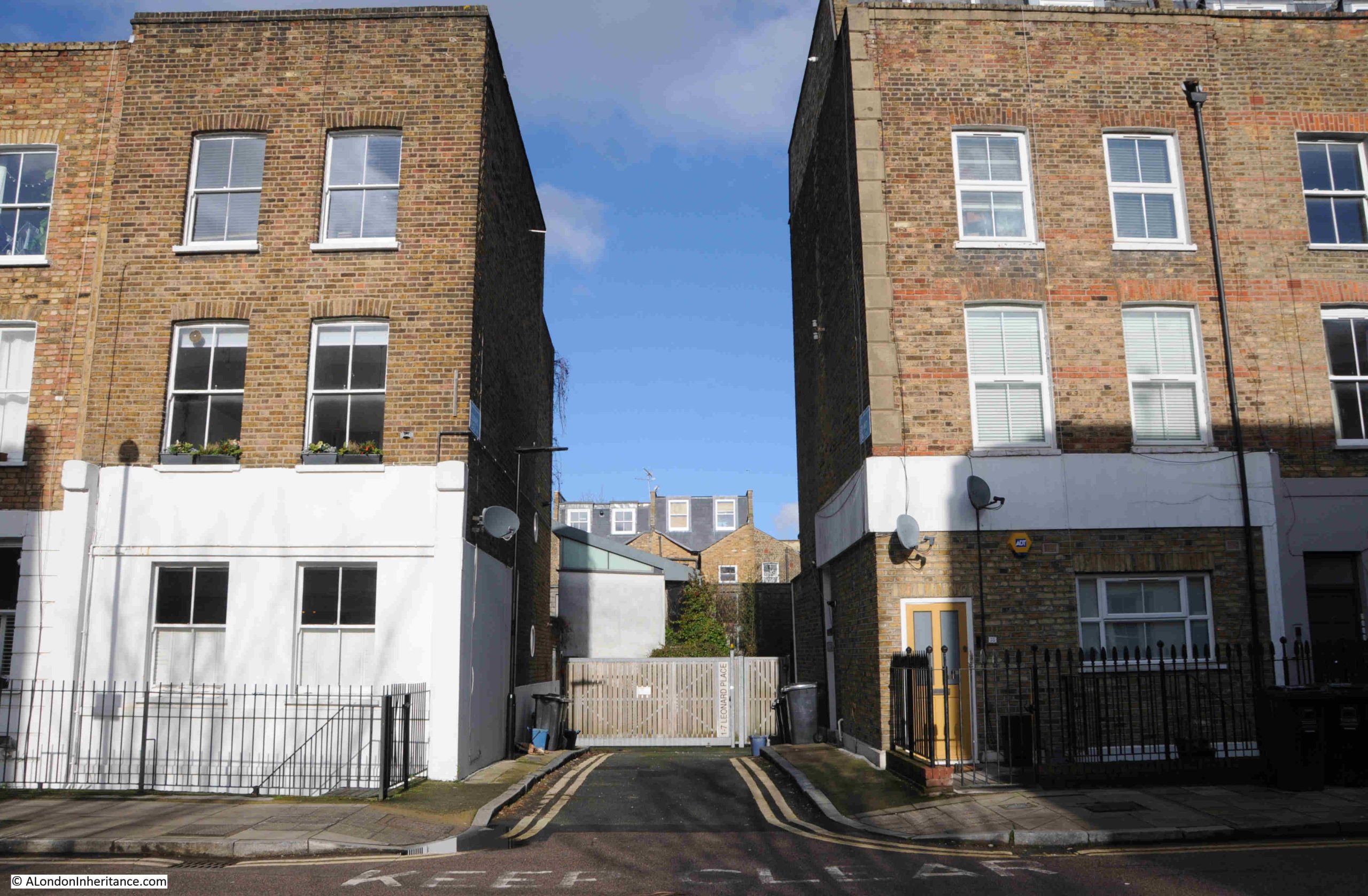
Today, the yard has been filled in with residential properties, following that modern London approach, where any available space or building is converted to residential.
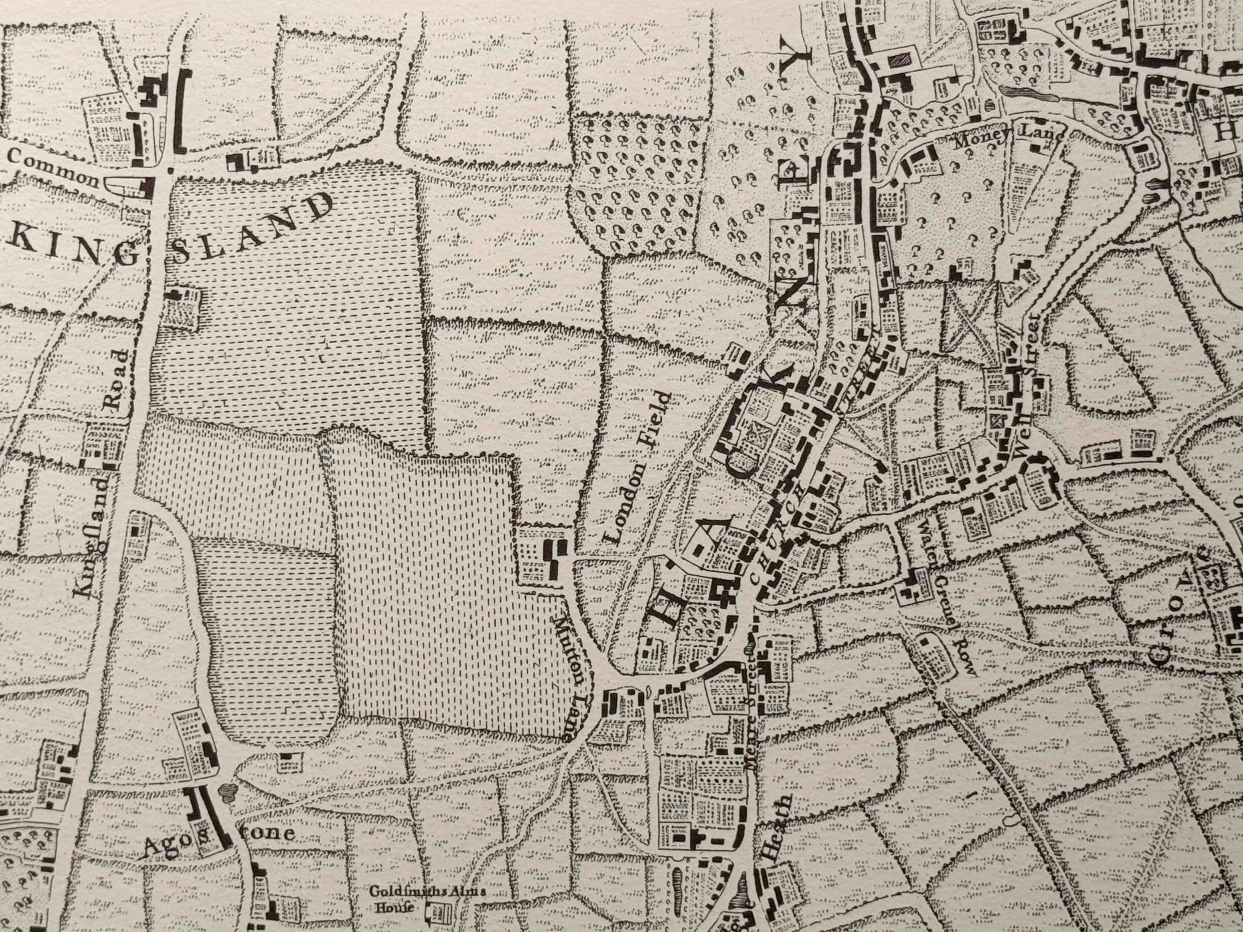
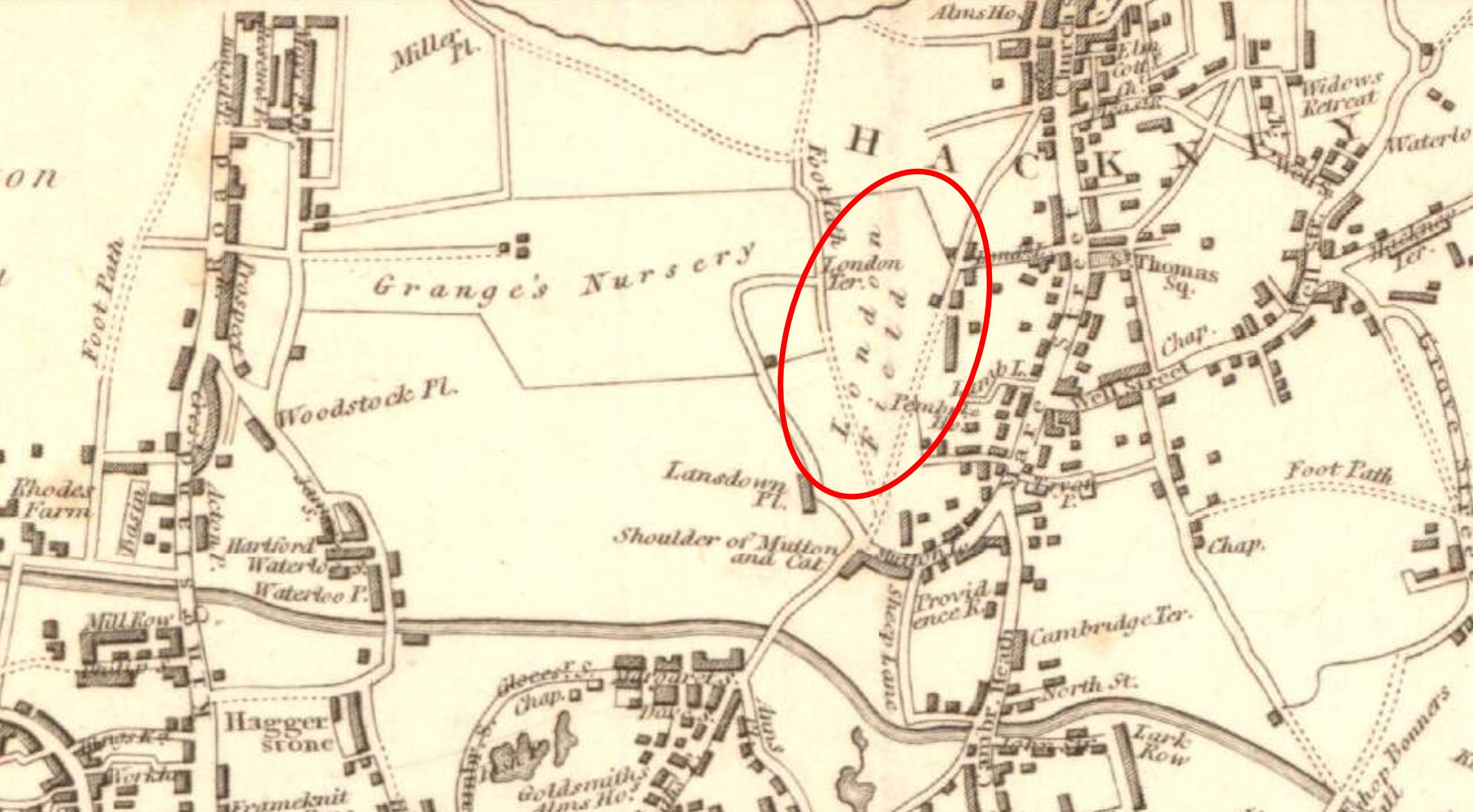
In the following extract from the 1969 revision of the OS map, I have marked number 33, the scrap metal dealers with the lighter blue circle, just to the right of the middle of the map. I will cover the other circled buildings later in the post (‘Reproduced with the permission of the National Library of Scotland“):
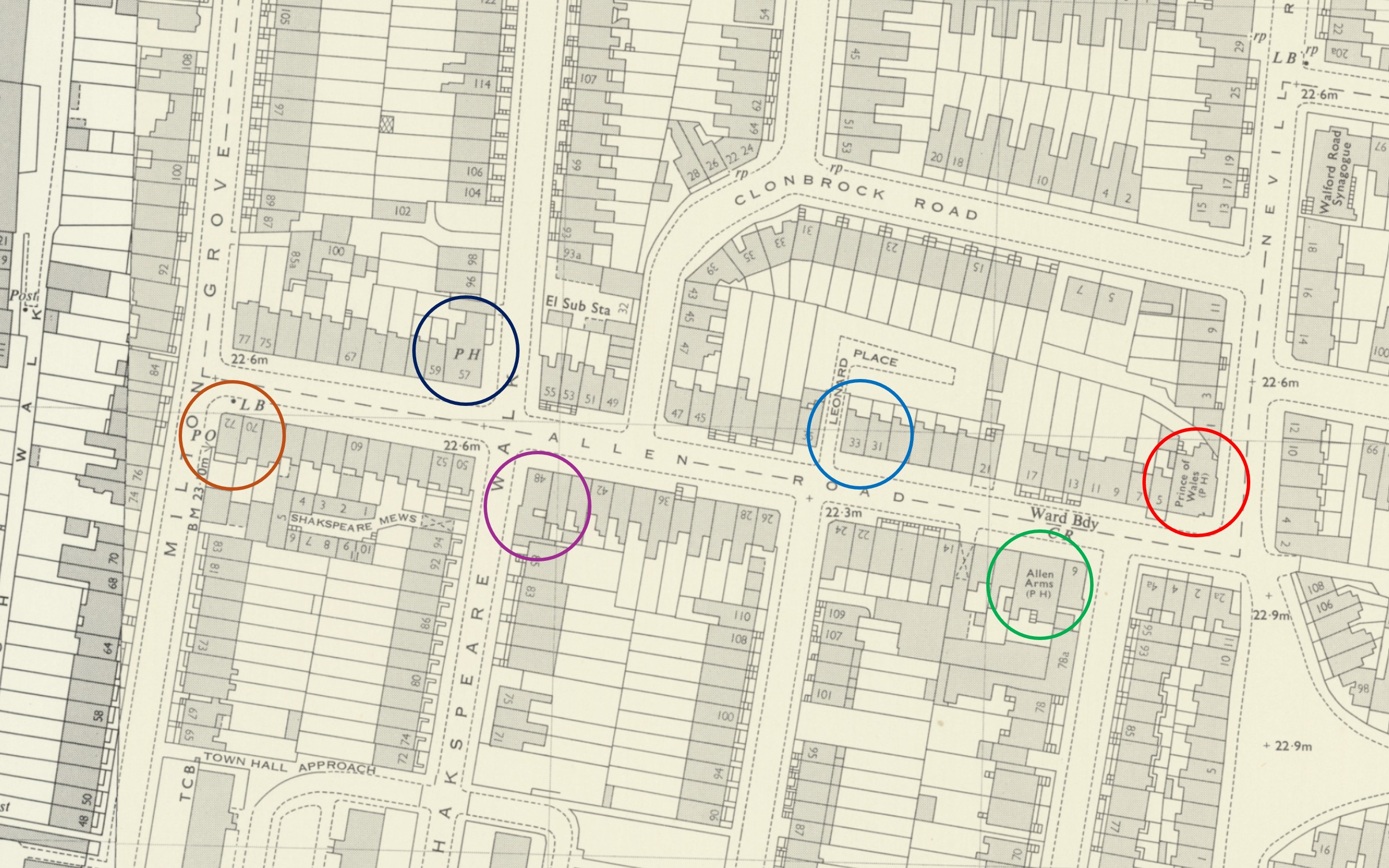
You can that to the left and behind number 33 is Leonard Place, which was the yard of the scarp metal dealers. The impact of this yard was to shorten the gardens of the houses to the right of number 33, far shorter than the rest of the houses on the street.
This yard behind these houses is shown in earlier maps of Allen Road, so must have been part of the original construction of the street, during the mid 19th century expansion of north London.
Use of one of these north London 19th century terrace houses as a scrap metal dealer was not that common, but there were many small industrial business to be found among the terraces.
Number 33 had been built as a general shop, which was a typical use for this type of house, a corner shop among the terraces, although it is not clear why Leonard Place was built to the side and rear. Its only original purpose or impact seems to be depriving the street of another terrace house, and a row of houses to have smaller back gardens than their neighbours.
Confirmation of use as a shop can be found in newspaper references, for example with the following from the Hackney and Kingsland Gazette on the 25th of October 1907:
“General, double fronted shop, genuine business, one change 17 years, well fitted, no reasonable offer refused, good cause for selling. 33 Allen Road, Stoke Newington”
The terrace houses that spread across north London during the 19th century, were meant to be the homes of the middle class, professional trades people etc. and by the time of the 1921 census this still applied to the majority of homes in Allen Road, where 577 people were recorded as being in residence.
Number 33 however was home to three different families, a total of ten people:
There was the Forsyth family, consisting of Thomas (aged 32), Julia, his wife (aged 25 and from Ireland), and their son Michael (aged 1). Thomas was a Compositor, a job that involved setting the type for a printing press.
Arthur Mead (aged 24), his wife Maud (aged 19), and their daughter Irene Francis, who had been born in the same year as the census. Arthur was a bricklayer for a builder in Lower Edmonton.
The final family were the Payne’s, consisting of Harry Joshua (aged 30), his wife May Beatrice Lilian (aged 29), their son Henry George (aged 2) and daughter May Patricia Lilian (aged 1). Harry was a General Labourer.
As number 33 seems to have been quite a crowded home for three families, I suspect that as it had a business on the ground floor, it was not considered by purchasers as being to the same standard as the other terrace homes on the street which occupied the whole house, so number 33 became a multi-occupancy house.
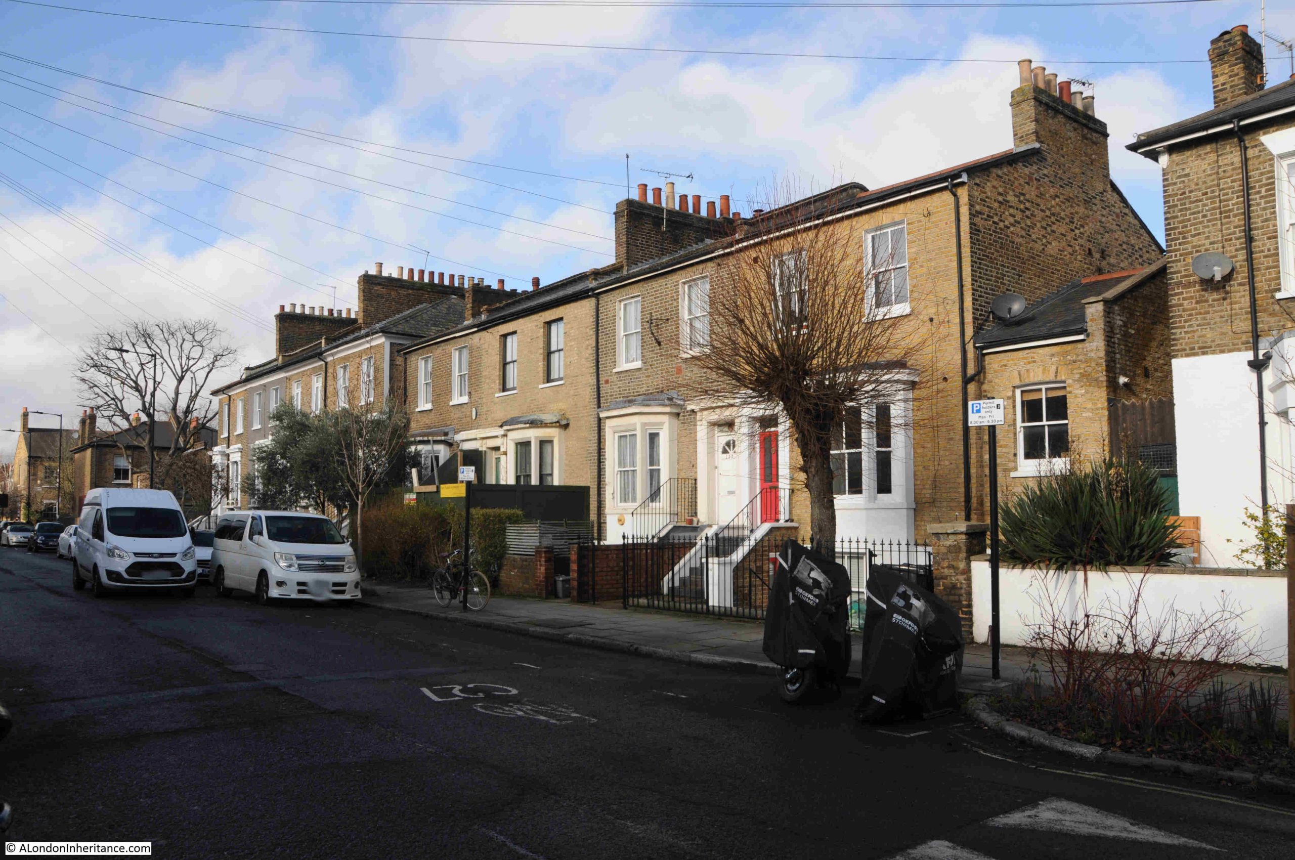
Whilst residents could work across London, with the expanding train, underground, tram and bus networks doing their best to keep up with the rapid growth of housing; shopping, schooling and socialising would generally be a local activity, and all these streets had shops and pubs, to an extent which seems remarkable compared to the streets we see today.
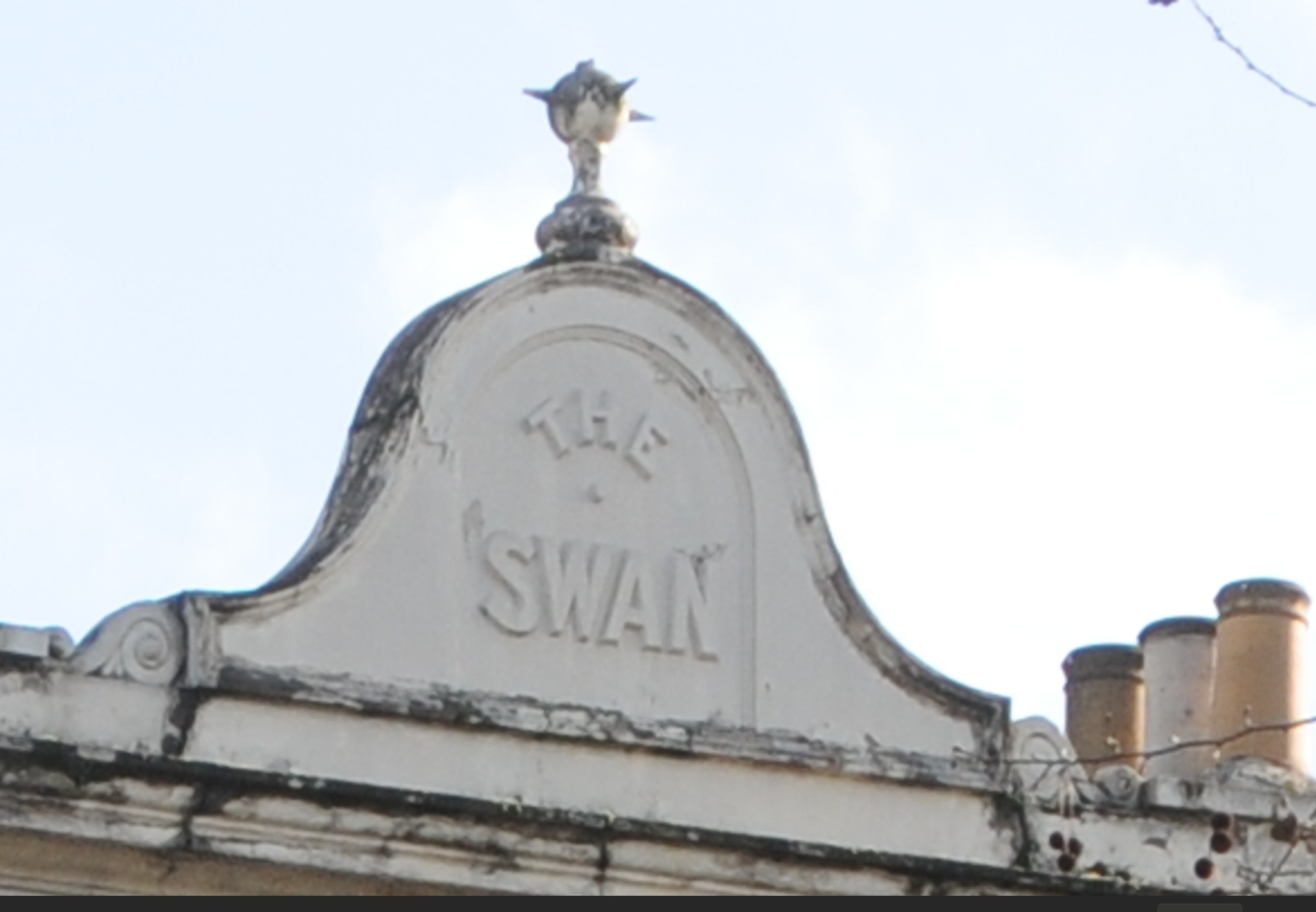
Allen Road is not a particularly long road, but it had four pubs.
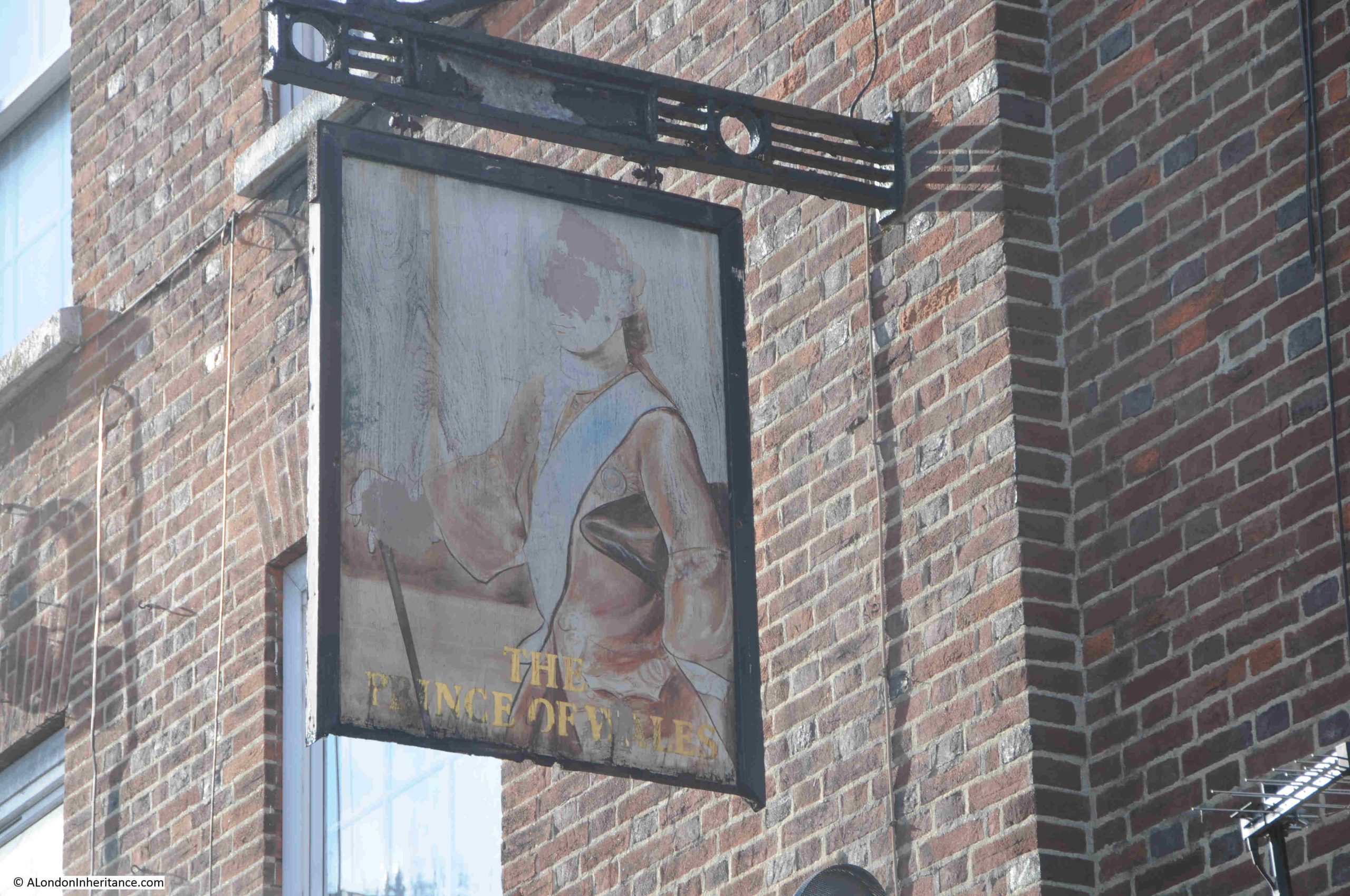
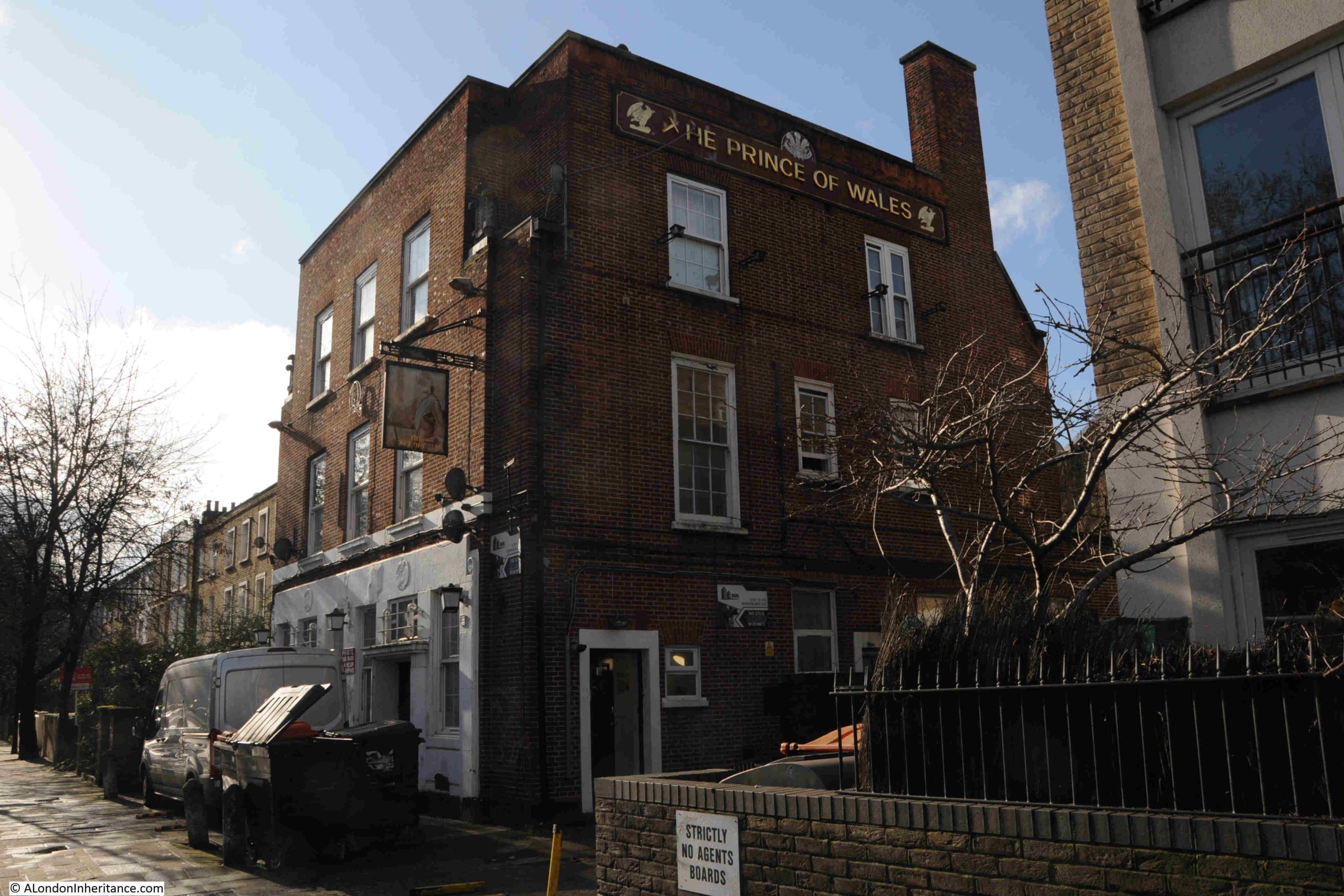
In the map earlier in the post. the red circle on the right is around the Prince of Wales. I cannot find exactly when, but the Prince of Wales has been demolished and replaced with a new residential block.
Then the green circle is around the Allen Arms, which closed in 1993 after a fire, and is now residential.
The Stack Rock at number 48, the purple circle. An unusual name for a pub, but the name did appear in several newspapers, for example in 1897, the landlord was advertising a concertina competition. Not sure when the Stack Rock closed, but again it is now residential.
The dark blue circle is around the Shakespeare, at number 57, which of the original four, is the only pub still open on Allen Road:
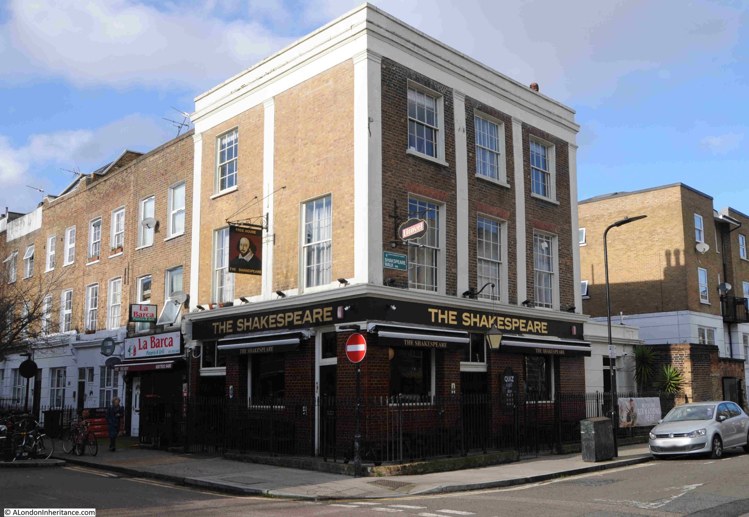
The Shakespeare once had an ex Arsenal and England player as landlord. Lionel Smith became landlord of the pub in September 1960, after he had retired from football.
He played for Arsenal between 1939 and 1954, with a break during the war, playing as full back, which probably accounts for the fact that during his time with the club, he had never scored a goal.
He played for England between 1950 and 1953, then after leaving Arsenal, he was a manager of Gravesend & Northfleet between 1955 and 1960, when he retired and took over the Shakespeare.
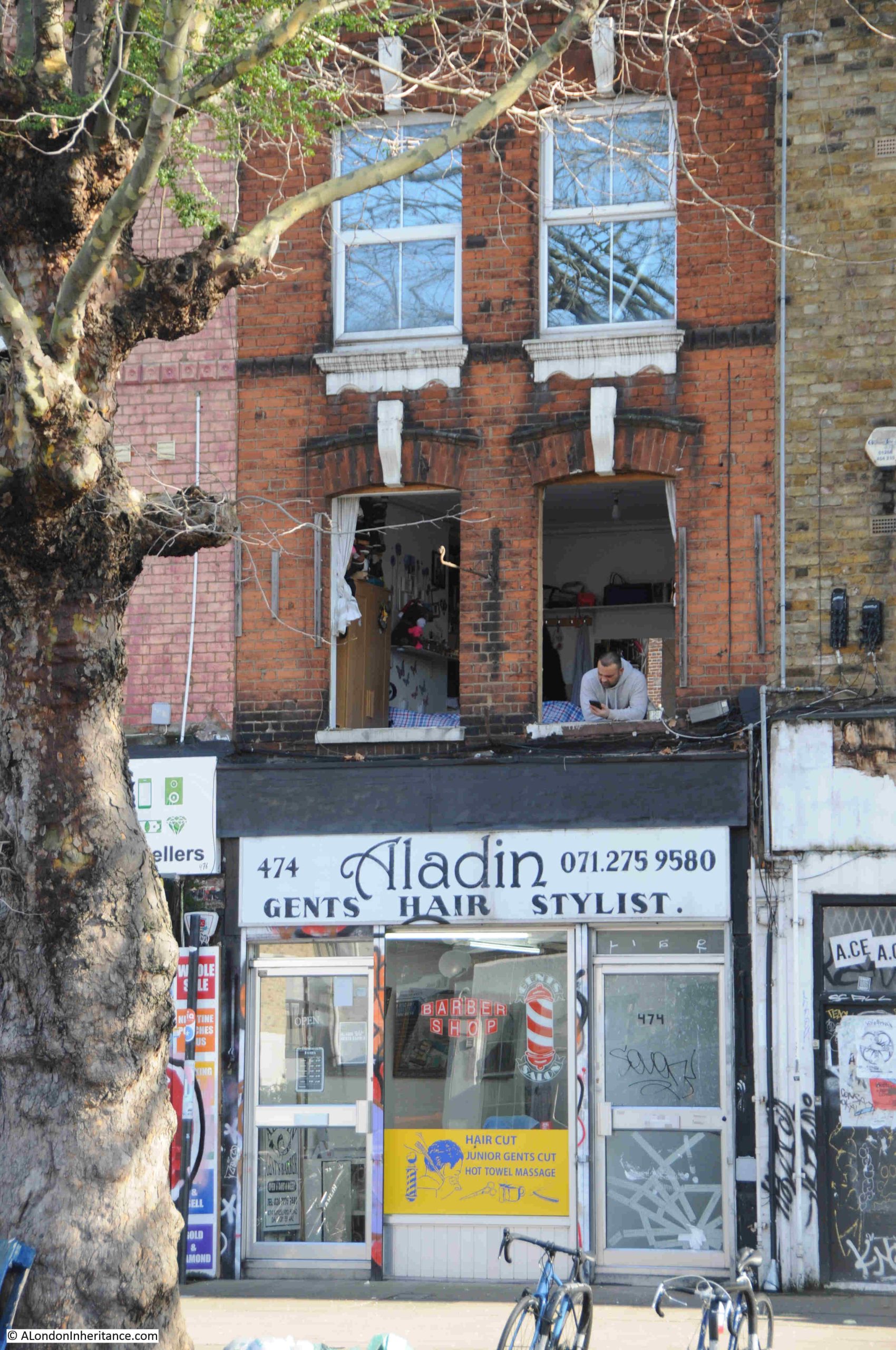
Opposite the Shakespeare is number 50, another corner shop:
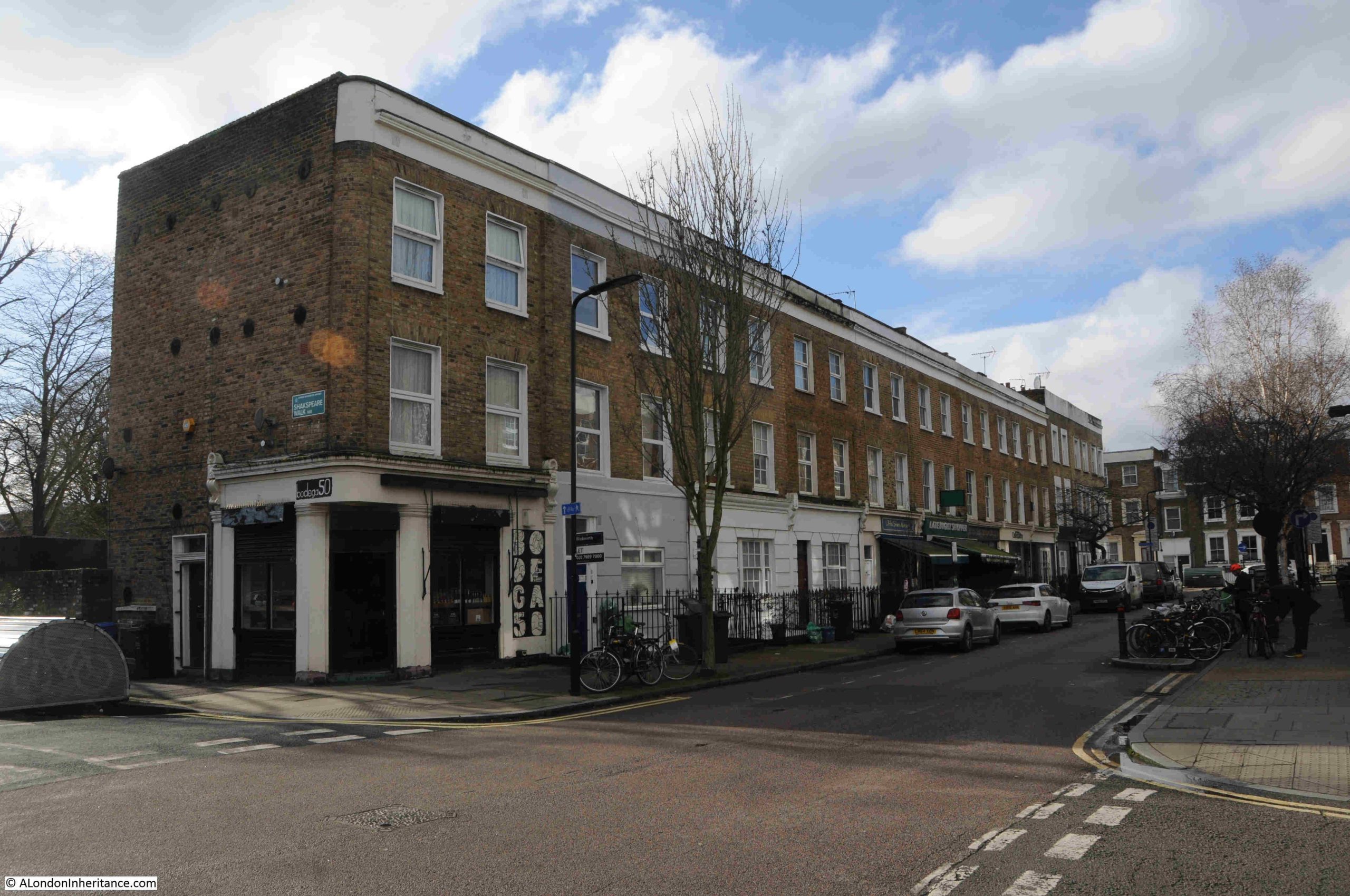
I believe at some point, this was a fish and chip shop, but in the 1921 census it was a green grocers, run by Marks and Marie Rwaries, who had both been born in Russia. They lived in the building along with their five children, all girls.
Today, number 50 is a coffee shop.
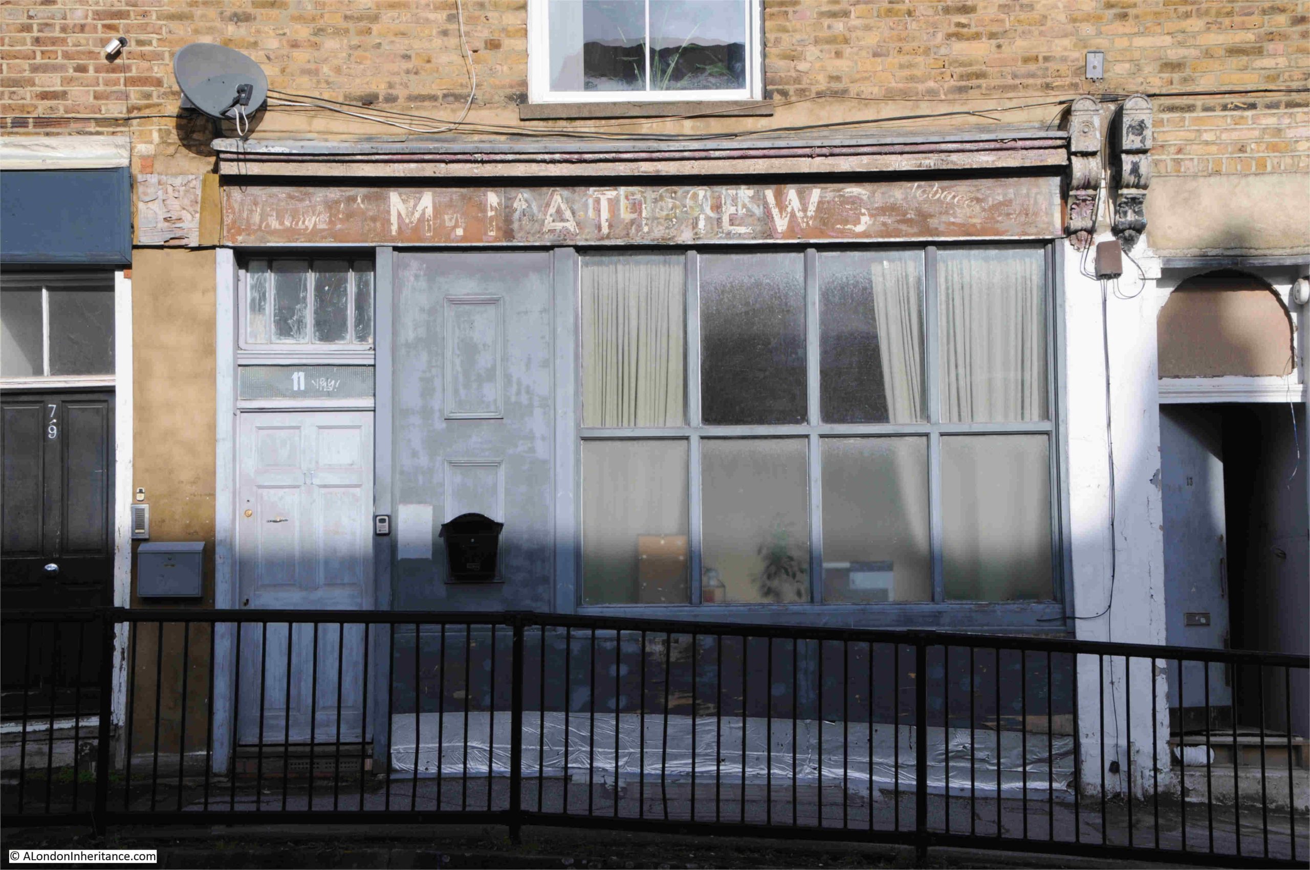
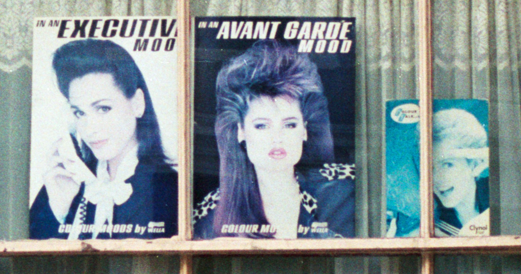
If you look to the right of the corner building in the above photo, there are two ground floors painted with bright white paint. The one on the left is number 54, and I think that back in the 1980s, the was L. King’s shop:
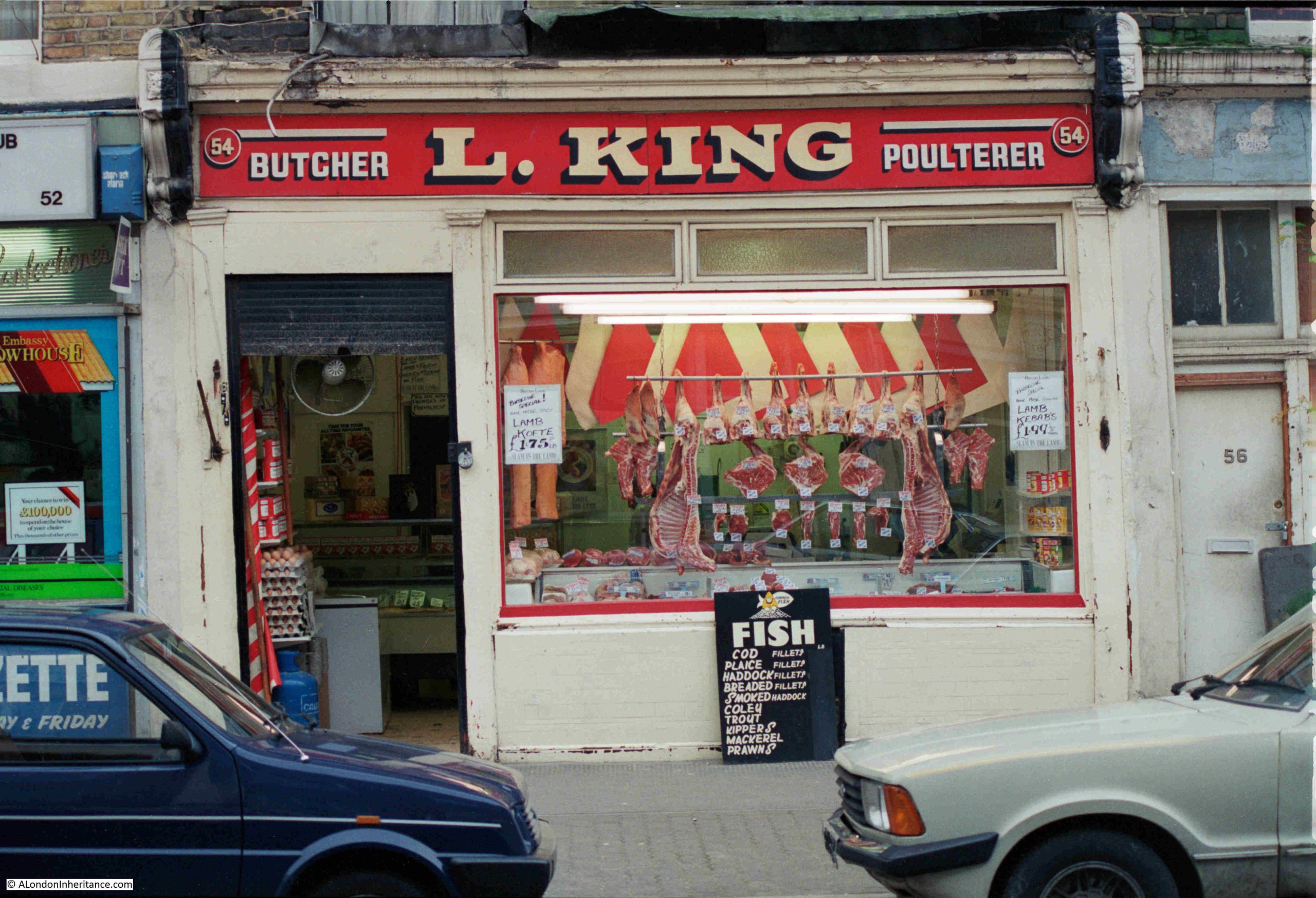
I am not 100% sure, but the photo is in the right place in the strip of negatives, and the moulded decoration to the sides and along the top of the shop are the same as on the building today. These moulded decorations are called Pilasters (thanks to “Chase” for his comment on a previous post). An amazing transformation when you consider the white fronted residential ground floor today, compared to a working, local butcher, 40 years ago.
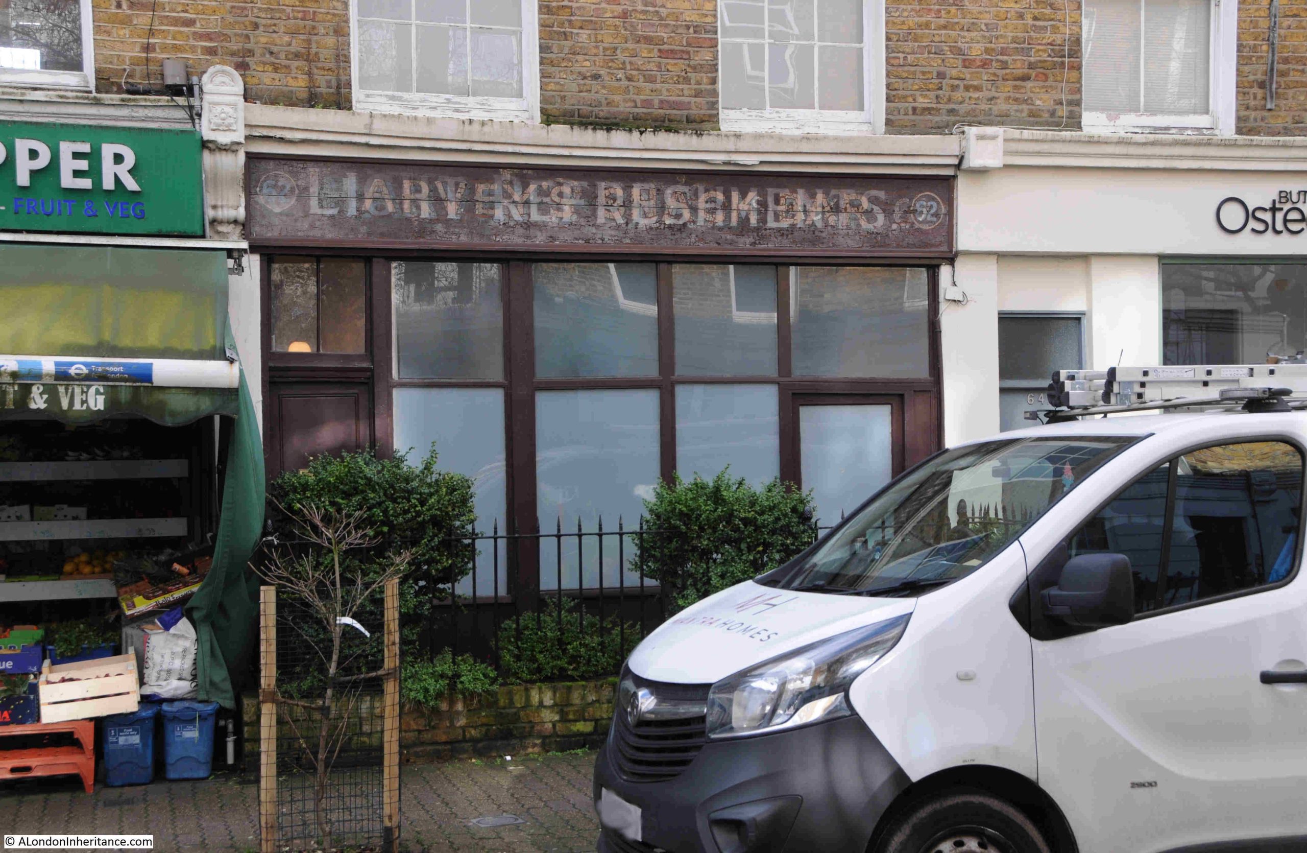
There are still a few shops on Allen Road, but the majority have been converted to residential. A couple still show their early origins, with number 62 displaying signs for Harvey’s Snack Bar and Light Refreshments. The later seems to be written over the former name:
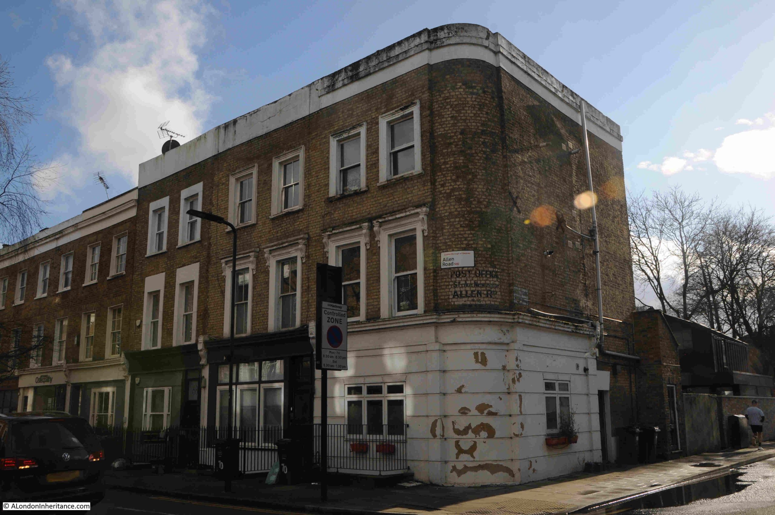
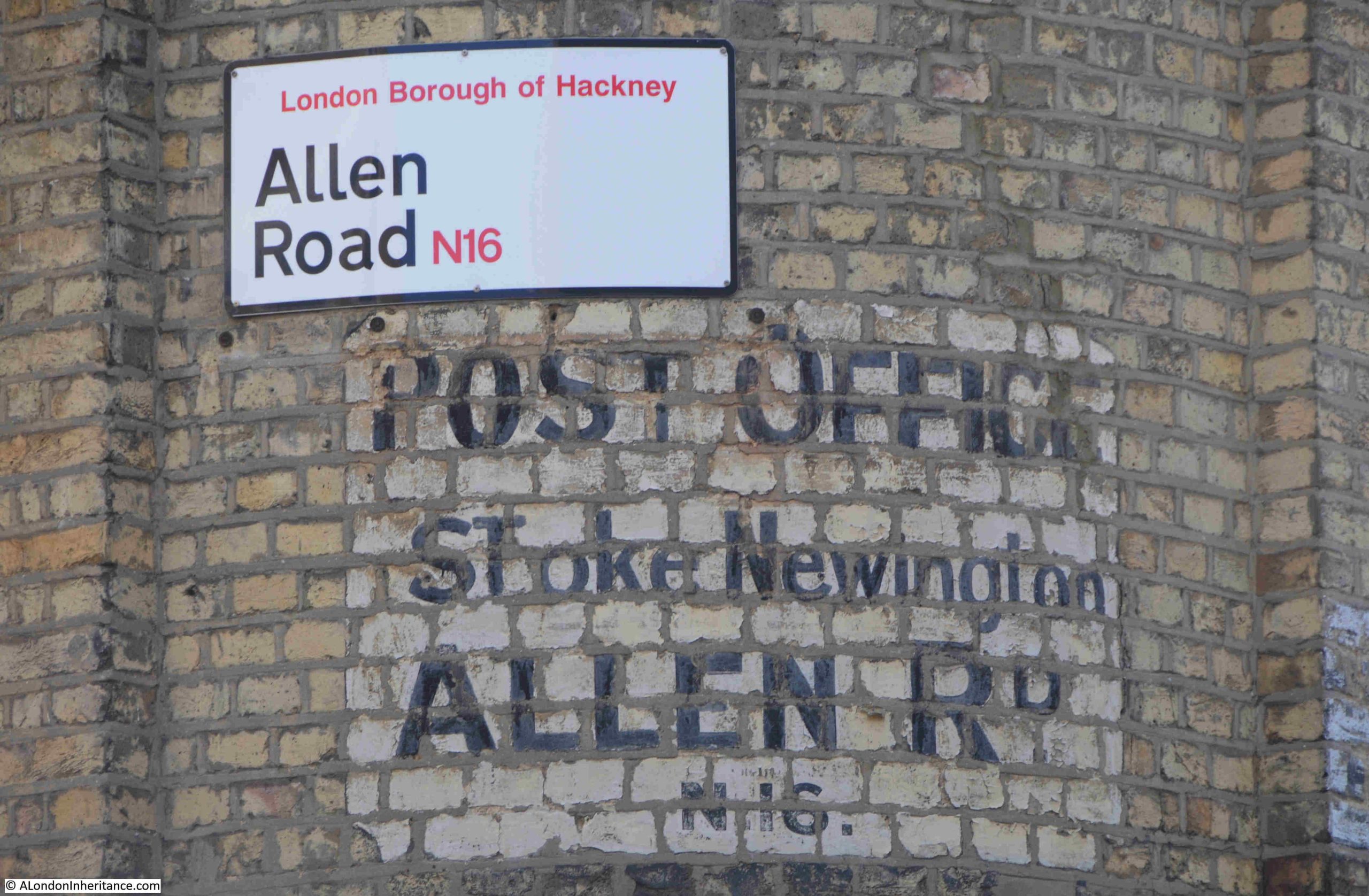
The brown circle, to the left of the map earlier in the post, shows the location of another closed business, where at number 72, on the corner with Milton Grove, was once a Post Office:
To the left of the corner post office building in the above photo can be seen typical 19th century shop fronts, although all these are now residential.
The painted sign advertising the Post Office is on the rounded corner to the building, which again, has also been converted to residential:
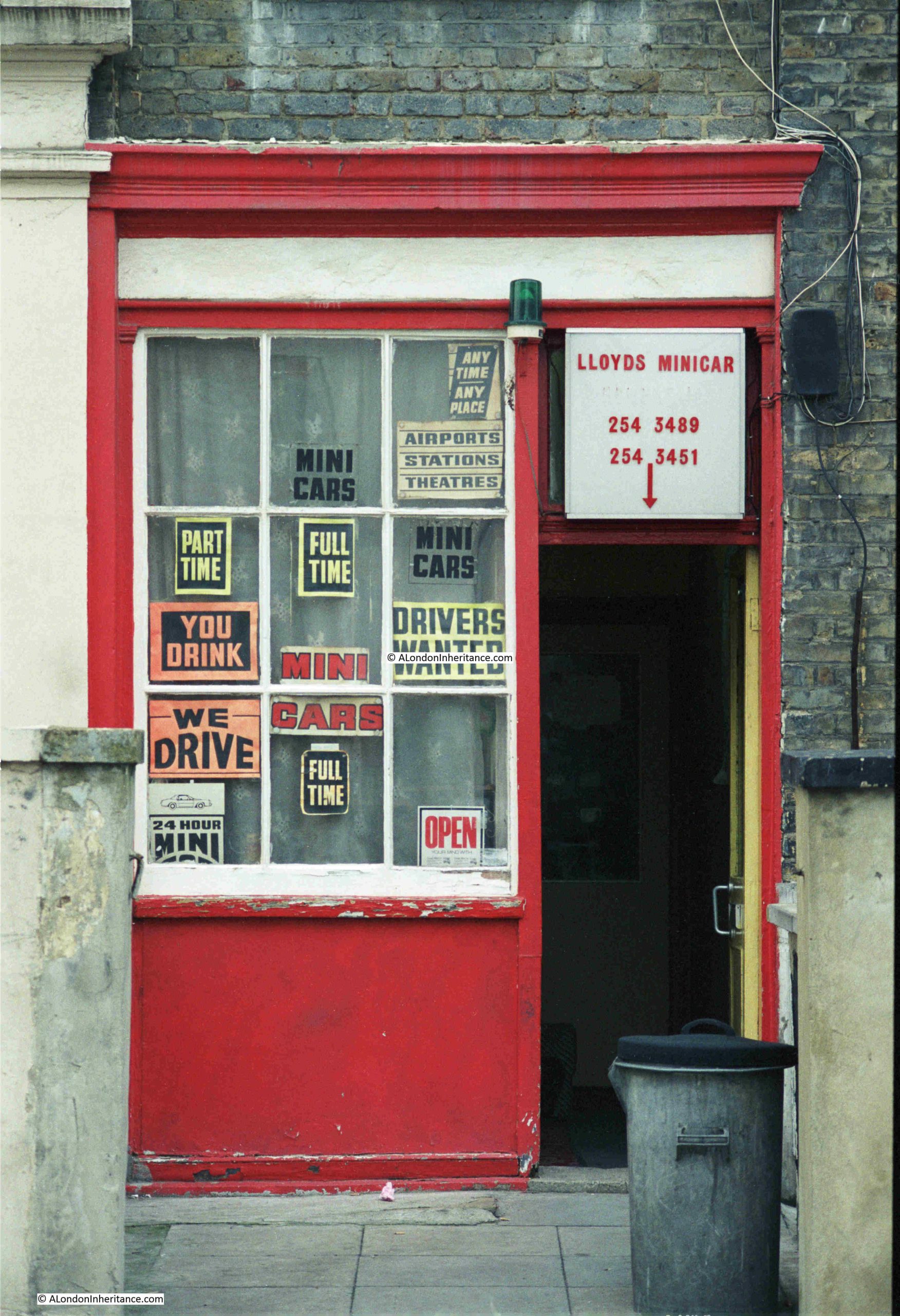
There are two other photos on the strip of negatives that should be in Allen Road, but I could not find, or be sure of their location. The first has no identifiable features:
The second photo should be at the junction of Allen Road and Milton Grove according to the photo’s location on the negative strip and relation with other photos:
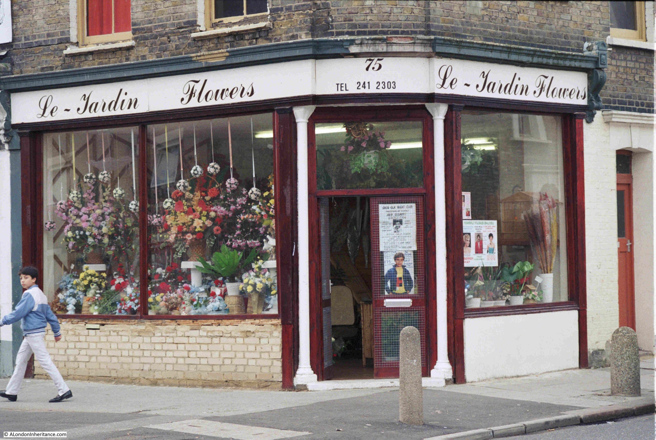
This is the corner building today:
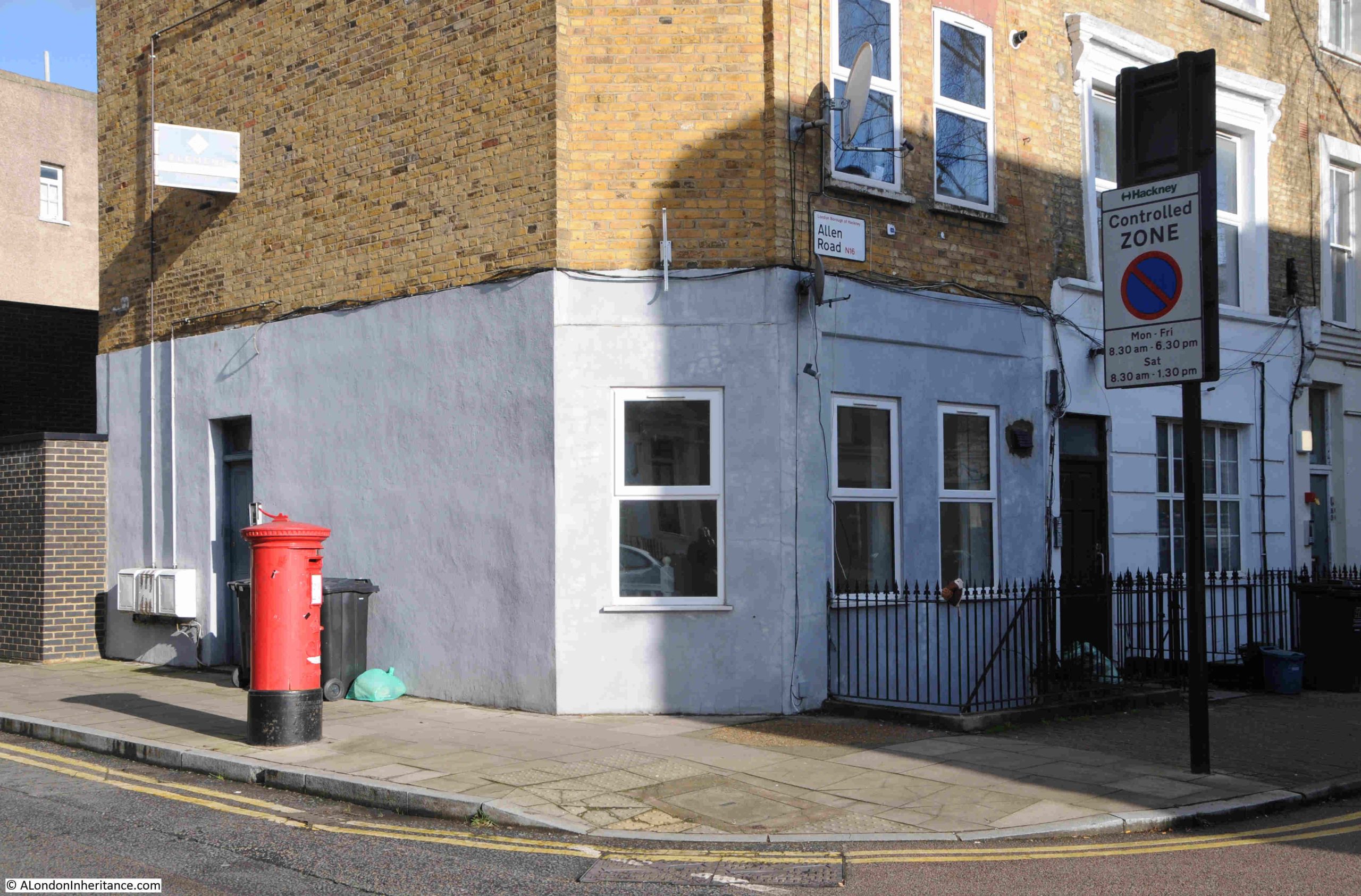
The corner building has been considerably rebuilt, but it is the numbers that confuse as the florist is at number 75, whilst number 75 today is the house to the right.
I did have a walk around the surrounding streets, but could not find a number 75 on a corner, which looked as if it may have once been a shop.
Whether the corner of Allen Road is the correct location, the florists is another example of the number and varied type of shops that could once be found along these mid 19th century streets.
Their loss over the last 40 years has been down to many factors. Demographics, growth in the number of large chain supermarkets offering a single place for the majority of shopping, car ownership, online delivery services, and probably the major cause, the number of developers looking to turn shops and pubs into residential. For a business with declining sales, and the challenge of making a profit, the sale of the property, or hand back of the lease, was often the best way out.
Industrial premises such as the scrap metal dealer have generally closed or moved further out of London. It is still reasonably common to find car repair businesses among residential streets.
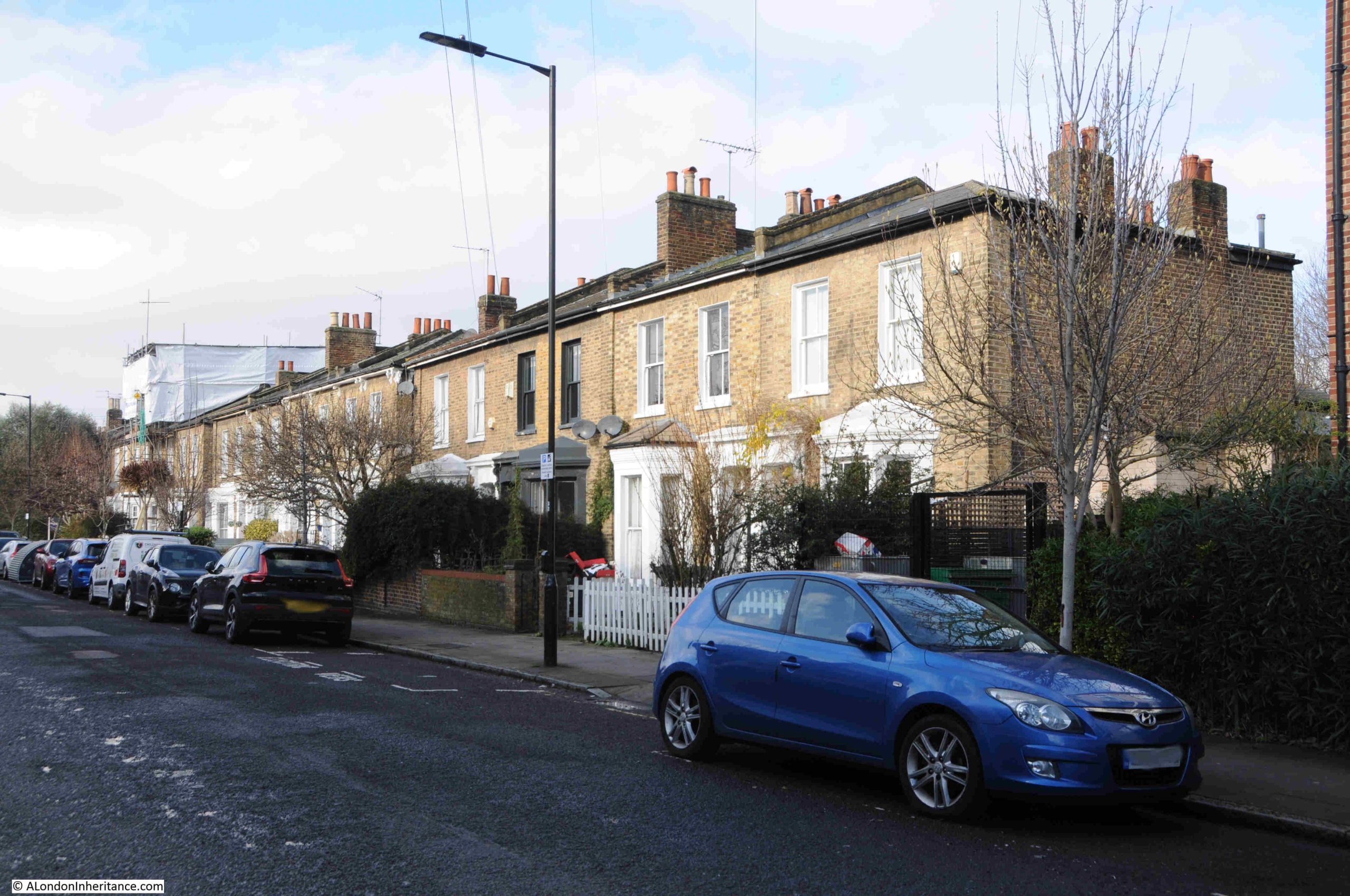
Allen Road was a normal residential street in north London, and it had four pubs. This was probably the right number to serve residents of Allen Road and surrounding streets in the 19th century, when a pub was the main place to socialise and there were no alternative entertainments such as the cinema or TV at home.
Today, the Shakespeare is the one surviving pub. Shops mainly gravitate to busier streets such as Kingsland Hight Street, Stoke Newington Road and Green Lanes.
All part of the continuing evolution of London’s street, but I cannot help thinking that for both residents and just walking the streets, they have lost some local community and character as these places disappear.
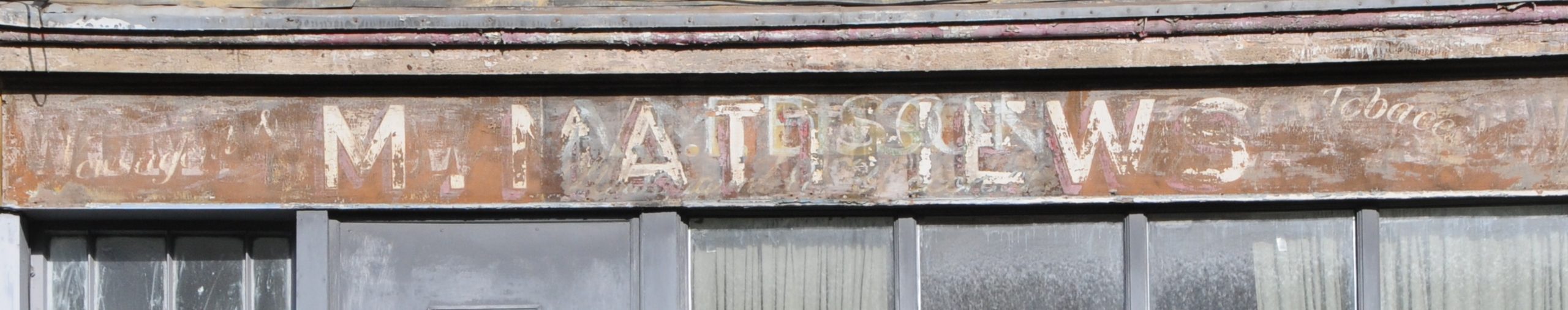
And if you know anything about Lloyds Minicars or Le-Jardin Flowers as seen in the photos above, I would be grateful for comments.