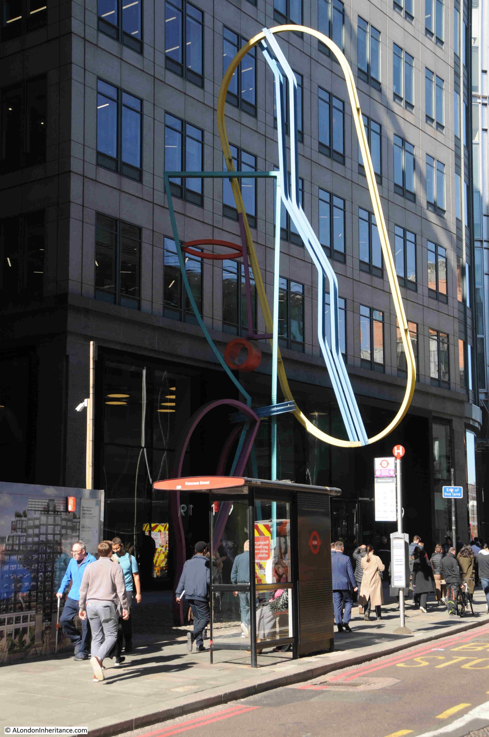
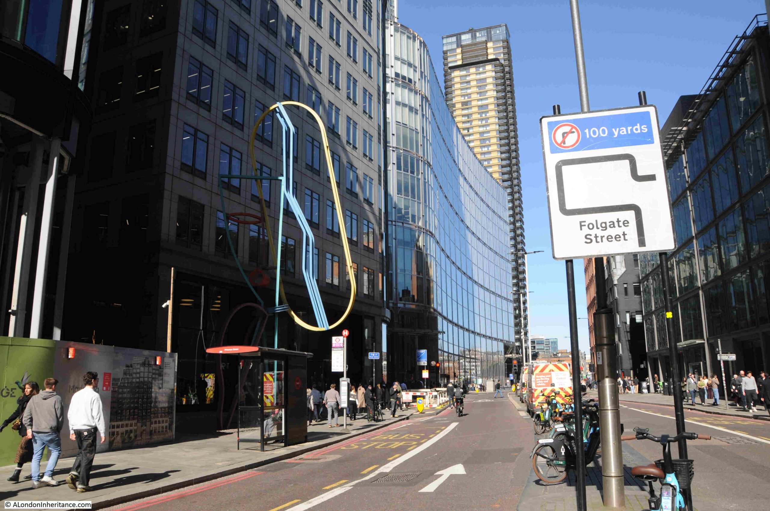
Walks
Before getting into the post, an update on my walks. As usual I am late getting these started, and am working on a new walk which should be complete in the next couple of months. Until then, I have dates for some of my existing walks:
I also have the following walks now available (click on each one for details):
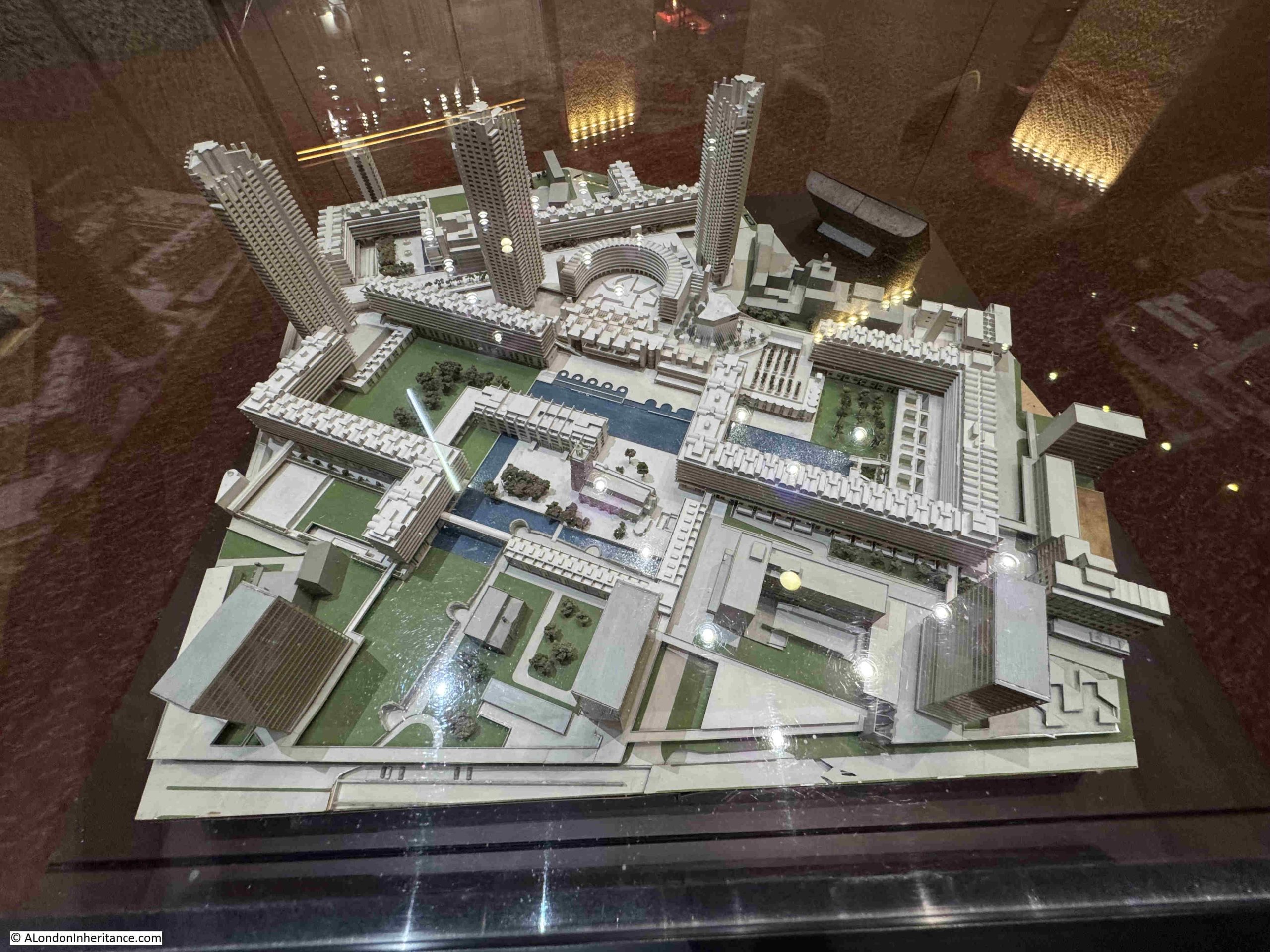
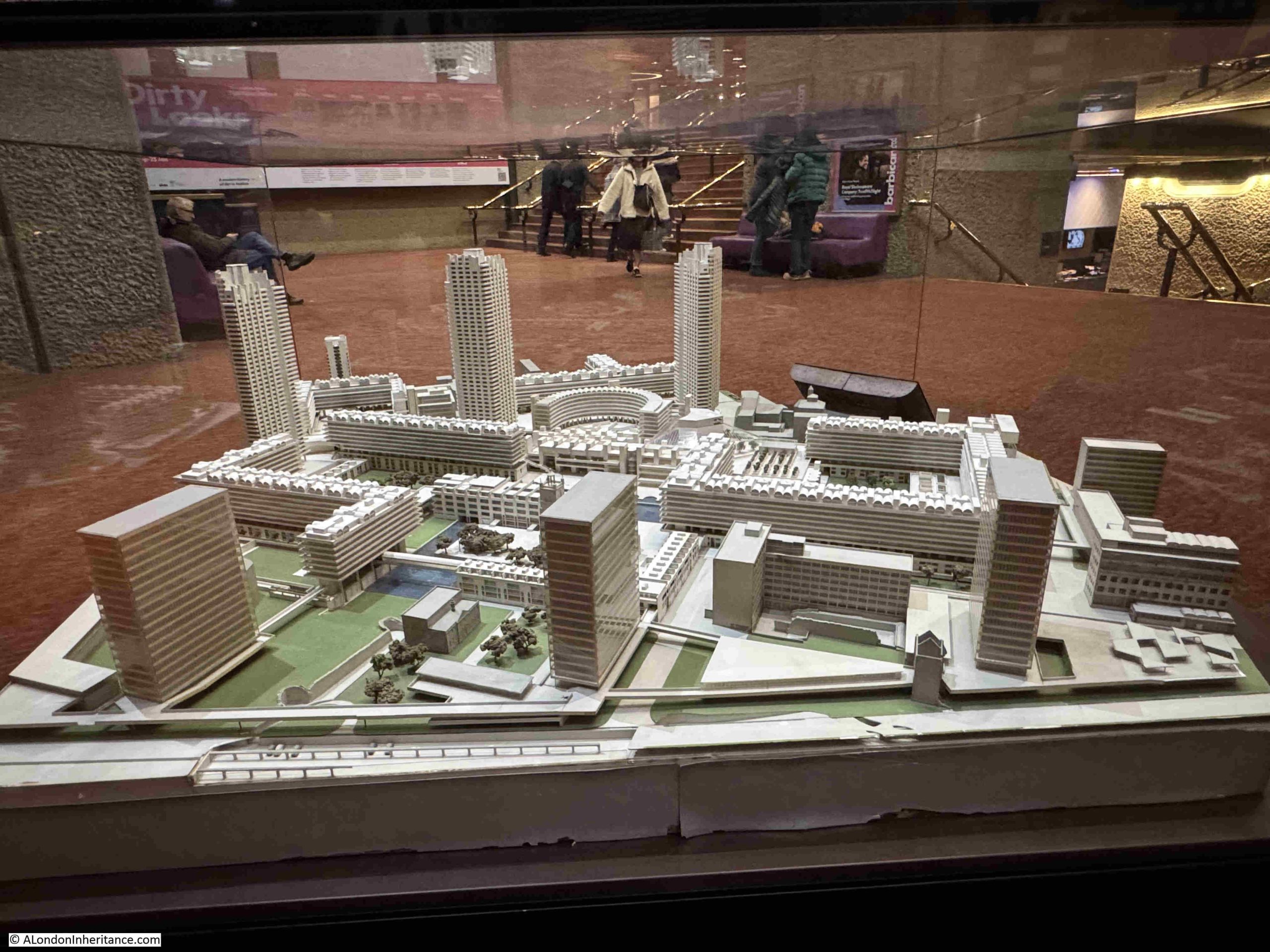
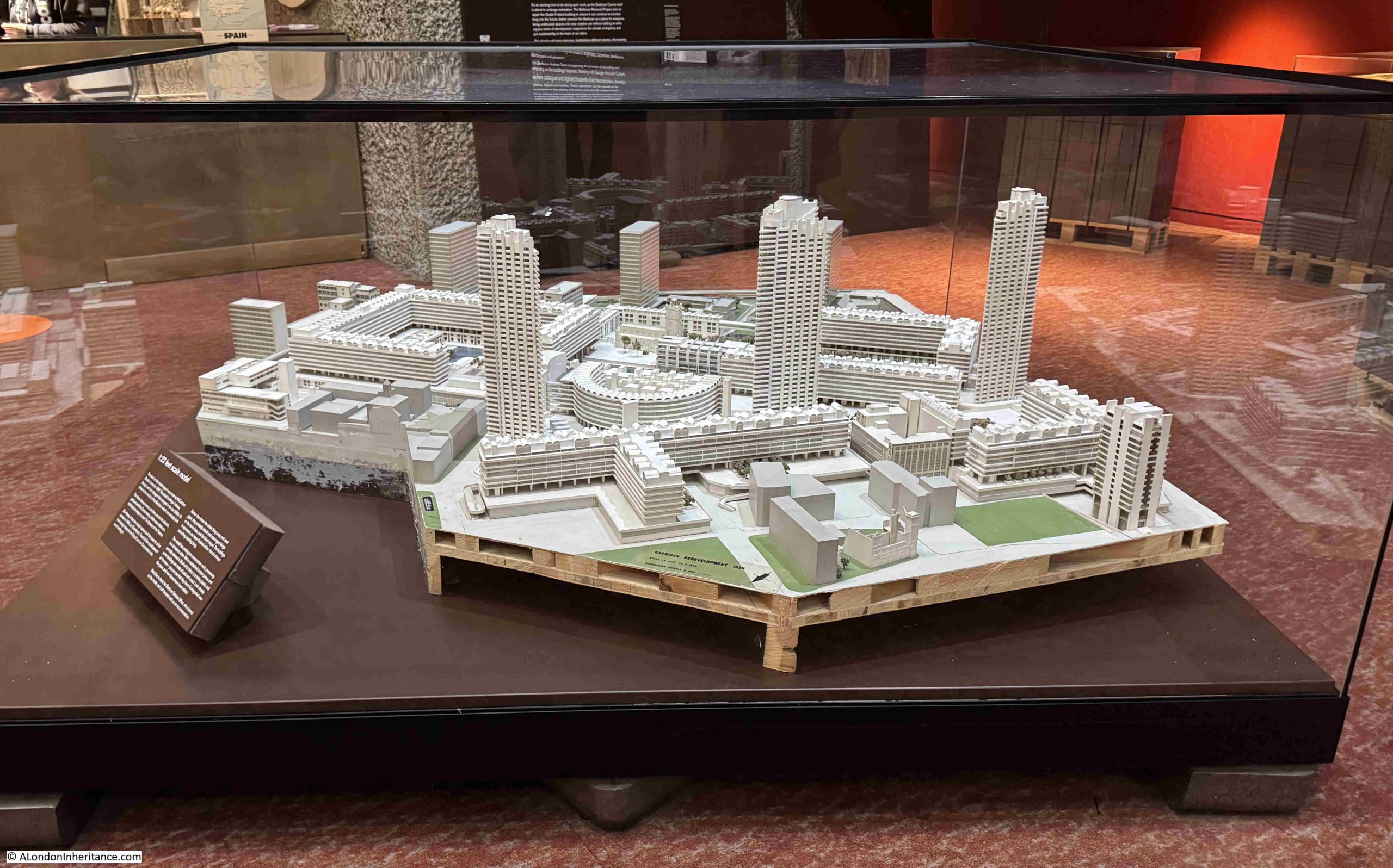
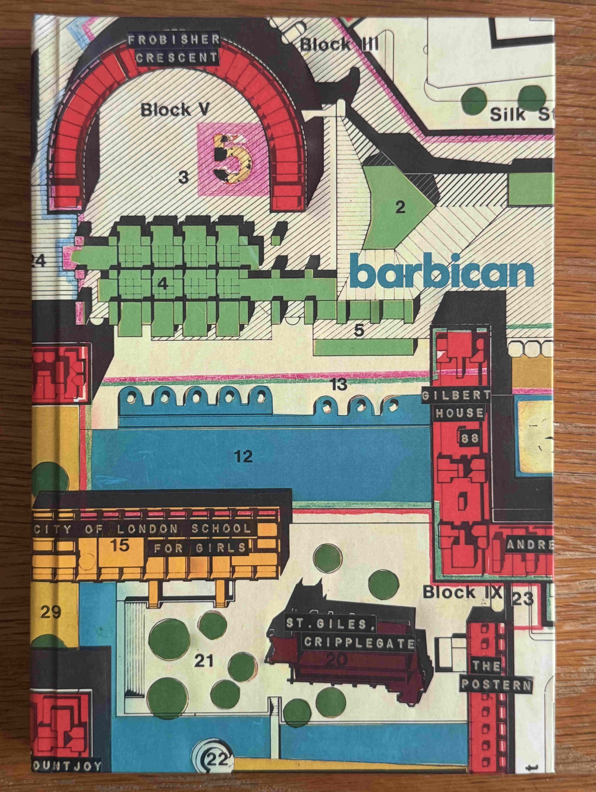
Exploring the Lost Streets of the Barbican on Saturday 16th of May.
In the Steps of a Woolwich Docker – From the Woolwich Ferry to the Royals on Saturday 23rd of May.
The Lost Landscape and Transformation of Puddle Dock and Thames Street on Sunday 31st of May.
Now to head to Putney and Fulham:
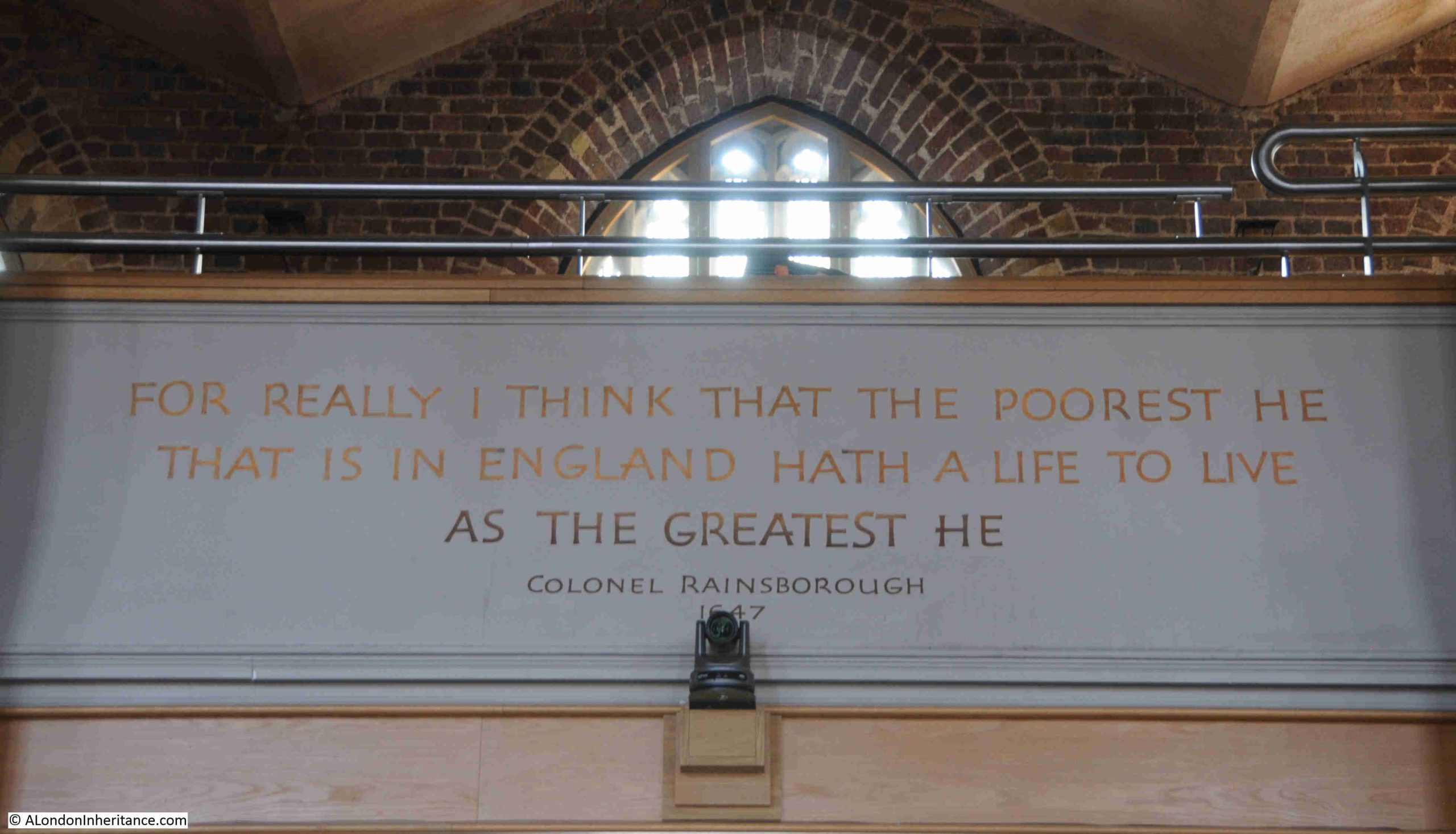
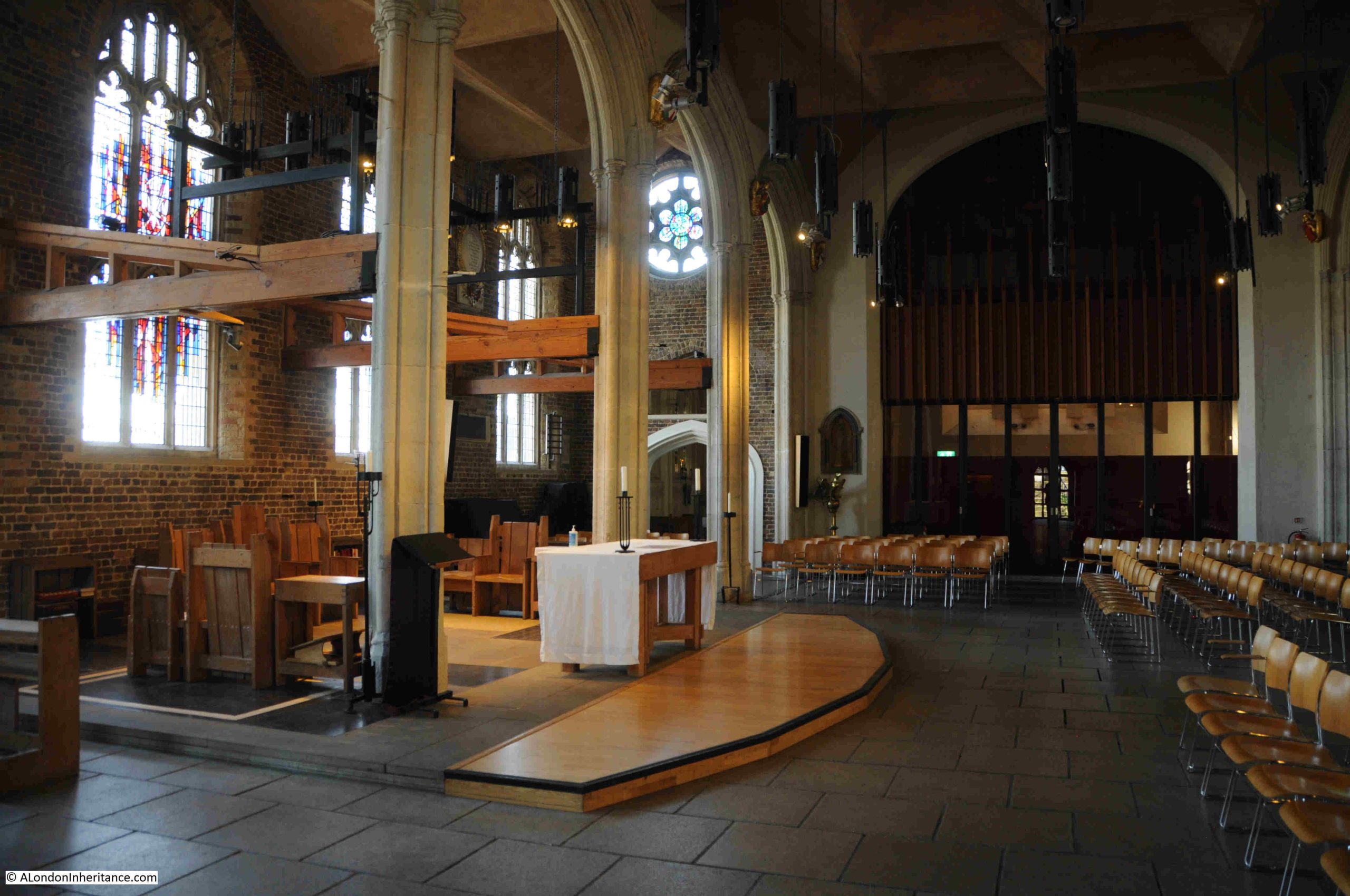
A couple of week’s ago, I wrote a post about the Putney Debates at St. Mary’s Church in Putney. Whilst there, I also wanted to find the location of some Thames stairs, as part of my long running attempt to visit the site of all the river stairs on the tidal Thames.
It was also an opportunity to have a walk around the area, and after arriving at Parsons Green station on the District Line, I headed south as I wanted to cross the river by a route I had not taken before, the walkway along the side of Fulham Railway Bridge:
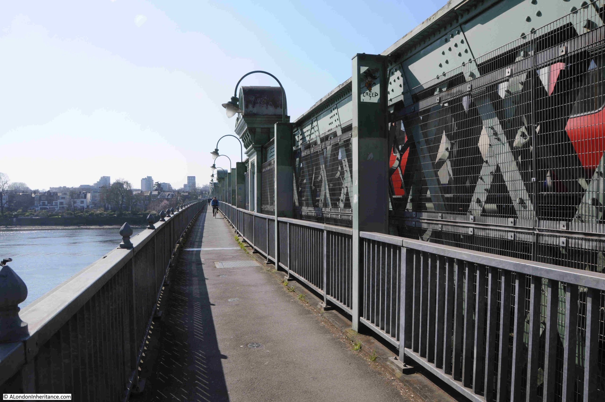
The walkway is along the eastern side of the bridge, and brings back memories of the walkway that once ran along the side of Hungerford railway bridge, however this walkway looks to be better maintained.
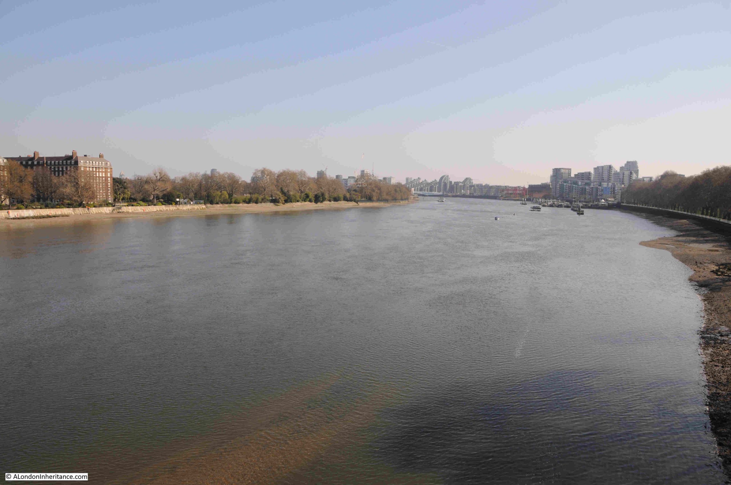
From the walkway there is a good view of the river to the east. The large building on the left is one of the large blocks of flats which seem to be a feature of this part of the north bank of the river around Fulham, and the trees on the left are part of the grounds of the Hurlingham Club:
The bridge was built to allow the extension of the District Railway, and the following report from the St. James Budget on the 19th of January 1889 provides a wonderful description of how places like Putney were being transformed, and it starts with a reference to the Civil War debates:
“THE NEW WIMBLEDON AND FULHAM RAILWAY – Saturday, September 18th, 1647 – ‘After a sermon in Putney Church, the great General Cromwell, many great officers, field officers, inferior officers, and adjutators met in the church; debated the proposals of the army towards a settlement of this bleeding nation; altered some things in them; and were very full of sermon which had been preached by Mr. Peters’. So it is recorded in authentic history.
Ten years ago it was not difficult to imagine Putney as the headquarters of Cromwell. Ten years ago the District Railway had not been extended to Fulham and quant old relics of the past had not been pulled down. Ten years ago Fairfax House, in which Queen Elizabeth used to lodge, was still standing, and the straggling old high street, with its curious cottages, had not disappeared. Ten years ago the ‘early clerk’ was a rara avis in Putney, and ‘villadom’ had not become aggressive. But the opening of Putney Bridge Station inaugurated a new style of things, and the old Putney was well nigh improved off the face of the earth.
Since that a further extension of the railway has been in progress, and the early part of this year will see Wimbledon in direct communication with the aristocratic west and with all parts of the District and Metropolitan system. The present terminus to the District Railway in the south is at Putney Bridge, on the Fulham side of the Thames; but the opening of the new branch will carry the rails across the Thames to Putney proper, where a station is being established to serve the purpose of both the District and South-Western systems. Thence the line will pass through West Hill and Southfields in the Wandsworth District, and, skirting Wimbledon Park with its expansive lake, will for the present come to a stop at Wimbledon Junction.”
This article is interesting for several reasons. I really like the historical links, it demonstrates how what had been villages around London were being rapidly transformed in the later part of the 19th century, and it highlights the part played by the rapidly expanding rail network.
I also like the term “villadom” which probably describes the suburban houses that were rapidly taking over what had been the fields surrounding Putney and Fulham.
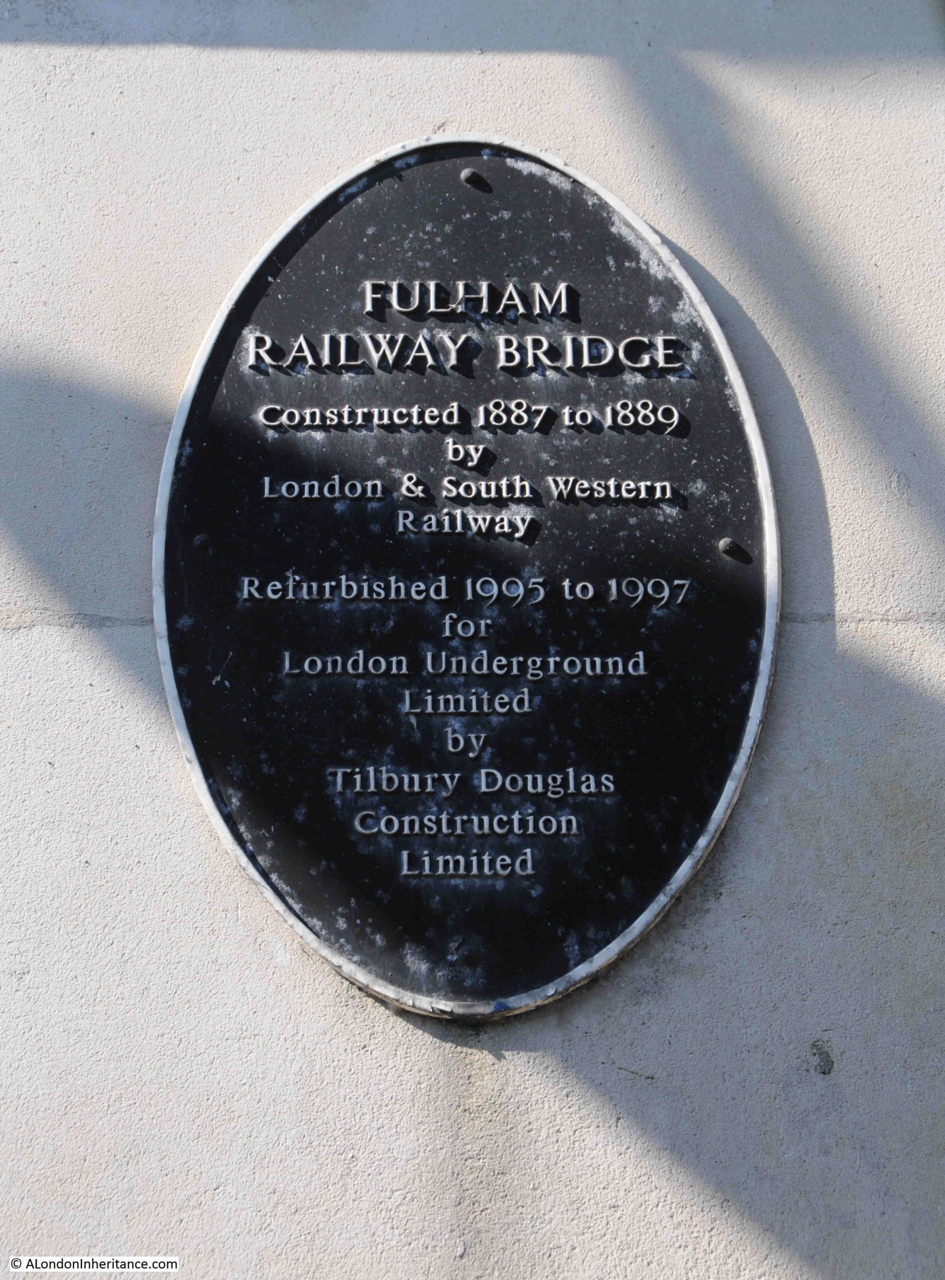
There is a plaque on the bridge alongside the walkway that records the construction and later refurbishment of the bridge:
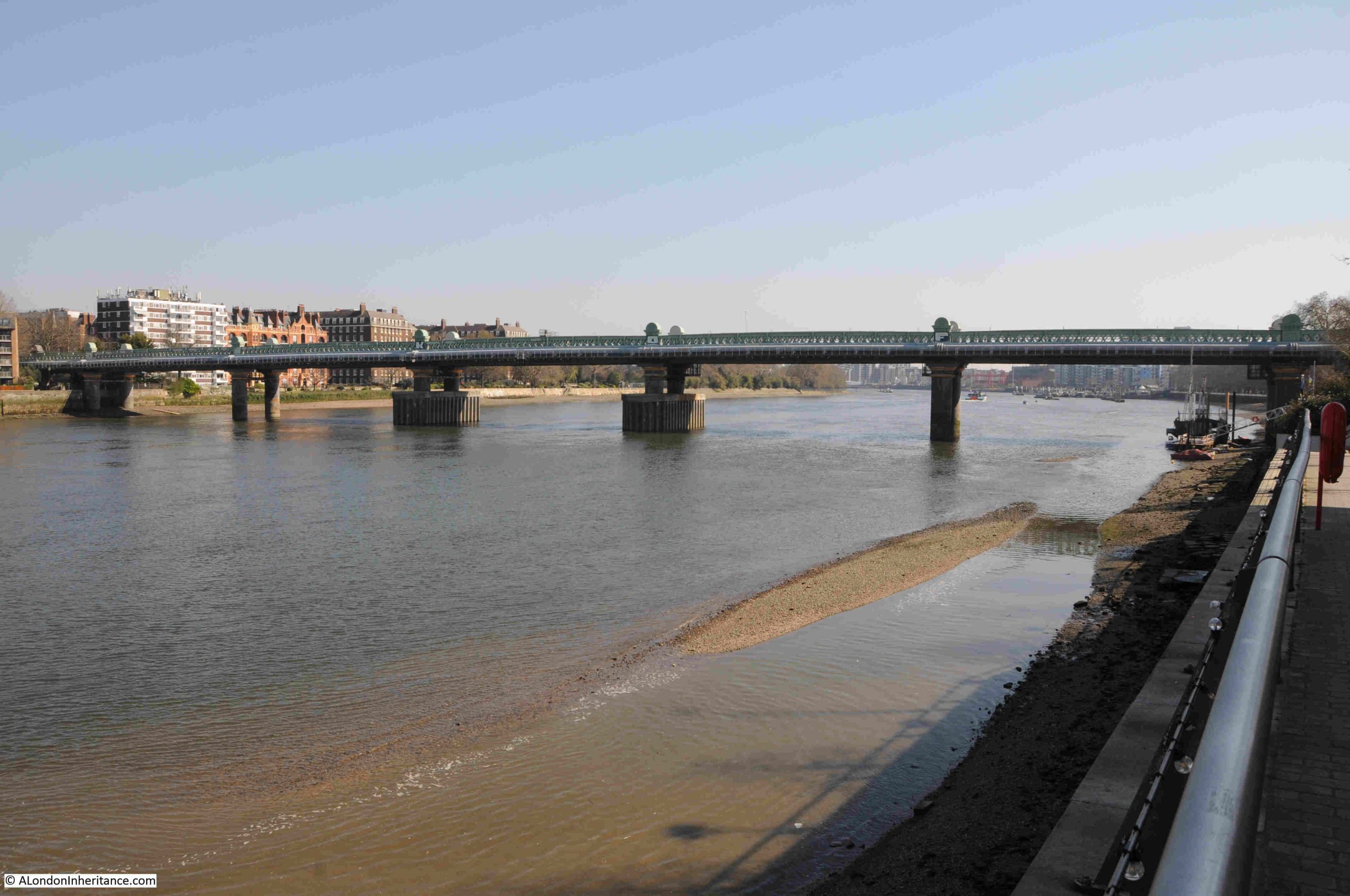
The bridge was designed by William Jacomb, who had been an assistant to Brunel, and Jacomb created a rather graceful structure across the river, however the large concrete cutwaters around the central columns, which were added later to protect the bridge against any accidental collisions, slightly detract from the architect’s original intentions:
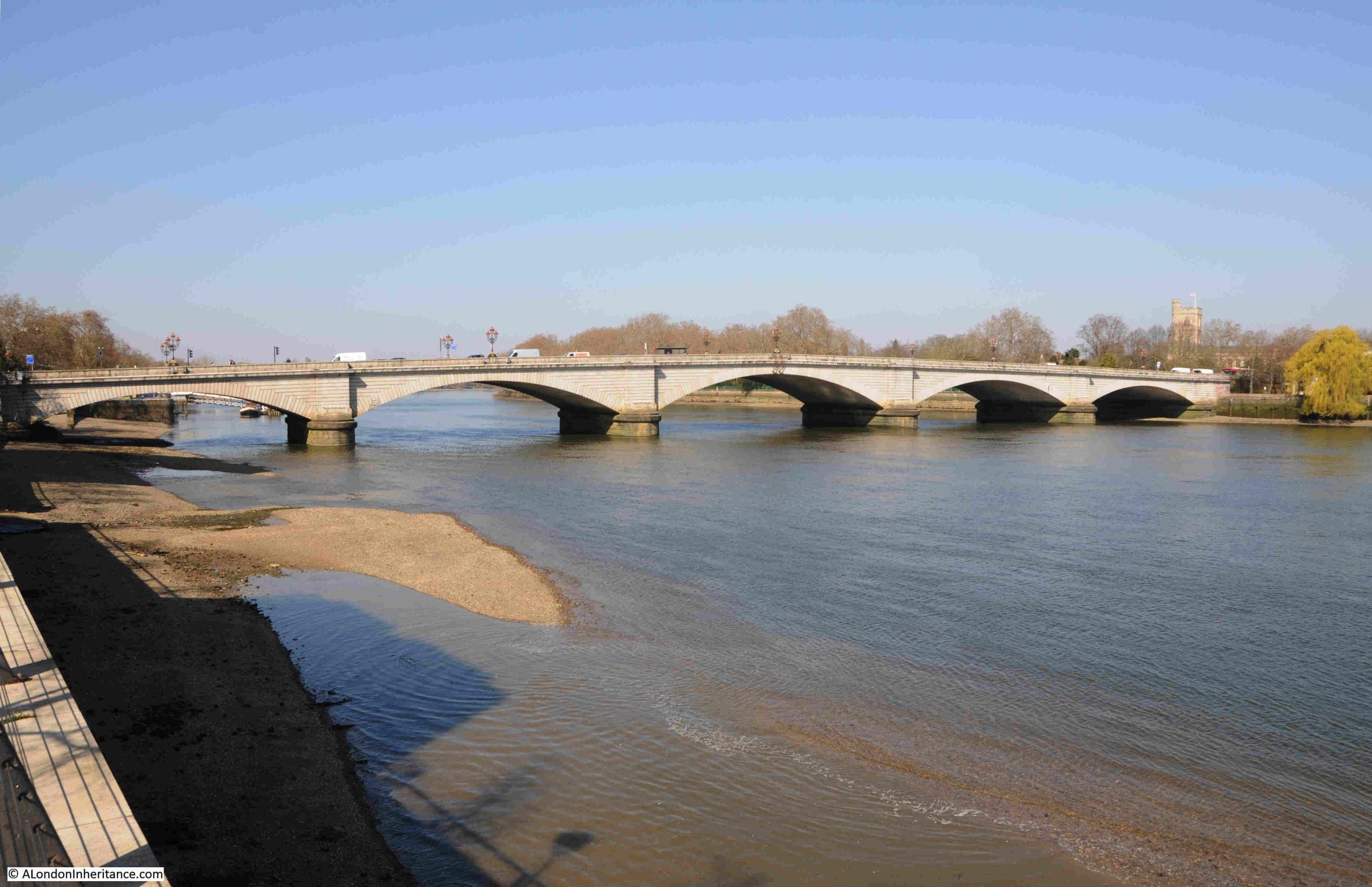
Just to the west of the railway bridge is Putney road bridge:
As with so much of the river, there was a reasonable amount of industry along the banks, and on the north, Fulham bank of the river, there was Swan Wharf and Draw Dock, which was used by the local corporation as a place where barges could be loaded with rubbish and transported down river to landfill sites around Rainham. The Draw Dock is highlighted by the red arrow in the following map, with Swan Wharf to the left (‘Reproduced with the permission of the National Library of Scotland“):
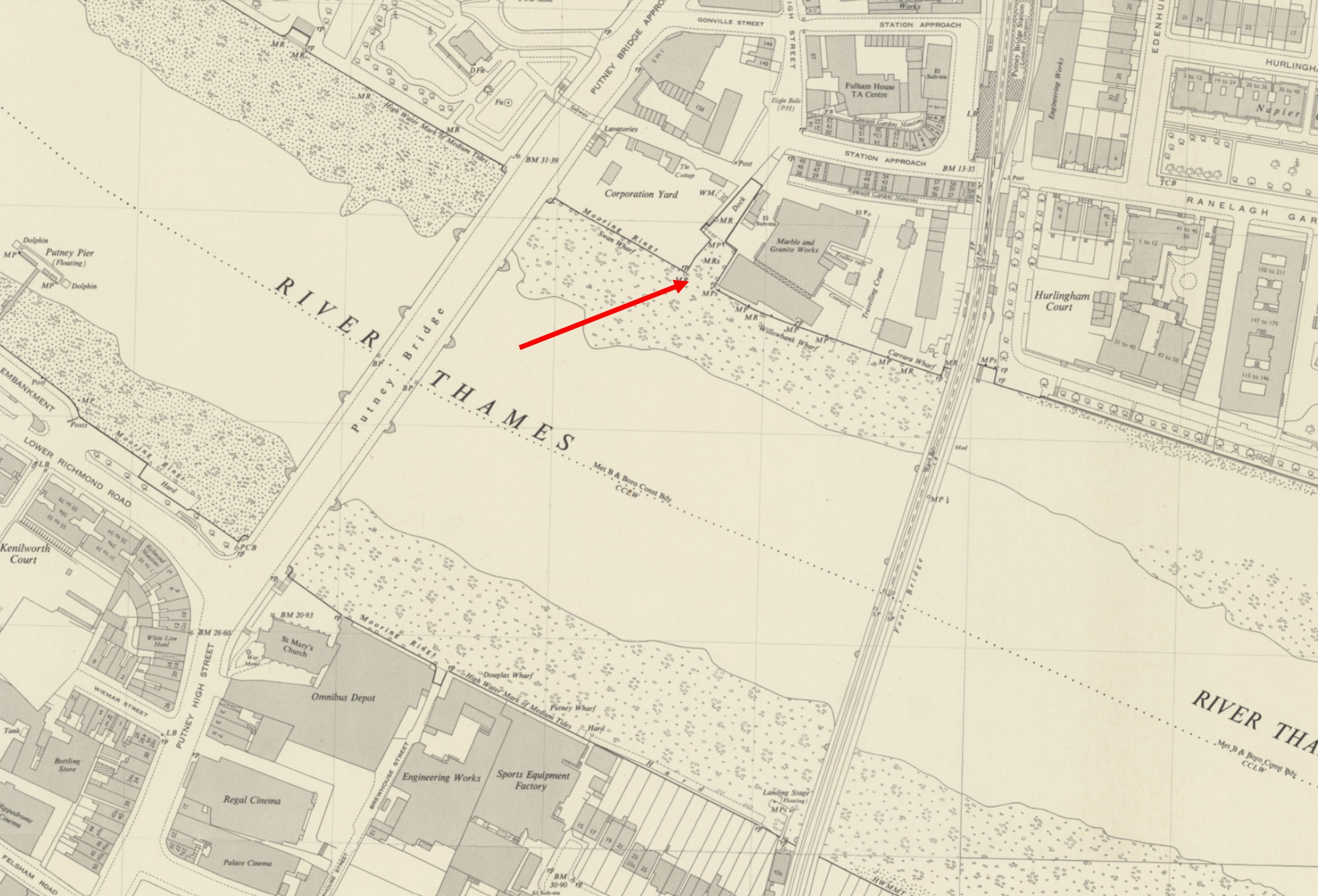
To the right of the Draw Dock was the granite, marble & mosaic works of Fenning & Co.
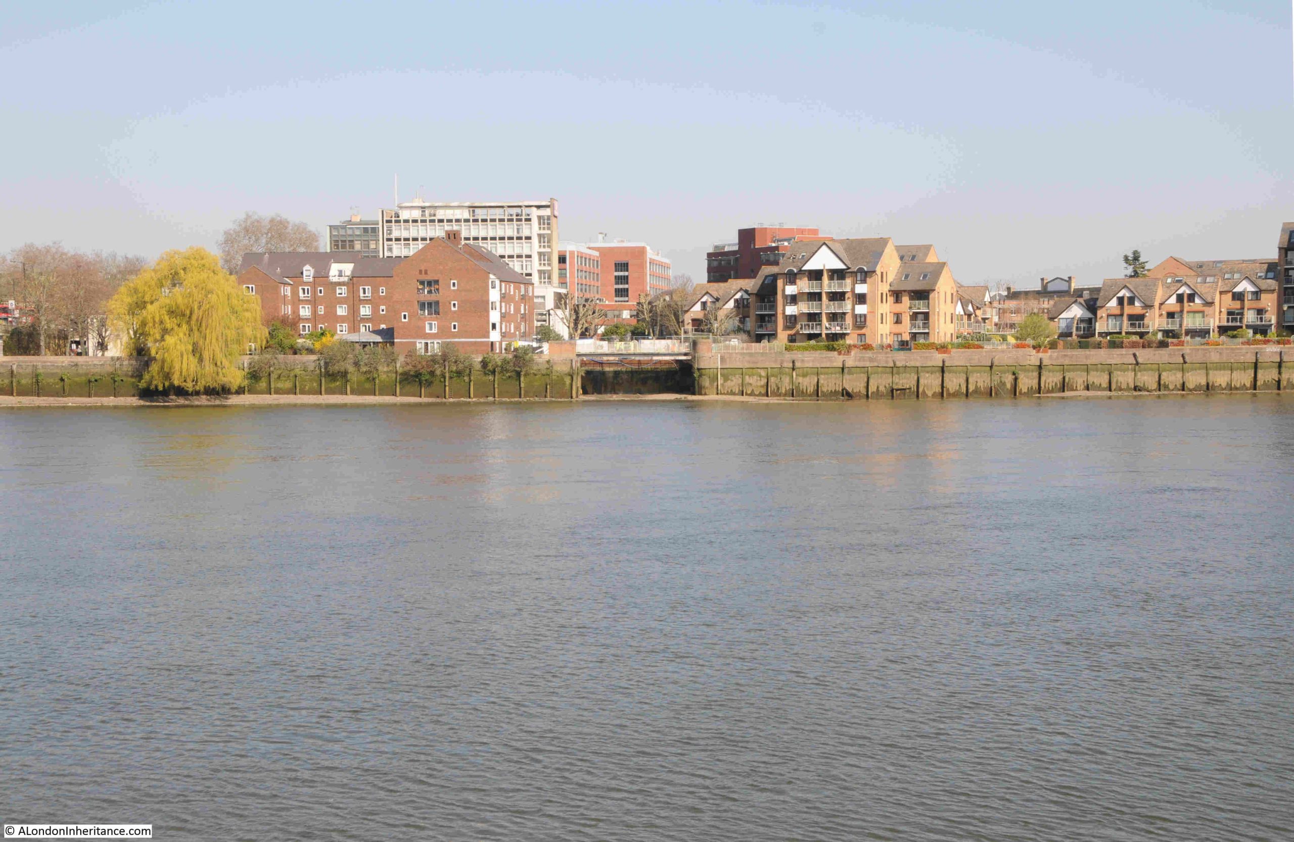
Whilst the corporation yard and granite works have been replaced by residential, the entrance from the river to the Draw Dock remains, although it extends no further back than the cut in the embankment seen in the centre of the following photo:
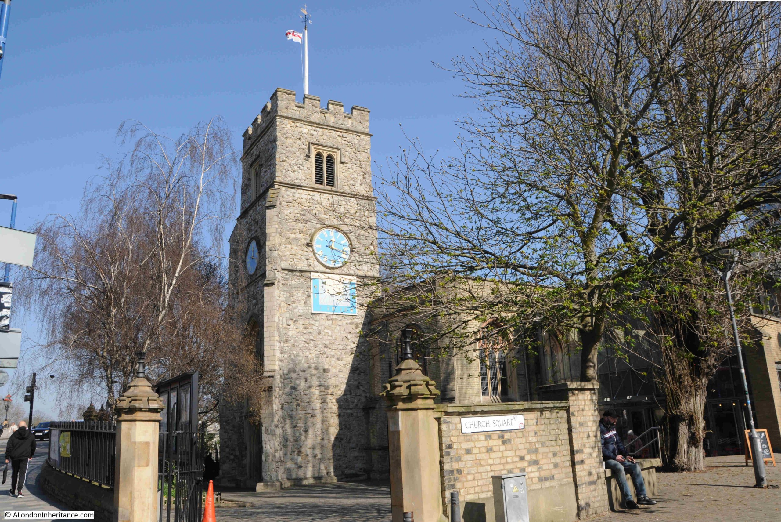
From the location of the above photo, I walked up to the church featured in the previous post on the Putney Debates. Directly opposite the church, on the approach road to the bridge, is a rather magnificent late 19th century pub:
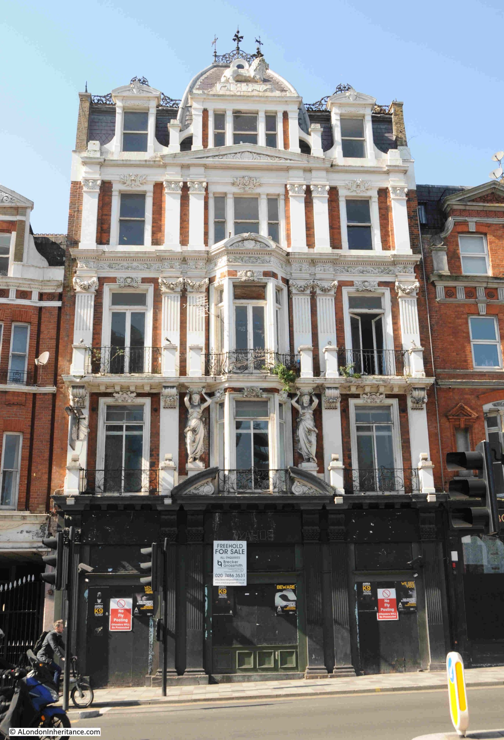
This is the Grade II listed White Lion Hotel and Public House, which dates from 1887.
The date of construction is within the same couple of years as that of the railway bridge and the extension of the District railway to Putney, and is another example of how Putney was being transformed.
An 1888 advert for the White Lion provides an overview of the business when it opened:
“THE NEW WHITE LION HOTEL, PUTNEY – The above Newly Built Hotel when completed will afford unusual accommodation for Boating Parties, Families and Commercial Gentlemen. It contains Sixteen Spacious Bedrooms, Three Bathrooms, and Sitting Rooms, Magnificent Billiard Room with Two of Messrs. Cox and Yeoman’s Tables, fitted with the latest improvements, Bowling Saloons, Spacious Dining and Grill Room and also a Large Room for Banquets and Public Dinners.”
There are not that many pubs where you can see two large Caryatids supporting the upper floors:
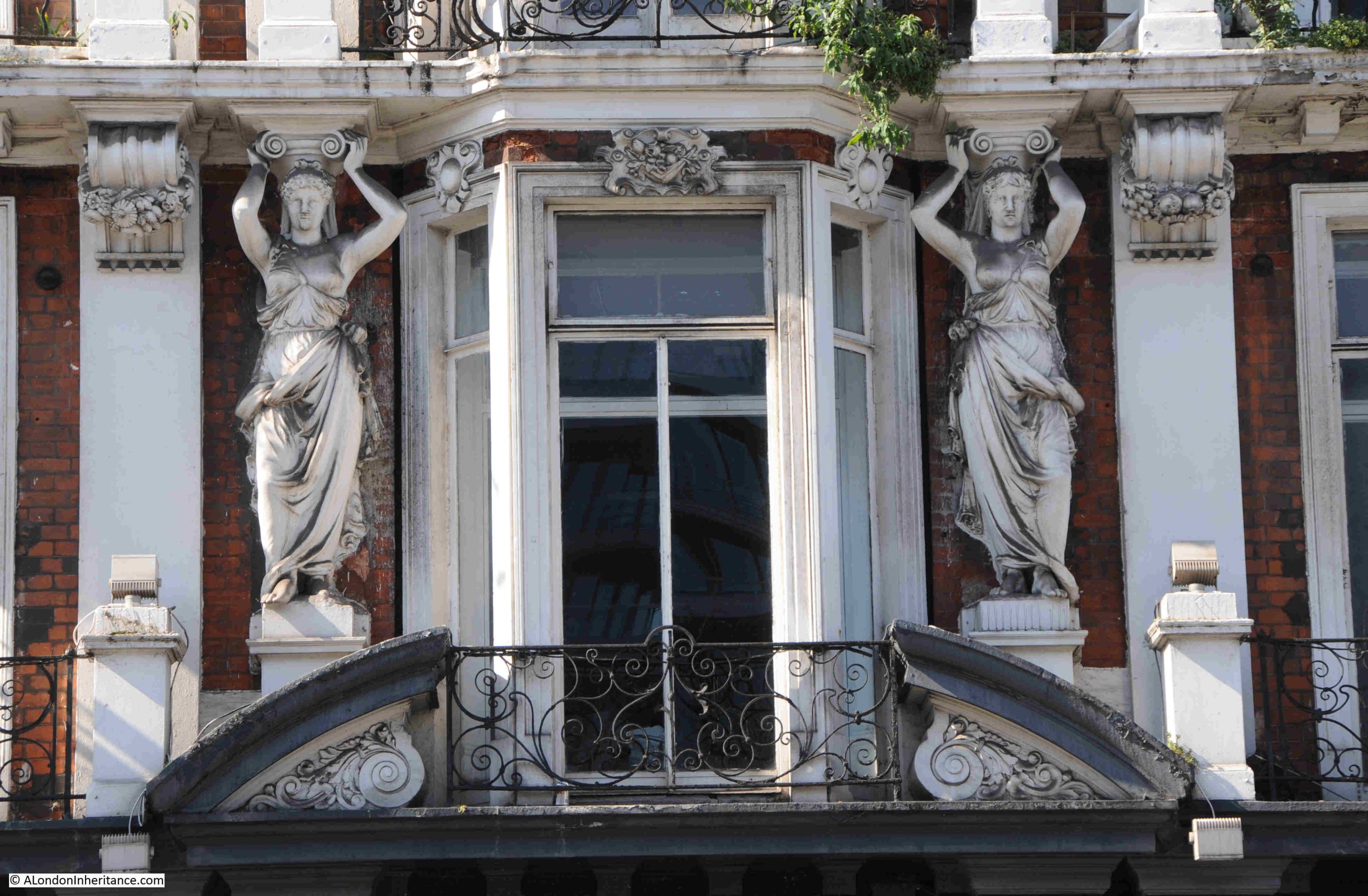
The White Lion was built on the site of a previous pub with the same name, as being at the southern end of the bridge, and opposite the church, was a good location.
There are plenty of references to the pub going back to the early years of the 18th century, and it would be interesting to know if it was here when Cromwell was in the church opposite.
As is still the case, it is generally only bad news that makes the media, and the following example of a tragic accident in the White Lion in January 1750 again highlights the almost casual nature of death across London in previous centuries:
“On Tuesday last a melancholy accident happened at the White Lion at Putney, where some Officers being quartered, a Pair of Pistols belonging to one of them lay on the table where two Sons and a Daughter of Mr. Barnsley were playing; one of the Boys, about six years old (who was the eldest) taking up a Pistol, clapped it to his sister’s forehead, saying ‘I’ll shoot you’, and so indeed he did.”
I have left out the rest of the description of the accident as 18th century newspapers did not leave out any graphic details. There was no report of any action against the Officer who had left a loaded pistol out in a public space and it was just regarded as a tragic accident.
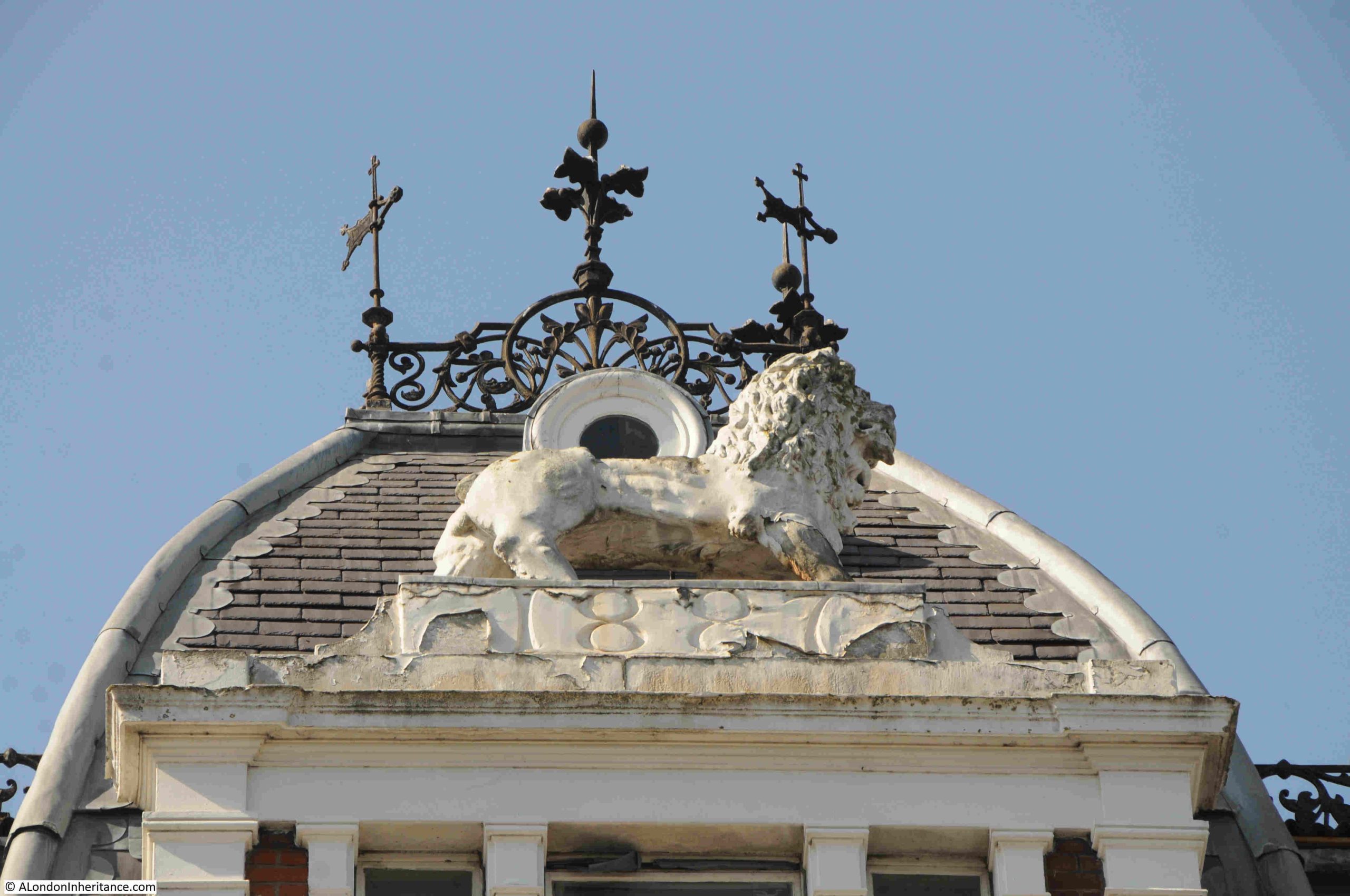
At the top of the building there is a large White Lion, and the date of construction:
I cannot find when the White Lion closed. It has been through the chain pub branding of Slug and Lettuce and Litten Tree. It has been an Australian themed bar and a sports bar, but the building seems to have been empty since 2012 / 2013.
The Historic England assessment record states that it is in poor condition, of medium vulnerability, there is slow decline and no solution for the building is agreed, so not a very promising future.
It is the type of pub that Wetherspoons would typically take over and restore, however there is already a Wetherspoons, the Rocket, in a brand new building just to the east of the church.
Hopefully there will be a future use for this wonderful building.
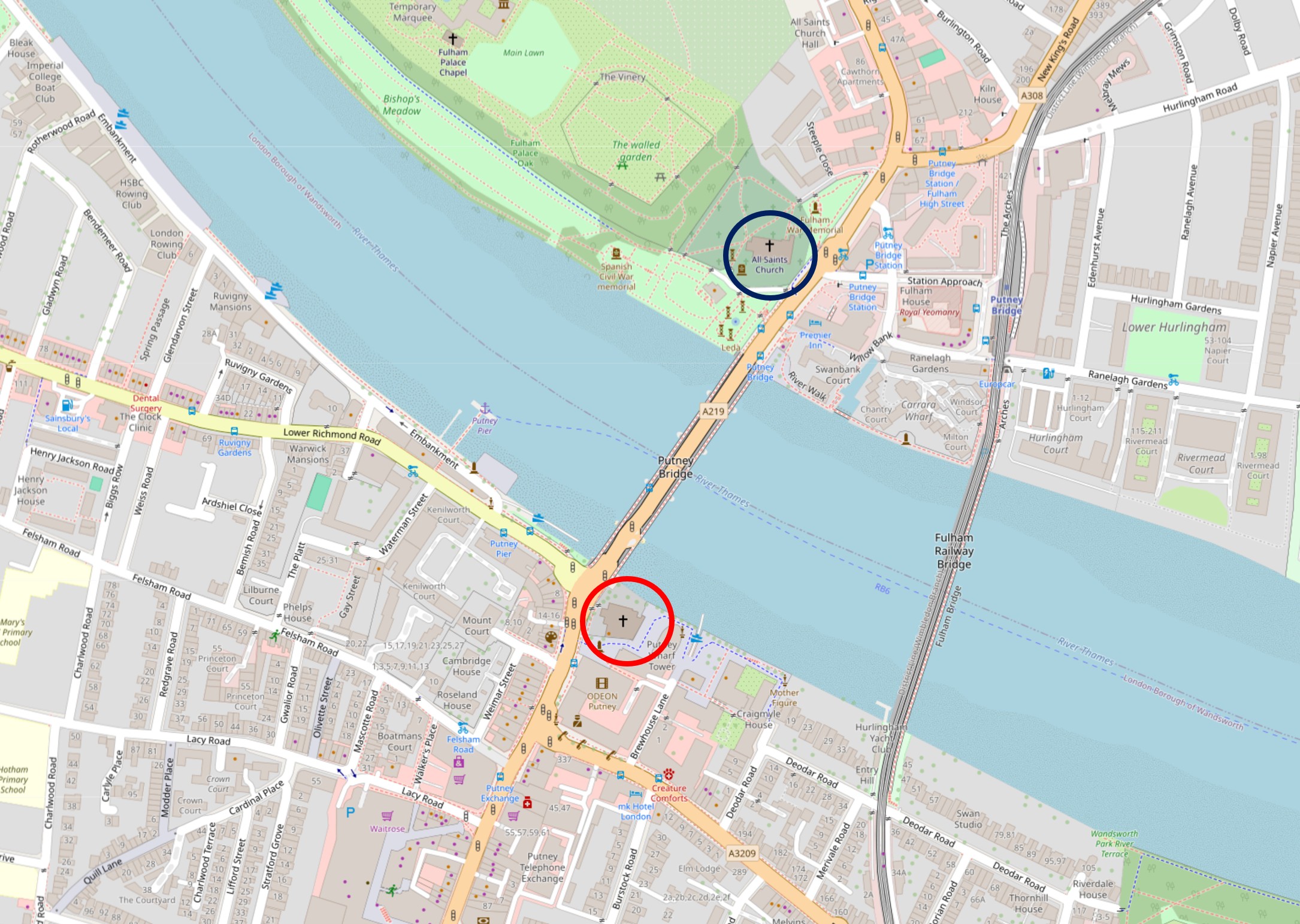
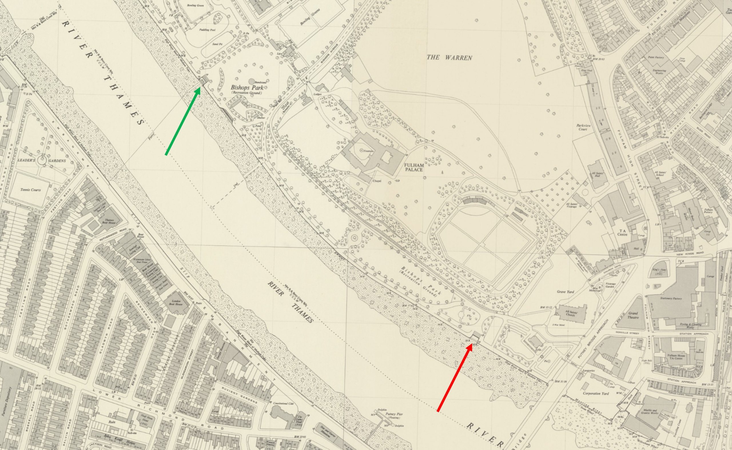
One of my aims was to visit two Thames stairs listed in the Port of London Authority records of access points to the river. I have highlighted them in the following map. The red arrow is pointing to Bishops Park Lower Stairs and the green arrow to Bishops Park Upper Stairs (‘Reproduced with the permission of the National Library of Scotland“):
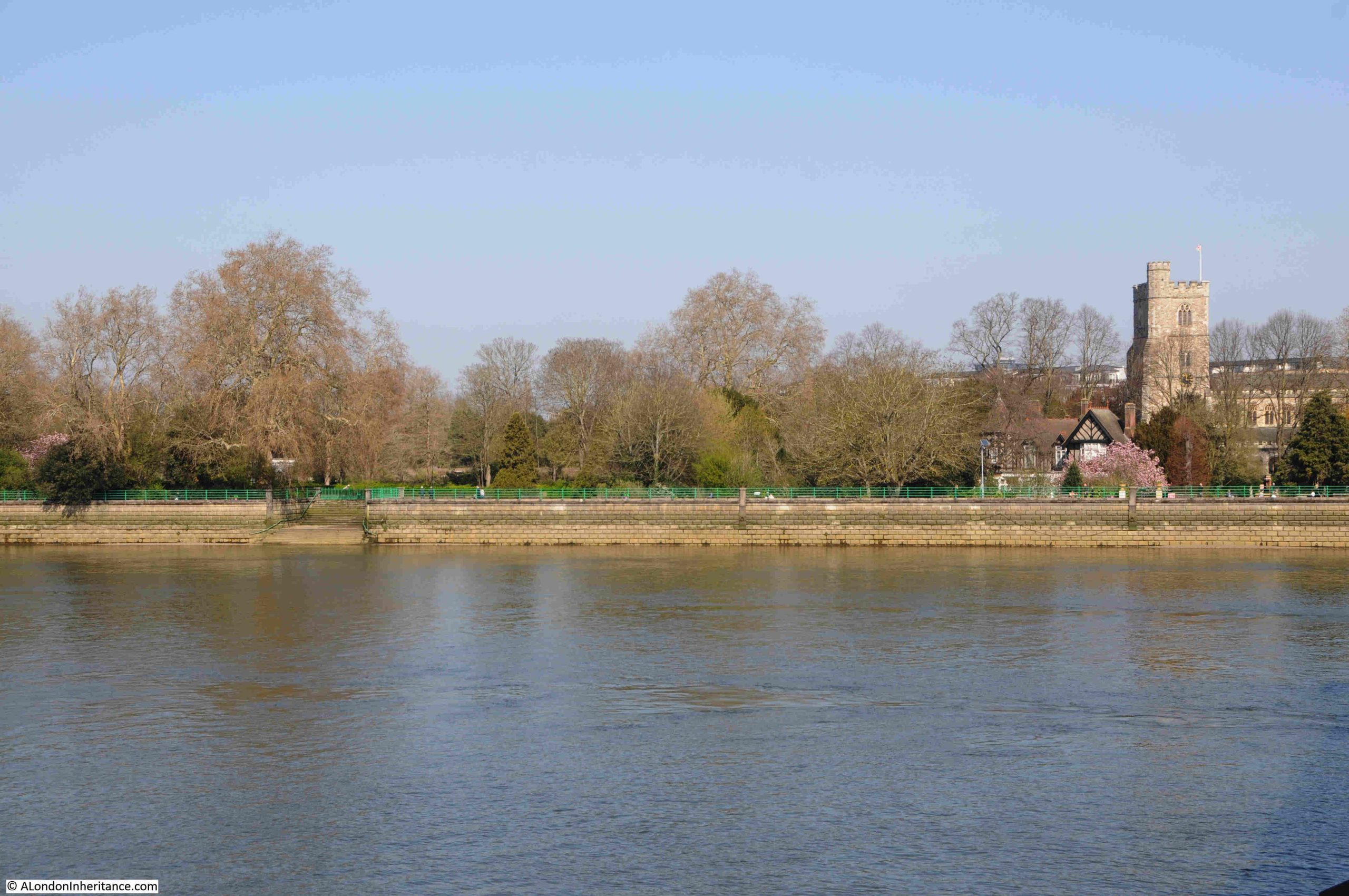
Seen from Putney, Bishops Park Lower Stairs are on the left of the following photo. The church on the right is All Saints, Fulham:
A close up of Bishops Park Lower Stairs:
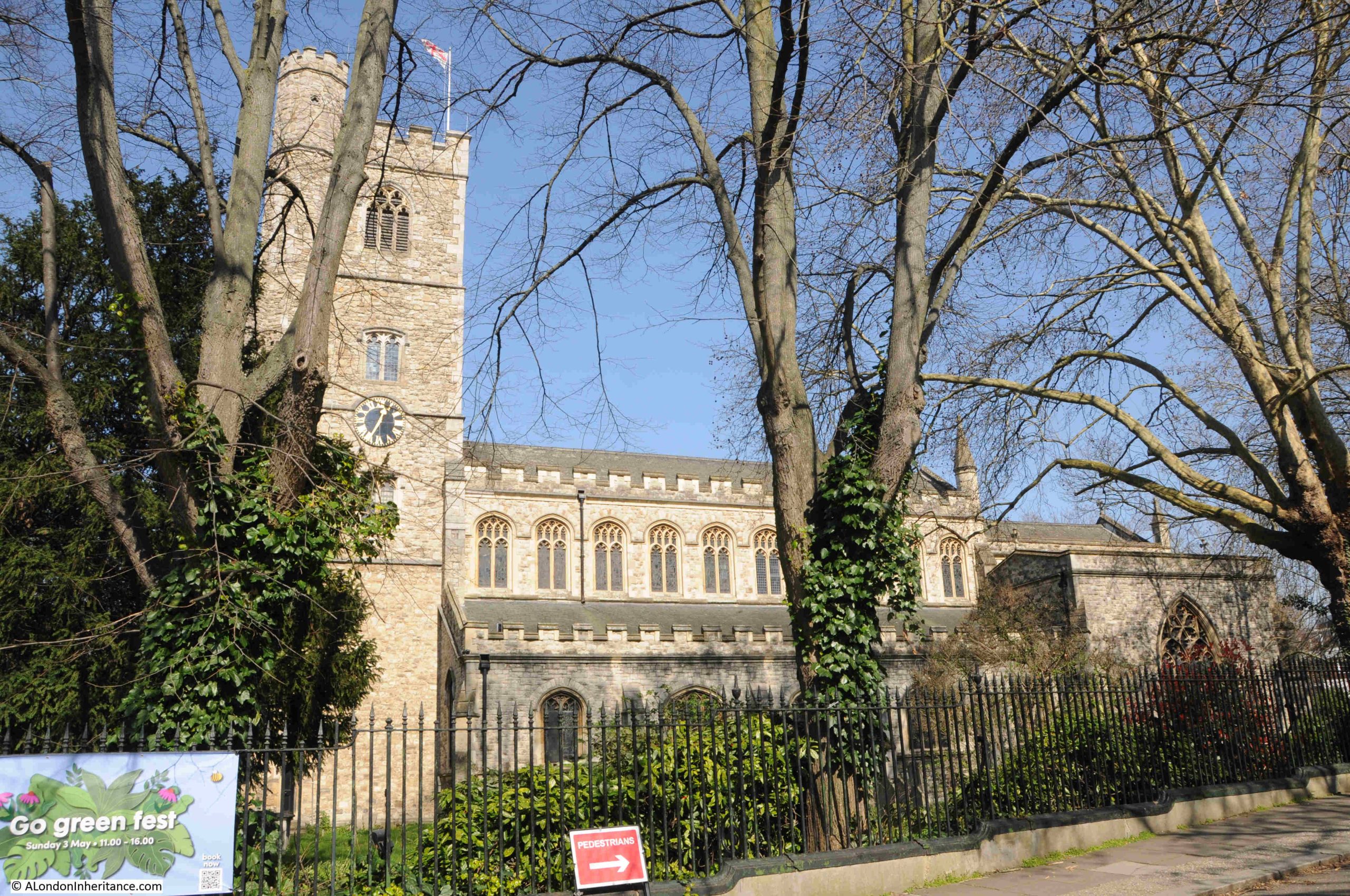
As I mentioned in my last past on the Putney Debates, churches are often seen adjacent to important crossings or boundaries, and at either end of Putney Bridge, there is All Saints Fulham and St. Mary’s Putney, as shown in the following photo:
The first bridge across the river was opened in 1729, but there had been a ferry crossing here for many previous centuries, so whilst today the churches are at either end of the bridge, they would previously have been at opposite ends of the ferry crossing, when perhaps it would have been important for a quick prayer before braving a crossing by water.
The first bridge was of wooden construction. There was much opposition from the watermen operating the ferry, as the bridge would have destroyed their business. Compensation and pensions were needed to address the waterman’s complaints.
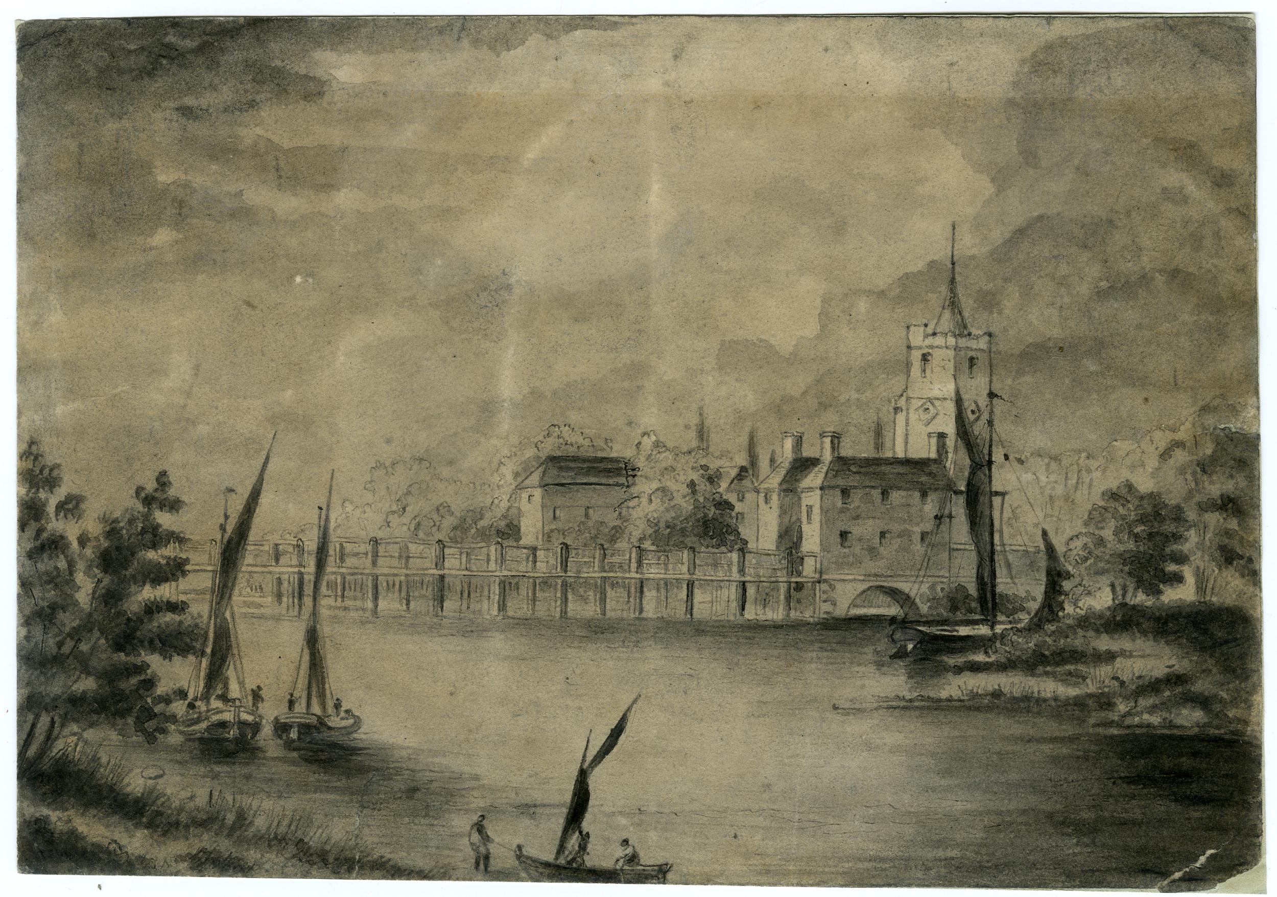
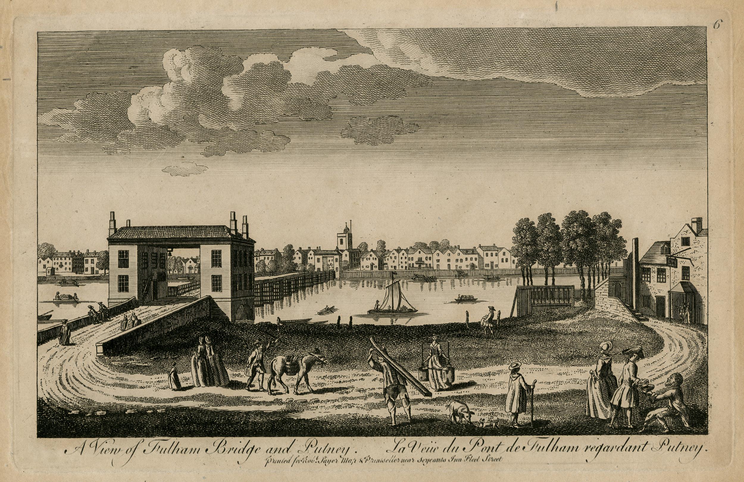
The churchyard of St. Mary’s was originally much larger than we see today. When the wooden bridge was built, the road curved around the larger churchyard to access the bridge, as can be seen in the following print, which was published in 1783 and titled “Putney Church from the White Lion”, again confirming the existence of the pub long before the 1897 building we see today:
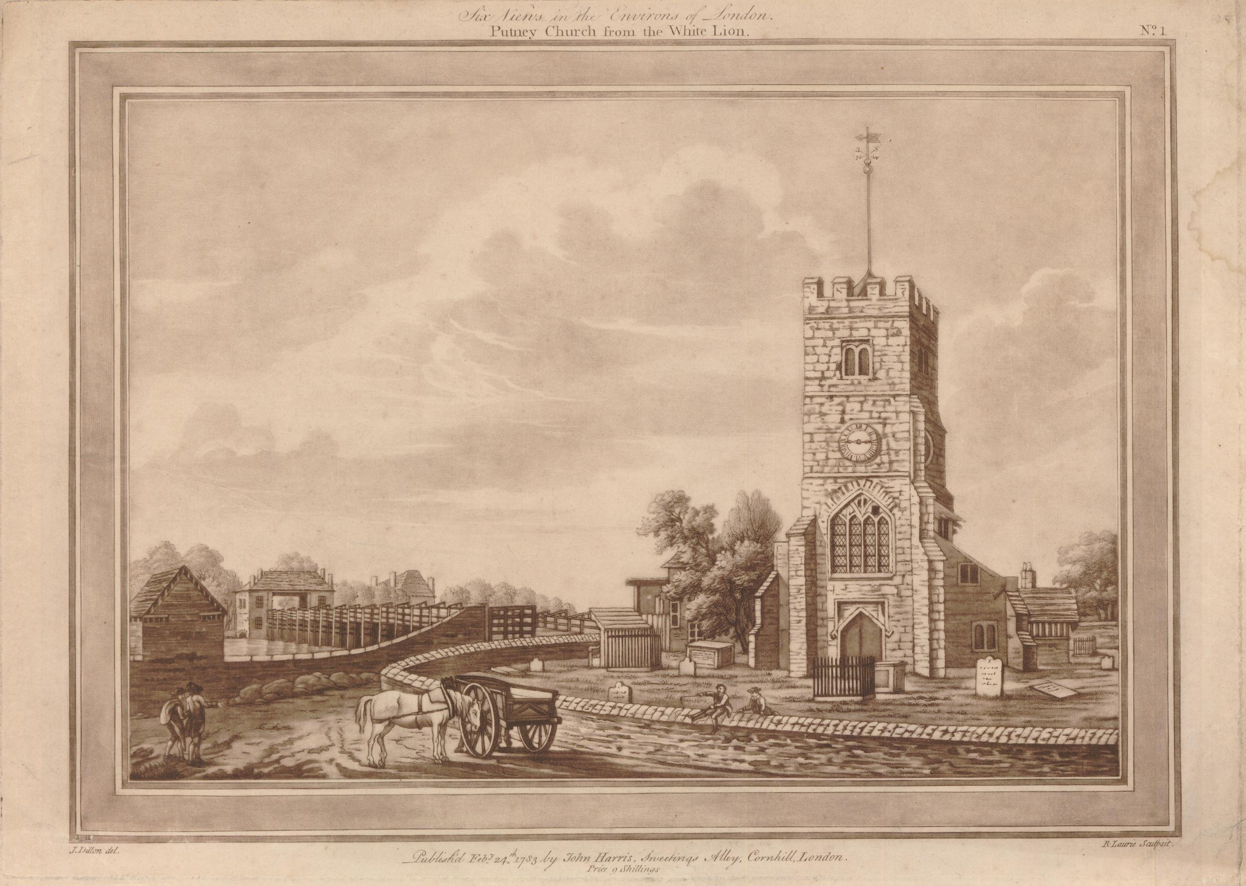
(© The Trustees of the British Museum. Shared under a Creative Commons Attribution-NonCommercial-ShareAlike 4.0 International (CC BY-NC-SA 4.0) licence.)
The Port of London listing does not include any access points along the Putney side of the river, which is strange as there are a number of slipways, although some are quite recent such as the slipway in the following photo. Where the slipway reaches the higher point, which then extends into the river, was one of the construction sites for the Thames Tideway Tunnel:
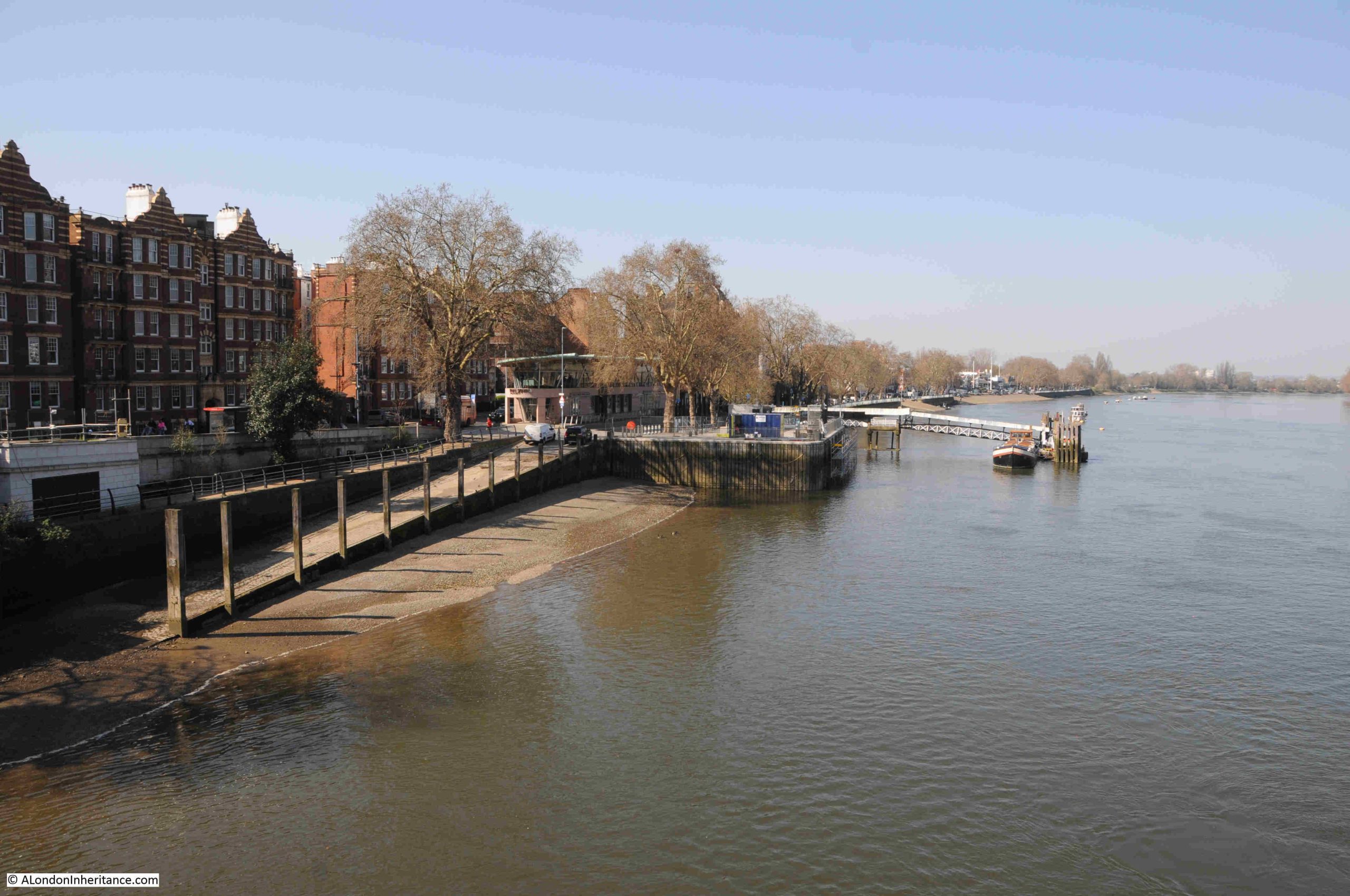
The point in the river opposite the Tideway Tunnel site is where the University Boat Race starts.
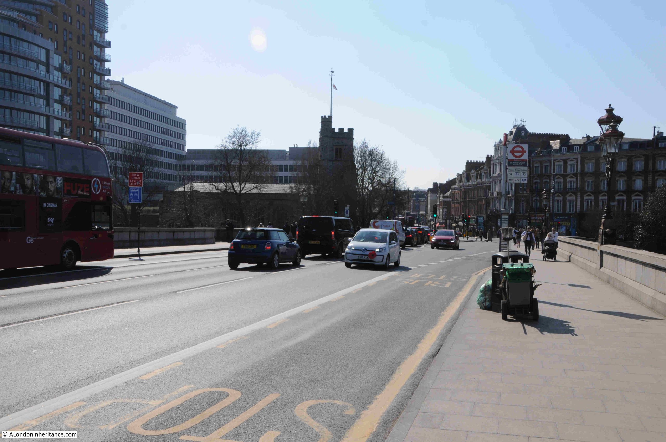
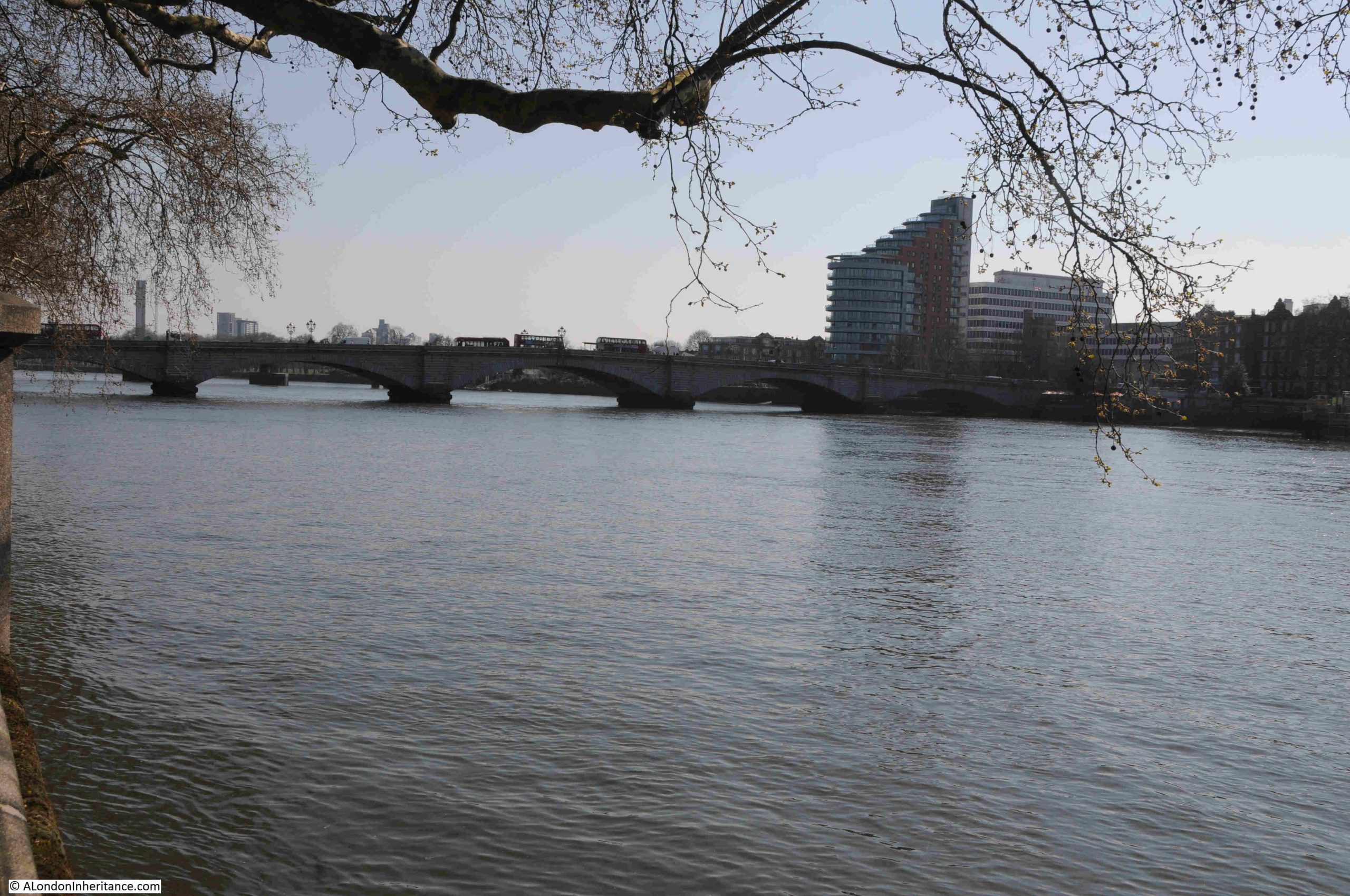
Looking towards Putney on a busy Putney Bridge:
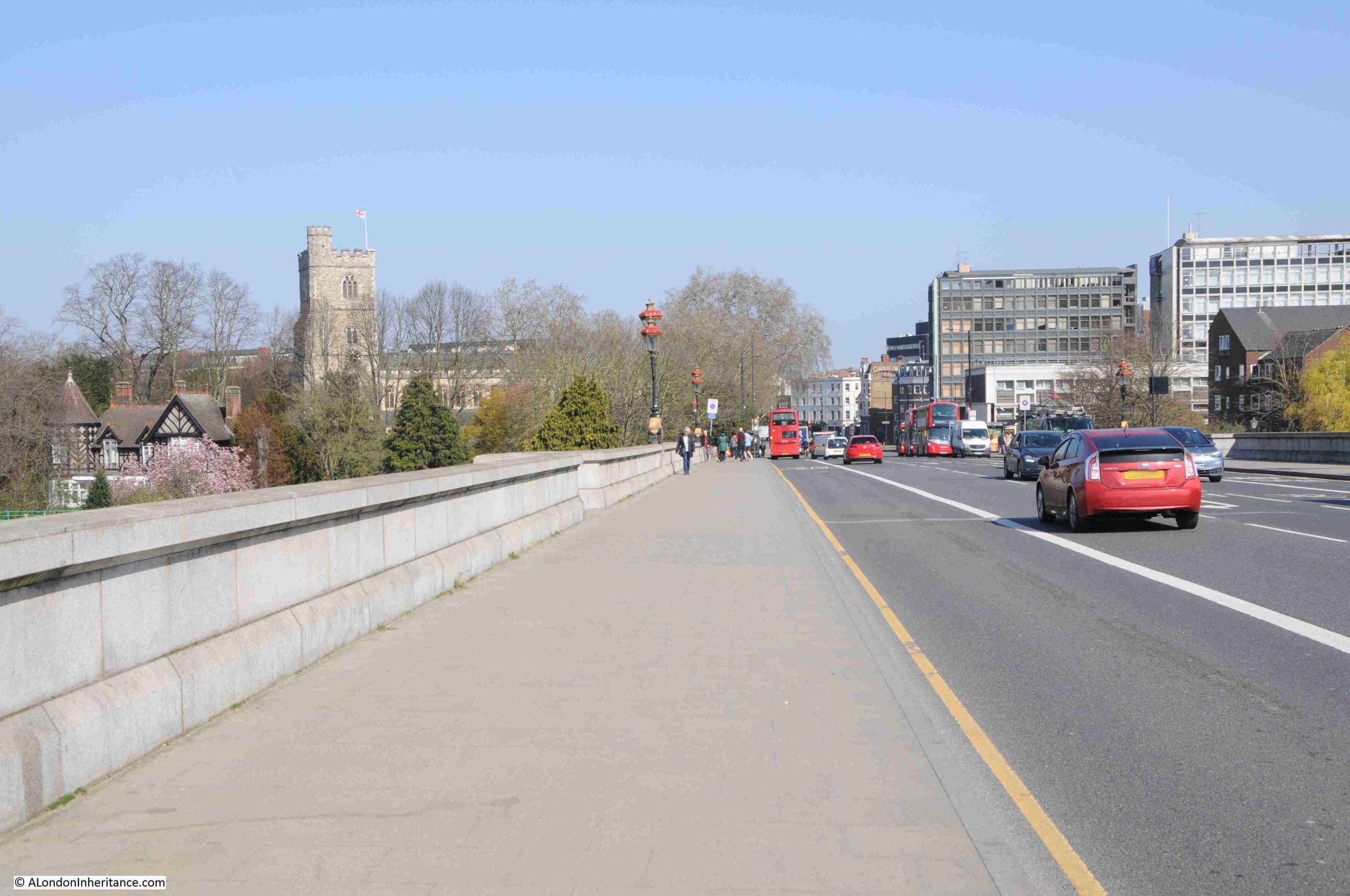
The view in the opposite direction towards Fulham:
In the early 18th century, there were no bridges between London Bridge and Kingston, so if you needed to cross the river, you would have needed a Waterman.
In 1726, the organisation to construct the bridge was put in place, as reported in the Flying Post on the 19th of May, 1726: “London, May 19. Above 180 Persons of the Nobility, Gentry &c. are particularly named to be Commissioners, or a Body corporate, for building a Bridge cross the Thames, from Fulham in Middlesex to Putney in Surrey.”
The references to Middlesex and Surrey recall the original counties that much of modern day Greater London were once part of.
Construction began in March 1729 as reported: “The building of the new Bridge over the River Thames from Fulham to Putney was begun yesterday in Presence of the Commissioners appointed for that work, and the Scaffolding in Fulham side was great part finished, as was that on the Side of Putney this day; and the first pile is to be drove tomorrow; several hundred men are employed in the great undertaking.”
The bridge was in use by the end of the year, and on the 11th October, the Kentish Mercury was reporting that: “The New Bridge over the River Thames from Fulham to Putney is so near finished that the wood work almost joins the brick and stone-work at each end; and the top being for the most part covered, several persons passed over yesterday; and ’tis reckoned that before Christmas, coaches and carriages may pass. ‘Tis no small surprise to see so great a Work complete in so short a time.”
The Putney end of the bridge:
(© The Trustees of the British Museum. Shared under a Creative Commons Attribution-NonCommercial-ShareAlike 4.0 International (CC BY-NC-SA 4.0) licence.)
The wooden construction of the bridge:
(© The Trustees of the British Museum. Shared under a Creative Commons Attribution-NonCommercial-ShareAlike 4.0 International (CC BY-NC-SA 4.0) licence.)
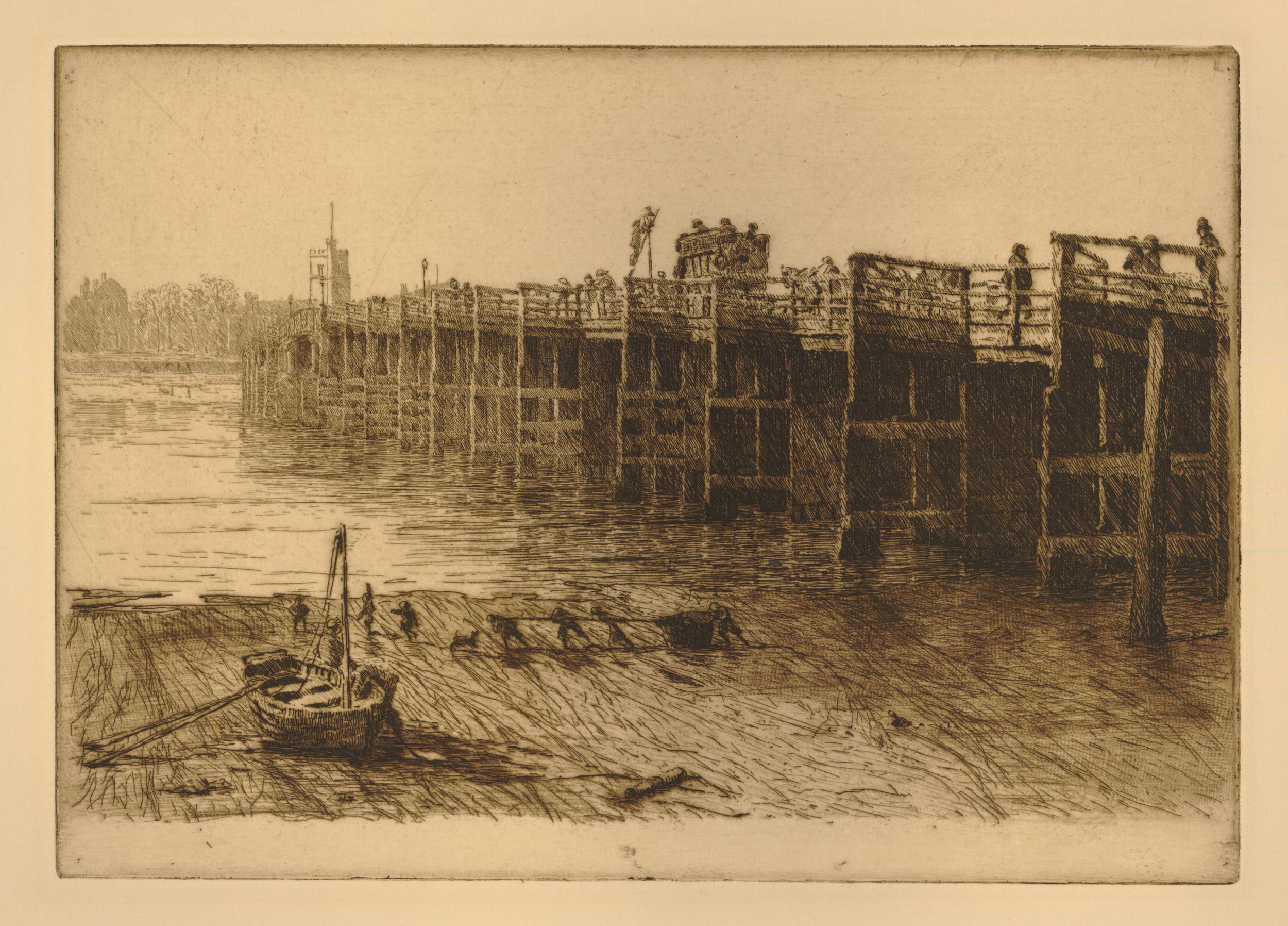
The bridge was a toll bridge. The following print shows the toll gate at the Fulham end of the bridge. There also appears to have been a toll gate at the Putney end:
(© The Trustees of the British Museum. Shared under a Creative Commons Attribution-NonCommercial-ShareAlike 4.0 International (CC BY-NC-SA 4.0) licence.)
I cannot find a list of the tolls, but did find the following report on the lengths that the staff of the toll gate would go to, in order to bring those who tried to avoid the toll to justice. On the 3rd of June, 1754:
“Yesterday morning, about Four o’clock, two Gentlemen in a Coach attempted to go through the Toll-Gate at Fulham Bridge, without paying the Toll, but were prevented by the Toll-Man, upon which one of the Gentlemen jumped out of the coach, ran up to the man, and with great Imprecations swore he would shoot him, at which time he snaped a Pistol against the Man’s Breast, and afterwards beat him over the Head with the But-End of it in a barbarous Manner. Mr. William Low, master of the Gate, seeing his Servant so cruelly used, pursued the Gentlemen to London, where he had one of them apprehended, and being carried before Henry Fielding, Esq. he was by him committed to New Prison.”
View of the Fulham end of the bridge, with the toll gate looking a bit smaller than in the previous print. It is easy to work out which end of the bridge is shown, as the church at the Fulham end had a small turret protruding above the tower:
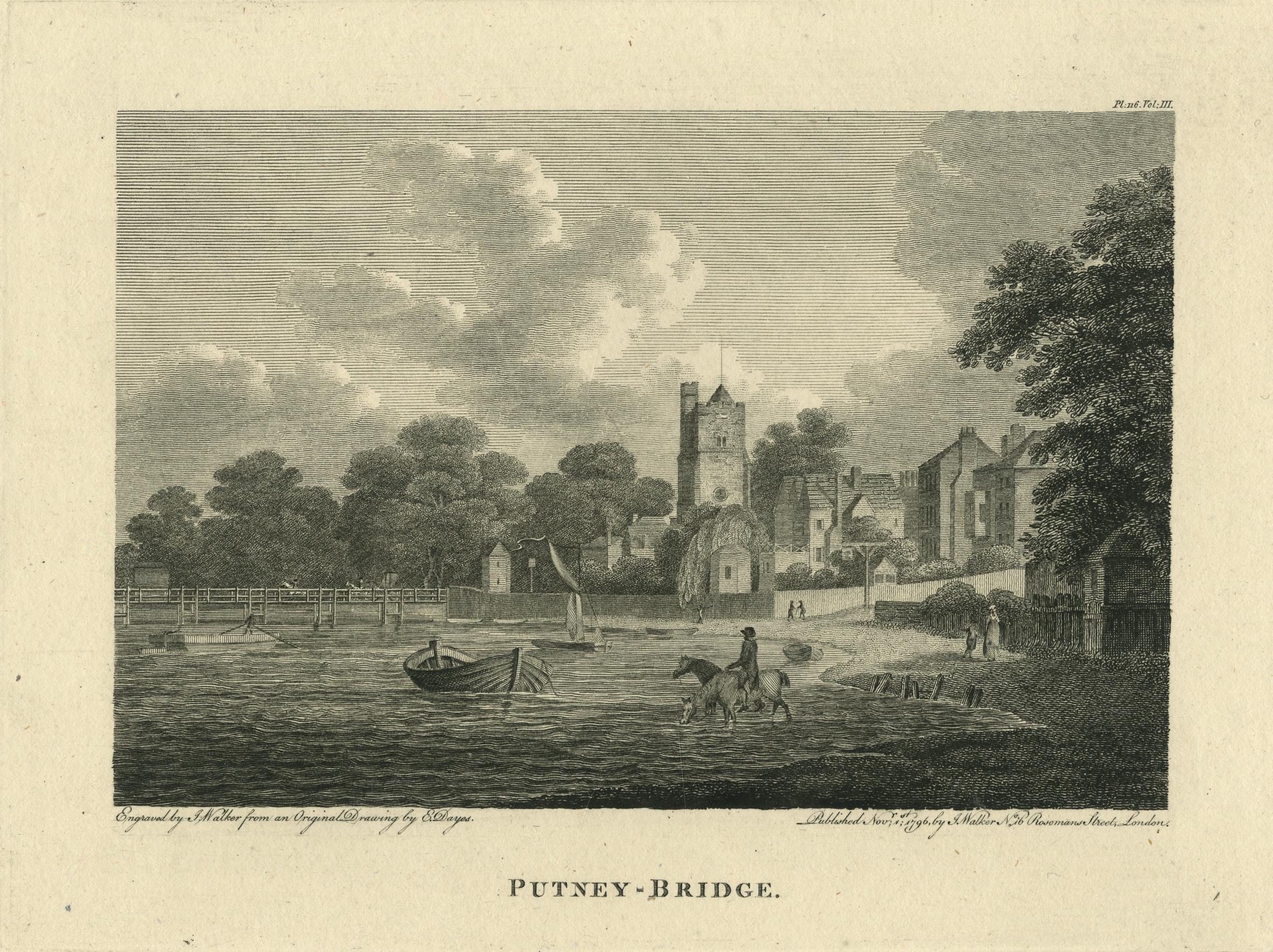
(© The Trustees of the British Museum. Shared under a Creative Commons Attribution-NonCommercial-ShareAlike 4.0 International (CC BY-NC-SA 4.0) licence.)
It is interesting to see in these prints how the river had a natural foreshore leading up to the land, long before we built large embankments to hold back to river.
In the above print there are a couple of horses drinking in the river. Just above and to the right of the horses is what I thought may have been a gallows, but looking closely at the print there is a sign hanging from the wooden structure, so this may have been the sign of a pub alongside the Fulham end of the bridge.
The first wooden bridge survived for a remarkably long time, and was not replaced by the current stone bridge until 1886, when the Sir Joseph Bazalgette designed bridge of Cornish granite opened.
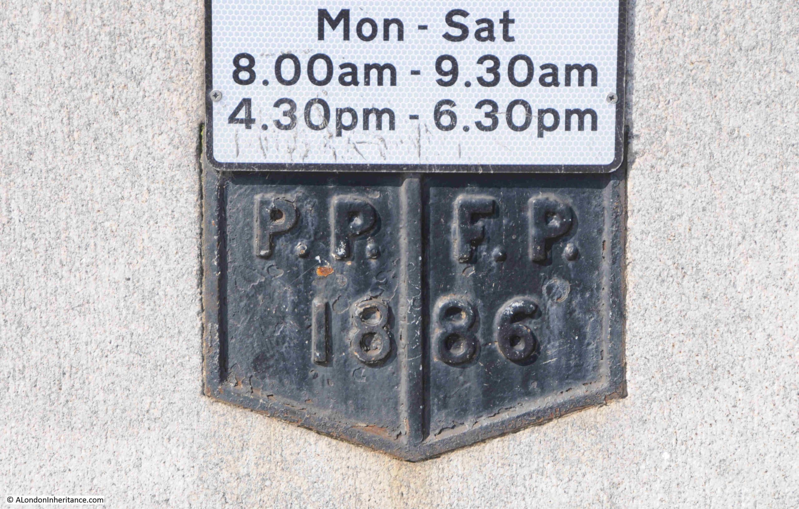
At the centre of the bridge:
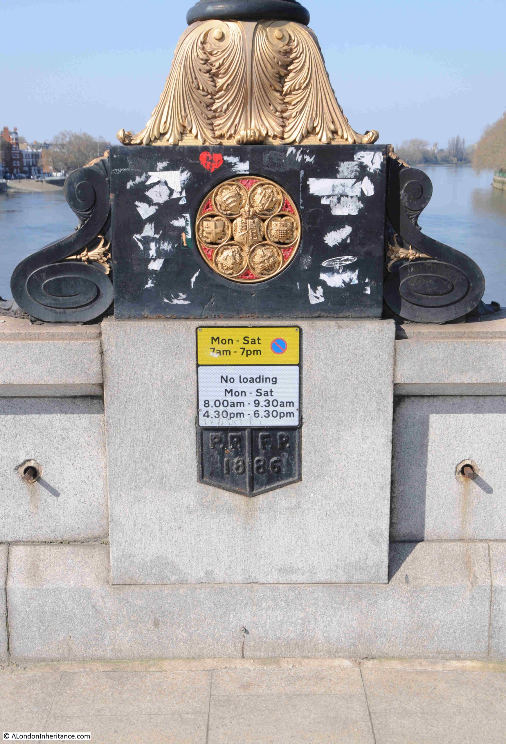
Where a plaque shows the 1886 date of the bridge and the boundaries of the two parishes of Putney and Fulham:
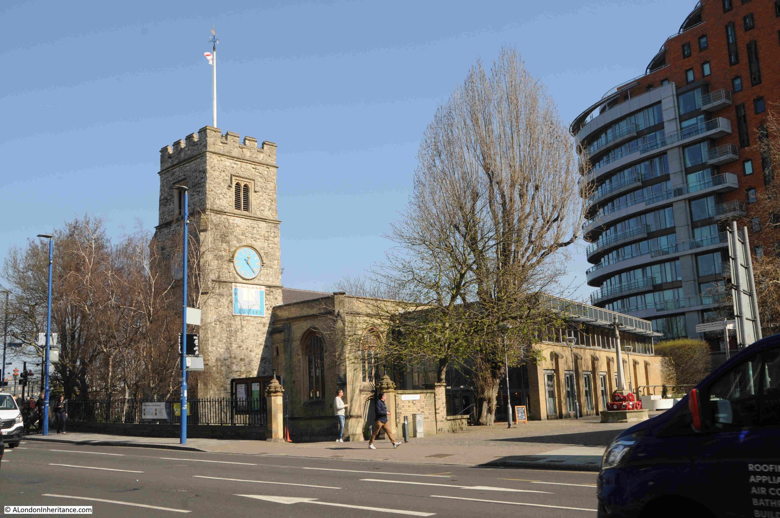
Close to the northern end of the bridge is All Saints, Fulham:
One of the comments to my post on the Putney Debates mentioned All Saints, and that it was a location from the film the Omen, for the scene where the vicar is spiked by the lightning conductor.
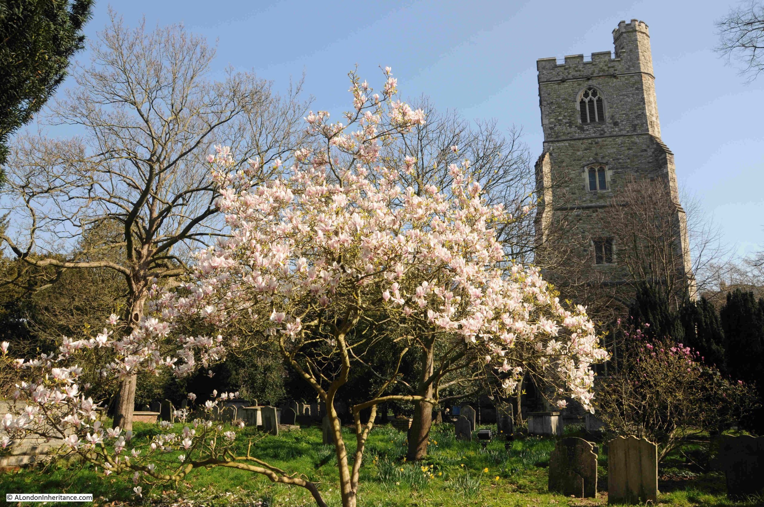
On the bright spring day of my visit, the church did not have any of the sinister atmosphere of the Omen.
The church tower still retains the small turret seen in many of the prints of the bridge:
The church tower is the oldest part of the church. The first mention of the church dates from the 13th century, and the dedication to All Saints appears in the mid 15th century when the tower was being built.
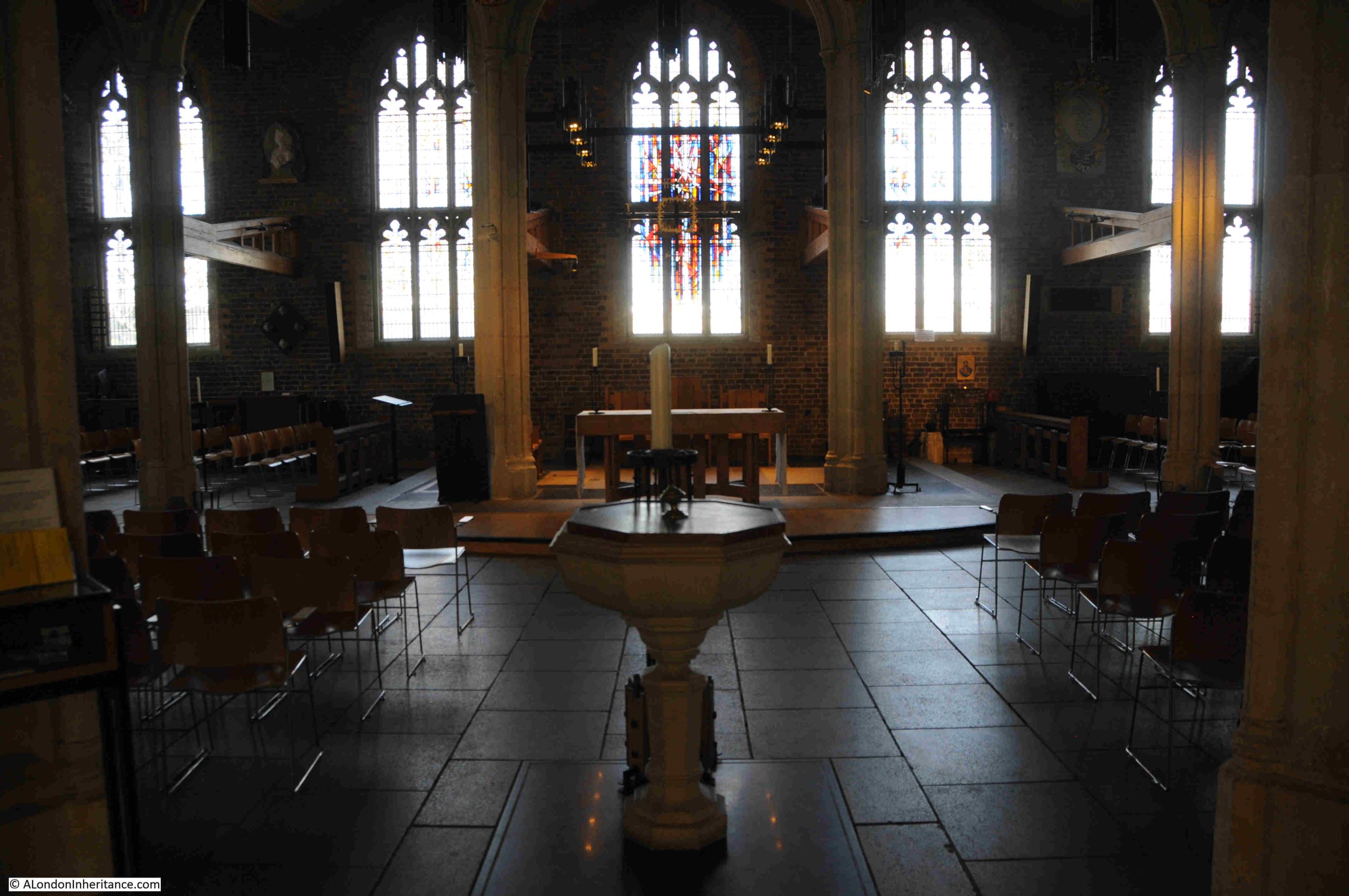
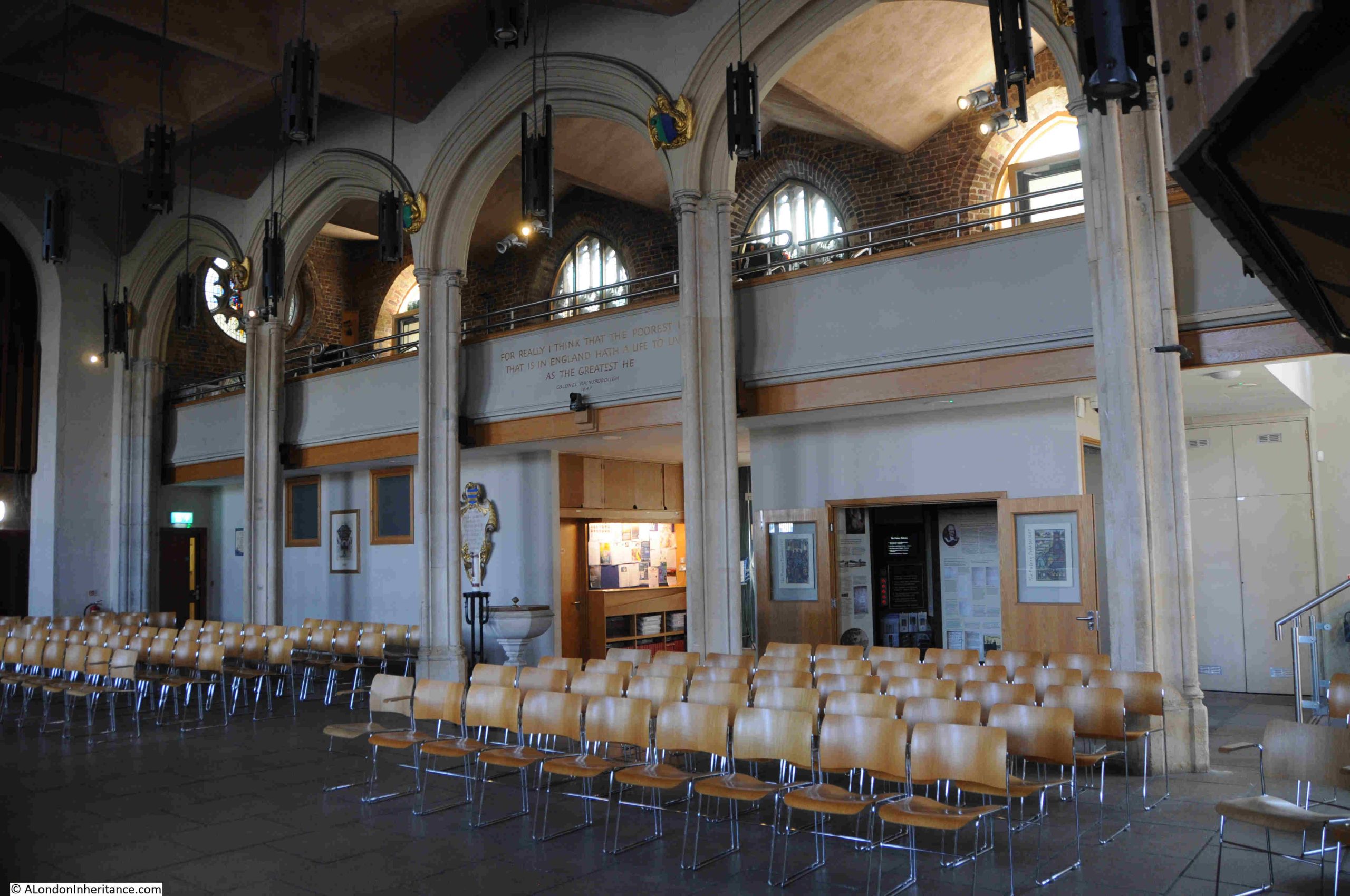
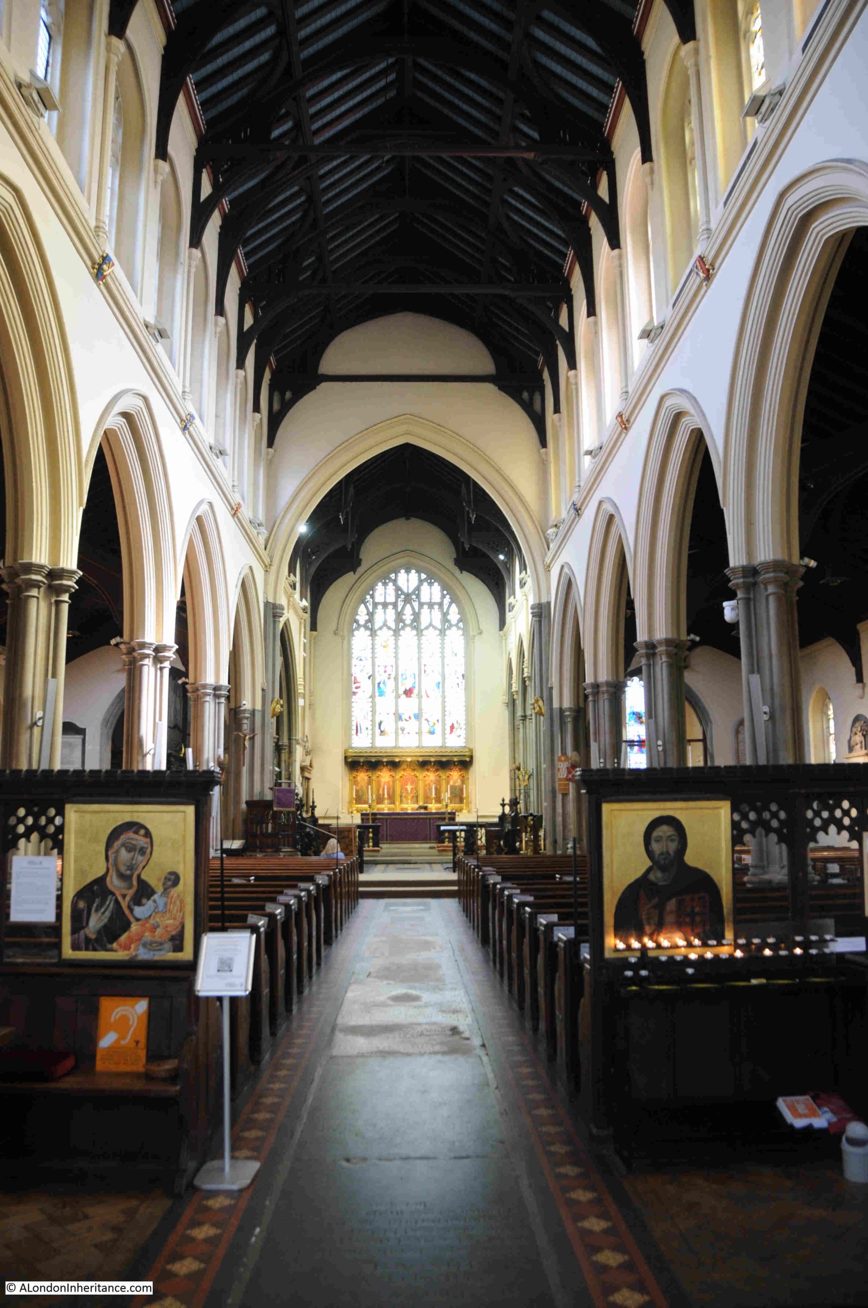
In the 1880, the same decade as the railway was extended across the river, that the White Lion Hotel was being built, and the author of the earlier newspaper article complained about the aggressive “villadom“, the church was considered too small for the growing population, and was also subject to flooding from the Thames, so the original church was demolished (except for the tower), and a new, much larger church built to a design by the architect Sir Arthur Blomfield.
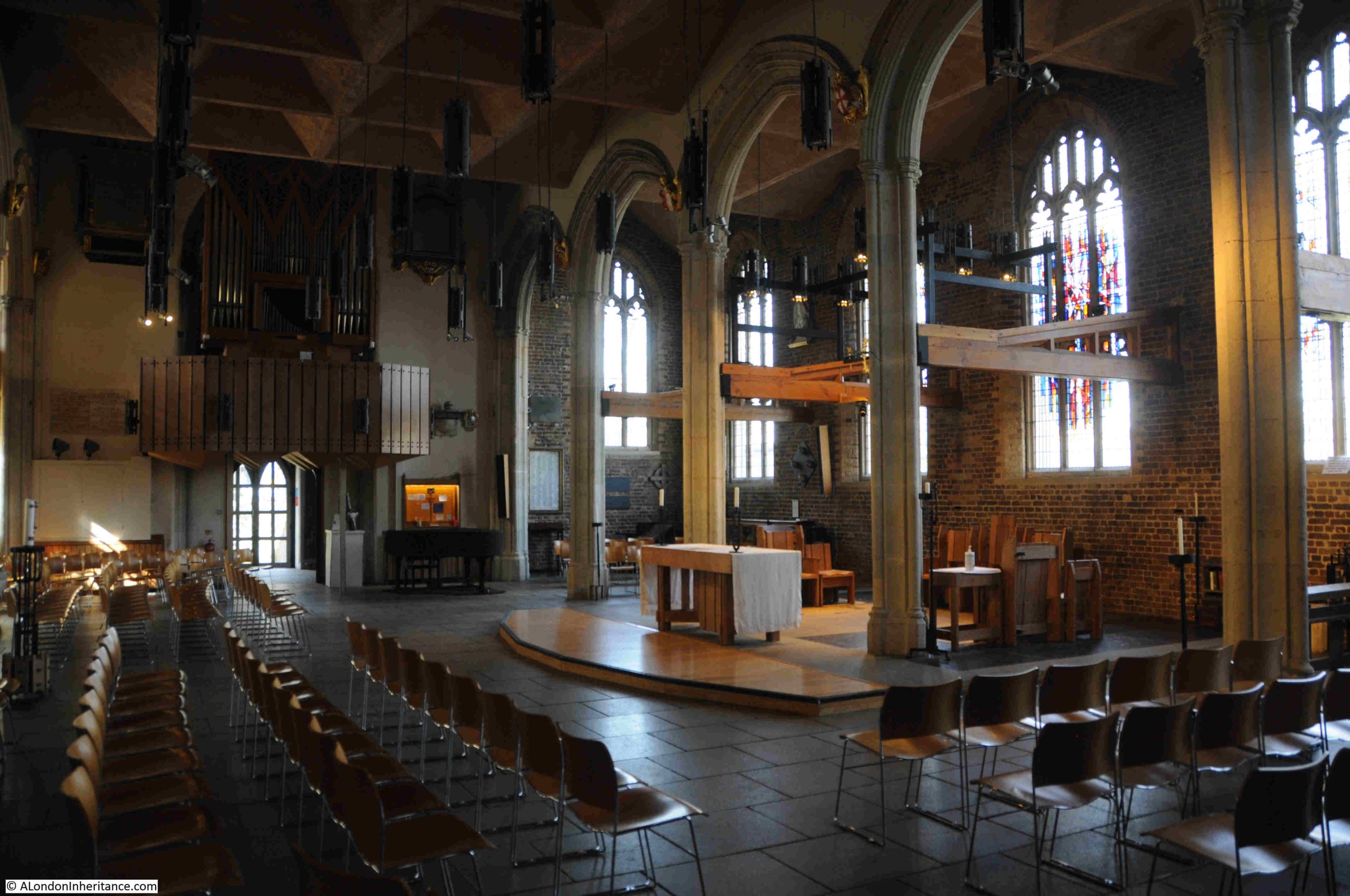
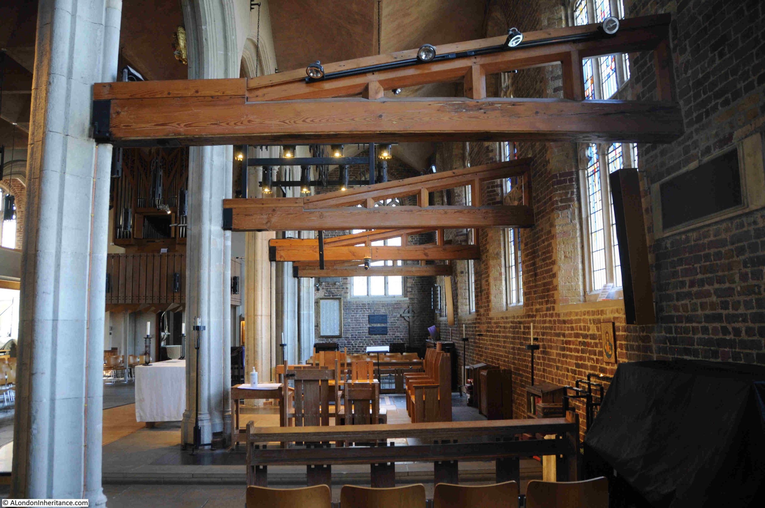
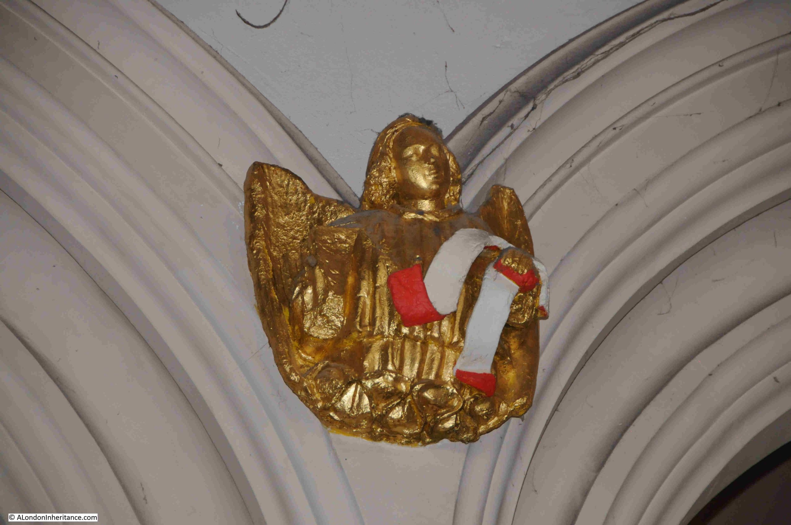
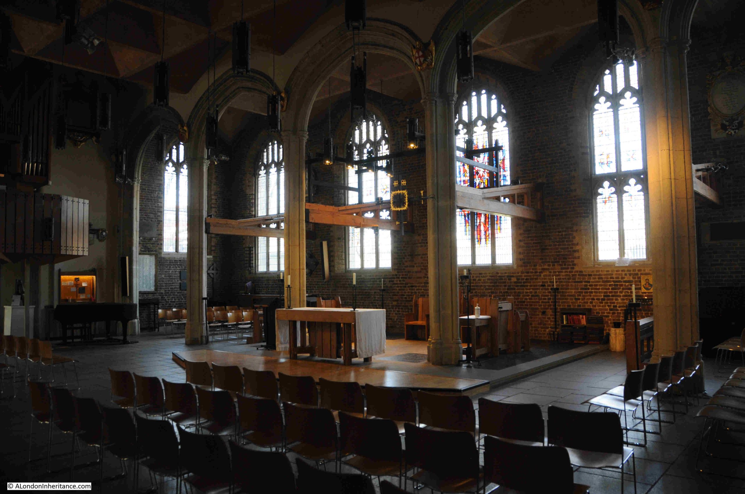
The interior of the 1880 church:
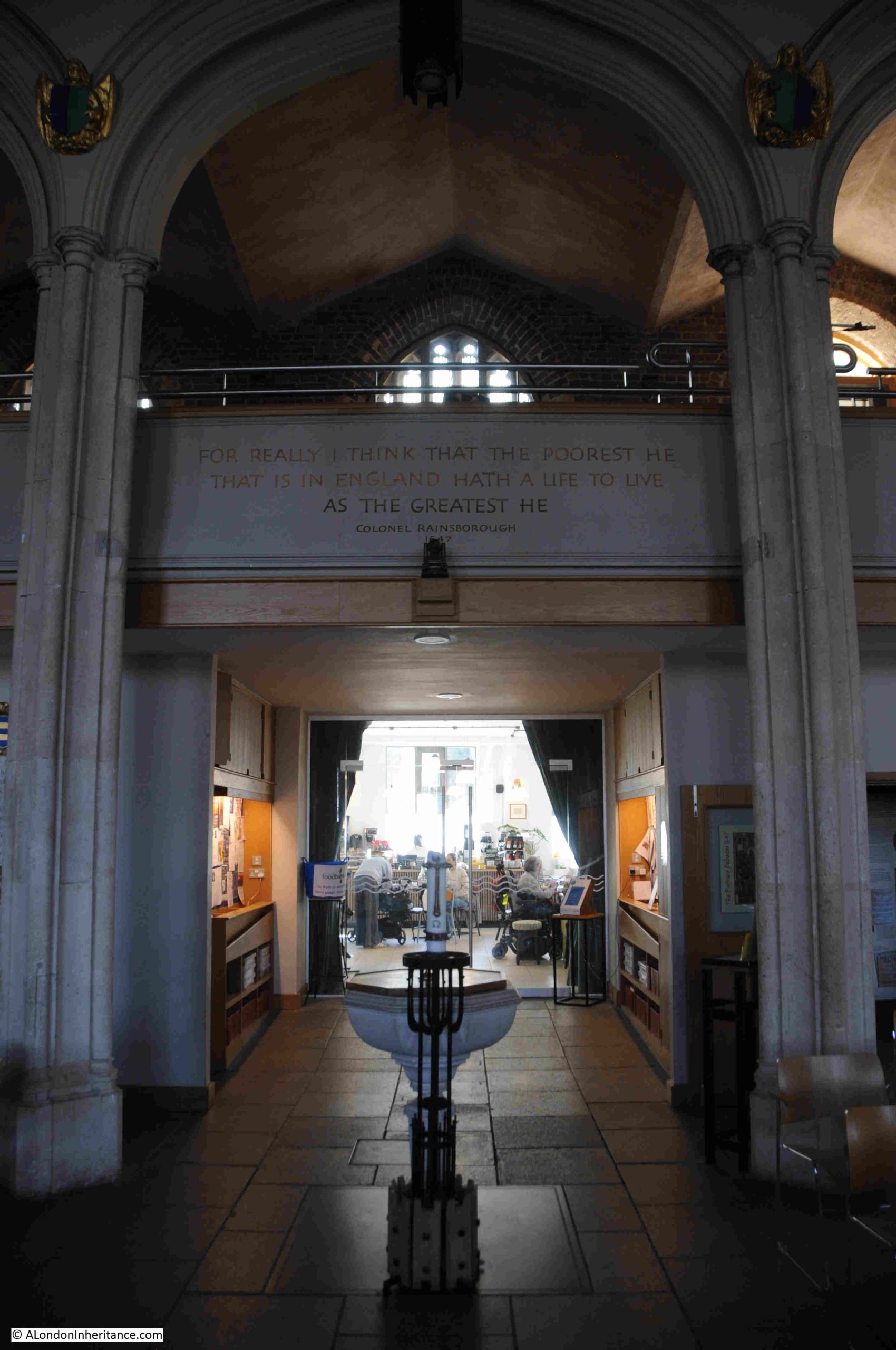
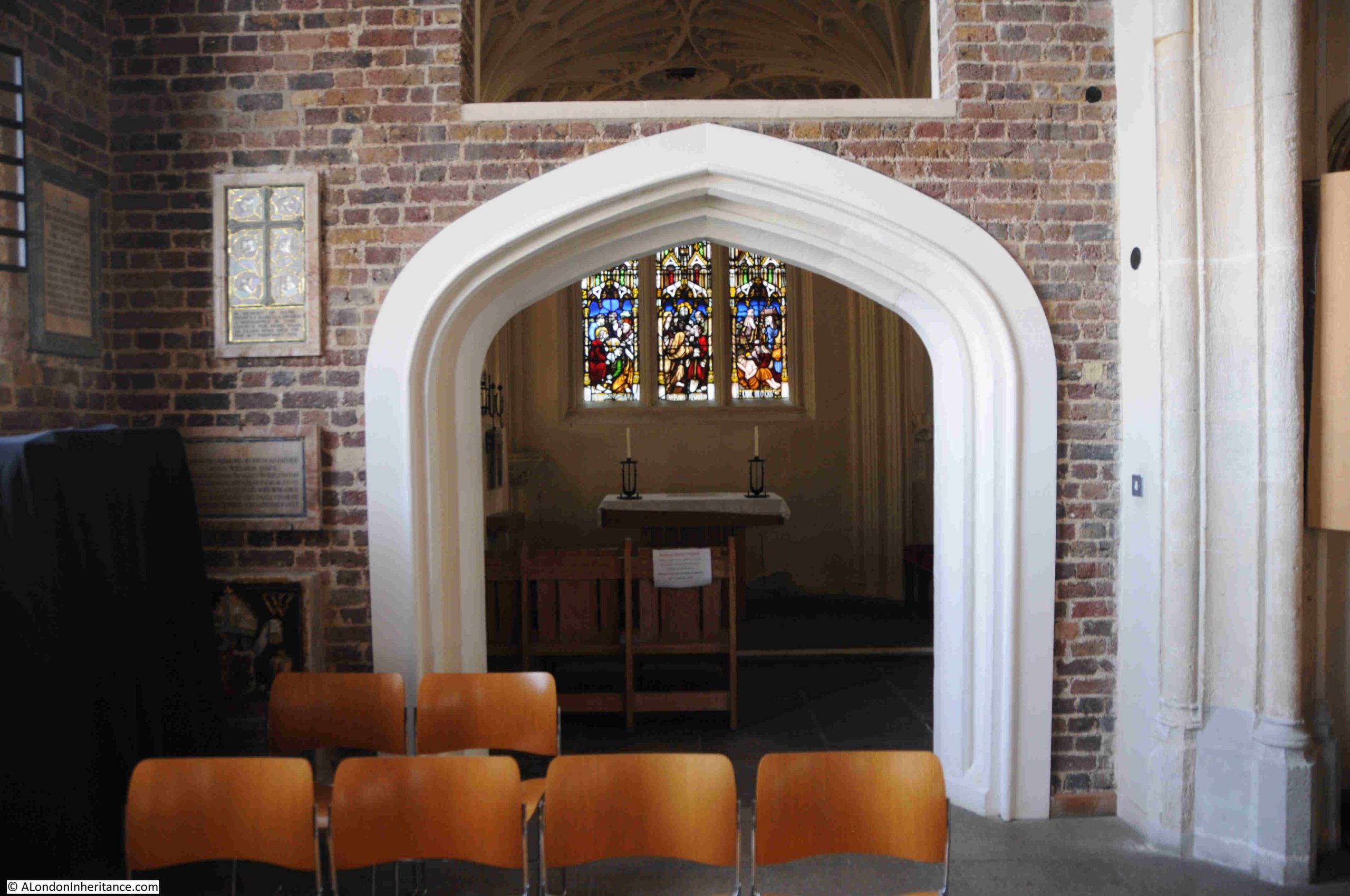
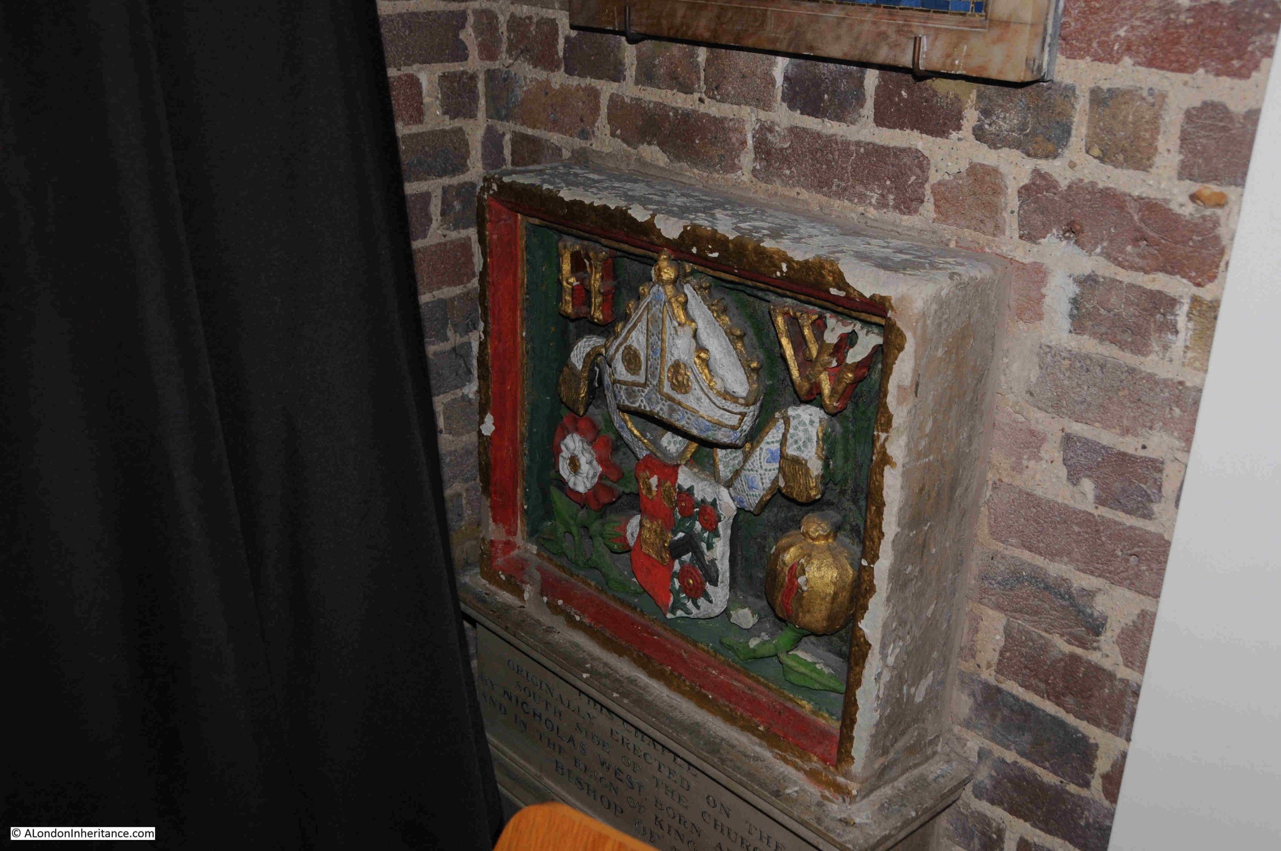
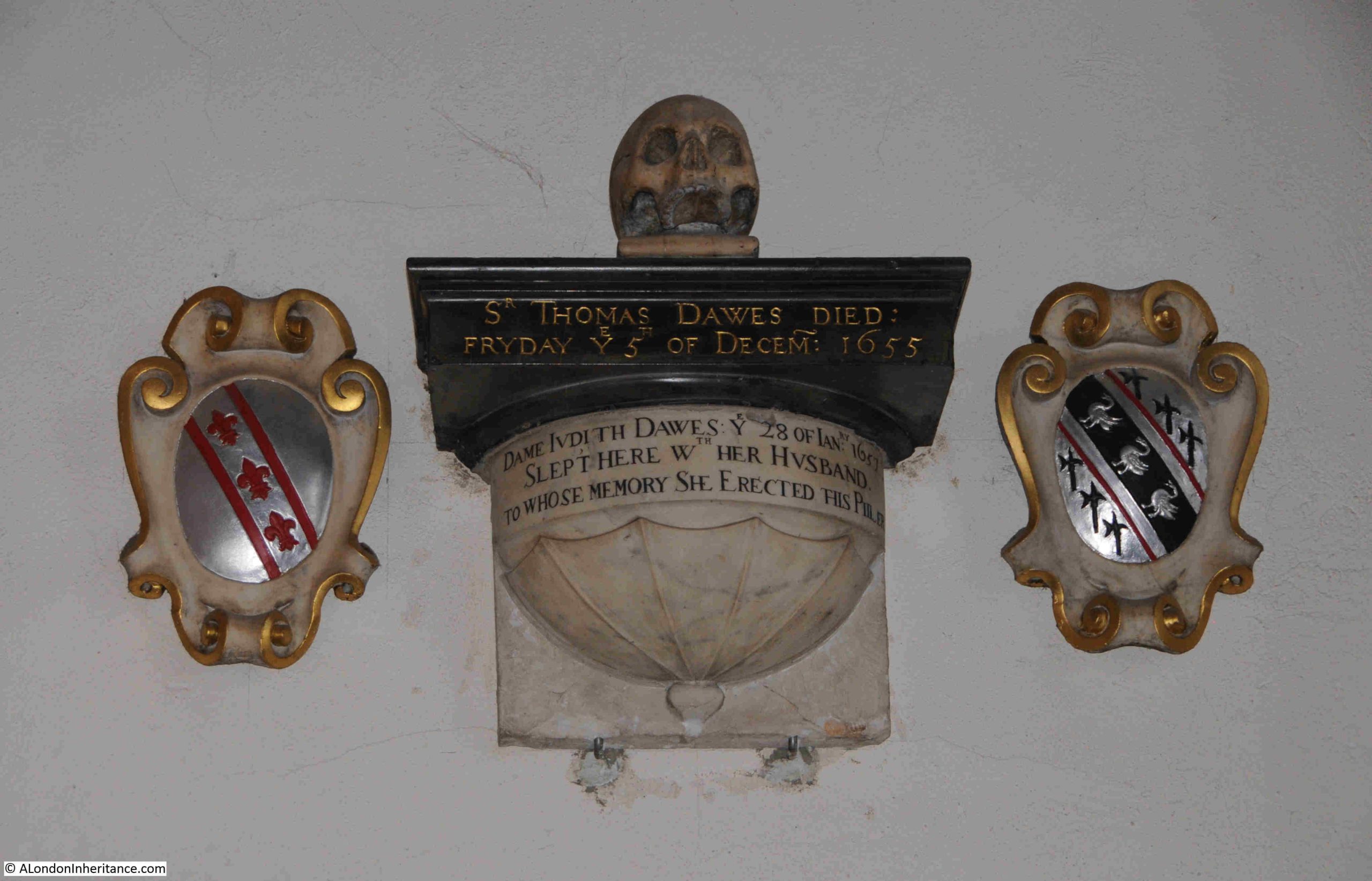
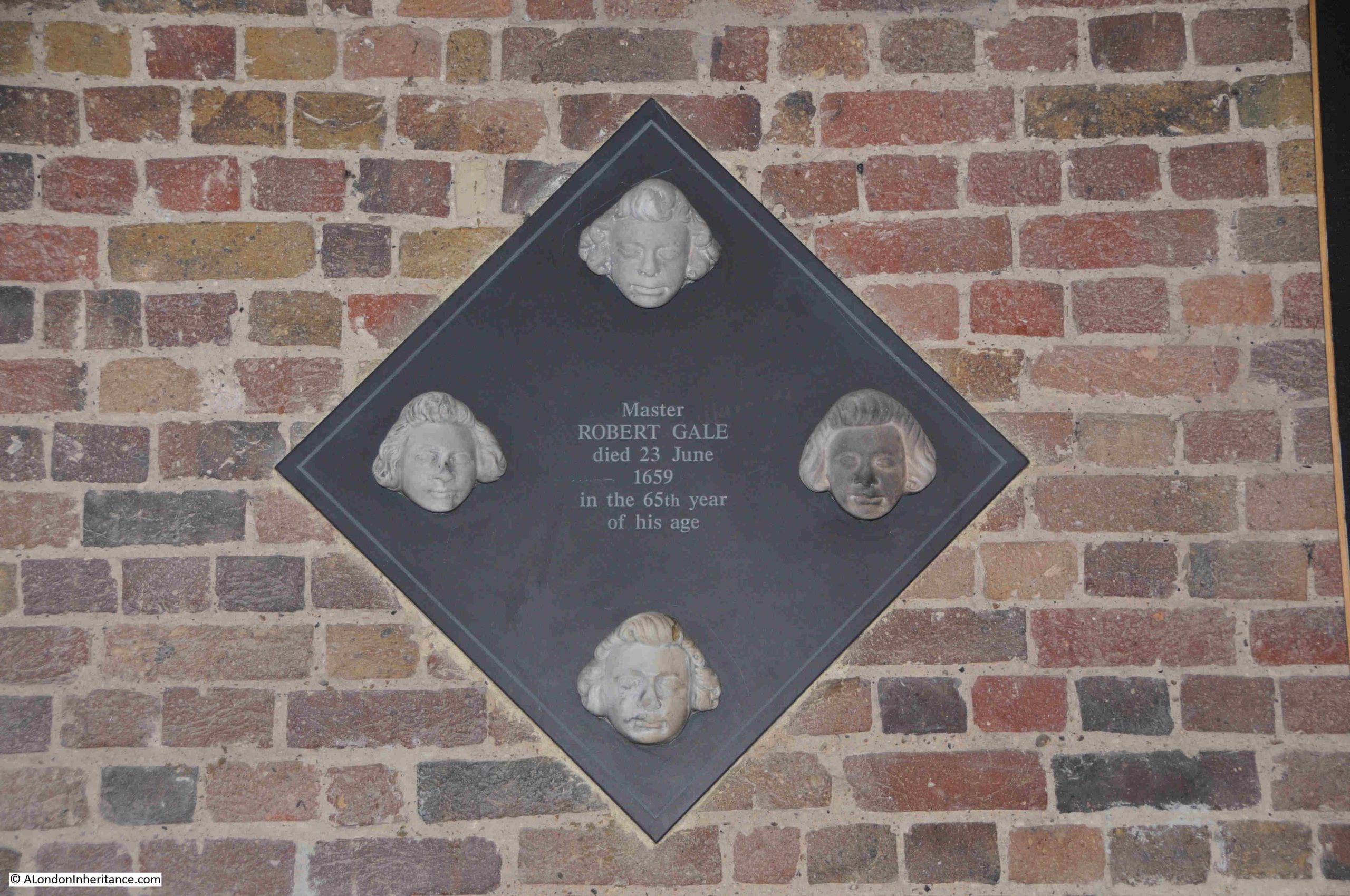
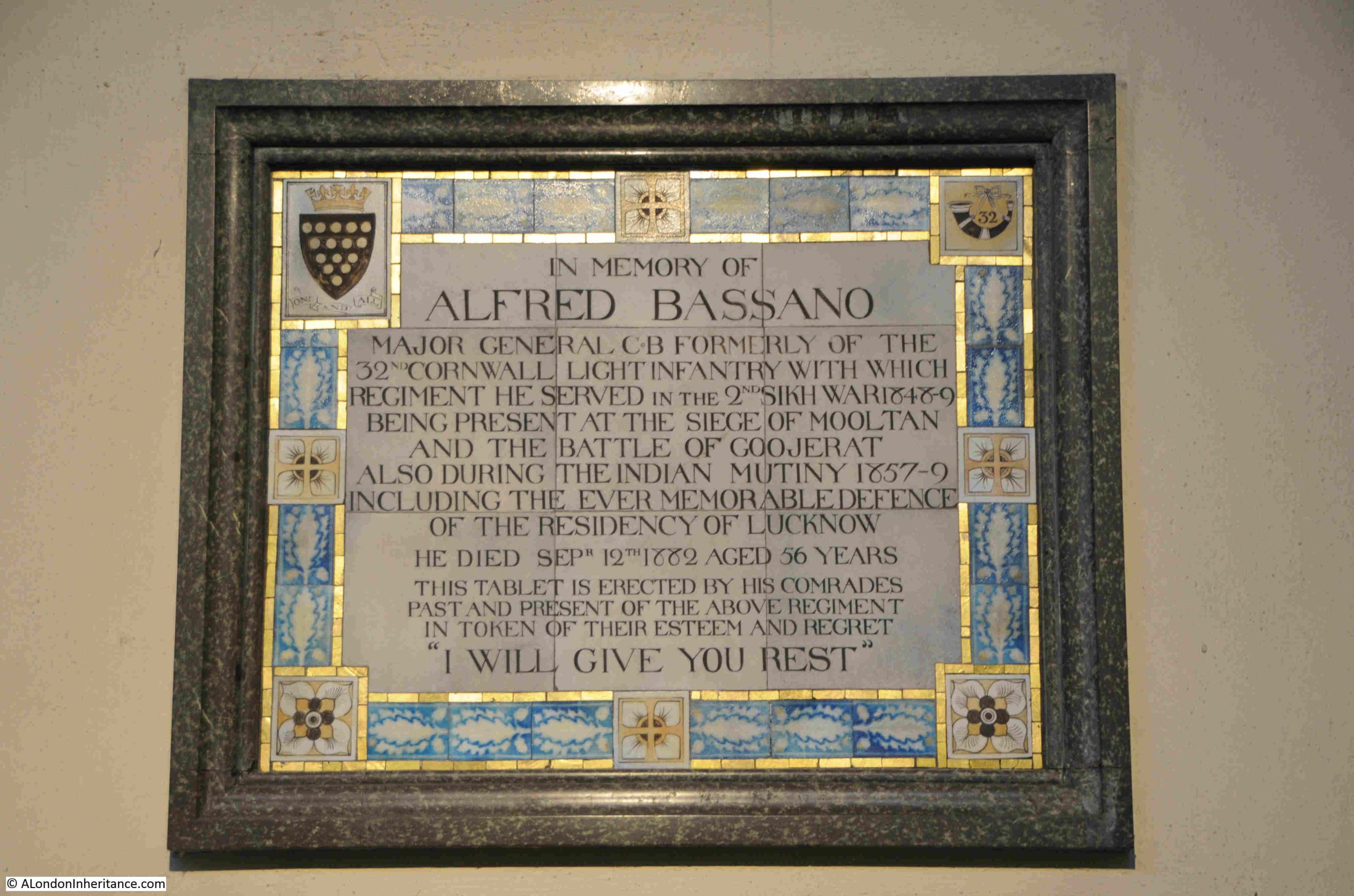
There is a mix of memorials in the church, including ones from the current version of the church, such as the tablet erected for Alfred Bassano, who must have had a fascinating life in military service:
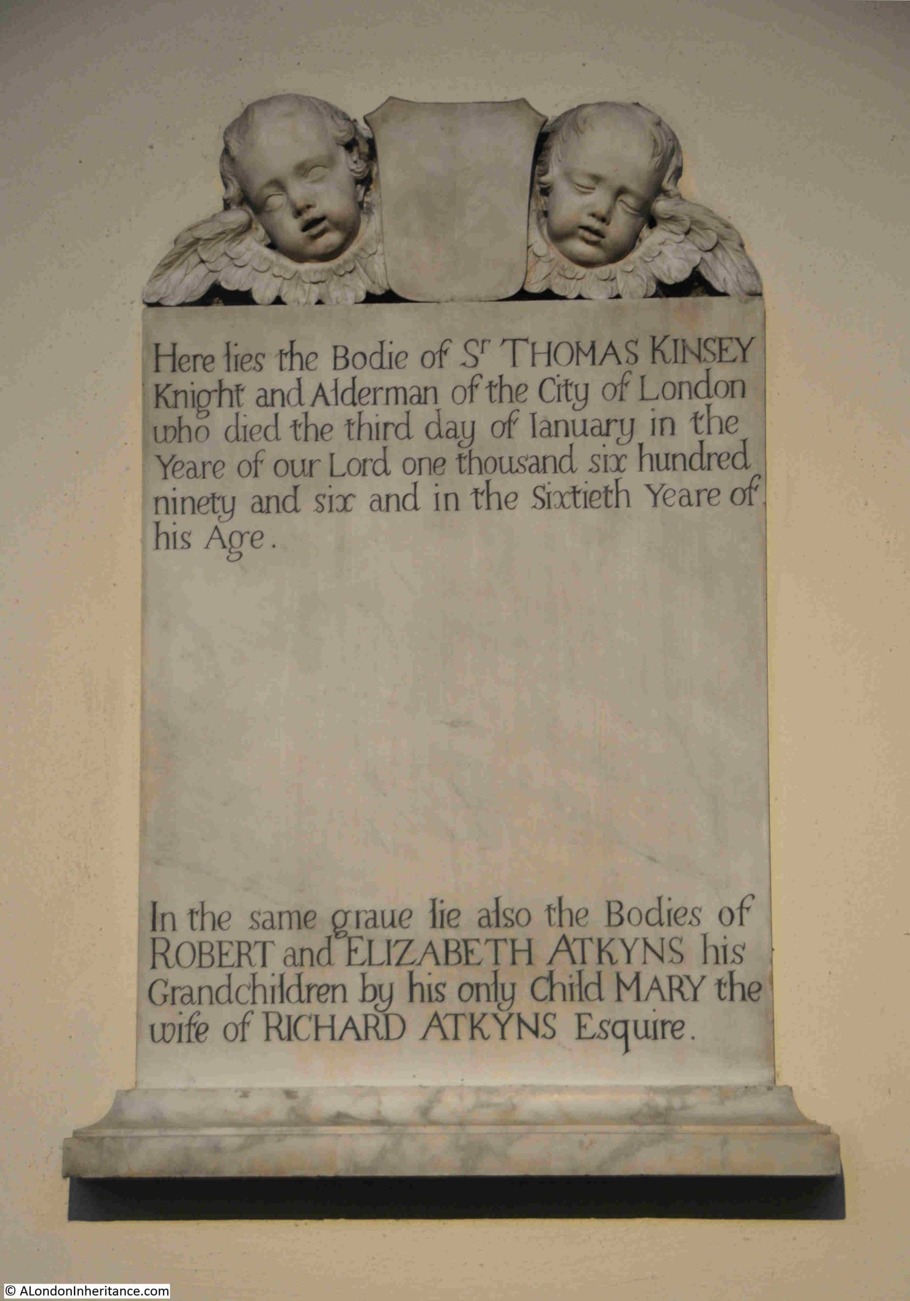
Along with memorials which must have come from the original church, including that of Sir Thomas Kinsey, who was an Alderman of the City of London and who died on the 3rd of January 1696 at the age of 60. He must have grown up during an interesting time in London, with the Civil War and the restoration of Charles II when Thomas Kinsey was aged 24:
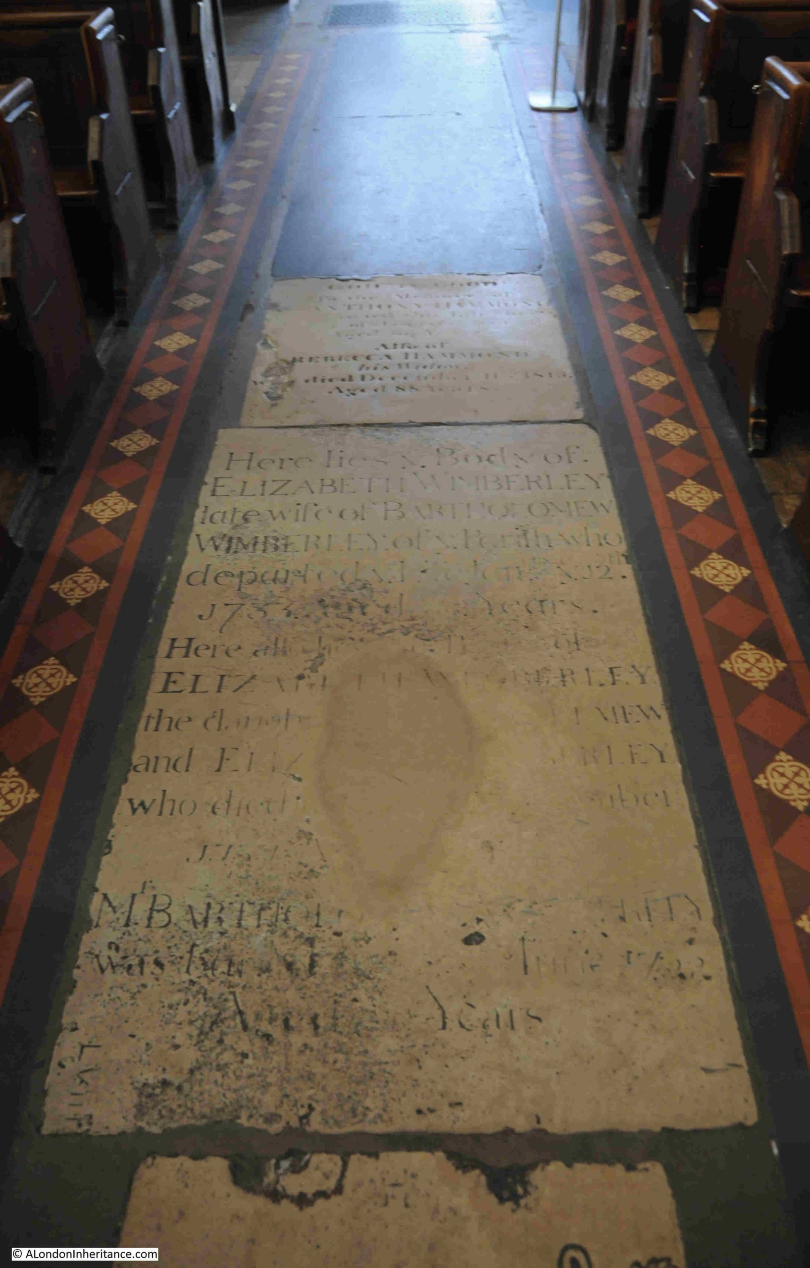
To prevent flooding, the new church was built three feet higher than the original church, so I wonder whether the floor level of the interior of the church is the same or also raised by three feet.
These memorials in the floor pre-date the current church, so either the interior floor level is the same, or these have also been raised by three feet:
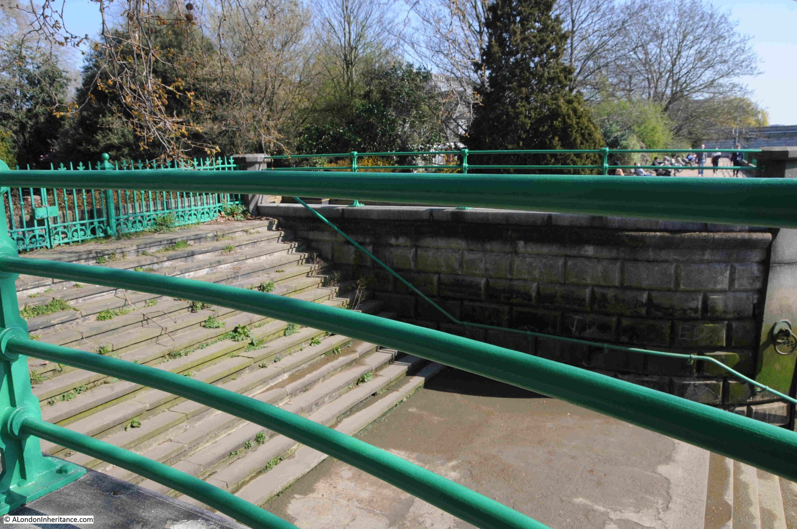
Back outside and this is Bishops Park Lower Stairs:
I can find very little about these stairs, both Bishops Park Upper and Lower Stairs.
The name Bishops Park refers to the park around Fulham Place, the home until 1973 of the Bishops of London.
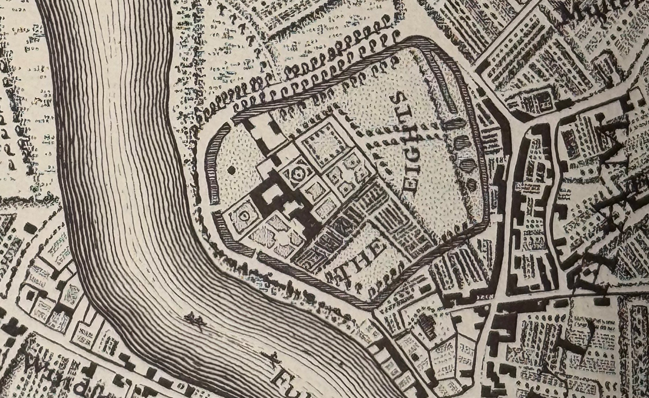
In the following extract from Rocque’s map of 1746, the original Putney Bridge (labelled as Fulham Bridge), can be seen to lower right. Fulham Palace is the area with the enclosure to the upper left of the bridge:
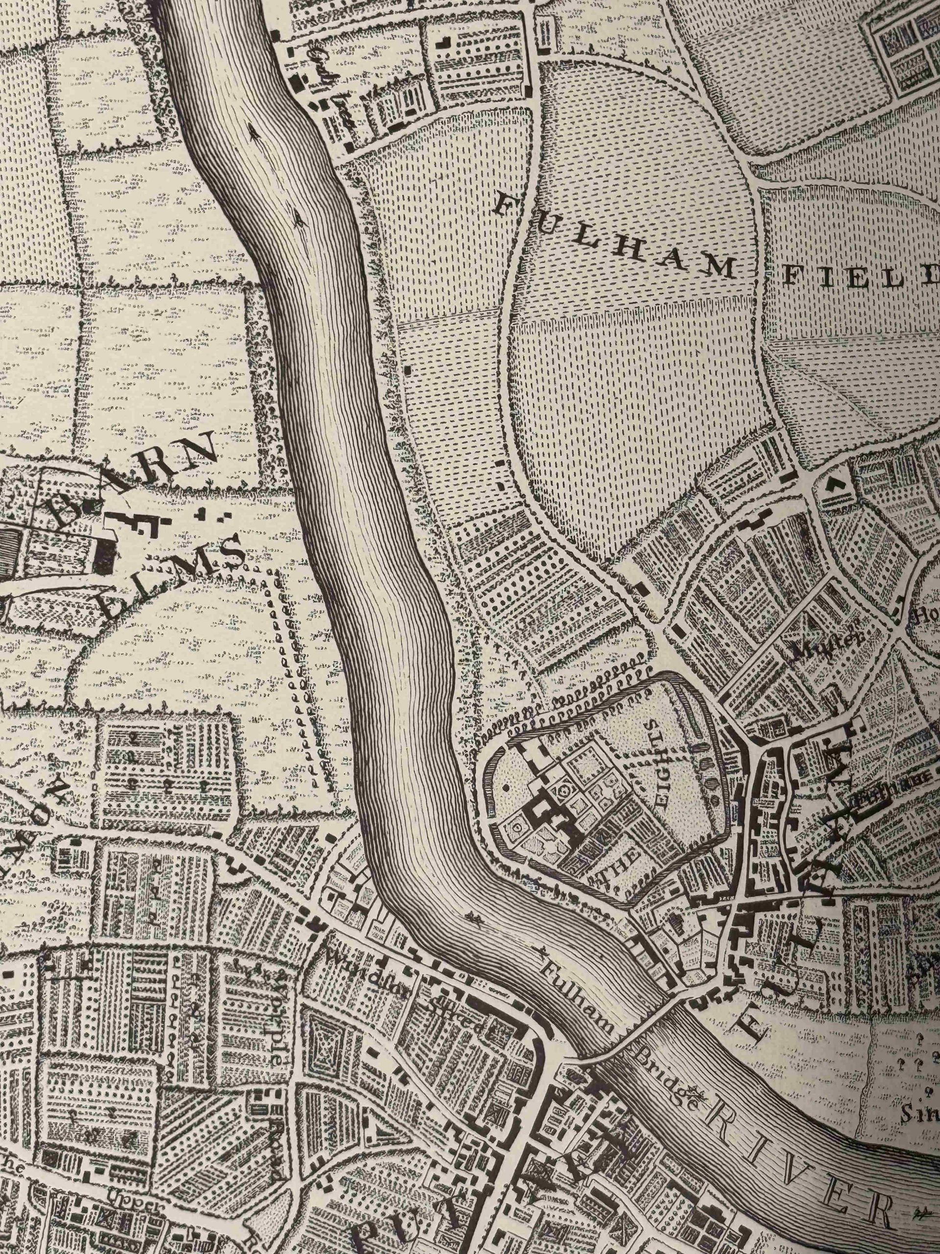
The names of both Fulham Bridge and Putney Bridge were both used to name the bridge, with Putney winning out in later years.
There are no obvious stairs shown in the map along the whole of the river.
I would have assumed that the Bishops of London would have made considerable use of the river as a means of travelling to and from Westminster and the City of London.
In the following extract from the same map, there are two breaks in the enclosure around the palace facing on to the river, but there is no indication that there were any stairs facing these openings.
There had been an embankment along the river to prevent flooding, and the large river wall that we see today, and along which there is a walkway that follows the river, was built by Joseph Mears between 1889 and 1893, so perhaps the stairs date from this period.
The lack of any obvious early stairs may have been because the previous embankment provided a more accessible way of reaching the river rather than a large, stone river wall, so the two stairs were added to provide access. I just have no proof, one way or the other.
The Port of London Authority listing provides no information as to their age.
Looking back to Putney Bridge:
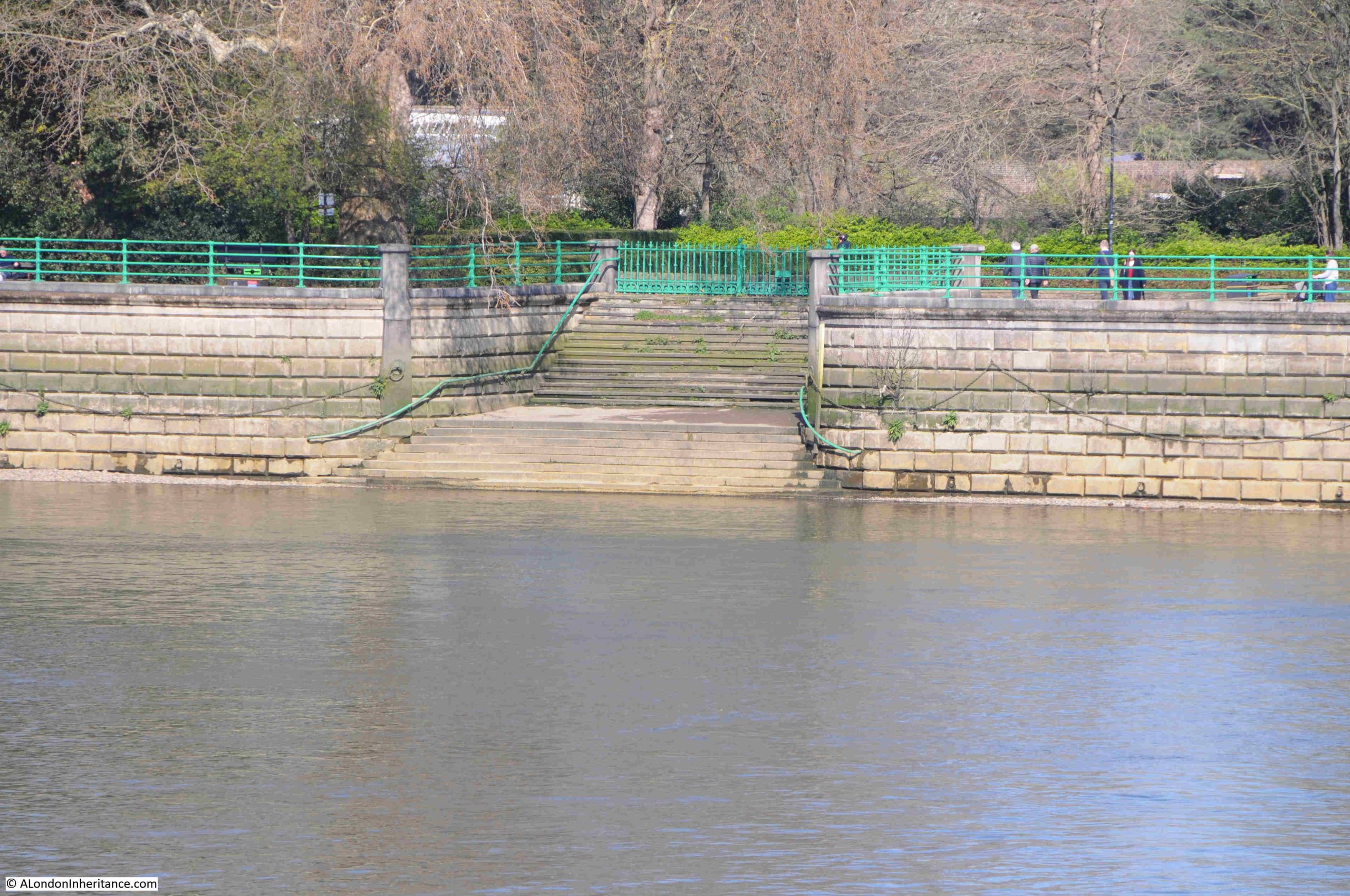
Continuing further along the walkway, and I reach Bishops Park Upper Stairs:
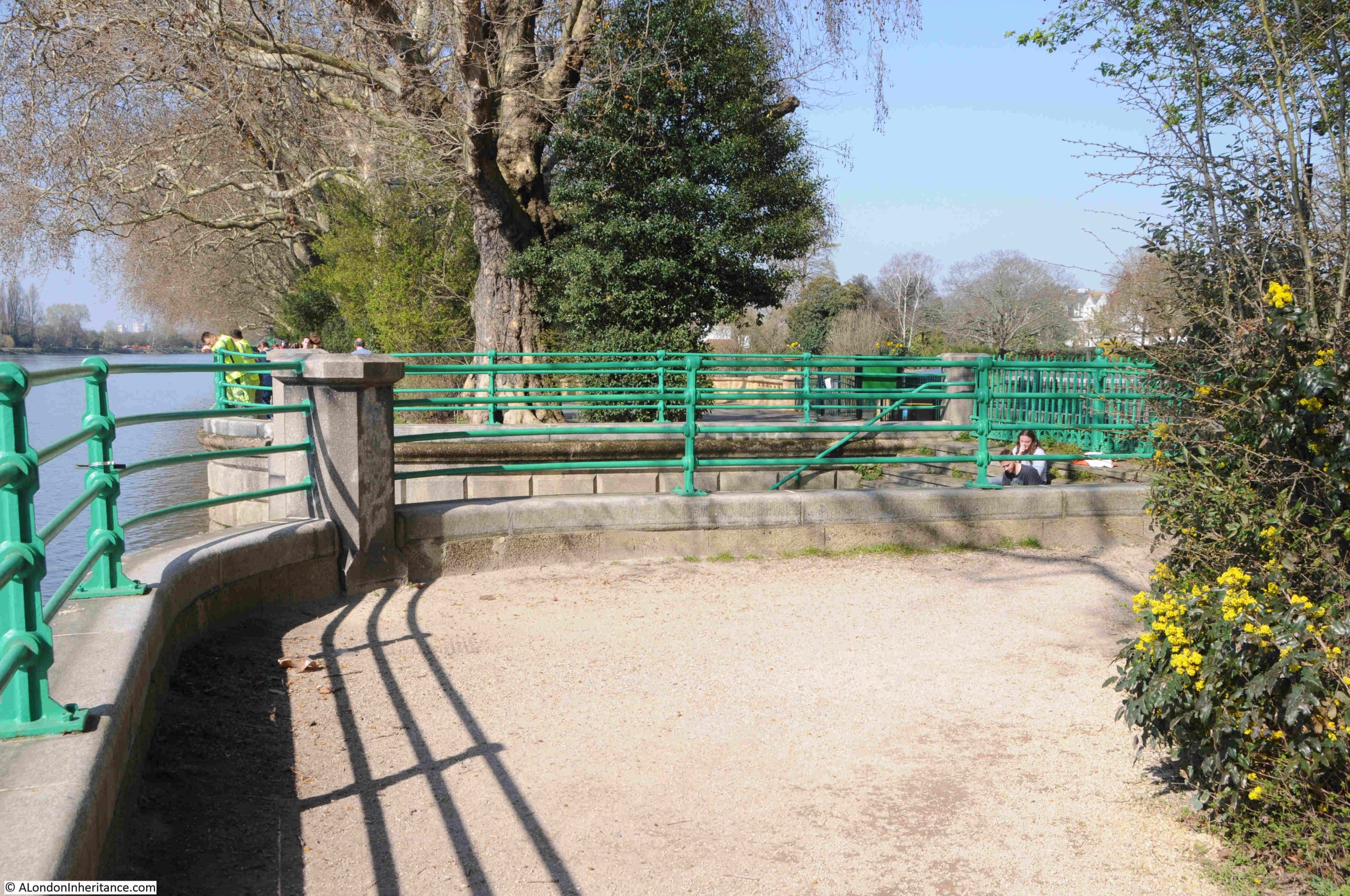
These are of the same design as the Bishops Park Lower Stairs, and again must have been part of the original construction of the river wall.
Both sets of stairs are surrounded by railings, and have a locked gate to the stairs facing the park:
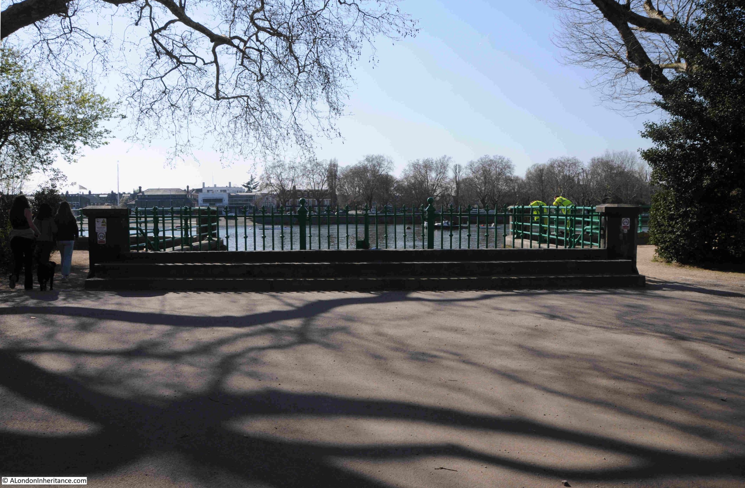
Both are substantial, wide sets of stairs, and are in good condition:
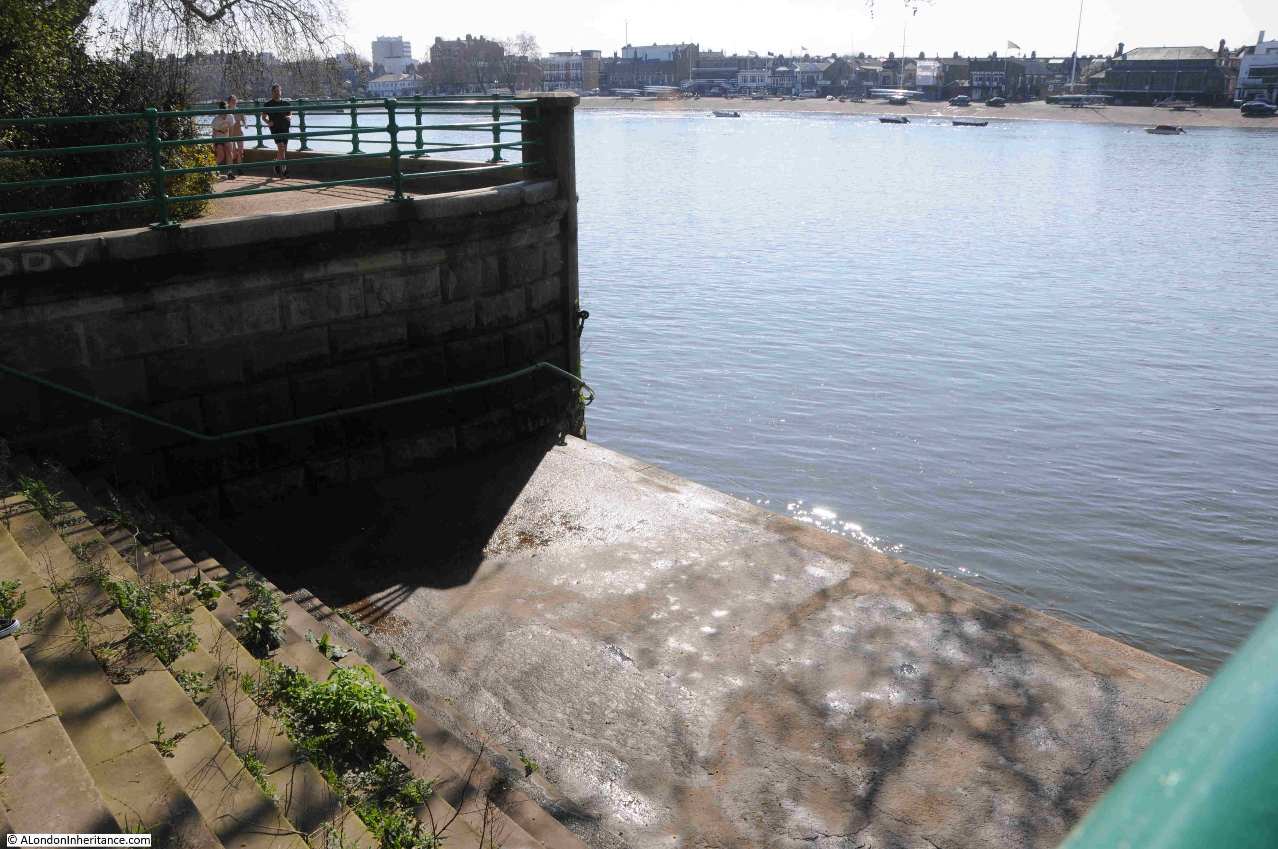
Frustrating that I could not find any detail as to the age or use of the stairs, but it is good to see that these large flights of stairs down to the river are there, and in good condition.
From here, I continued my walk to Hammersmith Bridge, as there was one more set of Thames stairs to find, and there is much to discover along this part of the Thames. The subject of a future post.