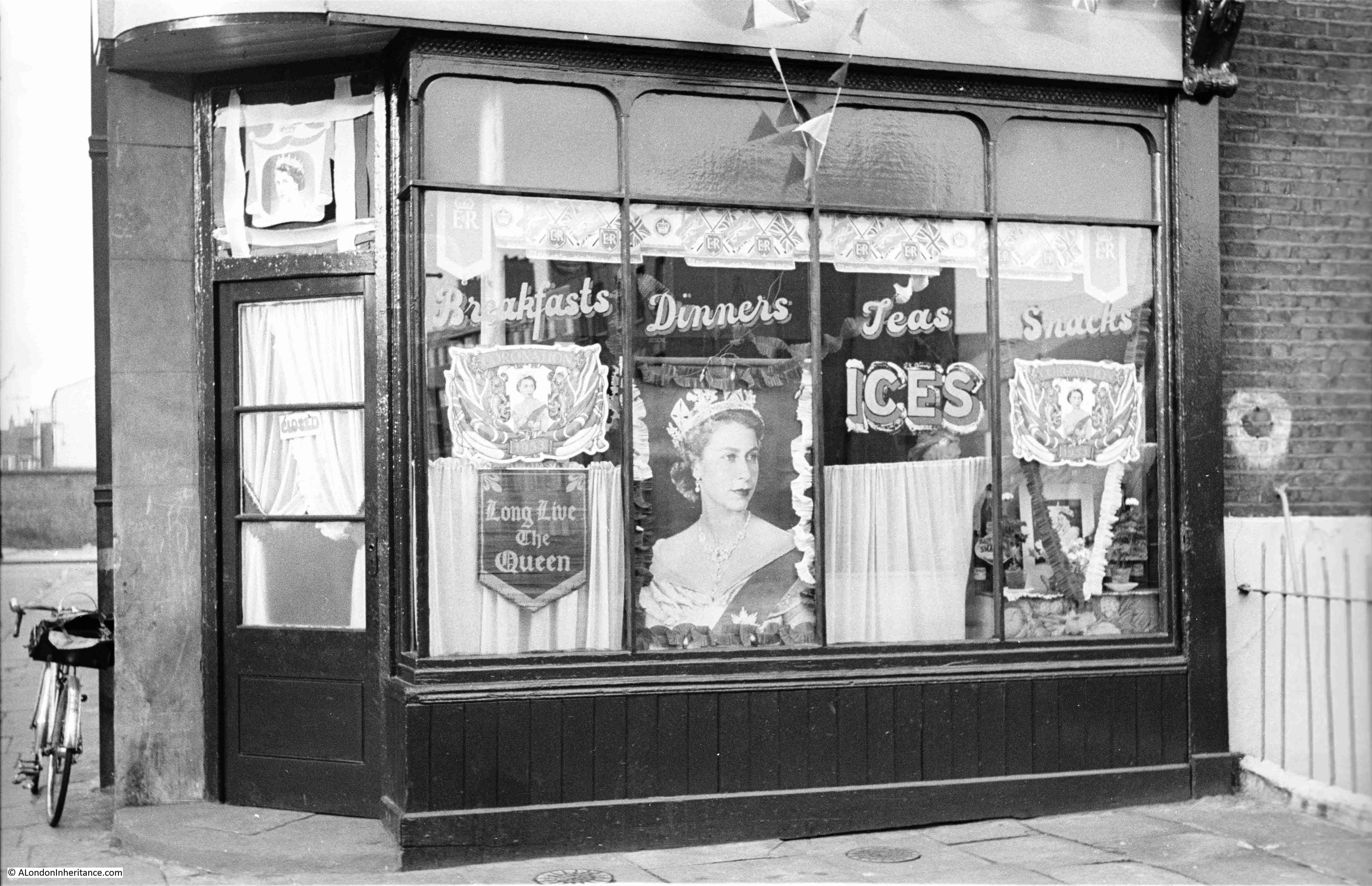
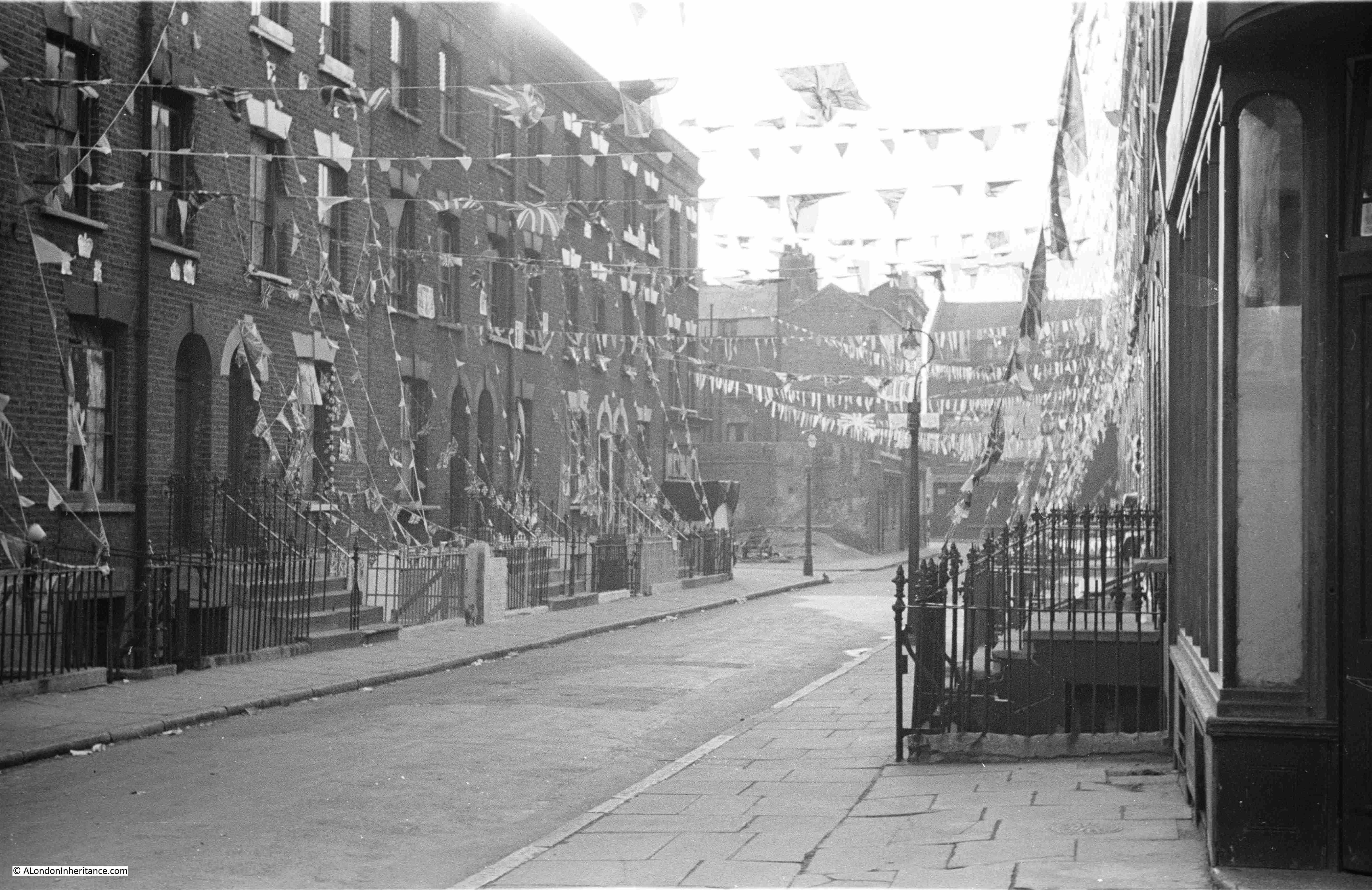
I have recently released two new walk dates. These are, along with links for details and booking:
Limehouse – A Sink of Iniquity and Degradation on the 6th of June
Wapping – A Seething Mass of Misery on the 13th of June
This is the post that should have appeared last Sunday, the 3rd of May, which was the 75th anniversary of the official opening of the Royal Festival Hall on the 3rd of May 1951.
Unfortunately, on Friday 1st of May, my web site went down again, coming back online on Sunday afternoon. I wont go into the issues with my current hosting provider (to keep my blood pressure down), but in the next couple of weeks I plan to move to an alternative, and hopefully better performing hosting platform.
So on the 75th (and one week) anniversary of the opening ceremony of the Royal Festival Hall, this post looks at the construction and opening of this South Bank icon.
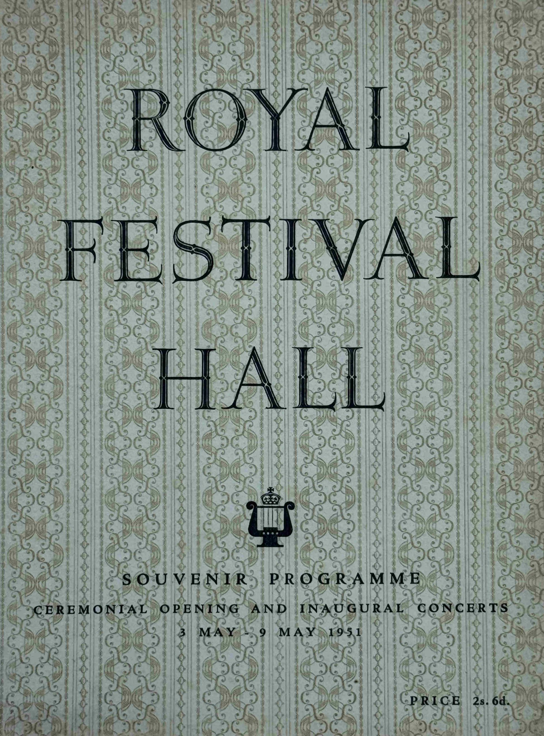
If you attended the opening ceremony, then you may have purchased this souvenir programme of the event:
The foundation stone of the Royal Festival Hall had been laid on the 12th of October 1949 by Prime Minister Clement Attlee, and less than two years later the building would host the King and Queen and other members of the Royal family, with the King unveiling a commemorative tablet in the foyer.
There was then a service of dedication led by the Archbishop of Canterbury, followed by the first of a short series of inaugural concerts.
The works performed on the 3rd of May 1951 are shown in the following page from the souvenir programme:
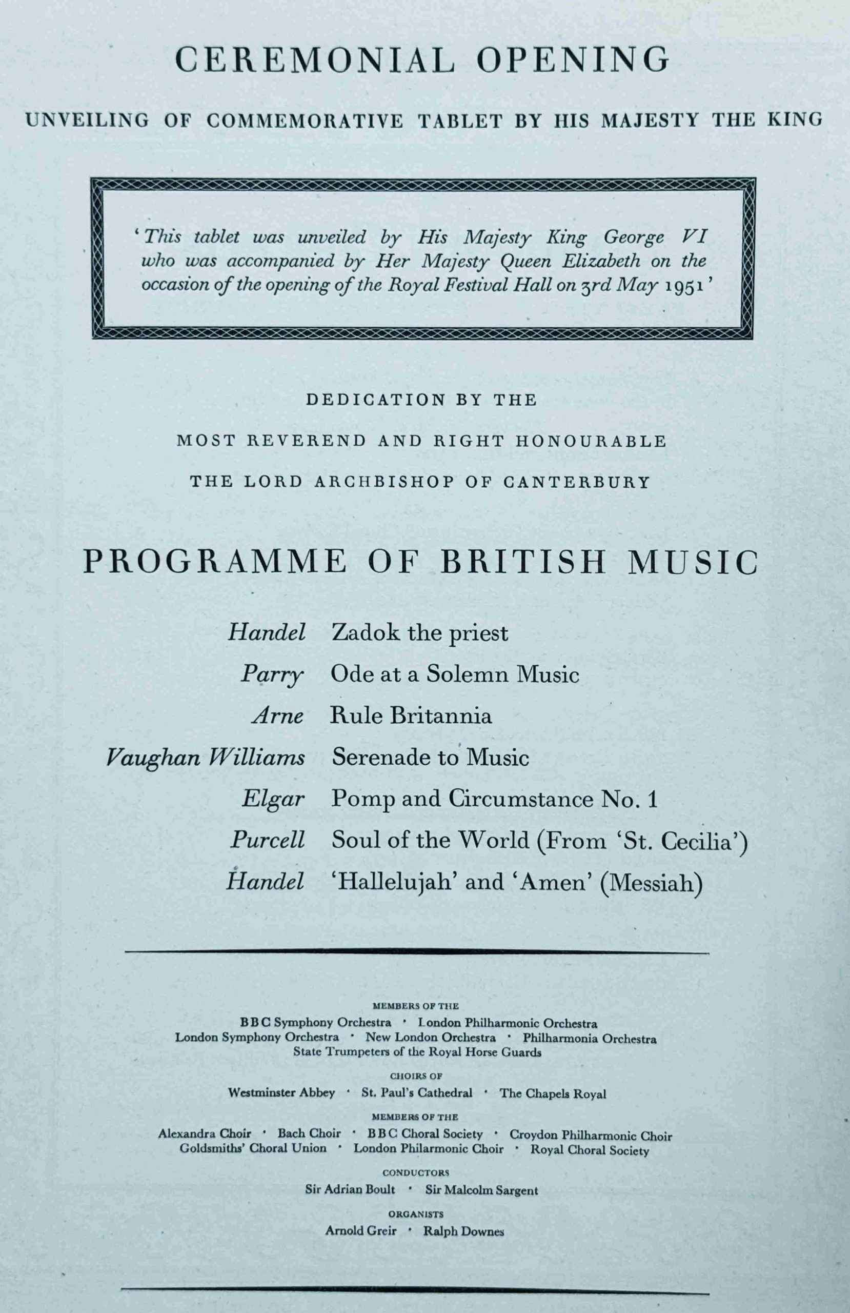
The London County Council had arranged the week of inaugural concerts, and for the coming months there was “a full programme of Festival concerts, ballet, song recitals and light orchestras throughout the summer season and autumn. A season of ballet from July 26 to September 1 will be presented by International Ballet, who are planning imaginative productions of both new and familiar ballets in settings devised specially for the hall”.
The souvenir programme was a comprehensive booklet on the inaugural concerts, with biographies of the conductors along with comprehensive programme notes, which included extracts from the musical score, taking the audience through some of the intricacies of the work, and how some of the instruments in the orchestra had key parts.
It was a programme written for an audience with a serious interest in classical music.
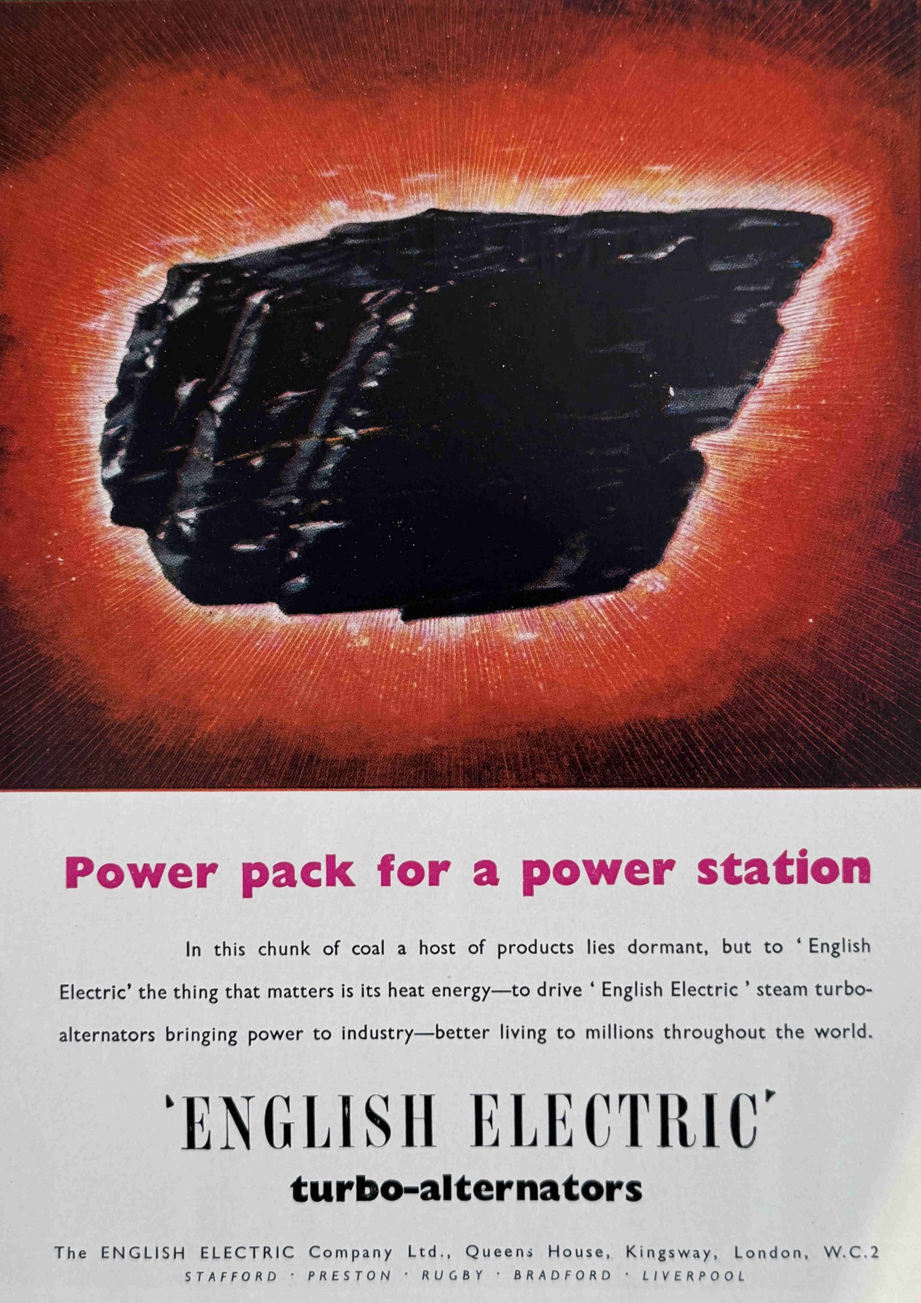
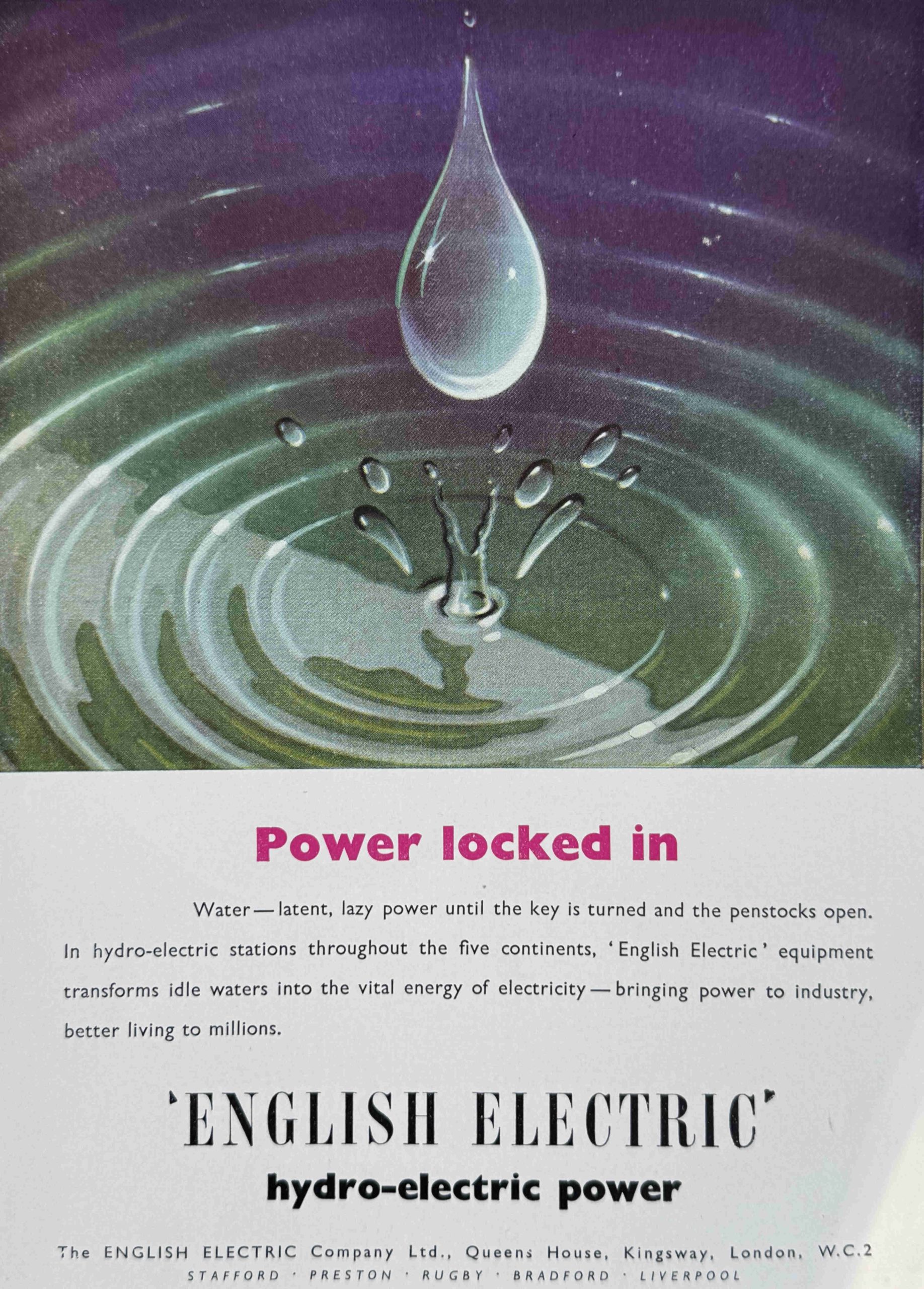
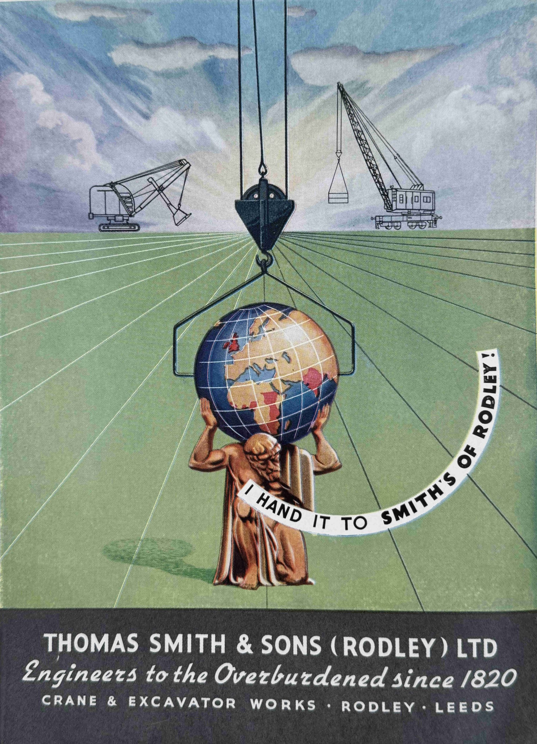
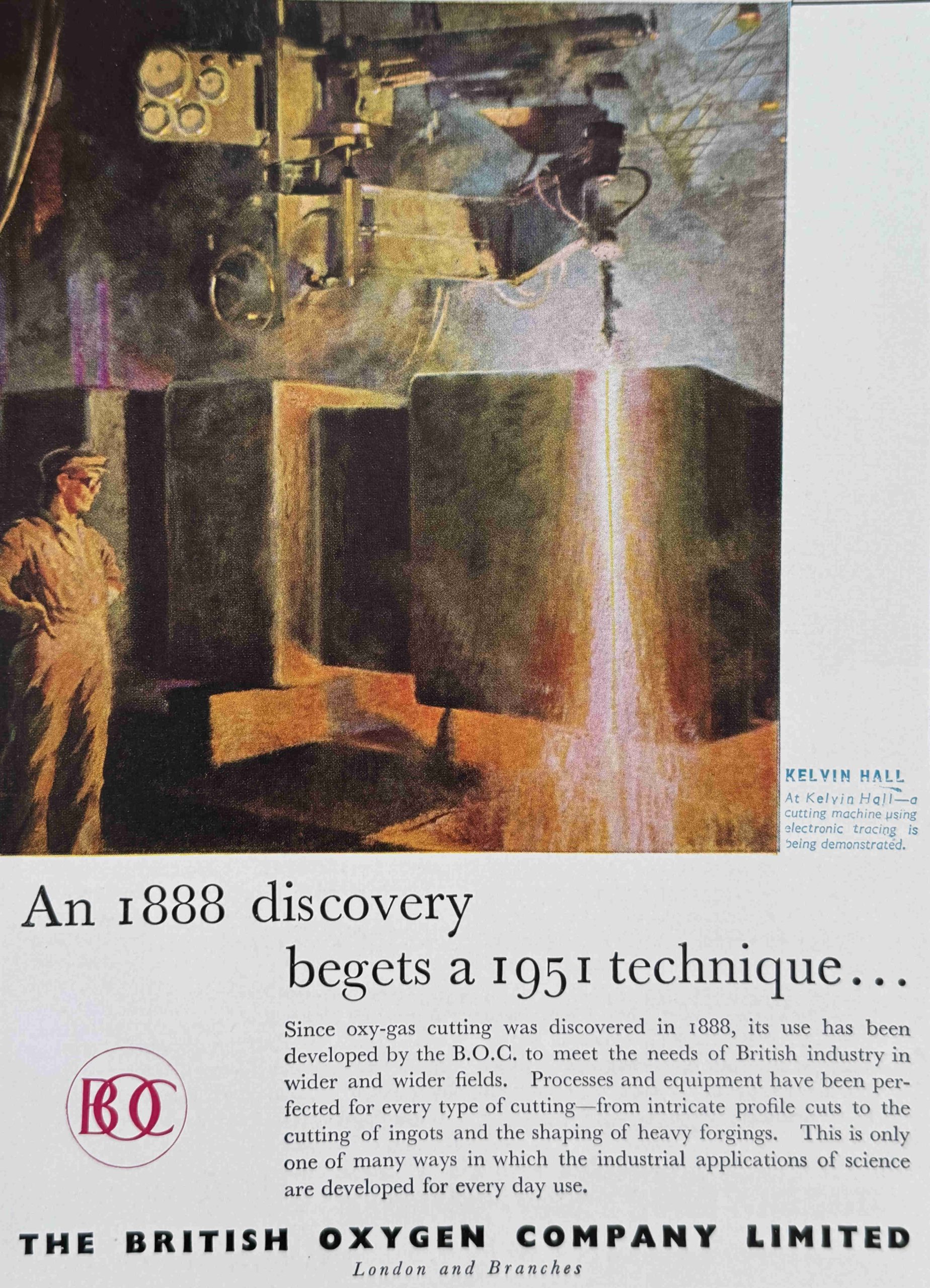
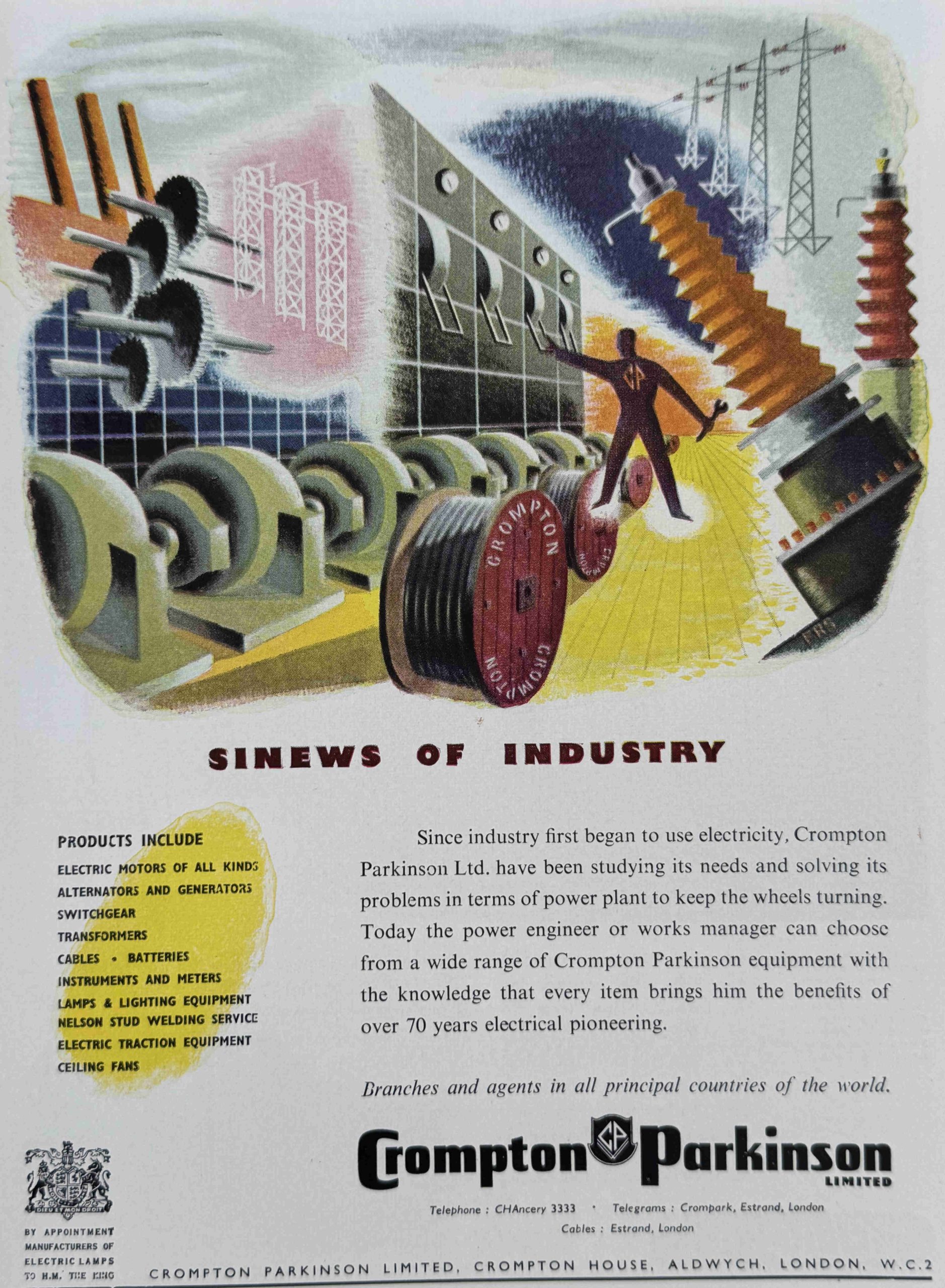
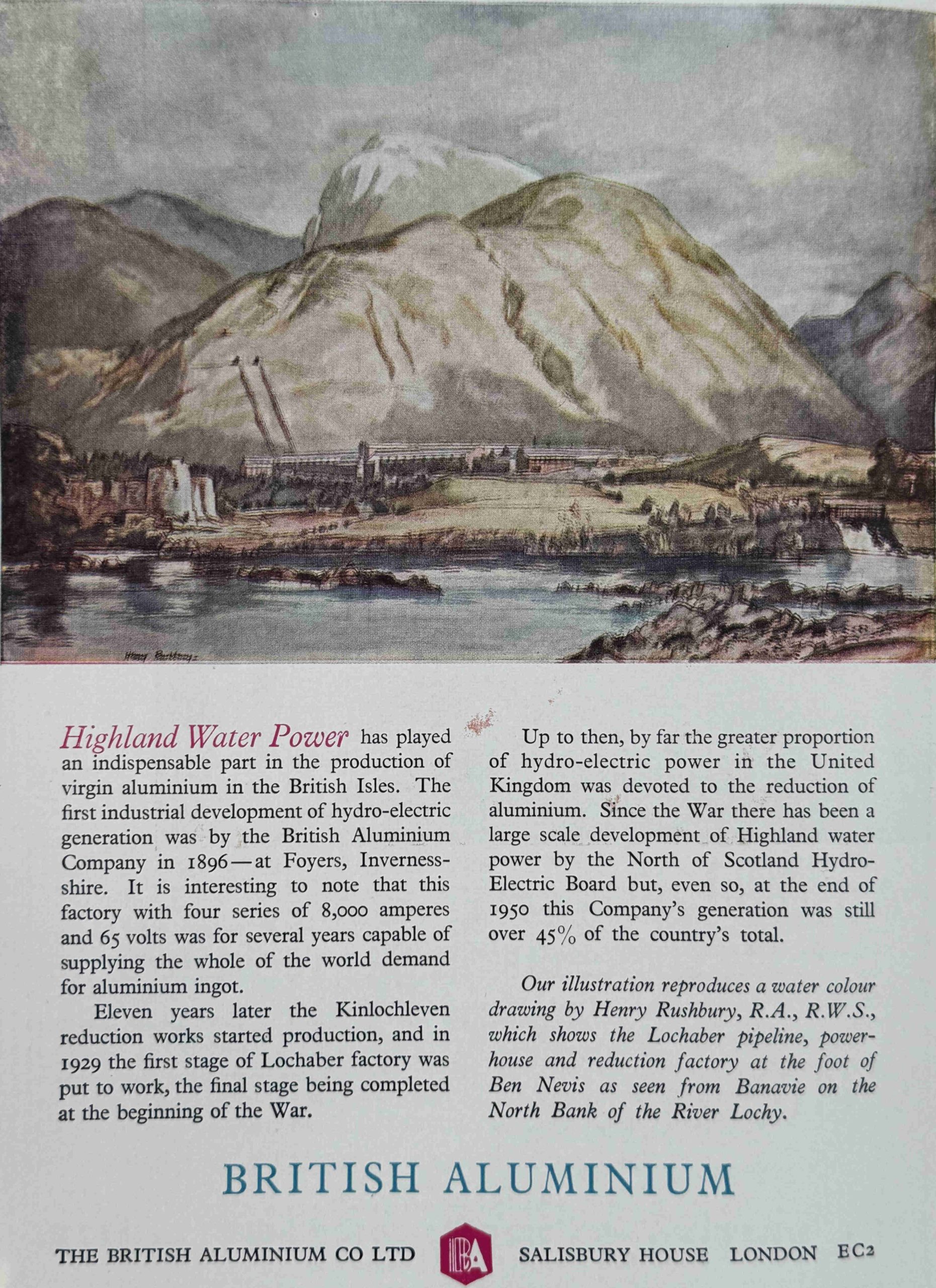
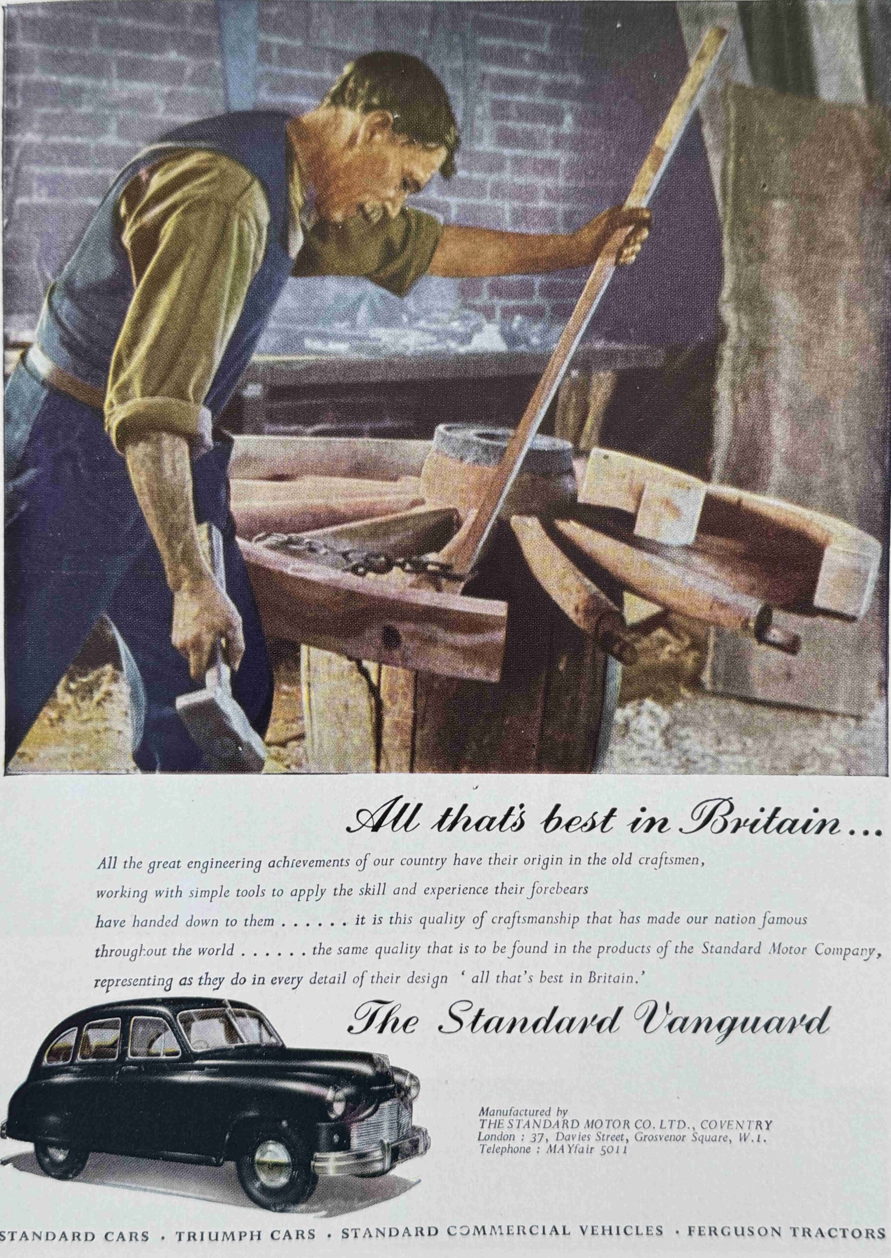
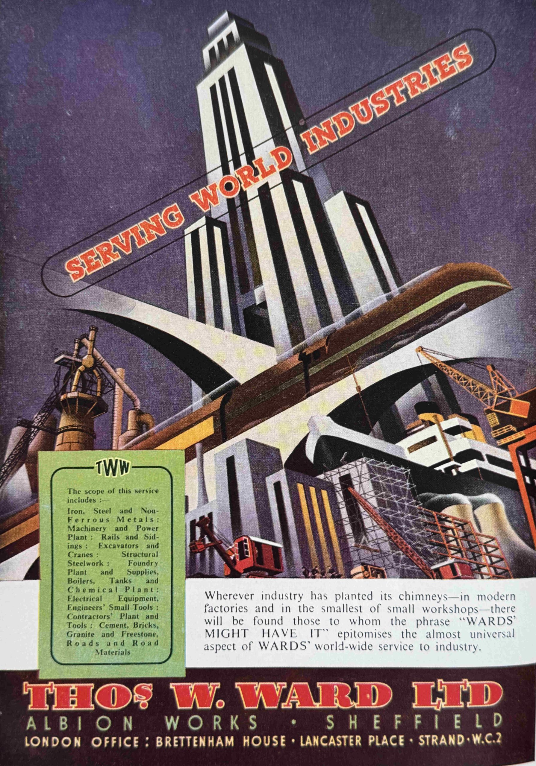
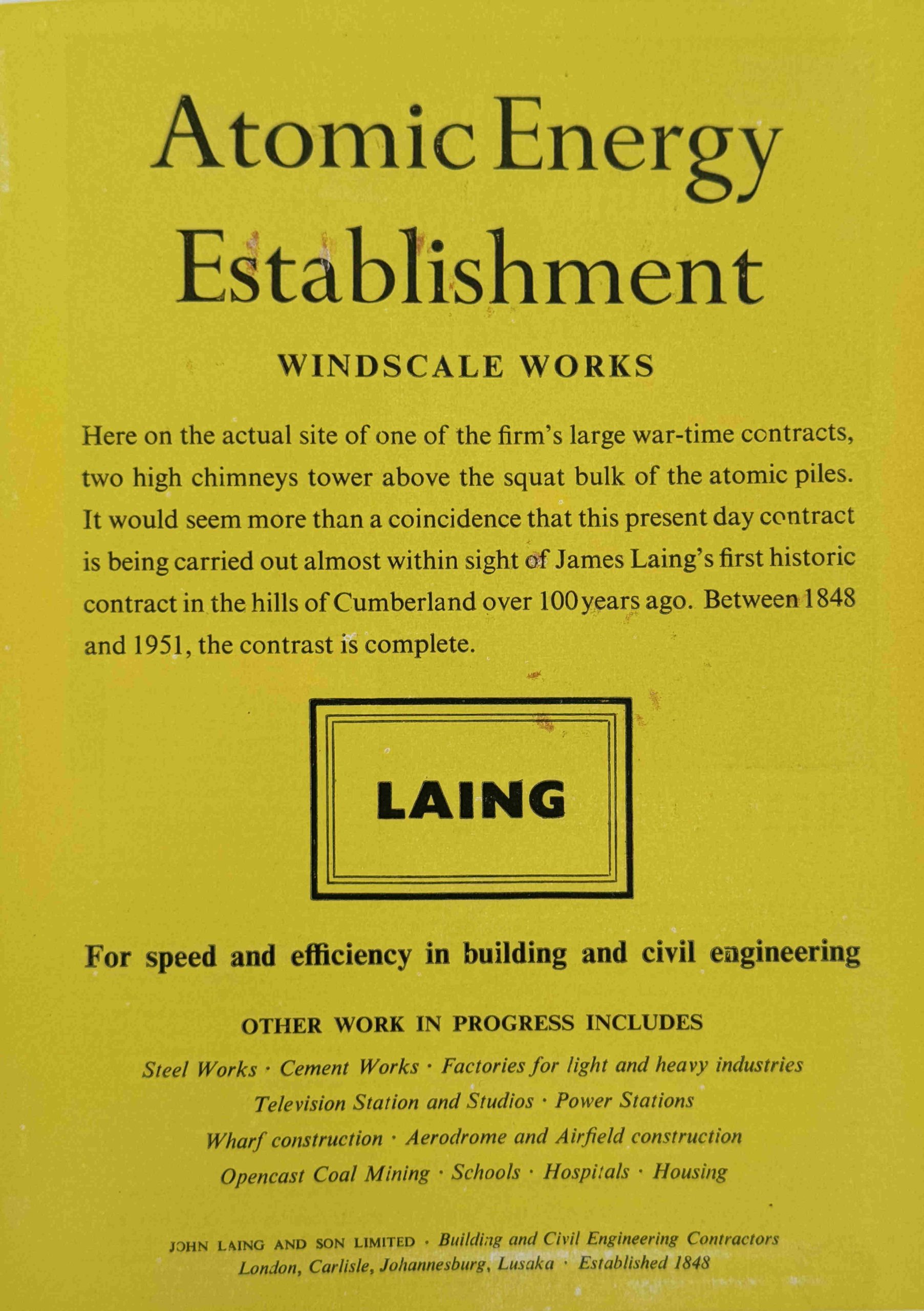
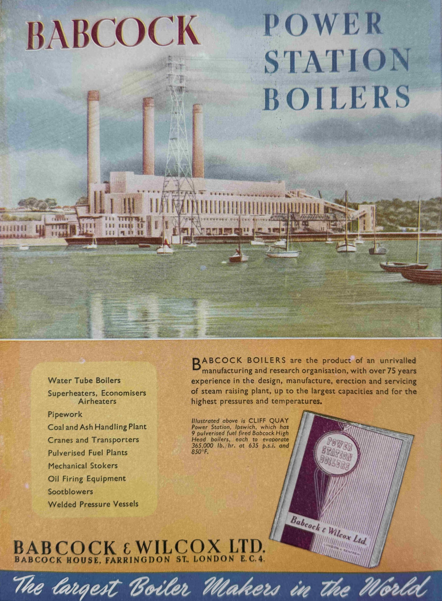
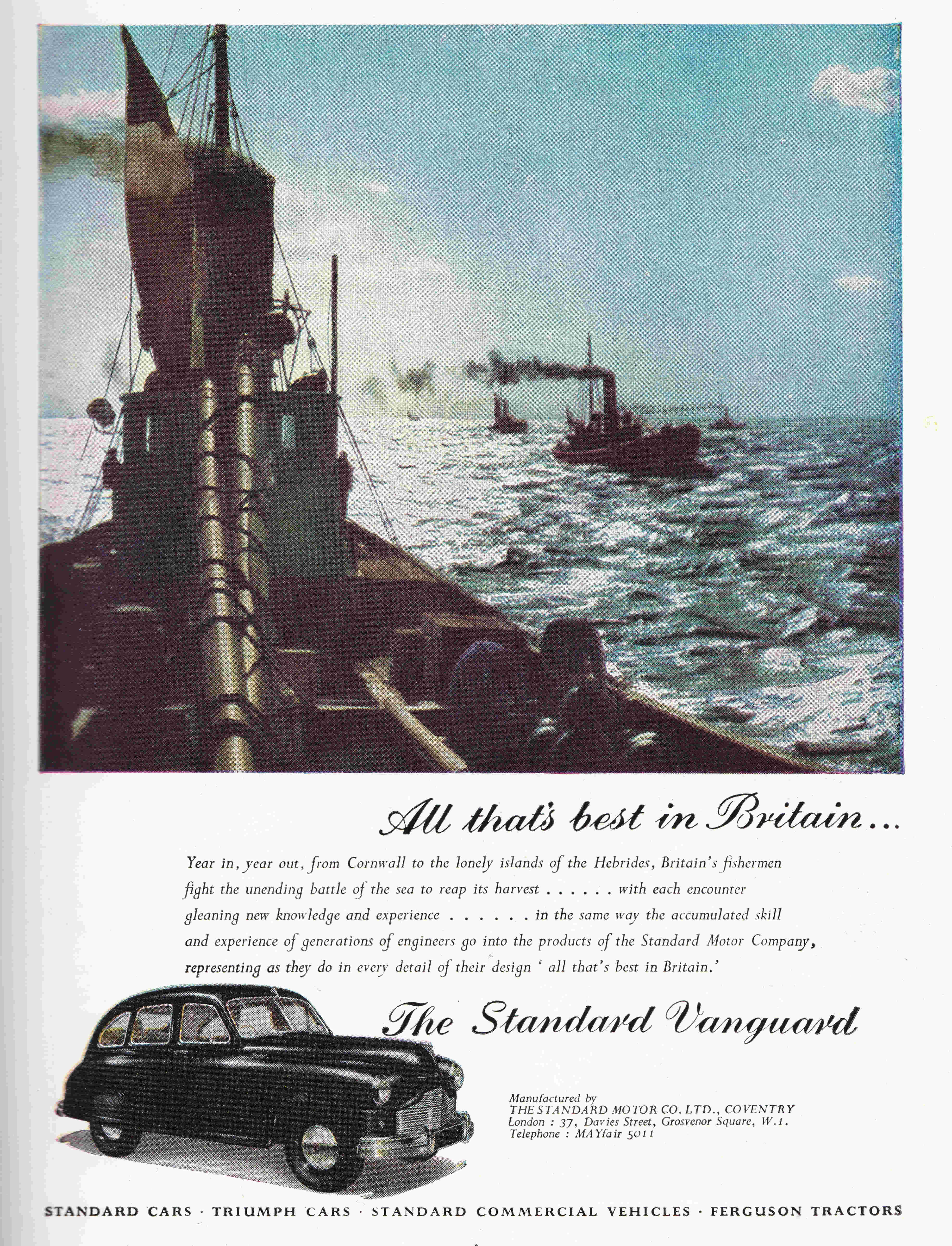
At the back of the souvenir programme were a number of pages of adverts, from companies who had some part in the design, construction and fitting out of the Royal Festival Hall.
Adverts were a common part of the guide books for each of the Festival of Britain locations, and today, looking through these adverts is a rather depressing experience, as they are a list of all the British industries and manufacturing companies that have either closed or been taken over during the last 75 years, however there is one company associated with the Royal Festival Hall that is still in operation:
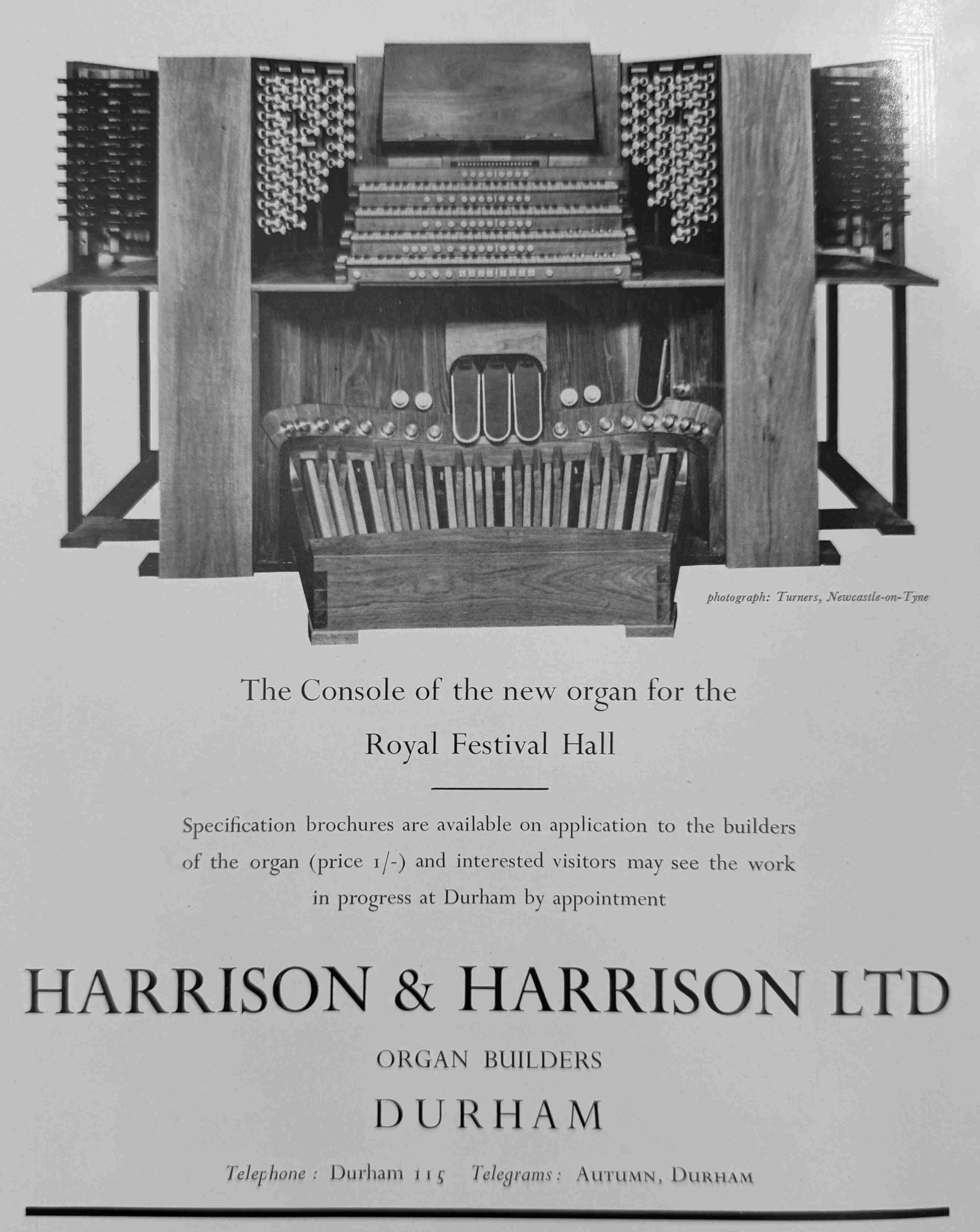
Harrison and Harrison were Thomas Hugh Harrison, who was born in 1839, presumably in St. Pancras as he was the son of Thomas William Harrison of St. Pancras who had a company manufacturing parts for organ buildings.
The firm of Harrison and Harrison dates from 1872 when Thomas Hugh Harrison set up a manufacturing business in Durham, where the firm was based in 1951, and where it is still repairing and building organs today.
Regarding the Royal Festival Hall, on the website of the company, there is the following: “A hugely influential event was the building of the organ in The Royal Festival Hall in 1954. This landmark instrument, which was restored by H&H in time for its sixtieth anniversary, introduced the British organ world to the classical influence of the continental Organ Reform Movement”.
Their website can be found here, and it is brilliant to see that the company appears to be thriving.
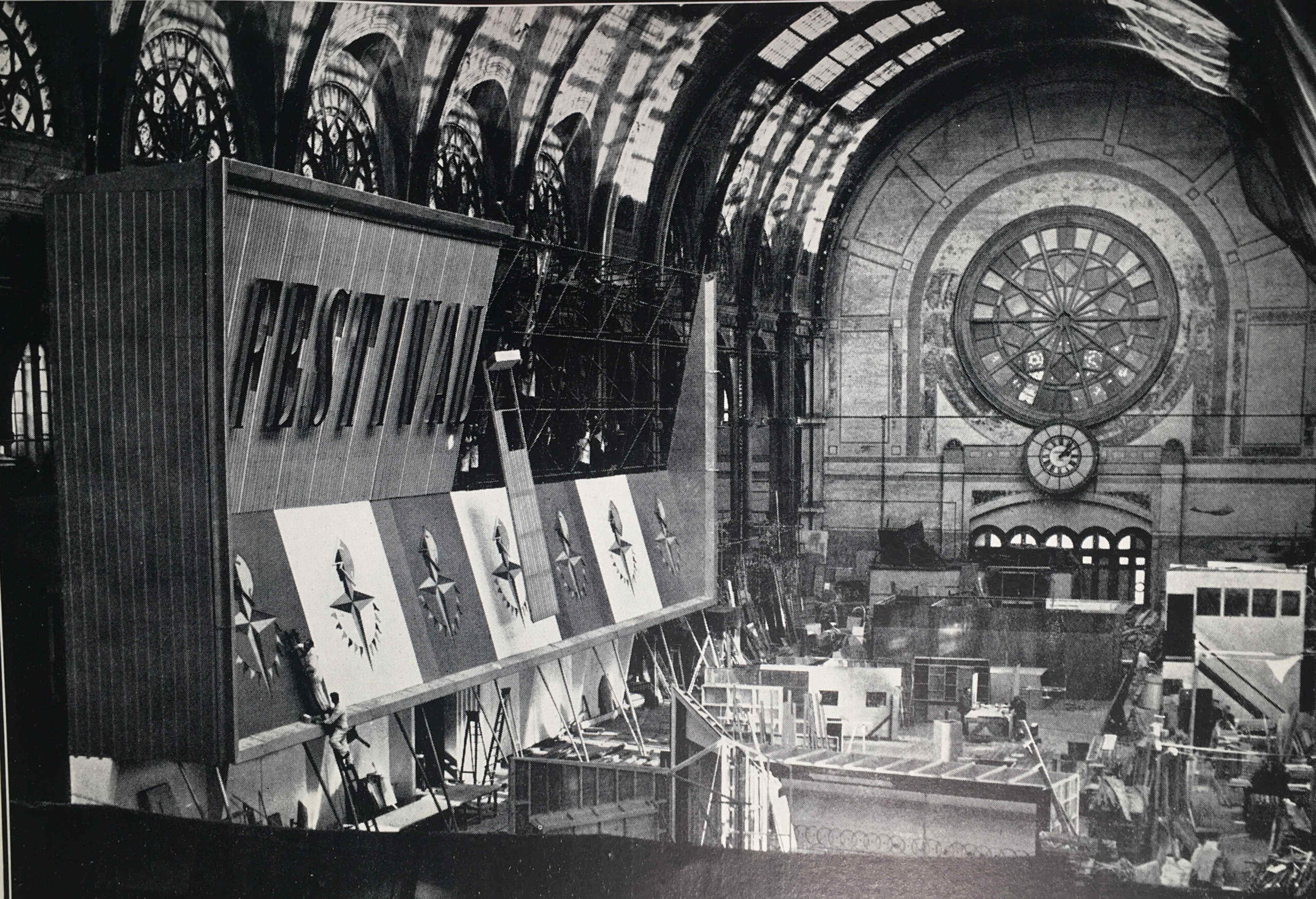
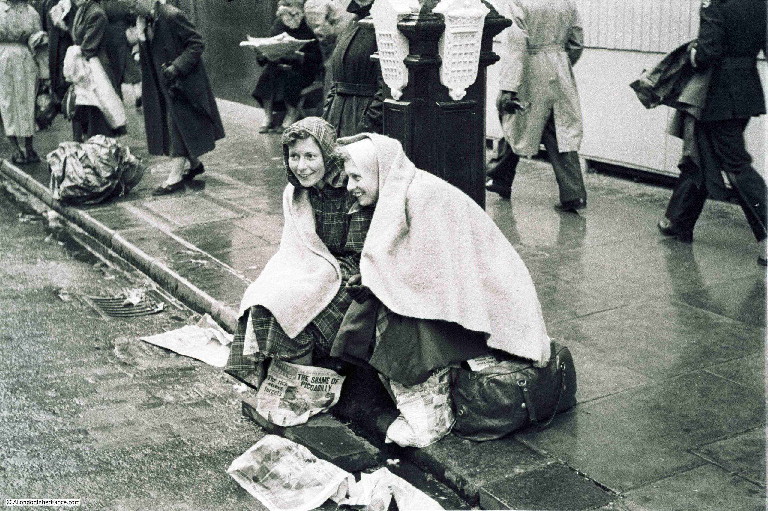
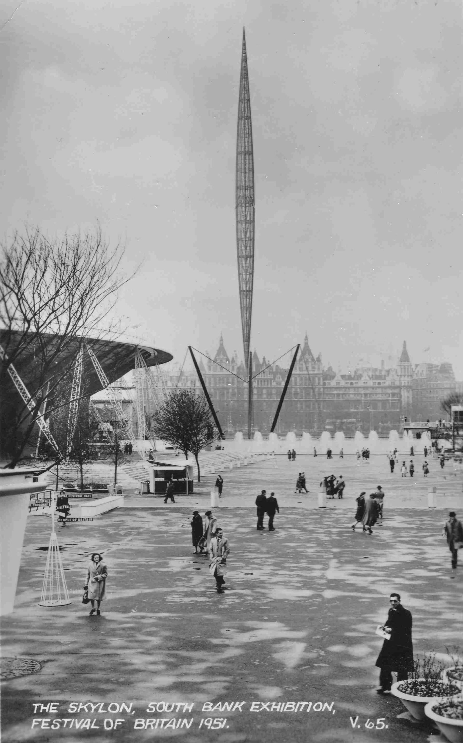
The Festival of Britain on the South Bank opened on the day after the inaugural concert, and the site was already generating some excitement. The South Bank was lit up, and it must have been quite a sight after wartime blackouts and post war austerity, as this article from the May 2nd issue of the London Daily News indicates:
“London’s famous skyline shines bright for the Festival; London’s river picks up the gleam. On the South Bank floodlights and search lights on the exhibition buildings make a blaze of reds, blues and yellows. Against the shadowy Shot Tower is the brilliance of the Royal Festival Hall. Then the Skylon points its finger to the night sky. Above Hungerford Bridge are the illuminated flag-masts of the Bailey footbridge.”
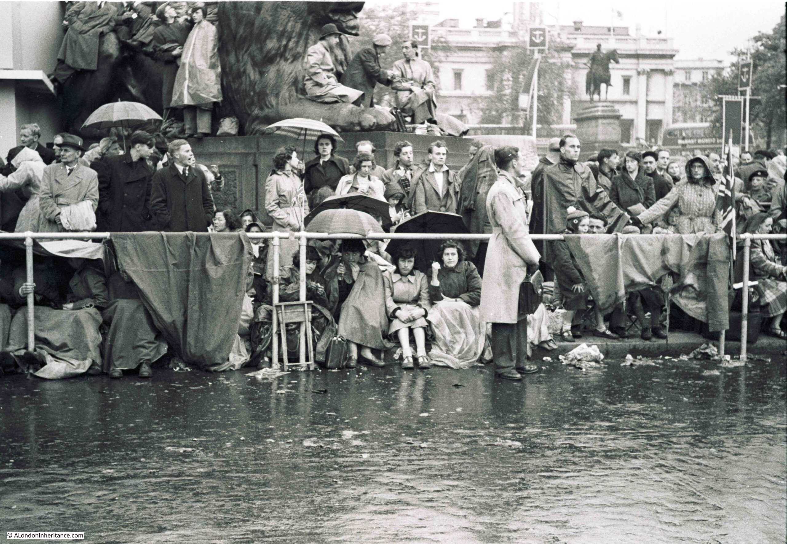
The Skylon was already attracting unwanted interest, as at the start of May:
“Students using grappling irons and nylon ropes, scaled the 295 feet high Skylon on the London south bank exhibition site at midnight and tied to a pole 50 feet from the top, a University of London Air Squadron scarf.
One of them said that five students entered the site late last night and two climbed the Skylon with the nylon ropes 120 feet and 220 feet long and climbing equipment which they had specially made. It was intended to fix the scarf to the lightning conductor but the frailty of the structure at the top made this too hazardous.
The scarf was taken down by workmen.”
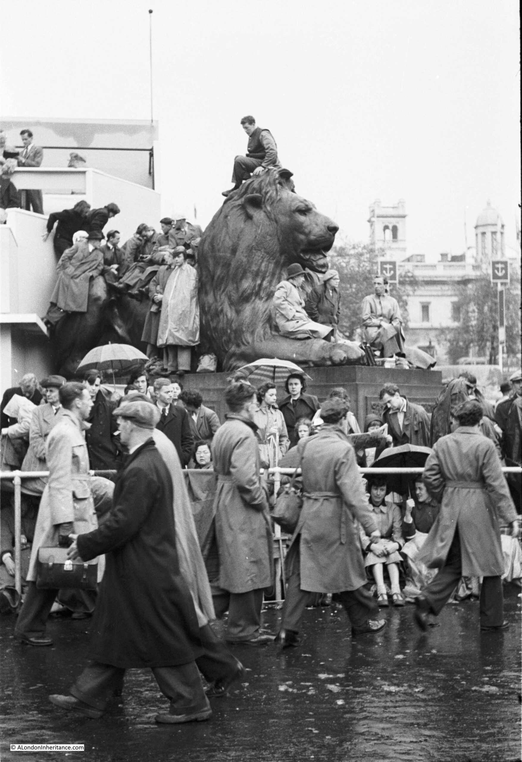
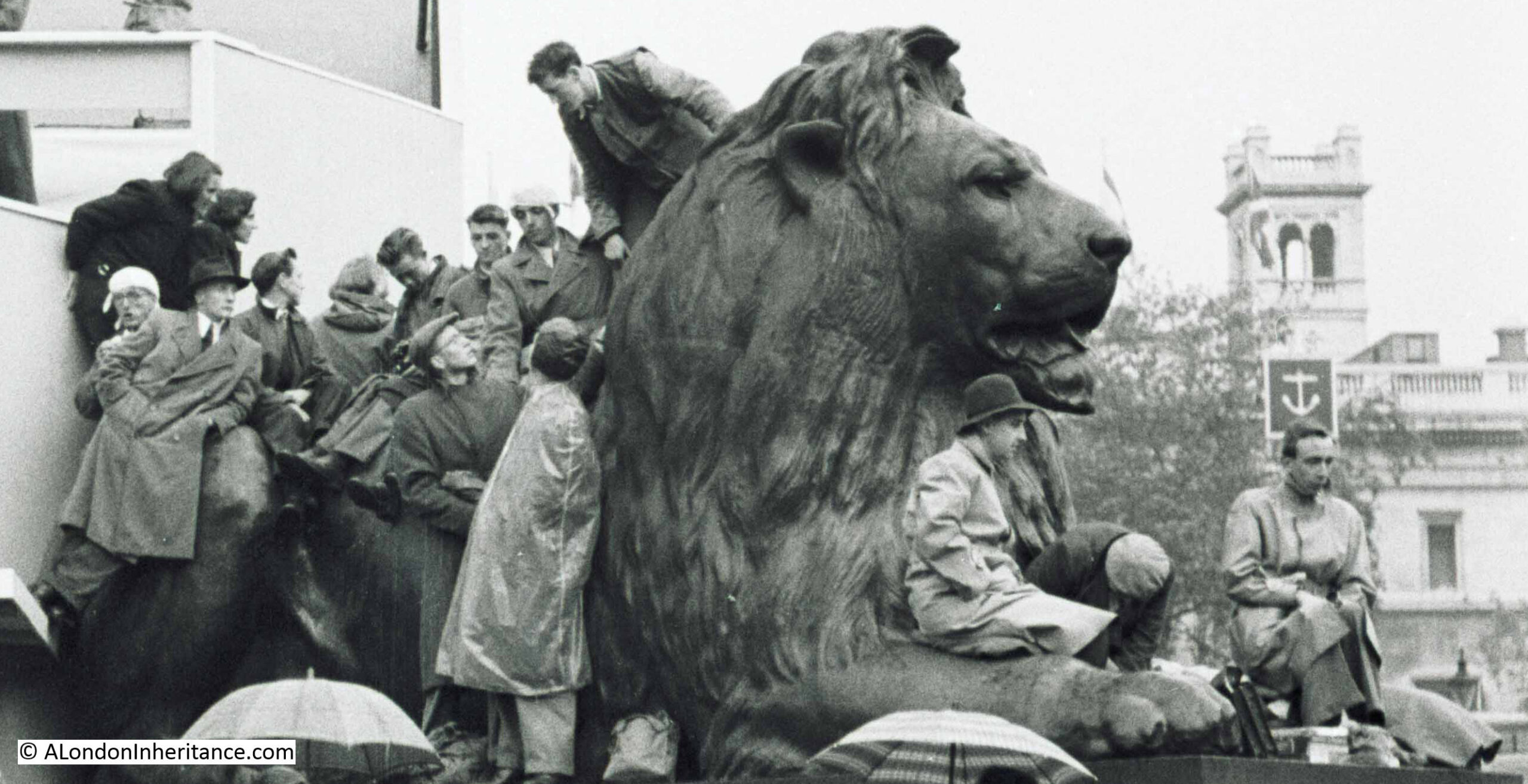
Getting within 50 feet of the top was an achievement, not sure I would have wanted to try such a climb:
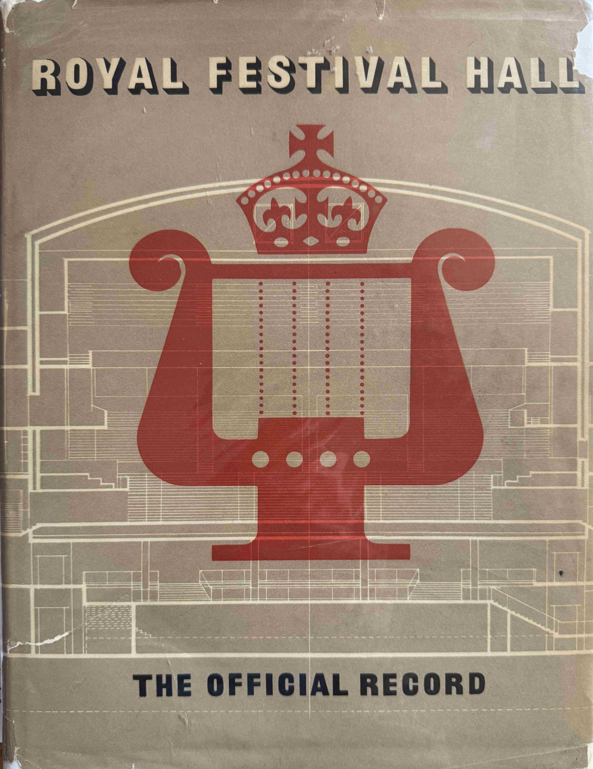
As well as the souvenir programme, the London County Council had also been involved with the publication of the Official Record of the Royal Festival Hall:
Having the Royal Festival Hall on the South Bank was part of the London County Council’s, 1943 County of London Plan, which proposed that the South Bank should become a cultural centre, with a river walkway, public space, offices and homes.
The state of the South Bank was described in the plan as follows:
“It is one of the great anomalies of the capital that while the river, from Westminster eastwards, is lined on the north side with magnificent buildings and possesses a spacious and attractive embankment road, the corresponding south bank, excepting St. Thomas Hospital and the County Hall, should present a depressing, semi-derelict appearance, lacking any sense of dignity and order appropriate to its location at the centre of London, and fronting on to the great waterway. This gloomy aspect is intensified to-day by war damage.”
So it was in need of serious improvement.
Across the Festival of Britain site, the London County Council were responsible for the Royal Festival Hall as well as the new river wall and walkway, and their funding, design and construction, was why they survived, whilst the rest of the festival site was demolished soon after the closure of the festival.
A paragraph in the Forward to the Official Record provides a view of the challenge and intentions:
“The Royal Festival Hall is the only building of such magnitude and importance to have been completed in London since war began in 1939; and it is the first new concert hall the capital has had for much longer than that. This building is of great size and complexity – for it is much more than a concert hall – built on difficult terrain and conditioned in its design by the need for utmost economy in the use of steel and other scarce materials, has had to be planned and produced to an inexorable time-schedule and with a vital and uncomfortably close completion date always in mind. Yet the Council has been at pains to provide a building which is everything that careful planning and anxious forethought could make it, and which has been designed to be worthy of the unique occasion of its inception as well as the longer term use for which it is mainly intended.”
There are a small number of photos in the book, and a large number of drawings, including the following view of the external and internal parts of the building:
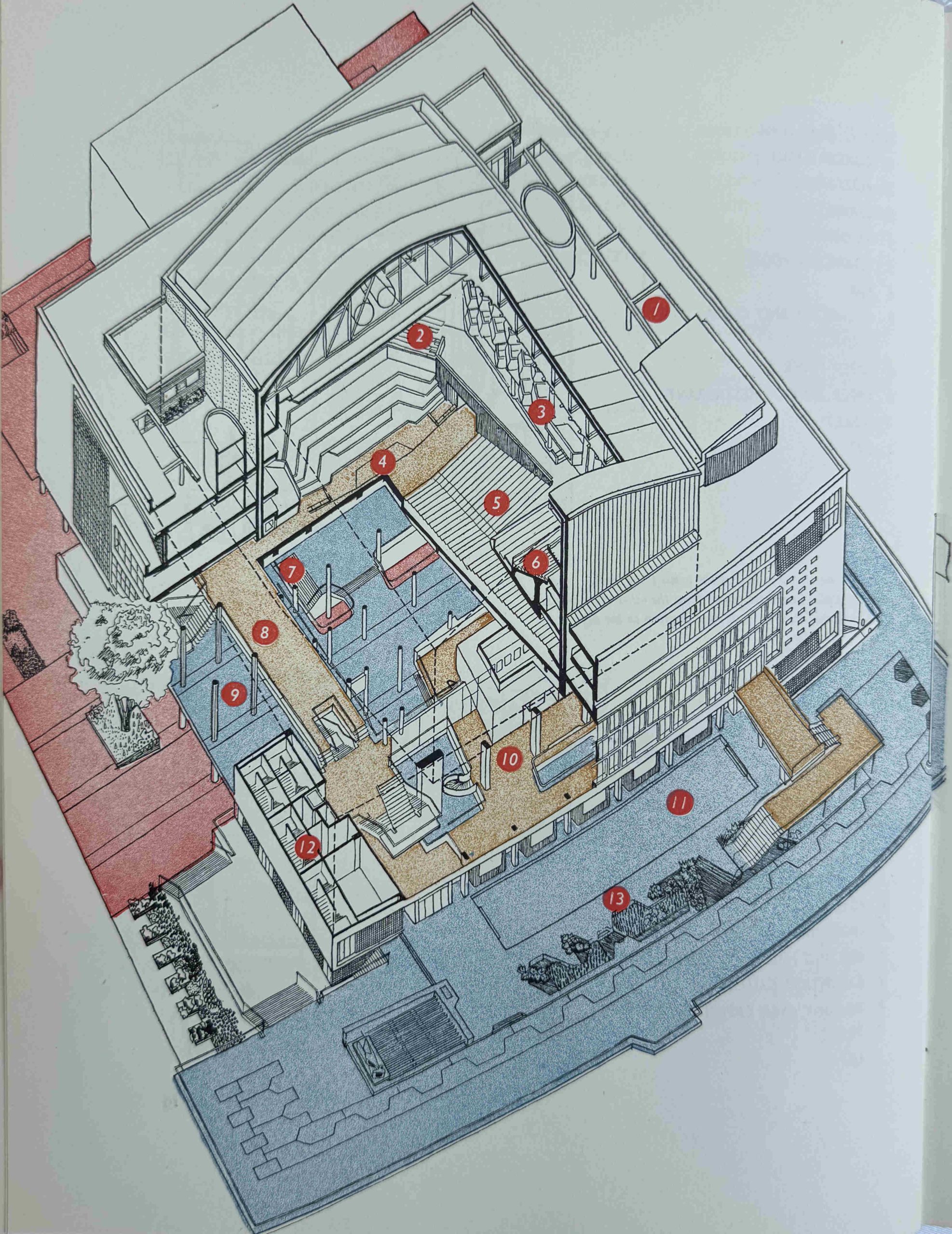
The numbers refer to: 1 – Roof Garden, 2 – Choir, 3 – Boxes, 4 – Orchestra, 5 – Stalls, 6 – Grand Tier, 7 – Entrance Staircase, 8 – Side Promenade, 9 – Main Foyer, 10 – Restaurant, 11 – Terrace Restaurant, 12 – Escape Stairs, 13 – Terrace.
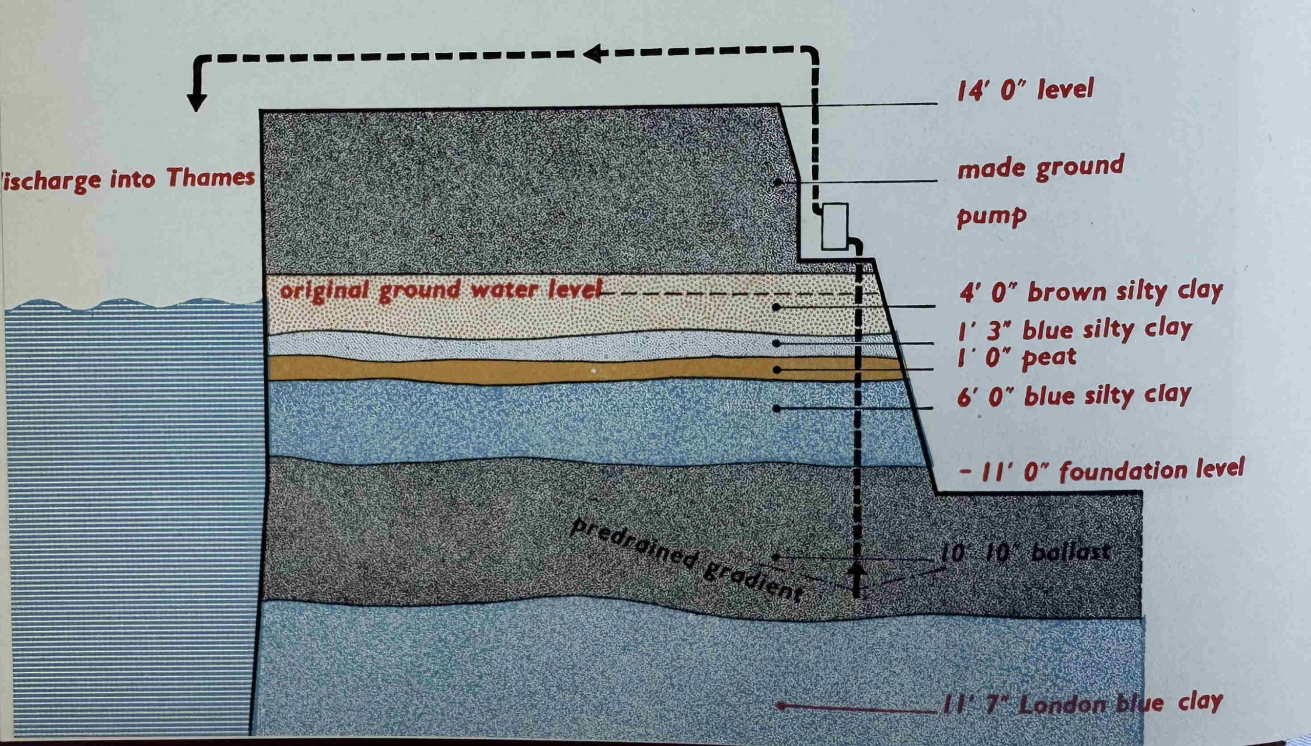
The paragraph from the forward hinted at the challenges of building on the South Bank. A major challenge was water, as the ground where the Royal Festival Hall was to be built was saturated, and ground water height varied with the tide in the Thames.
The options were either pumping or freezing the ground, and the solution taken was:
“To sink a sort of subterranean fence round the whole building site, some 350 steel pipes a yard apart , driven 20 feet down with their tops connected up to suction pumps. When the pumping began, water was thrown out at a rate of 150,000 gallons an hour, but when the general water level was reduced to that of the pipe ends, half that ejection rate served to keep all the excavations comfortable de-watered and workable down to 20 feet below the surface”.
A diagram from the book showing the layers of strata, with the excavation for the building on the right and the River Thames on the left:
The Official Record looked at the Auditorium:
“Heart and kernel of the whole concert hall building is of course the great auditorium itself, the vivifying principle that alone gives validity to the outer parts and members of its body that encircle it in protective, ordered complexity. So it is the auditorium that will here be more critically judged than anything else, more keenly discussed and therefore longest remembered.
All else is but accessory and ancillary to this one essential element; the elegant restaurants and terraces, the foyers and bars and all the rest – mere handmaidens in helpful, agreeable attendance.
Spatially the auditorium is immediately satisfying, probably partly because one unconsciously realises that it is so exactly shaped for its particular job. Nothing has been done in the way of embellishment to detract from this obvious functional fitness, and indeed one guesses – and again correctly – that such decoration as there is is all calculated to promote the prime purpose of the Hall: the hearing of good music.”
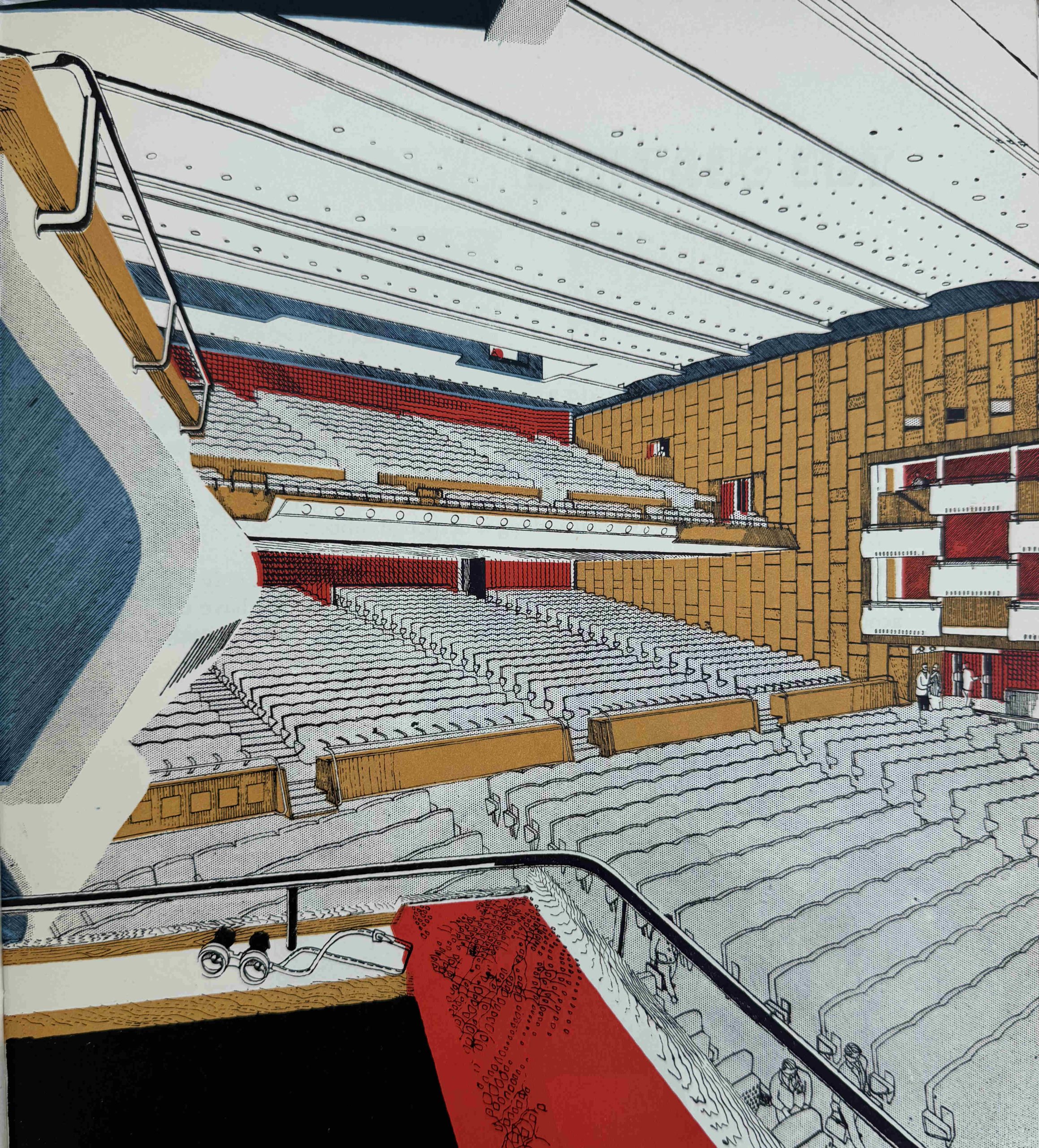
One of the features of the seats in the auditorium was the use of sound absorbing glass fibre in the pads of the seats, to eliminate the sound of a seat tipping as well as to create the effect where an empty seat had the same acoustic properties as an occupied seat.
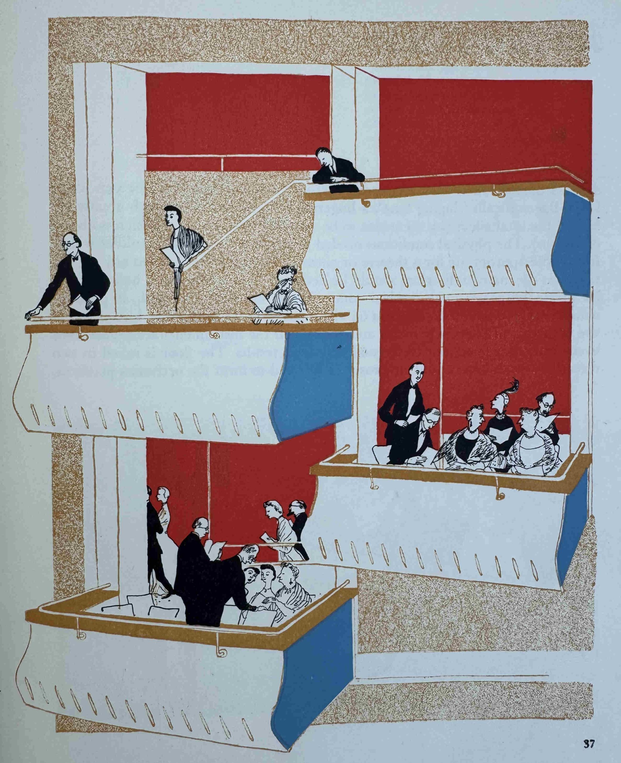
Boxes lining the walls of the auditorium:
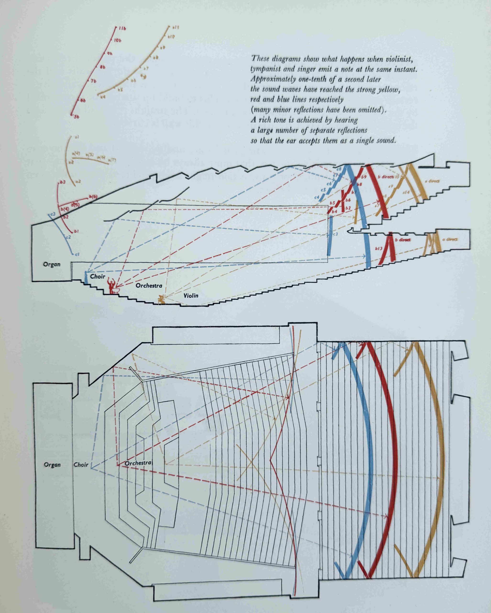
There was a considerable amount of research into the acoustic properties of the auditorium:
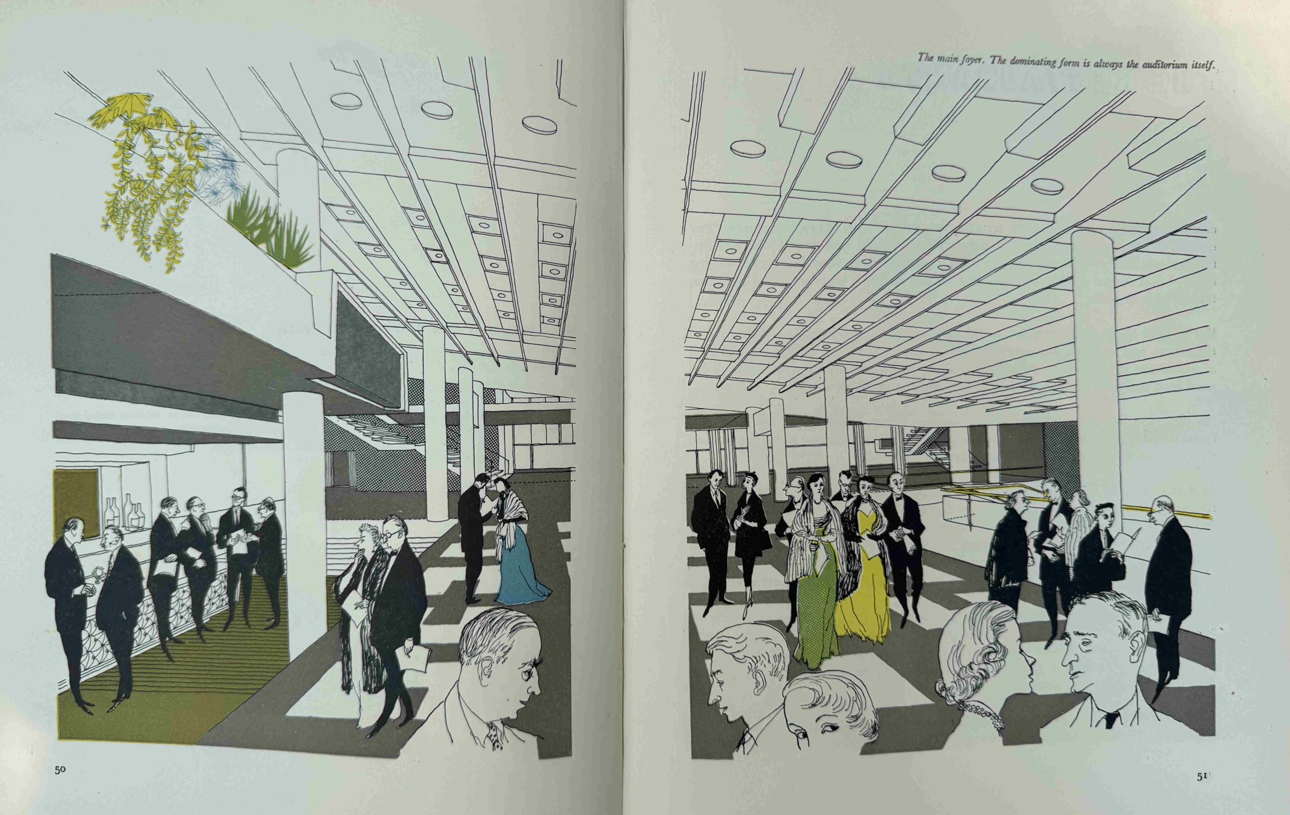
One of the unique features of the Royal Festival Hall is that when you enter the building and stand in the foyer, it is not immediately obvious where the auditorium is located. The foyer presents a wide open space, with thin columns supporting the structure above, with only bars and reception desks in view.
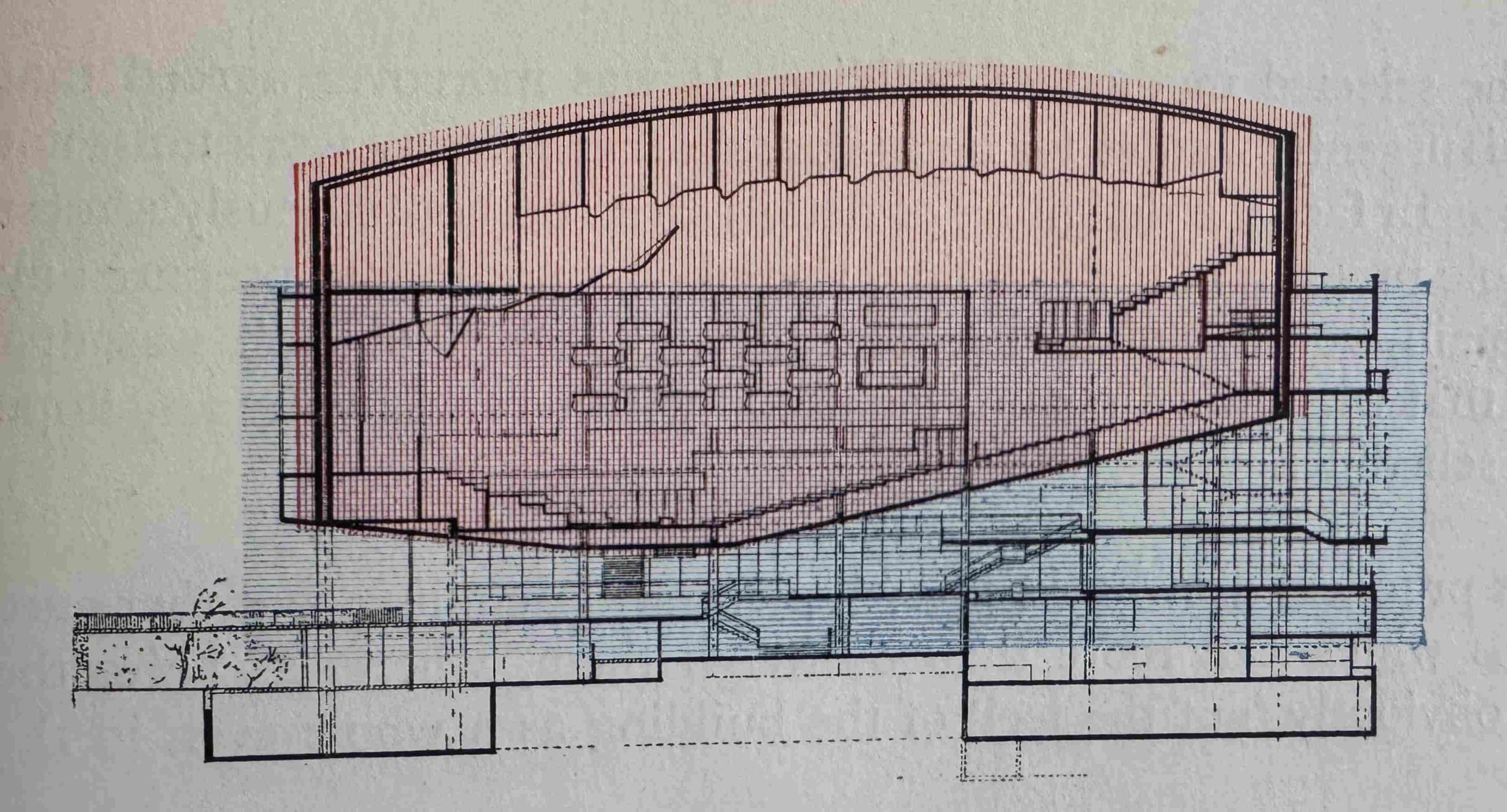
The auditorium is suspended above the foyer, a design that needed a clever means of support with four stairwells at each corner constructed within a bastion to support the auditorium. The following image from the book shows how the auditorium is almost a capsule suspended within the overall building:
The main foyer, with one of the bars to the left. The sloping floor of the auditorium forms the ceiling:
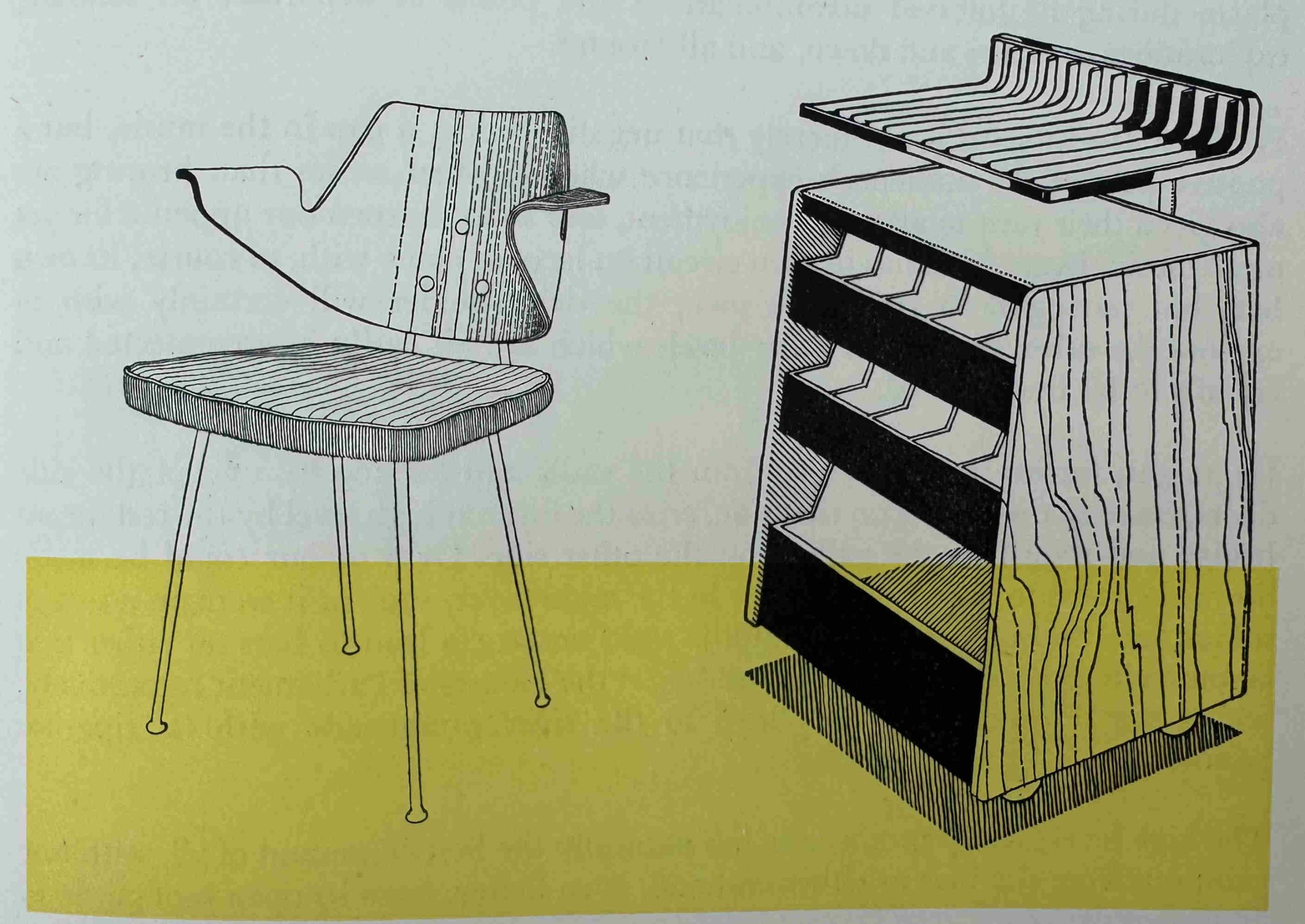
One of the themes of the Festival of Britain was the use of new designs for even the most basic of functions, and in the restaurants of the Royal Festival Hall, this included newly designed chairs, with a rubber cushioned seat, and a dumb waiter made out of tubular metal, timber and aluminium:
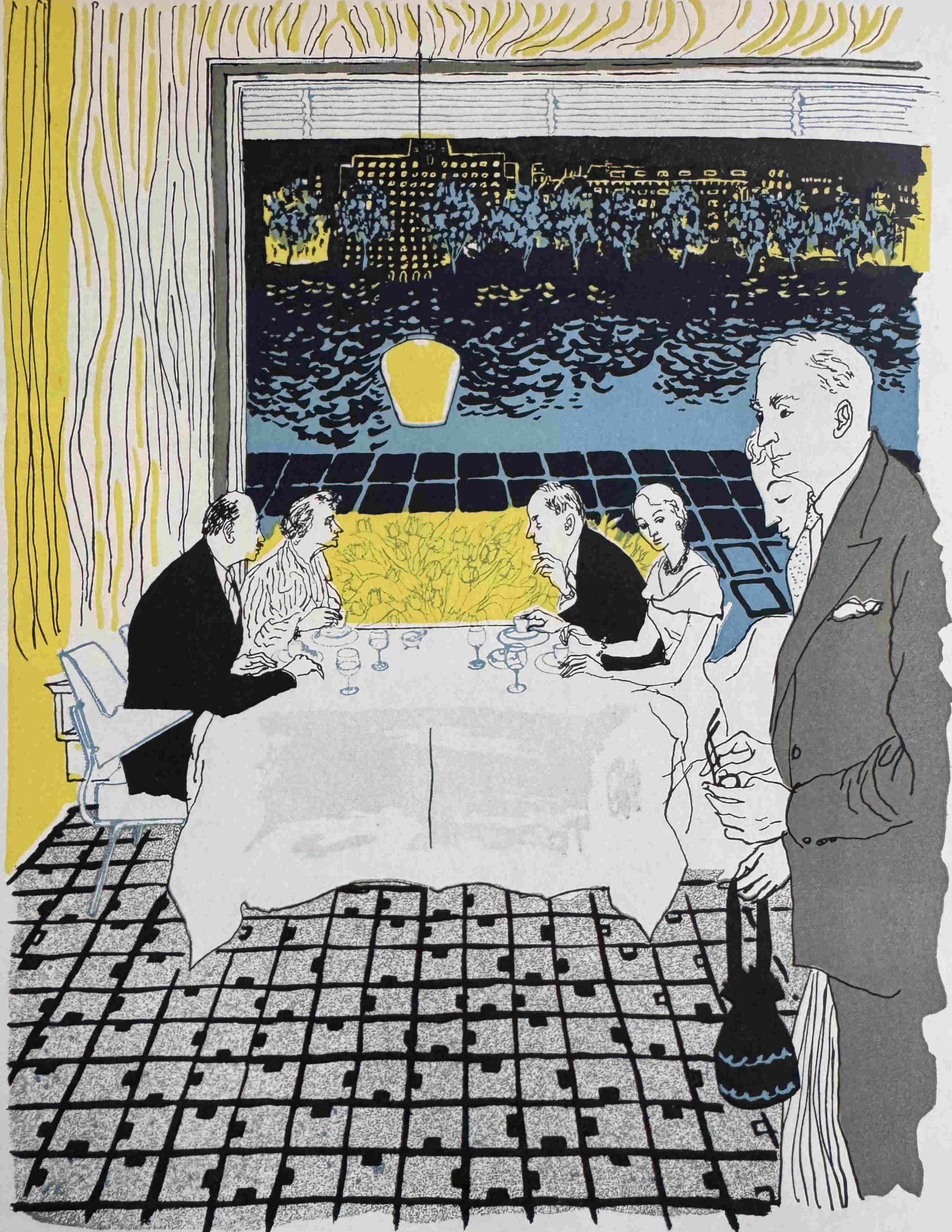
The auditorium was by far the most important feature, but restaurants were also an important part of the overall visitor experience, and for those dining in the restaurant with a window seat: “At night a new prospect is revealed as the lights shine across the river”:
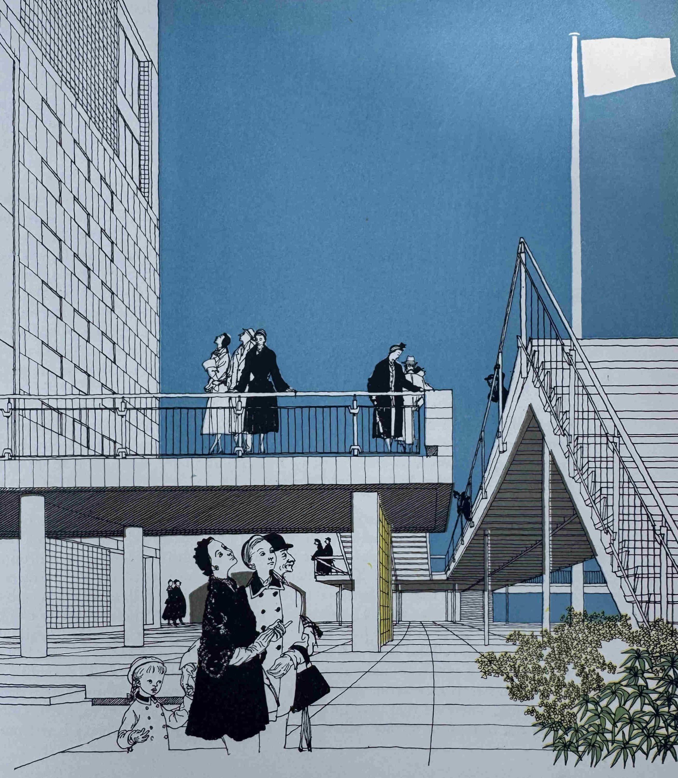
Design of the terraces and gardens around the hall were just as important as the interior, and long before the large terrace that we see today was built in front of the hall, there was a lower and smaller upper terrace “from which there is a magnificent view of the river and the northern embankment”:
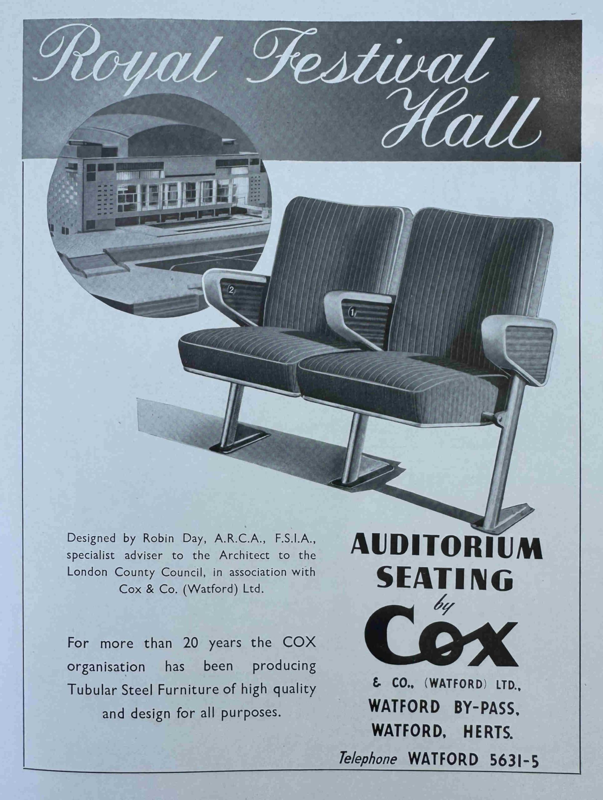
As with the souvenir programmes, in the official record of the Royal Festival Hall, there were a number of adverts for companies involved in many aspects of the building, including Cox & Co of Watford, who were responsible for the auditorium seating:
One of the aims with the design of the Royal Festival Hall was to make use of the latest technologies available for building such a concert hall. As well as theatre and sound technologies, this also included air conditioning and heating systems, and the following photo from the book shows heating pipes which threaded through the building:
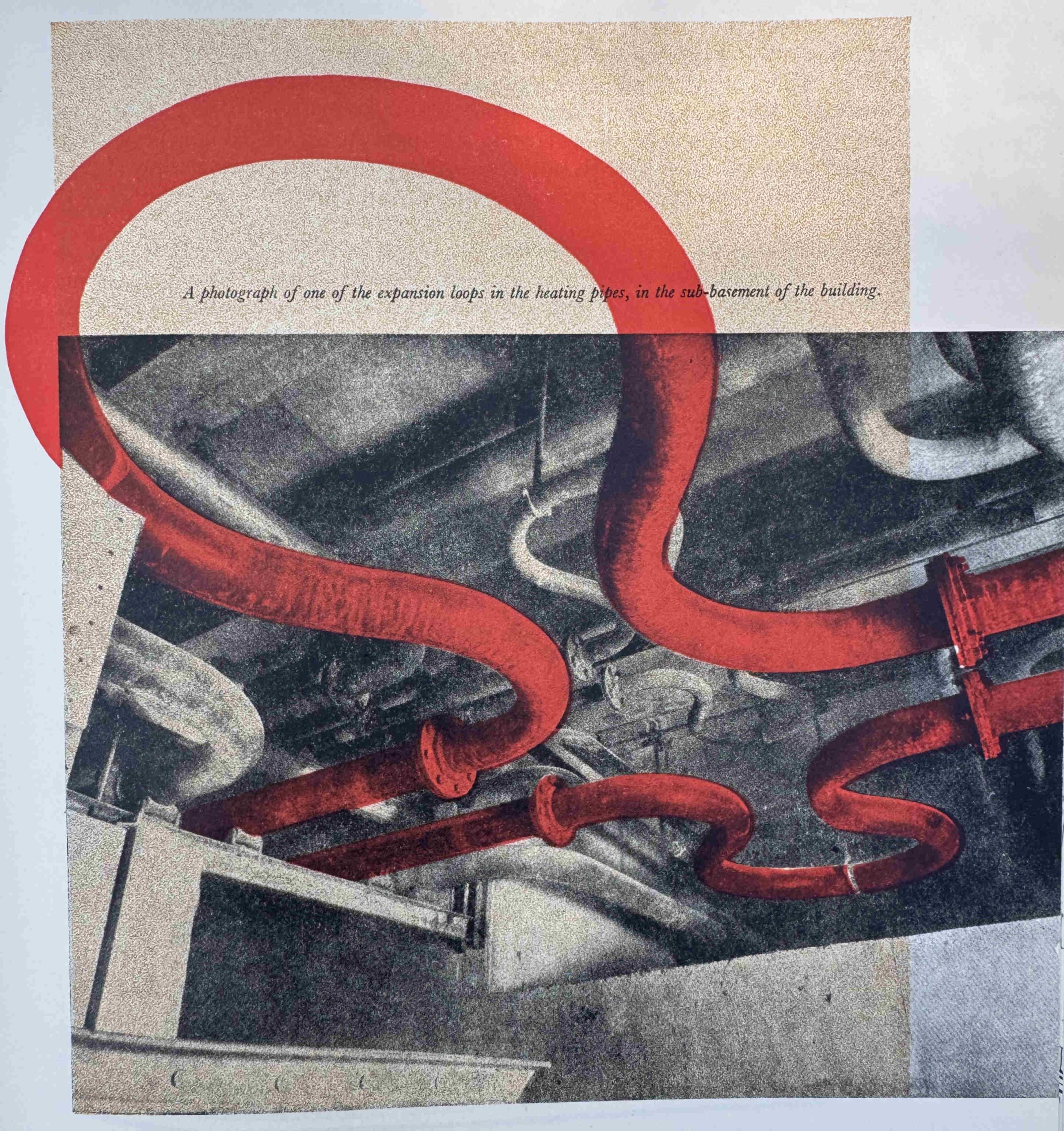
One of the challenges with designing and building so quickly, along with the use of new technologies was that the design had to change as construction progressed.
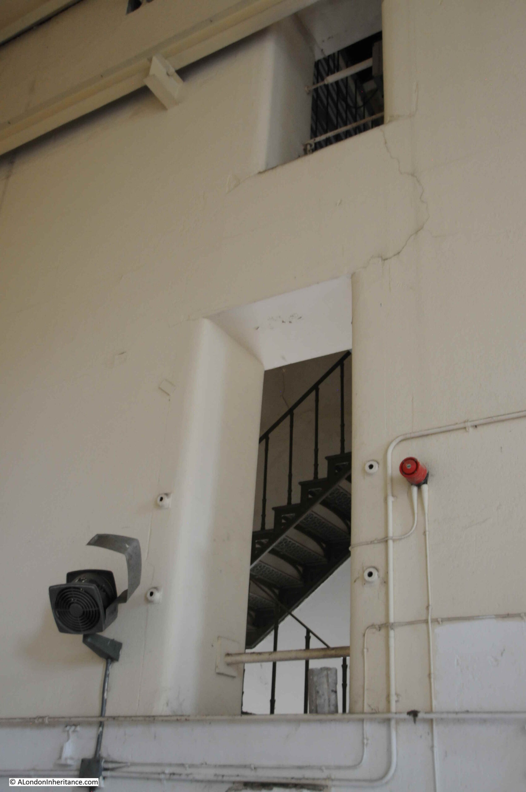
The installation of air conditioning, heating pipes and electrical cables required the drilling of unplanned holes in the buttresses of the hall that gave support to the auditorium as well as many of the walls.
As well as the design of the interior, the importance of the auditorium, and the use of the latest technologies, one of the other key features of the Royal Festival Hall was its location on the South Bank, directly overlooking the Thames, and the building was intended to present an impressive view:
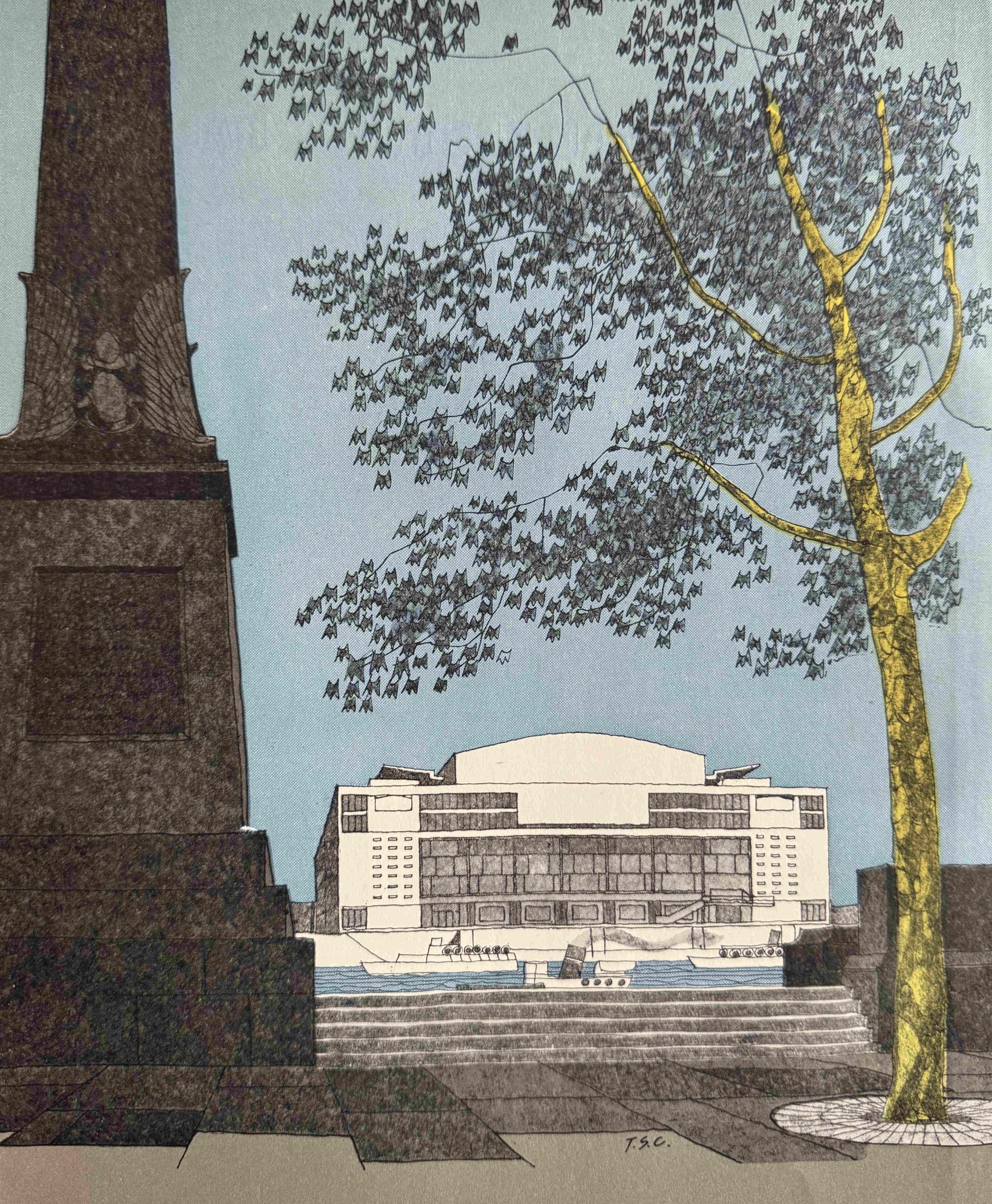
As mentioned earlier in the post, the South Bank was in a dismal state, and the LCC plan proposed significant new buildings along the South Bank which would mirror the buildings along the North Bank, and the above image shows how the Royal Festival Hall was intended to be the first part of this.
This is an issue I have with the South Bank today. The walkway is lined with trees and especially when they are in leaf, they do obscure much of the view of the Royal Festival Hall from the north bank.
Trees are key in the built environment. Not only do they improve the visual aspect, they also provide shade, have a cooling effect etc. however, for the short space of the walkway in front of the hall, removing the trees would restore the view of the Royal Festival Hall as was intended by the designers and developers.
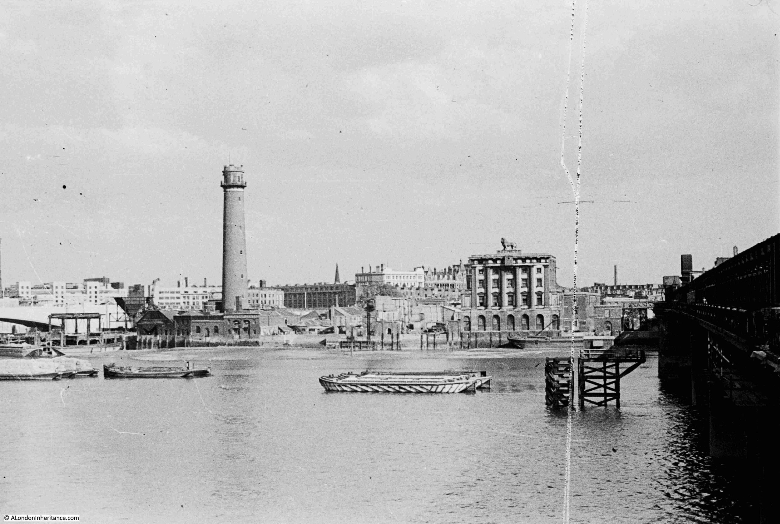
My father took a whole series of photos of the South Bank showing the area before it was cleared ready for the build of the festival, and then construction.
The first of his photos is from 1947 and shows the site prior to demolition. The Royal Festival Hall would be built on the site of the lion Brewery, which is to the right, with the Coade Stone Lion on the top:
A view on the South Bank. The large building is the Lion Brewery after the Lion had been removed:

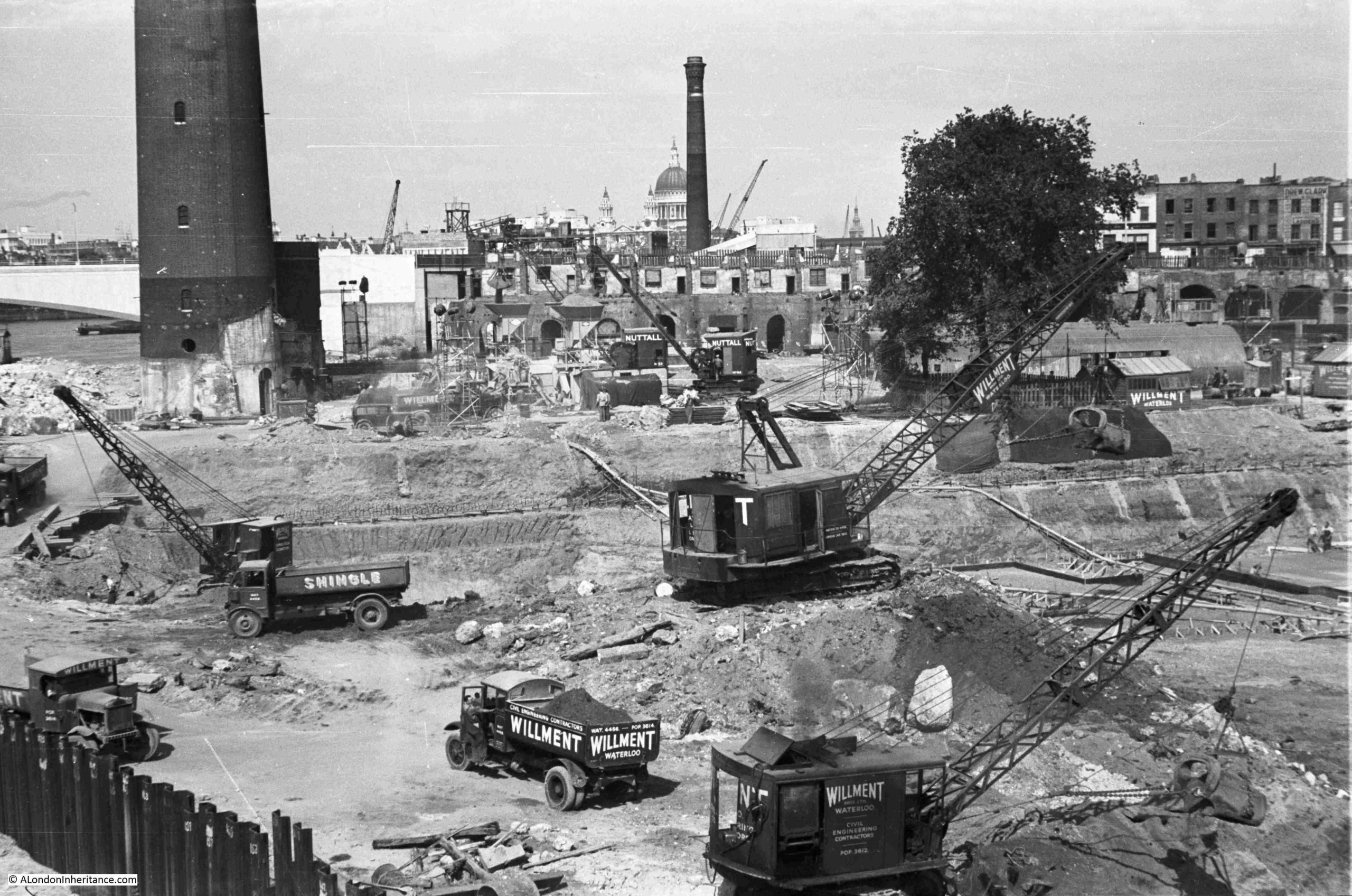
Building the foundations of the Royal Festival Hall:
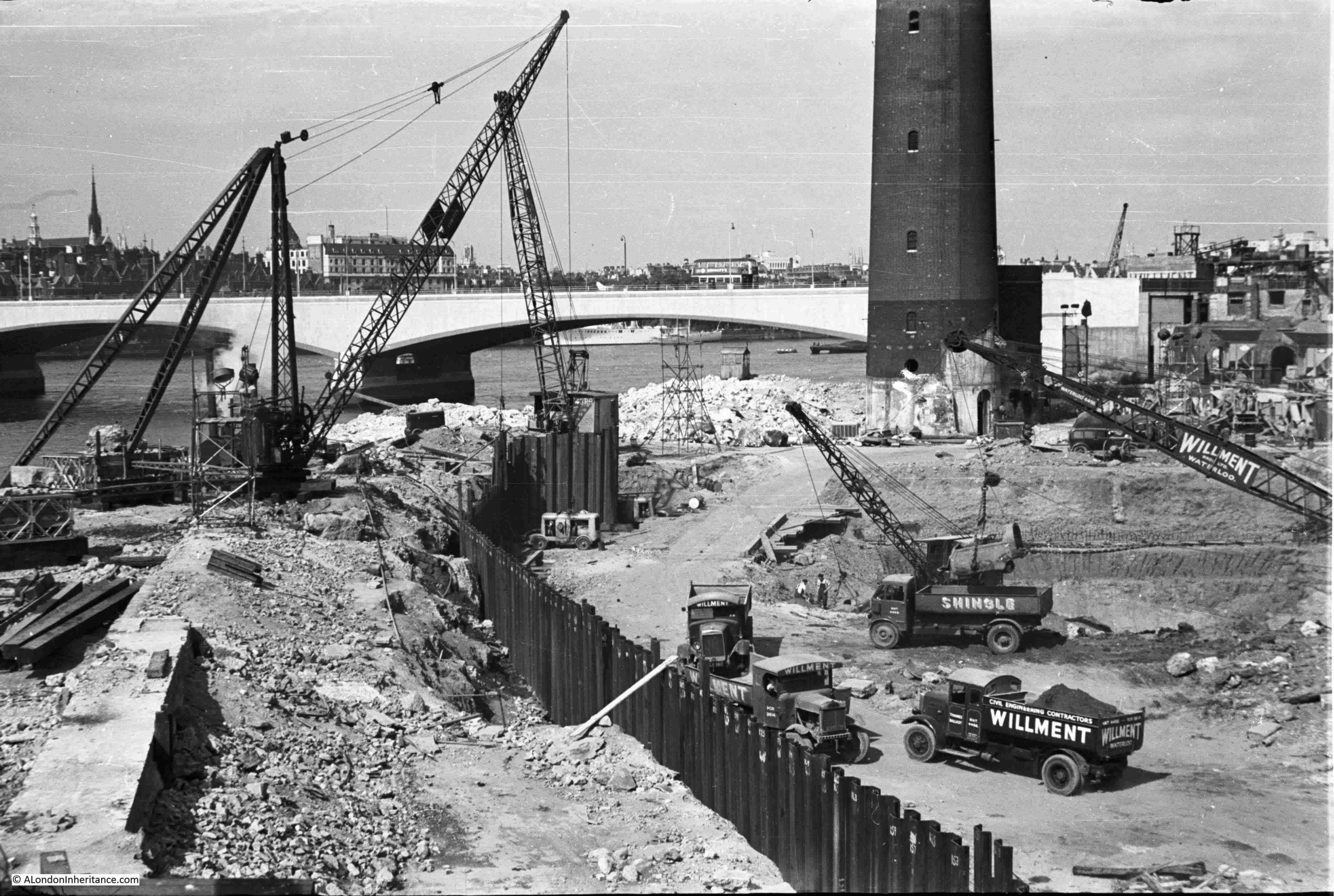
The Shot Tower is the tall tower in both photos:
Looking across the site, the tall houses in the background were in Howley Street, which has long gone, replaced by the slip road that runs between Belvedere Road and the roundabout at the southern end of Waterloo Bridge:
The above image gives an indication of the depth of the foundations.
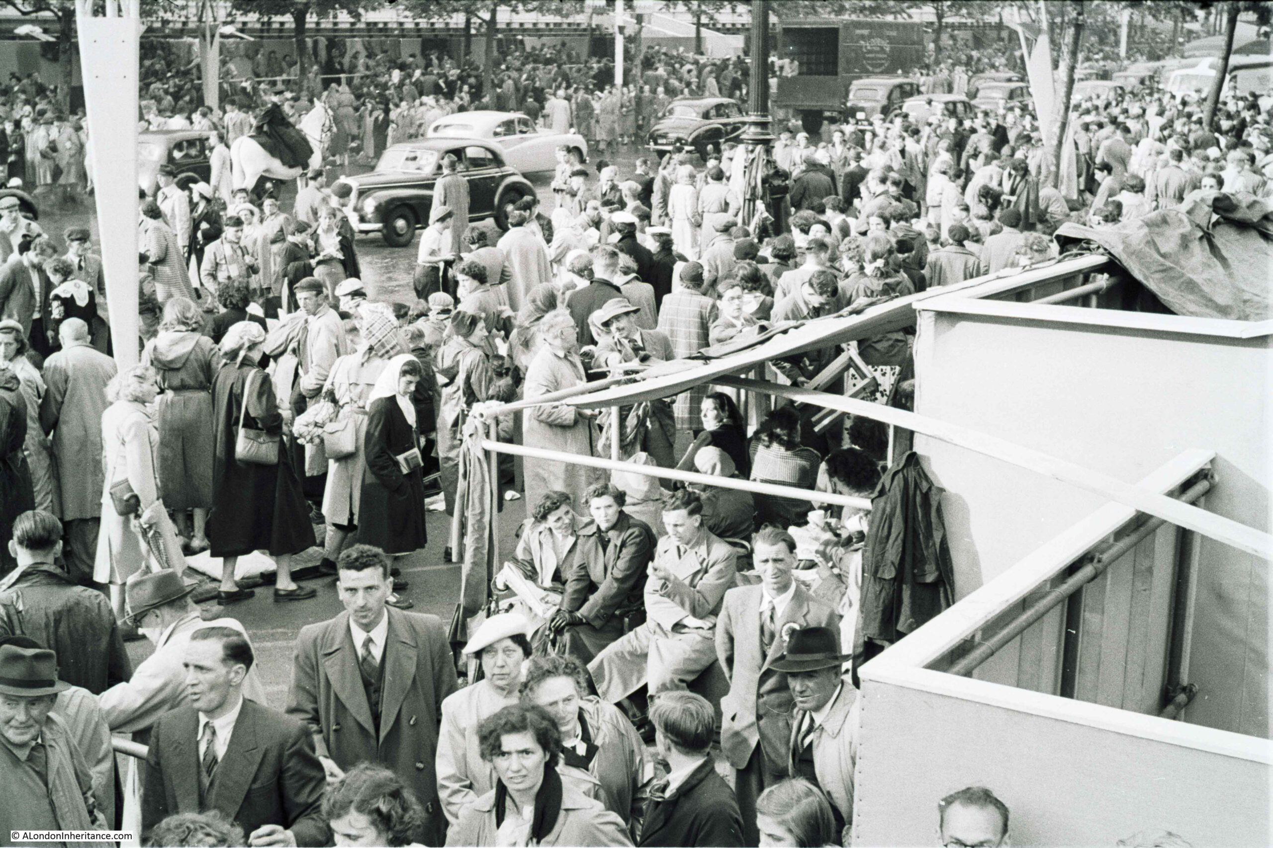
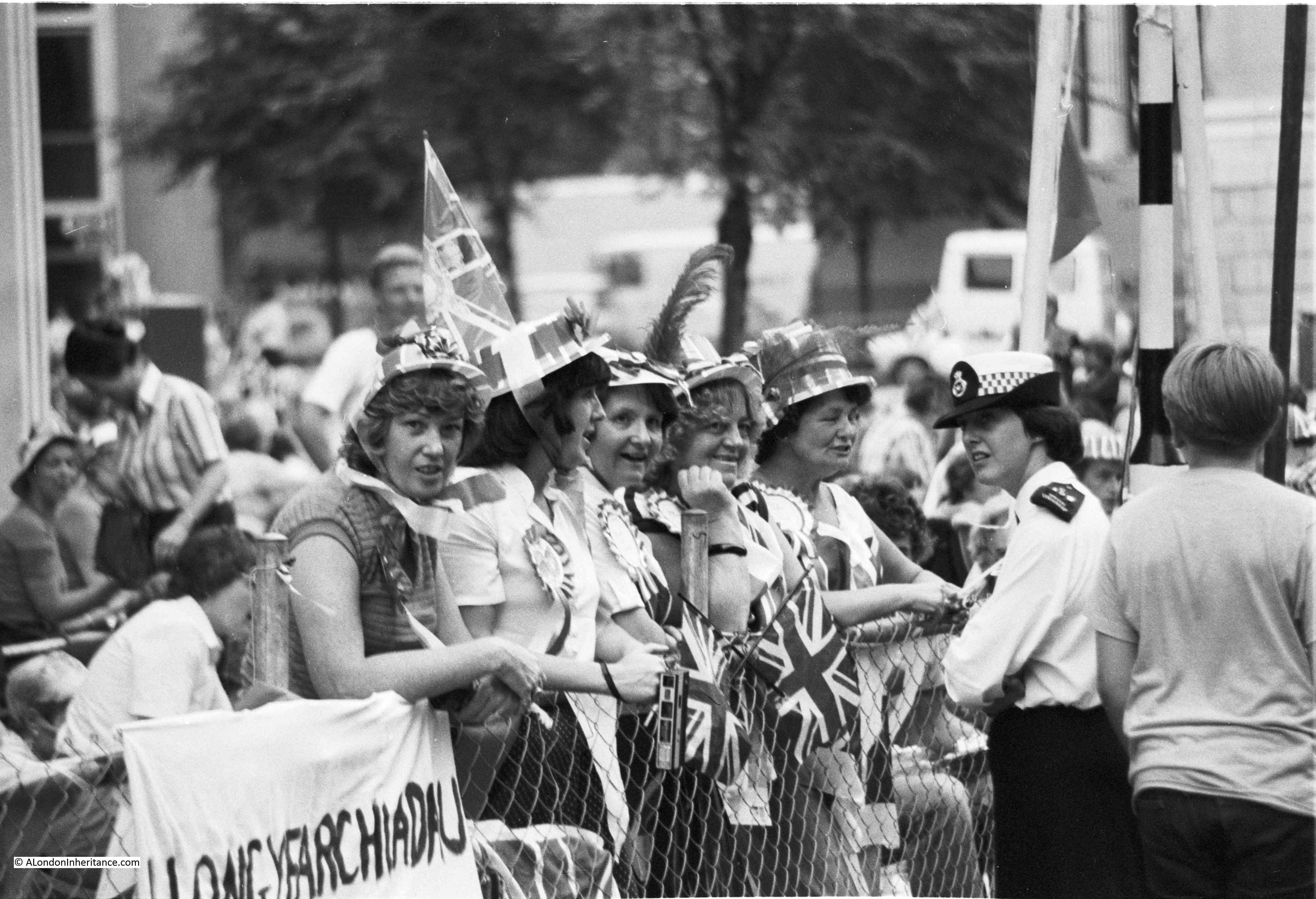
One of the objections to the Festival of Britain was the impact it would have on both materials and workers, who were also desperately needed for post war reconstruction of the homes, offices and factories that has been destroyed by bombing, and general deterioration since the 1930s.
There was a wonderful book published specially for the Festival of Britain by the Association of Consulting Engineers. The book is a comprehensive exploration of many large infrastructure and construction projects in which the association’s members were involved. The book included a section on the Royal Festival Hall, with a detailed description of the design, construction and challenges.
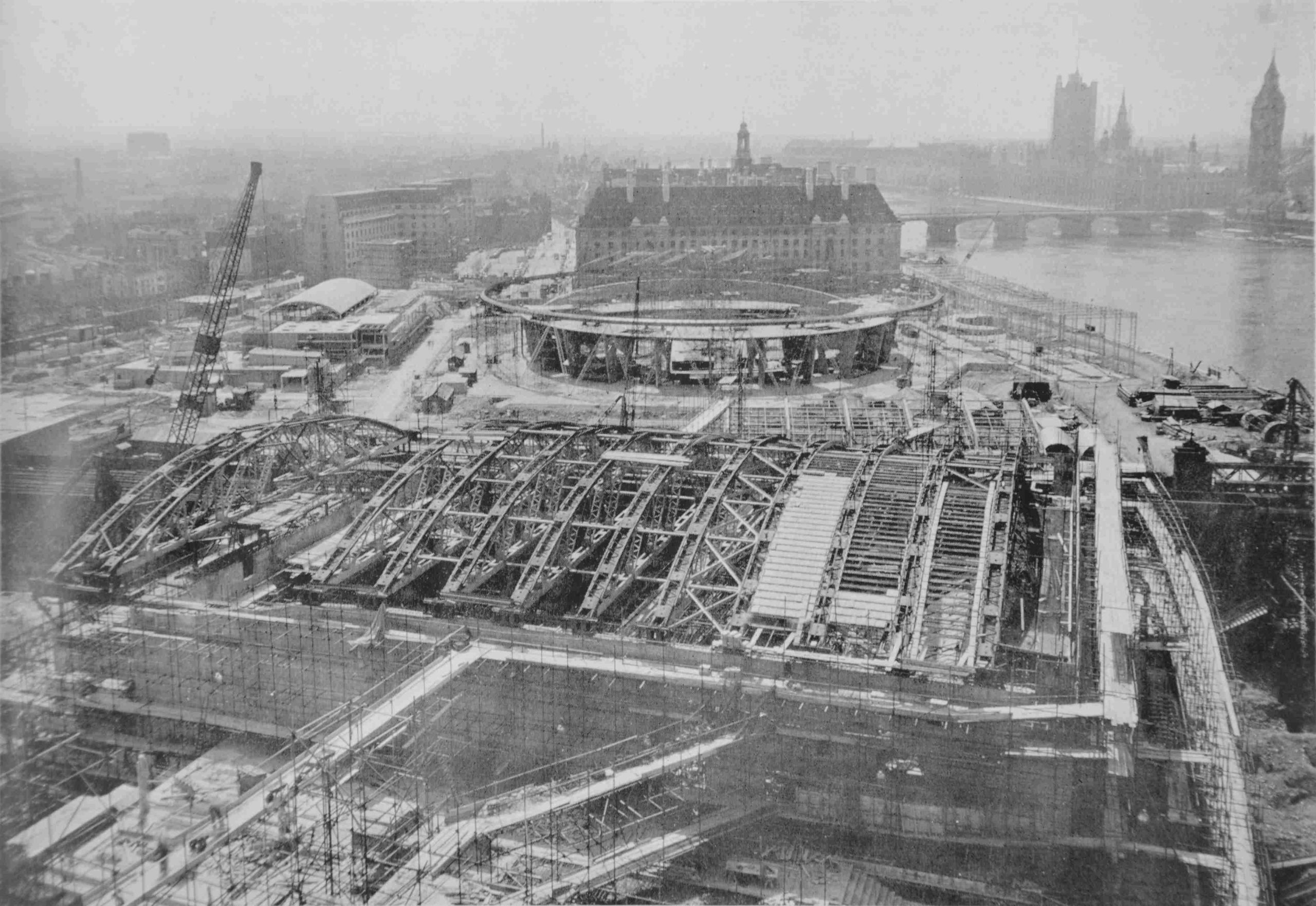
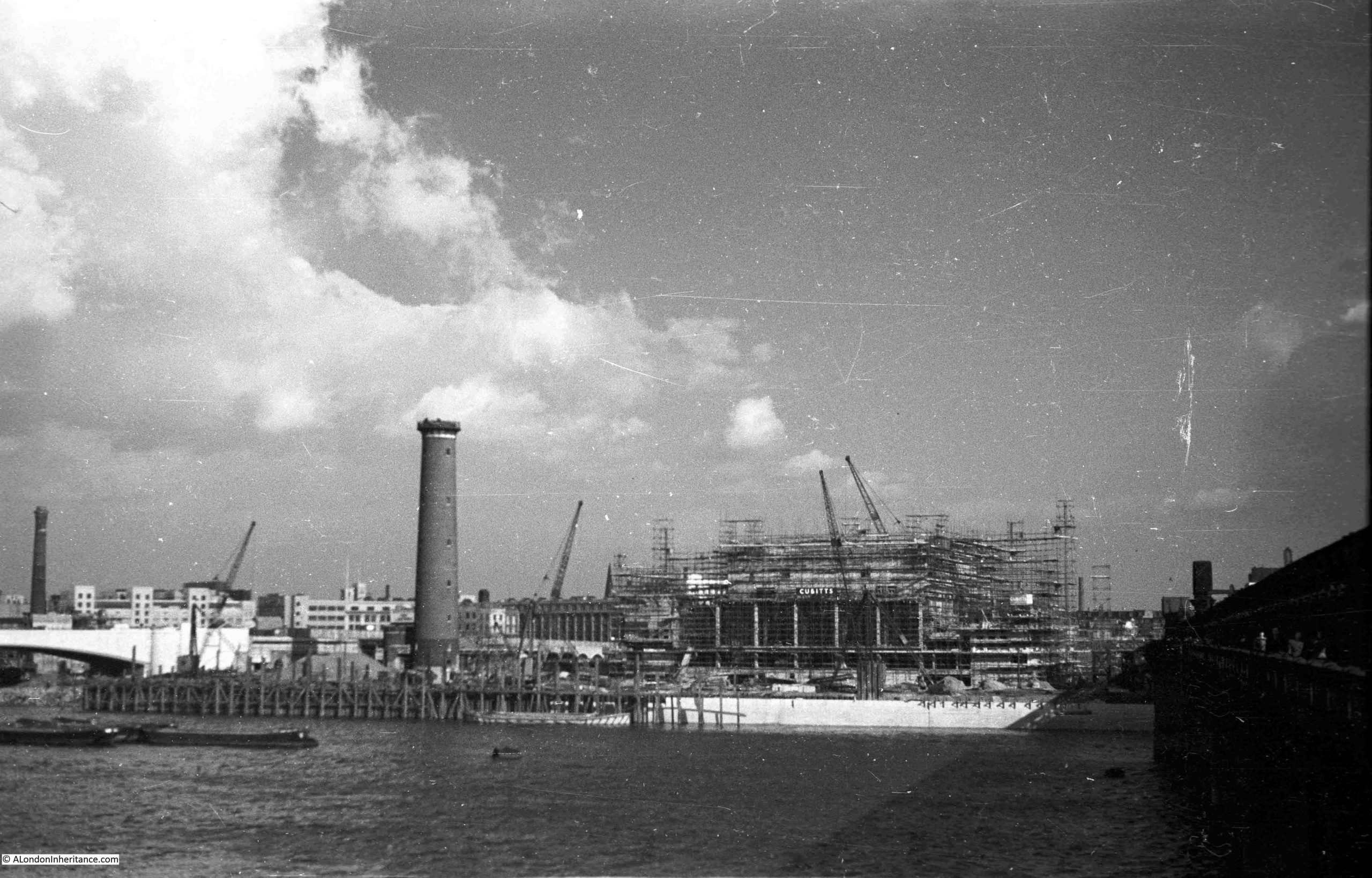
The following image from the book shows the Royal Festival Hall in the foreground, with the build of the Dome of Discovery in the background, with the rest of the site being built around. The image provides an idea of the sheer scale of the construction of the Festival of Britain site on the South Bank:
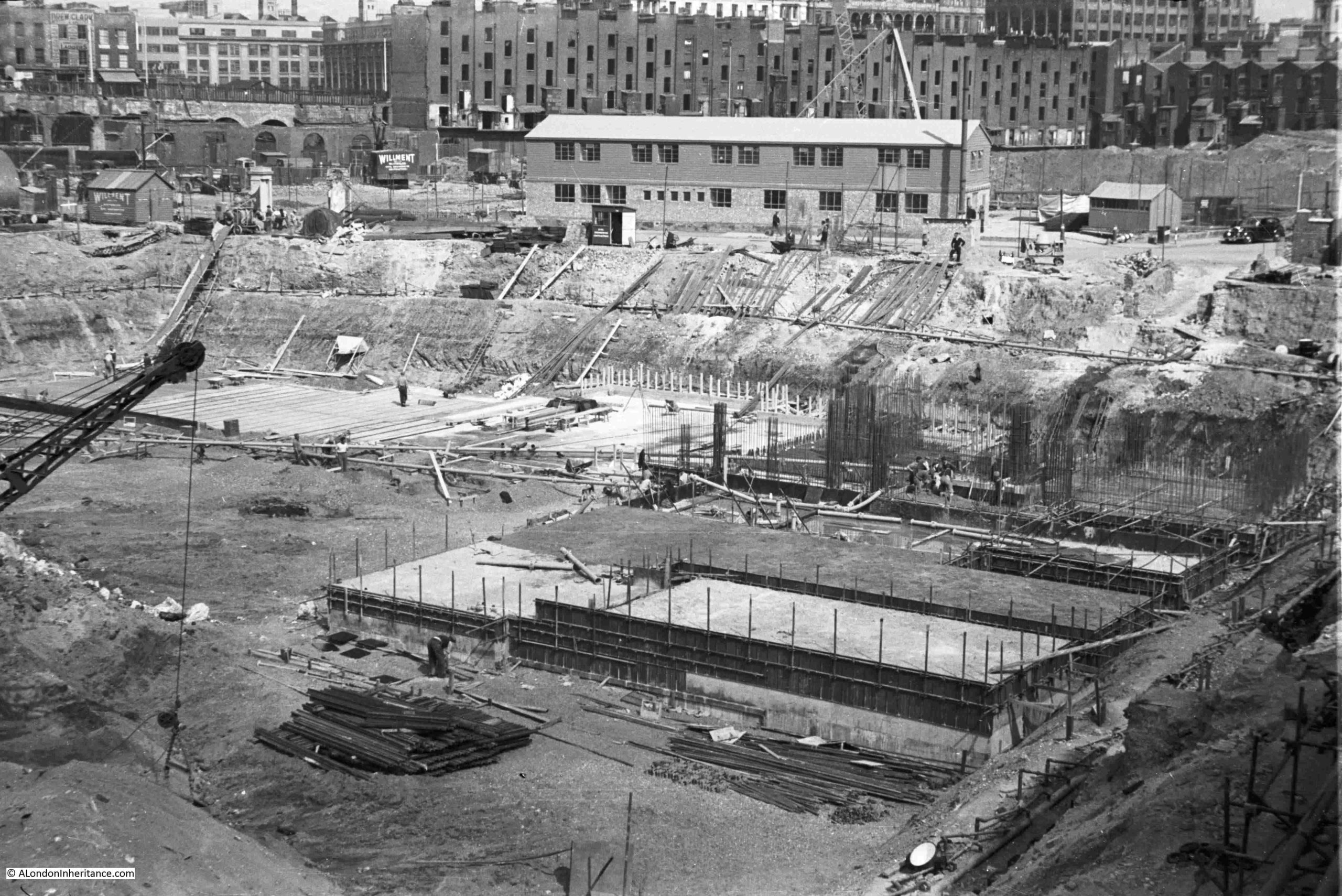
Back to my father’s photos, and this one shows the build of the Royal Festival Hall well underway:
And finally it has been completed:
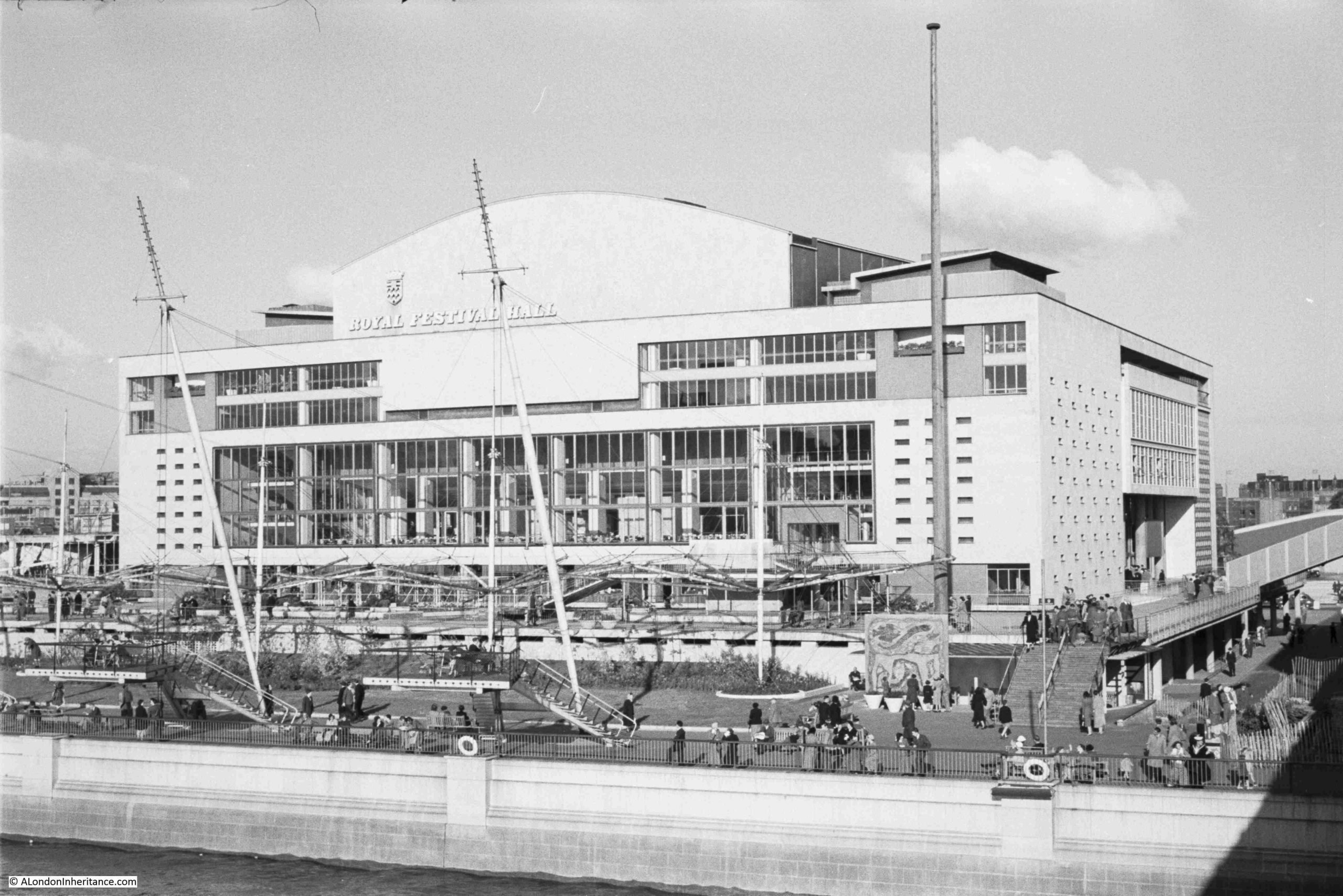
Photo showing detail of the terraces at the front of the building, much the same as the print from the official record shown earlier in the post:
The Royal Festival Hall on the 3rd of May 2026, on the 75th anniversary of the opening ceremony:
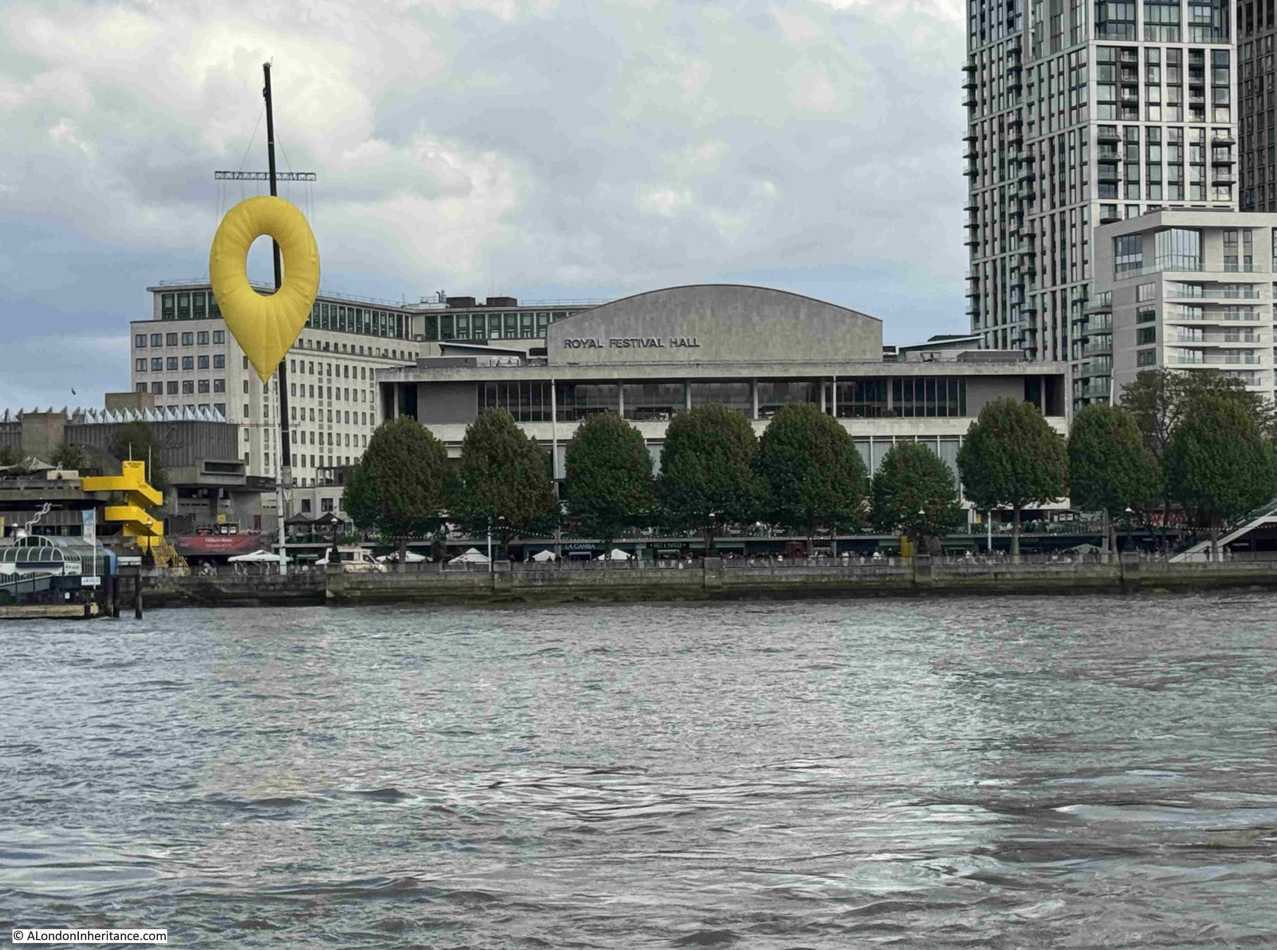
The large yellow object on the left is a work called Pin Drop by Carson McColl and Gareth Pugh, created as part of the 75th anniversary and is “reimagining the iconic Skylon for the digital age”.
The Royal Festival Hall is a result of a 1943 LCC plan, as well as using the South Bank for the 1951 Festival of Britain.
A wonderful building, but what I find really remarkable is the speed at which it was built. Just over three years from design to the opening ceremony.
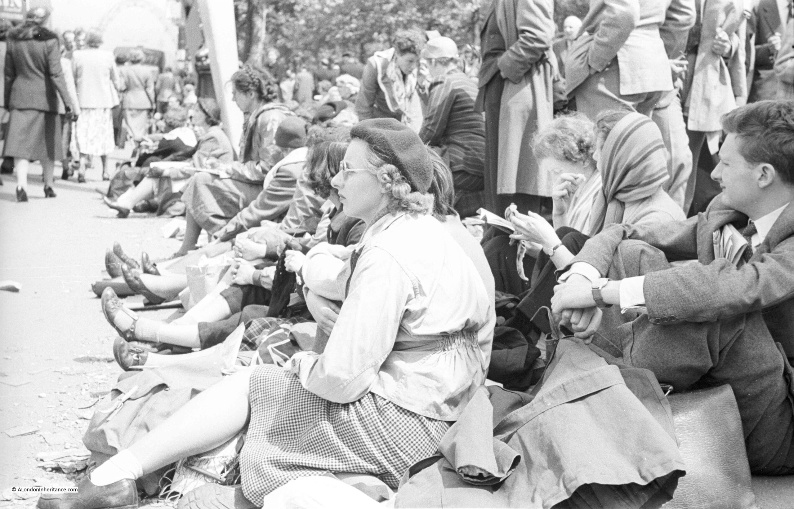
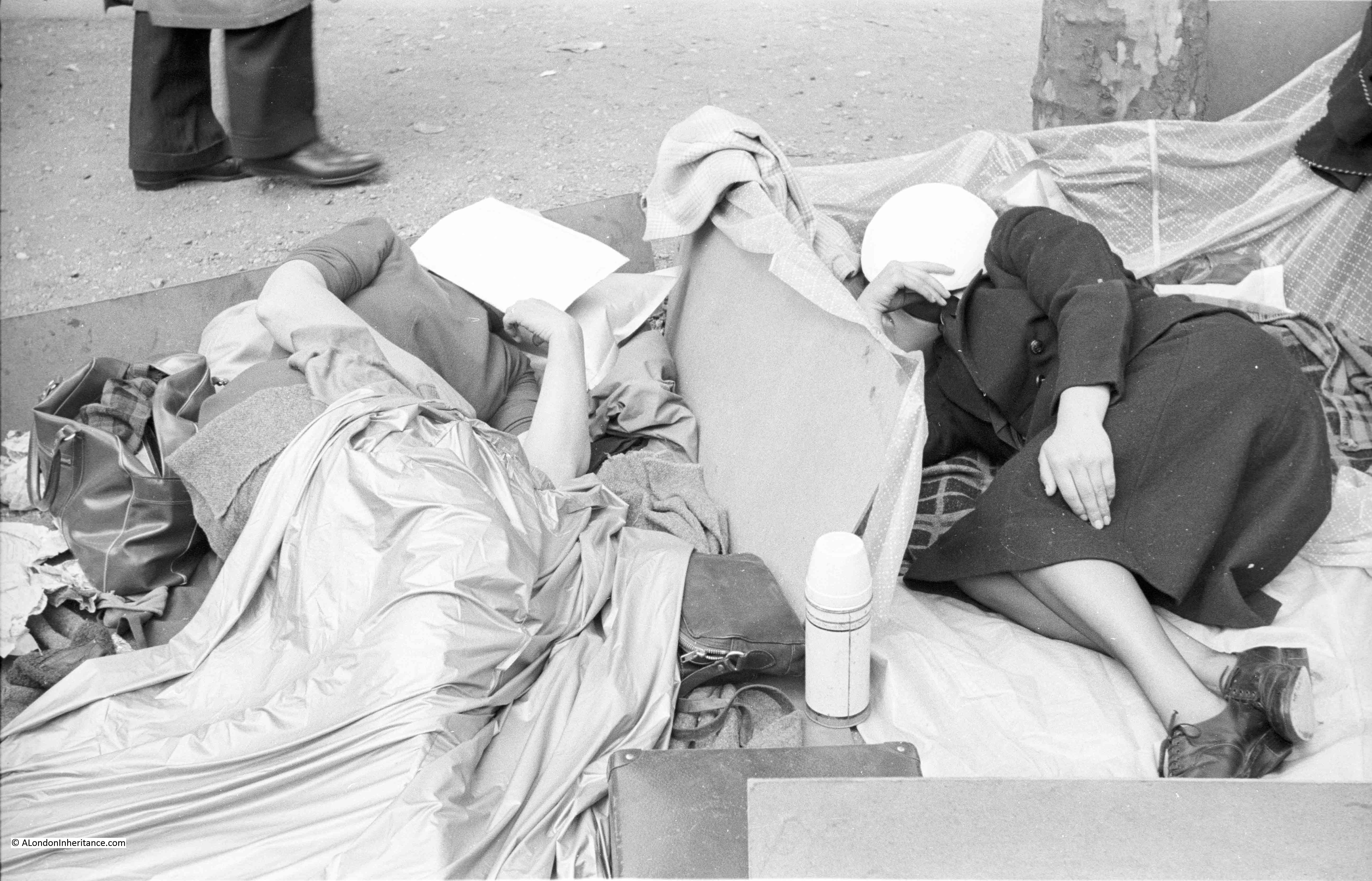
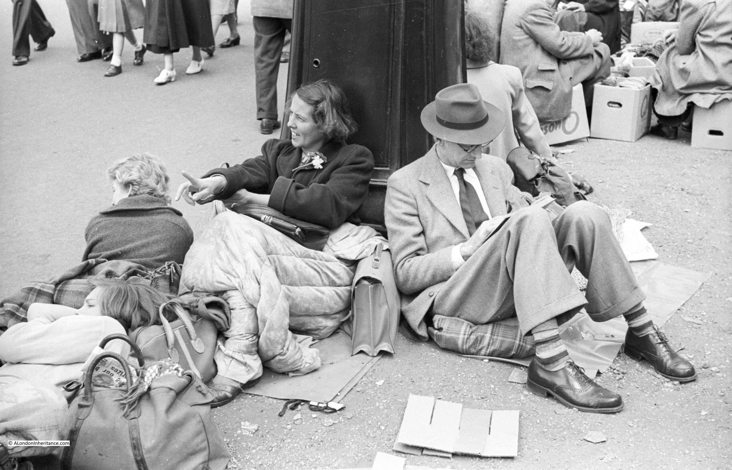
The Festival of Britain, which opened to the public on the 4th of May 1951, was though much more than just the South Bank.
If you would like to explore the festival in more detail, you may be interested in the following posts:
An overview of the South Bank festival is here: https://alondoninheritance.com/eventsandceremonies/the-festival-of-britain-south-bank-exhibition/
A walk around the upstream circuit of the site is here: https://alondoninheritance.com/eventsandceremonies/walk-round-festival-britain-upstream-circuit/
And a walk around the downstream circuit is here: https://alondoninheritance.com/eventsandceremonies/festival_of_britain_downstream_circuit/
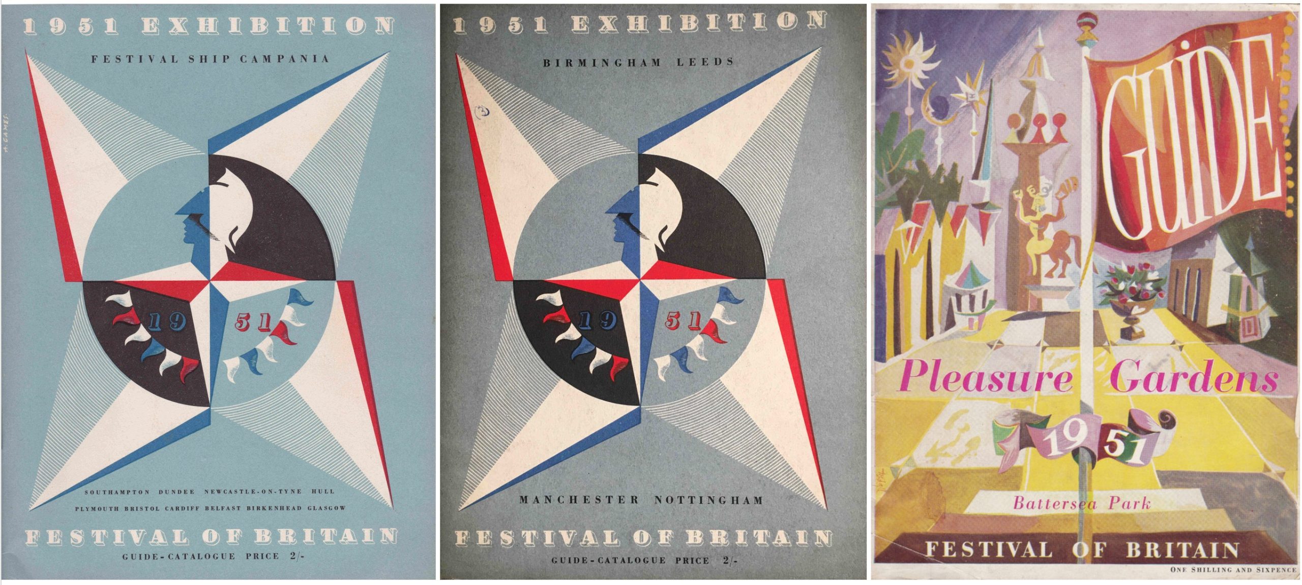
The Festival Pleasure Gardens at Battersea are explored here: https://alondoninheritance.com/eventsandceremonies/the-festival-of-britain-pleasure-gardens-battersea-park/
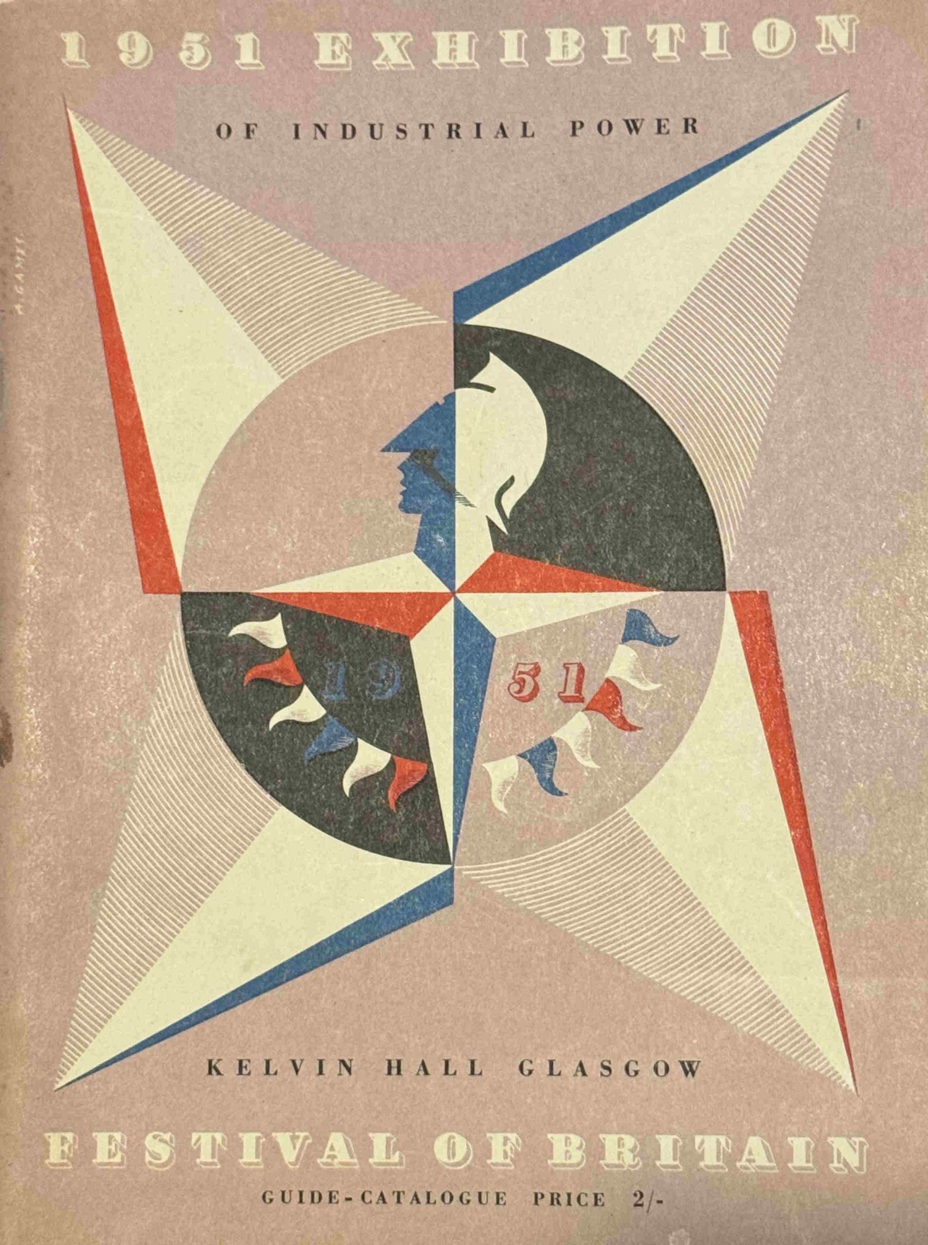
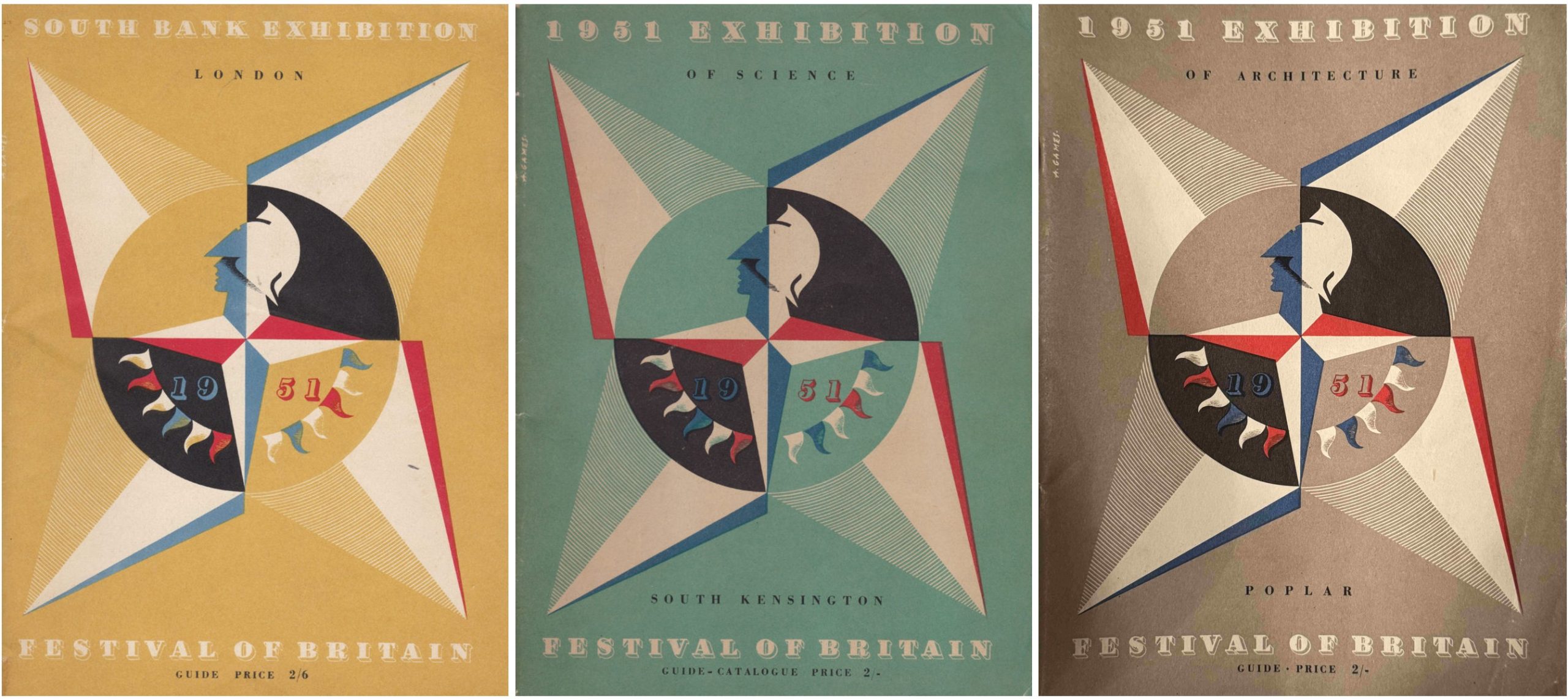
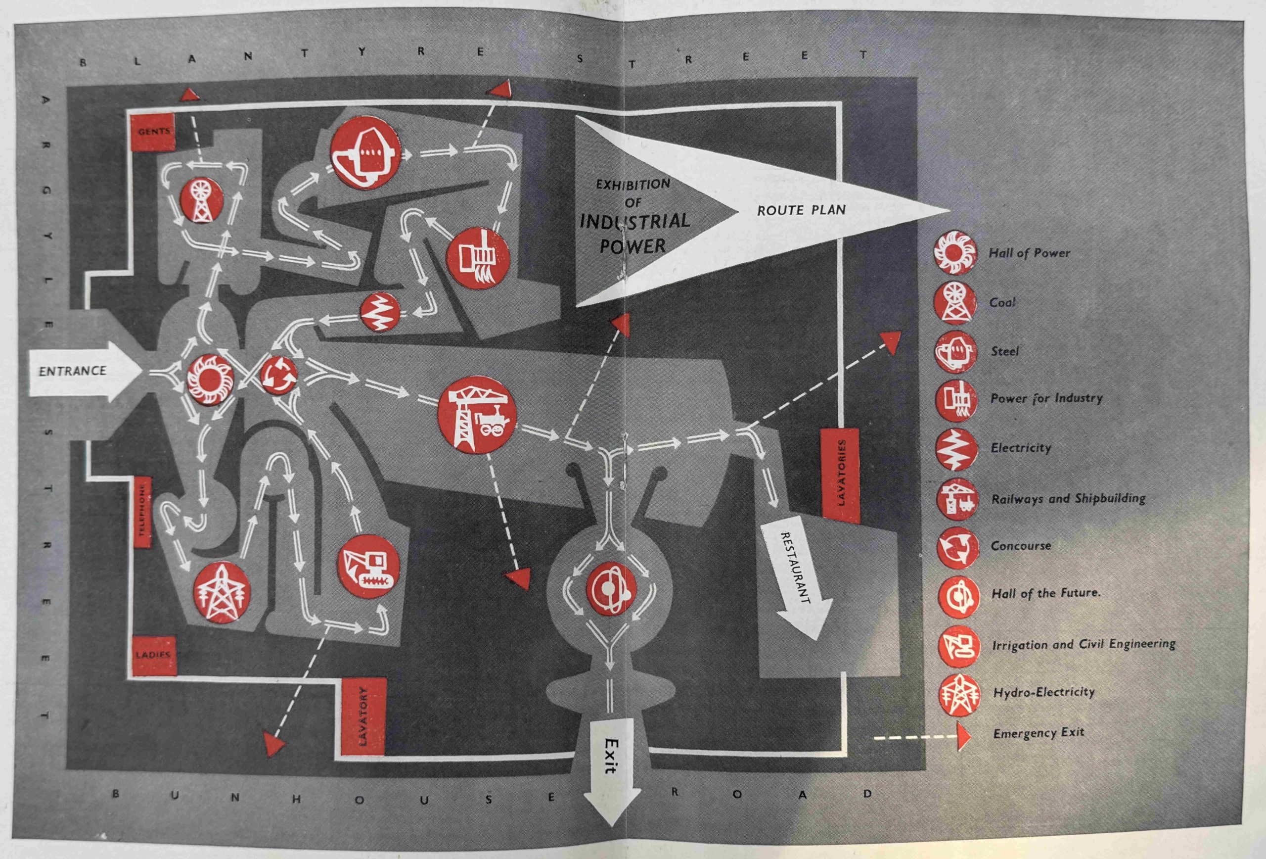
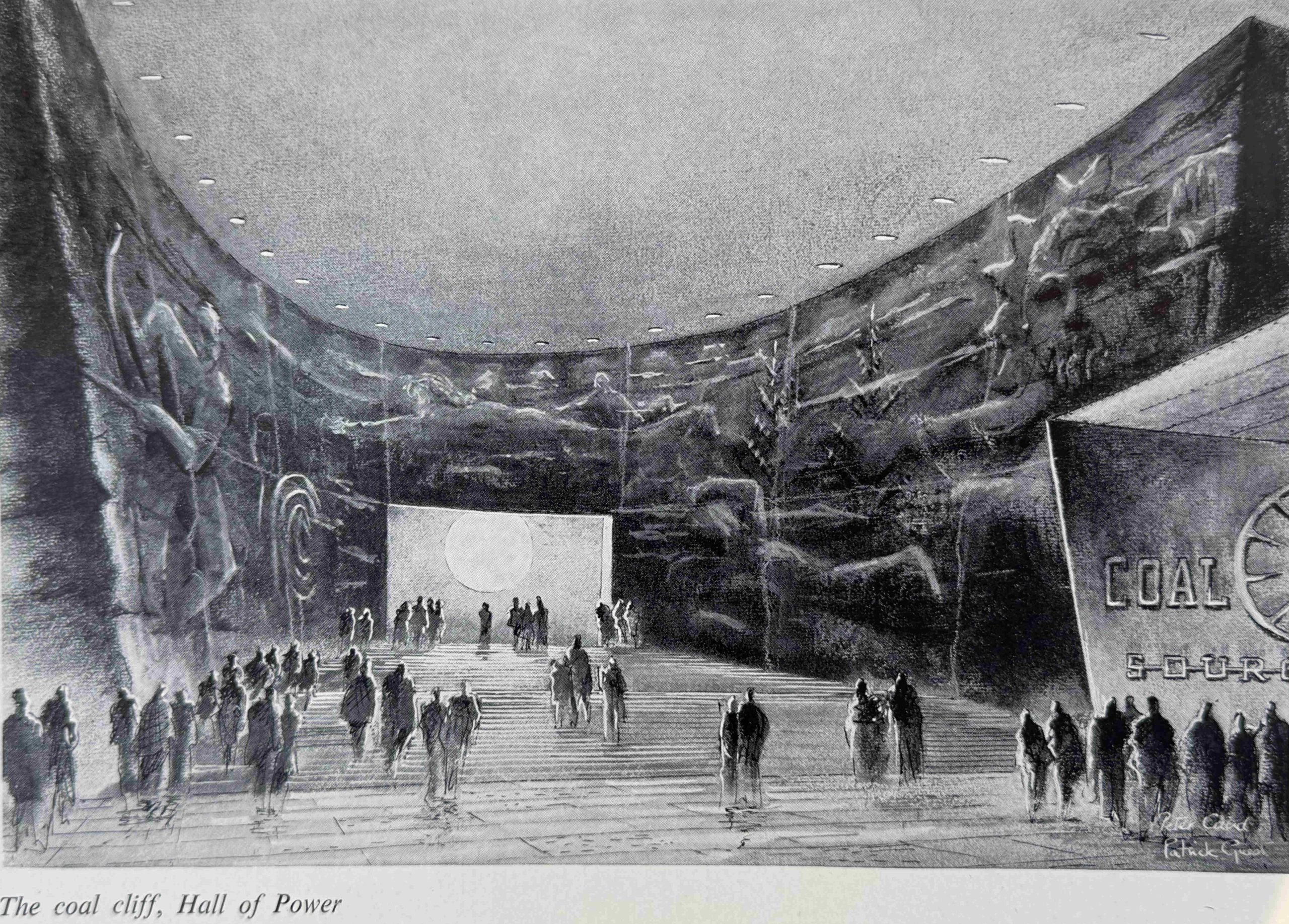
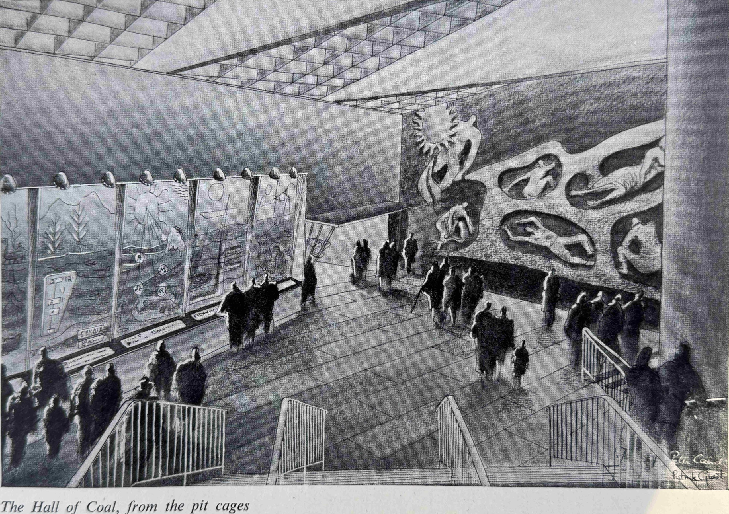
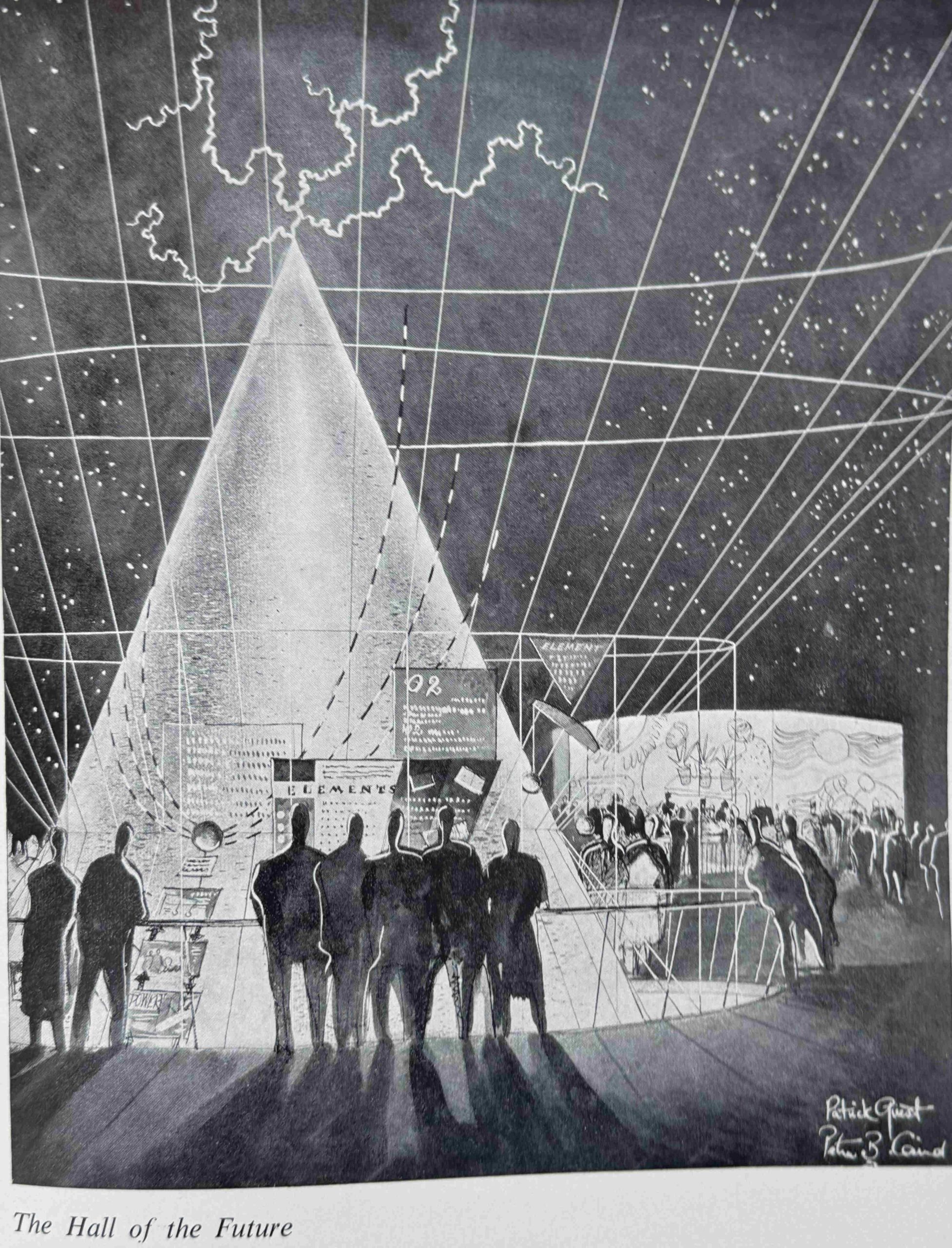
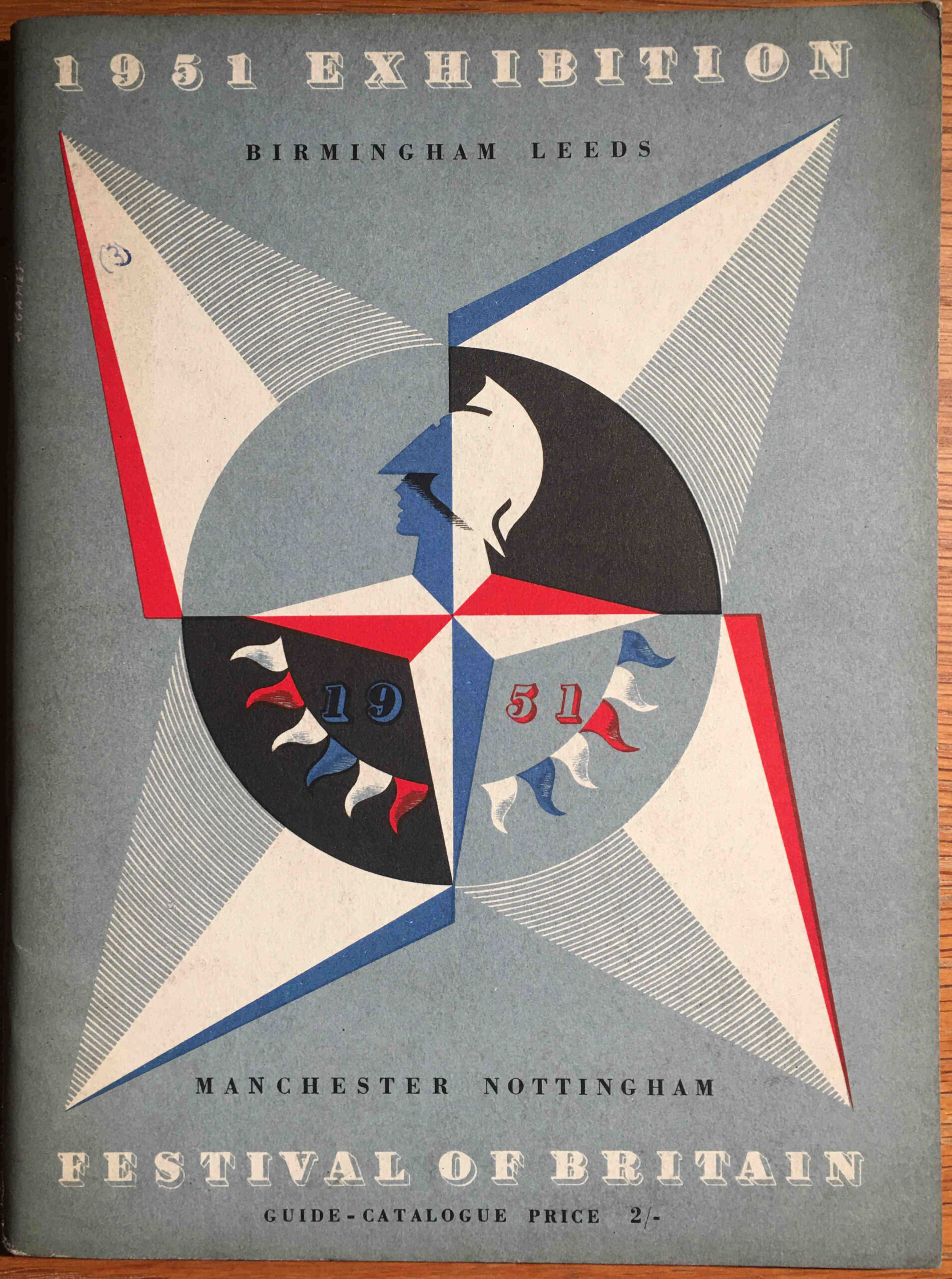
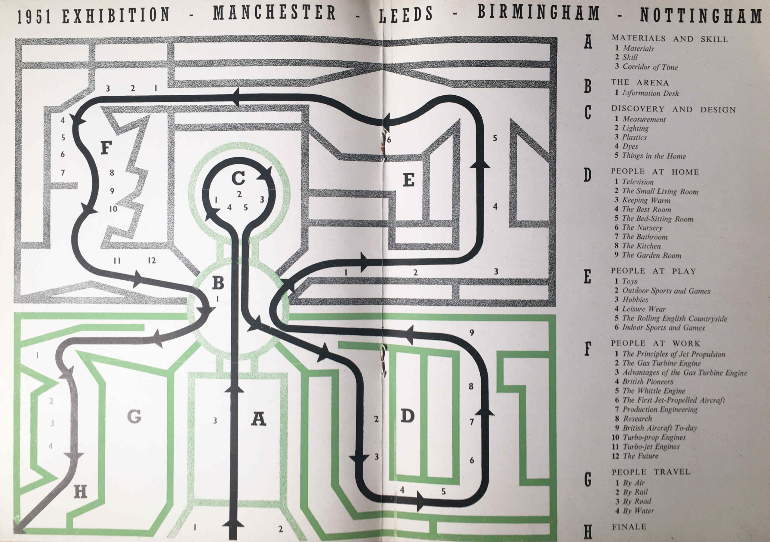
The Festival Of Britain – Maps, Football, Guidebooks. Science And Abram Games is a look at some of the publications that went with the festival as well as the Exhibition of Science at South Kensington: https://alondoninheritance.com/eventsandceremonies/abram_games/
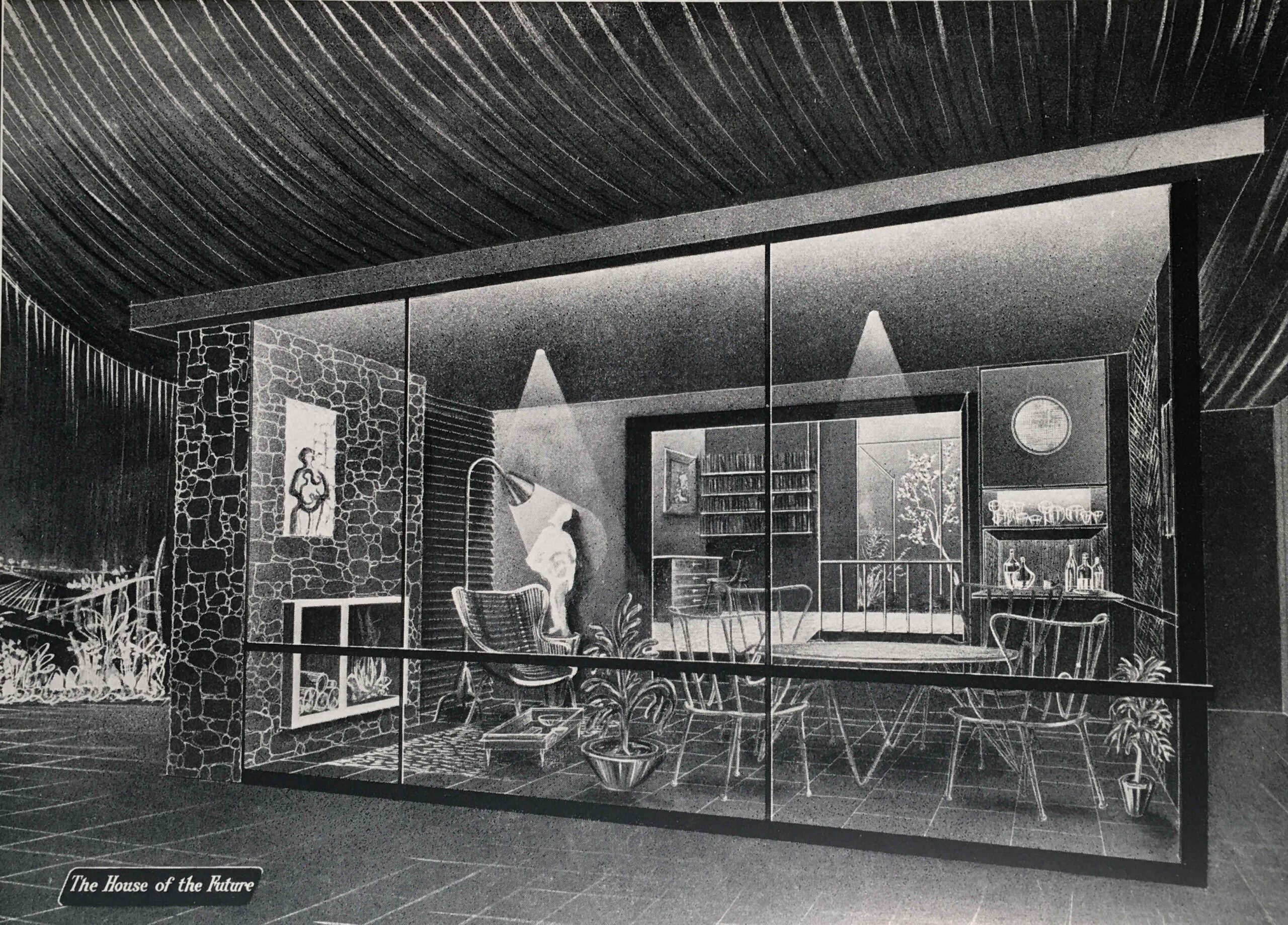
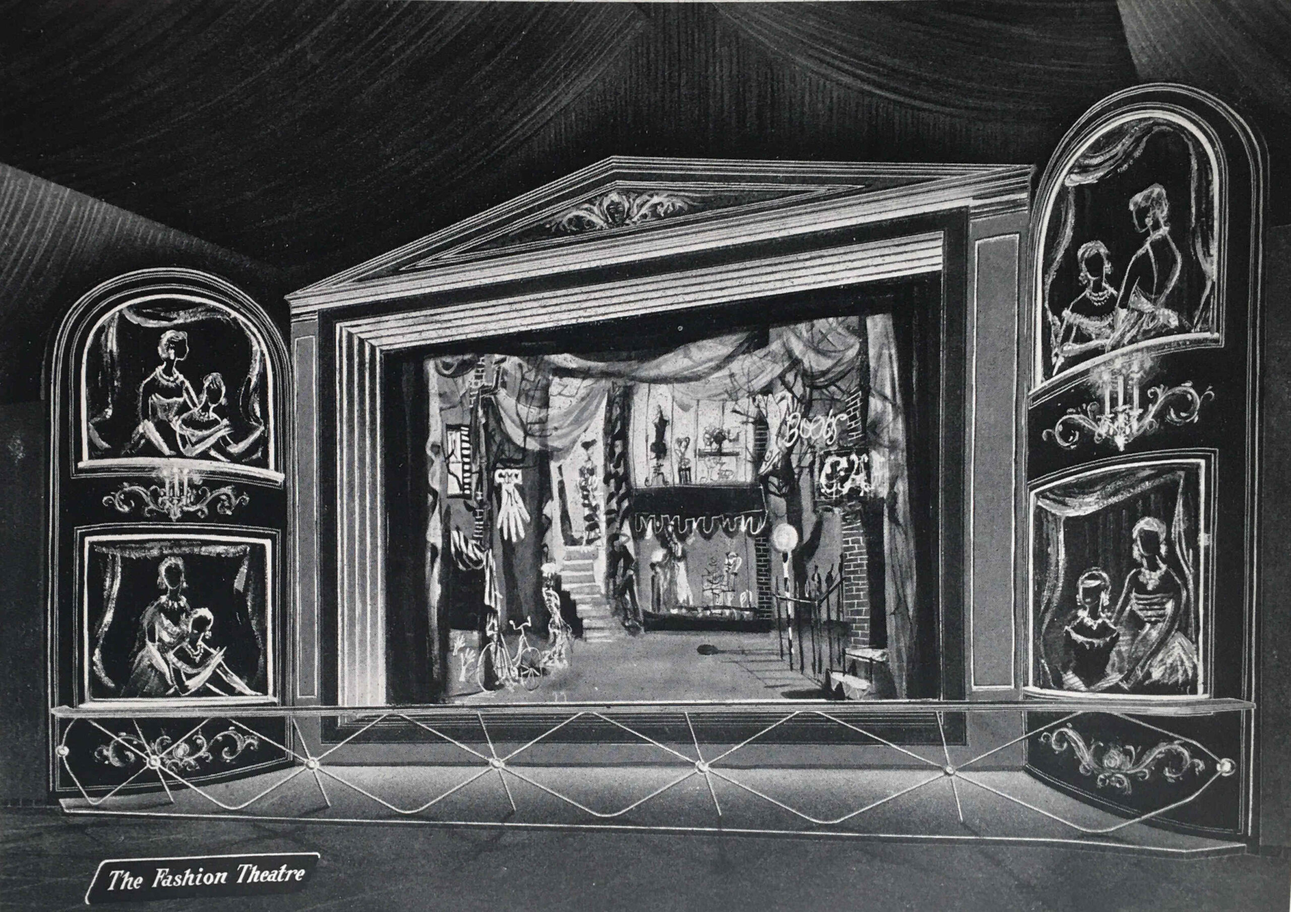
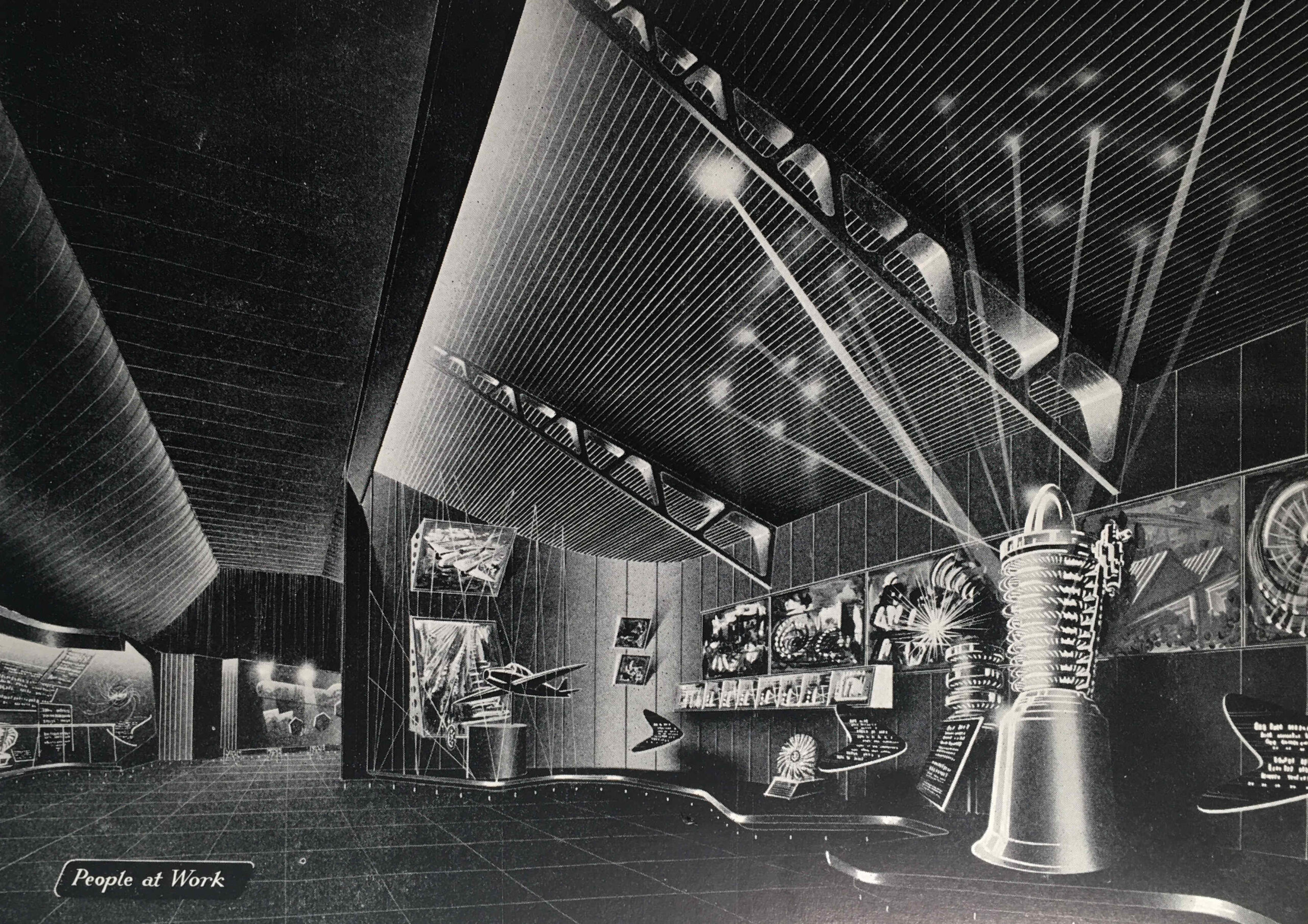
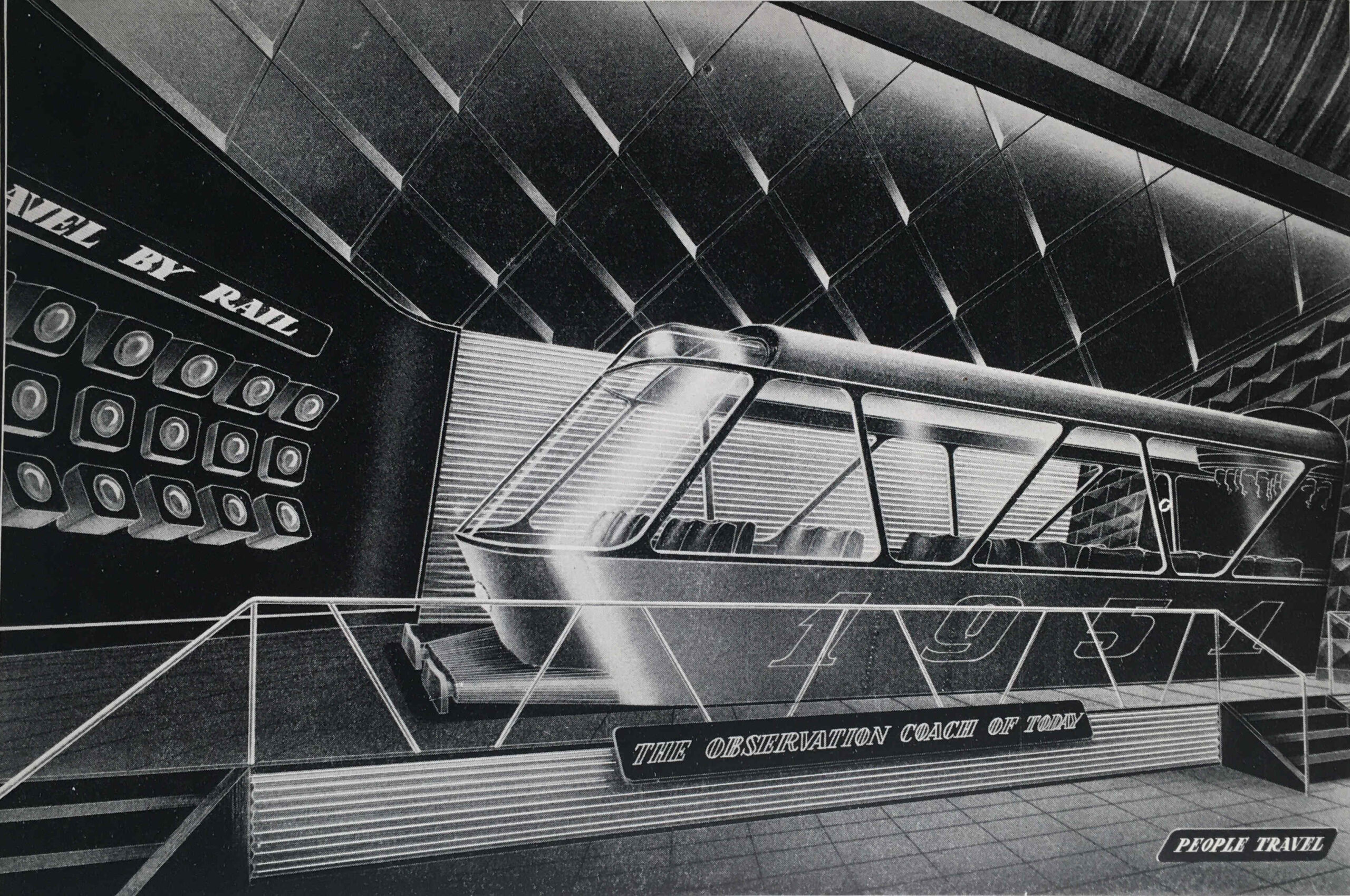
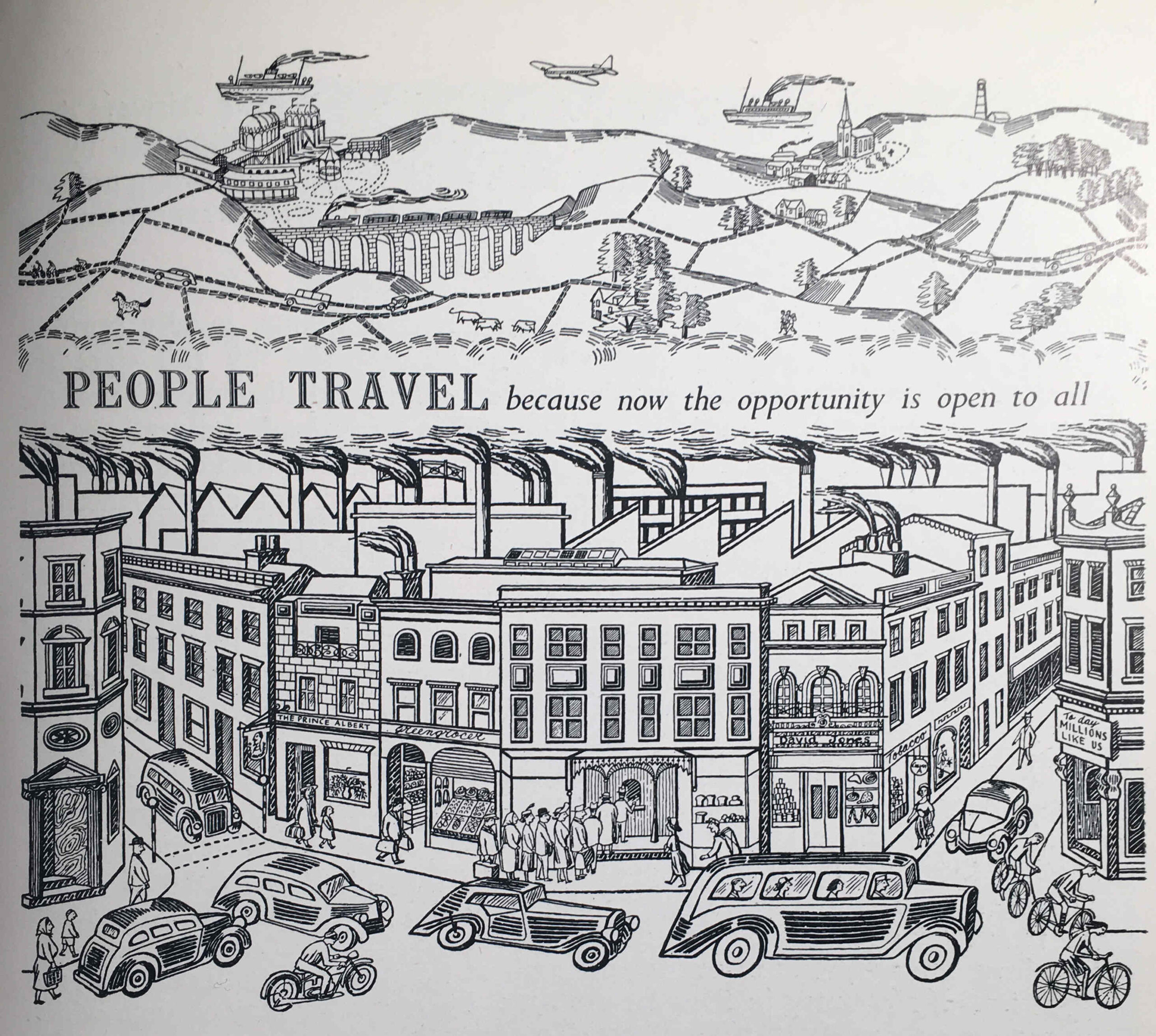
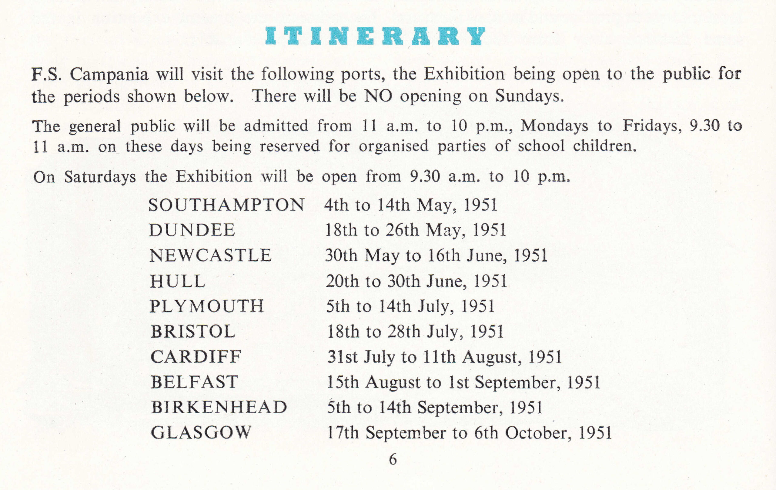
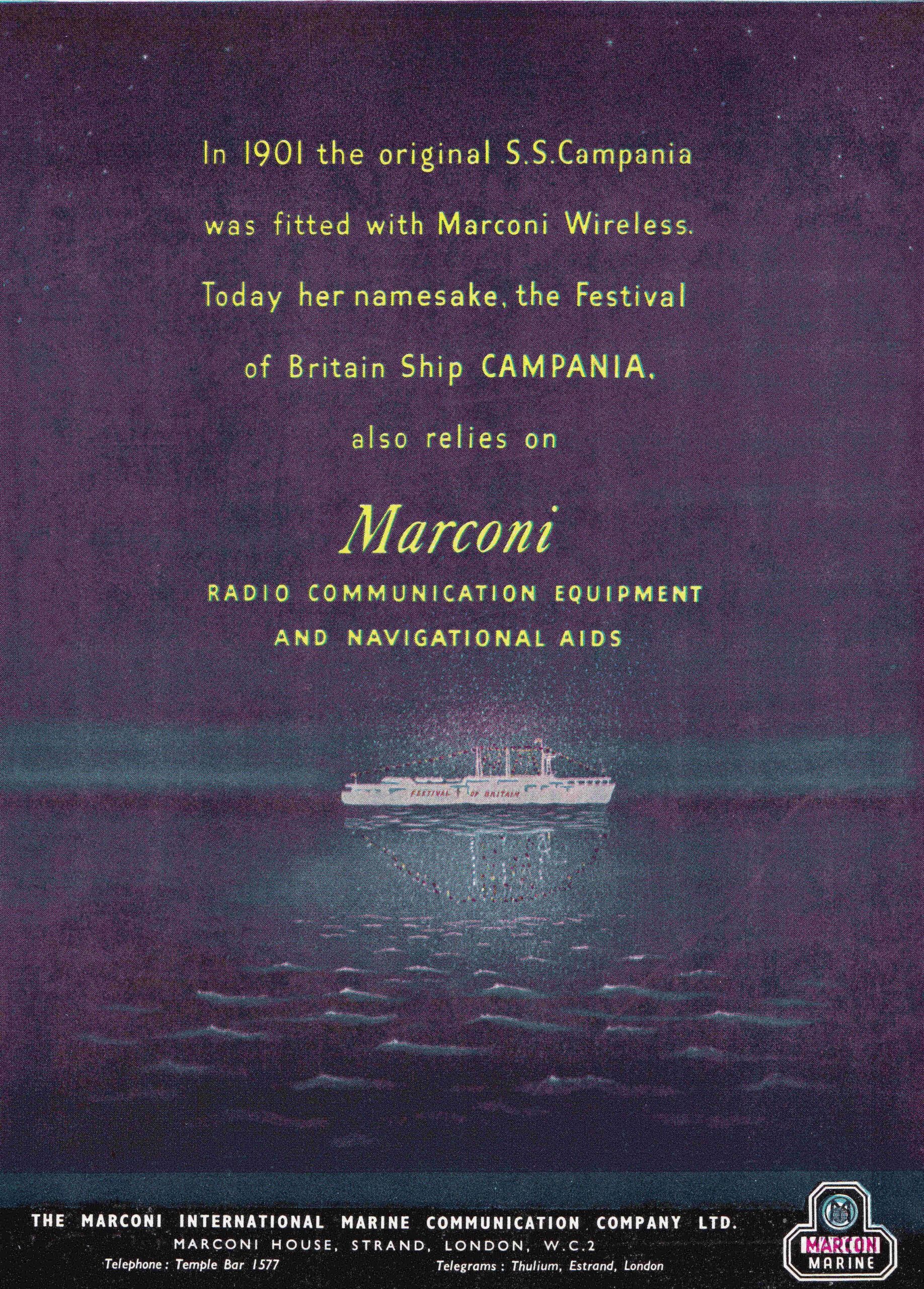
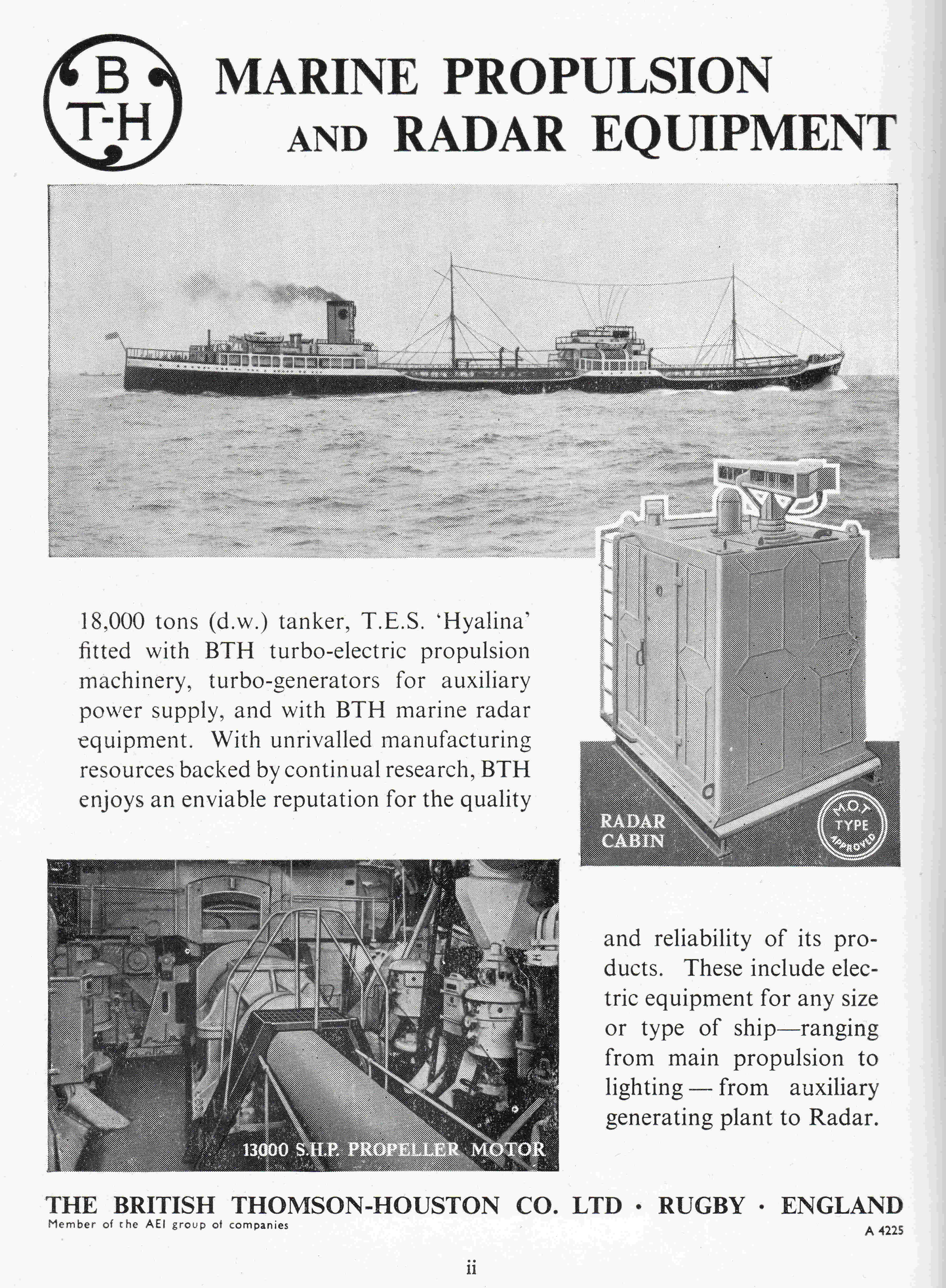
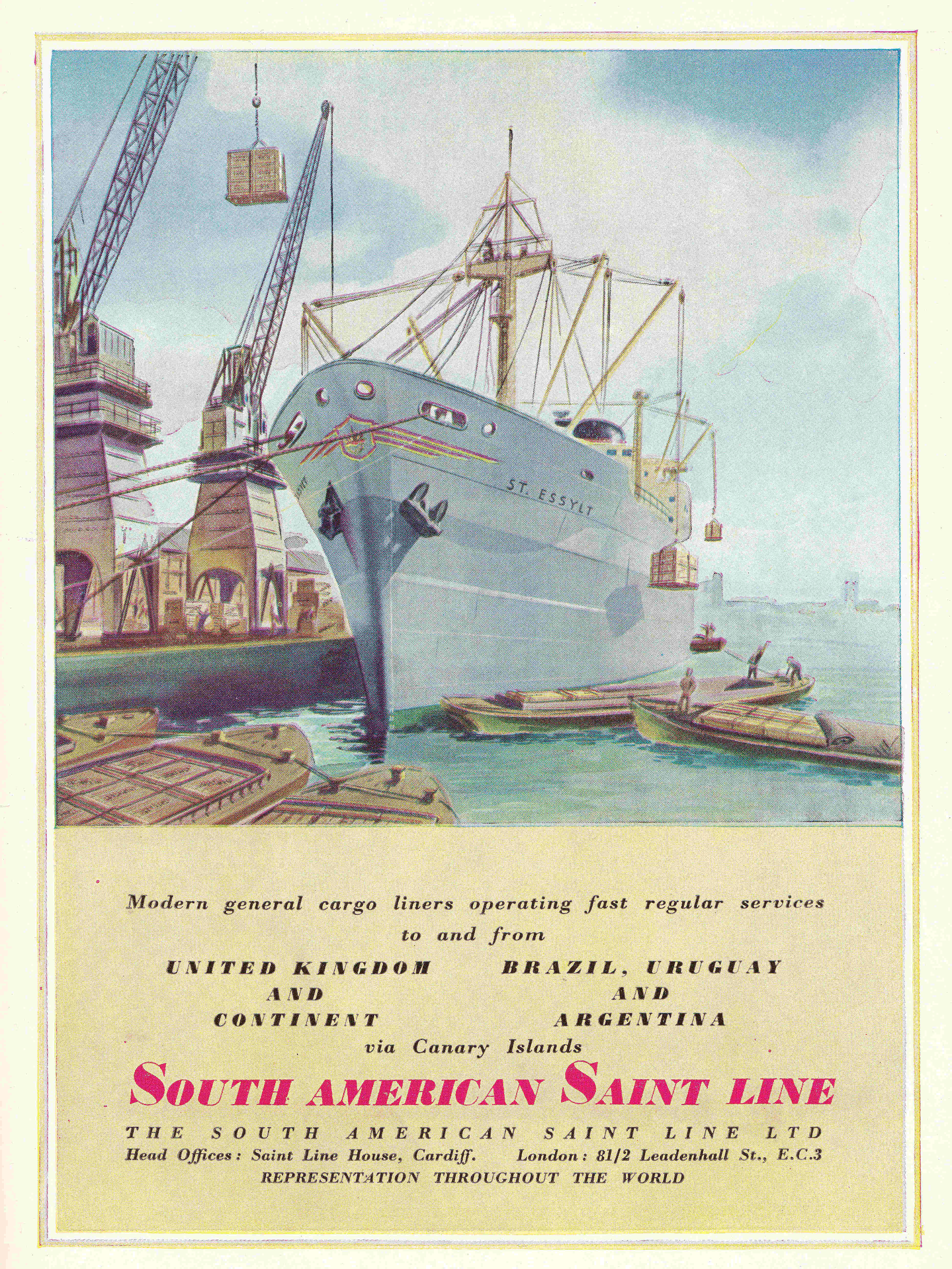
An Optimistic View Of The Future is a look at some of the adverts from the 1951 Festival Of Britain: https://alondoninheritance.com/eventsandceremonies/an-optimistic-view-of-the-future-adverts-from-the-1951-festival-of-britain/
The Exhibition of Architecture at Poplar is explored here: https://alondoninheritance.com/eventsandceremonies/lansbury-exhibition-of-architecture/
and here: https://alondoninheritance.com/eventsandceremonies/exhibition-of-architecture/
The strange story of the Festival of Britain and the Atomic Bomb is here: https://alondoninheritance.com/eventsandceremonies/the-festival-of-britain-and-the-atomic-bomb/
Hopefully the site will be up and stable if you would like to read these, and all being well will be on a far more stable hosting platform in the next couple of weeks.