Sloane Square is a relatively recent development in London’s long history, but the square is typical of how London’s squares have developed, from fields and tracks, to being enclosed and lined with terrace houses and small shops, then large buildings with hotels, restaurants and department stores.
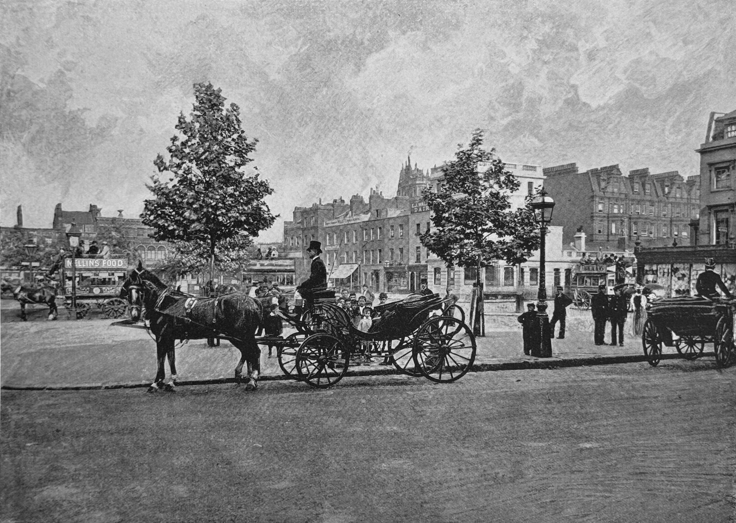
The following photo of Sloane Square is from the book, the “Queen’s London”, which shows London at the end of the 19th century, and the photo is of the square in the 1890s:
Slightly over 40 years later, the first part of the new Peter Jones department store was built, so within 40 years, architectural styles in Sloane Square changed from the above late Victorian photo to the 1930s building that we see on the western side of the square today:
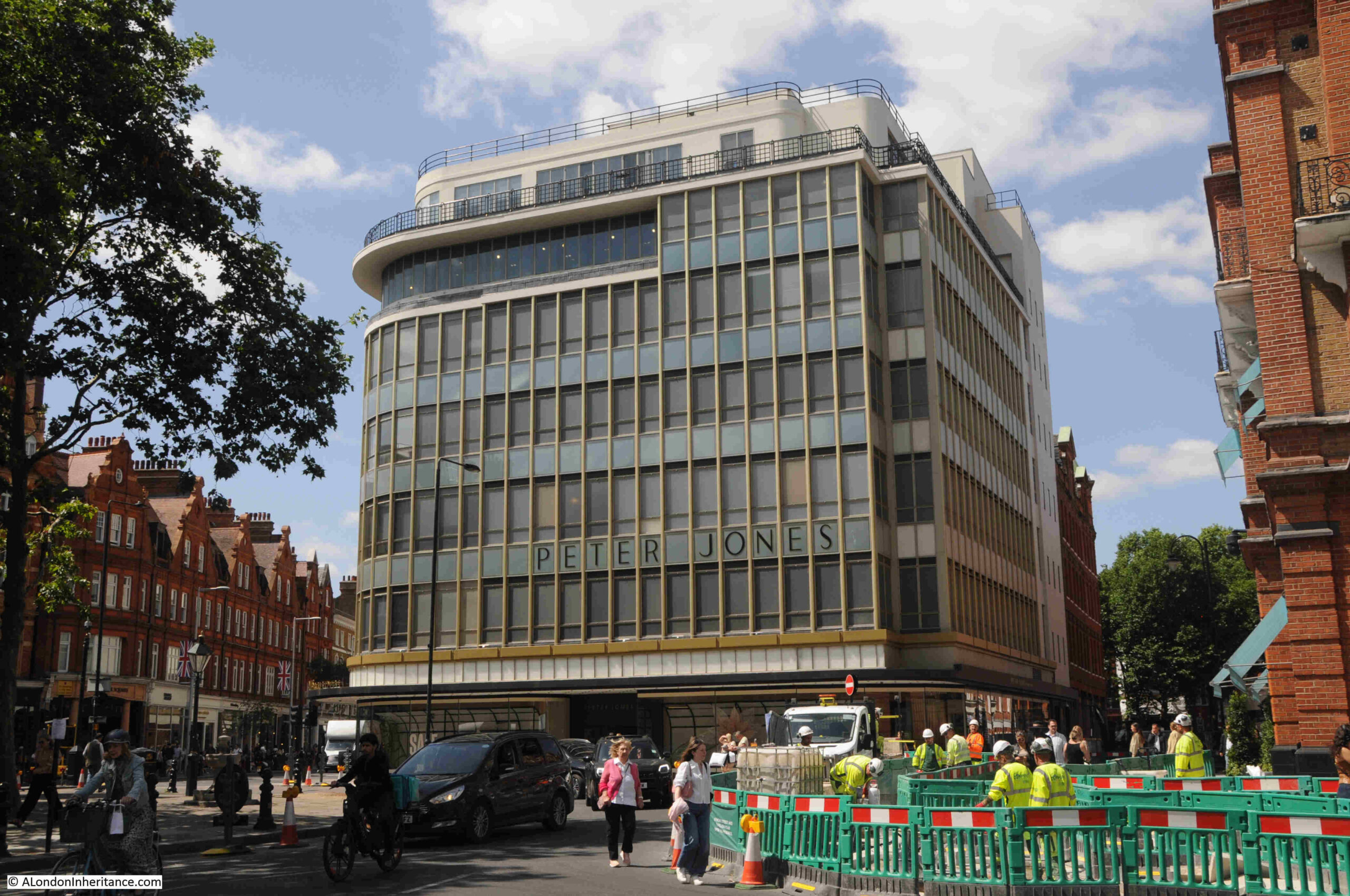
Peter Jones was the son of a Welsh hat maker. He moved to London in 1867, and unlike many of his fellow countrymen who were involved in the dairy trade, Peter Jones opened a shop in 1871 in Chelsea, having gained retail experience in the first four years of his time in the city.
His first shop was in Draycott Avenue, but within a few years he had moved to King’s Road, where the street meets the western side of Sloane Square, and after buying up more property to form a large plot, his expanded red-brick department store was a major, successful retail enterprise serving the prosperous area around Sloane Square.
When the store was run by Peter Jones, it was very successful, however after his death in 1905, another successful retailer, John Lewis, was determined to buy the store to help with his London expansion, resulting in his purchase of the store, along with the adjacent buildings owned by Peter Jones, in December 1905.
I believe that the early decades of John Lewis ownership was the only time that the company owned a London pub. This was the Star and Garter, on the corner of King’s Road and Sloane Square, and whilst in the early years the Peter Jones store was making a loss, the pub was making a considerable profit.
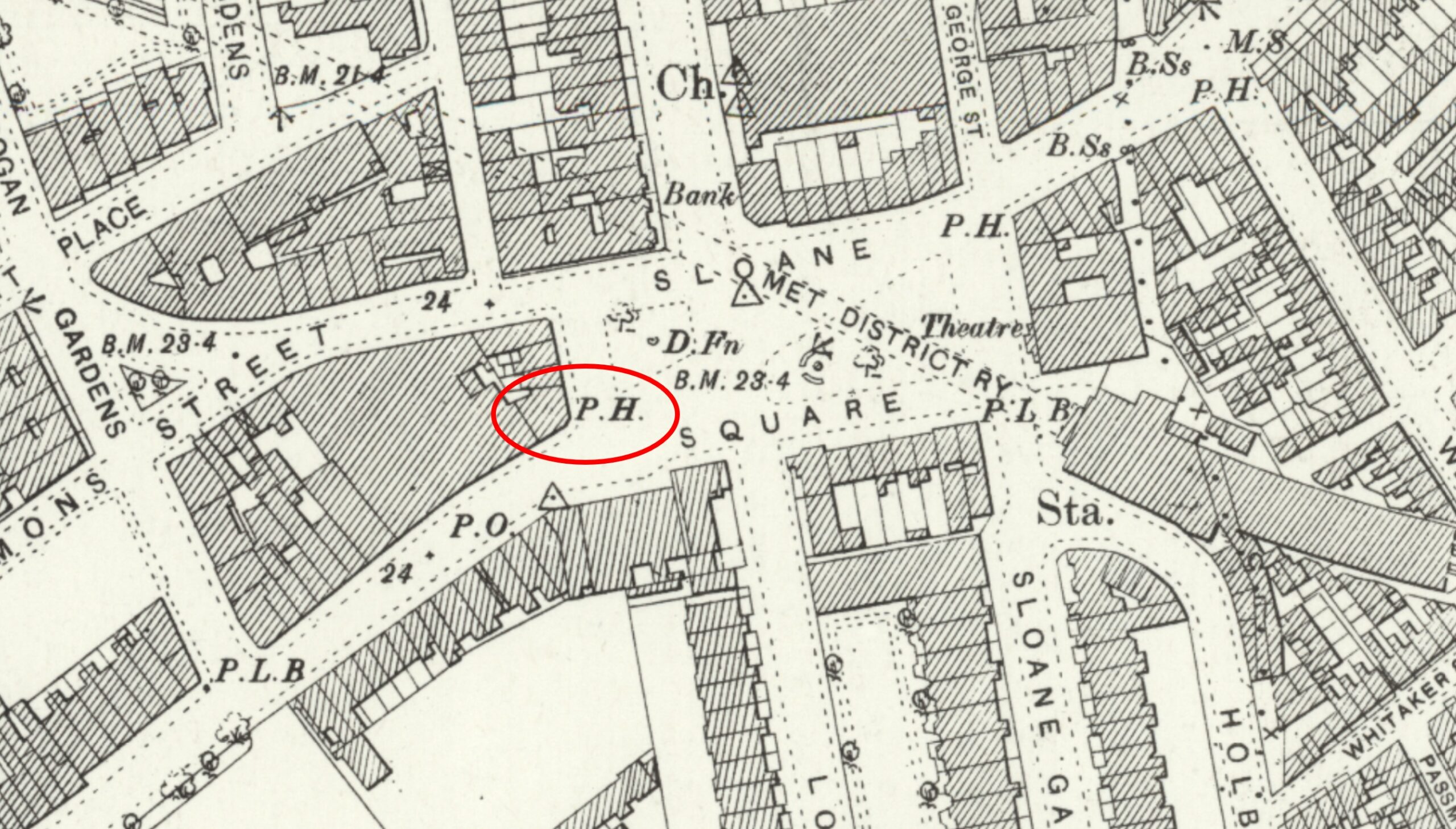
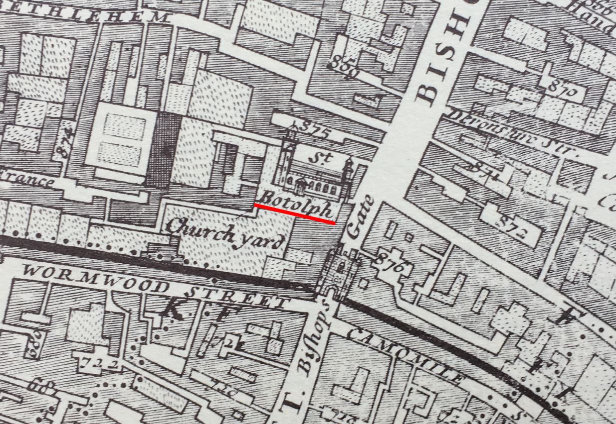
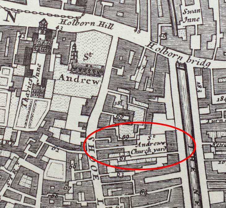
(Map ‘Reproduced with the permission of the National Library of Scotland)
In the above OS map from the late 1890s, I have outlined the Star and Garter in a red oval. The Peter Jones store is the large block to the left of the pub.
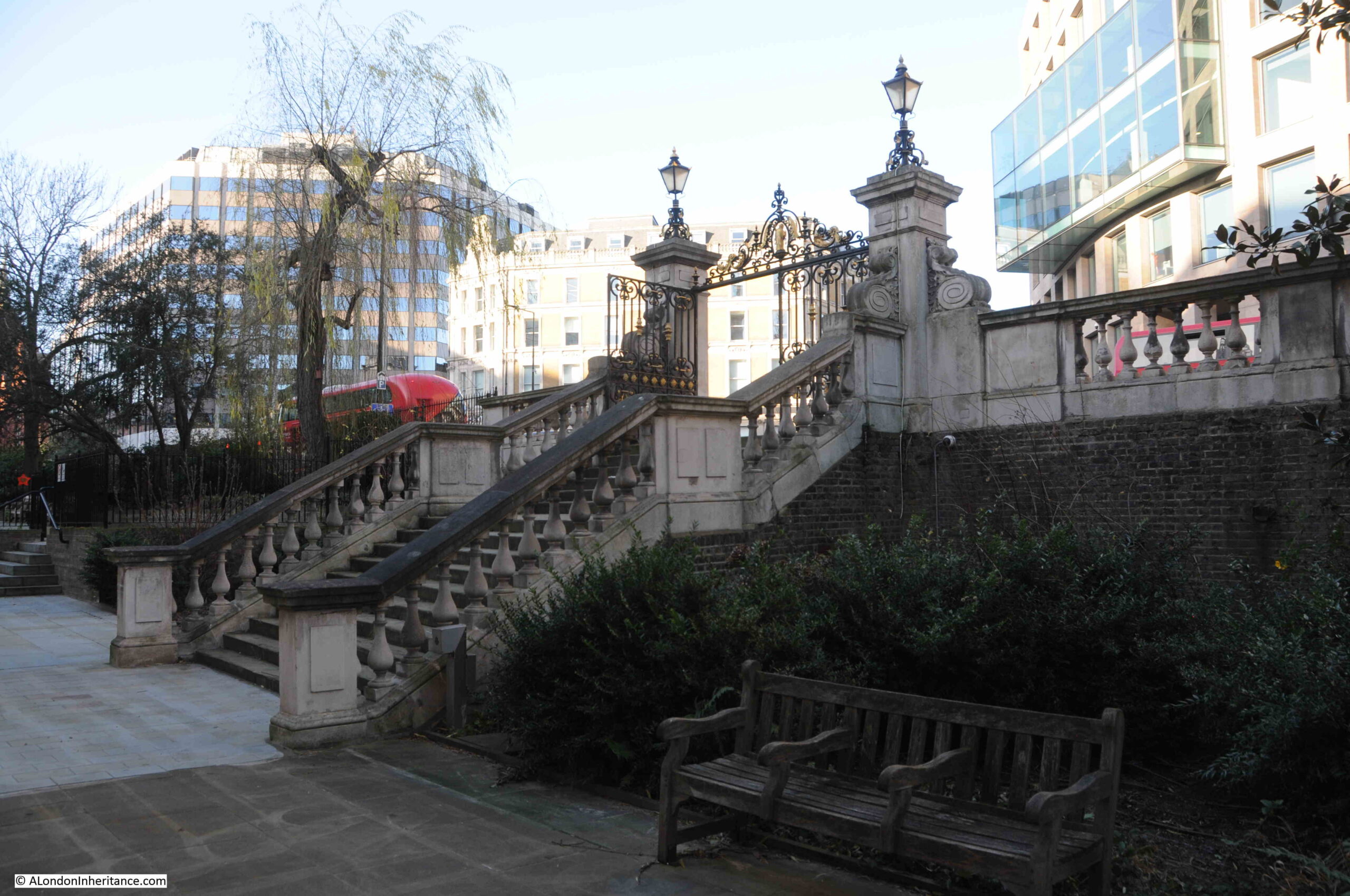
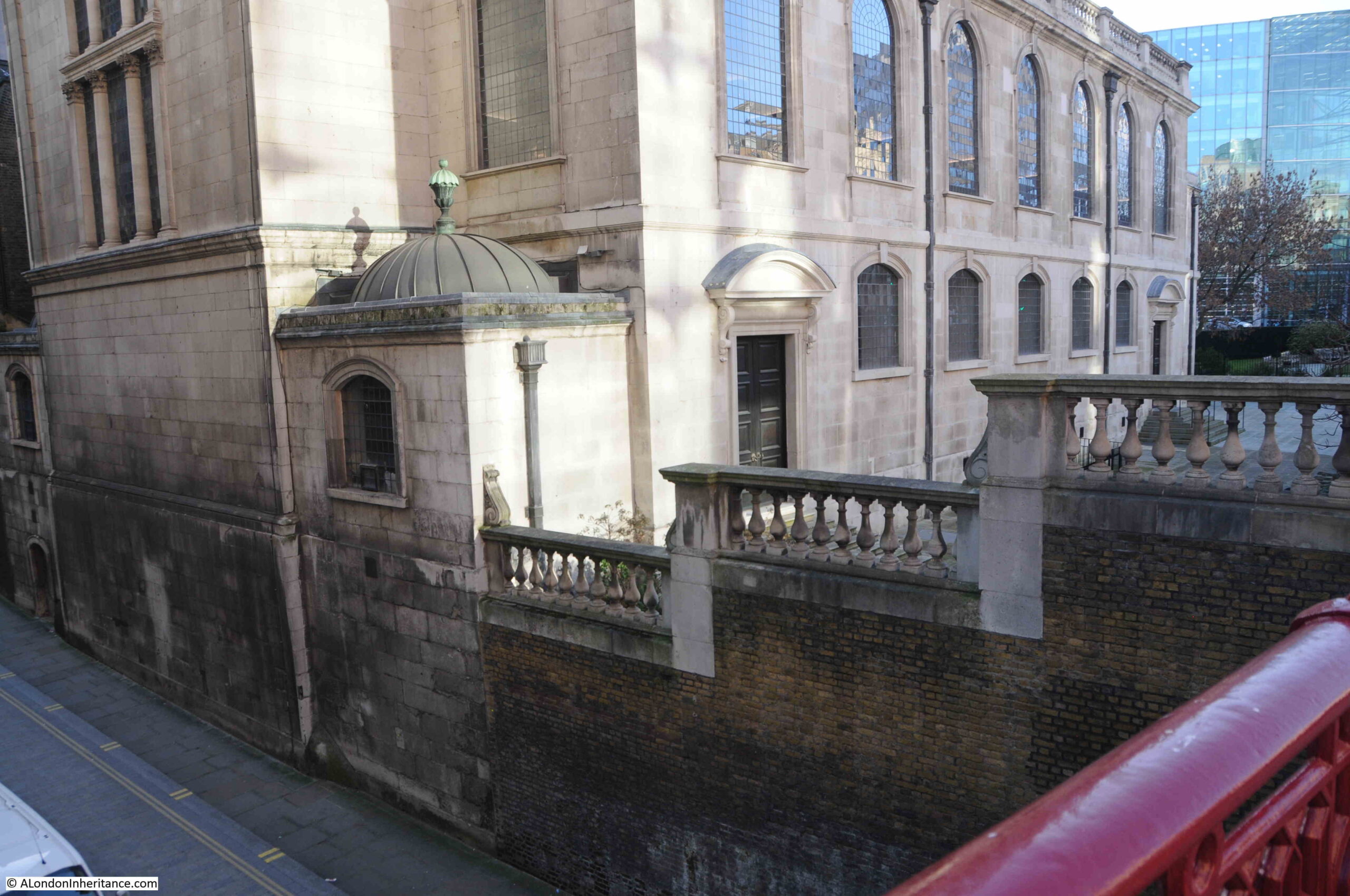
Today, the Peter Jones store occupies the entire block, with the new building covering much of the space with the exception of an area from the north west corner, and along part of the northern side of the block.
The following photo shows the Peter Jones store curving from Sloane Square and down along King’s Road. The Star and Garter was where the curved corner of the building is today:
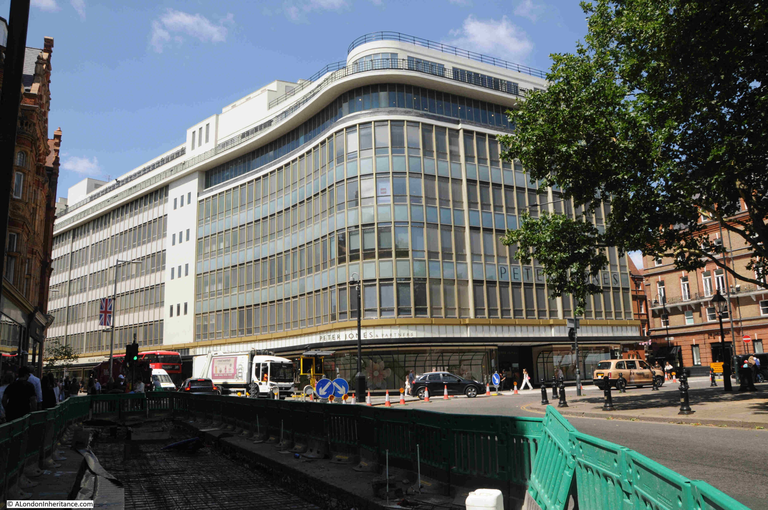
The building today is Grade II* listed. It was designed by William Crabtree, To maximise the amount of glass along the façade of the buildings, the external wall is not load bearing, and can therefore be of glass, with an almost continuous run of glass along the ground floor to maximise display space.
It must have been an impressive building when it first opened, so very different to the majority of architecture in the surrounding area in the 1930s.
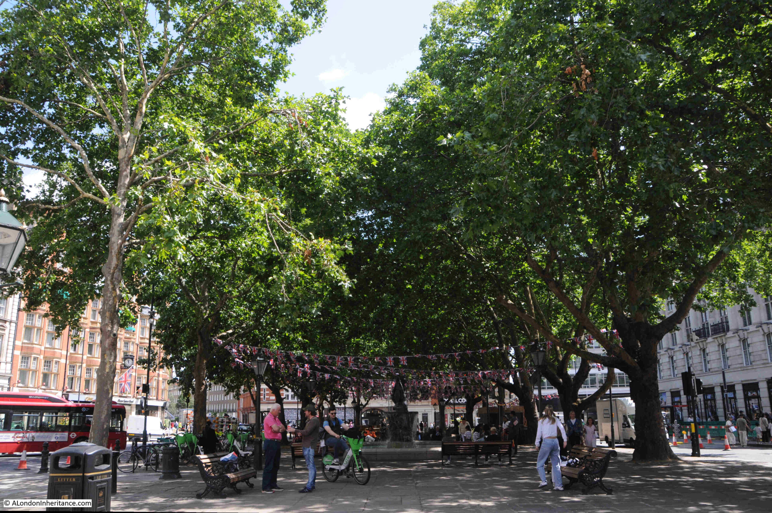
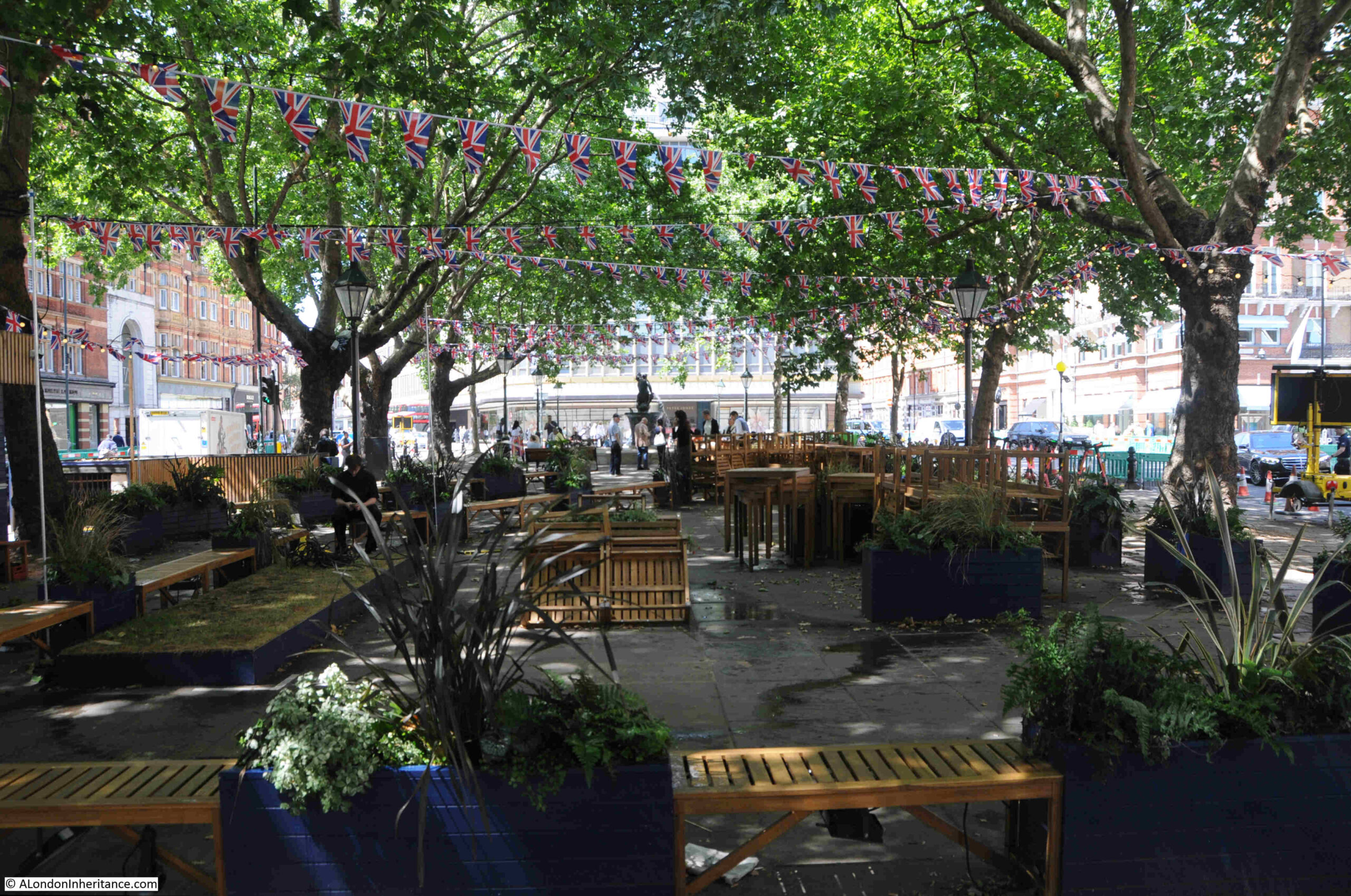
As the name implies, there is a central square within Sloane Square:
Sloane Square is named after Sir Hans Sloane, land owner and Lord of the Manor of Chelsea.
The square was laid out in 1771 when the fields of what had been a very rural area, were enclosed, and building started soon after, with houses built around the square under the direction of architect and builder, Henry Holland.
During the later part of the 19th century, and early 20th century, the original houses around the square were gradually demolished and consolidated into larger plots of land, with the large buildings we see today built along the four side of the square.
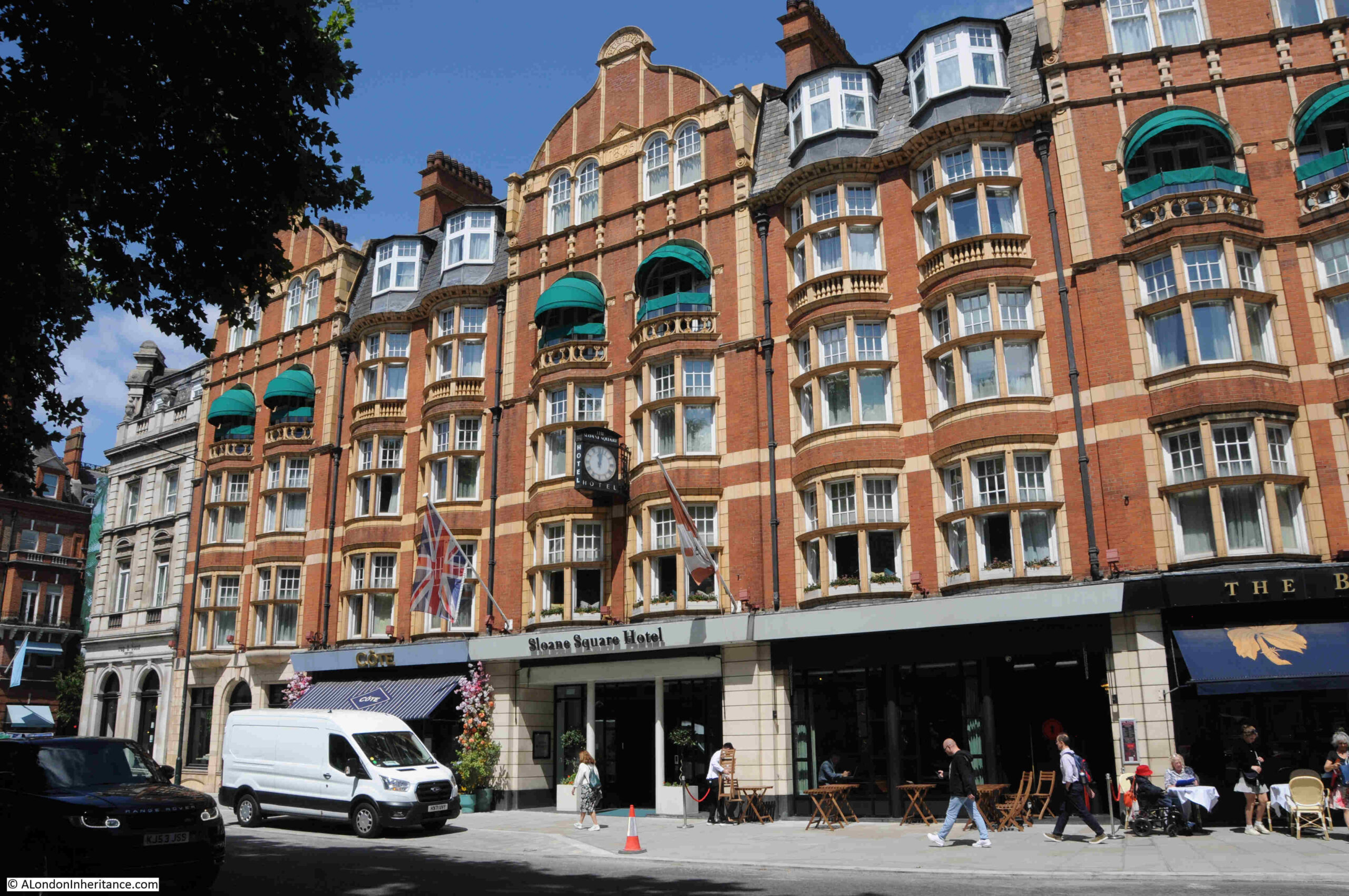
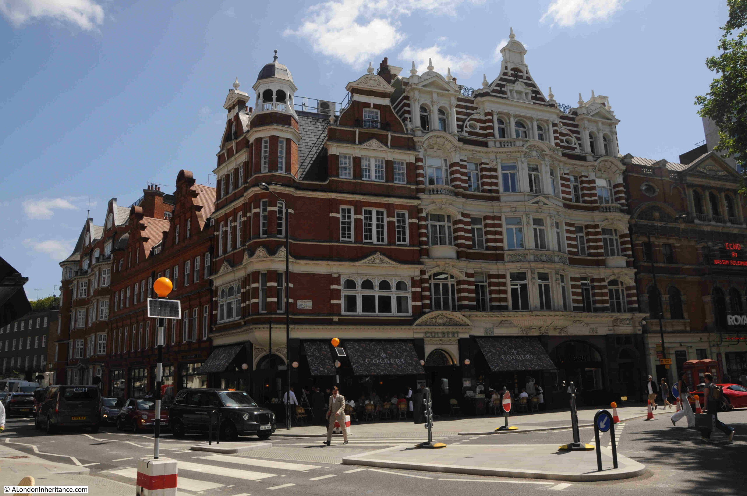
Typical of these changes was the construction of what is now the Sloane Square Hotel, with the red brick building being built in two phases between 1895 and 1898:
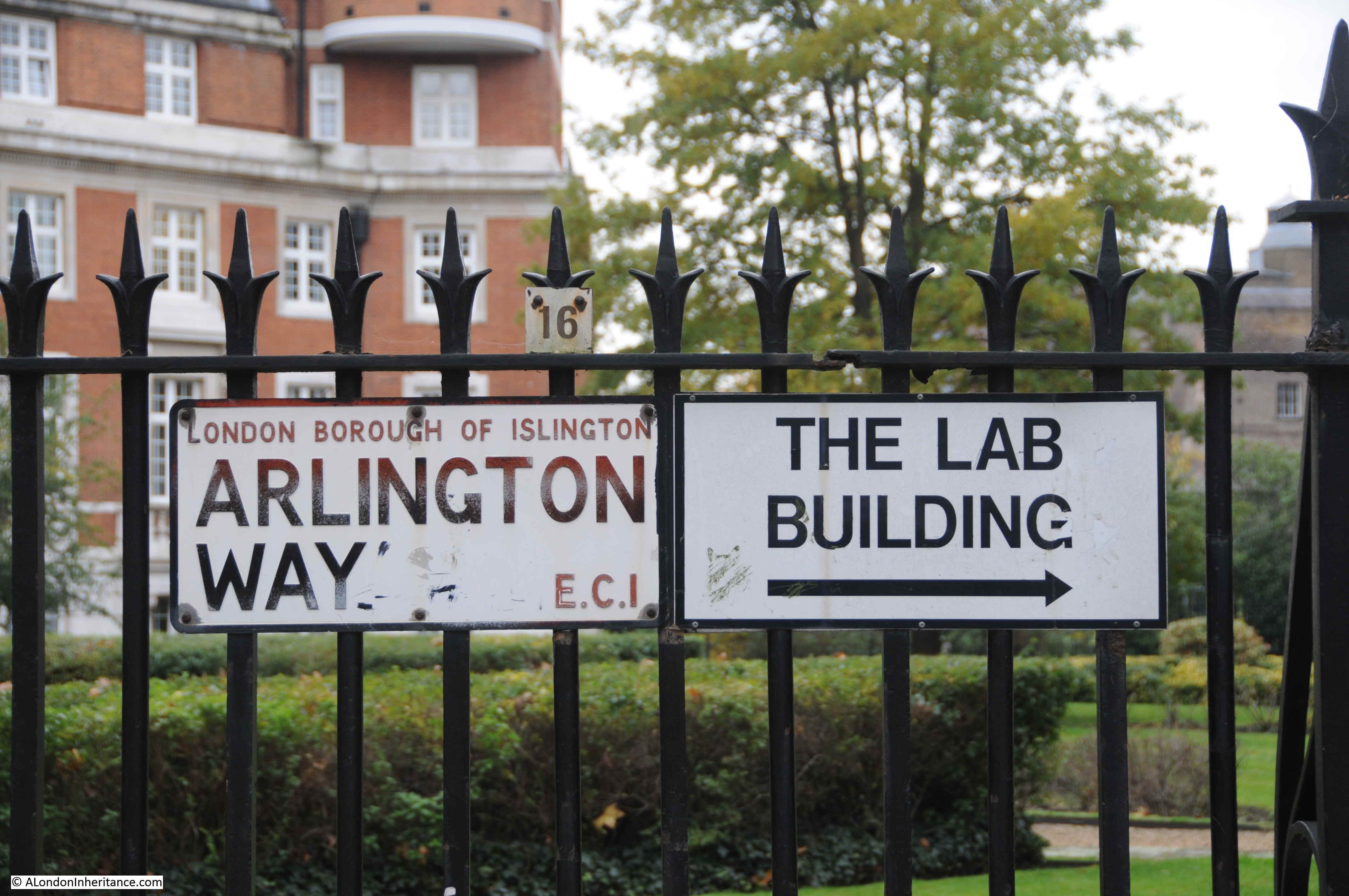
Part of the title to this week’s post is the “Bloody Bridge”, and this name tells some of the story of the area before Sloane Square was developed.
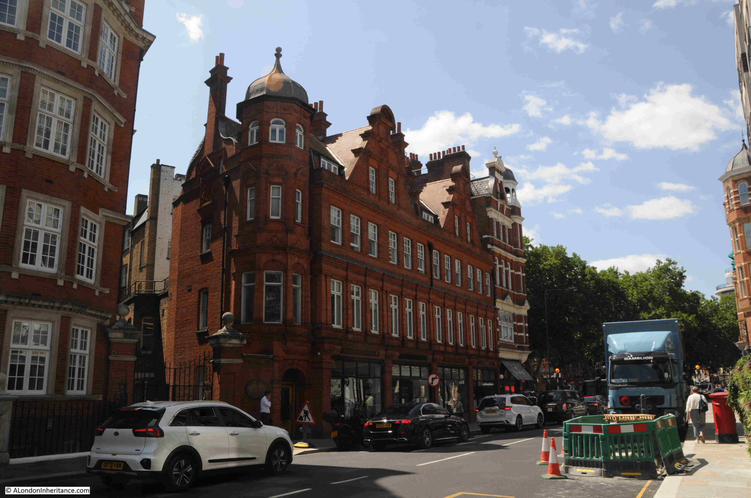
The following photo shows the north east corner of Sloane Square:
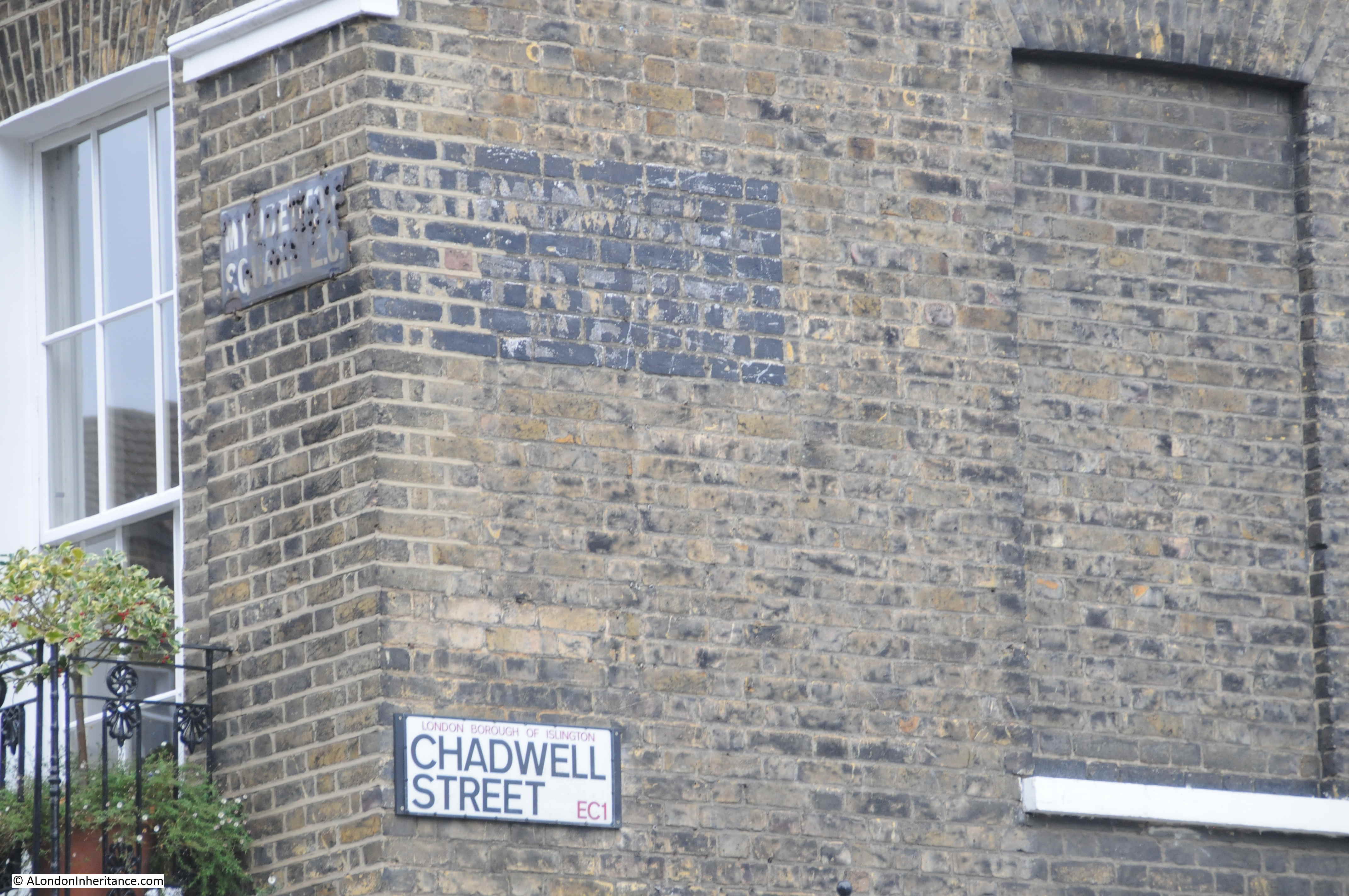
At this corner, Sloane Square leads off in to Cliveden Place, and a short way along, on the right is the following name plaque:
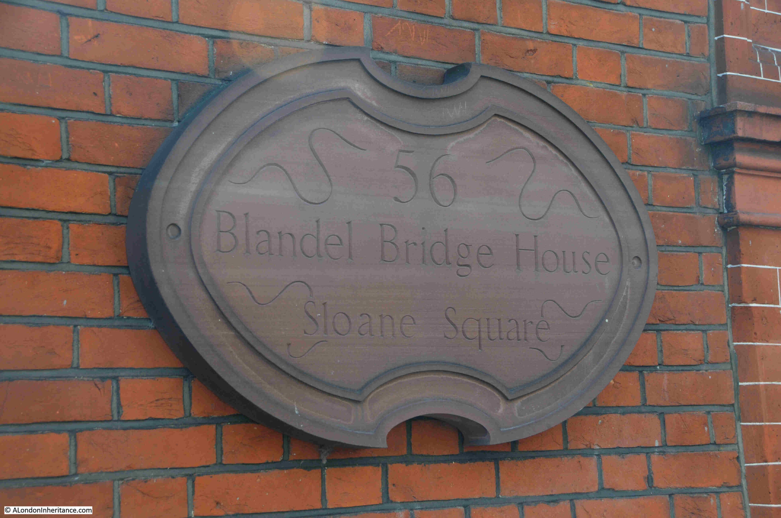
The plaque is on the wall behind the man with the white shirt, just above the bonnet of the white car in the following photo:
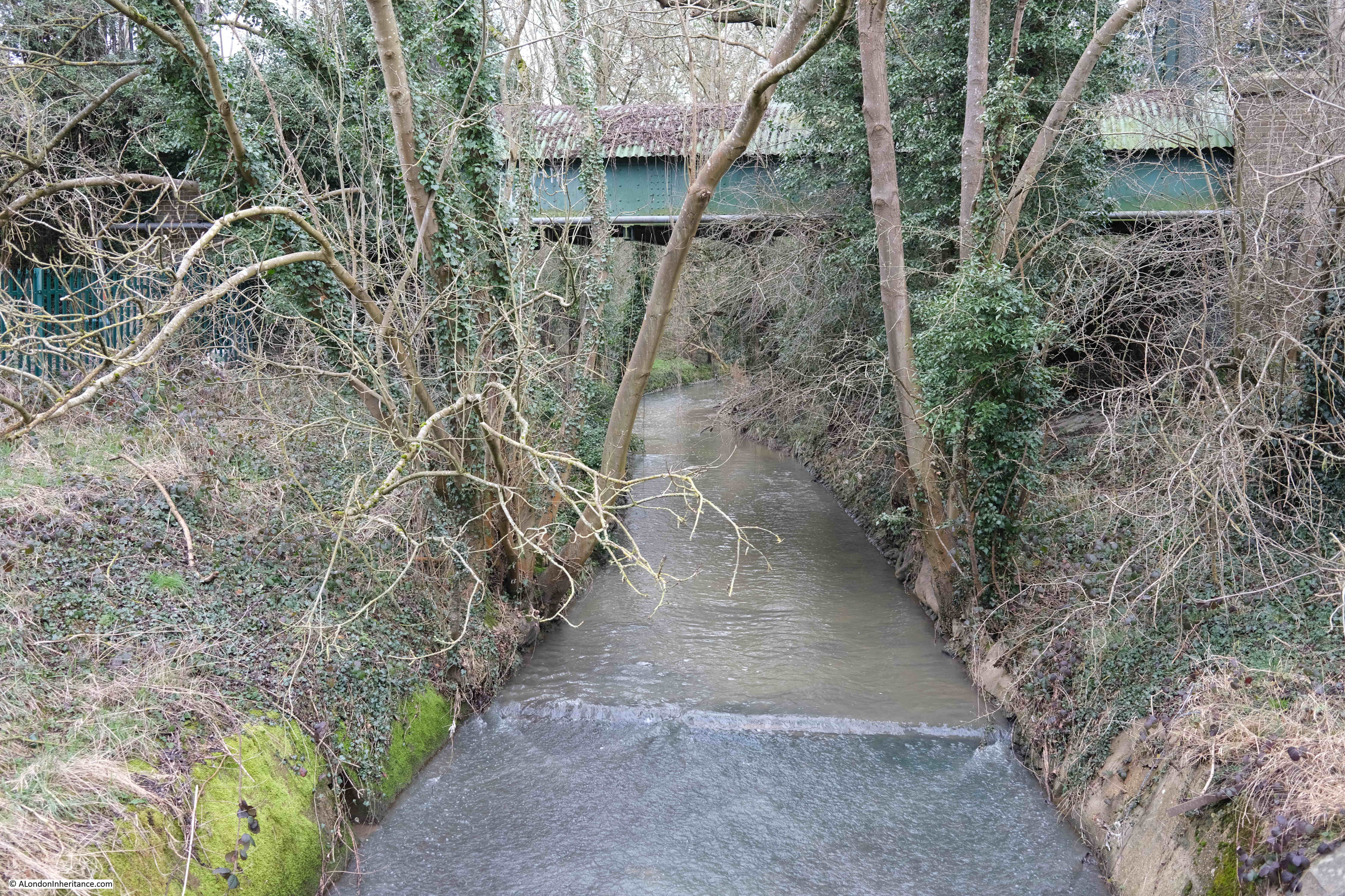
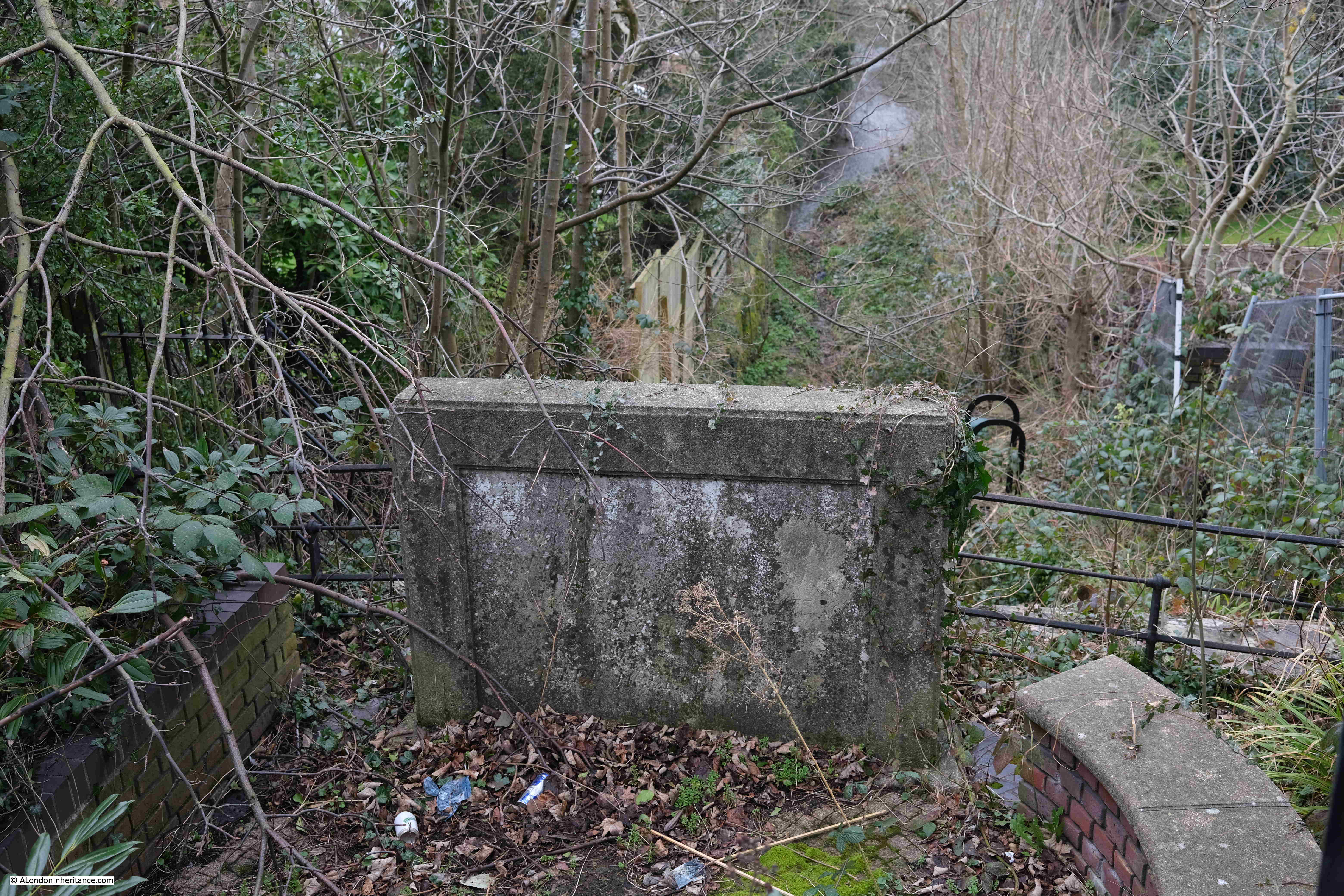
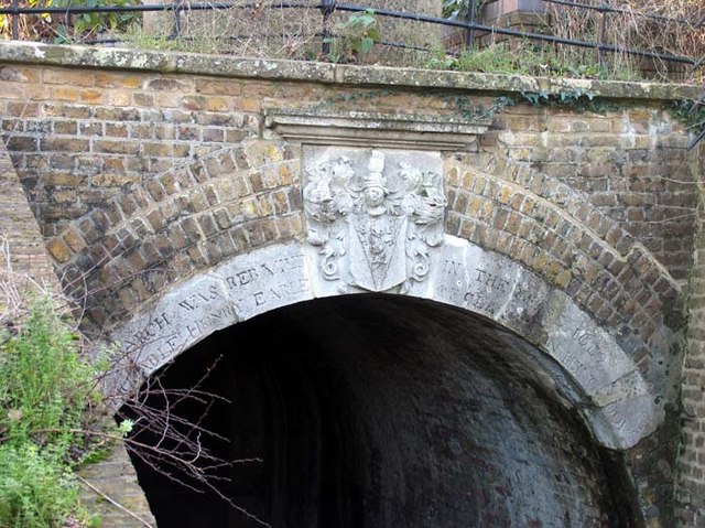
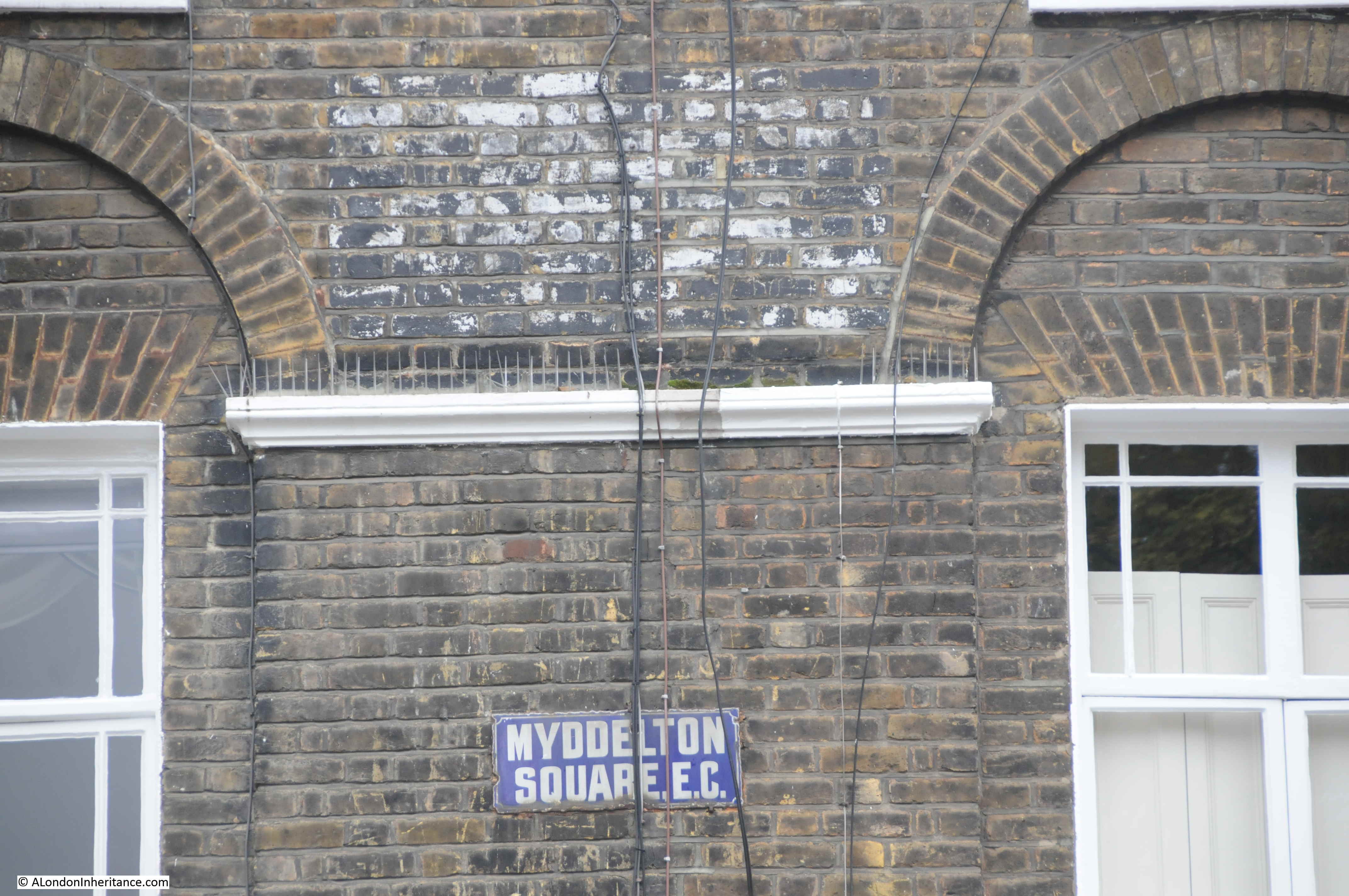
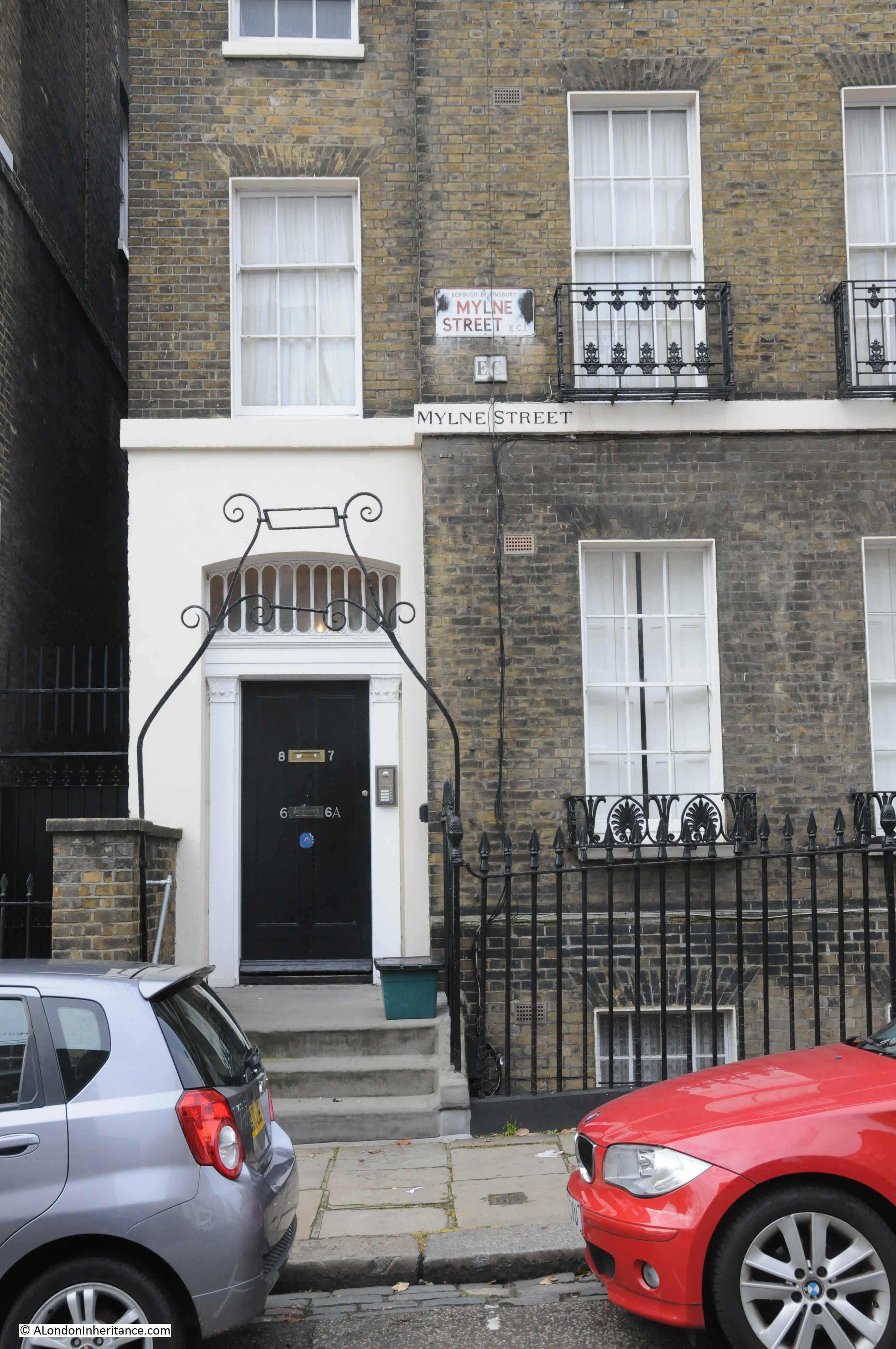
Blandel Bridge House is named after a bridge over the lost River Westbourne, a bridge that was once more commonly called the Bloody Bridge.
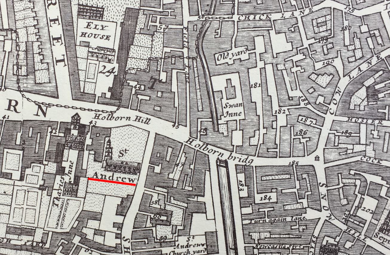
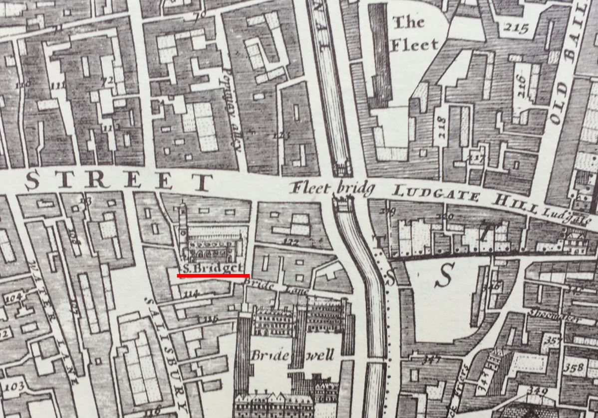
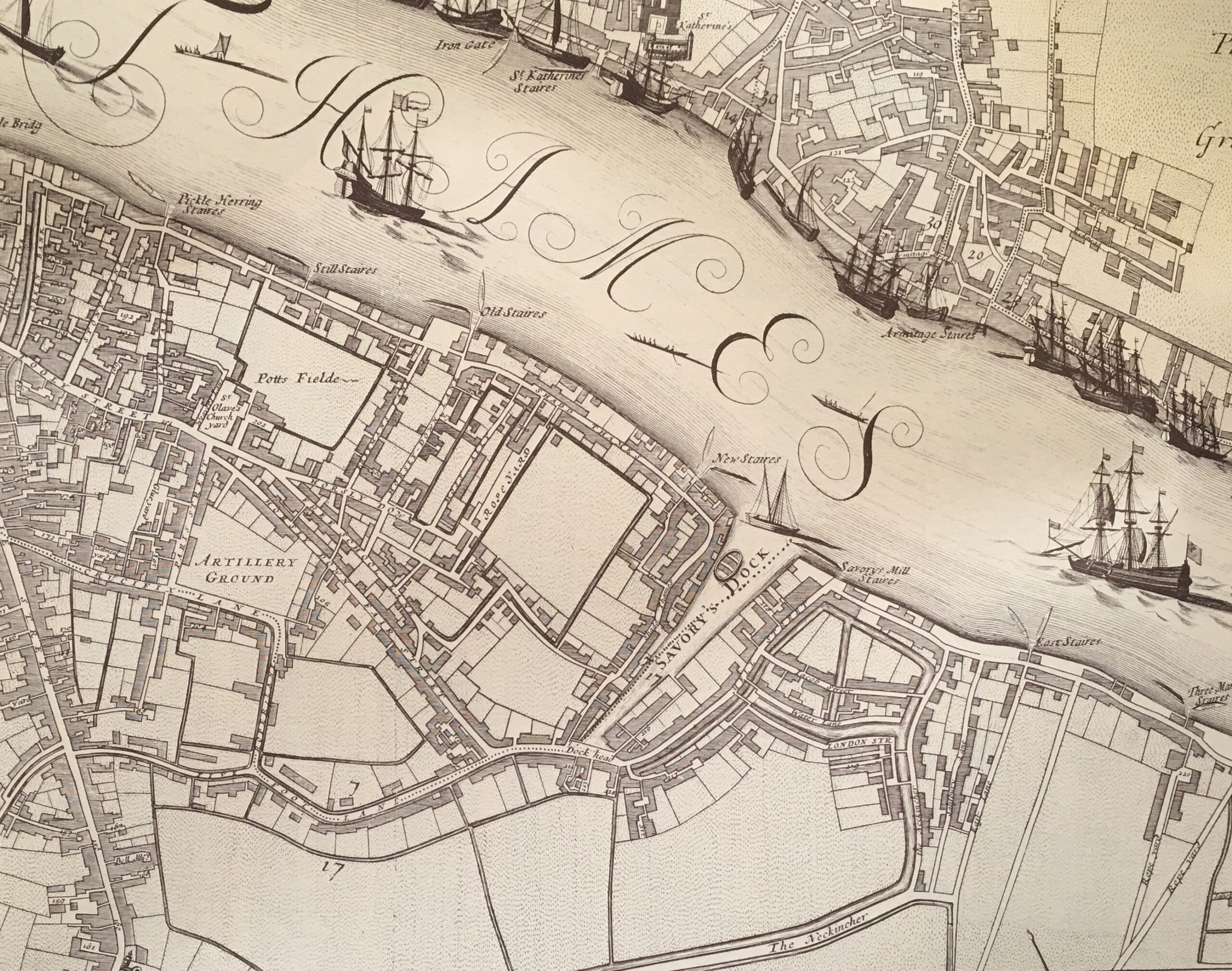
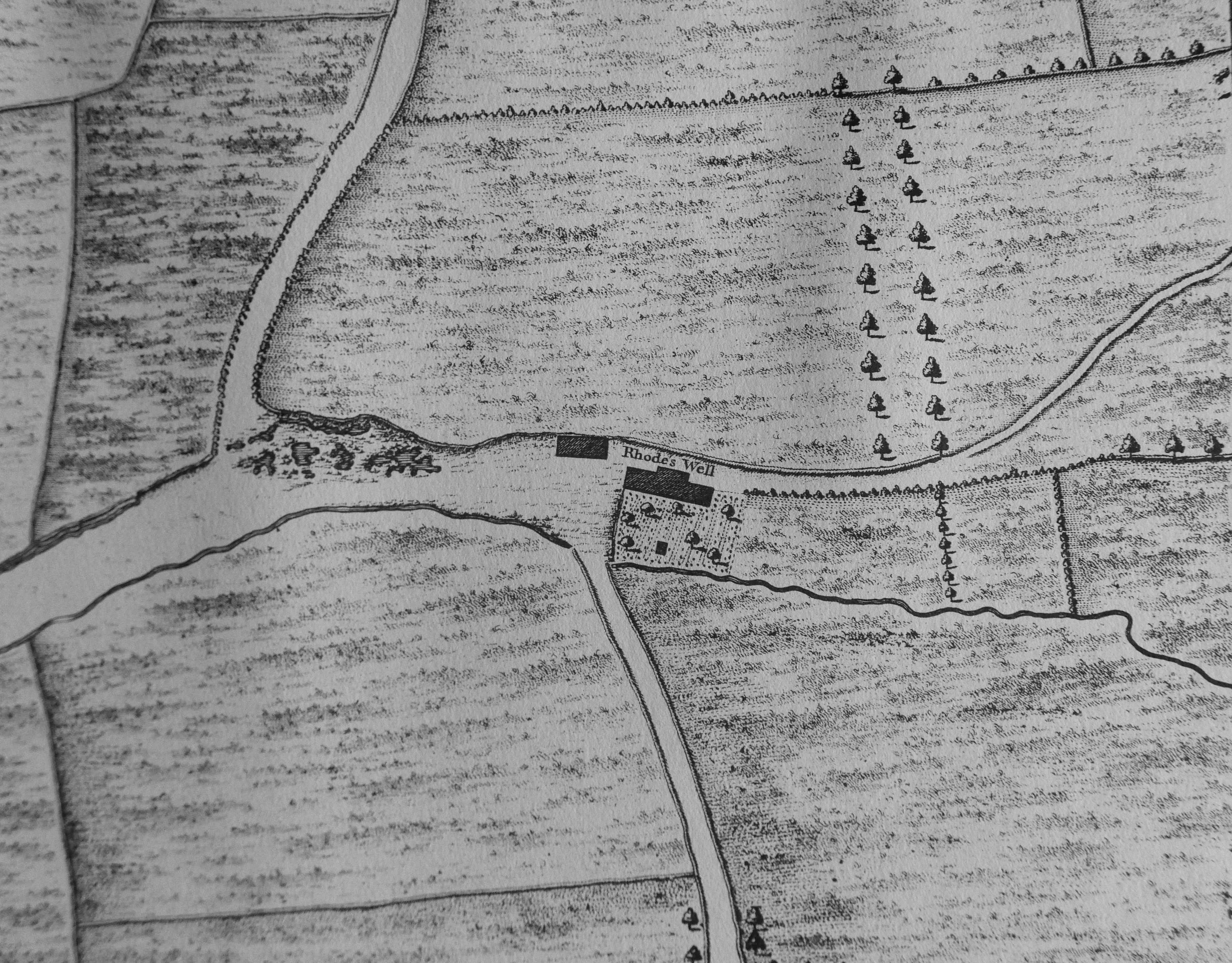
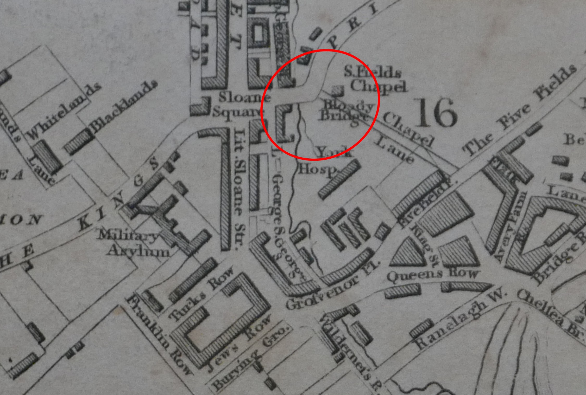
We can see the location and name in a couple of old maps, for example in Rocque’s 1746 map, showing the area before Sloane Square:
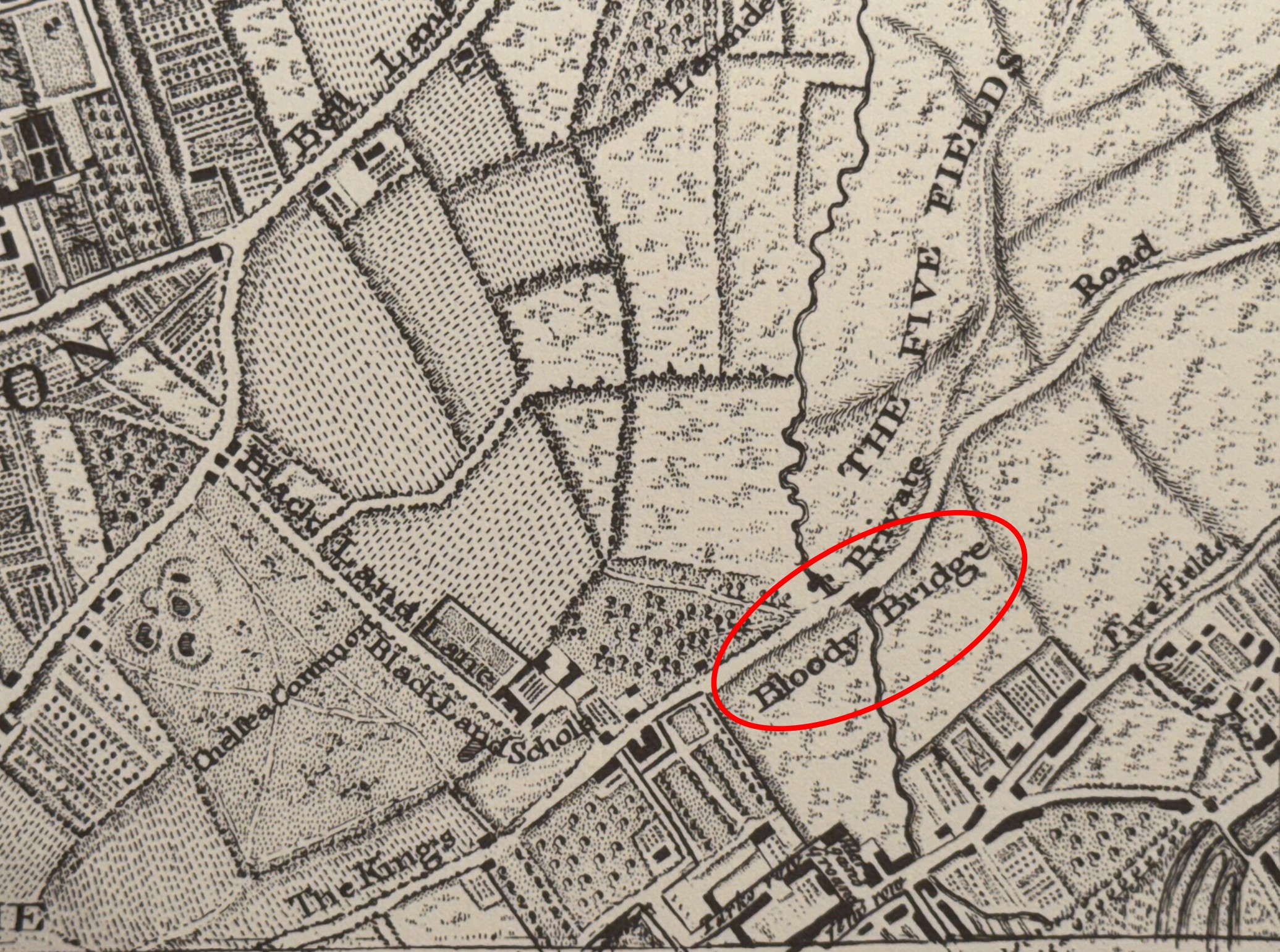
I have circled the name and location of the Bloody Bridge, and we can see the River Westbourne running through fields, then crossing under the bridge, before heading south.
The future location of Sloane Square is just to the left of the bridge.
Also, look at the length of the road that runs over the Bloody Bridge. It is called “The King’s Private Road”. Today, to the left it is King’s Road (which retains the original name, but drops the “private”), and to the right it is Cliveden Place and Eaton Gate / Square, although this part of the road has been much straightened out as the area was developed.
The road was named the King’s Private Road as it was, a private road for the King. This had been a footpath across the fields until King Charles II transformed the footpath into a road suitable for carriages, to form part of a route between Westminster and Hampton Court.
In 1731, copper tokens or tickets were issued to those who were allowed the privilege of travelling along the King’s Private Road. These tokens had “The King’s Private Road” on one side, and on the other an image of the Crown, along with the letters G.R. as at that time, George II was on the throne.
It would continue to be a private road all the way to 1830, when it was opened up as a general road, with no tokens or permissions being required.
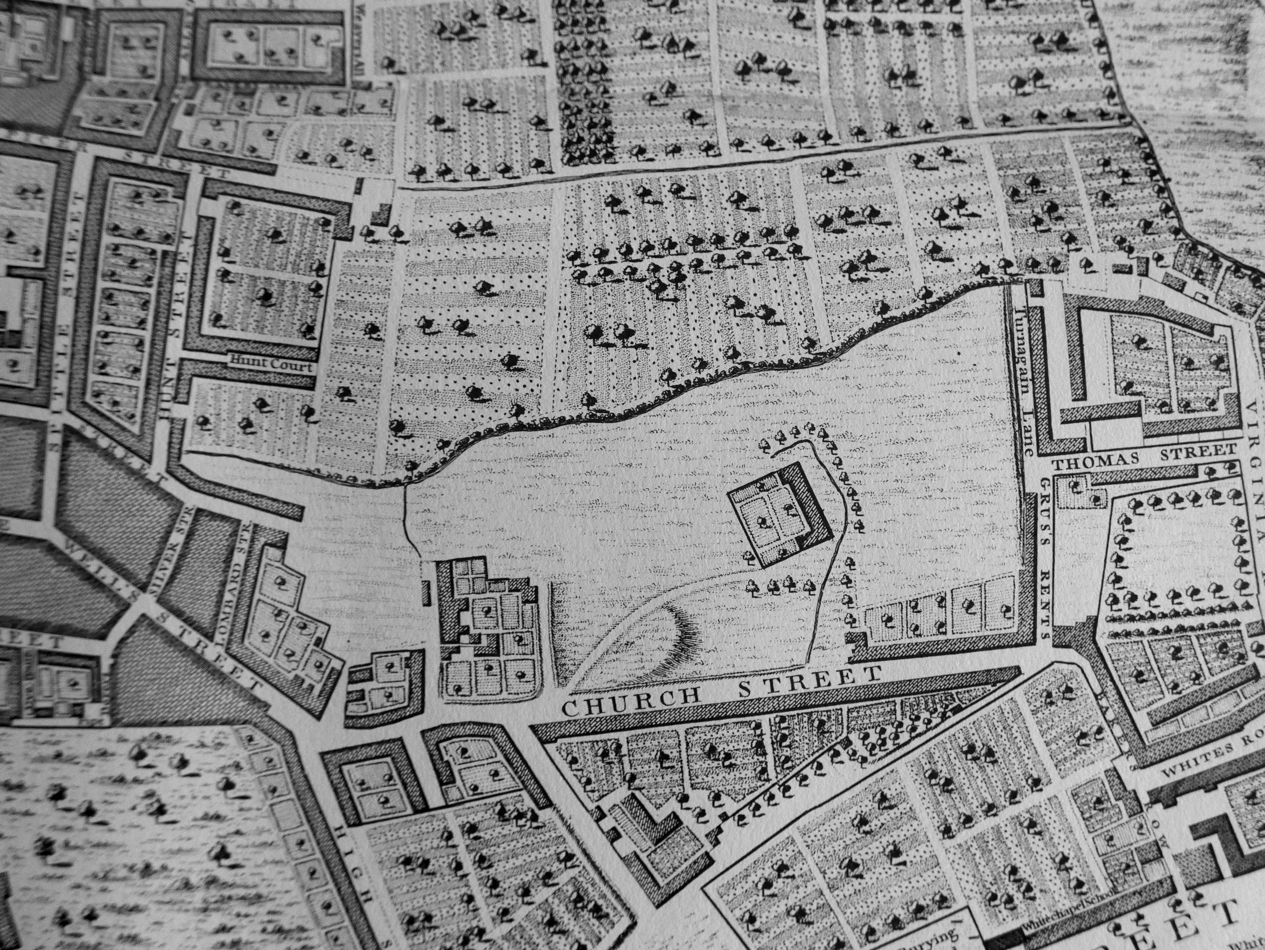
The Bloody Bridge was still marked on maps in the early 19th century, as this extract from Smiths New Plan of London, published in 1816 shows:
In the above 1816 map, we can see that the Westbourne is on the edge of new development which is centred around Sloane Square.
How did it get the name Bloody Bridge? The official name seems to have been Blandel Bridge, as the name plaque in the previous photo still records today. The name Bloody Bridge seems to have a been a popular renaming of the bridge given the amount of murders and robberies that took place in the area. The name seems to have been first used in the mid 16th century, at the time of Elizabeth I, however with such a local name, and the distance of time, it is impossible to be sure when the name was first used.
Despite being the King’s private road, serious crime at the Bloody Bridge continued into the 18th century, with a couple of examples, first from 1748, when “four gentlemen coming from Chelsea, the King’s Road, in a coach were attacked near the Bloody Bridge by two highwaymen. They all getting out of their coach and drawing their swords, the highwaymen made off without their booty.”
And from 1753, when on the 17th of September, “Mr. Crouch, cook to the Earl of Harrington, who was attacked about nine o’clock at night by two villains, and, on making resistance, fired two pistols at him; and though he wounded one of them, yet having overpowered him, they took his watch and money, and then stabbed him with a knife, and beat him with their pistols till he was dead”.
The road must have been so dangerous, that in 1715, the local inhabitants petitioned the Government to organise patrols along the road from Chelsea to St. James’s.
Many 19th century reports, state that the Bloody Bridge name was because of the crime in the area, and that it was also a corruption of the name Blandel Bridge, so if that is correct, and Bloody Bridge was first used in the mid 16th century, Blandel Bridge was a name that must have already been in use, and therefore an older name for the bridge.
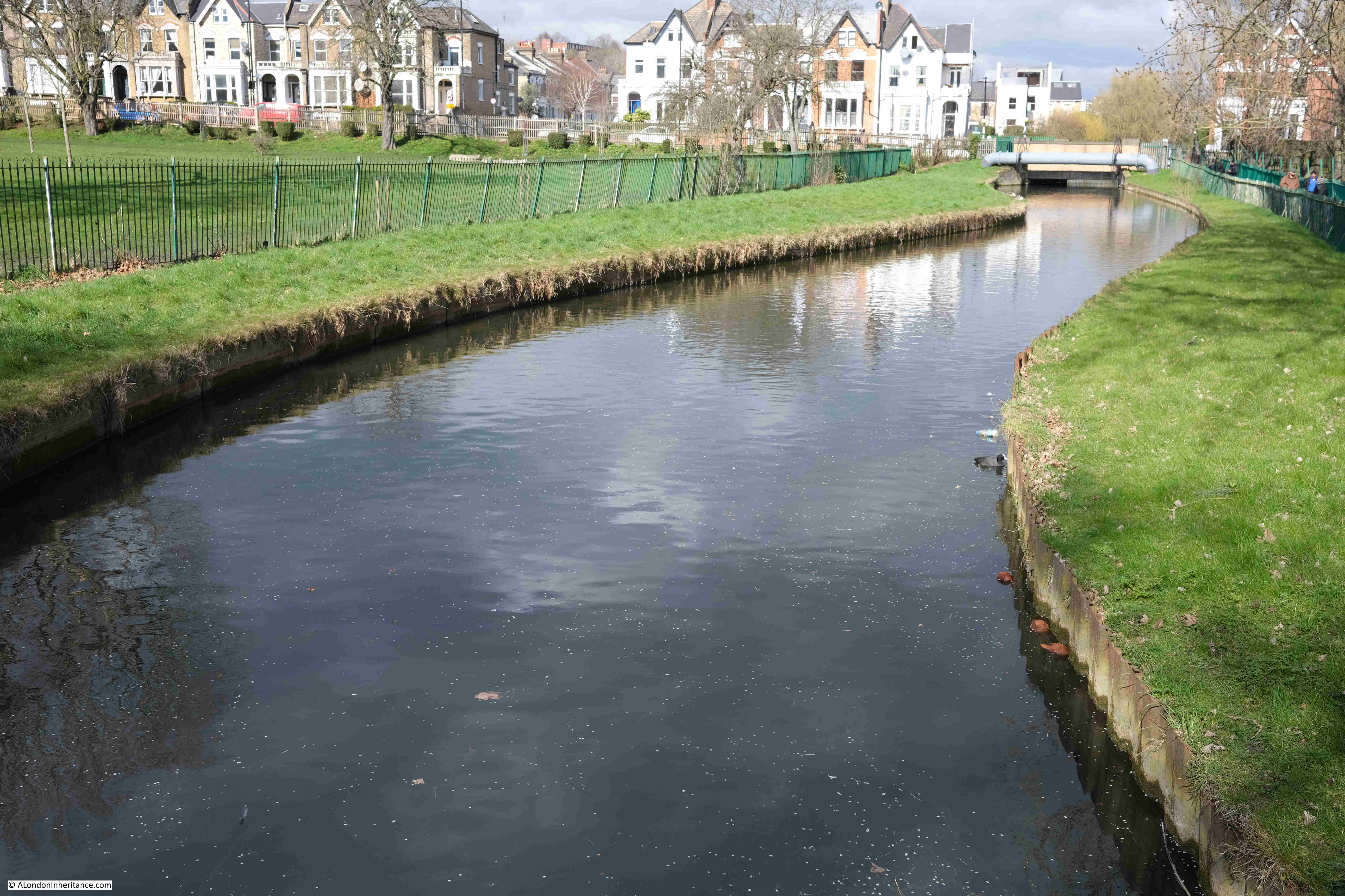
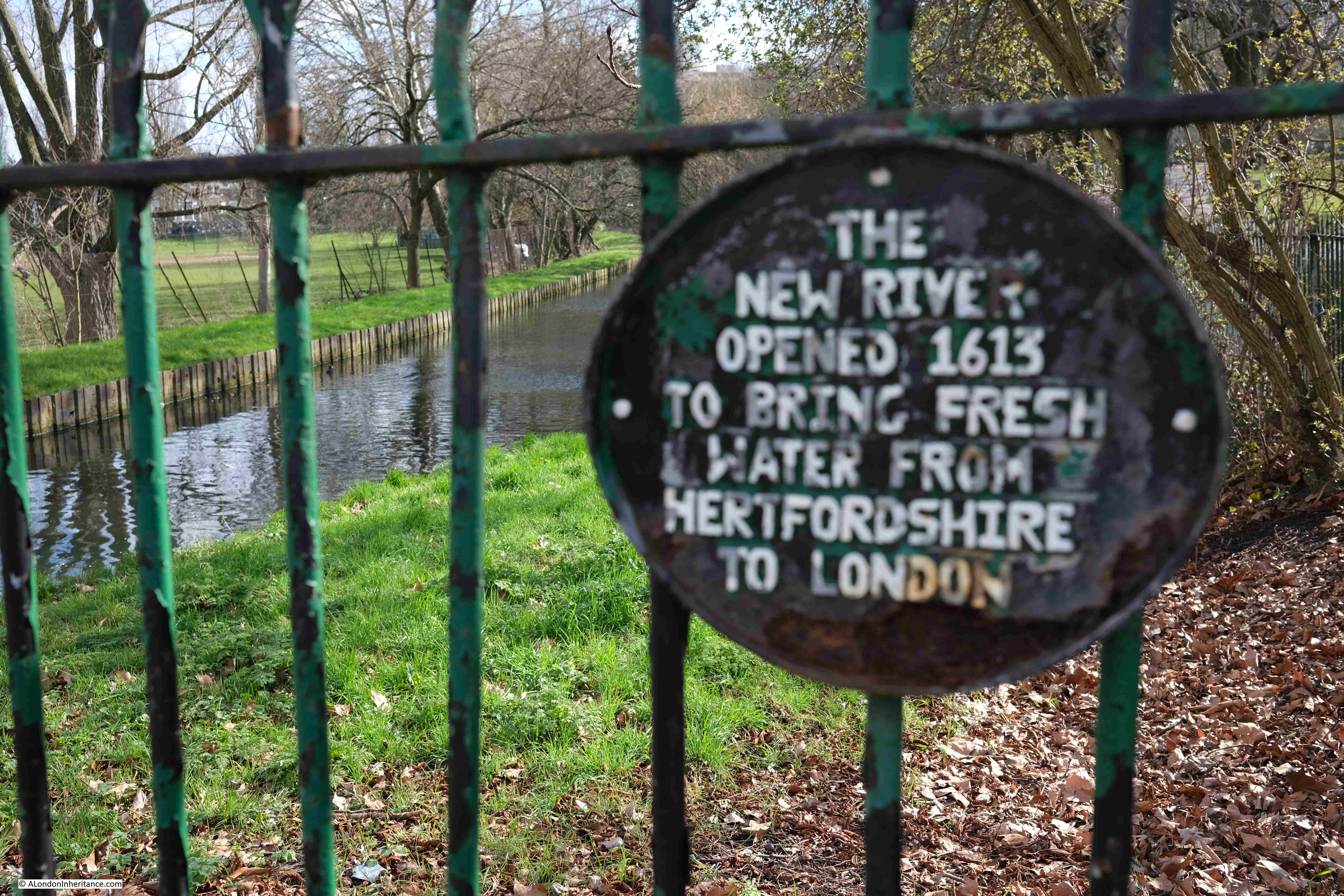
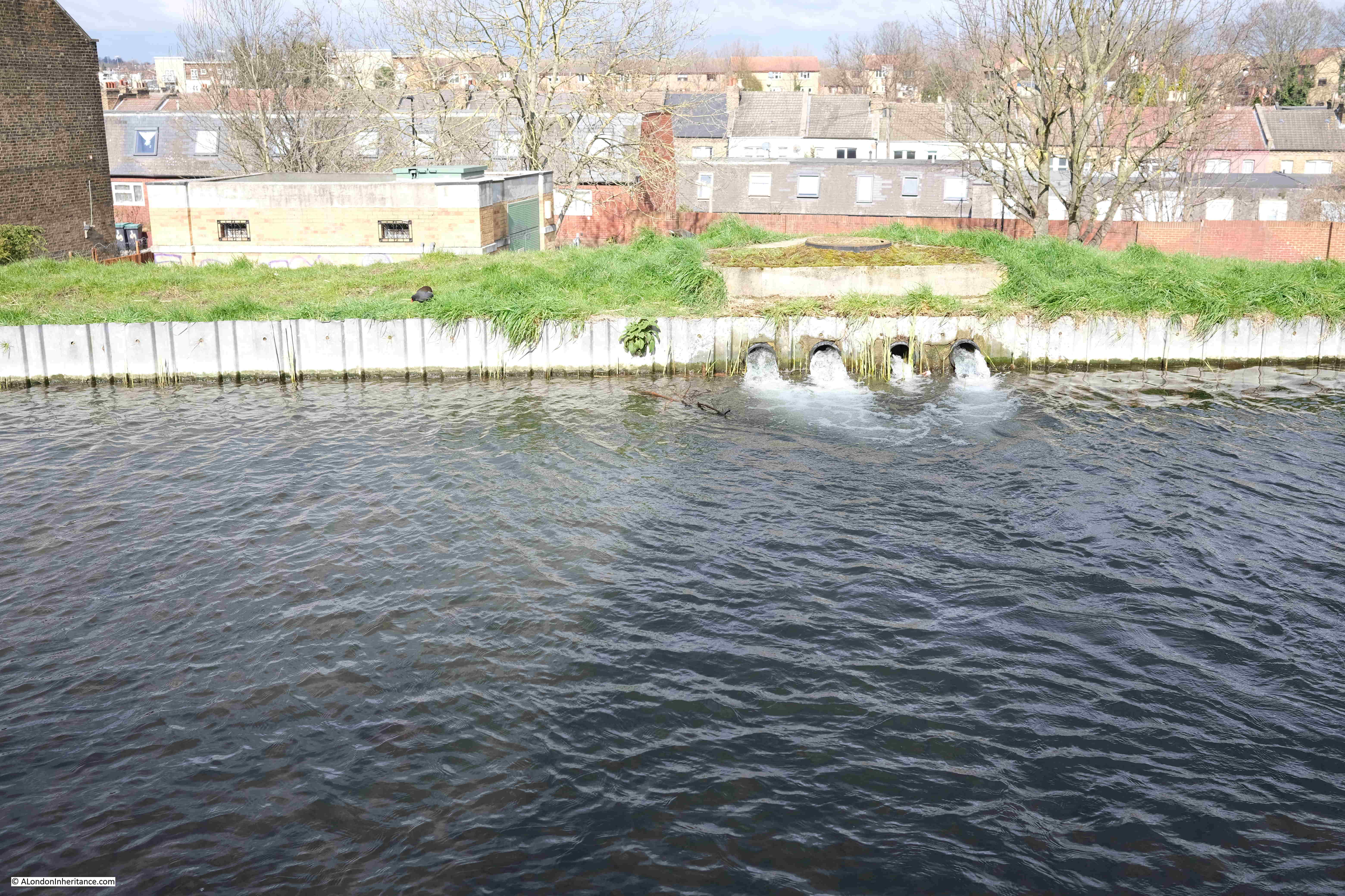
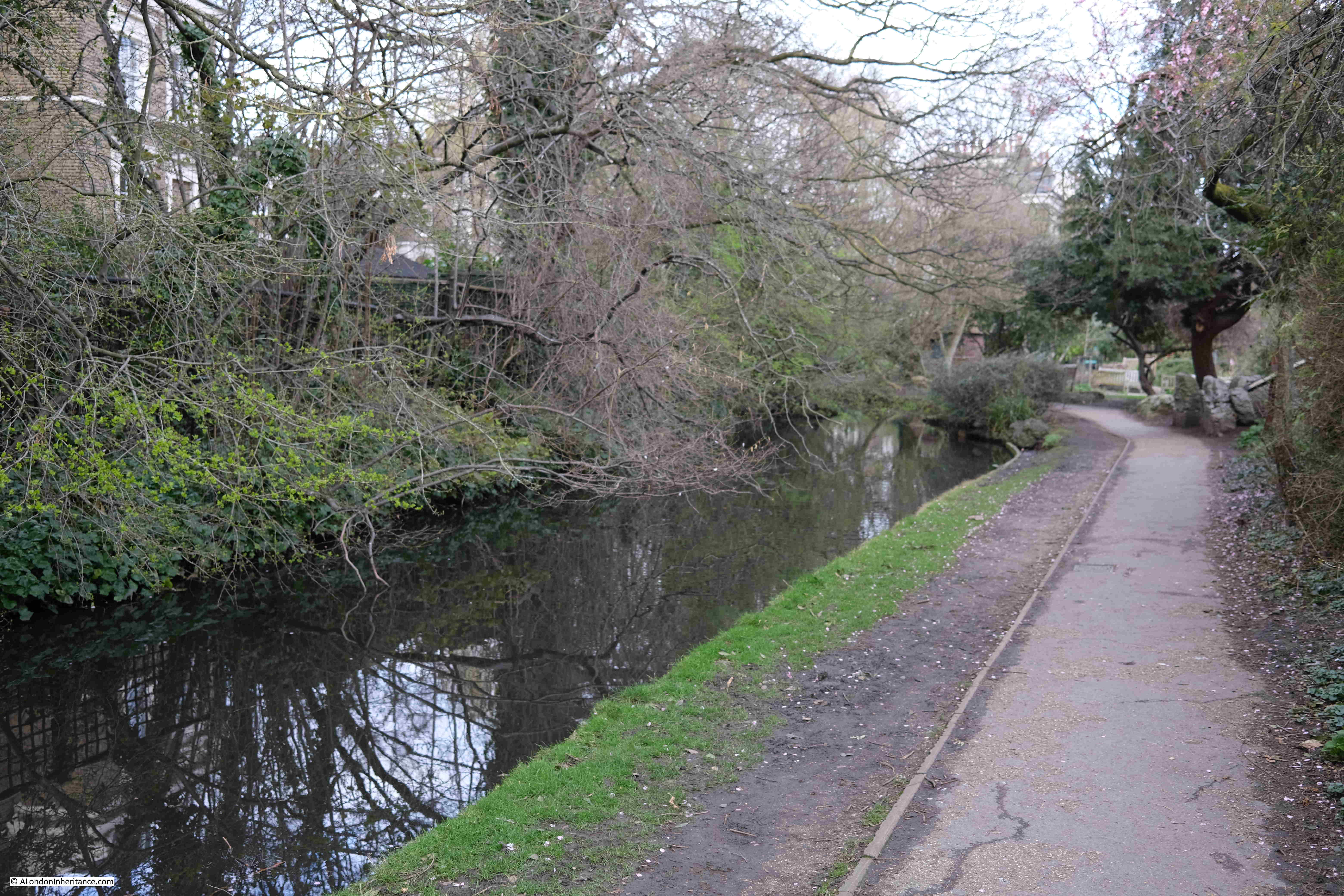
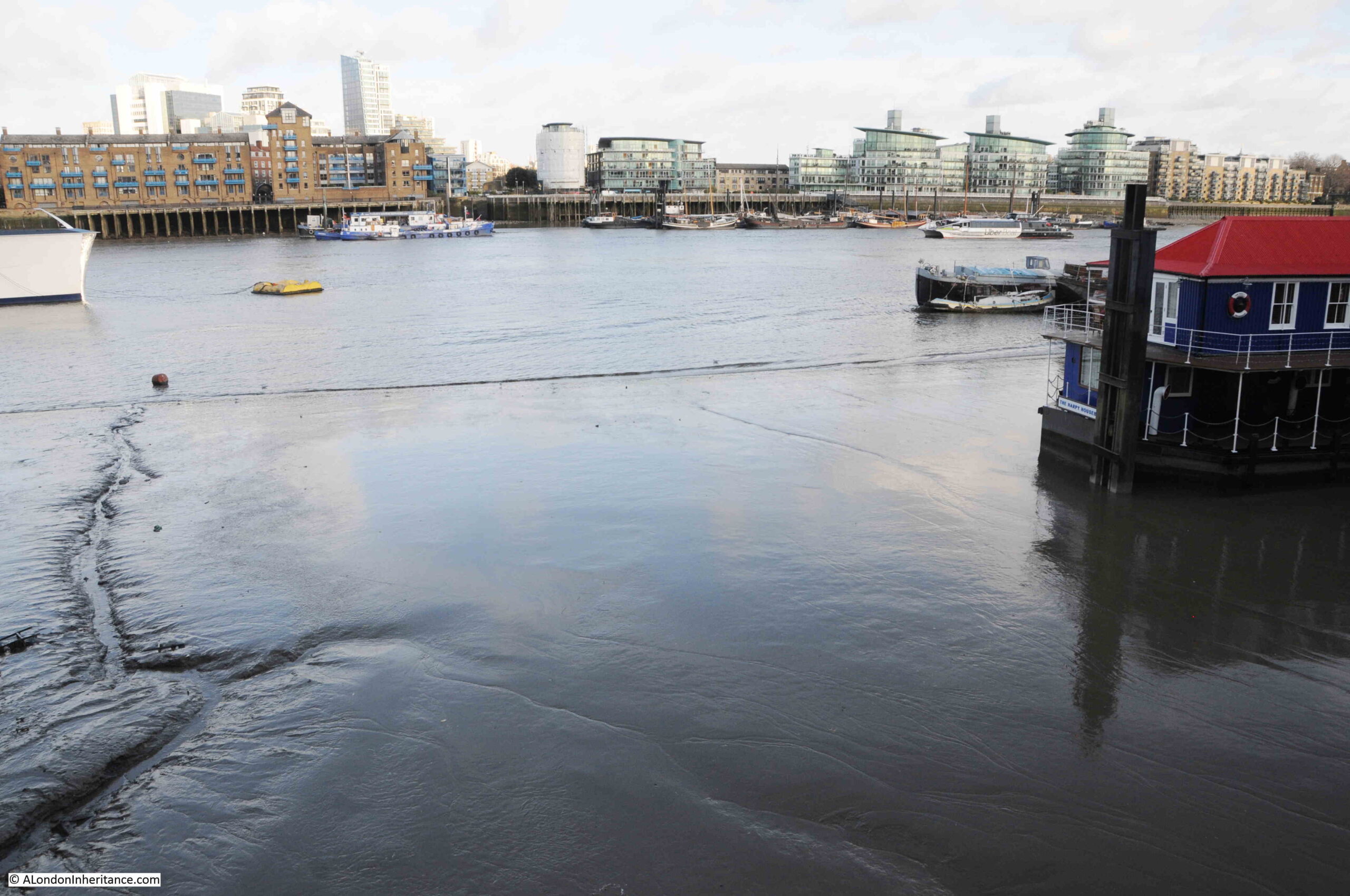
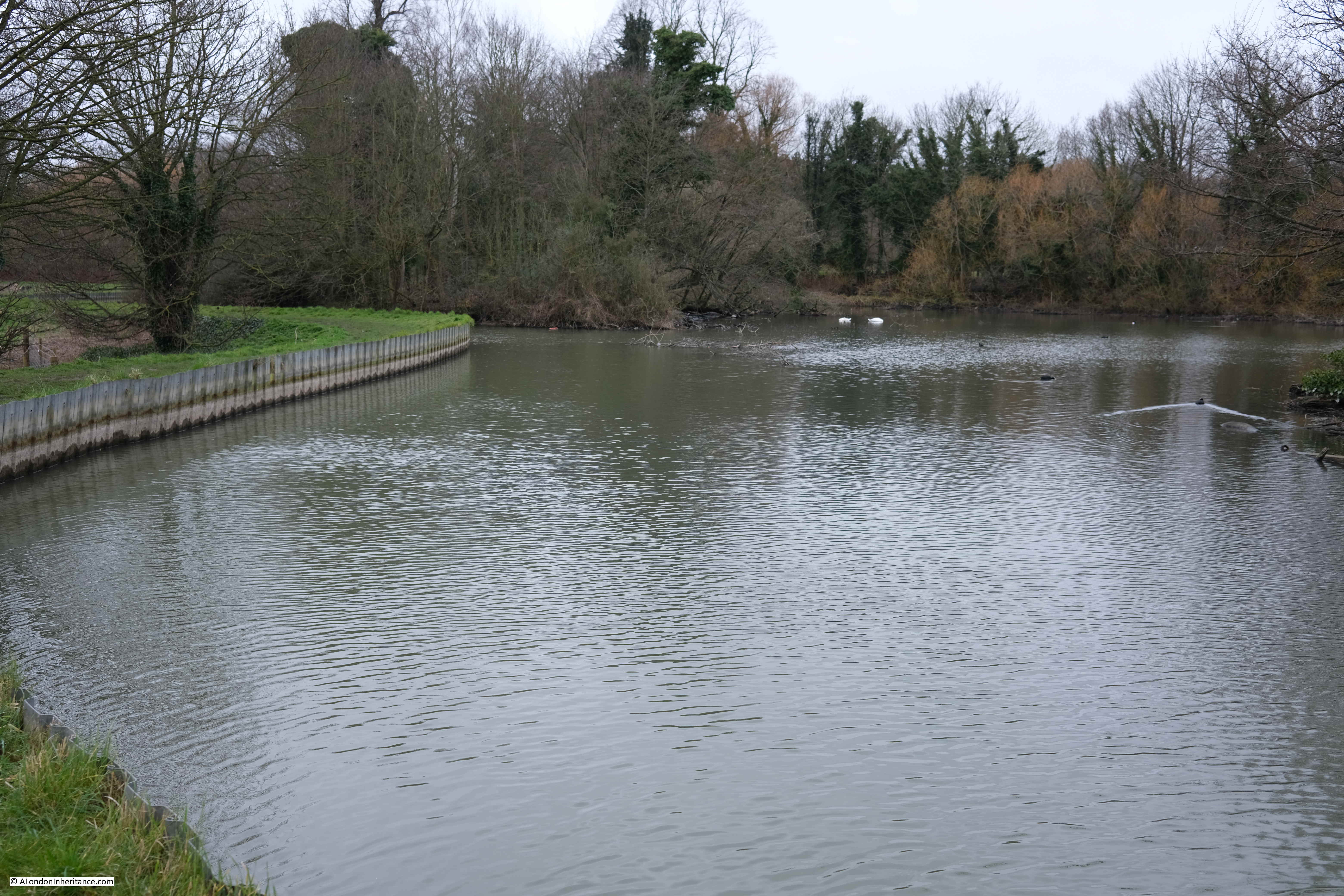
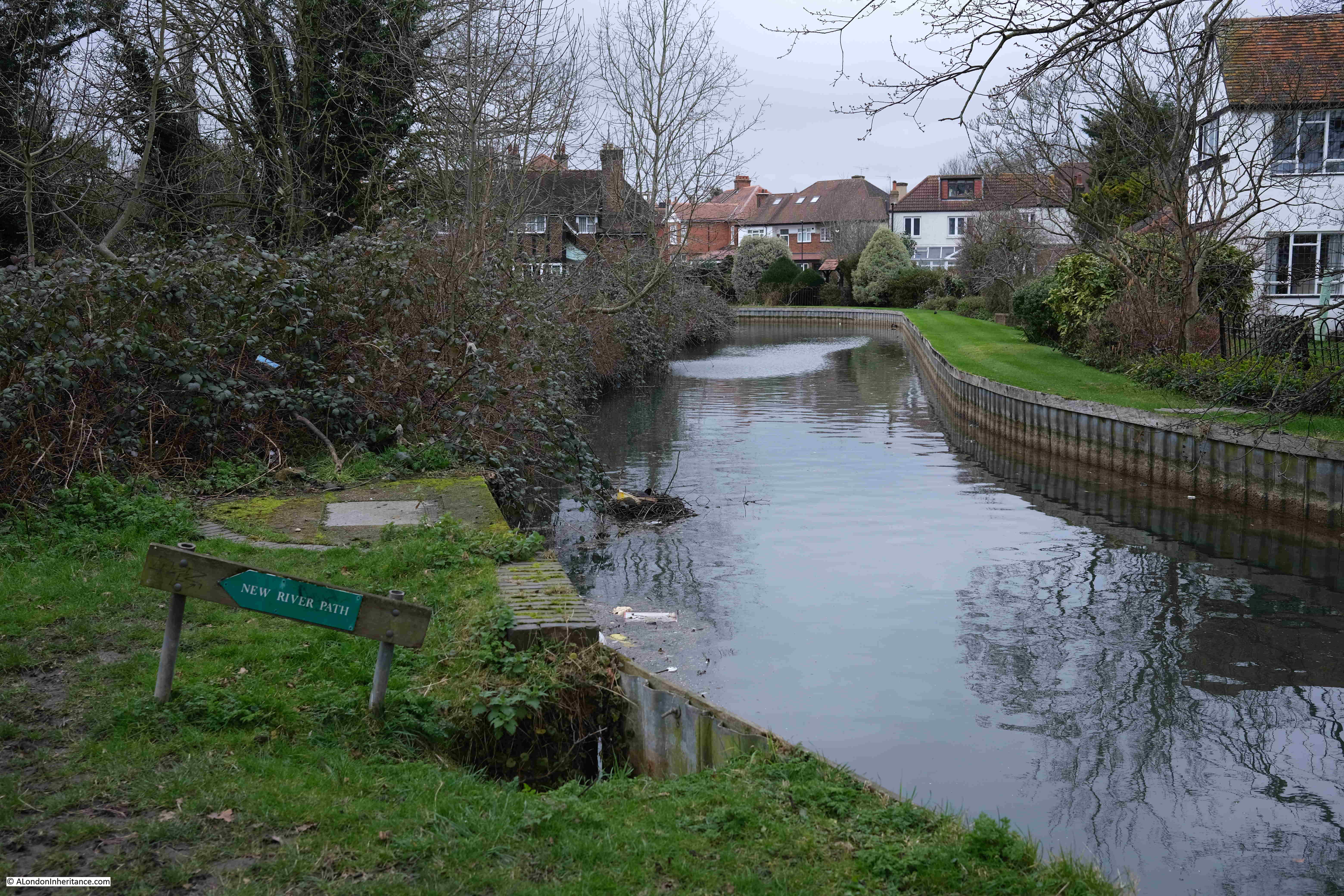
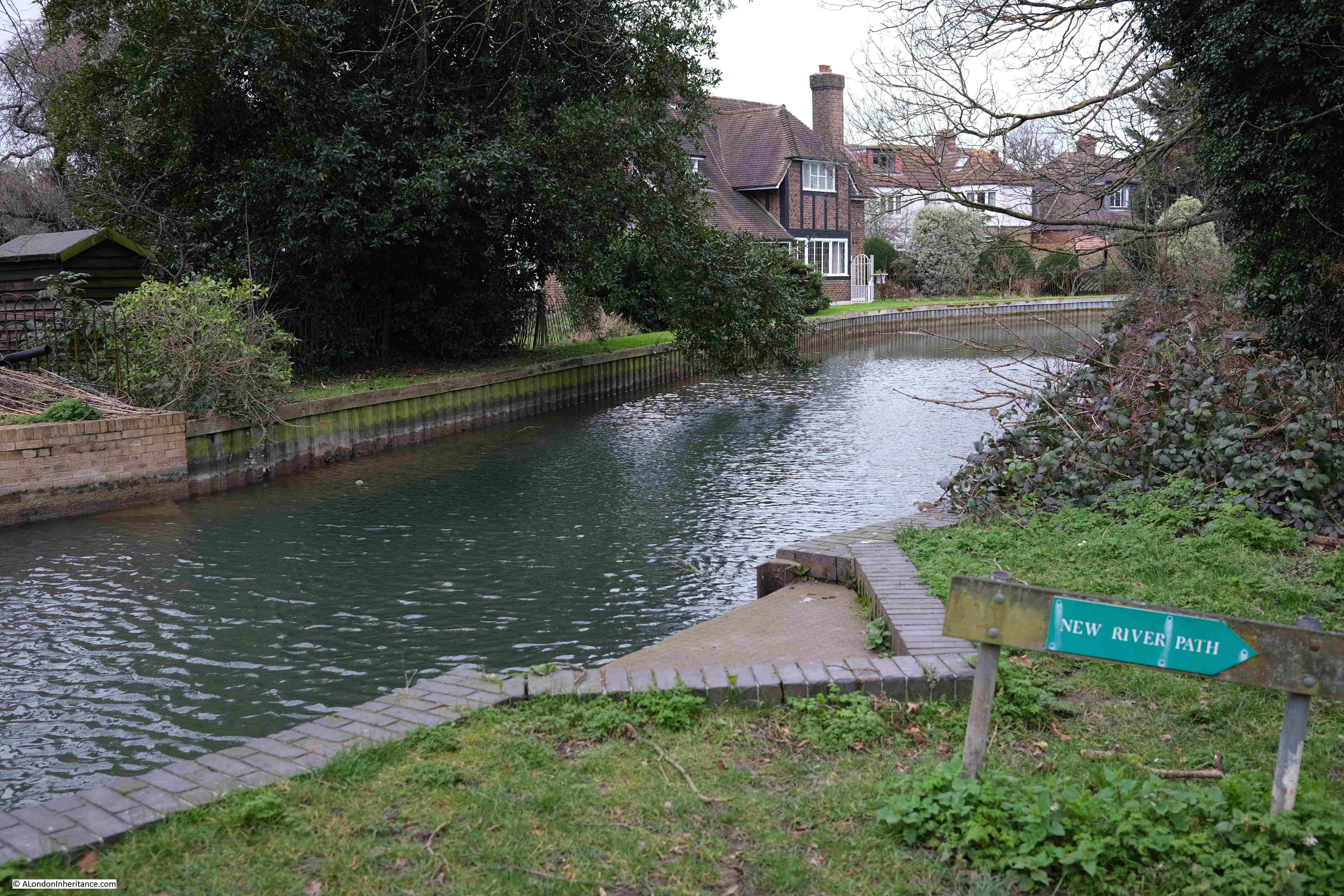
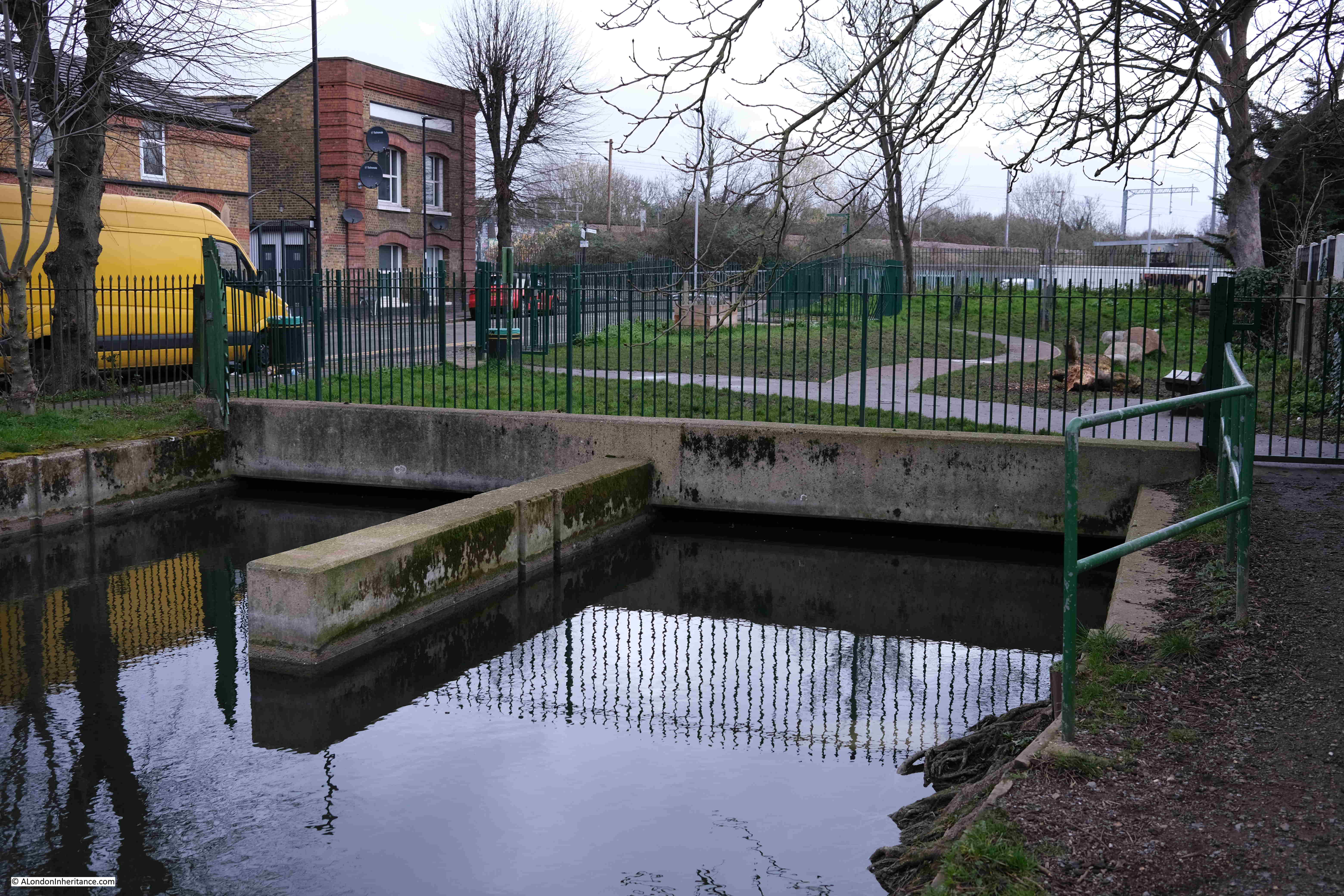
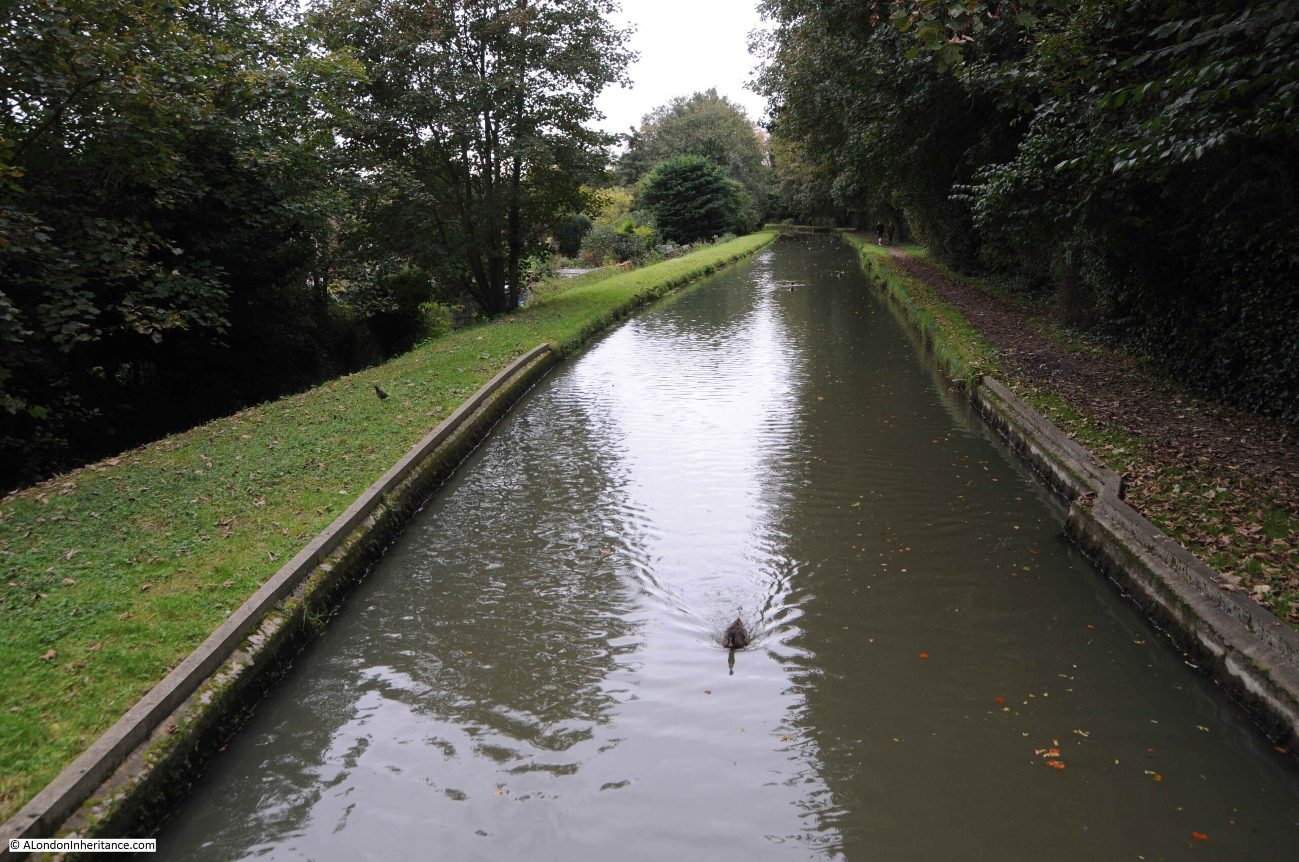
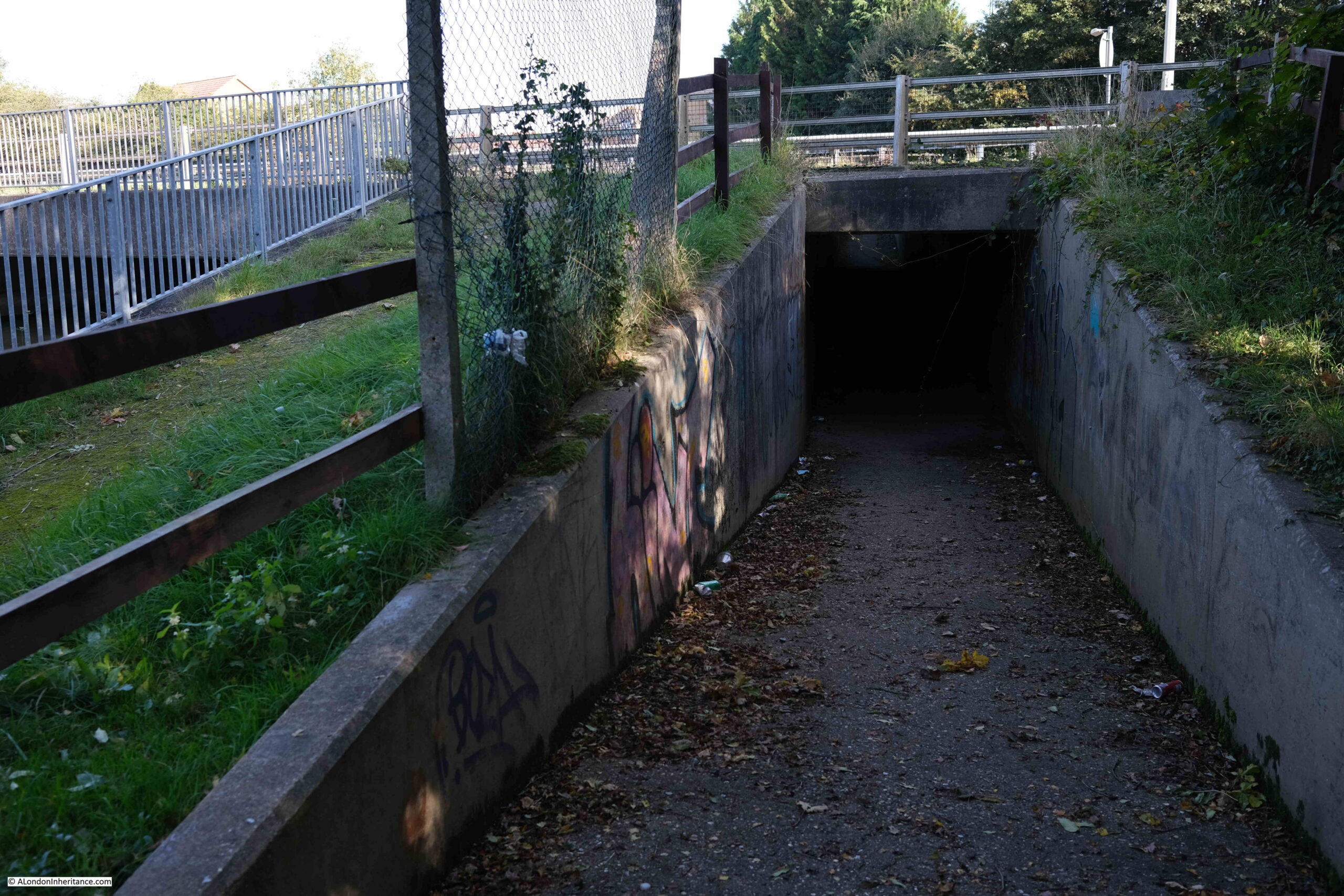
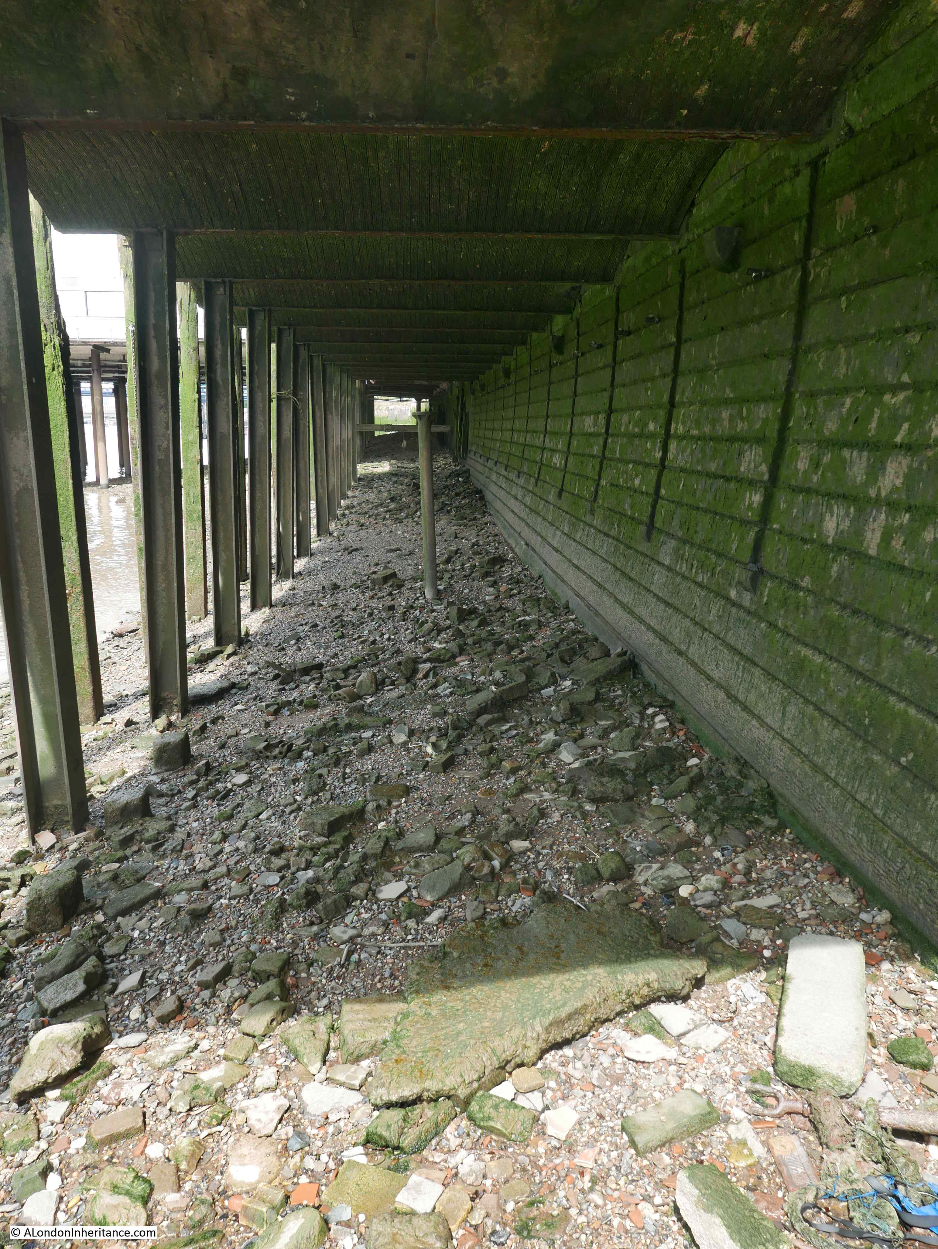
It is good that that the name of the bridge survives as the name of the building, near the site of the bridge, and the River Westbourne, which is now carried in the sewers beneath the streets, although it does sort of make an appearance, as the sewer which the Westbourne became, is today carried across the platforms of Sloane Square station:

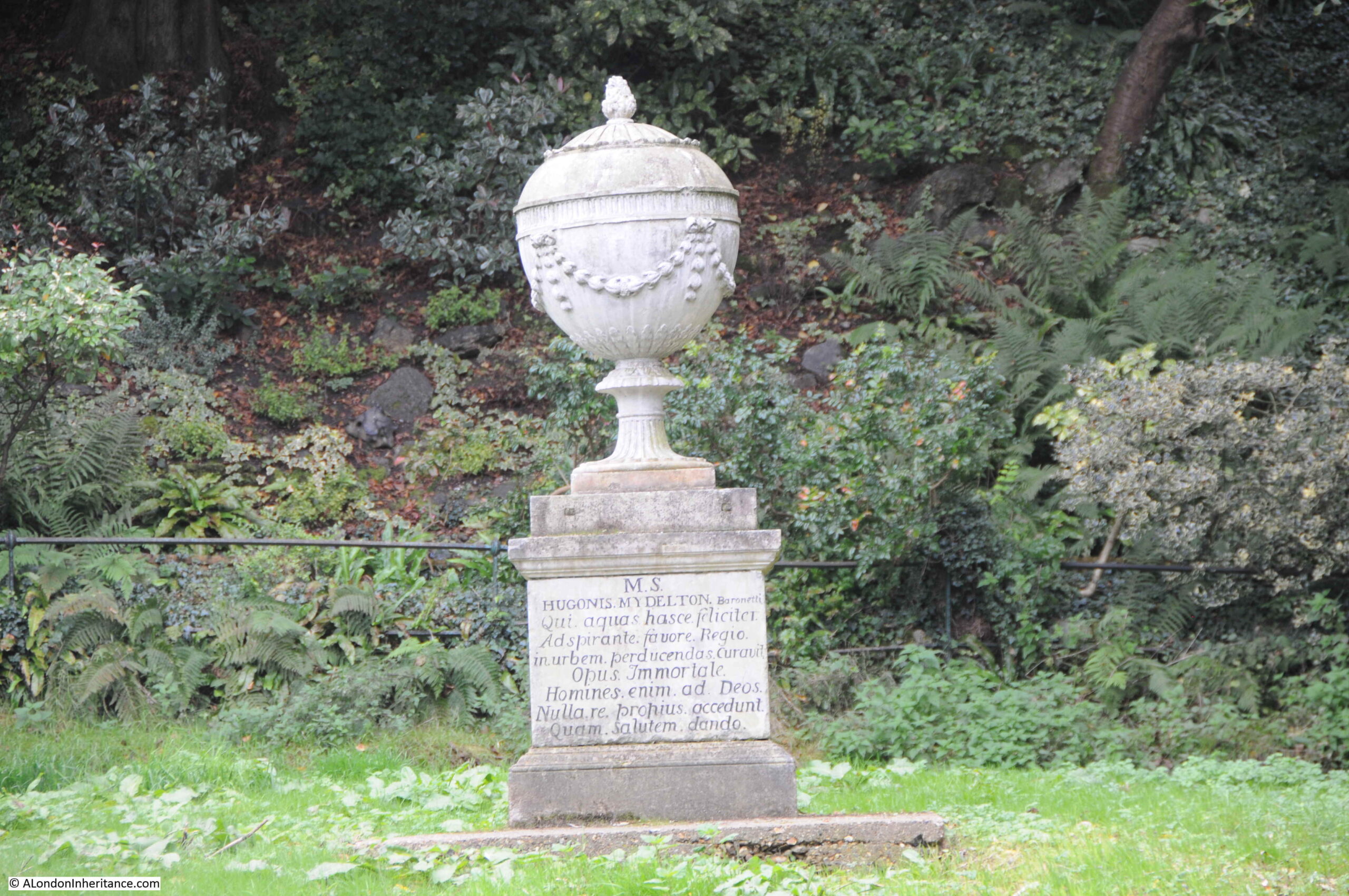
Prior to the development of the area, the fields were once markets gardens, sheep and cattle grazing etc. and it seems that those who worked these fields and gardens were given access to the King’s Private Road, however in the time of George I (1714 to 1727), the overly zealous King’s Surveyor attempted to restrict local workers access to the road. With the support of Sir Hans Sloane, who pointed out to the Treasury that farmers and gardeners of the area had since “time out of mind” been the owners and occupiers of the land bordering the King’s private way and had been accustomed to use it for “egress and regress” to their lands, carrying their ploughs along it and conveying their crops to market.
The king relented, and allowed locals to have access, and it seems that around this time the old wooden bridge over the Westbourne was replaced with a stone bridge, but as shown in the above maps, the Bloody Bridge name continued to be in use.
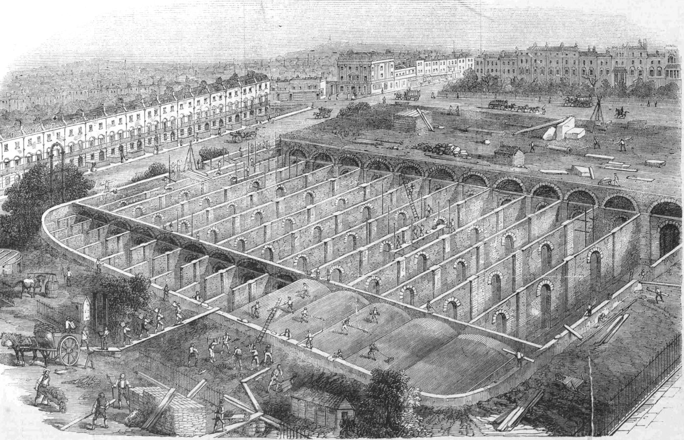
Sloane Square station, through which the Westbourne runs todays, was built by the Metropolitan District Railway Company, and opened in 1868.
In the following image from Britain from Above, we can see the curved roof over the station platforms running down from the centre of image, above which we can see Sloane Square:
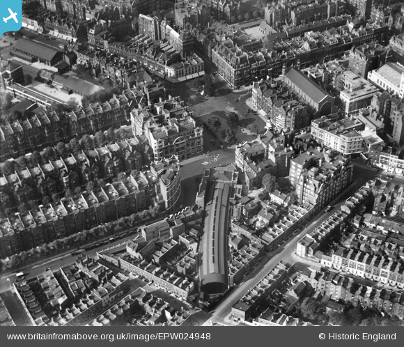
The image is dated 1928, so the original buildings that occupy the site of the 1930s Peter Jones building can be seen at the top of the square.,
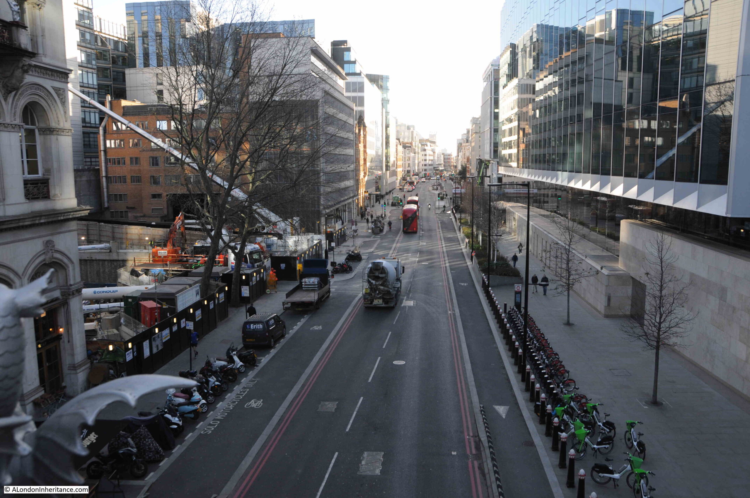
From the station, head a little to the right along the lower edge of Sloane Square to the corner where a street runs to the right, and the old Bloody Bridge was located just off Sloane Square along this street.
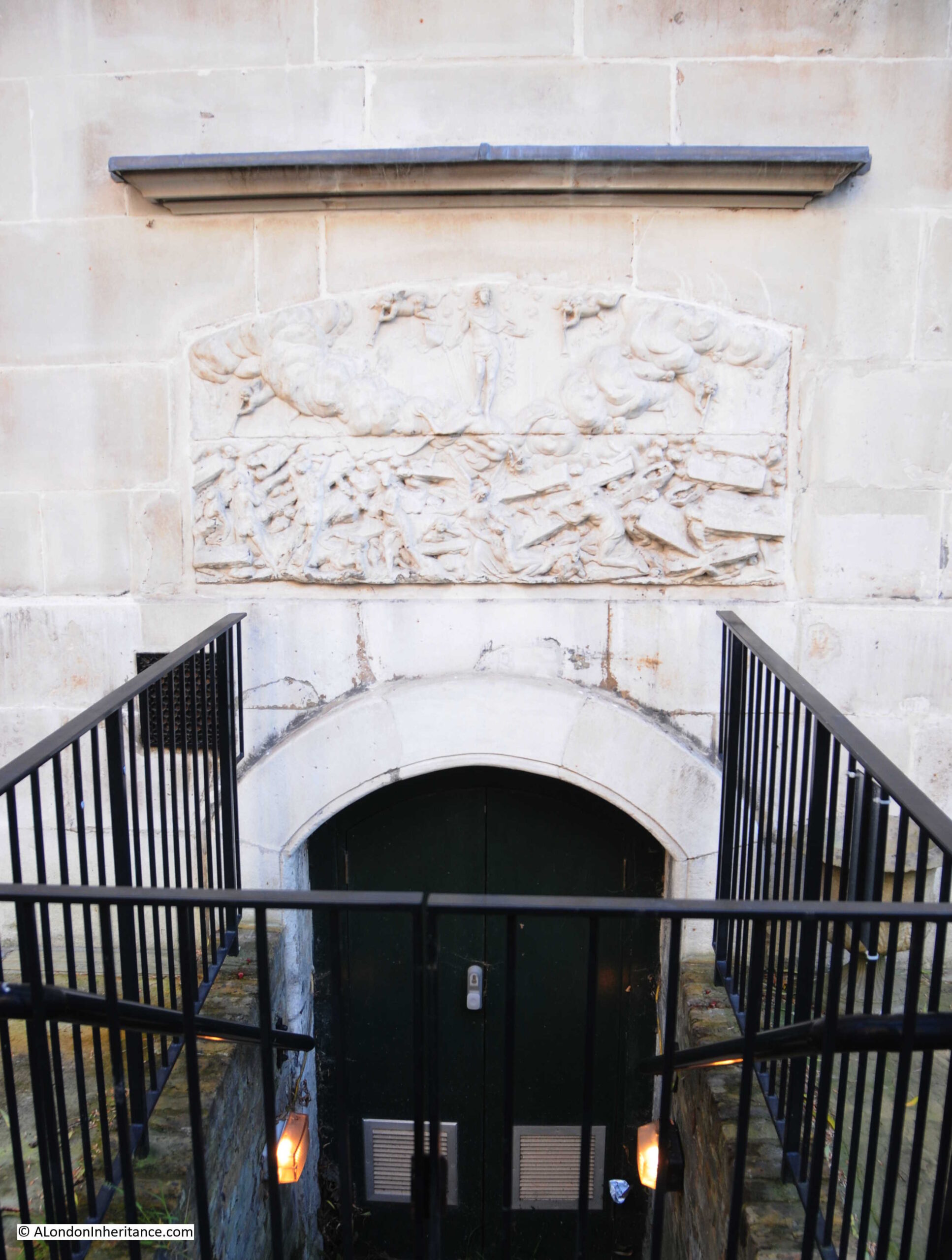
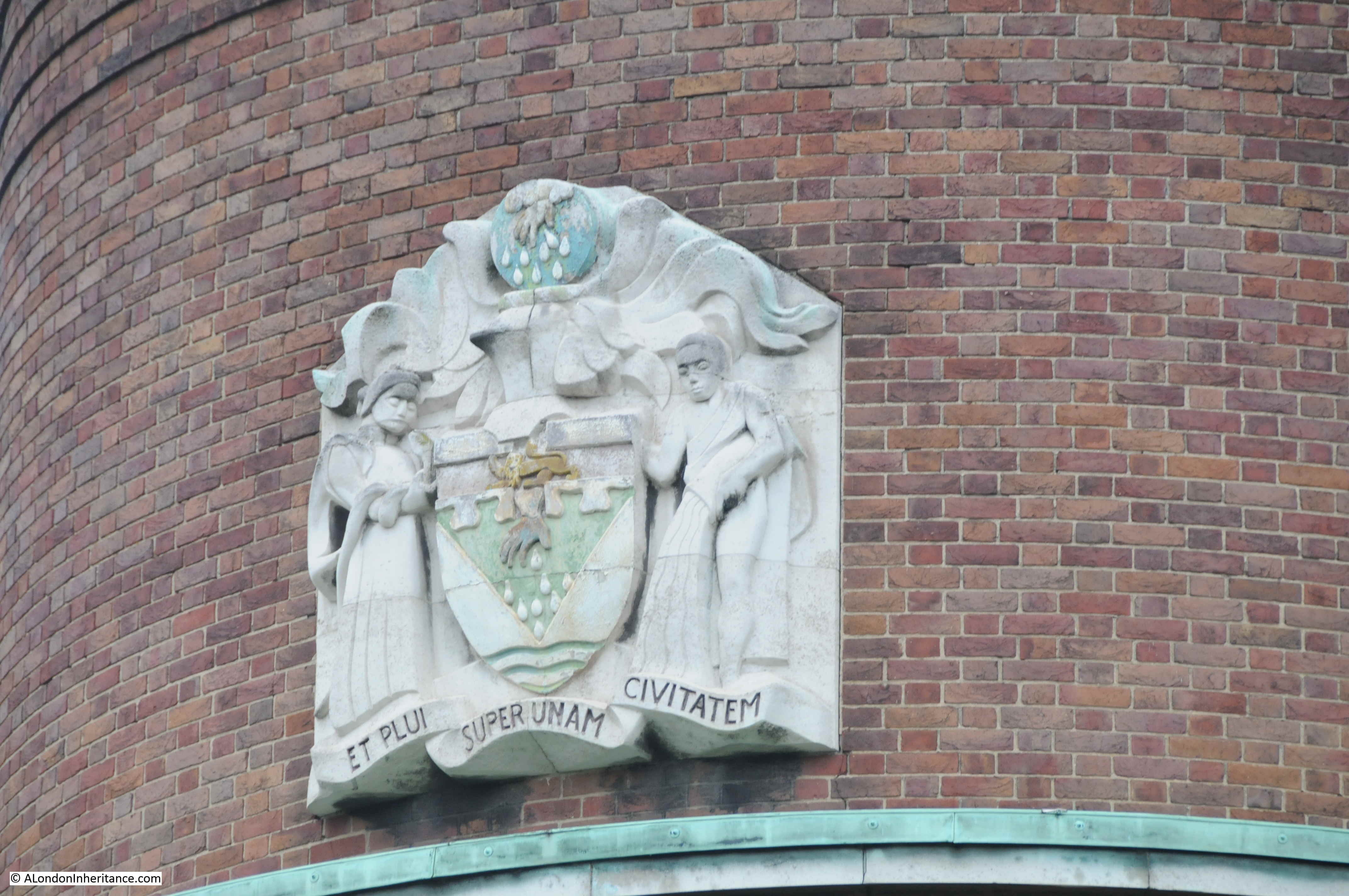
Returning to Sloane Square, and in the central square is the Grade II listed Venus Fountain dating from 1953, and by Gilbert Ledward R.A.
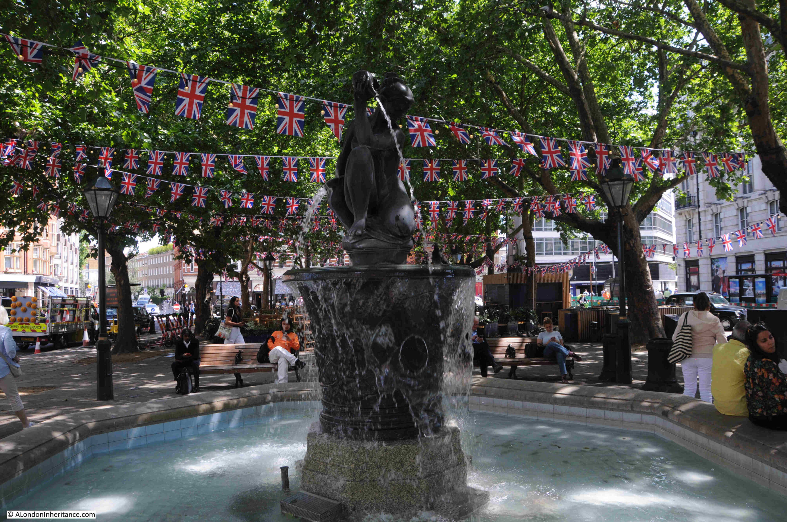
The base of the fountain has a relief depicting Charles II and Nell Gwynn seated by the Thames. The relief shows Charles II picking fruit from a tree, while his mistress Nell Gwynn fans herself. The relief also includes Cupid who is ready with two arrows, and there are swans along the Thames.
Gilbert Ledward’s view apparently was that it was rather appropriate to show the king and his mistress at a place where they must have travelled along several times, along his private road.
The central square also includes a Grade II listed war memorial, unveiled on the 24th of October, 1920:
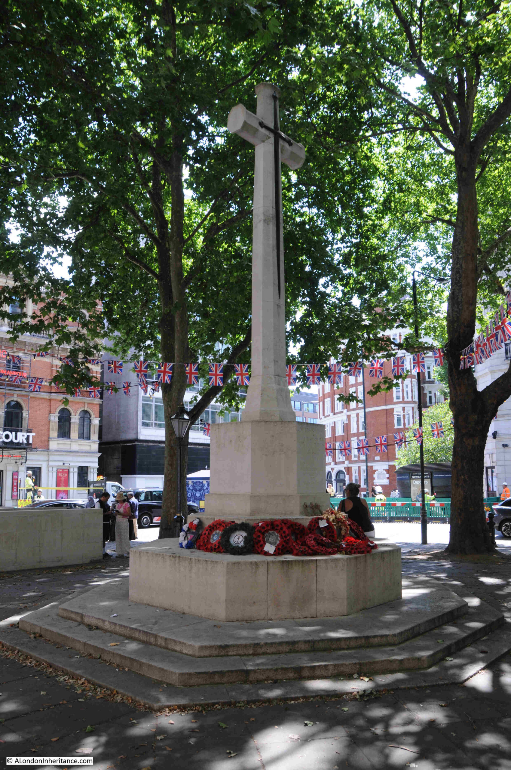
The Historic England record for the war memorial states that the architect is unknown, and newspaper reports of the unveiling also do not mention the name of the architect, however they do state that it was London’s first war cross, and was swiftly followed by one in Hackney. The early 1920s were a time when hundreds of war memorials were being unveiled across London and the rest of the country.
There are a number of plaques set among the paving slabs around the war memorial, including a plaque to Captain Julian Gribble who was awarded a Victoria Cross. His plaque is part of the “London VC Pavement Project”, a 2013 initiative by the Government to honour VC recipients:
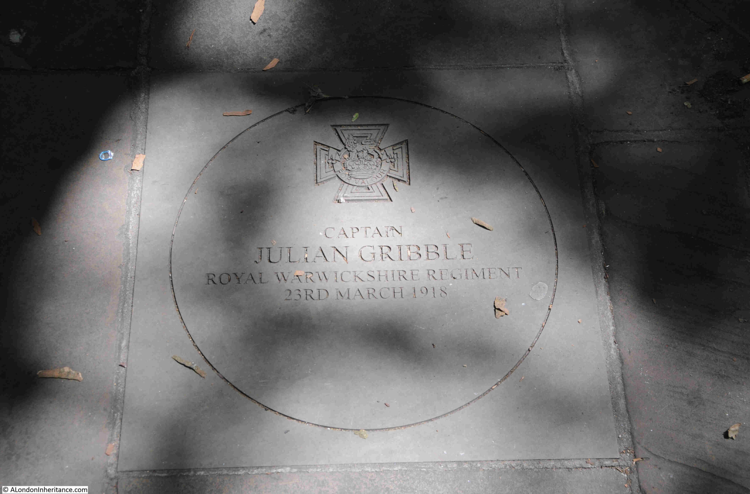
Captain Julian Gribble was leading D Company of the Royal Warwickshire Regiment, when in March 1918 he was ordered to hold the crest of Harmies Ridge until further orders, while troops on either side withdrew.
His Company was soon surrounded, but they continued fighting and he was “last seen emptying his revolver into enemy troops at a range of only 10 to 12 feet.”
D Company’s stand allowed the troops on either side to withdraw, and Captain Gribble did survive this last battle. He was badly concussed by a wound to the head, and was taken to a German hospital for prisoners of war at Hameln. He was soon though removed to a prisoner of war camp at Carlsruhe, where conditions were not good.
He learned that he had received the VC in July 1918. His health though deteriorated, and he was suffering from double pneumonia. Before he could be repatriated after the end of the war, he died on the 25th of November, 1918, just hours before the camp was evacuated, at the age of 21
He was buried on a hilltop at Mayence Cemetery.
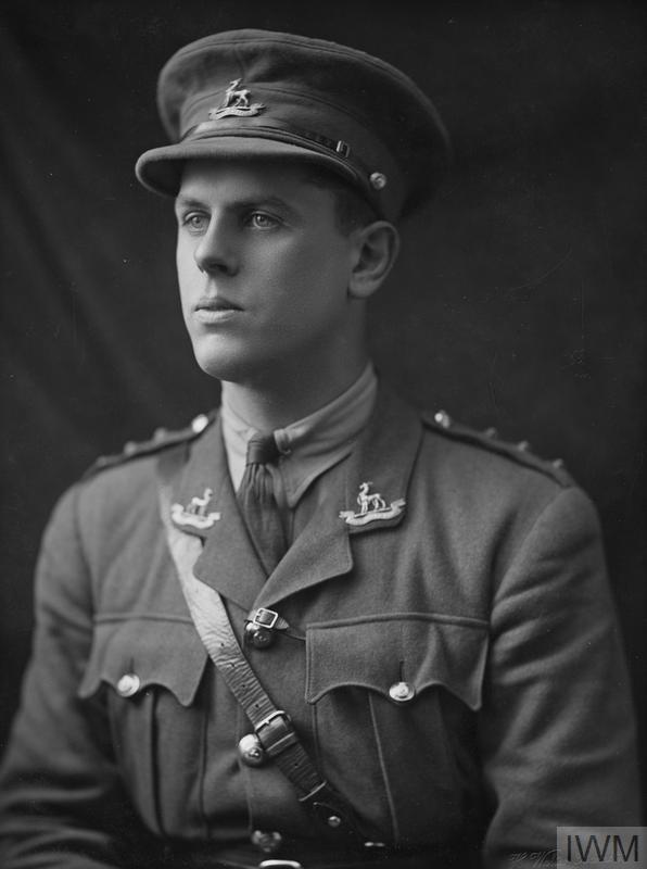
It is good to put a face to the names of those recorded on war memorials, and this is Captain Julian Gribble (source, IWM Collection, Image: IWM (HU 115450)
The Imperial War Museum Collection also includes a couple of photos of Sloane Square.
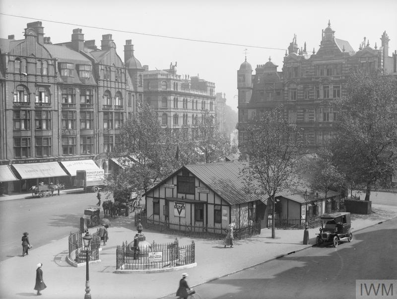
The first shows temporary buildings set up for the YMCA in the central square during the First World War (source, IWM Collection, Image: IWM (Q 28737):
For some strange reason, I do love shops with awnings over the pavement.
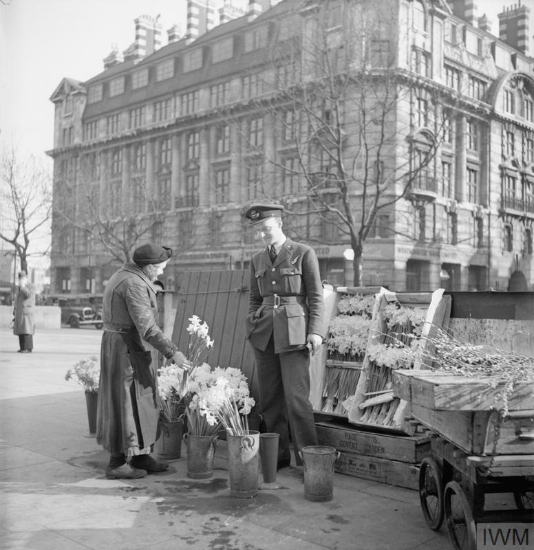
The second shows Flying Officer Harold Lackland Bevan buying flowers for his bride to be from a flower seller in Sloane Square in March 1943 (source, IWM Collection Image: IWM (D 12864):
Looking back from the war memorial to the west of the square, with Peter Jones in the distance:
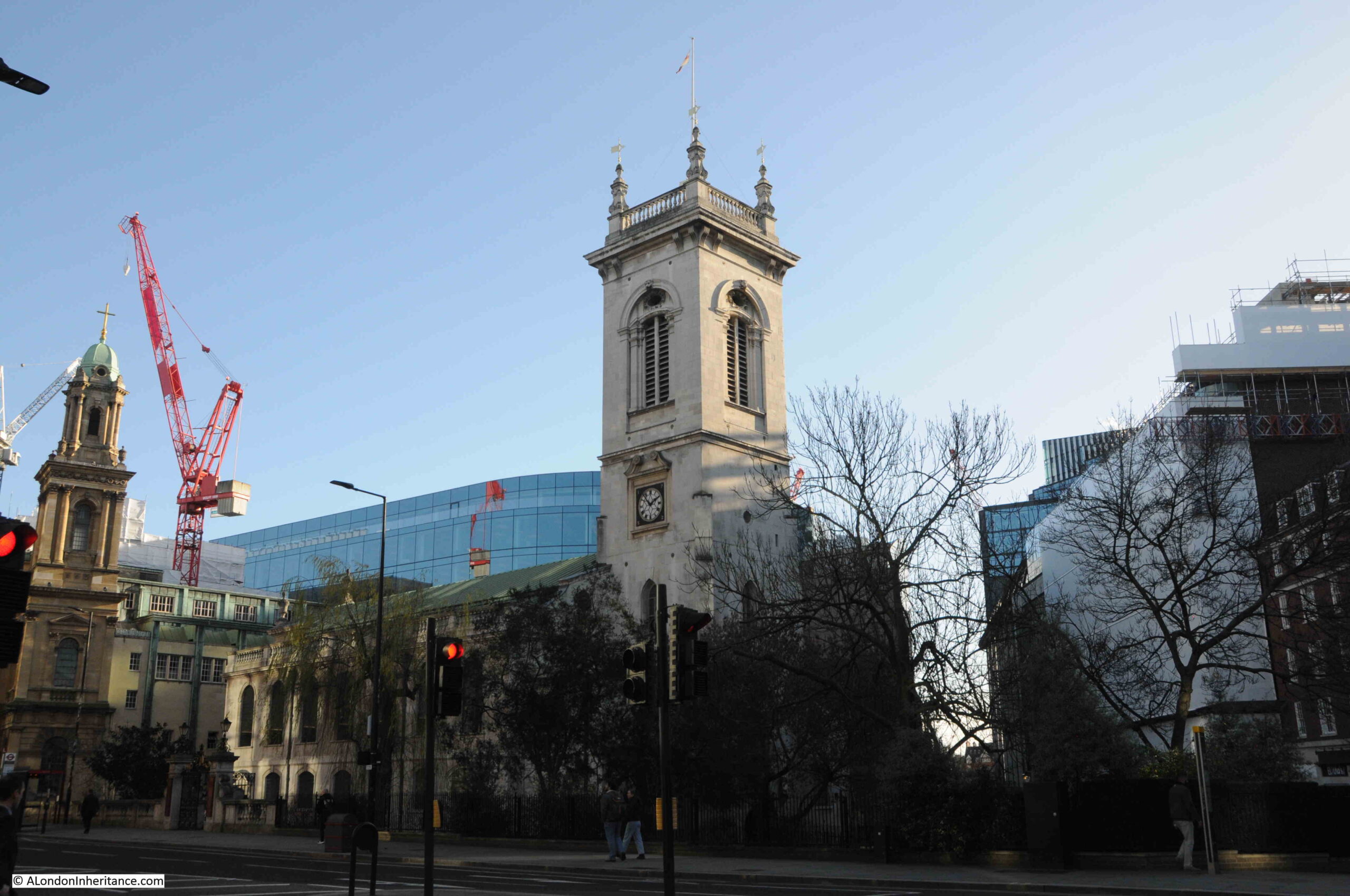
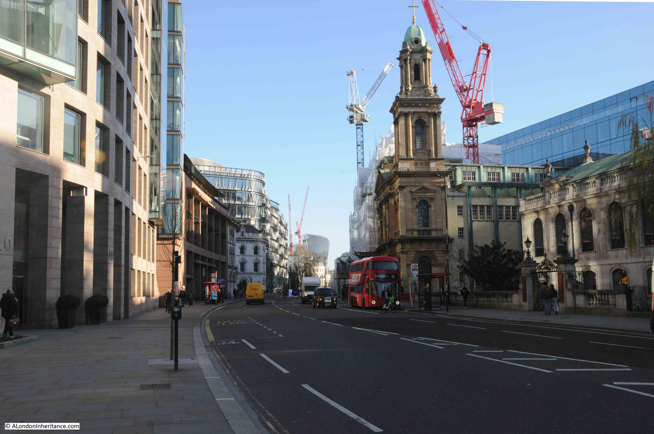
There are two more listed buildings around Sloane Square. The first is the Grade II Royal Court:
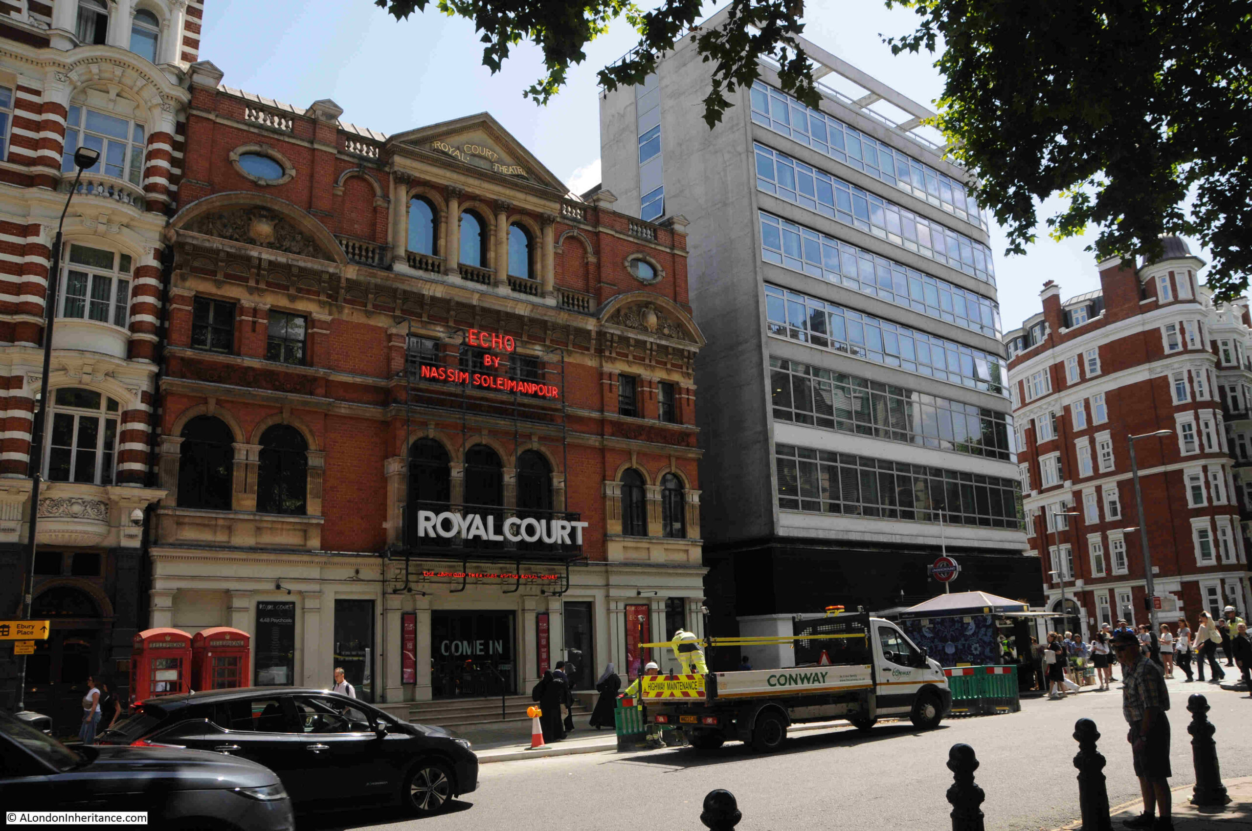
The Royal Court theatre owes its existence to a small theatre in nearby Lower George Street. The current building on the eastern side of Sloane Square was opened on the 24th of September, 1888 as the New Court Theatre, and was designed by Walter Emden and Bertie Crewe.
The Royal Court was the first theatre in London to stage a suffragette themed production, when in April 1907 “A play has been successfully produced at the Court Theatre, Sloane Square, in which a suffragette heroine and 50 suffragettes as supernumeraries demonstrated with the enthusiastic support of the audience”.
The theatre closed in 1932, and the building served as a cinema between 1935 and 1940, and then suffered some bomb damage.
The interior of the theatre was reconstructed after the war and the theatre reopened in 1952.
Strangely, the history of theatre on the theatre’s web site starts in May 1956, when John Osborne’s “Look Back in Anger” opened at the theatre. The only mention of anything prior to 1956 appears to be the state of the drains in the early 1900s, and the creaking of the seats in 1906.
The interior of the theatre has been refurbished and upgraded a number of times, but the façade facing onto Sloane Square looks much as it did when the original theatre opened in 1888.
In the above photo, the entrance to Sloane Square station is on the ground floor of the new block immediately to the right of the theatre. The original station building having been demolished many years ago. Had it survived, it may well have also been listed.
The other listed structure is not a building, but a “Pair of K6 Telephone Kiosks outside the Royal Court Theatre“:
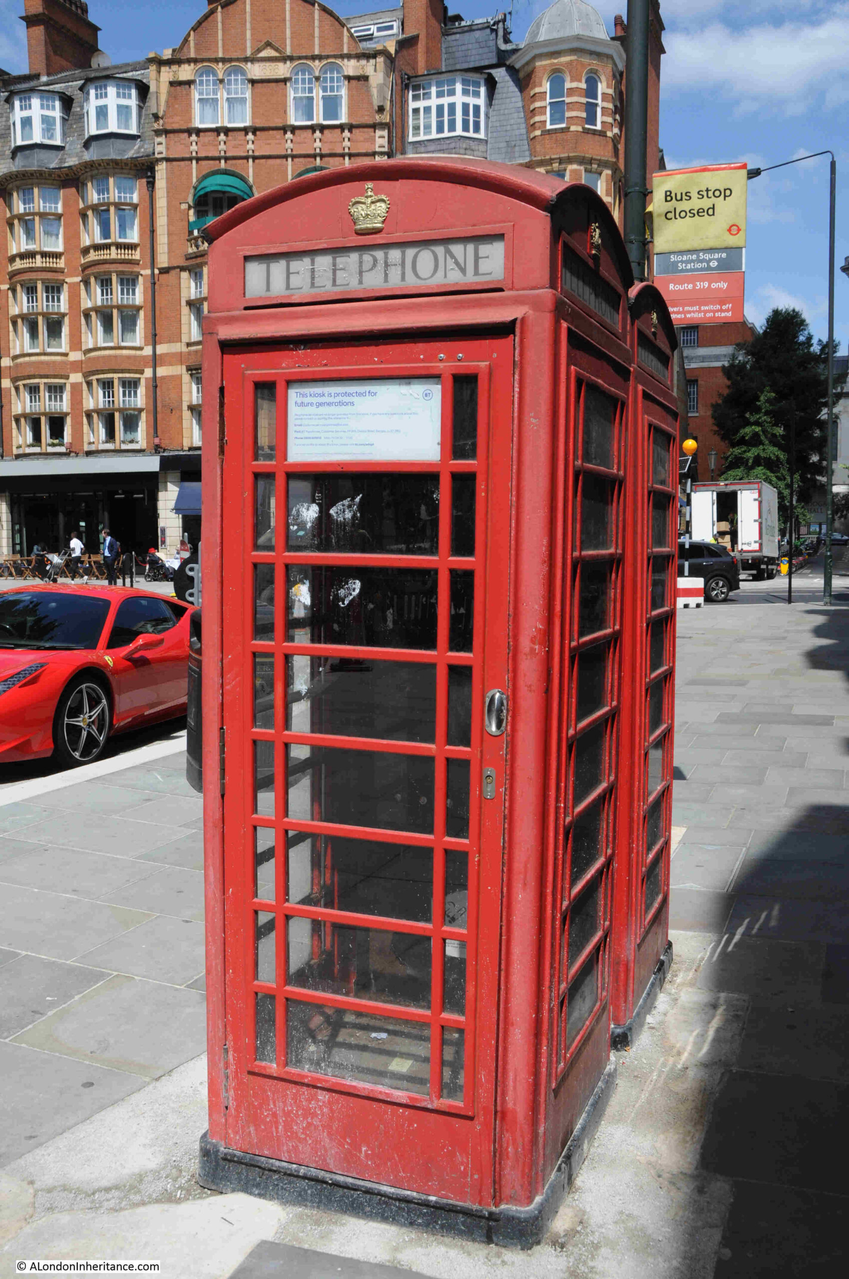
The telephone kiosks are Grade II listed, with the listing stating that they are “Telephone kiosks. Type K6. Designed 1935 by Giles Gilbert Scott. Made by various contractors. Cast iron. Square kiosk with domed roof. Unperforated crowns to top panels and margin glazing to windows and door.”
There are no payphones in either of the kiosks, and the sign on the door states that “This kiosk is protected for future generations”, along with a web link to where you can adopt a kiosk, and from there, there is another link to where you can purchase a K6 telephone kiosk for a starting price of £3,200 plus VAT and delivery.
It is interesting that both the telephone kiosks and the Royal Court Theatre are equally Grade II listed.
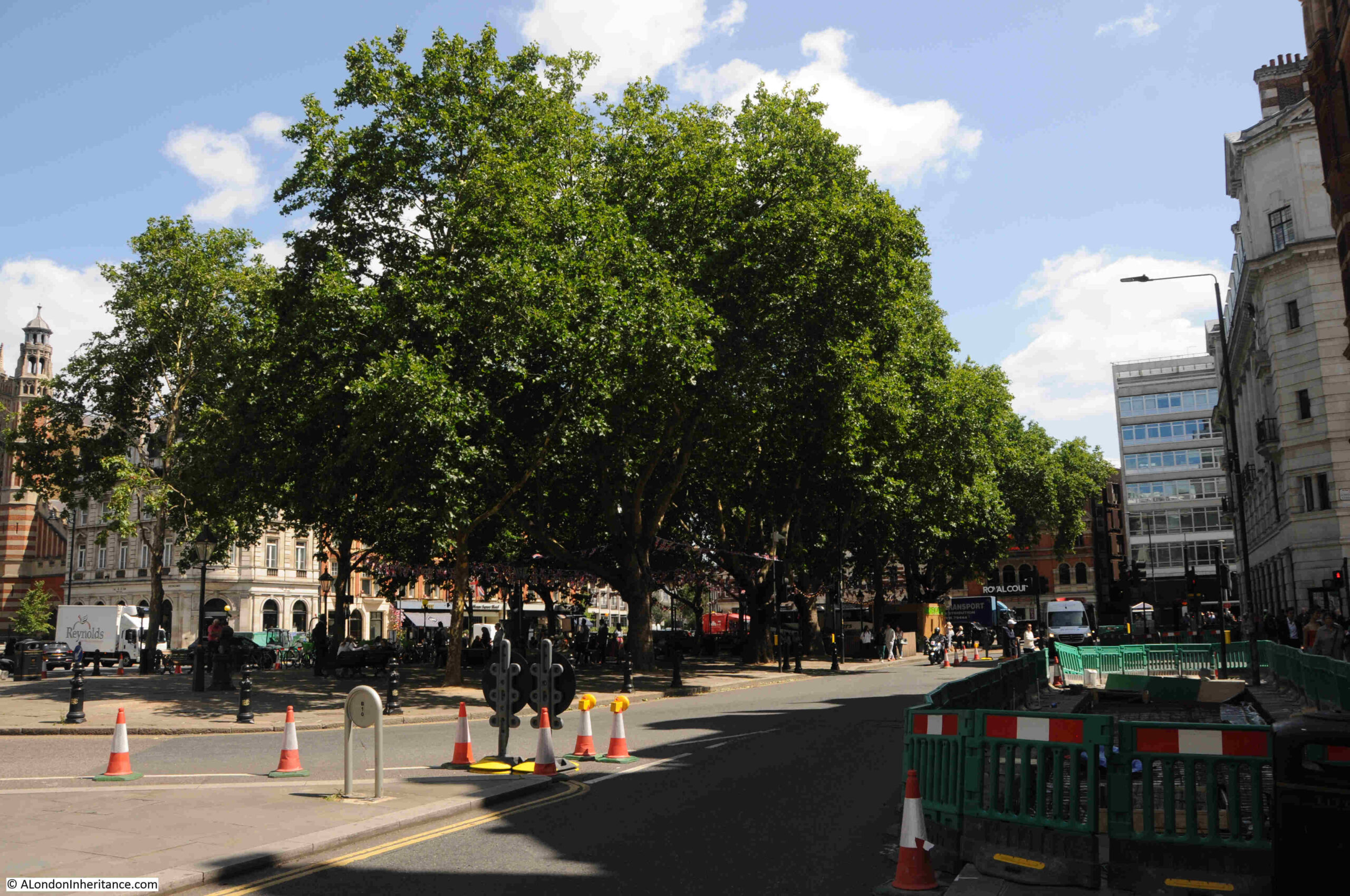
View looking across to the central square from the south west corner of Sloane Square:
Sloane Square has given the term “Sloane Ranger” to the English language, a term that describes an upper middle class, or upper class person, usually young and financially well off, and who have a similar approach to fashion and life.
Prior to the marriage of Sarah Ferguson and Prince Andrew, there were many newspapers descriptions of the bride as follows:
“Miss Sarah Ferguson comes from that well-heeled, rather old fashioned slice of young society known as Sloane Rangers.
Sloane girls’ hallmarks are pearls, Liberty frocks, sensible shoes and cashmere sweaters, their spiritual home the Sloane Square area of London. They speak in cut-glass accents and signify agreement by a drawn out ‘Okay, yah’.
Sloane Rangers may work in the City, but their roots are in the huntin’ and shootin’ countryside where they attend hunt balls and show jumping trials. On such occasions they brush with royalty.
Lady Diana Spencer was the definitive Sloane.”
According to the Sunday Express on the 7th of March 1993, Sloane Rangers were in shock over rumours of the closure of Peter Jones, their mecca on a Saturday morning for a wax jacket and pearls.
The origin of the term Sloane Ranger seems to be in the mid 1970s, and appears to have been used first in print in an article in Harpers & Queen in October 1975 by Peter York.
However there are other candidates for the origin of the phrase including Martina Margetts, a Harpers sub-editor, or it could be Fiona Macpherson, also a Harpers editor. There is also a claim that journalist Julian Kilgour used the term Sloane Ranger to describe his wife, in November 1974.
Whatever the source of the term, it does describe a certain social set, once based around Sloane Square. I am not sure what Sir Hans Sloane would have thought of his surname being put to such use.
The southern side of Sloane Square:

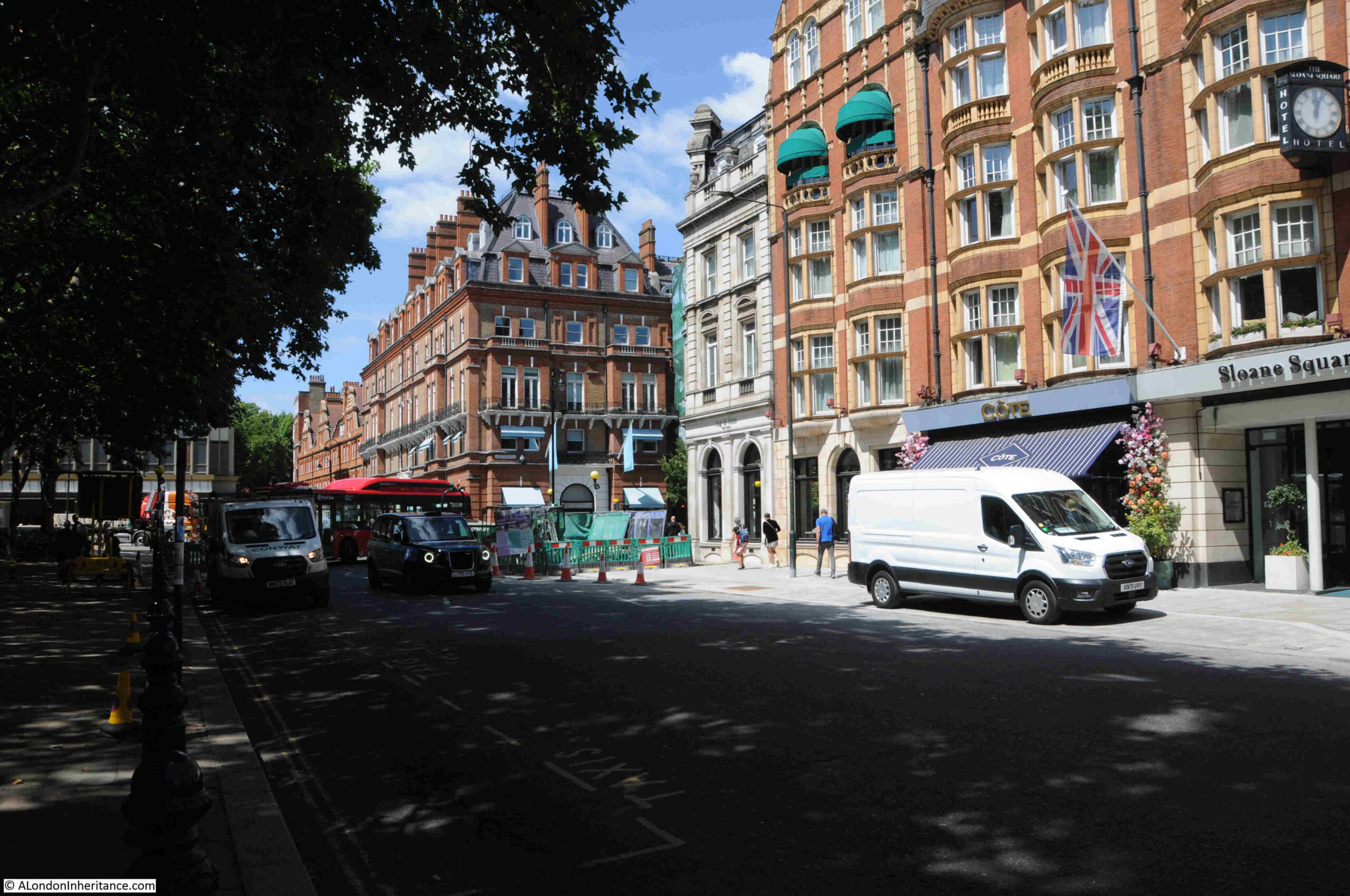
The northern side of Sloane Square:
Sloane Square again shows how much history you can find in a small part of London.
And if you walk along the King’s Road of today, it is so named just because Charles II, and the kings that followed until the 19th century, wanted their own private route from St. James’s Palace and Westminster to Hampton Court, and the Bloody Bridge shows how dangerous and violent parts of London once were.