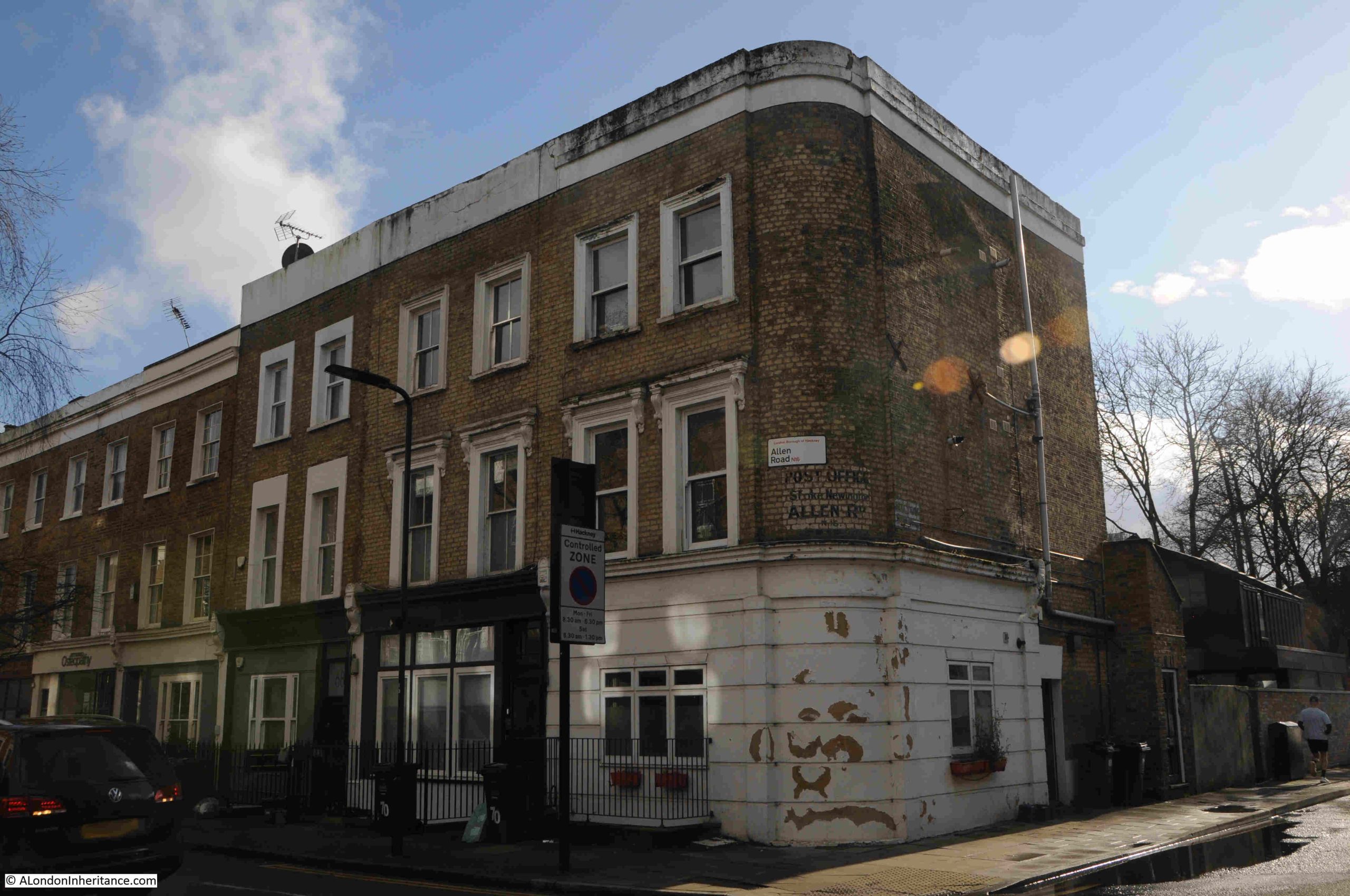
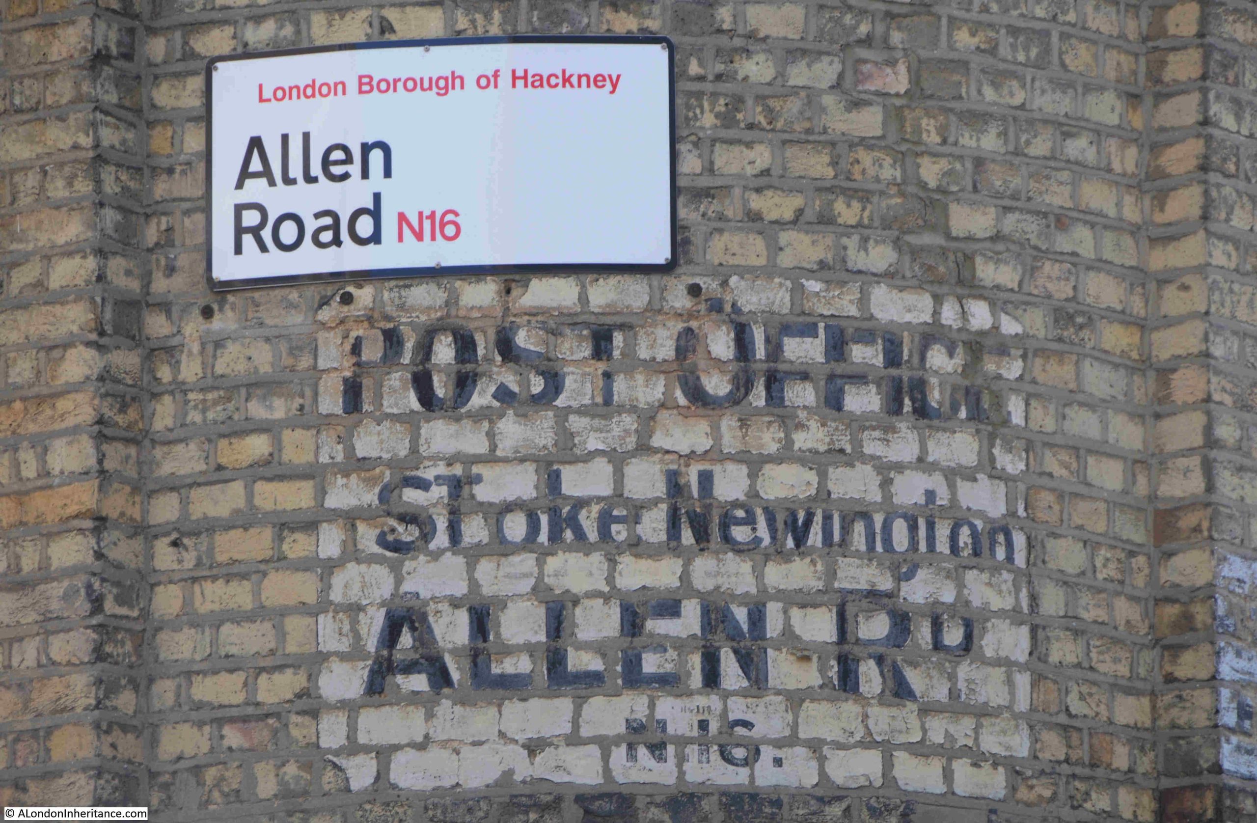
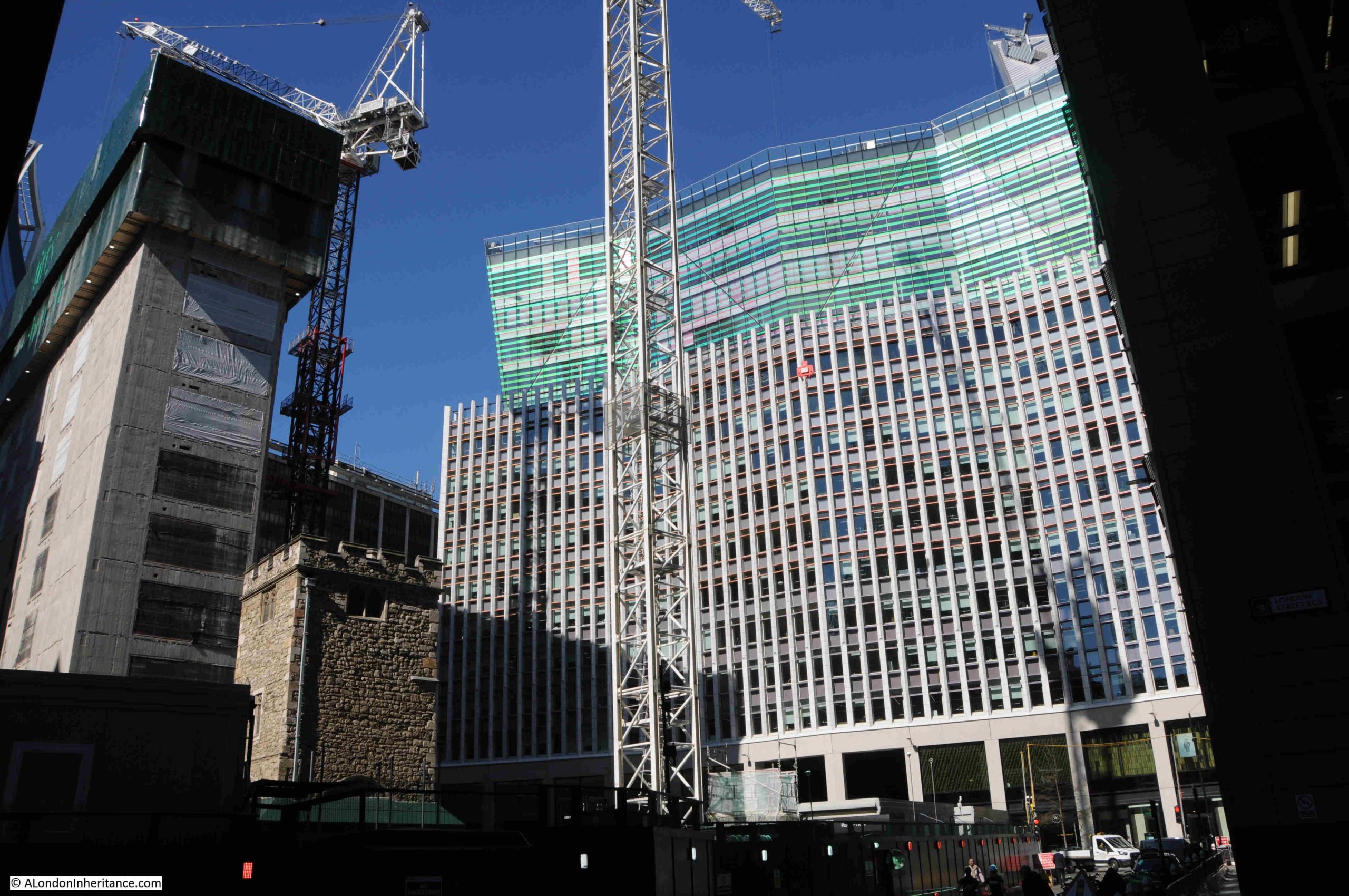
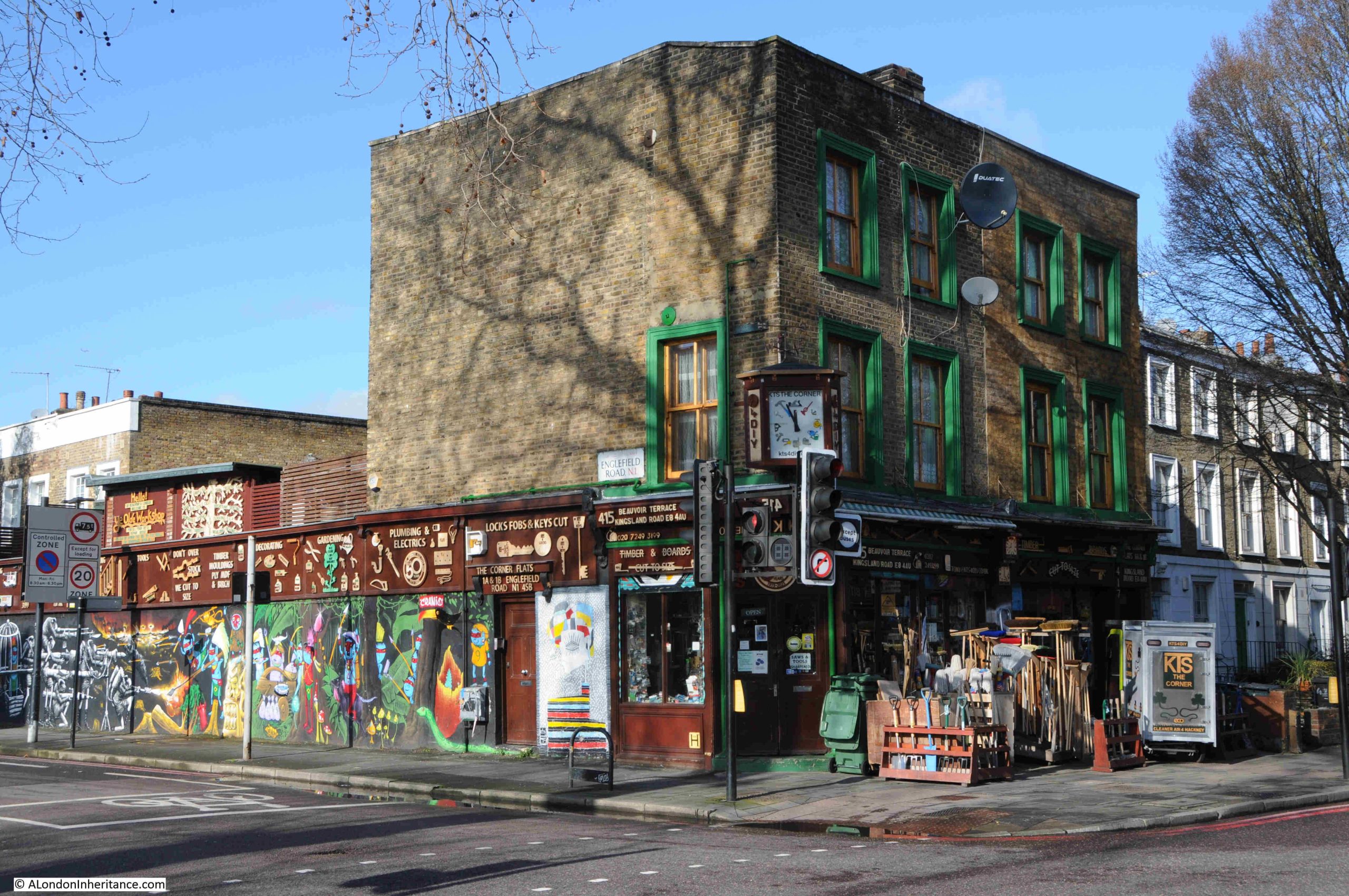
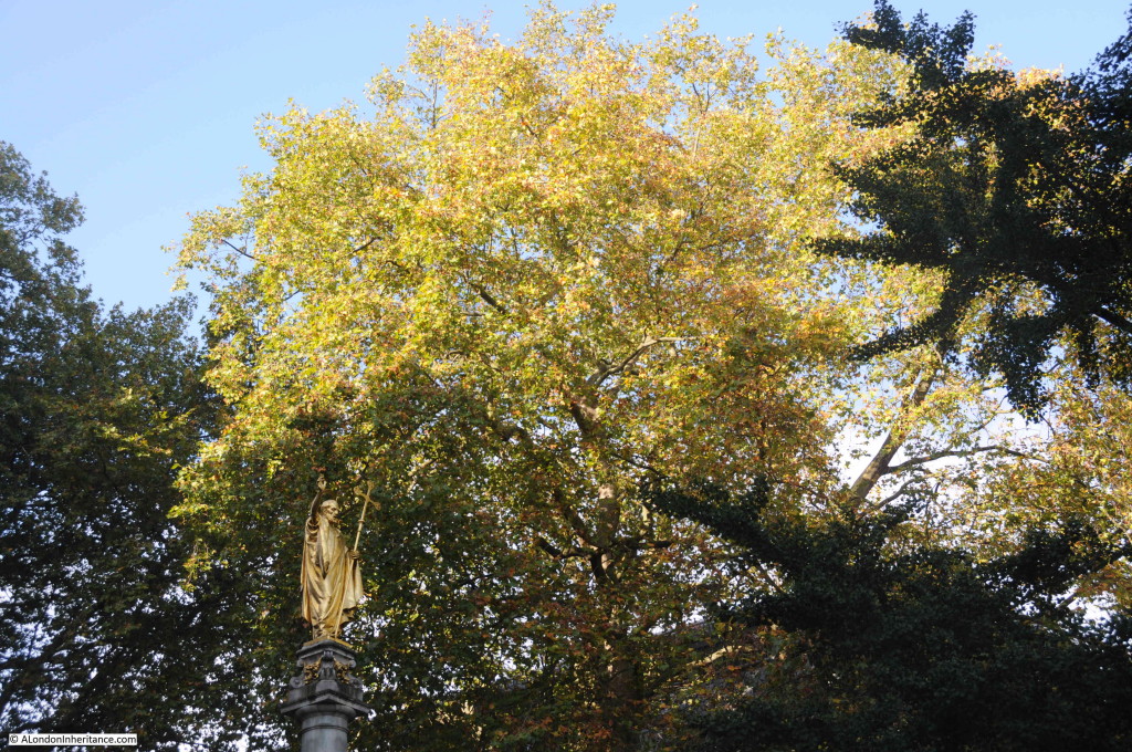
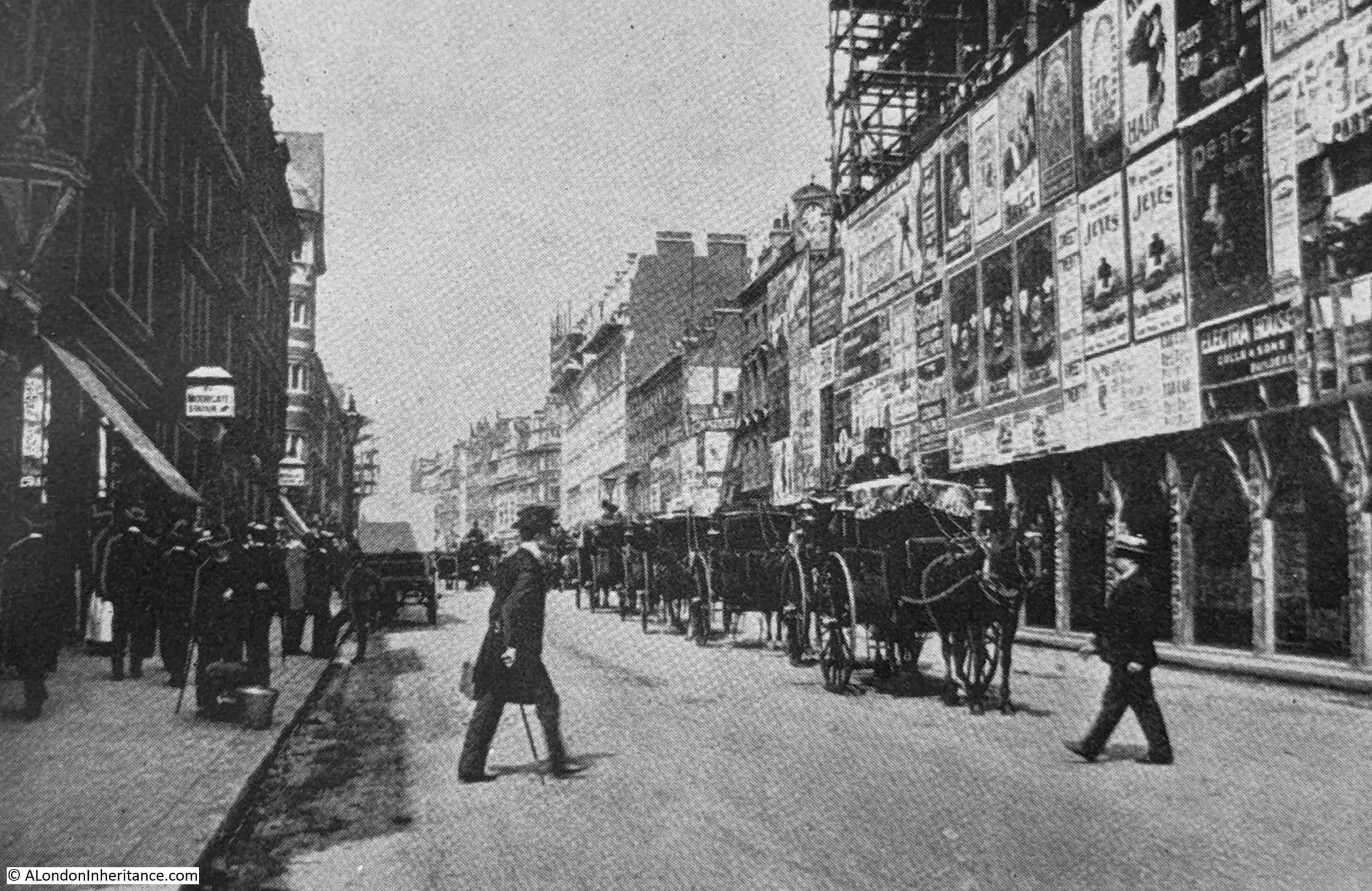
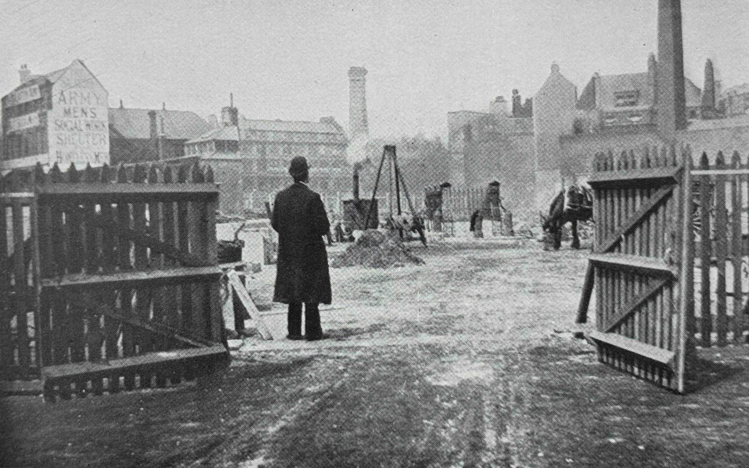
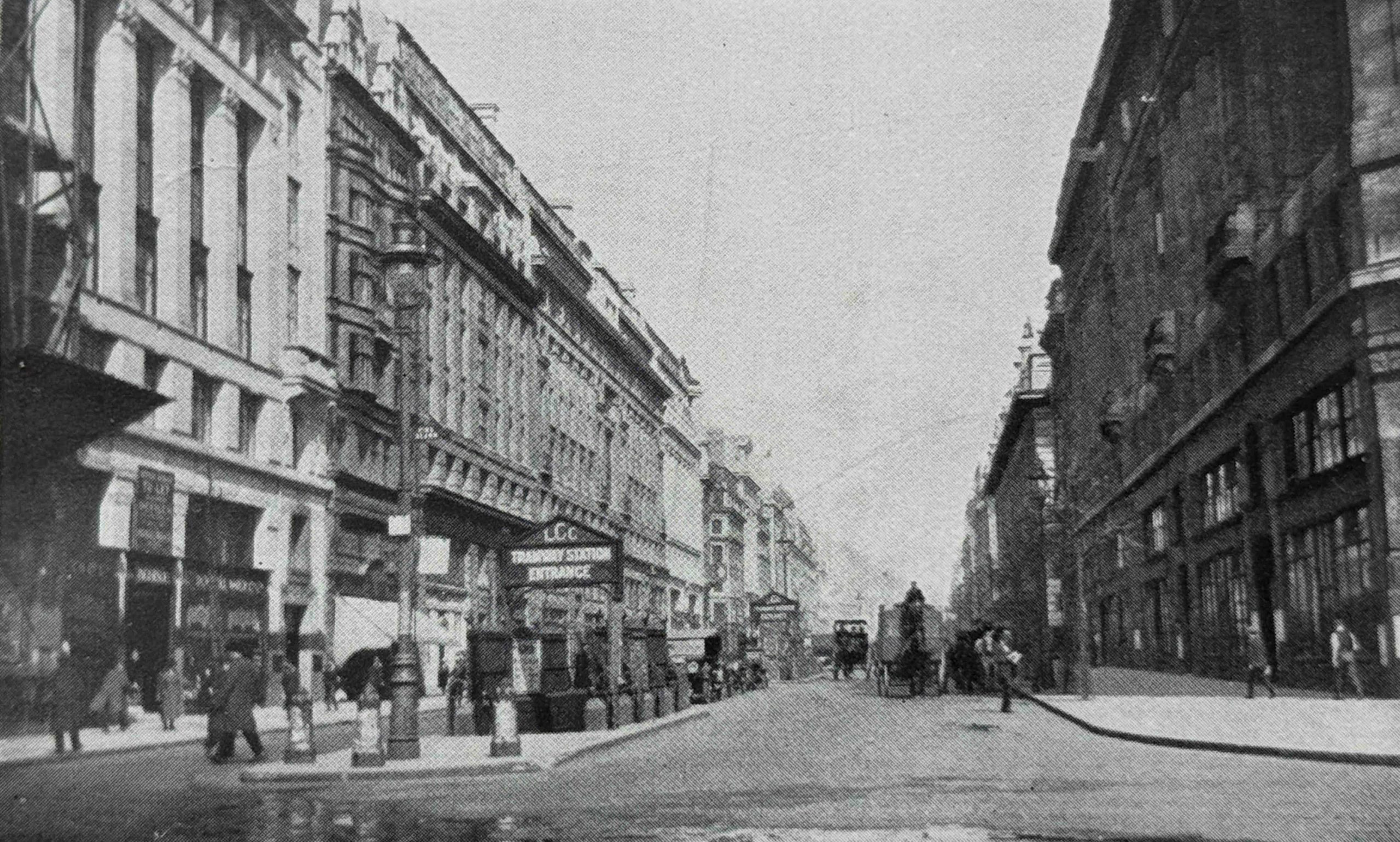
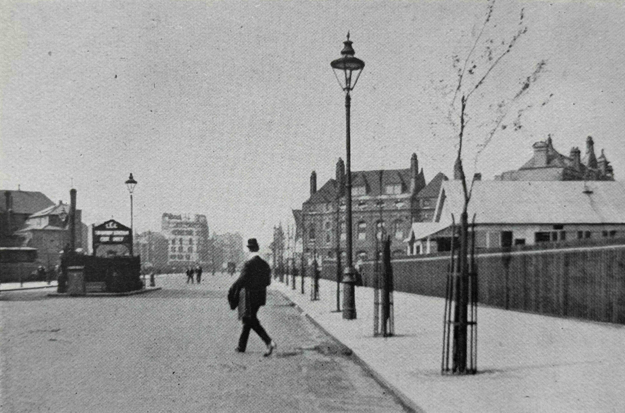
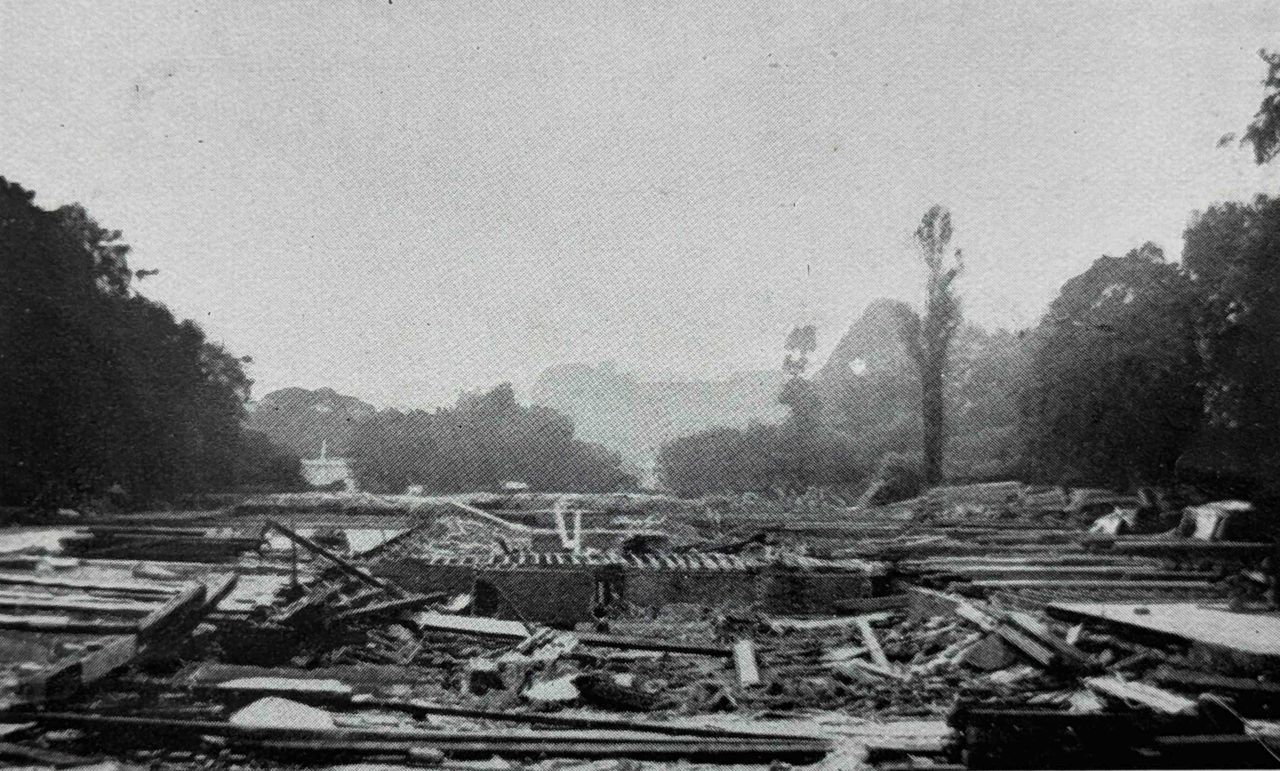
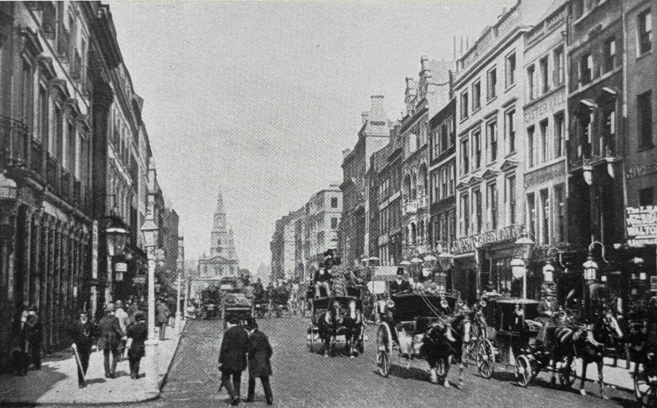
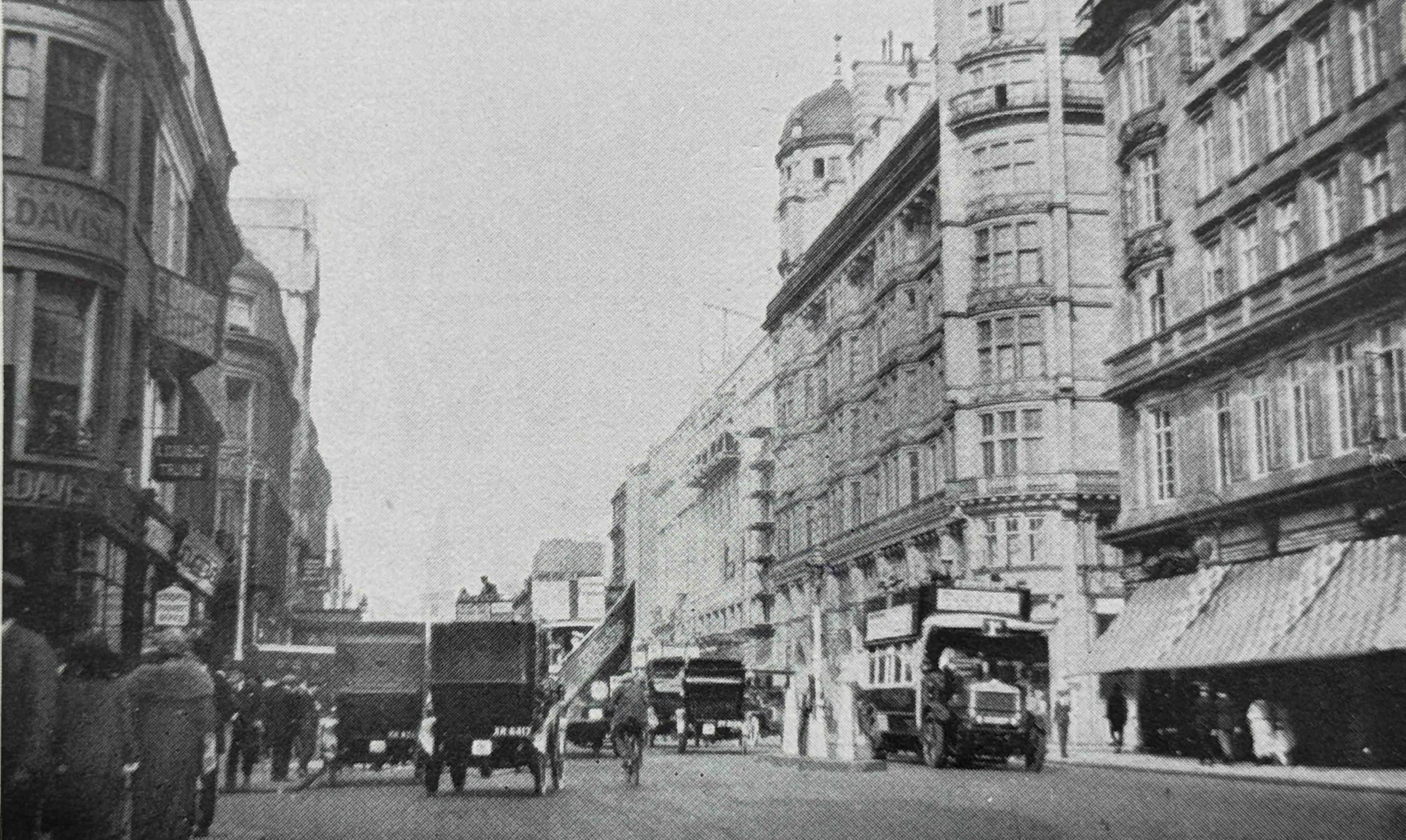
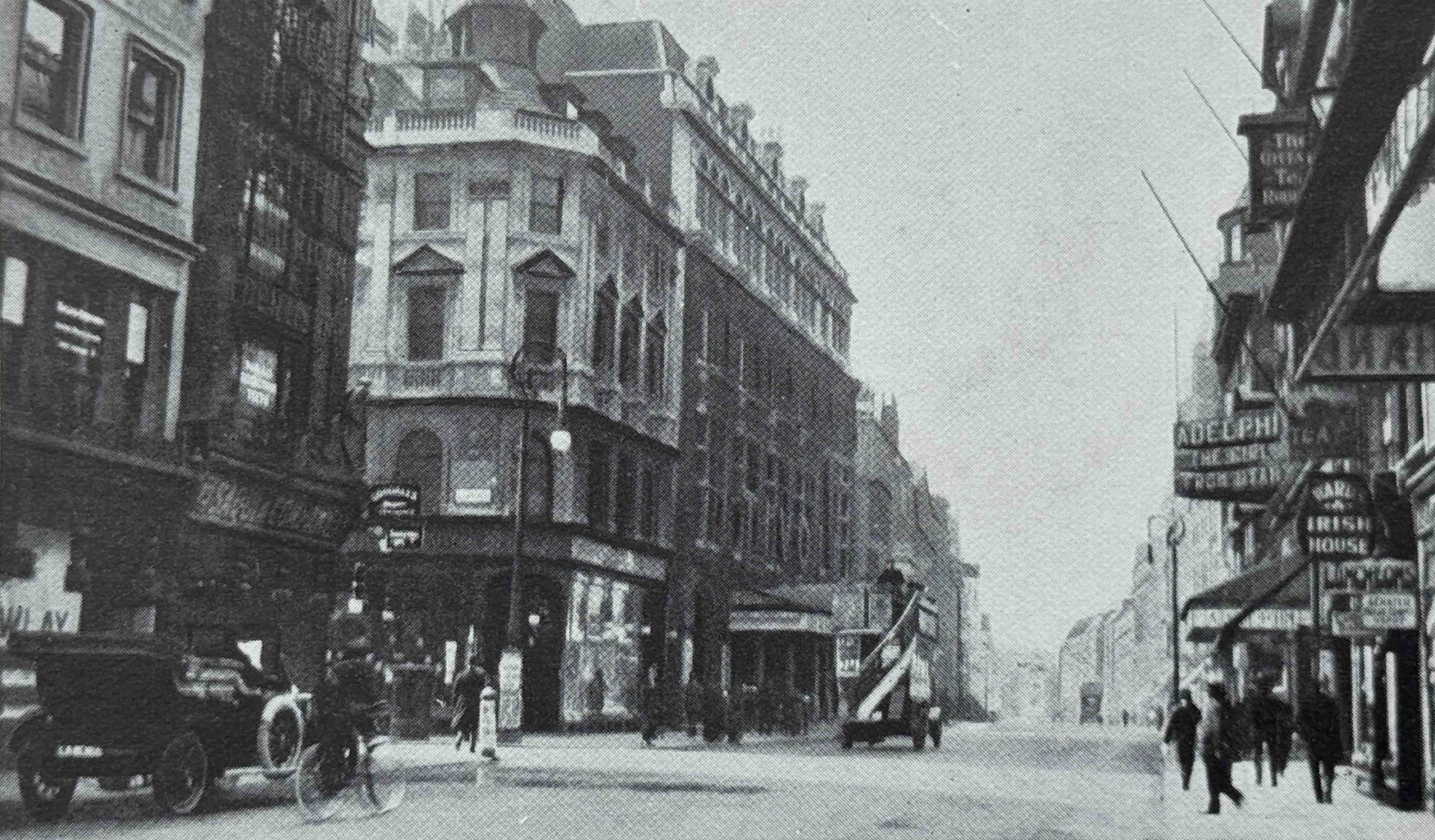
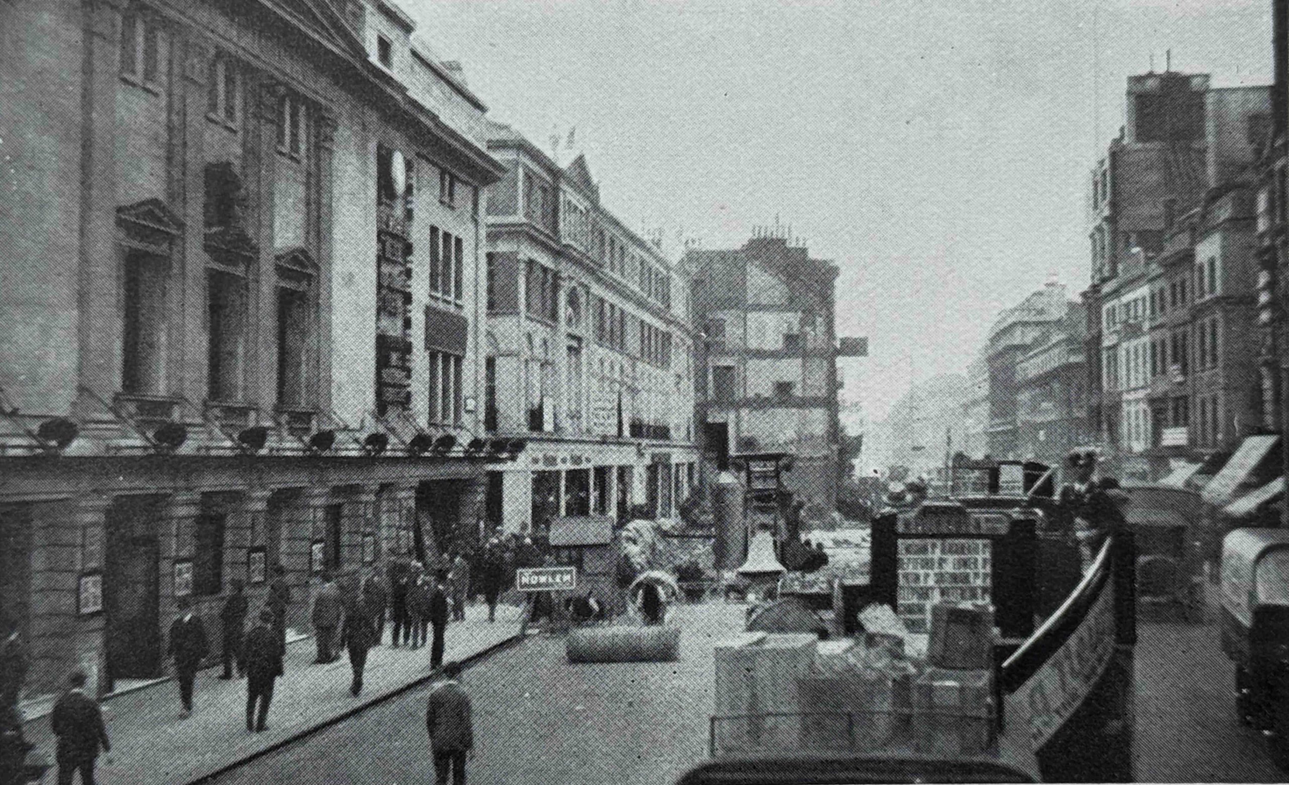
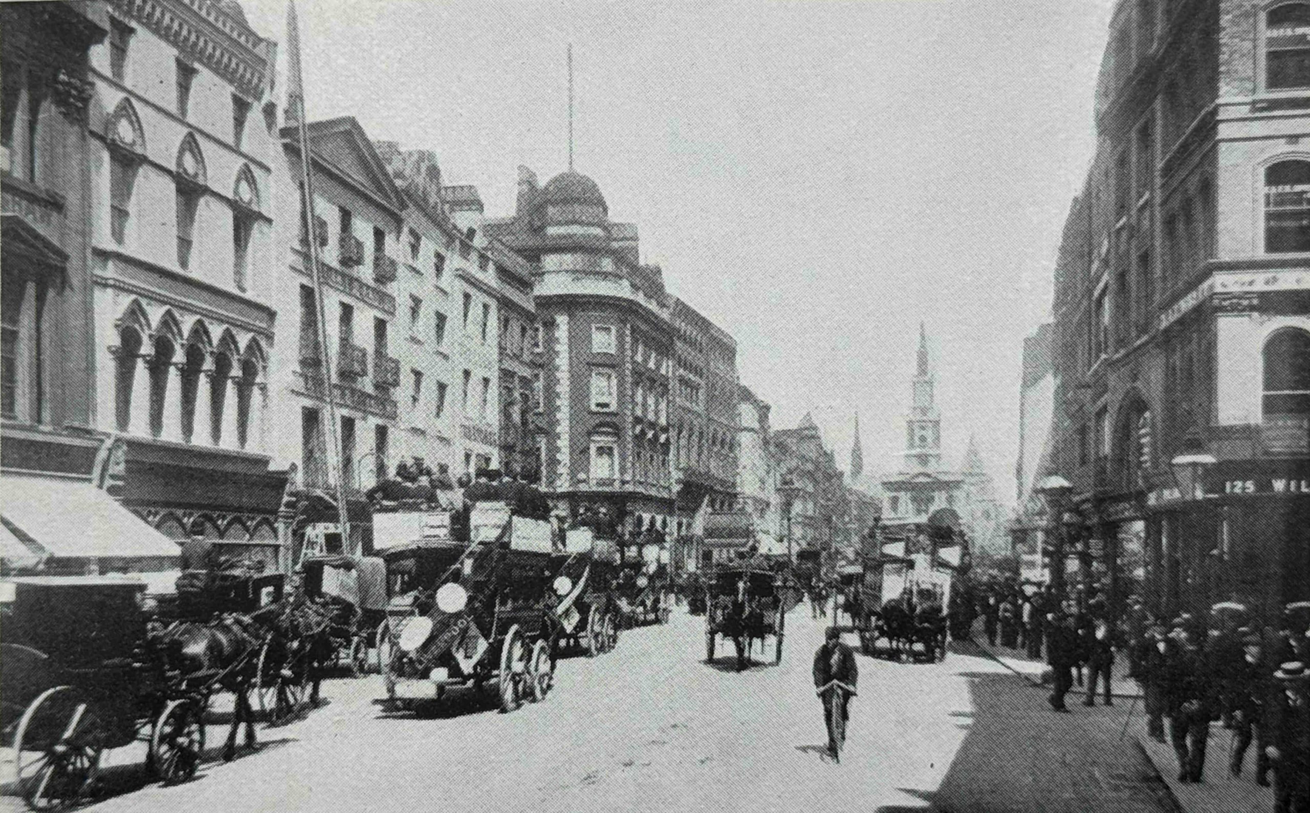
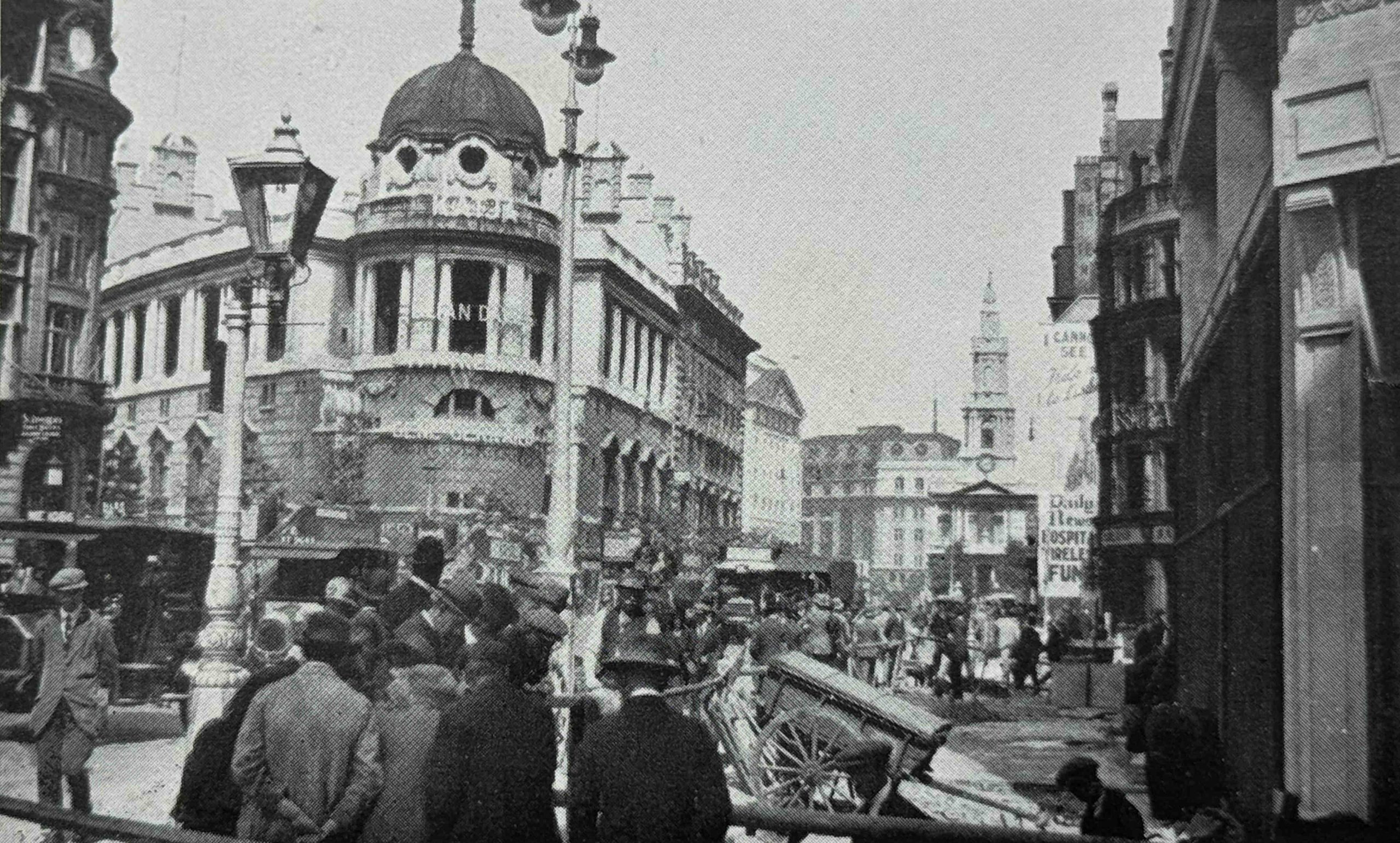
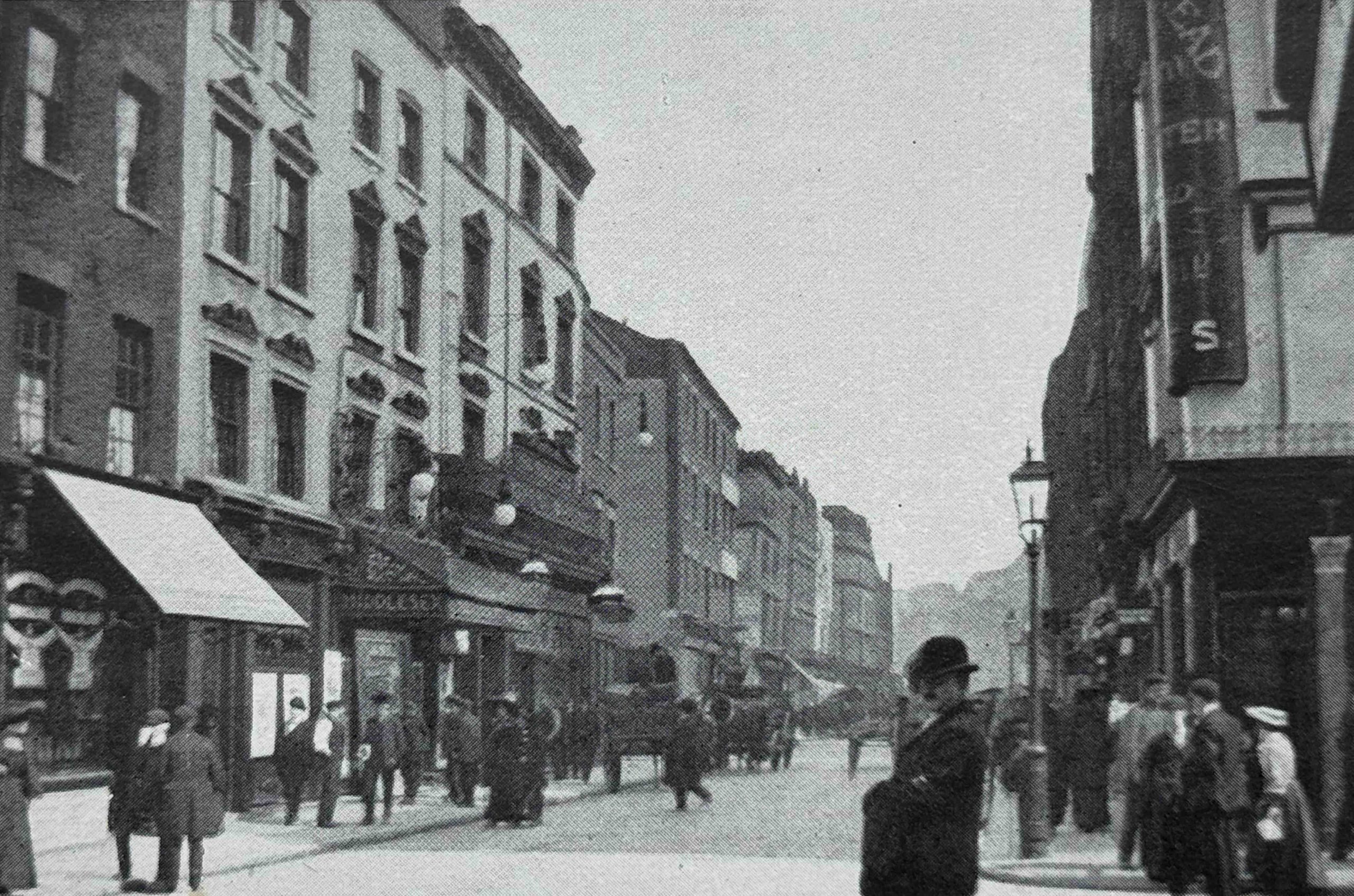
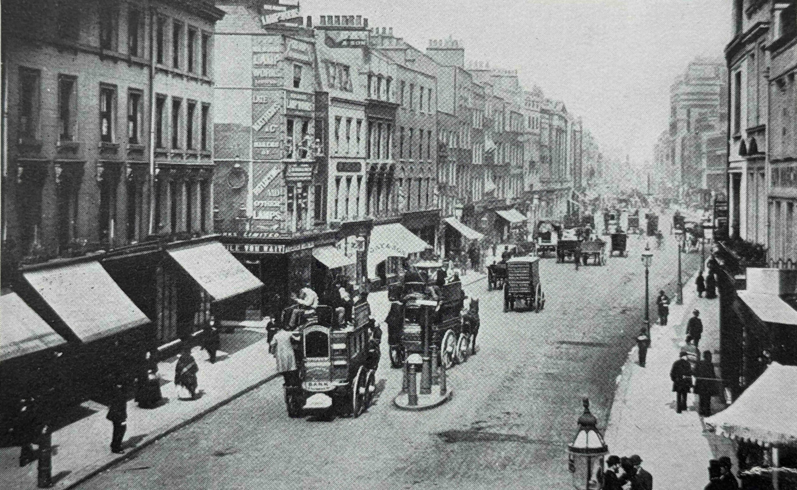
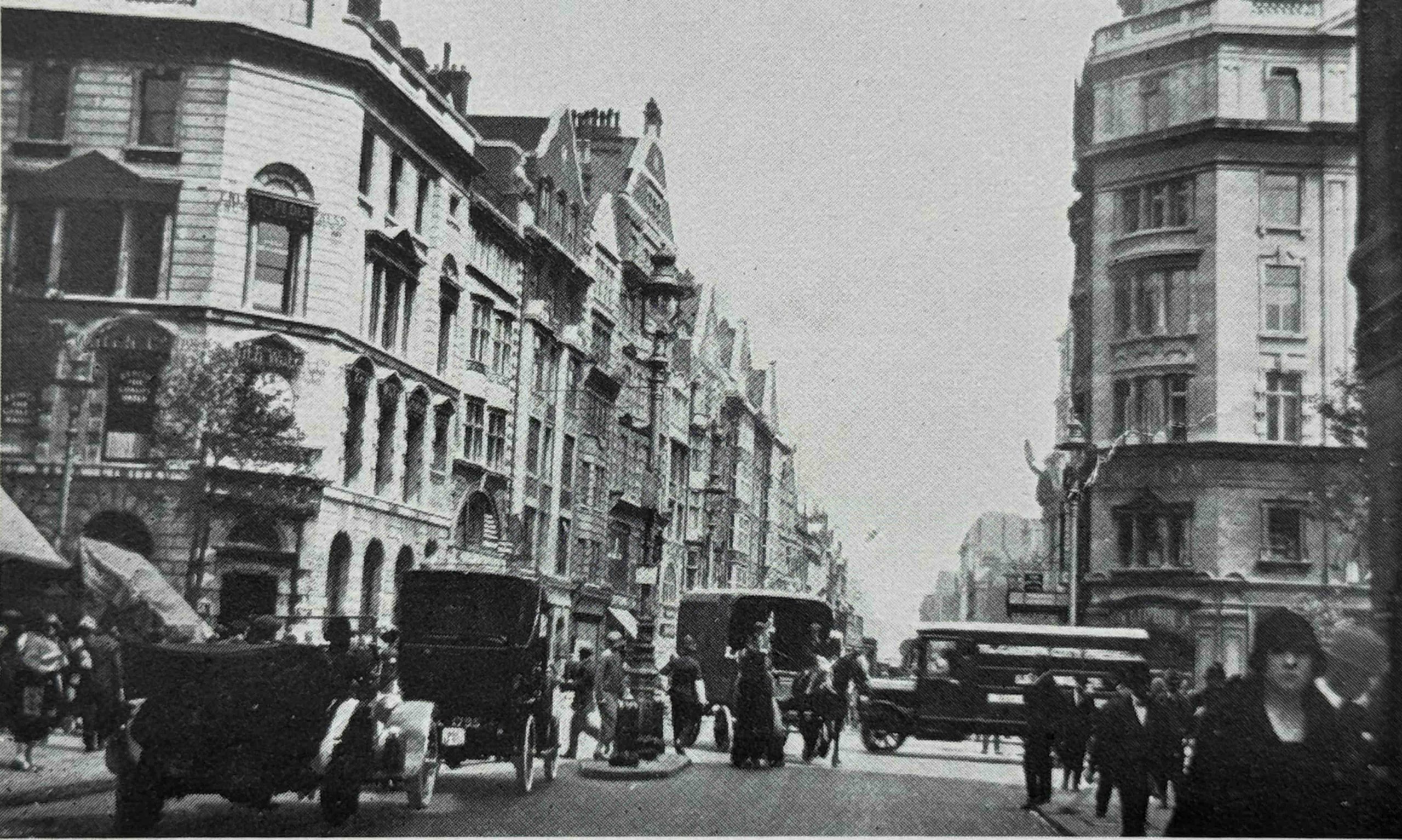
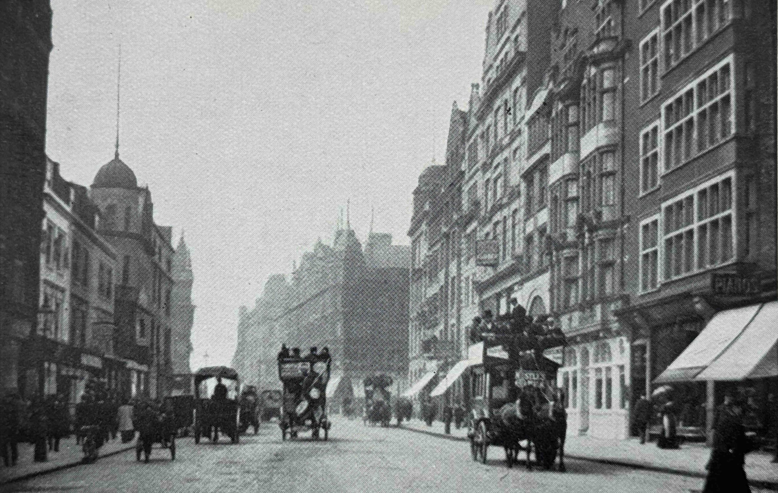
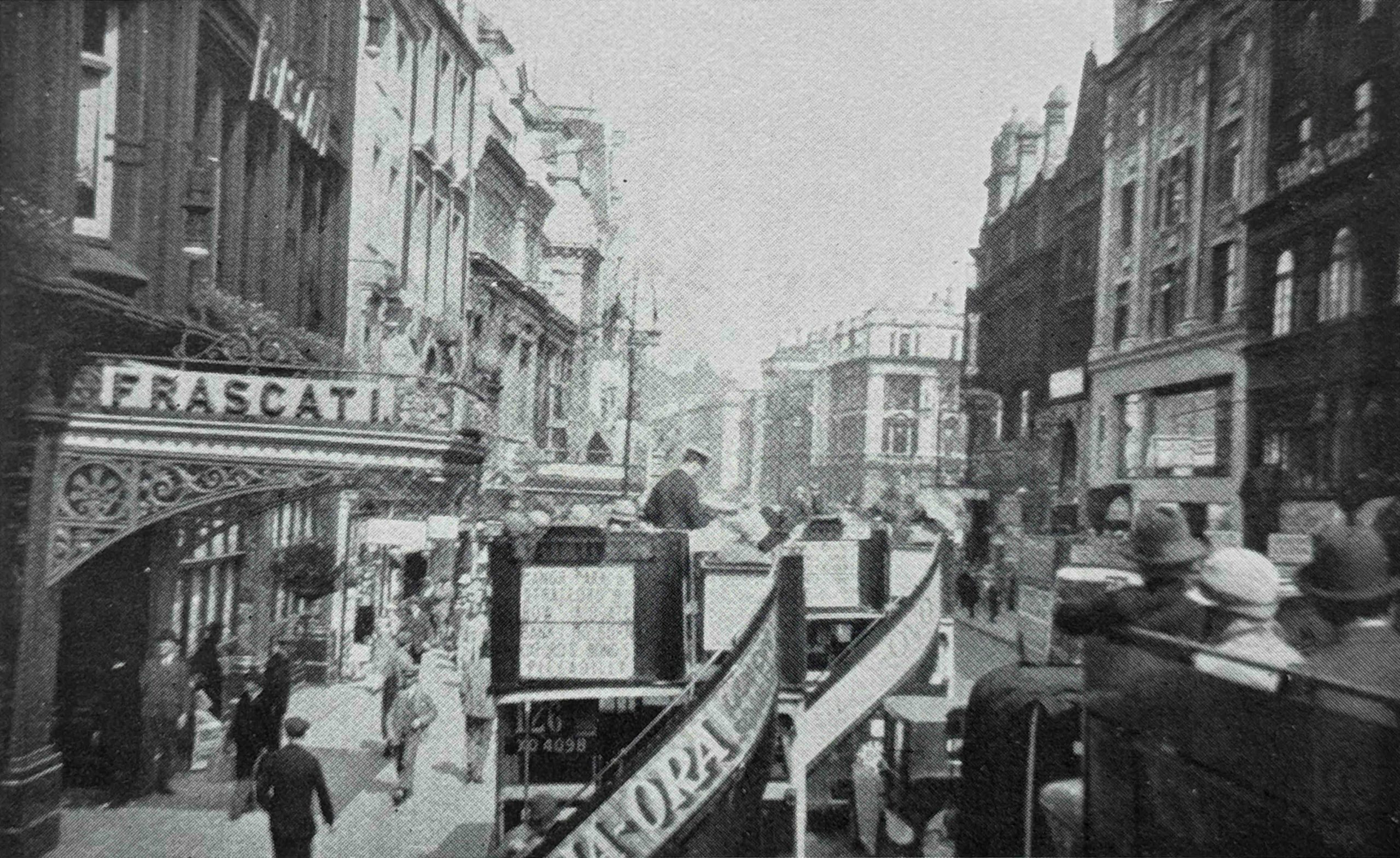
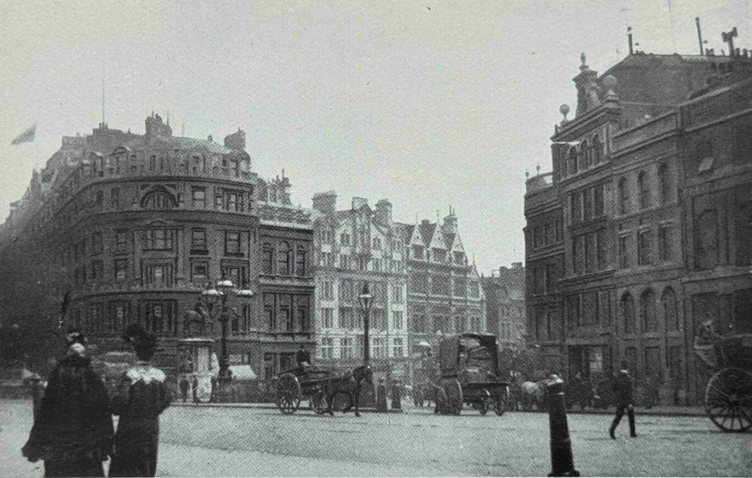
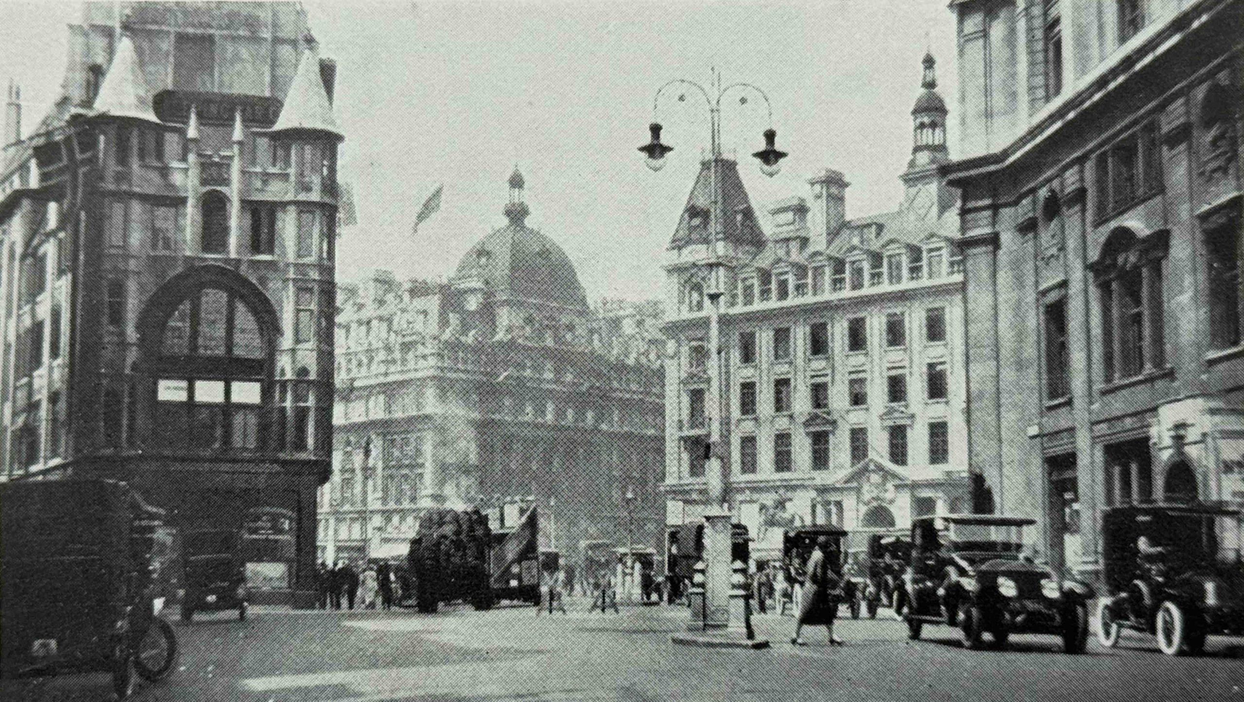
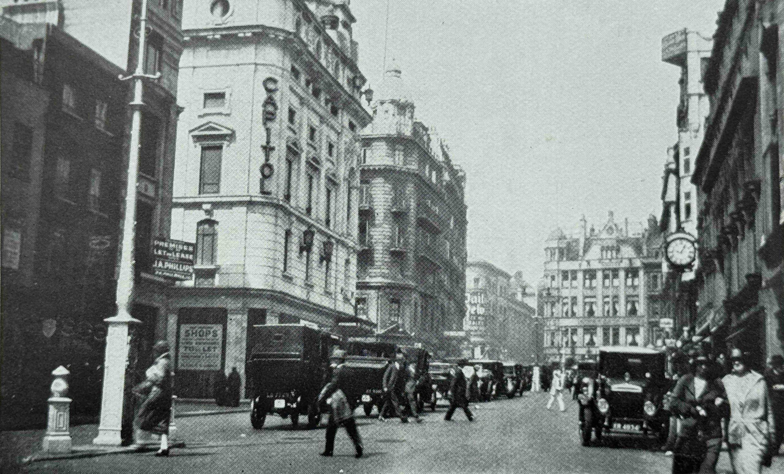
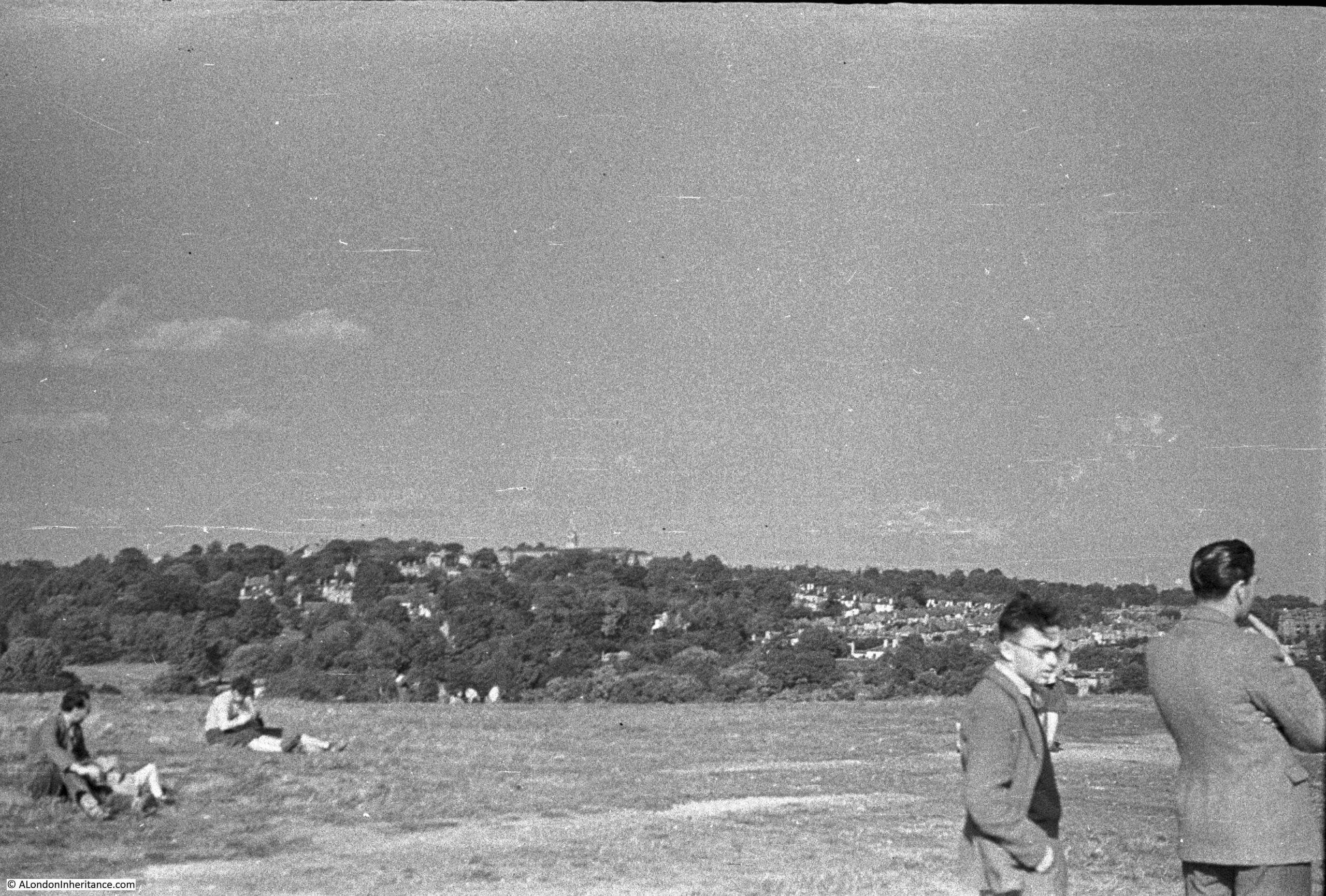
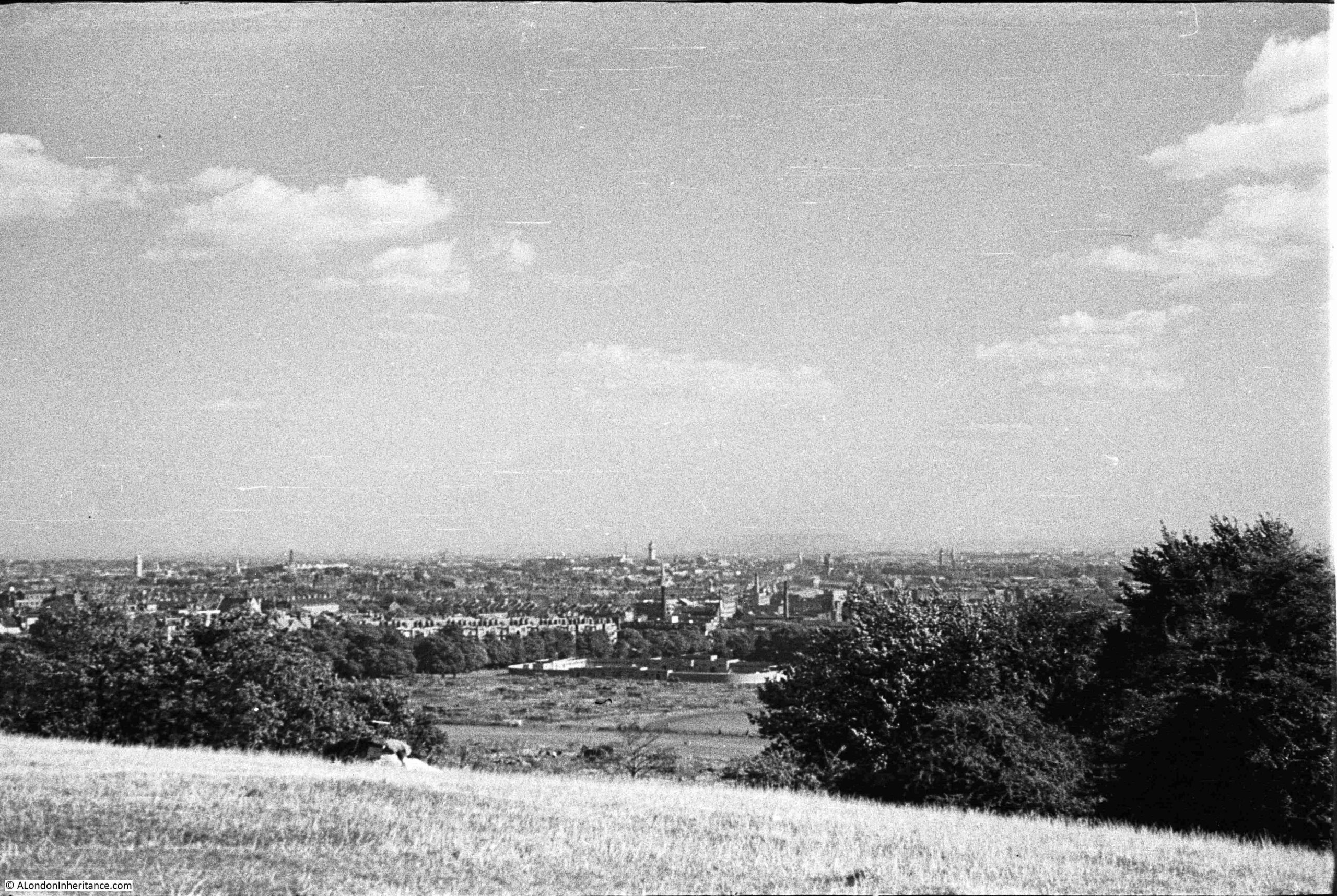
I have written a number of posts about the Barbican, mainly exploring the area before the Barbican was built, a place of historic streets which had been there for several hundred years, all lost in one night of bombing. It would have been a fascinating place to explore.
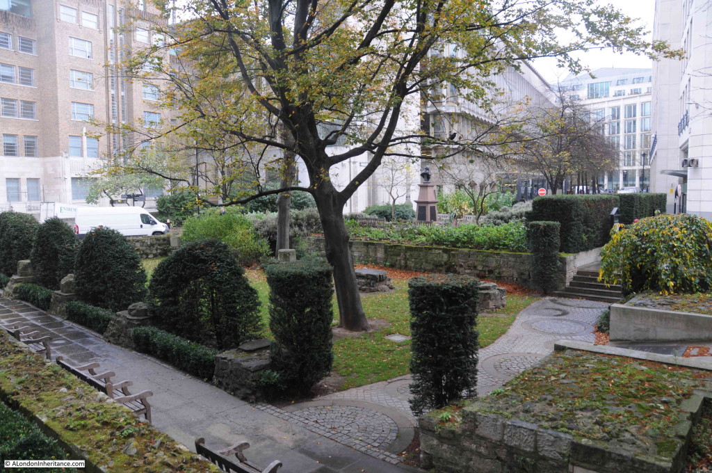
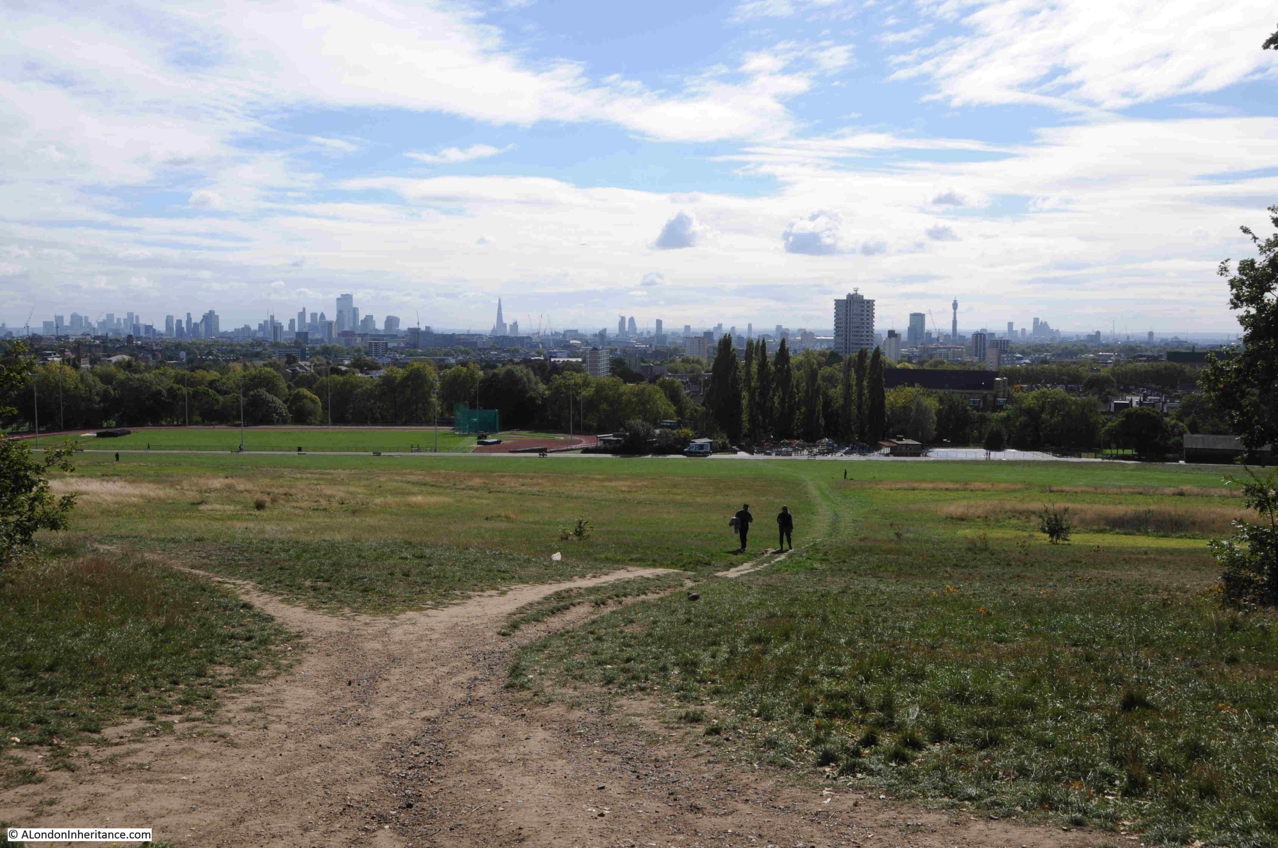
Despite the loss of these streets, the Barbican estate is still a fascinating place to explore, not just for the architecture, the overall design of the estate, the views that suddenly open up, and the careful use of construction materials, but also for what can be found on a casual wander.
This post looks at four things which can be found during a casual wander of the Barbican estate. Objects which tell some of the Barbican’s story, development of the estate, and of the local area and the City of London, with the first being a set of remarkable murals:
Dorothy Annan Murals for the Central Telegraph Office
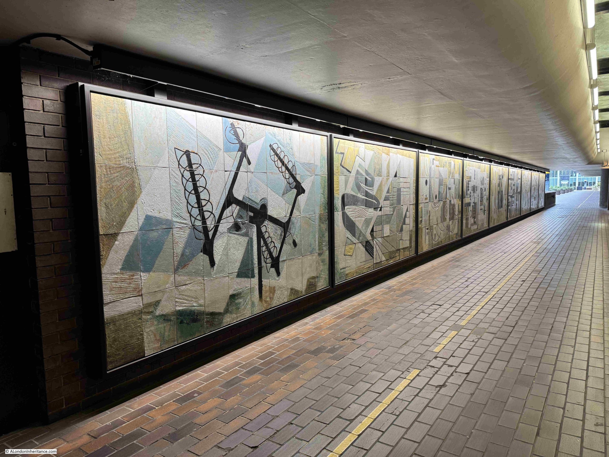
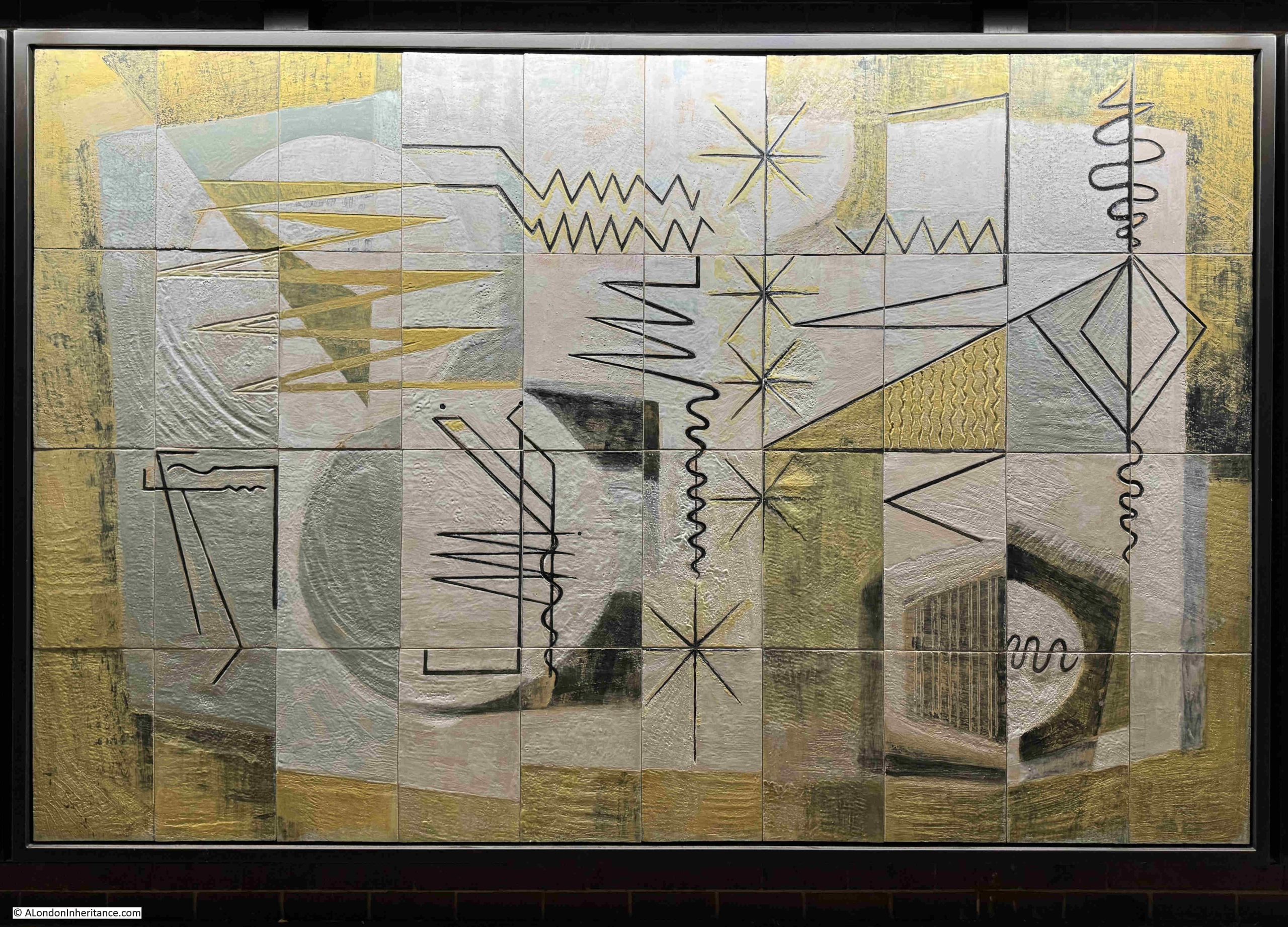
A walk along the covered section of the Cromwell High Walk reveals a set of nine abstract murals covering subjects which can be rather hard to decode.
They were created by Dorothy Annan around 1960 for the Central Telegraph Office of the General Post Office in Farringdon Street. A building that on completion was London’s largest telephone exchange.
This was a time when there was an optimistic view of the march of technology and the benefits that would come from the expanding capabilities and use of communications technologies.
Dorothy Annan was born in Brazil in 1908, and initially educated in France and Germany, but had moved to England at some point in the late 1930s/ 1940s.
She worked in a number of tactile mediums such a pottery, mosaics, and, as can be seen in the Barbican, murals, which were created by hand scoring the design into tiles of wet clay. These were then fired, decoration and coloured glaze were then added, the tile was fired again, and the individual tiles were then assembled to create the completed mosaic.
As the building on which the mosaics were to be mounted was a telephone exchange, the subject of the mosaics was the technologies used by the General Post Office, and which Dorothy had seen during a number of visits to Post Office sites.
British Telecom, as the telephony and data services of the General Post Office had become, were transforming their technology in the late 20th and early 21st century. Where large buildings were once needed to house large exchanges made of electro-mechanical equipment to switch telephone calls, the move to digital switching, along with the gradual reduction in the number of phone calls and the rise of the Internet, resulted in British Telecom having buildings with no future use, one of which was the Central Telegraph Office in Farringdon Street.
The site was sold to Goldman Sachs who had no interest in retaining the murals. Efforts by English Heritage, the Twentieth Century Society and the City of London Corporation resulted in their move to the Barbican. This retained the murals in the City of London, and on public display.
A walk along the panels, starting with:
Radio Communications and Television
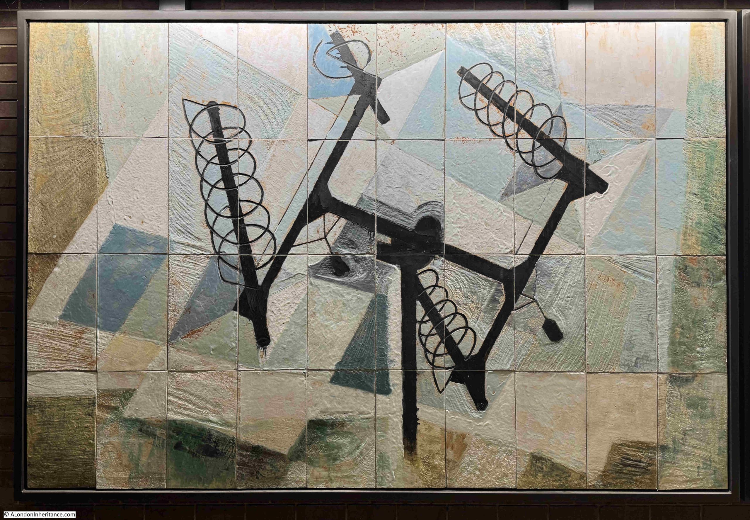
This mural shows four helical radio antennae’s mounted on a frame. It is not clear from the mural, but often this combination would have a rotator at the centre, which would allow the antennae’s to be rotated and elevated.
I like the detail in the mural, such as the two black objects extending backwards at either end of the central pole. These would have been counterweights to balance the weight of the four antenna, which was essential to prevent any damage to the electric motor in the rotator.
They were often used for satellite communication or providing radio links at events such as outside broadcasts.
An extra element to my interest in these murals is that I worked with many of the technologies that they depict (although some are just about recognisable due to their very abstract nature).
At the age of 16, I started a Post Office Telecommunications apprenticeship in the late 1970s, and many of these technologies shown from 1960, were still in use, including:
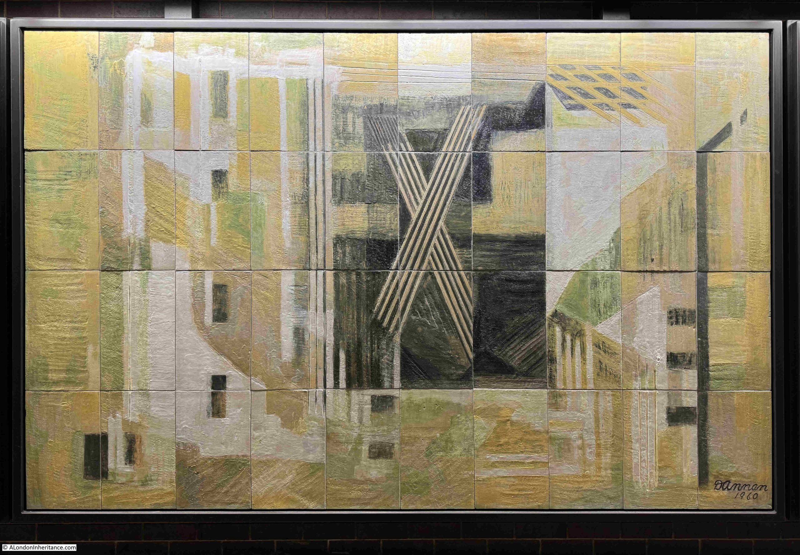
Cables and Communication in Buildings
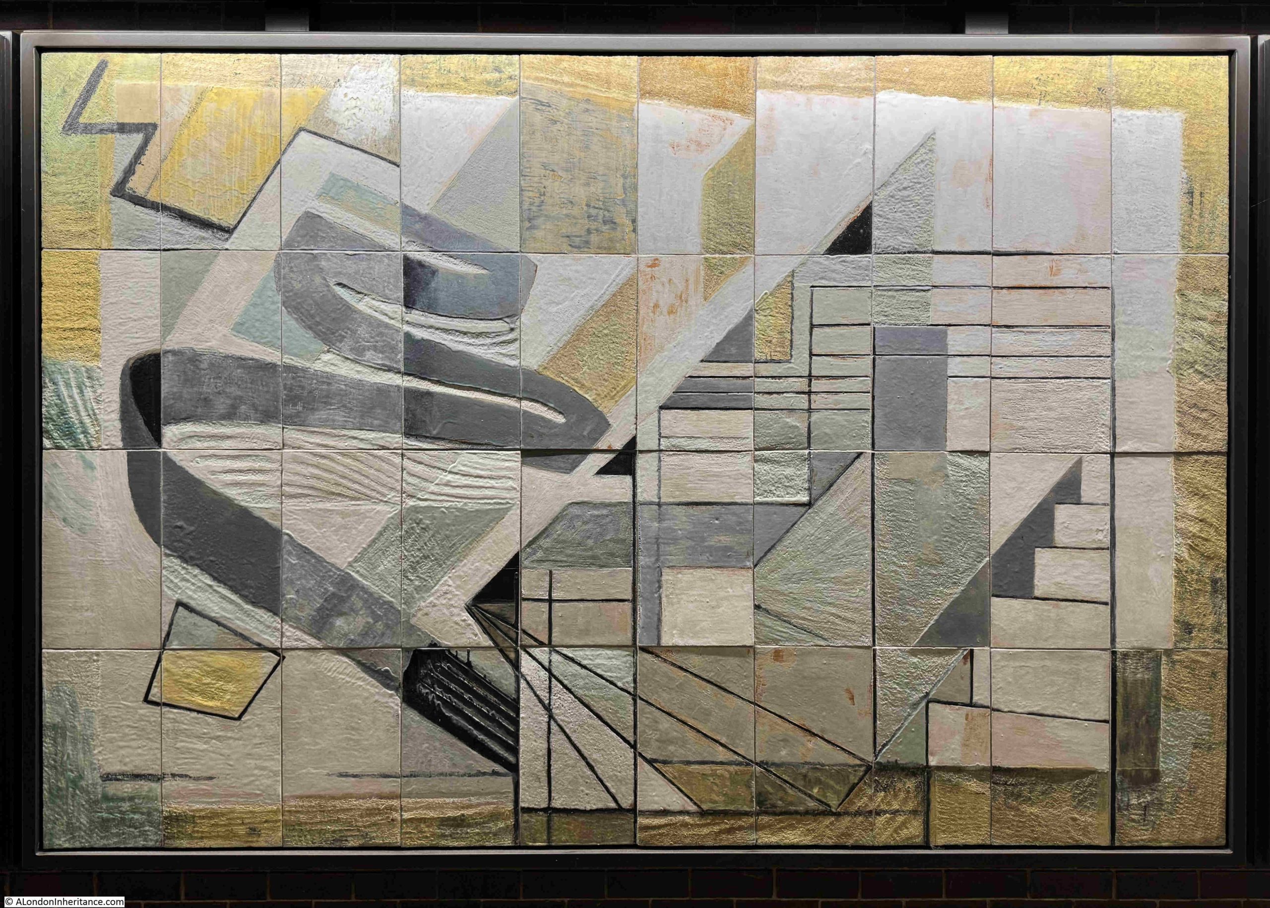
The murals were made at a time when copper cables were the primary method of connecting telephone, telex and early data services. For example, each residential telephone would have its own pair of copper wires connecting the phone to the exchange.
Large businesses would often have their own private telephone exchange, so a smaller number of copper cables would be required to connect to the public exchange, but in a place such as the City of London, the very large number of telephones, and associated services, would require a vast network of cables connecting from the end user device through a local connection point where smaller cables were connected to large cables, which then headed to the telephone exchange.
One of the Post Office Training Centres for apprentices was at Bletchley, where the wartime code breaking had been carried out. These were residential courses of three or four weeks and whilst a new training building had been built, you slept in the old huts with meals in the canteen which had been used during the war.
One of the skills taught was how to joint these cables together, how to connect to a frame in an exchange, to learn the colour code of individual wires, and to recognise individual wires when presented within hundreds, all bound within a single cable.
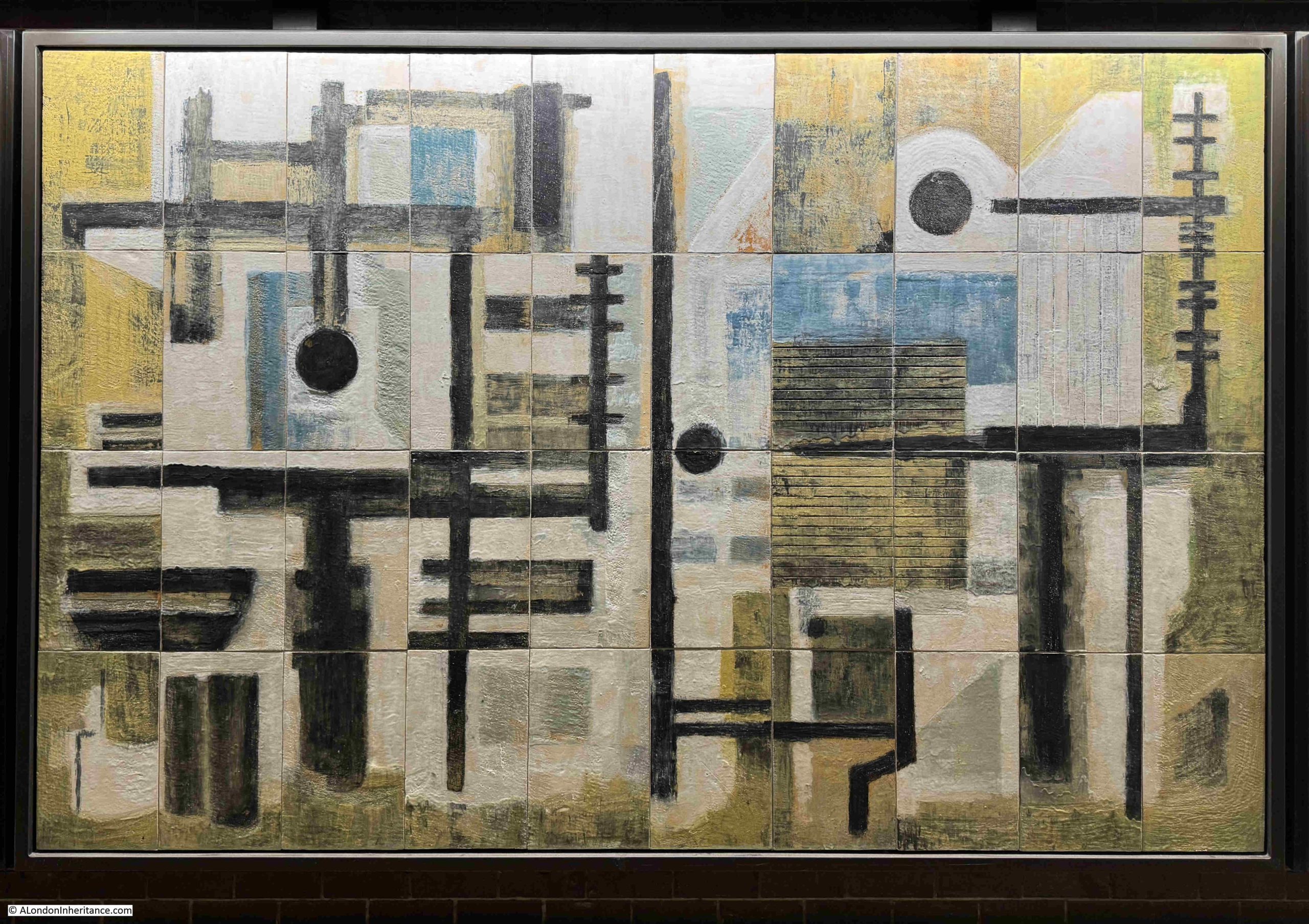
Test Frame for Linking Circuits
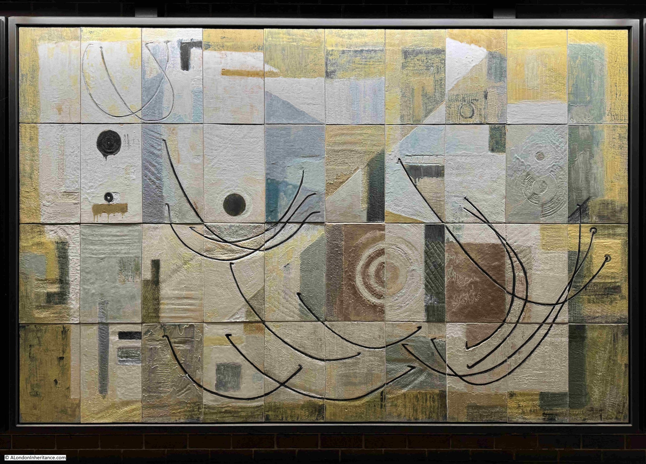
A Test Frame was a place where individual pairs of wires could be patched and tested, for example, if you had a fault on your telephone, the wires could be patched through to a test frame allowing the circuit between the exchange and your home to be tested.
Frames were also used to connect different cables and between cables and different equipment units,
The patch cables which interconnected different cables and equipment are, I assume, the black lines shown in the mural.
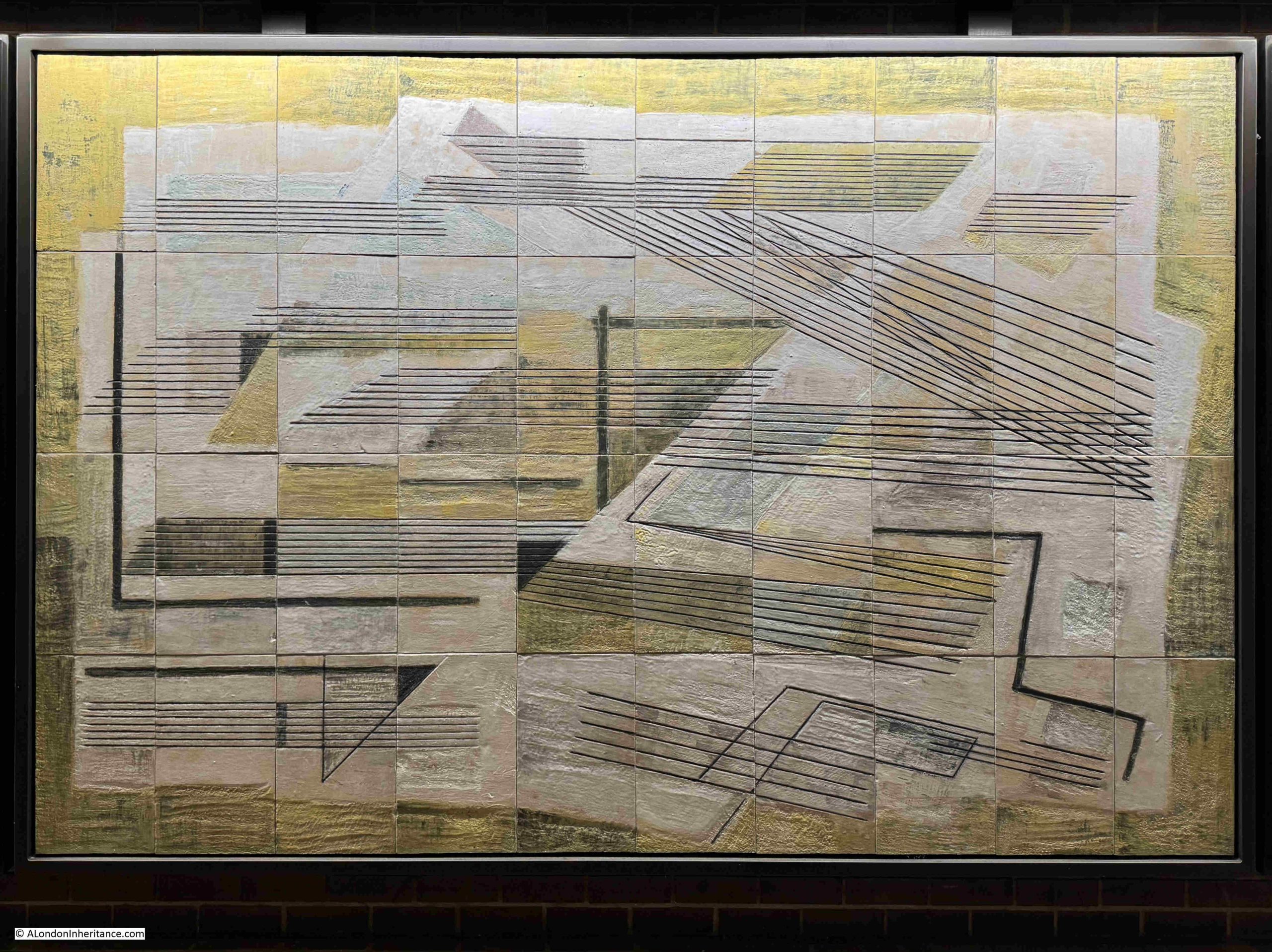
Cables in the telephone exchange entered the building via a:
Cable Chamber with Cables Entering from Street
All the cables from the customers in the area served by a telephone exchange, along with cables connecting an exchange to other exchanges, would run under the streets and enter the telephone exchange via a below surface level cable chamber.
In the above mural, we can see circles on the right. I assume these are the cable ducts which lead from the chamber into the street, and through which the cables are run.
To lower left of centre, there are two vertical black lines, each of which have several. short black lines projecting from them.
These are cable trays seen from the side.
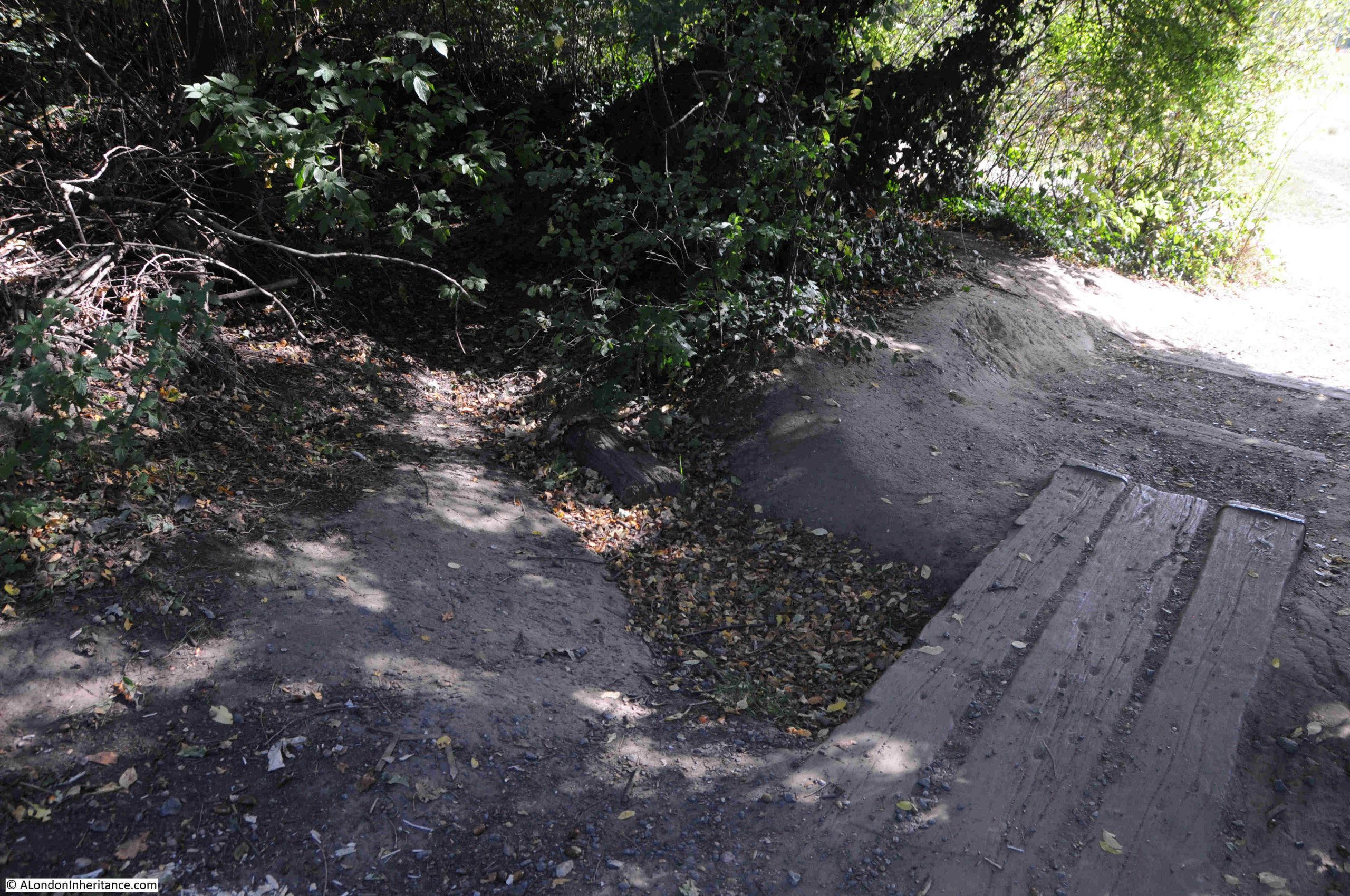
I did take some photos of some of the smaller exchanges I worked in, in the late 1970s. The following photo shows a cable chamber:
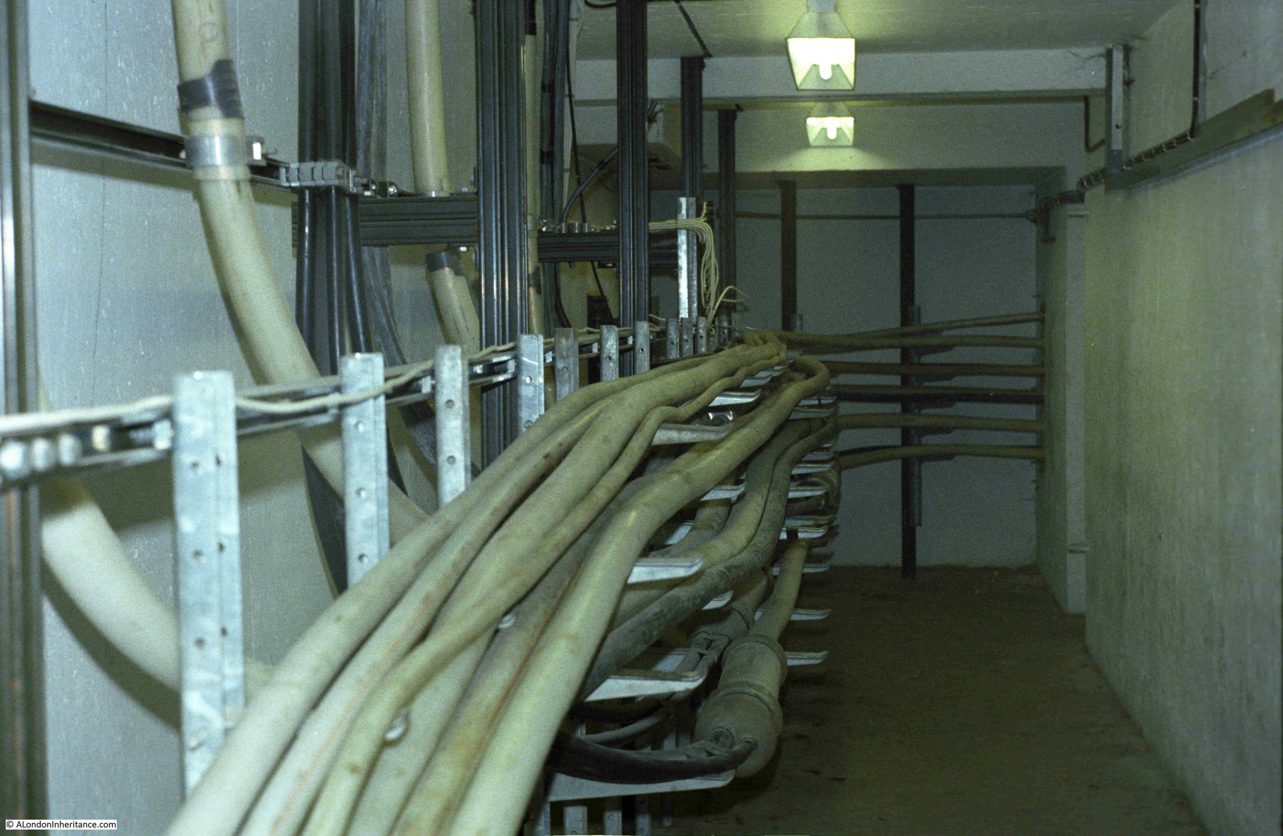
I did not photo the point where the cables entered from the street, but you can see how they run along the cable trays, where they are routed through the chamber and head off to the equipment and distribution frames in the rest of the building, including a:
Cross Connection Frame
A Cross Connection Frame is where cables can be connected to different bits of equipment, or where equipment is connected to other equipment.
One type of Cross Connection Frame was the Main Distribution Frame. This is where all the cables coming in from the street would have their individual wires mounted on a connection block. This would allow a jumper cable to then connect them to the appropriate service.
For example, the copper cable from your home would be connected via one or more local connection points (such as the green boxes you occasional see open along the streets, with someone working on the hundreds of wires within) to the main distribution frame. From here a jumper would connect your phone to the equipment that provides the initial dial tone, ringing voltage and connection to the equipment that routed your calls.
Distribution frames were often difficult to work on, as hundreds of short metal termination poles projected from each block, and if you pulled your hand out too quickly from between blocks, you could risk a very nasty scrape across the back of your hand – as was graphically illustrated during health and safety films shown in the early part of the apprenticeship.
In the above mural, there is a white vertical structure on the left. This is the frame of a cross connection frame. The four black rectangular blocks represent the termination blocks on which wires would be connected and then patched.
The following is a photo I took of a main distribution frame:
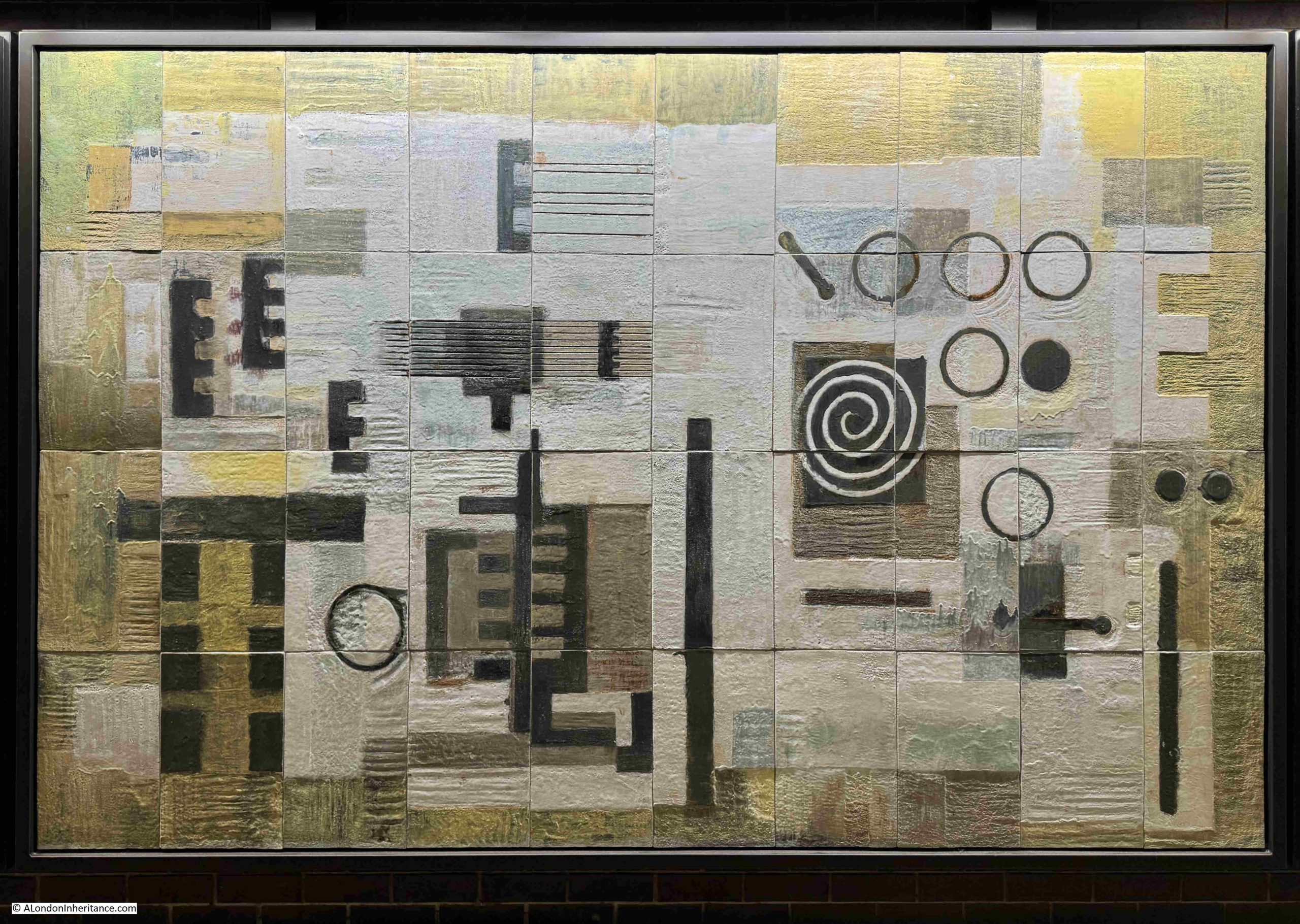
Power and Generators
Your home telephone was once a key part of your ability to communicate, whether just a chat with friends and family, or in the extreme, a call to the emergency services.
Even if there was a power cut, the traditional dial telephone would still work, as the power to the phone was supplied from the telephone exchange, which had banks of batteries to provide power whilst generators started up to provide a continuous source of electricity in the event of a power cut.
Today, the majority of home telephone services are connected to the broadband router, so if your home electricity is out – so is all your communication options, apart from mobile services, which have a much shorter battery backup in their local base stations.
Within a telephone exchange, there was a range of equipment to test nearly all aspects of the technology used. One of these test methods involved:
Impressions Derived from the Patterns produced in Cathode Ray Oscilloscopes used in Testing
A Cathode Ray Oscilloscope was a device that used a cathode ray tube (basically the same device that produced a picture in old, pre-flat screen TVs), and in test equipment such as an Oscilloscope a cathode ray tube was used to draw a picture on a screen showing information about the voltage, frequency etc. of the signal being tested.
These are, I assume, the squiggly lines in the above mural. At the lower right corner, there is part of a round circle with the line of a sine wave (a line that goes up and down at a regular frequency). This shows what an oscilloscope screen would have looked like.
Whilst in central London, the majority of cables carrying telephone (and now broadband services) are routed underground, in suburban and rural areas, a different method was used:
Lines over the Countryside
Walk along a suburban street, and you will see poles distributing wires to individual houses. In many rural areas, these wires are carried for considerable distances above ground along a route of poles, as the above mural illustrates.
Training at Bletchley involved how to climb poles and work at height.
It started with short poles, where you were a couple of feet off the ground, and learnt how to use the belt which wrapped around you and the pole, and allowed you to lean back and work with both hands on the junction box at the top of the pole, as well as providing a degree of fall prevention if you slipped.
You then moved to the full size poles where apprentices, in varying degrees of confidence, cautiously made their way to the top, to the encouraging shouts from the instructor of “if you are going to fall from there, you might as well go a bit higher”.
When not on the residential training course as Bletchley, training involved being rotated through many different departments – from poles and holes, to exchange maintenance.
The pole and holes experience often involved the experienced employees you were paired with, taking great pleasure in getting you to climb the highest poles in the area.
Lines over the Countryside provided a means of connecting rural areas.
If you wanted to make a telephone call abroad, then your call would be routed along;
Overseas Communication Showing Cable Buoys

The earliest cables carrying telegraphy traffic were laid below the sea in the 1850s. Telegraphy was the transmission of a very simple data signal rather than voice, using codes, such as Morse code.
These initially used copper wires, but today a web of fibre optic cables connects the world, supporting vast amounts of data with almost instantaneous transmission over long distances,
Special ships lay cables across the seas and oceans, and when they are brought ashore cable buoys are often used to mark their route before final installation.
Overseas communication cables are now an utterly essential part of global life and the economy and any damage to these cables could severely impact a country – as demonstrated by the news of recent Russian interest in cables around the coasts of the UK.
Click here for a fascinating map of the global network of submarine cables, they are one of the hidden wonders of the world, and whether you are speaking to a relative in New Zealand, watching a news report on TV news from Dubai or Brazil, checking share prices in New York, or dependent on where you are reading this post, the data will have been carried over a a submarine cable.
The Greenwich Peninsula was once a major hub of submarine cable manufacturer. See this post for some detail and links.
The survival and display of these murals is brilliant, but it is from a time when there was pride in the activity being carried out in a building, or the associations that a company occupying a building had within their wider field.
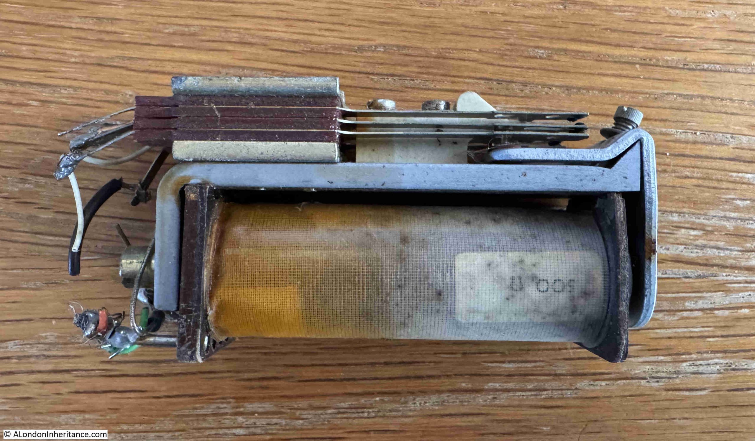
Another example from the Post Office is Faraday House in Queen Victoria Street.
This telephone exchange, opened in 1933, has a series of carvings running along the façade of the building that illustrate the technologies of the time.
One of these is a Post Offive Type 3000 Relay:
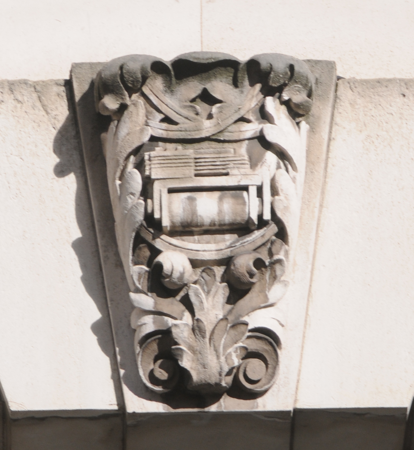
This type of relay was still the heart of the electro-mechanical telephone switching systems when I started my apprenticeship. A very slow phase out started in the early 1980s when the digital switching system System X started to be rolled out.
I kept a Type 3000 relay from the late 1970s, and as can be seen from the photo below, it is identical to the relay shown in the 1930s carving in Queen Victoria Street:
Another wonderful example of decoration of a building relating to the business of the original occupiers is Imperial Chemicals House, Millbank, where the building displays a history of chemists whose discoveries had contributed to ICI becoming at one time the largest and most successful chemicals company in the world.
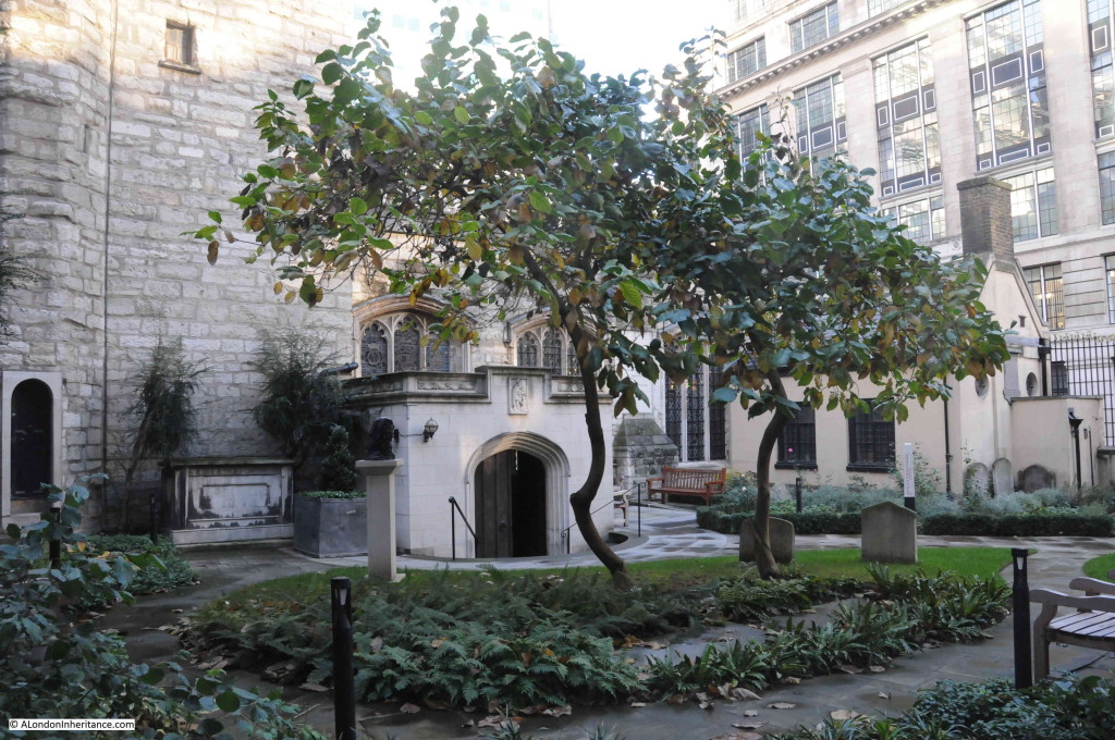
There is still more to discover around the Barbican, as a short distance from the murals is:
The Barbican Muse by Matthew Spender
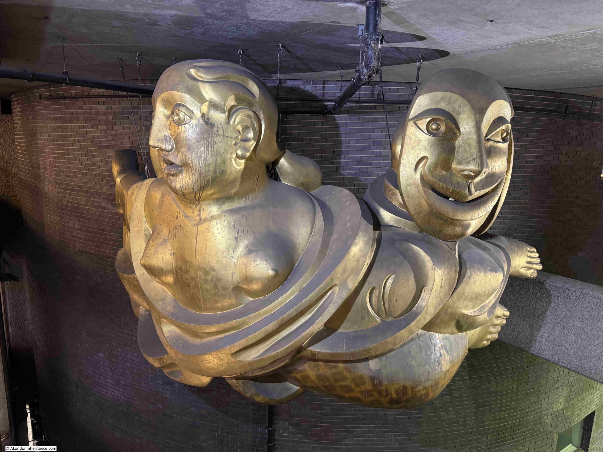
A short walk from Dorothy Annan’s Murals, at the northern end of the walkway under Gilbert House, is a sculpture made from polyurethane, glass fibre and gold leaf, titled the Barbican Muse, and created by Matthew Spender in 1994.
The work shows a reclining figure, which holds the masks of comedy and tragedy. It apparently has the nickname Zoe, after the name of the Cambridge student who posed for the work.
For a first time visitor, the Barbican estate is not that easy a place to find you way around, however the Barbican Muse is there to help, as the figure’s right arm and hand is outstretched, pointing in the direction of one of the entrances to the Barbican Centre, as can be seen to the left, in the following photo:
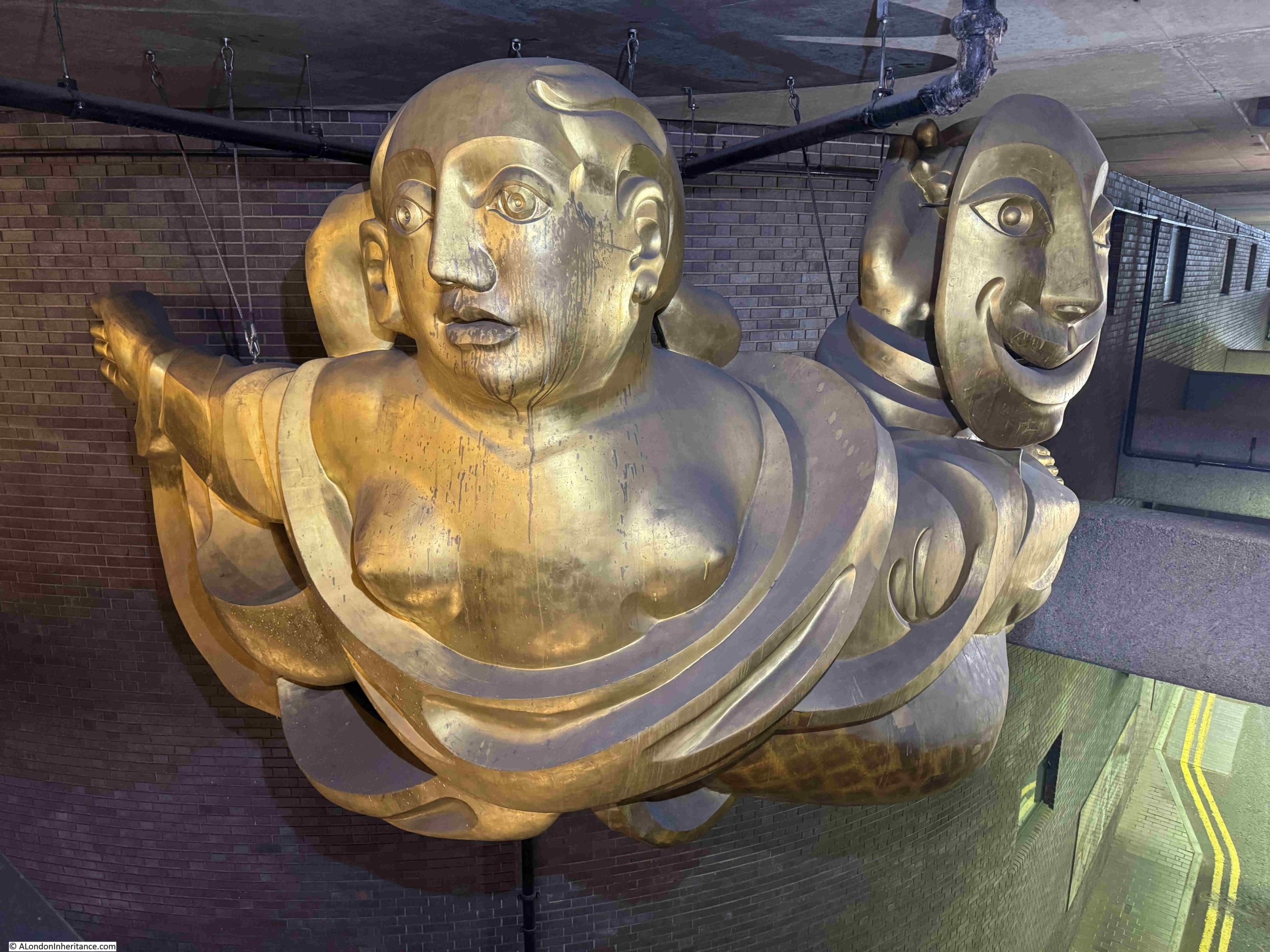
There is nothing to inform the visitor that the sculpture is helpfully point the way, and I assume it is not an urban myth that has grown up about the work, but if you find yourself in front of the sculpture, and want to get in to the Barbican Centre – follow the outstretched arm.
A short distance back along the walkway under Gilbert House is the:
Foundation Stone of the Barbican Arts Centre, 20th November 1972
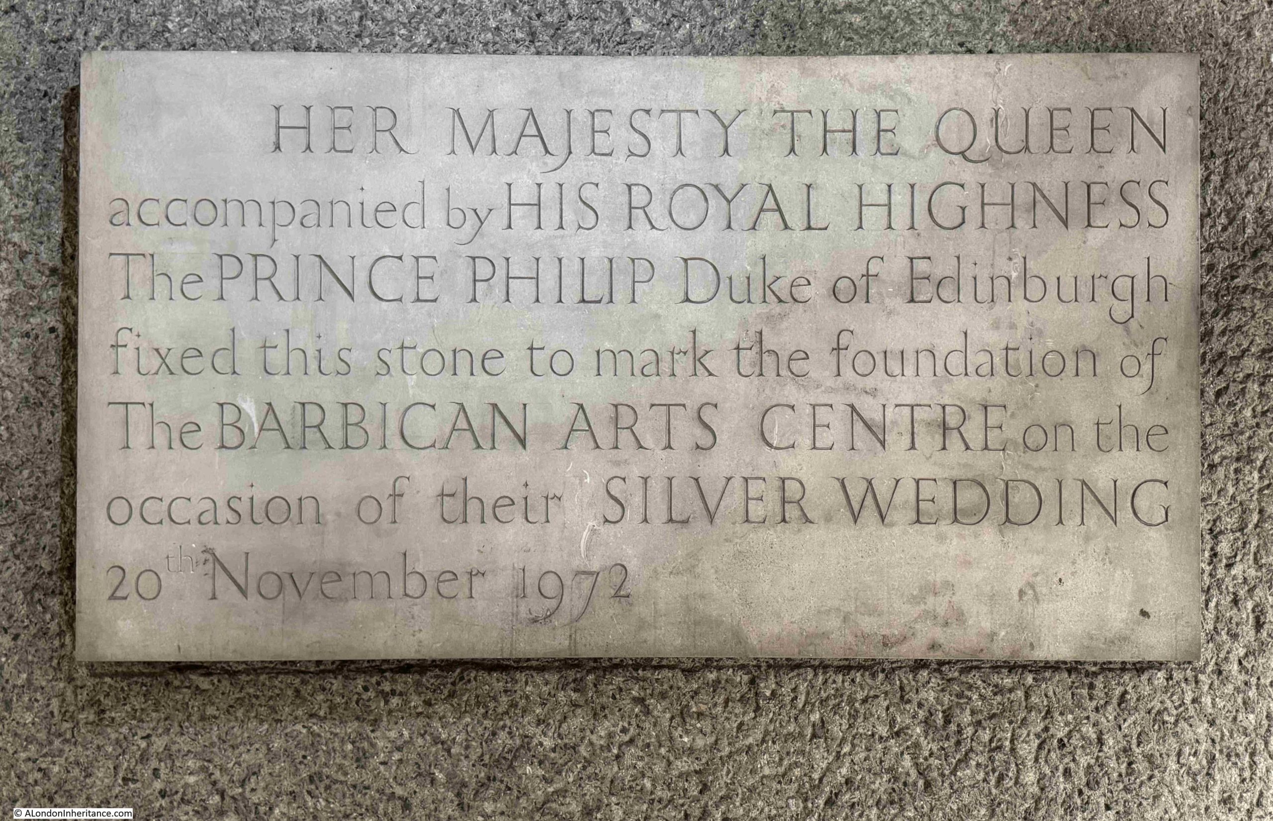
The Barbican estate was built and opened over a period of time from the 1960s to the 1980s.
Whilst it is a major residential development, it also consists of the City of London School for Girls, the Guildhall School of Music and Drama, the Barbican Conservatory, and the Barbican Centre.
The Barbican Centre is referred to as the Barbican Arts Centre in the above plaque, and on the 20th of November 1972, the Queen unveiled the foundation stone for the new Barbican Arts Centre.
The Queen returned almost ten years later on the 3rd of March 1982, to officially open the centre.
There is a news film from the time showing the unveiling and a brief walkabout through the Barbican estate, which at the time was still in the process of construction. The film shows completed blocks as well as places where construction was underway.
An interesting snapshot of the Barbican’s development, marked by the foundation stone we can walk past today:
For the next bit of Barbican history, we need to walk into the Barbican Centre, where there is a:
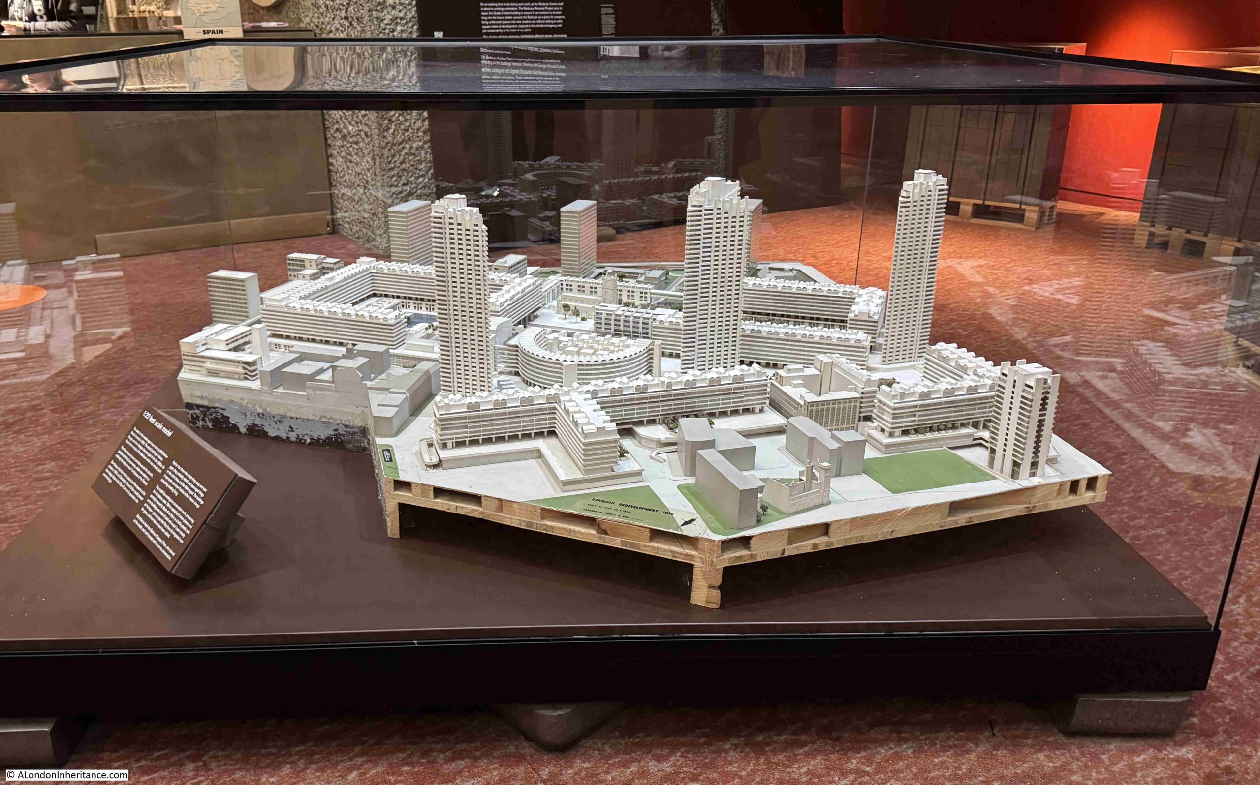
1:22 Feet Scale Model of the Barbican
Next to entrance to the shop in the Barbican Centre is a wonderful model of the whole Barbican complex:
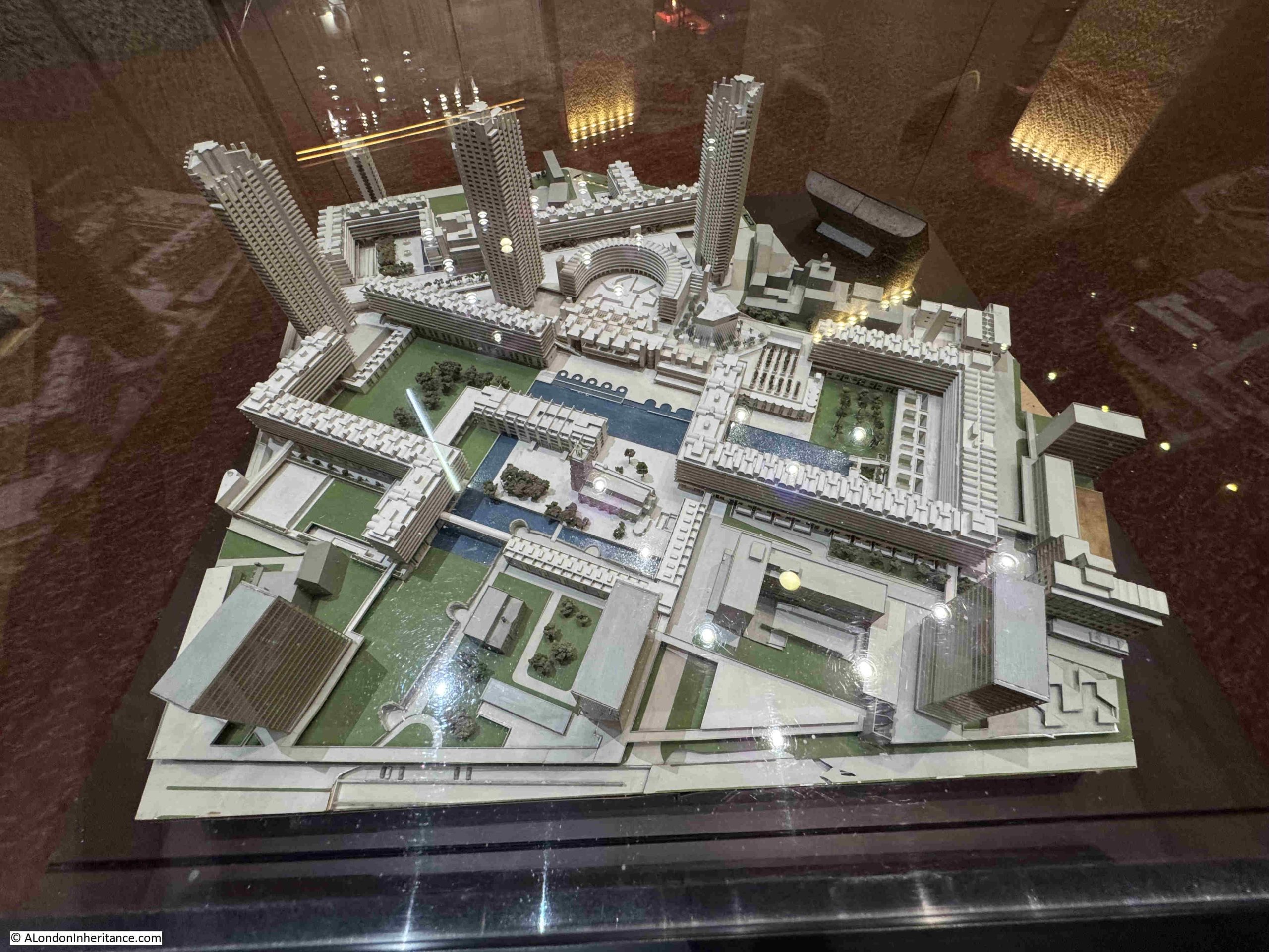
A label on the model states that it dates from 1959, however many of the features are as they were designed and built in the following years, and an information panel provides the theory that the model was created in 1959 for the architects Chamberlain, Powell and Bonn to show their ideas to the Corporation of London, and in the following years, the model was modified to show the estate as it developed.
A view of the Barbican estate from the south:
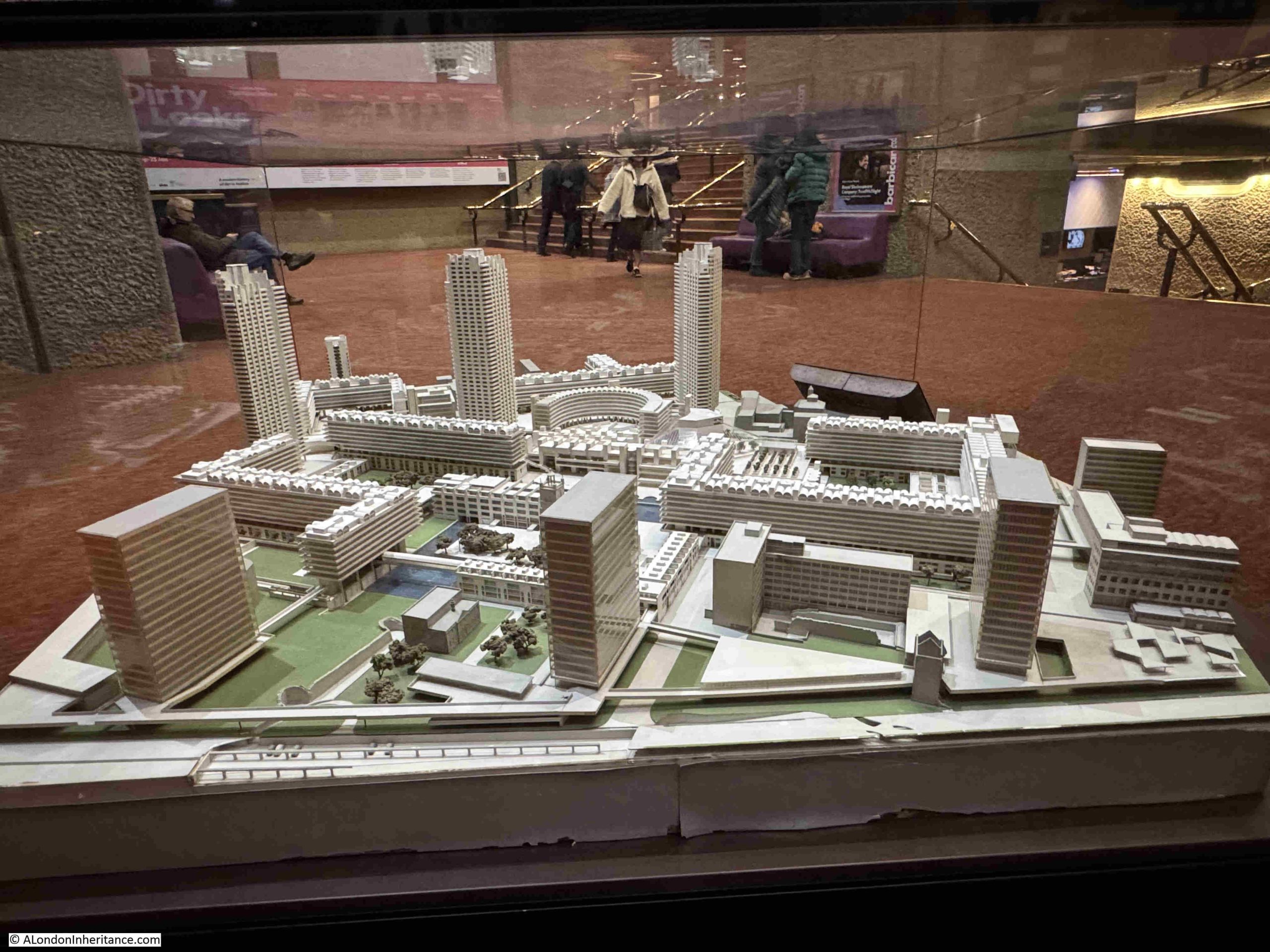
The model shows not only the Barbican estate, but also the 1950s / 1960s developments that included London Wall. This really was a huge development site, and prior to the Barbican had also included the Golden Lane estate to the north (but which is not included in the model).
The model is a snapshot of the area as it was when substantially finished, and if the model shown above was updated today, there are some features which would change.
I have taken the view of the model as shown in the above photo, and added some labels to explain some of the features and changes outside the main Barbican development:

At the lower part of the model is London Wall, a dual carriageway that was opened in 1959, and intended to be part of a northern ring road around the City between Aldgate and Holborn. The original London Wall ran slightly to the north, and the new route was moved south to free up space.
There are even little model cars in the car park which is shown below London Wall (and which is still a car park).
Moving London Wall a bit to the south created the space for the office blocks that can be seen lining London Wall. Of these, only Bastion House remains, and is under threat following the move of the Museum of London which was in the lower left corner of the model, and the opportunity to redevelop this entire site.
To the right of Bastion House is Bastion 14, one of the medieval bastions on the alignment of the Roman wall , and if you look a bit further along the wall, there is another bastion just visible, which is by Barber-Surgeons Hall, which is a slightly different design to the one that would be built in the 1960s.
Moving to the right is Roman House, one of the first office blocks to be built in the post war redevelopment of the area. The building is still there, but is now residential.
A bit further to the right is the tower of the church of St. Alphage, which was earlier part of the hospital of Elsyng Spital.
Lee House and Moor House have been demolished, and as well as this line of office towers along the northern side of London Wall, there were also identical towers along the southern side.
Walking around the model, and we can see the view of the Barbican Estate from the north:
If you look to the right of centre of the lower edge, there is a ruined church. These are the ruins of the church, which was completely rebuilt and is now the Jewin Church, part of the Presbyterian Church of Wales.
The model provides a fascinating snapshot of the Barbican when substantially complete, and also when the office blocks lined London Wall.
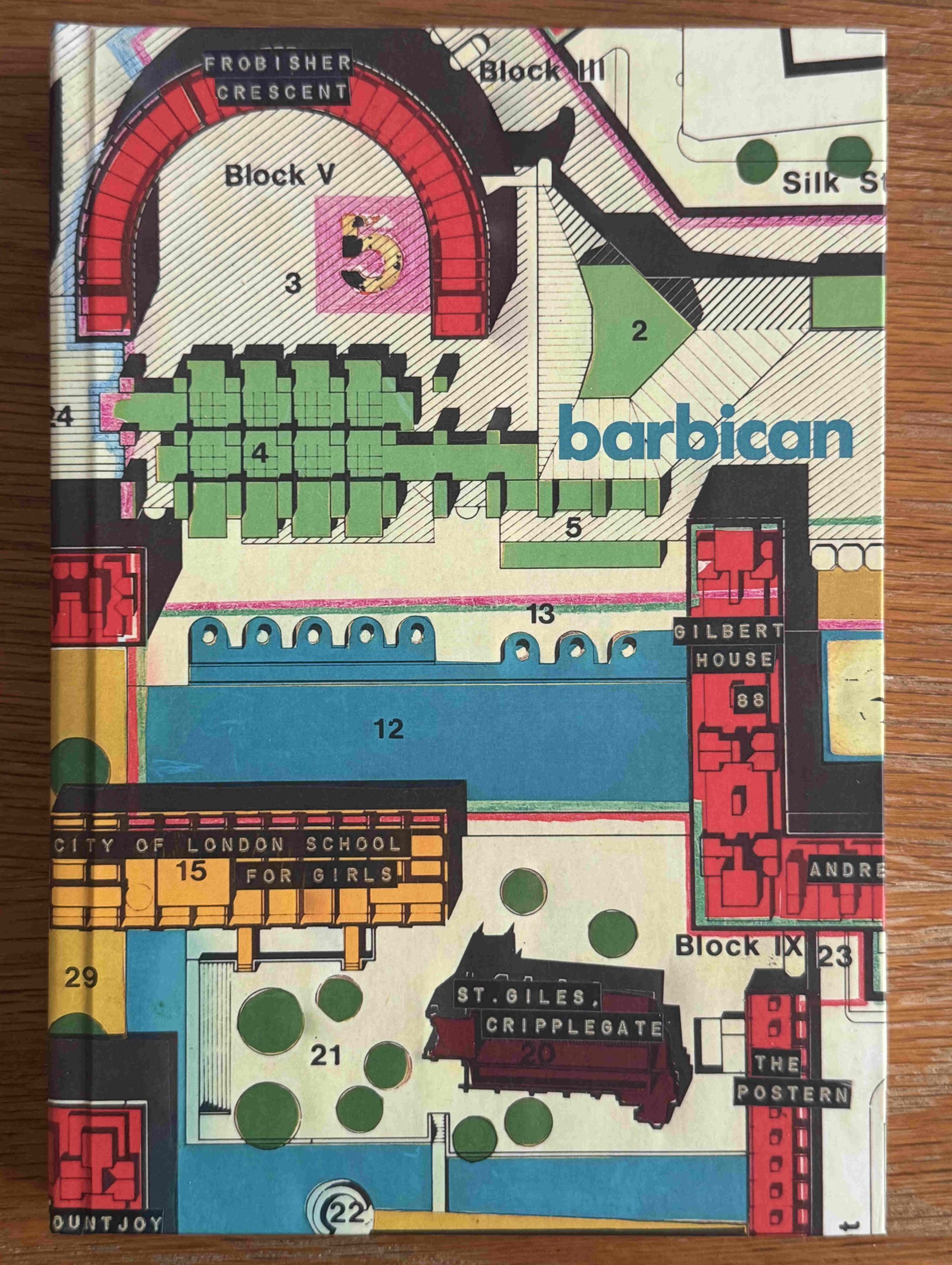
If you like notebooks, and a part plan of the Barbican, then from the model, head into the shop. This is what I did when I purchased the following notebook with a cover of the Barbican Redevelopment Roof Plan from 1966:
The Barbican is a fascinating place for a walk. Not just for the architecture and landscape design of the place, but also for what can be found as you navigate the walkways.