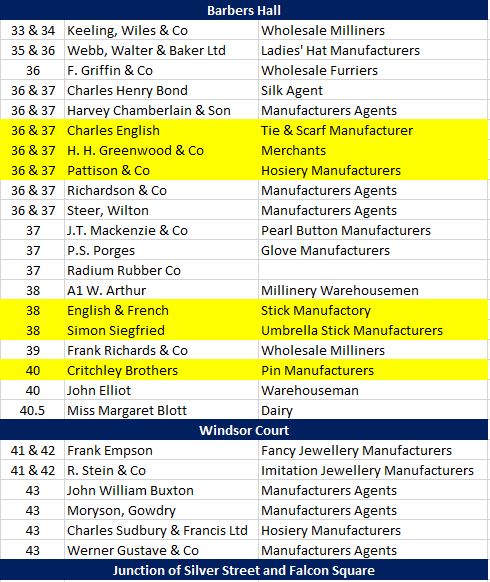
One of the pleasures of researching posts for the blog is finding new stuff about places I have already written about. It gives me a chance to learn more, and to look at a place from a different perspective.
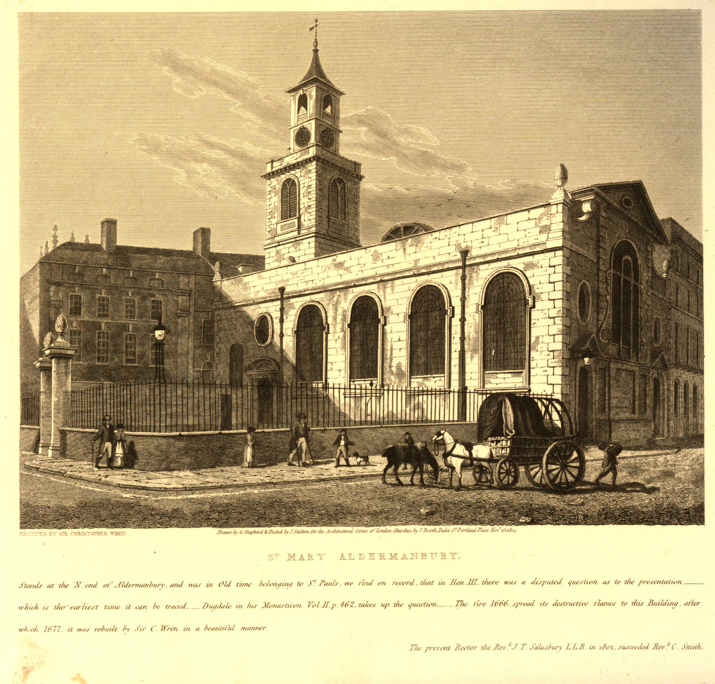
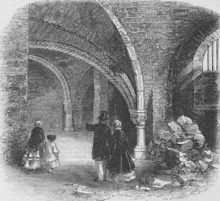
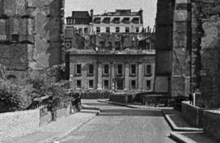
Searching through the three volumes of Wonderful London for a photo of a location for a future post, I came across the following photo which I had not noticed before:

The photo dates from the 1920s, and the text below the photo reads:
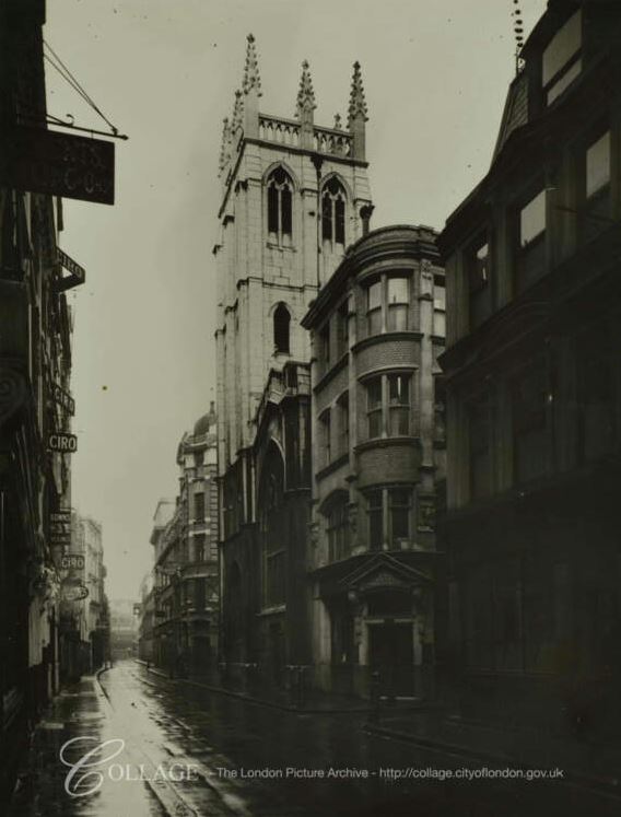
“The Coopers’ Arms From The Churchyard of St. Olave’s, Silver Street – In 1604 Shakespeare moved from Southwark and lodged in Silver Street, Cheapside, with one Christopher Mountjoy, a Huguenot. On the same site now stands the Coopers’ Arms, Falcon Square: and though the original house has gone, at least the playwright must have contemplated the little churchyard opposite every time he looked out of the window. Now the churchyard has, as it were, become fossilised by the Great Fire, for the church, St. Olave’s was never rebuilt; hence this is a genuine piece of Shakespearean London.”
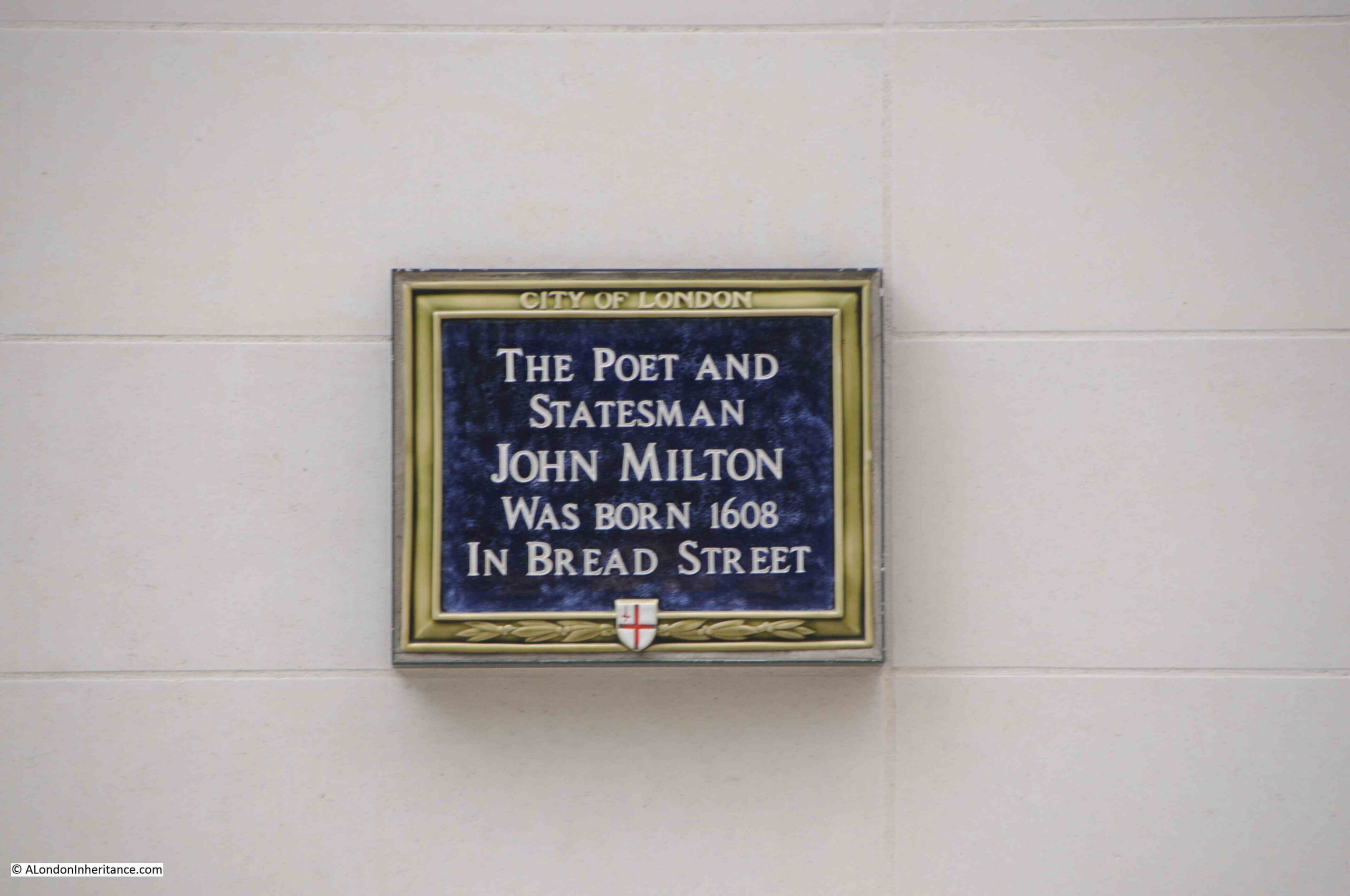
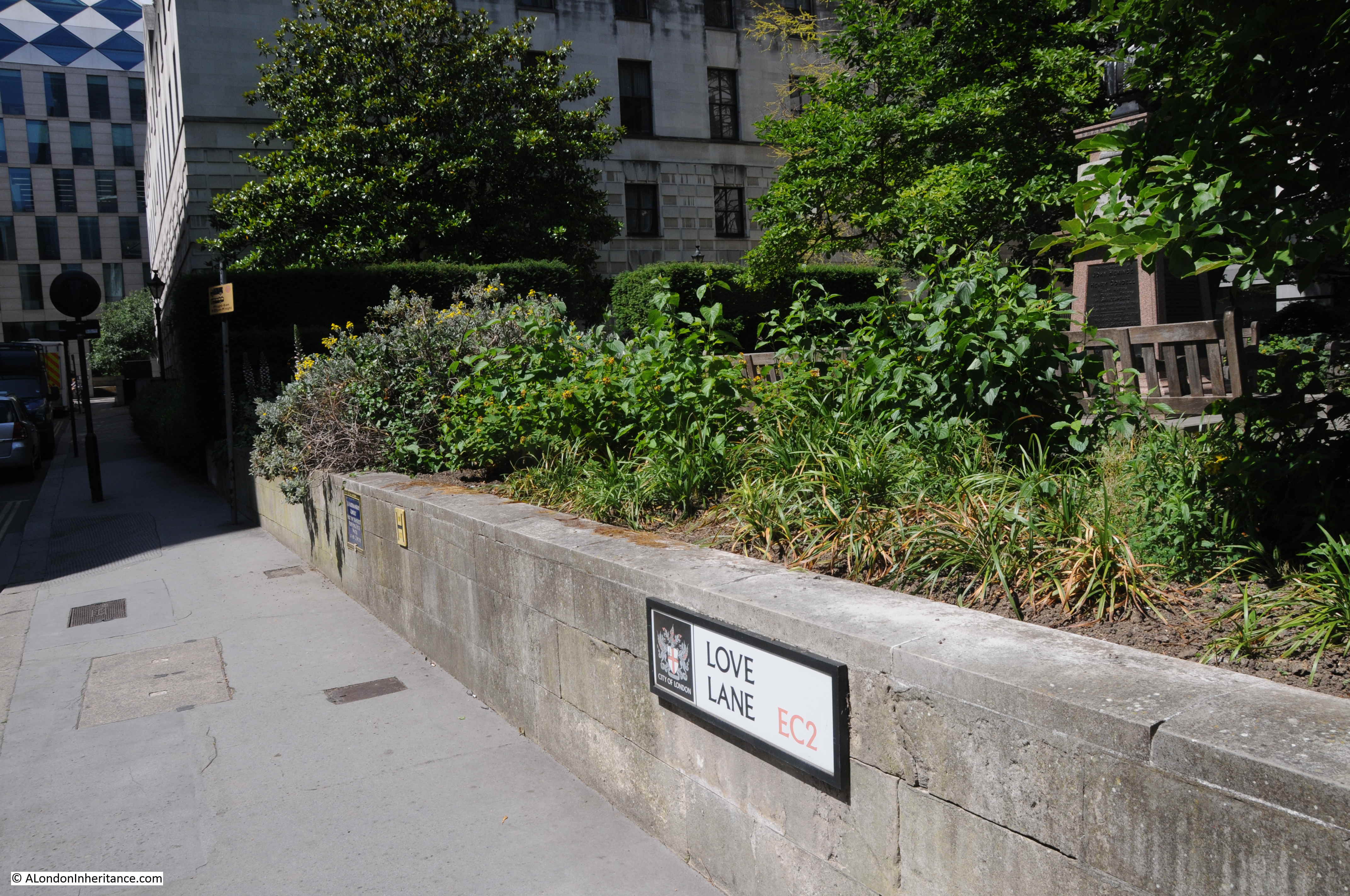
I have written about the Shakespeare connection in a previous post when I looked at the blue plaque recording Shakespeare’s short residence here. There is a link to that post, along with other posts about the area at the end of this post.
And in this post, I will first look at St. Olave and then at the Coopers’ Arms.
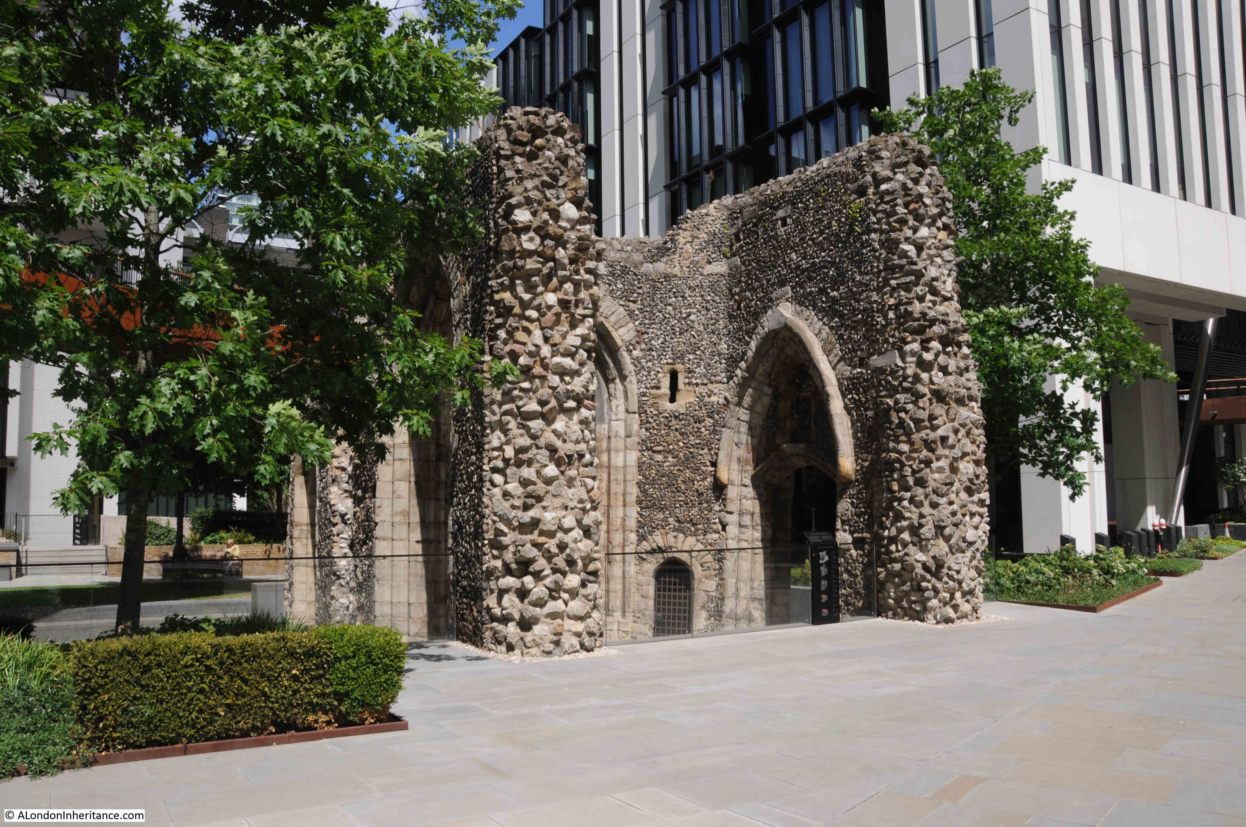
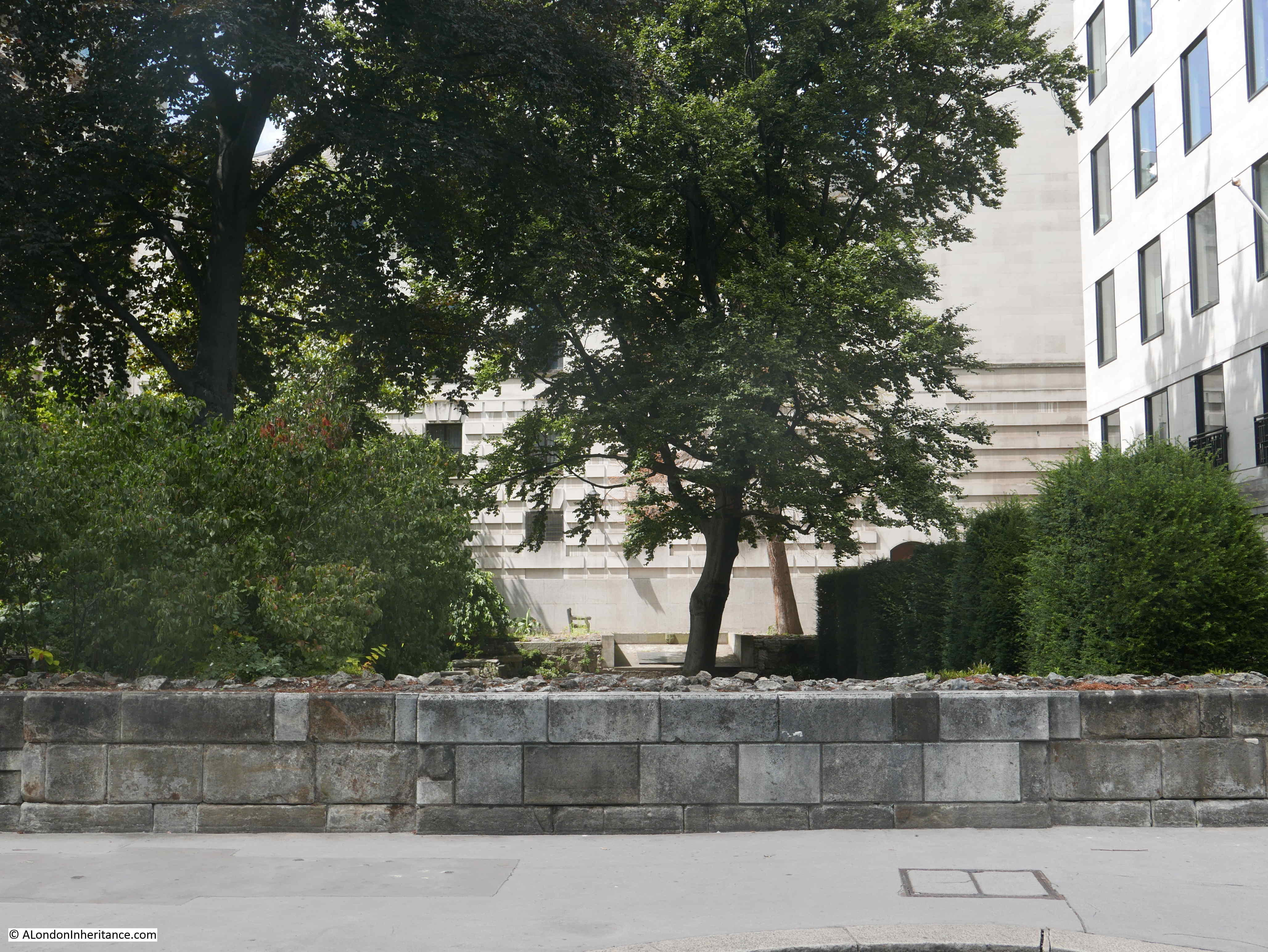
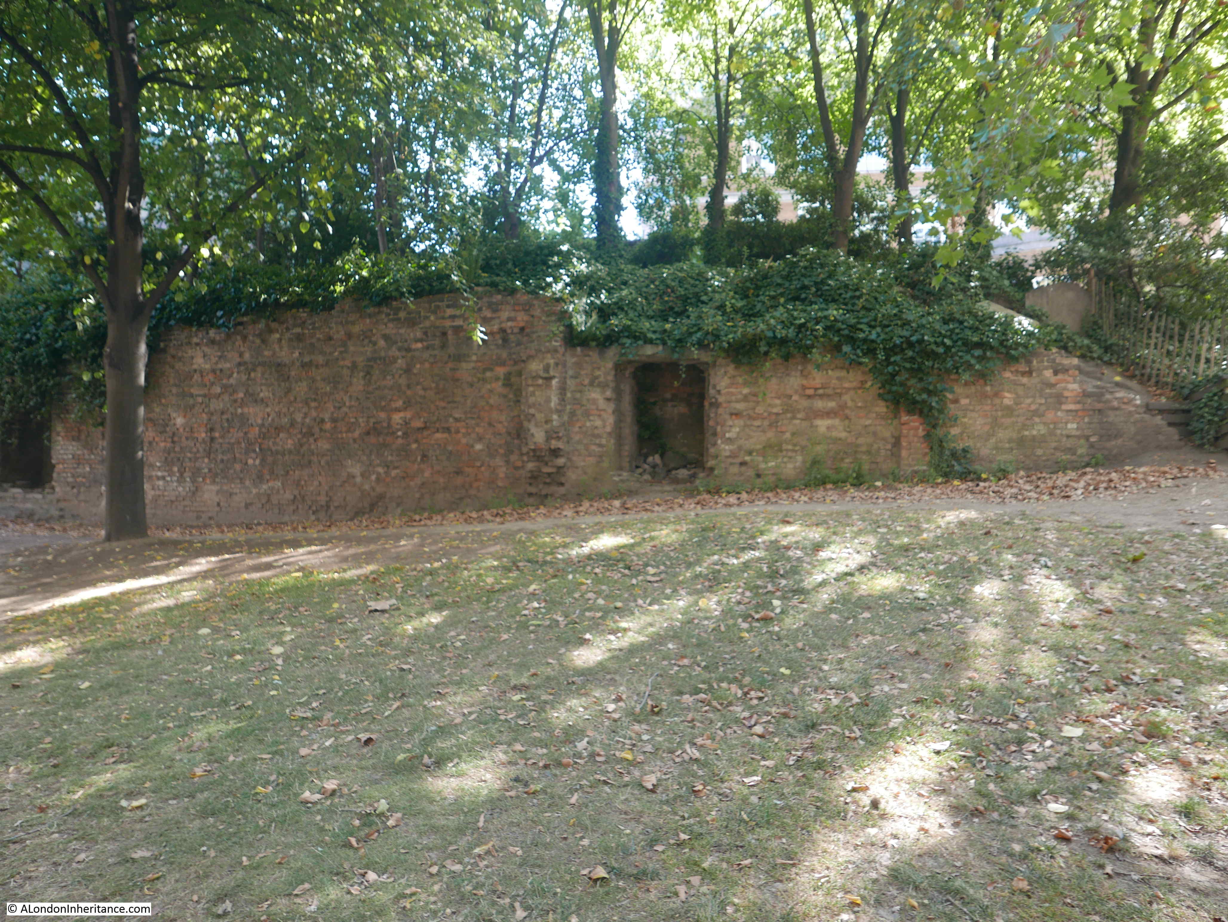
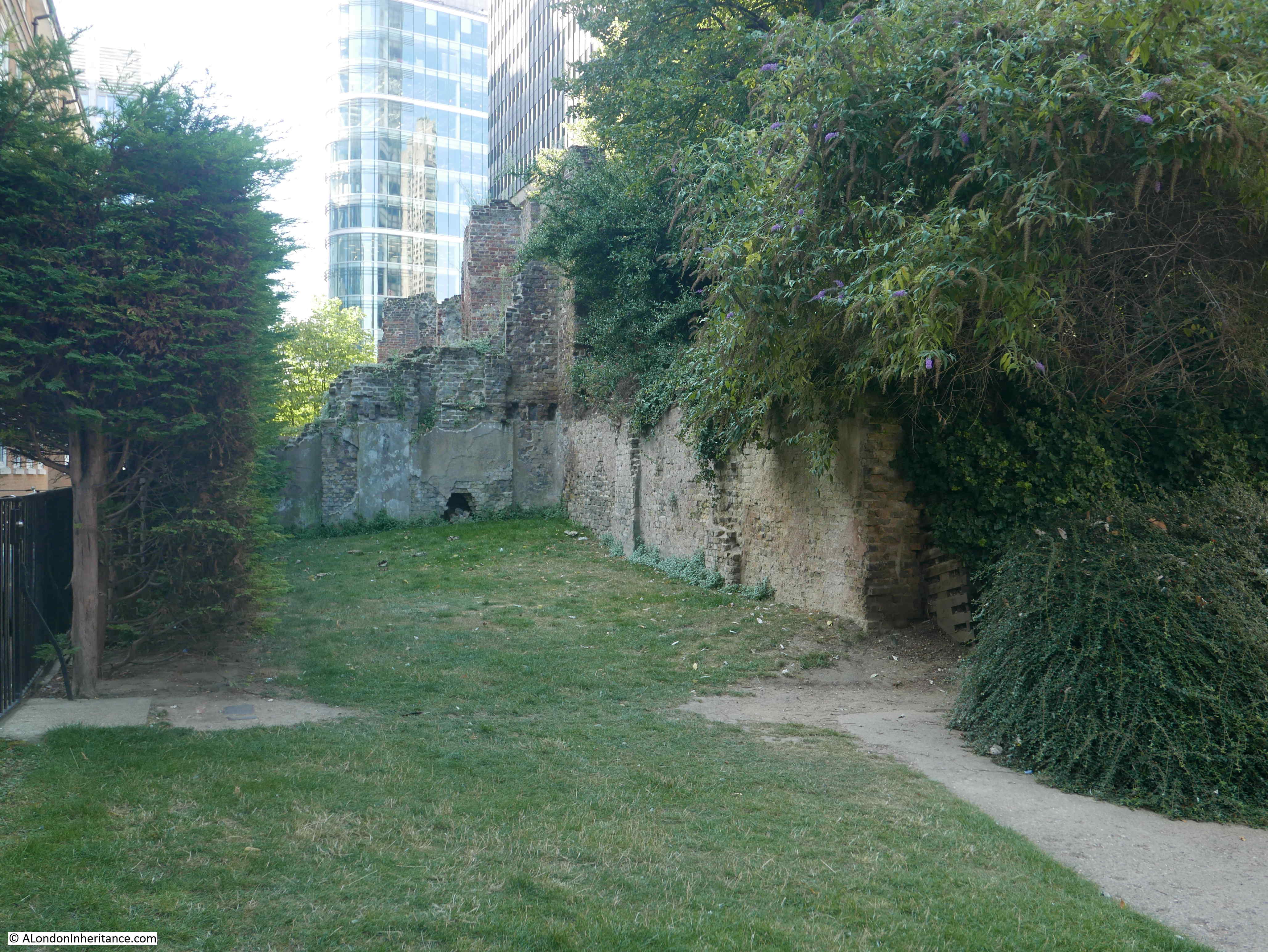
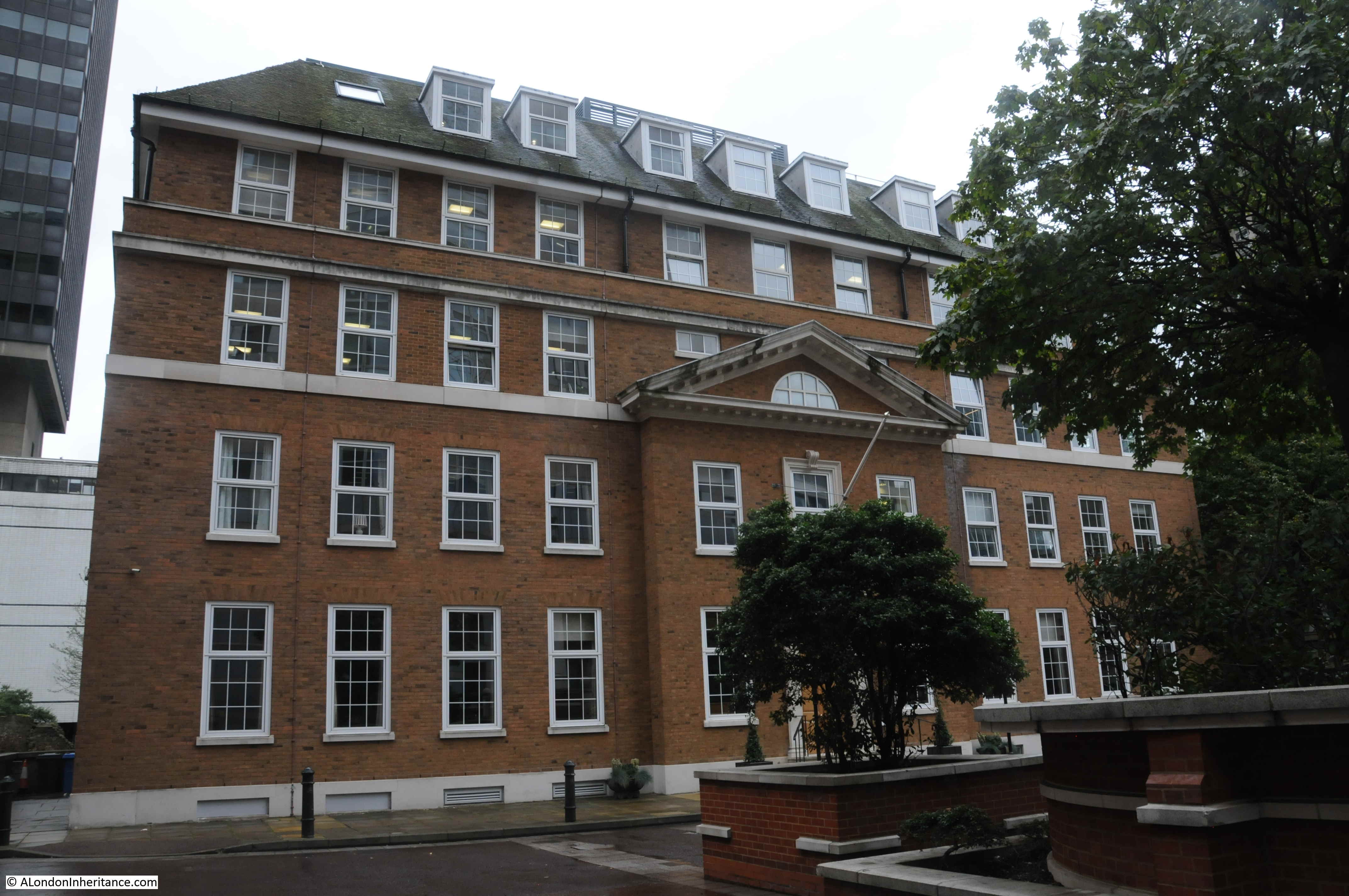
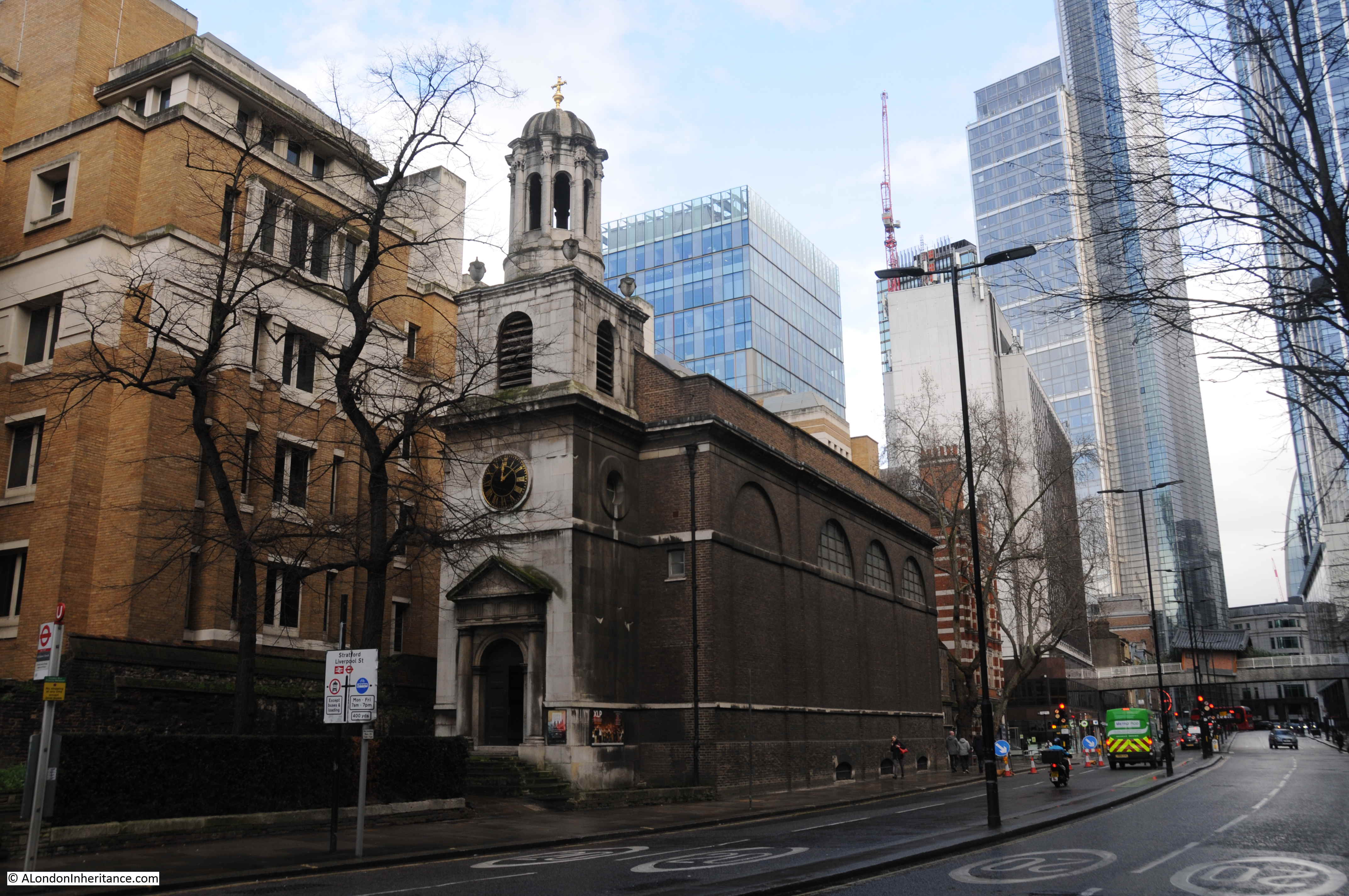
I could not get a photo from exactly the same viewpoint, as the above photo was taken from an upper floor of the building to the south of the churchyard, and today there are also bushes at the southern end of the garden. The following photo is as near as I can get:

In the original photo, there are steps with metal railings and a gate leading down to the street. The height of the street is different today, and the garden has been extended into what was Silver Street, but there are now small steps in the same position, and the grave in the above photo behind the steps must be the middle grave in the original photo.
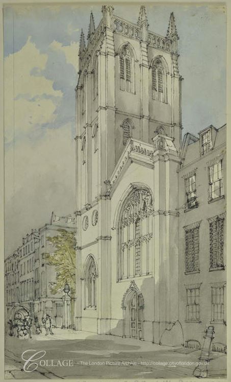
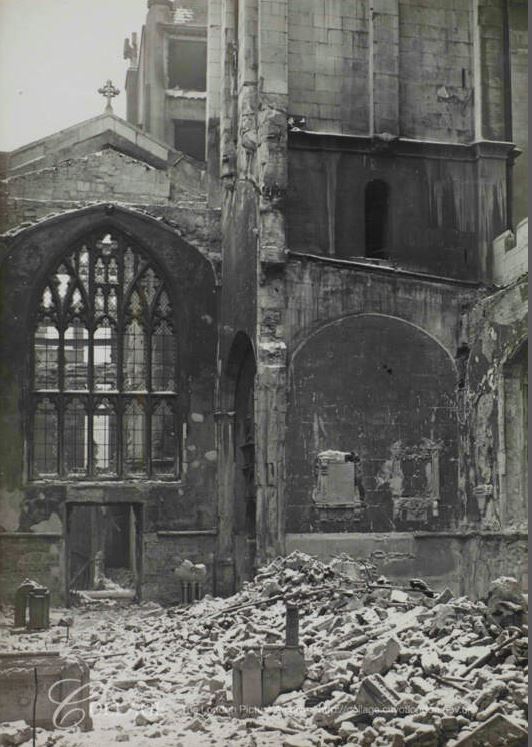
St. Olave was an old church, but appears to have been rather plain, and I cannot find any prints of the church, which is not surprising given that they would have had to have been pre-1666.
I found the following description of the church in “London Churches before the Great Fire” by Wilberforce Jenkins (1917):
“With John Stow the monuments in a church were the chief feature of interest, and he is rather contemptuous of the little church of St. Olave in Silver Street: ‘A small thing and without any noteworthy monuments’. The date of the original church was earlier than 1291, the date of the ‘Taxatio’ of Pope Nicholas, in which the church is called ‘Olav de Mokewell’ (i.e. Monkwell). We are told of a certain priest or curate in charge, Roger de Shardelawe, in 1343. The church was rebuilt in 1609. The income was stated to be £83, including the vale of the parsonage. It was not rebuilt after the Fire, but the Parish was joined to that of St. Alban, Wood Street. A small piece of the churchyard may still be seen in Falcon Square, and is used as a public resting-place.”
The reference to “Olav de Mokewell” will become clear later in the post.
The loss of the church was the first of three waves of church losses, beginning with those not rebuilt after the Great Fire, then the demolitions of the late 19th century as the City’s population decreased, along with Victorian “improvements” to the City, and finally those not rebuilt after the Blitz.
When you consider how many churches remain in the City today, it is remarkable to think of how many more there were before 1666.
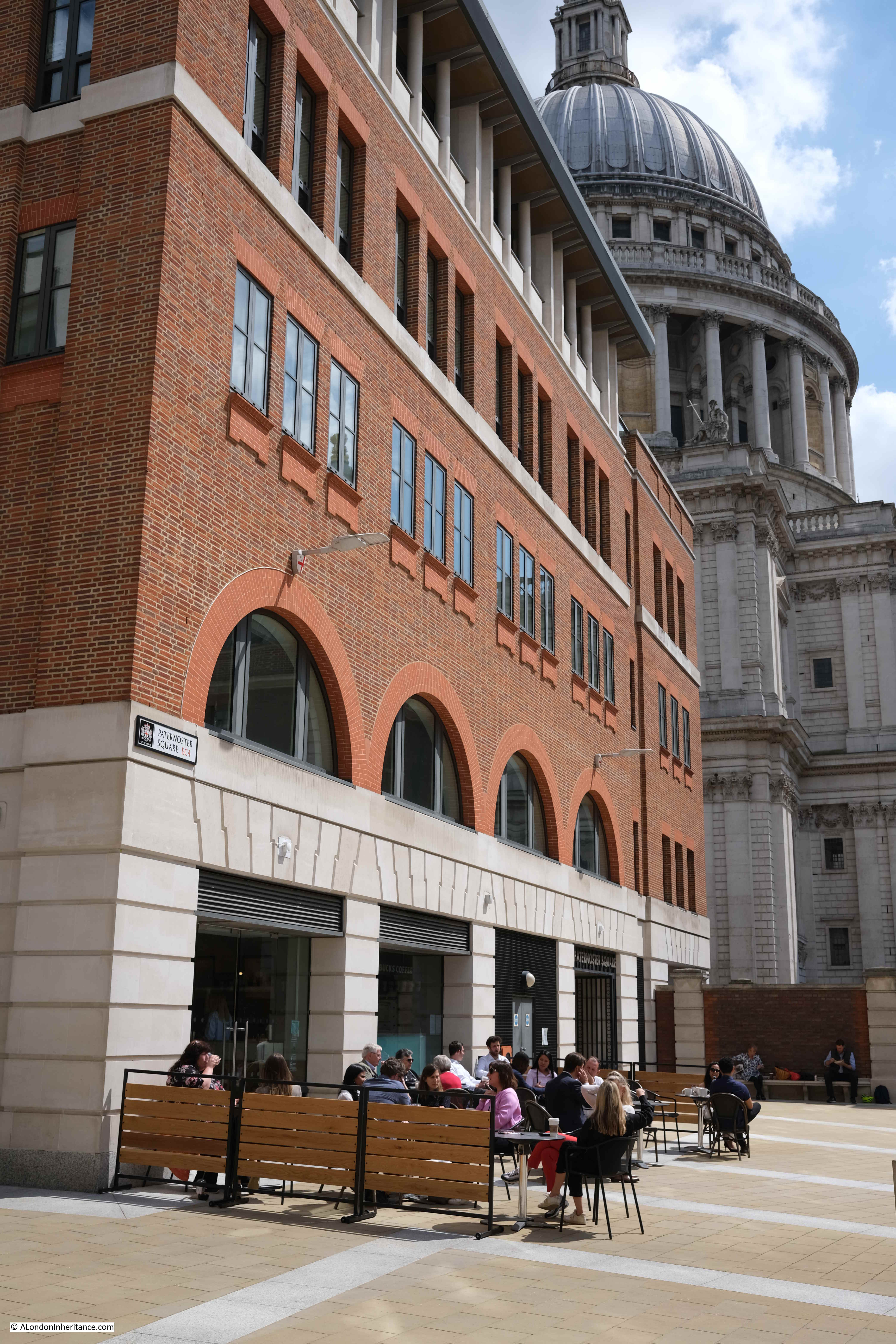
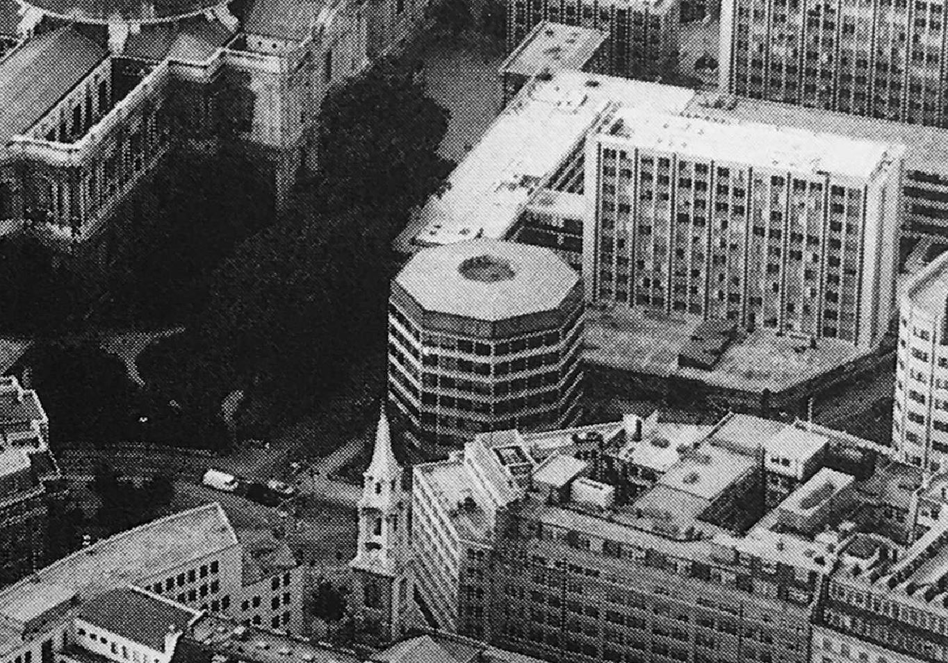
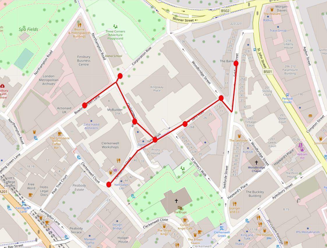
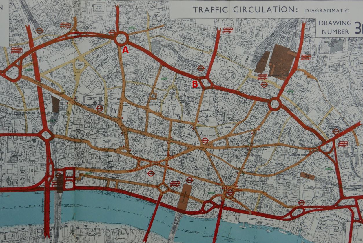
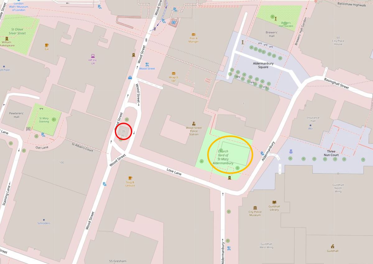
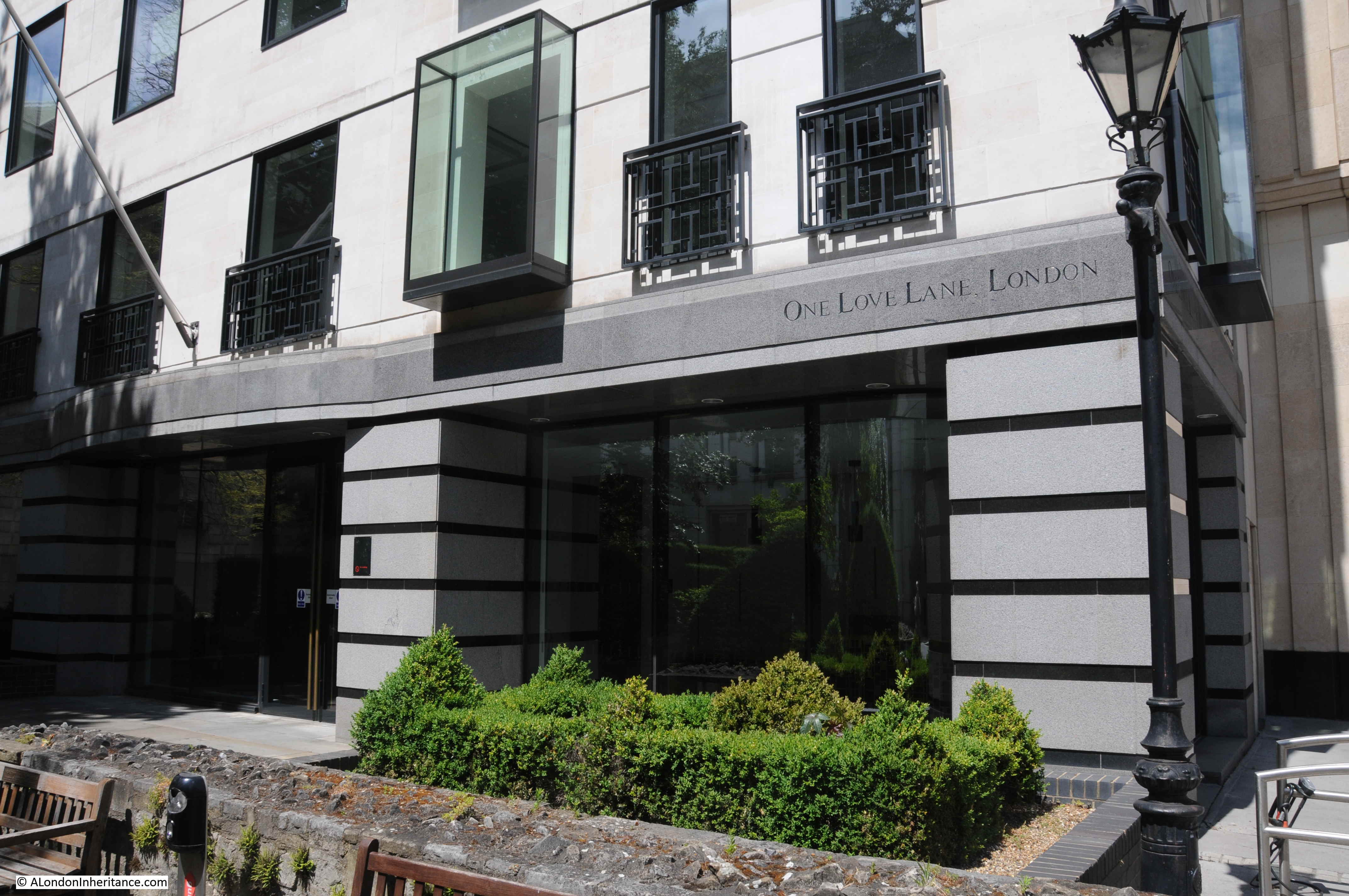
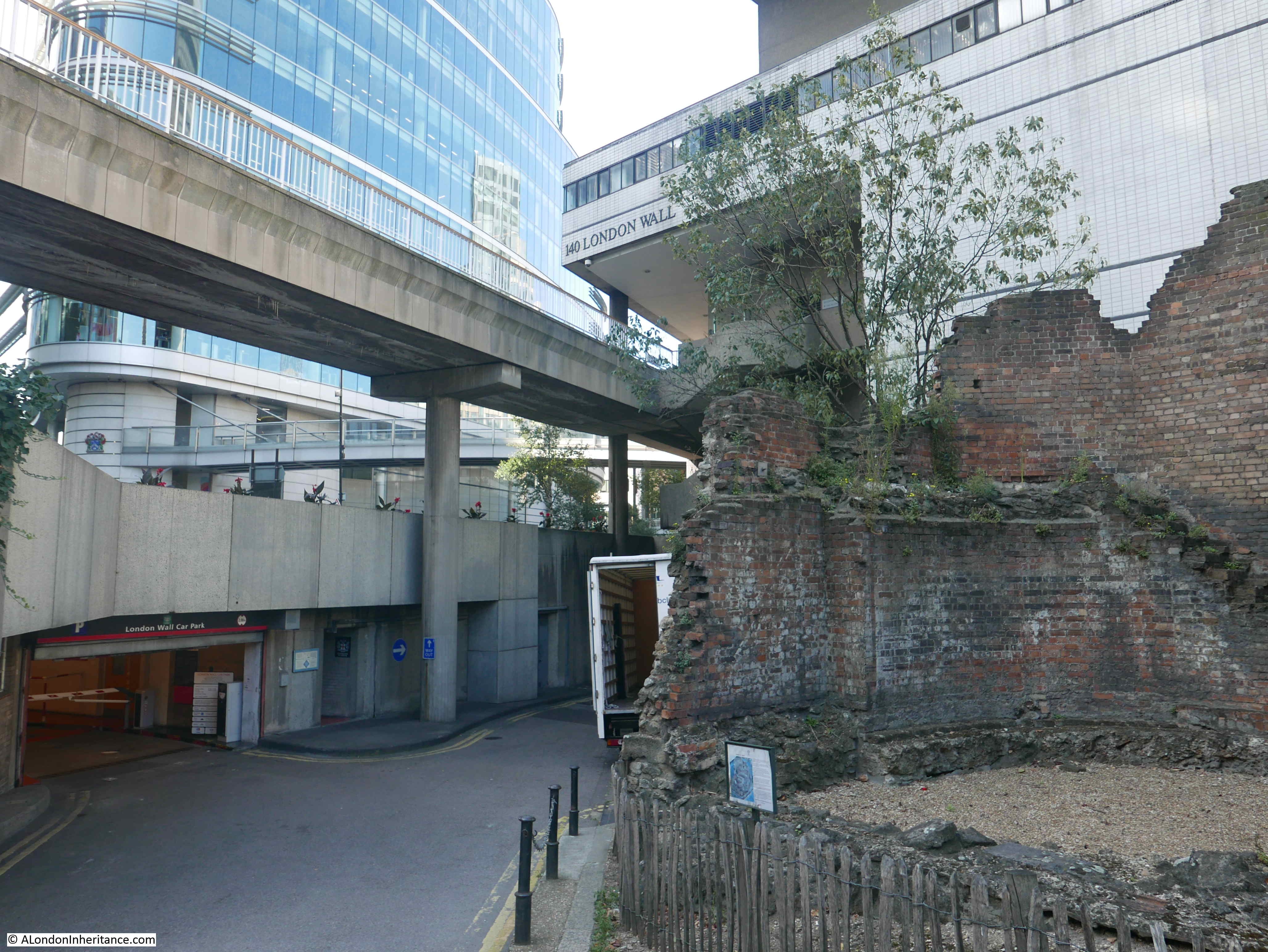
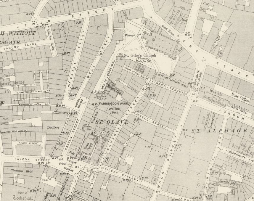
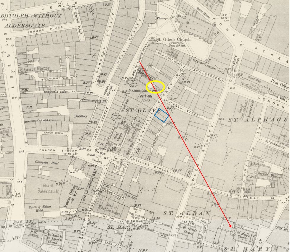
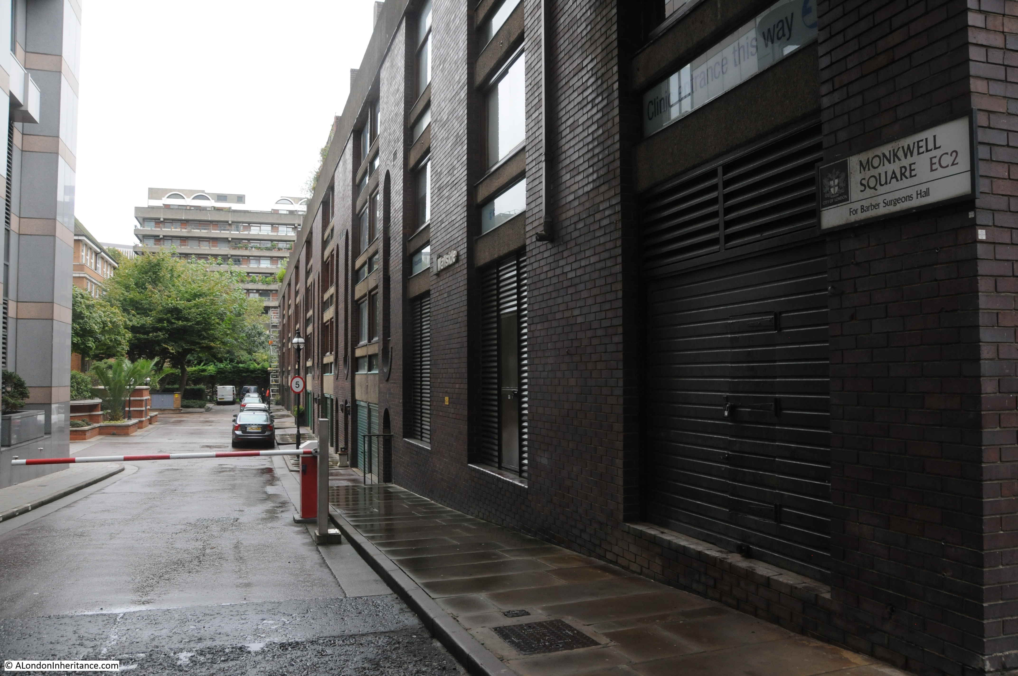
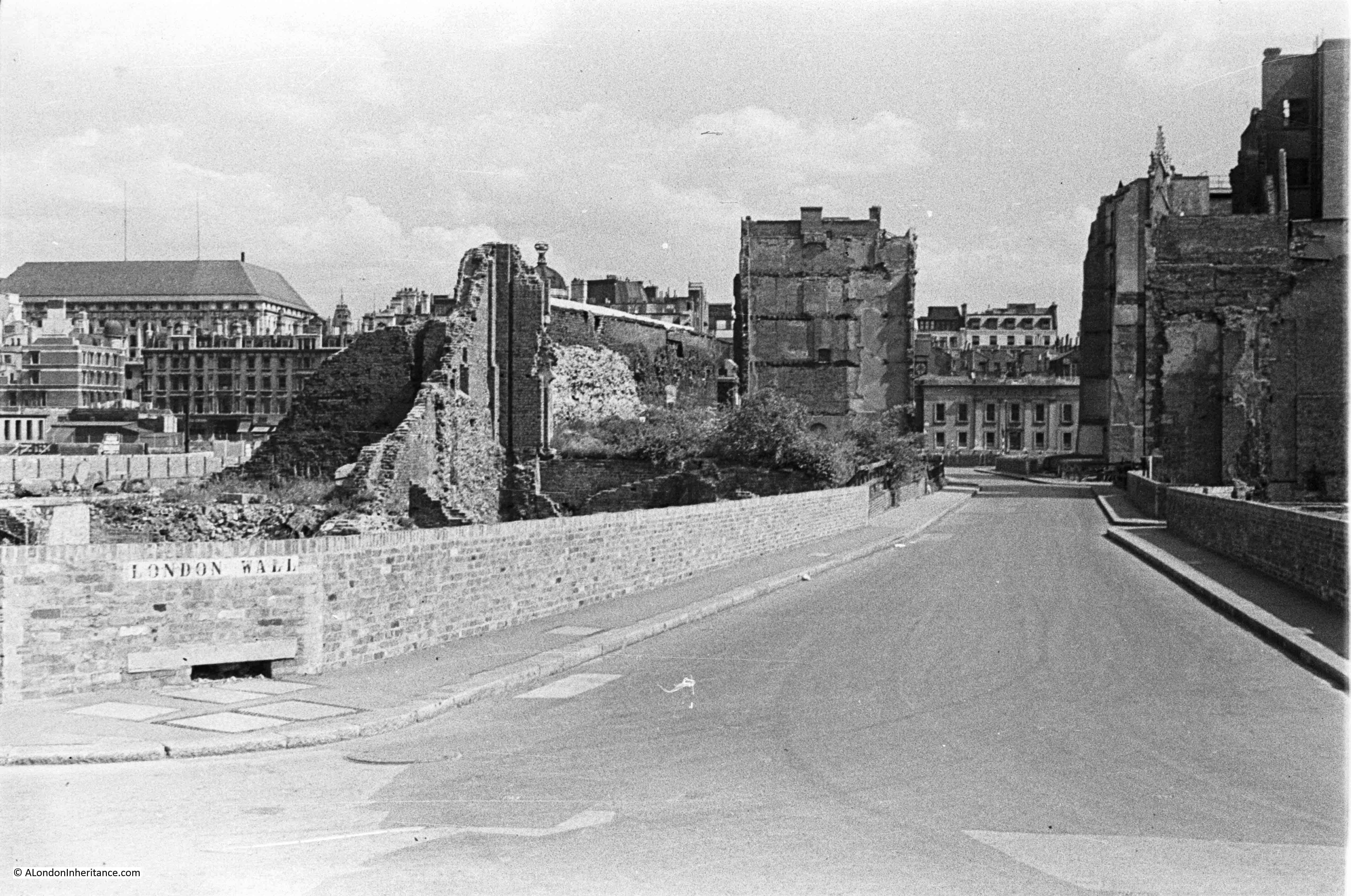
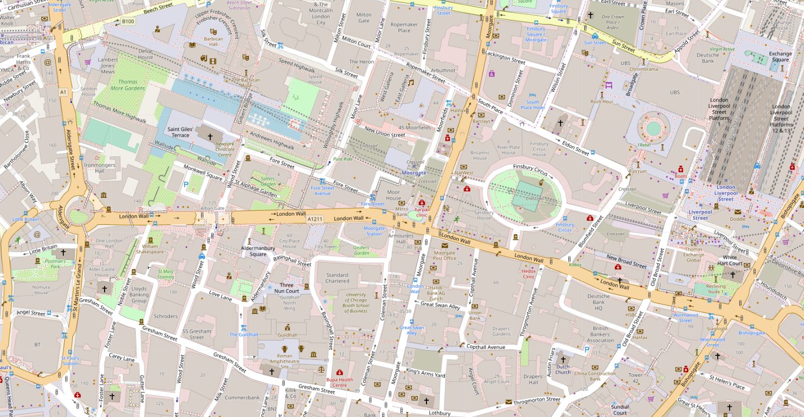
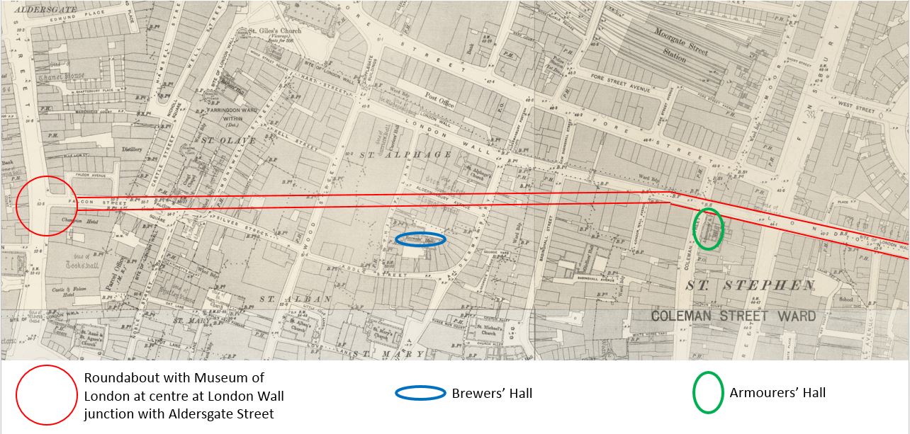
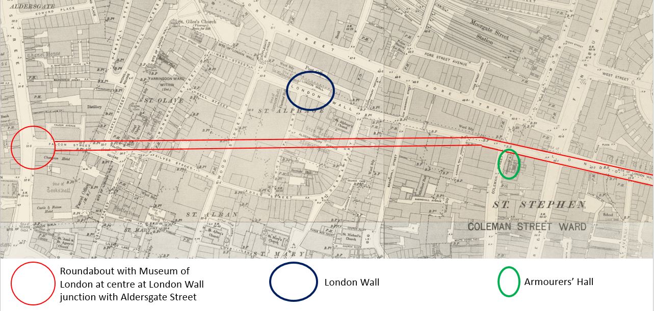
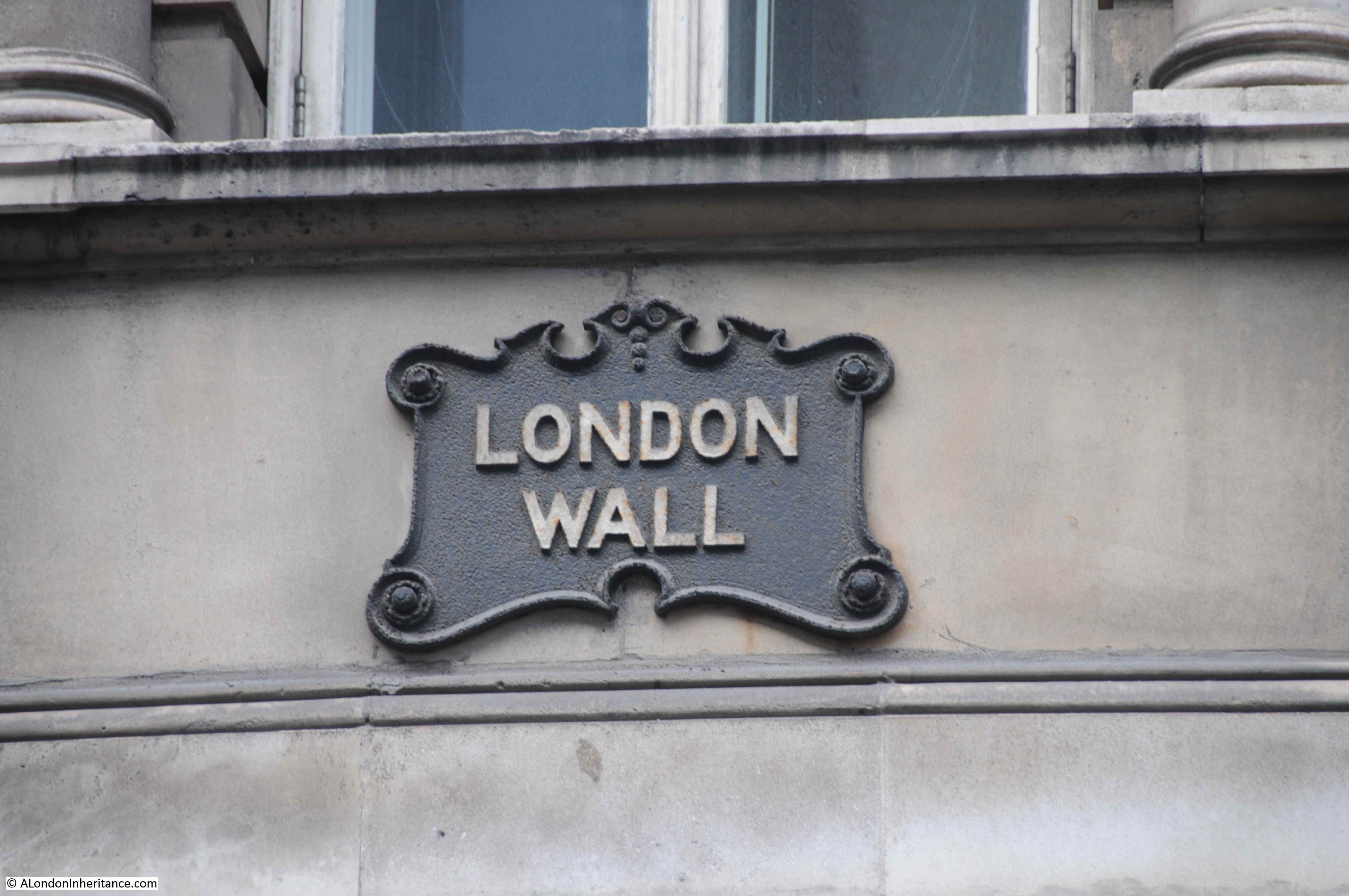
So where was St. Olave’s? I have circled the location of the remaining churchyard in the following map, showing that it is close to the old Museum of London roundabout, and to the south of London Wall, the post-war dual carriageway that was build over part of Silver Street, and Falcon Square (© OpenStreetMap contributors):

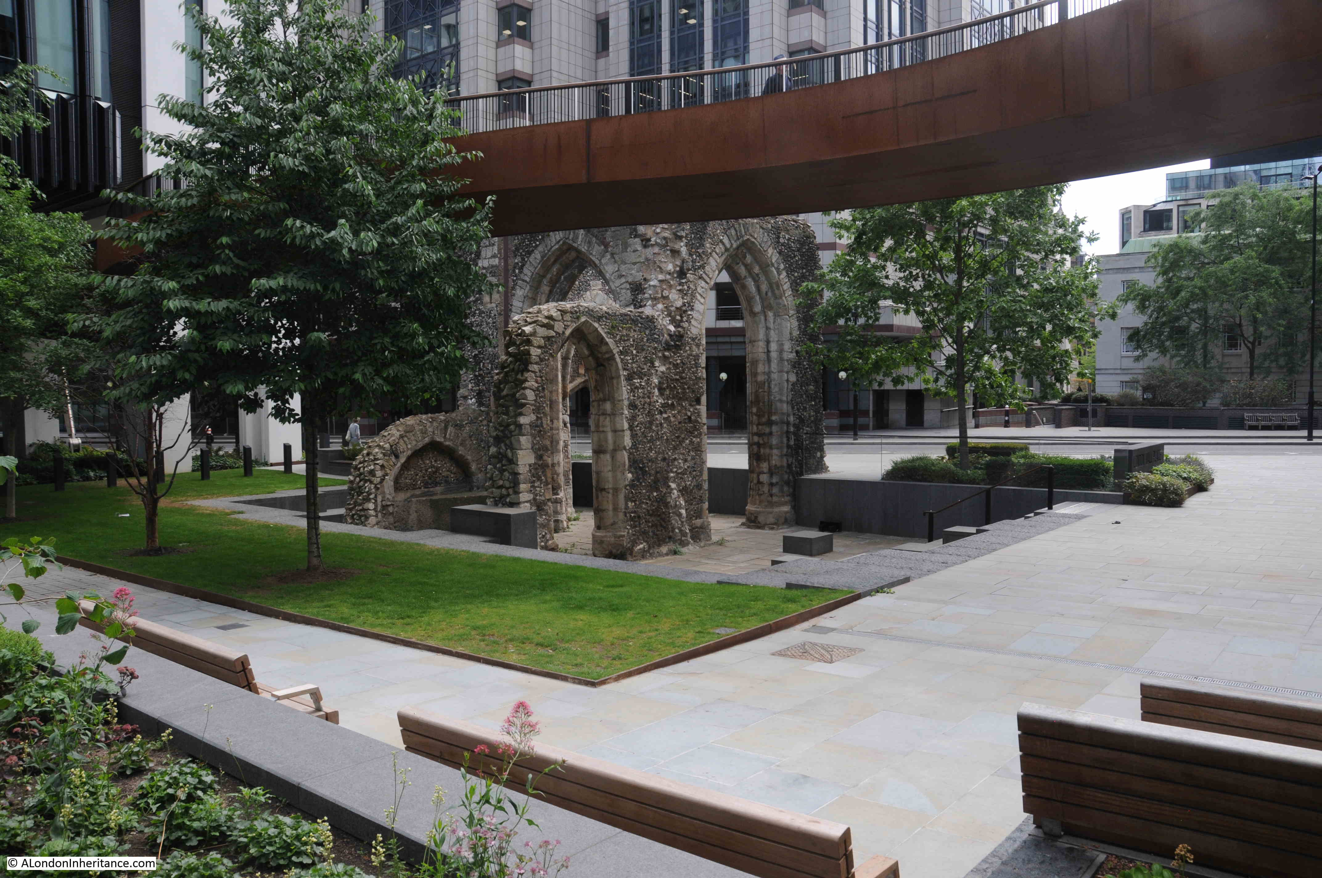
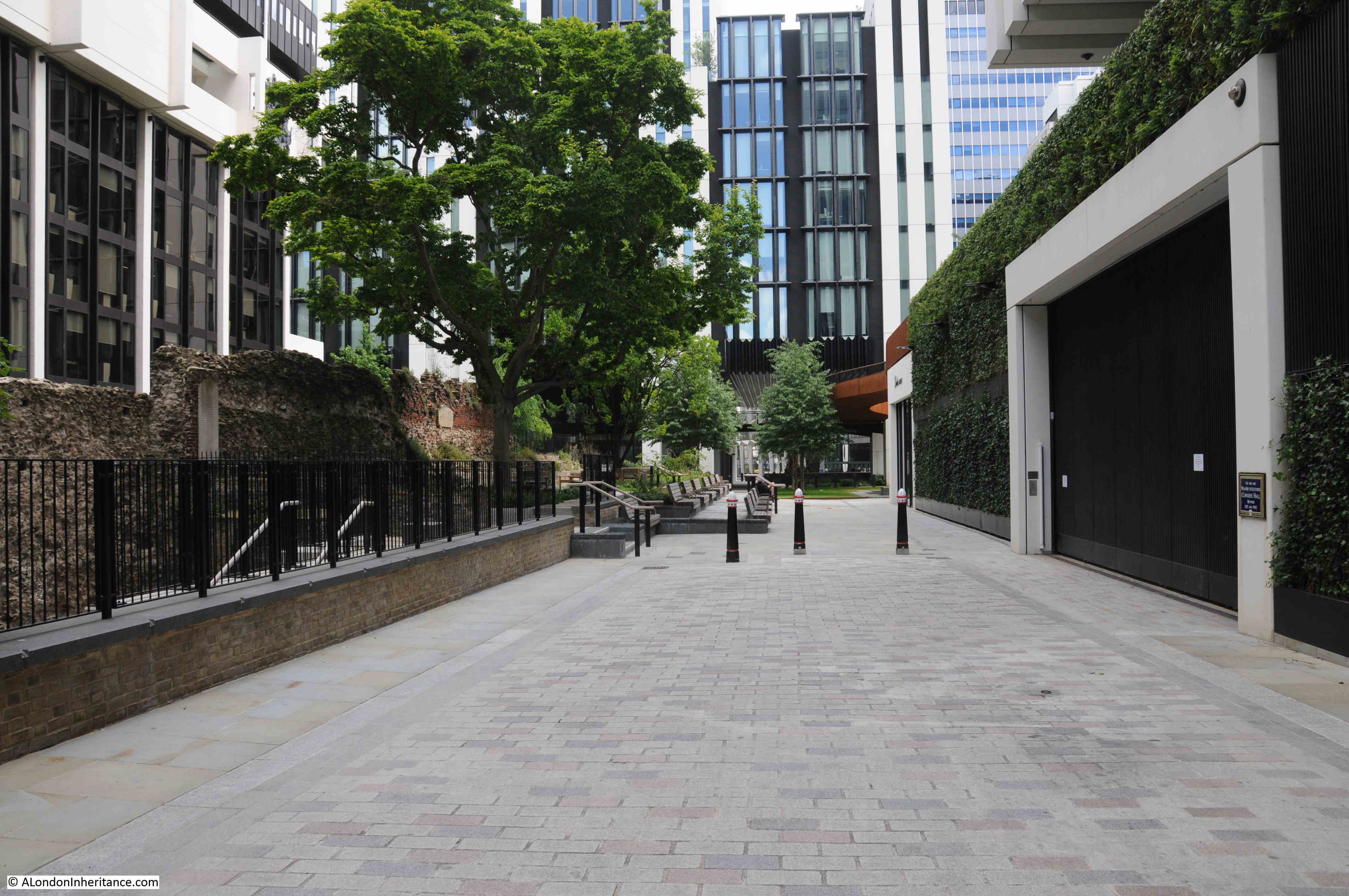
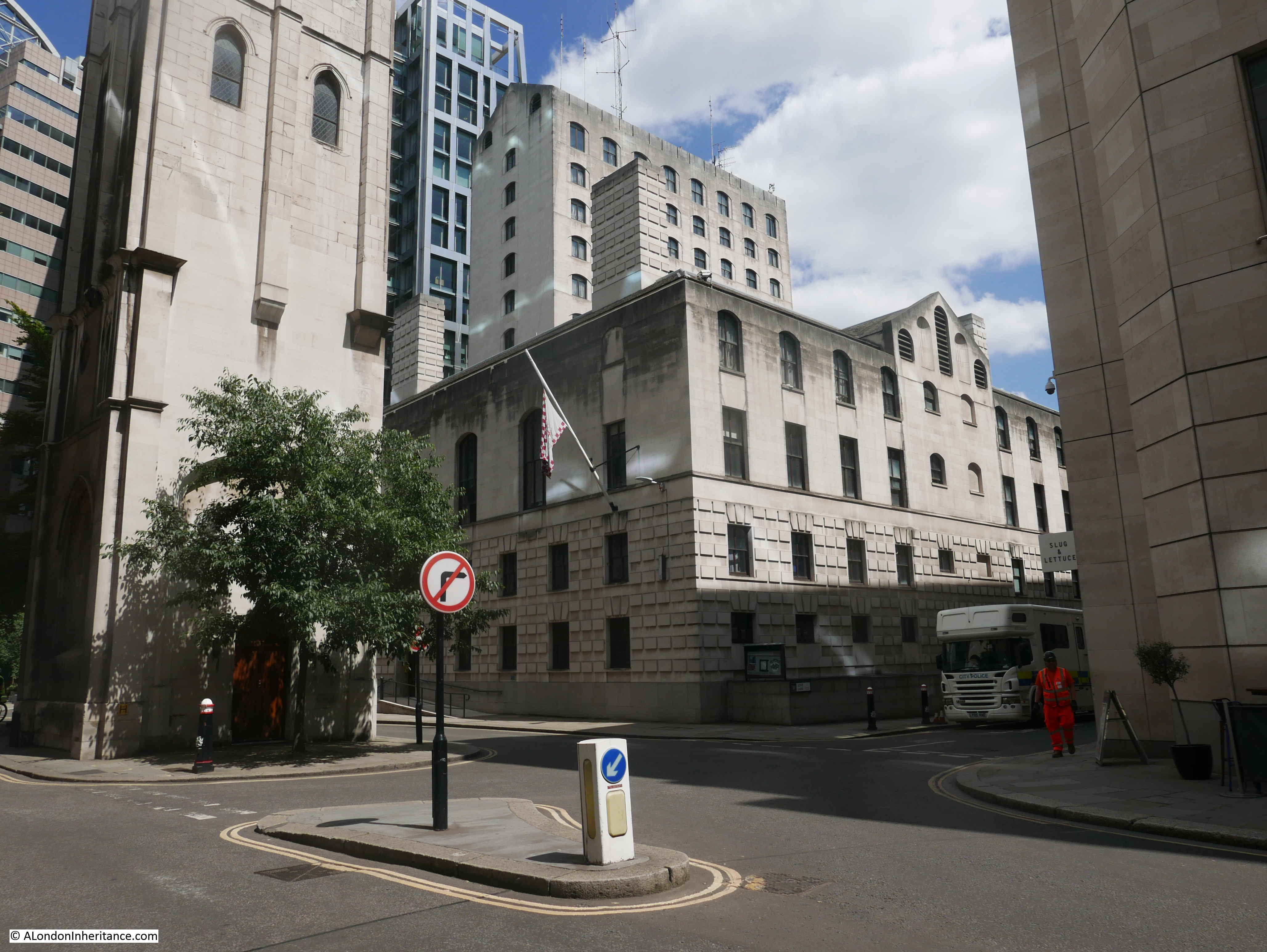
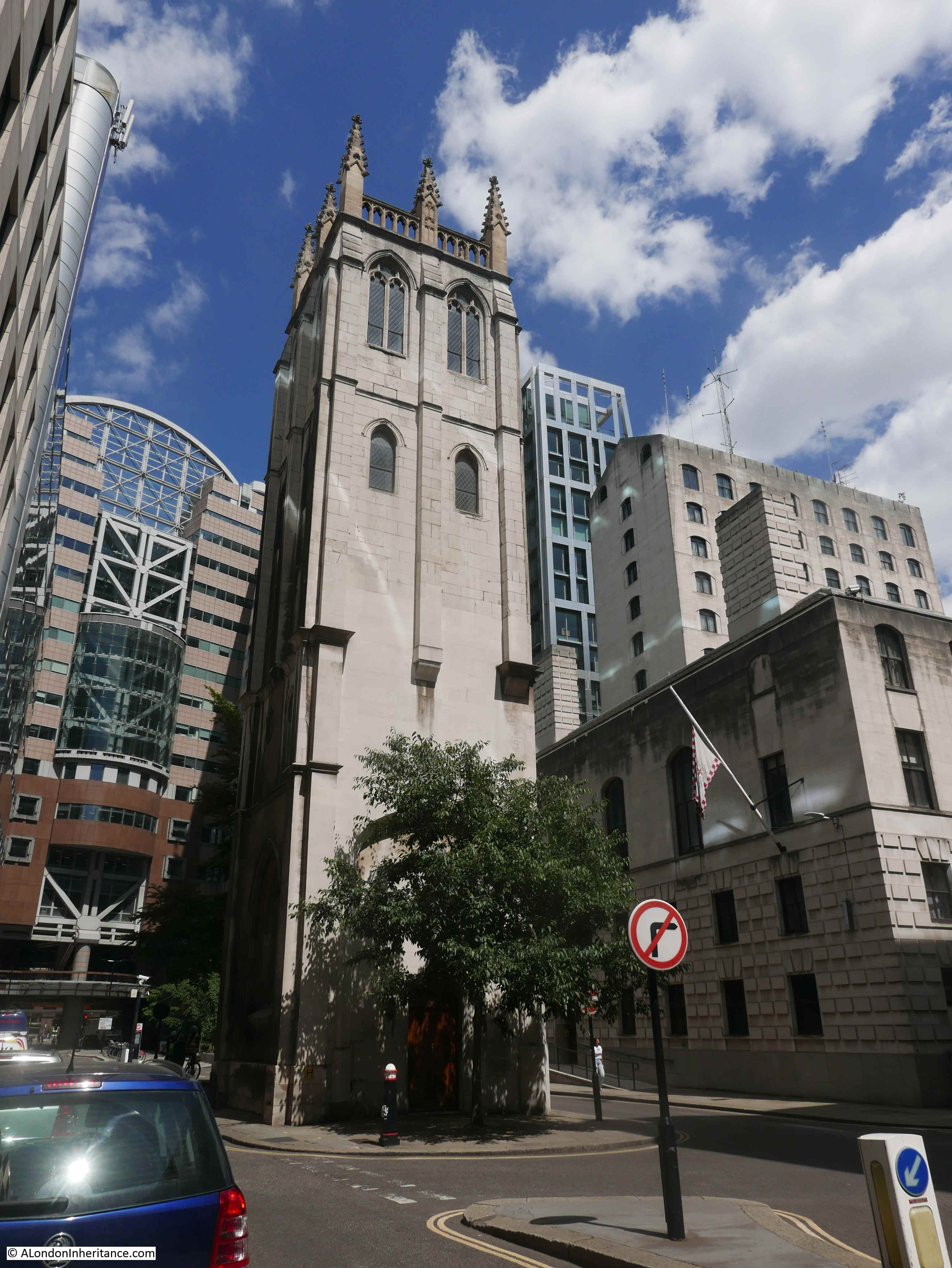
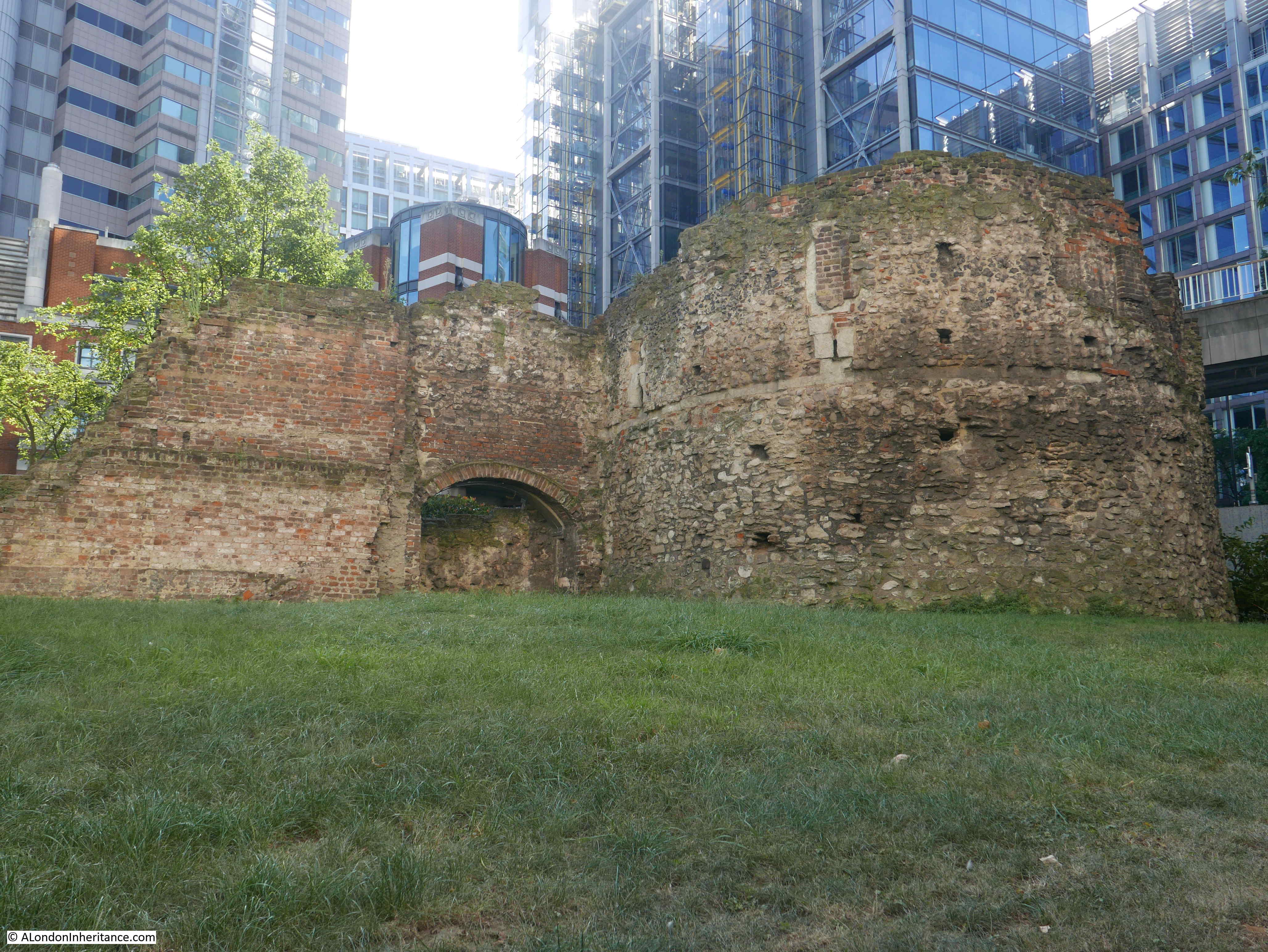
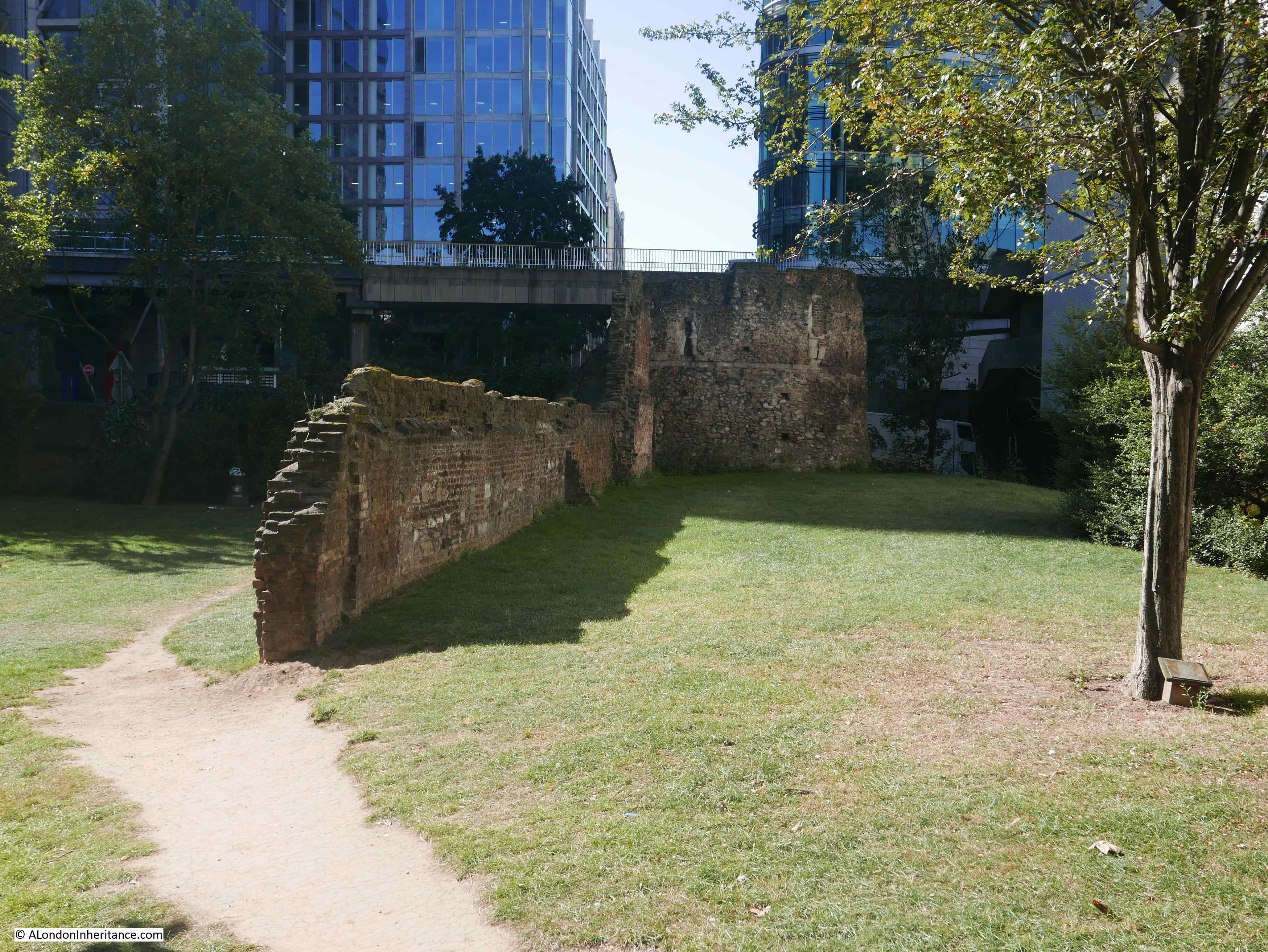
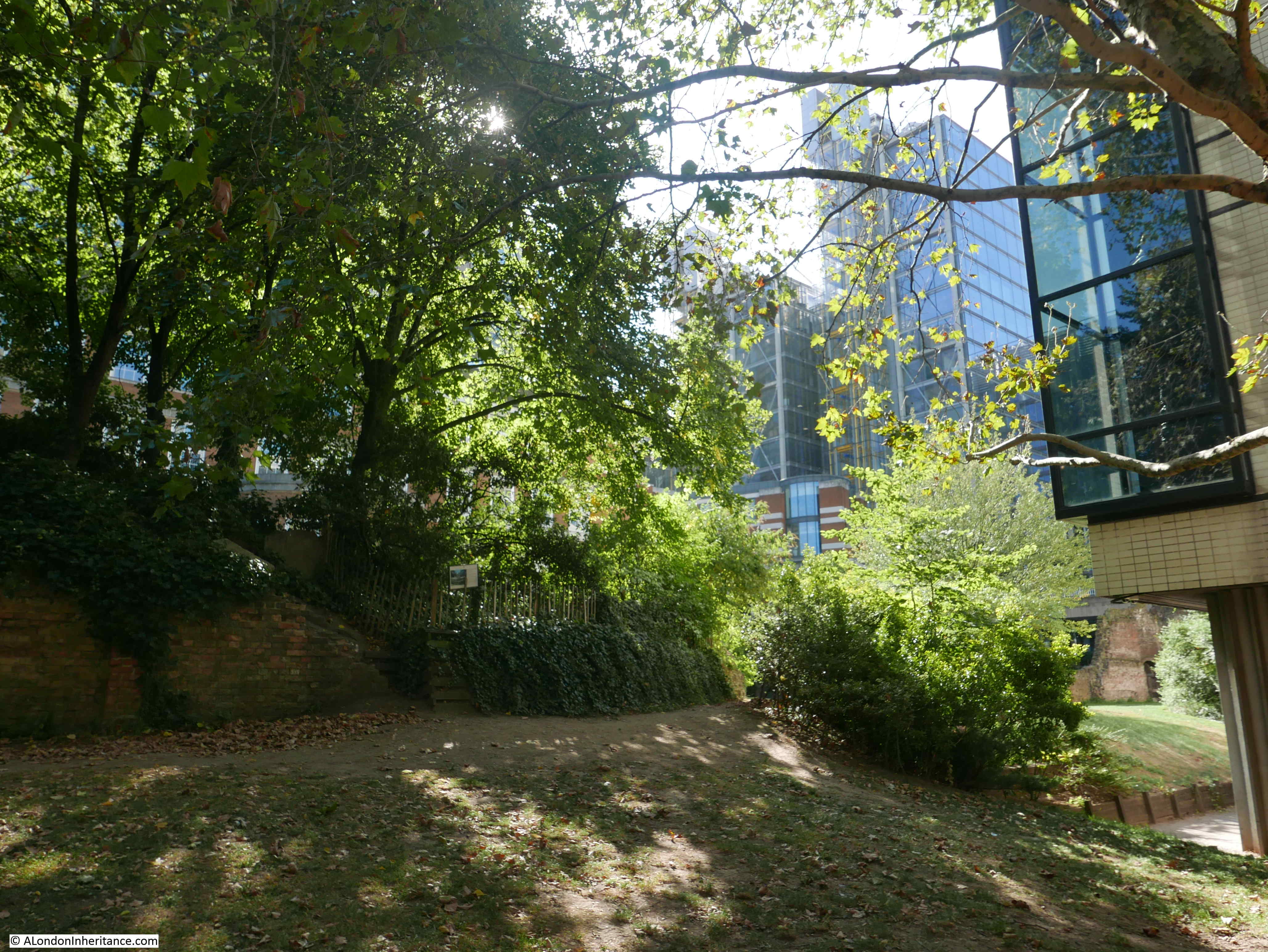
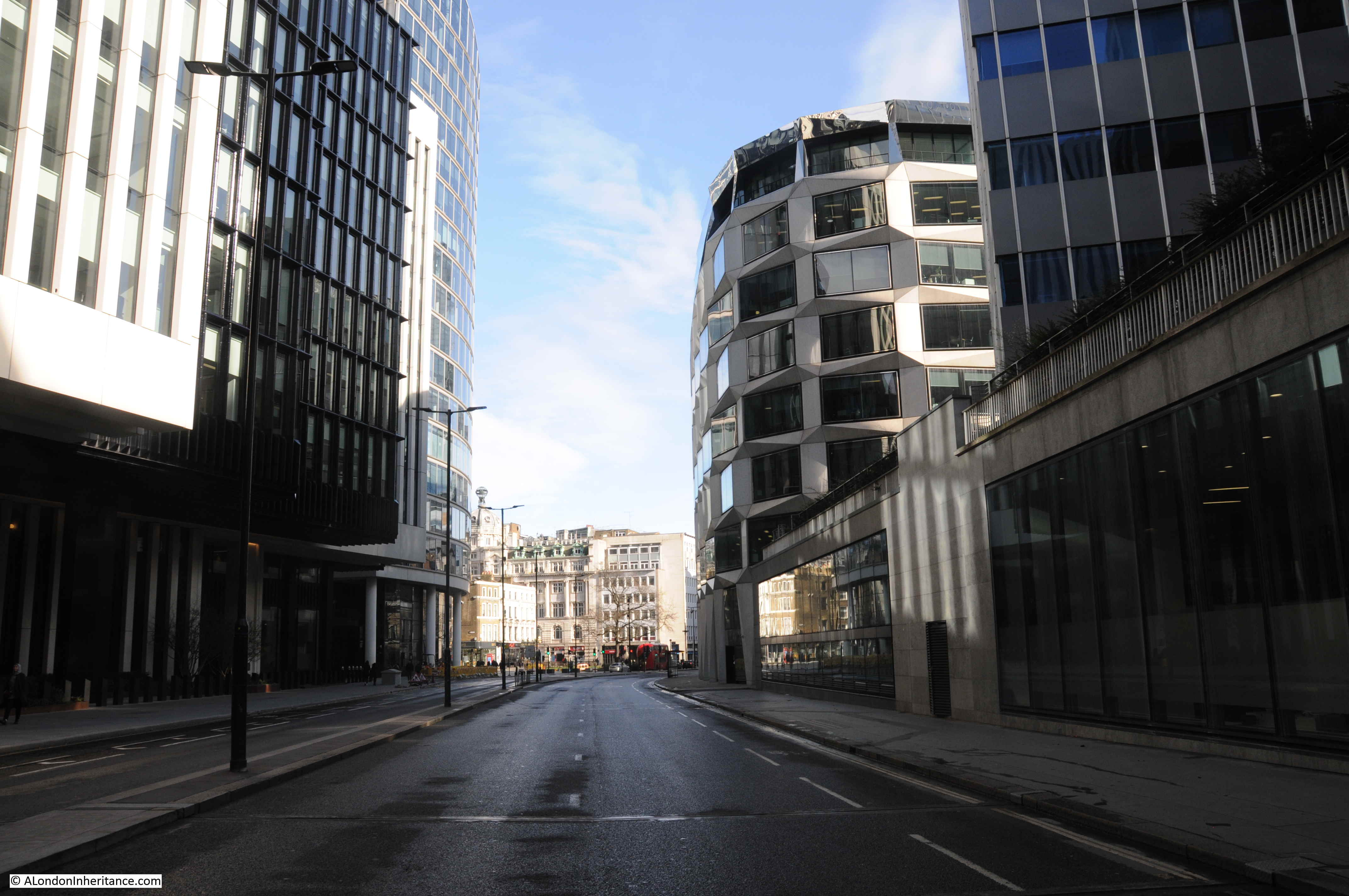
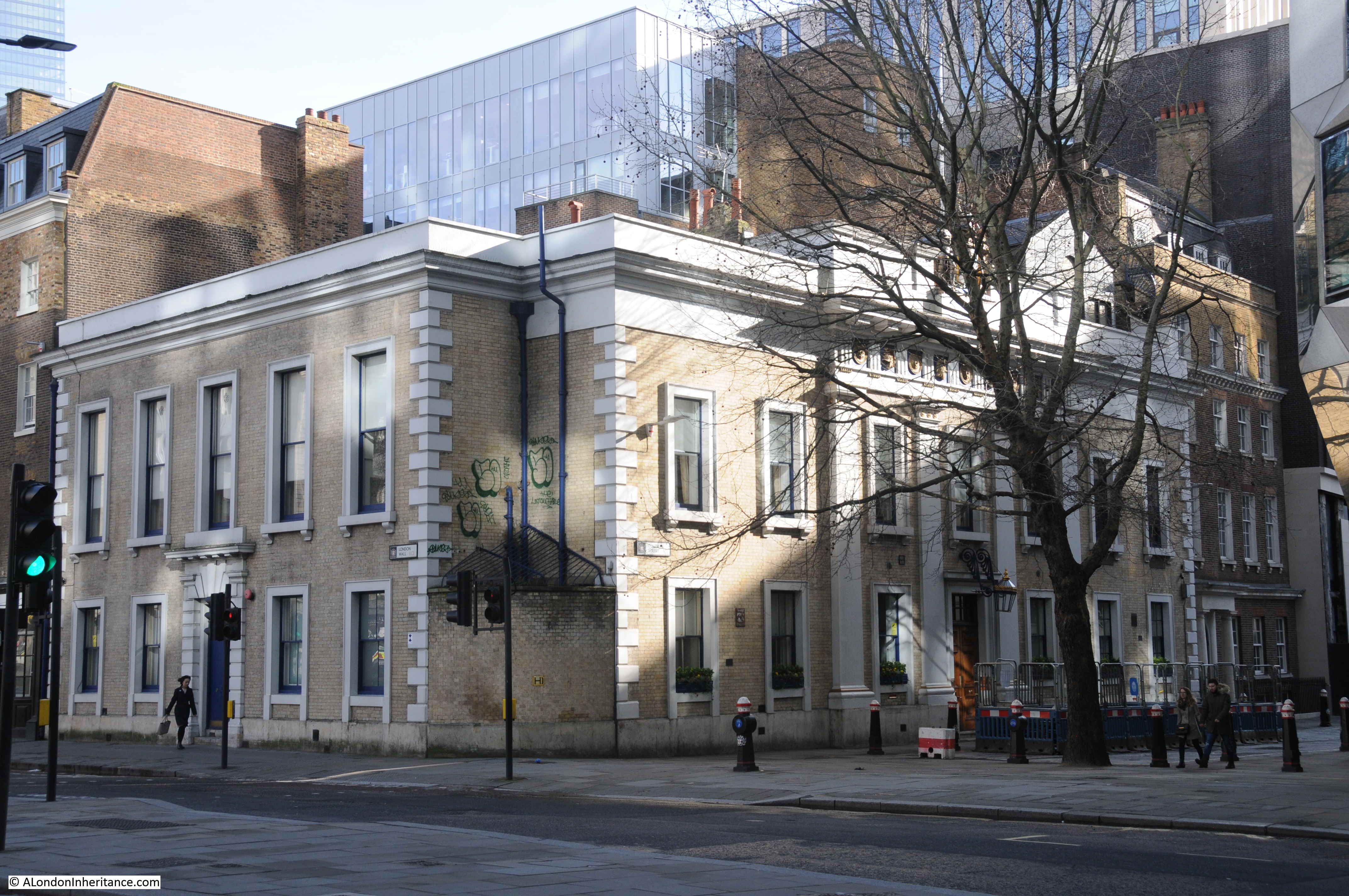
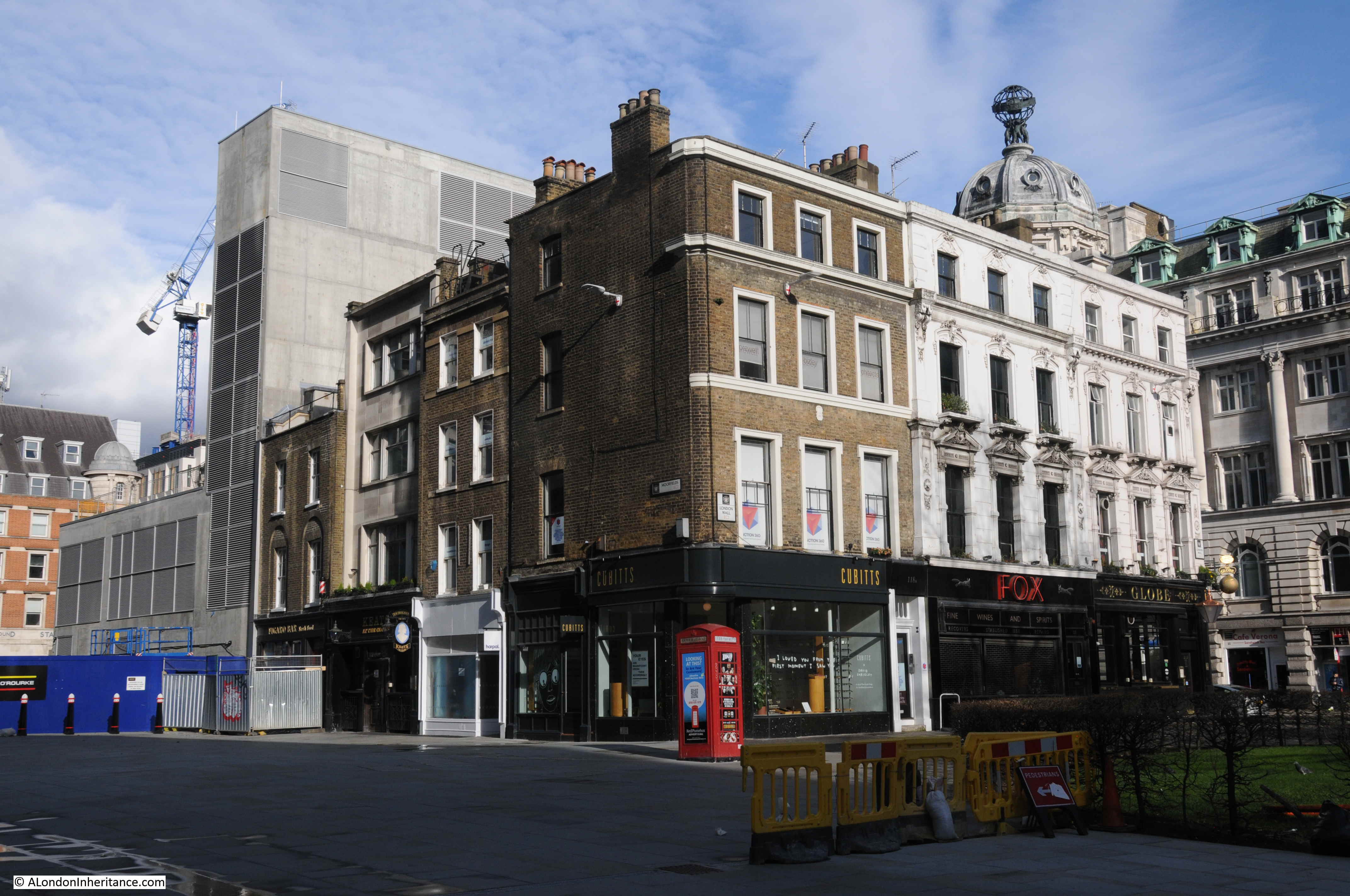
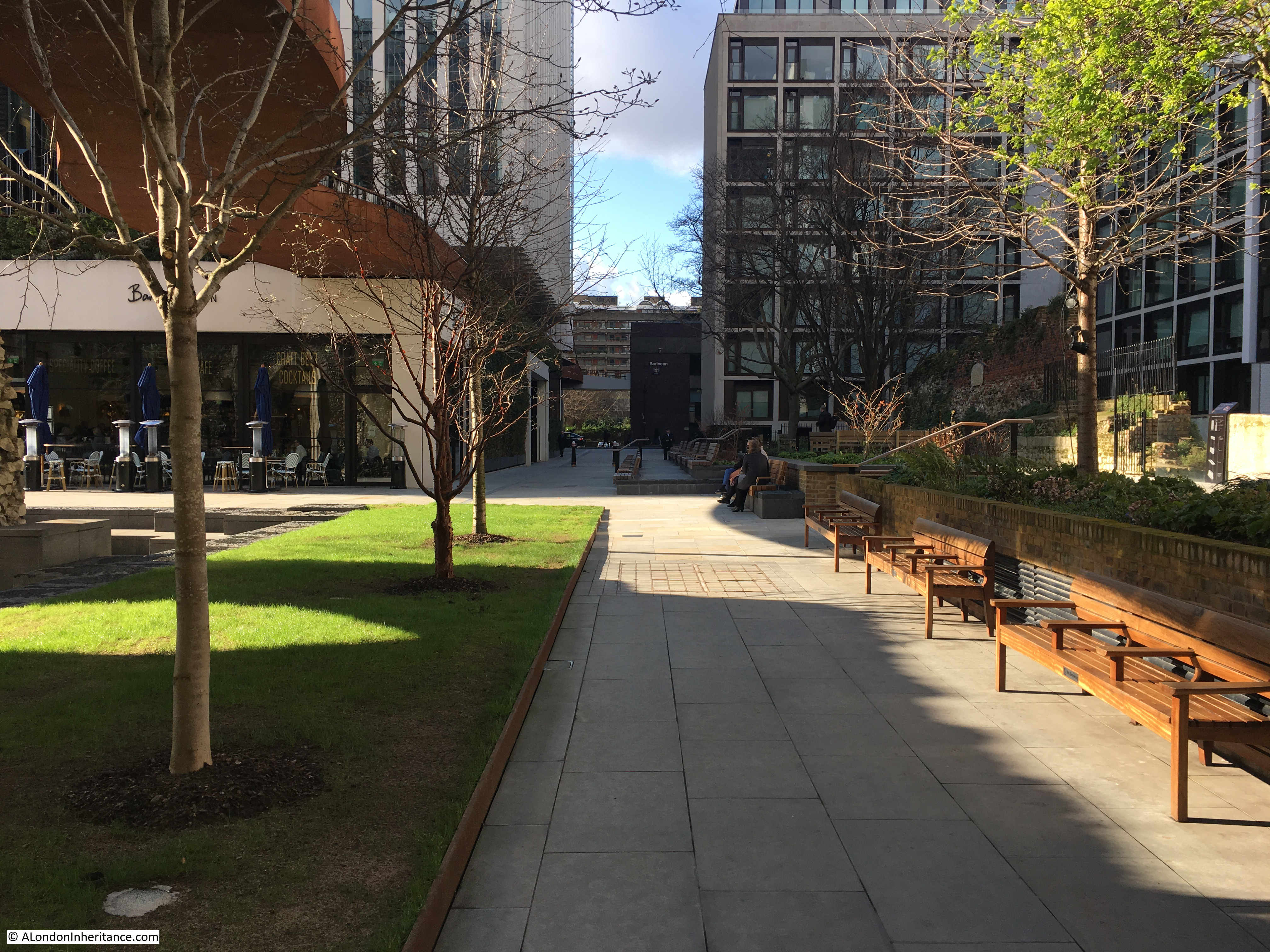
The following photo shows the overall churchyard today, with London Wall to the left. The 1920s photo was taken from one of the upper floors of the building that was on the site of the building to the right:

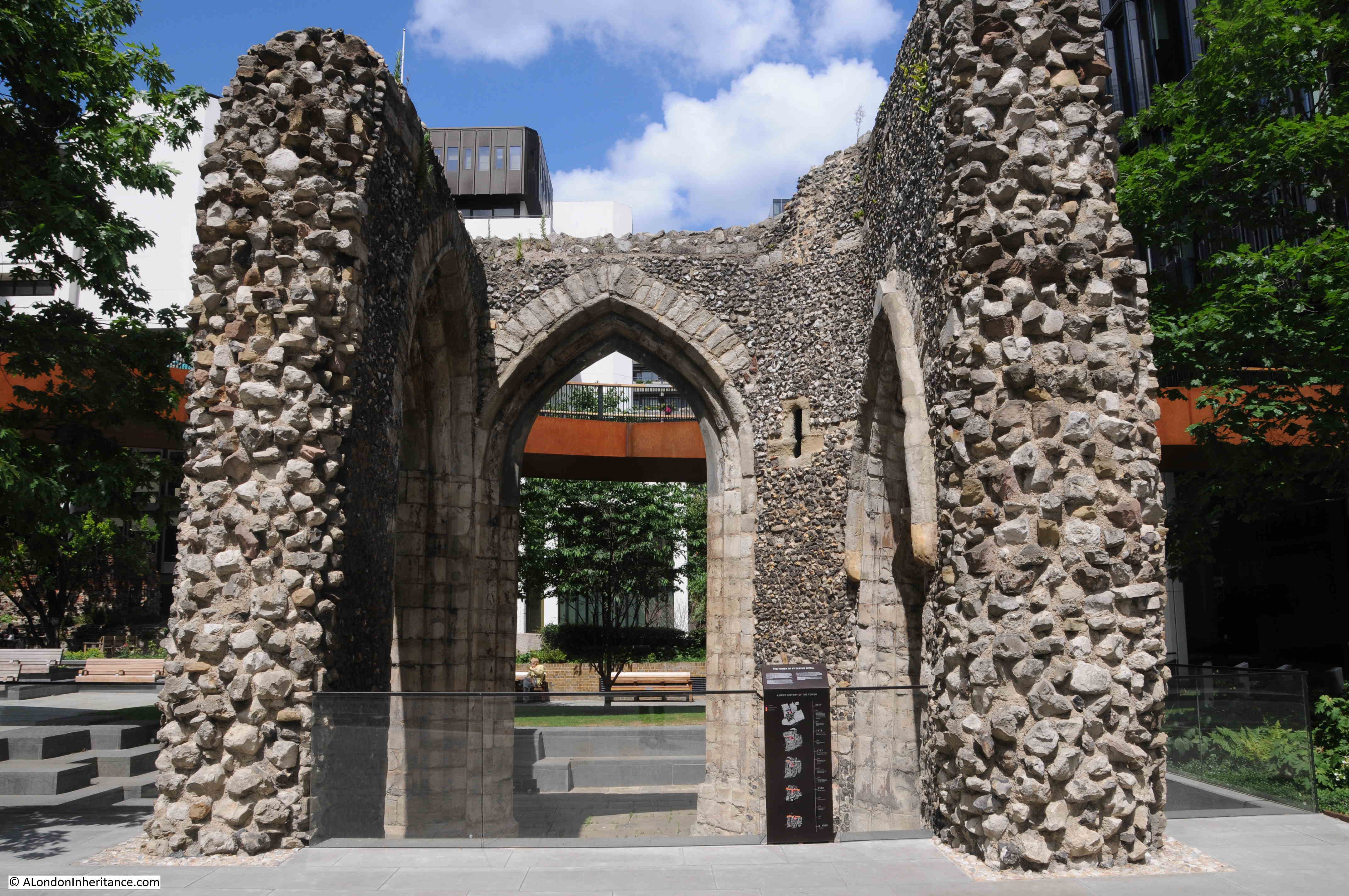
In “London Churches before the Fire”, the churchyard was described in 1917 as a “public resting-place”, and that is still the same today, and I had to wait for a while to get a photo without anyone sitting on the seats – phone call and smoking refugees from the nearby offices:

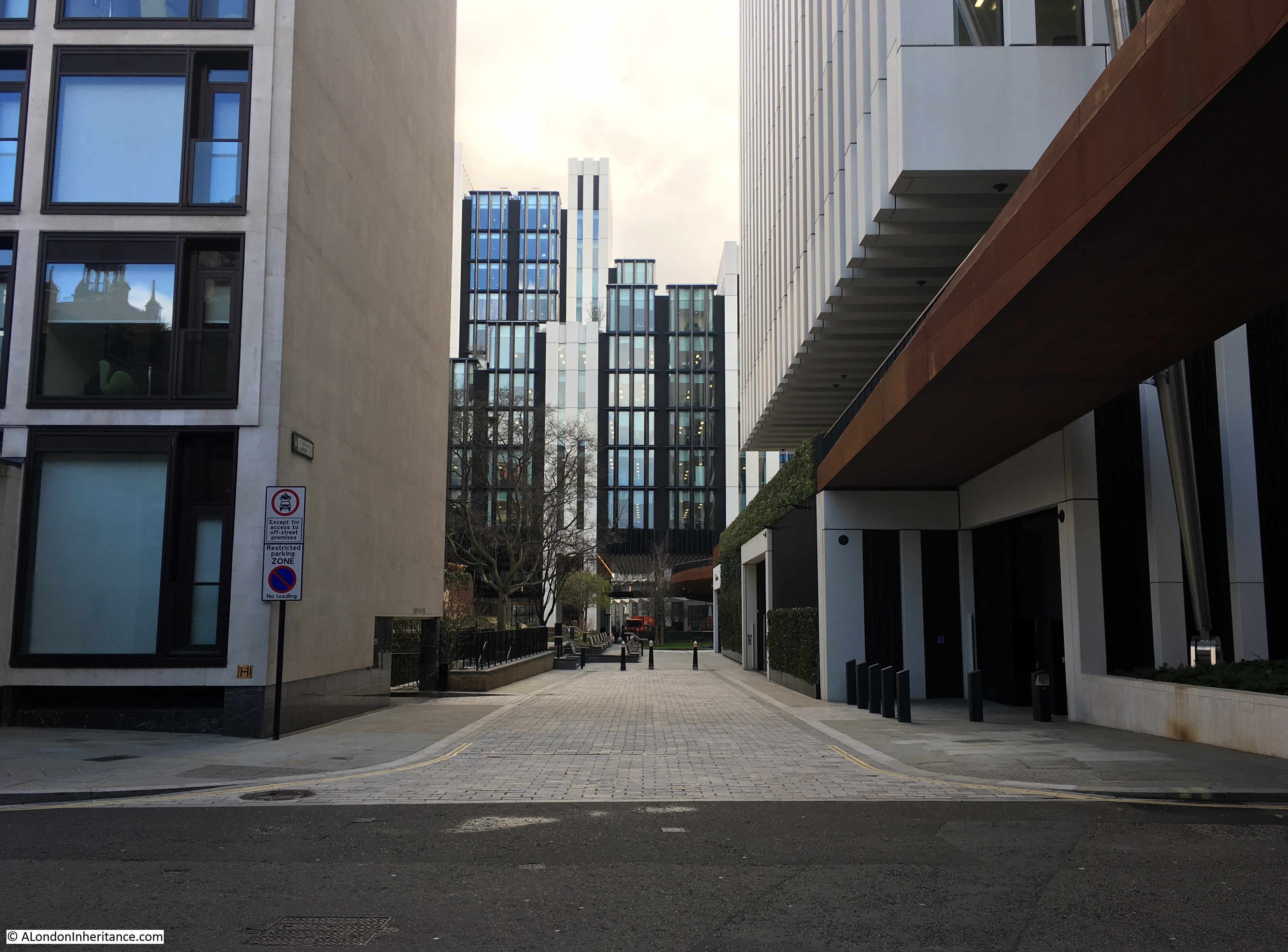
The view to the right of the above photo:

St. Olave’s was one of about three in the City along with one in Southwark that were dedicated to St. Olave.
In the City, only St. Olave’s, Hart Street survives.
There are some very different interpretations of the story of Olave. He seems to have been baptised in the year 1010, in the Norman city of Rouen. He then helped the Anglo-Saxon King Æthelred II (also known as Æthelred the Unready) to regain his throne after the death of Danish King Sweyn Forkbeard.
Sweyn’s son was King Cnut, who took the thrones of England and Denmark in 1016, and would take the throne of Norway from Olave in 1028.
Olave was killed at the Battle of Stiklestad, when he was trying to retake his Norwegian throne.
He was declared a saint in 1031 by the English Bishop Grimketel who was working as a missionary in Norway at the time of Olave’s death.
Nidaros Cathedral, a wonderful Gothic cathedral, in Trondheim, Norway, which claims to be the world’s most northern mediaeval cathedral, is built over the site of Olave’s tomb.
St. Olave’s feast day is the 29th of July, and if you work in the Faroe Islands, it is a public holiday.
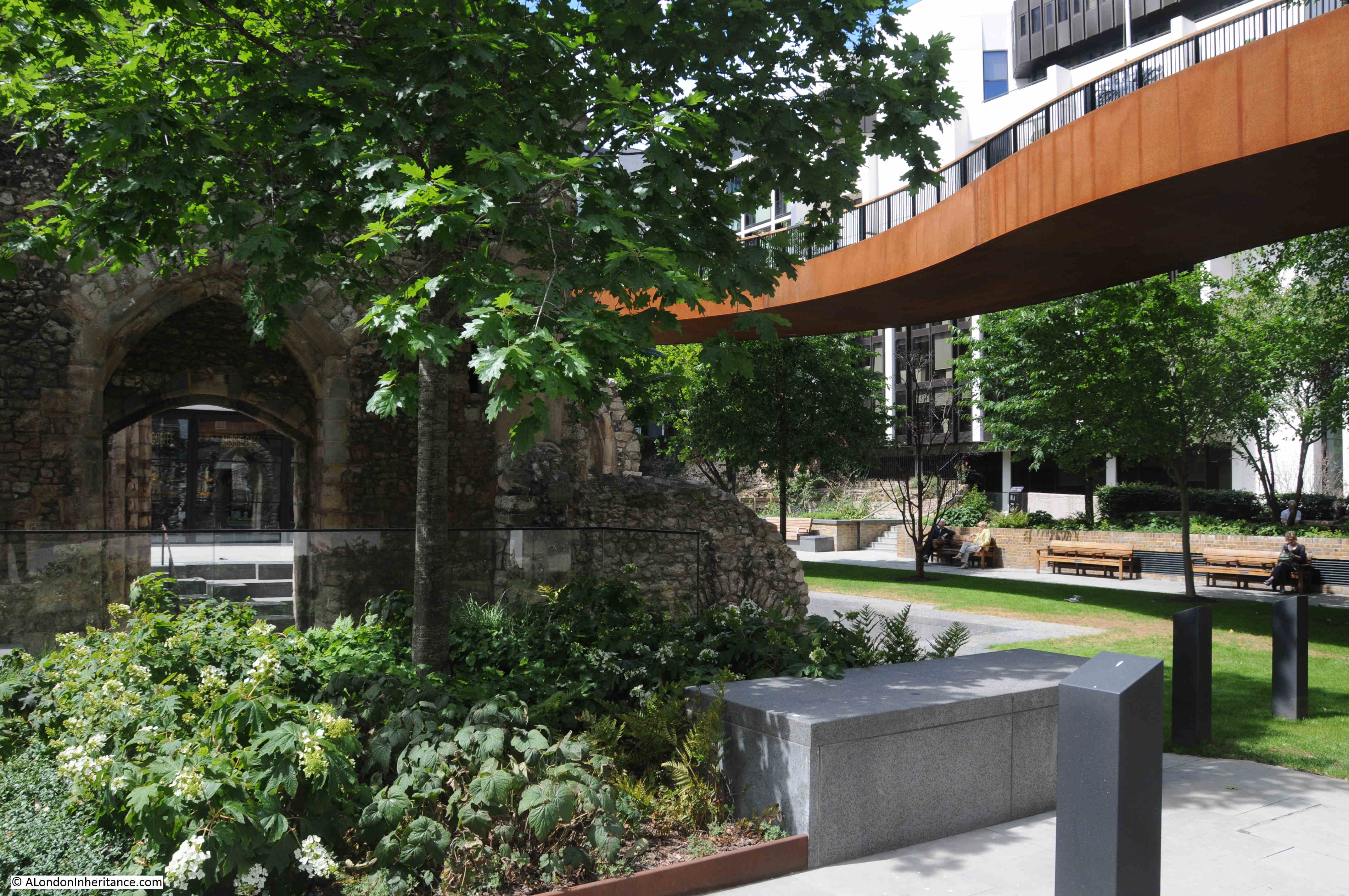
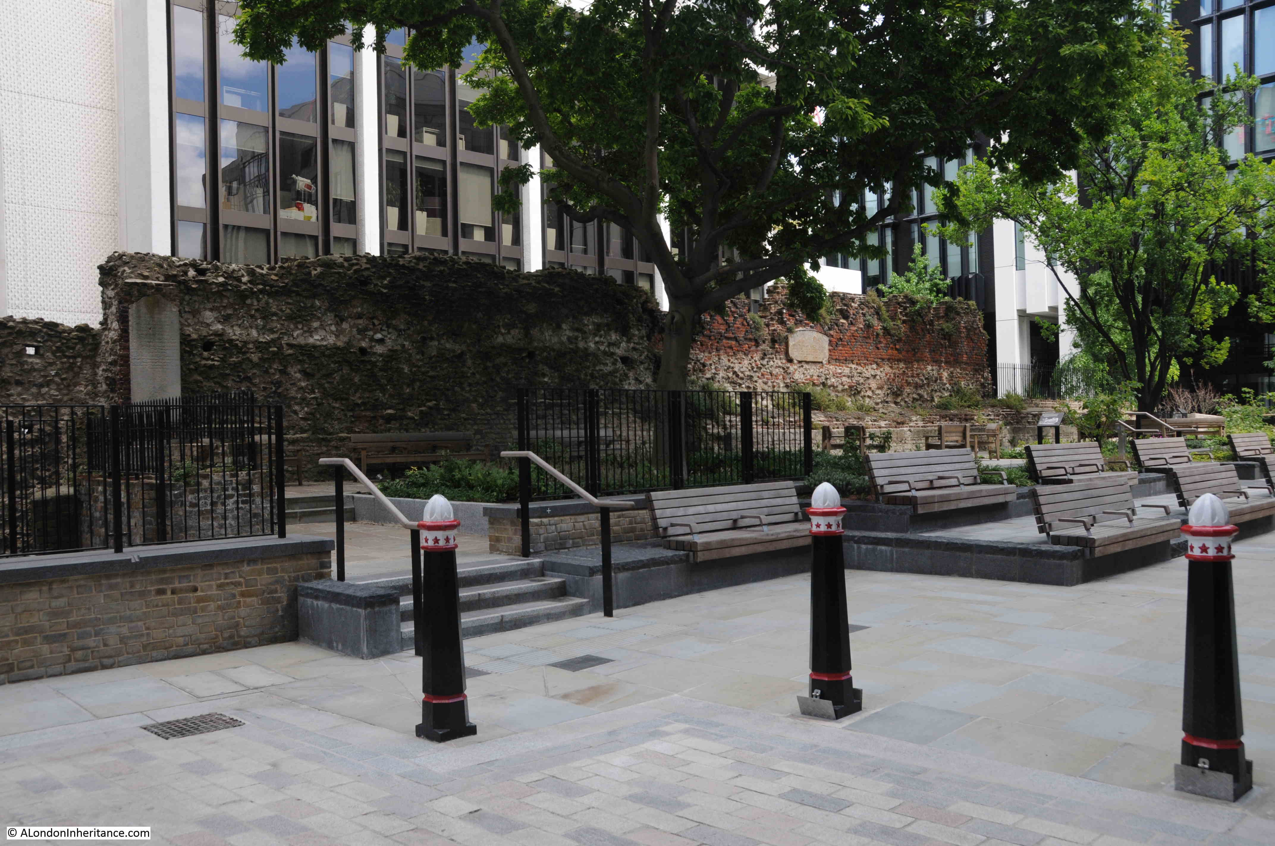
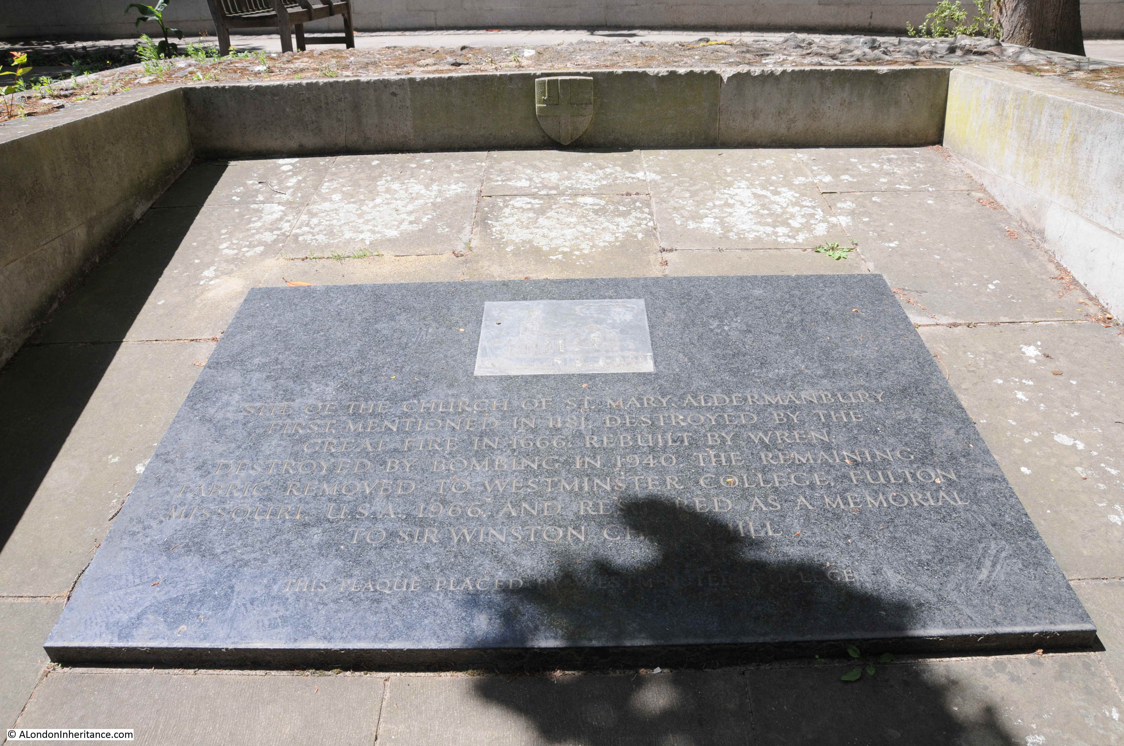
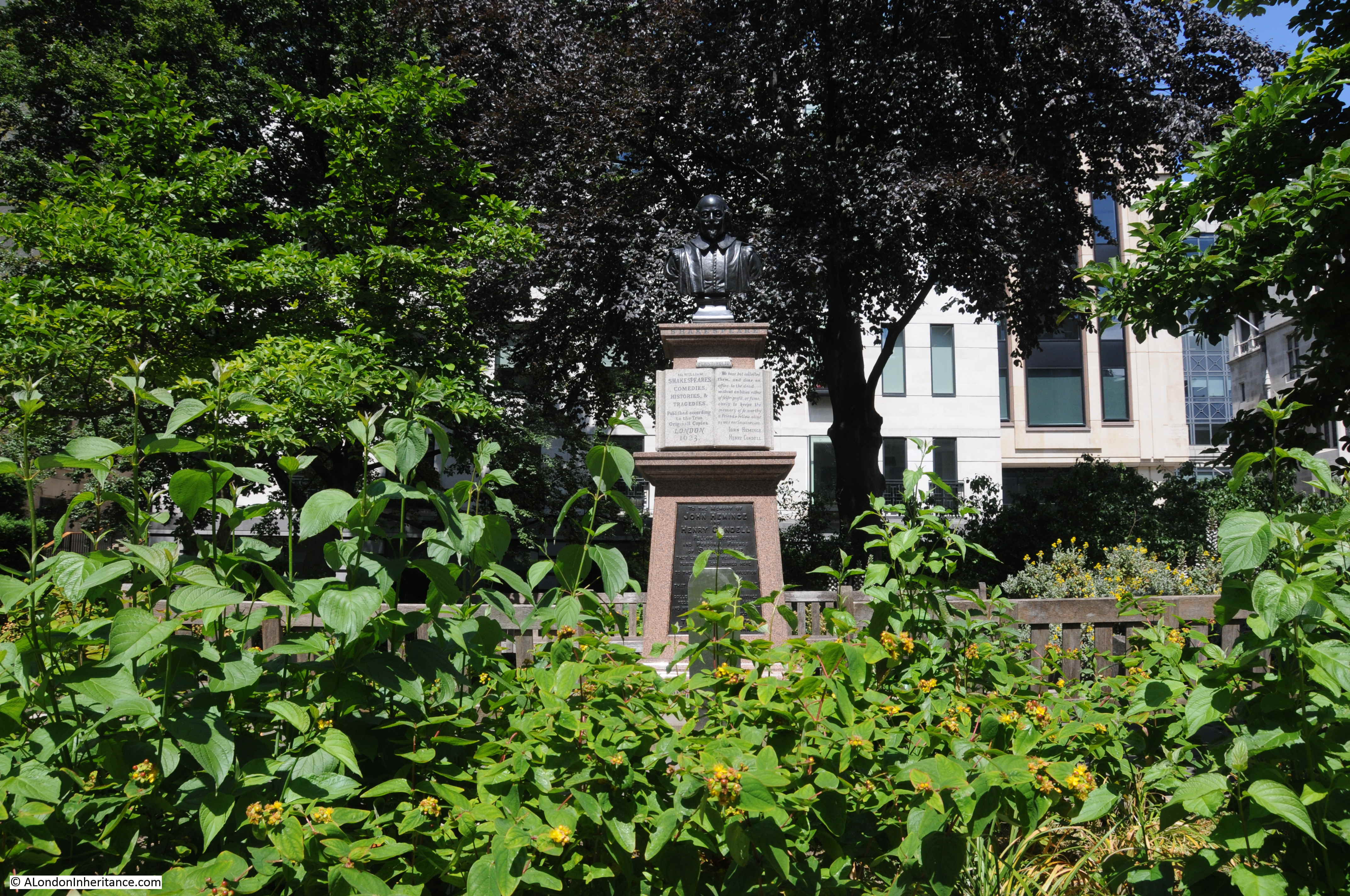
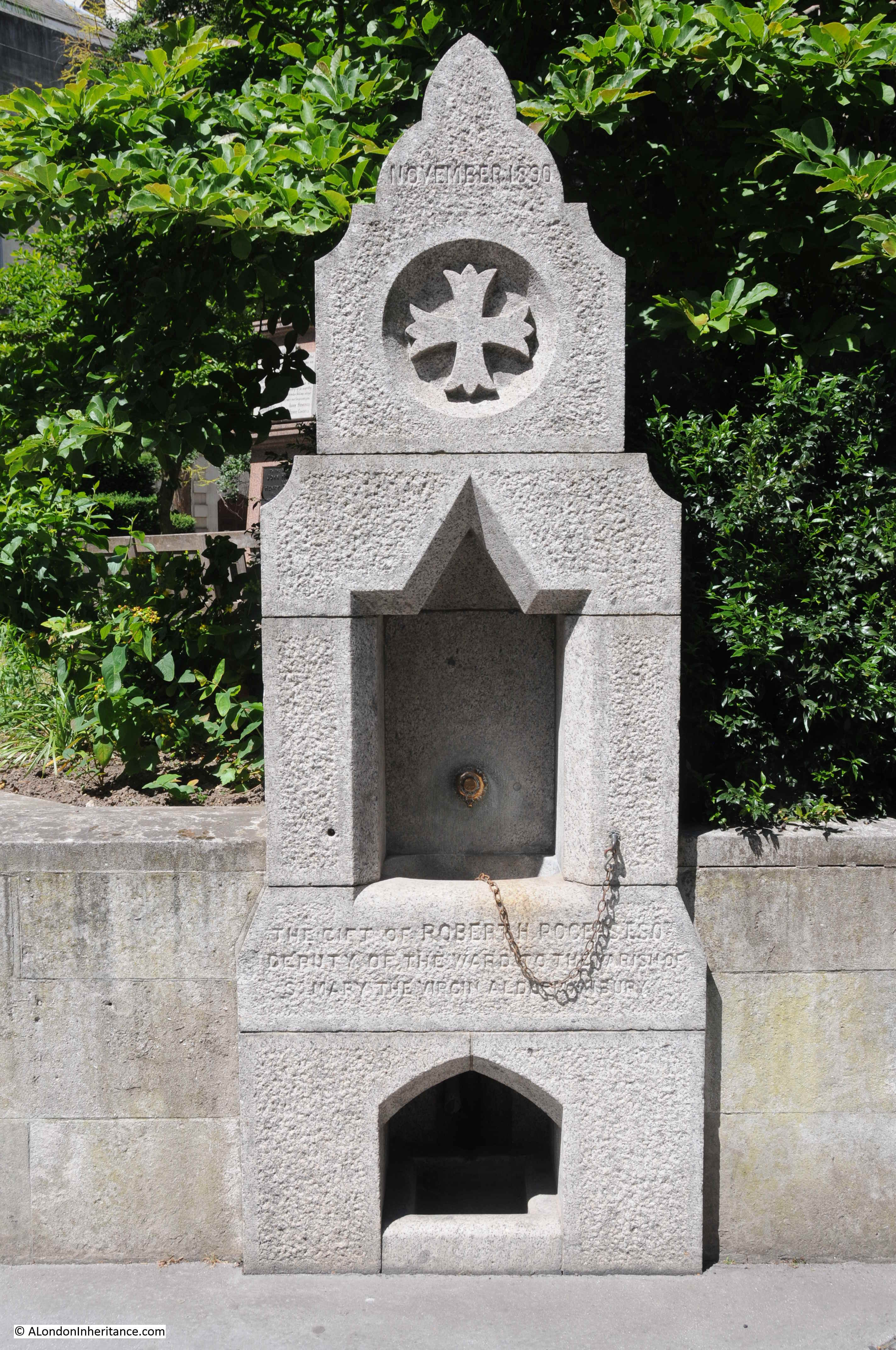
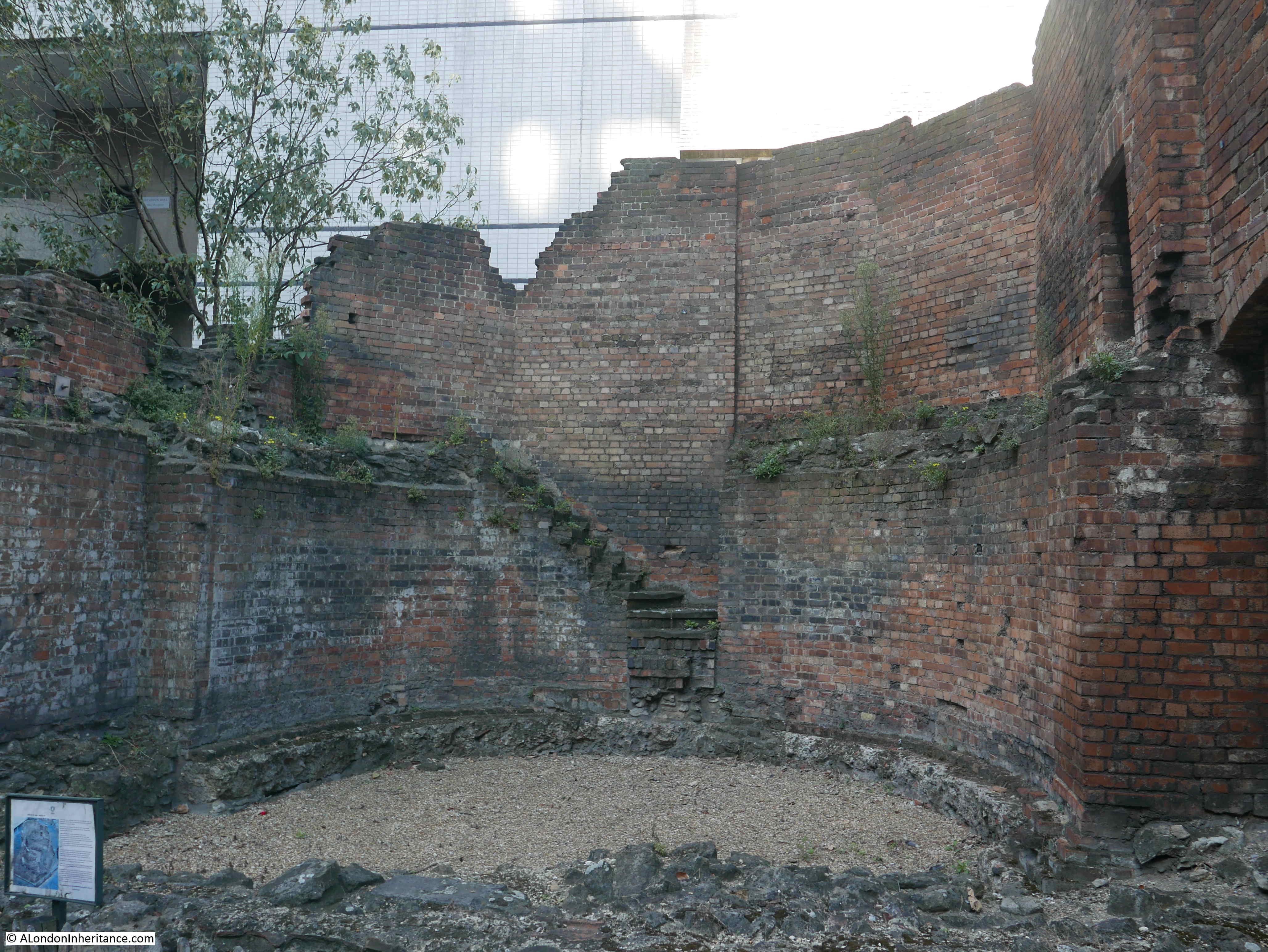
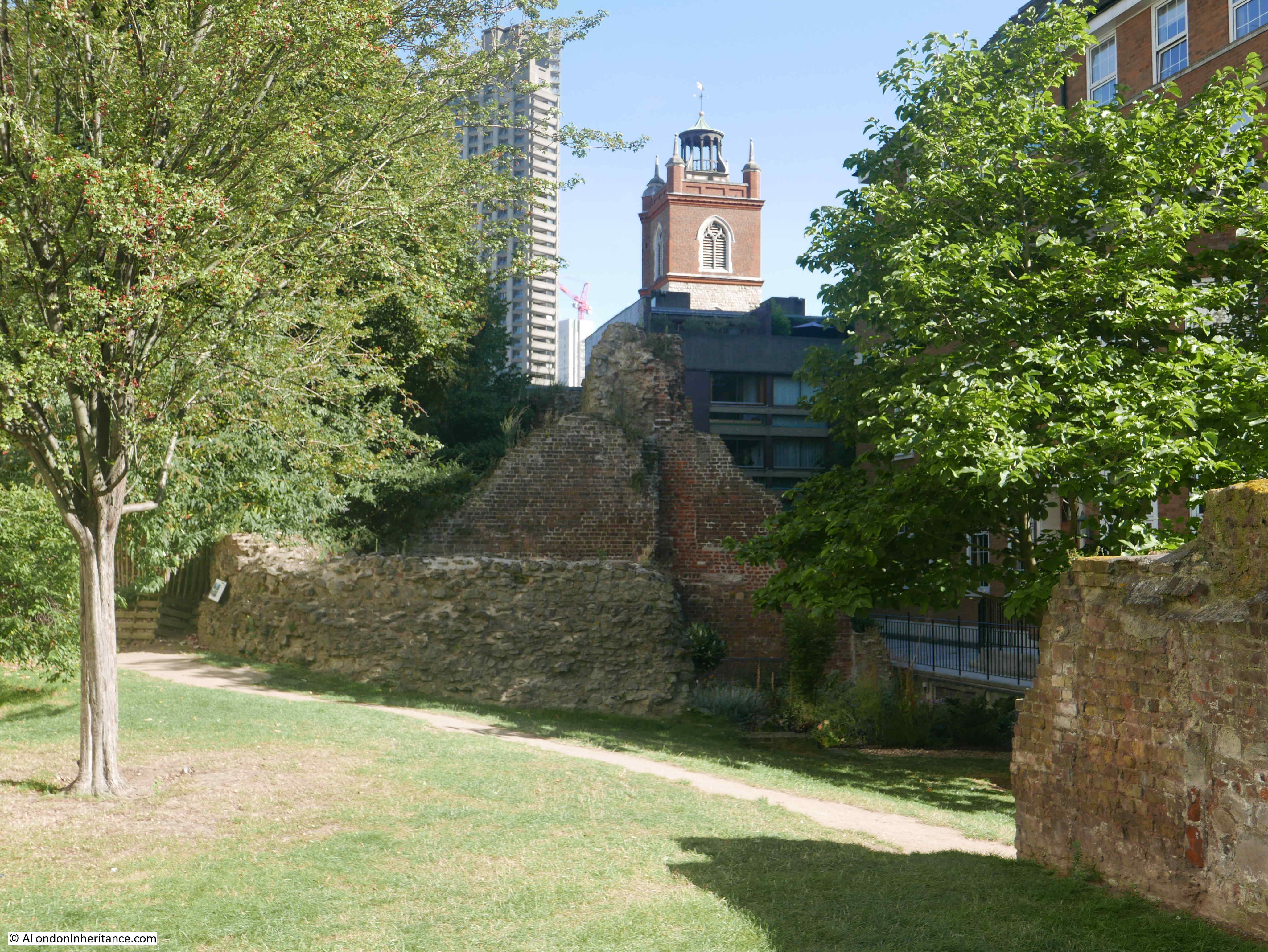
Back in the garden, in front of where the steps and gate were in the 1920s photo there is today, the following stone:

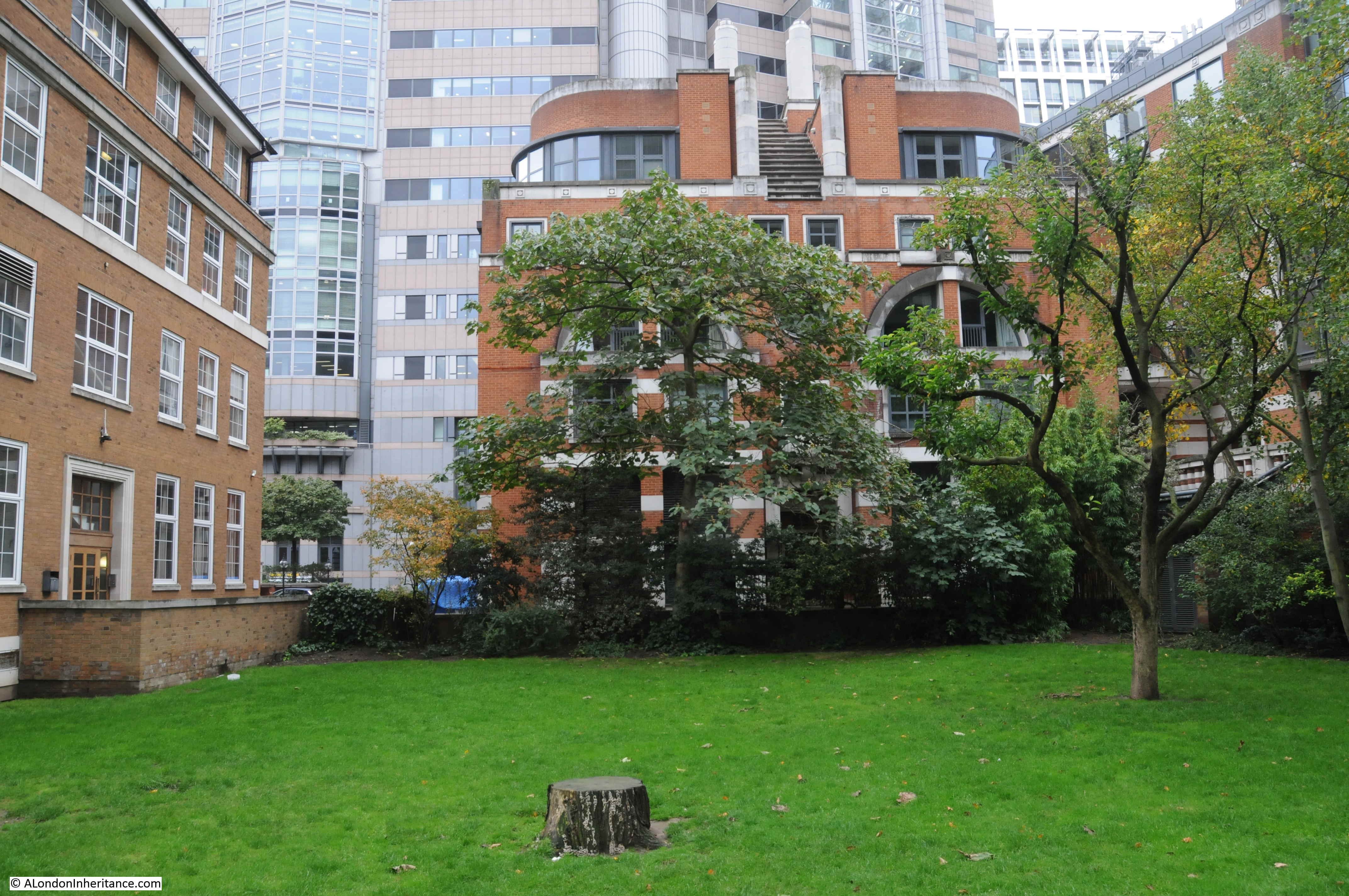
No idea whether this is a remnant from St. Olave, or from some other local building. It does not appear in the 1920s photo and post-war there was plenty of architectural stone available for uses such as this, and the water does provide a good reflection of Bastion House.
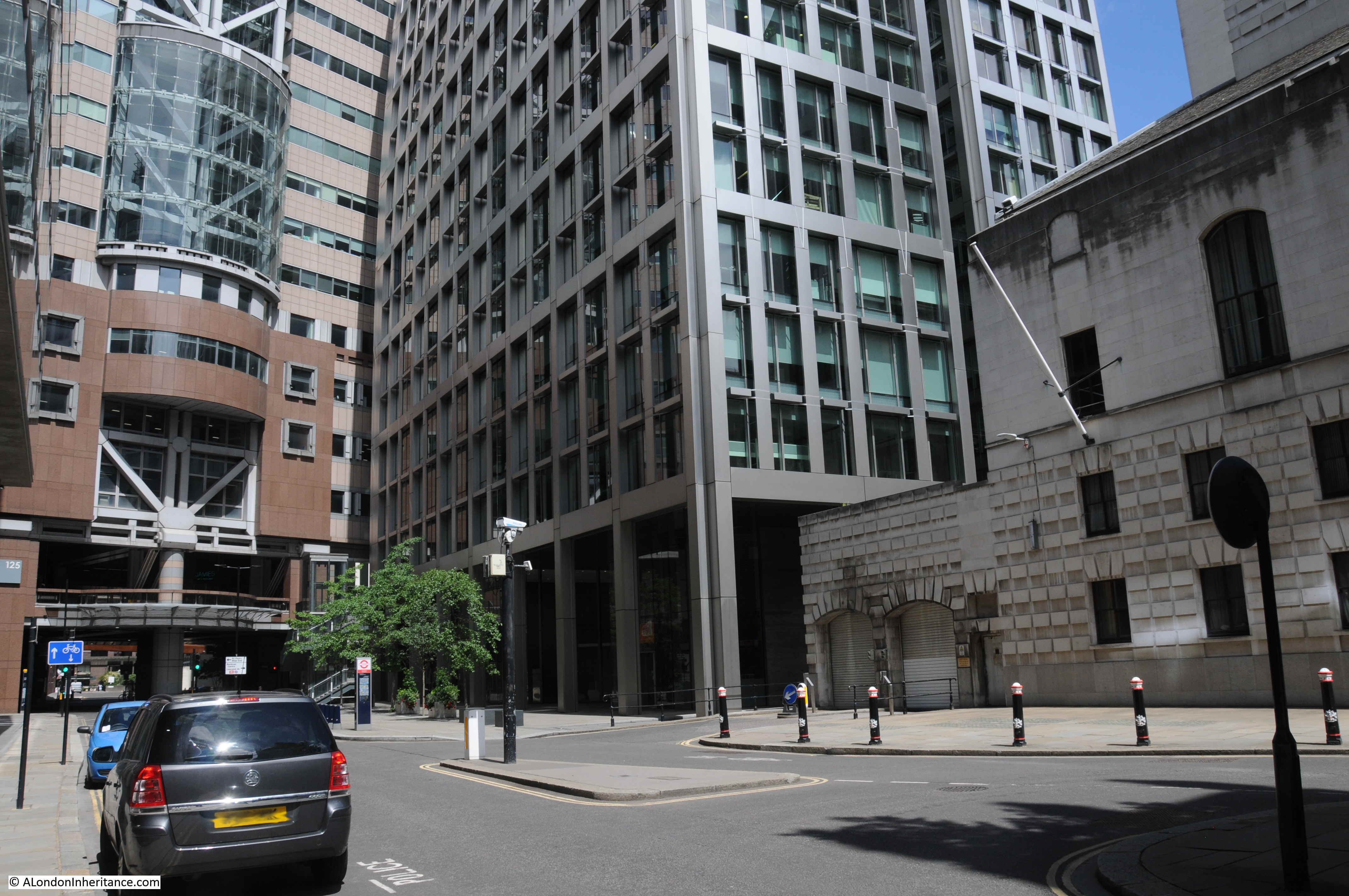
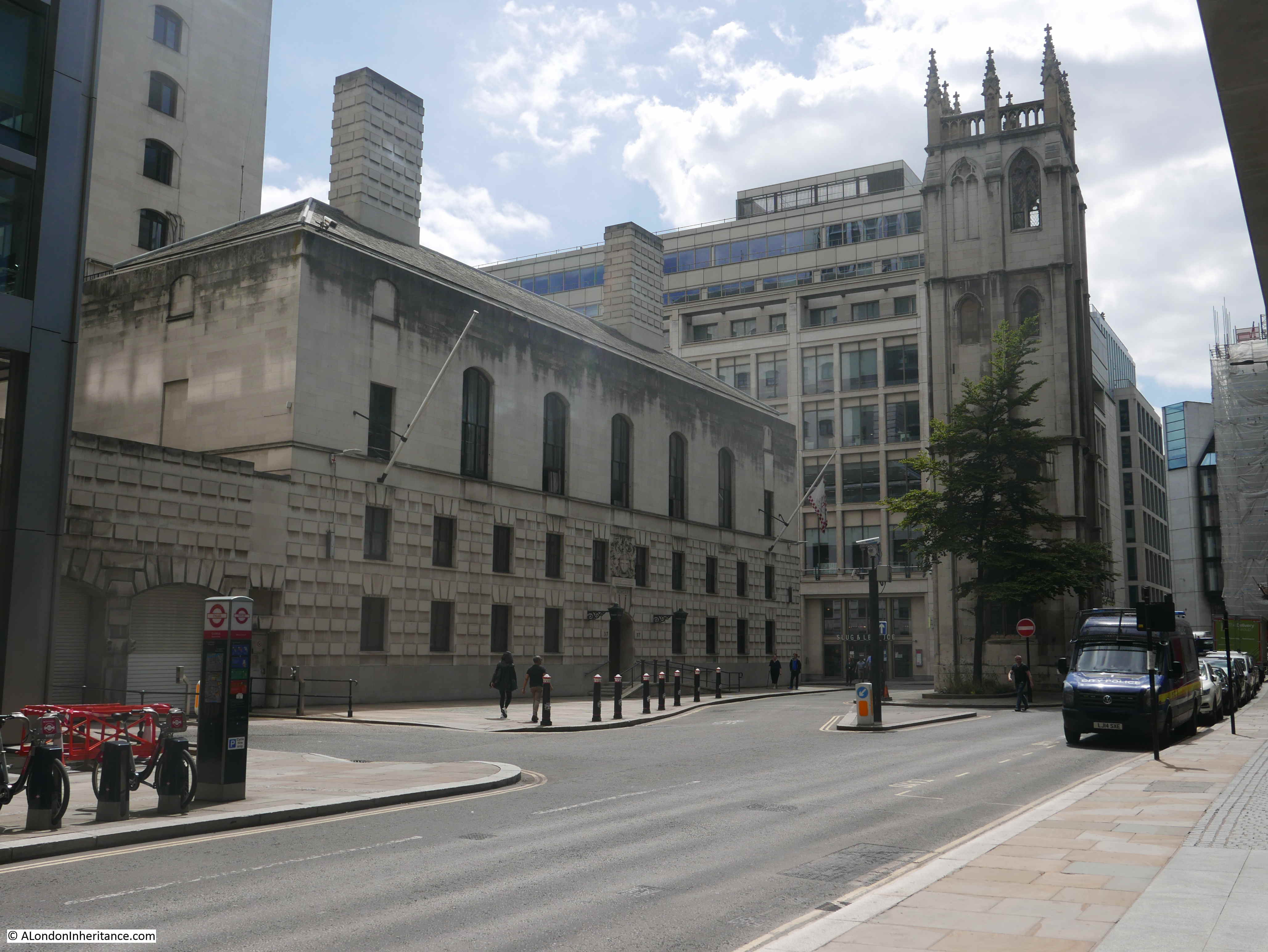
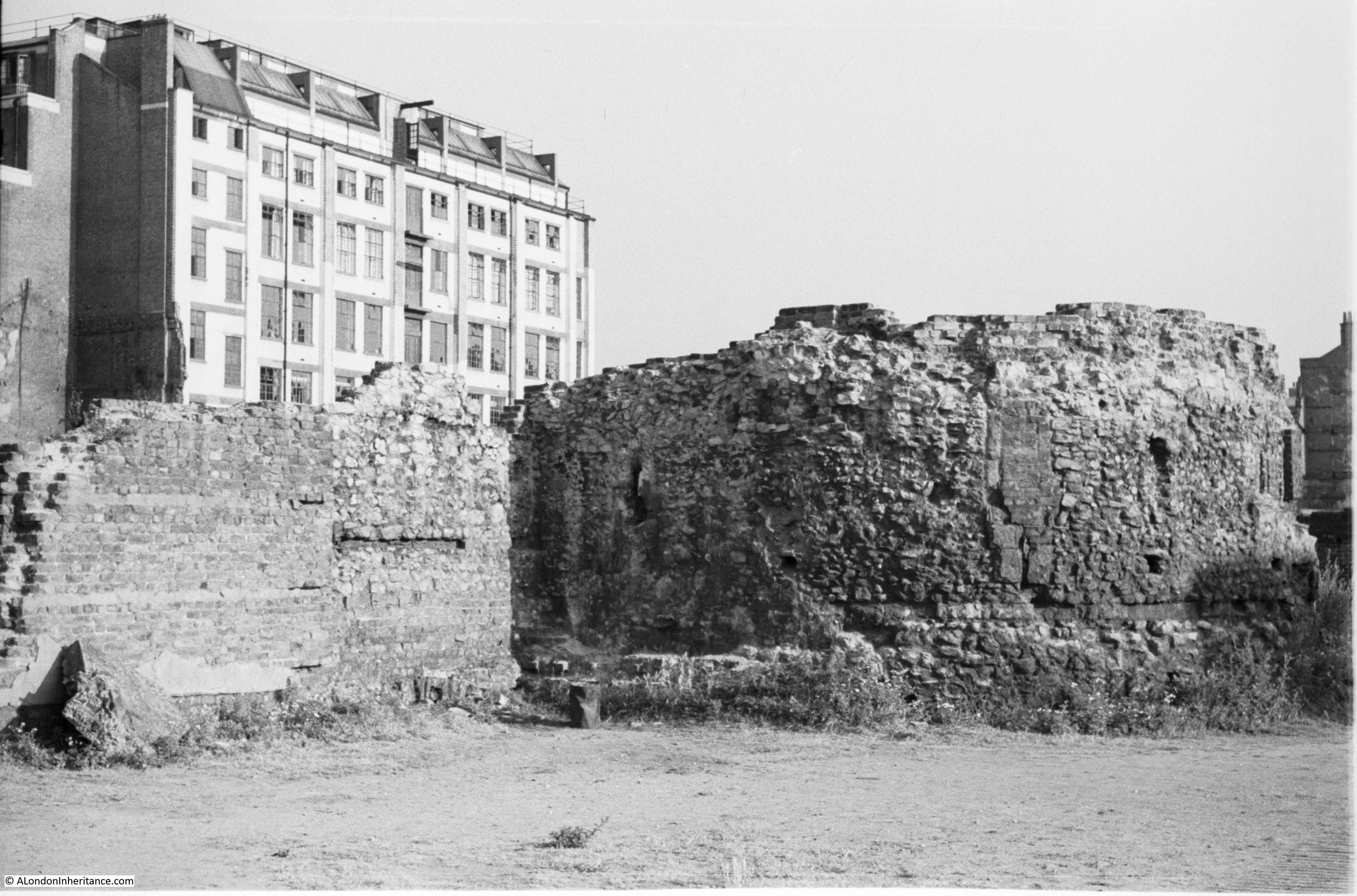
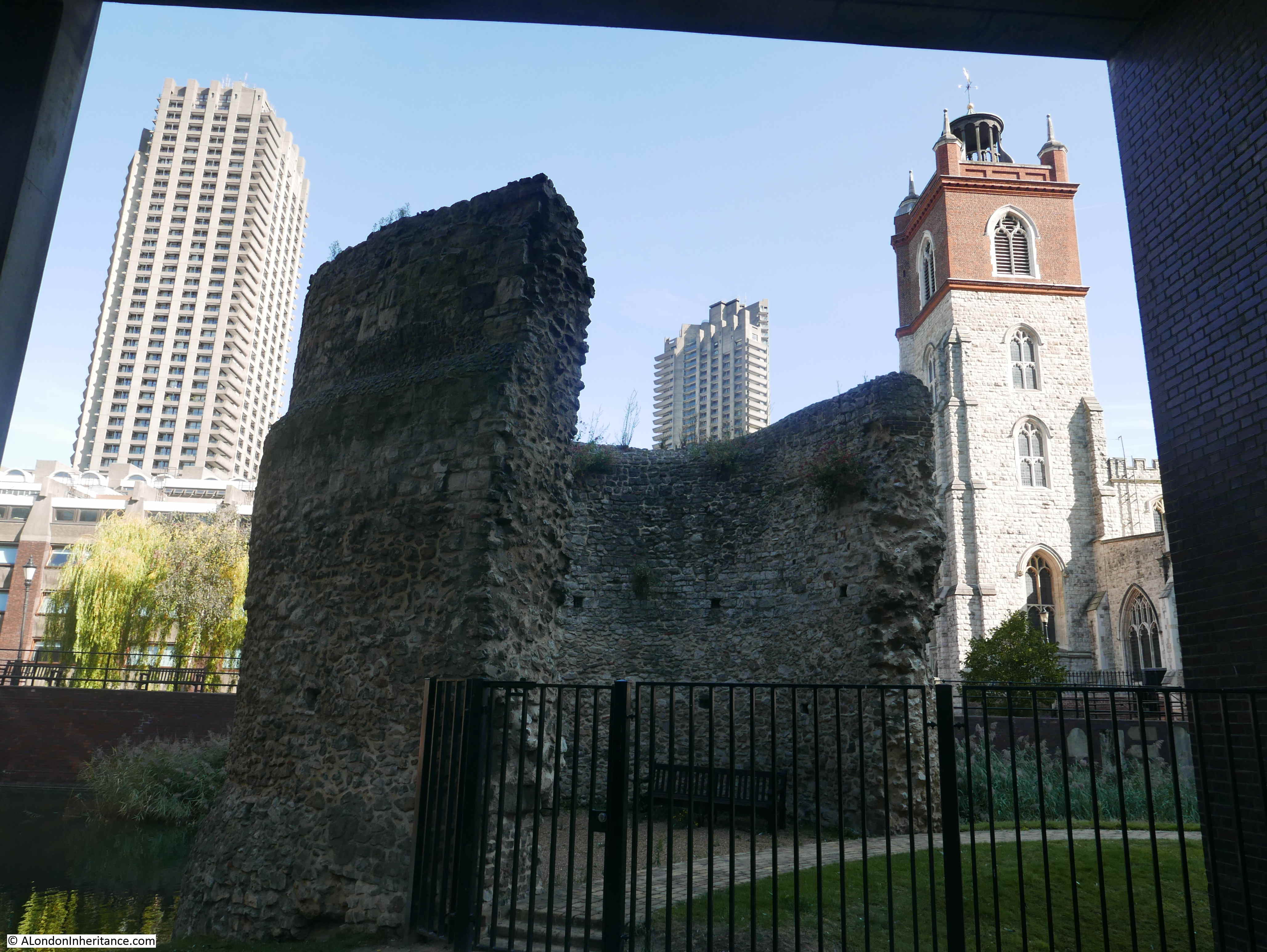
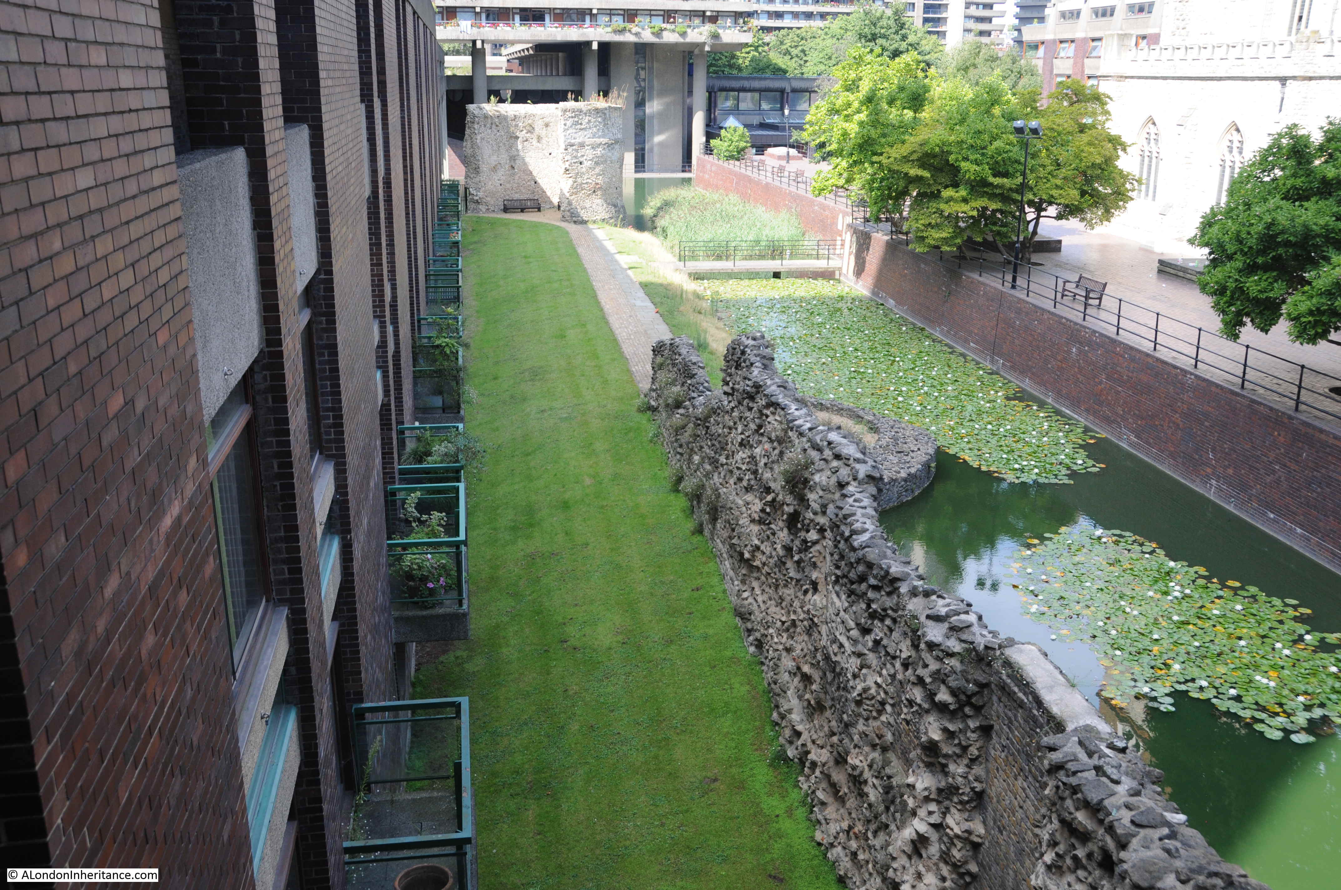
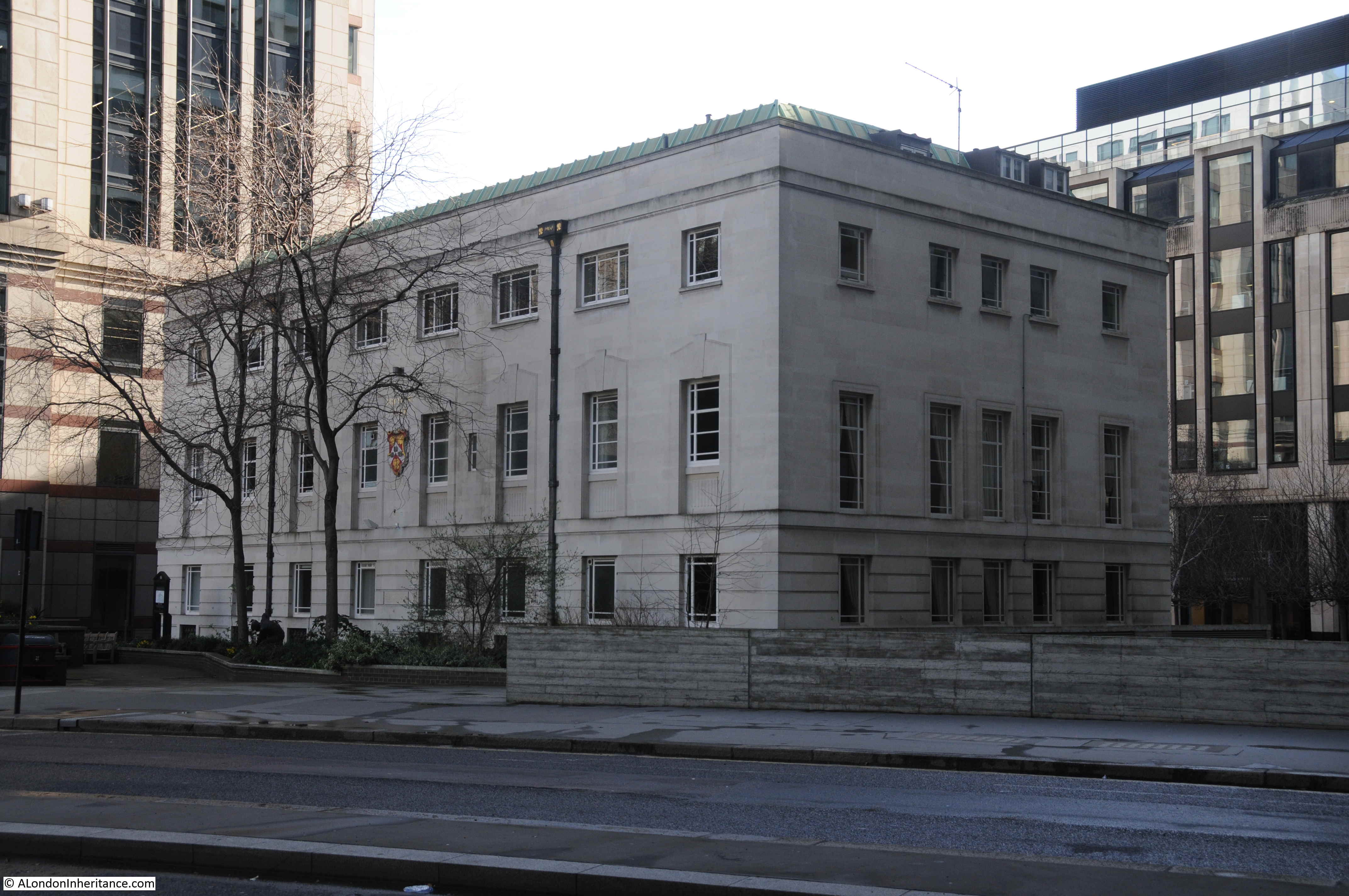
The City of London Corporation have approved demolition and redevelopment of Bastion House and the old Museum of London buildings, however their is currently a legal challenge to stop these plans, which would result in the loss of one of the two remaining towers built along London Wall completed between 1961 and 1976 (the remaining tower is Britannic House completed in 1964, refurbished in 1990 when it was renamed as City Tower).
Bastion House above the old Museum of London building:

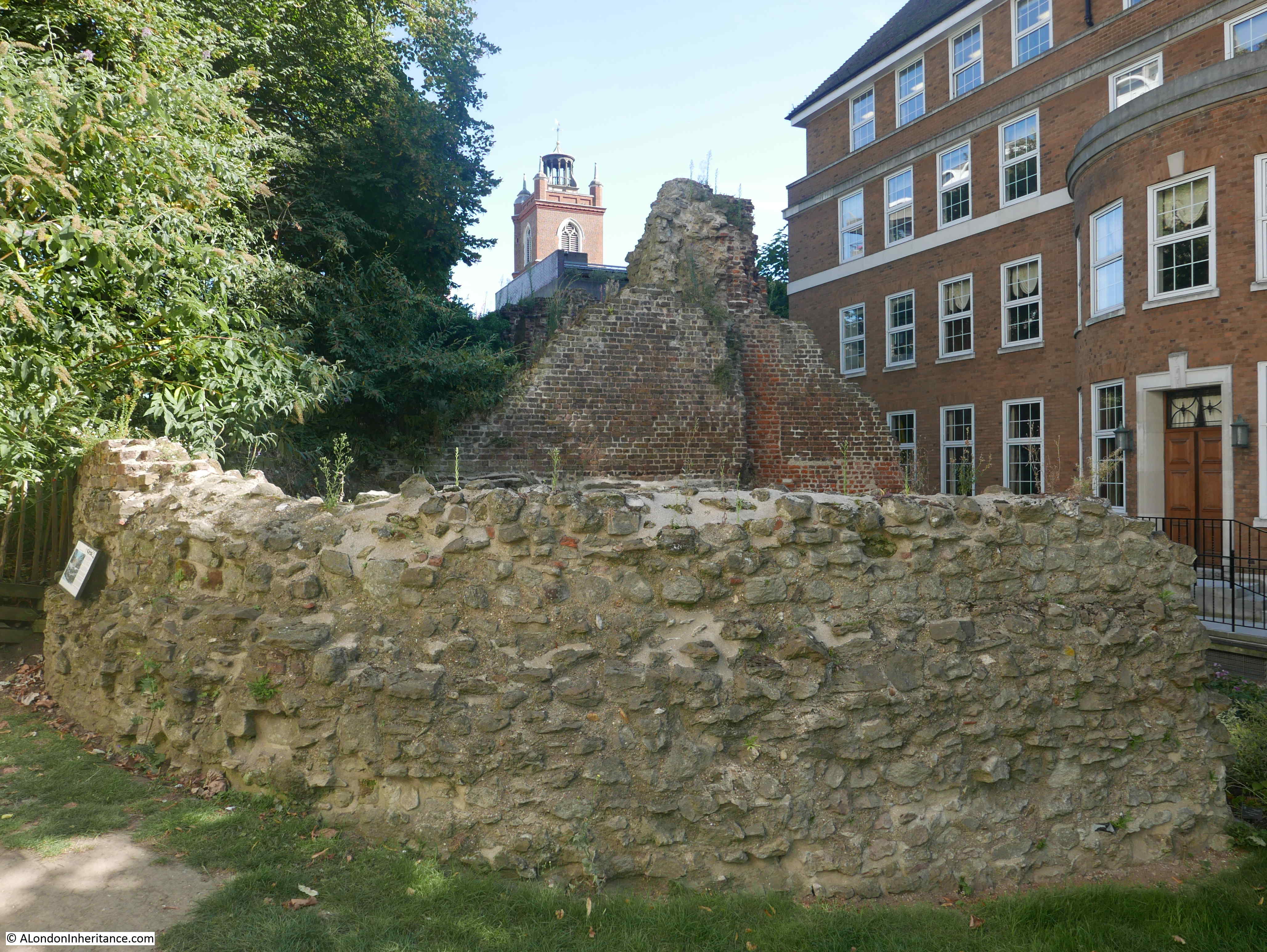
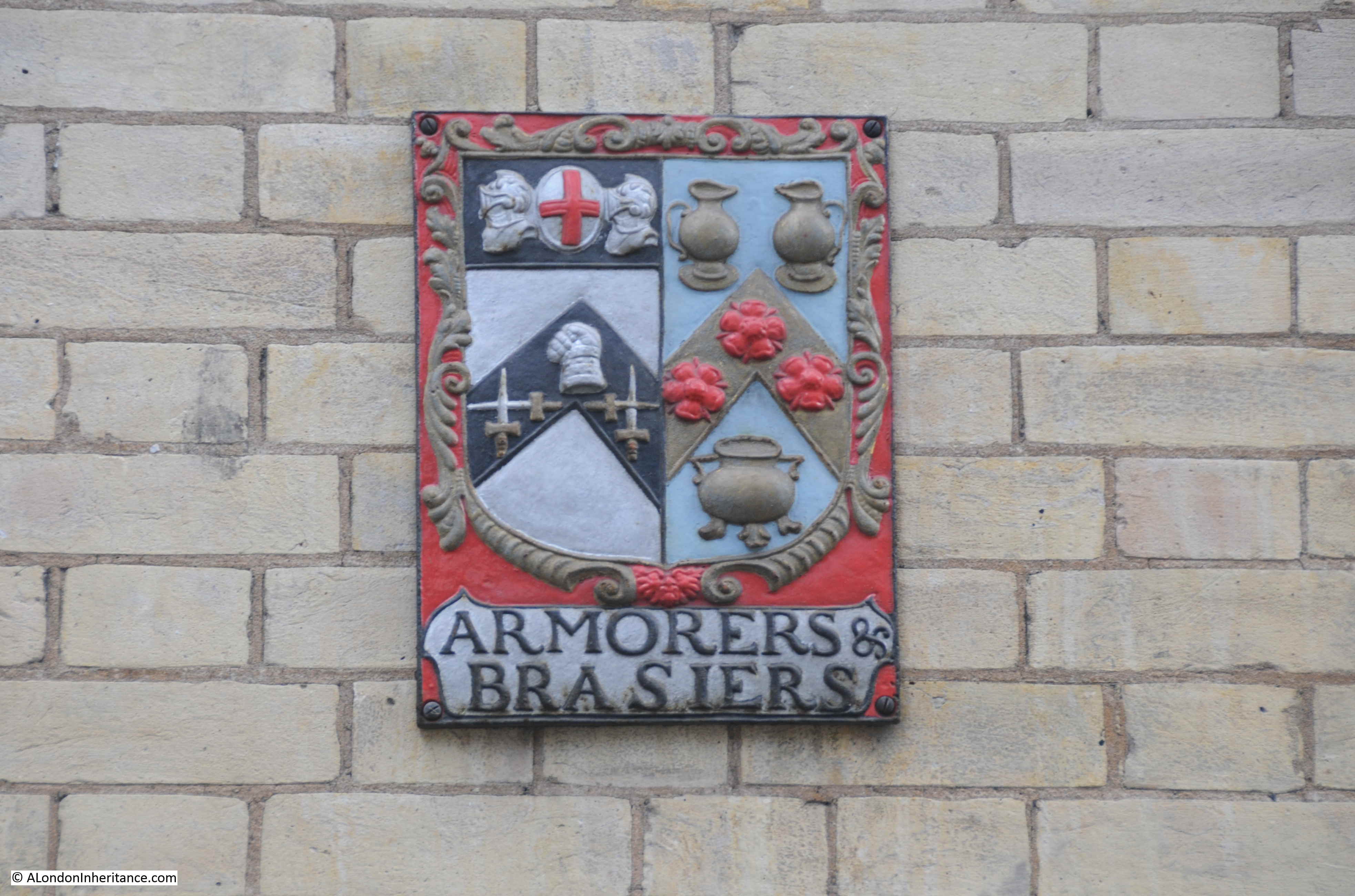
On either side of the steps leading down from the churchyard to the small garden area alongside London Wall are two stone plaques. The first records that this was the parish church of St. Olave, Silver Street, and it was destroyed by the fire in 1666:

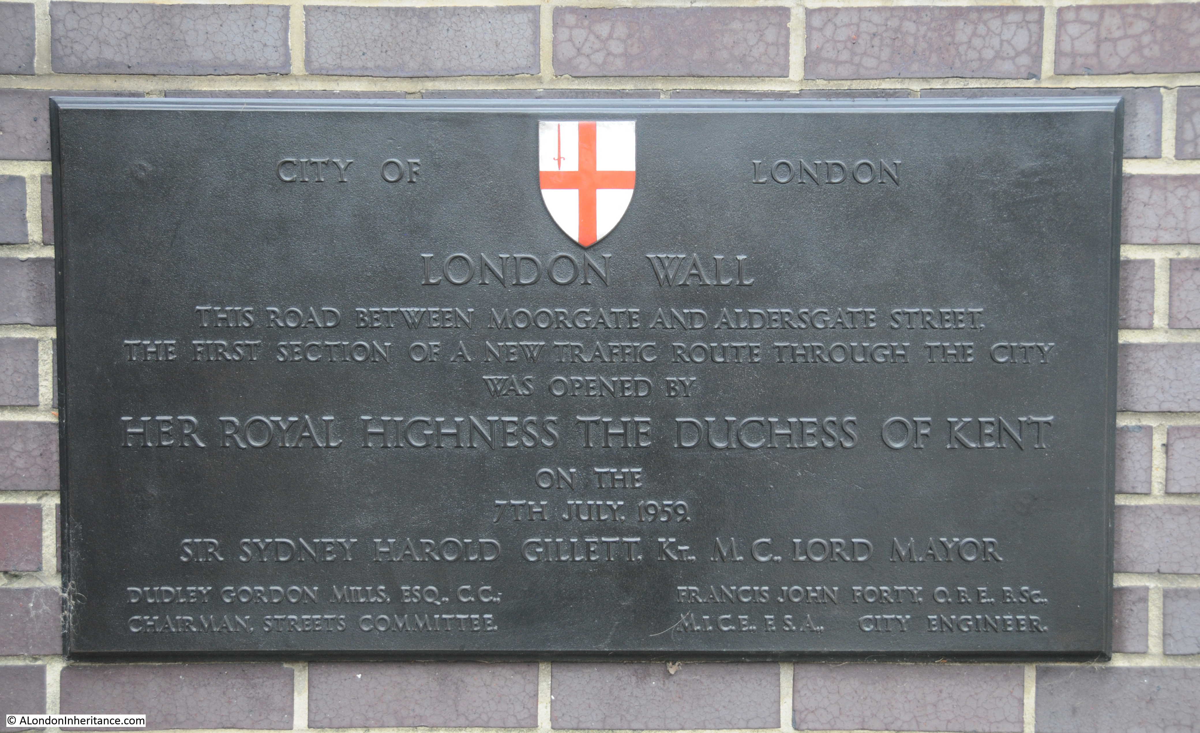
London Wall was a post-war, major new road to the north of the churchyard, however road changes have always taken place as the second plaque records that “St. Olave, Silver Street. This churchyard was thrown back and the road widened by eight feet by the Commissioners of Sewers at the request of the Vestry. Anno Domini 1865” and I think records the names of the churchwardens as Harris and Wilson:

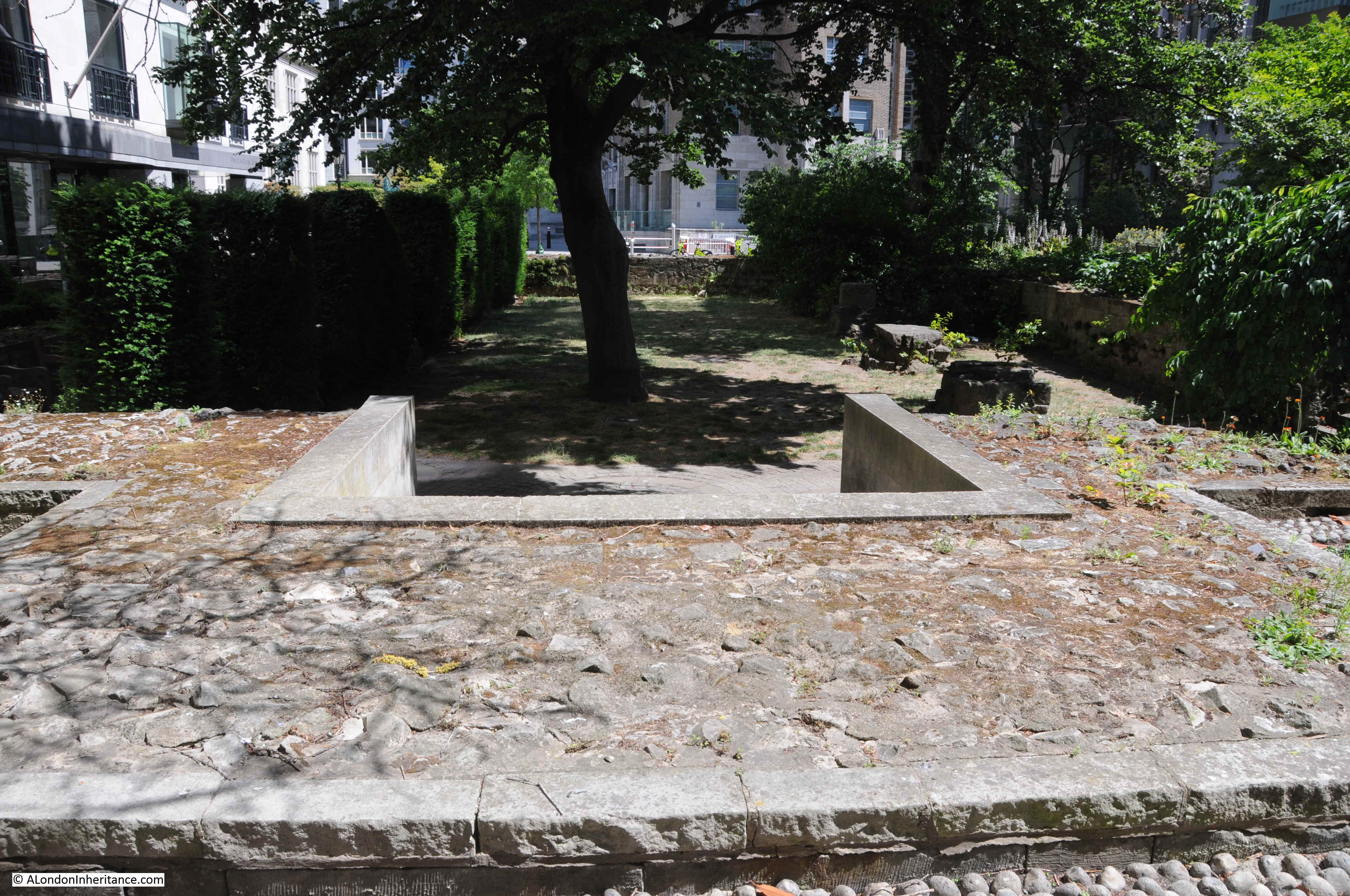
Another view of the churchyard with the steps just visible between the bushes on the left, the grave seen in the 1920s photo on the right, and on the left is what appears to be the base of the grave on the left of the 1920s photo:

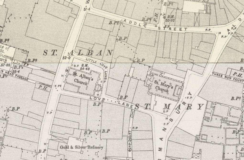
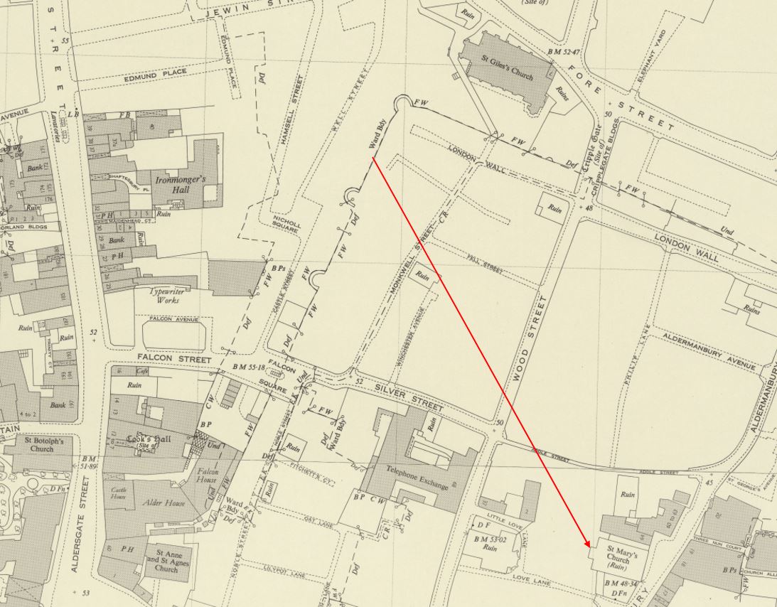
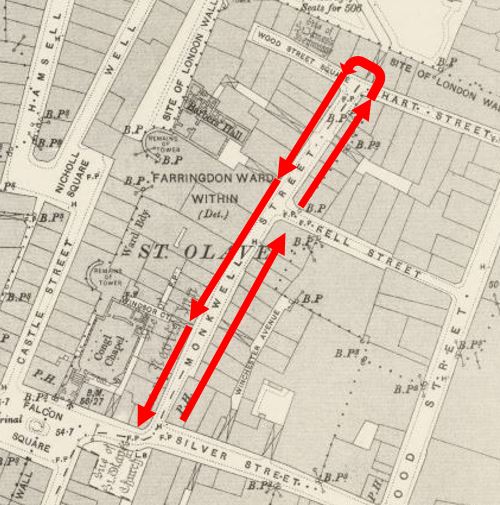
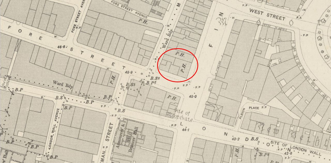
Before a look at the Coopers’ Arms pub, a quick look at how the area has changed. The following map is an extract from Rocque’s map of 1746. I have marked the site of the Coopers’ Arms with a red circle, and just below this, very slightly to the left is St. Olave’s Churchyard:

We can see Silver Street, and running north from Silver Street is Monkwell Street. The origins of the name Monkwell Street are the same as the 1291 name of the church mentioned earlier of ‘Olav de Mokewell’ .
Monkwell Street is a very historic street, now completely lost. I wrote a detailed post about the street at the link at the end of thios post.
Moving forward to the late 19th century, and this is an extract from the OS map, with the Coopers’ Arms ringed in red, and the churchyard ringed in orange (Map ‘Reproduced with the permission of the National Library of Scotland“:

We can see that Silver Street runs into Falcon Square, which was a name mentioned earlier in the post in relation to the churchyard.
According to Henry Harben’s “A Dictionary of London”, the first mentions of Silver Street date from the start of the 14th century, when it was known as Selverstret (1306) and Silverstrete (1311). The source of the name is believed to come from silver smiths living and working around the street.
Harben does not give a source for the name Falcon Square, but gives an earliest reference as dating from 1799, which looks right, as the square does not appear in Rocque’s map of 1746.
Strangely, the Coopers’ Arms does not have the PH notation for a public house in the above map. The building I have ringed is definitely the pub, as the position on the map is the same as can be seen in the 1920s photo. There is though a pub to the left, on the corner of Castle Street and Falcon Square.
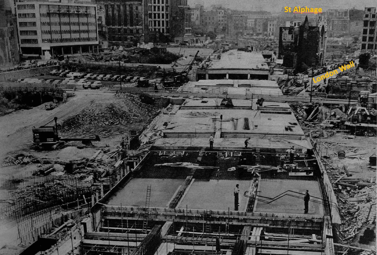
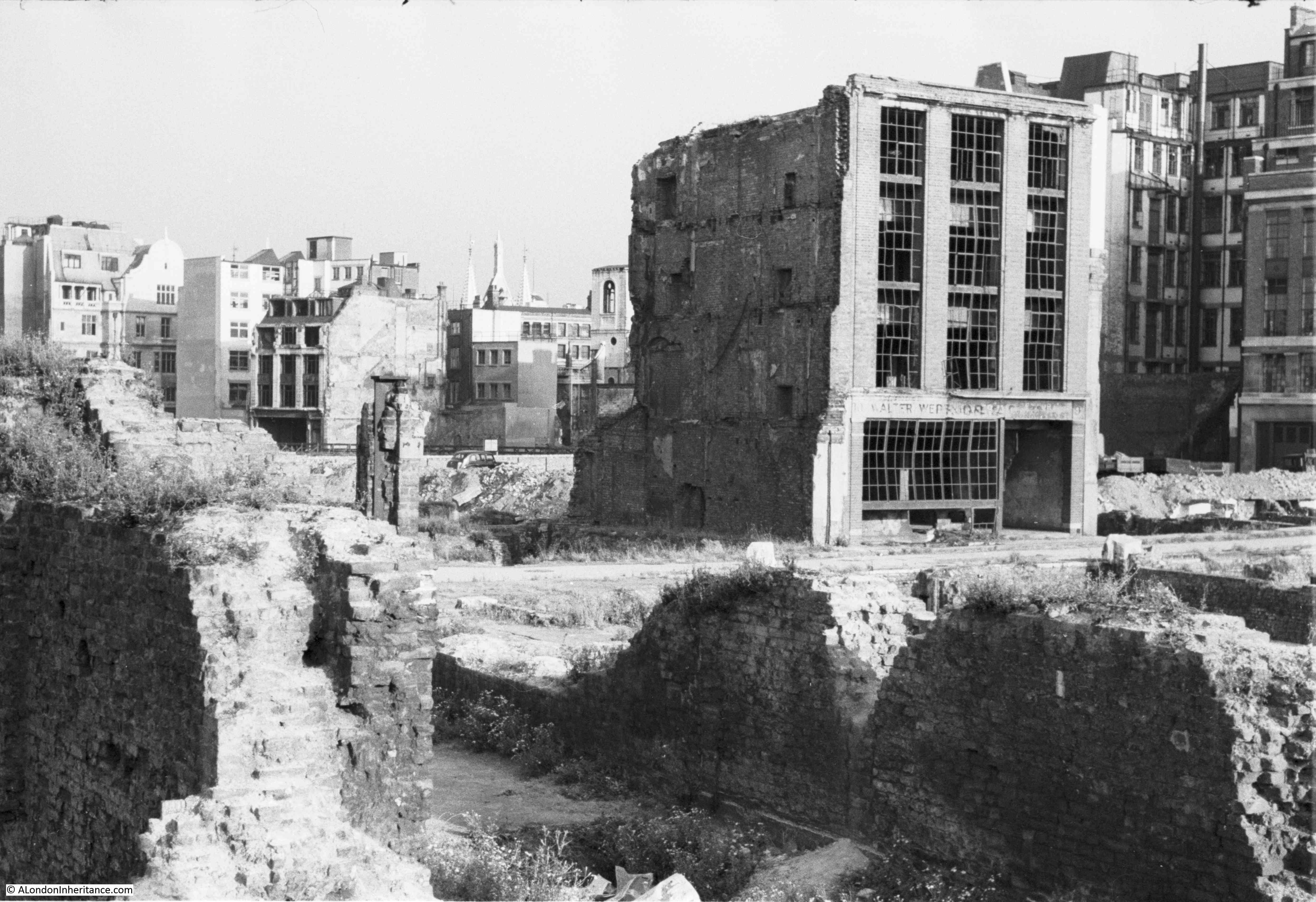
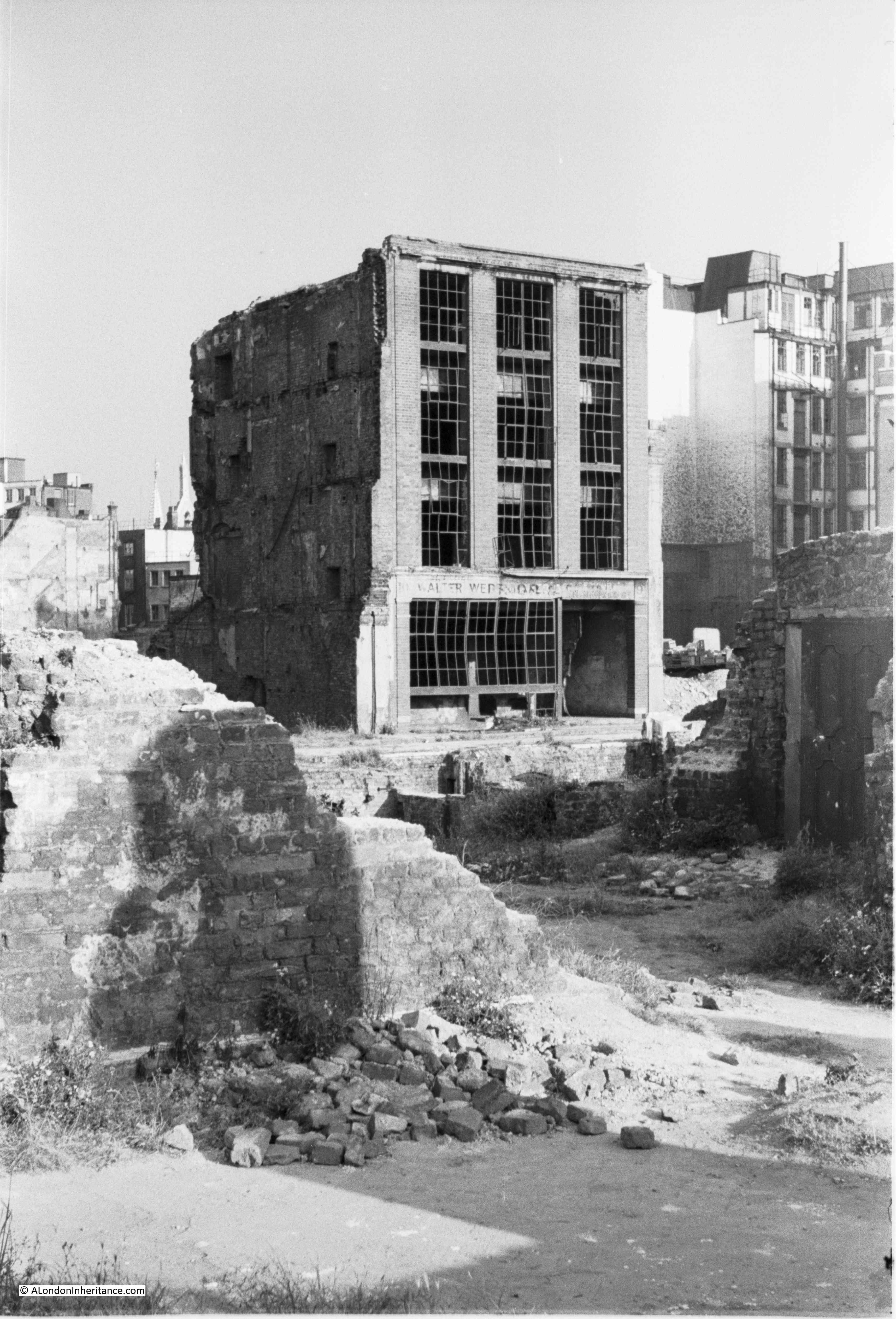
Now move forward to the post-war period, and we see the impact of bombing during the Blitz (Map ‘Reproduced with the permission of the National Library of Scotland“:

The Coopers’ Arms has gone, the outline of the churchyard is still there, but so much of the buildings and streets shown only 50 years earlier in the previous map have been destroyed, and the area is now ready for redevelopment, with the dual carriageway of London Wall carving through Silver Street and Falcon Square, and the whole area being redeveloped with new office blocks, and to the north of the map would come the Barbican estate.
The outline of Monkwell Street can still be seen, but this street will also soon be gone.
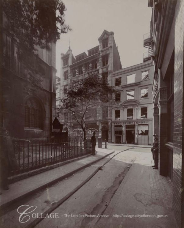
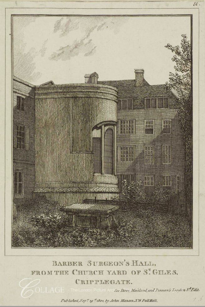
I will now have a look at the Coopers’ Arms, and this is a photo of the pub I found a few years ago and used in the post on the link with Shakespeare:

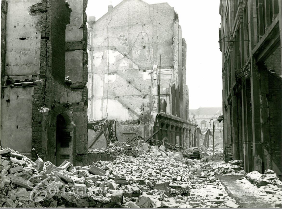
The pub was destroyed during the Second World War, and not rebuilt as part of the post-war reconstruction of the area.
I cannot find when the pub was opened, the earliest references I can find to the pub date from the early 19th century. What I can be confident about is that the Coopers’ Arms shown in the above photo was the result of a rebuild after an 1828 fire destroyed the earlier pub building.
There is a very graphic account of the fire in the London Evening Standard on the 20th of September, 1828. The account is very graphic regarding the death of an occupant, and shows the almost casual approach to, and reporting of deaths, including violent death in London in the first part of the 19th century, when accidental and violent death was relatively common:
“LATE FIRE IN SILVER STREET – Yesterday an inquest was held in the vestry room of St. Alban’s Church, Wood-street, Cheapside on the body of Nathaniel Smith, aged 56 who perished in the above conflagration.
The jury first viewed the remains of the unfortunate deceased, which lay in one of the vaults under the church. The body was scorched to a cinder, and the whole of the limbs were burnt off. The following evidence was taken:
William Dix, landlord of the Coopers’ Arms, Silver Street, Falcon Square, deposed that the deceased, who had been a town traveller for many years, was a lodger in his house at the time of his death. On Wednesday night last, a little before twelve o’clock, witness locked up the house, and at that time considered everything safe.; before he and his wife left the bar to go upstairs to their bedroom, witness took off nearly all the coals in the grate, and only left a very small glimmer, which he had repeatedly done before; about 2 o’clock he was alarmed out of his sleep by cries of ‘fire’ which proceeded from the street.
He instantly got up, and could discern that the house was full of smoke, on looking out of the window, he saw a flare in the street, which seemed to be occasioned by the lower part of the house being in flames; witness, his wife, and two little girls made their escape up to the front garret, and got out of the window on the parapet of the house, before witness got on the house he ran to the whole of the lodgers rooms, and alarmed them. The deceased door was fastened, and he burst it open, and laid hold of him by the shoulder, and said ‘For God’s sake, get up, Mr. Smith, or else you will be burnt in your bed’.
The deceased, who seemed very drowsy, replied that he would put part of his cloths on and follow him to the garret window. Witness, in making his escape down the ladder, saw the deceased at a window on the second floor – he did not see him afterwards; the whole of the house was burnt down, with the exception of the outer walls.
The jury returned a verdict – That the deceased was accidentally burned to death.”
A horrific story, but so very common in London when almost every building in the city had a fire for either cooking, heating, or as part of an industrial process, when small businesses and factories sat within residential streets.
The Coopers’ Arms was back in business by 1833, as the pub was used as a mailing address for any business looking for men trained in paper-staining.
As with so many London pub’s, the Coopers’ Arms was also used as a meeting place for businesses, clubs and societies. One example was from 1857, when the City Coal Society held a meeting at the Coopers; Arms and advised that they would receive tenders at the pub for their quarterly supply of upwards of 160 tons of coal.
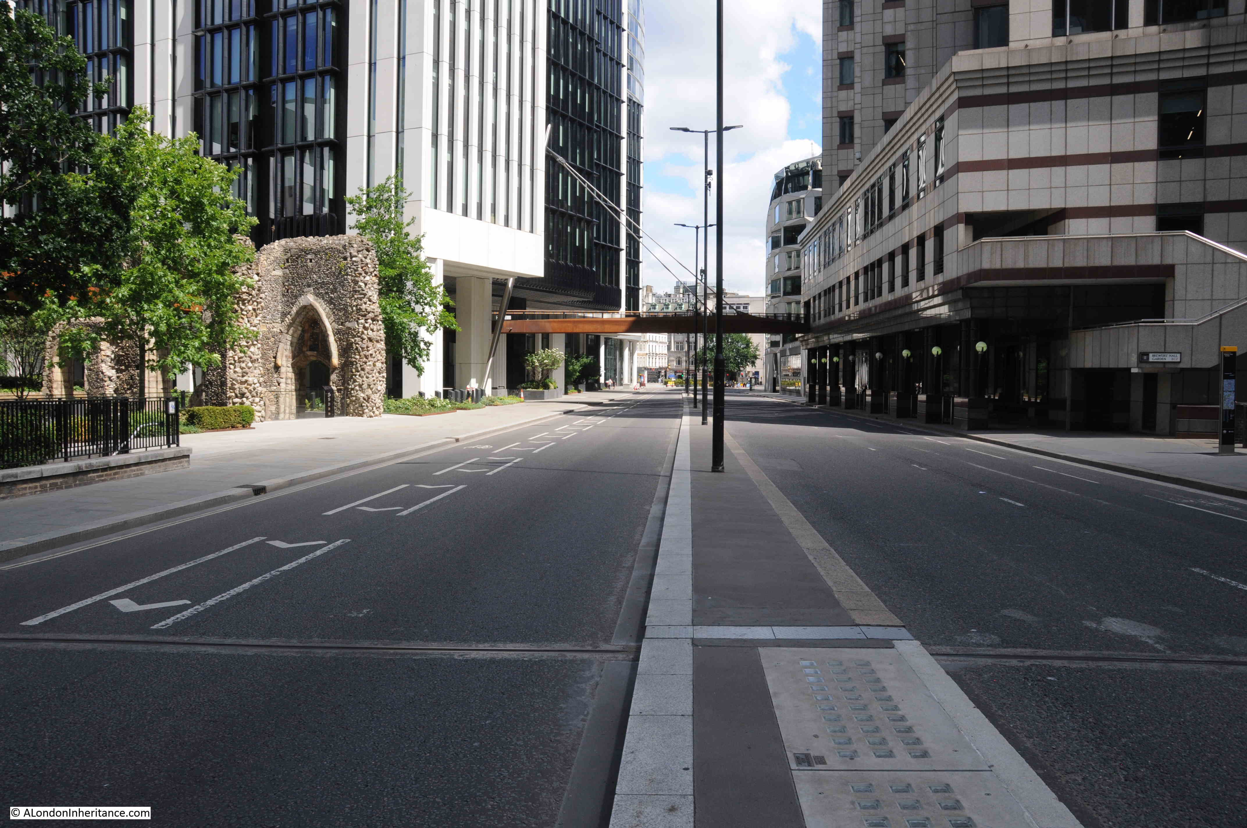
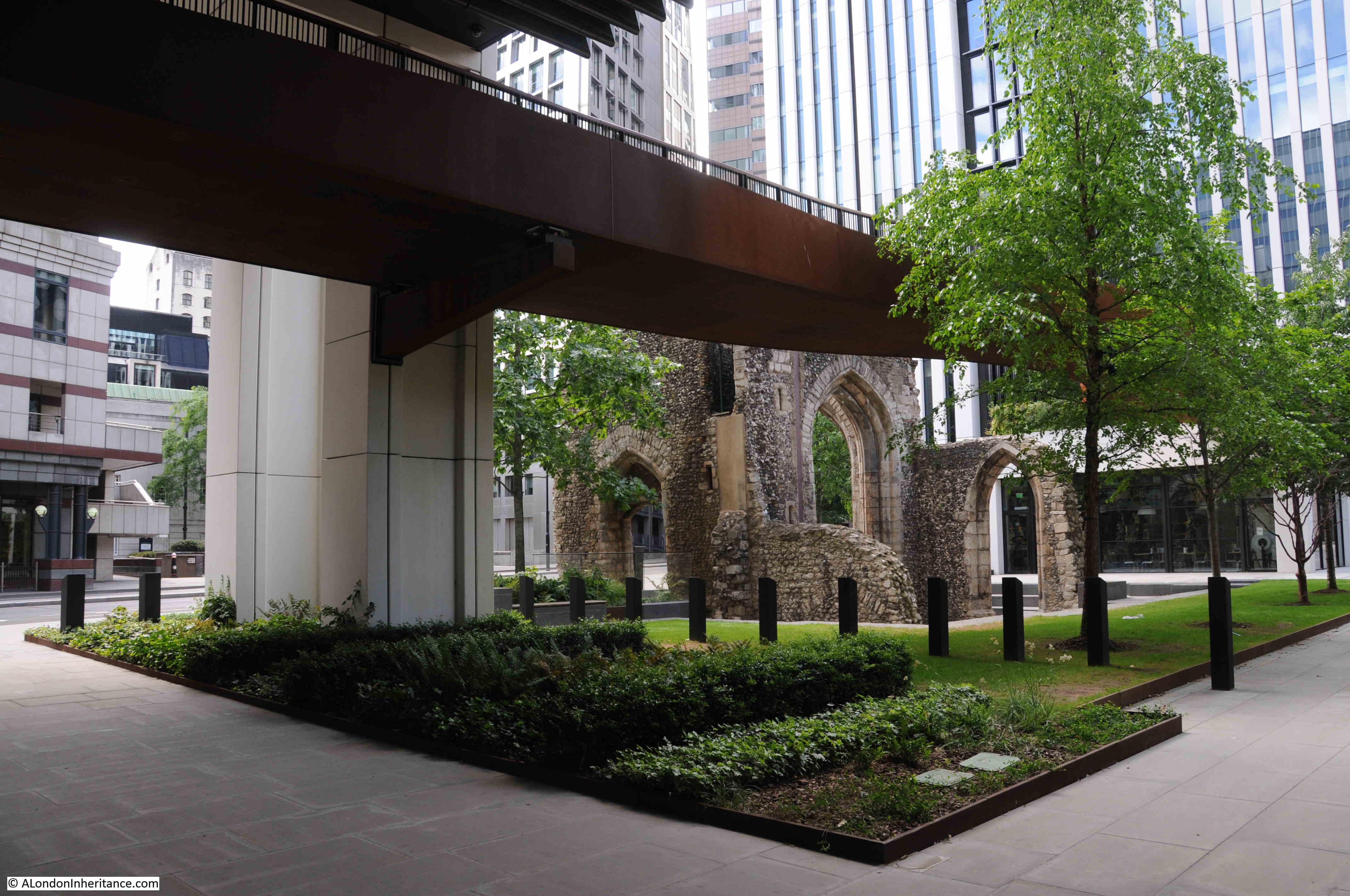
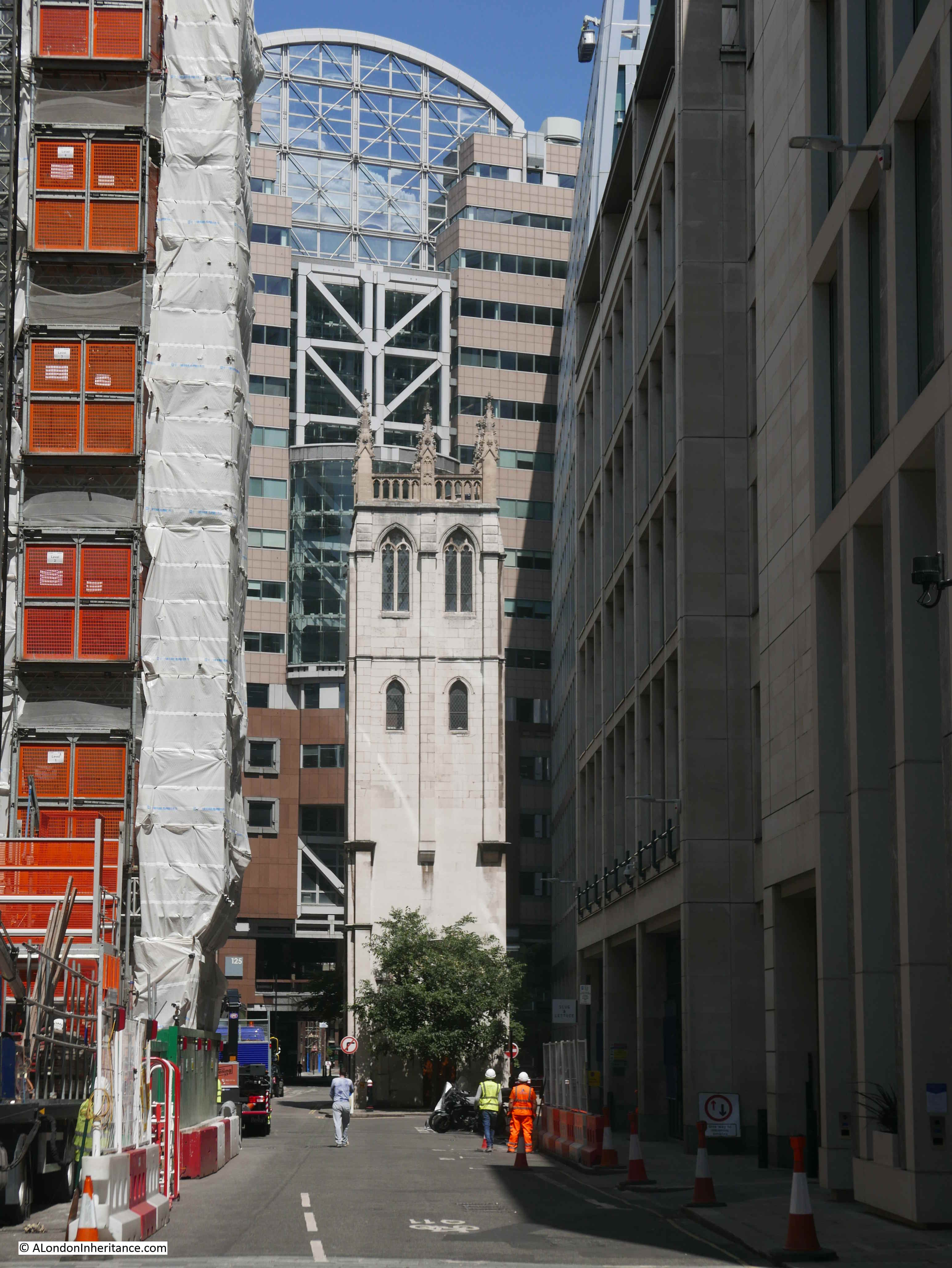
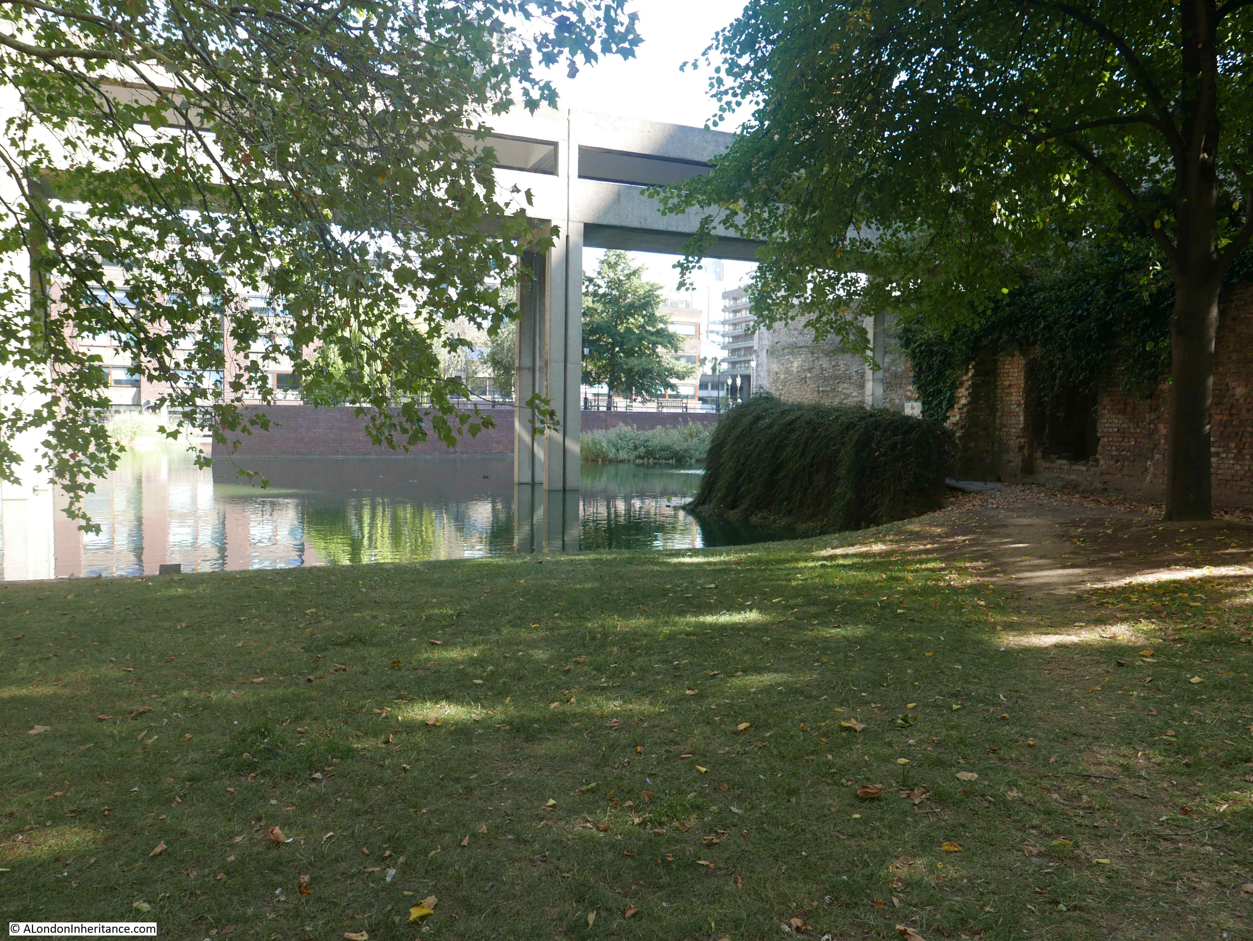
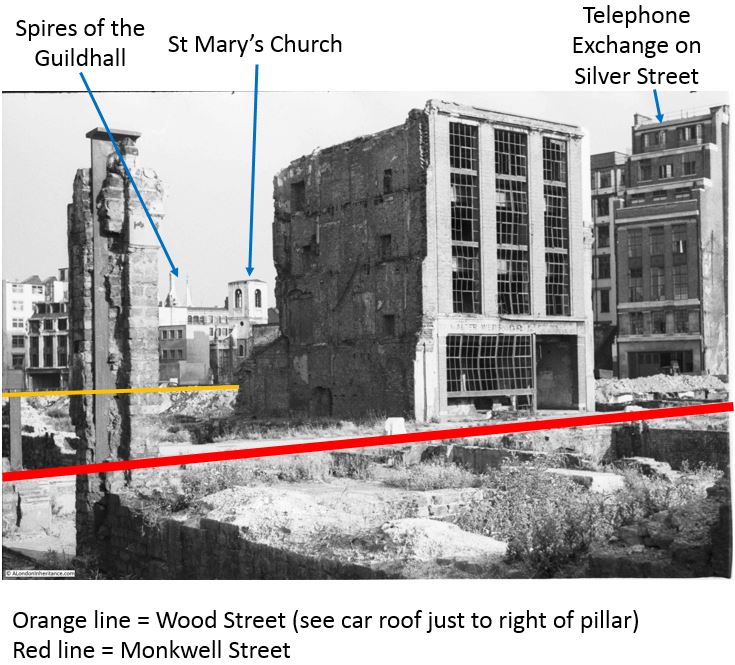
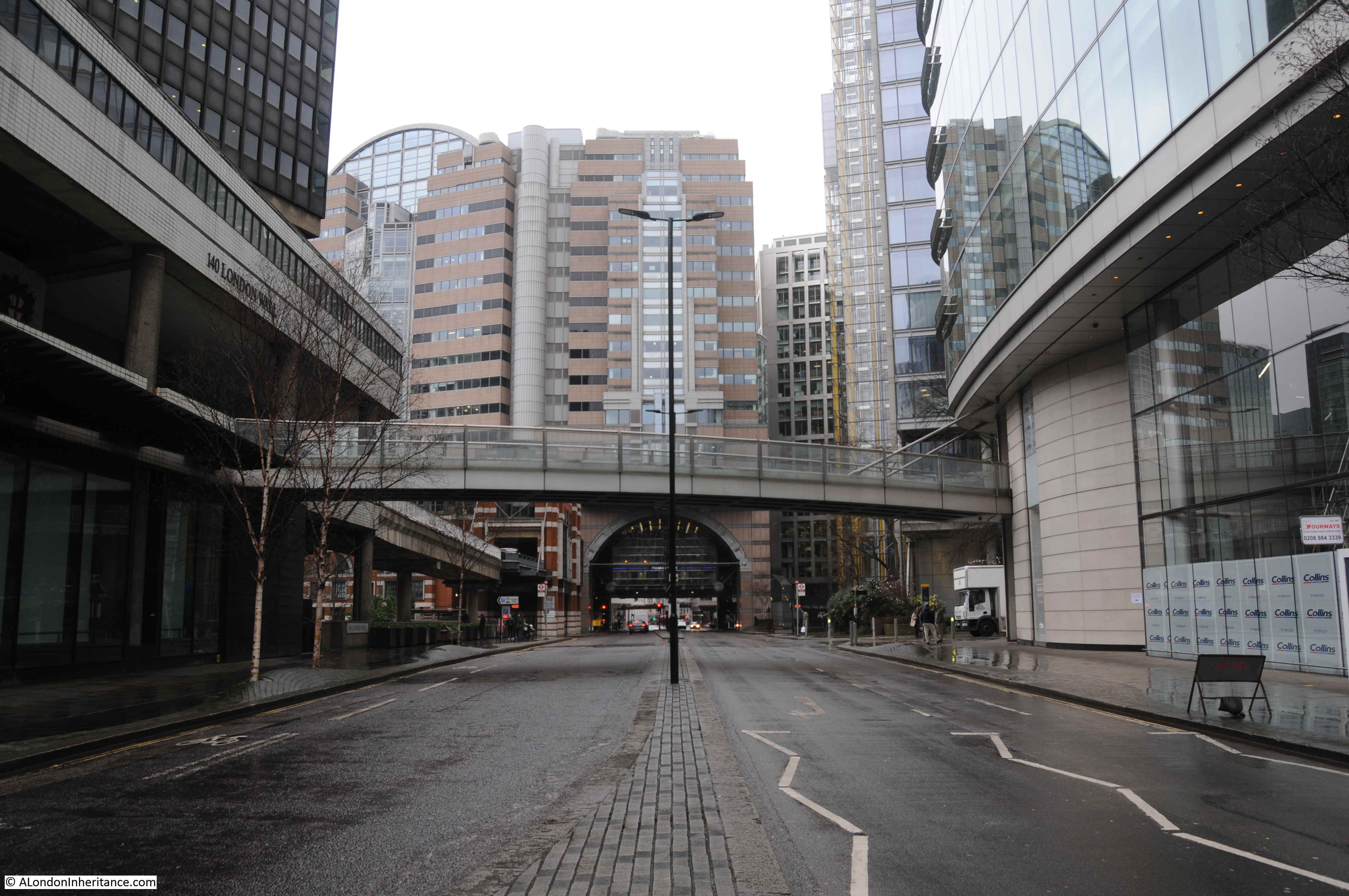
The following photo is looking east along London Wall. St. Olave’s churchyard is behind the greenery to the right, and Silver Street once ran into London Wall at this point, emerging from under the building to the right of the arch seen in the photo:

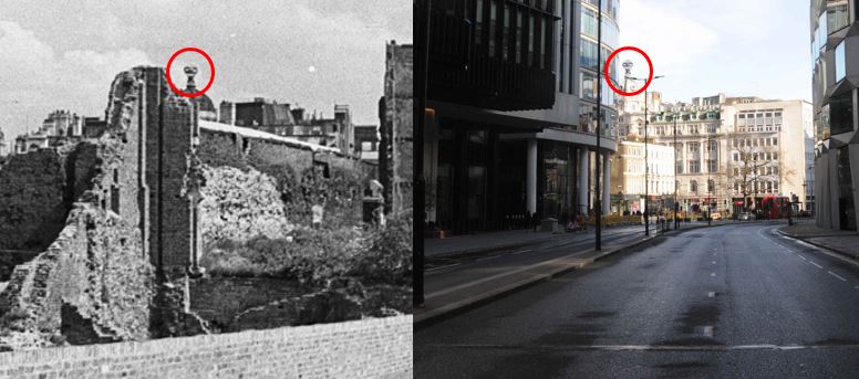
With a bit of changing the perspective of the photo of the Coopers’ Arms, I think I can get the positioning right, superimposed on the photo of the area today:

Not sure whether this will work, or appear in emails, but an animated GIF of the above photo:

Monkwell Street is the street running off to the left of the Coopers’ Arms, which is on the corner with Silver Street running off to the right. It does not follow the route of today’s London Wall, but heads to the right / south of the street, and disappears under the building on the right of the arch over London Wall.
St. Olave’s churchyard is the only part of an old streetscape that dates back to at least the 13th century, to remain. Silver Street and Monkwell Street were lost during redevelopment, and I doubt those who lived, worked, or simply walked along Silver Street could have imagined what the area would look like in the future – a recurring theme across the ever changing city.
I have written a number of posts about this area, and I find it fascinating to continue exploring to gain a fuller understanding of the place.
You may be interested in the following posts which also cover the area:
Monkwell Street, Barbican – Discovering A Lost Street
William Shakespeare and the Mountjoy Family, one of the plaques looked at in this post