I have two new walk dates now available, if you would like to explore Limehouse and Wapping. These are, with links:
Limehouse – A Sink of Iniquity and Degradation on the 6th of June
Wapping – A Seething Mass of Misery on the 13th of June
This week’s post is rather short as I had to finish it quickly ready for the site to be migrated to the new hosting provider. In the post, I first trace the location of one of my father’s 1980s photos, and then look at another of the resources available if you are interested in researching the history of London.
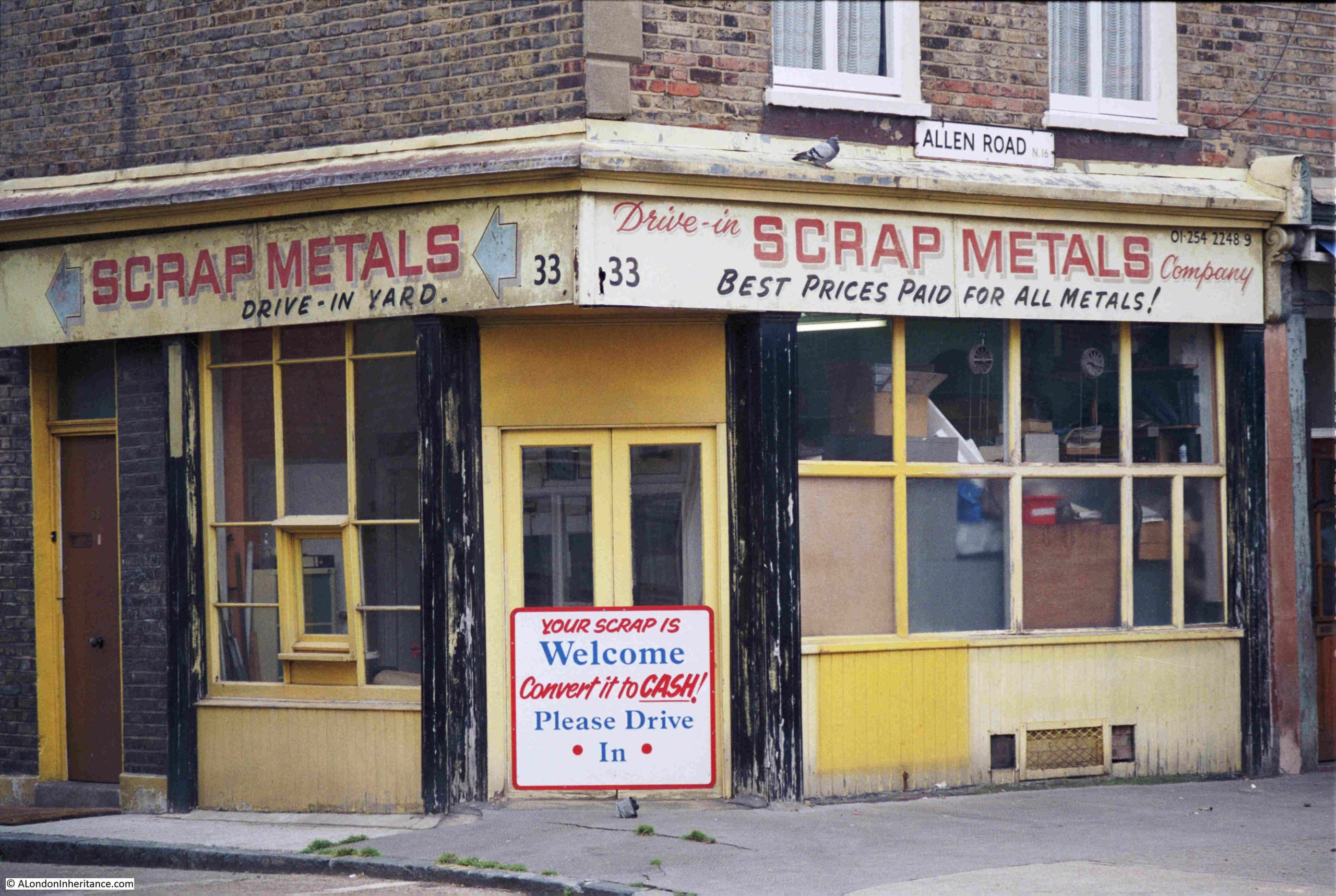
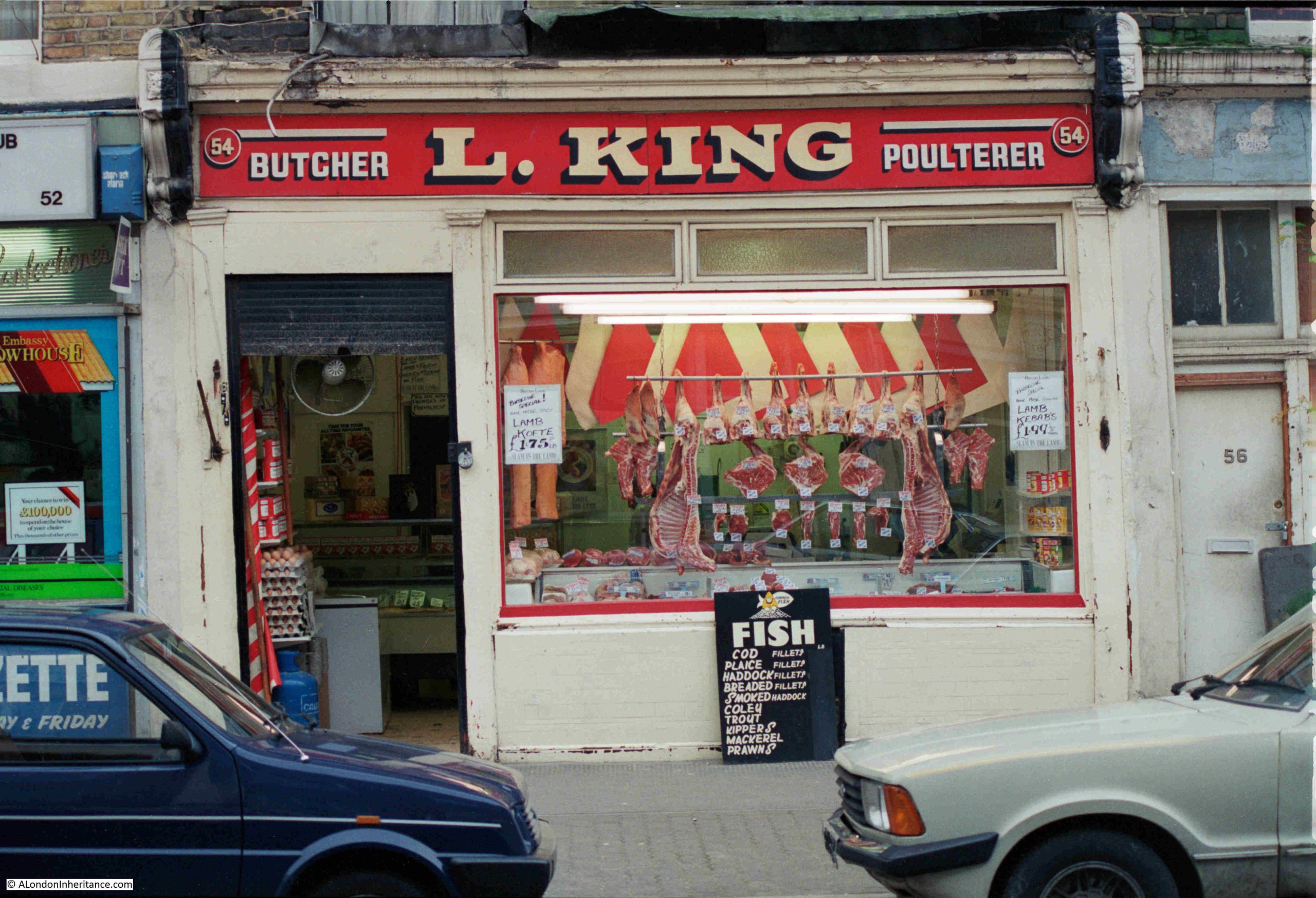
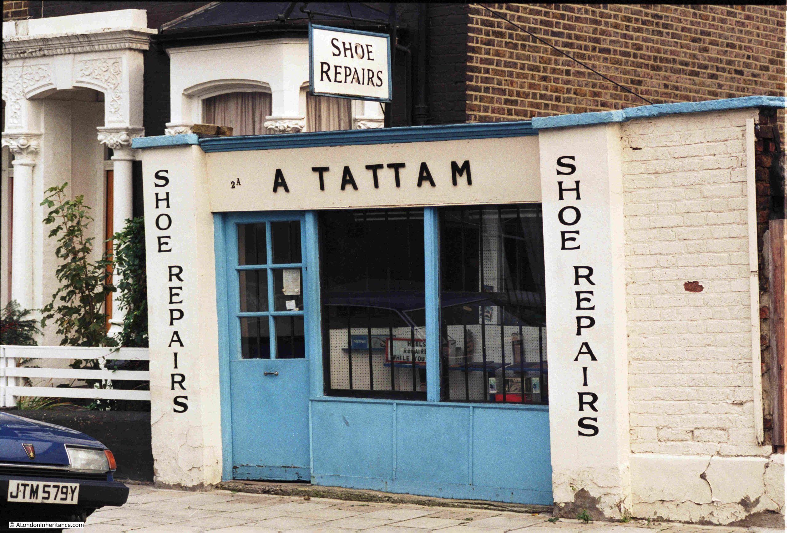
A. Tattam – Shoe Repairs
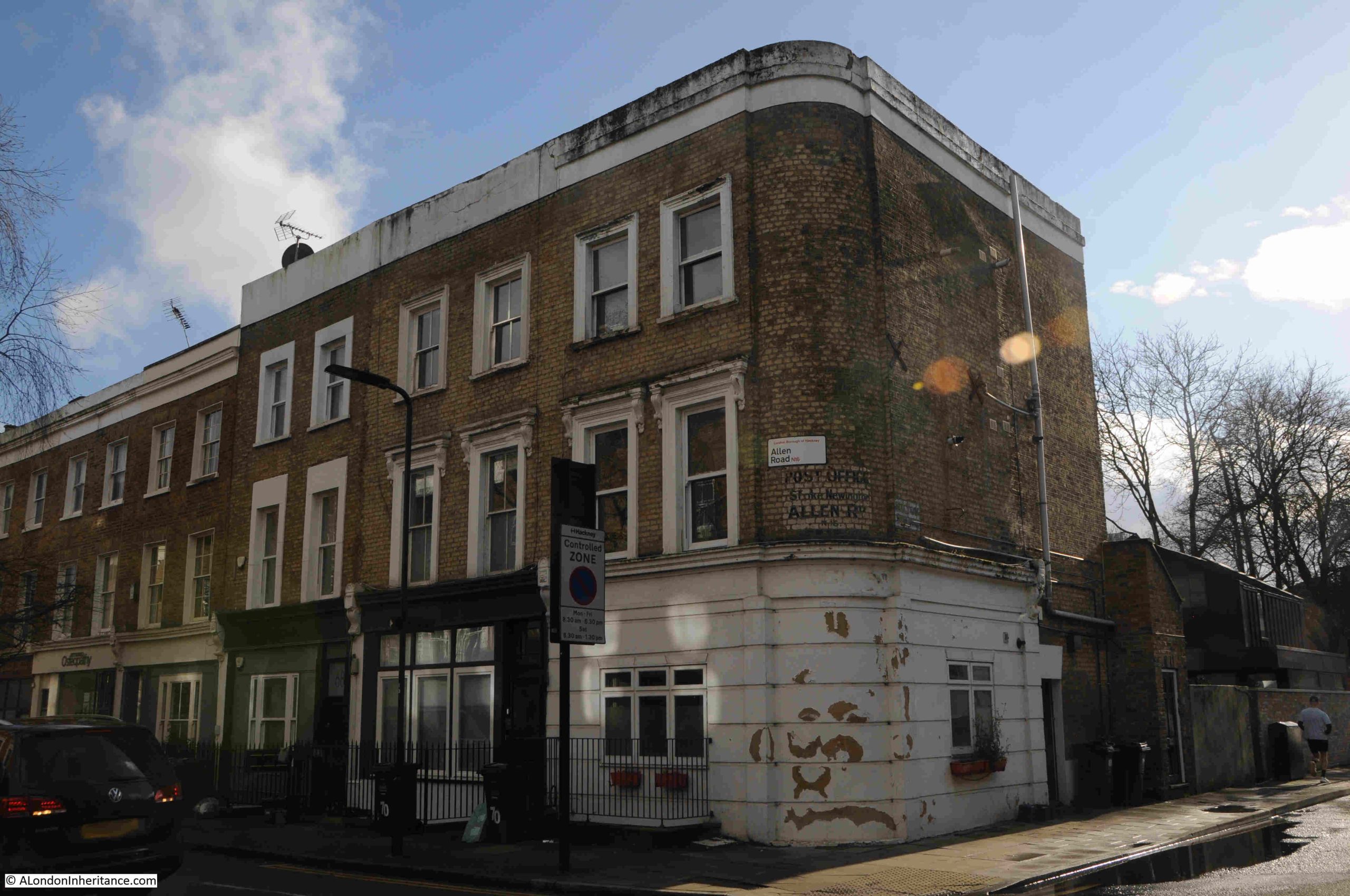
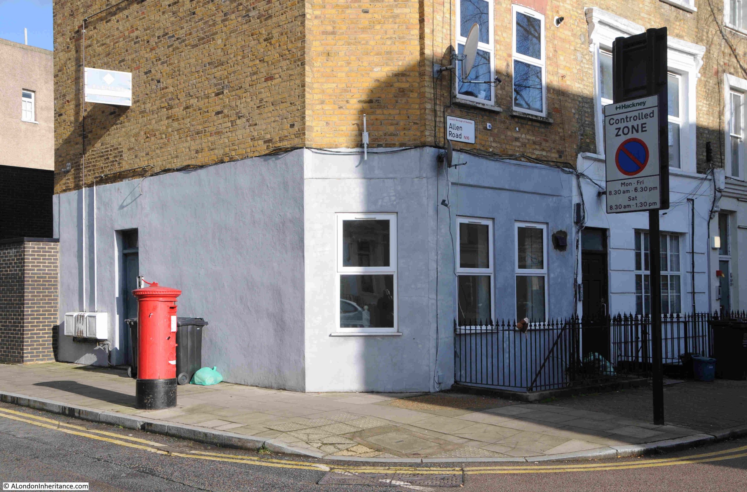
Whilst many remain, there were once far more small, independent businesses to be found across the streets of London, and in the mid 1980s you could have had your shoes repaired at A. Tattam in Brodia Road, Stoke Newington:
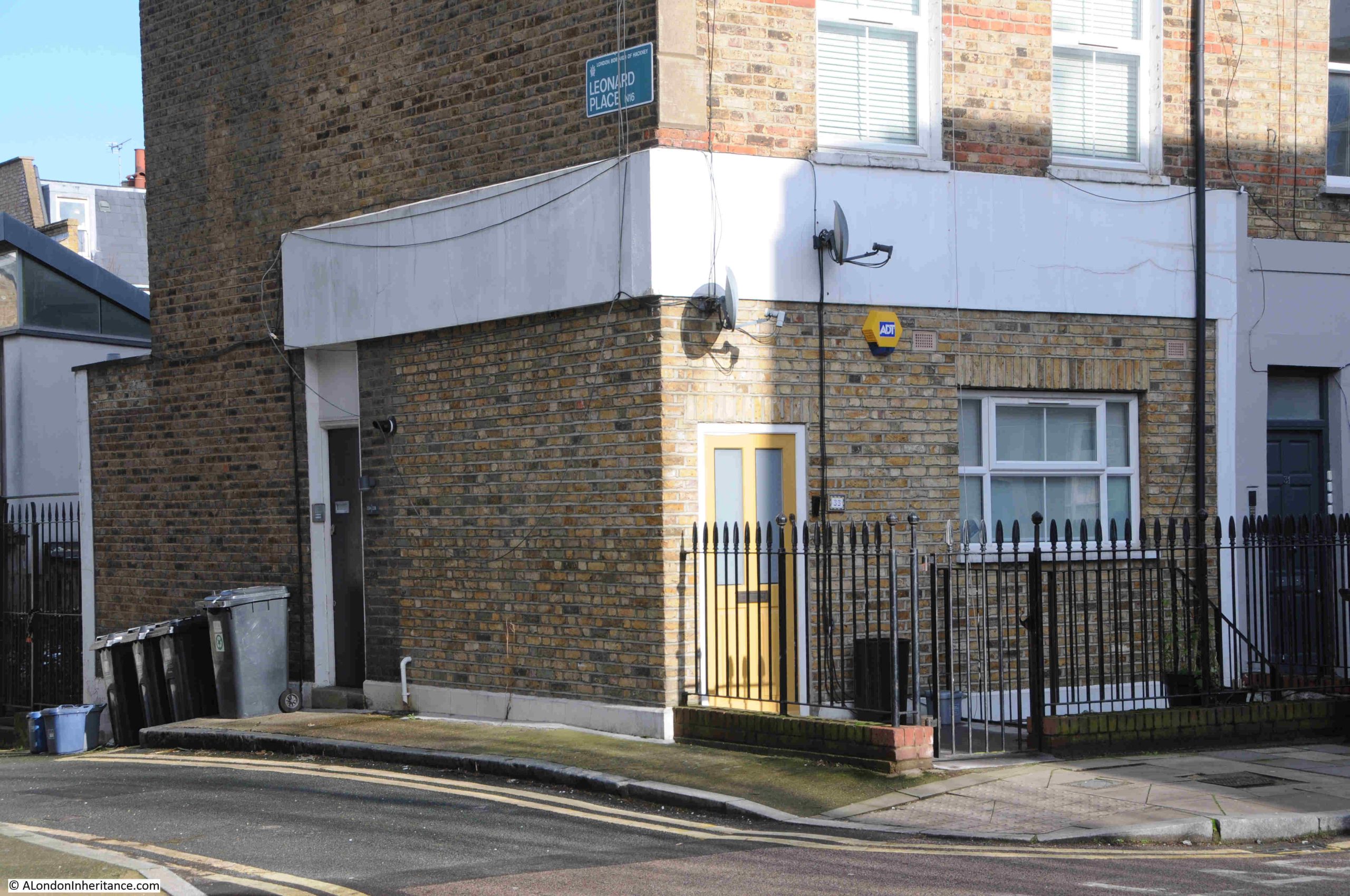
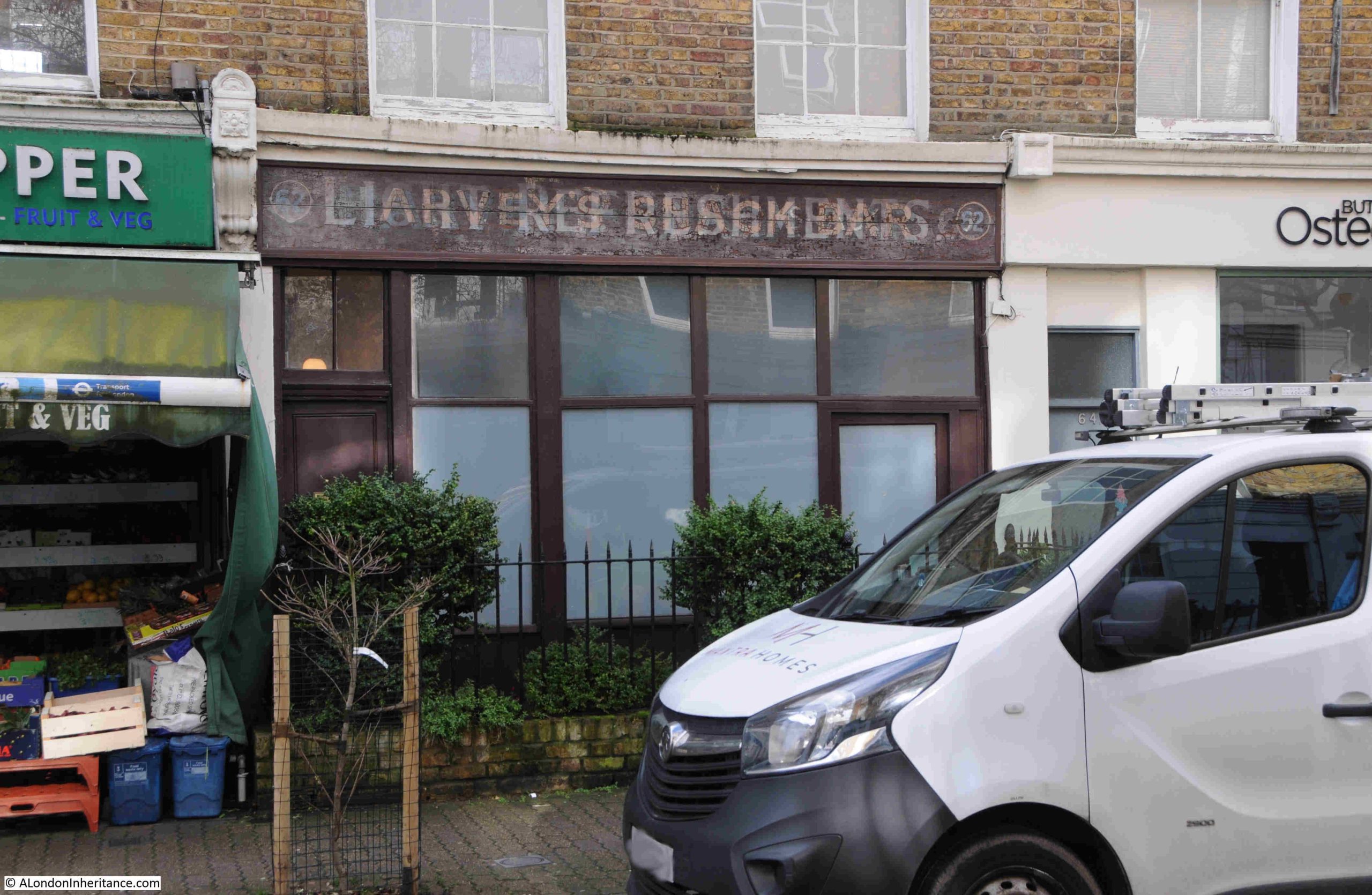
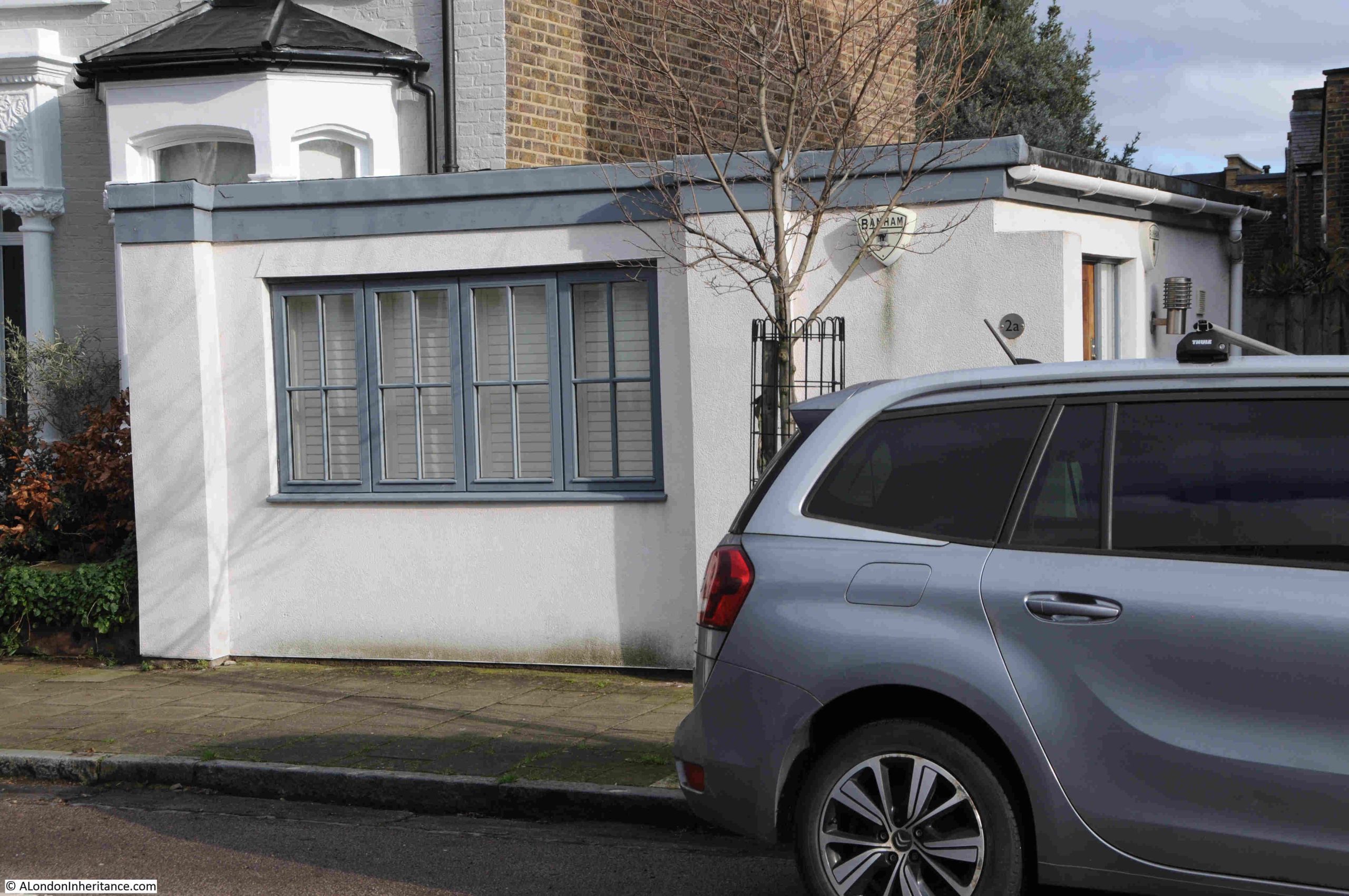
The same location, forty years later:
I was initially not sure when the business closed, but it had been operating out of this small building for many years.
The Hackney Museum have an online image of a shoe mangle, made between 1900 and 1935. The object history states that it was “Mangle used for leather at Albert Morris Tattam Shoe Repairs which was based at 2A Brodia Road, Stoke Newington.”.
Whilst it was made between 1900 and 1935, it does not mean that A. Tattam purchased it when new, they may have bought it second-hand at a later date. The object number is 1991.1006, and can be viewed by clicking here.
I have emailed Hackney Museum to find out whether the first four digits of the object number – 1991, is the year when the object became part of the museum’s collection. If so, then this would confirm roughly when the business closed.
There is also an early 20th century sewing machine from A. Tattam, with object number 1991.1005, which can be viewed here.
Apart from these two objects, I can find no other references to the business.
A. Tattam was Albert Morris Tattam, and there is a reference to a marriage of an Albert Tattam of Hackney in 1936.
There is also a record of the death of an Albert Morris Tattam in Gravesend in 1990.
In the 1939 register, there is a record of an Albert Morris Tattam living at 59 Windus Road, Stamford Hill, Hackney. His profession is given as Boot Repairer Master, and he is living with his wife Rose.
The 1939 register gives a date of birth of 3rd of January 1914, which is the same date as in the record of death, and in the record of marriage, Rose is listed, so this is the same person.
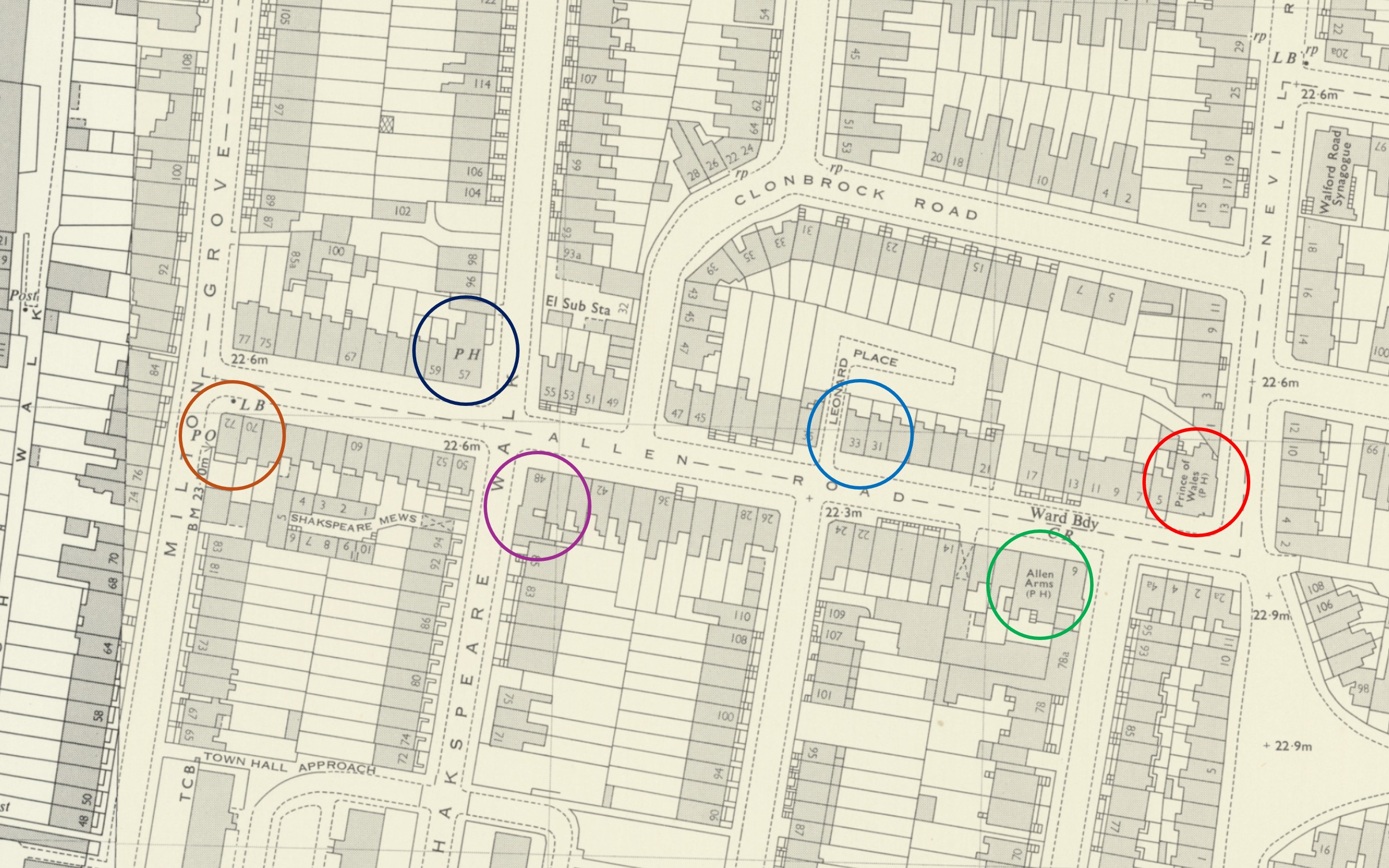
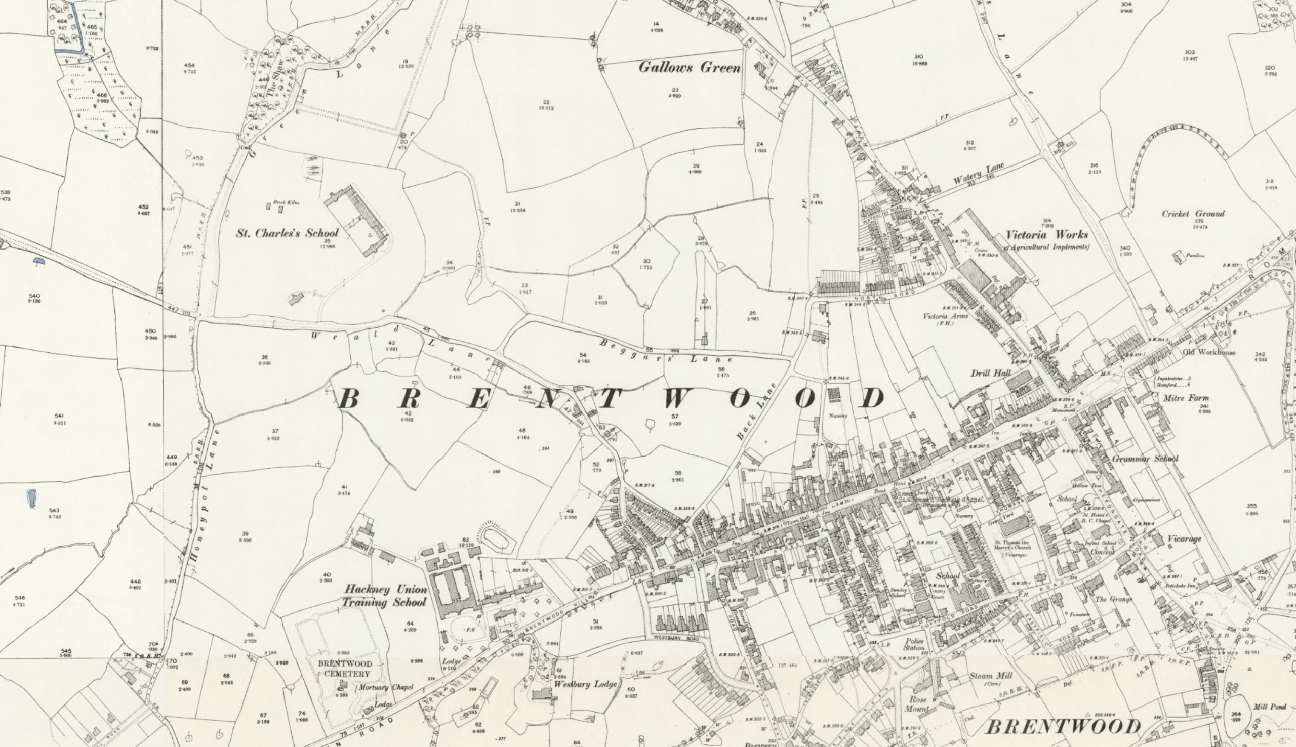
In the 1921 census there is an Albert Tattam, aged 7 years and 6 months living at St Charles House, Brentwood, Little Warley, Essex. This would be the age of Albert who was born in 1914. He was living there with his older brother George Tattam who was aged 10.
Against both boys is the note of “Father Dead”, and they are classed as an “Inmate”. I suspect that given the year, their father must have died in the First World War, and they are living in a children’s home.
St Charles House was also known as St Charles School and was an orphanage for Roman Catholic boys, established around the year 1884.
The following extract from the OS map shows the town of Brentwood early in the 20th century. St. Charles School can be seen in the fields to upper left:
So, he was born in 1914 in Hackney. By the time he was aged 7, he was living with his brother George in a children’s home in Brentwood. His father may have died during the First World War. I can find no record of his mother. He married Rose Whiteland in 1936, and in 1939, he is living at 59 Windus Road and listed as a Boot Repairer Master. The house at this address is a short 15 minute walk from his shoe repair business in Brodia Road.
He was still working in his Brodia Road business in 1985, as there is an entry for him Kelly’s Post Office Business Directory, where he is listed as a Shoe Repairer.
He died in Gravesend in 1990. Whether he retired to the town, or whether he was visiting, there is no record. The probate record has a residence of Stamford Hill listed, so I suspect he was visiting, and still lived at Windus Road.
He would have been of the age to have served in the Second World War, but I cannot find any records of military service, which is more to do with information freely available online rather than the lack of any service.
Just as I was completing this post, I received an email back from Hackney Museum with the following:
“1991 is when the item was added to our collection. I’ve had a quick look at our paperwork and we actually received the shoe mangle and sewing machine in late July 1990. Albert Morris Tattam (1914-1990) and his wife Rose Elisabeth both died in 1990, Rose on 28 March and Albert on 12 June, so we received the items about 6 weeks later. As they married in 1936, I can’t quickly and easily find any records of them having children so I cannot say for certain if the Tattam who donated the items to us was a child or a relation.
However for your purposes, 12 June would be the final day of Albert trading. As the items were donated to Hackney Museum so quickly afterwards, I can only assume that there wasn’t somebody to take over the business.”
I wonder how many pairs of shoes he repaired for Hackney residents during his working life, and how many times he walked between his home in Windus Road and workplace at Brodia Road:
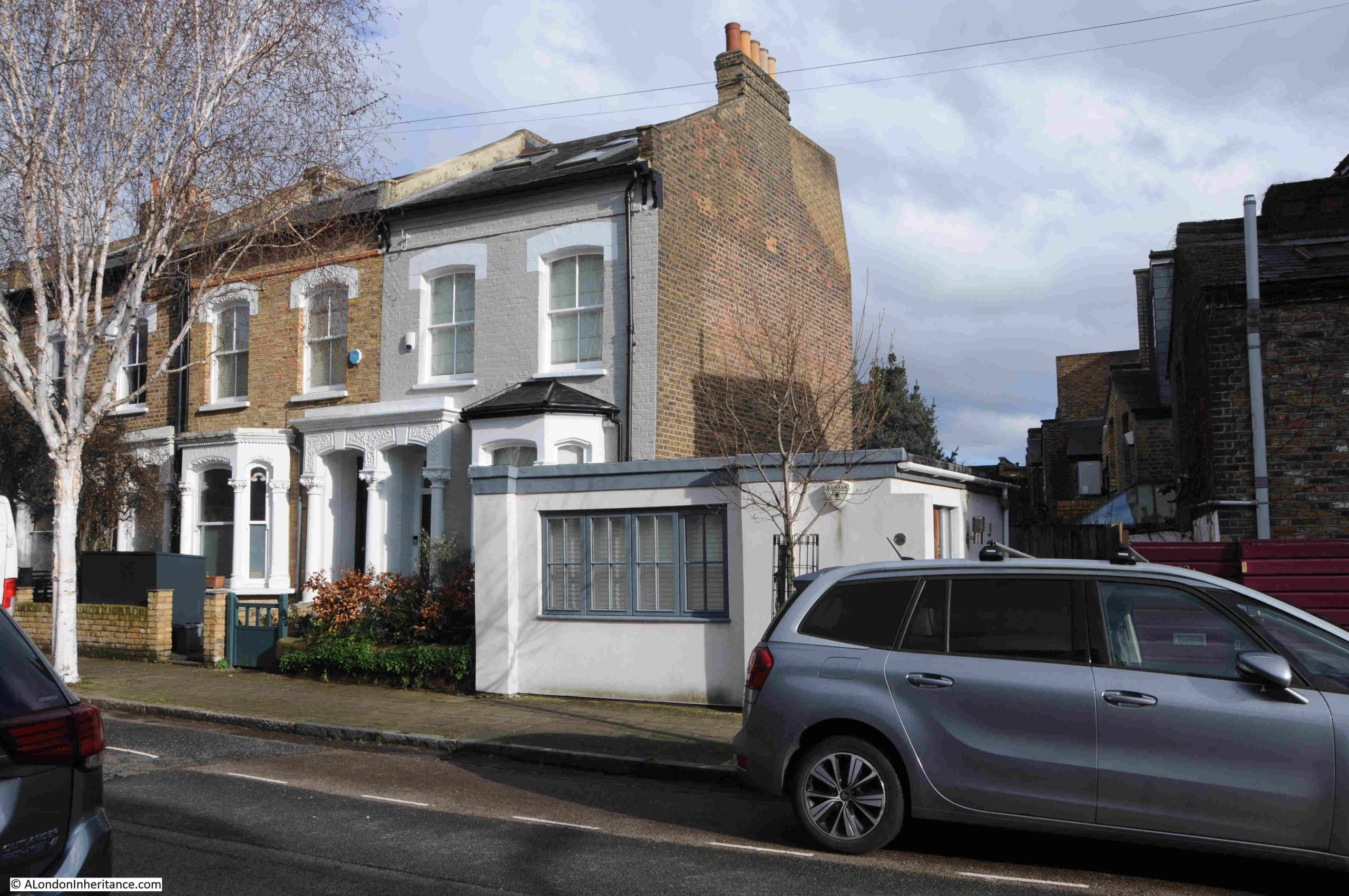
The small premises of A. Tattam today appears to be a single residence as it has a house number and an entrance.
It is fascinating to be able to trace a small part of the story of those who have lived and worked in London, and put some context to photos of a very different city.
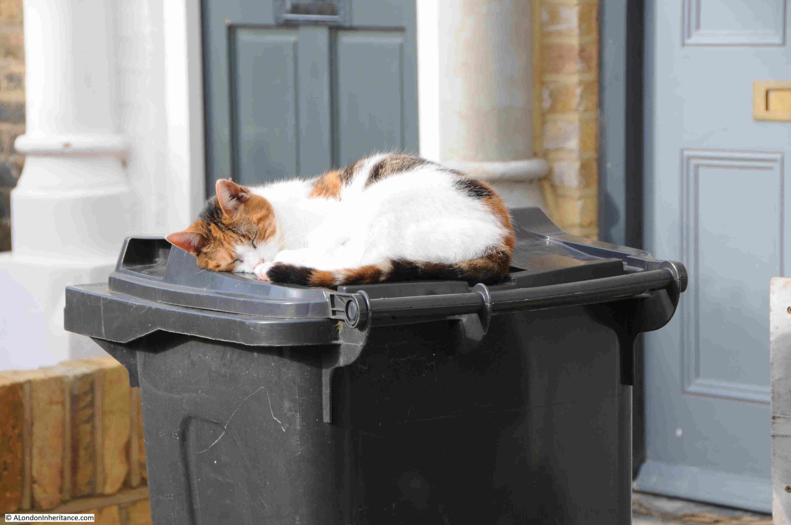
There is much to discover in the local area, but this has to be a short post, so a short distance away from Tattam’s business, I found a cat enjoying the warmth of an early spring day:
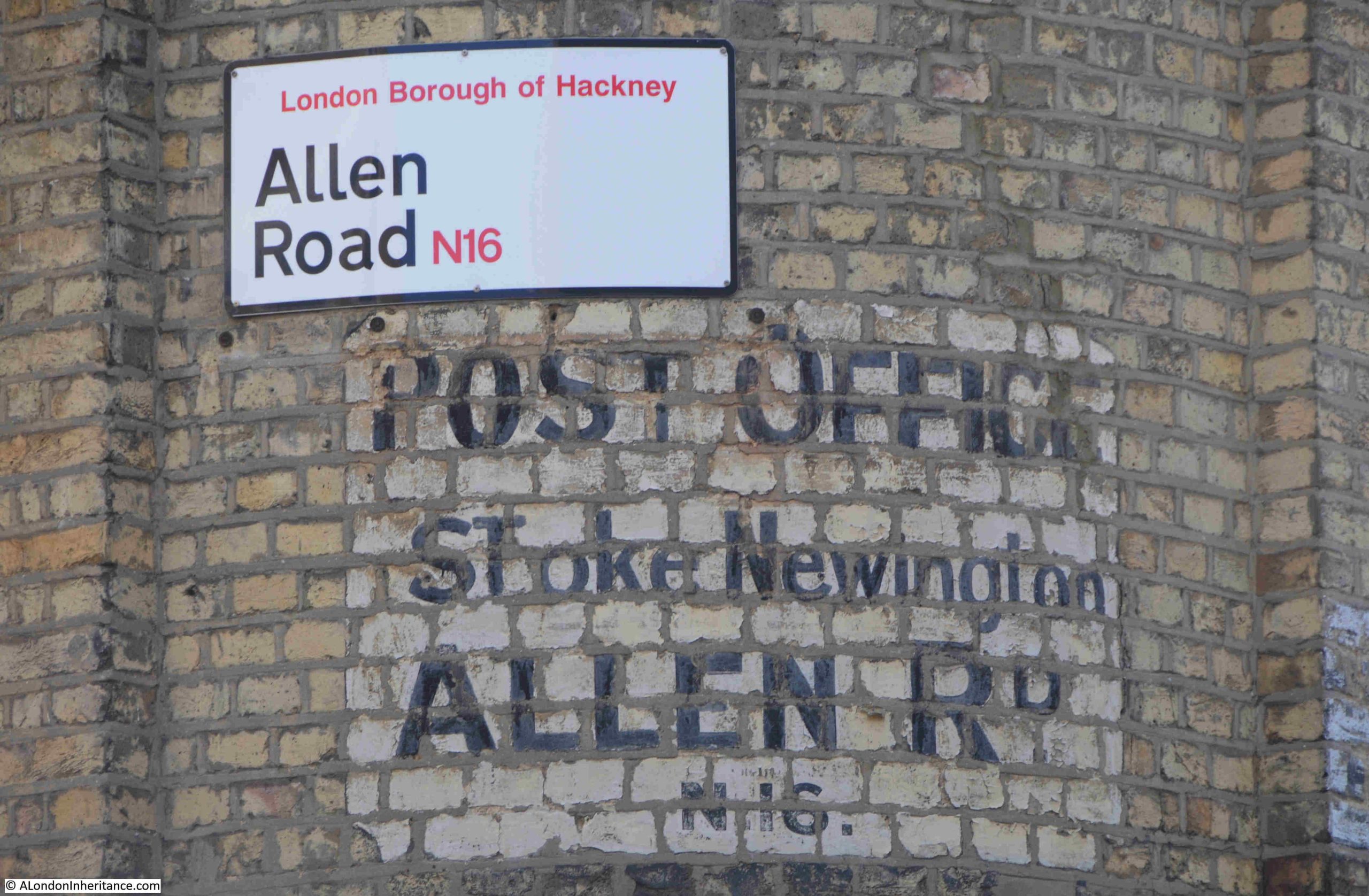
And whilst walking along Stamford Hill towards Stoke Newington Station, I found a shop with a wonderful typeface used for the shop’s name:
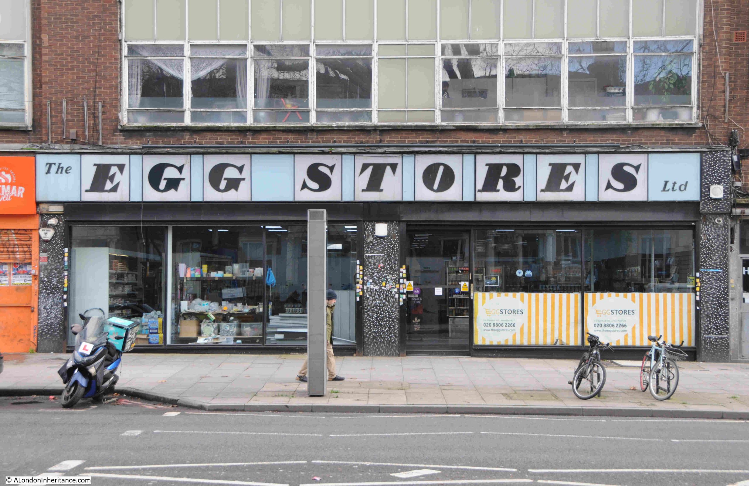
In the 75th anniversary year of the Festival of Britain, the typeface does remind me of the type of lettering, use of colour, and layout used during the festival, and the Egg Stores does appear to date from 1951 (although I have also read that it dates from 1948), so perhaps the festival was the inspiration.
The Egg Stores was an egg dealing business, selling white shelled eggs to the Jewish community.
The shop is now a Kosher Supermarket, and the shop sign is an example of what can be done when some design effort is put into a such a common feature of a busy street.
Resources – Layers of London
Back in December of last year, in one of my posts where I cover some of the resources I use to help discover and explore London’s history, I featured the publication London Archaeologist.
In the Spring issue of their publication, they included a review of my blog. This was not expected, and for clarity, as it is important to me, anything I feature on the blog is because it is of interest to me. I do not feature anything for financial gain, an offer to publicise the blog etc. Having said that, it was really good to receive a review in such a publication.
In the same post I featured the Archaeology Data Service, and the review in London Archaeologist mentioned:
“As well as London Archaeologist, the blogger recommended delving into the ADS for more information on particular sites, However, it’s a shame that there was no mention of the Layers of London website where articles can perhaps be found more easily if one is curious about certain areas.”
I have long found Layers of London really useful, so to correct my omission from my Resources series, this is the Layers of London website, found at the following link: https://www.layersoflondon.org/
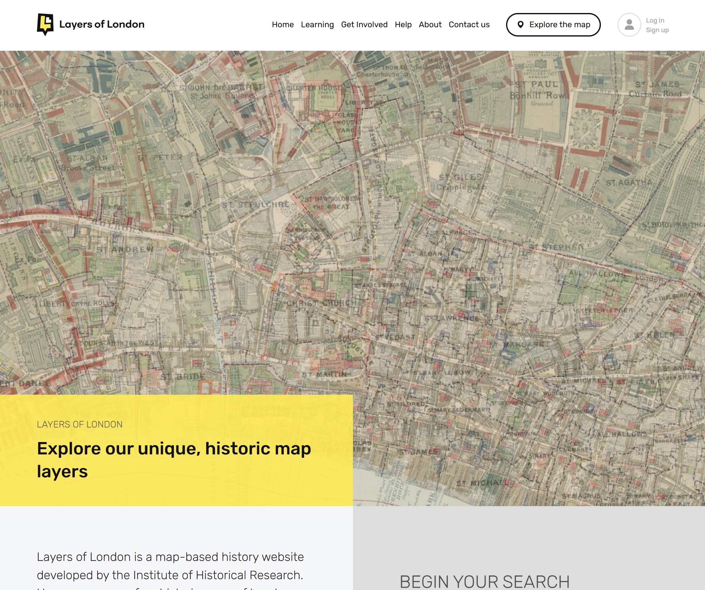
Layers of London has been developed by the Institute of Historical Research, and uses a comprehensive collection of maps as the basis on which an equally comprehensive collection of information has been added.
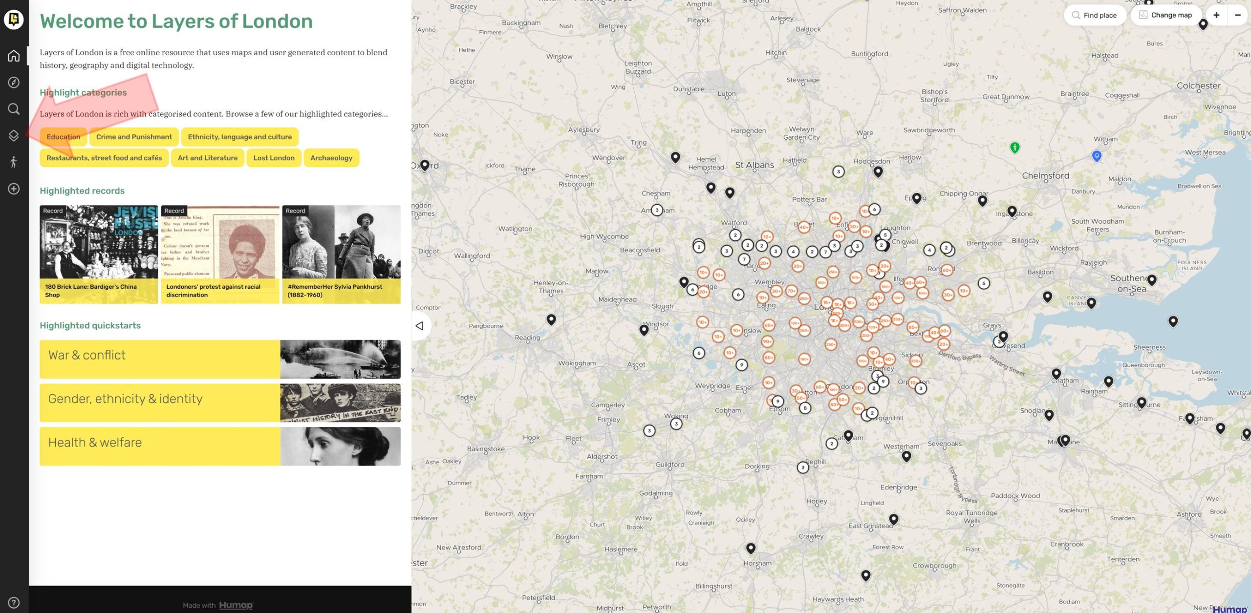
The above image is of the home page, and at top right you will see “Explore the map” which is perhaps the quickest way to start looking at what is available. This will bring up the following page, which has the base map shown, overlaid with circles containing numbers. You can zoom into the map for greater detail, and the numbers in the circle refer to the number of records available for that locality.
Just exploring these records reveals the wealth of information available.
In the above image, I have added a red arrow on the left pointing to an icon in the tool bar to the left of the screen. Clicking on this icon brings up the Overlays page:
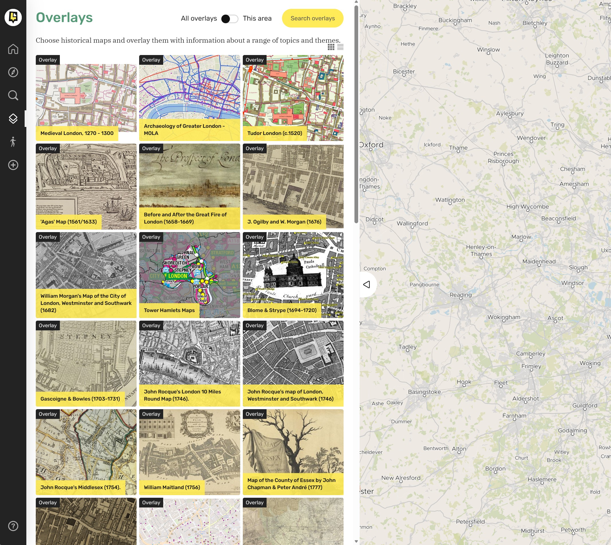
Where a long list of the maps available are listed, including, for example, the Agas map, Inland Revenue Valuation Surveys, Bomb Damage maps, Geology and US Spy Satellite images from 1973, as well as maps such as J. Ogilby and W. Morgan map of 1676, Horwood’s map of 1799, and Greenwood’s map of 1828.
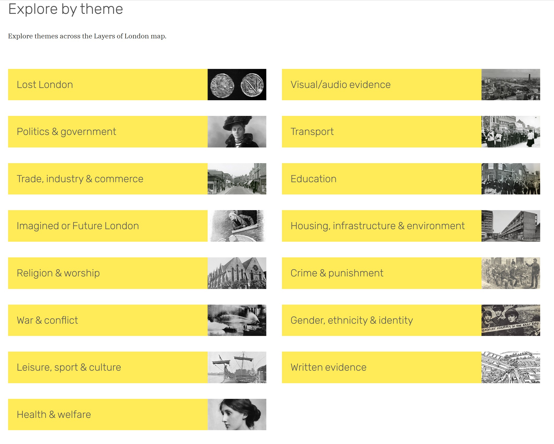
It is also possible to explore by theme, as shown in the following window:
It is also possible to make your own contributions to the resources on the site. This page has more information, including a link to a helpful User Guide as well as some YouTube videos: https://www.layersoflondon.org/get-involved
There is a wealth of information on the Layers of London website, and it is very easy to spend quite a few hours exploring the history of the city, and if you have not found the site before, I hope you will find it to be a fascinating resource.
Hopefully, by the time you read this, or by next Sunday’s post, the blog will be on a new, far more stable home.