Tag Archives: King’s Cross Road

Bagnigge Wells, House and Gardens

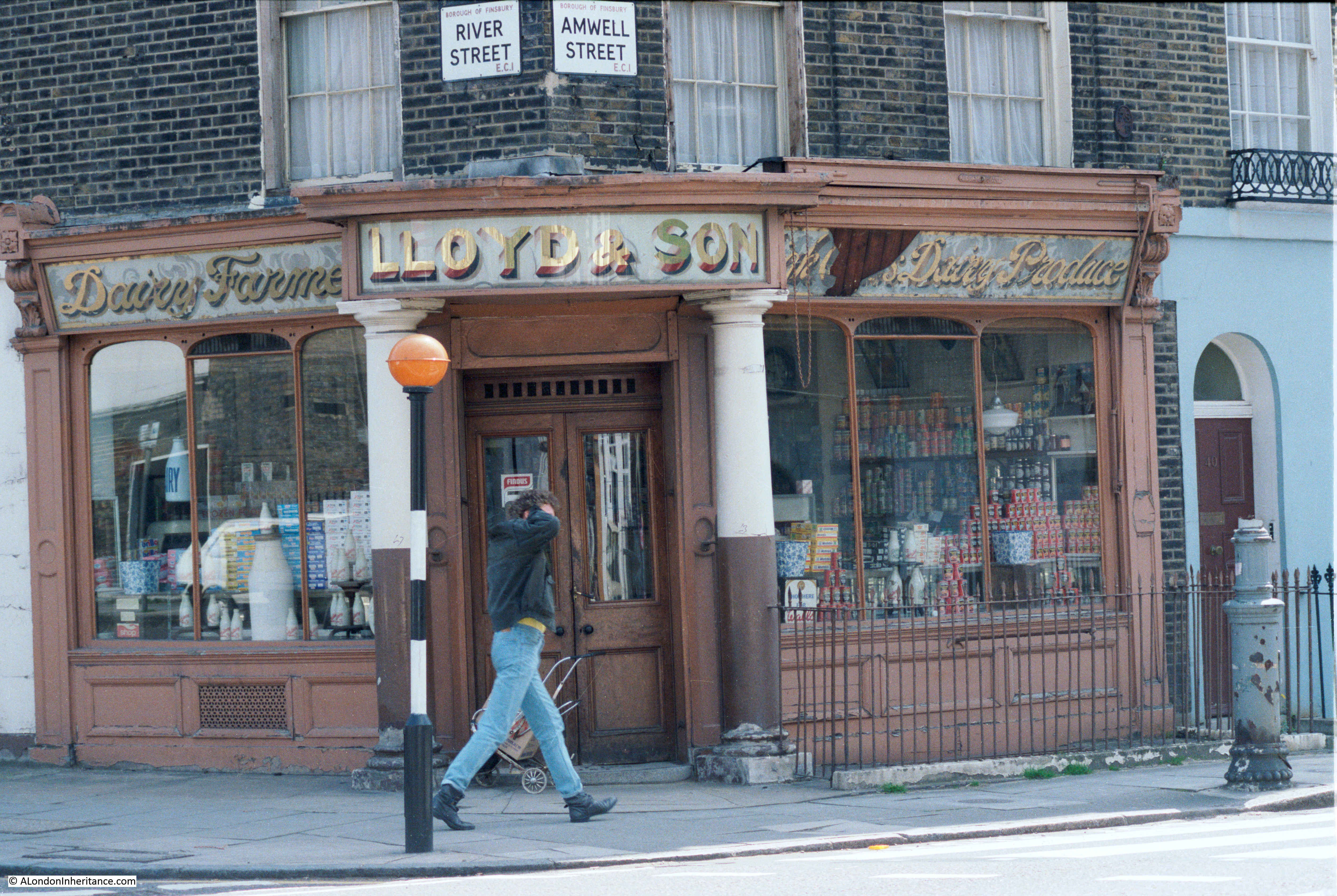
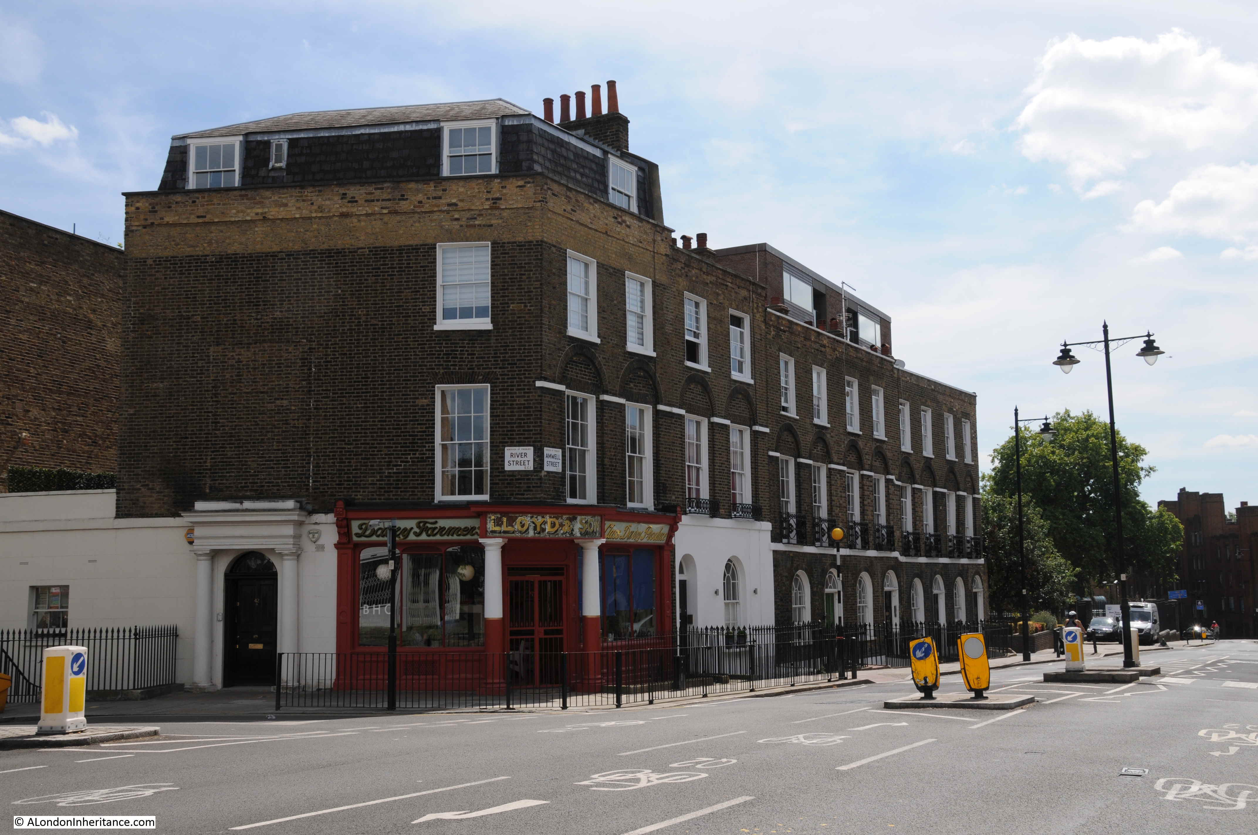
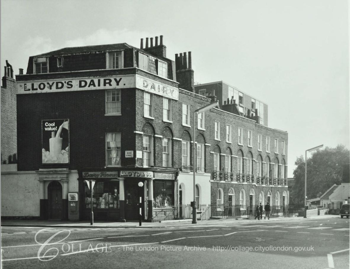
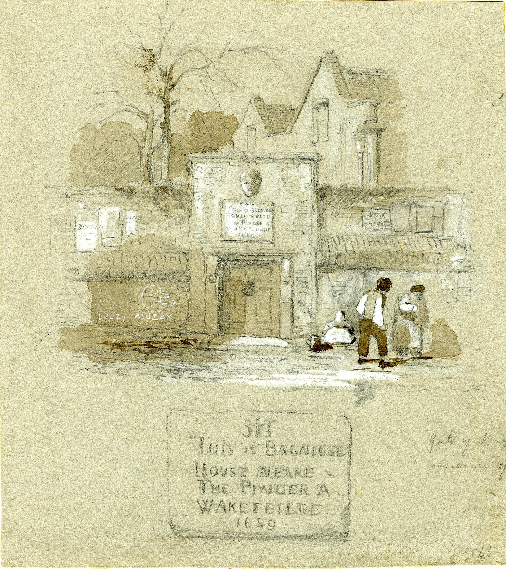
Although today there is very little of it to see, water has shaped much of London. The alignment of streets, property boundaries, rise and fall of the land have all been shaped by water. Whilst these are all subtle indicators of the historic presence of water there are still a number of more visible signs that hint at an areas history, and one of these is on a building on the western side of King’s Cross Road.

Bagnigge Wells

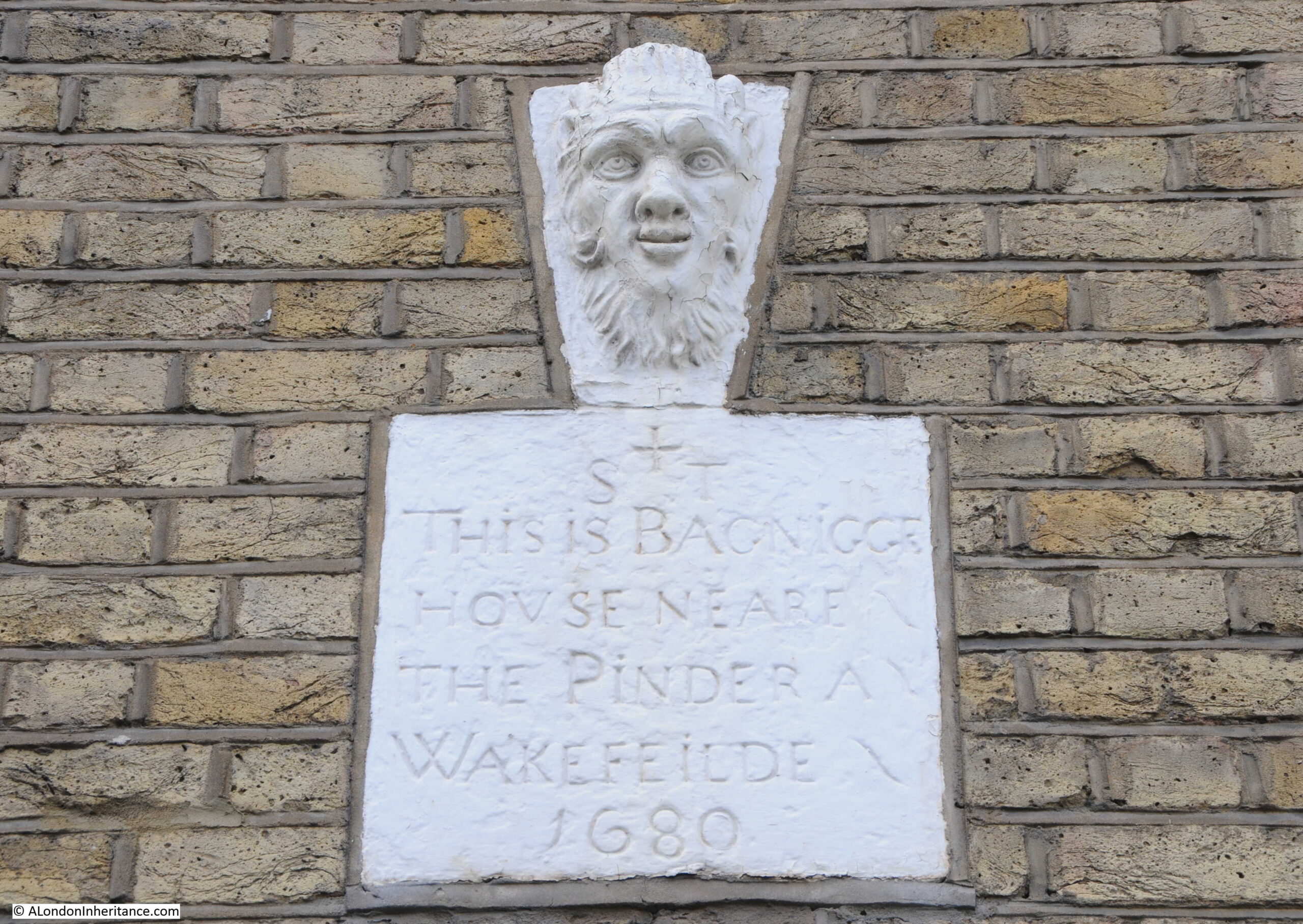
The sign reads “This is Bagnigge House Neare the Pinder A Wakefeilde 1680”.

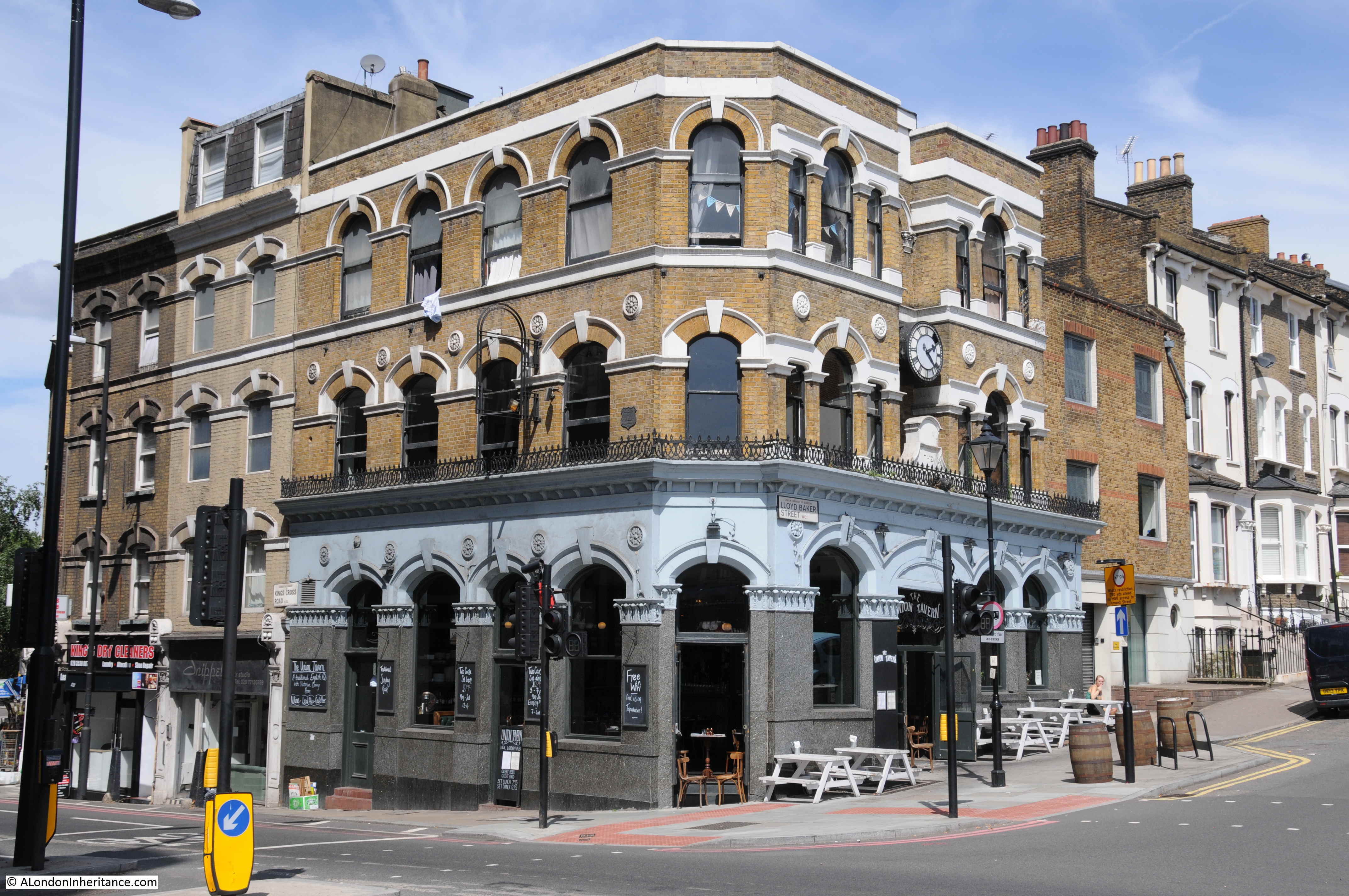
The Pinder of Wakefield was a pub that dated back to the early 16th century in Gray’s Inn Road. A pub with the same name was on the same site until 1986, when the building was purchased by the “The Grand Order of Water Rats” charity, renamed the Water Rats, and is now a performance venue.

Bagnigge House and the Wells that were found in the gardens of the house are the subject of today’s post.

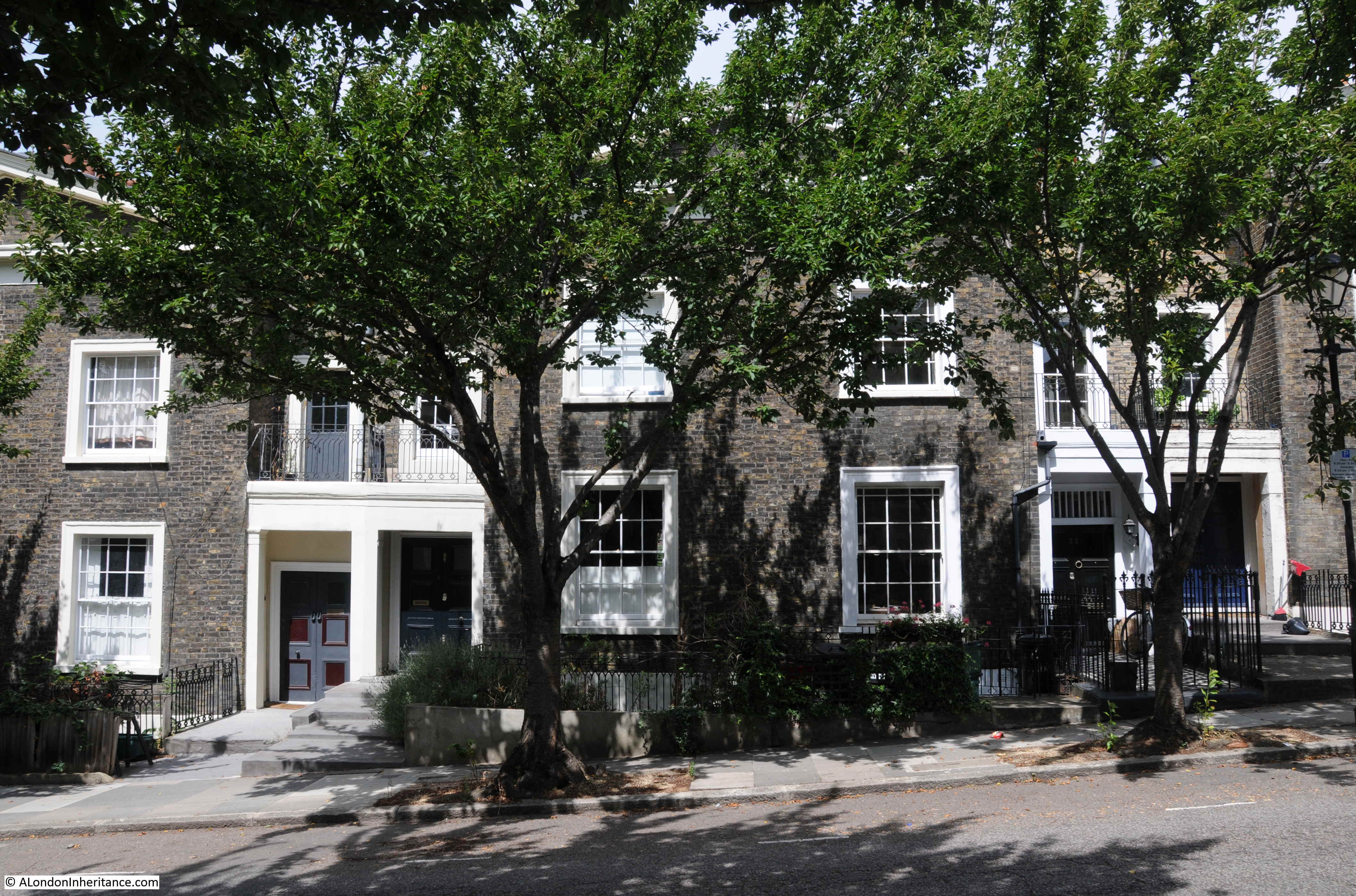
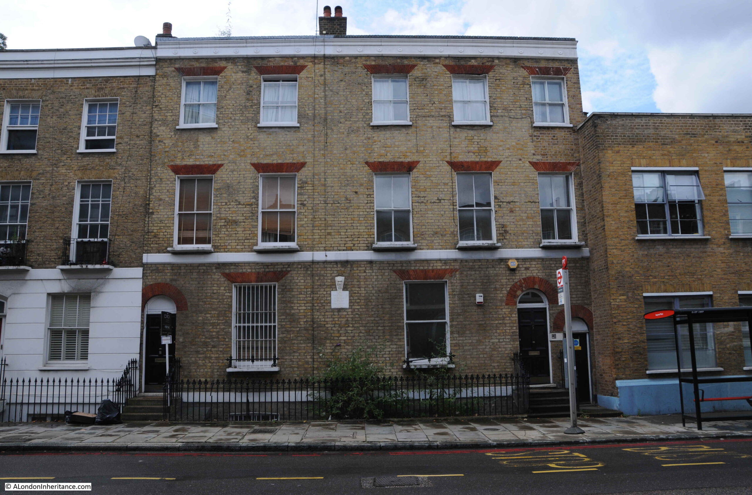
The house in King’s Cross Road with the Bagnigge House sign:

Bagnigge Wells

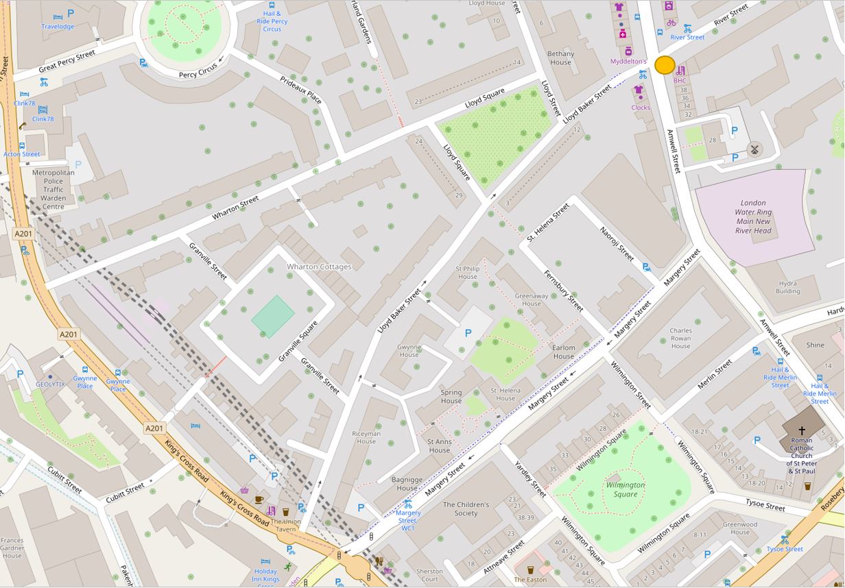
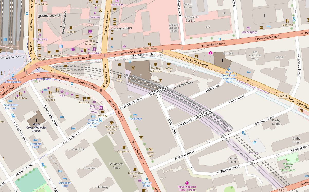
The location of the Bagnigge House stone, along King’s Cross Road is shown by the red circle in the following map  (Map © OpenStreetMap contributors):

Bagnigge Wells

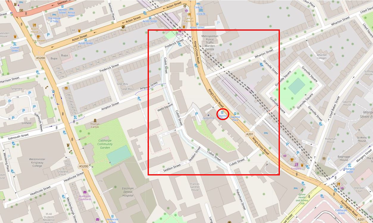
The red rectangle highlights the area covered in the post.

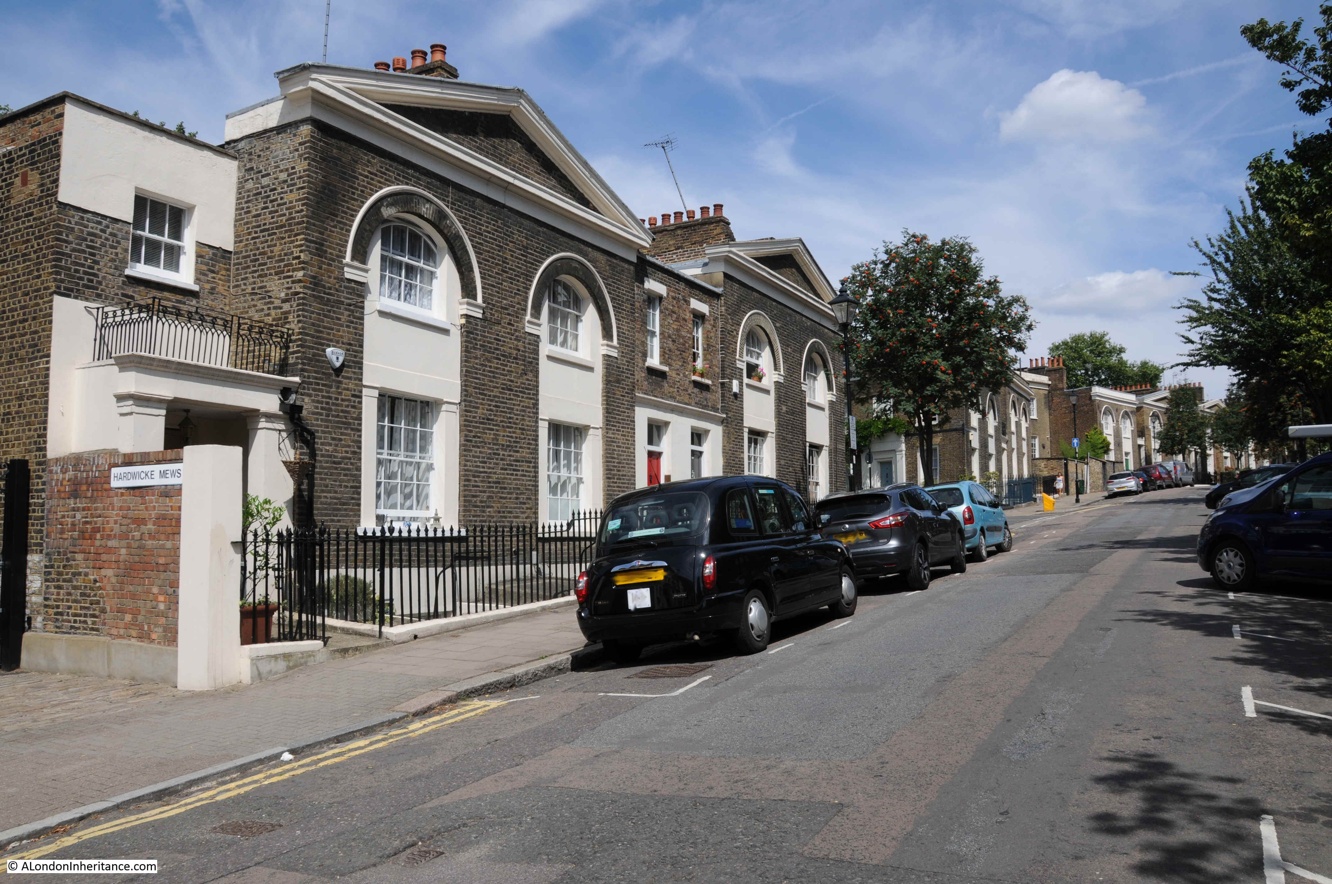
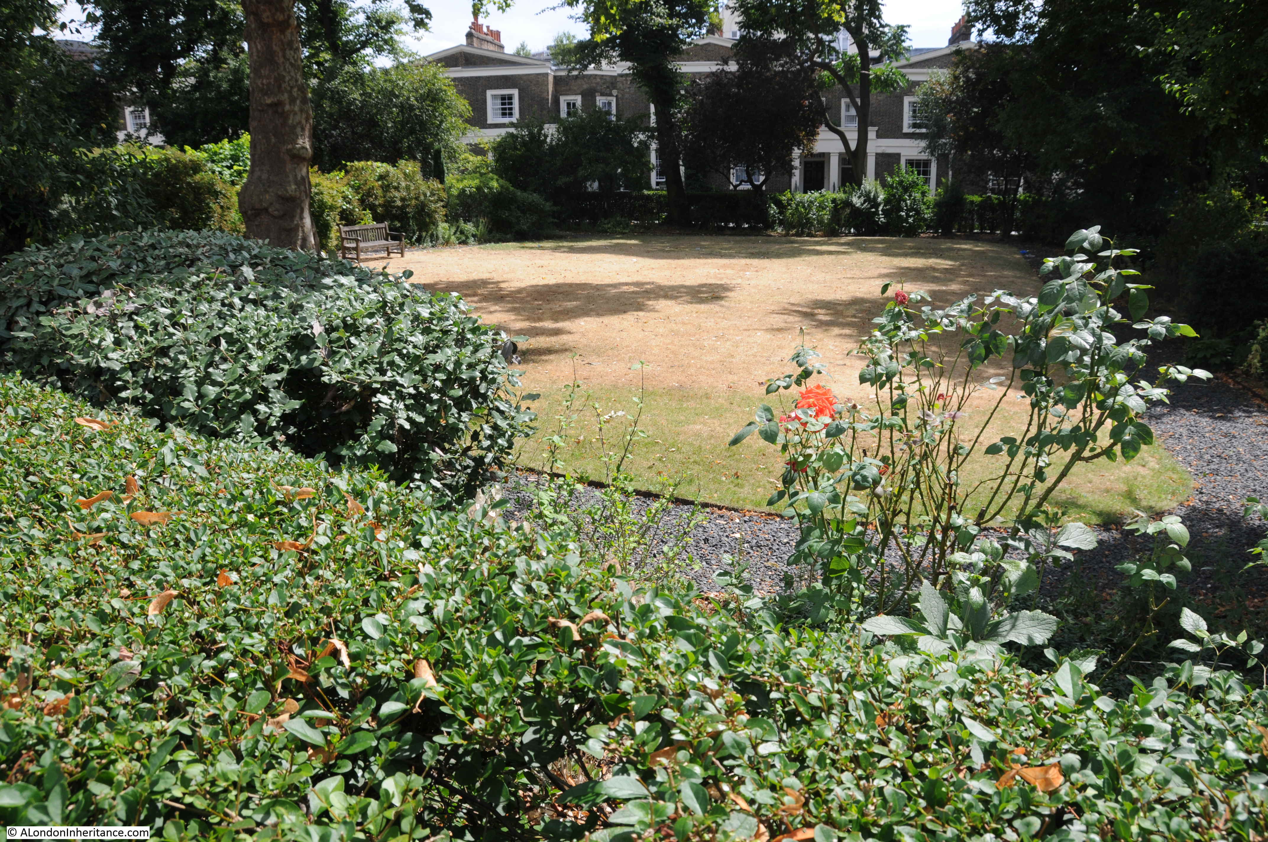
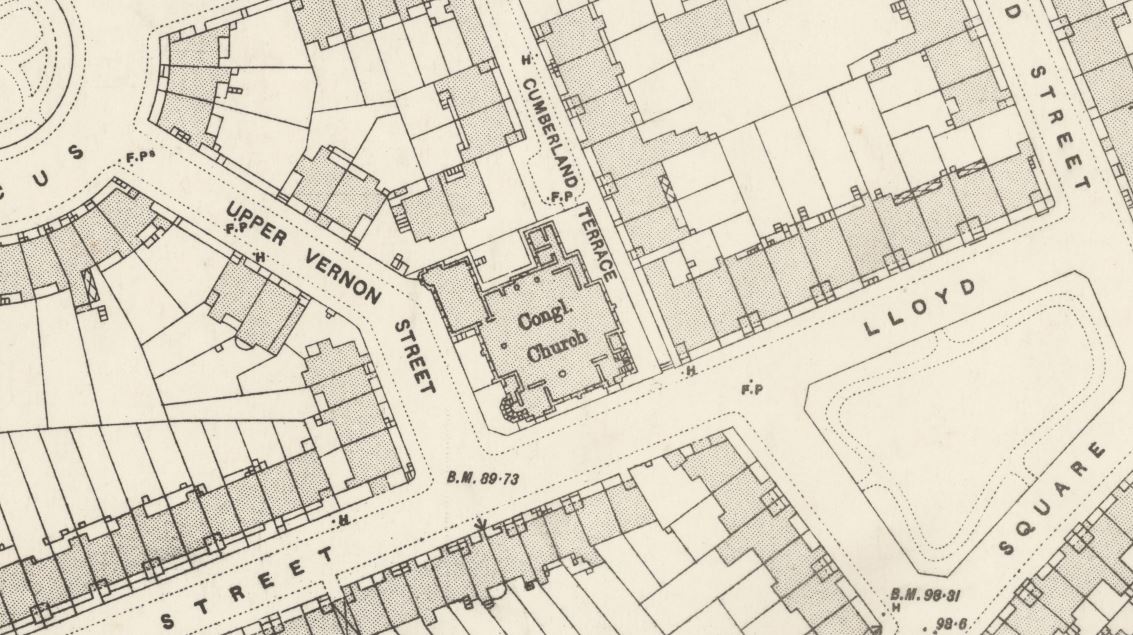
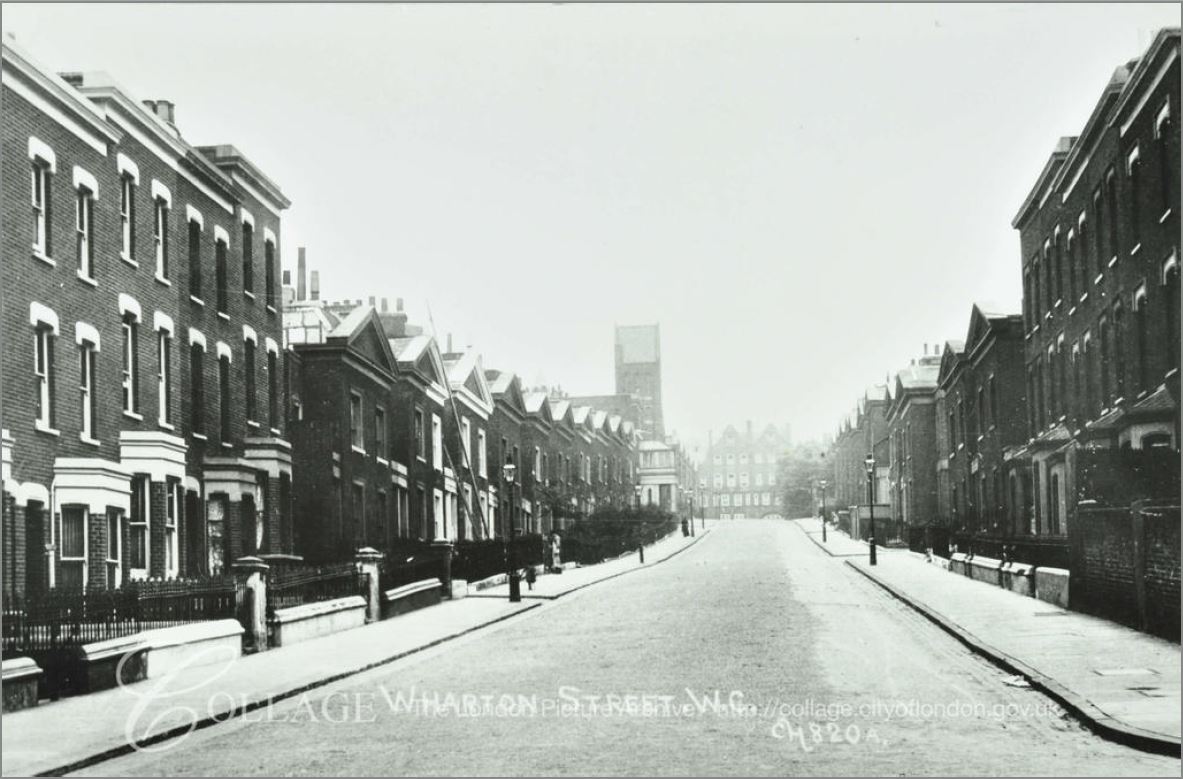
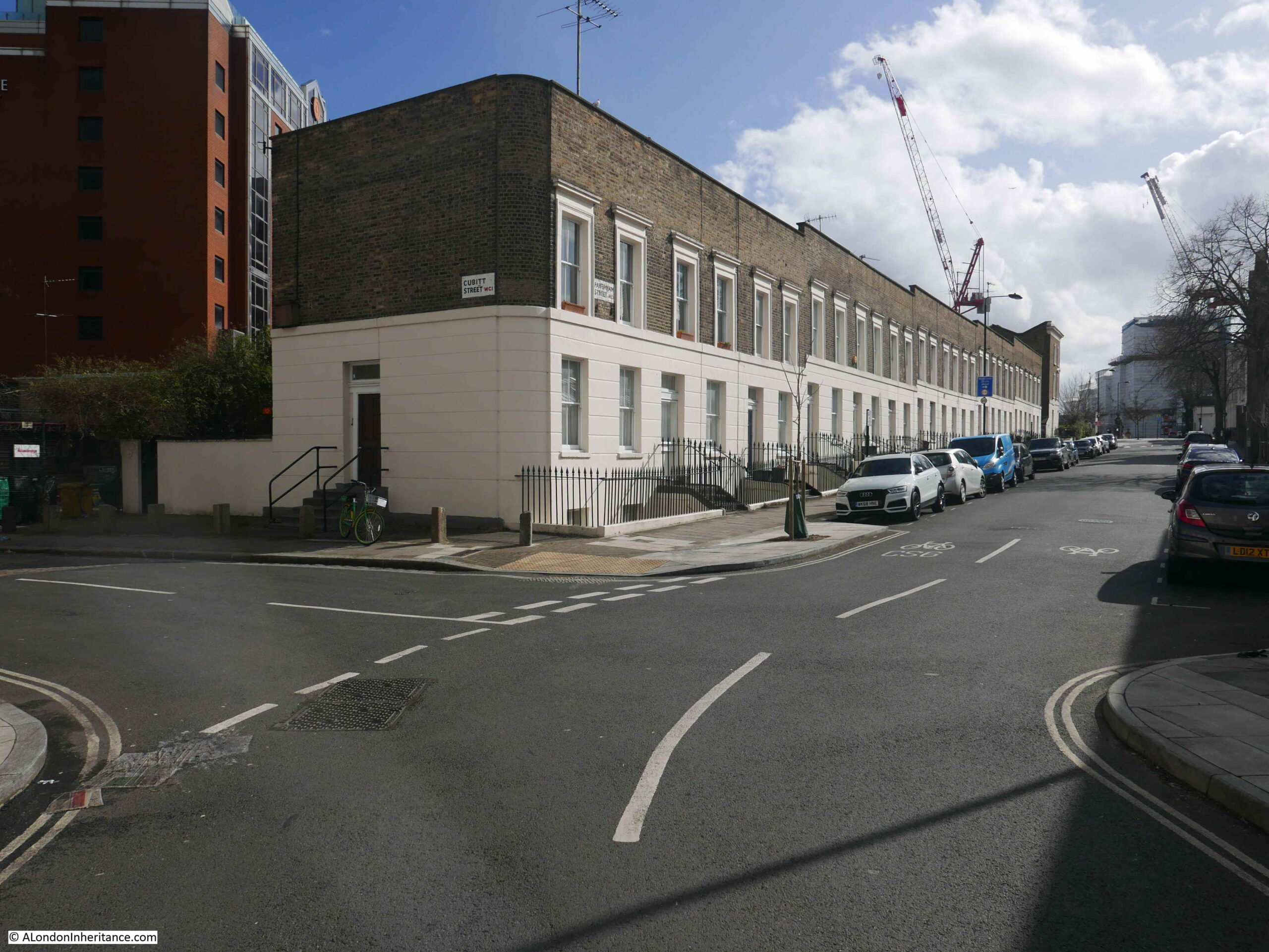
If you look to the left side of the red box, you will see Cubitt Street, a street which unlike the rest of the streets in the area, does not follow a straight line and is curved around an area of land between Cubitt Street and King’s Cross Road.

To the left of Cubitt Street, the map shows the light blue line of the old River Fleet. I have double checked with my go to reference for London’s old rivers; “The Lost Rivers of London” by Nicholas Barton and Stephen Myers, and the routing of the Fleet shown in the above map is roughly right.

Before the streets and buildings of London had extended this far north, this was an area of fields and agriculture. The River Fleet ran through the fields, the area was low lying and rather wet, especially after heavy rains when the Fleet would have flooded.

Rocque’s map of 1746 provides a view of the area in the middle of the 18th century. Fields cover the majority of the area, but in the upper centre of the map there are buildings and formal gardens bounded by the River Fleet and a street named Black Mary’s Hole.

Bagnigge Wells

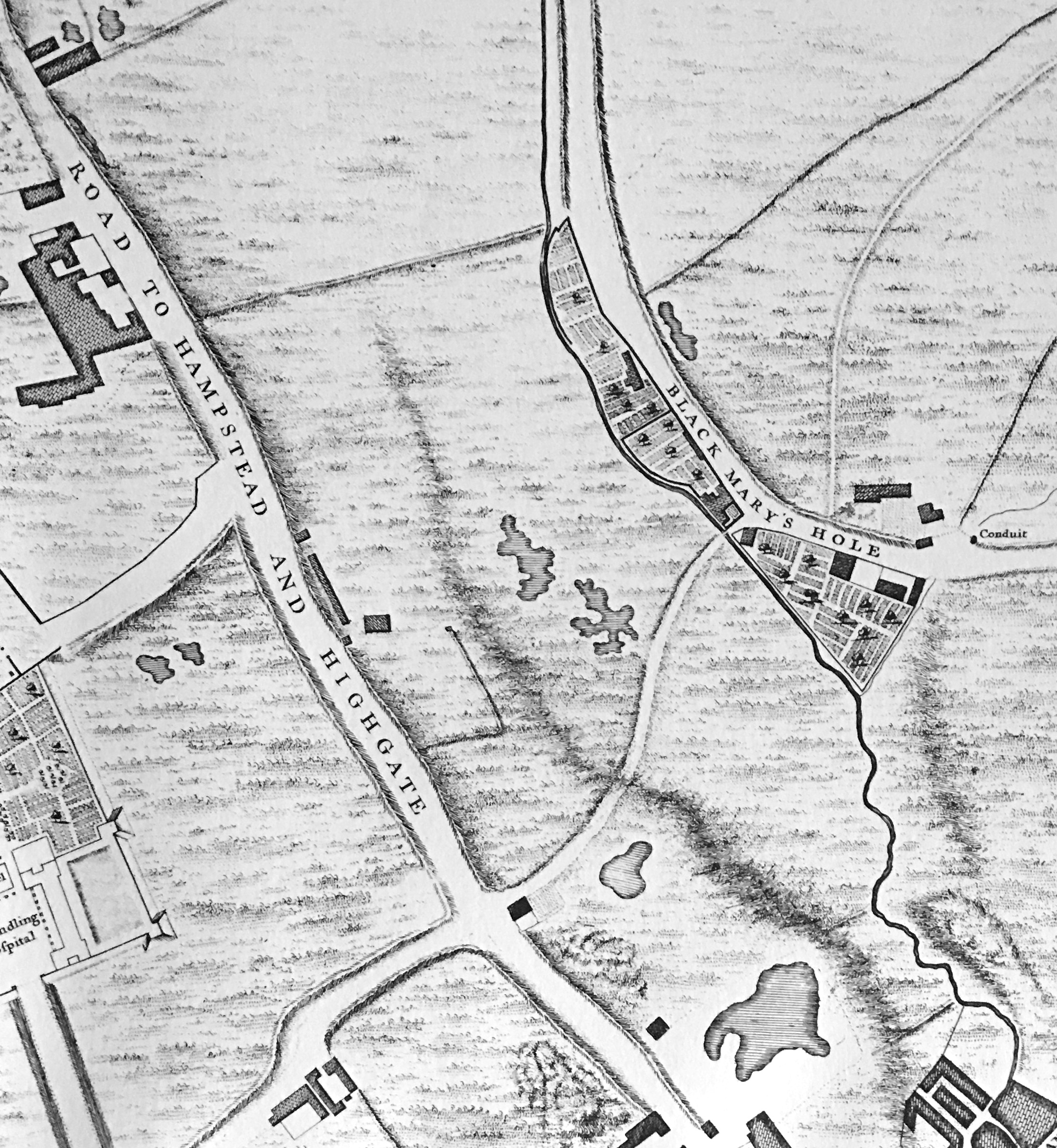
The street to the left labelled “Road to Hampstead and Highgate” is today, Grays Inn Road.

Black Mary’s Hole is now King’s Cross Road. There are various interpretations of the name, but the majority of sources refer to a black woman called Mary, who sold water in the vicinity from a well or fountain.

As well as the Fleet, the Rocque map extract also shows the irregular shape of a number of ponds, confirming that this was an area where there was plenty of water.

By 1816, streets and buildings had started to reach the area, and the following extract from the 1816 edition of Smith’s New Plan of London shows the area between the Fleet and King’s Cross Road (in the centre of the map) now labelled Bagnigge Wells.

Bagnigge Wells

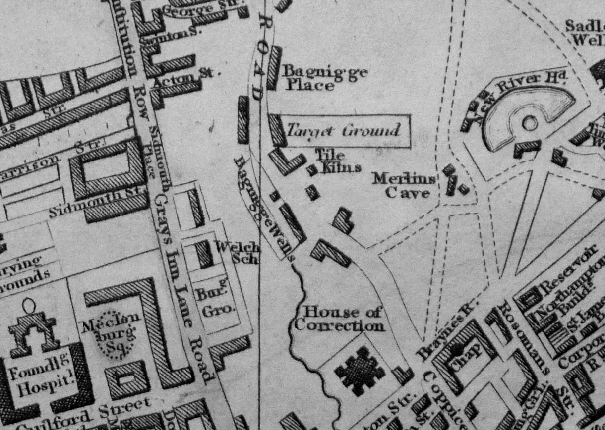
To the right of the map is New River Head and on the edge of the map, Sadler’s Wells, further illustrating how water has shaped the area.

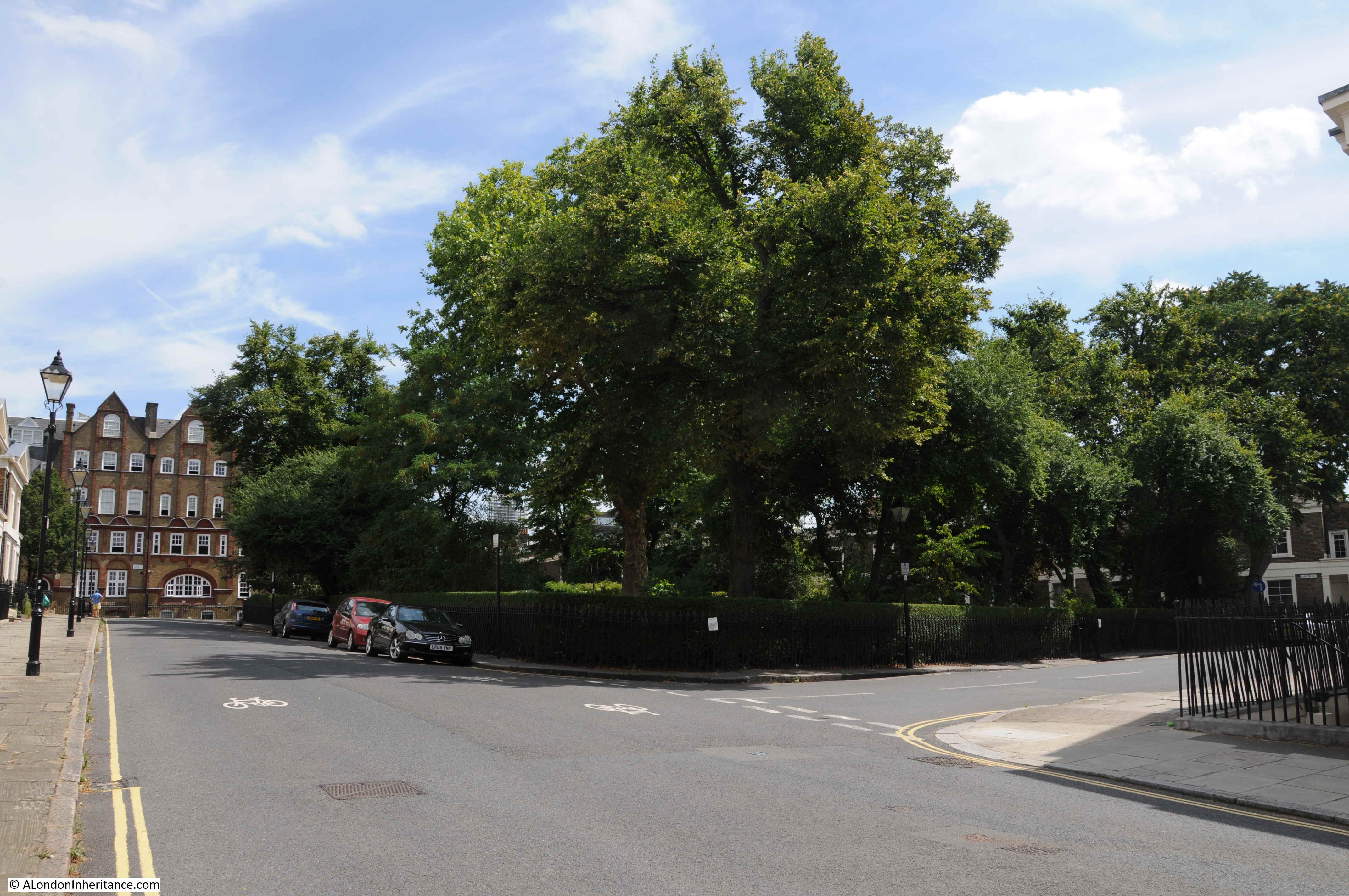
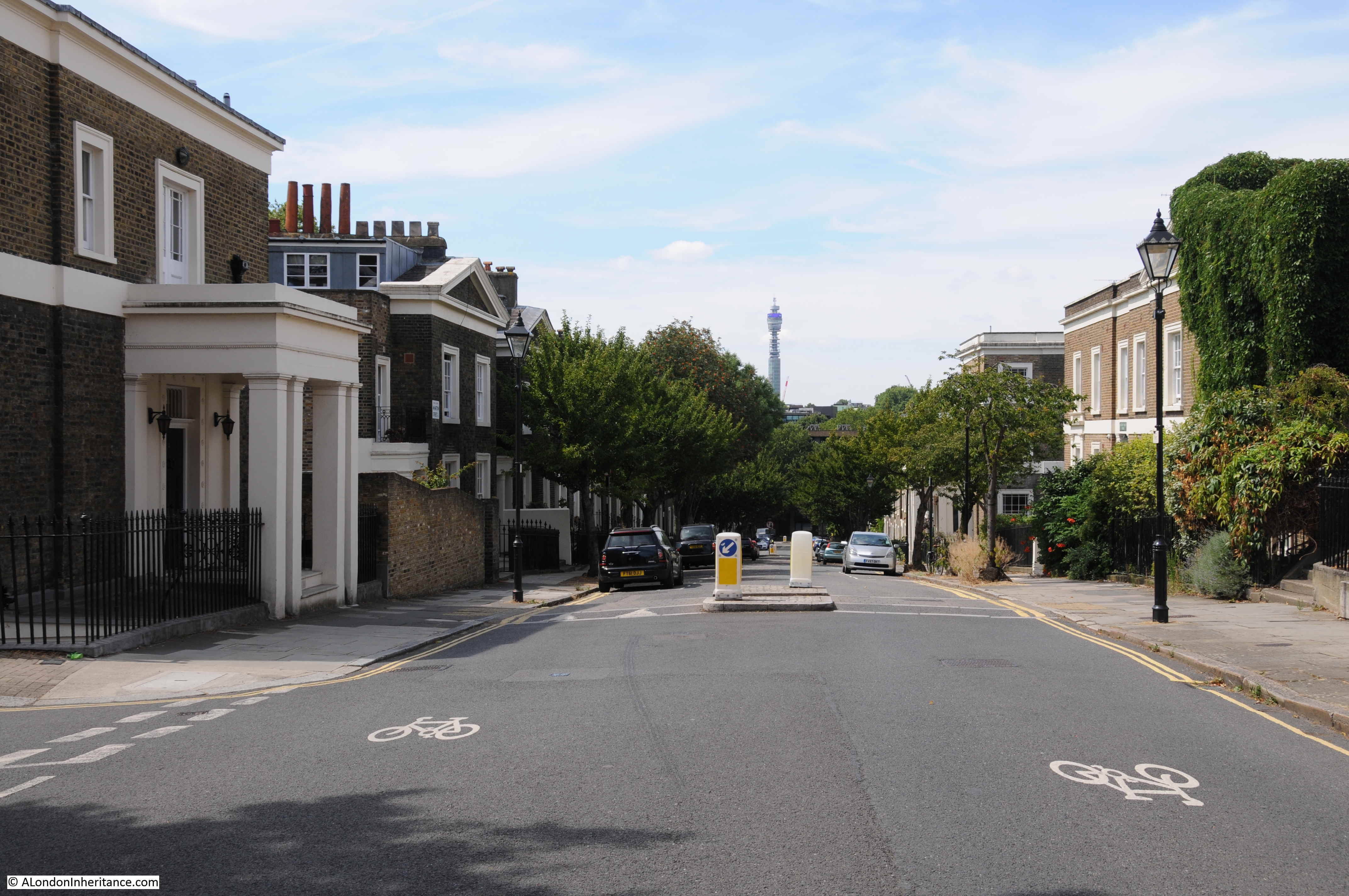
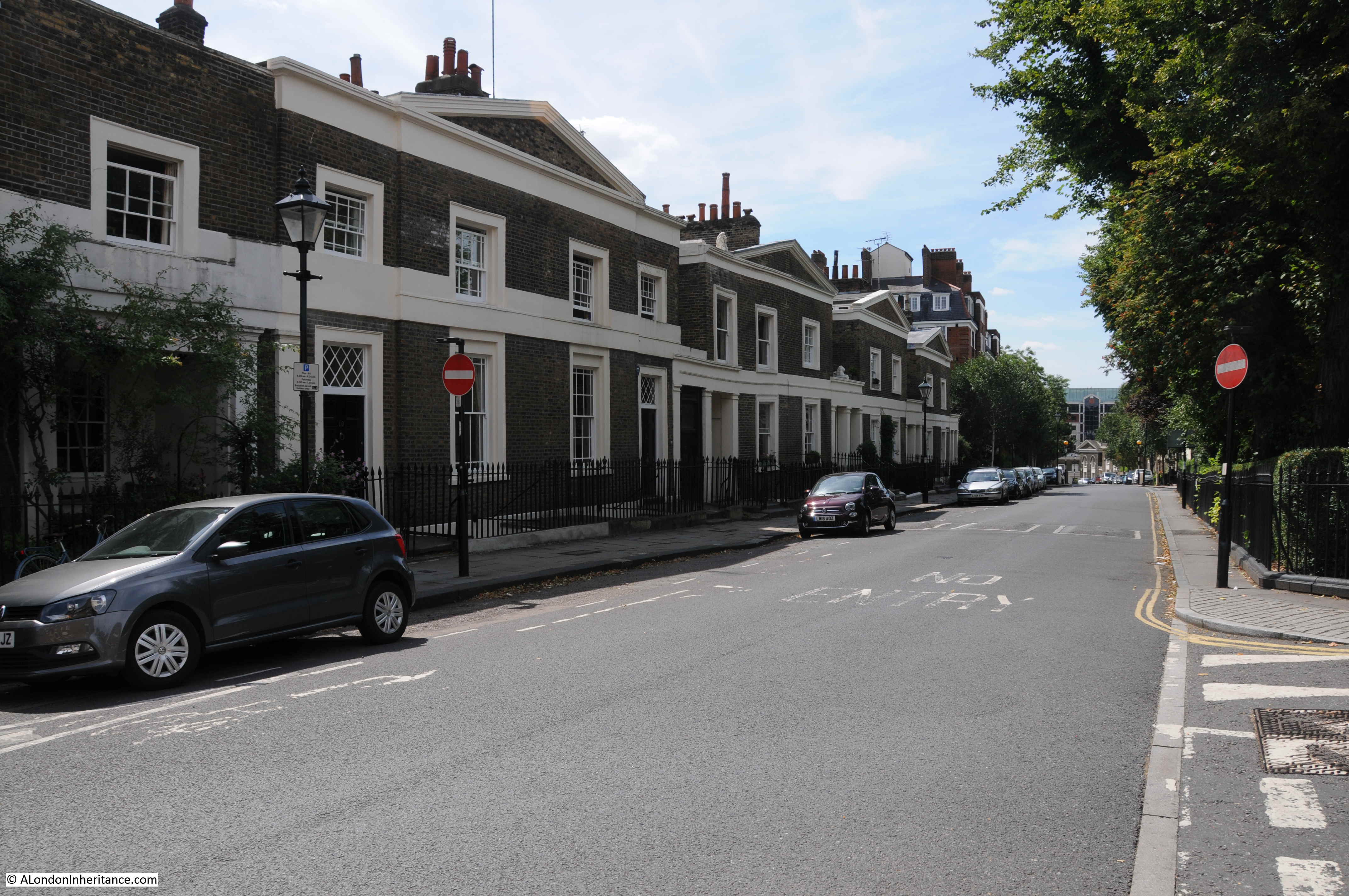
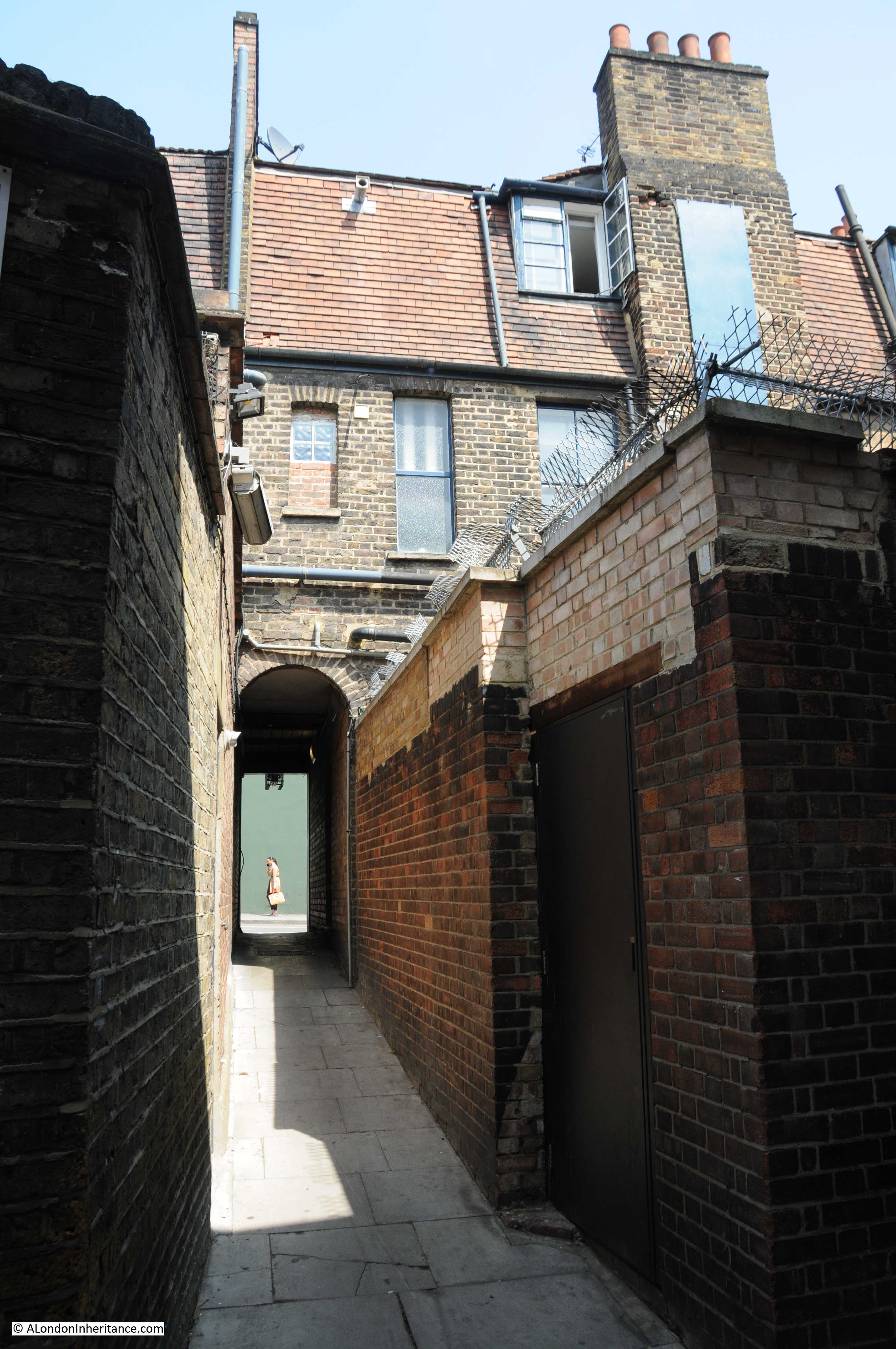
Turning off King’s Cross Road into the side streets, and we can get a view of the drop in height down to King’s Cross Road and the rise in height on the opposite side. An indication of the river valley of the Fleet.

The following view is looking down Great Percy Street from Percy Circus, with the rise of Acton Street across the junction. The River Fleet would have run from right to left along the lowest part of the view.

River Fleet

The area of land shown in the Roque map between the Fleet and Black Mary’s Hole appears to have been enclosed at some point in the second half of the 17th century. The land was to the east of a field called Action Field that occupied the area west to what is now Gray’s Inn Road. The name of the field is preserved in the present day Acton Street.

When a Thomas Hughes purchased the land in 1757, he had the waters from a well that was already in use, tested by a Doctor John Bevis, who reported that the water from the well had chalybeate properties (in the context of water, the name chalybeate means that the water contains iron, see also my post on the Chalybeate Well in Hampstead).

To capitalise on these findings, Thomas Hughes opened the gardens and the well to the public in 1759. This was the period when there were many pleasure gardens opening up around the City. Outside the jurisdiction of the City of London, in places such as along the south bank of the Thames, in Islington, and in Bagnigge Wells.

They provided a pleasant place to visit, away from the smoke, dirt and noise of the City. St. Chad’s Well was another well a short distance away from Bagnigge Wells that had gardens and a pump house where customers could drink the water. I have written about St. Chad’s Well here.

The gardens around the well were attractively laid out, entertainment, food and drink was also provided to customers, both to attract customers to the gardens as well as for profit.

Bagnigge Wells seems to have been a success as some of the land on the opposite side of the River Fleet was purchased to expand the gardens.

A print from 1843 appears to show the stone that is now in King’s Cross Road above the garden entrance (© The Trustees of the British Museum):

Bagnigge Wells

The inscription on the stone in my photo at the top of the post has the date 1680. In the print above it could be 1689, so either an error, or a later updating of the inscription over the years has changed the original date on the stone.

The date does pre-date the time when the gardens and well were part of the pleasure gardens so the house referred to must have been one of the earliest houses on the land.

Although the caption to the following print does state “The Original Garden Entrance To Bagnigge Wells, Established in 1680”, the gardens and wells were not a public gardens at that time (© The Trustees of the British Museum).

River Fleet

Presumably, the view is looking north with the garden entrance on the left and Bagnigge House behind the trees on the right.

The river running along the middle of the print must therefore be the River Fleet, which looks rather serene and calm, however it was not always so, and heavy rains around the source of the river in Hampstead could quickly result in the river flooding as the following article from the Derby Mercury on the 9th September 1768 reports:

“And about One o’clock yesterday morning the water came down in such torrents from Hampstead that the road and flat fields about Bagnigge Wells were overflown; the water rose eight feet perpendicular above the usual height of the drain, and was nearly four feet above the foot bridge at that house; the Pleasure-garden, cellars, and Out-houses belonging thereto were overflown, and several of the Pales broke down by the Violence of the stream. Great damage was done to Mr Harrison’s Tile-kiln near the said Wells, where three young men were sleeping in an Out house and were surprised by the Flood, and two of them drowned. The house of Dr. Sharpe, near Bagnigge Wells, was four feet deep in water, and a man and woman behind the House narrowly escaped being drowned.”

The article mentions Mr. Harrison’s Tile-kiln and if you refer back to the extract from Smith’s New Plan of London, you can see the tile-kilns just to the north east of Bagnigge Wells.

The rain was probably caused by the brief, very heavy showers we have also seen in London recently which cause a flash flood. Today, this volume of water falling in north London would now be carried by the same sewer in which the old River Fleet in now buried.

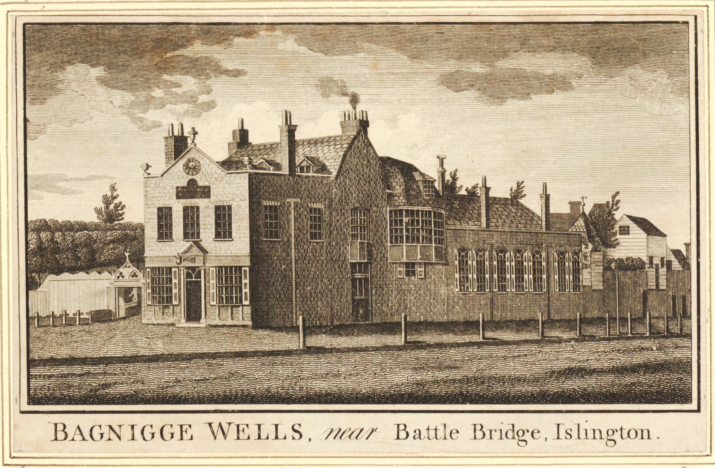
The following print is from 1777, eleven years after the floods in the above article and shows the buildings at Bagnigge Wells, with the entrance to the gardens on the left (© The Trustees of the British Museum).

Bagnigge Wells

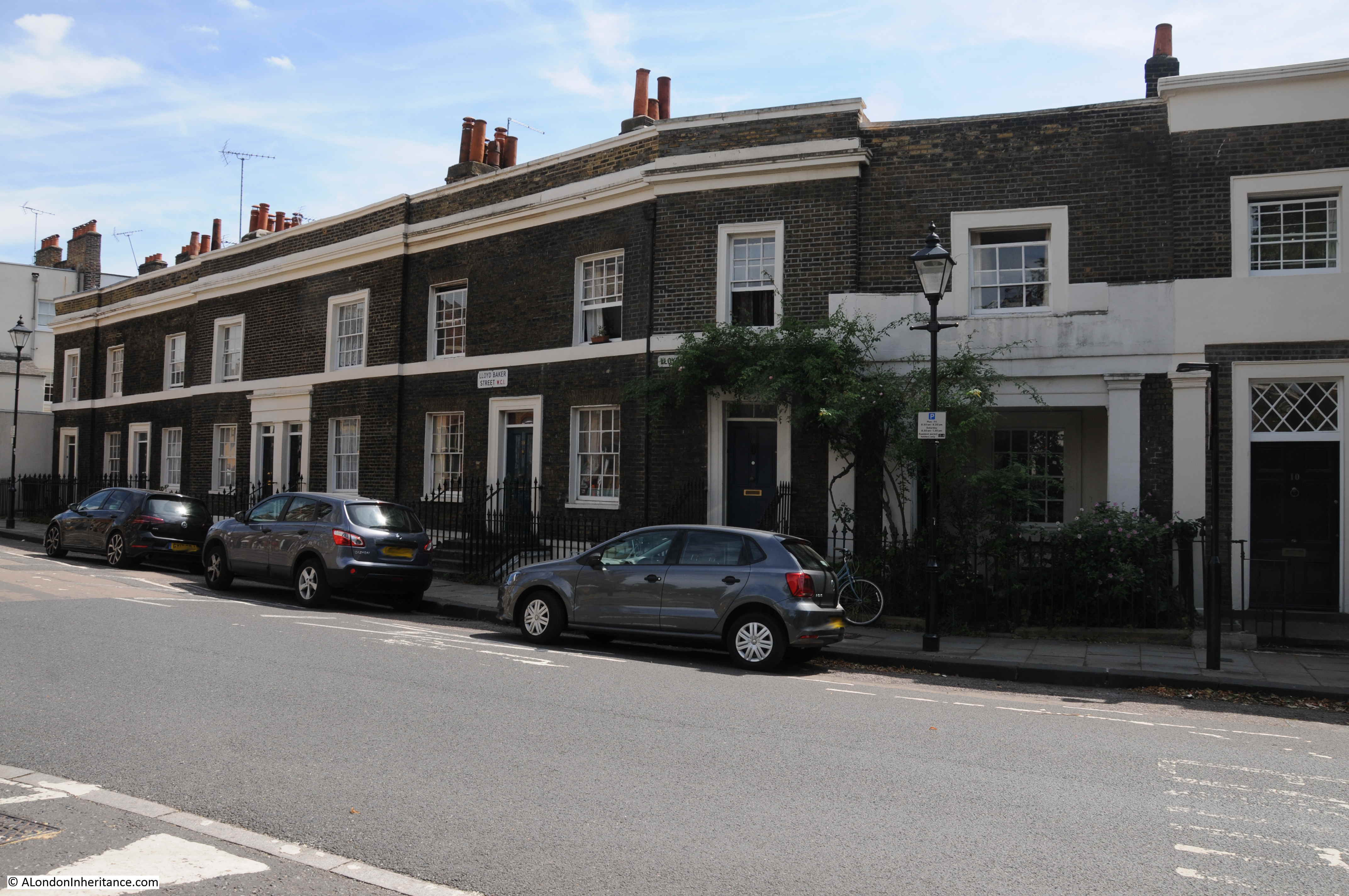
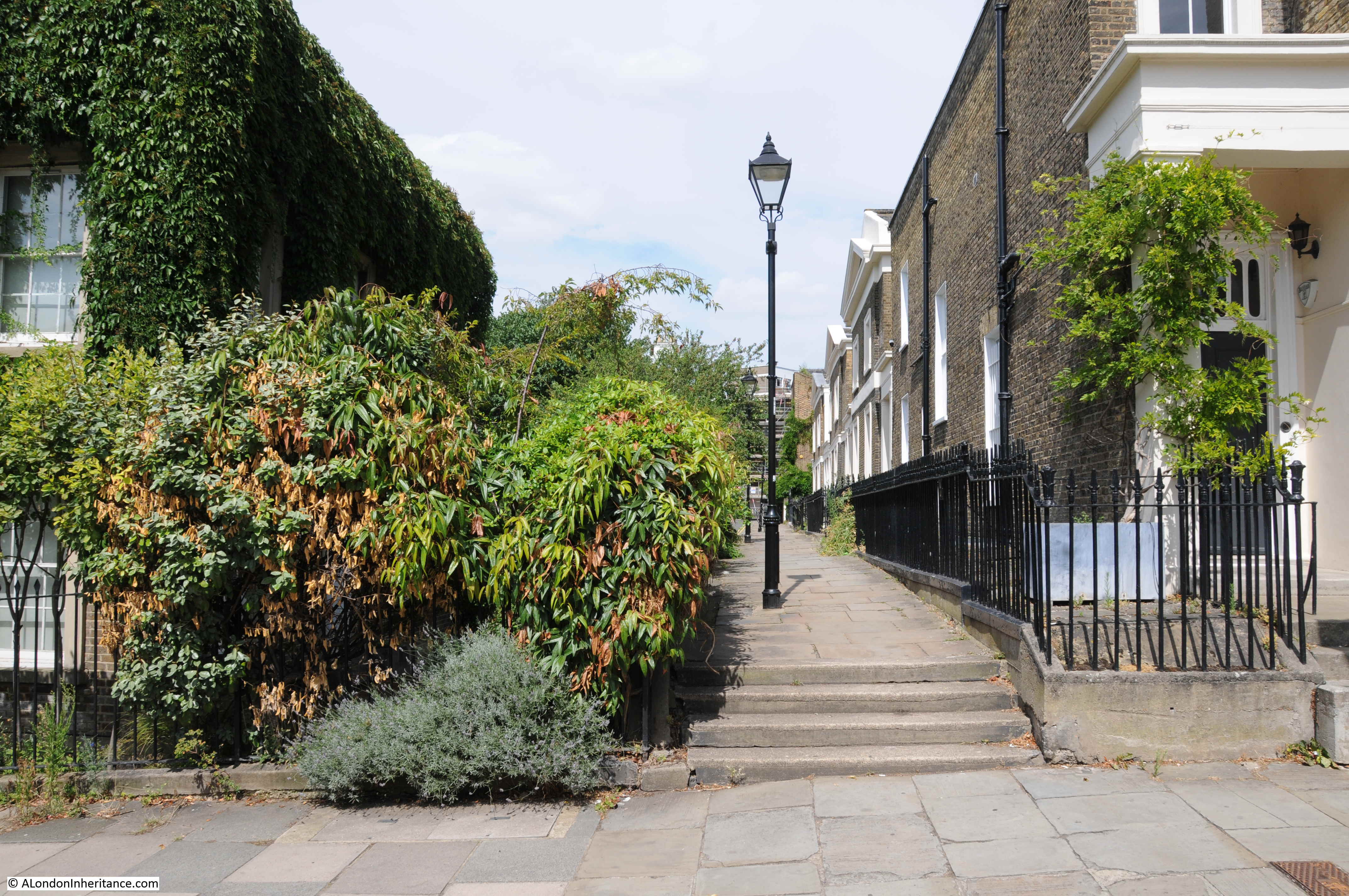
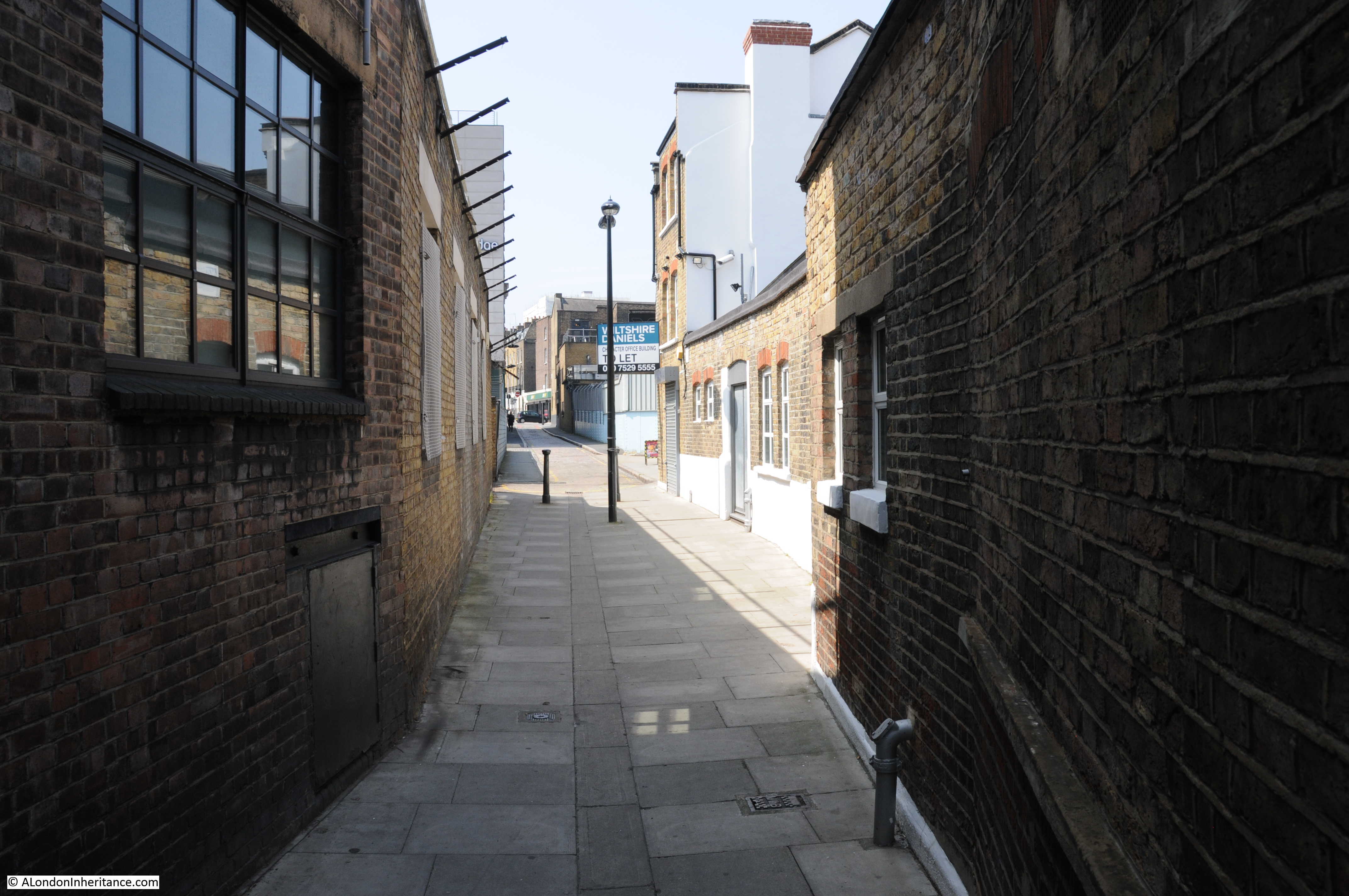
Today, roughly where the River Fleet once ran, is Cubitt Street (originally Arthur Street). This is the street that curves slightly to the west of King’s Cross Road and is where the River Fleet formed the original western boundary to Bagnigge Wells as shown in Rocque’s map of 1746,

The view south along Cubitt Street:

Cubitt Street

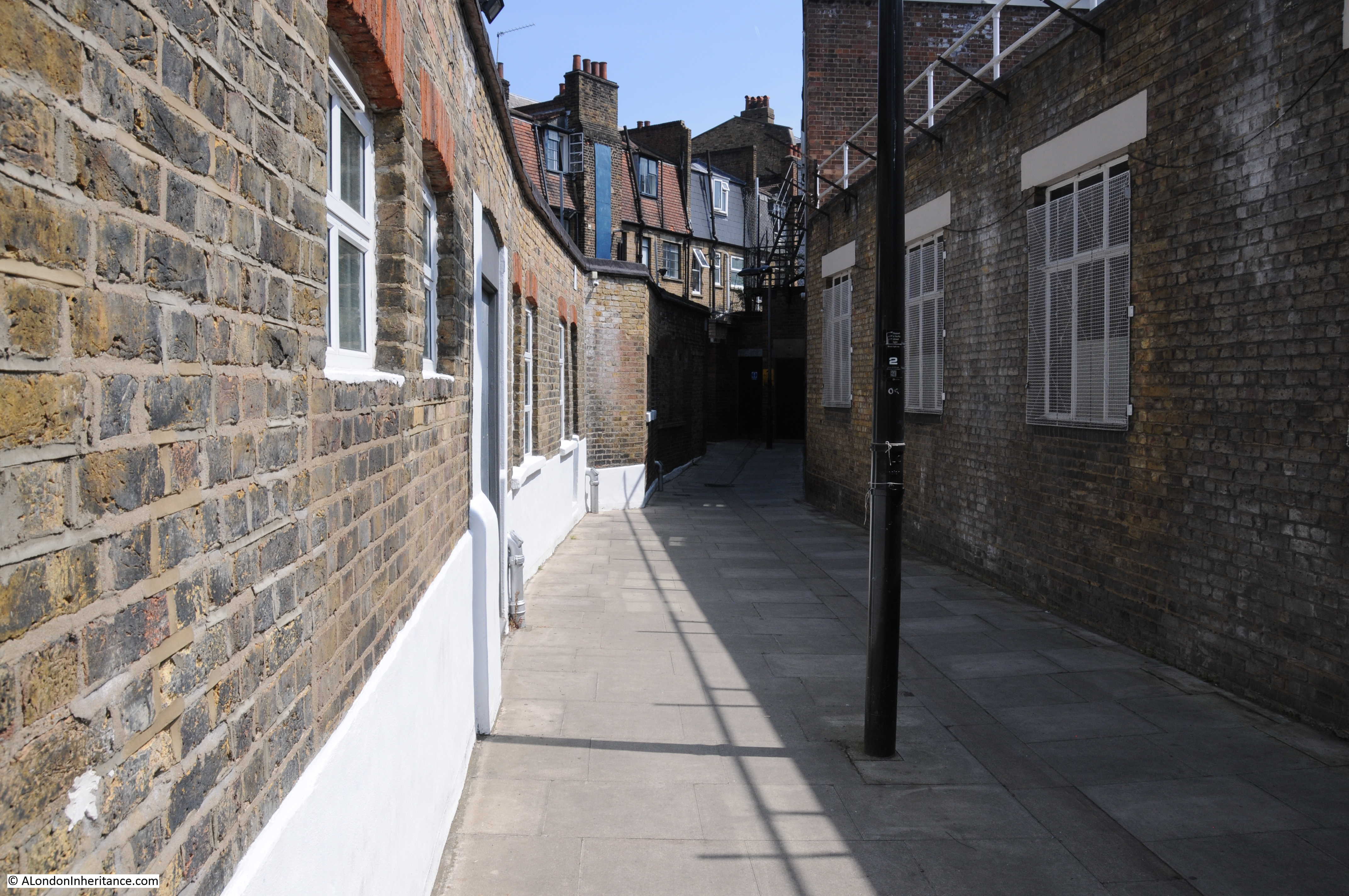
And the view north along Cubitt Street:

Cubitt Street

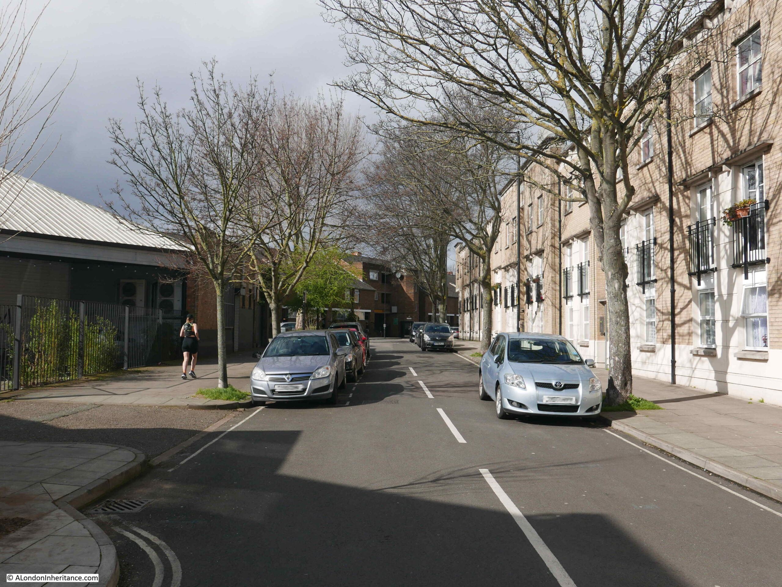
In the above view, the River Fleet would have run roughly along the line of the street. Bagngge Wells was originally to the right, and following the commercial success of the gardens, expanded to include the left of the photo, with wooden bridges providing access between the two sections of the gardens.

Seats were arranged along the River Fleet for those who wanted to smoke or drink ale or cider. Tea, cake and hot buttered rolls were served, and concerts were held in the main room of the house. A small temple shaped building was created to house the wells from which water was taken and sold.

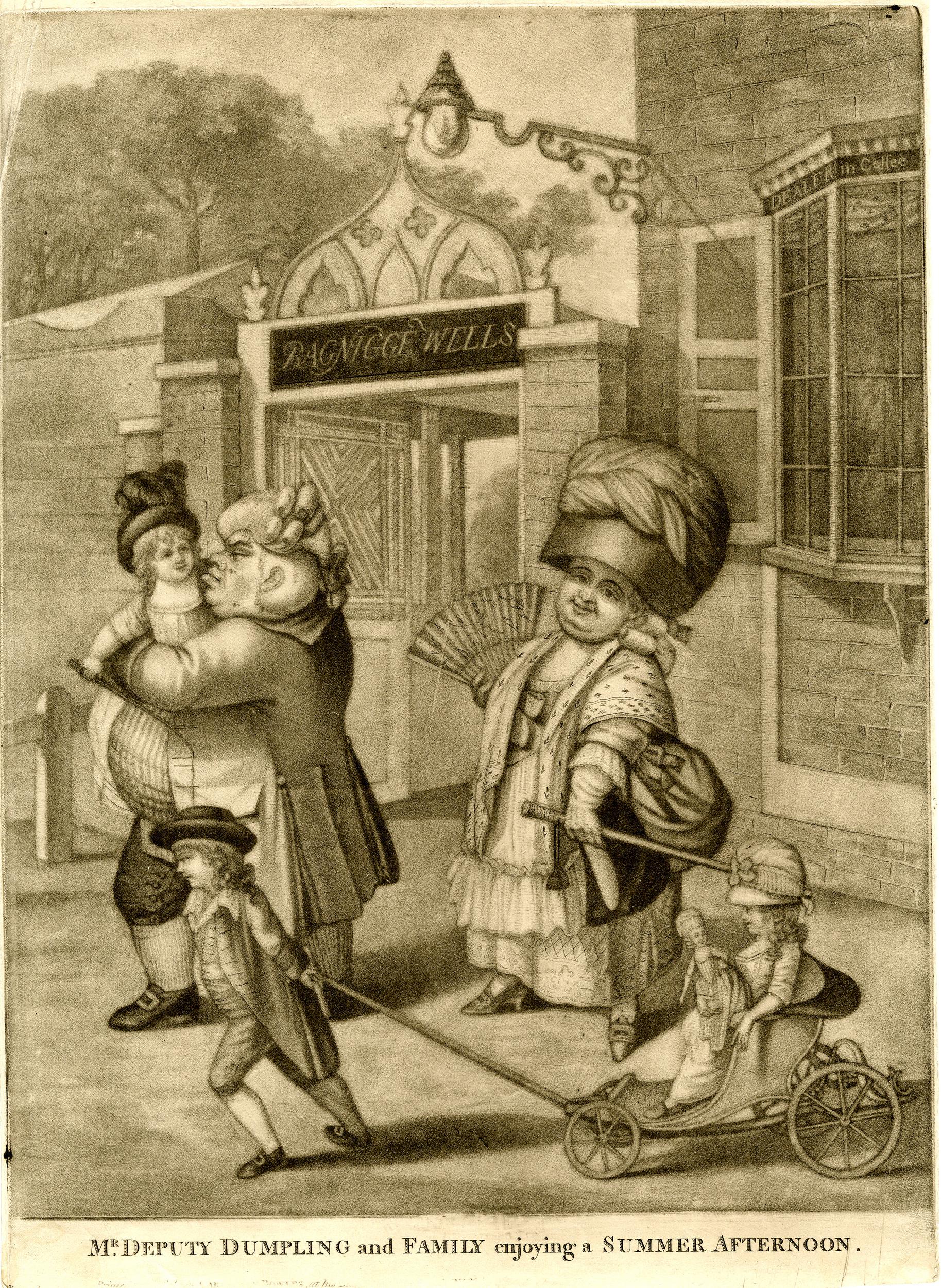
London’s pleasure gardens and their visitors were often the subject of satirical prints. The following print from 1781 shows “Mr. Deputy Dumpling and Family enjoying a Summer Afternoon” at the entrance to the gardens at Bagnigge Wells (© The Trustees of the British Museum).

Bagnigge Wells

18th century pleasure gardens were intended to be peaceful places in London’s countryside, away from the noise and dirt of the City. Where people could spend an afternoon or evening, being entertained, or just drinking and eating and seeing and being seen by others at the gardens, however they were not always places of peace.

in May, 1784, Bagnigge Wells was the scene of some violence between two opposing political groupings, as documented in the following newspaper report:

“Yesterday evening the gardens at Bagnigge Wells exhibited a strange scene of riot and confusion. How the affair began is not easy to be determined, but, at the same moment, several hundreds of Stentorian lungs vociferated the cry of ‘Hood and Wray’ and these were answered by the exclamation of ‘Fox for ever’. Intoxicated with liquor and politics those who were for Hood and Wray boxed with the friends of the Coalition and Fox, and many on both sides were knocked down with the canes and sticks of their adversaries. So sudden a disarrangement of the tea-table apparatus was perhaps never before seen and innumerable fragments of china shone on every walk, and served to give issues to the inflamed blood of the fallen and sprawling heroes. Those peace officers were sent for, the tumult was not appeased for near two hours and a half. Three men, who had been active in fomenting the disturbance, were taken into custody and were soon rescued”.

The same newspaper also reported on a “violent fracas” between the same two opposing groups in the Piazzas, Covent Garden.

Wray was Sir Cecil Wray who was a member of Parliament but was highly critical of proposals to raise taxes by a “receipts tax” which he claimed would fall “on the middling ranks of people and very partially and unequally laid”. Wray preferred a land tax, which in his view had always been too low in the country, but was opposed by the land owning classes (some things do not change).

He also presented a petition that had been drawn up by the Quakers calling for the abolition of slavery, which he called “an infamous traffic that disgraced humanity”.

The MP Charles James Fox put forward the East India bill which proposed nationalising the troubled East India Company, and Wray was strongly opposed to such an action.

At the general election Wray and Lord Hood stood against Fox with Wray standing as an Administrative candidate in Fox’s Westminster constituency. It was a violent election period as indicated by the trouble at Bagnigge Wells, however Fox won and Wray then appears to have abandoned any plans to try and get back into Parliament. He was described as being “one of the most upright, one of the most virtuous, one of the most honourable and independent men” in Parliament.

Up until the end of the 18th century, Bagnigge Wells continued to be a fashionable place to visit, however its days were numbered as the buildings and streets of London started to surround the gardens.

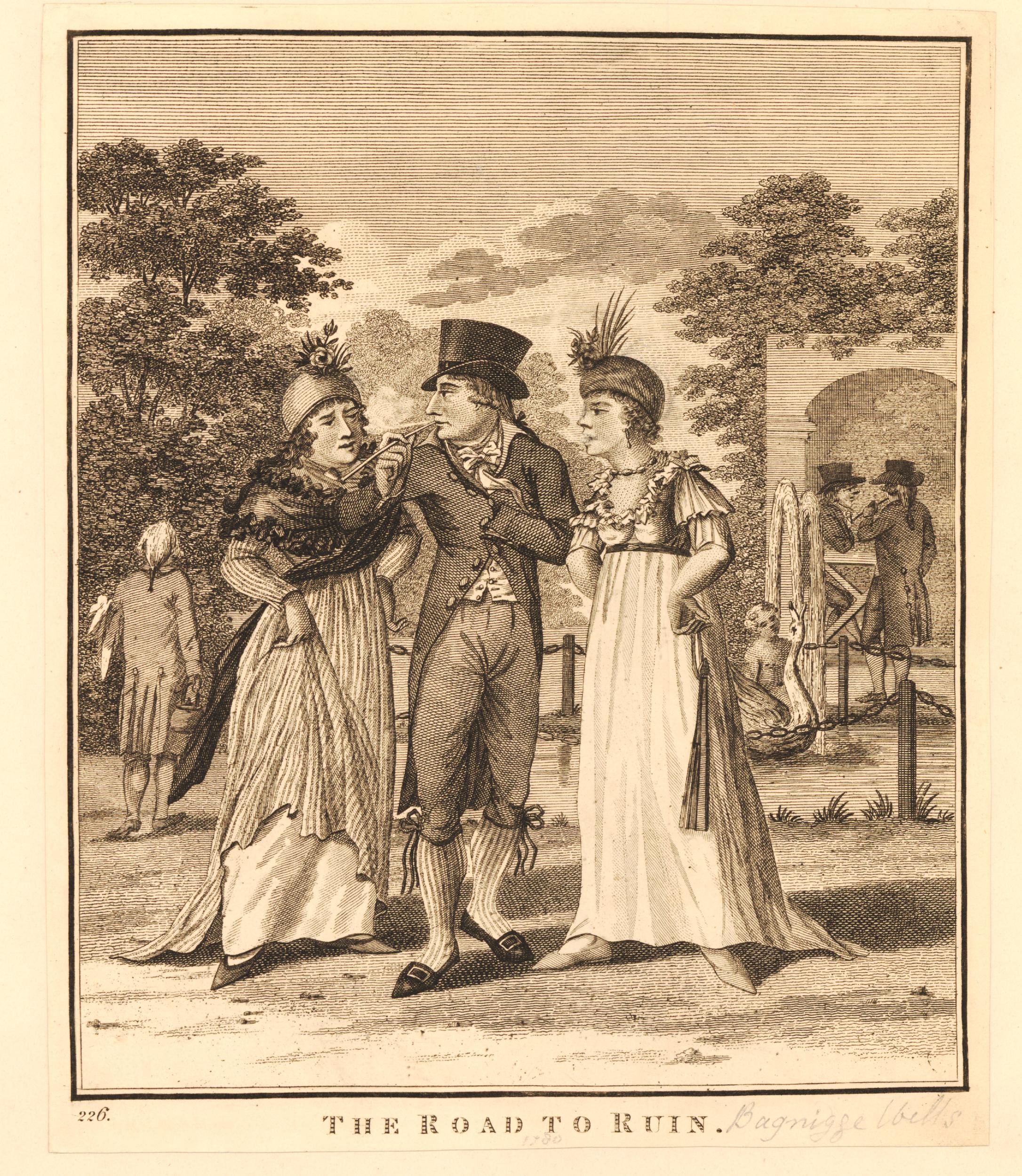
Less desirable and the “lower class of tradesmen” were now to be found in the gardens, and there was petty crime and prostitution, as illustrated by the following print from 1799 titled “The Road To Ruin”, where a young man, possibly an apprentice, in poor fitting clothes, stands between two prostitutes who appear to be berating him (© The Trustees of the British Museum).

Bagnigge Wells

In 1813, the manager of the gardens went bankrupt, they reopened somewhat reduced the following year and attempts to rejuvenate the place by building a concert hall in 1831 led to nothing as the customers of the concert hall were described as being of the “disreputable sorts”. The concert hall closed in 1841 and what was left of Bagnigge Wells was built on.

With the River Fleet now buried in a sewer, there are today no signs above the surface of the waters that once made this area an attractive place to visit, away from the noise and dirt of central London.

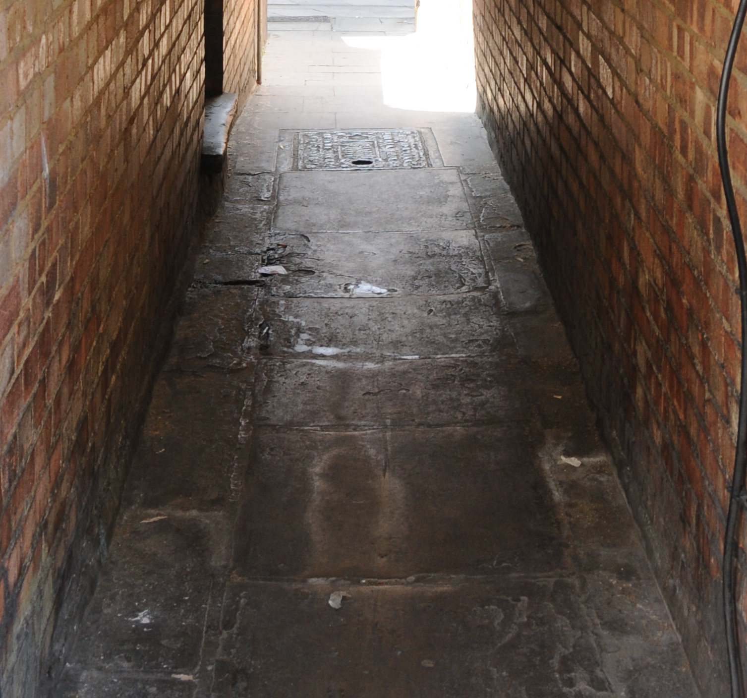
I have photographed the plaque before, however there was a bus stop directly in front which made the plaque rather difficult to photograph. The following photo is from about 18 months ago and shows the bus stop in its original position.

Bagnigge Wells

If you refer back to the second photo from the top of this post you can see that the bus stop has now been moved to the right. No idea why this has been done, but it does make the plaque easier to see, which is to the good, as it is the only reminder of Bagnigge House, the Well and Gardens now to be found in the area.

alondoninheritance.com

LLoyd’s Dairy And The Lloyd Baker Estate

The fascination of walking in London is that you can turn off a busy street and discover a completely different place, somewhere with a very unique character and history. For this week’s post, I went to find if an old shop front had survived from the 1980s and found the unique Lloyd Baker Estate.

The following photo is one of my father’s photos from 1986. It shows the dairy shop of Lloyd and Son on the corner of River Street and Amwell Street.

Lloyd Baker Estate

Whilst Lloyd and Son ceased trading a number of years ago, their shop front has been retained and this is the view today:

Lloyd Baker Estate

Amwell Street runs from Rosebery Avenue in Clerkenwell to a short distance from Pentonville Road. Development of Amwell Street took place during the first couple of decades of the 19th century, partly on land owned by the New River Company.

The New River Company was the 17th century company formed to build an artificial river to bring in water from the north of London to feed the ever growing need for water of London’s rising population. The New River Head where the company’s reservoirs were located is a short distance from the location of the shop.

River Street was named after the New River and Amwell Street after Amwell in Hertfordshire through which the New River ran, and where some of the springs that fed the river were located.  The history of the New River Company, traces of the company around Clerkenwell and where the river can still be found are hopefully subjects for future posts.

The Lloyd’s Dairy business opened on the corner of Amwell Street and River Street in 1905. I cannot find the year when the business closed, but I believe it was in the late 1990s.

A side view of the shop in 1986:

Lloyd Baker Estate

The same view in 2017. The shop is now occupied by the saloon of BHC Hair.

Lloyd Baker Estate

A close up of the shop window in 1986. Piles of cereal boxes and the milk bottles used to advertise the business. On the far side of the shop are rows of tinned fruit and above are a couple of posters with a boy and girl advertising milk.Lloyd Baker Estate

The shop is located in the end building of a terrace of early 19th century houses. There were once so many corner shops across London. The majority do not retain their shop front, but it is still possible to see traces of the original shop on the corners of 19th century streets.

Lloyd Baker Estate

At the top of the brick walls on the corner of the building there is a layer of light coloured brick.

I found the following photo in the London Metropolitan Archives Collage archive showing the building in 1973. The reason for the lighter coloured brick layer is now clear, as it was once covered by a large advertising sign for the dairy.

Lloyd Baker Estate

Image credit: London Metropolitan Archives, City of London: catalogue ref: SC_PHL_01_080_73_10889

I had walked to find Lloyd’s Dairy from King’s Cross Road. The map extract below shows the location of the dairy marked by the orange circle in the top right. River Street runs from the location of the dairy to the top right. the old New River Company reservoirs were just below River Street.

King’s Cross Road is the orange road from lower centre to top left of the map. Much of the area between the location of the dairy and King’s Cross Road is occupied by the Lloyd Baker Estate.

Lloyd Baker Estate

If you follow King’s Cross Road from the lower centre of the map, pass Margery Street on the right, the next turning on the right is Lloyd Baker Street. On the corner of Lloyd Baker Street and King’s Cross Road is the Union Tavern:

Lloyd Baker Estate

A pub / tavern has been on the site since the early 18th century. In the book “The History of Clerkenwell” (1865), William Pinks writes:

“At the north-west corner is a respectable tavern known as the Union, which, a few years ago, had pleasant tea gardens in the rear of it. Formerly on the site was a public-house of low repute, distinguished as the Bull in the Pound, a resort of thieves and other vicious characters.”

Thankfully there were no thieves or other vicious characters when I stopped at the Union. There is a rather nice boundary marker on the King’s Cross Road side of the building to add to the collection:

Lloyd Baker Estate

The Fleet River ran along and slightly to the west of King’s Cross Road and the above ground evidence that a river once ran here in a valley can be seen looking up past the the Union, up Lloyd Baker Street where the land rises rather steeply (for central London) away from King’s Cross Road.

Lloyd Baker Estate

Lloyd Baker Street is lined with some rather uniquely designed villas.

The original ownership of the land between King;s Cross Road and Amwell Street was through a series of individual owners and the New River Company. In the late 17th century, a Dr William Lloyd became owner of part of the land. Ownership continued through a couple of generations of the Lloyd family to Mary Lloyd, a daughter of John Lloyd.

Mary married a Reverend William Baker who added the name Lloyd to his surname to form the hyphenated name Lloyd-Baker in the late 18th century.

William Lloyd-Baker started some development in the area, but it was not until around 1820 when major development of the area commenced with the next generation of the Lloyd-Baker’s.

Work started with the redevlopment of the Union around 1819 and then continued across the area between King’s Cross Road and Amwell Street, with work being mainly complete by the early 1840s. The Lloyd-Baker family continued to own the estate after construction had completed and the area was known as the Lloyd Baker Estate.

Architectural styles vary between reasonably traditional terrace housing and the villas which can be found in Lloyd Baker Street and Wharton Street.

Lloyd Baker Estate

The above photo shows the unique style of the villa and also the stepped layout of the buildings to accommodate the rising height as the villas ascend the street.

The development included a couple of squares. Granville Square between Wharton Street and Lloyd Baker Street, and at the top of the two streets, Lloyd Square. This is the view looking across the square from the top of Wharton Street.

Lloyd Baker Estate

Bordering Lloyd Square are more villas, but here the land is flat after ascending roughly 42 feet from King’s Cross Road (which I know is a trivial rise in height, but these are central London streets).

Lloyd Baker Estate

Ian Nairn in Nairn’s London described the area: “Lloyd Square has the tightness of the terraces loosened by being made up of linked pairs, each with a pediment, The sight of them dutifully climbing Lloyd Baker Street, two by two, is like a parody of the Greek Revival. But what you remember is half a doorway, someone’s curtains, the flicker of leaves in sunlight or wet bare branches. The underlying pattern is there all right, but it is never intrusive.”

Nairn provides a perfect description of the Lloyd Baker Estate. After the noise and traffic on King’s Cross Road, it is the quiet along with the flicker of leaves in the sunlight, and the doorways at different heights within a pediment that attempts to retain an impression of the same height for the two doorways.

Lloyd Baker Estate

William Pinks  wrote of Lloyd Square “This square, which is situated between Baker Street and Wharton Street and has a well kept enclosure in the centre, was erected about 1828.”

The well kept enclosure is now a very well maintained garden in the centre of the square:

Lloyd Baker Estate

The view along Wharton Street from Lloyd Square:

Lloyd Baker Estate

The eastern edge of Lloyd Square has a very different building to those lining the other three sides.

This is the House of Retreat built by the Sisters of Bethany in the first half of the 1880s. This side of the square was lined by the original villas, however the Lloyd-Baker family allowed these villas to be demolished for the House of Retreat.

Lloyd Baker Estate

This is the terrace of houses along one side of Lloyd Baker Street that leads from the square to Amwell Street, opposite the original Lloyd’s Dairy shop.

Lloyd Baker Estate

The southern side of Lloyd Square:

Lloyd Baker Estate

Corner building with the original, painted street name just visible on the first floor:

Lloyd Baker Estate

One of the problems I have when taking photos of buildings in London is that there are often cars lining the length of a street and obscuring the ground floor of a building. There are cars parked on the streets of the Lloyd Baker estate, but there are considerable lengths of the streets with no cars, and some lengths are protected by double yellow lines. It makes for a very pleasant set of streets to walk, and to admire the buildings along the streets.

King’s Cross Road and Amwell Street border the Lloyd Baker Estate. Both these streets run north to south, so there is no real reason for traffic to cut through the estate. This lack of traffic and nose to tail parked cars also contributes to the unique feeling of the estate.

As well as the streets leading of from Lloyd Square, a short distance down Wharton Street from the square, an alley leads into Cumberland Gardens. also part of the Lloyd Baker estate with the same distinctive buildings.

Lloyd Baker Estate

Tree lined Wharton Street:

Lloyd Baker Estate

Not all the Lloyd Baker Estate is original. I have already mentioned the House of Retreat on the eastern edge of Lloyd Square, there are other examples of later buildings. The map below is an extract of the 1895 Ordnance Survey map from the National Library of Scotland. In the centre of the map there is a church alongside Cumberland Terrace and facing onto Wharton Street and Lloyd Square:

Lloyd Baker Estate

This was built on one of the parcels of land not owned by the Lloyd-Baker family. I have not found any photos of the church, apart from the following photo (dated 1910) looking up Wharton Street towards Lloyd Square, where the tower of a large church can be seen on the left:

Lloyd Baker Estate

Image credit: London Metropolitan Archives, City of London: catalogue ref: SC_PHL_01_090_81_35_2380_37

The church closed in 1936 and Olive Lloyd-Baker purchased the land and built Archery Fields House on the site to maintain the appearance of the estate. This is Archery Fields House today:

Lloyd Baker Estate

The name of the house is a reference to the archery target ground that occupied part of Wharton Street in the early years of the 19th century, before the start of the main construction period of the Lloyd Baker Estate.

Another project that involved significant demolition of part of the estate was the construction of the original Metropolitan Railway, built between 1859 and 1862, which ran from Paddington to Farringdon. This involved demolition of houses at the King’s Cross Road end of Wharton and Lloyd Baker Streets. If you look back at the 1910 photo above, you can see houses on the right and left of the photo, closest to the photographer. These are houses built to replace those demolished during the construction of the railway.

Olive Lloyd-Baker was the last long term owner of the estate from the Lloyd-Baker family. She inherited the estate in 1924 and continued owning and managing the estate until her death in 1975. A life long spinster, Olive lived in the family home at Hardwicke Court, Gloucester. She was deeply involved in farming and agriculture and in 1966 was president of the Three Counties Agricultural Show. A local newspaper report describes Olive Lloyd-Baker as “A country woman with a practical experience in agriculture and with years of experience of managing property in Gloucestershire and London valued at about £1 Million, she is well equipped for the office.”

As well as the 10 acres of the London estate, Olive Lloyd-Baker owned 5,000 aces of country estate in Gloucestershire. The newspaper report also included a photo of Olive Lloyd-Baker in 1966:

Lloyd Baker Estate

After Olive’s death, the estate was broken up with Islington Council purchasing a large number of properties, others sold to private buyers, with the Lloyd Baker Estate retaining a much smaller number.

One of the buildings in Wharton Street with coloured doors, again showing the way the buildings manage the height change as the street descends towards King’s Cross Road.

Lloyd Baker Estate

One house of the pair has a blue plaque recording that Amelia Edwards, Egyptologist lived in the house.

Amelia Edwards was a 19th century novelist and author of travel books which she would also illustrate. After a visit to Egypt she became fascinated by the ancient history of the country and the threats to the archaeology and monuments that could be found across the country.

She wrote about her travels in Egypt and in 1882 also helped set-up the Egypt Exploration Fund to explore, research and preserve Egypt’s history. The fund is still going today as the Egypt Exploration Society, continuing to be based in London at Doughty Mews.

More descending doorways as the terrace runs along Wharton Street:

Lloyd Baker Estate

It was a fascinating walk around the Lloyd Baker Estate, and also finding Lloyd and Son’s Dairy shop front still in place in Amwell Street.

There is more to the estate than I have been able to cover in a single post. The now demolished church in Granville Square, the steps leading from Granville Square down to King’s Cross Road and their literary associations. The New River Company is also in the background to the areas history which I hope to explore in the future.

What I like about the Lloyd Baker Estate is that the buildings have been designed to work with the physical features of the land. Standing in these streets, it is easy to visualise the high ground where Lloyd Square now stands, with the land then descending down to where the River Fleet once ran just to the west of King’s Cross Road – all to be seen in the doorways as the terraces move up and down the street.

alondoninheritance.com

St. Chad’s Place And A Lost Well

There are places in London where the subterranean history of the city touches the surface and it is easy to imagine finding long lost geological features beneath the city streets.

This post is about one such place that I found whilst hunting for the location of this photo that my father took in 1986:

St. Chad's Place

My 2018 photo of the same location:

St. Chad's Place

I am in King’s Cross Road, a street that runs from Pentonville Road to Farringdon Road. The building was the location of Dodds the Printers in 1986 who occupied numbers 193 and 195.

I am not sure when the business closed in King’s Cross Road, however I believe it was relatively recently. The shop front has changed and the lovely signage above the shop has disappeared, however the terrace of 19th century buildings are much the same.

On the right side of both photos is an alley disappearing through the buildings. This is St. Chad’s Place. The following extract from OpenStreetMap shows the location. St. Chad’s Place can be seen running left to right in the middle of the map – suitable for vehicles to just after crossing the rail lines where it turns into a pedestrian alley, with a sharp bend and a narrow stretch running up to King’s Cross Road.

St. Chad's Place

This is the type of view I love – a small alley to explore:

St. Chad's Place

Walking into St. Chad’s Place from King’s Cross Road, you first pass through the terrace lining King’s Cross Road before continuing down a narrow stretch between high brick walls.

Looking back towards King’s Cross Road:

St. Chad's Place

At the end of the narrow stretch, the alley does a 90 degree bend and opens out slightly:

St. Chad's Place

This is the view back down the alley with the buildings lining King’s Cross Road in the distance:

St. Chad's Place

The alley passes a number of old brick, industrial buildings, gently rising in height. Half way along the alley there are high metal walls. This is where St. Chad’s Place passes over a railway.

St. Chad's Place

It is just possible to peer over the top of the metal walls and look at the railway beneath. This is the original Metropolitan Railway, built between 1859 and 1862, which ran from Paddington to Farringdon.

The railway was built below street level, using a mix of cut and cover, as well as leaving the railway in an open cutting, as in the stretch that passes underneath St. Chad’s Place.

The route today is used by Thameslink trains and the London Underground Circle, Metropolitan and Hammersmith and City lines. In the following photo, looking south towards Farringdon is a Thameslink train, with the red of an underground train just visible to the upper right.

St. Chad's Place

The railway cuts a wide path between King’s Cross and Farringdon, but for the most part is not that visible. Walking along King’s Cross Road or Gray’s Inn Road, you would not know there is a railway running close by, it is only when you walk through the streets between these major roads that you pass over, and get a view of the cutting through this part of the city.

This is the view looking north from St. Chad’s Place where the railway runs into King’s Cross, St. Pancras underground station:

St. Chad's Place

The building of the railway must have been very disruptive to the area. Streets were cut off and before construction of the railway could start, demolition of hundreds of houses, factories, warehouses and workshops was required.

The following print shows the building of the railway near King’s Cross:

St. Chad's Place

Walking up towards Gray’s Inn Road, this is the view back down St. Chad’s Place. A narrow, cobbled roadway in the centre, sloping down to where the blue metal wall of the railway can be seen on the right.

St. Chad's Place

The black sign on the left is for Meat Liquor bar and restaurant, probably the main reason for anyone to walk down St. Chad’s Place. Apart from the person sitting outside the restaurant, I did not see anyone else walk through for the whole time I was in St. Chad’s Place.

At the top is the junction with Gray’s Inn Road.

St. Chad's Place

A walk through St. Chad’s Place is a glimpse of the many old alleys that once ran between major streets (I will be writing about one that is in the process of disappearing in a future post), and the view of the railway provides an insight into what is just below London’s surface, however, as usual, there is always more to discover.

Starting with the name, St. Chad’s Place, this is an indication of what was once here.

The route of the River Fleet was once alongside where King’s Cross Road now runs, and the geology of the area gave rise to a number of springs at Bagnigge Wells, Clerks’ Well (Clerkenwell), and a St. Chad’s Well. All running close to the River Fleet.

St. Chad’s Well was to be found at the junction of St. Chad’s Place and Gray’s Inn Road.

The well was very popular in the middle of the 18th century, with around 1,000 visitors a week travelling along Gray’s Inn Road to take the waters.

The following advert from the 29th May 1807 edition of the Morning Advertiser gives an impression of how St. Chad’s Well was sold to Londoners:

“St. Chad’s Wells – Health restored and preserved, by drinking the Battle-Bridge Waters, commonly called St. Chad’s Wells, formerly dedicated to St. Chad, first Bishop of Lichfield. These Waters are recommended by the most eminent Physicians as the best Purging Waters in England, they are found highly efficacious in removing all Complaints which affect the Urinary Passages such as Stone, Gravel, etc, They likewise cure the Scurvy, Bile, Worms, Piles, Indigestion, Nervous Complaints, Seminal Weaknesses, and various other Disorders too numerous for an advertisement. Several attestations of their wonderful Effects may be seen in the Pump room.

N.B. These Waters may be drank every morning, at 4d each Person, or delivered at the Pump-Room at 8d per gallon. The Gate leading to the Wells opens at the end of Gray’s Inn-lane Road, near the Turnpike.”

The name Battle-Bridge Waters refers to the Battle Bridge, a brick arched bridge over the River Fleet just north of St. Chad’s Place. The name Battle Bridge is often taken to refer to a battle fought here between Boadicea and the Roman army, however this is very unlikely as the name in medieval manorial court rolls was Bradeford Bridge.

Chad refers to a 7th century Mercian churchman who founded the first monastery in Lichfield. St. Chad allegedly preached at Stowe, just outside the centre of Lichfield , and a medieval St. Chad’s Church was built at Stowe along with a holy well with St. Chad’s name. This association with a well could be why the well in Gray’s Inn Road took St. Chad’s name – a more virtuous, health promoting name than Battle Bridge.

The following print from 1850 show the St. Chad’s Well pump house, built close to Gray’s Inn Road. At the rear of the house, gardens stretched back towards King’s Cross Road.

St. Chad's Place

By the time of the above print, the well was declining in popularity. I cannot find exactly when St. Chad’s Well closed, however St. Chad’s Place was built over part of the garden in 1830 and the majority of the gardens were lost in 1860 when the Metropolitan Line was built. I suspect it was the building of the railway which finally swept away the well.

Now this is where this post starts to get very speculative.

I am sure though of the route of the River Fleet. I have checked a number of sources, including the book “The Lost Rivers of London” by Nicholas Barton and Stephen Myers (a well researched and illustrated history of London’s lost rivers and their routes through the city) as well as “The History of the River Fleet” by the UCL River Fleet Restoration Team, and they all show the River Fleet running along the western edge of King’s Cross Road, under where St. Chad’s Place meets King’s Cross Road.

The River Fleet is also shown on the OpenStreetMap extract, running parallel to King’s Cross Road.

St. Chad’s Place descends very gradually as you head from Gray’s Inn Road towards King’s Cross Road, which could be expected for a spring rising near Gray’s Inn Road running through the gardens of the pump-room and down to the River Fleet.

As I walked along St. Chad’s Place, the sunlight glinting off running water below a small grating in the middle of the cobbled street caught my eye.

It was hard to judge the depth, but it must have been around 10 to 15 feet below the road surface. It looked to be a fast flow of clean water, and yes I did take a sniff and it did not smell like a sewer.

St. Chad's Place

I have no evidence to support this, apart from the view through the grating, however it is interesting to imagine that perhaps the waters of the St. Chad’s Well still rise here, and run along St. Chad’s Place, heading towards the River Fleet.

They would now be cut off by the cutting made for the Metropolitan Railway, however perhaps there is a pipe that carries them across, or a separate sewer that runs along the western edge of the railway.

Walking back towards King’s Cross Road, and where St. Chad’s Place passes through the building facing King’s Cross Street, there is a run of old paving slabs, and an old manhole cover.

St. Chad's Place

This is exactly where the River Fleet is shown to run parallel to Kings Cross Road.

If you walk past 193 and 195 King’s Cross Road, take a detour into St. Chad’s Place. Walk up to Gray’s Inn Road and you will cross the River Fleet, the original Metropolitan Railway and the site of St. Chad’s Well – not bad for a couple of minutes walk.

And with some imagination, perhaps you will also see the waters of St. Chad’s Well still running beneath a small, four hole grating.

alondoninheritance.com