
I will have dates for my existing walks covering Wapping, Limehouse etc. in the summer, but for April and early May I have a new walk, which has the rather long title of “The Lost Landscape and Transformation of Puddle Dock and Thames Street”.
Dates and Eventbrite links for booking are as follows, and more details of the walk are below.
- Sunday, 7th April (1 ticket has just become available)
Sunday, 14th April(Sold Out)- Thursday, 25th April (1 ticket has just become available)
Saturday, 27th April(Sold Out)Sunday, 28th April (Sold Out)Saturday, 4th May(Sold Out)Sunday, 5th May(Sold Out)
Or to see all the dates together, my main Eventbrite page is here.
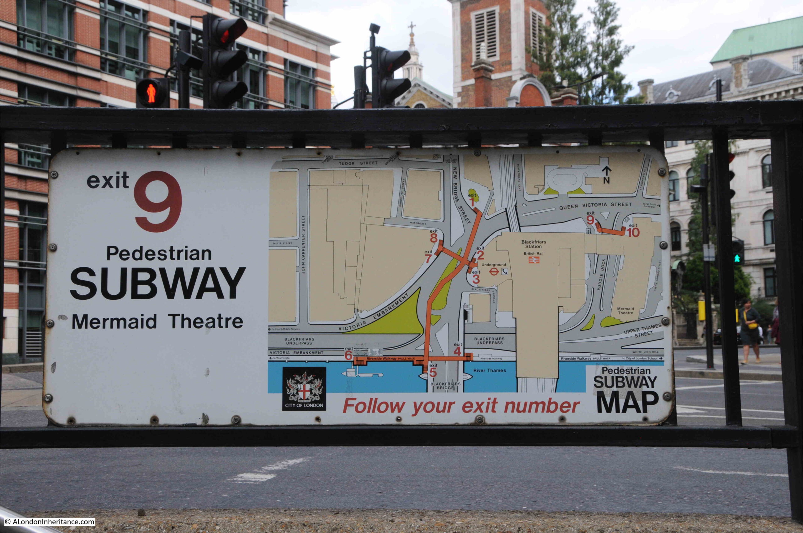
In terms of distance, this walk is shorter than my Wapping and Limehouse walks. It starts at one end of Queen Victoria Street, outside Blackfriars Station, and ends further up Queen Victoria Street not far from Mansion House, and covers the historic area between Queen Victoria Street and the Thames.
The walk tells the story from the Roman period up to post-war redevelopment, and why the area is as we see it today.
Having been transformed after the war, the area may soon be transformed again as there are plans for the possible redevelopment of the area around Puddle Dock, Baynard House and St Benet’s Church, between Queen Victoria Street and the Thames.
This area is in need of some change. It is a product of planning first developed in the 1940s for the post-war transformation of London. A plan where the car was a priority for transport through the City.
Post-war redevelopment exposed the remains of 15th century Baynard’s Castle. Puddle Dock was filled in and Upper Thames Street extended on land reclaimed from the river.
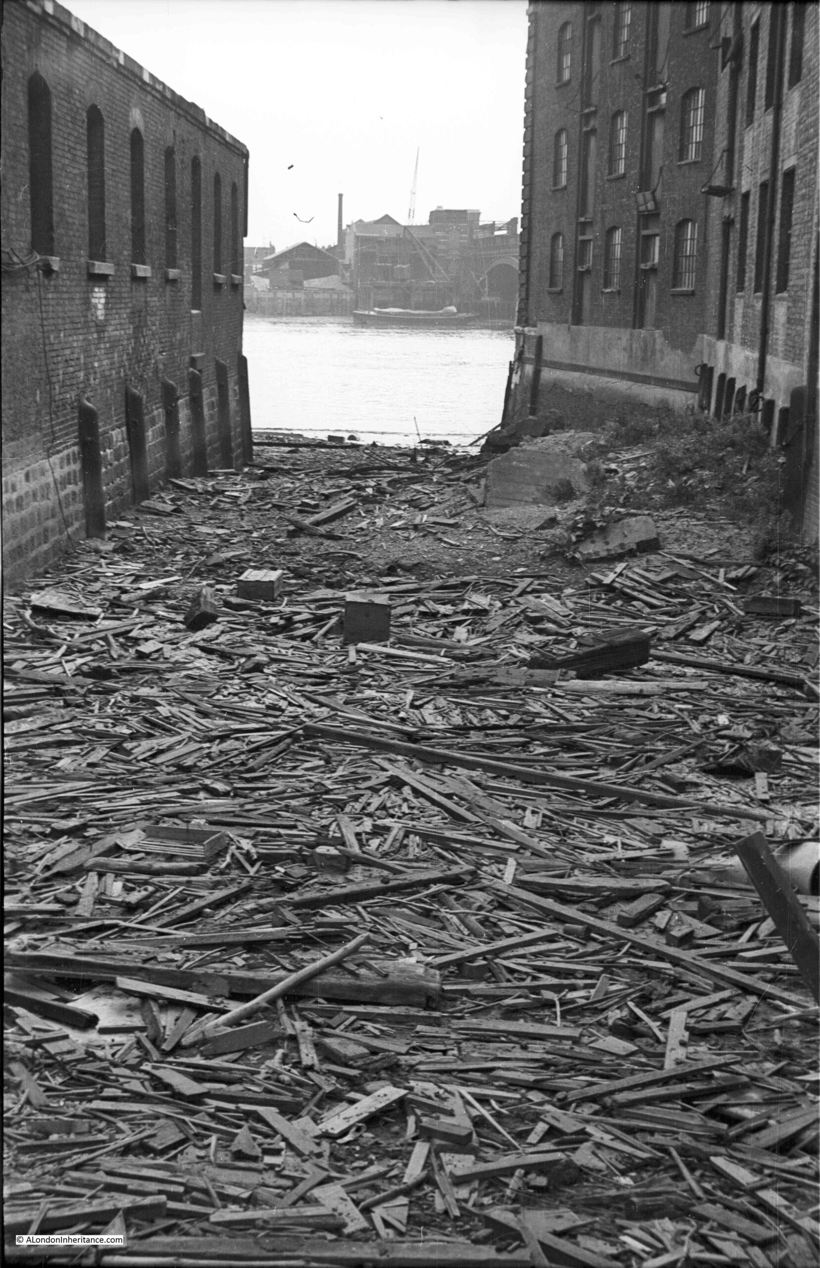
The original route of Upper Thames Street was lost, and St. Benet’s Church isolated between roads and the City of London School.
The walk explores this long history of the area between Queen Victoria Street and the Thames.
Rubbish dumps, Thames Stairs, Roman and Medieval remains, post war planning, and how this created a very unfriendly environment for the pedestrian. How apparently historical streets are not what they seem. The first theatre built in the City of London for 300 years, within the walls of an old warehouse, St. Paul’s sightlines and some remarkable industrial building decoration.
The possible future development of the area will also be considered.
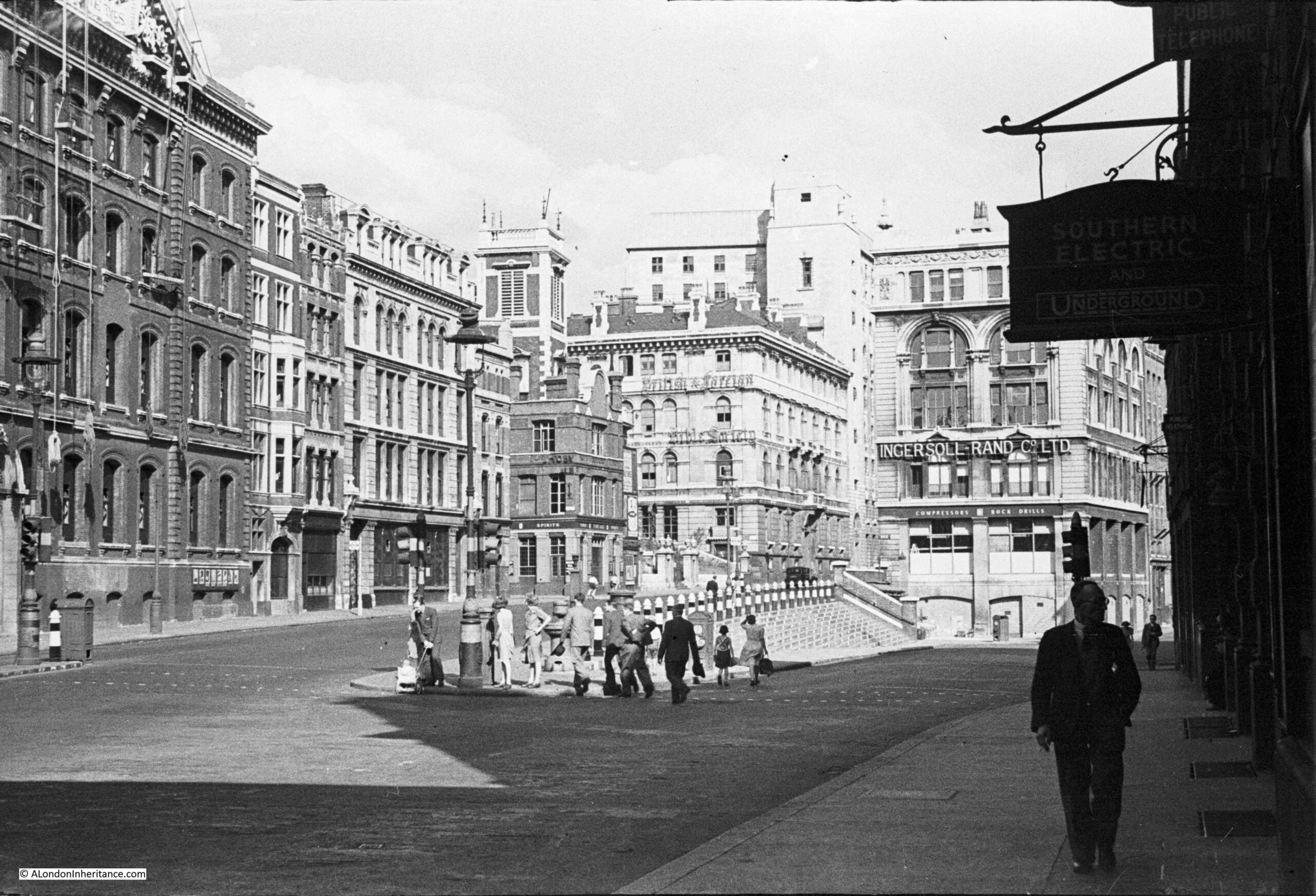
The walk will use plenty of my father’s photos from the late 1940s, and my photos from the late 70s / early 80s, along with 1940s and 1950s redevelopment plans, and earlier maps to show how the area has changed.
The walk will take about 2 hours and starts outside Blackfriars Station and finishes at the northern end of Queen Victoria Street with a look at a driving force behind the post-war greening of the City.
I look forward to showing around part of the City of London that could well be changing in the coming years. All booking dates here:
https://www.eventbrite.co.uk/o/a-london-inheritance-walks-33326287375
Looks excellent
I know this area well from the foreshore but not above the river…
As a 25-year-old engineer I was sent to London from New York by Ingersoll-Rand Co. Their office at 165 Queen Victoria Street is clearly shown at the right of your first photograph. I worked there for two years starting in August of 1960 and my desk was just below the “Ingersoll” on the 1st floor. Still a lot of bomb damage at that time including imbedded glass in our interior door frames. The Mermaid Theater (bar) and the Barnard Castle pub were our after-work ports of call. About 5 PM each day troops from varying regiments (?) would march down Queen Victoria St. to guard the Bank of England overnight. I married during that period and my son was born in Middlesex hospital near our residence in Ealing. Both he and his sons are therefore British citizens. My underground station was St. Pauls and I trace my walks to and from #165 on your maps whenever that area shown. I’m now 89 years old and that experience at a very impressionable age is still fondly remembered. A London Inheritance is a regular start to my week here in Oconomowoc, Wisconsin. Thankyou.
My recollection of the area from a 1960’s cab ride from Charing Cross is that there was a street named Cold Store Way somewhere east of Blackfriars station with a permanent fog above the river water, cold water below, warm air above.
I have a particular interest in Queenhithe and wonder if your father took any photos of it