Tag Archives: London Resort

Swanscombe Peninsula and the London Resort – Part 2

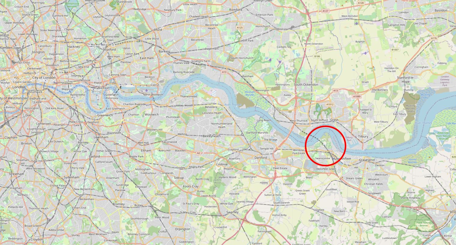
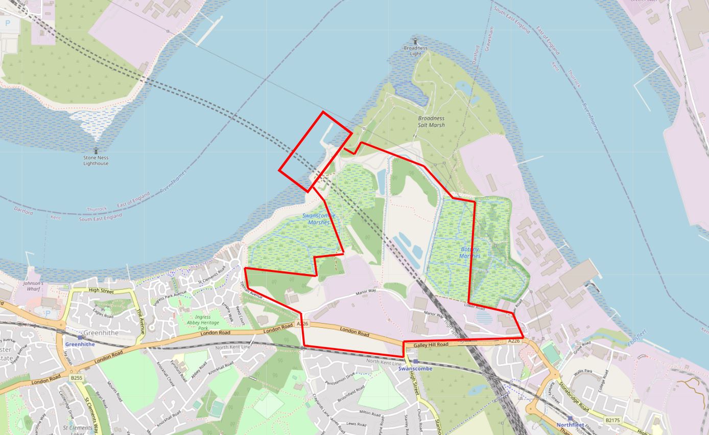
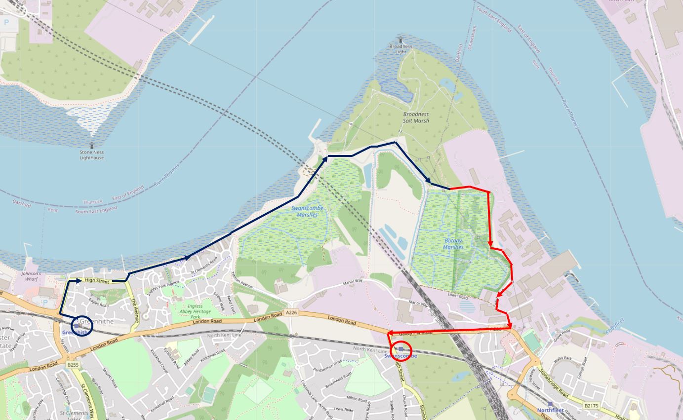
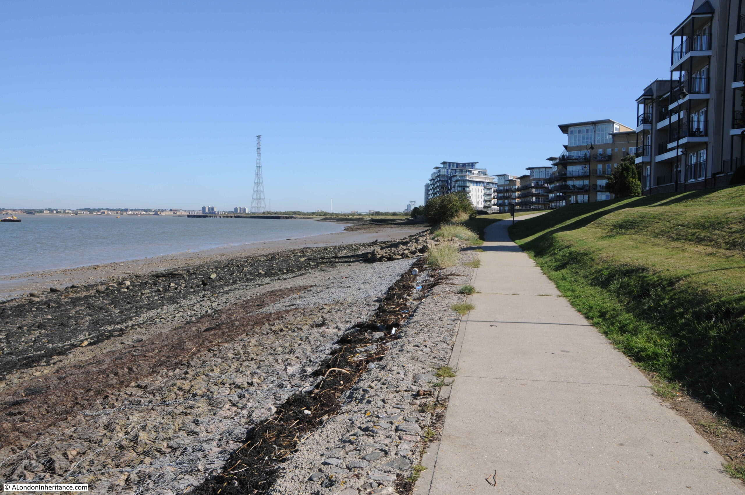
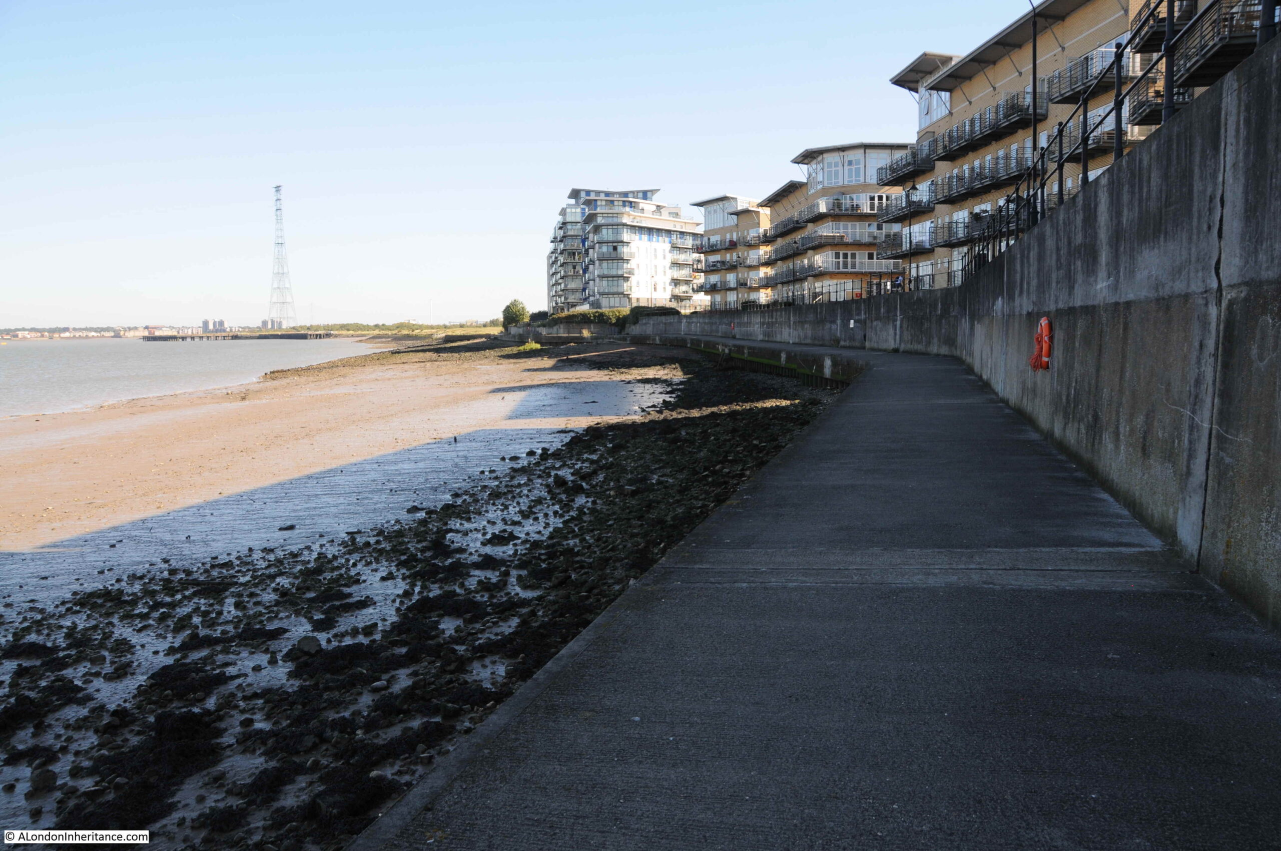
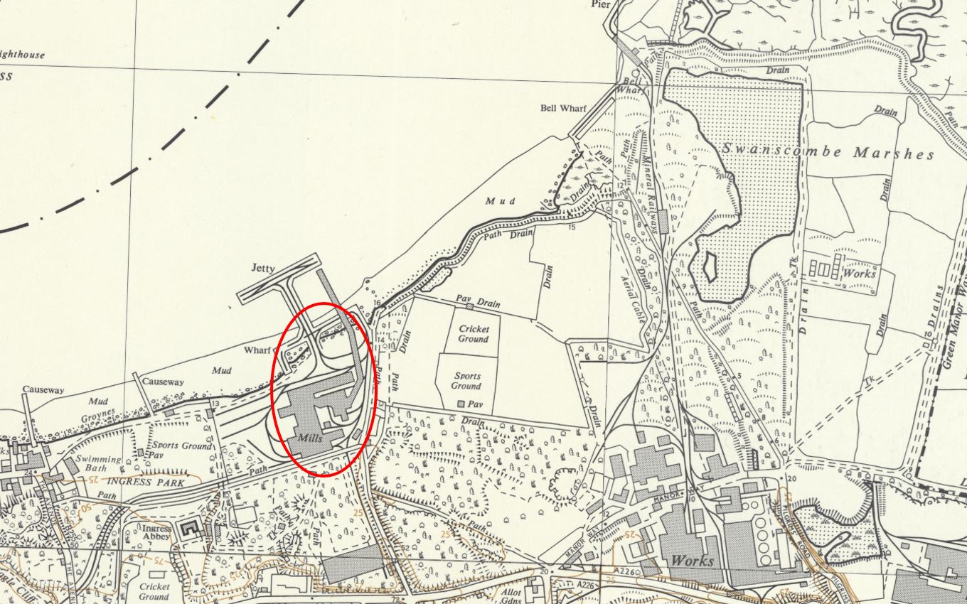
This post continues my walk exploring the Swanscombe Peninsula. The previous post covered the section marked in red in the following map, and this post covers the route in blue, alongside Botany Marsh.

Botany Marsh

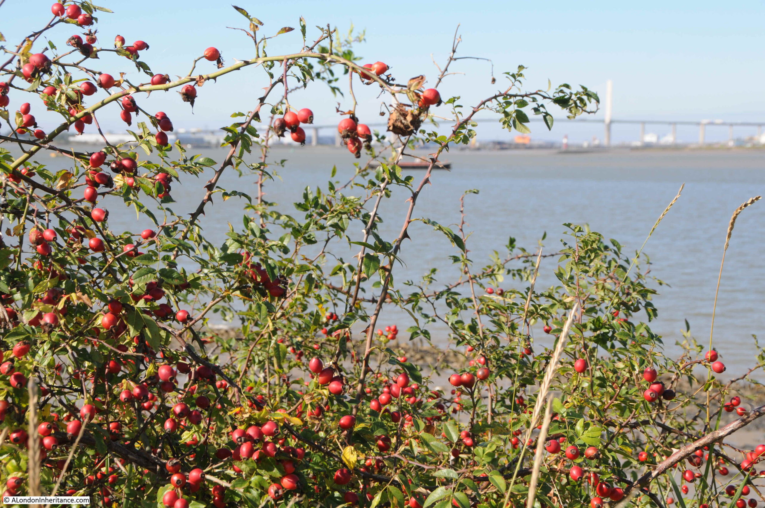
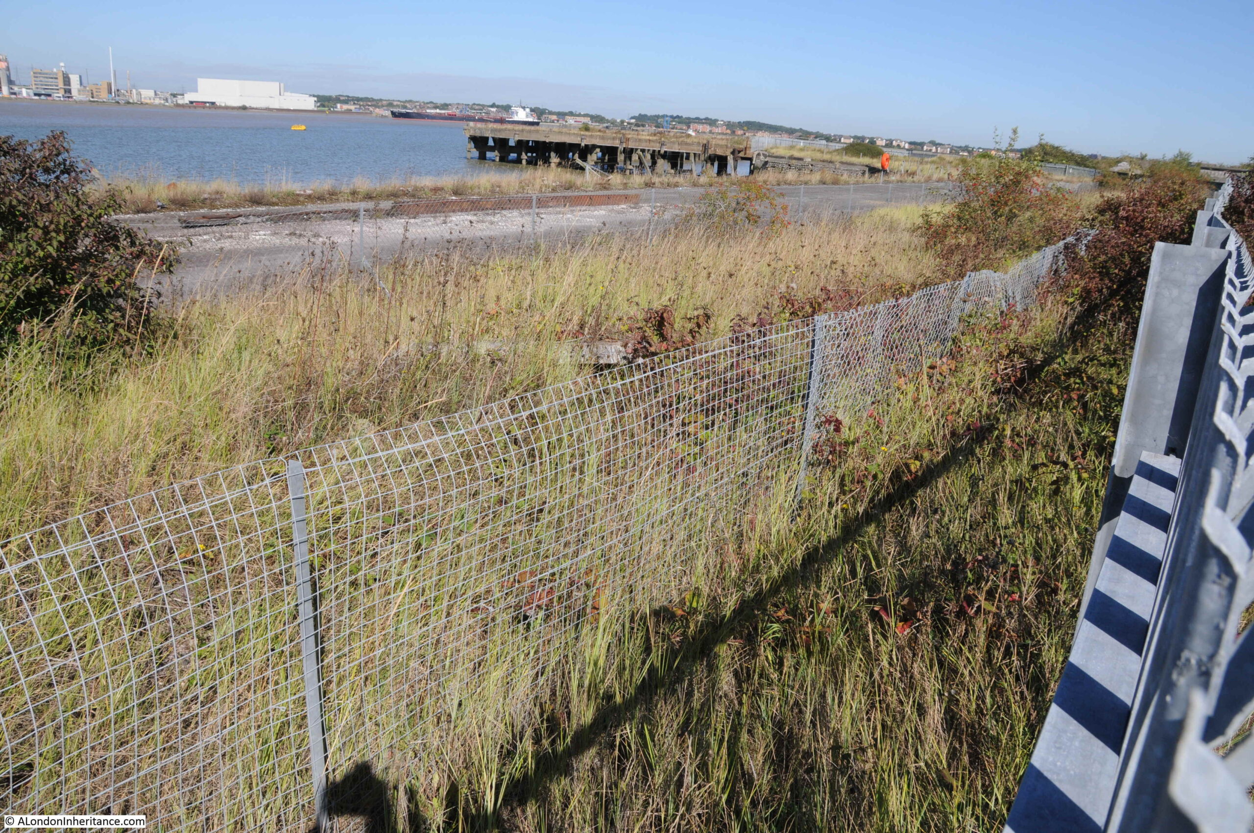
The eastern and southern sides of the Swanscombe Peninsula are more industrialised than the western side, and the noise from these sites is starting to be heard above the breeze blowing through the thick fields of grasses and reeds.

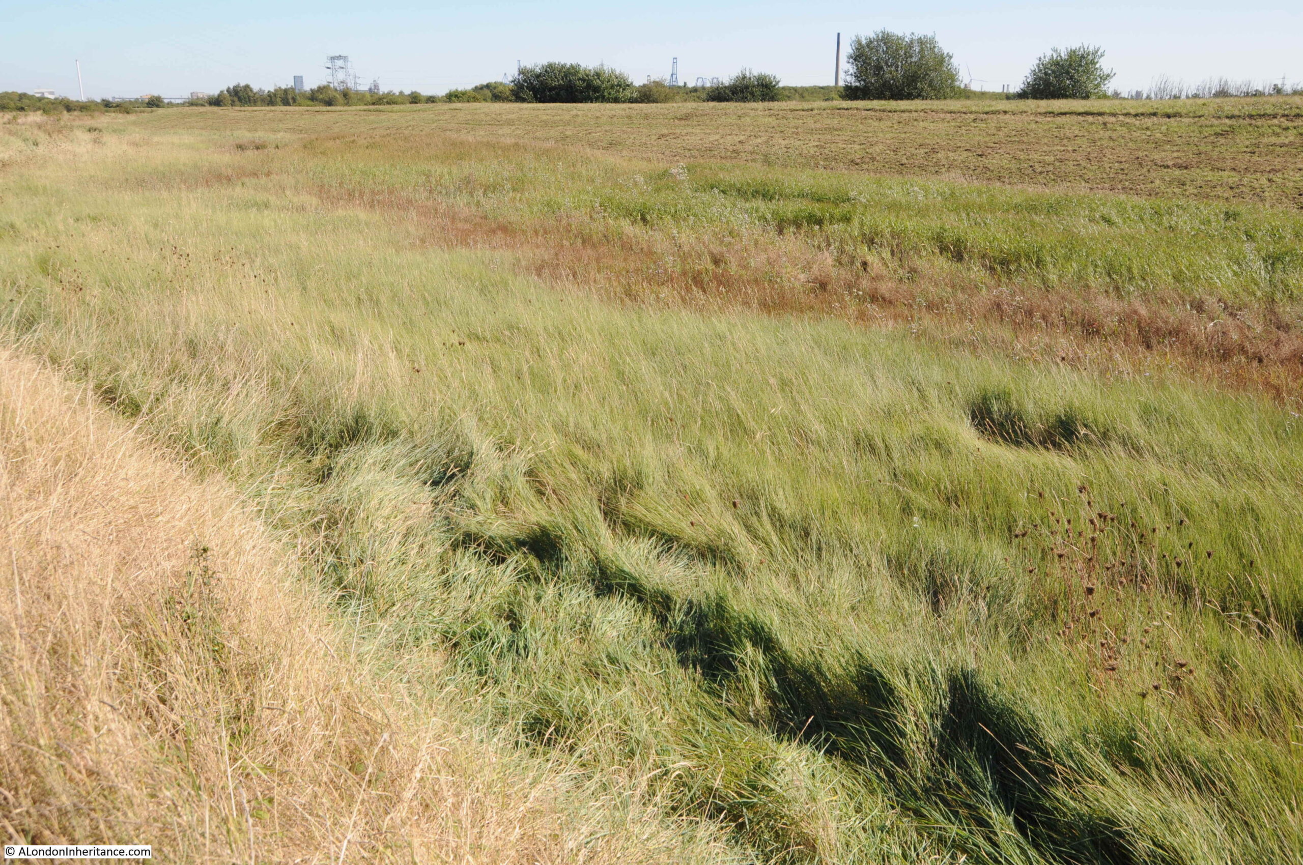
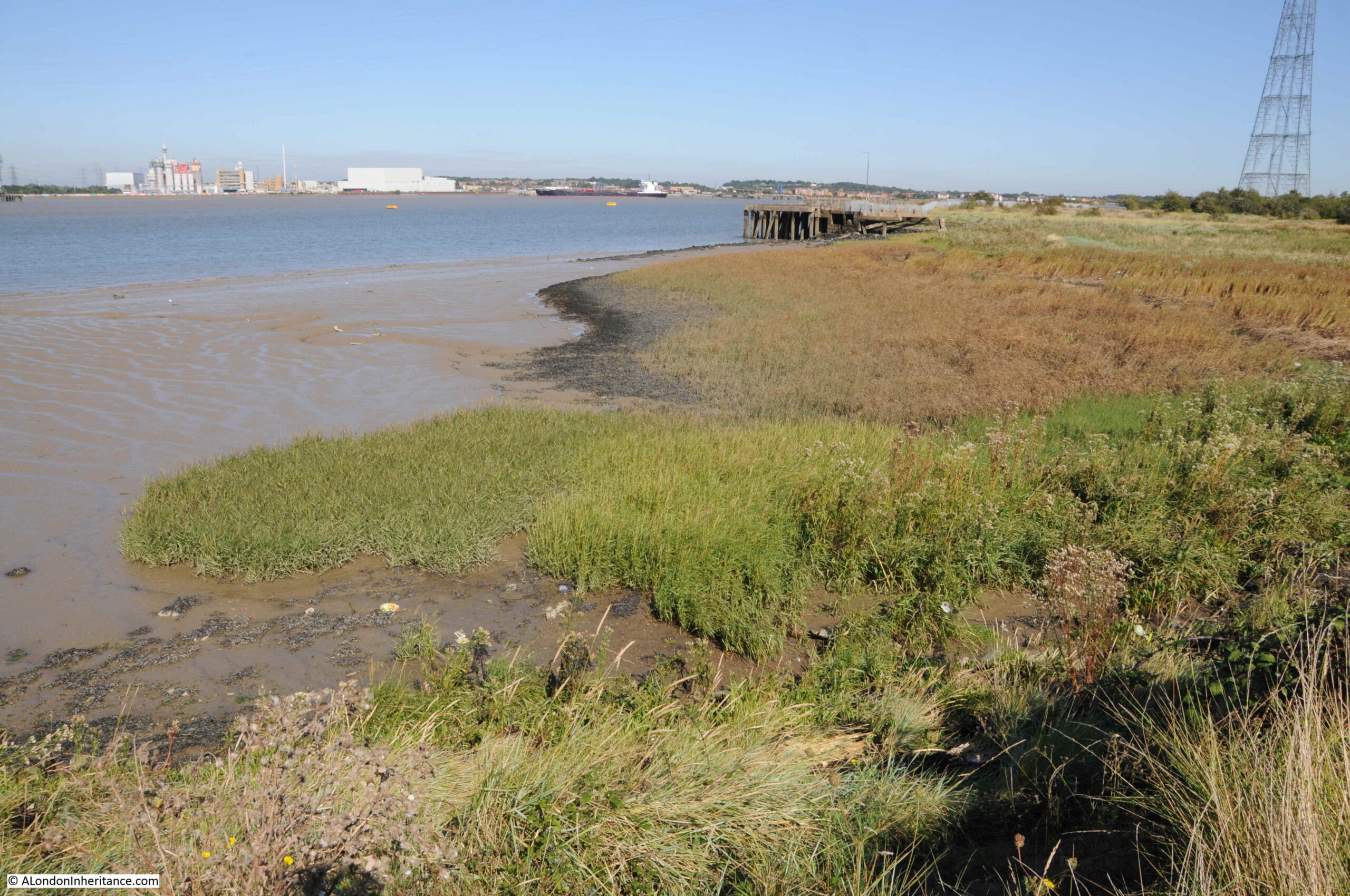
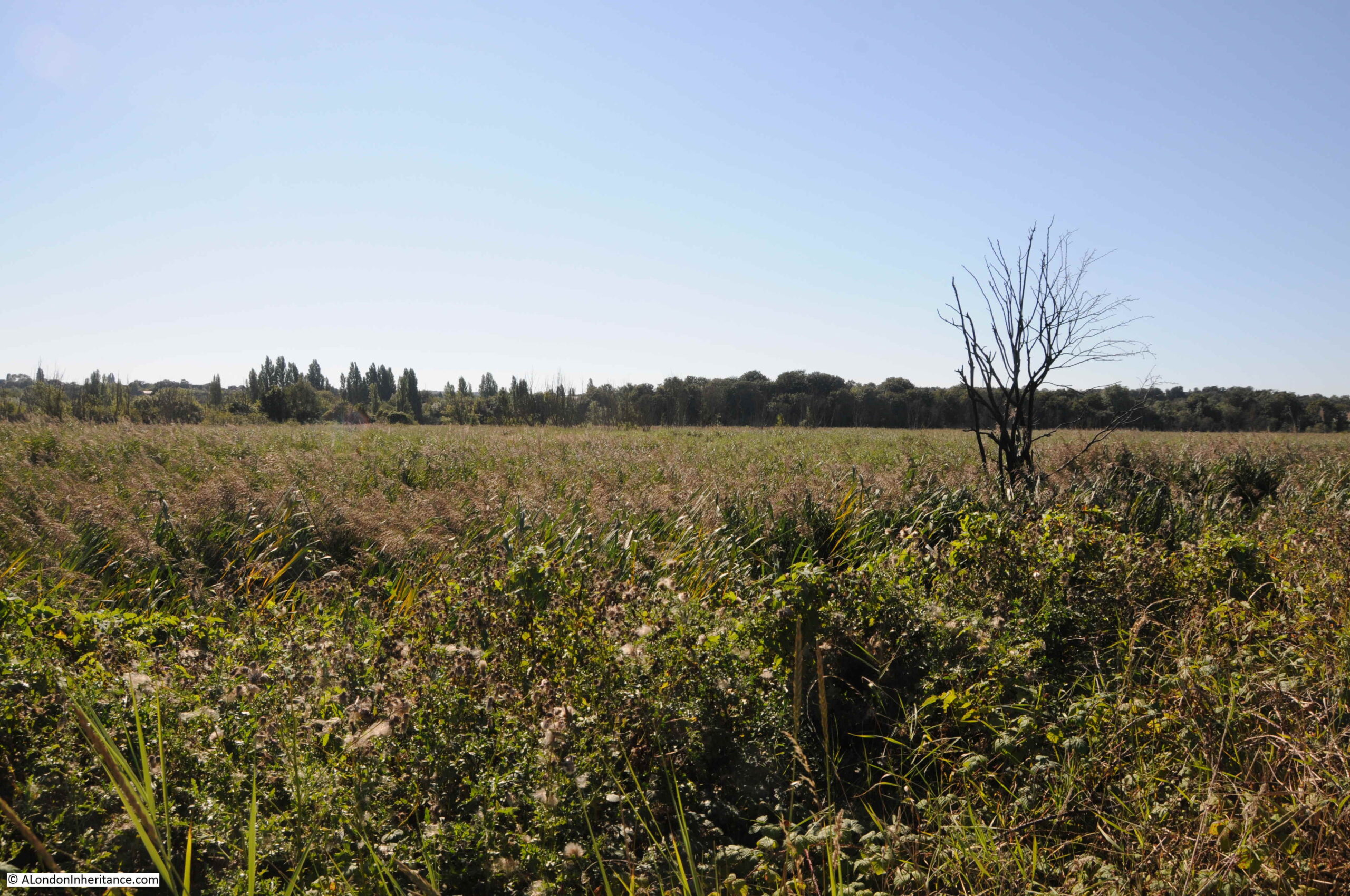
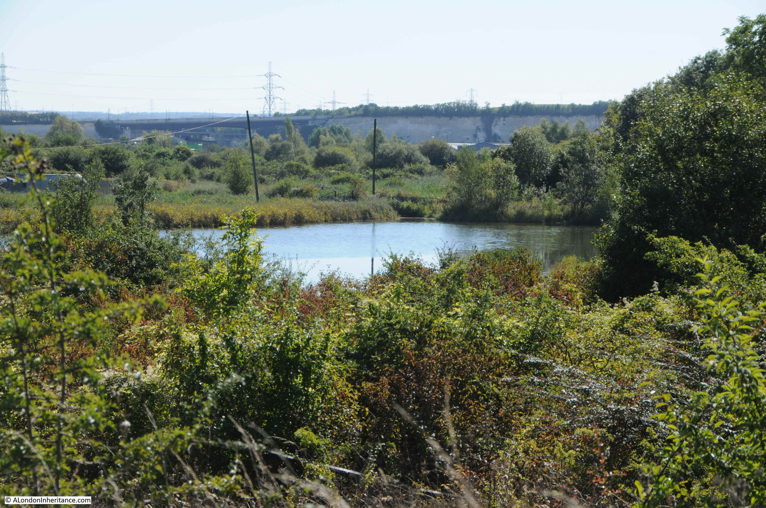
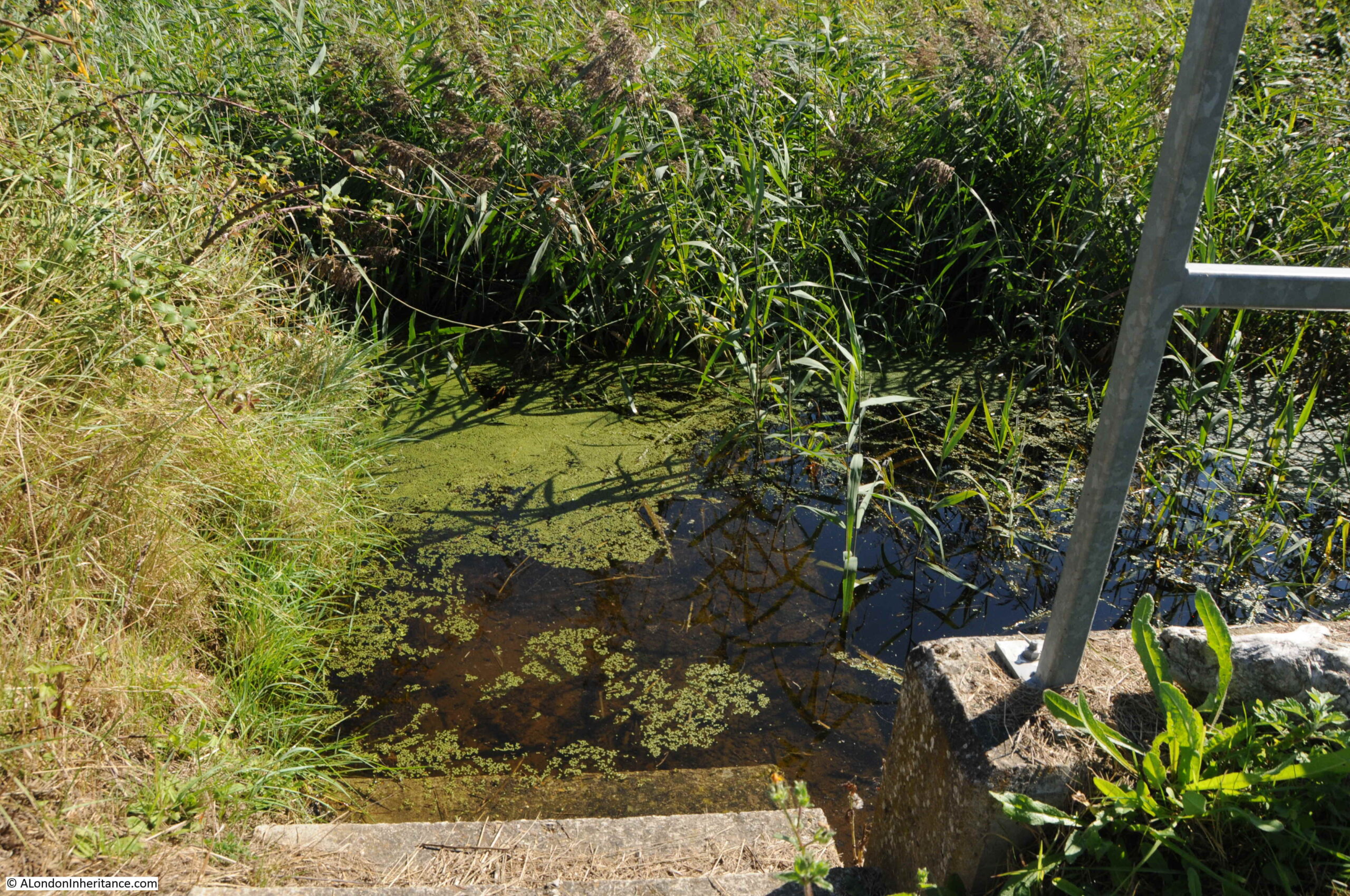
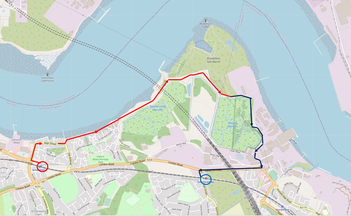
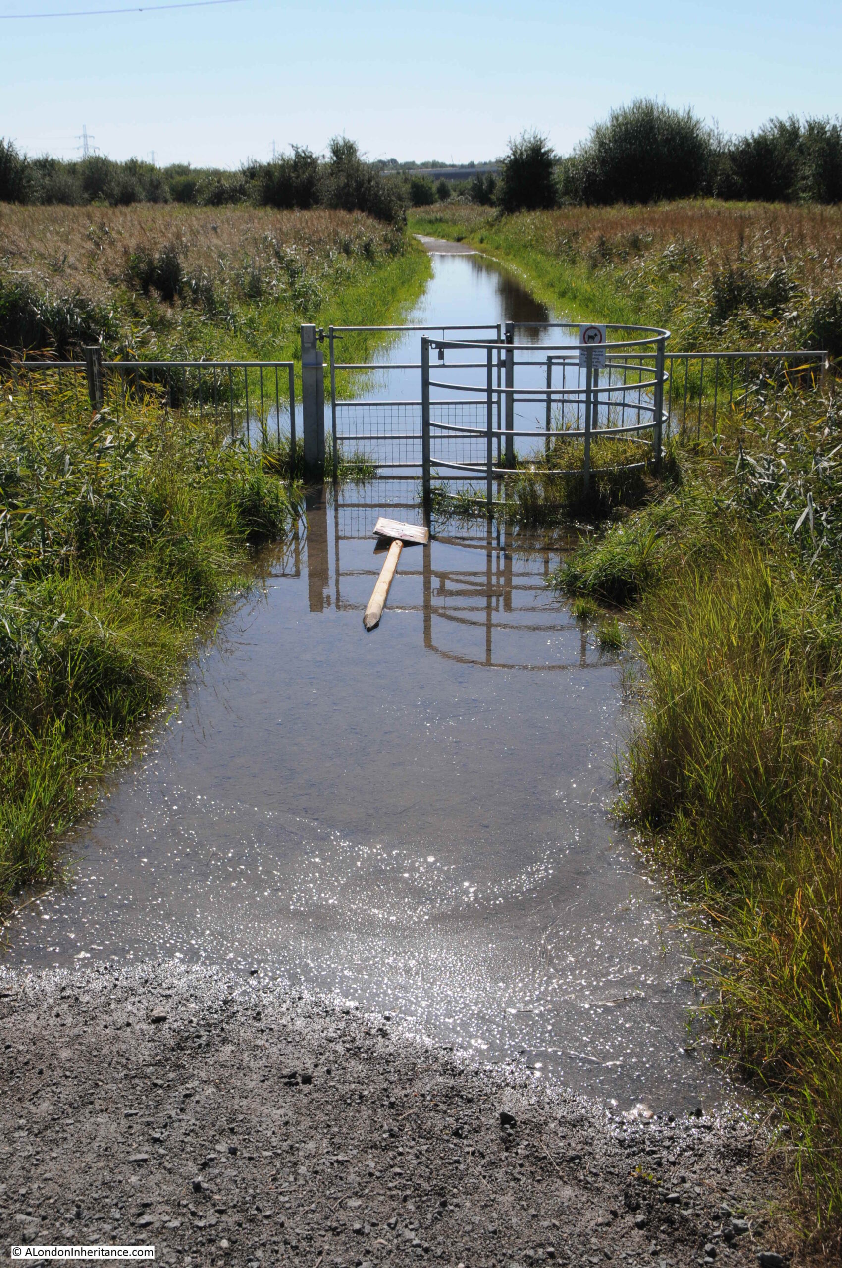
The footpath follows the eastern edge of an area known as Botany Marsh, and the wet nature of the land is very obvious, despite September having slightly less rainfall than the average for the month.

Botany Marsh

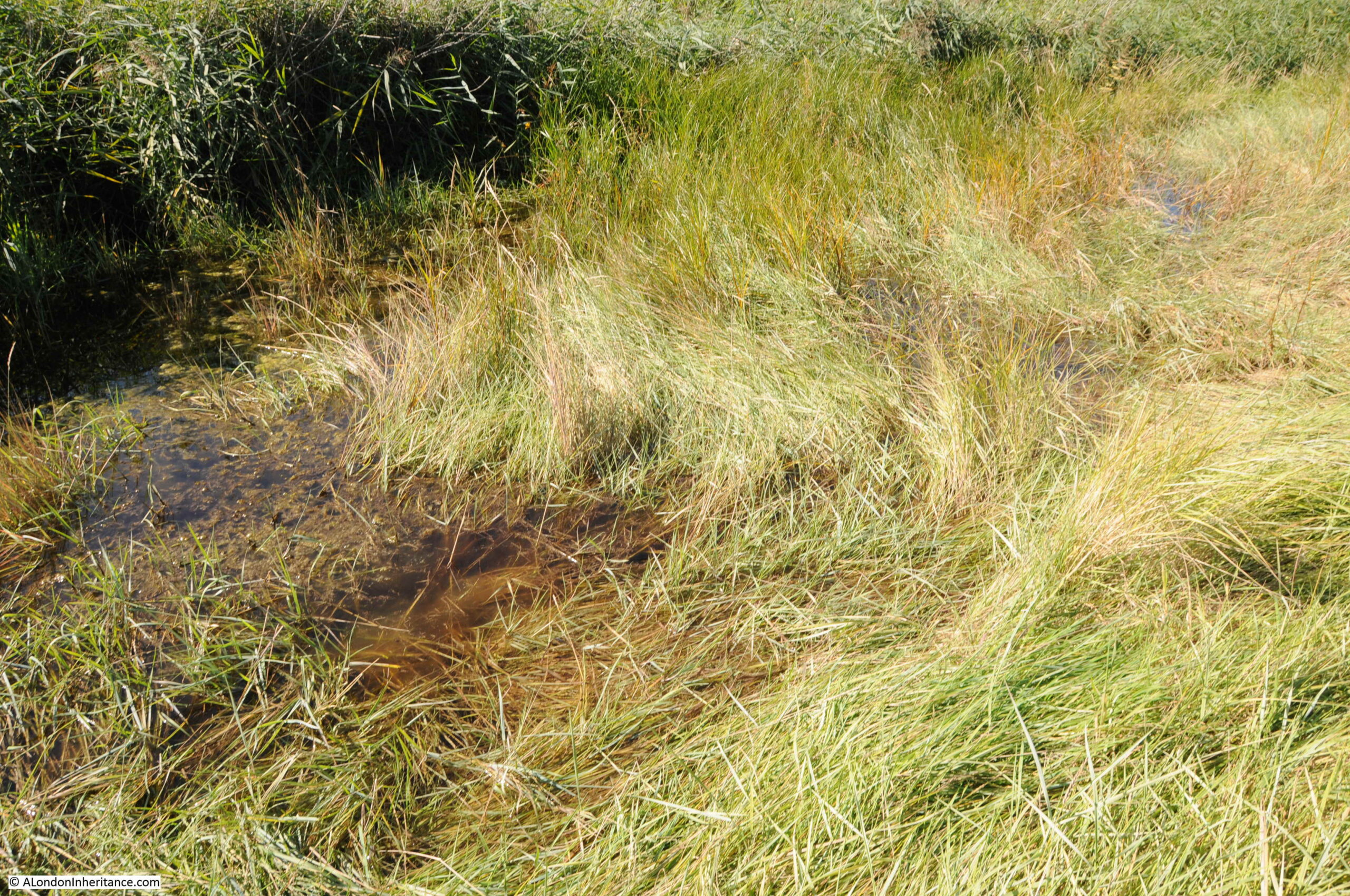
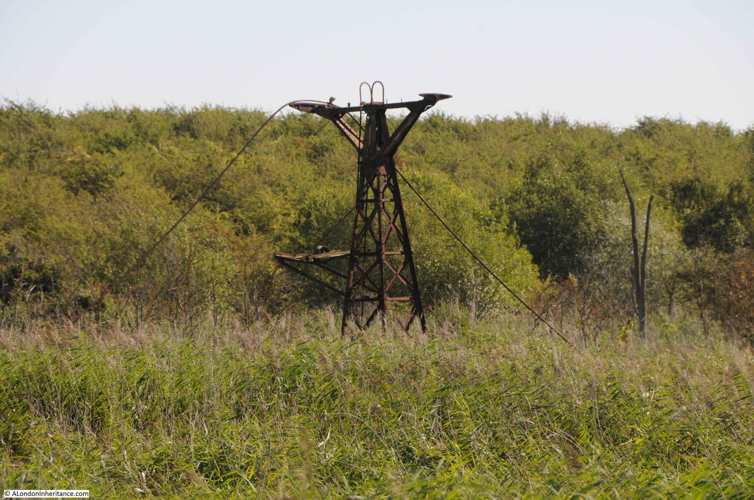
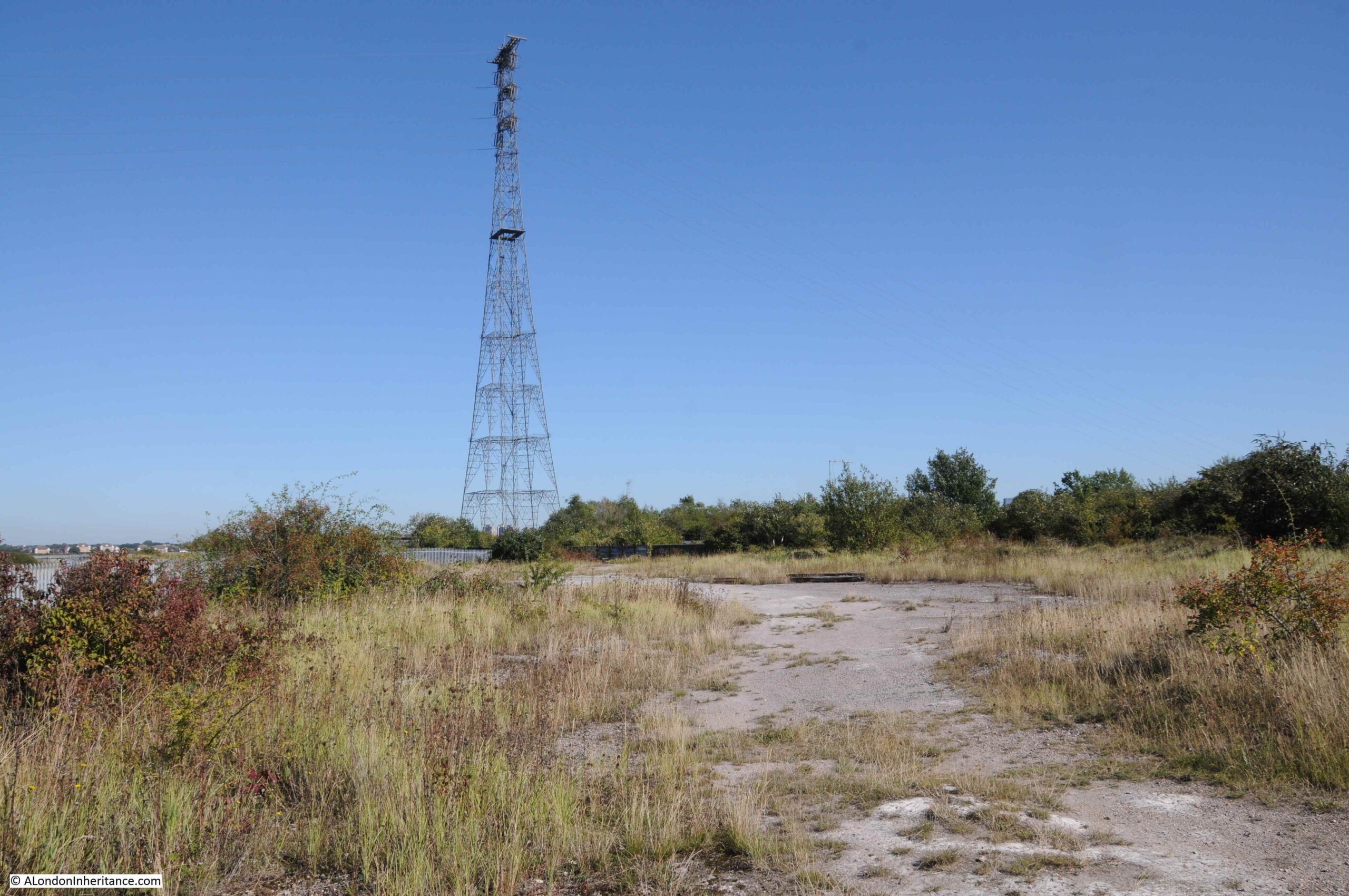
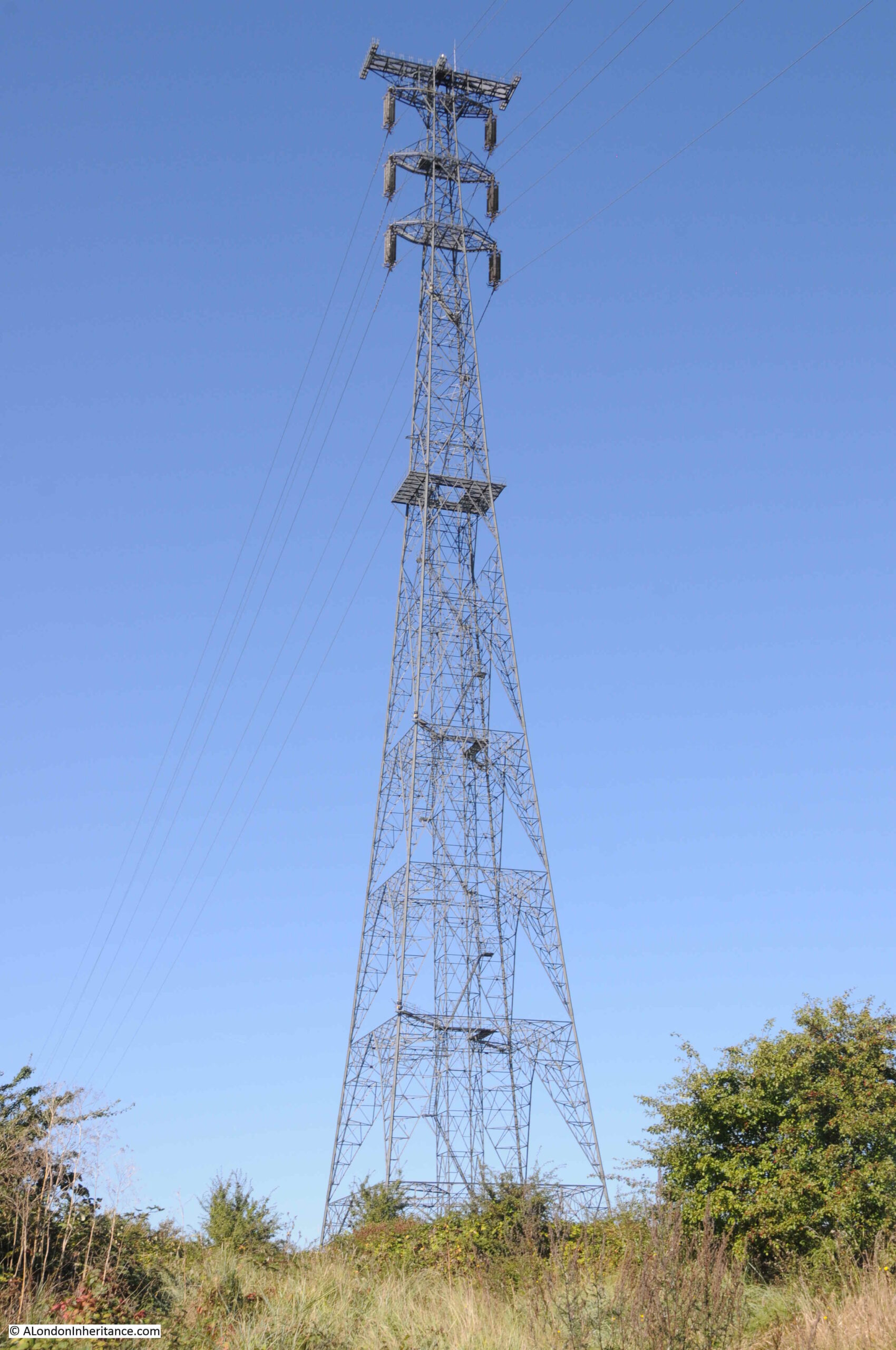
Electricity pole in the marsh:

Botany Marsh

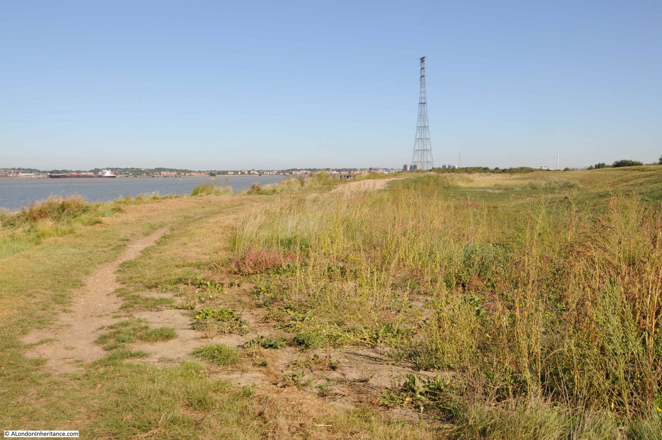
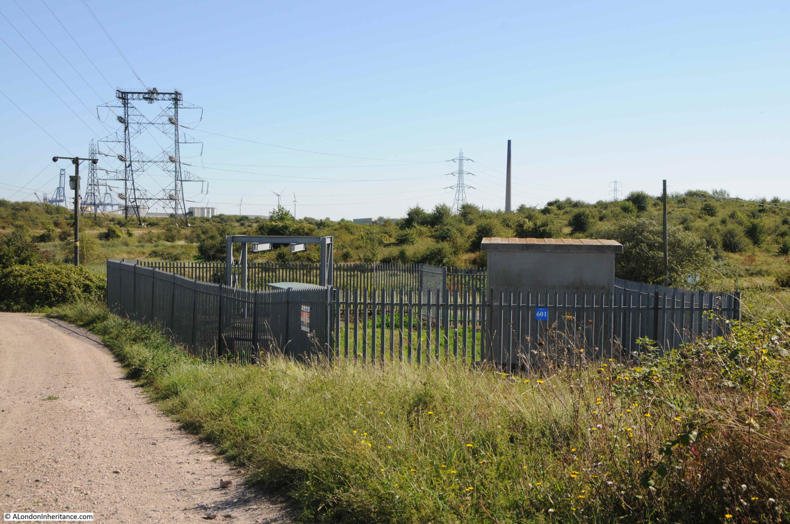
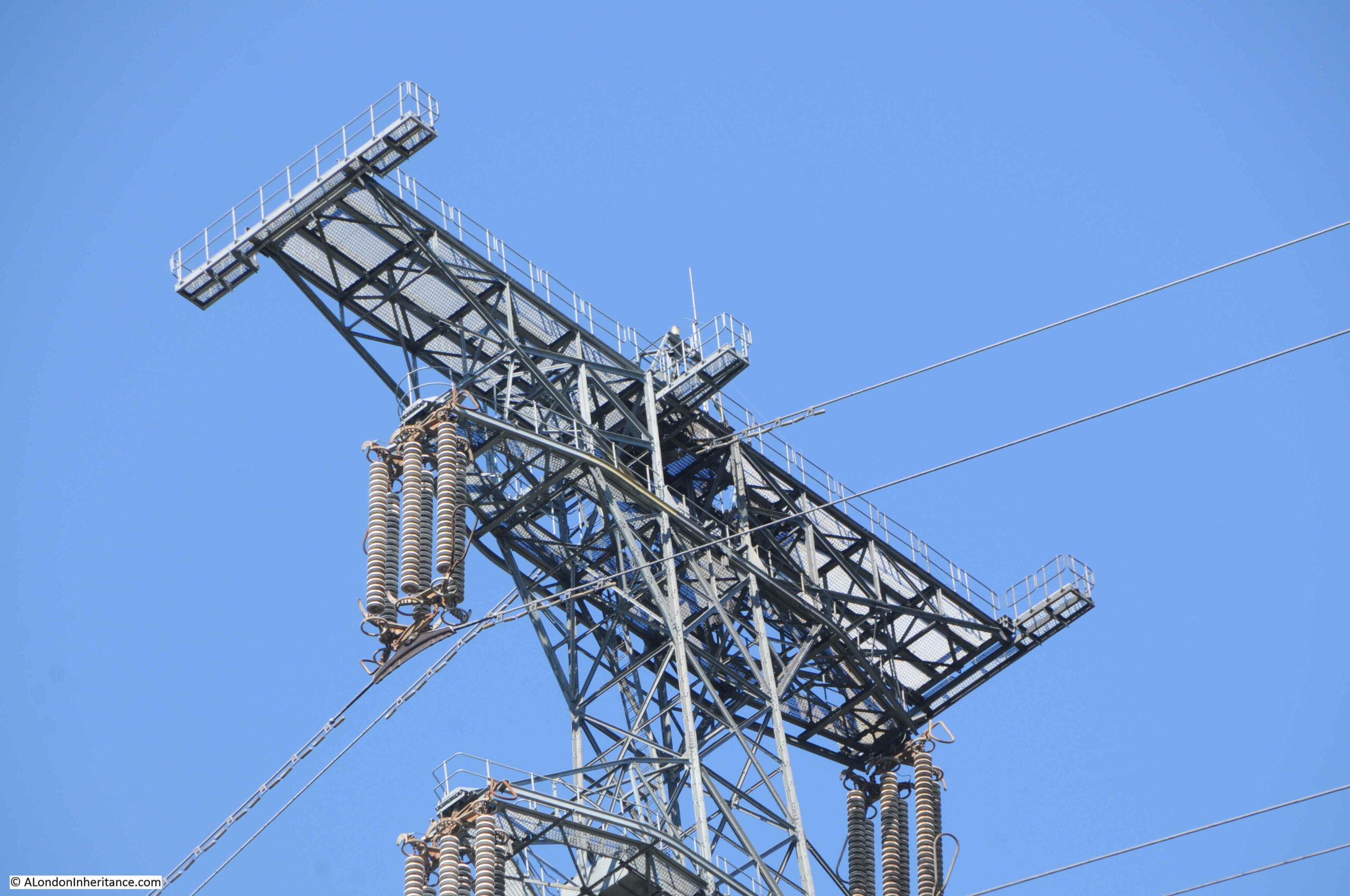
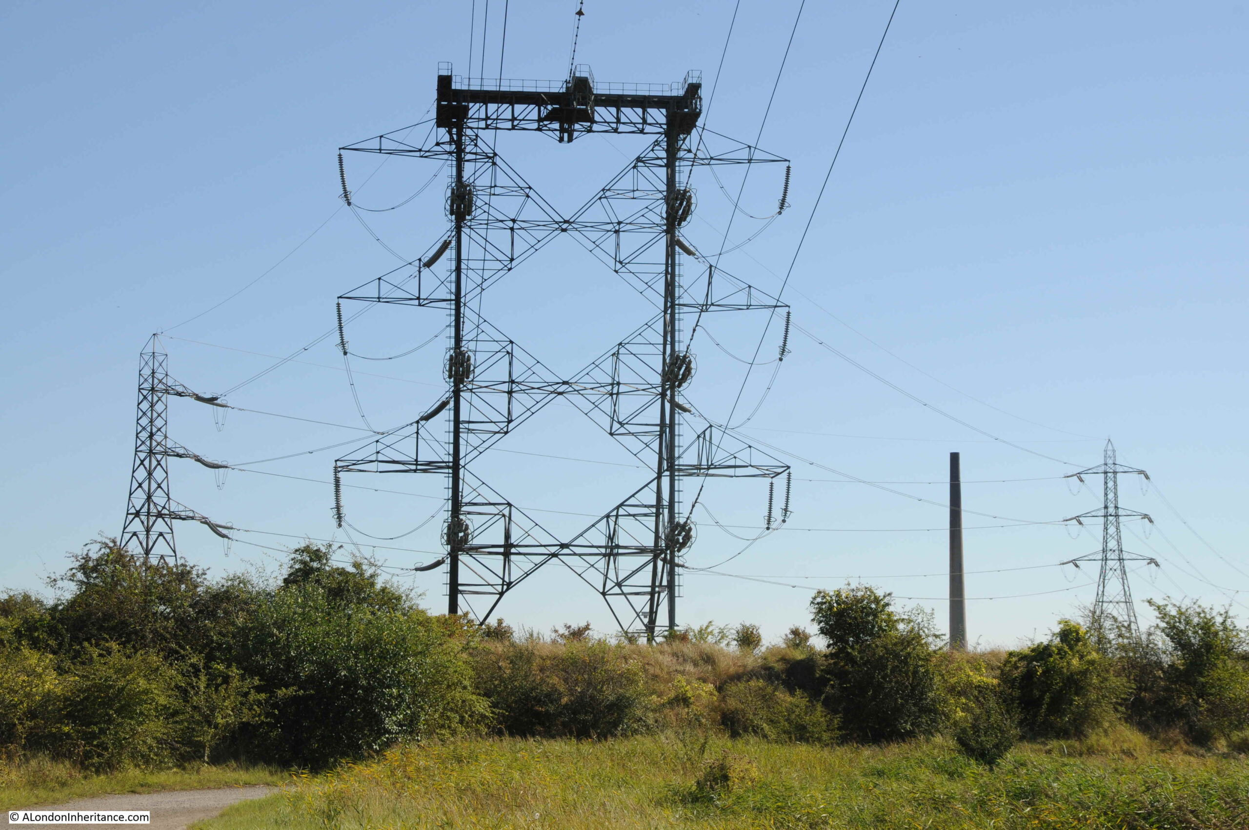
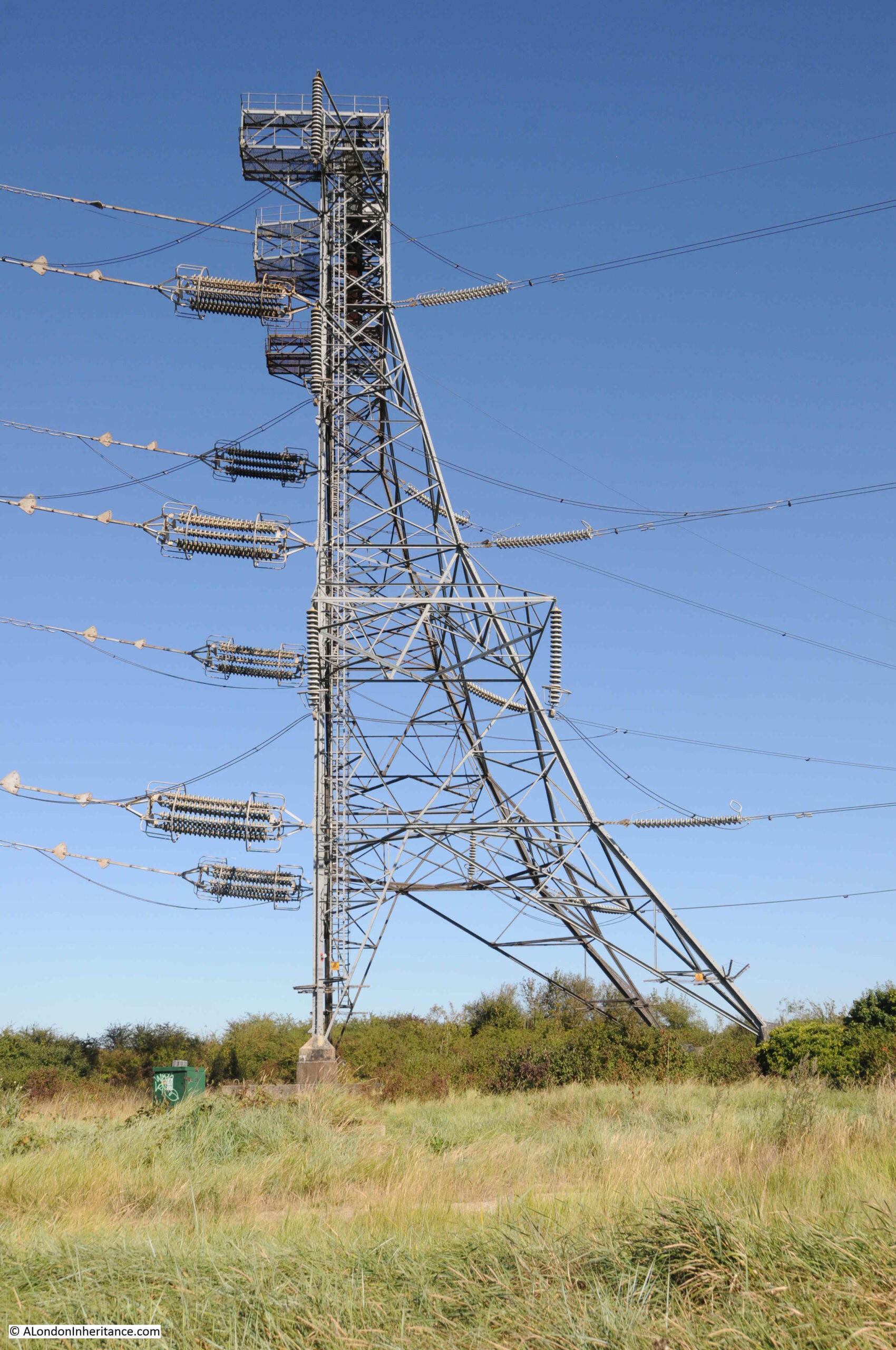
In the following photo we can see all the infrastructure needed to carry high voltage electricity across the River Thames. On the left is the pylon on the north bank of the Thames in Thurrock, with slightly to the right, the pylon on the peninsula. These two pylons carry the cables across the Thames. In the middle is the tower catching the descending cables and from this tower cables run off across north Kent.

Botany Marsh

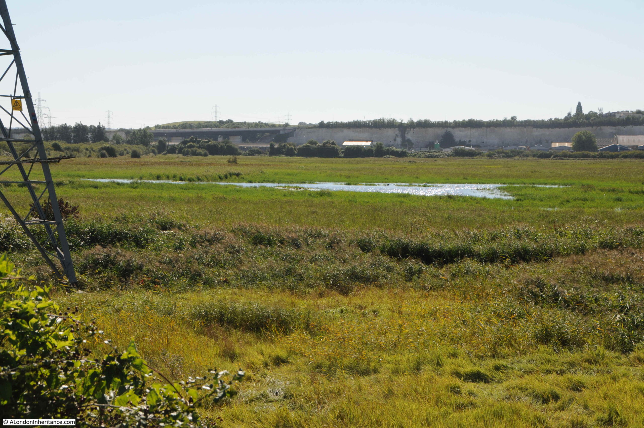
View to the south west across Botany Marsh. More water and the chalk cliffs which are the boundary to the south western edge of the peninsula.

Botany Marsh

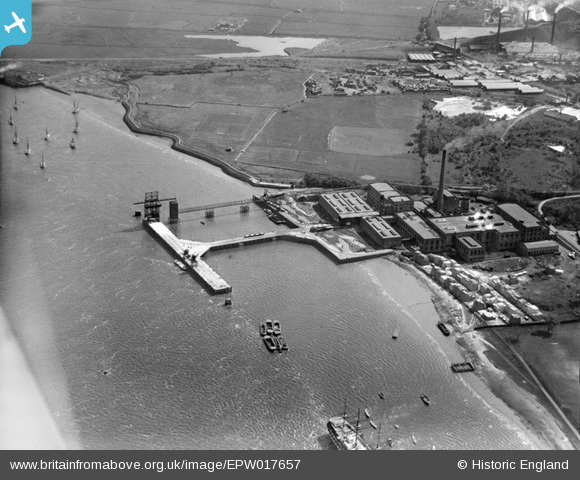
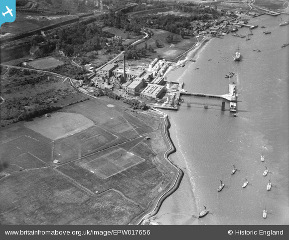
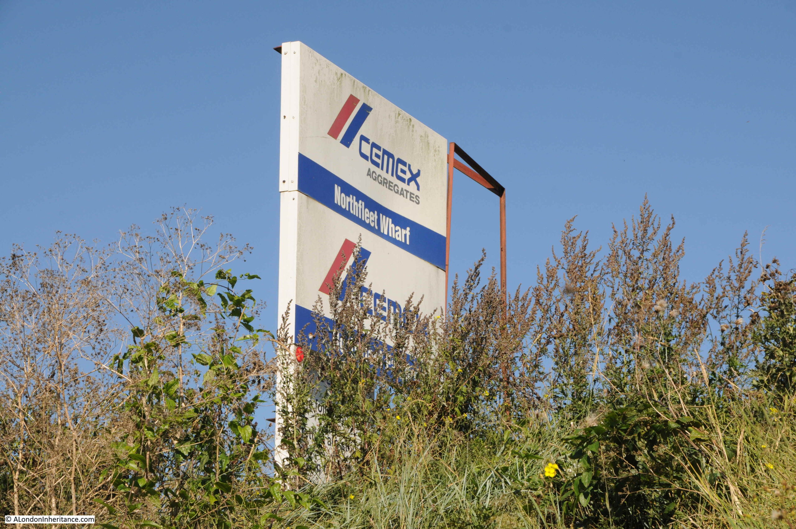
The Swanscombe Peninsula has long been the site for large industrial companies that needed access to the river for transport of raw materials, and space for large processing plants. One of these companies in operation today is the Cemex Northfleet Wharf and Concrete Plant:

Cemex

The concrete plant has a wharf on the eastern edge of the peninsula where the raw materials for the manufacturer of concrete, aggregates, asphalt and mortar are landed.

Looking in the opposite direction and the peninsula is still wild and wet. Fortunately I did not need to take this footpath.

Botany Marsh

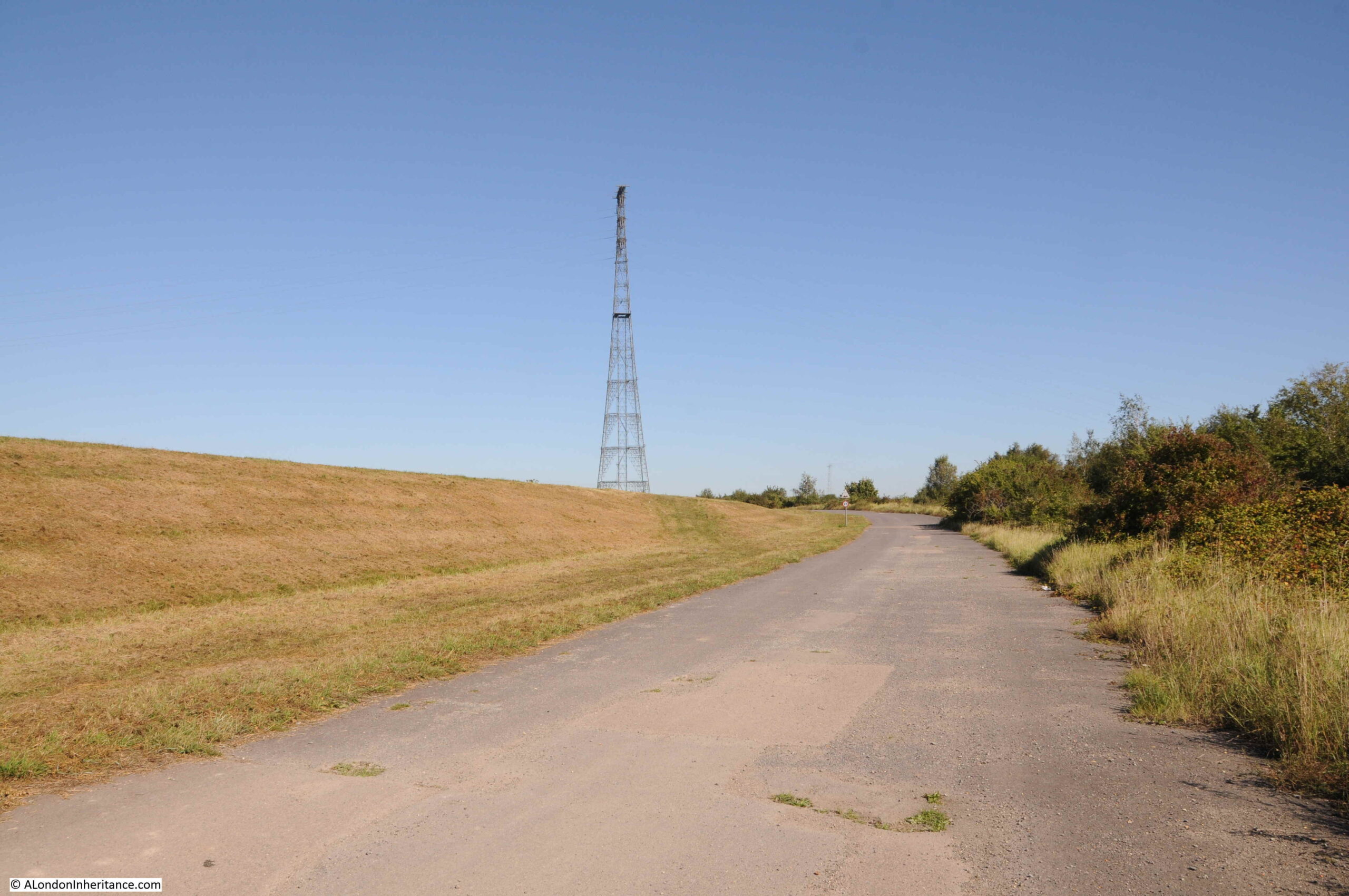
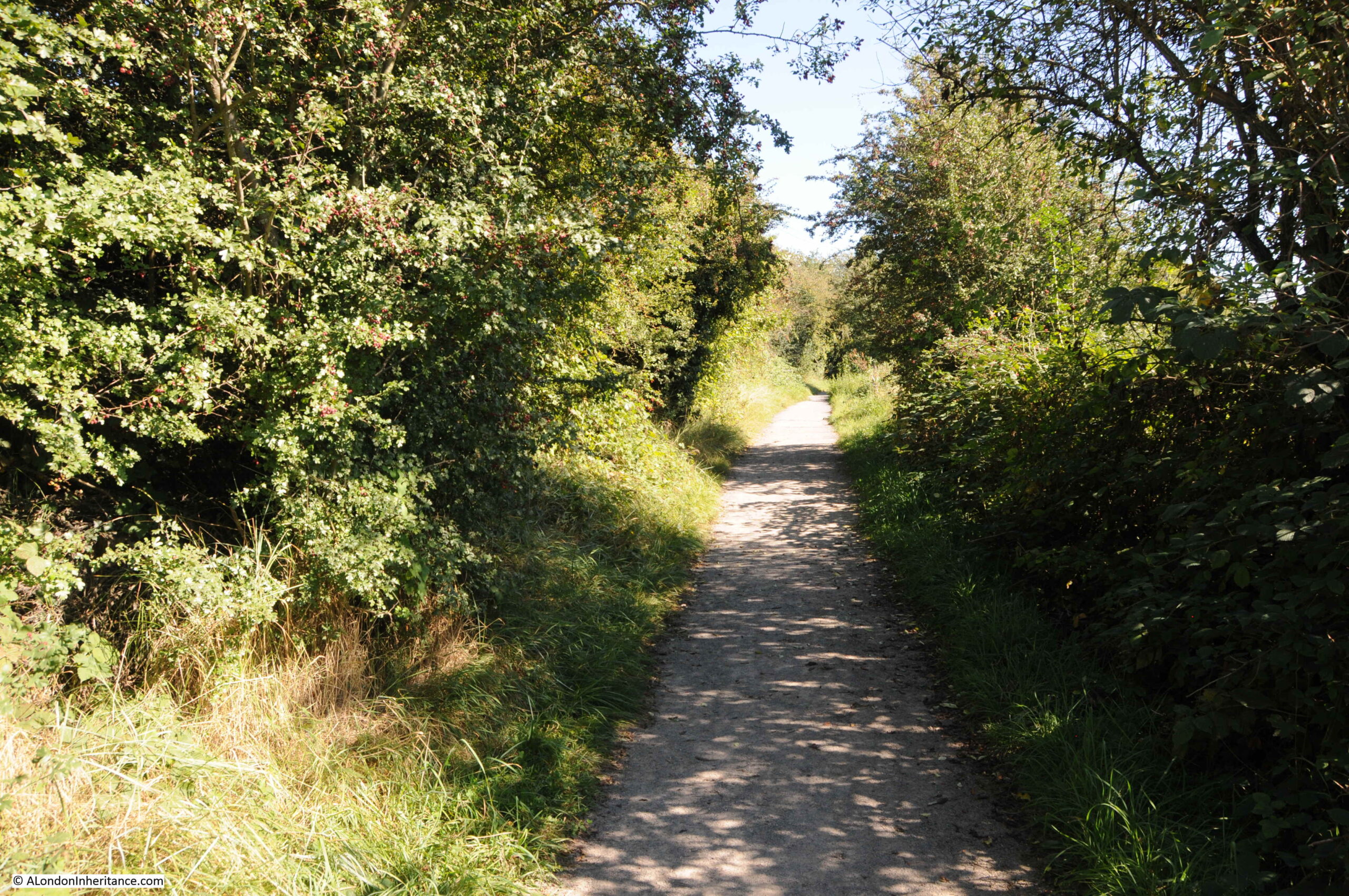
The western side of the peninsula is more open, however walking along the eastern edge of Botany Marsh, and there are some lovely stretches of footpath, with banks and tall bushes on either side. It feels like walking in the depths of the countryside rather than a site with industry, a Greenhithe housing estate and the Thames all a short distance away.

Botany Marsh

However evidence of industry along the edge is not far away, and the noise of lorries running to and from the plant now compete with the breeze through the grasses.

Cemex

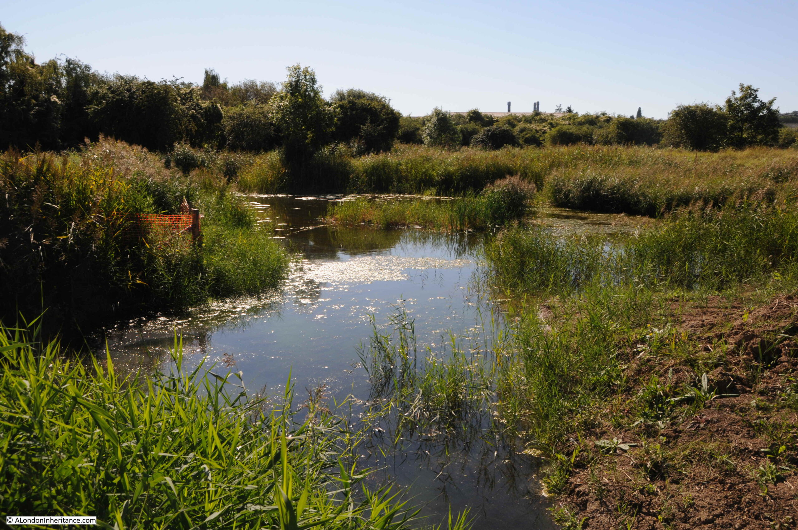
This adds to the wonderful contradictions of the peninsula. look one way to see industry, look the other to see the most wonderful landscapes, with Botany Marsh really living up to its name:

Botany Marsh

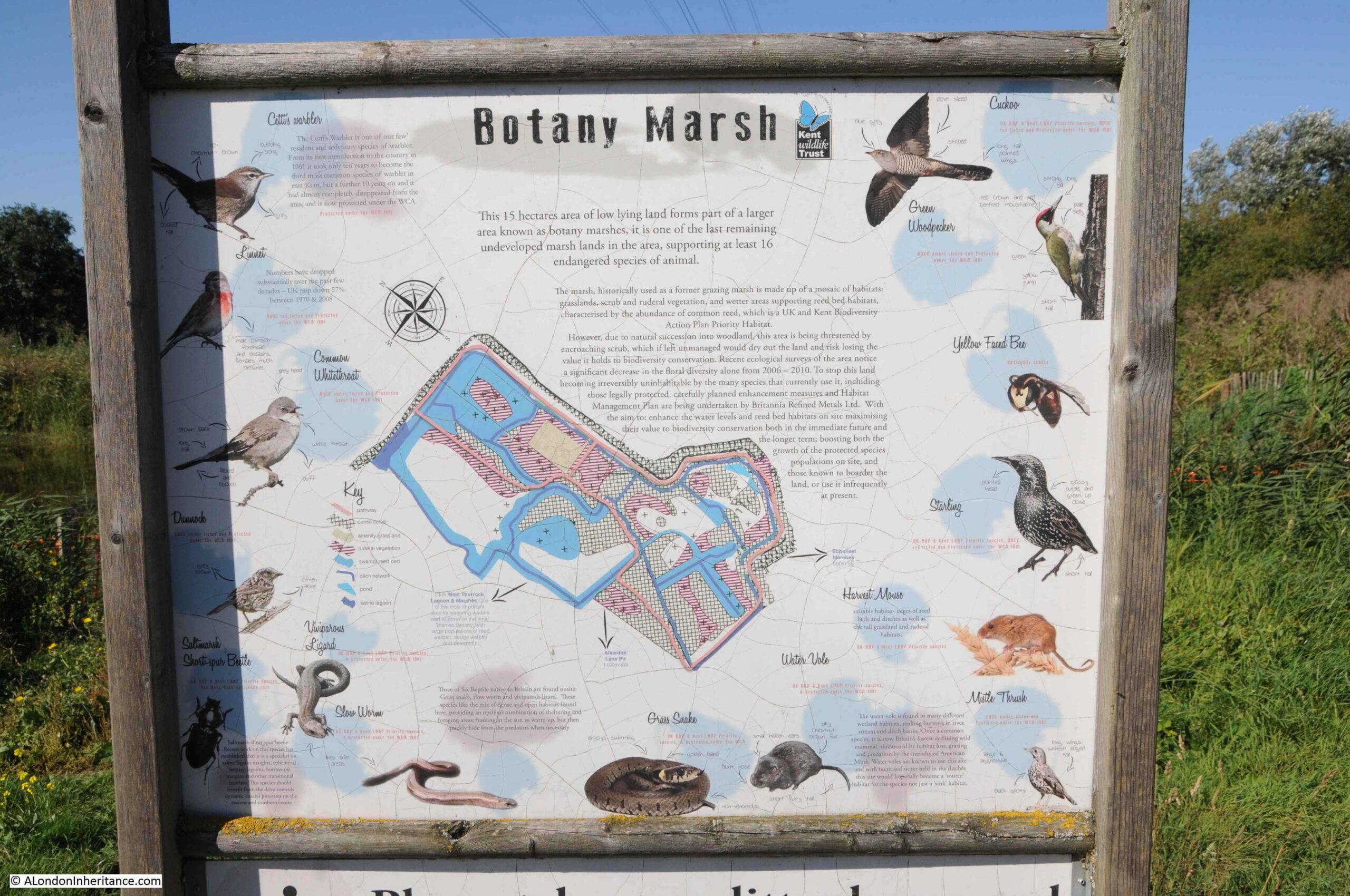
The road that provides access to the industrial areas also provides access to the peninsula, with some limited parking for cars. At one of these entrances is an information panel which tells how the peninsula is managed, and the wildlife that can be seen on Botany Marsh:

Botany Marsh

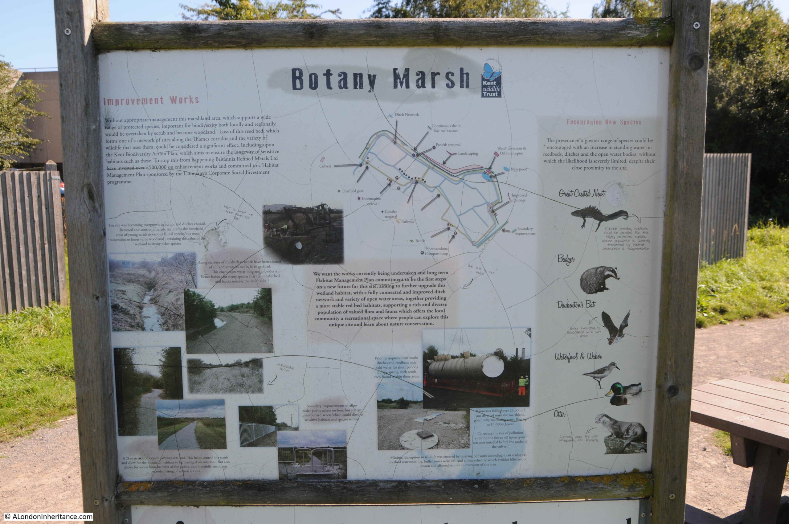
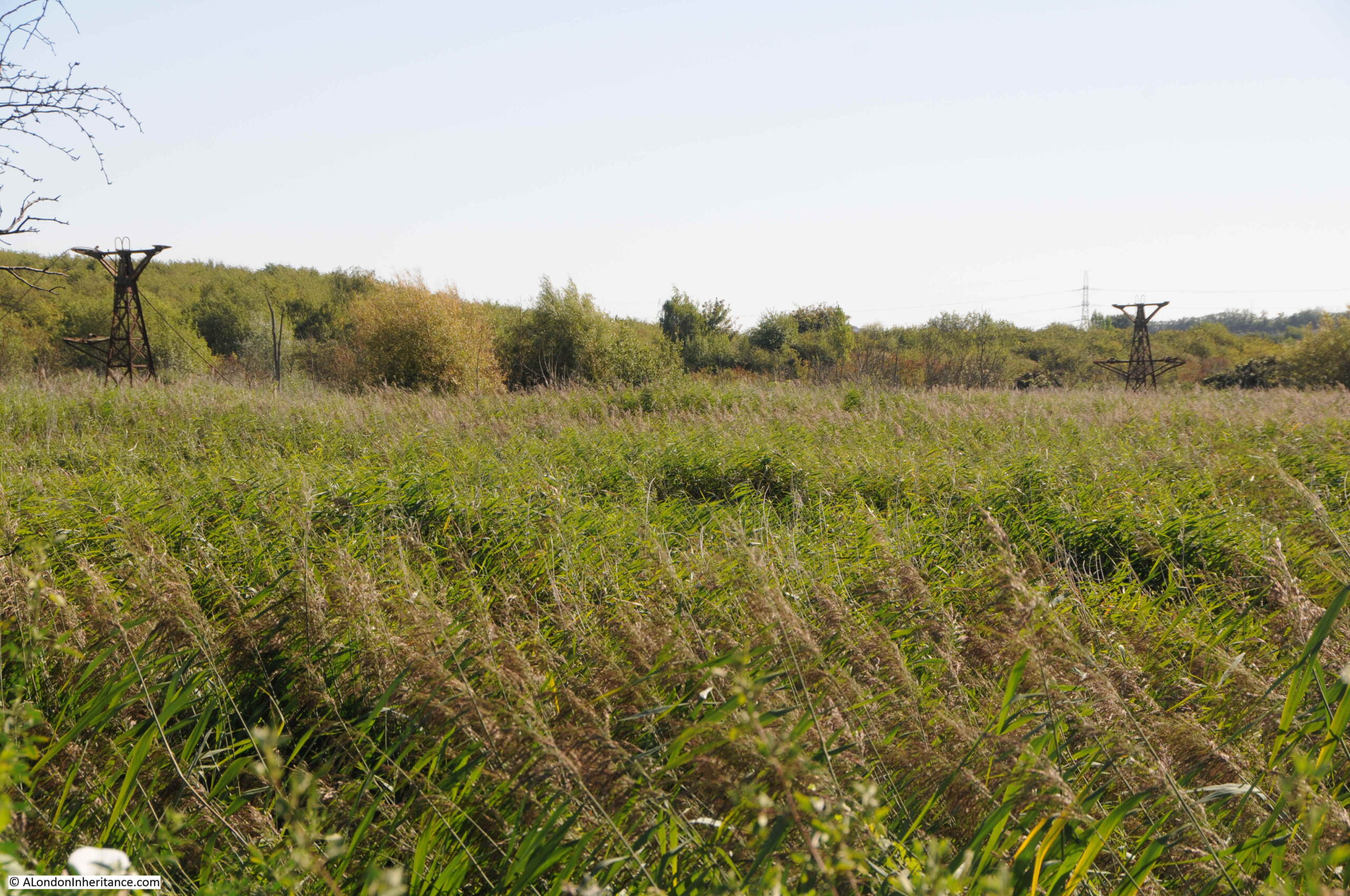
Botany Marsh is subject to land management to maintain the biodiversity of the place. Without management, the land would revert to scrub and woodland. Ditches were cleared and the footpath I have been walking along during this part of the walk was created.

The information panel also explains where much of the water comes from. A system to collect water from 20,000 square metres was installed which increased the water flow into the marshes by up to 10,000 cubic metres a year. The water is run through an oil interceptor to ensure the marsh is not polluted

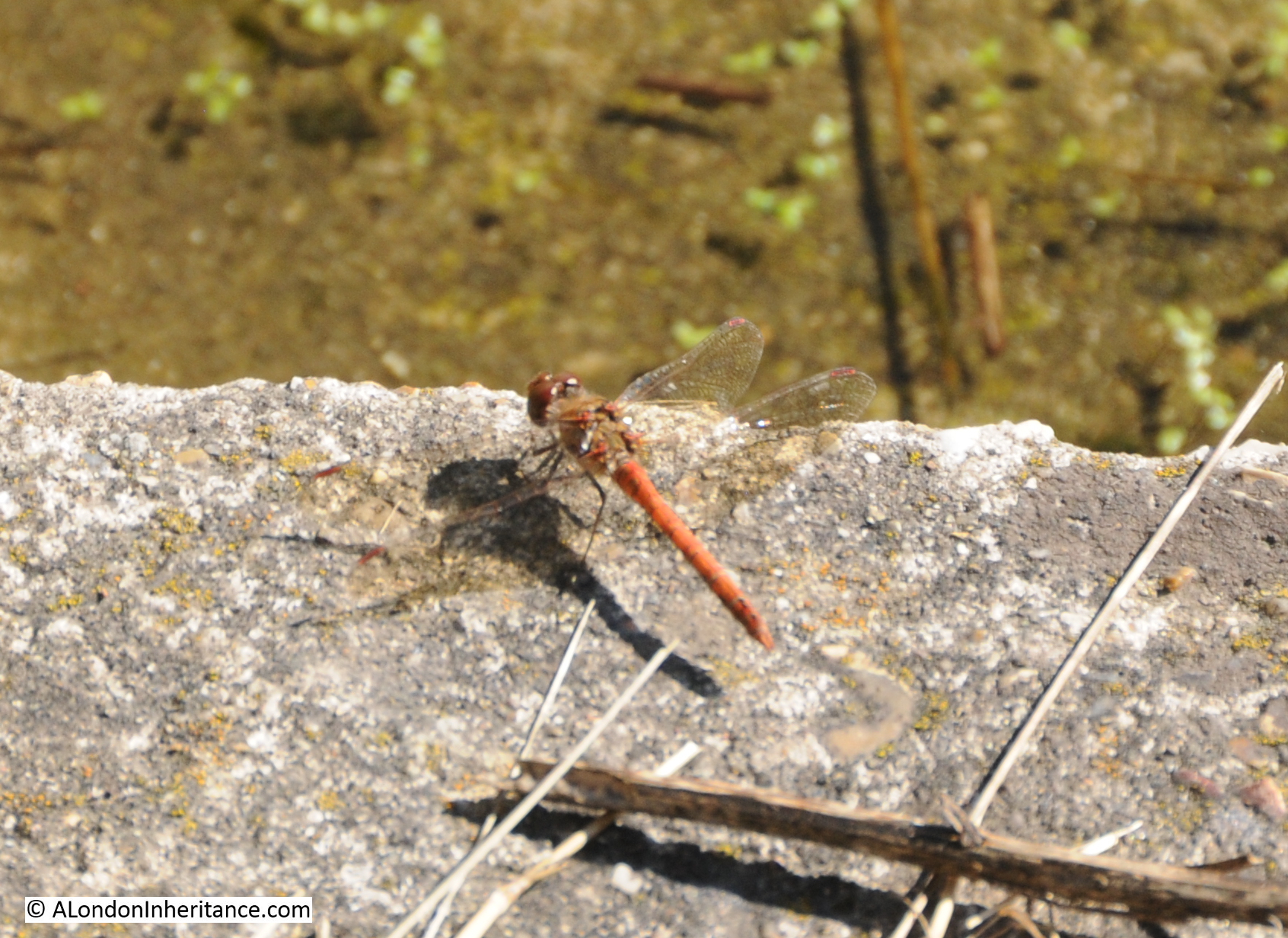
The rear of the panel provides information on the species of animals that can be found across the marsh, many of which have seen a severe decline in numbers over the last couple of decades. Three of the six reptiles native to Britain are found on Botany Marsh (grass snake, slow worm and vivaparous lizard).

Botany Marsh

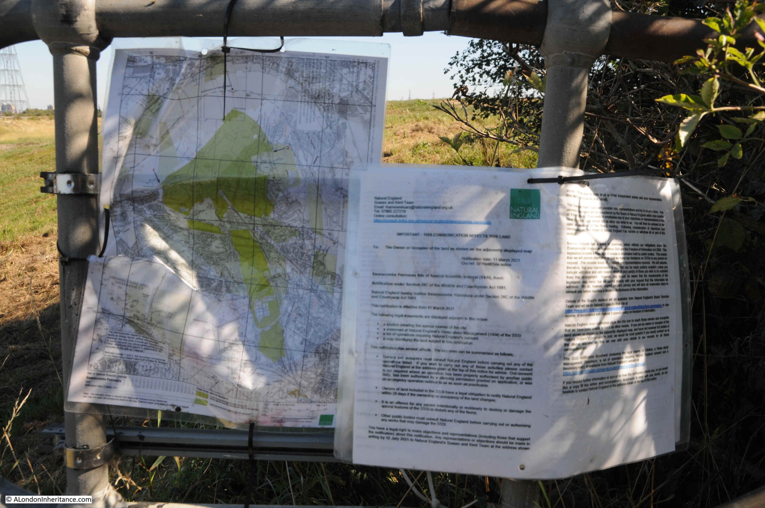
Campaigning to save the peninsula from development has included the need to designate the area as a Site of Special Scientific Interest. The uniqueness of the place, diversity of animal species, the rarity of such a variety of habitats all support an SSSI designation.

In March 2021, an existing SSSI to the south (Bakers Hole – a back filled quarry that was the site of many finds of Stone Age occupation), was extended to include most of the Swanscombe Peninsula.

Consultation on the recommendation to extend the SSSI took place between March and July and a recommendation to the Board of Natural England will be made based on the results. The Board then have until the 10th of December 2021 to either confirm or withdraw the recommendation.

The London Resort are looking at ways that this recommendation can be withdrawn or accommodated within their plans, so the outcome for both the London Resort and the Swanscombe Peninsula is not yet clear.

Map and details of the proposed SSSI are on display at all the main entrances to the peninsula:

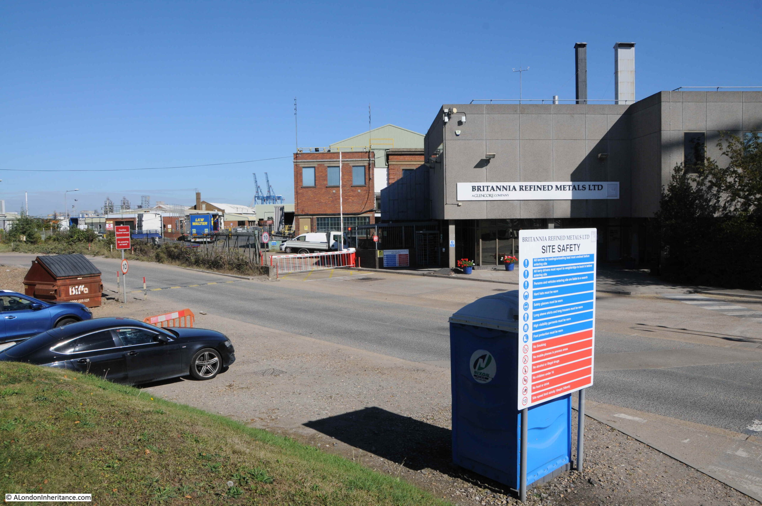
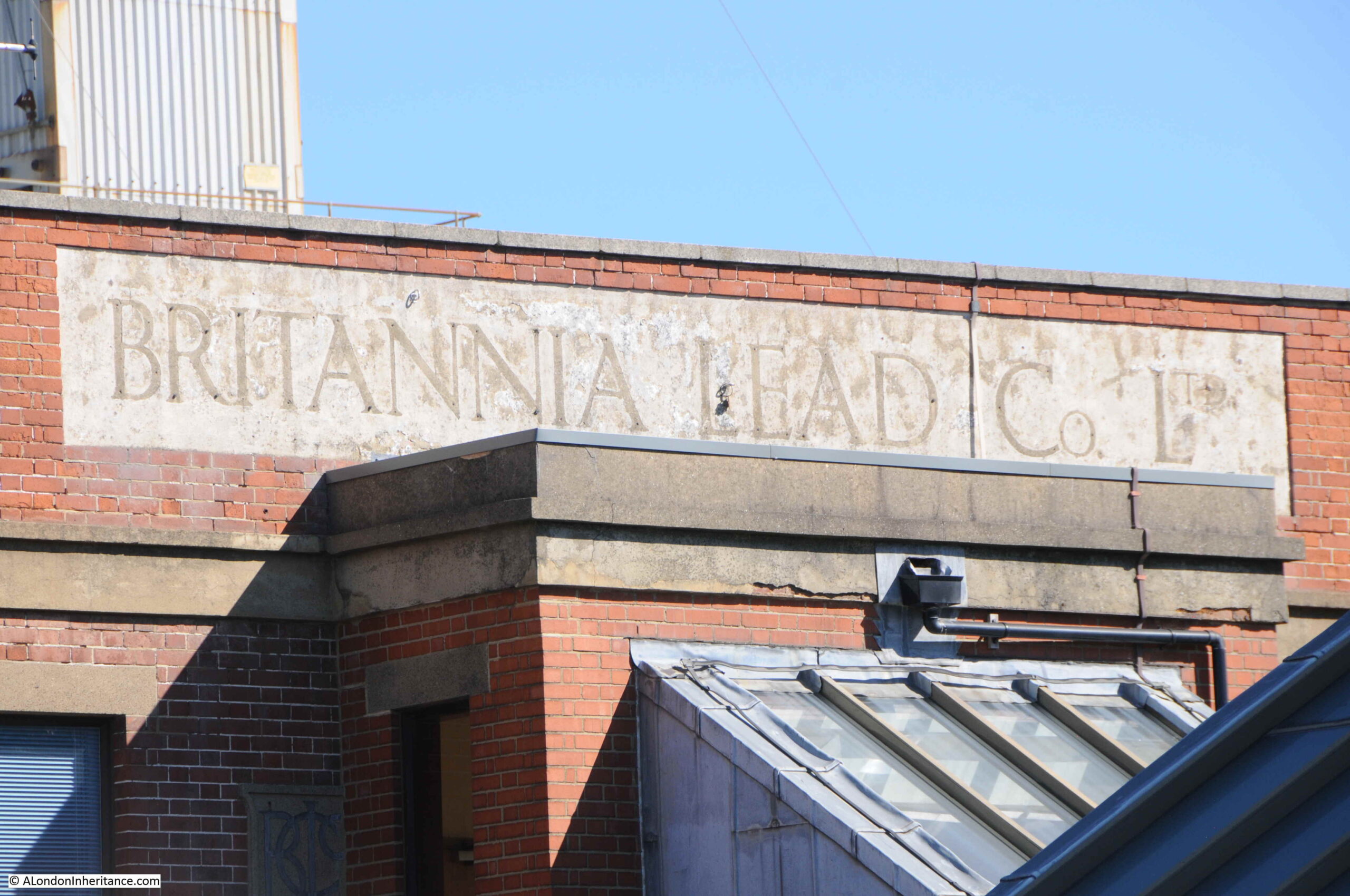
As well as the Cemex site, another industrial company on the eastern side of the peninsula is Britannia Refined Metals, a company owned by the multinational Glencore. The company specialises in lead, zinc and tin production.

Britannia Lead

Given the current shortage of HGV drivers, and the poor facilities provided for them, the above photo provides an example. To the right of the photo was a long layby off the road for lorry parking. The blue box behind the site safety sign appeared to be their only toilet facilities.

Britannia Refined Metals was originally formed around 1930 as the Britannia Lead Co. Ltd, and their original brick building is still onsite with the name above what was probably the original main entrance to the site.

Britannia Lead

After having a looking at the industrial side of the peninsula, I walked back to Botany Marsh to continue south along the footpath.

Botany Marsh

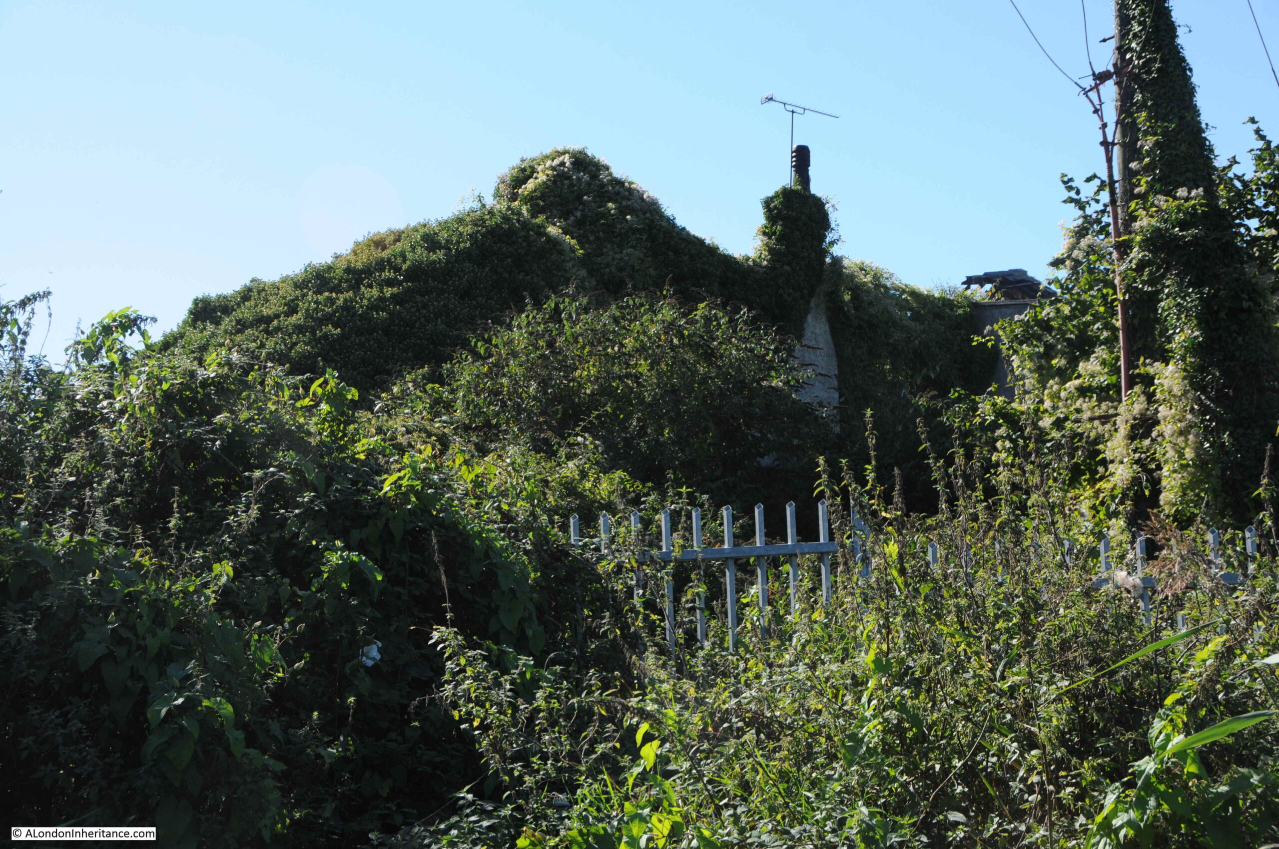
Old building on the northern edge of the southern industrial area gradually being overgrown:

Botany Marsh

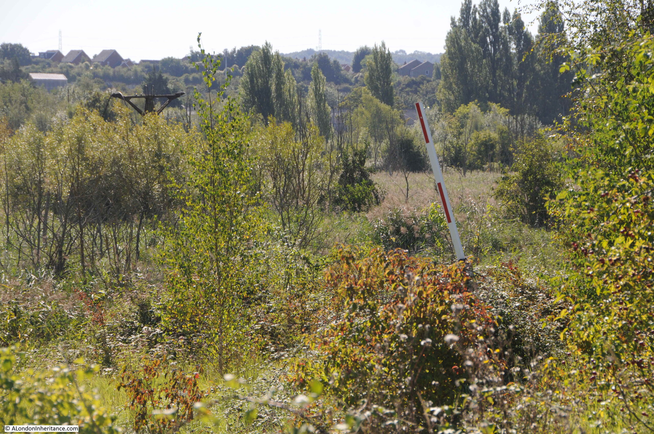
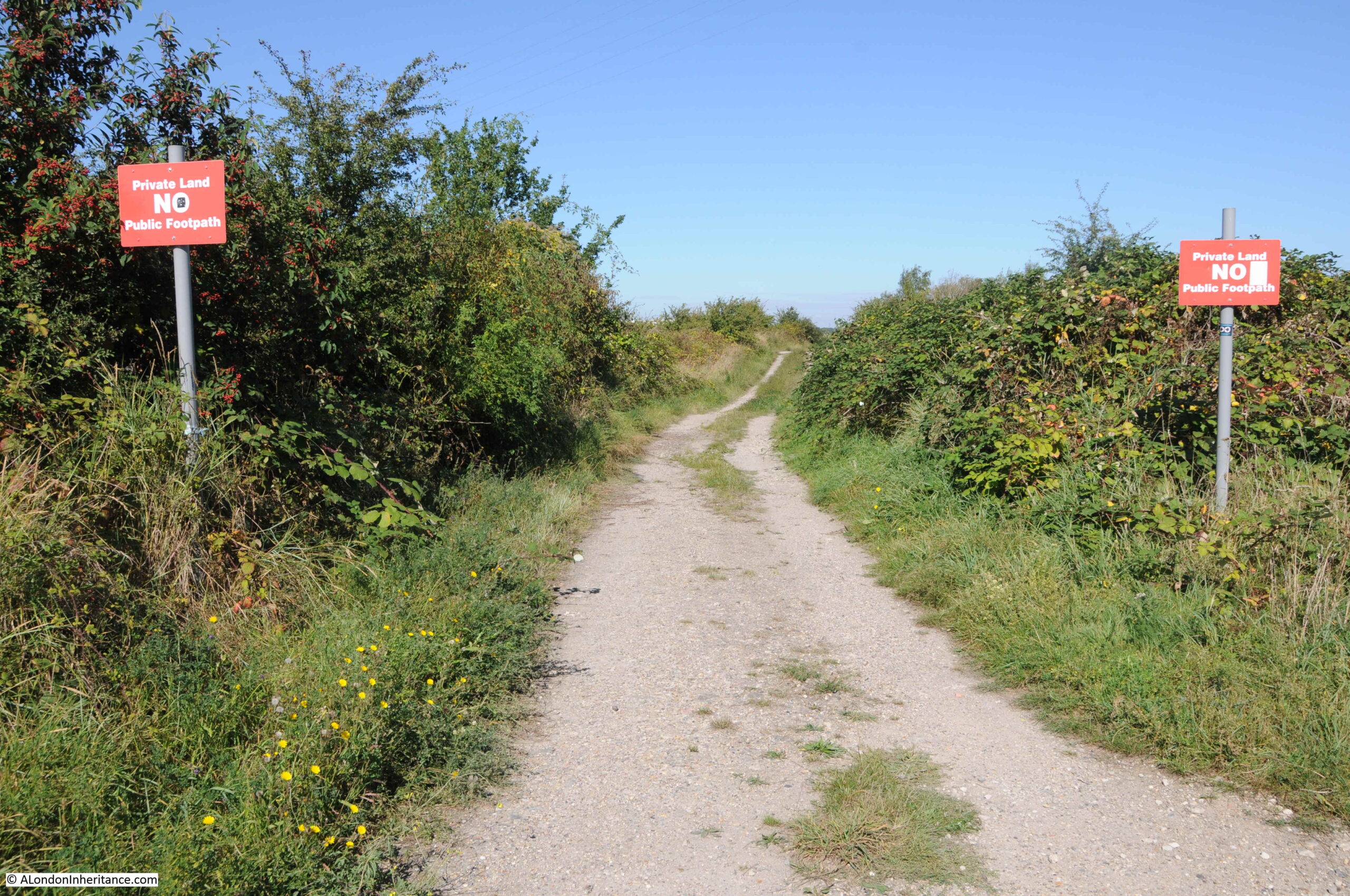
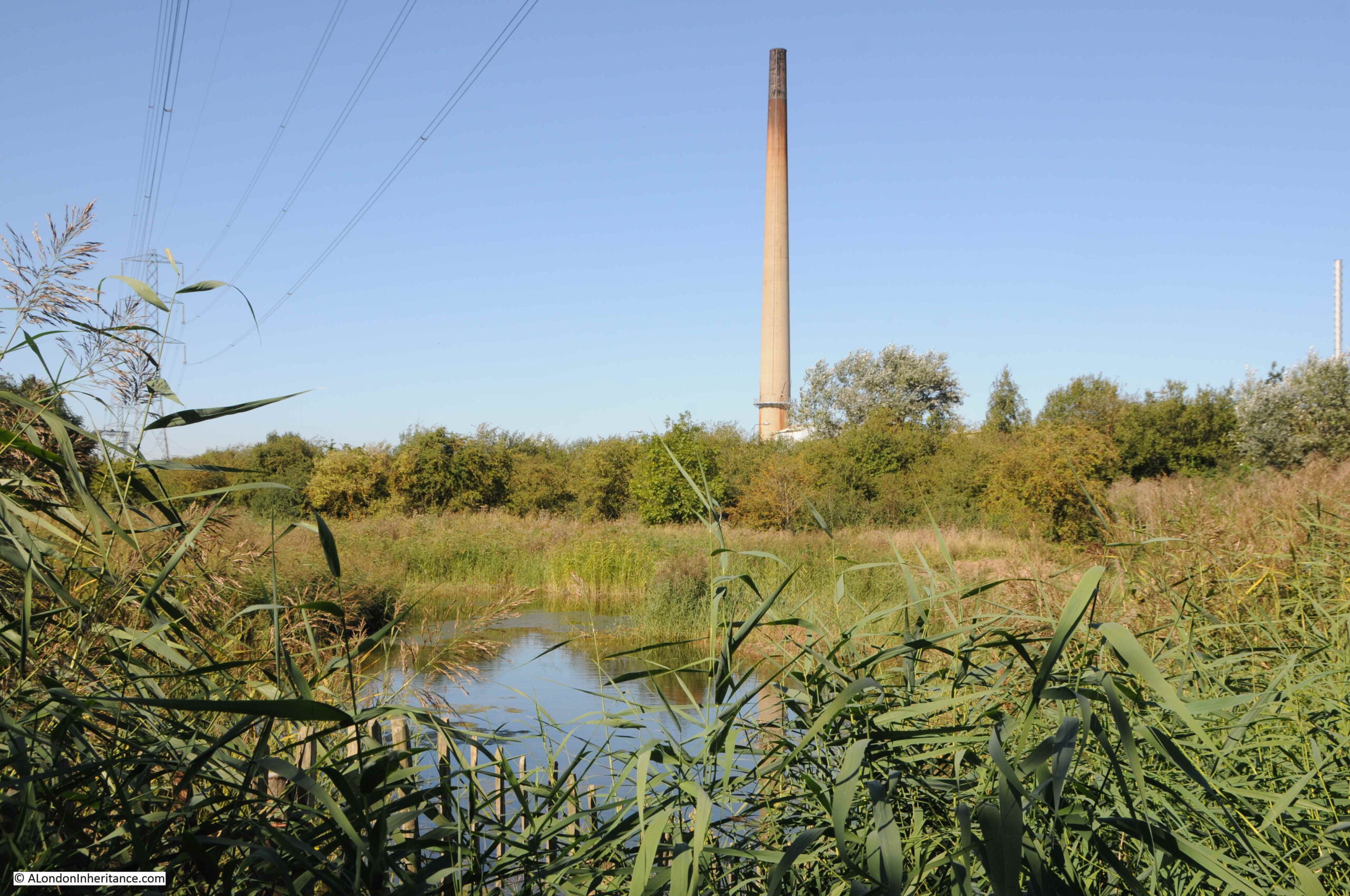
Although there are some large industrial sites along the eastern side of the peninsula, they are not that visible, apart from the very tall chimney of the Cemex works. More reeds, grasses and water of Botany Marsh.

Botany Marsh

The path I was following south, then turned towards the west, to loop back inland. I suspect it ended up at the flooded footpath shown earlier in the post, so after a lengthy detour, I turned back to access the road at the site of the Britannia factory.

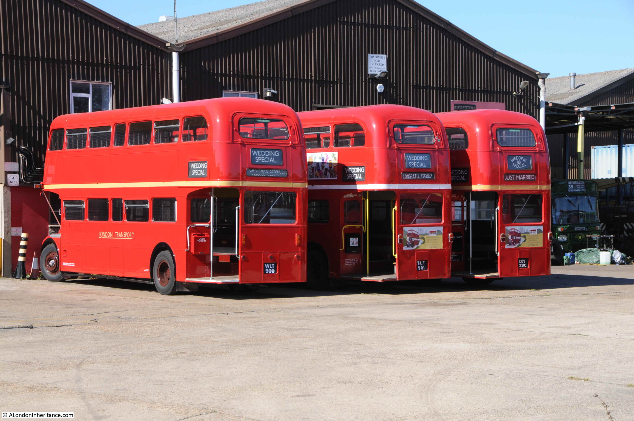
Following this road south took me through an industrial estate, very similar to those that have traditionally lined the River Thames, but I did not expect to find a number of London buses:

Routemaster

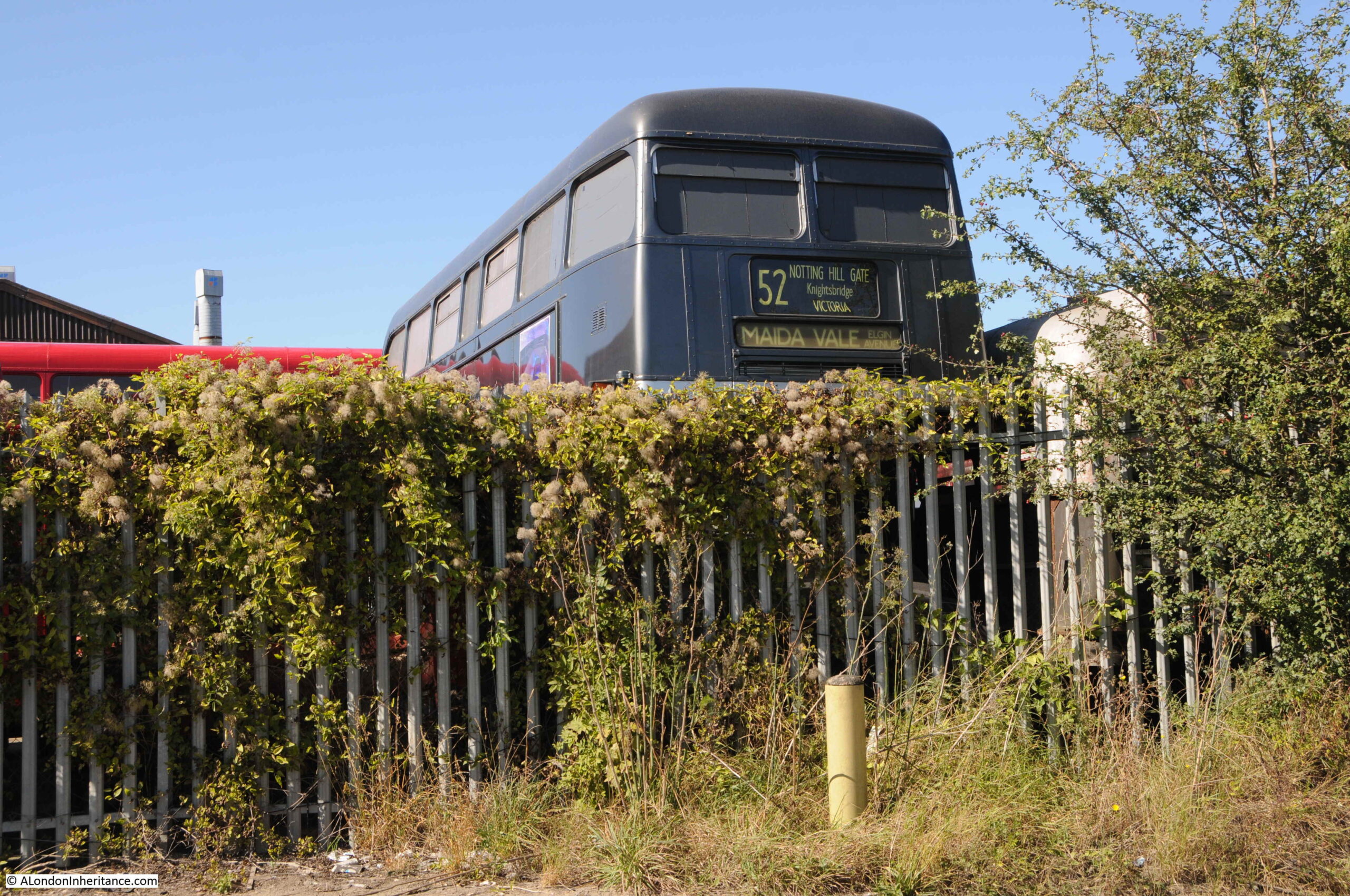
This is the site of London Bus and Truck Ltd – “For All Your Bus, Coach & Commercial Vehicle Requirements” and specialists in Routemaster buses which explains the small fleet of buses in their parking area:

Routemaster

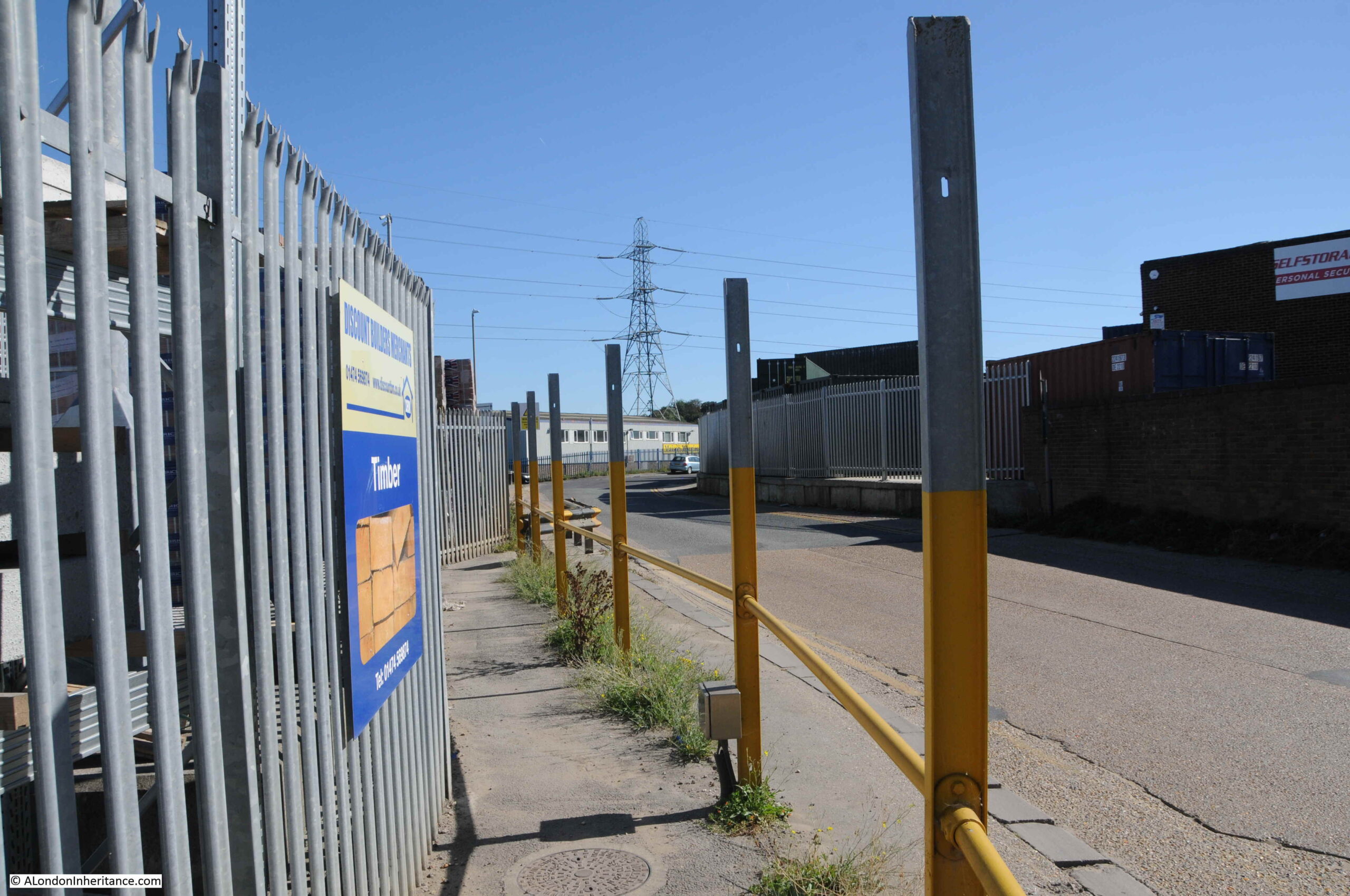
A bit of protection for pedestrians from the many HGV’s passing along the road:

Swanscombe peninsula

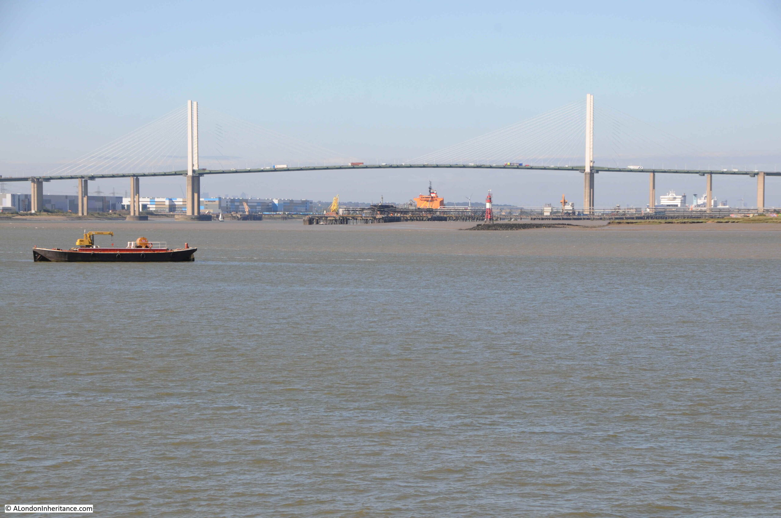
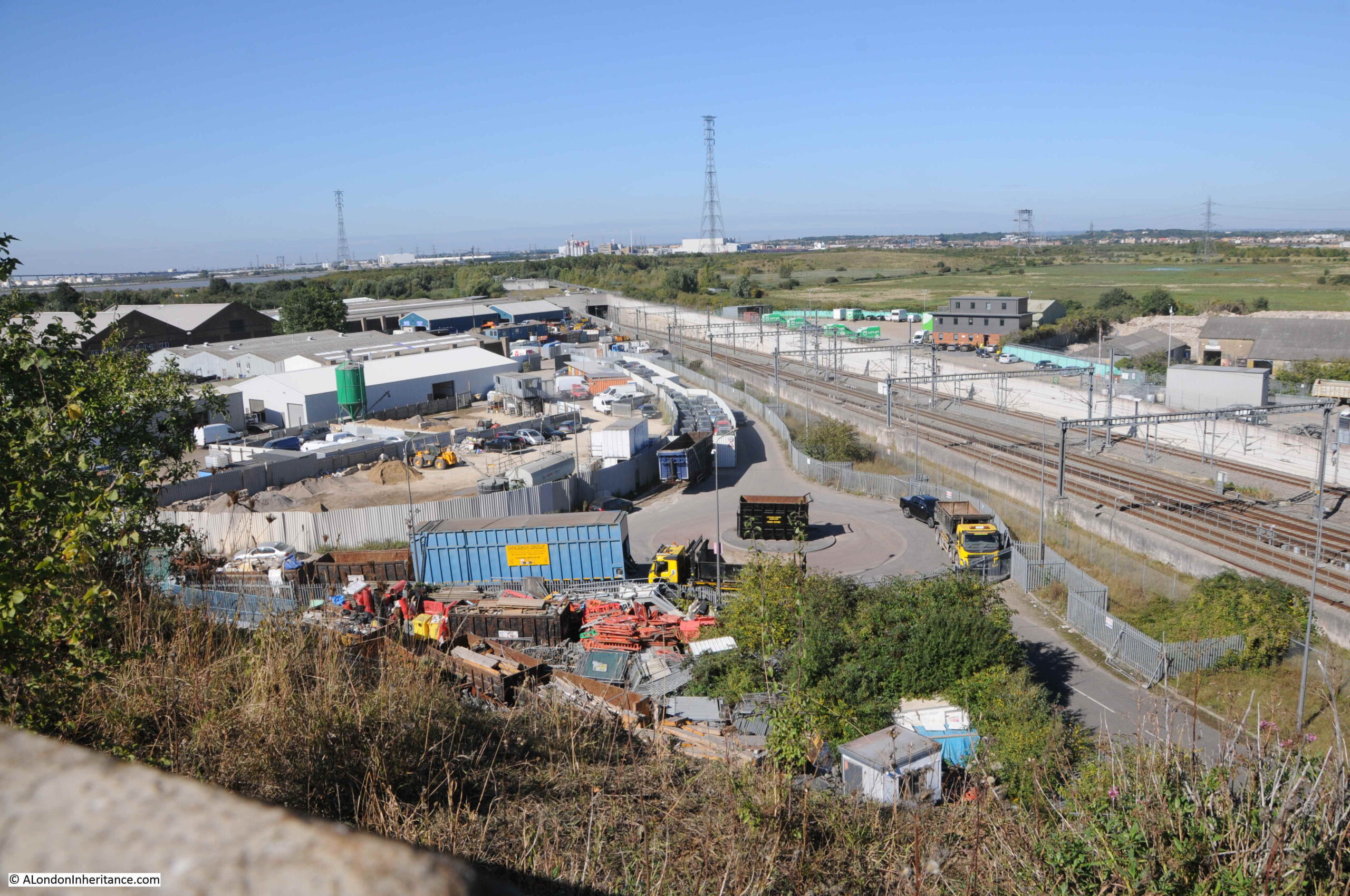
At the end of the road running through the industrial estate, it meets the A226, or Galley Hill Road, and I followed this busy road to head for Swanscombe station. The road runs across the bridge seen in the distance in some of the photos in today’s posts. The height of the road provides a good view across the Swanscombe Peninsula, and also shows where HS1 enters the tunnel under the peninsula to cross underneath the River Thames:

HS1

HS1 is the high speed railway running for 108km between Paris and St Pancras Station. Regular services started on the route on the 14th November 2007. The entrance on the Swanscombe Peninsula is the start of a one and a half mile tunnel under the Thames.

There are industrial sites lining the southern end of the peninsula, on either side of HS1. These industrial sites are also included in the land required by the London Resort. As development has extended east along the Thames from central London, many of these industrial estates have been closed and built over with housing. They are though a much needed part of economic infrastructure.

HS1

The view from the bridge shows what appears to be grass and bushes over the northern part of the peninsula. It is not really possible to appreciate the natural diversity of the place from this viewpoint and a walk through the site is needed.

The London Resort describe one of the benefits of their proposals as the regeneration of what is largely a brownfield site. This is true, the peninsula has been the location of both industry, the infrastructure needed to support these industries and connect them to the river, along with the dumping of waste from these industries. However just describing Swanscombe Peninsula as a brownfield site does not fully appreciate the site today. A site which has been considerably reclaimed by nature, is home to many endangered species and also retains that sense of isolation that was so prevalent across much of the land along the river to the east of London.

I also like the industrial sites that are found on the east side of the peninsula. They are there because of the river, the river that has transported so many raw materials and finished products across the centuries.

The road bridge taking Galley Hill Road over HS1. This was the exception when there was no traffic. During my walk along the road there was an almost continuous line of cars and lorries.

HS1

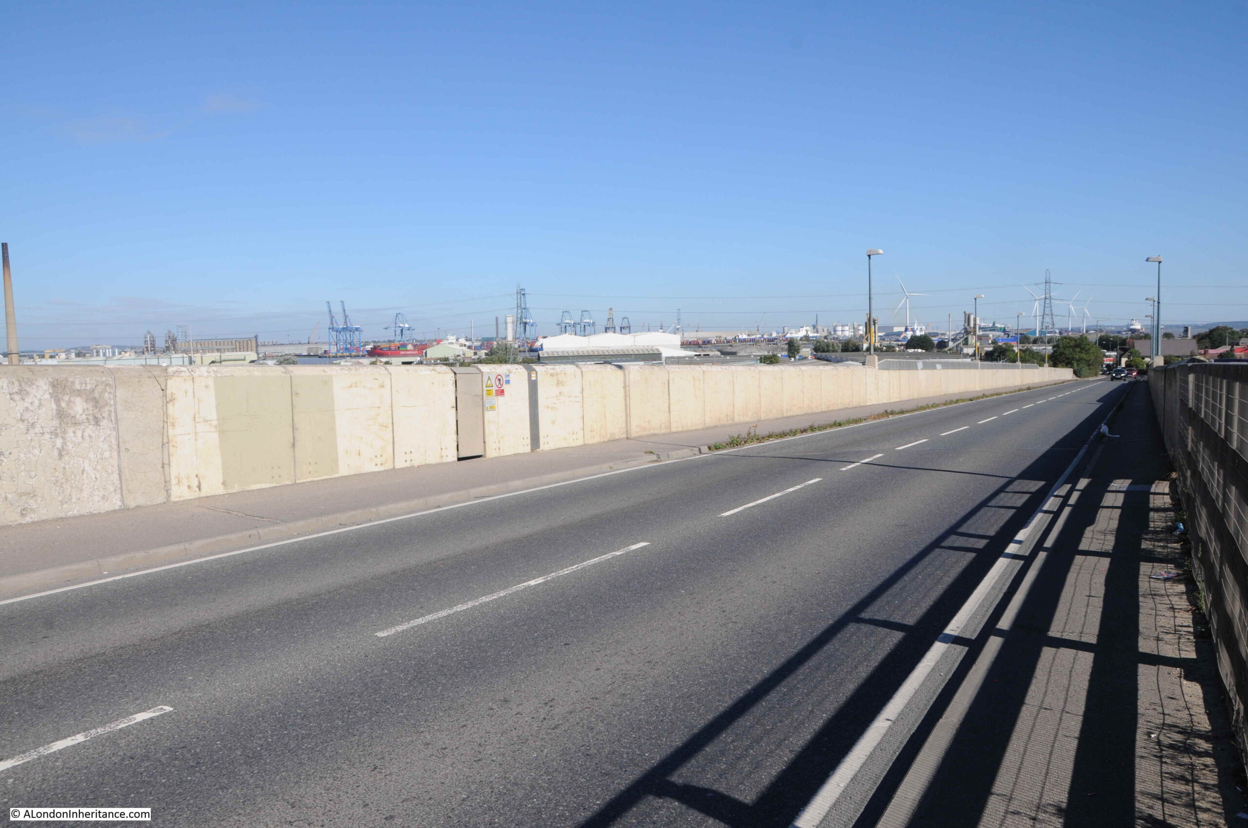
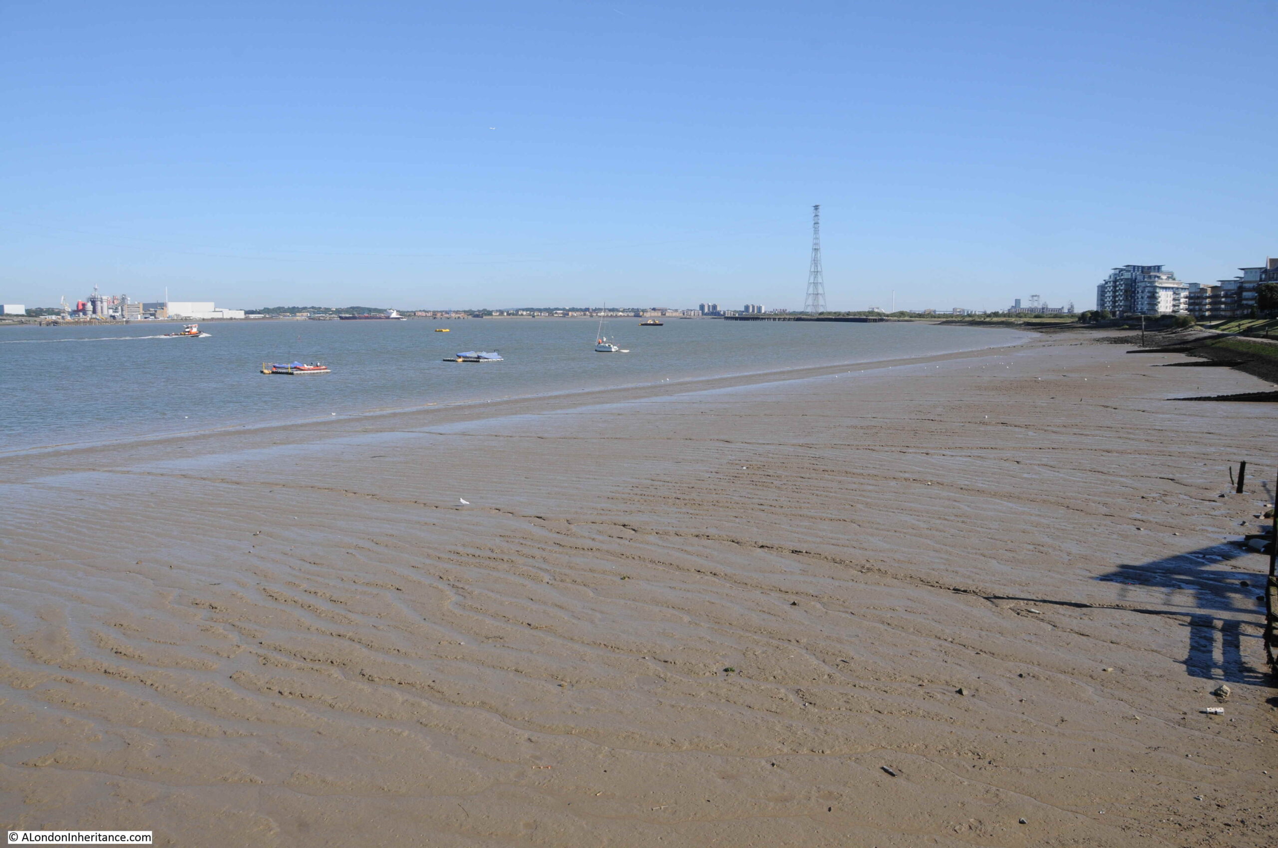
The River Thames is always in the background around the peninsula, with shipping moored at, and travelling past Tilbury visible:

River Thames

From the bridge we can view the chalk cliffs that line part of the south western edge of the peninsula:

Swanscombe Skull

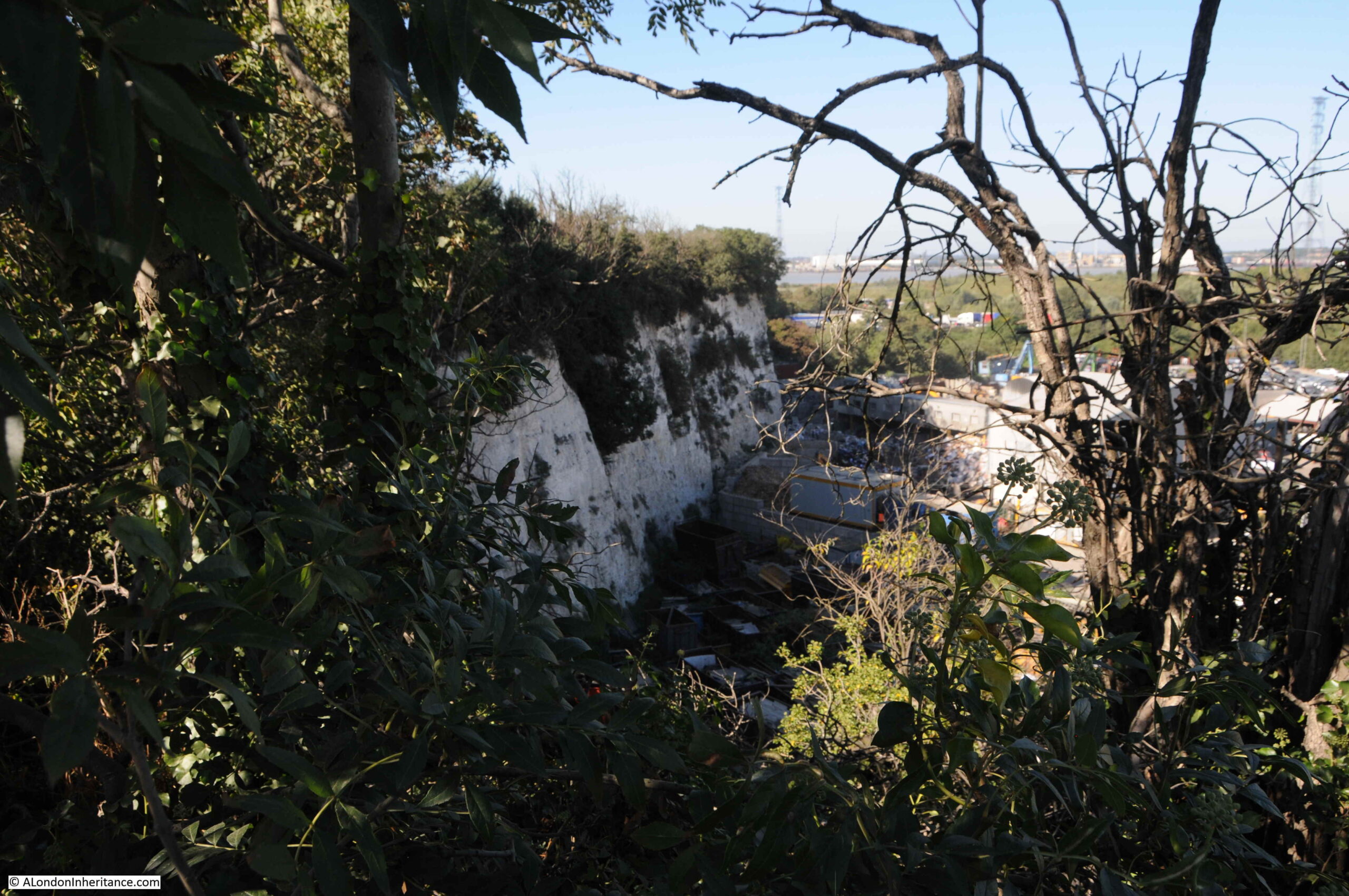
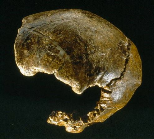
There are a number of chalk pits on the peninsula, and the wider Swanscombe area is one of Europe’s most important Paleolithic sites (500,000 BC to 125,000 BC). Finds in the area include hand axes, and what became known as the Swanscombe Skull, which was excavated in Barnfield Pit, a short distance south of the peninsula (part of the extended SSSI). The area also includes evidence from some of the temperate periods between periods of glaciation, or ice ages.

The skull was discovered in 1935 by Alvan T. Marston, one of the many archaeologists who had been working in Swanscombe. He described the discovery as follows:

“For nearly half a century, archaeologists have known the high terrace gravels at Swanscombe, Kent, and in that time have found hundreds of thousands of the early Stone Age hand axes belonging to the Chelles-Acheulean stage, but the constant hope that skeletal remains of the makers of those implements might be found did not become fact until June 1935, when I discovered a human occipital bone 24ft below the surface in the middle gravels of the Barnfield Pit. Nine months later a second bone of the same skull was found, the left parietal, in the same seam of gravel and at the same depth below the surface. The two bones were 8 yards apart, many tons of sand and gravel having to be excavated and examined to bring the second bone to light, and this work is still going on.

Swanscombe is not homo sapiens. It is, as its geological horizon shows, a pre-Neanderthal hominid.”

The Swanscombe Skull © Natural History Museum:

Swanscombe Skull

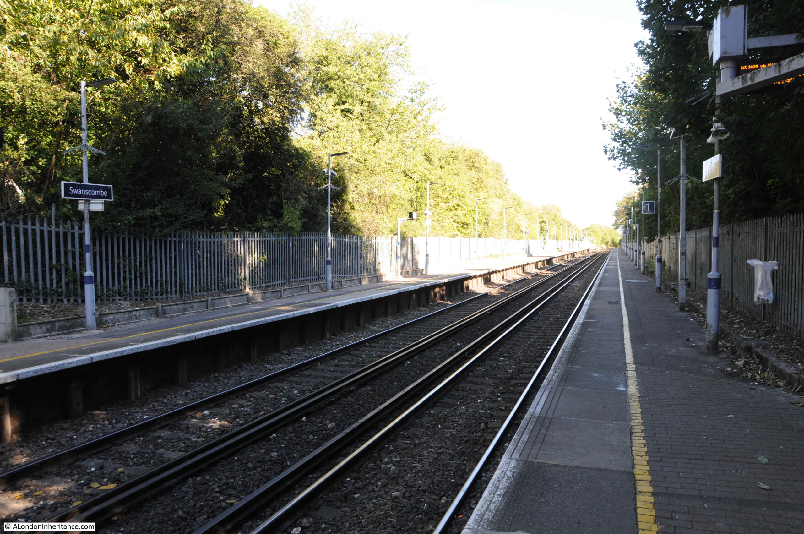
And with that diversion, I reached Swanscombe station, ready for the train back to Waterloo East:

Swanscombe Station

This is the first time I have been to Swanscombe Peninsula. No doubt the weather helped with first impressions, however it was a fascinating walk through such an interesting area.

This is a place that is incredibly unique. Fresh water marsh to the south and salt water marsh to the north has created different environments, with a wide variety of animal species populating the peninsula.

The peninsula is also very quite, I walked through on a Friday, so it is possibly busier at the weekend, however I saw five people at most, only one close up – a jogger on the eastern side of the peninsula.

Jobs are really important and are needed in north Kent, and it is always a difficult argument, however the planned resort / theme park does seem to be in the wrong place.

It does not occupy the whole of the peninsula, however it would have a dramatic impact on the remaining land. Construction work, drainage, impact on the water table, noise and light would all have an impact on the surrounding environment and animals. Many of these animals are threatened, with, for example, Swanscombe Peninsula being one of only two known places where the jumping spider Attulus distinguendus can be found.

The development would also disrupt the movement of animals between the peninsula and the wider environment.

The board of Natural England have until the 10th of December 2021 to make a decision on the SSSI extension to the peninsula. It will be interesting to see their decision and the impact this may have on plans for the London Resort and the future of Swanscombe Peninsula.

If you get a chance to visit, a walk through Swanscombe Peninsula is a really good day out.

More information on the London Resort (which includes their planning application), the Swanscombe Marshes, and those campaigning against the development can be found at the following links:

The London Resort site is here.

The Save Swanscombe Marshes site is here

And their map with their recommended walking route is here

The Kent Wildlife Trust page on the London Resort development is here.

The Bug Life page on the Swanscombe Marshes is here.

The RSPB page on the marshes is here.

The Department for Environment, Food and Rural Affairs page with the SSSI documentation is here.

The Natural England page on Swanscombe is here.

A PDF of Natural England’s supporting documentation for the SSSI, including maps, can be found here.

alondoninheritance.com

Swanscombe Peninsula and the London Resort – Part 1

Before heading to the Swanscombe Peninsula, if you would like to explore the Southbank or the Barbican, there are still a few tickets left for my final walks for the year. I have also added a limited number of tickets as many walks have already sold out. Click here for details.

If you have been reading the blog for a while, you will probably be aware of my interest in the River Thames. Not just the part through the city, but the whole of the river, out to the estuary. The Thames is the reason why London is located where it is, and has been the route for the trade that made the city so successful.

Just over a week ago, on probably the last, hot and sunny day of a late summer, I went to the Swanscombe Peninsula. A place that is currently threatened with some significant development.

The Swanscombe Peninsula is a large area of land, pushing out into the river, well to the east of the city. According to the Kent Past website, the name comes from the Old English “camp” meaning a “field, an enclosed piece of land”, along with the Danish name of Swaine, so Swanscombe could have originated as describing “Swaine’s enclosure’’.

The area of the peninsula is 205 Hectares, or 506 Acres. In the following map, I have circled Swanscombe Peninsula in red (Map © OpenStreetMap contributors)..

Swanscombe Peninsula

The western part of the peninsula has long been seen as a development opportunity, and in the Strategic Planning Guidance for the River Thames (1997), the area was identified as a “riverside opportunity for an urban village”. Current plans are for a very different use as a considerable part of the Swanscombe Peninsula is currently planned to be developed as the London Resort, described on the project’s website as a “world-class, sustainable, next generation entertainment resort known as the ‘London Resort’, on the banks of the River Thames”.

The London Resort will also be the “first European development of its kind to be built from scratch since the opening of Disneyland Paris in 1992”.

Development of the London Resort will bring considerable investment into the area and many, much needed jobs.

The London Resort has been planned for many years, in 2008 it was designated as a Nationally Significant Infrastructure Project, however there have been a number of delays, and major supporters of the project have withdrawn and also rejoined over the years.

Plans for development now seem to be making progress, and the London Resort’s website claims a start date of 2022, with the first part of the resort opening in 2024, and the site being complete by 2029.

If I have understood the planning documents correctly, the core of the London Resort is shown outlined in red in the following map:

Swanscombe Peninsula

The red rectangle covers pier developments as numbers of people travelling to the resort are expected to come via the river, and land on the opposite side of the river in Tilbury is being being included in this scheme.

Whilst the map shows the core of the resort, there will be considerable additional surrounding development, bath in support of the resort, and as the large number of visitors and supporting businesses draw in additional development.

The Swanscombe Peninsula is not a pristine, natural environment. It has long been surrounded by the type of dirty industrial complexes that were to be found to the east of London. Paper Milling, Cement Production and Lead Refining were some of the industries that could be found here, and their impact extended over the peninsula, for example rail tracks extending to river piers.

The site has also been used for waste disposal, gas works, a sewage works, and in recent decades provides the infrastructure for a high-voltage electricity crossing of the river, and where the HS1 railway linking St Pancras with the Channel Tunnel dives under the Thames.

The following extract from a mid 1950s Ordnance Survey map shows the peninsula, with industry covering the southern boundary. Note also the split between the Broadness Salt Marsh and Swanscombe Marshes where a drain was constructed to recover the southern parts of the peninsula (‘Reproduced with the permission of the National Library of Scotland’.

Swanscombe Peninsula

To visit the site, I took the train from Waterloo East to Greenhithe. I planned to follow the recommended route on the Save Swanscombe Marshes website, which can be found here.

Starting at Greenhithe Station, an almost circular walk would take me to Swanscombe Station to catch the train back to Waterloo East. I ended up walking almost six miles, by taking some detours and also on the eastern side of the peninsula, I carried on along a footpath rather than turn onto the road, the footpath almost took me back around the peninsula.

There is so much to be found in the area. I got distracted in Greenhithe, found where the Cutty Sark was moored, saw some wonderful electrical infrastructure, and was just stunned by the beauty of the place, and whilst much could be described as a brownfield site, it shows how nature can recover and reestablish.

I have split today’s post about the Swanscombe Peninsula into two separate posts. One at the usual time this morning, and a second post later this evening. I will also include a number of links for further information at the end of the second post.

So, for the first post, I am starting at Greenhithe Station (blue circle to left) and covering the route marked by the blue line.

Swanscombe Peninsula

To reach the western end of the peninsula, I walked through Greenhithe to get close to the river. Greenhithe is a historic, small town, where the streets alongside the river reflect the towns early relationship with the river.

The name has similarities to Queenhithe in the City, with “hithe” meaning a wharf or landing place. It seems that Green just refers to the town as being a green landing place.

There were wharves, ships were built and maintained, goods and people transferred between ships and land.

In Greenhithe High Street is the Sir John Franklin pub, named after the commander of the expedition that sailed from Greenhithe on the 19th of May 1845, in the Erebus and Terror, to try and find a north west passage across the top of Canada, between the Atlantic and Pacific. Greenhithe was the last place that the crew would set foot in England. After a final sighting on the 26th July 1845, the two ships and their crew, including Sir John Franklin, were not seen again.

Sir John Franklin

A newspaper report on the 20th May 1845 describes their departure along the Thames;

“The Erebus, Captain Sir John Franklin, and the Terror, Captain Crozier, left Woolwich on Monday, towed by the African and Myrtle steamers, for Greenhithe. The Terror having previously tried her screw-propeller, on this occasion resolved on trying it again, and made such excellent progress, that she cast off her towing steamer and proceeded down the river without any additional assistance whatever. The crews of the Erebus and Terror were paid in advance today and tomorrow (Saturday) sail for their destination, accompanied by the Monkey and Rattler steam-vessels, ordered to tow them to the Orkney islands. The Baretto Junior transport with live stores and various descriptions of preserved meats and other articles, most liberally supplied for the use of the officers and men of the discovery vessels, will be sent at the same time, and accompany them to the borders of the ice. The compasses of the vessels have been adjusted by Captain Johnson, and the most perfect arrangements made for the peculiar service in which the vessels of the Artic expedition are to be engaged.”

I have written more about the expedition, and the search for the crew in a post on the The Bellot Memorial at Greenwich.

At the back of the Sir John Franklin pub is one of the old wharfs, now a rectangular inlet, with new housing on one side and an old, decaying boat below.

Greenhithe

As well as the name of the pub, Greenhithe High Street retains other links with the previous life of the town (assuming the sign is genuine, and not a modern creation).

Greenhithe

There are some wonderful old houses in the High Street, and it is a lovely place to walk on a sunny, September day, however in the 18th century, this would not be a very safe place to be when the press gangs were roaming as this report from a number of newspapers on the 24th May 1740 indicates: “On Tuesday there was a smart Pres on the River below Bridge, that from the little Town of Greenhithe they have taken no less than 17 Men for the King’s Service”.

Greenhithe

Before the High Street takes a sharp right to turn in-land, there is another pub, this is the Pier Hotel:

Greenhithe

In the first half of the 19th century there was an attempt to turn Greenhithe into a tourist destination, perhaps trying to attract the boats passing on the river that were starting to take Londoners out of the city for a day trip to Southend or Margate.

This included the construction of a short pier, shown in the following drawing by Henry Cole, dated 1836:

Greenhithe Pier

To get back to the river, and continue on to the peninsula, I walked past the Pier Hotel, and took a quick look down to the river, where there is a rather hidden red telephone box, before taking a cut through to the river walk.

Greenhithe

From where there is a superb view of the Queen Elizabeth II Bridge, part of the M25 Dartford crossing:

Queen Elizabeth II bridge

And looking in the opposite direction, I could see my destination, the peninsula curving out into the river, with the electricity pylon a clear landmark of where I was heading.

Swanscombe Peninsula

This stretch of the river has a walkway with superb views across the river. In the following photo I am looking back towards Greenhithe. This stretch of the river has had a considerable amount of building over the last few decades, with a large housing estate on the left, facing onto the river:

Thames Walkway

View in the opposite direction, towards my destination:

Thames Walkway

Part of the land on which the housing in the above two photos was built, originally formed part of the Ingress Estate, an ancient manor that once belonged to the Priory of Dartford.

in 1833, an Elizabethan style house was built on the site and named Ingress Abbey, allegedly using stones from London Bridge which had been demolished in 1831. The house was surrounded by land, including land sloping down to the river. When researching the site, I found the following photo from the Britain from Above archive:

Cutty Sark

The photo is dated 1939. Ingress Abbey can be seen looking down to the river, where two ships are moored. The larger ship is HMS Worcester which at the time operated as the Thames Nautical Training College. The smaller ship is the Cutty Sark which at the time was also part of the training college, operating as an auxiliary cadet training ship. The Cutty Sark would continue in this role, before being moved to Greenwich.

Walking further towards Swanscombe Peninsula, and the walkway changes, now with a high concrete wall protecting the housing from the river.

Thames Walkway

Not sure what these rails in the base of the walkway are, possibly left over from the site’s industrial activity:

Thames Walkway

As well as the land of Ingress Abbey, the housing in the second above photo was built on a large industrial site, the Empire Paper Mills. I have highlighted the paper mills within the red oval in the following extract from the 1966 Ordnance Survey map:

Swanscombe Peninsula

The paper mills included a large jetty projecting into the Thames. This was used to receive raw materials from cargo ships, that were then transported to the mill for processing. Completed products were then sent via the rail network, and a rail line can just be seen leaving the lower left of the mills, heading to the mainline at Greenhithe.

The following photo from Britain from Above shows the scale of the paper mills in 1927. The Swanscombe Peninsula can be seen in the background:

Swanscombe Peninsula

The paper mills continued into the early 1990s, but were struggling to operate and make money. They finally closed in 1992, and in the decades that followed the site was cleared and is now occupied by housing.

The following photo, also from 1927, is looking west, with the paper mills, the grounds of Ingress Abbey and at the top right of the photo, the town of Greenhithe:

Swanscombe Peninsula

In the above photo, part of Swanscombe Peninsula can be seen in the lower left half of the photo. Part of the space is occupied by Cricket and Sports grounds, showing how there has long been a degree of human influence on the peninsula.

Also in the above photo, there is a triangular inlet from the river where the paper mills meets the peninsula. This inlet is still there today, and is where the river walkway ends with steps up to Swanscombe Peninsula.

Swanscombe Peninsula

Walking up the steps, and I was finally on Swanscombe Peninsula:

Swanscombe Peninsula

A raised bank protects this part of the western side of the peninsula from the river. One of the old piers from the area’s industrial past juts out into the river:

Swanscombe Peninsula

Along this stretch there are two raised banks, with a low lying ditch between:

Swanscombe Peninsula

Windswept bushes line the river:

Swanscombe Peninsula

A good view of the Queen Elizabeth II bridge. It is only from viewpoints such as this that you can appreciate the length of the central section and the two slender towers that provide support.

Queen Elizabeth II bridge

Below the bridge, to the lower right can be seen the red and white of the Stoneness Lighthouse, a working lighthouse on a piece of land jutting out into the river. This model of the lighthouse will soon be replaced. The Port of London Authority have issued a Notice to Mariners that from the 29th September, work will begin to replace the lighthouse, and that it will be out of operation until the 9th of October.

Inter-tidal mud and grasses:

River Thames

The above photo highlights how important an area with low lying marsh is along the river, and will be in the future with expected rises in the level of the Thames on the eastern side of the Thames Barrier where water levels will rise, as the barrier protects the city.

Looking inland, and this part of the peninsula is covered with dense, tall grasses and reeds:

Industrial Archeaology

There are two, rusting towers visible in the above photo. To the south of the peninsula was a large cement works, and the towers were part of an aerial cableway that stretched from a wharf and pier on the river to the cement works and was used to transport materials between ships in the Thames and the factory. The cable operated alongside a railway between wharf and factory.

I have highlighted the route of the cableway which is marked on the following extract from the 1966 Ordnance Survey map:

Industrial Archeaology

Closer view of one of the towers, showing one of the cables that once ran along the route carrying materials to and from the cement factory:

Industrial Archeaology

As well as the factory to the south of the peninsula, and the transport system across the peninsula, the production of cement was also responsible for the legal dumping of cement kiln dust, which has raised the height of the land in some western parts of the peninsula.

Looking to the right of the above view, and there is a dense area of grass growth up to a distant tree and bush line:

Swanscombe Peninsula

Along the inland base of the second bank is a road which runs up to the location of the old wharf and pier:

Swanscombe Peninsula

An open barrier still stands as the land around is reclaimed by nature:

Swanscombe Peninsula

Track leading to the location of the old wharf and pier:

River Thames

Which unfortunately appears to have a double row of fencing restricting access:

River Thames

Getting closer to the electricity pylon:

Swanscombe Peninsula

There are a number of tracks which make it clear that parts of the peninsula are private land and that these tracks are not public footpaths:

Swanscombe Peninsula

Exploring tracks on a warm September day:

Swanscombe Peninsula

In the following photo, I am looking inland. There are a number of large areas of water, and in the distance on the left is the bridge that carries the A226, London Road, and on the right, the white chalk cliffs can be seen, highlighting that the site has been subject to extensive chalk quarrying:

Swanscombe Peninsula

Strange to come across some Network Rail infrastructure in a small, fenced compound. The reason for this will be come clear in the second post on Swanscombe Peninsula.

Network Rail

Although much of this part of the peninsula is covered with dense grasses, reeds and low bushes and trees, these can be deceiving as the area is also very wet, with water appearing in clear pools which emerge from the grass:

Swanscombe Peninsula

As well as walking, the peninsula is a place to just stop and enjoy what is a very special place. There is plenty of insect life both within and away from the water. My insect identification skills are almost non-existent, however I hope I am right in claiming the following photo is of a dragonfly, one of many that were around me in the above photo.

Dragonfly

The main landmark on the peninsula is the electricity pylon:

Electricity Pylon

The pylon is one of a pair that support cables spanning the Thames. The other pylon is on the north bank of the river, and they carry several 400,000 Volt (400kV) electricity circuits, transporting power across the country.

They were built in 1965, and are 623 feet (190 metres) in height, apparently the tallest in the country. The height was needed to ensure sufficient clearance for the cables above the River Thames so the river is clear for shipping. Not just the height of the ship, but also to provide enough distance between cable and ship, so the high voltages carried by the cables would not arc between cable and ship.

The cables running over the Thames, connect to the grid network north of the Thames that transports electricity into London. From Swanscombe, the cables run towards east Kent where there were former coal fired power stations, which have been replaced by gas, as well as undersea interconnector cables to the Netherlands and Belgium which land on the Isle of Grain and near Richborough in Kent.

The height of the tower, along with the two platforms on the tower has resulted in the tower being popular with base jumpers – people who jump with a parachute from a high structure. In March 2006, one base jumper died at Swanscombe when it appears his parachute failed to open.

That is a sport I could not imagine ever attempting, however I really do like these structures.

Following photo shows the platform at the very top of the 623 feet tower, along with some of the insulators that carry the cables. These are of some length as they need to separate the 400kV running through the cables from the metal of the tower.

Electricity Pylon

The cables from the top of the tower then run down to a smaller tower that separates and routes them off to more traditional electrical pylons.

Electricity Pylon

A sideways view of the above tower shows a work of industrial art:

Electricity Pylon

I have now reached the end of the blue line in my map of the route through the Swanscombe Peninsula. The post covering part two of my walk through this very special place, the industry on the eastern edge, HS1, the wildlife of the peninsula, the status of a Site of Special Scientific Interest along with links to further sources of information will be sent out this evening.

alondoninheritance.com