In 1952 on one of his cycling trips across the country, my father was in Bristol and took some photos of the Clifton Suspension Bridge.
The bridge has been on my rather long list of places to visit, so when tours of the hidden vaults beneath one of the abutments supporting the bridge were announced, I booked, and a couple of weeks ago the day arrived to visit the bridge and take the tour. I even found some very tangible links back to London and the River Thames.
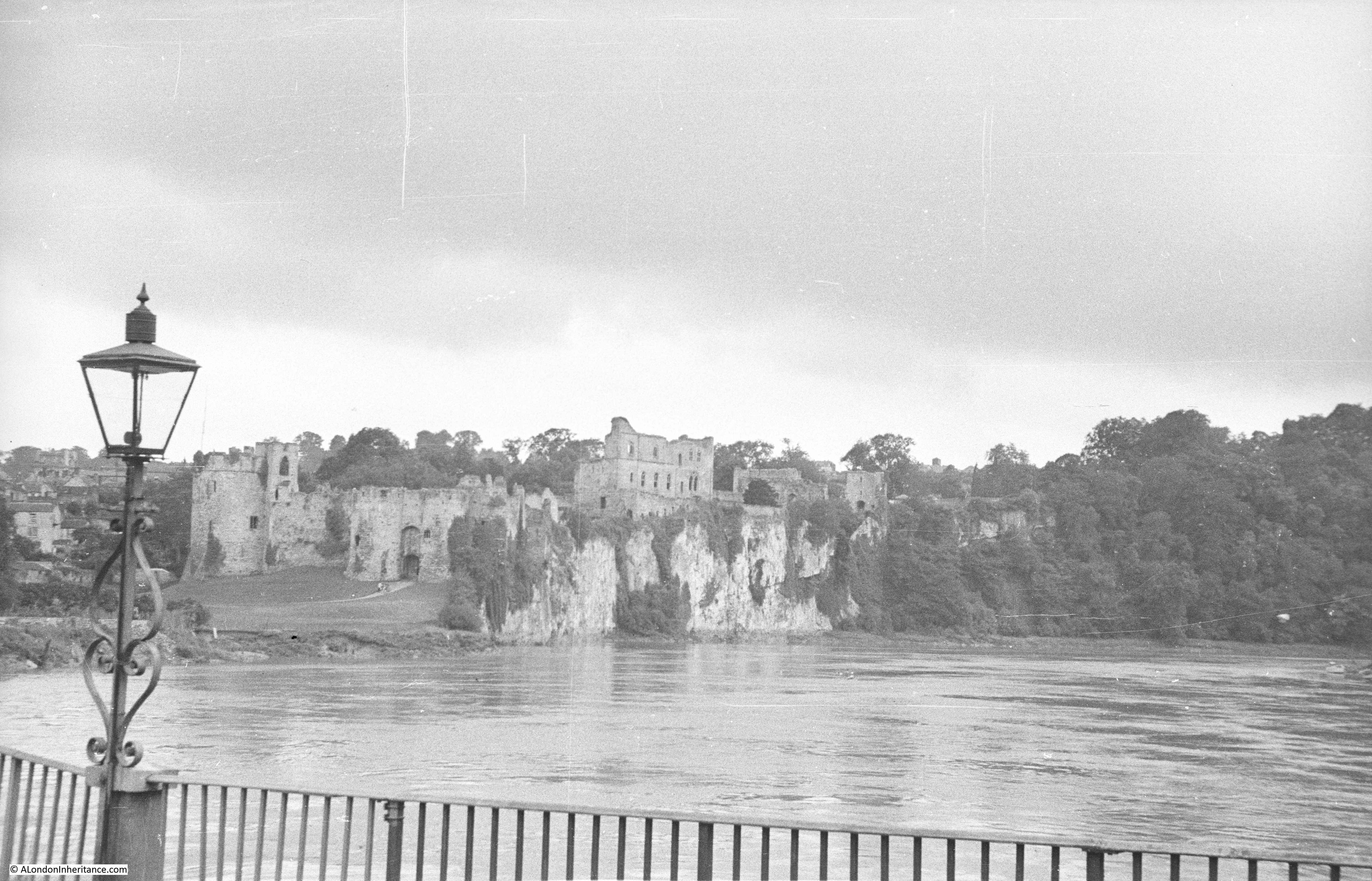
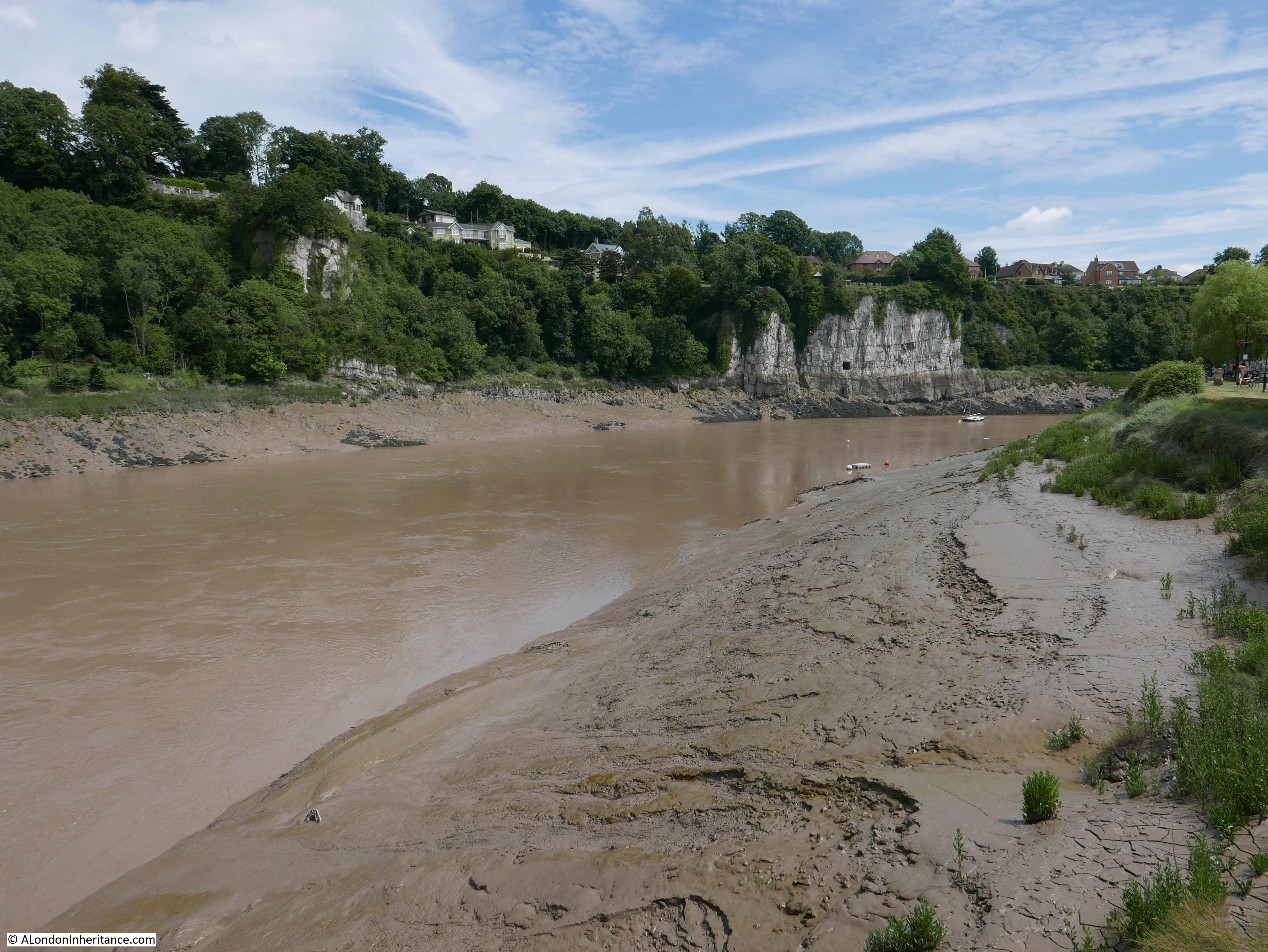
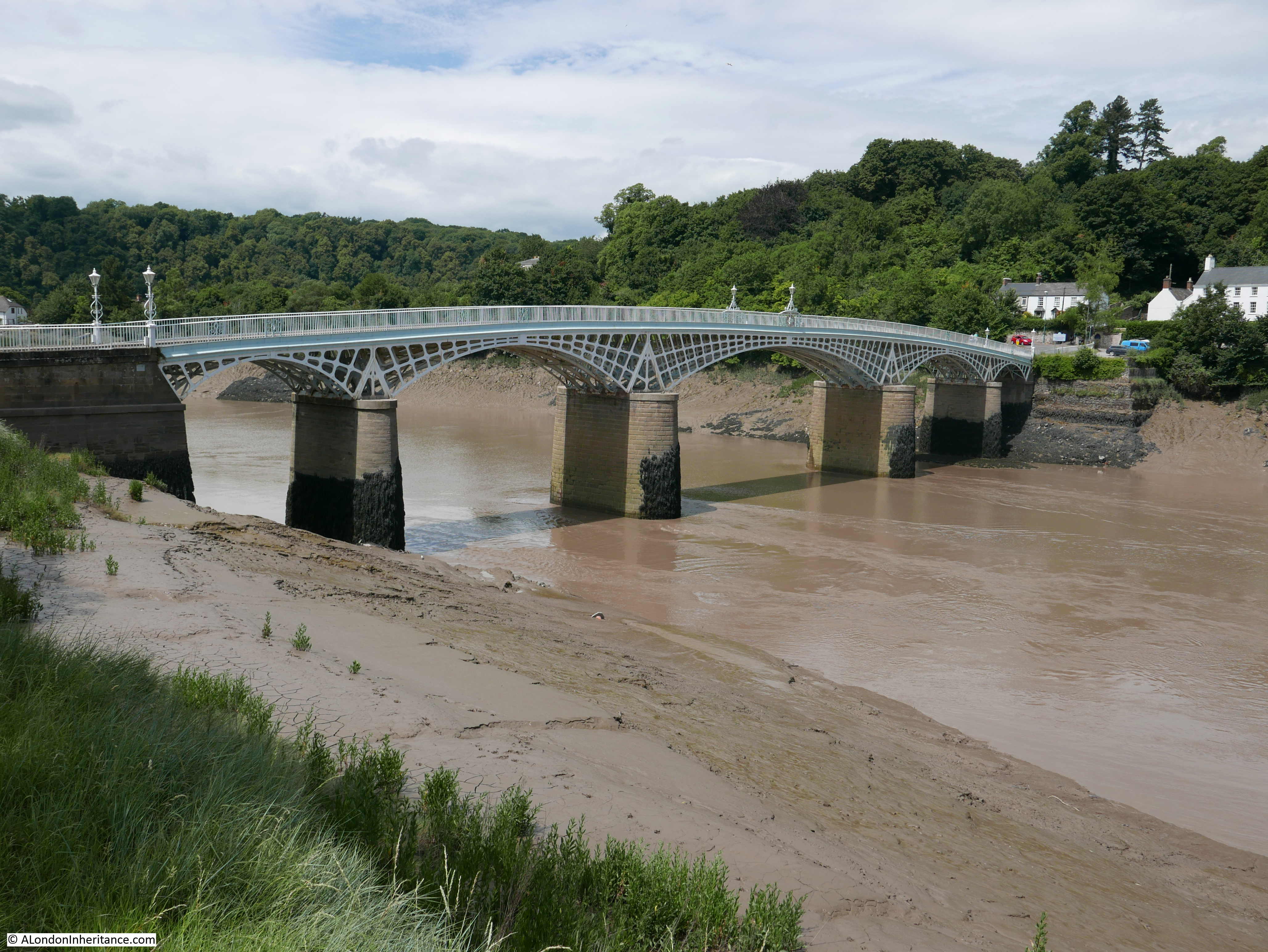
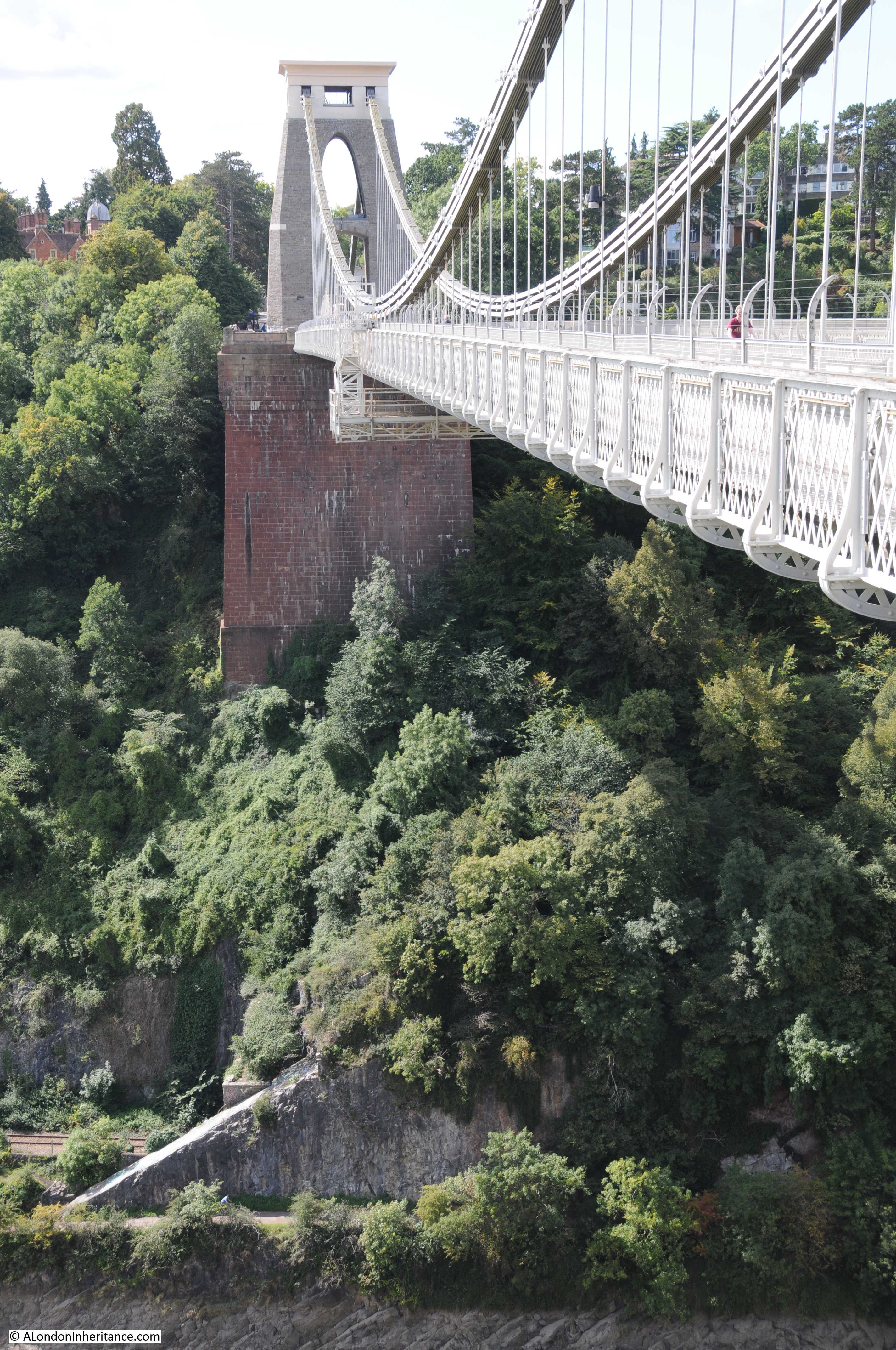
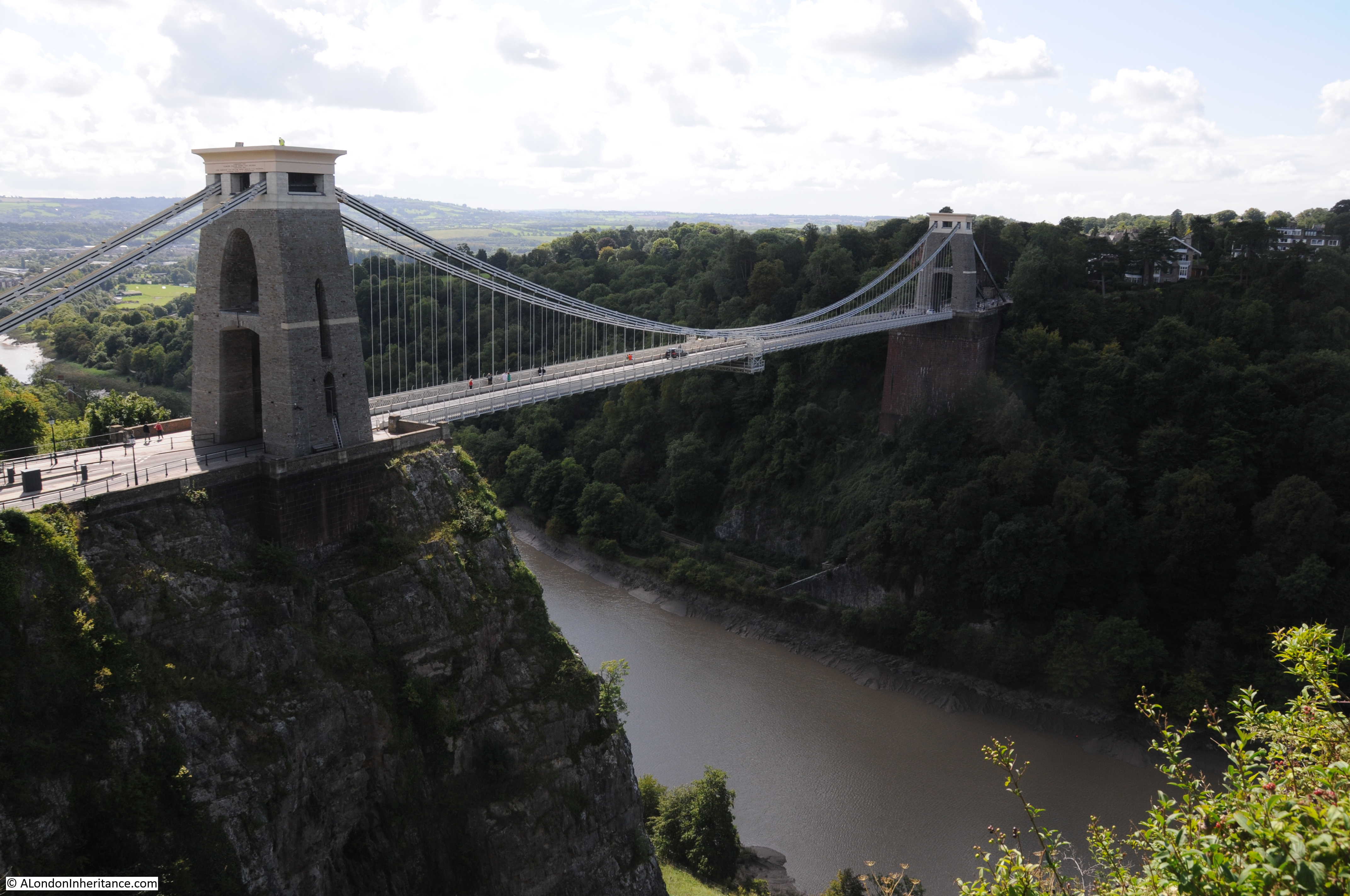
The Clifton Suspension Bridge spans the River Avon from the Clifton area of Bristol to Leigh Woods on the opposite side of the large gorge that the river has cut through limestone rocks.
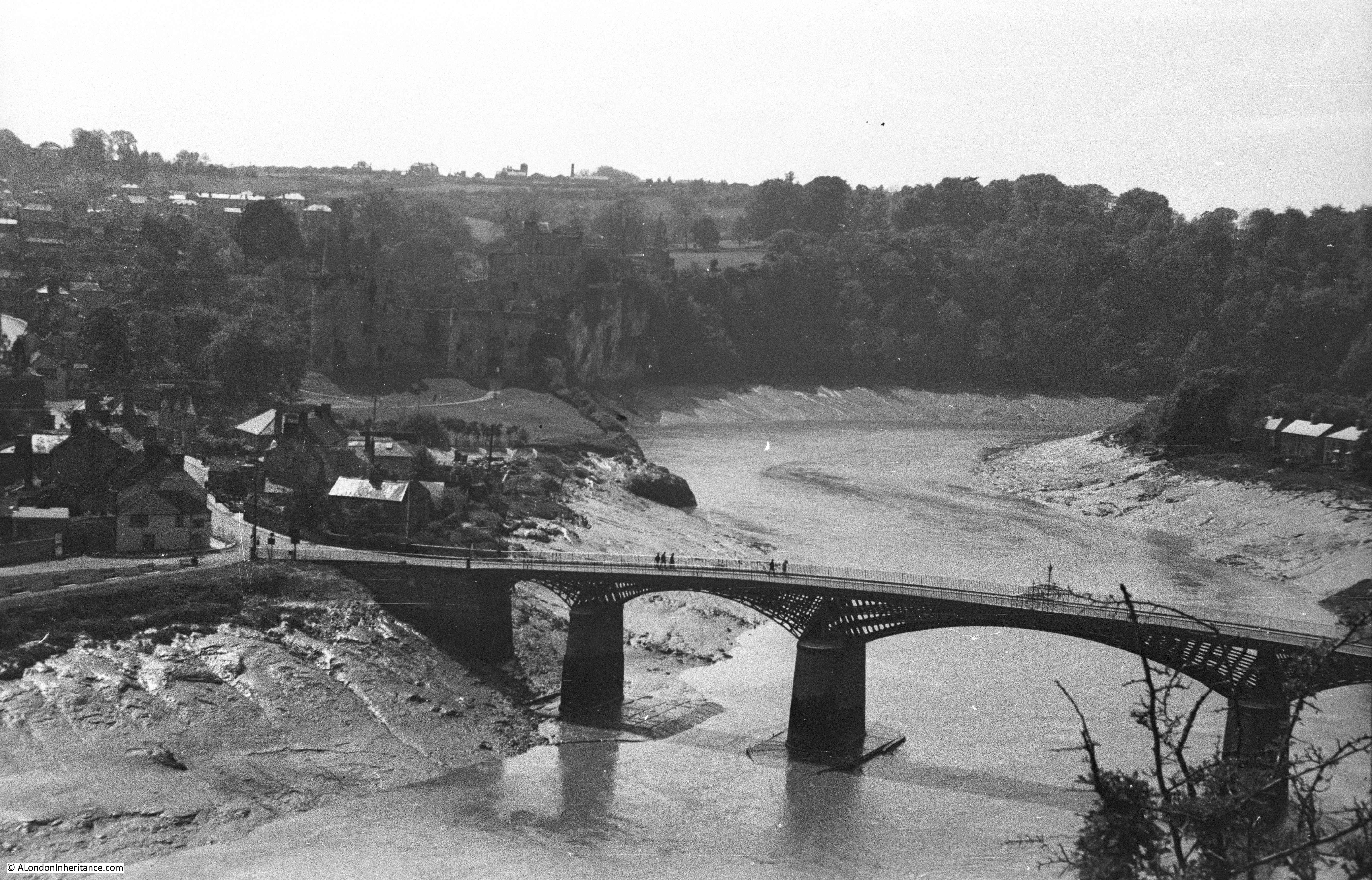
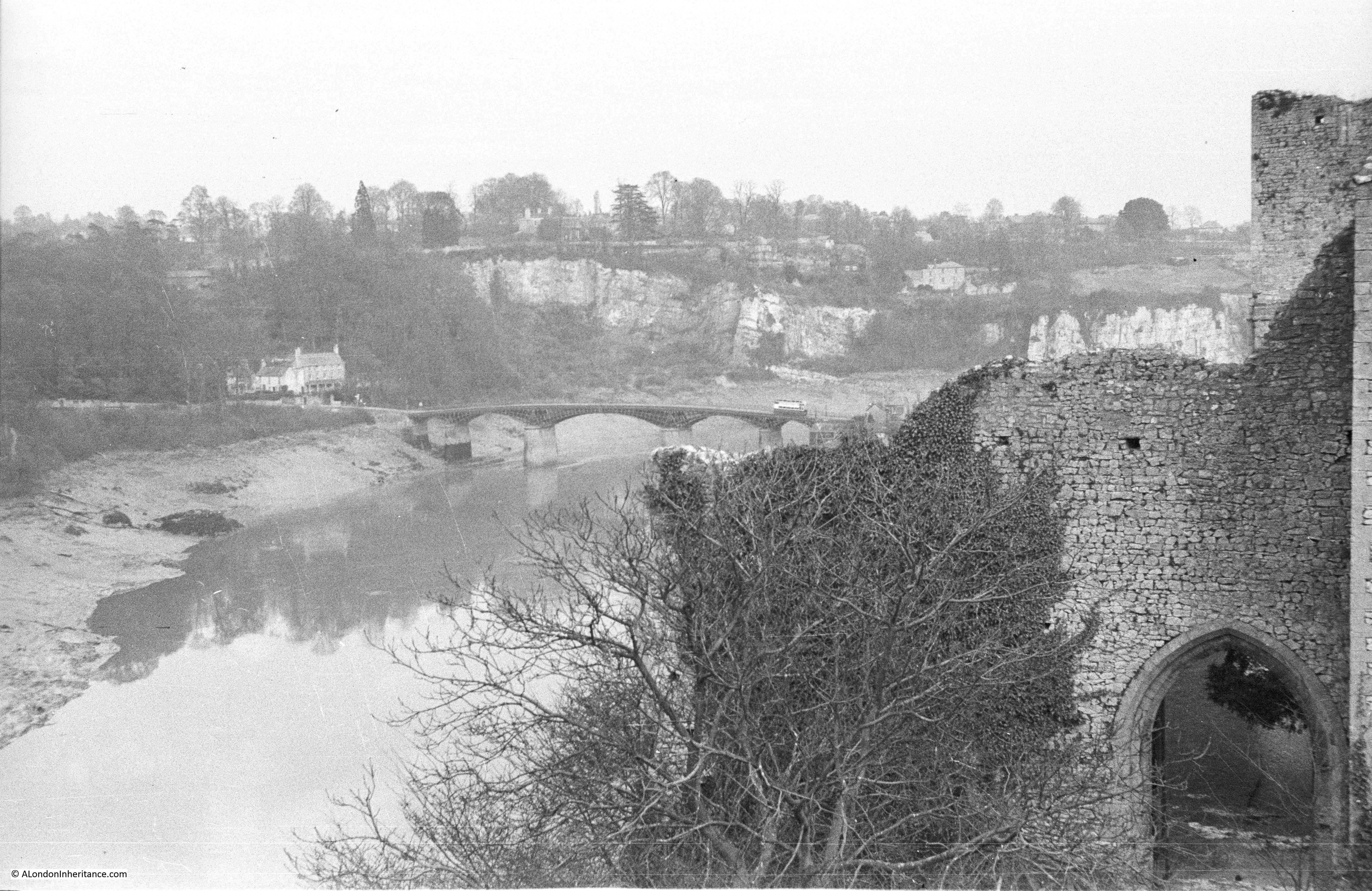
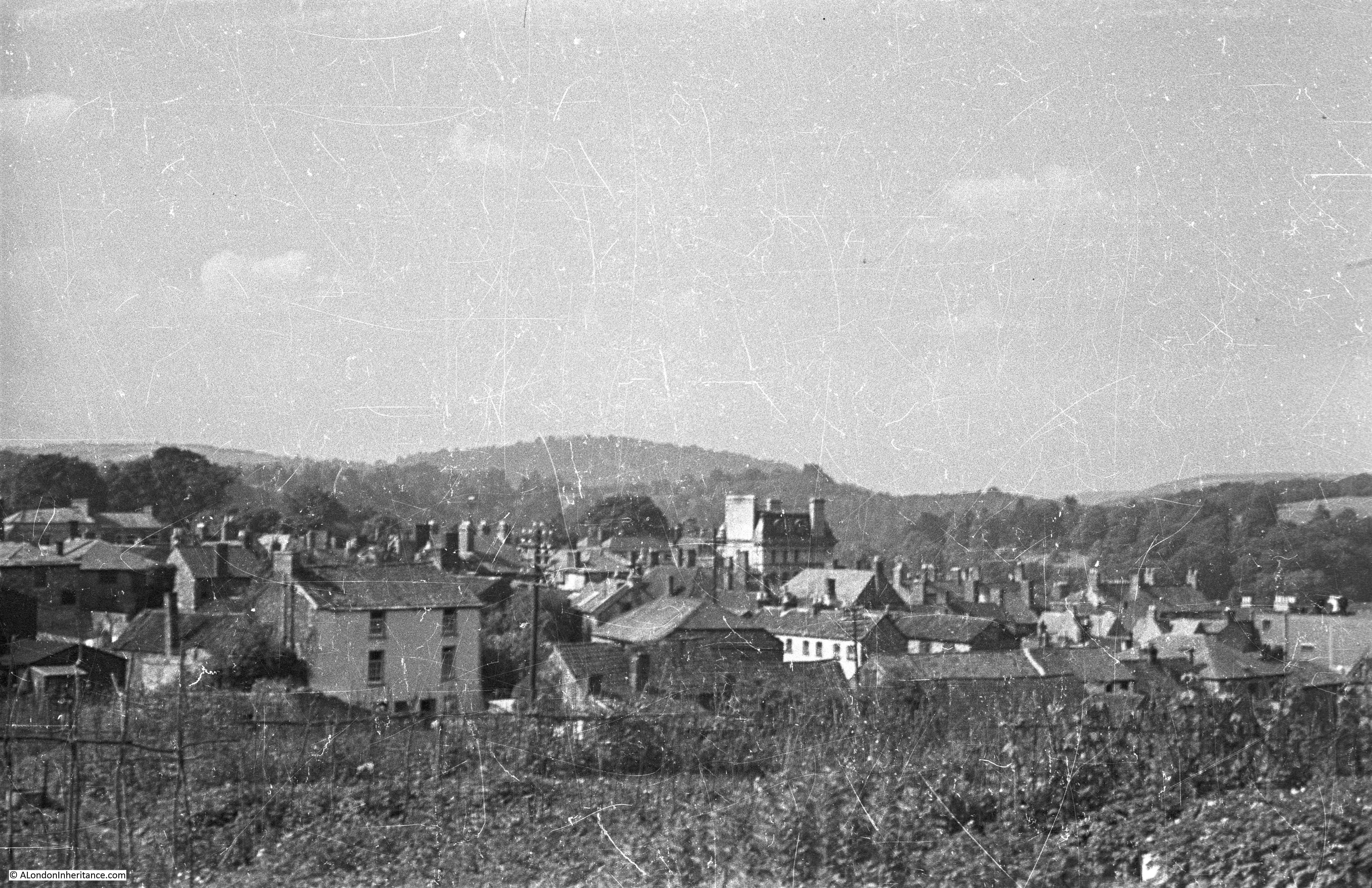
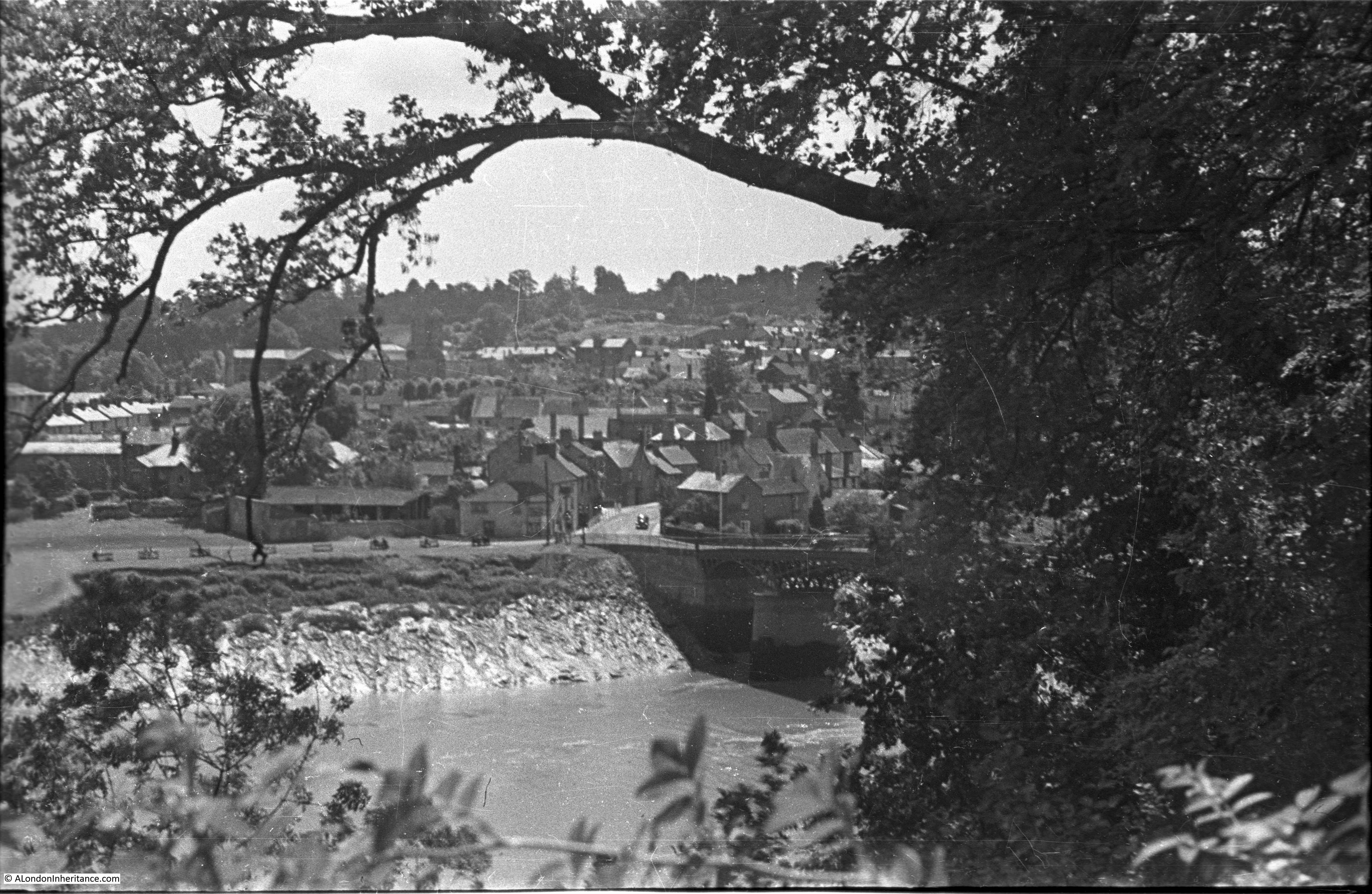
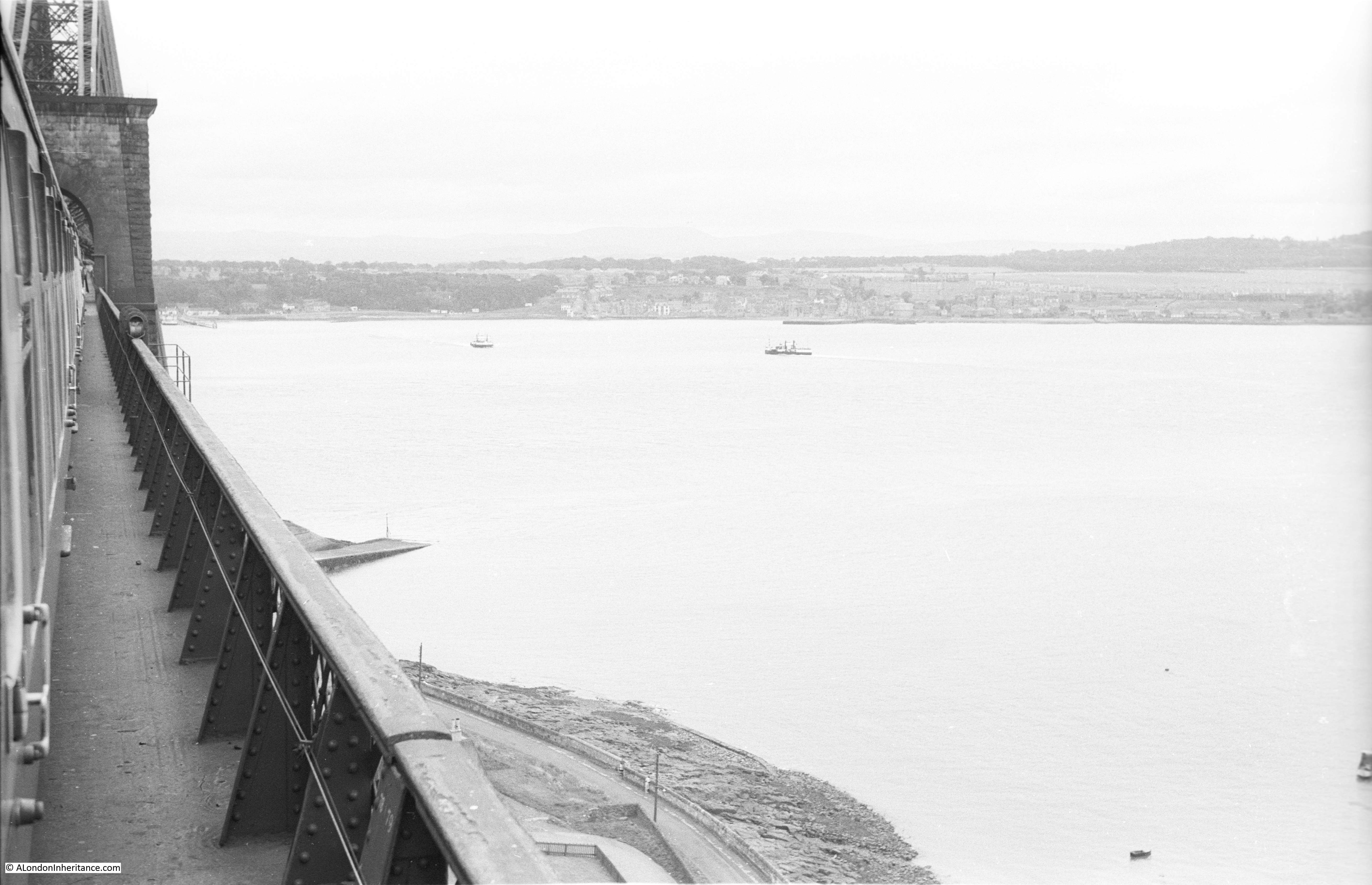
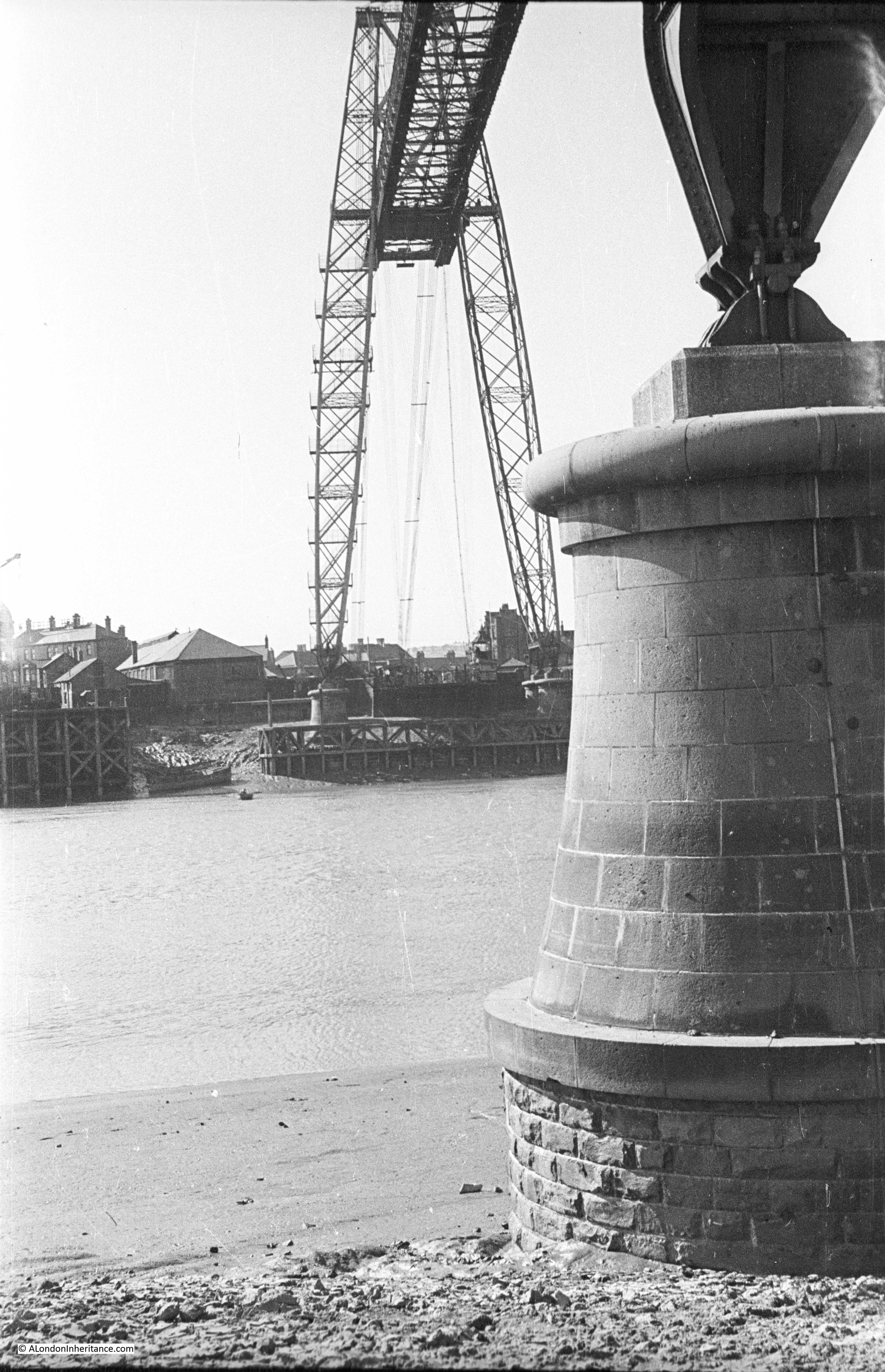
The first photo is my father’s photo showing the Clifton Suspension Bridge from the side of the River Avon at the bottom of the gorge.
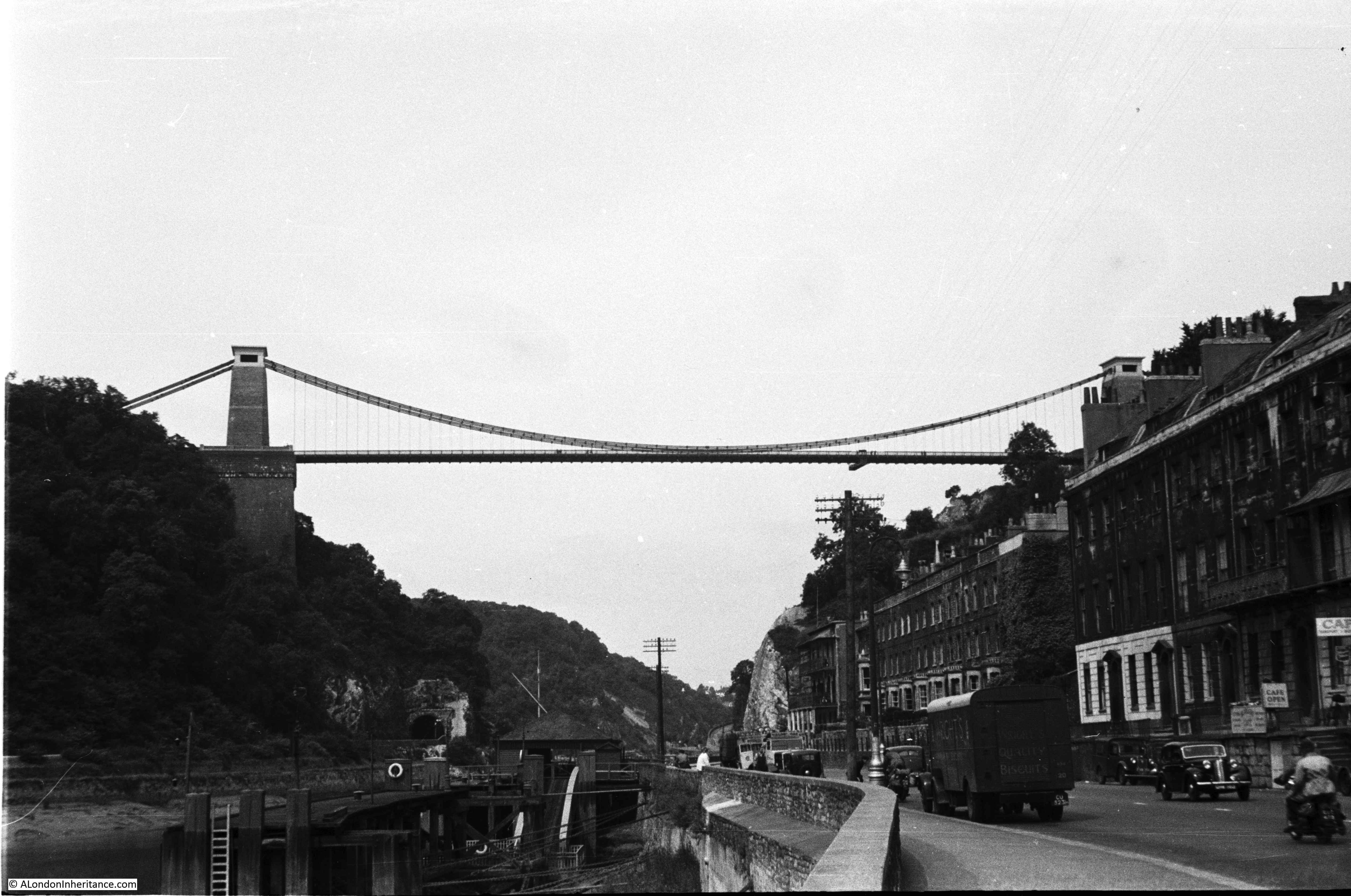
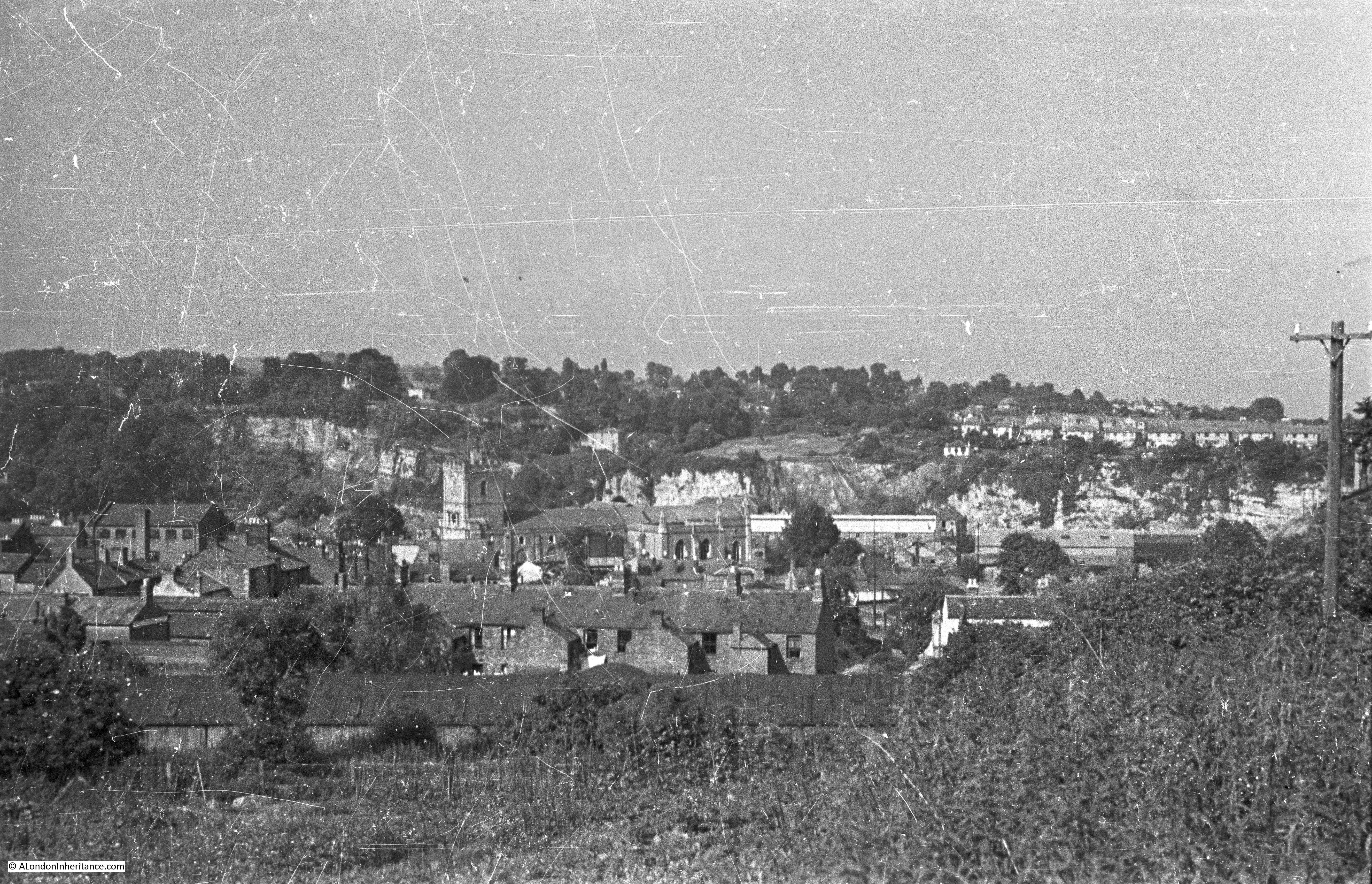
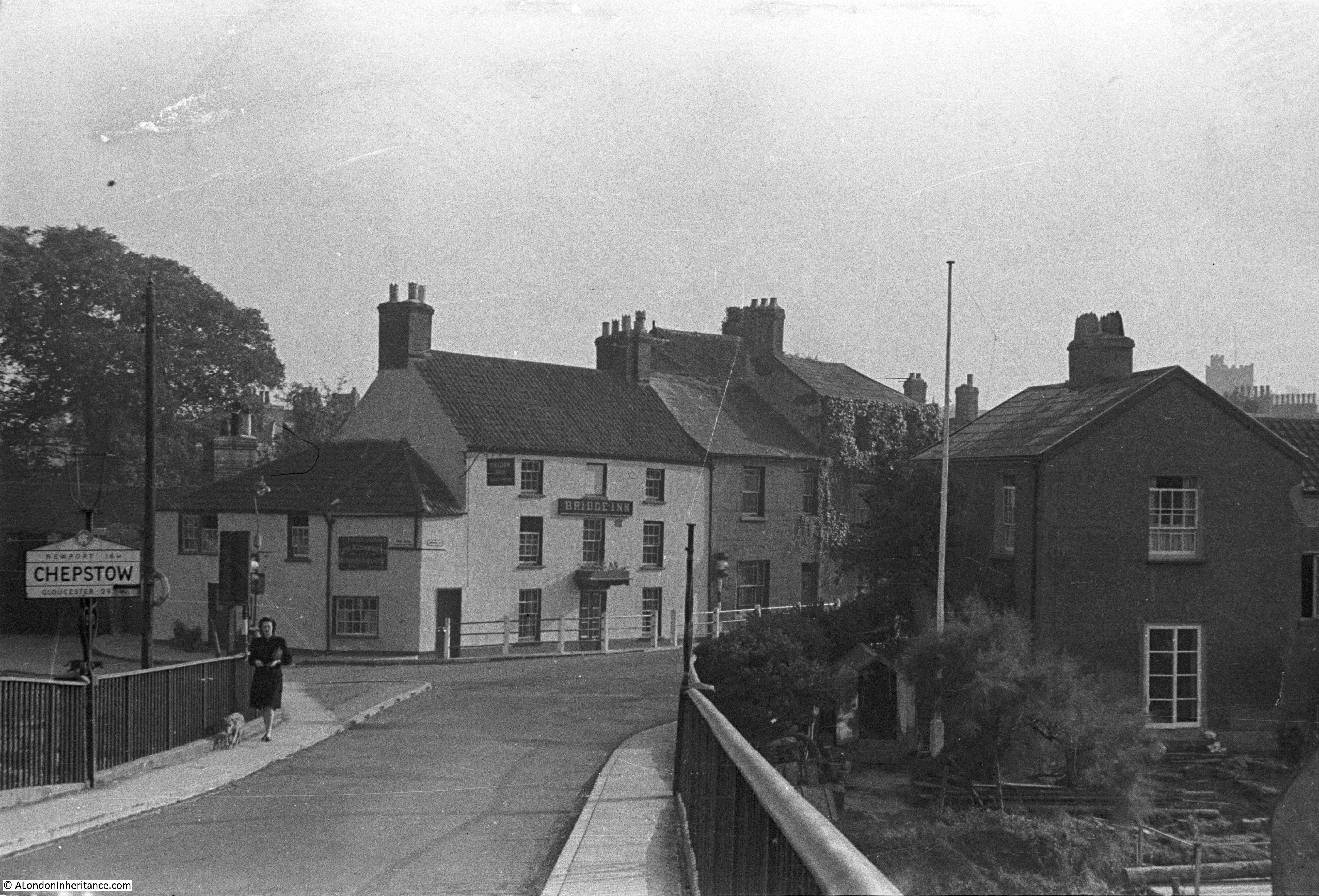
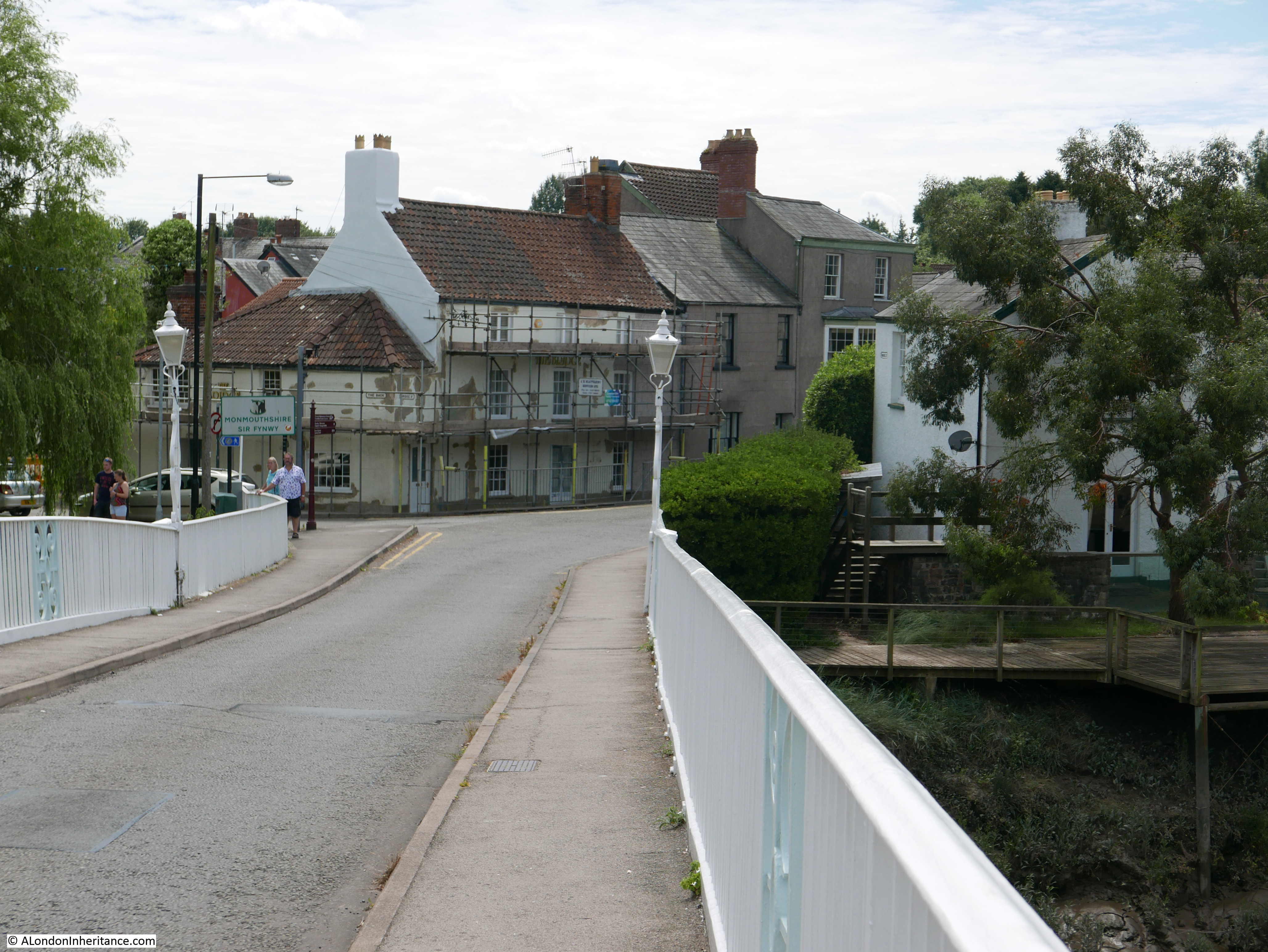
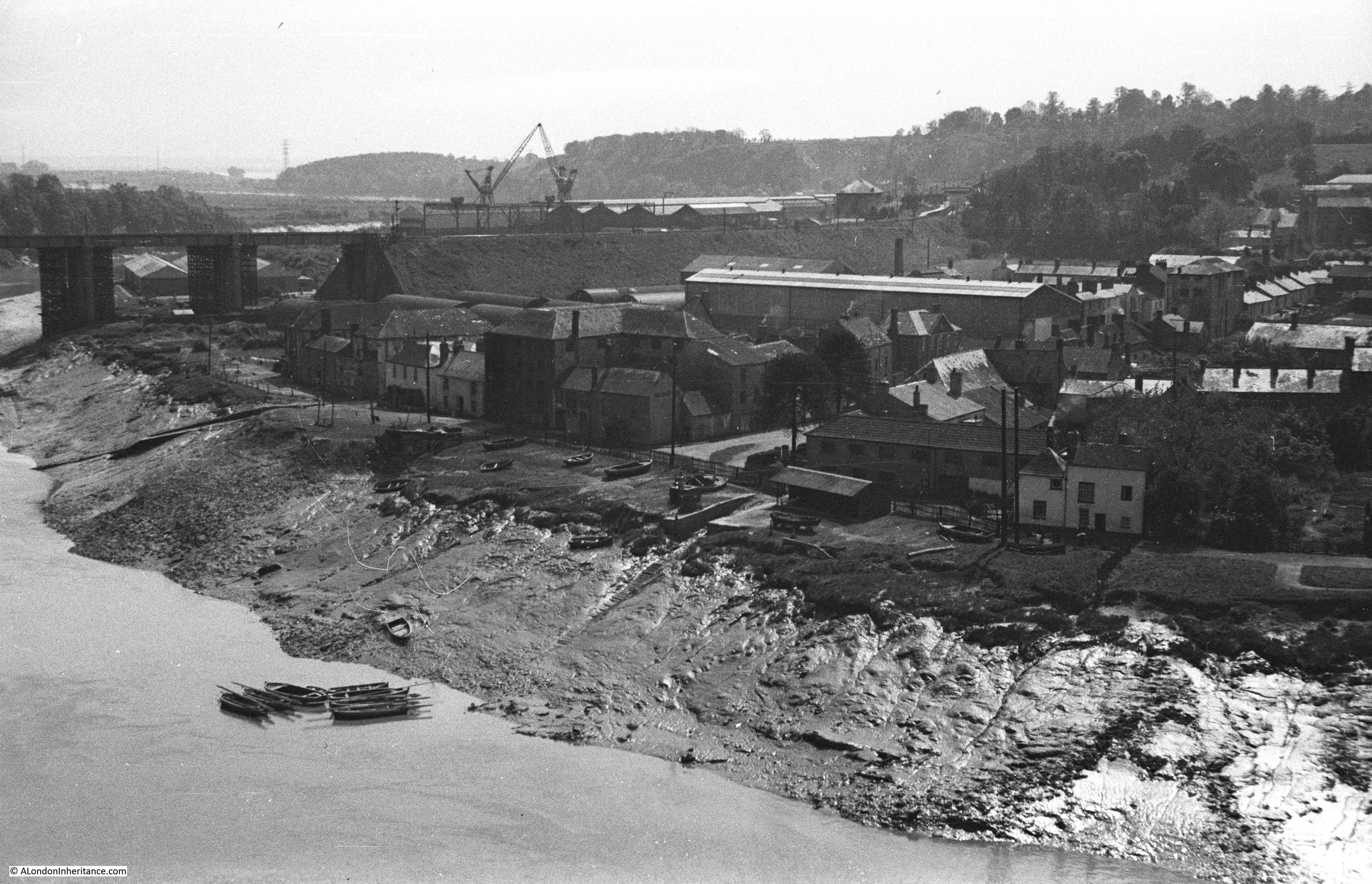
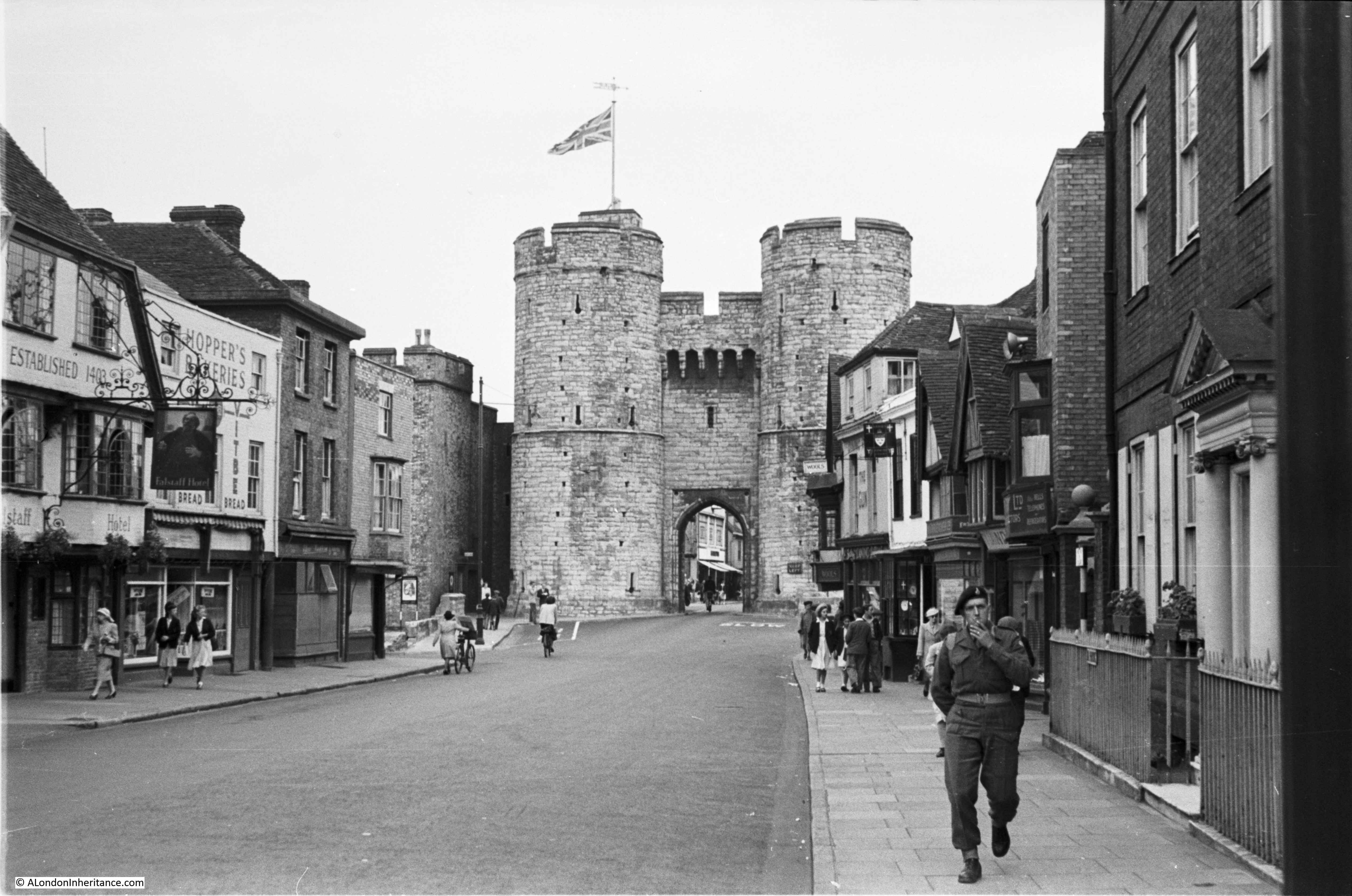
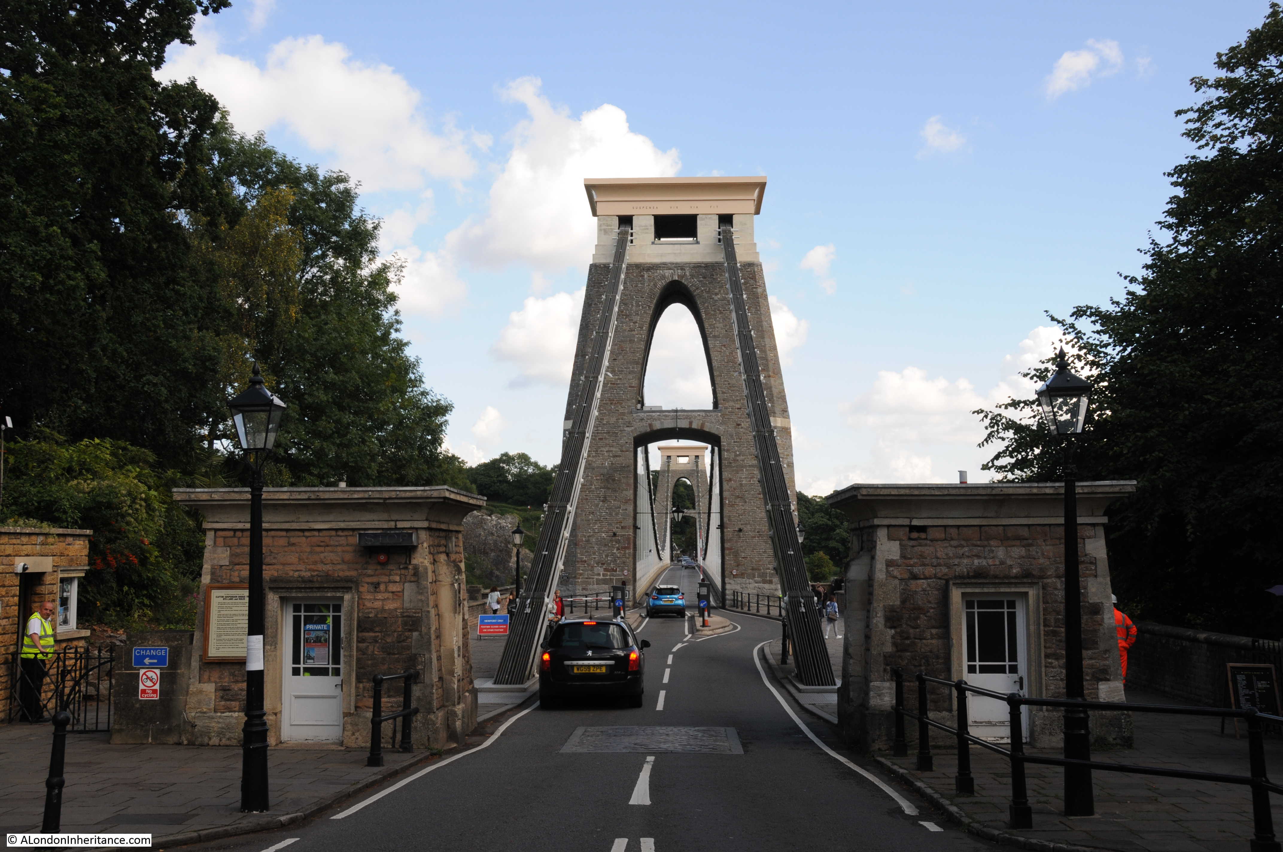
I started my visit to the Clifton Suspension Bridge by walking up from the centre of Bristol to the Clifton end of the bridge. This was the view in 1952: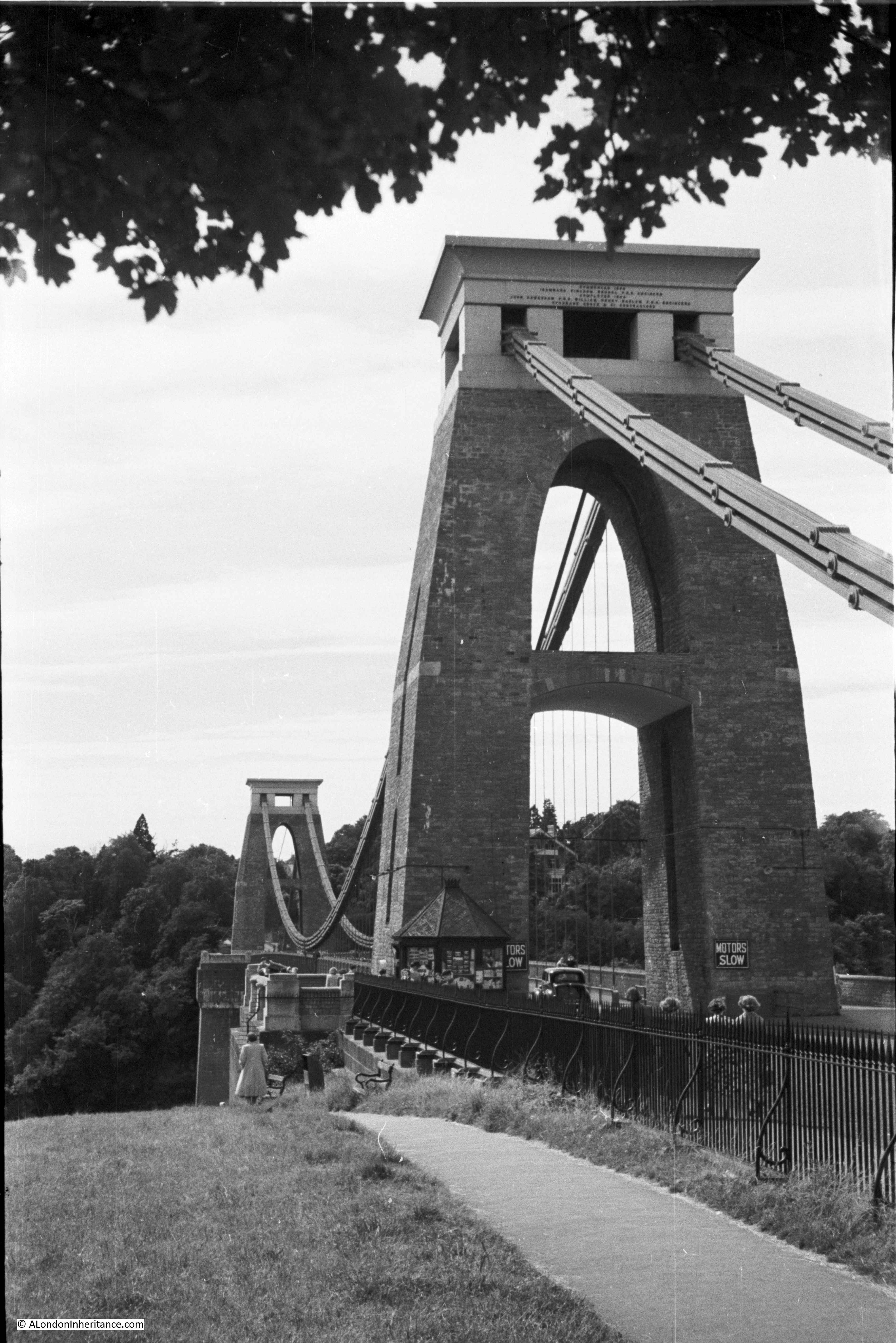
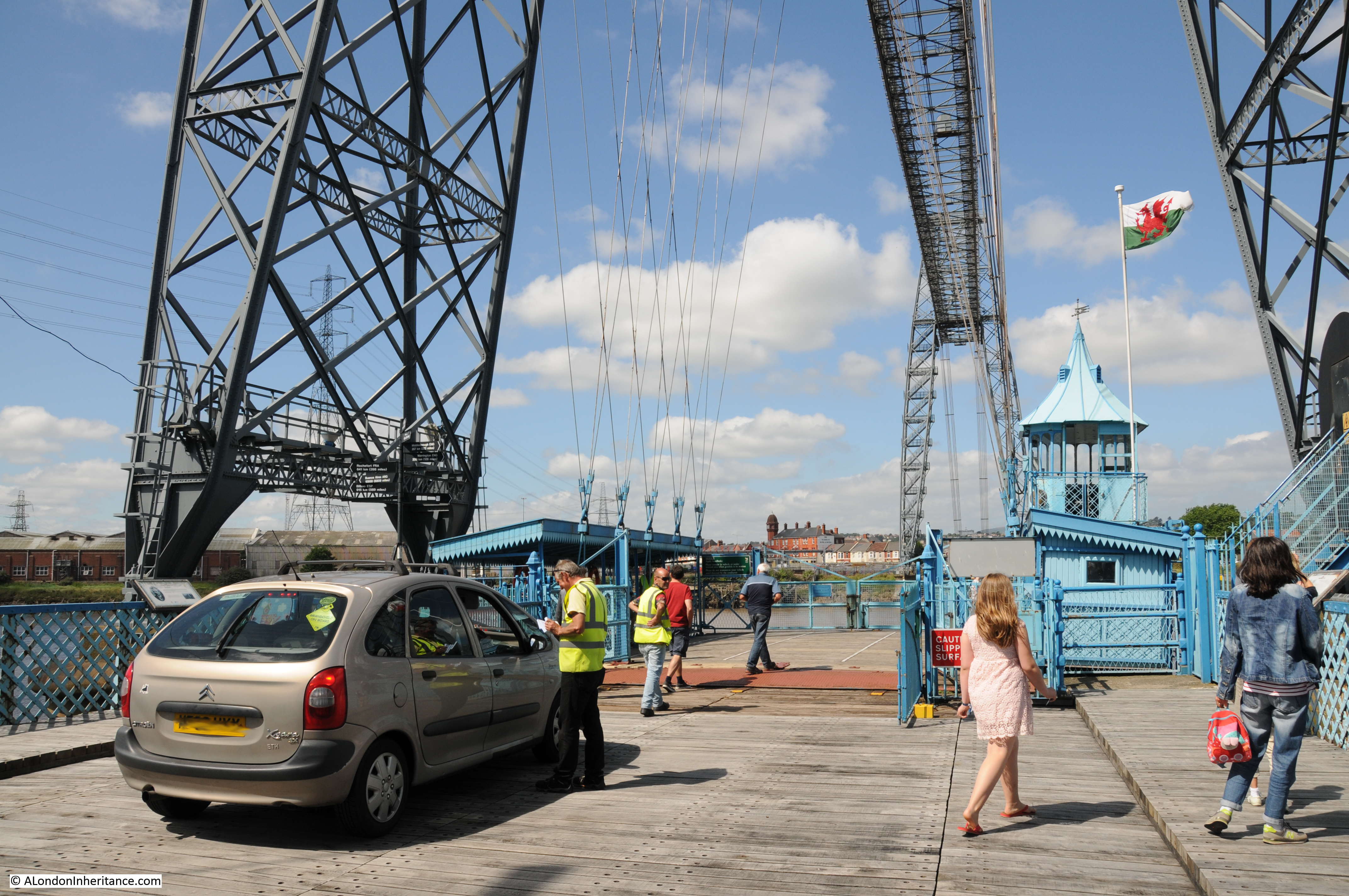
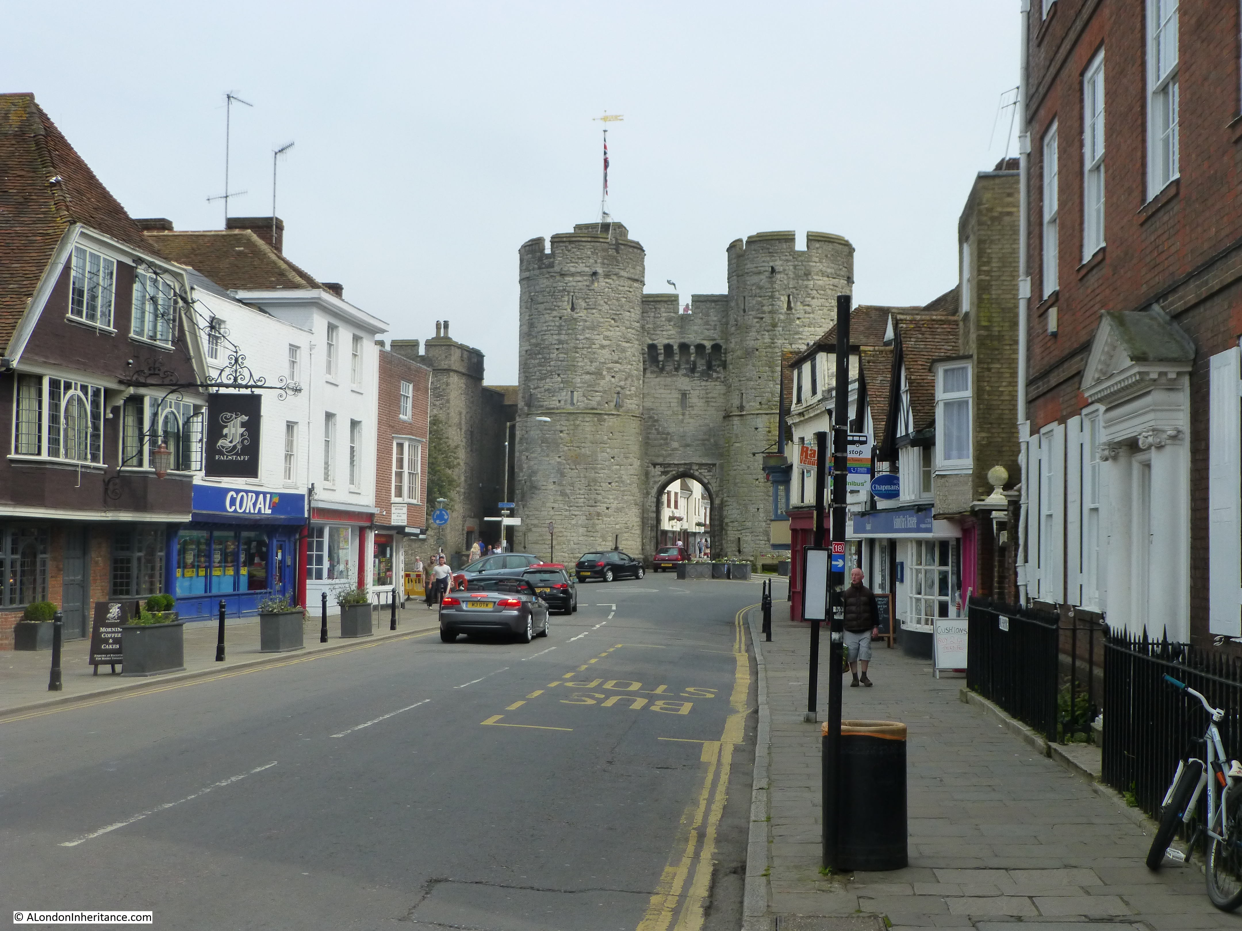
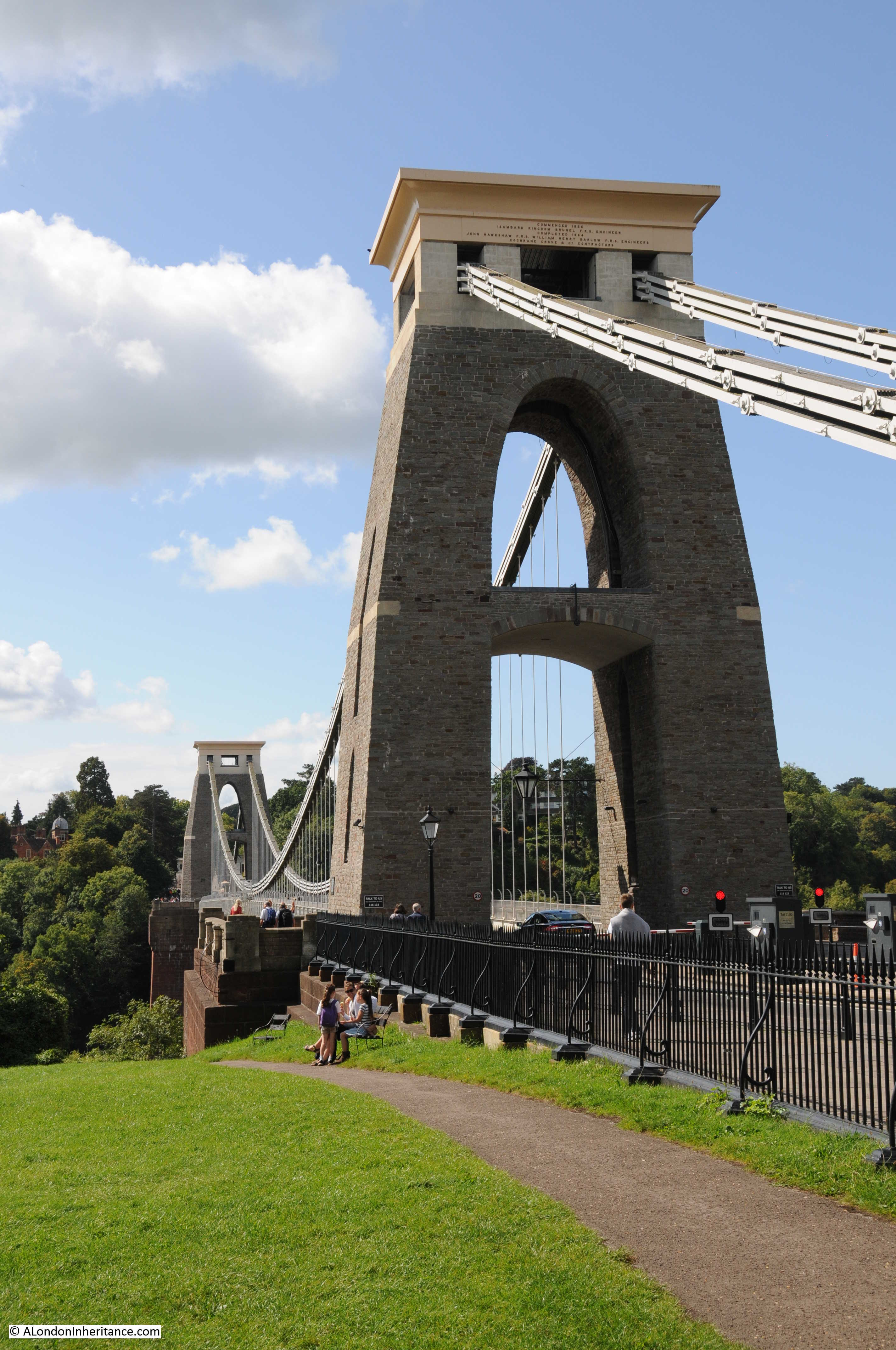
Sixty five years later and the view is almost identical. A bit less tree cover, and today there are automatic barriers to collect the one pound charge for traffic to cross the bridge.
The Clifton Suspension Bridge opened on the 8th December 1864.
The Illustrated London News on the 17th December 1864 covered the opening of the bridge and included some history of the efforts to build the bridge:
“The history of this project is somewhat remarkable. In the year 1753 Alderman Vick, of Bristol, bequeathed to the Society of Merchant Venturers the sum of £1000, directing that such sum should be placed out at interest until it should accumulate and increase to £10,000, when it was to be applied to the building of a stone bridge across the Avon from Clifton-down, in the county of Gloucester, to Leigh-down, in the county of Somerset. this was the origin of the gigantic scheme that has only just now been carried into execution after the lapse of 111 years.
It was at once perceived to be impossible to build a stone bridge across so vast a chasm. For nearly 80 years the £1000 left by Mr Vick was allowed to accumulate; and in the year 1839, when the railway system was beginning to make itself felt, the citizens of Bristol began to think of the old legacy and the possibility of applying it to the purpose for which it was left. At the time the money had increased to £8000 and it was resolved to use the amount as the nucleus of whatever sum might be required to construct the bridge. An Act of Parliament was obtained, and plans were advertised for. The first estimate given for the stone bridge was £90,000, about half of what such a building, if practicable, would cost; so stone was given up for iron, and Telford, the builder of the Menai bridge, and the late Mr Brunel, competed for the honour of giving a design for a suspension bridge. Mr Brunel’s design was preferred. His estimate was £57,000; but when £45,000 had been spent only the towers had been built, and the work came to a stop. His design was a chain bridge of a single span of 700ft, two chains passing over two towers, and being anchored deep in the limestone rocks behind them.
In 1843 all the money was gone, and the scheme was in abeyance for want of funds, and though many propositions were made to the trustees under the old Act of Parliament, the bridge would very likely have been incomplete to this day had not the removal of the Hungerford Bridge become necessary. Mr Brunel, as it happened, had been the engineer of Hungerford Bridge; and when, therefore, its chains had to be pulled down and to give place to the bridge of the Charing-cross Railway, it occurred to Mr Hawkshaw to have them applied to the completion of one of Mr Brunel’s bridge designs. For such a purpose the money was soon forthcoming. A new company, under a new Act and presided over by Mr Huish was started, with a capital of £35,000. The chains of Hungerford Bridge were purchased for £5,000; the stone towers built by Mr Brunel for the old company, for £2000. Two years ago the work of slinging these chains began and the bridge is now finished.”
The Hungerford Bridge referred to was the original Hungerford Bridge that crossed the Thames prior to the construction of Charing Cross Station. The old Hungerford Bridge had to be demolished to allow a railway bridge to be built in its place.
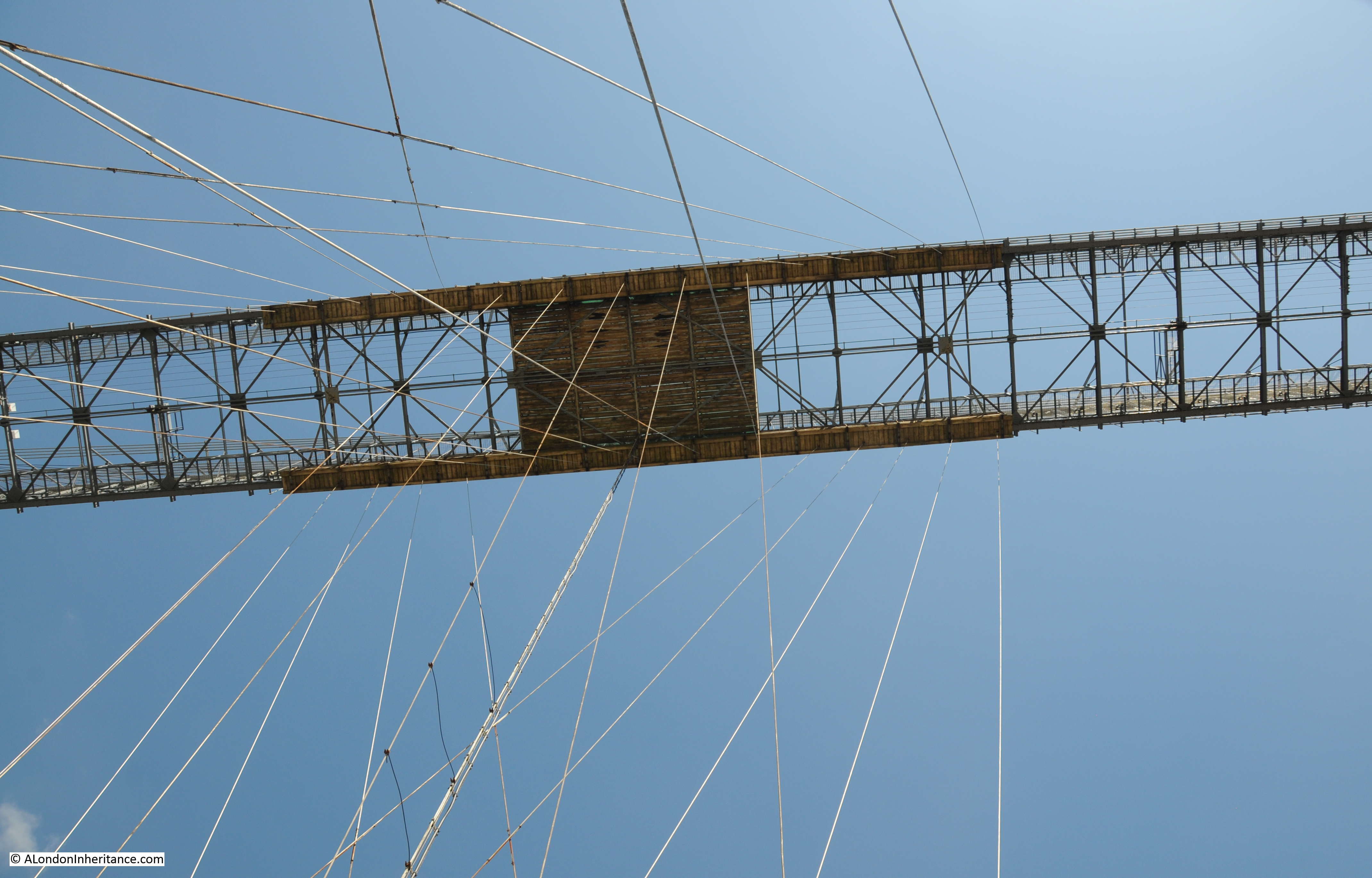
I asked the guide whether all the suspension iron rods were from Charing Cross, he was not sure of the actual number as some new rods had to be made, but many of the rods suspending the deck of the bridge today are the originals from Hungerford Bridge. These rods look out on a very different river to the one they originally spanned.
The following print shows the original Hungerford Bridge and it is clear that the same design principles are used for both this bridge and the Clifton Suspension Bridge.

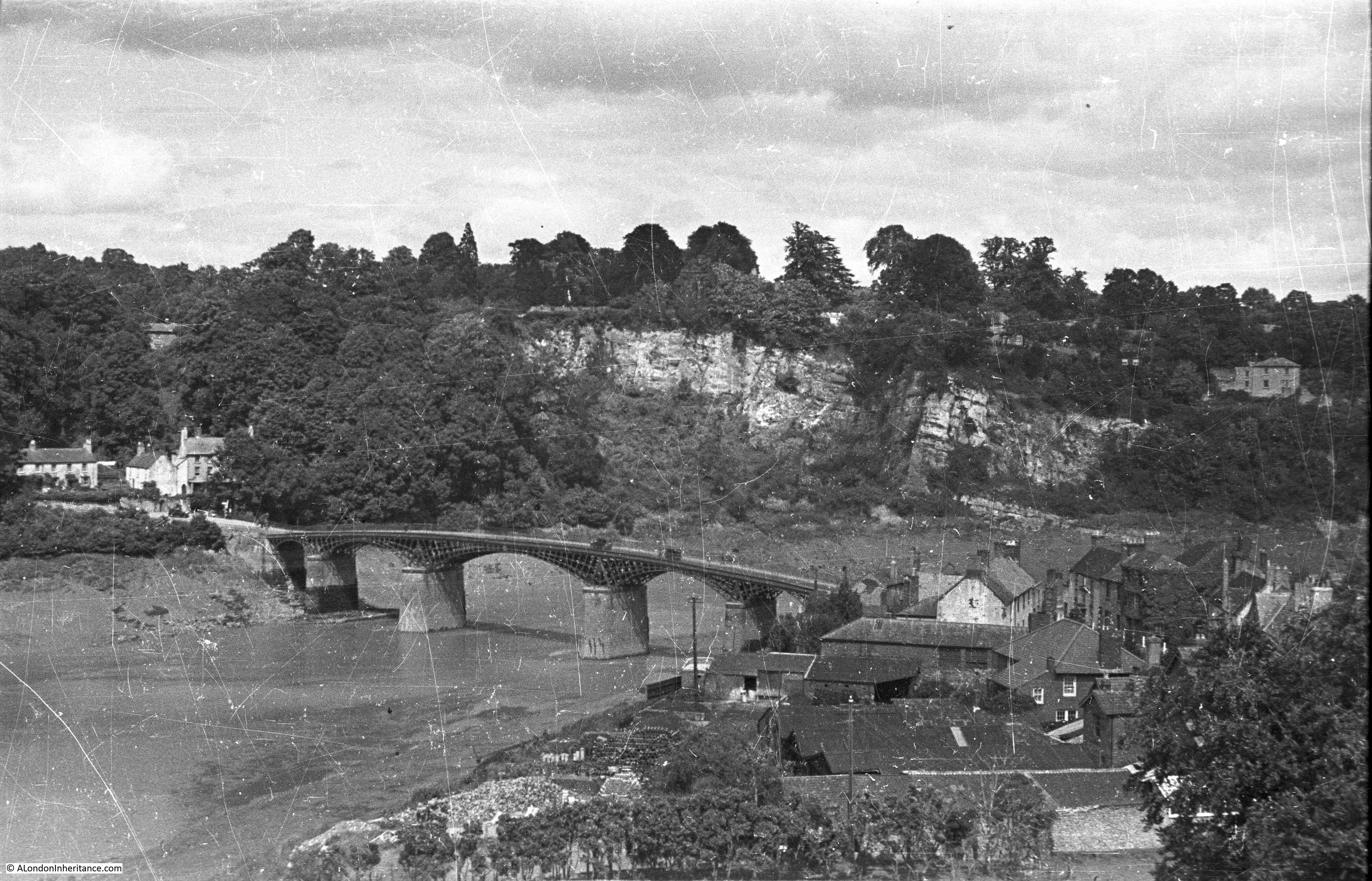
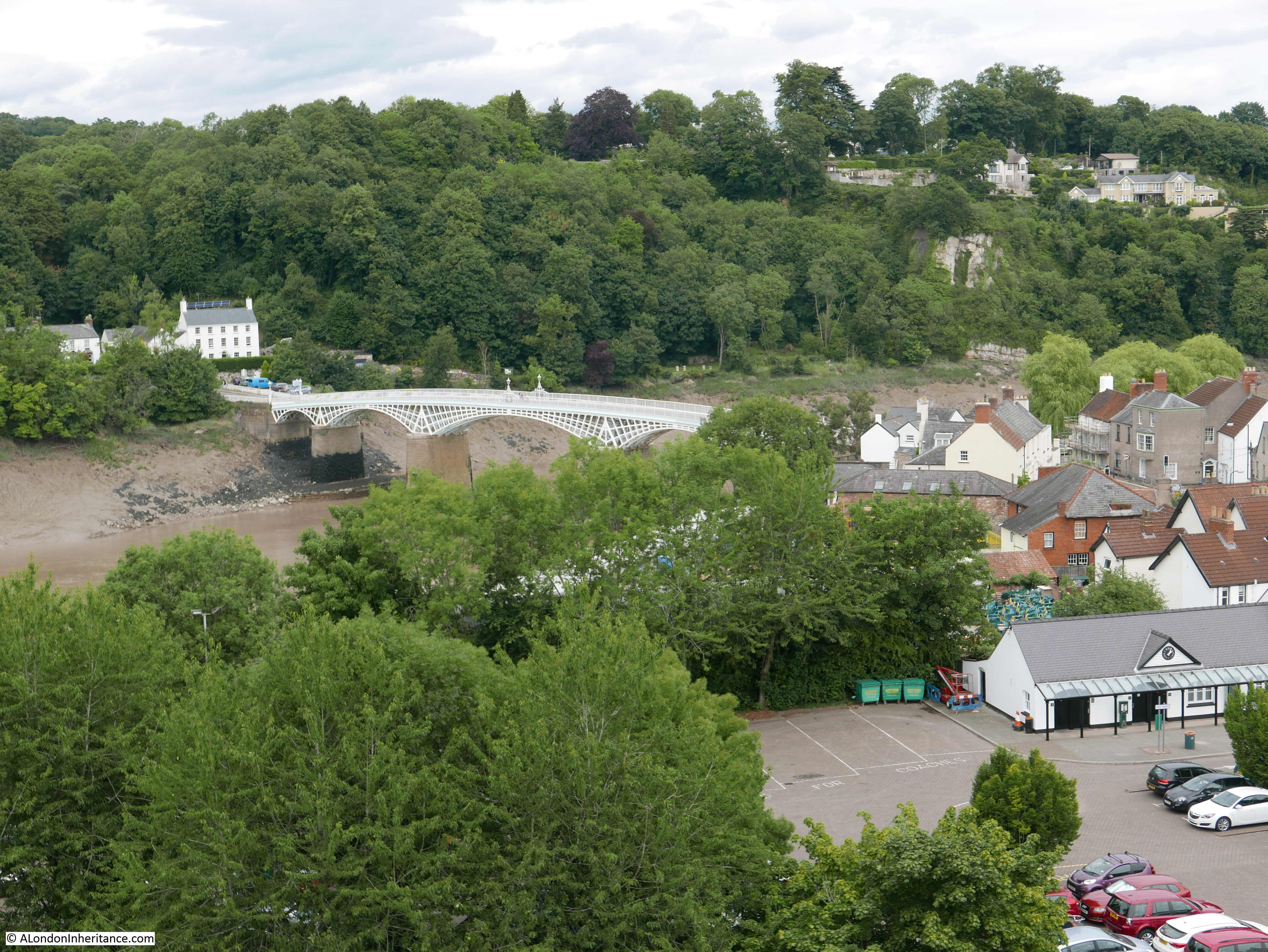
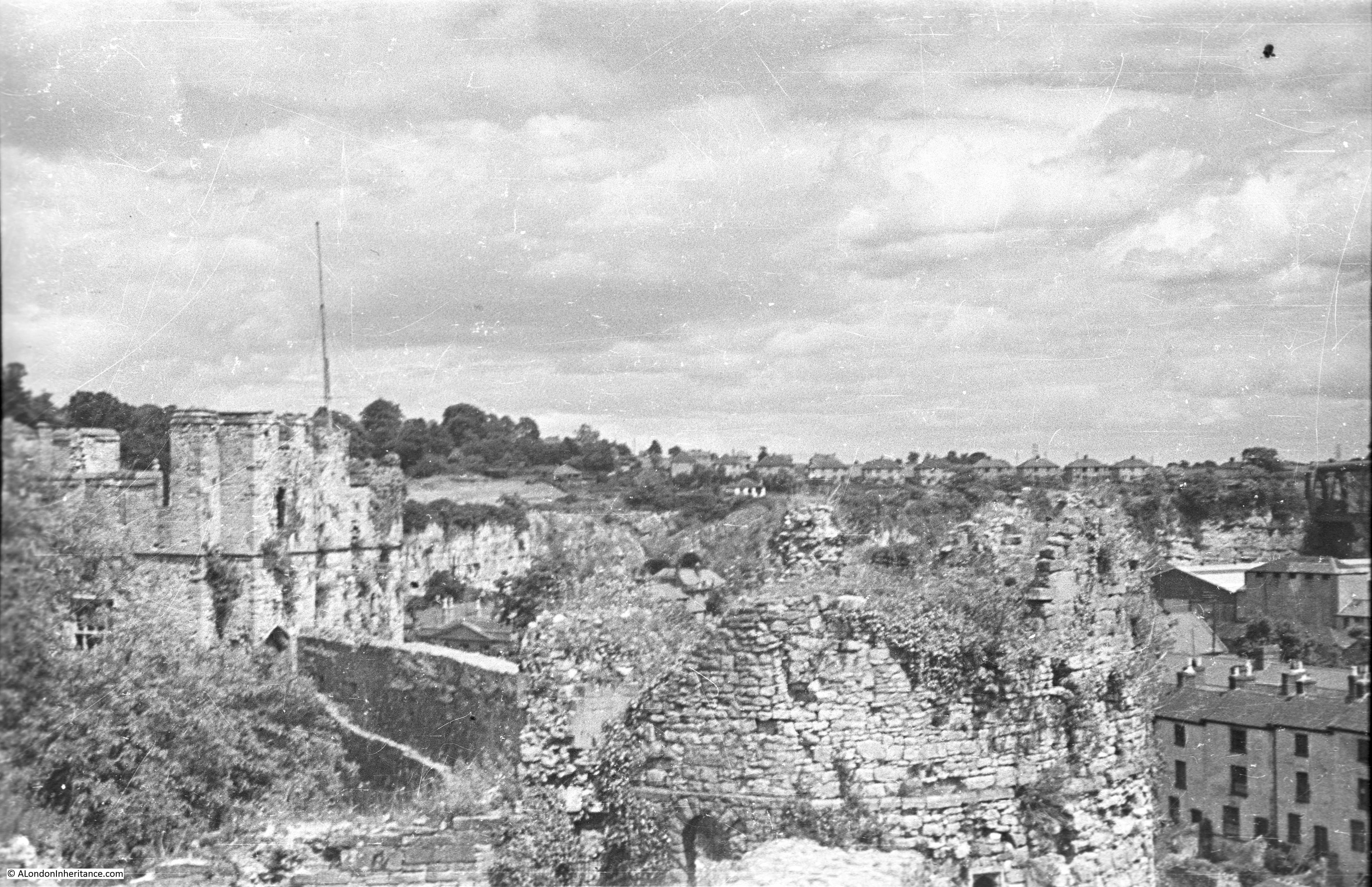
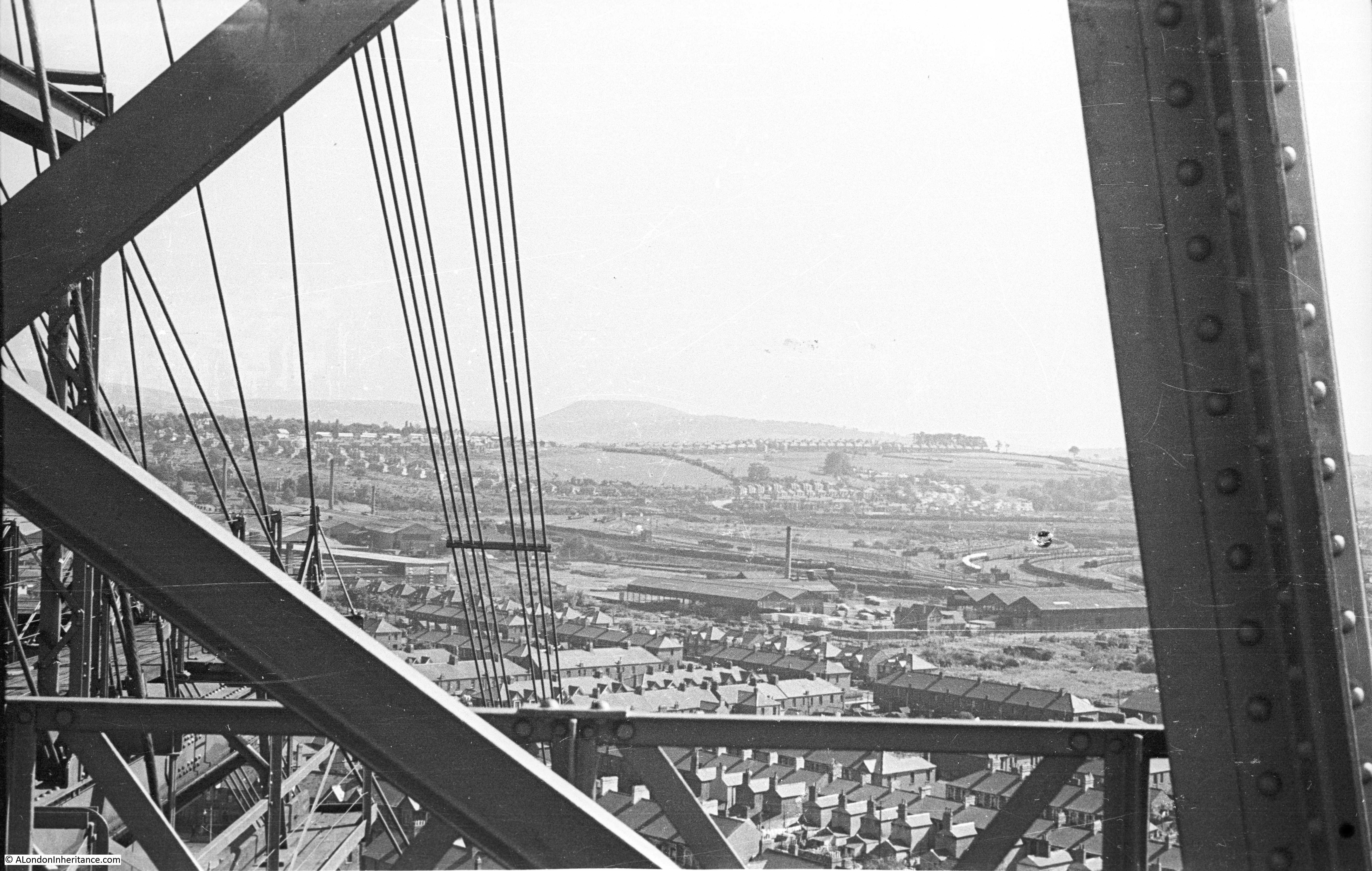
Another of my father’s photos looking along the bridge from the Clifton side:
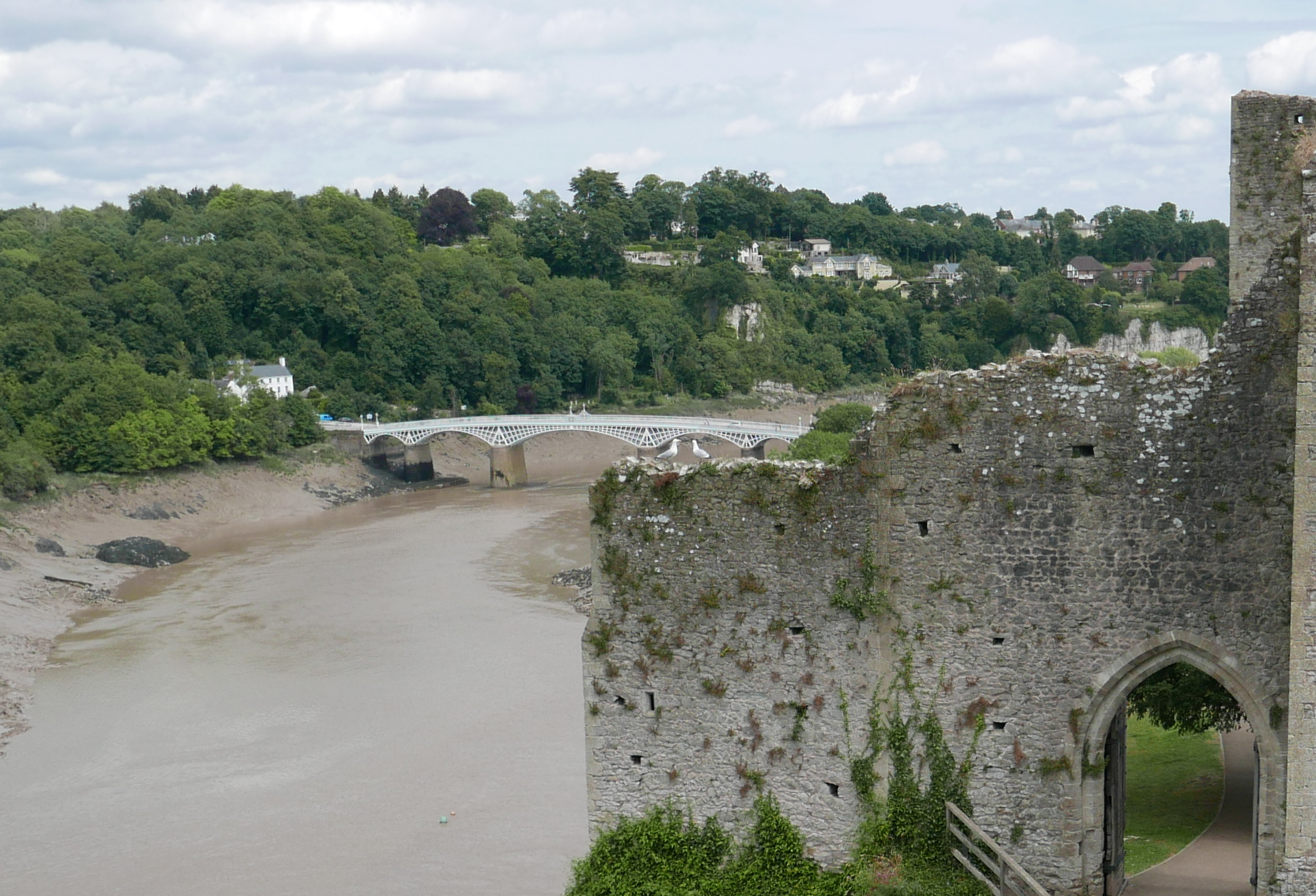
The same view today. The height of the bridge is very apparent, being 245ft above high water. The banks of the gorge are wooded. The size of the large brick abutment supporting the bridge tower at the Leigh Woods end of the bridge is very apparent. Within this abutment are the chambers that I will be visiting.
During the construction of the bridge, people and materials needed to be transferred between the two banks of the Avon. To achieve this, a metal rod was pulled across the Avon gorge. From this rod a basket was suspended and was pulled across the gorge by ropes. Given the height of the gorge this must have been a rather dramatic crossing.
A report in the West Kent Guardian on the 3rd September 1836 wrote about one of the events when there was a near disaster when crossing the river by this means:
“In the afternoon of Saturday, several persons were attracted to the spot where the bar crosses the Avon, in consequence of some gentlemen being observed taking a car over the Leighwood side of the river. In a short time it was perceived that this car was being affixed to the iron bar, and in a few moments two young gentlemen entered it, and it was drawn about midway, hanging over the river, here it stopped, owning it is supposed, to their being an obstruction in the bar caused by its fall; the rope by which the car was being drawn was then slackened to a very considerable degree.
The Benledi steam vessel at this time approached, and the mast just caught the rope; a cry of horror was uttered on both shores. The parties on board the steamer not being aware of the circumstance, did not stop the vessel, which proceeded, drawing with it the rope, the bar, and the car. The people on the shore covered their eyes with their hands, and expected every instant to hear the report of the bar breaking, for if this had been the case the young gentlemen would have been precipitated into the river below.
Fortunately, however at this awful crisis one man had sufficient fortitude and presence of mind to cut the end of the rope, and thus let the voyagers free from the steamer, but the car then swung to and fro with the most awful rapidity and a gentleman who was present states that the sight was so dreadful, that it was impossible to give a description of it. After a lapse of some time the car became steady, and the young gentlemen were drawn to the rock in safety. A gentleman then got into it, and was drawn to the same spot. he ascended from the car to the bar, and was apparently engaged in endeavouring to remove the obstruction, but our informant had seen enough and left the spot, assuring us that what he had witnessed had made such an impression on his mind that it was some time before he recovered his self-possession.”
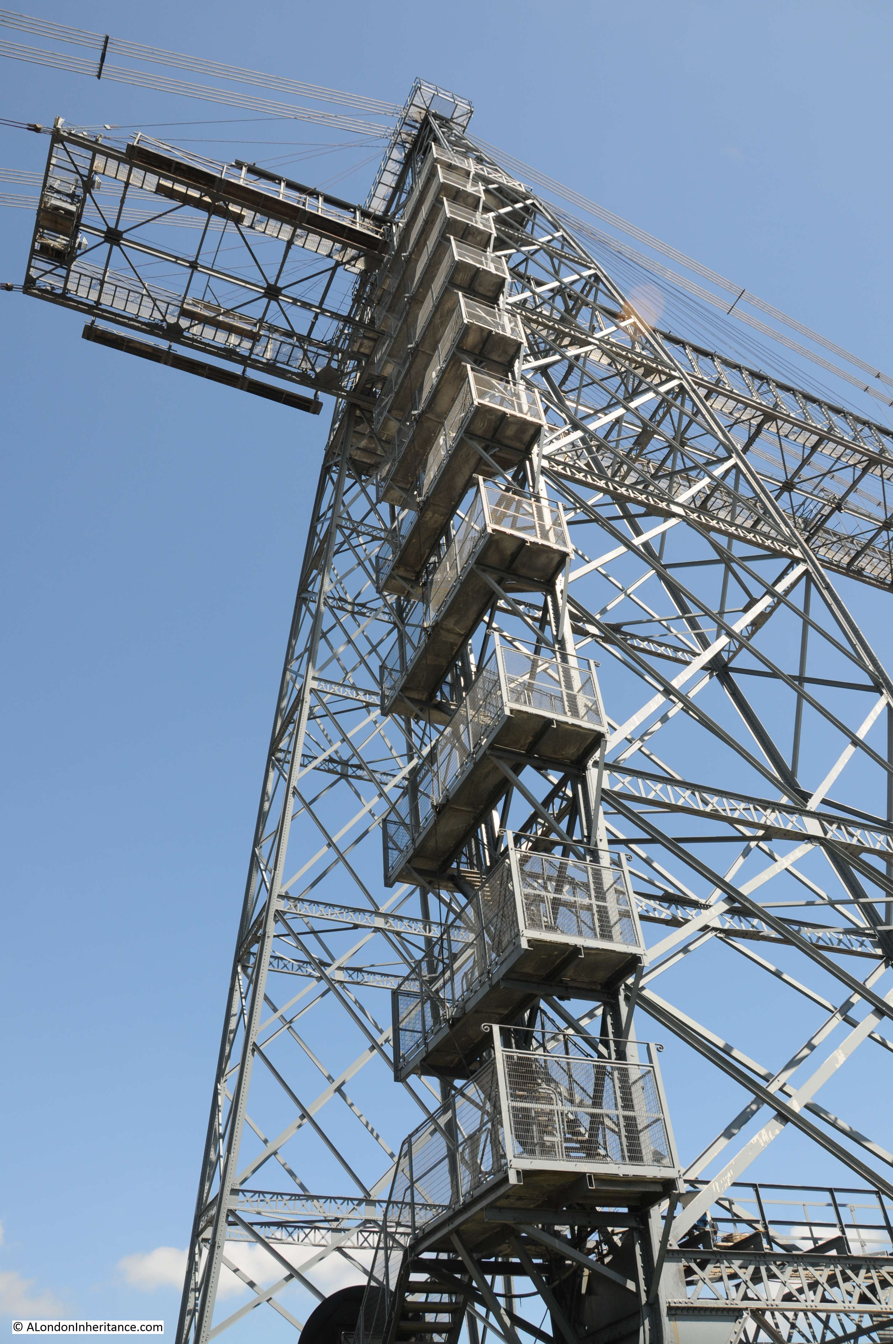
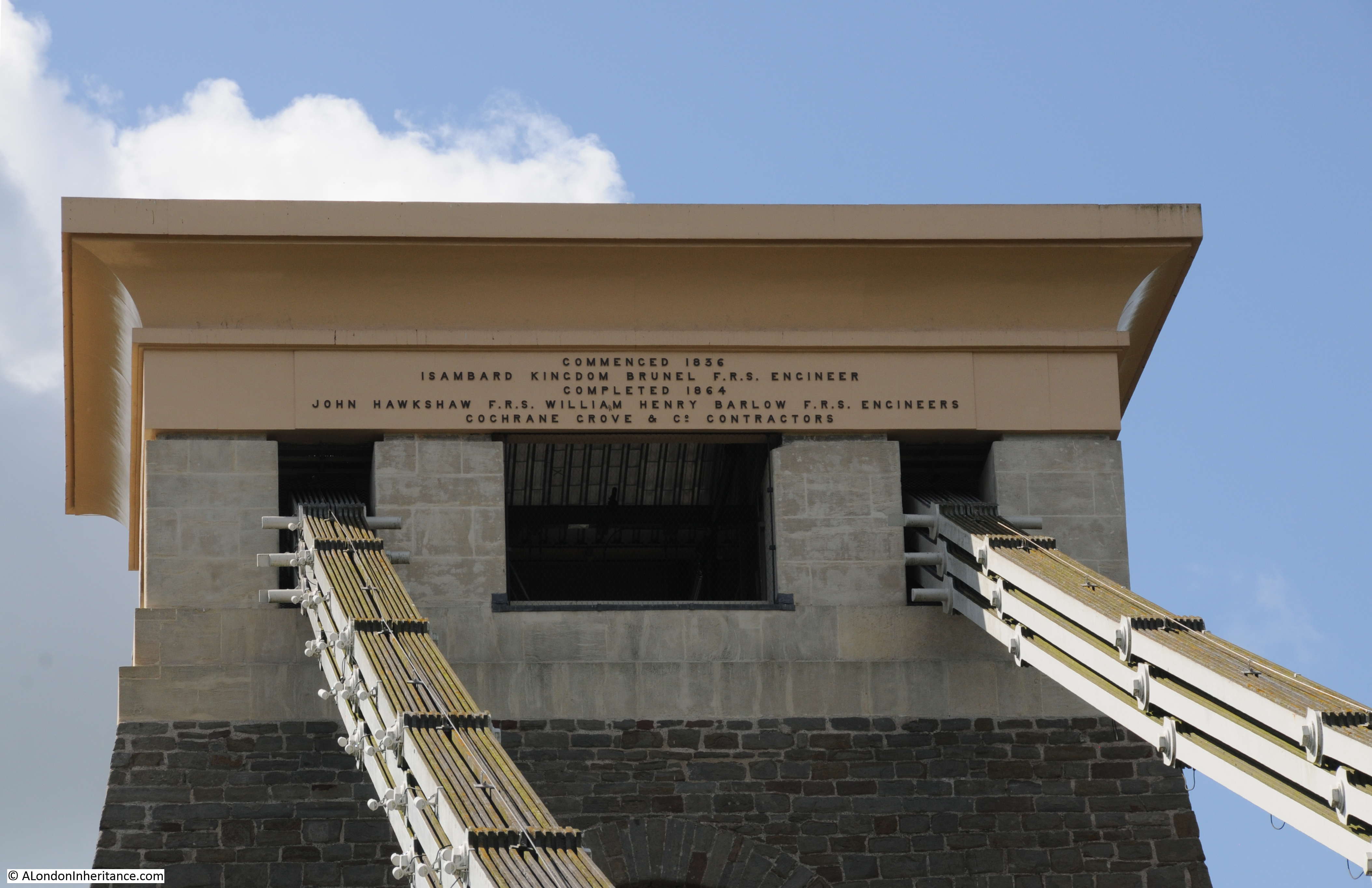
An inscription on the top of the Clifton tower records the start of construction in 1836 and completion in 1864. The iron chains supporting the bridge pass through the tower and roll over a mechanism that allows the chains to move very slightly to avoid undue pressure on the tower.
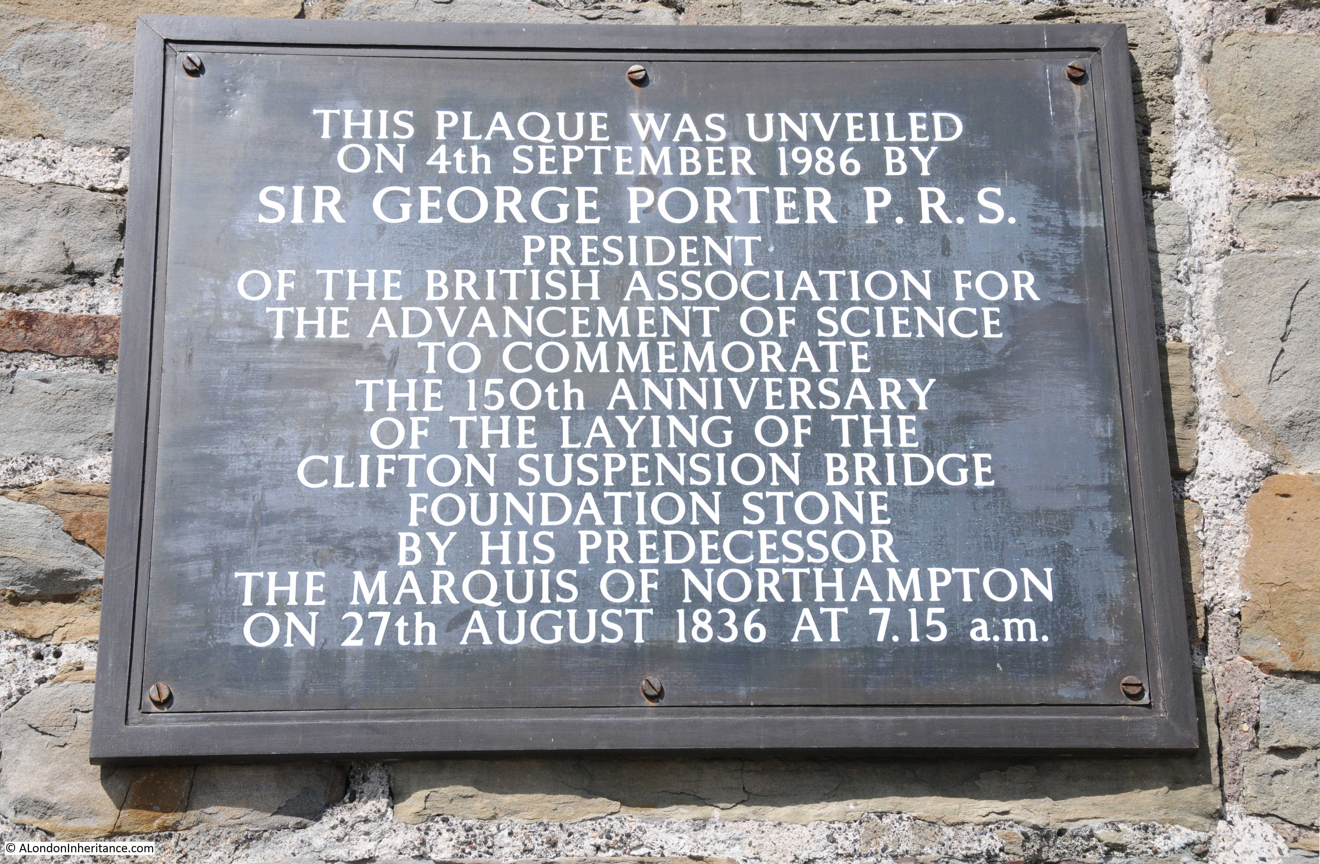
Plaque on the side of the bridge recording the laying of the original foundation stone. It would be almost three decades before the bridge would be complete.
There was an extravagant opening of the Clifton Suspension Bridge in 1864. The following drawing shows the crowds assembled for the ceremony.
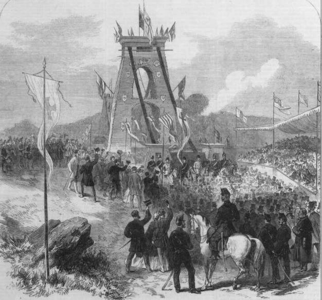
The Illustrated London News recorded the opening ceremony:
“The ceremony of opening the new bridge was attended with much festivity and pomp. There was a procession through the city of Bristol, composed of all the trades and benefit societies, bearing the banners and models illustrative of various callings. This procession, which came early, was immense in numbers, and took nearly three hours to wind through Bristol to the edge of the Clifton ravine, whence they wound down by the ‘zigzag’ to the banks of the Avon.
There was another and more dignified procession, which came precisely at twelve o’clock to perform the actual ceremony. This procession did not arrive upon the ground till all the spectators and visitors were assembled – that is to say, till the approaches to the bridge were filled, till the heights of Leigh Wood were crowded, and the ledge of steep grey cliffs lined with dense masses of people.
The opening ceremony was performed by the procession crossing the bridge from Clifton to the Leigh Wood side, amidst a grand salute from the Volunteer Artillery. from the Somerset side the return was made in the same order to the Clifton or Gloucestershire end, when a halt was called in frount of the grand stand erected for visitors; and Captain Huish, the chairman of the company, read a brief address setting forth the history of the undertaking, which was loudly cheered.
The Bishop of Gloucester offered up a prayer; after which, in a few brief words, the Earl of Ducie, for the county of Gloucestershire and the city and county of Bristol, and the Earl of Cork for the county of Somerset, each formally declared the bridge opened to the public for traffic, amidst renewed cheers, which were repeated again and again.
In the course of the afternoon a late dejeuner, or early dinner was given in the Victoria Rooms, to which all the chief visitors and the leading gentry of Bristol and its neighbourhood were invited.
During the night the bridge was illuminated with the electric light and with Bengal fires.”
The Victorians knew how to open a bridge !
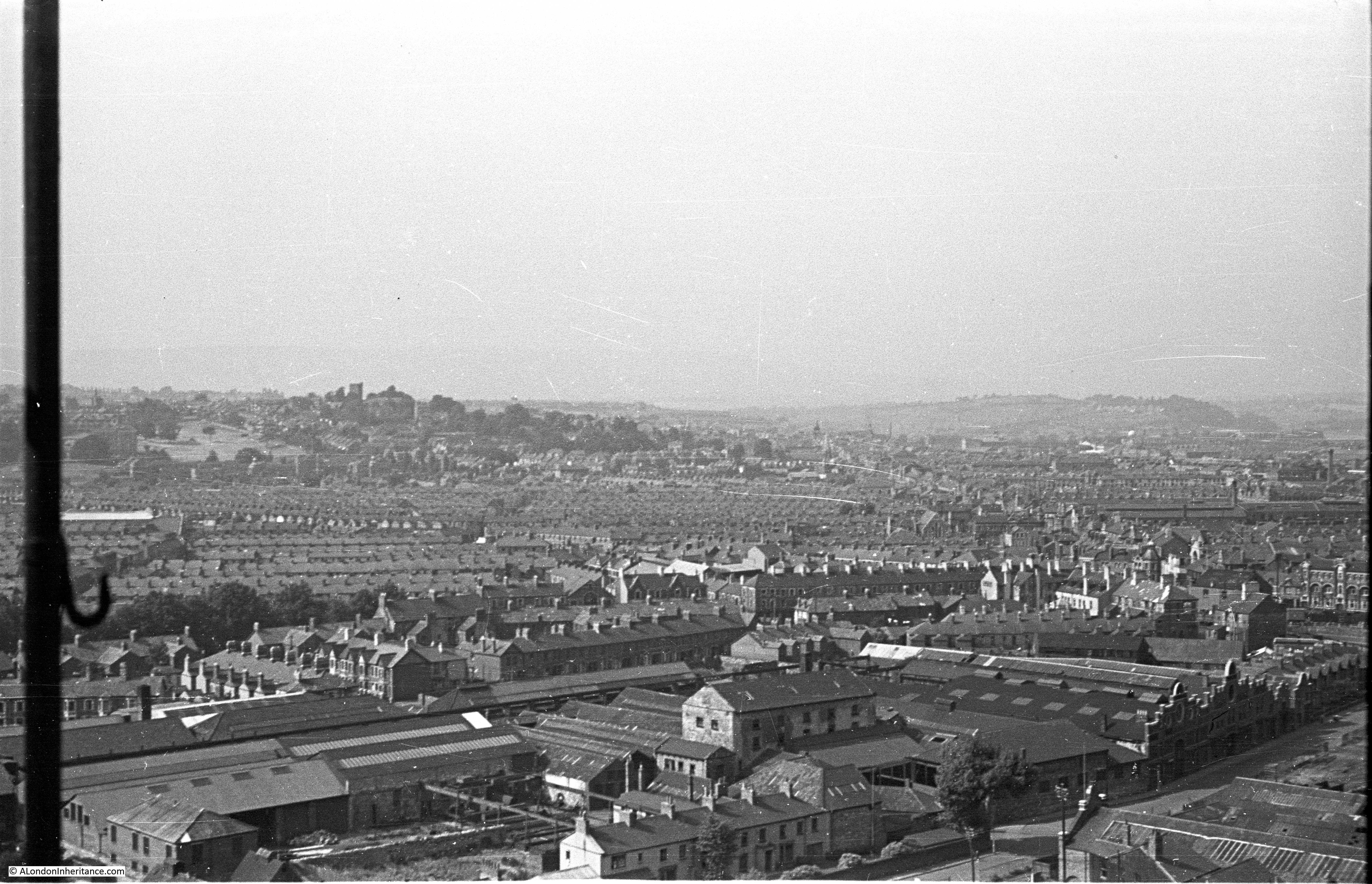
This is the view from the centre of the bridge, looking inland as the River Avon curves around Bristol and heads to Bath.
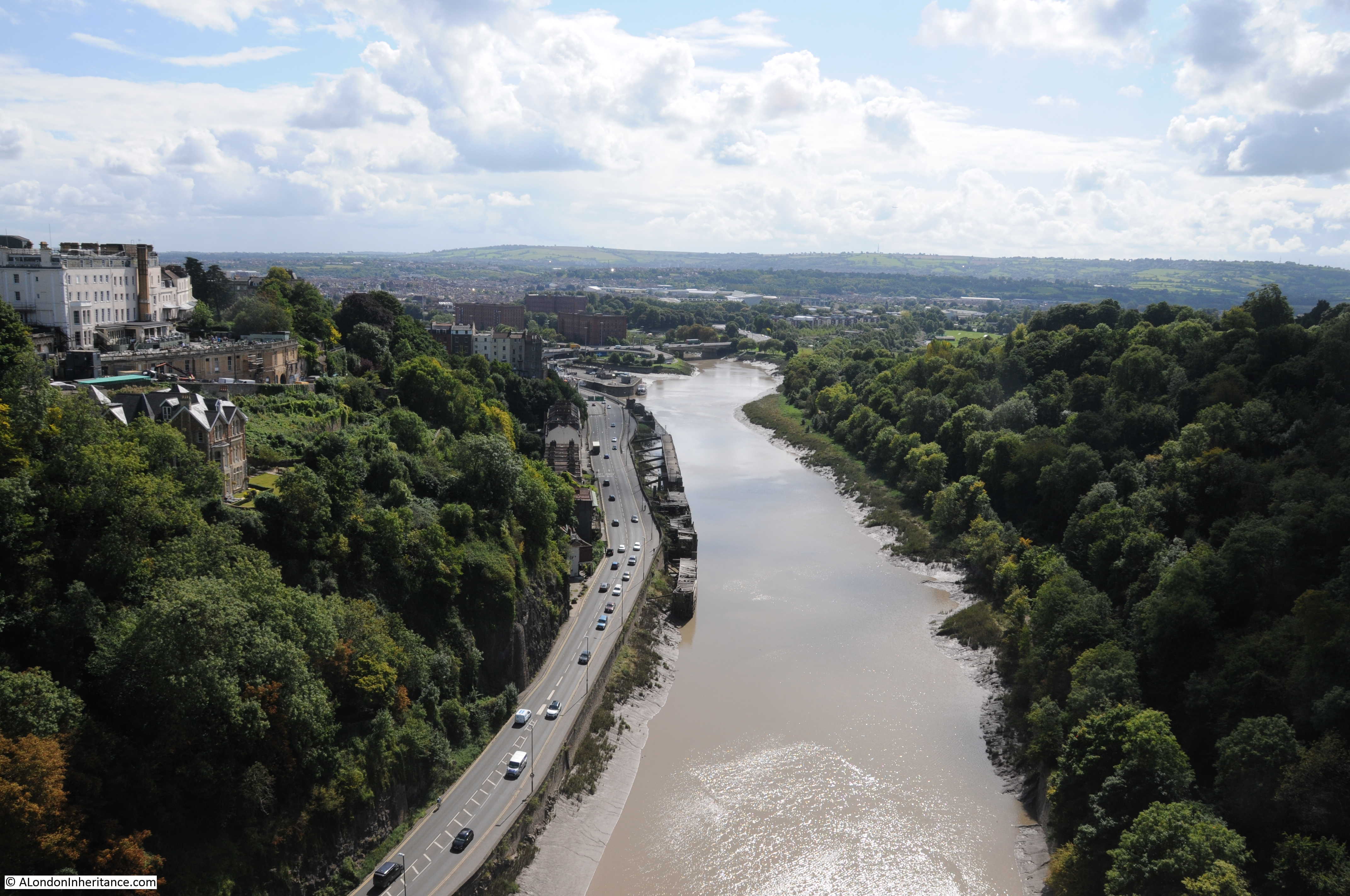
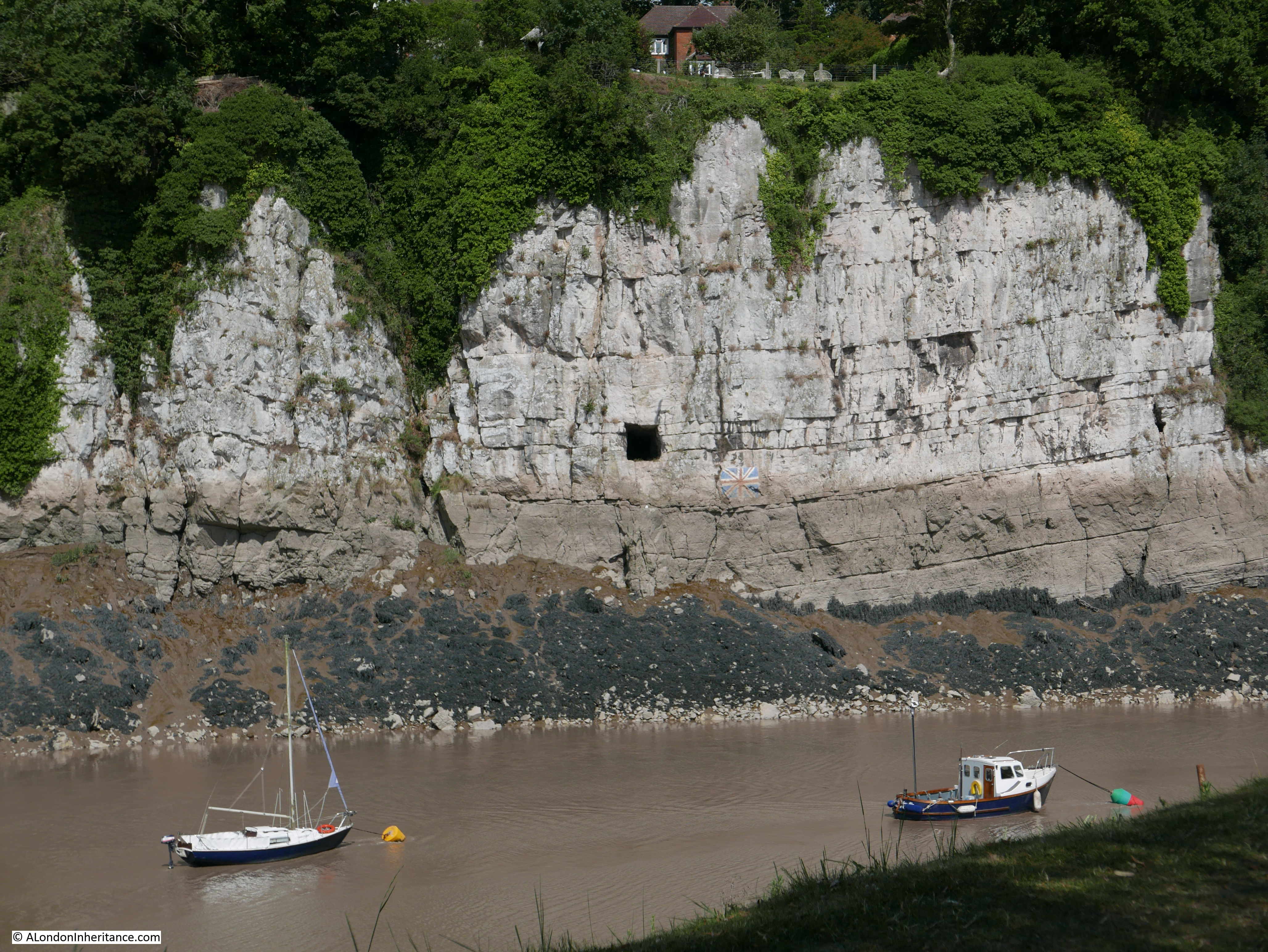
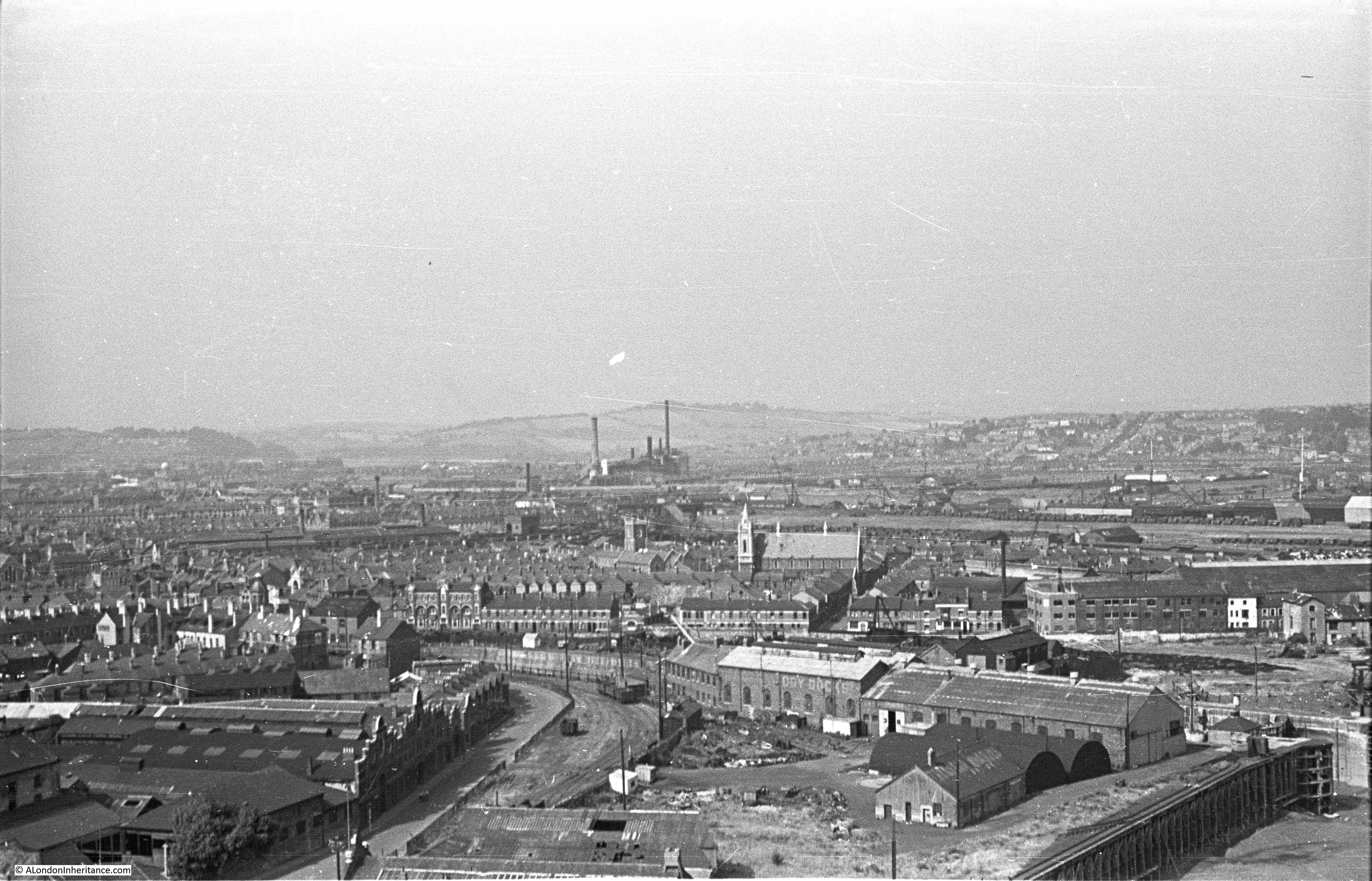
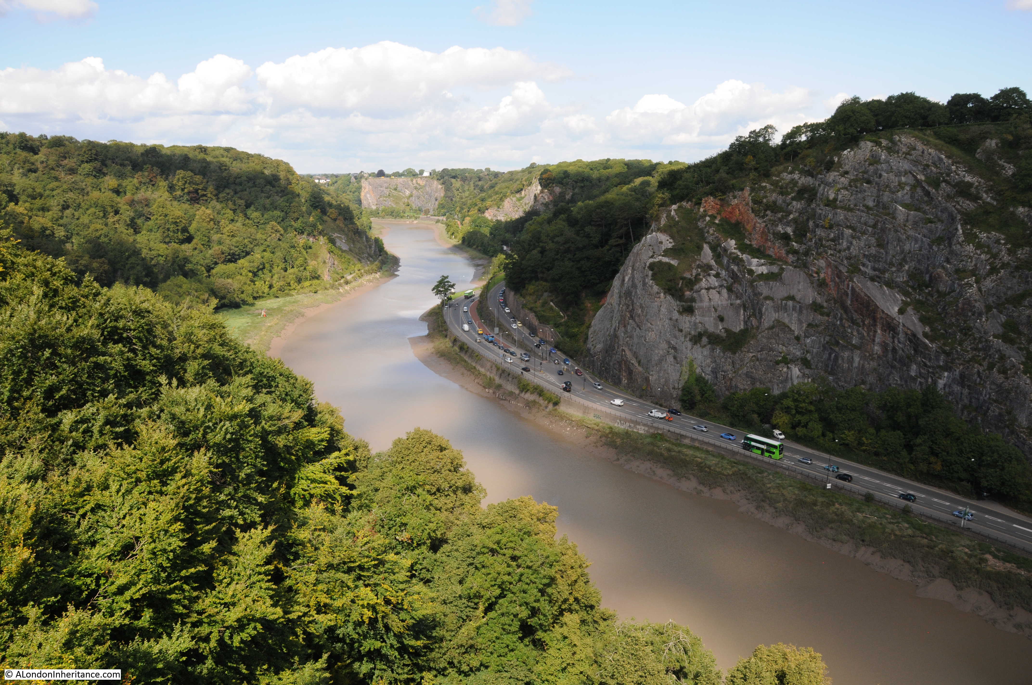
From the opposite side of the bridge, the Avon gorge is very apparent. In this direction the river heads towards the River Severn and the Bristol Channel. The A4 is the road that runs along the base of the gorge.
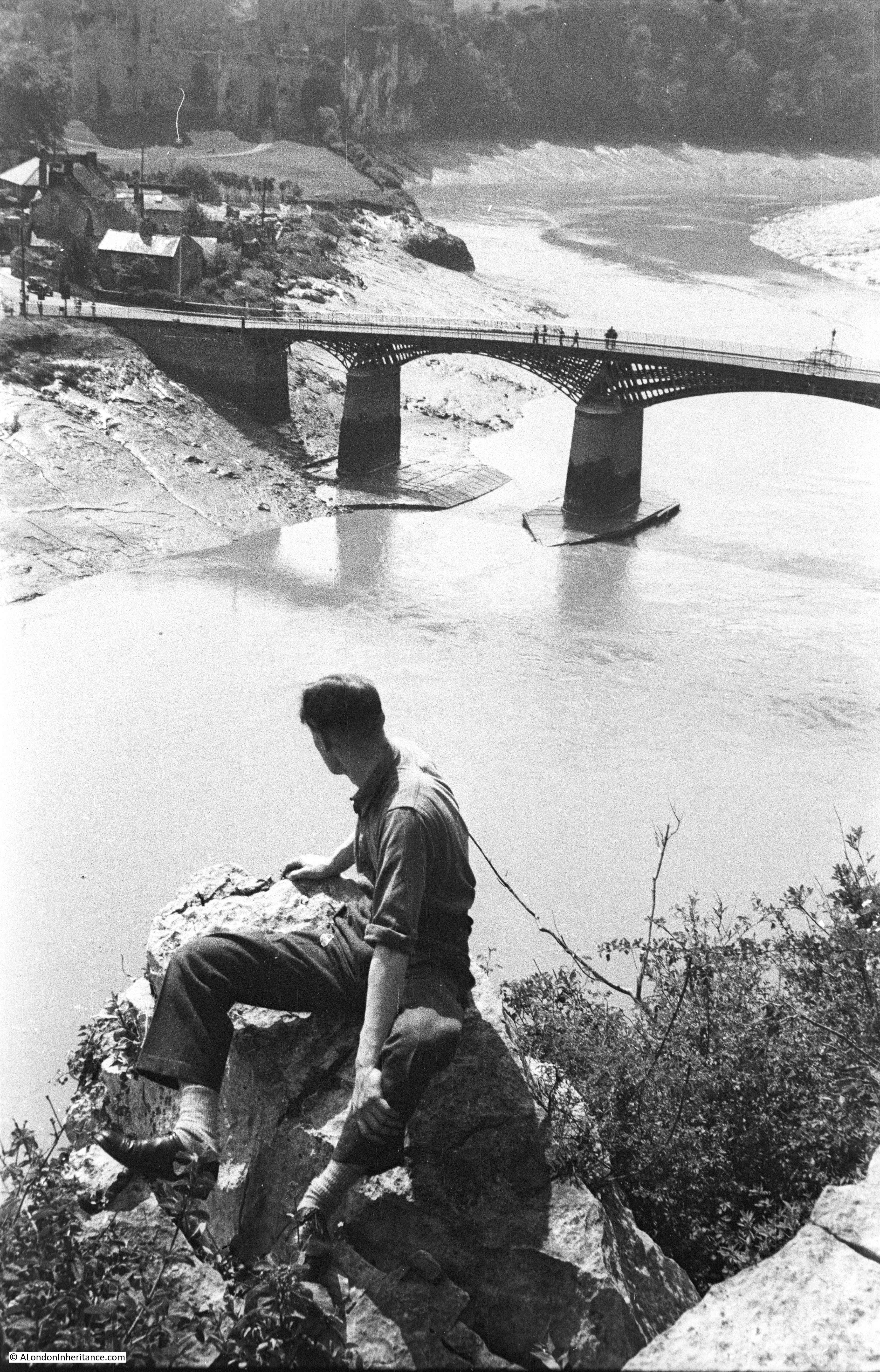
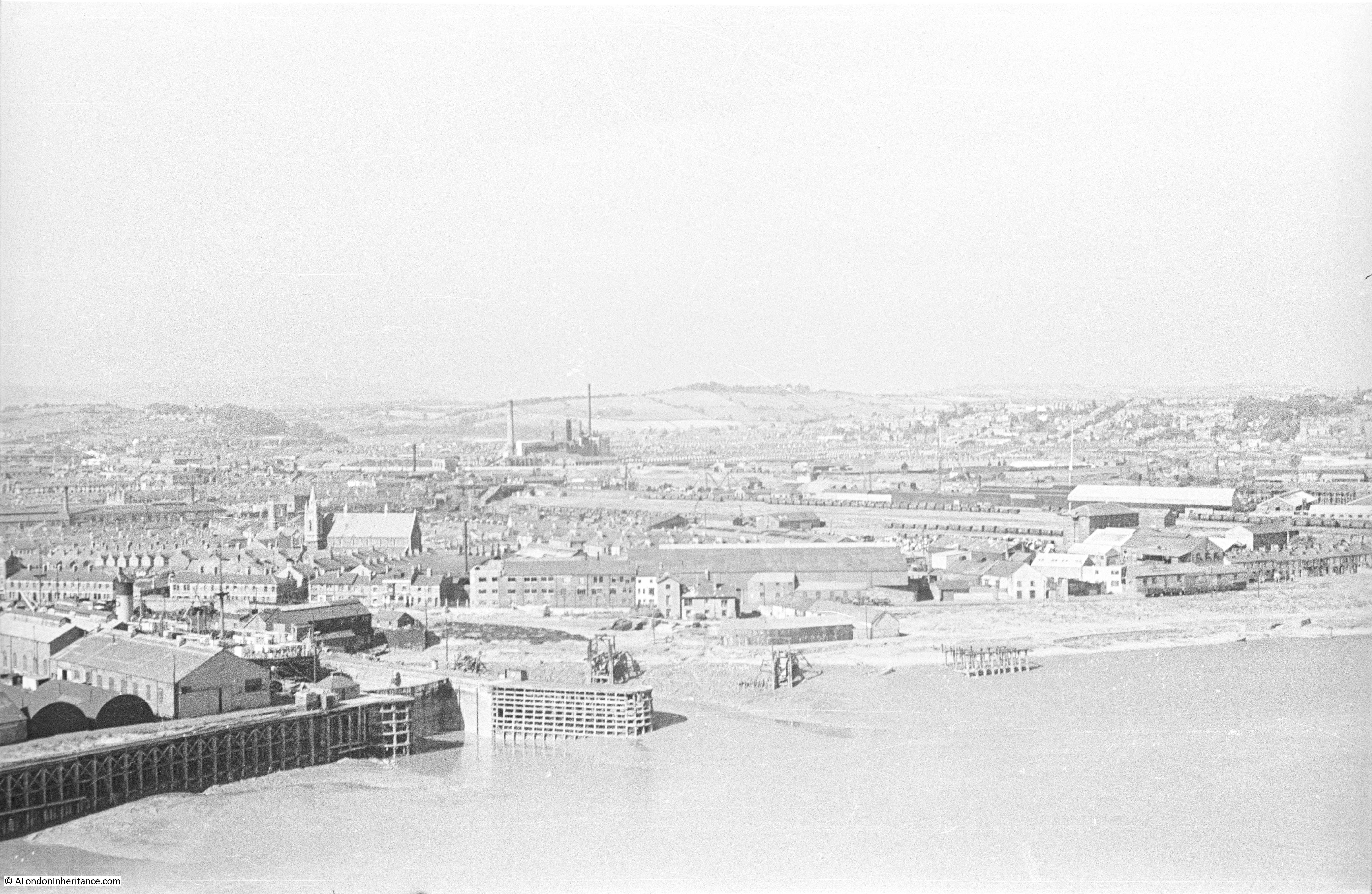
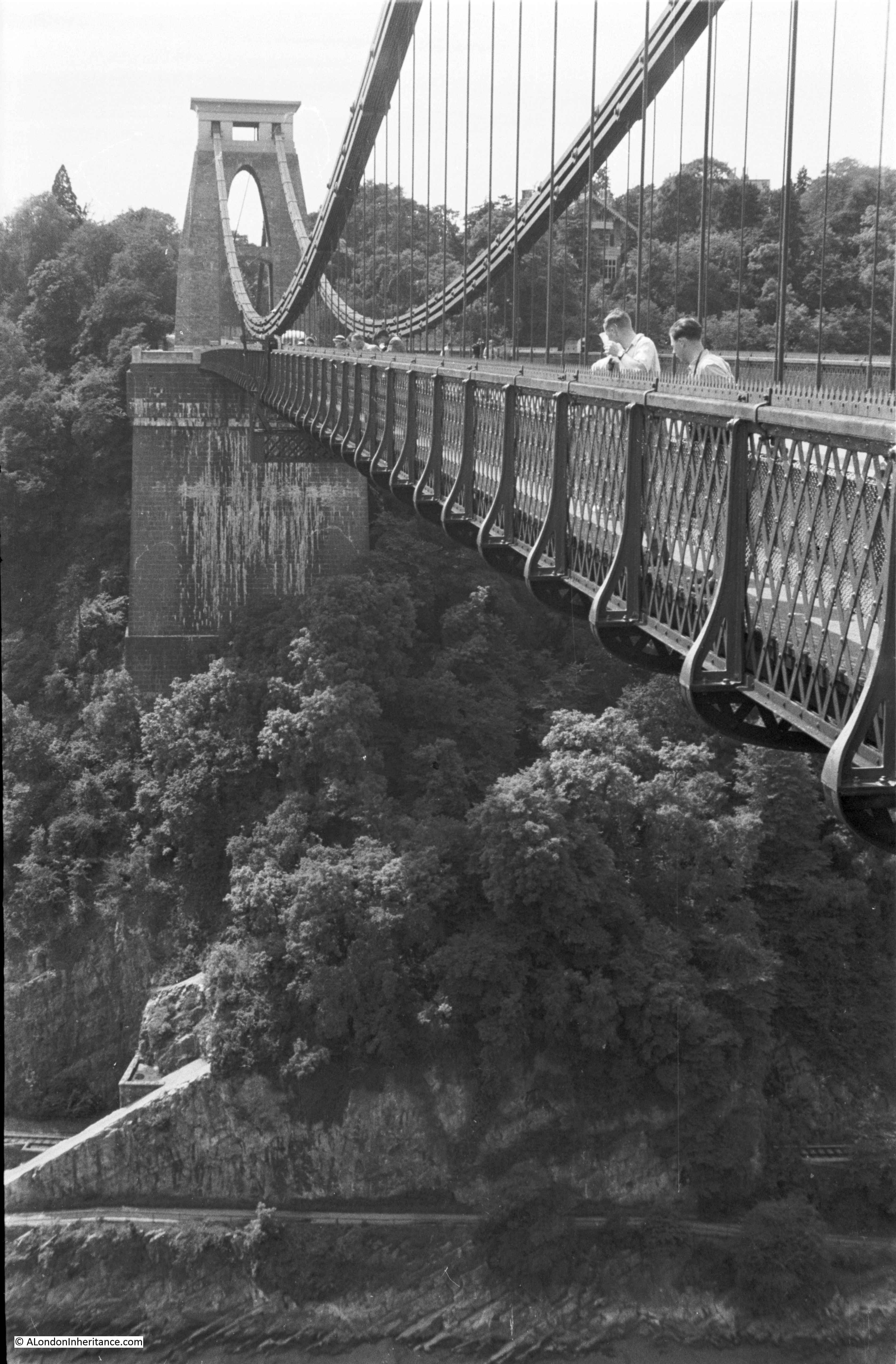
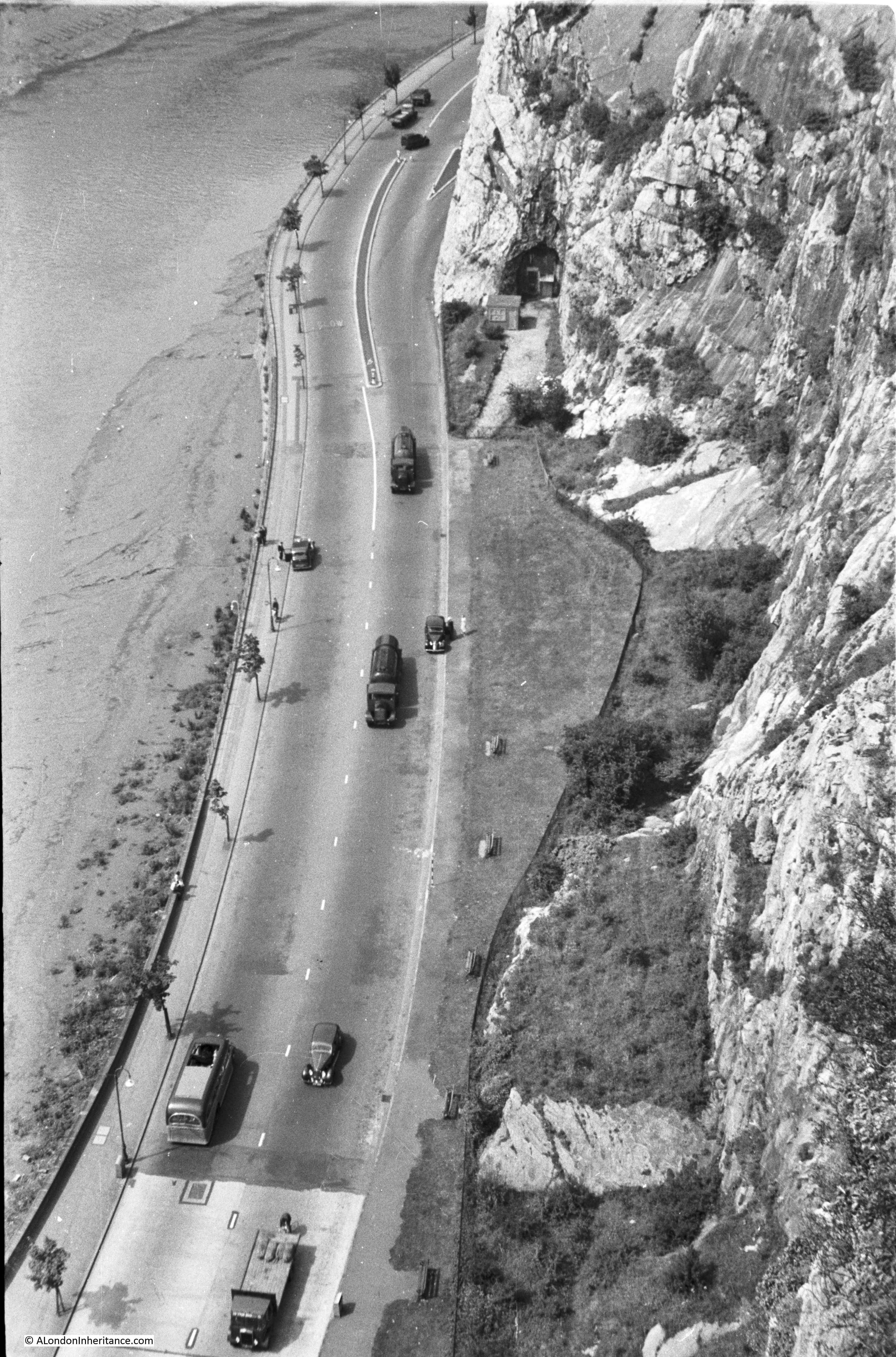
My father took this view from the Clifton end of the bridge, looking down on the road. During my visit, this side of the bridge was closed, so the above photo taken from the Leigh Wood end was the closest I could get.
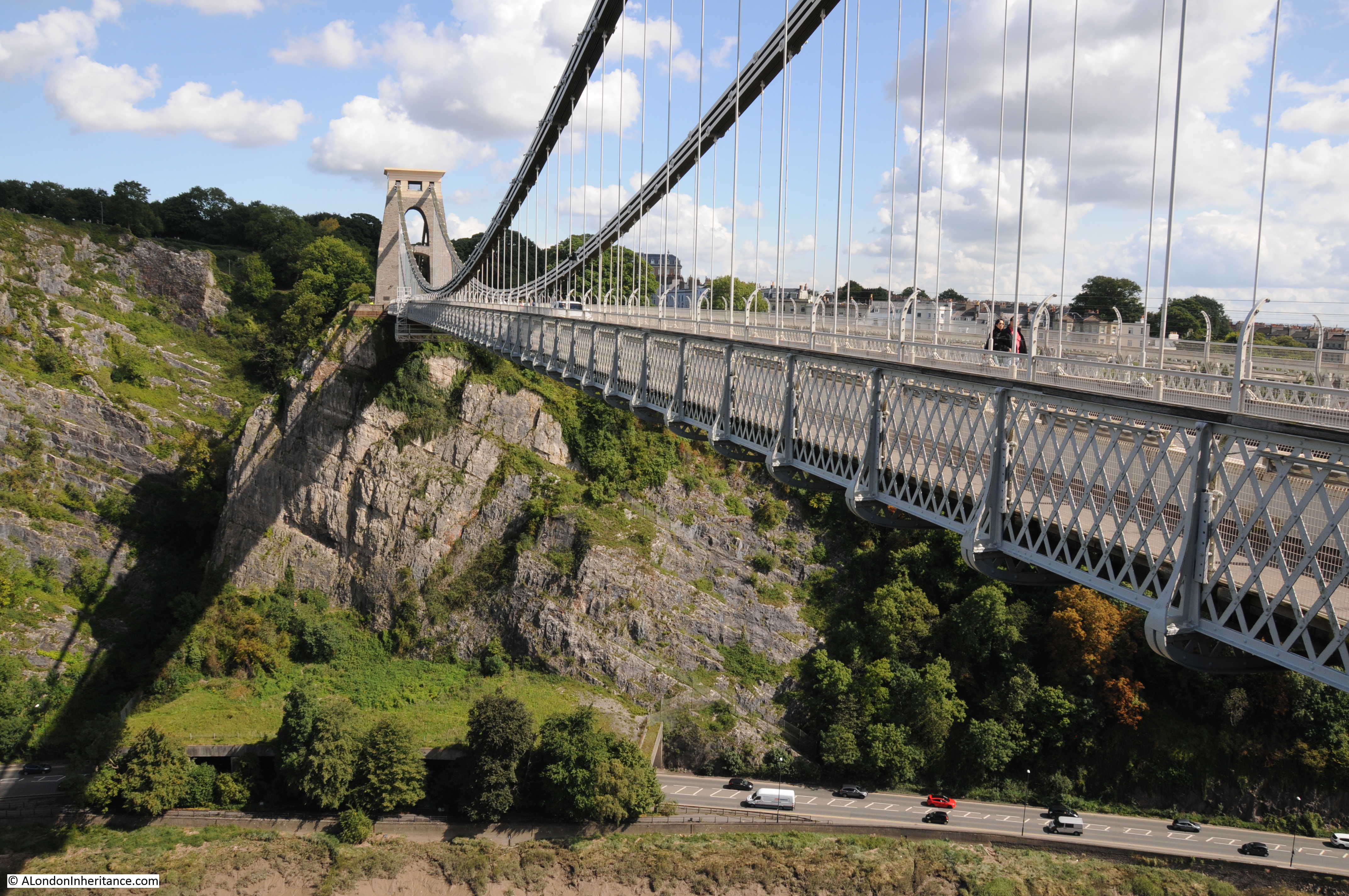
The view of the bridge from the Leigh Wood side looking back at Clifton. Unlike Leigh Wood, the Clifton tower was built on rock so does not have the very large abutment to be found supporting the Leigh Wood tower.
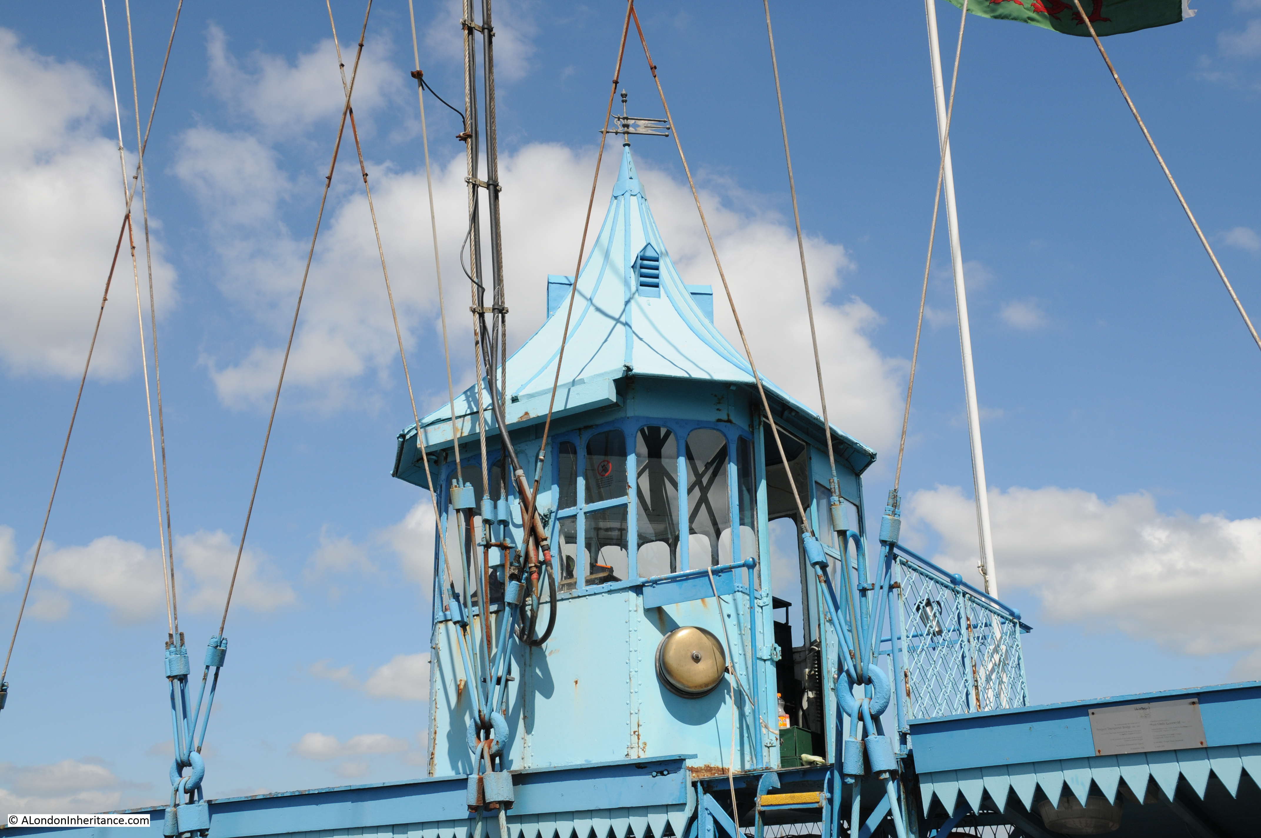
The Leigh Wood tower:

The Leigh Wood tower has the Latin inscription SUSPENSA VIX VIA FIT which translates as “A suspended way made with difficulty”. It is also apparently a play on words to record the name of Alderman Vick who made the original £1000 contribution to the bridge in 1753.

View looking along the bridge from the Leigh Wood end.
Time to enter the chambers beneath the abutment.
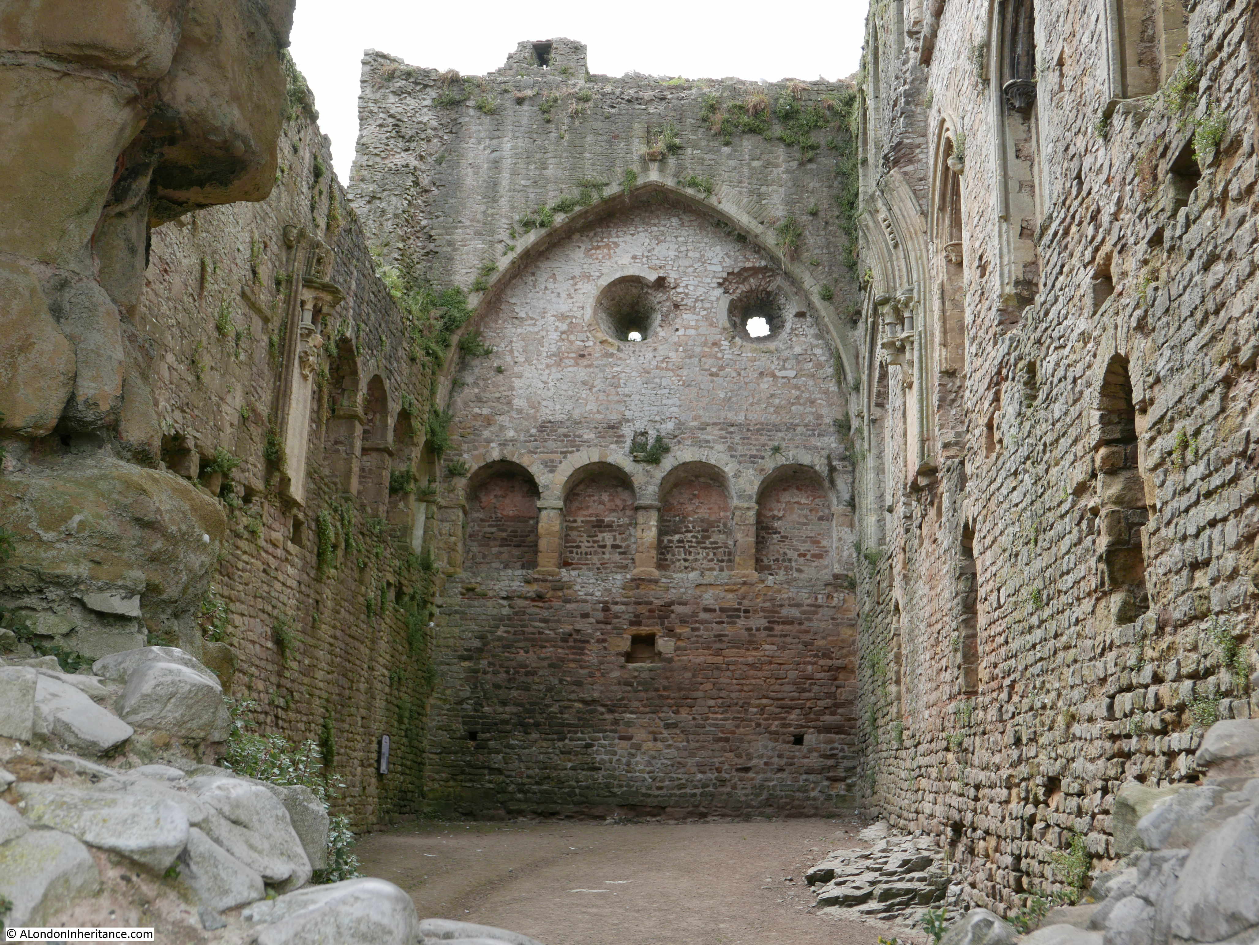
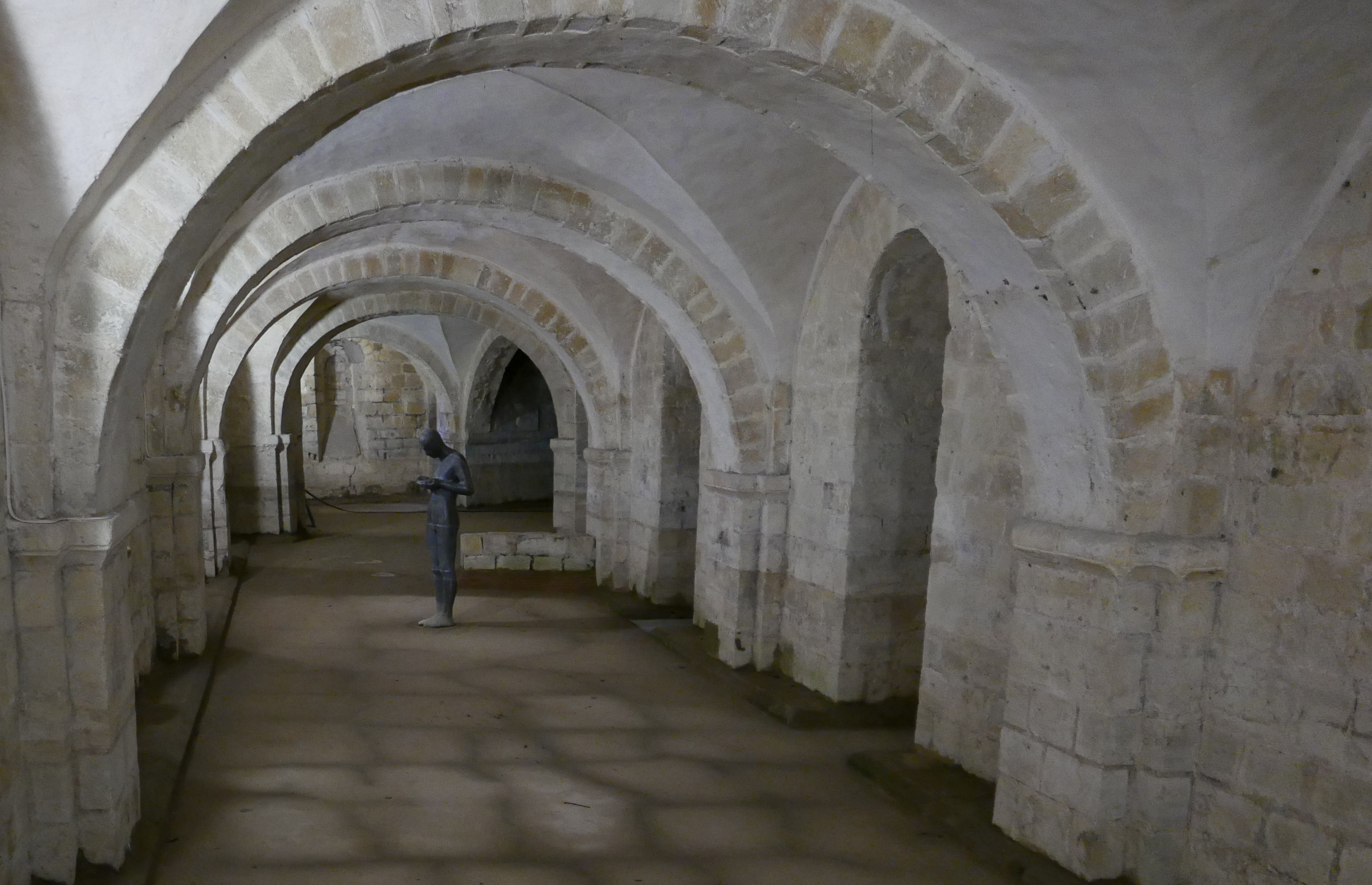
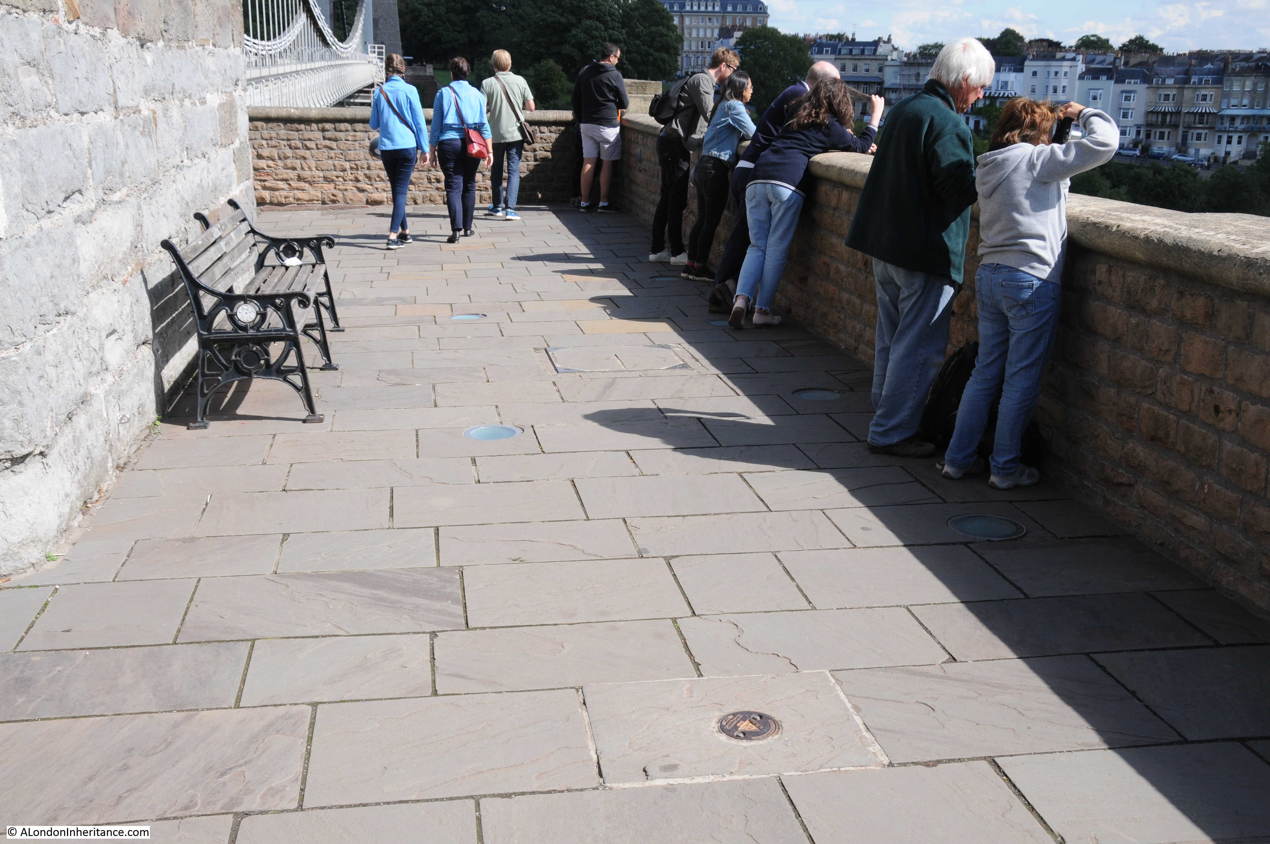
It was long assumed that the abutments were solid, however when a builder was replacing paving slabs, he found that the wooden sleepers on which the slabs had been fitted had started to rot and a small hole had appeared. Poking a rod through the hole the builder found a large void underneath.
On descending down the void, they found holes leading off which led into other large chambers and discovered that rather than being solid, the abutment comprised a number of large, vaulted chambers, untouched since the bridge towers had been constructed.
In the photo below, to the right of the seat, just before the start of the shadow there is a manhole cover. This is the location where the discovery was made.
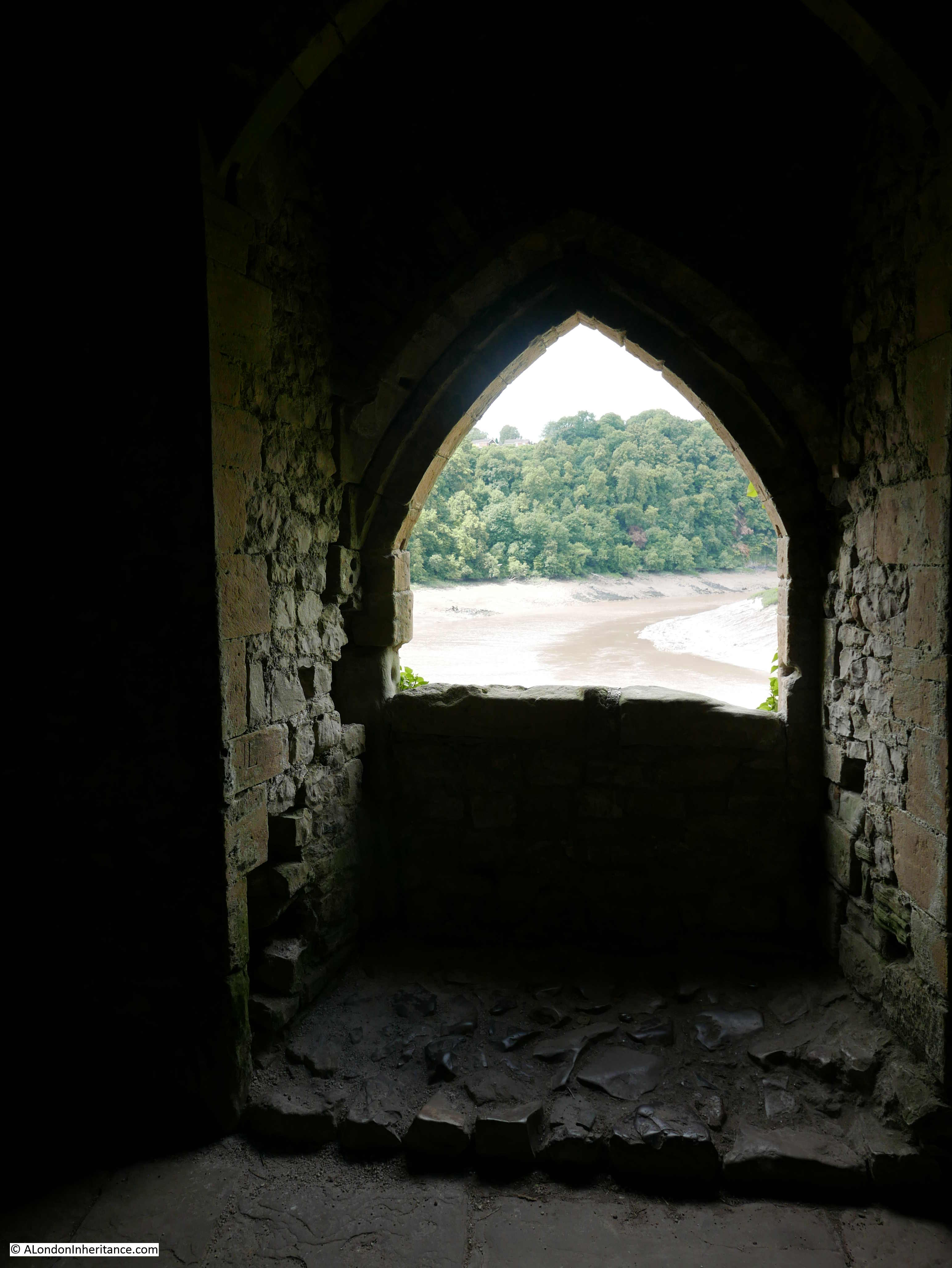
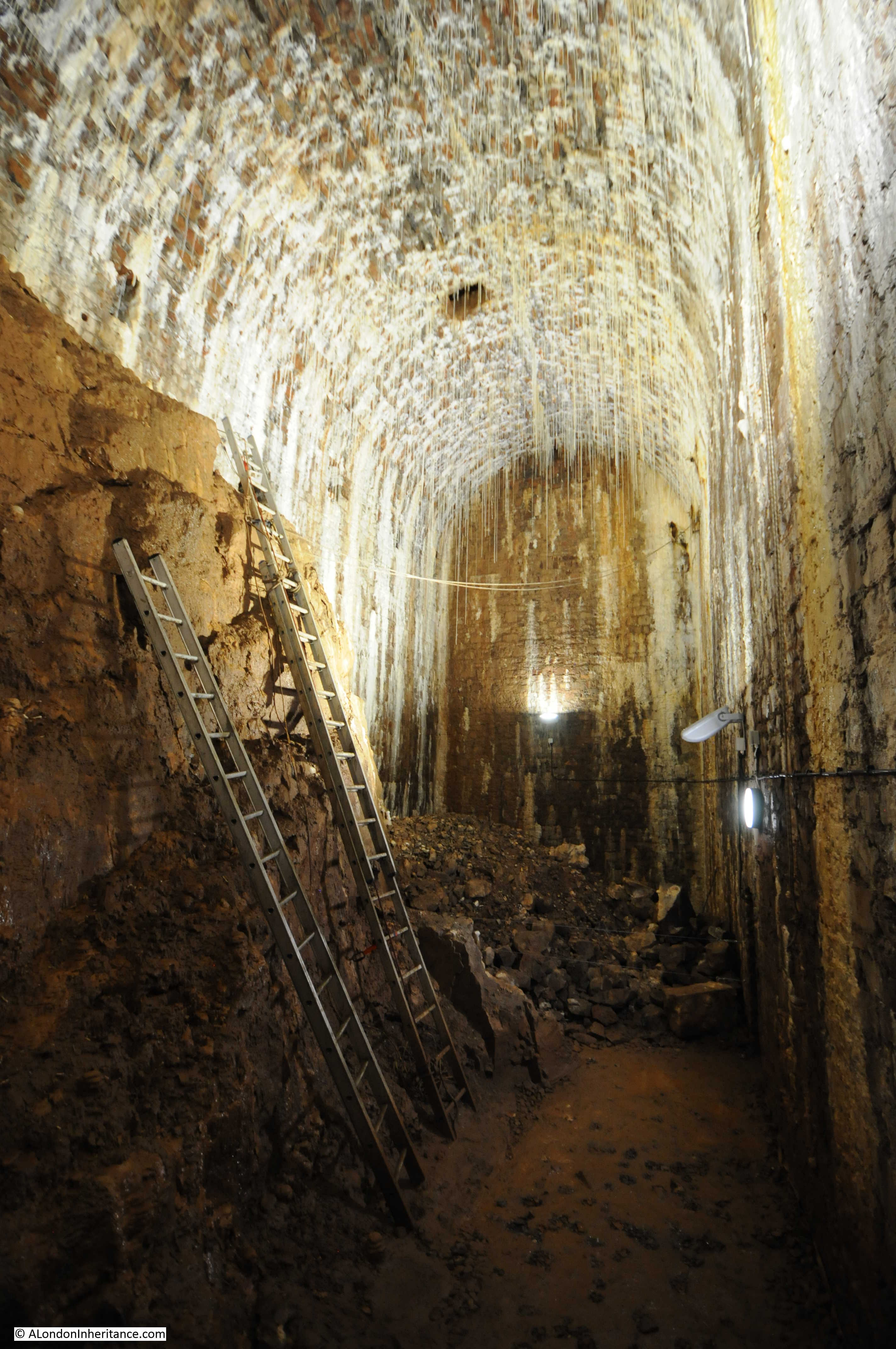
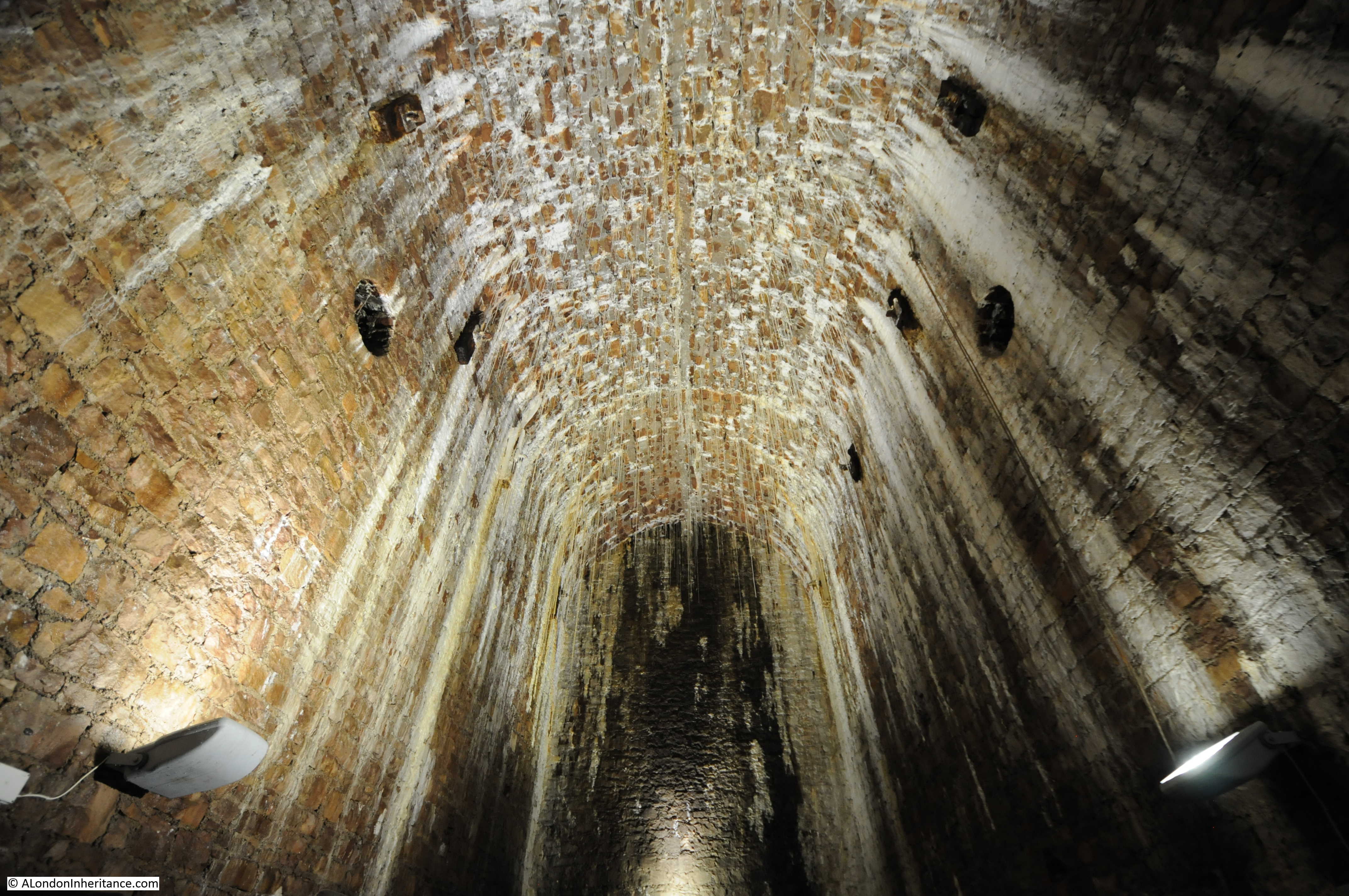
To gain access to the chambers, an entrance way has been cut into the side of the abutment which is reached by a walk down the side of the abutment, then a short vertical ladder to reach the floor level of the first chamber.
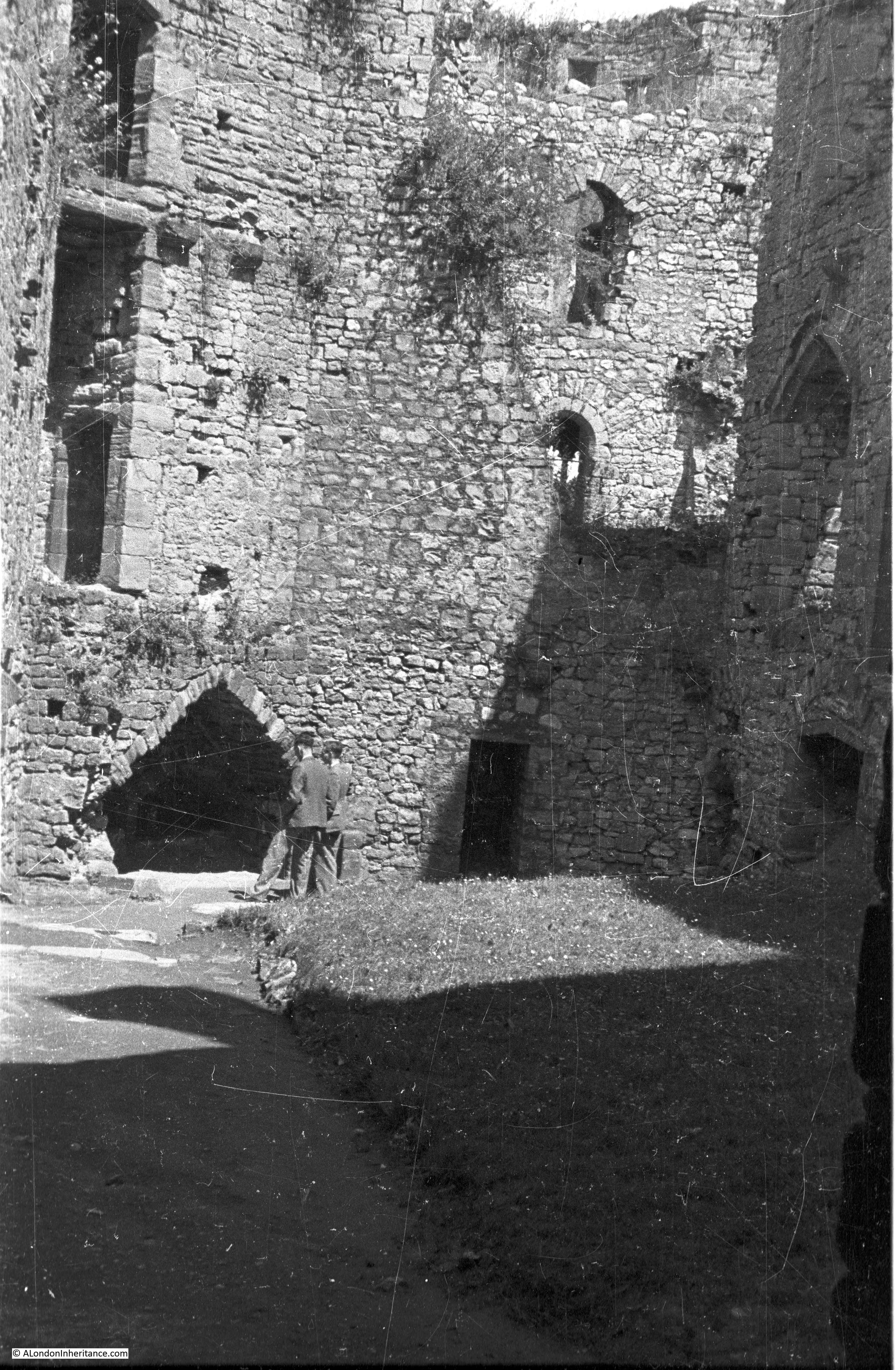
The first sight of the chamber is stunning. A large vaulted chamber, original builders rubble on the floor and stalactites hanging from the ceiling.
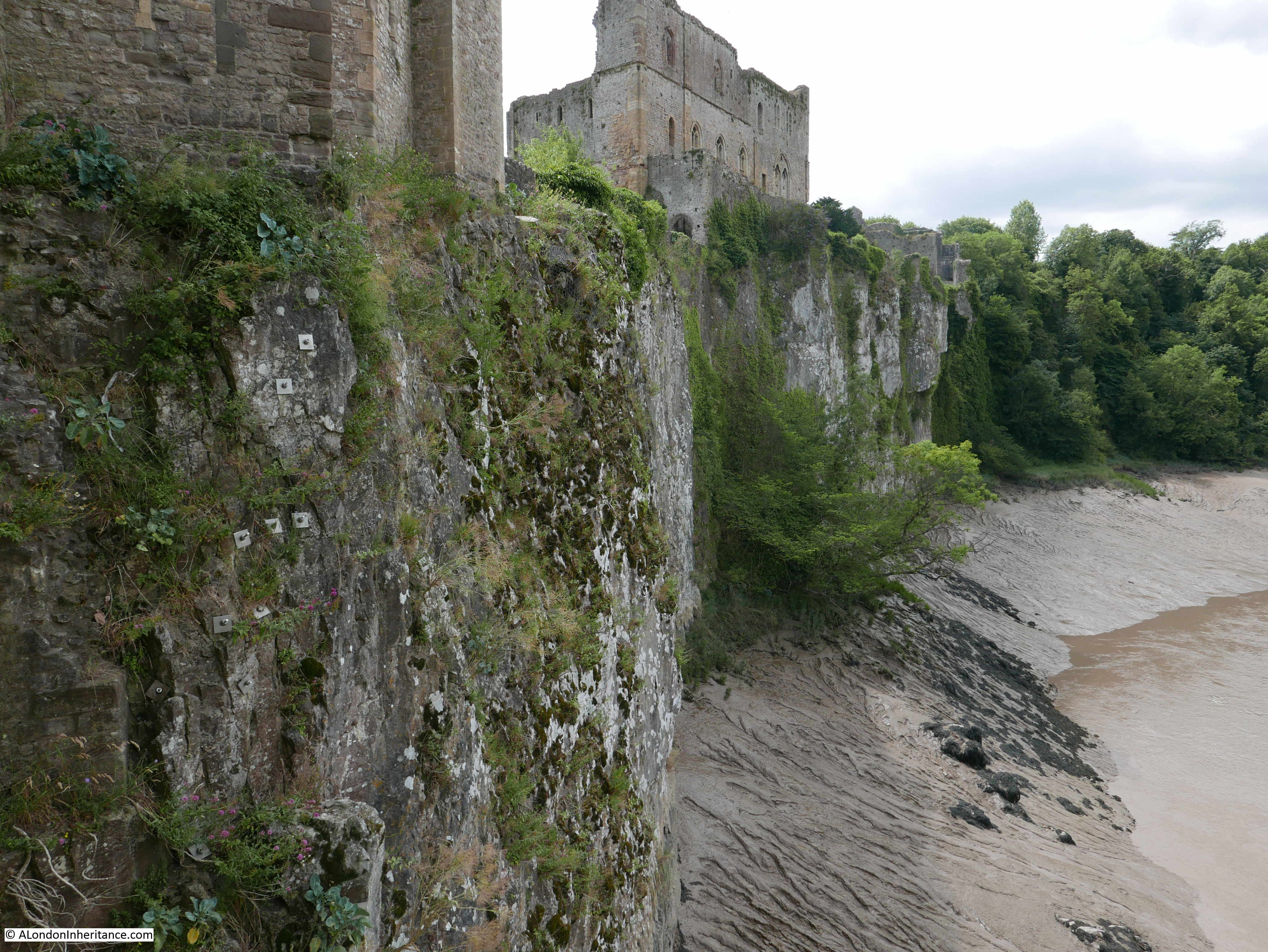
The rock on the left is part of the natural rock formation, showing how the abutment and chambers were built onto and around the rock edge of the gorge.
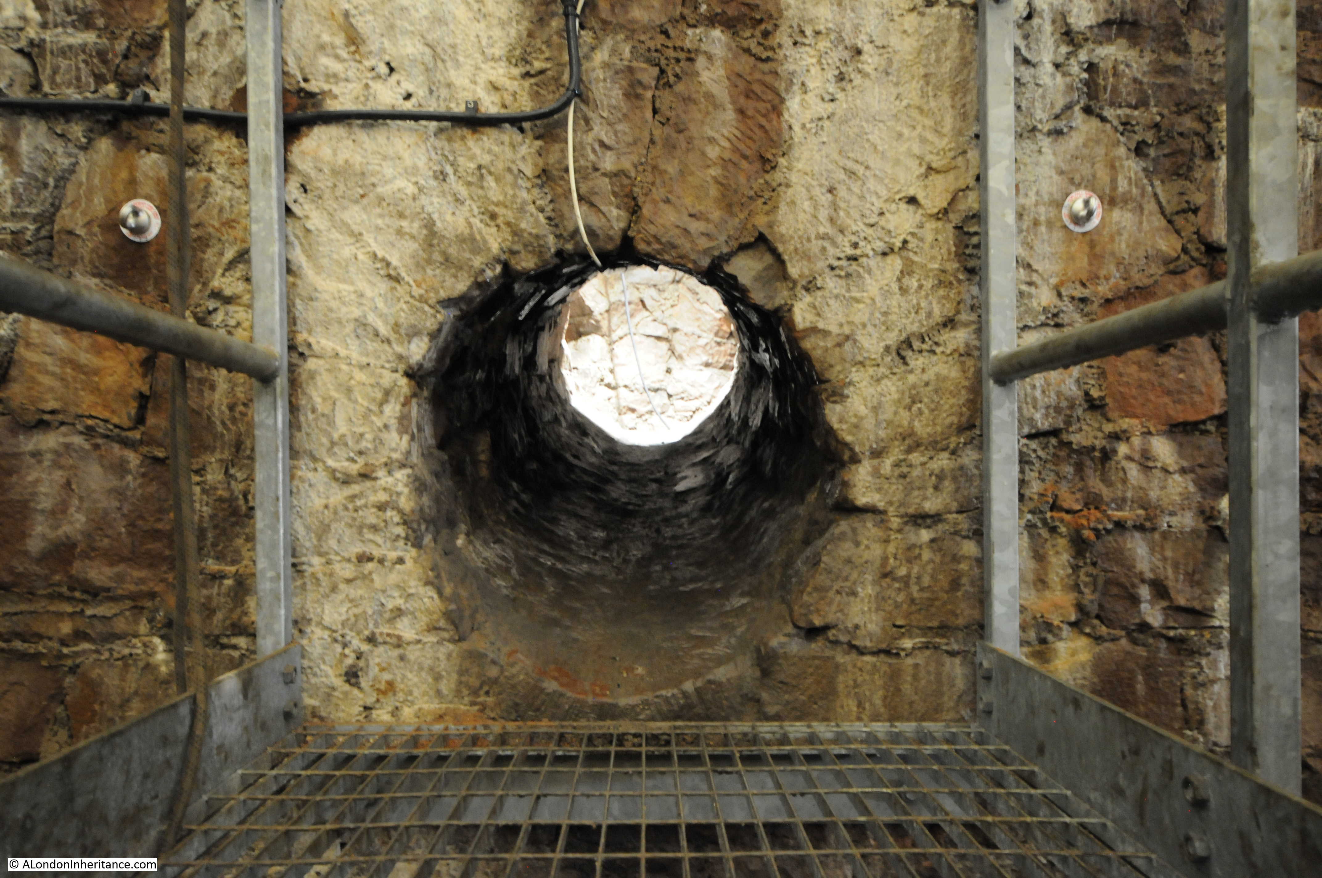
In the above photo you can see a hole in the roof of the chamber. Apparently this was used for access during the completion of the abutment, and then sealed.
On the surface of the bridge, the hole is located roughly at the end of the traffic island, in the centre of the road in the photo below.

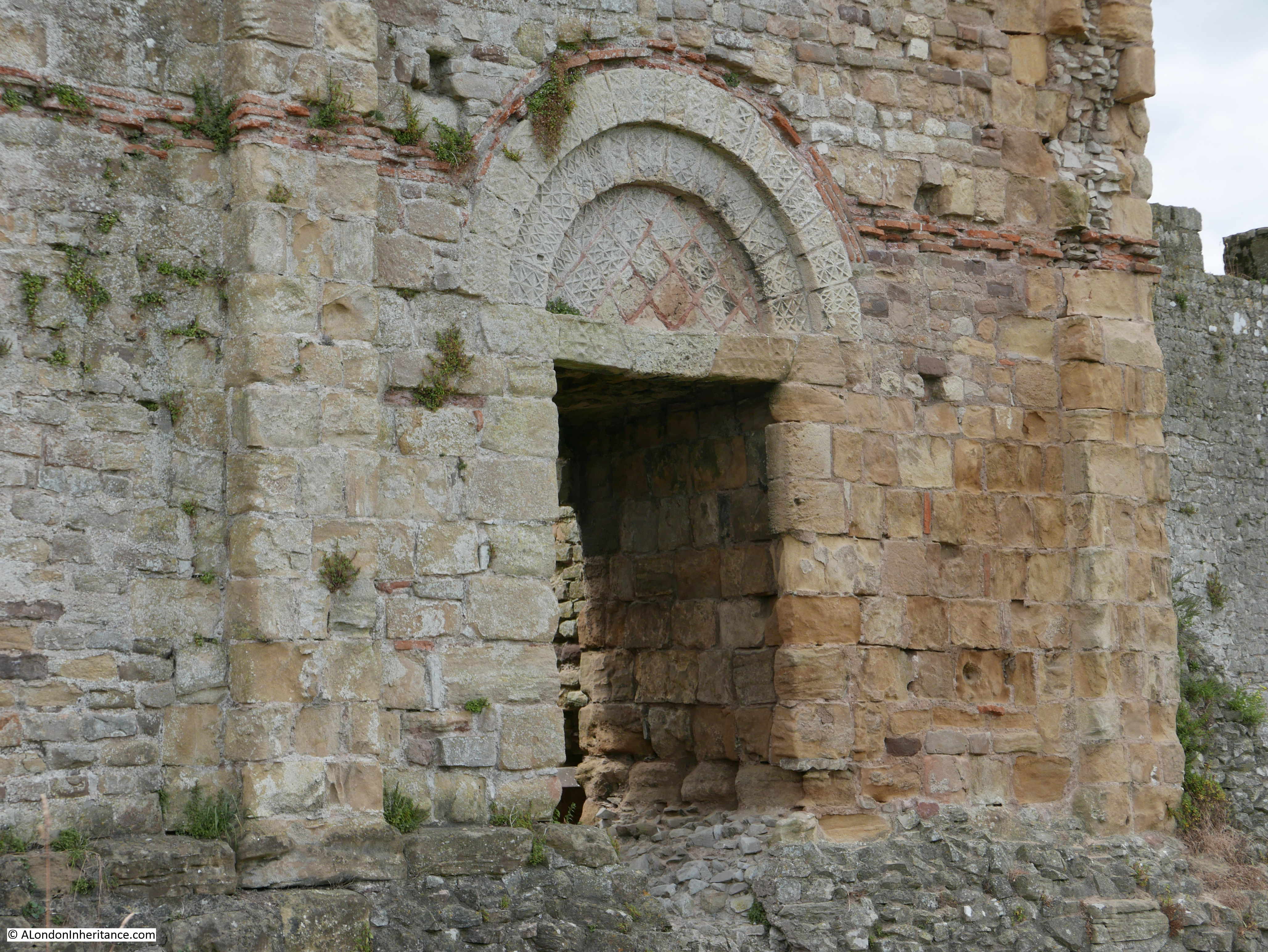
From the first chamber, a small hole leads through to the next chamber:
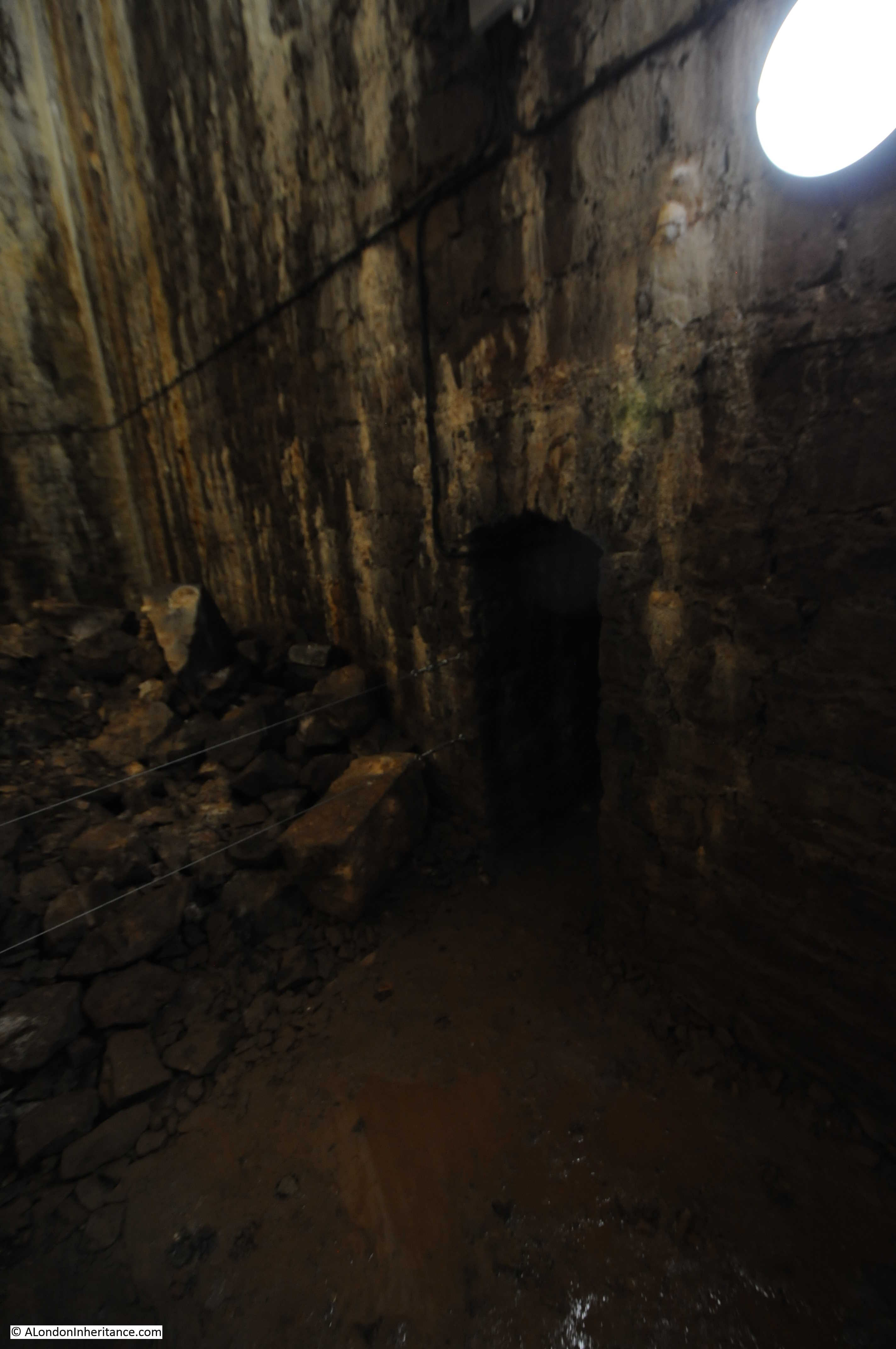
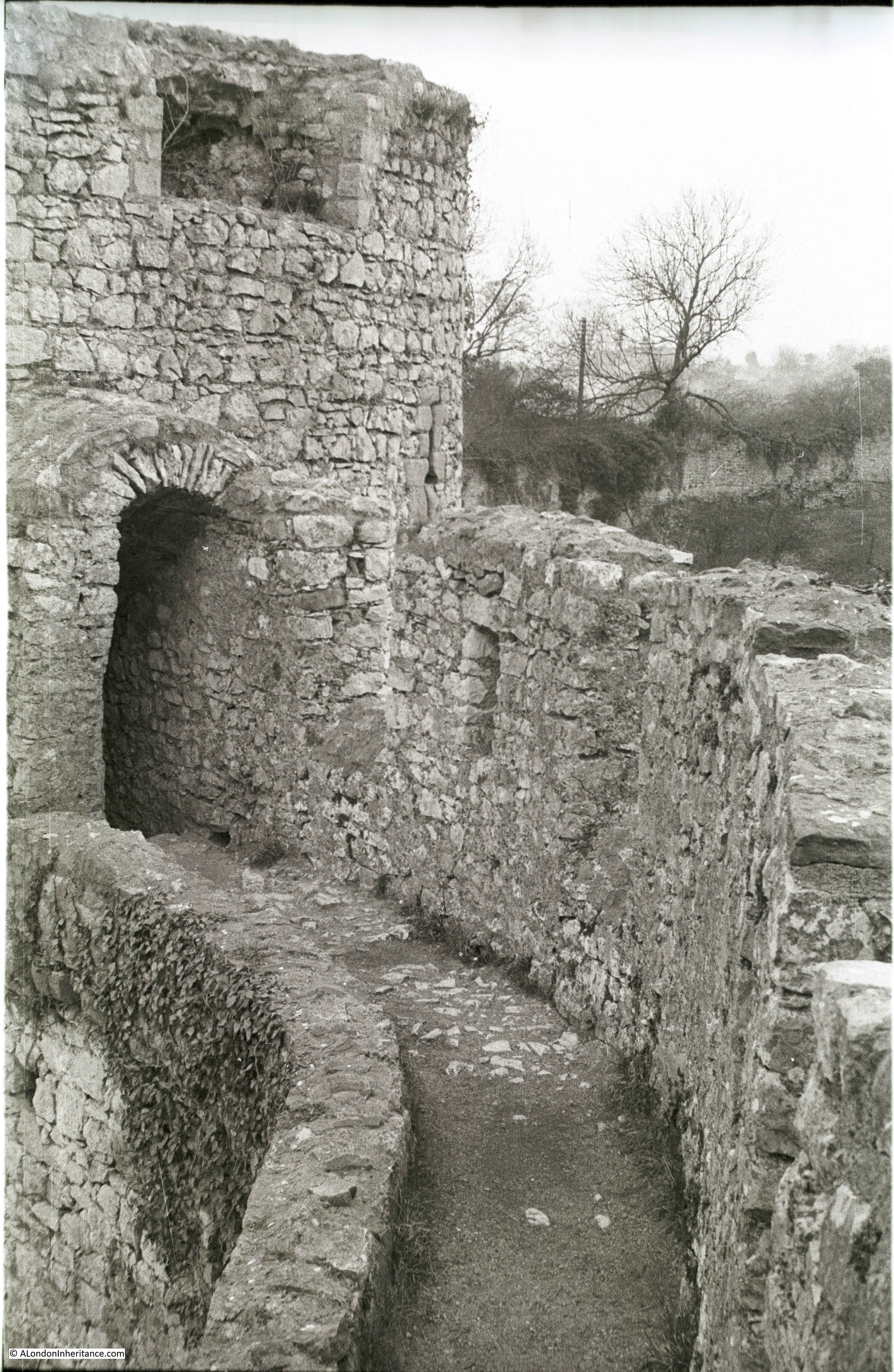
The first chamber is up against the rocky edge of the gorge, this chamber is at 90 degrees to the first chamber and the wall at the end of this chamber is the wall that faces out from the abutment, across the gorge.

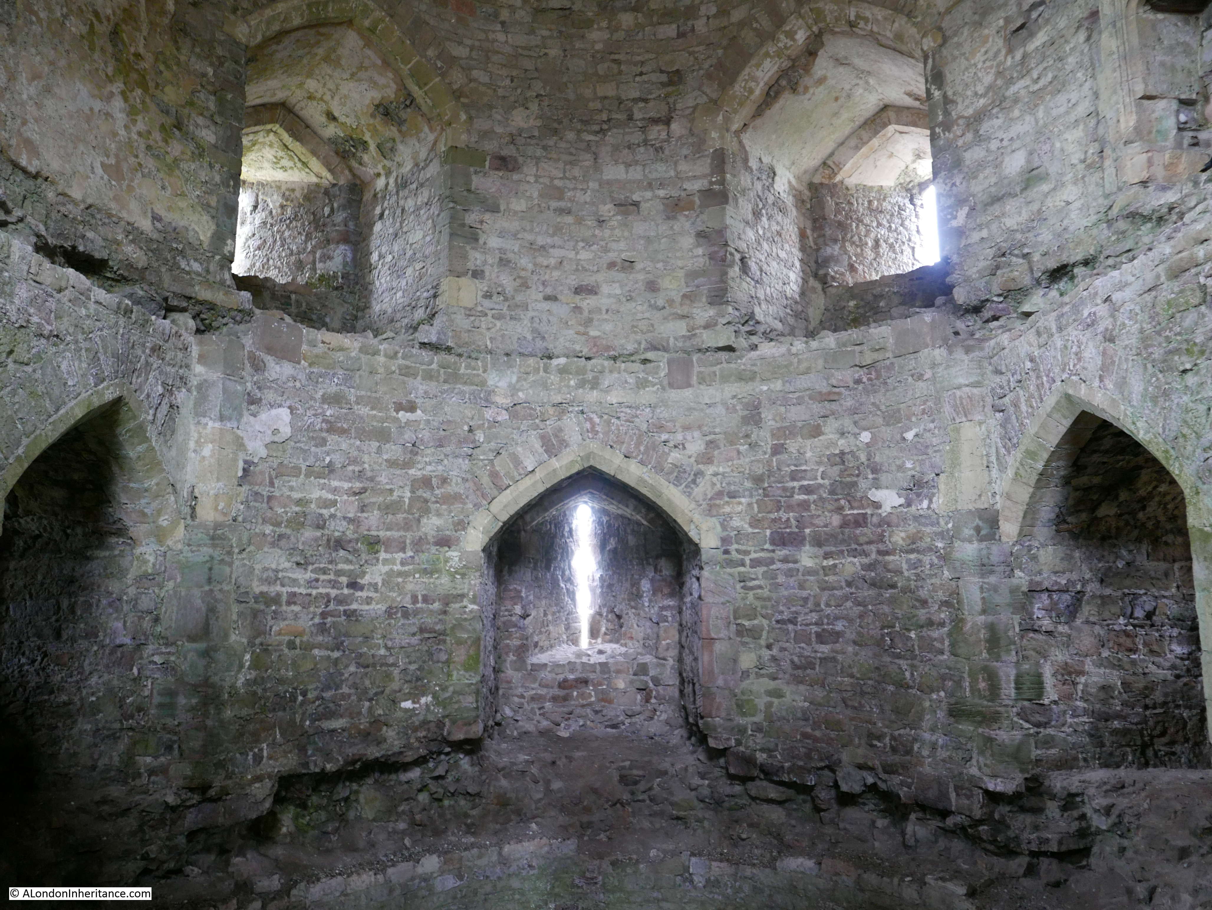
This is the largest part of the abutment and there are similar chambers on either side and below. In the photo below you can see two round holes, high up on the side walls of the chamber. these lead through to chambers on either side of this chamber.
View of the access hole to the side chambers:

There are also lower access holes to the side chambers – it would be a very narrow crawl through these:
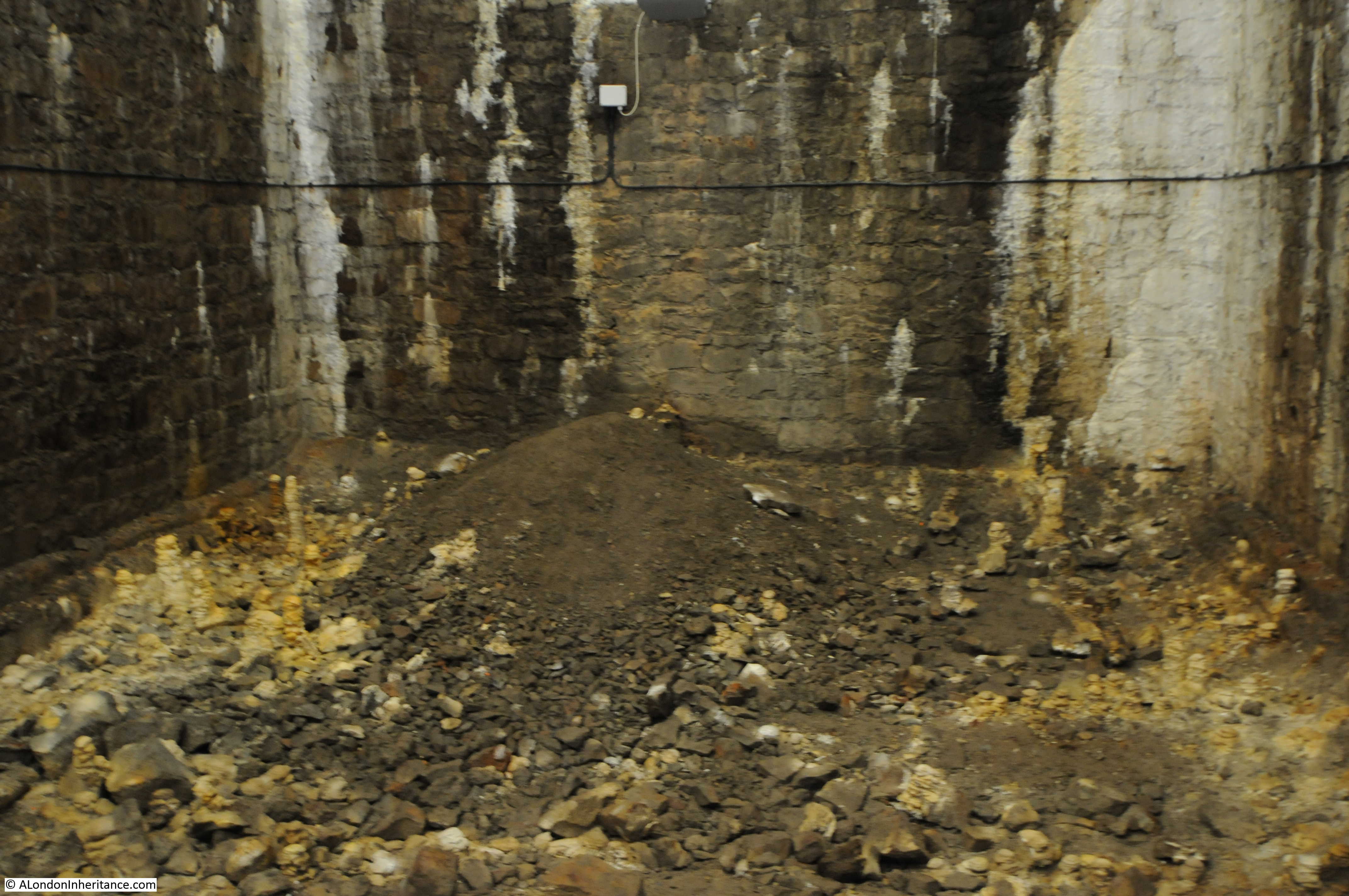
And on the floor there is a ladder leading to the chambers below. When looking at the external view of the abutment, it is hard to believe that there as so many large chambers hidden within.

On the floor of the chamber there are a number of stalagmites, built up over the decades from the water dripping from above.
Clifton Suspension Bridge is a superb example of Victorian engineering. Not only highly functional and built to last, but the bridge also looks so good and blends perfectly with the surrounding landscape.
It is surprising how on all my visits to locations outside of London I always find a link with London, and in the case of the Clifton Suspension Bridge a very tangible link, walking across knowing that some of the supporting iron rods had once also supported the deck of the original Hungerford Bridge.
After the tour of the chambers, I climbed the hill at the Clifton end of the bridge to the observatory for a final view of the bridge before heading back down into Bristol.
The Clifton Suspension Bridge has an excellent visitor centre and the volunteers who run the tours are really knowledgeable and enthusiastic about this wonderful bridge.
The Clifton Suspension Bridge web site has details of the visitor centre and the hard hat tours of the abutment chambers. It can be found here.