Tag Archives: chepstow

National Service, Chepstow, 1947

A bit of a different post this week. Many of my posts have featured my father’s photography, mainly London, but also some of the places he visited whilst cycling across the country in the late 1940s and early 1950s. A number of years ago, one of his friends told me that he always had his camera with him. This included his time on National Service.

The photos in today’s post are from 1947 and were taken at the Military Hospital in Chepstow, South Wales where he was stationed with the Royal Army Medical Corps.

They are the equivalent of the millions of mobile phone photos we take today. Simple photos documenting our everyday lives. I must admit to preferring this type of photo to the more carefully constructed, artistic photo, or even worse, a posed photo.

This type of photo documents what everyday life was like.

I have very few notes to go with these photos. The majority had not been printed, so after scanning, this is the first time they have been seen in 74 years. I have met just one of the people in the photos. I do not know the names of the rest. Who they were, where they came from, and what happened to them in the following 74 years.

If still alive, they would now be in their early nineties, rather than the fresh faced late teenagers in military uniform:

National Service
National Service

There was a note to the following photo which read “troop of 18 and 19 year old National Service recruits leaving for a p*** up” :

Chepstow Military Hospital

As well as the Military Hospital in Chepstow, there was also a local Army Training Centre and Chepstow Racecourse had been used to hold German Prisoners of War.

I have not yet been able to find the location of the Military Hospital. The following photo was taken from the entrance, looking into the site:

Chepstow Military Hospital

Group photo:

National Service

Today, we take millions of photos on mobile phones. These get saved on the phone, stored in Apple or Google’s cloud storage service, or used on Facebook, Instagram or Twitter. I suspect an incredibly small percentage get printed.

I do wonder what will happen to all these photos in the years to come. Will someone in 74 years time be able to access your photos? Will Facebook, Instagram, and even Apple and Google still exist in 74 years time. Will descendants have access to the accounts of today’s users?

The fact that Facebook may not exist may seem fanciful, however, consider the technical, cultural and social changes between 1947 and 2021, as well as how many companies have lasted those 74 years.

All these photos have been scanned from 74 year old negatives. Recovering them is basically shining a light through them using a scanner. If the source material still exists there is nearly always a method of recovering the data, although this can be incredibly difficult given format changes (for example the BBC’s 1984-6 Doomsday project which created laserdiscs of material to produce a new “survey” of the country to mark the 900 year anniversary of the original Doomsday book. A significant amount of work was needed to access the data stored on these discs, following the end of production of laserdisc players, a technology, like Betamax that only lasted for a short time).

Football:

National Service Football

There seems to have been a reasonable amount of free time, as many of the photos show:

Chepstow Military Hospital

Cleaning and maintenance work appears to have been one of the duties at the hospital for National Service recruits:

Chepstow Military Hospital
National Service

Different uniforms for nursing staff:

Chepstow Military Hospital nurse

Many of the photos are just messing around in uniform:

National Service

Including attention to a casualty:

National Service
National Service
National Service
National Service

The Military Hospital appears to have had a division between medical staff and those on National Service who were there in support roles. Guarding the hospital (although I doubt there were many problems at a hospital in south Wales after the war), driving military ambulances, general maintenance of the site and administration, which seems to have been one of the core tasks.

National Service
Chepstow Military Hospital

Thoughtful staring into the distance:

National Service

Ferry in the Bristol Channel:

Bristol Channel

Apparently, cleaning the pond was a penalty for some minor misdemeanor:

Cleaning the pond
National Service

The pipe – adding an element of seriousness to the photo:

National Service

Medical staff:

Nursing Staff
National Service

Group photo with the military ambulances behind:

National Service

Out and about – Chepstow Castle:

National Service
National Service
National Service

Looking to the future:

National Service

I do know that a number of those in the photos were from London, and for the majority, apart from short trips, National Service was their first time away from the city for a substantial period of time.

If still alive, the youngest would be in their early nineties, and they would have had a life time of experience since their time in Chepstow.

The photographer and his camera – how to take a selfie in 1947:

National Service

Whilst serving at Chepstow, there were a number of local trips and so far I have written about:

Chepstow Castle

Chepstow And The River Wye

The Newport Transporter Bridge

Tintern Abbey

As well as the original negatives, these photos are now in digital form.

For all my photos and scans, I keep multiple copies on different devices at home, and use a paid for offsite backup service as the ultimate backup of several terabytes of photos and scans going back 75 years.

I have no idea whether the digital versions will still be available and viewable in 74 years time, however I suspect the negatives, safe in their boxes, will still be able to reveal their everyday view of the mid 20th Century.

alondoninheritance.com

Tintern Abbey – Summer 1947 and 2019

As long-term readers of the blog will know, as well as photographing London, my father also took many photos across the country, on National Service and whilst cycling the country and staying at Youth Hostels. For this week’s post, I am visiting a site photographed in 1947. Tintern Abbey in South Wales. I returned in August of this year on a hot sunny day, when a clear blue sky emphasised the beauty of this part of the country, that runs along the valley of the River Wye.

It seemed the right time for the post, on the weekend with the shortest day of the year and the winter solstice, to remember and look forward again to long, sunny summer days.

This was the 1947 view, approaching Tintern Abbey on the road from Chepstow:

Tintern Abbey

A closer view of the abbey:

Tintern Abbey

Tintern Abbey is alongside the River Wye which forms the border between England and Wales, so the abbey sits just inside the Welsh border. The River Wye runs through a valley carved through the hills that run along both sides of the river. The majority of the hills are covered in trees, indeed there seems to be more tree cover in 2019 than there was in 1947.

The following map shows the location of Tintern Abbey (circled). The River Severn is the large area of water to the right. the new Severn Crossing is at the bottom of the map and the River Wye curves and loops up from the Severn to create the most wonderful landscape, and to pass alongside Tintern Abbey  (Map © OpenStreetMap contributors).

Tintern Abbey

Within the grounds of the abbey. The surrounding hills provide a tree covered background to the ruins.

Tintern Abbey

The origins of Tintern Abbey date back to 1131 when Walter Fitz Richard of Clare, the Anglo-Norman Lord of Chepstow founded the abbey for Cistercian monks who established a basic abbey consisting of timber buildings, alongside the River Wye. Stone buildings soon followed, but it would not be until 1269 when construction would start on the abbey we see today.

The borders between England and Wales were a frequently contested area and Marcher Lords, appointed by the Crown, held land in both Wales and England on either side of the border. It was the patronage of one of the Marcher Lords, Earl Roger Bigod, Lord of Chepstow, who contributed significantly to the funding of the abbey built from 1269. The Bigod family were also responsible for much of the construction of nearby Chepstow Castle.

Work continued through to the early years of the 14th century, when the stunning Gothic church was completed, surrounded by the building and infrastructure of an important Cistercian Abbey of the 14th century.

The abbey would last for a further 200 years, until King Henry VIII’s Reformation when Tintern Abbey was taken by the Crown in 1536.

There then followed centuries of decay. The lead roof was melted down, the arches supporting the roof of the magnificent nave would collapse, the surrounding buildings would be demolished, mainly down to foundation level and much of the stone of the abbey would be robbed and reused for other construction in the area.

The following photo shows the view in 1947, looking along the south transept. The group of men in Army uniform in the foreground were probably with my father, as from other photos he was also in uniform, as part of his National Service was in nearby Chepstow.

Tintern Abbey

After centuries of neglect, Tintern Abbey was rediscovered in the 18th century. The ruins were covered in ivy, small trees and plant growth. The remains of parts of the roof and stone work from the walls covered the abbey grounds.

This “Romantic” view of the British countryside, and antiquities from the past, were the fashion of the time, and became the focus of early forms of tourism.

The romantic view of Tintern Abbey was fed by authors such as Reverend William Gilpin, the poet William Wordsworth, and by the artist JMW Turner, who in 1794 completed the following painting of the east window of Tintern Abbey.

Tintern Abbey

The Chancel and Crossing of Tintern Abbey, Looking towards the East Window 1794 Joseph Mallord William Turner 1775-1851 Accepted by the nation as part of the Turner Bequest 1856 http://www.tate.org.uk/art/work/D00374 Image released under Creative Commons CC-BY-NC-ND (3.0 Unported)

By 1947, tree and plant growth had been removed, rubble and stone covering the floor of the abbey had been cleared, but the east window still looked exactly the same as when Turner visited the site at the end of the 18th century.

Tintern Abbey

And the east window in the summer of 2019:

Tintern Abbey

The central church of Tintern Abbey looks glorious on a sunny summer’s day. Although the roof has been lost, there is enough of the medieval architecture and craftsmanship remaining to understand what a significant building this must have been.

What is not obvious today, is that many of the standing piers of the abbey ruins have a steel core. After the abbey was handed to the Crown, many of the walls were found to be in such a state that temporary piers were built below the arches. This allowed the original piers to be dismantled, with steel stanchions then being installed, with the original facing stones then being replaced around the new steel core.

The following photo looks along the nave towards the west window.

Tintern Abbey

Although the nave is clear today, when Tintern Abbey was in use, the nave would have been split into separate areas with partition walls, and passages running along the length of the side walls.

The view looking towards the south transept.

Tintern Abbey

Substantial columns, arches and walls, again demonstrate the scale of the original church.

Tintern Abbey

The eastern view of the central church, with the east window:

Tintern Abbey

The view from the north is shown in the following photograph. To the north of the central church, there are the foundations and many of the remaining walls of the buildings that once supported the many functions associated with the abbey – living spaces, store rooms, kitchens etc.

Tintern Abbey

The location contributes so much to the history of Tintern Abbey. The following photo, taken slightly further north, shows the River Wye, the surrounding hills and to the right, the tops of the walls of Tintern Abbey can be seen.

Tintern Abbey

This helps understand why Tintern Abbey was built in such a location.

It was probably a suitable area of flat ground, but being next to the River Wye provided easy access to the River Severn, and therefore out to sea. The River Wye also provides access inland with the town of Monmouth being further north along the river. Transport along the river would have been so much easier than along medieval roads, and probably much safer. The river also must have provided a supply of fish to supplement the monk’s diet. The surrounding hills provided a large supply of timber and wood for burning.

As well as the painting by Turner, Tintern Abbey was the subject of a large number of paintings and drawings that focused on the Gothic / Romantic nature of the ruins.

Tintern Abbey

A south view of Tintern Abbey after S.C. Jones and dated to 1825:

Tintern Abbey

An 1805 hand coloured print of Tintern Abbey:

Tintern Abbey

From the late 18th century onward, Tintern Abbey has attracted significant numbers of visitors. Although the abbey today is not the overgrown, romantic vision which attracted early tourists to the site, it is still remarkably impressive, not just the abbey ruins, but the location which seems to complement the abbey perfectly. The 12th century monks could not have picked a better location.

Tintern Abbey was sold to the Crown in 1901 and is now the responsibility of Cadw, (the Welsh Government’s historic environment service).

Although much of the surroundings of the abbey, not occupied by the church, walls and foundations, are grass lawns, there is a large oak tree that dates from 1911, and the plaque demonstrates that the abbey grounds were seen as the appropriate place to commemorate national events.

Tintern Abbey

The abbey is named after the village of Tintern, which is strung out along the road that passes the abbey, and in the surrounding hills. Evidence of occupation in the Bronze Age can be found in the surrounding hills. In the 6th century, the West Saxons had started to expand into South Wales and in 765 a small church is recorded at Tintern Parva (little Tintern, at the northern end of the village).

According to the Penguin Dictionary of British Place Names, the name is of Celtic origin. The Welsh form of the name is Tyndyrn and means “king’s fortress”.

According to legend, Tewdric, the King of Gwent won a battle against the Saxons near Tintern. In 1849 a sculpture of the event was exhibited in the Sculpture Room of the Royal Academy. The work by J.E. Thomas shows the wounded King Tewdric urging on the pursuit of the fleeing Saxons, attended by his only daughter, Marchell and an aged Welsh bard.

Works such as this, as well as the many prints and paintings of the abbey added to the historical and romantic interest in visiting the area.

From the mid 16th century, a number of iron works were established in the surrounding hills and brass was produced for cannons. Iron works and wire production continued to the late 19th century.

Construction of the Chepstow to Monmouth road in 1829 improved access to the abbey and village, which was further enhanced in 1876 with the opening of the Wye Valley Railway. This must have been one of the most picturesque railways in the country, however it seems to have permanently run at a loss and passenger services closed in 1959, with the line continue to carry limited volumes of production from quarries close to the route, however this trade also finished in 1990 when the railway closed.

To the west of the abbey is a large, relatively flat field:

Tintern Abbey

Goal posts on the field give a clue that this is a community resource. The field also backs onto a pub and cafes between the field and Tintern Abbey.

Tintern Abbey

My father also took a number of photos in this field during his visit to Tintern Abbey in 1947:

Tintern Abbey

I have no idea what was happening, whether this was some village event, or perhaps part of the facilities put on for tourists visiting the abbey on a sunny, summer’s day – I suspect the later.

Tintern Abbey

Today, the road leading to the abbey, to the side of the field, is lined with a couple of cafes, gift shop, pub and car parks. The location is popular not just for the abbey, but for walking along the River Wye and the surrounding hills. In 2019 though, there were no horse rides available.

Tintern Abbey

Tintern Abbey

Tintern Abbey

Whether for the history, architecture, the River Wye or the surrounding landscape, Tintern Abbey is a fascinating place to visit. And revisiting on the weekend of the shortest day of the year, after weeks of rain and overcast skies, it is a reminder for me that the days will now get longer and the sun will start to rise higher in the sky.

alondoninheritance.com

Chepstow Castle

After visiting the town of Chepstow and the River Wye in last Sunday’s post, in this post I explore Chepstow Castle – one of the earliest Norman castles in the country.

Chepstow Castle is on a large limestone cliff overlooking the river and town. Construction started in 1067, the year after the Battle of Hastings and the coronation of William the Conqueror as King William I.

William had given Chepstow to William Fitz Osbern, the Earl of Hereford and it was William Fitz Osbern who started construction of the castle. The castle passed to William Marshall in 1189 and stayed in the Marshall family until 1245 when the Marshall estates were divided between five daughters with Chepstow going to Maud Marshall and through Maud’s marriage to Hugh Bigod, the 3rd Earl of Norfolk, it passed to the Bigod family.

As the castle passed through various families, it was extended considerably, existing buildings were remodeled and the castle lived a relatively peaceful life until the Civil War.

This is the 1947  view of the castle from across the River Wye. The castle is rather hard to see, but is behind the bridge, on the left bank of the river. The castle from a distance can appear to blend in with the cliffs on which it is built.

Chepstow Castle

And this is the view in 1947 taken from one of the castle towers looking back towards where the above photo was taken.

Chepstow Castle

The same view today. The buildings at both ends of the bridge are the same, however the buildings at the bottom of the 1947 photo have been cleared to make way for a large car park and the visitor centre which are located directly in front of the entrance to the castle.

Chepstow Castle

A 1947 view of the external walls and towers of the castle:

Chepstow Castle

Another view from inside the castle looking over the river and bridge.

Chepstow Castle

The same view today:

Chepstow Castle

My father took these photos during his National Service when he was at an Army base just outside Chepstow, and he was at the castle with a number of his colleagues from the army – there are photos of them in and around Chepstow and the castle, including this one rather precariously sitting on the edge of the cliff lookiing back towards the castle.

Chepstow Castle

The lighting was not ideal in the above photo to show the height of the cliffs on which the castle was built, however this photo shows the height of the cliffs and the sheer vertical ascent above the river.

Chepstow Castle

The setting of Chepstow Castle high on the cliffs over the river has attracted many artists over the centuries to paint and draw different views of the castle. The following painting by the Flemish artist Hendrik-Frans De Cort shows a rather overgrown and ruined castle. The bridge in the background is the version of the bridge prior to the existing bridge.

Chepstow Castle

Cellars underneath the castle provided storage and also access to the river. The following 1947 view is of the large opening from the cellar overlooking the river. From this opening, goods could be winched up from boats on the river below.

Chepstow Castle

The view from the cellar in 2017:

Chepstow Castle

Chepstow Castle was further fortified in the early 15th century to prevent any attacks by Owain Glyndwr, the last Prince of Wales to be a native Welshman, and who led a number of revolts against the rule of Wales by the English.

In the 16th century the castle become more of a home than a castle and was modified for a more comfortable form of living, however it was during the English Civil War in the 17th century that the castle was to see considerable action.

During the Civil War, much of Monmouthshire and South Wales supported Charles I, and Chepstow was the main Royalist base in the area.

Parliament briefly gained control of the castle in 1643, but for the majority of the Civil War the castle remained loyal to the Royalist cause. In 1645 the castle was besieged and surrendered without waiting for a full attack.

In November 1647 whilst being held at Hampton Court Palace, Charles I briefly escaped. News of his escape triggered a number of Royalist rebellions across the country, including at Chepstow where Sir Nicholas Kemeys captured the castle in a surprise attack with 160 soldiers.

On May 11th 1648 Cromwell arrived in Chepstow and captured the town but not the castle. He left part of his army at the castle to commence a siege.

The siege lasted for two weeks, when Kemeys was offered terms for surrender which he refused until only unconditional surrender was offered.

Kemeys realised he could not continue to hold the castle and he arranged to escape by boat, however the boat was seen by Royalist soldiers who captured the boat before Kemeys could escape.

The Parliamentary forces then breached the walls of the castle, and in a last desperate fight, Kemeys was killed. Of his original force, only 40 survived and surrendered.

A plaque on the interior wall of Chepstow Castle records where Sir Nicholas Kemeys met his death.

Chepstow Castle

After the Civil War, Chepstow Castle entered a long period of peace and gradual decay as illustrated by this print from 1787 (©Trustees of the British Museum):

Chepstow Castle

View inside the castle in 1947:Chepstow Castle

Along the top of the ramparts:

Chepstow Castle

View across the castle to the cliffs on the opposite bank of the River Wye. In the bottom right hand corner is the Georgian Castle Terrace (see the photo in last week’s post of the street facing facades of these lovely buildings)

Chepstow Castle

I could not find the exact location that the above photo and the following two photos were taken from, a task that should have been easy given the number of obvious landmarks, however I suspect the point where the above photo was taken is now closed off, and the following two photos may have been taken just outside of the castle on land that rises behind and now looks to be mainly wooded.

Chepstow Castle

Chepstow Castle

Back in Chepstow Castle, the following photo shows the remains of the Great Tower. It originally consisted of a two storey tower built between 1067 and 1115 making this the earliest stone structure in the castle.

Chepstow Castle

It was extended over the years and as the rest of the castle developed, the Great Tower moved from being a purely defensive structure to being ornate private apartments and ceremonial space. The photo below shows some of the decoration that remains within the Great Tower. In the centre there is the remains of a decorated arch. Part of a pair that crossed the width of the hall.

Chepstow Castle

The ornate east doorway to the Great Tower is shown in the photo below. Note the layer of Roman tiles running along the wall and over the arch of the door. There is no evidence of a Roman building on the site of the castle, however there were Roman buildings nearby and the tiles probably came from one of these buildings.

Chepstow Castle

The interior of Marten’s Tower which was built between 1288 and 1293 by Roger Bigod. Possibly intended as a guest suite for a king, it contained grand private rooms on three floors along with a private chapel.

Chepstow Castle

Recent tree ring dating tests have identified a gate that until 1962 still hung at the main castle gateway, as being the oldest castle doors in Europe. Tree ring dating identified the doors as having been made no later than the 1190s. Just image the people that have passed these doors and the events they have witnessed over the almost 800 years that they were in place.

Chepstow Castle

That concludes my all too brief visit to Chepstow Castle, one of the oldest Norman castles in England and Wales, and indeed my visit to Chepstow.

There are more photos from 1947 and 1948 taken in the areas around Chepstow so I hope to return one day and track these down, but I was really pleased that tracking down the locations of the photos in these two posts gave me a reason to visit Chepstow and discover a wonderful town that is really worth a visit.

alondoninheritance.com

Chepstow And The River Wye

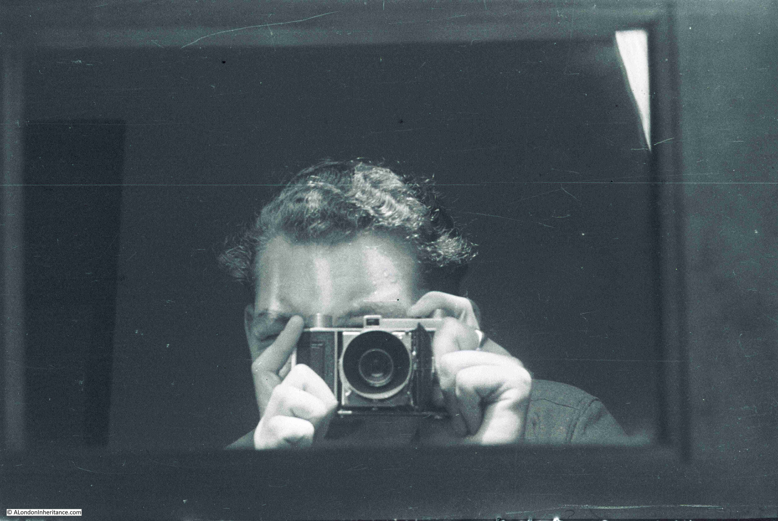
In addition to photos of London, my father took lots of photos of the rest of the country whilst cycling and staying at Youth Hostels (a very popular post war pursuit) and during National Service. As well as tracking down all the locations of the London photos, I have a side project to track down this geographically wider set of photos. I have already featured a number of these locations in previous posts and this week I am visiting Chepstow and the River Wye.

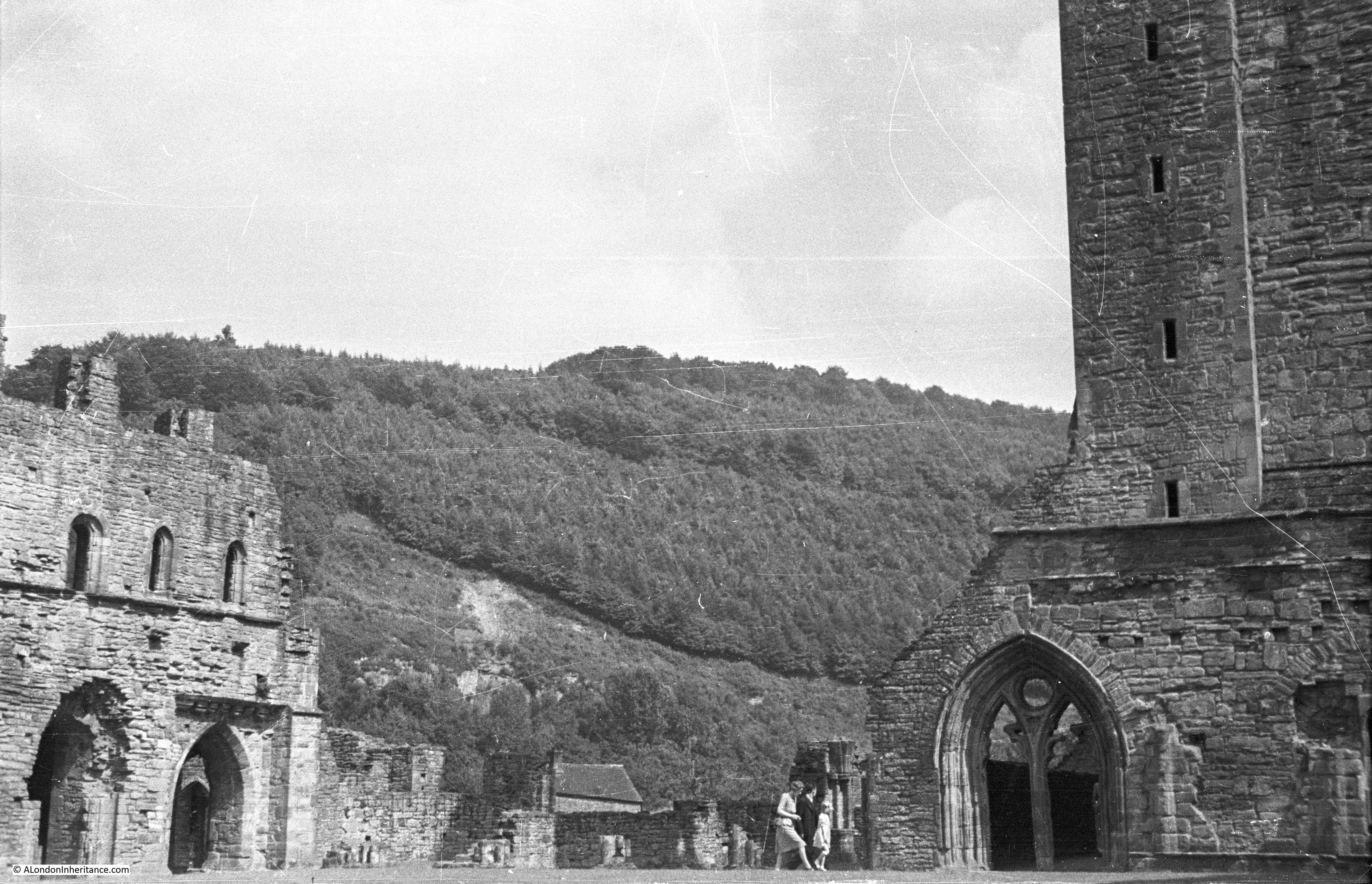
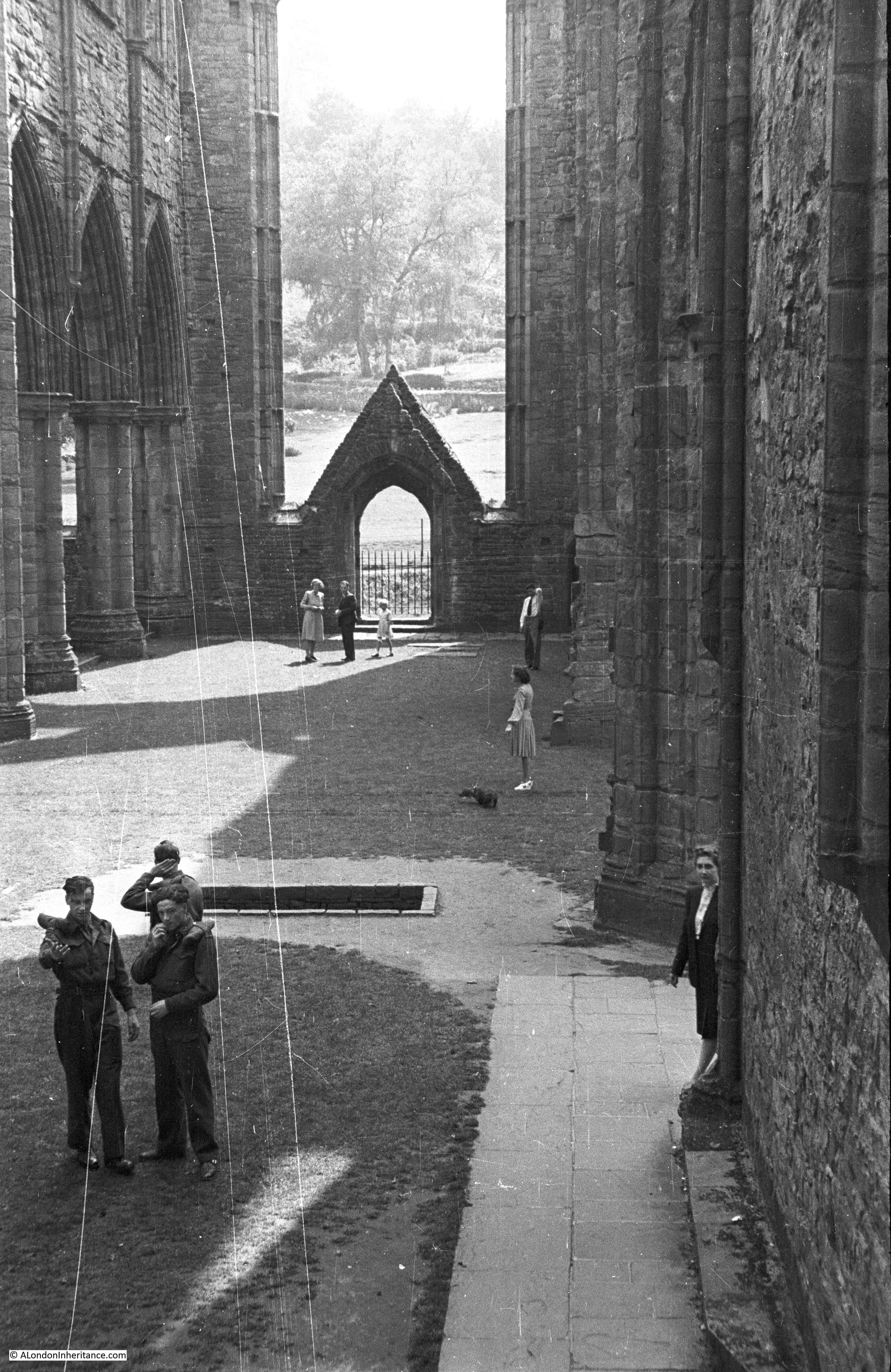
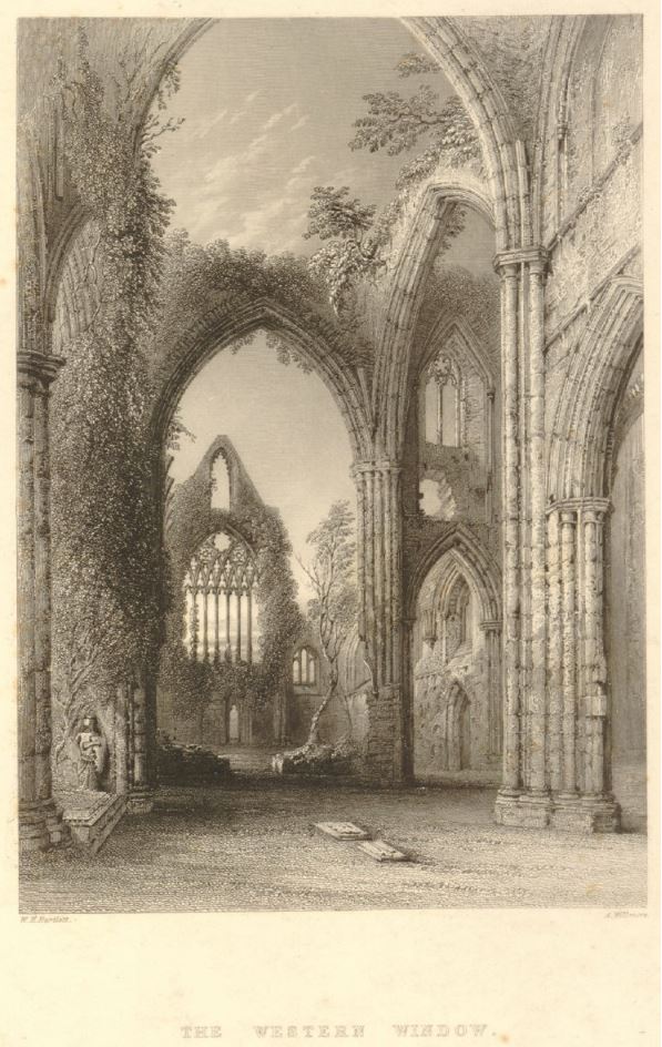
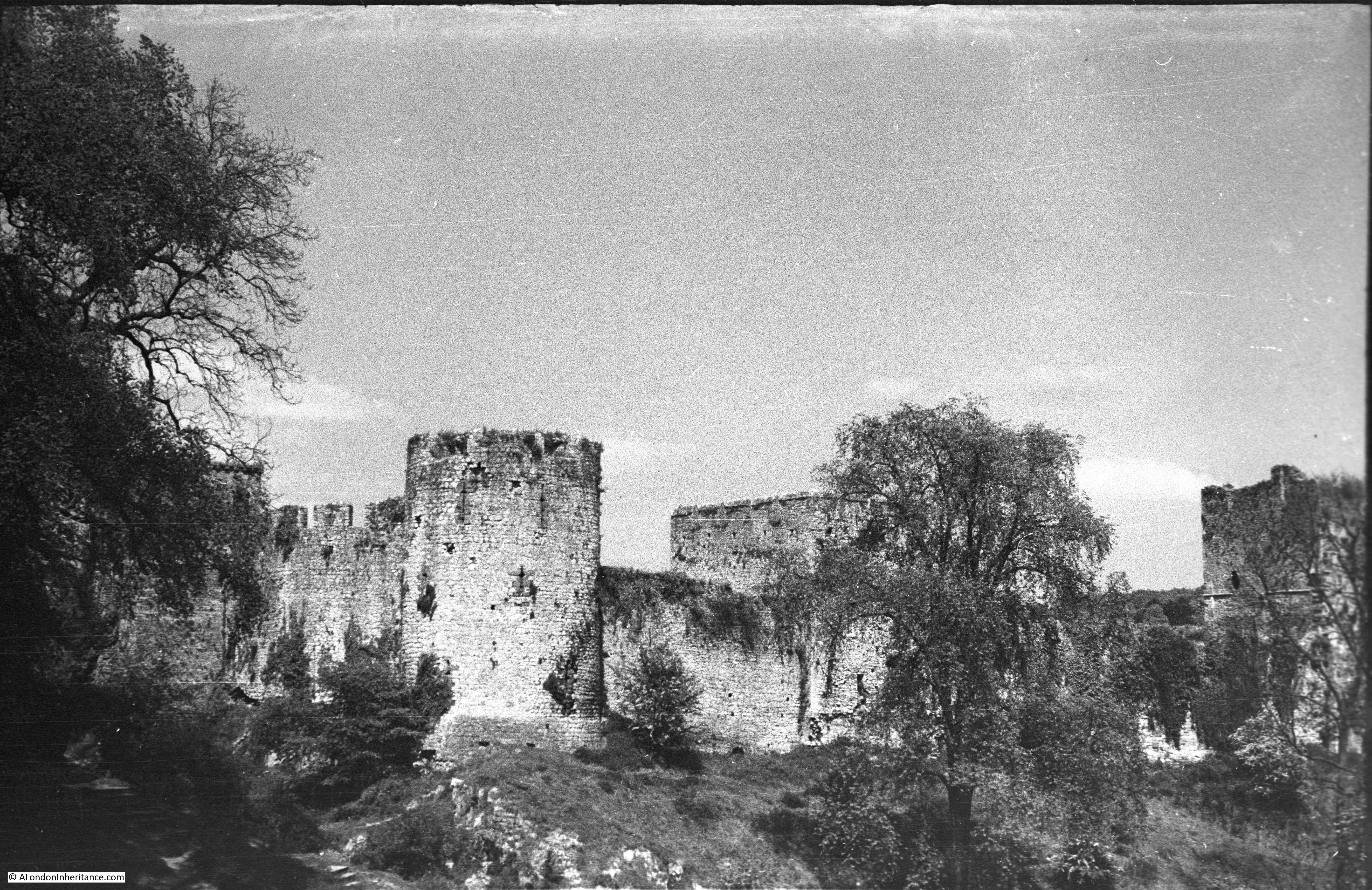
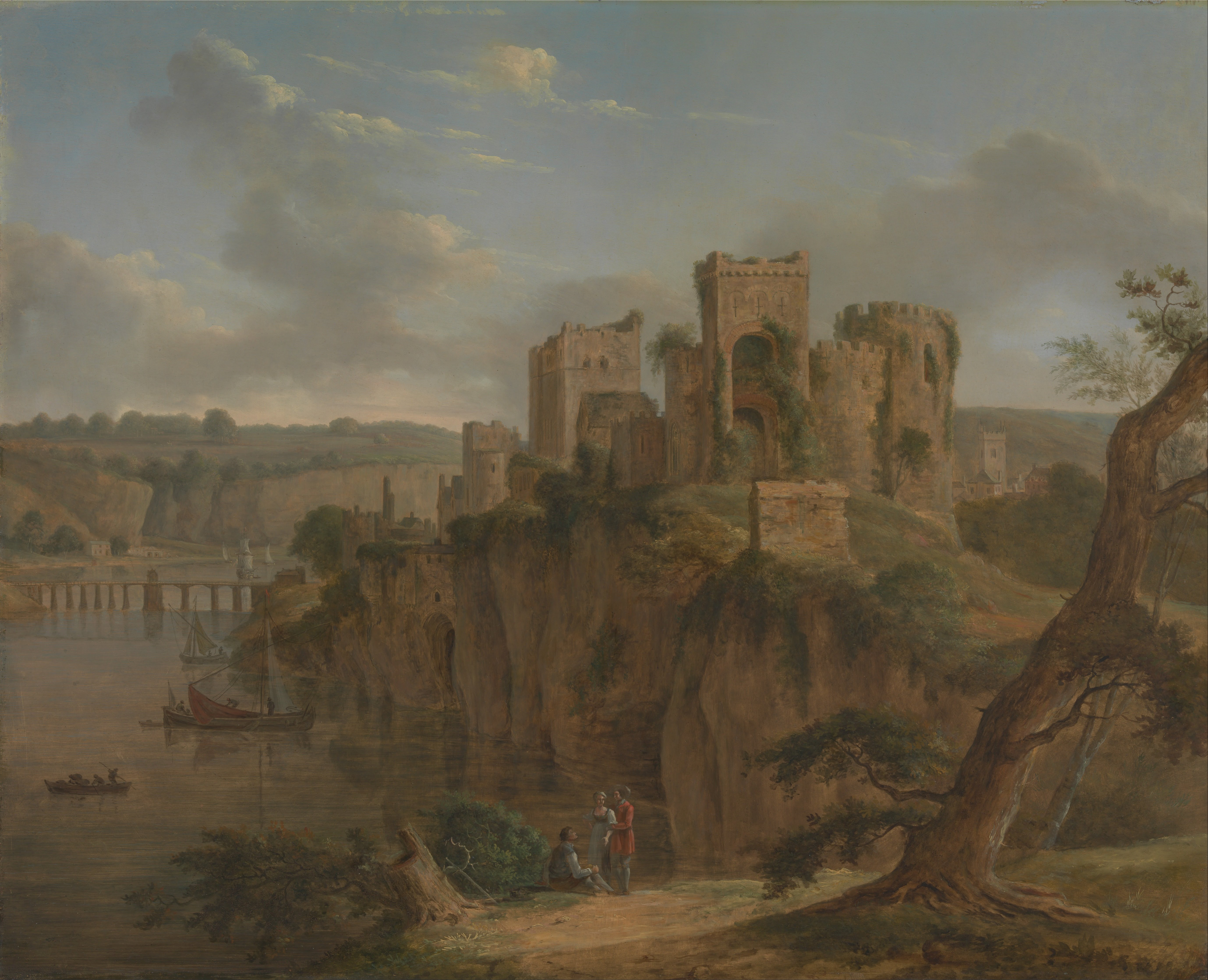
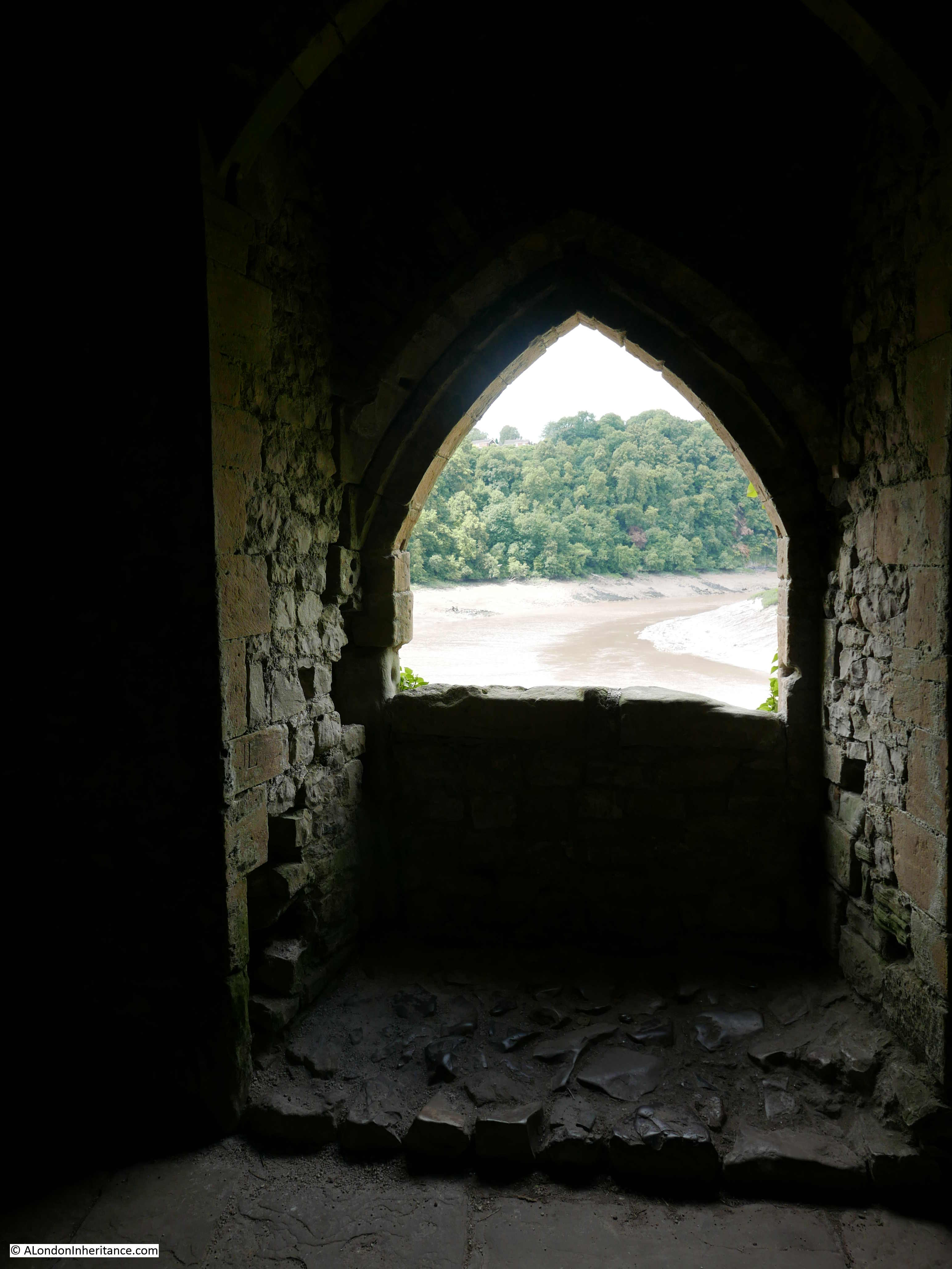
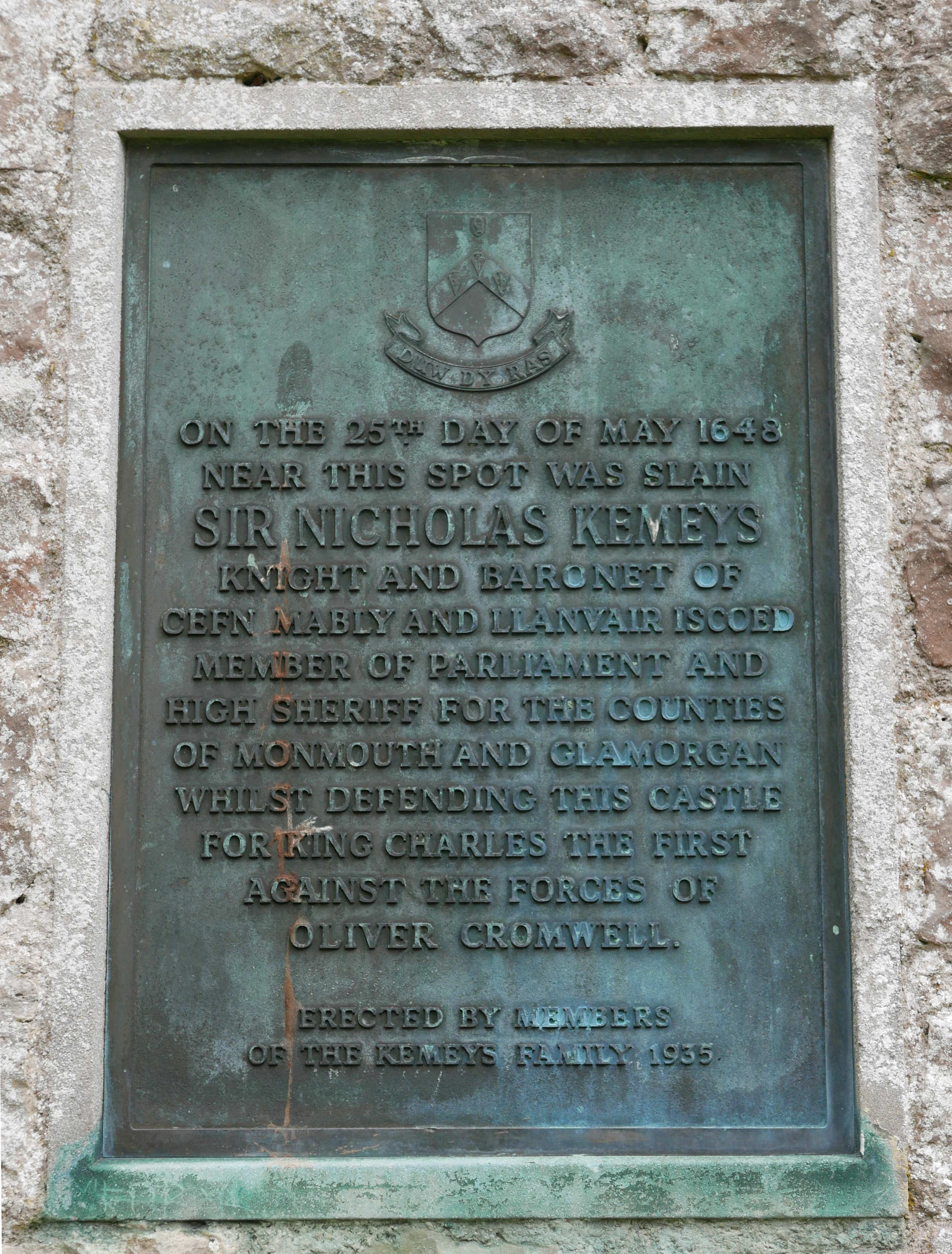
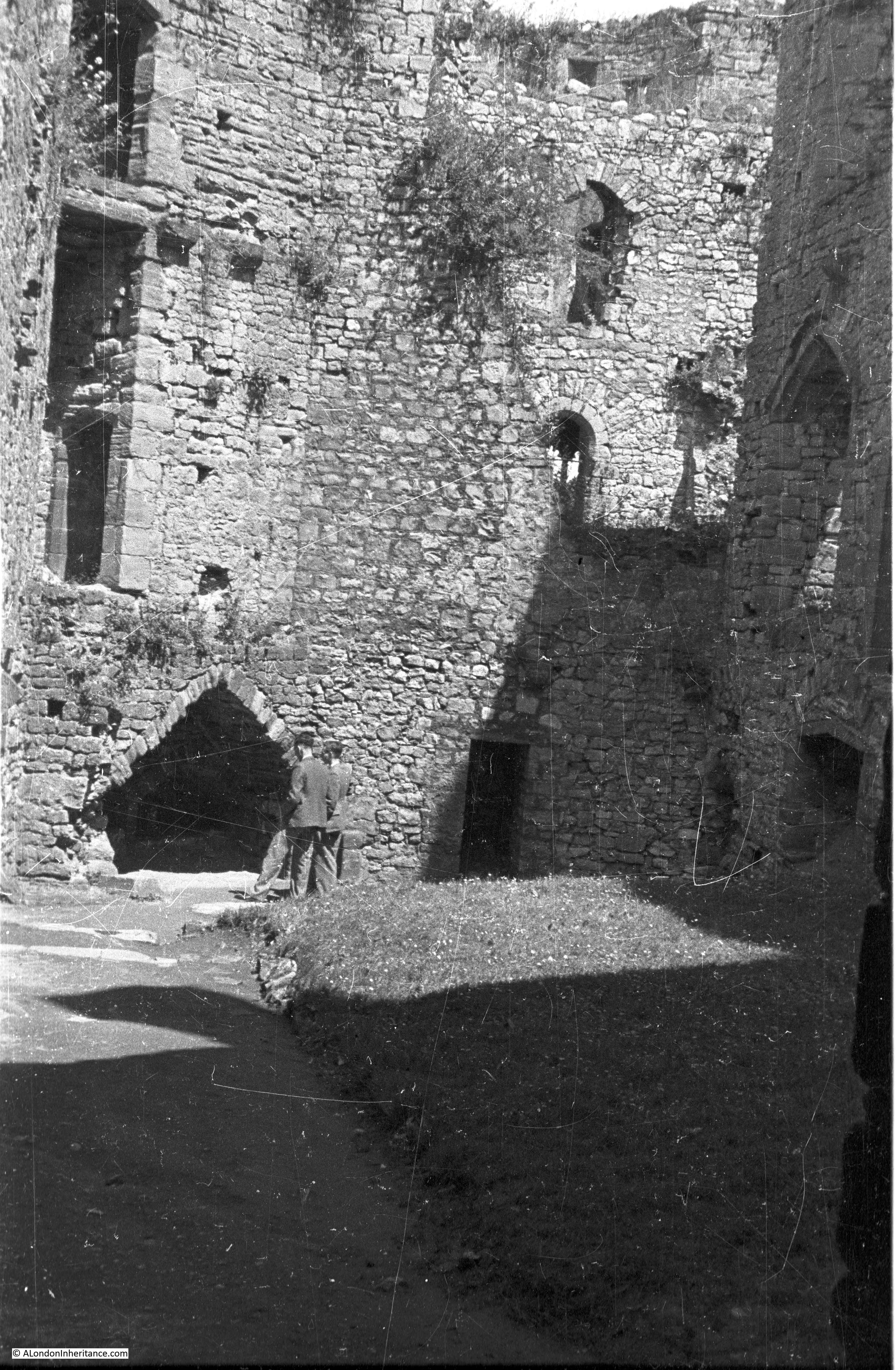
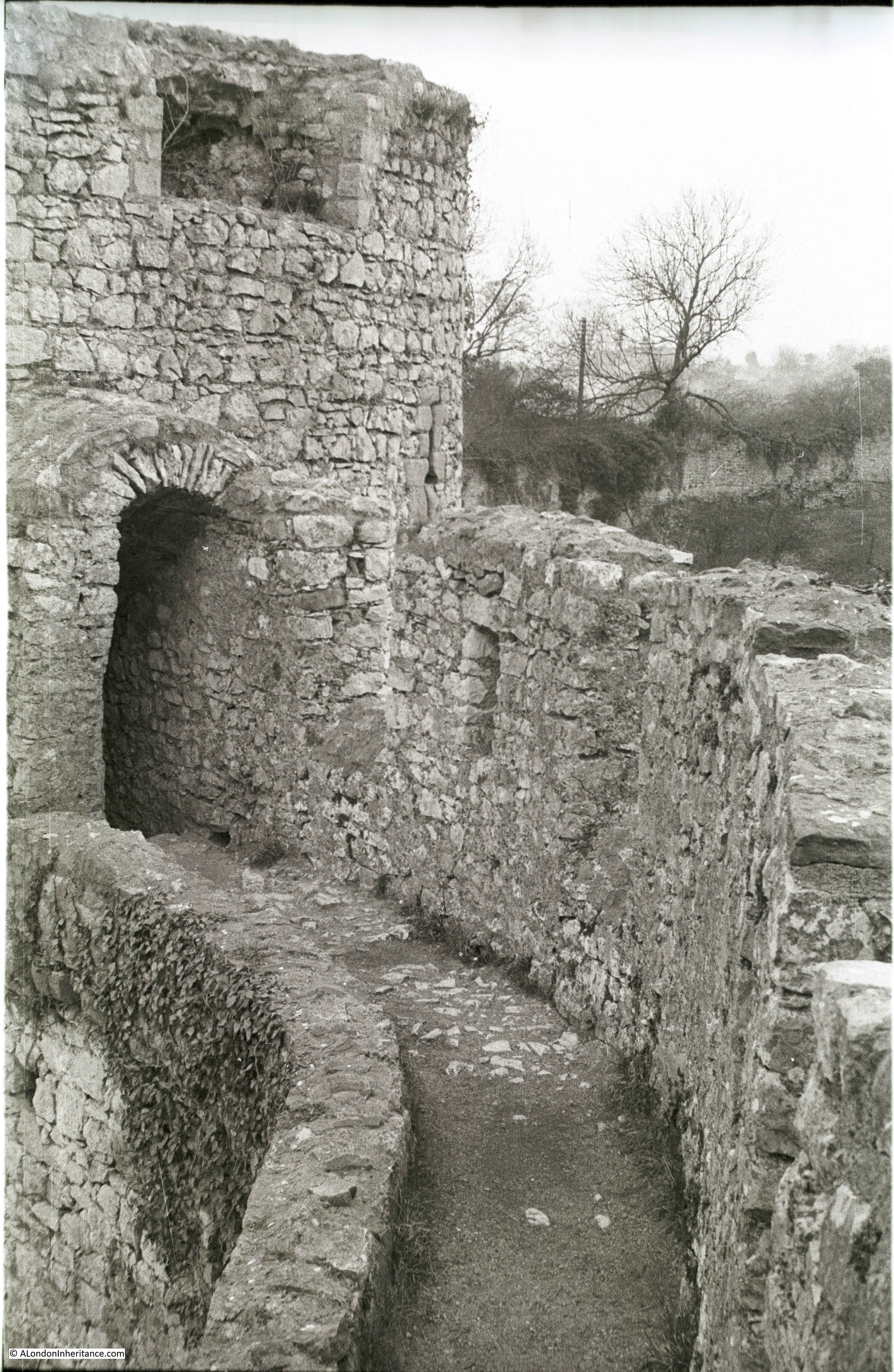
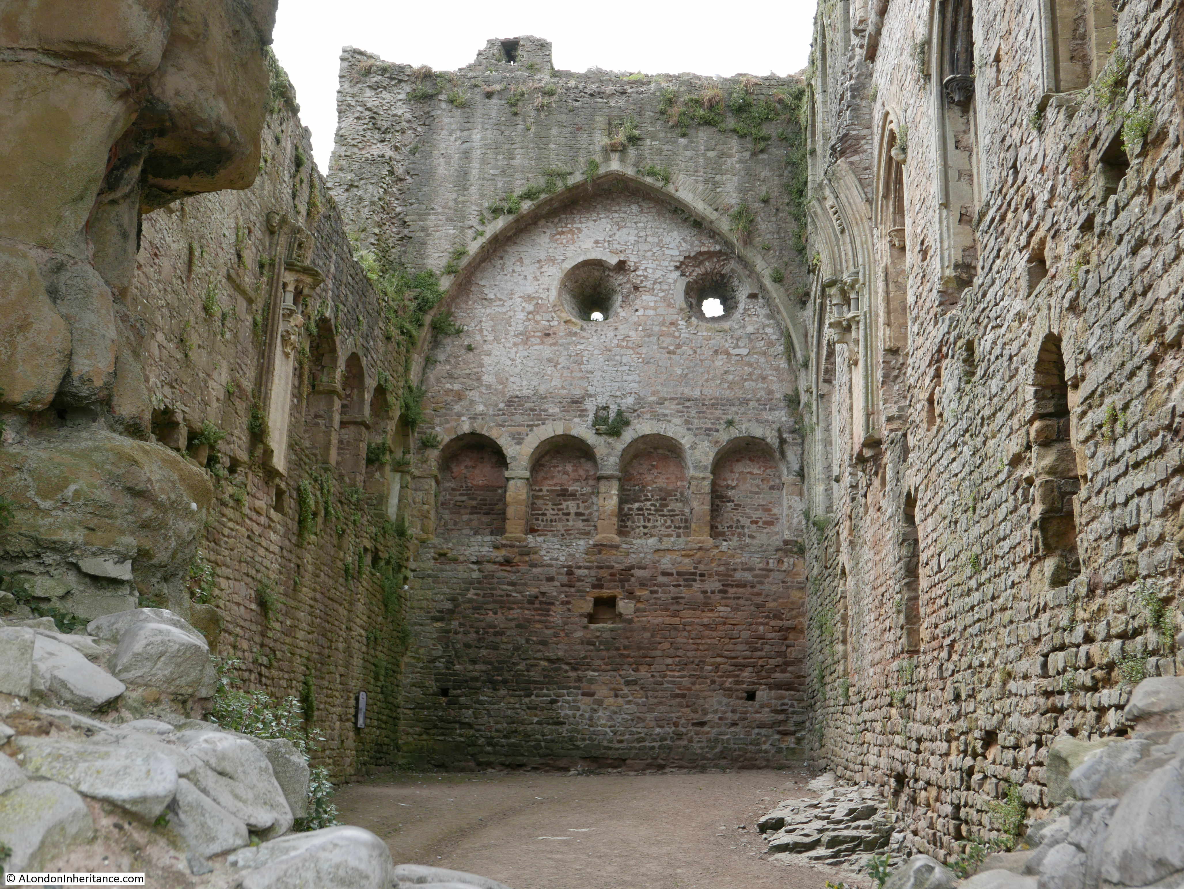
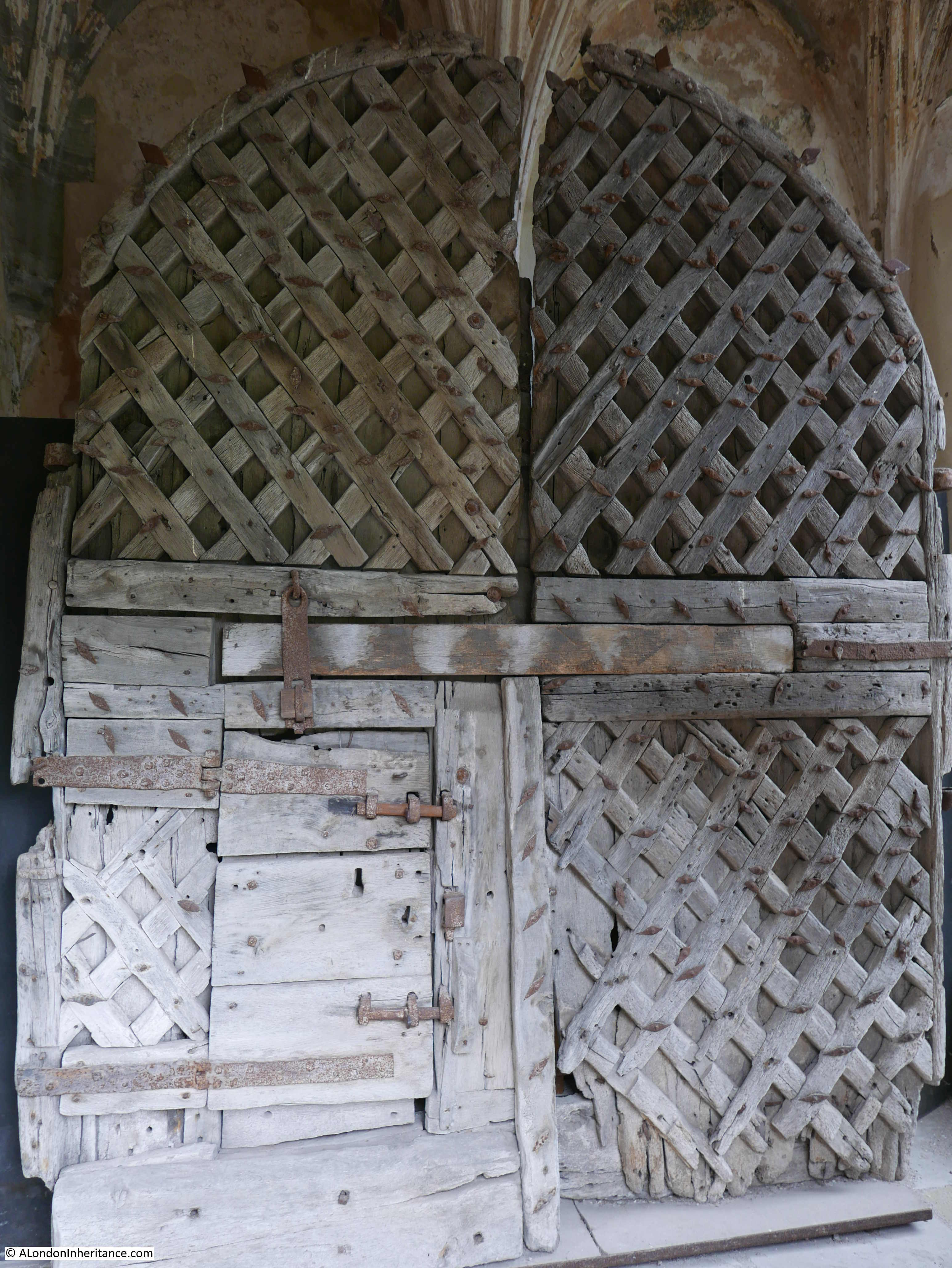
These photos were taken in 1947 whilst my father was based with the army near Chepstow as part of his National Service. The post will be in two parts, today covering the town of Chepstow and the River Wye. A mid-week post will visit Chepstow Castle. Construction of the castle started in 1067 which makes Chepstow one of the earliest Norman castles in the country. I will be back in London next Sunday.

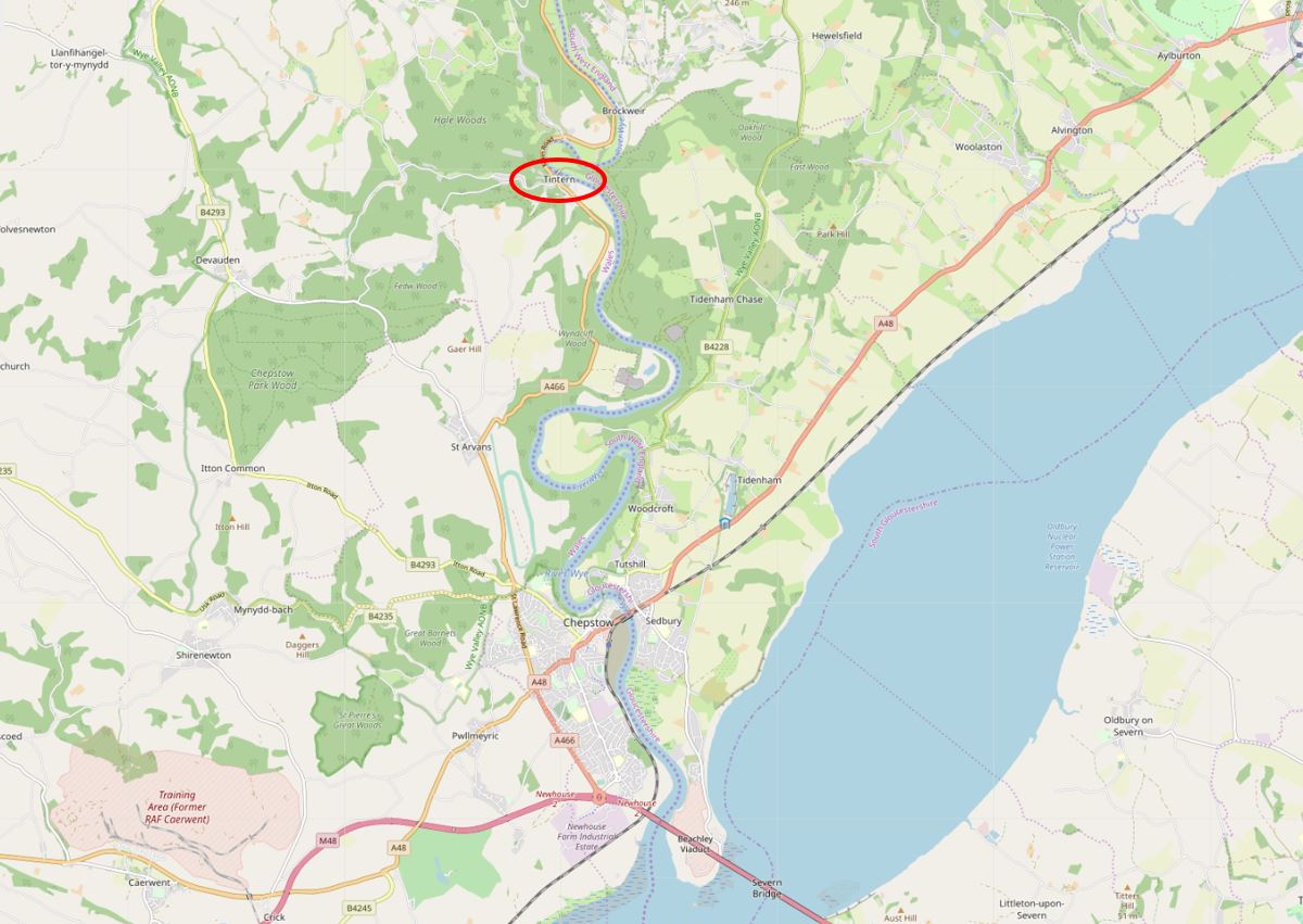
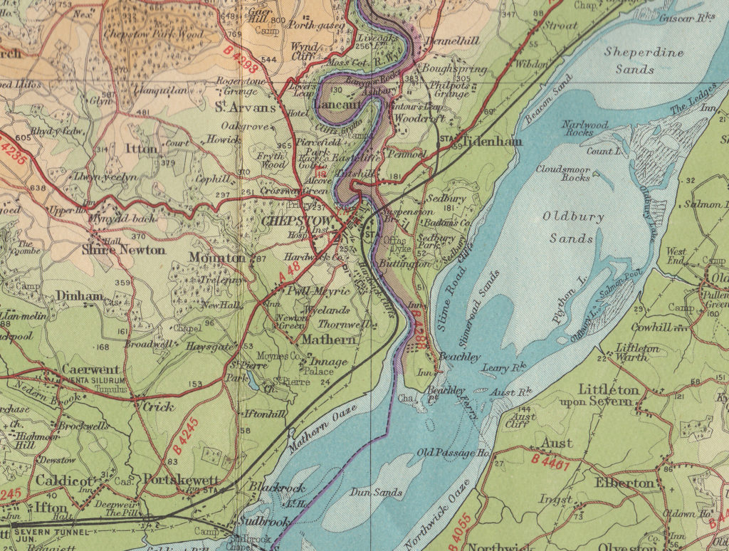
The River Wye runs up from the River Severn and here forms the boundary between England and Wales. Chepstow is located in one of the many loops of the River Wye, just on the Welsh side of the river, not far from the River Severn.

The following extract from a 1930s edition of Bartholomew’s Revised Half Inch Contour Maps shows the location of Chepstow. These are wonderful maps, their use of colour to show the height of the land, the typeface used for the lettering and the symbols used for landscape features produced maps that are lovely to look at as well as highly functional.

Chepstow And The River Wye

The River Wye between Goodrich, Monmouth and Chepstow runs through several sections of limestone, with deep valleys, large meanders and densely forested cliffs. Meanders are usually associated with a sluggish river, but this is not so with the Wye. It is a fast running river and also has one of the highest tidal ranges in the world with a range of up to 44 feet (13.4m) at the bridge in Chepstow. Large volumes of water are therefore moved up and down the river each day.

Despite the large tidal range, Chepstow was once a thriving port. The town’s location within the Welsh Marches meant that imports and exports were free from duties to the Crown, providing that the ships did not call at Bristol.

Such was the success of the port of Chepstow that in 1791 there were 31 ships belonging to the town of 2,495 tonnage which grew to 75 ships with a tonnage of 5,782 in 1824.

Trade from Cheptow was with the rest of the UK as well as the Continent and ships from Chepstow carried spirits, wines, wheat, barley, flour, cider, iron, millstones and timber for the navy from the forests that lined the Wye Valley. The level of trade justified a Customs House at Chepstow which was in operation until the mid 1850s. Goods were also transferred from sea going ships at Chepstow onto lighters which would transfer goods further up the River Wye, to towns such as Monmouth, Hereford and Hay on Wye.

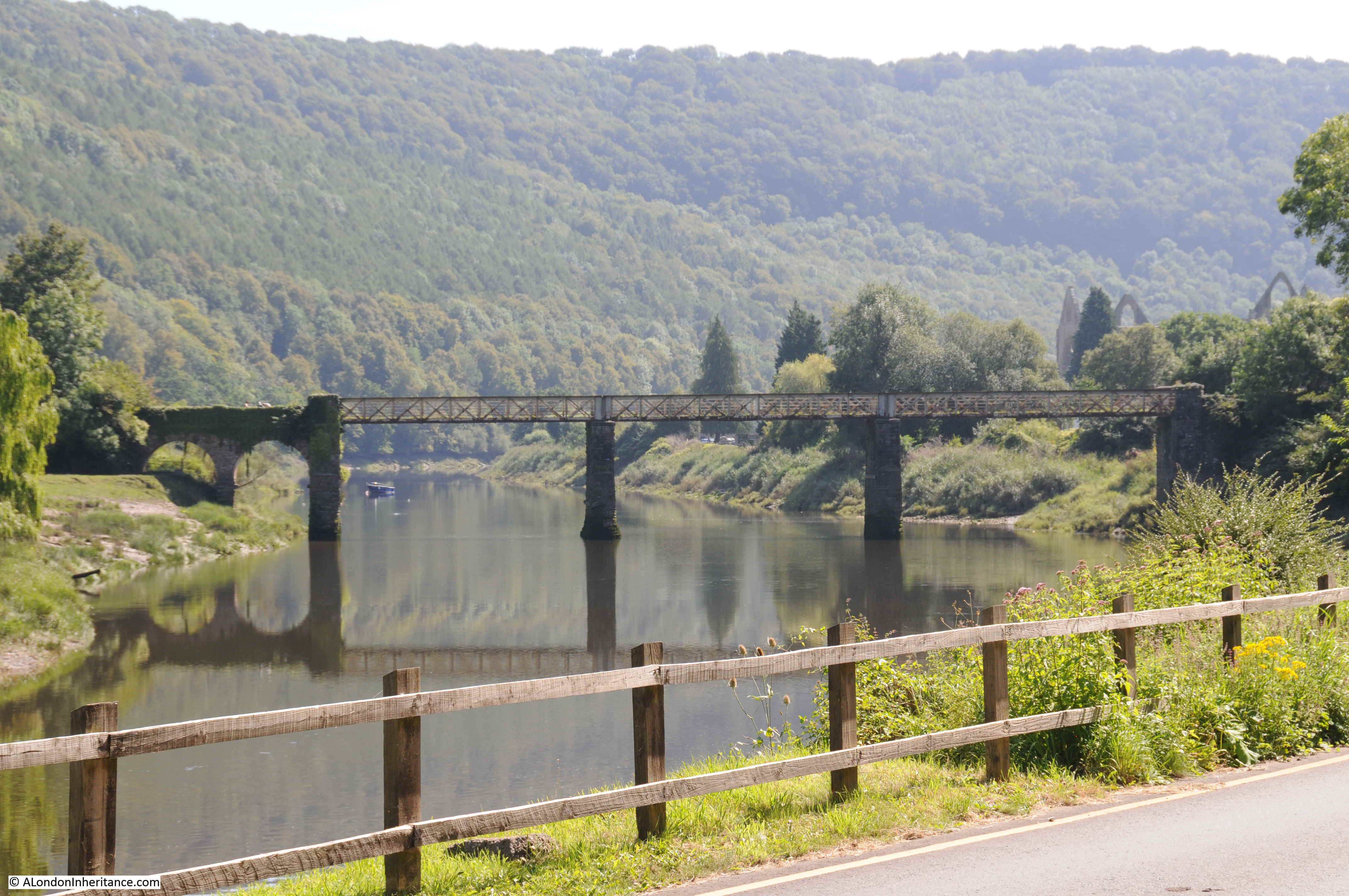
The port went into decline after the 1850s, probably due to the arrival of the railway at Chepstow in the same decade. Isambard Kingdom Brunel’s railway bridge across the Wye at Chepstow was a remarkable engineering achievement and whilst a new support structure was put in place in 1962, Brunel’s original cast iron pillars still support the bridge.

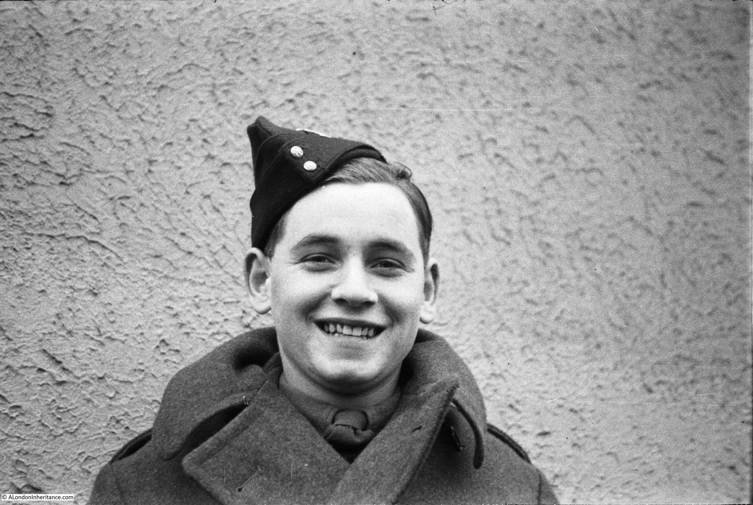
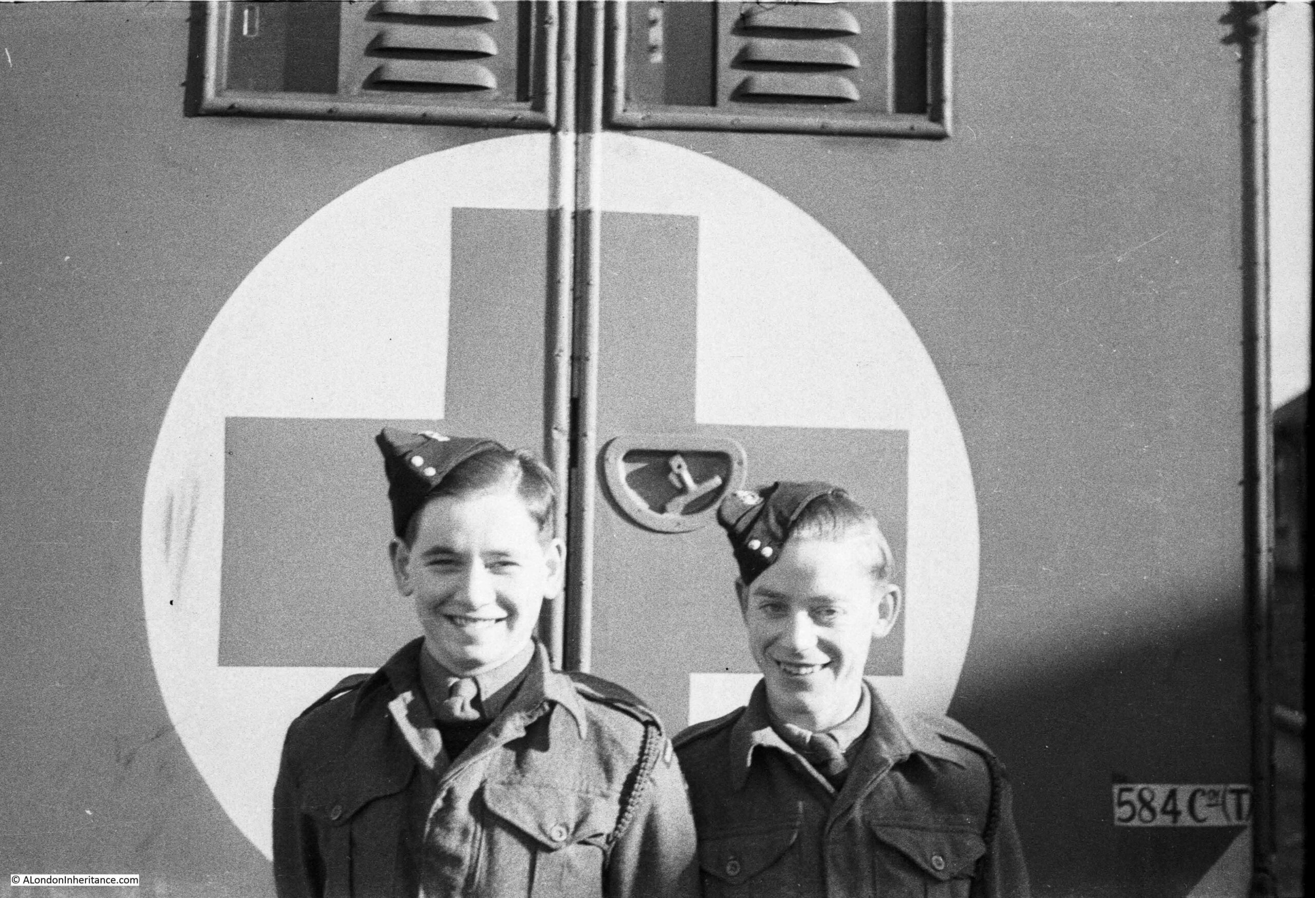
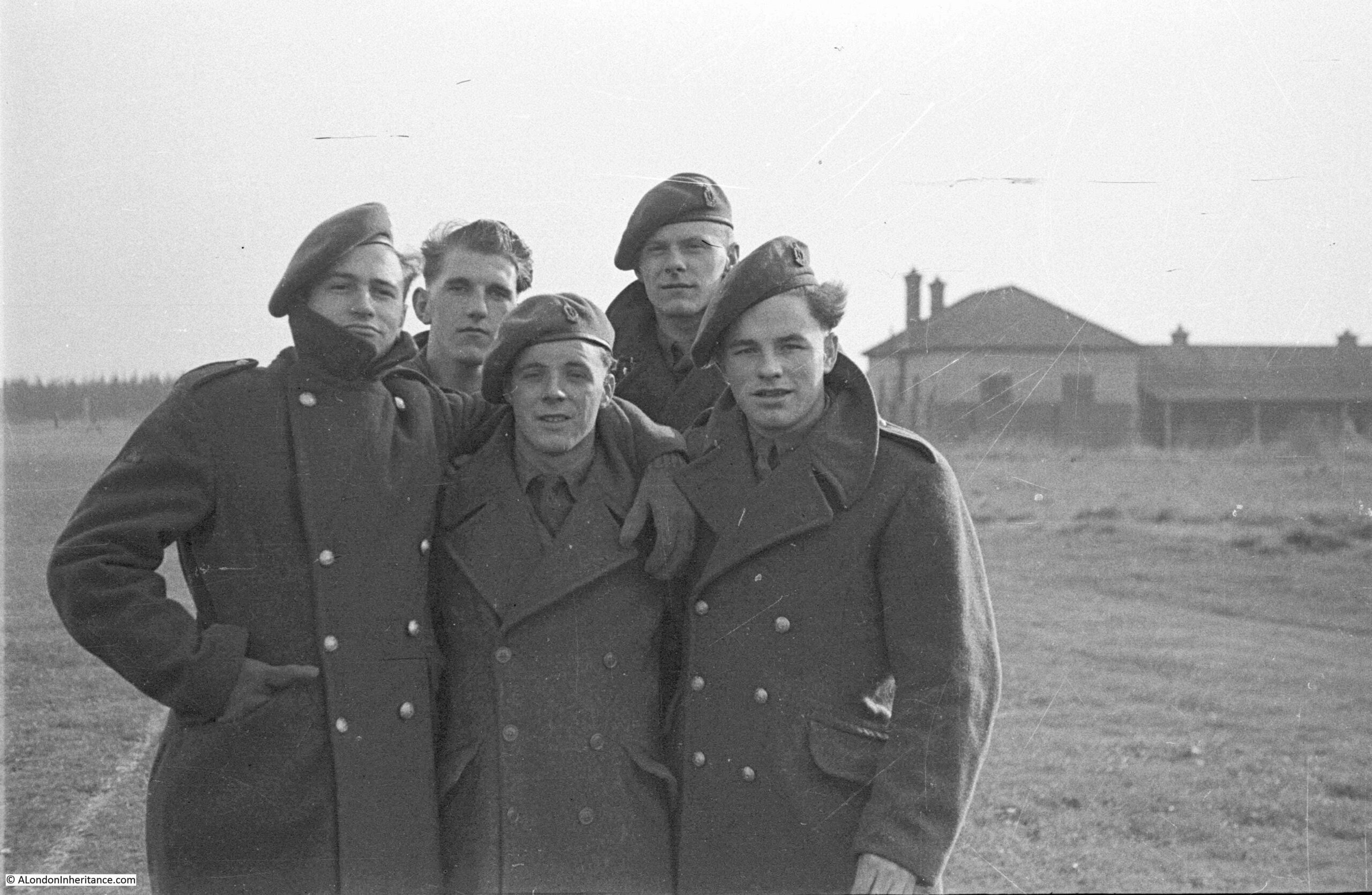
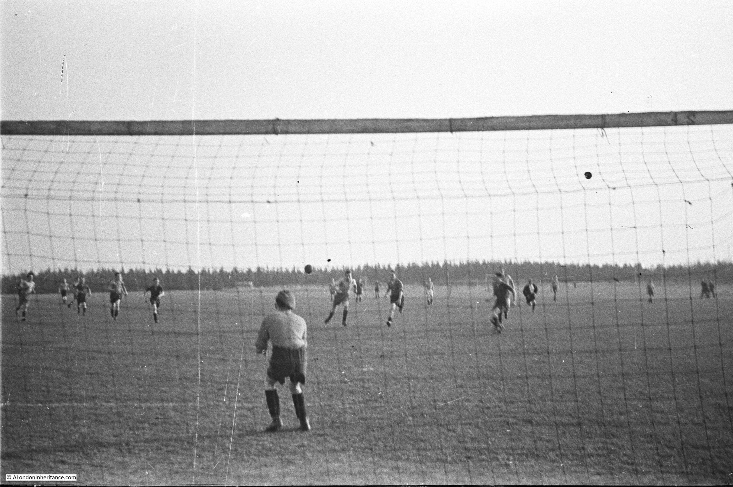
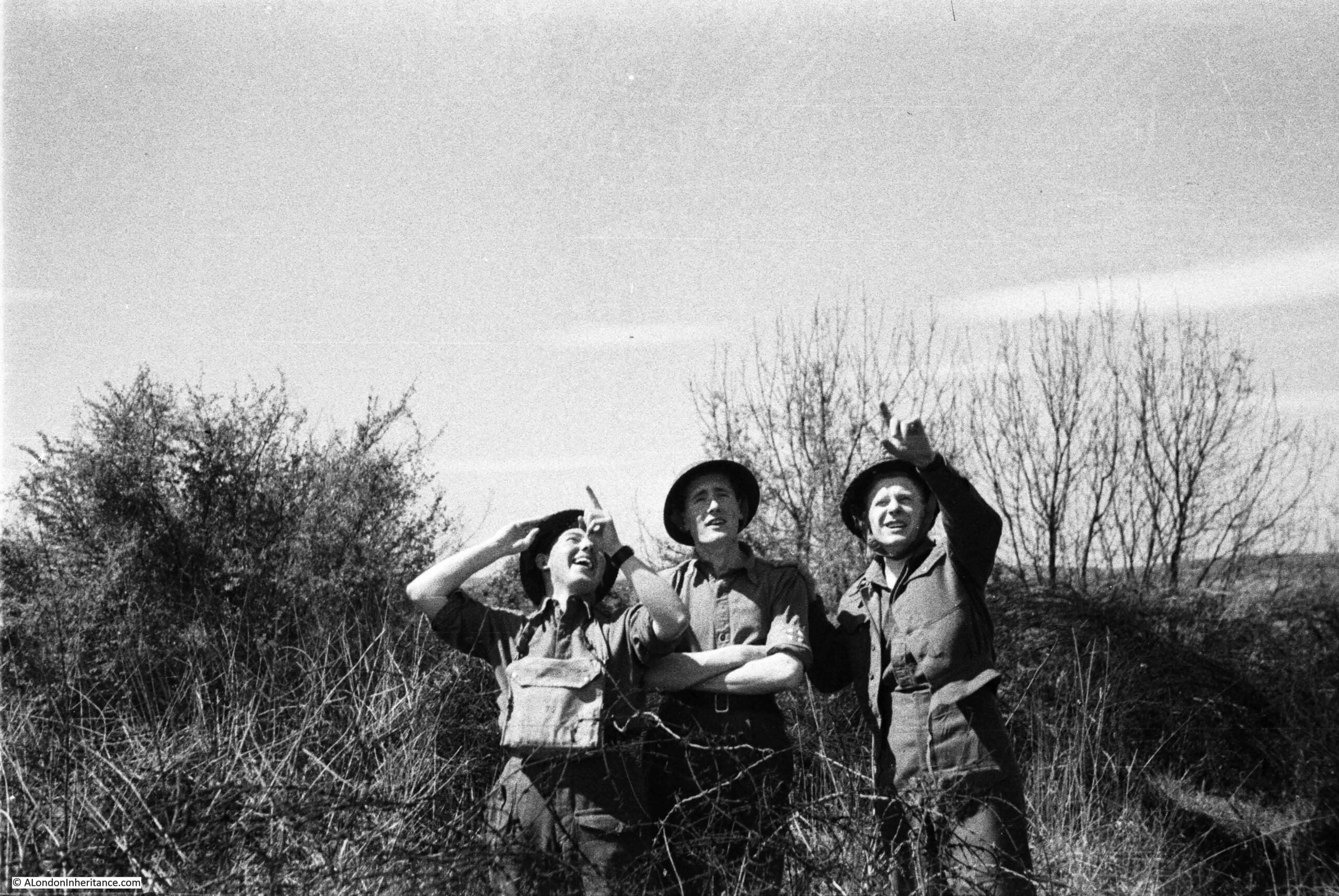
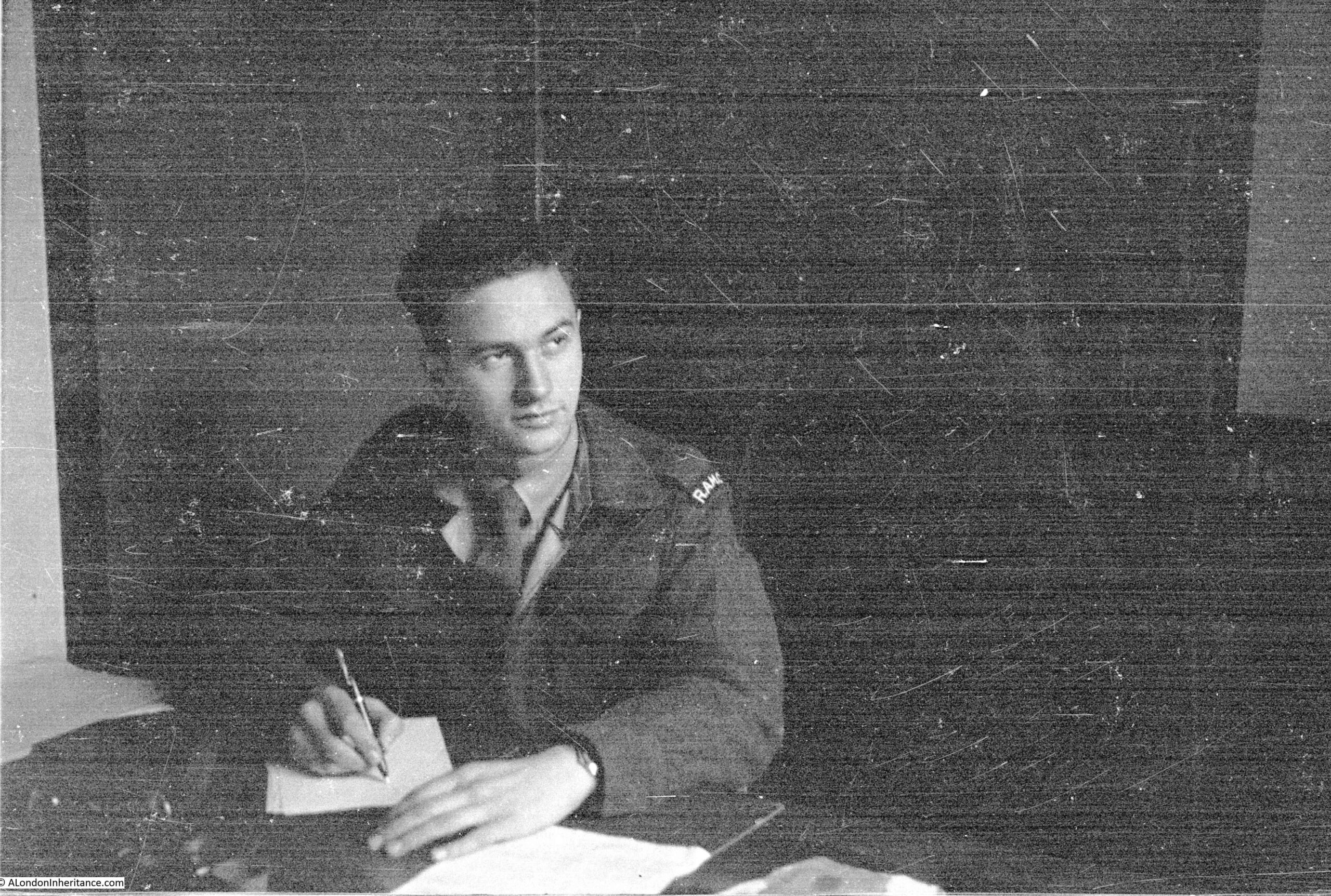
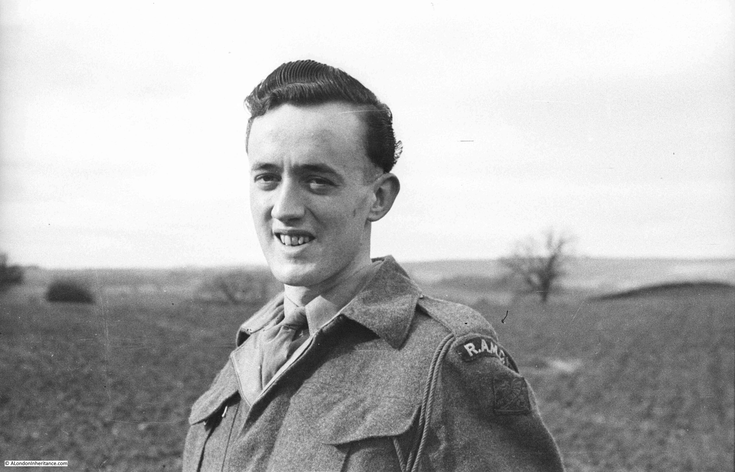
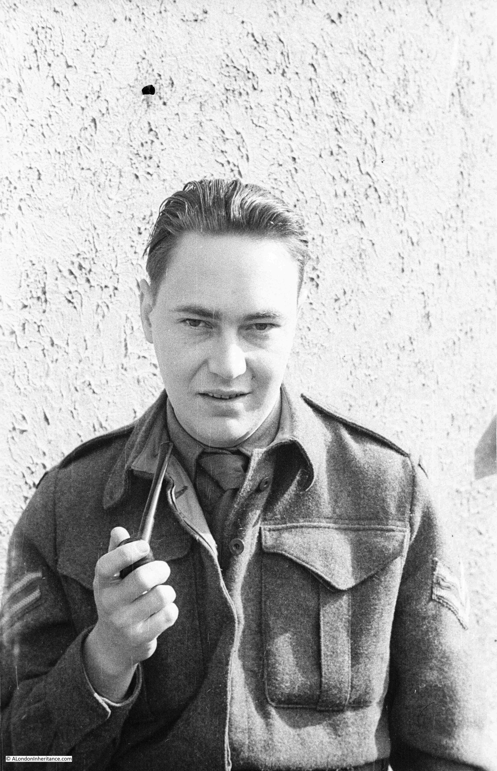
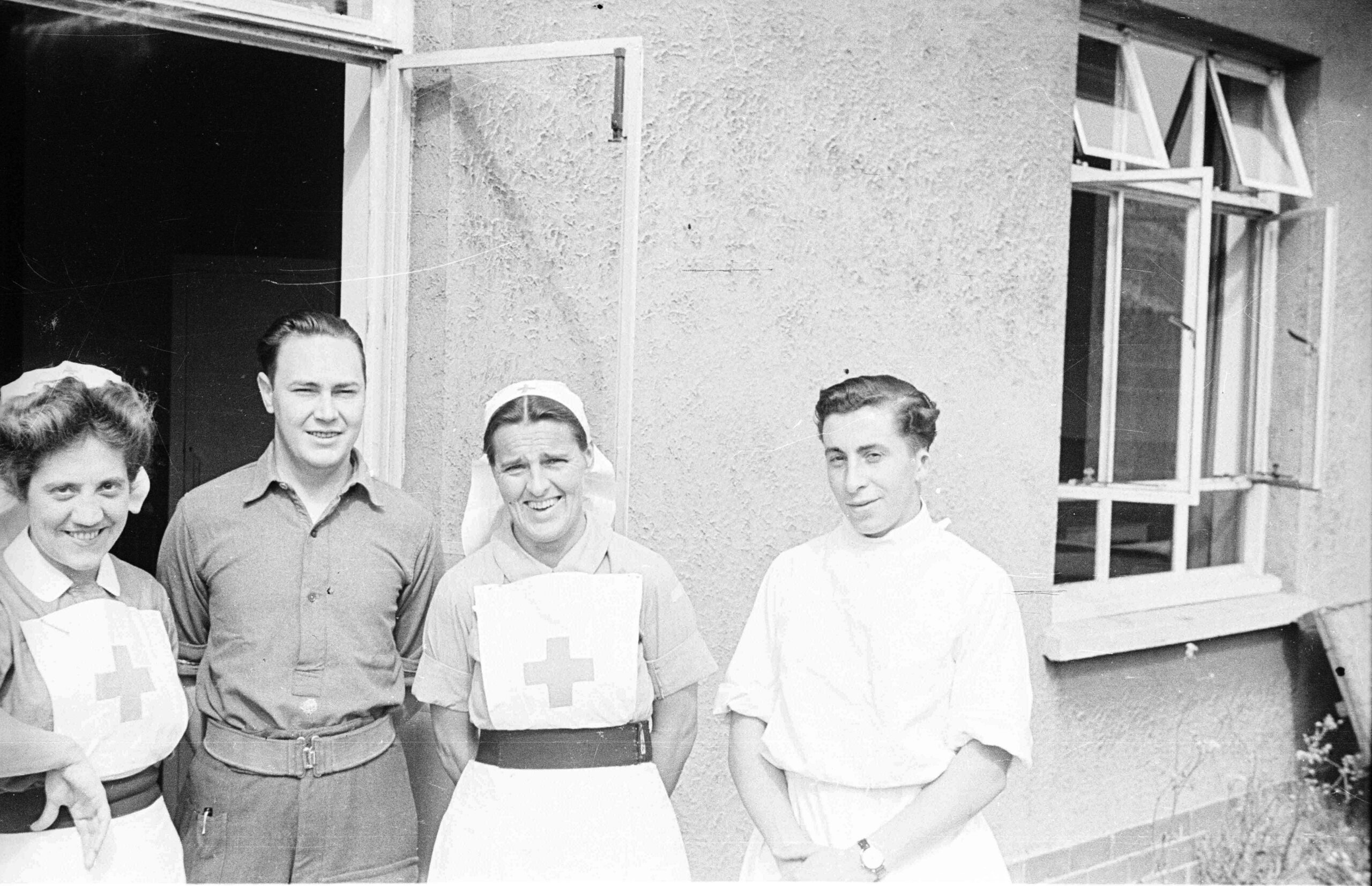
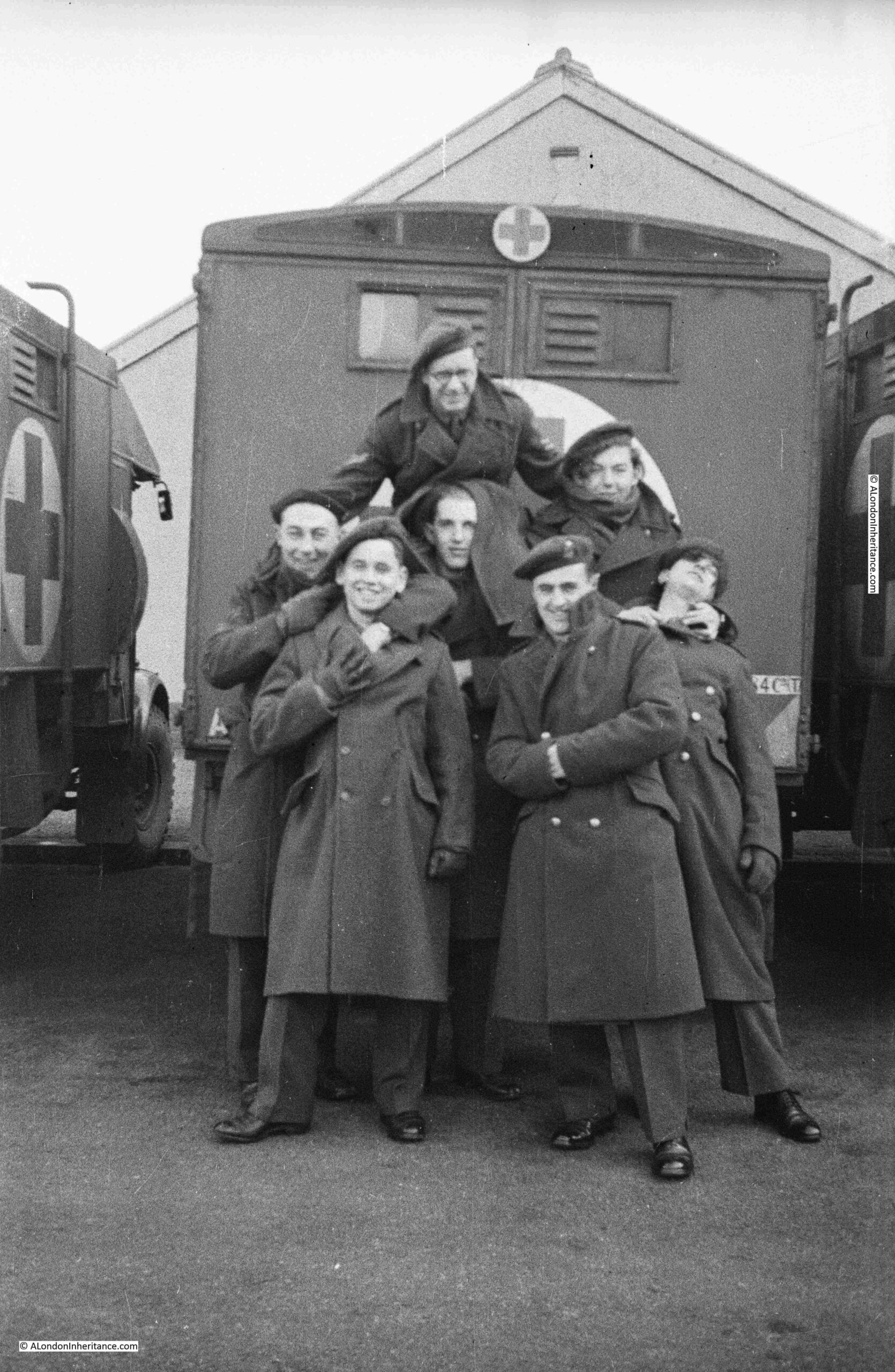
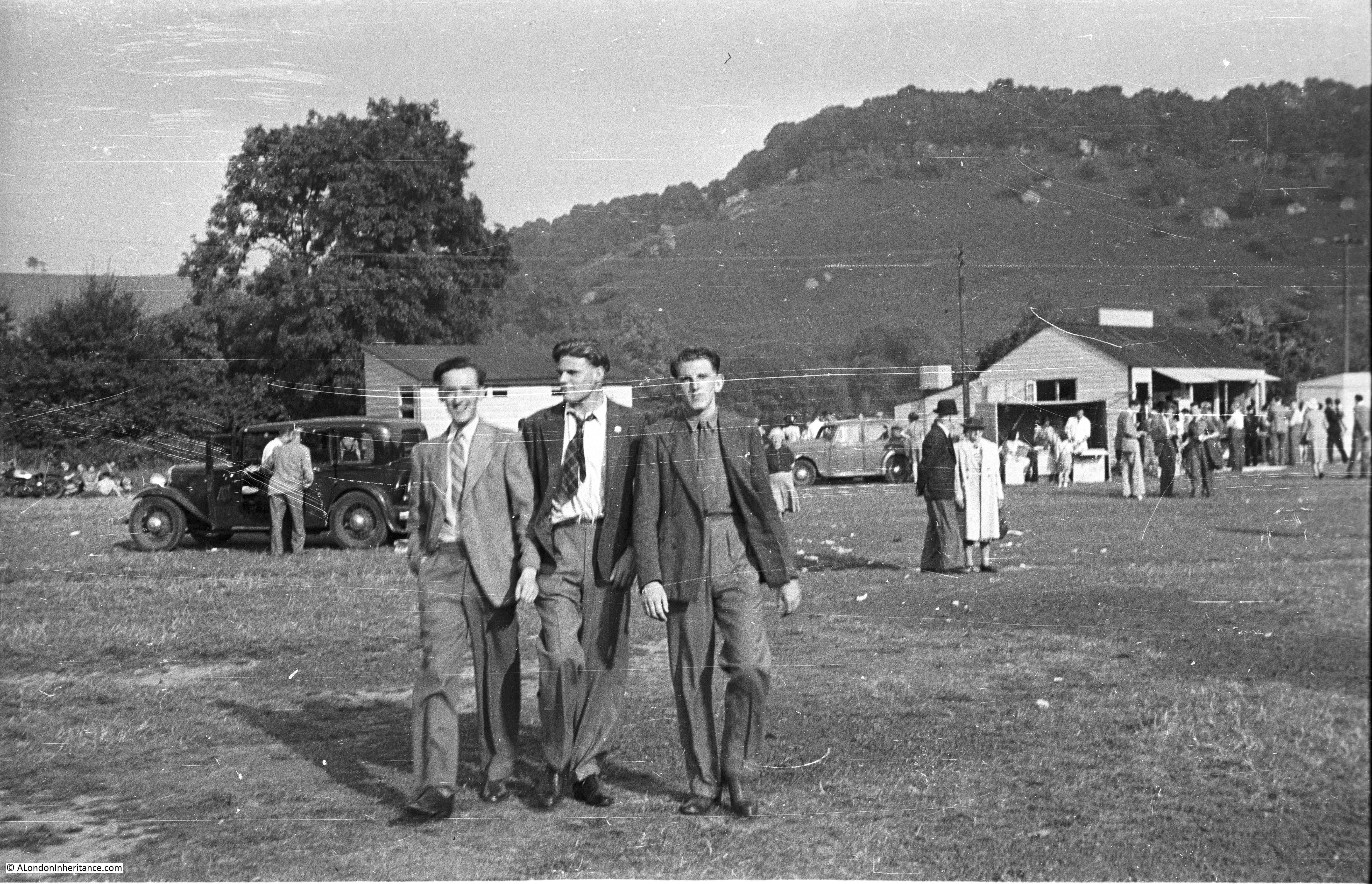
Time to take a walk to explore Chepstow and the River Wye. According to my father’s notes all the Chepstow photos were taken over two weekends, the 5th and 6th and the 12th and 13th of July 1947, so I assume these were periods of leave. In the collection there are also many photos of army life at Chepstow, including one of a troop of 18 and 19 year National Service recruits leaving “for a p*** up”, so I am not sure if the inhabitants of a quiet Welsh market town appreciated having the army so close. My visit to Chepstow was on Saturday the 8th July so as close as I could get to being exactly 70 years between the two sets of photos.

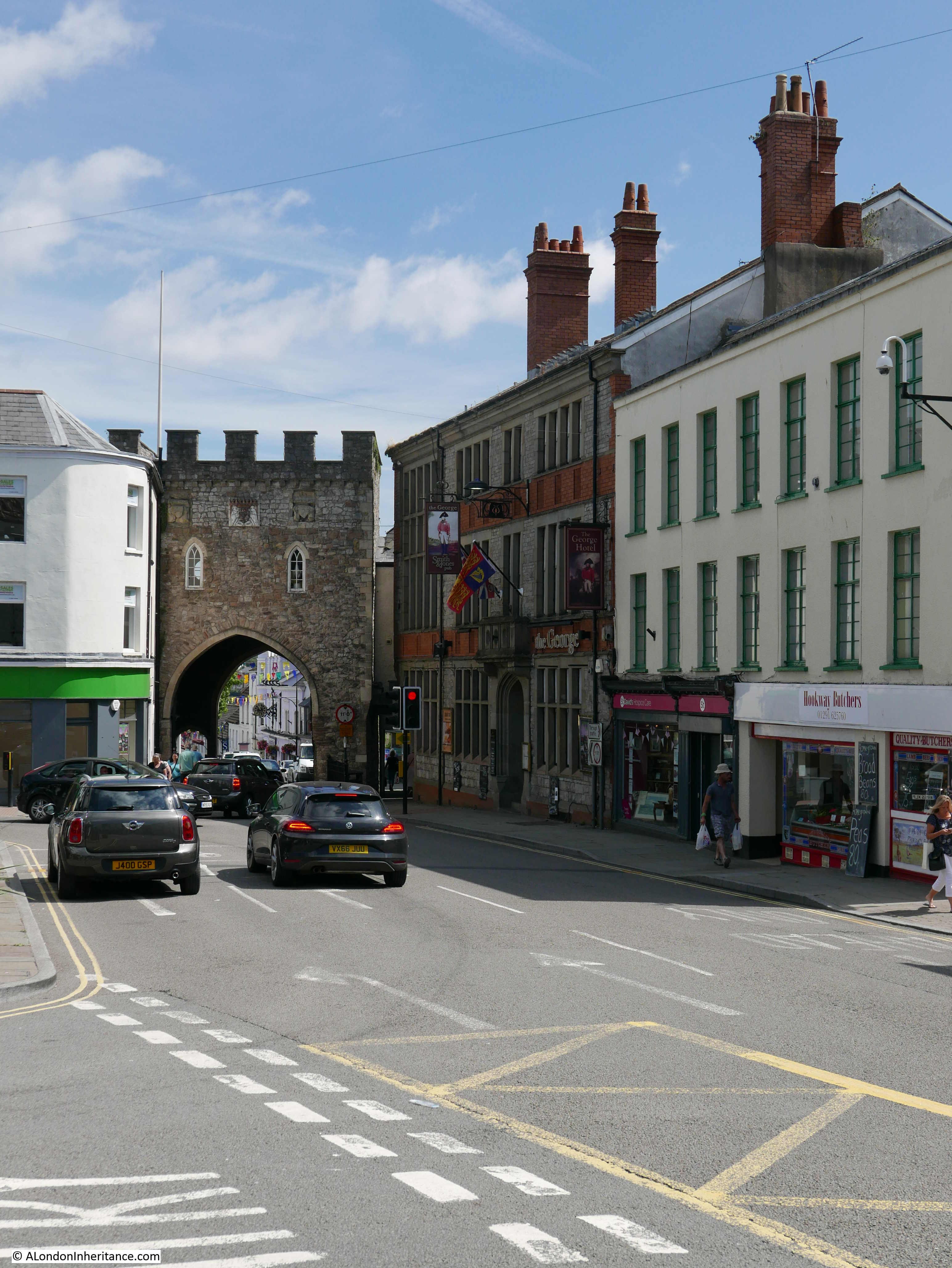
I will start just outside the original town, at the entrance to the Town Gate, originally the only landward entry to Chepstow in the walls that surrounded the town and port.

The original town gate was built in the 13th century at the same time as the walls. The gate in place today dates from the 16th century with the usual repairs, part rebuilds and modifications that would be expected for a building in such a prominent position in over 400 years.

On the right of the town gate is the George Hotel. An Inn has been here since the early 17th century however the current building dares from 1899.

Chepstow And The River Wye

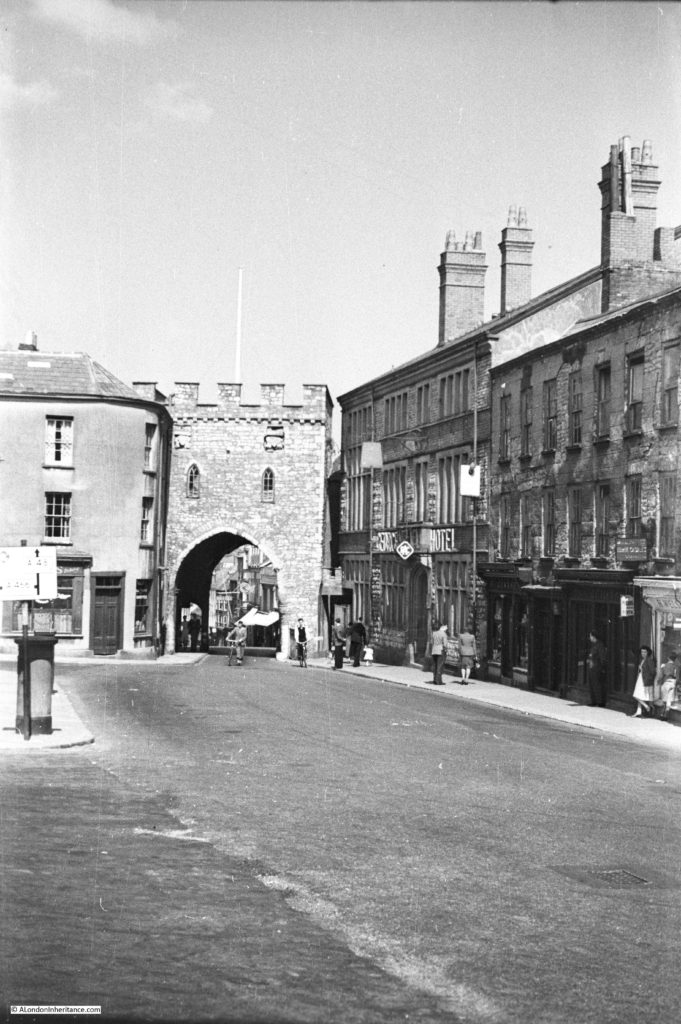
The same view today, 70 years later. Mainly cosmetic changes to the buildings. The increase in road traffic is such that traffic lights now control traffic through the town gate.

Chepstow And The River Wye

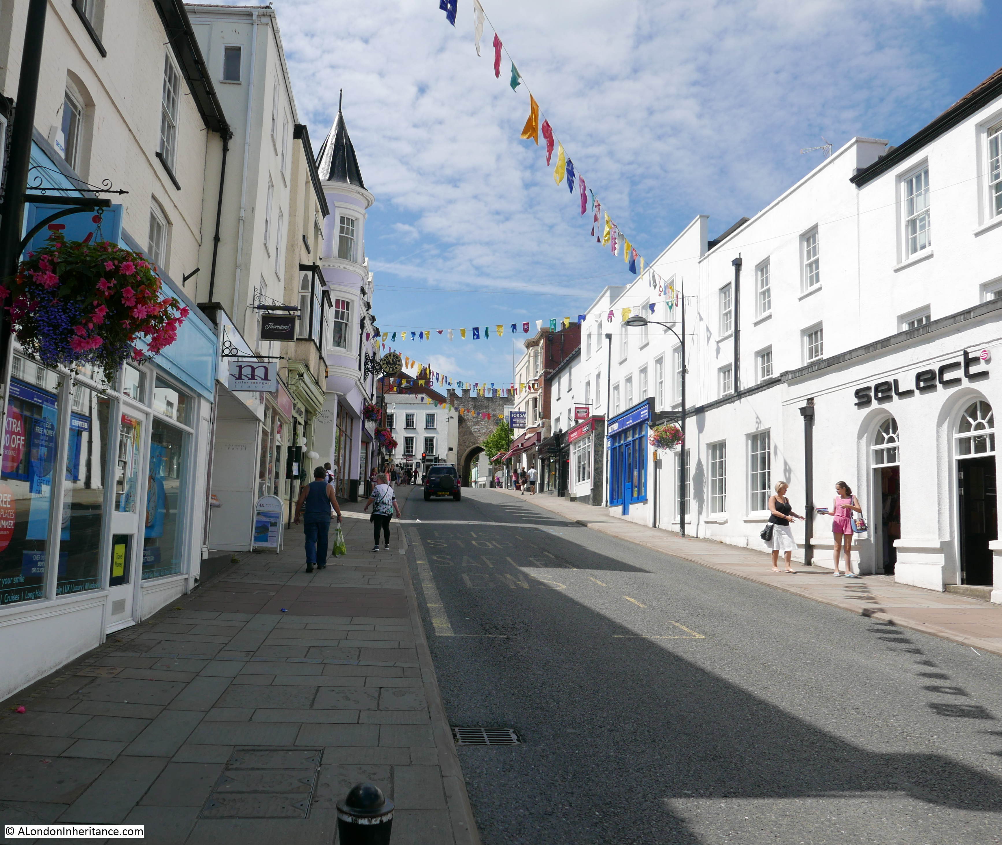
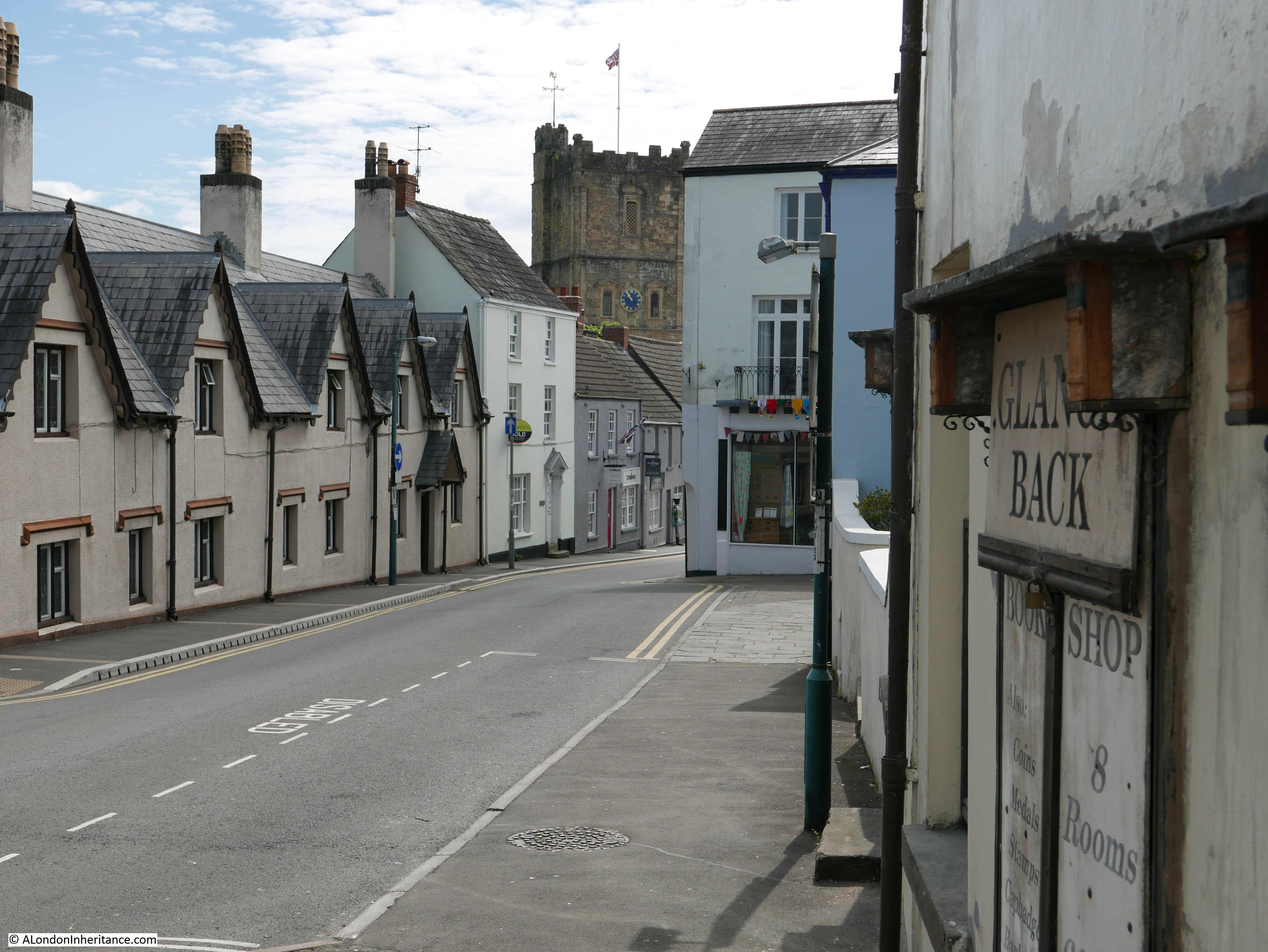
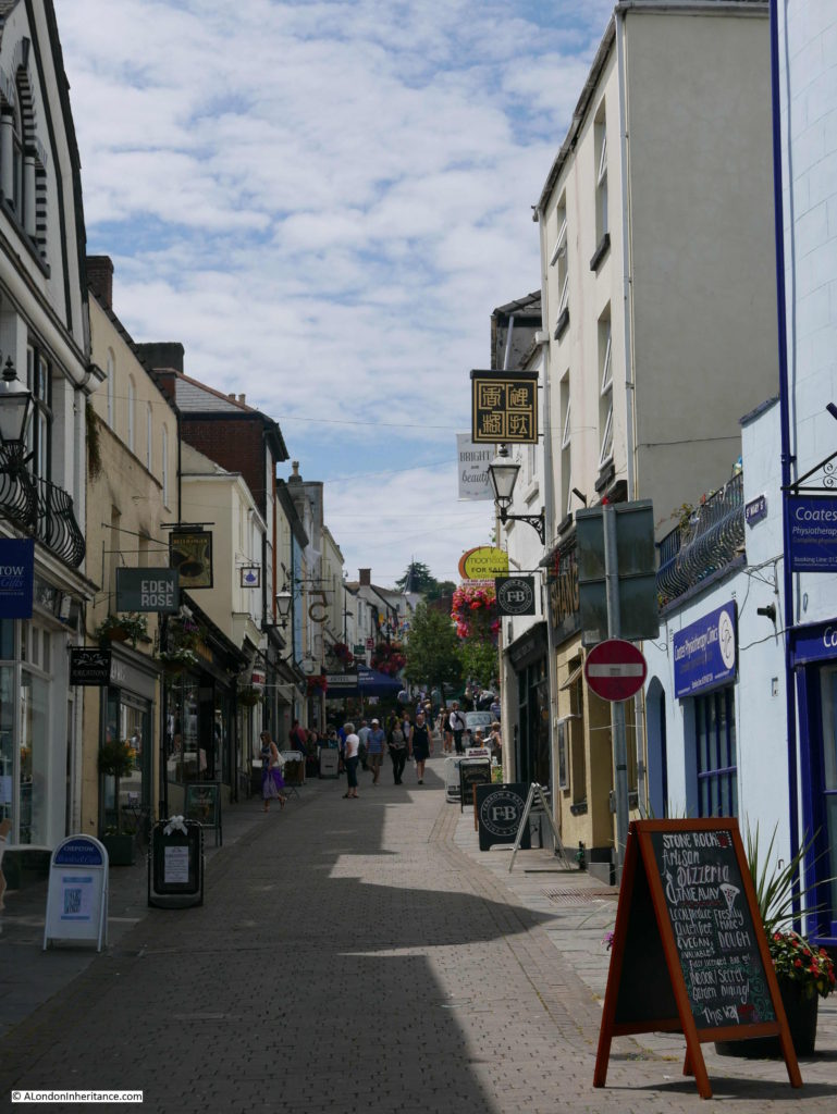
Walking through the Town Gate takes us into the High Street. This is the view looking up the High Street back towards the gate.

Chepstow And The River Wye

And looking down the High Street from the same position. These two photos show the slope of the land as it descends down towards the River Wye.

Chepstow And The River Wye

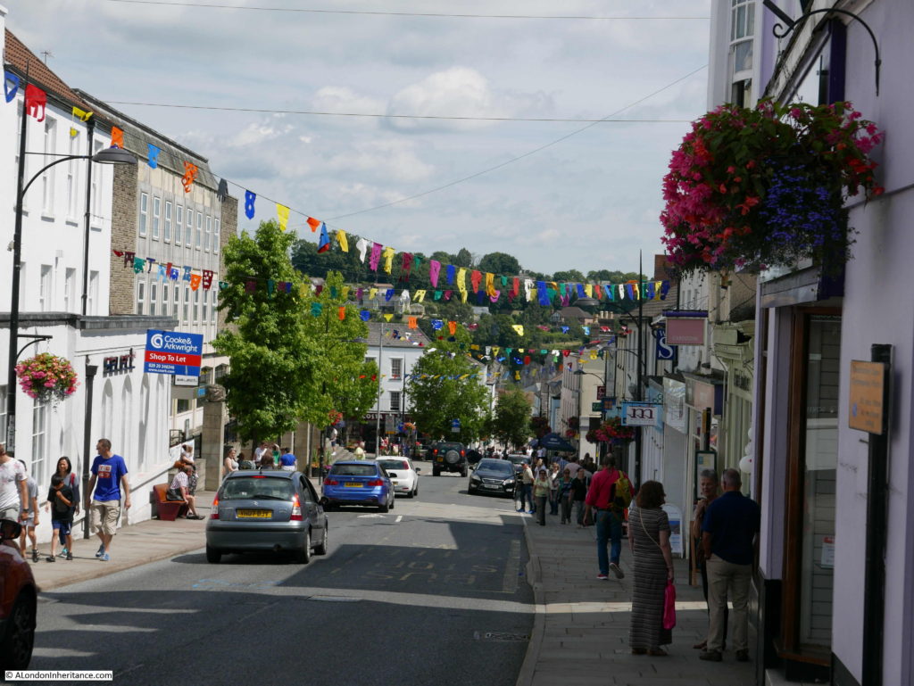
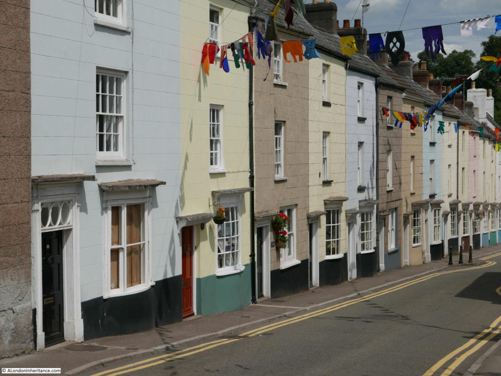
Thankfully Chepstow retains the feel of a local town with individual businesses rather than being overrun with national chains, although one national coffee chain has established a prominent position at the bottom of the High Street.

Along the High Street, I found a connection with London, although a rather derogatory reference:

Chepstow And The River Wye

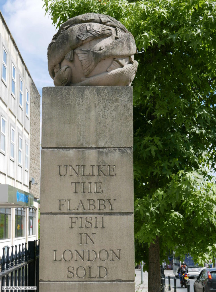
The text is from a poem by the Rev. E. Davies:

Unlike the flabby fish in London sold,
A Chepstow Salmon’s worth his weight in gold,
Crimps up delightful to the taste and sight,
In flakes alternate of fine red and white,
Few other rivers such fine Salmon feed,
Nor Taff, nor Tay, nor Tyne, nor Trent, nor Tweed.

The earliest references to this poem I have found are from the early 19th Century so this was written at a time when salmon were relatively abundant in the River Wye at Chepstow. Salmon numbers have fluctuated considerably over the centuries, periods of over fishing and poaching as well as environmental factors have contributed to reductions in numbers however salmon seem to recover well and the 1960s and 70s were record decades with salmon weighing in excess of 30lbs and measuring over 4ft long being caught and over 6,000 being caught each year in the late 1980s.

Salmon numbers plummeted dramatically soon after so by 2002 only 357 salmon were caught. Numbers are gradually recovering and in 2016 there was a spring catch of over 500 as salmon returned to the river in numbers not seen for 20 years.

I did not get a chance to try a Chepstow salmon so cannot compare with the flabby fish in London.

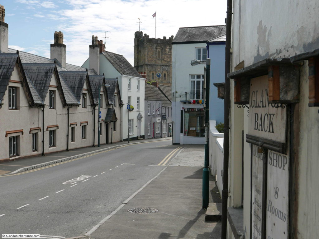
From the High Street, I walked into Middle Street and immediately along the pedestrianised St. Mary Street.

This is the view looking up St. Mary Street. The Chepstow Bookshop is on the left of this street – a brilliant independent bookshop where I bought a couple of books on the history of the area.

Chepstow And The River Wye

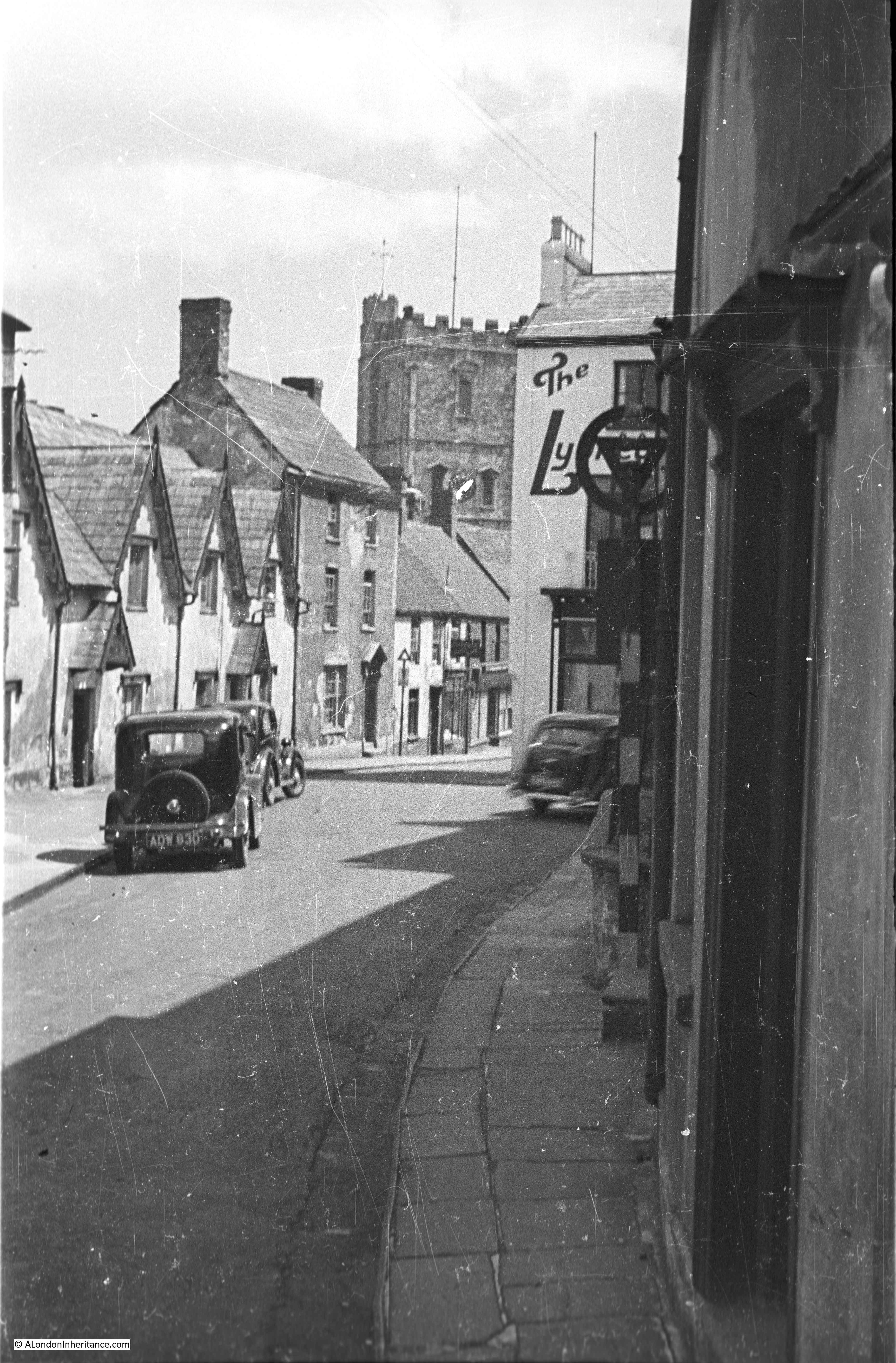
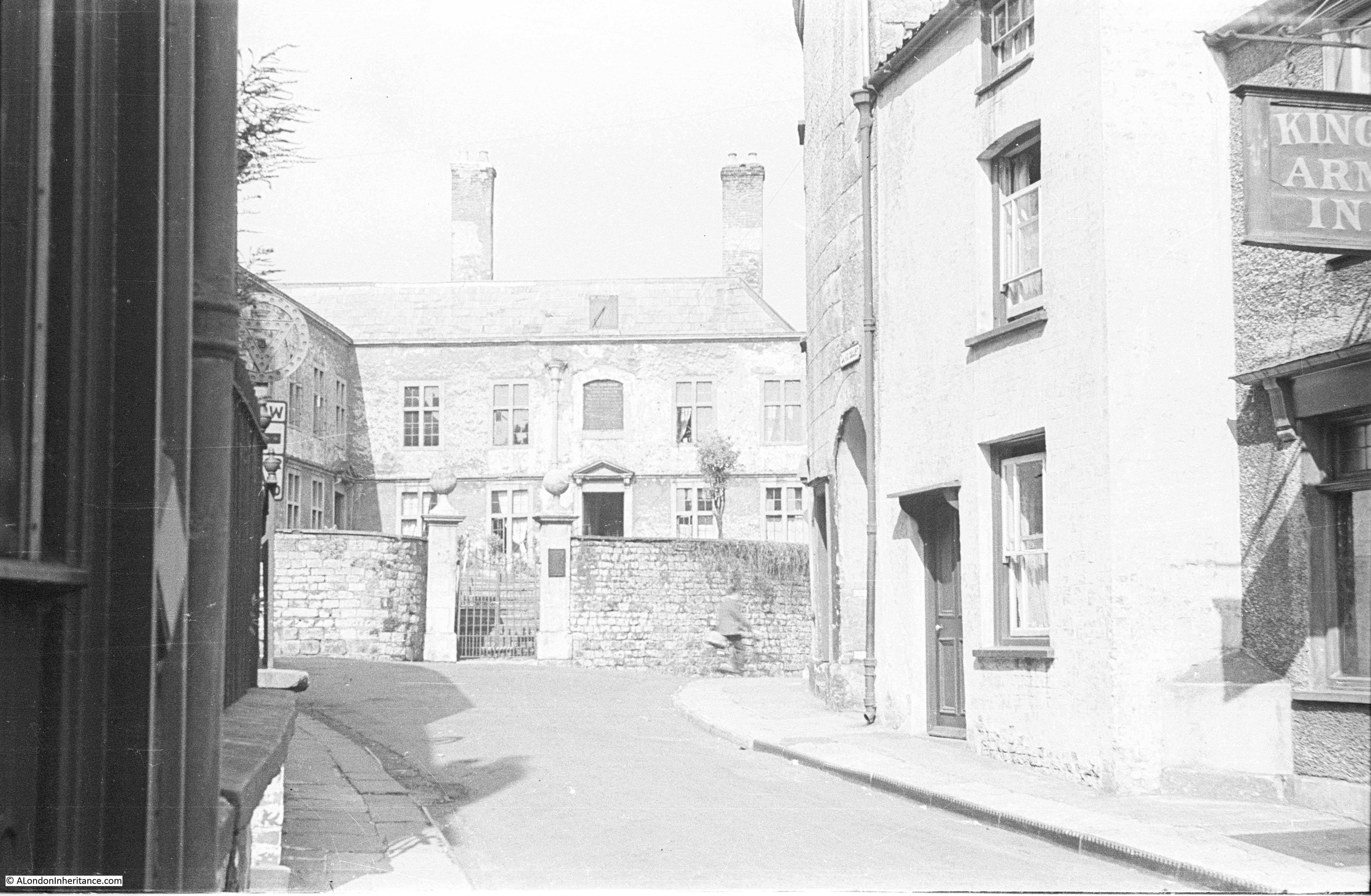
At the end of St. Mary Street is Upper Church Street and this was the view in 1947:

Chepstow And The River Wye

And the same view in 2017 which stupidly I took in landscape rather than the portrait format of the original.

Chepstow And The River Wye

Again the scene is much the same with only cosmetic differences. There is however one remarkable difference between the two. All my photography of street scenes and buildings today are generally plagued by cars. Roadside parking and street traffic generally obstructing the view of a building or scene, however in the above pair of photos there are three cars in 1947 and nothing in 2017. Traffic in Chepstow is much lighter than London and I was lucky that there was no parking in the marked bay in front of me, but it did seem strange not to be trying to take a photo in between parked and passing traffic.

Staying in the same position as the above two photos, but turning to look in the opposite direction is this large old building in Bridge Street at the end of Upper Church Street.

Chepstow And The River Wye

These are the Powis Alsmhouses. The plaque above the door states that the almshouses were built following an endowment in 1716 from Thomas Powis, a Vintner from Enfield in Middlesex for six poor men and six poor women of the town and parish. His connection with Chepstow is that he was born in the town. The cellars underneath the almshouses were used by wine merchants during the 18th century.

The almshouses are now Grade II listed and the following photo shows the full building, which again is little changed from 1947.

Chepstow And The River Wye

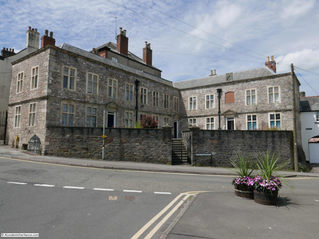
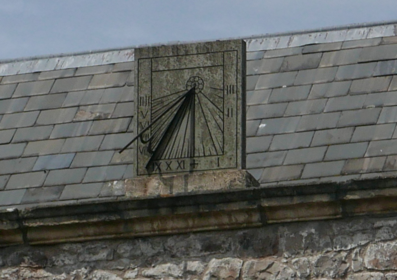
Above the plague there is a sundial projecting from the edge of the roof. This was also in the 1947 photo.

Chepstow And The River Wye

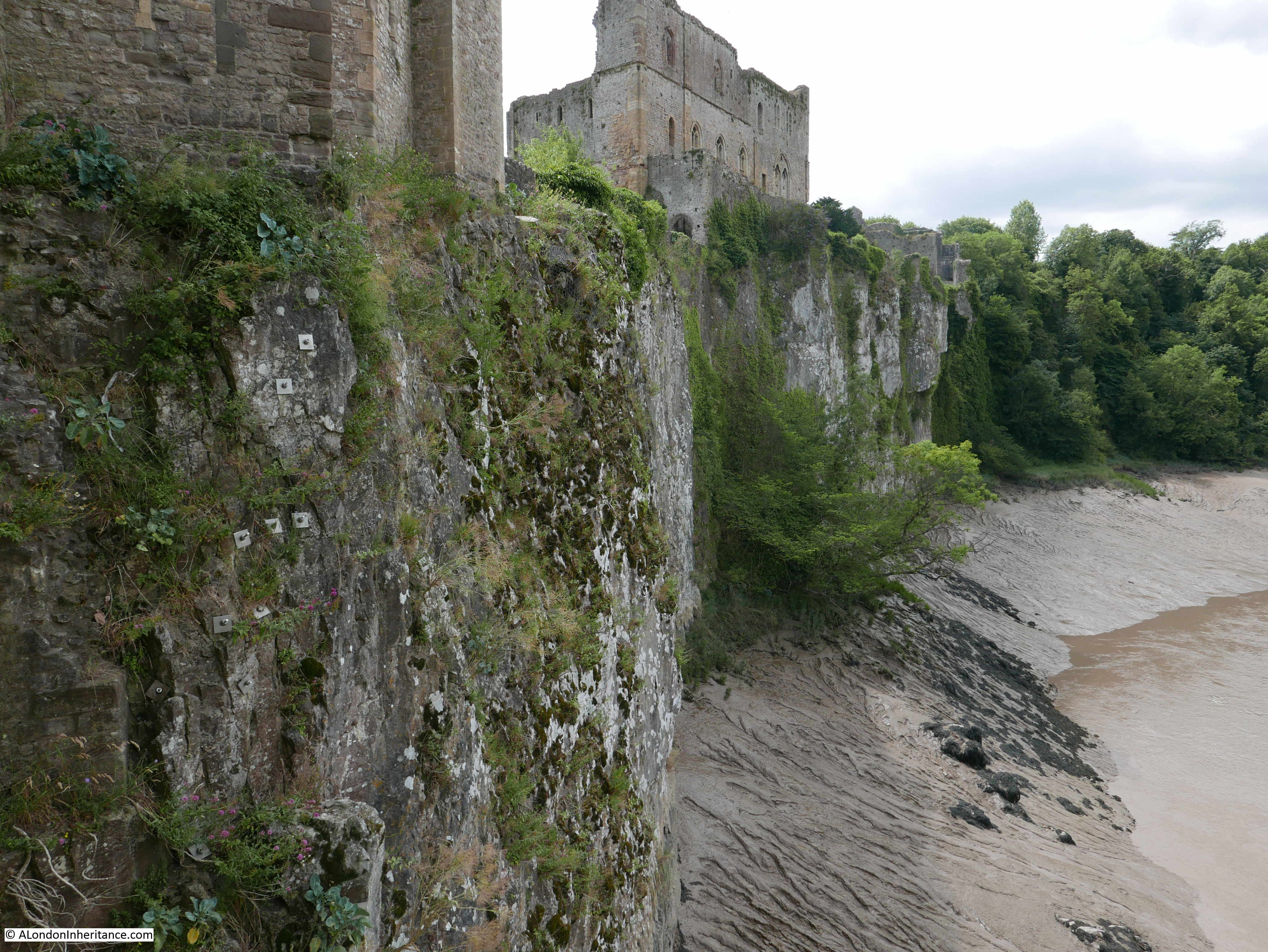
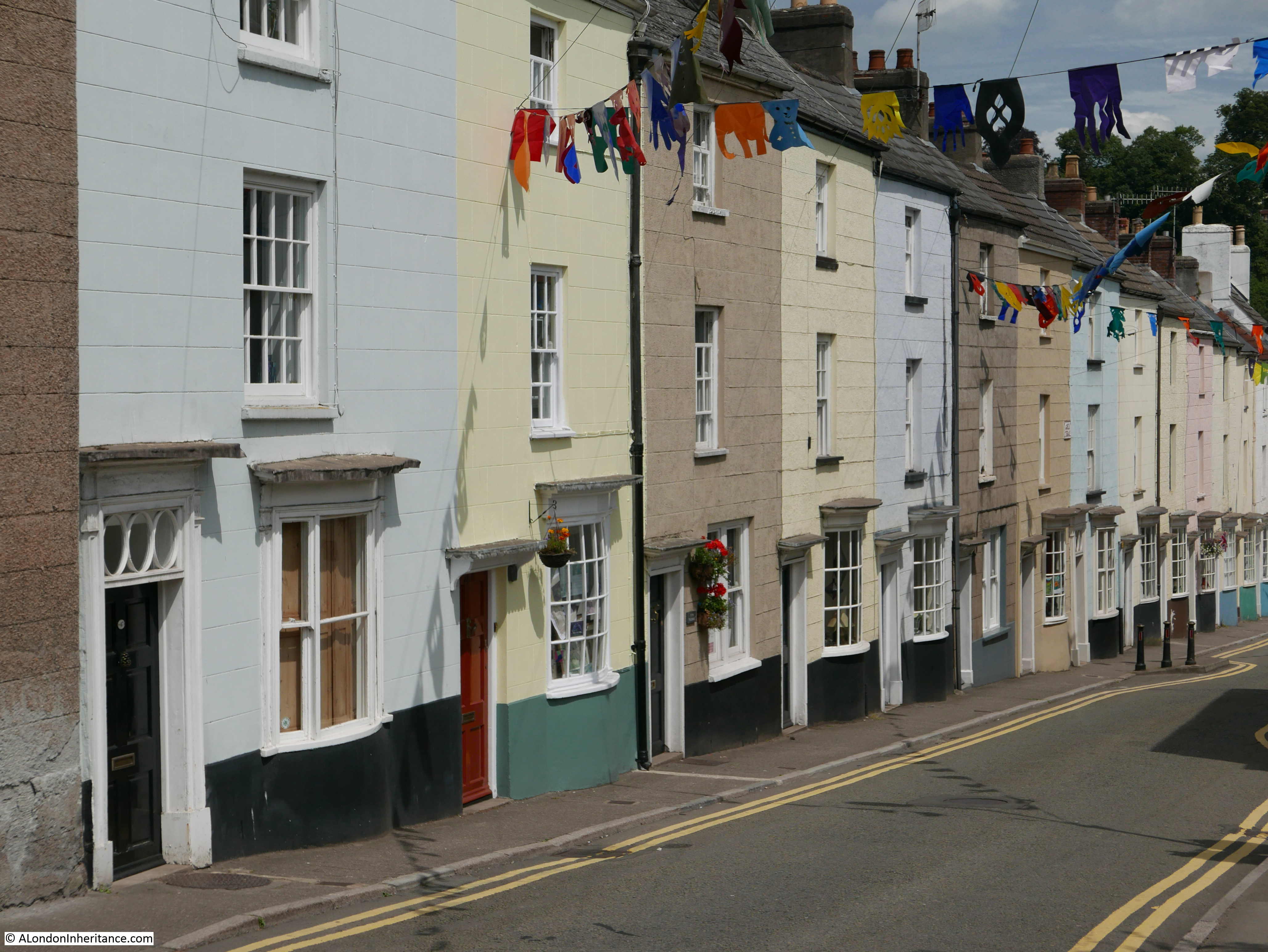
Bridge Street, as the name suggests is the road that leads down to the original bridge over the River Wye, linking Chepstow to England. One side of the street is lined by 3 storey houses. This is Castle Terrace and consists of an unbroken row of 14 Georgian houses built between 1805 and 1822. The rear of the houses look out onto the castle. They are also Grade II listed.

Chepstow And The River Wye

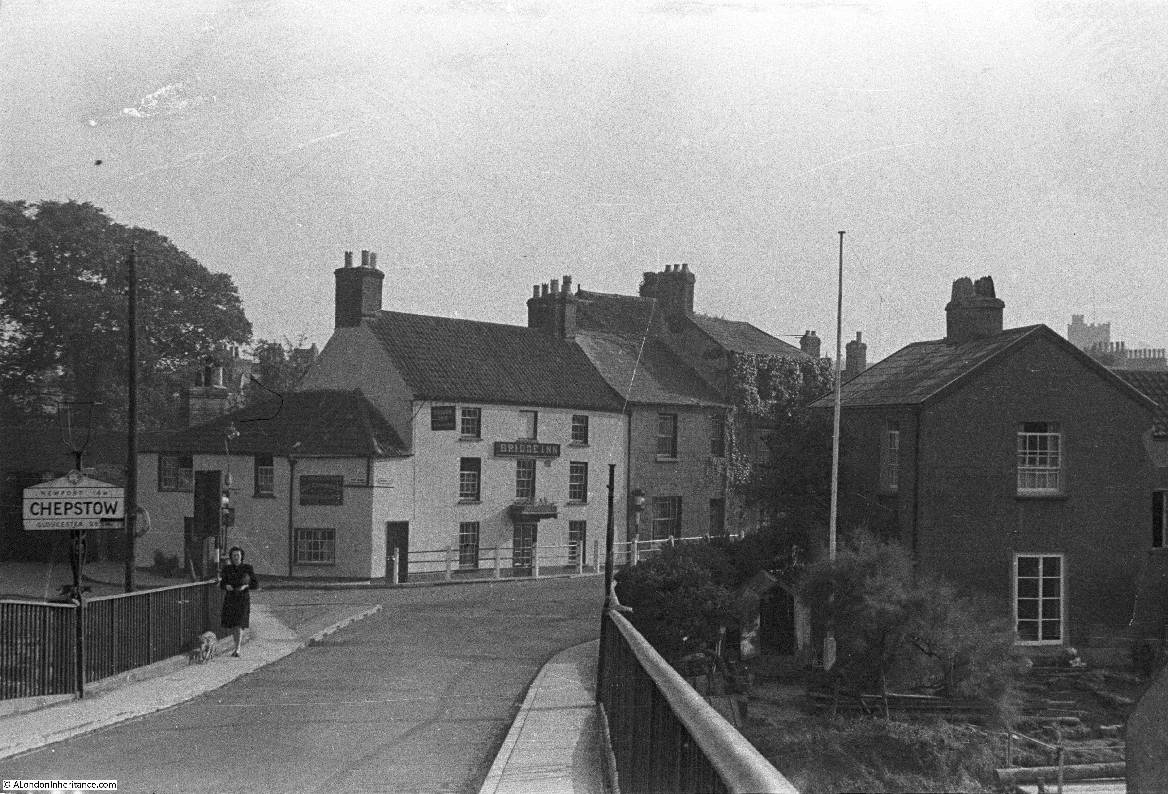
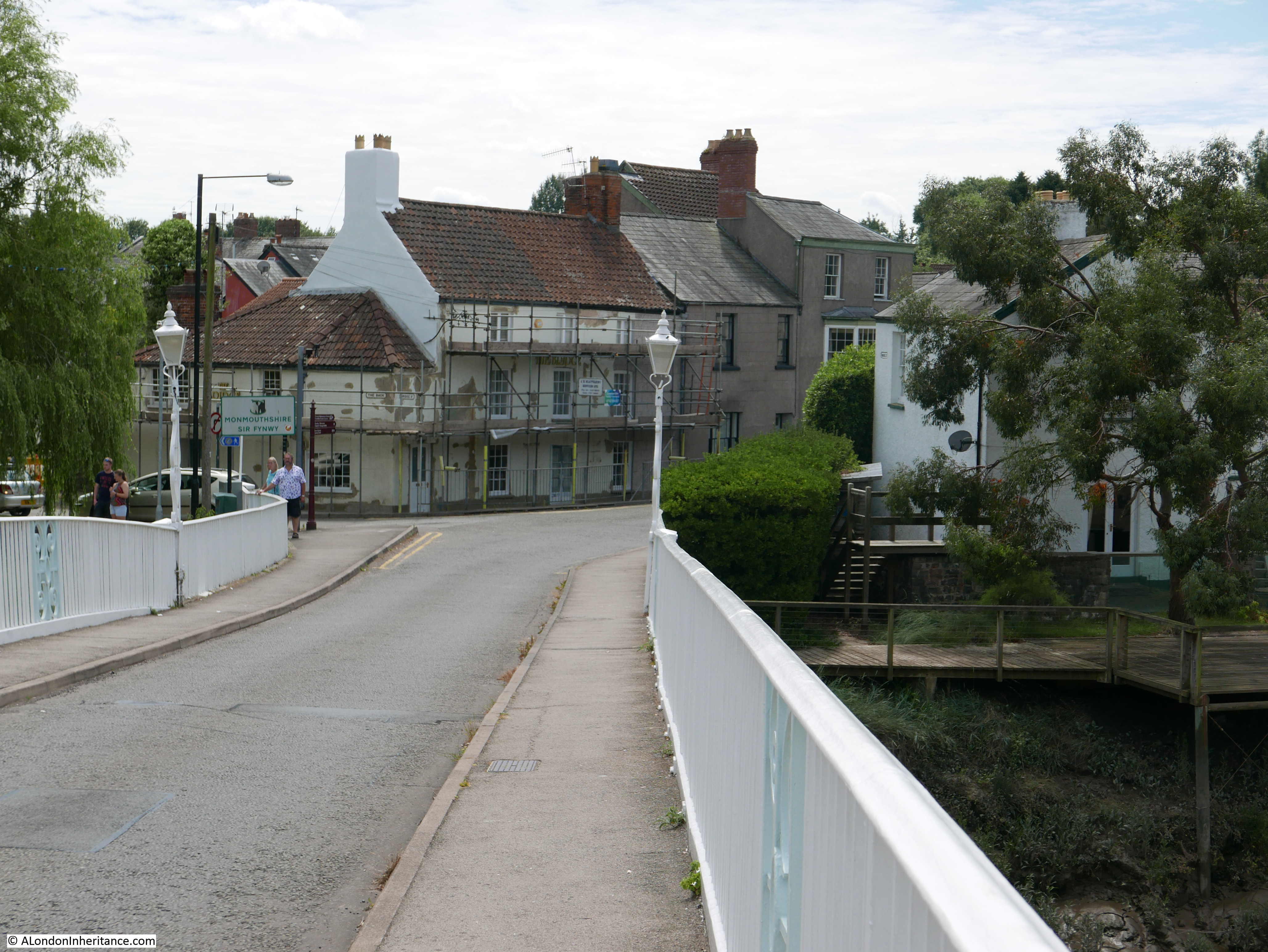
At the end of Bridge Street is the bridge over the River Wye. This was the view in 1947 a short distance on the bridge looking back towards Chepstow.

Chepstow And The River Wye

70 years later the view is much the same.

Chepstow And The River Wye

The building at the end of the bridge surrounded by scaffolding was the Bridge Inn, a Grade II listed pub, however the pub has now closed and the building is being converted into a cafe, shop and apartments. Just one of the twenty one pubs that are closing each week according to a Campaign for Real Ale report.

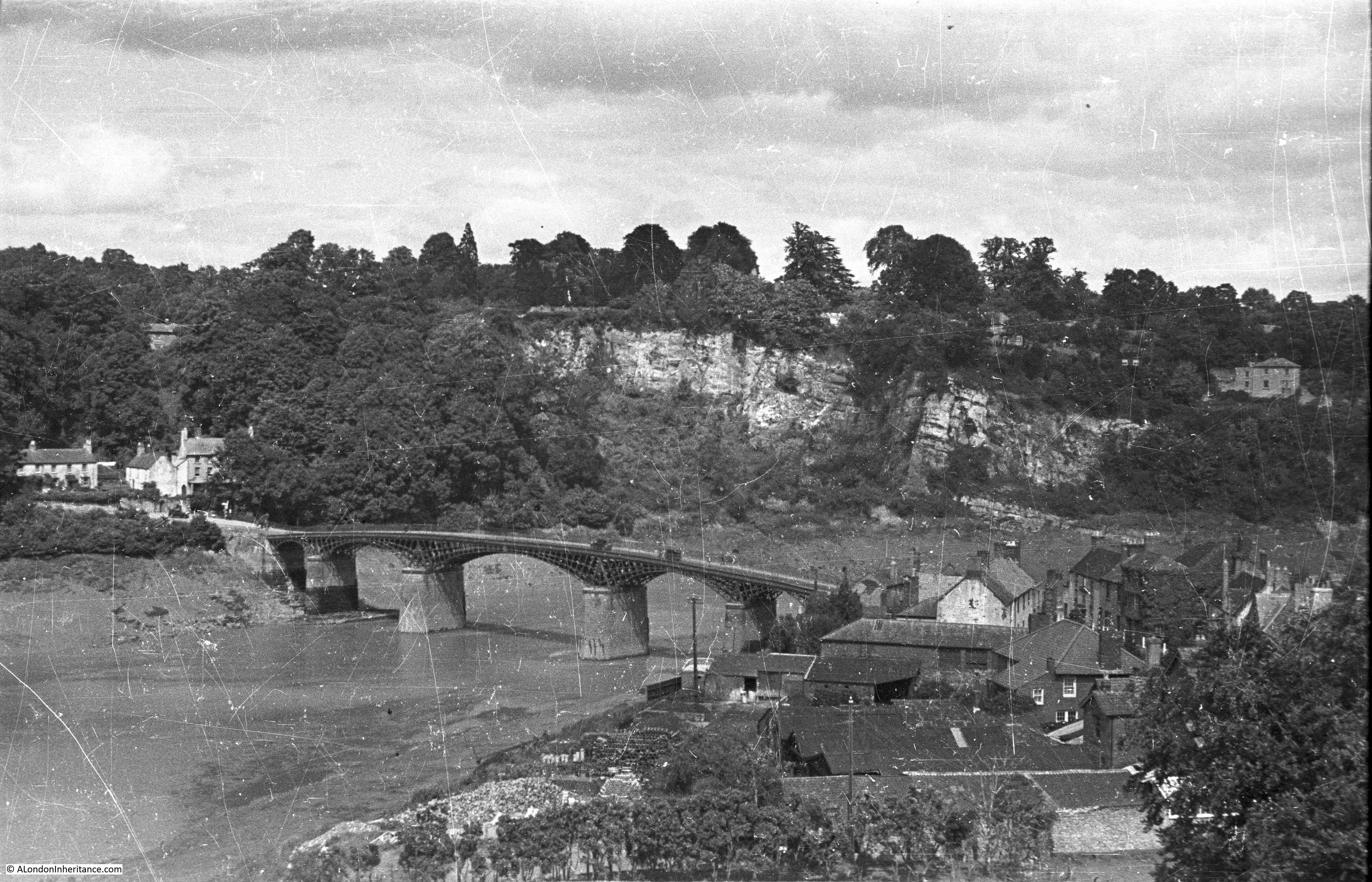
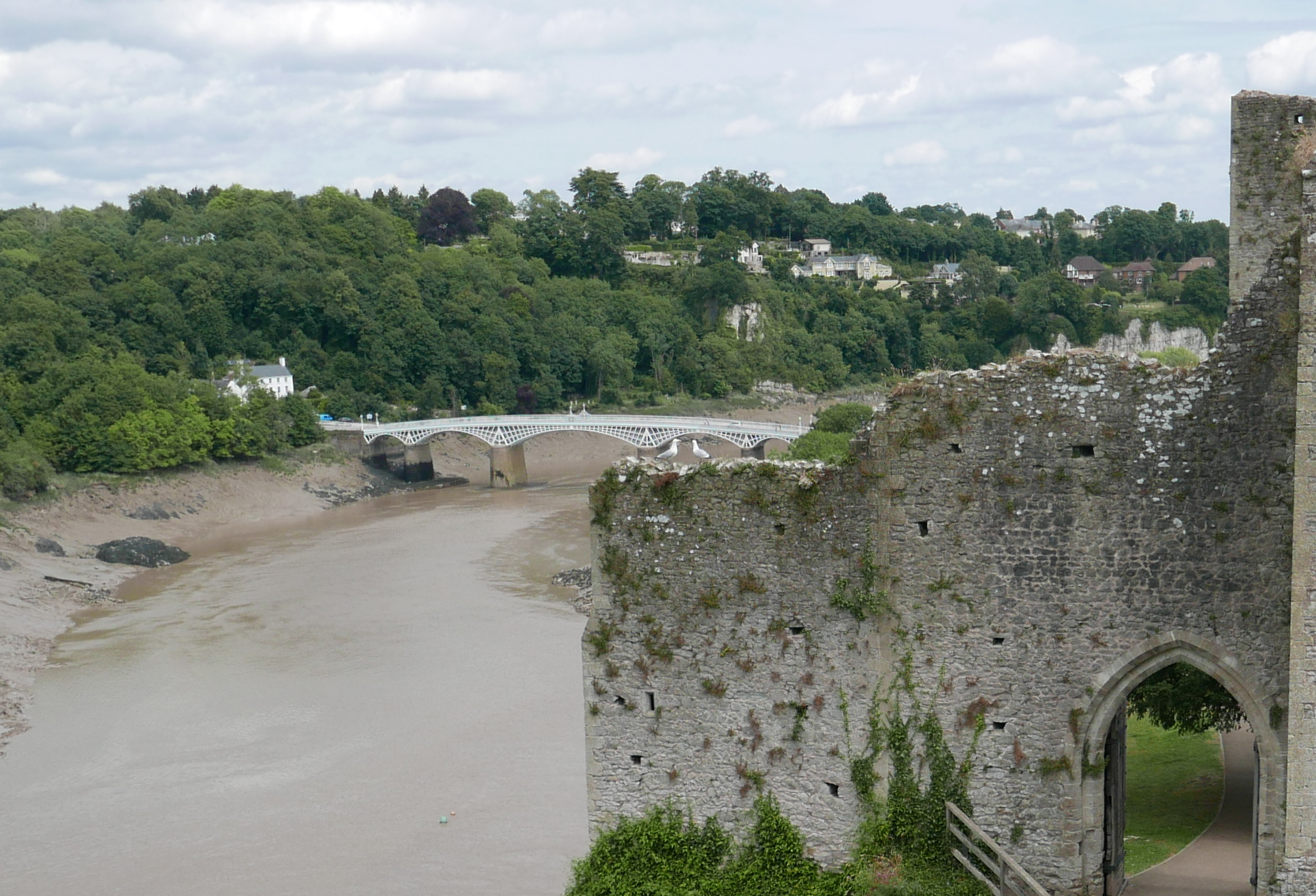
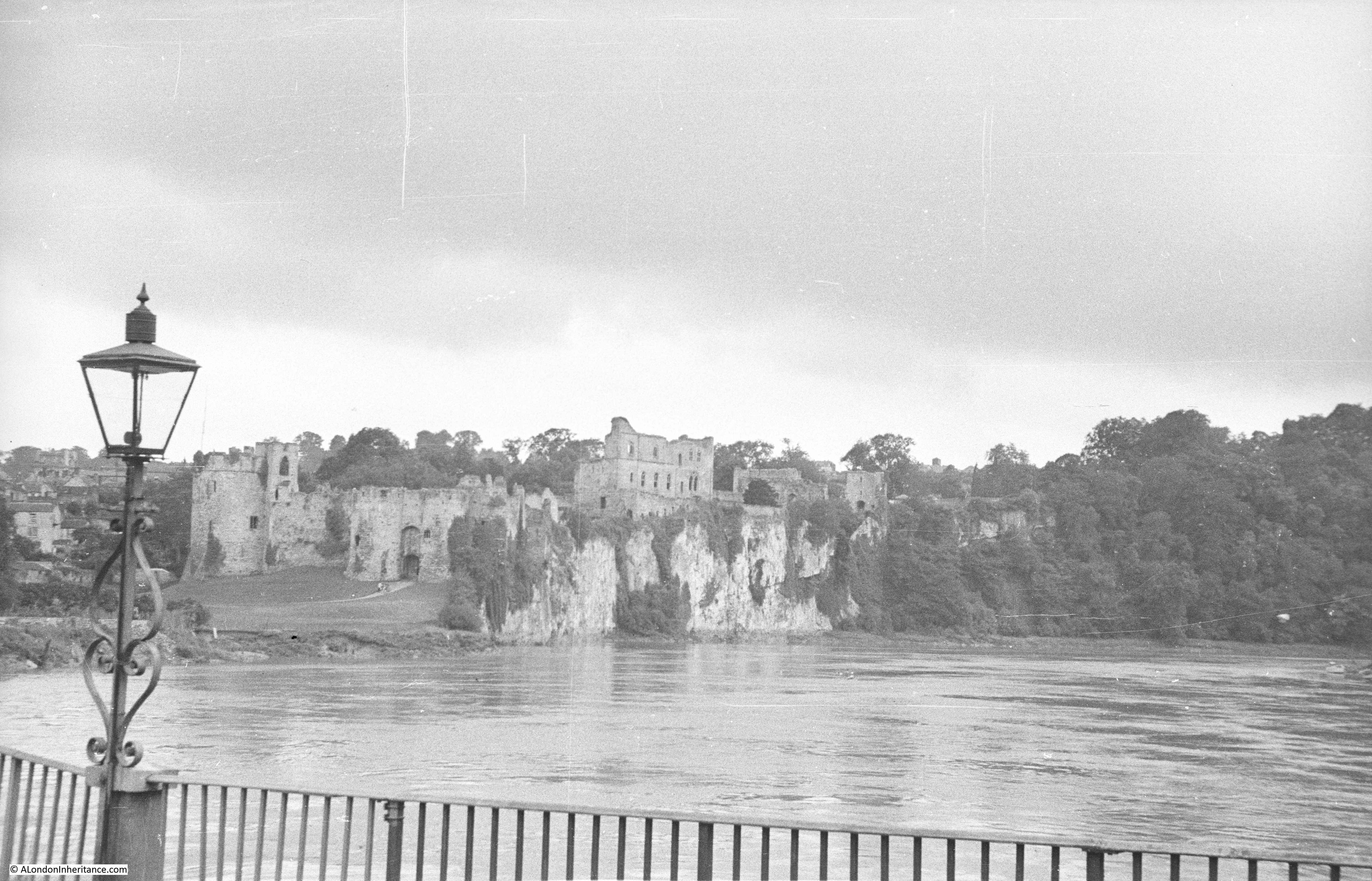
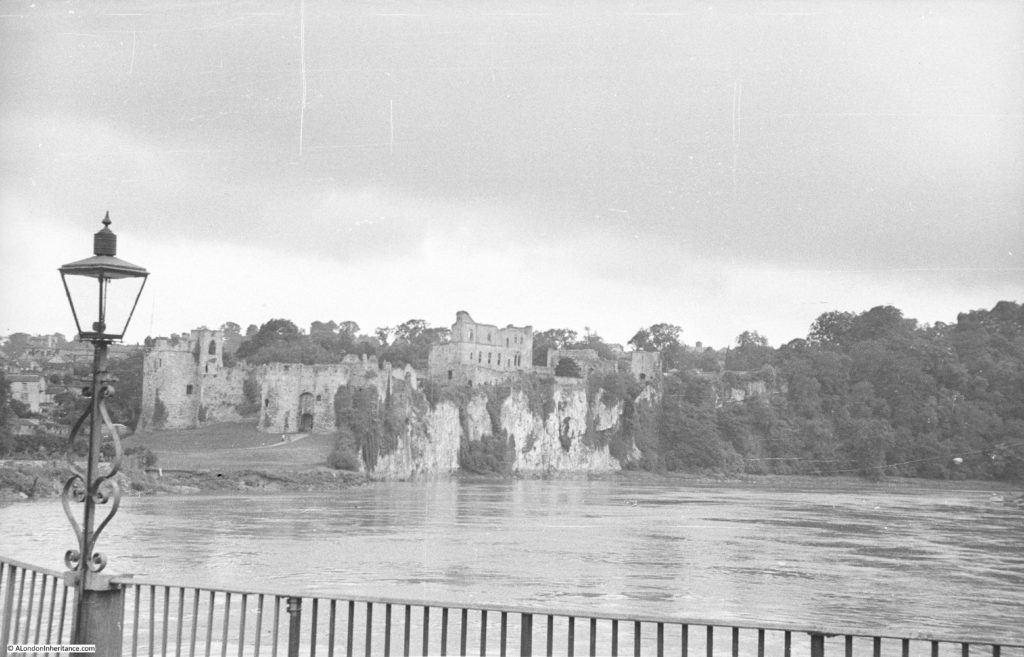
The bridge provides a very dramatic view of the River Wye and Chepstow Castle. This is the 1947 view with a high tide showing the full width of the river.

Chepstow And The River Wye

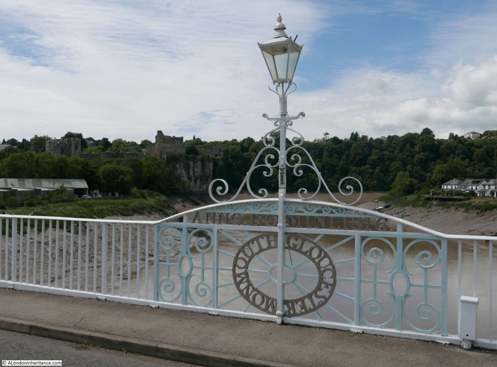
Similar view in 2017 – rather more ornate lights have replaced the 1947 versions.

Chepstow And The River Wye

The tidal range of the River Wye at Chepstow is one of the largest in the world. The lowest astronomical tide is 1.2m and the highest is 14.6m giving a maximum tidal range of 13.4m (44 ft). The highest tidal range of 16.2m is at the Bay of Fundy in eastern Canada, 15m at Ungava Bay in north eastern Canada, followed by 14.7m across the Severn Estuary, then Chepstow at 14.6m.

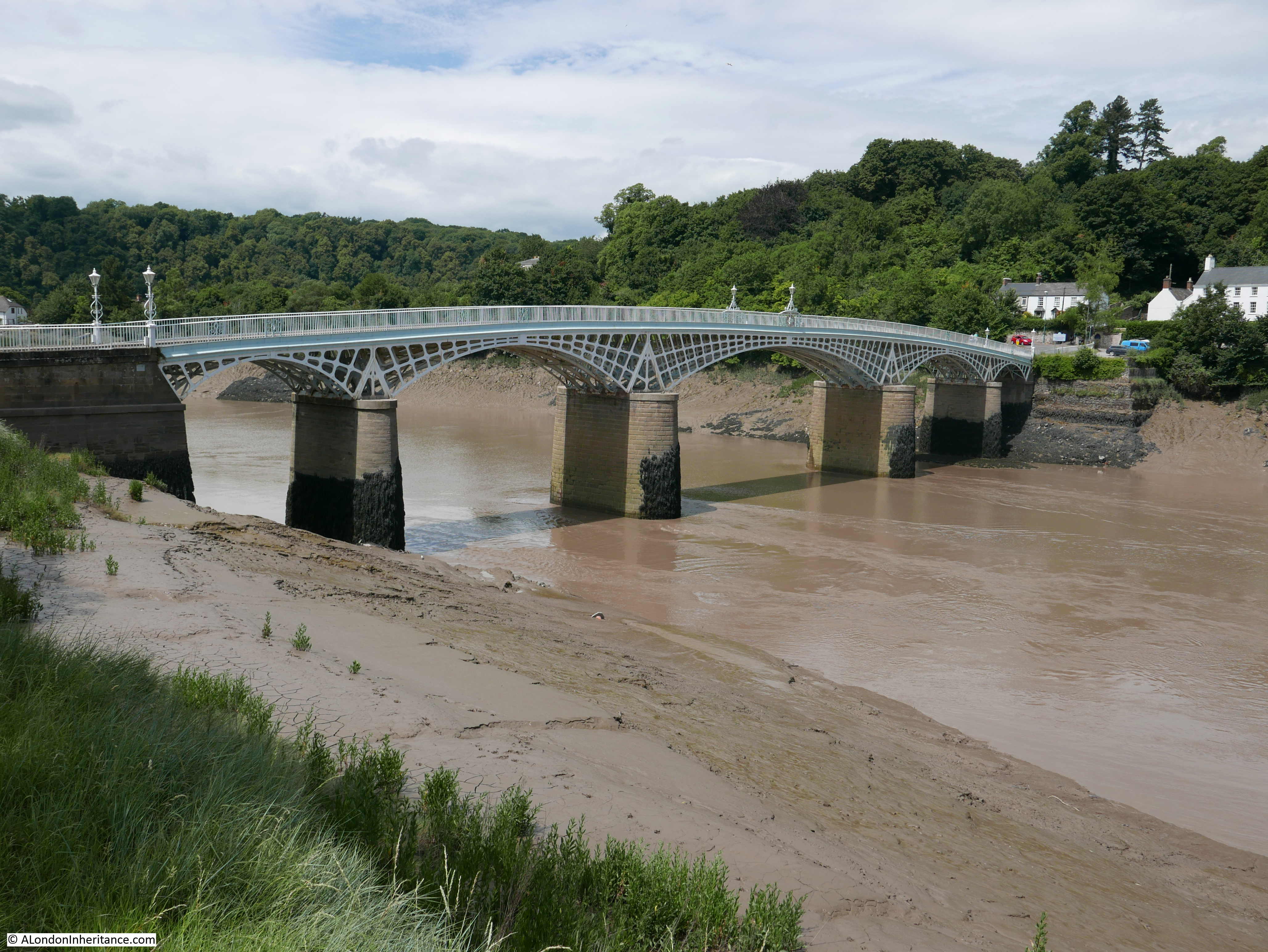
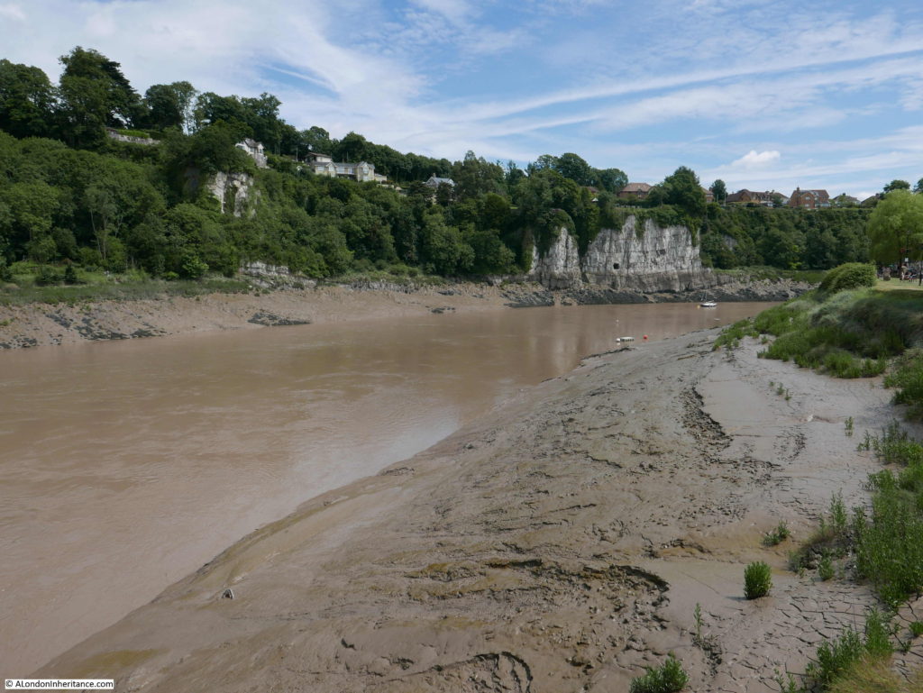
The following photo was taken as the tide was receding – low tide had not yet been reached. Tide height can be seen by the height of the mud banks and also by the tide line on the cliffs in the distance.

Chepstow And The River Wye

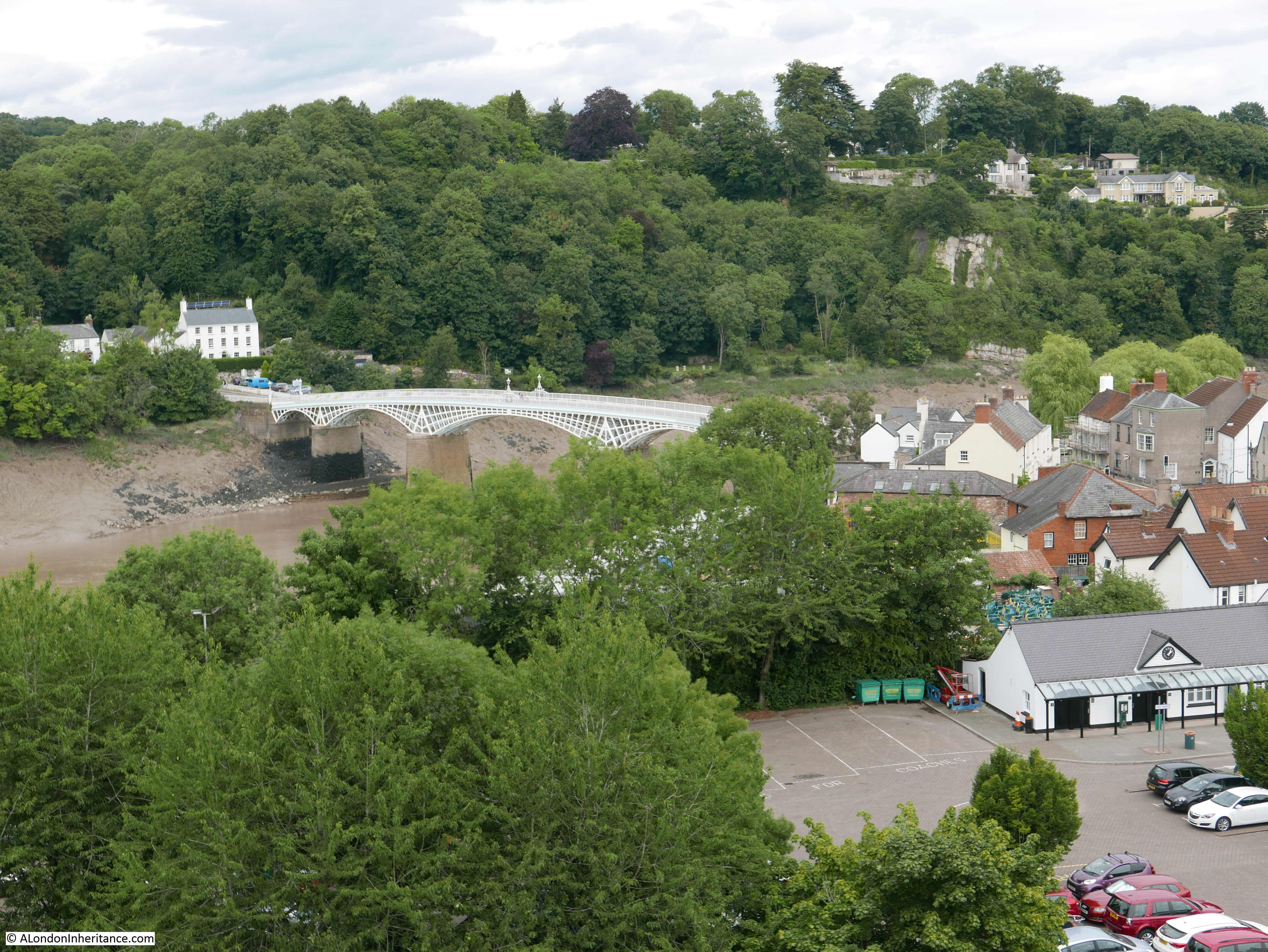
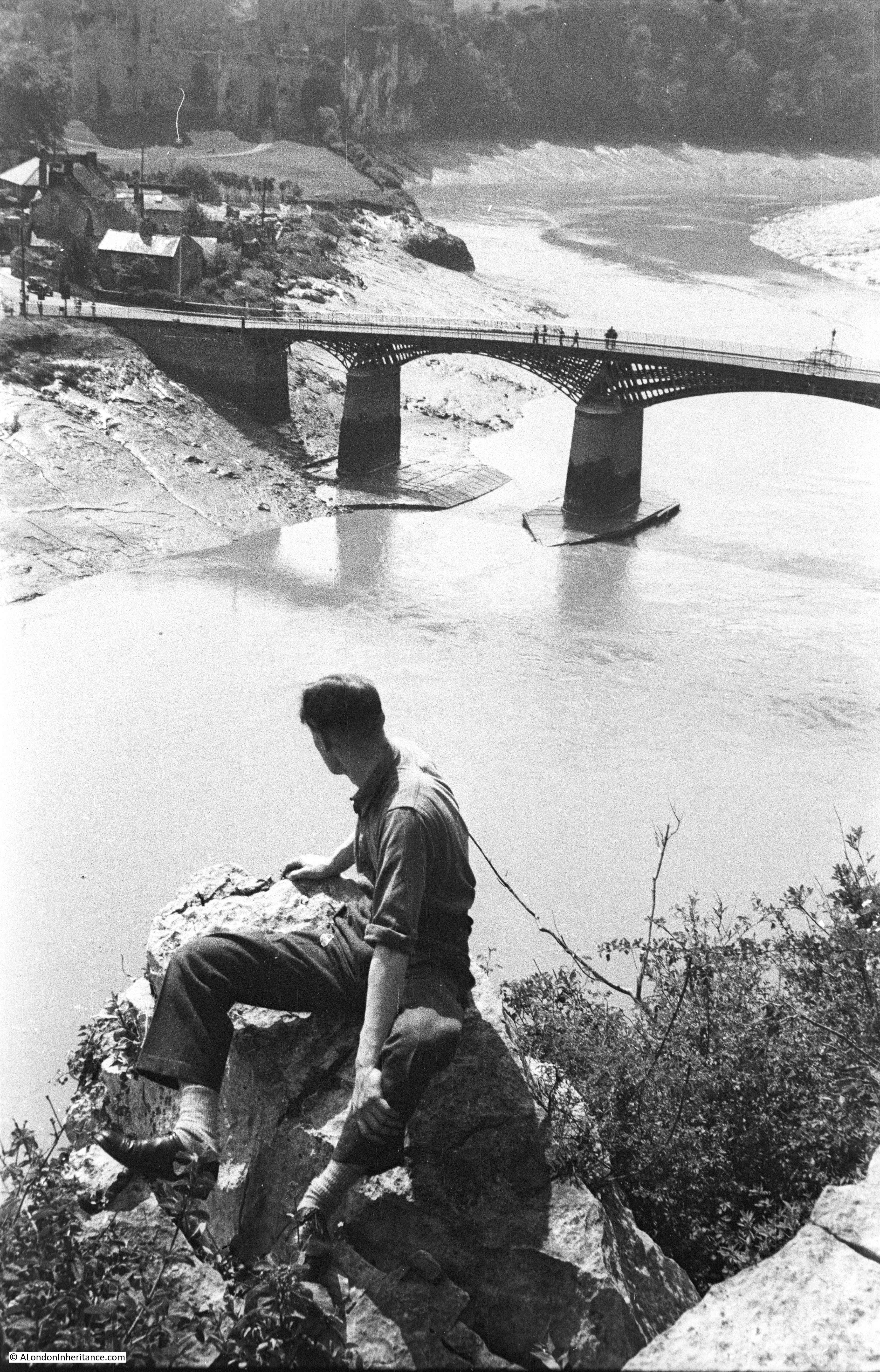
There is a much later road bridge carrying the A48 into Chepstow, however this is the original road bridge.

Chepstow And The River Wye

There has been a bridge on the site since the 13th century, the first built of wood and with a central stone arch it was subject to frequent damage requiring a ferry to provide transport across the river until it was repaired. There was also an earlier Roman bridge further upstream.

The current bridge was built between 1815 and 1816 and is the largest remaining iron arch bridge built prior to 1830. The original Ironbridge in Shropshire is about 35 years older but is a shorter bridge than the one at Chepstow.

The bridge was designed and built by John Urpeth Rastrick – an engineer who has been rather overshadowed by the likes of Brunel and Thomas Telford.

Born in 1780 in Morpeth, Northumberland, Rastrick built steam engines, including the first engine to be run in the USA. He was the chairman of the judging panel for the Rainhill Trials in 1829 where 5 engines competed along a mile of track at Rainhill. Stephenson’s Rocket was the only engine to complete the trials. He was also the engineer for the extension of the London to Brighton railway from Croydon to Brighton.

If you look back at the map at the top of the post, the bridge carried the A48 across the River Wye and was the only road bridge to cross this section of the river. Also, if you follow the River Wye down to where it meets the River Severn you can see there is a ferry at Beachley. This was long before the Severn road crossings were built and the only route across was via the ferry or a long detour via Gloucester.

The bridge has a very elegant design and looks remarkable during a very high tide when the water fully covers the concrete piers and the white arches appear to be floating on the water.

As well as the high tide, the Wye has been known to flood. In the photo below there is a plaque at the bottom of the white pillar at the end of the railings. The plaque marks the high tide level on the 17th October 1883.

Chepstow And The River Wye

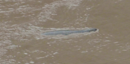
The River Wye is home to a growing population of salmon, and there have been very occasional sightings of seals who have come up from the River Severn to hunt fish. Remarkably on the day of my visit there was a seal hunting for fish in the muddy water slightly downstream of the bridge.

Chepstow And The River Wye

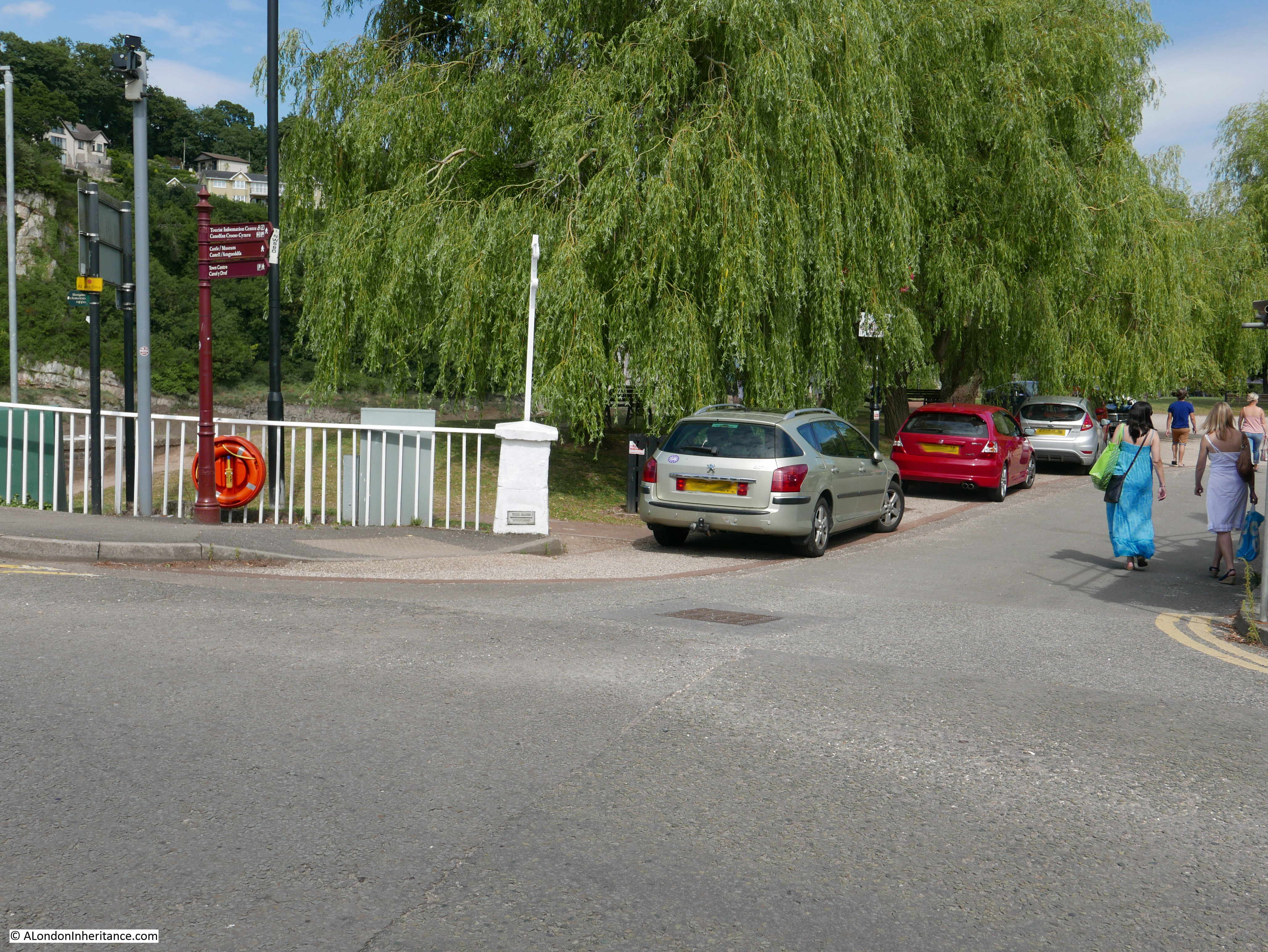
A short distance from the bridge, there is a small wine bar / restaurant along the banks of the Wye. A July day with a beer and some food sitting outside along the banks of the River Wye was hard to beat.

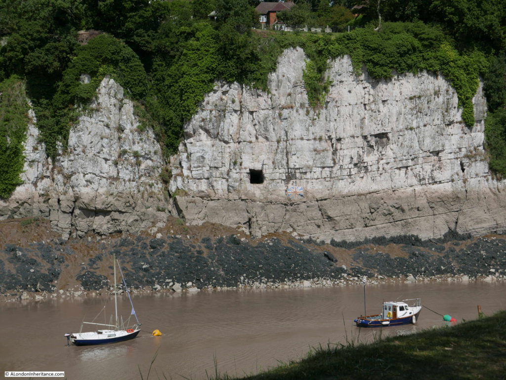
Directly opposite are these limestone cliffs. There is a large, square hole in the cliffs. This opens out onto a much larger chamber. There are a number of possible origins and use of the chamber, one of the most credible uses was to unload and provide a temporary storage place for goods that could not be unloaded from ships at the shallower wharves across the river.

If you look just below and to the right of the hole is a Union Jack. This was originally painted in 1935 for the Silver Jubilee of King George V. The flag has been repainted a number of times since.

Chepstow And The River Wye

The tide mark for a high tide is very visible in the above photo and in January 2014 heavy rains and flooding caused the River Wye to reach above the flag.

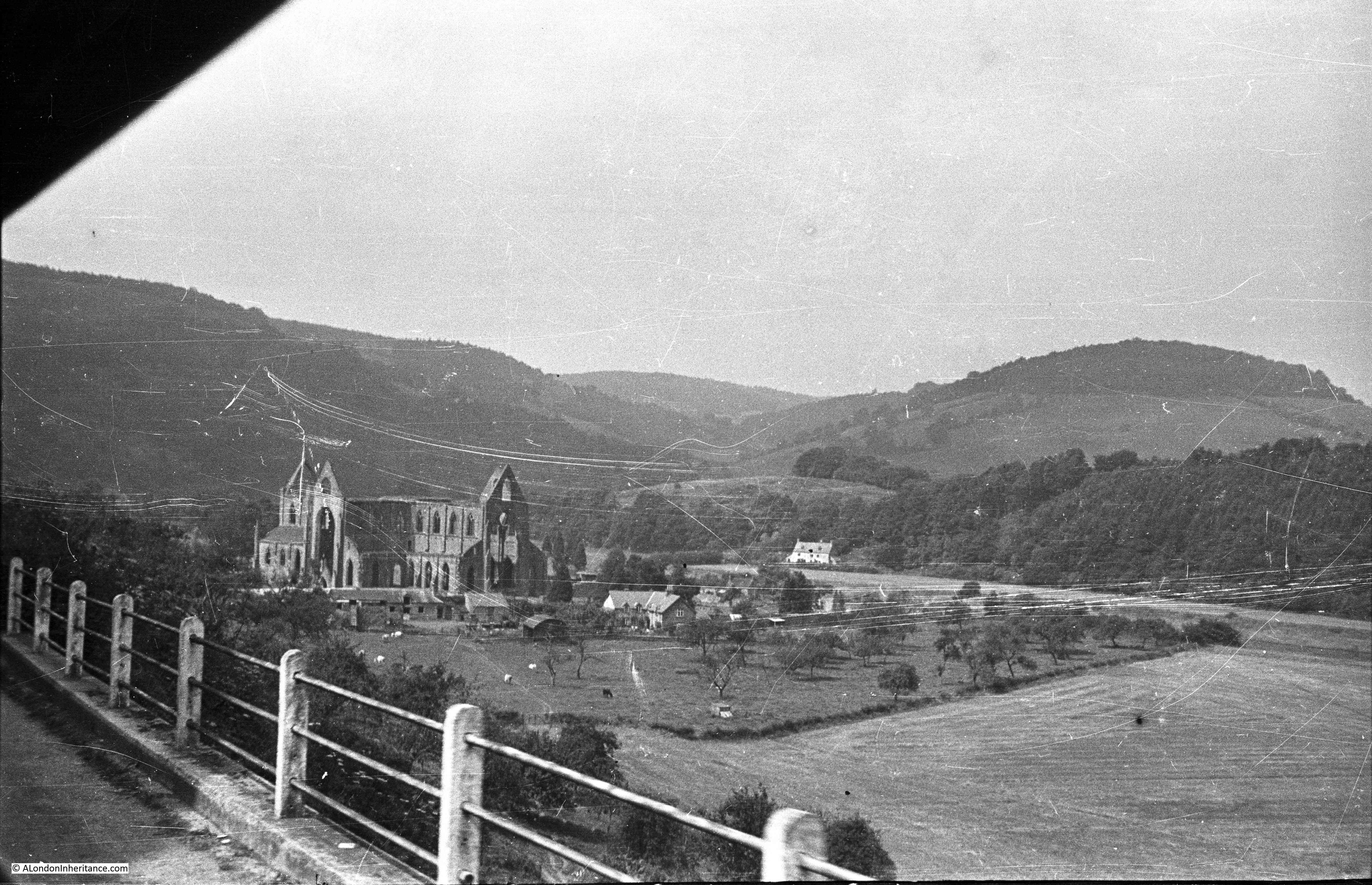
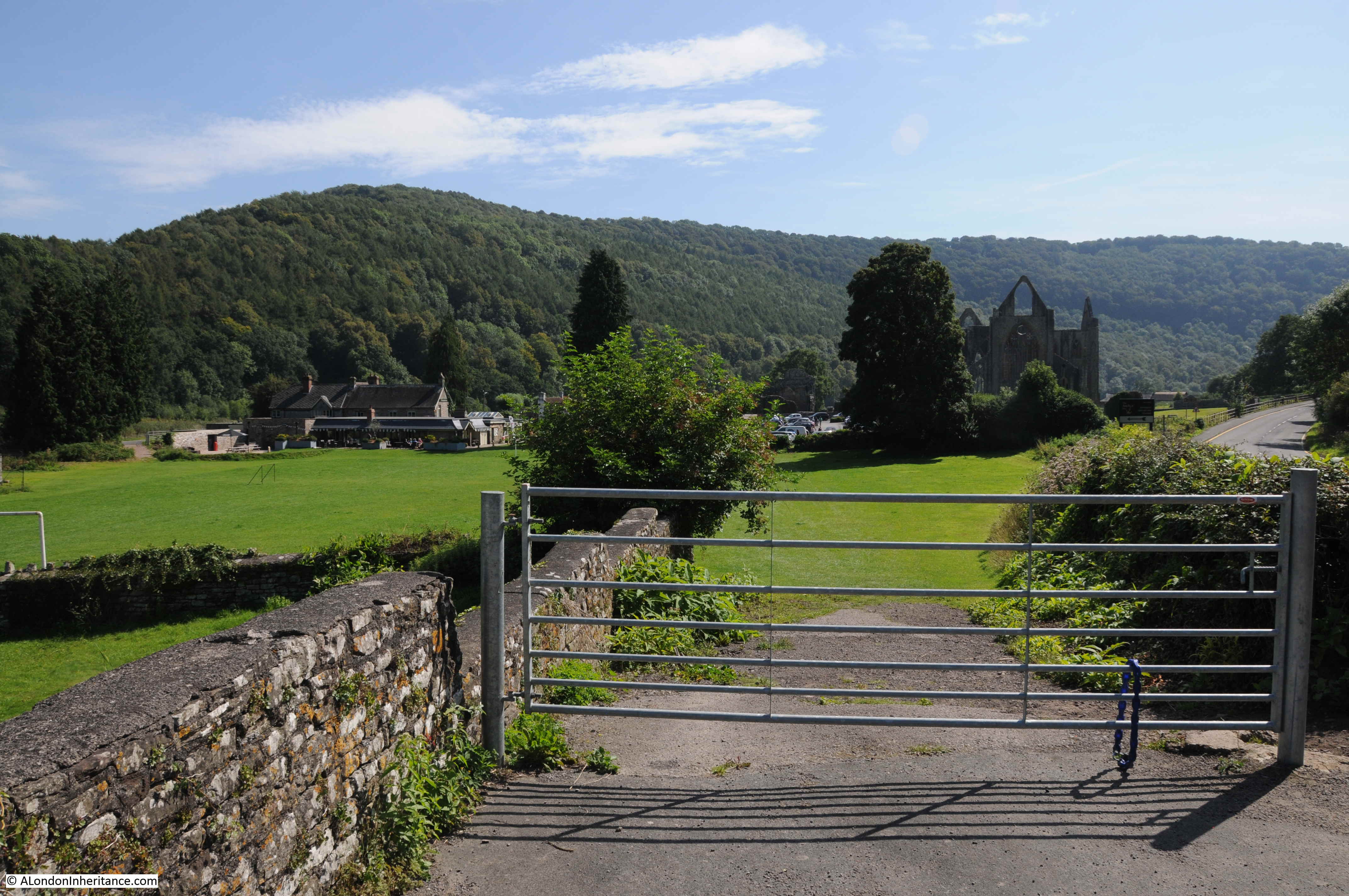
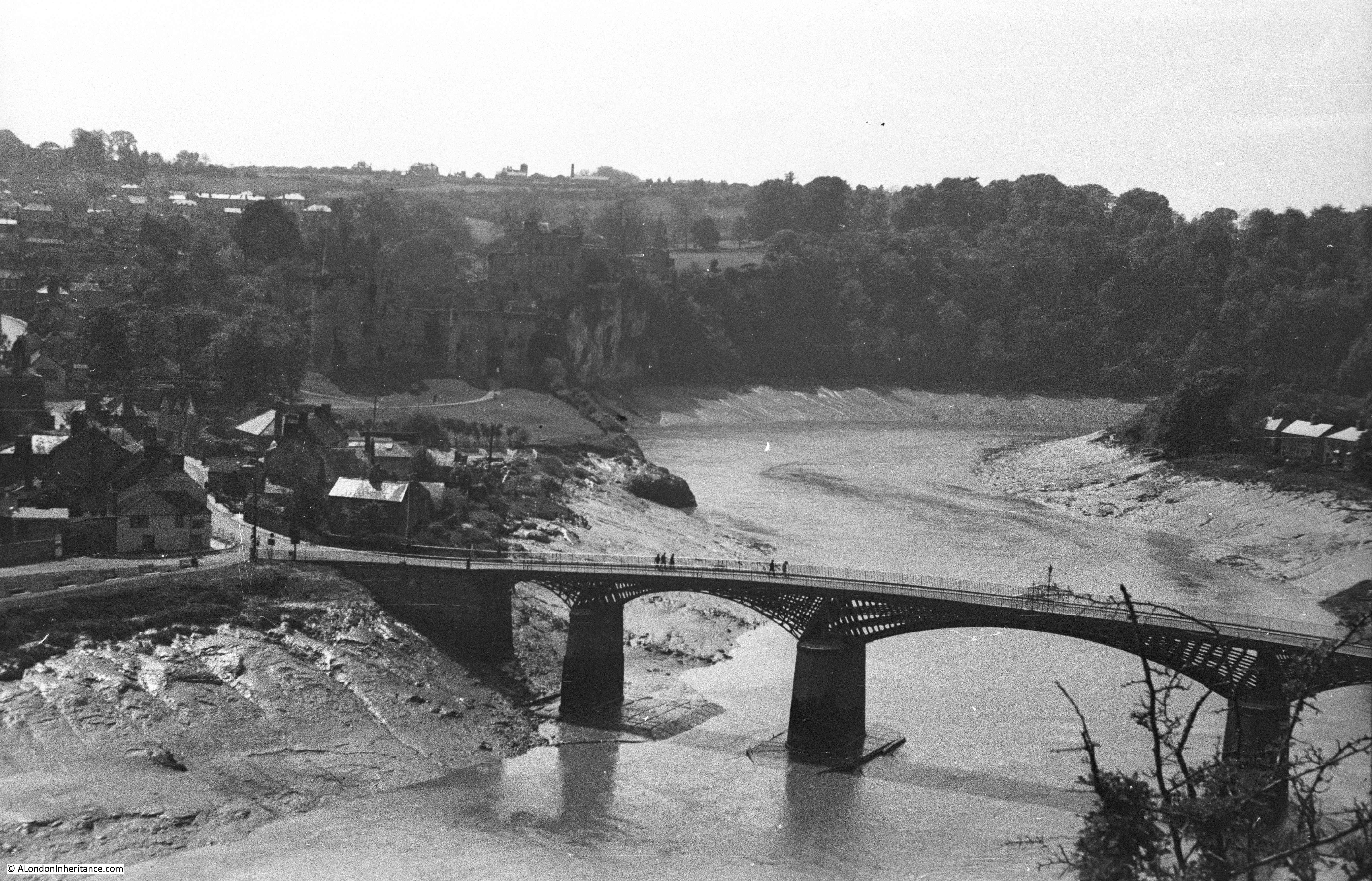
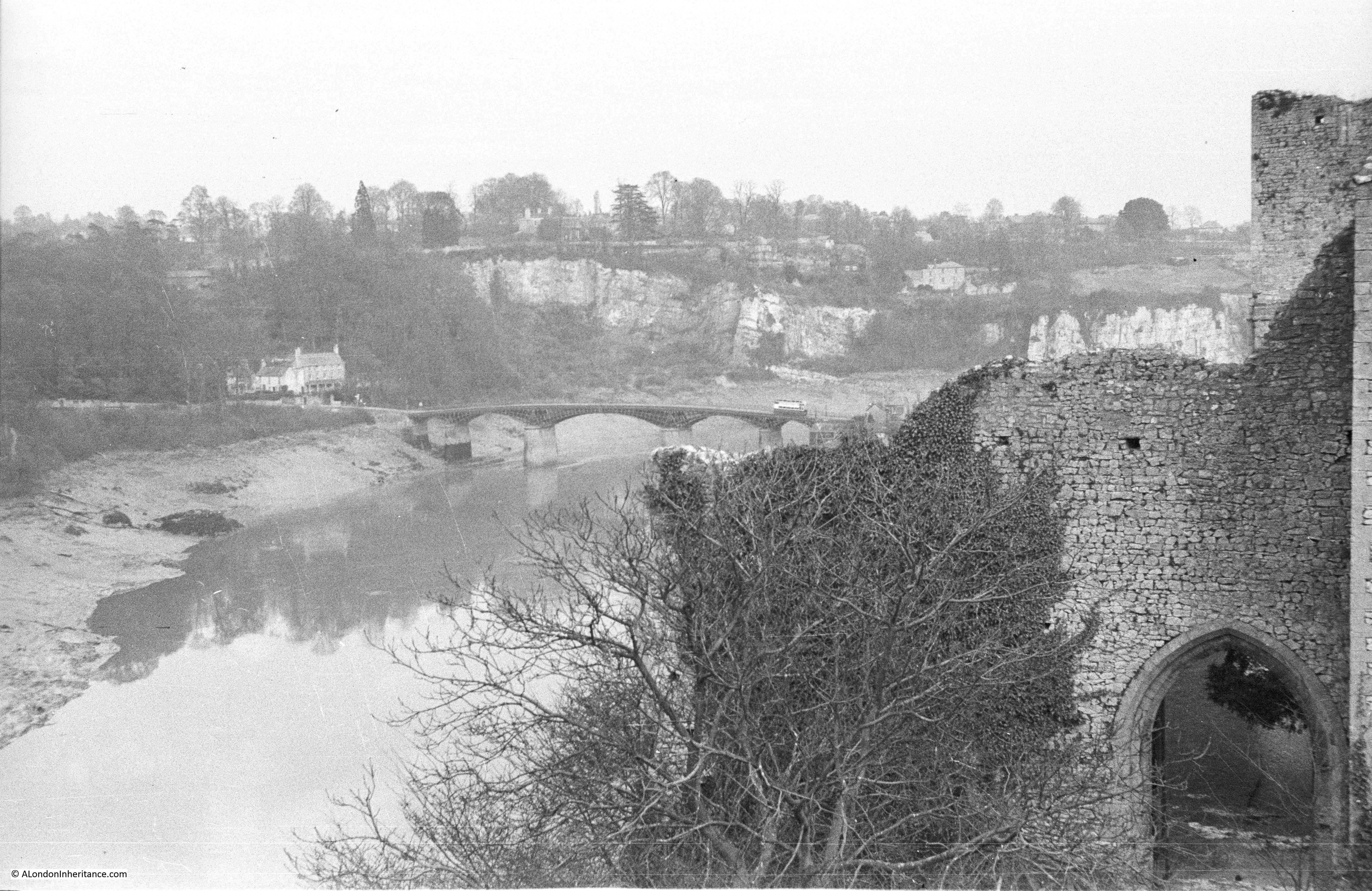
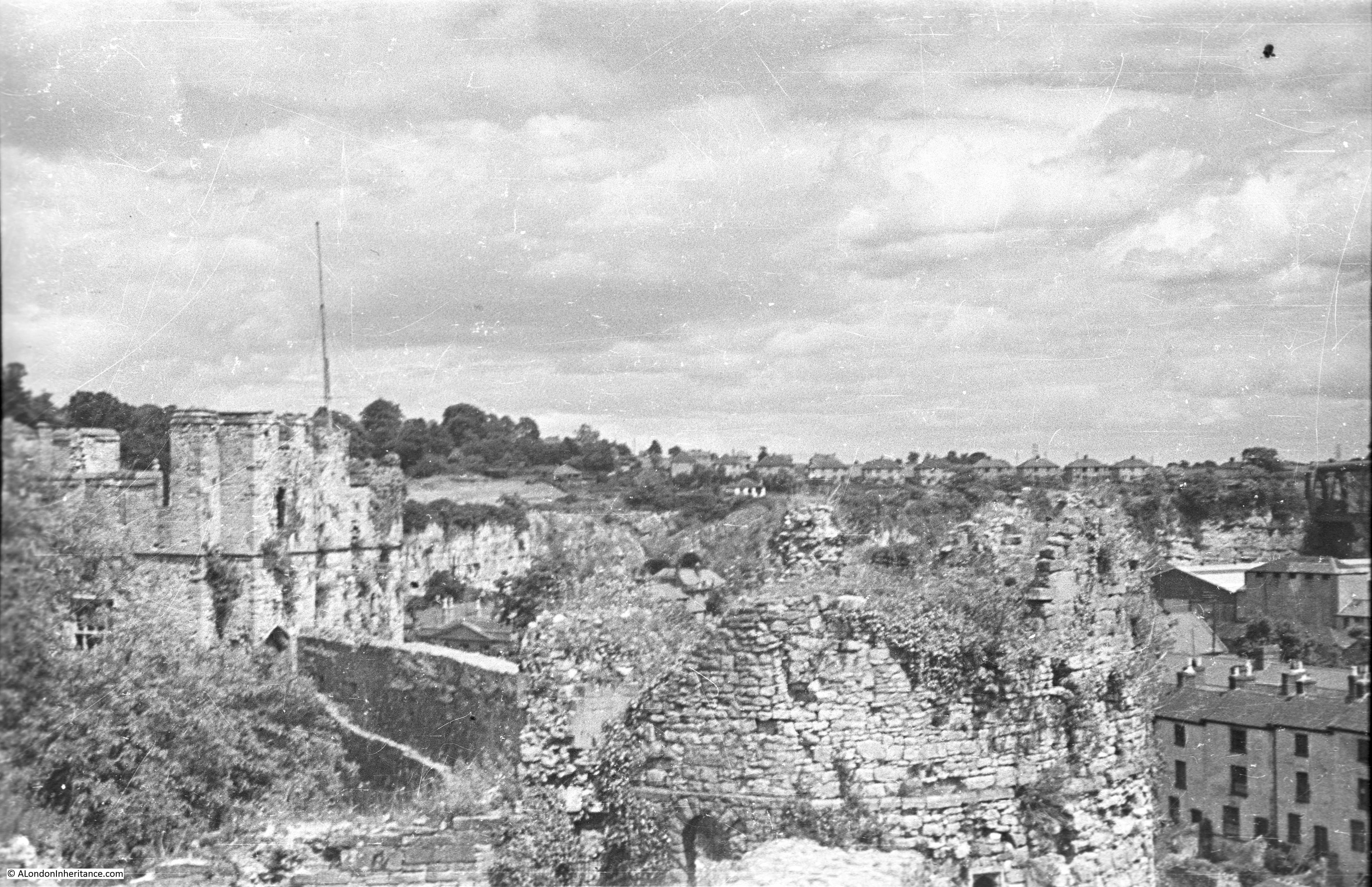
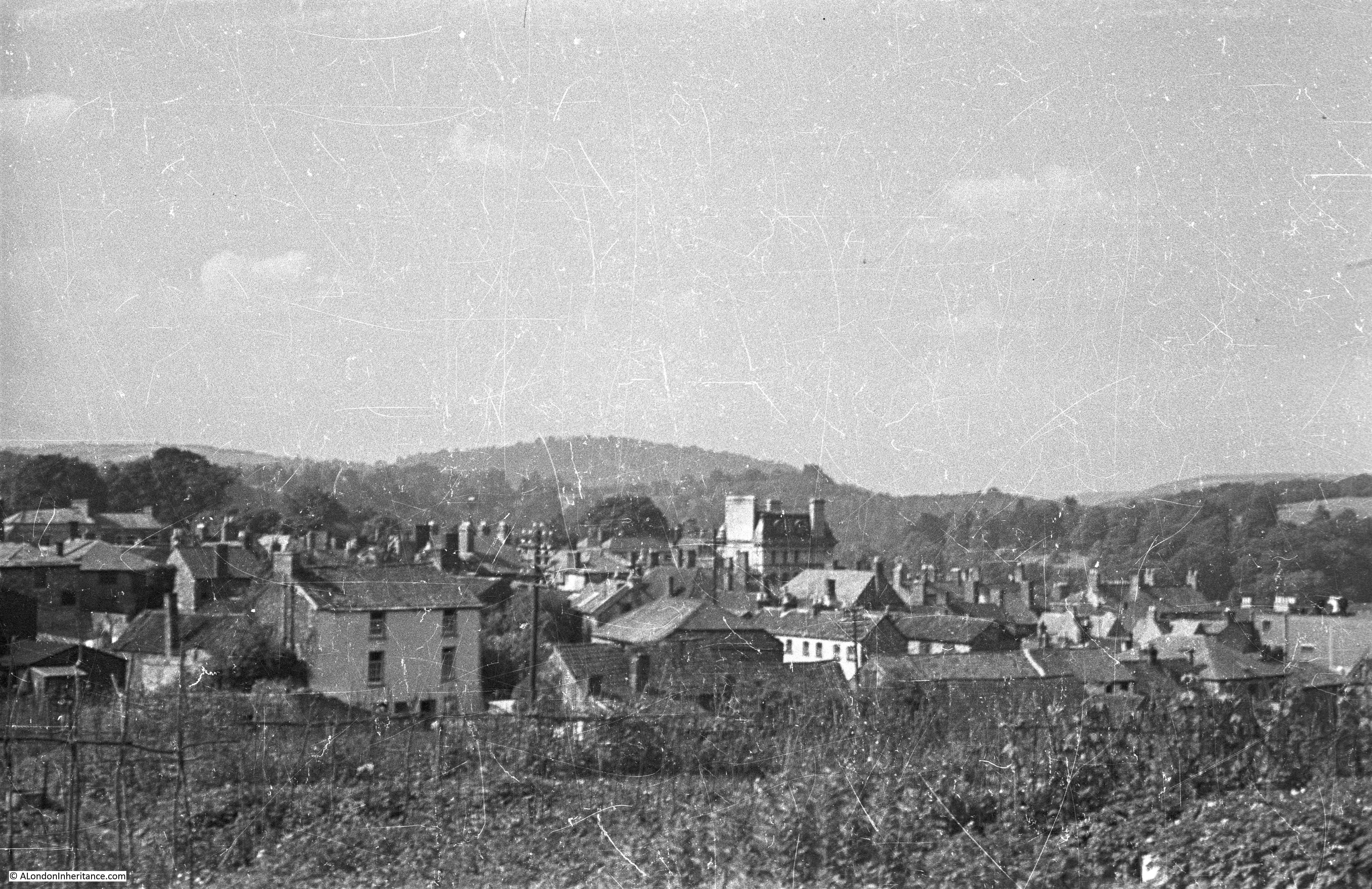
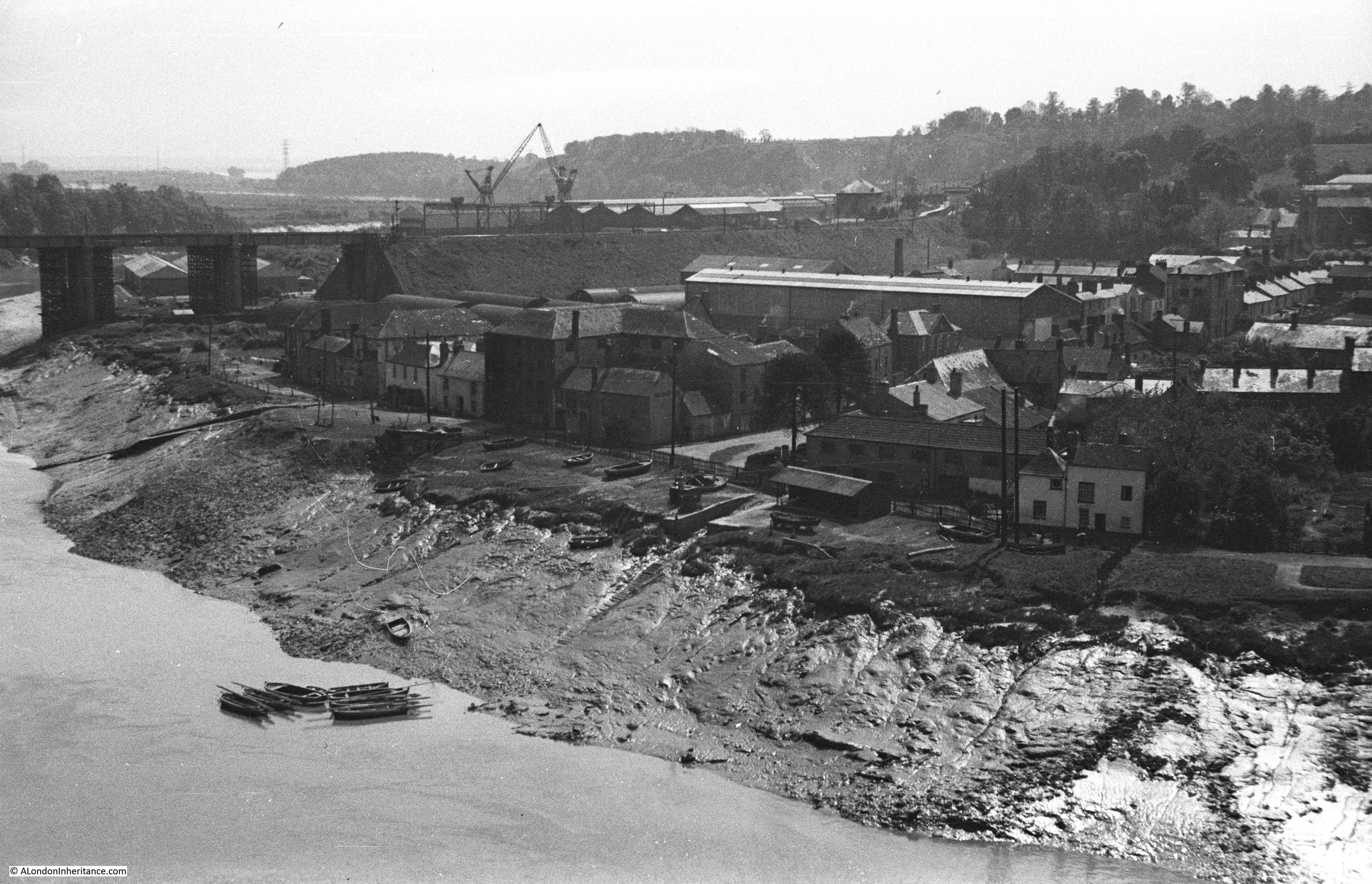
My father took the following photo from the top of the cliffs shown in the above photo, looking back onto Chepstow and the River Wye. I tried to get up to the same spot, however housing seems to have been built along the cliff and I could not find the same view point, although I was by then short of time, so an excuse for another visit.

Chepstow And The River Wye

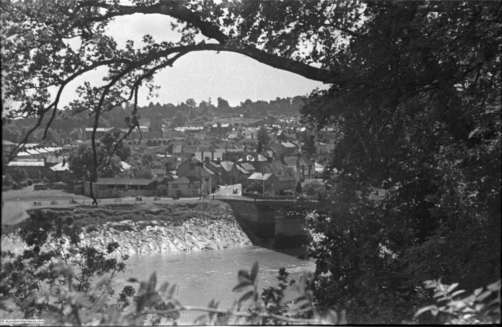
There are rows of benches along the river’s edge in the above photo. Then as today, this is a lovely place to sit on a summer’s day and watch the rise and fall of the tides.

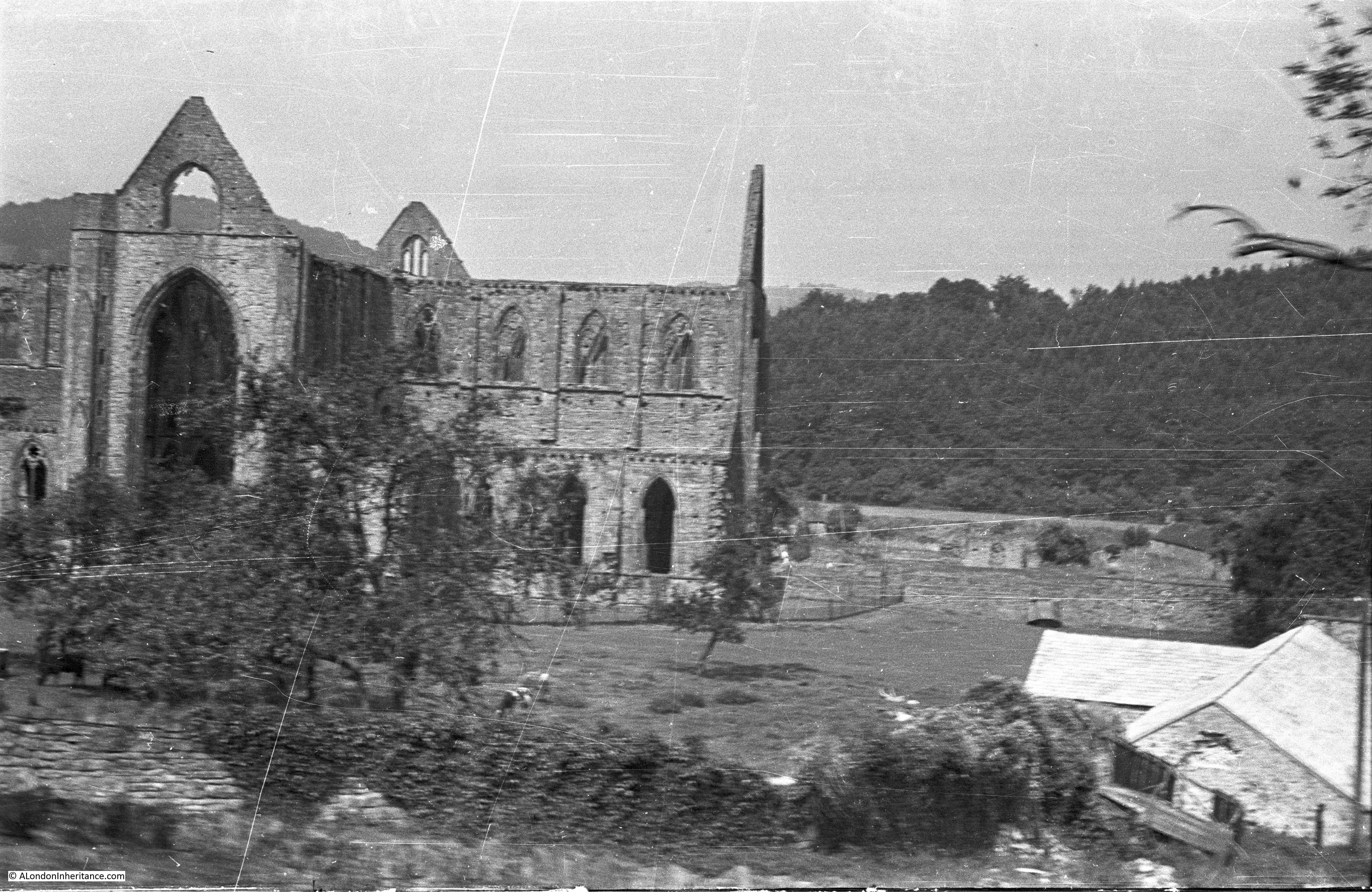
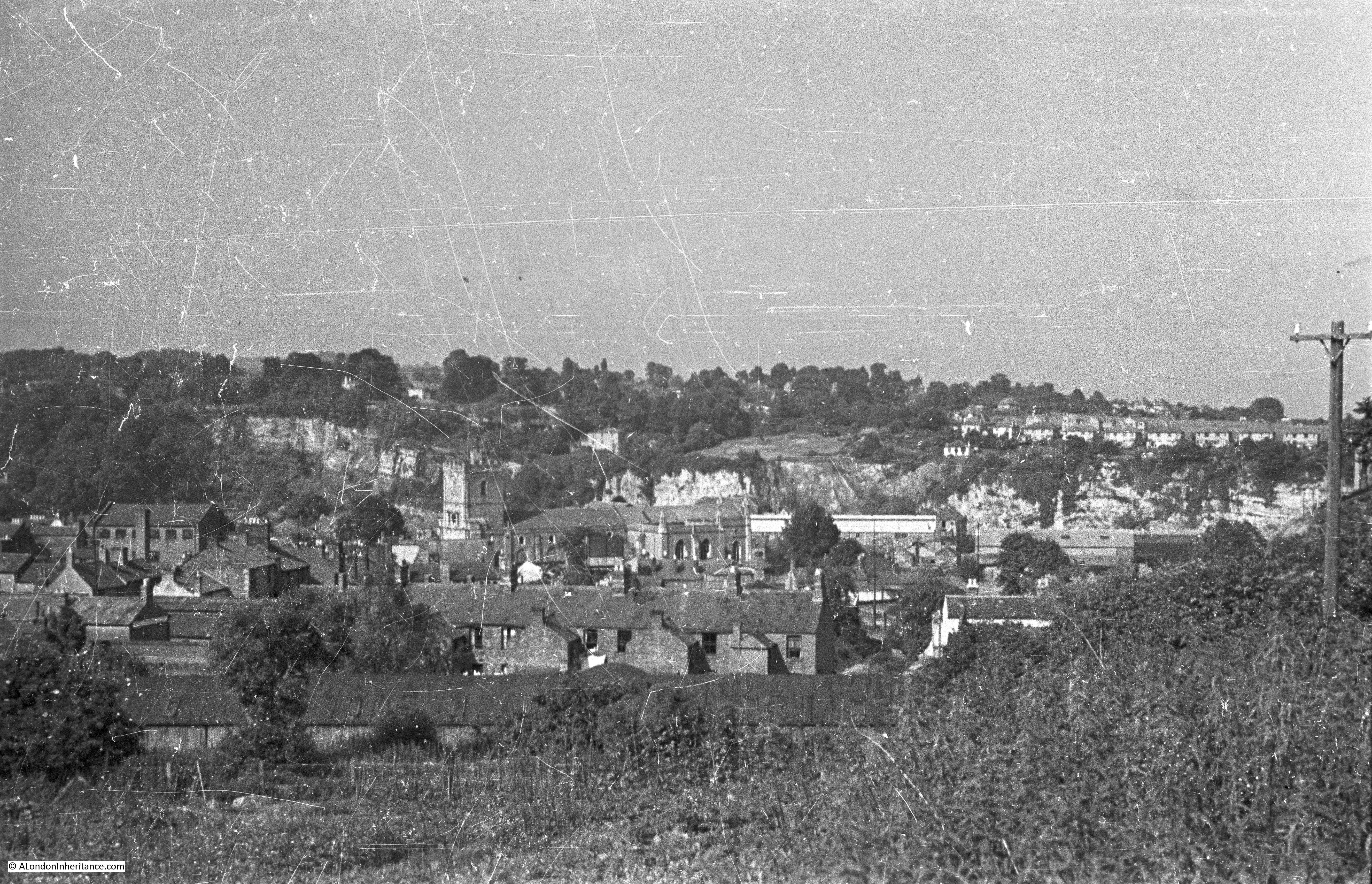
I assume the following photo was from around the same spot as the above. This is looking downstream and the railway bridge across the river can be seen on the left. The white painted building towards the right of the photo facing the river is now the Riverside Wine Bar. The photo again gives a good view of the tidal range at Chepstow.

Chepstow And The River Wye

Chepstow and the River Wye is a wonderful place to visit and I was really pleased that tracking down the locations of the old photos provided the motivation to make the journey. There was much more to see – I will cover the castle in my next post, however the town also has a museum (which I did not get time to visit), there are long walks along the River Wye and Chepstow has some excellent pubs and restaurants (one of which I did get the time to visit).

From London, Chepstow is roughly a three hour train journey, or by car, straight down the M4 then turn right after crossing the River Severn – it is well worth the journey.

alondoninheritance.com