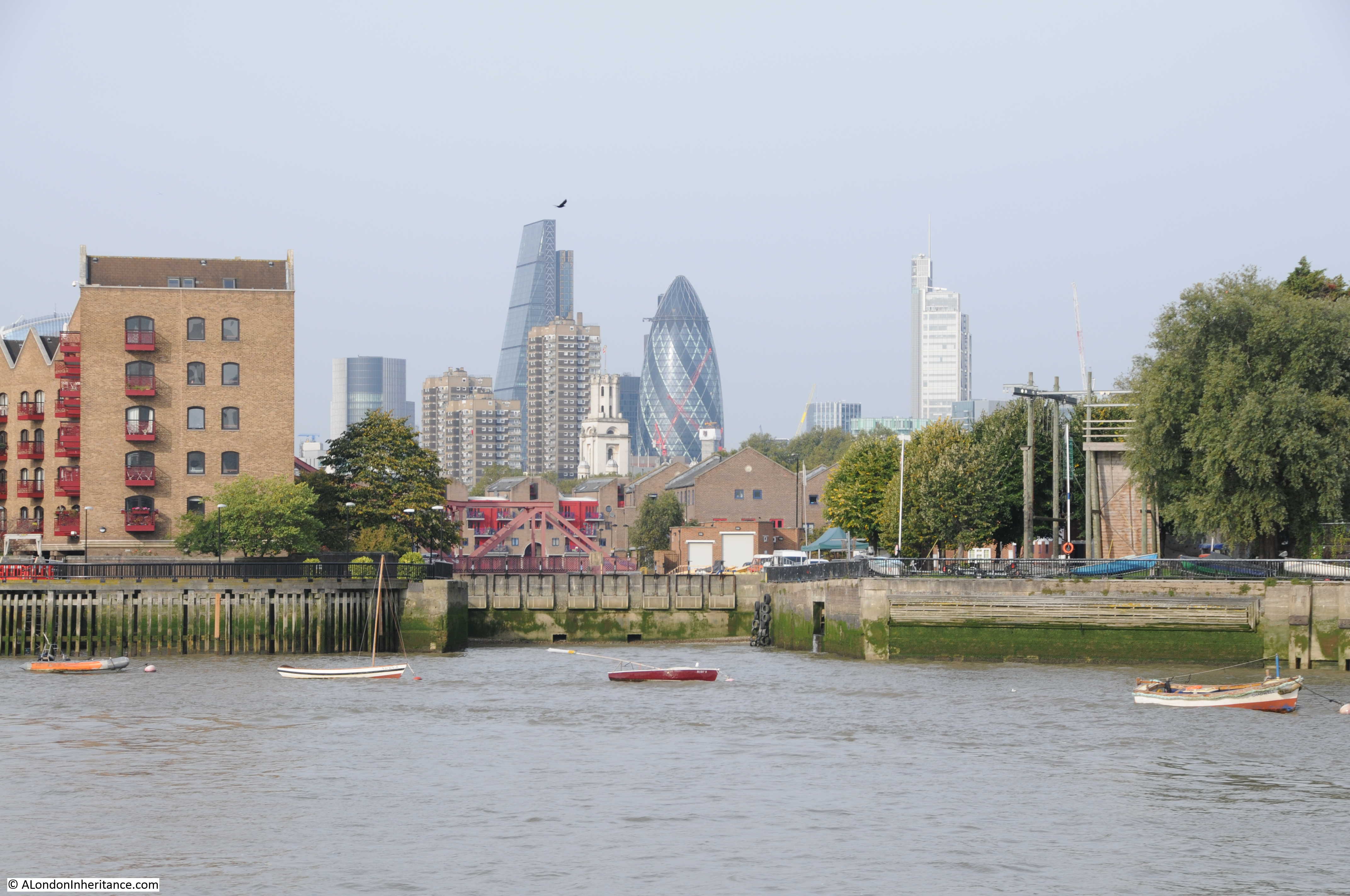
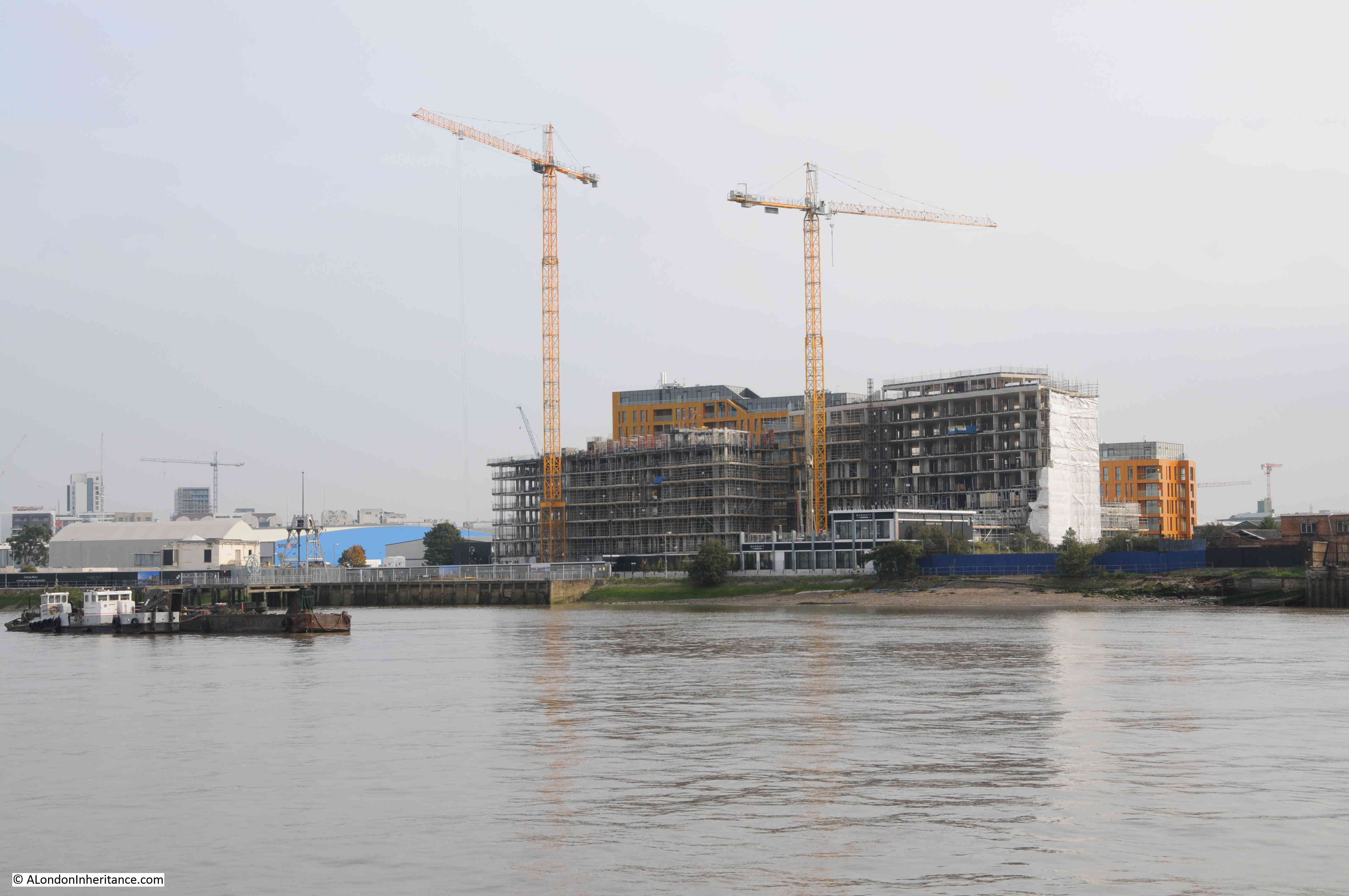
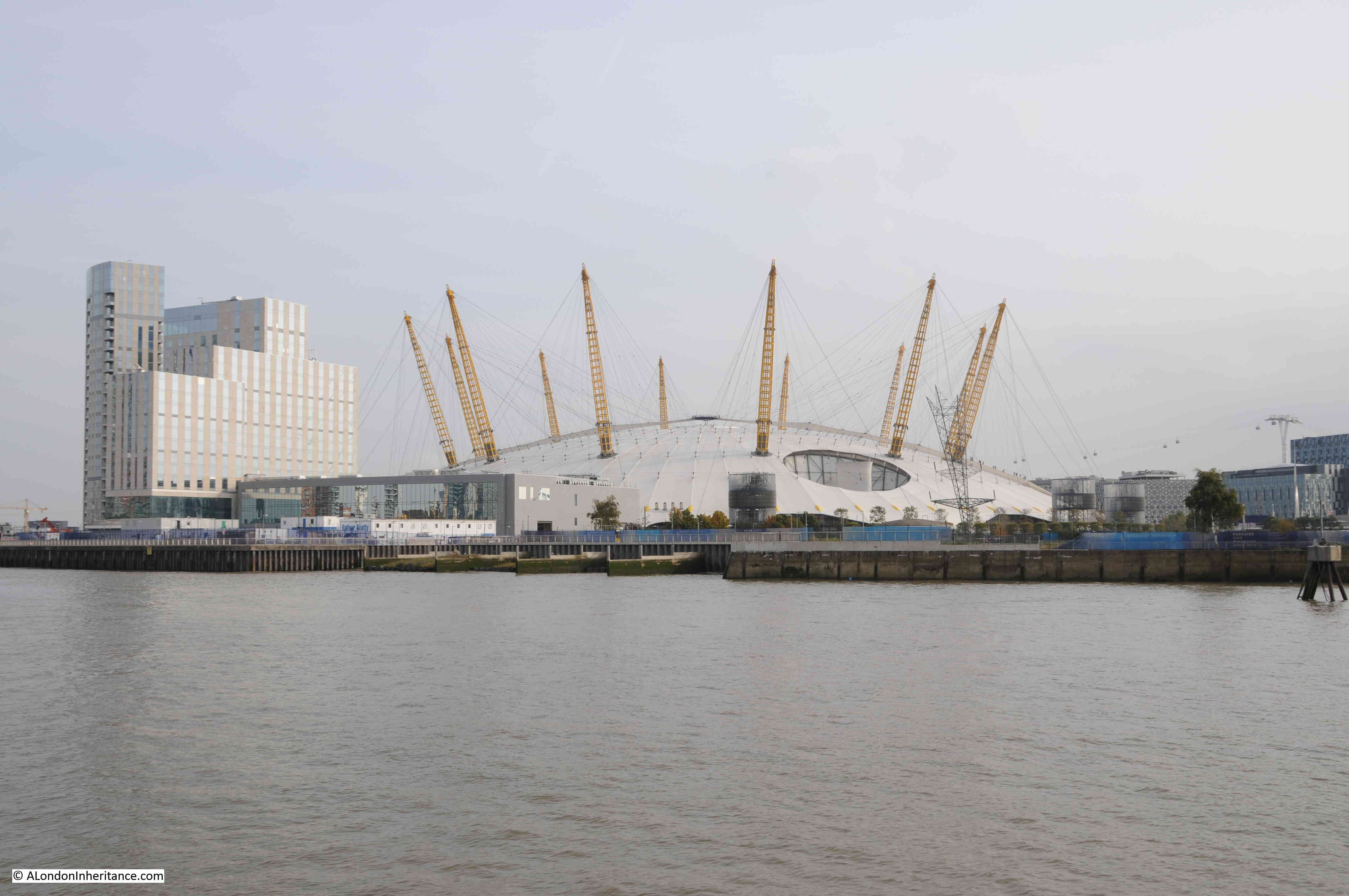
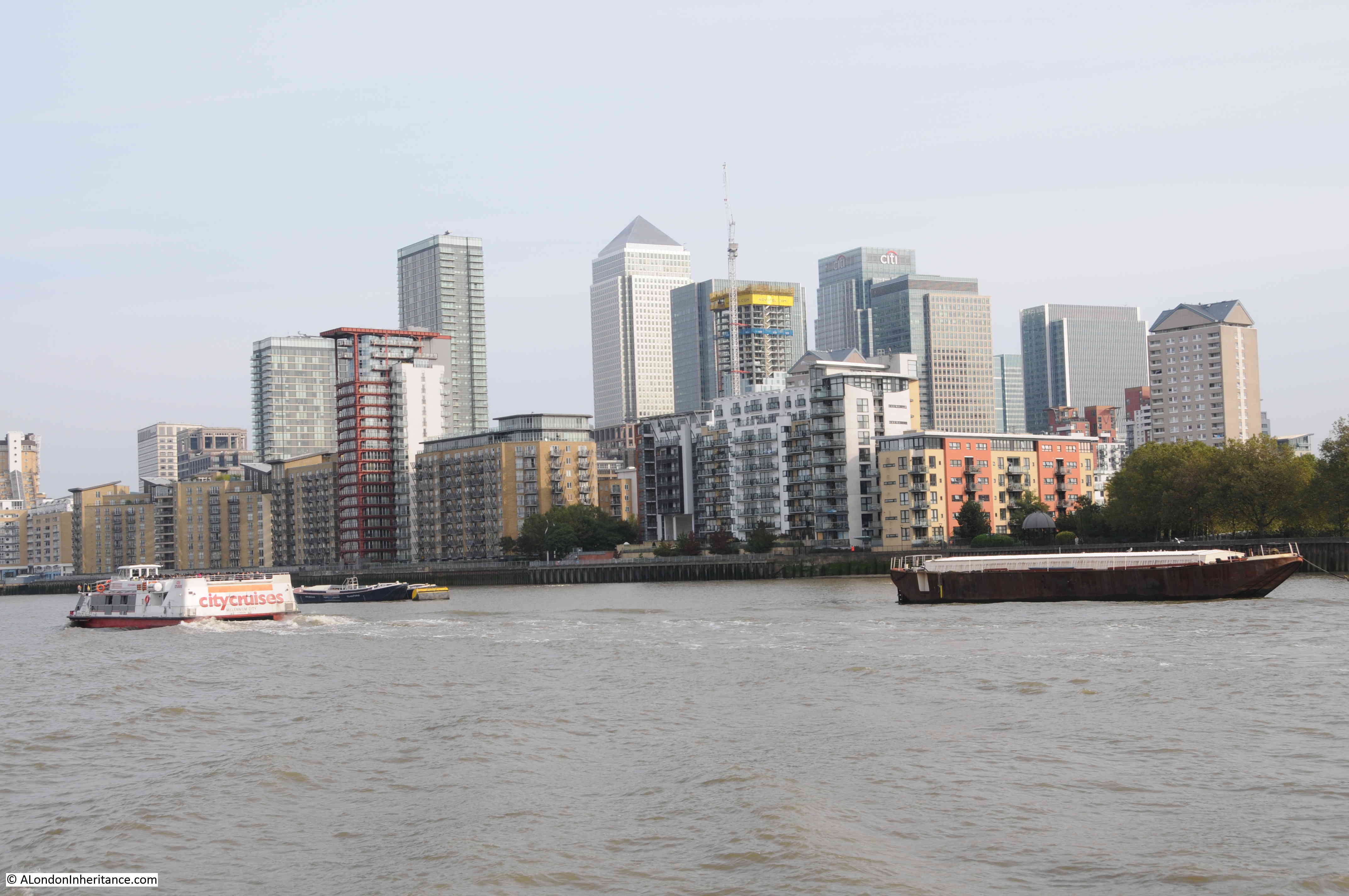
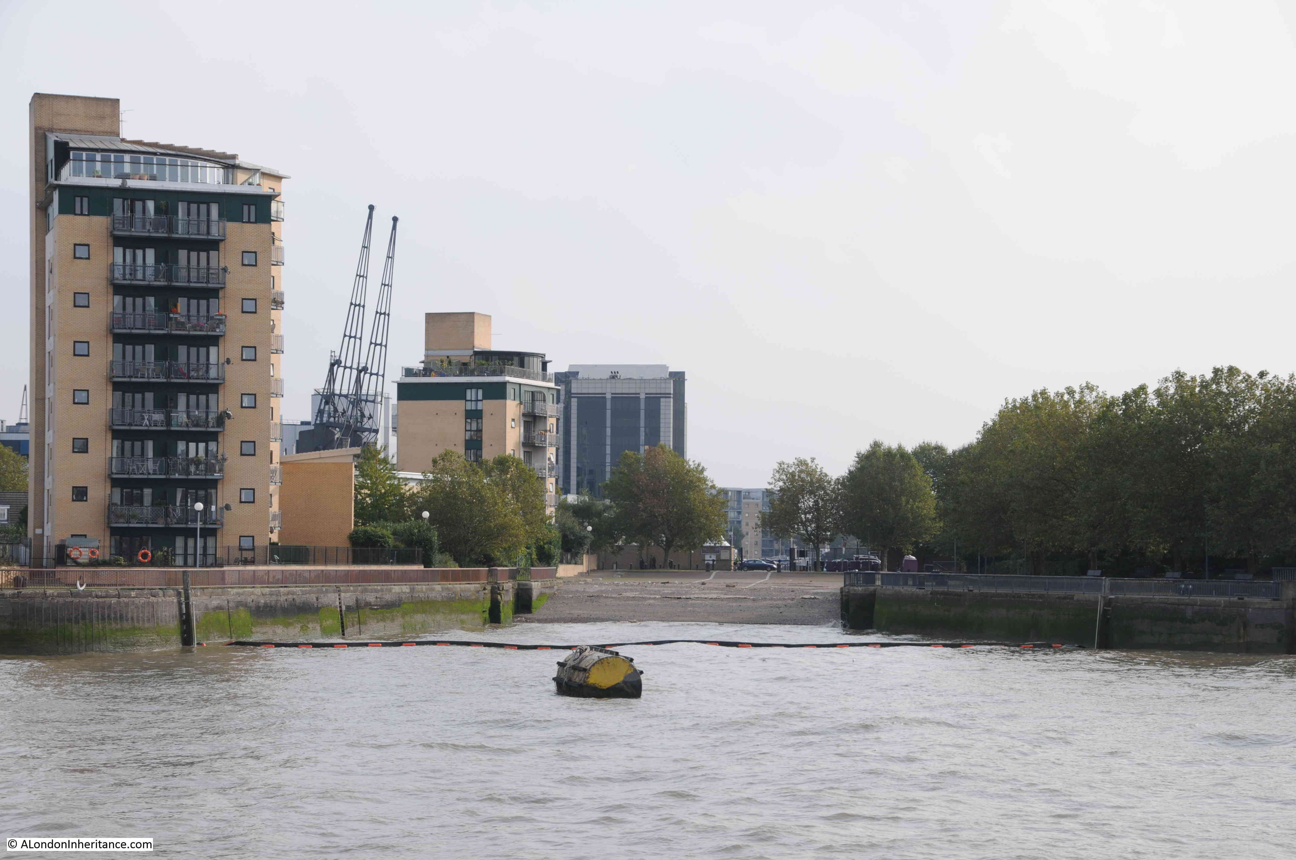
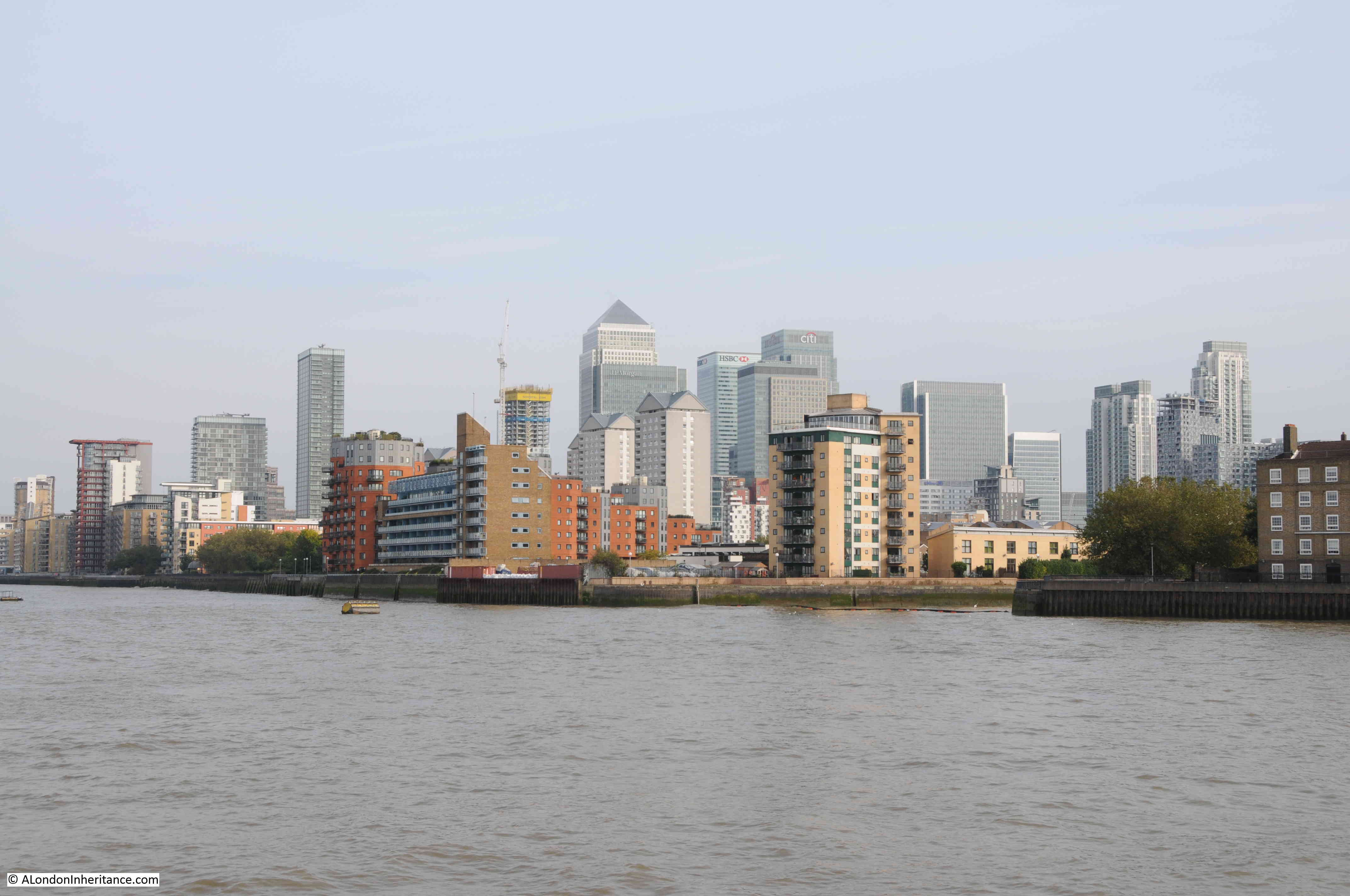
After last Sunday’s diversion, I am back in the Royal Docks, this time exploring the second of the three individual docks that make up the overall “Royals” dock complex – the Royal Albert Dock.
The following map shows the Royal Albert Dock (the top of the two docks), and the red dotted line shows the walk I am covering in today’s post, with some of the key buildings circled. I am starting at the red oval to the left of the map. There is so much to find around this part of east London, that it will take a couple of posts to cover (© OpenStreetMap contributors).

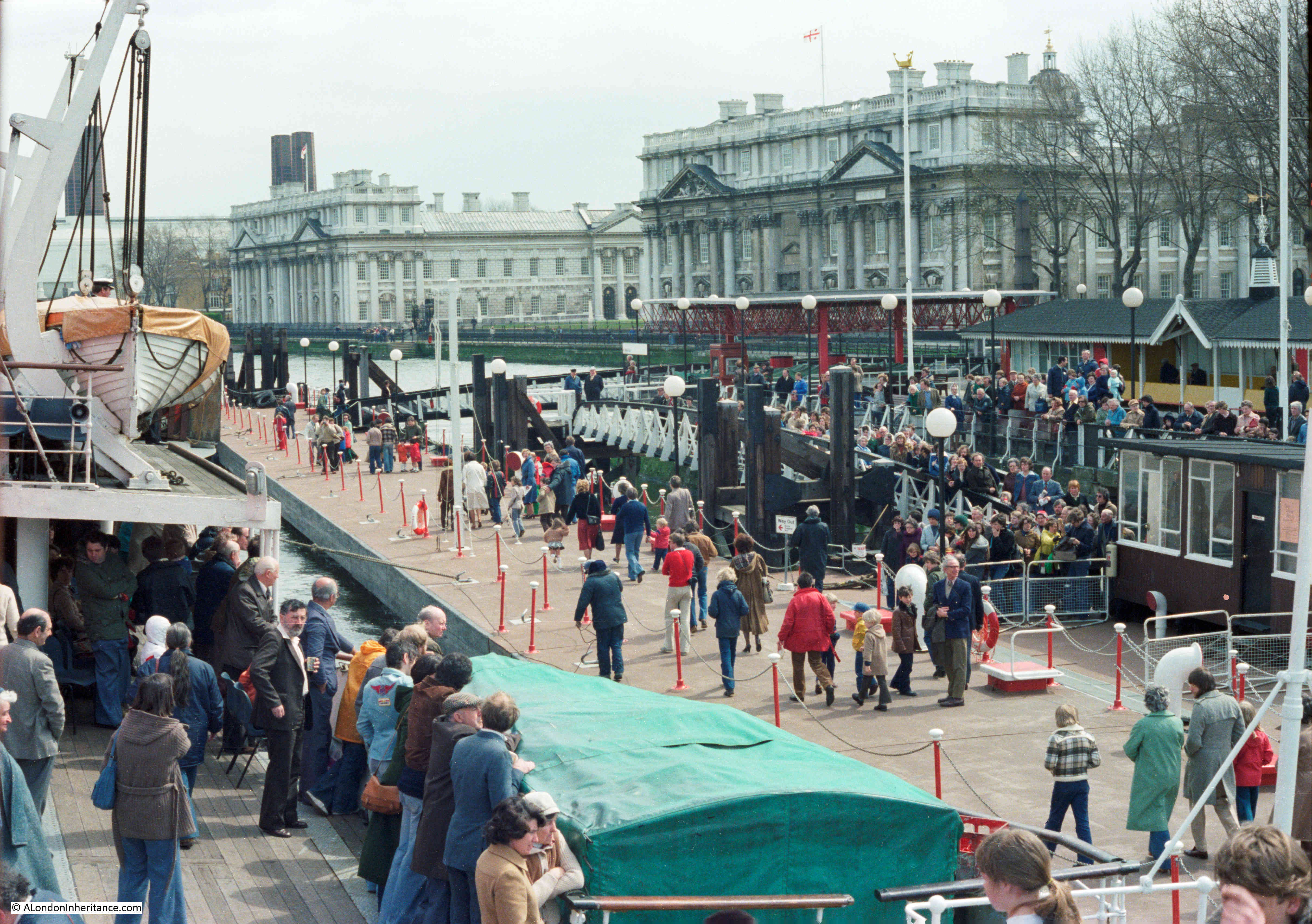
I also have an error to own up to. In my original post on the history of the Royal docks, I included a number of photos that my father had taken, describing them all as being of the Royal Victoria Dock. From some comments and emails received (thanks for all the comments, they are all read and appreciated), from people who had worked in, and known the area well, the photo showing ships lining the sides of a dock was in fact the Royal Albert Dock:

Whilst all the other photos had identifiable features, and were of the Royal Victoria Dock, my father must have started his walk around the Royal Victoria Dock at the eastern end of the dock, where it joined the Royal Albert, and where there was a good view along the Royal Albert, so the above photo is of the Royal Albert Dock, and is where I am walking in today’s post.
I started the walk at the appropriately named Royal Albert Station on the Docklands Light Railway:

One of the few surviving buildings from when the docks were operational is located right next to the DLR station, this is the Compressor House (light blue oval in the map):

The Compressor House dates from 1914 and was originally a warehouse providing cold storage for cargo shipped via the Royal Docks:

The Compressor House featured in a document released by the Mayor of London back in May 2024. The document covers the “leasehold disposal of Compressor House, for 10 years, to Really Local Group to deliver a project that addresses priorities of good growth, levelling up and Royal Docks placemaking; and provides best value for the GLA Land and Property Limited commercial asset.”
Apparently the building retains many original internal features such as hoists, rails and winching machinery. Plans for the building include a café, rooms for hire, including for exhibitions and performances, and a learning / meeting room.
I love the terms used in documents talking about the benefits of a project, as the Mayor of London document talks about linking the surrounding communities with the Royal Docks, through “in this case through the lens of digital inclusion”. I have no idea what this means.
It would be really good to make publicly accessible use of the building – providing the original features are retained, along with the story of how the building was once part of the Royal Docks success.
Arms of the Port of London Authority and the date of 1914 displayed above the door.

From the Royal Albert DLR station, and the Compressor House, it was a very short walk to the side of the Royal Albert Dock:

There is a wide walkway along the northern edge of the dock, with some recent developments along the side, but what impresses is the enormous expanse of water. The above view is looking east, and the view below is looking to the west, where the bridge can be seen that marks the point where the Royal Albert meets the Royal Victoria Dock:

Whilst there has been less development along this side of the Royal Albert Dock, along the south of the dock, where there is a strip of land between the Royal Albert and King George V dock, there is the result of one of the first major infrastructure projects around the Royal Docks, that was, and continues to be an issue for many local residents, and which made the Royal Docks a significant transport hub for London. This is London City Airport, where from the north side of the dock, you can watch planes landing and taking off, where there were once warehouses:

View across to the terminal buildings at London City Airport:

The idea for an airport in the docklands came from the London Docklands Development Corporation in the early 1980s. The concept was for an airport that would service the business centres of the City of London, and the proposed development centered on Canary Wharf in the Isle of Dogs.
The airport would offer swift access from these centres of business, with minimal waiting time at the airport. Almost a “turn up and fly” approach, rather than the longer travel out to airports such as Heathrow and Gatwick, with the lengthier times for check-in, security etc. as well as often delayed take-offs and landings.
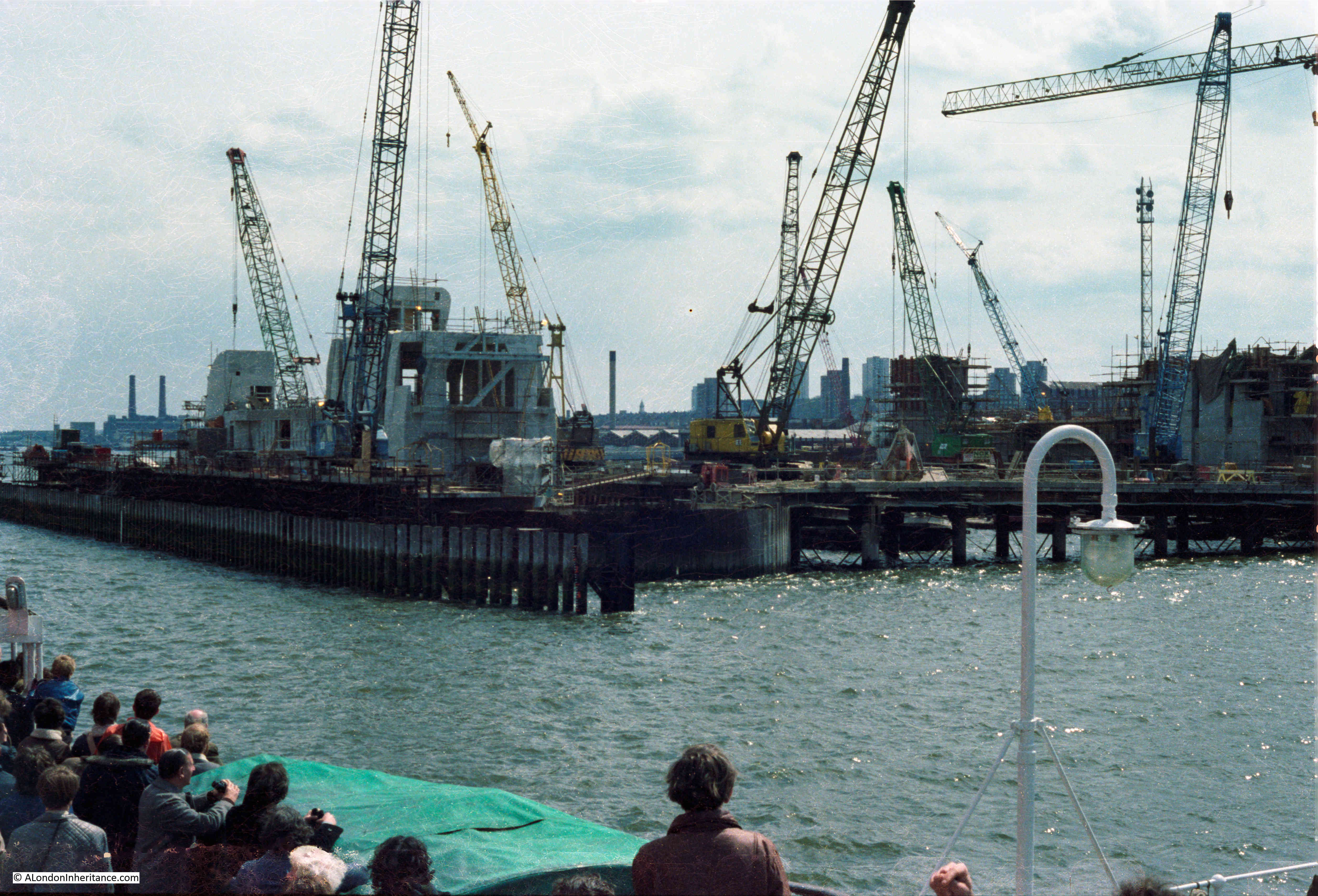
The airport was built by the civil engineering and construction company, Mowlem, between 1986 and 1987.
Incidentally, one of the best books I have on the construction and engineering of the London Docks is “London Docks 1800 – 1980 by Ivan Greeves (1980)”. (I will give a long list of the books and sources I have used in the final post on the Royal Docks).
Ivan Greeves was a fellow of the Institution of Civil Engineers and a Director of John Mowlem, and Mowlem had been involved with many of the civil engineering projects around the London Docks. Greeves’ book is a wonderful detailed civil engineering history of the London Docks.
There were many publications by both the LDDC and other publishers, as the development of the docklands got underway. I collected as many as I could, and one was the magazine “Vistas”, published by the London Docklands Publishing Consortium, and in issue 2. Spring 1987, the first two airlines that would use London City Airport, which would open later in the year were featured:

The first two airlines were Brymon Airways and Eurocity Express, and an article in Vistas explains the airlines plans, and the type of service they intended to operate from the new docklands airport.
There is also a photo showing London City Airport under construction, when it occupied just the land between the Royal Albert and George V docks:

The article continues, with both airlines explaining the benefits of flying from London City Airport, with Brymon fully focused on the business traveler, and Eurocity Express also focused on the business traveler, but also expecting a share of leisure travelers:

It was a Brymon flight that had helped prove that planes could take off and land from short landing strips in the docklands, when in 1982 a Brymon Dash 7 aircraft landed at Heron Quays in Canary Wharf.
Eurocity Express changed name to London City Airways in 1988 to more closely align the identity of the airline with London City Airport, but would suffer financial collapse two years later in 1990.
In the late 1980s I worked for a company that was split between London and Amsterdam and did use London City Airport a number of times. It was a really fast airport to get through, whether arriving or departing, and the best bit was always coming into land, with the steep approach, and good views of the surrounding docklands.
I did take my camera a number of times, but cannot find the negatives. Hopefully one day.
Old and new industries / business around the Royal Docks – planes at London City Airport, with the Tate and Lyle factory in the background:

After opening, the airlines operating from London City Airport used propeller driven airplanes such as the Dash 7. These carried relatively few passengers when compared to larger jet aircraft, however they were more than capable of landing and taking of from a short runway.
The airport served business centres close to the UK, such as Amsterdam and Paris, and in the following years the destinations served, as well as the number of passengers grew considerably (including New York for a short time).
An extension to the airport opened in 1992. Access to the airport improved in 2005 when a DLR station was opened at the airport, and in 2008, additional aircraft parking space was opened on an extension to the airport built on piles over part of the King George V dock.
Jet aircraft started to use the airport in the early 1990s, and today jet aircraft run the majority of services, with a small number of propeller driven aircraft still operating.
In the first full year of operation, 133,000 passengers passed through London City Airport. In August of this year, the Government approved the expansion of the airport to increase capacity from 6.5 million to 9 million, with more weekend and early morning flights.
Flight destinations and the target traveler have also moved on from the initial business market, and when I had a look in the terminal building there seemed to be just as many people, if not more, going away for leisure, including families, than business.
I am writing this on a Friday evening, and I had a look at the first flight on Saturday morning which is a British Airways flight to Ibiza – definitely not one of the original target markets.
There is not much going on along the north bank of the Royal Albert Dock, and whilst I was walking, on a summer’s weekday morning, there were very few people around., so in this quiet place, it is strange to hear the sound of a jet aircraft taking off, or the quitter sound of a landing, at regular intervals:

There is a certain symetry between the airport and the old docks. The docks transported cargo all over the world and the airport is now flying people.
The north bank of the dock is really quiet, as this view along the walkway demonstrates:

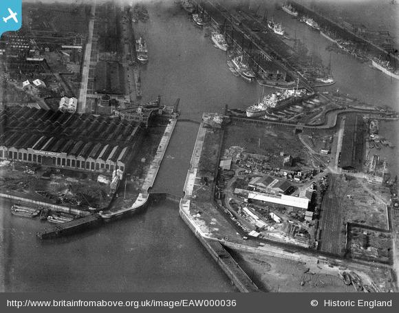
And with it being such a peaceful environment, it is hard to imagine just how busy the Royal Albert Dock was, and what a sight it must have been, with so many ships coming and going, and vast amounts of cargo being shifted between warehouses, transit sheds, quayside, lighters and ships, as the following photo of the dock demonstrates:

The warehouses that ran alongside the length of the dock were not meant for long term storage, most were transit sheds as this was their main purpose, to temporarily hold cargo as it transited from ship to destination, or from source to ship.
The following photo shows a typical transit shed at the Royal Albert Dock:

And an innovation across the Royal Docks was the use of the railway as a means of transport. The docks were threaded through with rail lines allowing the movement of goods within the docks, and out onto the wider mainline rail networks, as the following photo of a cold store, along with overhead conveyors between buildings, shows:

Continuing the walk along the Royal Albert Dock, and I have reached a series of office blocks:

I have no idea who thinks of the slogans that often try to attract people or companies to new properties, “Regenerative Audacious Disruptive” and “Where Paradigms Shift” – totally meaningless – although I suppose that if a company moved their office to one of these blocks, with so few facilities or other businesses around, it would genuinely be “disruptive”:

Although they do have a good view along the dock, and across to the towers on the Isle of Dogs:

All these office blocks appear to be unoccupied, and they are a testament to an over hyped scheme that was entirely dependent on foreign investment and foreign businesses.
A headline in the Guardian on the 30th of May, 2013 read “Chinese to develop slice of British imperial past: Royal Albert Dock due to be Asian business park by 2023: Transformation of London site could bring 20,000 jobs”.
The article below the above headline reported that the Chinese developer Advanced Business Park had signed a £1 billion agreement with London Mayor Boris Johnson to develop a 35 acre site alongside the Royal Albert Dock with offices and shops, with the aim of attracting Asian businesses to set-up their European head quarters at the site, as well as British companies who do business in Asia.
At the signing of the agreement, Boris Johnson said that it would be “London’s third great business area” and that it “will restore jobs and growth to the Royal Docks, an area . . . that has been in more or less continuous decline for 50 or 60 years”.
The parts of the development that have been completed seem to have been mainly empty since completion, and the 20,000 jobs have not materialized.
In 2022 newspaper headlines reported that the “Royal Albert Dock a ghost town as developer goes bankrupt”. This was ABP Investment Ltd, the Beijing based original property developer.
In May, 2024 the Greater London Authority was looking for a new developer for the land alongside the northern edge of the Royal Albert Dock, as from the original 2013 agreement, only about 10% had been built, and this 10% was mainly empty office blocks.
The central street through the existing office blocks is called Mandarin Street, reflecting the Chinese heritage of the original developer and investment:

Leaving Mandarin Street, and the empty office blocks behind, I continue walking on past the empty land that should by now, based on the 2013 agreement, have seen 20,000 people working here:

Look left from my position when taking the above photo and there are some really good, original buildings from the time of the working docks, and this is the Dock Manager’s Offices (green oval in the map at the top of the post):

Grade II listed and built in 1883 by Vigers and Wagstaffe. The name of the building should explain what went on here – it was from where the Royal Docks were managed, where the dock records were kept and administered.
A second building, alongside the Dock Managers Office is the Central Buffet, also by Vigers and Wagstaffe, dating from 1883, and is also Grade II listed.

The Central Buffest appears to have been a café / restaurant for workers and for passengers traveling via the Royal Docks. It also appears to have been used as a pub, as this report from the 6th of December 1897 explains;
“BETTING AT THE ROYAL ALBERT DOCKS – At Stratford Police court on Saturday, Thomas Clarey, a lighterman, of 49, freemasons-road, Custom-house, was summoned on six information’s for using the Central Buffet, a public-house in the Royal Albert Docks, for the purpose of betting with other persons, and Henry James Morgan, the secretary of the London and India Docks Joint Committee, the holder of the licence of the Central Buffest, was summoned for permitting the place to be used for the purposes of betting.”
A “barmaid” was also called to give evidence, so the Central Buffet was certainly also working as a pub.
The Dock Managers Office and the Central Buffet are remarkable buildings, and from their appearance they would be more expected in the suburbs, or as a country house, rather than in the industrial east London docks.
Winged figure with trumpet on top of the Central Buffet:

A look along the Royal Albert Dock, and there is still much of the dock behind me, and in the distance, out of sight in the photo below, is the Royal Victoria Dock. You really need to walk alongside the Royal Docks to fully appreciate the sheer scale of these manmade temples to London’s trade:

Vessels berthed at the Royal Albert Dock:

More shipping in the Royal Albert Dock:

New Quays added to the Royal Albert Dock in the 1930s:

The following photo shows how cargo could be loaded to and from lighters as well as the quayside. The Royal Albert Dock was known as a dock where goods of all sorts could fine the appropriate facilities for unloading, storage and distribution:

All very different today as I walk along a mainly silent quayside, with just the occasional take off or landing on the other side of the water to disturb the peace.
London City Airport is on the south side of the Royal Albert Dock, however there was a second, short term airstrip on the north side of the dock.
In 2007, the Red Bull air racing event took place in London, and the long open space alongside the north of the dock proved ideal for the pits area and runway for the event.
If I remember correctly, the Red Bull race was also held in docklands in the following year, 2008, and these events had quite an impact on the London City Airport, as flights from the airport had to be suspended whilst Red Bull racing was underway.
Peer over a fence as you walk along the north side of the Royal Albert Dock, and parts of the overgrown runway can still be seen:

The RB in the runway designation of RB 28 stands for Red Bull. There is a photo of the runway in as new condition, and when in use for Red Bull Racing on the Abandoned Forgotten & Little Known Airfields in Europe website, which can be found by clicking here.
Further along the Royal Albert Dock, there are some recent buildings which have brought activity to the area, although as I was there during August, they were again very quiet.
These are educational establishments, and first is the London Design and Engineering UTC (University Technical College):

A UTC is a government funded school that offers 14 to 19 year olds a more focused technical and scientific educational, taught in a different way to a normal school.
The next building is the University of East London:

The area around these buildings should be much busier in school term time, but during August they just added to the sense that the northern section of the Royal Albert Dock needs a considered development plan to bring in more life, and benefits for the local community just outside of the dock, not just yet another area flooded with identikit apartment blocks.

Next to the university buildings there is the student accommodation, which includes several rather different, round blocks:

They are described as “having a nautical theme in homage to the shipping heritage of the area”:

They certainly have a good view, looking out on the dock, and with views of planes arriving and departing at the airport on the opposite side of the dock:

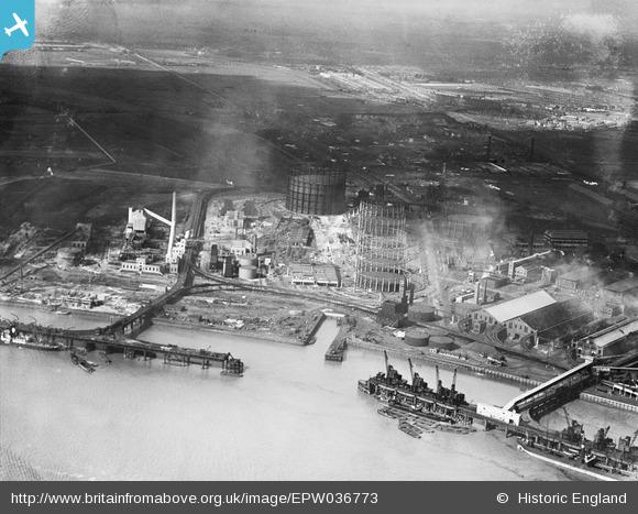
The Royal Albert Dock was opened on the 24th of June, 1880, and cost £2,100,000 to construct – a considerable sum of money at the time. I described the opening ceremony in my first post on the Royal Docks, here.
Although built not that long after the Royal Victoria Dock, the Royal Albert was needed to accommodate ships of larger size and deeper draught than the earlier Victoria Dock, as well as providing a significant amount of additional space for ships to dock, and the associated infrastructure for moving and storing cargo.
The Royal Albert Dock was 27 feet in depth (just 1.5 feet deeper than the Royal Victoria, but suffcient for the expected larger ships). The entrance from the Thames to the Royal Albert Dock was 550 feet in length and 80 feet wide.
The water area that the Royal Albert Dock occupied was 73 acres, compared to 66 acres for the Royal Victoria.
The Royal Albert Dock was the first London Dock to be lighted by electricity, and this helped the dock to be in use by both night as well as day.
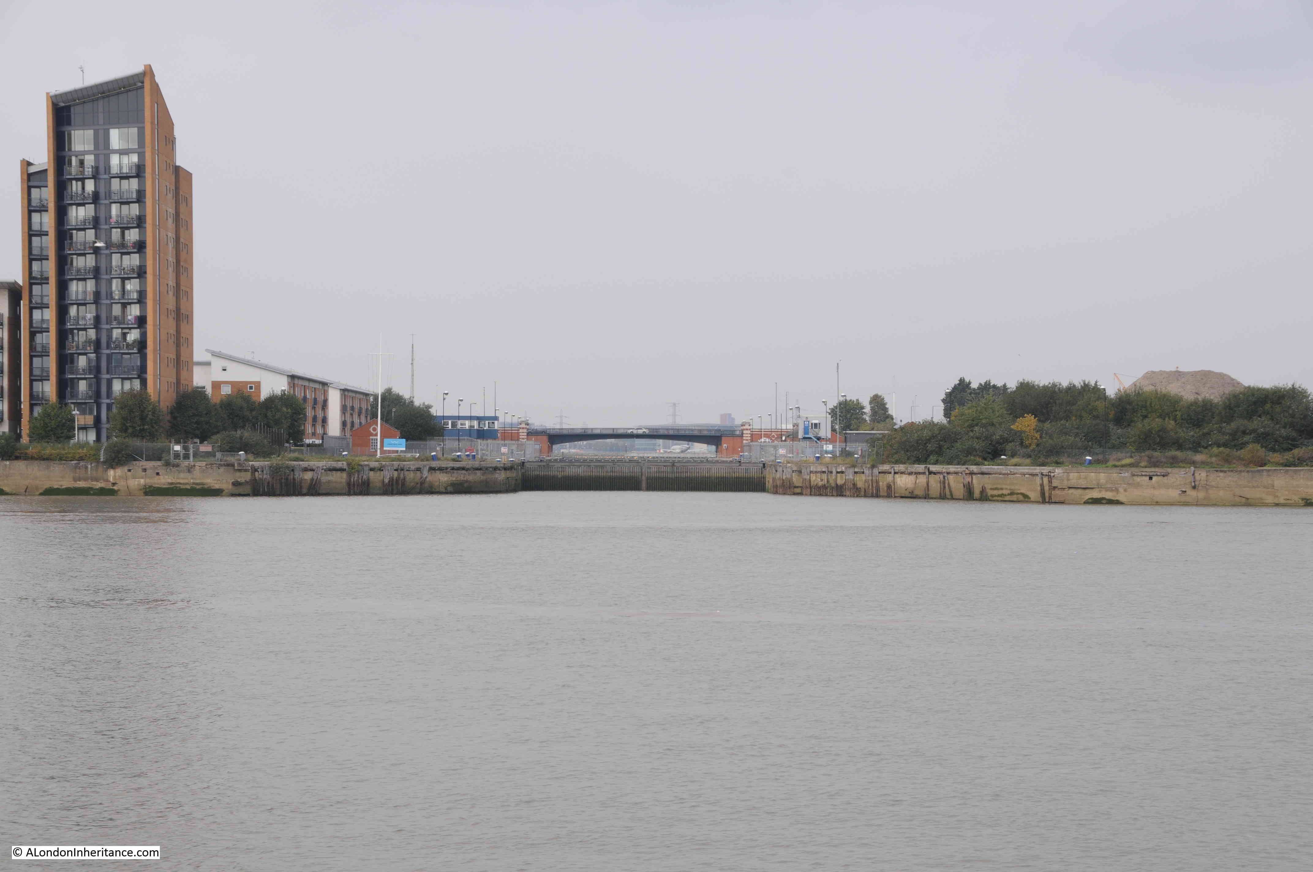
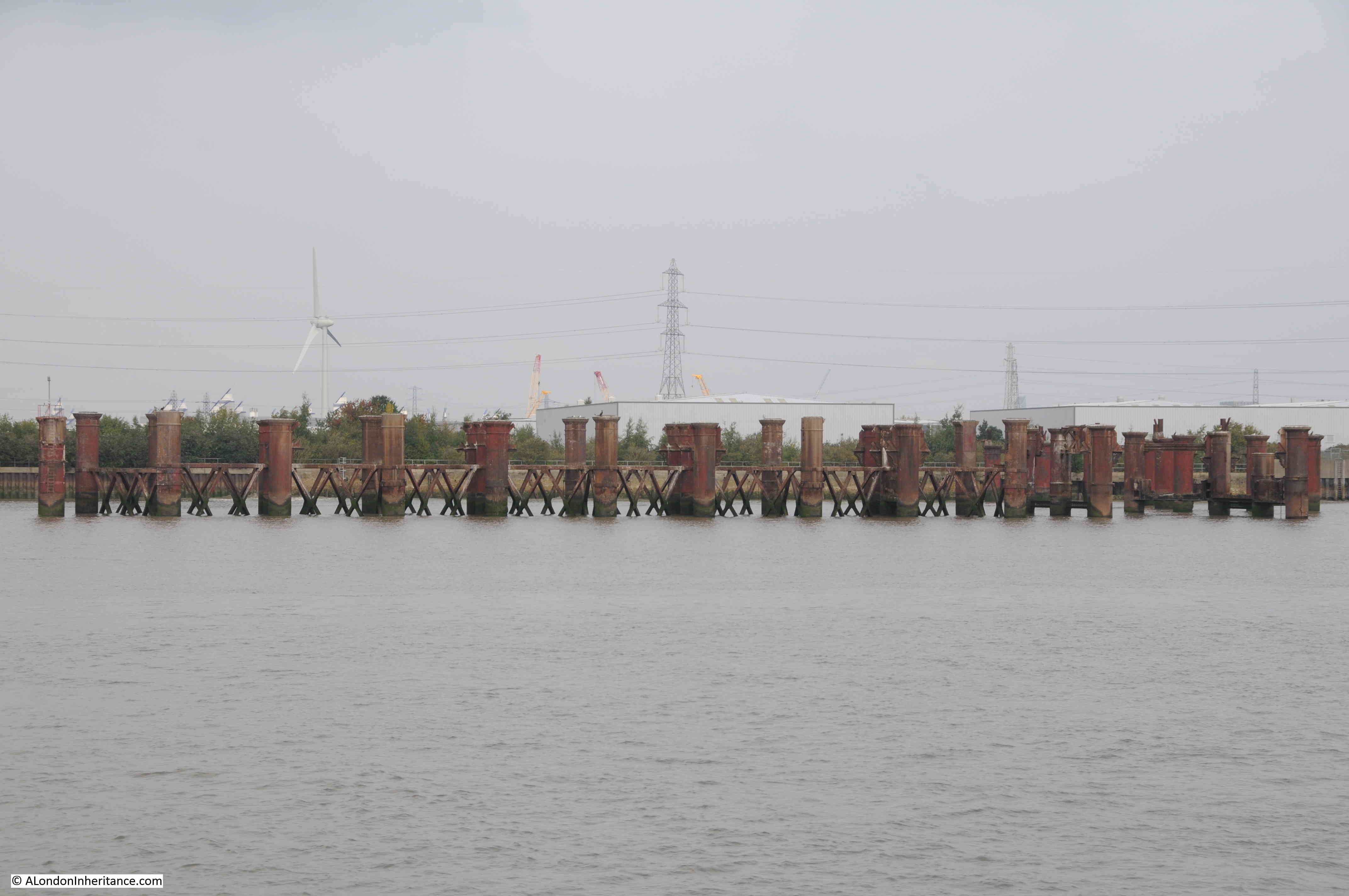
Between the main dock area of the Royal Albert, and the locked entrance to the Thames was a basin. In the following photo, I am almost at the basin, and looking along the full length of the dock. A little way along the dock edge on the left, you can just see the entrance to the King George V Dock, which is to the south of the Royal Albert

Looking in the other direction at the basin, the area of water between the dock and the Thames:

The following map extract shows the eastern end of the Royal Albert Dock (upper length of water) with the basin connecting the dock to two entrances to the river:

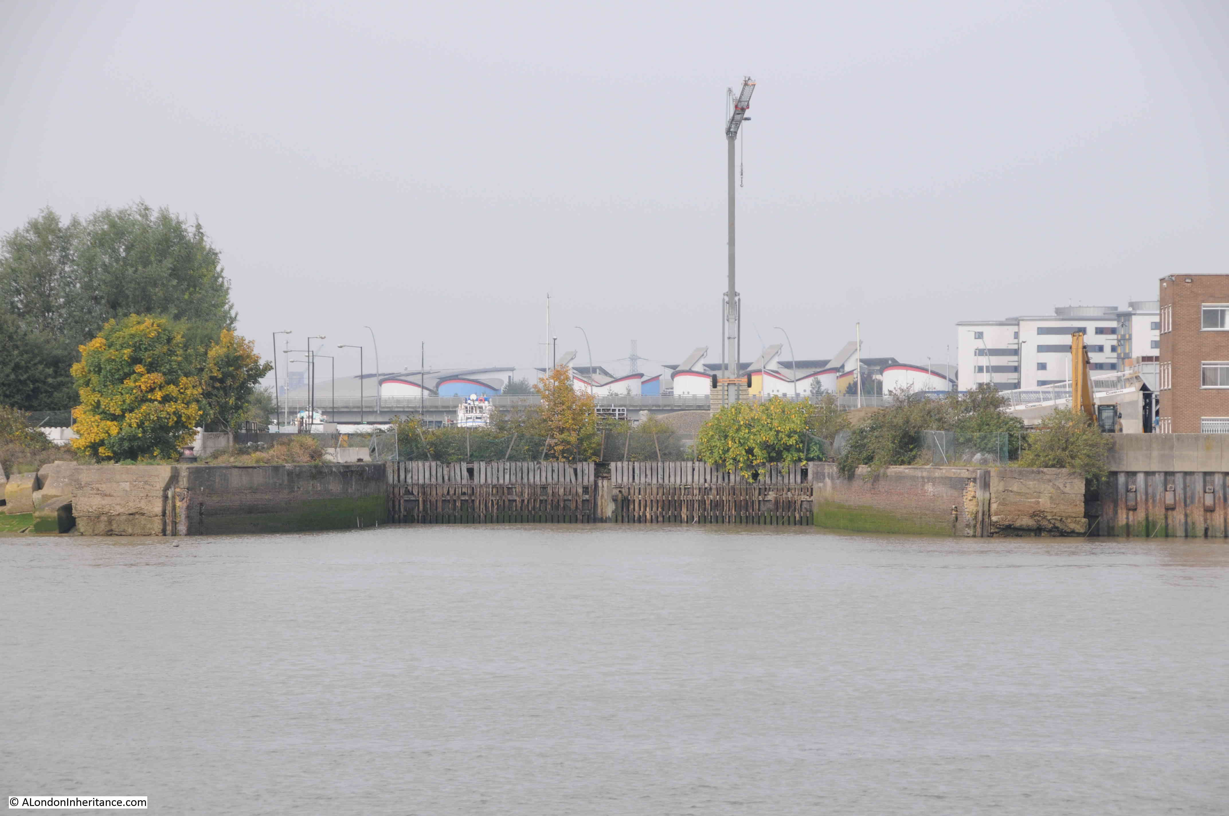
Today, the area to the north of the basin has been redeveloped, and there are blocks of new apartment buildings to be seen. The area from the upper entrance to the river and down to the large entrance to the King George V dock is undeveloped, and is where we can see some of the old dock infrastructure, and get an impression of the size of the dock entrances.
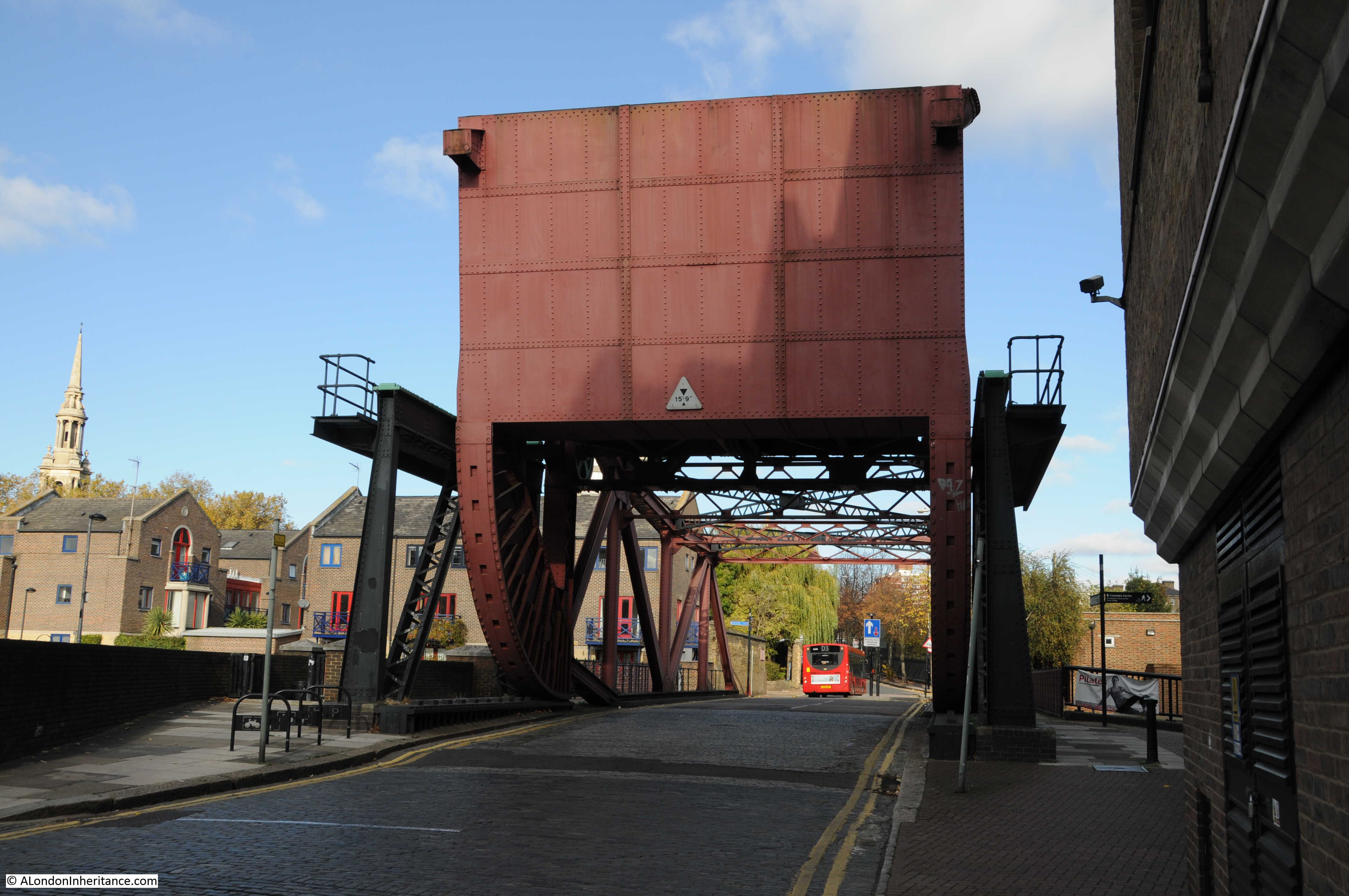
Changes within the basin have added some routes across, including lifting bridges:

From this point, I took a very short detour to find another of the building that remain from when the docks were operational, the Galyons Royal Docks (purple oval in the map at the start of the post):

Originally the Gallions Hotel, it is Grade II* listed, and as with the Dock Managers Office and the Central Buffet, it was by George Vigers and T R Wagstaffe and dates from the same period as it was built between 1881 and 1883:

The Civil & Military Gazette on November the 8th, 1893 carried an account of a visit to the Royal Docks, which included this description of the Gallions Hotel:
“At the Gallions Hotel you meet old salts and ships captains of all types; some, of the old-fashioned style, look as if they have just foregathered with their friends, Cap’en Cuttle and Bunsby, and shake their grizzled heads dolefully (as is the custom of grizzled heads all over the world) over the present degenerate age; they drink rum and hot water, with an enticing piece of lemon floating on the top out of fat glasses with a leg, called very appropriately ‘rummers’ and stir up the seductive beverage thoughtfully with a fat glass spoon.
Of a different stamp, and yet of the true British sailor breed are the smart young captains and mates who are standing each other whiskies and sodas (plenty of whisky and very little soda). The genial landlady knows them all, and has a greeting for each; they come and go at intervals, and in the meantime, have been round the world. It is a small journey now-a-days, this circumnavigation of the globe, and is thought nothing of at the Gallions. Many and curious are the tokens of affection and esteem brought home by these sailor men to their kind hostess; her parlour walls are simply covered with curios of every conceivable kind.”
The interior of the Gallion’s is interesting, and is perfectly described in the Historic England listing: “Notable interior with diagonal timber bracing of massive proportions to ground floor. Oak staircase with enriched balusters and newels. Main saloon contains huge timber bar and original fittings.”
The exterior is equally interesting, with a “roughcast first floor with plaster frieze by Edward Roscoe Mullins”:

According to the excellent book “Docklands – An illustrated historical survey of life and work in east London” (North East London Polytechnic – 1986), the Gallions Hotel was for the “use of liner passengers embarking at the adjacent jetty. A subway used to connect with the Royal Albert Dock Basin”. I have also read that the subway was more a covered walkway between hotel and boarding point for liners.
Whilst the Gallions Hotel (or Galyons using today’s spelling) is still a pub / restaurant today, it is now serving a very different clientele. Not a liner passenger or “old salts and ships captains” in sight.
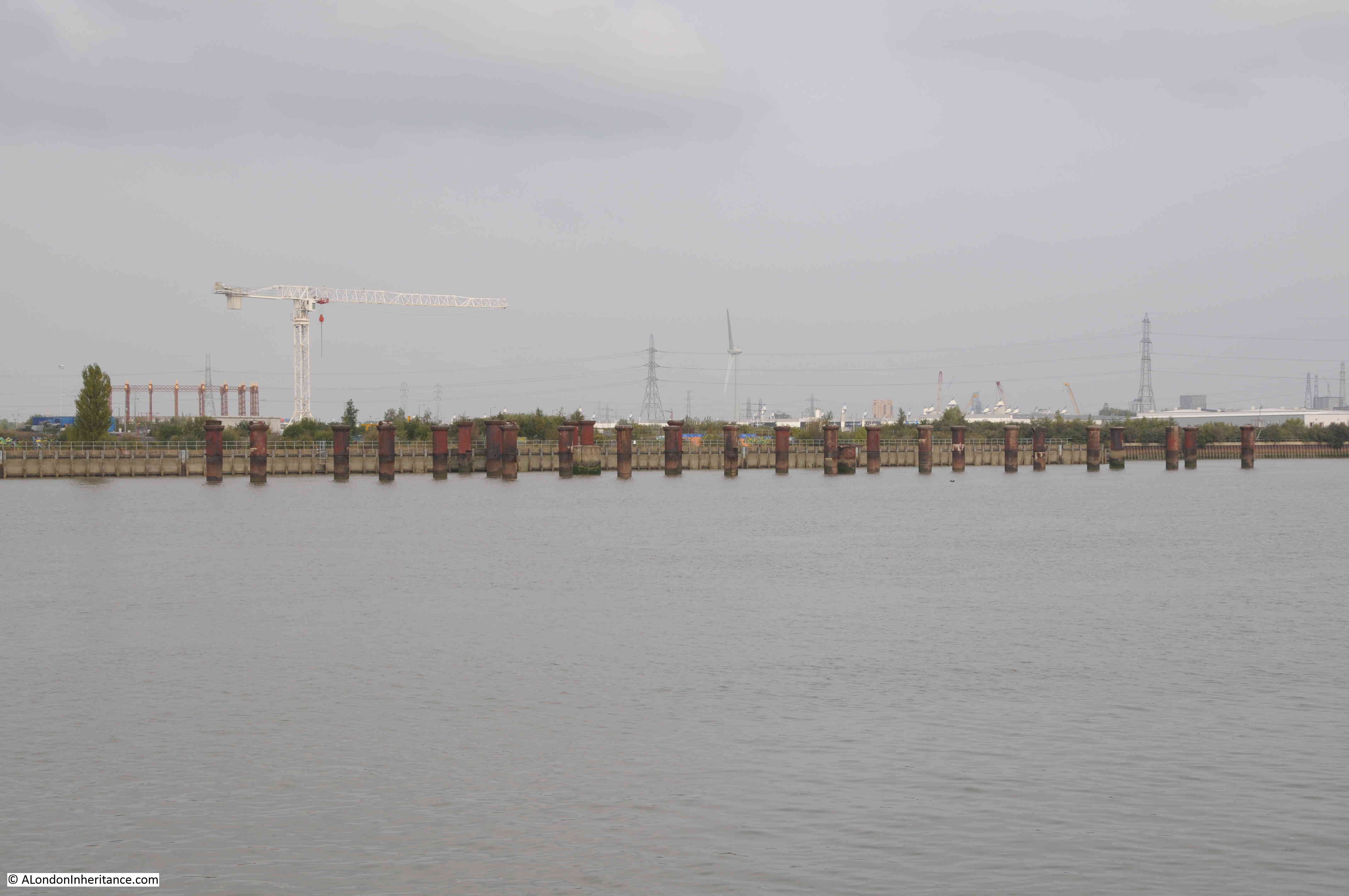
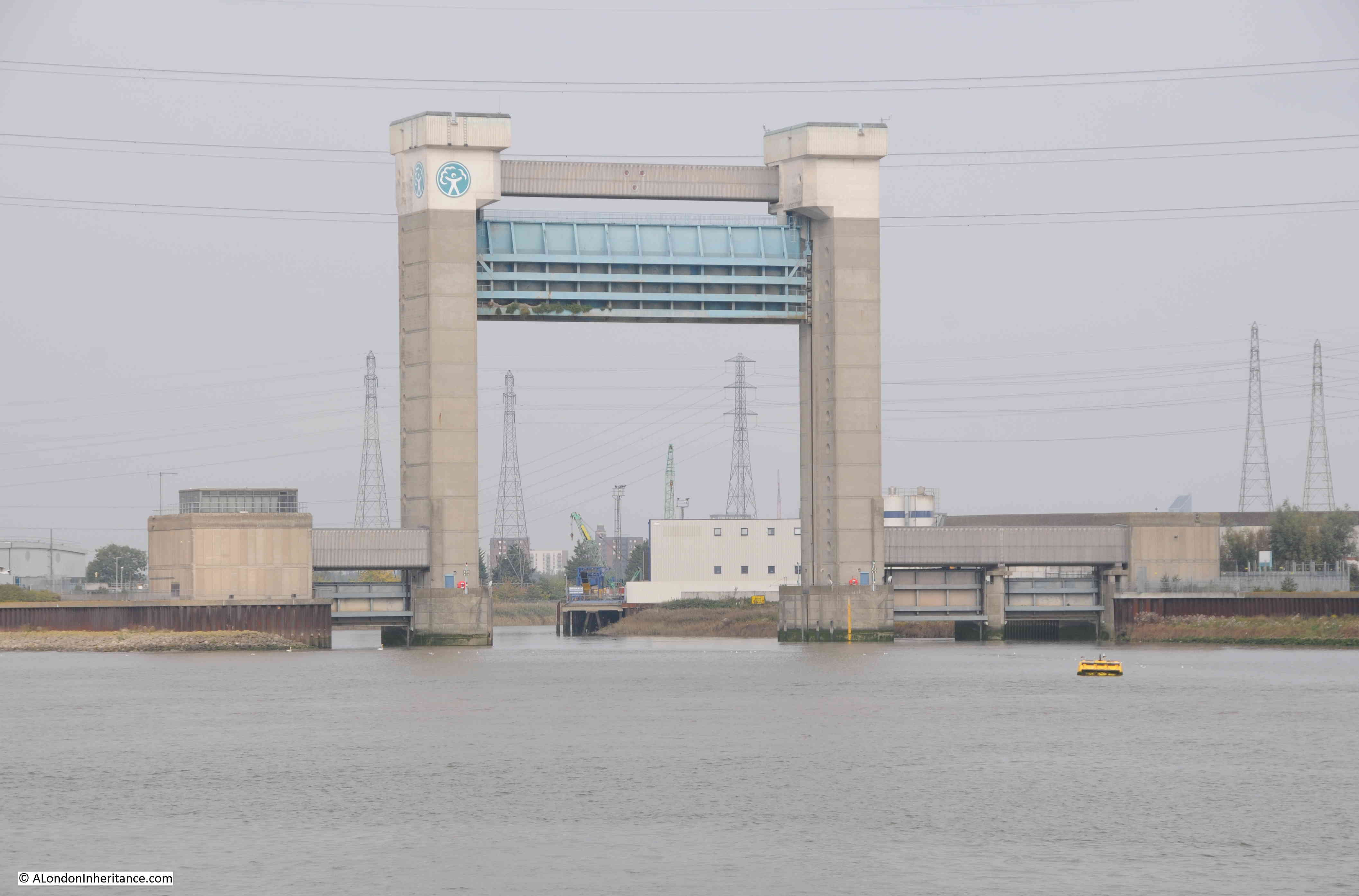
There is another building nearby which is also still serving the same purpose. This is the Royal Docks Impounding Station (yellow oval in the map at the start of the post):

The purpose of an impounding station is to maintain the water level in the enclosed area of the docks.
The docks gradually loose water through evaporation, seepage through the walls of the dock, and through the lock gates, although this is less of a problem as the lock gates are infrequently opened these days.
To replace lost water, the impounding station pumps water into the docks from the Thames, and on the day of my visit, possibly difficult to see in the following photo, the impounding station was active, and water was upwelling in the area in front of the four pipes which route the water into the basin. The water was very mud coloured compared to the rest of the dock:

The impounding station was built in 1912 and was originally equipped with three steam driven pumps. These were replaced by four electrically powered pumps in 1954.
There is a water intake in the Thames at Gallions Reach, and a 4m by 5.5m intake culvert connects to the impounding station, below which is a large wet well, where water from the intake is then pumped into the dock.
To put the operation of the building into perspective, each of the four pipes leading from the building into the dock are 70 inches in diameter, and through these, each pump and pipe carries 7150 litres of Thames water a second into the dock, and as an Olympic swimming pool is the usual measure when water is concerned, when all four pumps are working they would fill one of these swimming pools in one and a half minutes.

Whilst I have not seen inside the Royal Docks Impounding Station, a few years ago I did visit the impounding station at West India Dock, which you can read about in this post.
Arms of the Port of London Authority and date of construction on the impounding station:

The rear of the impounding station, also showing the new apartment buildings that have been recently built around the west end of the Royal Albert Dock:

By the end of the 19th century, the Royal Victoria and Royal Albert Docks were very busy places. Their colossal length could handle very many large ships at the same time. Cold stores, general warehouses and transit sheds were integrated with a rail network that ran within and around the docks, interconnecting the docks and with the wider national rail network.
Ships were getting larger and faster, and refrigerated shipping brought new opportunities to bring cargo into the country, however the success of the docks was also seen as a threat to many traditional businesses within the UK, as the following extract also from the Civil & Military Gazette on November the 8th, 1893 explains:
“The ships of this line (at any rate those employed in the frozen meat trade), go out with general cargoes round the Cape of Good Hope, and return around Cape Horn; they are away altogether about five months each trip. In addition to the mutton and lamb, a great trade is gradually springing up in butter and cheese, and many tons of these commodities are now imported into England. It seems a poor look out for the wretched British farmer, and something will have to be done for him before long, or the agriculturist in Britain will become as extinct as the dodo; he is undersold at all points, and cannot make a living from the soil.”
As has always been the case, the ability to import large quantities of a product frequently causes a conflict with internal producers which often cannot compete.
There is so very much to see around the Royal Docks, and in next week’s post, I will be walking through the more derelict part of the area, where the entrances between the Thames and the dock are located, walking across a large locked entrance, and then into North Woolwich and Silvertown.