I have just put up the final dates until next summer for these two walks if you would like to explore these areas with me, using my father’s photos from the late 1940s:
The Lost Streets of the Barbican on Saturday the 2nd of November. Click here to book.
This post was not in my long list of posts to write. It was a chance discovery that resulted in a fascinating set of connections that led back to London. (I am probably guilty of over using the word fascinating, but I really found this one so interesting).
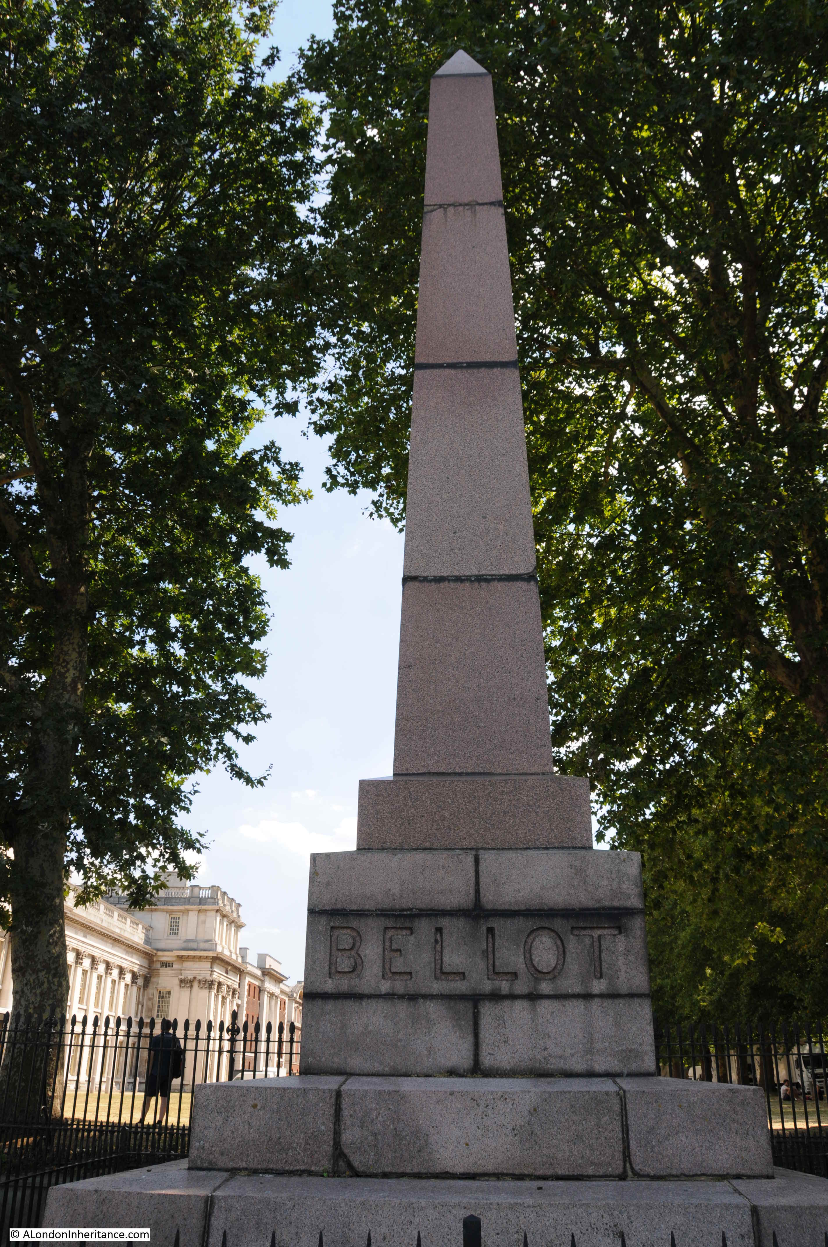
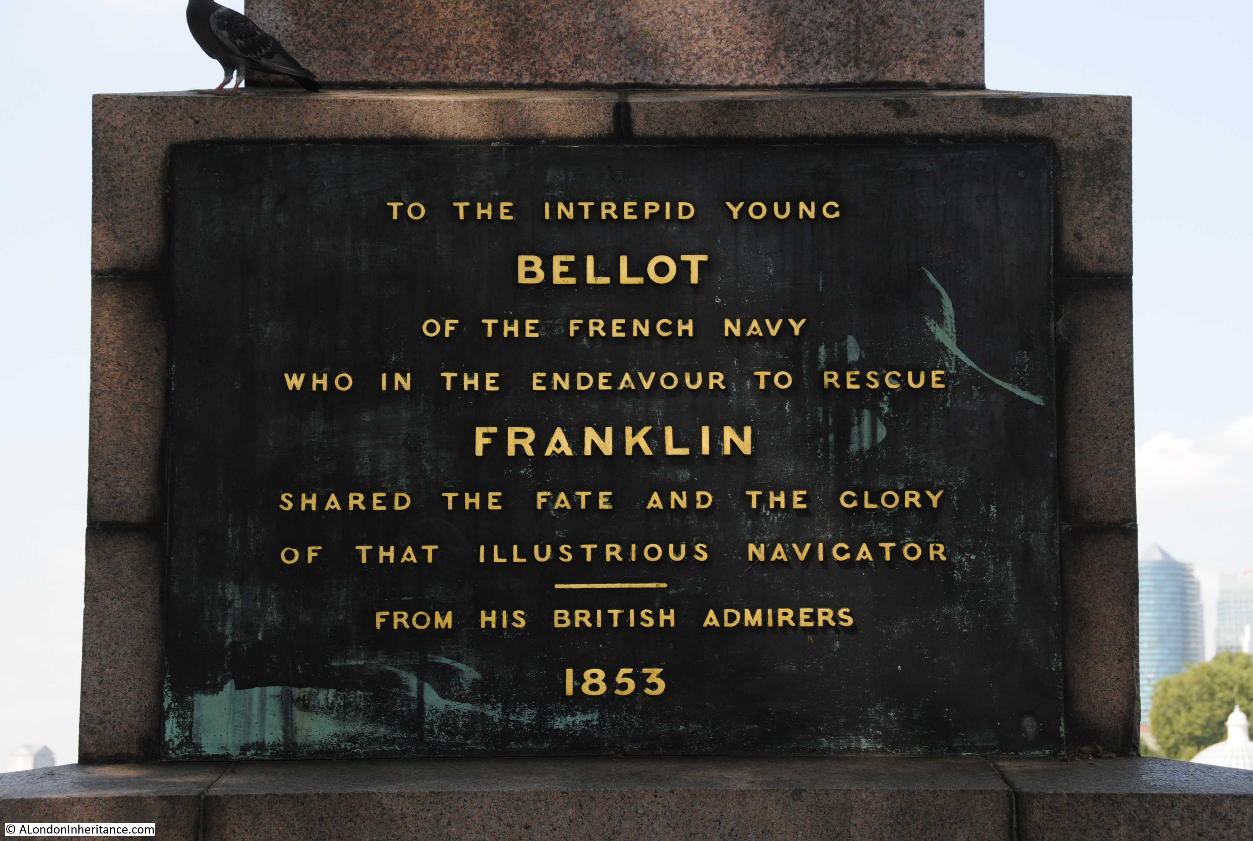
And in a weird coincidence, shortly after, I found a related plaque and tree in London, that I have walked past hundreds of times and never noticed.
The story starts in early September, when we were in Orkney for a few days, the cluster of islands off the north coast of Scotland.
Orkney has long been somewhere we have wanted to visit – Neolithic stone circles, henges and standing stones, a Neolithic village older than Stonehenge and the Egyptian pyramids, lots of walking and a stunning coast.
We had taken the ferry from Scrabster on the coast of the Scottish mainland, over the Pentland Firth and arrived at Stromness, the second largest town in Orkney.
At this point, London seemed a very distant place, and London and the blog were not on my mind.
Walking along the street that runs the length of the older part of Stromness, we reached a slightly wider open space in front of Stromness Parish Church:

And on the left as you looked at the church there was a large, rectangular white box:

The box held a barometer and thermometer of some age:

And this is where the London connection comes in as the instrument was made by the scientific instrument company of Negretti & Zambra who were based in London.
In 1864 Negretti & Zambra published a little book with the title of “A Treatise on Metrological Instruments”, and the book included details of the type of instrument installed at Stromness in Orkney, as one of their public barometers:

The barometer in Stromness was one of Negretti & Zambra’s Fishery or Sea-coast Barometers, and the book included the following description of the instrument, which is shown to the left of the above page from the book:
“The frame is of solid oak, firmly secured together. The scales are very legibly engraved on porcelain by Negretti and Zambra’s patent process. The thermometer is large, and easily read; and as this instrument is exposed, it will indicate the actual temperature sufficiently for practical purposes.
The barometer tube is three-tenths of an inch in diameter of bore, exhibiting a good column of mercury; and the cistern is of such capacity, in relation to the tube, that the change of height in the surface of the mercury in the cistern corresponding to a change of height of three inches of mercury in the tube, is less than one-hundredth of an inch, and therefore, as the readings are only to be made to this degree of accuracy, this small error is of not importance.
The cistern is made of boxwood, which is sufficiently porous to allow the atmosphere to influence the mercurial column; but the top is plugged with porous cane, to admit of free and certain play.”
Detail of the scale at the top of the column of mercury, which is in the glass tube in the middle:

The scales either side are marked with the height of the mercury column in inches of mercury – the way in which atmospheric pressure was, and still is, measured (although millimeters and millibars are also used instead of inches).
On the left are the forecast weather conditions for the height of mercury if the height of the column of mercury is rising, and on the right are the expected weather conditions for a falling column of mercury.
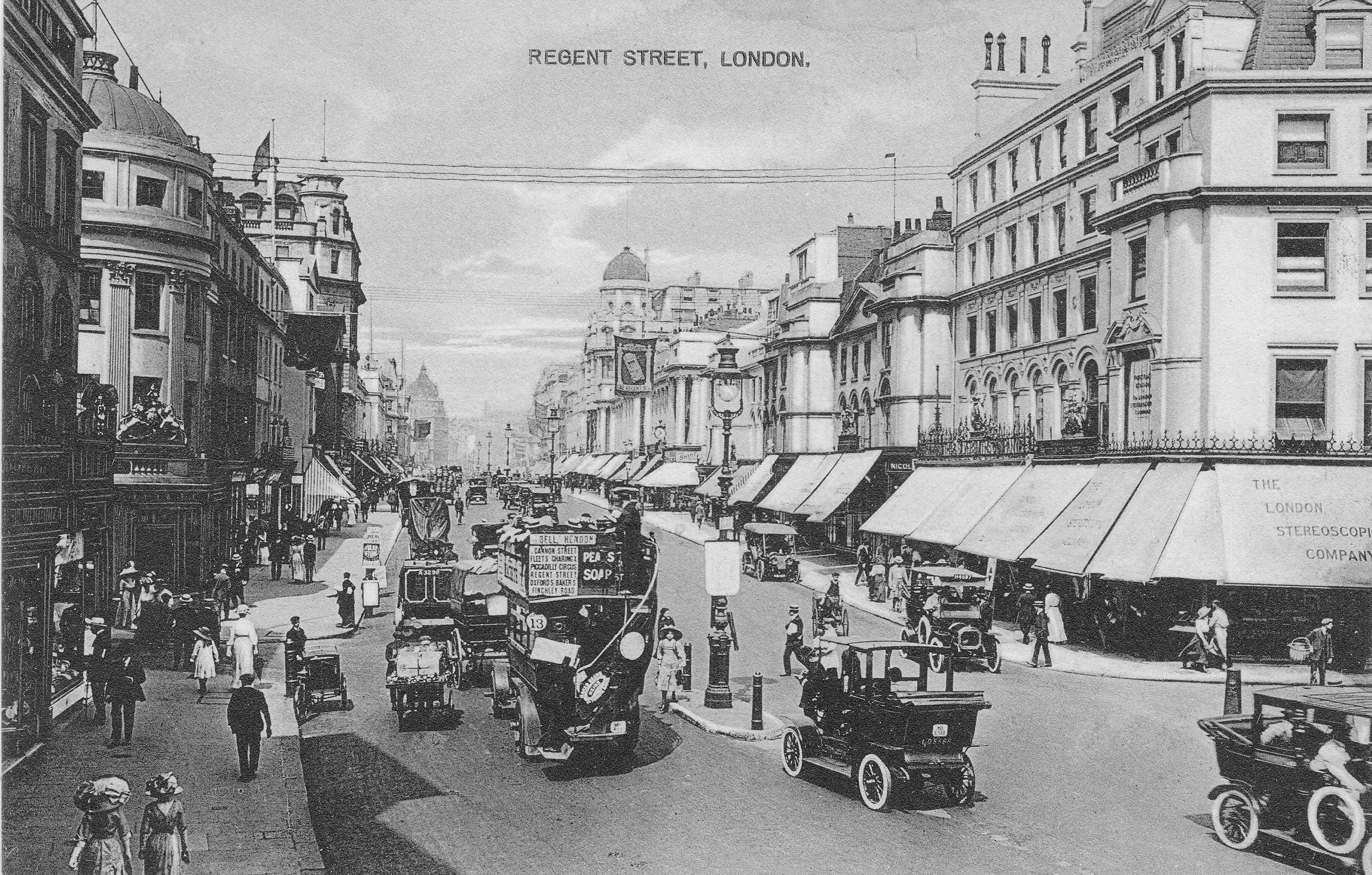
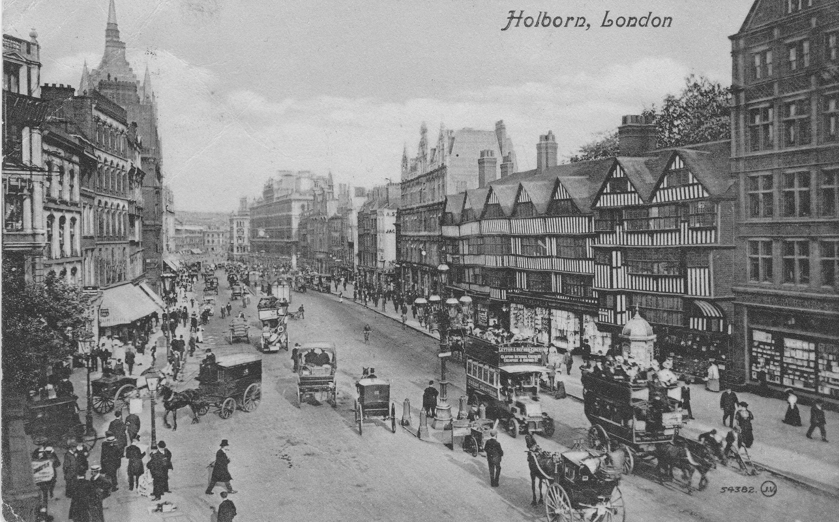
At the very top of the scale we can see the names of Negretti & Zambra as the manufacturers of the device, and on the right we can see their locations; 1 Hatton Garden, 122 Regent Street and 59 Cornhill, so this is a company with a considerable London heritage.
The top of the scale in more detail is shown below:

The company of Negretti & Zambra was founded in 1850 by Enrico Negretti and Joseph Zambra.
Enrico Negretti (who also used the first name of Henry) was an Italian, born in 1818, and who had emigrated to London at the age of 10. In London, he served an apprenticeship as a glassblower and thermometer maker.
Joseph Zambra was born in Saffron Walden in Essex in 1822, and also had Italian heritage as his father had emigrated from Como. Zambra learnt the skills he would later use in their company as his father was an optician and barometer maker.
Zambra moved from Saffron Walden to London in 1840, living within the Anglo-Italian community which was based around Leather Lane in Holborn, and it was here that he met Negretti, and with complimentary skills, they decided to go into partnership to form the firm of Negretti & Zambra on the 23rd of April, 1850, and operating from 11 Hatton Garden, where they specialised in the manufacture of barometers and thermometers.
Whilst they did make and sell barometers for home use, their reputation came from the design and manufacture of barometers and thermometers with an accuracy, ease of use, and robustness, that could be used in very difficult locations, and for measuring temperature and pressure where they had not been measured before, for example by taking deep sea temperature measurements.
They held a number of patents in both the design and manufacture of instruments, and they were the only English manufacturers to win a medal at the 1851 Great Exhibition and as recorded at the top of the scale on the Orkney barometer, they were appointed opticians and scientific instrument makers to Queen Victoria.
The range of instruments manufactured by the company expanded rapidly, and their 1864 Treatise on Metrological Instruments includes a catalogues of instruments for the home, for portable use , for use up mountains, marine barometers, storm glasses, botanical thermometers, brewers thermometers, instruments to measure humidity, instruments to measure the amount of rainfall, and others to measure steam pressure and to measure pressure in a vacuum.
Their catalogue included a drawing of their three central London locations at Cornhill in the City, Hatton Garden / Holborn Viaduct, and Regent Street:

So the Stromness, Orkney barometer was made in London, but why is it there?
This is where Vice-Admiral FitzRoy, the next name comes into the story.
Robert FitzRoy was born on the 5th of July, 1805 in Ampton, Suffolk and he had a very wide ranging career, being an officer in the Royal Navy, a Governor of New Zealand, and was interested in scientific matters, particularly the weather and the storms that were so dangerous to travelers on the sea.
He was the Captain of HMS Beagle, when Charles Darwin was onboard on their almost five year voyage around the world between 1831 and 1836.
FitzRoy became a member of the Royal Society in 1851, and three years later was appointed as the head of a new organisation within the Board of Trade that was tasked with the collection of weather data from ships at sea and coastal ports. This would evolve into what we know today at the Met Office.
Weather data was important, as in the middle of the 19th century there was no systematic method of weather data collection from across the country and also no weather forecasting.
Whilst this was a relatively small problem for those on land, it could often be a matter of life and death for those at sea, and there were numerous ship wrecks and deaths as a result of storms that hit without any warning.
An example from 1858 in the Inverness Chronicle covering the waters around Orkney shows the impact:
“MELANCHOLY LOSS OF SIX MEN – Early last month the herring-fishing boat Margaret, of Tonque, in the parish of Lewis, after prosecuting the herring fishing here, left for home, in company with hundreds of others, which were overtaken by a heavy gale of north-easterly wind soon after passing through the Pentland Firth. the boats fled in all directions, where there was the shadow of a chance of shelter.
Many reached the lochs of the west coast of Sutherland; one reached Skaill Bay, in Orkney; one crew was picked up by an American vessel and landed here, their boat being subsequently found and taken to Stornoway. meanwhile, intelligence of the safe arrival of the Lewis crews, with the exception of that referred to, has reached; and the appearance of a portion of the wreck of their boat, driven ashore at Birsay, in Orkney, leaves no room to doubt their sad fate.
When last seen the boat was about ten miles off Cape Wreath, making for the Minch of Lews, on the evening of Friday the 10th, when other boats in their company was parted from them by the violence of the storm.”
FitzRoy wanted to make weather information, including some indication of the forecast weather, available for fishermen, such as those in the above article, and for shipping in general.
His scheme was to distribute barometers to fishing communities and coastal villages around the country, and Negretti and Zambra were responsible for the manufacture of the barometers.
According to the Treatise on Metrological Instruments by Negretti and Zambia, FitzRoy was responsible for the wording on the barometer scale, with the predictions for weather based on whether the column of mercury was rising or falling and the height of the column. Fitzroy’s wording can be seen on the Orkney barometer.
Barometers were loaned free of charge to poor fishing communities, or were funded by a wealthy local, or through voluntary donations. This last method was used for the barometer in Orkney, which is recorded at the very top of the instrument, which can just be seen in one of the photos earlier in the post.
The barometer was sent from London to Orkney on the 27th of October 1869, and it was number 98 in the chain of barometers around the coast. The first barometers in the network seem to have been sent to their coastal location in early 1861, and the network expanded rapidly over the coming years.
The arrival of the barometer was recorded in the Orcadian newspaper on the 20th of November 1869:
“BAROMETER – The barometer, which we mentioned last week was to be sent here for the guidance of fishermen and others, has arrived; but as yet no suitable site has been obtained for its erection. The barometer is the gift of the Royal National Lifeboat Institution, and was consigned to their honorary secretary here – Mr. James R. Garriock – in whose shop window it is now on view. A register of its indications is, we understand, to be kept, and will be exhibited alongside the instrument. In front of the barometer is a thermometer.”
The Stromness, Orkney barometer was installed a couple of years after FitzRoy’s death, but became part of FitzRoy’s initial barometer network, where readings of the barometer were telegraphed back to Fitzroy’s Meteorological Office in London, where the collection of data was used to put out rudimentary weather forecasts.
These first forecasts were very basic, for example the following is from the Yorkshire Gazette on the 13th of February, 1864 – one of the first forecasts sent out from London:
“WEATHER FORECAST – Admiral Fitzroy telegraphs that a gale may be expected, most probably from the southward.”
A very simple, but very valuable forecast if you were a fisherman.
In the 1860s, problems within the Meteorological Office, and the many challenges with other organisations and users of the forecasting service (for example as the forecast came from the Met Office which was part of the Board of Trade, a Government department, it was seen to be an official pronouncement and therefore subject to far more criticism and challenge than a local forecast). FitzRoy also had financial problems and suffered from depression.
Possibly due to all these pressures, Robert FitzRoy took his own life on the 30th of April, 1865.
There were many, long obituaries in the newspapers of the time, with the following being typical of the first few sentences:
“ADMIRAL FITZROY – The public have lost a valuable servant and humanity a friend, unwearied in his efforts to save life, in the death of Admiral Robert FitzRoy, the head of the Meteorological department of the Board of Trade, who committed suicide on Sunday morning. The sad event took place at Lyndhurst House, Norwood, Surrey. The unfortunate gentleman had been for several days in a very low state; but nothing in particular was apprehended by his fronds, who considered the marked change in his manners owing to over study, and this, no doubt, has been the cause of the catastrophe.”
Robert Fitzroy’s legacy was the Met Office, that is still responsible for providing weather forecasts today, along with the few remaining barometers he designed and were installed in fishing and coastal villages around the British Isles, such as the one in Stromness, Orkney.
Negretti and Zambra continued to capitalise on their relationship with Robert FitzRoy, and the barometers that they had produced for him, after his death.
Thomas Babington took over the Meteorological Office after FitzRoy’s death, and wrote to Negretti and Zambra, complaining that their advertising was implying that all barometers used by Fitzroy were made by Negretti and Zambra and that they were using the “absurd title of storm barometer”, which implied that their barometers had an ability to predict storms.
Babington’s letter does not seem to have changed Negretti and Zambra’s marketing strategy, as they continued advertising in much the same way as before.
Vice-Admiral Robert FitzRoy:

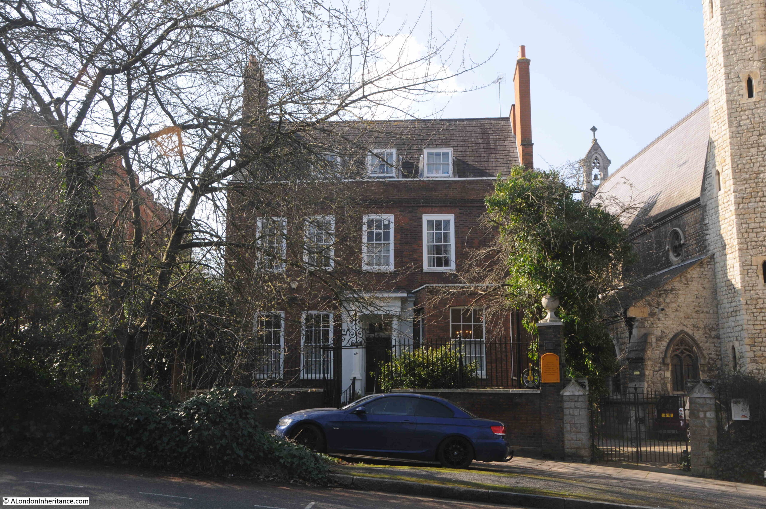
There is one other name I need to track down, along with the connection to Greenwich.
On the body of the Stromness barometer is the following label:

The statement that the barometer reads correctly with Greenwich Standard was signed by James Glaister, F.R.S.
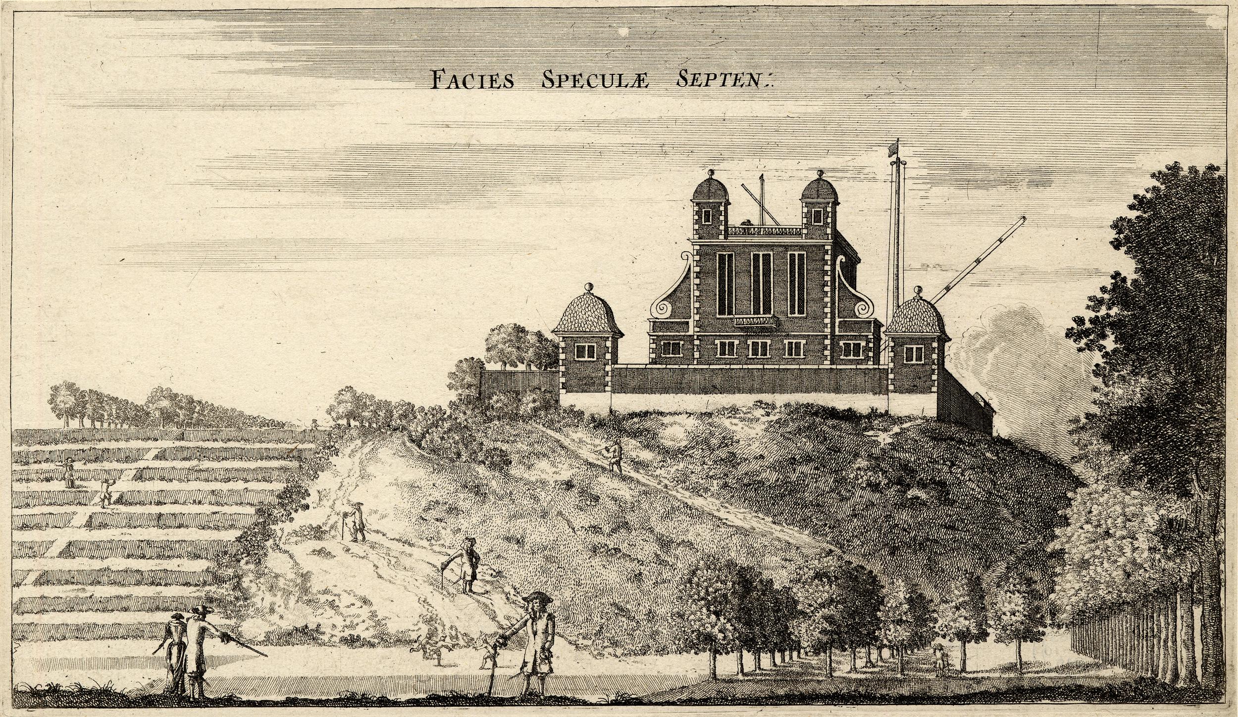
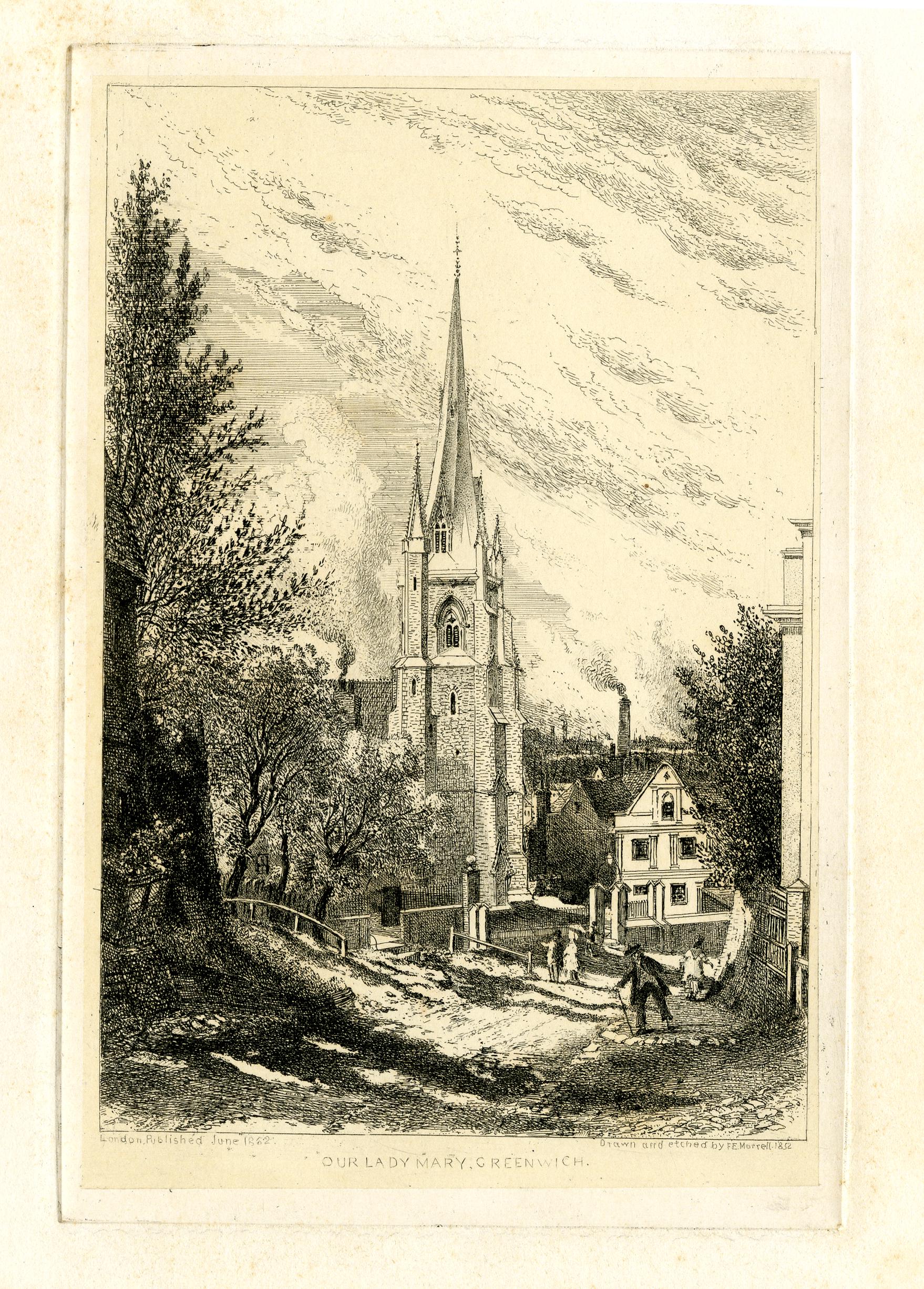
Firstly why Greenwich?
If you were distributing a network of barometers around the country and receiving their readings centrally in London, and making forecasts based on these readings, it was essential that you could trust the reading from each barometer, and that they were correctly calibrated, so that if they were all in the same place, they would all have the same reading.
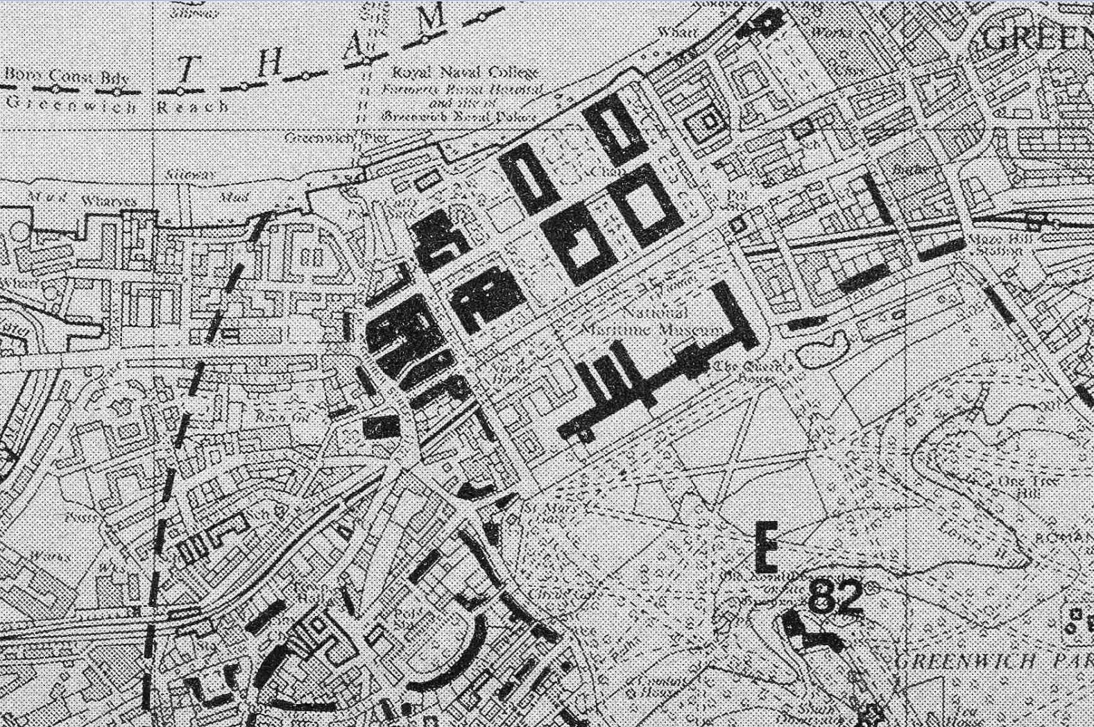
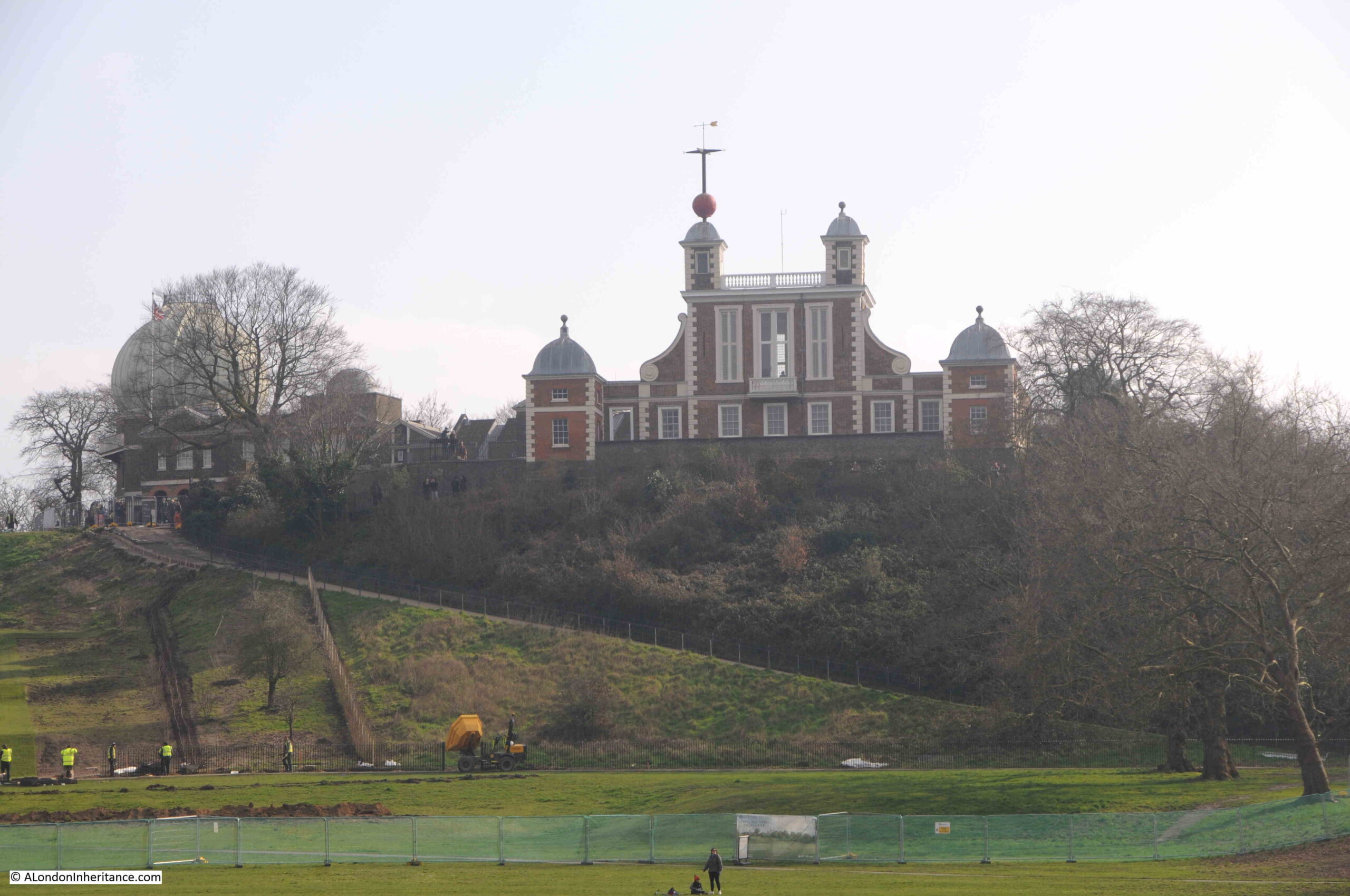
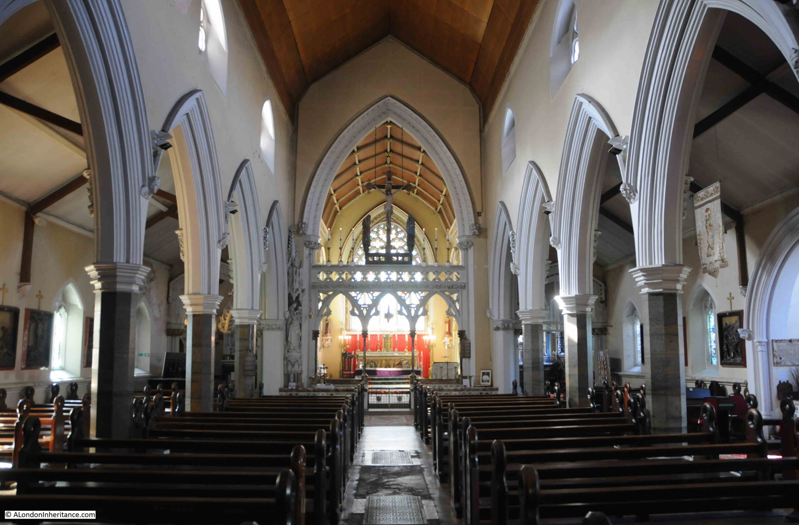
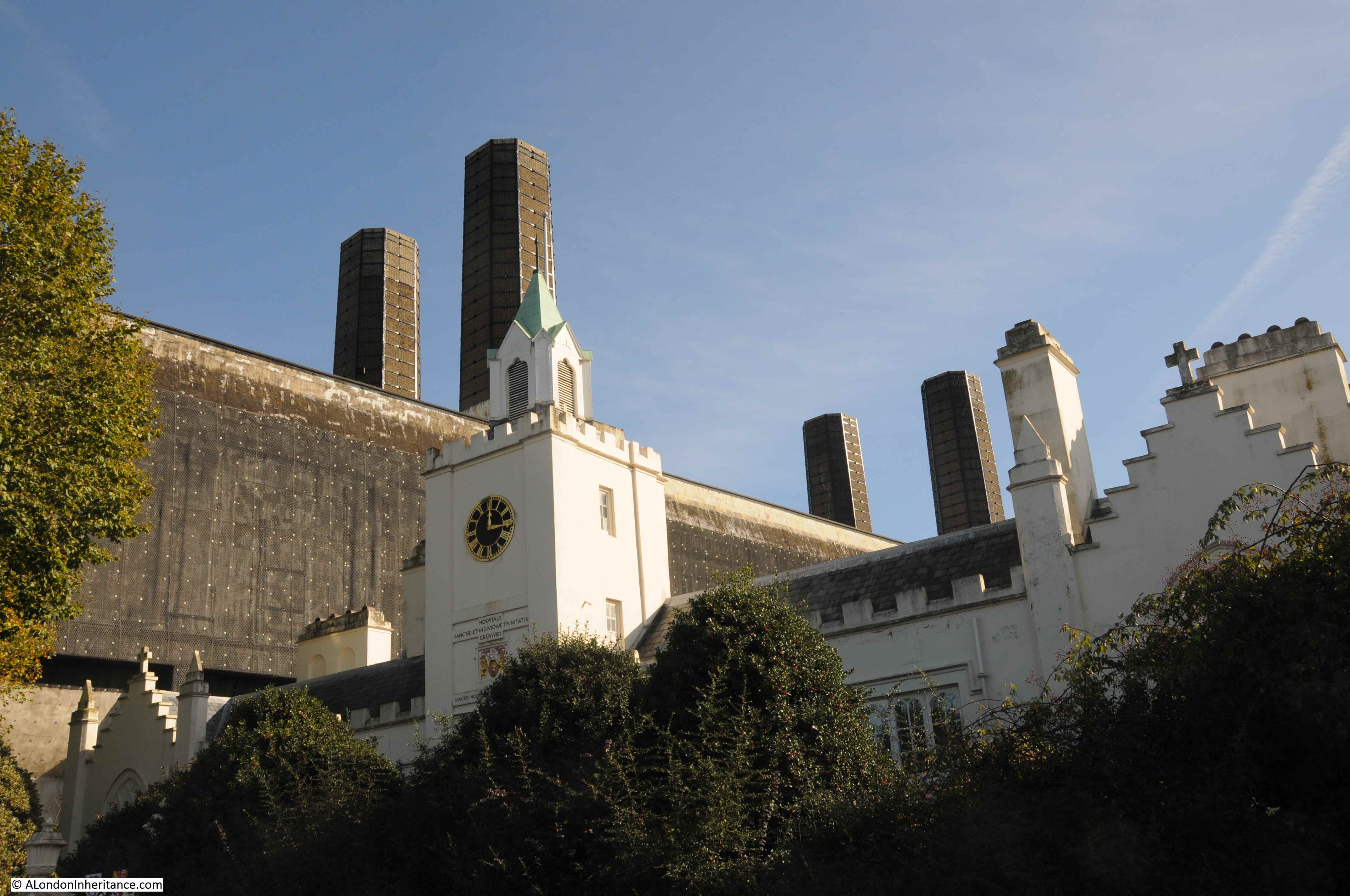
This is where Greenwich came in to the process. the Royal Observatory at Greenwich is well known for its astronomical work, but the institution was also responsible for many other scientific activities, and one of the departments at the Royal Observatory was the Department of Meteorology and Magnetism, and James Glaister was the Superintendent of this department for 34 years, including the period when the barometers were being dispatched across the country.
I assume the process must have been that they were manufactured by Negretti & Sambra in central London, then sent to the Royal Observatory at Greenwich, where they were calibrated and checked against a standard barometer reading at the observatory.
The label with James Glaisher’s signature was then attached, and the barometer shipped to the coastal location where it was to be installed.
James Glaisher was a fascinating character. Born in Rotherhithe on the 7th of April 1809, the son of a watchmaker which probably contributed to his interest in scientific instruments.
The family moved from Rotherhithe to Greenwich, and Glaisher’s first experience of the Royal Observatory came from a visit when he was aged 20.
His first job was working on the principal triangulation of the Ordnance Survey in Ireland. This was the process of measuring distances and heights, essential to producing accurate maps.
After this he worked at the Cambridge University observatory, under Professor George Airy, who would become Astronomer Royal at Greenwich in June 1835, and Airy bought Glaisher from Cambridge to Greenwich and the two continued to work together.
In 1838 Airy put Glaisher in charge of the new magnetic and meteorological department which Airy had established at Greenwich, and he would work in this role for almost 40 years. One part of his new role was making and managing the recording of meteorological observations, and he was also responsible for ensuring the accuracy of the instruments used, and by 1850 he was the recognized authority in the country for the verification of meteorological instruments, which is why his name is on the barometer in Stromness, Orkney.
He was one of the founders of the British Meteorological Society, and was elected as the society’s first secretary.
James Glaisher:

Although Glaisher’s work at the Greenwich Royal Observatory was important, and contributed considerably to the measurement and observations of the weather, and in the type and accuracy of the instruments used, to the general public he was best known for his ballooning exploits. These were carried out under the auspices of the British Association for the Advancement of Science, with the intention of making observations and measurements at high altitudes.
The following is a report from the 18th of April, 1902 on James Glaisher’s 93rd birthday, and covers his ballooning exploits in some hair raising detail:
“SEVEN MILES IN THE AIR – NONAGENARIAN BALLOONIST’S REMARKABLE RECORD. Mr. James Glaisher, F.R.A.S, who made the highest balloon ascent ever recorded, has just celebrated his 93rd anniversary of his birthday. Mr. Glaisher will be remembered by the world’s scientists as the father of meteorology in England. He founded the Royal Meteorological Society in 1850, and from 1841 until the present time has supplied the quarterly and annual meteorological reports published by the Registrar-General. Now he thinks it is time he handed over the task to another. It was on September 5, 1862 that Mr. Glaisher, accompanied by Mr. Coxwell, a dentist and aeronaut, made the most famous of his balloon ascents.
‘I was a married man’ he said in the course of a conversation the other day, ‘and I did not think a married man ought to go ballooning, but I found that I must go up myself if I wanted observations properly taken, so I took to ballooning and made 29 ascents.
The September ascent was from Wolverhampton. The balloon soared up above the clouds and Mr. Glaisher, as was his custom, kept his eyes on his instruments and his notebooks until he recorded a height of 28,000ft. Then he found that he had lost the use of his limbs, and he saw Mr. Coxwell climb up to the ring and try to seize the valve rope, but Mr. Coxwell’s hands were so benumbed that he could not use them. He seized the valve-rope in his teeth and thus tugged the valve open.
Meanwhile Mr. Glaisher had fallen unconscious, with his head over the side of the car. He was unconscious for 13 minutes, and when he recovered, the balloon, which had been going up at a rate of 1000ft a minute, was descending at the rate of 2000ft a minute. During the interval it is calculated that the balloon rose to a height of over seven miles.
Another of Mr. Glaisher’s adventures happened at Newhaven. While he and Mr. Coxwell were high up the clouds parted, and they found themselves all but over the sea. Mr. Coxwell hung on to the valve-rope so long that the balloon lost all its gas, and fell two or three thousand feet to the earth. The car and the instruments were smashed, but the balloonists escaped with slight injuries.”
The wonderfully described “Mr. Coxwell, a dentist and aeronaut” was Henry Coxwell, who, as well as being a dentist was a professional balloonist and Glaisher partnered with Coxwell so he could takes scientific measurements during the ascent which Coxwell controlled.
Coxwell made a number of ascents across London, many for show, including from Cremorne Gardens (Chelsea), Woolwich and Mile End Road.
The Wolverhampton ascent is remarkable. Most commercial jet airliners will travel at somewhere between 5.5 and 7 miles at their cruising altitude. Just imagine looking out of an airliner’s windows at that height and seeing two Victorian balloonists in their wicker basket.
James Glaisher and Henry Coxwell illustrated in their balloon:

Surprisingly, both Glaisher and Coxwell both lived a long life, and both died peacefully, rather than in a balloonoing accident. James Glaisher lived to the age of 93 and Henry Coxwell reached the age of 80.
The 2019 film The Aeronauts was based on Glaisher and Coxwell’s highest ascent, with Eddie Redmayne playing James Glaisher, however Henry Coxwell was completely left out of the film, with the character of the balloon’s pilot being Amelia Wren, played by Felicity Jones.
The Great Storm of 1987
Robert Fitzroy founded the Met Office in 1854, and began the process of gradually producing more and more accurate weather forecasts.
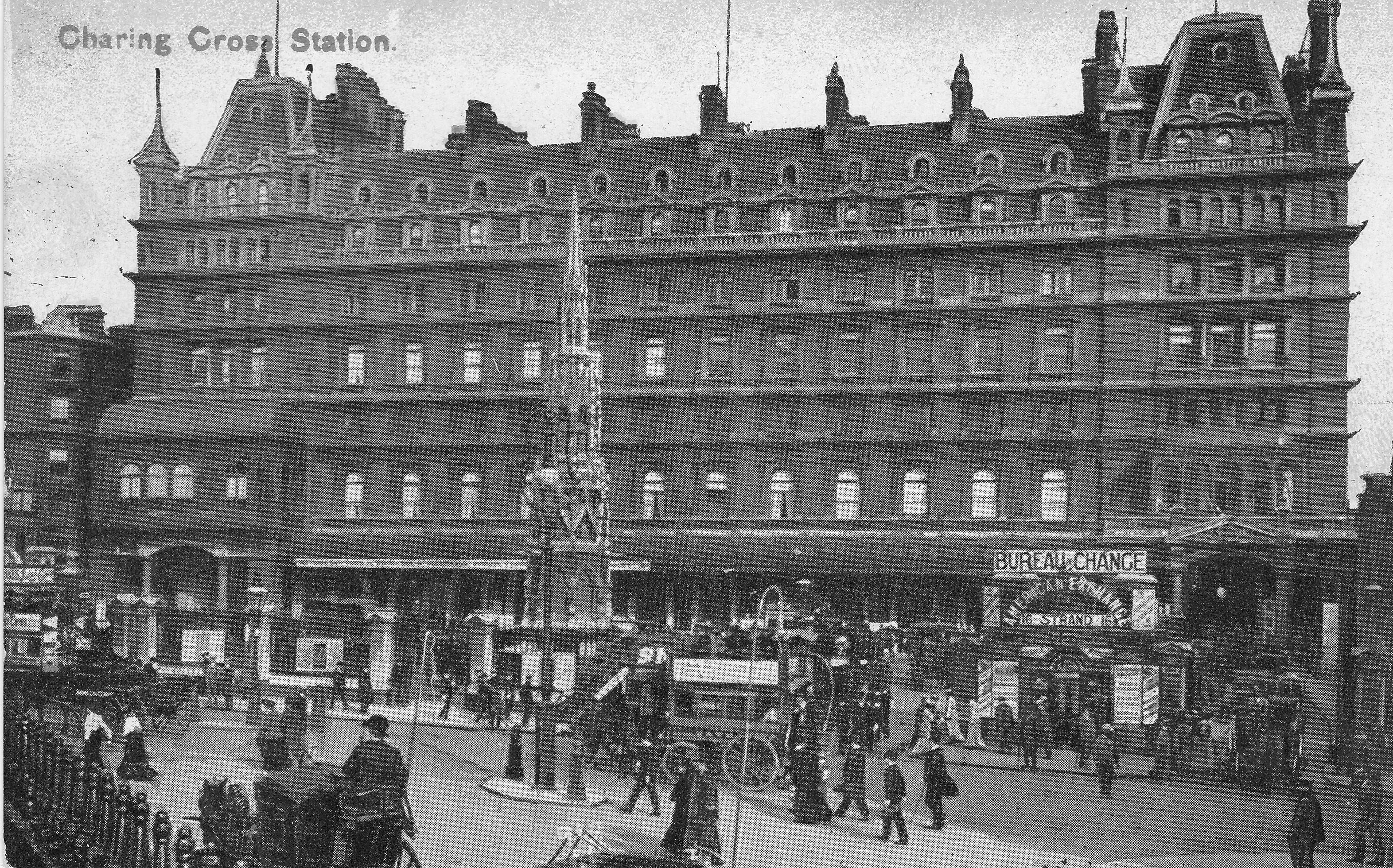
By a rather strange coincidence, soon after returning from Scotland, I was walking past Charing Cross Station, somewhere I have walked hundreds of times, and noticed for the first time, a couple of plaques on one of the pillars outside the station which record one of the most dramatic weather events for a very long time. They also remind us how over 100 years after the founding of the Met Office, forecasting was still difficult:

The top plaque records the “Great Storm” that struck south east England in the early hours of Friday the 16th of October 1987, and that in “four violent hours London lost 250,000 trees”:

I well remember that storm. I got home late that evening after a leaving do for a work colleague at, if I remember rightly, the Punch & Judy in Covent Garden, and it seemed to be getting very windy.
Overnight, the chimney on our house came apart, brick by brick, but luckily no further structural damage.
After the storm, Angus McGill of the Evening Standard launched an appeal to replace many of London’s lost trees (McGill is commemorated on the lower plaque), and the oak tree at the eastern edge of the station boundary is one of the trees planted as a result of the appeal.
The tree is in the photograph below, and the two plaques are on the left hand pillar behind the tree:

Well over 100 years after Fitzroy founded the Meteorological Office, in 1987, forecasting the weather was still a challenge, and Michael Fish’s forecast on the Thursday before the storm has become somewhat infamous as an example of getting a forecast wrong (in reality, high winds were forecast, but the storm tracked slightly further to the north and was a deeper low than had been forecast):
The Orkney Islands
The Orkney Islands are really rich in history and natural landscapes. Probably best known for Scapa Flow, the large, sheltered body of water between the islands, where the German Navy High Seas Fleet was scuttled in the First World War, and used by the British Navy of the First and Second World Wars as a Naval Base, there is much else to discover.
Some examples;
The Italian Chapel

We left Kirkwall in bright sunshine and after a short drive to the chapel found ourselves in thick fog.
The Italian Chapel was built by Italian prisoners of war during the Second World War, who were based on the main Orkney island, and were used to build the causeways between the main island and South Ronaldsway.
The chapel was mainly built and decorated using concrete, one of the few available materials at the time, and is really remarkable:

The Standing Stones of Stenness:

Four upright stones of an original twelve, that date back over 5,000 years.
Ring of Brodgar:

A 5,000 year old stone circle, originally of 60 stones, with 36 surviving today, and at least 13 prehistoric burial mounds.
Skara Brae Prehistoric Village:

A remarkable, 5,000 year old Neolithic settlement, first uncovered by a storm in 1850 when part of the site was revealed when some of the sand dunes that had been covering the settlement for centuries were blown away.
A number of the individual houses still have some of their stone furniture in place.
Brough of Birsay:

A tidal island, reached when the tides are right, across a causeway. The island has Pictish, Norse and Medieval remains.
Leaving Stromness (where the barometer is located), on the ferry to the Scottish mainland:

The Stromness barometer is number 98 of around 100 barometers installed around the coast by Robert FitzRoy’s project. It continued to be read until 2005, and was restored in 2014 using funding from the Townscape Heritage Initiative.
Stromness library includes a book about FitzRoy and his barometers, as well as the operators manual for the barometer.
Whilst the barometer aims to forecast the weather, it also tells a fascinating story of the mid-19th century, with Negretti and Zambra being London’s foremost scientific instrument makers. Vice-Admiral Robert FitzRoy founding the Met office, as part of the Board of Trade, and James Glaisher, who ran the Meteorological and Magnetic Department of the Royal Observatory at Greenwich, and who was a daring balloonist in his quest to measure temperature, pressure etc. of the atmousphere.
I know I overuse the word, but this is a really fascinating story, of which I have just scratched the surface.