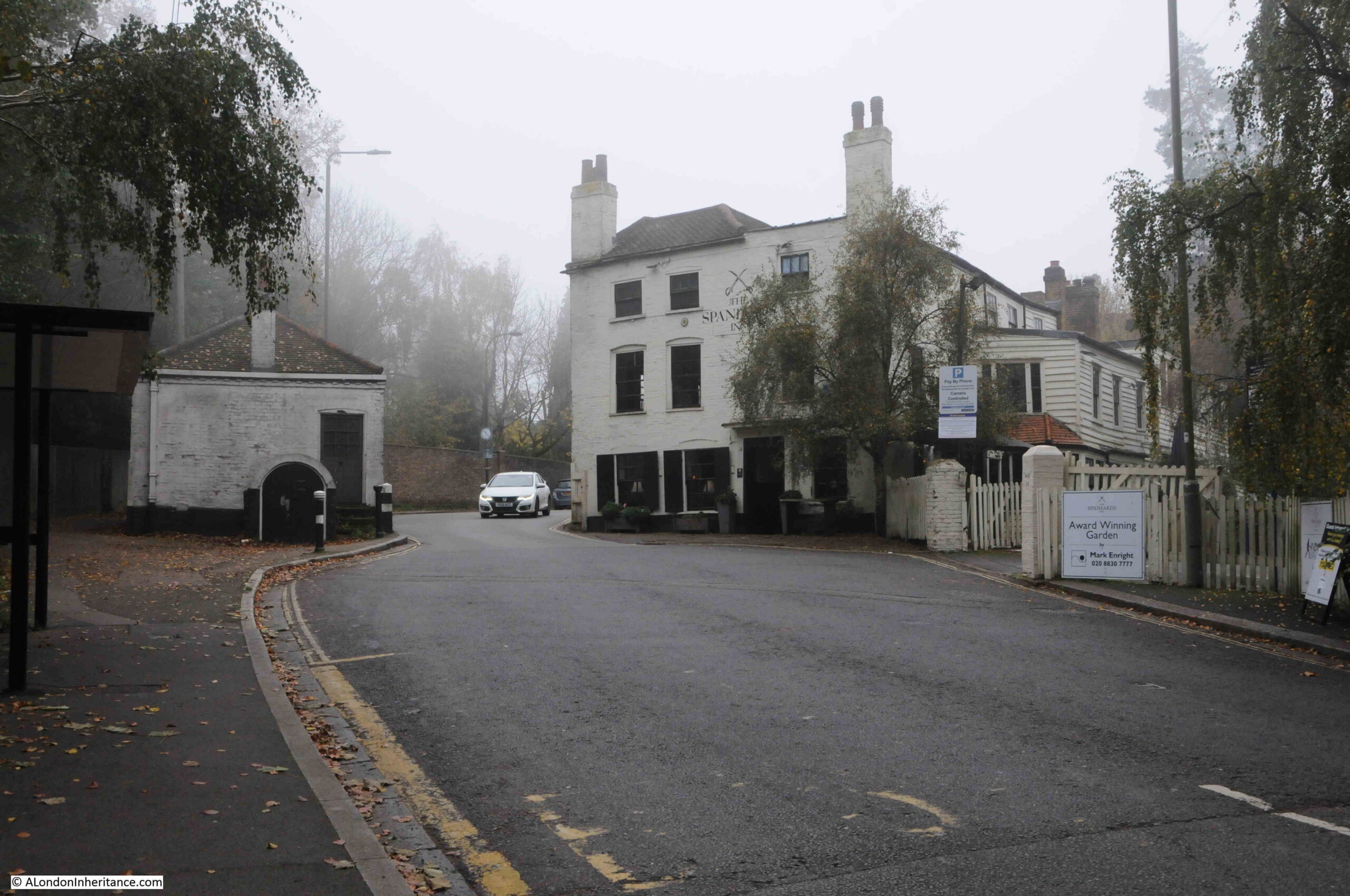
Highgate Archway, or just Archway as it is now more commonly known, carries Hornsey Lane over the A1, Archway Road, one of the major routes connecting London with the rest of the country. The A1 starts at the roundabout at the old Museum of London site, alongside London Wall, and ends in Edinburgh, and at 410 miles in length, it is the longest, numbered road in the country.
The Archway bridge looking north:

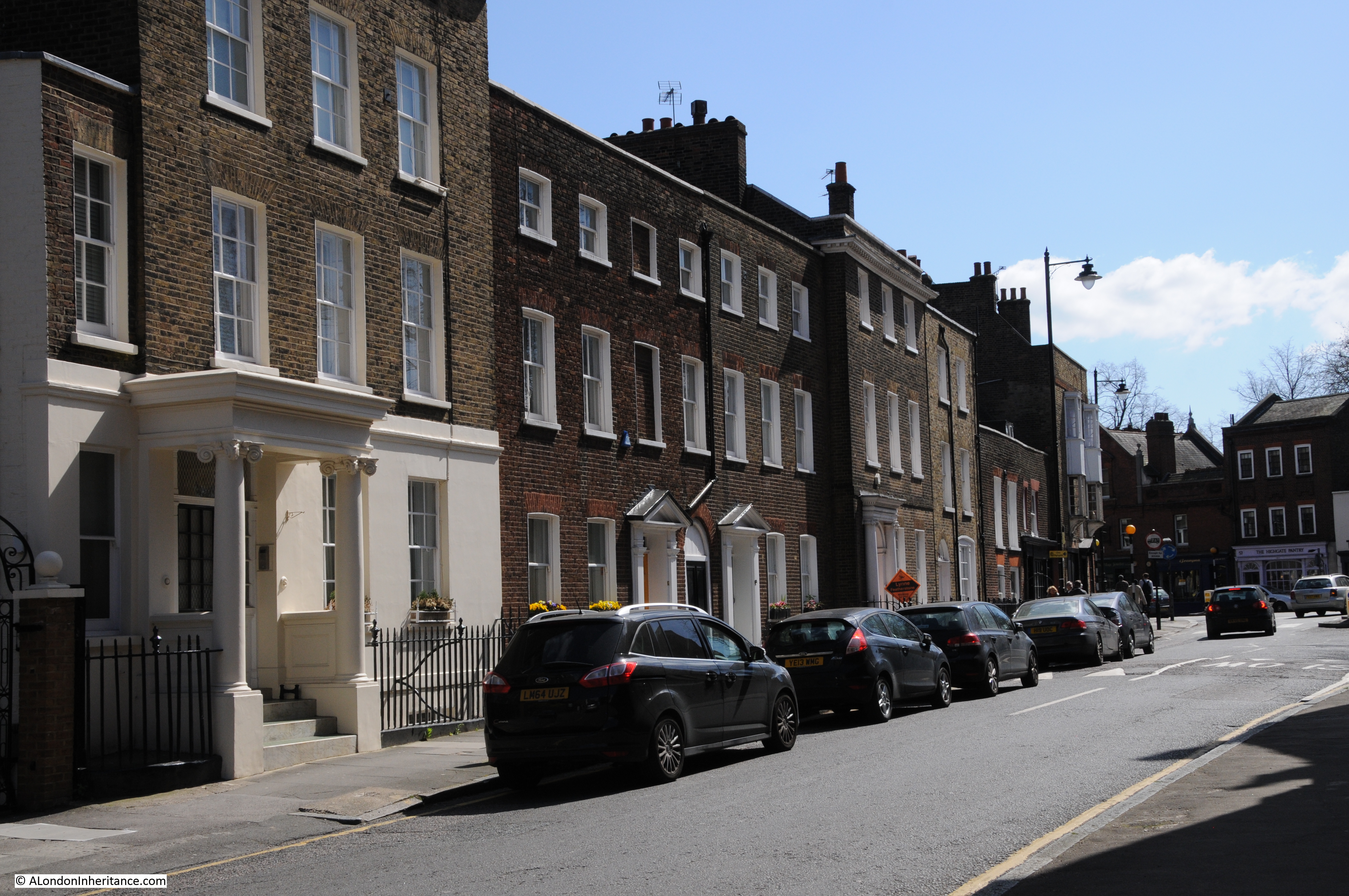
And looking south. a view which shows how the road descends in height as it heads towards the Archway pub and Archway underground station – the bridge has given its name to a small part of north London:

The land either side of the bridge carrying Hornsey Lane over the A1 is, according to the Ordnance Survey map, around 100m above sea level, so standing on the southern side of the bridge, we can see the A1 heading towards the junction around the Archway Tavern, with a good view of the towers of the City in the distance, with the Shard to the right:

The Highgate Archway has a fascinating history.
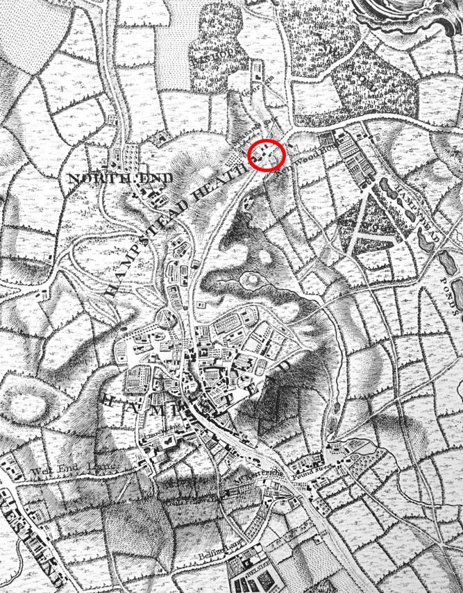
Firstly, the location of the bridge, which I have marked with the black arrow in the following map extract,, which shows the location of the bridge within north London (map © OpenStreetMap contributors):

The following map is a more detailed view of the location of the bridge. It is carrying the yellow road (Hornsey Lane) over the dark pink (never sure what that colour really is) road running from bottom to top, this is Archway Road, the A1 (map © OpenStreetMap contributors):

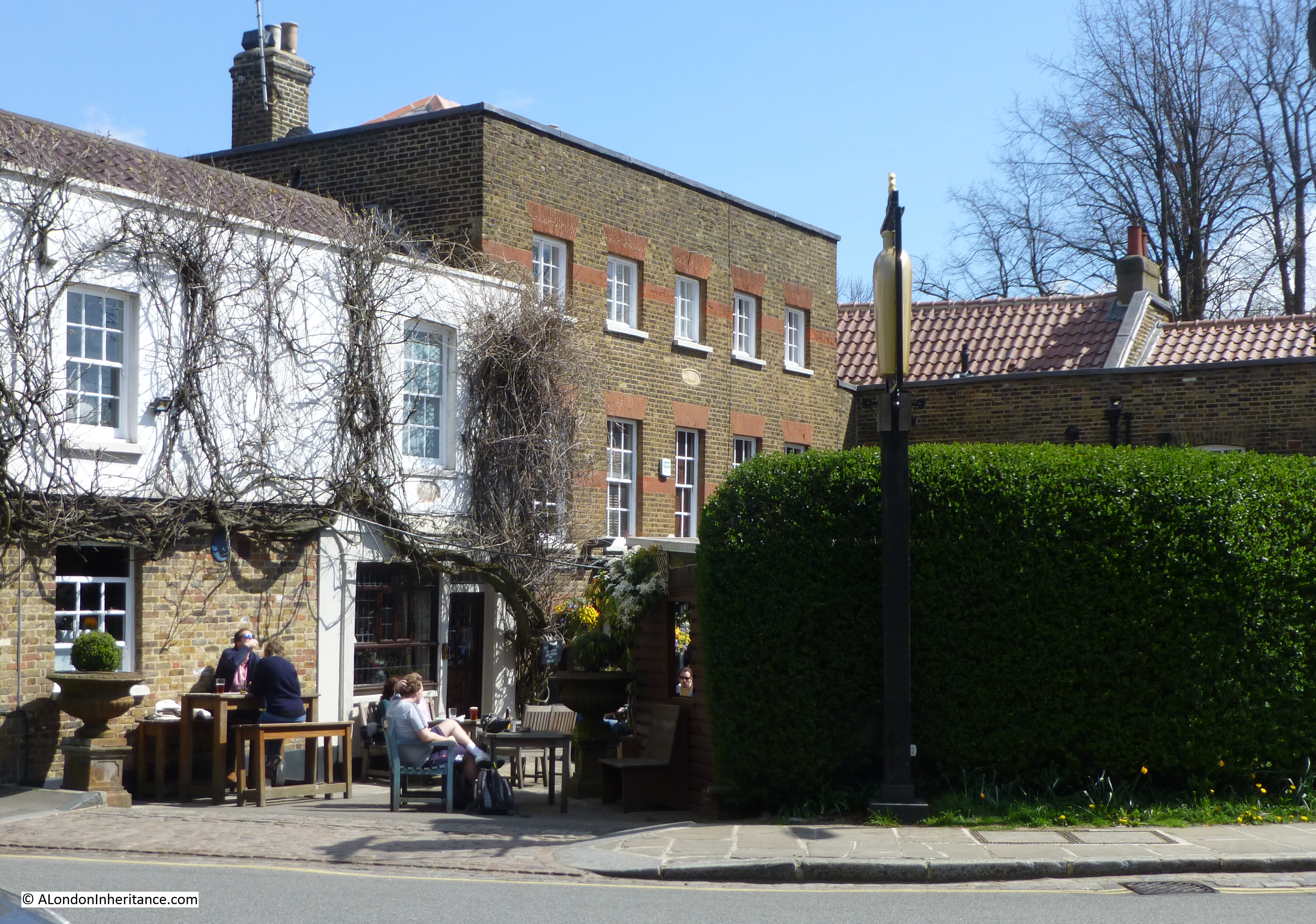
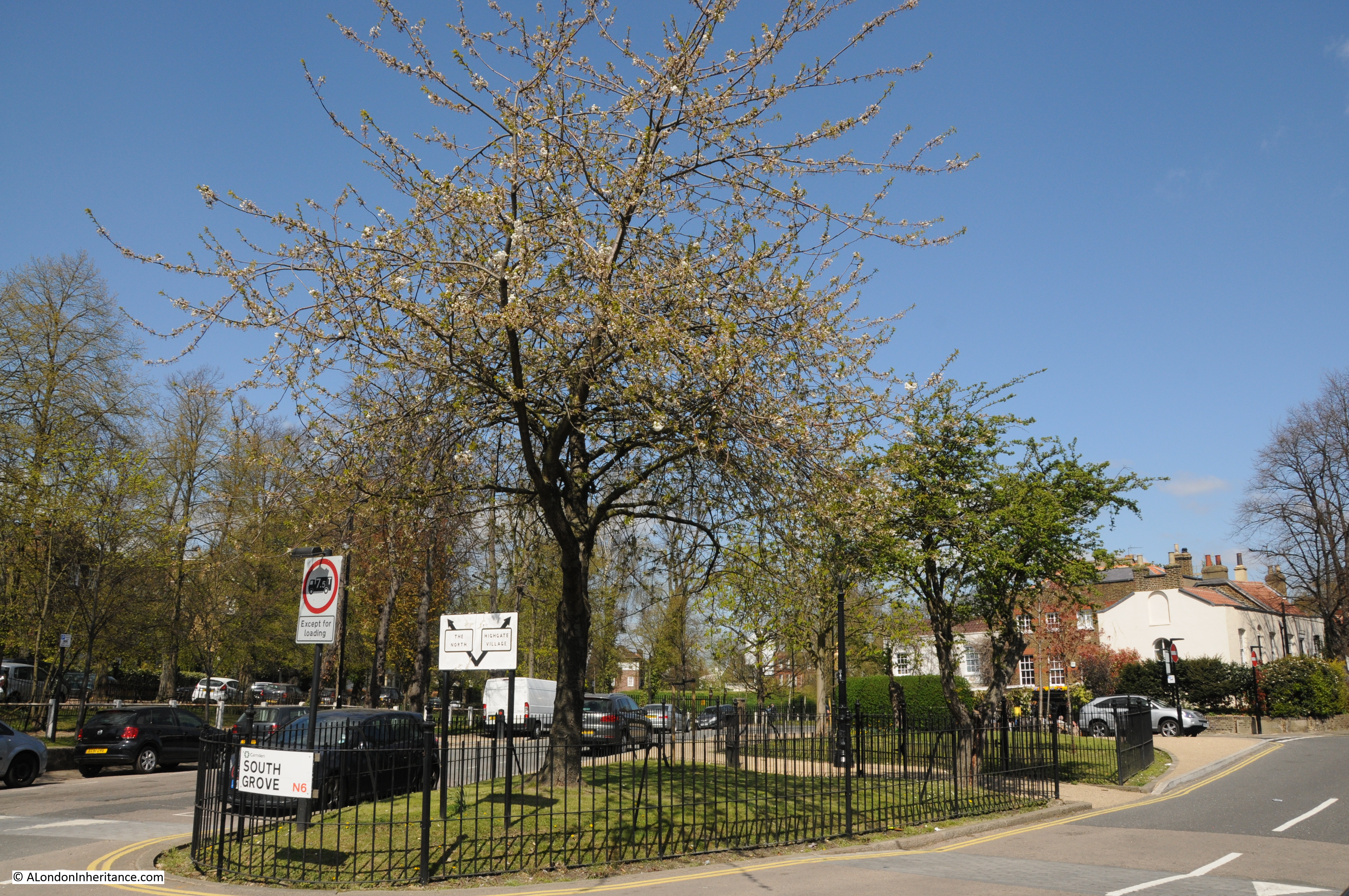
Follow Hornsey Lane to the left, and it joins Highgate Hill. opposite Waterlow Park, and Highgate Hill is the reason why the Highgate Archway was built.
Early in the 19th century, Highgate Hill was one of the main routes running north from the city. It was a steep hill, in a variable condition, and at the top, Highgate Hill, as its name suggests, ran through the village of Highgate.
Traffic levels were increasing, and a need to bypass Highgate was seen as the best approach of addressing the challenges of the hill, avoiding Highgate village, and supporting increasing traffic volumes.
The following extract from the excellent Topographic Map website shows why the new route was needed, and why the location for the Highgate Archway was chosen:

The orange and red are increasing height, and the greens and blues are descending hights.
The orange, red and pink to the left of centre is the location of Highgate. Highgate Hill runs up this increasing height.
Highgate Archway is marked with the black arrow. Archway Road runs to the east of Highgate, cutting across the lower land height, and where Hornsey Lane runs to Highgate, it is along a short, high spur of land which follows Hornsey Lane. The Highgate Archway bridge was needed to carry Hornsey Lane as Archway Road cut through this short, high spur of land.
At the beginning of the 19th century, much of the land was still fields, so building the new road to the east, avoided Highgate Village, reduced the height and rate of ascent of the road, cut through the short amount of high ground and provided a much wider road to carry increasing levels of traffic.
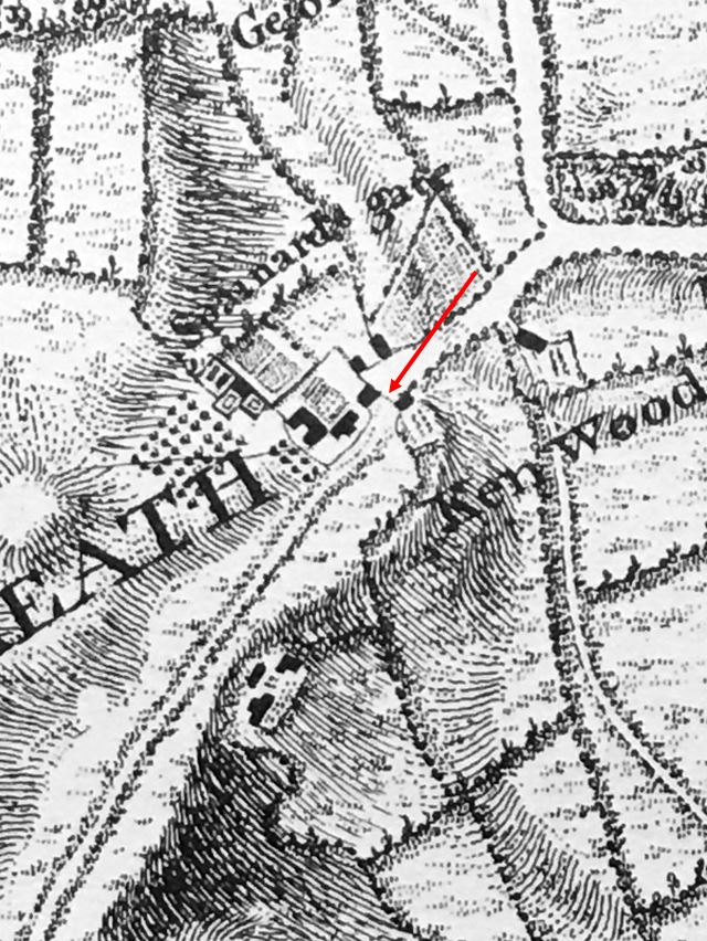
The following extract from Rocque’s map of 1746, shows the area in the mid 18th century. Highgate village is to the left, with Highgate Hill running up to Highgate from Upper Holloway.
I have marked with the arrow where the bridge is located today, with Hornsey Lane having already been in existence for some centuries. The red dashed line shows the route of the new road, Archway Road, from the current location of the Archway Tavern (at the bottom of the line), up to the point where today it meets Shepherds Hill / Jackson’s Lane:

The Highgate Archway bridge that we see today, is the third of the three plans for carrying Hornsey Lane over Archway Road. The first was a failure, the second worked reasonably well, and the third has lasted well over a century.
A bill was before Parliament in early 1810 for the construction of a new road and a tunnel taking the new road under Hornsey Lane.
The proposal for a tunnel came from the mining engineer Robert Vazie. This consisted of new approach roads and a tunnel with a total length of around 2,000 yards of which 211 yards was in the tunnel. A company was formed to deliver the new road and tunnel, with the ability to raise capital of £40,000 and to borrow up to £20,000.
The capital and borrowing was to be repaid by a toll charged to use the new road. Tolls of 6 pennies for a horse and vehicle, 3 pennies for a horse, 2 for a donkey and 1 penny for someone on foot.
Robert Vazie already had some difficult experience with constructing tunnels, as he was the first to work on a Rotherhithe tunnel, when in 1805 he started construction of a tunnel underneath the river – the Thames Archway Tunnel. Two years later, Vazie had not made that much progress. Sand and quicksand were making it very difficult to build a stable shaft and then tunnel out towards the river. The Directors of the Thames Archway Tunnel brought in the Cornish mining engineer Richard Trevithick, who made far more progress than Vazie, but continued to experience problems with quicksand and the river bursting through into the tunnel, to such an extent that the project had to be abandoned, and the Rotherhithe Tunnel had to wait for the Brunel father and son to build a tunnel between the north and south banks of the Thames.
Vazie’s Highgate Tunnel project also came to grief. The following is from the London Morning Chronicle on the 29th of January, 1812:
“THE TUNNEL – Between four and five o’clock on Monday morning, the Highgate Tunnel fell in with a tremendous crash, and the labour of several months, was in a few minutes, converted into a heap of ruins. Some of the workmen, who were coming to resume their daily labour, describe the noise that preceded it like that of distant thunder. It was the Crown Arch, near Horney Lane, that first gave way, and the lane, in consequence, fell some feet deep, and instantly became unpassable. The houses in the vicinity felt the fall like the shock of an earthquake. The number of persons whom the fineness of the weather attracted on Sunday to inspect the works, were not less than 800. How providential that the fall was reserved for a moment when no person was on the spot, to suffer by an accident, which has reduced this Herculean task to a heap of ruins.”
The collapse of the tunnel seems to have been caused by an economical approach in the materials used to line the tunnel, as on the 22nd of April, 1812, the following article appeared in the London Chronicle:
“The falling in of the Highgate Archway, which had been anticipated by the workmen for nearly a fortnight previous to the catastrophe, is considered to have originated in too economical a regard to the quantity of bricks used in the arch, and the quality of the cement uniting them. This accident, though a partial evil, will be evidently a public advantage, since it is now wisely determined by the proprietors to reduce their tenebrious tunnel to an arch of about 30 feet in length, which will be under and will support Hornsey Lane.”
The tunnel had many detractors, some had concerns with the proposal for a tunnel, other had concerns about the economic impact that the tunnel would have on the trade in Highgate, particularly for the inns that lines the road through Highgate, and attracted business from coaches, and travellers along the route.
Such were these concerns, that a comic opera was put on at the Lyceum Theatre, with the title “Highgate Tunnel or The Secret Arch”, which included a general battle between the Victuallers of Highgate and the Tunneleers. There was a sub-plot of an intrigue between Jerry Grout, described as a “bricklayer, lover and tunneleer”, and Patty Larkins, the daughter of the landlord of the Horns on Highgate Hill.
Following the collapse of the tunnel, plans were quickly revised, additional capital was raised by the company, and the architect John Nash was brought in to design a bridge rather than a tunnel, and to supervise the works.
Nash’s design was modelled on a Roman aqueduct, with two tiers of arches, and constructed of stone. The following photo from “The Queen’s London”, shows Highgate Archway as designed by John Nash:

When open, Archway Road was a toll road, however initially the amount of tolls collected were only just about enough to cover the maintenance of the bridge and road, but with increasing traffic volumes, tolls increased, but the action that allowed all the shareholders and loans to be fully repaid, was the sale of land alongside Archway Road for building. This land had originally been part of the purchase of land for the project, but its sale solved the profitability problem.
The road was freed from tolls on the 30th of April, 1876 when all debts had bee repaired, and the road and bridge were vested with the parishes of Hornsey and Islington.
Whilst Nash’s bridge was a success unlike the earlier tunnel, it had problems as traffic increased ober the 19th century. The central arch was only 18 feet wide, and acted as a choke point on the Archway Road. There were also plans for a tramway along the Archway Road, and a widening of the road and the bridge was essential for trams to run.
In the early 1890s, the London County Council Improvements Committee called for proposals for a replacement bridge along with widening of the Archway Road.
Then as now, there were discussions about cost, and finally the cost for the new bridge was shared between the Ecclesiastical Commissioners (£1,000) as they were freeholders of Highgate Woods, and owned nearby estates of land, Middlesex County Council and Hornsey Local Board (each to cover a quarter of the costs) and the London County Council would cover the rest of the costs, which were estimated at £28,000.
The Middlesex Coat of Arms remain on the bridge today as a reminder of the old county that part funded the structure:

The design of the new bridge was down to Sir Alexander Binnie, the engineer to London County Council.
The bridge had to accommodate five major water mains of the New River Company, who had a reservoir right next to the western side of the bridge, as well as gas mains of the Gas Light and Coke Company.
The plan of the new bridge from the London County Council book “History of London Street Improvements” (1898):

The design was selected in 1896, the contract for construction was signed with Charles Wall of Lots Road, Chelsea on the 13th of July, 1897.
Nash’s earlier bridge was demolished by the end of 1897, and work began on the new bridge in the following year., with the bridge being officially opened in July 1900.
Although the bridge did not open until 1900, and work commenced in 1897, the bridge displays the date 1897, to recognise Queen Victoria ‘s Diamond Jubilee of that year:

There was no formal opening of the new bridge. On the 28th of July 1900, Princess Louise (the sixth child of Queen Victoria) was unveiling a statue in Waterlow Park, and “on her return from the park, the Princess Louise was driven over the new Highgate Archway, and was enthusiastically received by the large crowds which had assembled along the line of the route. Without any formality beyond that of the royal drive across it, Highgate Archway was thrown open to the public on Saturday.”
The view looking across the bridge from the east, towards Highgate:

The cutting providing the route nortth for Archway Road, and the bridge carrying Hornsea Lane across Archway Road has been a success, in bypassing Highgate, and providing additiona road capacity.
Sadly though, for almost the whole time that the new bridge has been in place, it has been a place where people have tragically committed suicide by jumping to the road below.
There are frequent news paper reports over the decades of the bridge’s existence of suicides, and the Office for National Statistics has a record of deaths from the bridge over the last few years, with two between 2008 and 2012, and three between 2013 and 2017.
In 2018, plans were finalised for fencing around the sides of the bridge to try and prevent suicides. The above photo shows this fencing lining the two sides of the bridge, and the following photo shows the fencing looking south, with the towers of the City in the distance:

Other plans were put forward for fencing that blended in with the overall structure, but the solution we see today was installed.
Looking from the northern side of the bridge:

And to the east along Hornsey Lane:

I mentioned earlier that the new bridge had to accommodate a number of large water mains as the bridge was adjacent to a reservoir of the New River Company.
This was a logical place to locate a reservoir as height for the storage of treated water provides back pressure to distribute water to consumers. The water starved grass of the reservoir can be seen in the following photo looking west from the bridge towards Highgate. The road is wet, as the day of my visit to Archway coincided with the only bit of rain in several weeks:

The lamps to the side of the bridge were modelled on those on the Embankment:

It is not just the bridge which is high, the approach of Archway Road to the bridge is also high, and walking back towards Archway underground station, St. Paul’s Cathedral came into view (it is hidden by trees from the bridge), and I looked to be almost at the same level as the dome:

The higher ground behind the cathedral looks to be around Beckenham and Bromley, and illustrates how central London is at a low point, along the river, with high ground to north and south.
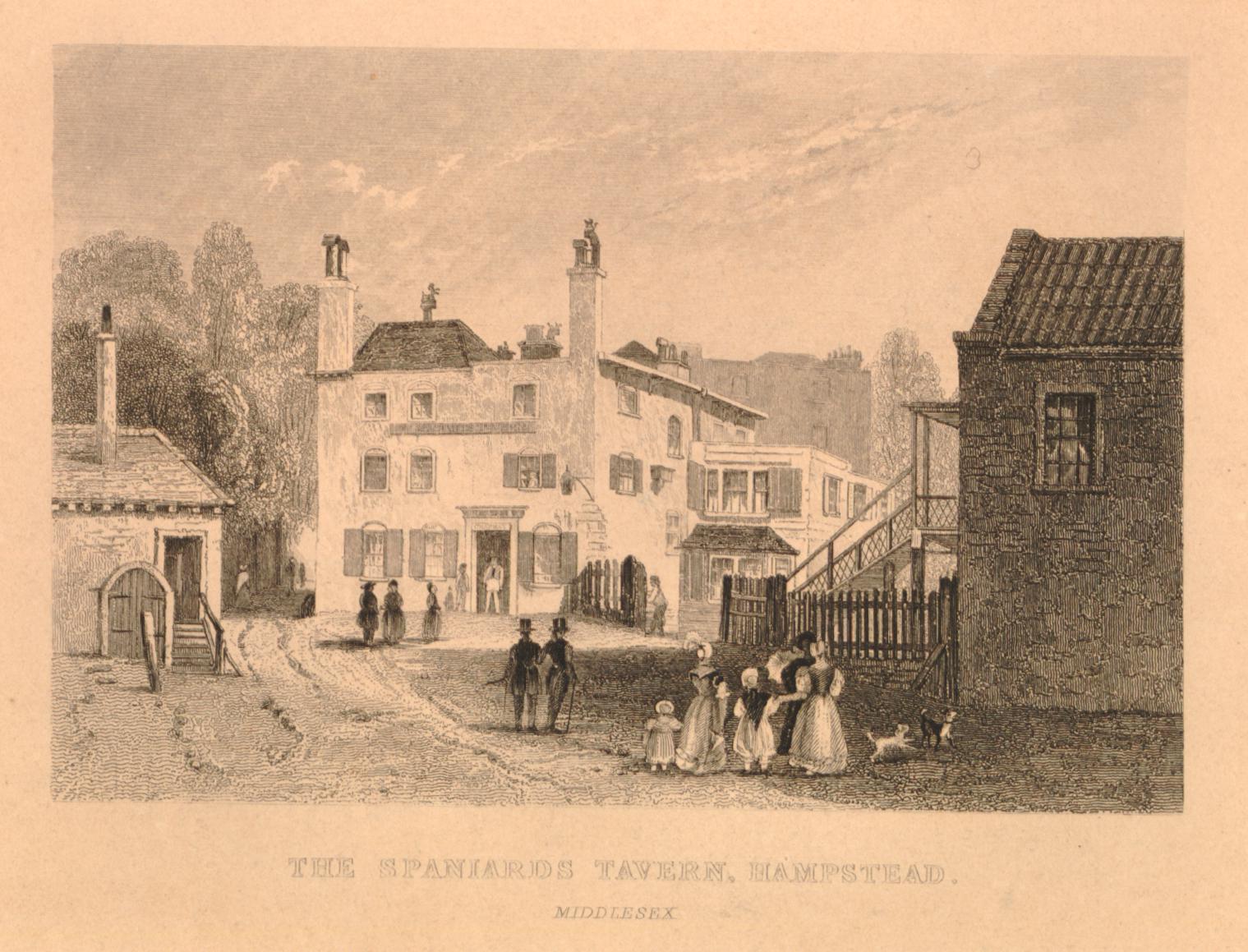
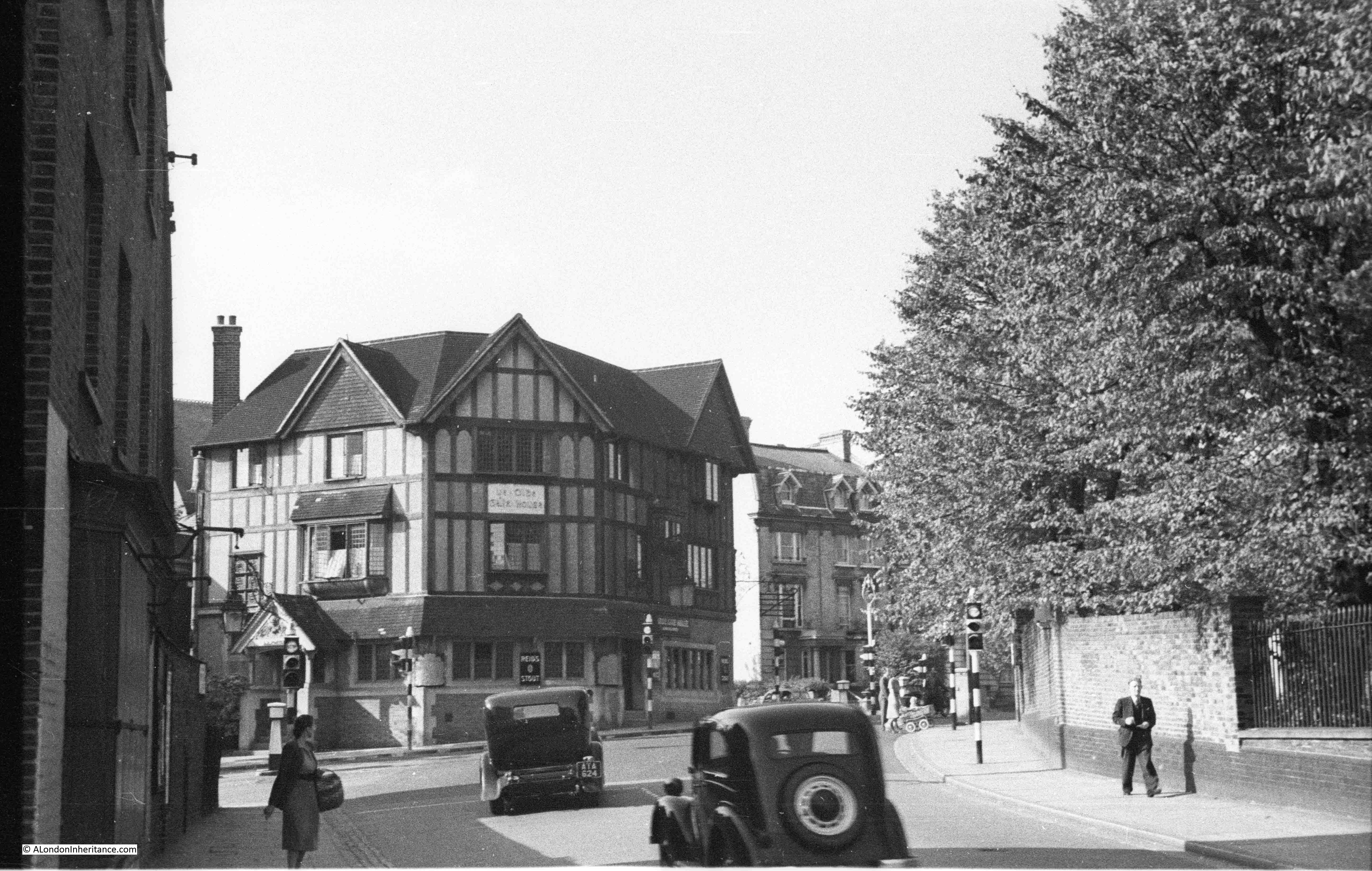
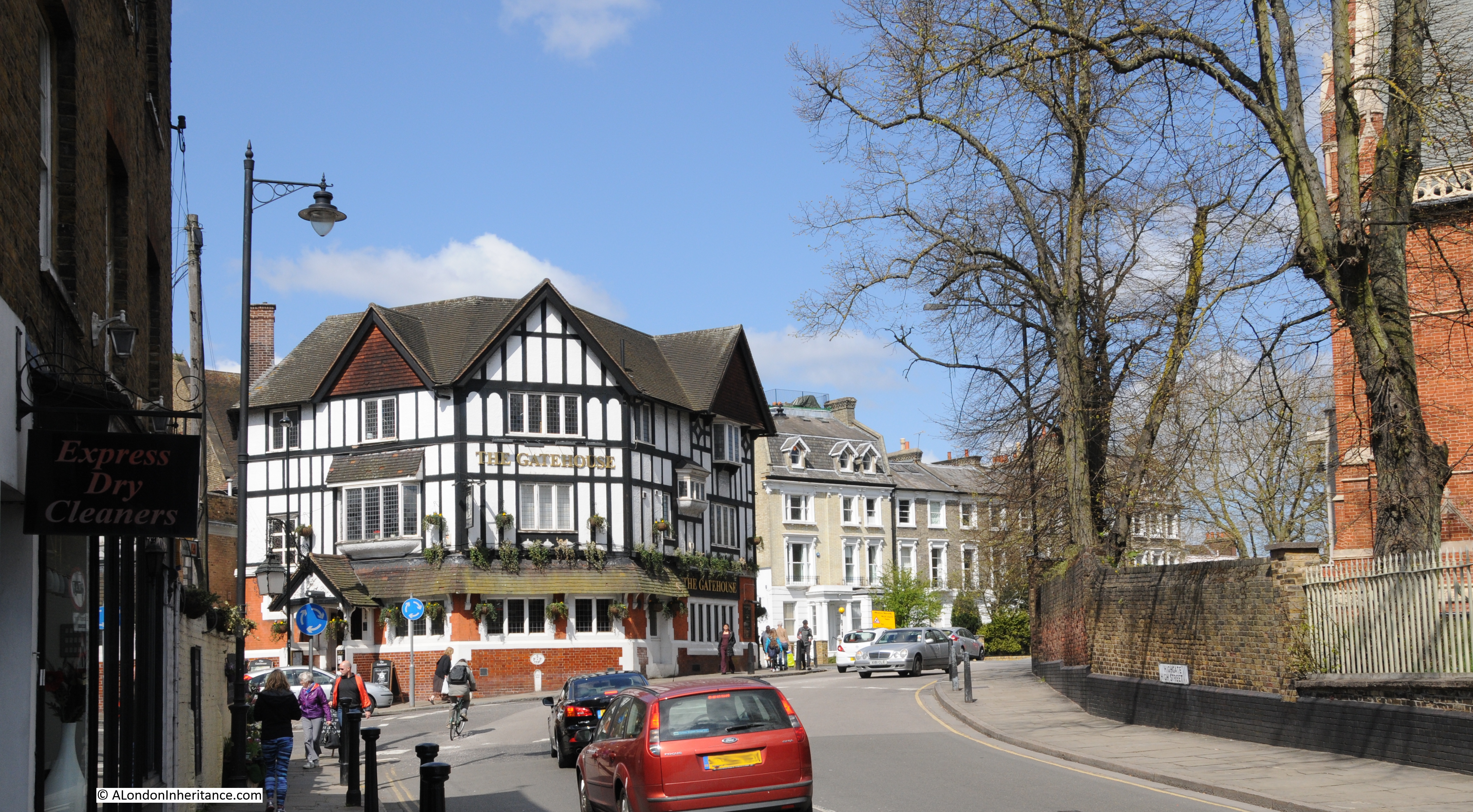
At the southern end of Archway Road is the 1888 Archway Tavern:

An earlier version of the Archway Tavern, with John Nash’s Highgate Archway to the right is shown in the following print, from Old and New London and is dated 1825. A rural scene that is hard to imagine today.

fIn the above print, the little hut to the right of the print is where tolls were taken for those using the new route.
It is interesting to compare prints with photos to see how realistic prints were.
If you compare the above print with the photo of John Nash’s bridge from the Queen’s London, earlier in the post. you will see that the road leading up to the bridge has a slope upwards in the photo, whereas in the above print, it looks like a flat stroll up to the bridge.
The Highgate Archway was an early bypass, taking traffic away from Highgate Hill and the village of Highgate.
The original plan for a tunnel was a failure. The double layered bridge by John Nash worked well for much of the 19th century, but as traffic volumes grew and the tram network was extended, the central arch was far too narrow, resulting in a replacement bridge designed by Sir Alexander Binnie. and which opened in 1900. This is the bridge we see today, the last of three plans to cross this busy road.