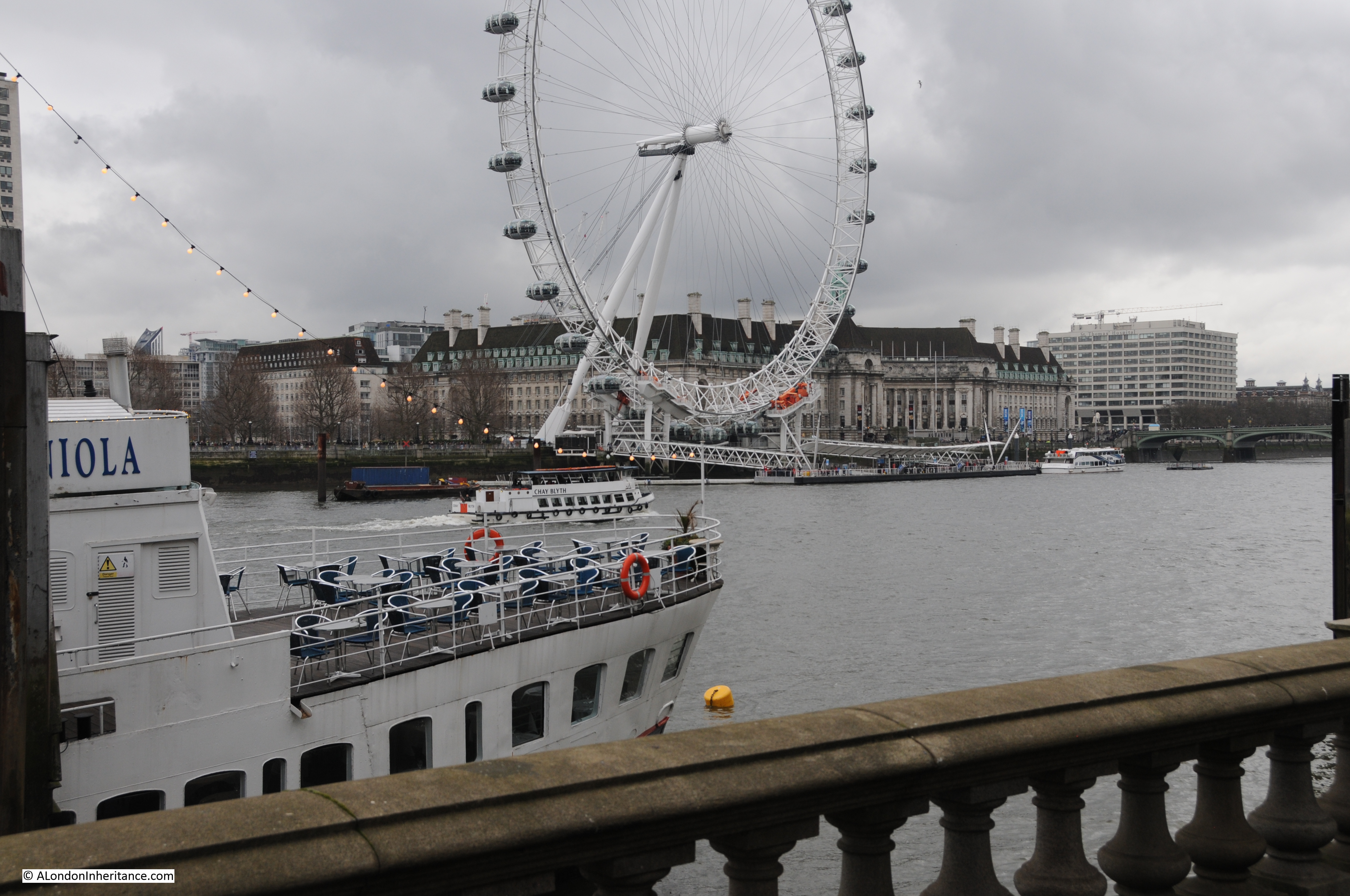
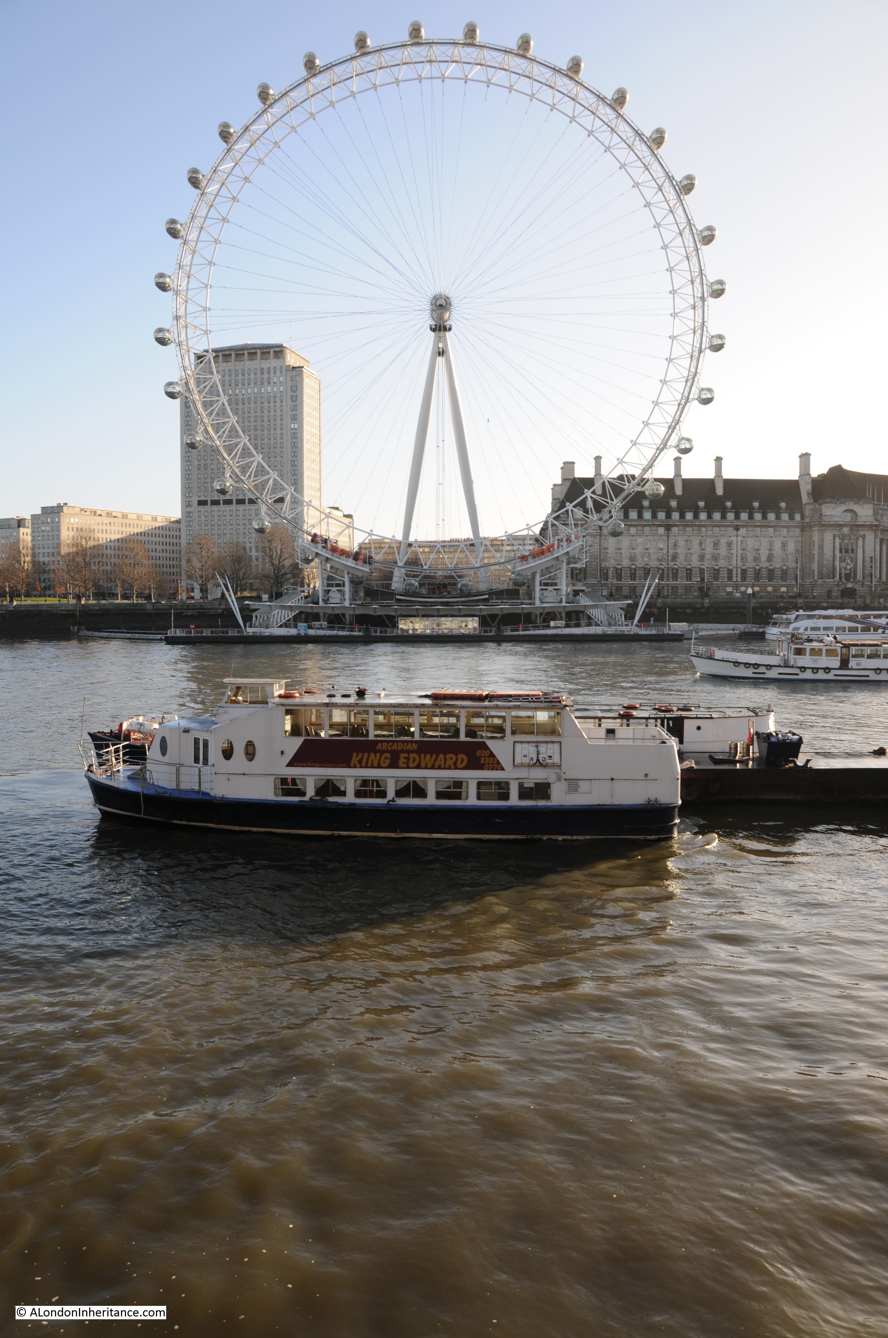
Two new dates for my walks are now available on Eventbrite. Walks, dates, and link for details and booking, here:
Bankside to Pickle Herring Street – History between the Bridges – Sunday 29th September
Limehouse – A Sink of Iniquity and Degradation – Sunday 6th October
The Royal Commission on Local Government in Greater London, 1957-60 was a significant investigation into the governance of London, with a target of recommending whether any, and if so what, changes in the local government structure and distribution of local authority functions in the area, or in any part of it, would better secure effective and convenient local government.
The 1957-60 report, with some modifications led to the London Government Act 1963, which resulted in the creation of the Greater London Council in 1965, along with the formation of 32 London borough councils.
The report is an interesting read, not just for its recommendations, but also for the descriptions and statistics of London at the time of the report, the challenges facing London, how London, and the governance of the city had developed etc.
I find it fascinating how, when you explore much of London’s history, many of the themes are much the same today, and the following paragraphs from the introduction to the report could have been written today, rather than 64 years ago:
“Throughout its history London has had this astonishing quality of vitality which has shown itself in two main ways. London has constantly attracted people to itself from the outside, and it has also grown constantly from the centre outwards. These centripetal and centrifugal forces have worked at varying paces at various times; but viewed in perspective the two processes have been continuous. Both forces have been working with accelerating impetus since the year 1900 and they have never been more active than they are today.
At intervals attempts have been made to contain this growth. Sometimes the Court has tried to restrain the growing power of London. Sometimes social reformers have shaken their heads over the problems of size this growth has engendered. Nowadays restriction through planning and other controls is the order of the day. If London remains true to its historic character, it will continue to attract and to try to expand; to attract for business and residence, and to a lesser extent for industry, and to try to expand outwards as its population grows and as the demand for more spacious surroundings grows, a demand which a rising standard of living gives people the means to satisfy.
Already London is leaping over the green belt which as recently as twenty years ago was designed to contain it. Many of the problems with which we deal with in this our Report are direct reflections of the phenomena to which we have referred. The fundamental question is not ‘How can growth of London be stopped?’ but ‘How can London’s abounding vitality be guided and directed for the general good through the medium of self-government?’. The problems we have to consider are the problems of vigorous growth, the growth of a living organism which has earned a better title than the cold, ugly, and in this instance misleading term ‘conurbation’. Such a term would certainly have repelled visionaries such as William Blake whose poetry perhaps brings us nearer the truth than we should get by too exclusive adherence to the prosaic details of the machinery of government:
I behold London, a Human awful wonder of God!
He says: ‘Return, Albion, return! I give myself for thee.
My Streets are my Ideas of Imagination.
Awake Albion, awake! and let us awake up together.
My Houses are Thoughts: my Inhabitants, Affections,
The children of my thoughts walking through my blood-vessels
So spoke London, immortal Guardian! I heard in Lambeth’s shades.
In Felpham I heard and saw visions of Albion:
I write in South Moulton Street what I both see and hear
In regions of Humanity, in London’s opening streets.
The report is almost 400 pages of considerable detail, far more than I can explore in a weekly post, however one thing I can cover are the maps.
At the back of the 400 pages is a large pocket, and in the pocket are 12 maps which illustrate the report, and also provide us with a snapshot of London over 65 years ago, the proposals contained within the report, and how London had developed to the late 1950s.
Map 1 – The Review Area
The first map in the series shows, appropriately, the area covered within the review. This was the extreme boundary of what could be considered Greater London.
As will be seen in a future map, parts of the review area were excluded from the reports’ recommendations for the administrative boundaries of a Council for Greater London.

Map 2 – Proposals for Reorganisation
This map shows how the report proposed the reorganisation of London governance, with the outer boundary showing the “Area of Council for Greater London” (and with modifications, would become the Greater London Council), along with the proposed Greater London Boroughs and their population estimates in thousands:

The thick grey line from the original review area shows that the report concluded that parts to the north west, the north and a small area to the east, should not be included in a new Council for Greater London.
Map 3 – The Growth of London
This is a fascinating map as it shows how the city had grown since the year 1800, with the land area covered in the following 155 years identified by different colours to show expansion.
The map also identifies the outer boundary of the London green belt, major open spaces within the growing city, and the planned new towns, all orbiting the growing city:

Map 4 – Where Does London End?
There is no title to this map, so I have given it my own title – Where Does London End?
I suspect an often asked question, and one that is difficult to answer. London has far outgrown the original City. Over the centuries, it has expanded and consumed all the villages that once surrounded the original City of London.
Add to this complexity, there are different interpretations of London by the different authorities and service providers involved in many aspects of London governance and critical service provision, and this was the focus of the report.
The map shows these different boundaries as they were at the time of the report, and included the boundaries of, for example, the Registrar General’s Greater London Conurbation, the Metropolitan Water Board, Metropolitan Police District, London Transport Executive Area etc.:

Map 5 – Built-Up Areas 1958 and London Green Belt
This map shows “Built-up areas, which include the residential, industrial and business areas of towns, villages and other closely developed settlements, together with the educational institutions, allotments and smaller open spaces which they envelop. Large industrial and service establishments in rural areas are also included. Golf courses and most airfields are excluded. The Greenbelt is that shown in approved Development Plans at 1/1/60”:

There has been a conflict between the green belt and the need for development for as long as the green belt has existed. The 1960 report included the following in the introduction “Already London is leaping over the green belt” which demonstrates that over 60 years ago this was a problem.
The green belt featured again in the recent General Election with Labour’s proposals for more building and the possible inclusion of areas of the green belt in a building plan.
I suspect that the conflict between preserving green belt, and the need for new development and housing will be an ongoing issue for very many decades to come.
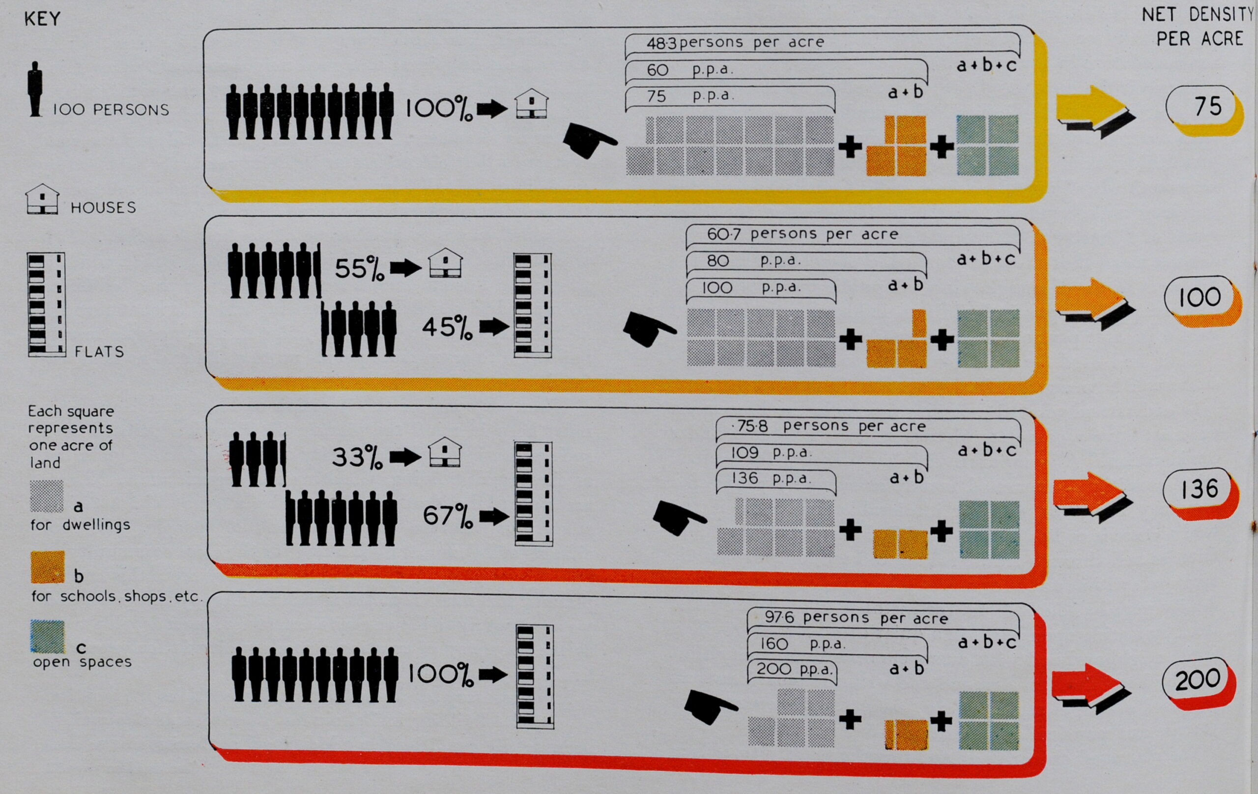
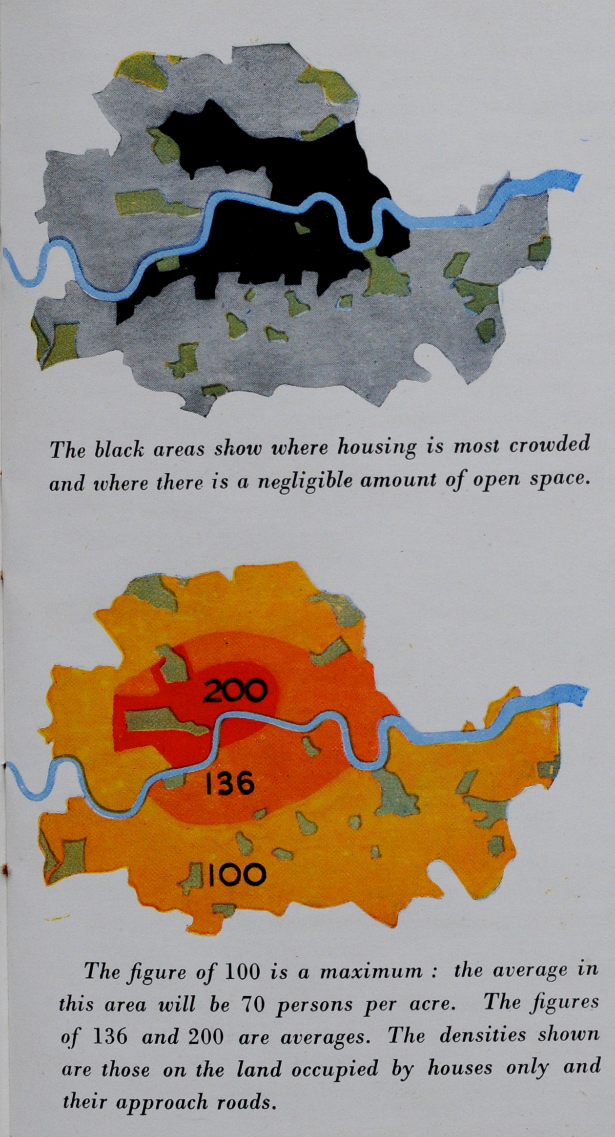
Map 6 – Population Density 1951
A colour coded map of population density as it was in 1961 is the next in the map series.
As could be expected, the map shows the highest density of people per square mile towards the centre of the city, with density reducing as you move further away from the centre.
The exception to this is with the City of London and the City of Westminster, where population density, particularly in the City of London has always been low.

Map 7 – Travel to Work into Central London
One of the impacts of the 19th century revolution in rail travel was the ability to live in the London suburbs and travel into the centre of London to work, and map 7 shows the percentage of “total occupied persons resident in each local authority area who worked in Central London in 1951”.
The definition of central London was The City of London, City of Westminster and Metropolitan Boroughs of Finsbury, Holborn and St. Marylebone.
The map shows that in 1951, the majority of travel into central London was from within the area under review, however there were significant areas to the north west (showing the impact of the Metropolitan line), and to east London, and an area to the east in south Essex from Brentwood to Southend:

Map 8 – Changes in Population and Employment
This map shows the changes in population and employment in a single decade, the 1950s.
This was an unusual decade as London was still in the process of recovering from the destruction of the Second World War, and both industry and populations were changing dramatically.
The map shows there was a decrease in population across the majority of London, but increasing population along the boundaries of Greater London.
The map also shows changes in employment, with decreasing employment in east London and to the north and south of the City, but increasing employment further out, and to the west.
The decrease in employment seems to have been more significant in the small area bounded by the City, Shoreditch, Islington and St. Pancras, with a decrease of 8,000 workers in just six years. By contrast, central London from the City of London to the City of Westminster increased employment by 136,000 workers in the same six year period.
There are large increases in employment in some of the surrounding new towns, as these start taking both jobs and people from London.

Map 9 – Classification of Service Centres
In the report, a Service Centre is a place where there is a concentration of services such as theatres, cinemas, banks and shops.
The location of these service centres was calculated using the concentration of these services as well as the analysis of bus services to identify where there were nodes that concentrated bus services as well as the banks, shops, etc. that people would want / need to travel to and use.

Map 10 – Educational Administration
The provision of education across London was a key part of the report, and the following map shows how education services were administered in 1960:

Throughout the report, there are themes and challenges which are the same now, as they were when the 1960 report was published.
The report talks about the importance of delegation of responsibility to heads of schools and teachers, the importance of Youth Services, including the Youth Employment Service and that these should be fully integrated with schools.
School Health Services were considered key, and again should be integrated with health services provided by local authorities and central government.
The report stated that “As standards of education have risen, both as to actual teaching and as to the quality and amenity of buildings, more and more subsidies from tax payers money have been needed and more and more money has had to come from the rates.”
It seems a recurring message with public services, that if you need good services you need to invest, and public services should be fully integrated to work efficiently and deliver an effective service.
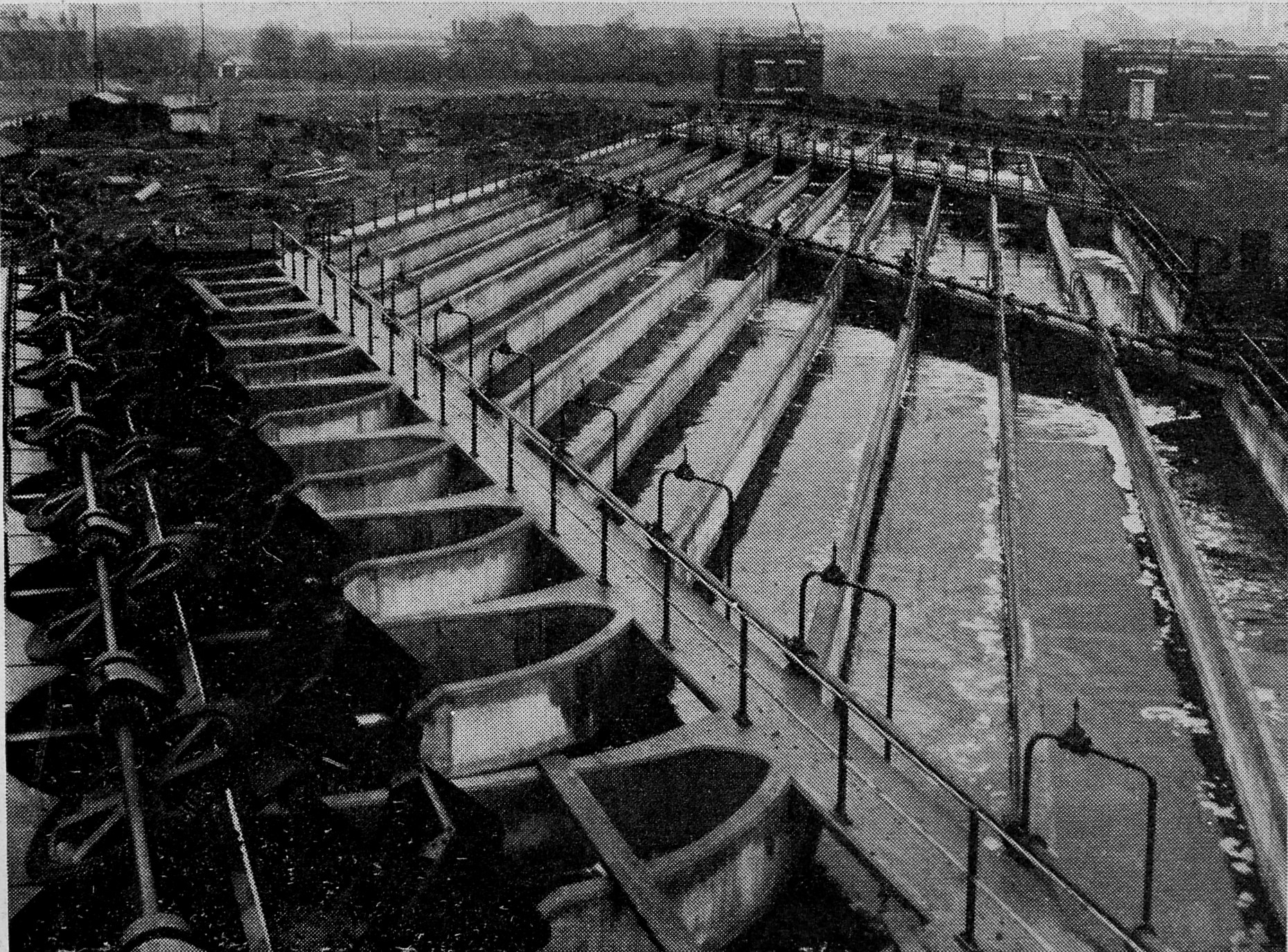
Map 11 – Sewerage and Sewage Disposal
A topic which is much in the news today, but had very little commentary in the 1960 report. The report saw little further scope left for further centralisation, following the Report on Greater London Drainage in 1935, and in 1960 these services were provided by a mix of authorities, ranging from the London County Council, and various other boards within urban and rural districts, as shown by the following map:

There is no comment in the 1960 report on sewage discharges into rivers, so I have no idea whether this was a problem in the years between 1935 / 60, however today, it really is a serious problem, and for London, it happens all along the Thames.
I wrote about the London Data Store a couple of months ago, and within the vast amount of data on London available, there is an interactive map of Sewer Overflows across London.
Taking just a small section of central London, between Blackfriars and Tower Bridges, there are the following sewer overflows on the north bank of the Thames:
- Fleet Main Line Sewer
- Paul’s Pier
- Goswell Street
- London Bridge
- Beer Lane
- Iron Gate
When I check the map whilst writing this post, the Fleet Main Line Sewer, Paul’s Pier and Iron Gate were all recorded as “This storm overflow discharged in the last 48 hours. This means there could be sewage in this section of the watercourse.”
If you walk along the Thames foreshore, and want to touch anything, I would wear disposable gloves. If you want to check the map, it can be found here.
Map 12 – Central Areas
Map 12 shows the area that was defined as the central area of London, and the boundaries of various authorities who operated within this central area:

The report makes very little reference to infrastructure projects, which is understandable as it was a report on the governance of London, however are two specific projects which received some attention in the report.
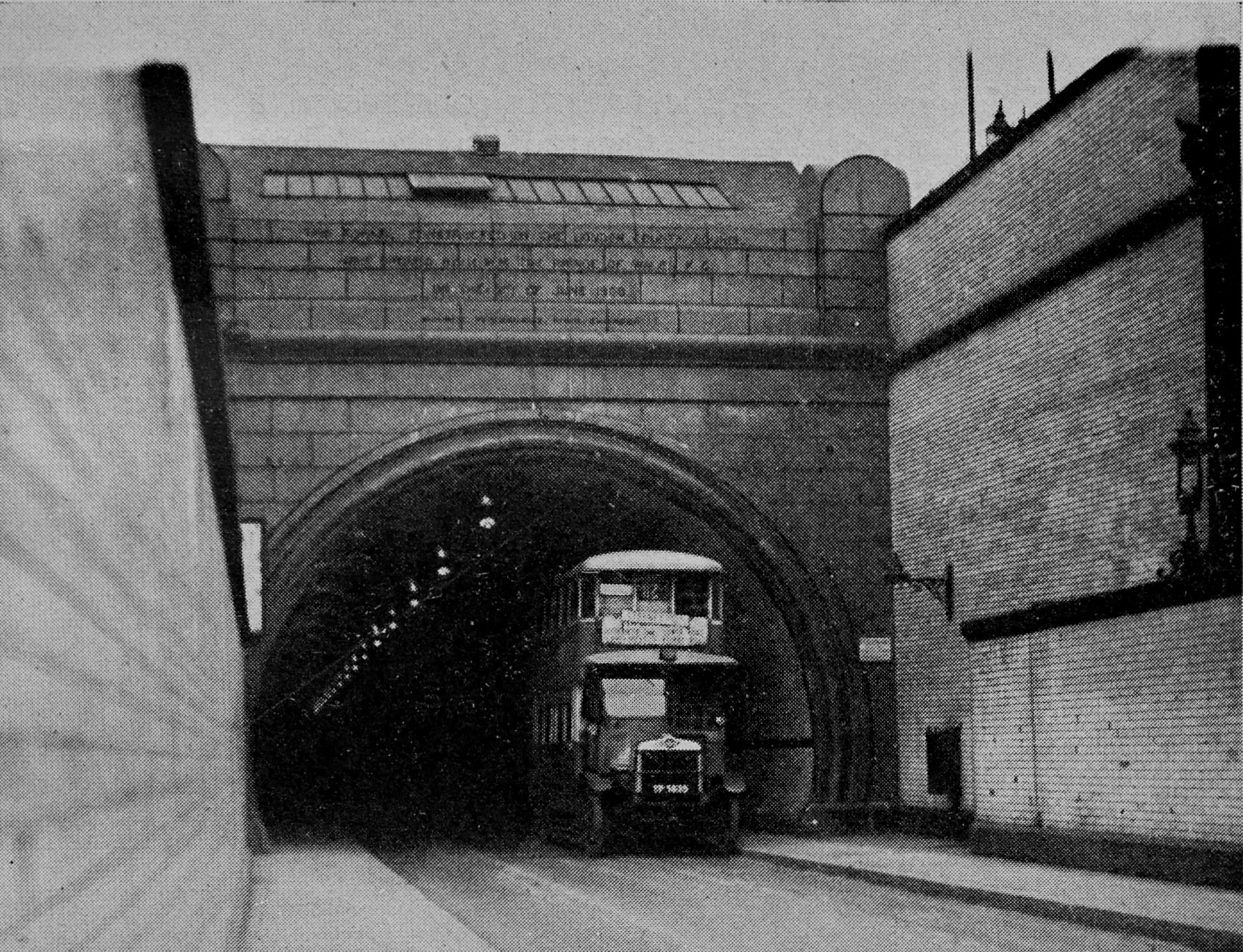
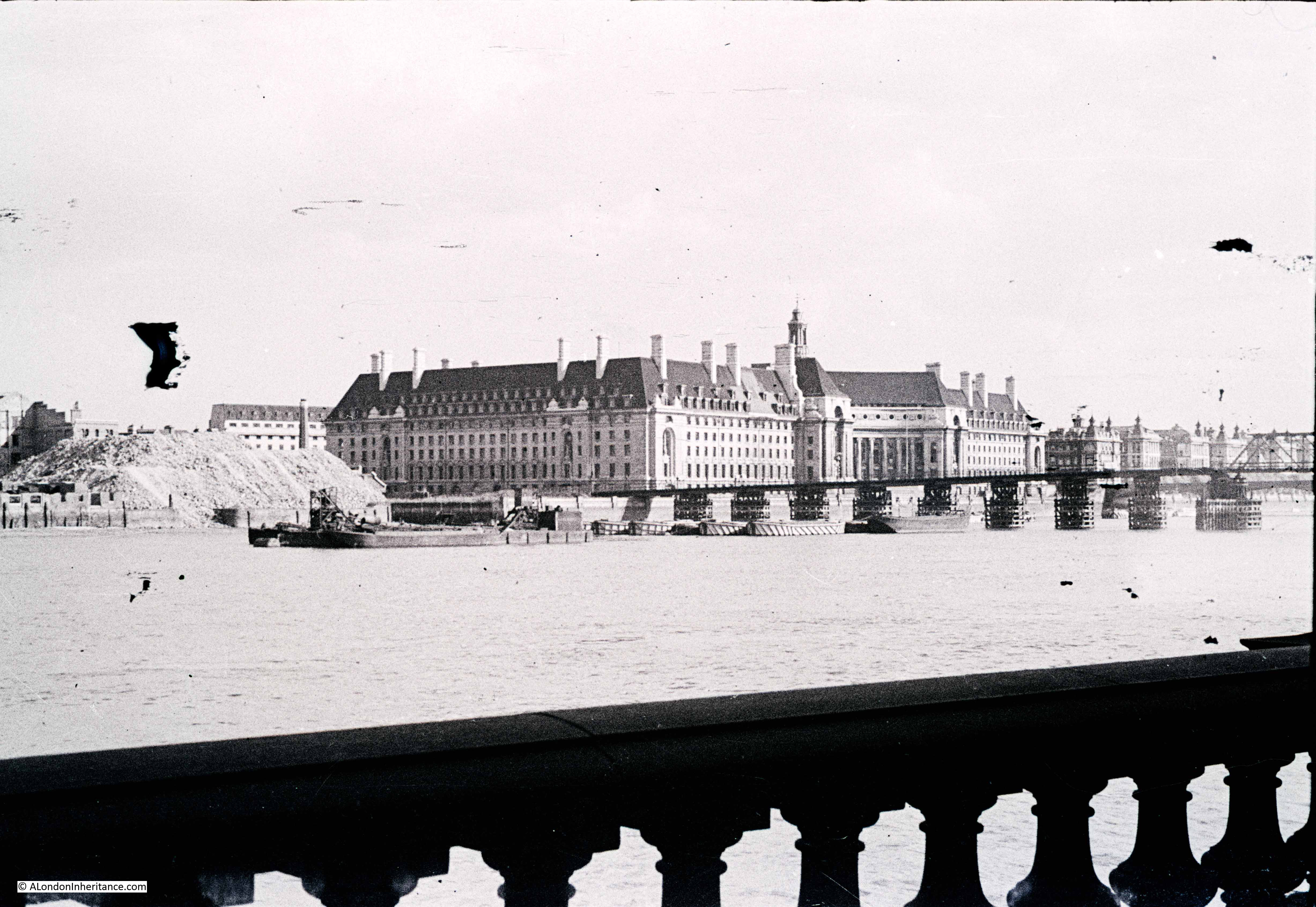
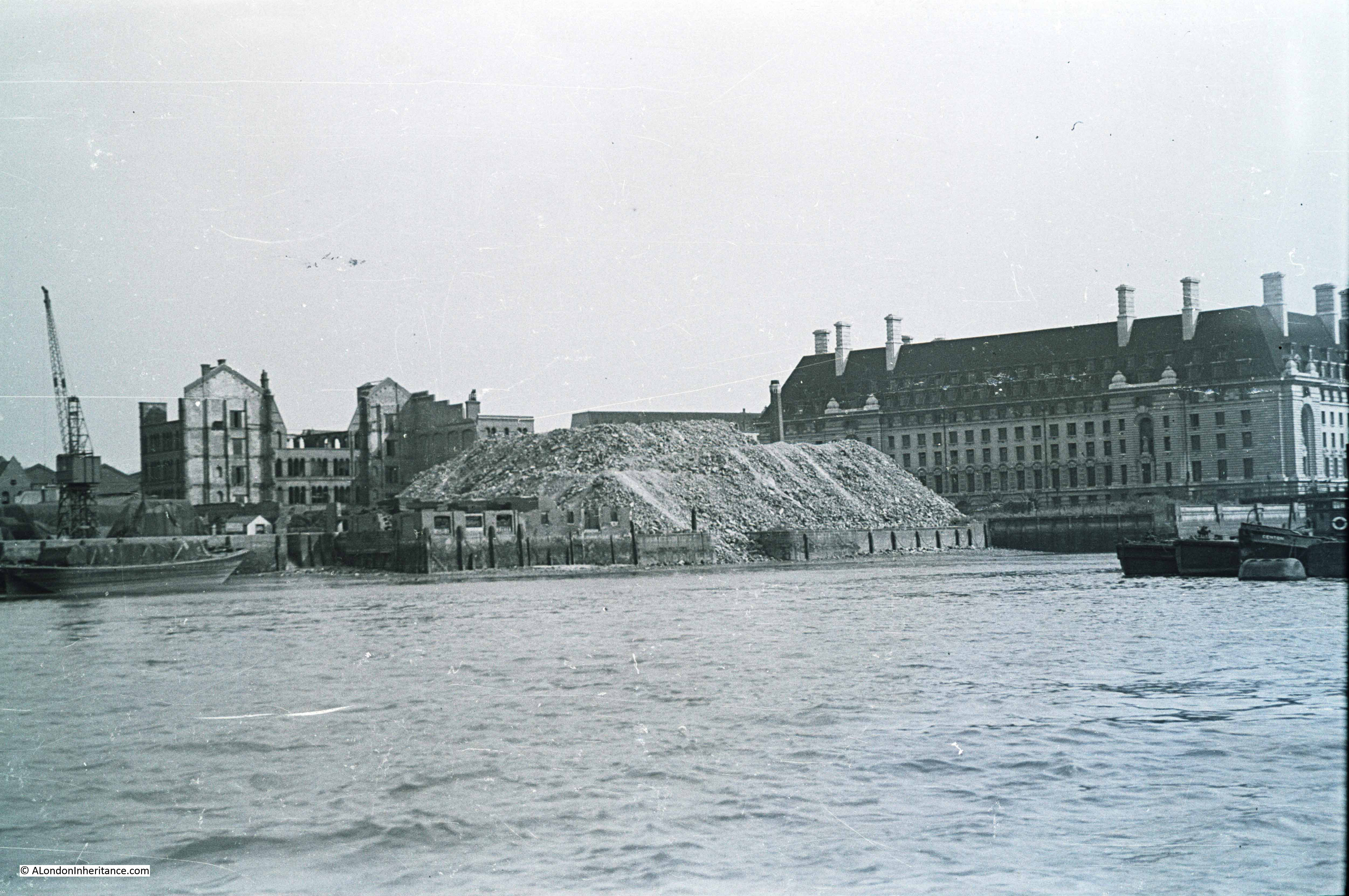
The first was on the Narrow Street Bridge in Stepney. This was the swing bridge that carried Narrow Street over the entrance to the Regent’s Canal, now Limehouse Dock.
The bridge was 100 years old, and since the 1930s had suffered increasing amounts of damage from heavy traffic.
By 1952, the bridge was in such a bad state of repair, that it was closed to motor vehicles and horse drawn traffic. There were too many worn and rusted main girders that even after repair, it could not be operated safely without traffic limitations.
In 1955, the bridge was closed to all traffic, and during the period of closure, “vehicles carrying goods to and from the wharves and warehouses in the area, including the Regent’s Canal Dock, have had to make a detour of 2.5 miles, part of which is along a main road”.
The issue was money and who was responsible to pay for a new bridge. The bridge was owned by the British Transport Commission, but there had been discussion with the London County Council, the Ministry of Transport and Stepney Borough Council about sharing the costs of the bridge.
It seems that finally, the London County Council agreed to accept the whole liability for the additional costs of building a bridge as a special case, and at the end of 1959 approval for the work to go ahead was given.
I did not know that such a key bridge was closed for so long, when use of the docks, wharves and warehouses in the area was still considerable. Trade through the docks was still increasing in the 1950s.
The case of the Narrow Street Bridge is very similar with that today of Hammersmith Bridge, where a bridge in need of repair is closed, stays closed for a considerable period, with the issue being who covers the costs for the considerable repair work needed.
The second infrastructure project in the report was the “Cromwell Road Extension Scheme with particular reference to the Hammersmith Roundabout and Flyover”.
The report goes into some of the challenges with getting approval for the roundabout and flyover (restrictions on capital expenditure, objections by Hammersmith Borough Council etc). These were gradually overcome, with the roundabout opening in 1959 and the flyover in 1961.
Hammersmith flyover is now over 60 years old, and is the main route between central London and Heathrow, and to the west of the country via the M4, and carries around 90,000 vehicles a day.
There were concerns that it might have collapsed in 2011 due to corrosion and weakened support cables running through the structure. This required much repair work, with a second phase of repairs carried out which ended in 2015.
Around this time, there was talk of replacing the flyover with a tunnel, but this proposal does not seem to have made any progress, and would be hugely expensive and disruptive.
So the Hammersmith Flyover is gradually getting older, and at some point will become a major problem, with, no doubt, the same “what can be done” and “who pays” issues that have long been an issue with any infrastructure project across London.
The 1957-60 Royal Commission on Local Government in Greater London paved the way for the creation of the Greater London Council, a body that would only last from 1965 to 1986.
The report highlights that whilst the way London is governed and administered changes over time, many of the issues and themes at the heart of London’s development, growth, provision of services, finance, and relationship with the areas of the south-east that border London, are the same today as they have always been – and I suspect, will continue to be the same for very many years to come.