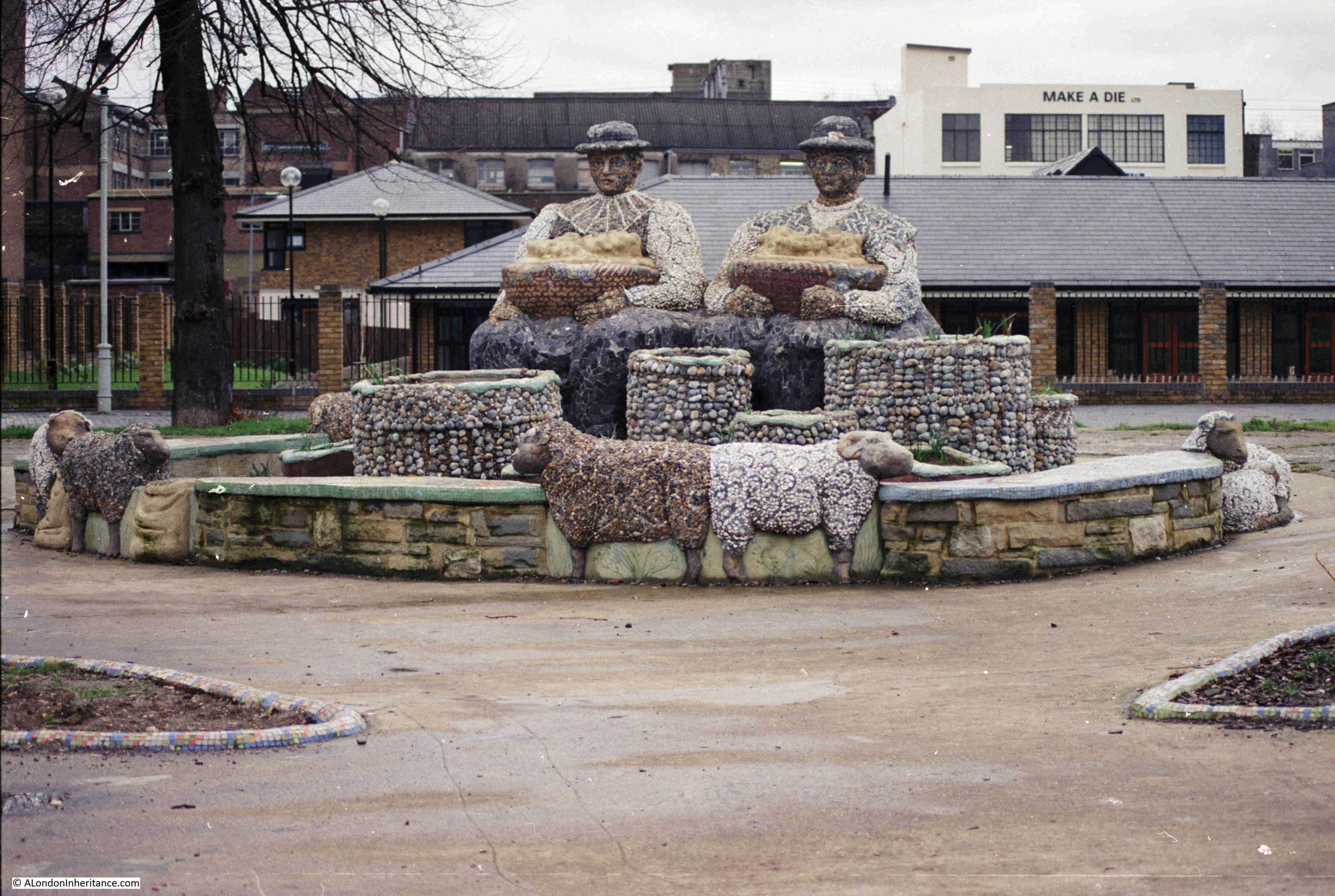
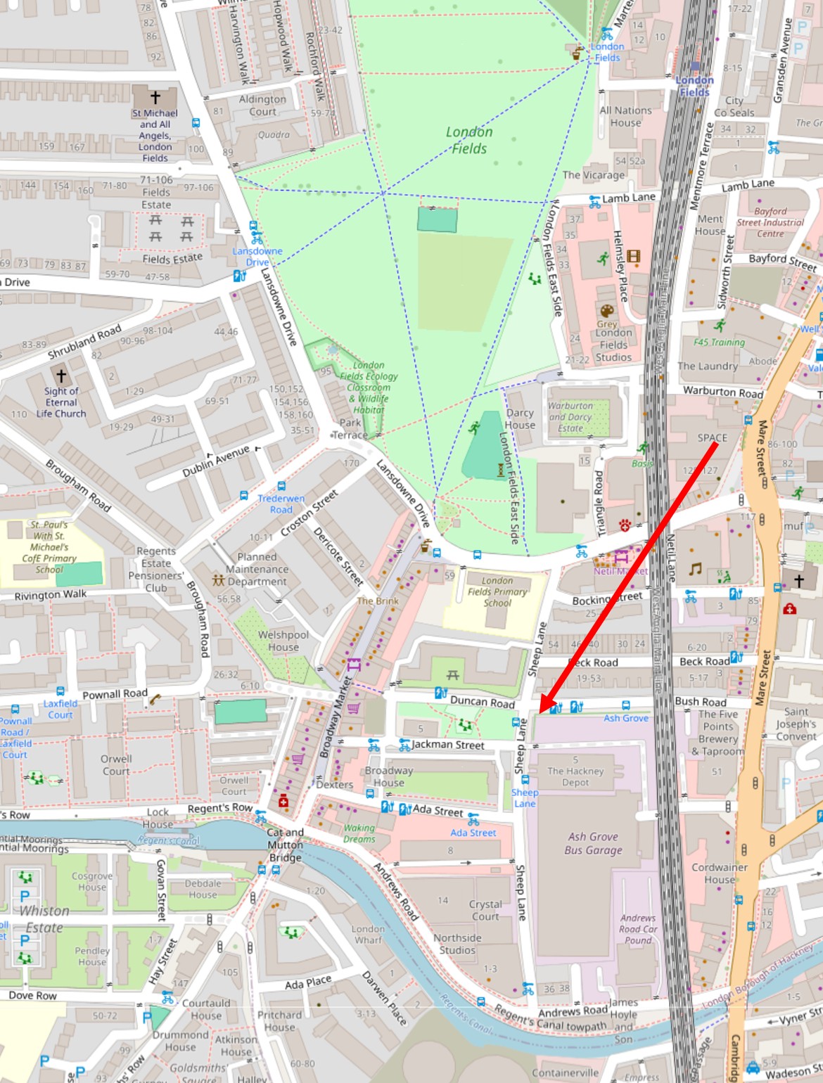
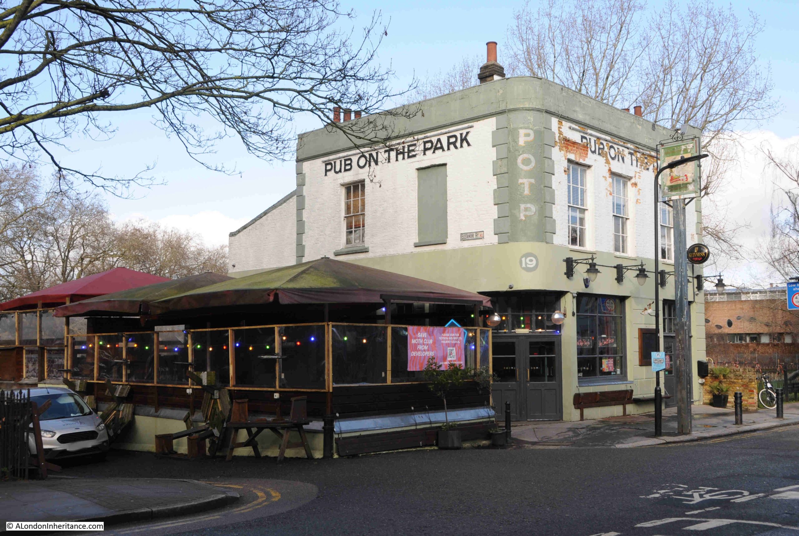
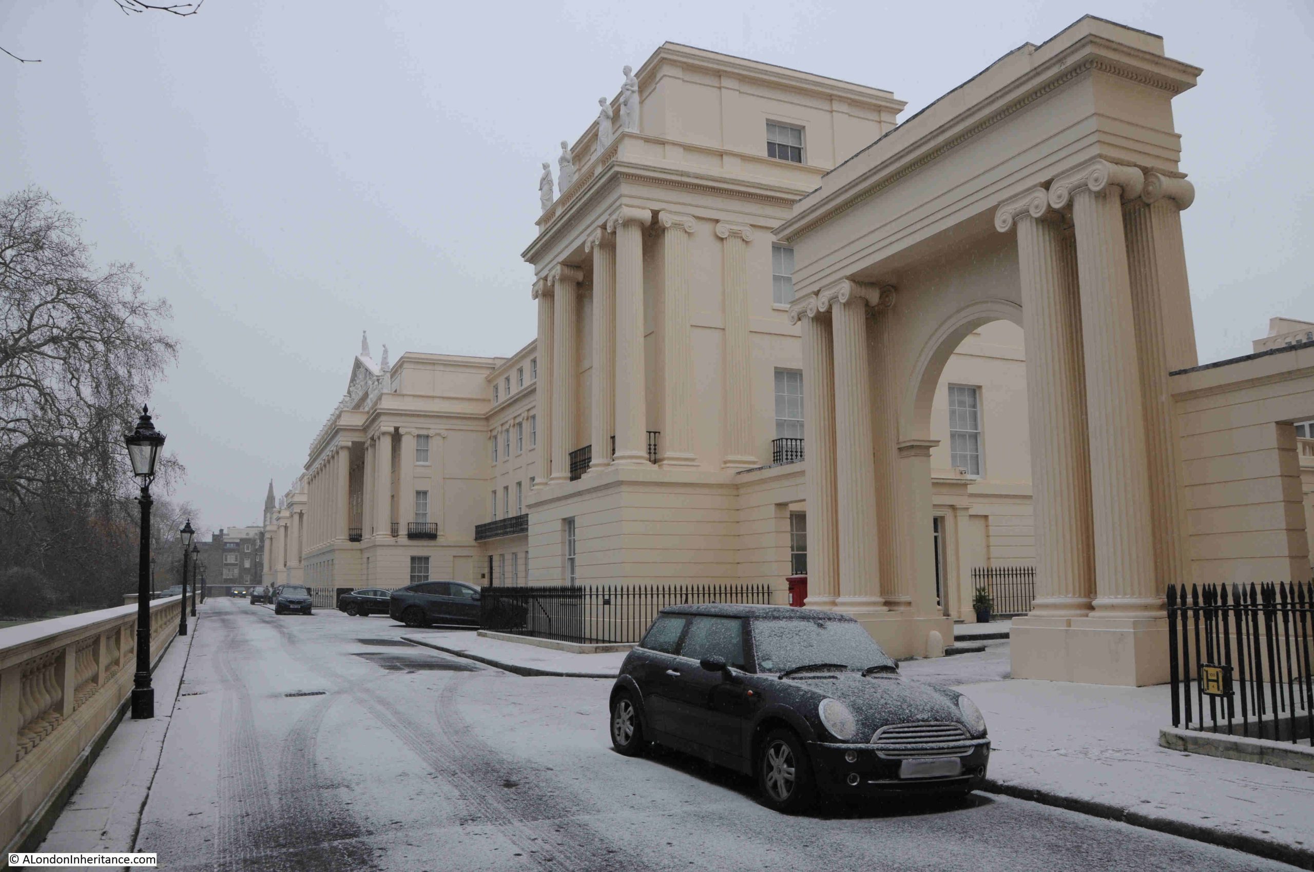
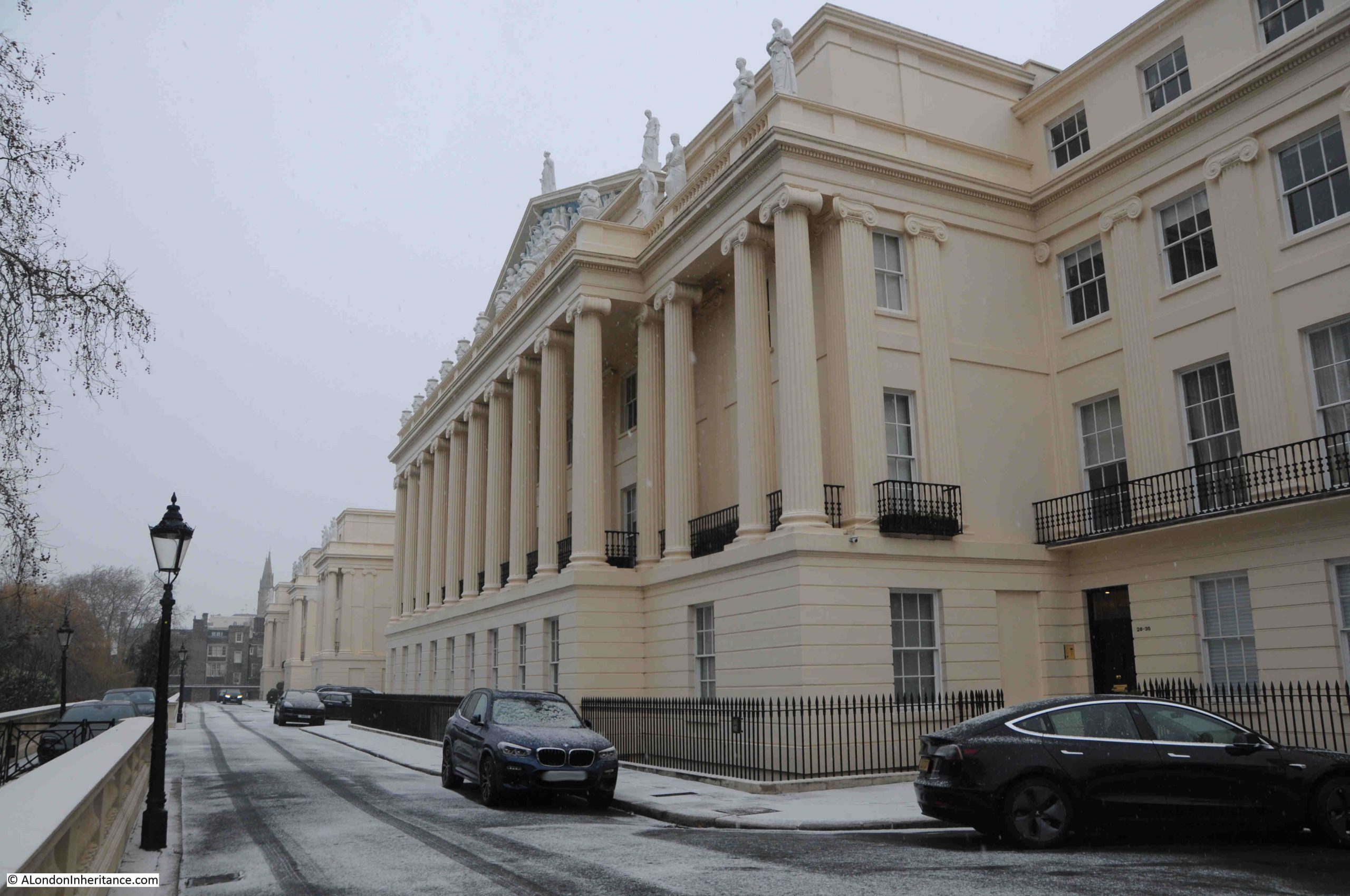
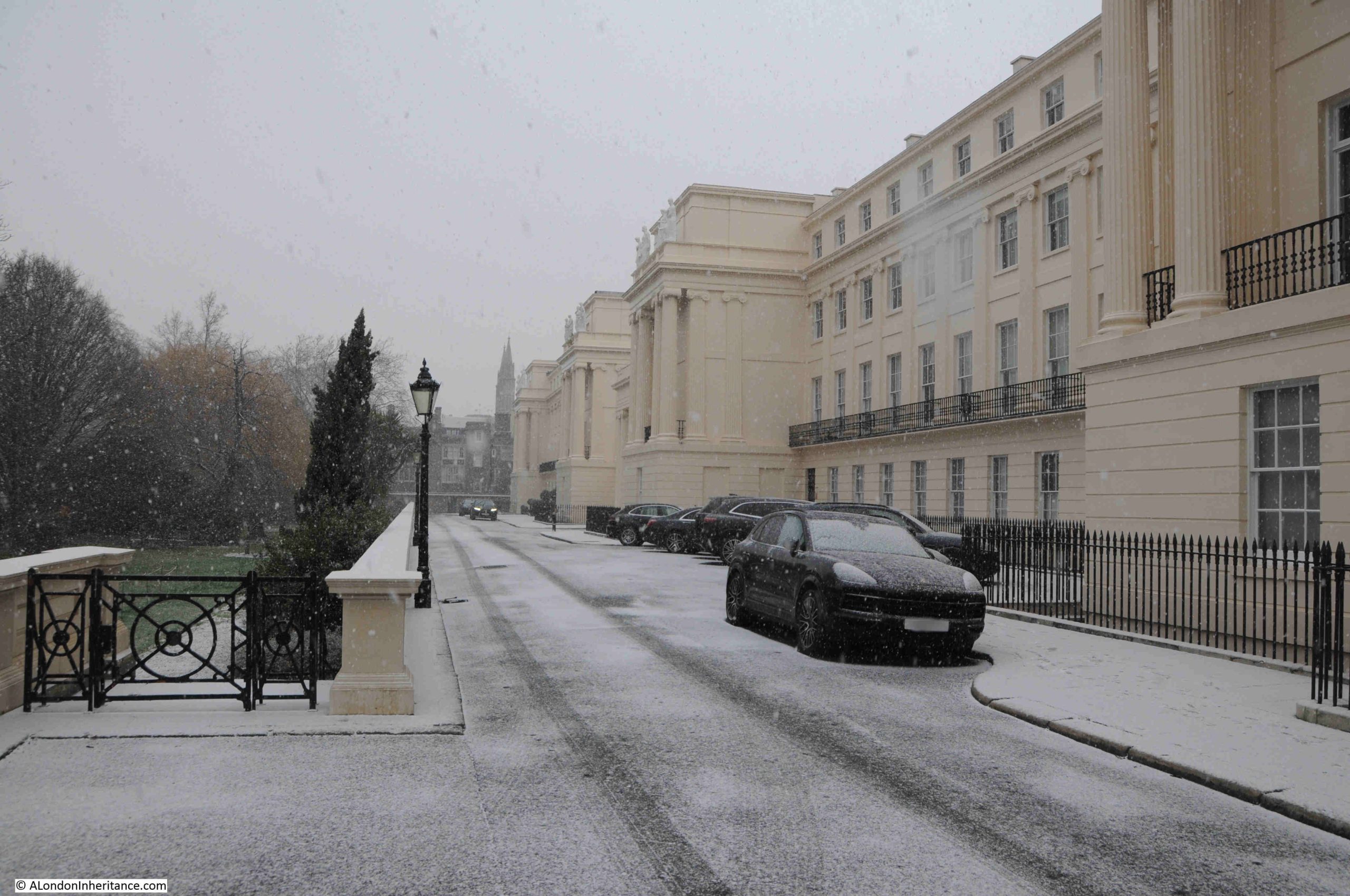
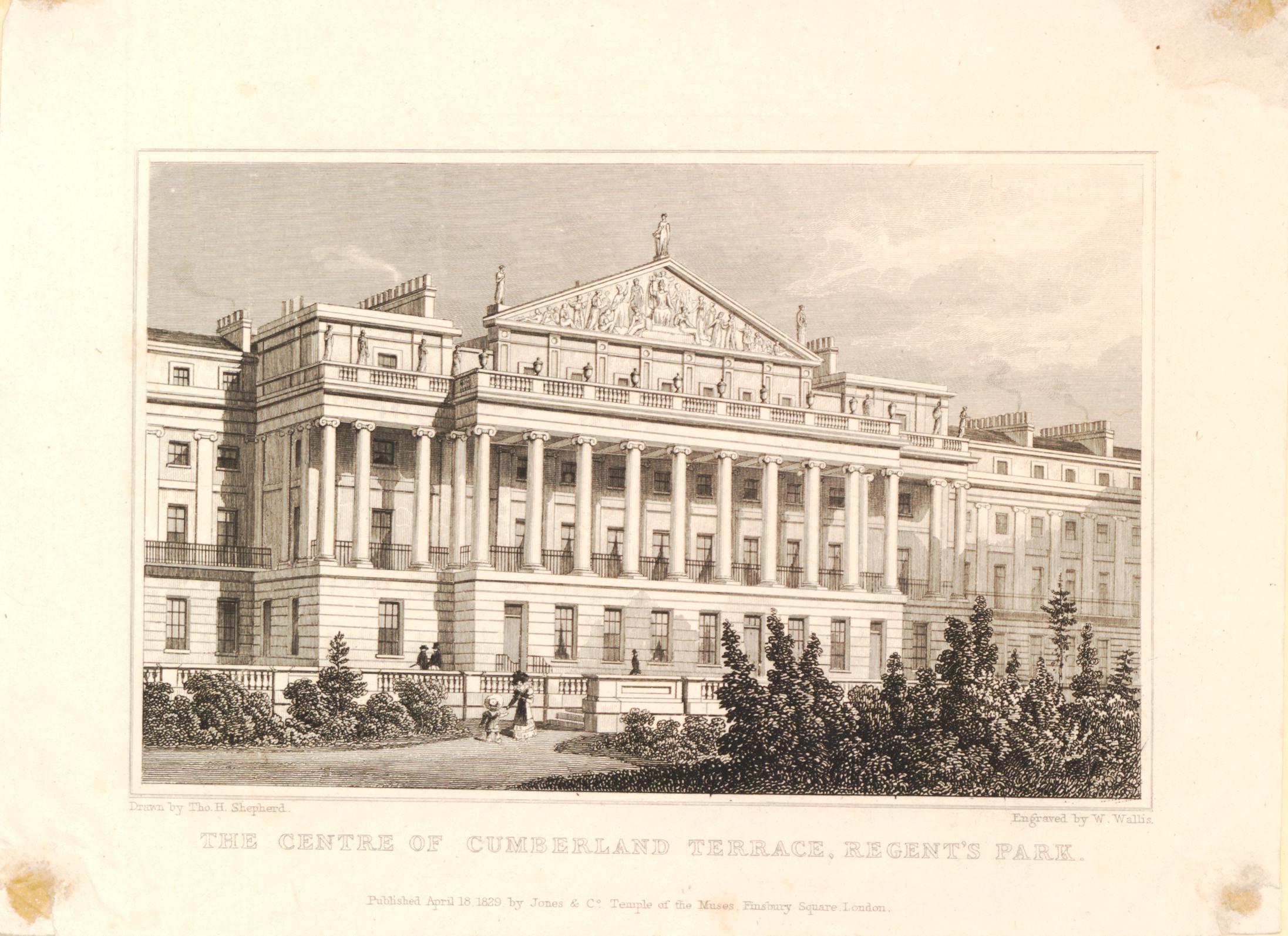
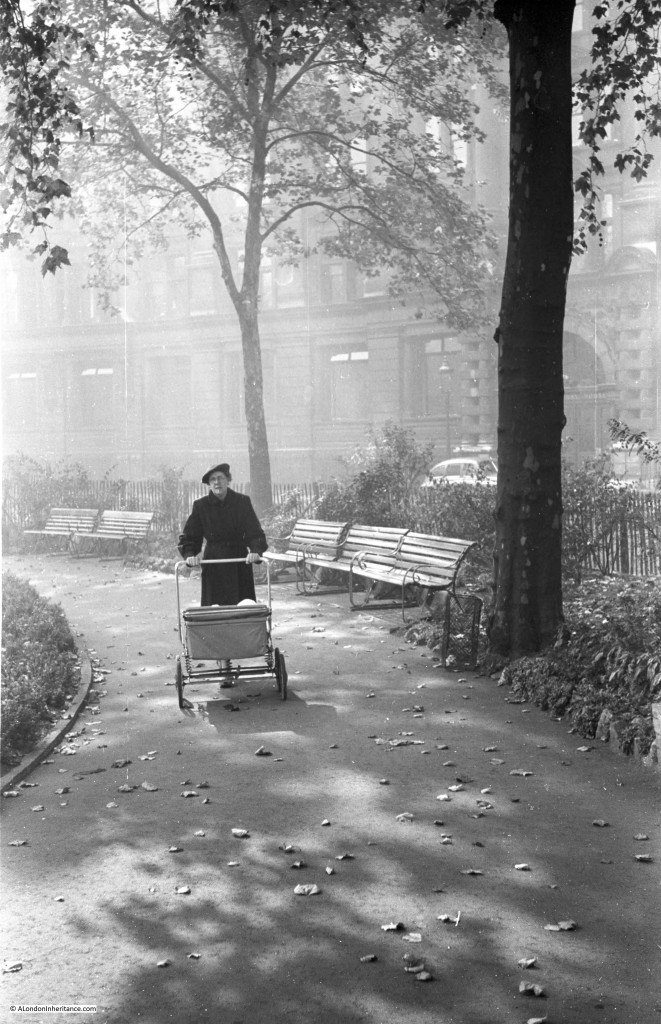
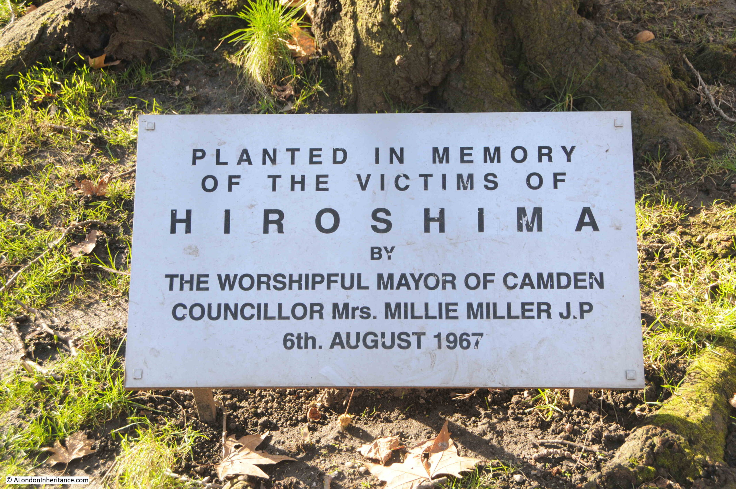
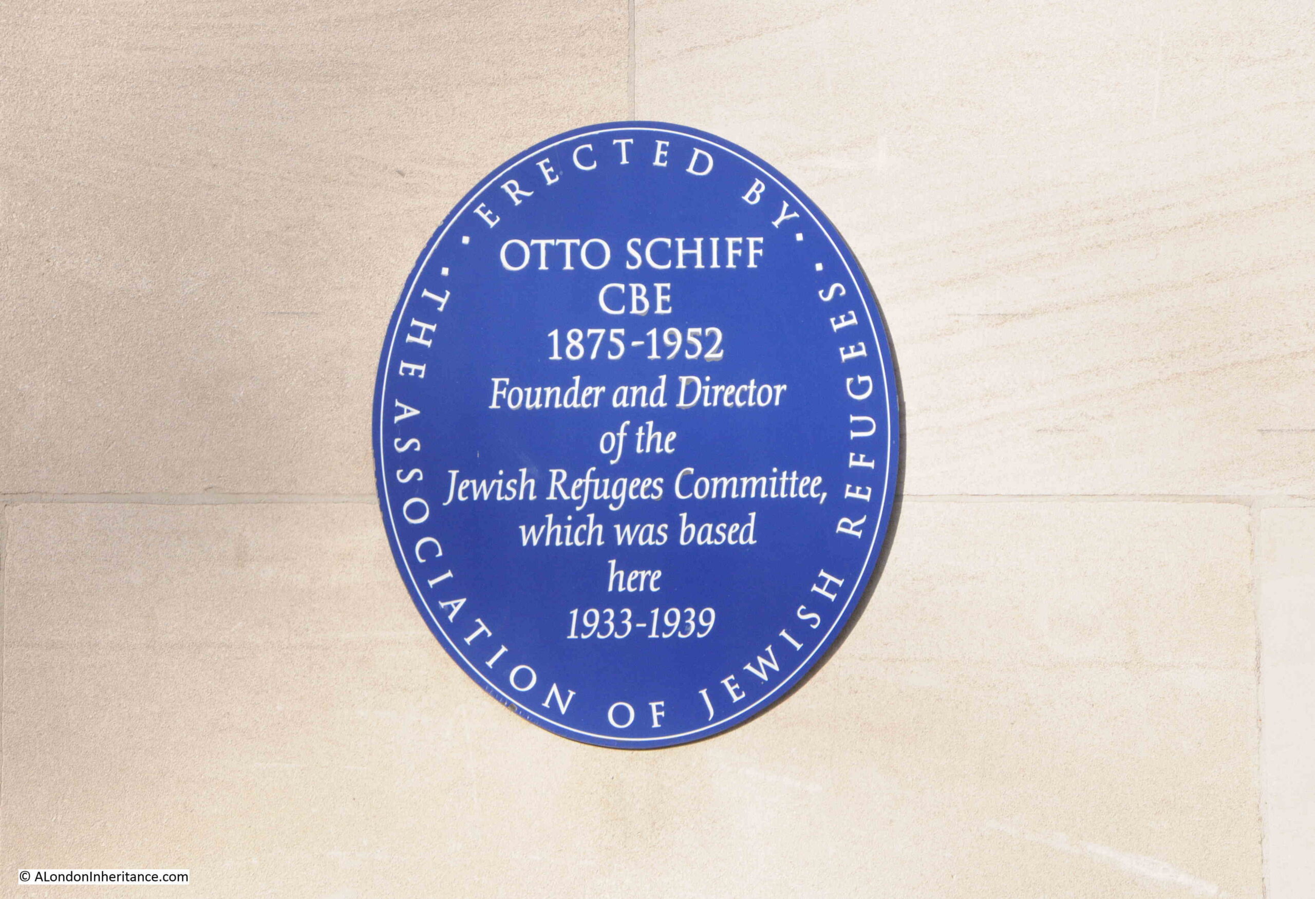
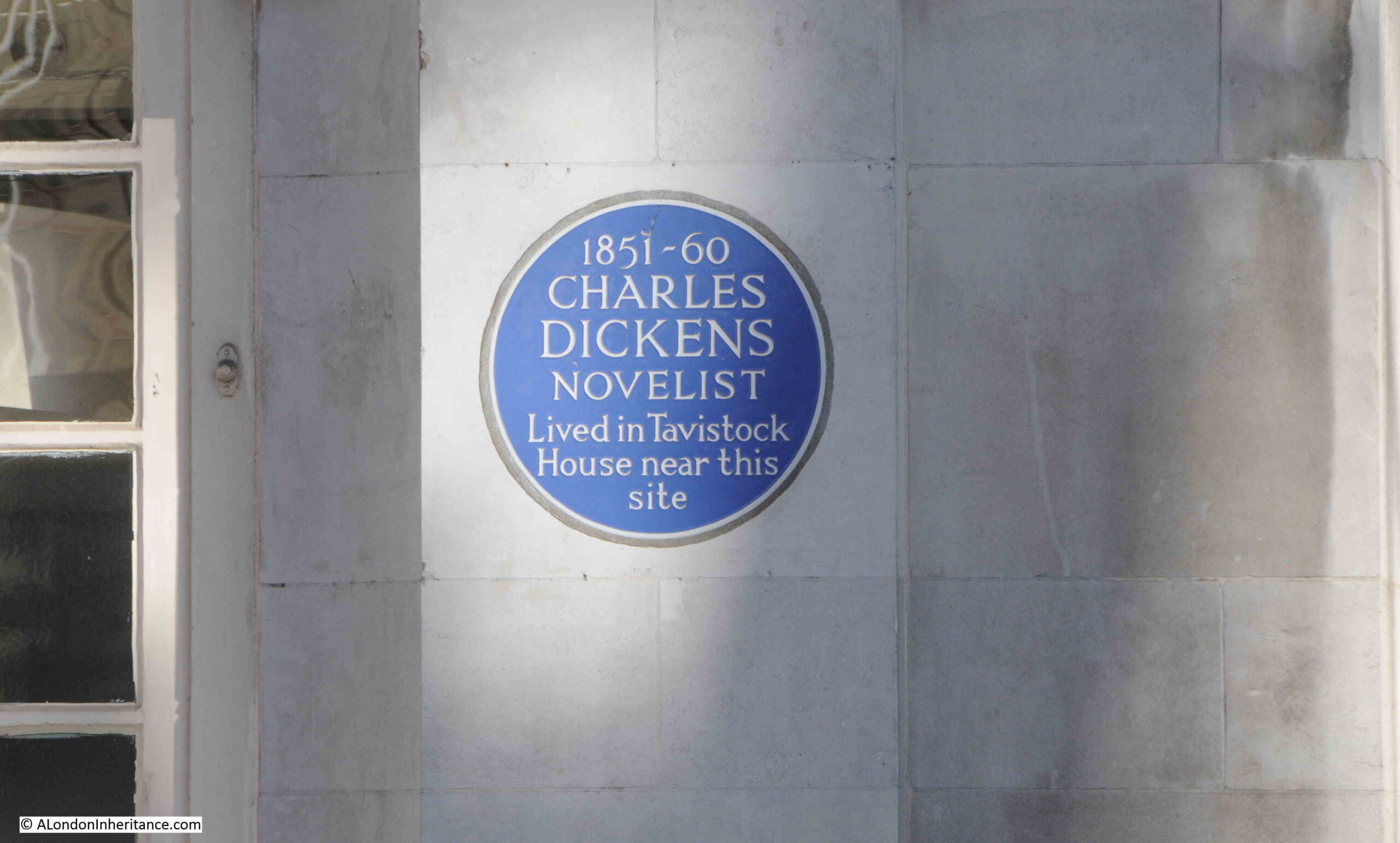
Firstly, thanks to the comments to last week’s post regarding the artist who created the mural, along with some additional background. In this week’s post, I am walking the very short distance along Mildmay Road from the mural featured in last Sunday’s post, to Newington Green, to find the site of another of my father’s 1980s photo’s, this time, the Nobody Inn:
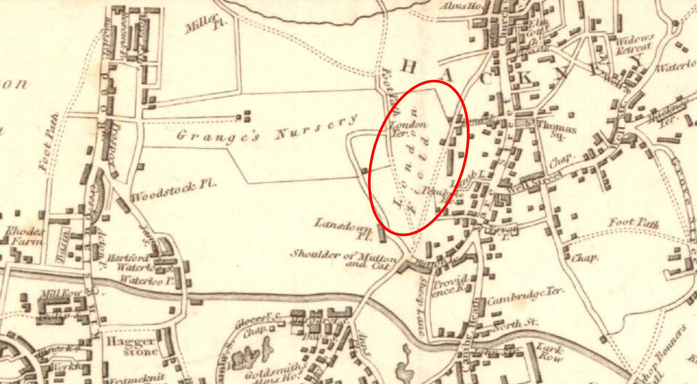
The Nobody Inn was the name of the pub at the south eastern corner of Newington Green, between Mildmay Road and Mildmay Park.
The pub was built in the 1850s and was called the Clarendon, until the name change to the Nobody Inn, which I believe occurred in the early 1980s, but cannot find firm confirmation of this. The Nobody Inn reverted back to the Clarendon around 2012, then had the name the Dissenting Academy, which was in use in 2014, but is now the Lady Mildmay.
One of the first records of the pub I can find is from 1858, when it was referenced in an advert for a house to let, with the Clarendon being given as the point of contact for further information.
The pub then has occasional references in the London press, with the pub being for sale in 1866, and is advertised with the benefit that “The premises are on the high road from the City to the Green Lanes, and are passed by throngs of pedestrians and others, whose numbers no doubt will be considerably increased by the opening of the new Alexandra and Finsbury Parks”.
In 1902, Mrs Sarah Courtin, the landlady of the Clarendon (which in this report was also called a Hotel), had reported a preacher of the Mildmay Mission to police for playing or causing to be played an instrument in the street, to her annoyance.
And throughout 1971, the Clarendon had a regular advert in the London Evening News, that “The Clarendon, Newington Green, offers the finest varied family entertainment each night from Tuesday to Sunday at normal pub prices”.
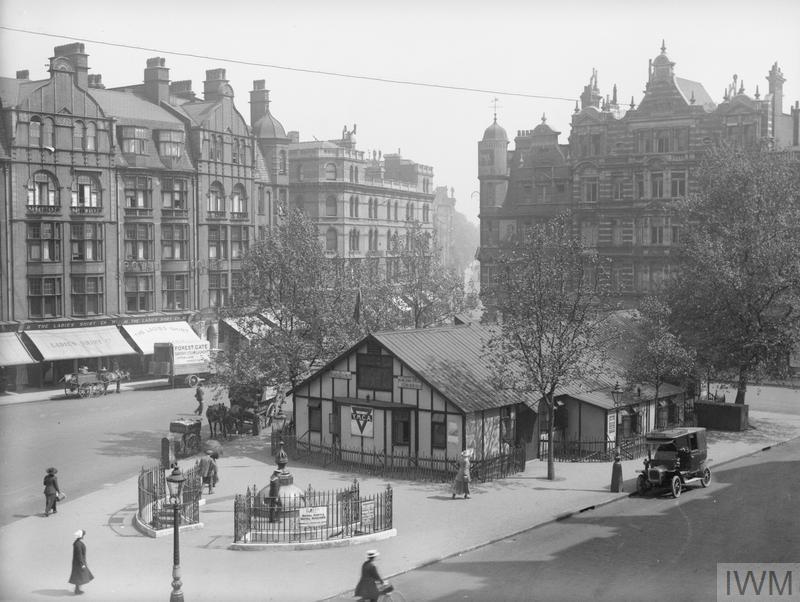
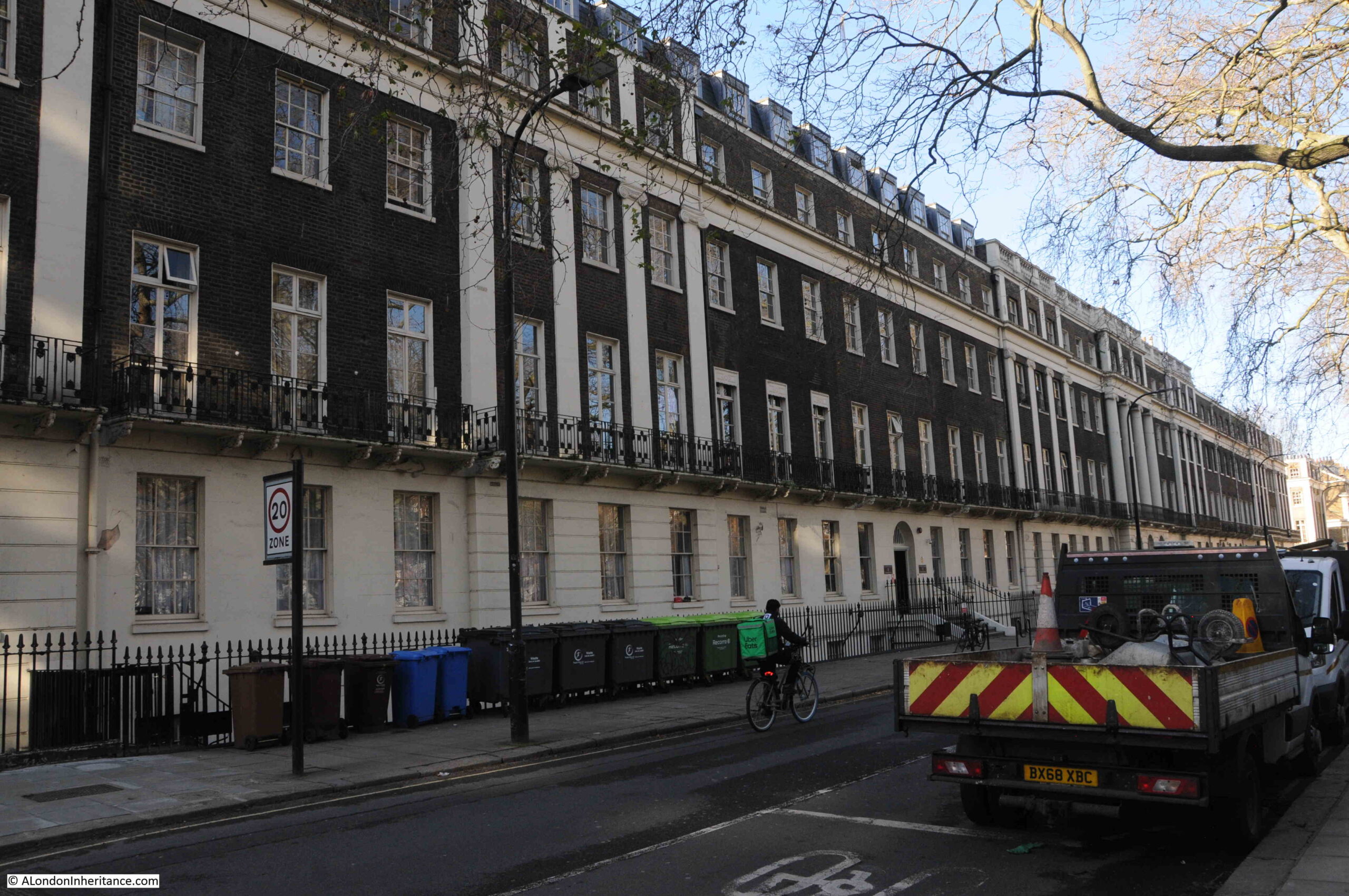
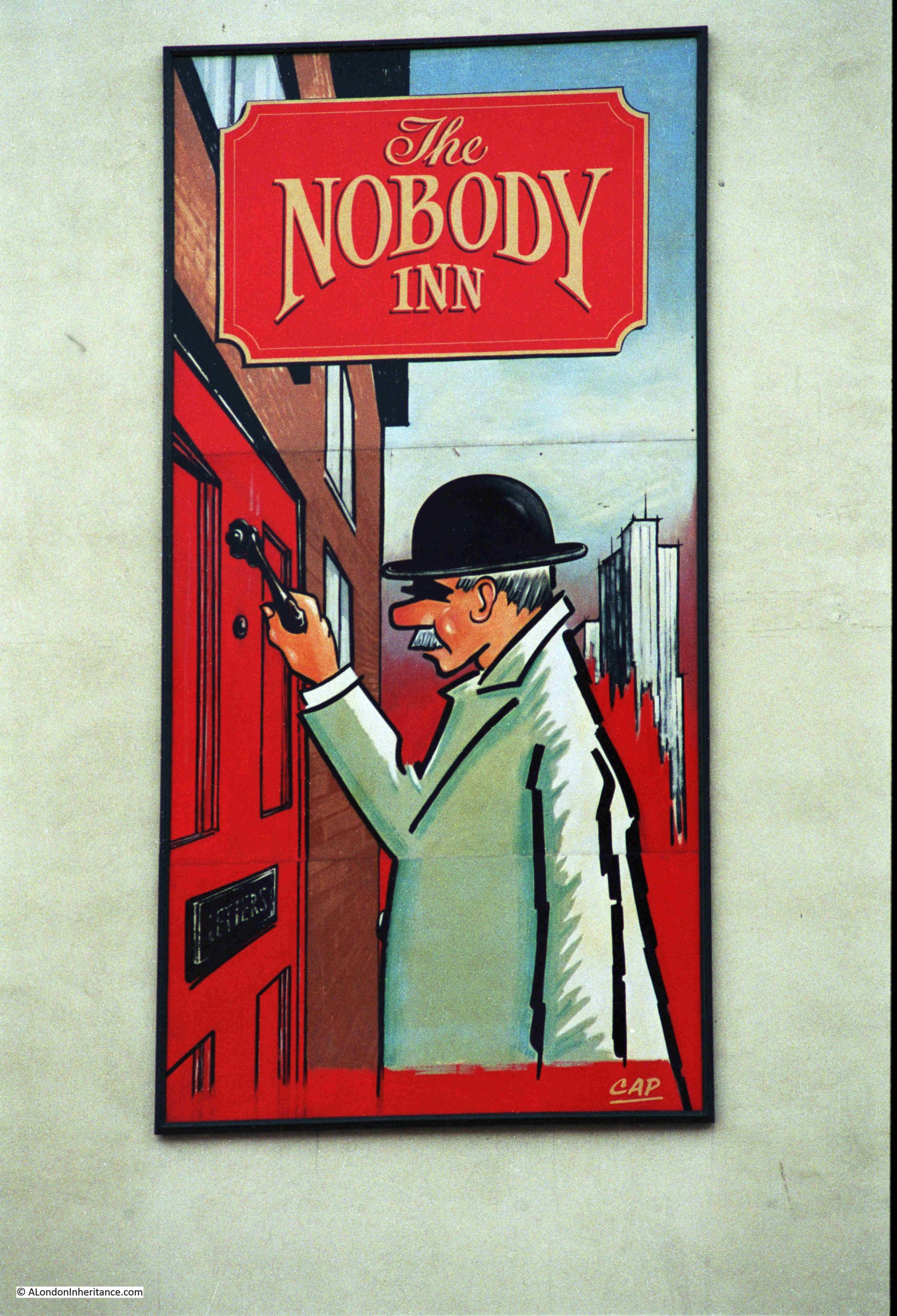
The 1980s Nobody Inn:
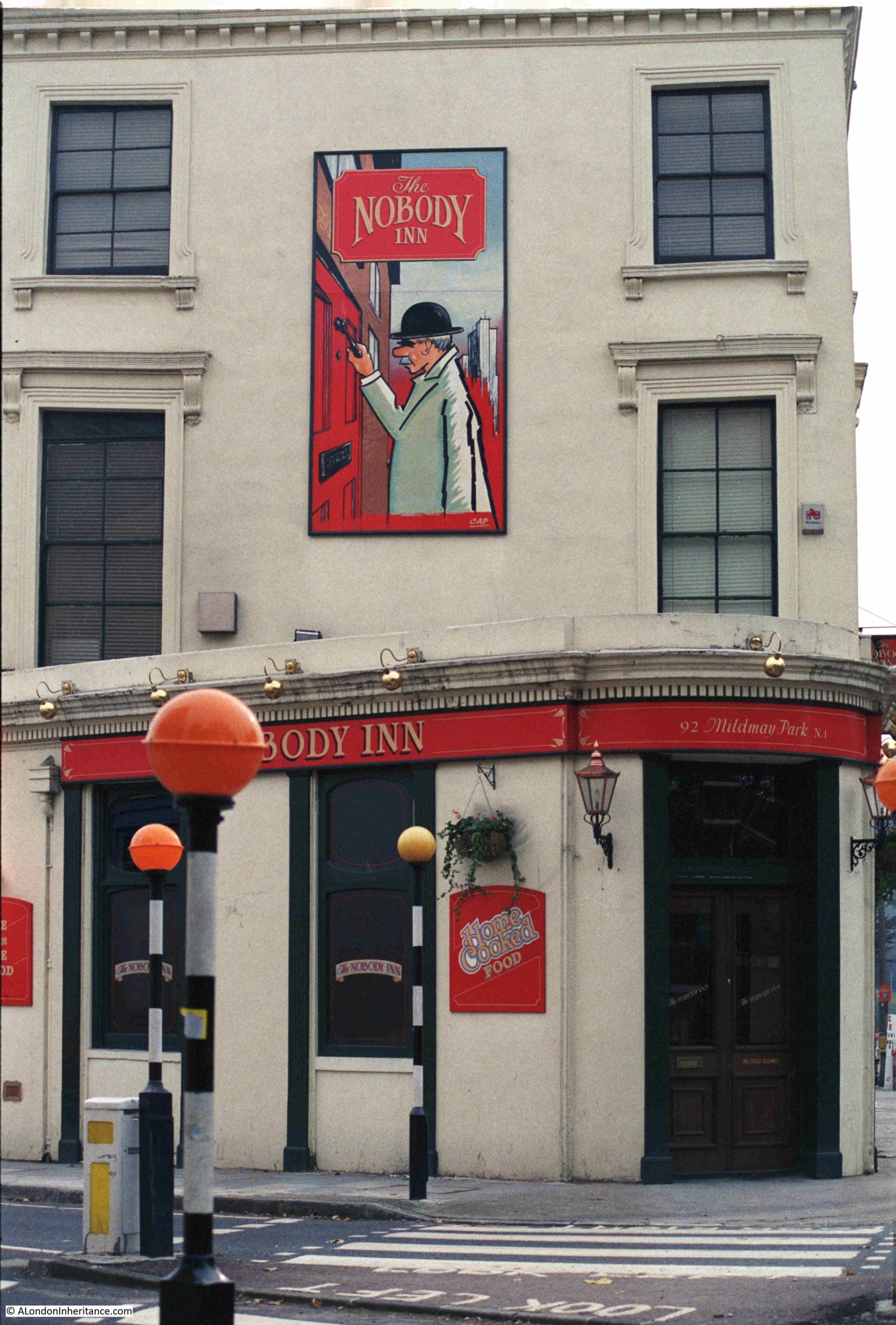
The pub as it is today, but now called the Lady Mildmay. The large panel on the side of the pub which had the image of the man knocking on a door, with the Nobody Inn name is still on the side of the pub – it would be interesting to know if the 1980s image is still there, and it was just painted over:
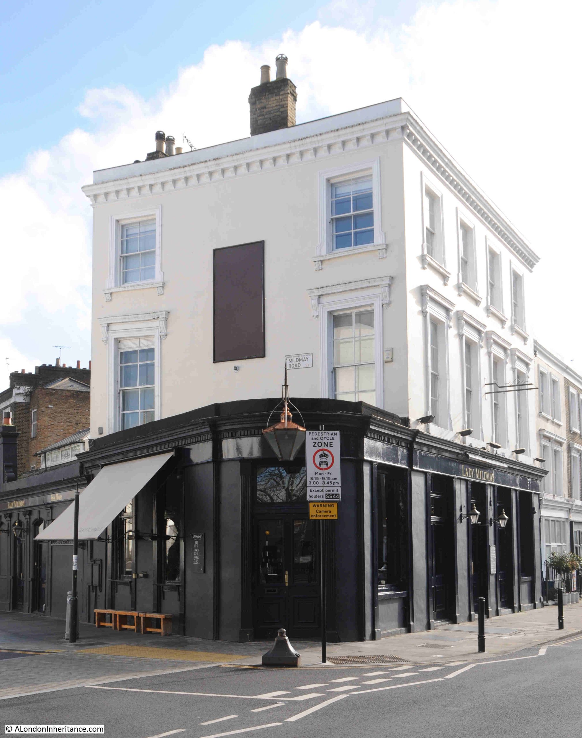
It is interesting as to why pubs change names. Sometimes it is to change the image of a pub that had problems under previous owners, or to make the image of a pub more contemporary, or to make the pub more relevant to the local area, which I assume is the reason for the current name of Lady Mildmay.
The Mildmay name comes from Henry Mildmay, who became the owner of a large estate at Newington Green which had been owned by the Halliday family. There were no sons to act as an heir to the Halliday family, and the daughter married Henry Mildmay. taking the estate with her.
The Mildmay name is still to be found in the area including street names of Mildmay Road, Mildmay Grove and Mildmay Park, built over the old Mildmay estate.
I cannot find any origin to the Nobody Inn name. It could just be a joke with the joining of two words Nobody and Inn. There is another pub with the same name, the rather excellent Nobody Inn in Devon, however they do not give any origin of their pub’s name.
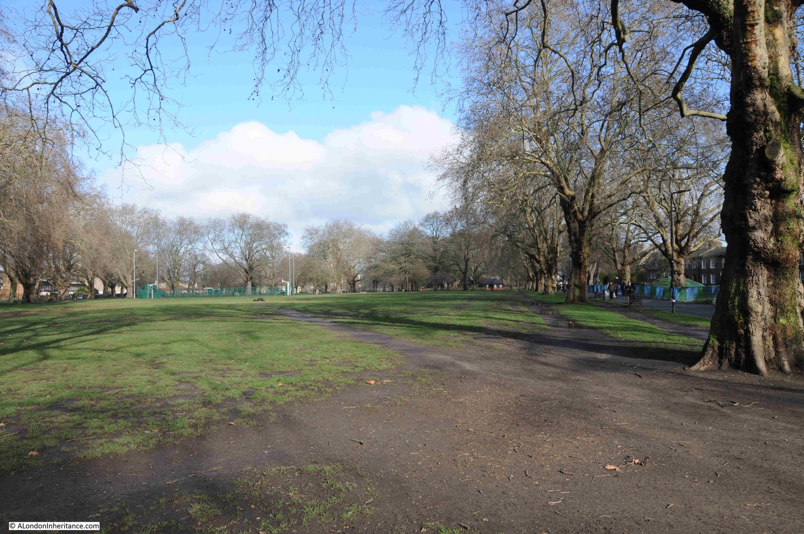
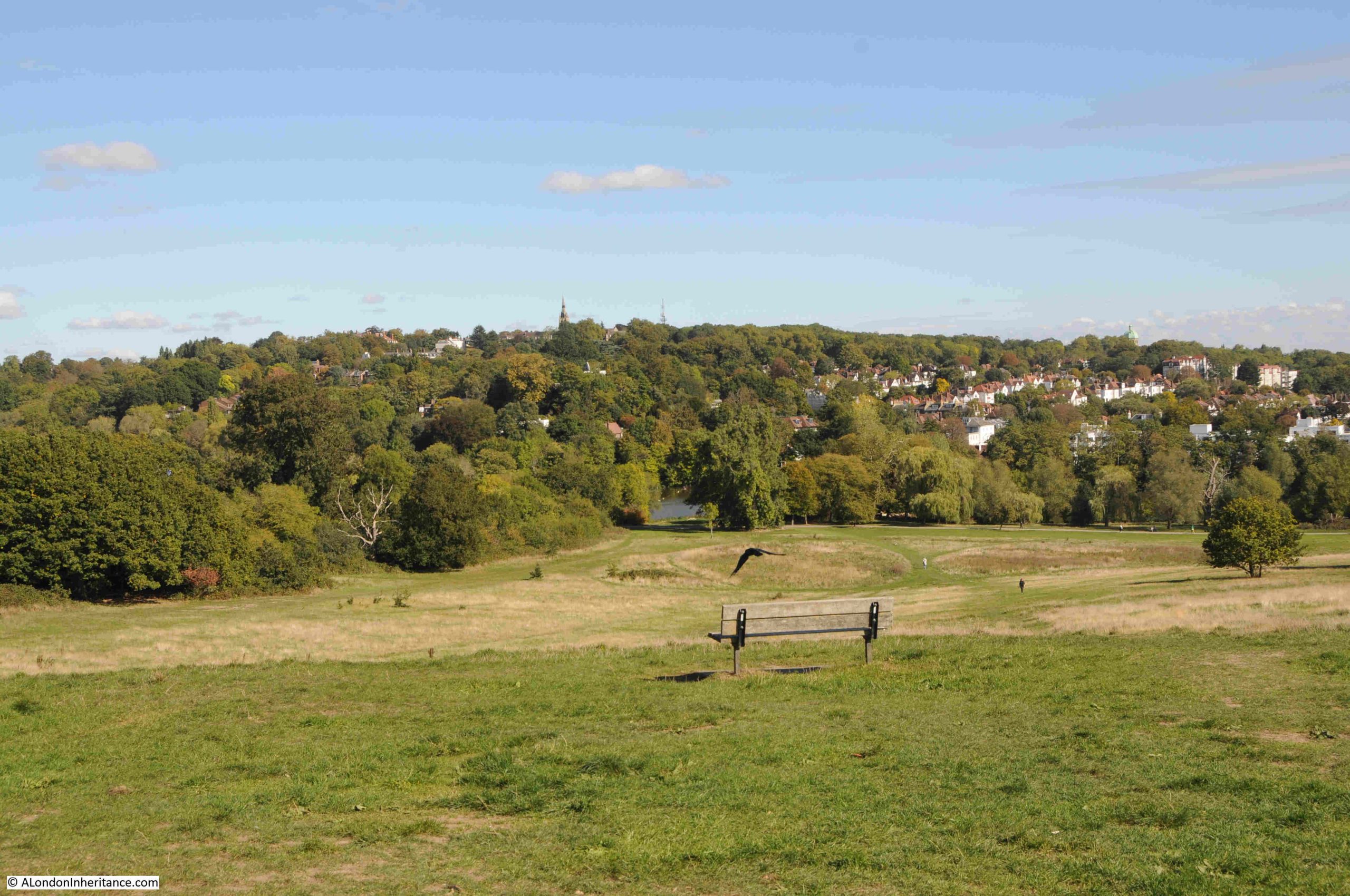
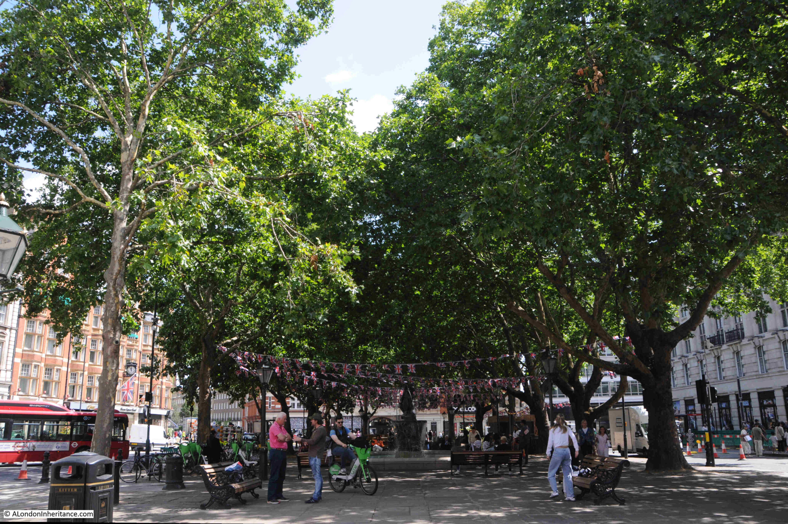
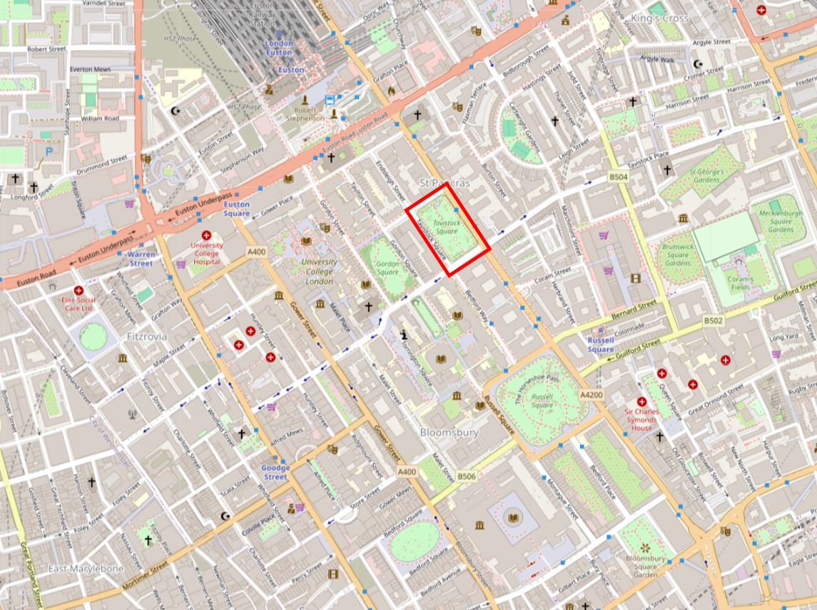
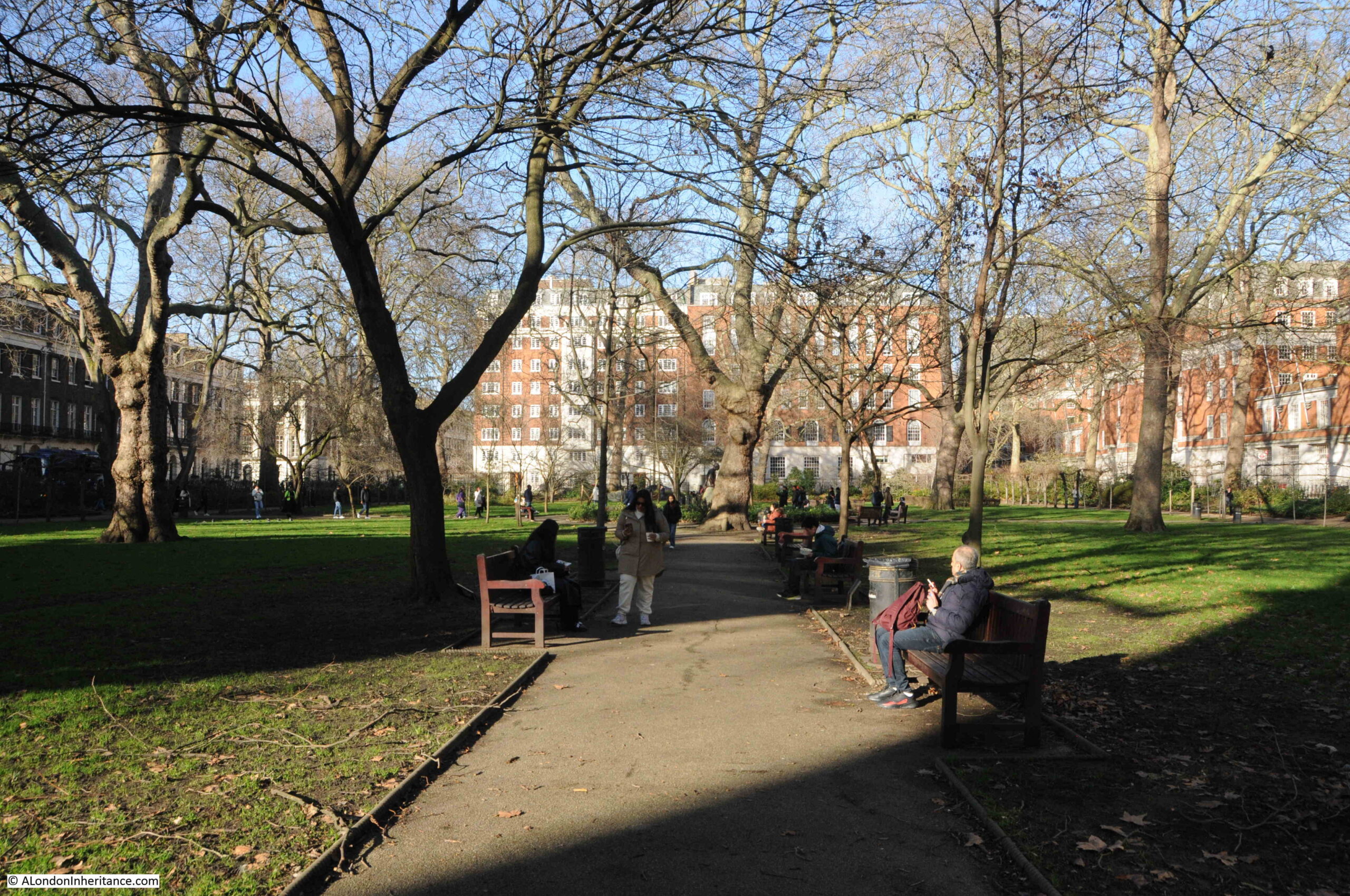
Newington Green is a fascinating, historic area, and with a number of surrounding streets, is part of the Newington Green Conservation Area.
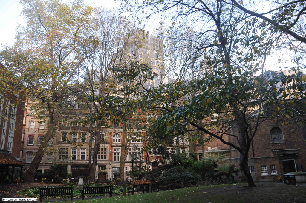
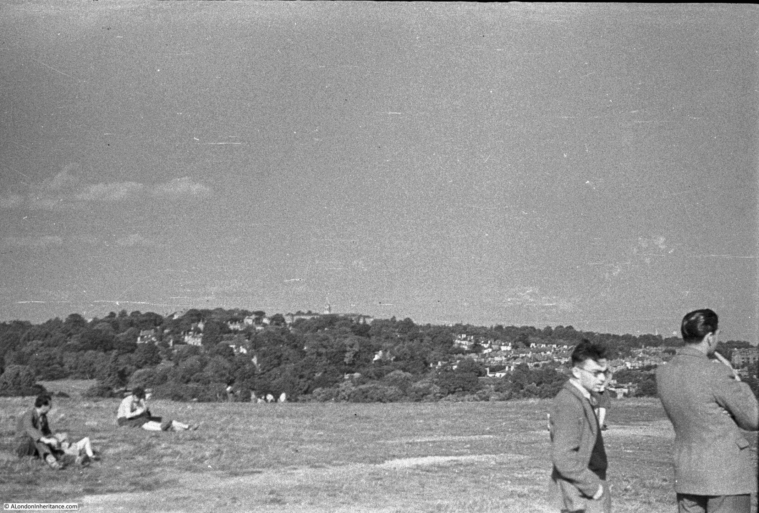
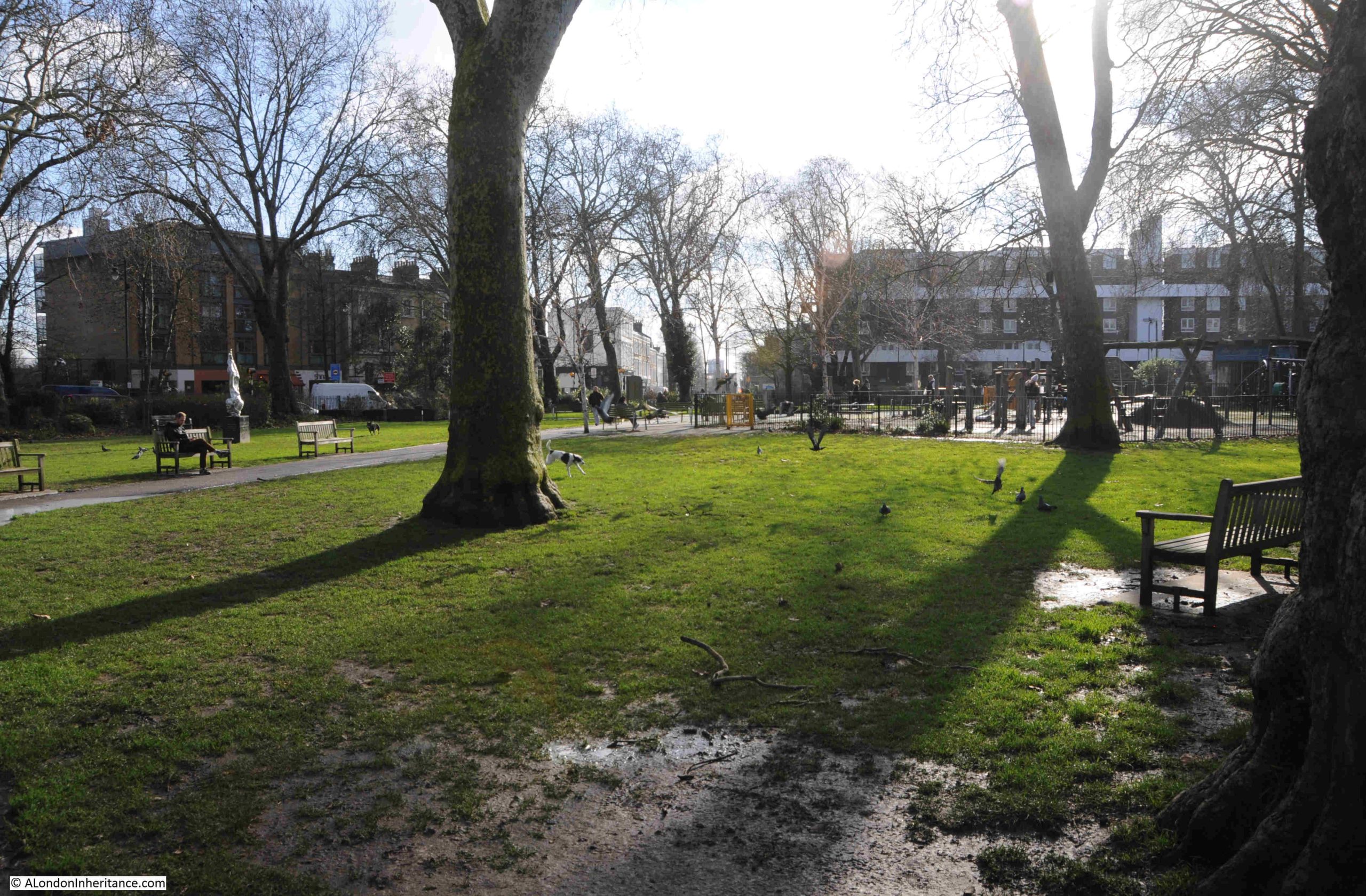
The following photo is looking south across the central space, and the pub can be seen at the south east corner, just to the left of centre:
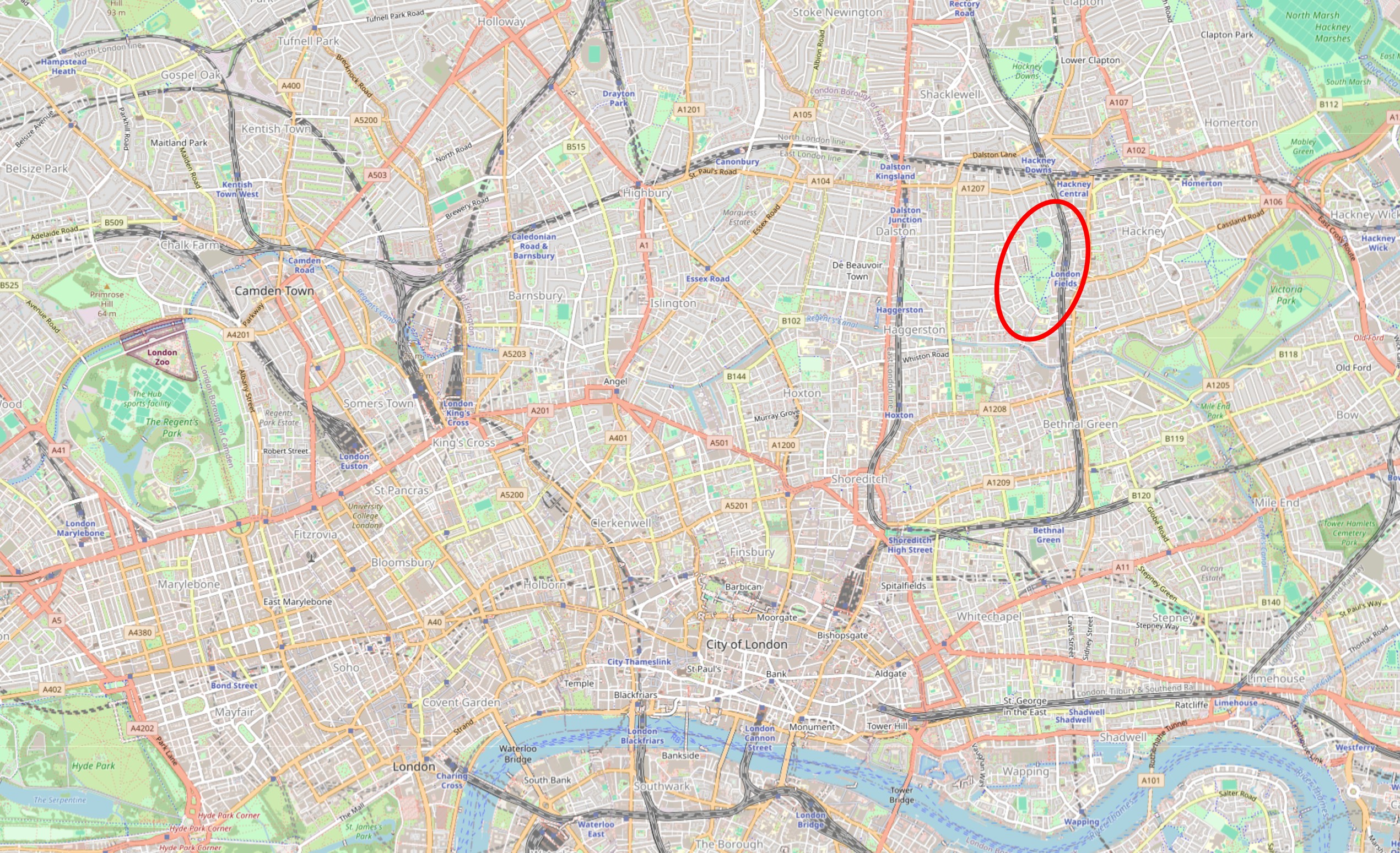
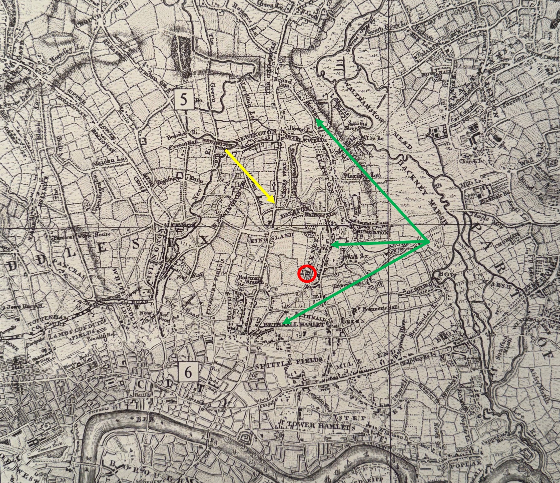
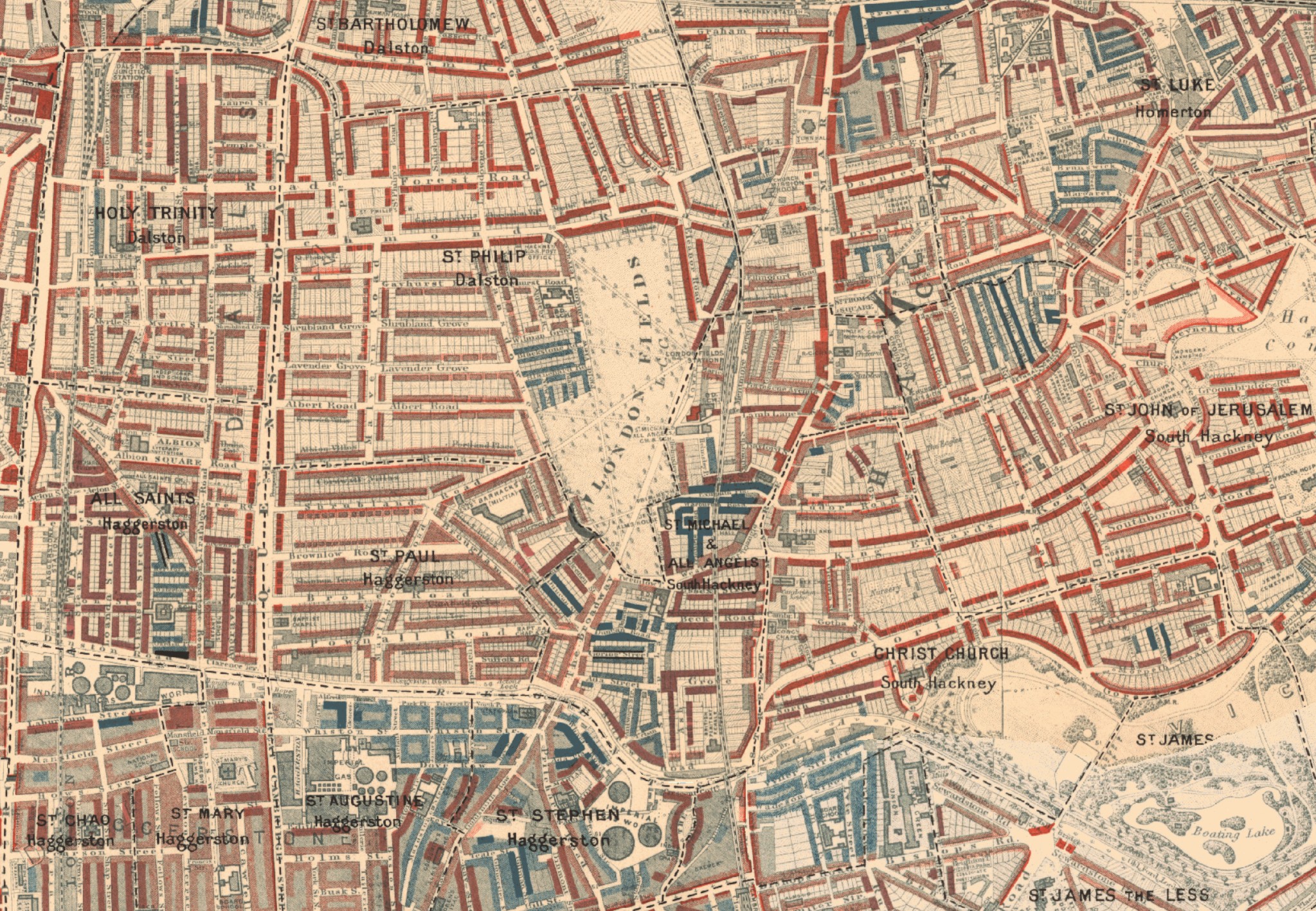
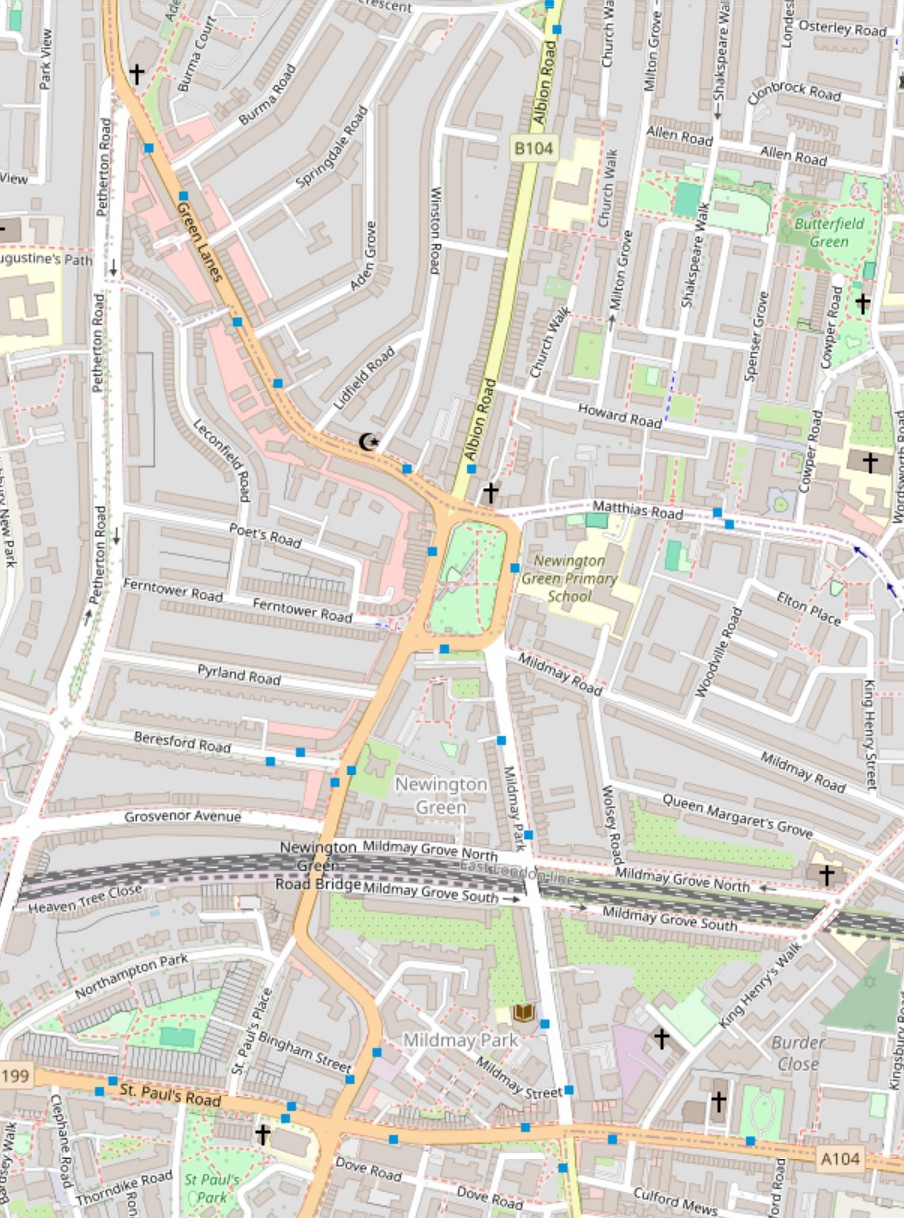
In the following map of the area today, Newington Green is the green space at the centre, surrounded by the dense housing that covered the fields during the 19th century (© OpenStreetMap contributors):
Newington Green seems to have been formed from a small clearance in the forests that once occupied this part of north London. The first reference to Newington Green dates to 1480, when the sides of the space were occupied by small cottages.
Henry VIII may have had a hunting lodge alongside the green, and in the 16th century a large house called Bishop’s Palace was built at the north east corner of the green, and was probably owned by the Earl of Northumberland after receiving the land from Henry VIII.
Too much “may” and “probably” in the last paragraph, but what is clear is that by the middle of the 18th century, Newington Green was a well defined square, with roads along each side, and seven roads / tracks leading into the green.
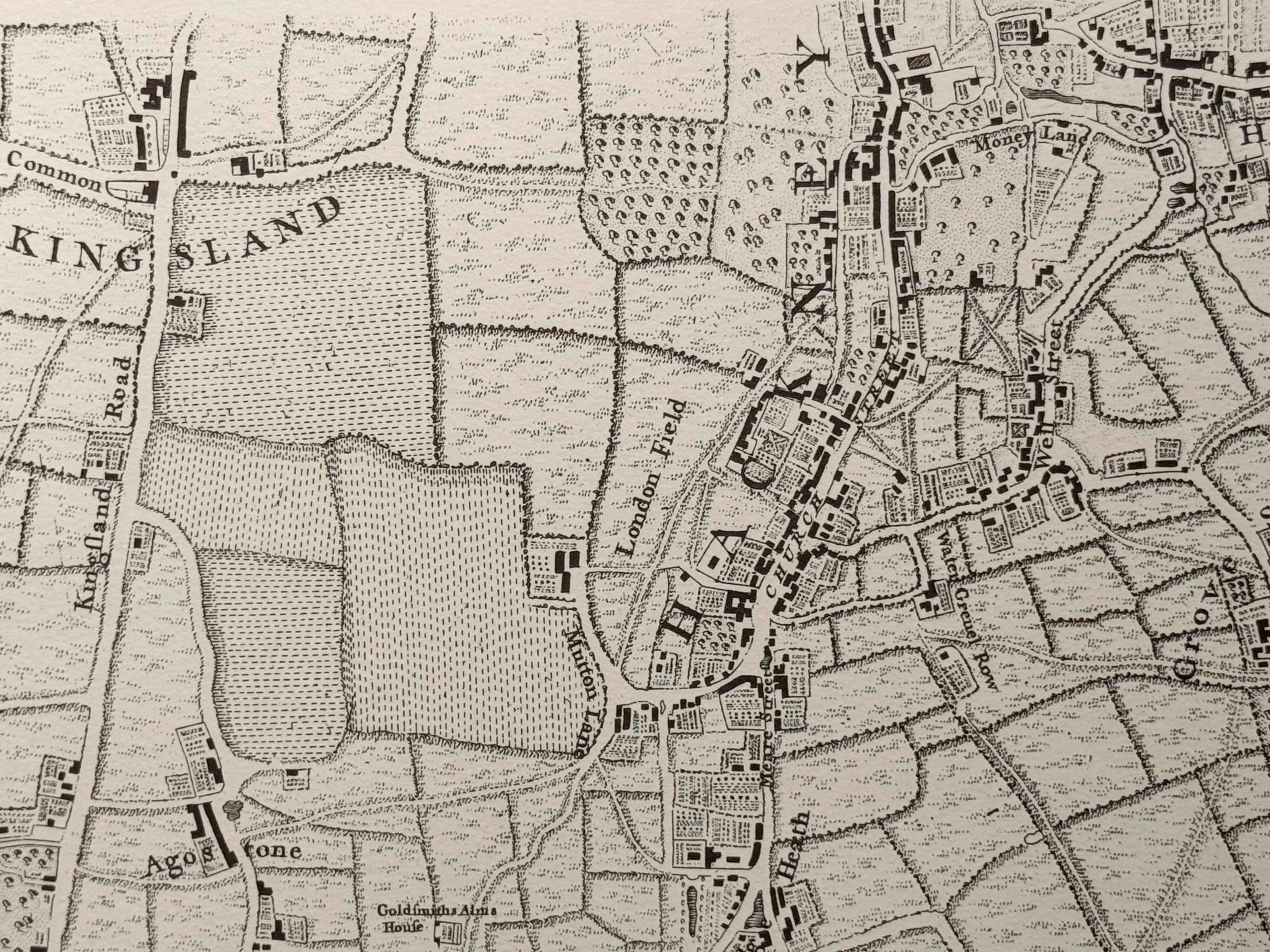
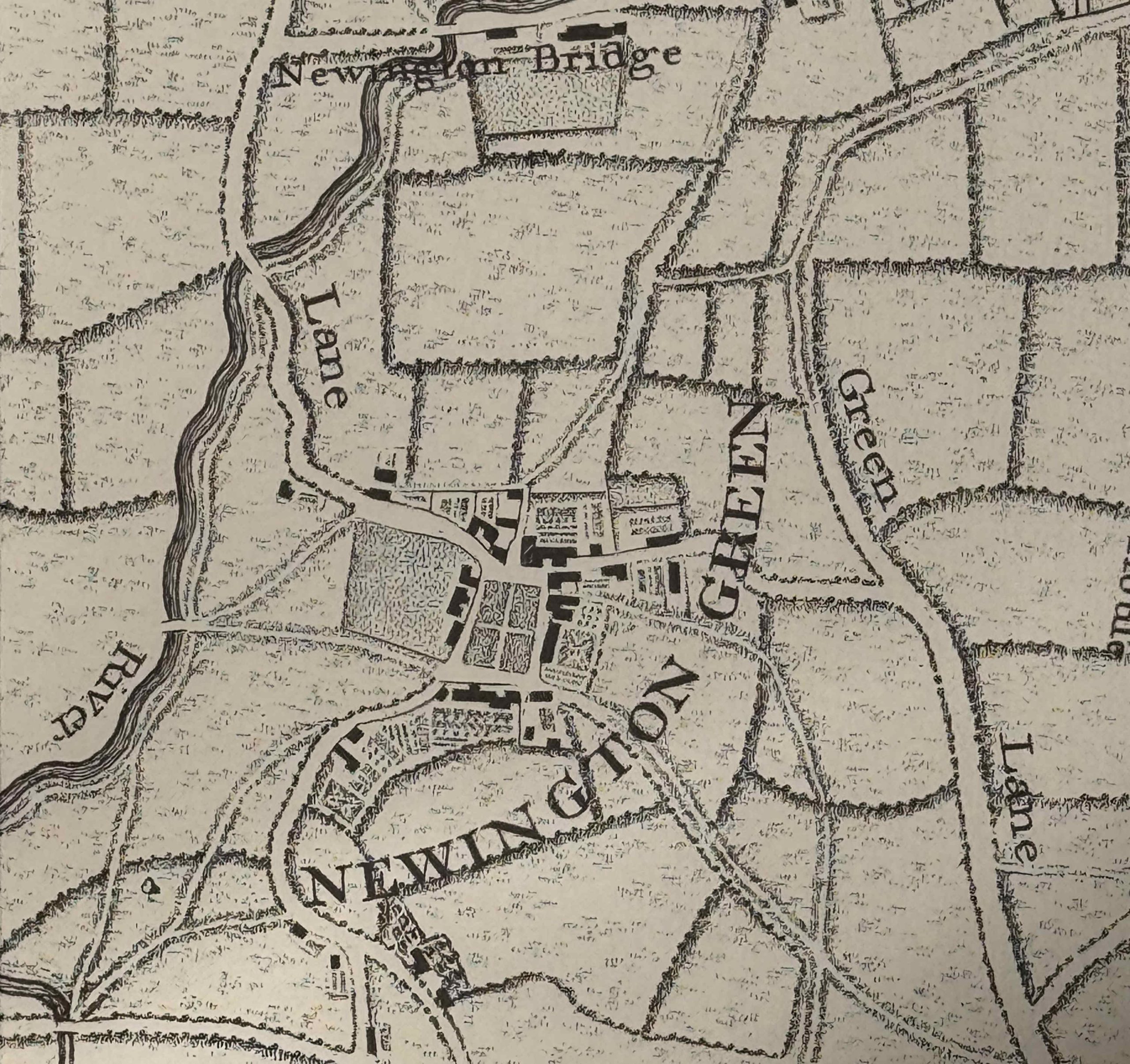
Houses and small holdings / gardens also surrounded the green on all four sides, and the forests that once surrounded Newington Green had been cleared with fields covering the wider area. The New River was also to be found just to the west, as shown in this extract from Rocque’s 1746 map of London:
This small hamlet offered a place of sanctuary to religious dissenters after the Restoration of the Monarchy when Charles II became king.
Charles II had initially tried to accommodate those who had different religious views to the Church of England, however the Bishops and Parliament were trying to push through legislation that would outlaw any dissenting religious practices, and later small rebellions hardened Charles II views towards those outside of the established church.
The 1662 “Act for the Uniformity of Publique Prayers and Administration of Sacrements” was passed on the 19th of May, when Charles II was travelling to Portsmouth to meet Catherine of Braganza, his new Portuguese, Catholic bride.
When the Act came into force on the 24th of August 1662, 936 parish ministers, which included a third of the clergy in London, left their parishes, in the so called “Great Ejection”, as they could not follow the religious practices detailed in the Act.
Another act aimed at dissenters in 1662 was the “Act for Preventing the Frequent Abuses in Printing Seditious, Treasonable and Unlicensed Books and Pamphlets, and for Regulating of Printing and Printing Presses”. This act made the printing and distribution of any publication supporting dissenters or against the king and the church, a criminal offence, up to the level of treason.
As the Monarch was head of the Church of England, any dissent or rebellion against the church was also seen as being against the Monarchy.
A small hamlet, surrounded by fields just outside London would therefore have been a rather attractive place for those who did not conform to the practices and beliefs of the Church of England,
A number of Dissenters went to Newington Green, where they could practice in secret, and in 1667, Charles Morton set up a school for Dissenters in Newington Green, one of the pupils being Daniel Defoe, the writer and Presbyterian.
Morton’s school survived to 1686, but with mounting legal actions, mainly due to teachings at the school, Morton left Newington Green and moved to America, where he taught at Harvard, and became the school’s first vice-president.
There is plenty of evidence of Newington Green’s association with Dissenters, and one that is still in use today is the Meeting House on the north side of the green:

Whilst Newington Green had been a centre for Dissenters during the Civil War and Commonwealth, and in the years following the restoration of the monarchy, from 1660 dissenting religious practice was mainly carried out in secret, however towards the end of the 17th century, Parliament and the Monarchy started to adopt a slightly more tolerant approach.
The 1688 Toleration Act, which was “An Act for Exempting their Majestyes Protestant Subjects dissenting from the Church of England from the Penalties of certaine Lawes” made it easier for Dissenters to practice more openly, and in 1708 the Newington Green Meeting House was built.
There are reminders of two other prominent dissenters who attended the Meeting House in Newington Green, and I will find them as I walk around the square.
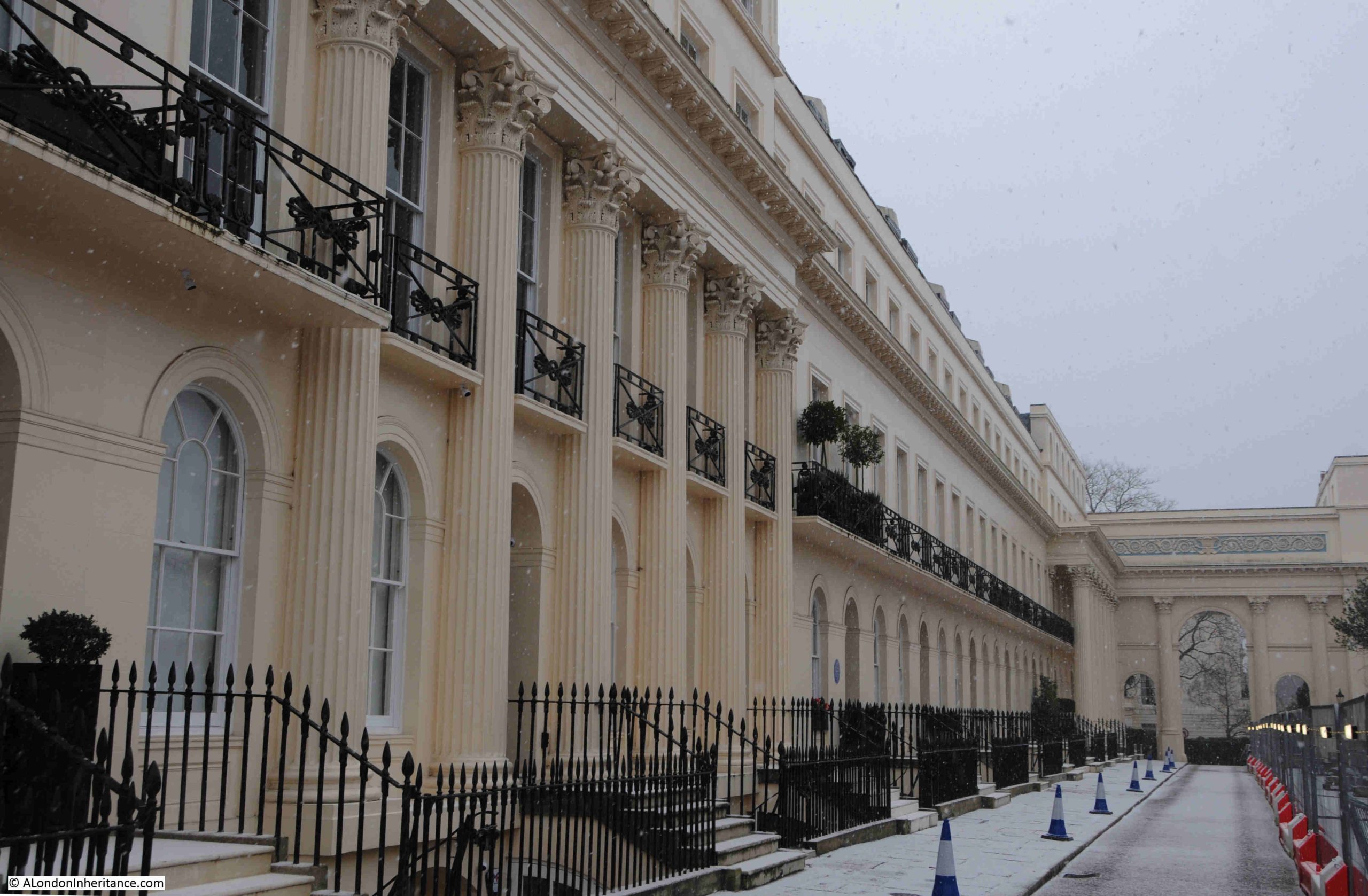
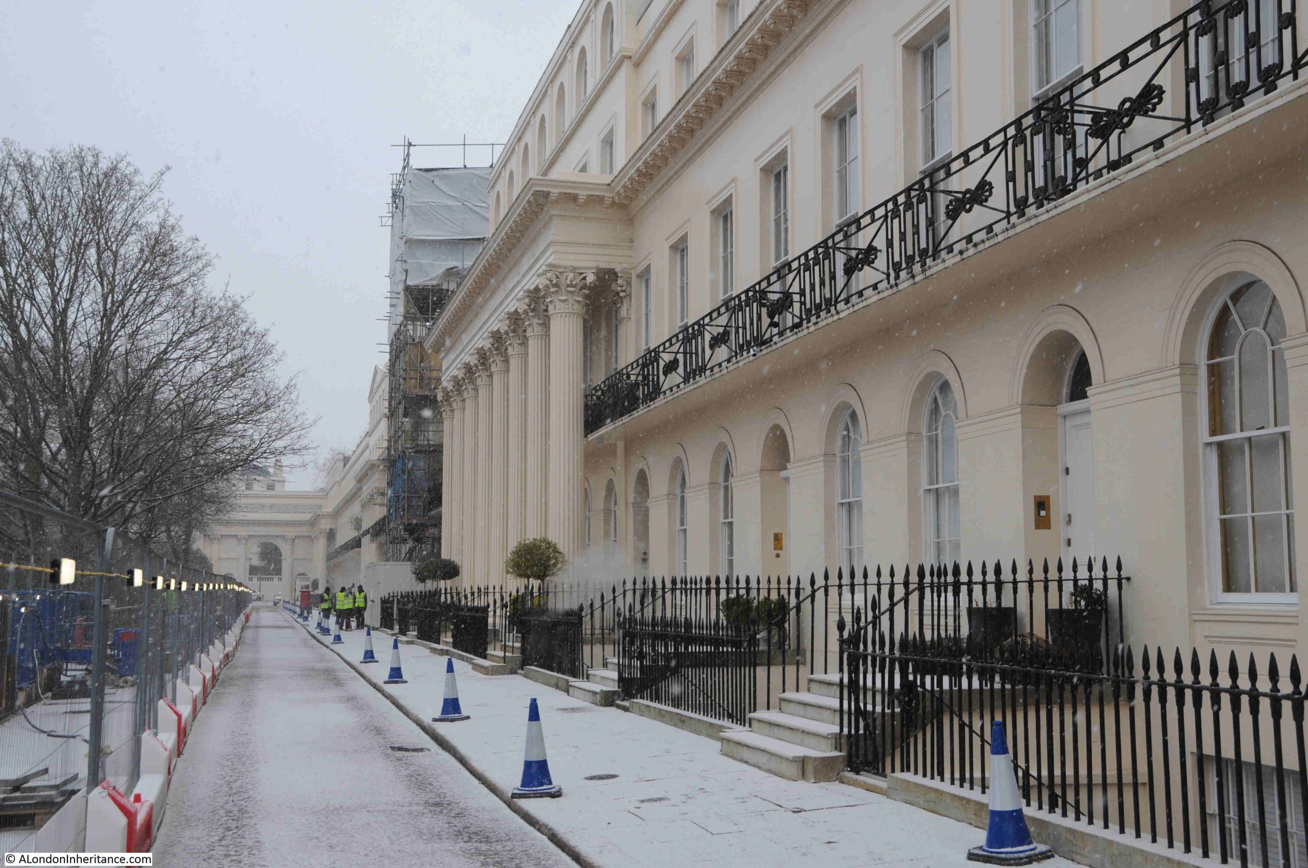
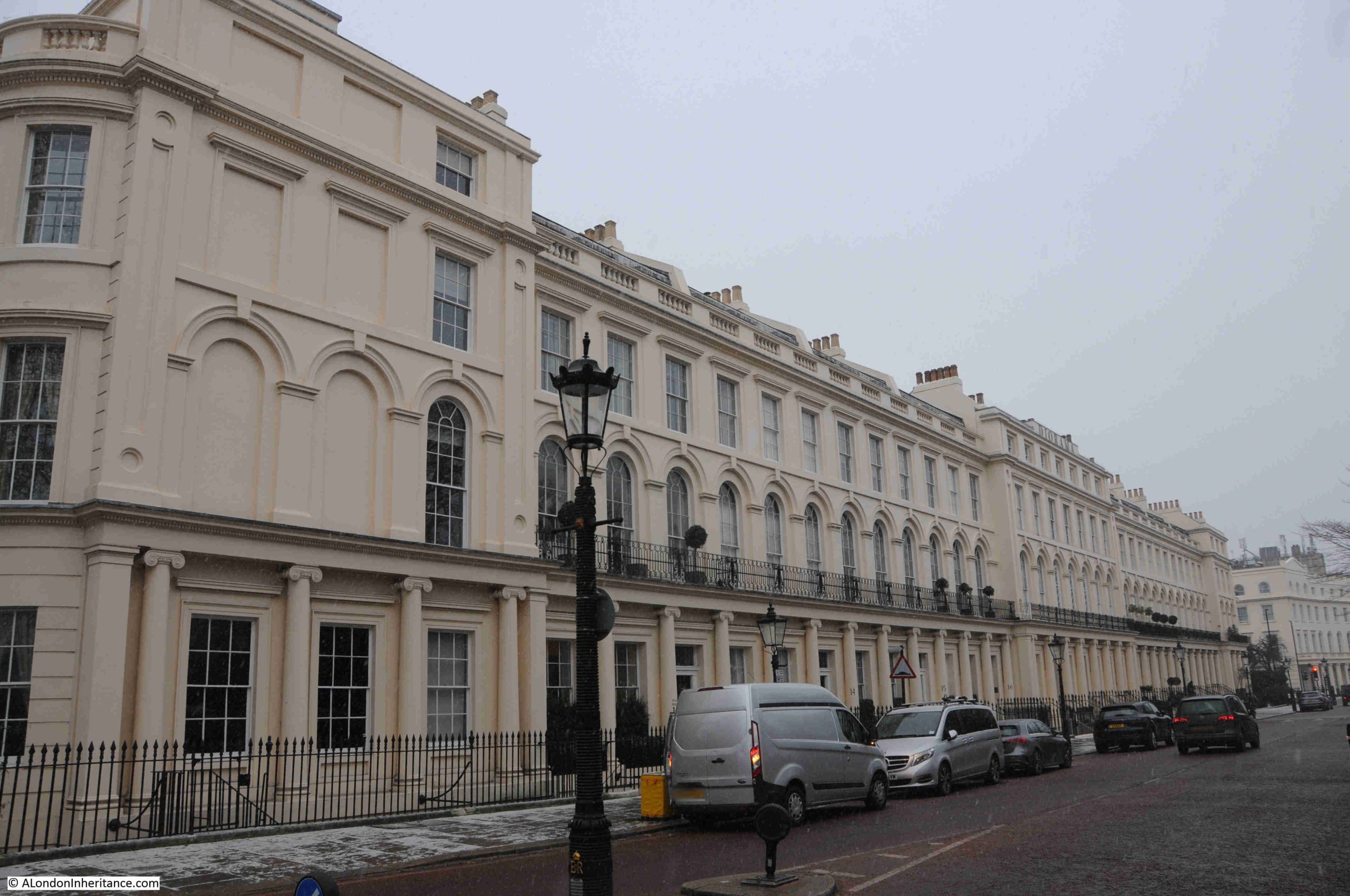
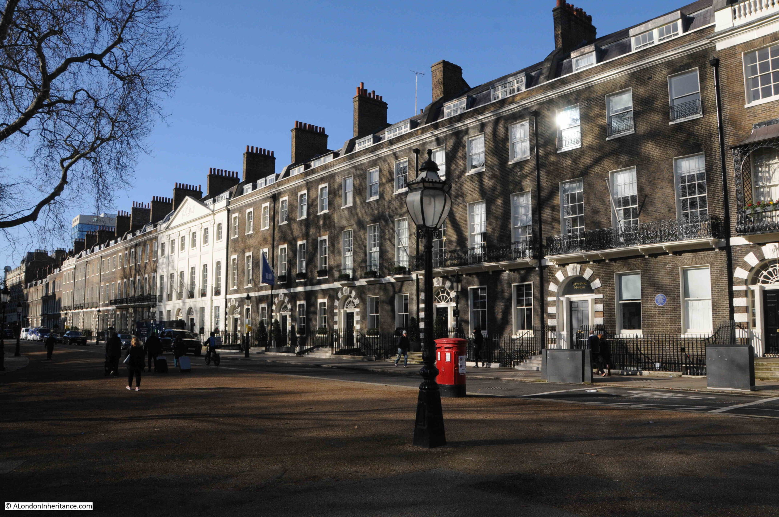
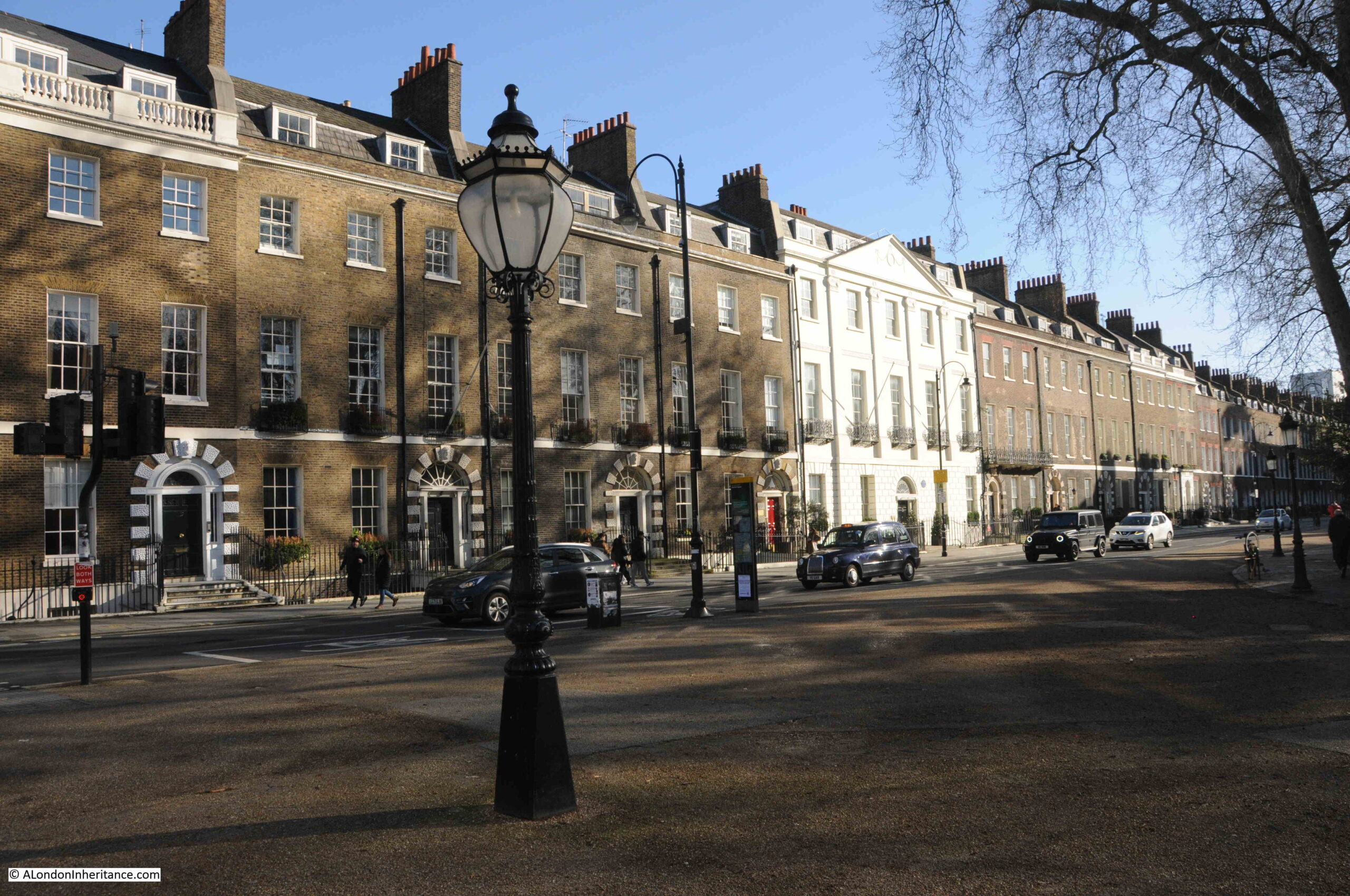
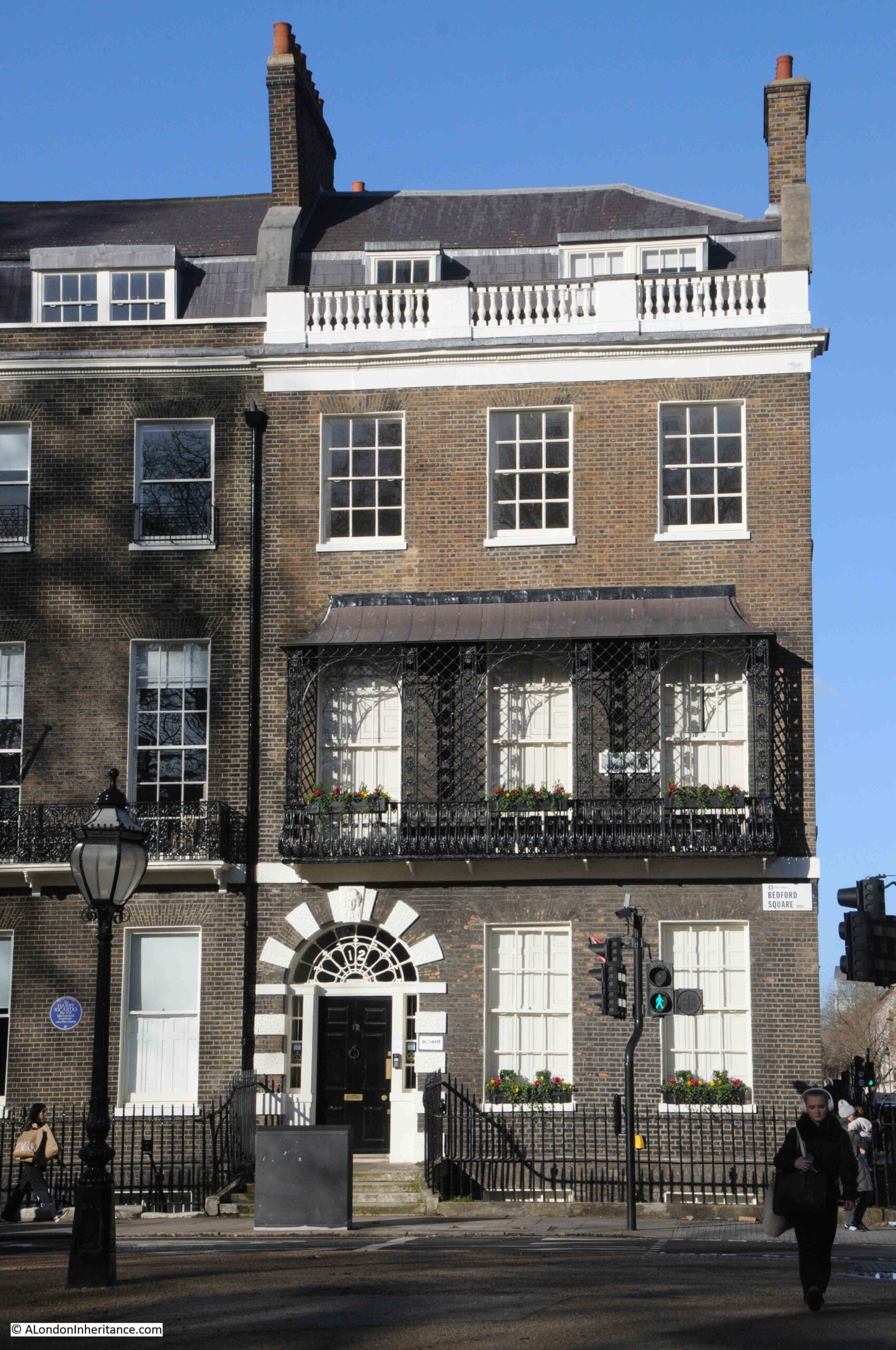
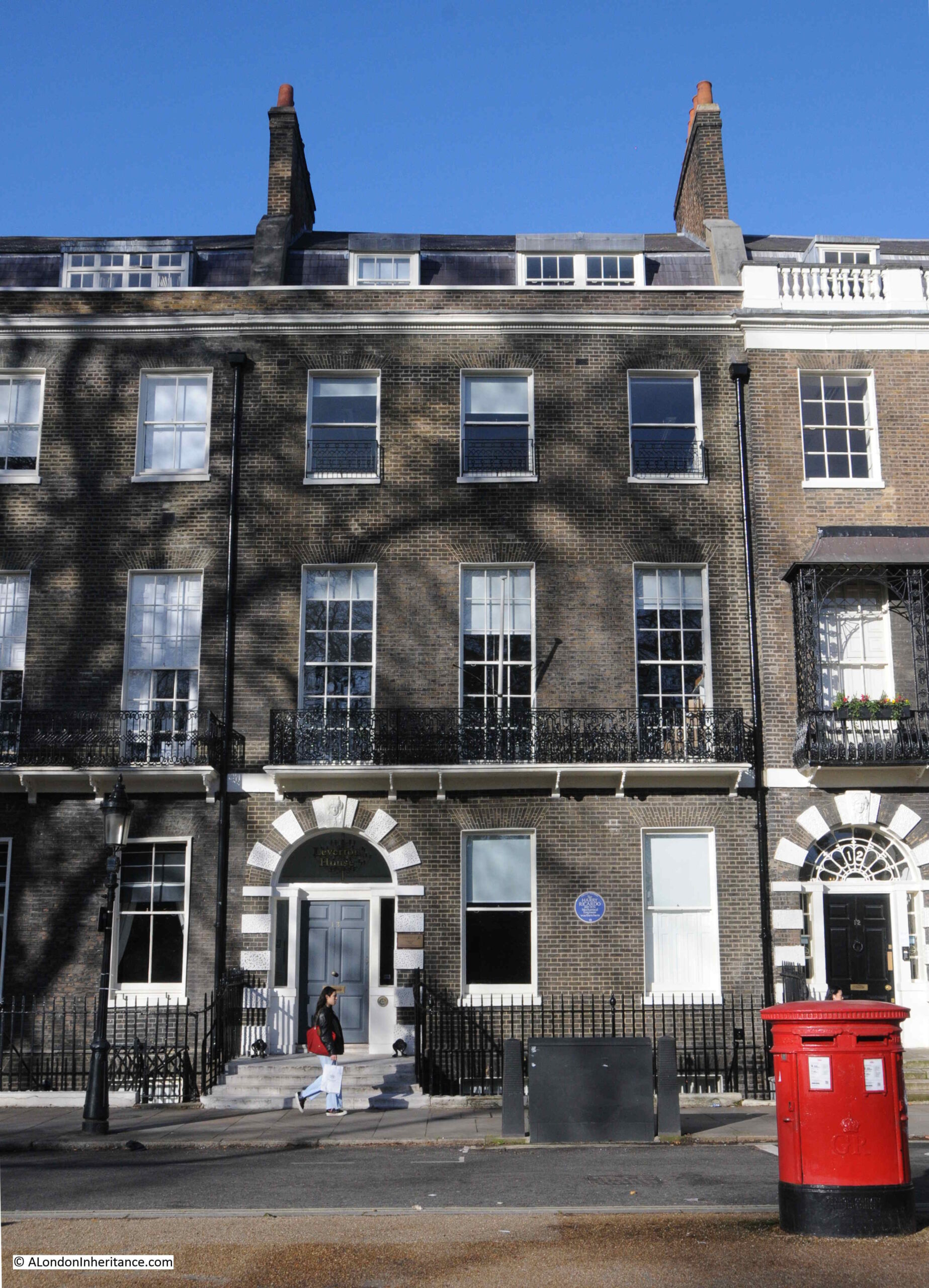
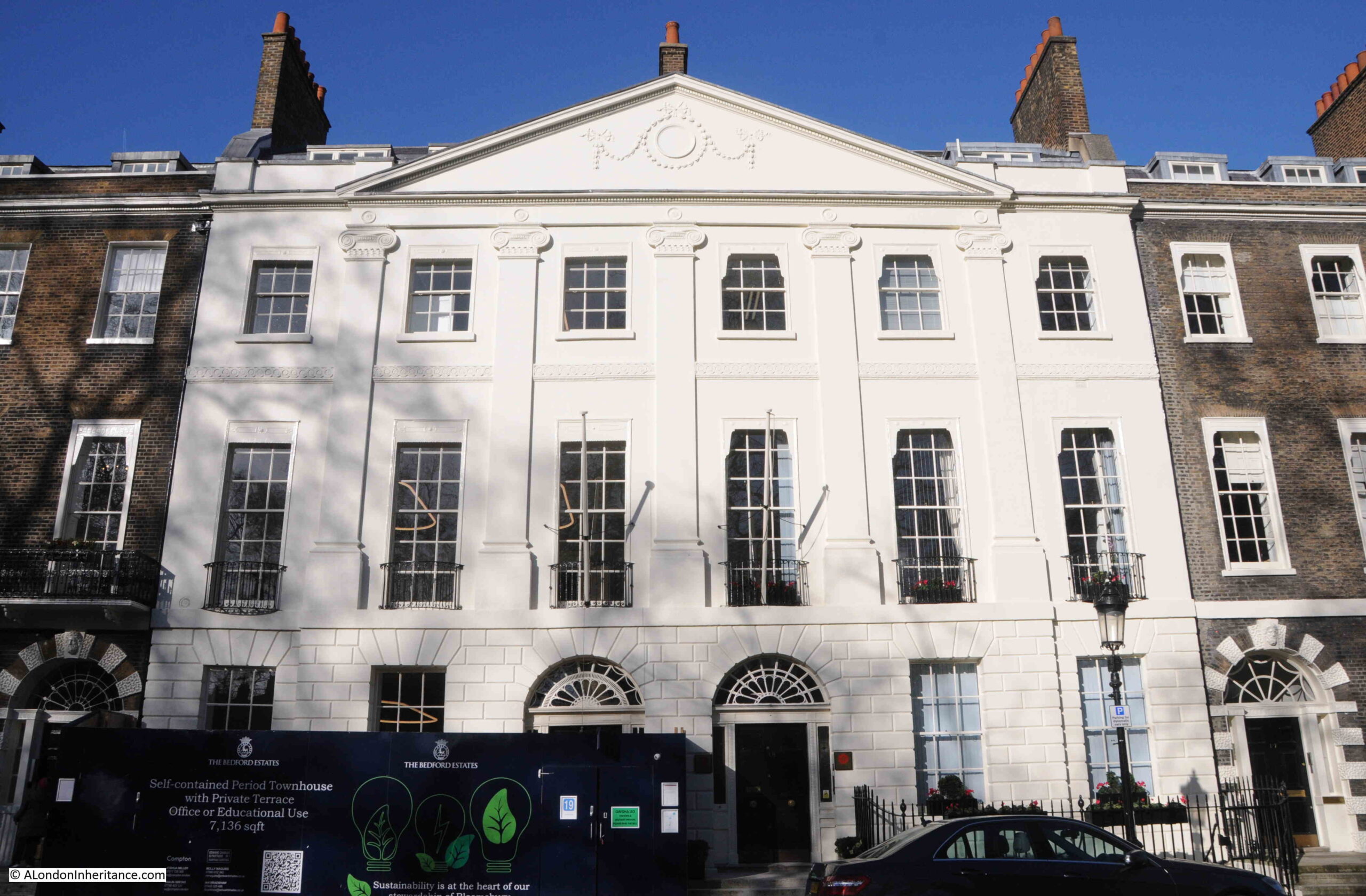
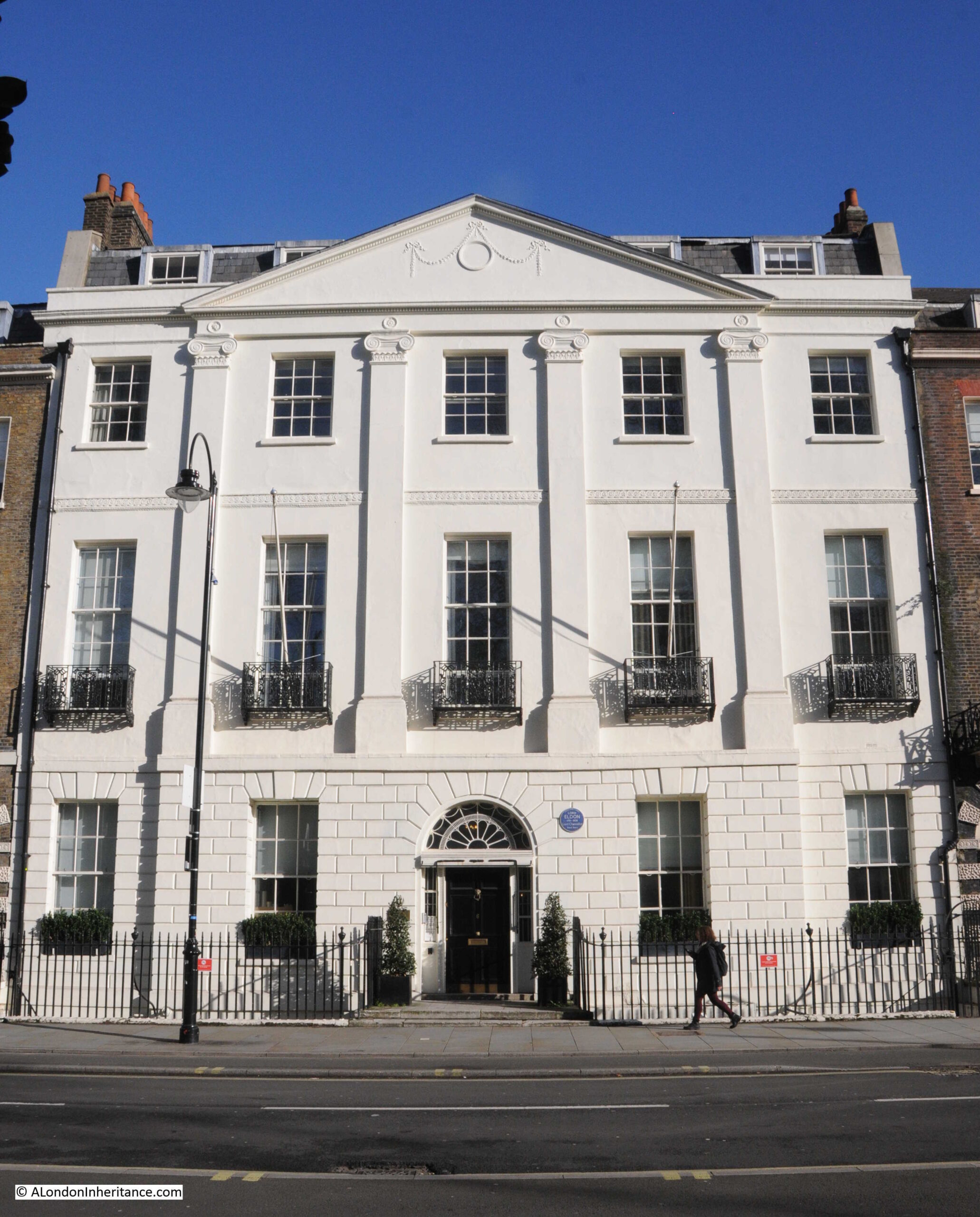
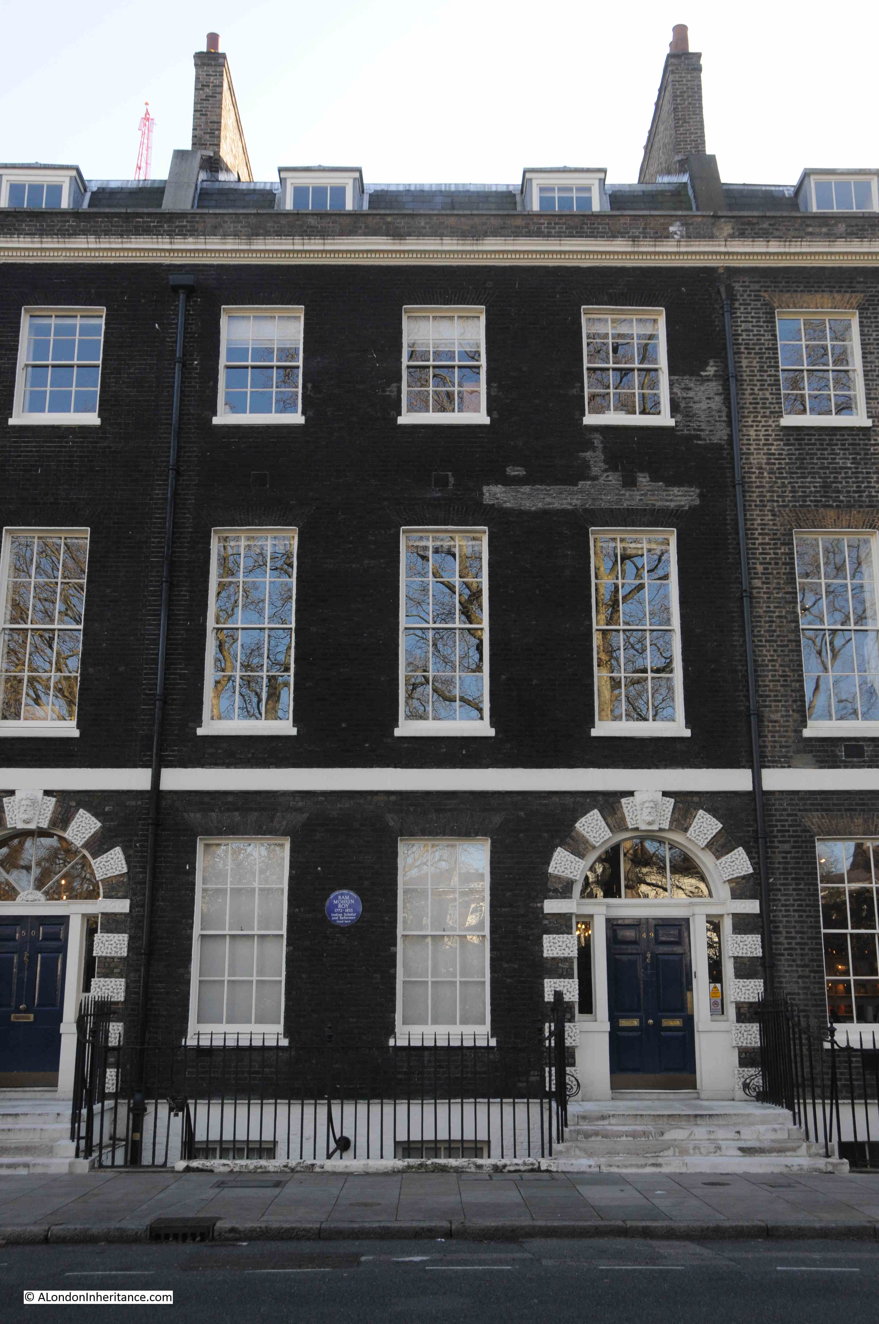
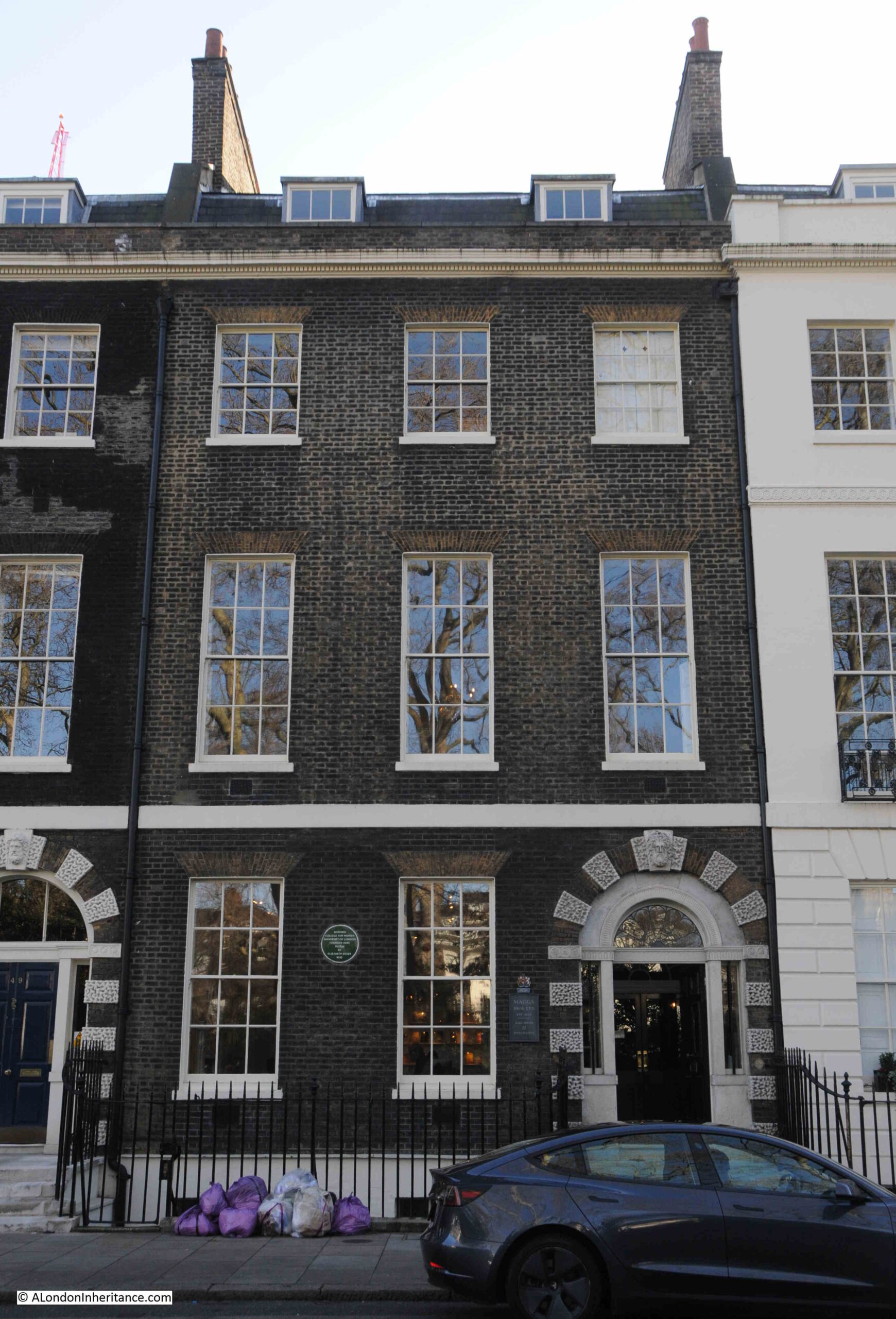
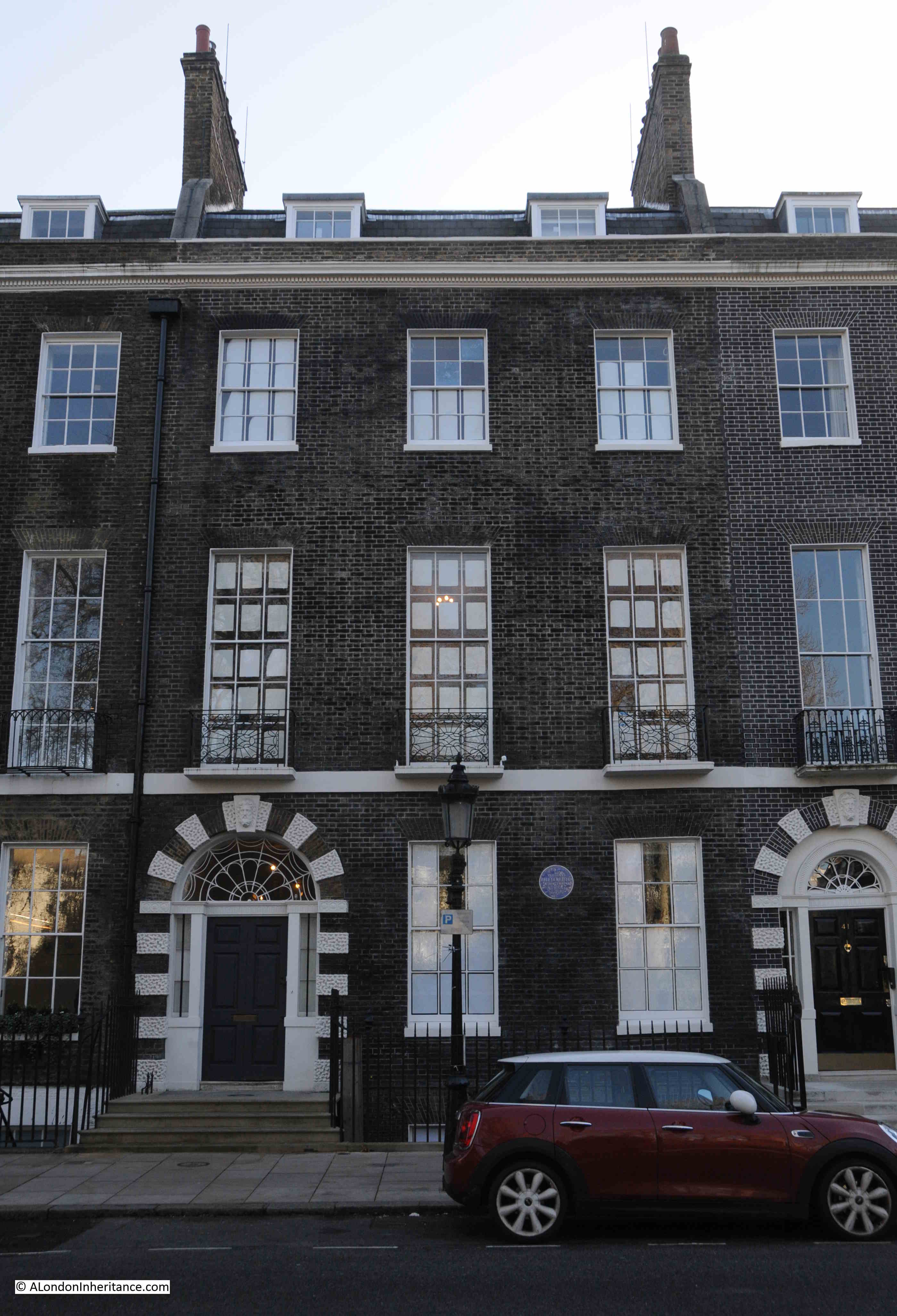
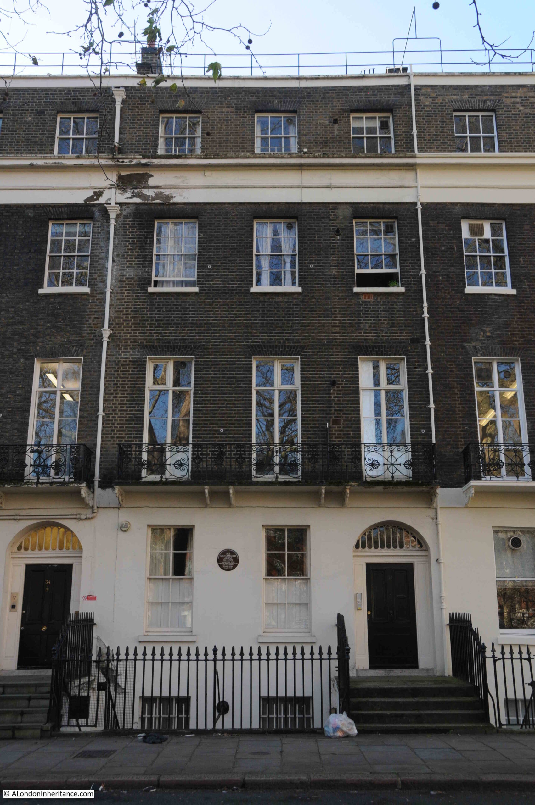
Along part of the western side of the square there is a terrace of houses, believed to be the oldest terrace in London.
The terrace of brick houses in the following photo are all Grade I listed, and the Historic England listing states that “These houses are extremely rare survivals of pre-Restoration and pre-Great Fire town houses, and are thus one of the most remarkable groups of seventeenth-century buildings in London”:
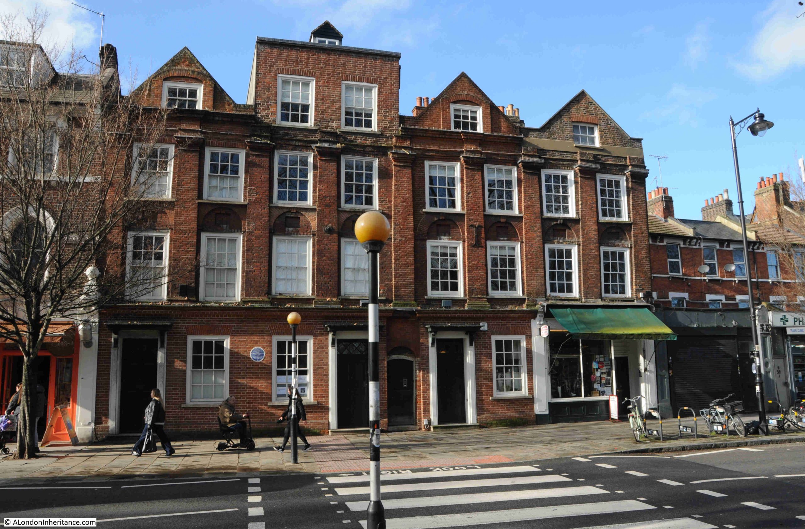
They are dated to 1658, the same year in which Oliver Cromwell died, so only just pre-restoration as detailed in the listing.
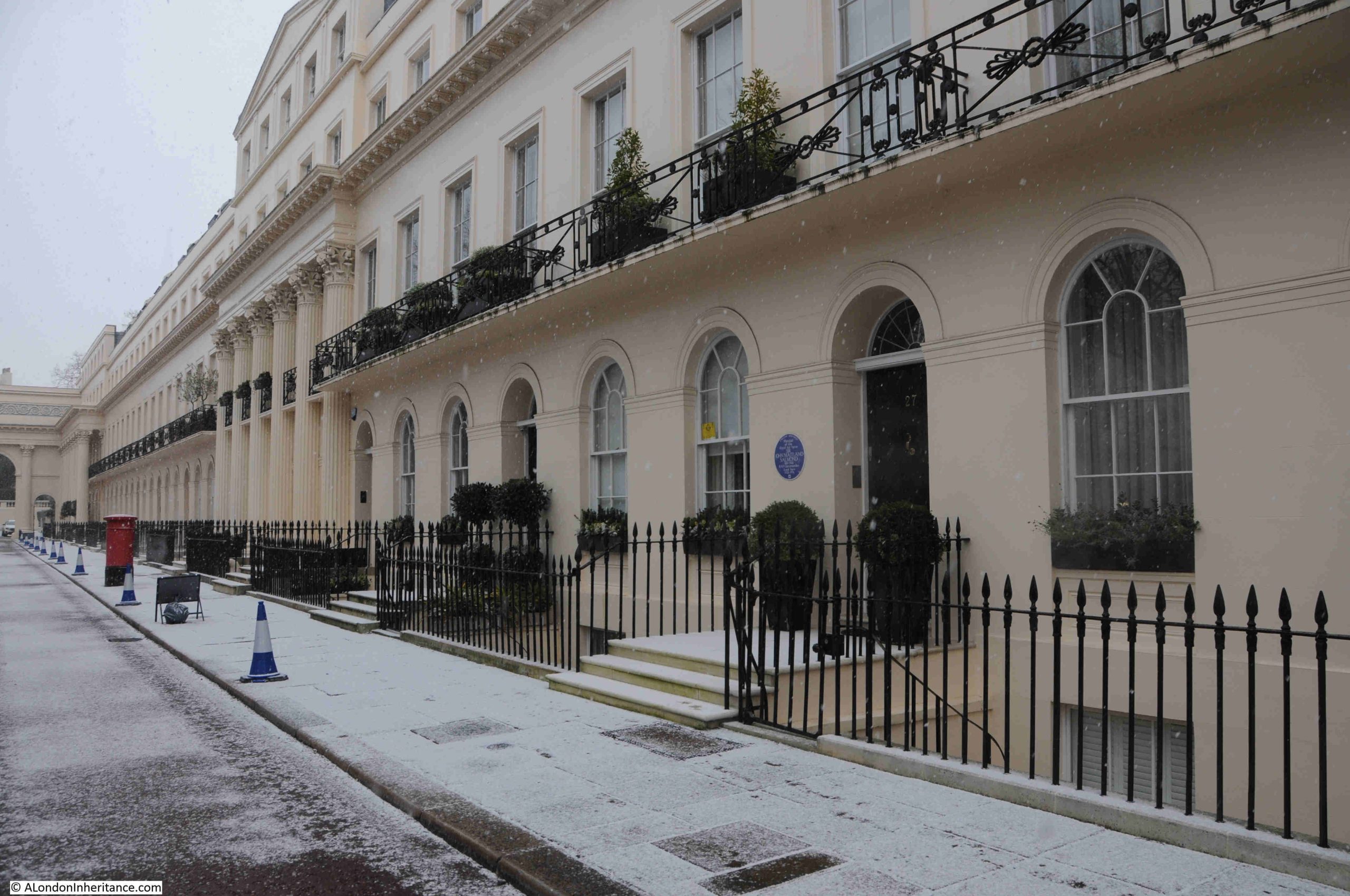
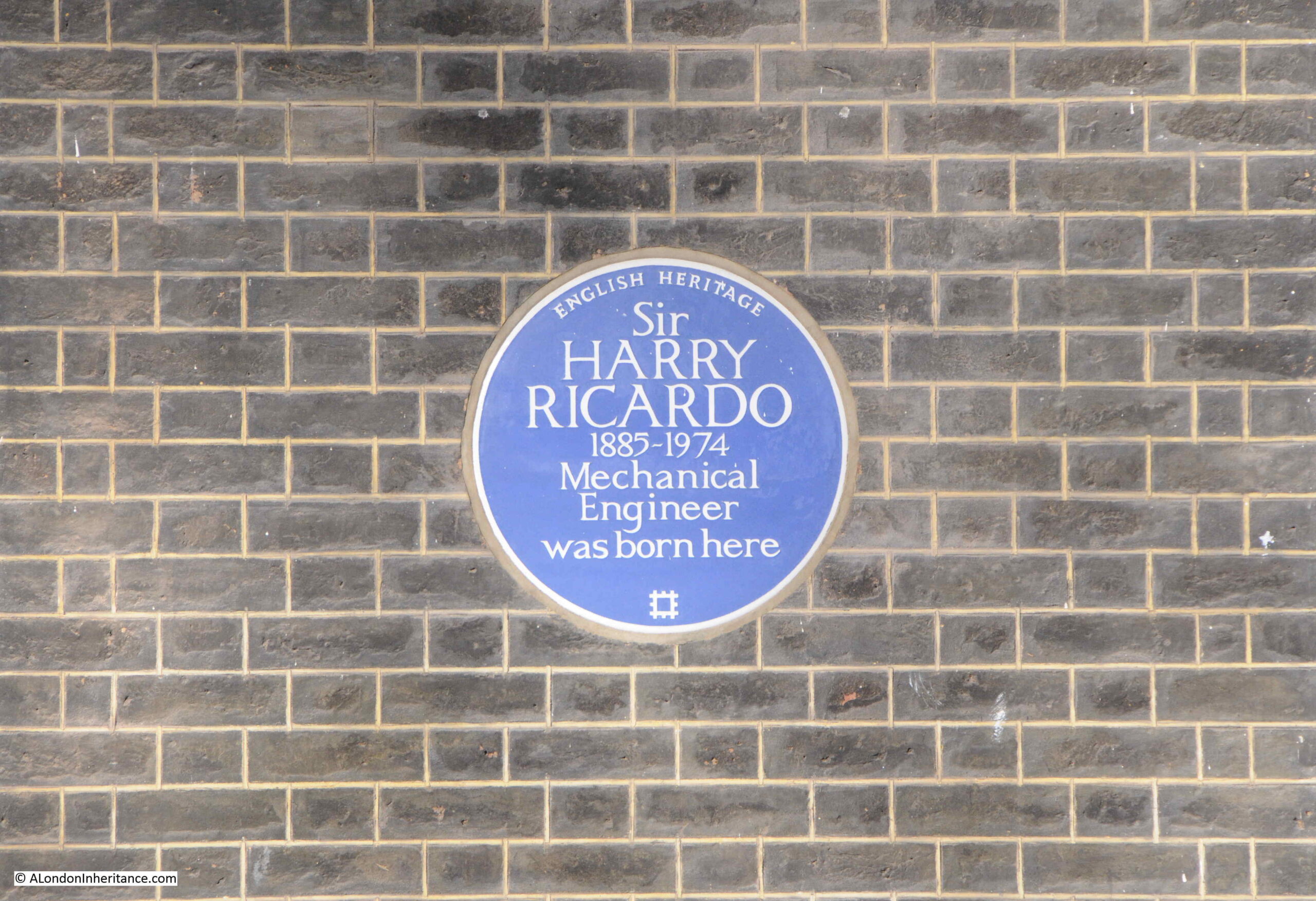
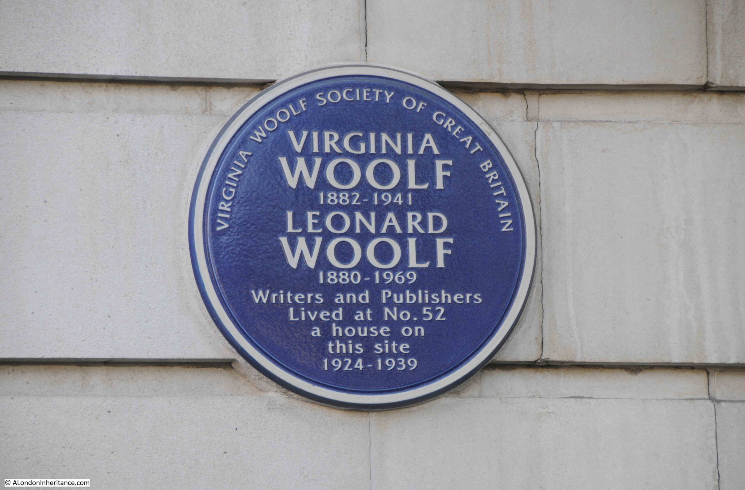
There is a blue plaque on the wall towards the left of the terrace. This is to Dr Richard Price who lived in the terrace:

Dr Richard Price was a prominent dissenting minister, who had been born in Llangeinor, Wales. His father had also been a dissenting minister.
He moved to London after the death of his parents, where he attended a dissenting academy in Moorfields.
His association with the Newington area came in 1744, when Price became family chaplain to George Streatfield at Stoke Newington.
Richard Price married Sarah Blundell in June 1757, and shortly after, they moved into the terrace in Newington Green, where he became a minister at the meeting house, a role he continued with for much of the rest of his life.
It is easy to see why both Parliament and the Monarchy were always concerned about Dissenters. Richard Price was a supporter of both the American and French revolutions, with a 1789 sermon titled A Discourse on the Love of our Country, which defended the French Revolution. He was also friends with some of the leading figures involved with the founding of America, including Thomas Jefferson and Benjamin Franklin.
One of his religious objections to many of the practices and teachings of the Church of England included a rejection of the Trinity (the concept that God exists as three distinct identities – the Father, the Son (Jesus Christ) and the Holy Spirit).
Outside of religion, he also worked on, and wrote about statistics, including an Essay on the Population of England, and in 1771, concerned by the actions of successive governments which continued to increase the national debt, he published an “Appeal to the Public on the Subject of the National Debt“.
Richard Price died in 1791. He wife Sarah had died five years earlier in 1786. They are both buried in Bunhill Fields. The sermon at the funeral was given by another prominent dissenter and natural philosopher (an 18th century version of a scientist), Joseph Priestly.
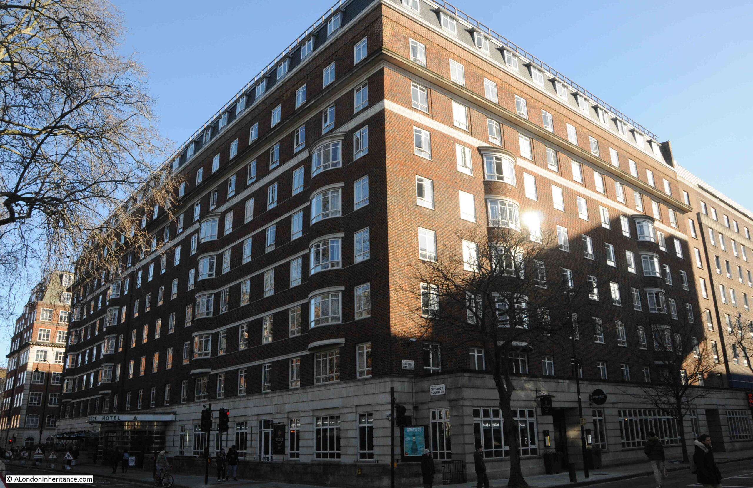
Further along the western side of Newington Green is another interesting building. This was the home of the China Inland Mission:
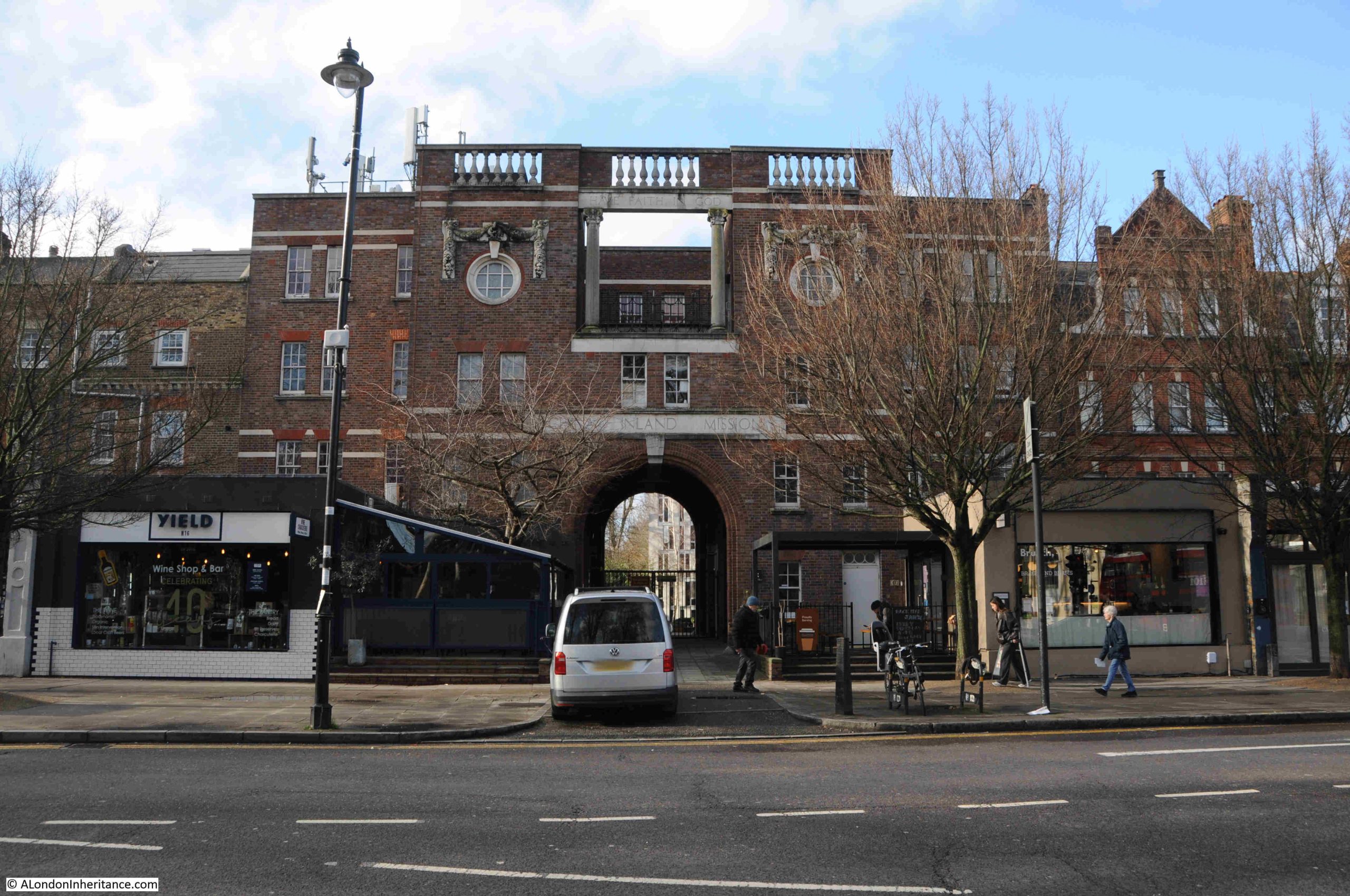
The name still visible through the trees, just above the arch of the main entrance:

The China Inland Mission was formed in 1865 by James Hudson Taylor, and as the name implies was formed to send missionaries to China so they could spread the gospel and Christianity, and convert the Chinese.
An 1866 newspaper account of the organisation provides a good impression of their approach and challenges:
“The tidings received from China during the past year have been somewhat chequered. Some of our friends there have had serious attacks of illness; but the Lord has graciously restored them to health. Among the native converts, some have caused sorrow rather than joy, and a few have had to be excluded from the privileges of church fellowship. Others, however, who have backslidden, have been restored through the Lord’s goodness; and from time to time, we have had the great jot of hearing of the conversion of heathen Chinese – male and female, young and old – and of their admission into the ranks of the Lord’s redeemed people.
One sign of great promise is the love and zeal prompting some members of the church to spend almost all their spare time in evangelistic efforts. Support for three of these for one year, to enable them to devote all their time to the work, has been kindly sent out by the Foreign Evangelist Society, which has thus rendered us important aid, and the labours of one of them, Fong Nong-kwe, in a village called K’ong-p’o, have been followed by marked encouragement.
Nine persons have, through his efforts, professed to receive the Lord Jesus, and four of them have already been baptized. Another of these evangelists, Vaen Kyiseng, appears to be a very dear and earnest Christian man, his young wife is also spoken of as a very devoted Christian, and a valuable helper among her own sex.”
It was not easy work for the China Inland Mission. The organisation lost 58 missionaries, who were killed during the Boxer rebellion of 1900. A 1935 report illustrates more of the significant challenges they faced:
“CHINA INLAND MISSION – With the loss of missionary lives and the recent kidnapping of the British ship in the China Seas with so many children returning to the Chefoo Schools, the name ‘China Inland Mission’ has been more prominent than usual in the public eye.”
By the start of the Second World War in 1939, the organisation had 1,300 missionaries working in China and approaching 200,000 Chinese had been baptized.
The aftermath of the war, and the communist take over of China in 1949 made it increasingly difficult for the China Inland Mission to operate, and all missionaries were recalled from the country in 1950.
The focus of the organisation changed to other countries in the region, including Thailand, Malaysia, Japan, Philippines and Indonesia, and this change in direction resulted in the name being changed in 1964 to the Overseas Missionary Fellowship.
In 1994, the name was updated to Overseas Missionary Fellowship International.
Today, their UK offices are in Manchester, and the building on Newington Green provides student accommodation, operated by Sanctuary Students, who, on their website state that the building is Grade II listed, however on the Historic England listing database, I cannot find any reference to the building being listed. It is though an interesting building, and with a history that shows how 19th century British Christians tried to spread the religion across the distant regions of the world.
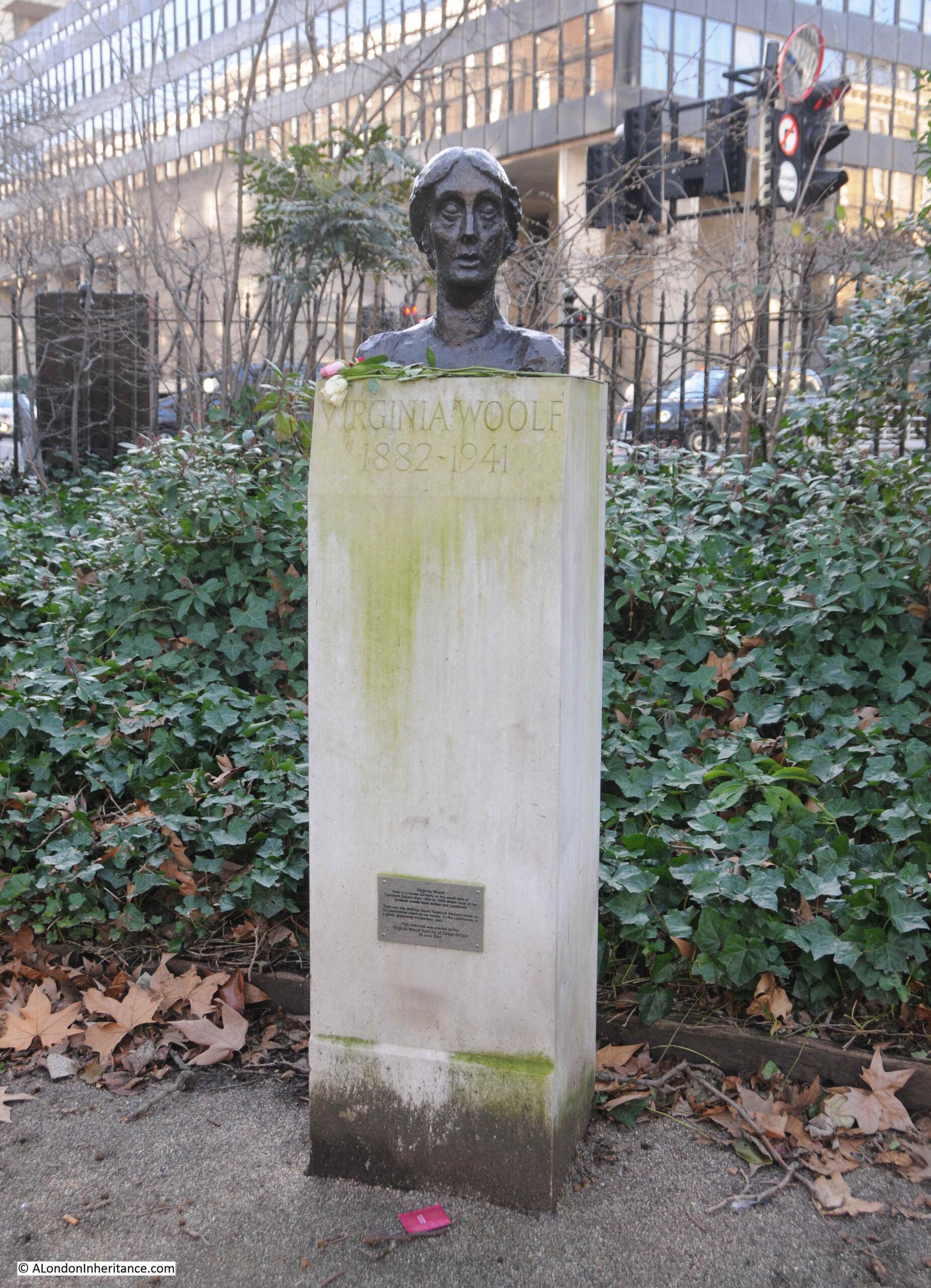
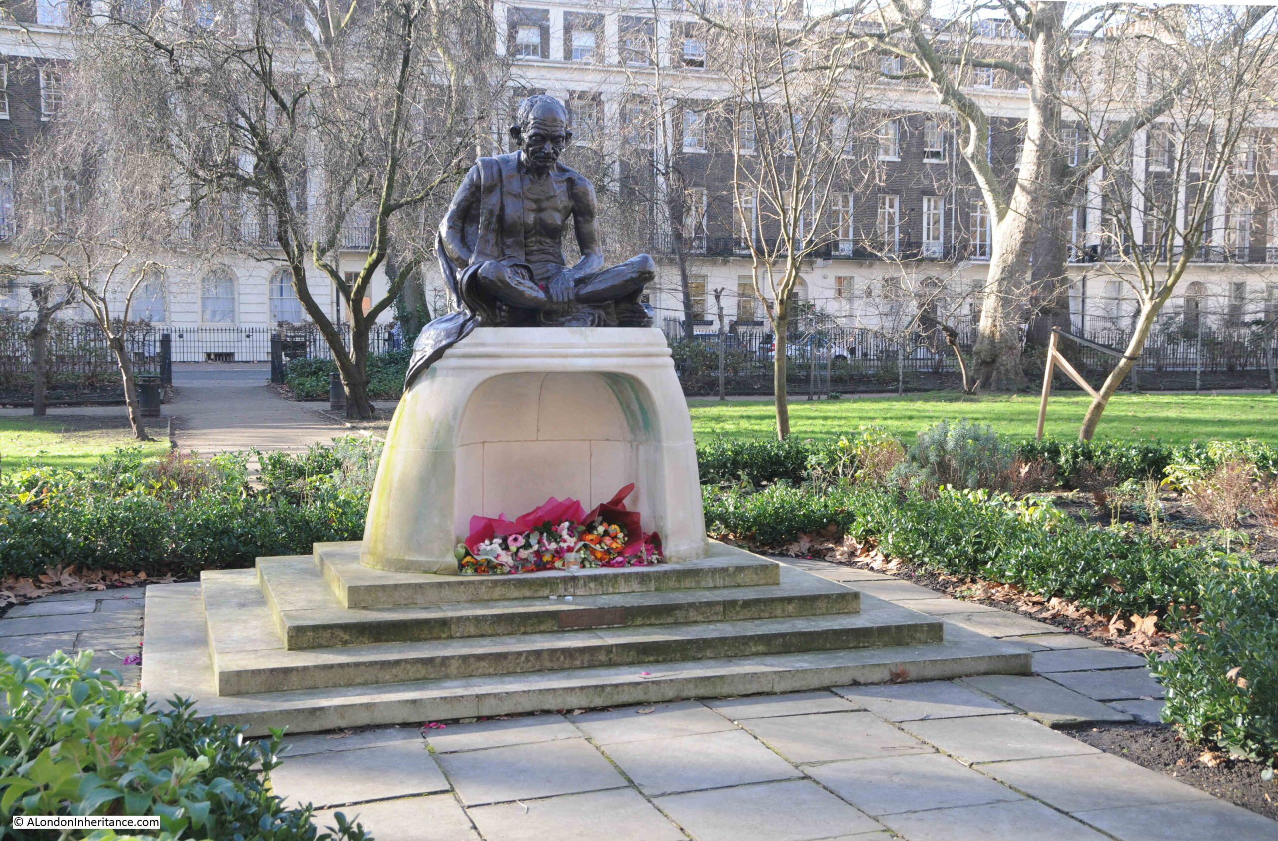
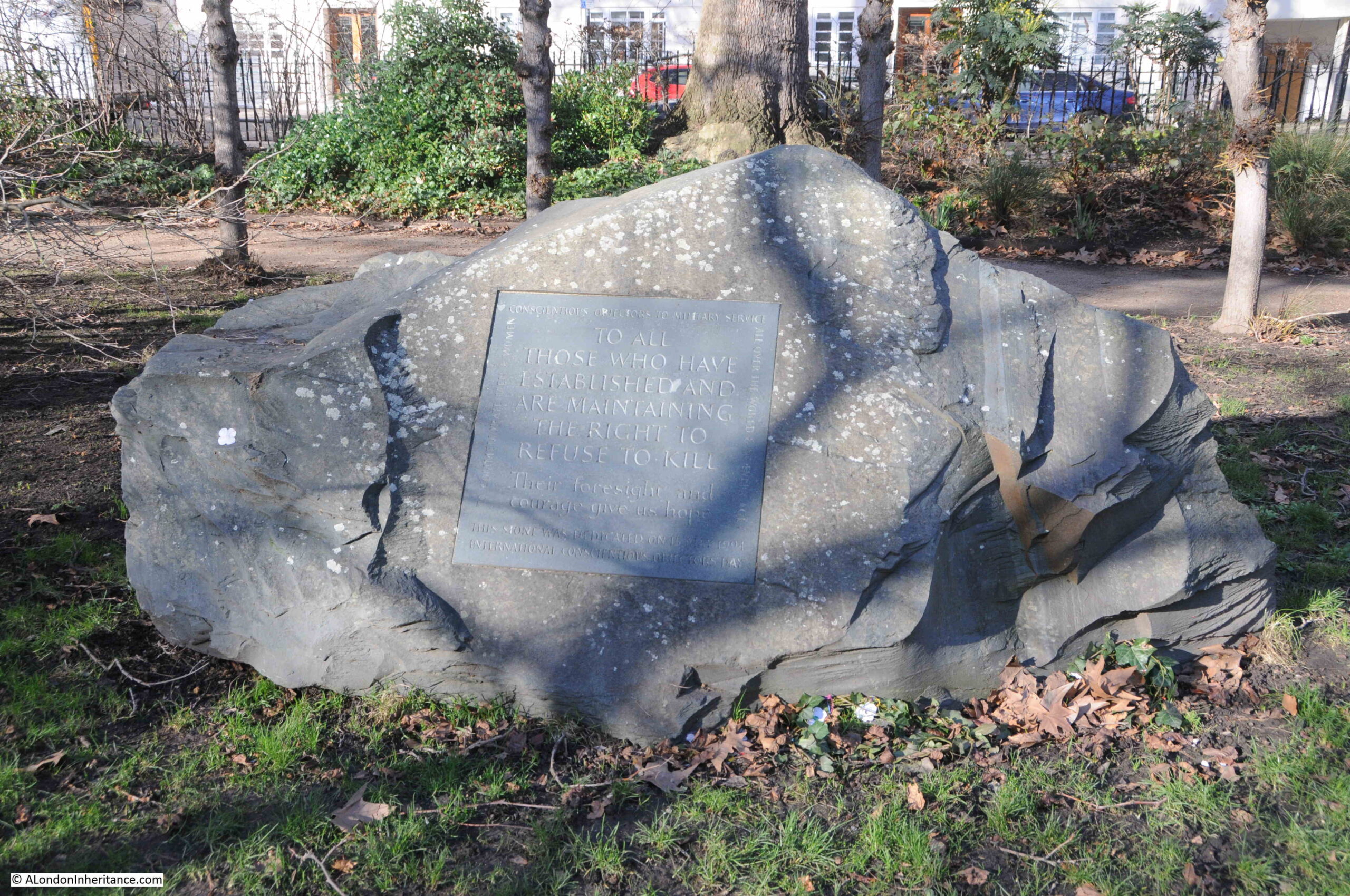
From the streets around Newington Green, we need to head into the central green space to see a sculpture, that, for a brief period after it was unveiled in 2020, was probably the most talked about work of art in London.
This is the sculpture commemorating Mary Wollstonecraft by Maggi Hambling:

Despite only living to the age of 38 (she died from badly managed complications after child birth), Mary Wollstonecraft’s achievements and challenges were many, and she had a remarkable life.
Mary was born in Spitalfields in April 1759. Her father was reasonably prosperous, but he squandered their money and was also abusive. Mary also had a very limited education, with her brother being given a much more comprehensive education. An attitude towards the education of girls that resulted in her first publication “Thoughts on the Education of Daughters”.
Her links to Newington Green only lasted a few years. Sometime around April 1784 she moved to Newington Green and set up a small children’s day school, along with her sisters Everina Wollstonecraft and Eliza Bishop, and her friend Frances Blood. Mary had helped Eliza separate from her disastrous marriage to Meredith Bishop.
Mary had help from Hannah Burgh, the wife of the prominent dissenter James Burgh, who ran an academy for dissenters, and who also had an extensive library to which Mary had access.
The school took up to 20 children, and along with taking in lodgers, provided just enough funding for the women to survive.
Not long after the establishing the school Frances Blood moved to Lisbon with her husband Hugh Skeys, and soon after Mary visited Frances in Lisbon to support her during child birth,. Frances died a short time after through complications.
Returning to Newington Green, the school soon closed, and her sisters moved away, leaving Mary alone and with significant financial challenges.
With very few options open to her, Mary then took a job as a Governess for Lord and Lady Kingsborough in Cork, Ireland, a role she appears to have hated, found frivolous, and she was fired within a year.
Returning to London, she turned her skills towards writing and it was in 1787 that her book “Thoughts on the Education of Daughters” was published by the radical publisher Joseph Johnson, and it was at dinners arranged by Johnson that Mary was to meet many other radical thinkers.
Mary saw the French Revolution as a way of establishing a more equal society. The author Edmund Burke published in 1790 “Reflections on the Revolution in France” which condemned the social changes resulting from the revolution, and to oppose Burke’s views, Mary published “A Vindication of the Rights of Men” in support of the ideals of the revolution, although she did change her mind after witnessing the corruption and guillotining of so many people after the initial revolution.
After arguing for a more egalitarian society in her book on the Rights of Men, Mary’s next step was to argue for equality of the sexes, with the 1792 publication of “A Vindication of the Rights of Woman”, which argued for the same education and opportunities for women as given to men, and that women should have the opportunity to contribute equally to society.
The plinth supporting the sculpture has a quote from the book on the Rights of Women: “I do not wish women to have power over men; but over themselves”.
Mary Wollstonecraft:
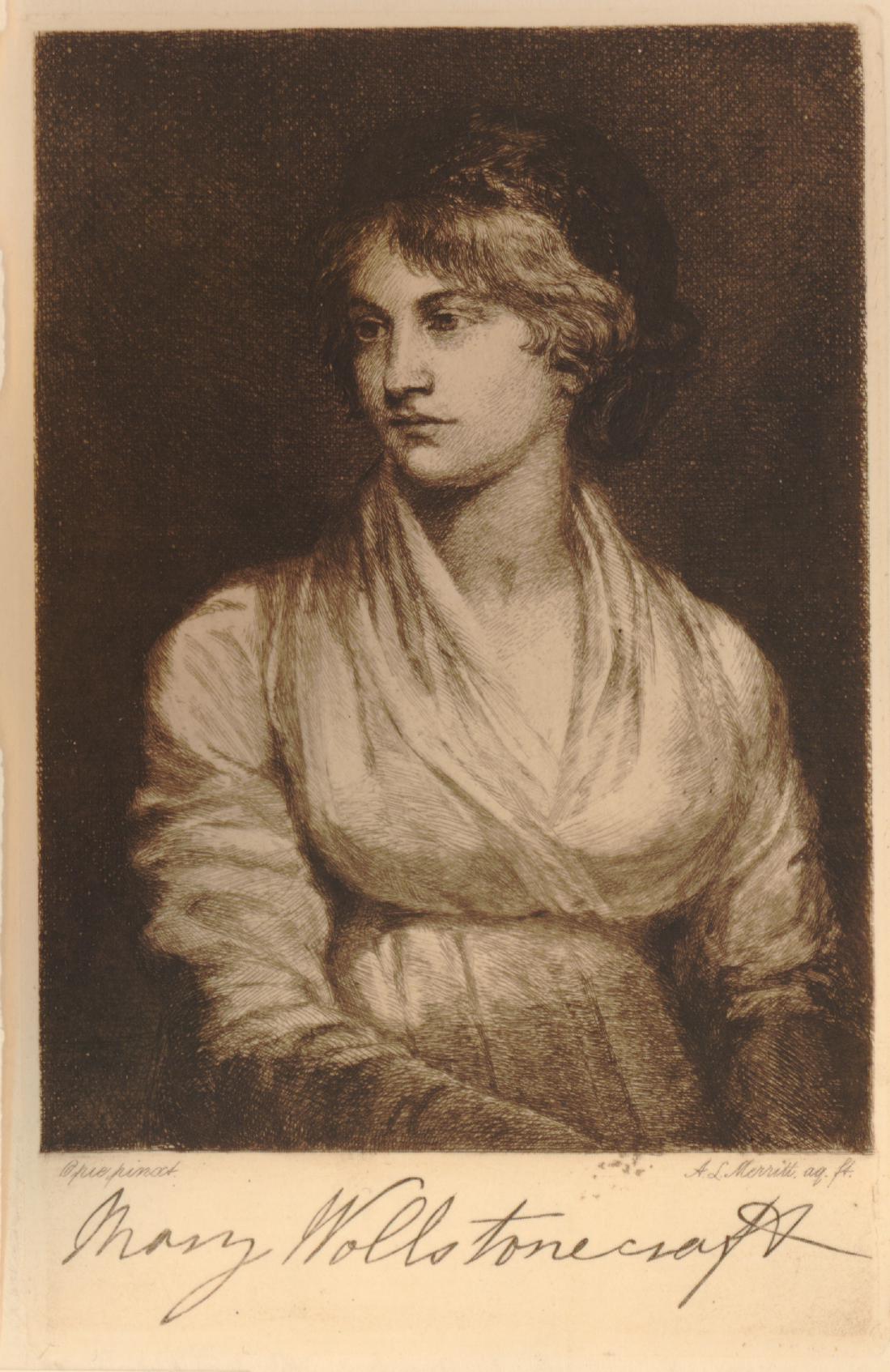
(© The Trustees of the British Museum. Shared under a Creative Commons Attribution-NonCommercial-ShareAlike 4.0 International (CC BY-NC-SA 4.0) licence.)
In 1793, Mary had a relationship with the American Gilbert Imlay, and in the following year gave birth to her first child.
Imlay was unfaithful throughout their brief relationship, which drove Mary to an attempted suicide by throwing herself off Putney Bridge, fortunately being rescued by a Thames Waterman.
During her relationship with Imlay, he had also sent her to Scandinavia to try and recover a ship that had been stolen from him by a Norwegian sea captain (and Imlay had another affair whilst Mary was trying to do this for him). She used her experiences in Scandinavia to publish “Letters Written During a Short Residence in Sweden, Norway and Denmark”.
Leaving Imlay, Mary then developed a relationship with the radical philosopher, William Godwin, who was opposed to marriage, but did marry Mary when she fell pregnant with his child.
After a long labour, Mary gave birth to her daughter also called Mary, on the 30th of August 1797, who would go one to write the novel Frankenstein, under the name of Mary Shelley, after her marriage to Percy Shelley.
Mary should have had a midwife, however a surgeon badly managed minor complications following childbirth resulting in acute haemorrhaging and infection, and Mary died on the 10th of September 1797, at the young age of 38.
The sculpture commemorating Mary Wollstonecraft seems to have generated very polarising views from the day it was unveiled.
The artist Maggi Hambling said that the work is intended to personify a spirit, the naked everywoman emerging from a swirl of female forms, and that if the figure at the toped were clothed then it would have given her an identity:
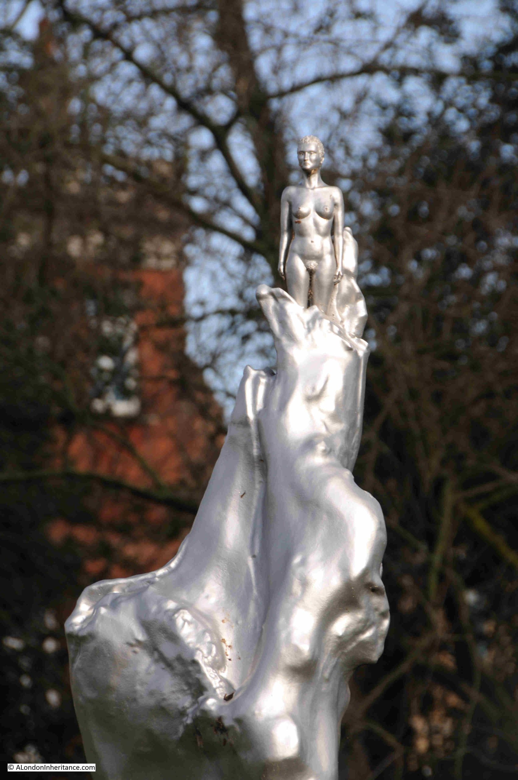
Throughout her 38 years, Mary experienced so many challenges, but maintained her belief in an egalitarian society, and in equality of the sexes.
Her dissenting beliefs make Newington Green a good place for the sculpture and whatever your views on the sculpture, the good thing is that it has brought the name of this remarkable woman to much greater public awareness.
There is a final building associated with dissenting views to be found at Newington Green. As you leave the square at the north east corner, along Matthias Road, you will find the Grade II listed Mildmay Club:
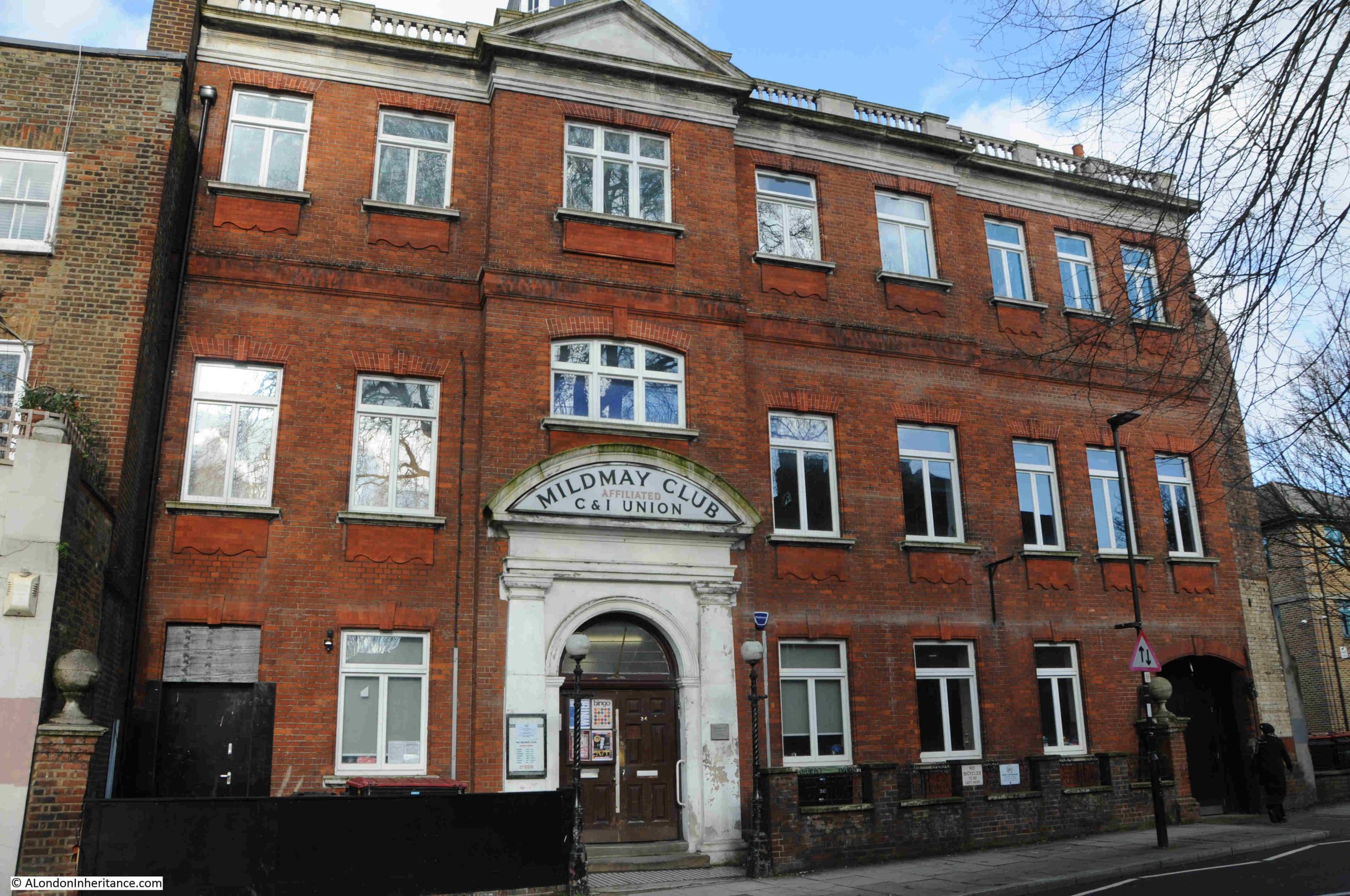
The building dates from 1900 to 1901, and was constructed for the Mildmay Radical Club, which had been founded in August 1888, and was located in Newington Green Road.
The club, like many similar clubs aimed at the working class, was a place of radical politics and social campaigns, and also ran an extensive range of social activities for members, which at their peak, reached around 3,000.
Meetings at the club tended to be based around a lecture or talk on a subject related to the politics of the club, so, for example, on the 29th of January 1903 it was reported that “Last night a public meeting in favour of taxing land values was held in the large hall of the Mildmay Radical Club. The meeting was convened by the Political and Educational Council of the Club in conjunction with the English League for the Taxation of Land Values”.
The concern was that “To all who lived in suburban districts in London, the simple justice of it appealed to all occupiers quite independent of party. It seemed an elementary principle of justice that when public improvements were being made that were going to benefit all, that all should to some extent contribute towards those improvements, But here they had landowners who, especially in London more than anywhere else, got the benefit of these improvements in the increased value of property, and yet as local ratepayers they did not contribute one farthing towards the expenses. The whole cost was thrown on the occupiers of the houses.”
An example of the social events arranged by the club was on the 1st of May 1907, when the Political and Educational Council of the Mildmay Radical Club and Institute arranged an evening “Soiree and Dance” to celebrate the completion of their winter programme of events.
The event was attended by 150 “members, friends, with their wives, sweethearts, sons and daughters”. and dancing was led by “Mr. J. Pennell, the popular and respected instructor to the Mildmay Elementary Dancing Class, who had been invited by the Political and Educational Council to undertake the duties of M.C. and thanks to his energy several extra dances were added to the programme, to the delight of the company”.
The singing and dancing went on till midnight when the evening broke up “with many regrets at its termination”.
The club also arranged many educational visits, not just to radical events, but across London so that members could learn more about the history of the city, and how the city operated. Visits included lecturers at Westminster Abbey and tours to many of the halls of the City Livery Companies.
The radical aspect of working men’s clubs lasted until the First World War, following which their influence and involvement in political causes started to decline, and they became more places for social and entertainment events.
In 1930, the Mildmay Radical Club dropped the radical to become the Mildmay Club to emphasise the non-political status of the club, and the club continues to operate to this day, with a members bar, pool and TV room, and two large halls where entertainment events are regularly hosted.
Newington Green is a small square in north London, but it has a long and fascinating place in the history of religious dissent and radical politics in London and the country, and evidence of this can be found with a walk around the green, as well as a view of the oldest terrace of houses in London.