I am not very good at completing a series of posts on a specific subject, but today I have managed to complete the series on the 1994, Department of Planning of the Corporation of London booklet with the title of “Late 20th Century Sculpture in the City of London”.
You can find the first post which looks at the booklet here, and the second post by clicking here.
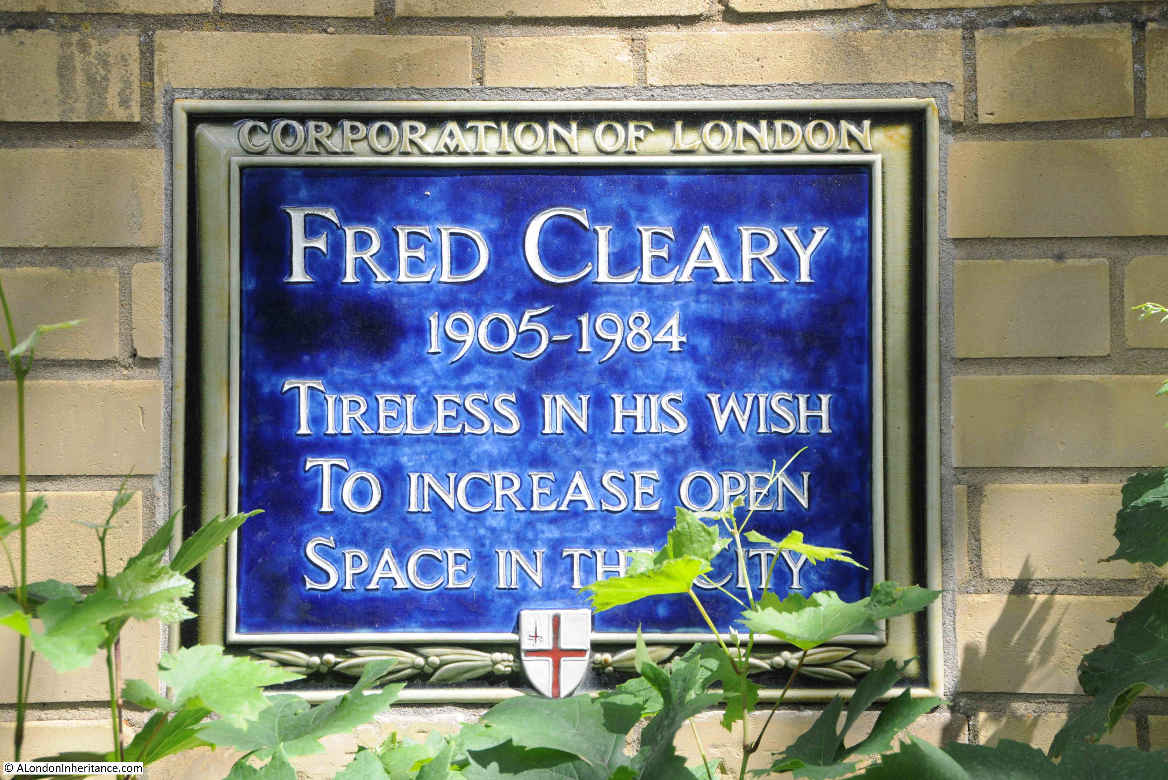
The aim of the booklet was to highlight the increase in number and diversity of type, and how public sculpture added to the interest and enjoyment of public spaces, and I started the series of posts to see if I could find all those listed in 1994, or whether some had been lost in the past 32 years.
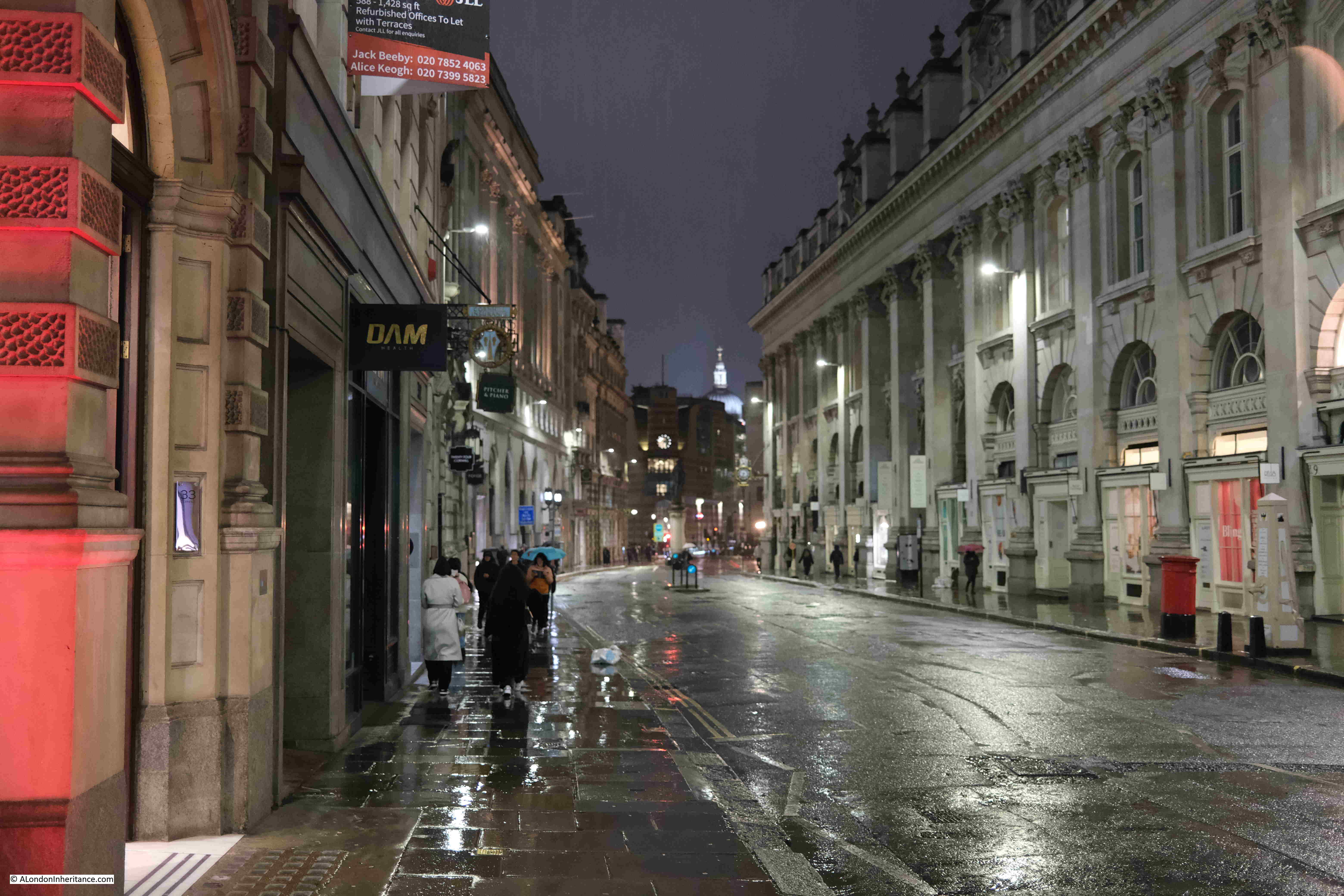
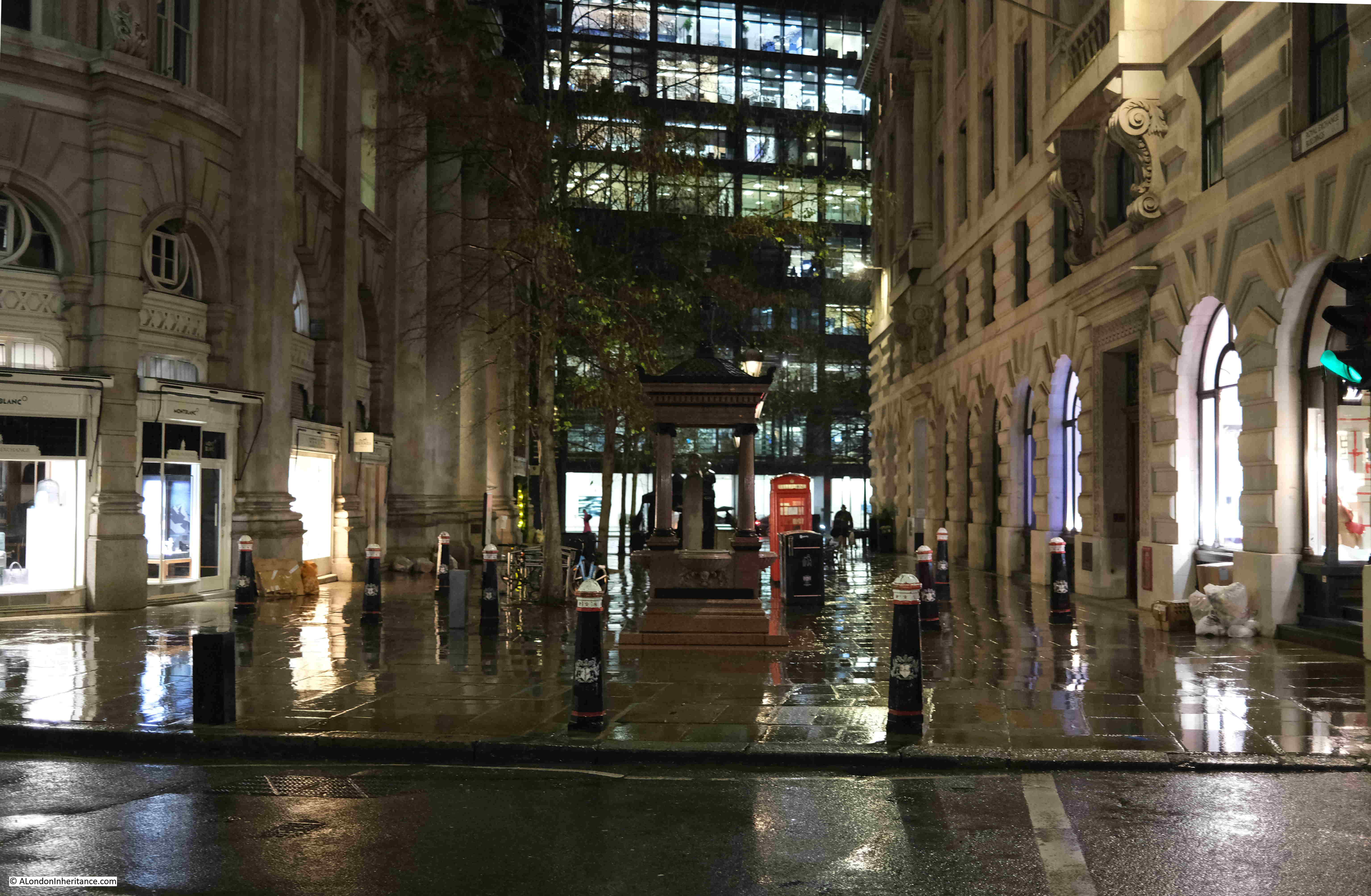
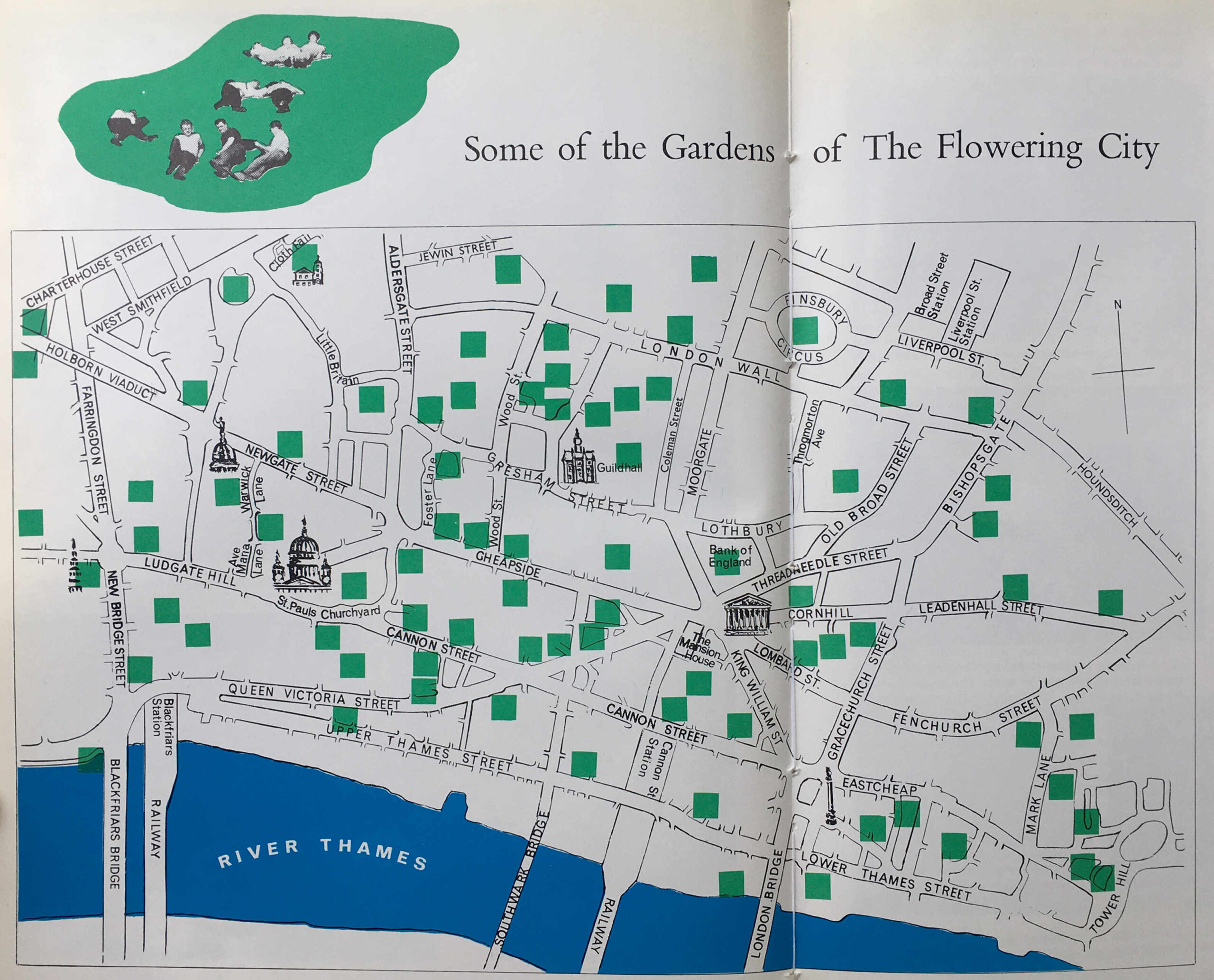
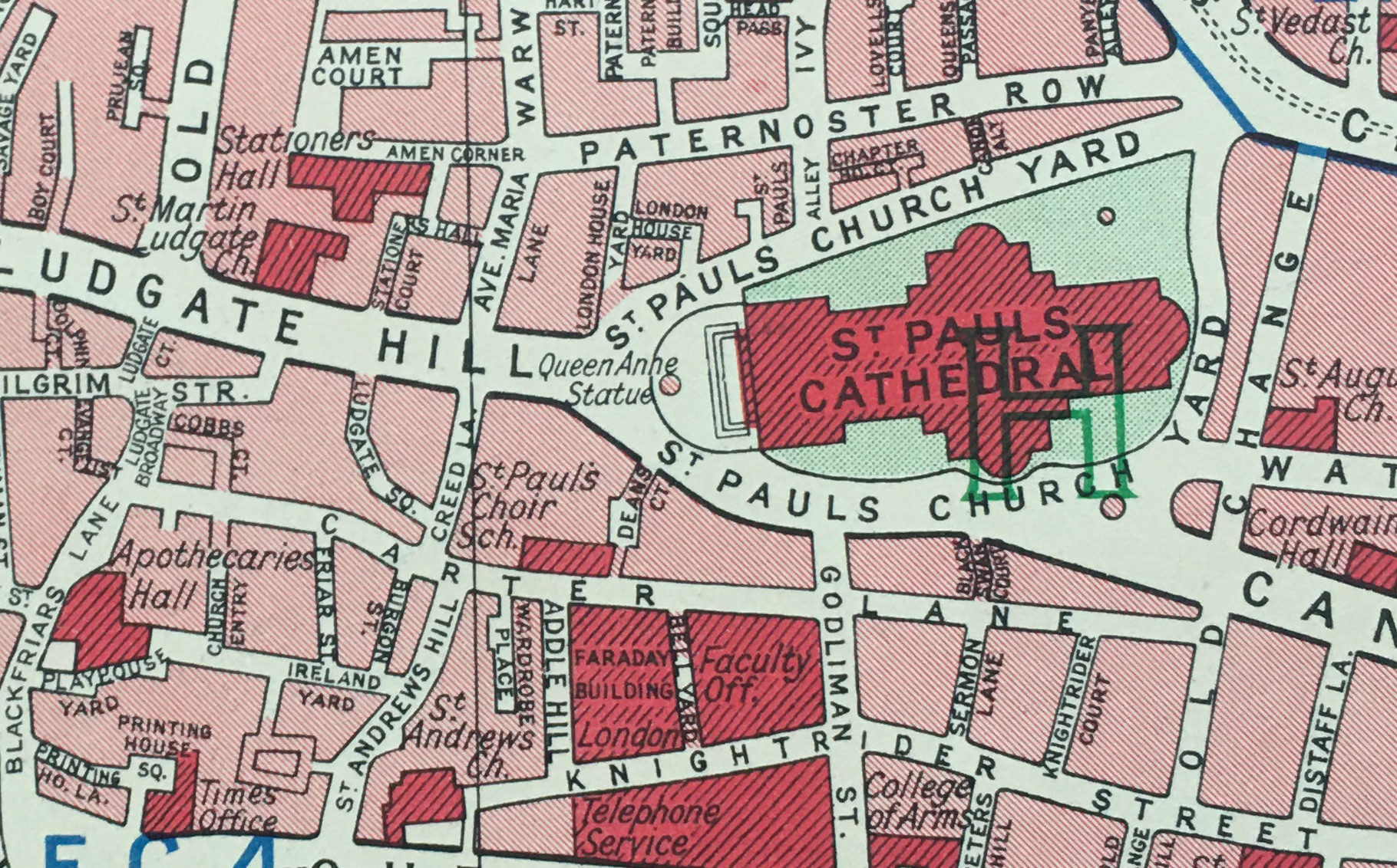
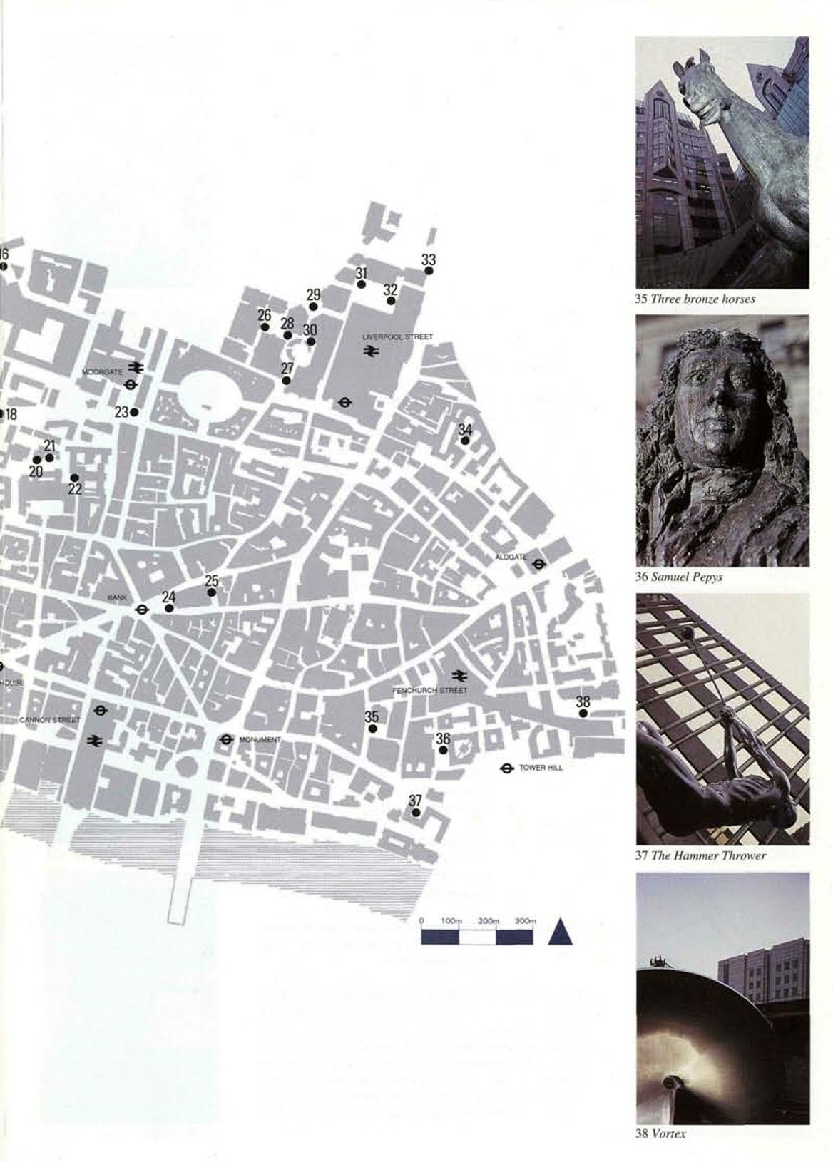
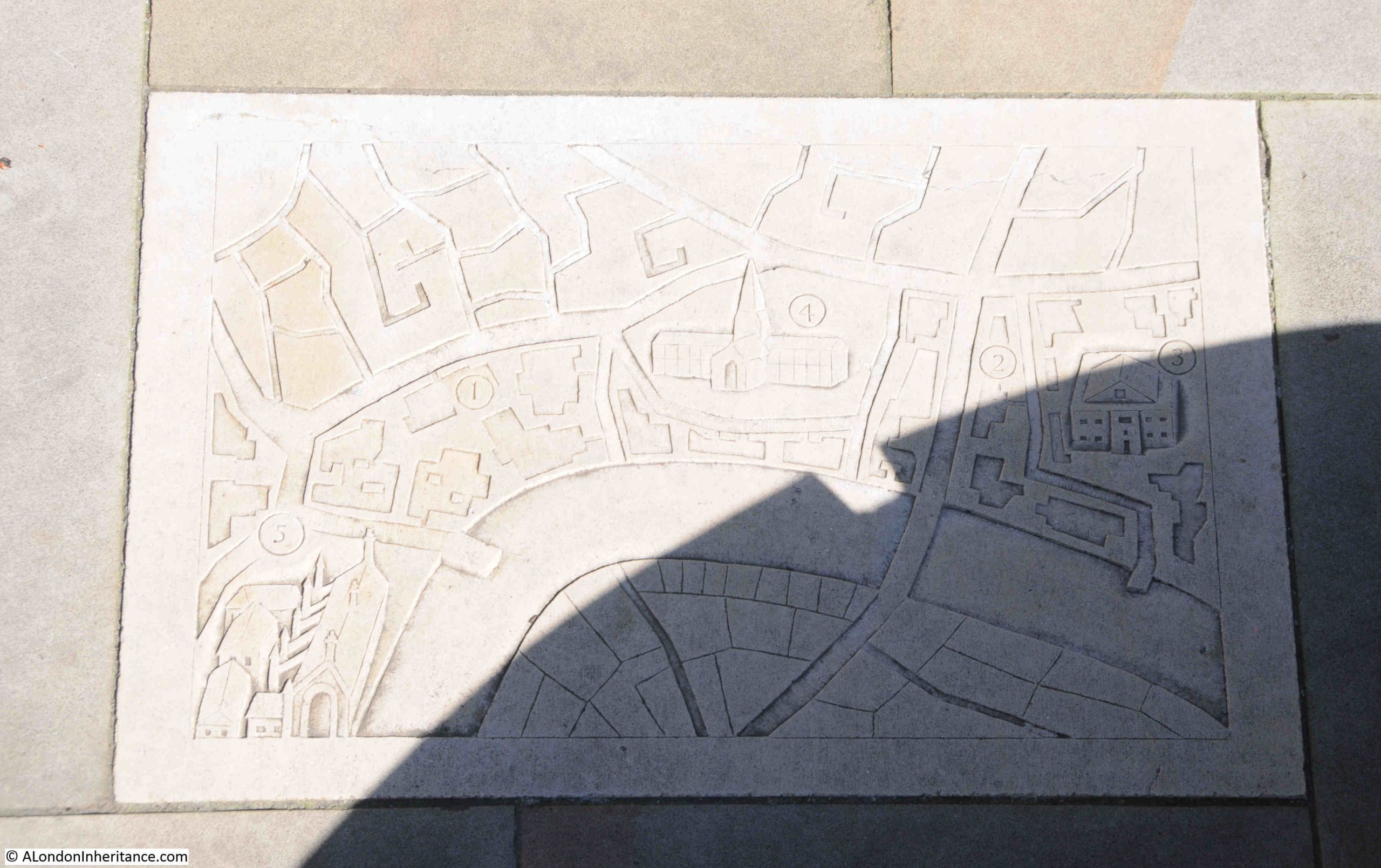
I completed the majority of sites in the first two posts, but I still had those in the east of the City and around the Broadgate development left to find, so on a day with some lovely sunny weather, I set out to find sites 26 to 38 as shown in the following map from the booklet:
In this post, they are in the order I walked rather than the numerical order as in the map, but I have given the numbers for each sculpture so you can find the location on the map, and I am starting with:
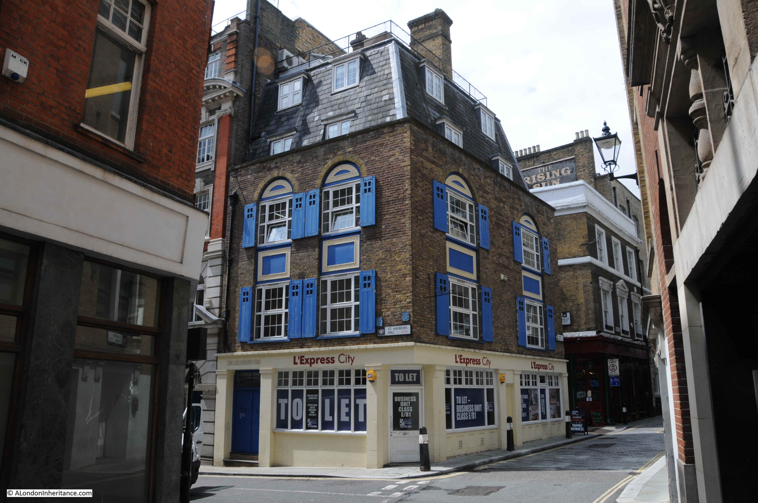
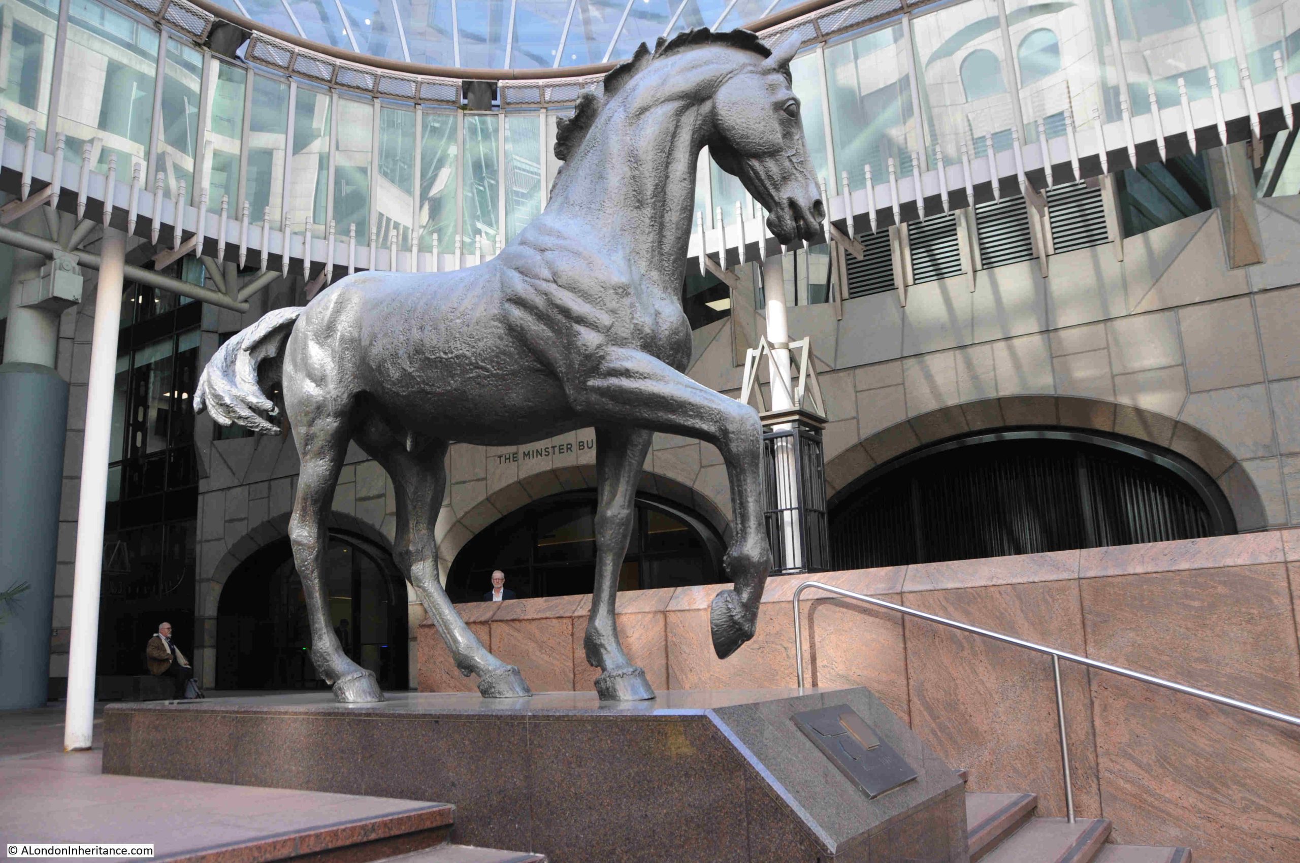
35. Mincing Lane, Minster Court, Three Bronze Horses, Althea Wynne, 1991
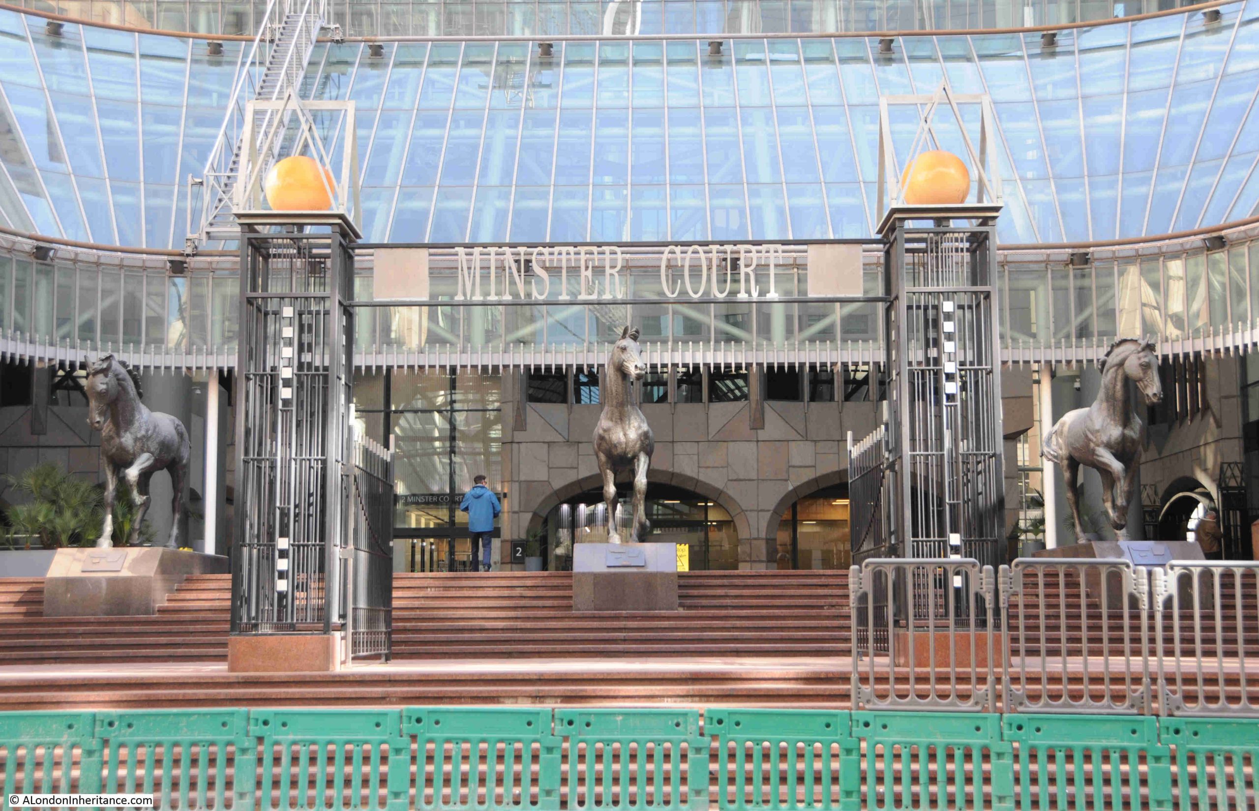
Minster Court is a rather distinctive office complex, and becoming more unique as surrounding offices are rebuilt as glass and steel.
Minster Court consists of three interconnected office block, built between 1987 and 1993 and designed by architects Gollins, Melvin and Ward Partnership.
As well as their overall design, a distinctive feature is the rose coloured Brazilian marble which covers the buildings, giving them a dark pinkish colour.
The main entrance from Mincing Lane is up a flight of steps to a wide open space, where the three bronze horses stand on plinths looking down the steps.
The sculpture, Althea Kathleen Wynne was born in 1936 and died in 2012. The three horses at Minster Court demonstrate her claim that she had been “deeply influenced by my love of early classical sculpture”, and that the “Greeks also had an understanding of animals from which I draw some of my inspiration”, which can clearly be seen in her Minster Court horses:
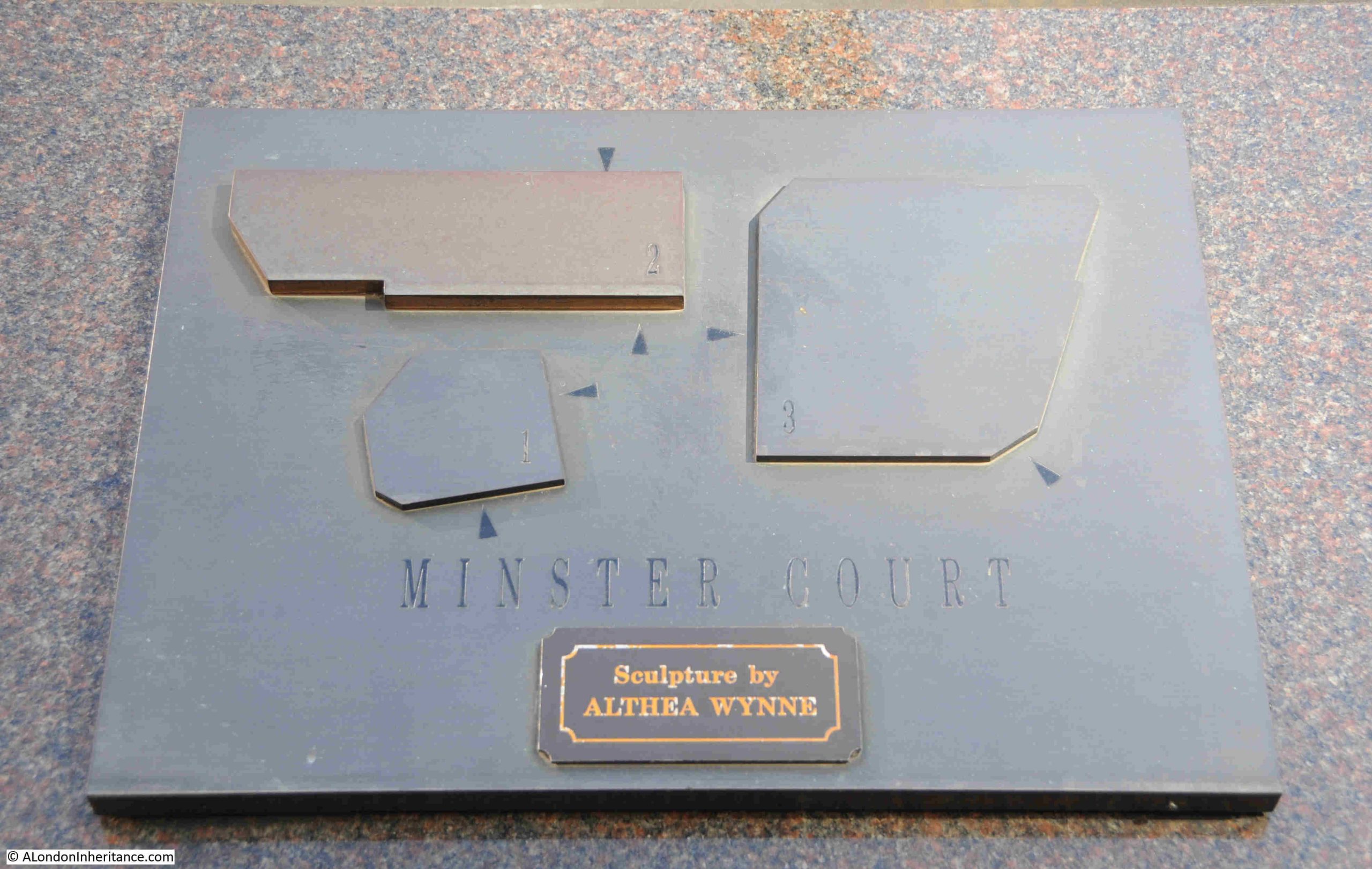
A plaque on one of the plinths records the name of the sculptor and also the layout of the three buildings, with arrows which I assume point to the entrances, although it may be a challenge to find those entrances given that there are no other reference points such as streets:
The Three Bronze Horses by Althea Wynne are a stand out feature of Minster Court, and hopefully the three buildings have a long term future, although the size of the land they occupy must be a tempting opportunity for another large, tall City tower.
The next location is:
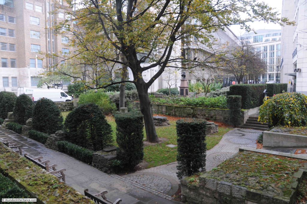
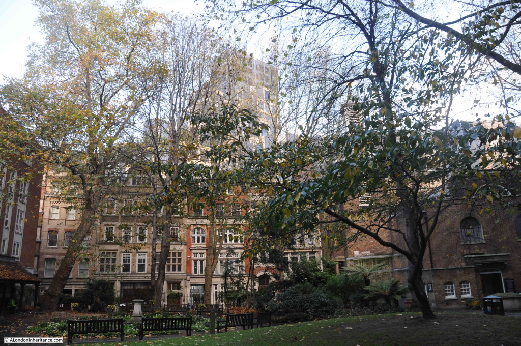
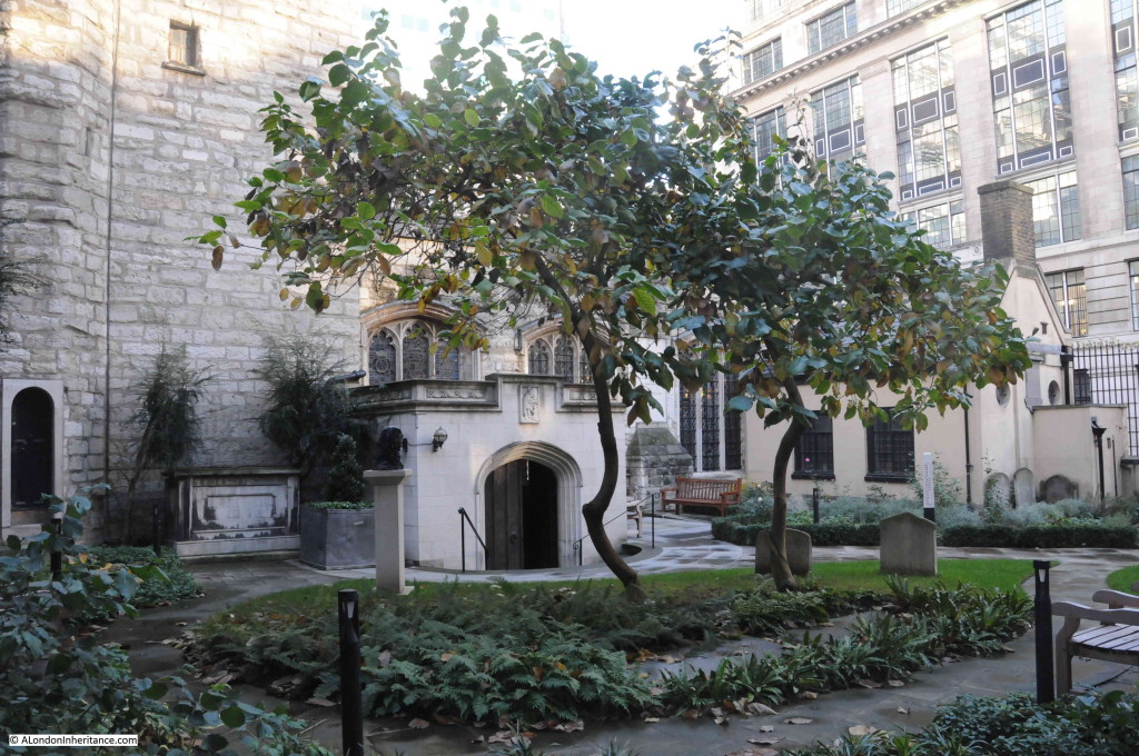
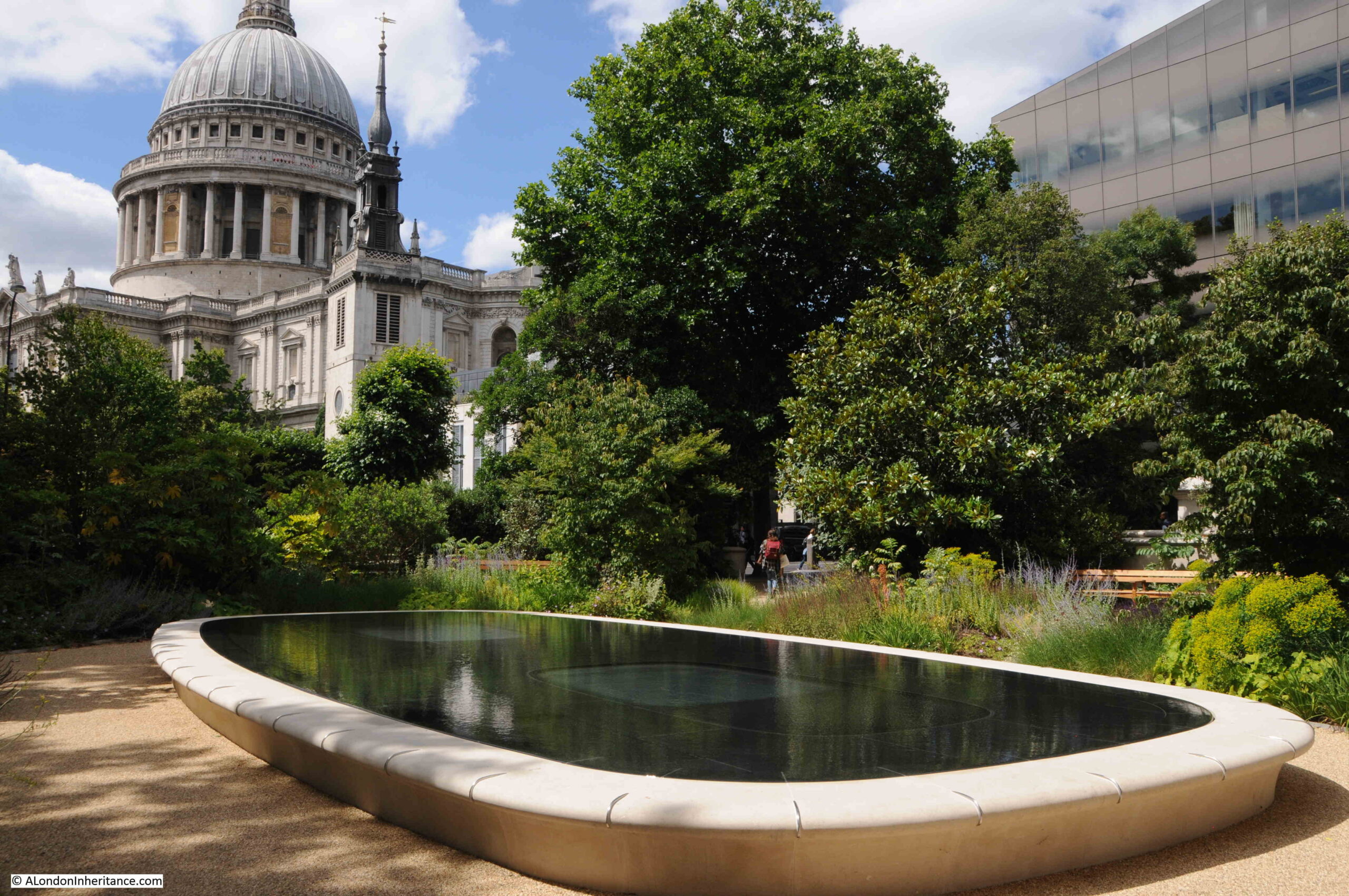
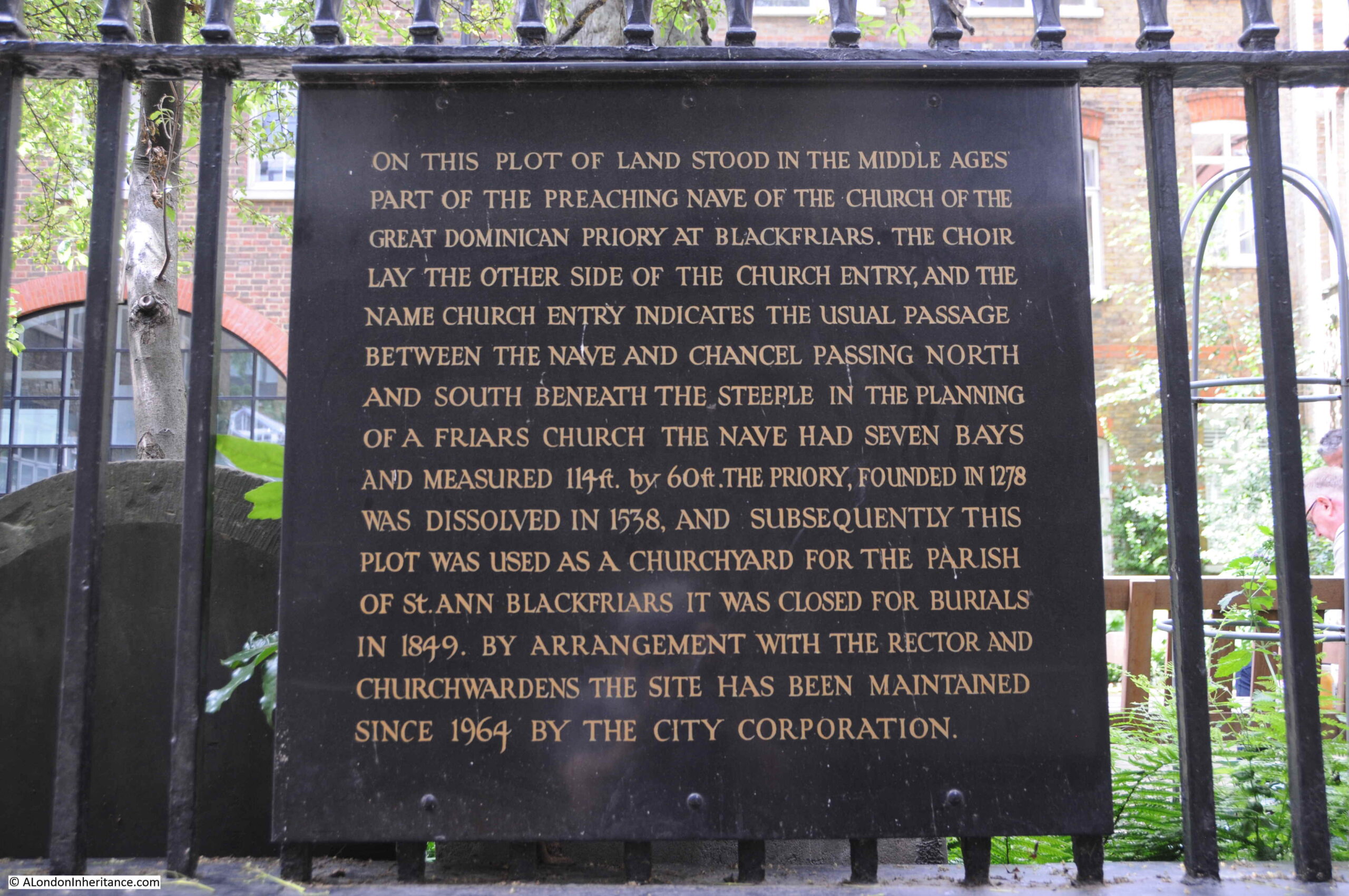
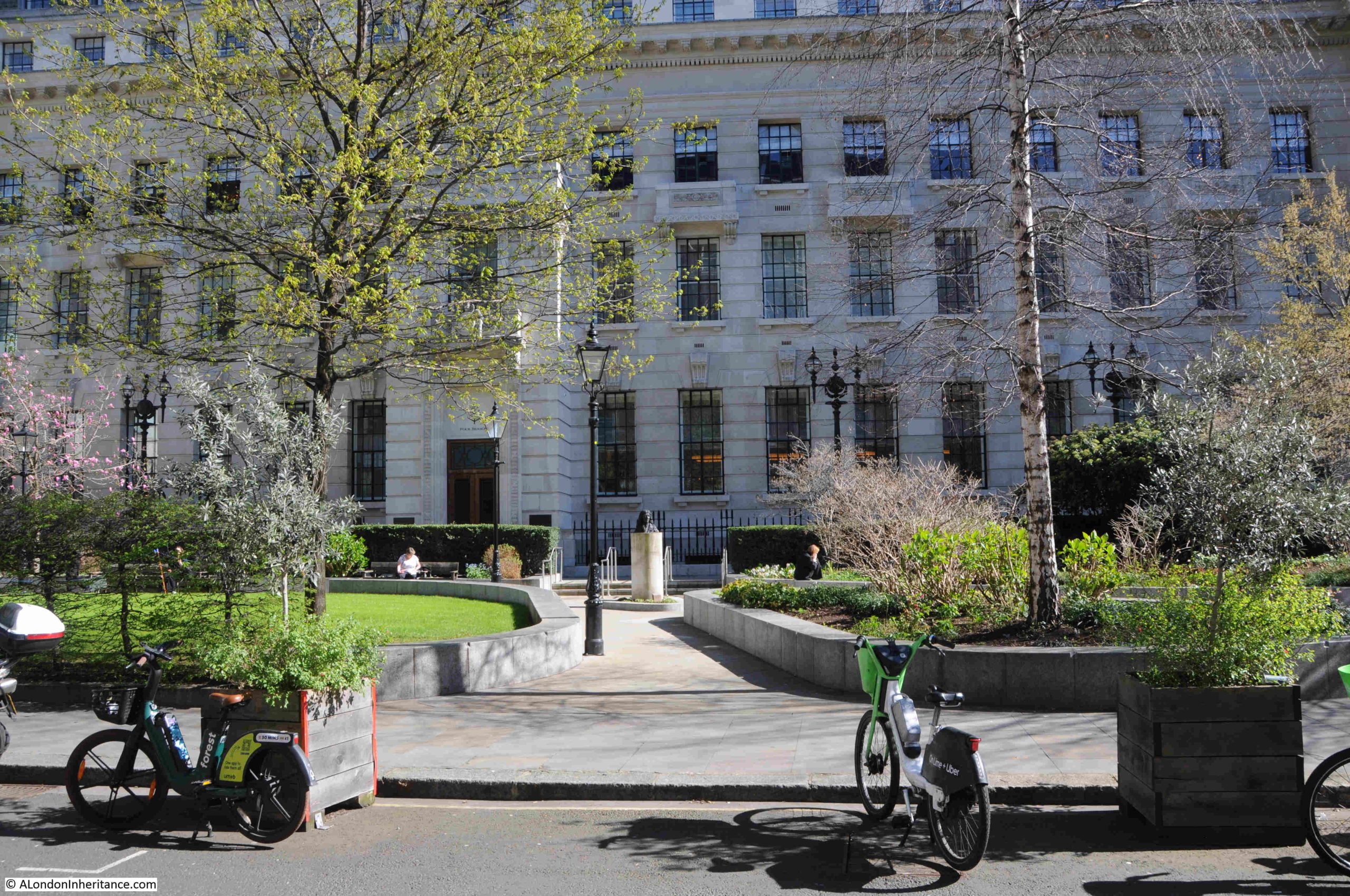
36. Seething Lane Gardens, Samuel Pepys, Karin Jonzen, 1983
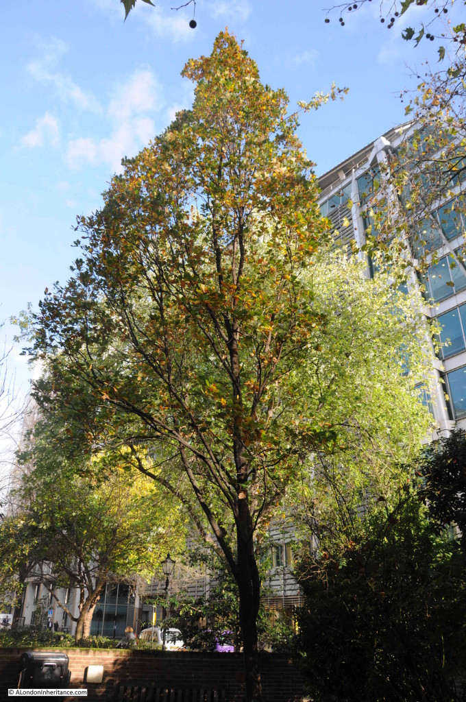
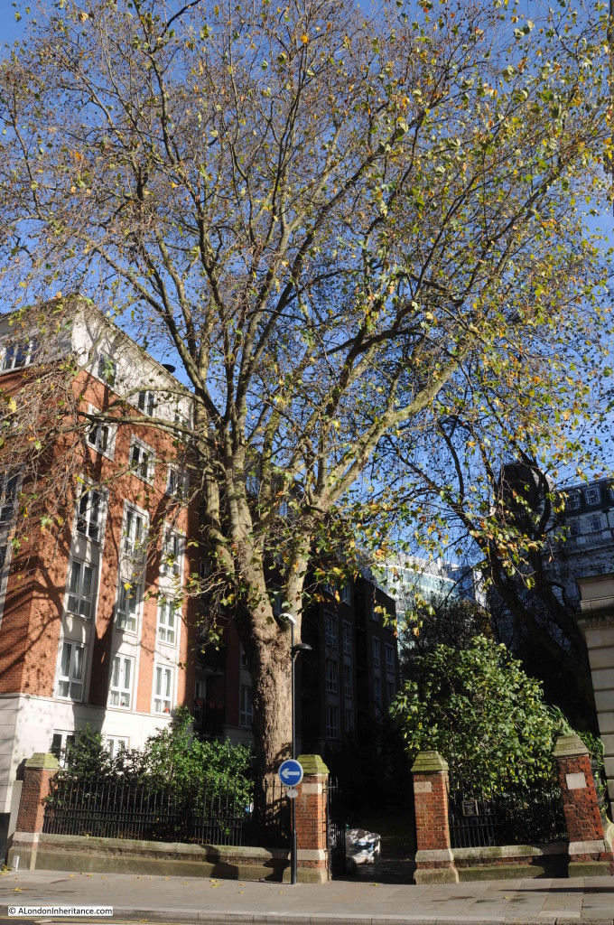
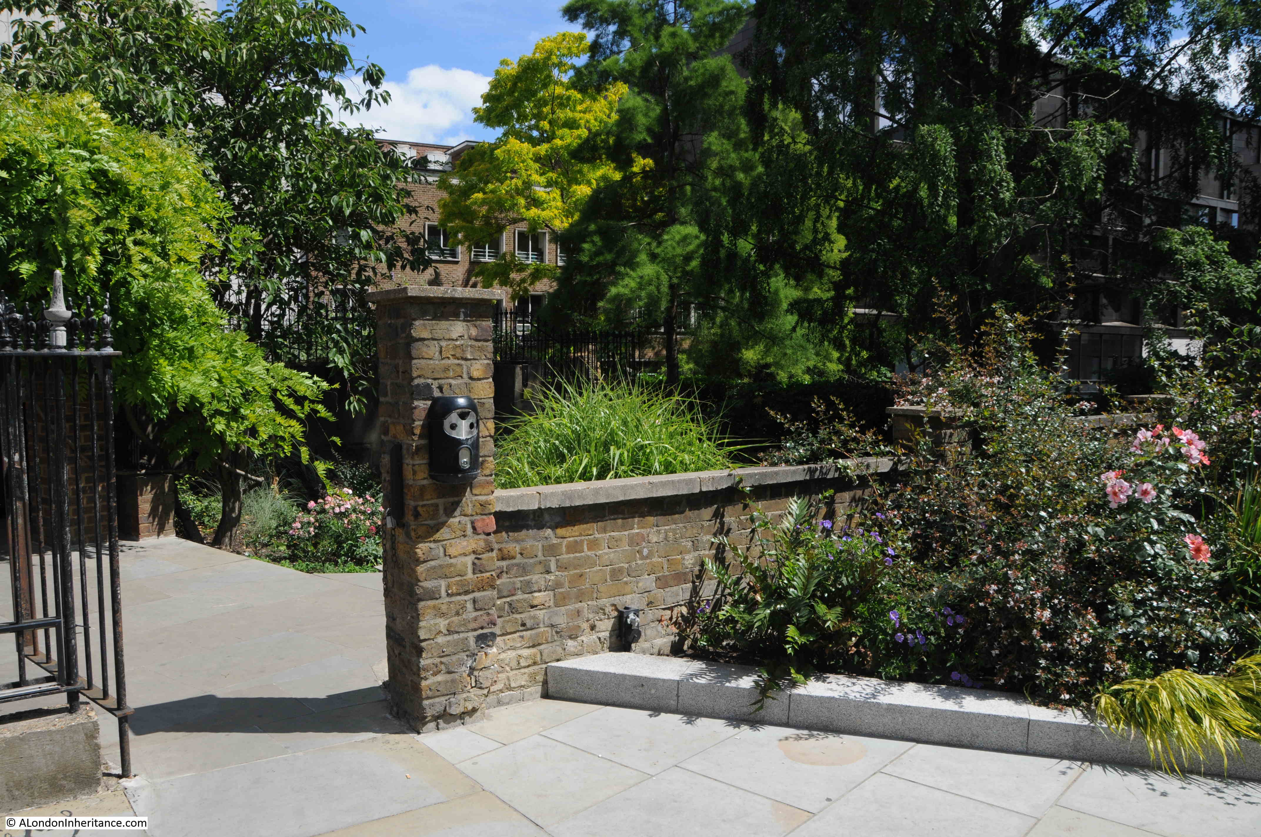
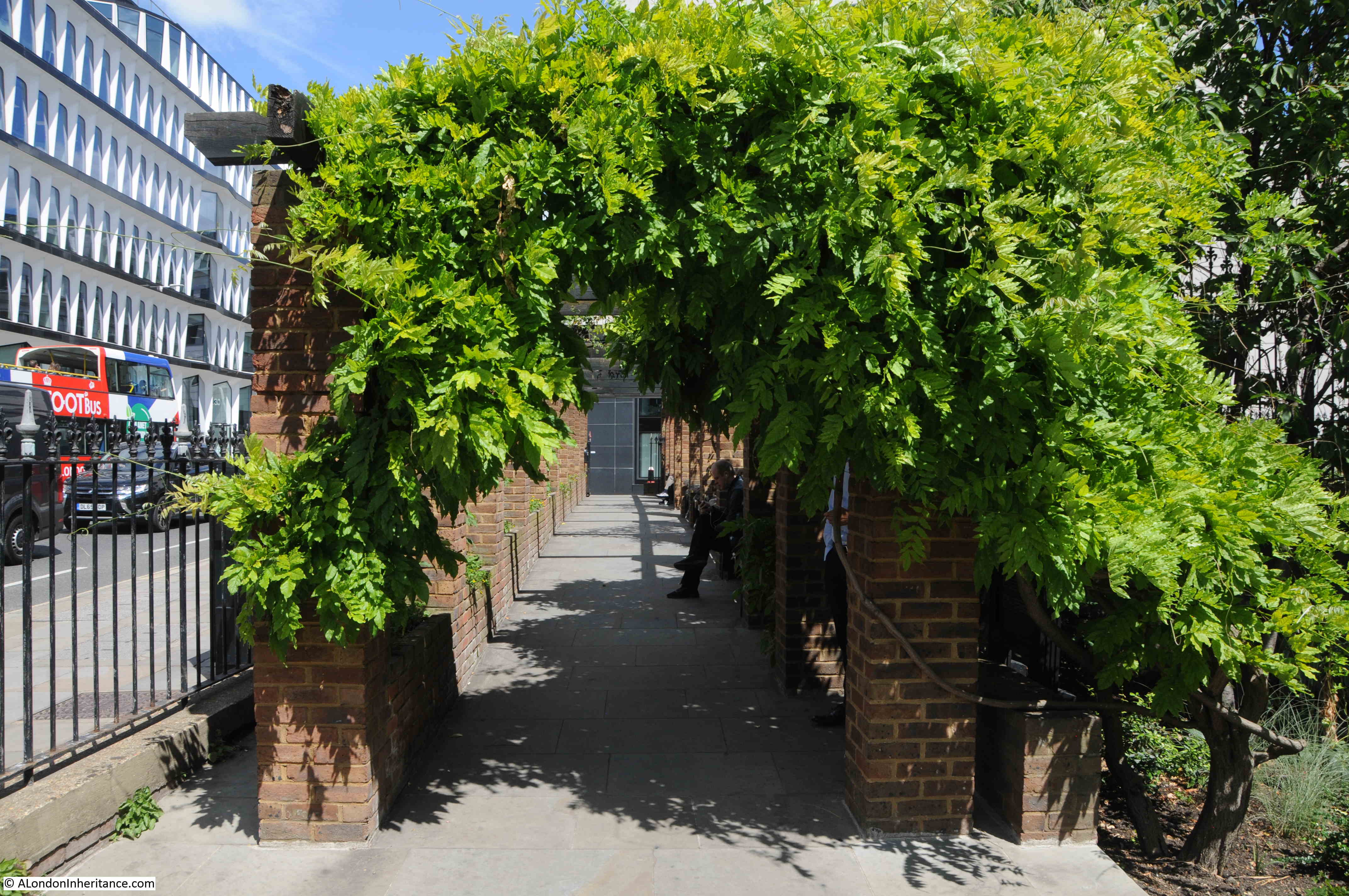
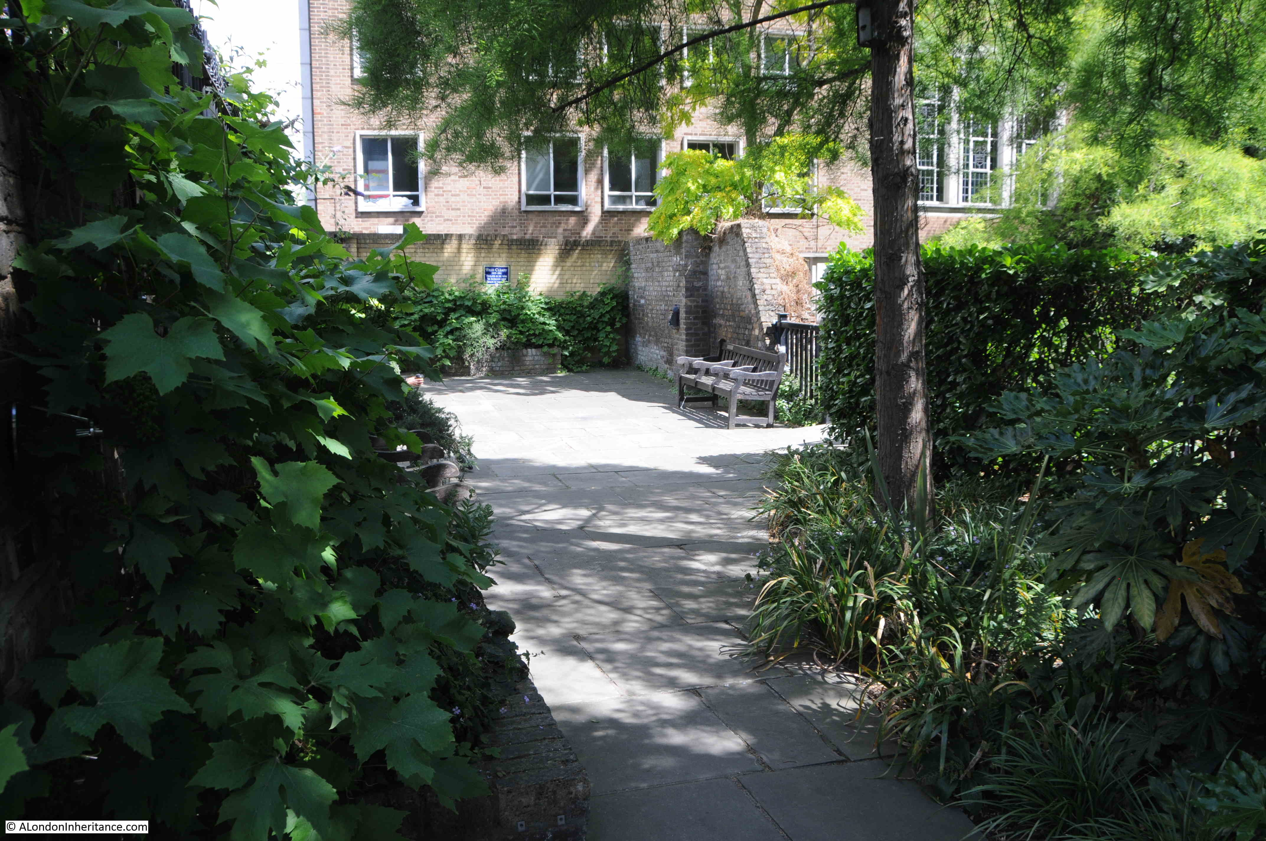
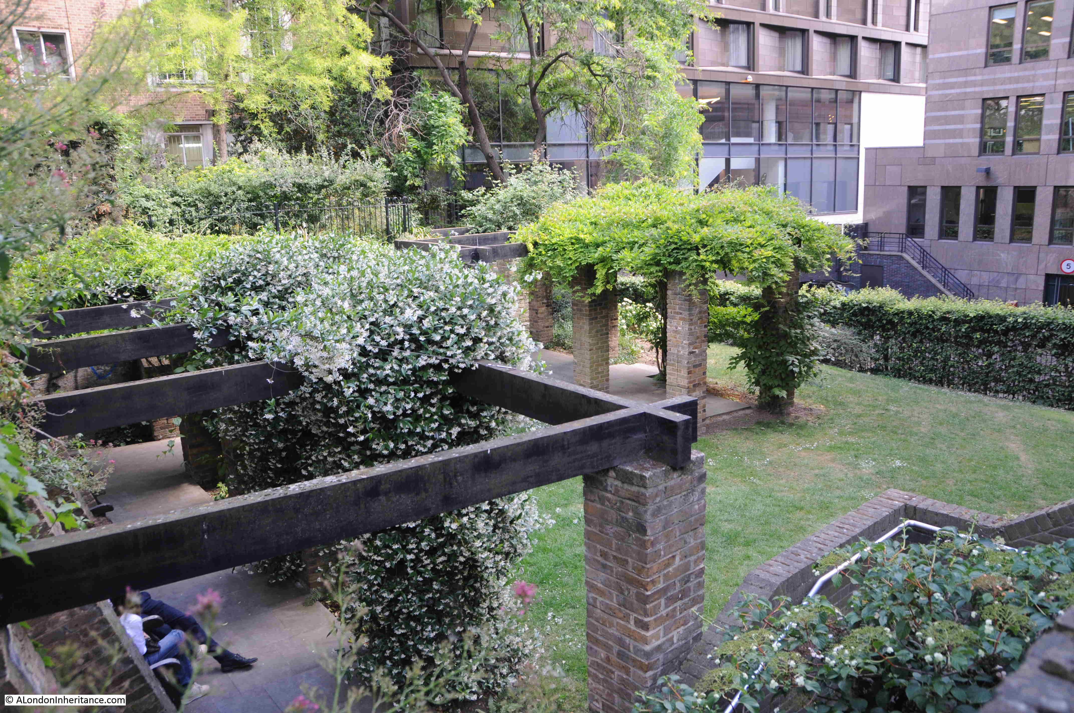
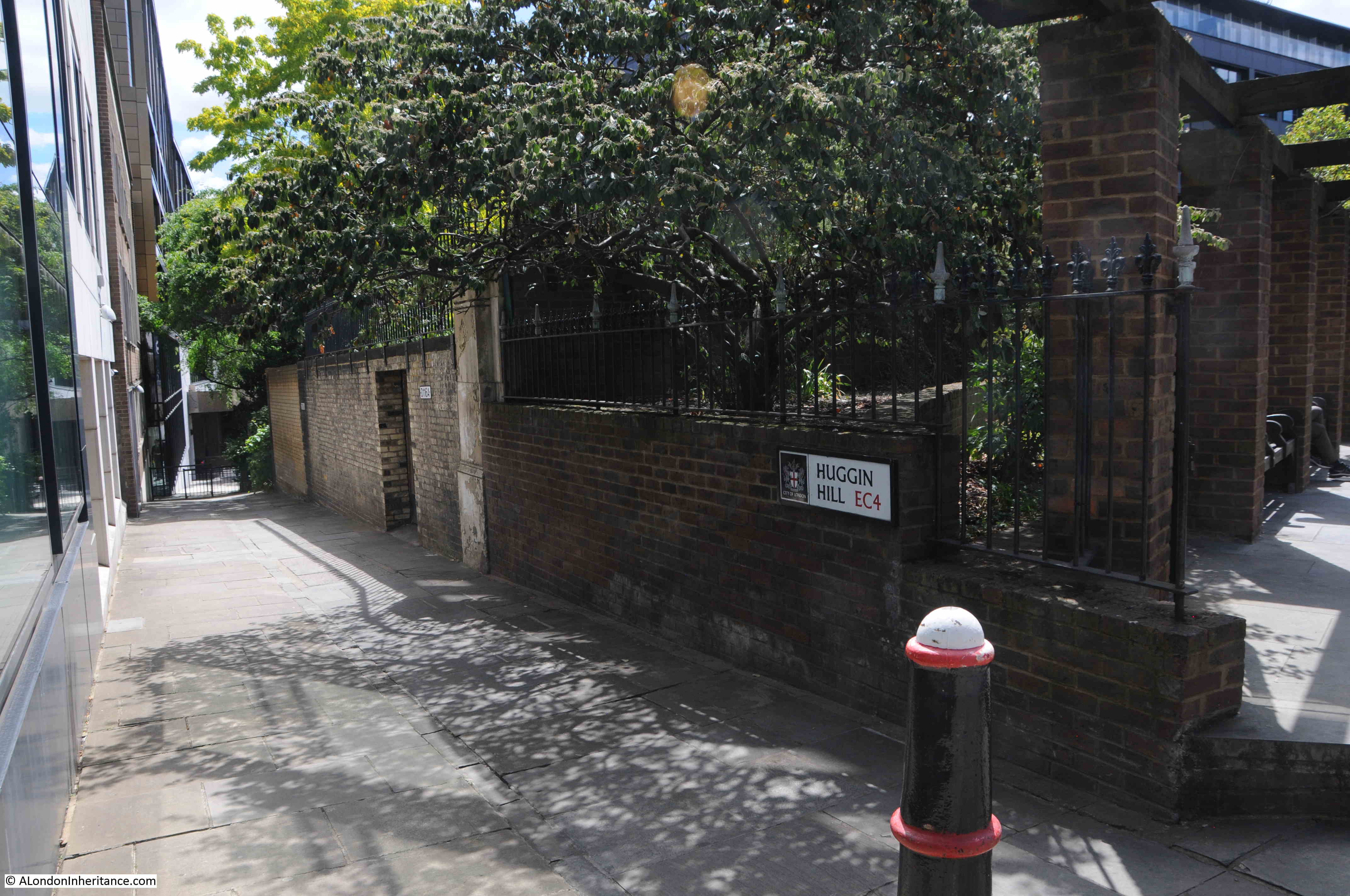
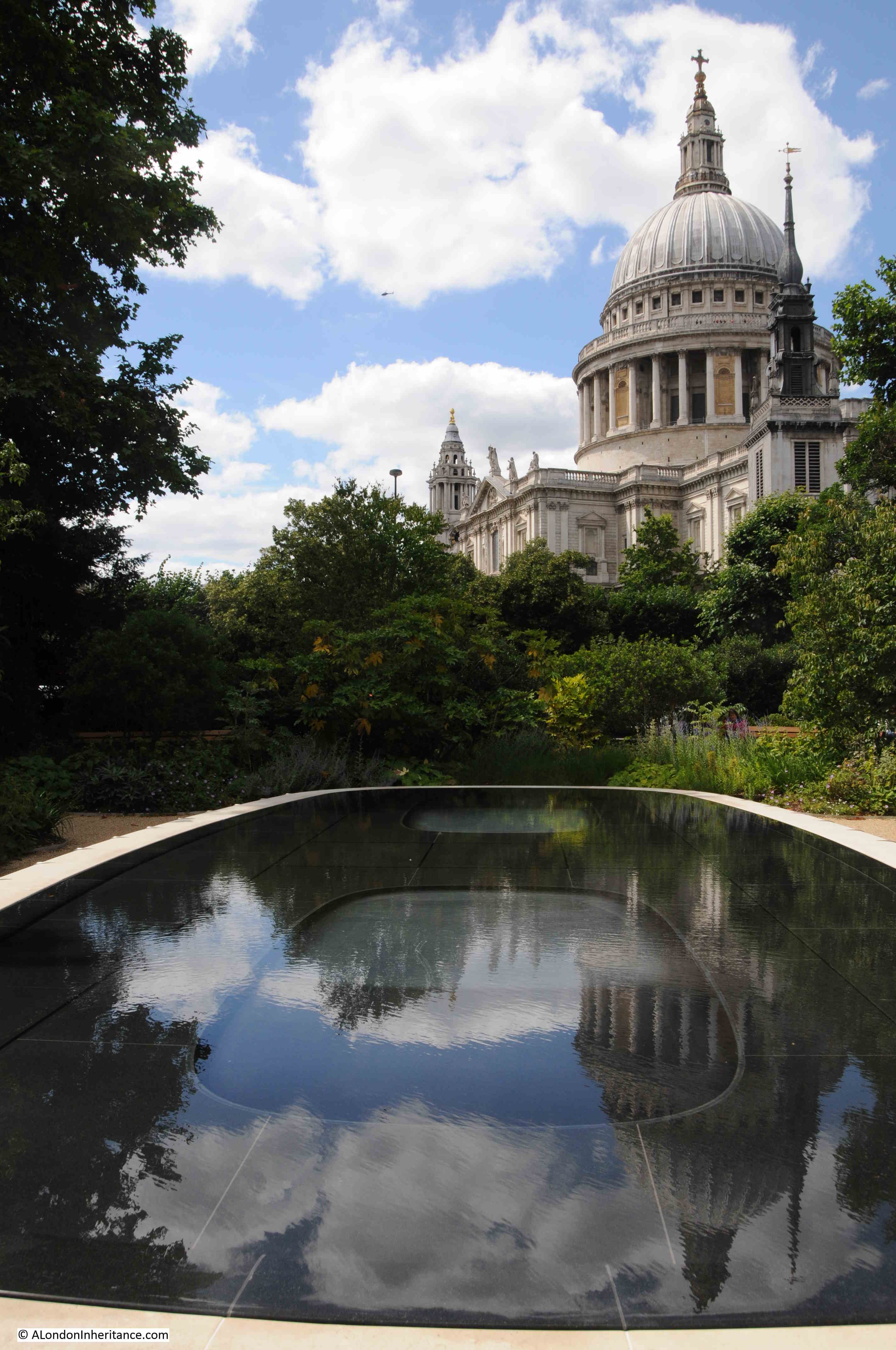
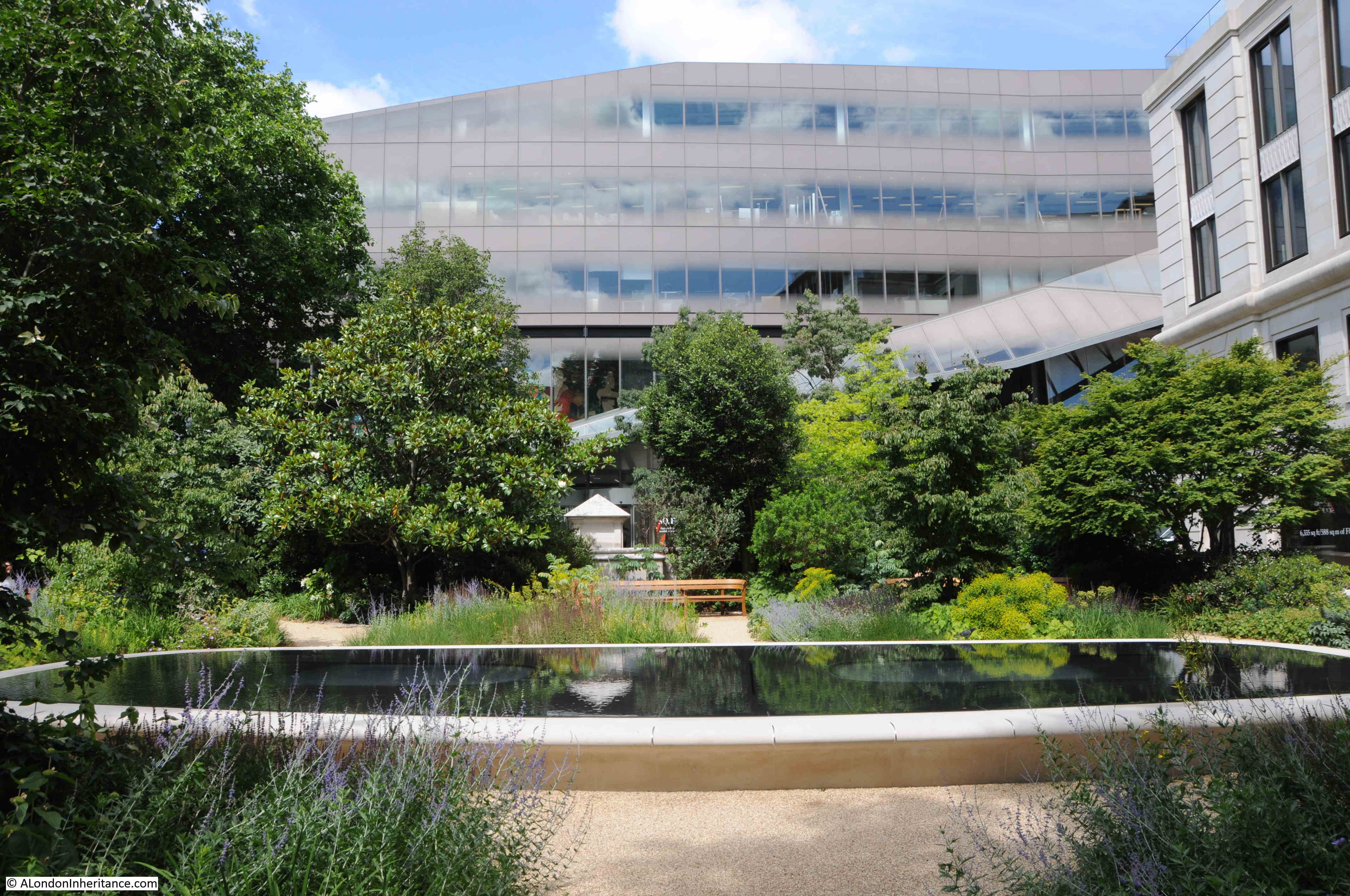
Seething Lane Gardens are the latest iteration of gardens that have stood on this space. The original gardens were closed in 2012 as part of the redevelopment of 10 Trinity Square, and reopened in 2018 as an enlarged garden following the inclusion of a closed service road into the re-landscaped space.
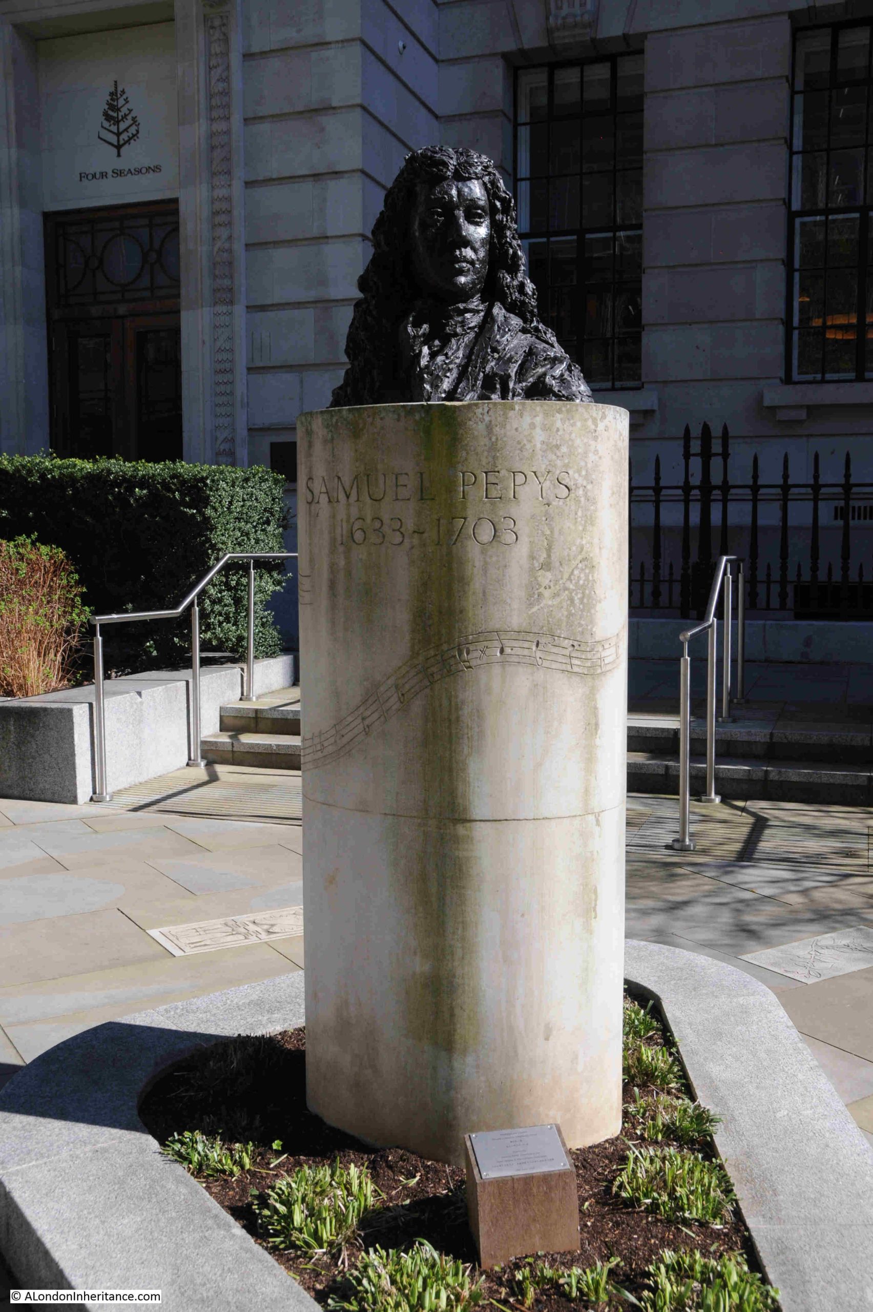
The bust of Samuel Pepys was moved to the centre of the garden as part of the redevelopment, and he can be seen on a pillar, at the centre and end of the path leading from Seething Lane:
The bust of Pepys is by Karin Jonzen, who has a Swedish name as she was born in London in 1914 to Swedish parents:
A sculptor all her life, although during the Second World War, she worked in Civil Defence as an ambulance driver based in Spitalfields.
The link between Samuel Pepys and Seething Lane Gardens is that in July 1660, the Pepys household moved into a house which was part of the Navy office buildings in Seething Lane, roughly on the spot of the gardens.
As part of the redesign and redevelopment of the gardens, sculptor Alan Lamb designed a number of stones which are set in the walkways throughout the gardens, with each stone depicting something relevant to Pepys life in London.
The following photos show just a few of these brilliant stones, starting with a map of London, including St. Paul’s Cathedral as it was before the 1666 Great Fire of London:
And the Great Fire is also illustrated on one of the stones:
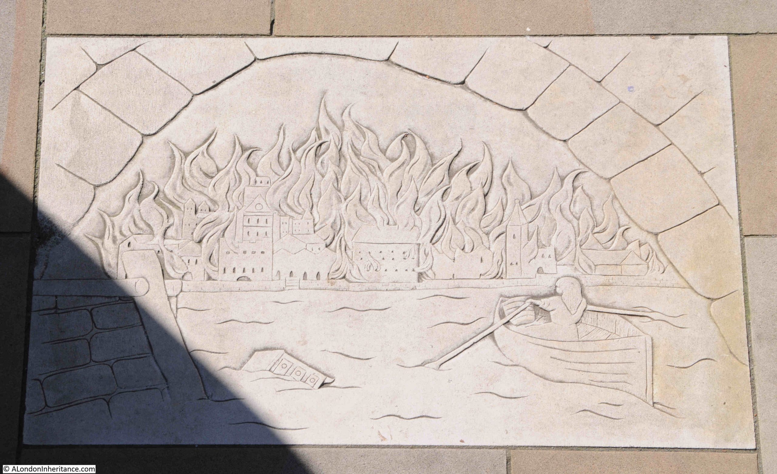
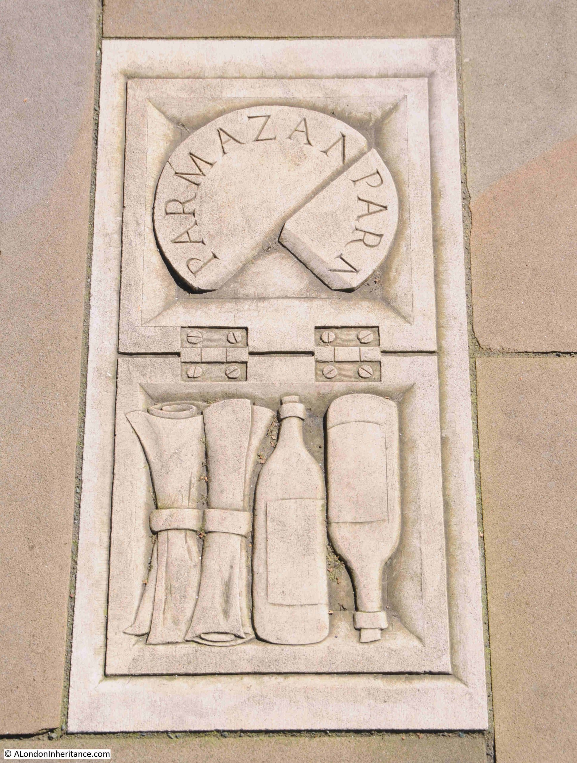
One of Pepys’s responses to the Great Fire is shown in a rather brilliant paving slab.
As the fire raged across the City, Pepys recorded in his diary “And in the evening Sir W. Pen and I did dig another, and put our wine in it; and I my Parmazan cheese, as well as my wine and some other things.”, and the Parmazan cheese, wine bottles and some papers are shown in a box on a paving slab:
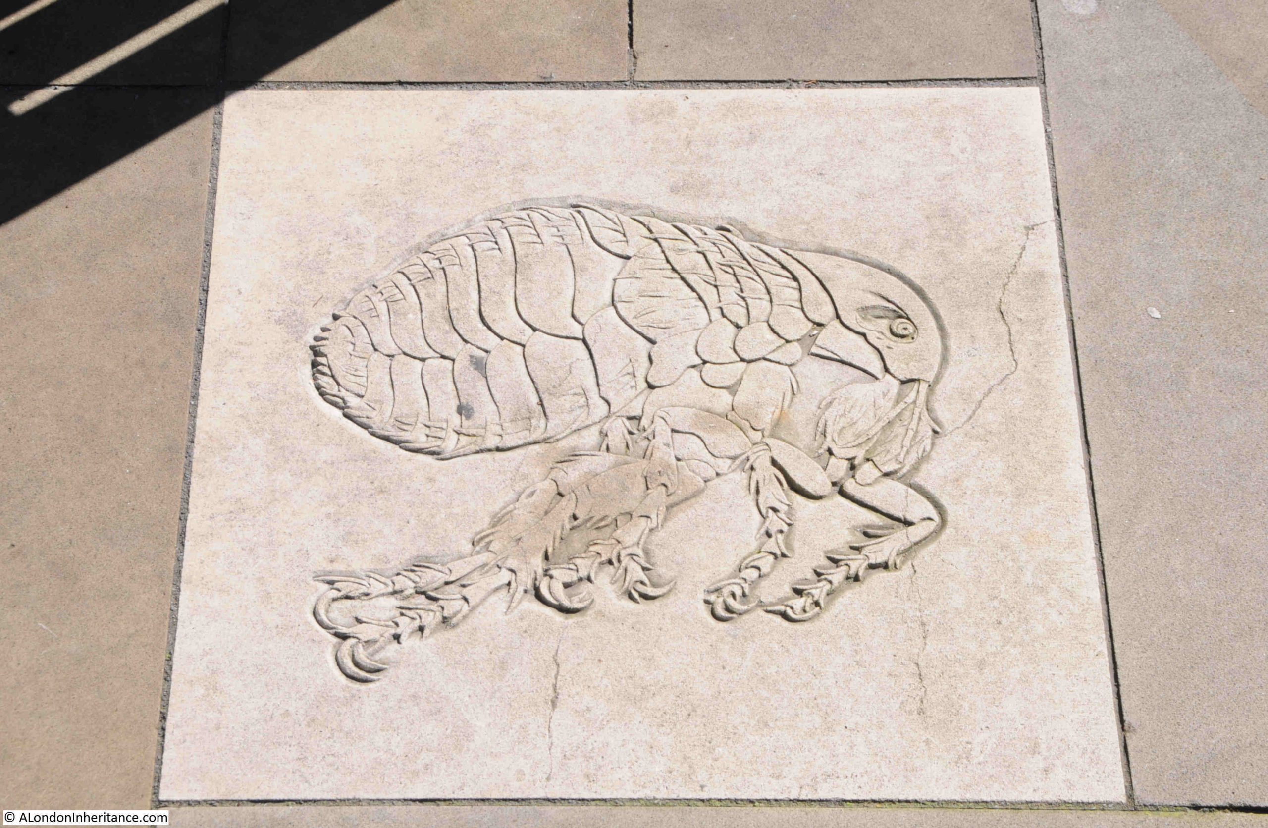
As well as the Great Fire, the other significant event in both Pepys and the life of London in the 1660s was the Plaque of 1665, and this is also illustrated in a couple of the paving slabs:
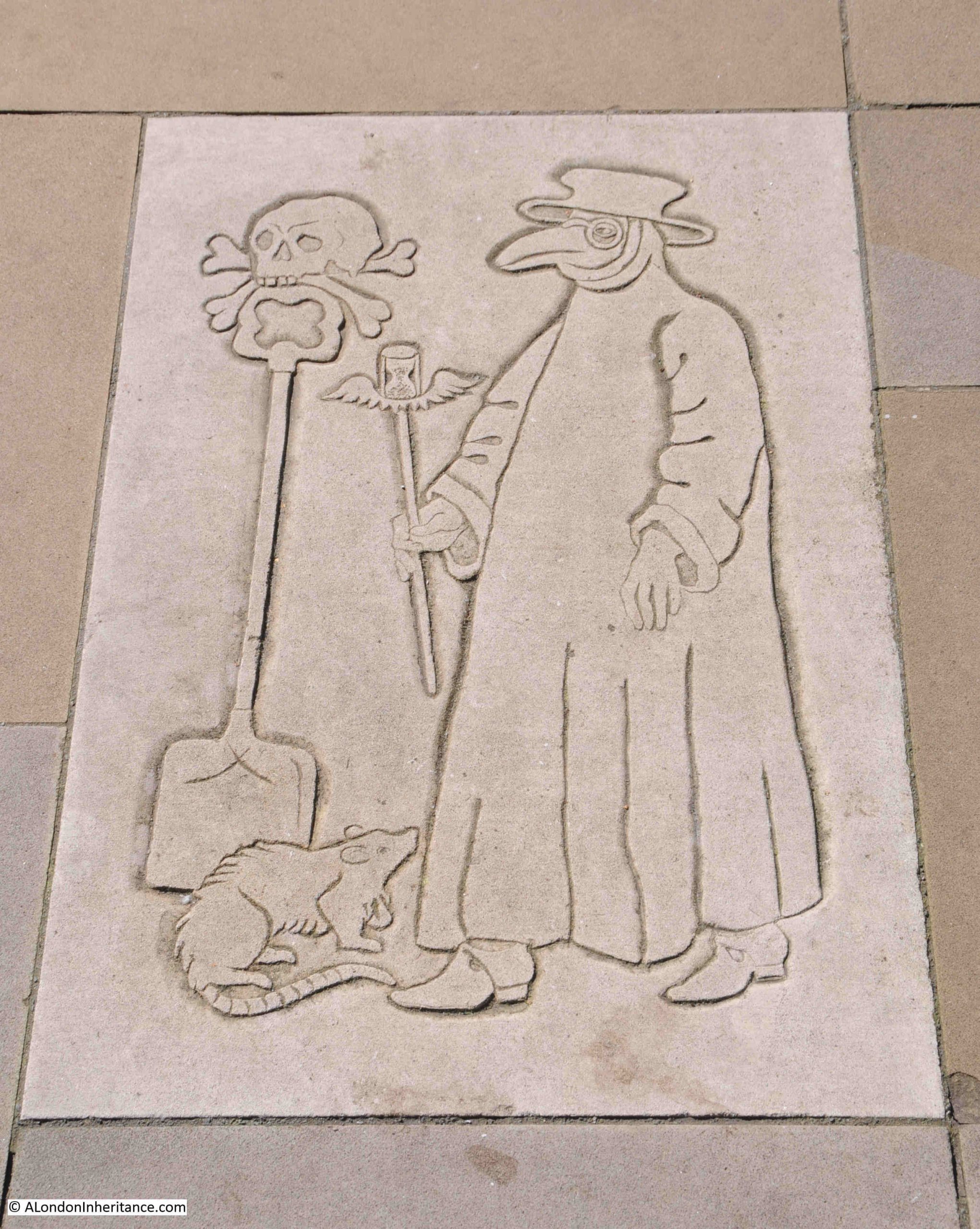
In the above illustration, a plaque doctor is shown wearing what at the time was believed to be a protective form of clothing. He is carrying an hour glass, which I assume is a reference to time. Next to him is a skull and crossbones on top of a spade, which could refer to the burial of the dead, and at his feet is a rat, which carried the fleas that transmitted the plaque, and a detailed illustration of one of the fleas is shown in another paving slab:
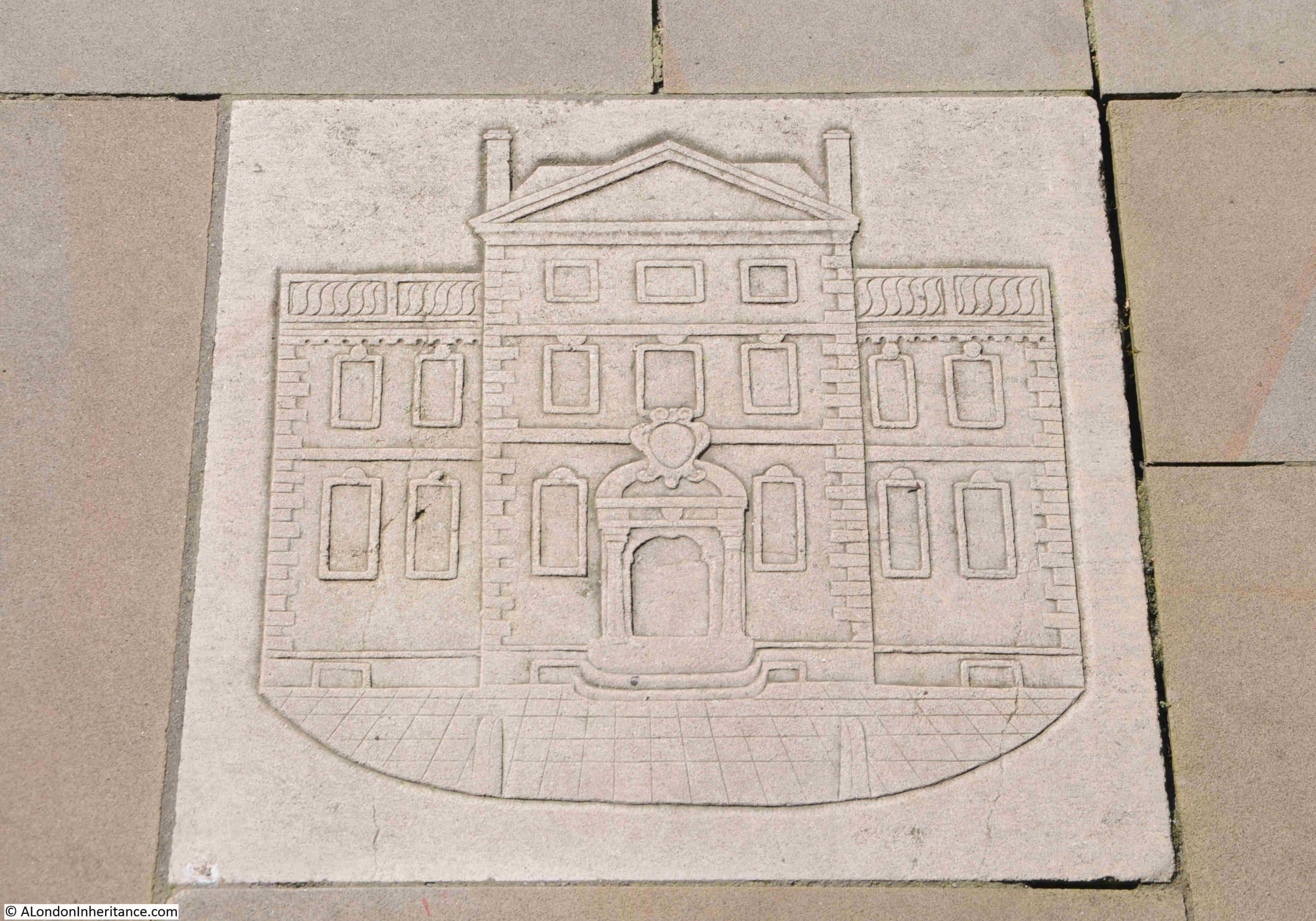
The Navy Office building:
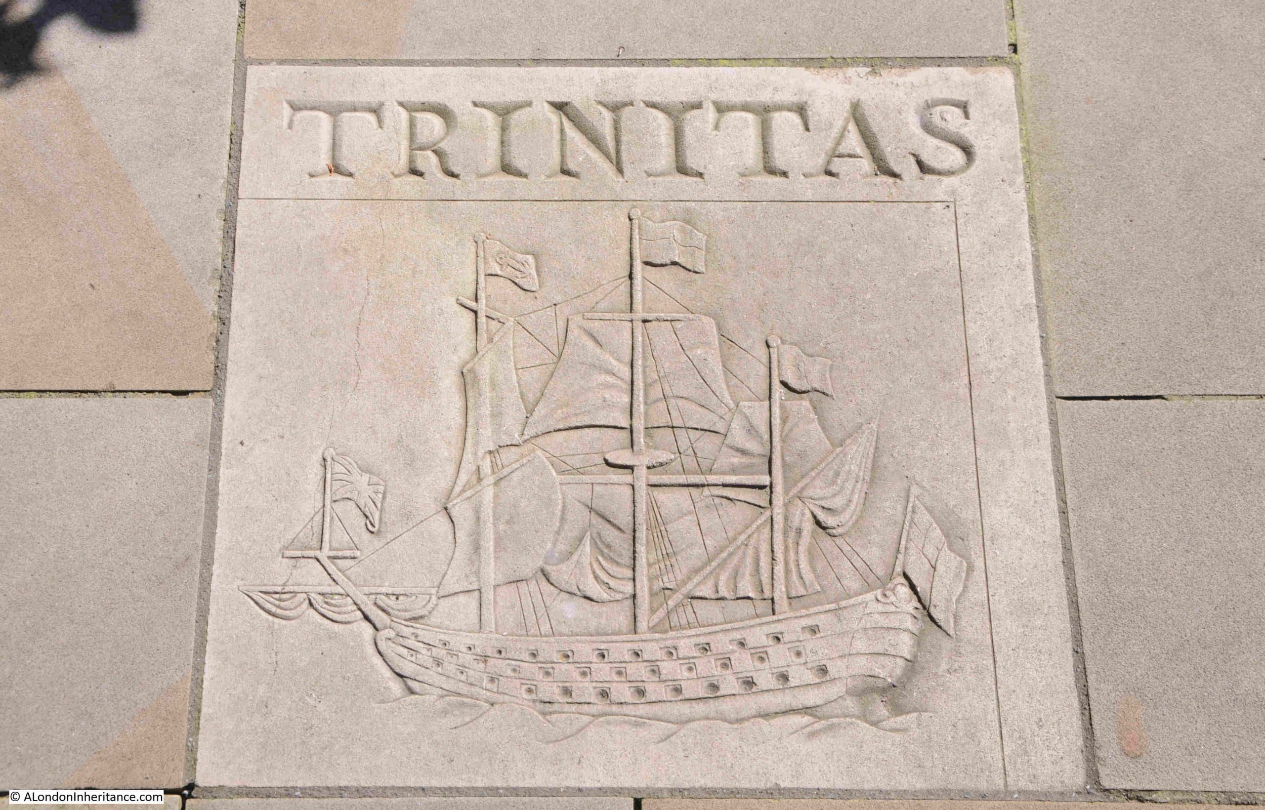
Trinitas and the illustration of a ship is probably a reference to Pepys involvement with Trinity House:
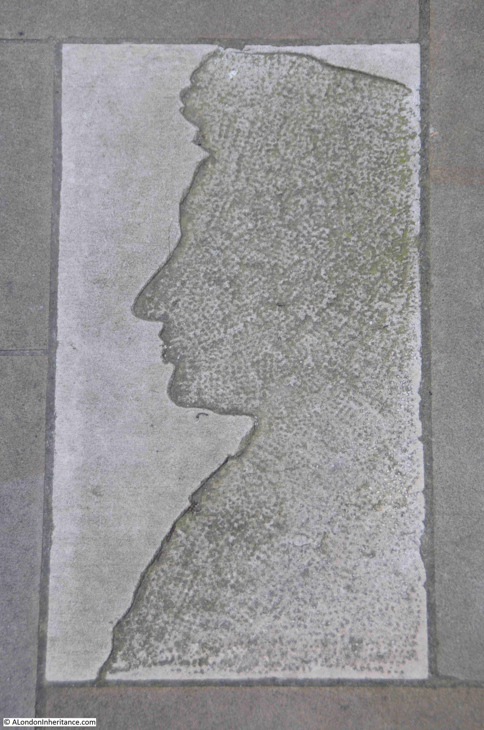
As you walk out of the gardens towards the south, there is a paving stone that looks as if a large part of the top layer of the stone has been worn away, however the image is meant to be viewed as you enter the gardens, so turning round reveals a profile of Pepys in stone:
When you look north along Seething Lane, with the gardens to your right, it is hard to imagine just how much redevelopment took place before the new gardens opened.
In 2015, Museum of London Archaeology carried out a major excavation of the site, and their finds included “chalk-walled cellars, cess pits, animal remains and a well, perhaps the well that Pepys himself used.”.
Their news release about the excavation included a photo showing the site excavation below street level, with the extensive brick walls of the cellars of the buildings that once occupied the site.
Compare the photo on the MOLA website at https://www.mola.org.uk/discoveries/news/chalk-and-cheese-samuel-pepys-ten-trinity-square with the following photo of the street today with the gardens on the right.
I have no idea if they are, however I really do hope that those brick walls shown in the MOLA photo were left in place and are still below Seething Lane Gardens for future generations to discover.
To find the next sculpture, I headed south to try and find:
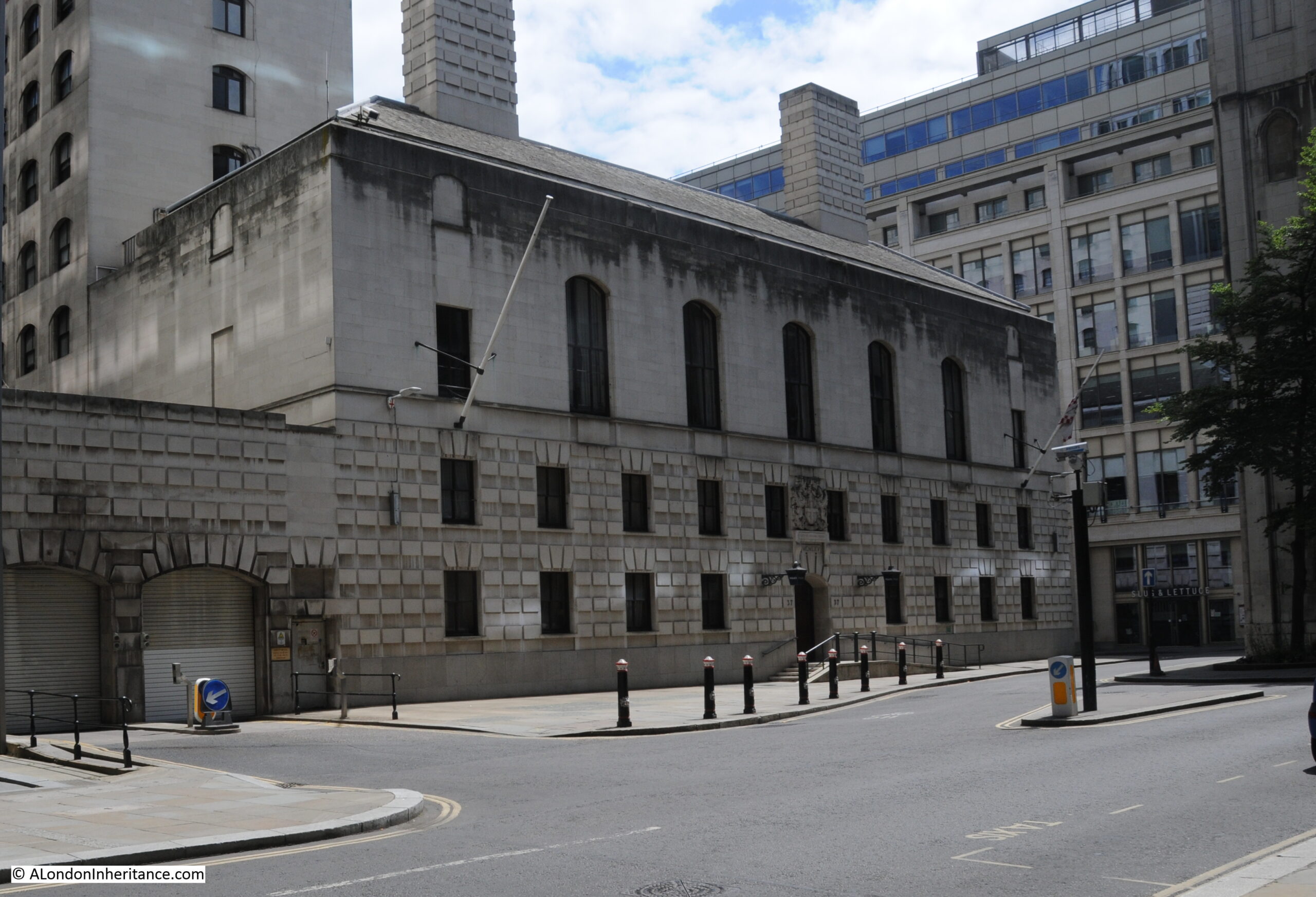
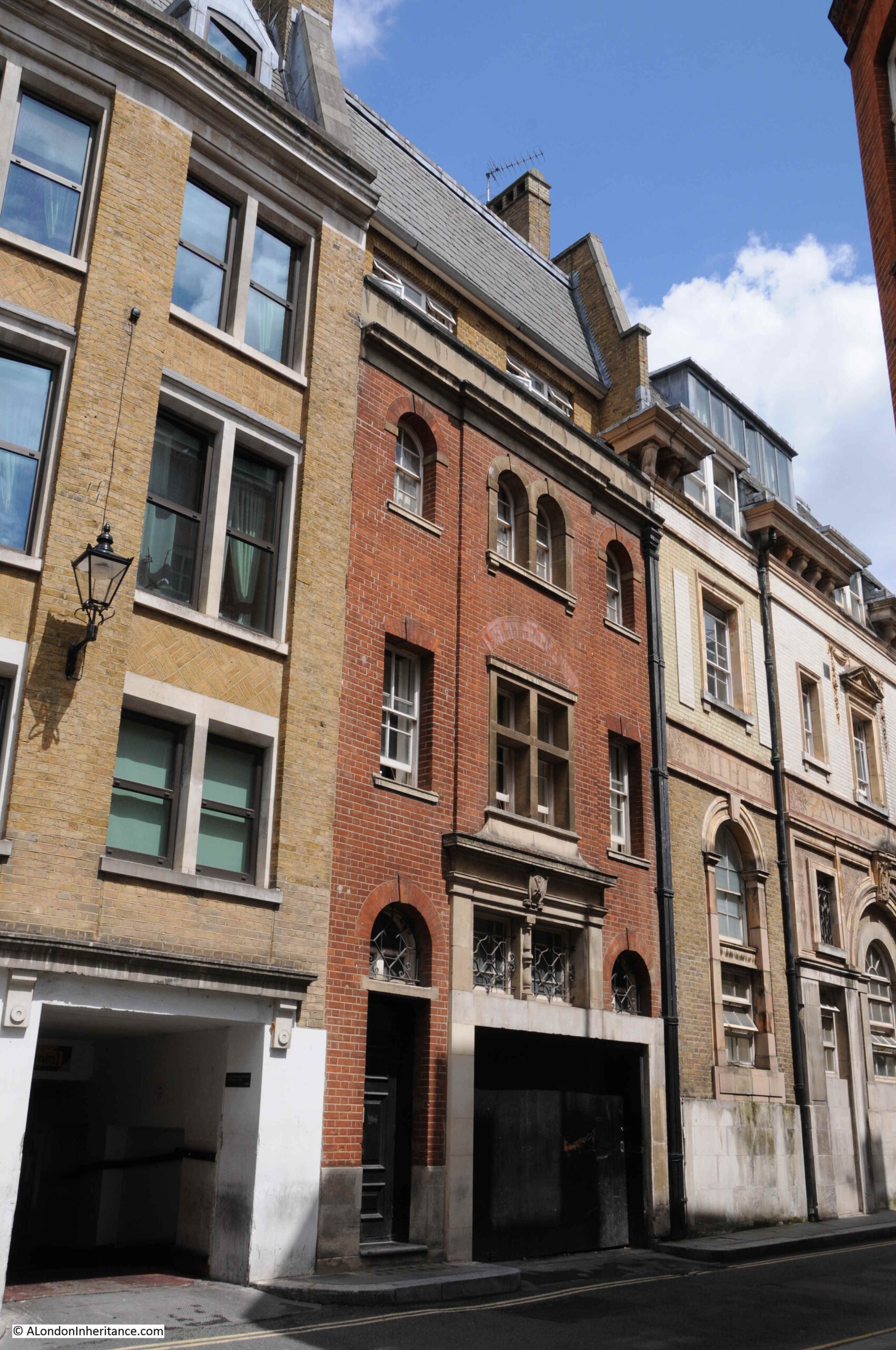
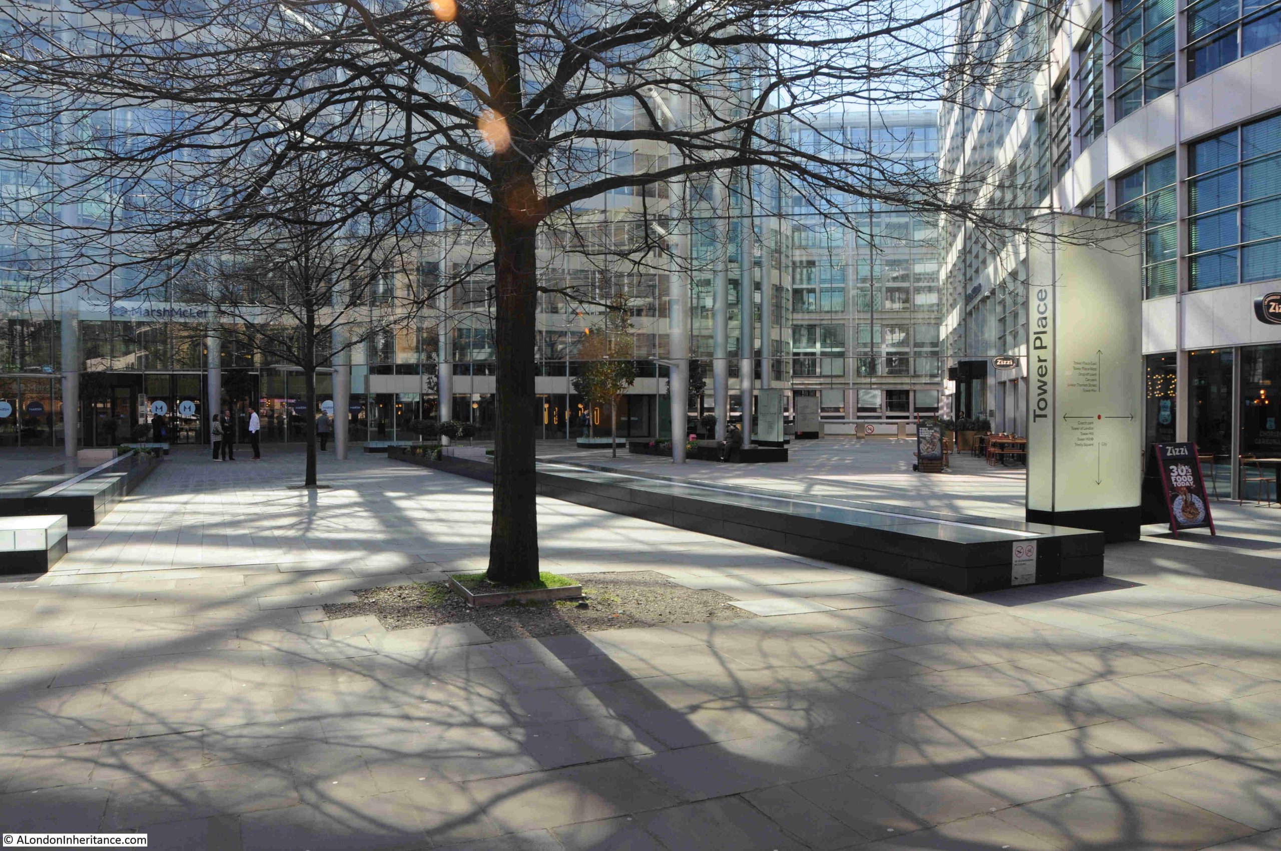
37. Tower Place, Bowring Building, The Hammer Thrower, John Robinson, 1973
After a look around Tower Place, I could not find any evidence of the Hammer Thrower.
The Hammer Thrower dates from 1973 and was part of the previous office development across the site which stands to the south of All Hallows by the Tower, and to the west of the Tower of London.
This is Tower Place today:
The 1994 booklet “Late 20th Century Sculpture in the City of London” includes the following image of the Hammer Thrower:
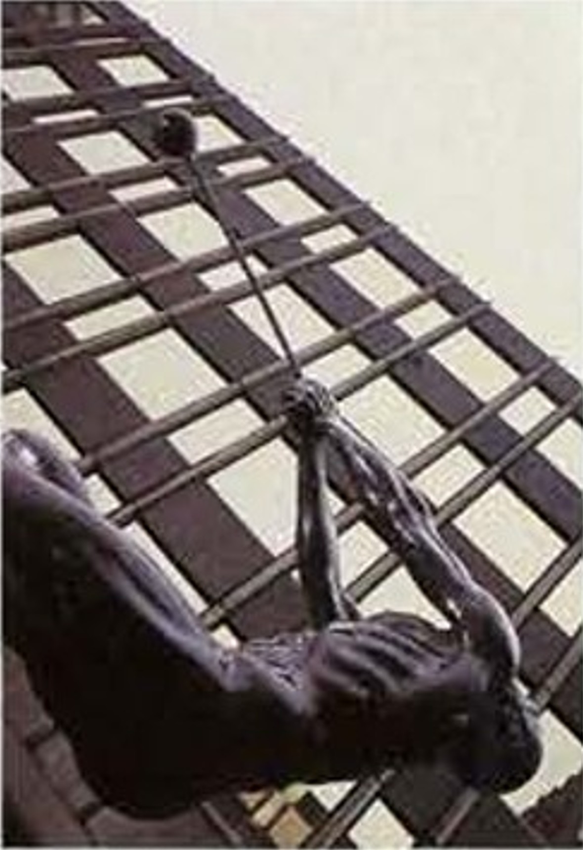
I cannot find out what happened to the Tower Place Hammer Thrower, but assume it was moved or lost when the previous development was demolished to make way for the new, although I doubt the sculpture would have been destroyed.
There is another Hammer Thrower by John Robinson, in Melbourne, Australia, which looks to be identical to the copy that was in Tower Place. The Melbourne sculpture can be seen by clicking here. There is another copy of the work in the atrium of the United States Sports Academy in Daphne, Alabama.
From Tower Place, I headed to:
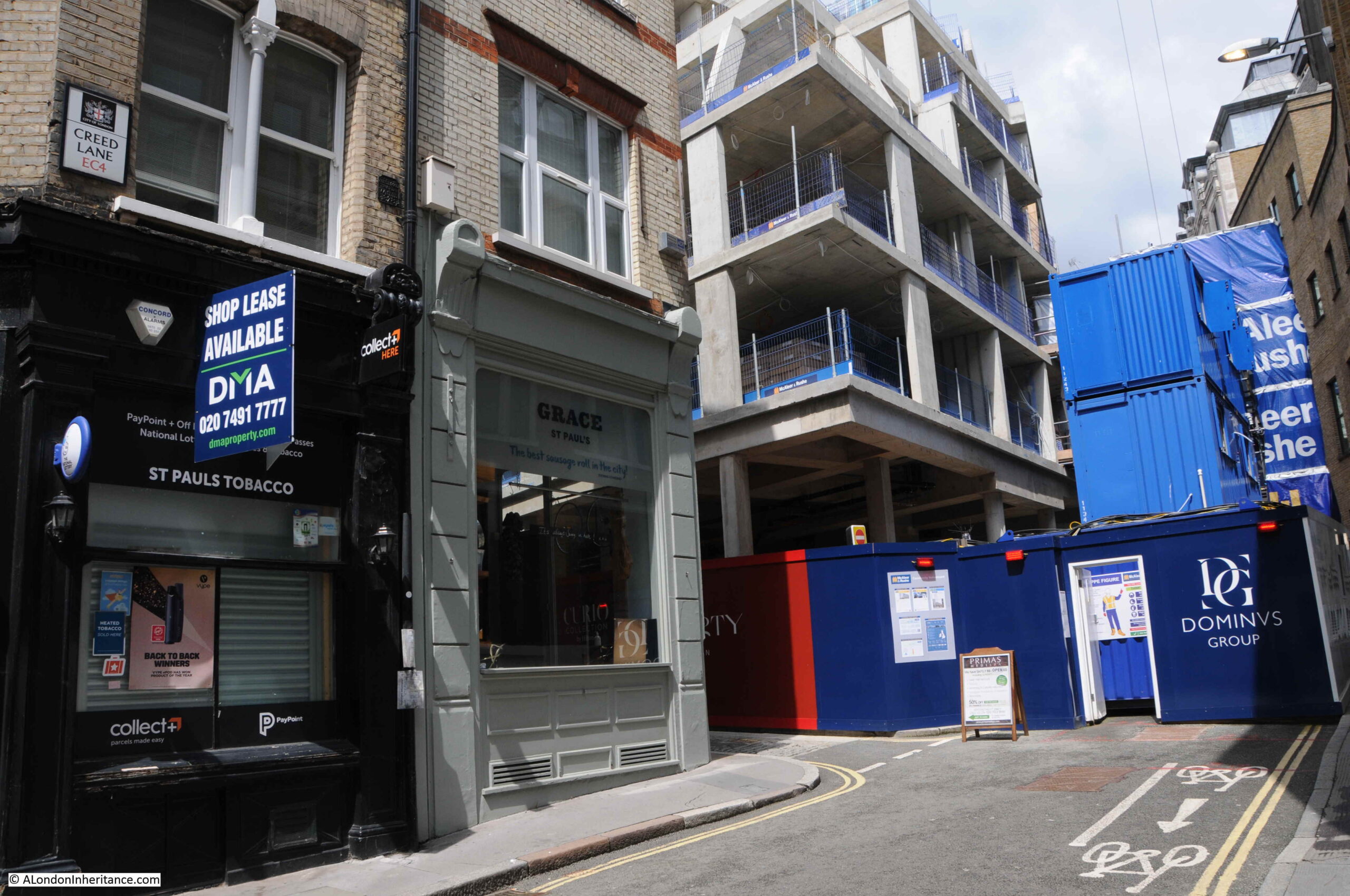
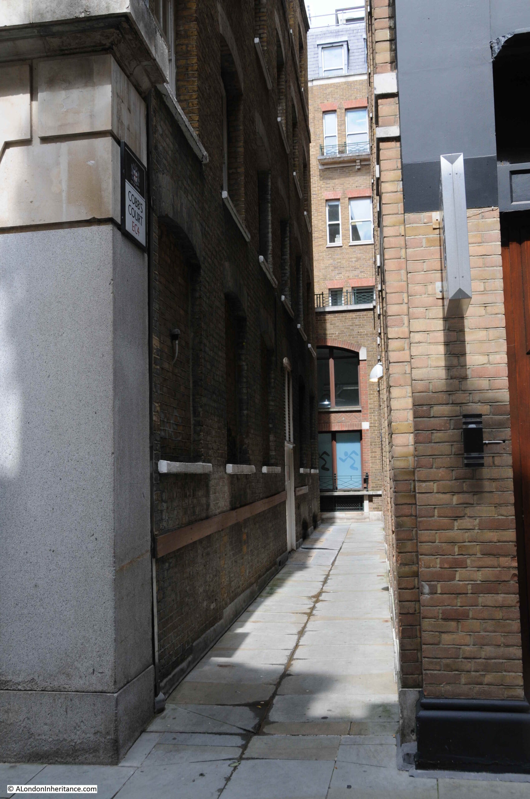
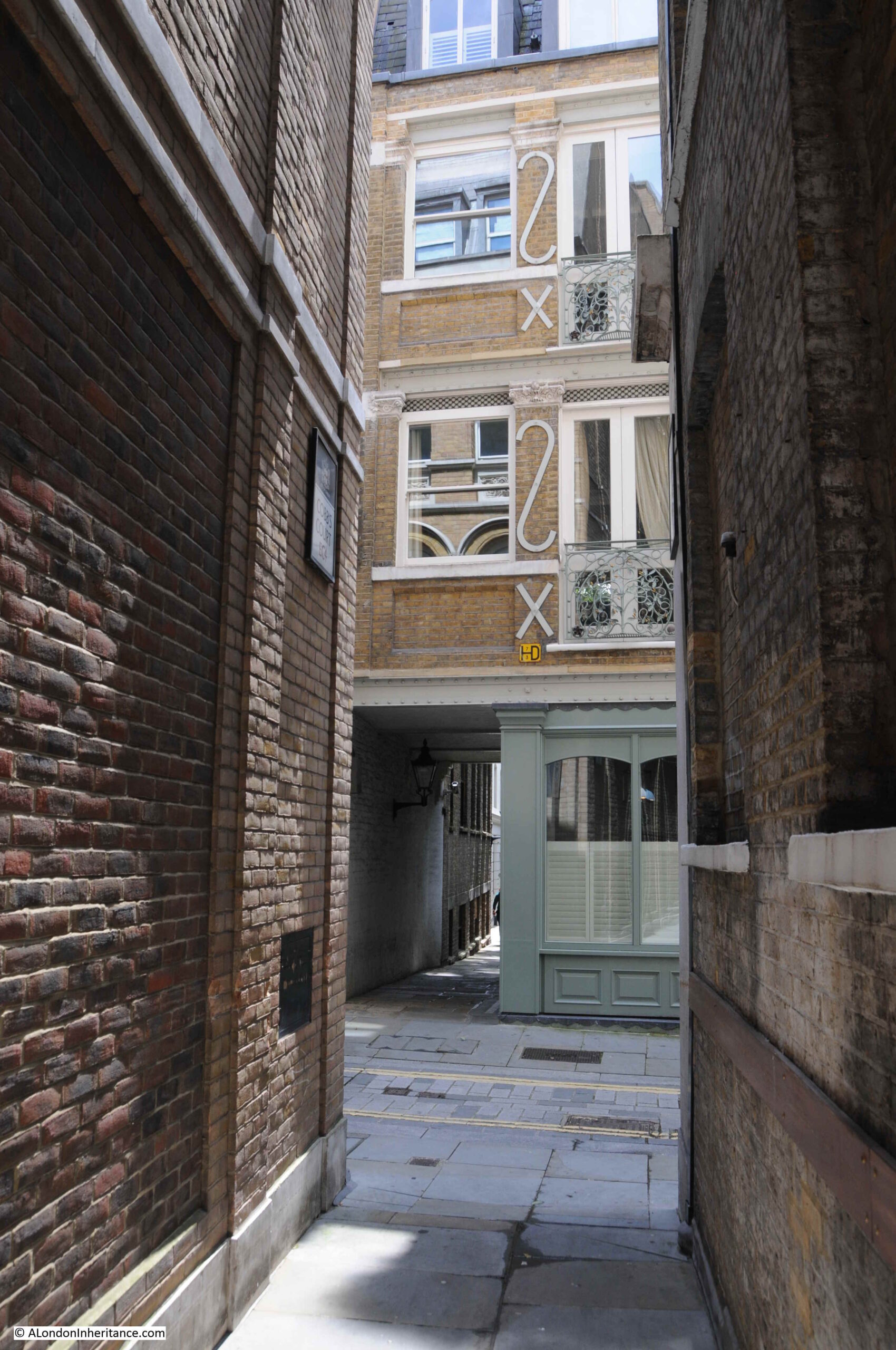
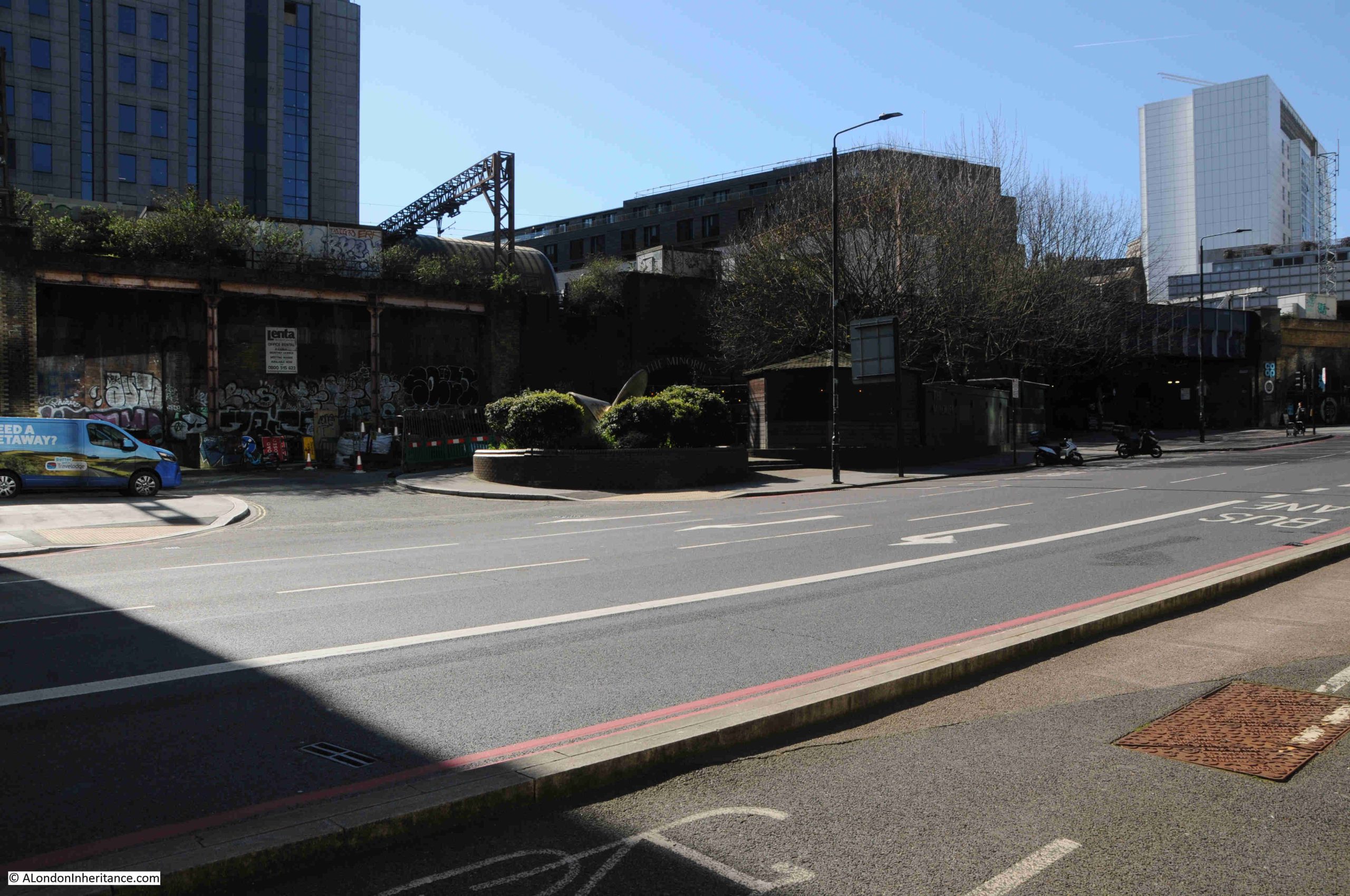
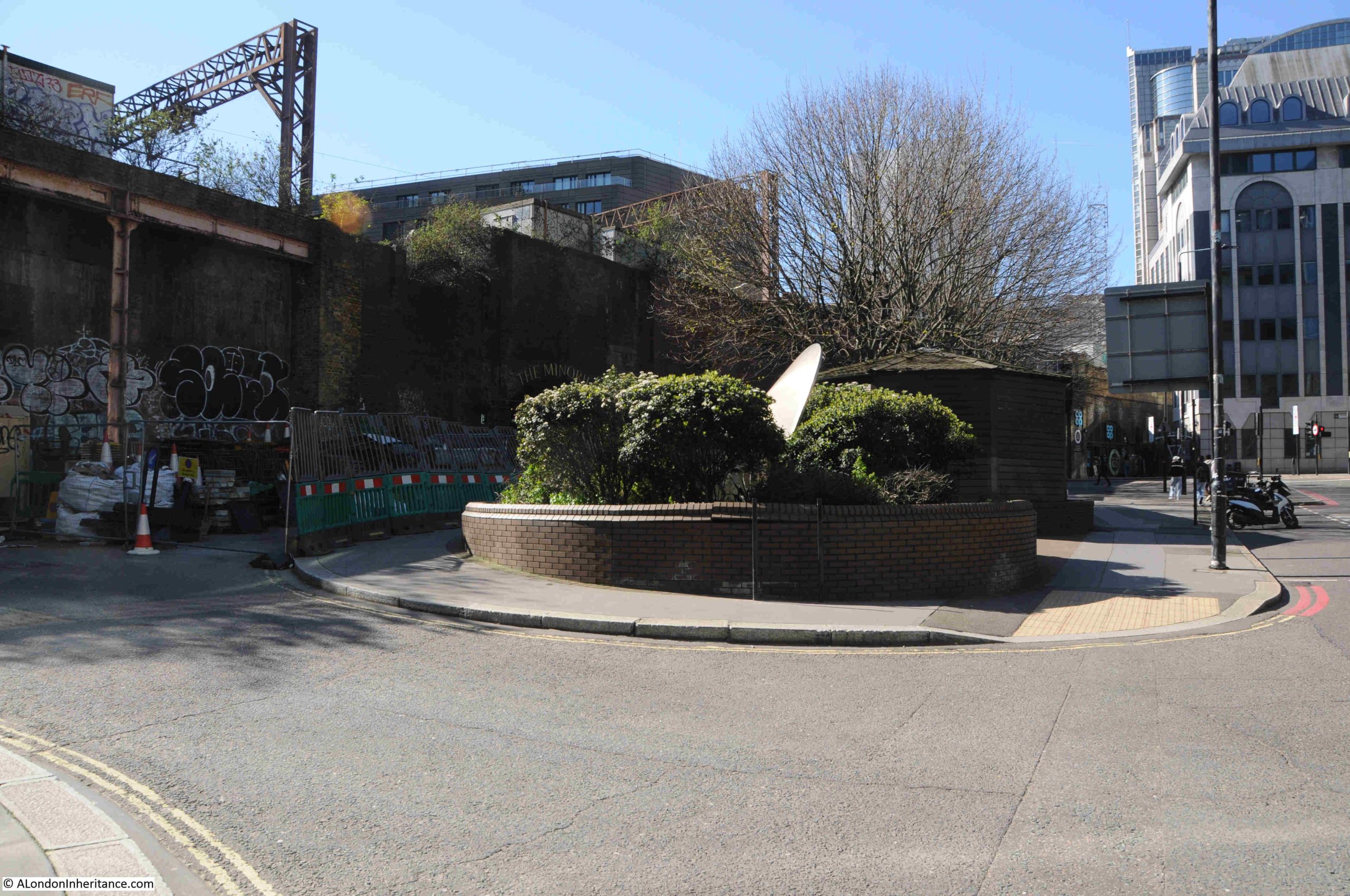
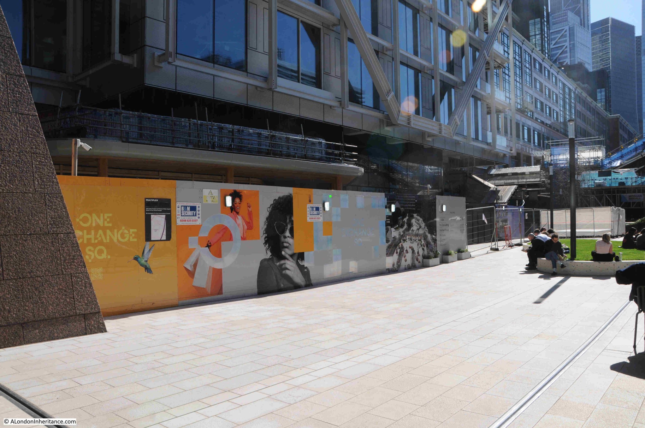
38. Goodman’s Yard, Vortex
The listing in the booklet does not include the name of the sculptor or the date of commission / installation, just the location of Goodman’s Yard and the name of the work, Vortex.
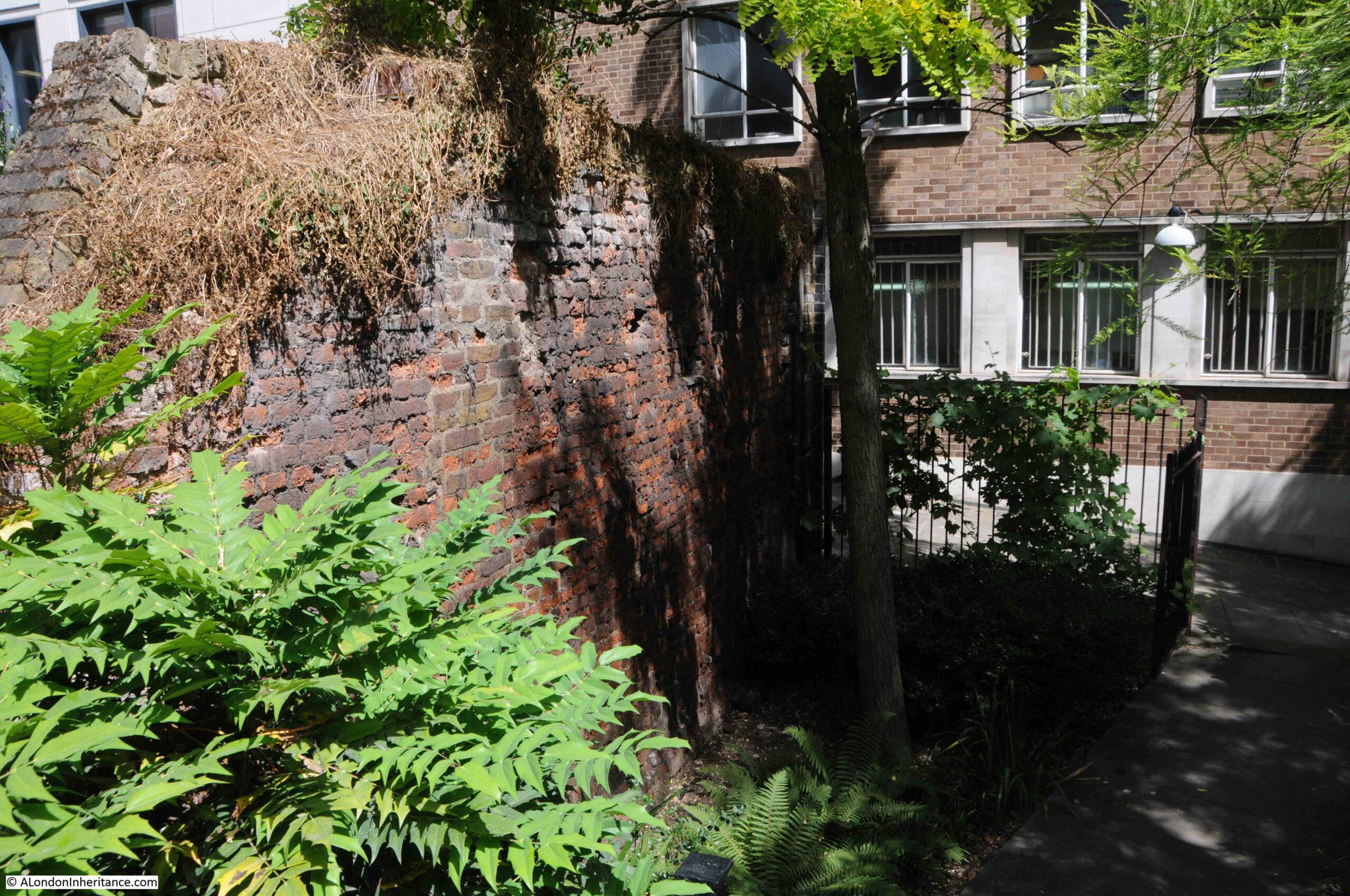
Goodman’s Yard is the street that runs between the Minories and the junction of Mansell Street and Prescot Street, just north of the railway viaduct from Fenchurch Street Station.
Vortex is rather well hidden, but in the centre of the following photo, there is a round feature, filled with bushes:
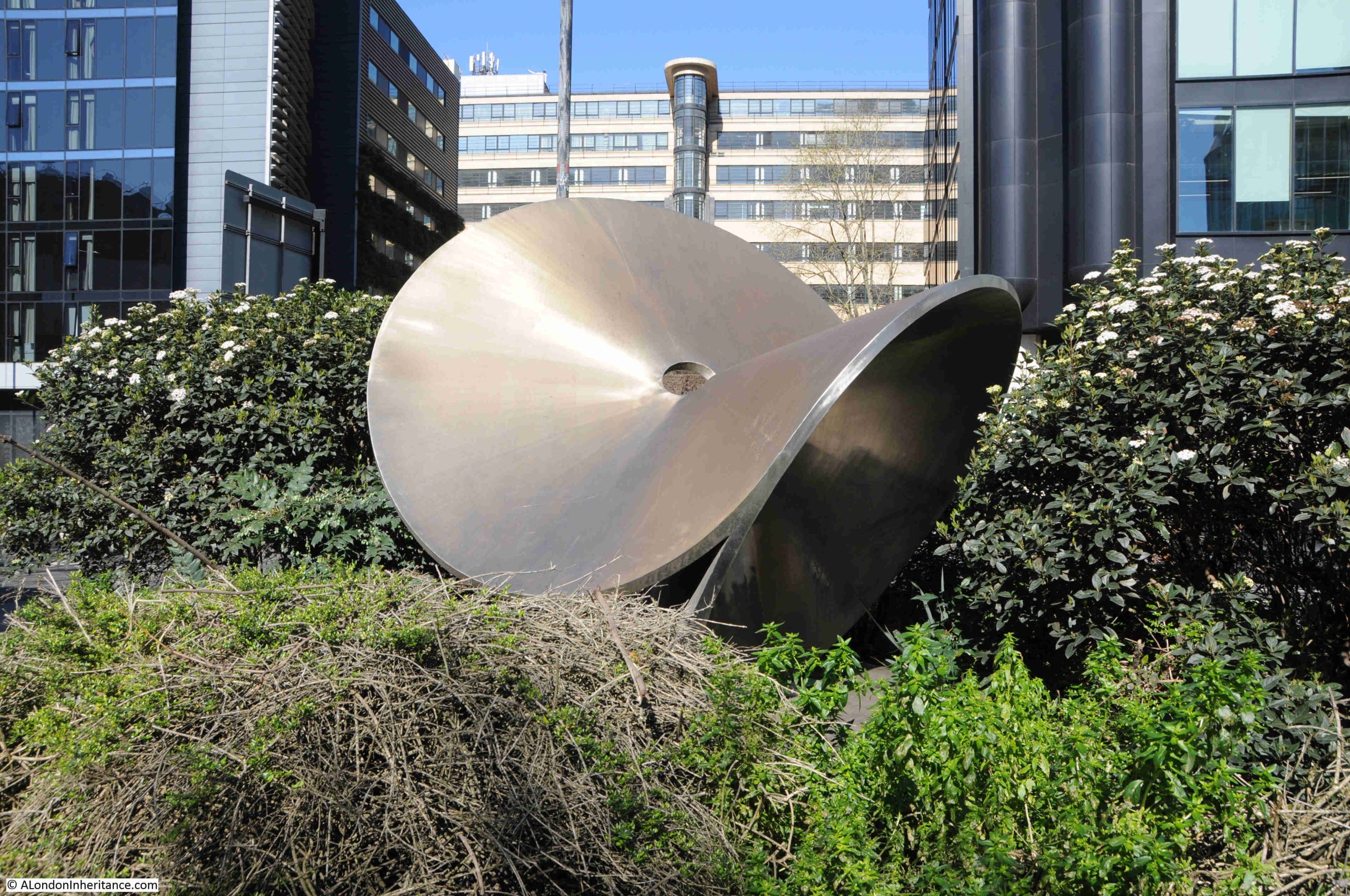
Once you get up close, a small part of Votex can be seen between the bushes:
The best view of Vortex is from the side away from the street, where there is a gap in the bushes, and Vortex can be seen with the rather wonderful Ibex House in the background:
The City of London Corporation does not have any information on the sculptor or the date of Vortex, and I cannot find anything online.
To illustrate my concerns about the errors and hallucinations of AI, I put the following into Google’s search box “who created the vortex sculpture in goodman’s yard London” as I was trying to find any information on the work. At the top of the search results was Google’s AI overview, pasted below:
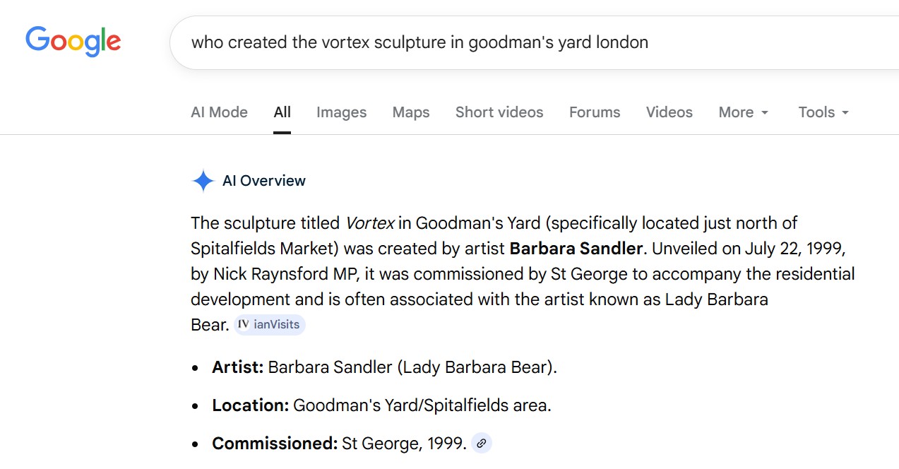
Google’s AI has confused the Goodman’s Yard Vortex with another work of the same name.
You will see in the answer that Google is referencing IanVisits website, but if you look at the page, it is about a totally different work, but with the same name, and in IanVisits page (click here to visit), there is no reference to Goodman’s Yard, so Google’s AI has incorrectly joined the other Vortex with the one in Goodman’s Yard.
I did wonder whether there was a Goodman’s Yard north of Spitalfield’s Market, but could not find one, and the other Vortex is in Lamb Street.
What make this worse is that Google’s AI attributes this answer to IanVisits, which is a really good, accurate website, so if you just read the AI answer rather than dig a little deeper, and check the page, you would assume it to be true.
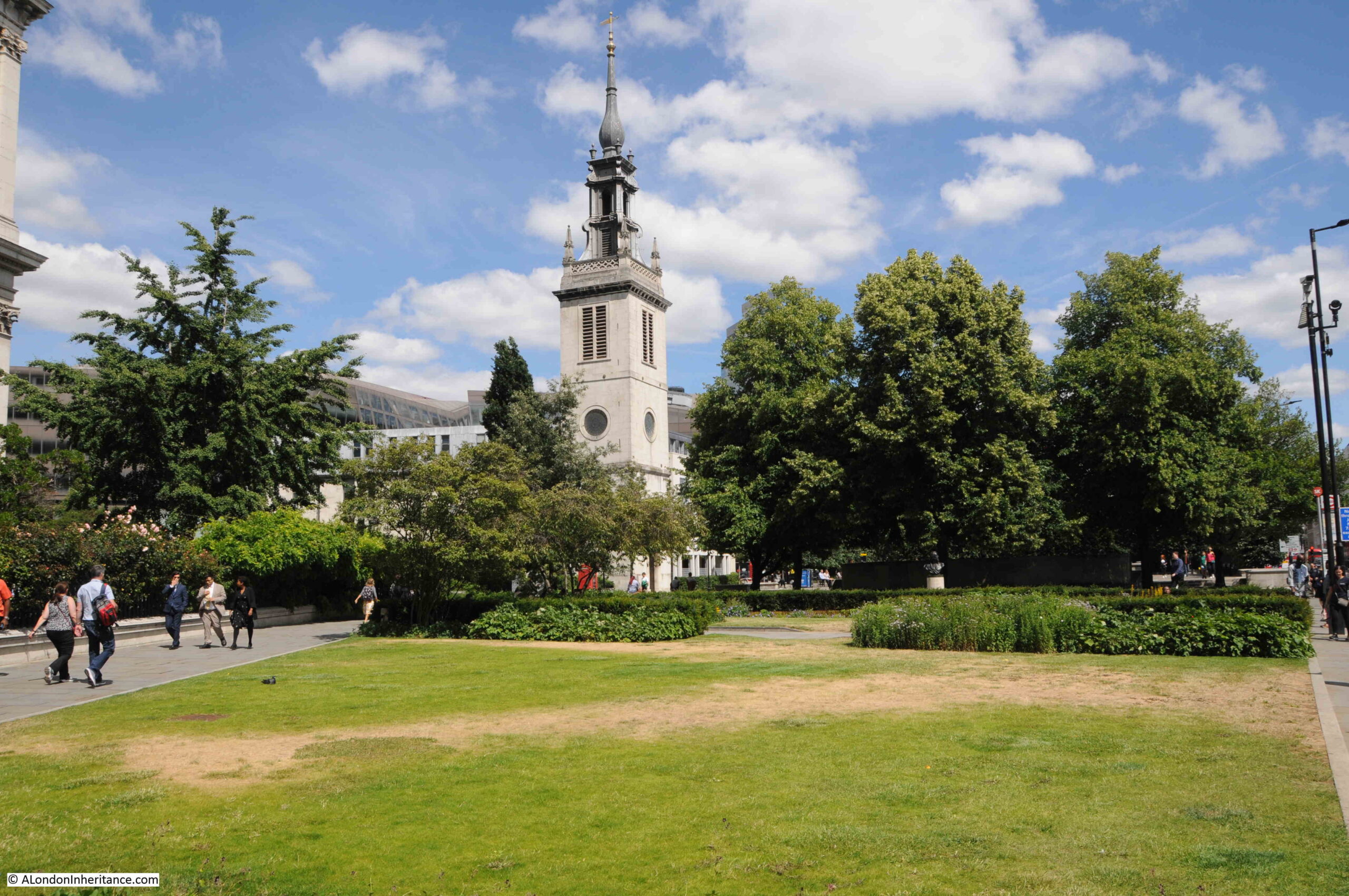
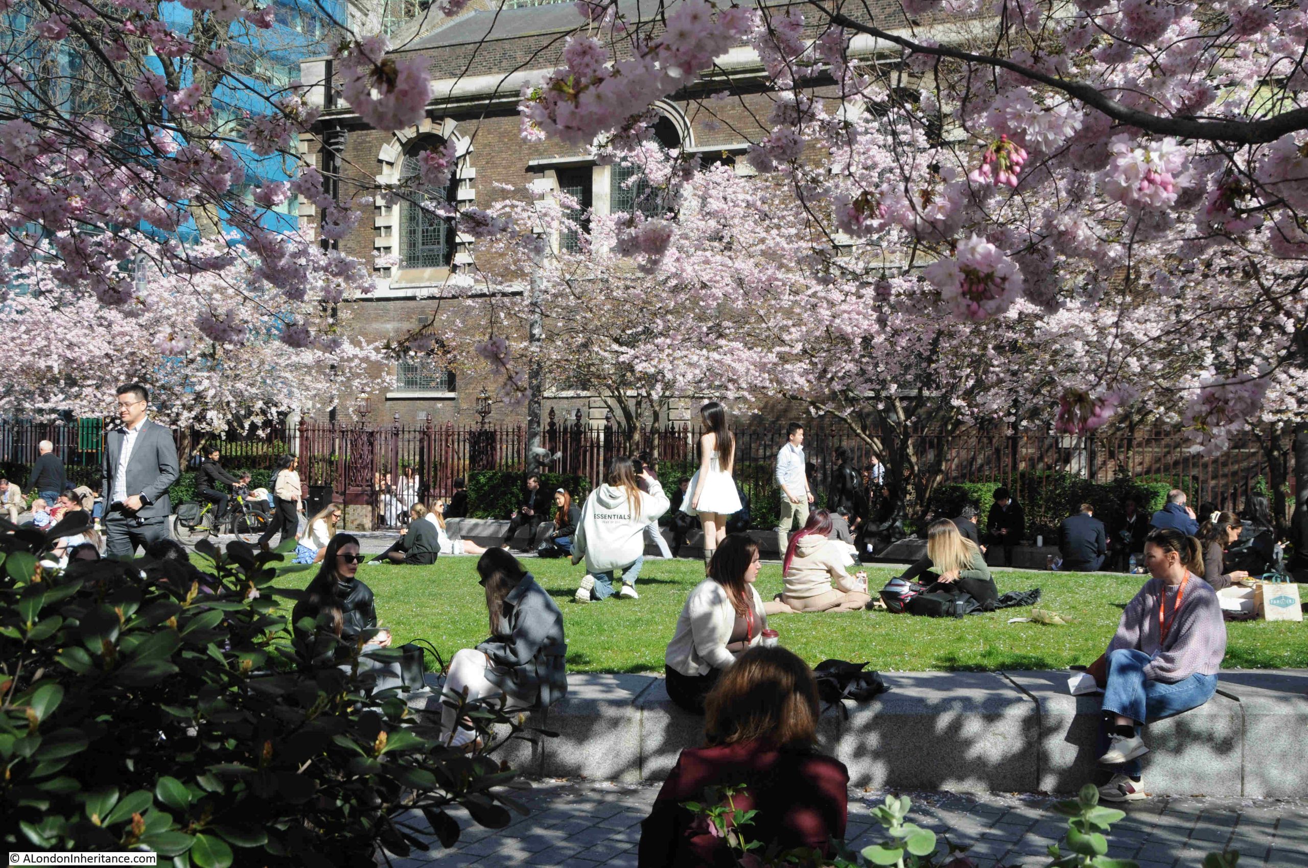
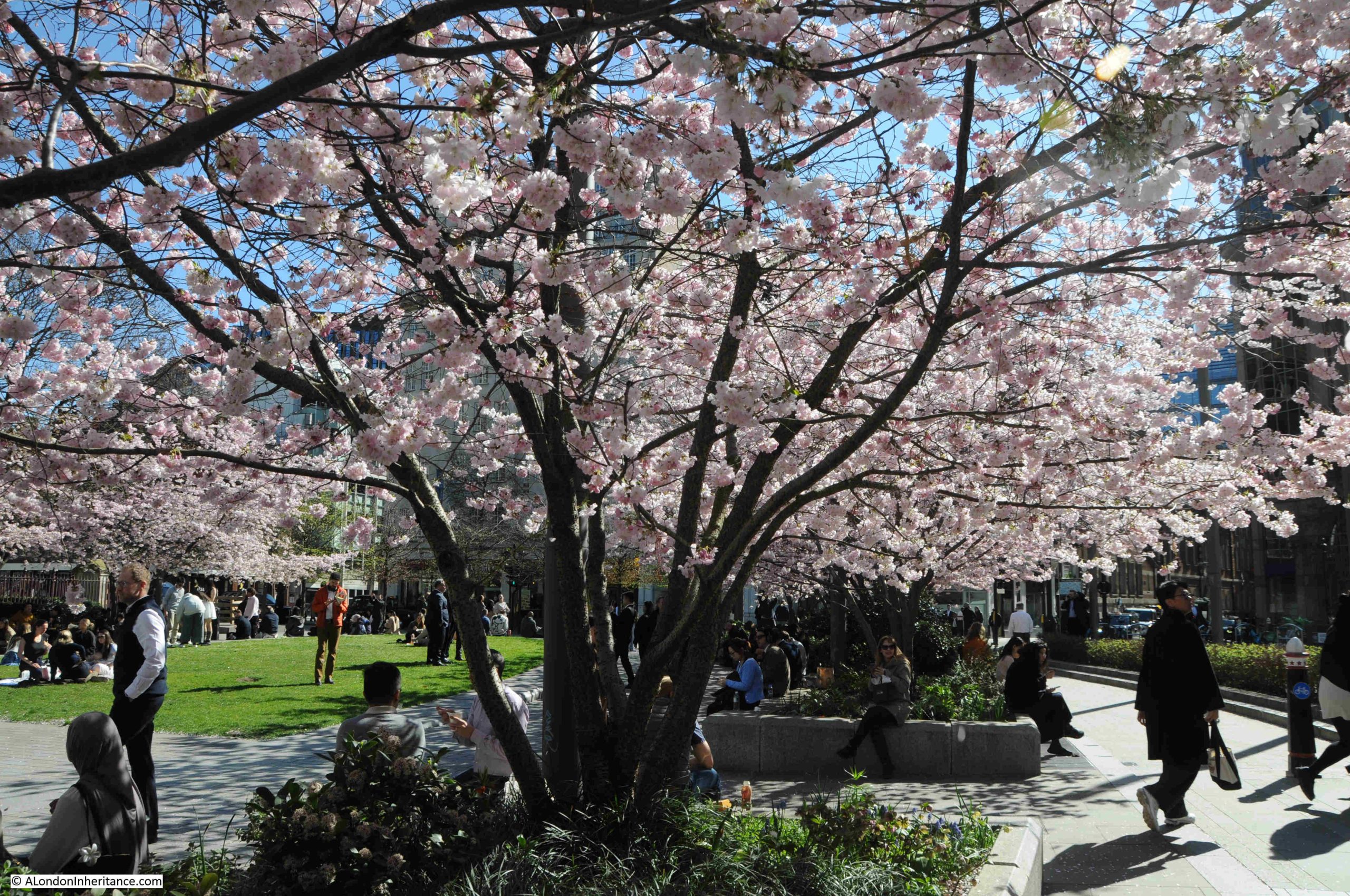
Anyway, AI rant over, and from Goodman’s Yard, I headed to the next location, and walked through Aldgate Square, next to St. Botolph Without, which illustrated just how good the City can look on a sunny day in the spring:
From Aldgate Square, I continued north to find:
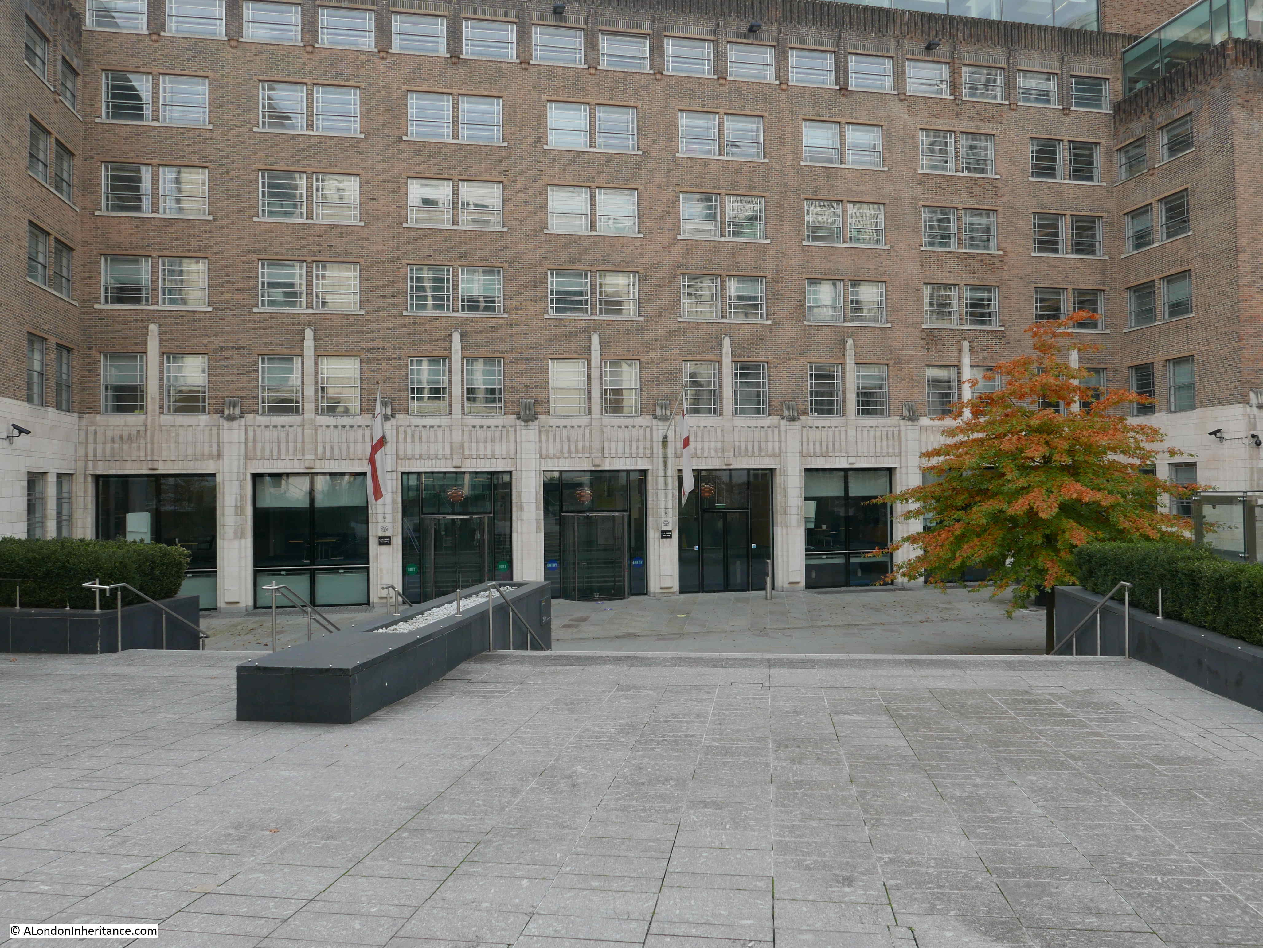
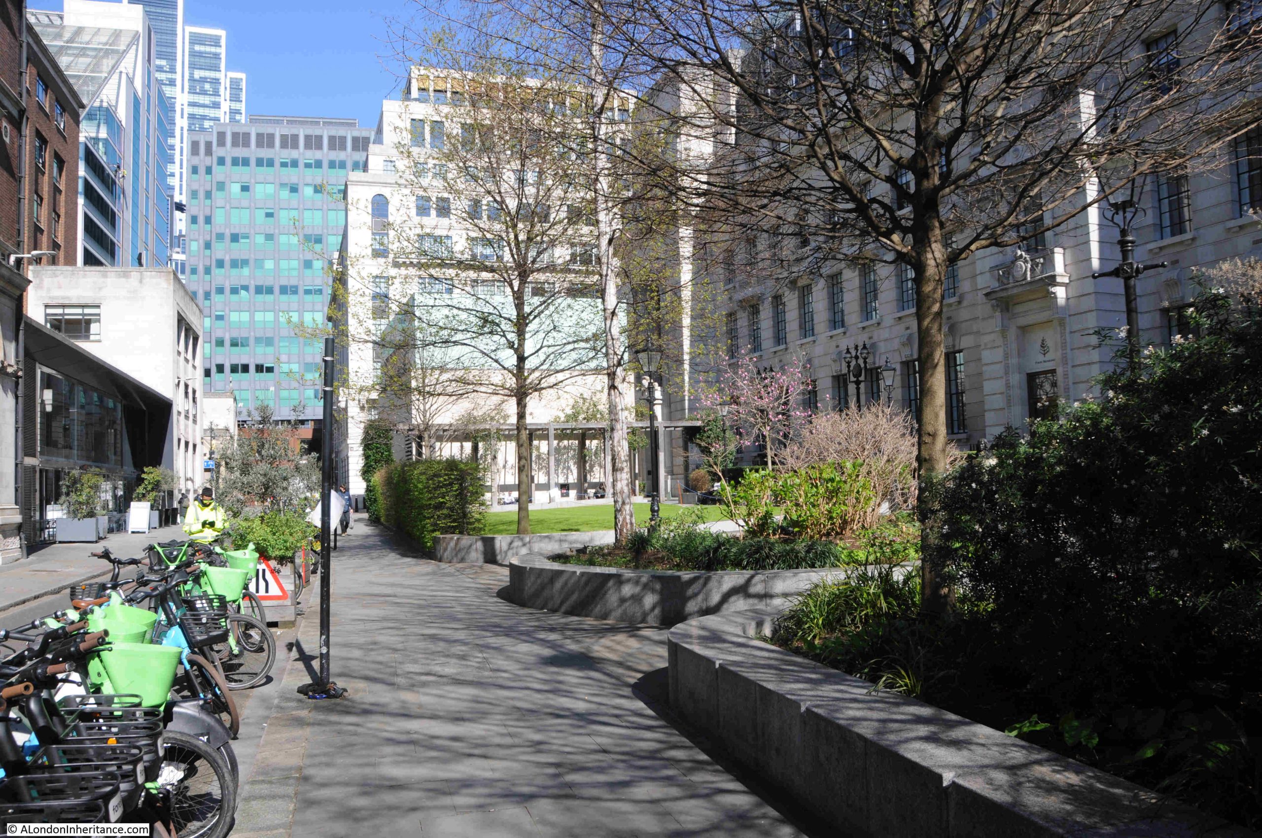
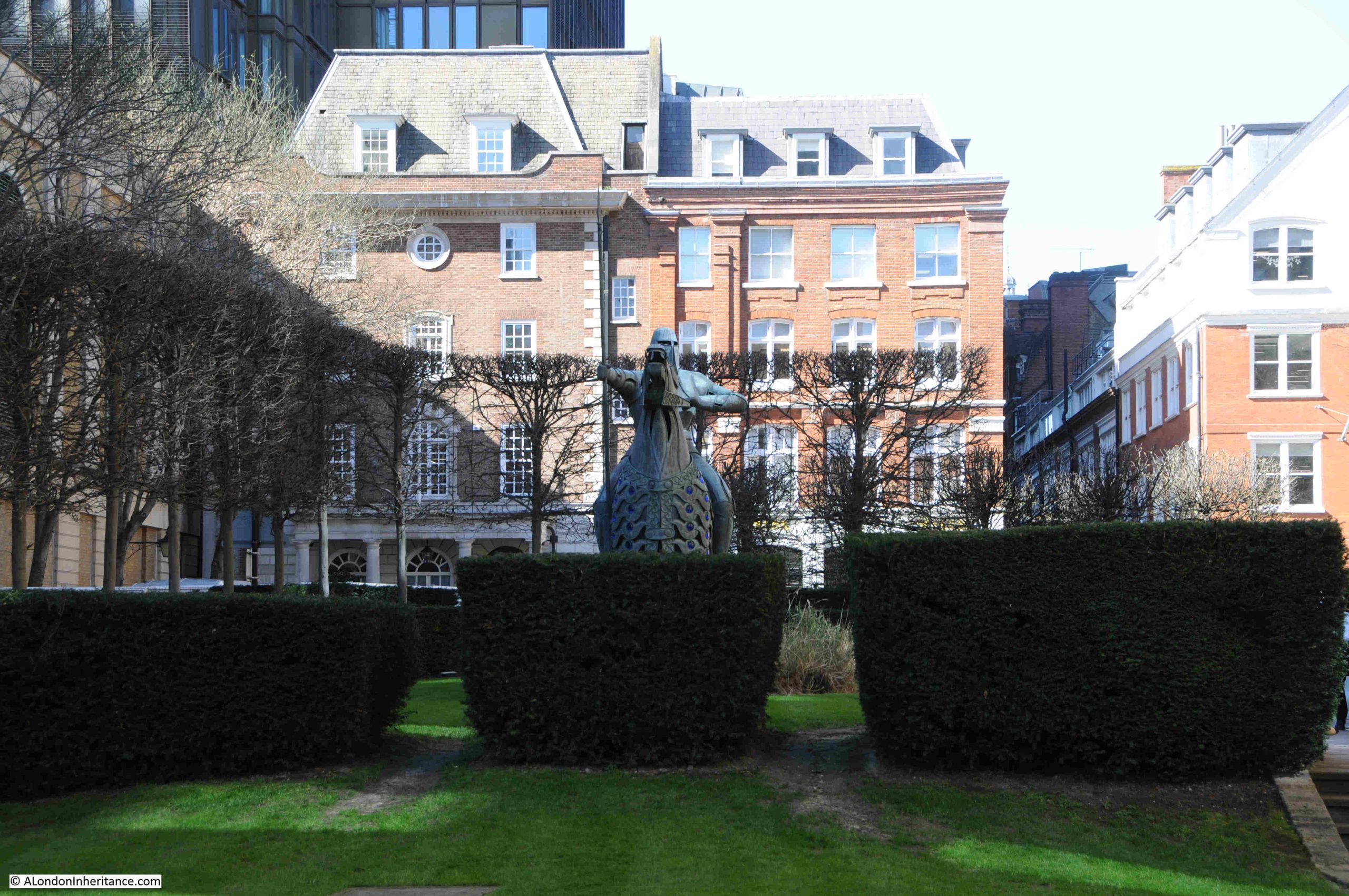
34. Cutlers Gardens, The Cnihtengild, Denys Mitchell, 1990
The Cnihtengild is a magnificent work in Devonshire Square, and although it has moved around the local area since 1990, it is now in a very prominent position:
The work was unveiled on the 21st November 1990 by Sir Alexander Graham, the Lord Mayor of London at the time, and was created by blacksmith Denys Mitchell, who worked in Kelso, Scotland.
It was commissioned by Standard Life who originally had offices next to the work.
The Cnihtengild from the side:
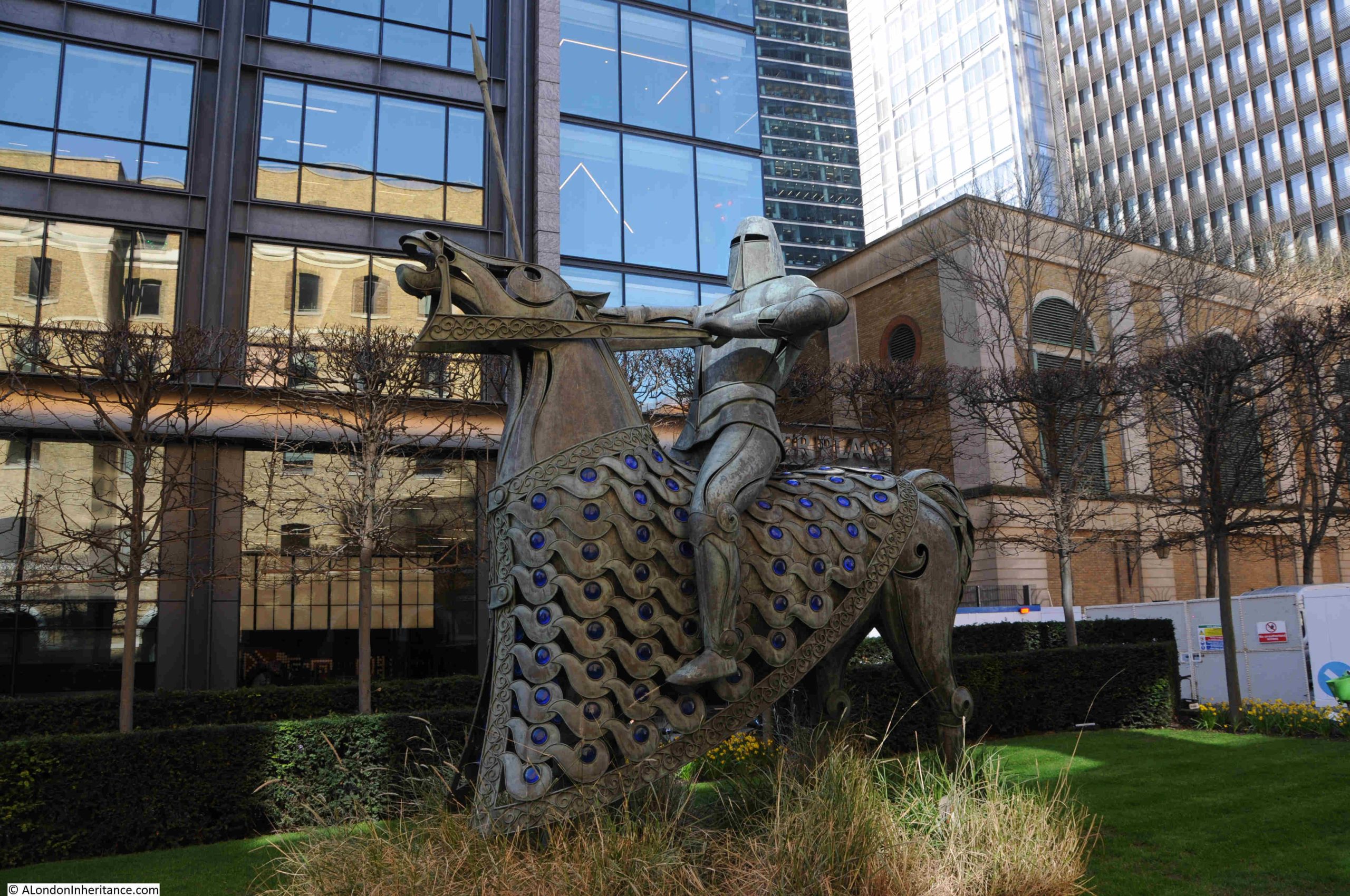
The coat that is draped over the horse has blue glass roundels which were made by glass artist Bibi Smit.
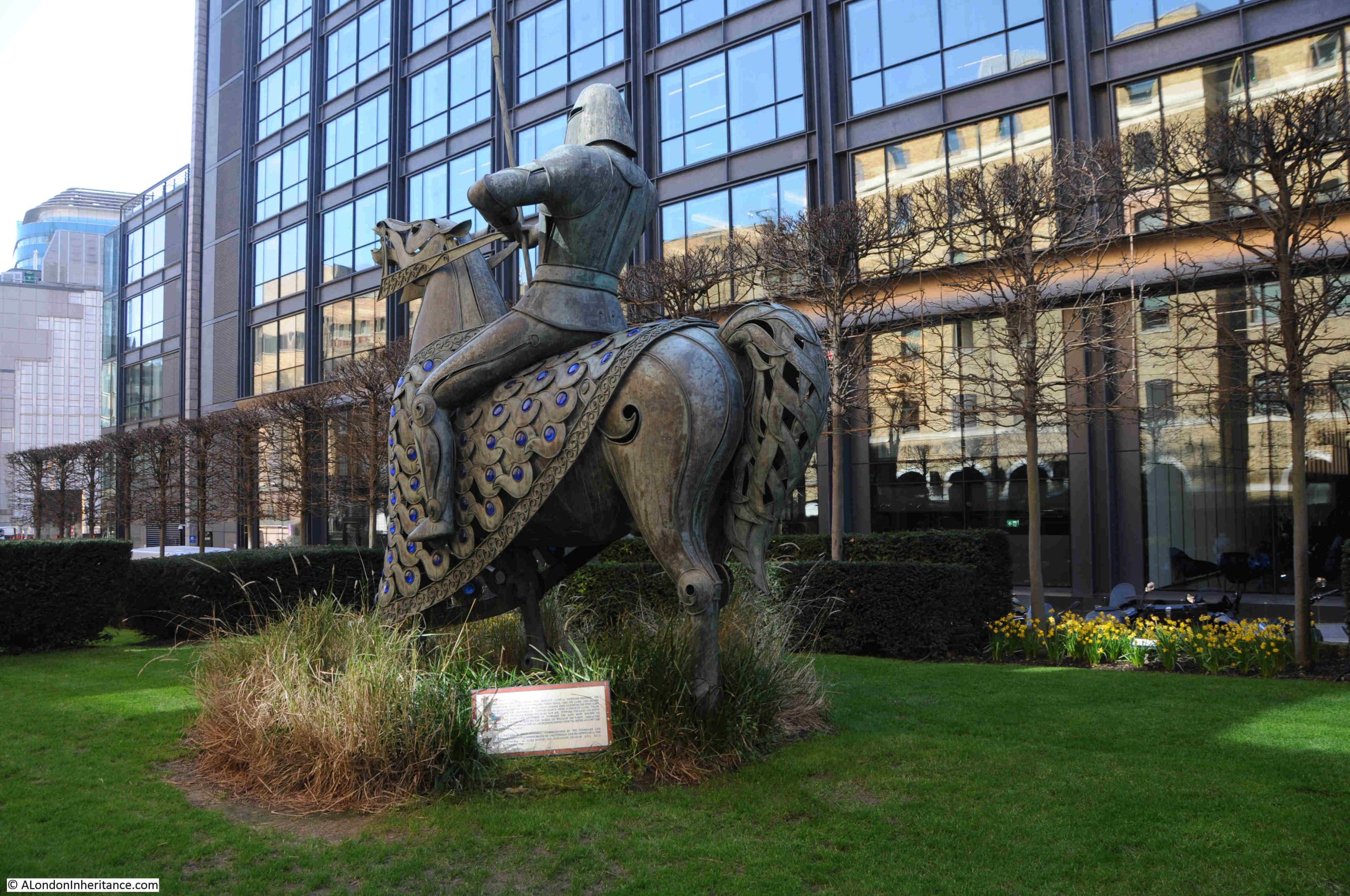
To the rear, at the base of the horse is a plaque:
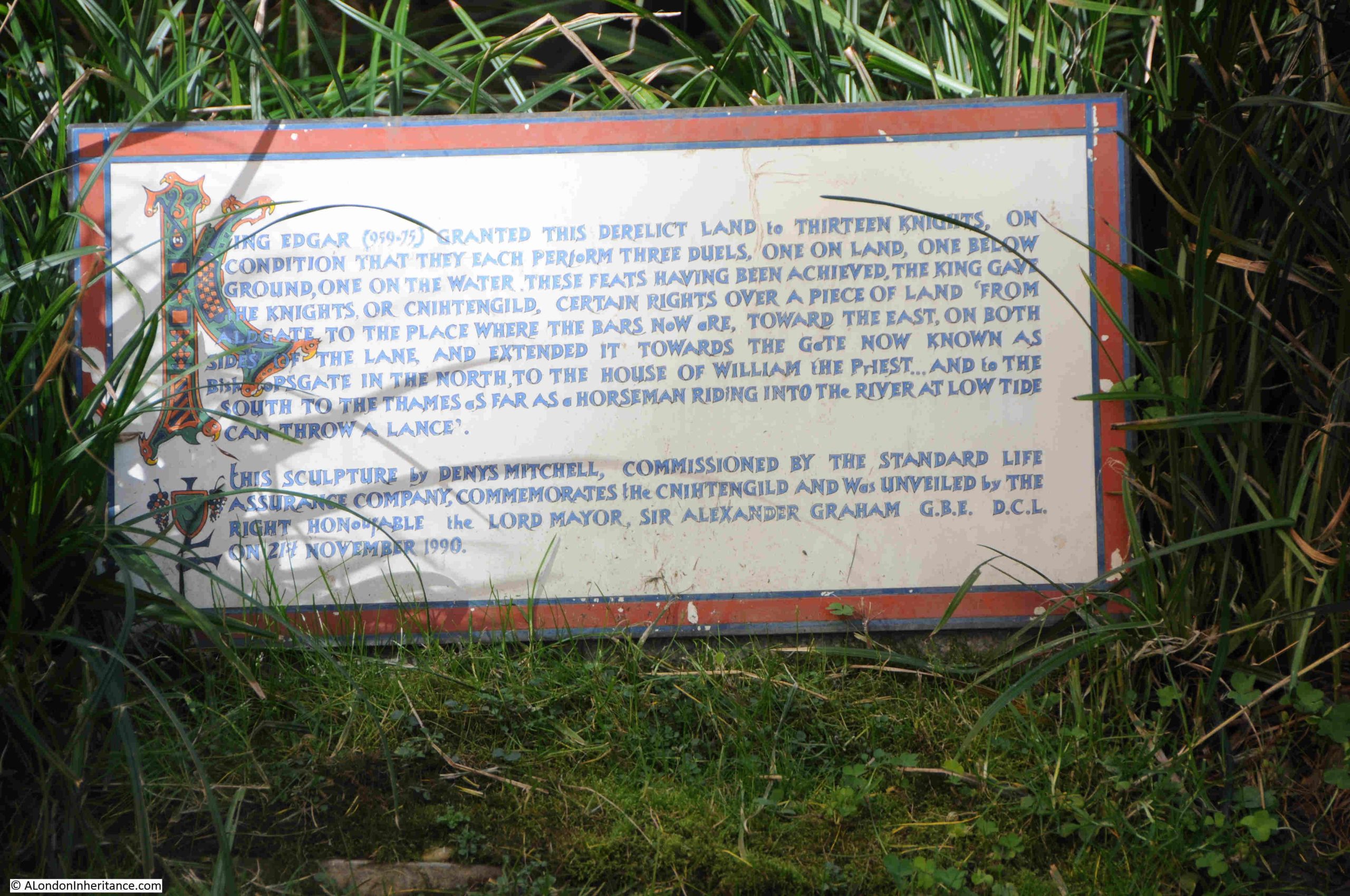
The plaque reads:
“King Edgar (959-75) granted this derelict land to thirteen knights on condition that they each perform three duels, one on land, one below ground, one on the water. These feats having been achieved the King gave the knights, or cnihtengild, certain rights over a piece of land from Aldgate to the place where the bars now are, towards the east, on both sides of the lane, and extended it towards the gate now known as Bishopsgate in the north to the house of William the First, and in the south to the Thames as far as a horseman riding into the river at low tide can throw a lance.”
This story comes from what appears to have been a grant of land in the 10th century to a guild of English “cnihtas”, a middle English word , with several possible meanings including a boy, a servant or attendant, or a male of high military rank.
The land that the guild held rights over was roughly the area of Portsoken ward, which John Noorthouck in “A New History of London Including Westminster and Southwark”, (1773) wrote that:
“This ward is recorded to have been a guild granted by King Edgar, between 7 and 800 years ago, to 13 valiant knights; and was then named Knighten guild: which grant was afterward confirmed by a charter or deed of Edward the confessor.”
The guild held the land until 1115, when the descendants of the knights gave the land to the priory of the Holy Trinity within Aldgate, which was located around St. James’ Passage which is just to the east of St. Botolph without Aldgate.
The Cnihtengild is a wonderful sculpture, and the story behind the sculpture provides a link back to London in the late Anglo-Saxon period.
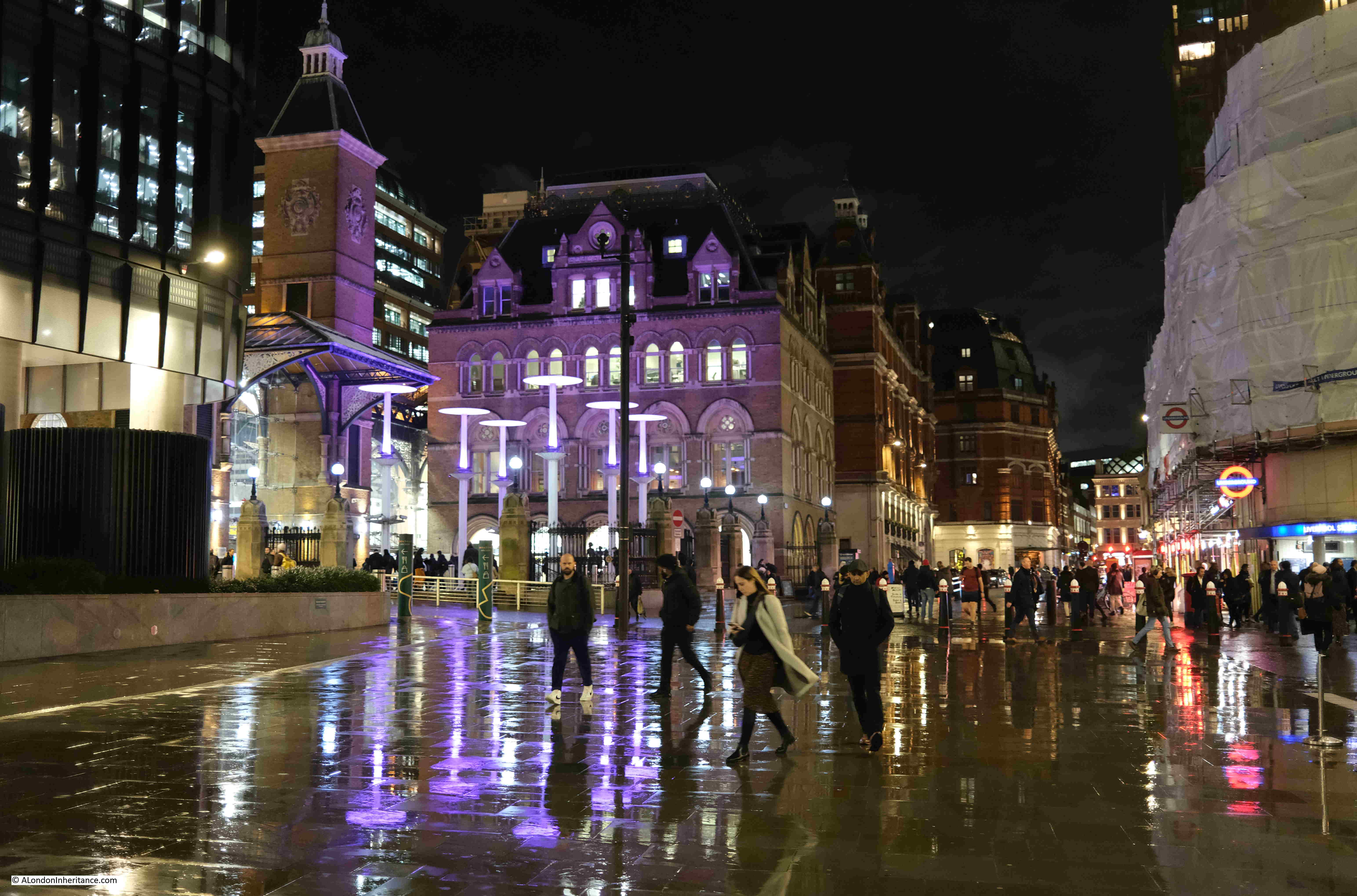
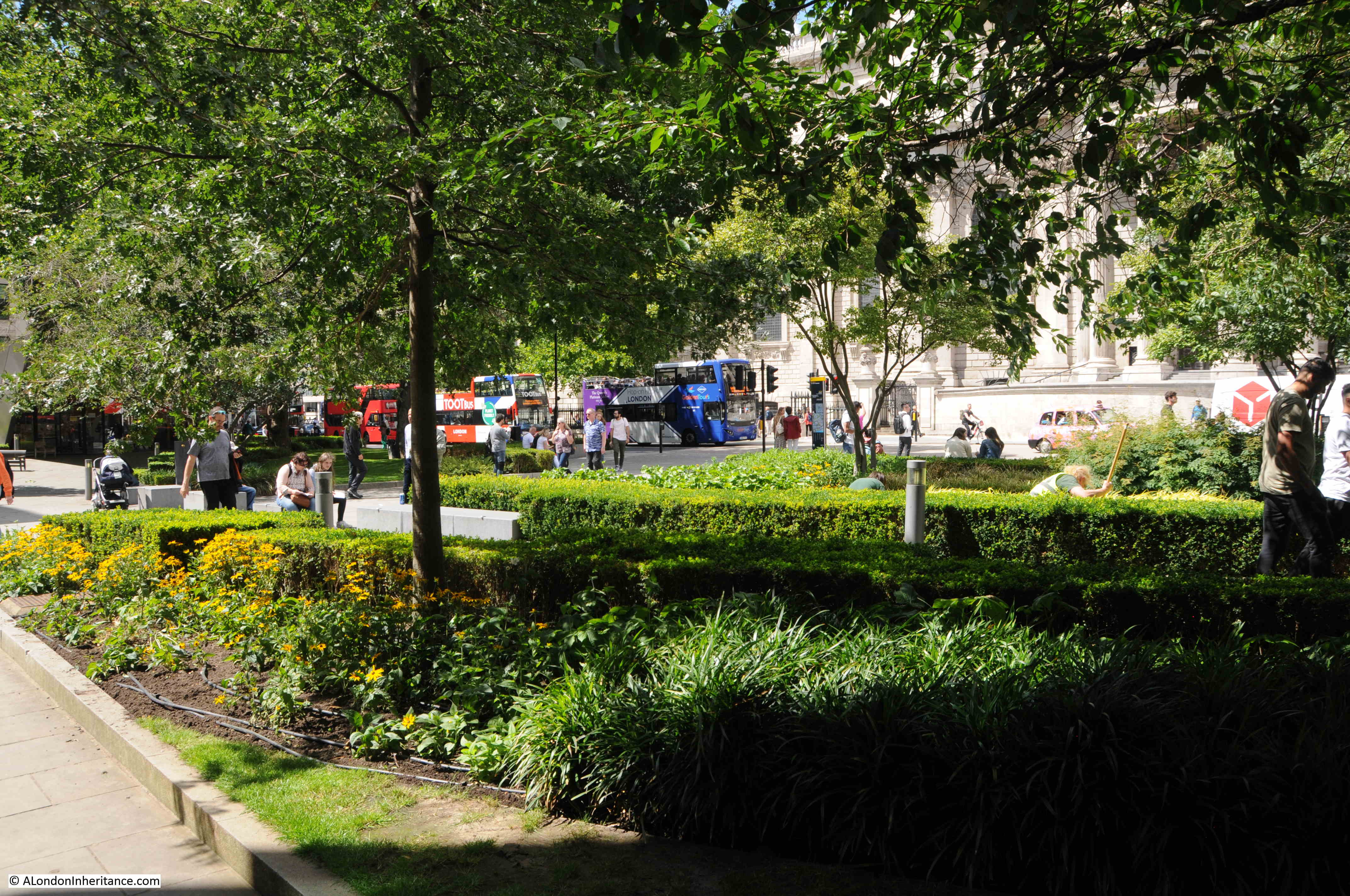
Continuing a little further north to the very modern development of Broadgate to find:
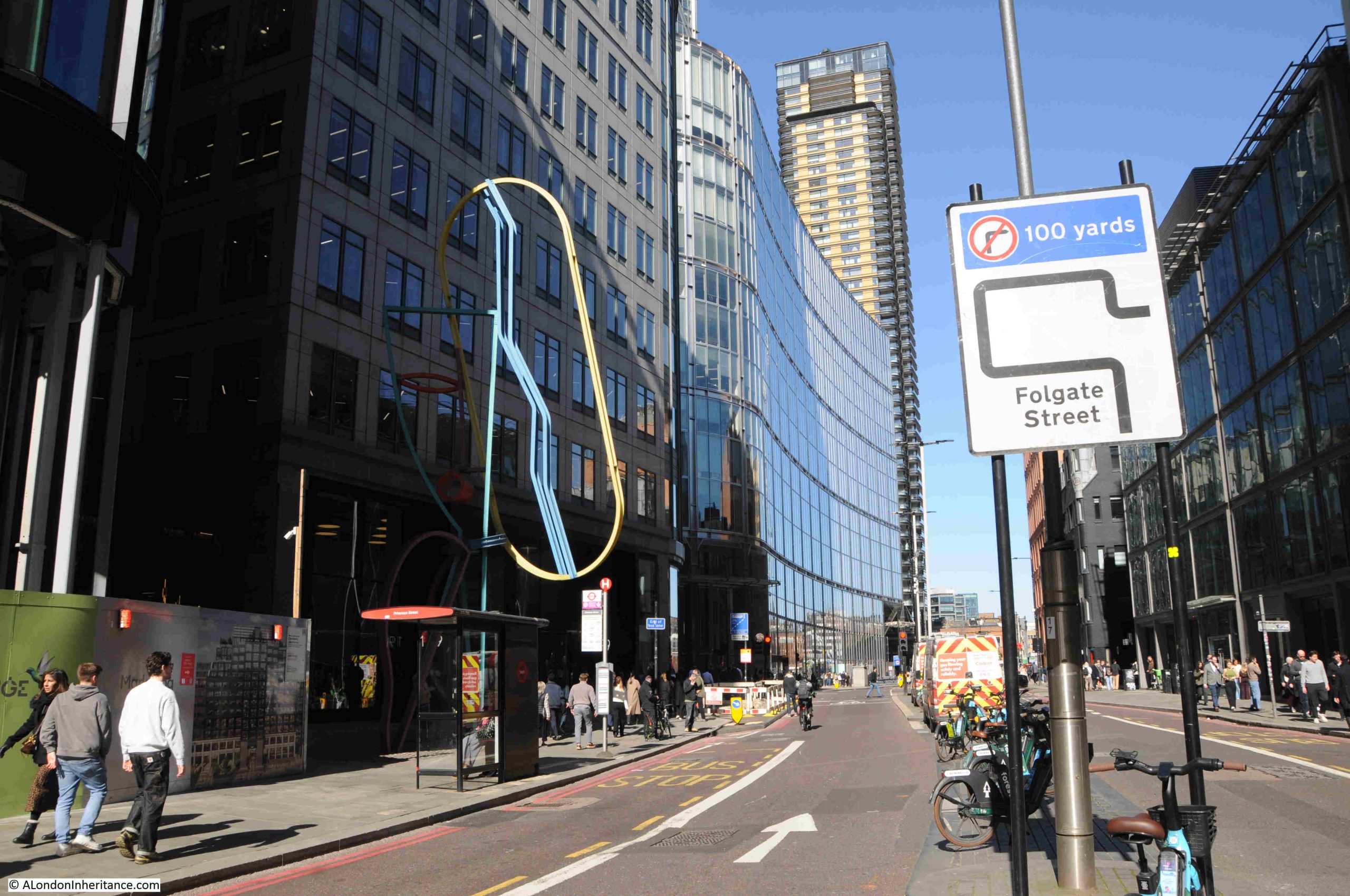
33. Broadgate, Bishopsgate, Woman’s Head, Bruce McClean, 1993
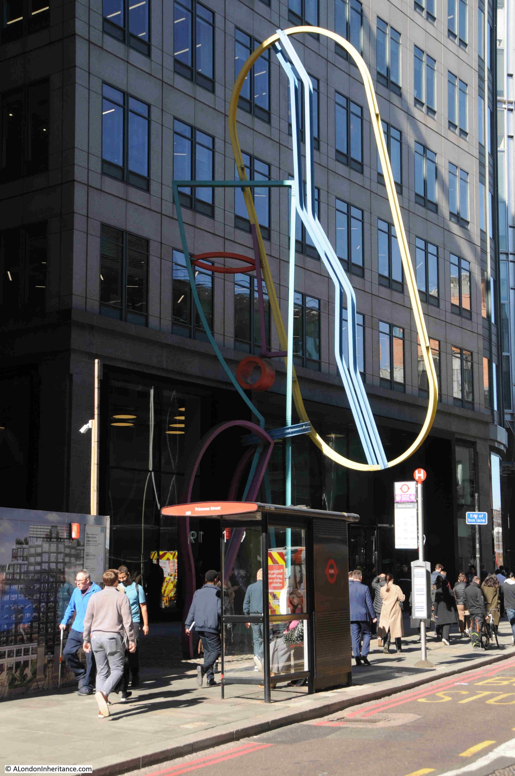
This work is alongside Bishopsgate by bus stop H, and is formed from bent metal rods, and painted in multiple colours.
It is the work of Bruce McClean, a London based Scottish sculptor who was born in 1944, and it was made by the company Welding Mobility Ltd in West Drayton from a scaled down plastic model.
What is strange about this work is that the name has changed. The 1994 booklet refers to the work as “Woman’s Head”, and it is a forms a modernist outline of a woman’s face, however the stone set below the work confirms the date and the sculptor, but uses the name EYE-I which is the name that every other reference to the work also uses:
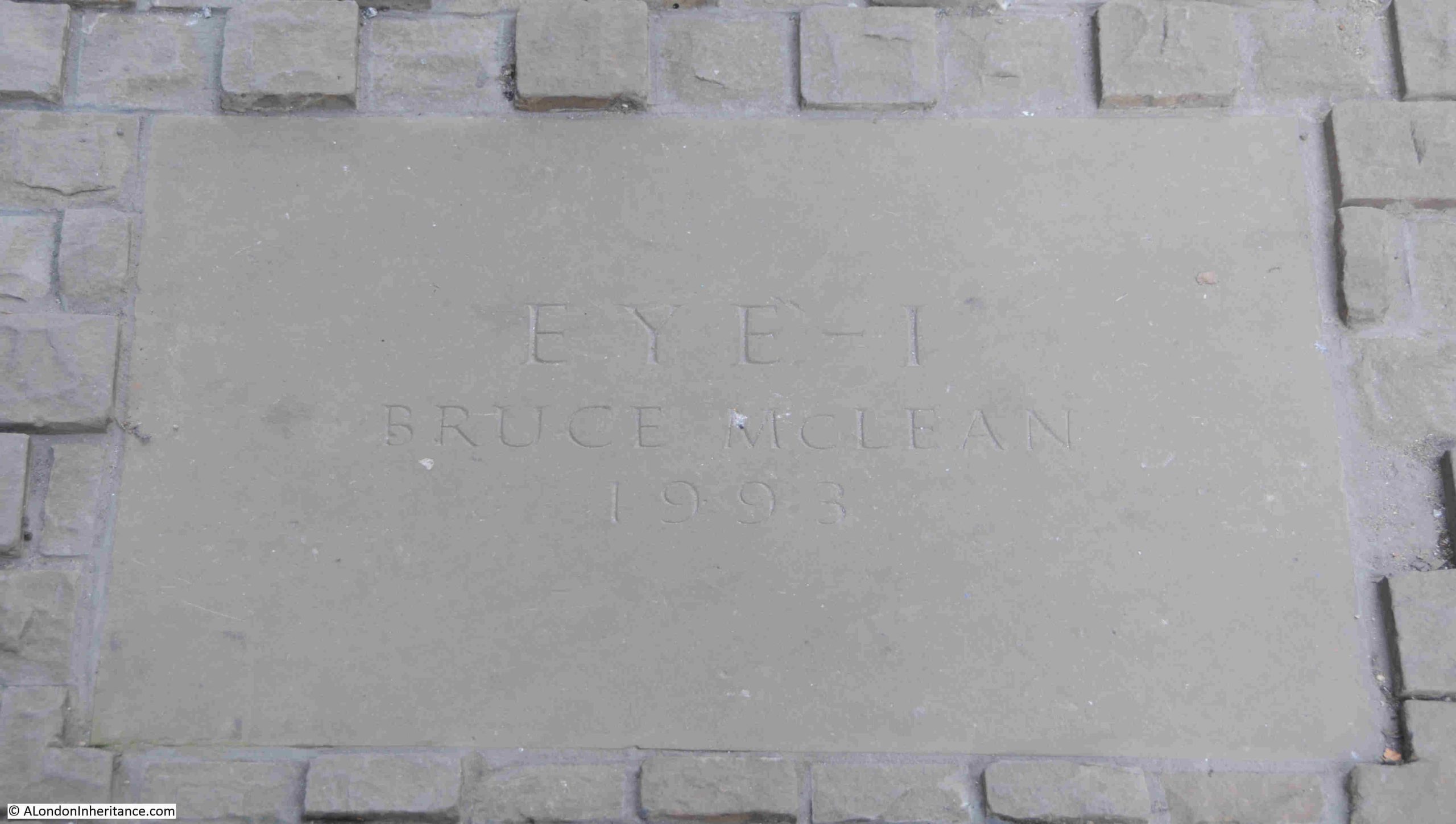
Image from the booklet showing the sculpture and confirming the name used in the list:
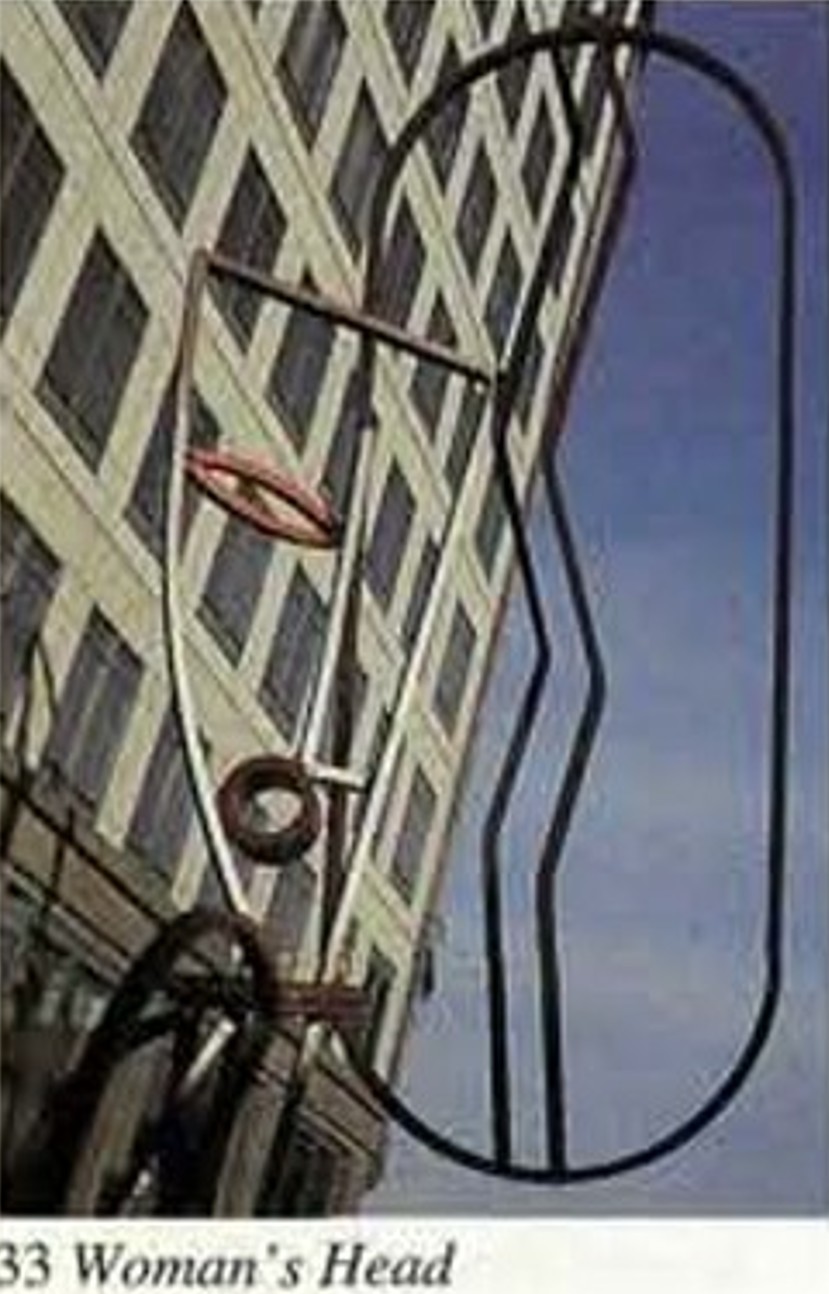
Whether the name used in the booklet was just a working name when the sculpture was being created, and it was not updated when installed with the final name, or whether there was a name change, I have no idea.
It is an interesting and colourful work, in a very different style to the majority of other works of sculpture across the City of London, which adds interest to the City’s streets.
The remaining works from the list are within the Broadgate development, so from Bishopsgate, I headed in between the office blocks.
32. Broadgate, Exchange Square, Broadgate Venus, Fernando Botero, 1989
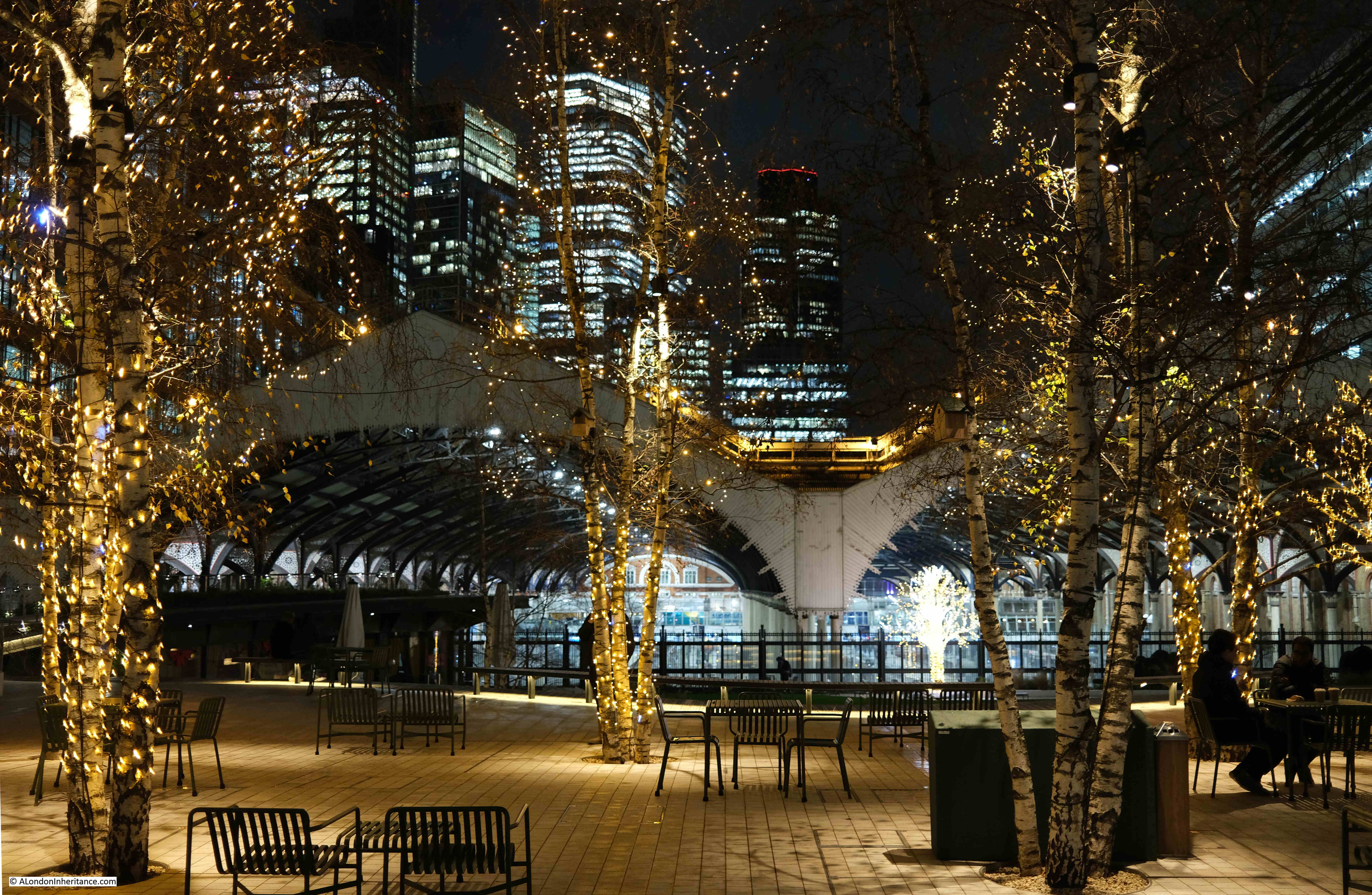
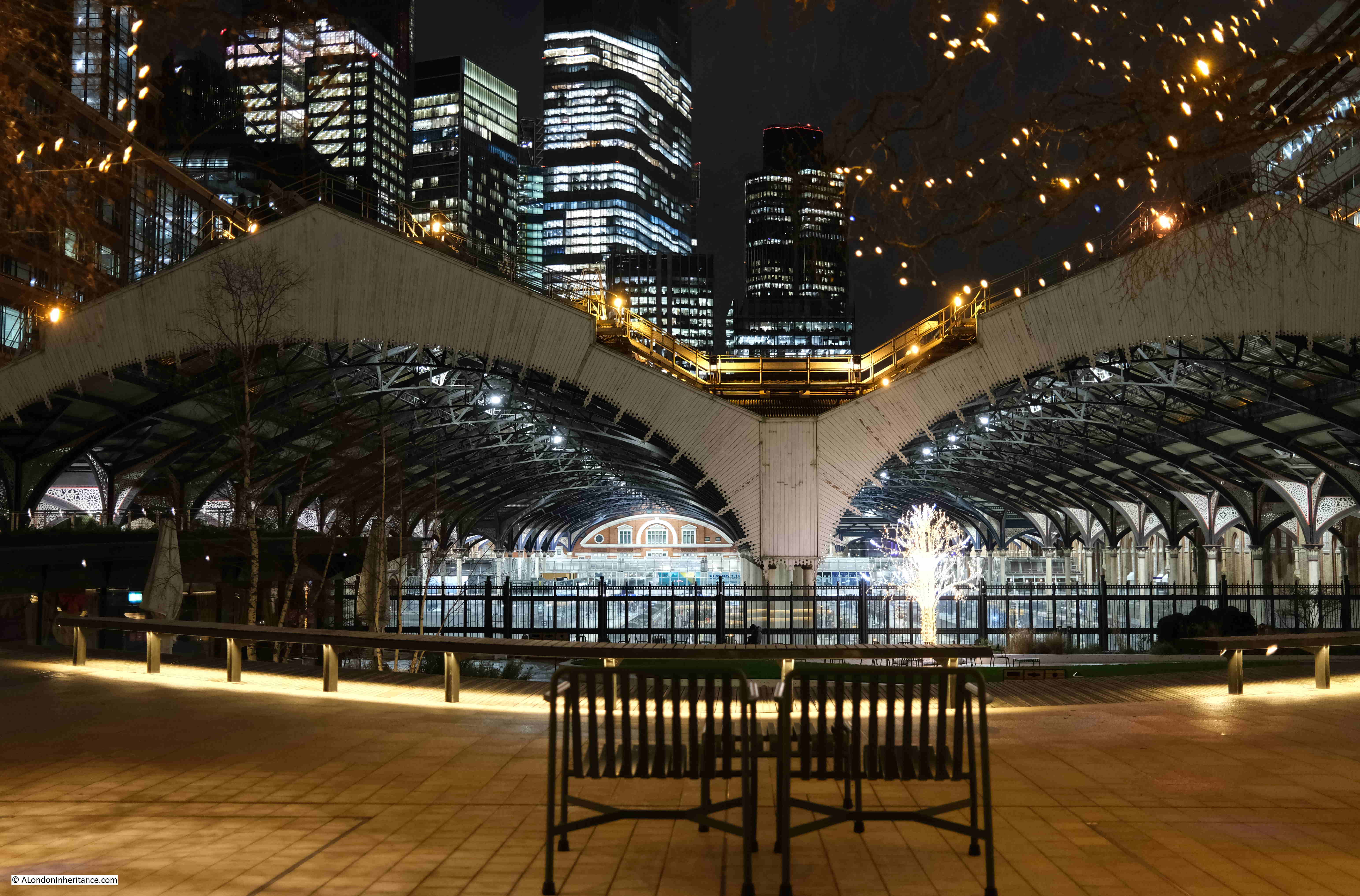
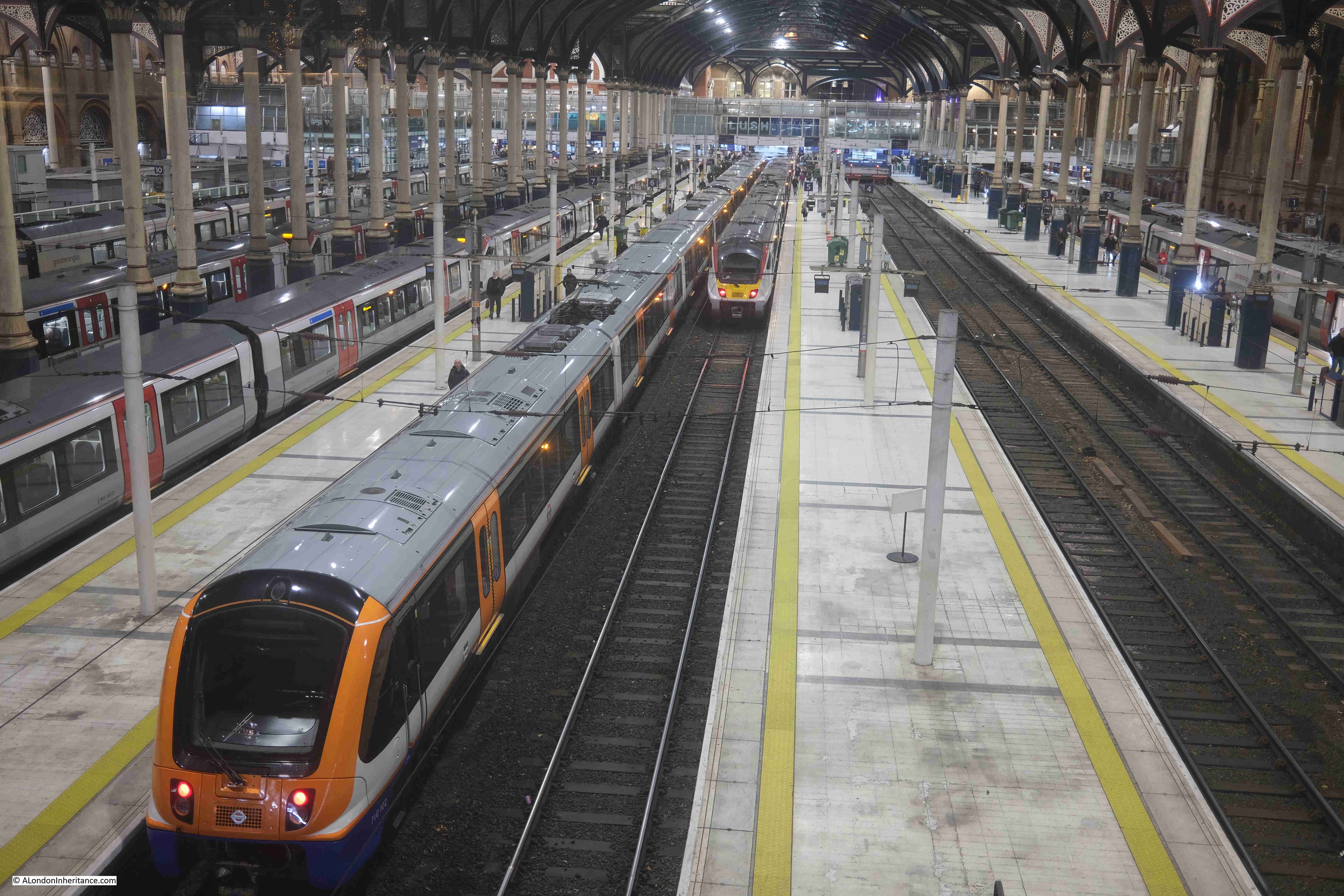
You cannot miss this large work, which can be found in the Exchange Square – a unique City square as it is at the end of the Liverpool Street train shed, and provides an elevated look down onto the station’s platforms.
I have photographed this sculpture before, but when I arrived in March 2026, Broadgate Venus had gone, with hoardings and fencing lining the area where she was to have been found:
I photographed Broadgate Venus a couple of years ago as part of a post about Liverpool Street Station, which you can find here. The photo is below:
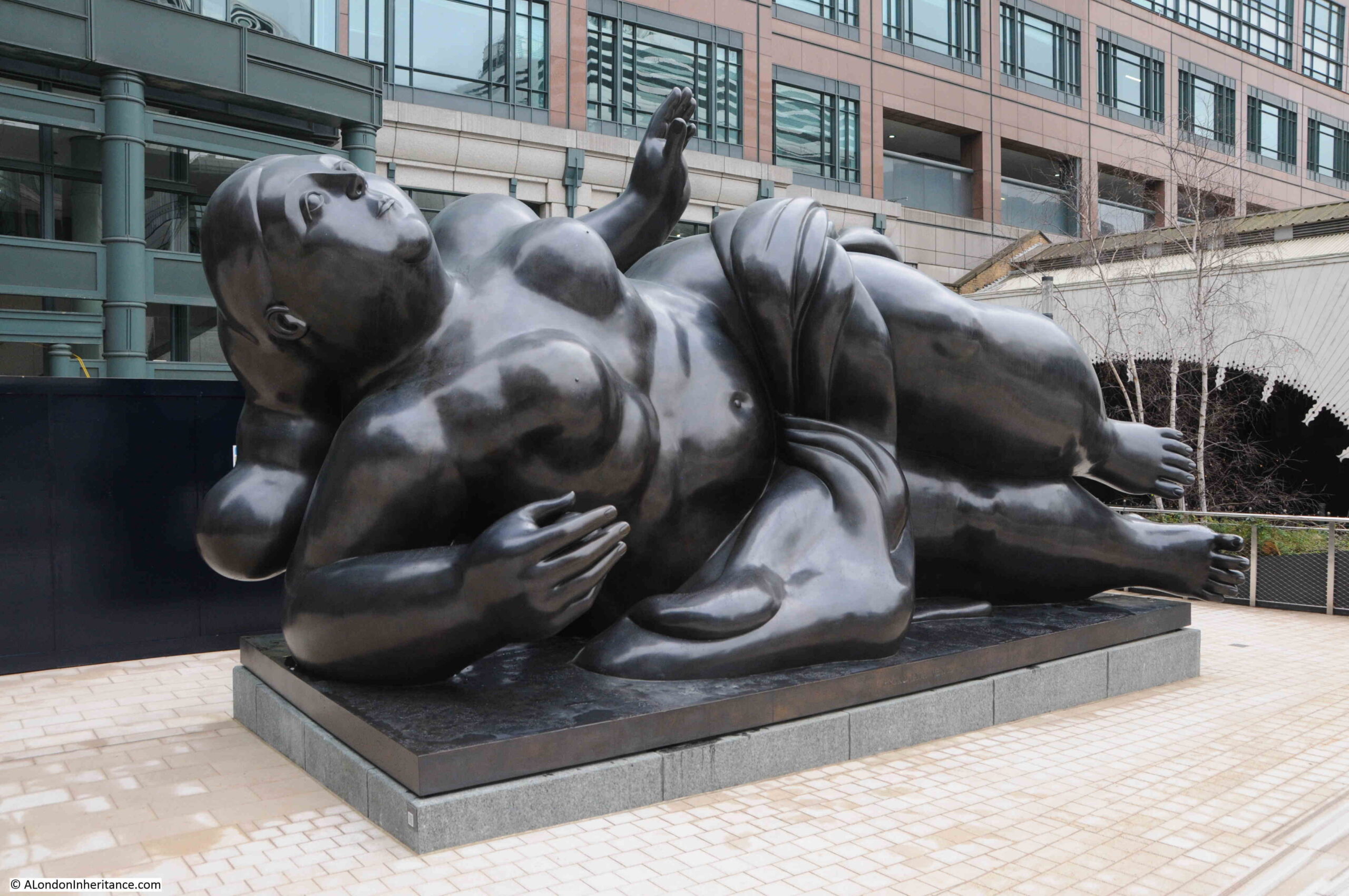
Broadgate Venus is a 5 tonne patinated bronze, created for Broadgate in 1989 by the Columbian artist and sculptor Fernando Botero, who specialises in large, exaggerated figures.
As with so much of the City, there is a considerable amount of building and refurbishment work going on around Broadgate, and I hope that Broadgate Venus has just been moved temporarily, whilst work along the eastern side of Exchange Square takes place.
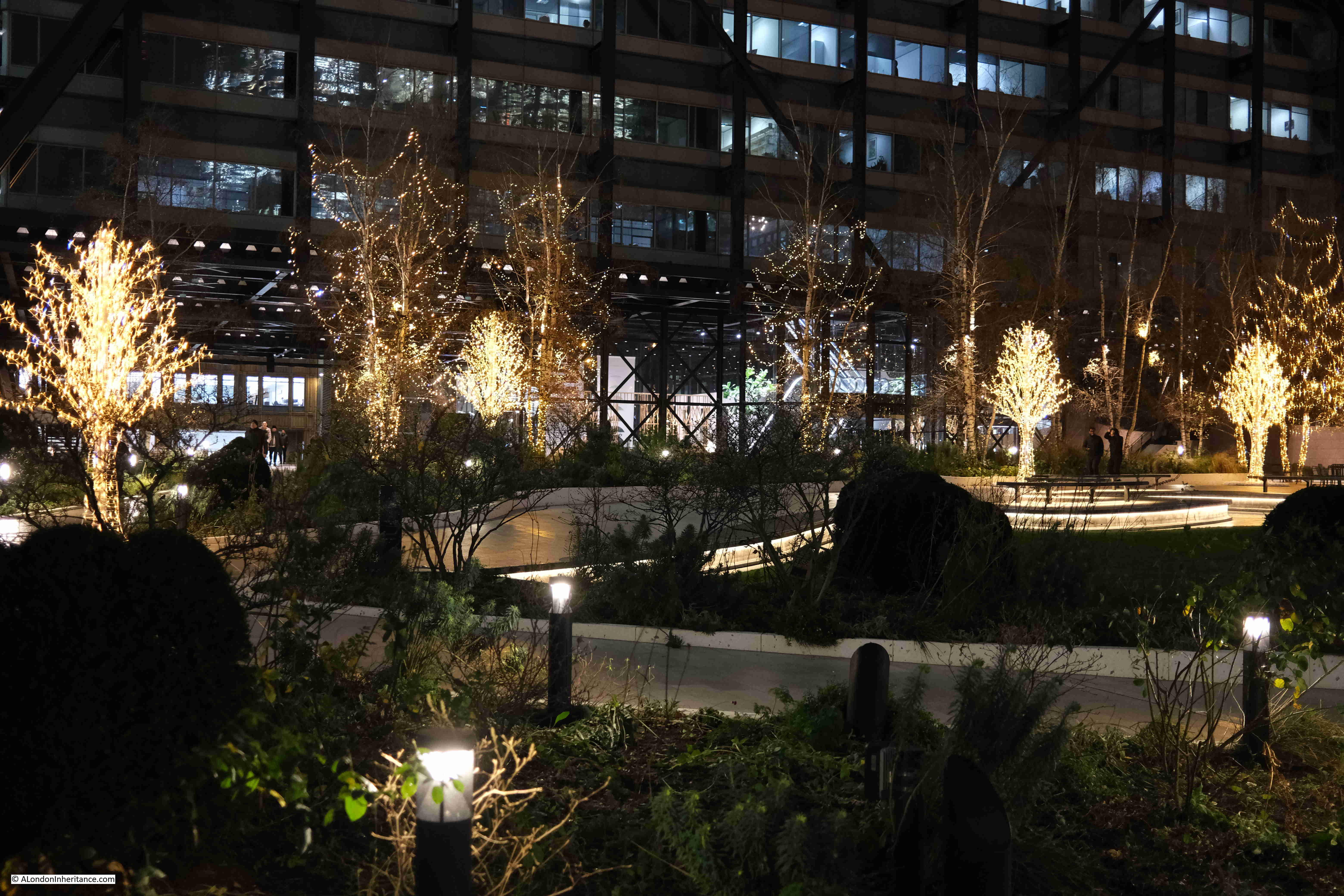
Exchange Square on a sunny, March day:
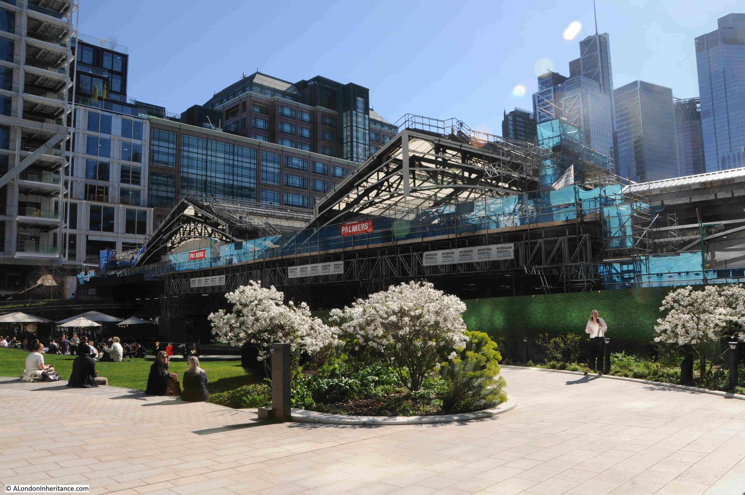
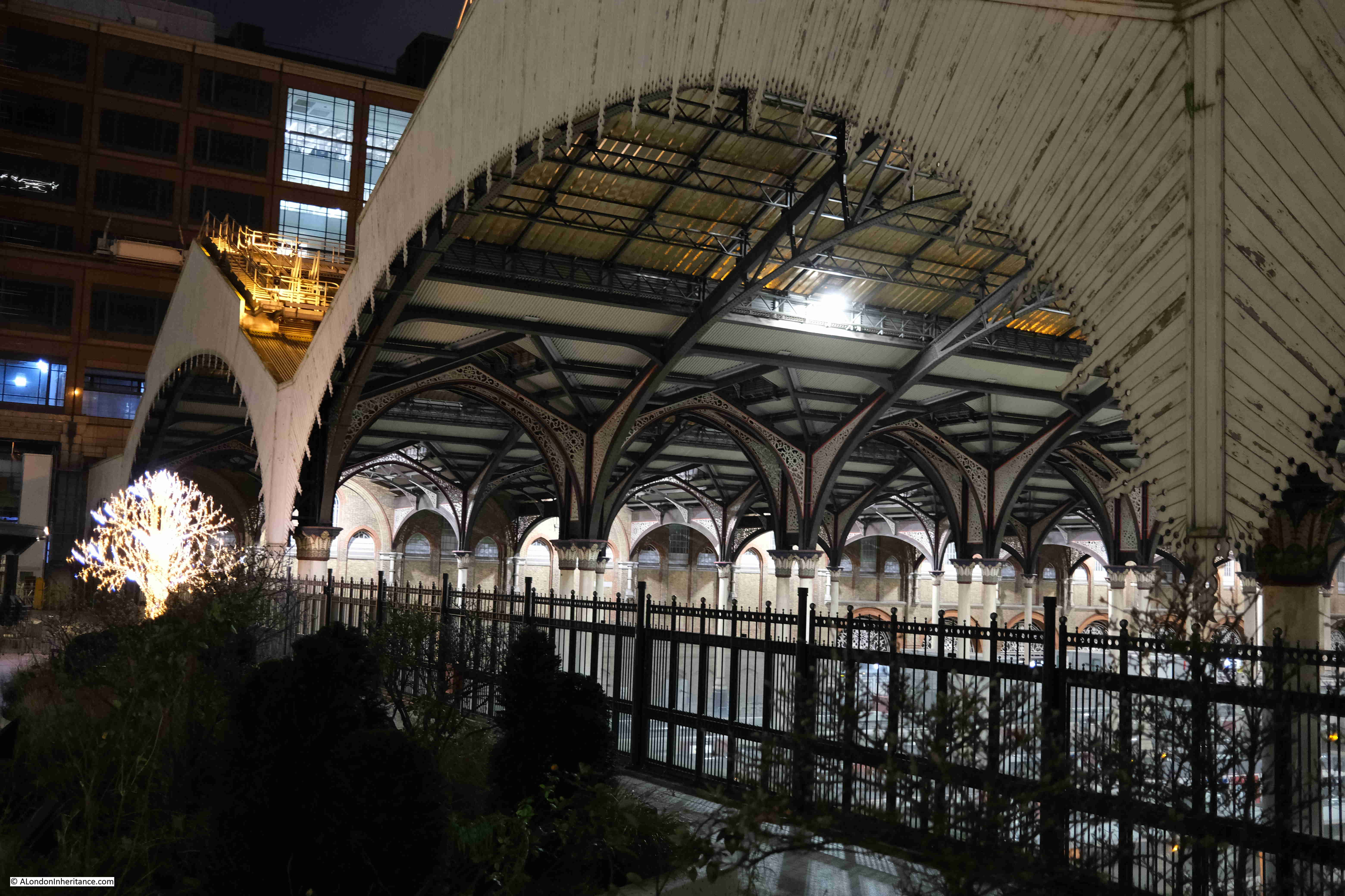
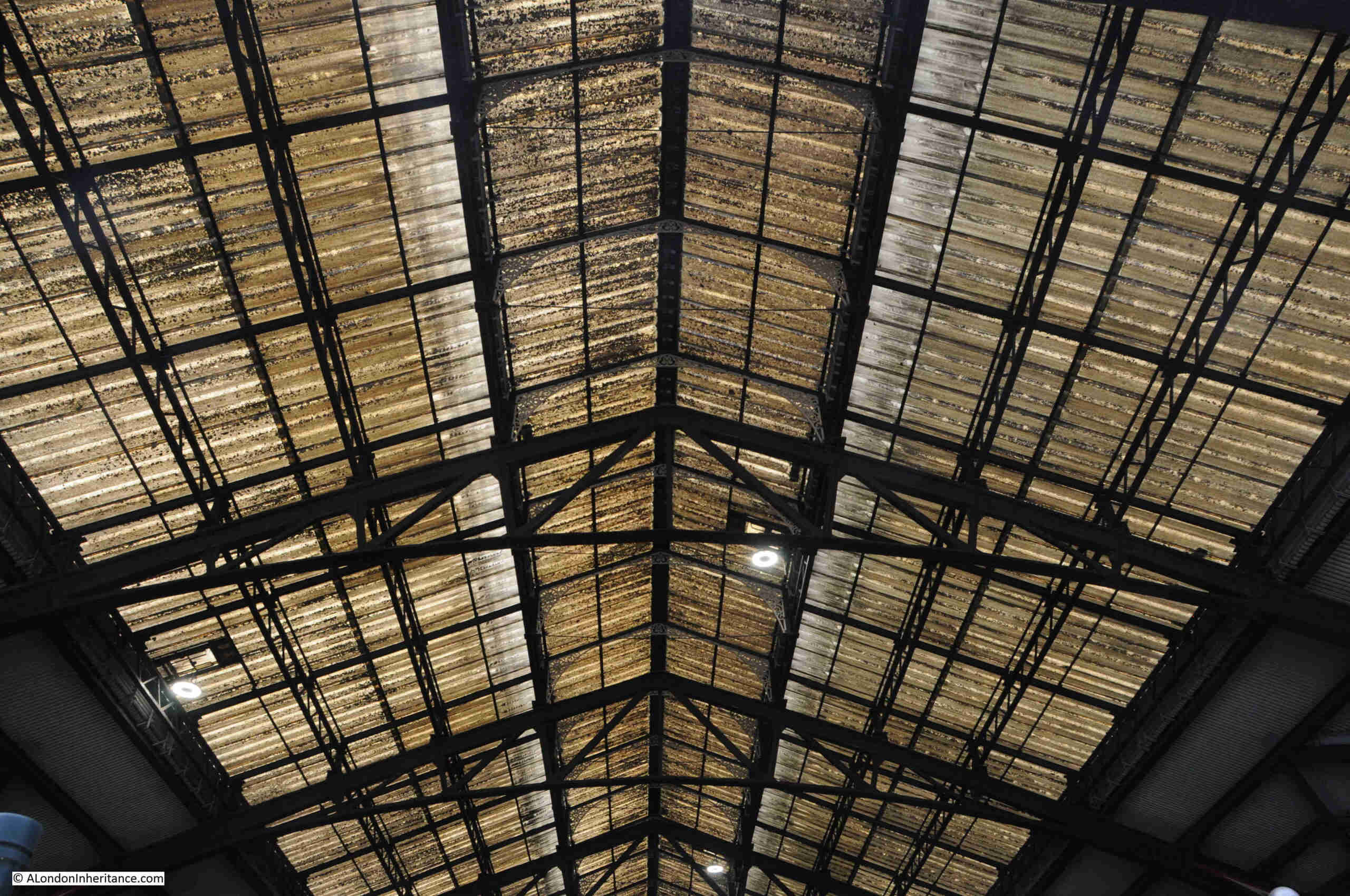
From Exchange Square you can view the work being carried out on the roof of Liverpool Street Station, which includes replacing all the glass panels, and restoring the wooden valance, which is the decorative wooden panels hanging down from the roof of the station at the Exchange Square end of the sheds.
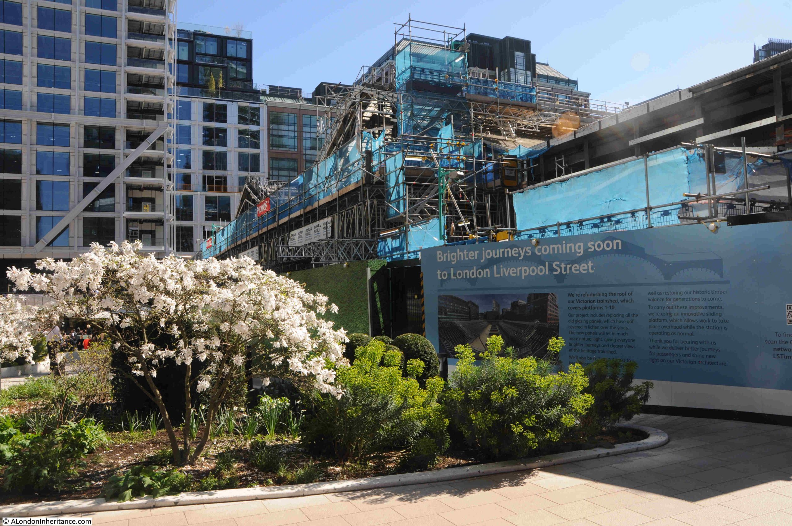
As can be seen in the following photo of the roof from a couple of years ago, it certainly does need a clean up and should look much better when the new glass panels are fully installed:
26. Broadgate, 1 Finsbury Avenue, Rush Hour, George Segal, 1983 – 87
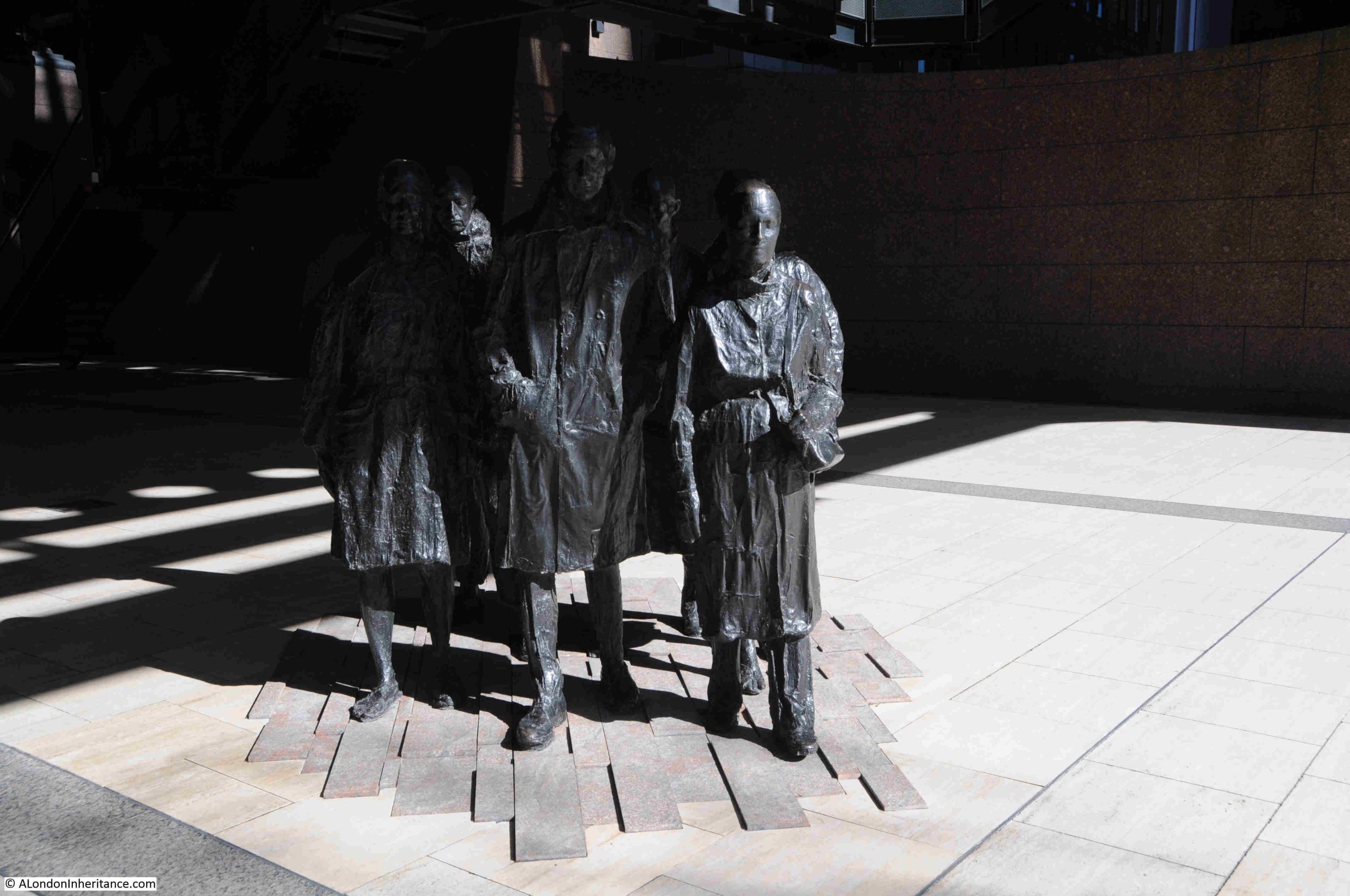
This is where the number sequence gets out of order, as in the 1994 booklet, Rush Hour is listed as being at 1 Finsbury Avenue, however it is now in Exchange Square.
The title of the work, and its appearance should be self explanatory and is appropriate given its location, as it shows a group of City workers hurrying home after work.
It was created by the American Sculptor, George Segal, who appears to have created similiar works for other cities.
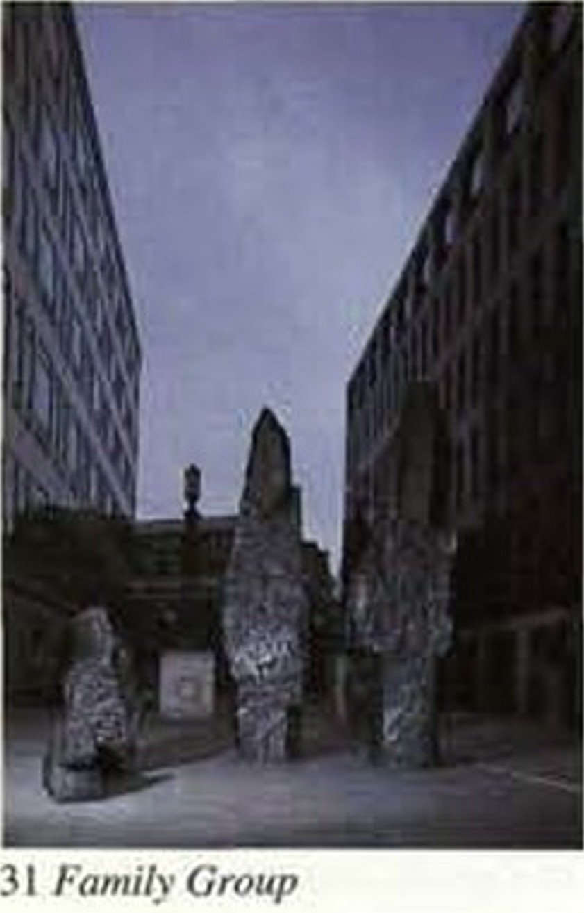
31. Broadgate, Exchange Square, Family Group, Xavier Corbero
Family Group on the map, is shown to the west of Exchange Square, but this area was also protected by hoardings, and from Exchange Square there was no view of this work.
To get to the next location, I walked along Appold Street which runs along the western side of Broadgate, and I found Family Group peering just above a blue hoarding:
Whilst the booklet does not provide a date, Family Group appears to date from 1991, and is made from basalt stone by the Catalan artist Xavier Corbero, who was an important Spanish sculptor, working until his death in 2017, and was known for monumental public sculpture.
The booklet shows Family Group as it will hopefully be seen again when surrounding building works are complete:
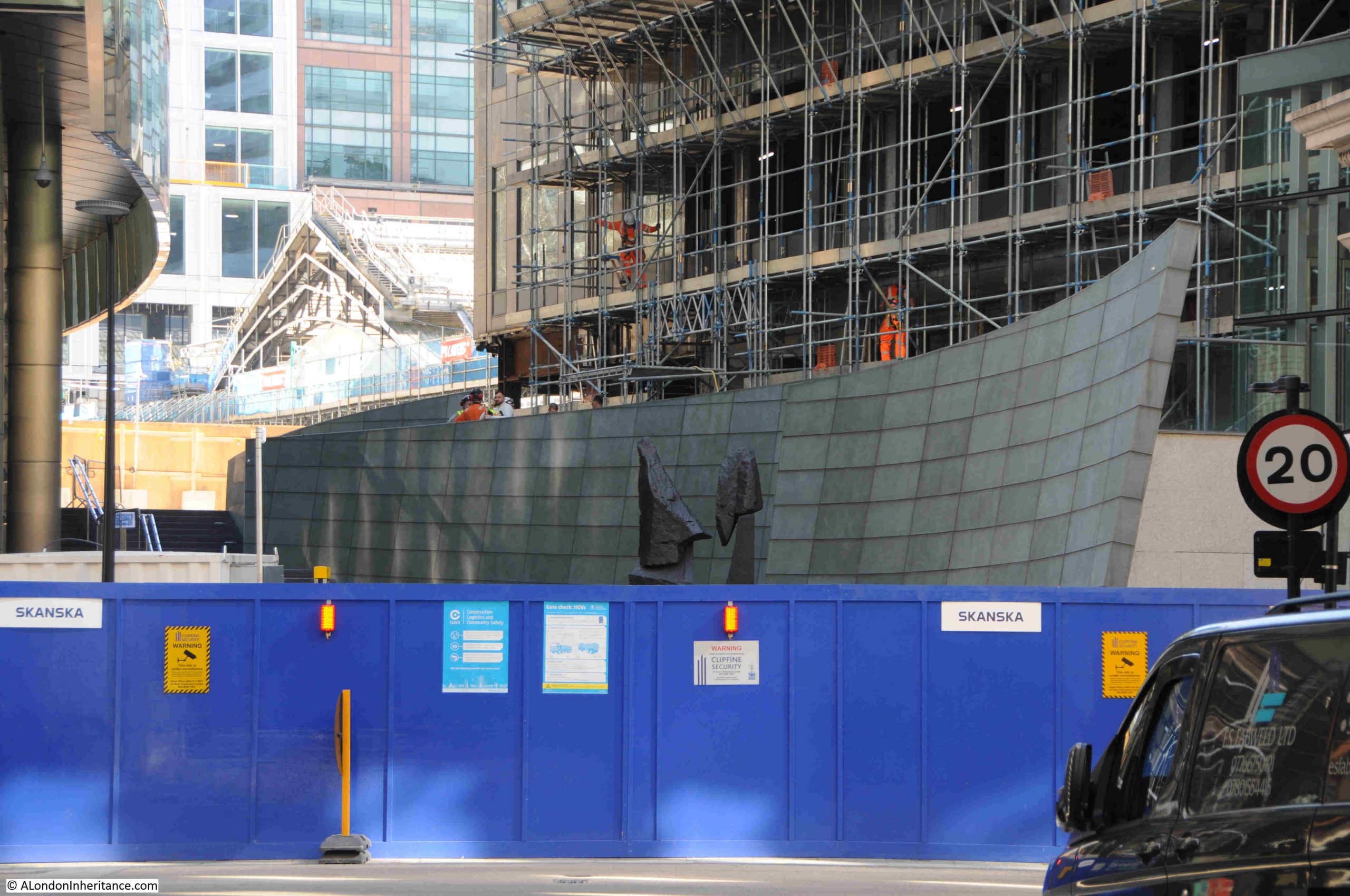
28. Broadgate, Bellerophon taming Pegasus, Jacques Lipchitz, 1966
This work should be somewhere withing the Broadgate complex, however the location shown on the map is within the large area of building works on the western side of Broadgate, so I did not have any luck in finding the sculpture, which is probably somewhere within or around the building shown in the following photo:
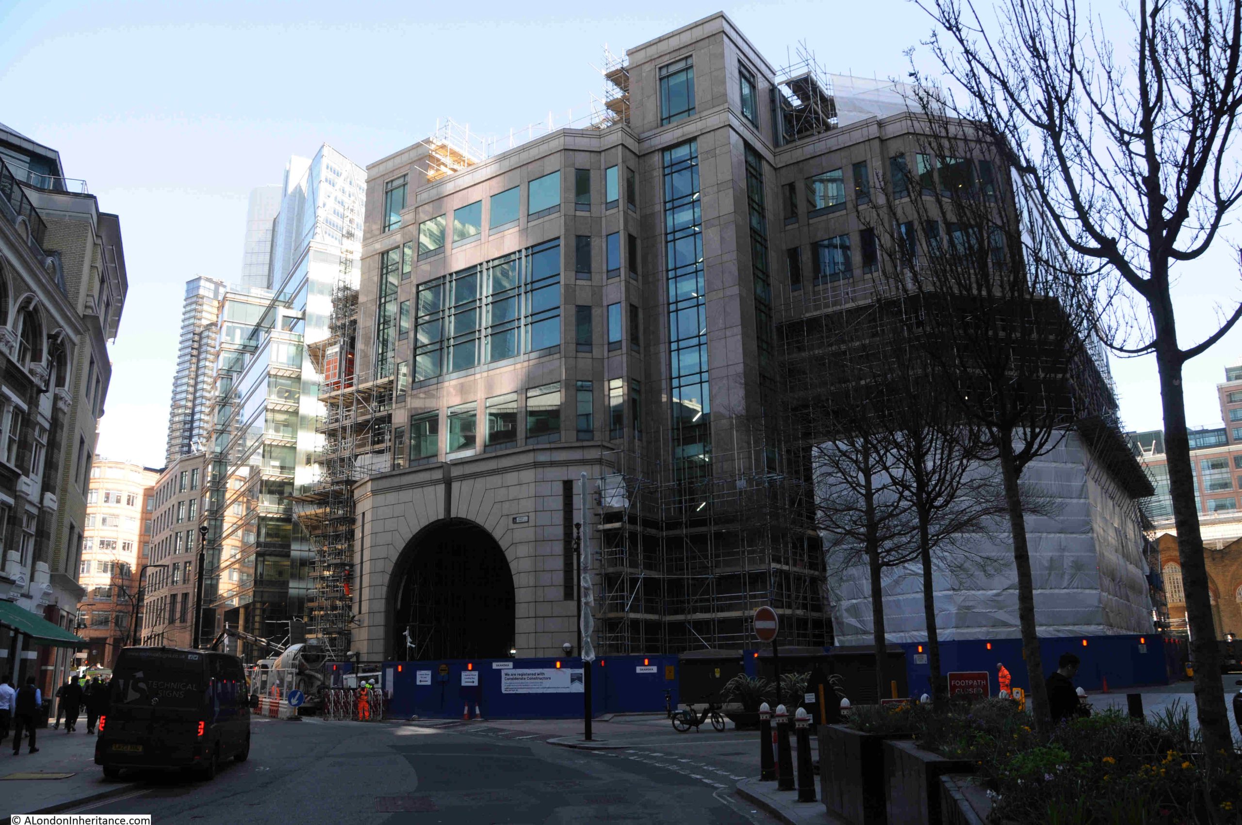
The following photo from the booklet shows what Bellerophon taming Pegasus looked like in the early 1990s:
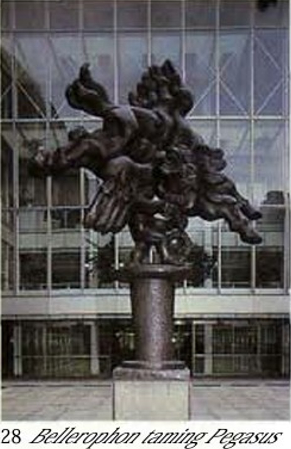
Whst is unusual about this work is that the booklet dates it to 1966, much older than the other works around Broadgate, and older than the Broadgate development, so it was at another location.
Hopefully it will reappear within Broadgate.
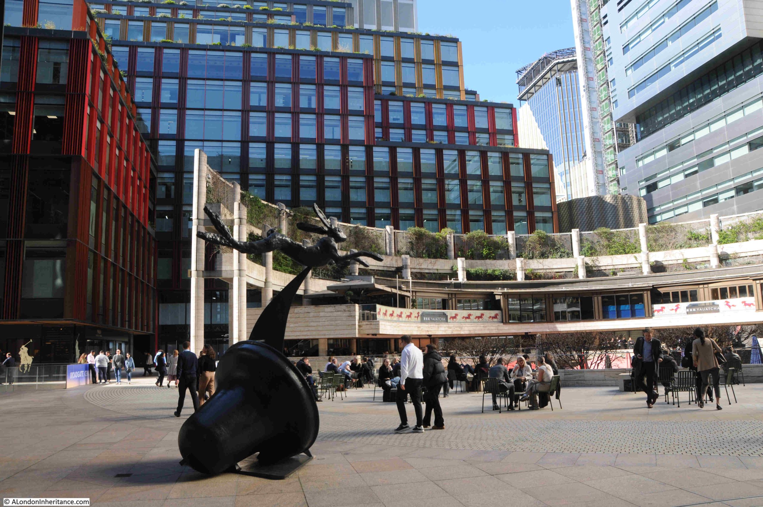
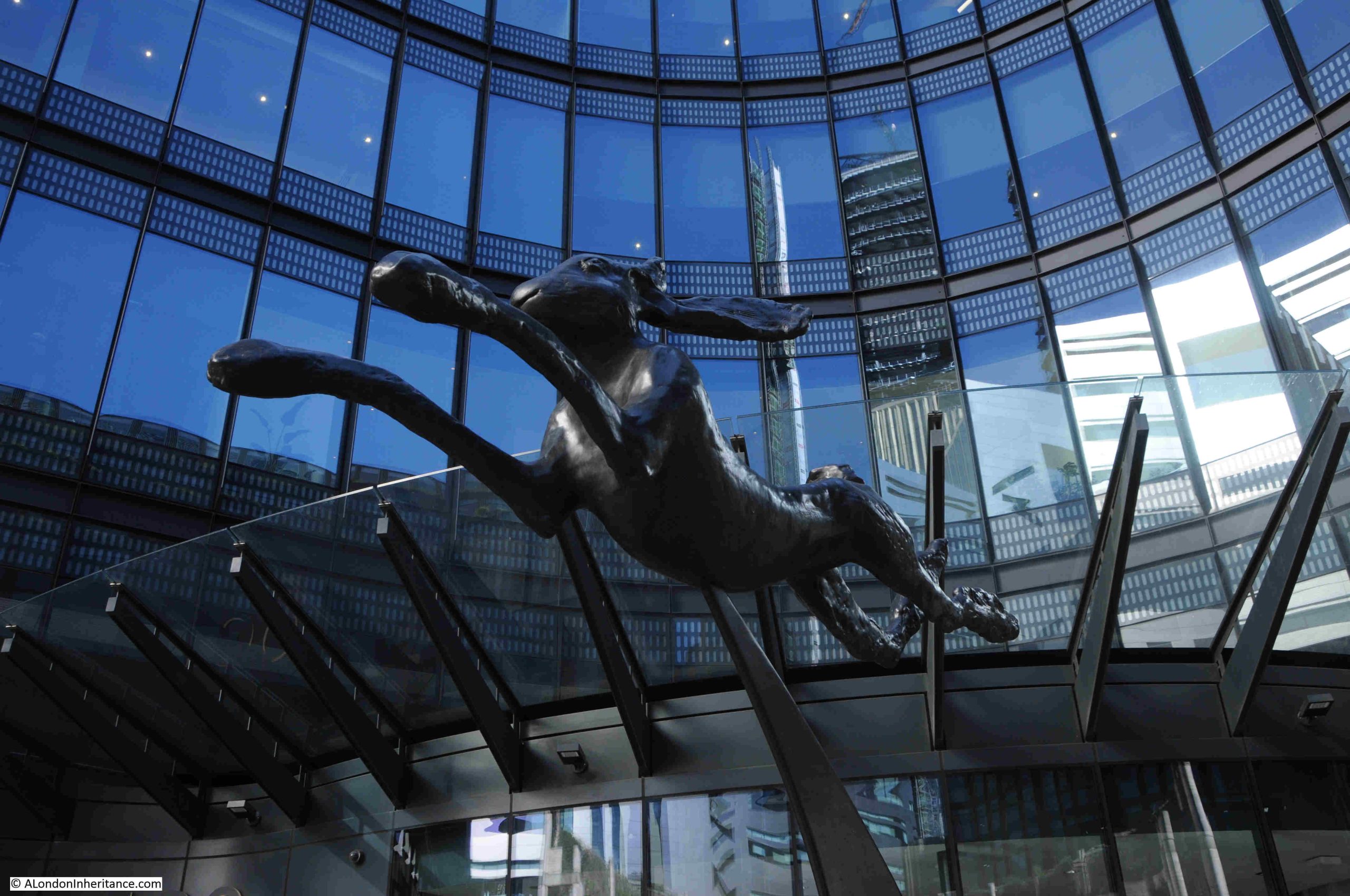
30. Broadgate, Hare and Bell, Barry Flanagan
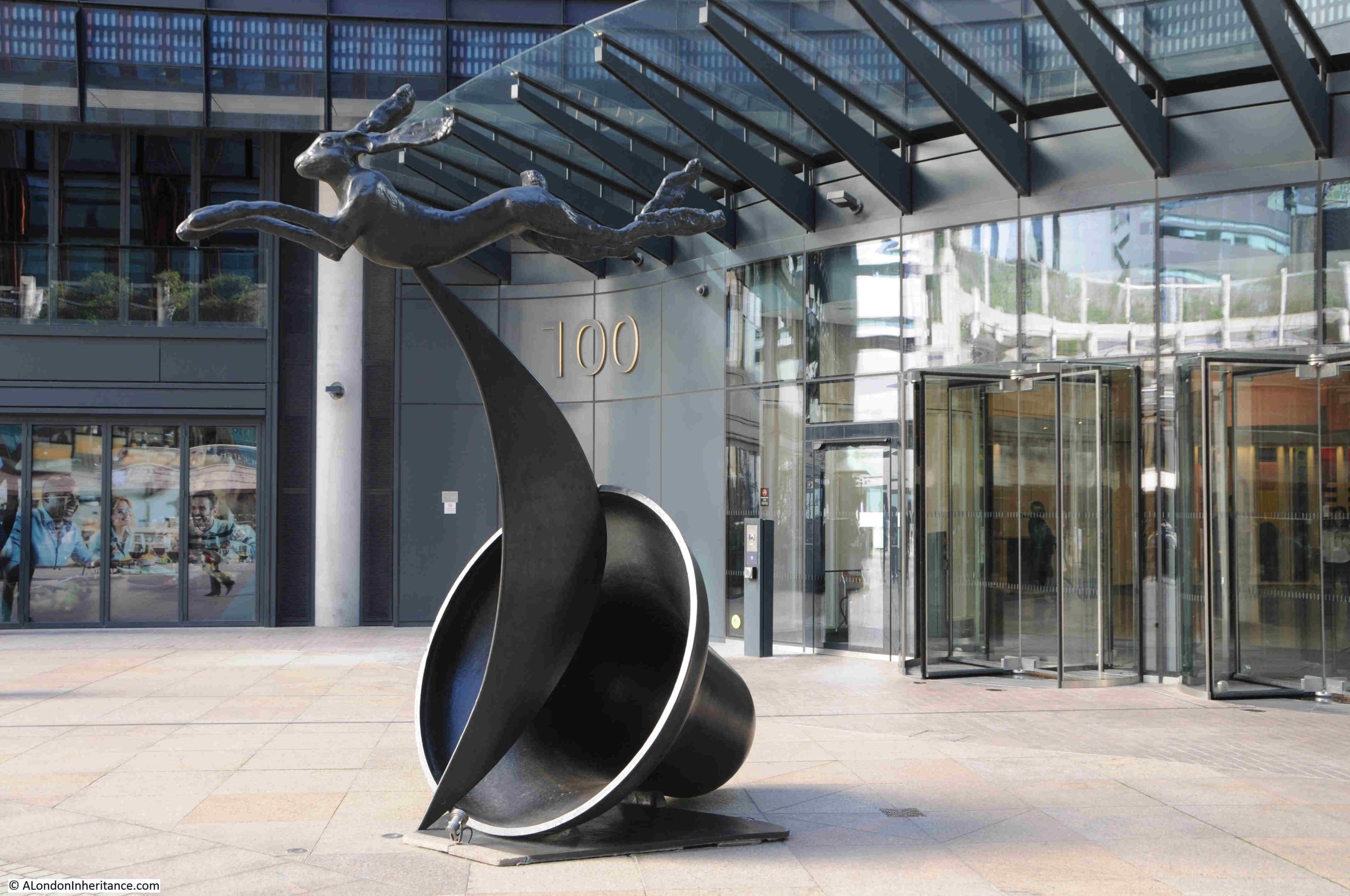
Hare and Bell is in the centre of the Broadgate Complex, and a leaping hare, frequently above a bell, was a common theme of many of Welsh sculptor Barry Flanagan’s work.
In most of the hare and bell works, a bell is sitting on three posts, with the open end of the bell facing the ground, with a hare leaping over the top. In the Broadgate example, the bell is on its side, with the hare flying above.
The work is in an interesting location, sitting within a square of office buildings , opposite the almost brutalist semi-circle of restaurants and bars:
The City of London Corporation booklet does not include a date for Hare and Bell, however there is an excellent website on the work of Barry Flanagan run by his estate, and the website provides the date of 1988 for Broadgate’s Hare and Bell:
Close to the Hare and Bell is the following:
27. Broadgate, Fulcrum, Richard Serra
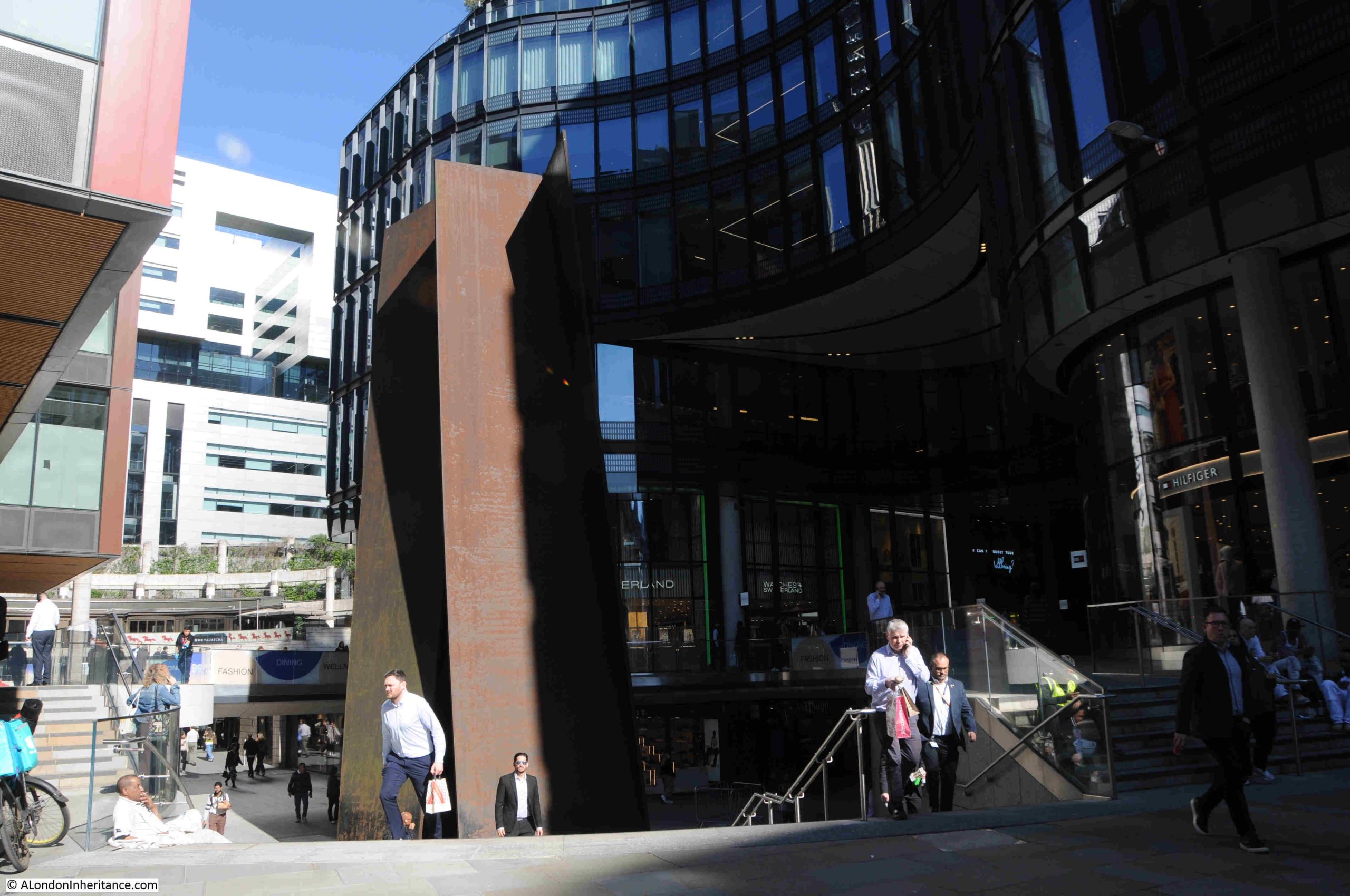
Fulcrum is probably the largest of the 38 sculptures listed in the 1994 booklet. It looks big from ground level, but much of this area has two walking levels among the office blocks, and walking to the edge and looking down the steps reveals the size of this sculpture:
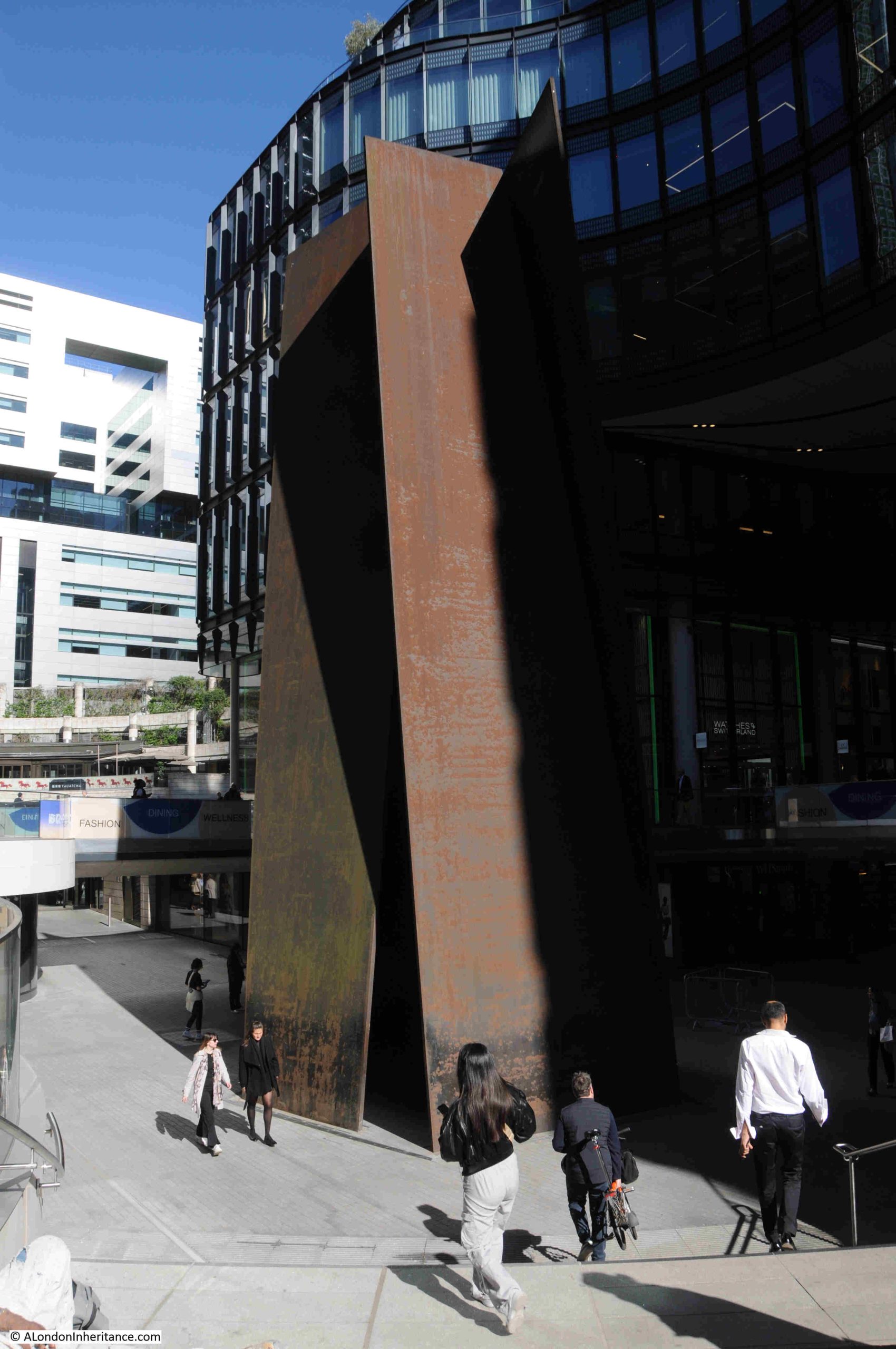
The sculpture is 55 feet tall, and is the work of American sculptor Richard Serra, who seems to have specialised in large works consisting of sheets or blocks of steel.
The booklet does not include a date for Fulcrum, but it seems to have been installed in 1987, and has changed position very slightly since the original installation, which included lowering the work as surrounding offices were being redeveloped.
29. Broadgate, Ganapathi and Davi, Stephen Cox
This is the one that got away.
As can be seen in the map from the booklet, number 29, Ganapathi and Davi, is shown as being to the south of Exchange Square, and after as much walking as possible given building works in the area, I could not find it.
It seems to have been relocated to the north of Exchange Square, on the opposite side of Primrose Street in Broadgate Plaza.
If you click here, you should go to street view on Google Maps with a view of Ganapathi and Davi.
The stone for this work came from Mahabalipuram in Tamil Nadu, India, and the name comes from the Indian elephant god Ganesha, and Devi, a female Hindu goddess.
Note that in the booklet, the last part of the name is spelt Davi, whilst the correct spelling is Devi, as confirmed on the sculptor’s, Stephen Cox website, which also states that the work dates from 1988.
When I am next in the area, I will photograph the work and add to the post.
Near Liverpool Street Station, Infinite Accumulation, Yayoi Kusama, 2024
The purpose of this post has been to revisit the snapshot of sculpture in the City of London, as it was in 1994.
It has been good that the majority of works are still to be found, over 30 years later, and what is also encouraging is that whilst walking the streets of the City, other works have been added since the 1994 publication.
One of the recent additions is Infinite Accumulation by Yayoi Kusama, which was installed in 2024 after works for the Elizabeth Line had completed outside Liverpool Street Station, a short distance away from the Fulcrum sculpture. The work was commissioned as part of the Crossrail Art Foundation’s public art programme:
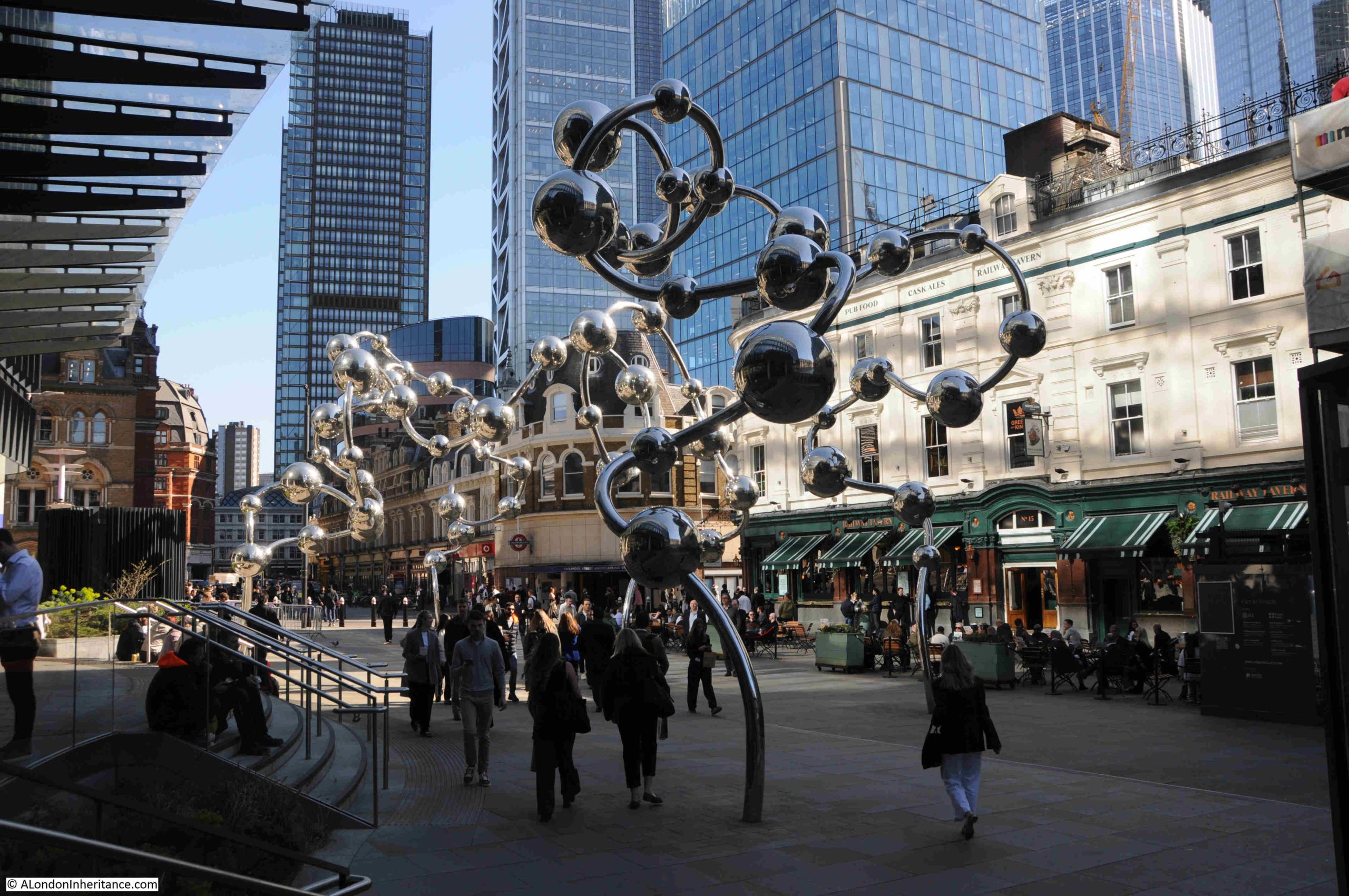
Yayoi Kusam is a Japanese artist who is known for her works consisting of massed, repeated polka dots, and Infinite Accumulation is 10 metres high, 12 metres wide and 100 metres in length, so is one of the largest works in the City.
Completing the List
There are three I have so far missed from previous posts:
23. London Wall, The Gardener, Karin Jonzen, 1972
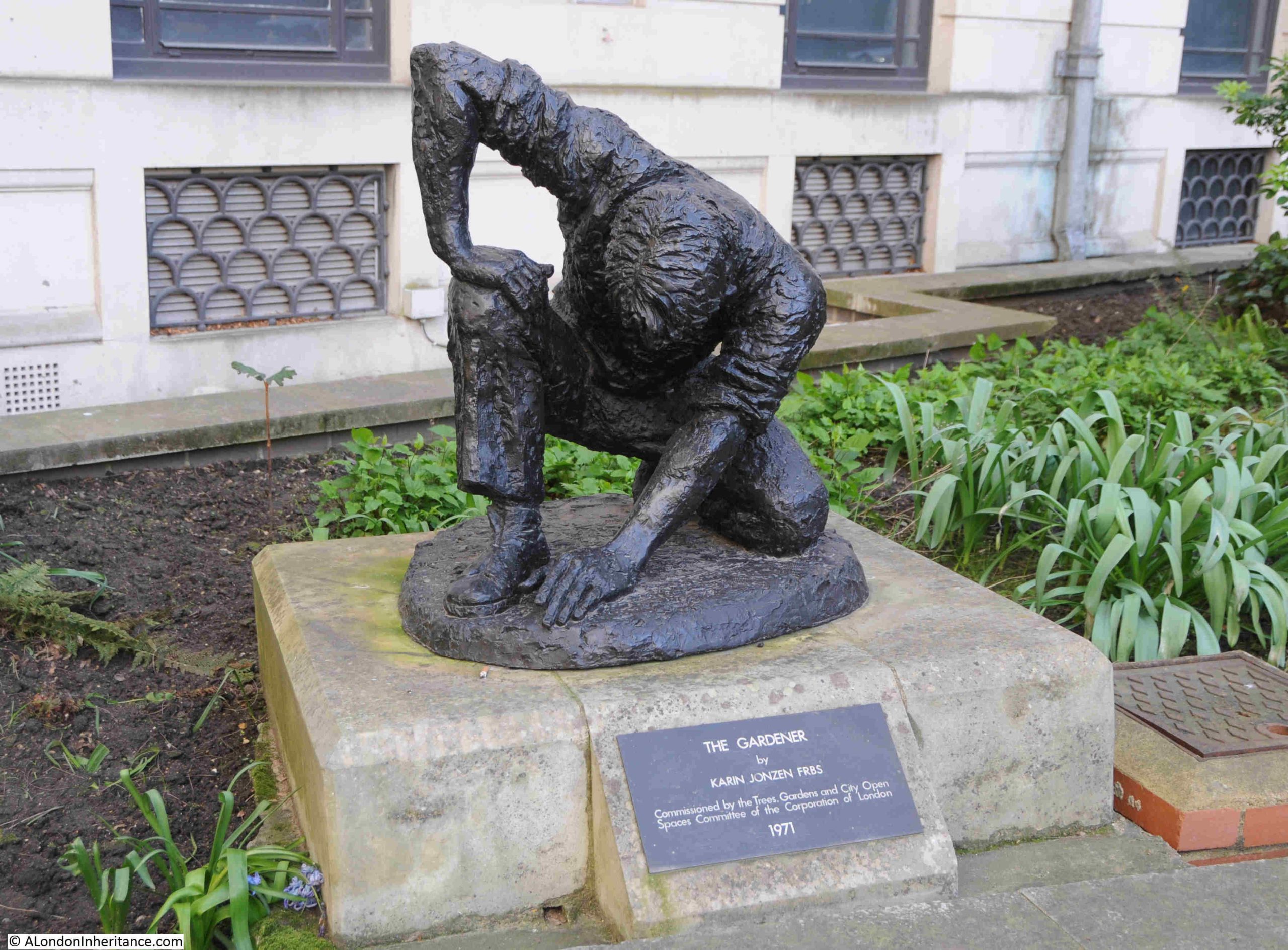
The Gardener is in the space between Brewers Hall and London Wall, and was commissioned by the Trees, Gardens and City Open Spaces Committee of the Corporation of London.
The Gardener is shown kneeling down on the ground, with one hand on his knee and the other is smoothing the ground having planted a bulb.
This is the third work by Karin Jonzen in the 1994 booklet, as she was also responsible for the bust of Pepys in Seething Lane as well as Beyond Tomorrow in Guildhall Plaza.
24, Cornhill, James Henry Greathead, James Butler, 1993 – I wrote about this sculpture in my post on the Bank Junction, which you can find here.
25. Royal Exchange Buildings, Paul Julius Reuter, M. Black, 1976
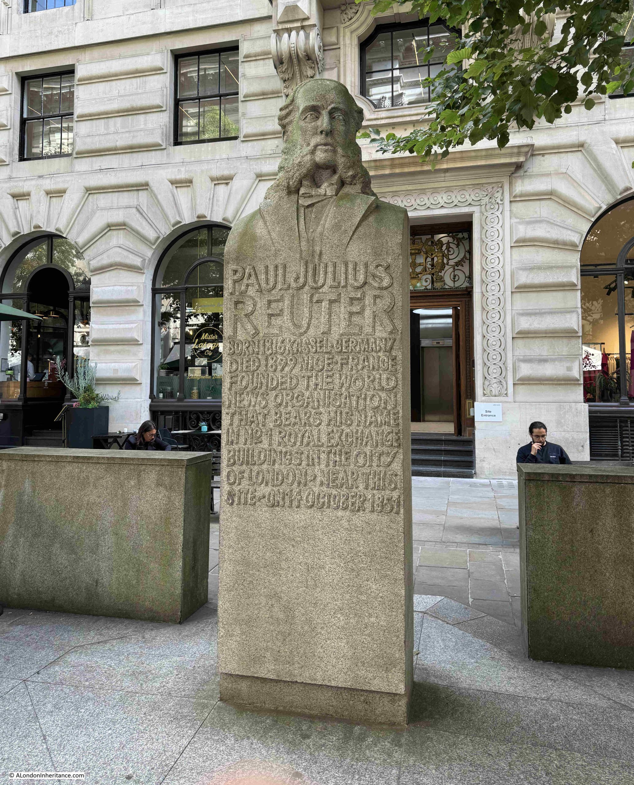
The statue of Paul Julius Reuter is appropriate for the centre of the City of London, as the company he founded was instrumental in providing the City with what was needed to grow into a global finance and trading centre – news and information.
The wording on the plinth reads:
“Paul Julius Reuter. Born 1816 Kassel, Germany. Died 1899 Nice, France. Founded the world news organisation that bears his name in No. 1 Royal Exchange Buildings in the City of London, near this site, on 14 October 1851”.
Paul Julius Reuter was a German immigrant to London. In Germany he had been running an early form of financial news service which relied on the telegraph and even carrier pigeons, to distribute financial information such as the prices of stocks.
In 1851, he set-up an office in the City of London, and using a new telegraph cable between London and Paris, started transmitting stock market quotations and news between the two cities.
Reuter established the company known as Reuters, and as submarine cables and radio services allowed global communication, Reuters built a global network of journalists providing news and financial information, so as the plaque states, he was “First to spread world news worldwide”.
Reuters struggled somewhat in the early years of the 21st century, and in 2008, Reuters merged with the Canadian media organisation Thompson, to form Thomson Reuters.
Reuters had a presence close to St Bride’s, with offices at 85 Fleet Street, in the building designed by Sir Edwin Lutyens, and completed in 1938 for the Press Association.
Summary
It has been an interesting exercise to walk the City to find the 38 works, to see what has survived, what has been lost or moved.
Many works are still in prominent positions, however some, such as Vortex in Goodman’s Yard are semi-concealed and do not look as if they are cared for, or in a location which attracts any attention
The City of London Corporation booklet is a unique record and the Corporation does not appear to still be publishing such booklets. They do have a Sculpture in the City Family Trial, which is a multi-media app that can be downloaded to a smart phone.
There is also the Sculpture in the City initiative which is an annual event that installs sculpture across the City, but these tend to be temporary works rather than permanent, which were the type featured in the 1994 booklet.
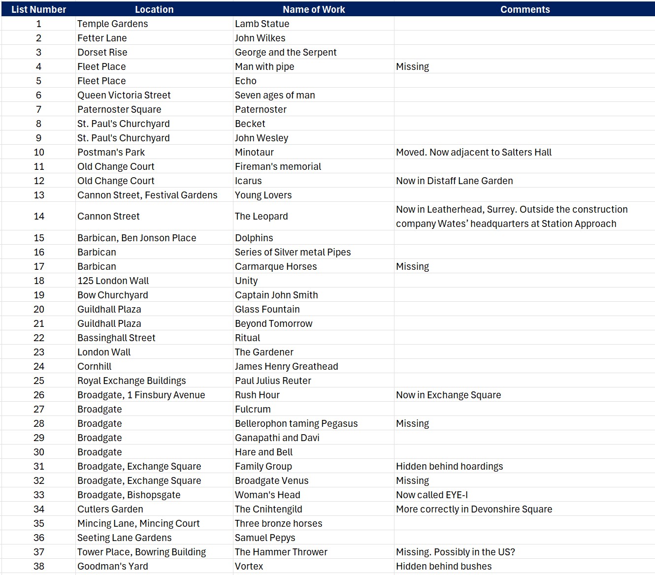
To summarise my three posts, tracing the works listed in 1994, the following table lists all 38. If there is nothing in the Comments column, then the work is still in the location in the original booklet, otherwise I have added a comment:
If you want a theme for a walk, then locating these works makes a really enjoyable walk around the City.