I have two new walks planned for this year, and they should be ready in June / July, however until then, if you have not been on one of my existing walks, I have just released three for May. They are, along with links for details and booking:
The Lost Streets of the Barbican on Sunday the 11th of May (Sold Out)
The Lost Landscape and Transformation of Puddle Dock and Thames Street on Sunday the 18th of May (Sold Out)
Limehouse – A Sink of Iniquity and Degradation on Saturday the 24th of May (Sold Out)
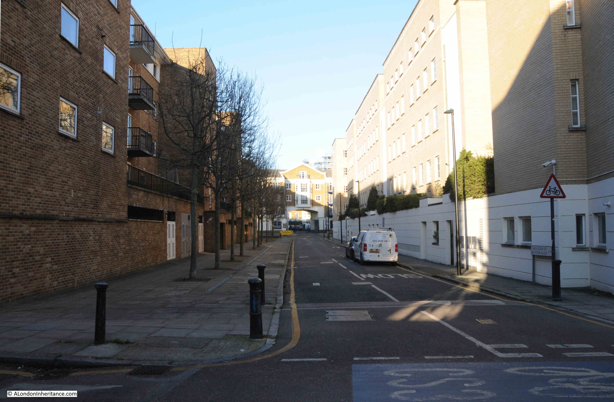
Continuing the theme of last week’s post, looking at changes across the streets of London between the 1980s and today, I am now in Stepney, hunting for the location of Junes Ladies Hair Stylist, in Durham Row, as photographed by my father in 1986:

The same house in 2024:

Junes Ladies Hair Stylist is a reminder of when very small businesses were run out of 19th century terrace houses, when services were very local, and when shops or businesses selling essentials such as food and household goods were frequently owned and run by an individual.
I suspect the business dated from the 1960s, or perhaps earlier. The sign for Junes Ladies Hair Stylist provides a phone number of STE 4835:

The use of three letters plus four digits was used for telephone numbers when the British telephone network used the original director system, with the three letters representing the location, so STE was for Stepney.
The conversion to an all number system was made national policy in 1965, and the conversion of London’s telephone network was completed in 1969, so that would be the latest date for the sign.
The fact that it was still on the sign in 1986 means that either the business had gone out of business between the late 1960s and 1986, or that regular customers did not need the number, or were aware of the new number (790) that replaced the STE for Stepney.
Hair dressers are still found across the city, but are now usually larger premises with multiple employees. Food and household goods stores are now larger supermarkets, or the large corner store such as the Nisa on the site of the Boleyn Pet Stores featured in last week’s post.
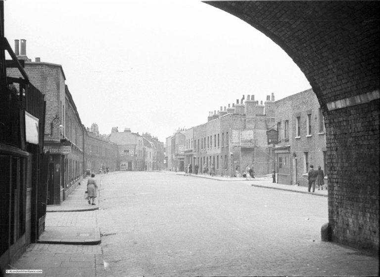
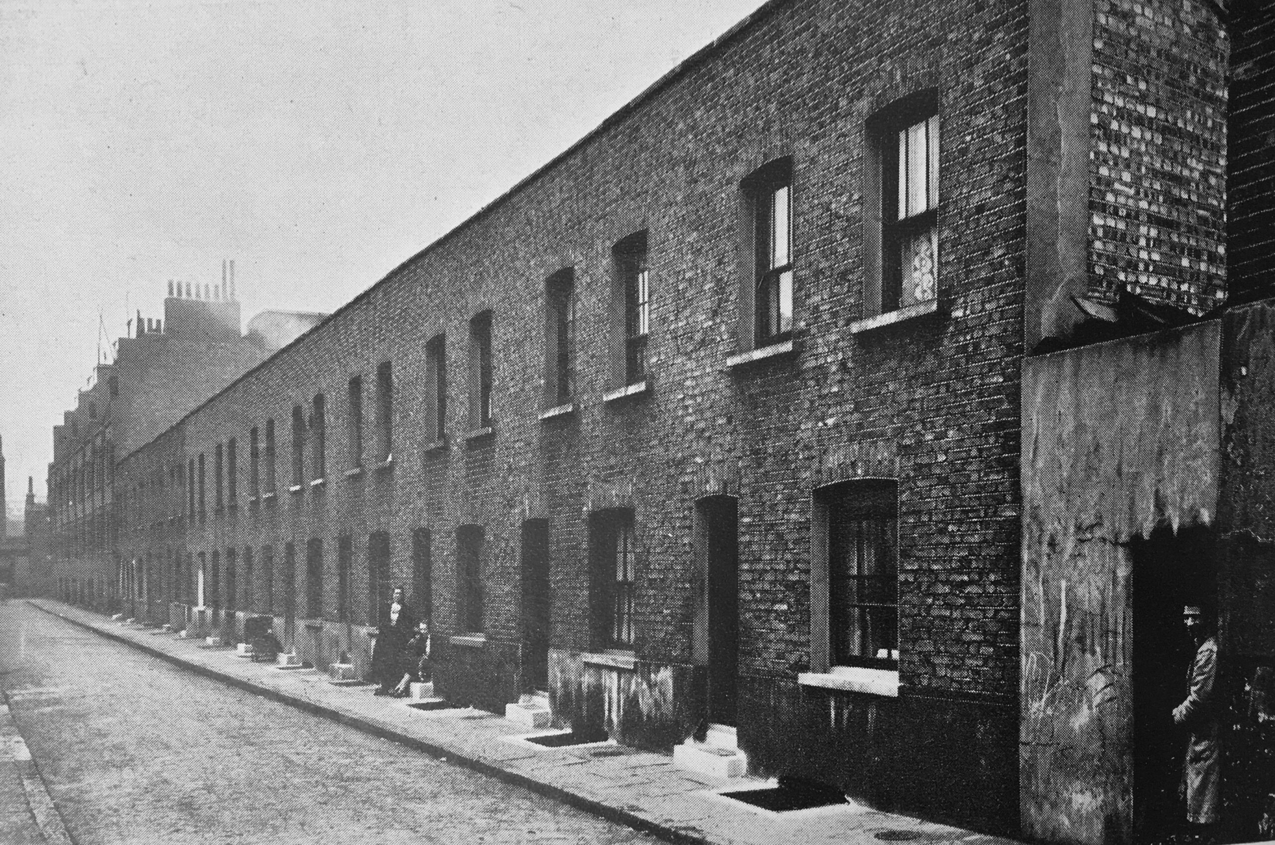
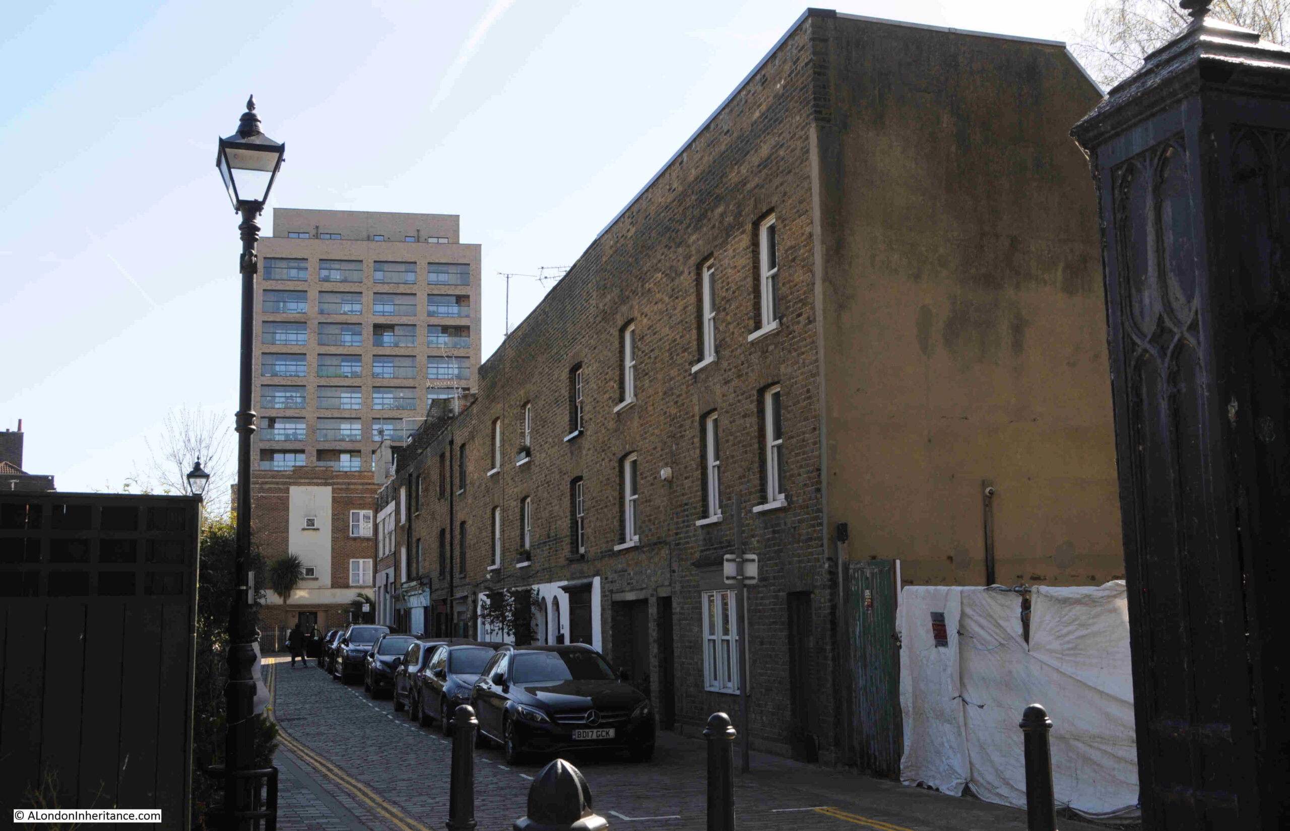
As well as Junes Ladies Hair Stylist, Durham Row was once a street with multiple small shops housed in single bay terrace houses, as seen in this view along Durham Row:

The surviving early 19th century houses are along the south side of Durham Row, the houses along the north site were destroyed by bombing during the last war, and on the other side of the fence to the right are small gardens of houses which have been built to replace those destroyed.
This quiet street was once a bustling east London street of small shops. A look at the 1910 Post Office Street Directory shows the shops along the south side of the street, in the surviving buildings, when number 11, the location of Junes Ladies Hair Stylist was then occupied by Albert Schensul, Umbrella Maker:

The north side of Durham Row had more shops, as the buildings along the south stopped at St. Dunstan’s Churchyard, whilst those along the north continued, and as with the south side of the street, we have a comprehensive range of small businesses and shops:

Despite the small size of the businesses in Durham Row, many looked beyond their immediate area for customers and placed adverts in newspapers, for example on the 13th of August, 1886, Mr. Adolphe Michels was advertising his “Great Wonder Boot and Shoe Stores” in the East End News, where his products were “All Leather. No cardboard used. Therefore every boot will wear to the last. Give me one trial, and you will walk miles for my boots”.
Unfortunately, the advert does not mention the house number of his Boot and Shoe Stores, just the address Durham Row, side of Stepney church, however, looking at the above list of businesses in Durham Row, there was a Mrs. Mary Ann Michels listed as a boot maker at number 30 (on the bomb damaged and lost north side of the street), so probably Adoiphe had died, and his wife Mary Ann continued to run the business to at least 1910.
Just a small example of how you can build a picture of a street and those who lived and worked in the street, even small streets such as Durham Row.
View looking east along the street, from where Durham Row meets the churchyard of St. Dunstan, Stepney:
The houses along the south side of Durham Row are all Grade II listed. The Historic England listing dates the buildings to early 19th century, and remarks on their “Small simple C19 shop windows”.
The Grade II listing is probably why the shop fronts survive, although all the houses now seem to be residential.
This is number 5, which in 1910 was home to Edward Henderson, Butcher:

And next door to the above shop, was number 3, which in 1910 was home to the Fried Fish Shop of Edmund Rowe:

At the western end of the terrace there is an empty space, also seen as empty on the early 1950s and late 1890s editions of the OS maps, where it may have provided access to the cinema that remarkably was once housed in a building that ran along the rear of the terrace houses, and is shown in both the late 1890s and early 1950s OS maps:

There is currently a planning application to build two, three bedroom semi-detached houses within the above space.
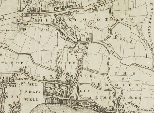
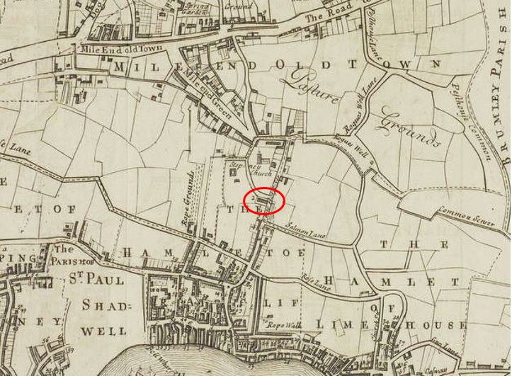
Durham Row is located to the north east of St. Dunstan Stepney, and I have highlighted the street with a red arrow in the following extract from the 1890s OS map (Map ‘Reproduced with the permission of the National Library of Scotland“:

The terrace houses on the south side of the street have survived, all the houses along the north side of the street, including where the street continues alongside the northern edge of the churchyard, were destroyed during the last war, but probably resembled those we can still see today in Durham Row.
A map of the same area today (© OpenStreetMap contributors)::

On the corner of Durham Row and White Horse Road, there is a closed pub. There was a pub here in the 19th century, but about half the size of the building we see today, which was the result of a 1936 rebuild. This is the Fish and Ring which closed in 1999 and is now residential:

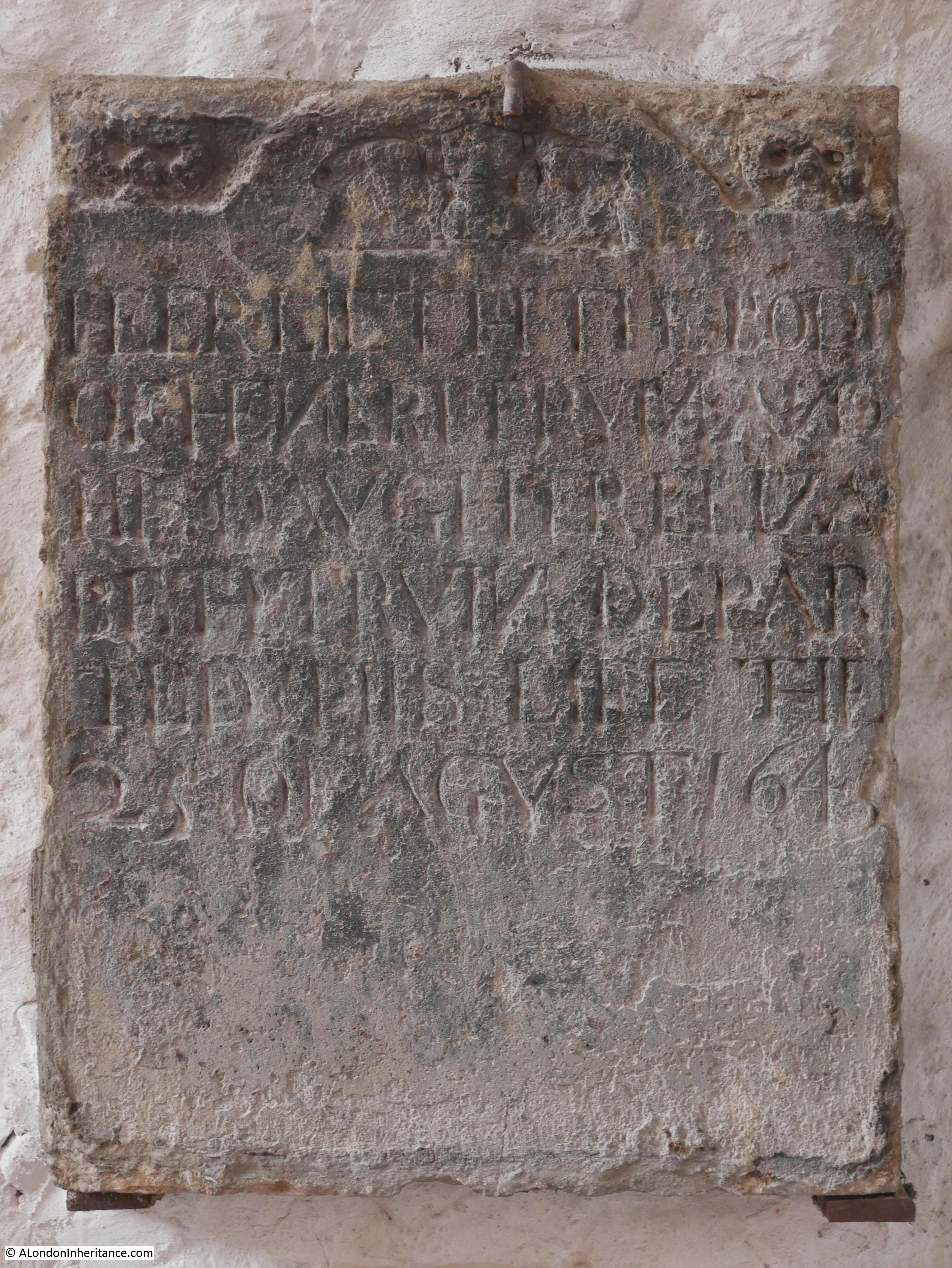
The Fish and Ring is an unusual name for a pub, and I cannot find a direct link between the pub and a source of the name, however there is a story about a burial in St. Dunstan that may be the source. From the Eastern Post on the 3rd of January, 1914, which is a reprint of an article from the Morning Advertiser of 1805:
“STEPNEY’S ‘FISH AND RING’ – St. Dunstan’s church, Stepney possesses amongst its numerous interesting historical features, a curious story of medieval times.
On the outside of St. Dunstan’s Church, there is a monument inscribed to the memory of Dame Rebecca Berry, who departed this life April 26th, 1696, and over the inscription is a coat of arms representing a fish with a ring in its mouth.
It appeared that Dame Berry, in the early part of her life had been cruelly traduced by her enemies and accused of incontinence by her husband, who was a captain of the Royal Navy. On his return to his house on the banks of the Severn, his jealousy having been previously excited, he tore the wedding ring from his wife’s finger, and in his rage cast it into the river, bidding her never again to come into his presence if she valued her life, without producing that token of their ill-fated marriage, a thing he conceived utterly impossible. Mrs. Berry, distressed in the extreme at her husband’s groundless suspicions, yet dreading the violence of his temper, quitted her home and became a domestic in the house of a gentleman some miles distant.
A short time afterwards, while cleaning the inside of a salmon, she was going to cook for the family dinner, she found a wedding ring, and from the legend round it knew it to be her own, and the same her husband had thrown into the river. Overjoyed at her good fortune, she flew to her husband, and again protesting her innocence and the malevolence of her accusers, she laid before him the ring and informed him of the marvellous way in which she had regained it.
The husband, supposing the event to have been the interposition of Providence to prove his wife’s innocence, consented to her immediate return, and the parties, returning to London and from thence to Stratford, passed the remainder of their lives in peace and happiness.
The wife was the longest liver, and in her will directed that the monument and the device above described should be fixed up after her death to commemorate a fact which her gratitude taught her to believe was not altogether the effect of chance.”
This unusual story, and that the church and pub are very near each other must mean that the pub was named after the fish and ring on Dame Rebecca Berry’s monument, but whether there is any truth in the full story is difficult to confirm.
There is though an intriguing symbol on the side of the old pub:

With very limited time for research, I have not been able to find the meaning of the symbol. Whether it refers to a much earlier pub on the site, or a building of importance. I checked Rocque’s map from the decade before the 1757 date to see what was on the site.
I have marked the location of Durham Row with the red arrow, which seems to have been a passage along the northern side of a walled estate, and which led, as it continues to do, into St. Dunstan’s church yard.
There is a building in the top right corner, the current location of the pub, and a larger building to the south of the walled enclosure. Whether the castle and wings symbol seen on the old pub relates to a building within this enclosure, the owners, or something else entirely, I have no idea, but it is on the never ending list of things to try and follow-up.

After a look at Durham Row, I walked to Limehouse DLR station, and the following photos show just what can be discovered on almost any walk in London between two places.
A short distance south along Whitehorse Road we come to the ornate iron railings that form the boundary to St. Dunstan’s Churchyard, along with one of the gates into the churchyard:

The iron railings and gates that surround the churchyard are all Grade II listed, and are described as railings with “interlaced gothic arches and interval piers with gabled caps”.
A plaque alongside the gates detail the Rector, Church Wardens and the Surveyor at the time of their installation in 1844:

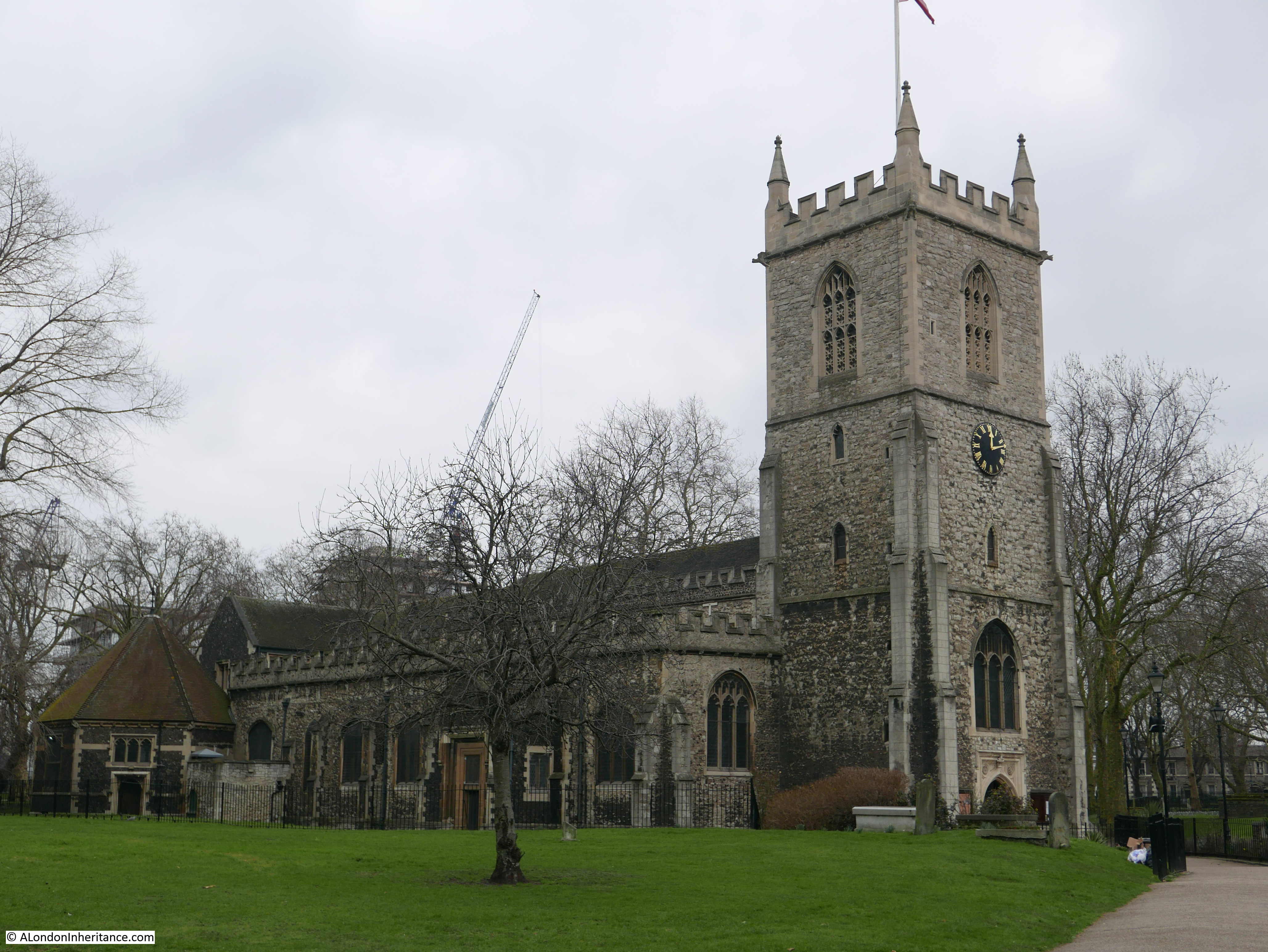
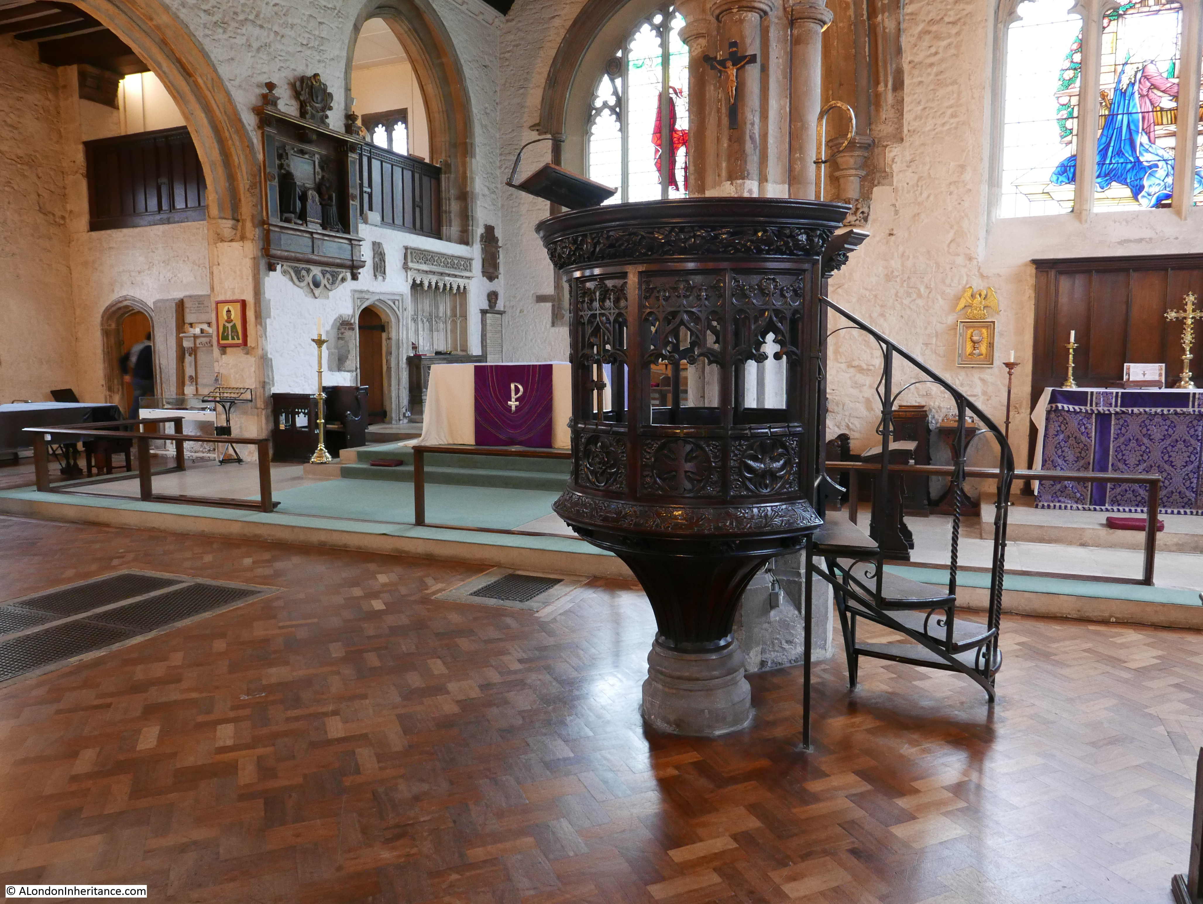
The spring weather was brilliant, which does always help, and St. Dunstan’s Church looked as if it was really a rural church, rather than in the heart of east London:

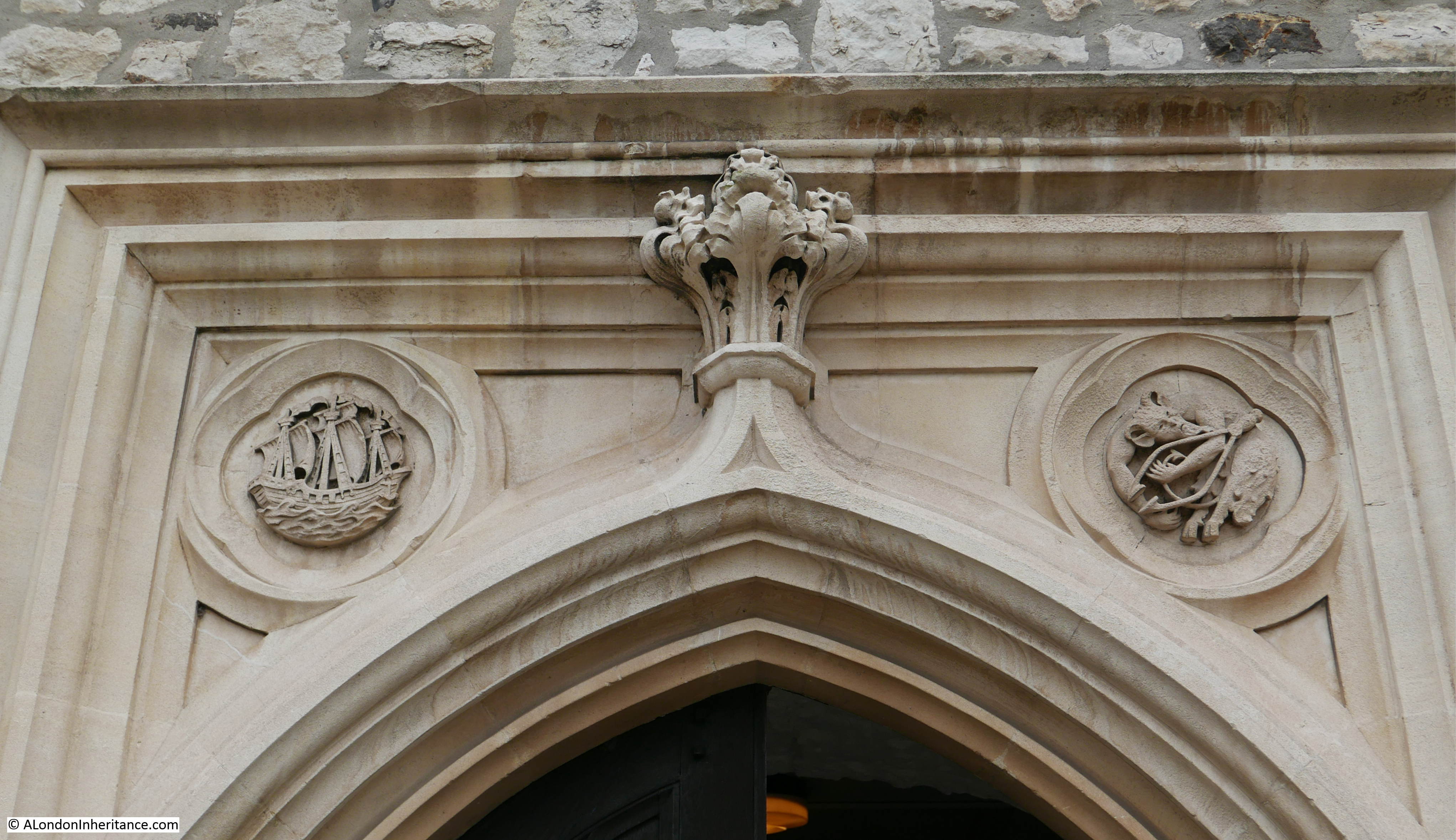
St. Dunstan’s is a fascinating, historic church. I wrote a blog post dedicated to the church back in 2018 during a visited on a much more dismal day. The post can be found here, (although when I visited, I did not see the fish and ring monument, I will have to return).
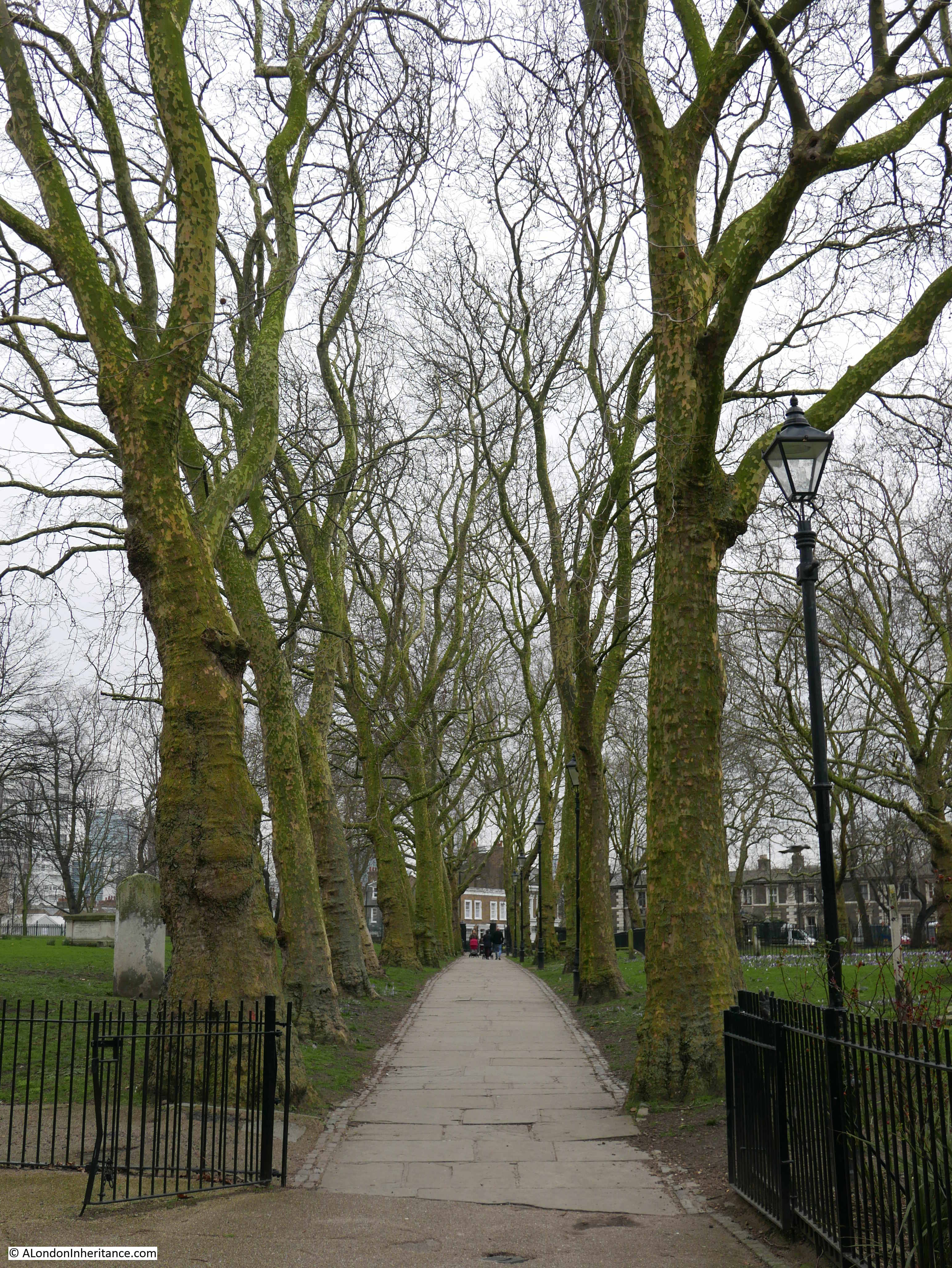
The long, tree lined walk up to the church from the southern corner of the churchyard:

Tree lined walk along the eastern side of the churchyard:

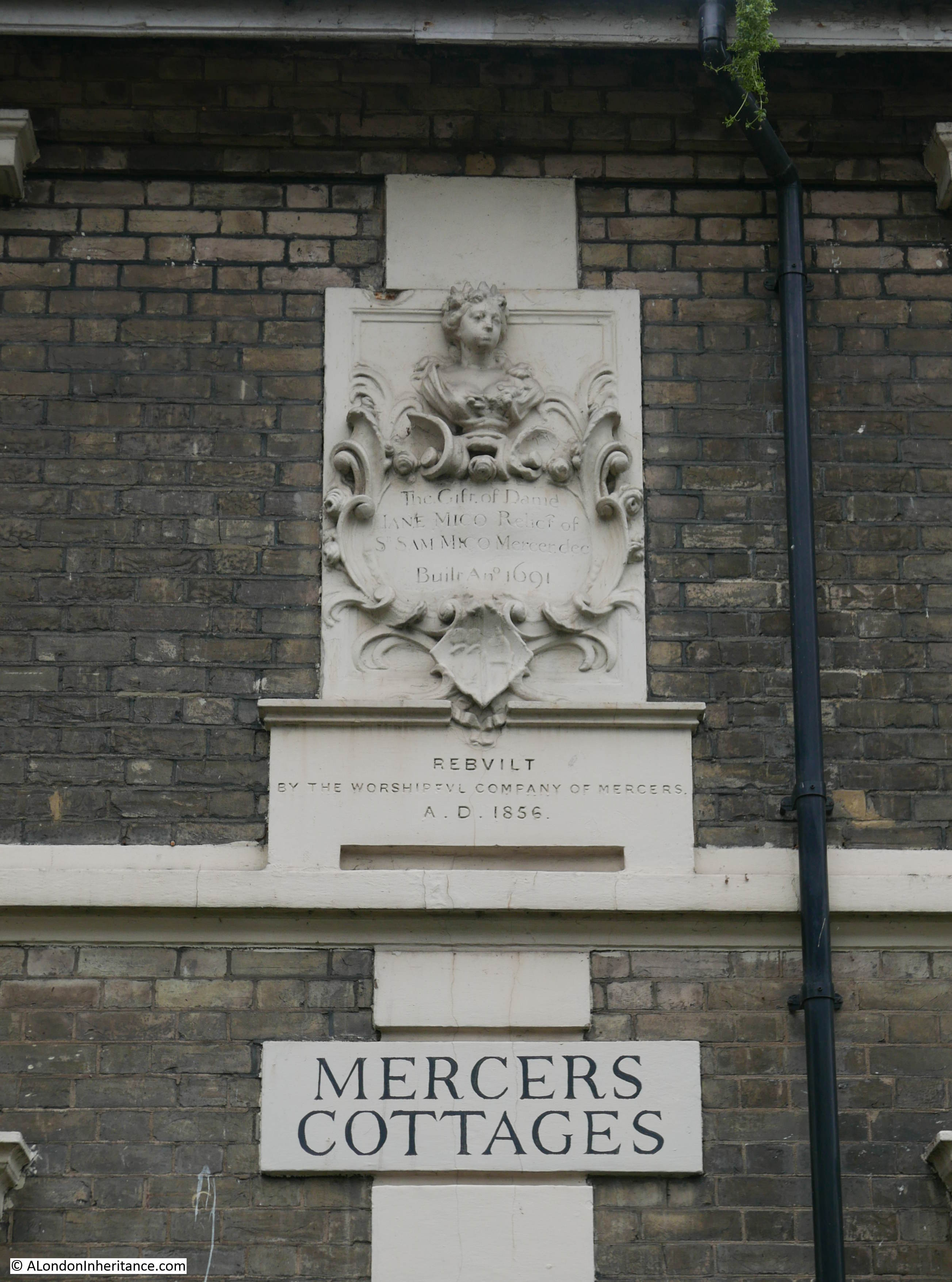
Along the southern side of the churchyard are some Mercers Almshouses. They can be seen in the extract from Rocque’s map shown earlier in the post:

Although as this plaque on the side of the building, under the eaves of the end of terrace house as seen in the photo above indicates, the current buildings date from 1856, replacing the row seen in Rocque’s map, which were built in 1691:

And in another example of how just walking the streets finds places that deserve their own blog post, on the corner of White Horse Road and Salmon Lane is the former site of the Stepney Meeting Burial Ground, Almshouses and School:

The Stepney Meeting was the first independent church in east London, dating from 1644, when it was set up by a group of Puritans called Independents. Their first Meeting House was built in 1674, and the Stepney Meeting opened this, their own burial ground in 1779, and built a row of small almshouses for women by the side of the burial ground.
The burial ground and the almshouses are shown in the following extract from Smith’s 1816 New Plan of London, although I think the almshouses were on the eastern edge of the burial ground, not on the western edge as shown in the map:

The burial ground was closed in 1853, but it remains as an example of one of the many non-conformist burial grounds in east London:

Google maps labels the burial ground as a Mercers Burial Ground – I suspect that this is a confusion between the Mercers Almshouses and those of the Stepney Meeting.
Terrace houses along Salmon Lane:

There are a couple of boundary markers on this terrace. The first is a boundary marker for the Hamlet of Ratcliff, a reminder of when east London was a collection of small hamlets surrounded by fields:

And some parish boundary markers:

Then there is York Square, a central garden surrounded by four sides of almost complete late 18th, early 19th century terrace houses, with many being Grade II listed:

Unusually for east London, York Square retains two pubs. On the north east corner is the Queen’s Head, which reopened in 2023 after a series of closures, and on the south western corner is the Old Ship:

I wrote last week that the Boleyn Pet Stores was an example of the many derelict buildings to be found across London in the 1980s. Whilst many derelict buildings and sites have been rebuilt, with the majority now residential, there are derelict buildings still to be found, and the following was on the northern side of Commercial Road – what was Callegari’s Restaurant:

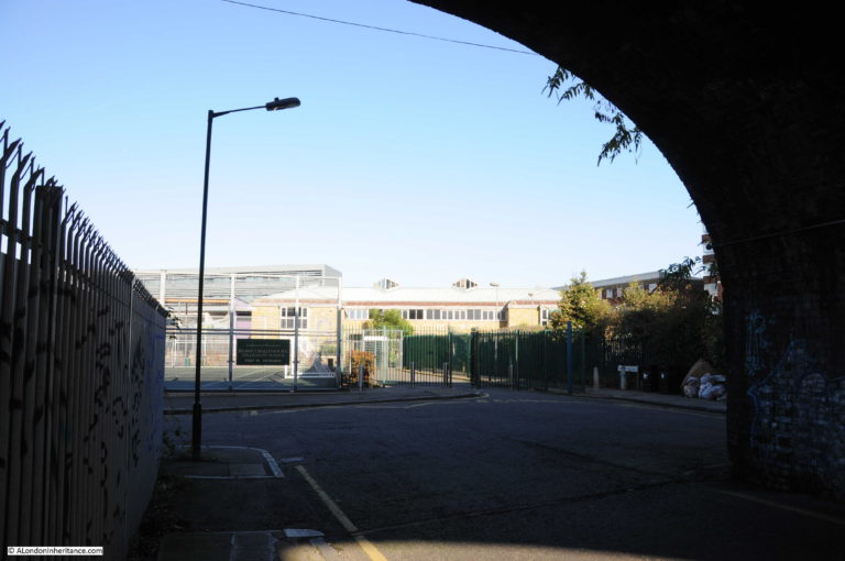
Approaching Limehouse DLR station, and under the arches of the railway, there are the typical businesses that make good use of these spaces, one of which is Fast Lane Auto Repair:

The DLR railway viaduct and arches, were built for the London and Blackwall Railway which opened in 1840. The design of many of the arches where the railway crosses a road is interesting as the road is carried through a central arch, with separate pedestrian arches on either side:

And on reaching Limehouse DLR station, the bright spring sunshine was highlighting beer barrels from the nearby Craft Beer Company pub:

Junes Ladies Hair Stylist was an example of one of the many businesses and shops across London, that were usually run by an individual, and Durham Row was once a small shopping street serving Stepney with the majority of essentials needed for day to day life.
Whilst hairdressers continue to be found across London, they are now usually larger premises with multiple workers.
With the exception of shops used by specific ethnic communities, so many other small, individual shops have closed or are under threat by the major supermarkets who continue to open large, stand alone stores, or “local” stores such as the Nisa store shown in last week’s post.
I hope this post has also shown the pleasure of just walking the streets of London, that despite the considerable damage suffered by east London during the last war (and later developments), there is still much to be discovered and places that evoke the history and development of the area in so many streets.