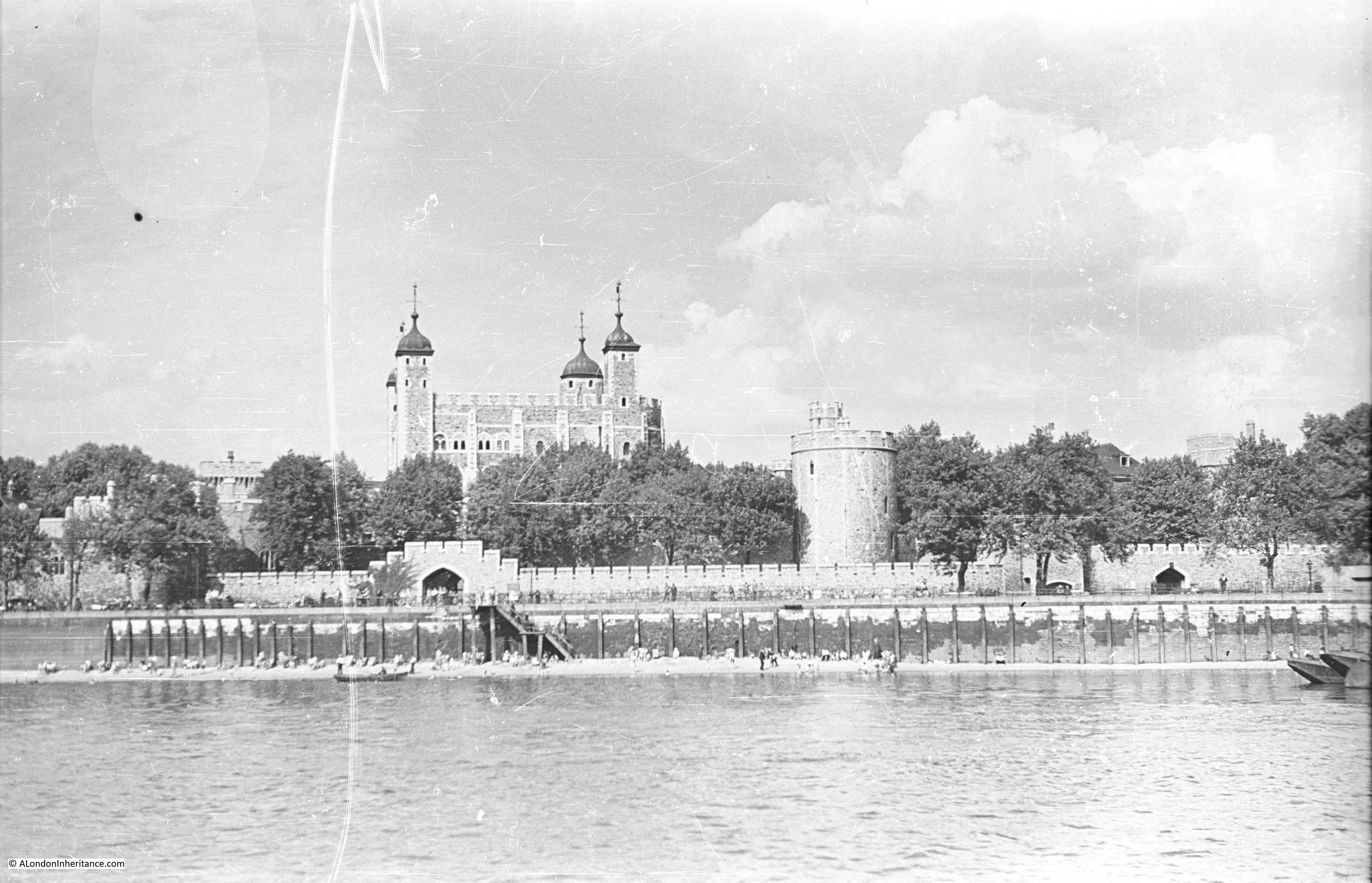
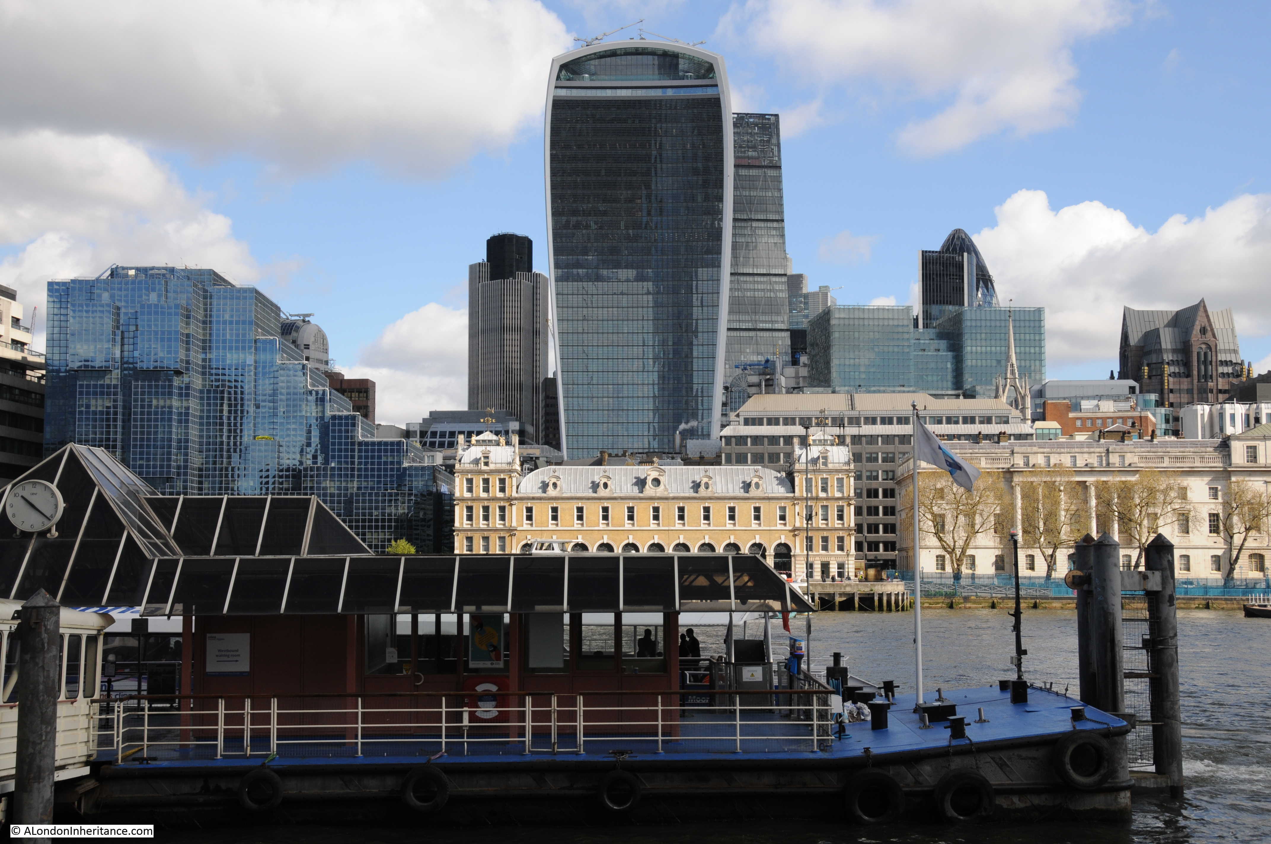
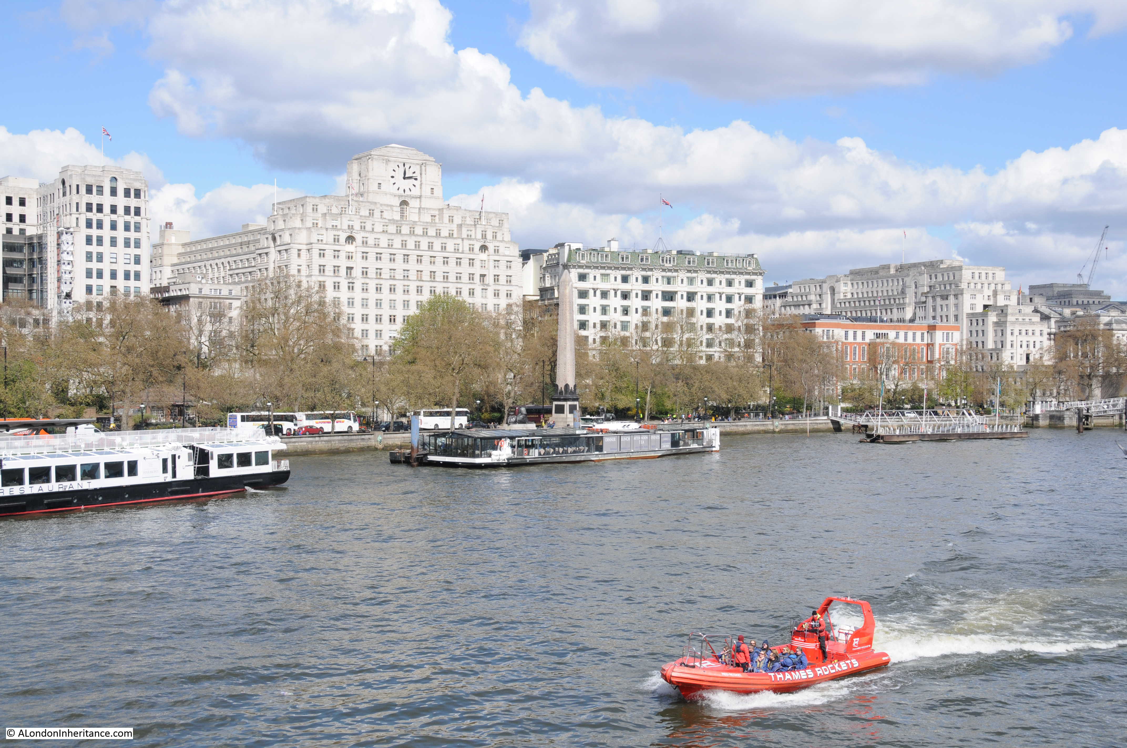
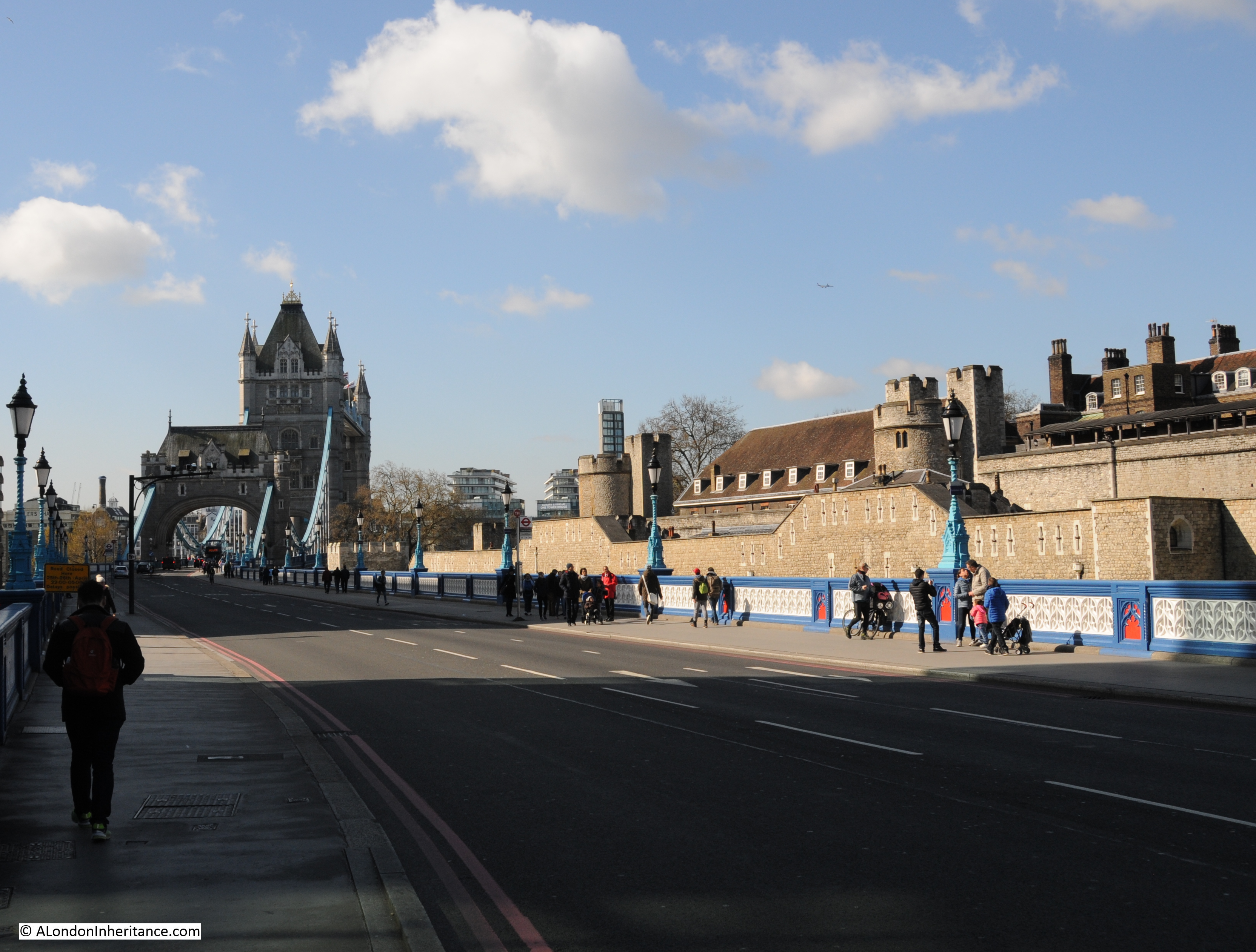
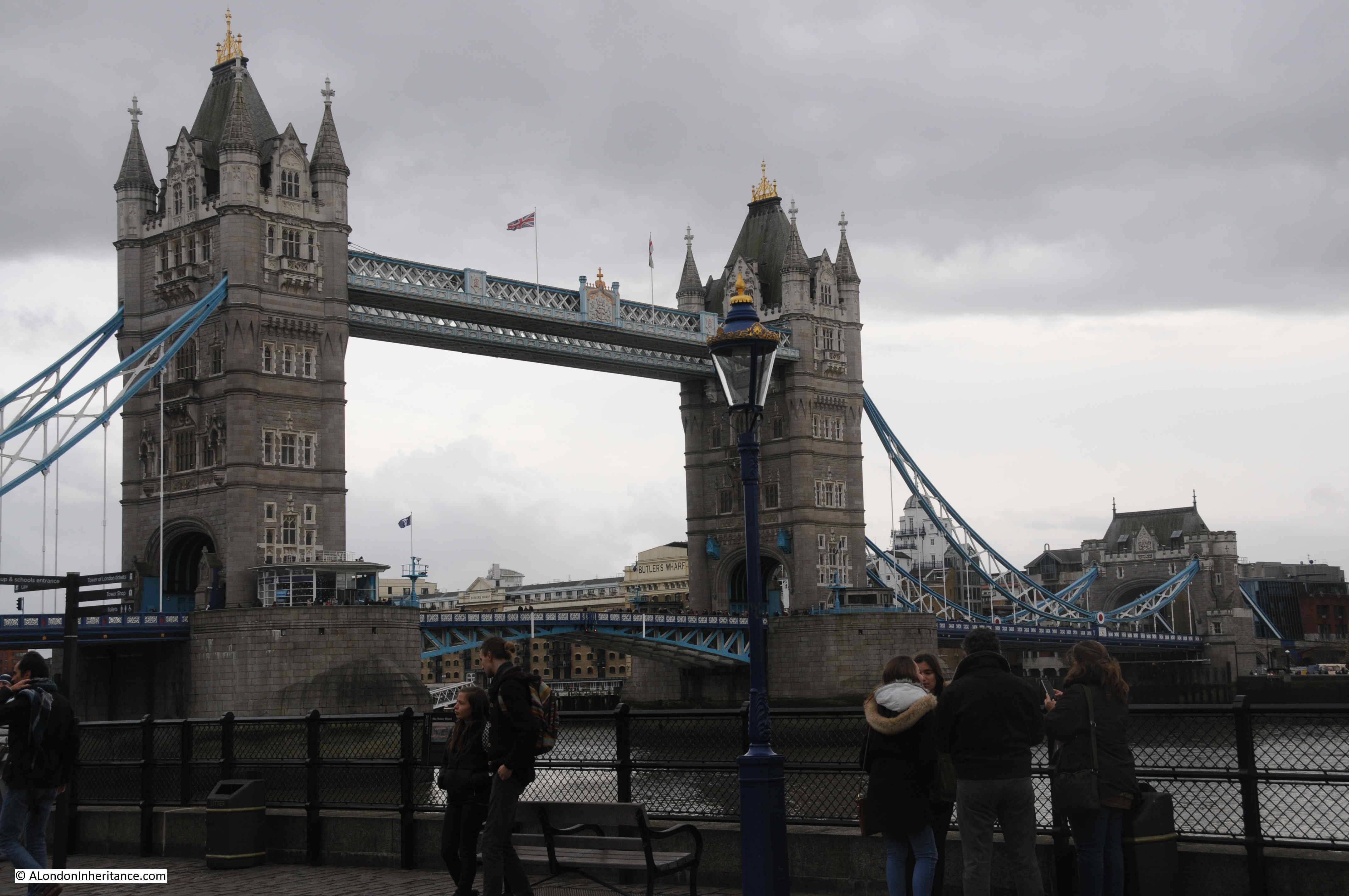
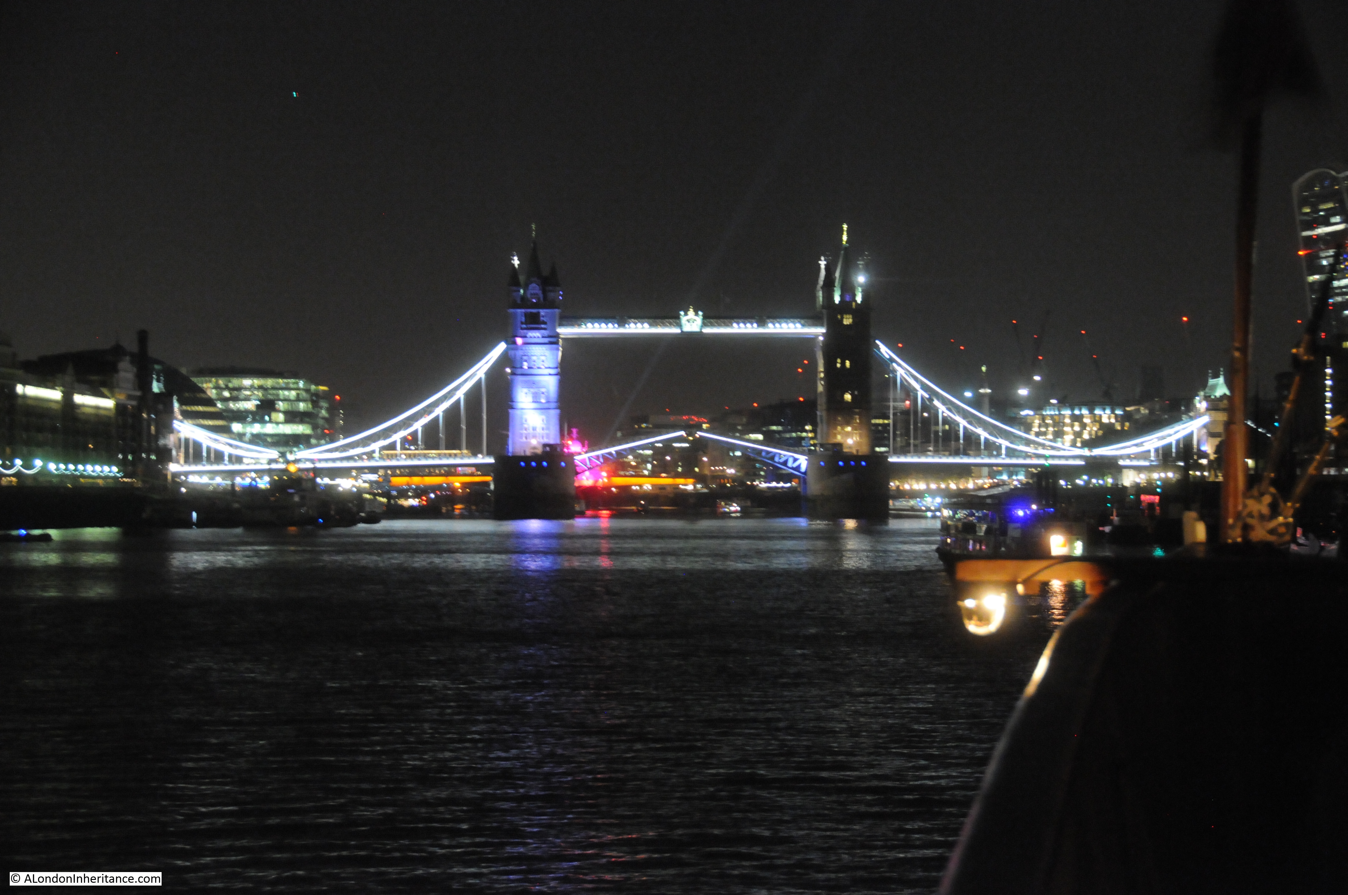
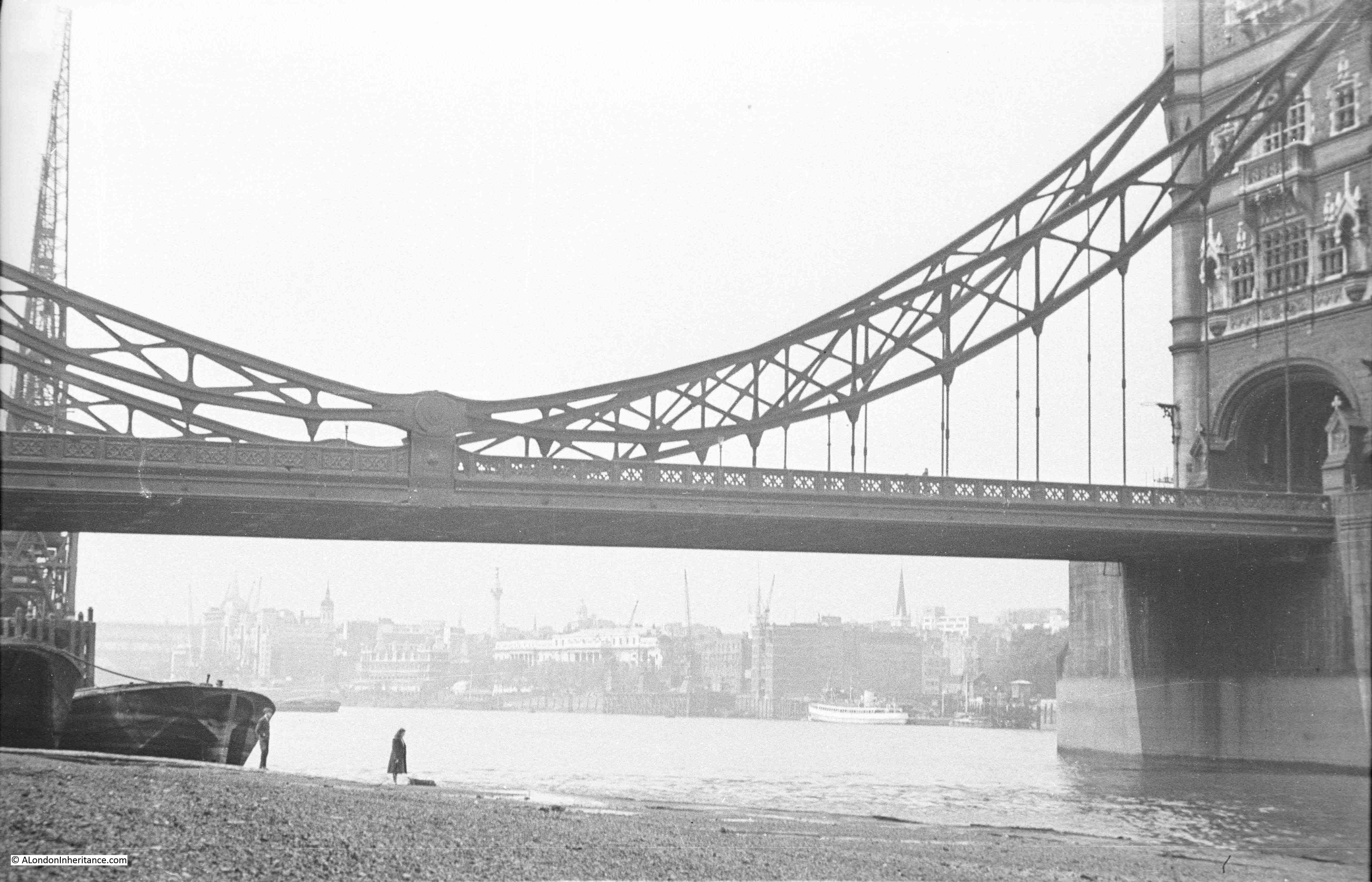
Underneath the northern tower of Tower Bridge, there is a late 19th century version of one of the old Thames Stairs, which has a name that refers to one of the gates that controlled access into the Tower of London. This is Iron Gate Stairs.
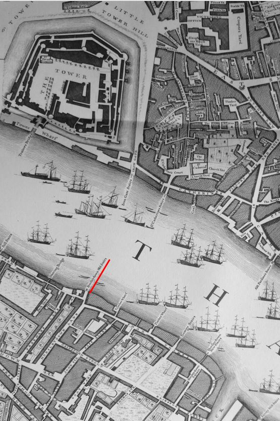
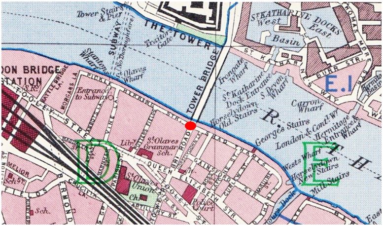
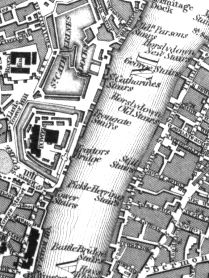
The stairs are shown before Tower Bridge was built in this extract from Langley and Belch’s, 1812 New Map of London (underlined in red):

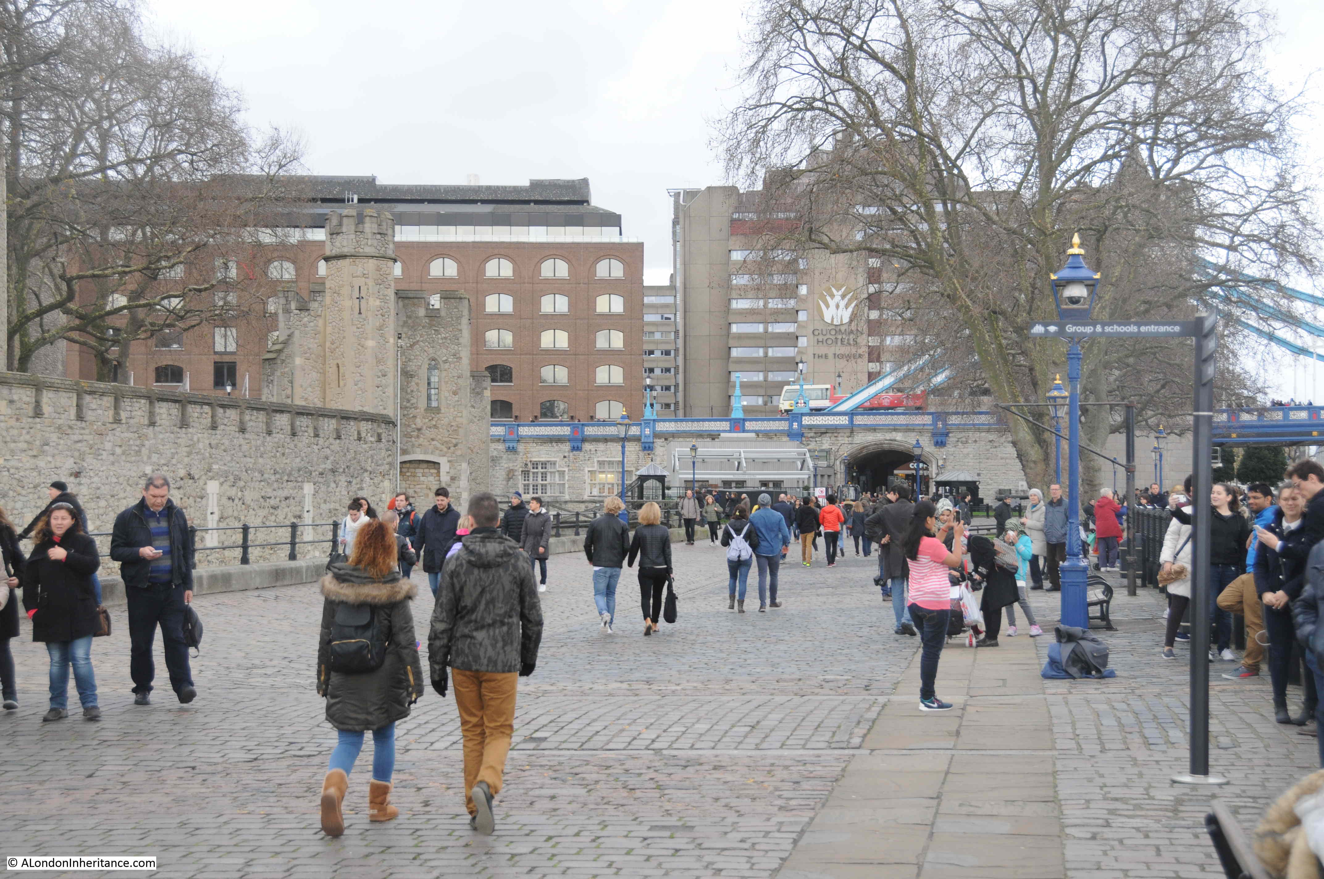
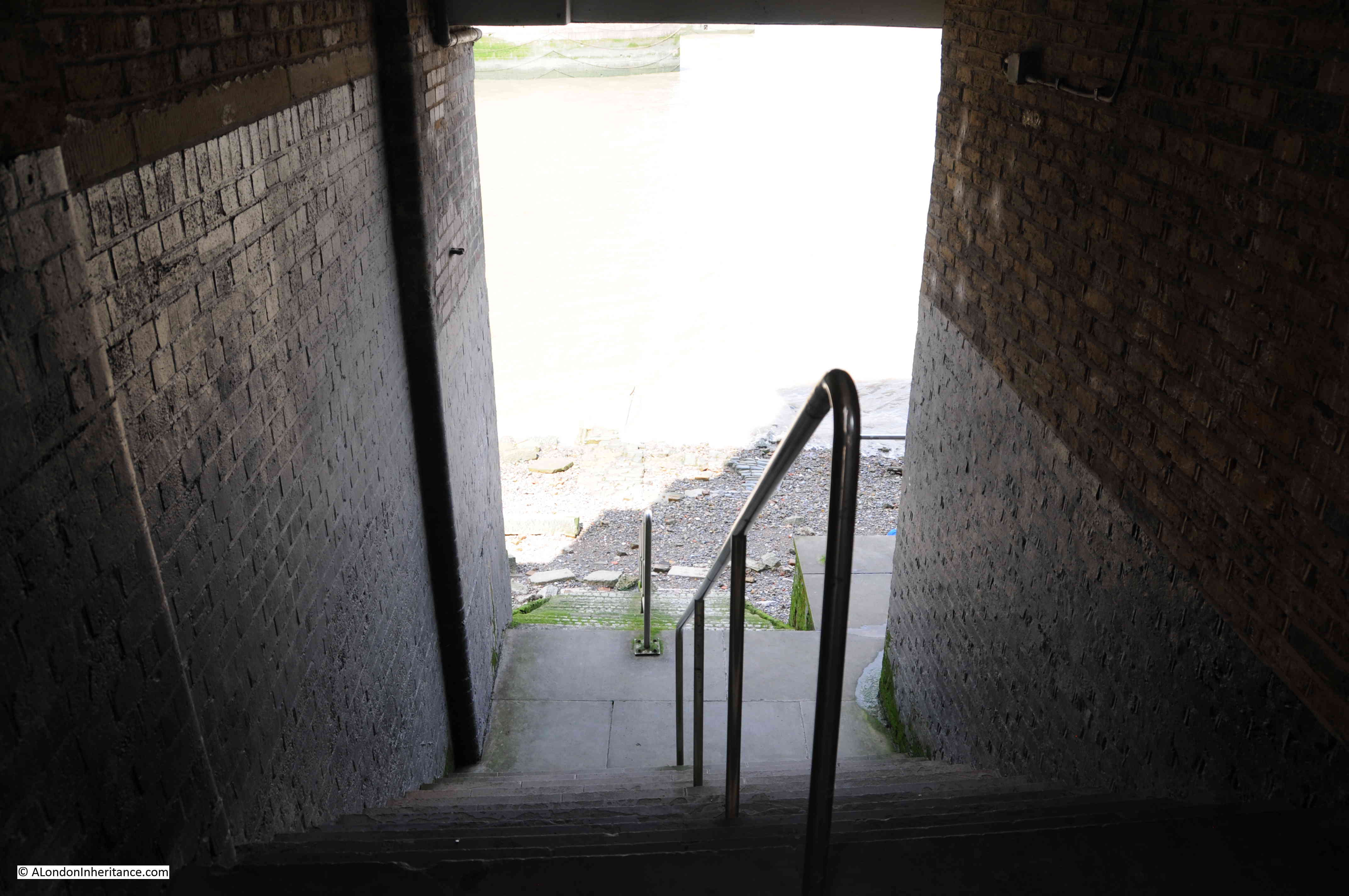
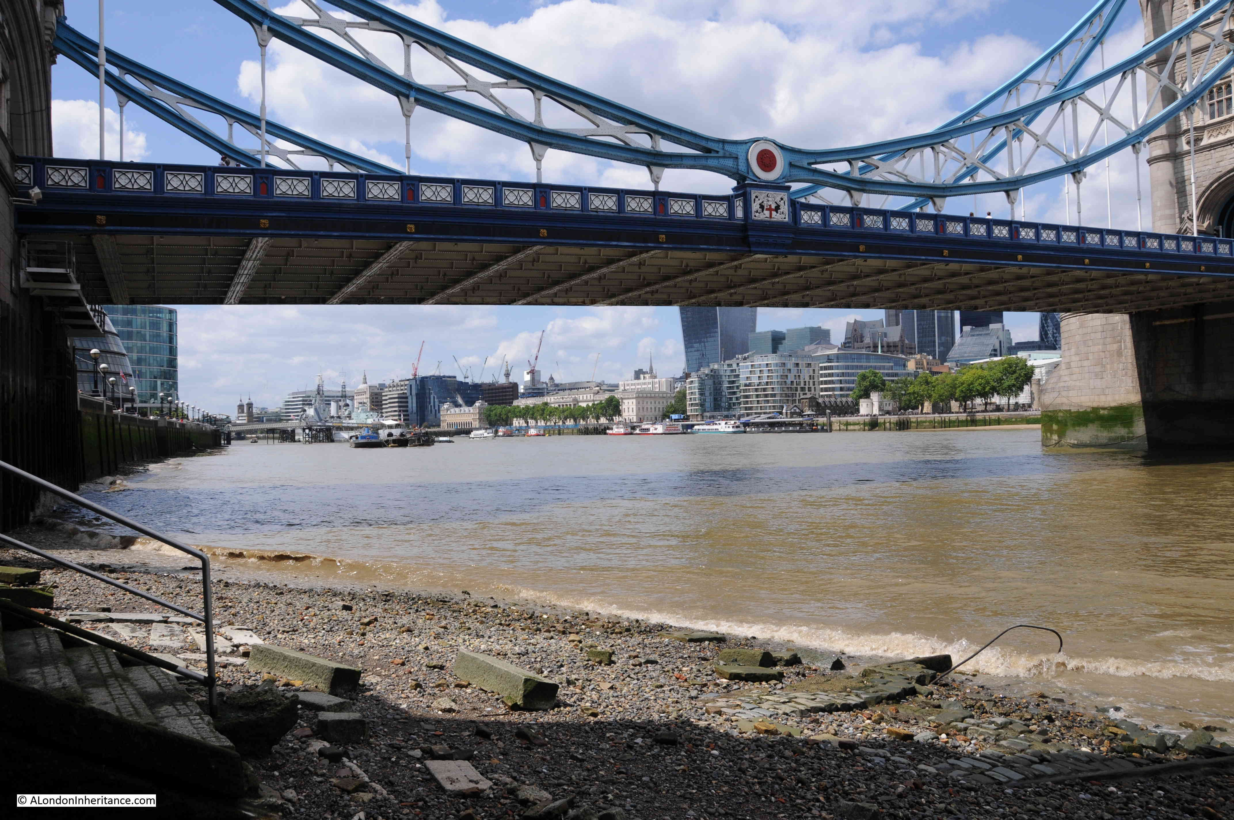
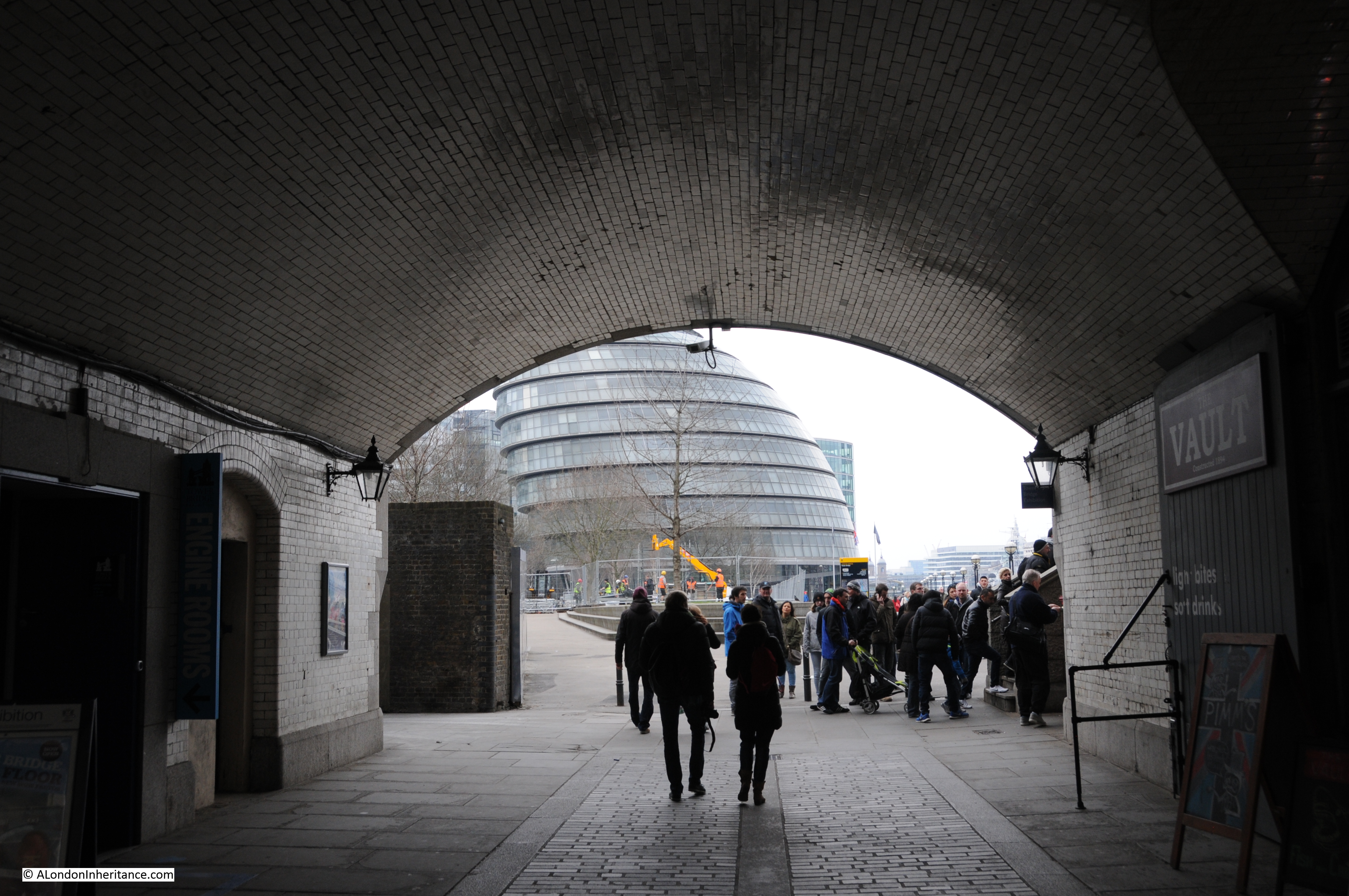
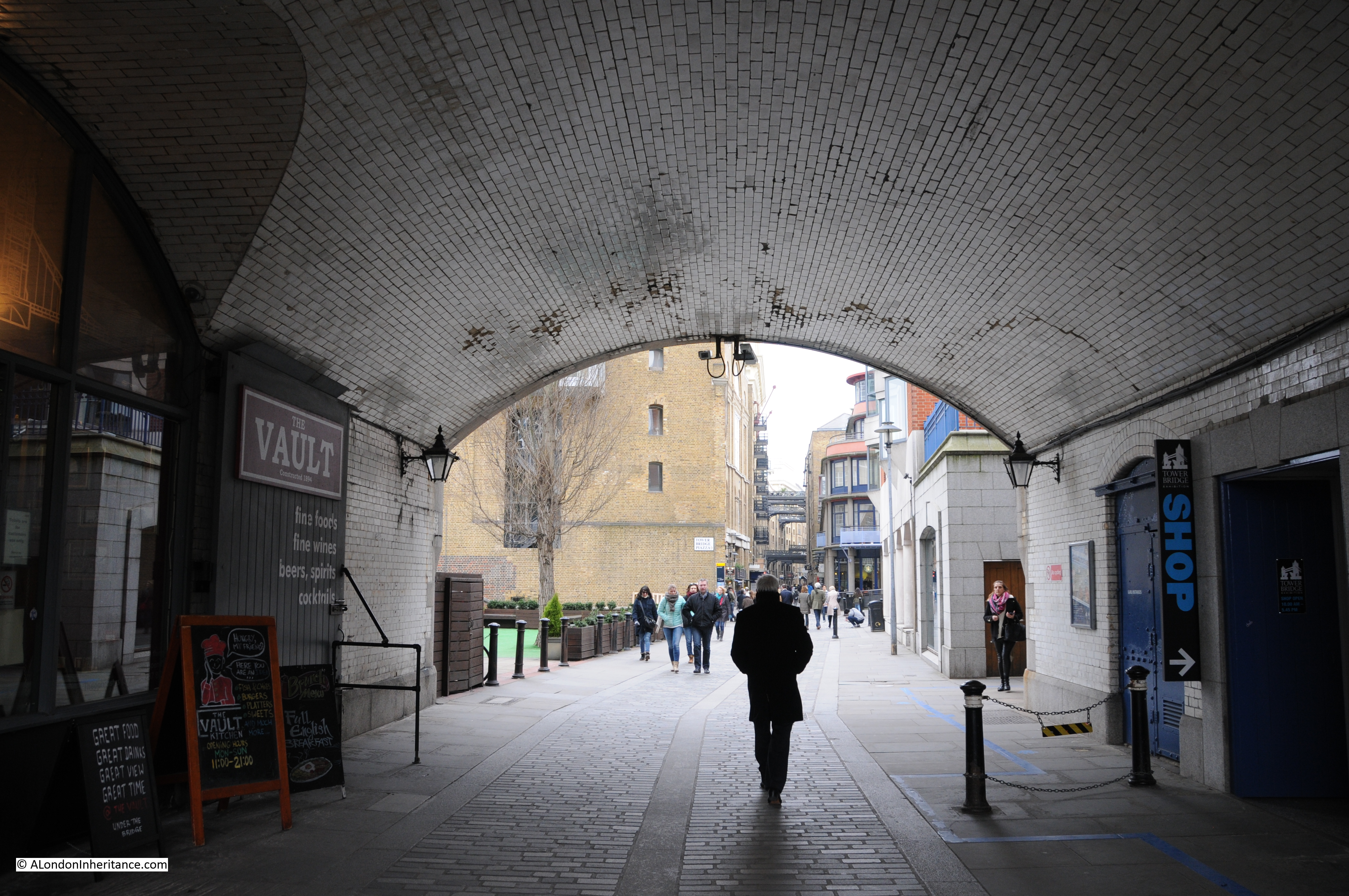
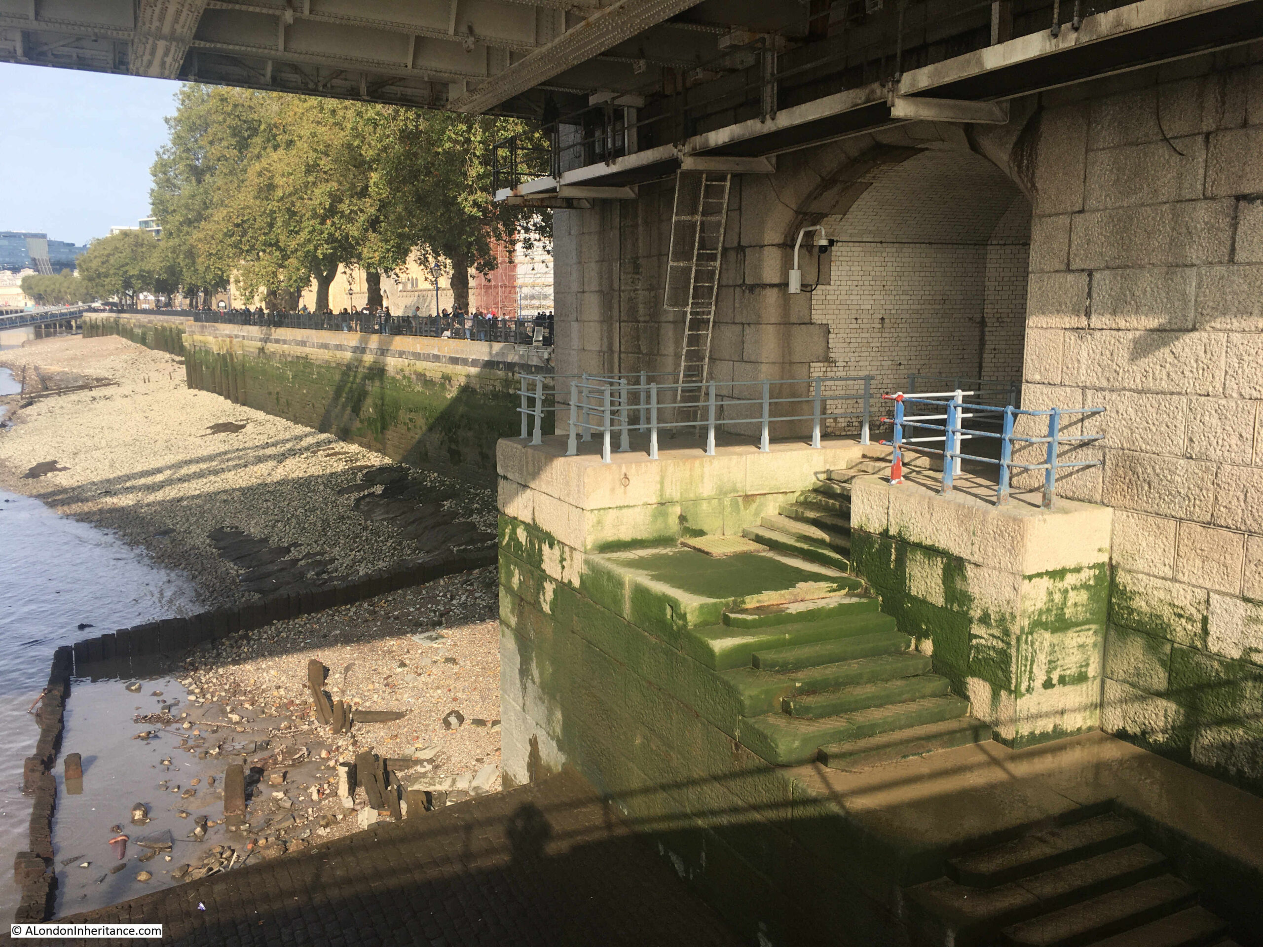
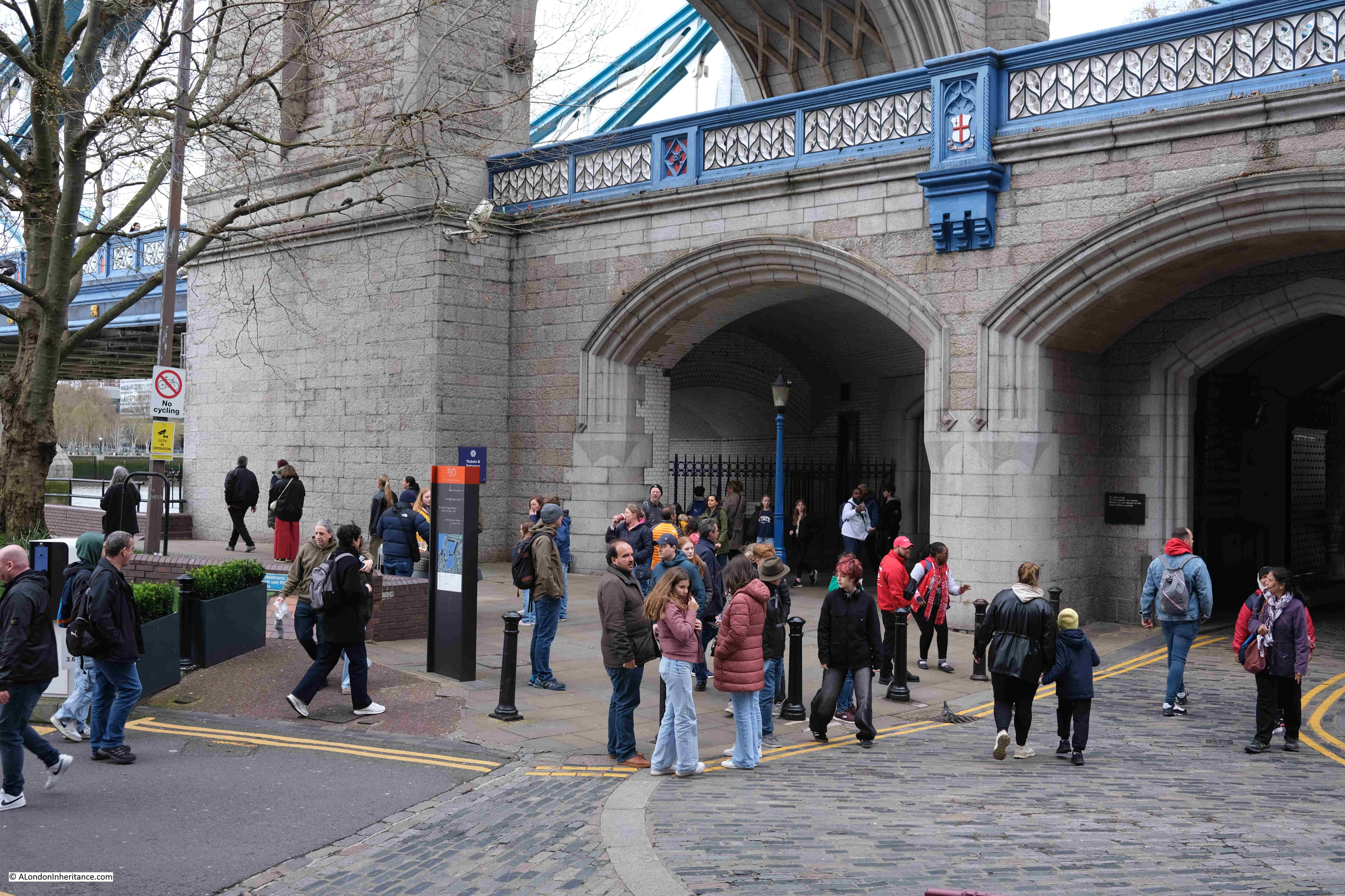
Today, Iron Gate Stairs are reached via a tunnel which runs through the northern tower of the bridge, and comes out to a well maintained set of stone stairs:
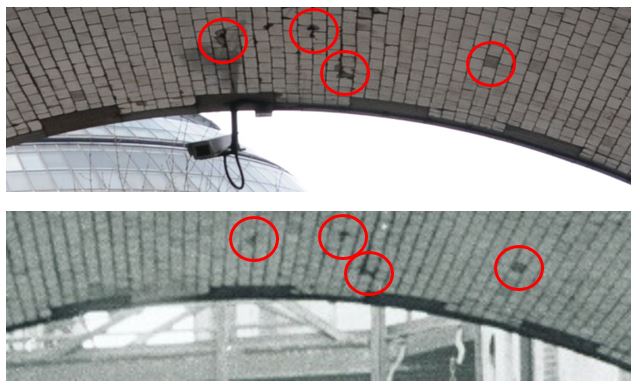
As far as I can confirm, by checking and aligning a number of maps, the stairs today appear to be in the same location as the stairs shown in the 1812 map.
It shows the importance of these access points to the river, that they were included in the design of Tower Bridge, and it must have cost more, and been more complex, to route the access to the stairs through the tower, rather than relocate them to one of the sides of the northern tower of the bridge.
The Port of London book “Access to the River Thames, a Port of London Guide”. includes these stairs in the listing of all points of access to the river along the tidal Thames, and the PLA record for Iron Gate Stairs reads:
- Stairs and Causeway
- Constructed of Stone
- A landing place in 1708 and 1977 and in use at the time of the book (around 1995)
- Structure is listed
- The stairs are gated
- Bathing from these stairs is extremely dangerous
I cannot find a separate listing for the stairs on the Historic England website, so I assume that the stairs are included within the overall Grade I listing of Tower Bridge, as the access to the stairs is part of the structure of the bridge.
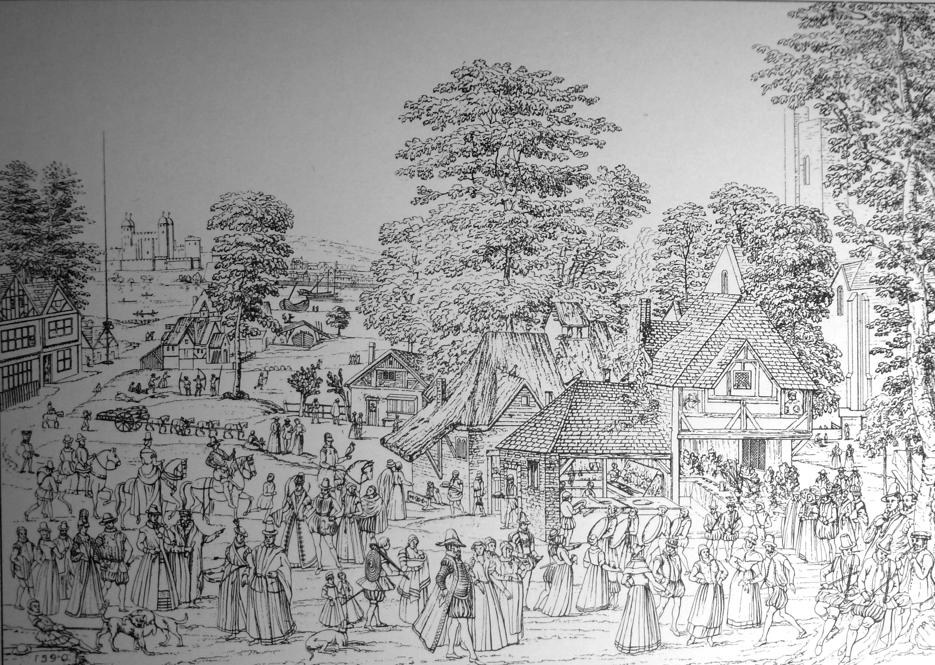
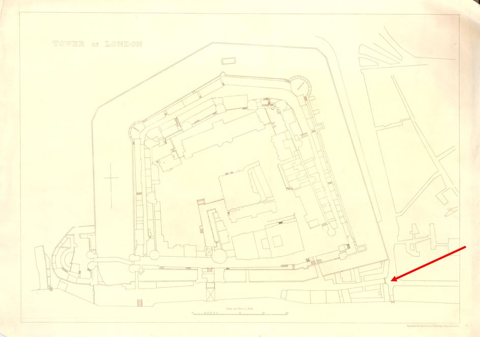
The name of the stairs is interesting, and it appears to refer to a gate that once controlled access to the south east corner of the area between the walls of the tower and the river.
In this 1852 plan of the Tower of London, there are a cluster of buildings in the lower south east corner, with a black line, indicating some form of gate, controlling access (red arrow):
© The Trustees of the British Museum Creative Commons Attribution-NonCommercial-ShareAlike 4.0 International (CC BY-NC-SA 4.0)
Although not named, the stairs can be seen running down to the river, next to the gate.
After the construction of Tower Bridge, the name Iron Gate is retained, and although the stairs do not appear to be named (perhaps because they are under the bridge), iron Gate is used next to the tunnel underneath the approach to Tower Bridge, where today you can walk from the St Katherine Dock area, to the area between the Tower of London and the river.
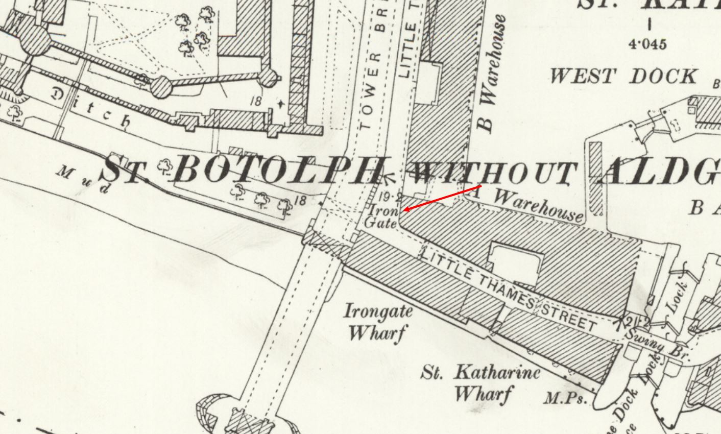
In the following extract from the 1897 OS map, Iron Gate is shown just to the east of the bridge (‘Reproduced with the permission of the National Library of Scotland“):
And in the 1951 revision, the name is still in use, but on the western side of the bridge (not also the name Irongate Wharf in use in both maps) (‘Reproduced with the permission of the National Library of Scotland“):
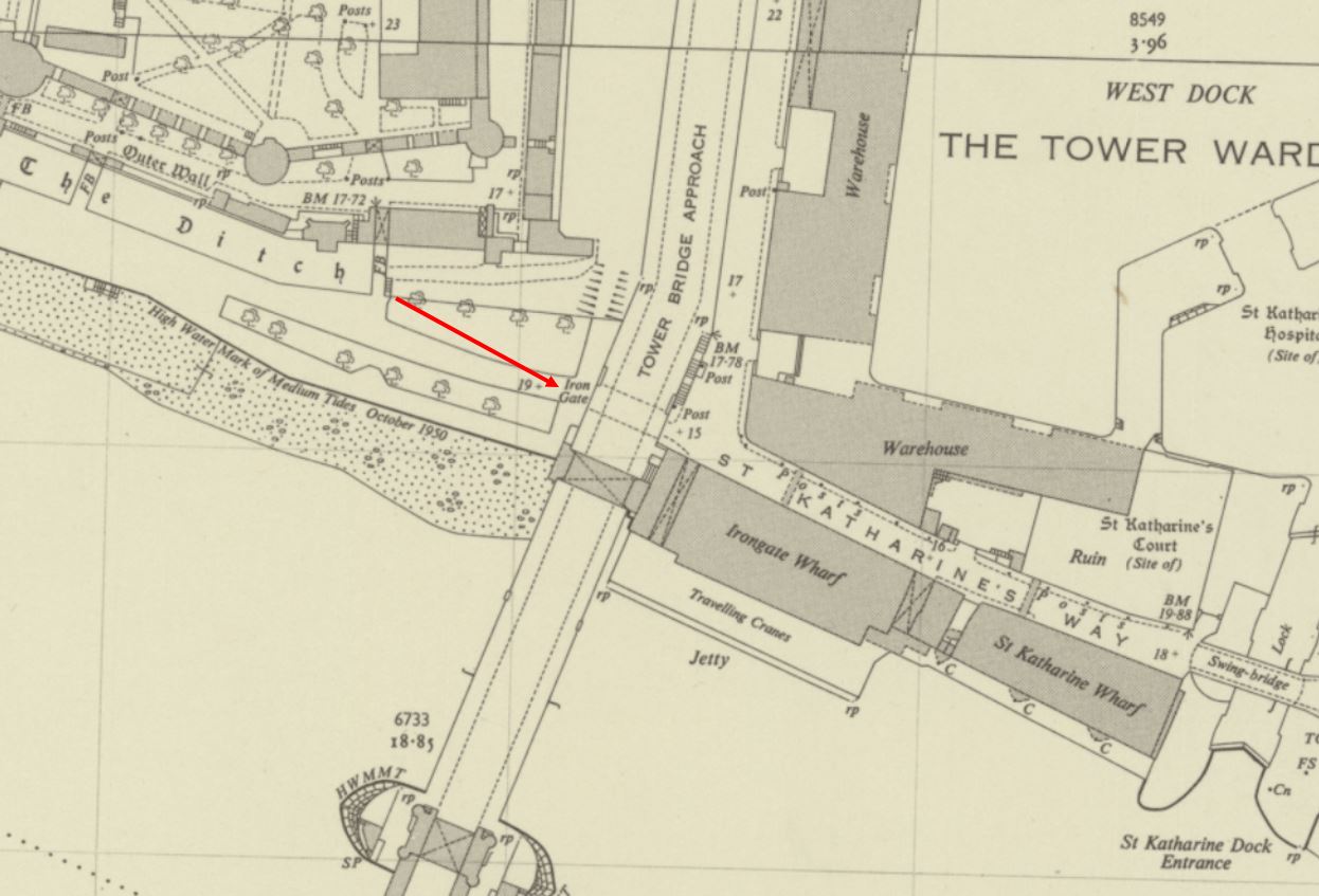
So Iron Gate in the OS maps seems to continue to refer to a gate across this access through the wall created by the approach road to Tower Bridge.
As with all Thames stairs, there are references to the stairs in multiple newspaper reports over the centuries. For example, the following is from the Public Ledger and Daily Advert on the 9th of October, 1826, and unfortunately it does not record what Samuel Pearce did, which required such a public apology:
“CAUTION TO WATERMEN – I Samuel Pearce, Waterman, plying at Iron Gate Stairs, near the Tower, beg publicly to acknowledge and express my grateful feeling to John Morrison, Esq. for foregoing a prosecution against me, which I well merited, in consequence of an unprovoked and unwarrantable outrage committed on him on Friday evening; for which I cheerfully make this public apology, which he accepts, in consequence of the distressed state of my wife and infant family.”
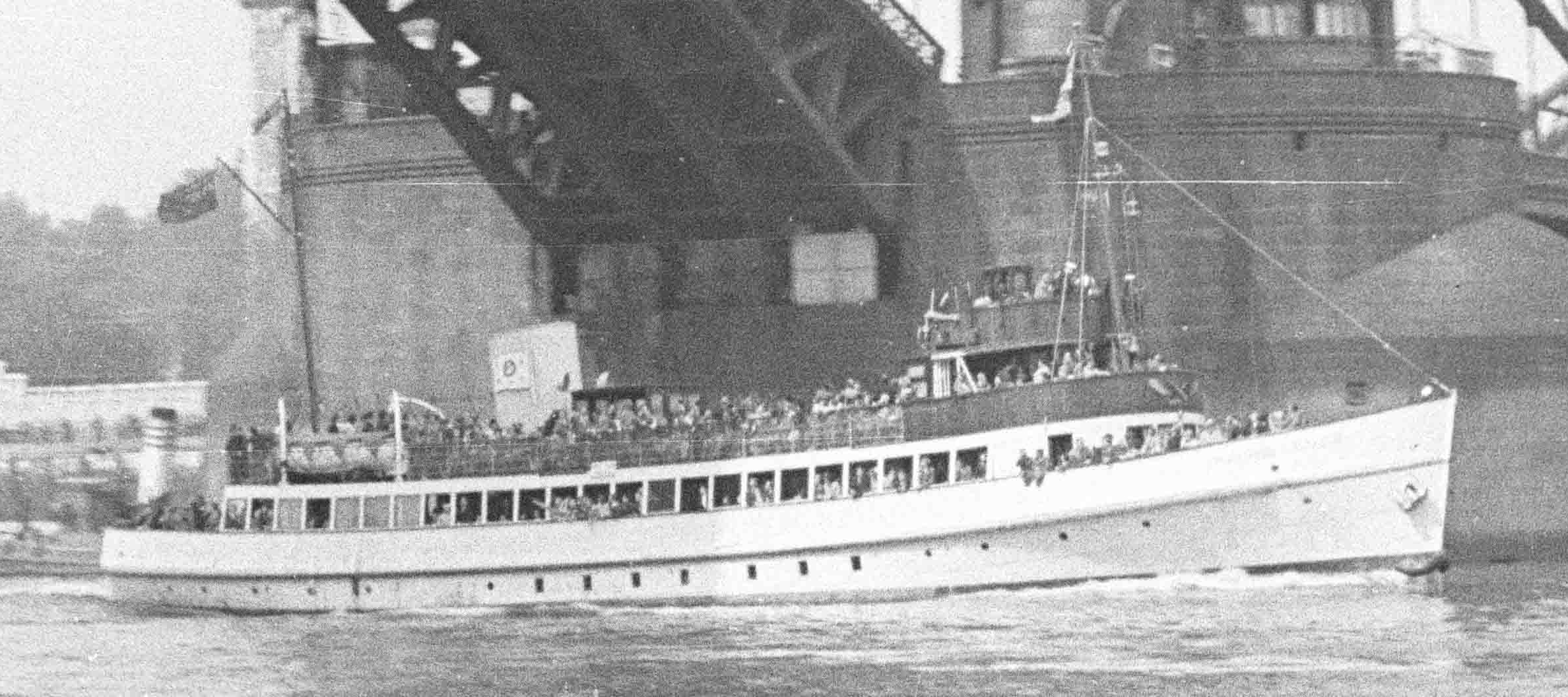
Iron Gate Stairs were also the boarding point if you wanted to travel to “Harwich, Yarmouth and Places Adjacent”, as the 80 horse-power Steam Packet Swift sailed from the stairs on Sundays and Thursdays in the 1820s.
Indeed, Iron Gate Stairs feature in papers across the 18th and 19th centuries with all the usual stories of activities that happened at these places which formed a key access point between the land and the river.
As with other stairs, Iron Gate Stairs was a place where bodies recovered from the river were brought up to land.
The Historic England Monument Record for the Iron Gate refers to it being a gate tower constructed during the reign of Edward III (who reigned between 1327 and 1377), and that it was built to strengthen the defences of the Tower on the southern side of the complex, and that it commanded a “walled causeway through to the Develin Tower at the south east corner of the outer wall.“
Stow in the early 17th century refers to the Iron Gate as being “great and strong
but not often opened”.
The Iron Gate was demolished in 1680 following a review of the Tower’s defences, and whilst looking for space to expand accommodation.
So whilst the gate tower was demolished, as shown in the 1852 map, a gate seems to have remained in place, although rather than the gate tower, just a standard gate.
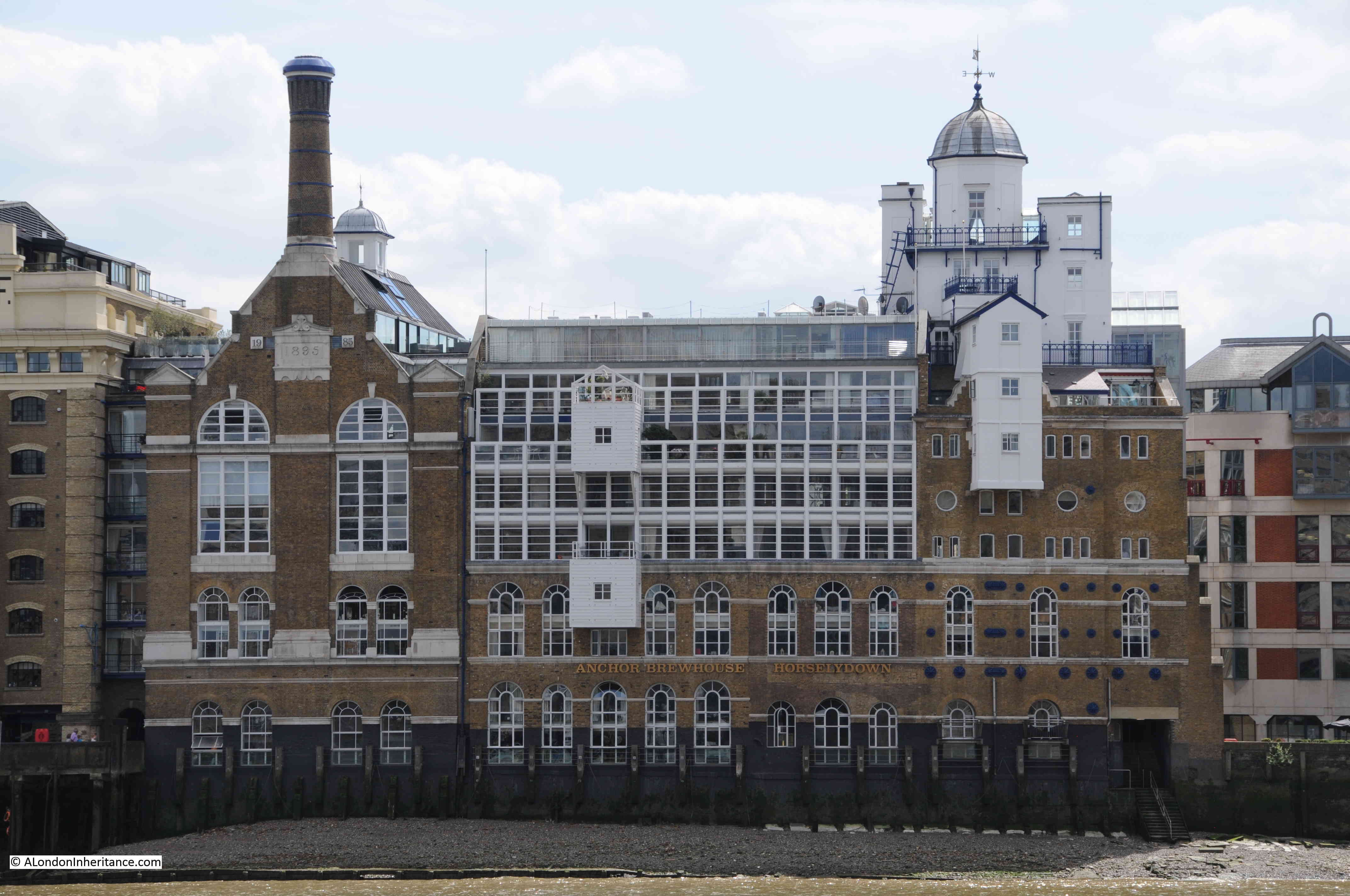
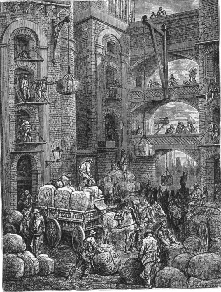
After demolition, there also appears to have been a cluster of buildings around the location of the gate which seem to have been used for accommodation, storage and small industrial activity.
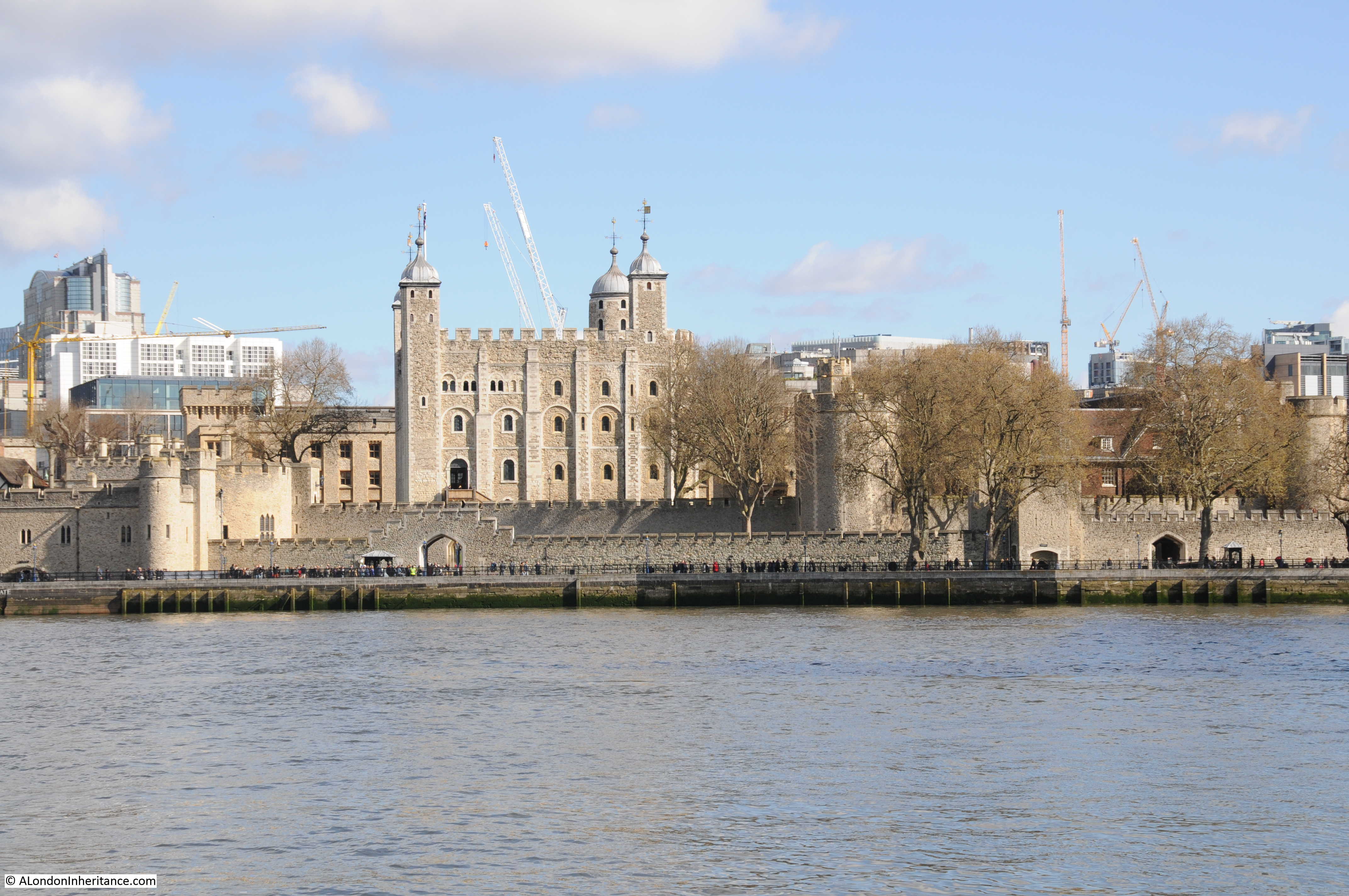
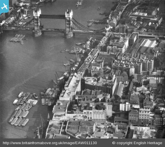
Construction of Tower Bridge cleared these buildings, and today we can see the area where the Iron Gate was located when looking towards the bridge, from the west:
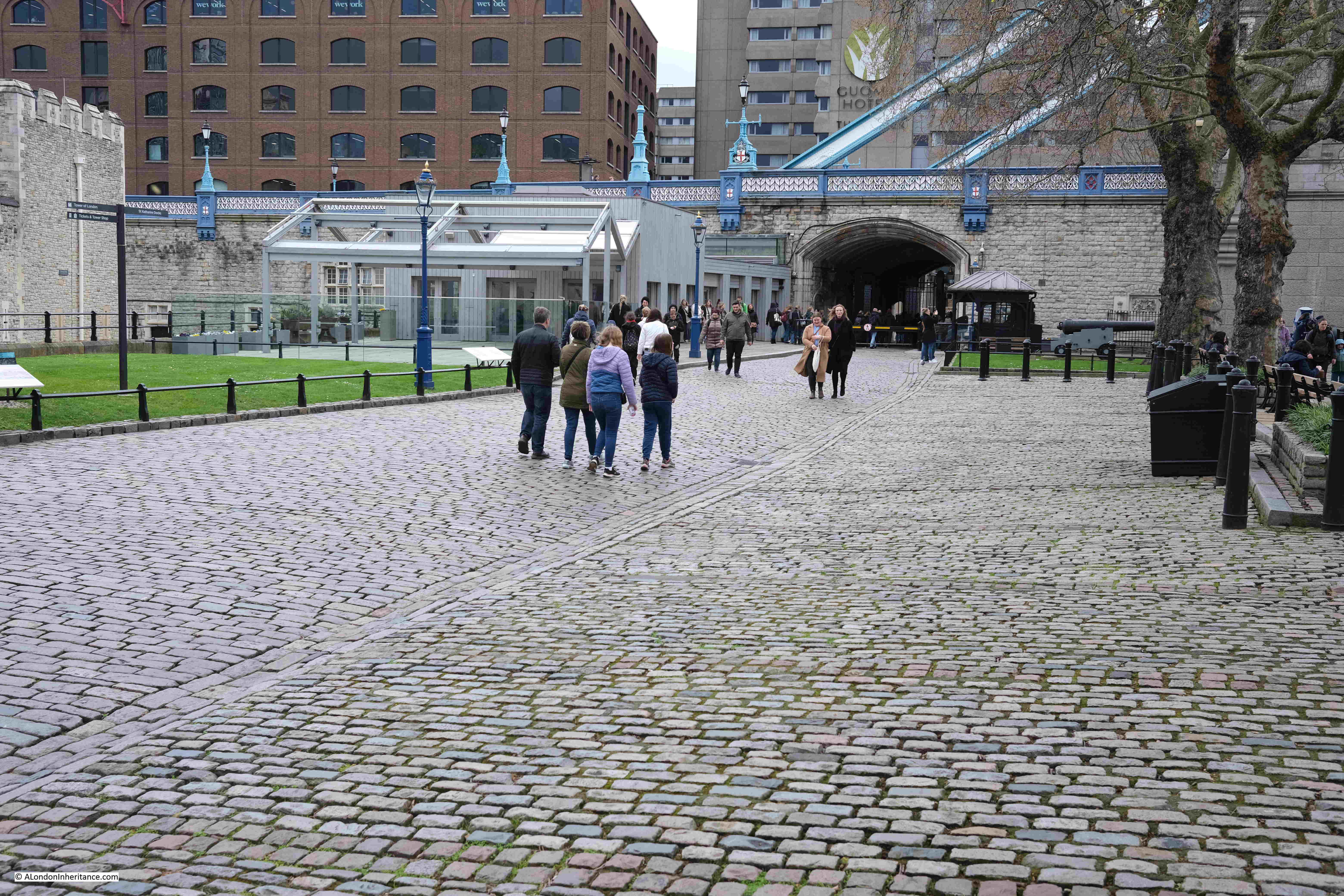
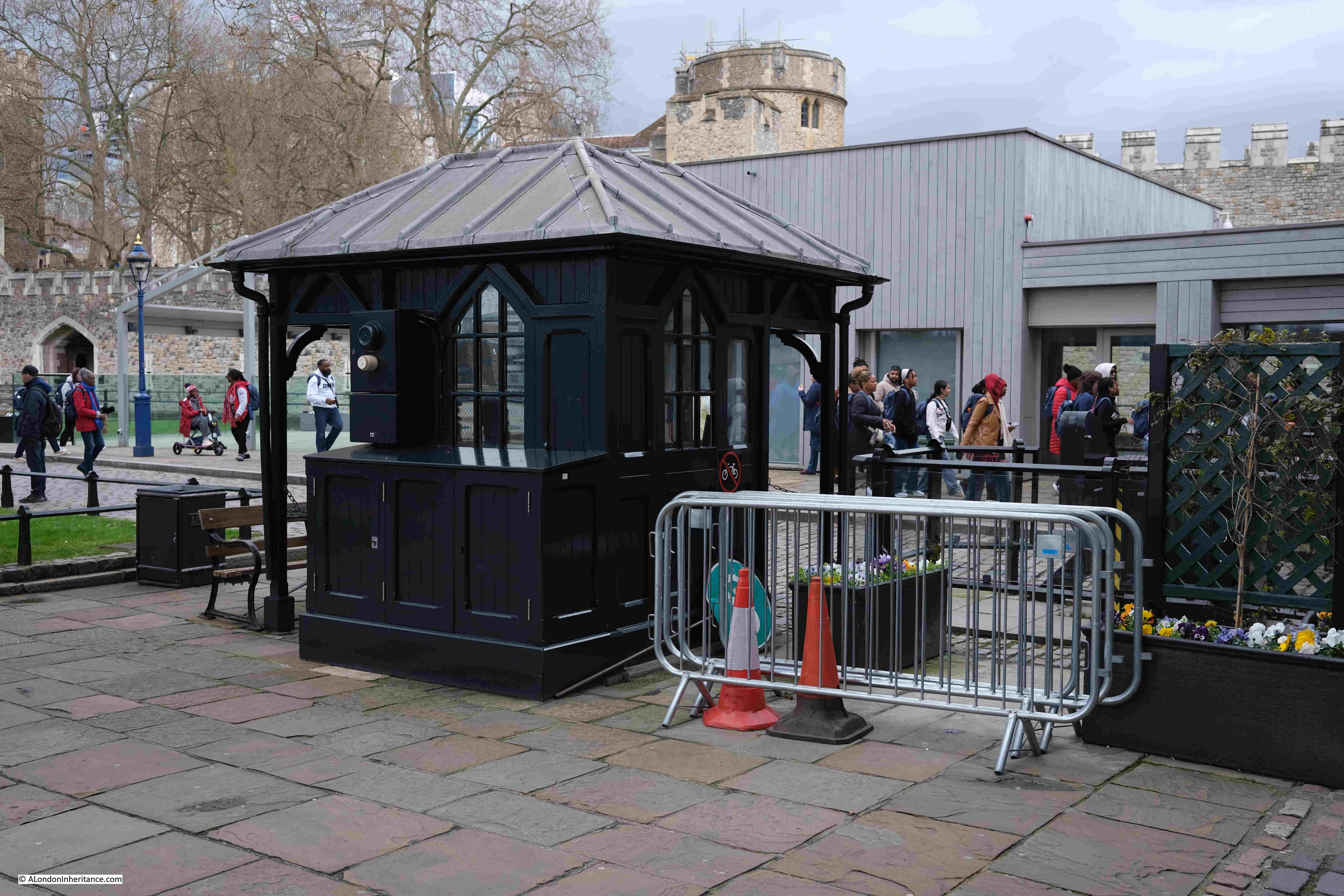
And with some lovely historical continuity, the area of the Iron Gate is still gated, with a gatehouse and barrier across the road:
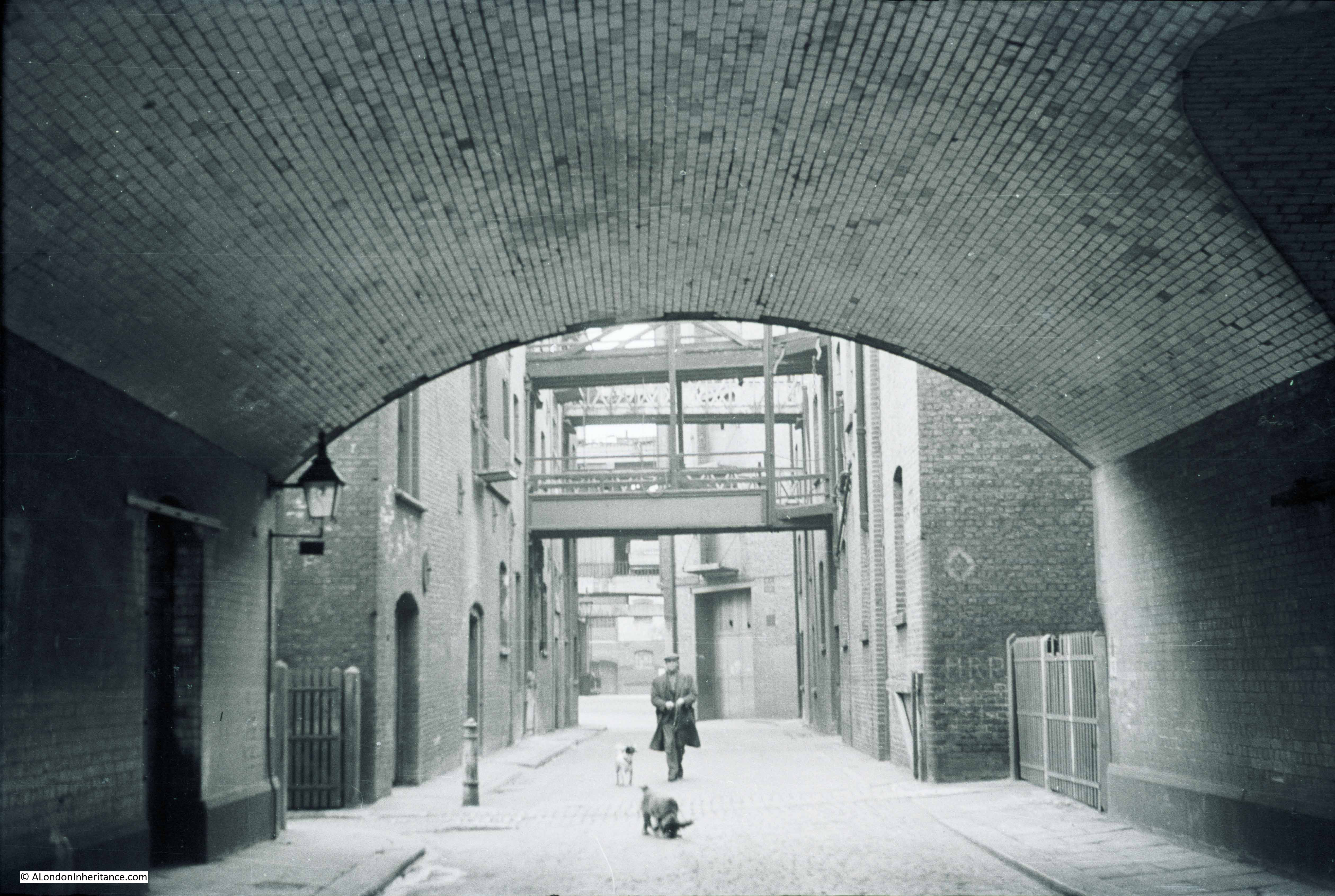
And looking through the walkway under the approach road to Tower Bridge, we can see gates part open across the walkway, as well as much larger and stronger gates set against the sides of the walkway:
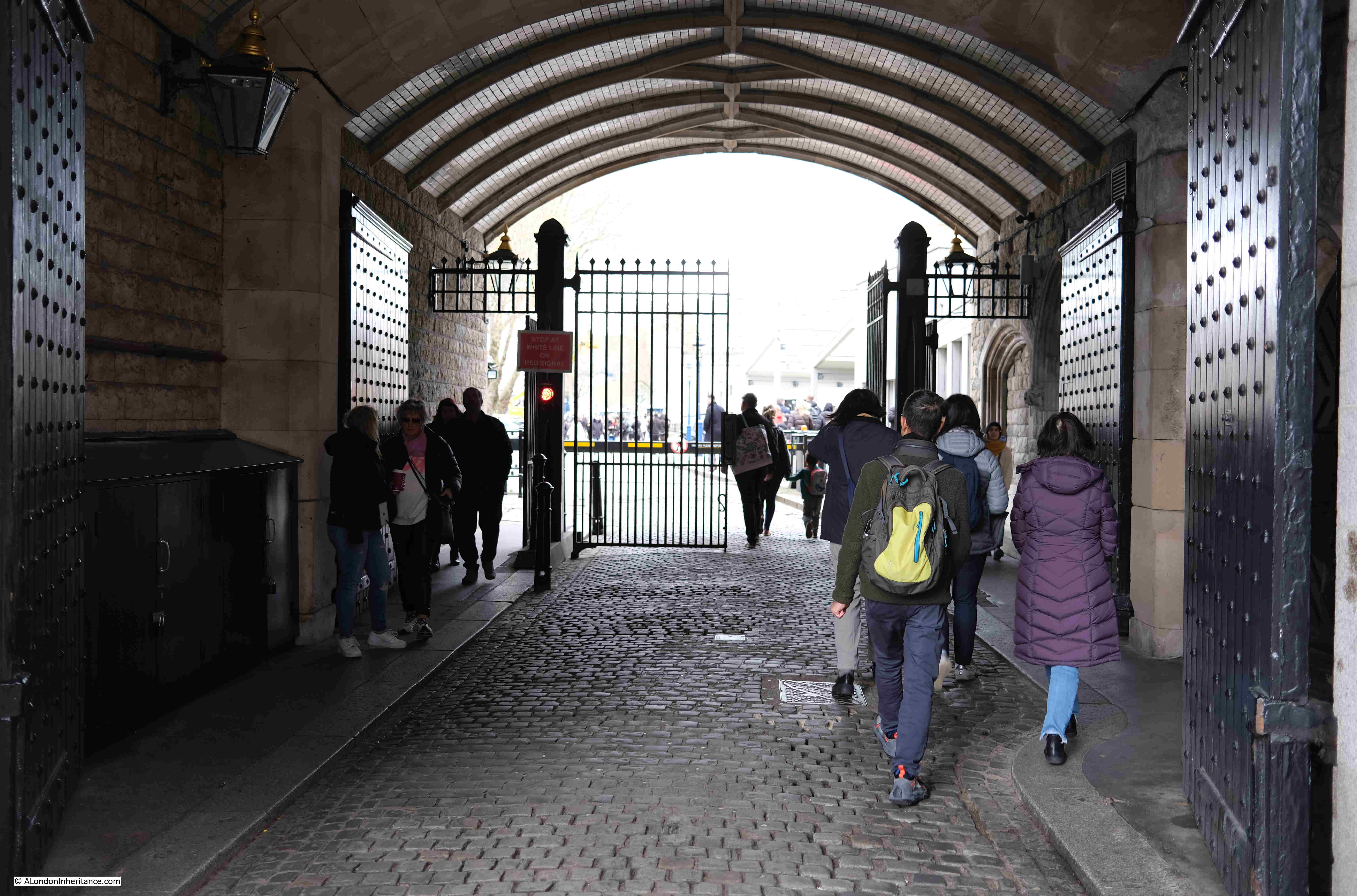
In the following photo, the entrance to the walkway tunnel under the approach road is on the right, and the arch on the left provides access to the entrance to Iron Gate Stairs:
Which, as the PLA description of the stairs records, is gated:
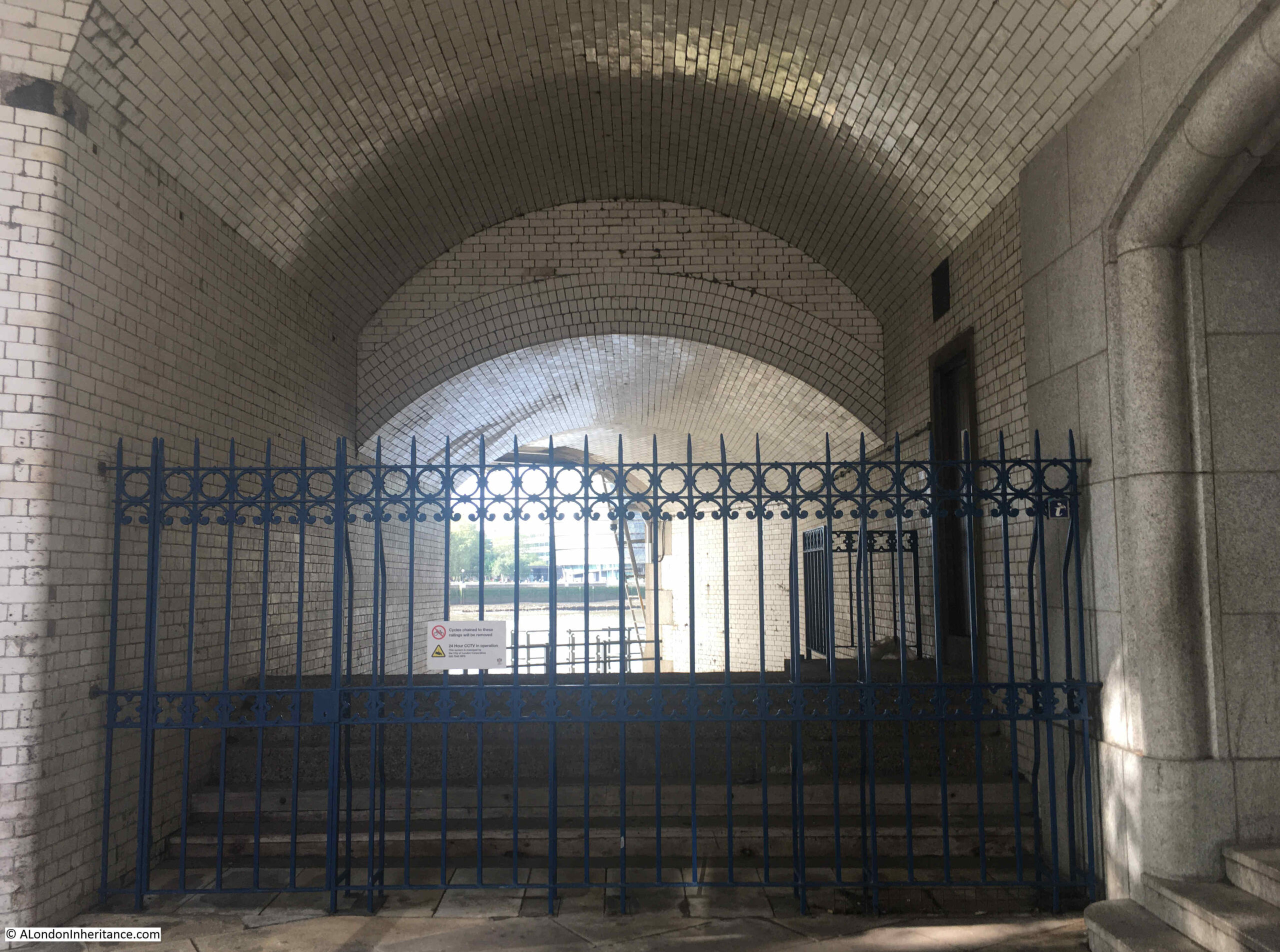
Through the gate, and we can see the railings around the top of the stairs. The surrounding walls are covered in the white tiles that are common to the majority of the places where you can walk under the bridge:
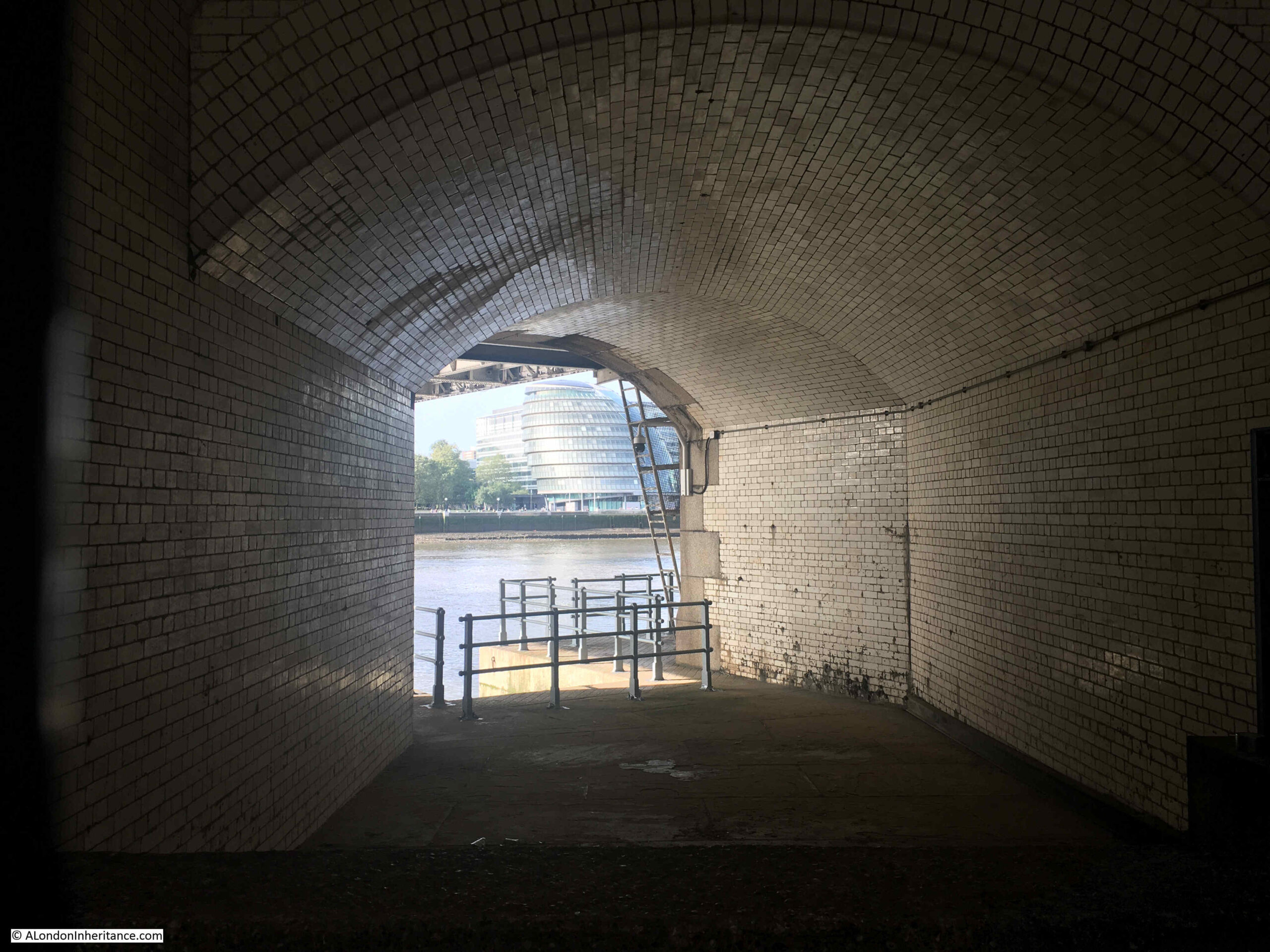
View of how the tunnel exits the base of the northern tower of Tower Bridge, and the steps leading down:
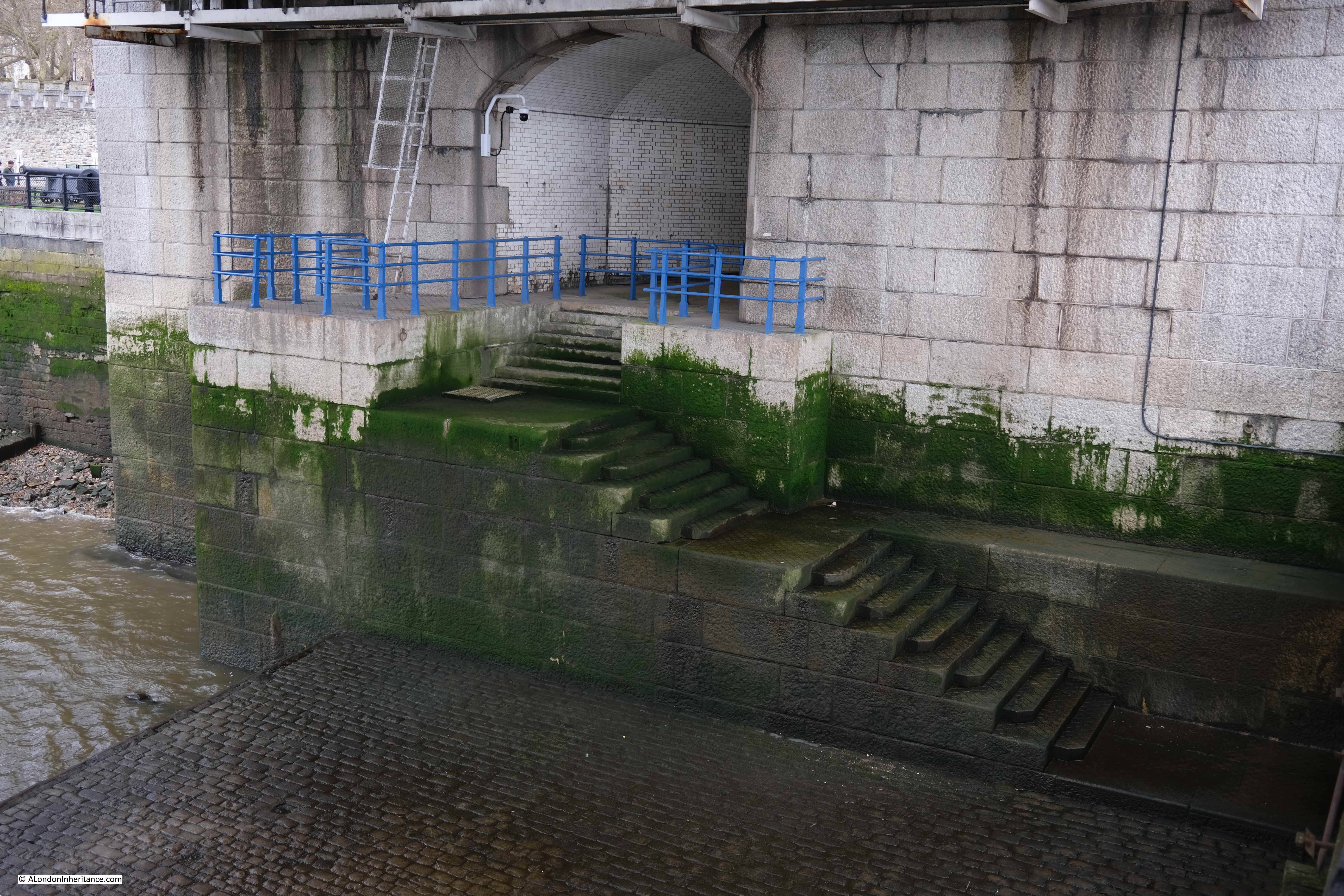
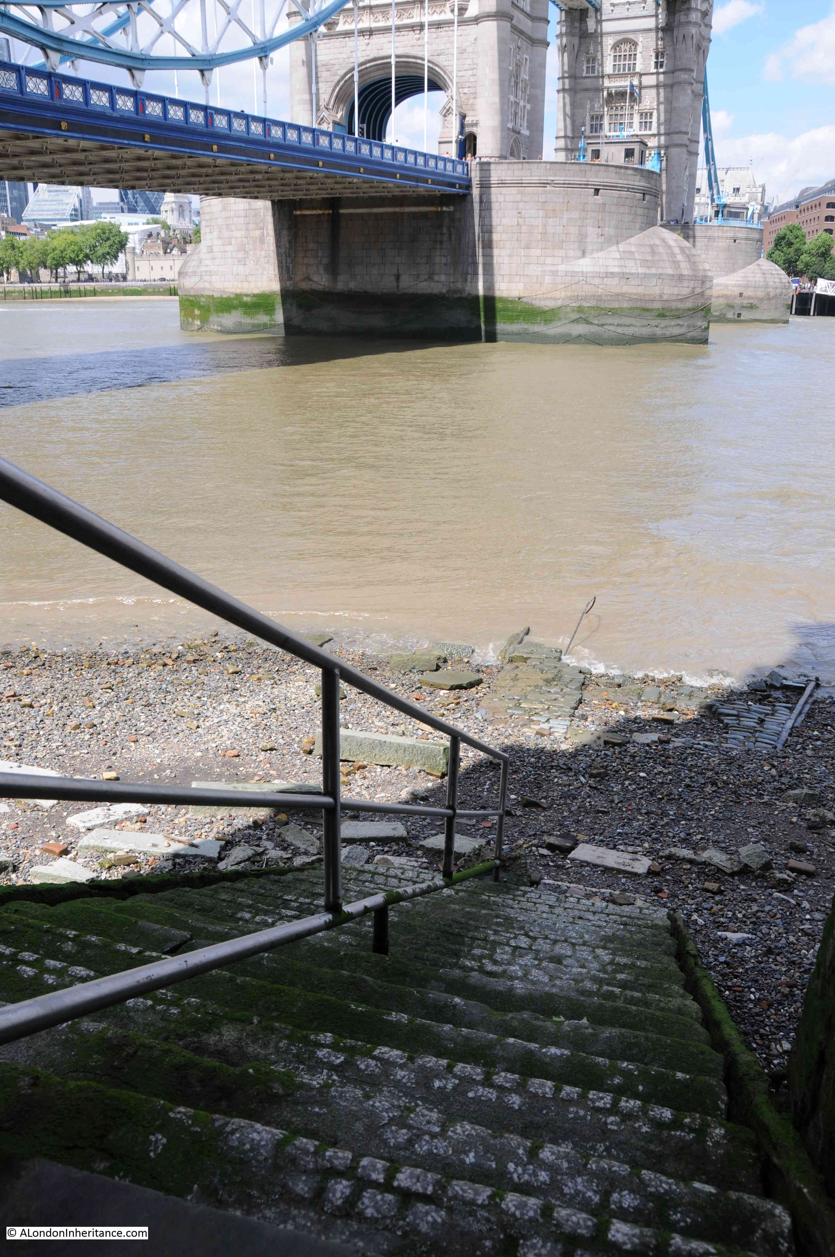
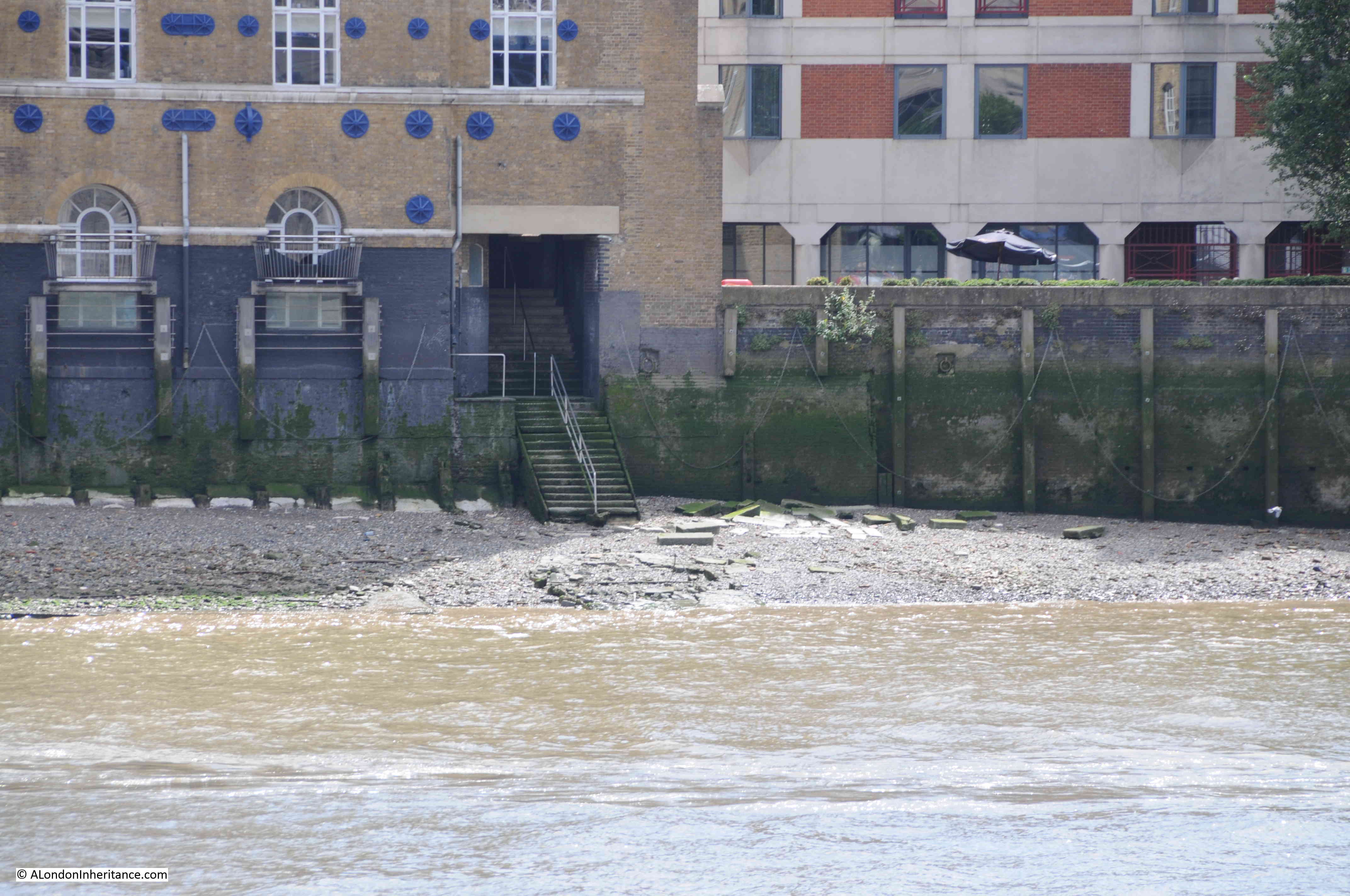
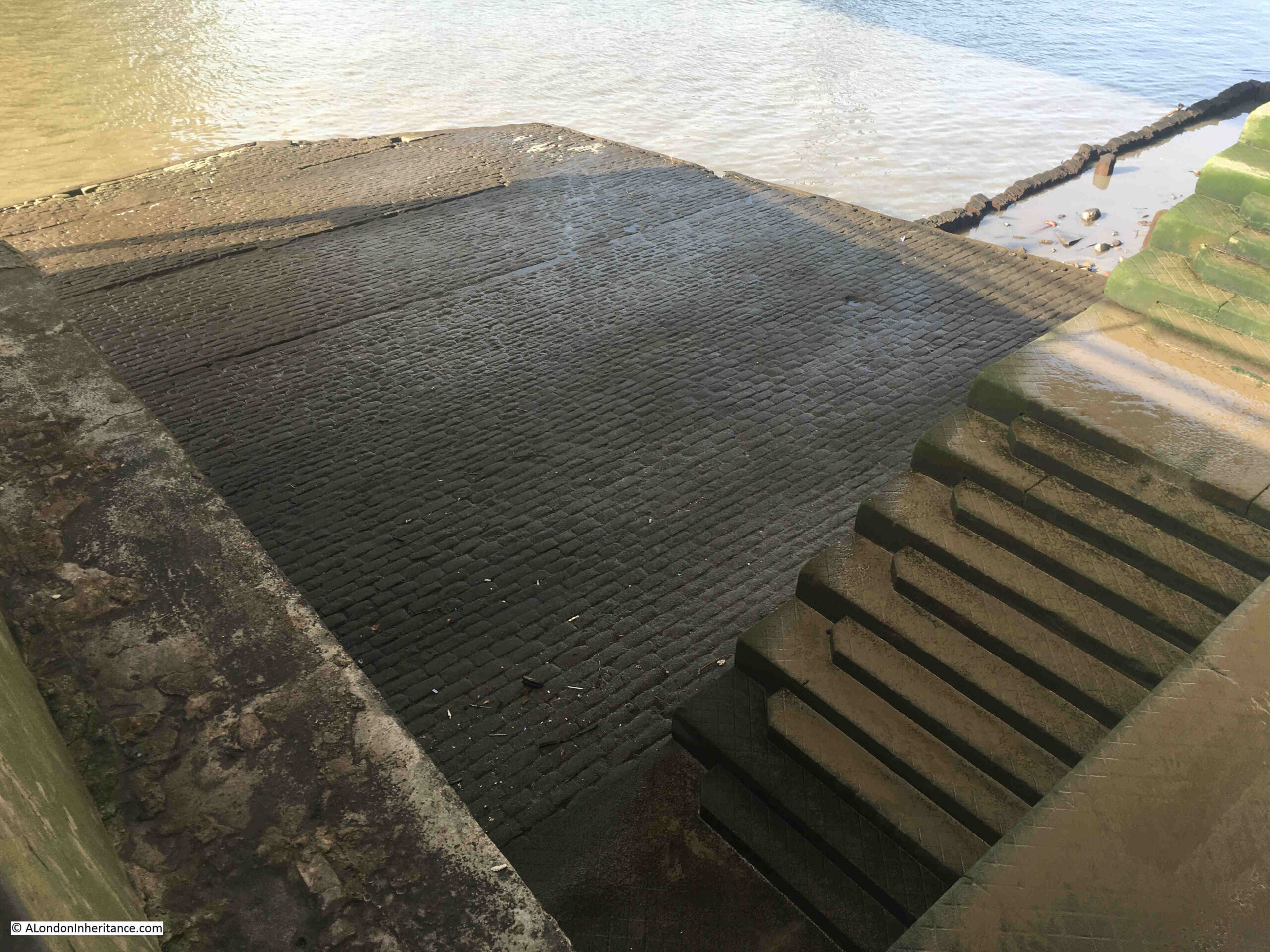
As the PLA document records, a causeway is part of Iron Gate Stairs, and for the stairs this is one of the largest causeways to be seen. It covers a large space at the base of the stairs, both in terms of width and length into the river:
The stairs are part of the construction of Tower Bridge, and I assume that the causeway may well date from the same time (assuming it has been continuously repaired). I doubt whether the stairs would have had a causeway of such size prior to the bridge being built.
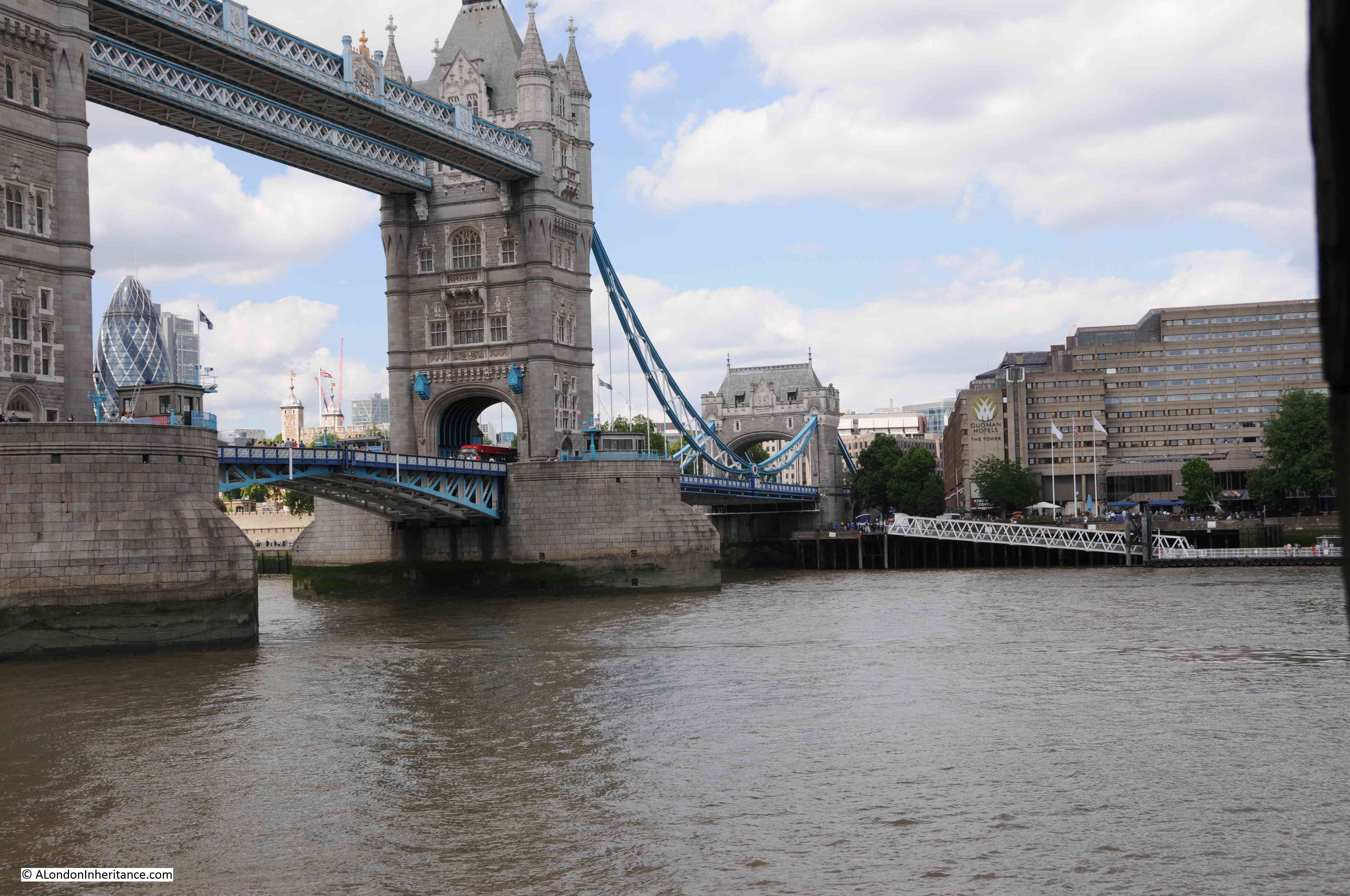
The need for a bridge at or around the location of Tower Bridge had been a pressing issue for many years prior to the construction of the bridge. In the later half of the 19th century, there was so much cross river traffic that an urgent solution was needed.
In 1884, the Southwark recorder and Bermondsey and Rotherhithe Advertiser was reporting that “The Corporation also propose to establish a steam ferry across the river, from Iron Gate Stairs, Little Tower Hill, to Horselydown Old Stairs, near Horselydown Lane. Another scheme for crossing the Thames is proposed by the Tower (Duplex) Bridge Bill. The structure would cross the river from Hartley’s Wharf, Horselydown, to Little Tower Hill, having in the centre of the river two loop bridges.”
The following year, the Eastern Argus and Borough of Hackney Times, was reporting about the construction of the new bridge, and that “the work will be done by the City Corporation which has set down five years as the period for completing it. It is to be formed from a point westwards of and near the Iron Gate Stairs to Hartley’s Wharf. The cost will be £750,000, and the structure will be of such a character as to admit of the passage at all times of the tide of vessels navigating the river. The bridge will be a great convenience to East London”.
The above report does call into question whether the current stairs were built on the site of the original Iron Gate Stairs, as the article states that the new bridge is to be built “westwards of and near the Iron Gate Stairs”.
A later article in June 1886 does though seem to confirm that the northern tower, and the stairs we see today are on the site of the original stairs, as when describing the works for the new bridge, the article states “On the north side, as already stated, it touches the shore at Irongate Stairs, from which a road will lead directly up to the Minories”.
In 1889, Watermen were complaining about the disruption to their trade “THE TOWER BRIDGE AND THE LONDON WATERMEN – The Select Committee of the House of Lords appointed to considered the Tower Bridge Bill proceeded to-day to hear the evidence of numerous watermen who claim compensation for disturbance of their occupation between Irongate and Horselydown Stairs in consequence of the construction of the works,. George William Shand was the first claimant”.
I would have thought that the watermen would have been far more concerned about the forthcoming loss of their trade between the two stairs once the new bridge had been opened.
Based on the majority of newspaper reports, aligning maps, and the Port of London Authority listing of Thames Stairs, I am as certain as I can be that the stairs we see today are in the same place as the original Iron Gate Stairs.
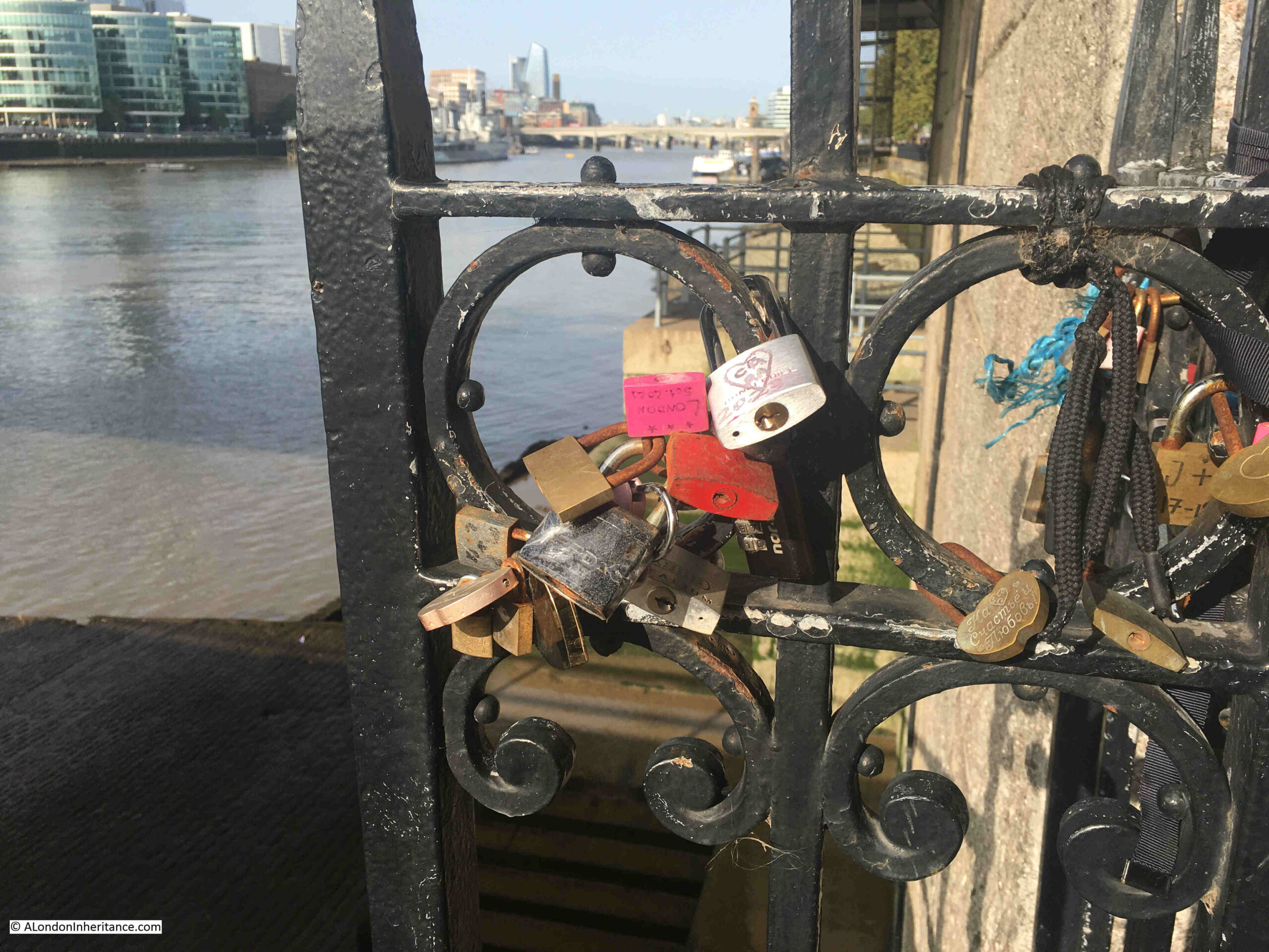
The railing by the side of the view over the stairs seem to have acquired evidence of many of the tourist visits to the site:
I had a good look around, however I could not find any signs that name iron Gate Stairs.
They are though yet another example of historical continuity, with the stairs being in roughly the same place after the construction of Tower Bridge, and being named after a gate dating back to the 14th century, located where there are still a barrier and gates in position, to close of the south eastern entry to the space between the Tower of London and the River Thames.