Eight years ago, I started an annual post about the works around Euston Station for HS2. That first post was about St. James Gardens, which I photographed just before closure, as the area was part of the route for HS2 rail tracks and the station infrastructure.
Back in 2017, I thought it would be interesting to walk the same route each year, and watch as the new station develops, to see how such a major London infrastructure build transforms a relatively small area, and what a brand new Euston station would look like – a new station that was desperately needed.
Little did I know at the time, that eight years later there would still be very little of any new infrastructure to see (a full list of all the posts is at the end of today’s post).
Although this was intended to be an annual post, I did not do one in 2024, as there was virtually no change to see, and sadly, in early 2025, this is still the situation, but if anything, keeping up a regular almost annual post does highlight the issues around a construction project such as HS2, and how shockingly bad as a country, we have become at deciding on, planning, financing and building this type of large infrastructure project.
So, for 2025, prepare to be underwhelmed !!
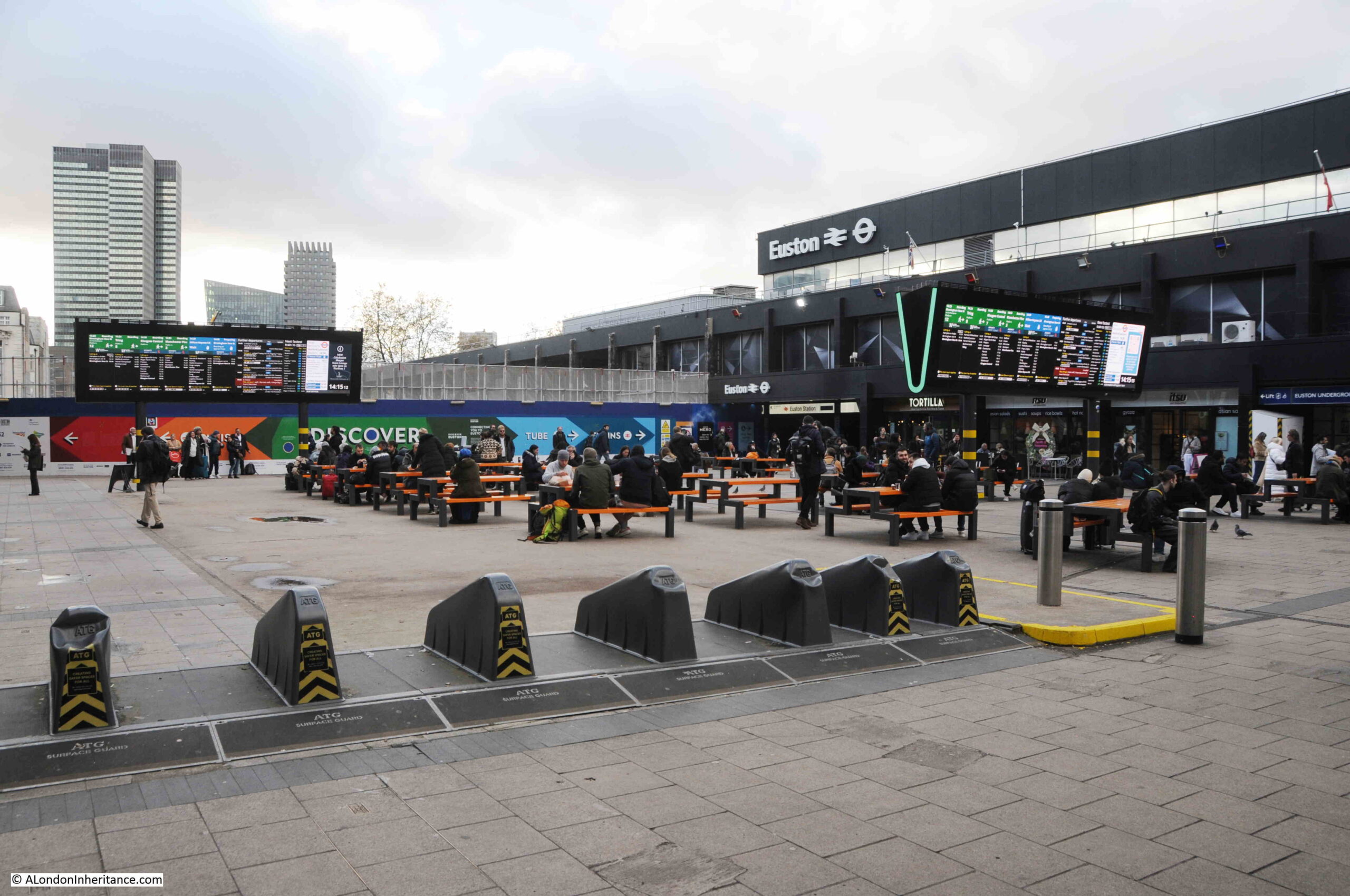
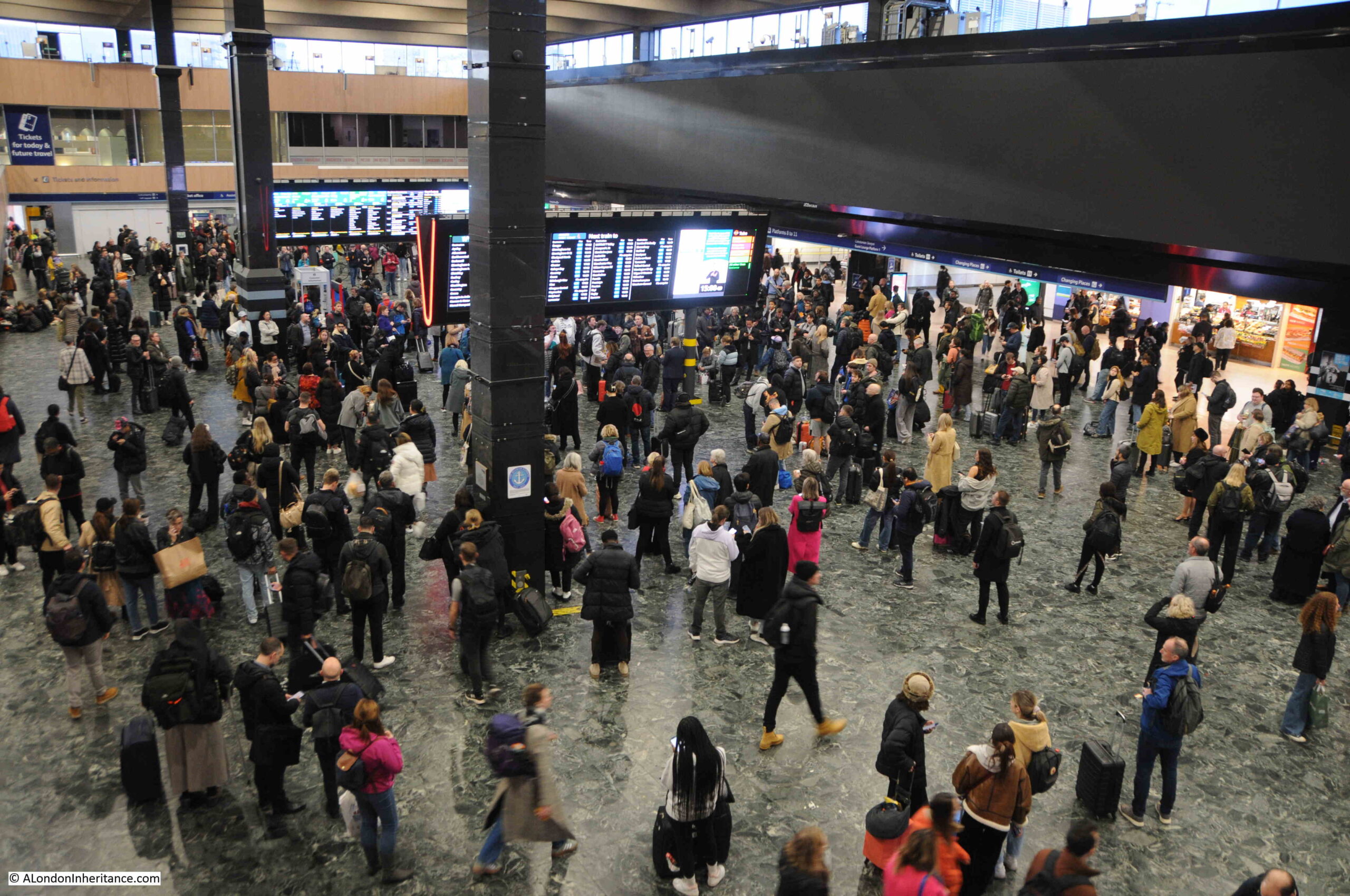
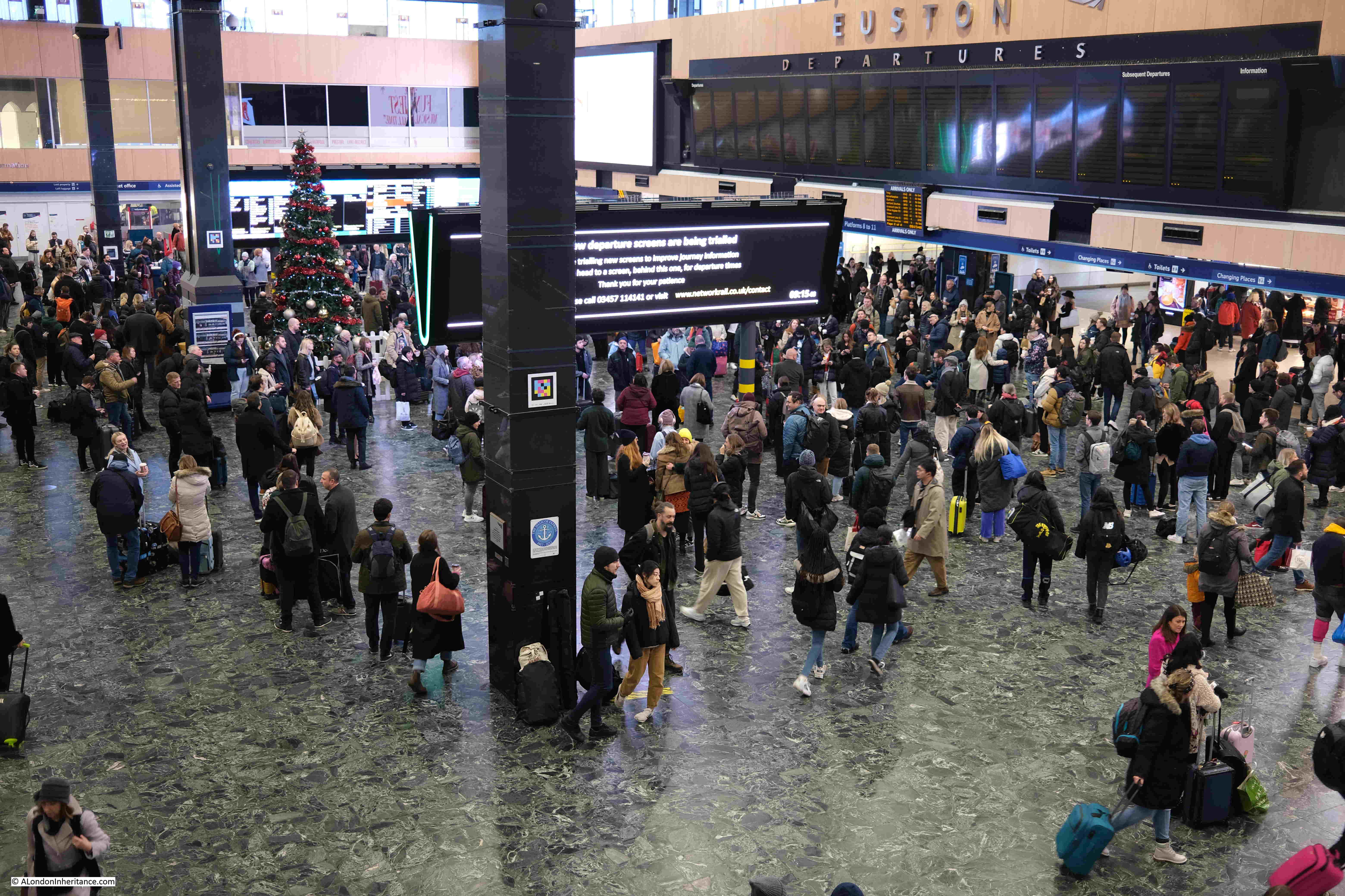
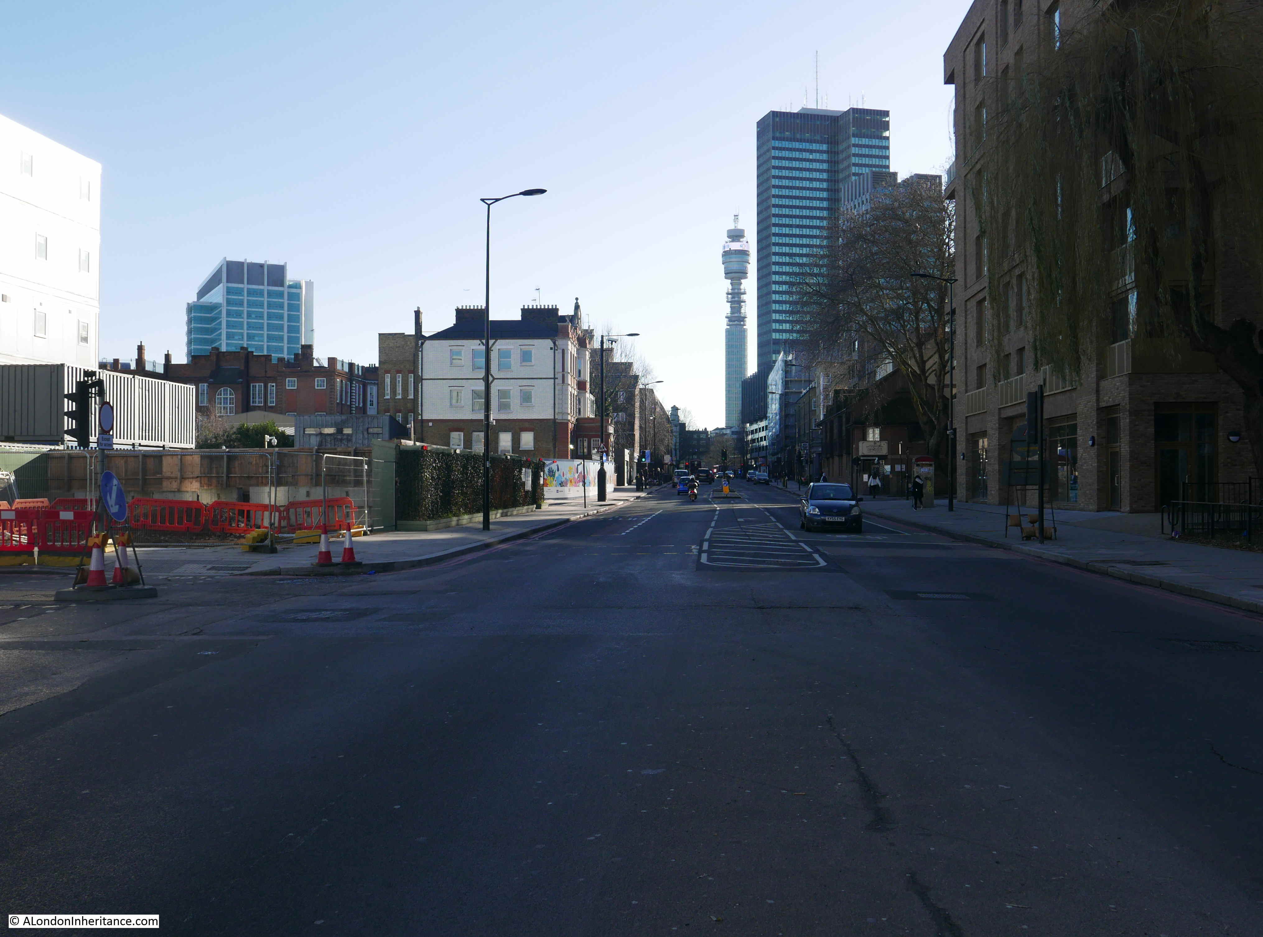
I started at Euston Station – a station that is in desperate need of a rebuild. The current station buildings opened in 1968, and my first experience with Euston was in the late 1970s when taking the train to the BT apprentice training centre at Bletchley. Then, it seemed a very modern and efficient station when compared to the decaying Victorian stations of the major termini around London.
Today, the majority of those Victorian Stations have been preserved and really well redeveloped, whilst the late 1960s Euston station has become over crowded, inefficient, rather strange walking routes to connect between over and underground transport, and is in desperate need of a rebuild.
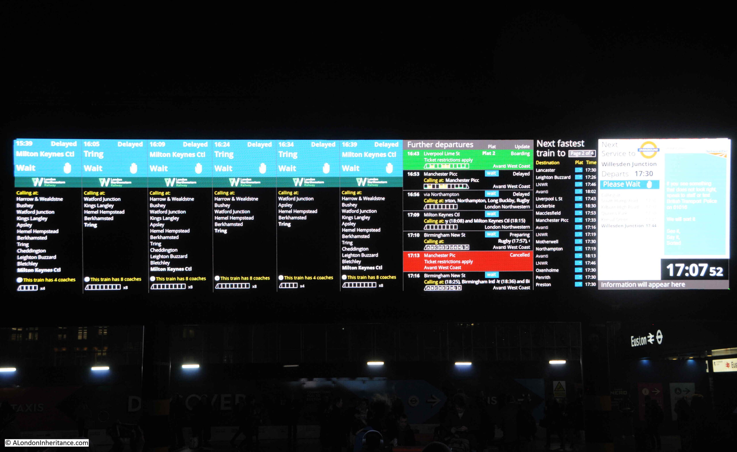
However, the major change across the whole walk I would take in 2025, was not as a result of HS2, rather the change of the horrendous, over-bright advertising screen that took over the original platform and train information boards, back to the function it should be doing – indicating platform and train details:

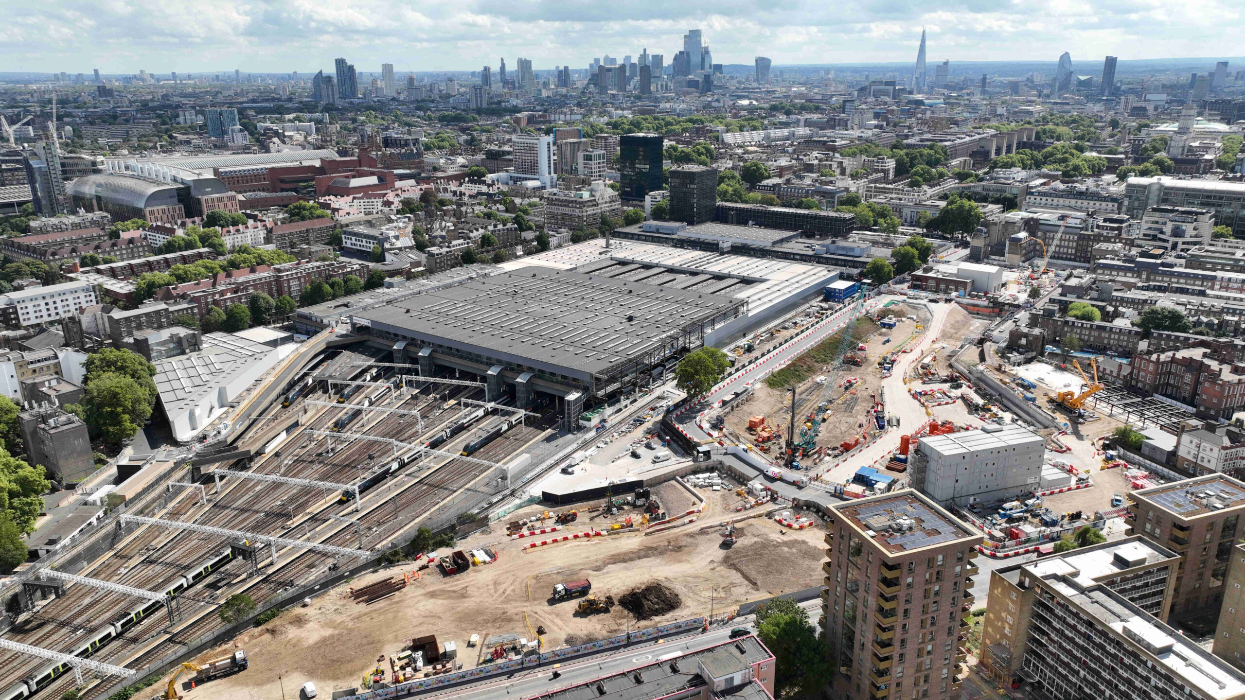
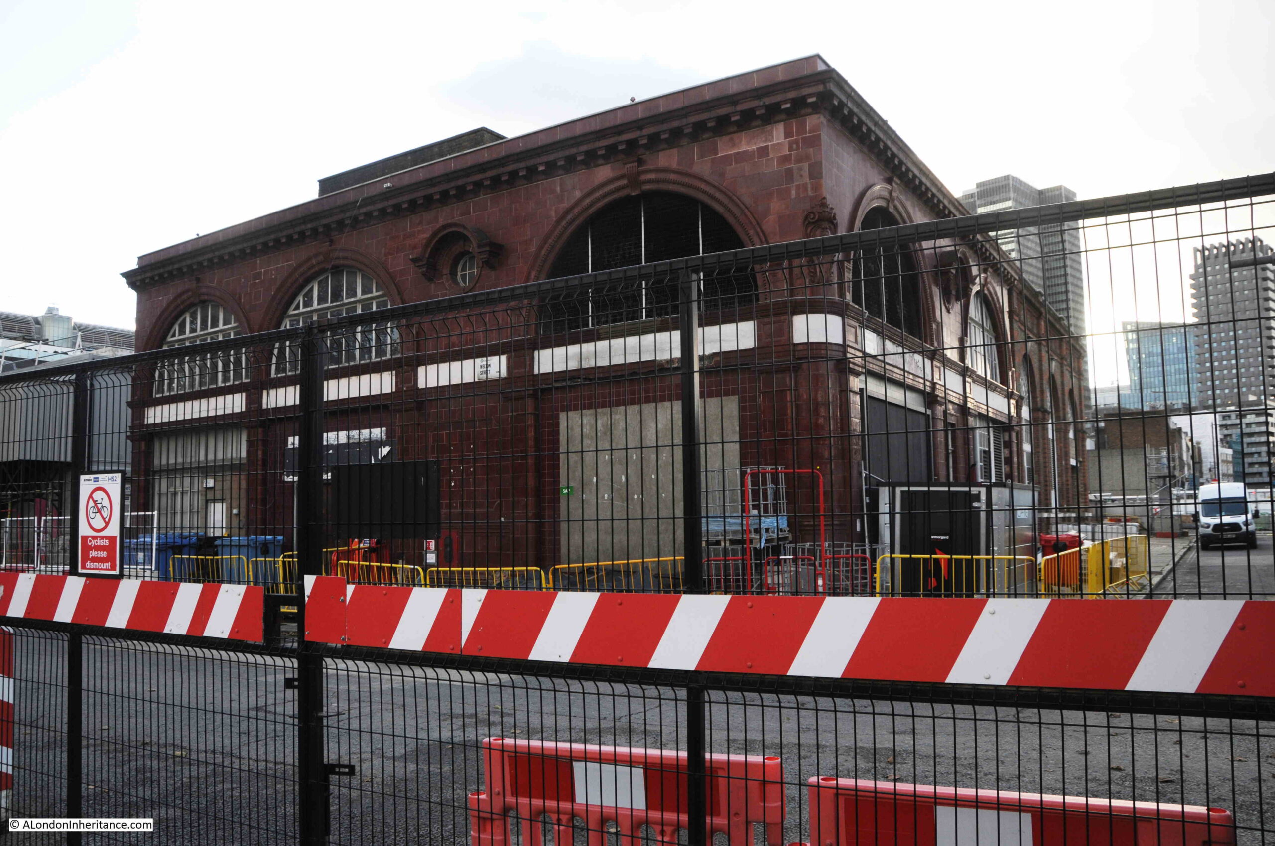
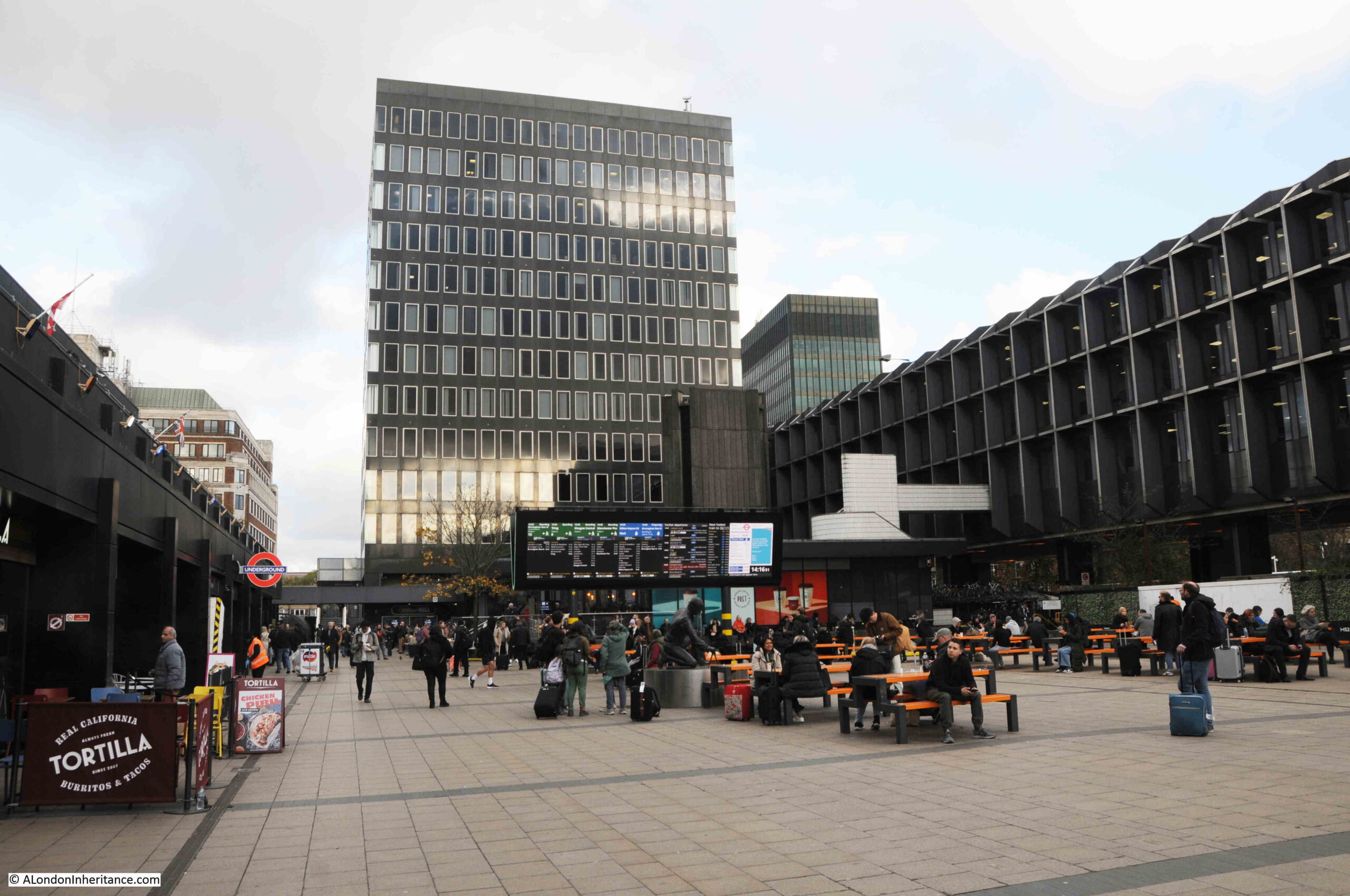
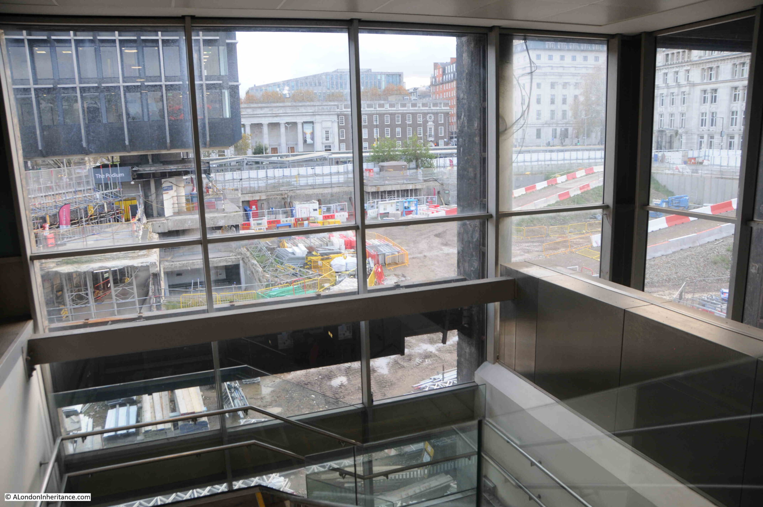
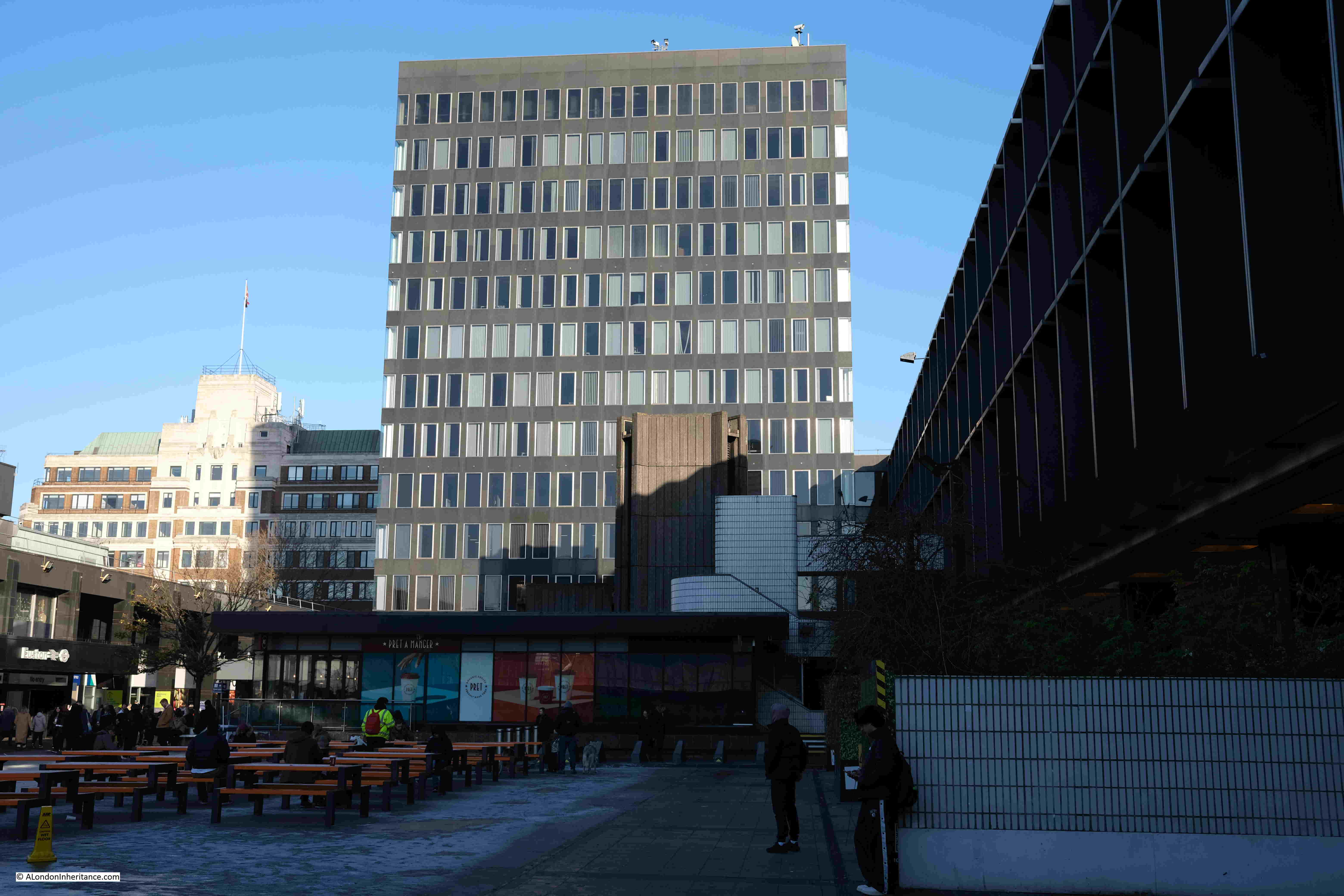
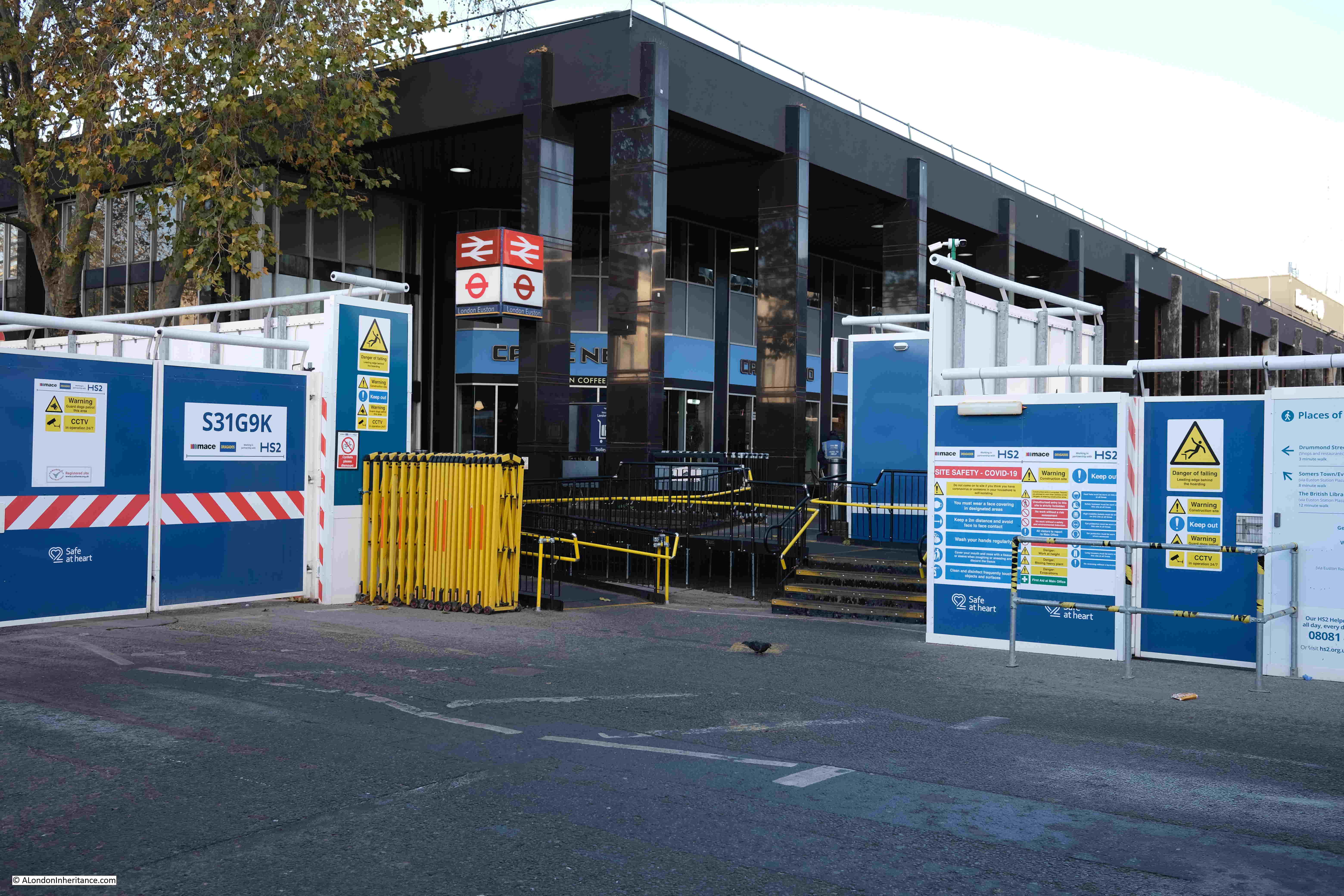
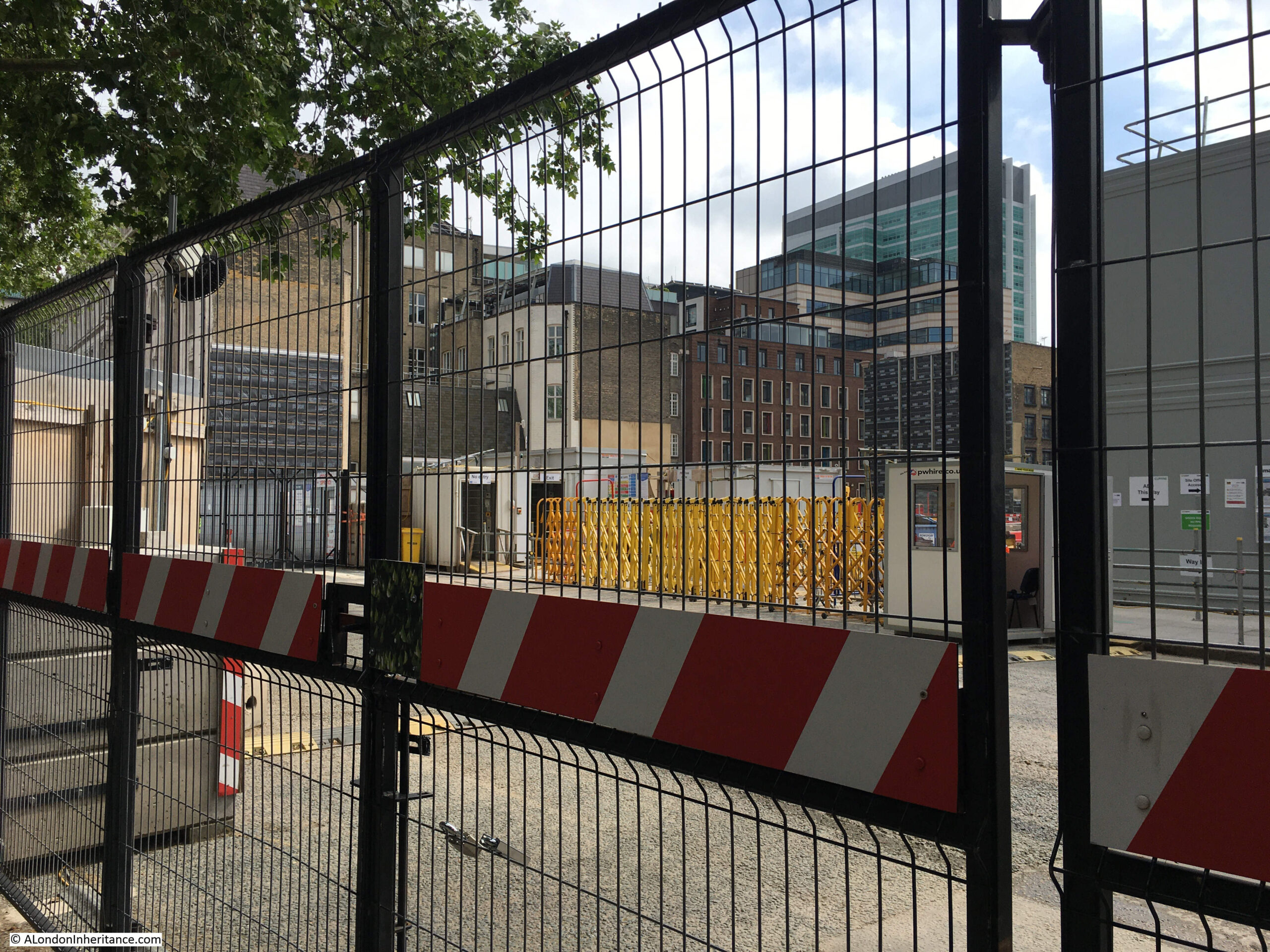
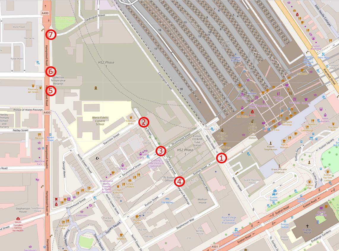
Not much can be seen of the HS2 works from the station, but walk up to the upper level, and by the stairs in the south-west corner of the station, we can look over the area between the station, Melton Street on the right, and the old taxi rank to the south. This should be part of the new station, but for now, and the last few years, it is just a hole in the ground:

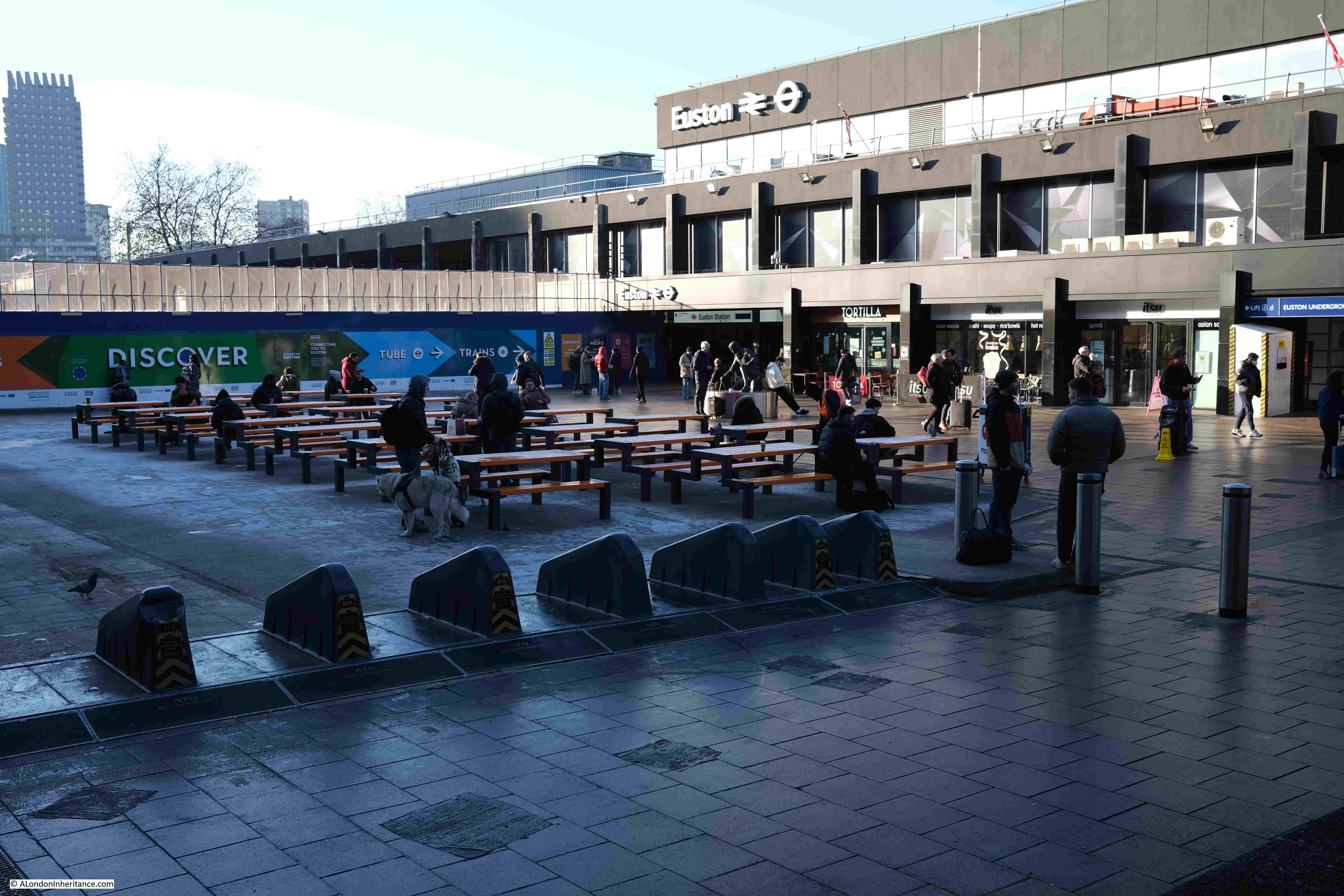
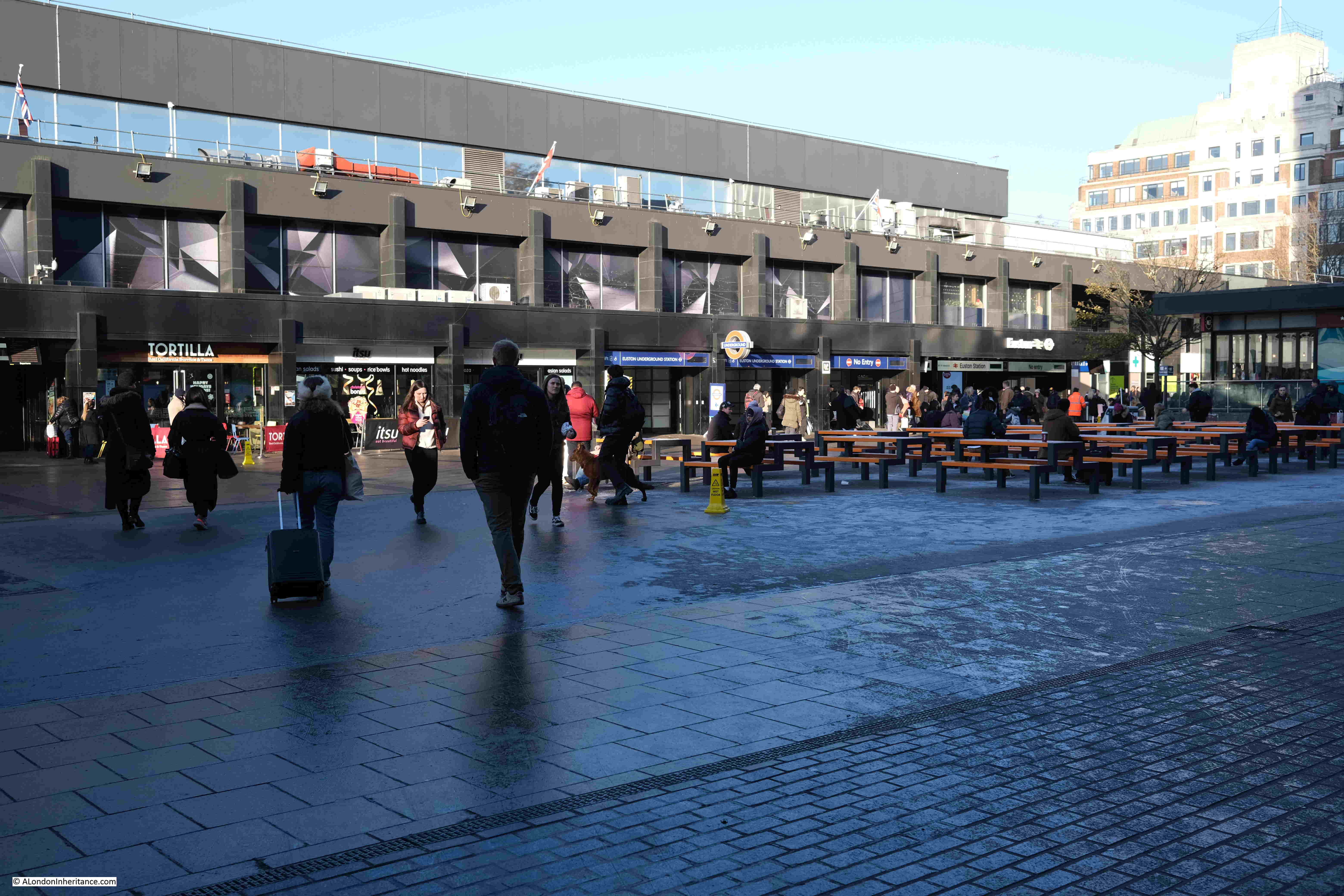
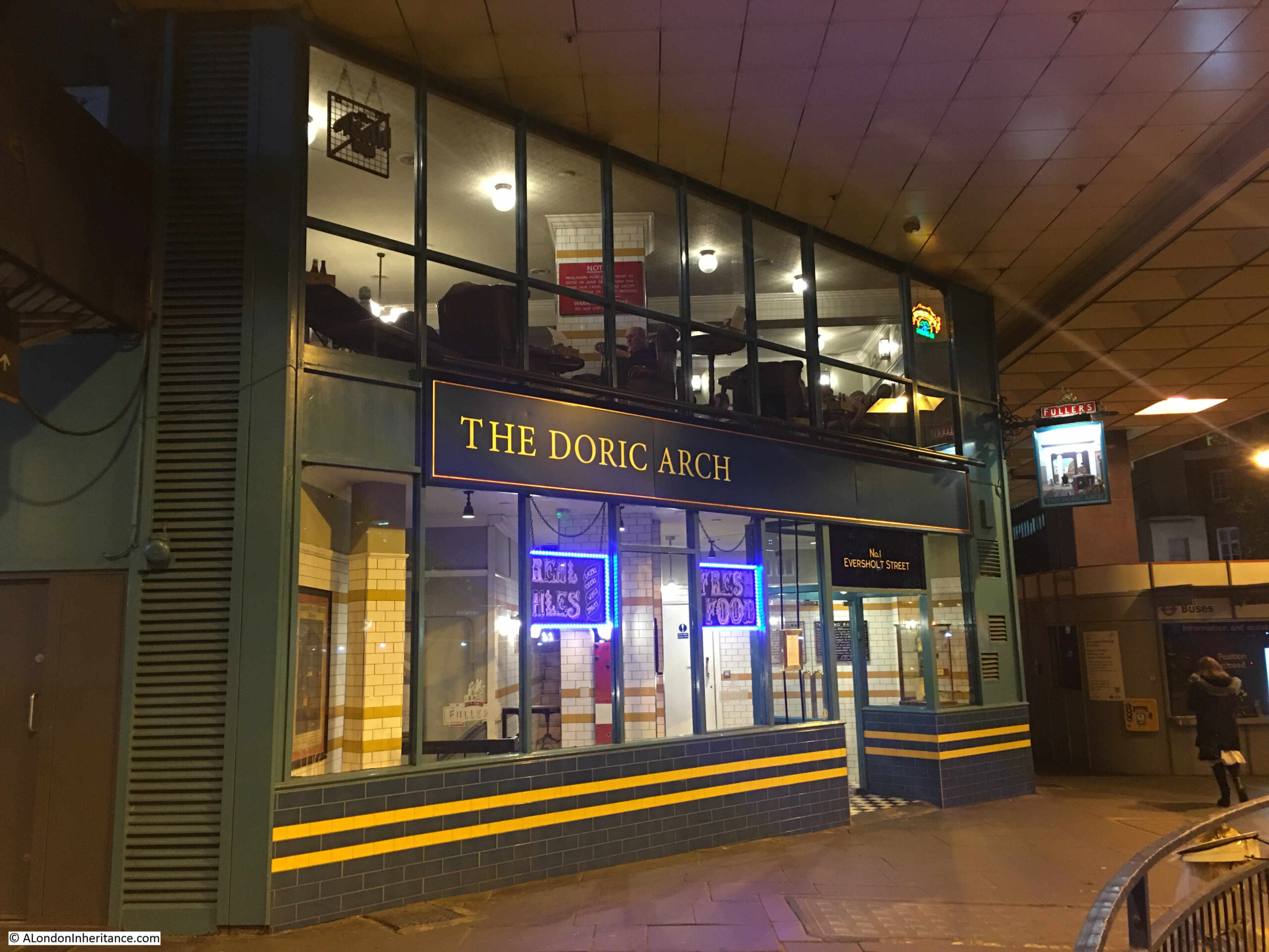
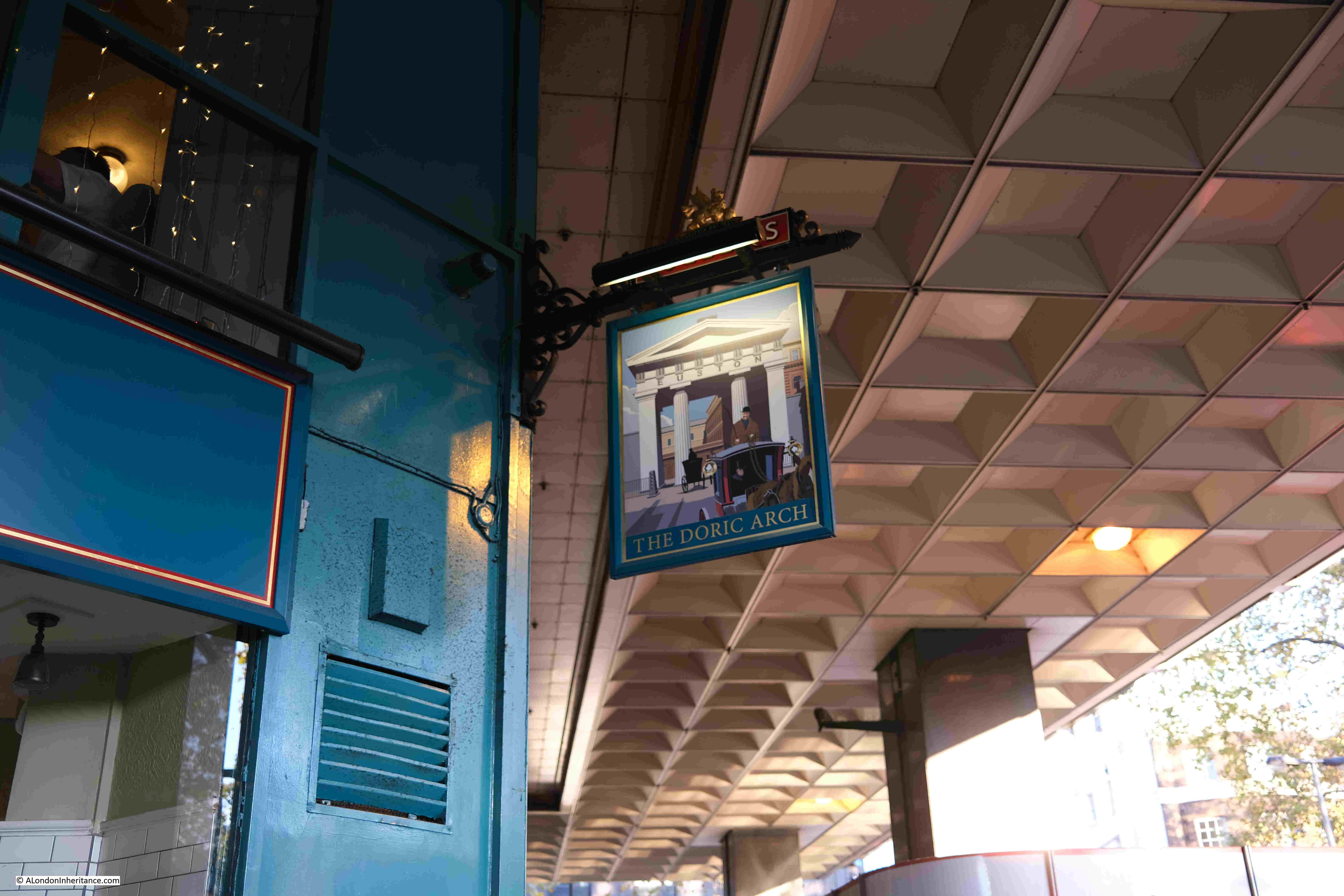
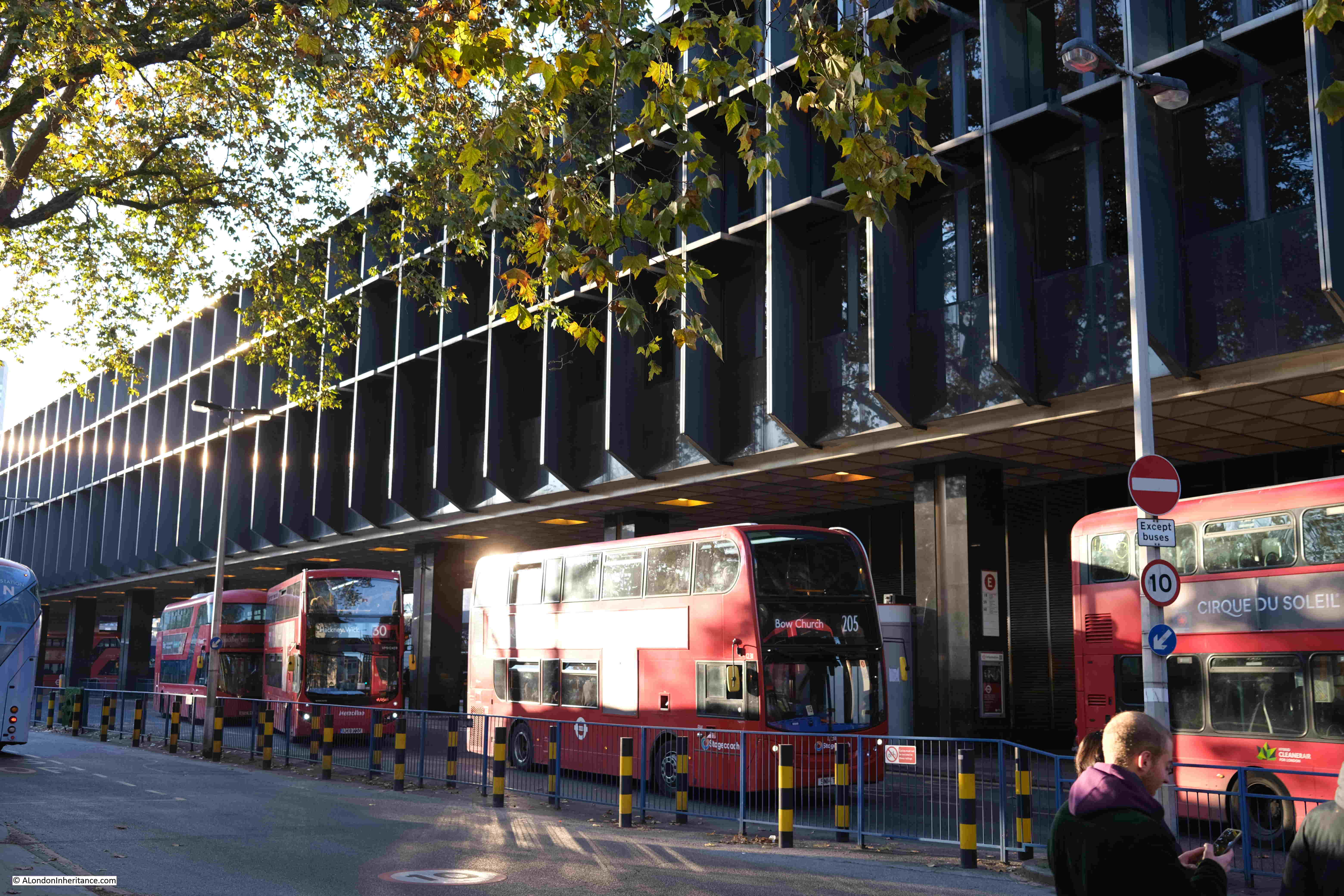
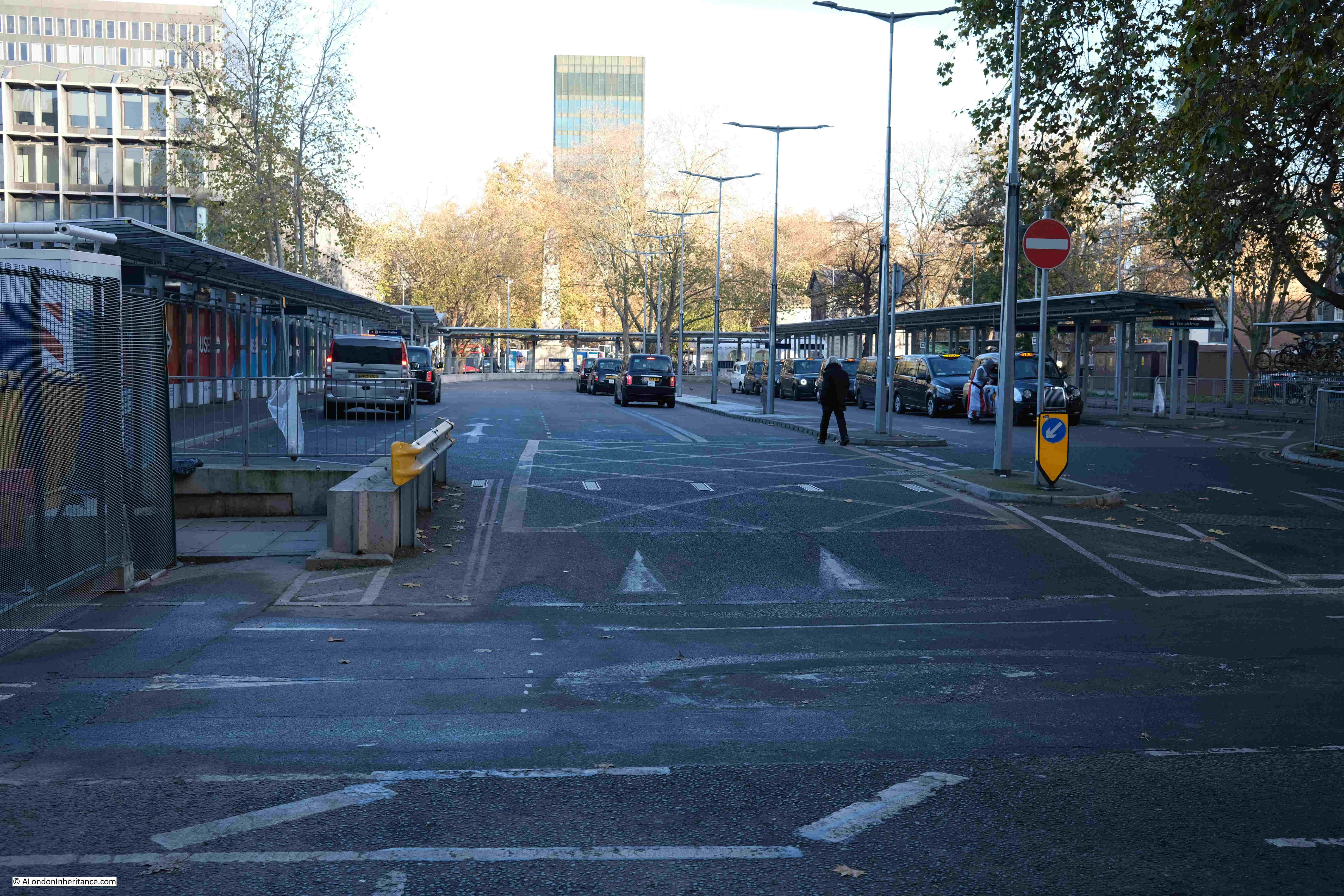
Walking out of the station, across the open plaza, under the office blocks towards the south-east, and the Doric Arch pub is still open:

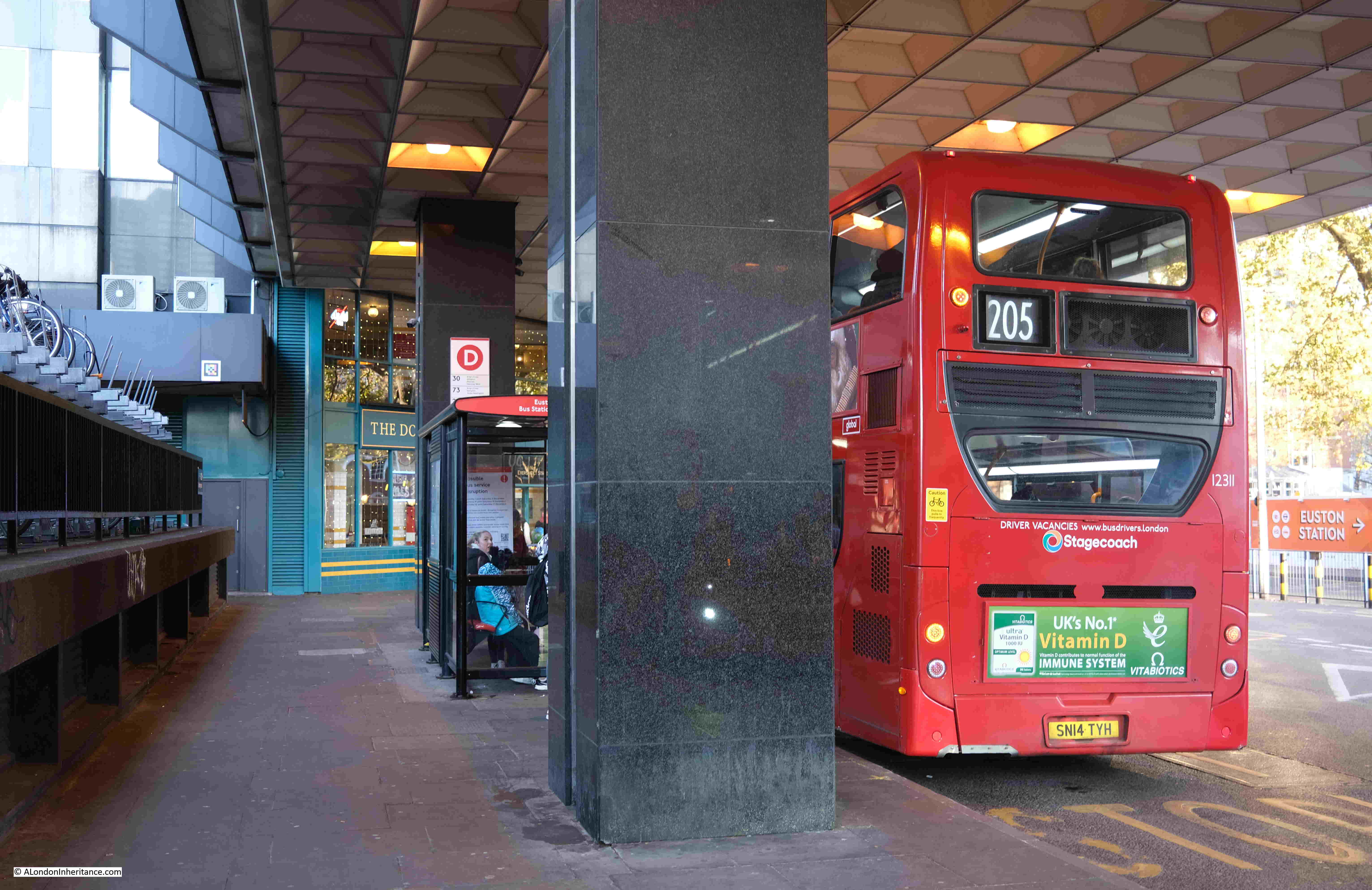
And this area is still busy with buses:

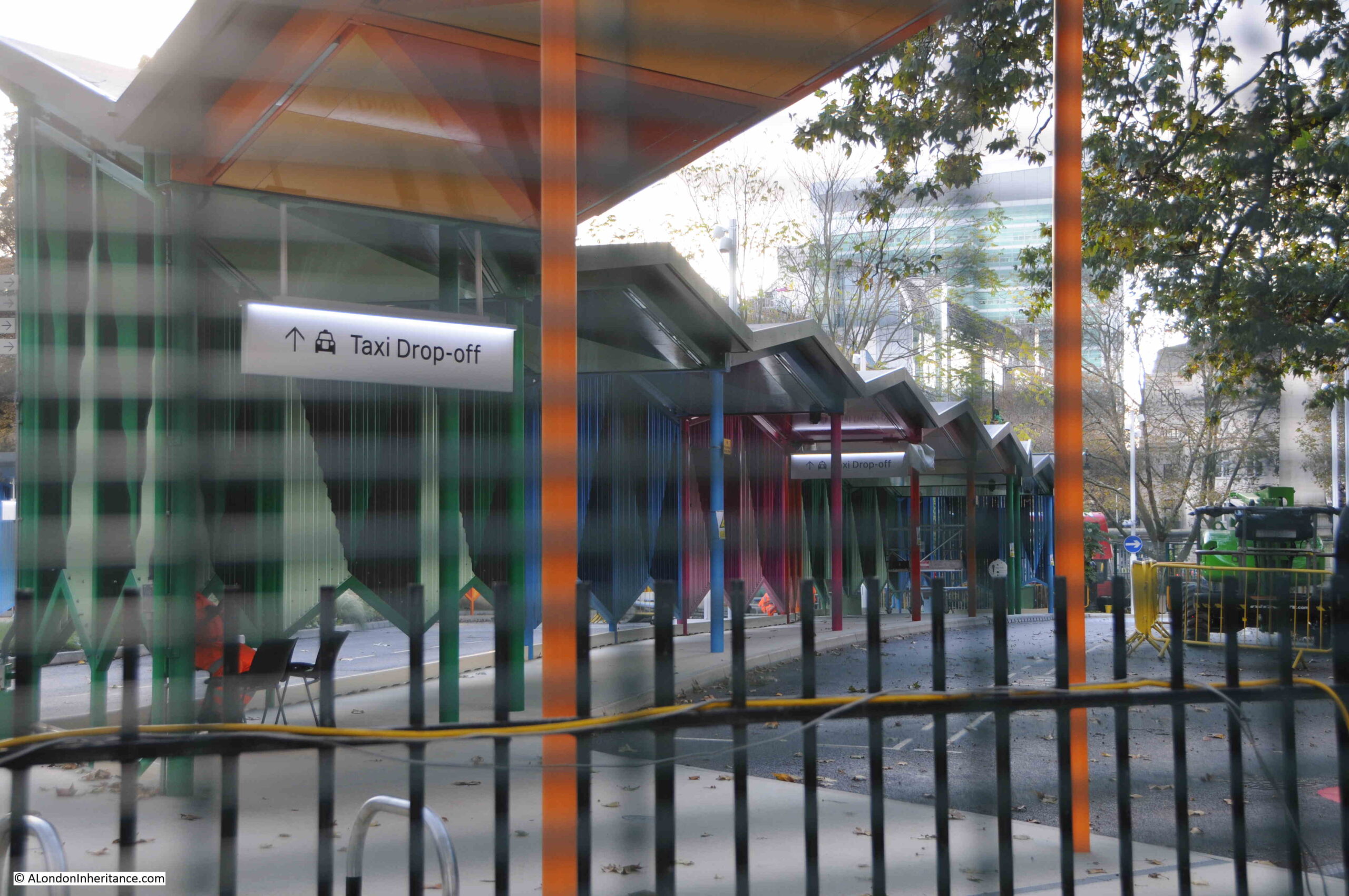
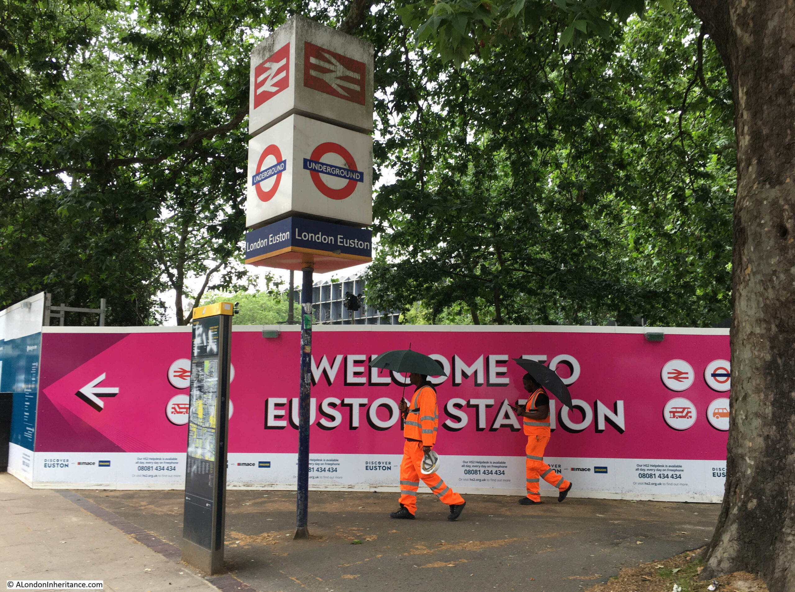
On the eastern side of the station there is a new taxi rank, with multi-coloured shelters, which appear to reflect a new colour scheme for Euston signs, which at the moment only appear in small parts of the area being redeveloped:

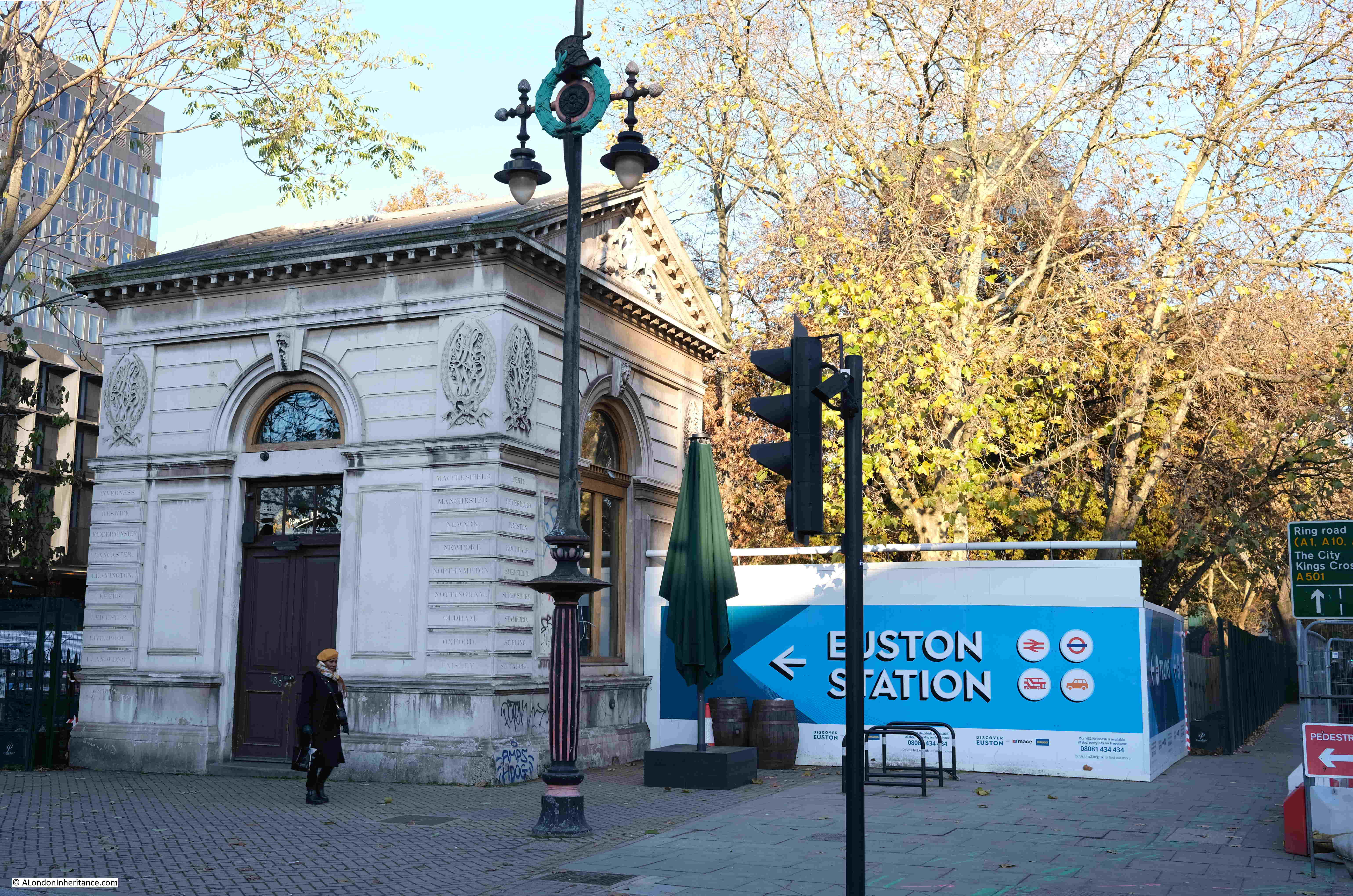
From Euston Road there is very little to be seen of any HS2 works. The Grade II listed lodges, which are the only survivors of the 1870 build of the original Euston station, and which stand either side of the road used by buses to access the bus station, still face onto Euston Road:

In the above photo, there are two lamp posts, one on either side of the entrance to the Euston bus station. They are of a really interesting design. They are not listed in the Historic England database, and following a brief search, I cannot find any information about them.
The design at the top includes a wreath, and what looks to be possibly a Roman helmet:

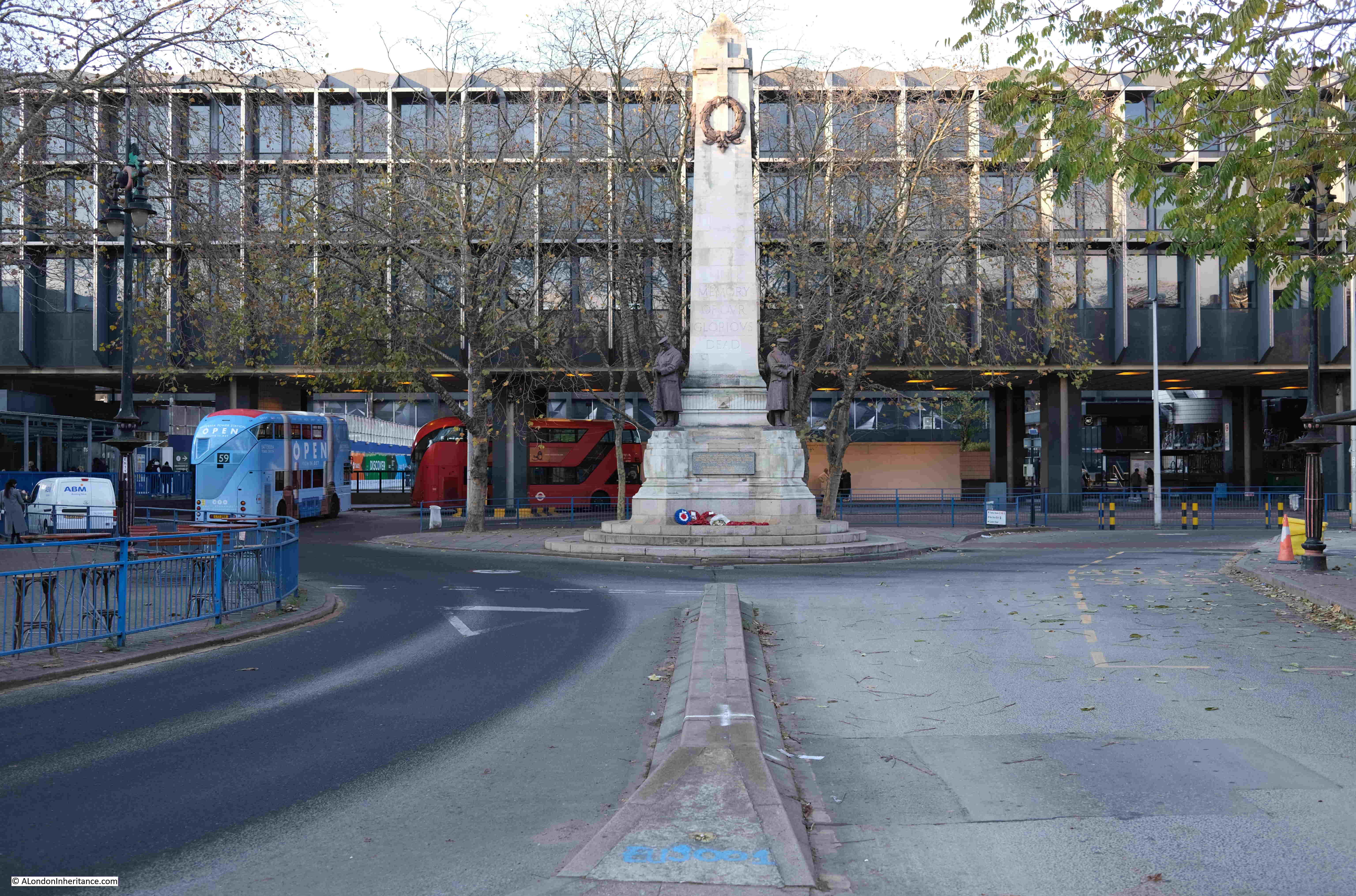
Crossing the road between the two lodges, and we can see the 1921. Grade II* listed war memorial, designed by Reginald Wynn Owen, with the bus station to the right, and the late 1970s low rise office block that was built between the station and Euston Road as part of a development of low and high rise office blocks in the late 1970s:

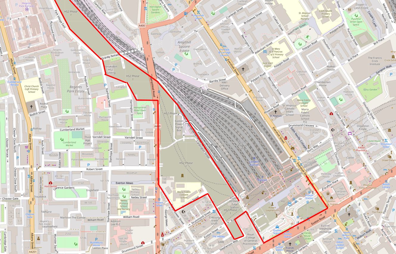
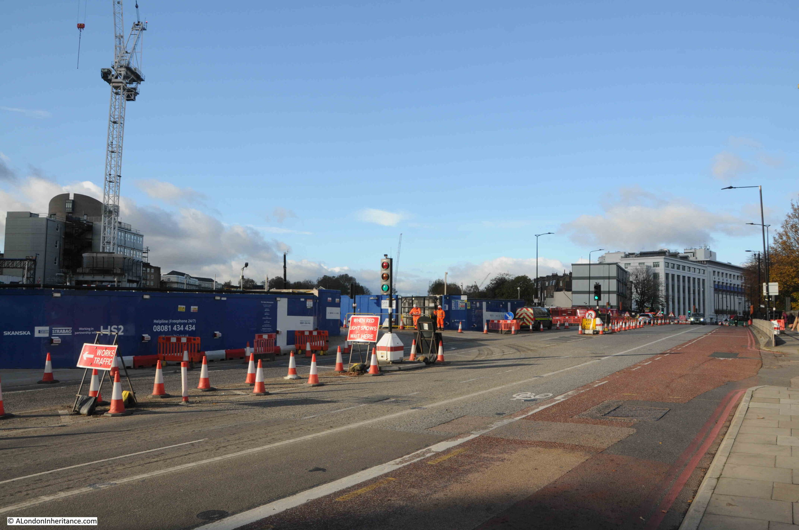
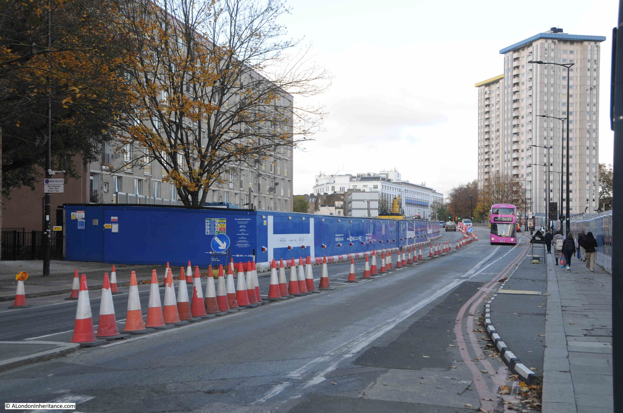
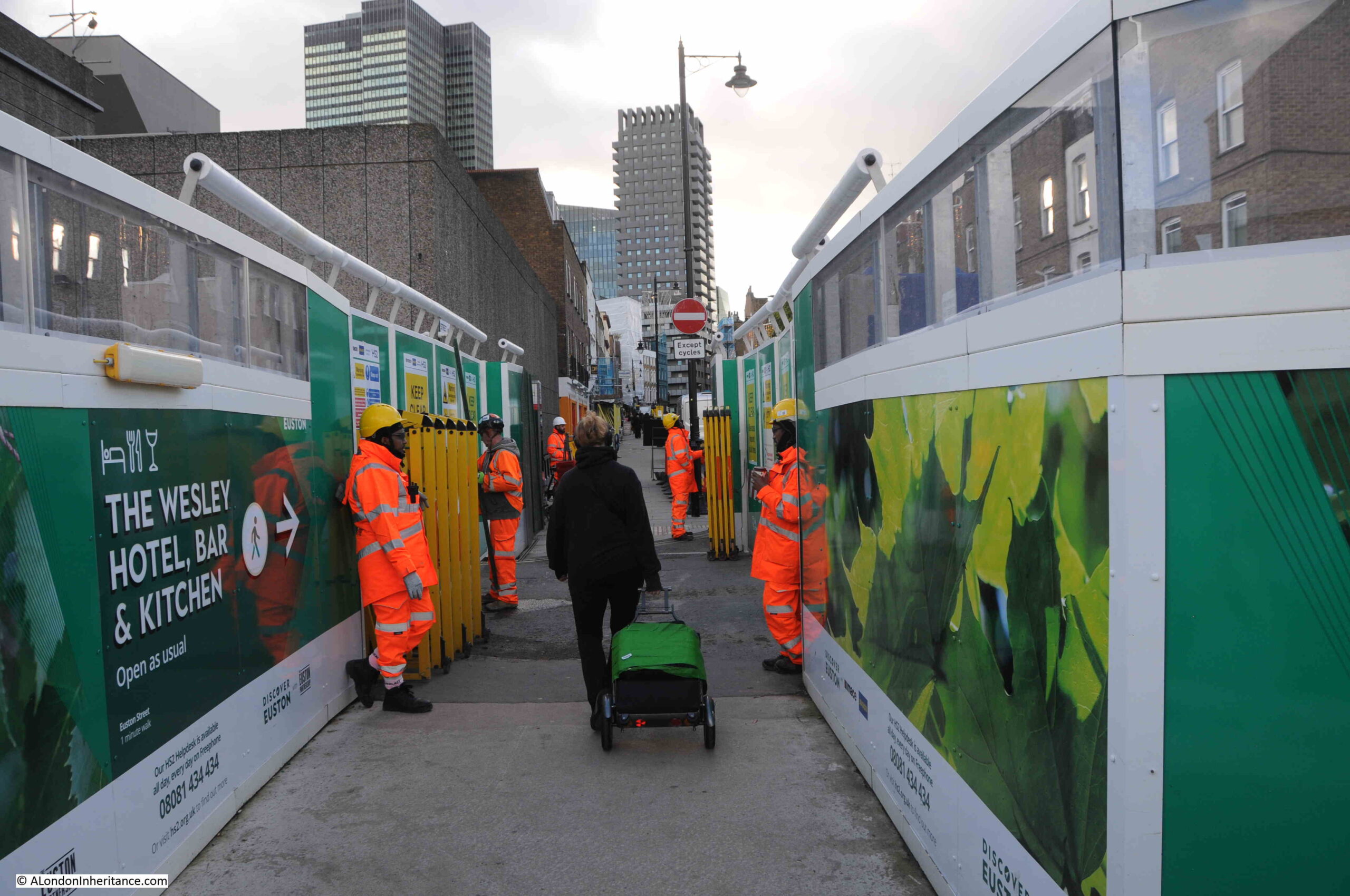
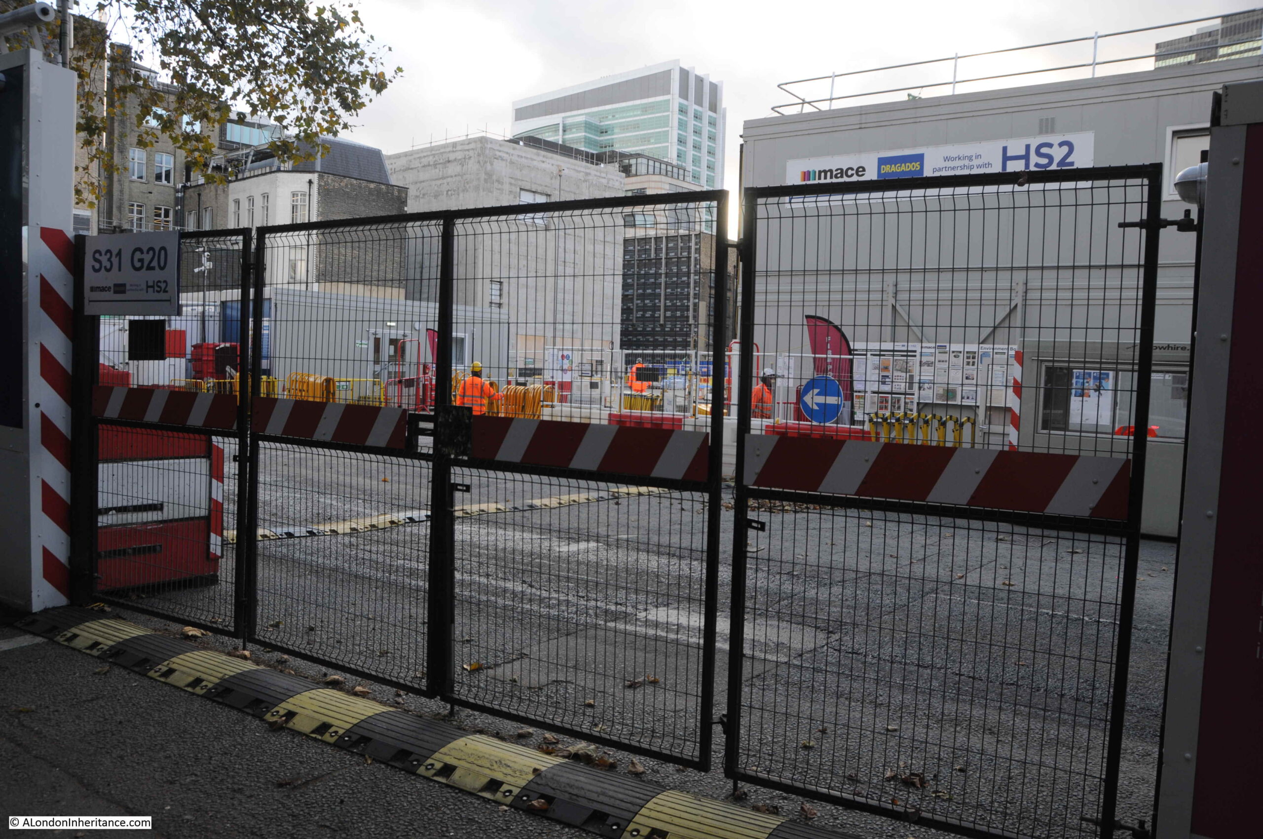
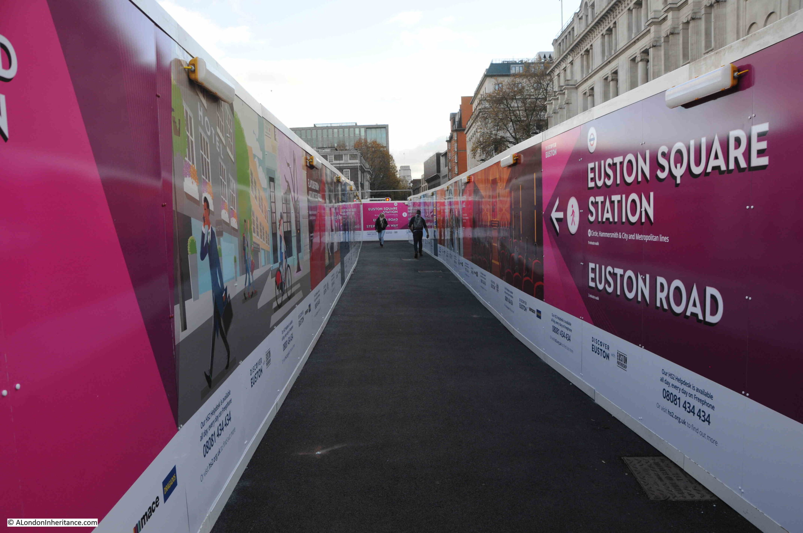
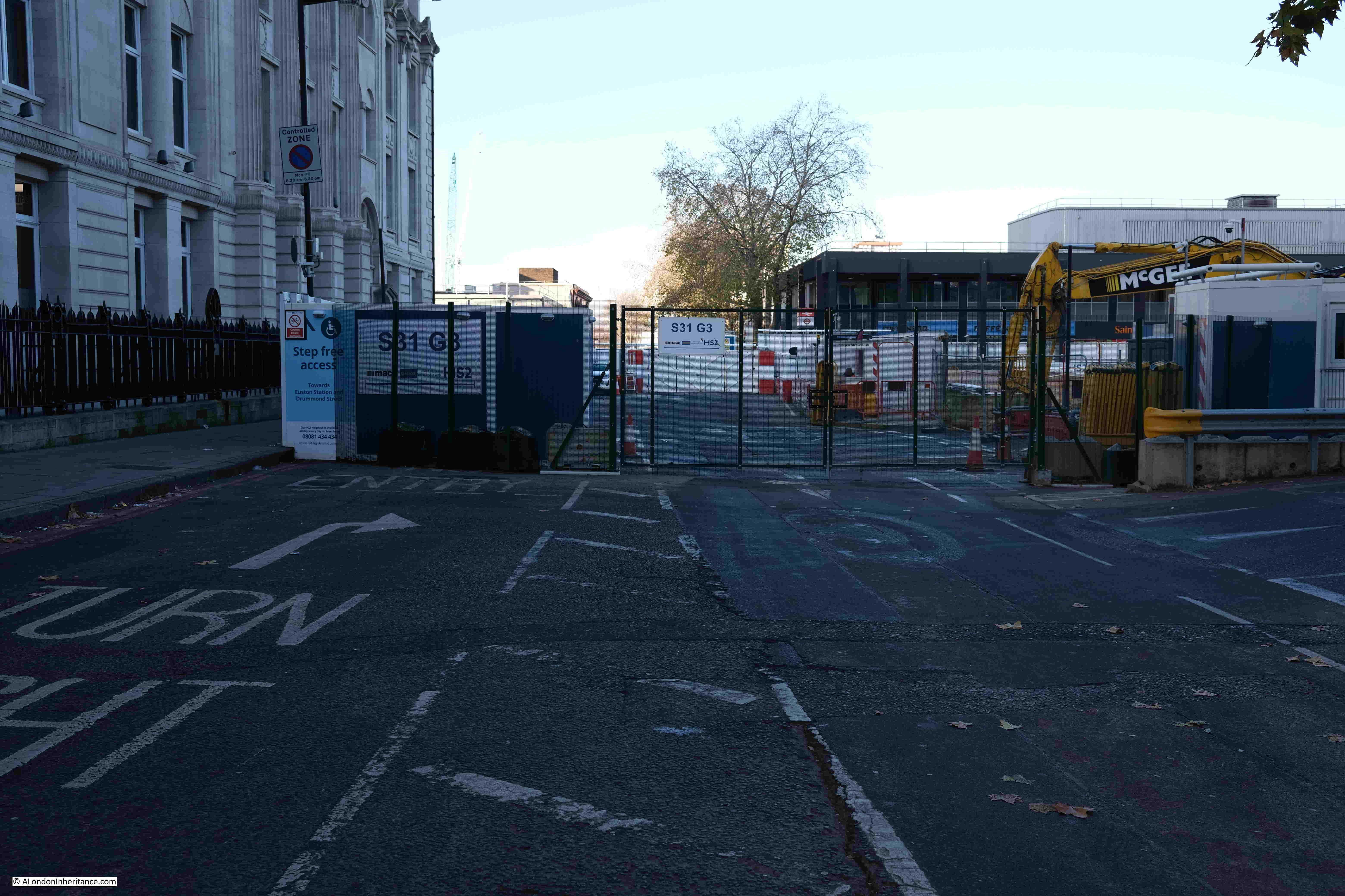
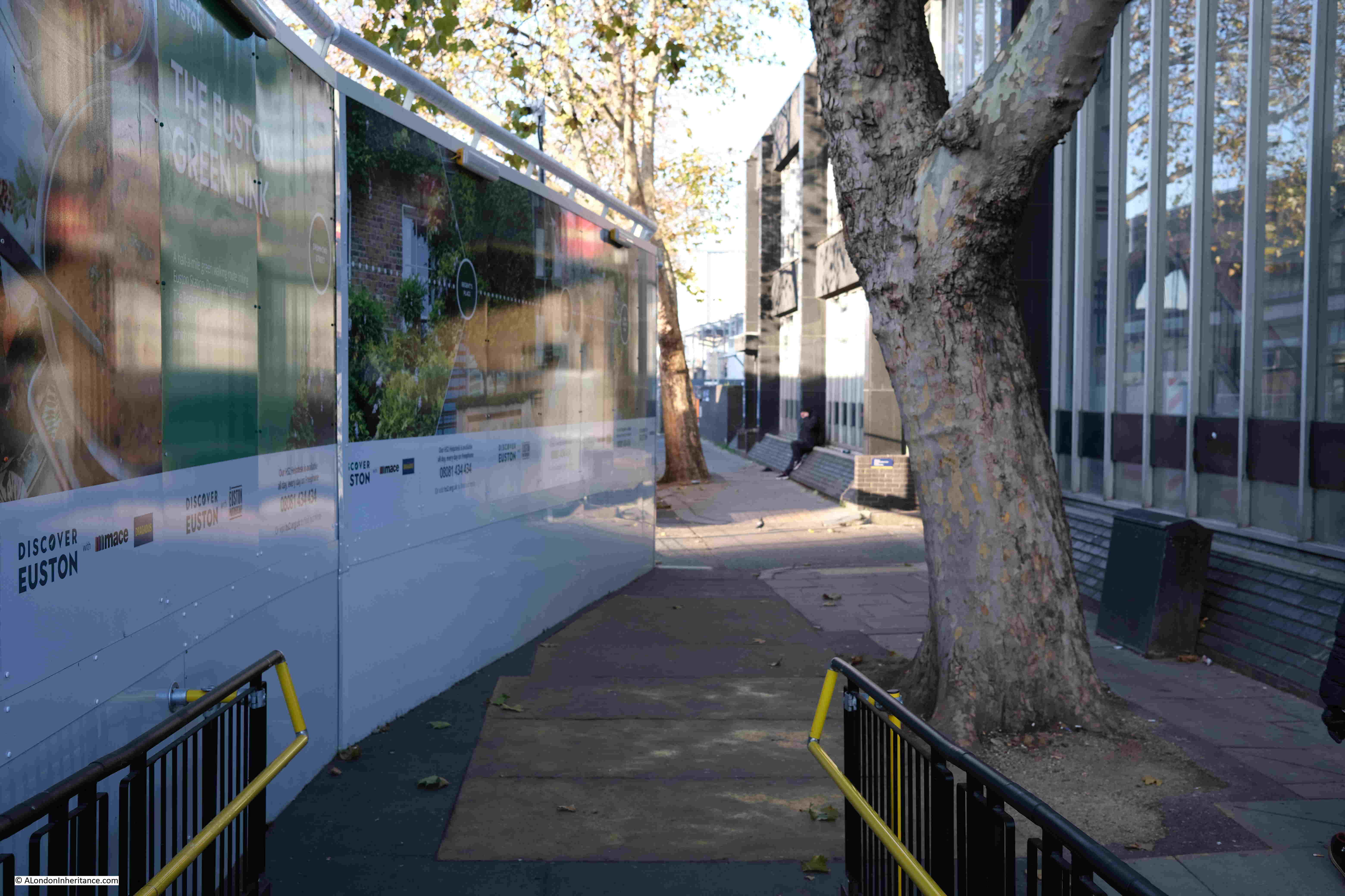
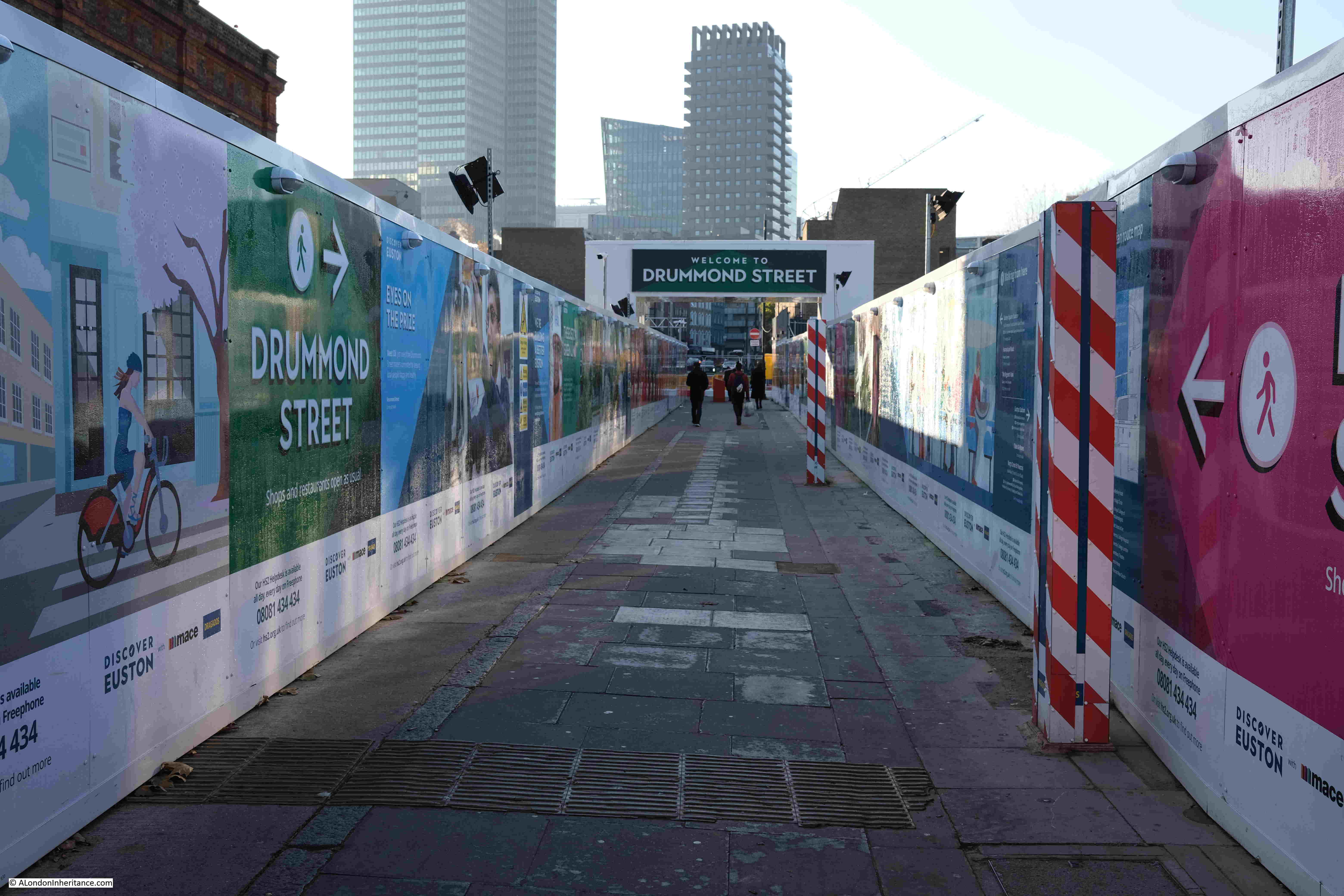
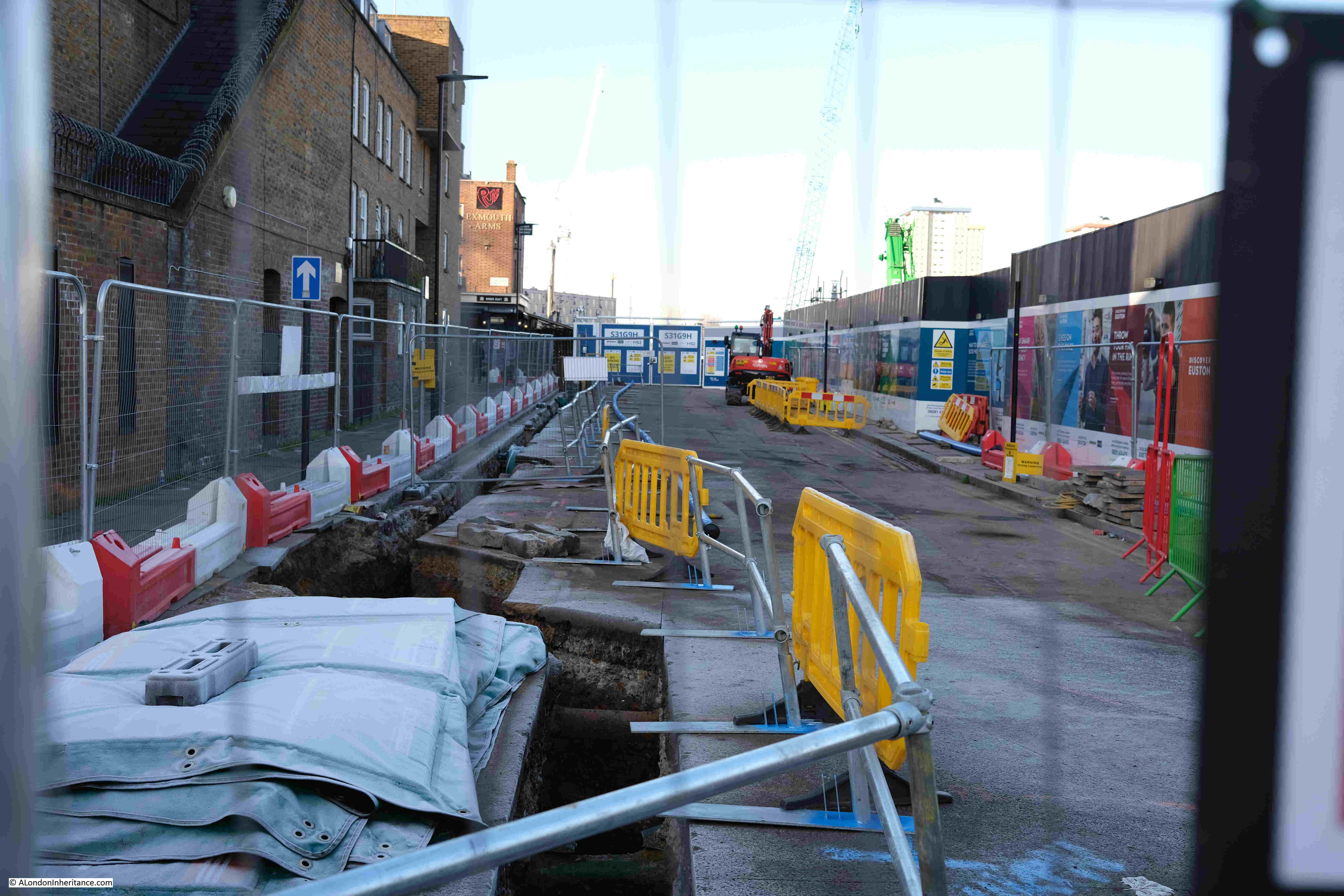
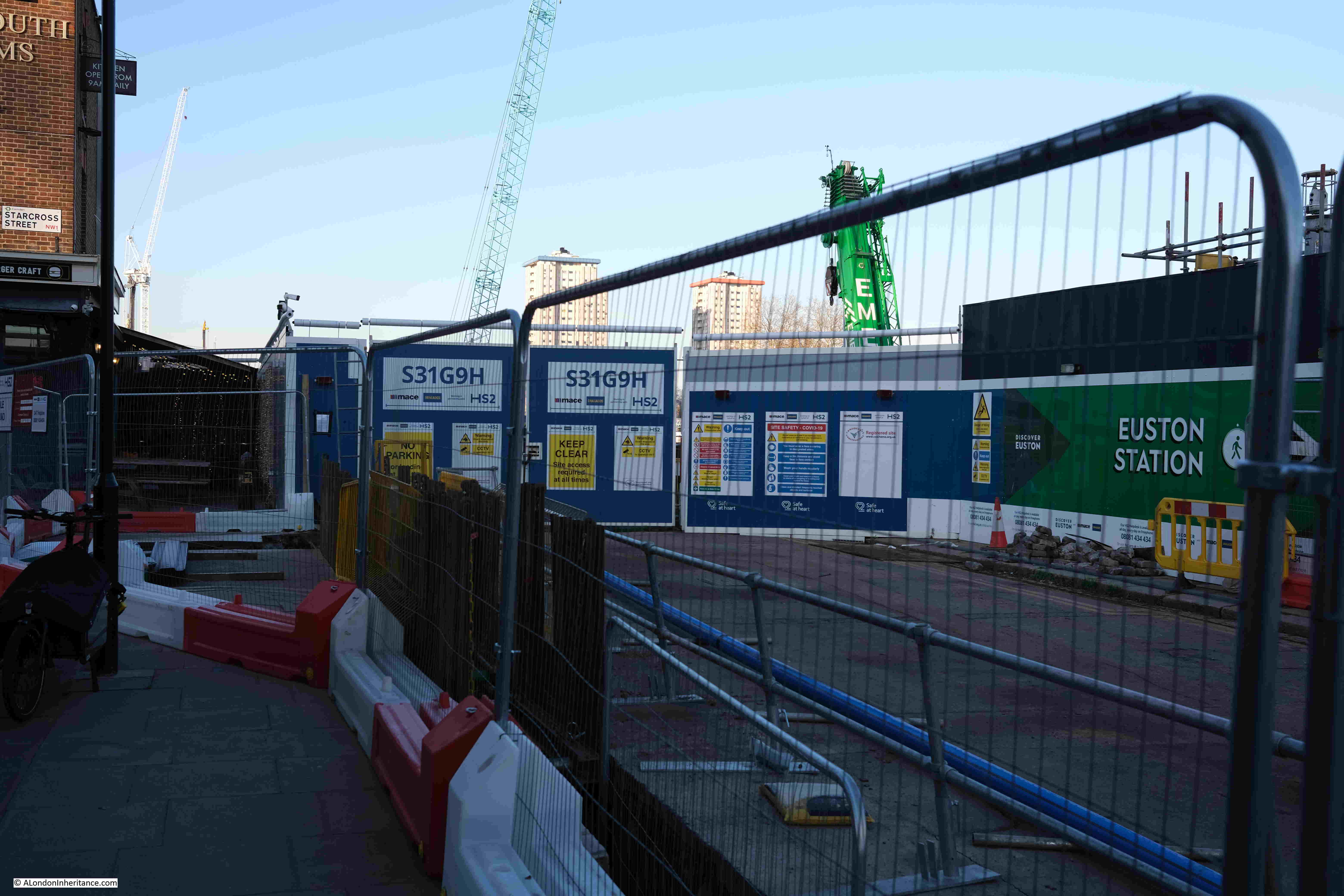
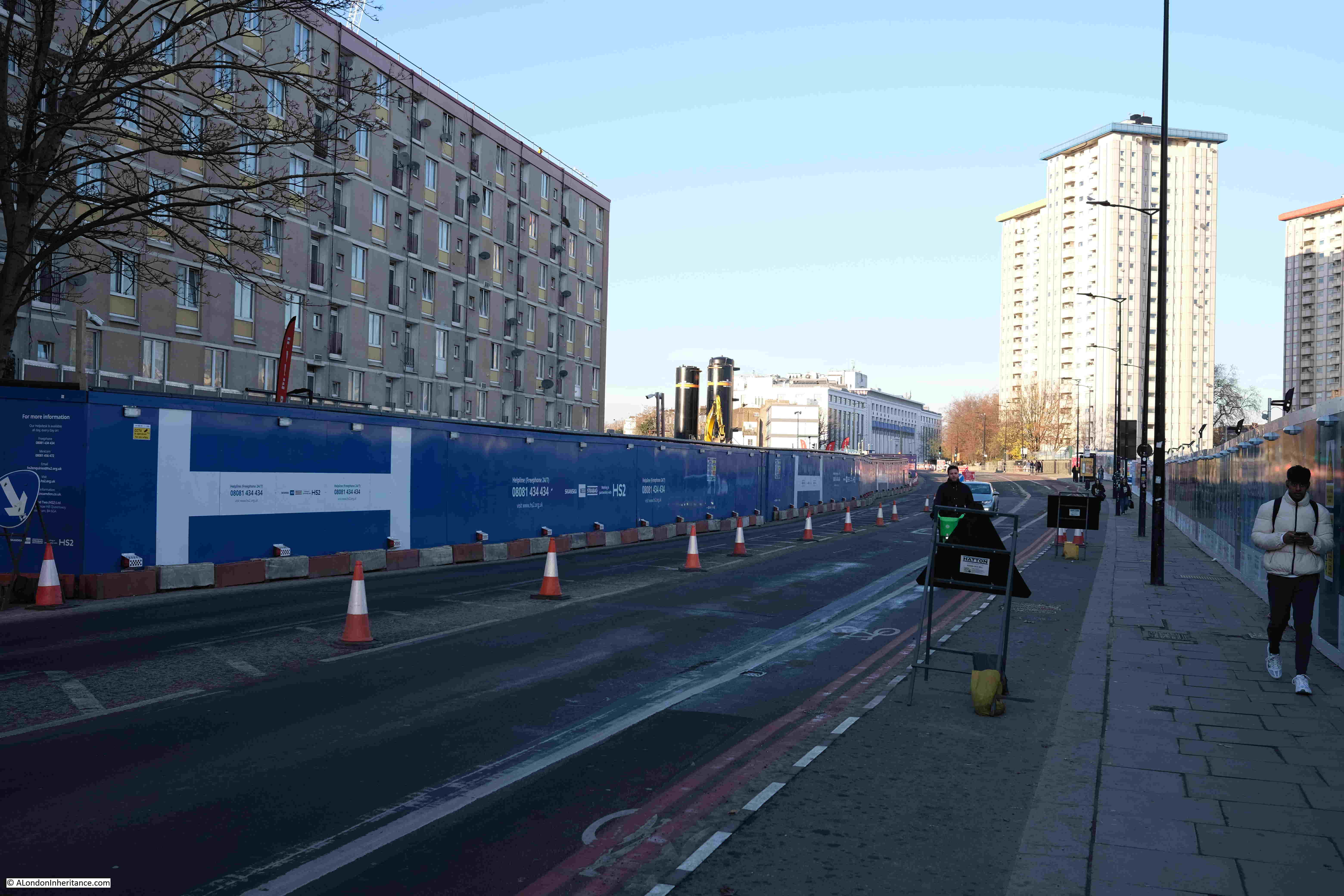
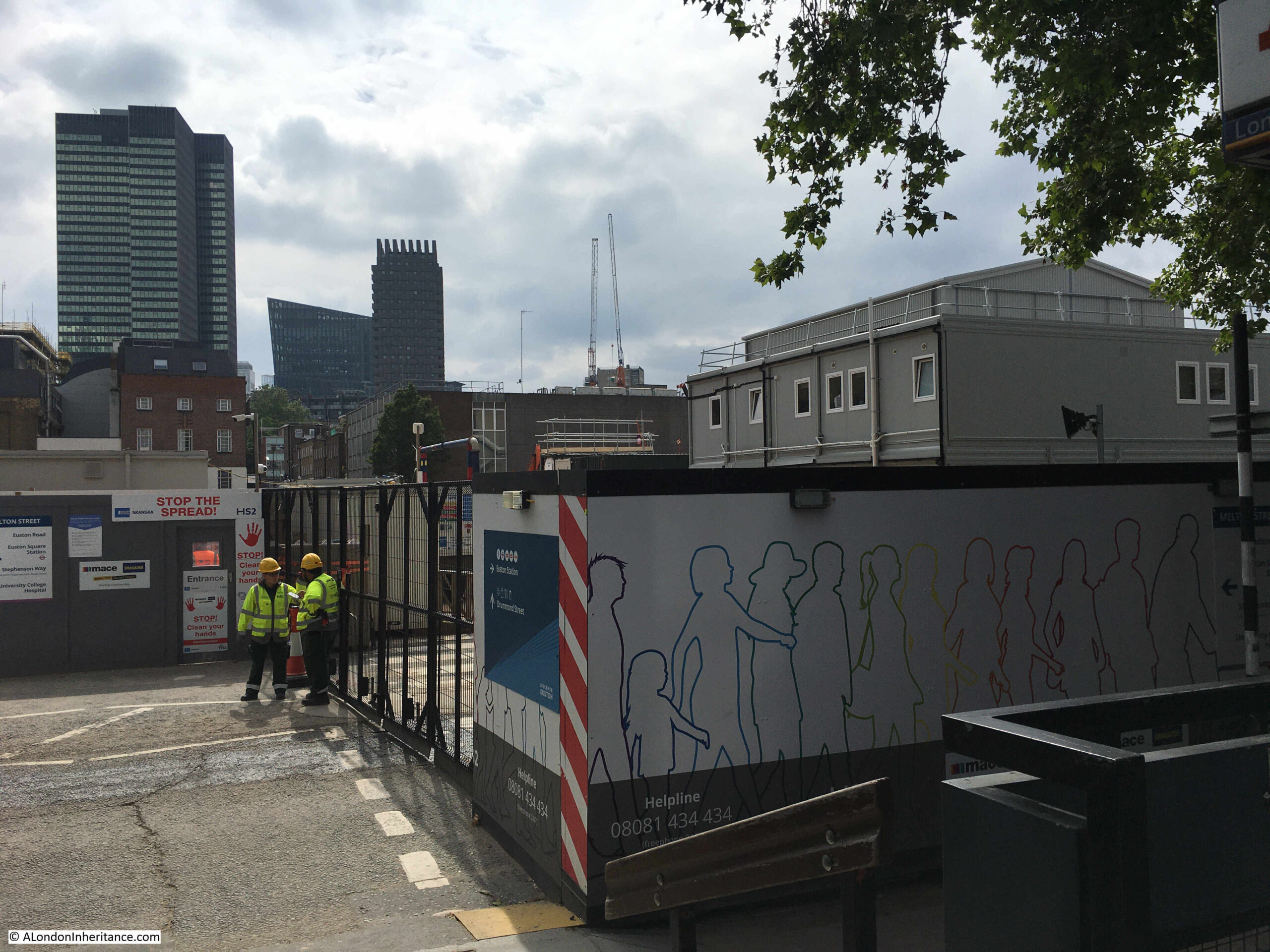
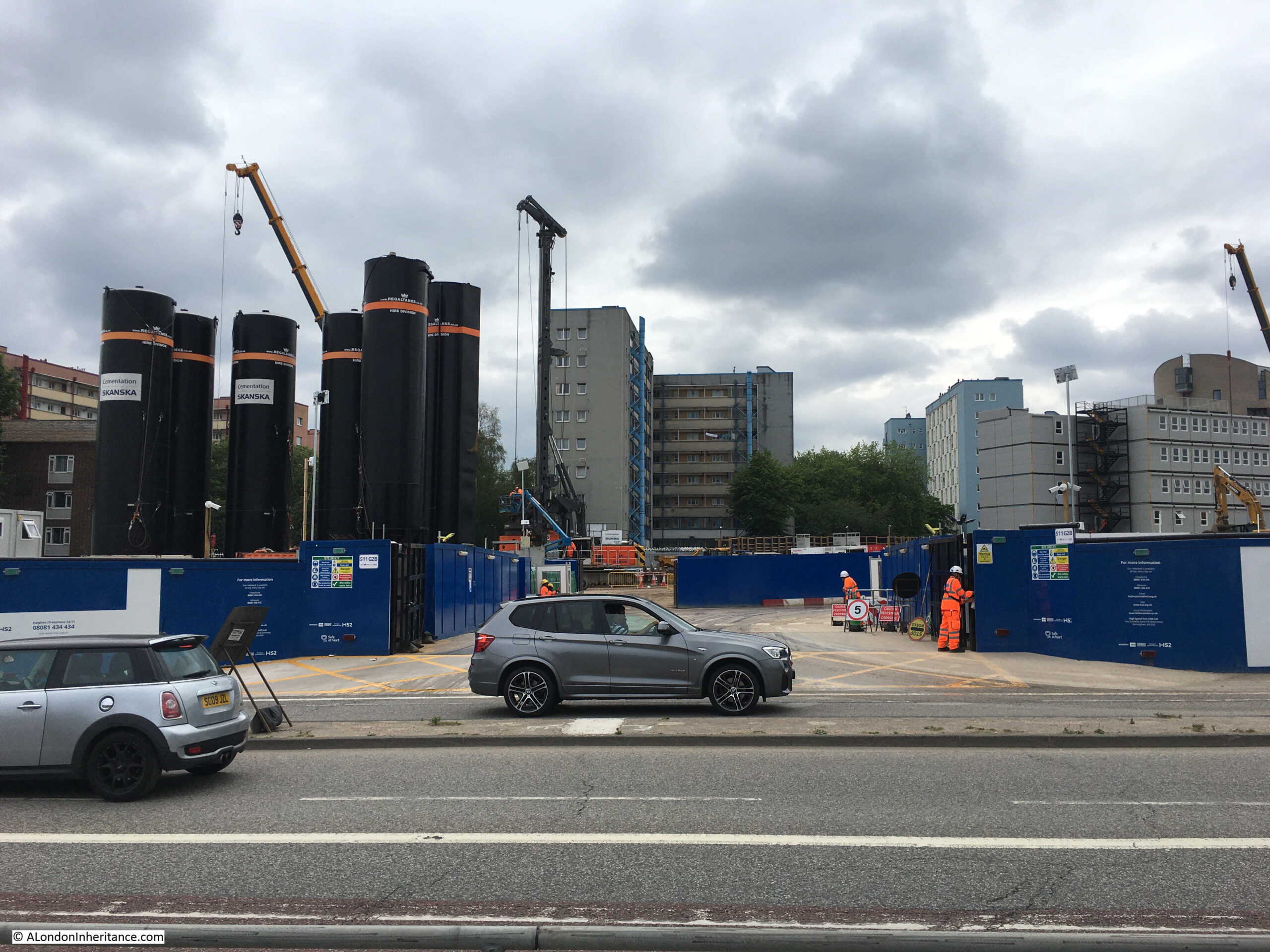
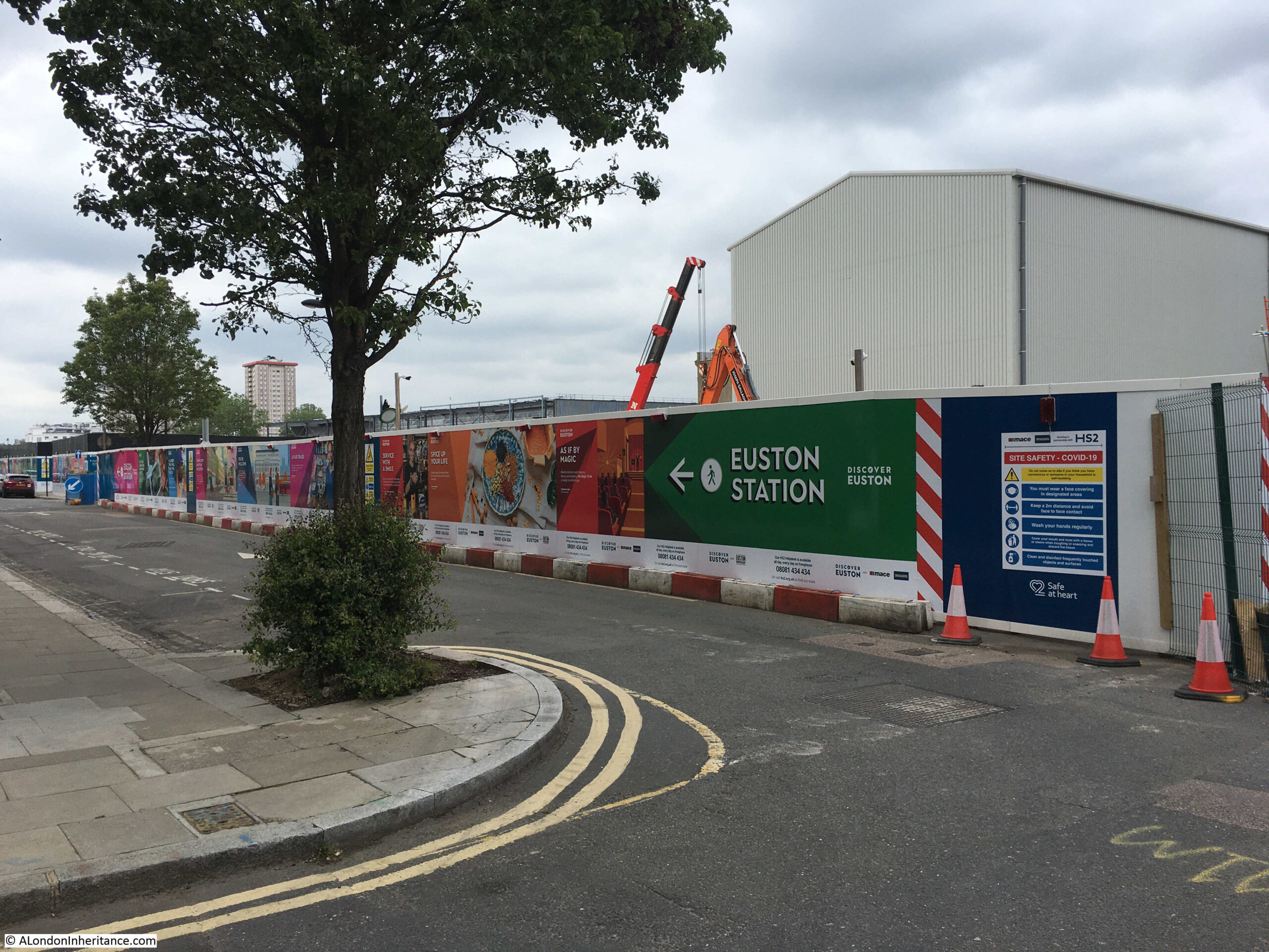
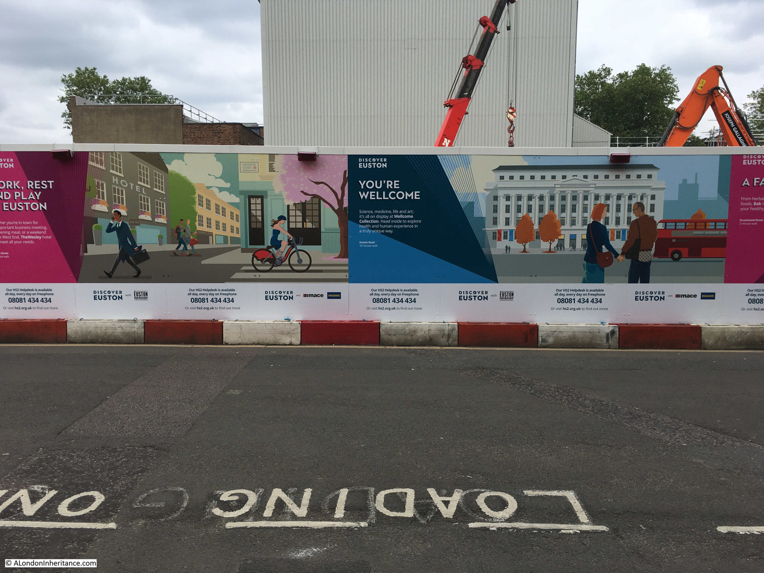
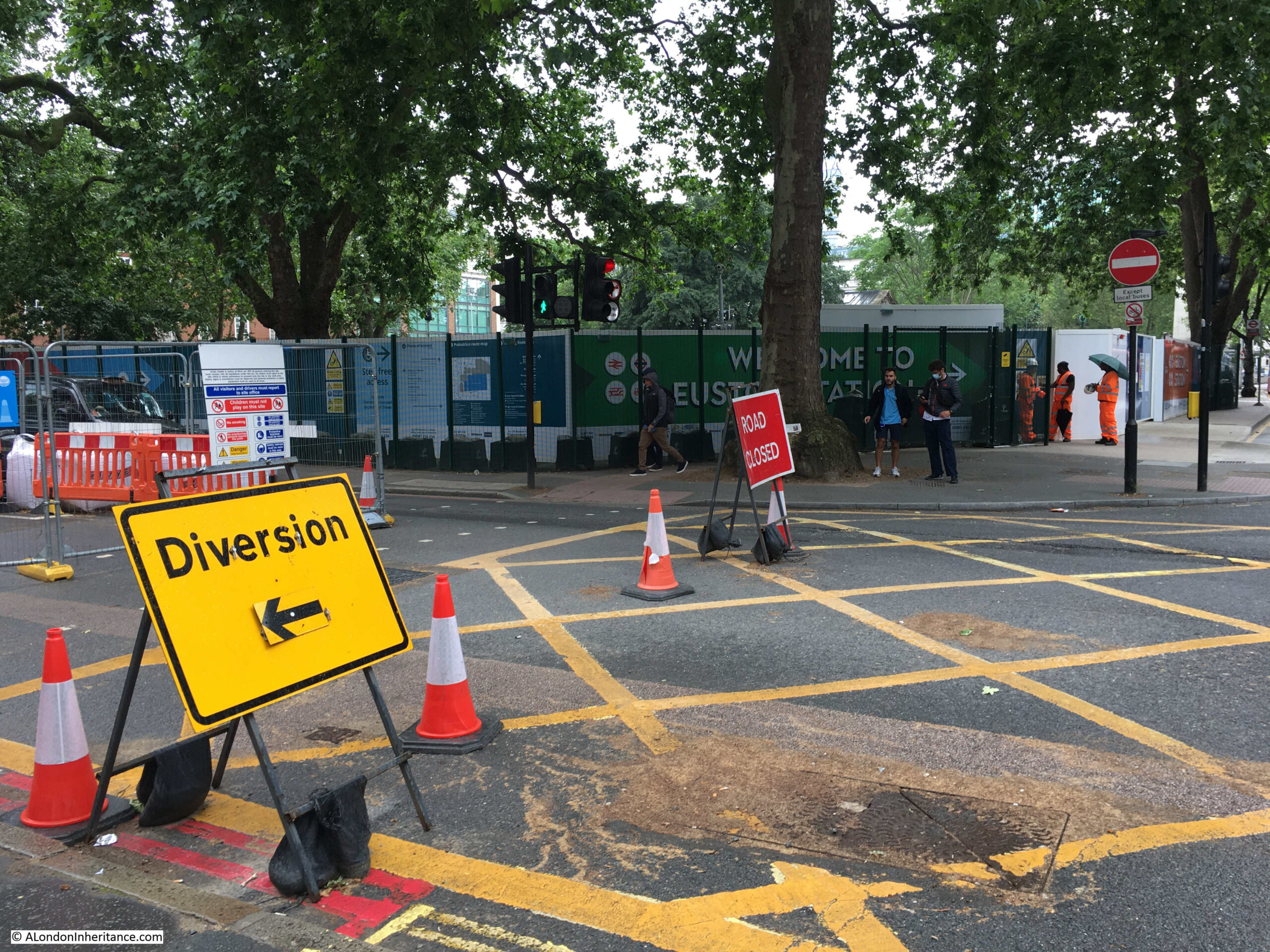
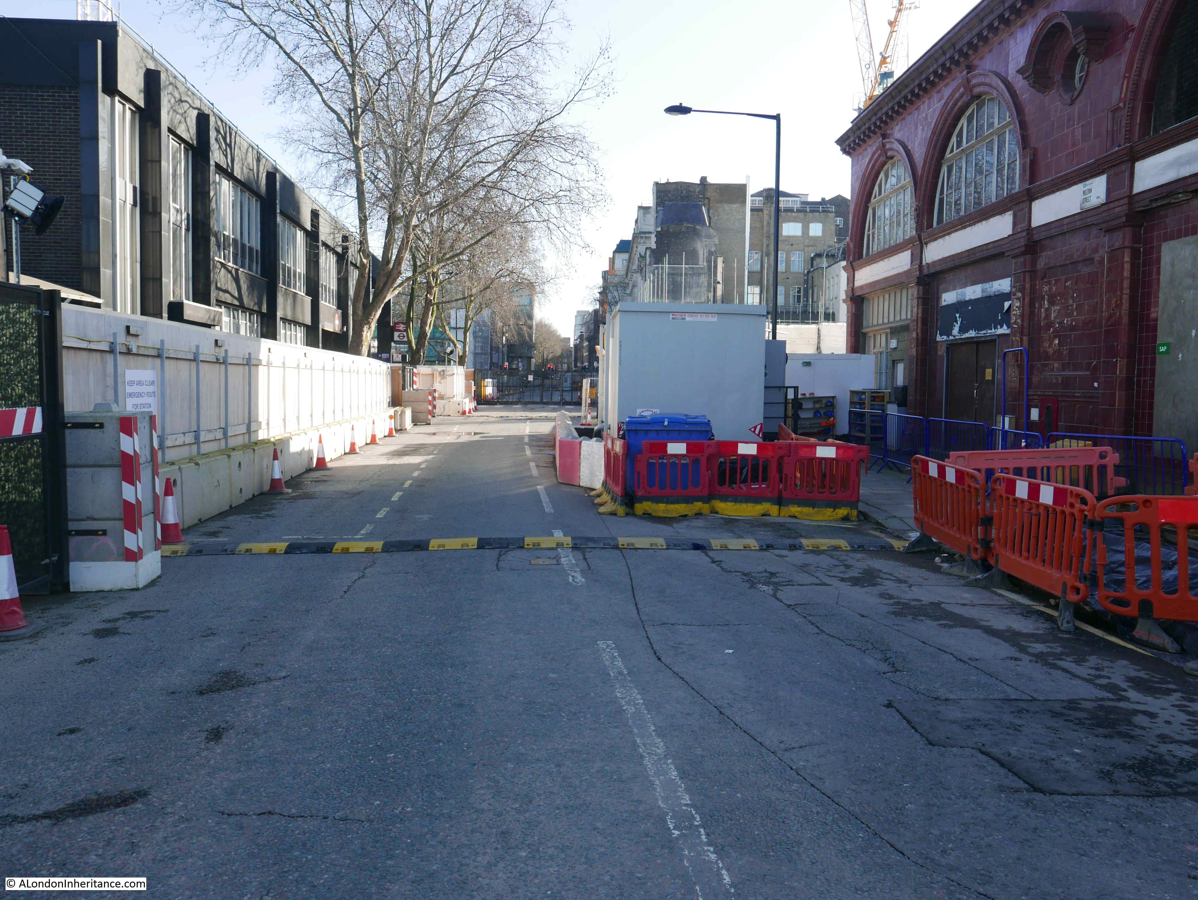
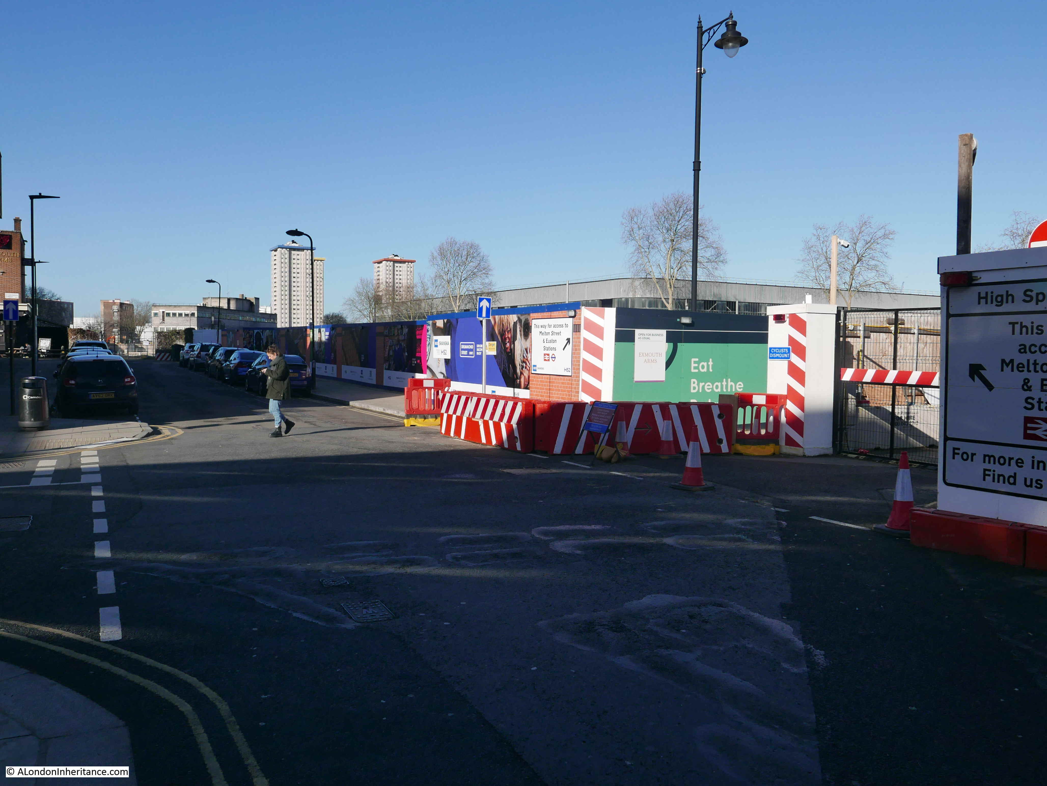
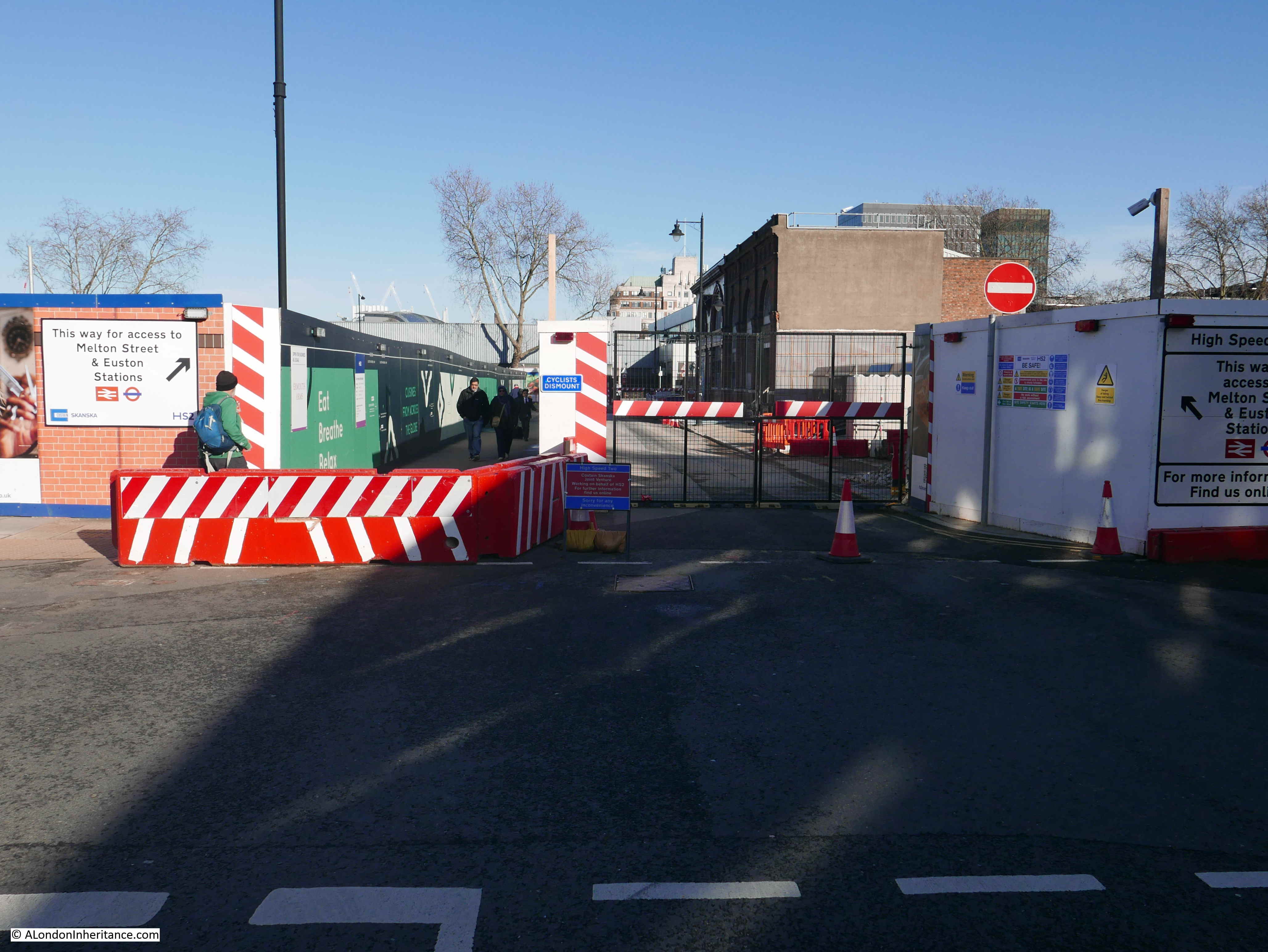
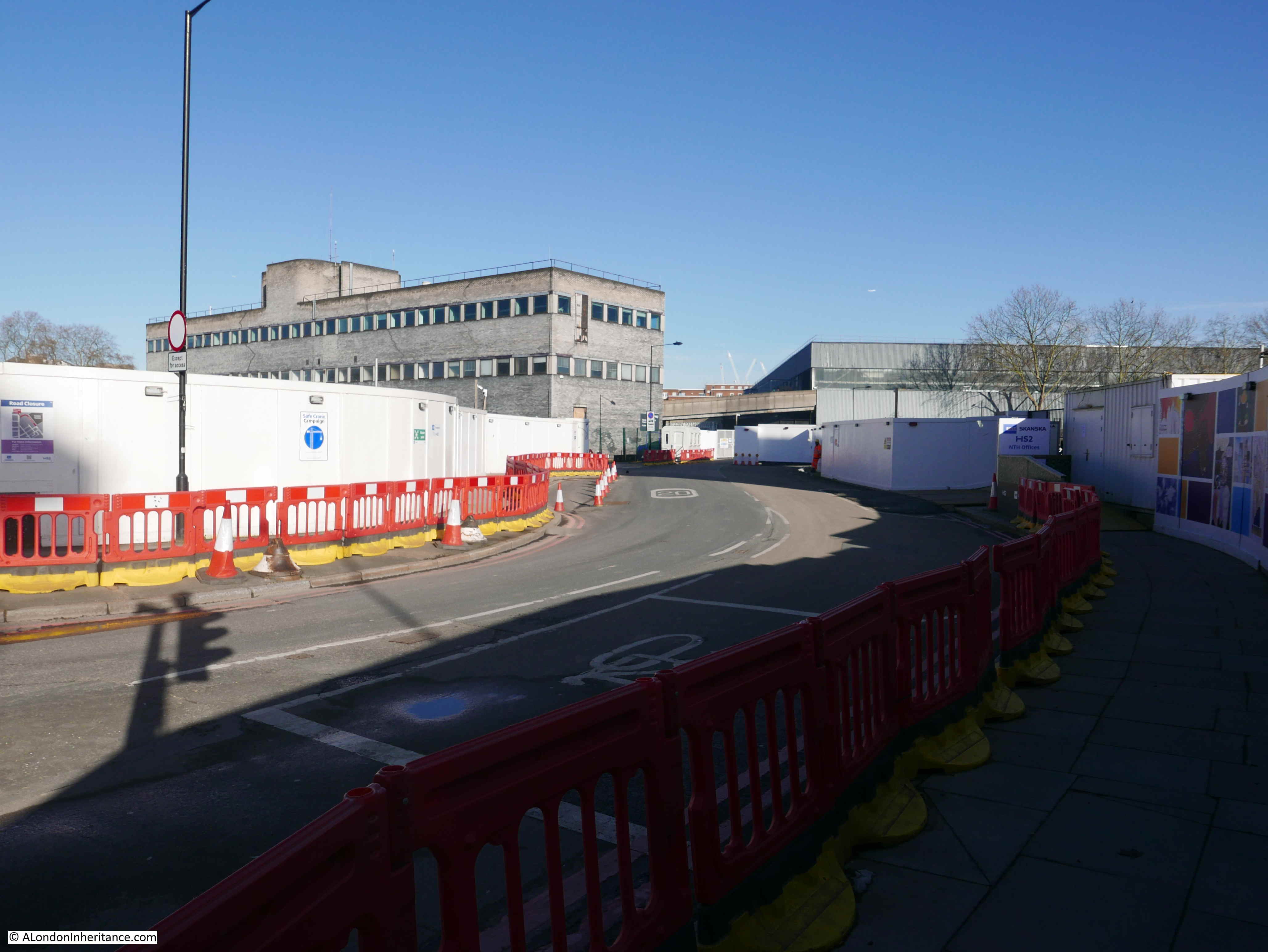
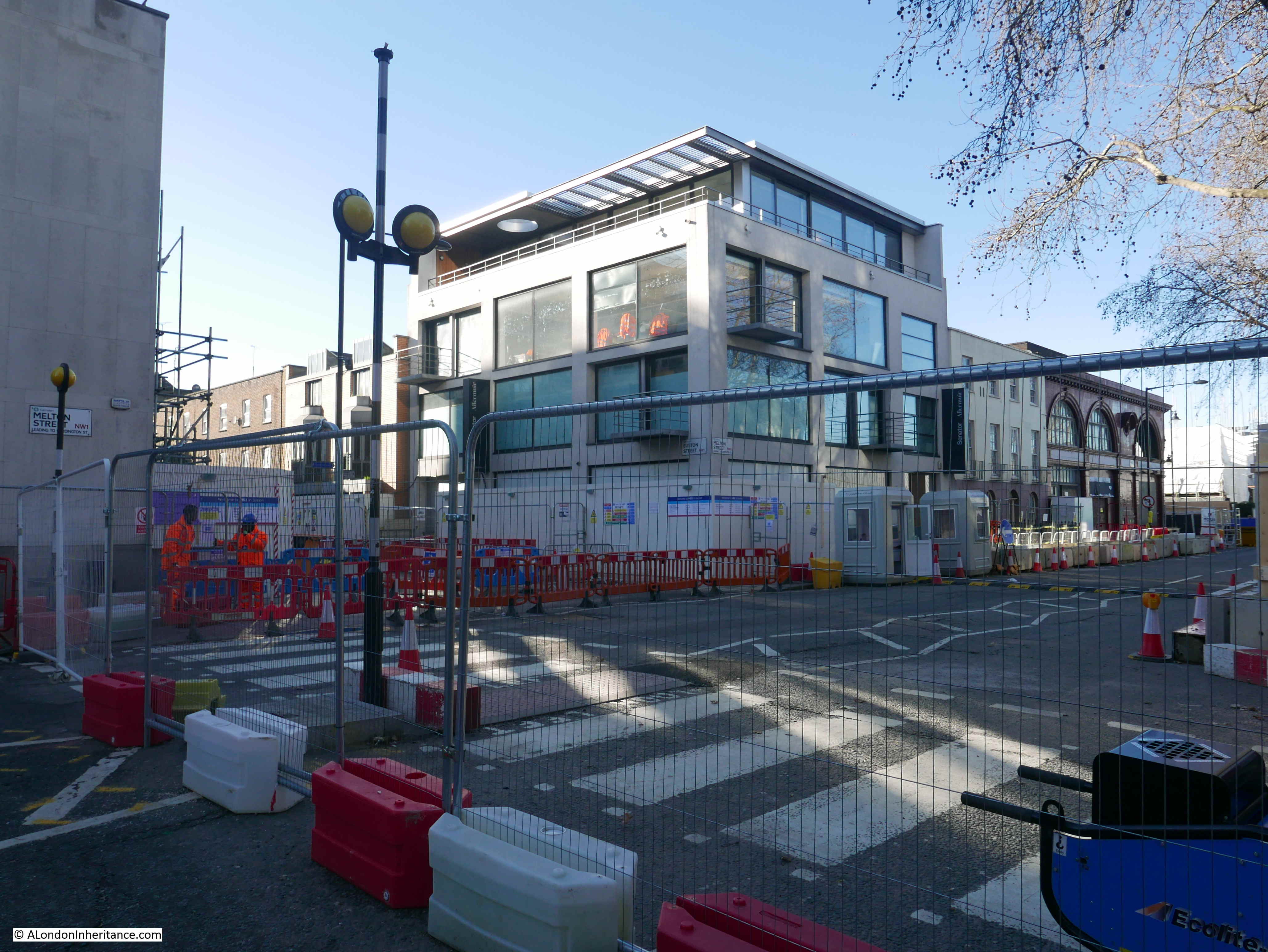
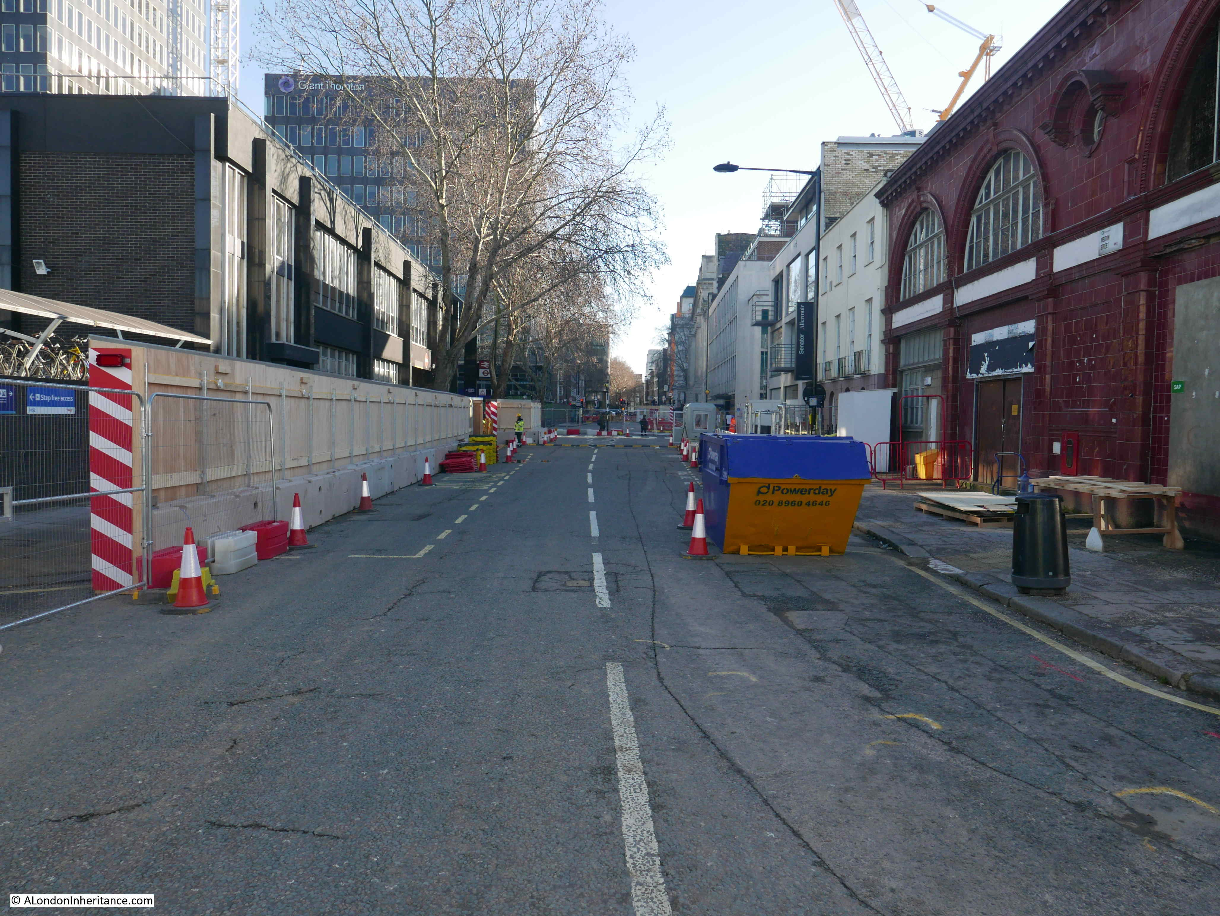
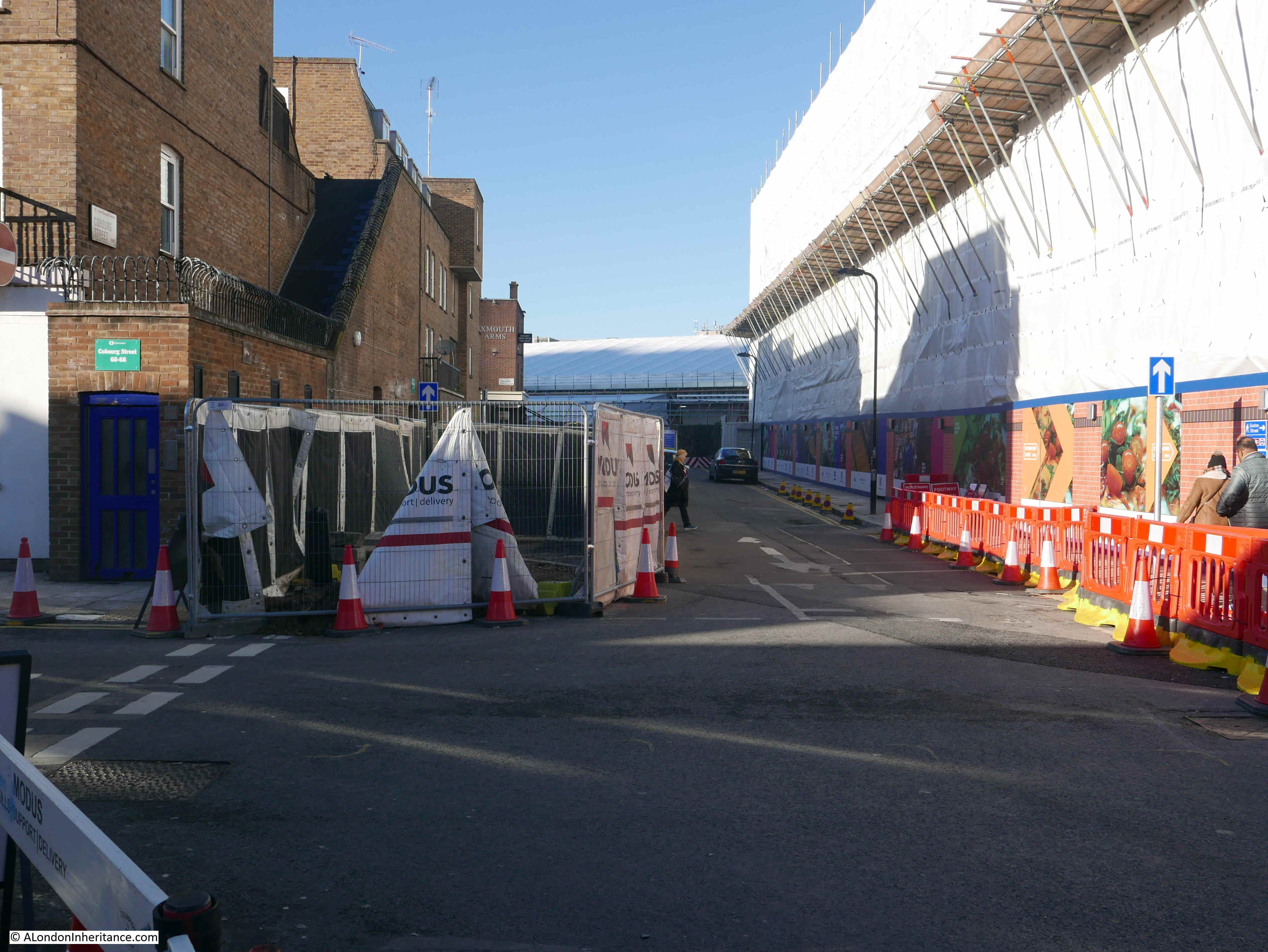
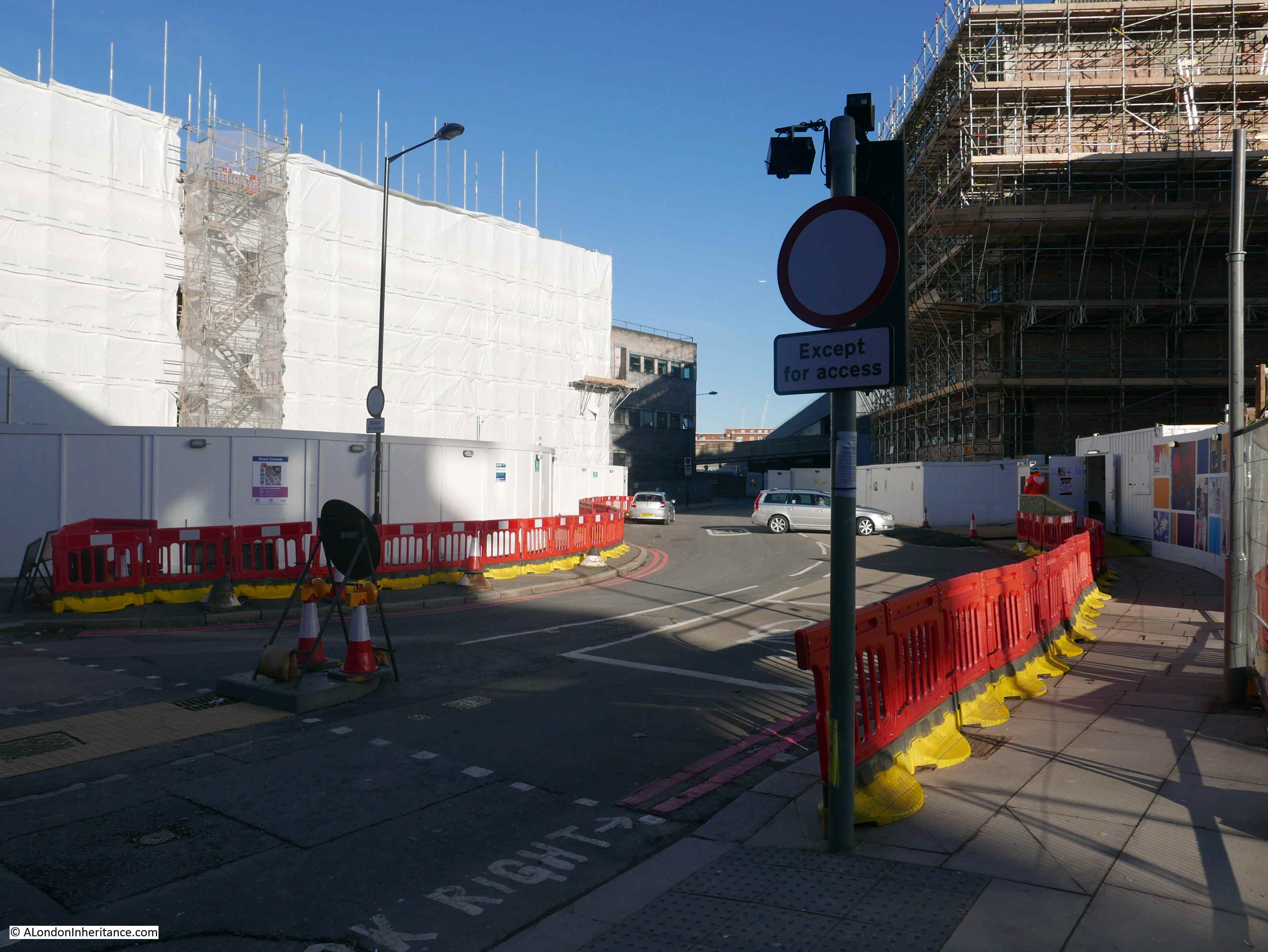
And when we get to the junction of Euston Road and Melton Street, we can look along what is left of Melton Street, with the hoardings that surround the HS2 works blocking the road, with just a pedestrian walkway to the left:

And walking through what was Melton Street, we get into an area of walkways running between hoardings that block off views of what should be construction sites:

And which have hardly changed for the last few years:

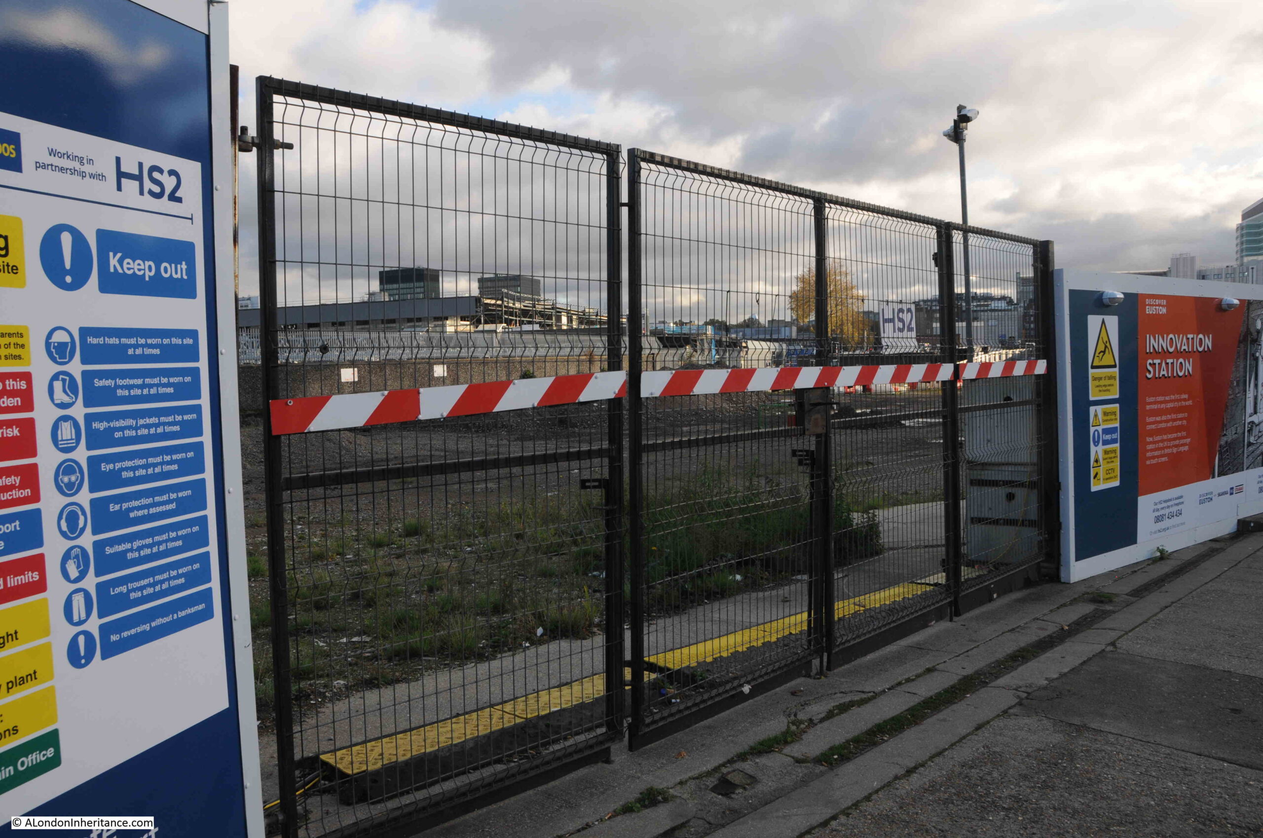
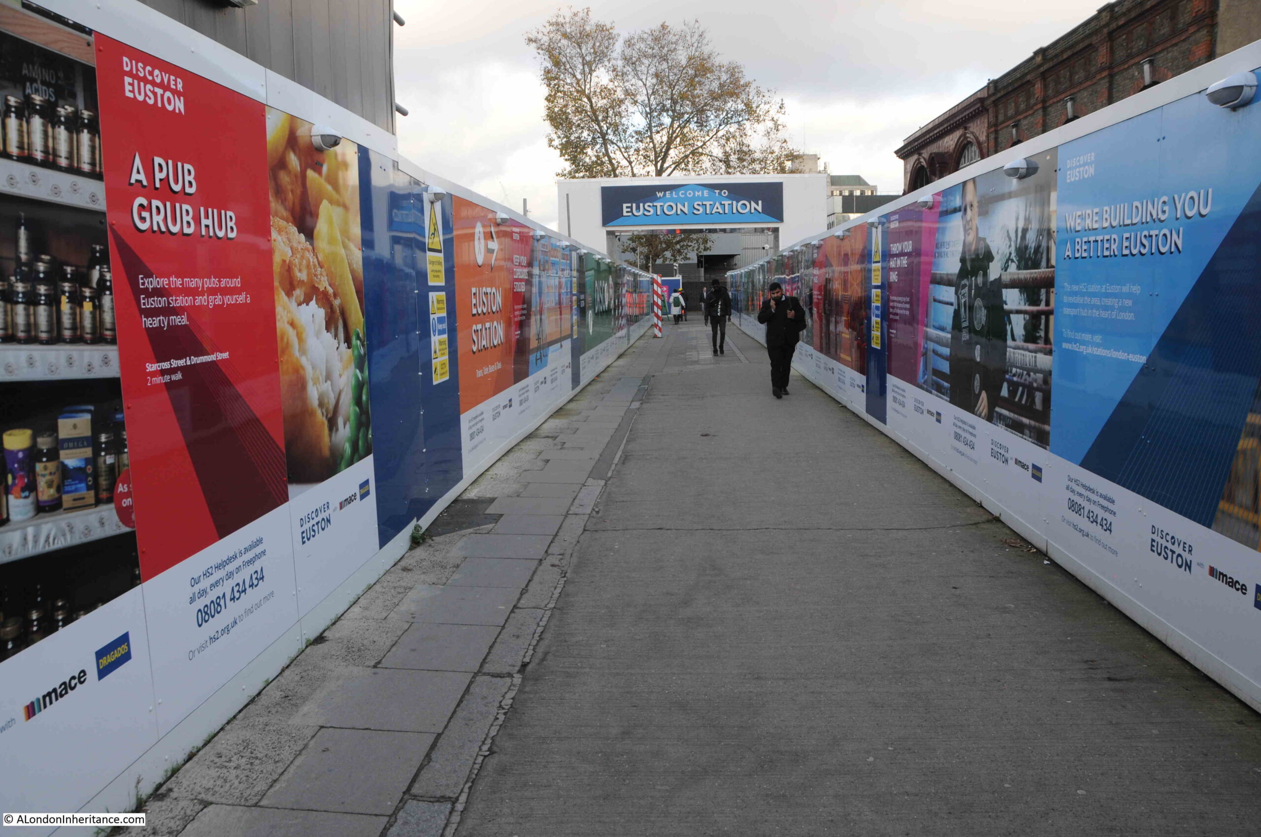
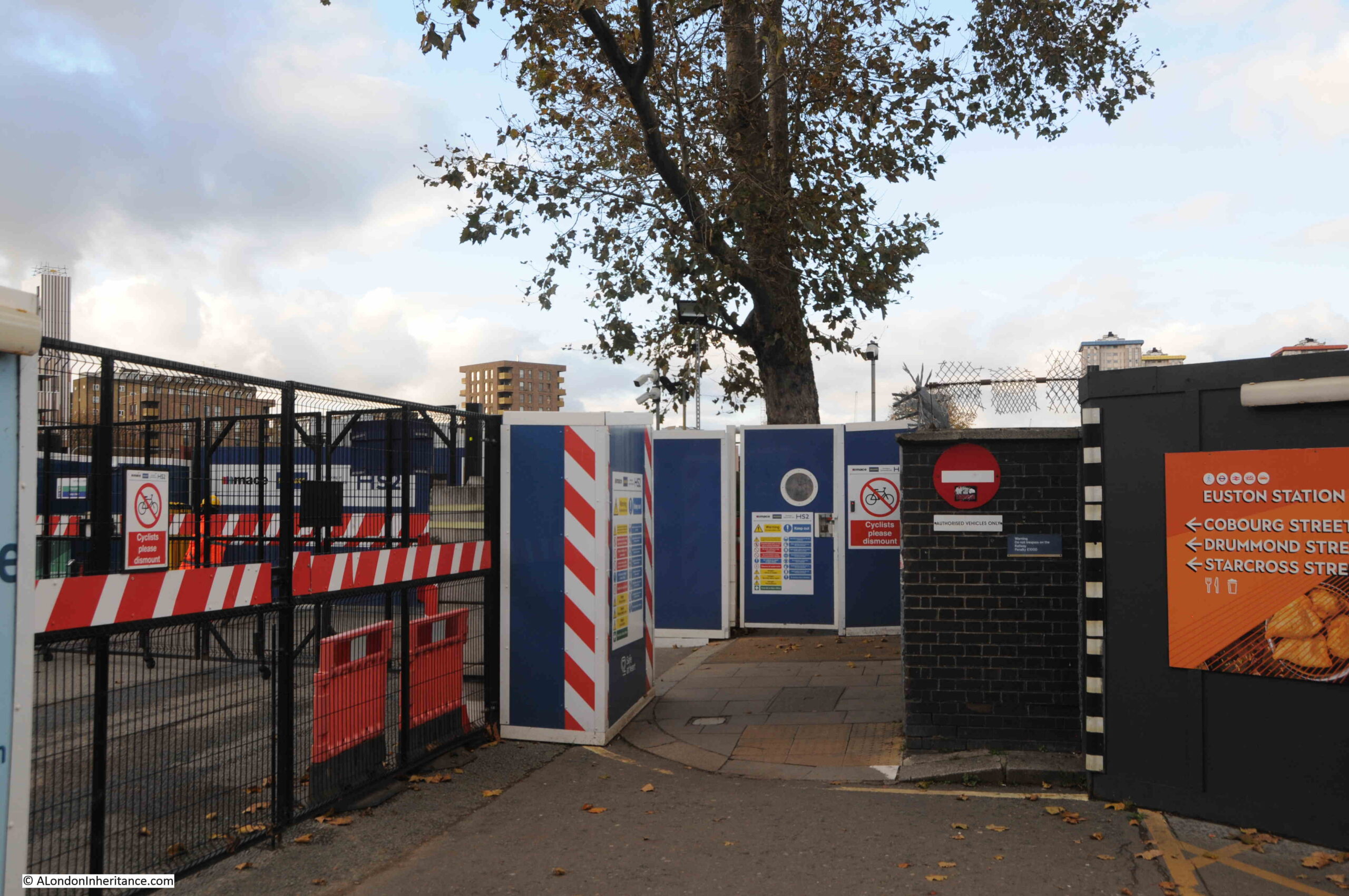
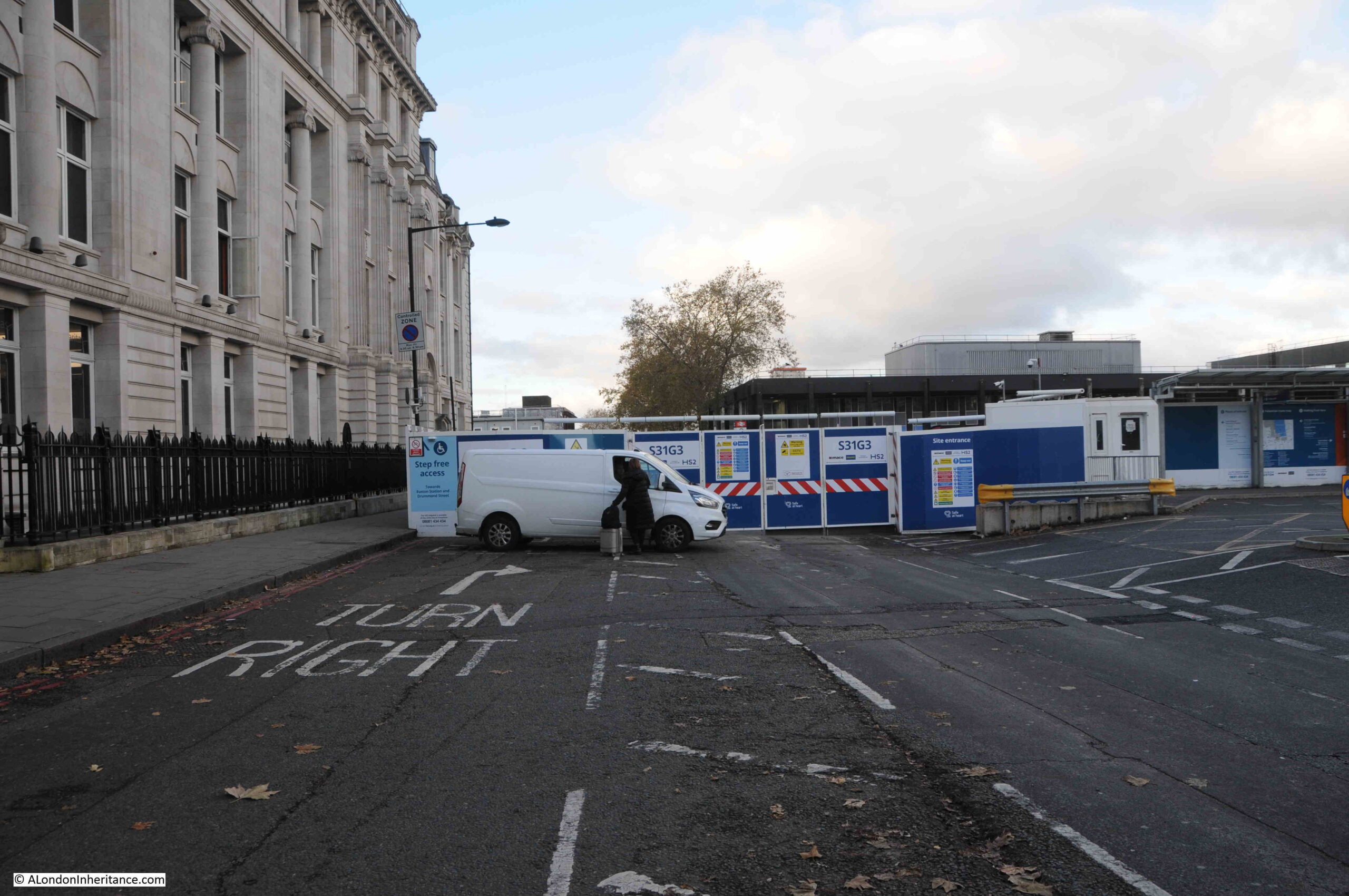
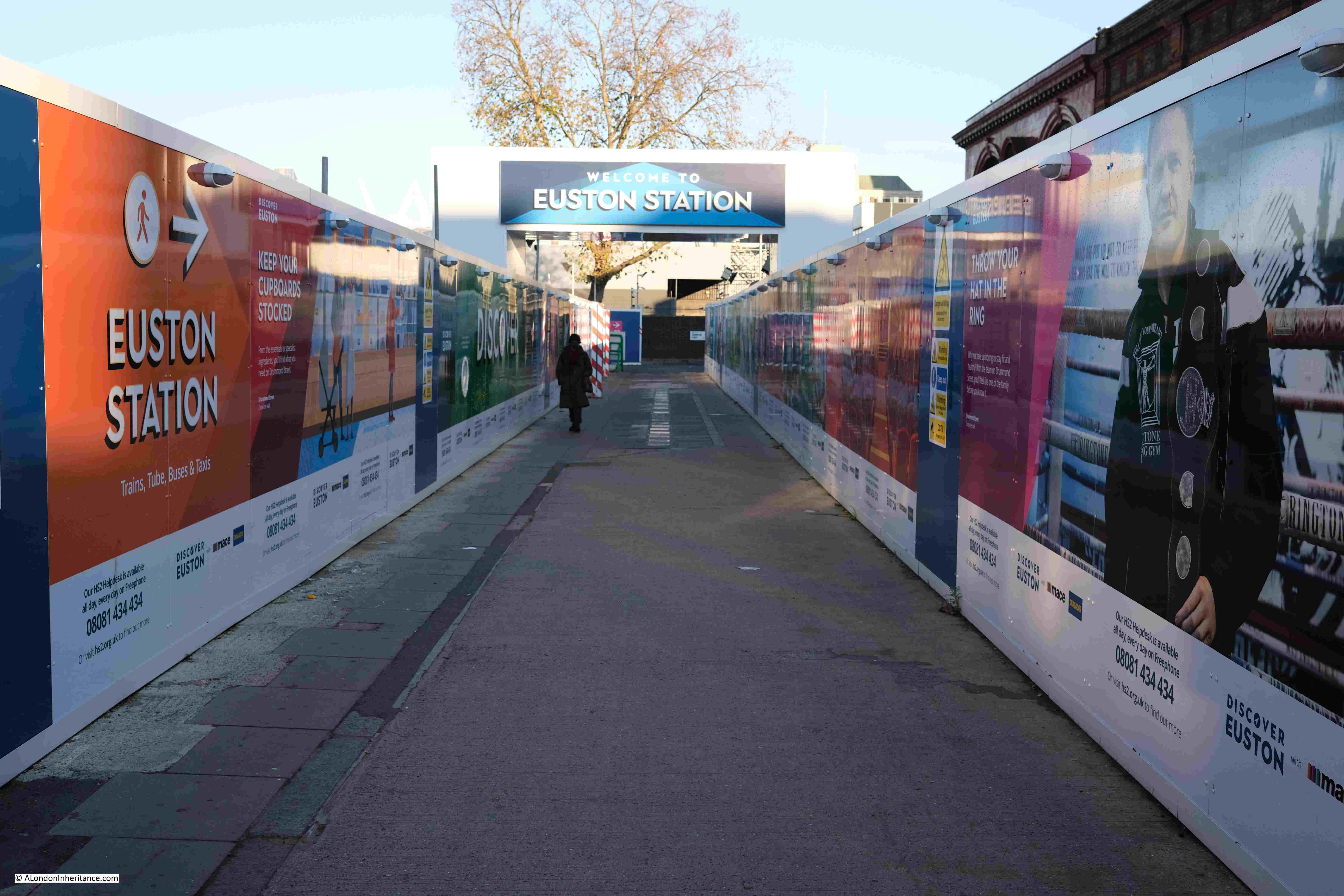
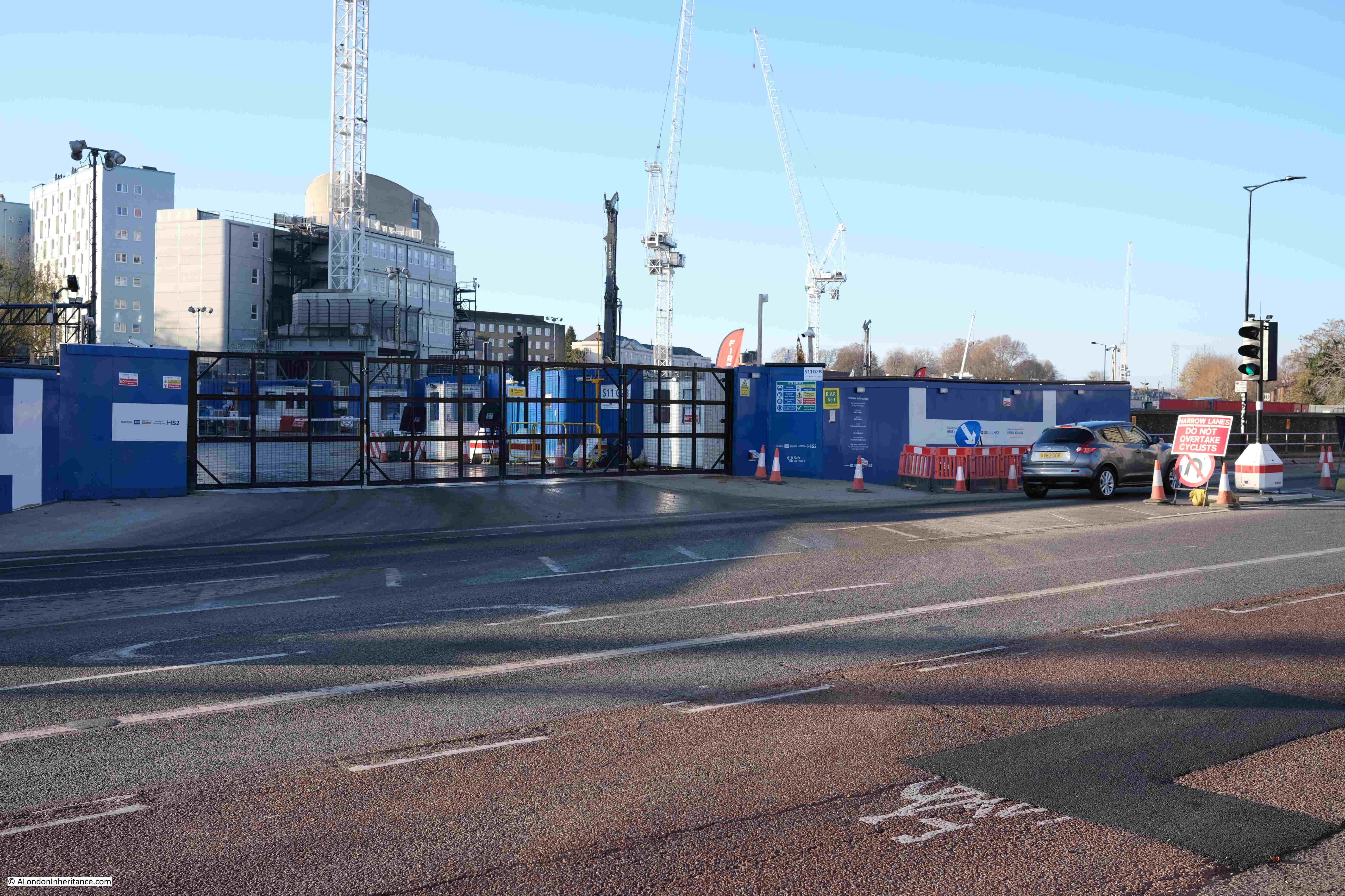
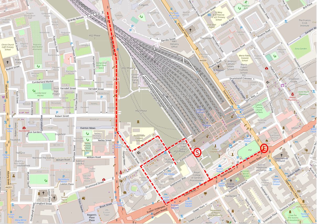
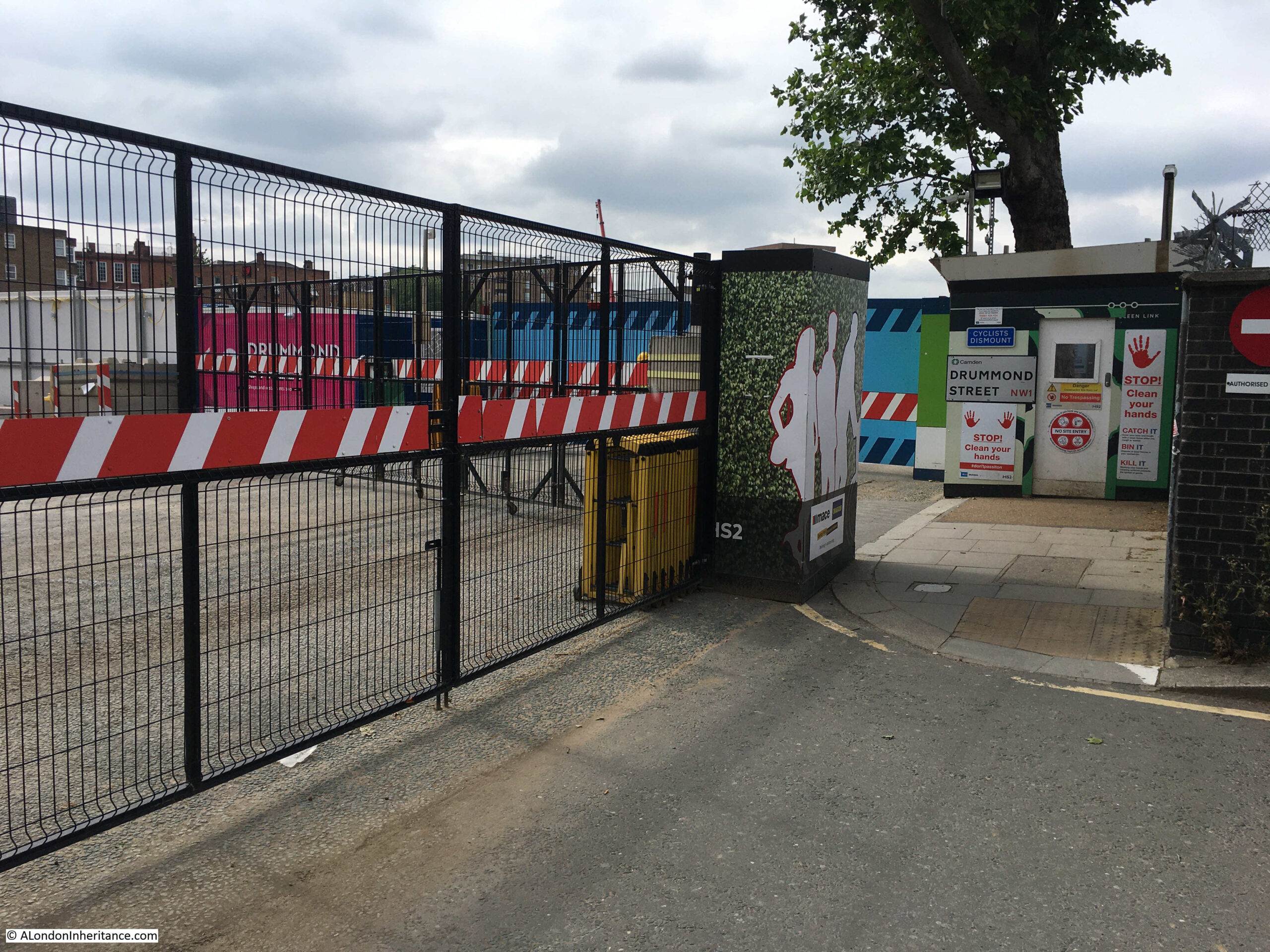
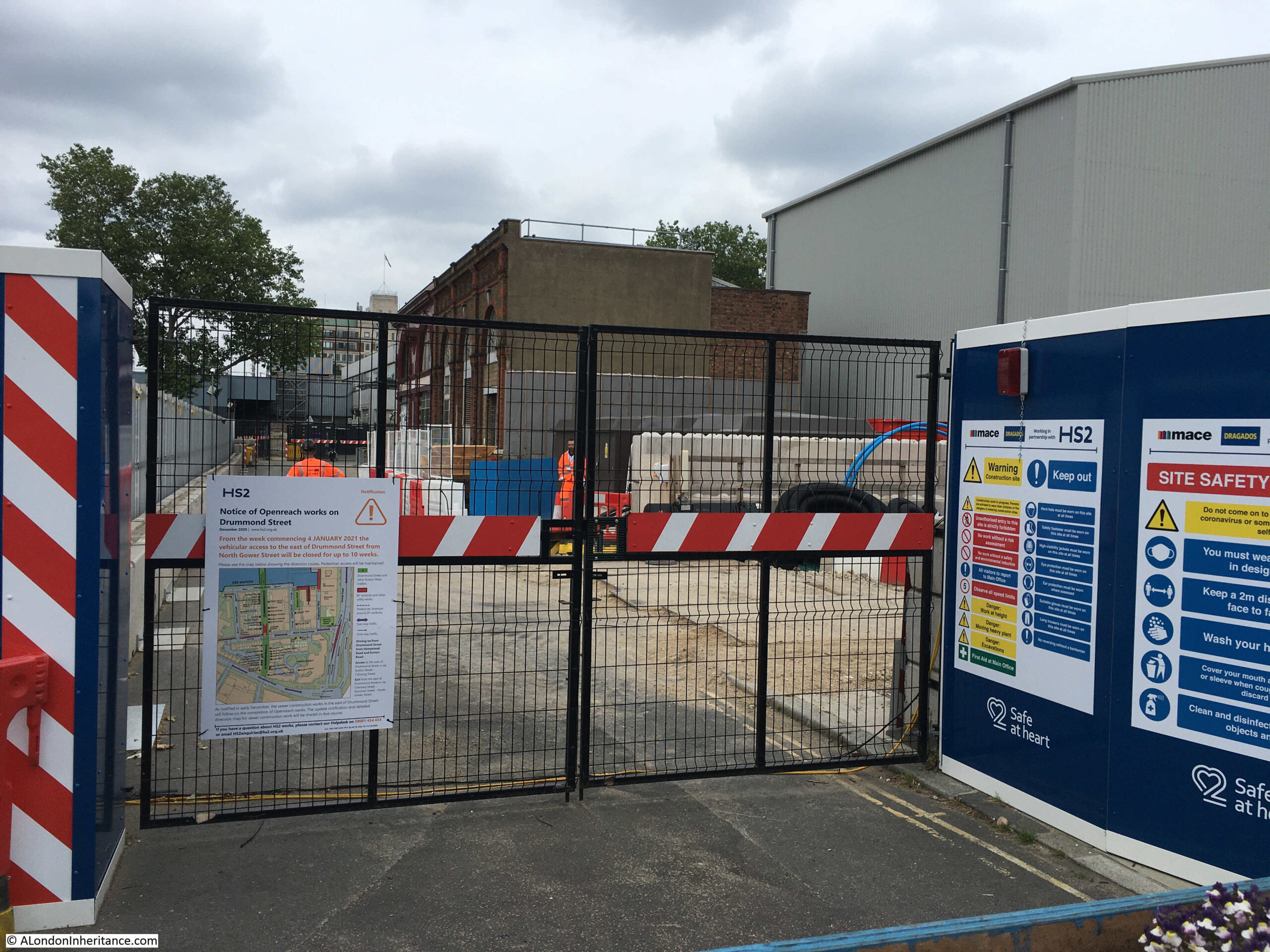
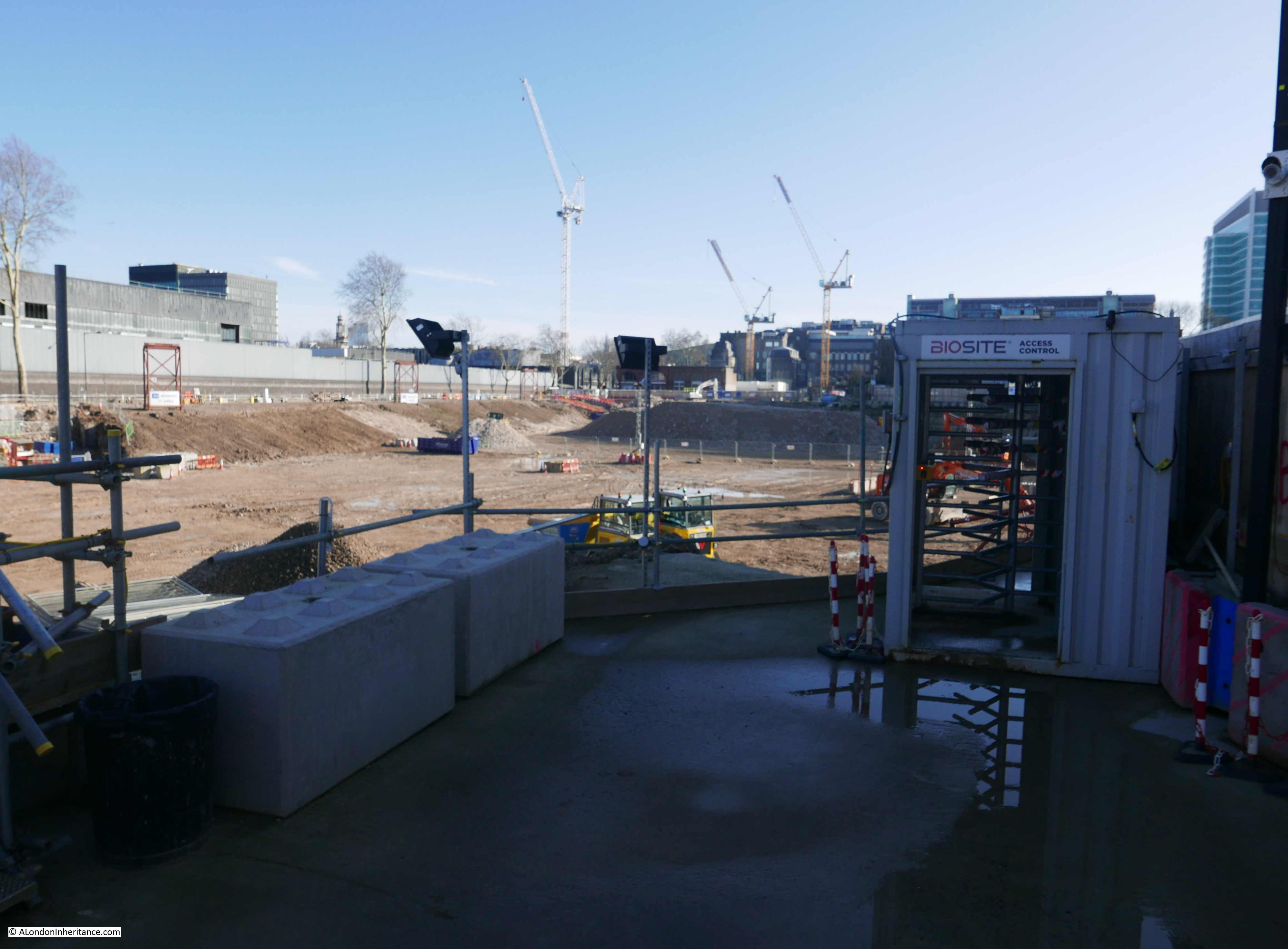
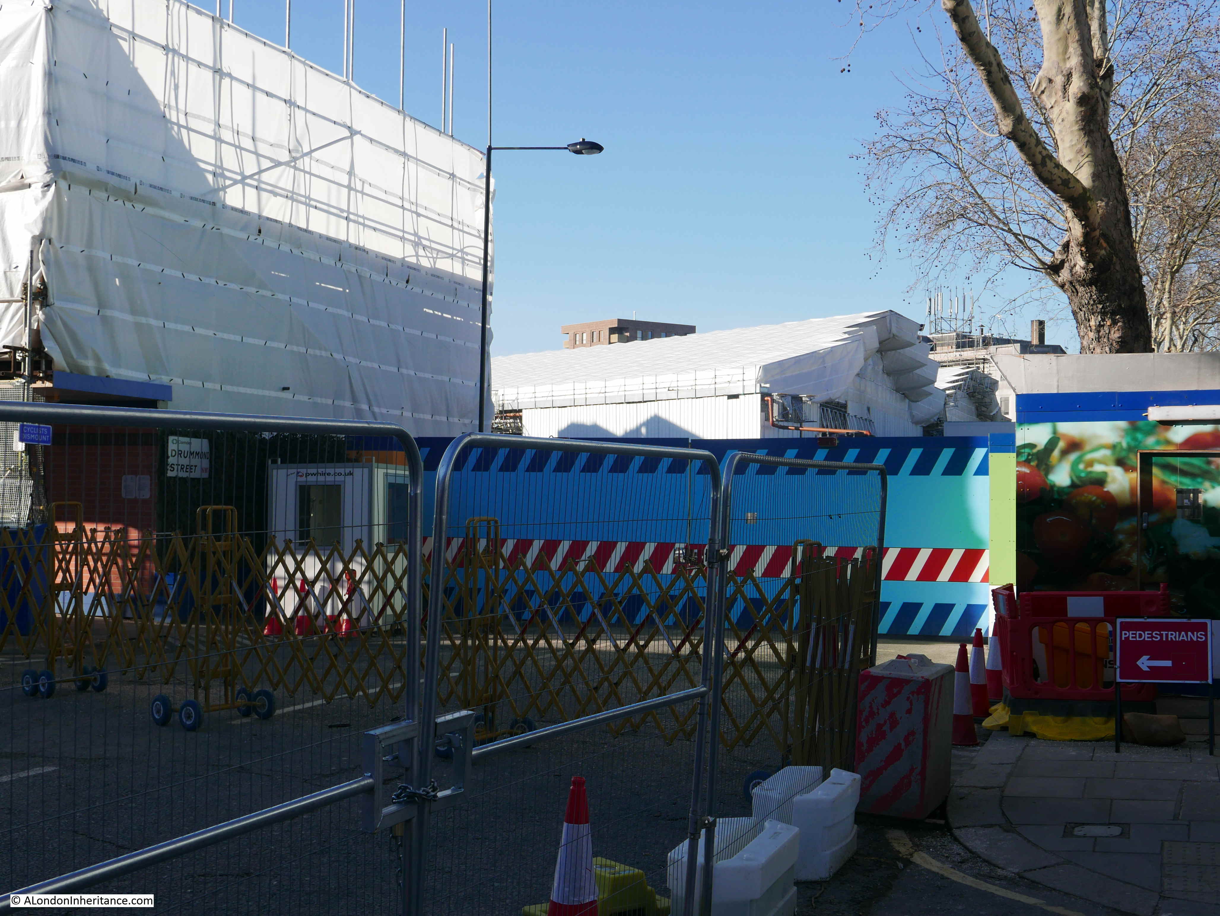
Until we get to the south-west corner access to the station:

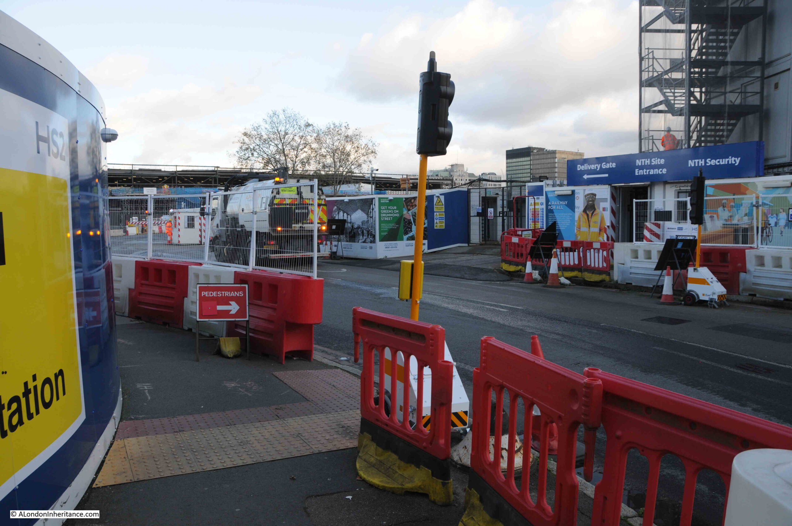
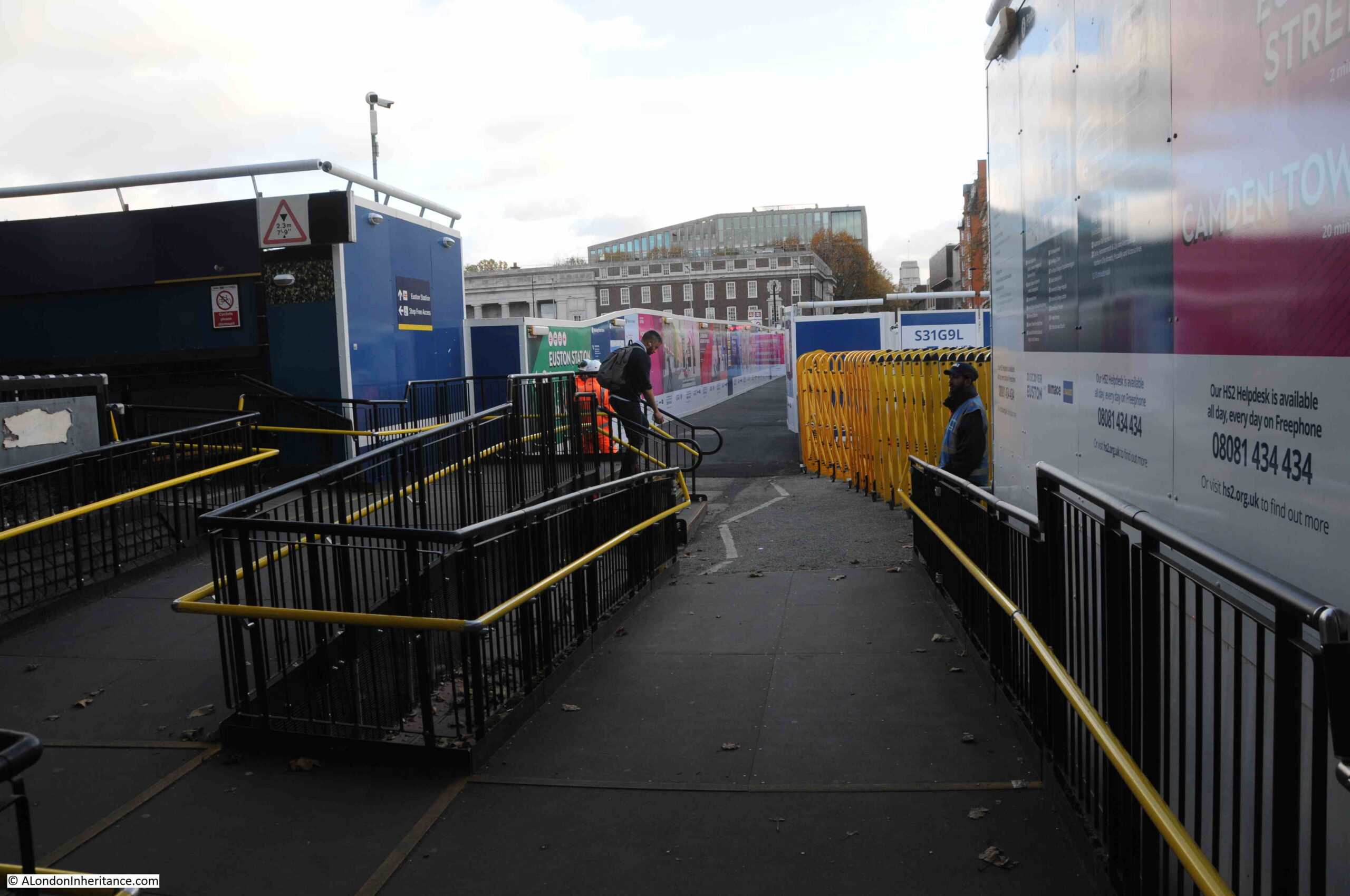
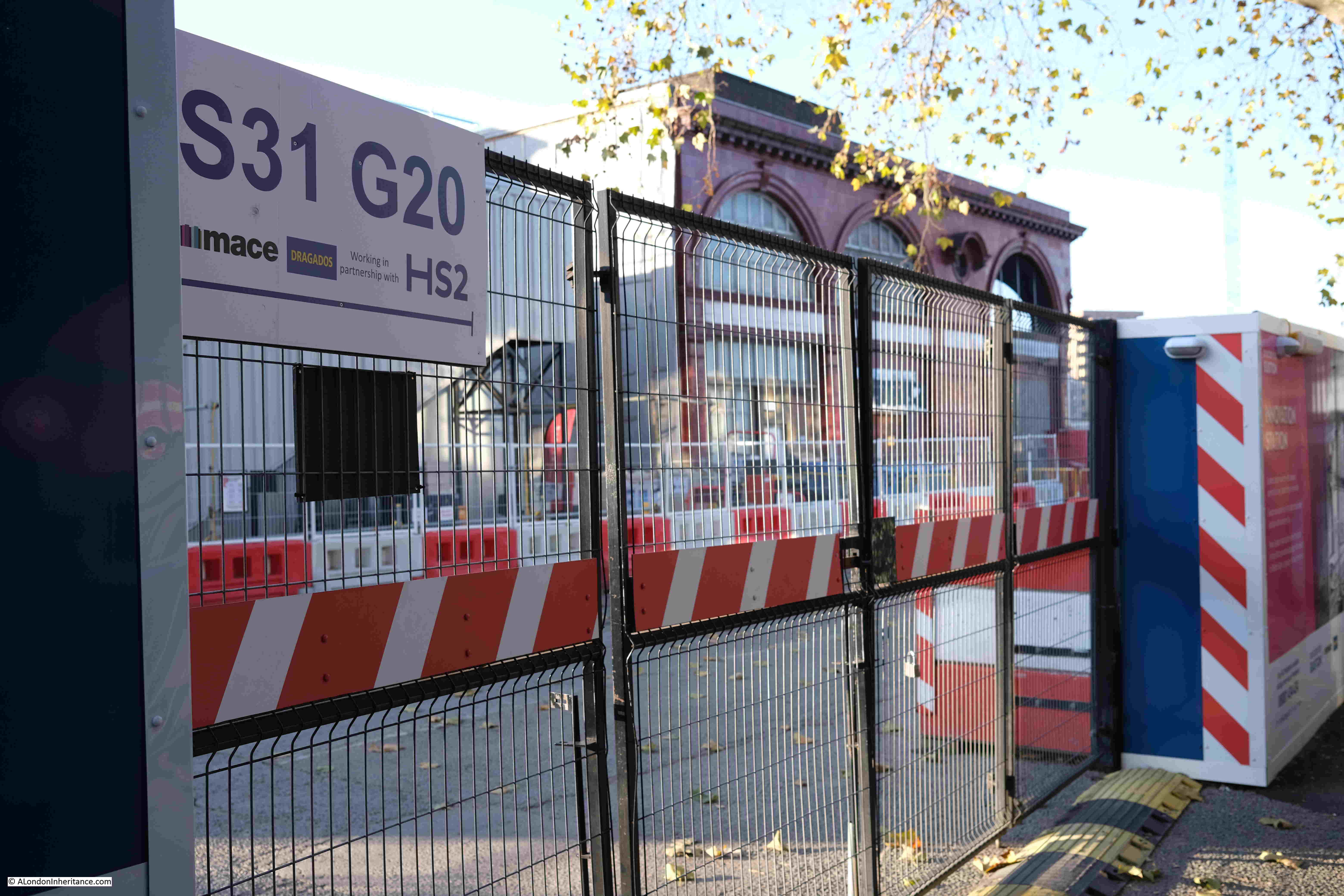
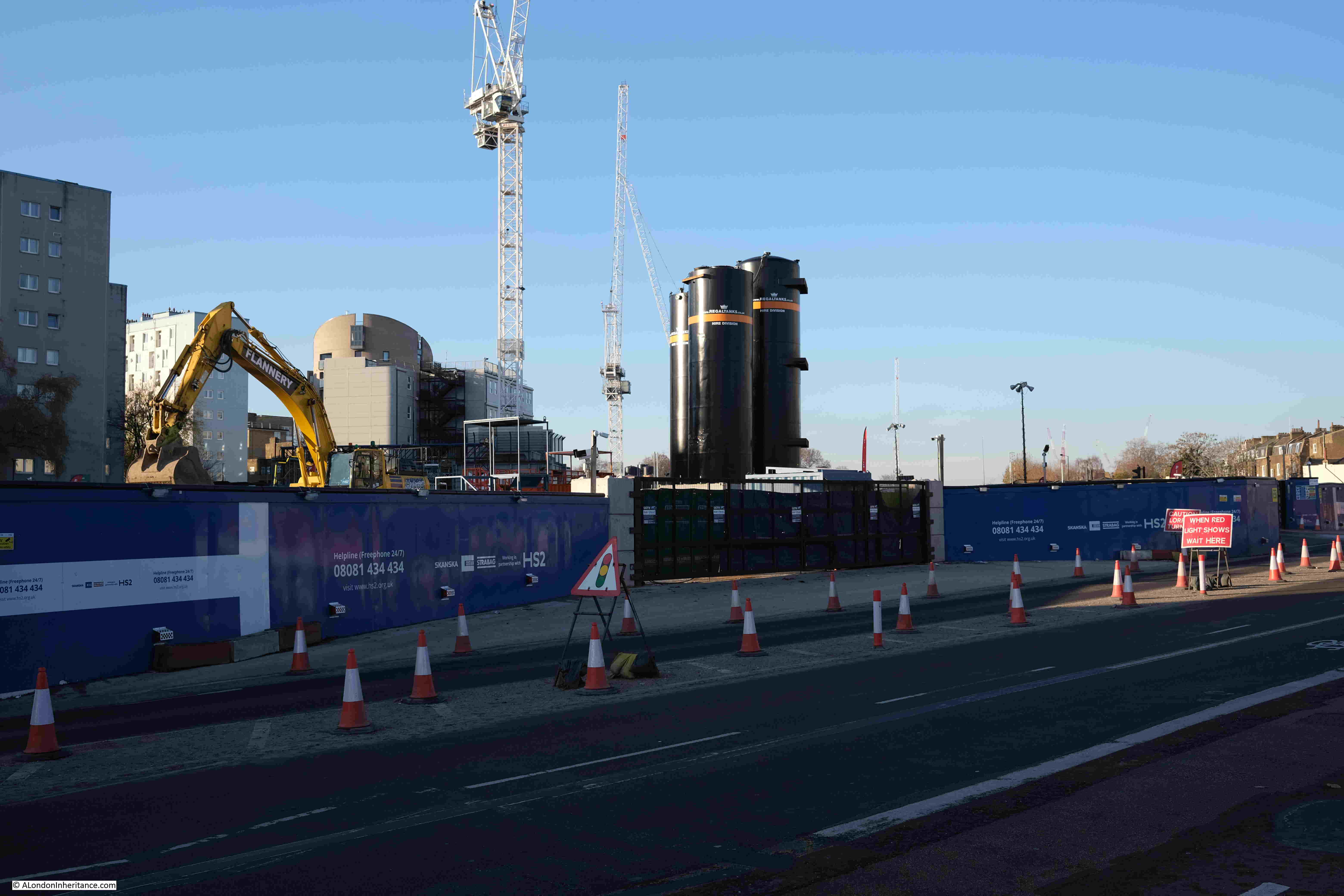
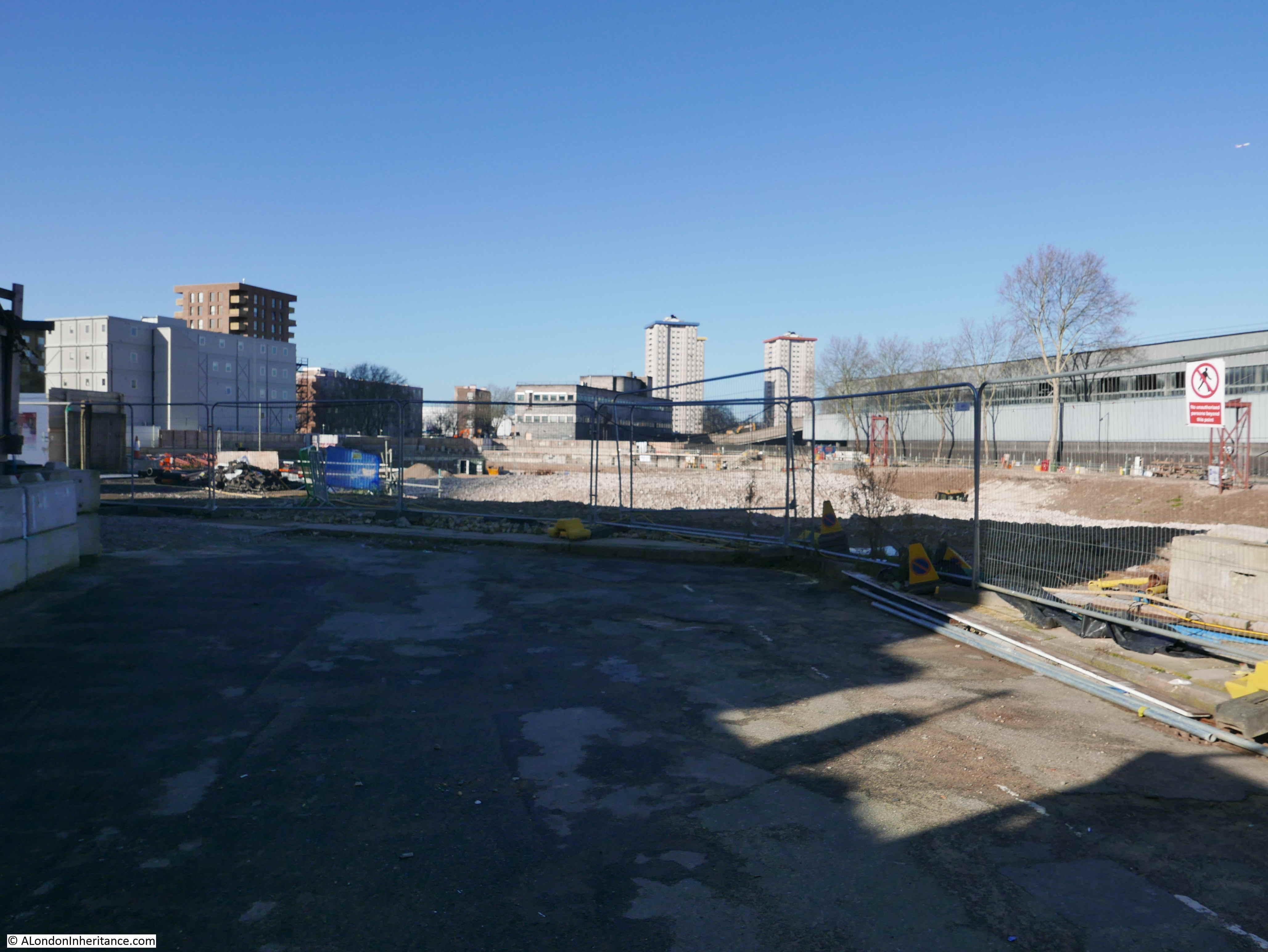
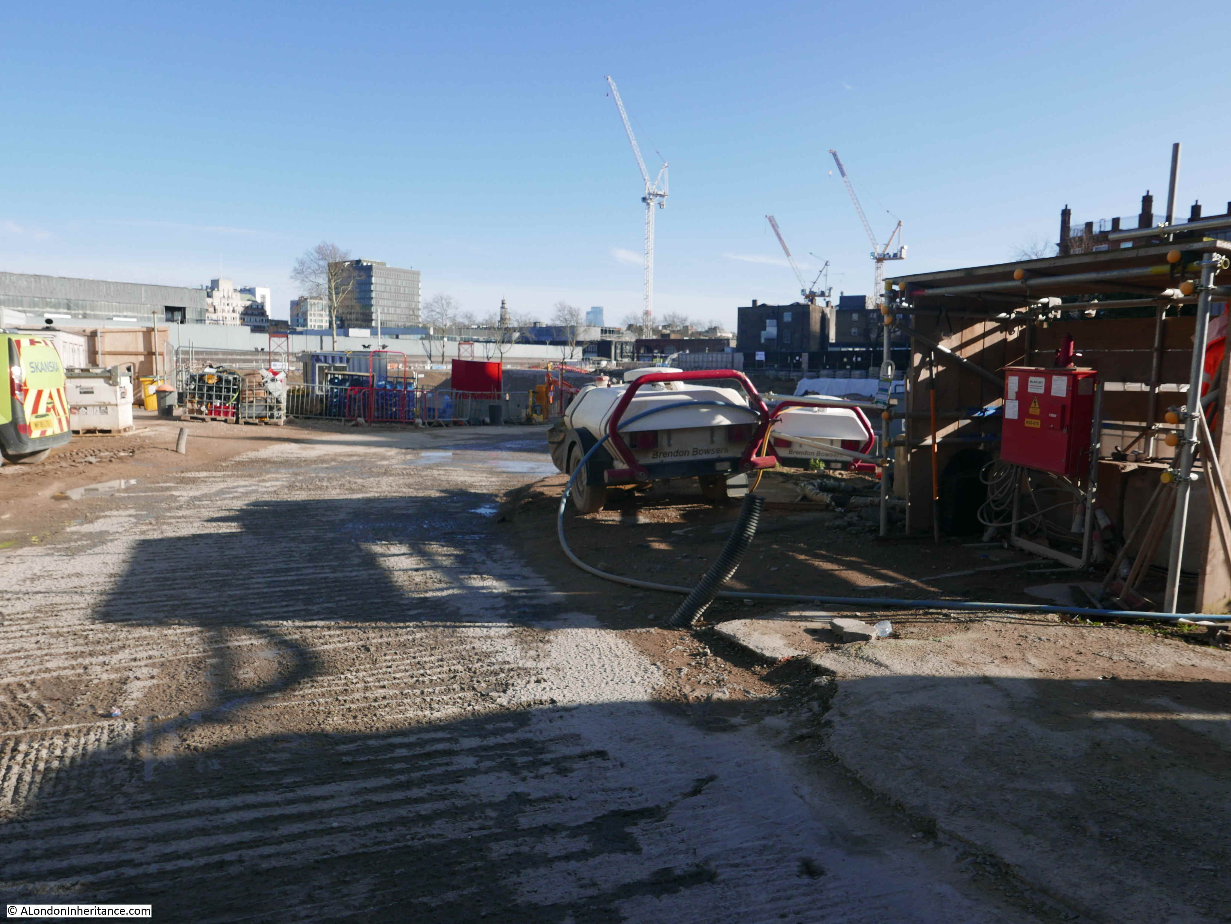
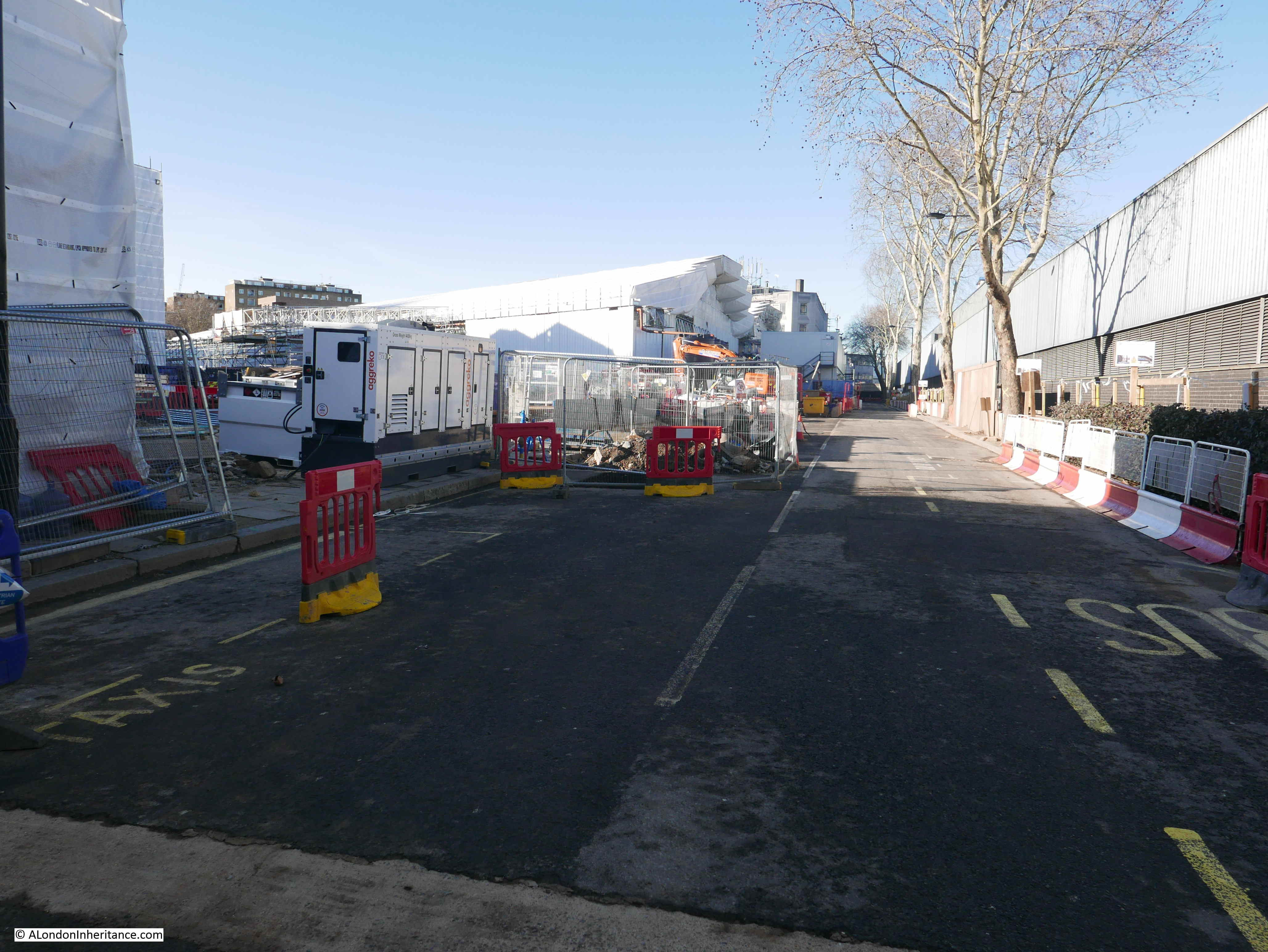
We finally get to see some of the working area for the new station:

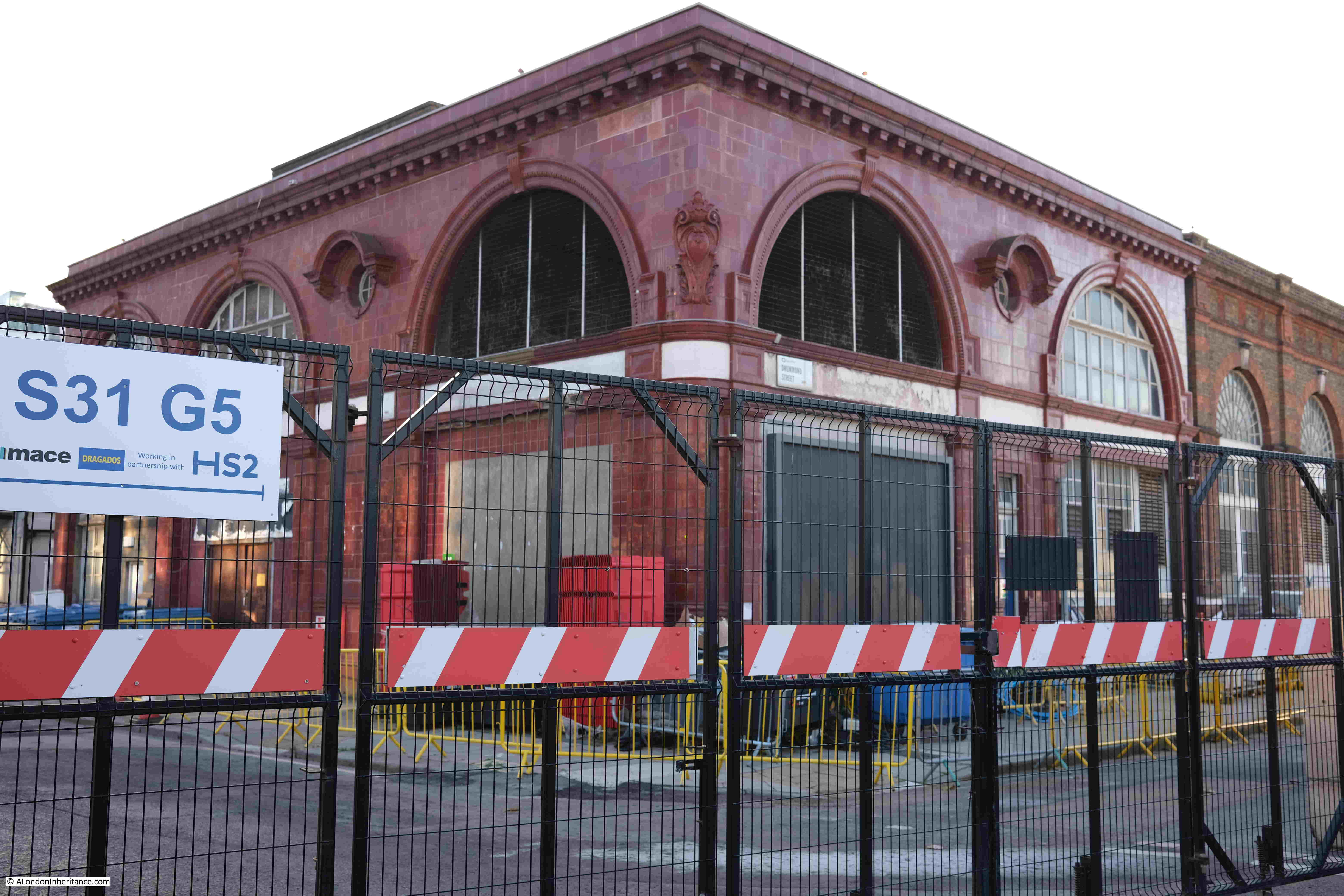
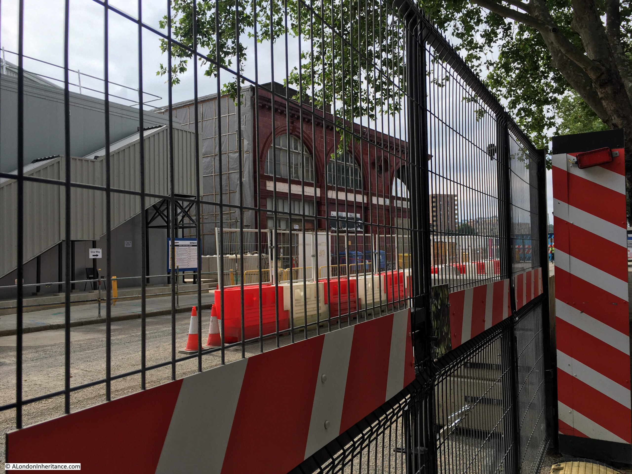
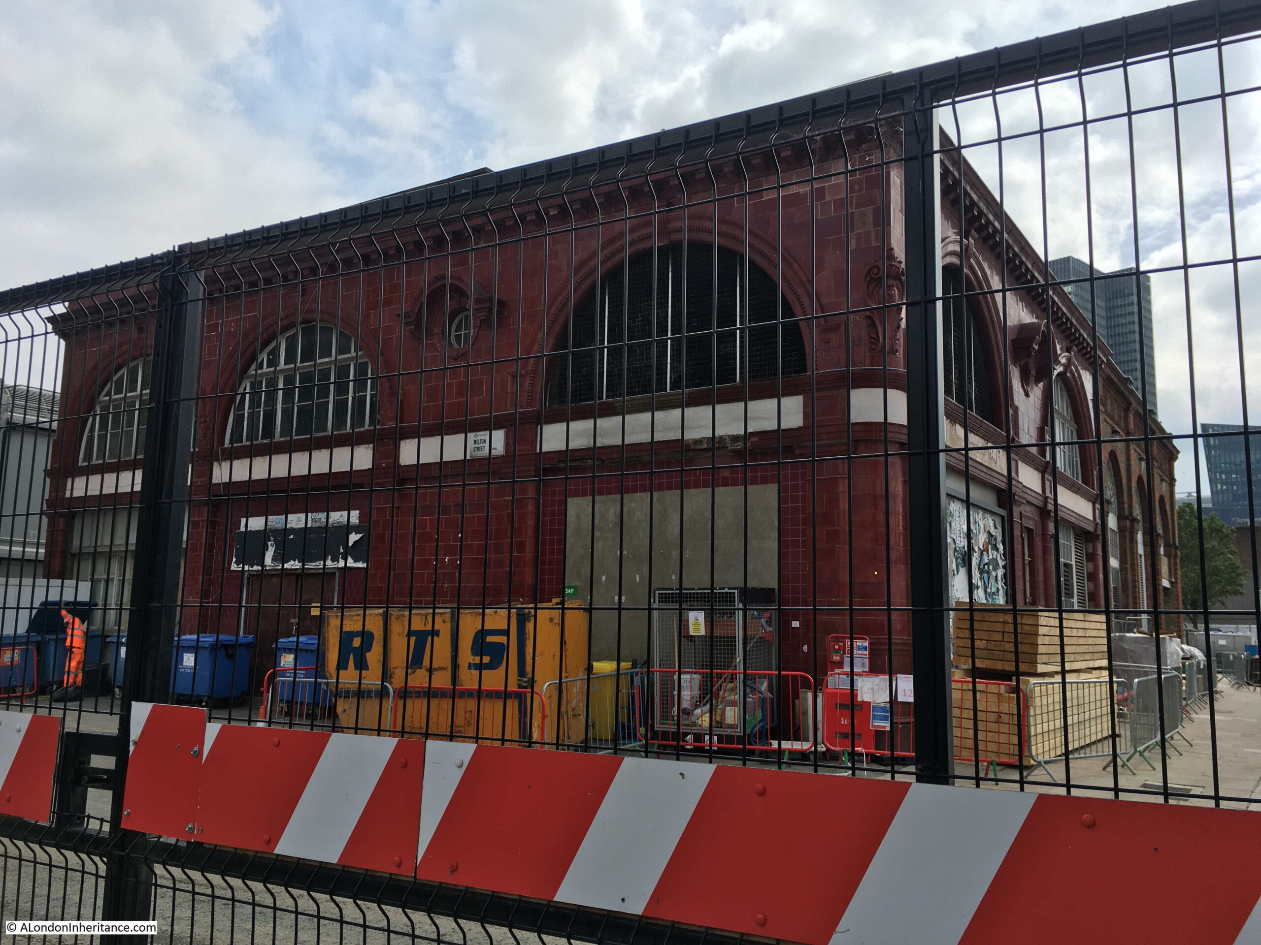
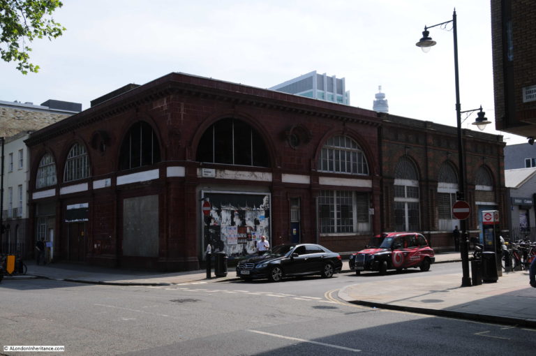
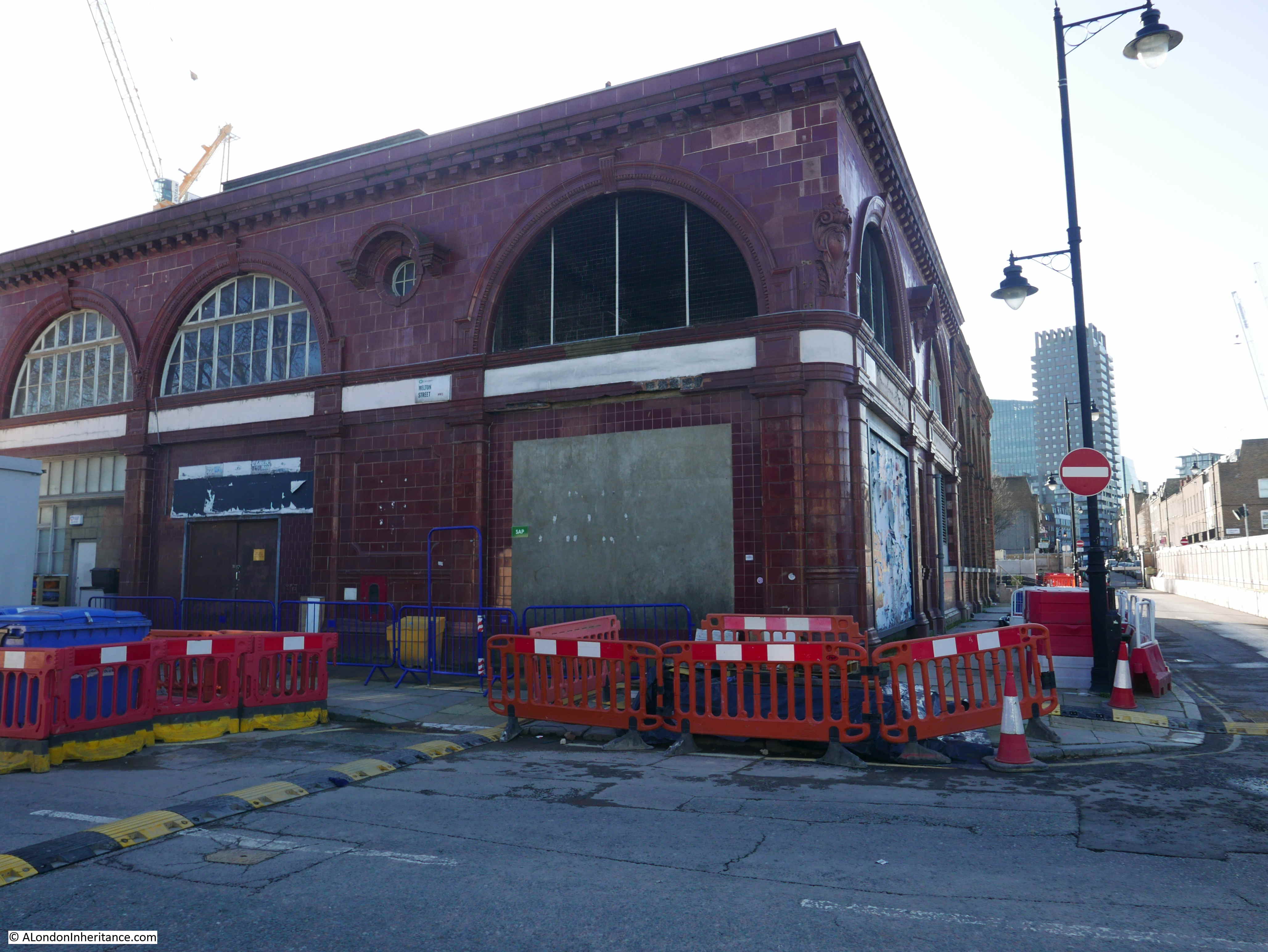
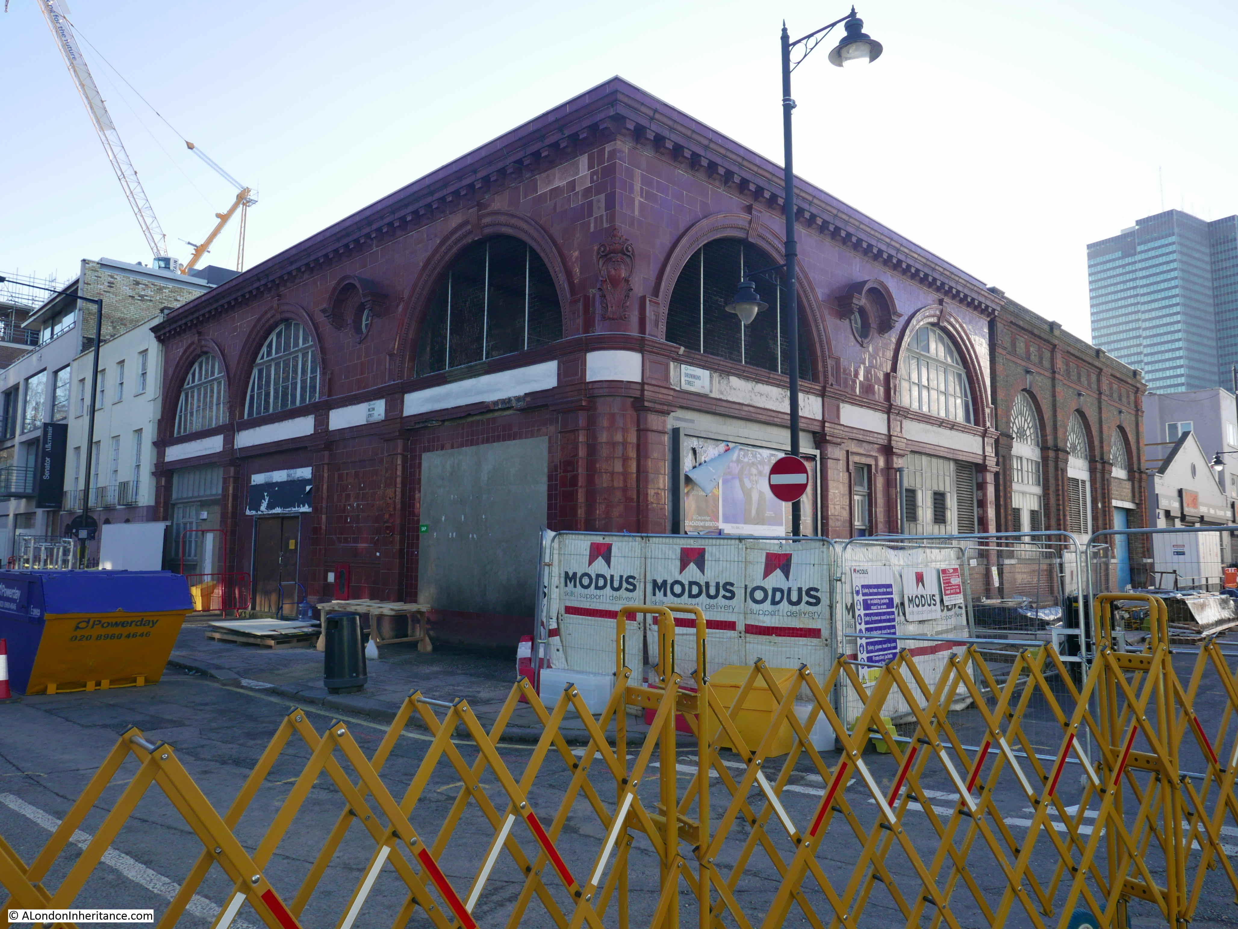
At the corner of where Drummond Street once met Melton Street is the original Euston station of the Charing Cross, Euston and Hampstead Railway (I wrote about a visit to the station and tunnels in this post):

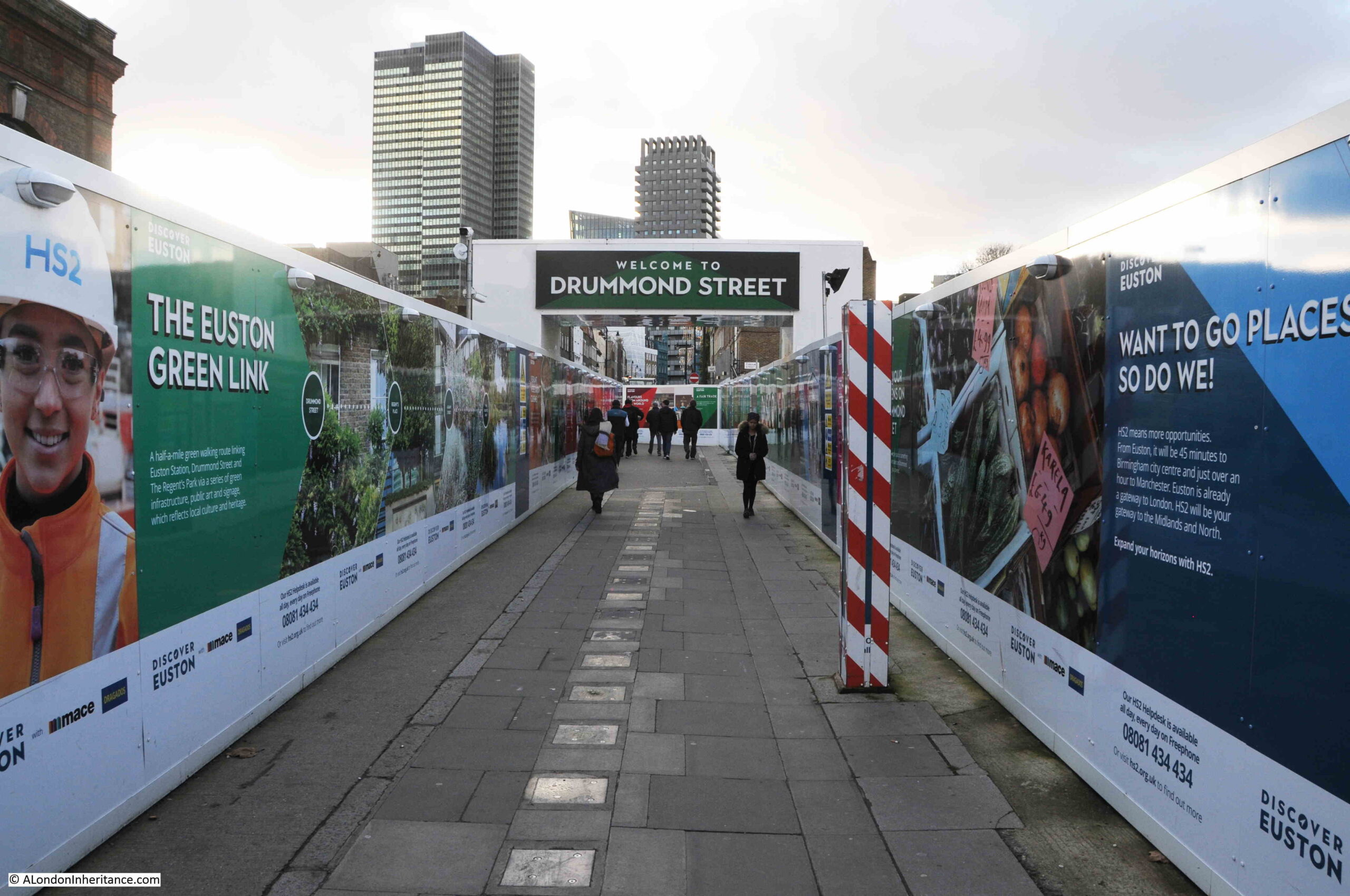
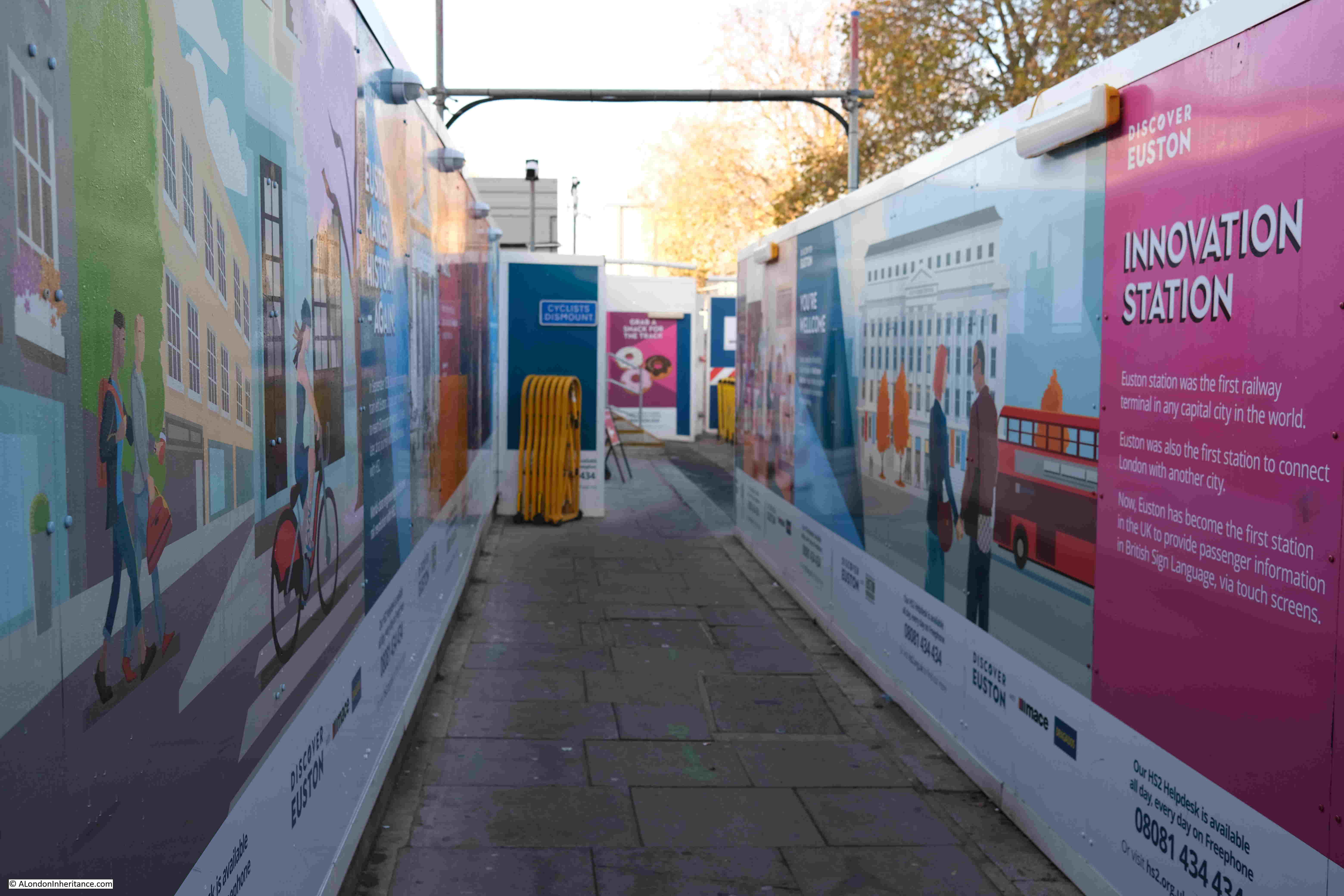
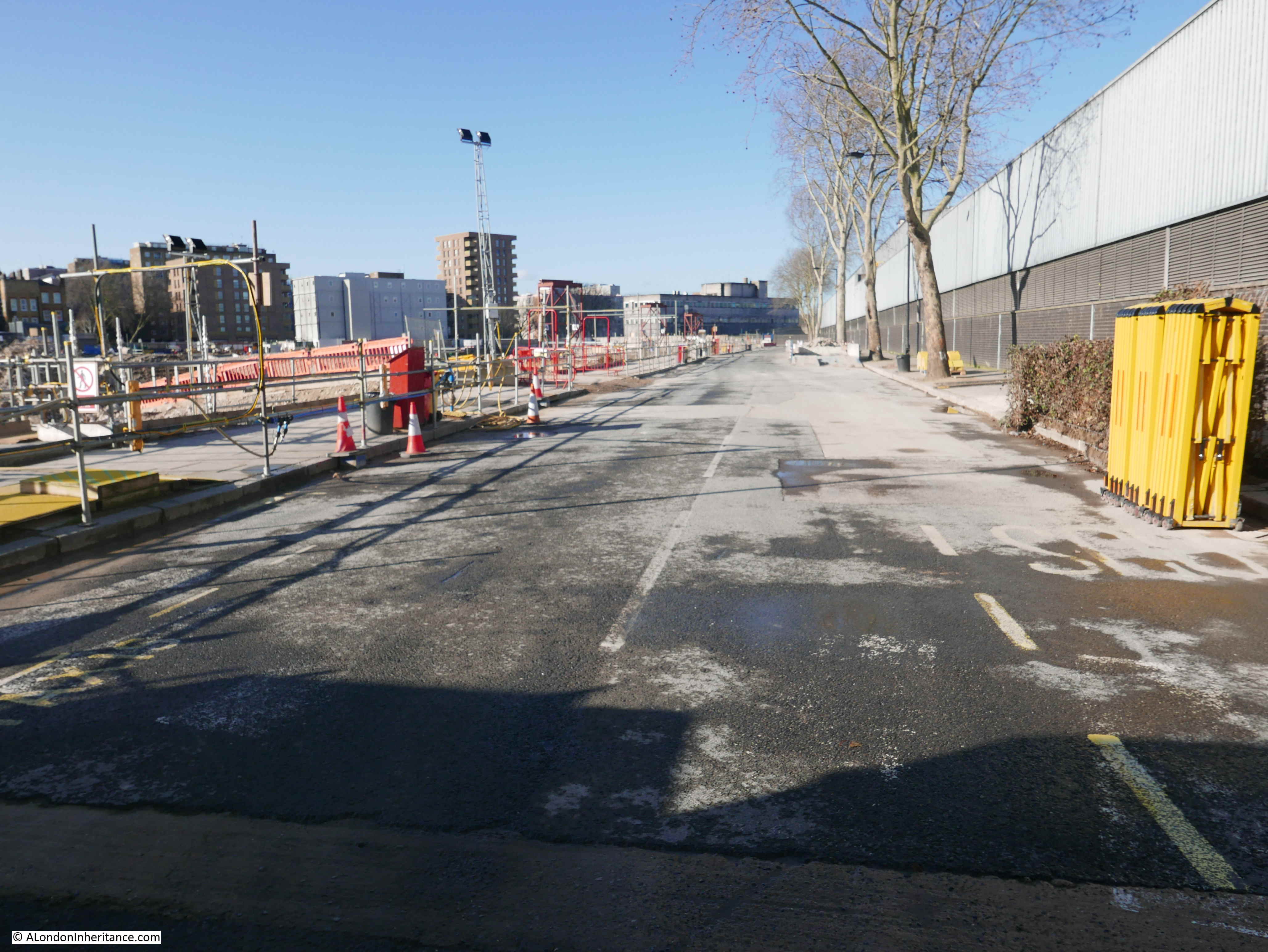
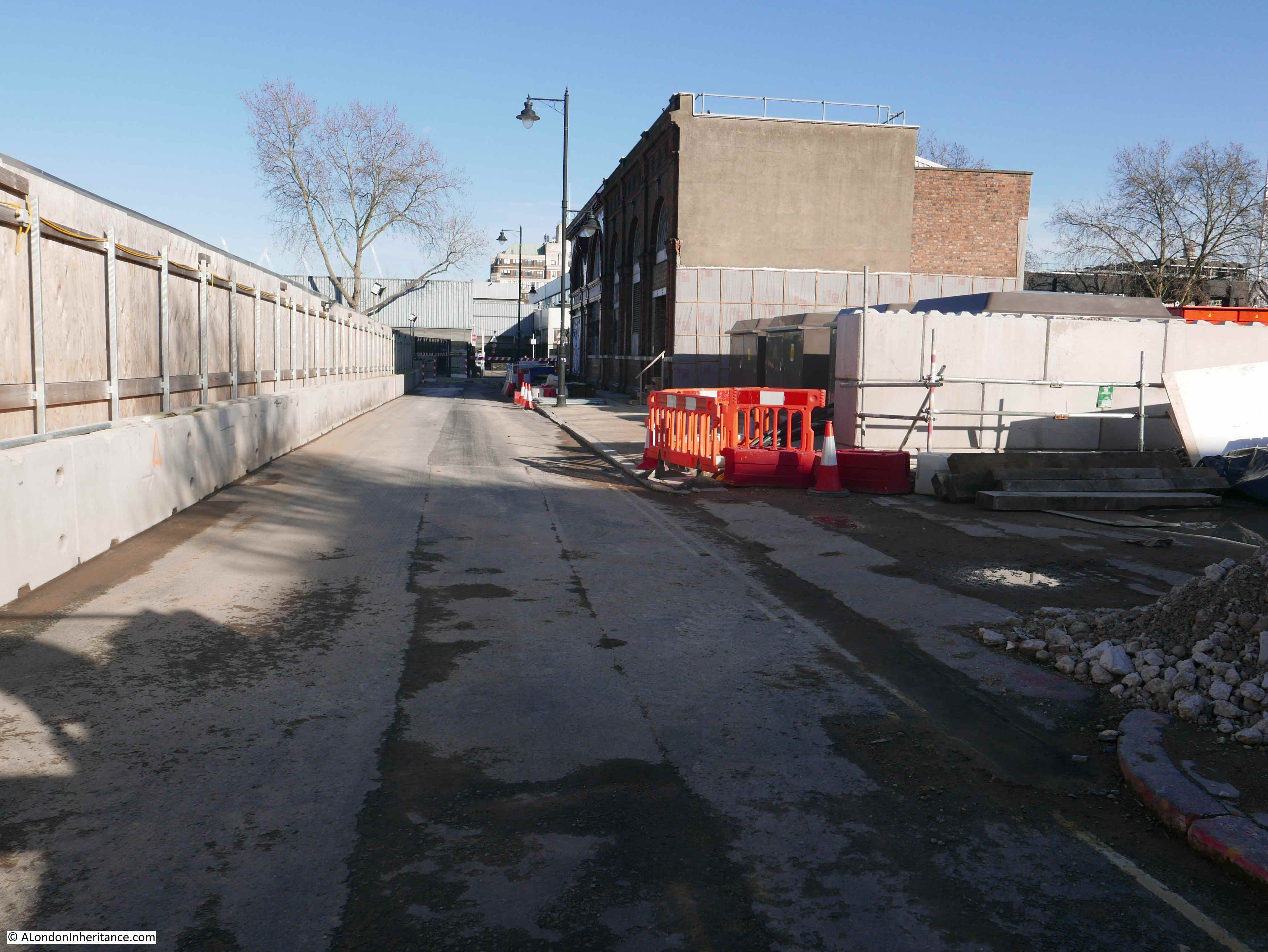
This is the walkway that follows the route of what was Drummond Street, where it led up to the junction with Melton Street and Cardington Street. Again, this has not changed for the last few years, and is the access route to the station from the streets to the west of the station:

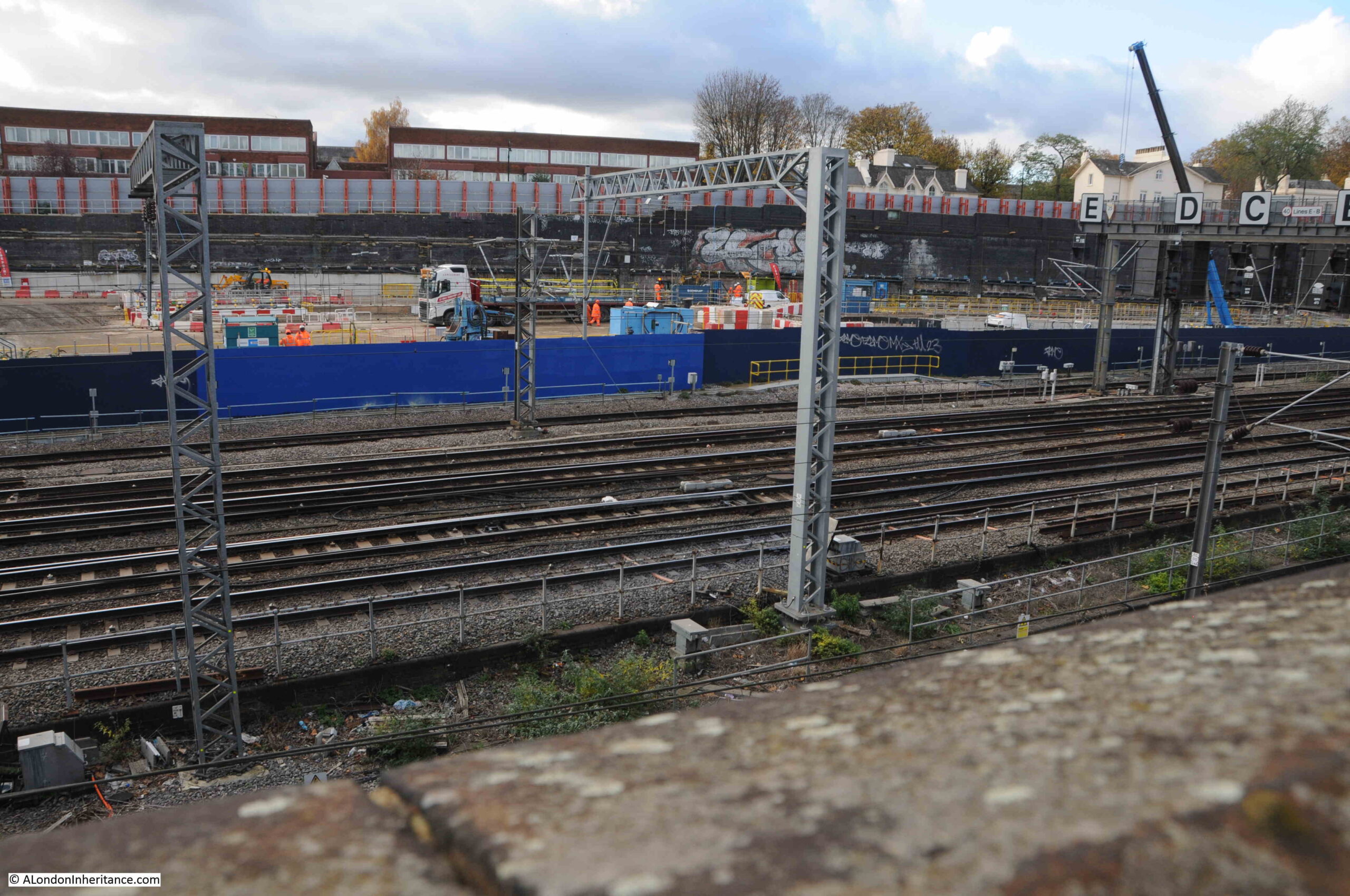
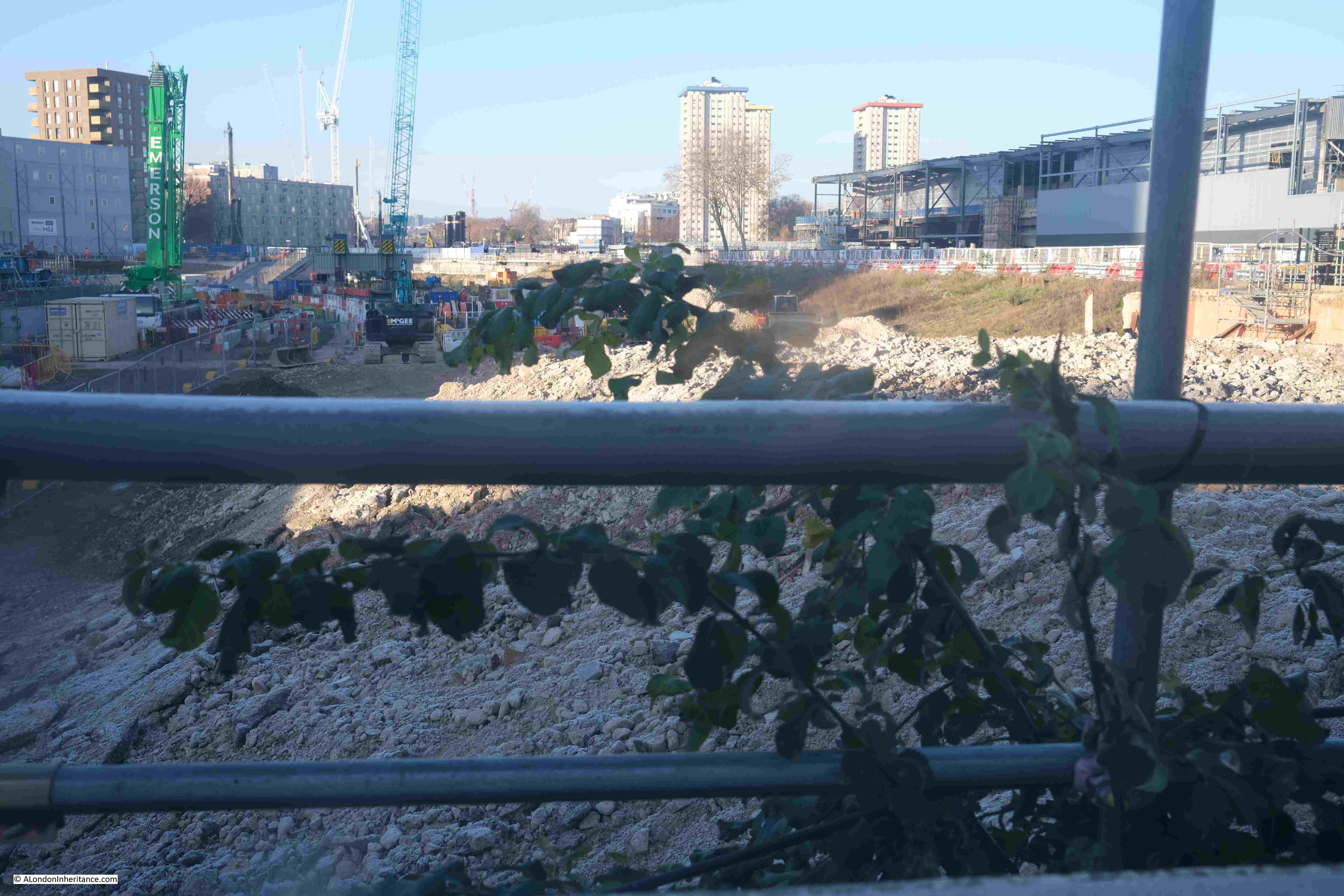
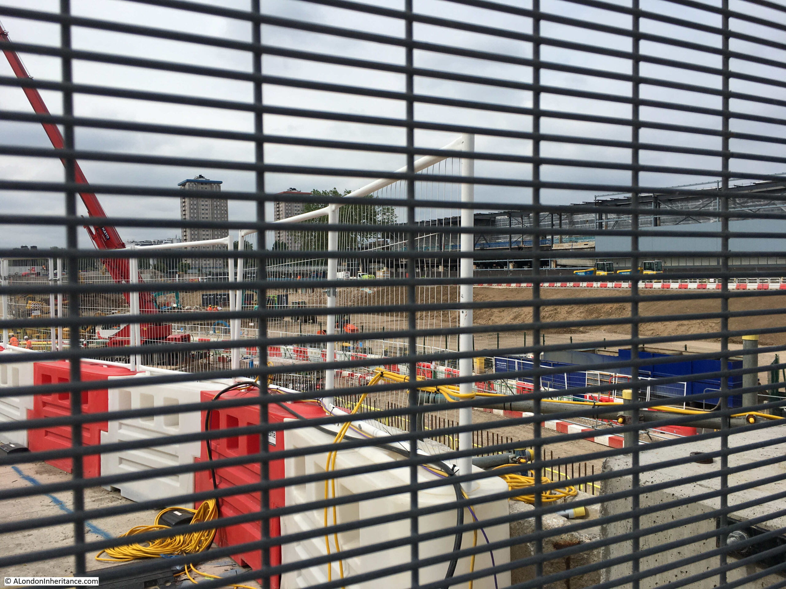
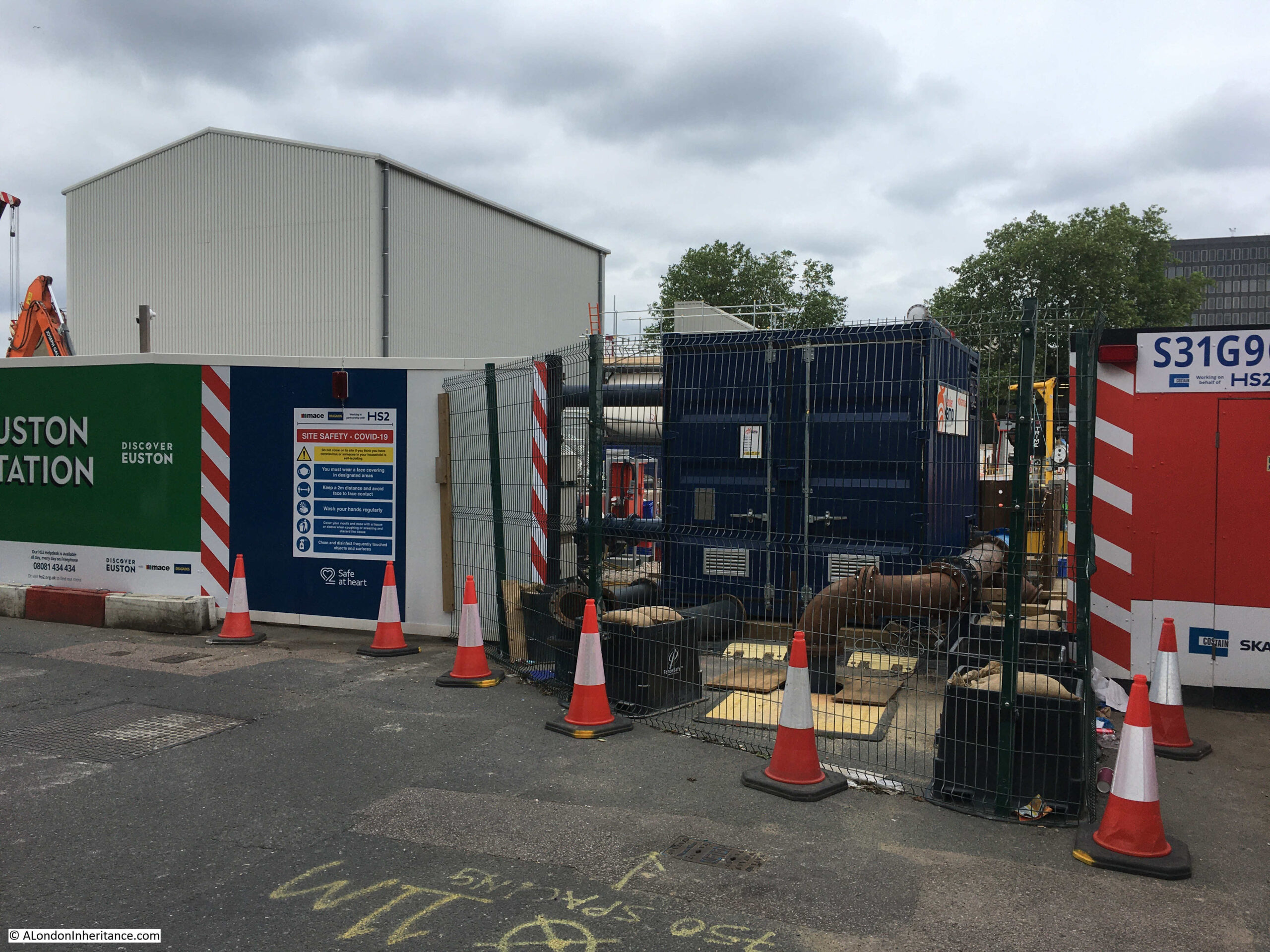
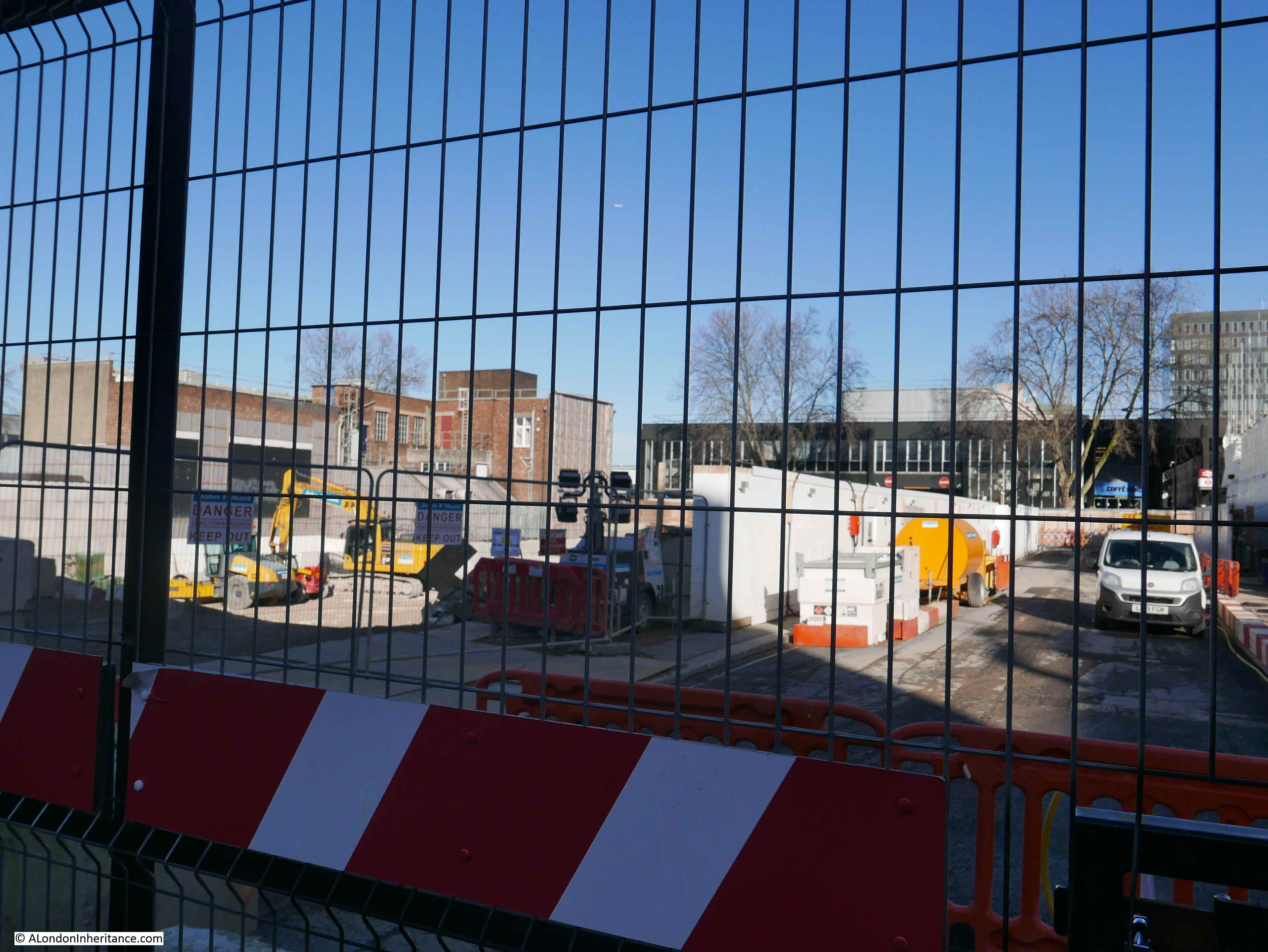
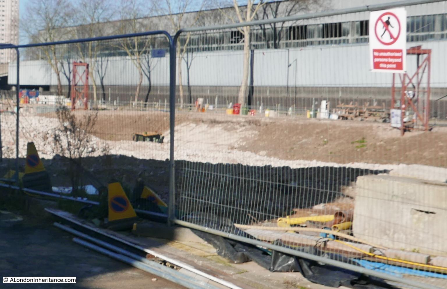
There are very few places where you can look through the hoardings and see any of the construction site. There is one in the above photo, looking north to the area that at some point will see the new HS2 tracks arrive at the new part of Euston Station for HS2:

The old St. James Gardens and burial grounds were in the area roughly where the blue containers are in the above photo, including the area slightly in front, to the rear, and to the left.
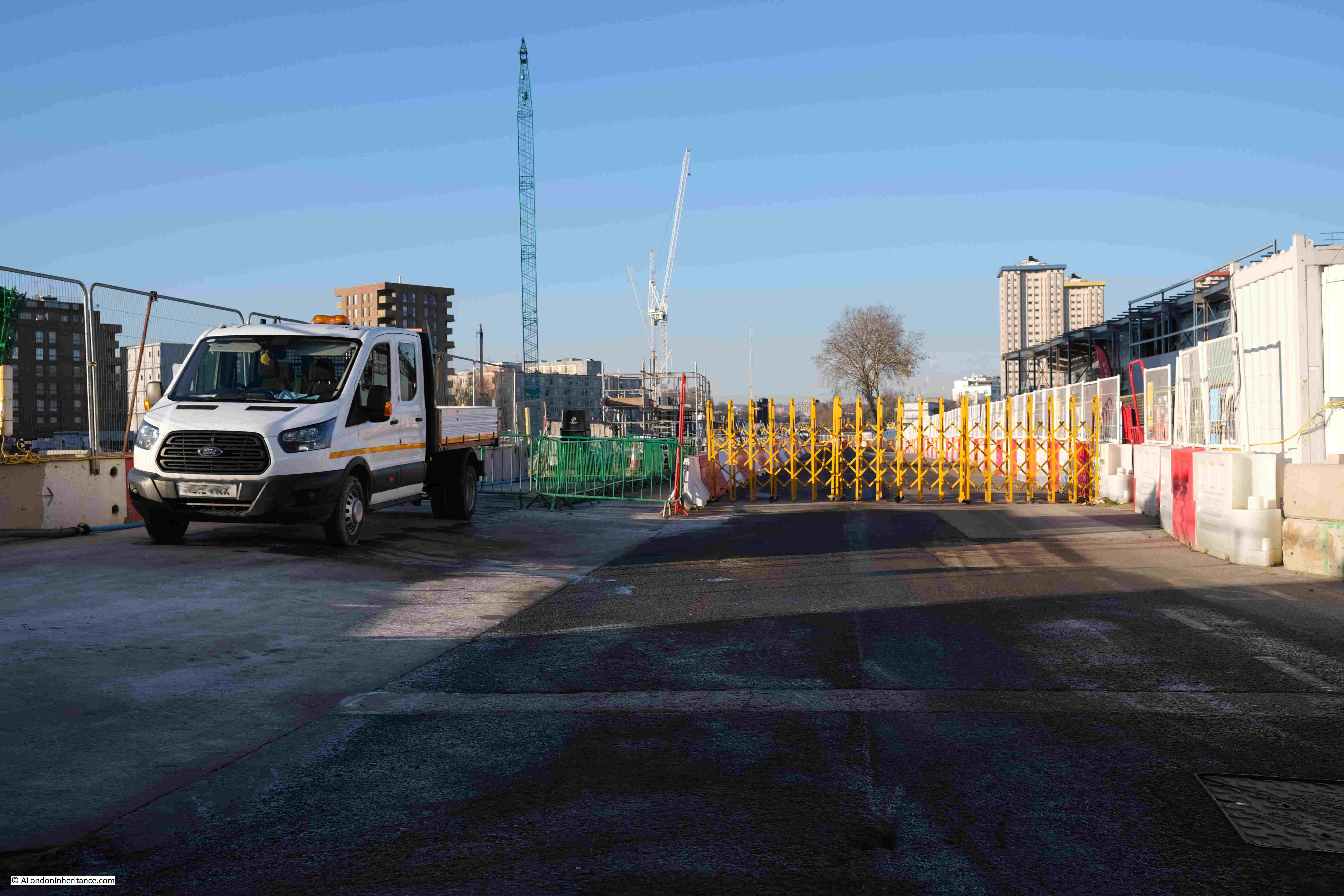
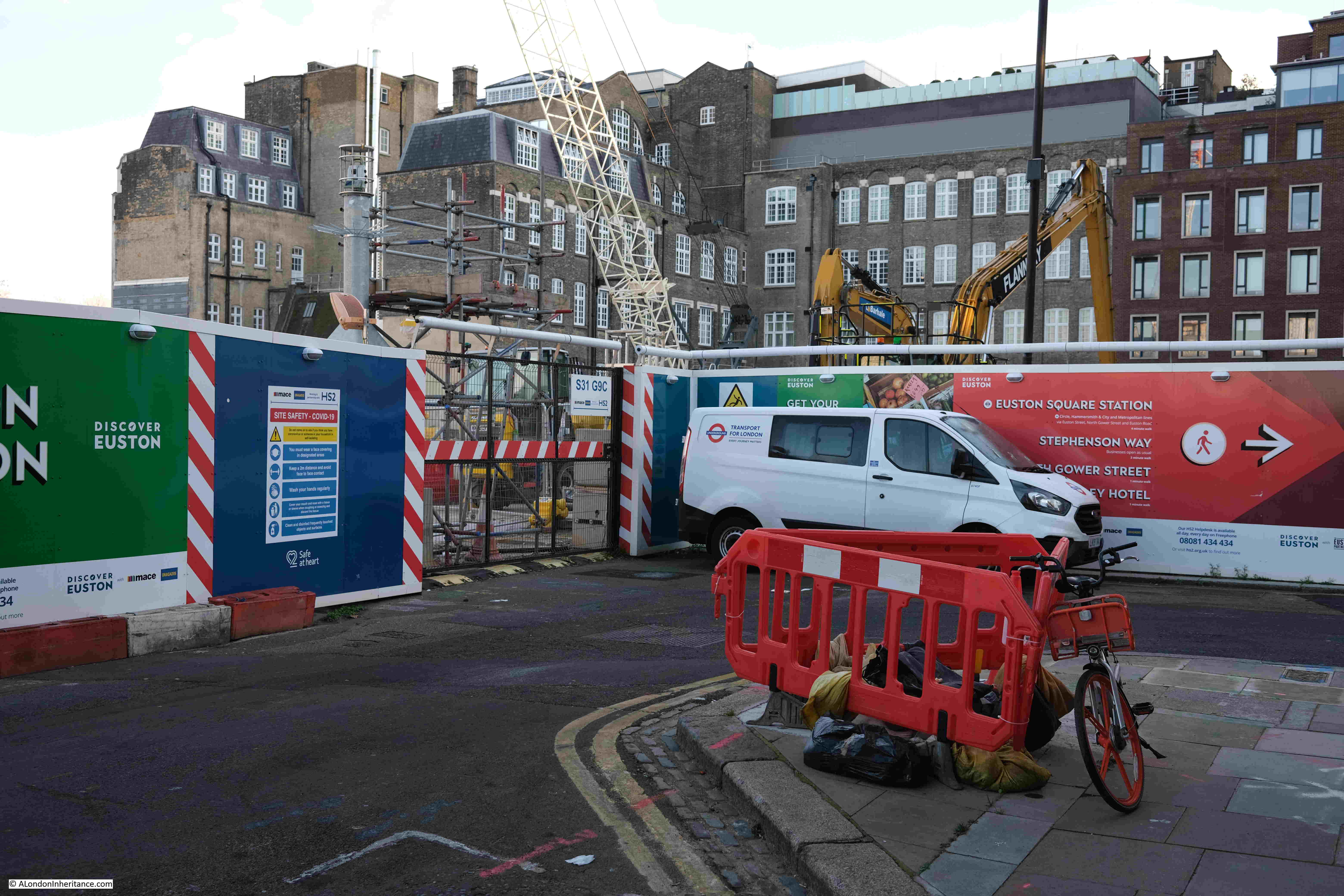
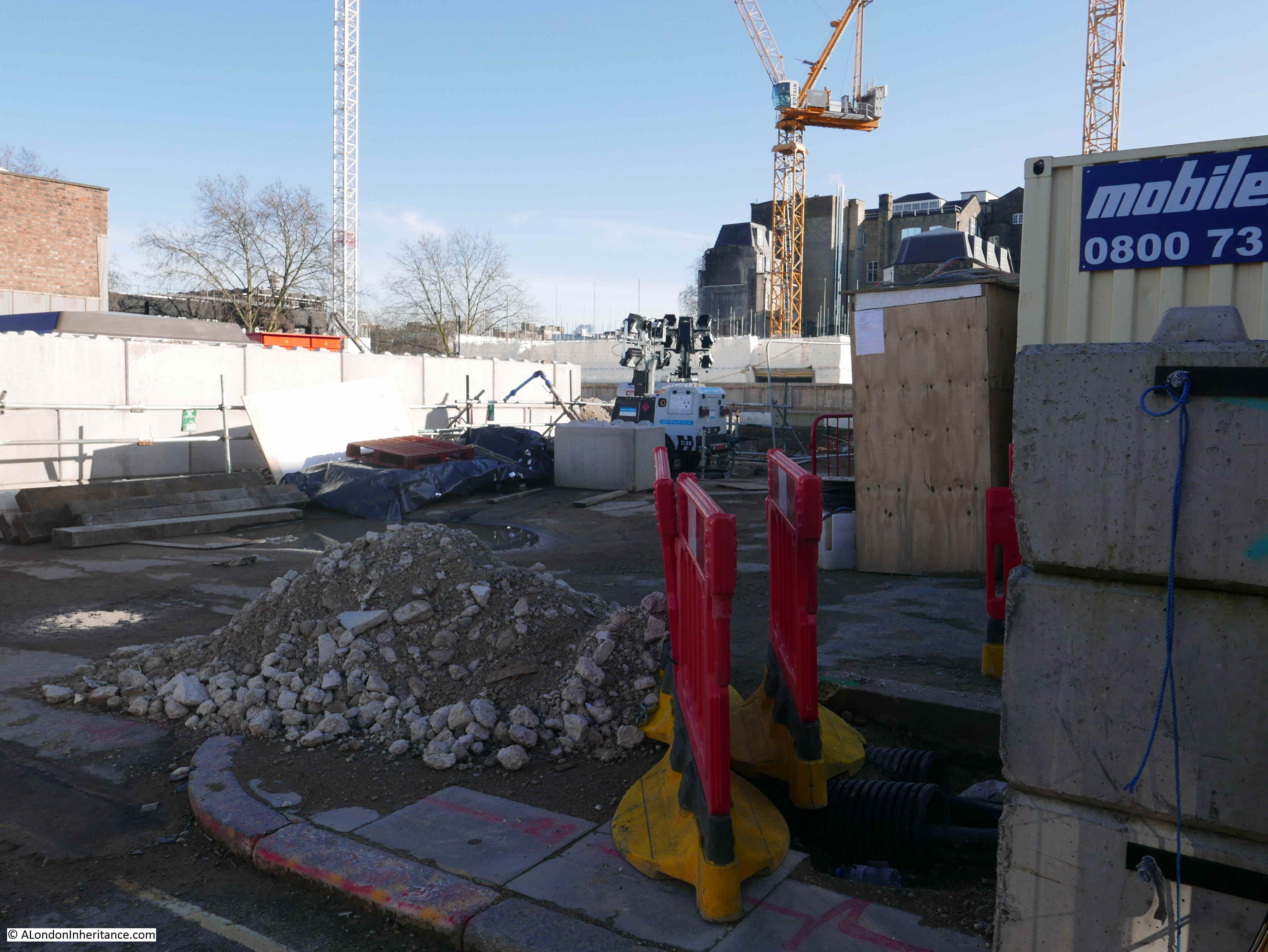
For a mid-week view of a construction site, there is very little going on.
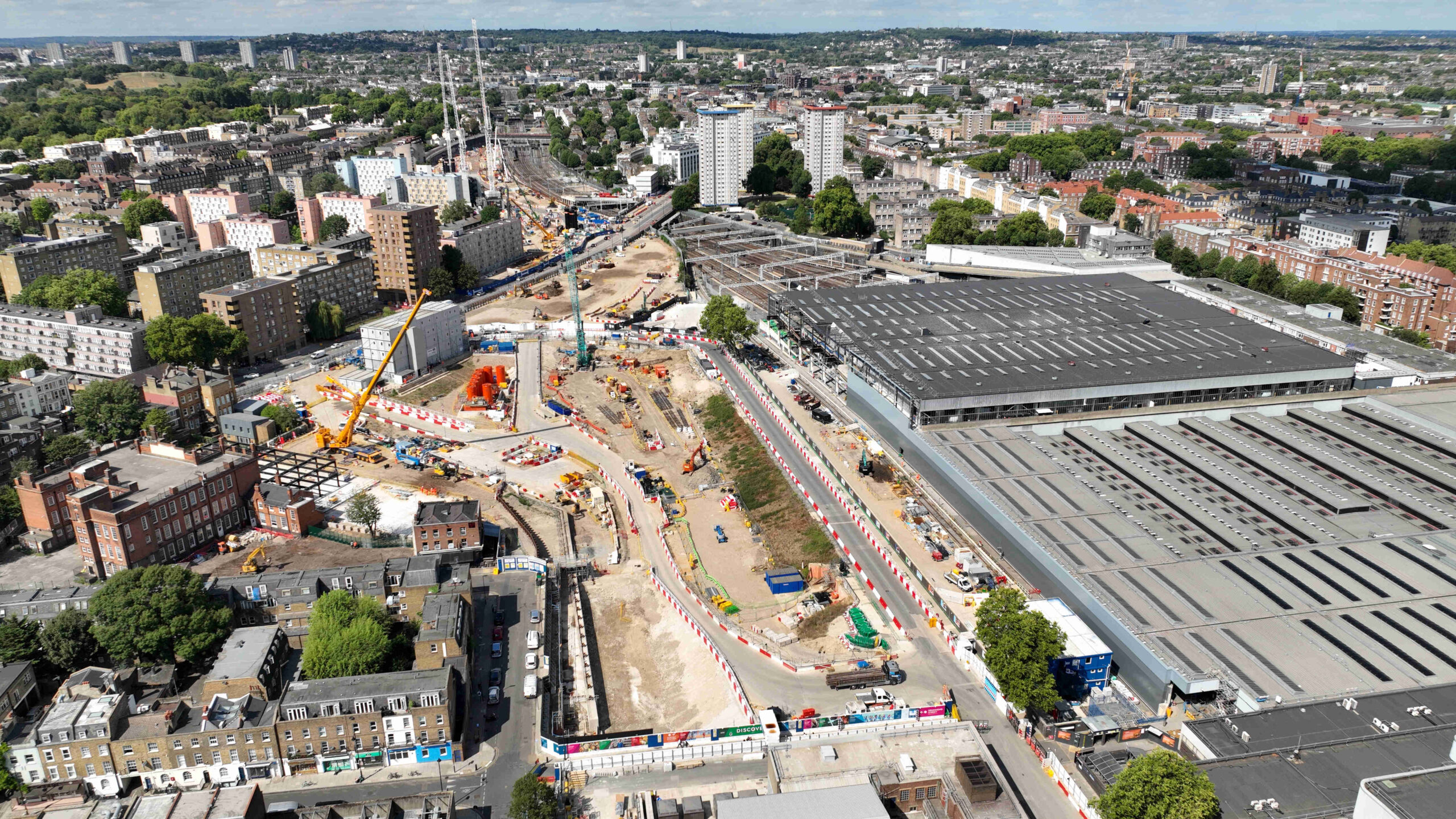
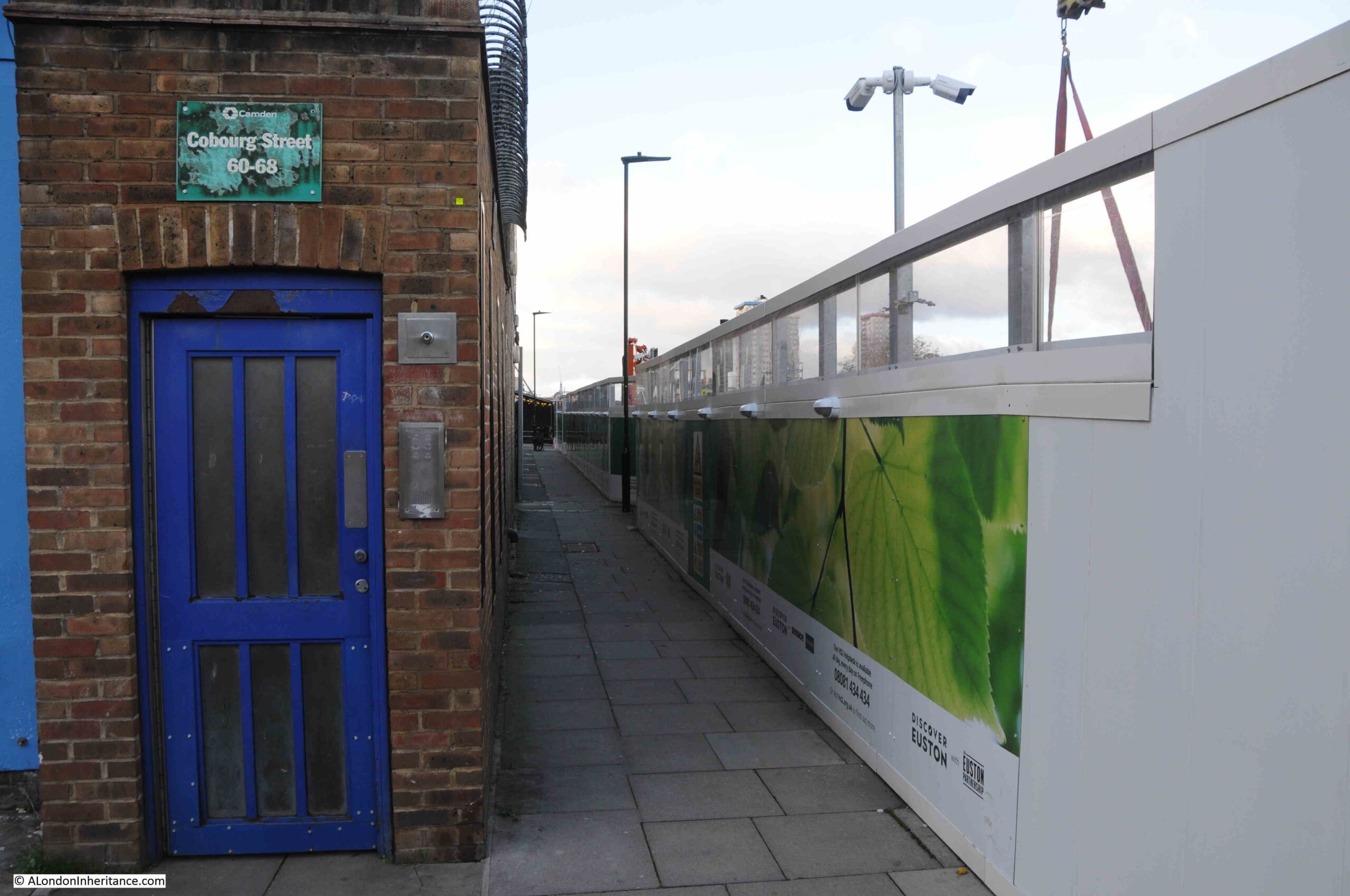
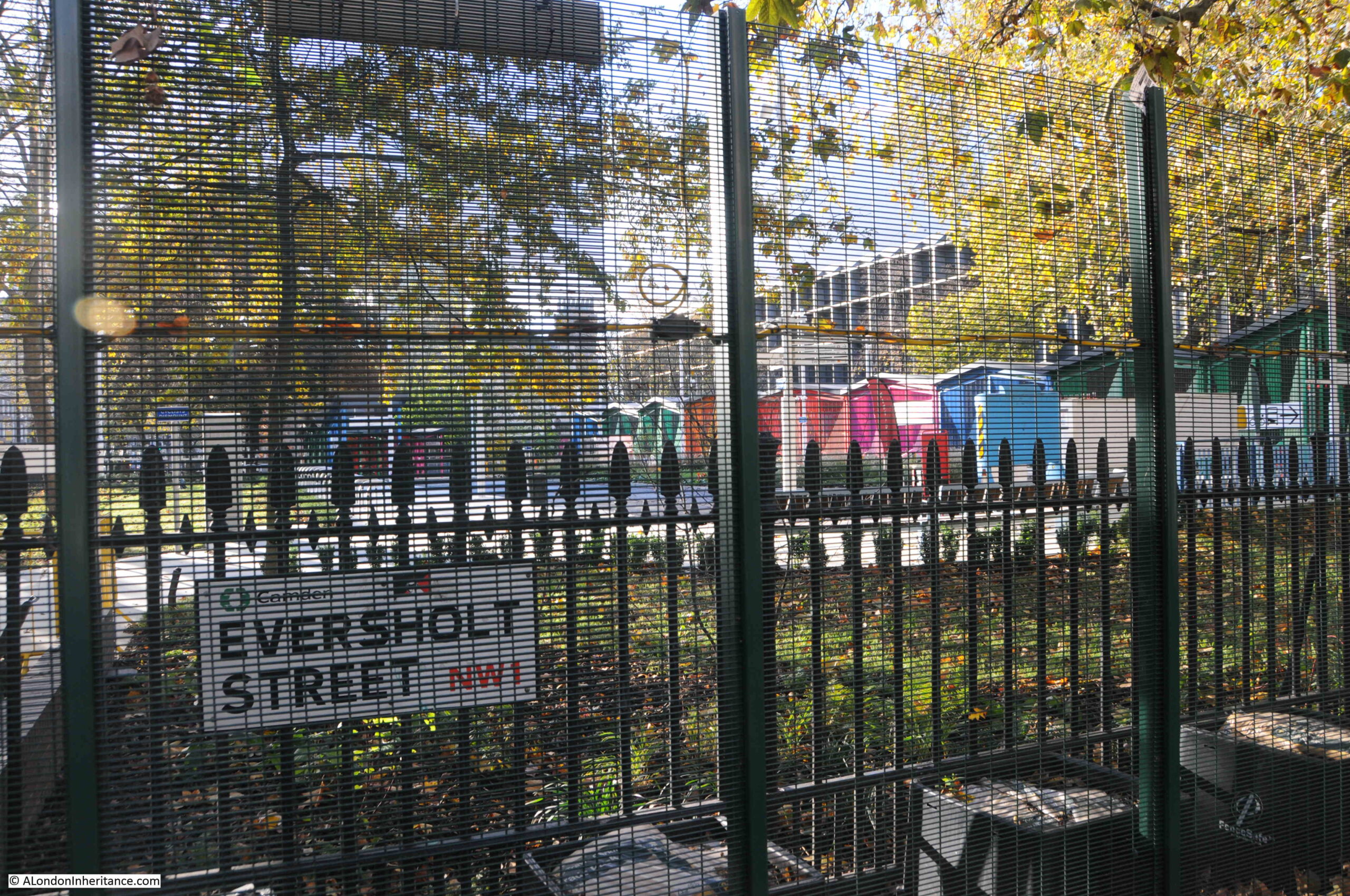
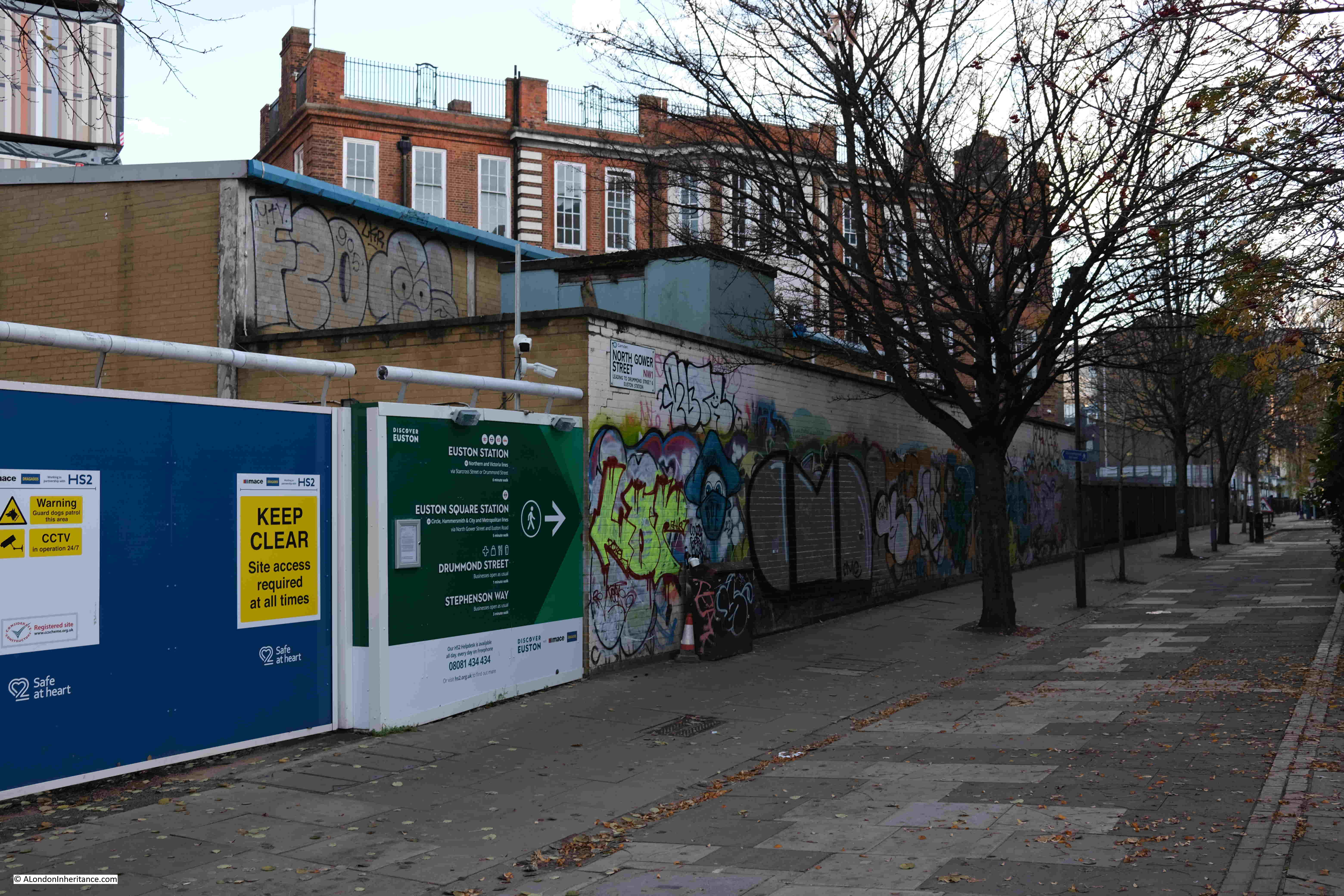
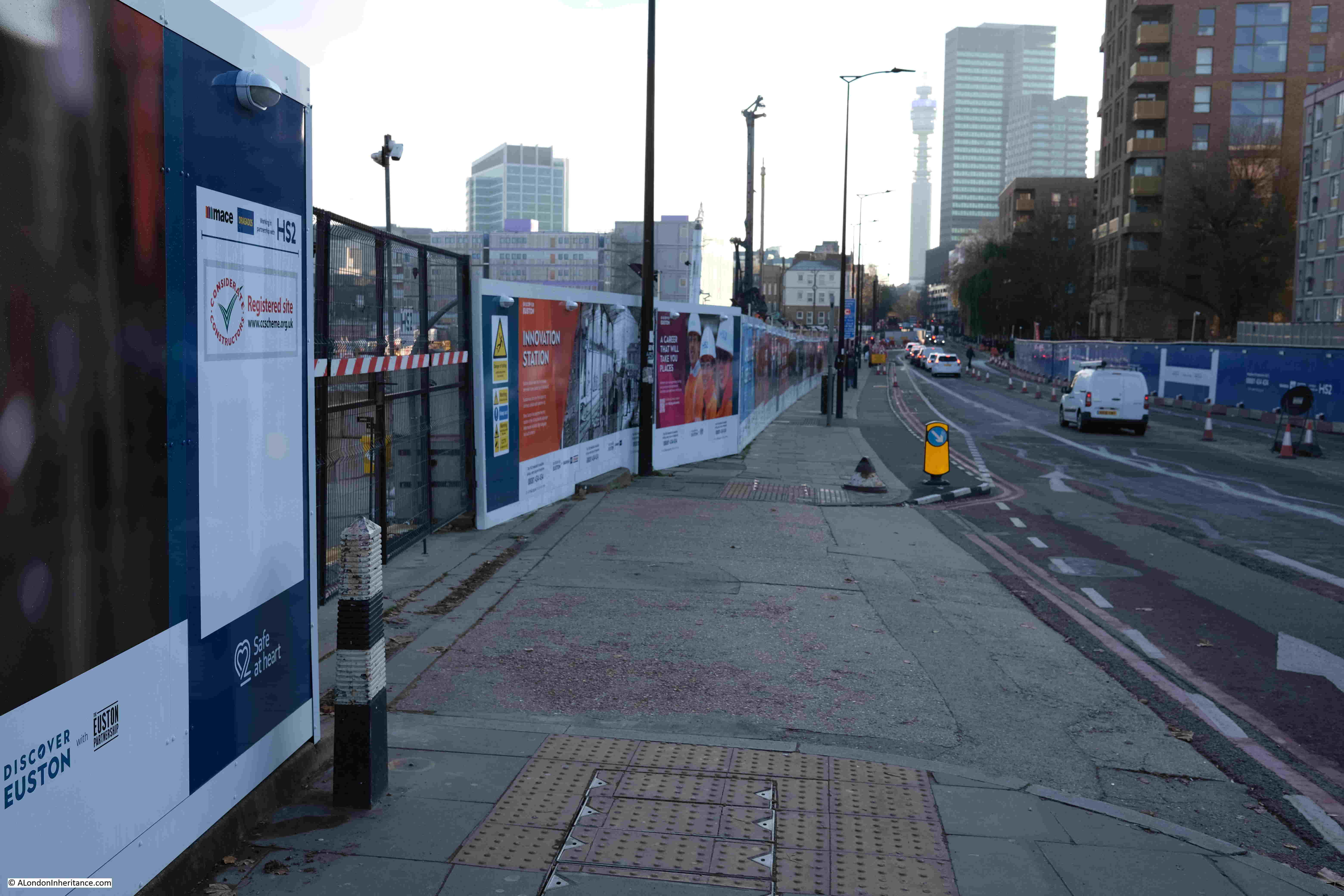
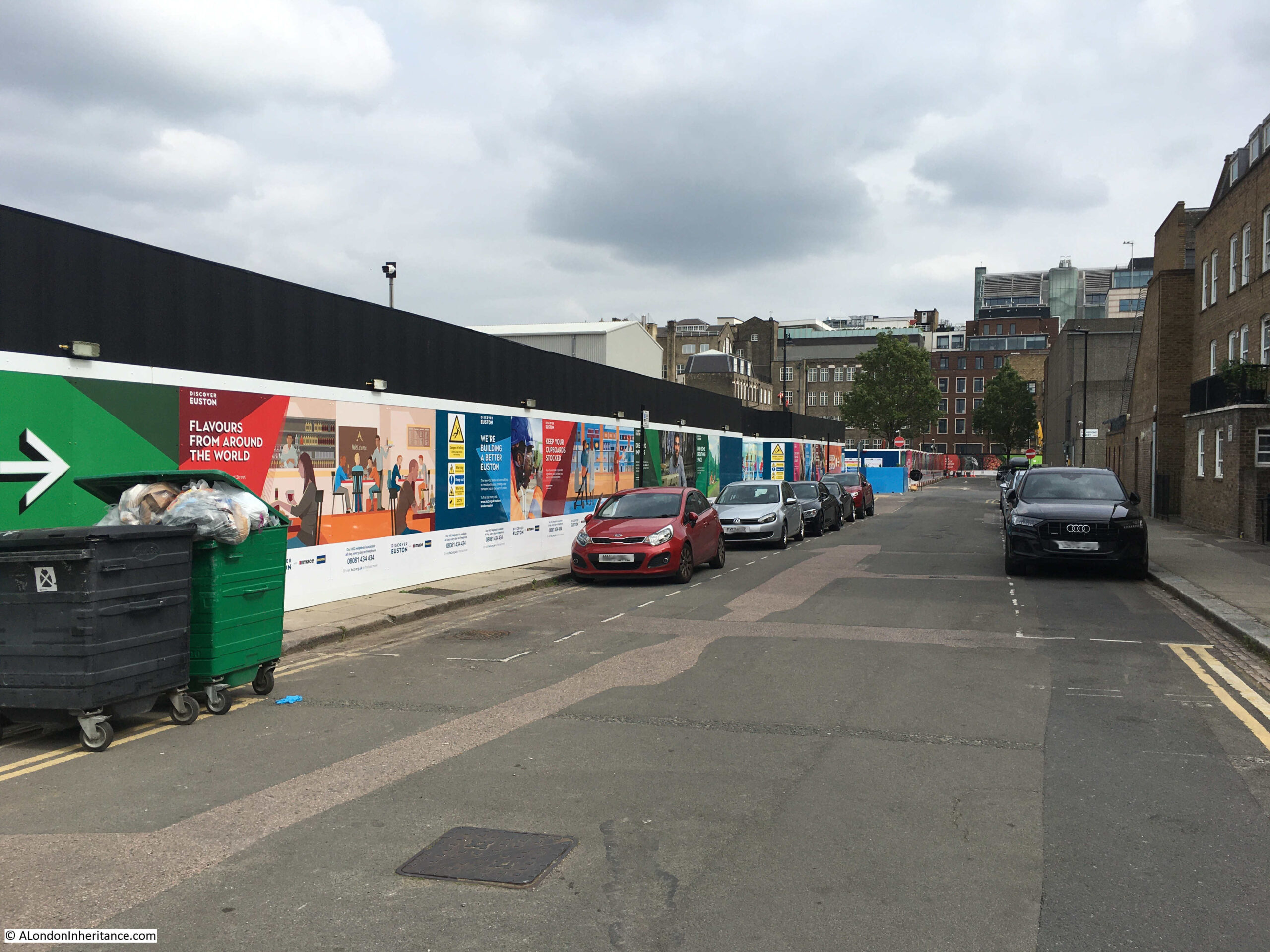
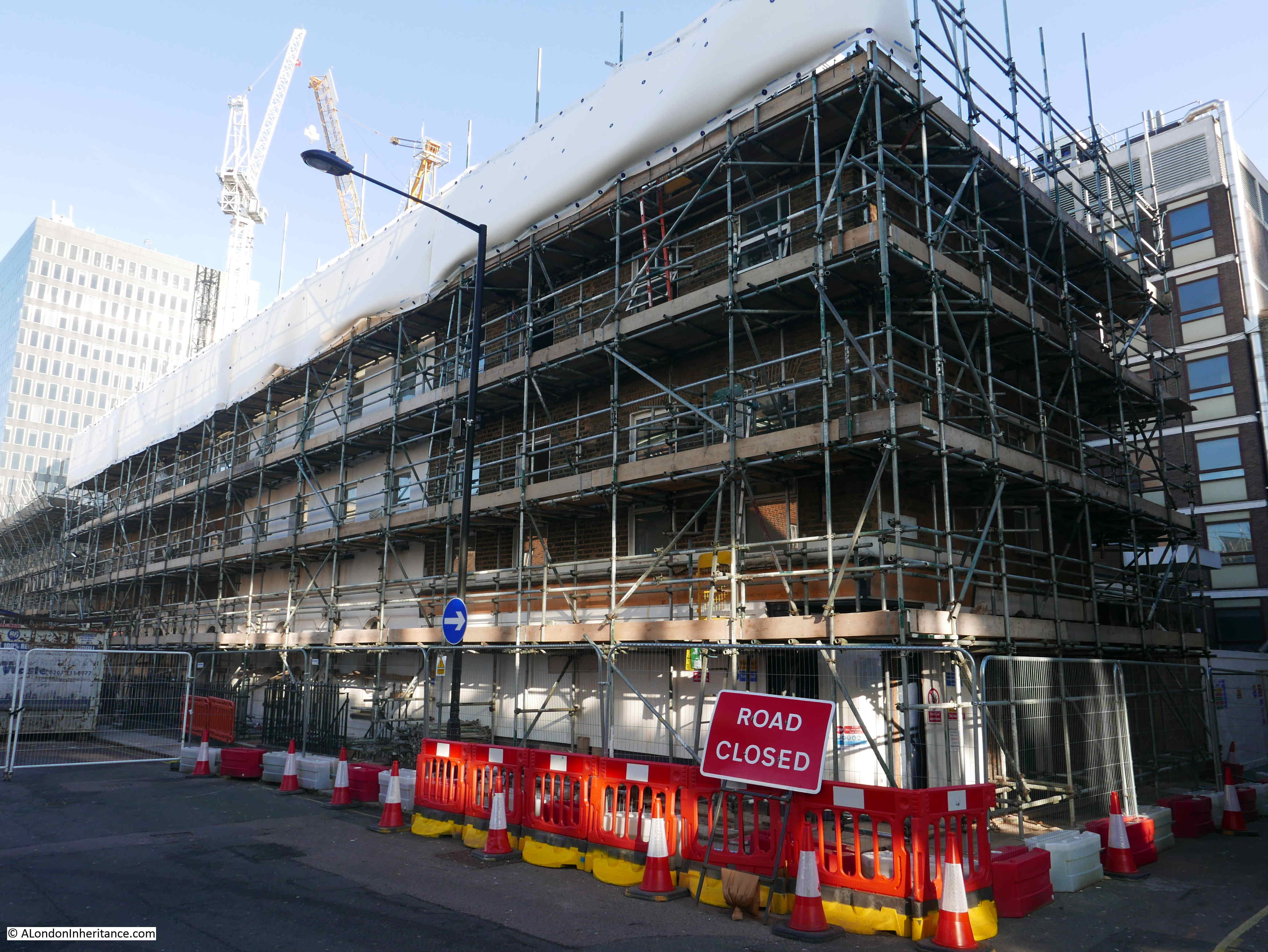
To the west of the construction site, several streets have been truncated – Drummond Street, Euston Street and Stephenson Way. Cobourg Street which ran north – south across these streets is today mainly a walkway, with hoarding lining the eastern side of the street, towards the station.
The following photo is at the end of Euston Street, looking north along what was Cobourg Street:

The HS2 website has a Media section which includes photos of the construction site. The following image shows what is behind the hoardings in the above photo:

Image source: https://mediacentre.hs2.org.uk/resources/aerial-view-of-hs2-s-london-euston-station-works-january-2023-7-2
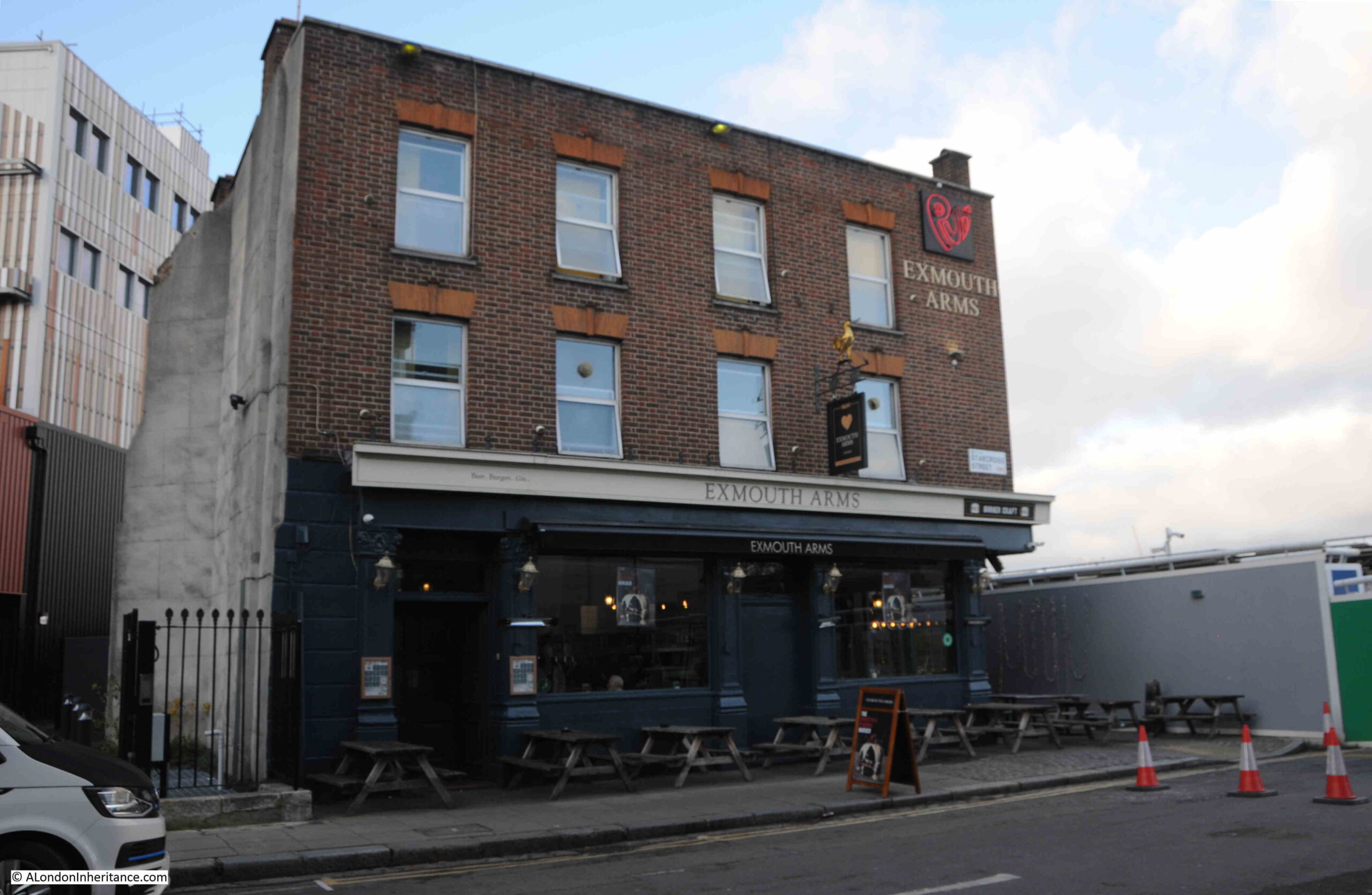
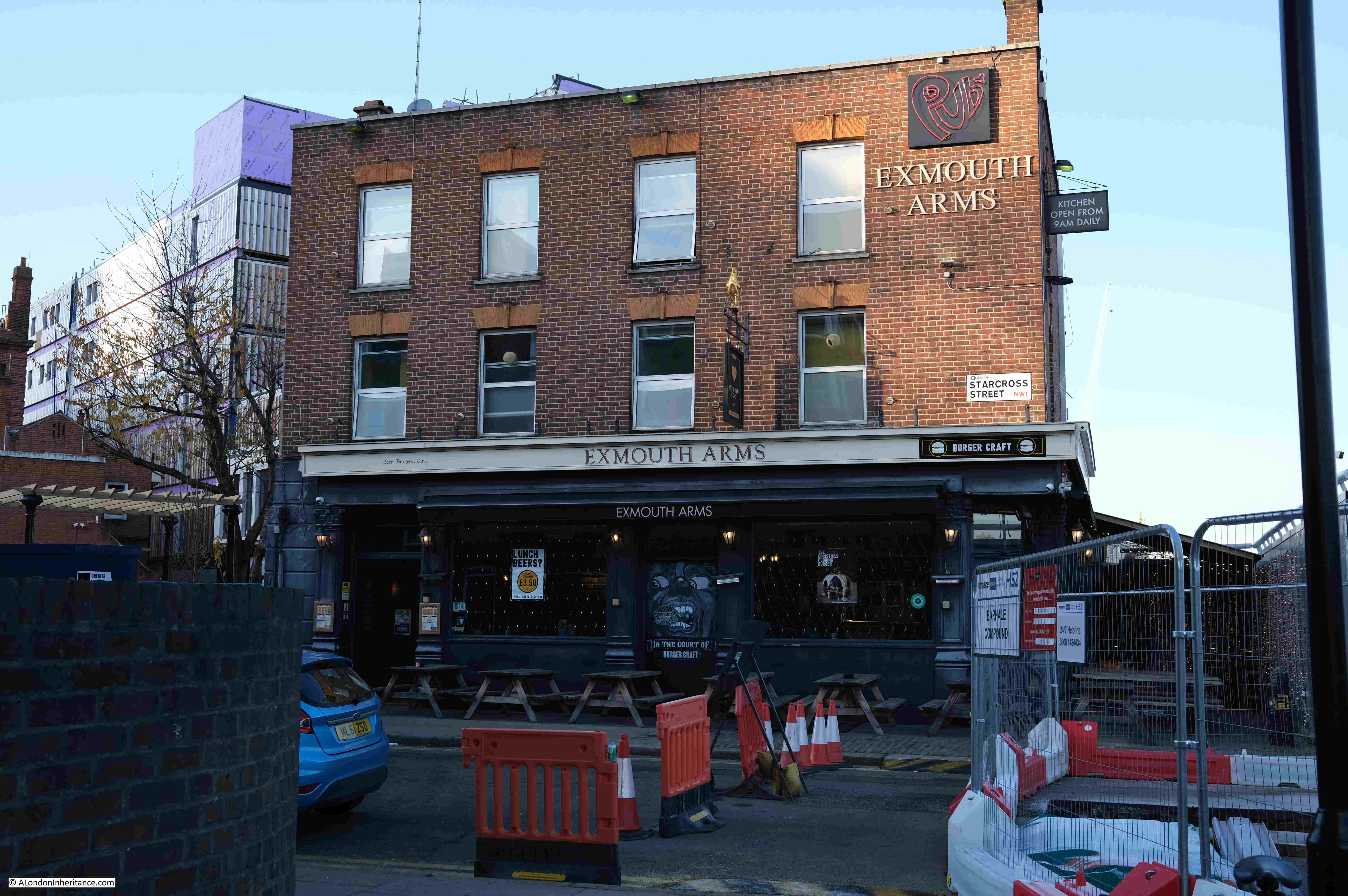
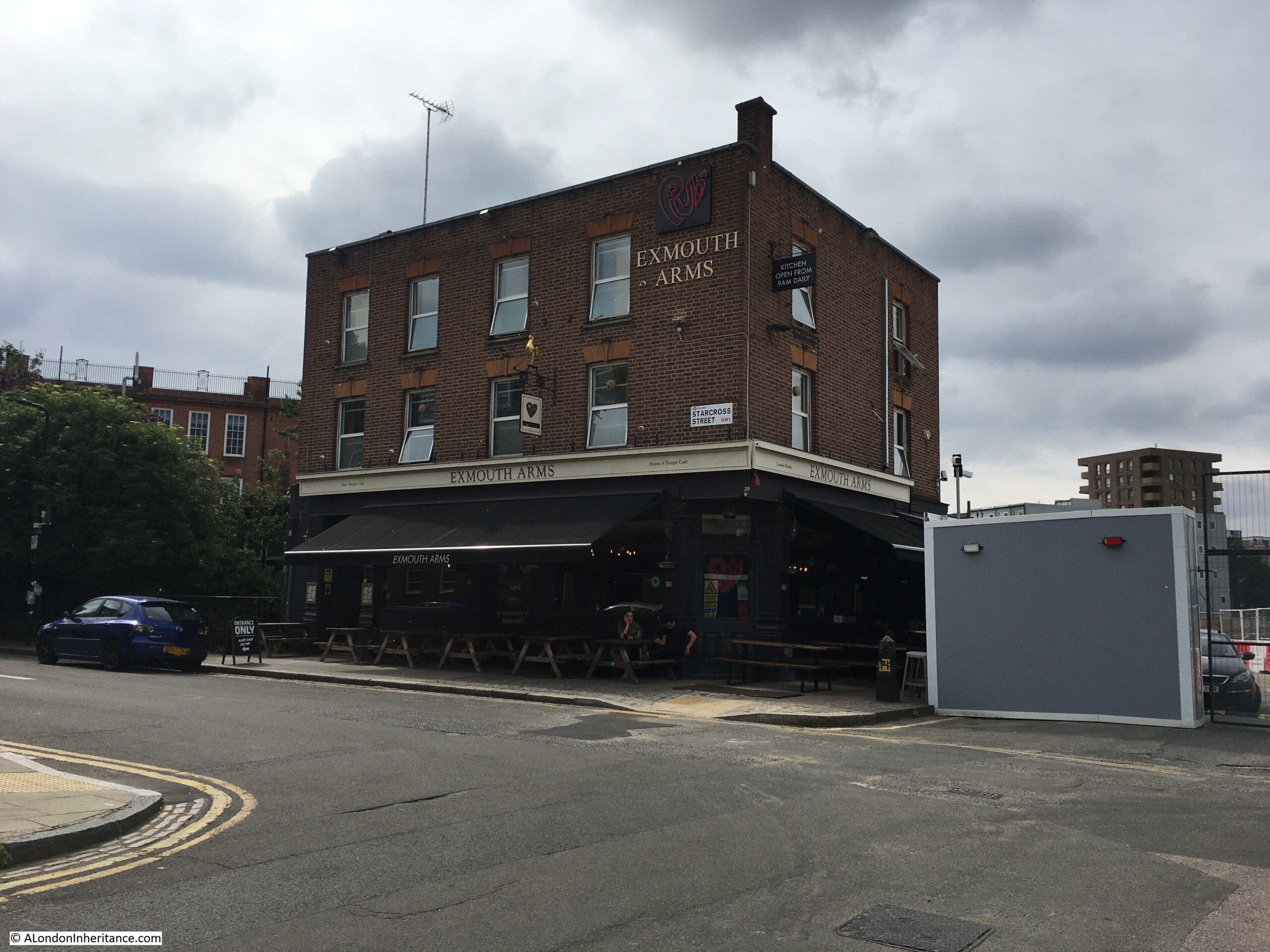
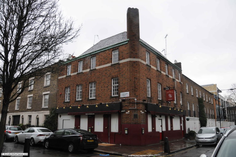
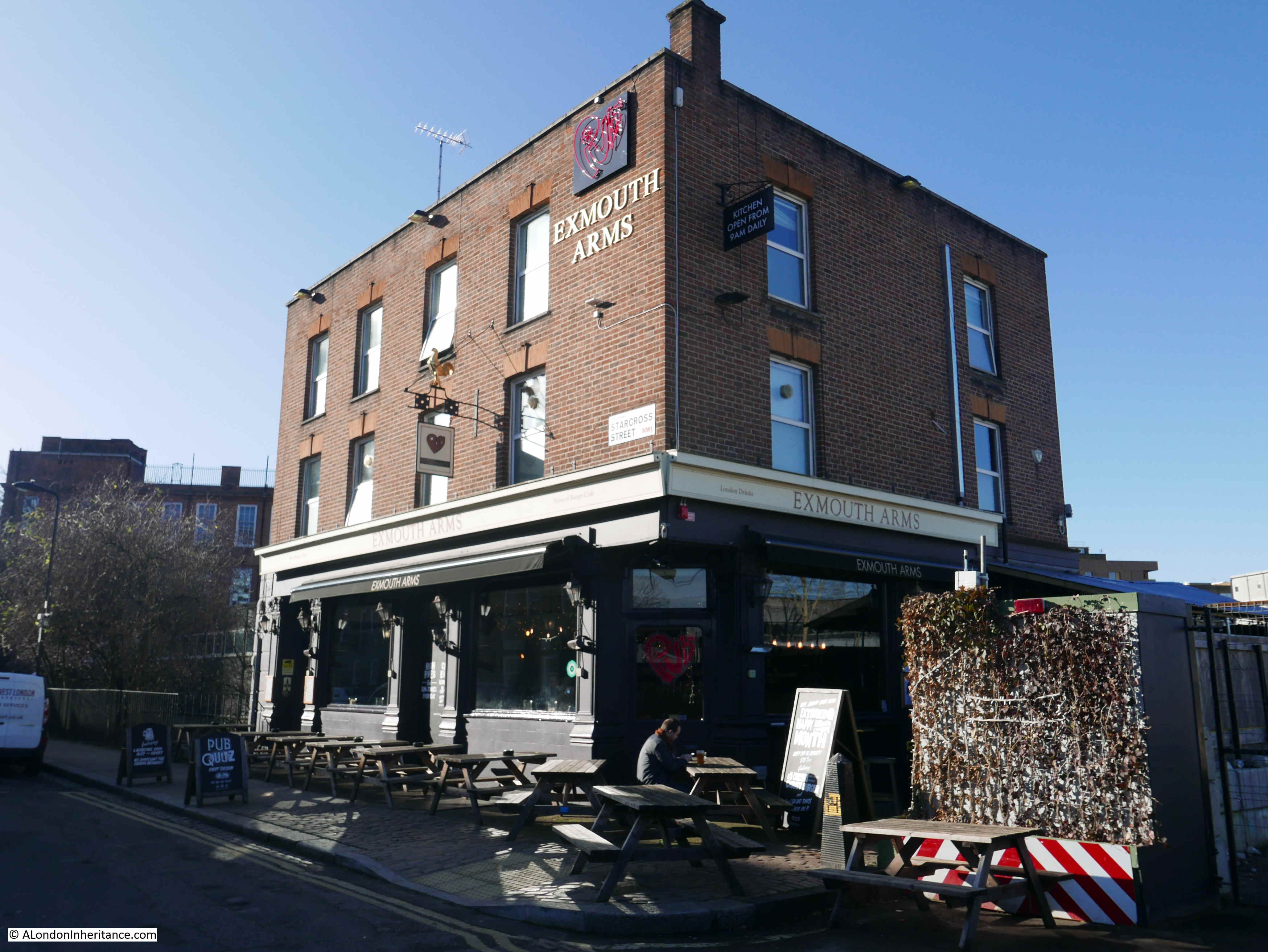
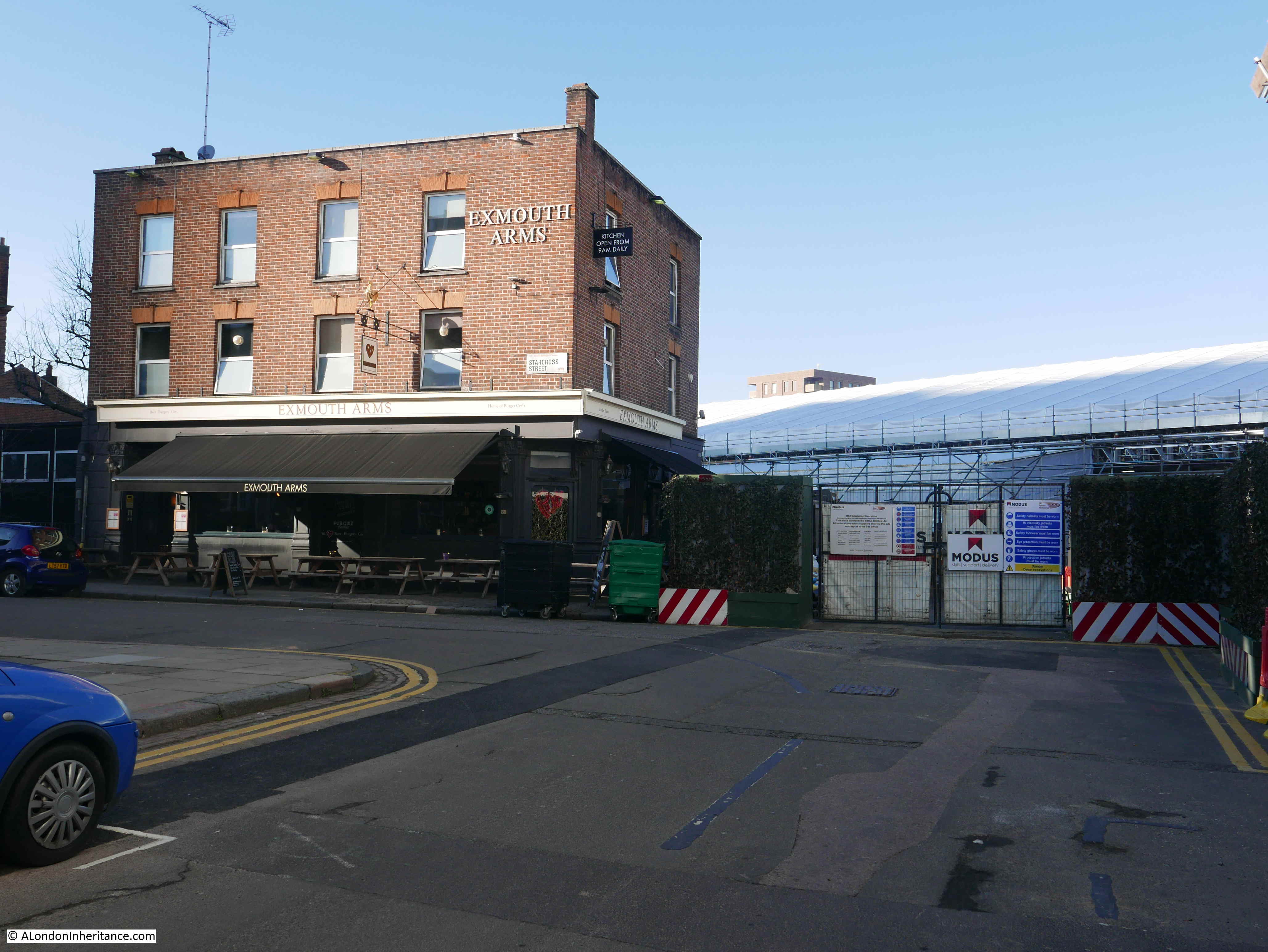
At the junction of what was Cobourg Street and Starcross Street is the Exmouth Arms – still open:

And along Starcross Street is Camden Council’s Euston Skills Centre, set-up to provide a wide range of training and skills for trades in the construction industry:

If I remember rightly, when the Skills Centre was first planned, HS2 played a large part due to the expected demand for a considerable number of trained construction workers, however reading through the brochure for the skills centre (downloadable here), there is no mention of HS2, presumably due to the lack of any significant construction work along the route of the new railway through Camden and the build of a new station.
The public open space in front of the Skills Centre includes a few relics from the wider area, and in the following photo are four cast iron pillars which were salvaged from the King’s Cross development:

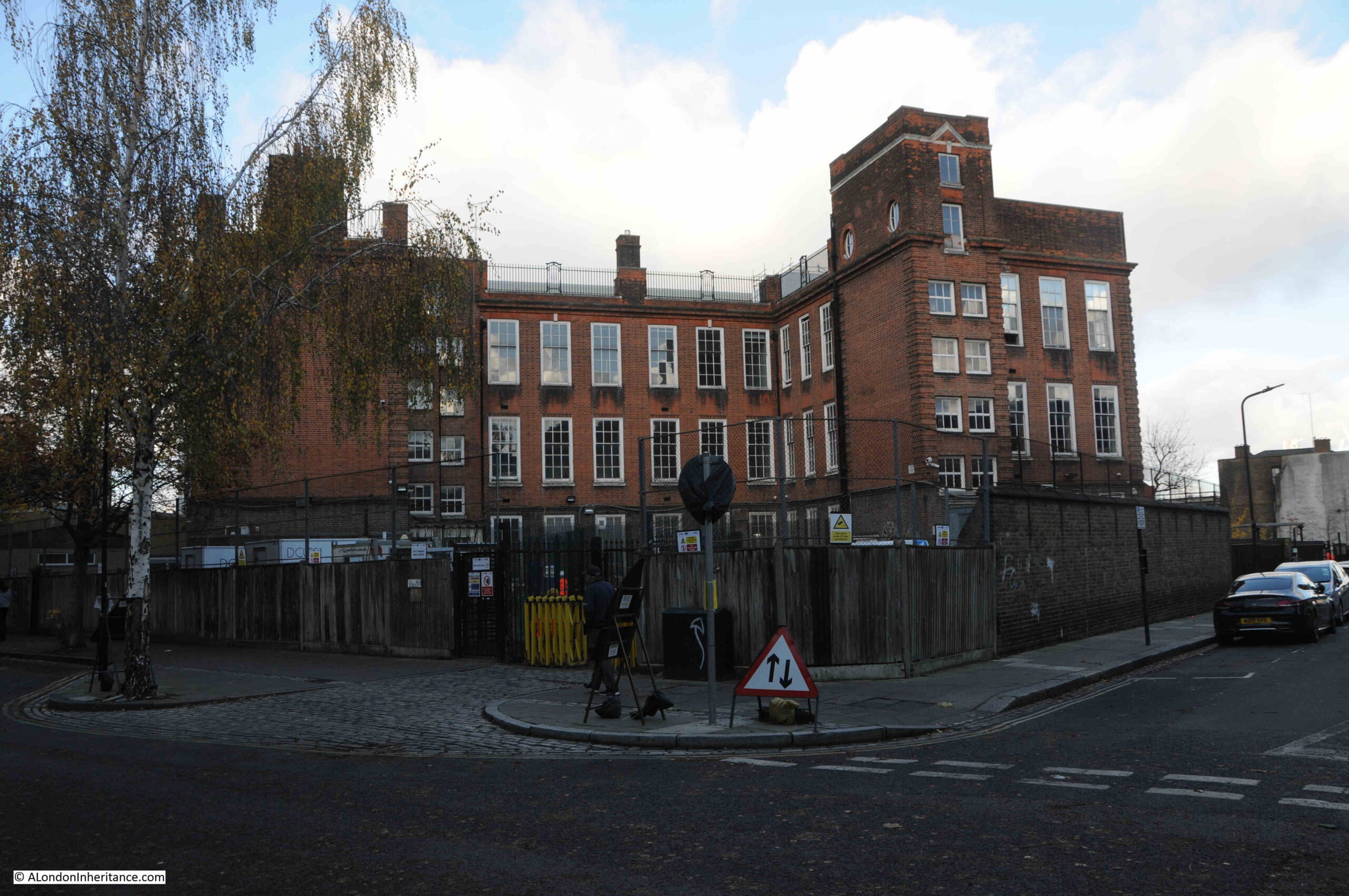
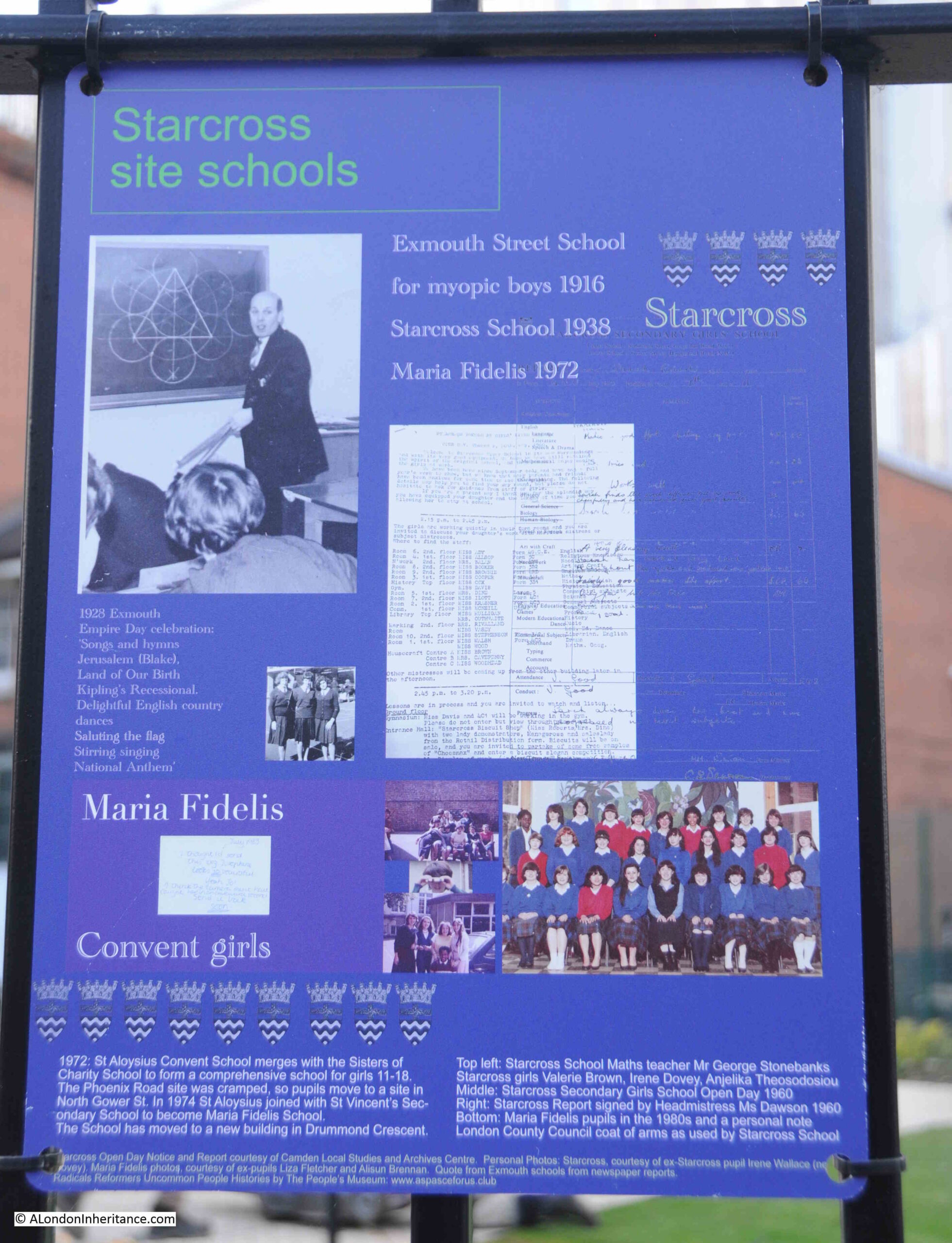
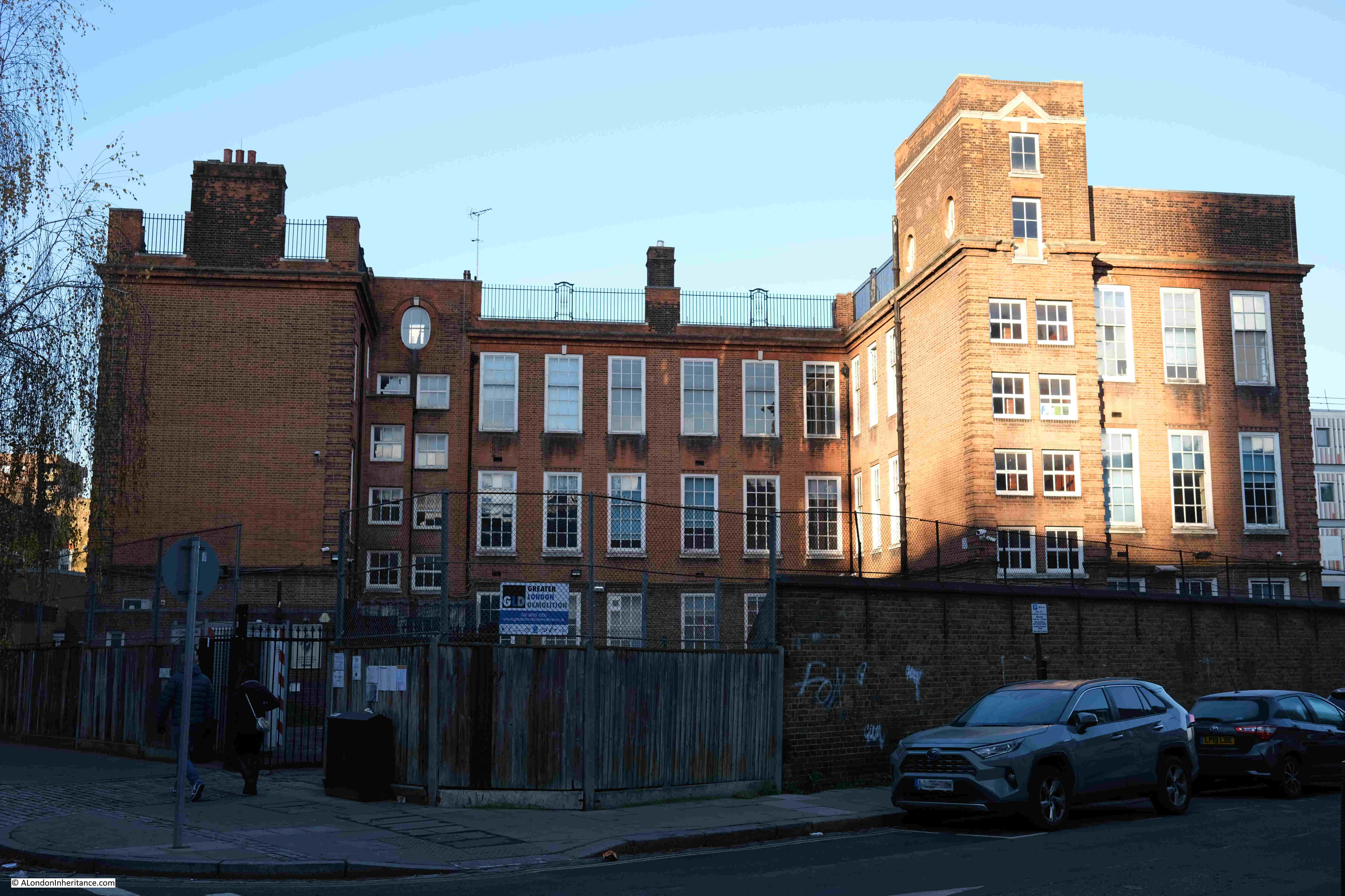
The old Maria Fidelis Catholic School, now part of the Skills Centre:

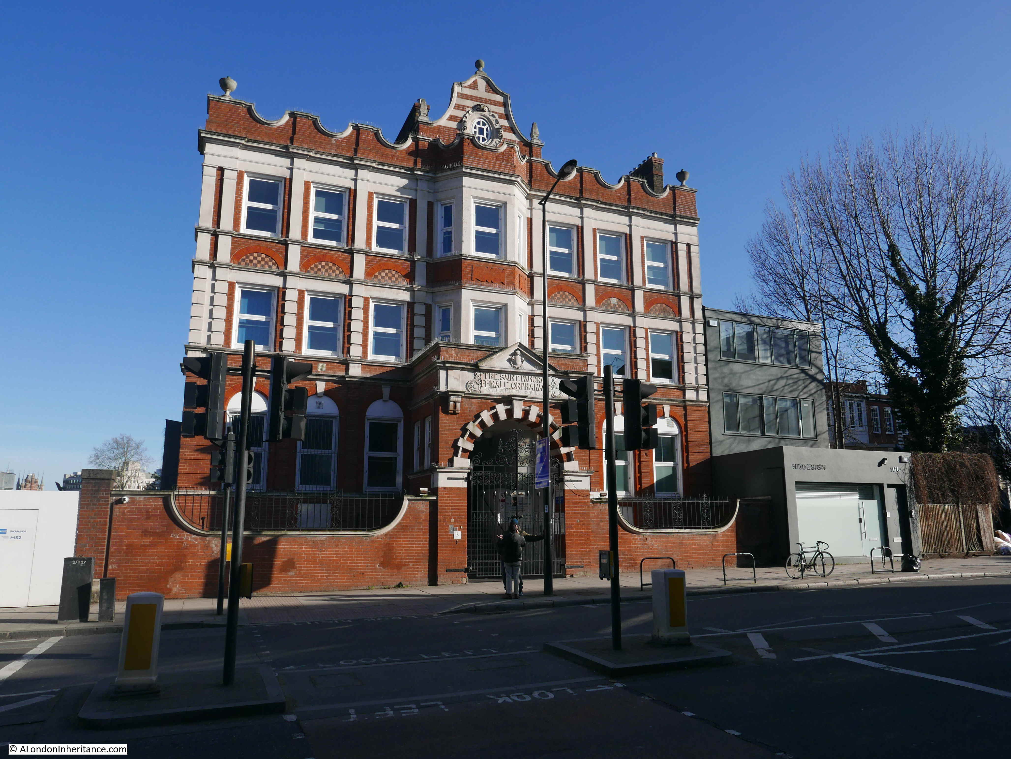
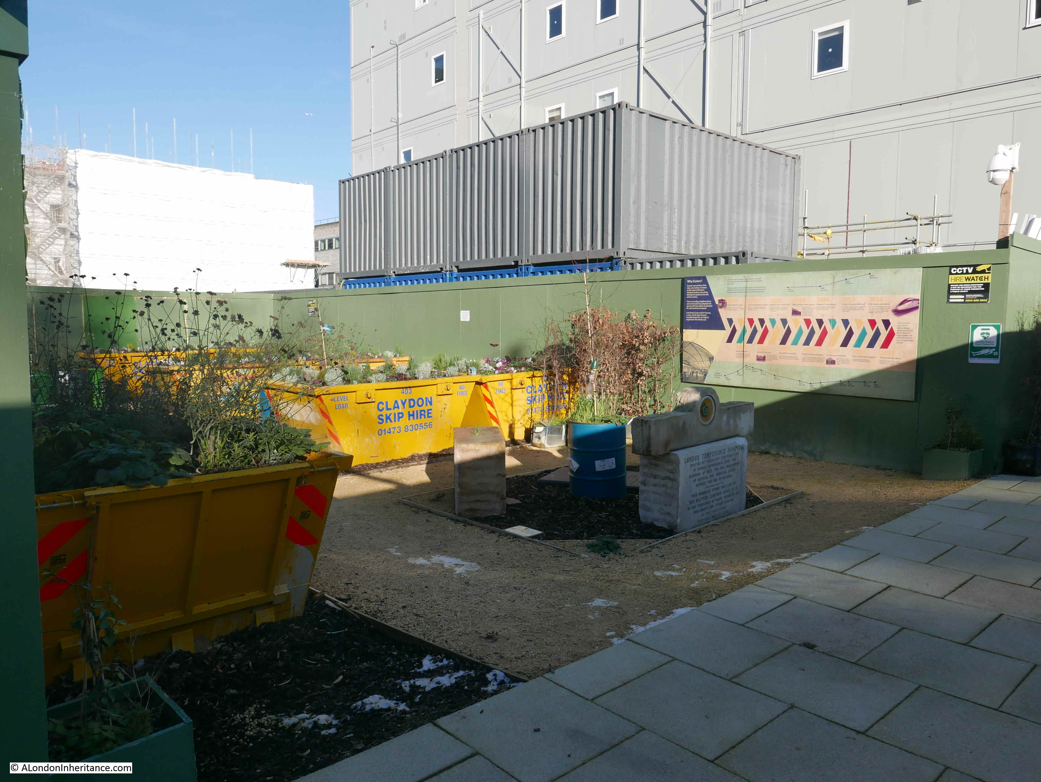
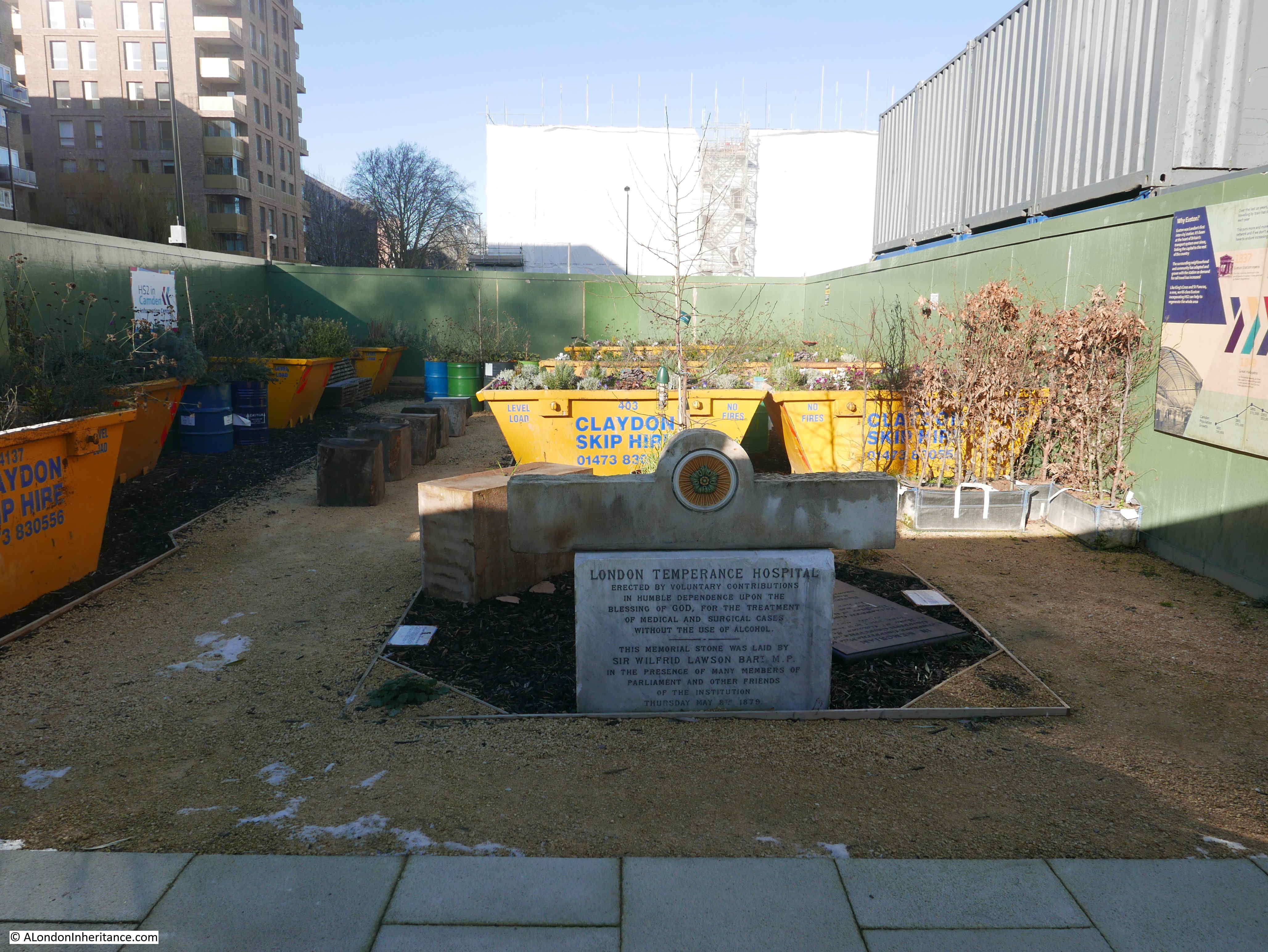
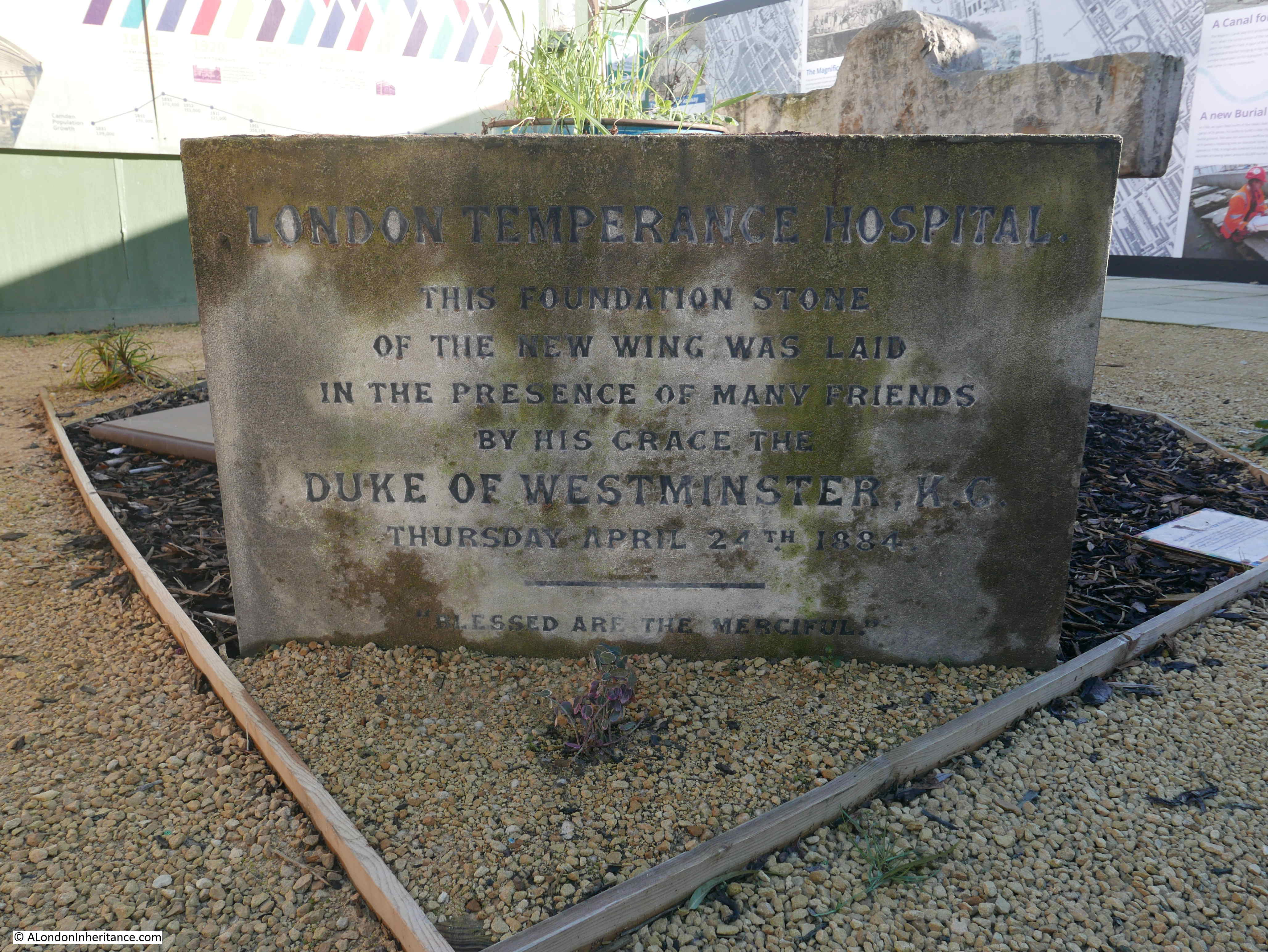
I have now reached Hampstead Road, and the former Saint Pancras Female Orphanage building, later an annex of the London Temperance Hospital and now an NHS facility, is still standing on the edge of the construction site:

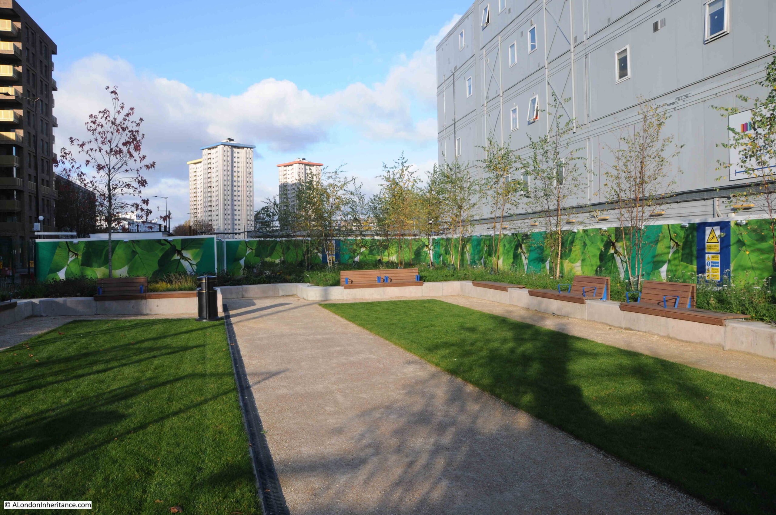
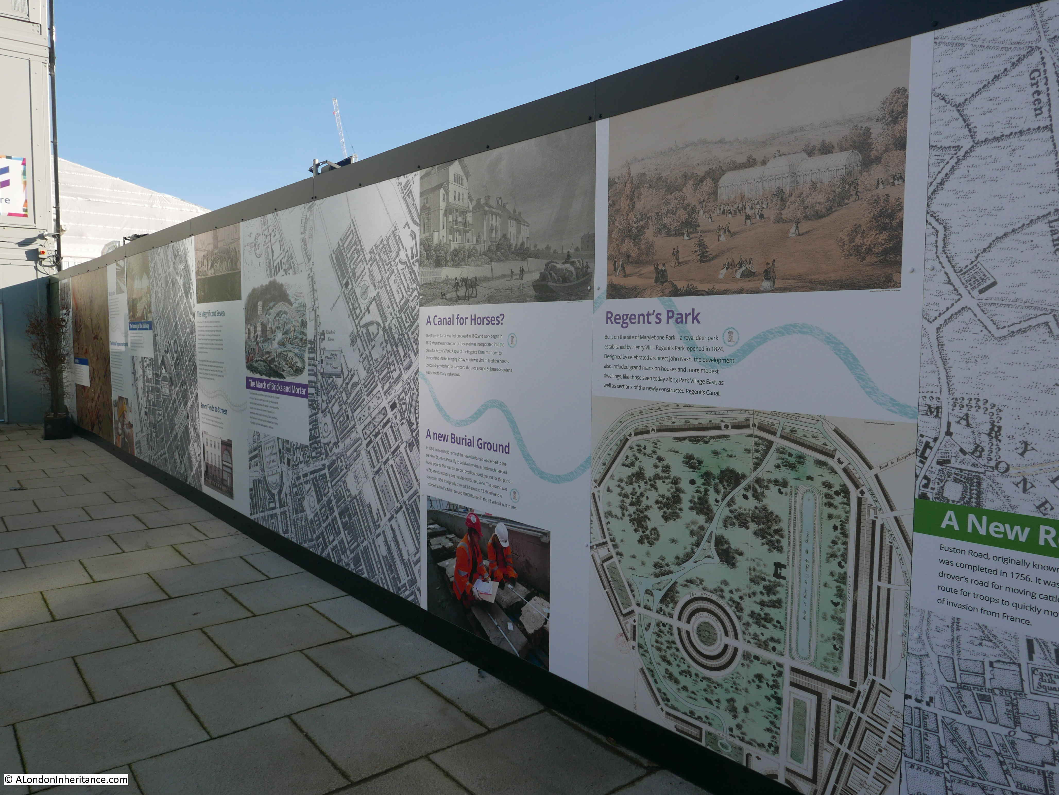
Whilst there are hoardings lining the side of the construction site along Hampstead Road, there is a small open space which has taken a number of forms over the years.
This is the view of the space in 2025:

The structure in the above photo is called “Reflect” and was designed and built by 18 young people from Euston as part of an HS2 programme.
The structure serves as a stage for performance, play, gatherings and shelter. At the top of the structure are mirrors arranged at different angles to reflect the sun and provide alternative views of the open space.
View from the base of “Reflect”:

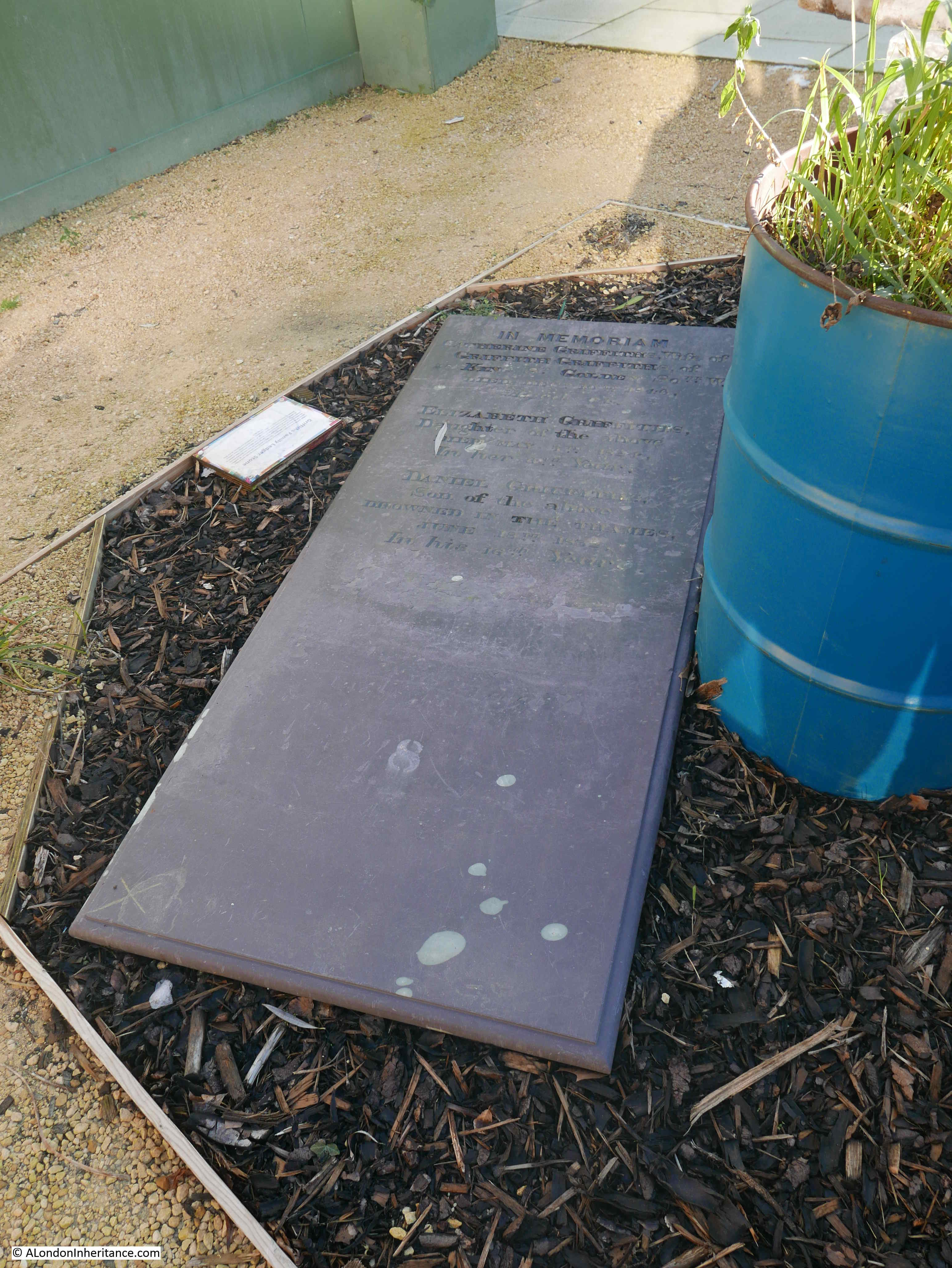
Within this open space there are a number of raised planters, some of wood, others of concrete.
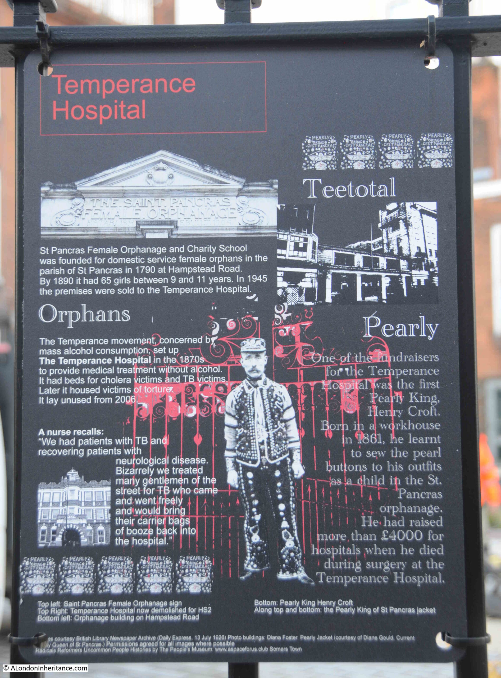
Some of the planters have some very brief information cards, for example in the following, the tree is a Silver Birch, a native of the Himalayas, and one of the orange cards informs that it is “used for sweeping leaves off patios and for flying”.
The white card at the end informs “Limestone. Calcium Carbonate. Native to Lincolnshire among many other places in the UK”. It all seems rather hurriedly done:

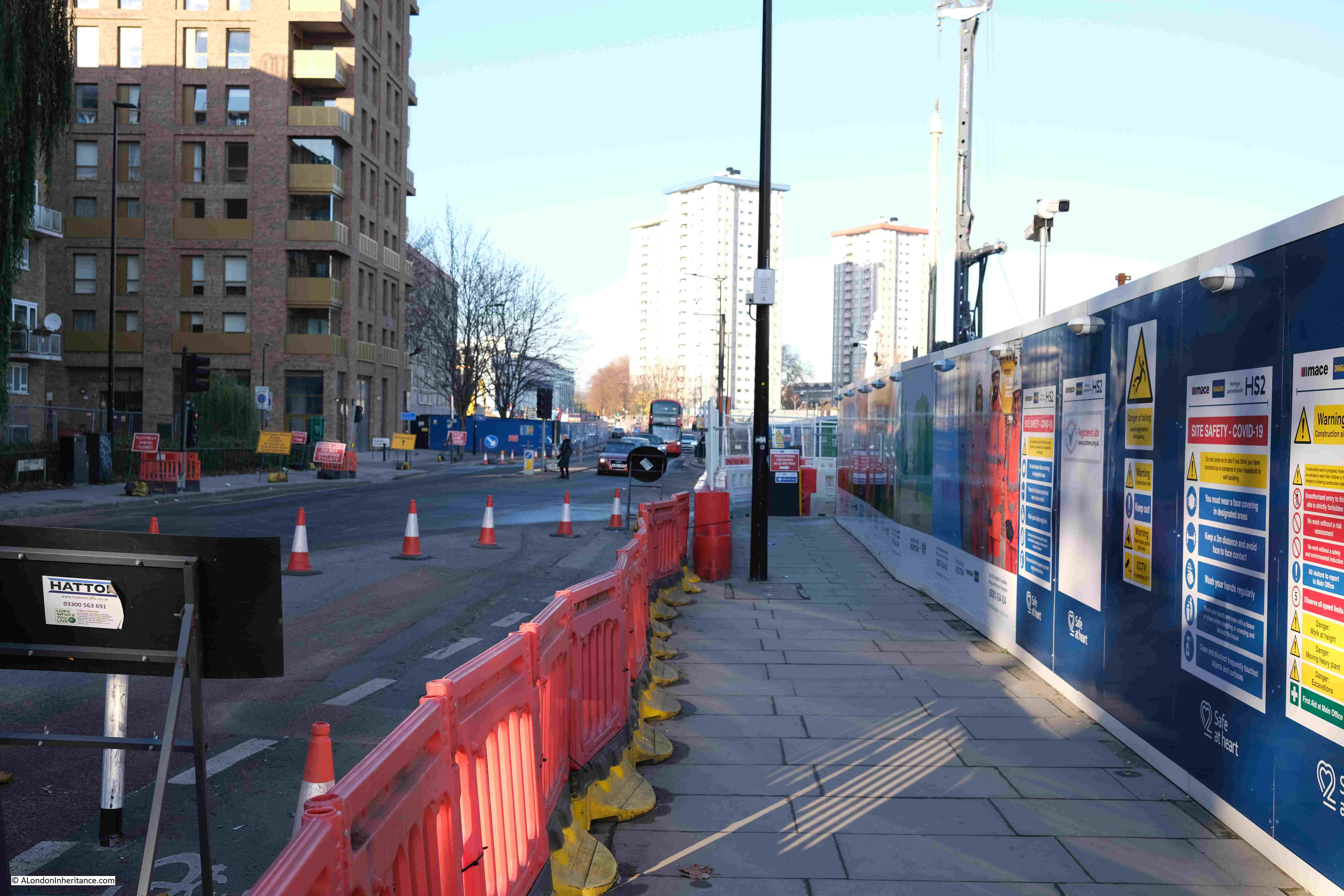
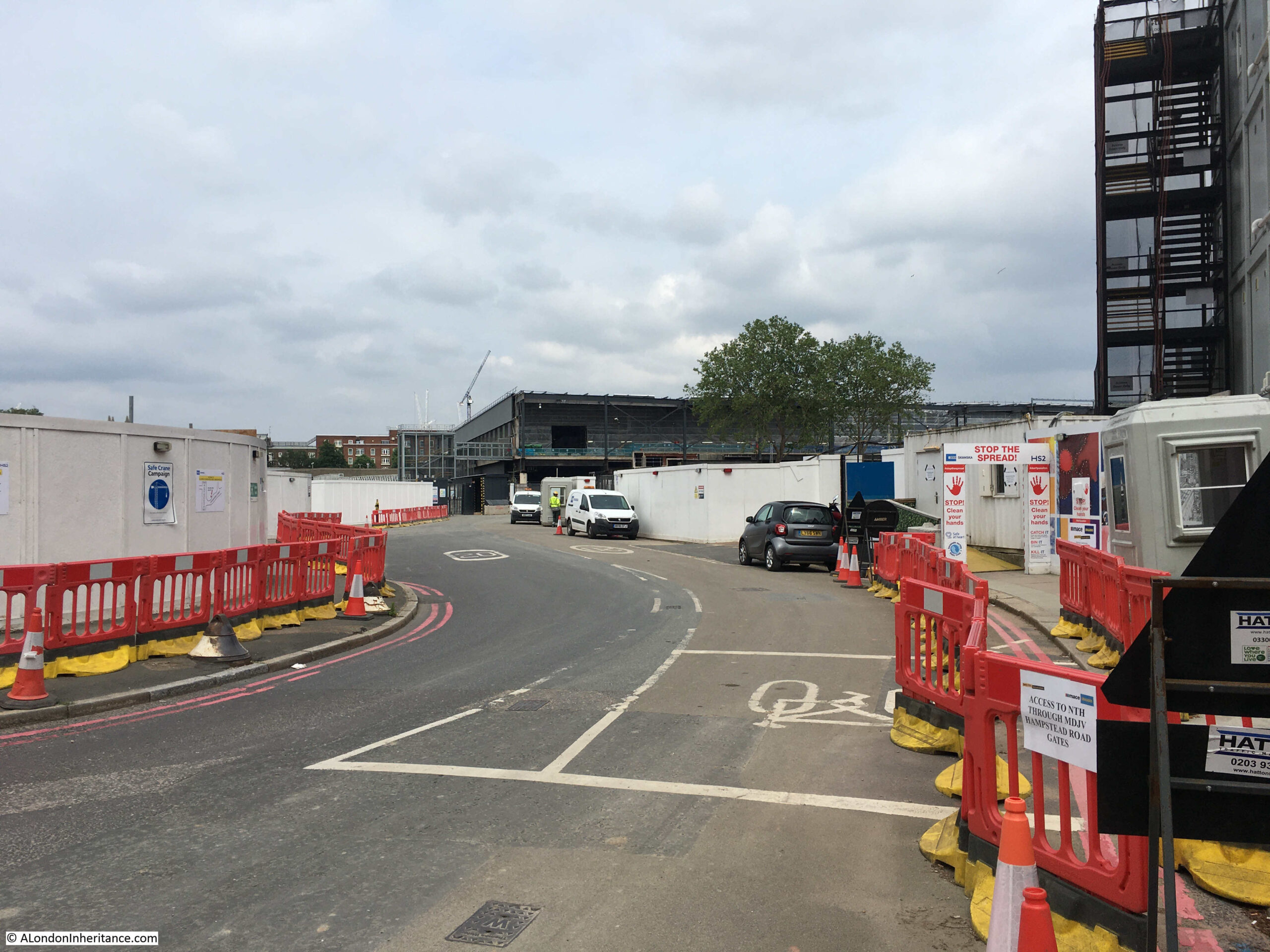
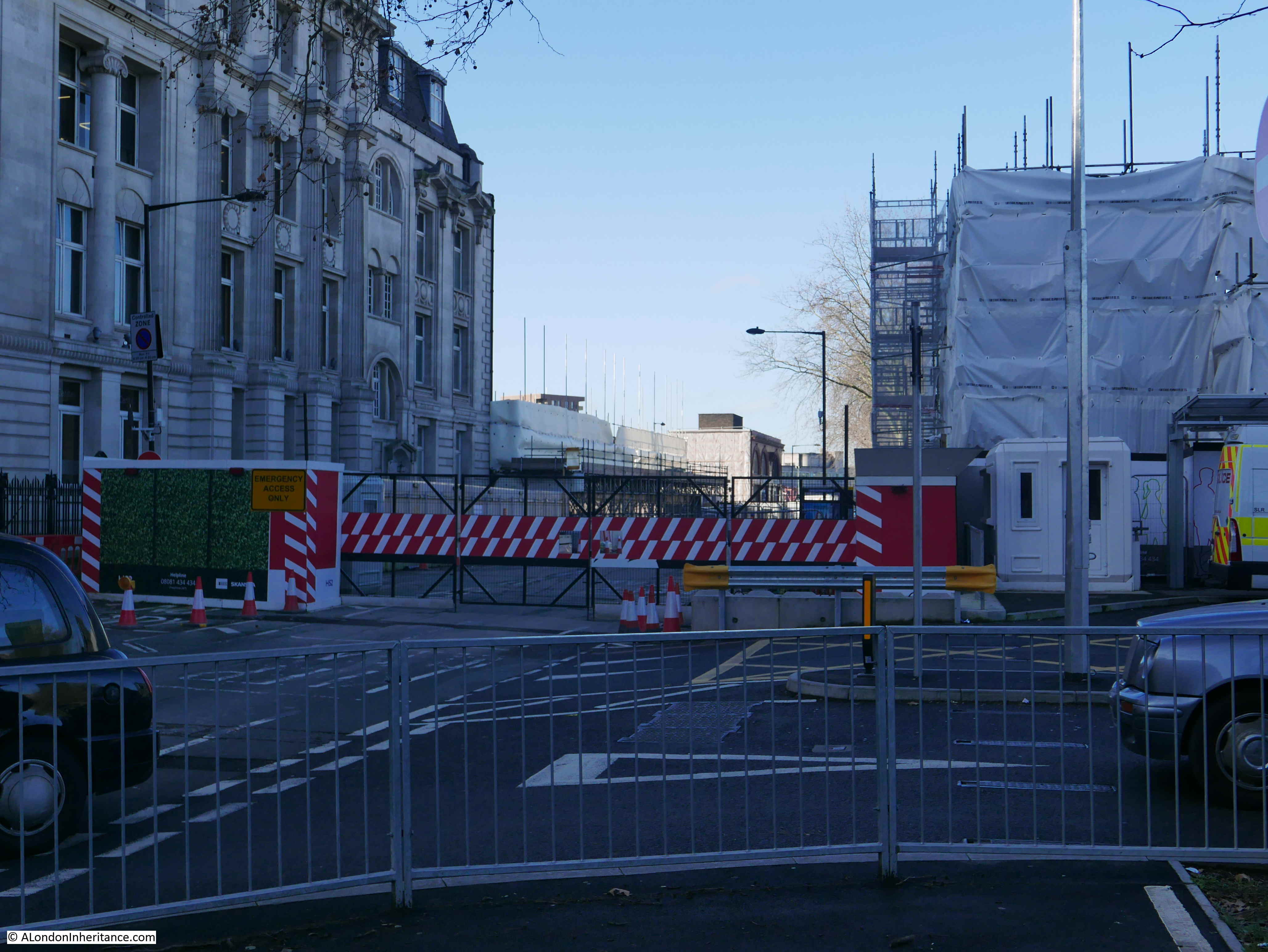
Further along Hampstead Road, and this is the junction with what was Cardington Street – now an access road to the overall construction site:

There are plenty of works going on along Hampstead Road. These works, according to one of the HS2 Euston updates is to “complete ‘no regrets’ enabling works across the HS2 site and other activities to make the site safe while the main construction work is paused“:

I love the term “no regrets” for work that presumably will need to be done whatever the outcome, and is why there is relatively little going on around Euston as the majority of works have been paused, following the Government’s announcement in 2023 about changes to HS2 funding and programme of works.
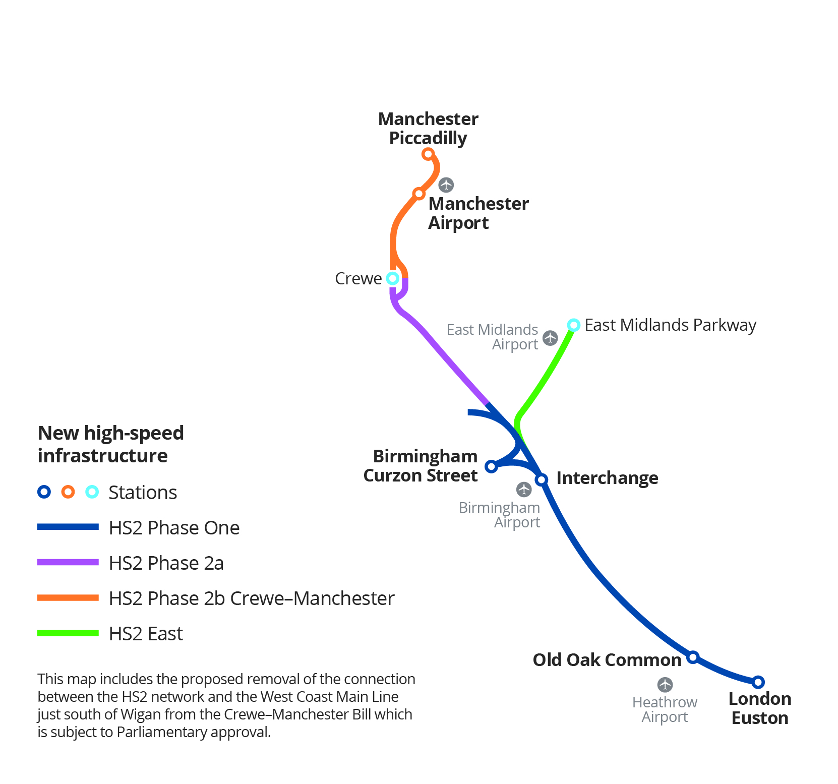
At present, construction work is moving ahead on the route between Old Oak Common in London, and Birmingham.
The section between Old Oak Common and Euston Station is on pause whilst attempts are made to secure funding from the private sector to help with completion of this final leg of the route into central London, and a new station.
As far as I know, there is no final design for a new station to terminate the HS2 tracks, and no decision on how far the existing Euston station will be rebuilt and integrated with a new station for HS2.
Work preparing for the Euston Tunnel, part of the route between Old Oak Common and Euston seems to be going ahead, as the HS2 Media documents include images of the tunnel boring machines being prepared, for example, this is “Euston TBM Madeleine pushed into launch tunnel preparing to begin constructing the Euston Tunnel”:

However, this may be down to contractual commitments, and the tunnel boring machines for the Euston Tunnel will have been ordered long before the 2023 hold on the route between Old Oak Common and Euston, and what do you do with a tunnel boring machine that you have ordered, when it arrives on site?
HS2’s January 2025 Construction Update has a slide with all the tunnels and the progress of their tunnel boring machines.
Many of the tunnels are complete, and tunnels where construction is still underway are listed as being from 29% to 62% complete.
The two Euston tunnels are both listed as 0% complete, with their status as “Preparing for launch”.
Access into the works along the western edge of Hampstead Road:

More of the ‘no regrets’ enabling works” being completed along Hampstead Road:

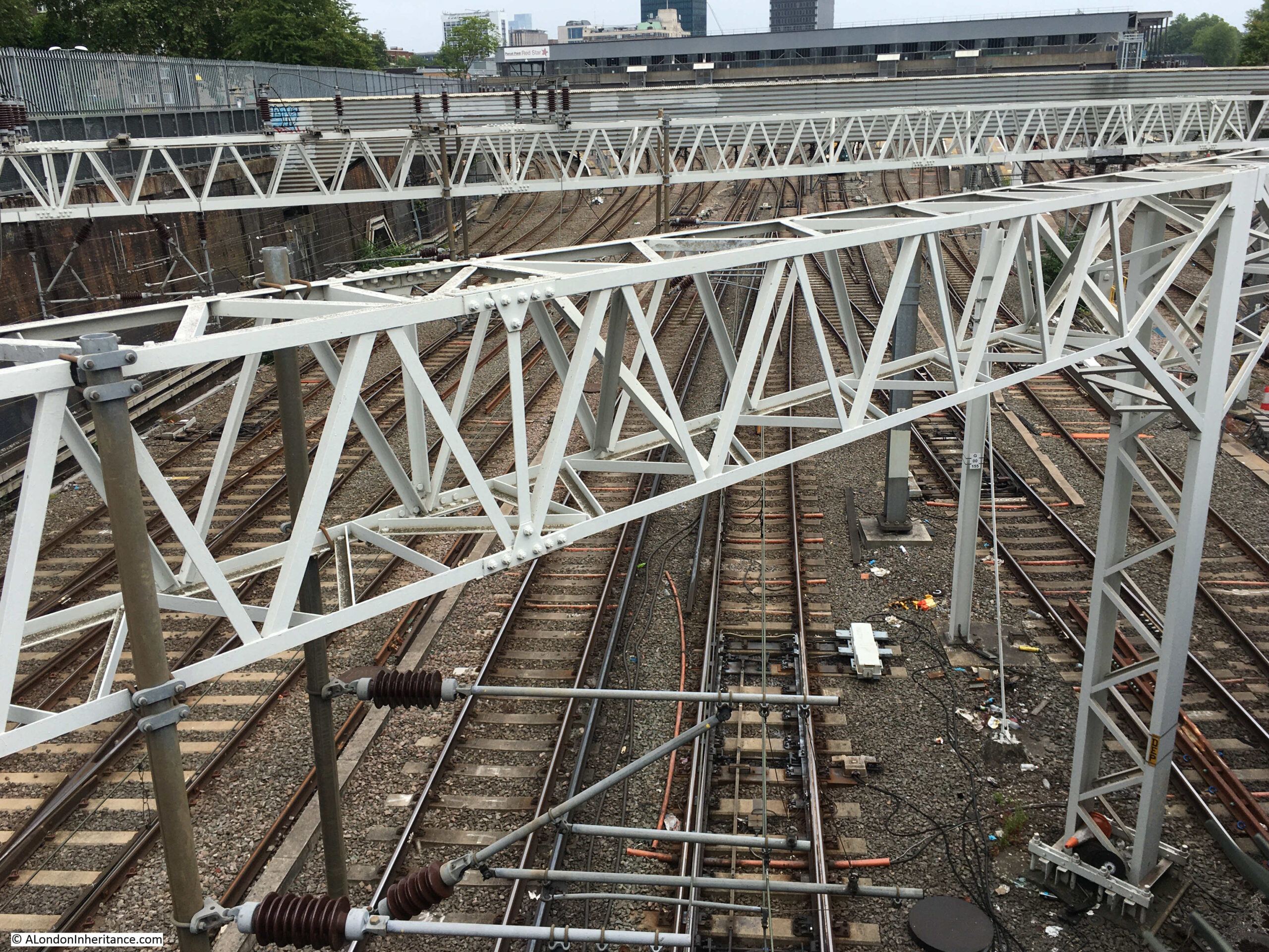
Further along Hampstead Road, I turned west into Mornington Crescent, then to Clarkson Row, where there is a high wall running between the street and the railway, however it is just possible to lift the camera above the wall to take some random photos to show the construction works on the opposite side of the working rail tracks. This shows the route of the new HS2 tracks into Euston, parallel to the existing:

Looking further to the west:

Both views look very similar to 2023.
And with that, I am at the end of my 2025 walk around the HS2 Euston construction site, which, as I stated at the start of the post is rather underwhelming, with little having changed since my 2023 walk.
For years, HS2 has been a rather polarising, marmite project – you either love it or you hate it.
It is costing a vast sum of money, much of which has been wasted, for example with the ongoing changes and cancellations to parts of the route, the delays to the final stretch into Euston – which although major works have been delayed, just keeping the site secure and open is costing money, as are the activities presumably going on behind the scenes to try and secure funding for the Euston route.
Personally, I am in favour of HS2, although I have always thought that the name is wrong. Shaving minutes of a journey to Birmingham in no way justifies the expense. High speed only becomes relevant if the route is extended to the far north of the country and into Scotland.
Where HS2 will be very positive is by the provision of additional rail capacity, and taking trains off the existing tracks allowing additional local services to be implemented, however whether you support HS2 or not, it is a horrendous example of the country’s inability to plan, make a decision on, fund and build a major infrastructure project, and to be consistent during a long construction phase.
Will it look the same during a 2026 walk – I suspect it will, and I will bore you with that in a post next year.
The opportunities of new rail routes has recently been shown by a change in the agreement to operate HS1, the route that connects St. Pancras with the Channel Tunnel, which fully opened in 2007.
Under the changes just agreed, HS1 has been renamed London St Pancras Highspeed, and whilst up to now Eurostar has had an effective monopoly on the use of the route, it has left HS1 significantly under utilised, but now the route will open up to other operators, with the potential for a wider range of destinations across Europe.
And just imagine if HS1 was connected to HS2, so that high speed trains from Scotland and the north of England could have direct connectivity with destinations across Europe (which was once one of the selling points for the whole concept of HS2).
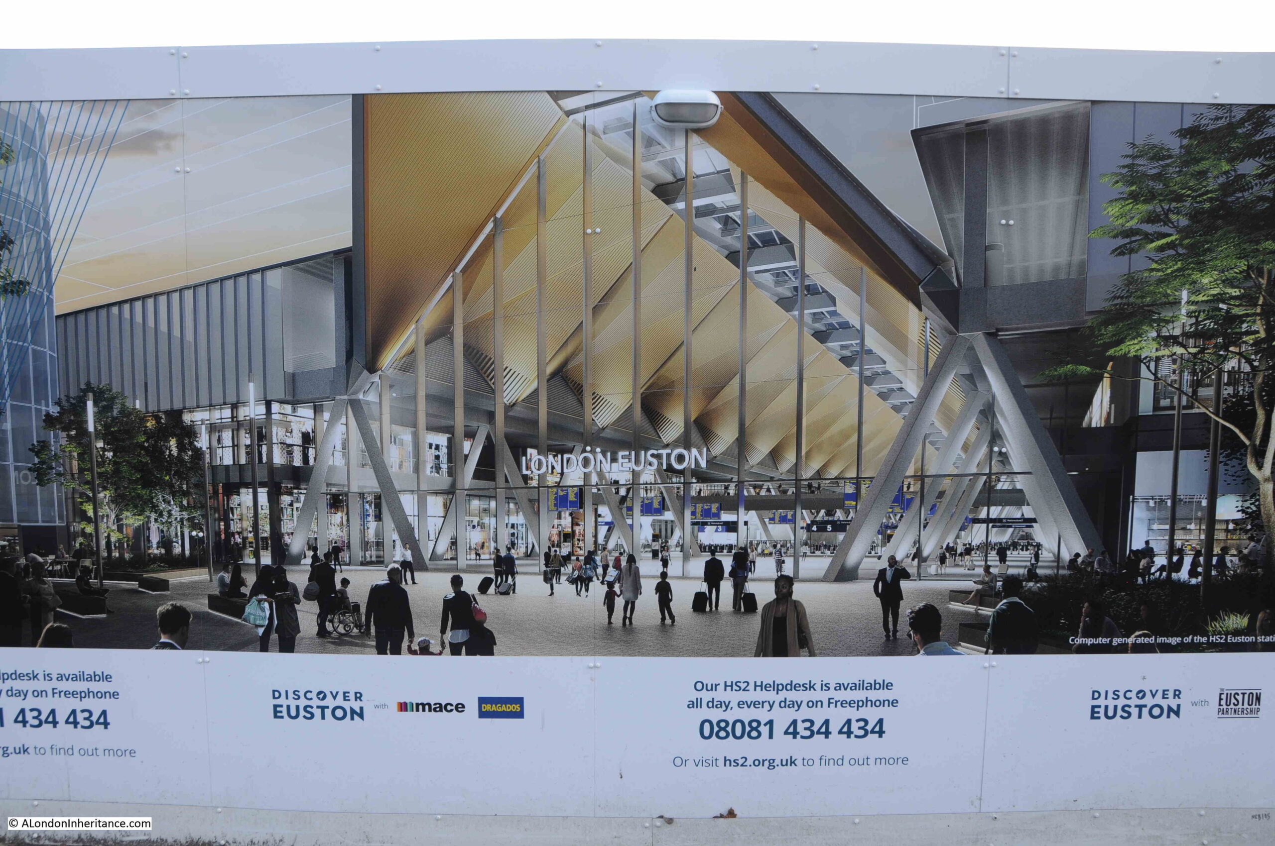
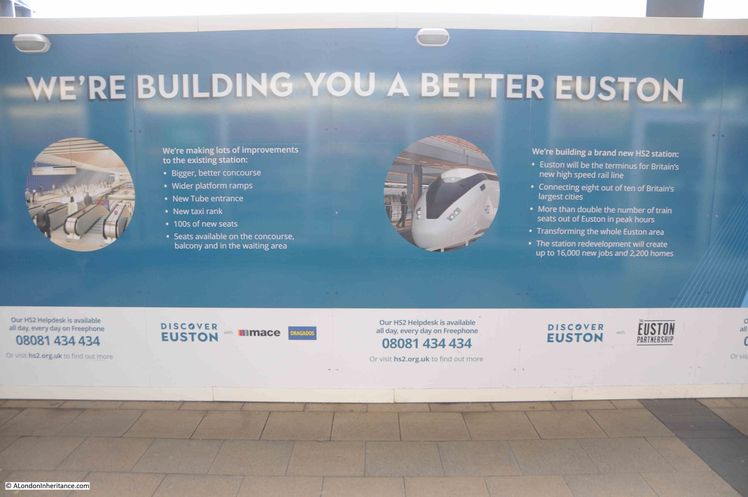
In the meantime, I will leave you with the concept designs from 2022, showing what should have been under construction at Euston. The station exterior:

Image source: https://mediacentre.hs2.org.uk/resources/hs2-euston-station-concept-design-exterior
The station interior:

Image source: https://mediacentre.hs2.org.uk/resources/ilokw-nye96-e9kz8-kj7l6-ro892
And if you would like to read about the last 8 years of progress (or lack of) around Euston, my previous posts are here (this will be an ever growing list over the years to come, until the opening of the station, which I hope to see at some point):
I then went back in 2019 as demolition started.
And in June 2021 I went back for another walk around the edge of the construction site.
A 2022 walk around the site is here.
And my last walk around the site was in 2023, which is here.