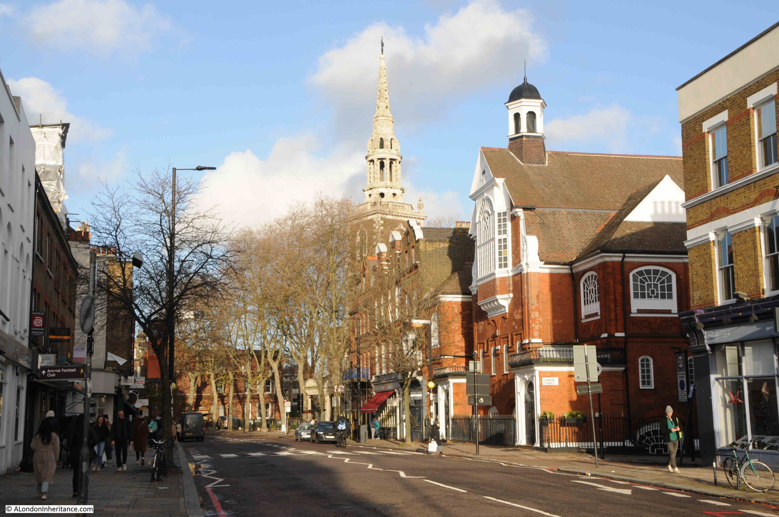
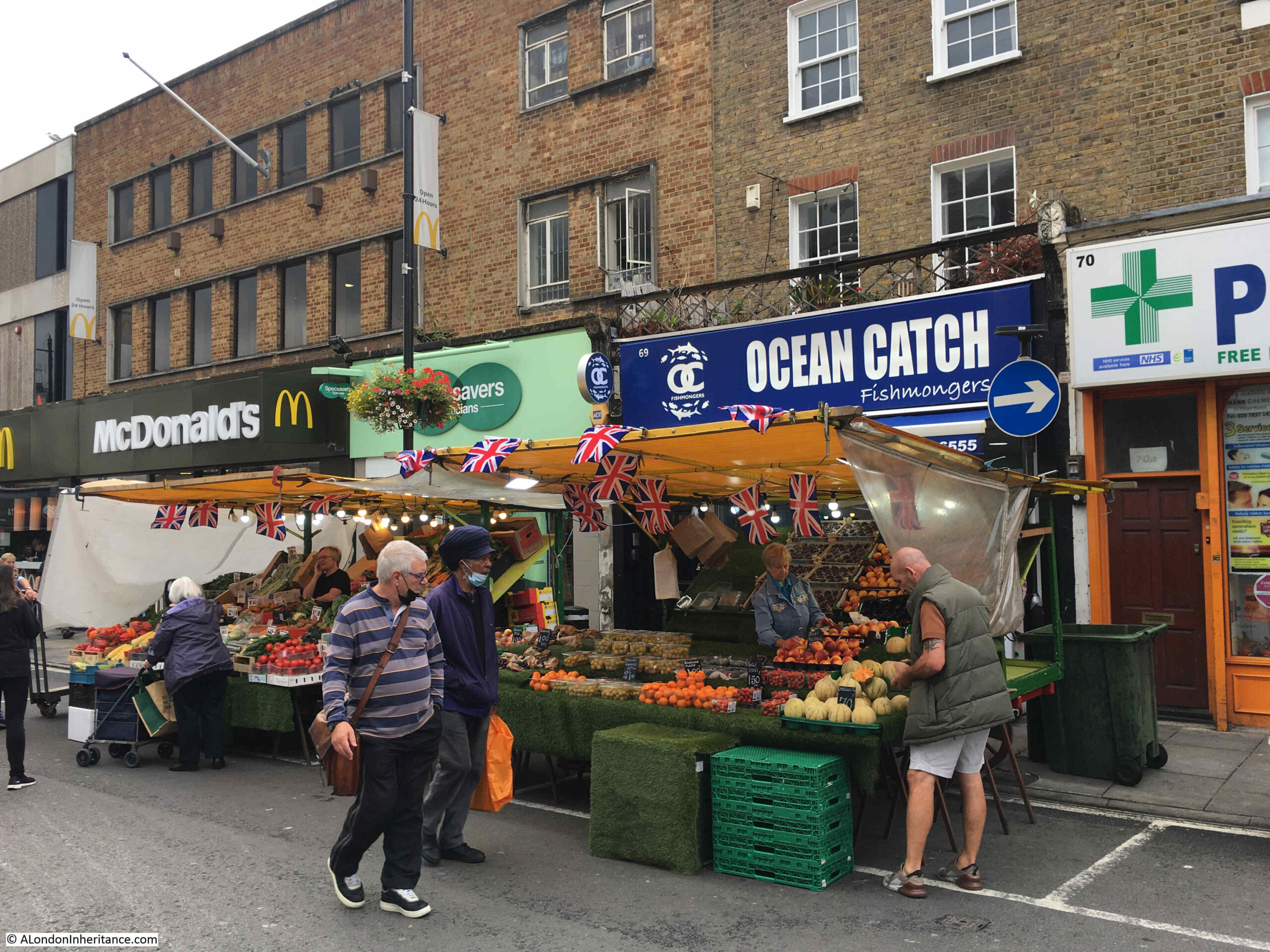
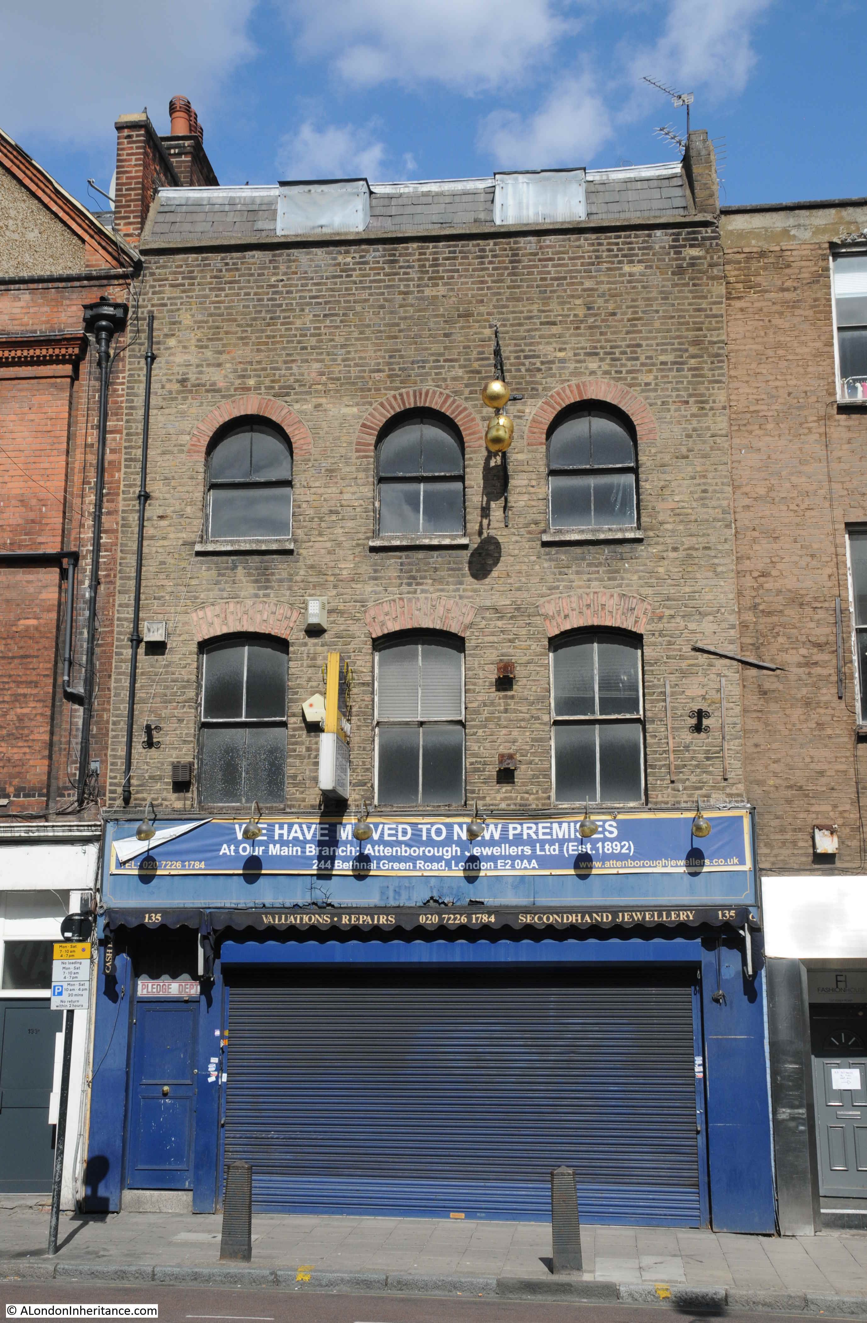
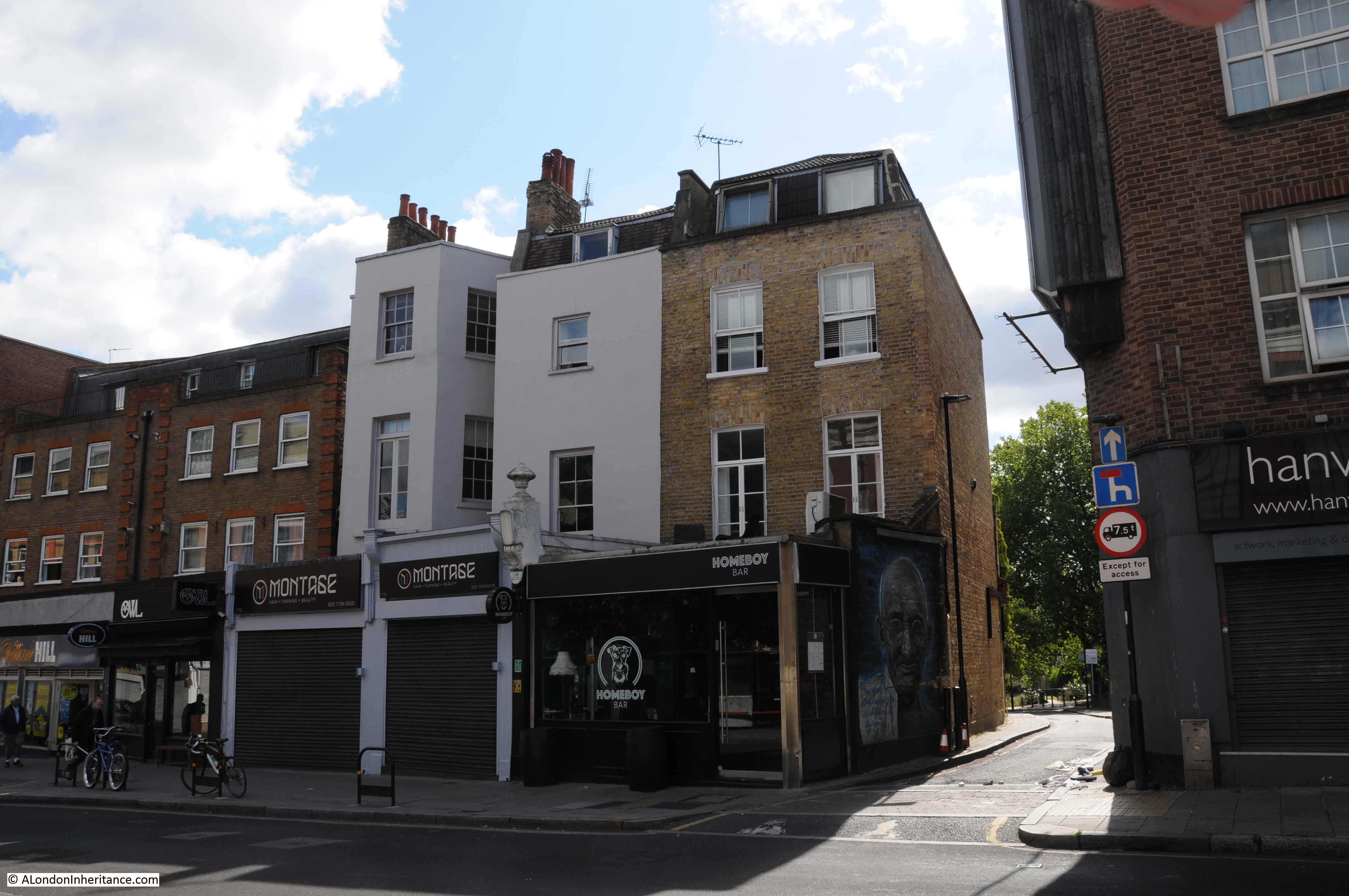
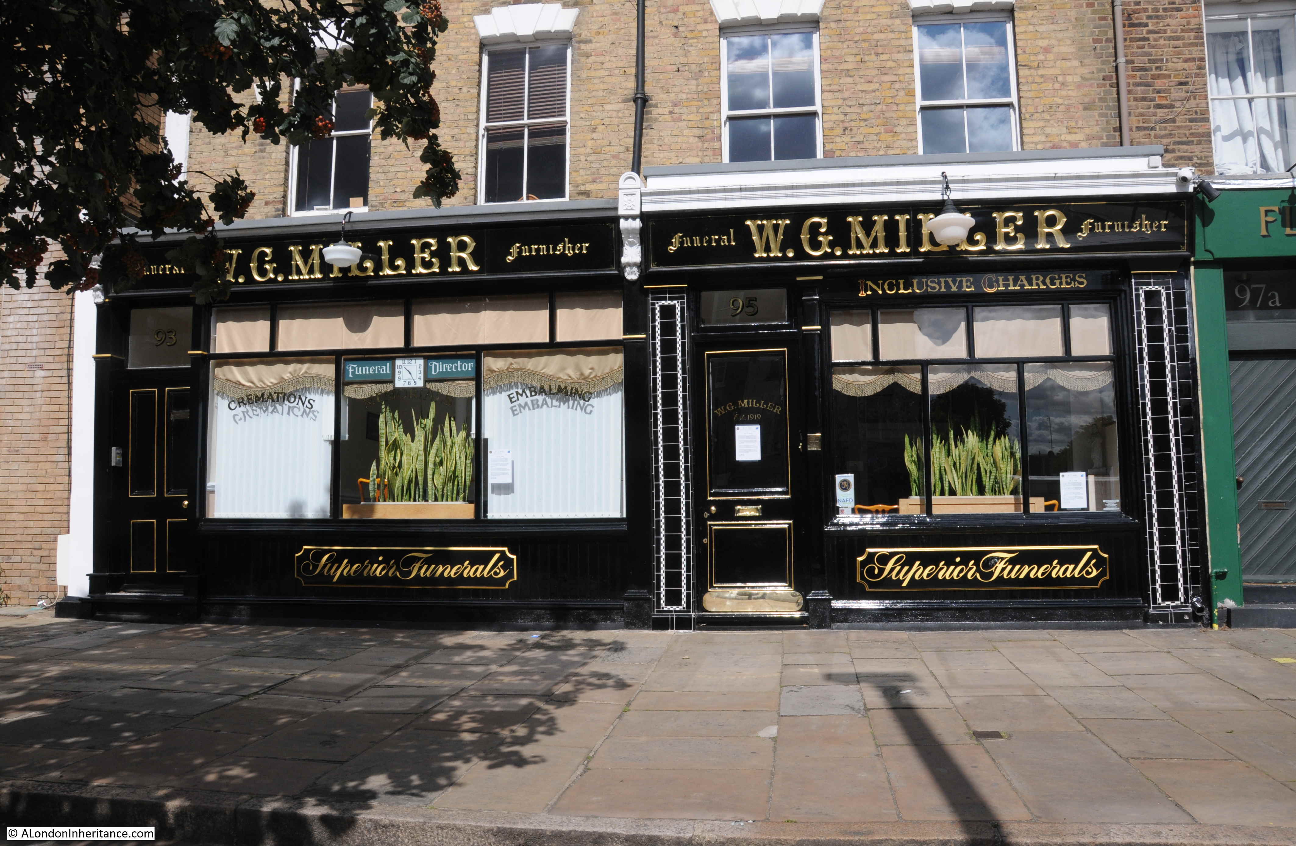
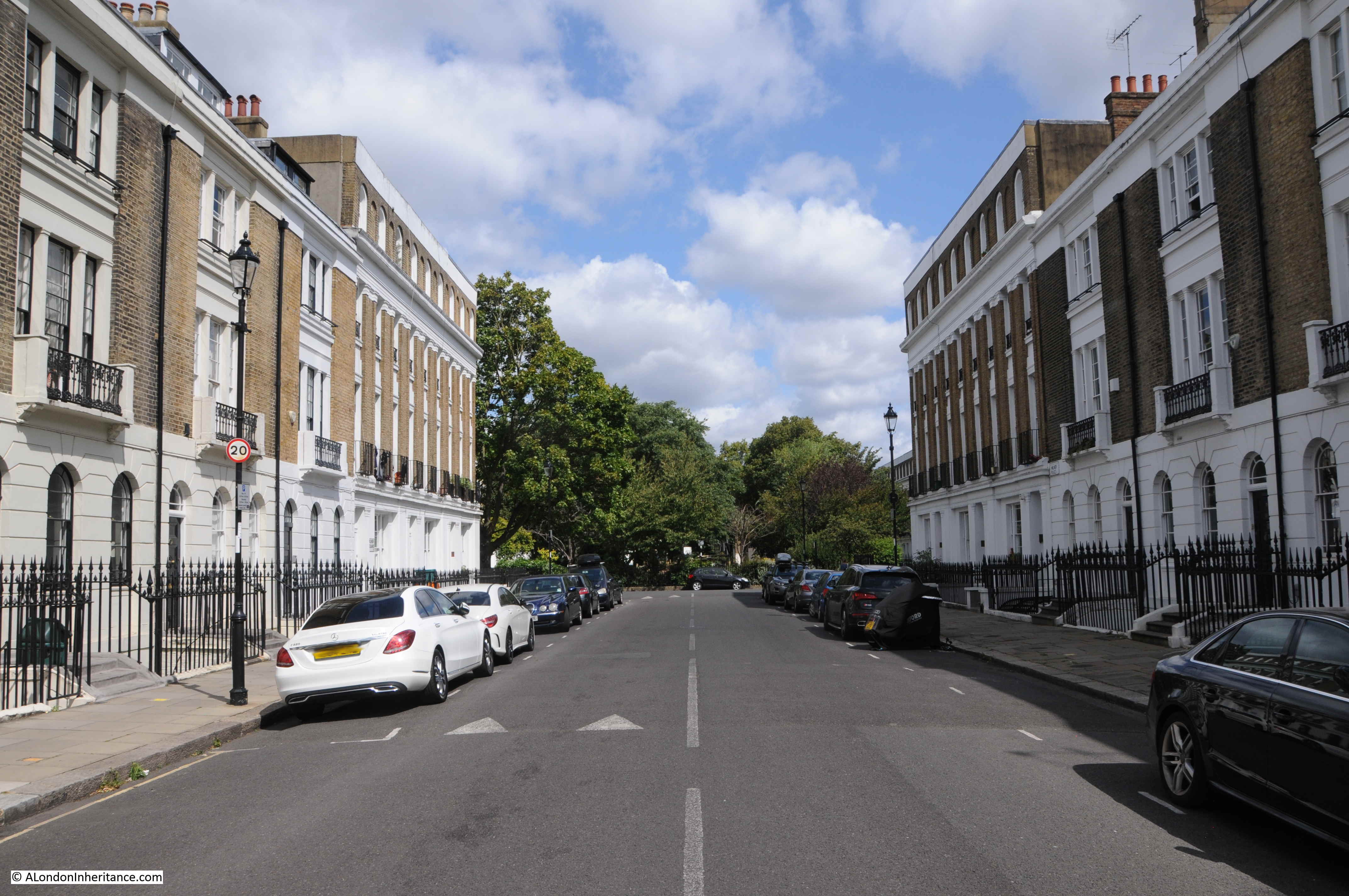
Live music venues have long been central to London’s creativity and the city’s entertainment industries. The number of smaller pub with live music venues have declined significantly over the last few decades, but there are still many places where live music is performed in a unique venue, and not part of an international corporate empire.
My first large concert in London was at QPR’s ground, Loftus Road in 1975, when with a schoolfriend, we went to see the band Yes. Before that it was smaller groups and venues. Since then, London has continued to be the place where we have seen so very many live performances across the musical spectrum. Dr Feelgood, Blockheads, Stranglers, Human League, Gary Numan, Public Service Broadcasting, Muse and so very many more.
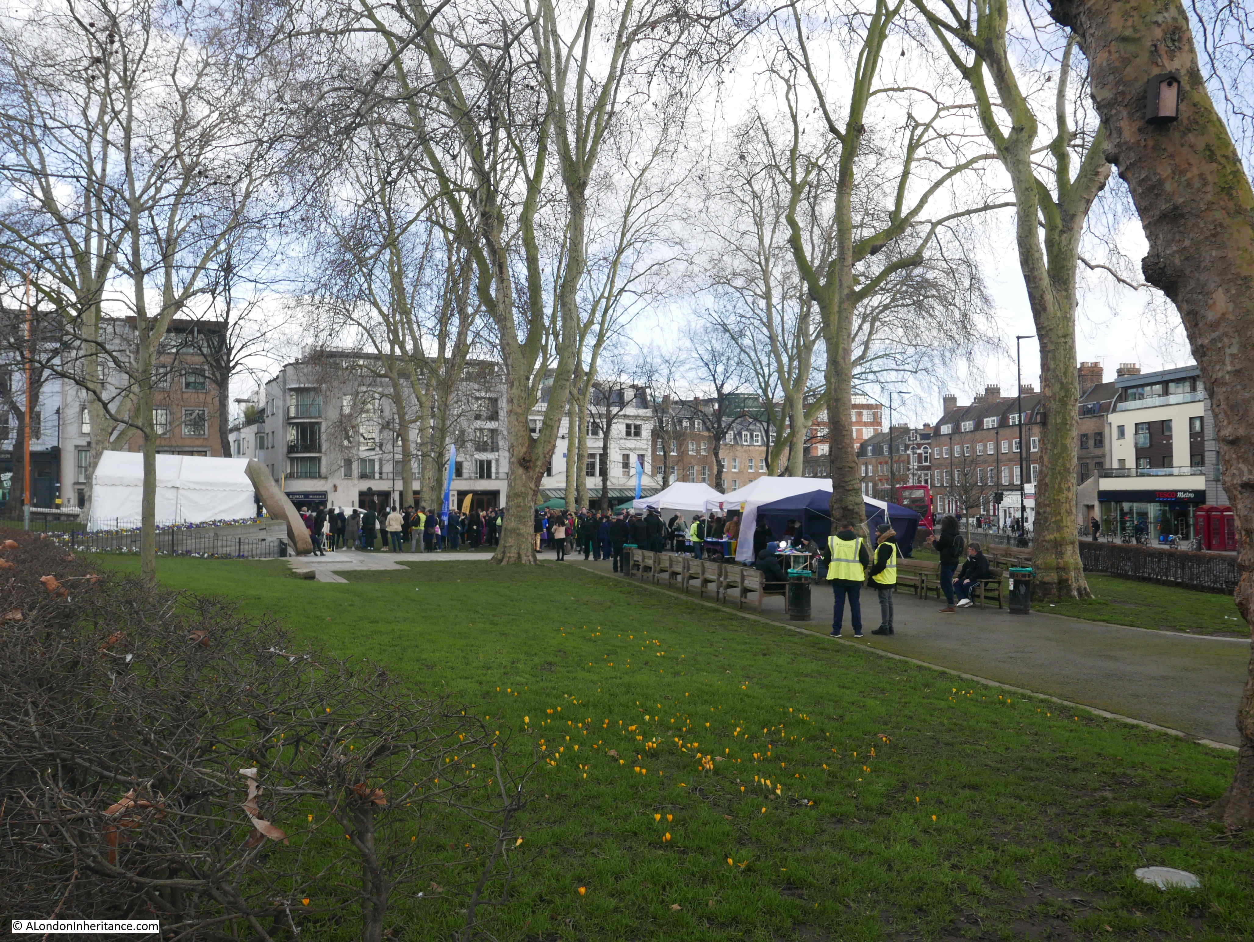
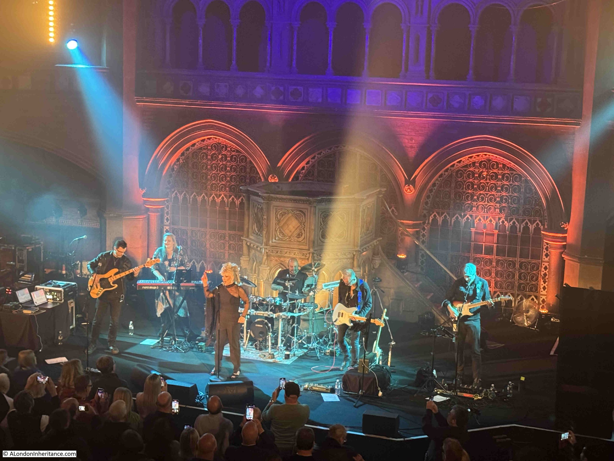
A couple of week’s ago we went to see Toyah, in what must be one of London’s most unique venues – Union Chapel in Islington.
It is a place we have been to a number of times since the Union Chapel started hosting concerts, the last was to see a band called Caravan, who performed there in 2022. They were the first live band I ever saw, I think in 1973 or 1974.
Union Chapel is a really fascinating building, both from an architectural and historical aspect, and the purpose of today’s post is to explore the history of the building – not my musical taste you will be pleased to know.
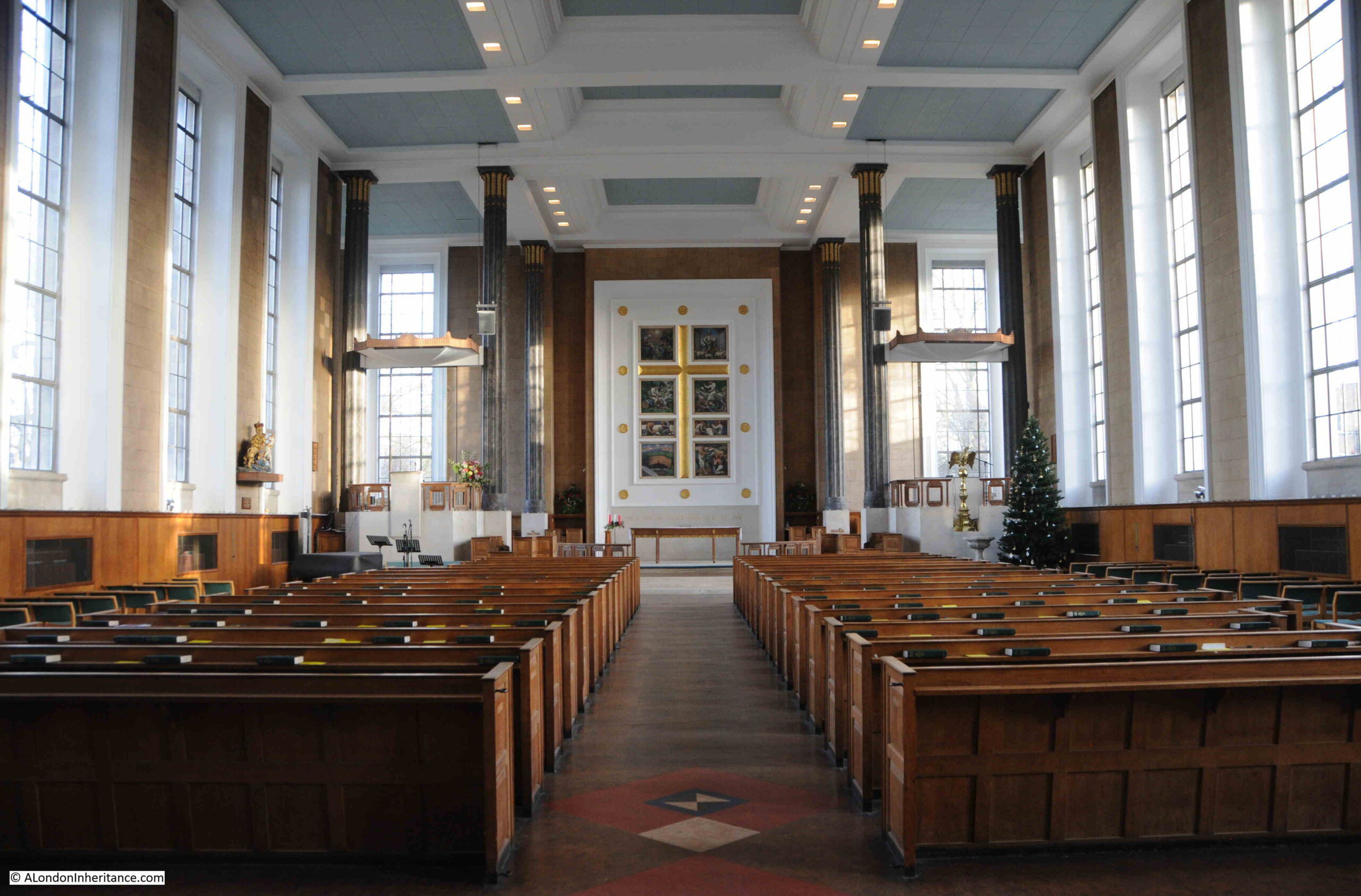
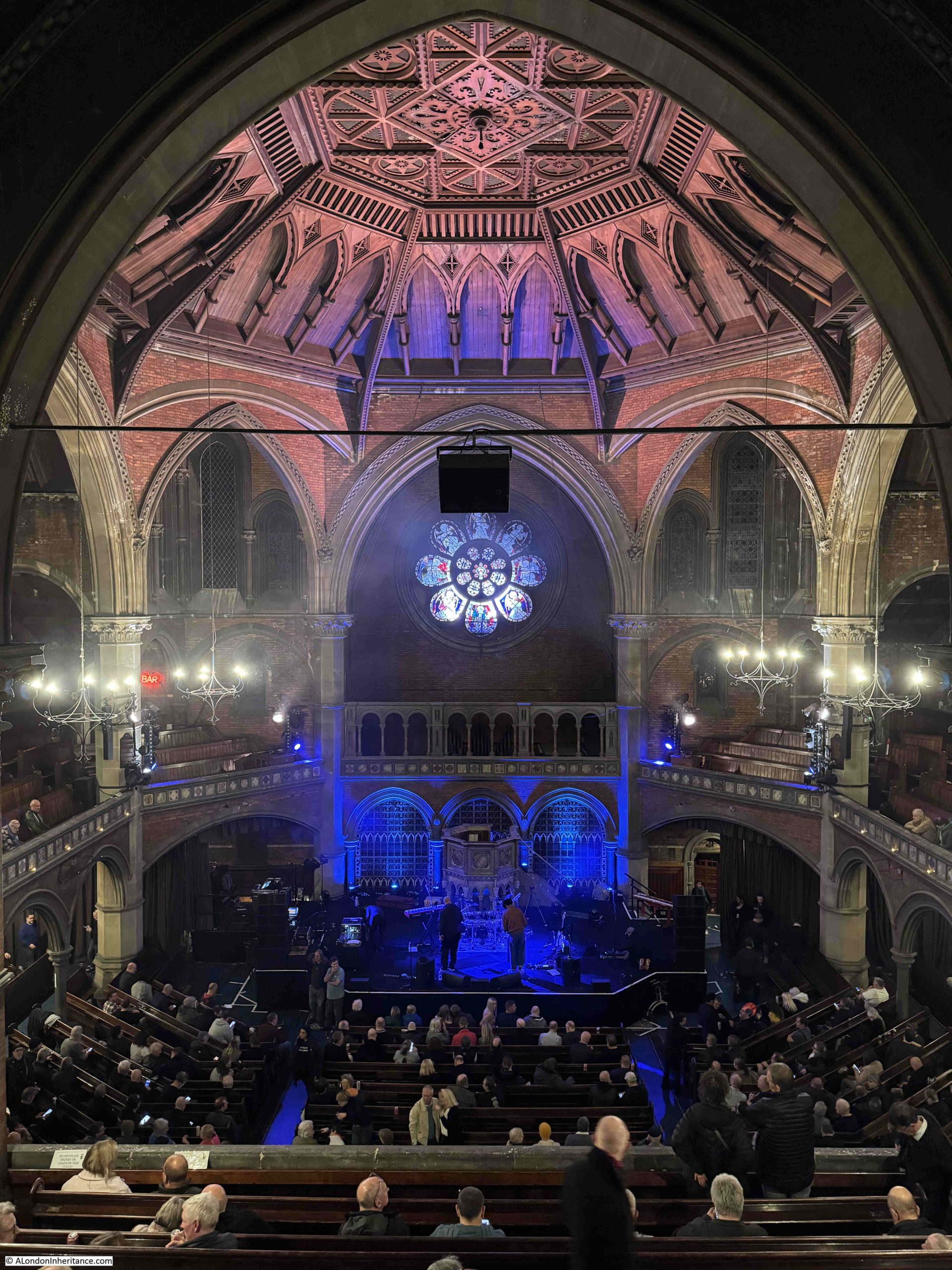
Looking down to the stage from the rear of the balcony:
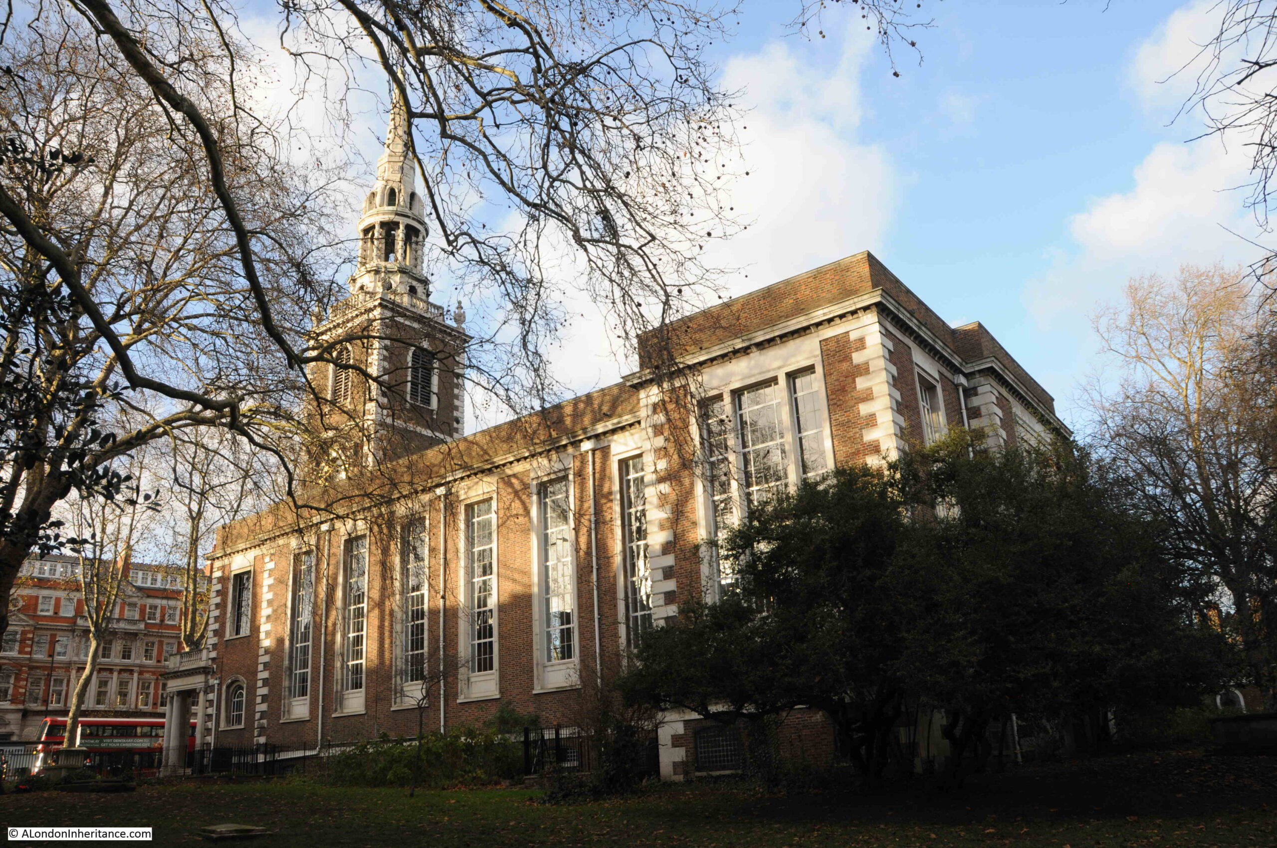
The current Union Chapel was built between 1876 and 1877, replacing an earlier and smaller chapel on the same site.
Union Chapel is a Nonconformist, Congregational Church.
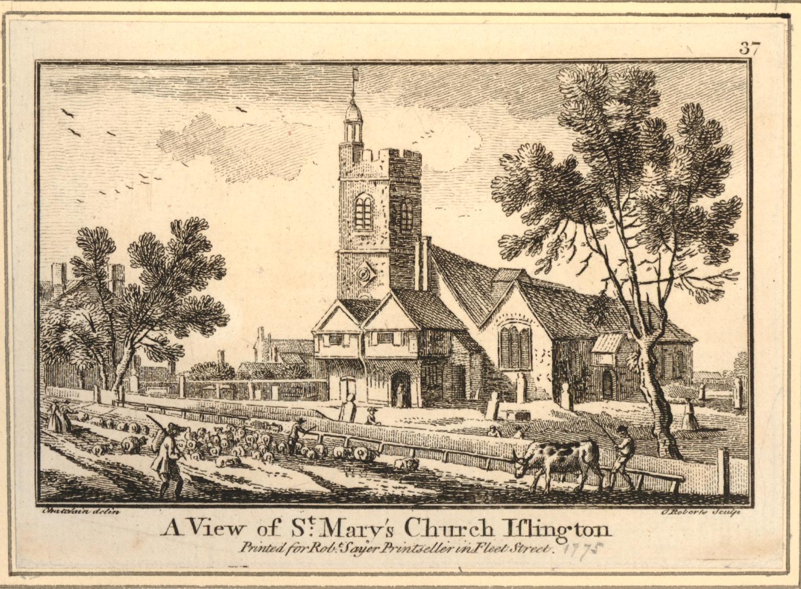
The name Union comes from the original founding of the congregation in 1799, when a group of Nonconformists joined with a group of Anglicans who had grown apart from the established church of St. Mary’s, Islington.
Over time, the Anglican element of the union gradually declined and the group became fully nonconformist, which basically means an approach to church hierarchy, worship and prayer that is different to the established church.
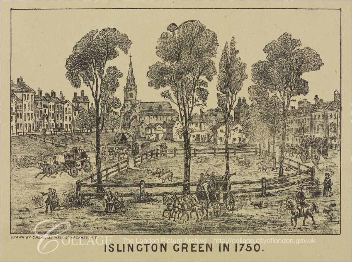
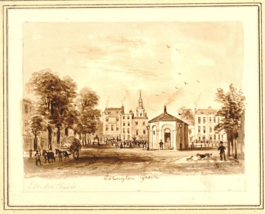
The first meeting place of the “Union” was in a large house in Highbury Grove, then in 1806 they moved into a chapel built on the site of the existing Union Chapel.
As the 19th century progressed, the Congregational approach grew in popularity, as did the size of the local population as the area around Islington and Highbury developed quickly.
This resulted in the need for a larger chapel, and the original chapel was demolished in 1875, to make way for the new chapel which opened in 1877.
The new chapel was designed by James Cubitt (no relation to the builders and civil engineers, brothers William, Thomas and Lewis Cubitt who jointly built much of 19th century London, including Cubitt Town on the Isle of Dogs).
James Cubitt specialised in Nonconformist chapels during the 19th century, and the Islington Union Chapel was one of his first, and probably one of his most important works. Many of his other chapels across the country have since been demolished, but Union Chapel remains.
The Congregational approach was that the whole congregation should be involved in the process of worship, and that the Minister, and those leading services should be visible to all, unlike a typical church service where a screen would often hide key parts of a religious ceremony from the majority of the congregation.
This approach can be seen in the interior design of the Union Chapel.
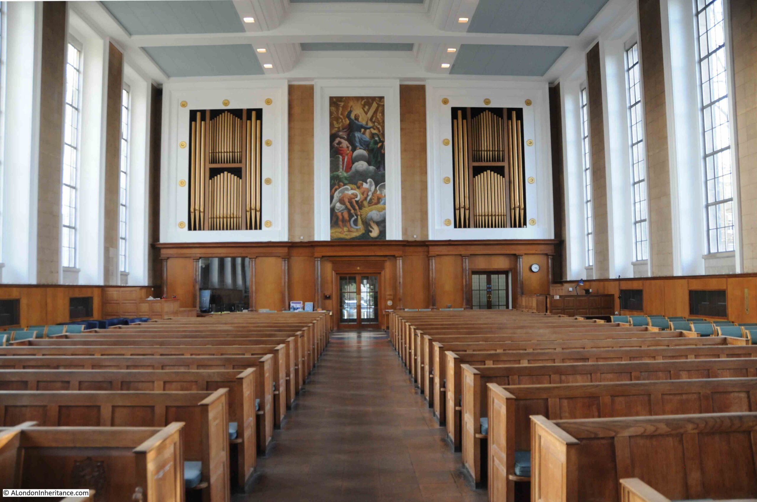
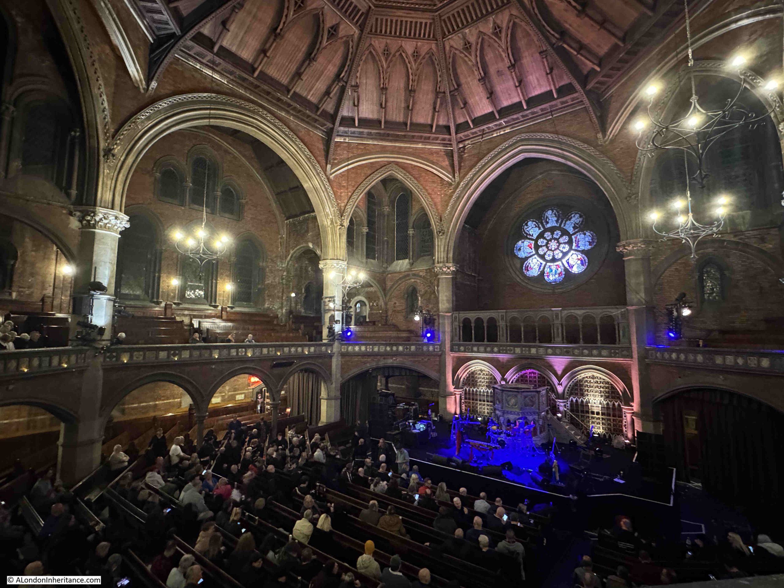
The interior has a cruciform design, although when inside the church this is not really visible, as the octagonal configuration of the walls is the dominant feature.
This allows an unobstructed view of the pulpit from the floor of the chapel, where there are pews on a floor that gradually increases in height towards the rear of the chapel, as well as on the surrounding balcony, where pews are also arranged so they increase in height as they run towards the external walls of the chapel.
This arrangement minimises the number of obstructions, either architectural, or from the people sitting in front, and is a design that makes the Union Chapel ideal not just for religious services, but also for concerts.
View looking across to the stage on the lower right, pews along the ground floor, balcony with pews underneath the gothic arches at the side of the chapel:
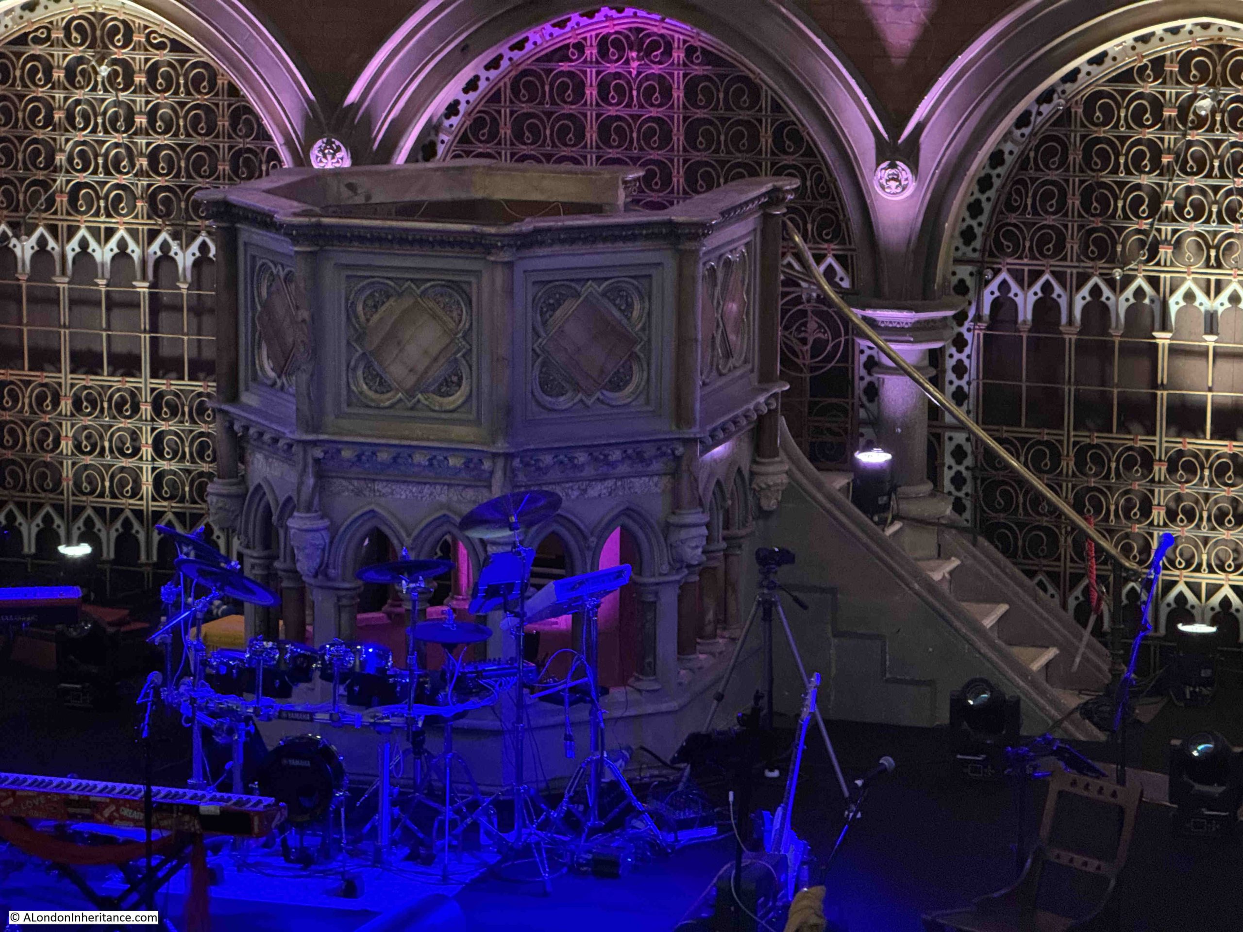
To further ensure the visibility of the minister, the large stone pulpit is raised so that the congregation had a good and unobstructed view of the minister, who could also look out across the congregation:
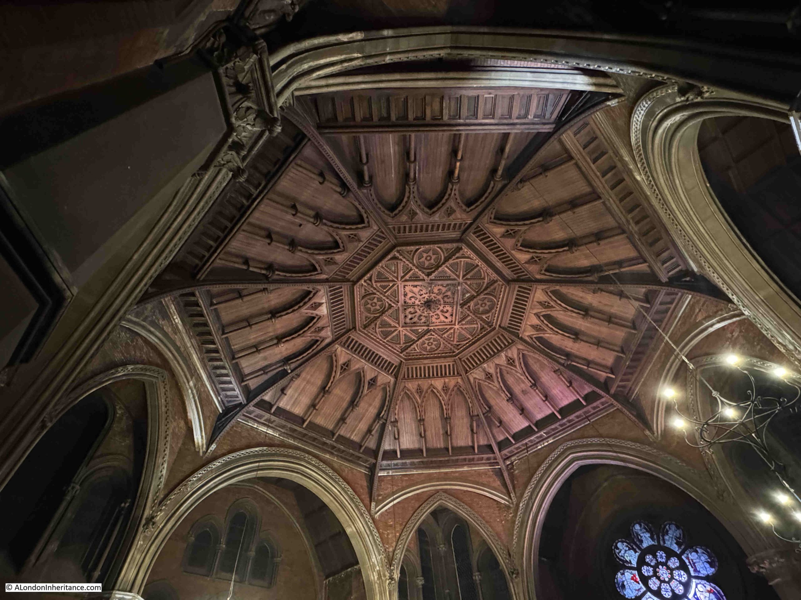
The ornate ceiling of the chapel, with the decorated central panel:
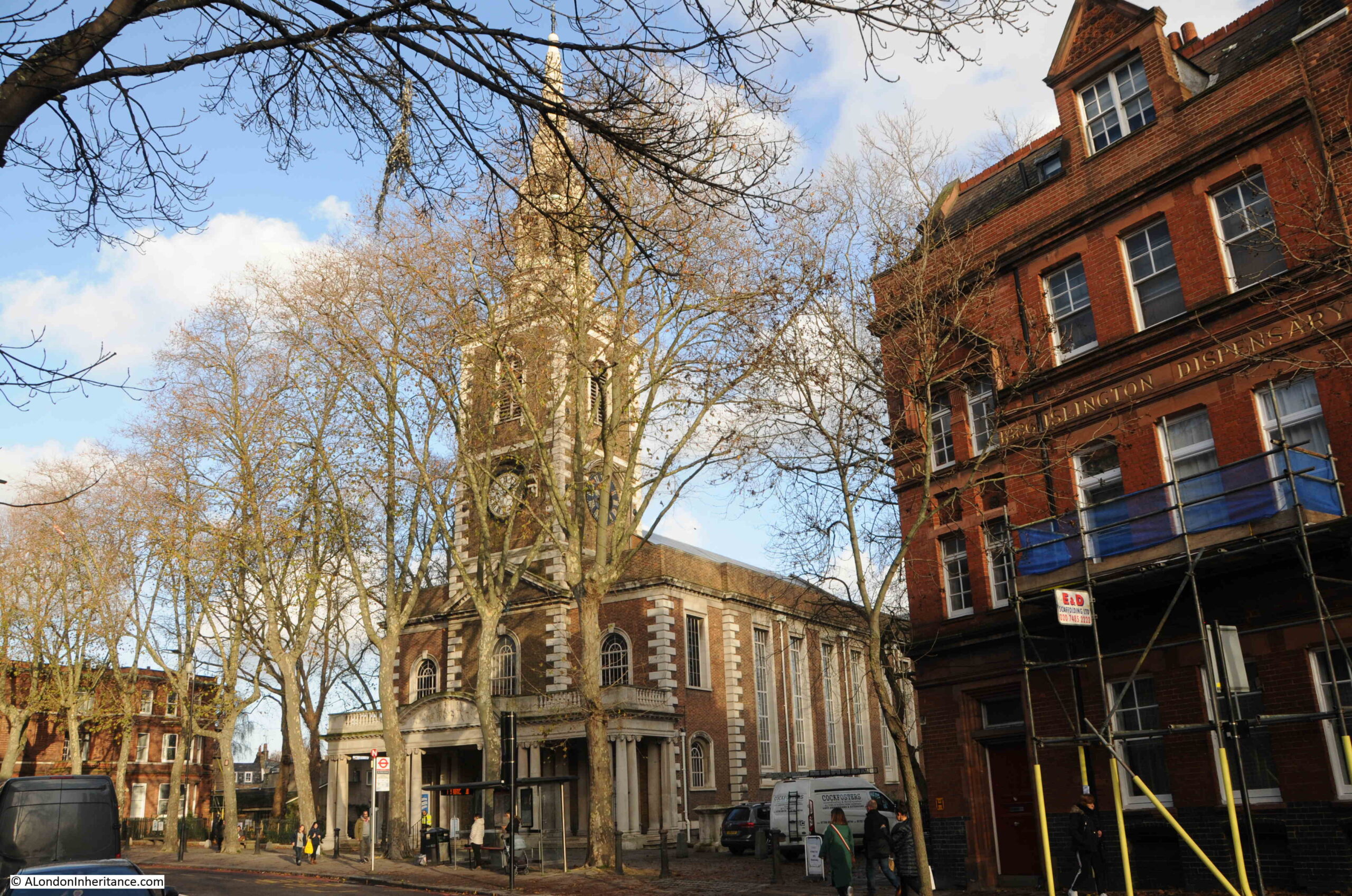
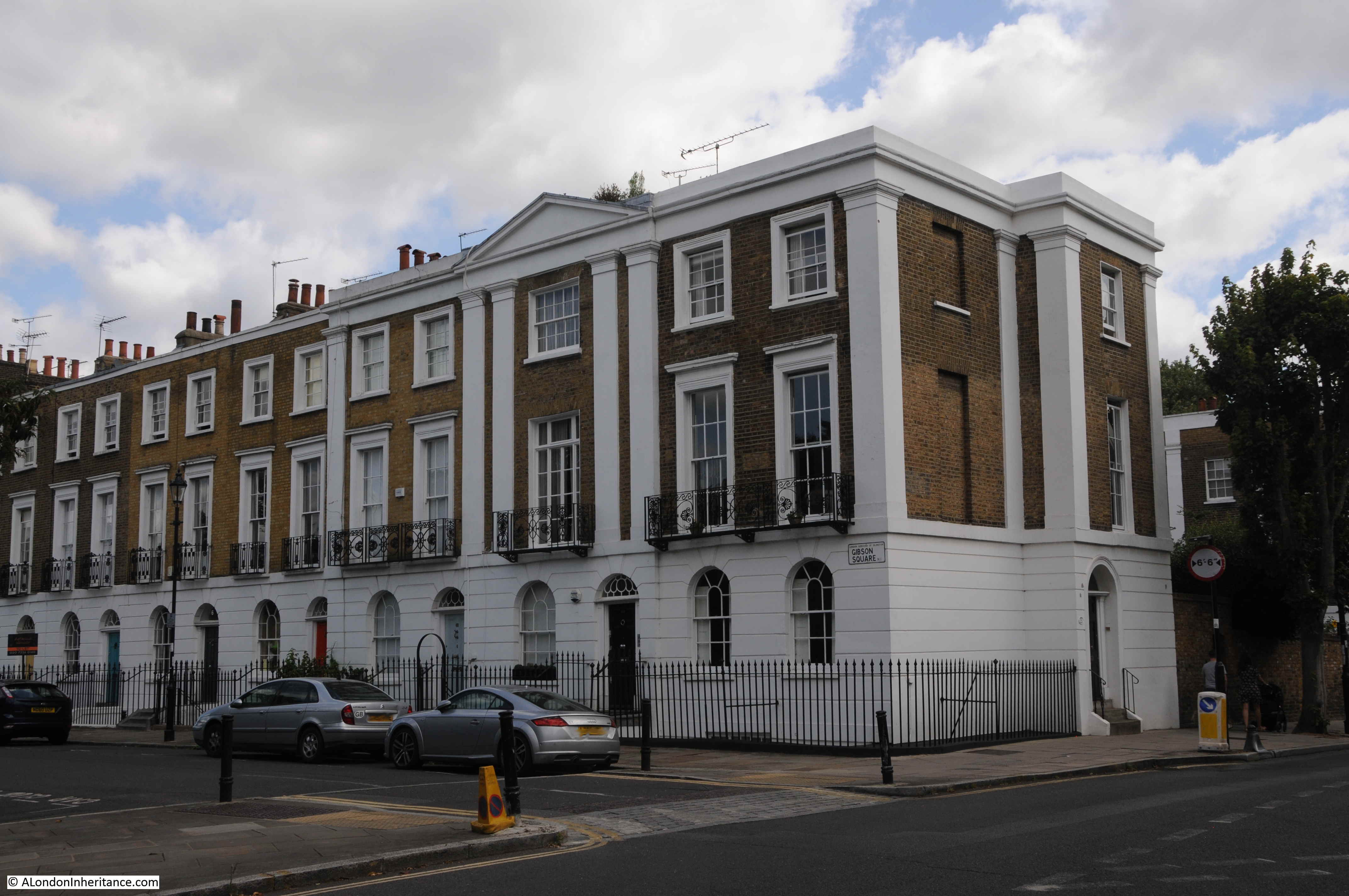
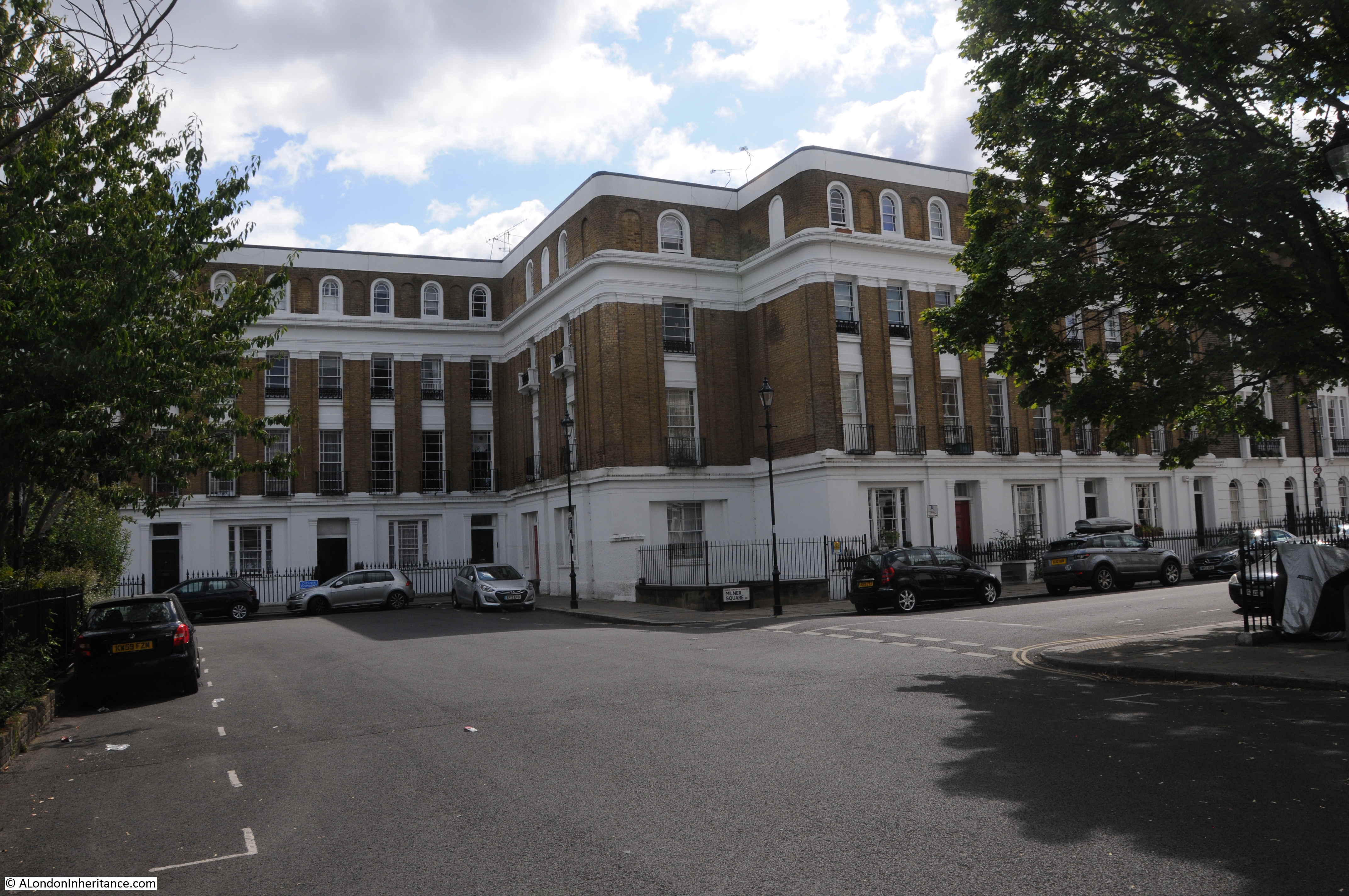
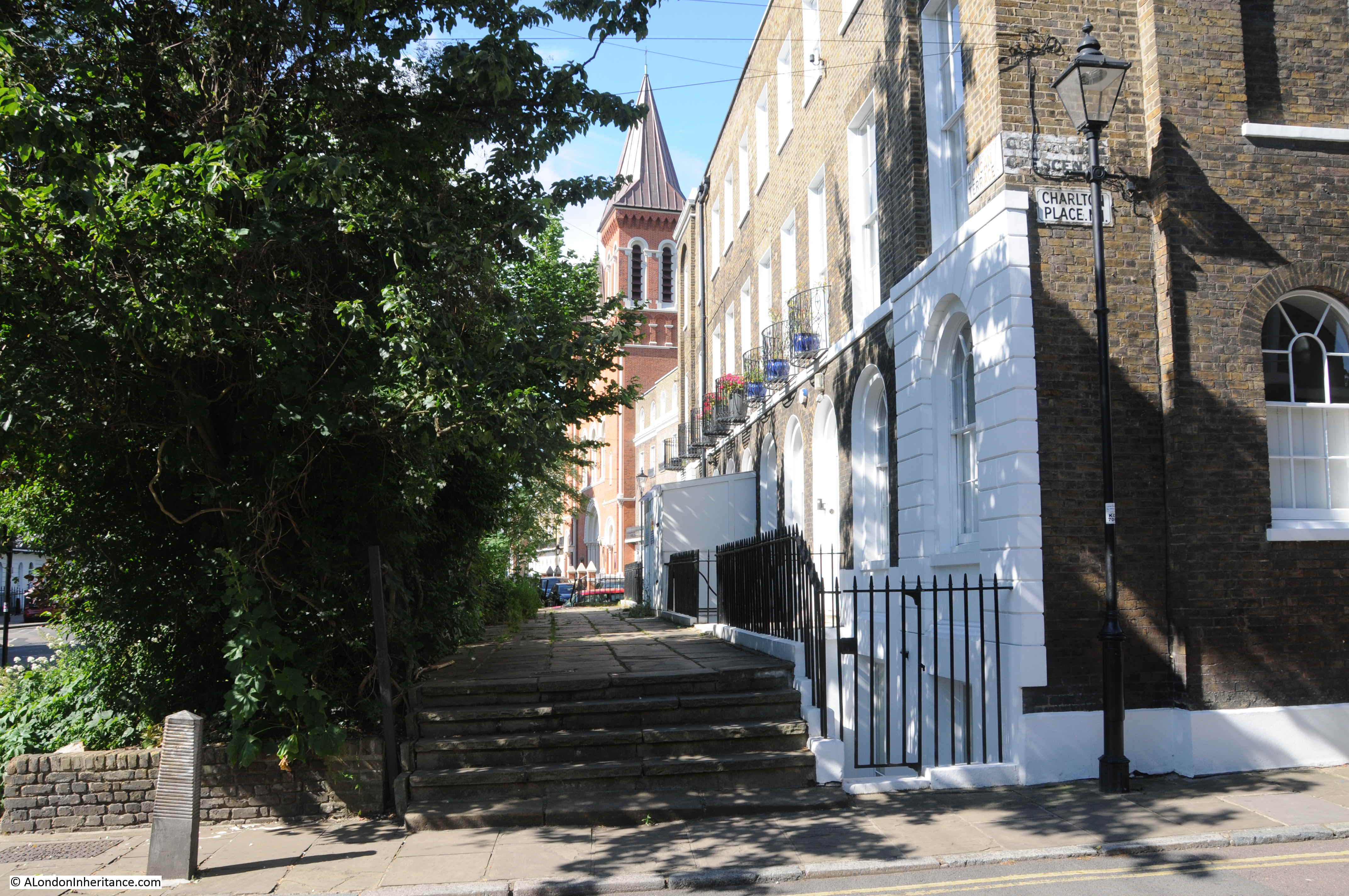
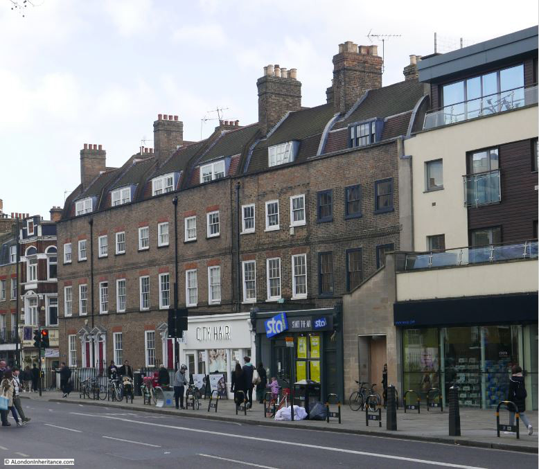
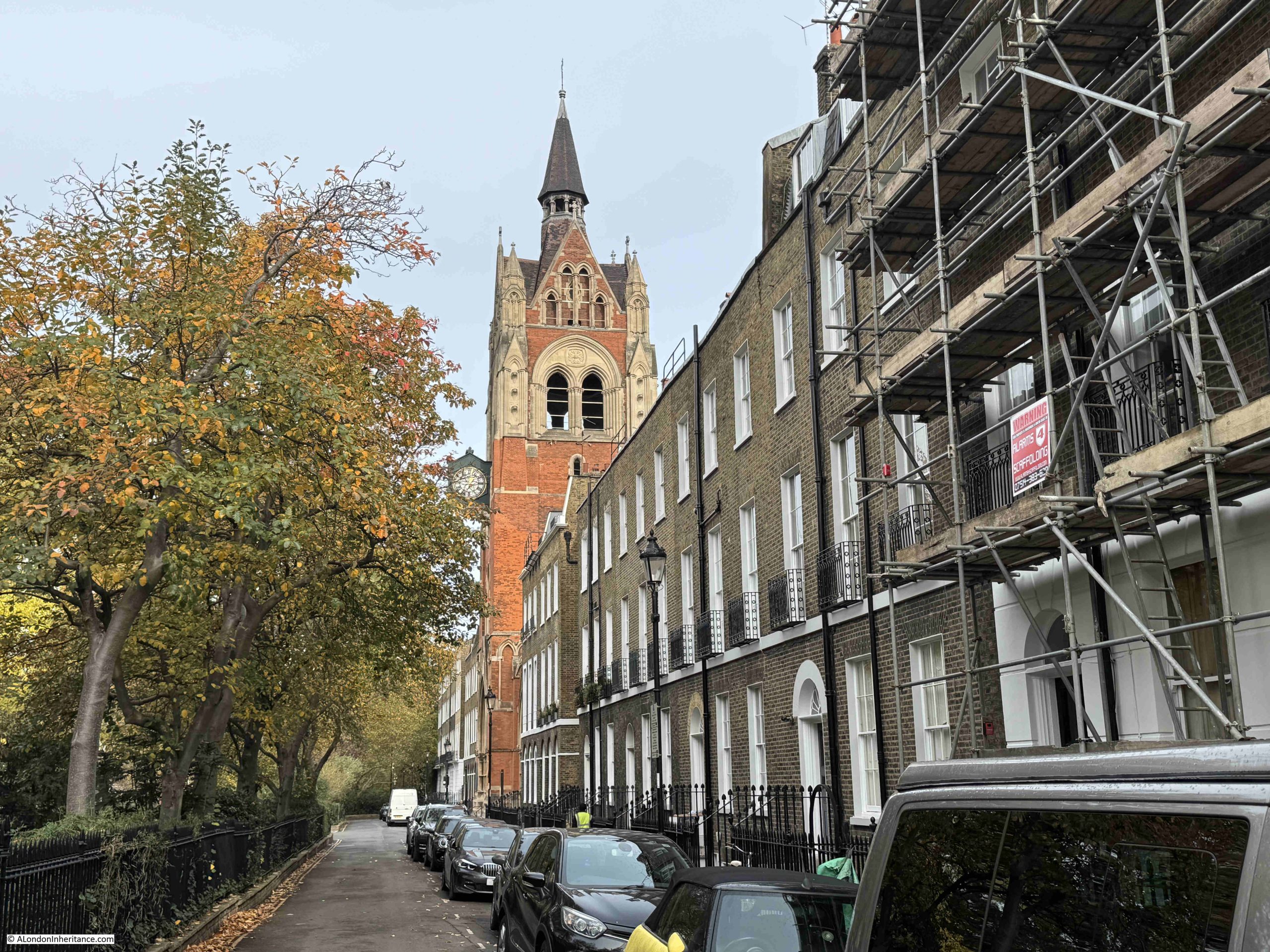
The interior of the chapel is a contrast to the exterior, which is architecturally still an impressive building, but to glance at the building from Upper Street or Compton Terrace, you would not have an idea of the magnificent interior.
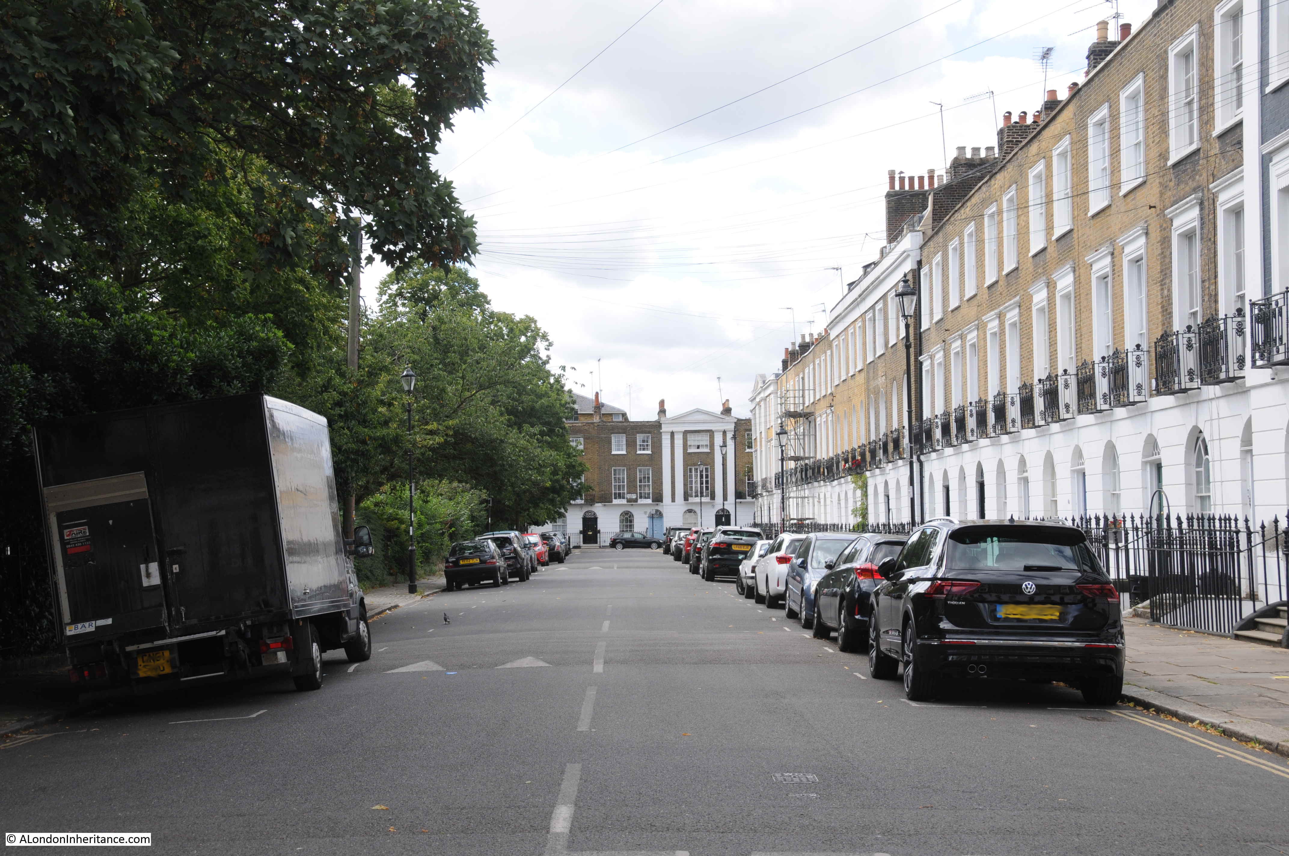
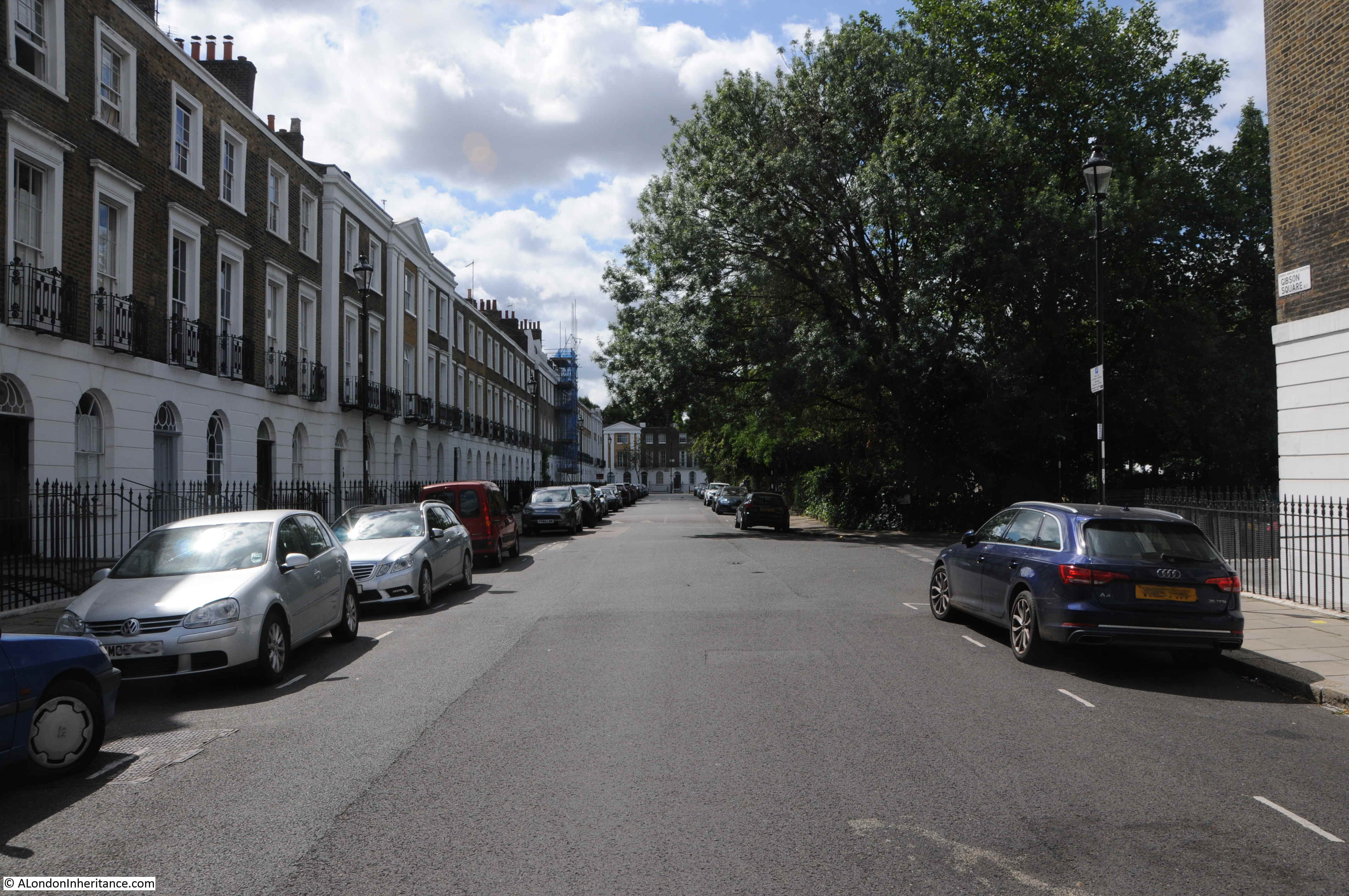
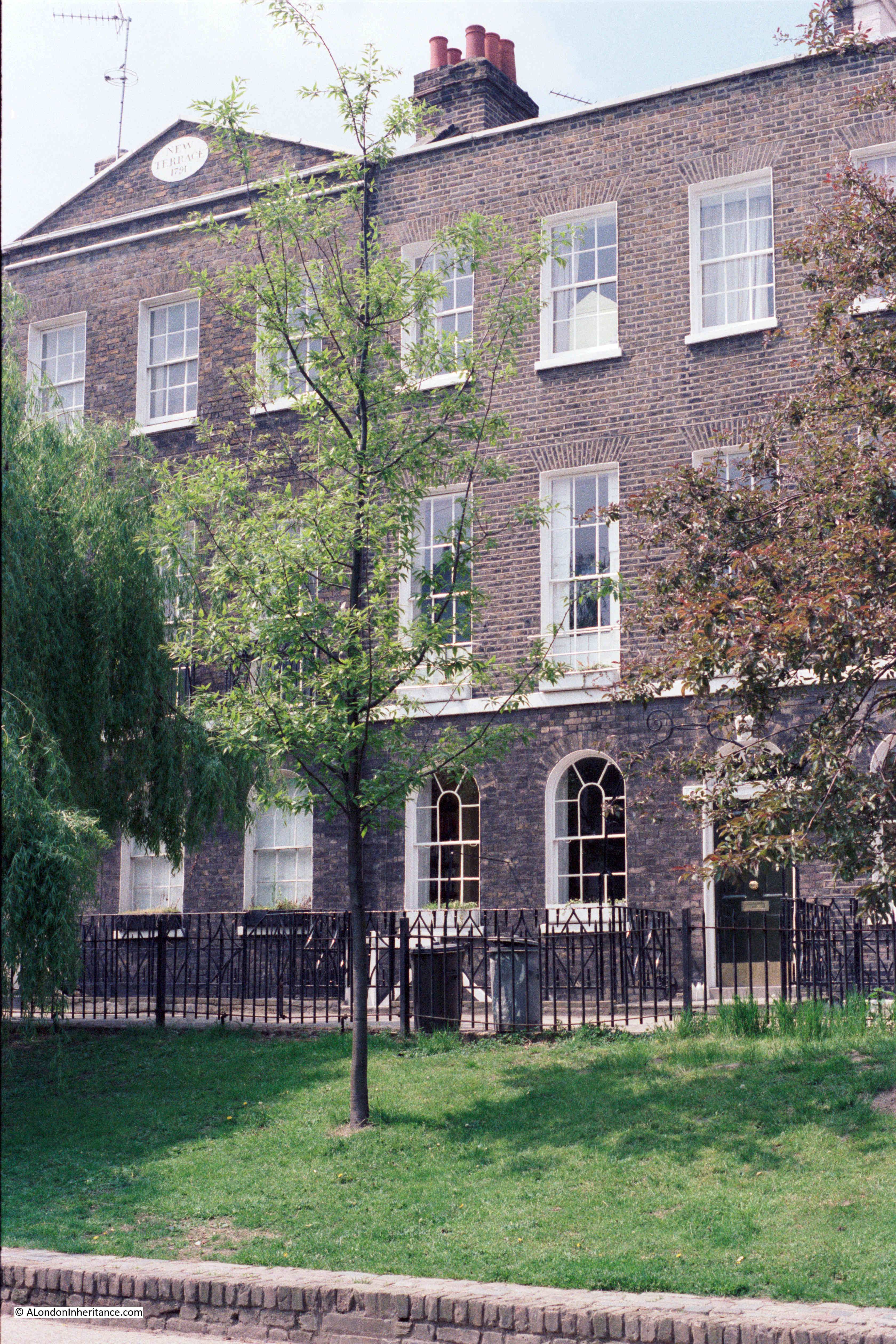
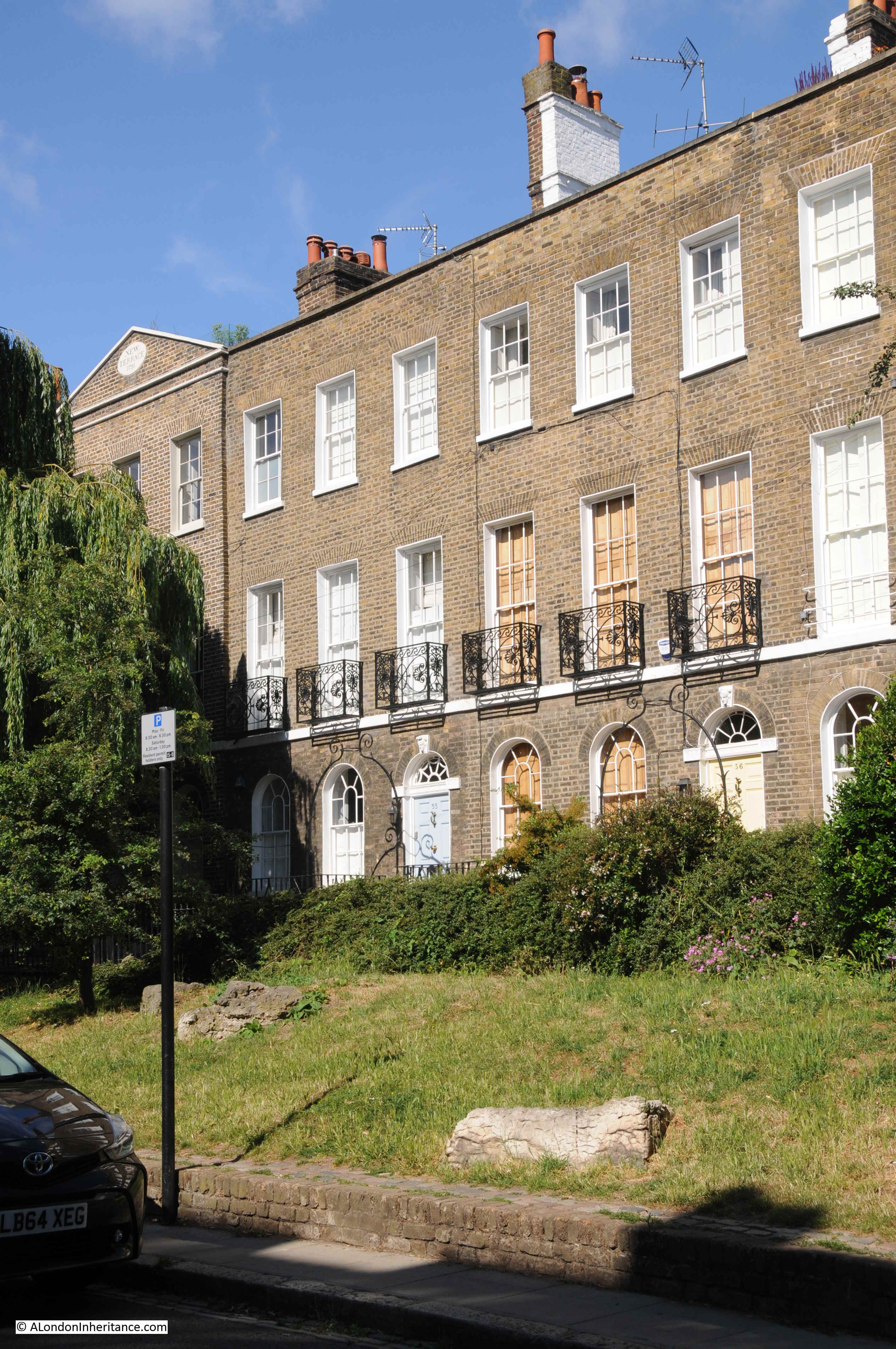
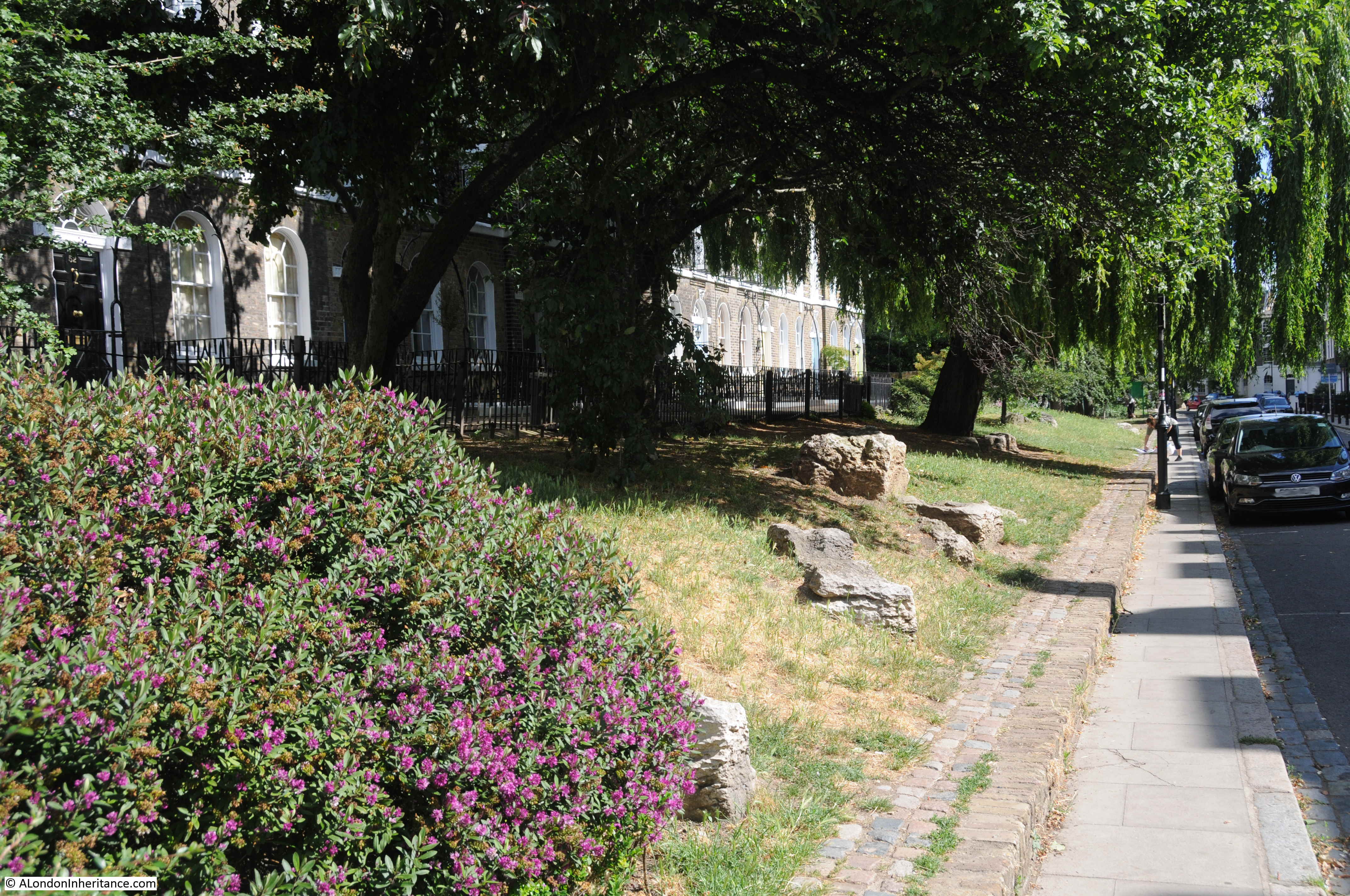
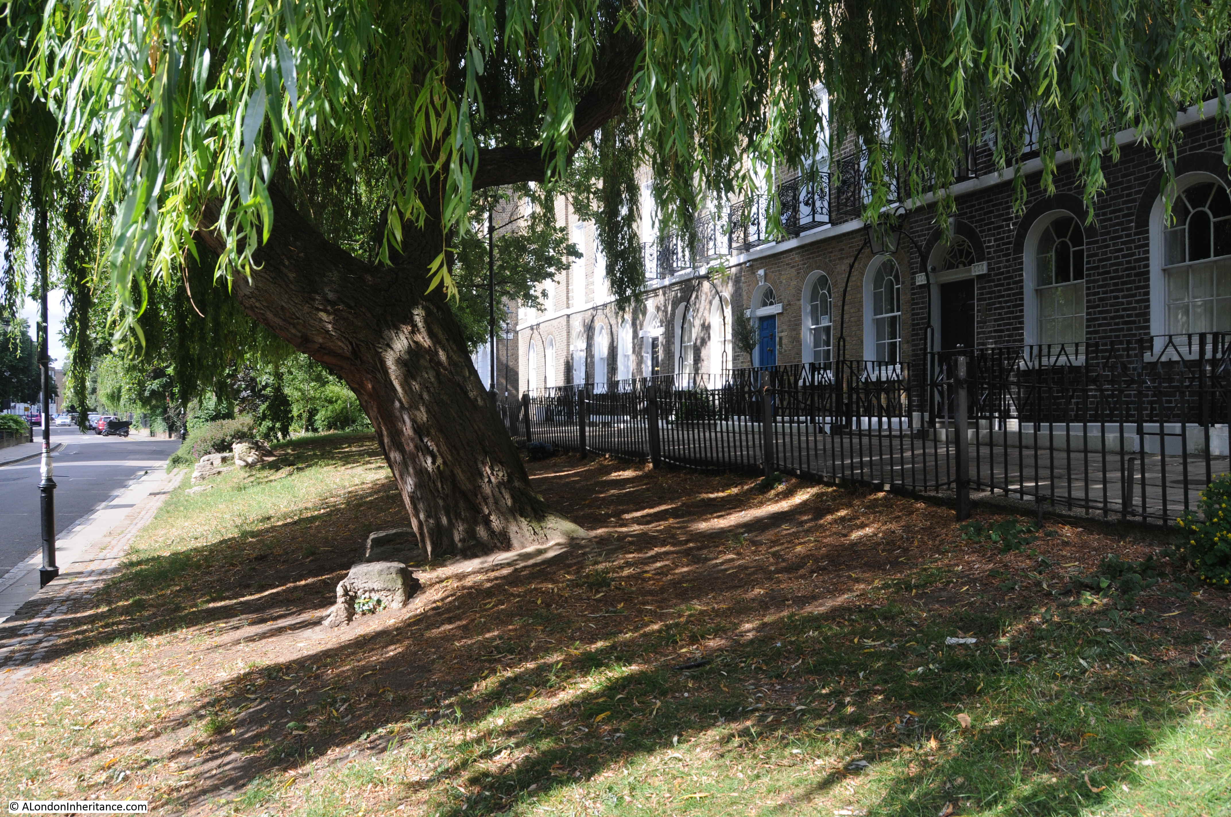
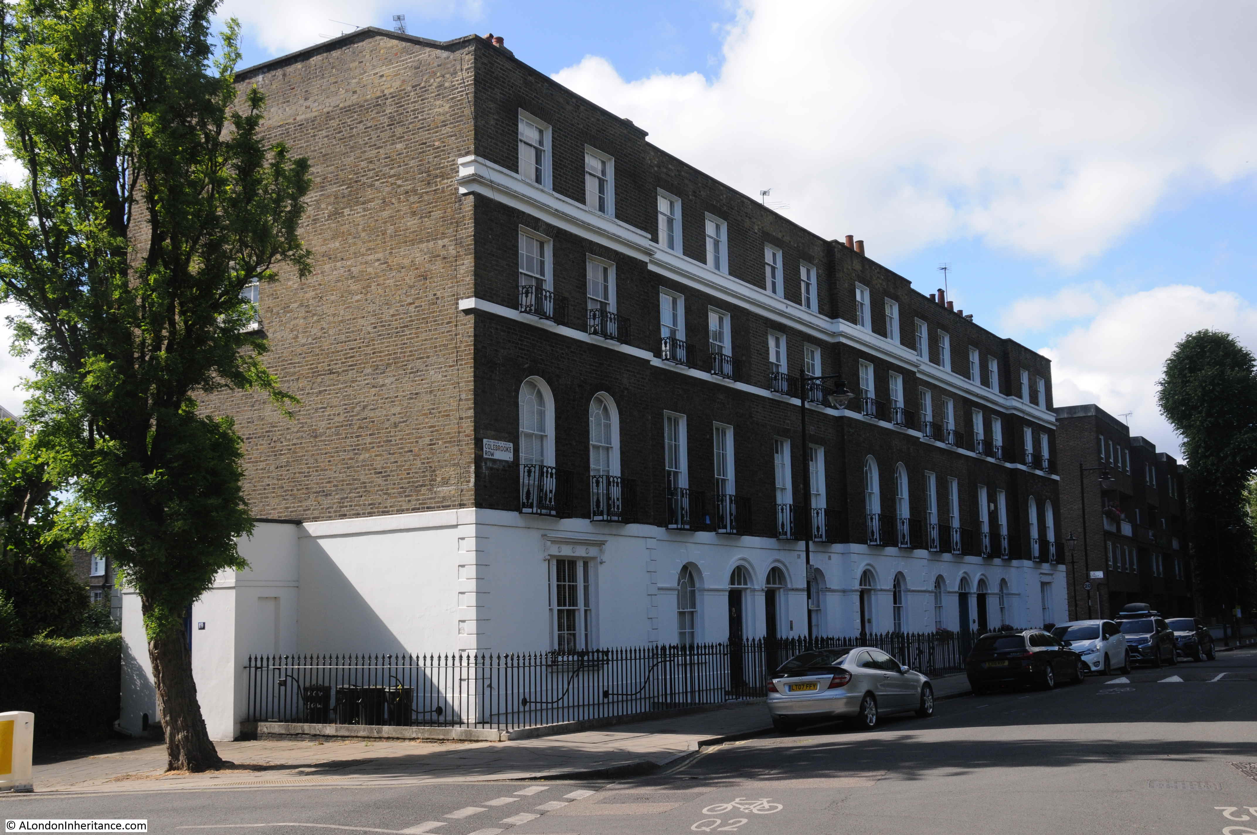
The chapel was built half way along a terrace of houses in Compton Terrace, a street deliberately set back from the busy Upper Street, with a length of gardens separating the two.
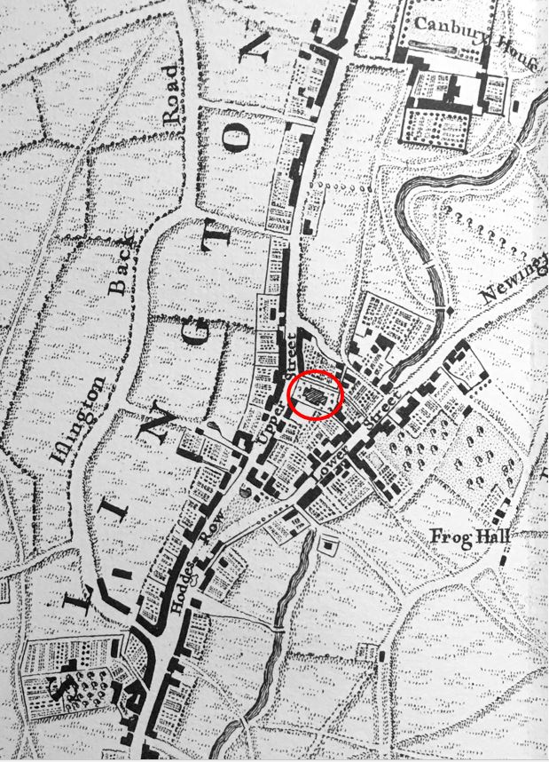
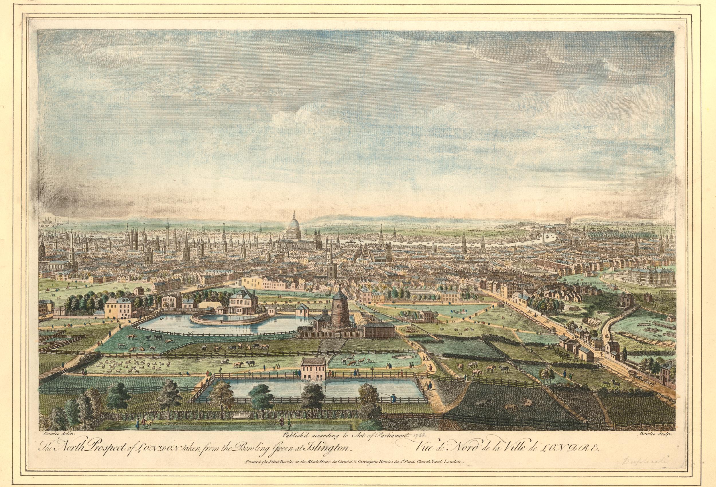
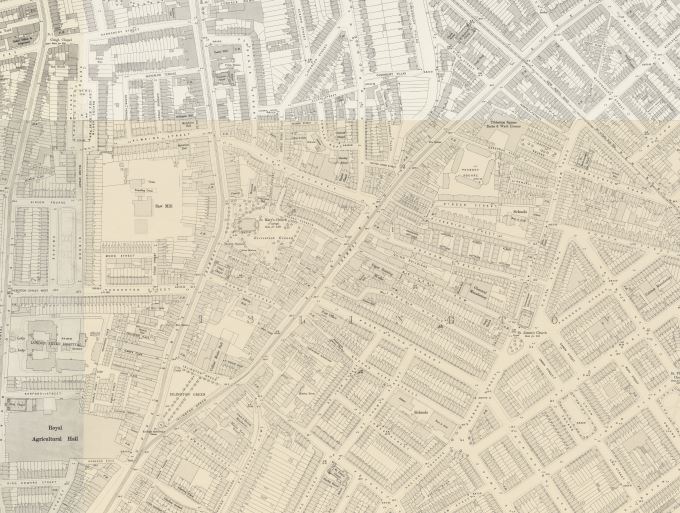
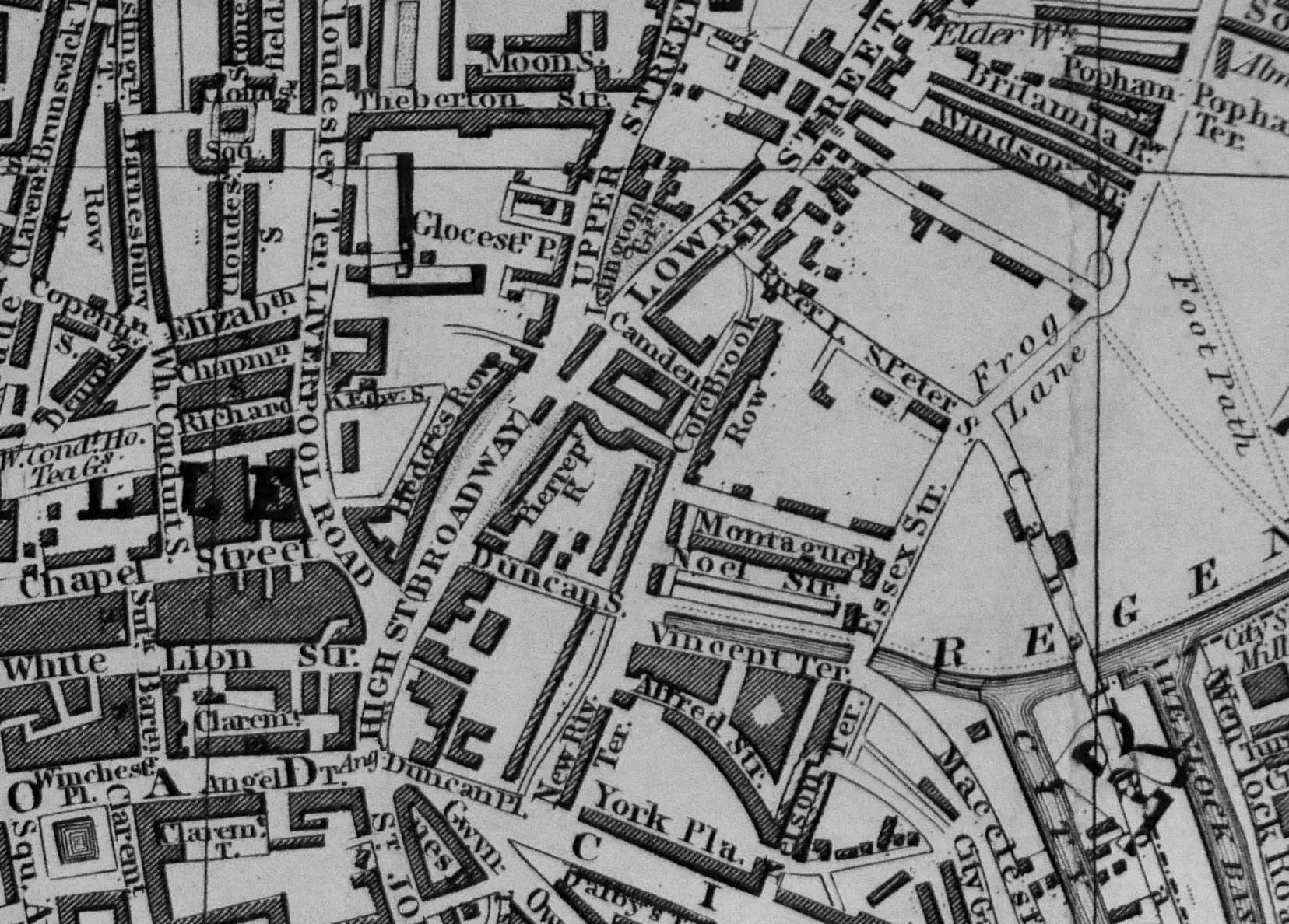
In the following extract from the 1894 revision of the OS map, Union Chapel can be seen in the middle of the map as the large block in the middle of a long row of terrace houses, with a Lecture Hall and Sunday School towards the rear, which faces on to Compton Avenue (‘Reproduced with the permission of the National Library of Scotland“:
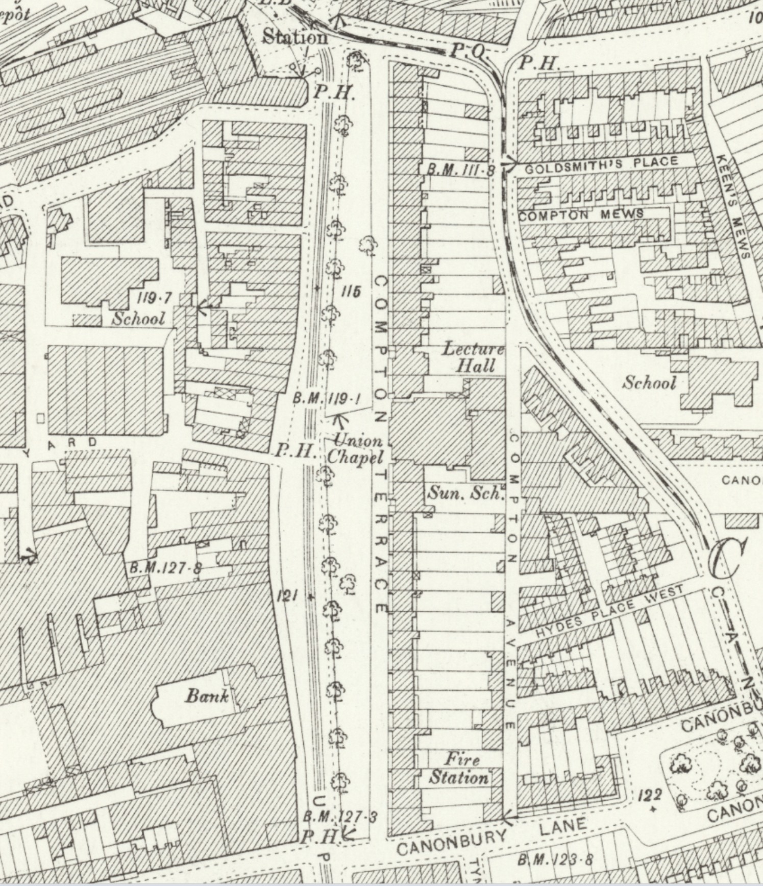
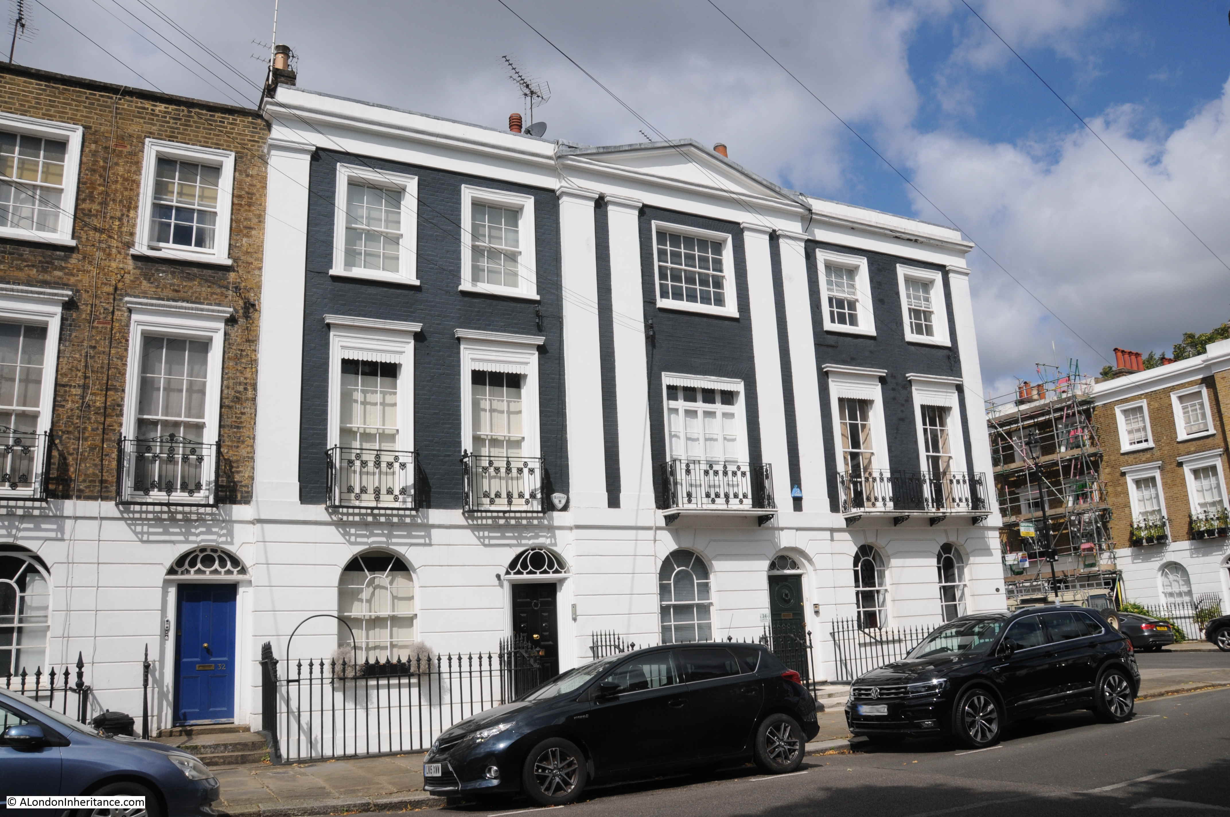
In the above map, the row of terrace houses on either side of Union Chapel is of equal length.
The northern length of houses today is much shorter than originally built. A V1 flying bomb hit in 1944, killing 26 people and resulting in the destruction and severe damage of 12 houses, along the northern end of the terrace, these were demolished after the war.
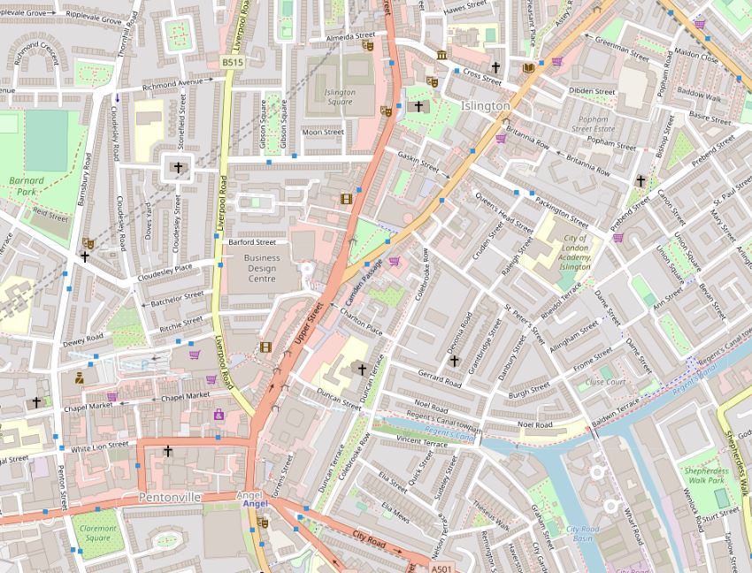
This demolition provided the space for the traffic roundabout and central space of Highbury Corner to be built. We can see this in the following map, where Union Chapel is again in the centre, the original length of terrace remains to the south, but a much shorter terrace is to the north of the chapel, and Highbury Corner and the central Highbury Island now cover where the rest of the northern stretch of terrace once ran (© OpenStreetMap contributors):

The main entrance to Union Chapel, as seen from Upper Street:
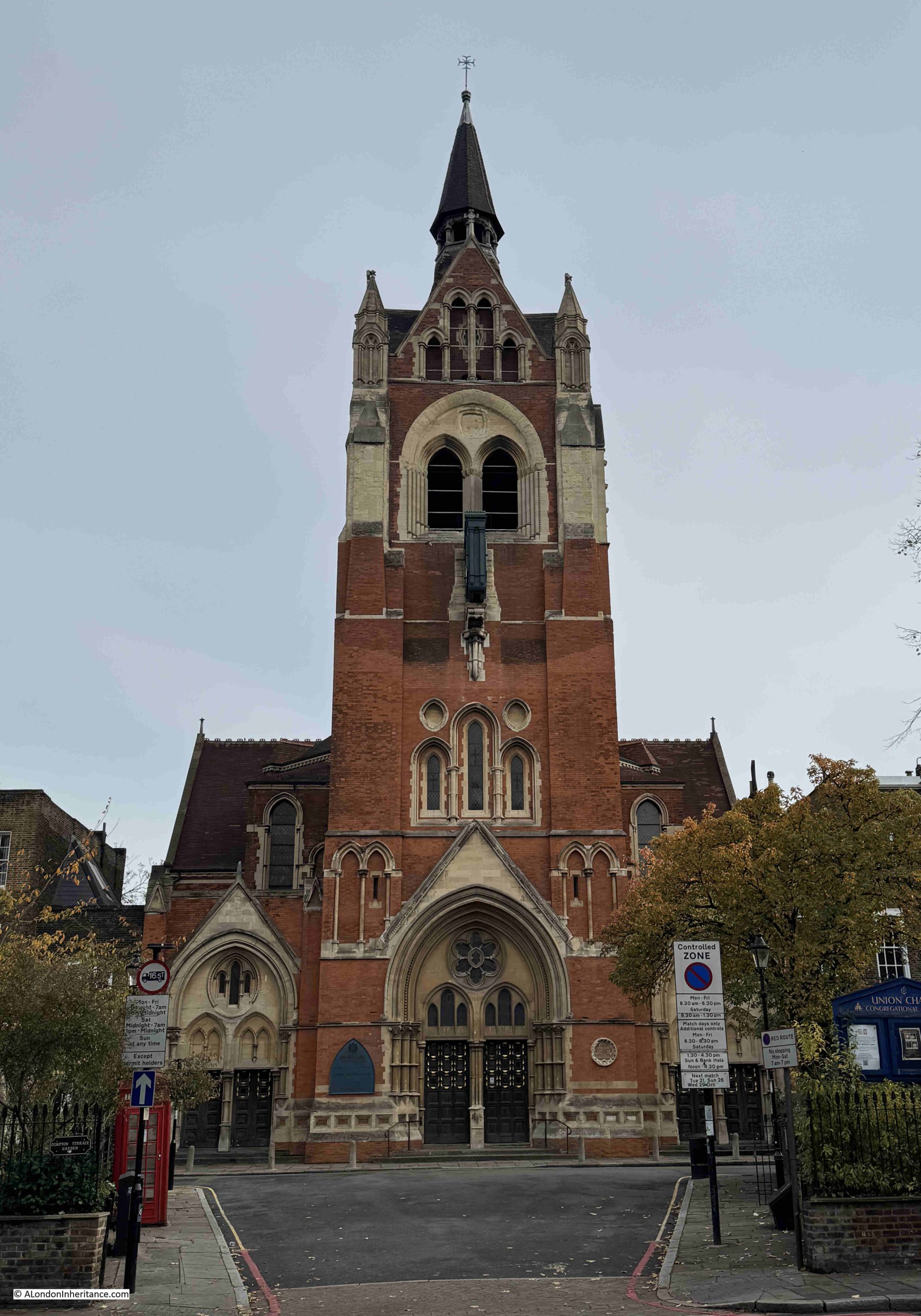
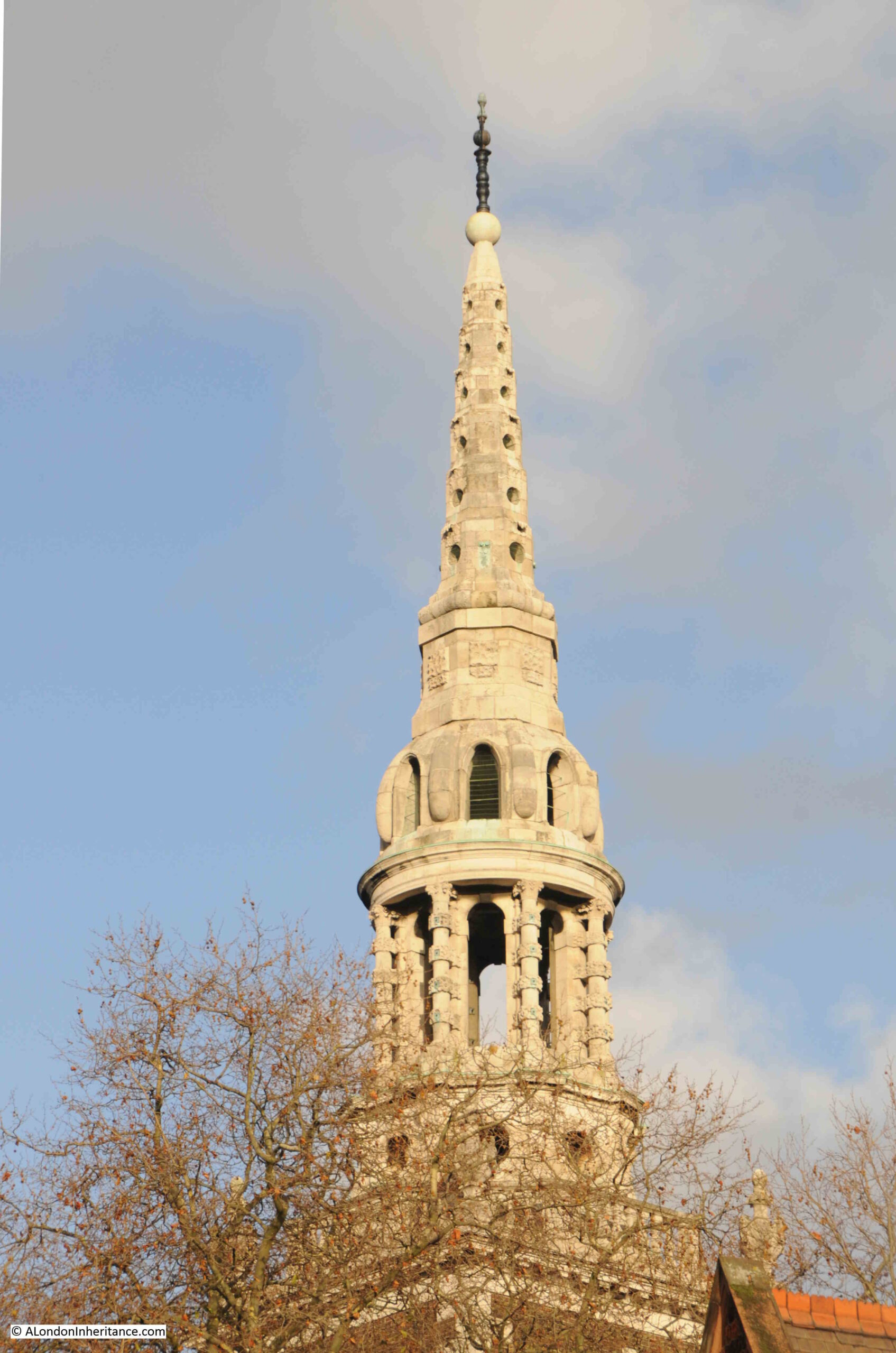
The tower was completed in 1889, just over 10 years after the chapel first opened. It is 170 feet in height, and according to the listing at Historic England (Union Chapel is Grade I listed), bells were never installed in the belfry, behind the open windows towards the top of the tower.
A large clock projects out from the tower, and at ground level there are three entrances, a large central Gothic portal at centre, and two smaller, but similar entrances to either side.
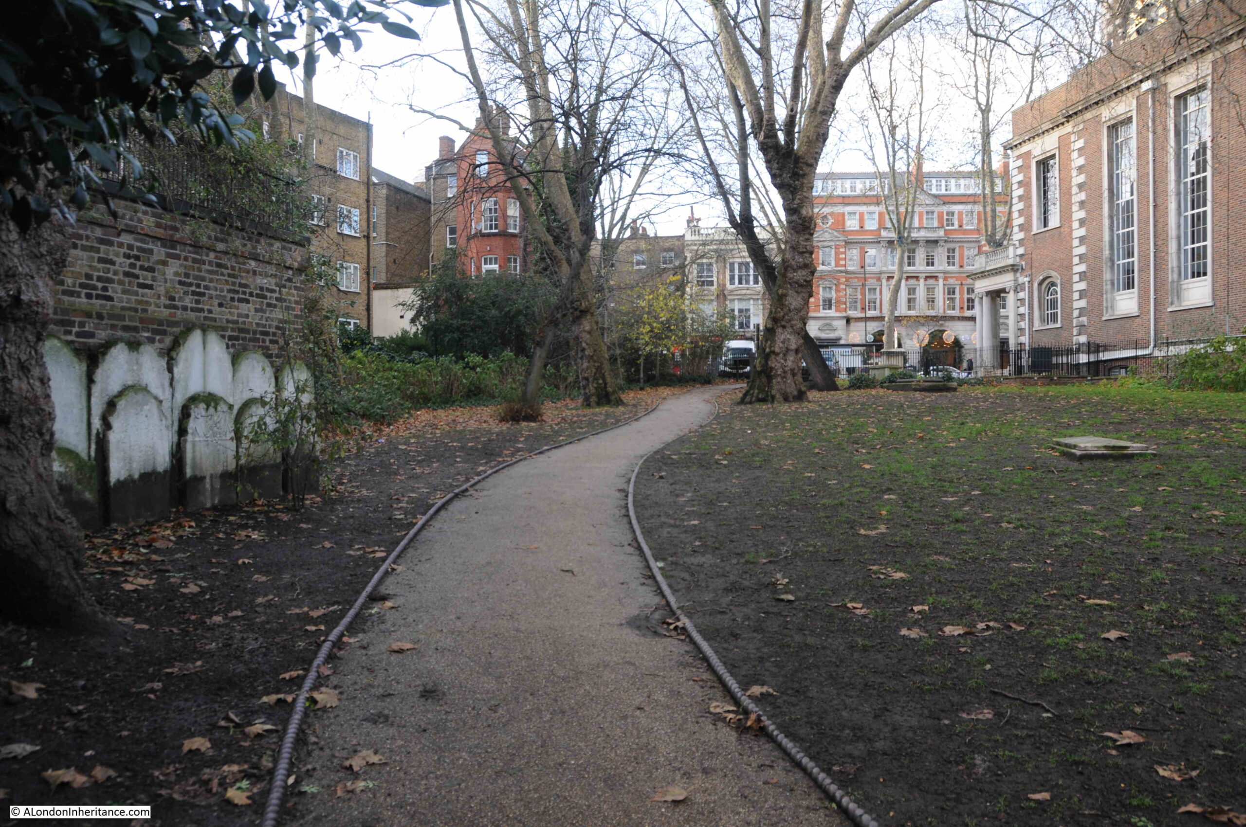
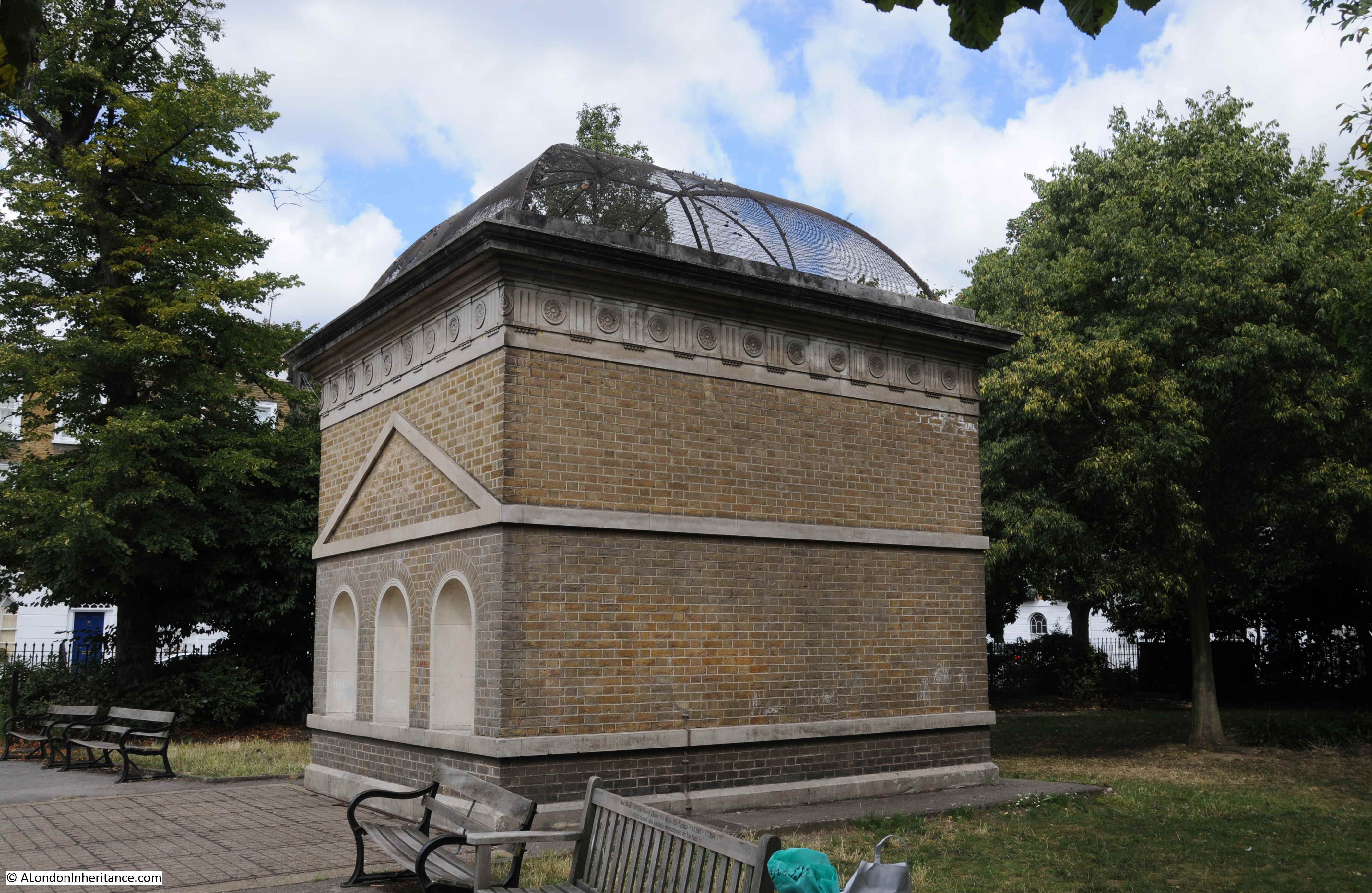
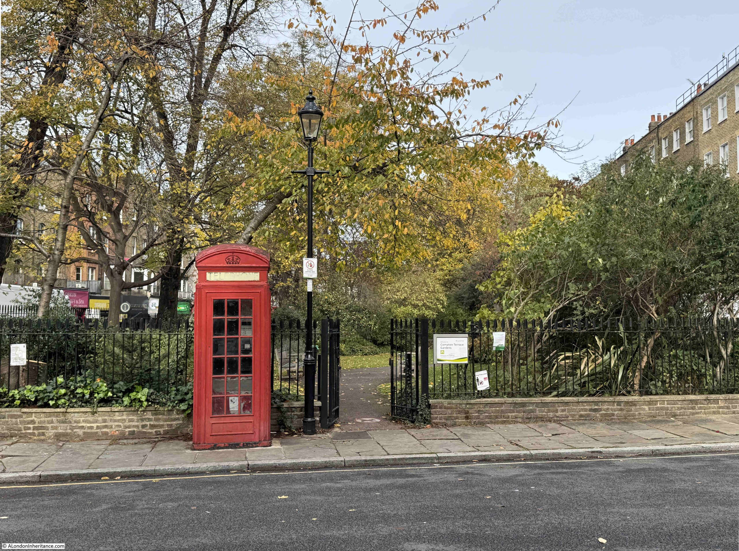
To the left of the short stretch of road that connects Upper Street with Compton Terrace, there is a Grade II listed K2 Telephone Kiosk, designed by Giles Gilbert Scott. Behind the kiosk are the gardens that separate the terrace from Upper Street:
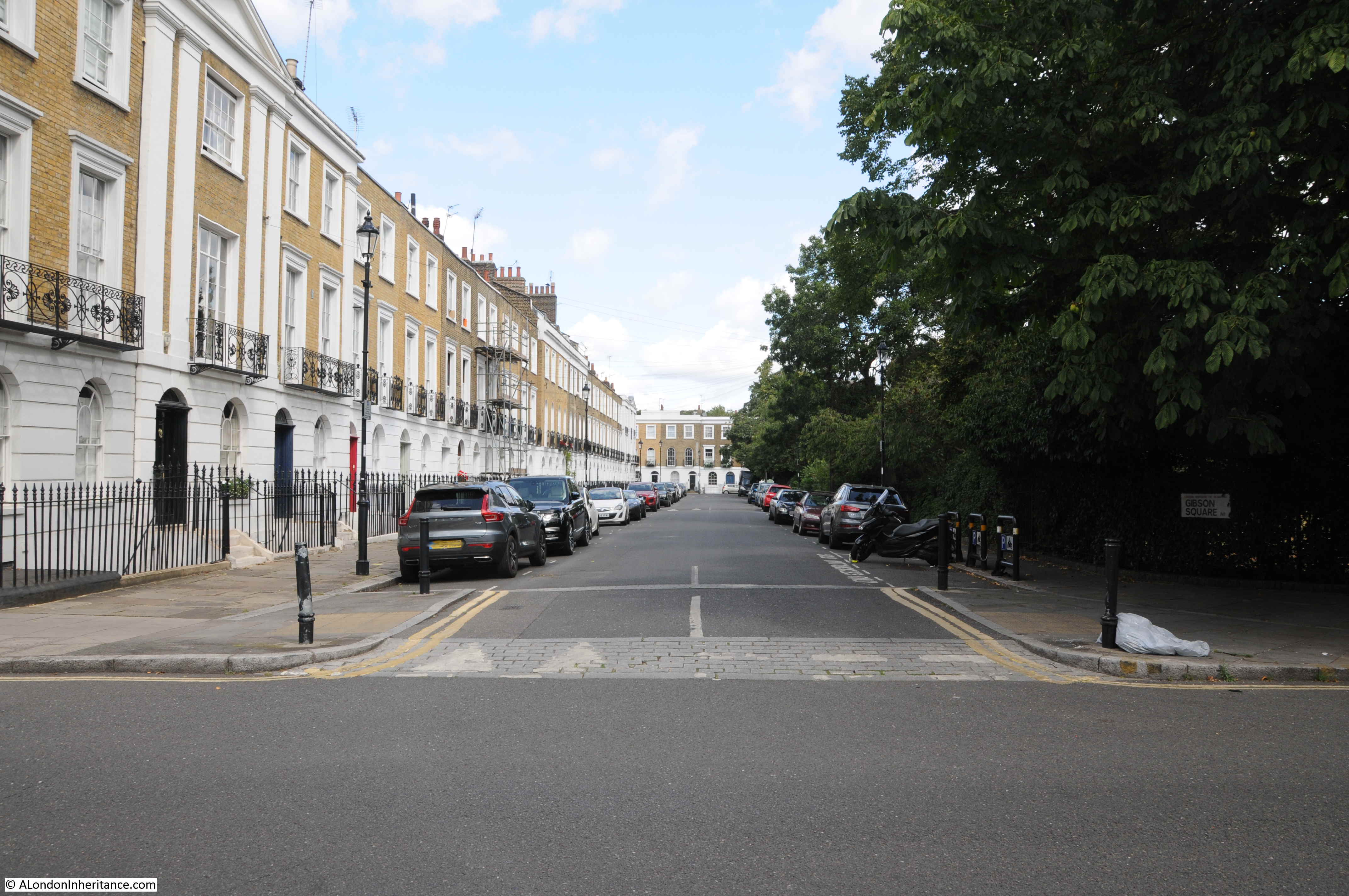
This is the view along Compton Terrace from the south, with a small part of the lighter brick of the chapel visible in the distance:
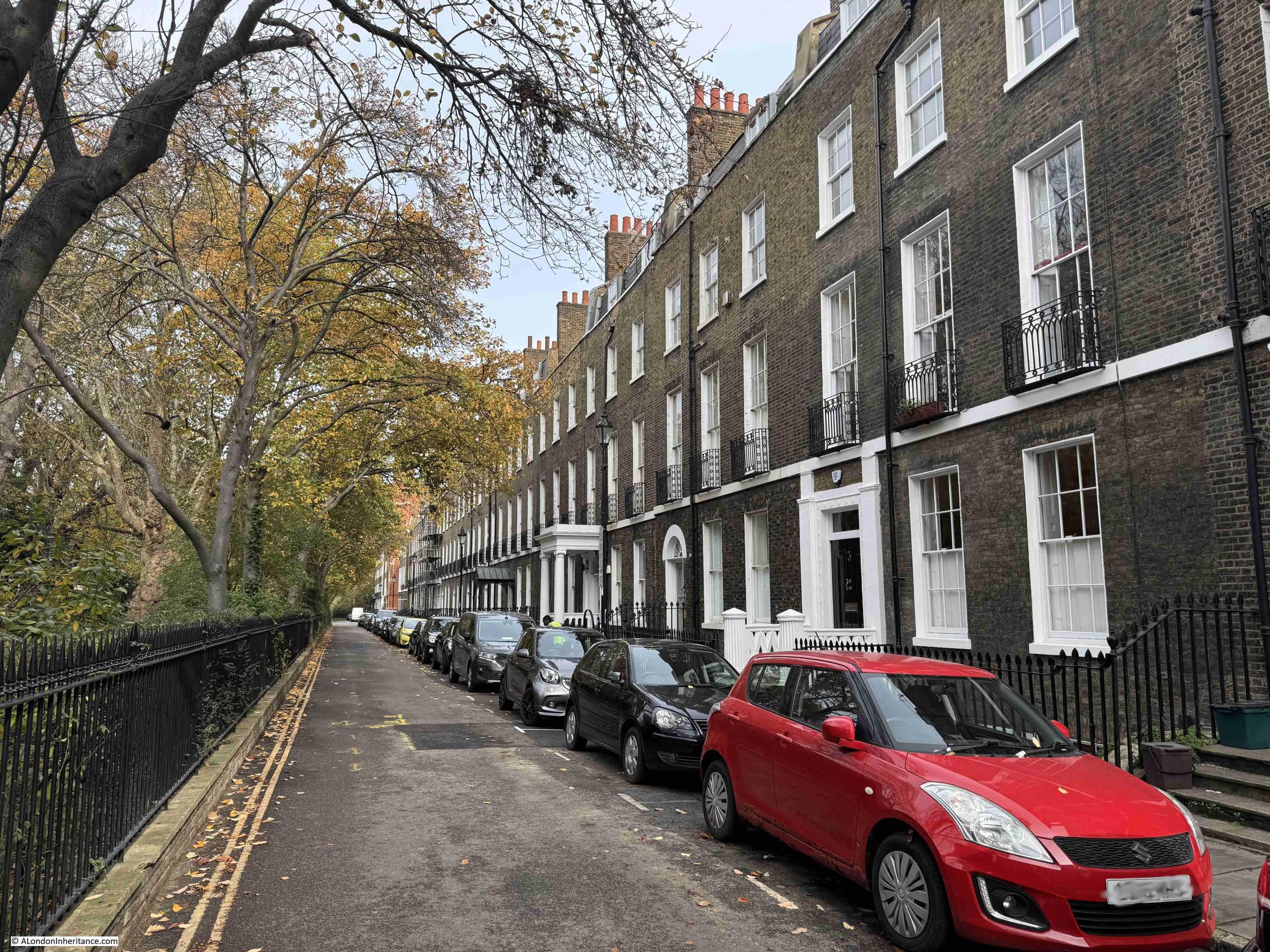
Much of the terrace and railings at the front, are Grade II listed, and were built between 1819 and 1821 by Henry Flower and Samuel Kell.
The name Compton Terrace comes from Lord Compton, Marquess of Northampton, the original owner of the land, and whose permission was needed to build the Union Chapel.
Closer up to the chapel, and we can (just) see the clock on the front of the tower:
Plaque on the front of the chapel recording the founding of the original “Union” of the two congregations, who first met at Highbury Grove, then the 1806 chapel in Compton Terrace, then the 1877 rebuild of the chapel, which is the chapel we see today:
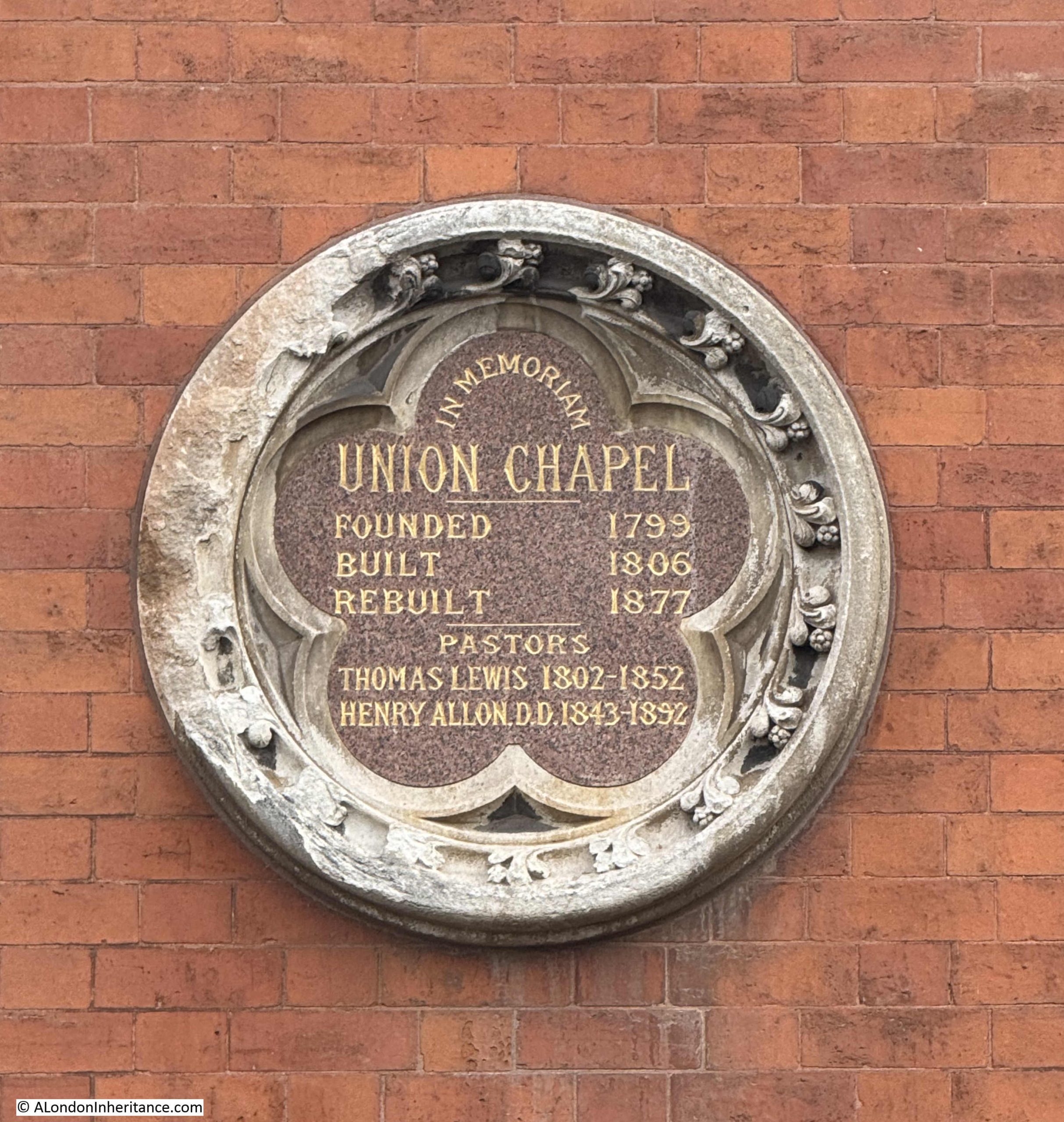
The names of the two pastors shown on the plaque show that for the majority of the 19th century, there were only two lead pastors of the Union Chapel.
It was Henry Allon who was the driving force behind the construction of the new, expanded Union Chapel. He was also a significant figure in the Nonconformist movement across London, the rest of the country as well as the United States..
He was paster at Union Chapel until his death in 1892, and the Nonconformist paper published a lengthy obituary on the 22nd of April; 1892, of which the following two paragraphs are just a small part:
“Dr. Allon was a man of immense industry and of very various activities, but his great work was the building up, maintenance and extension of the congregation of Union Chapel. he was a highly competent, but by no mean showy, preacher. He would have blushed at the thought of using the pulpit as a means of setting off his abilities. Teaching and edifying were the aims he kept constantly in view, and never were the labours of a Nonconformist pastor more handsomely requited by the confidence and affection of his people. It was so from the first, and so to the end.
Dr. Allon’s death will be felt as a loss wherever the English language is spoken. In the United States, which sent him the highest academic distinction it has to bestow, he was greatly honoured for his learning and refined taste. At home, where he never evaded difficulties, he was always a healing and unifying influence. Never eager, he was always ready, to speak, and his utterances were invariably well considered and kindly. We shall all greatly miss his intellectual countenance, with its habitually benevolent expression, but we have the consolidation of thinking that he has well and truly accomplished the great task committed to him, and left an example which it will be an honour to follow.”
Henry Allon had been awarded Honorary doctorates from Yale in the united States and from St. Andrew’s in Scotland.
Henry Allon in 1879:
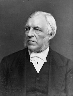
Attribution: Lock & Whitfield, Public domain, via Wikimedia Commons
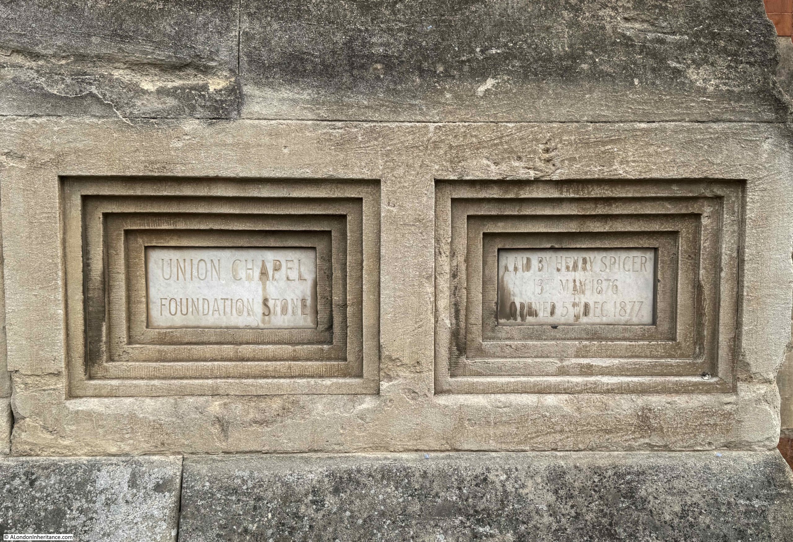
The foundation stone of the new chapel was put in place in 1876, and the Islington Gazette on the 16th of May 1876 reported on the ceremony, and confirmed some of the history of the chapel:
“On Saturday afternoon the ceremony of laying the foundation-stone of the new Union Chapel, Compton-terrace, was performed under most cheering auspices. From a sketch of the history of the church, a copy of which was deposited under the stone, we gather that the chapel had its origins in 1802, in the spontaneous association of a few earnest and devout men, in part Episcopalians, and in part Nonconformists – the former a more evangelical ministry than at that time could be found in the parish church, and the latter some provision for evangelical worship in addition to the two Nonconformist chapels then existing in Islington. After worshipping together for about two years they formed themselves into an organised church consisting of twenty-six members, and secured as a chapel, a building in Highbury-grove, now the dwelling house No. 18.
In August 1806, the church and congregation moved to the chapel in Compton-terrace, which they had erected. On the 30th of that month it was opened for Divine worship. It was called Union Chapel to indicate the union of its worshippers of Episcopalians and Nonconformists. The liturgy of the Church of England was used in the morning, and the extempore prayer, after the manner of the Nonconformists, in the evening.
In 1861, in consequence of the growing requirements of the church, additional land was purchased, and the chapel was enlarged; 400 sittings were added, and new vestries, lecture and classrooms were built.
From the beginning the church was gradually increased in numbers and influence. In 1802 it consisted of 26 members; 1843, 319; 1875, 676 including the members of the mission stations, Nichol-street, Spitalfields and Morton-road of 791.”
The foundation stone ceremony was attended by around two thousand people, the majority coming from the congregation of the chapel. There were flags and banners, including those from the Union Chapel Sunday School, the Nichol Street Sunday School and the Morton Road Ragged School.
A platform had been set up next to the foundation stone, and on the platform were many of the representatives of the chapel and the congregation, including Dr. Allon, and from the congregation there was Henry Spicer, a senior deacon of the chapel, who would be recorded as the person who laid the stone.
The foundation stone of the Union Chapel.
The formal opening of the Union Chapel was an equally well attended event, and the opening was also attended by the William Gladstone, who a couple of years earlier had ended his first term as Prime Minister.
Gladstone was given a tour of the chapel, and a service was held to commemorate the event.
It is interesting reading the accounts of the opening service, as Dr. Allon’s sermon included references to the dispute between science and religion regarding the position of “man” and the theory of evolution, which had gained considerable more public awareness after Darwin published “On the Origin of Species” in 1859.
During the service “he then proceeded to oppose the argument that man is the mere creature of natural laws, and therefore morally on a level with all other creatures. Having referred to what had been urged by opponents of Christian revelation about the antiquity of the earth and the successive developments of geological formations and of animal and vegetable life, he maintained that the very grounds on which it was thus sought to degrade man really elevated him, seeing that all these vast changes were effected in order to fit the earth to be man’s habitation.”
So Allon was arguing that the earth had evolved to fit man’s habitation, whilst Darwin was arguing that man had evolved because of the way the earth, and life on the planet had evolved.
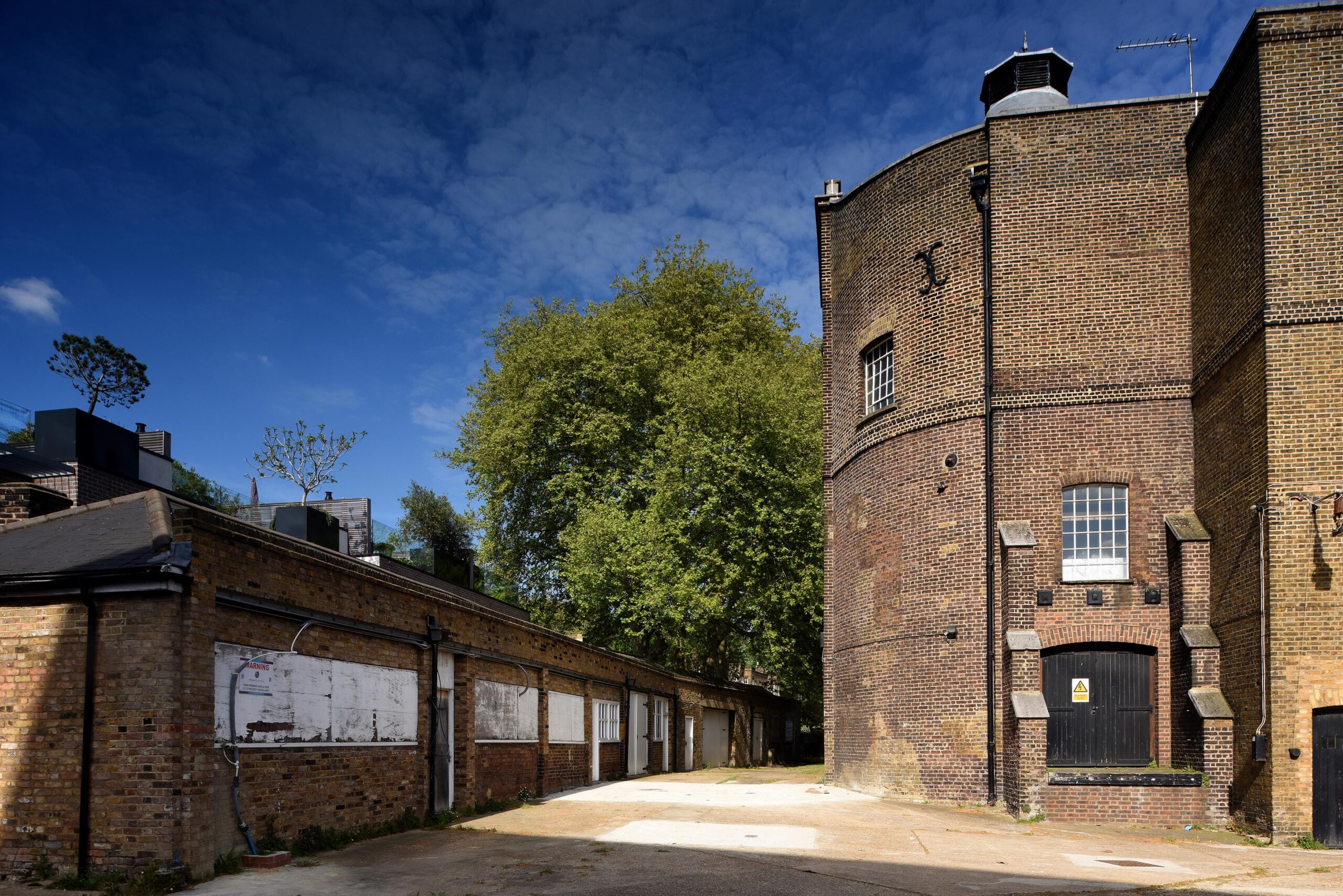
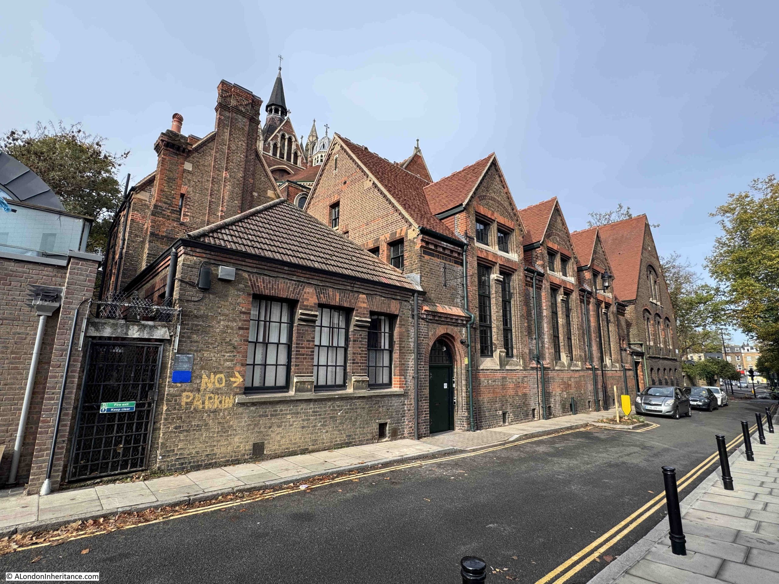
A walk to the rear of the chapel in Compton Avenue brings us to the Sunday School and other offices of the Union Chapel. In the following photo, the Sunday School is the brick building facing the street, and we can get a glimpse of the tower of the chapel in the background:
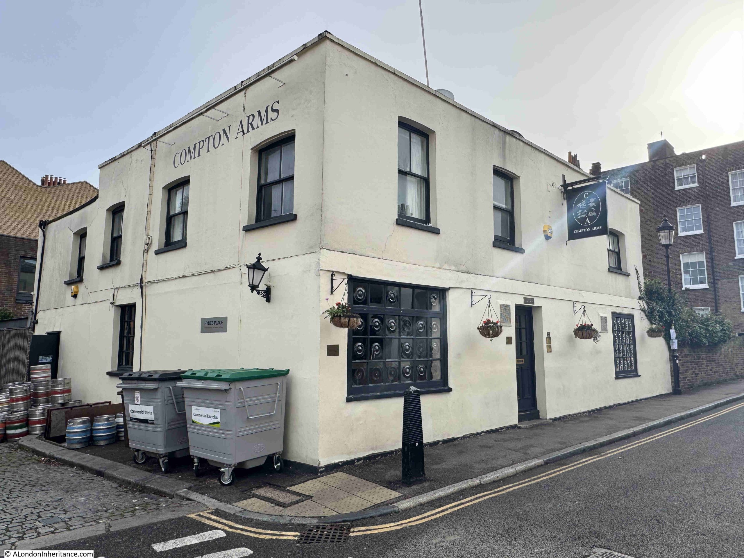
A short distance along Compton Avenue is the Compton Arms, which dates from 1895. As with the terrace, the avenue and pub are both named after Lord Compton, Marquess of Northampton. A perfect place for a drink before heading to an event at the Union Chapel:
View looking north along Compton Avenue:
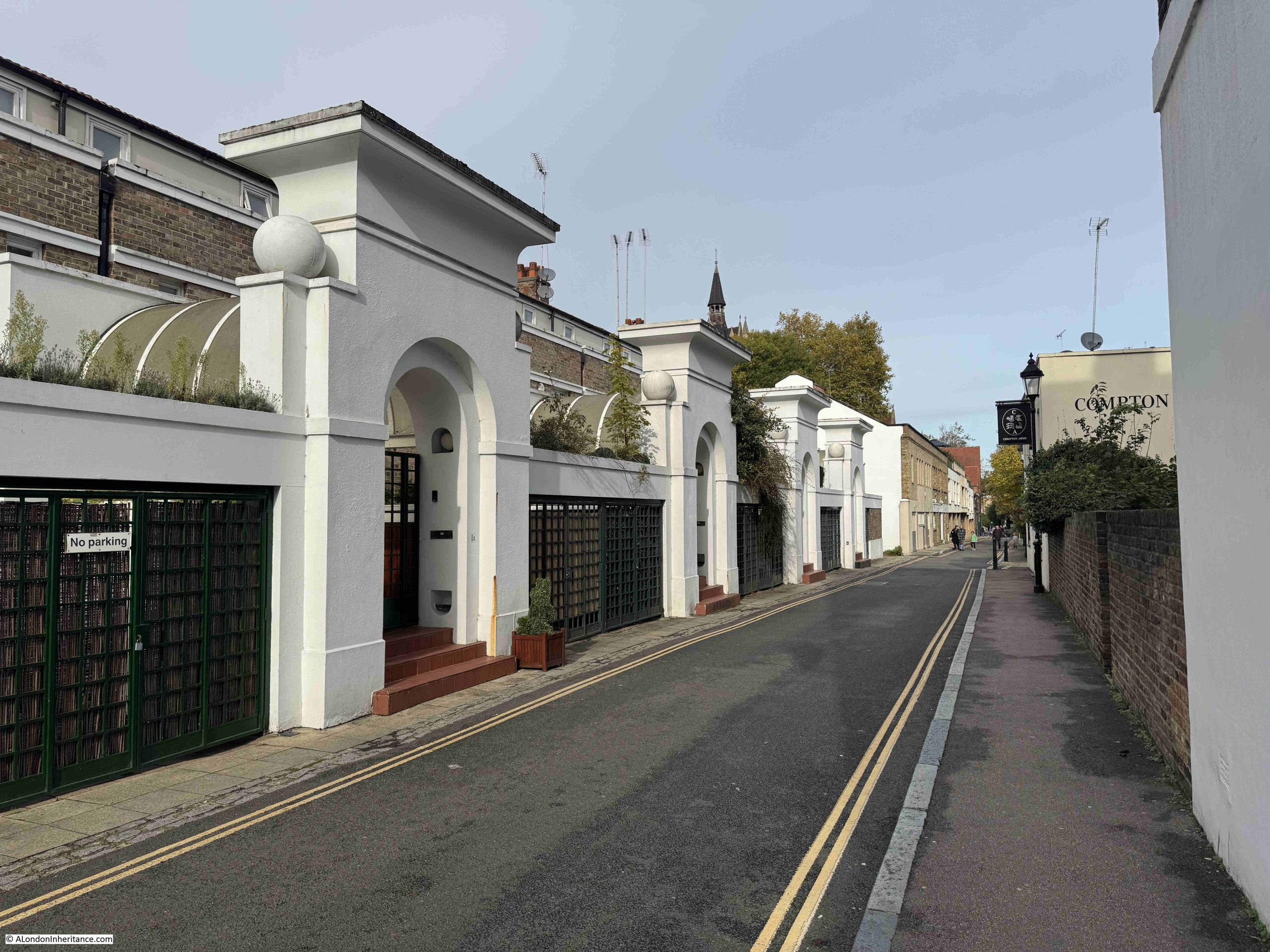
I am not sure of the history or function of the structures on the left. They are not listed so perhaps not old, and I think that Compton Mews were here (although this may be wrong), but whatever their history, they add some interest to the street.
During the later half of the 20th century, attendance at the Union Chapel dropped considerably, and there were proposals to demolish the church. Such a large and complex building needed a considerable amount of funding to maintain.
In 1992, Union Chapel opened as an events space, with the profits generated from hiring out the venue cycled back into the conservation, maintenance and development of the building.
It is still a place of worship, with services being held every Sunday morning, and whilst it is a really good concert venue, it is the people who have used the Union Chapel over the decades that come to mind as you sit in the wooden pews.
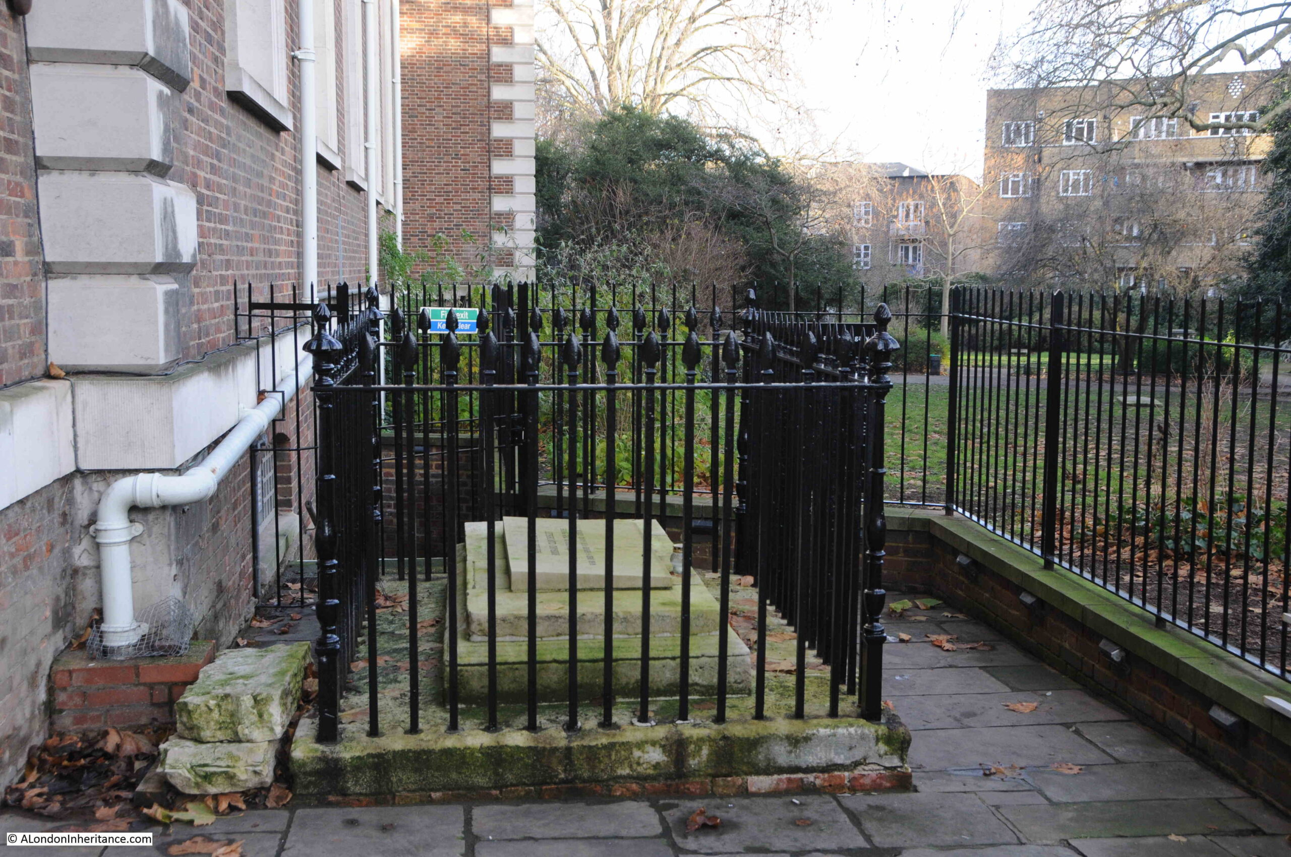
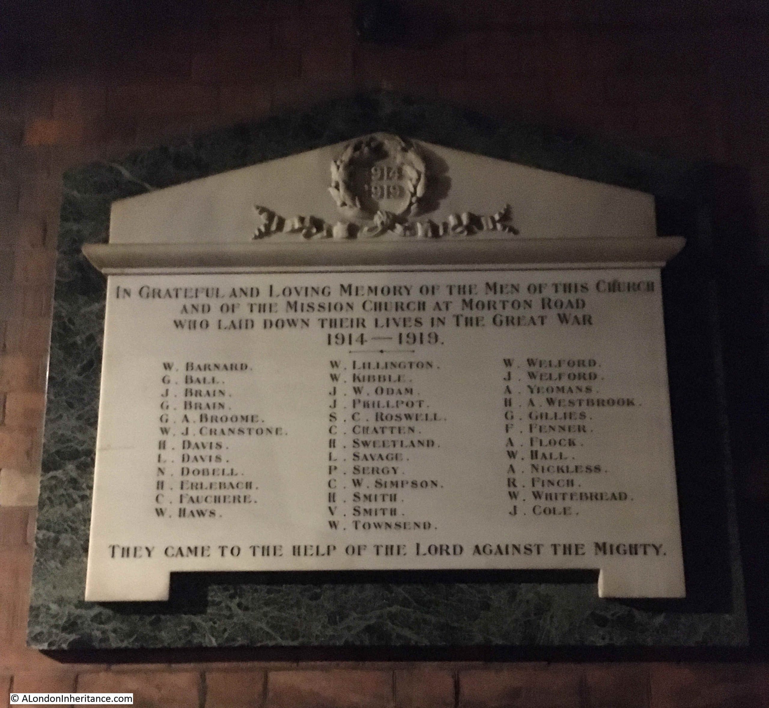
At the rear of the church, to the right of the pulpit area, there is a war memorial, recording the names of the members of the Union Chapel, and associated Mission Church, who lost their lives in the First World War (it is always sad to read the term “Great War” in these memorials, when we now call it the First World War, as unknown to those who put up these memorials, there would be yet another global war in a few short years time).
There is a name on the memorial which may be a distant family member – something I have long been trying to confirm:
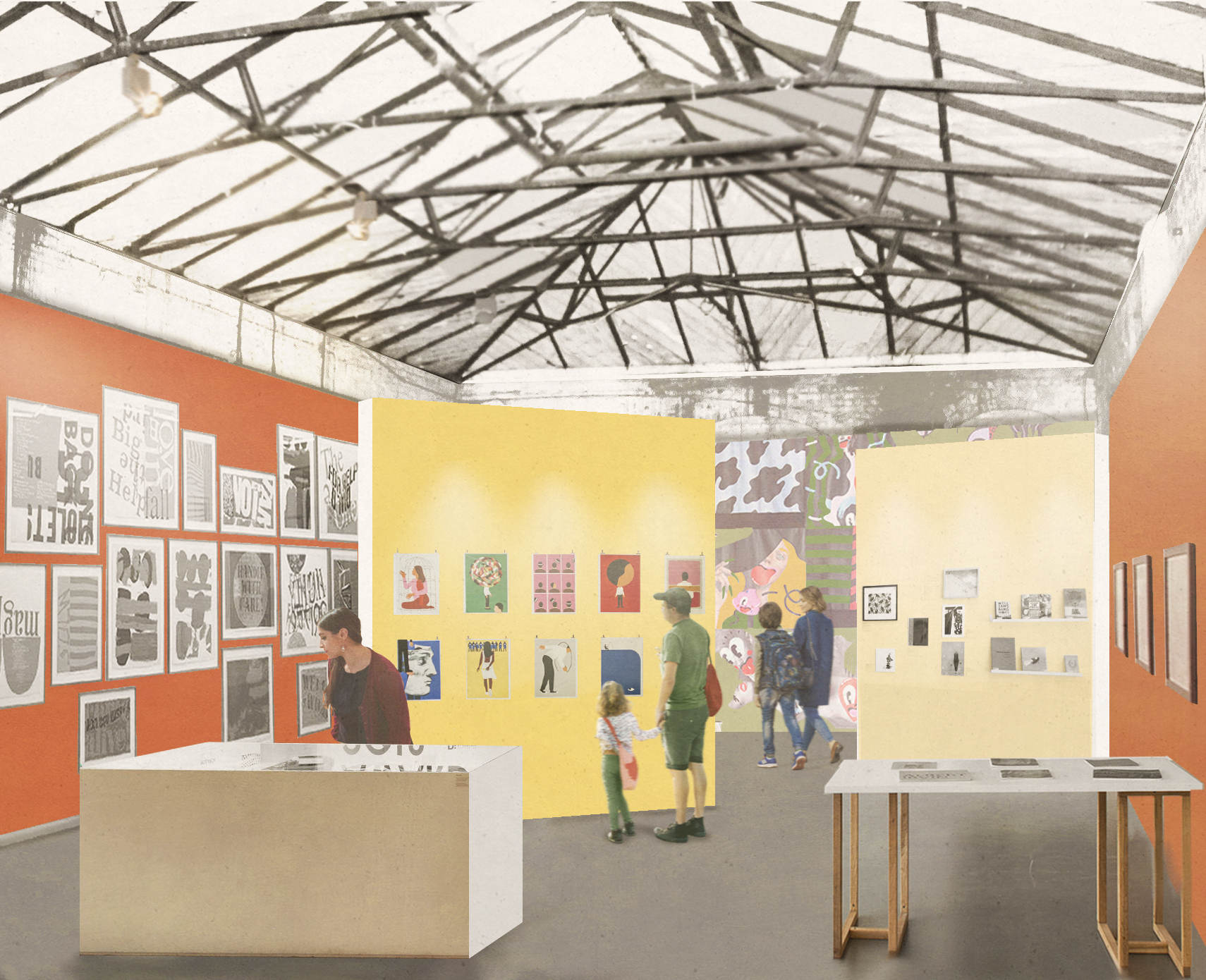
And to finish off, Toyah was brilliant as usual, and as well as more recent music, it was also a flashback to the 1980s:
It would though be interesting to know what Dr. Henry Allon would have thought of such events happening just in front of the pulpit at which he preached for many years
There are monthly tours of Union Chapel if you would like to visit this remarkable place. Click here to go to their list of tour dates and times.