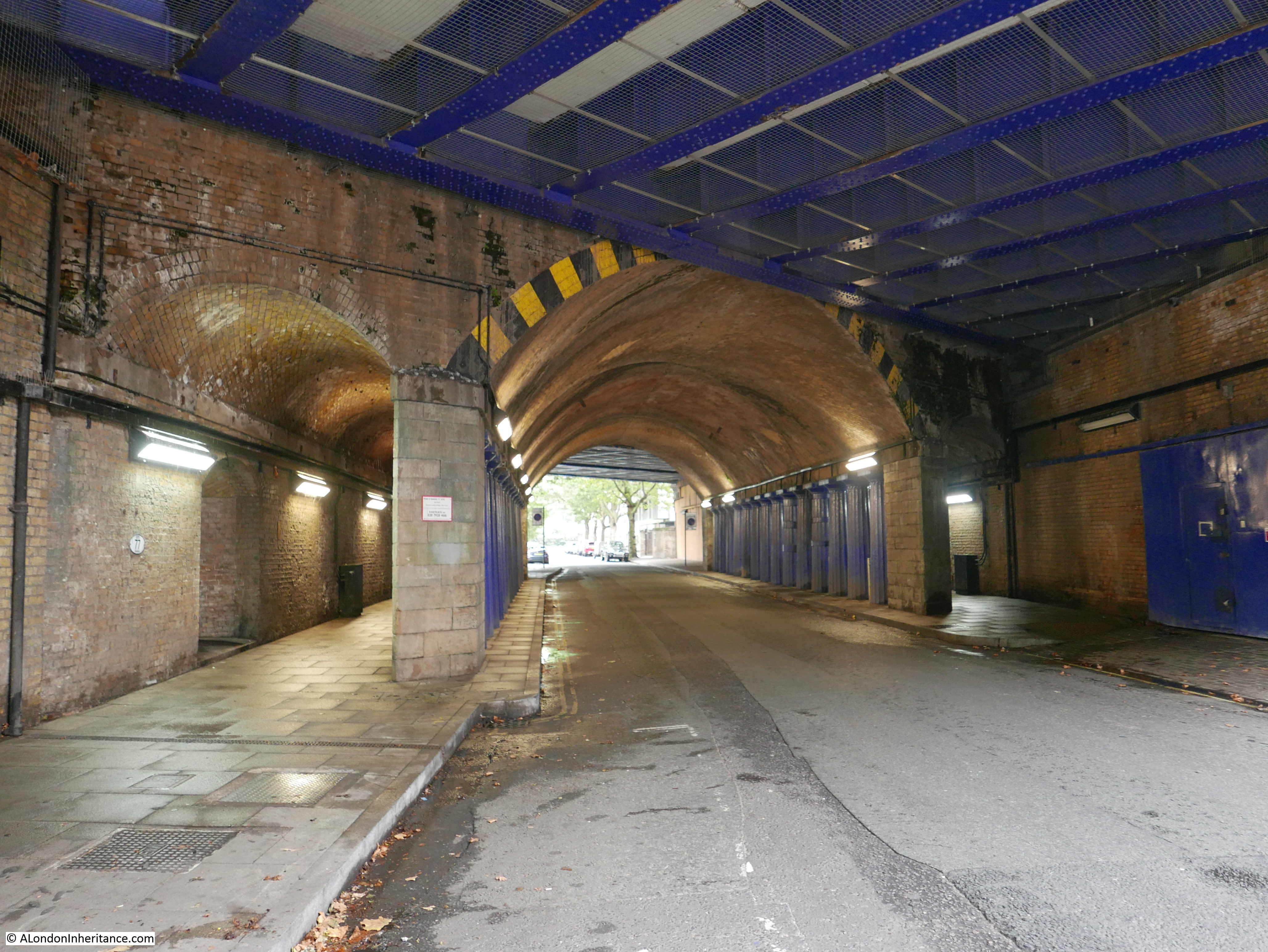
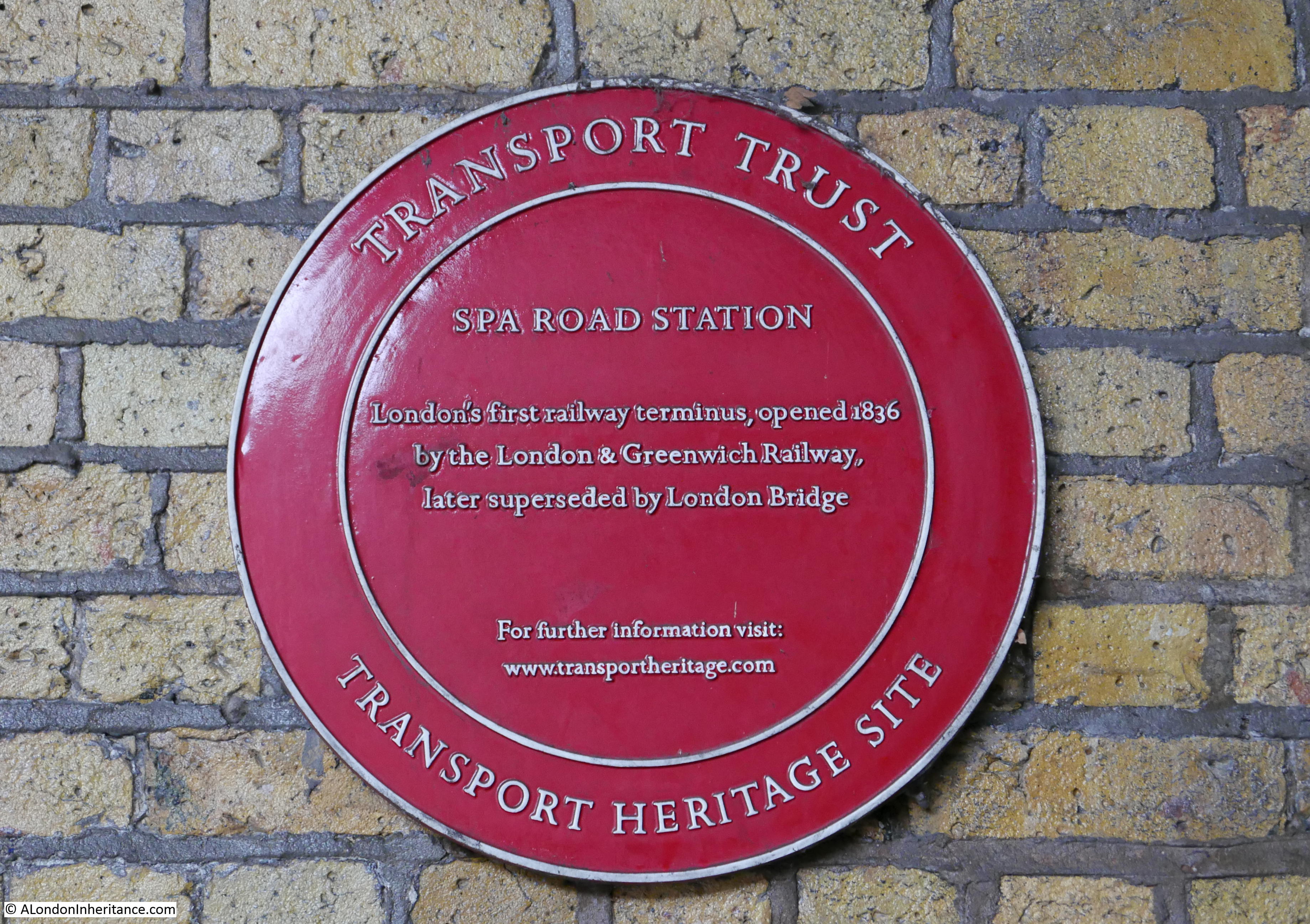
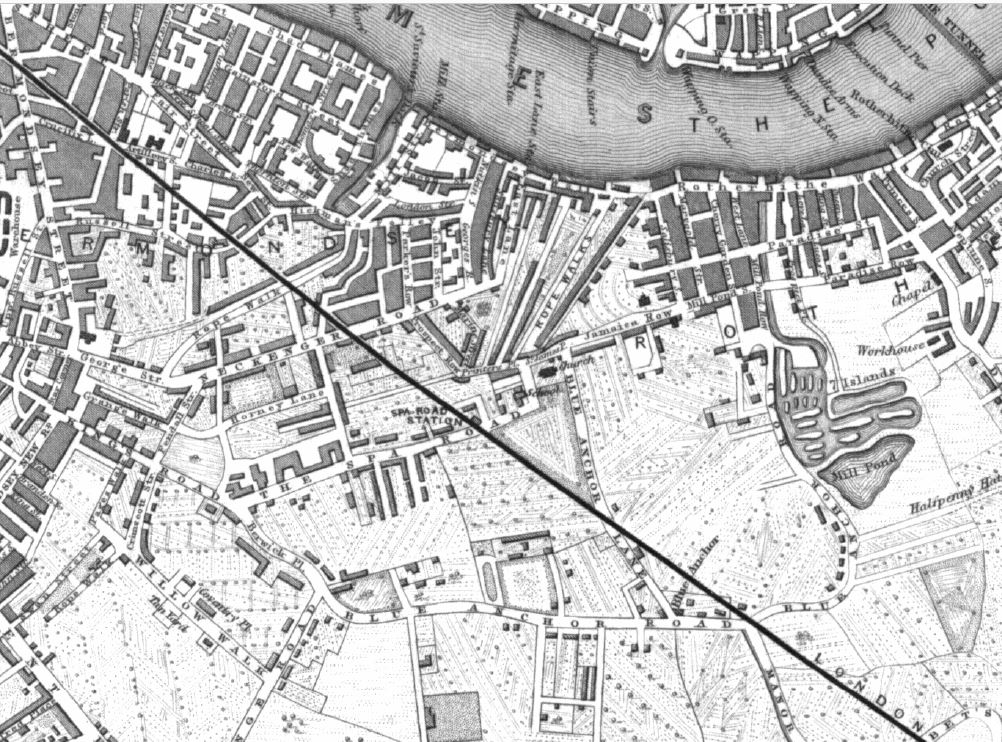
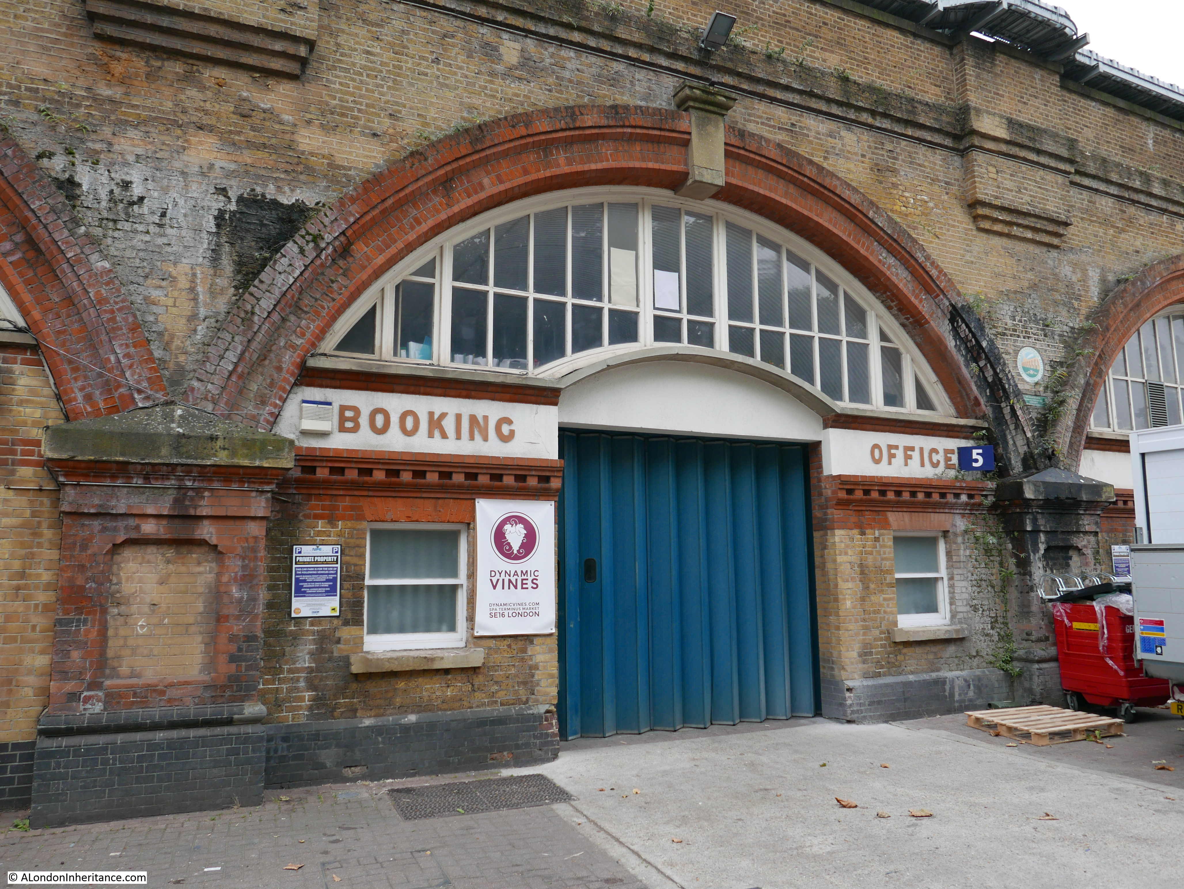
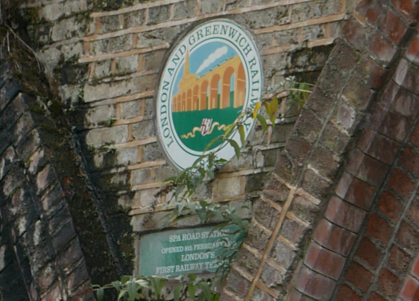
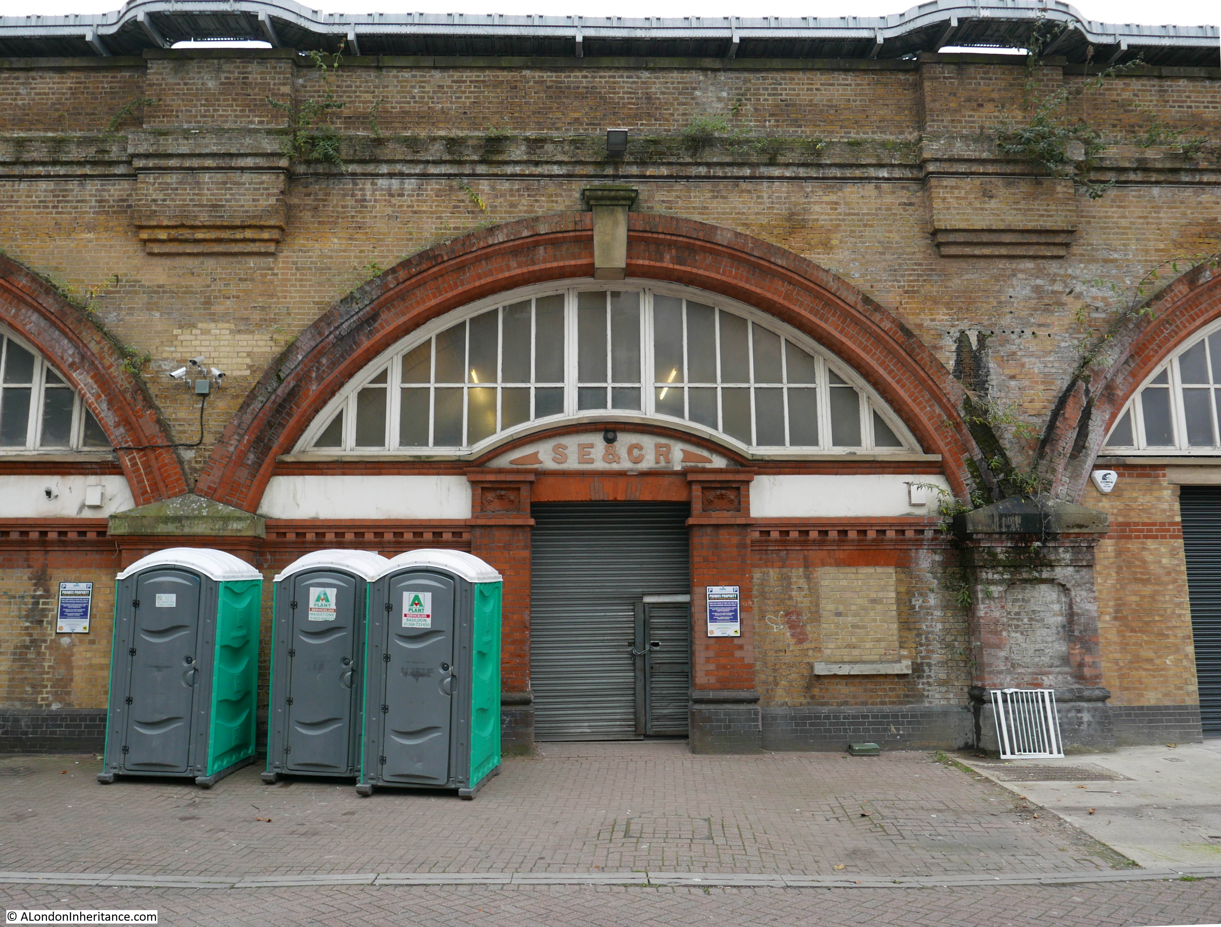
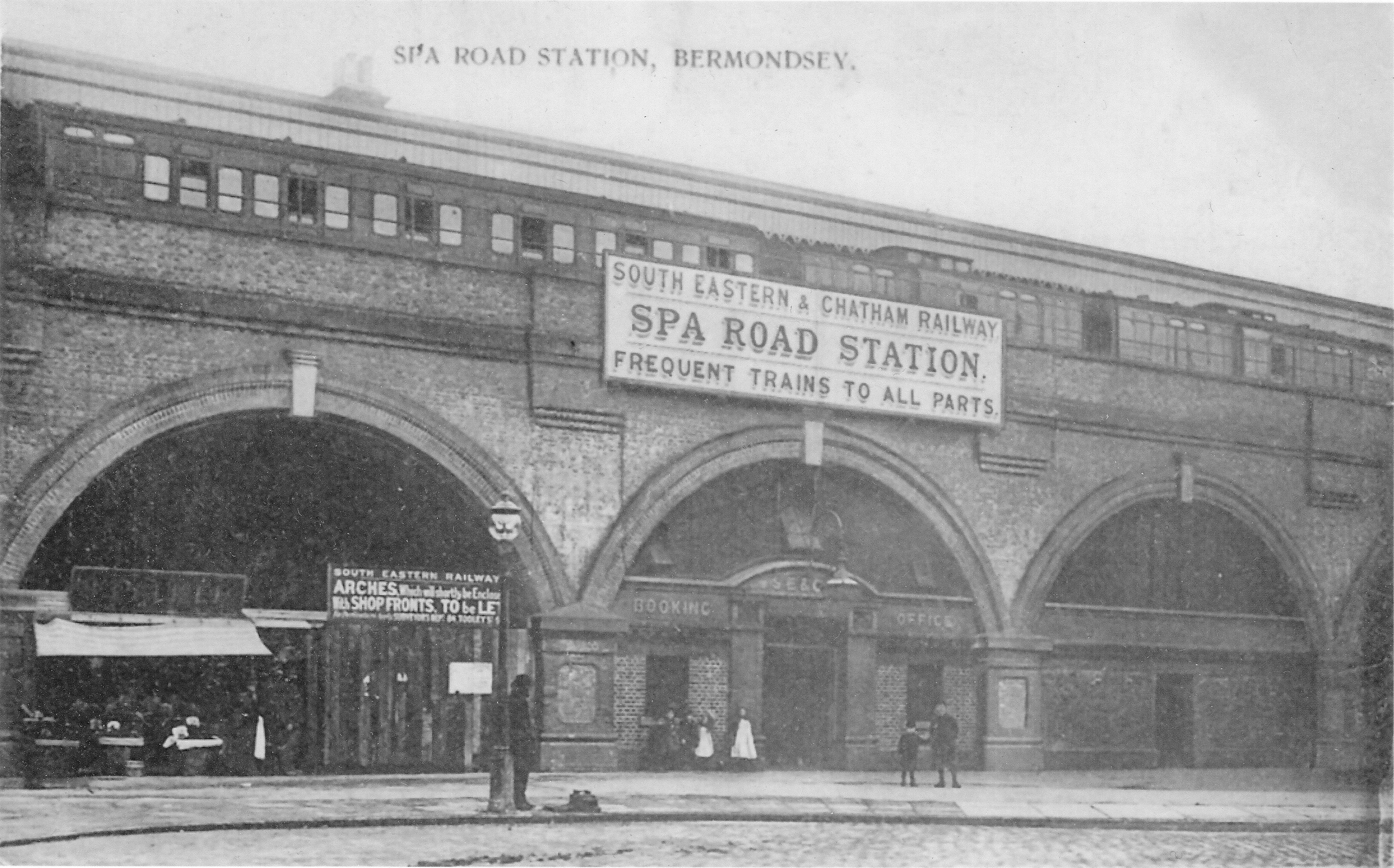
London has lost a number of stations on the rail network over the years, for example I have written about Spa Road Station in Bermondsey, but they are usually stations serving trains that pass through the station, rather than a terminal station. One lost station that was a terminus for the North London Railway was Broad Street Station.
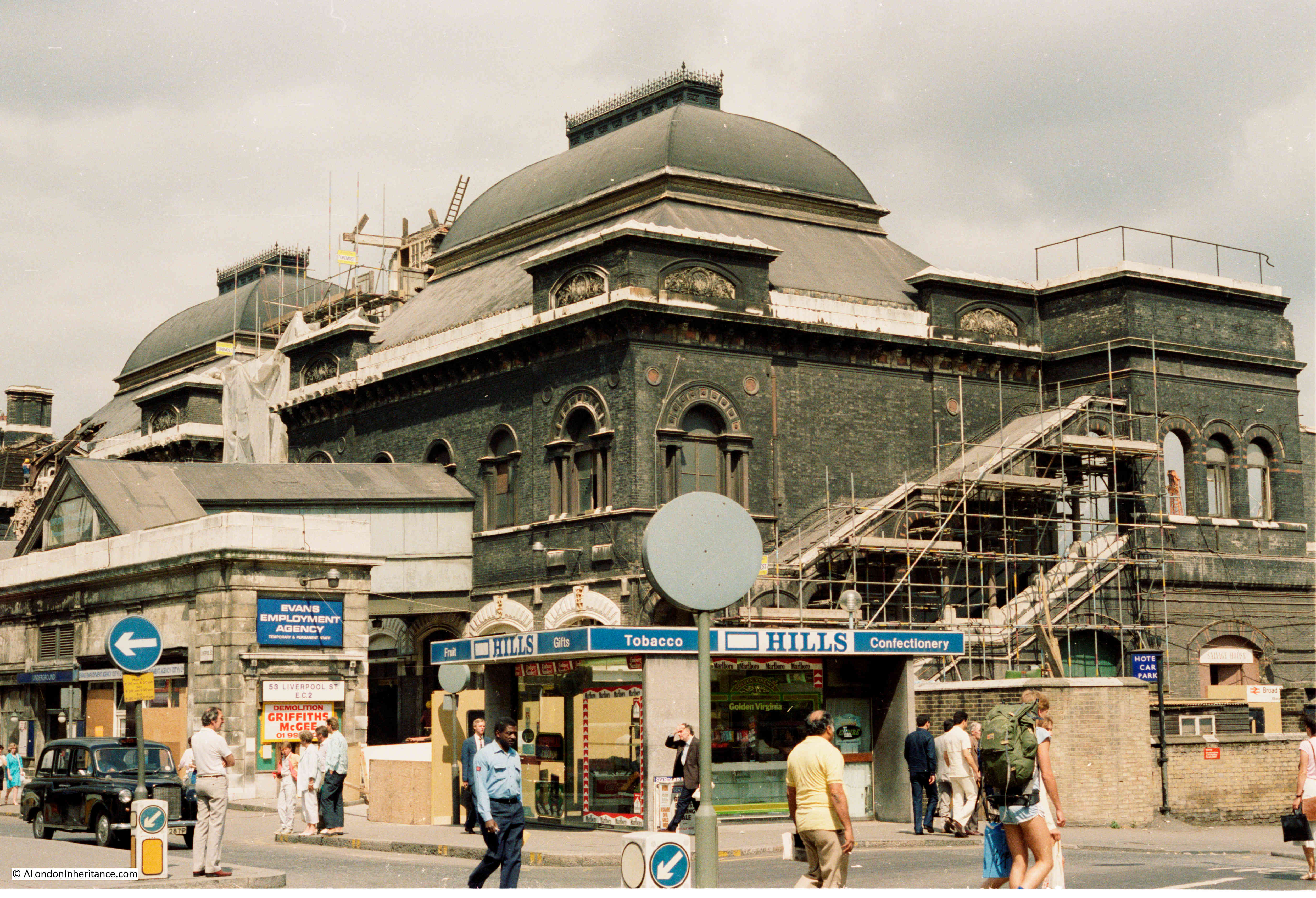
The station was demolished in 1986, and just as work was about to start, I took a couple of photos of the front and side of the building from Liverpool Street.
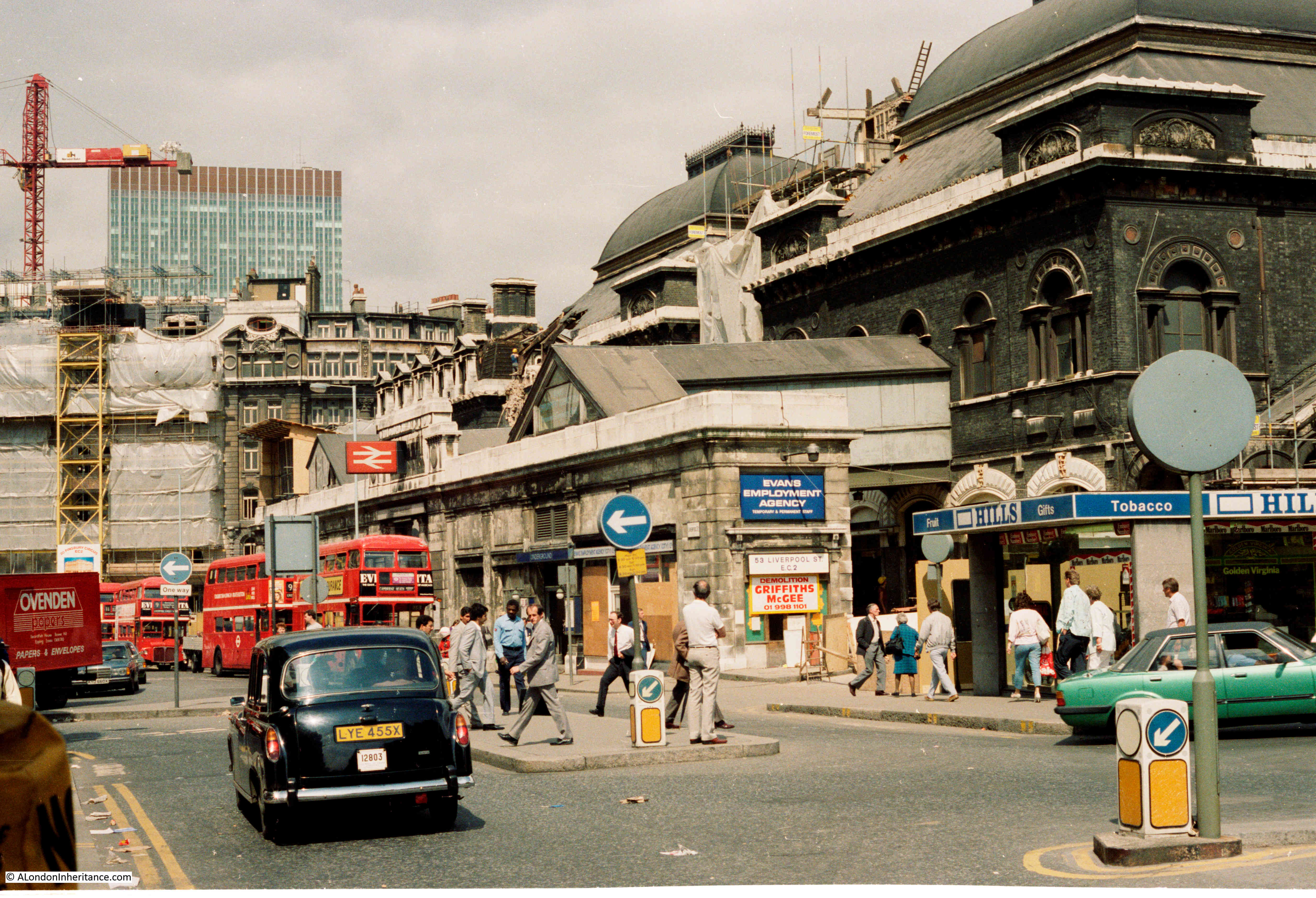
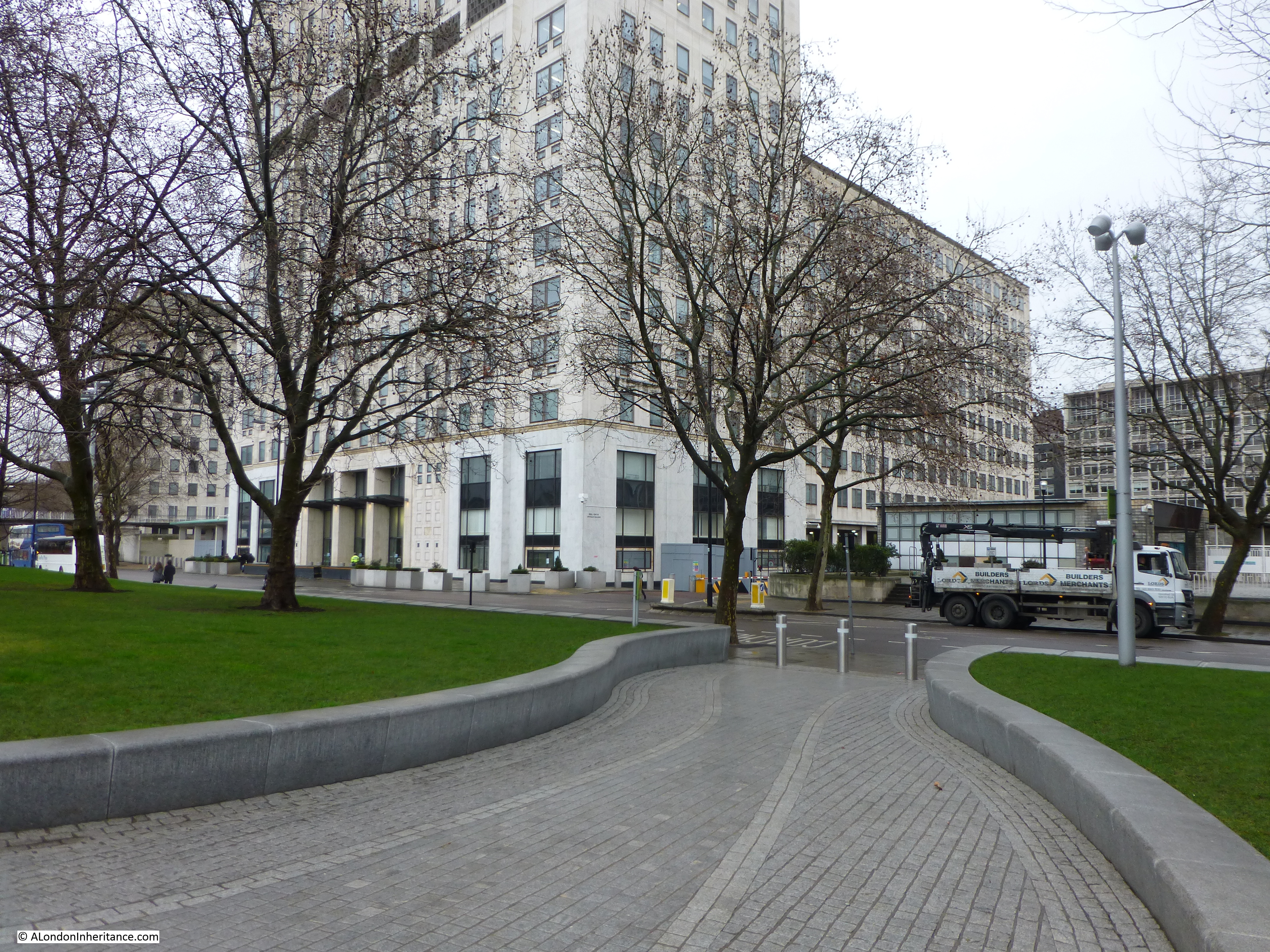
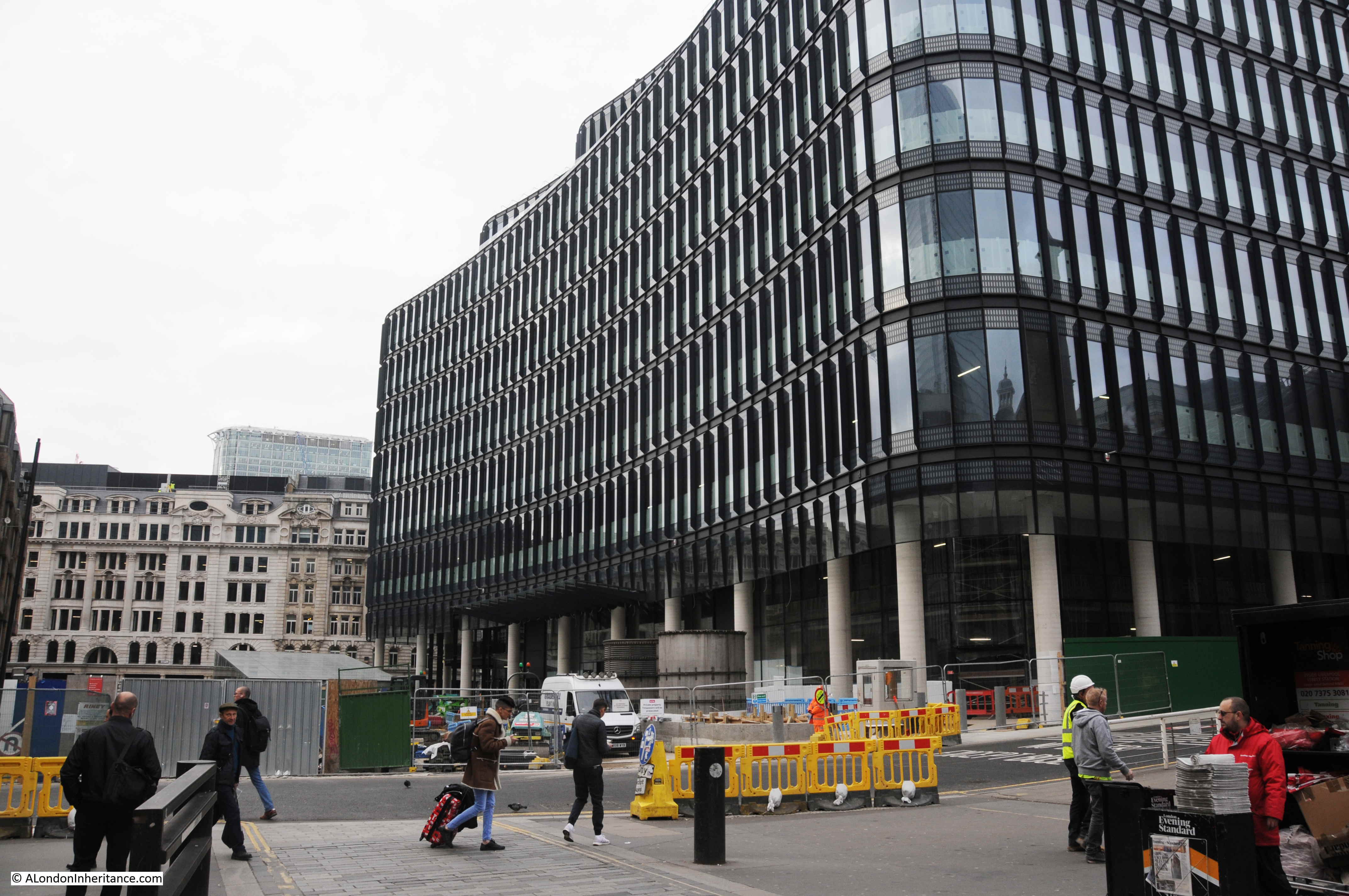
The station was replaced by the Broadgate office complex. The following photo shows the same view today:
The history of Broad Street Station starts in 1850 when the North London Railway started running services between Camden Town and Poplar.
The line was extended, firstly to Hampstead in 1851 and in 1858 this was followed by a connection with the London and South Western Railway to Richmond.
Although the railway circled around north London, it did not have a route into the City, and a City terminus was seen as essential to drive additional goods and passenger traffic from the expanding northern suburbs. The extension into the City and Broad Street Station was opened in late 1865 as the central London terminus of the North London Railway.
An indication of the volume of different types of traffic carried by the railway can be found from the directors report of the North London Railway in 1865, covering the year before the opening of Broad Street Station:
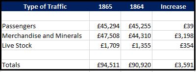
The higher value and greater increase over the previous year of Merchandise and Minerals than Passengers perhaps reflects the importance of the connection with the London Docks, and the lack of a connection directly into the City of London.
In the same Directors Report, the chief engineer for the extension to Broad Street states the current situation with construction of the station, and the route between Broad Street and the existing North London Railway at Kingsland:
“I have now the pleasure of being able to report that the whole of the works on the City Branch, between Kingsland and Broad-street, are complete, with the exception of the permanent way and signals, upon which the contractors are at present busily engaged. The stations at Dalston and Shoreditch are nearly ready for occupation, and the office-buildings, platforms and roofs at Broad-street station have made considerable progress since February last, but recently these works have been retarded by the strike amongst Messrs. Cubitt’s workmen, Every effort is being made to open this railway for public traffic at the earliest possible period”.
Broad Street station and the route into the station was sufficiently completed to open in the last months of 1865, and the following year the North London Railway company was able to advertise special trains which took advantage of the route around north London and down to the west:
“NORTH LONDON RAILWAY – OXFORD and CAMBRIDGE BOAT RACE. Saturday, March 24th, 1866 – A SPECIAL TRAIN will leave Broad Street Station at 6.35 a.m. for Hammersmith, calling at all intermediate stations and arriving at Hammersmith at 7.40 a.m.”
Broad Street station was built in the heart of the City, and provided a route for passengers and goods from multiple stations circling north London. The location of the station was directly to the west of the larger Liverpool Street Station.
The following map from 1940 shows the location of Broad Street Station:
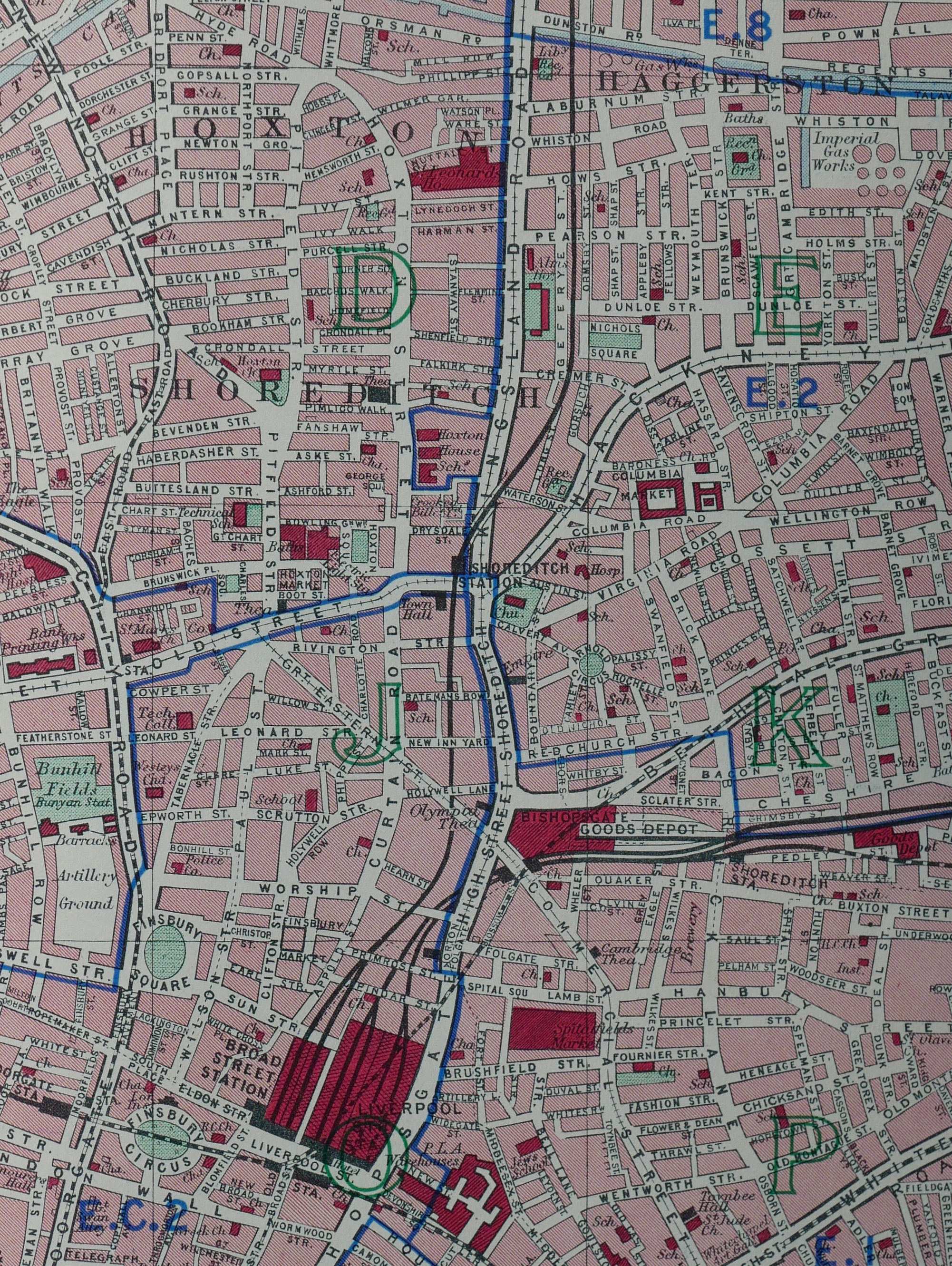
Liverpool Street Station rail tracks headed east, whilst Broad Street’s headed north with the first stop being the original Shoreditch Station on the north west corner of the Kingsland Road / Old Street junction.
My second photo of the station again shows the main building of Broad Street Station, slightly further to the east than the first photo. The road that dived down between Broad Street and Liverpool Street stations can be seen running down alongside Hills, whilst in one of the open arches to the right of the station, an orange crane can seen, working on the station’s demolition.
The 1865 directors report demonstrated the significant value of goods being transported on the North London Railway, and whilst new passengers were an important source of revenue for the new Broad Street Station, the transport of goods directly into the City would also continue to drive revenue for the railway company.
A large Goods Station was constructed to the west of the passenger station as can be seen in the following extract from the 1894 Ordnance Survey map (‘Reproduced with the permission of the National Library of Scotland’):
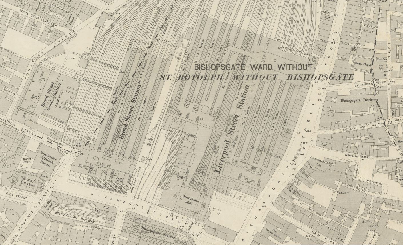
The map also shows the relative size of Broad Street compared to the adjacent Liverpool Street Station. Liverpool Street was considerably larger with many more platforms.
The above map shows that the warehouses associated with the Broad Street Goods Station faced onto Eldon Street. The end of these warehouses came in January 1952 when a major fire destroyed the warehouses. It was the most significant fire in London since the war and three firemen lost their lives following a collapse of one of the warehouse walls.
The loss of the warehouses added to the general sense that Broad Street Station was in a terminal decline.
The peak of the station’s success was probably around the time of the above Ordnance Survey map, at the end of the 19th century. North London was being well served by underground routes, buses and trams, and the popularity of Broad Street Station, on the end of a relatively slow, stopping route, was in decline.
The station, and the lines running out of the station were damaged by wartime bombing and the reduction of local services started with the cessation of trains to Poplar. The station building was not repaired and much of the main building was closed in 1950, leaving just an entrance from the street onto the concourse. Just two platforms continued to operate.
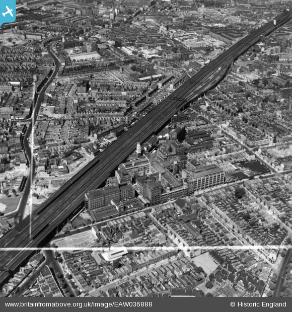
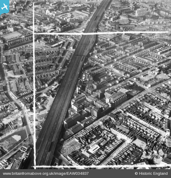
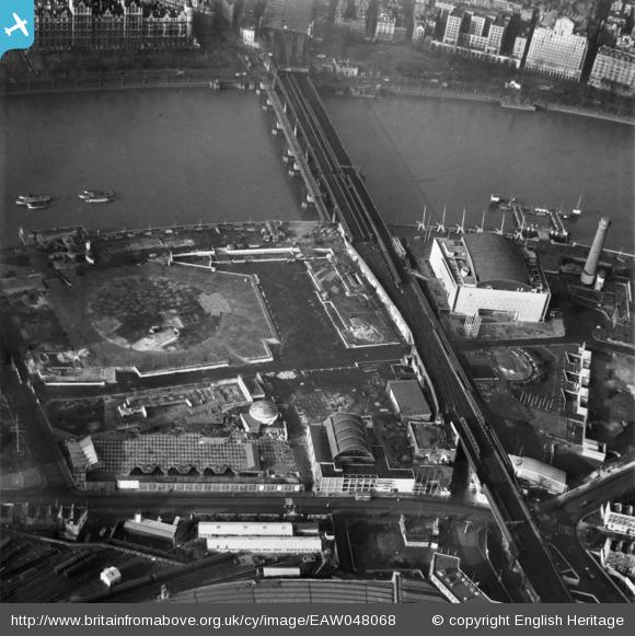
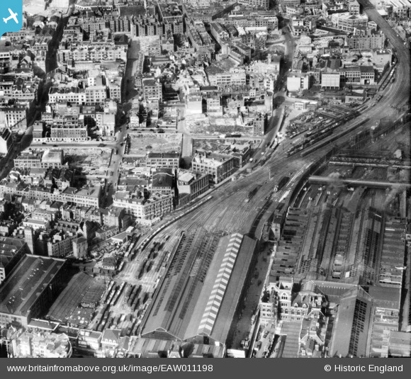
The following photo from the Britain from Above archive, shows the station and the lines running out of Broad Street in 1947. Broad Street passenger station is in the lower centre of the photo. The tracks for the goods station are on the left with the goods warehouse on the left of the photo. The larger Liverpool Street station is on the lower right.
Broad Street station survived the Beeching Report, however the stopping services that ran into the station were identified as services for modification, and the gradual cease of services accelerated throughout the 1960s and early 1970s.
Plans for the demolition of the station started in the 1970s and a number of schemes were put forward for the use of a considerable area of prime land at the eastern edge of the City’s business area.
In 1975, British Rail proposed a scheme that would not only demolish Broad Street Station, but would also demolish the Great Eastern Hotel and the cast iron train sheds above the platforms of Liverpool Street.
Liverpool Street as a station would remain, but the station, and the surrounding area, including the land occupied by Broad Street Passenger and Goods Stations would be built over, with office blocks now dominating the area.
The following photo shows British Rail’s 1975 scheme. The tracks running into Liverpool Street Station can be seen heading underneath a plaza and office blocks.
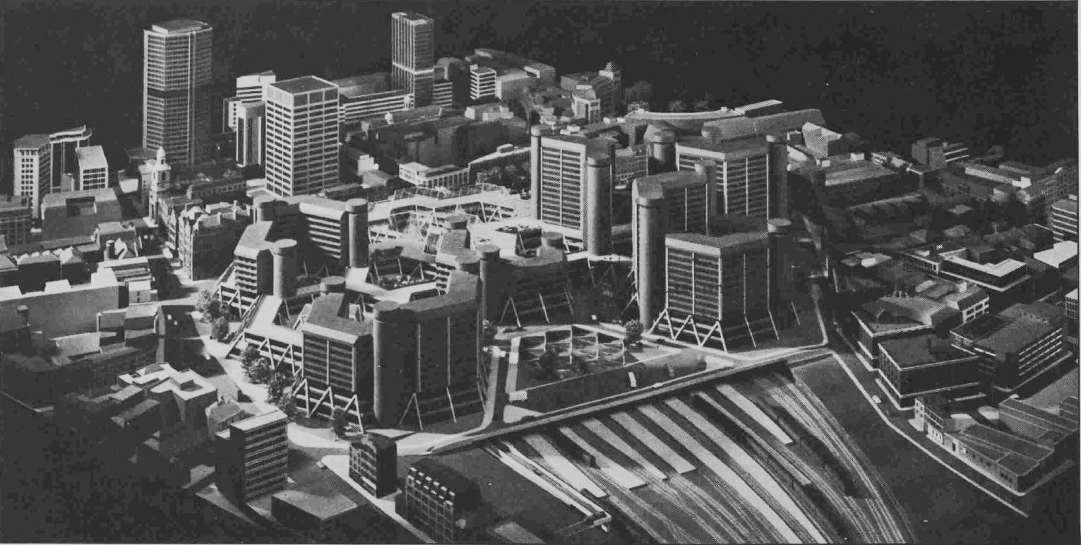
The Liverpool Street Station Campaign proposed an alternative solution which would retain most of the existing Liverpool Street Station, the train sheds and the façade of Broad Street Station.
Other campaigns were more concerned about the transport options than the architecture. For example, in 1982:
“Tory MP Anthony Grant and Harrow Liberal councilor Stephen Giles Medhurst have joined forces to try and make British Rail change plans to demolish Broad Street Station in the City.
The pair met BR representatives at the House of Commons to give their objections to the plan for Broad Street, which is the terminus for a frequent service from Watford Junction through Harrow and Wealdstone and Kenton.
Mr. Grant, MP for Harrow Central, said: ‘I am satisfied that in the long term the service will be maintained to Broad Street and Liverpool Street when the new station is built, but this will take six years.
Meanwhile, my constituents who work in the City will suffer hardship through being dropped off at a temporary station nearly half a mile away’.
Cllr Giles-Medhurst, a regular user of the line, said ‘I’m pleased to say that as a result of our meeting they undertook to reconsider improving the interchange facilities at Highbury to make it easier to change to the Moorgate line or to provide a shuttle bus service from the temporary station to Broad Street in peak hours”.
There had been earlier schemes for the redevelopment of Broad Street and Liverpool Street stations. In 1944 an exhibition at the Incorporated Association of Architects and Surveyors in Eaton Place hosted an exhibition of drawings by Mr. Kenneth Lindy and Mr. B.A.P. Winton Lewis showing their proposals for the re-planning of the City of London.
Their proposals transformed London into a future version from a science fiction film, and probably highlight the thinking at the time that the bombed City offered the opportunity for a sweeping change, with the car, towers and wide boulevards at the heart of the scheme. Their proposal for Broad Street and Liverpool Street stations is shown in the following drawing. The railway lines and platforms would move underground. Hotel and office buildings on top, and high above would be landing platforms for a gyroplane passenger service.
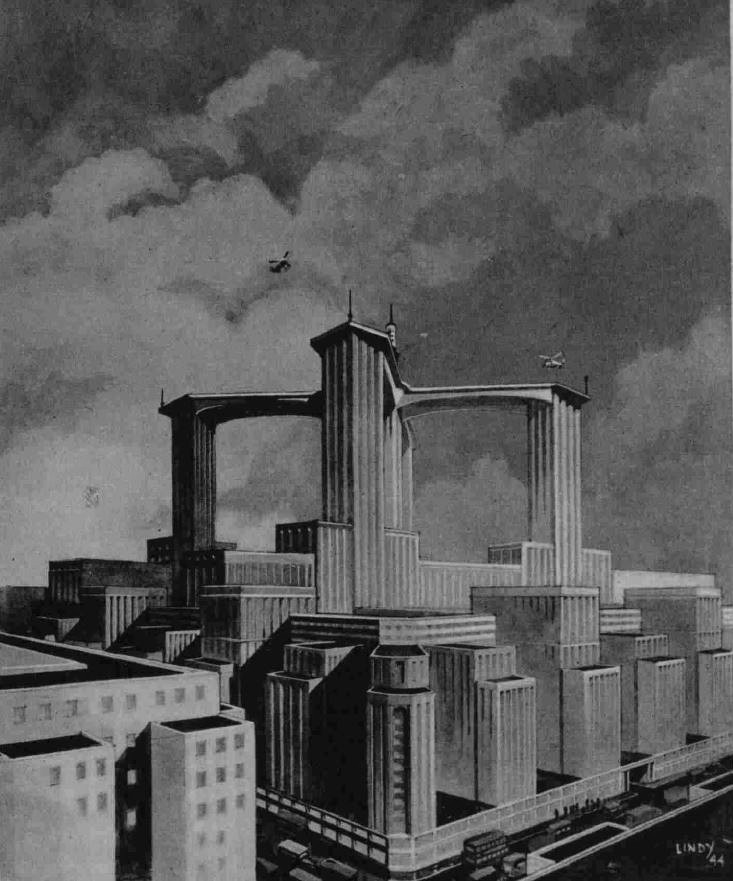
Thankfully, these 1944 proposals never got any further than the exhibition.
The eventual scheme for rebuilding involved the full demolition of Broad Street Passenger and Goods Station, but retained Charles Barry’s Great Eastern Hotel at Liverpool Street and part of the train sheds above the platforms of Liverpool Street station.
The go ahead was given in 1985 as reported by the Hammersmith and Shepherds Bush Gazette:
“Commuters lose rail link with the City – The final nail in the coffin of West London’s rail link with the City.
Secretary of State for Transport, Nicholas Ridley has agreed to the closure of the North London line between Dalston Junction and Broad Street stations.
The closure will come in May 1986, when Broad Street and Liverpool Street stations will be redeveloped. Commuters travelling from Acton and Chiswick will be among the first to be affected by the change.
From next Monday, May 13, their service will be diverted from Broad Street to North Woolwich. Passengers bound for the City will have to change at Islington and Highbury. There will be no through rail link from West London to the City”.
The Conservative government of the 1980s did not seem very supportive of the railways. It was the same Nicholas Ridley who in 1985 oversaw bus deregulation and the privatisation of bus services. There was even talk of closing rail lines and using the routes for dedicated bus services. I remember one TV commentator at the time suggesting that if they did this, with the number of buses needed to bring commuters into London, it would soon be recognised that it was more efficient to connect all the busses together and run them on a dedicated track.
The Broadgate office complex was built over the land once occupied by the Broad Street stations.
The original North London Line is now part of the London Overground network.
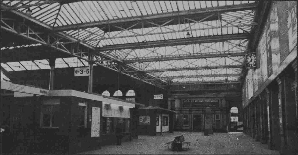
The empty concourse of Broad Street Station as it would frequently appear in 1975.
Where did the name Broad Street come from as the station faced directly onto Liverpool Street?
Broad Street originally ran from London Wall to Threadneedle Street. An extension up from London Wall was named New Broad Street. The whole street today is called Old Broad Street.
I have marked the location of the passenger and goods station on Rocque’s map of 1746 and we can see New Broad Street extending up to the corner of the station and Broad Street Buildings running under where the main station building would be constructed.
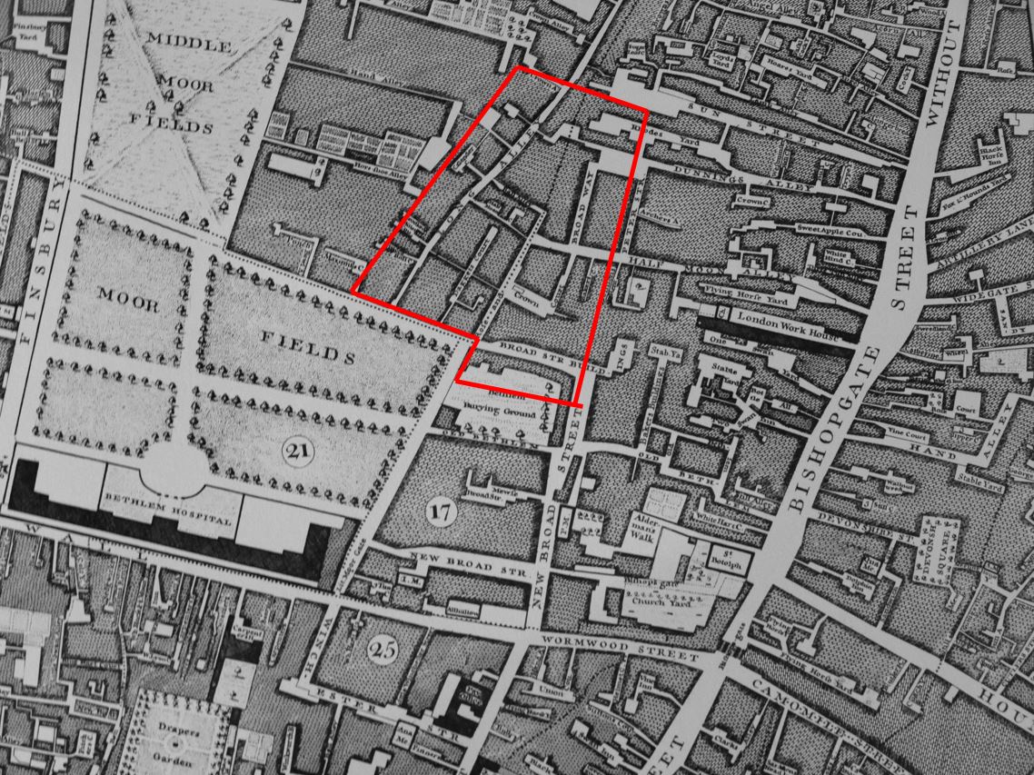
The front of the main station building was over an interesting feature – Bethlem Burying Ground.
This was the “New Churchyard” which opened in 1569 and later became known as the Bedlam or Bethlem burying ground. The burial ground was used for well over 100 years, finally closing for burials in 1739.
The graveyard was disturbed during the construction of Broad Street Station, however no archaeological investigation was carried out. This was the mid 19th century and the City’s churchyards were being emptied as quickly as possible due to the conditions of these places in a growing City.
In parallel to the demolition of Broad Street Station, the Museum of London Department of Urban Archaeology carried out a detailed investigation with according to the museum’s web site “Several hundred skeletons were reburied on site and a sample c. 400 individuals were retained for research”.
The site has again been investigated as part of the preparations for Crossrail, and 3,300 burials were uncovered. Testing of five of the skeletons identified the plague pathogen, apparently the first time that plaque DNA from the 16th and 17th centuries has been identified in the UK.
In my 1986 photo at the start of the post, there is a busy road in front of Broad Street Station. This road was closed off for a few years as a work site for Crossrail. Liverpool Street will be one of Crossrail’s stations, so although Broad Street Station is long gone, the area continues to be an important transportation hub.