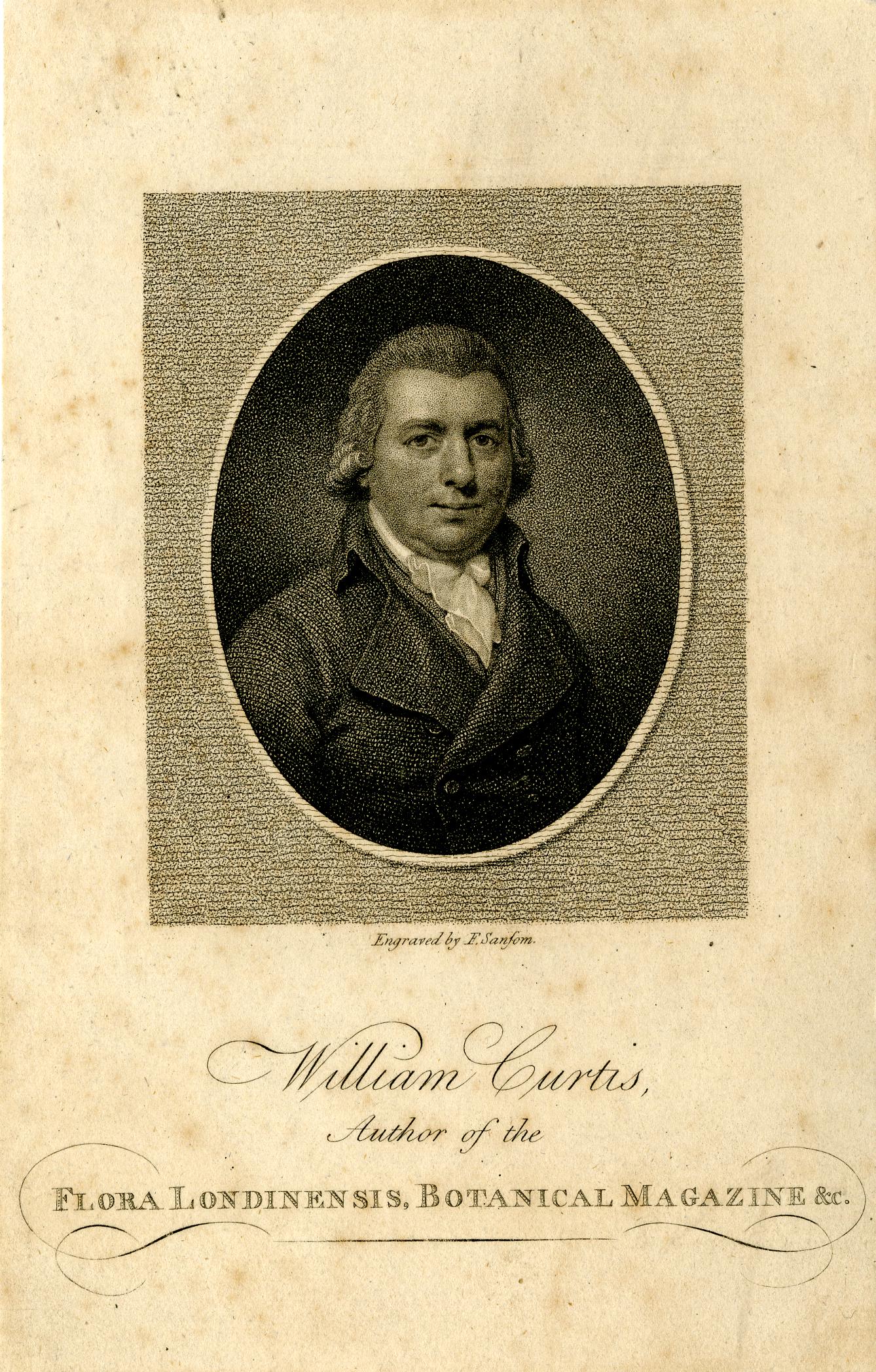
Thanks for all the comments following last week’s post. The website has now been stable for over a week and a half. I have not changed anything or upgraded as suggested by the hosting provider, so I still have no idea of the root cause, but I hope whatever caused the problem will not reoccur.
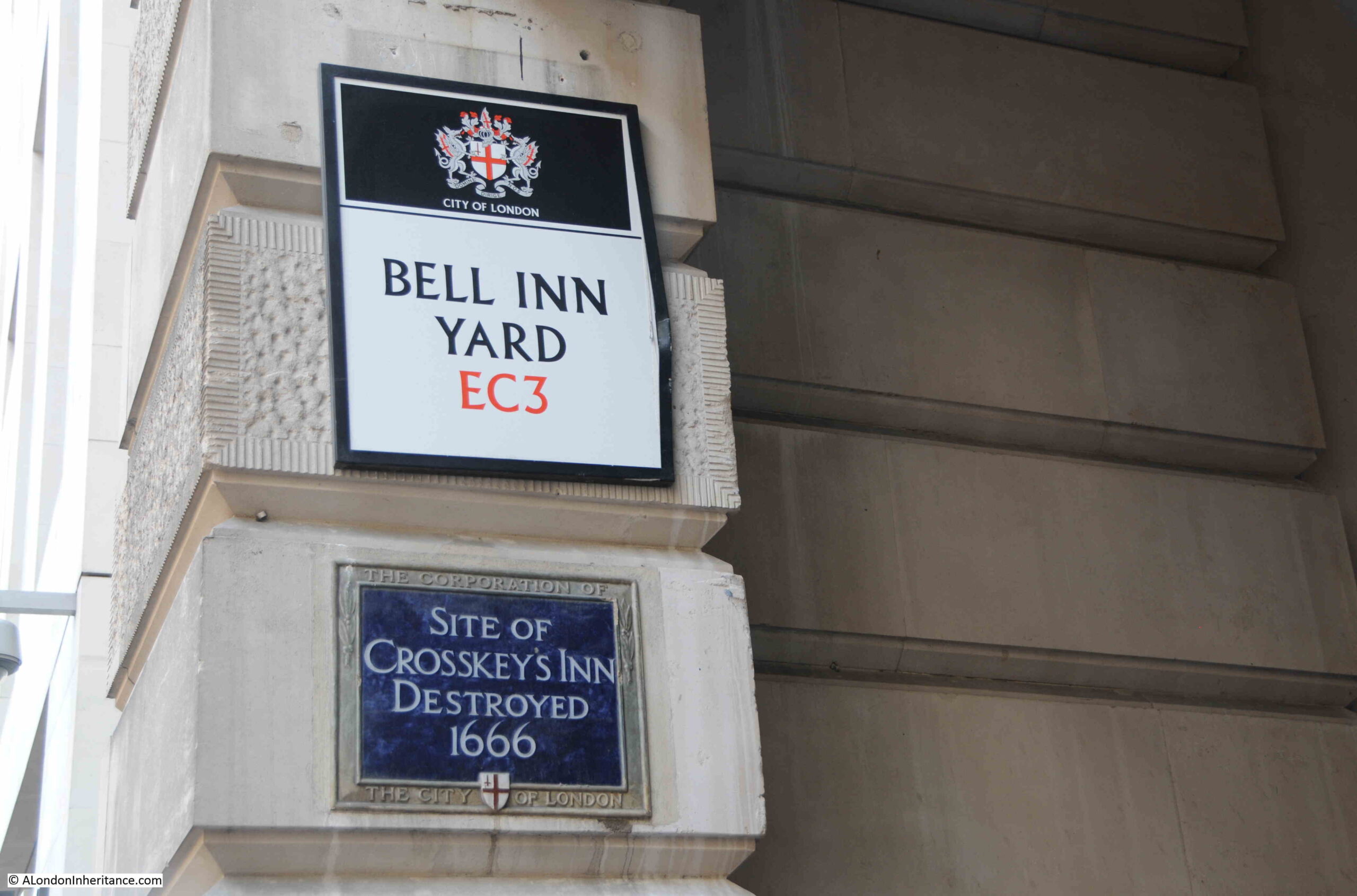
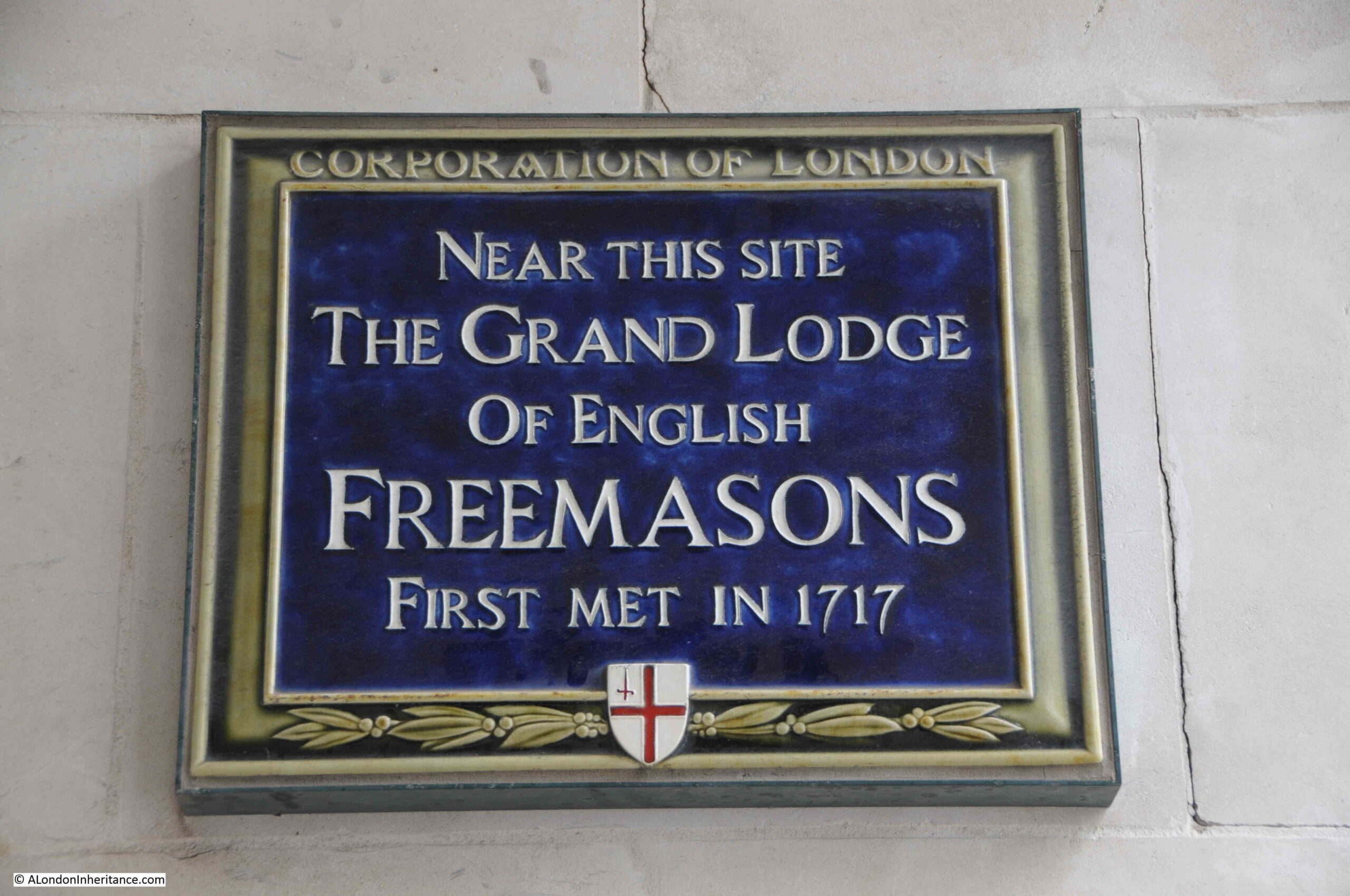
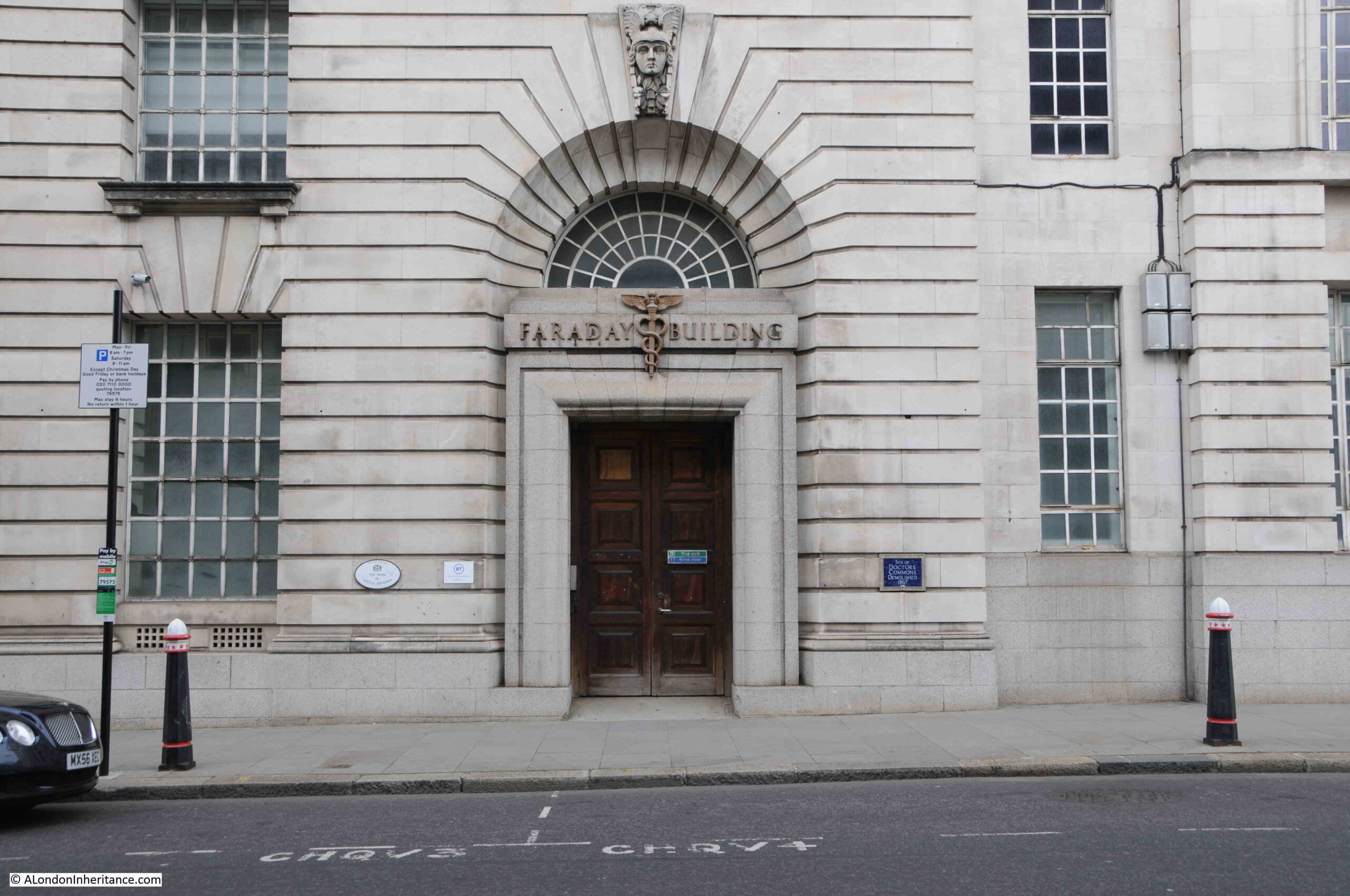
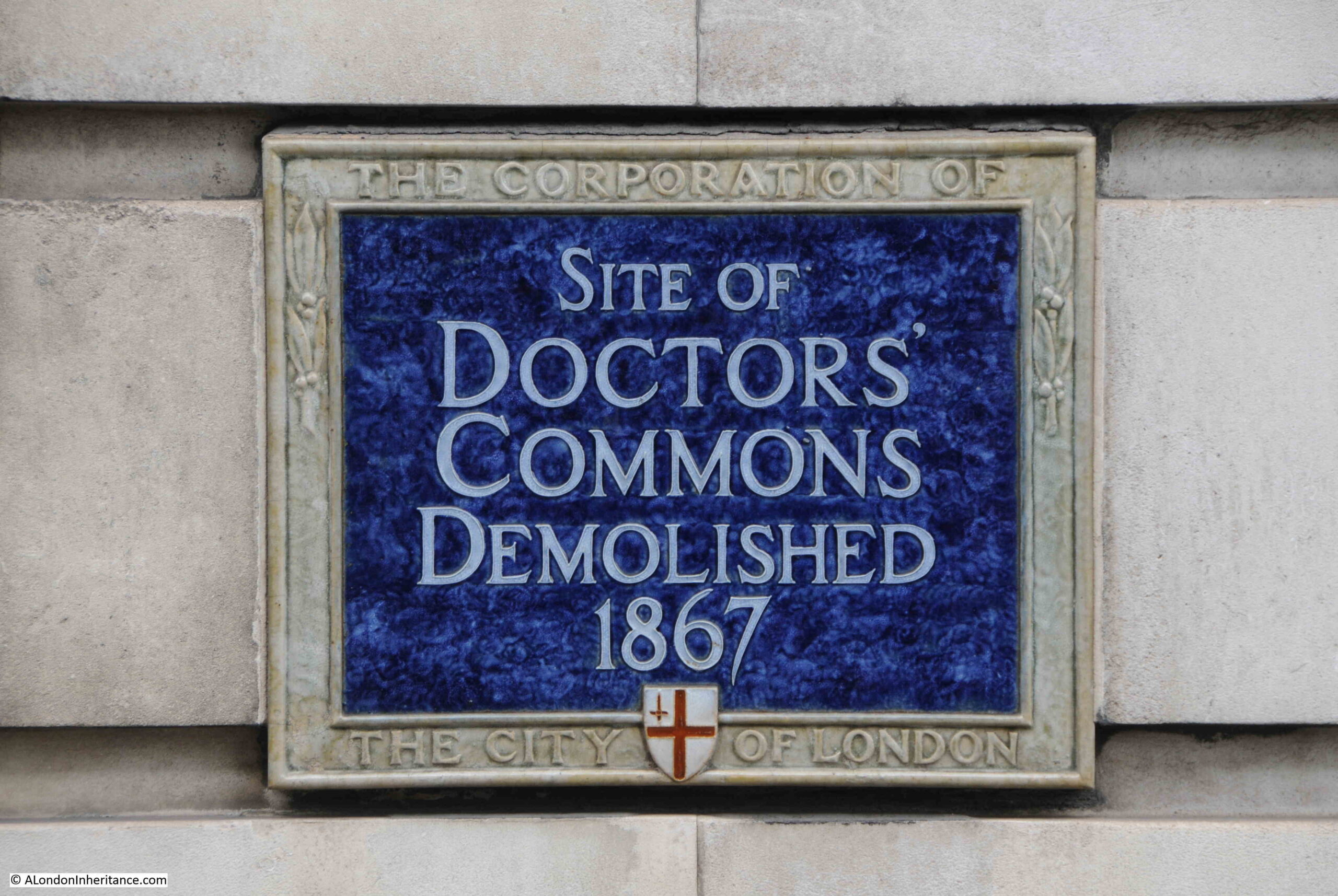
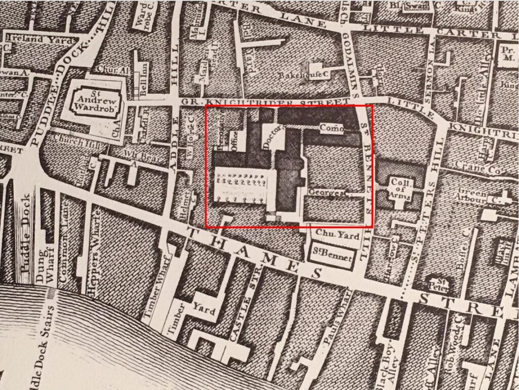
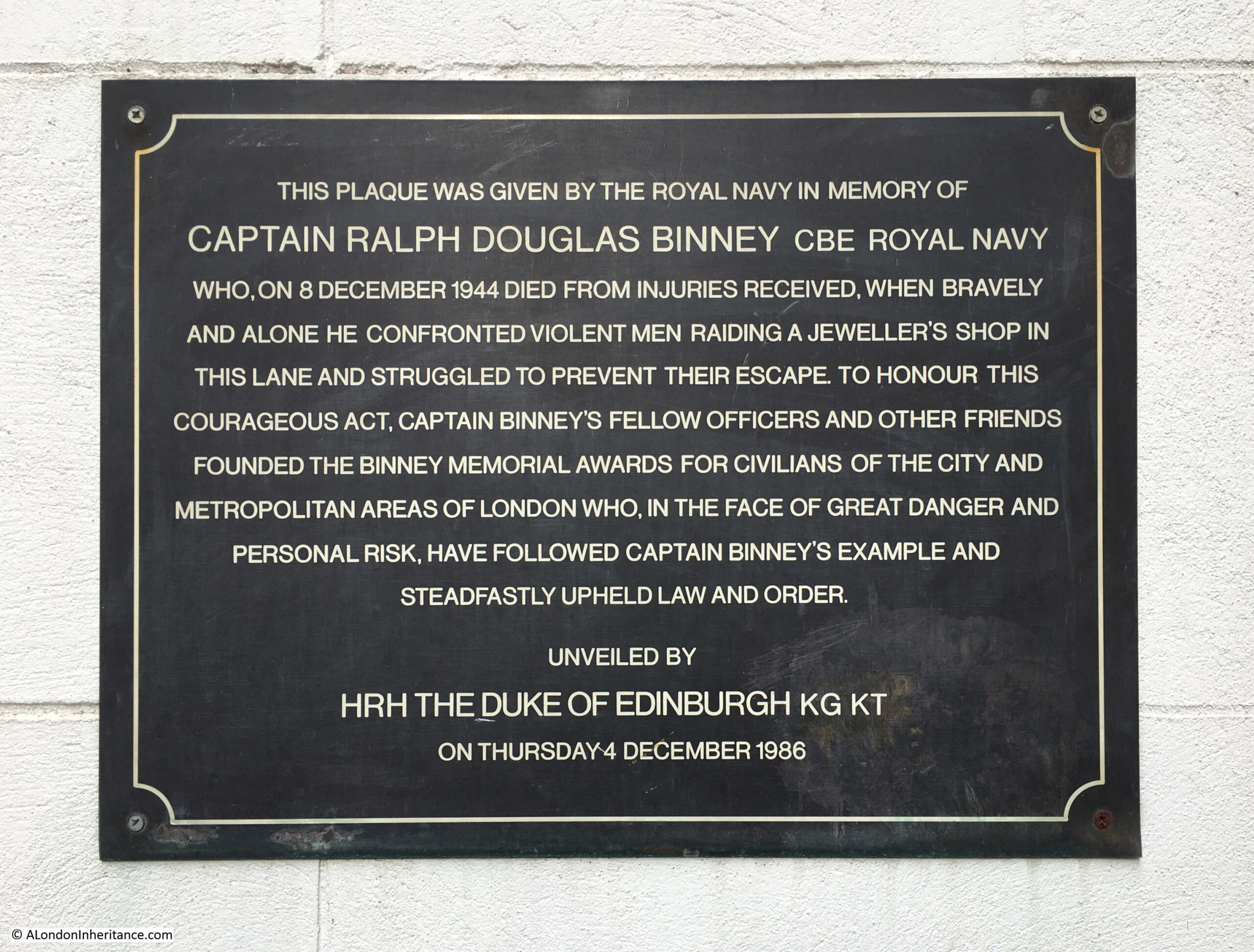
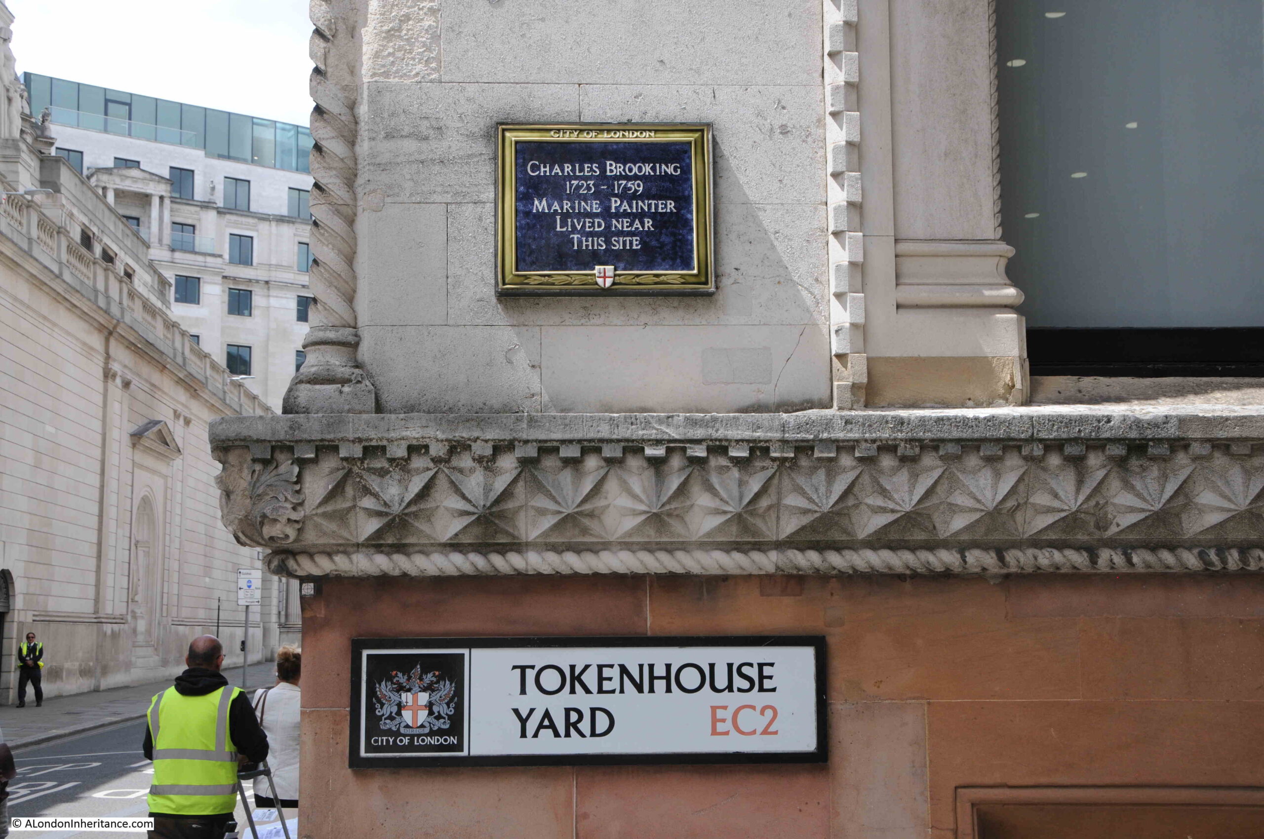
Back to normal service, with a tour of three City of London plaques, which each have their own unique story to tell of the history of the City, and how these locations have changed over the centuries.
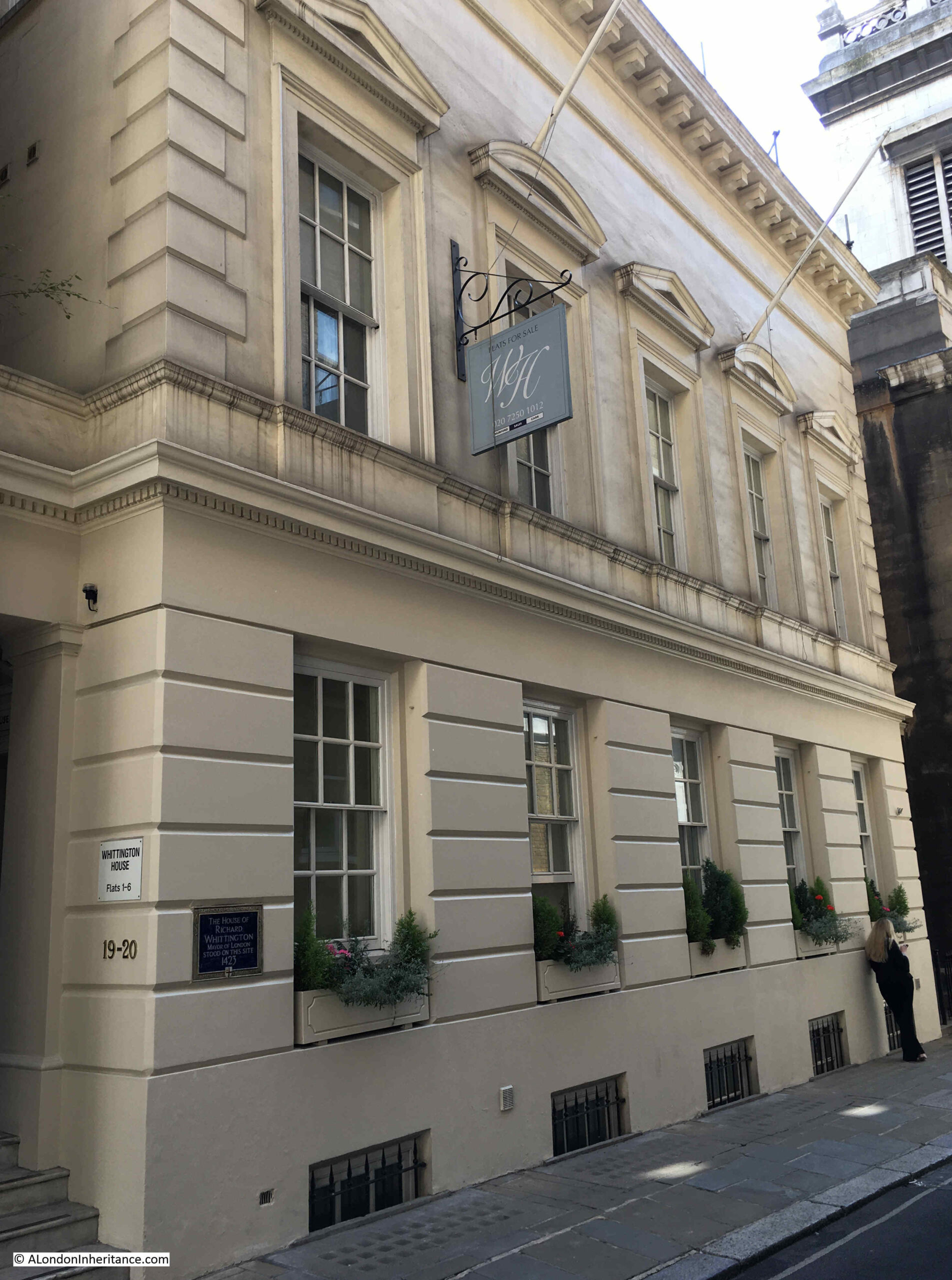
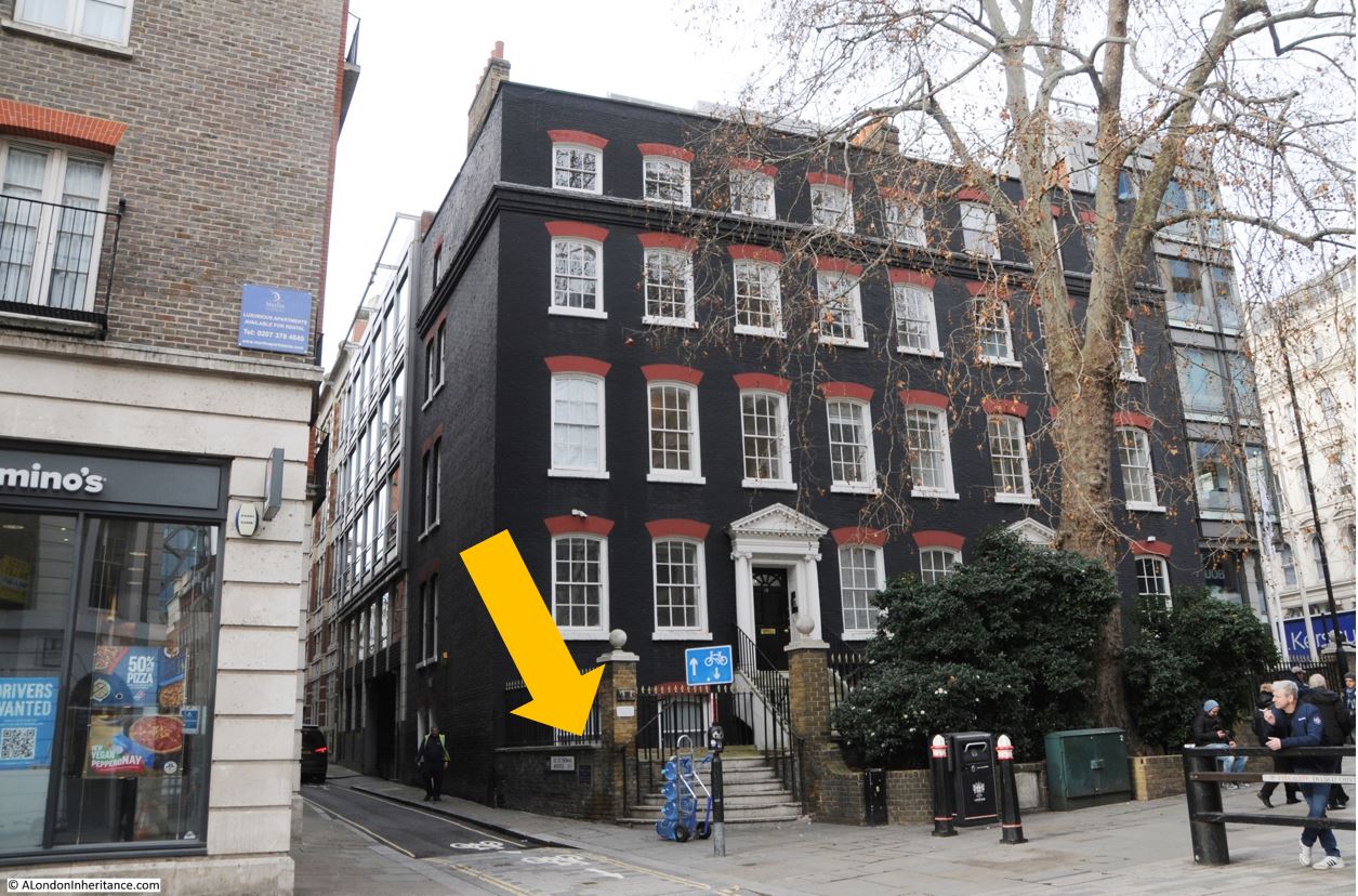
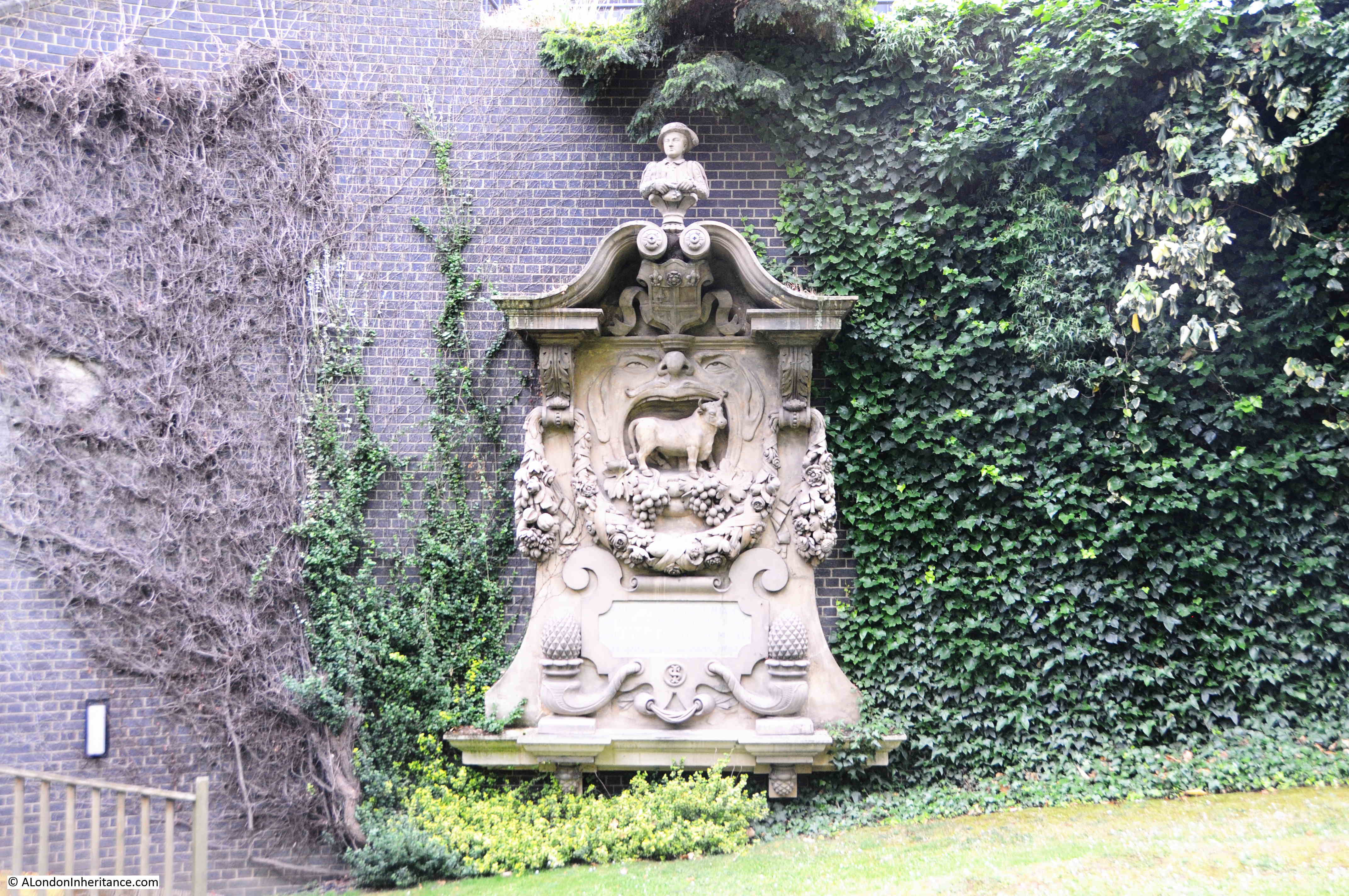
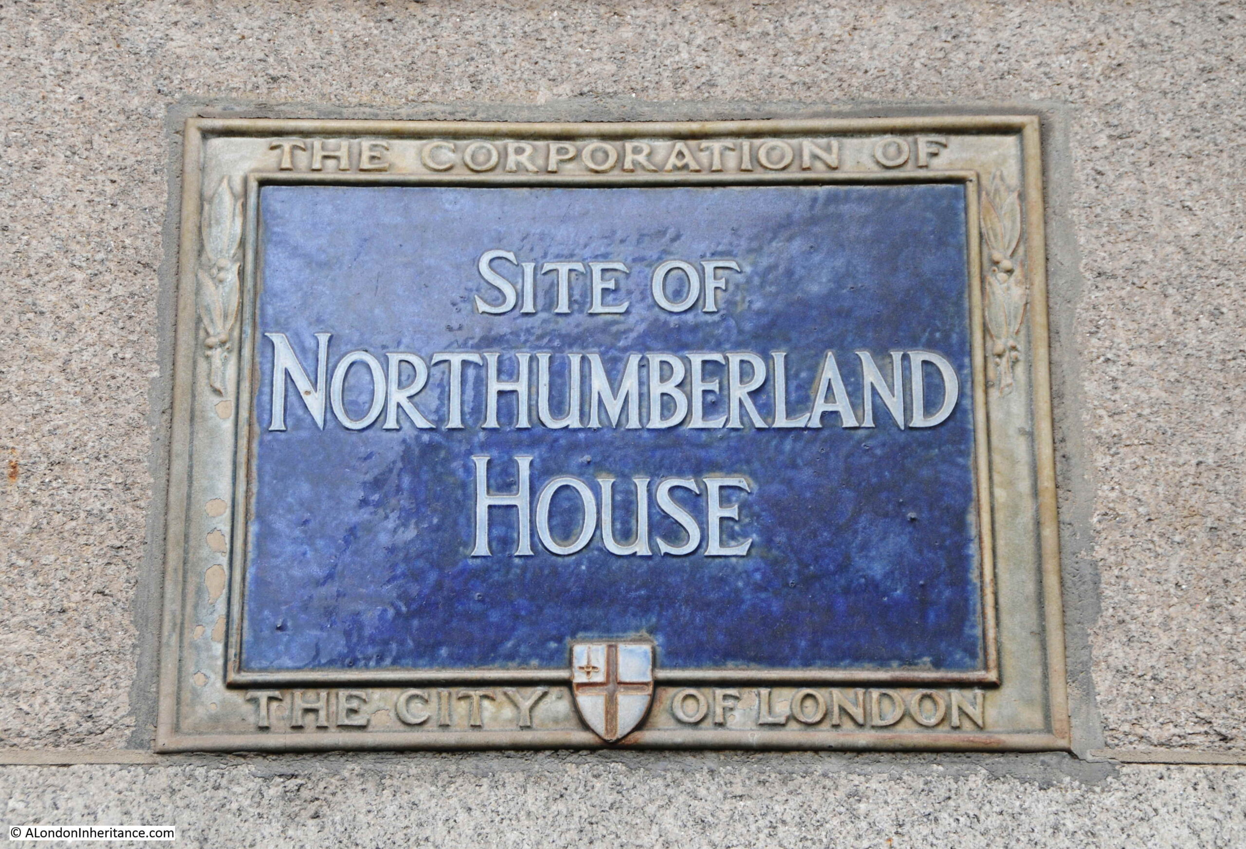
London House – The House with Two Plaques
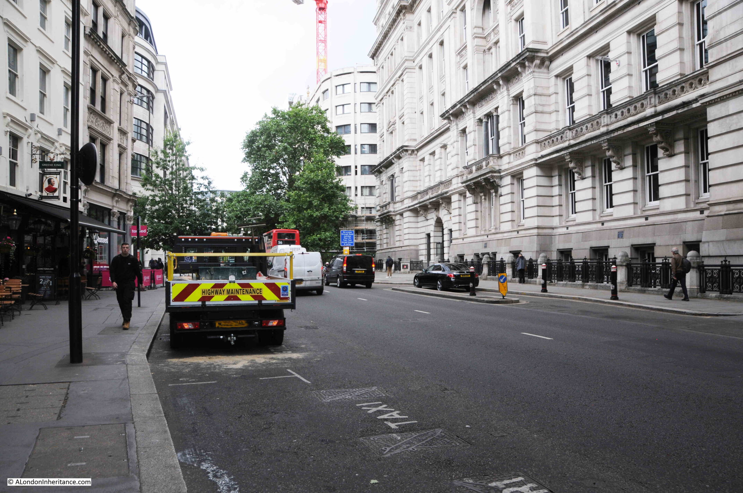
Walk down Aldersgate Street, and there is an apartment / office building on the western side of the street, which has two plaques, one on each side of the entrance:

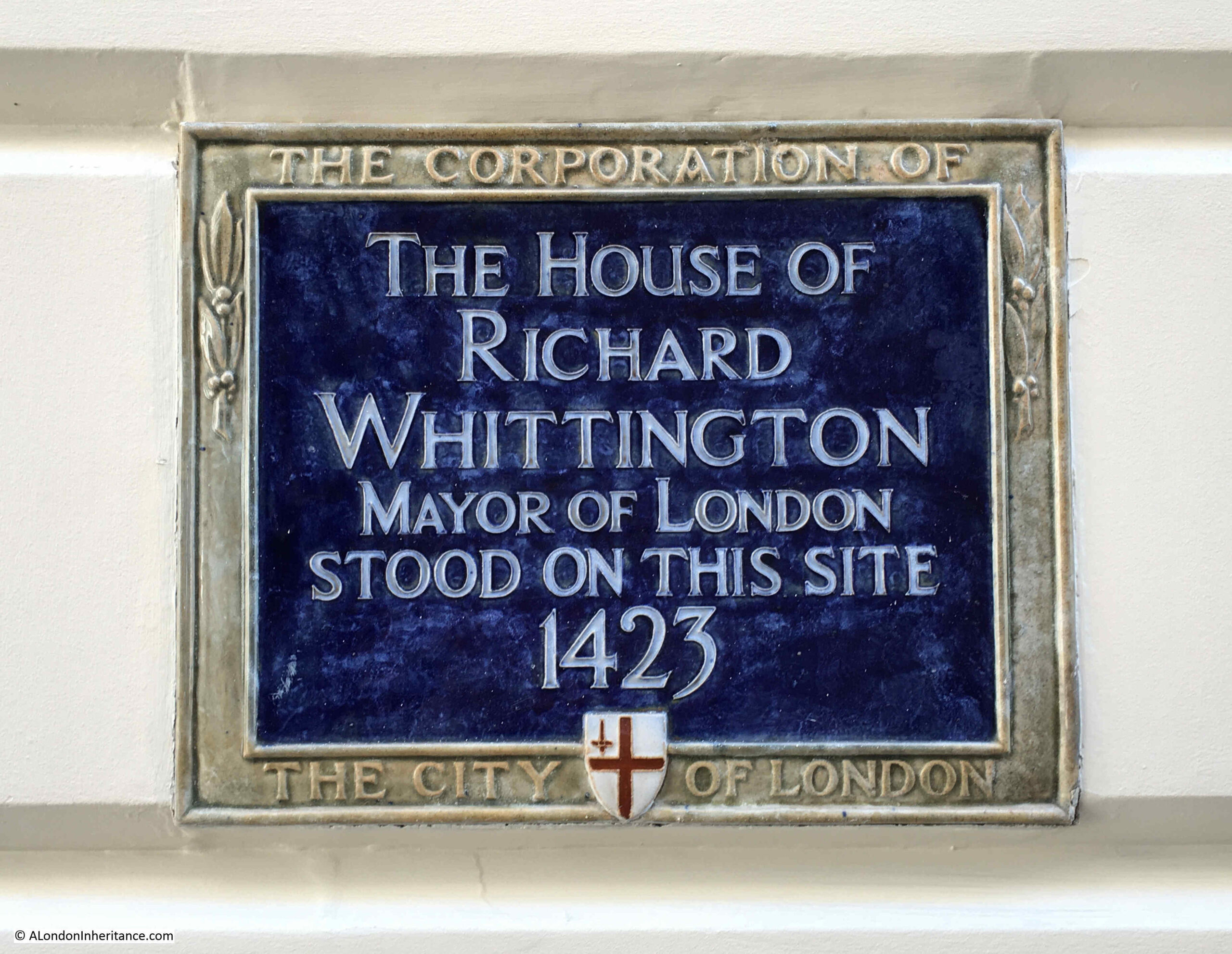
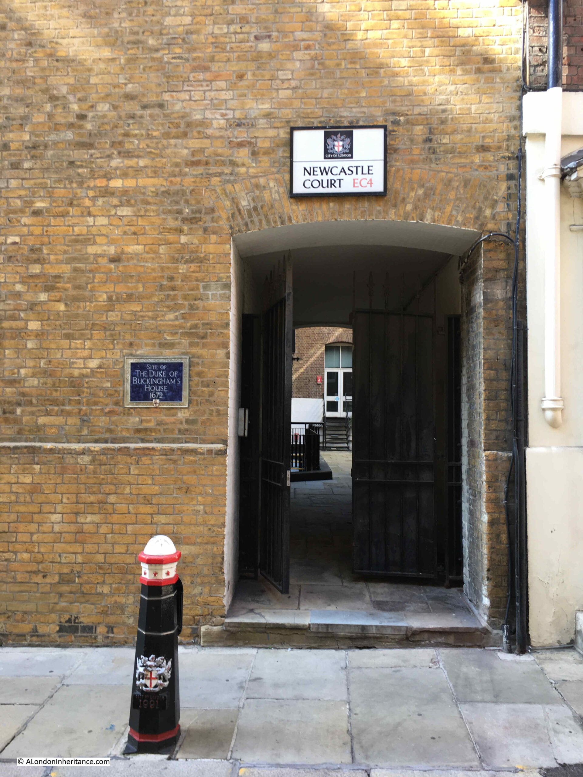
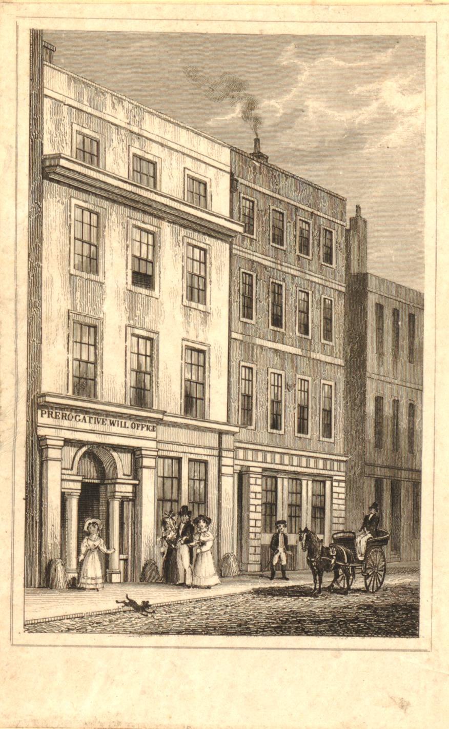
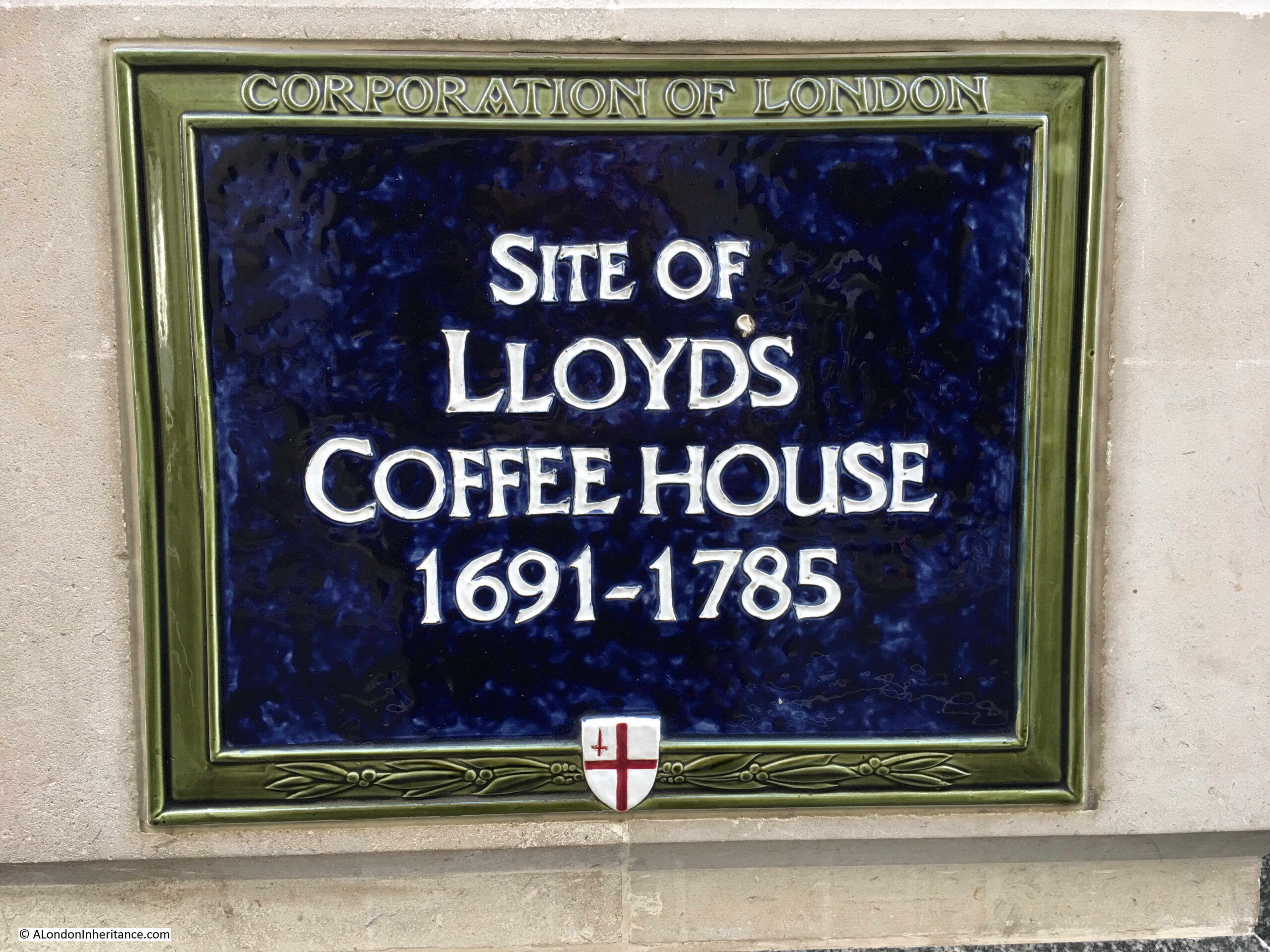
The building is called London House, and the two identical plaques both record that this is the site of London House, destroyed by fire in 1766:

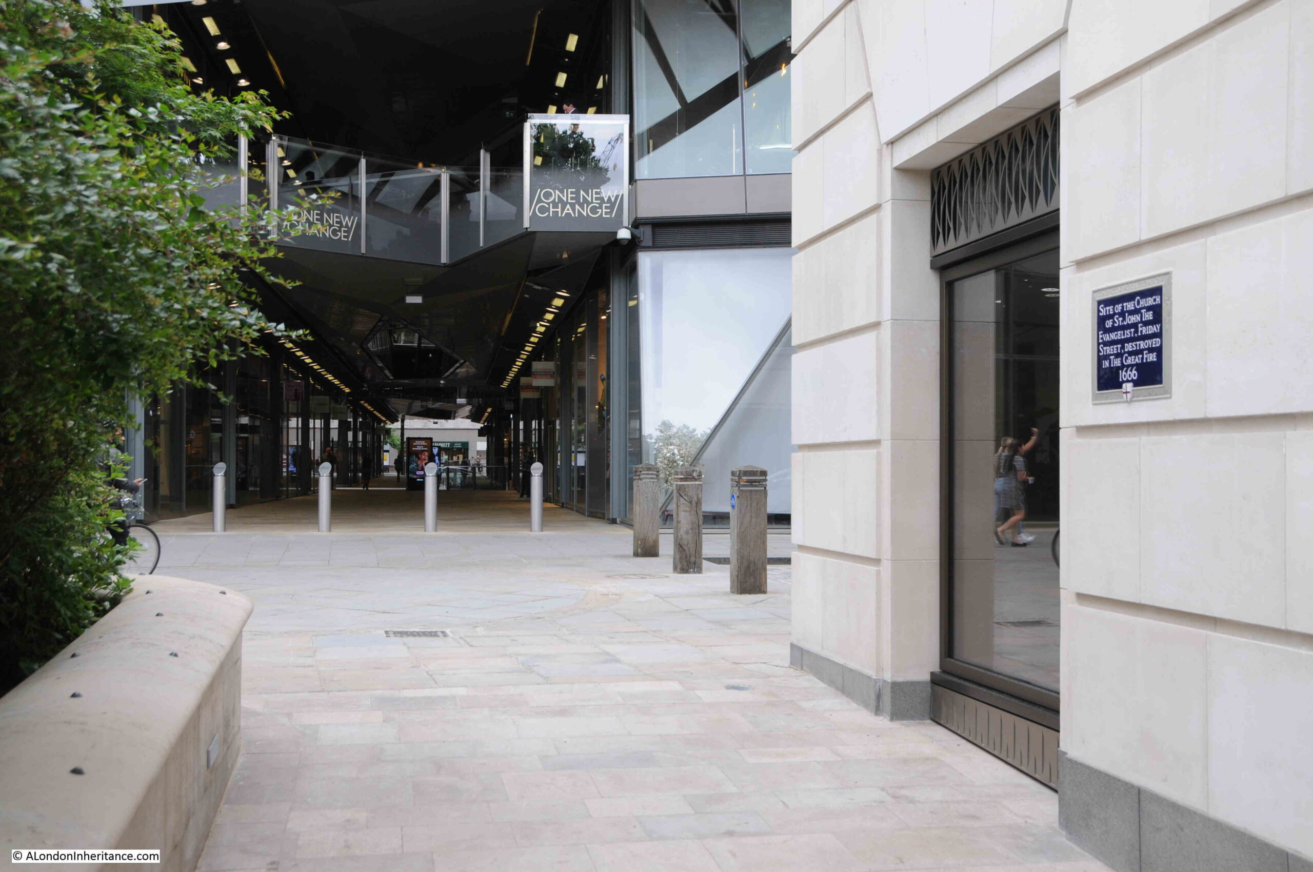
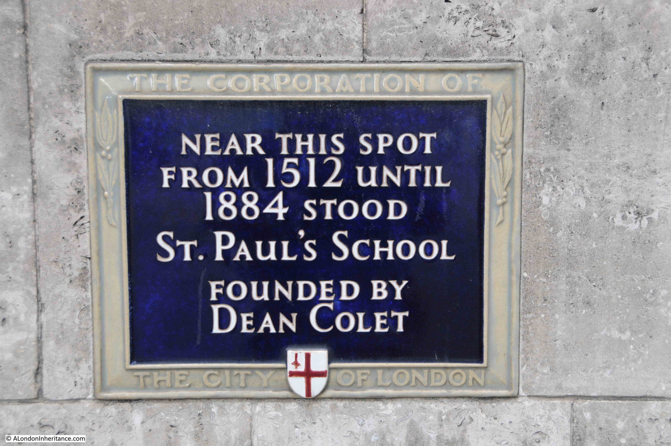
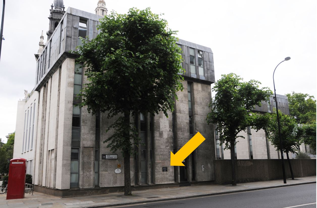
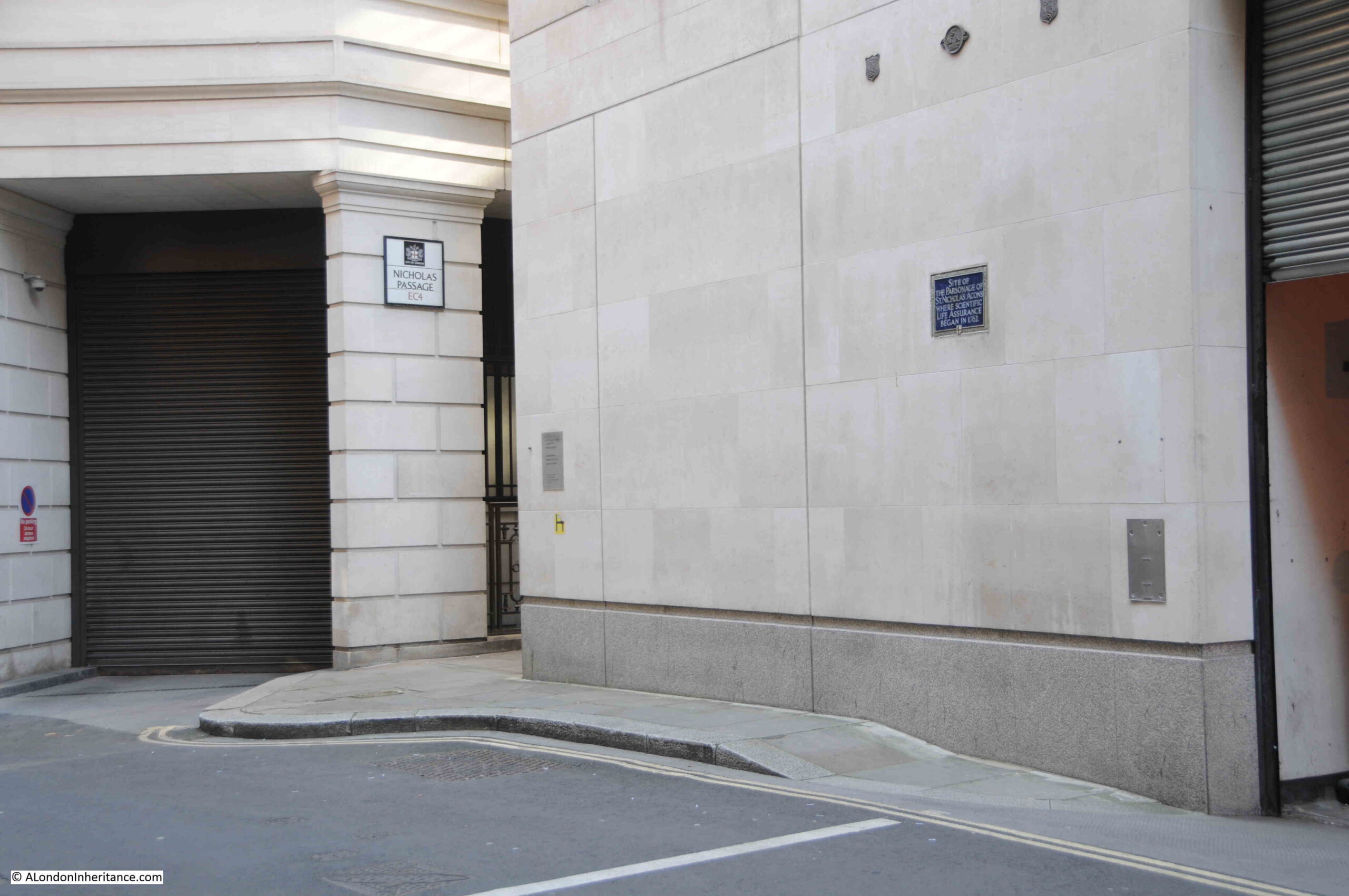
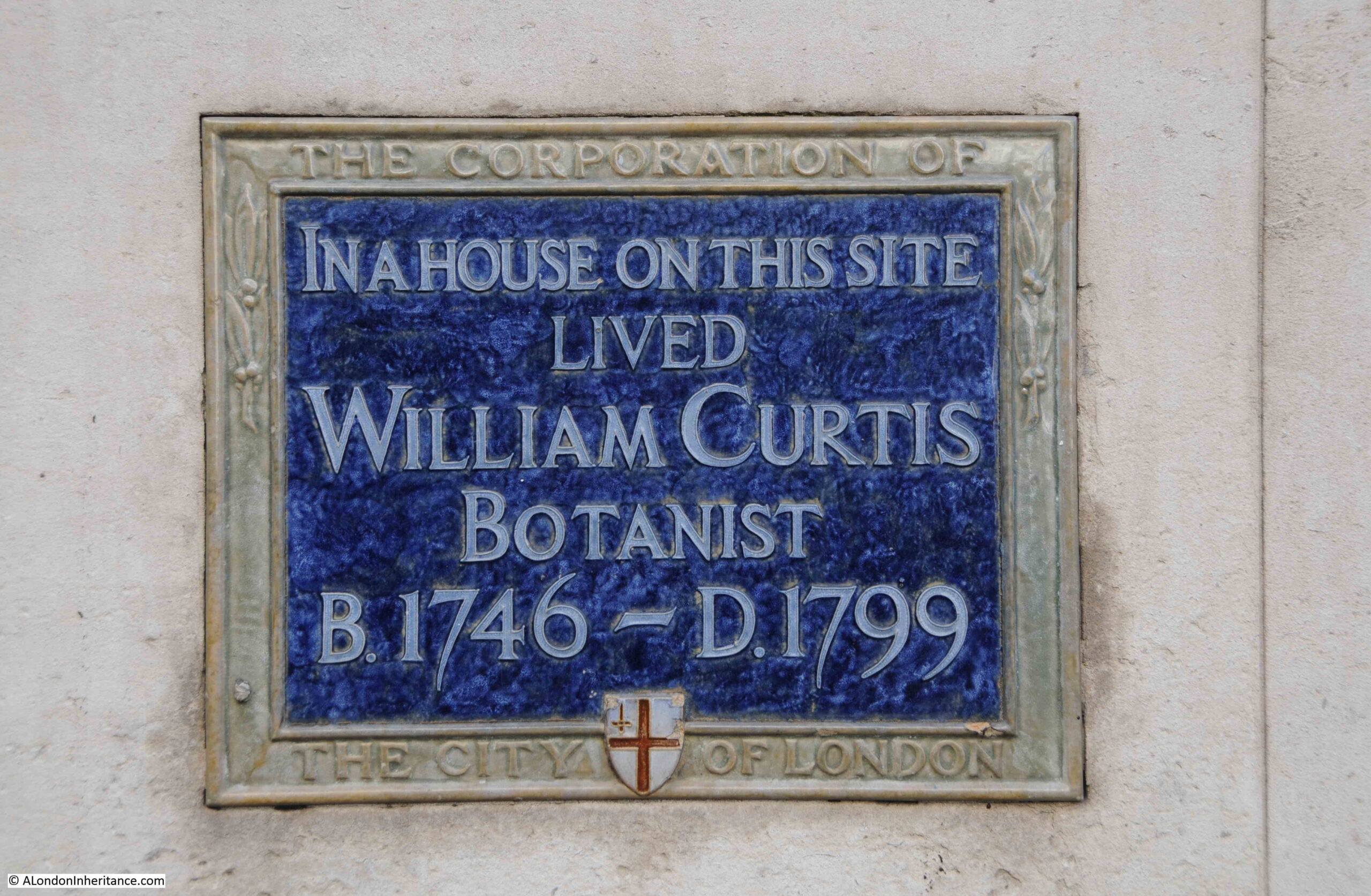
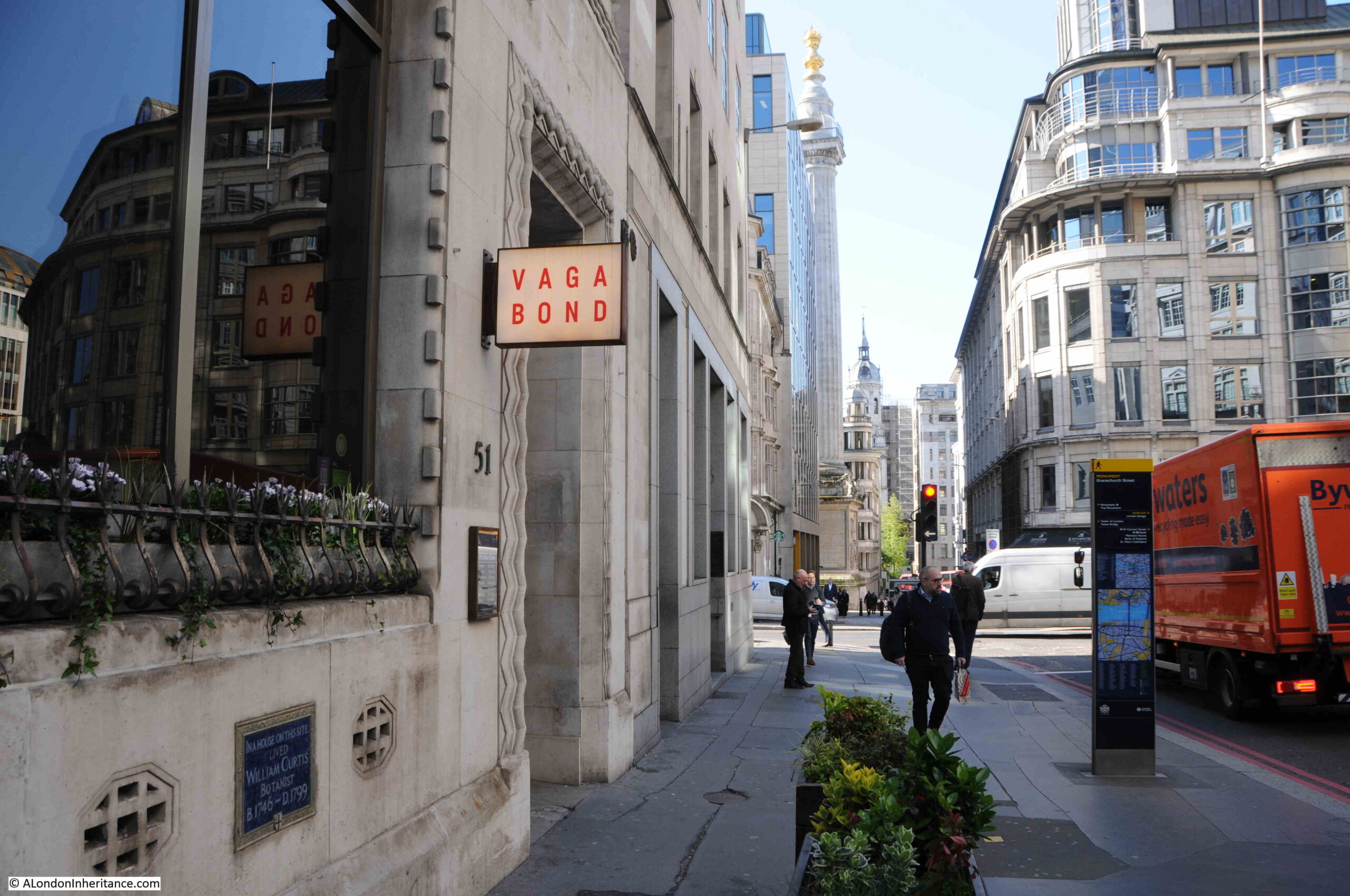
The plaques that line the City streets are important to record specific sites in London’s history, but I can imagine that they are frustrating to the casual observer as they offer no context or further information.
The name London House came from a building on the site being occupied by the Bishops of London, however there are conflicting stories as to why they were in Aldersgate Street.
The book “A Dictionary of London” by Henry Harben (1918) states that “so called as being, after the Restoration, for some time the residence of the Bishops of London, in place of their Palace in St. Paul’s Churchyard”.
In “Old and New London”, Walter Thornbury (1878), states that “It was also used as a state prison in the Commonwealth-times, and subsequently became the temporary abode of the Bishops of London, after the Great Fire had treated their mansion in St. Paul’s Churchyard in a Puritanical and remorseless way”.
In “A New History of London Including Westminster and Southwark” John Noorthouck (1773) the story of the house is that “it was purchased after the restoration for the city mansion of the Bishop of London: from that time it was known by the name of London-house”.
So that is two sources for post restoration and one for after the Great Fire, but given that the Restoration (1660 – Charles II becomes Monarch) and the Great Fire (1666) both occurred in the same decade, both interpretations are sort of right.
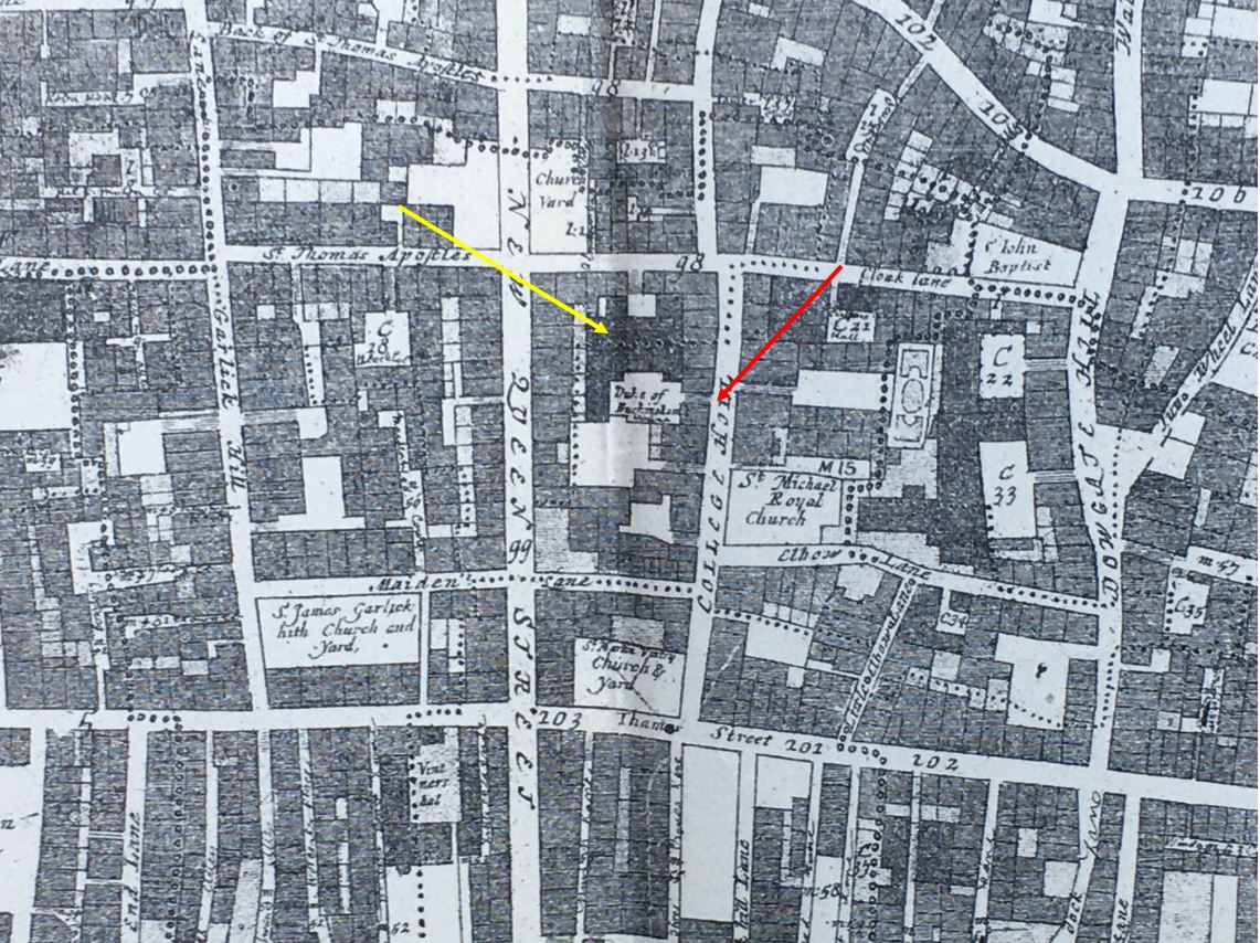
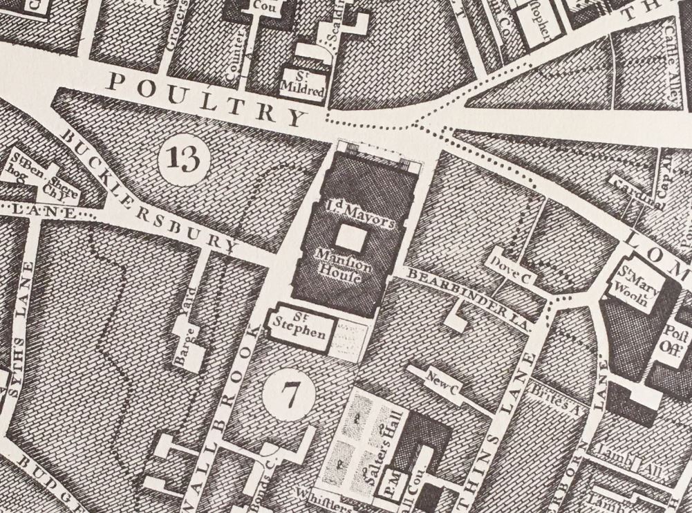
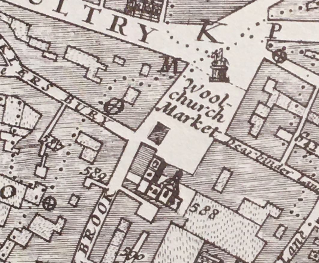
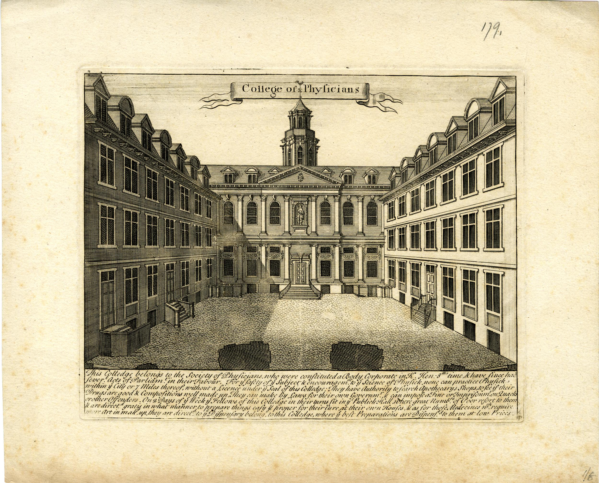
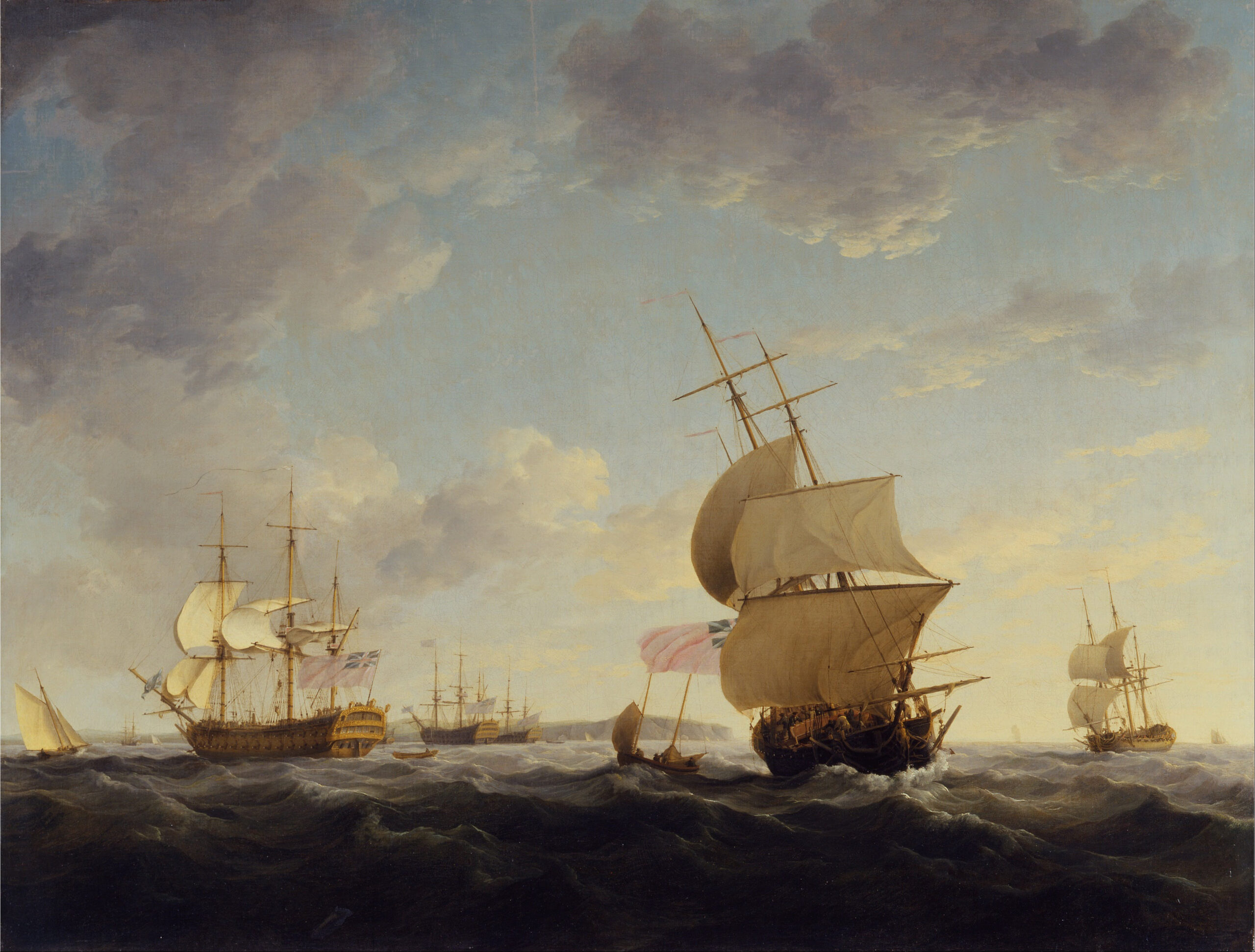
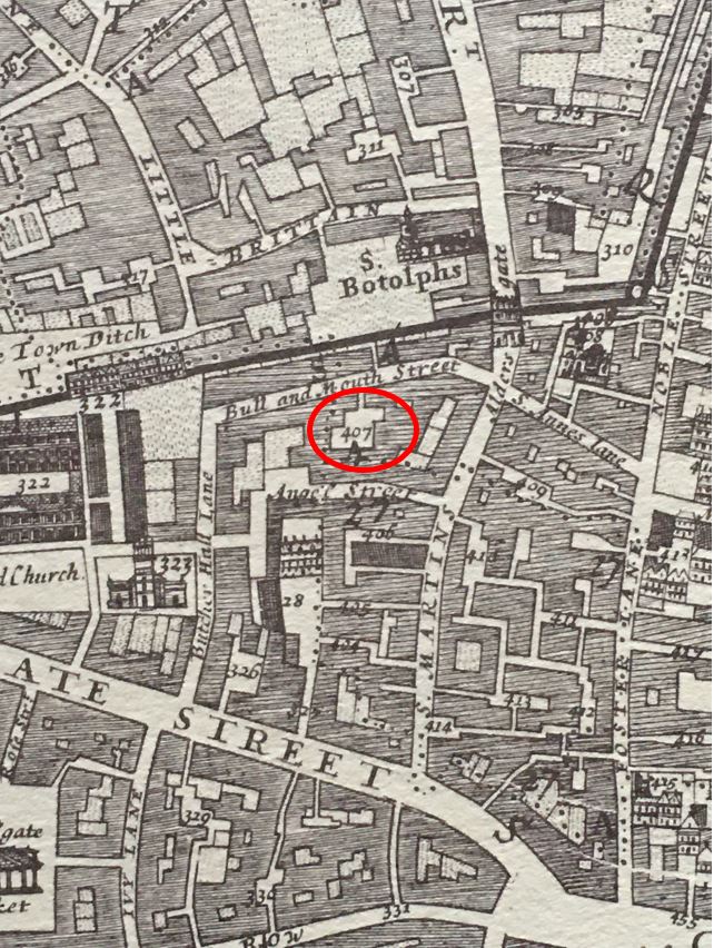
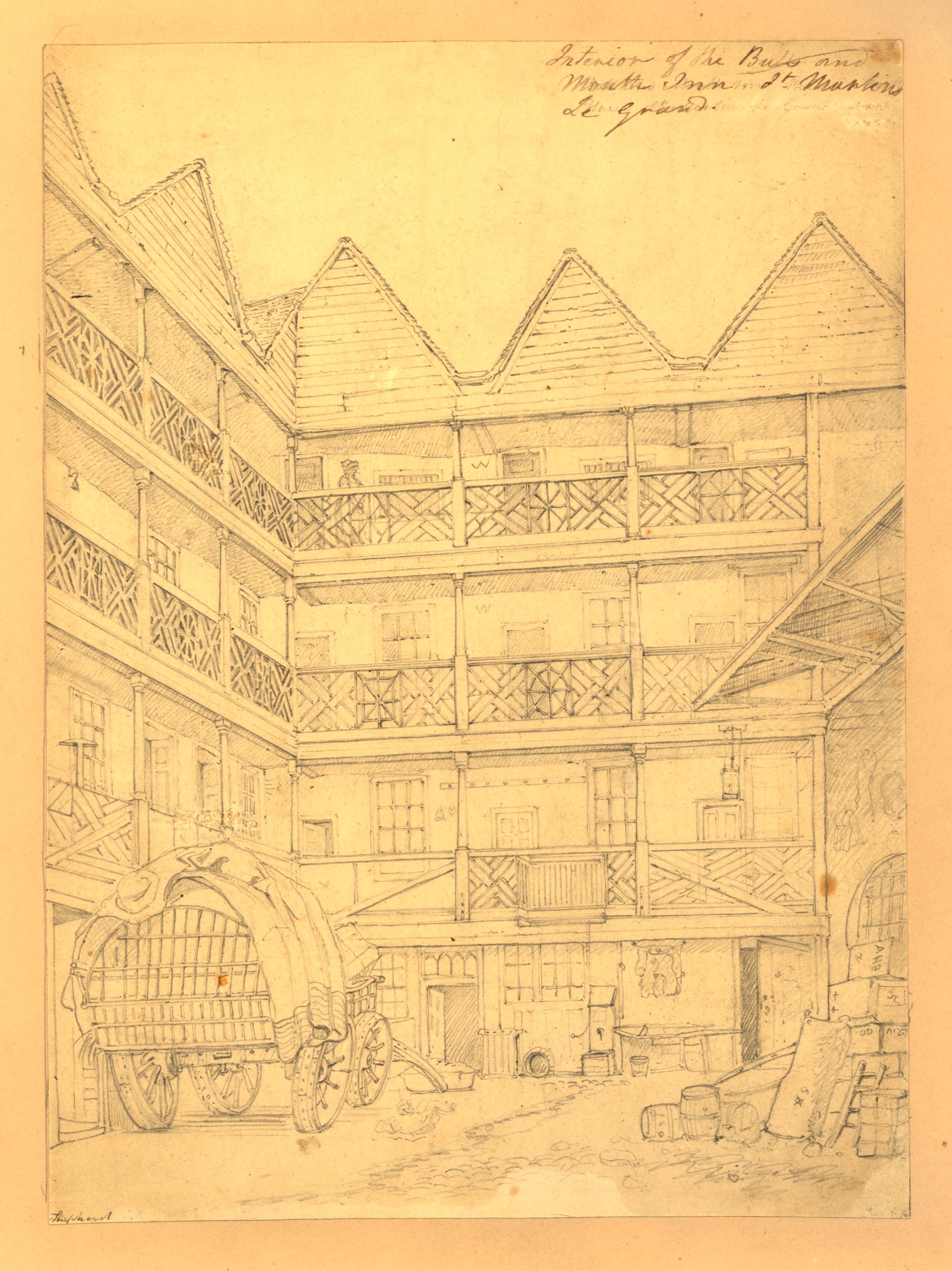
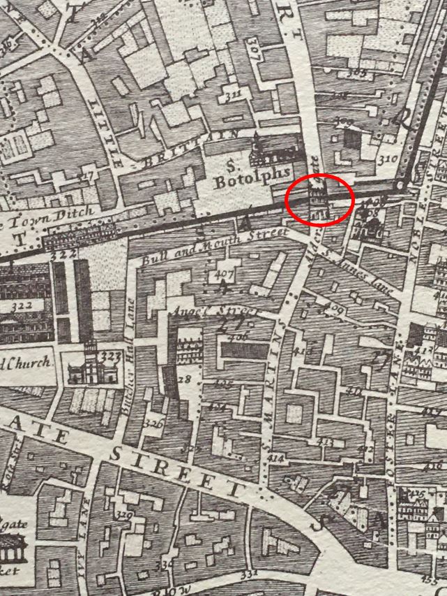
I cannot find any images of London House, but it does appear in William Morgan’s 1682 Survey of London, where in the following extract, it is on the left of Aldersgate Street, and appears to be of some size, including a central courtyard and surrounding land:

I did find a 1747 plan of the building. It needs to be turned 90 degrees to the left to correspond with the above map, but it does align well with Morgan’s map, and the key shows the different parts of the overall complex:

Image: © The Trustees of the British Museum. Shared under a Creative Commons Attribution-NonCommercial-ShareAlike 4.0 International (CC BY-NC-SA 4.0) licence.
The text to the right states that “Charles II gave it to the Bishops of London”, so I suspect this demonstrates that both the earlier reasons for the Bishops use of the house are correct. They needed a new home after their building in St. Paul’s Churchyard was destroyed during the Great Fire, and Charles II was on the throne after the Restoration of the Monarchy, and he gave the Bishops the house in Aldersgate Street.
I like the description for “G”, The Garden as there being a “lofty elm”. hard to imagine that in Aldersgate Street of today. At “L”, there was the Great Gate and Porch to Aldersgate Street, so I suspect that London House had a rather impressive façade to the street.
The text with the above plan also mentions the previous owner, that it was “formerly belonging to Lord Petre”, when it was called Petre House.
Lord Petre is an interesting character. William Petre, originally a lawyer from Devon, became an assistant to Thomas Cromwell during the Dissolution of the Monasteries. (the family name was originally Peter, but William changed the name to Petre as the French sounding name was more in character with society and the Royal Court at the time).
As part of the dissolution process, William Petre visited the manors held by the Barking Abbey, one of these was a manor at Ingatestone, a village in Essex.
After the lands of Barking Abbey were surrendered to the Crown in 1539, William Petre purchased the manor at Ingatestone for £849, 12 shillings, and he set about demolishing the original stewards house, and built himself a new manor house.
This process may have been how he came to own the building that would become London House, but I cannot find any proof of this – it may have simply been a purchase as he needed a base in London of sufficient prominence for a country lawyer, then working for Thomas Cromwell.
He must have been a shrewd operator in both society and in the Court as the Petre family were Catholic, and managed to survive with very little impact on their position and fortunes.
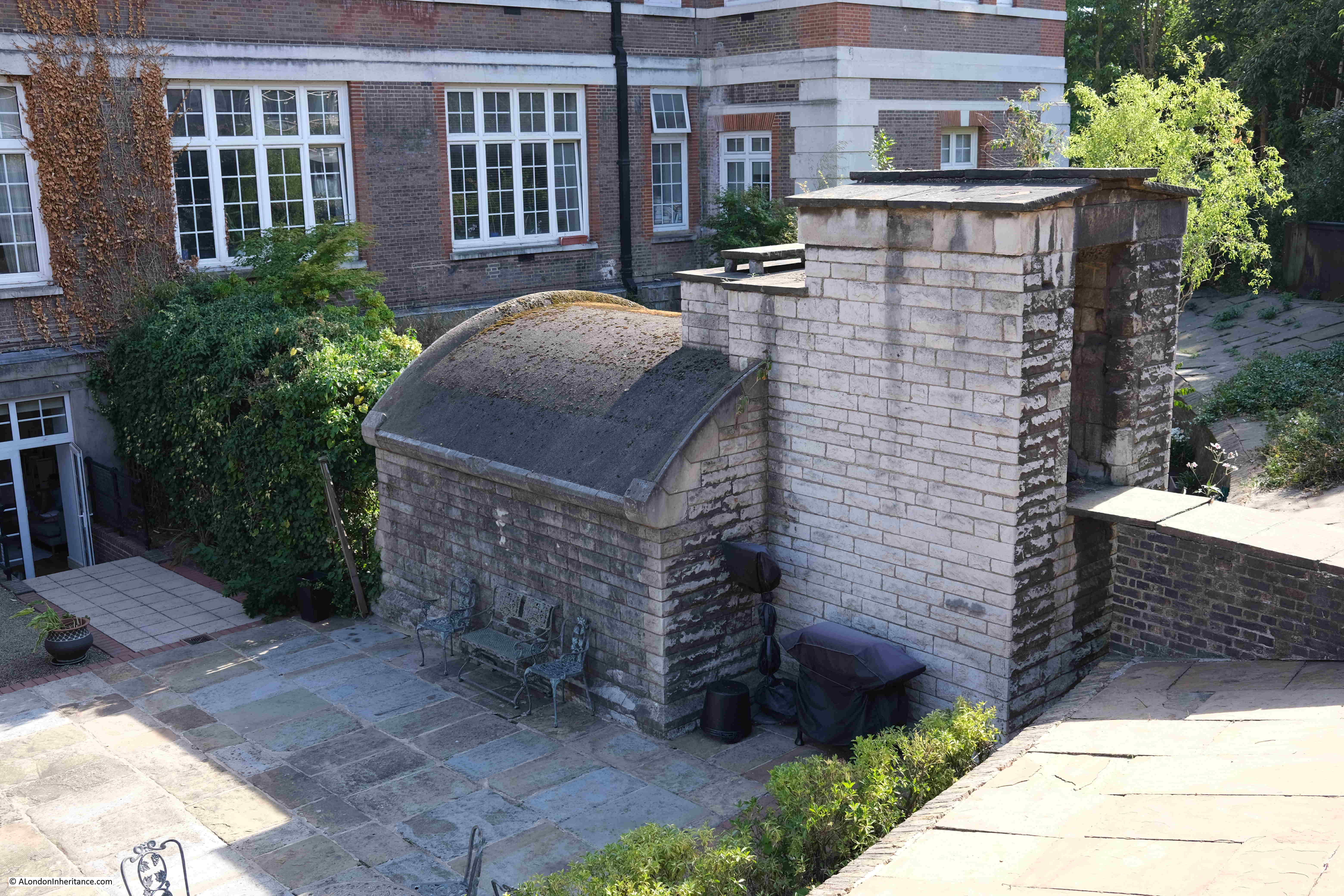
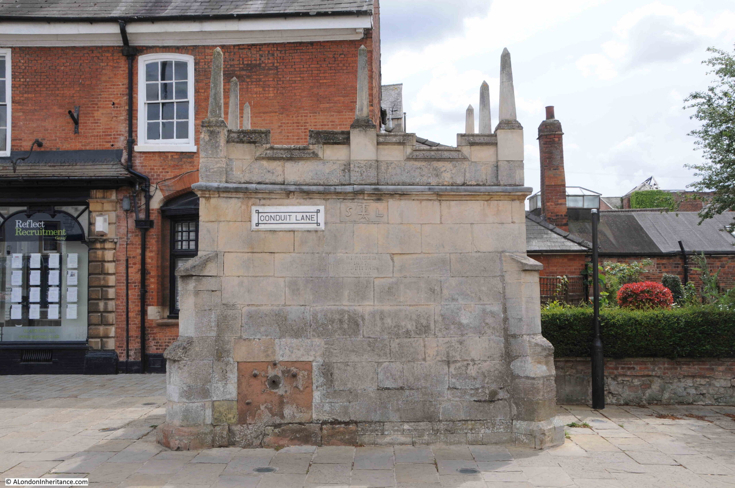
The manor house at Ingatestone – Ingatestone Hall – still survives to this day, and continues to be owned by the Petre family.
Ingatestone Hall is well worth a visit, and to emphasise the risk of being a practising Catholic in the 16th century, there are two priest holes, used to conceal Catholic priests, to be seen during a tour of the house.
Ingatestone Hall:

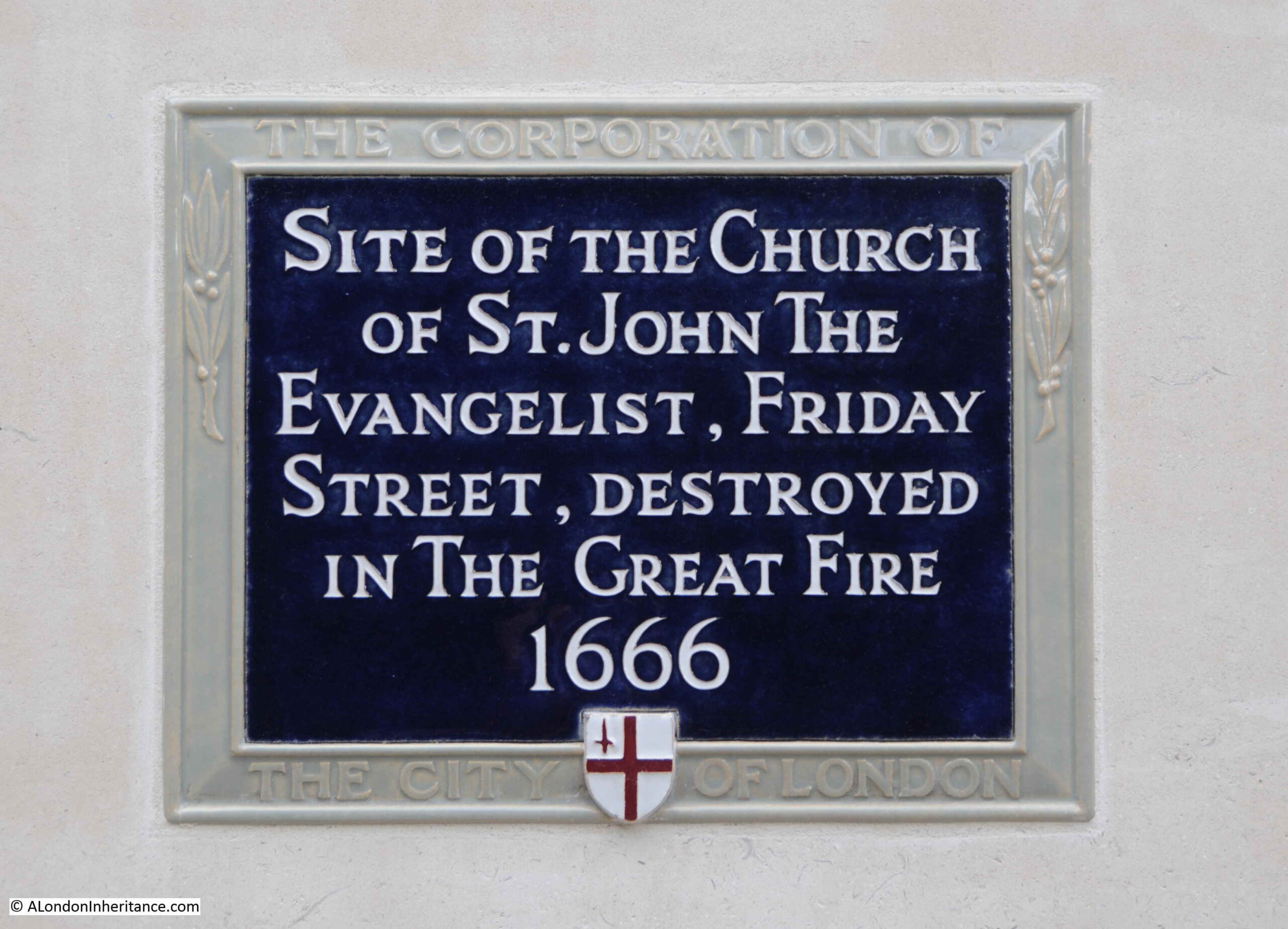
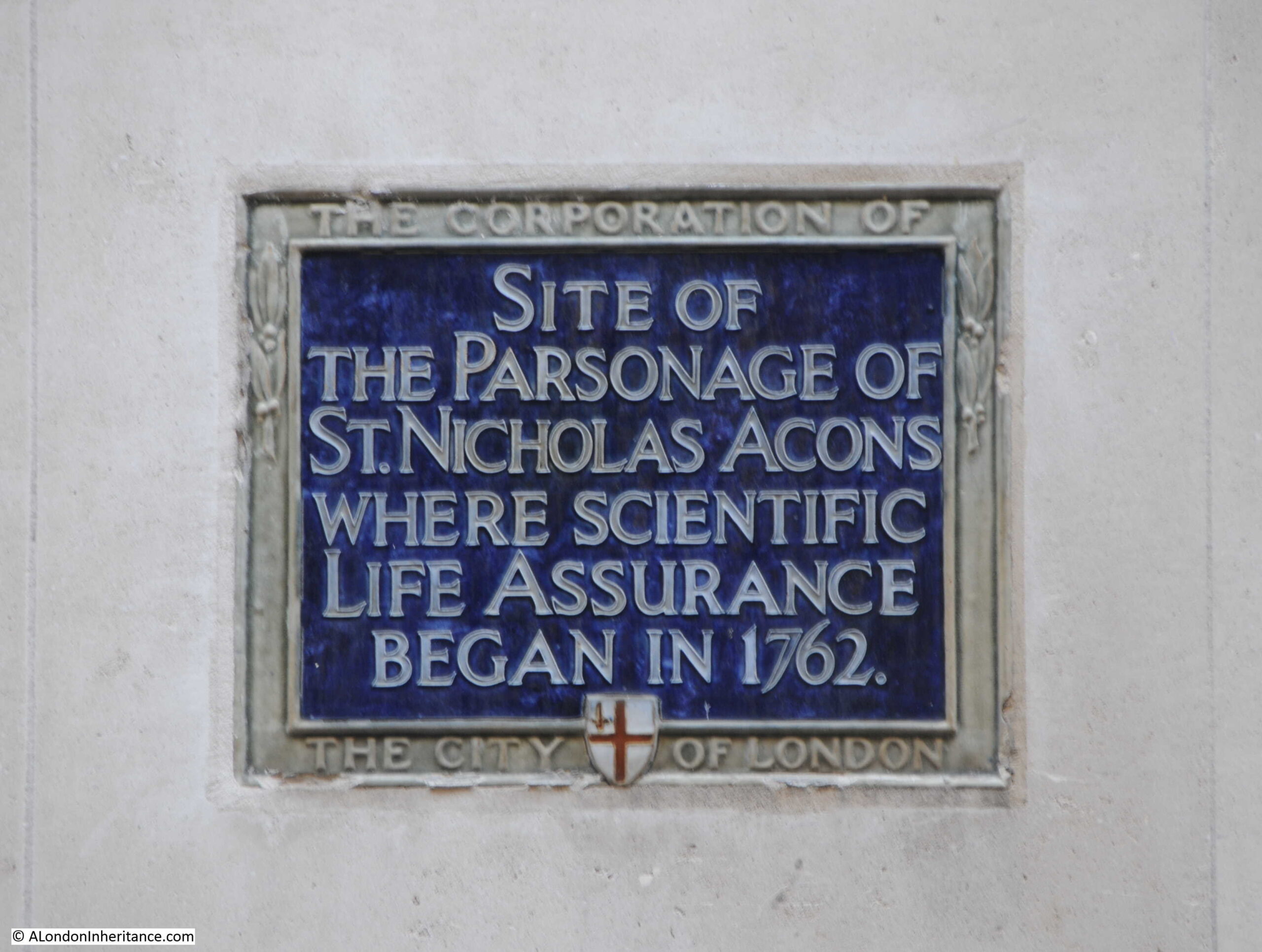
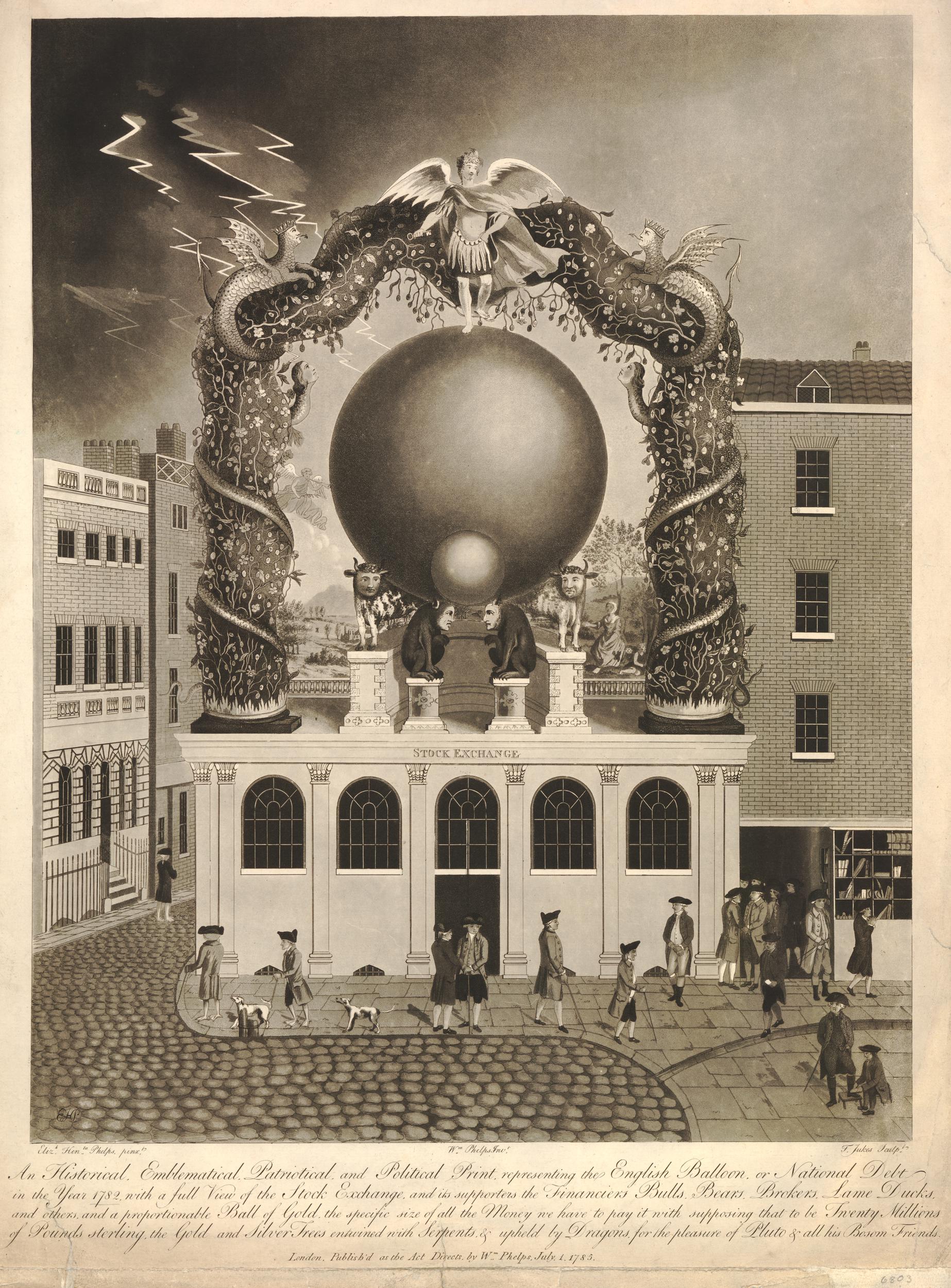
The plaque records that London House was destroyed by fire in 1766. I can find no specific reports of the fire, and suspect it was just one of the many fires that continued to plague London, even after the building regulations and construction changes that came into being as a result of the 1666 Great Fire.
It is good that the current building on the site retains the name London House, and I think it is the only place I have come across in the City of London where there are two identical plaques marking the same historic feature.
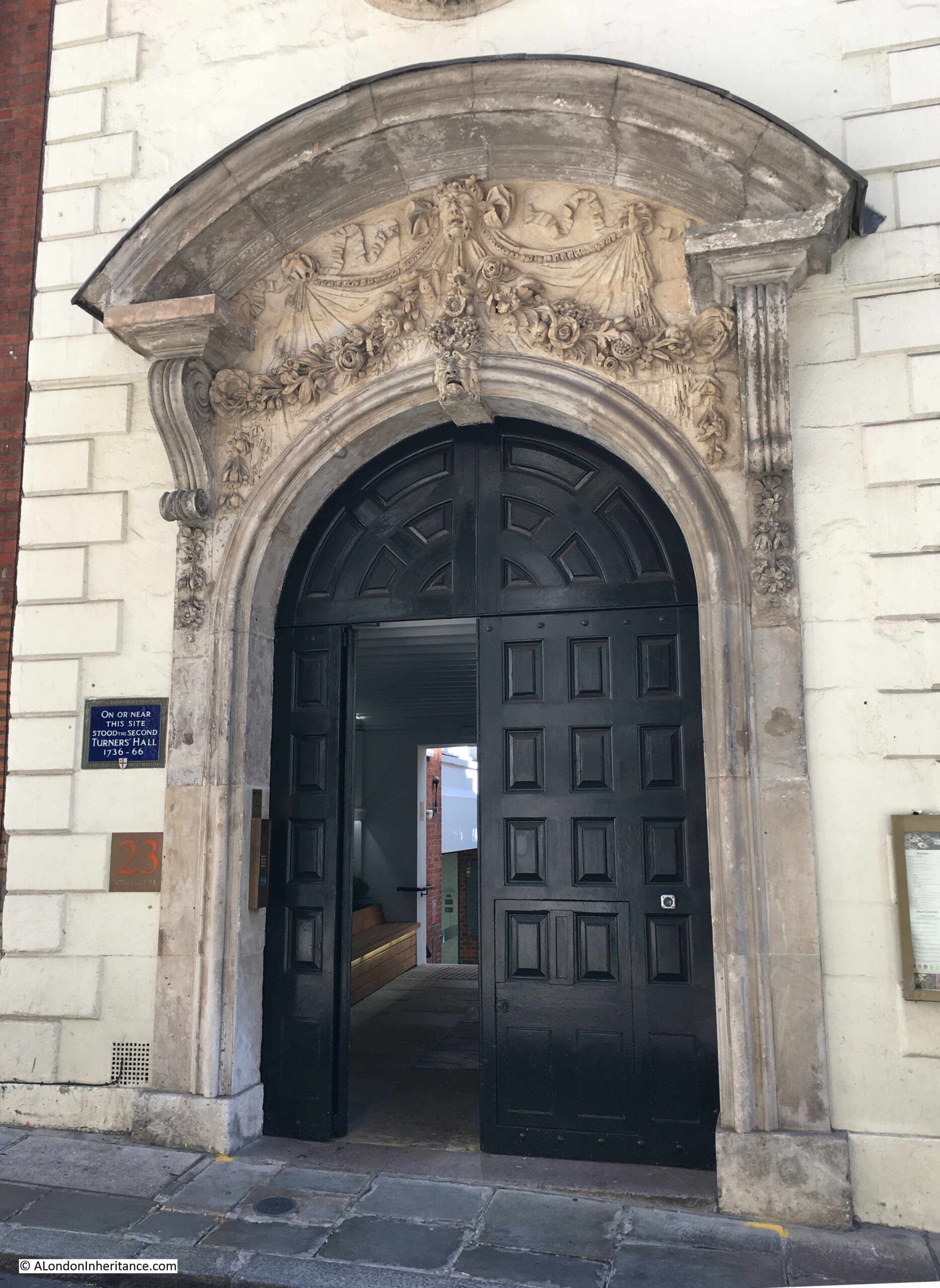
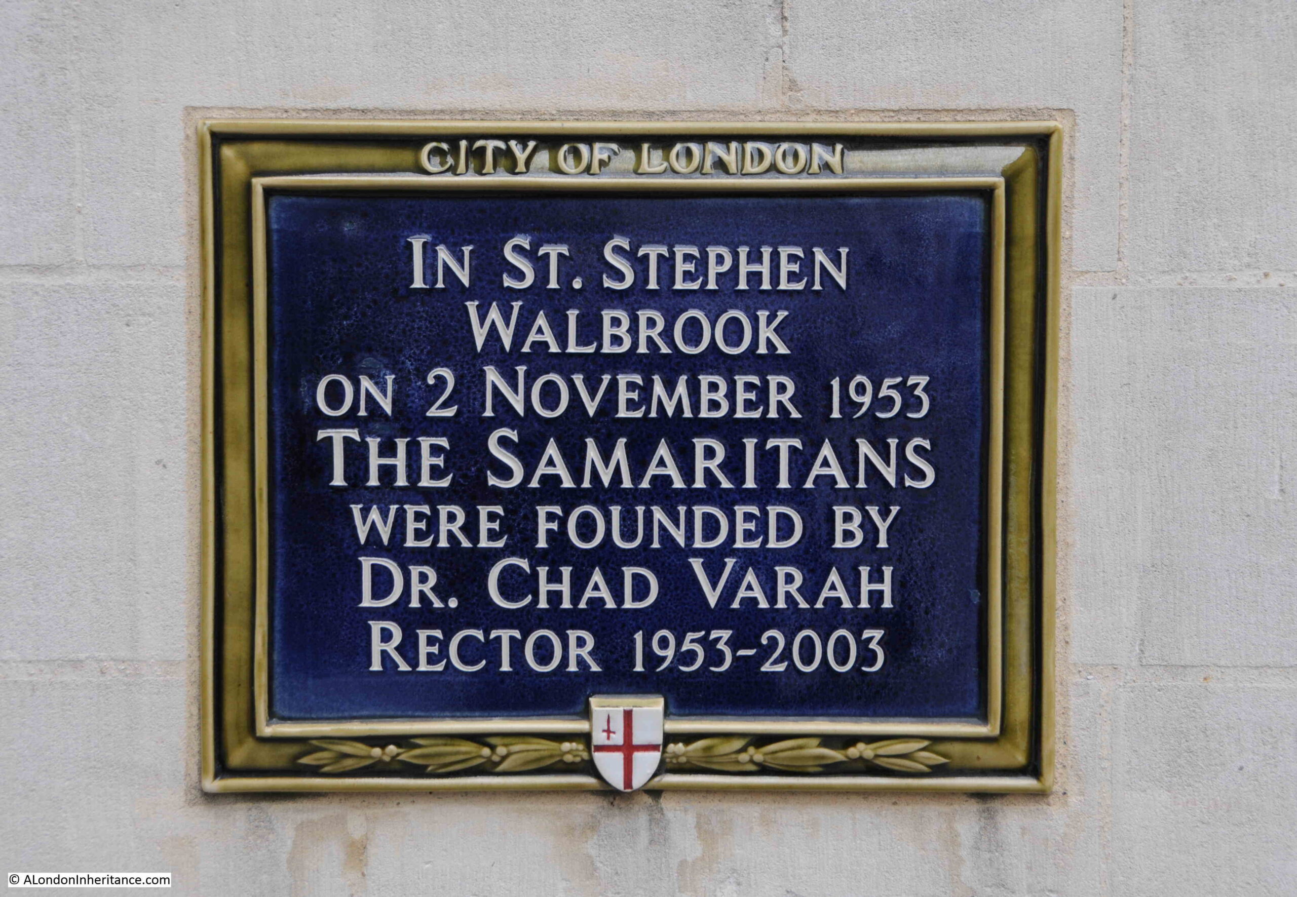
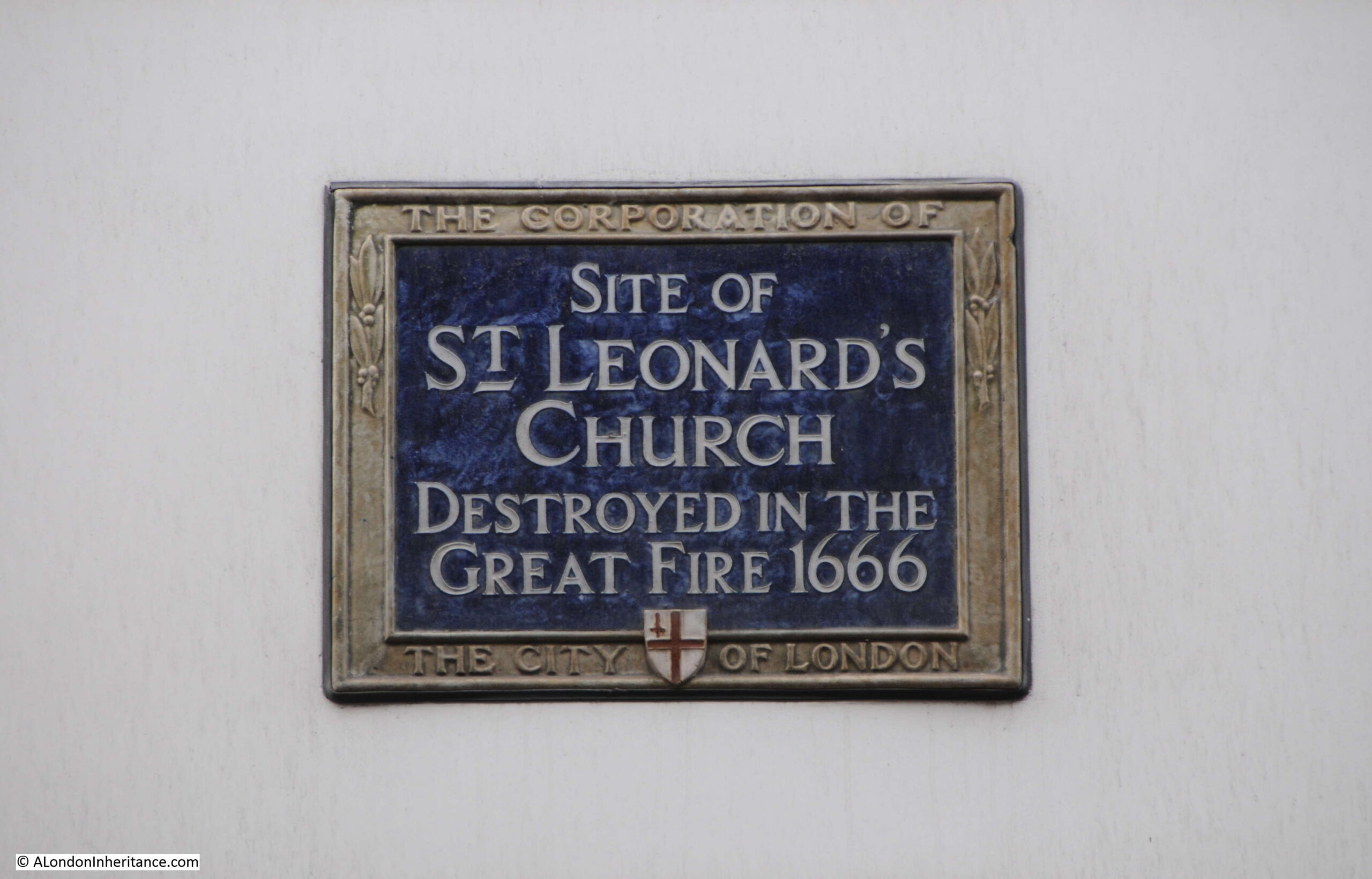
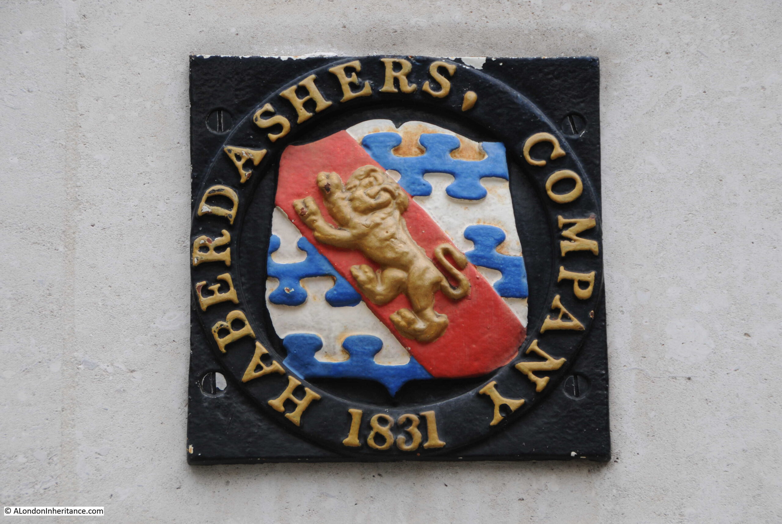
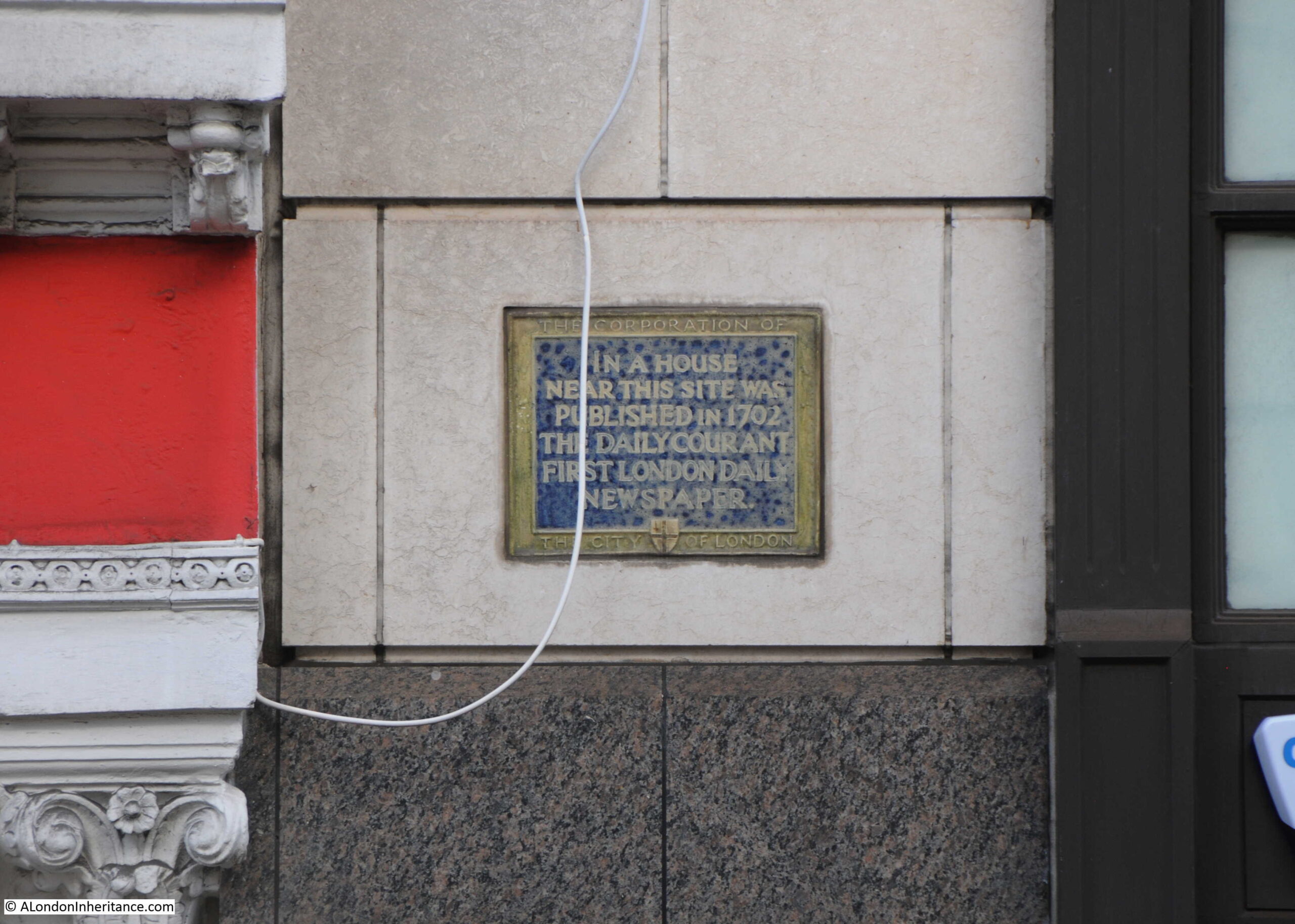
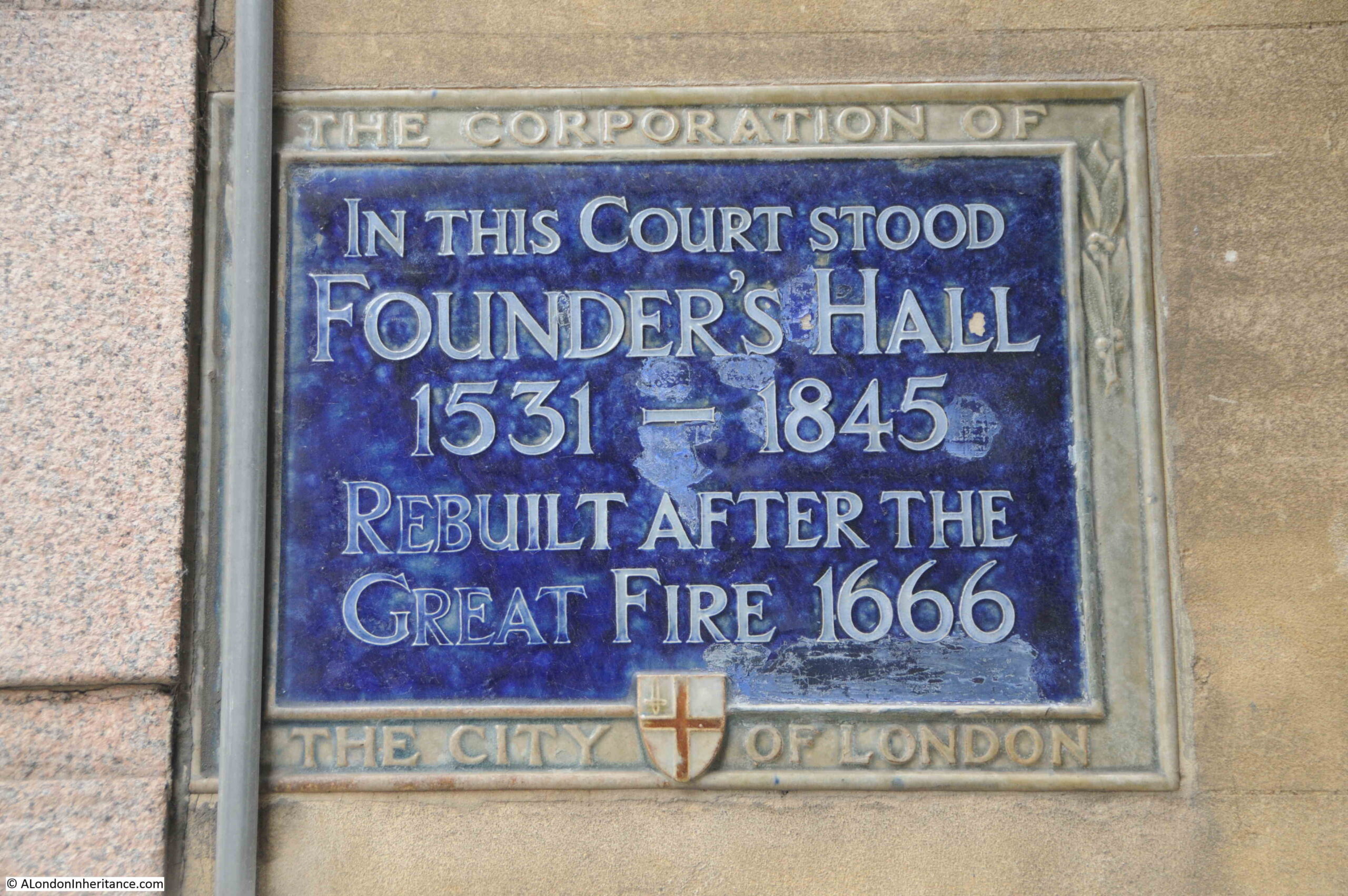
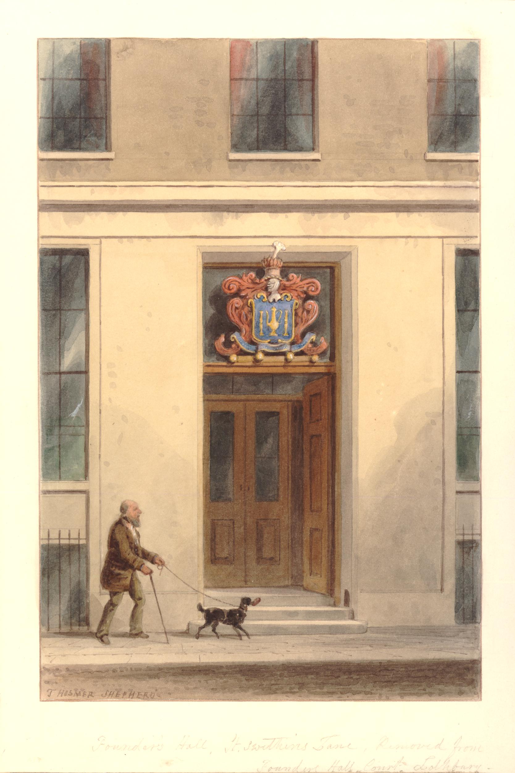
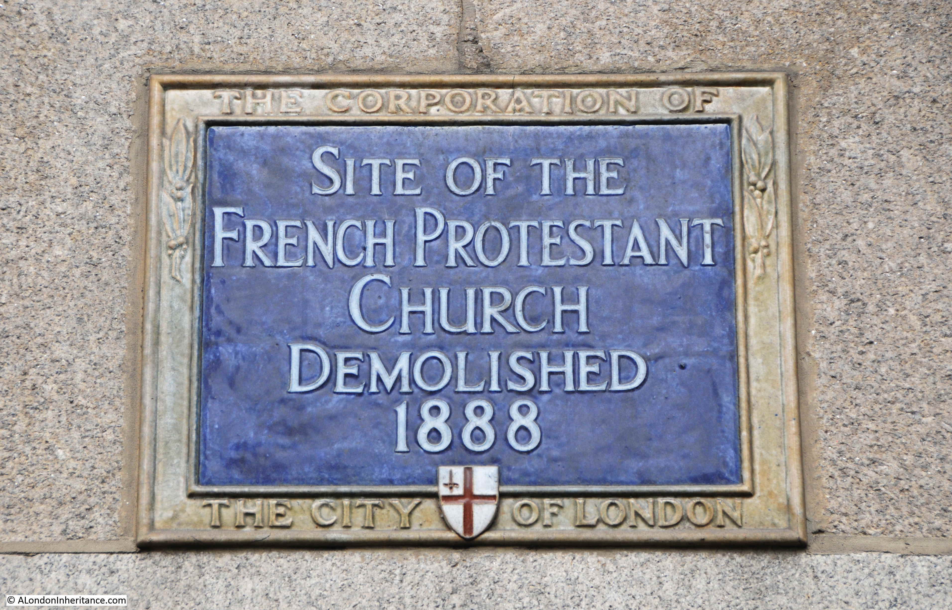
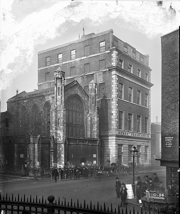
First Hall of the Parish Clerks’ Company
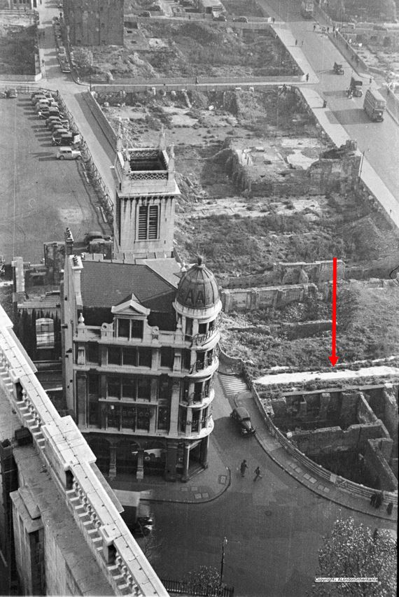
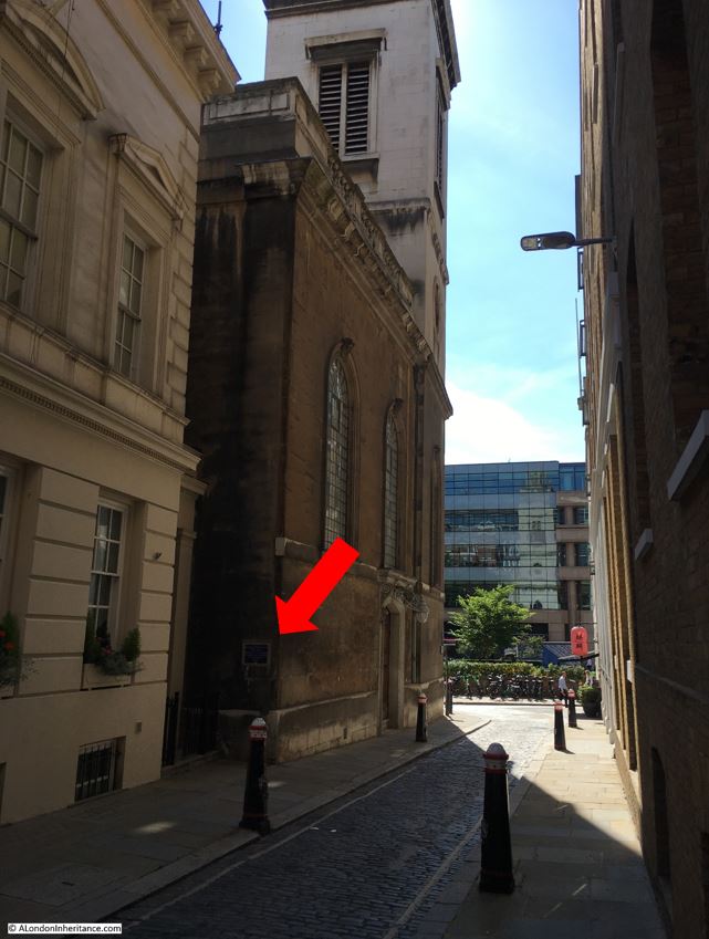
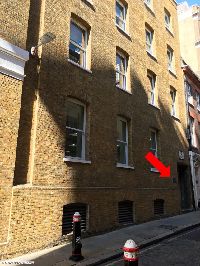
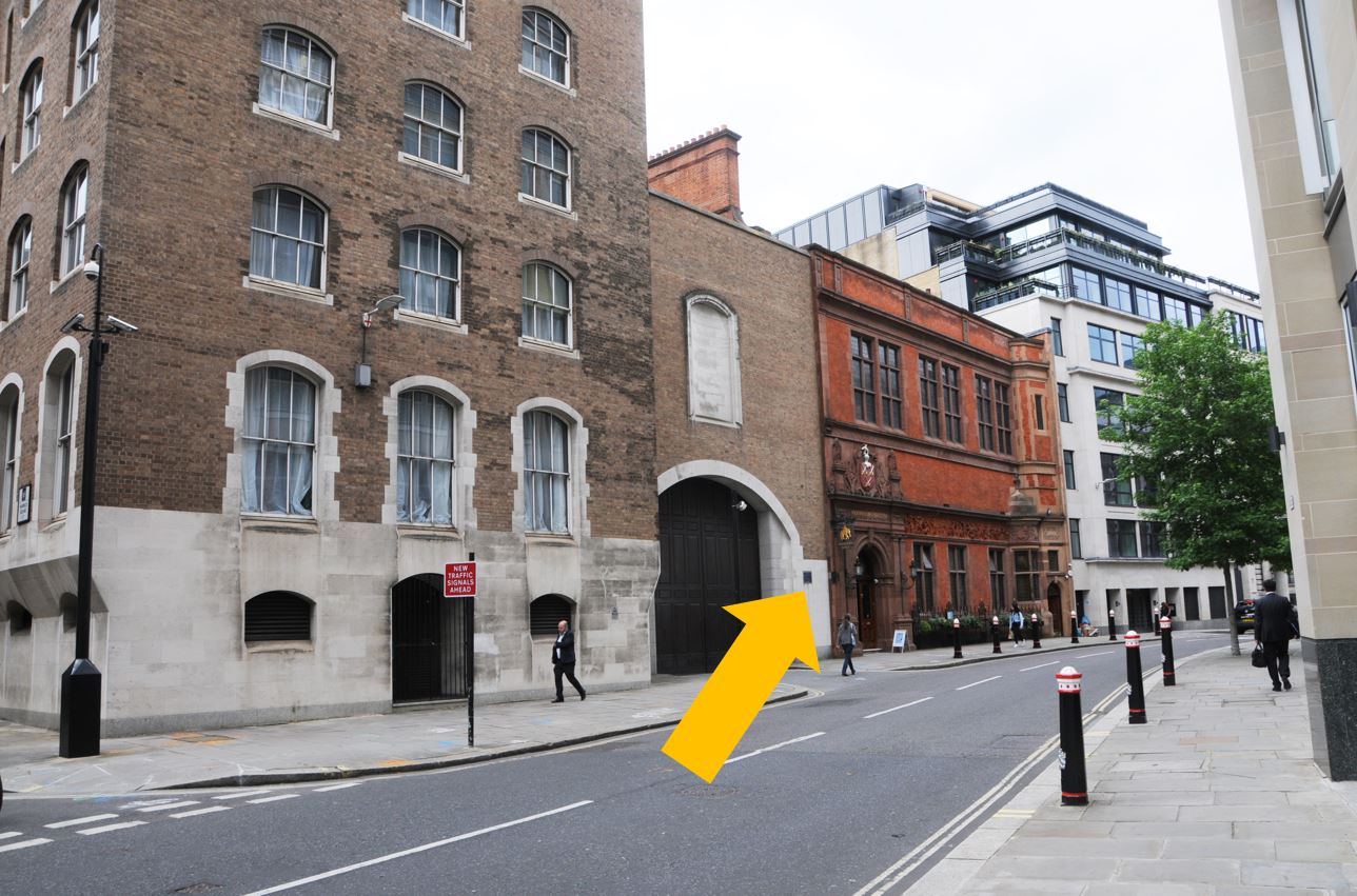
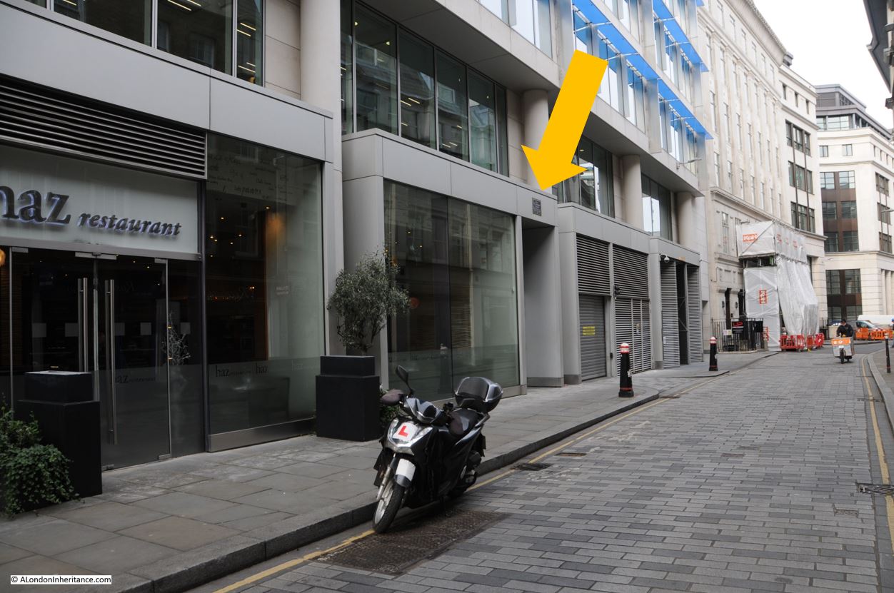
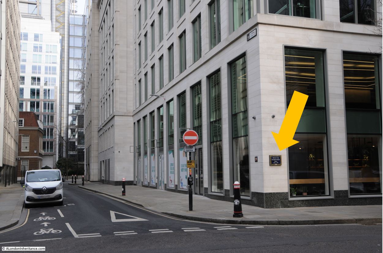
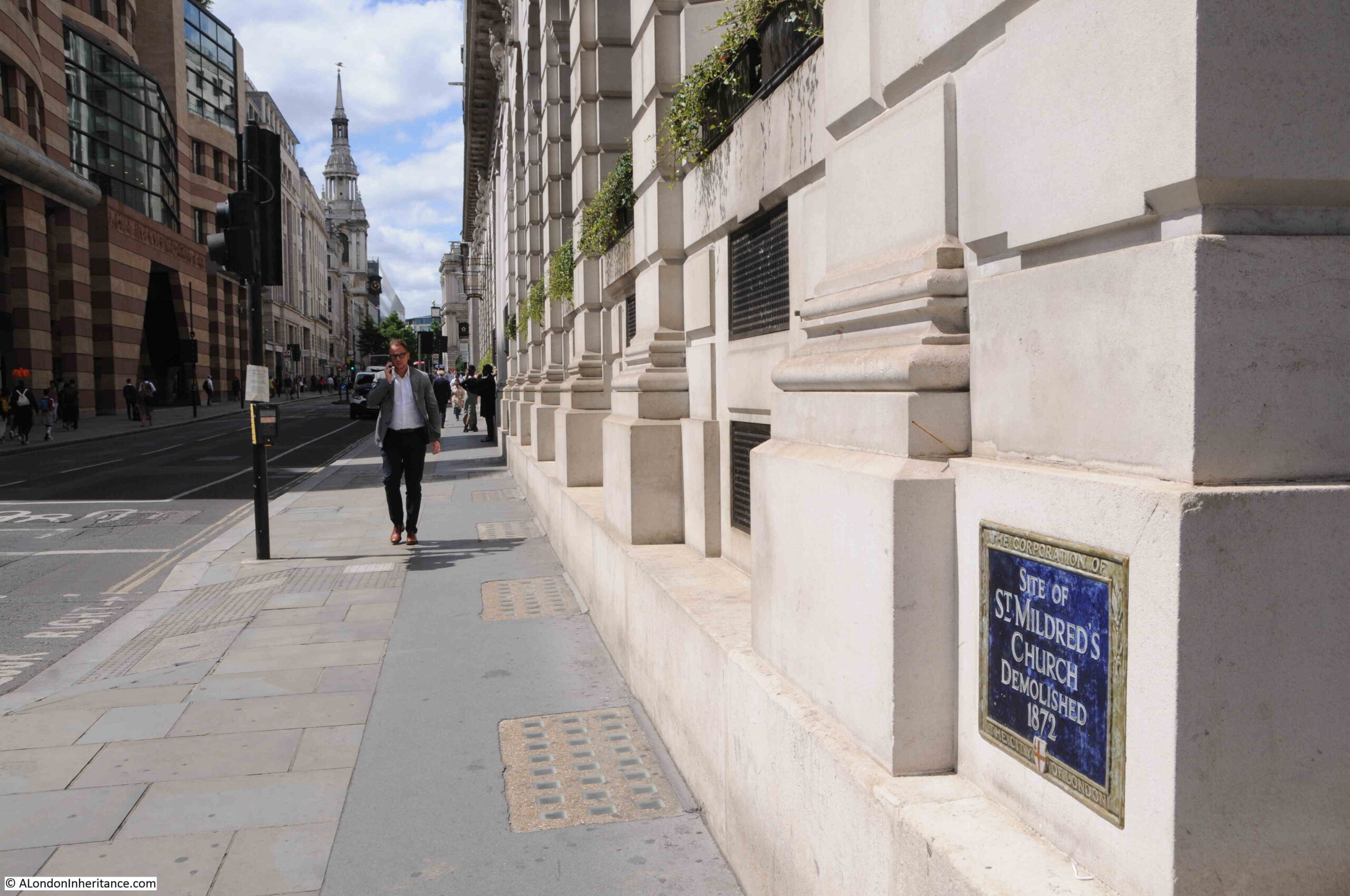
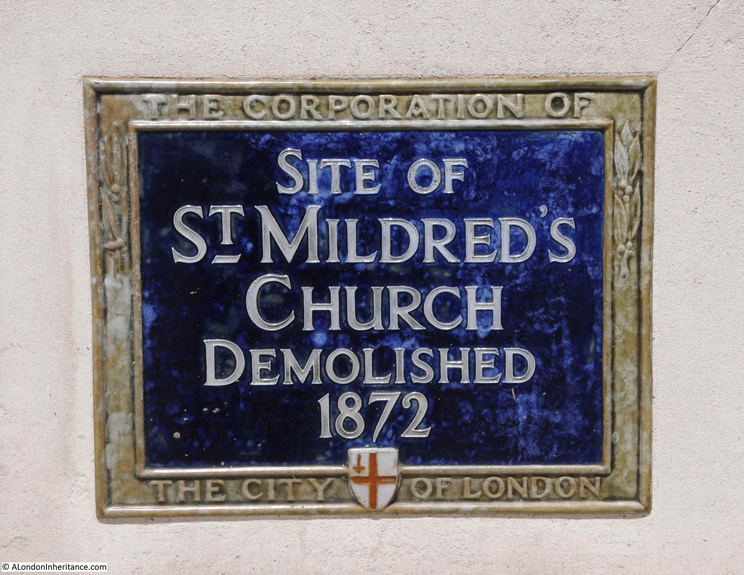
In the following photo, there is a plaque marking the site until the mid sixteenth century of the first hall of the Parish Clerks’ Company. Difficult to see, so I have marked the location with the red arrow:

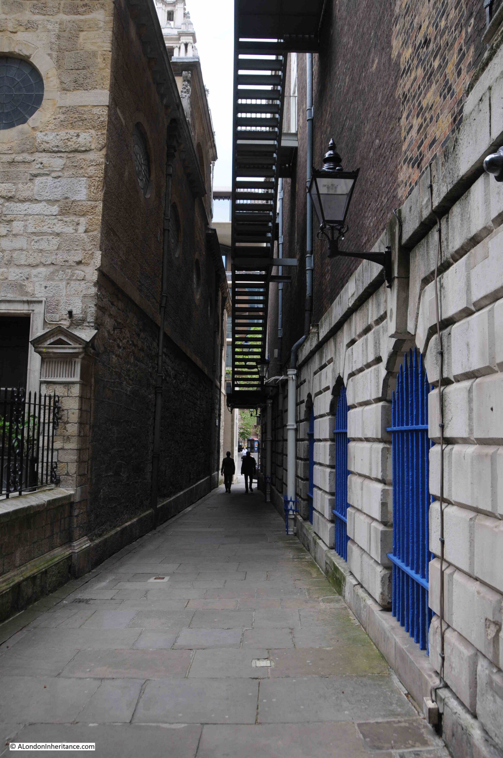
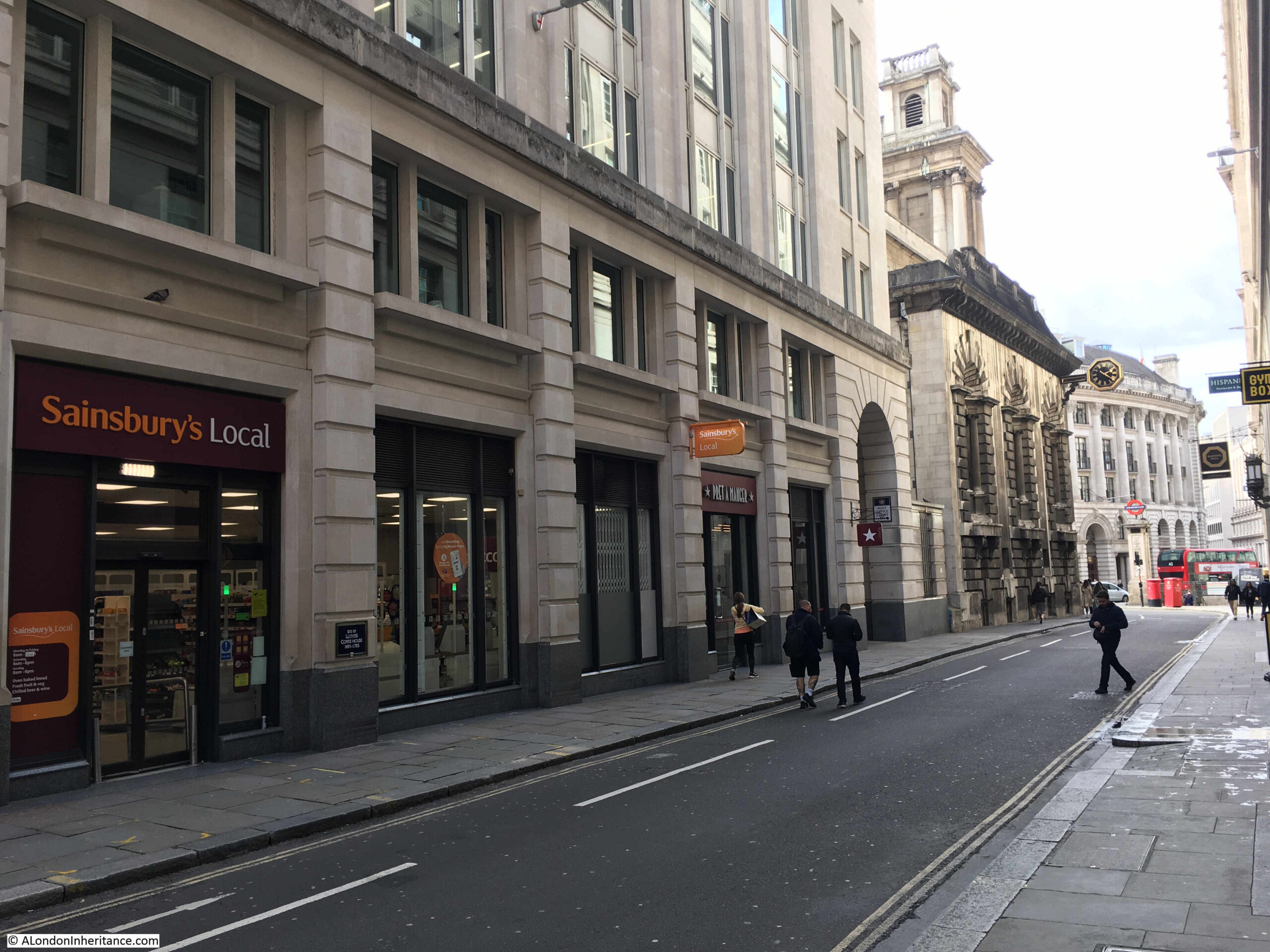
The plaque is in Clerks Place, not really a street or alley, rather a walkway leading of from Bishopsgate under one of the many office blocks that line the street.
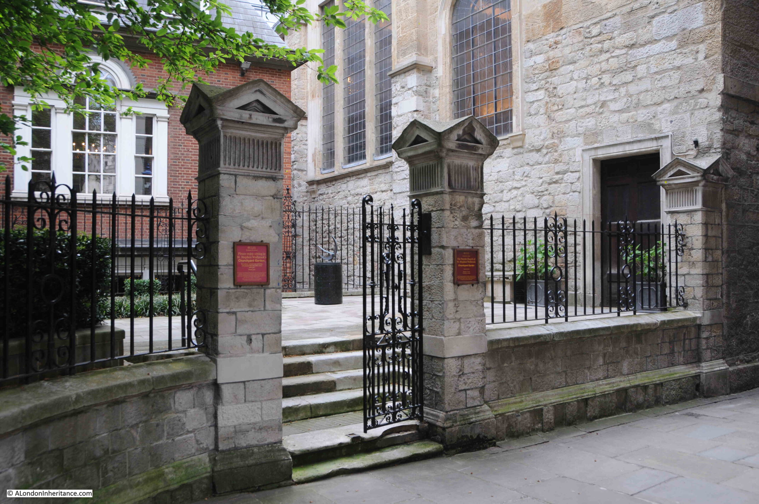
On the right of the above photo is the side wall of the church of St. Ethelburga, a key marker to demonstrate how named places have shifted their location over the centuries, which I will come to after looking at the Parish Clerks’ Company:

The Parish Clerks’ Company are slightly different to the majority of the other Companies of the City of London, in that it is not associated with a trade, rather the Company is for parish clerks of the parishes and churches of the City of London, as well as a number of churches outside the original walls of the City, and from wider London.
The book “The Armorial Bearings of the Guilds of London” by John Bromley (1960) provides some background as to the age of the Company of Parish Clerks: “Unsupported tradition, based apparently upon a statement of John Stow, claims that the parish clerks of London were an incorporated body as early as 1233, but the first established charter to the Company is that of 22nd January 1441/2. Under this charter the chief parish clerks of the collegiate and parish churches of London, hitherto a brotherhood in honour of St. Nicholas, were formed into a perpetual corporation”.
As well as not representing a trade, there is another unique feature in the history of the Parish Clerks Company. During Henry VIII’s Reformation, the Parish Clerks Company were the only City of London Company that suffered the confiscation of all their property.
A new charter was granted to the “Master, Wardens and Brethren of the Parish Clerks of the City of London and liberties thereof” in 1611 / 1612, and their current charter dates from the 27th of February 1638.
In the years when the Company was first formed, the Middle Ages role of a parish clerk was as a clerk in minor orders who assisted the priest and helped with the preparation and running of church services and the choir.
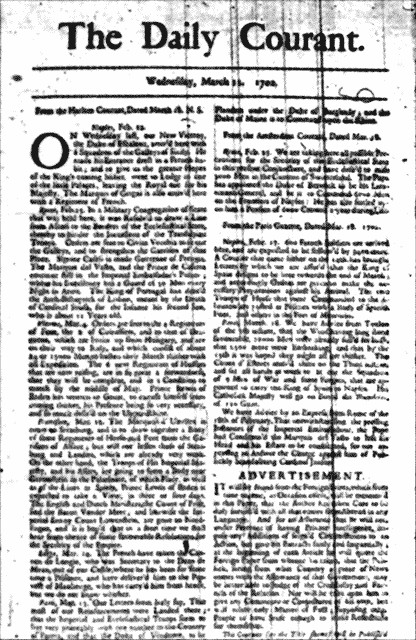
After the Reformation, the Parish Clerk became more of a lay member role, and crucially it was the Parish Clerk who was responsible for recording the births and deaths of parishioners, including the cause of death, and this data was published as Bills of Mortality, which provides us with a detailed view of life and death in London (see my post here for a detailed review of Bills of mortality in early 18th century London, if you want to know about causes of death such as Planet Struck, or St. Anthony’s Fire).
The responsibility of Parish Clerks to record birth and death data for their parish seems to have run from the mid 16th century to the first decades of the 19th century, when a national system of registration was introduced in 1837.
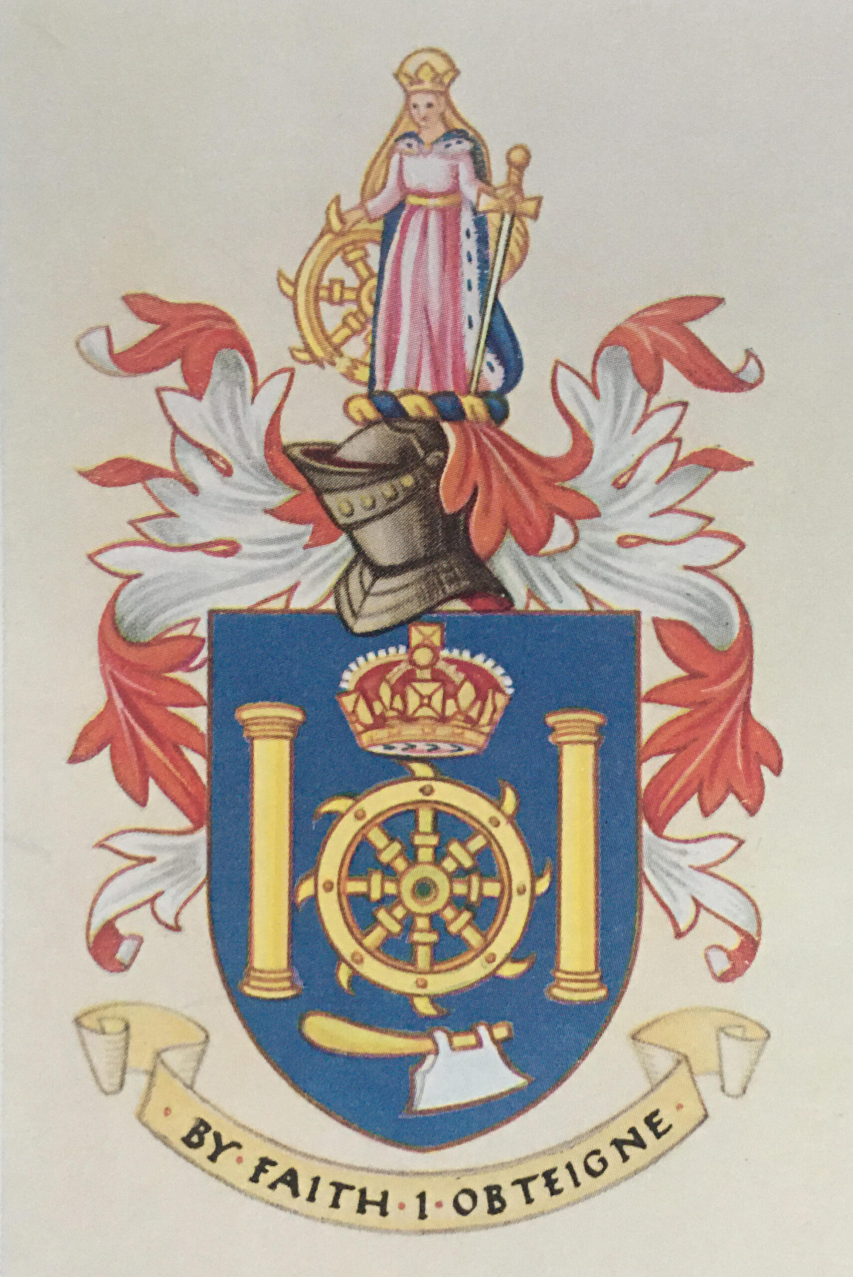
The armorial bearings of the Company of Parish Clerks from the 1960 book by John Bromley:

The arms today are slightly different following a grant on the 16th October 1991, when “supporters” of angels standing on the top of ionic columns where added to both sides of the shield, and the helmet at the top of the shield has been changed to face directly out from the arms. All other features are the same..
The song book at the top of the arms is a “pricke songe book” meaning a piece of written vocal music, music which has been pricked, marked out or notated. No doubt a book that the parish clerk would have been responsible for.
The motto “Unitas societatis stabilitas” translates to ‘Unity is the support of Society’.
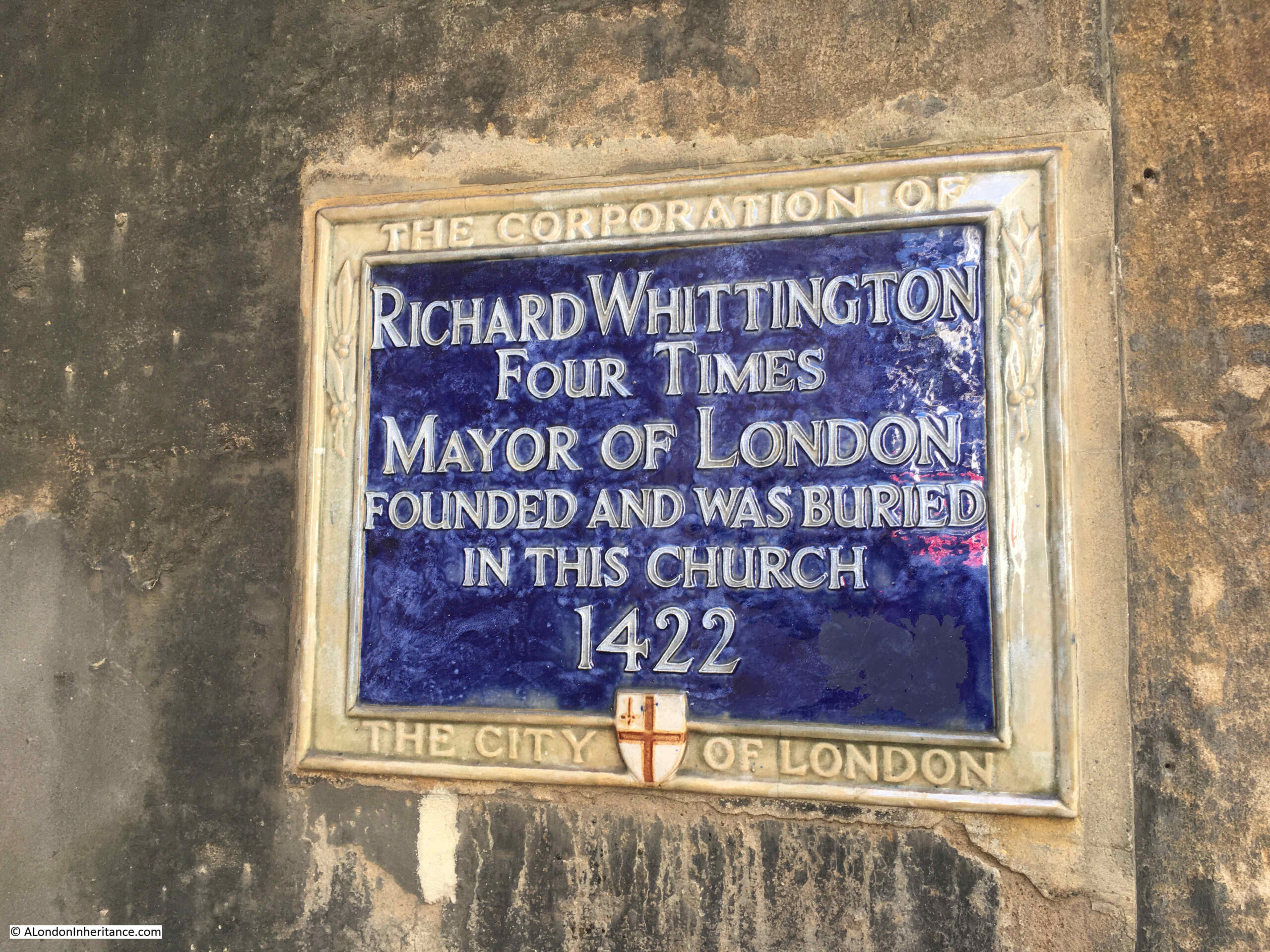
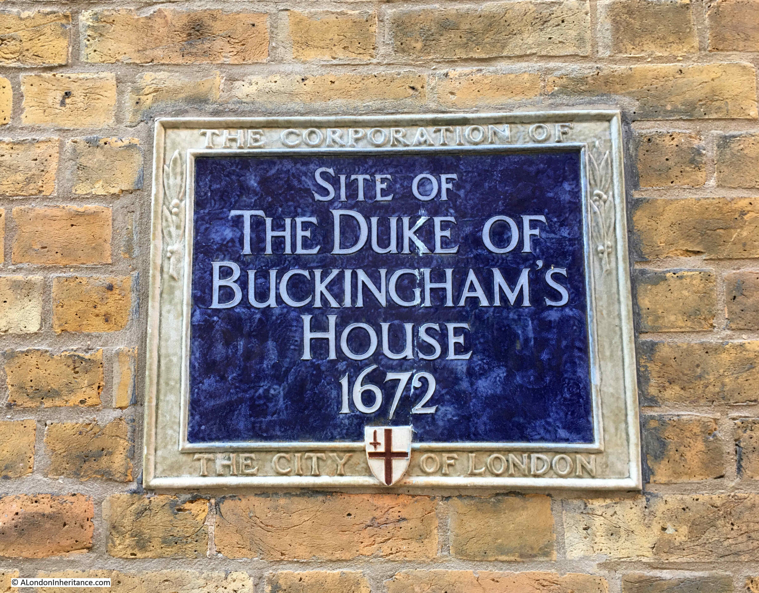
The plaque is to mark the site of the first hall of the Parish Clerks Company. The plaque records that it was the site of the hall until the mid sixteenth century, as this was when the hall was taken by the Crown during the Reformation.
The Company established a second hall at Brode Lane, however this was destroyed during the 1666 Great Fire. Their third hall was in Silver Street (just to the south of London Wall, near the old Museum of London site), but this third hall was destroyed by bombing during the night of the 29th / 30th of December 1940.
The Parish Clerks Company did not build a fourth hall, and today make use of space in other halls of City Livery companies, as and when needed.
The company is still active today, and membership “is limited to those who have been appointed by the parochial or guild church council and the incumbent to hold the office of parish clerk in certain ancient parishes in the City of London and its immediate suburbs”, so continuing a tradition lasting several hundreds of years.
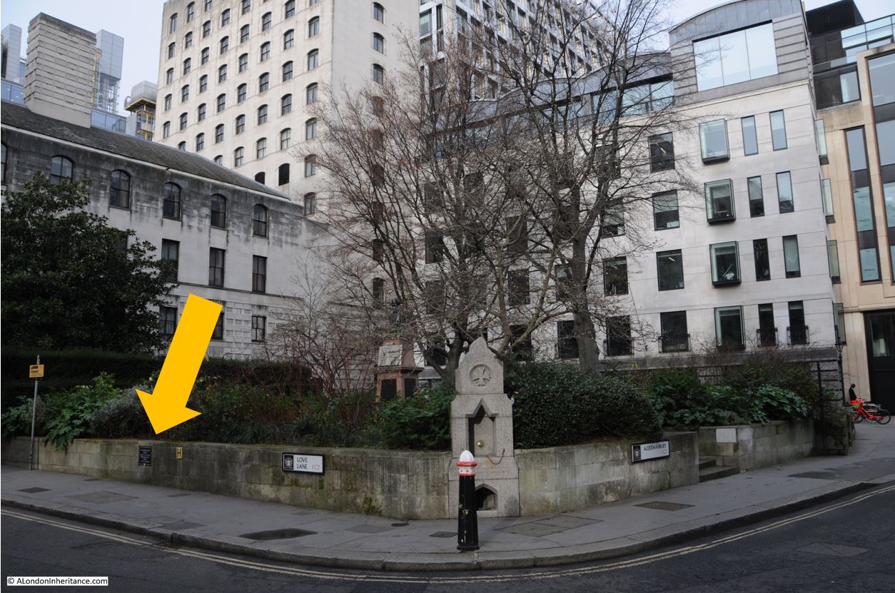
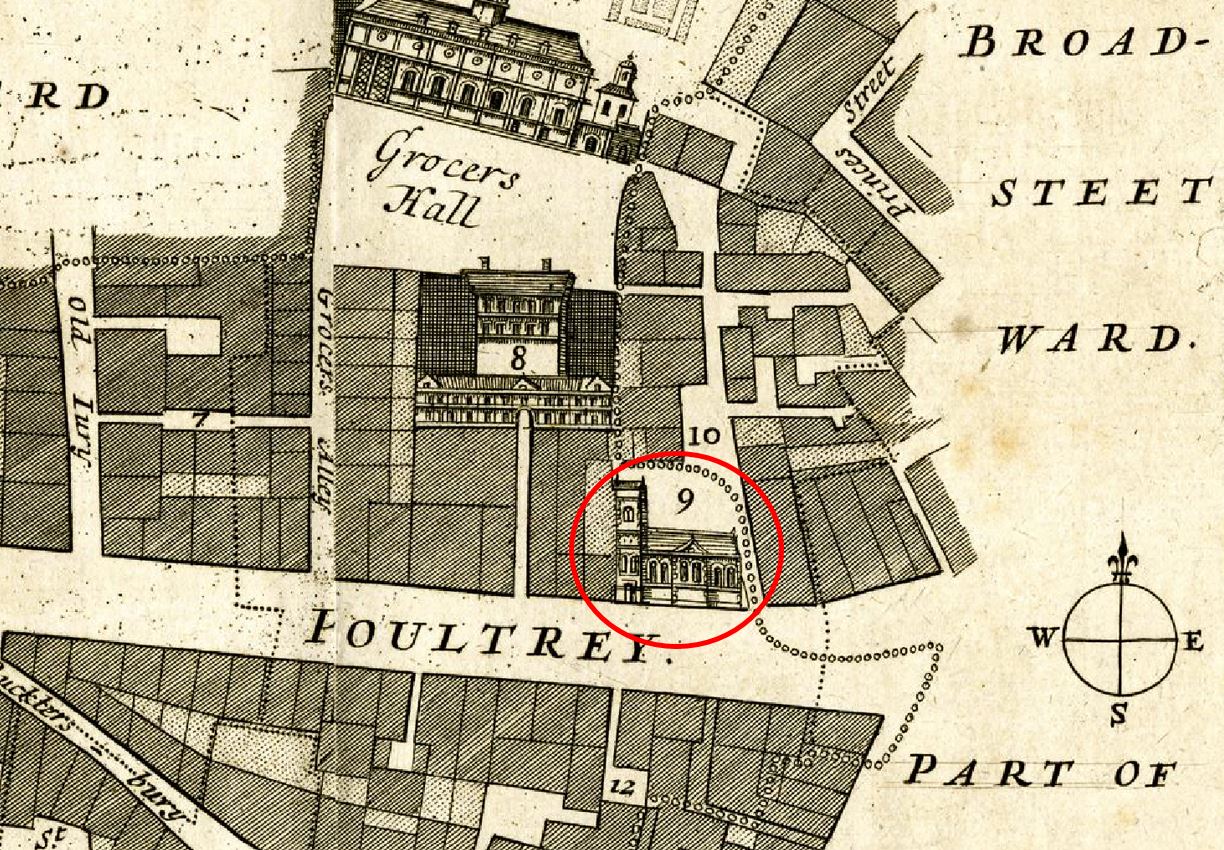
What I am not sure about is whether the plaque is in the correct position, certainly Clerks Place is in the wrong position.
The following is an extract from the 1951 revision of the OS map:

(Map ‘Reproduced with the permission of the National Library of Scotland)
The Church of St Ethelburga is at the end of the red arrow. This is the church on the right of the location of the plaque, the current position of the plaque is pointed out by the yellow arrow.
Clark’s Place can be seen just to the north (blue arrow), although to add some further mystery, the name is spelt Clark rather than Clerk. There is no Clerk’s Place next to St. Ethelburga, although there is a very small space next to the church.
The following is an extra from Rocque’s map of 1746, and again shows a Clarks Alley (yellow arrow), rather than Place, and no alley or place next to St Ethelburga (red arrow):

In “A Dictionary of London” by Henry Harben (1918), Clark’s Alley is listed, as is Clark’s Hall – “On the east side of Bishopsgate, ‘was a fayer entrie or Court to the common hall of the saide Parish Clarkes”. and Clarke’s Place is also listed as being “east out of Bishopsgate. First mention 1848 – 1851. Former names Clark’s Alley and Clark’s Court”.
As I was writing the above, I was thinking that this is getting too detailed, but I hope it demonstrates the following:
- with almost anything historical, it helps to be aware that anything, including plaques, street names that have a historical name etc., may not be in the right place
- the spellings Clerk and Clark seem to have been used interchangeably for centuries (newspapers contain hundreds of reference to both a Parish Clark or Clerk over the last 300 years)
- Clarks / Clerks Alley / Place was further north than the current route of the walkway named Clerks Place. I suspect this was to free up a large amount of space for the buildings that now occupy the original location, with the route being moved next to St. Ethelburga
- the City of London plaque states “On this site”, implying that the Parish Clerks’ Company Hall was where the plaque is located, but if the hall was next to Clarks Alley, then it was further north. I wonder if this is the original plaque from before the new towers were built, and it was simply moved a bit further south, still to recall the hall, but now at the wrong place
A perfect example of the rabbit holes I find myself going down when researching posts.
The Worshipful Company of Parish Clerks are still going today, their website can be found here, where there is a really good list of parish churches in the City, as well as churches outside of the City where the parish clerk may still be admitted to the Company.
To demonstrate just how many churches there were in the City, the listing states that prior to the 1666 Great Fire, there were 97 parish churches within the walls of the City of London. A remarkable number for such a relatively small space. You must have been never more than a couple of minutes walk at most, from a City church.
Glovers Hall
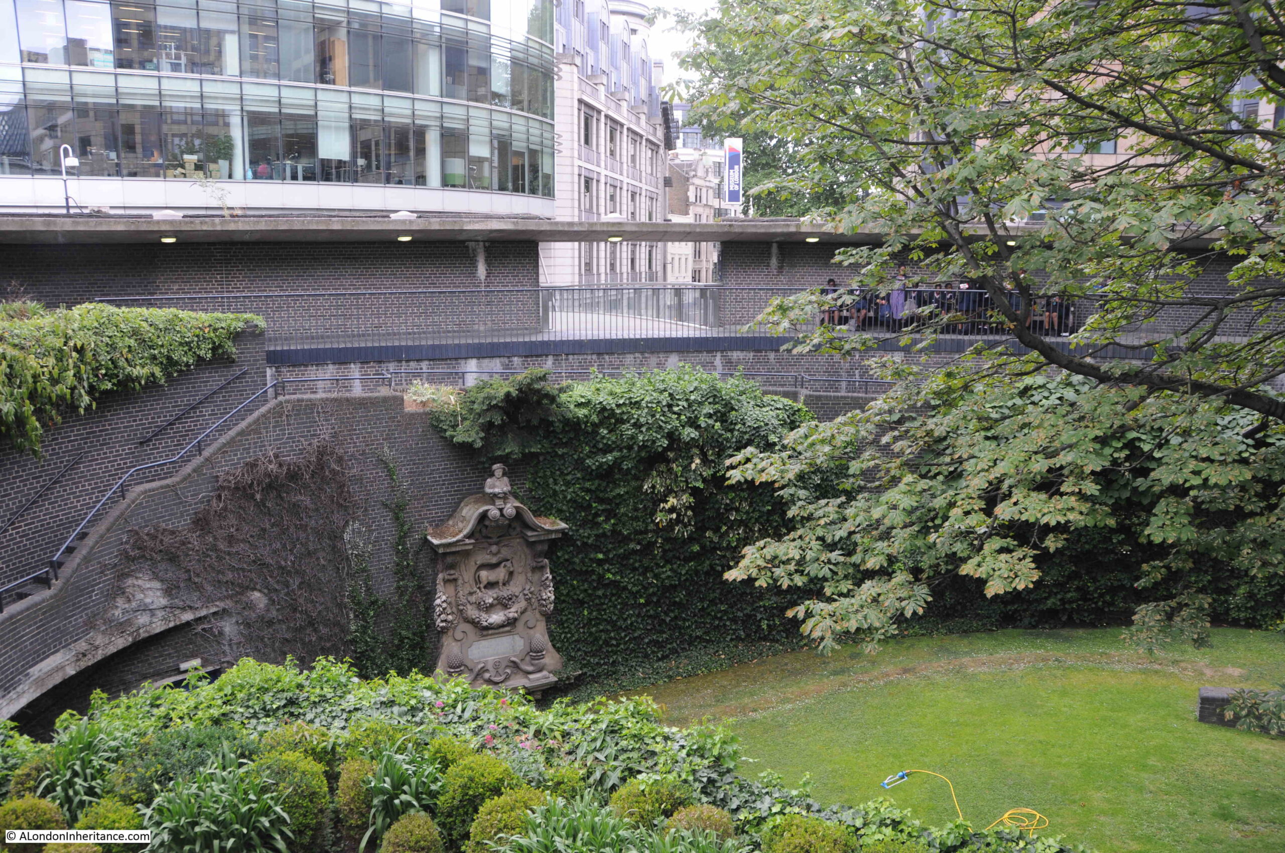
On the Cromwell Highwalk, one of the elevated walkways within the Barbican estate, and next to Cromwell Tower there is a plaque:

Recording that near this site stood Glovers Hall, 17th to 19th century:

Ordinances to create the Glovers Company were agreed in 1349, so that the company could regulate the craft of glove making in London.
By 1489, the craft of glove making was in decline, so the company merged with another company with a declining trade – the Pursers, and in 1502, the combined Glovers and Pursers joined with the Leathersellers Company.
In 1639, the Glovers exited the combined company, and again became a separate company of Glovers.
The hall referred to on the plaque was purchased in the mid 17th century, and the plaque is in almost the right place as my best estimate is that the hall was slightly to the right, in front of the present day Cromwell Tower, and obviously at a lower level to the Cromwell Highwalk where the plaque is located today.
Rocque’s 1746 map of London shows the Glovers Hall (within the red oval), with Glovers Court just below:

Beech Lane just to the right is today Beech Street, and the alignment of the street has been straightened to get rid of the bend to the left shown in the map.
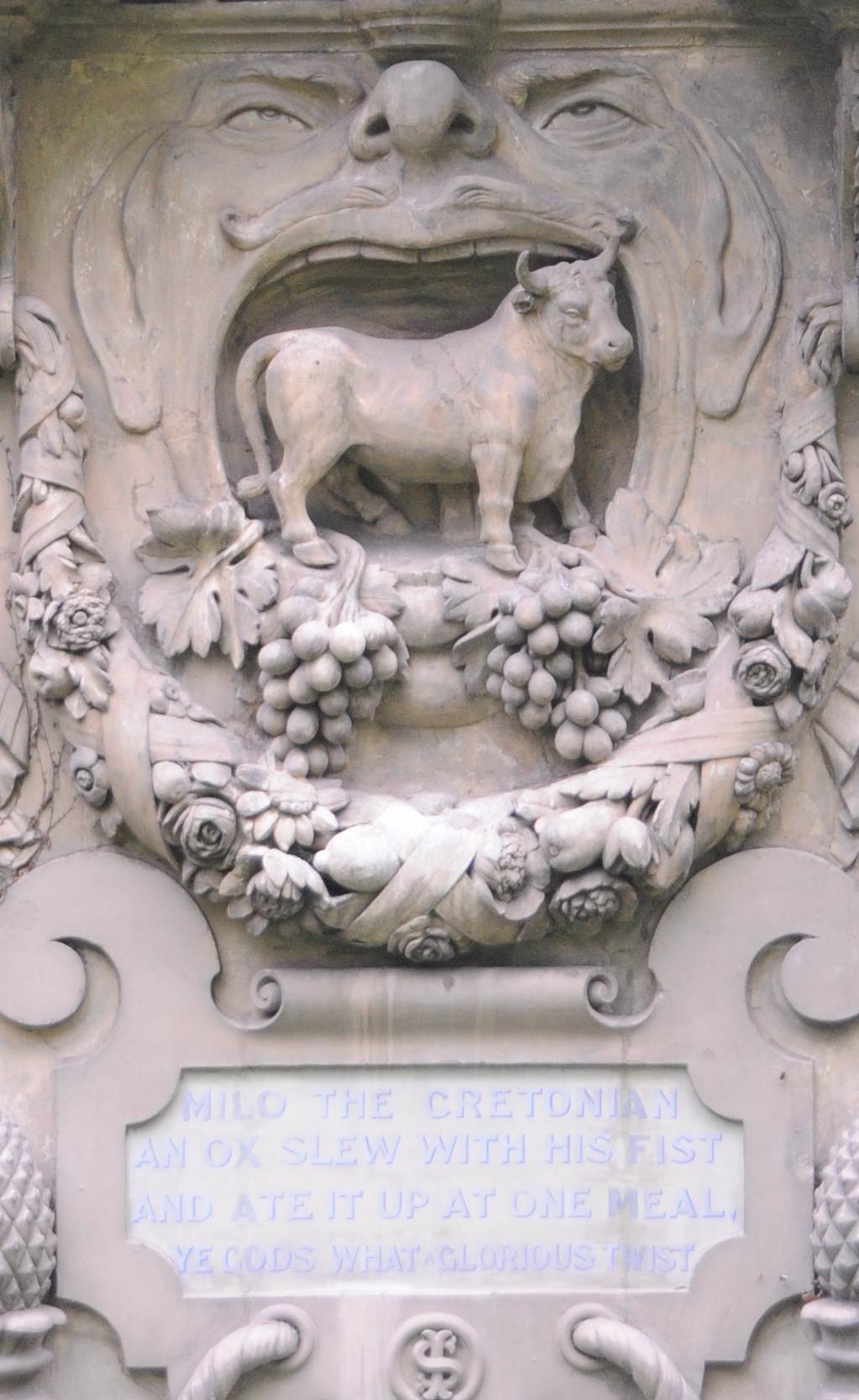
One of the activities of the Company in regulating the trade of Glovers included the prosecution of anyone carrying on the trade of Glover, who had not had the appropriate training or was not conforming to set standards. An example of where people were prosecuted included the following report in the Kentish Weekly Post on the 6th of December 1732:
“On Saturday was tried at Westminster, before the Lord Chief Justice Byre, a Cause depending between the Company of Glovers of London, Plaintiffs, and a Gloveseller in the Strand, Defendant, he being sued for carrying on the Trade of a Glover, not having served 7 Years thereto, and after a Trial of near 2 hours, the Jury, without going out, brought in a Verdict for the Plaintiffs, with Damages and Costs of Suit.”
The City companies were were very protective of their trade, and their members interests.
There are many reports of really strange sensitivities about certain elements of clothing, and between their manufacturers and City Companies. The following from 1739 is a typical example, and shows the strange things going on in London in previous centuries:
“Tyburn was hung with Women’s Thread and Cotton Gloves, to disgrace the wearing of them; the Stocking Weavers encroaching on the Glovers in this Branch of Trade has occasioned much Difference between them; The Glovers are willing to allow the Stocking Weavers the Legs as their property, but hope at the same time the Ladies will assist them with their Hands, by wearing Leather Gloves.”
Another example of the level of specialisation in manufacture, and how each group were fiercely protective of their trade.
Strangely, the arms of the Glovers do not include any gloves, but there are rams, along with the motto of the Glovers: “True hearts warm hands”:

The Glovers do not appear to have been a well funded company, and the 19th century reference in the plaque was when the Glovers sold their hall to raise funds.
An indication of the financial state of the company can be had from the following report on the company in 1834: “Formerly, when the Company used to have dinners, they had stewards, but since they have become too poor to afford entertainments, the stewards’ office was abolished. The members sometimes dine together, but very seldom, then the expense is usually made up by individual subscription, and sometimes the expense is defrayed out of a small general fund they have.”
Since the sale of their hall, the Glovers do not seem to have had their own hall, instead making use of the halls of other City Company’s, although there is a strange reference to the Glovers Hall in a 1953 report in the Bromley and West Kent Mercury when a casket made by a Mr. J.H. Easden of Chislehurst following a commission from the Glovers Company to hold a glove for presentation to the new queen, Elizabeth I, was “taken to the Glovers Hall in the City of London, so that members attending a social function could see it.”
I suspect this was probably an error and the Glovers were making use of another City hall.
The Glovers are one of the smaller City companies that has often struggled over the centuries to survive, both financially and with a purpose. The time when these Companies were responsible for the regulation of a trade within the City has long gone, but those that survive, including the Glovers, now mainly have a charitable function, and also try to support their trade in the form it takes today.
According to their website, the Glovers also maintain a comprehensive collection of gloves at the Fashion Museum, Bath, although a quick search on the museum’s website makes no mention of the collection.
Each plaque only gives a very brief glimpse of the considerable history behind each one. Although there is insufficient room on a plaque for much more detail, adding perhaps a QR code linked to a website, such as the Museum of London, with a listing of all the plaques and some of their stories, would enhance a walk along the City streets.