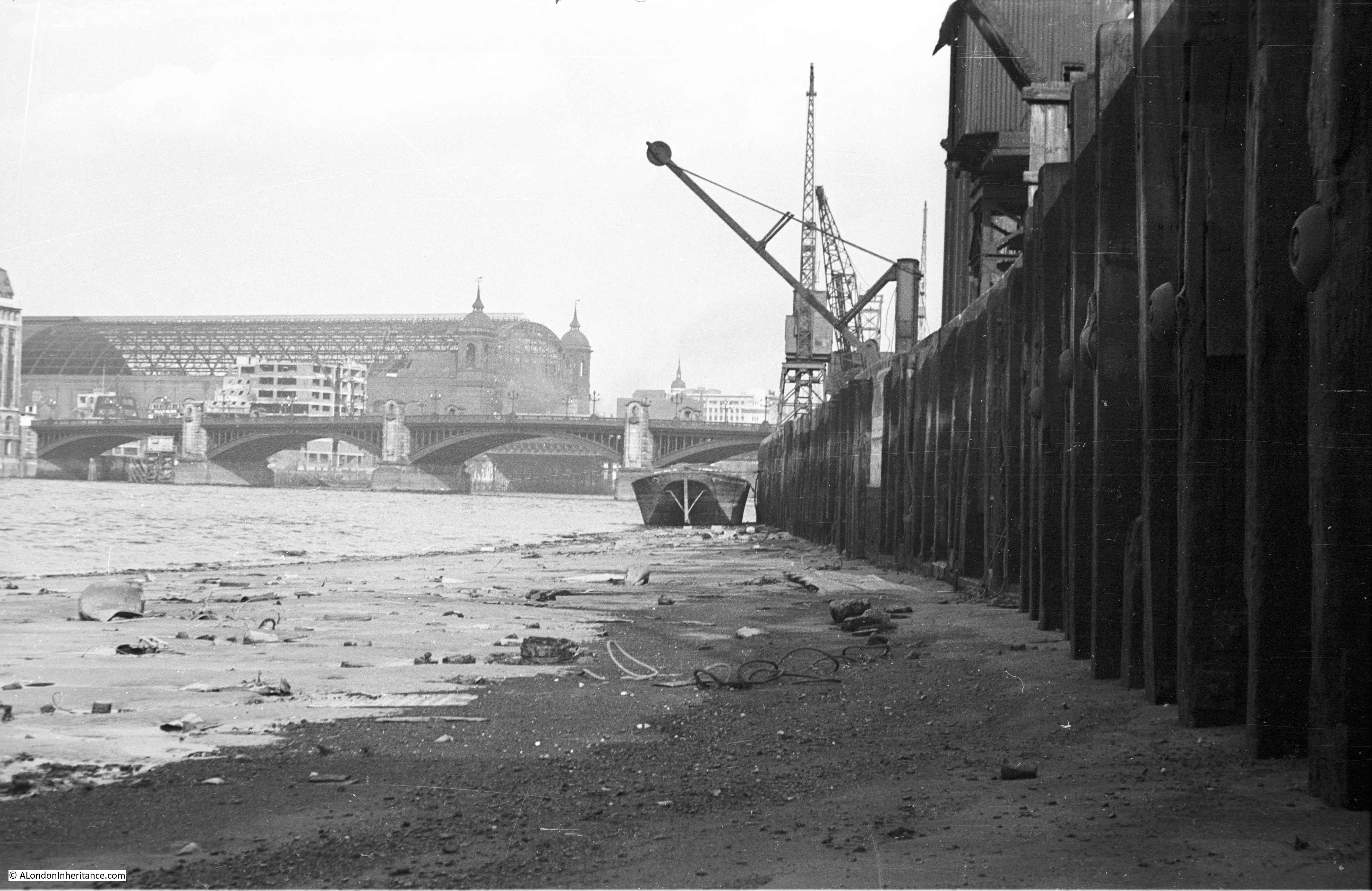
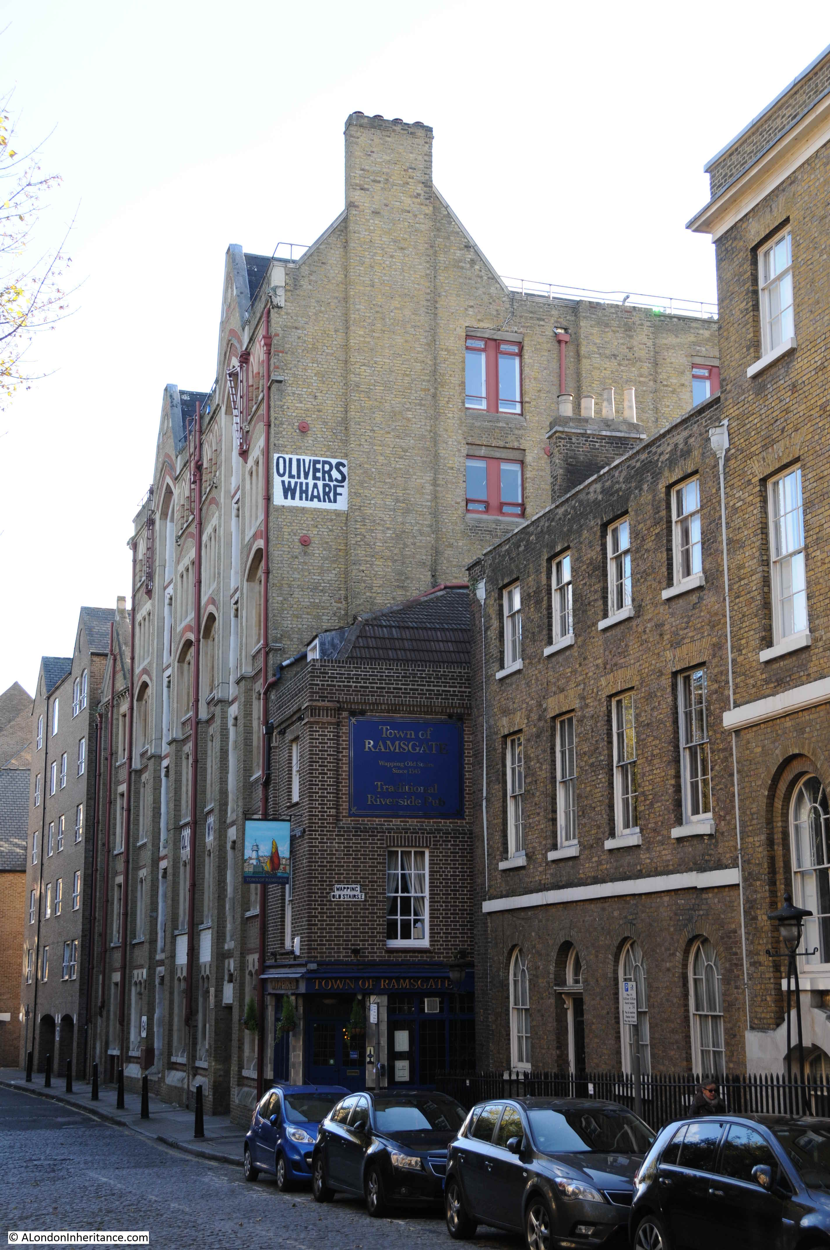
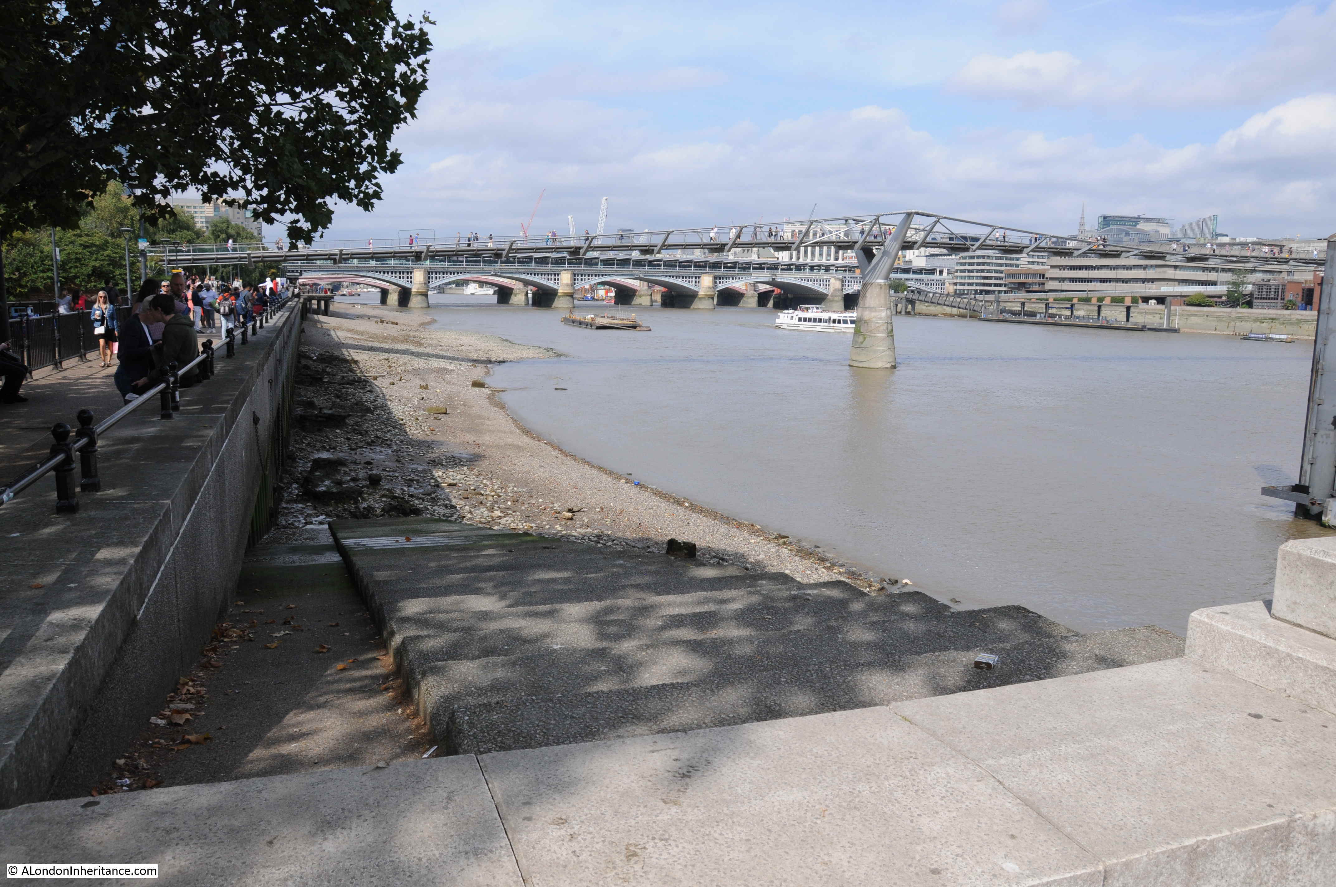
In the week before the lock down was implemented, I walked from London Bridge to the isle of Dogs. One of my favourite walks as the views of the river are wonderful in the gaps between old warehouse buildings. I am gradually working through as many Thames Stairs as I can find, and for this week’s post, let me take you to New Crane Stairs and a lost pub.
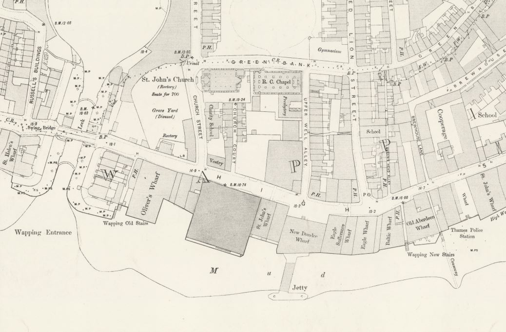
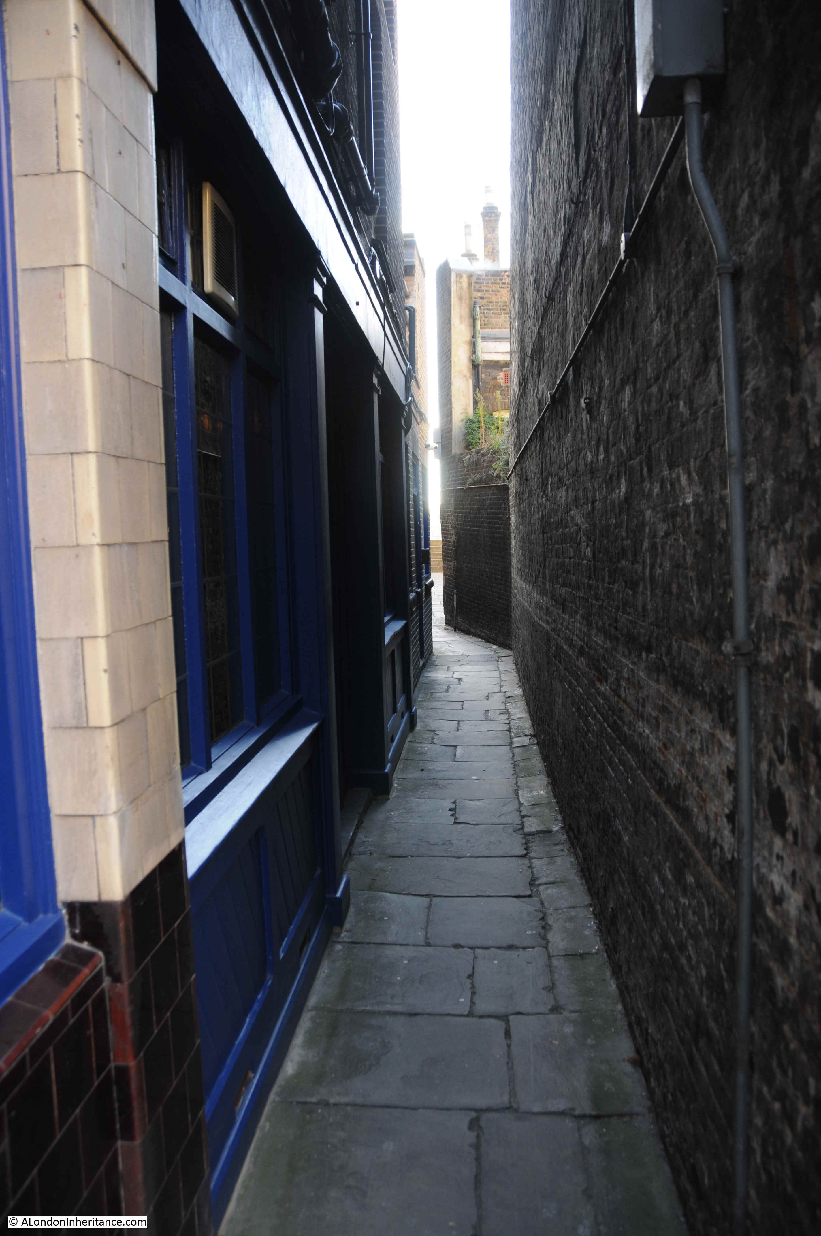
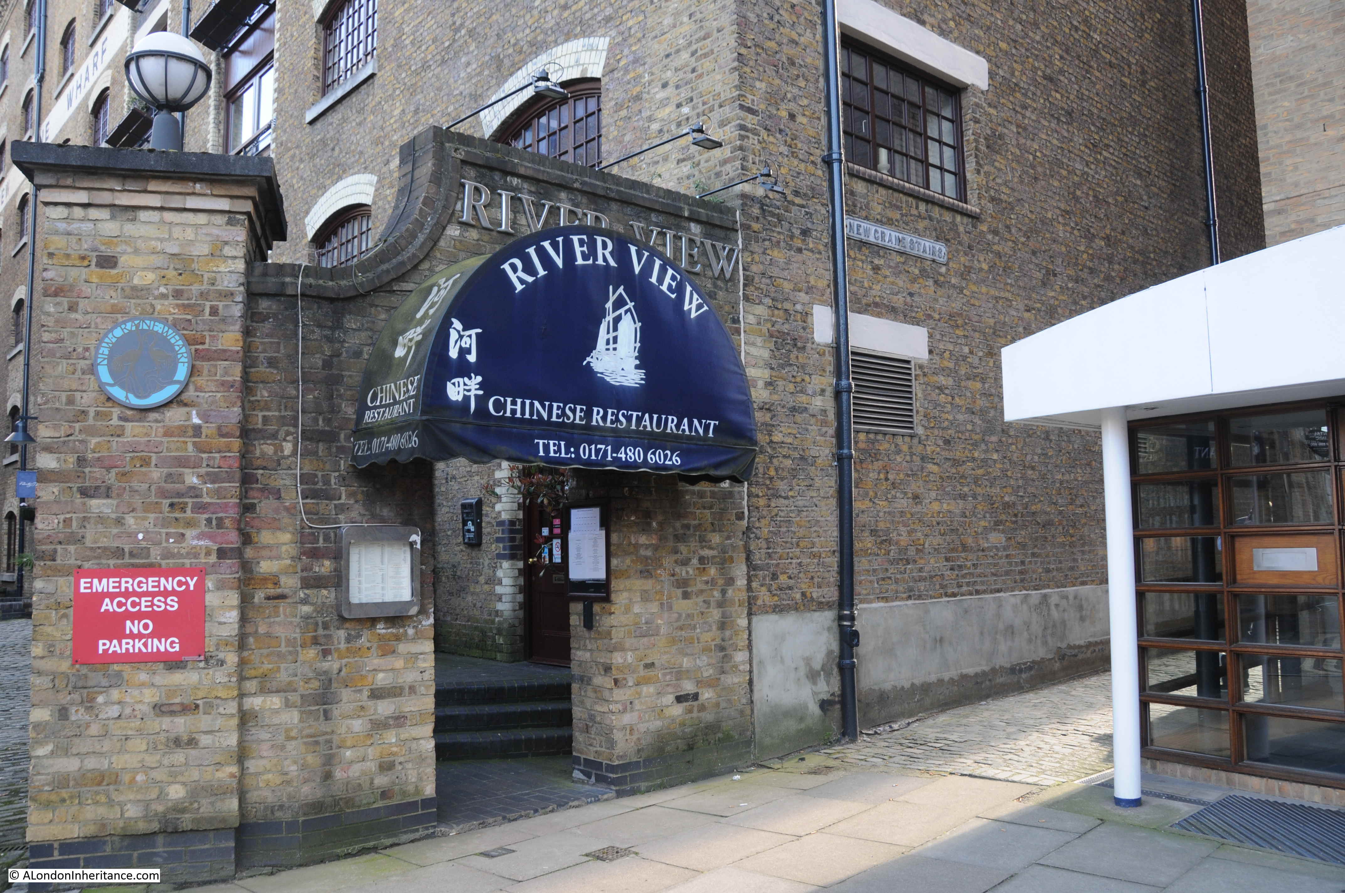
New Crane Stairs can be found at the corner where Wapping High Street turns away from the river towards Garnet Street. the entrance is tucked away between the old New Crane Wharf building and a recent new apartment building, with the entrance to the River View Chinese restaurant at the entrance to the stairs.
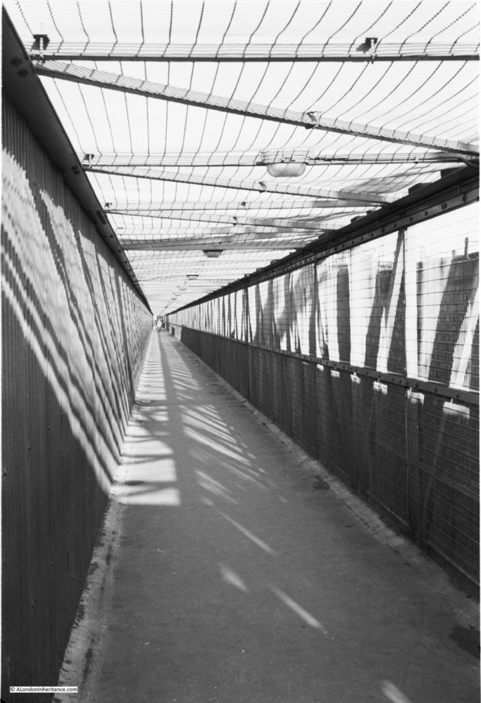
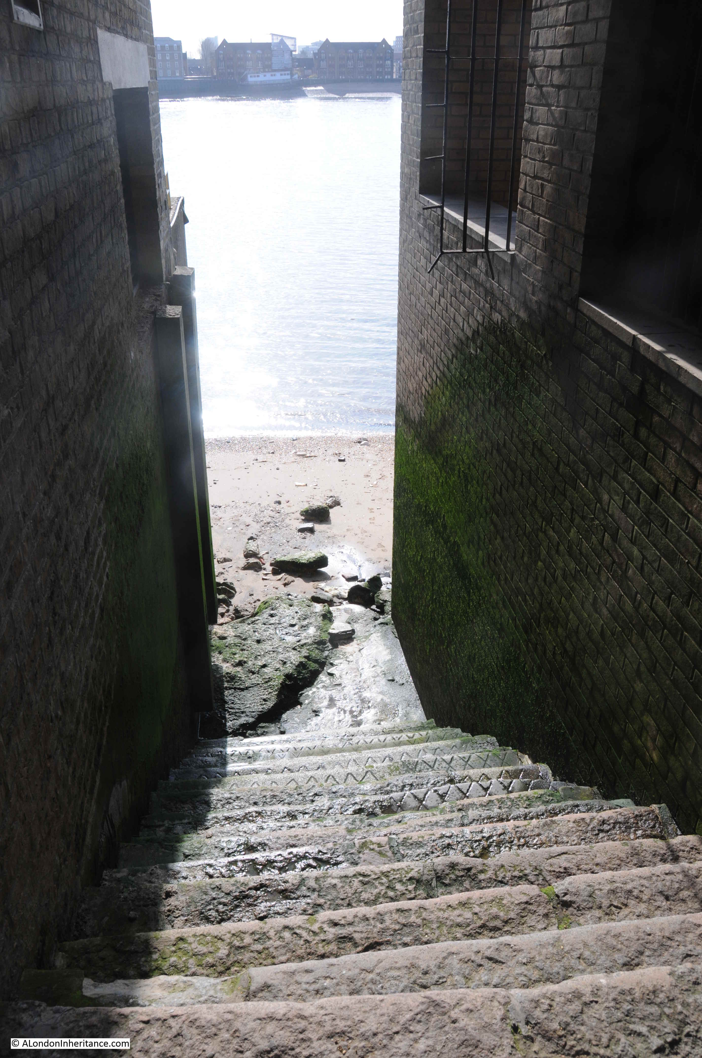
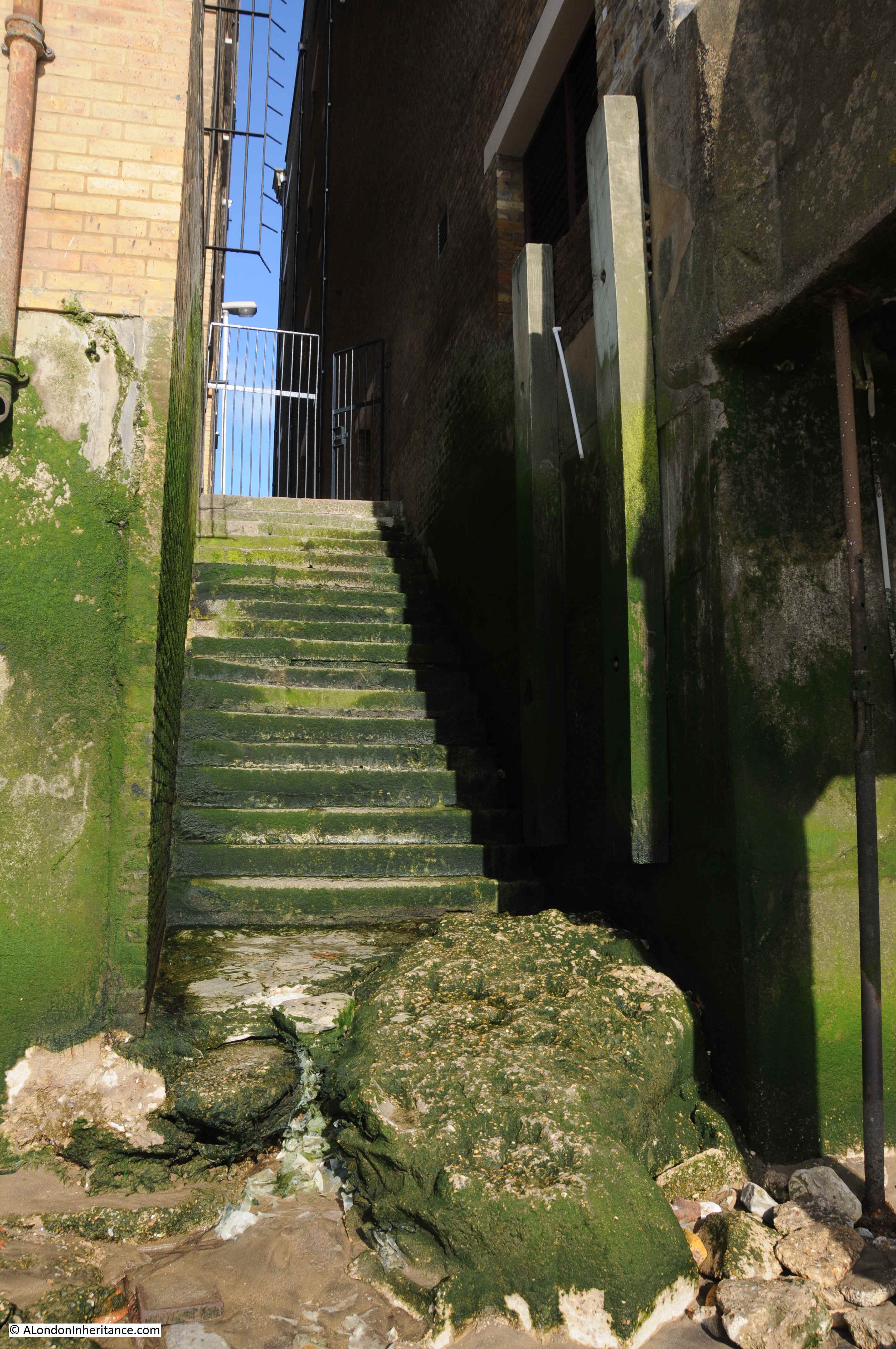
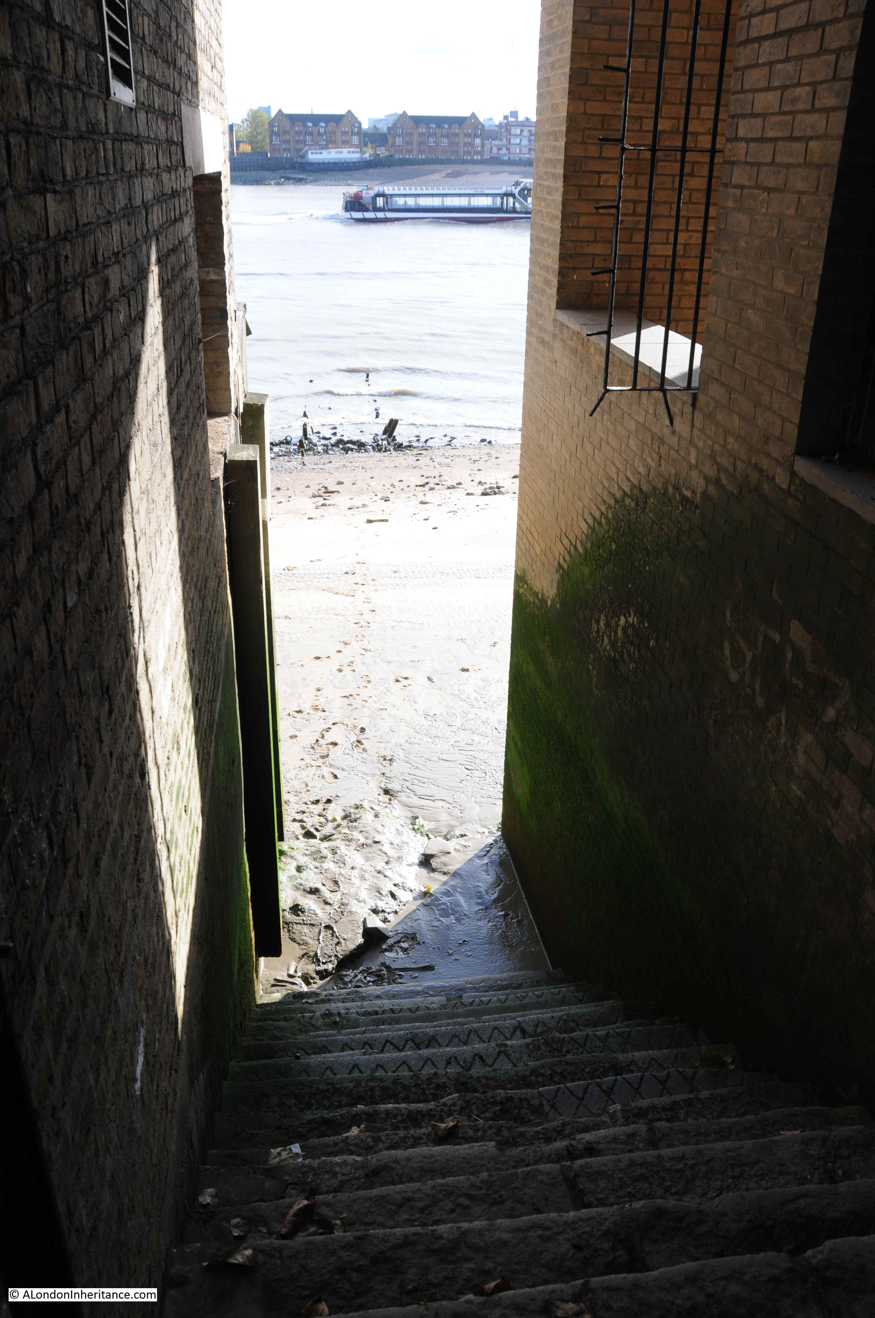
The view along the passageway leading to the stairs:

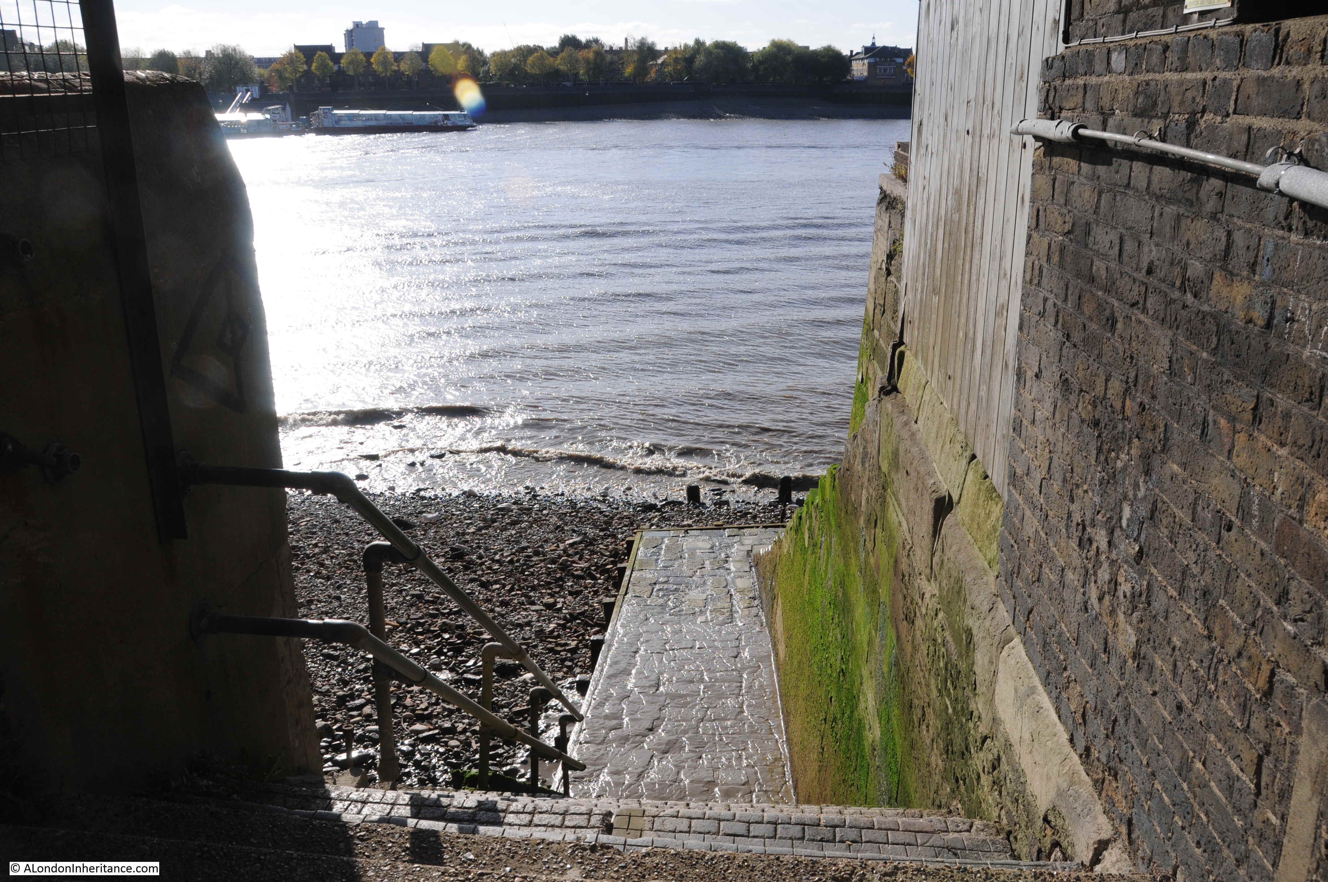
At the end of the passageway, New Crane Stairs lead down to the river foreshore:
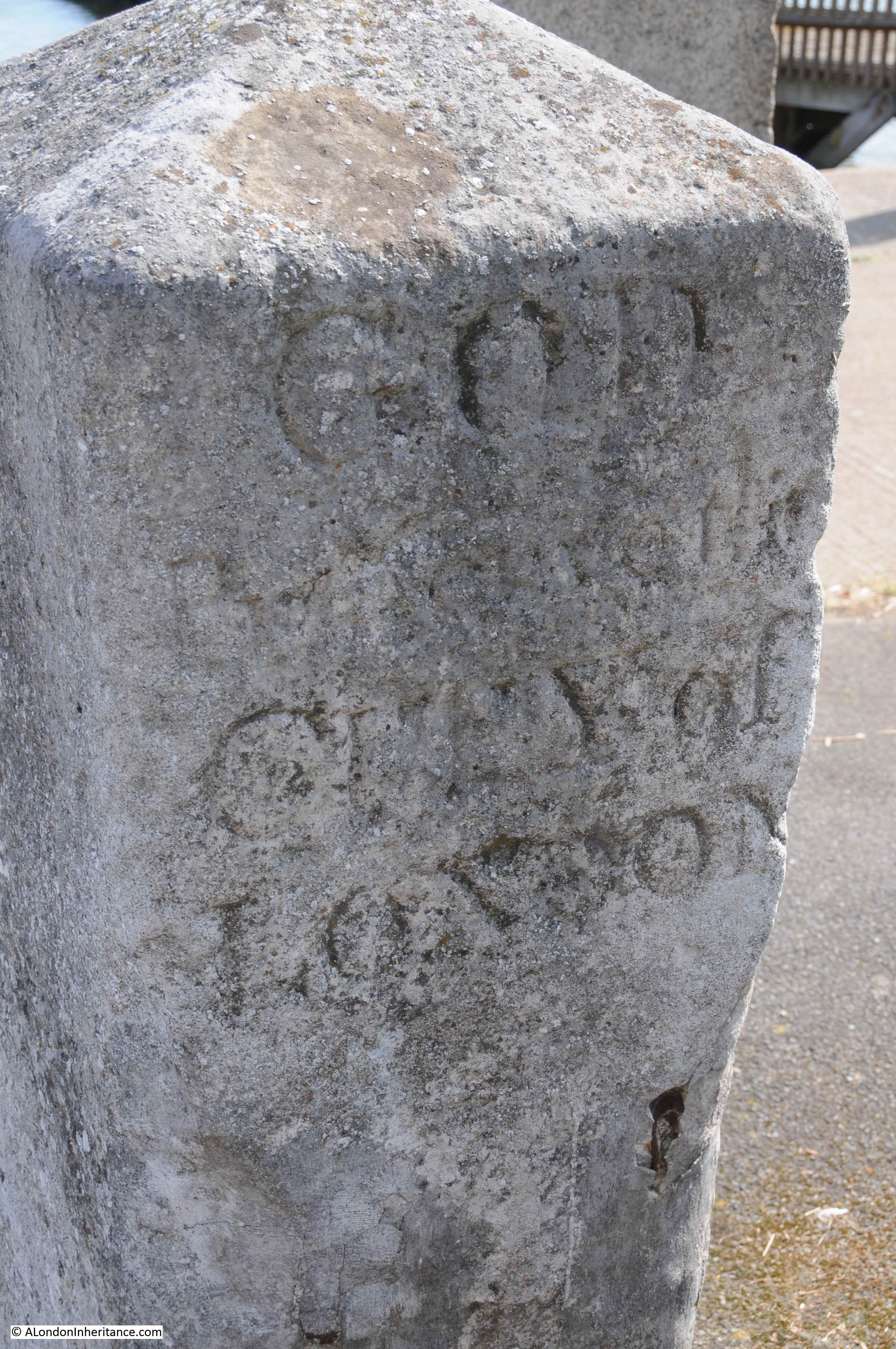
Despite the name, New Crane Stairs are an old set of stairs down to the river. They appear in Morgan’s 1682 map of the whole of London. The word “New” at the start of the name is interesting as it implies there may have been an earlier set of stairs with the Crane name. There are other examples of this, for example Horselydown Old and New Stairs on the south bank of the river, east of Tower Bridge.
The London Borough of Tower Hamlets Wapping Wall Conservation Area document states that: “Great Jubilee Wharf and New Crane Wharf (following the post medieval river wall line) form a continuous ‘wall’ of buildings between the street and the Thames.” Intriguing to wonder if New Crane Stairs could possibly date back to a route over the medieval river wall to the river.
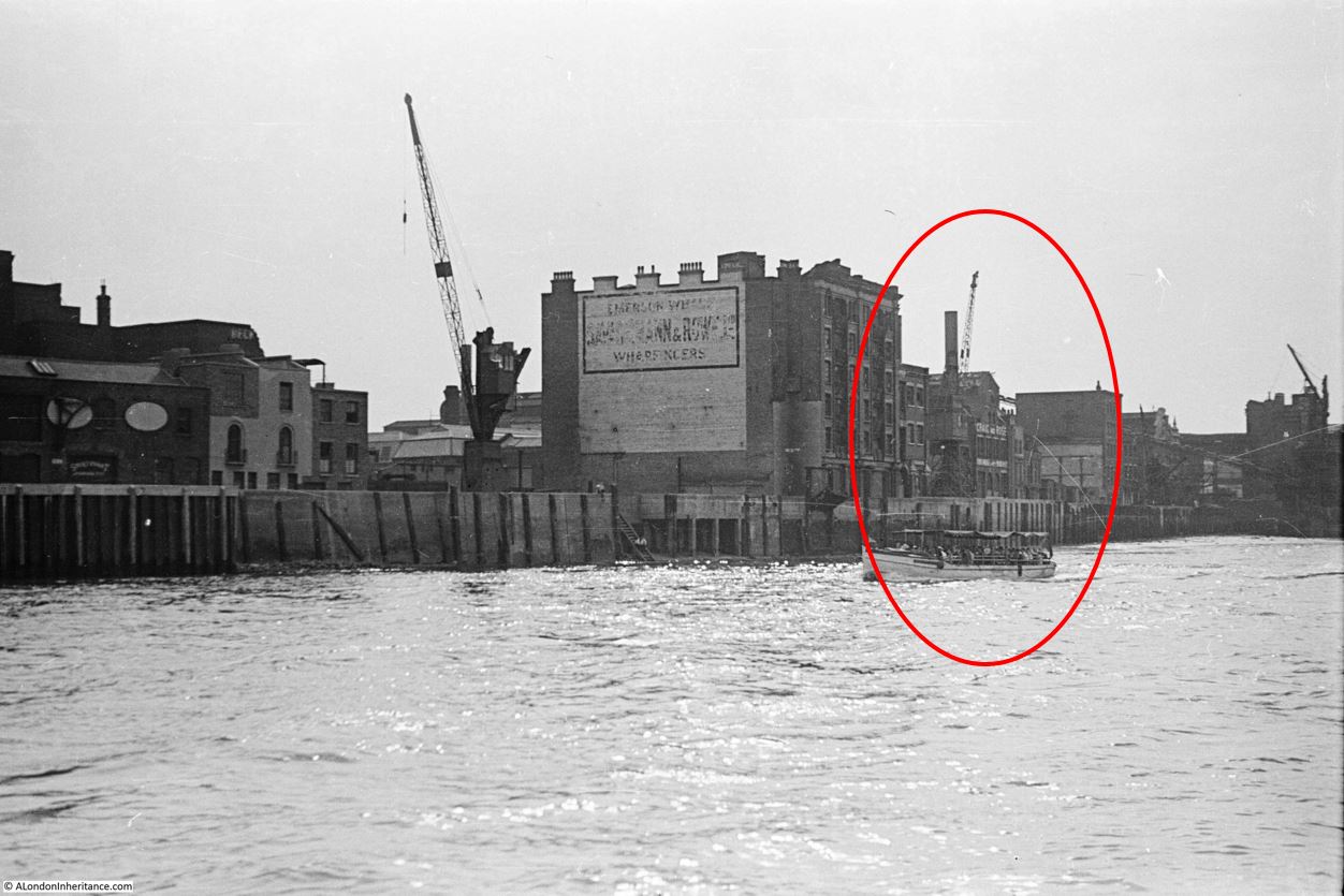
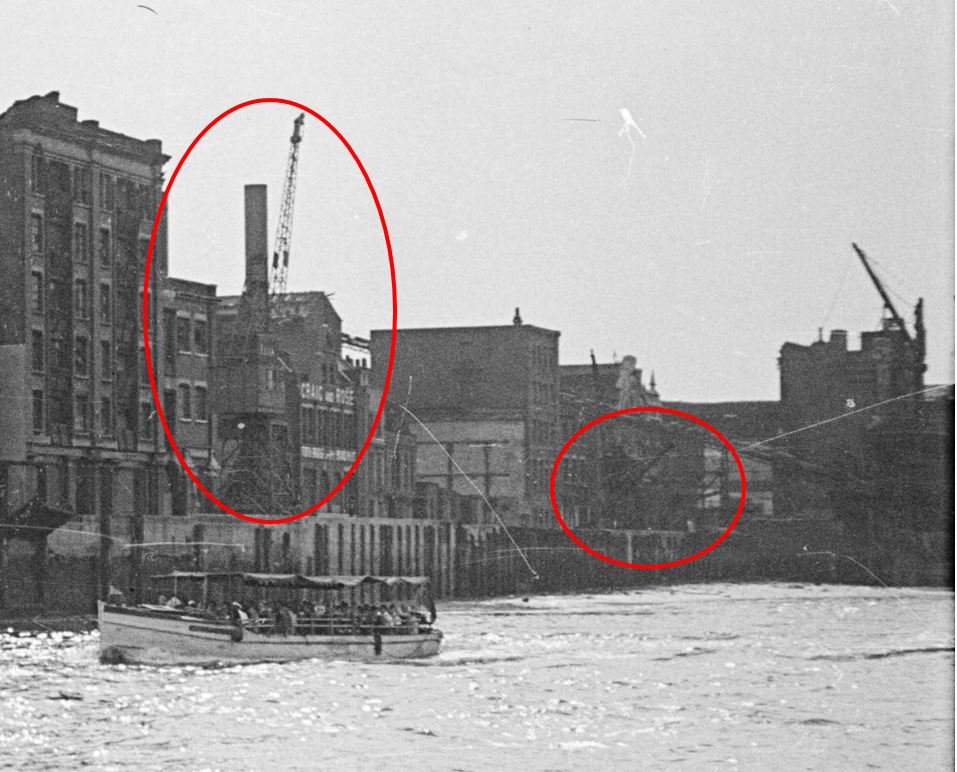
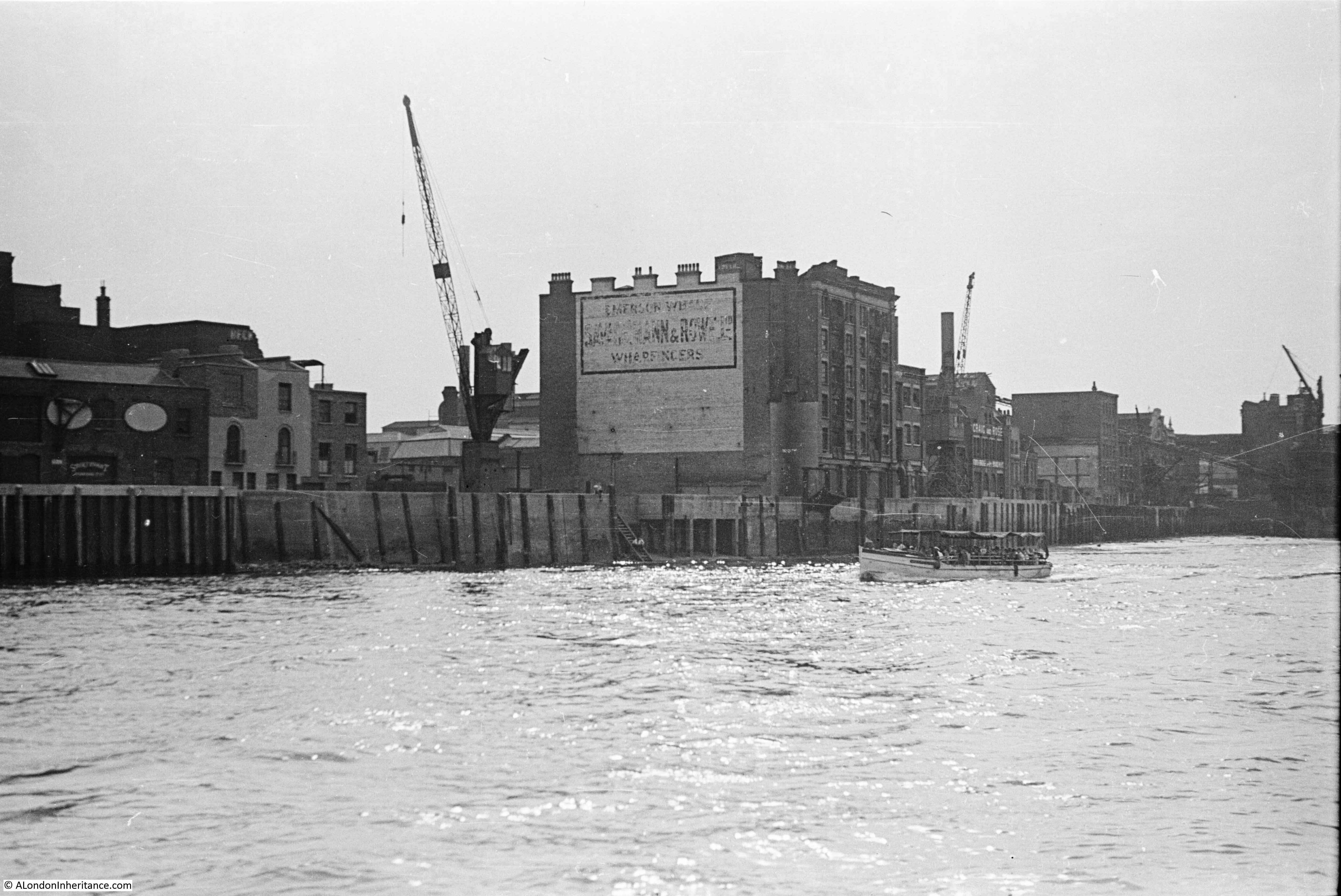
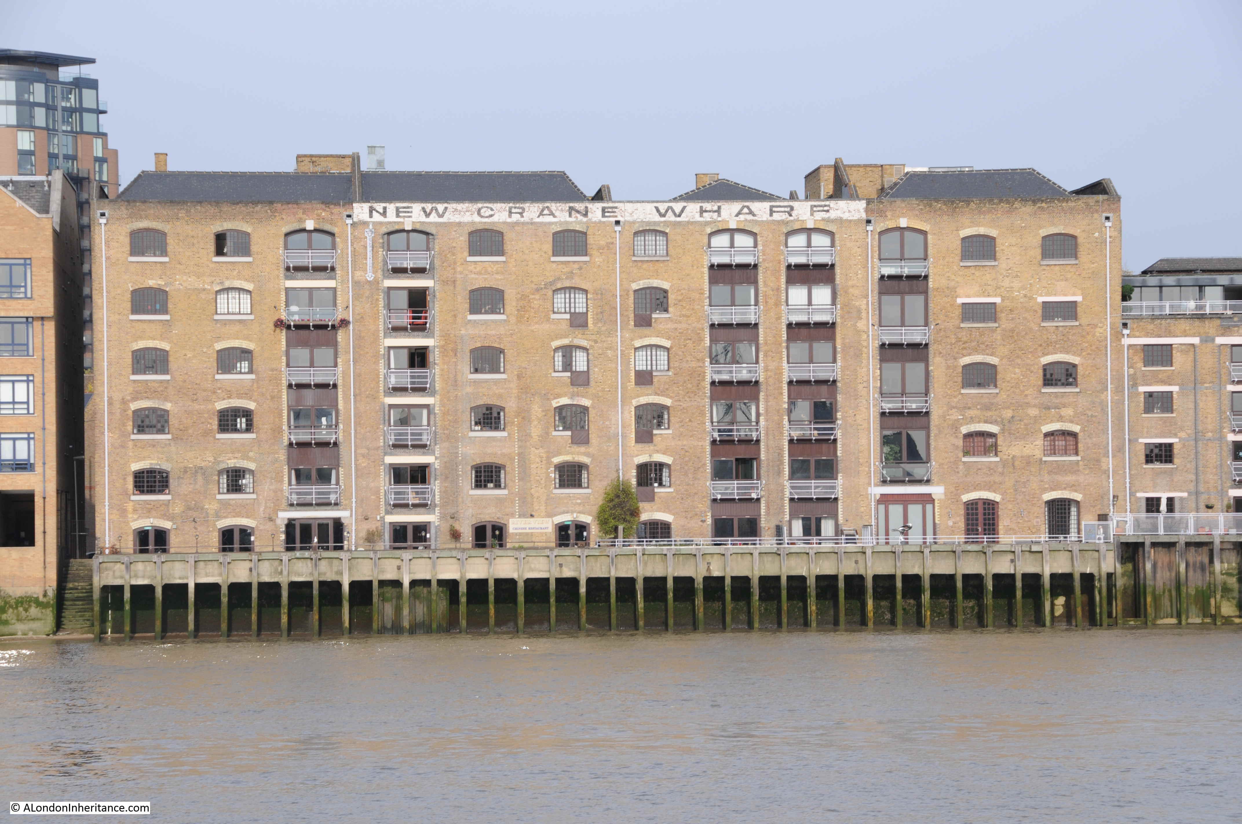
The following photo shows the view of New Crane Wharf from the river, with the stairs to the left:
I cannot find a source for the name, whether there was an earlier set of stairs with the Crane name, or whether the name was in reference to the nearby installation of a “new crane” which perhaps in the 17th century or even earlier would have been worthy of note.
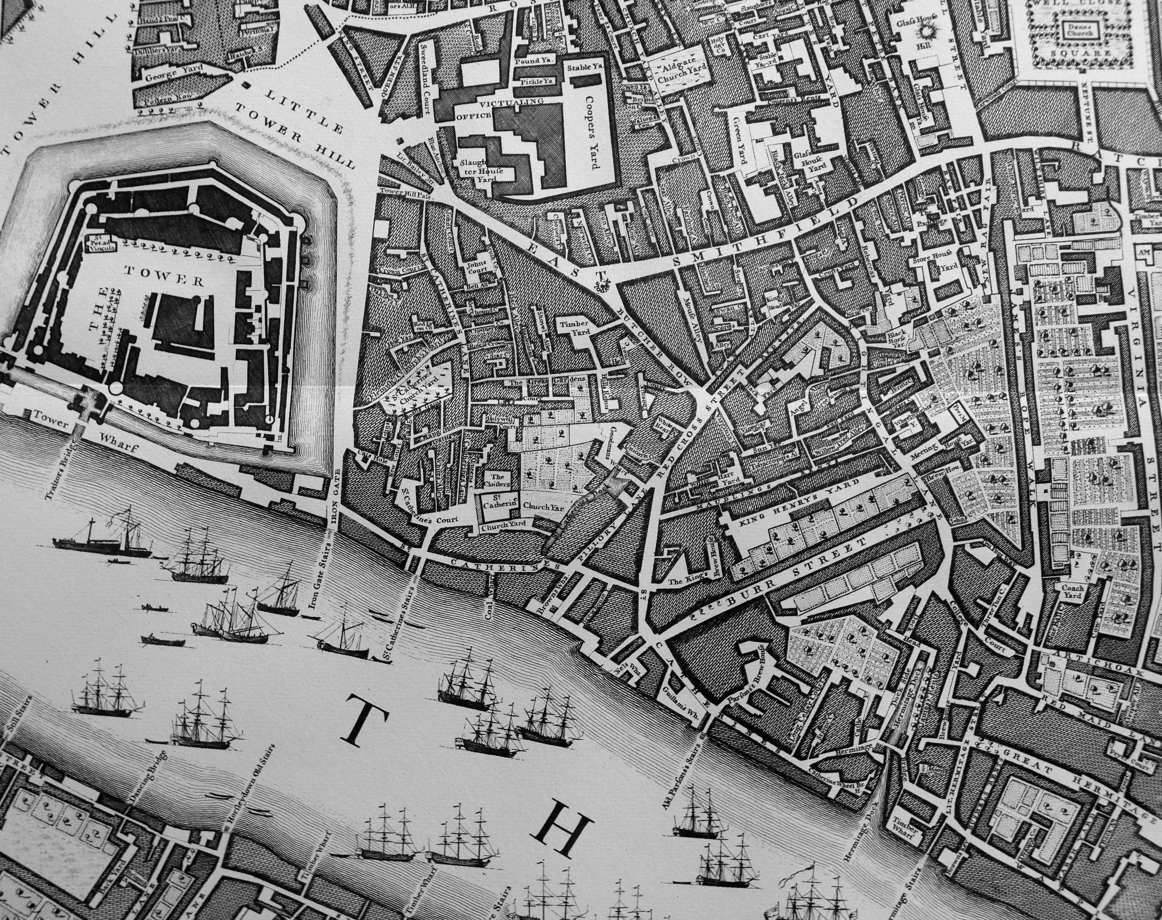
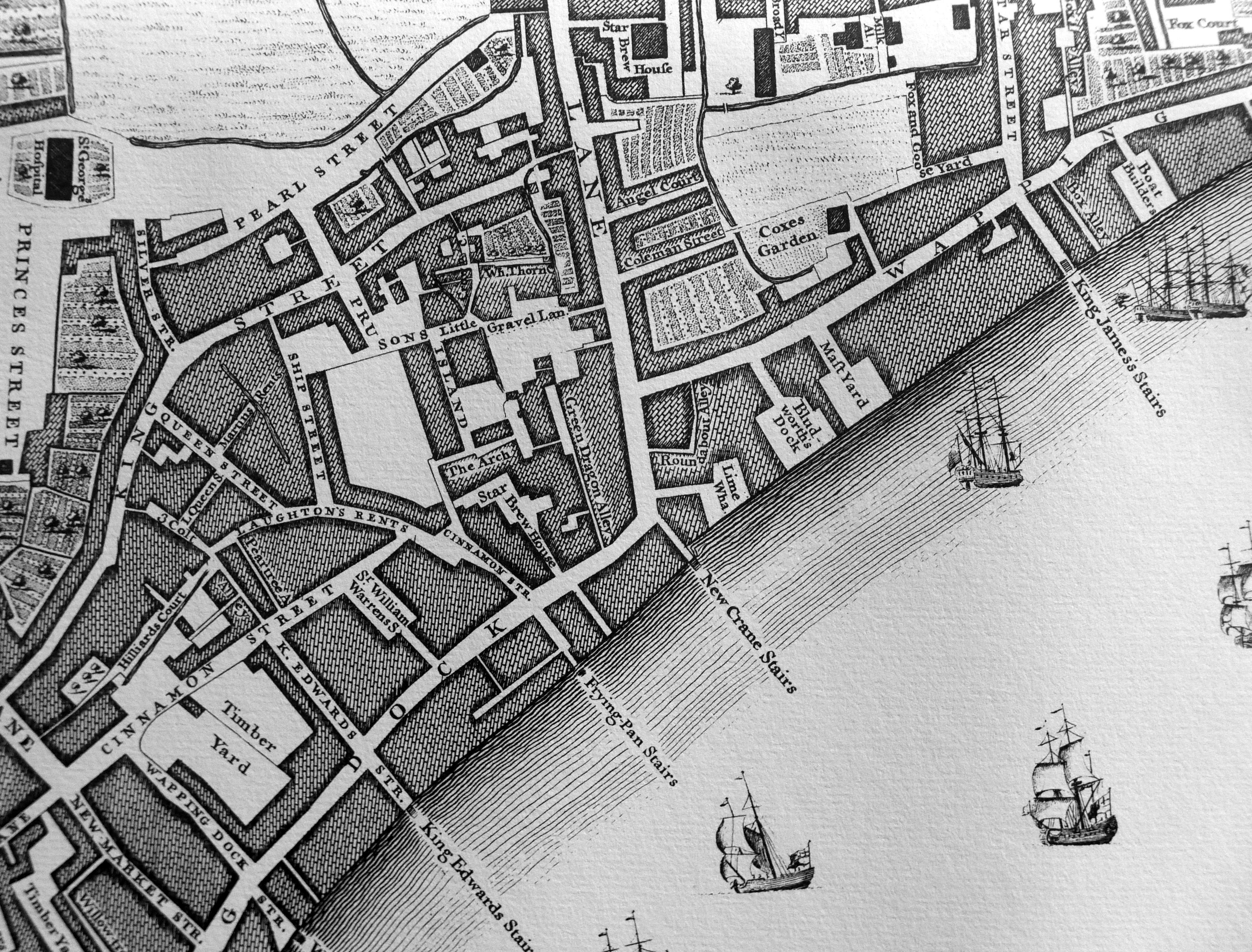
Rocque’s 1746 map clearly shows New Crane Stairs at the point where the road turns north, in the centre of the following map:
The first written reference I can find to the stairs, in addition to the above maps is a rather touching newspaper report from the 4th August 1758:
“Thursday, the Wife of John Newcomb, a Waterman, belonging to New Crane Stairs, Wapping, was delivered of three fine boys, and all are like to do well.”
That this was newsworthy probably indicates how rare it was in the mid 18th century for three babies to be born, presumably without any complication – although typical for the time, the wife’s name is not given, or her health following the birth.
Five years later, in July 1763 there was one of the disastrous events that were relatively common in the wooden, close built houses and warehouses crammed with combustible materials:
“Sunday morning, about One o’Clock, a most dreadful Fire broke out at the New Crane Stairs, Wapping, which burnt with great Fury for 4 Hours before it could be stopped, and consumed all the Houses from New Crane Stairs to King James’s Stairs, and from the River-side back to the Garden Ground which includes both sides of the Street called Wapping Wall, and Part of Gravel Lane; it ended in consuming Mr Wilson’s large and fine Cooperage: The Number of Houses burnt are computed around 170, besides Shops, Warehouses and Docks, &c. and it is reckoned 1500 Persons, Housekeepers, Lodgers, &c. are burnt out. The loss is immensely great.
In the Dock by New Crane Stairs was the Mary Gally, captain Clarke, a fine Ship in the West-India Trade, almost ready to come out, which was entirely consumed to the keel, with all materials about the Dock.
It is said the Fire broke out in a Small-Beer Brewery, which immediately communicated itself to the Ship Alehouse; and the Wind blowing strong from the South carried the Flames to the Dock-Yard and other Houses adjoining; and the street being narrow, greatly impeded the working of the Engines. Two men are said to be buried in the Ruins and a Fireman had his skull fractured by the falling of a Wall.”
The damage caused by the fire can be judged by Sun Fire Office alone paying out £40,000 to those who had suffered losses in the fire.
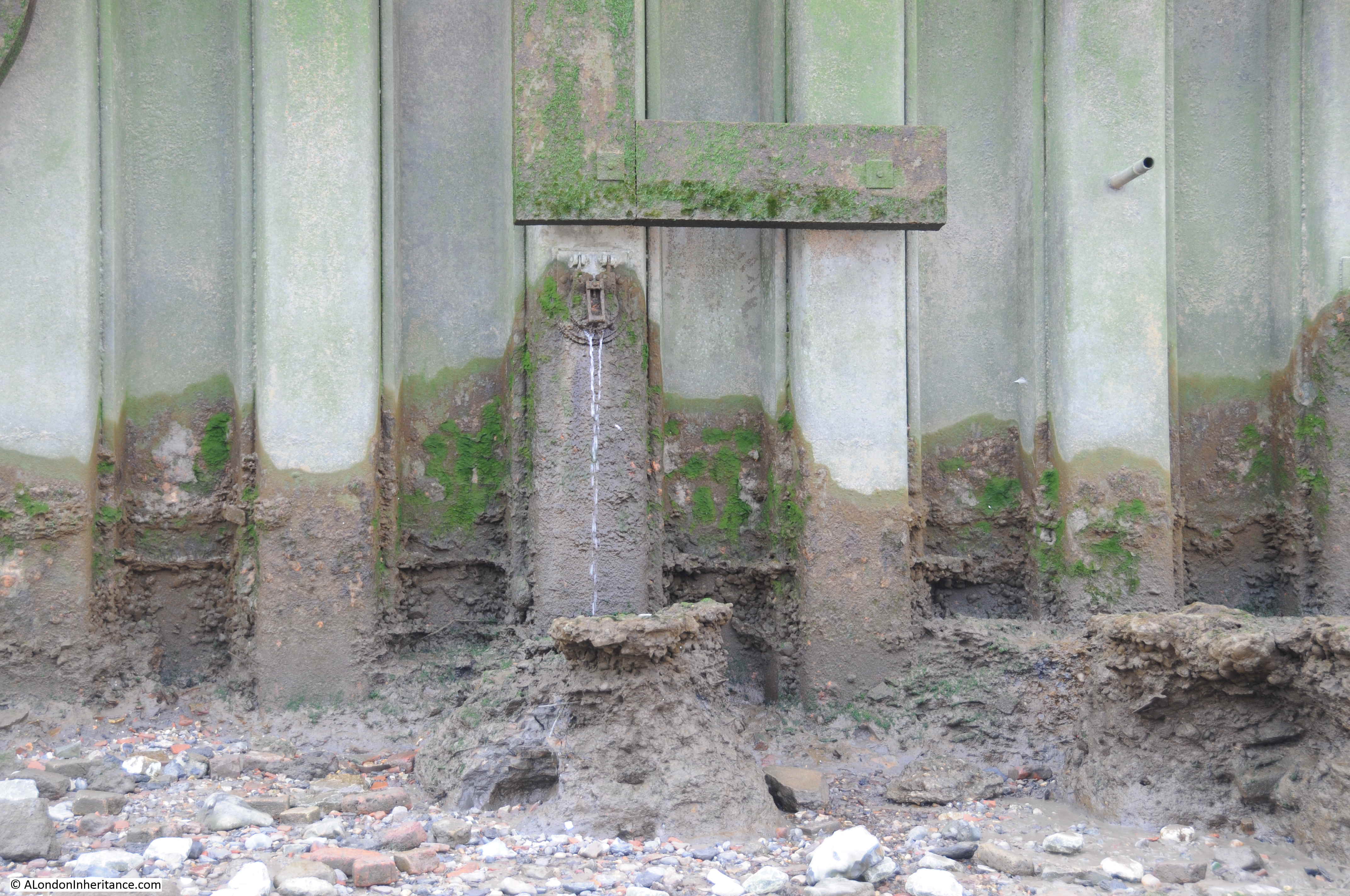
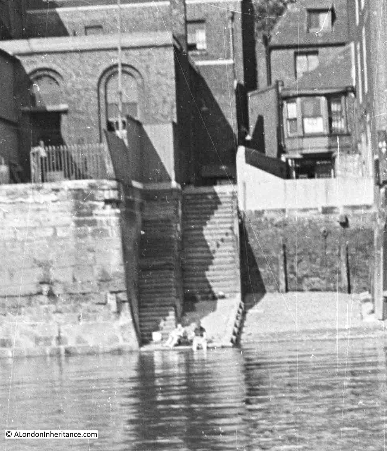
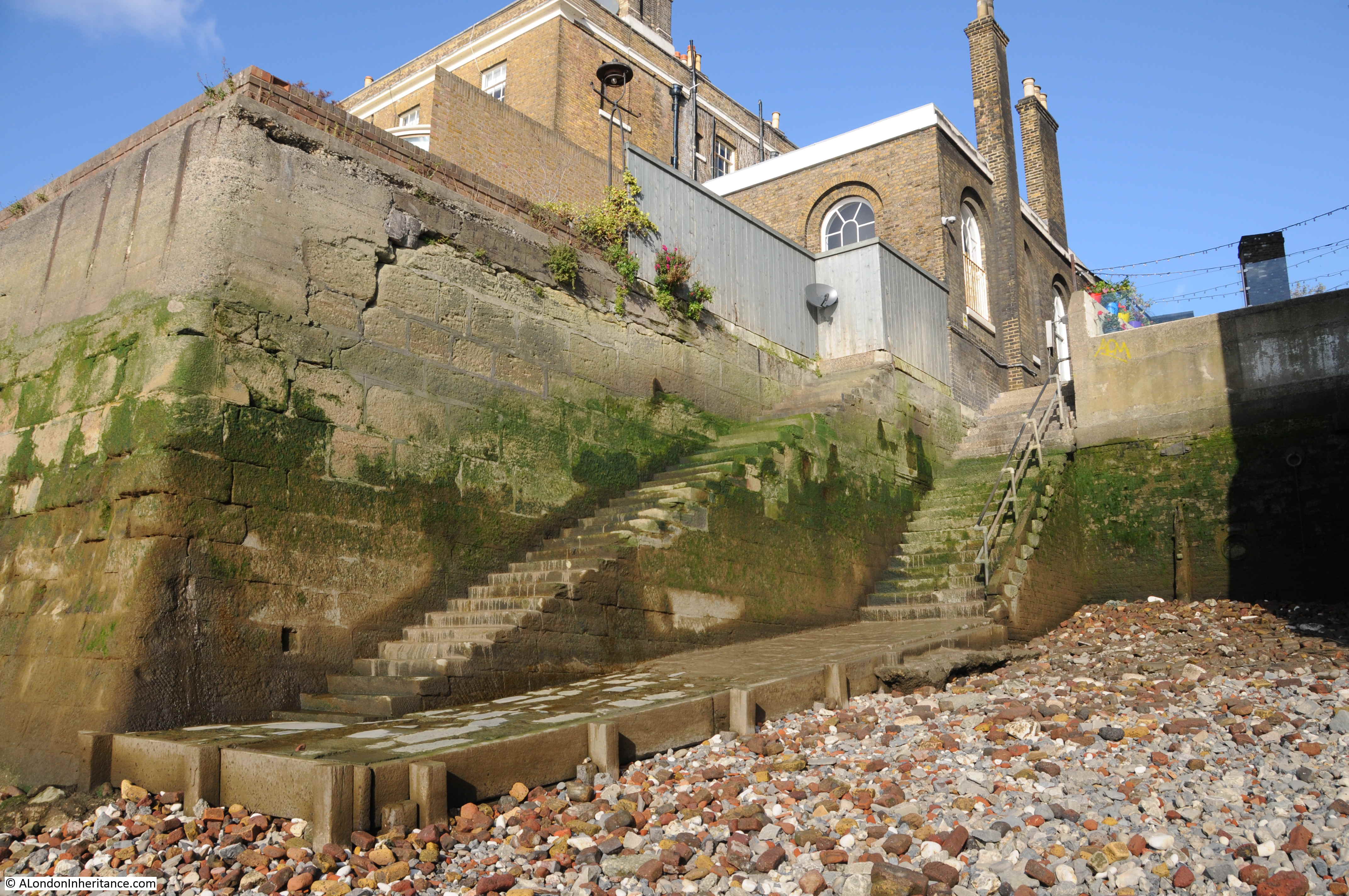
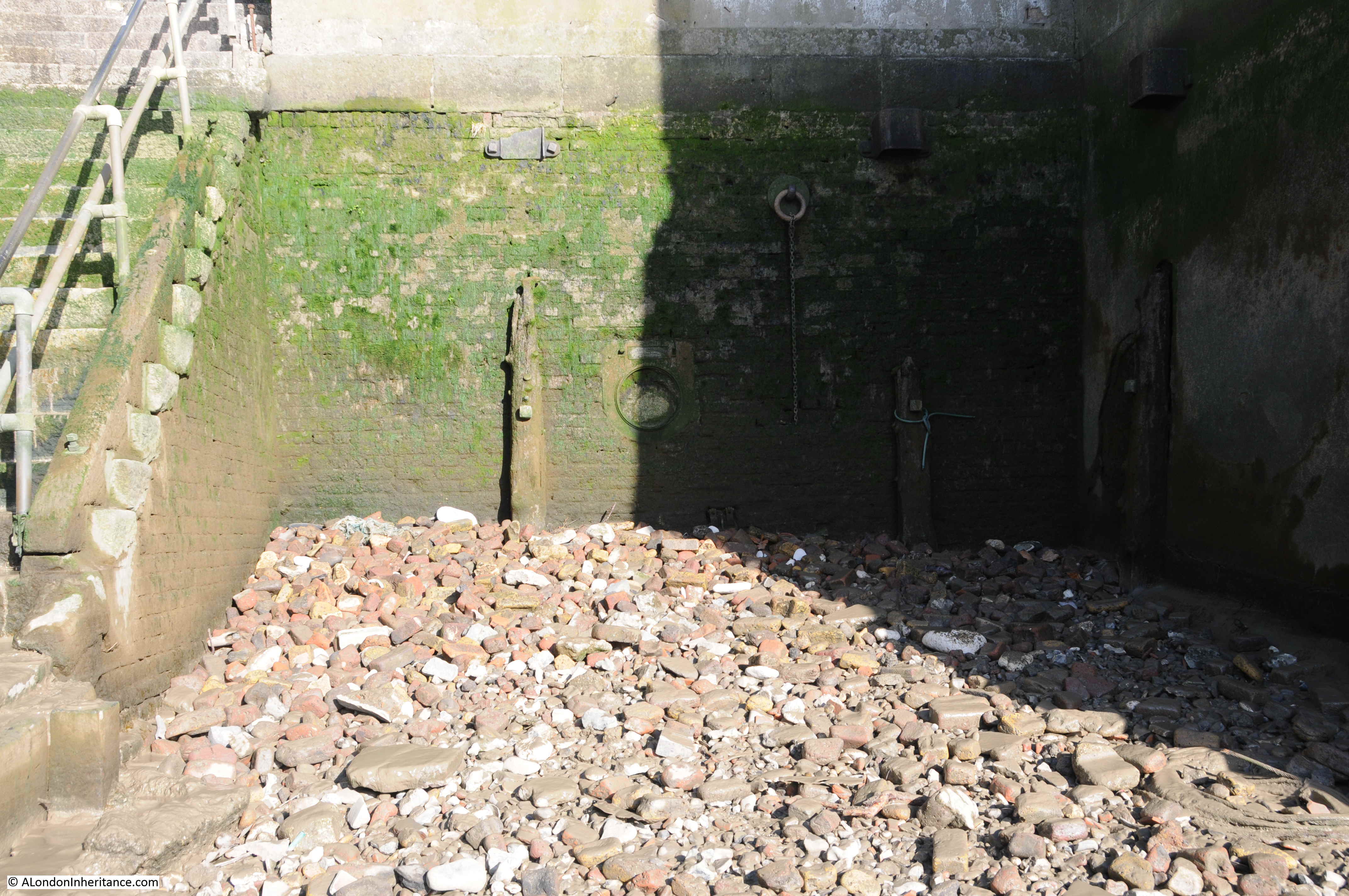
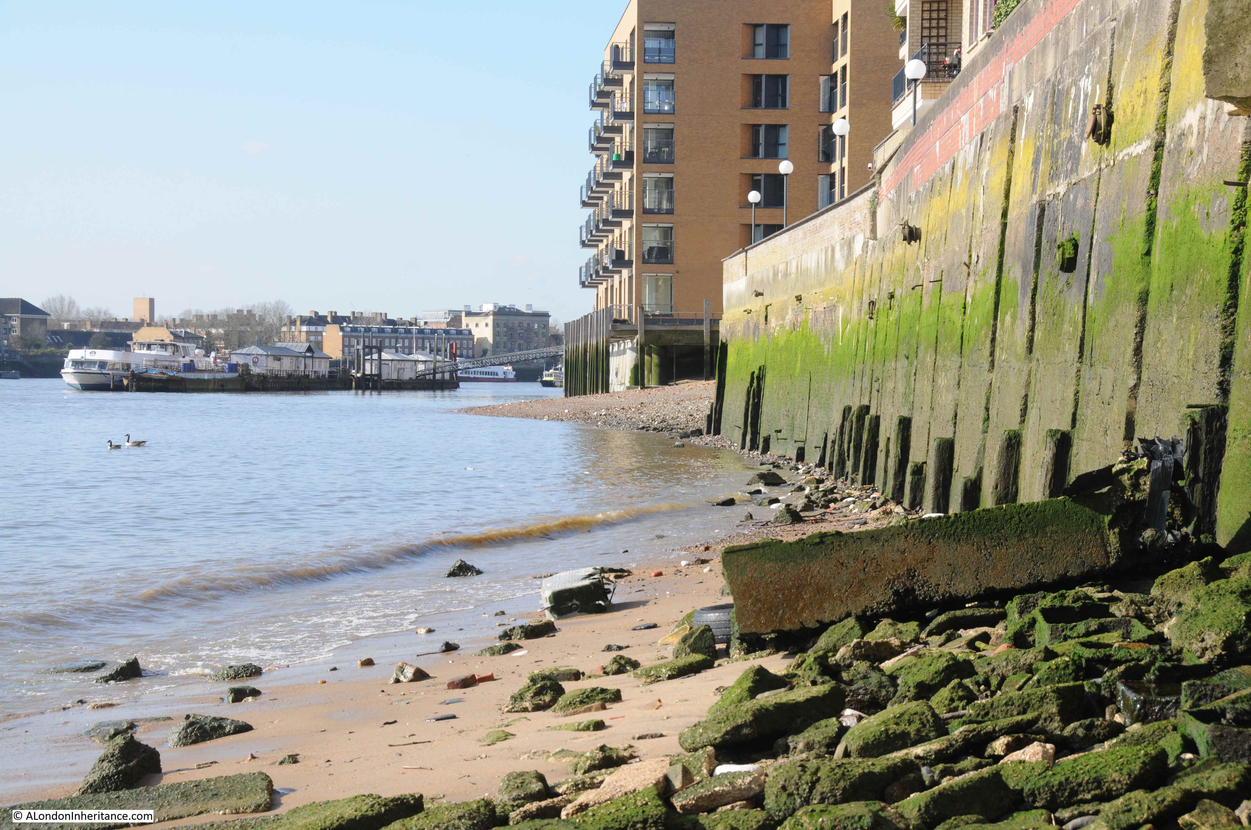
It was a sunny and peaceful day when I walked down New Crane Stairs. The following photo is looking back up the stairs, the green algae demonstrating the height of high water on the stairs and surrounding buildings.
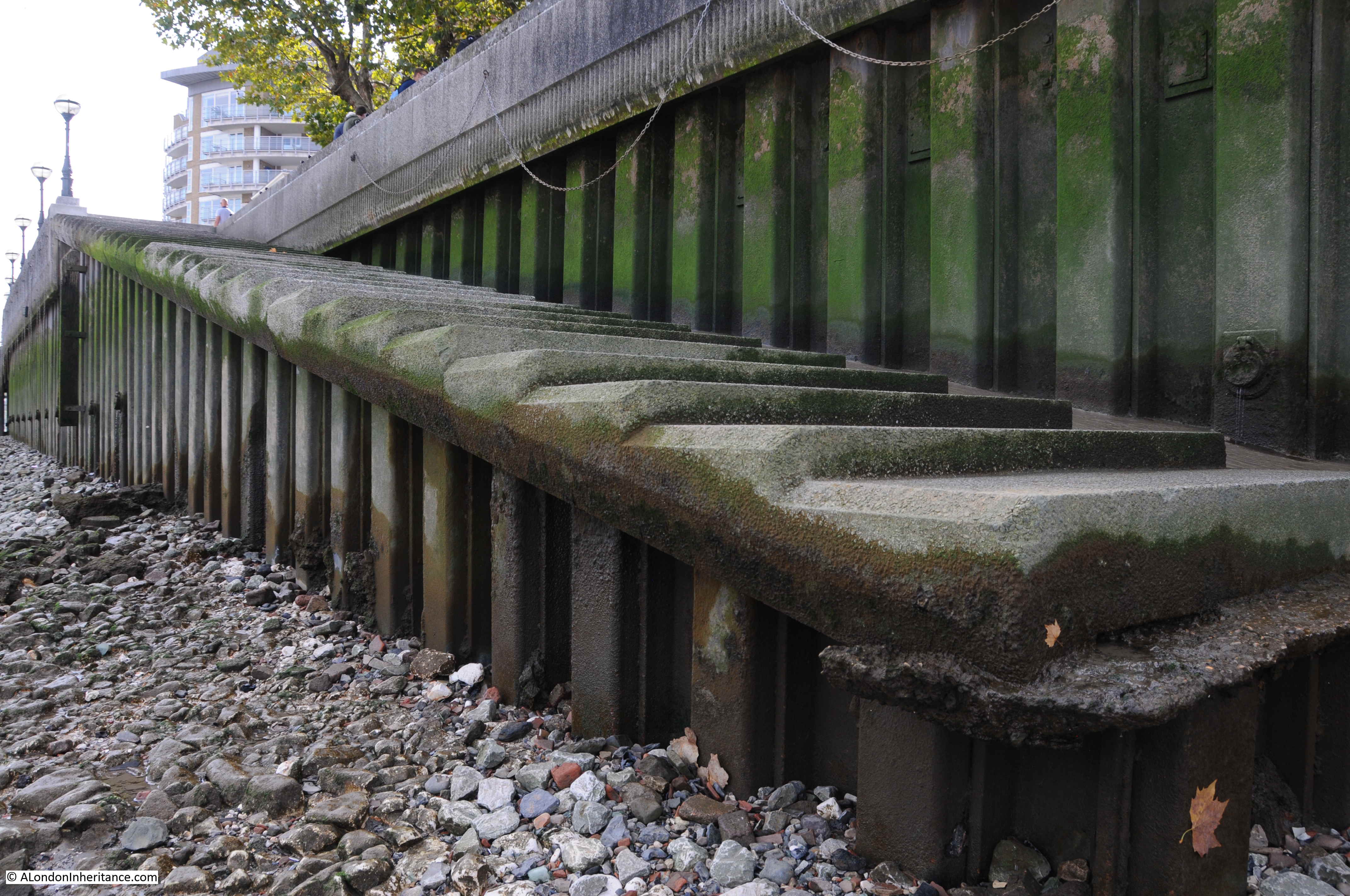
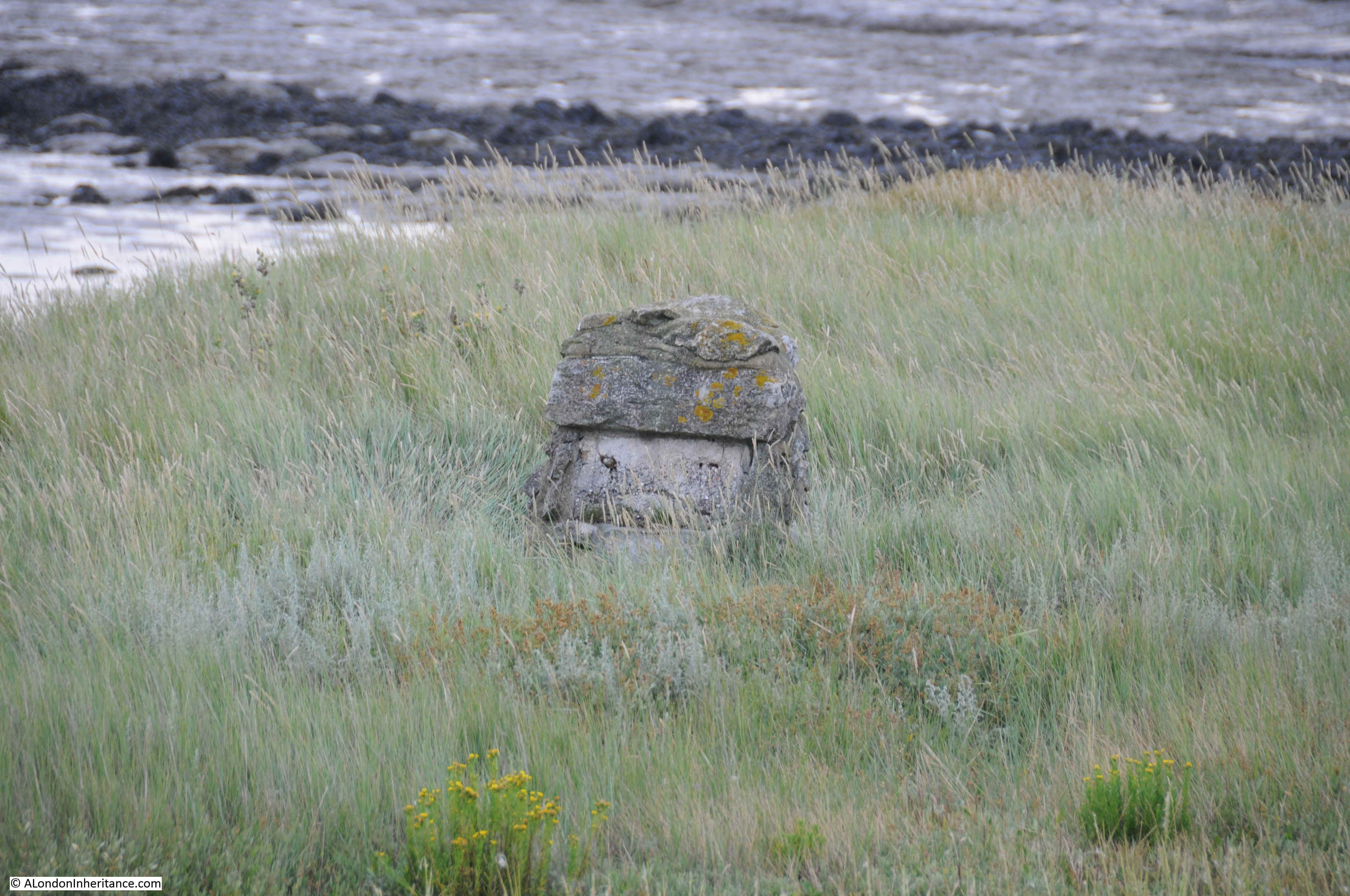
Part of the foreshore at the base of the stairs is covered in large concrete blocks, possibly the remains bombed buildings, river wall of structures that once ran into the river.
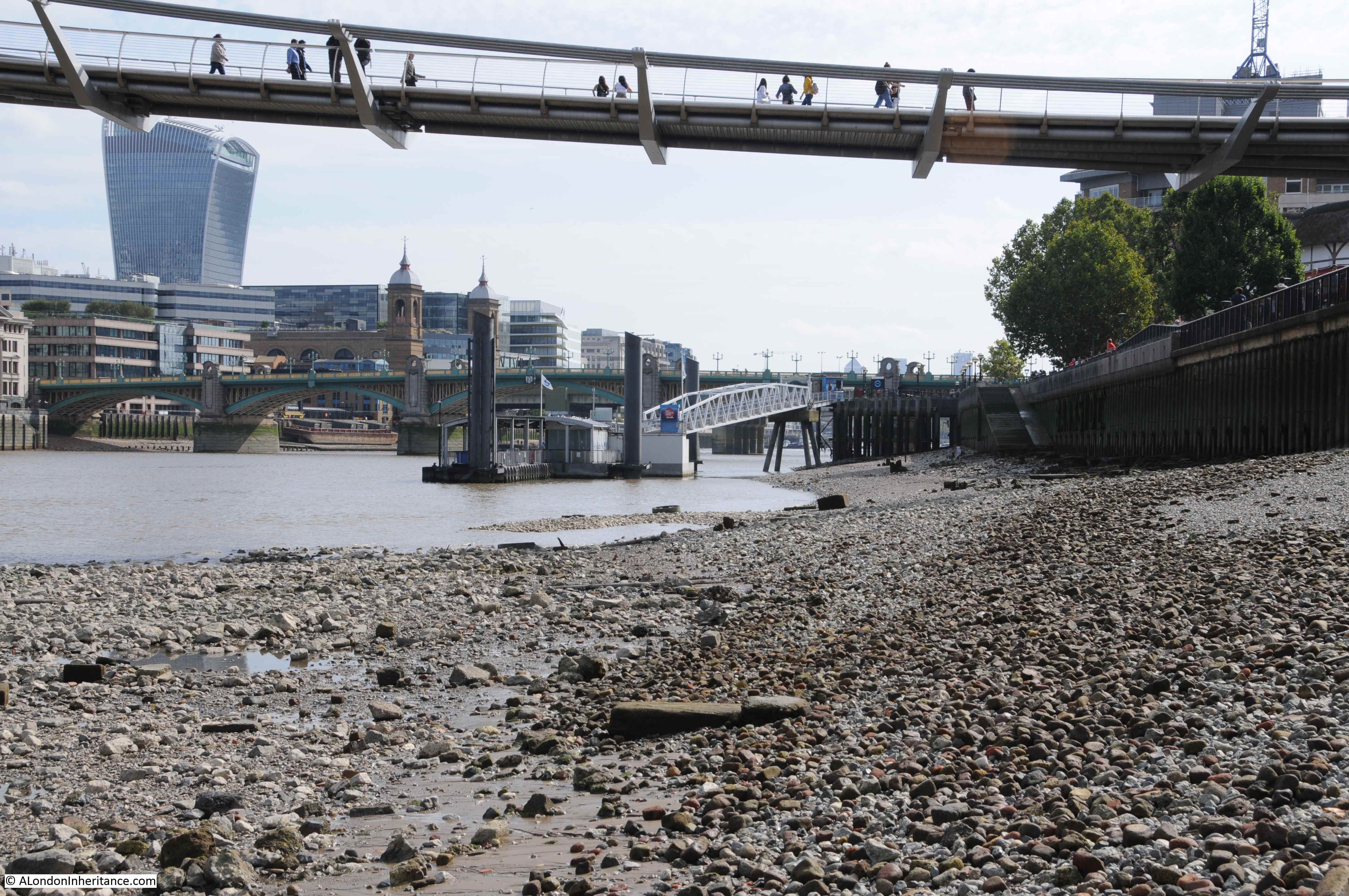
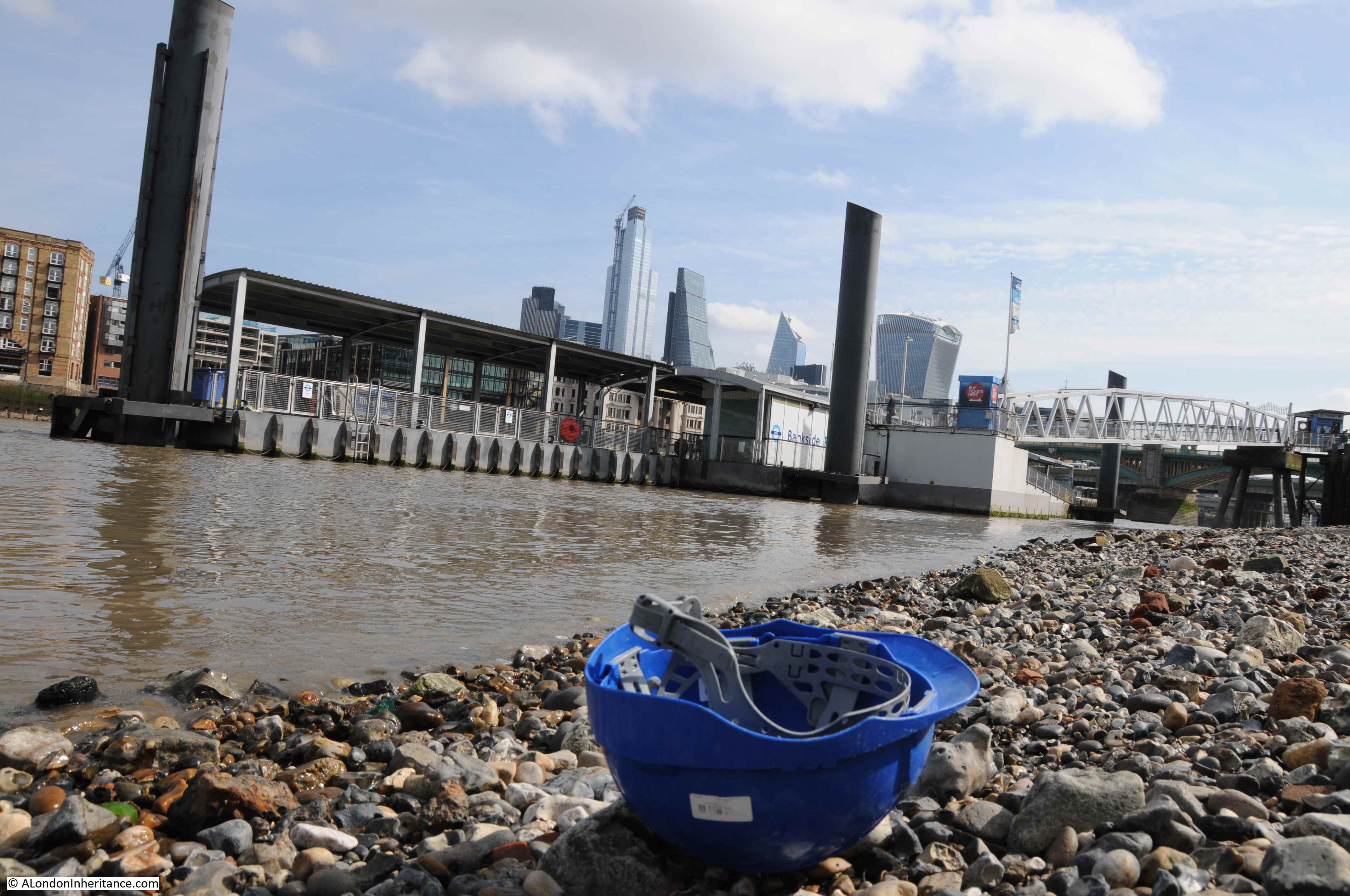
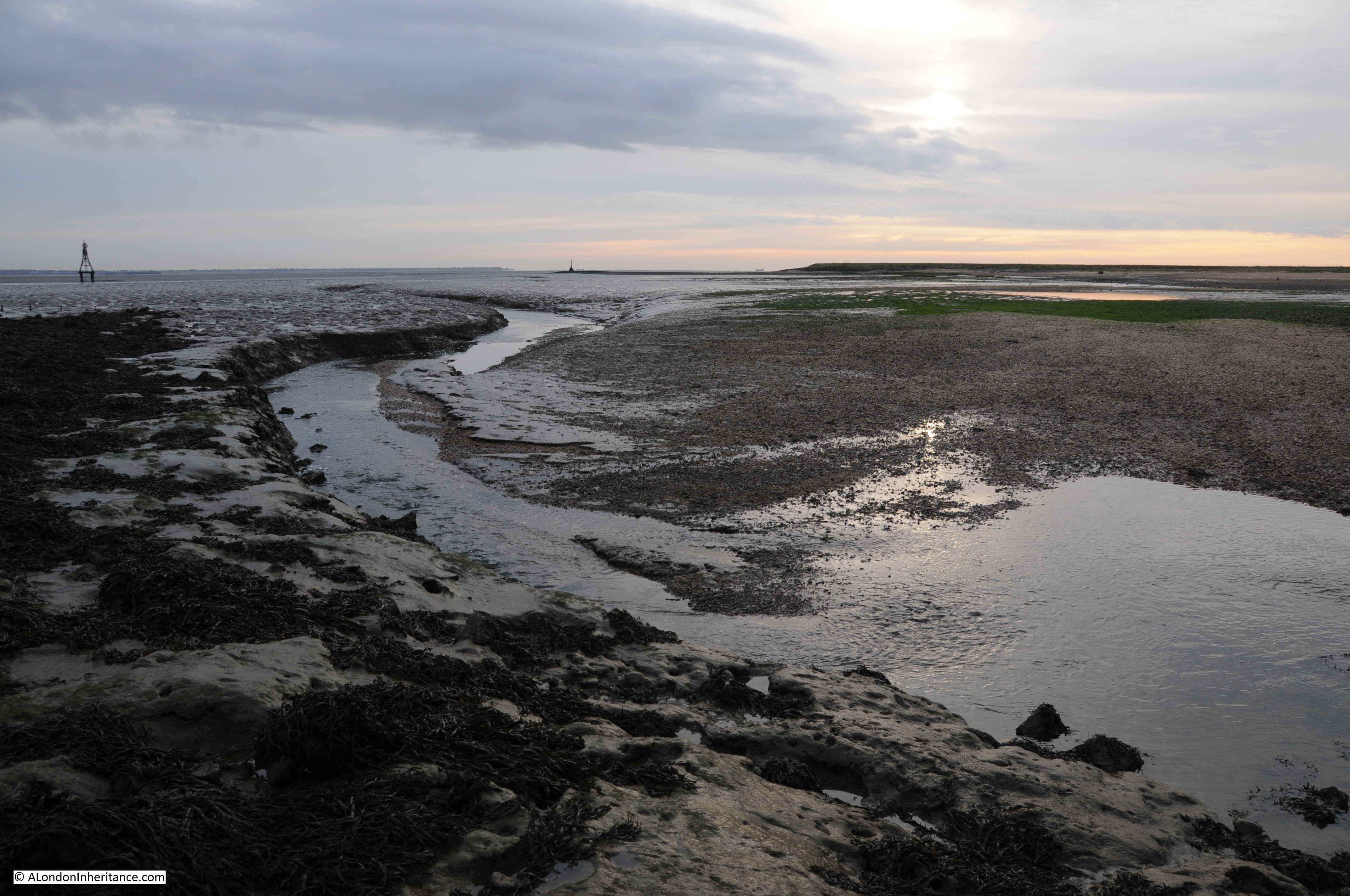
The foreshore at the base of many of the Thames stairs are remarkable places. I very rarely see anyone else, they are very peaceful, but have the full view of the river and adjoining buildings.
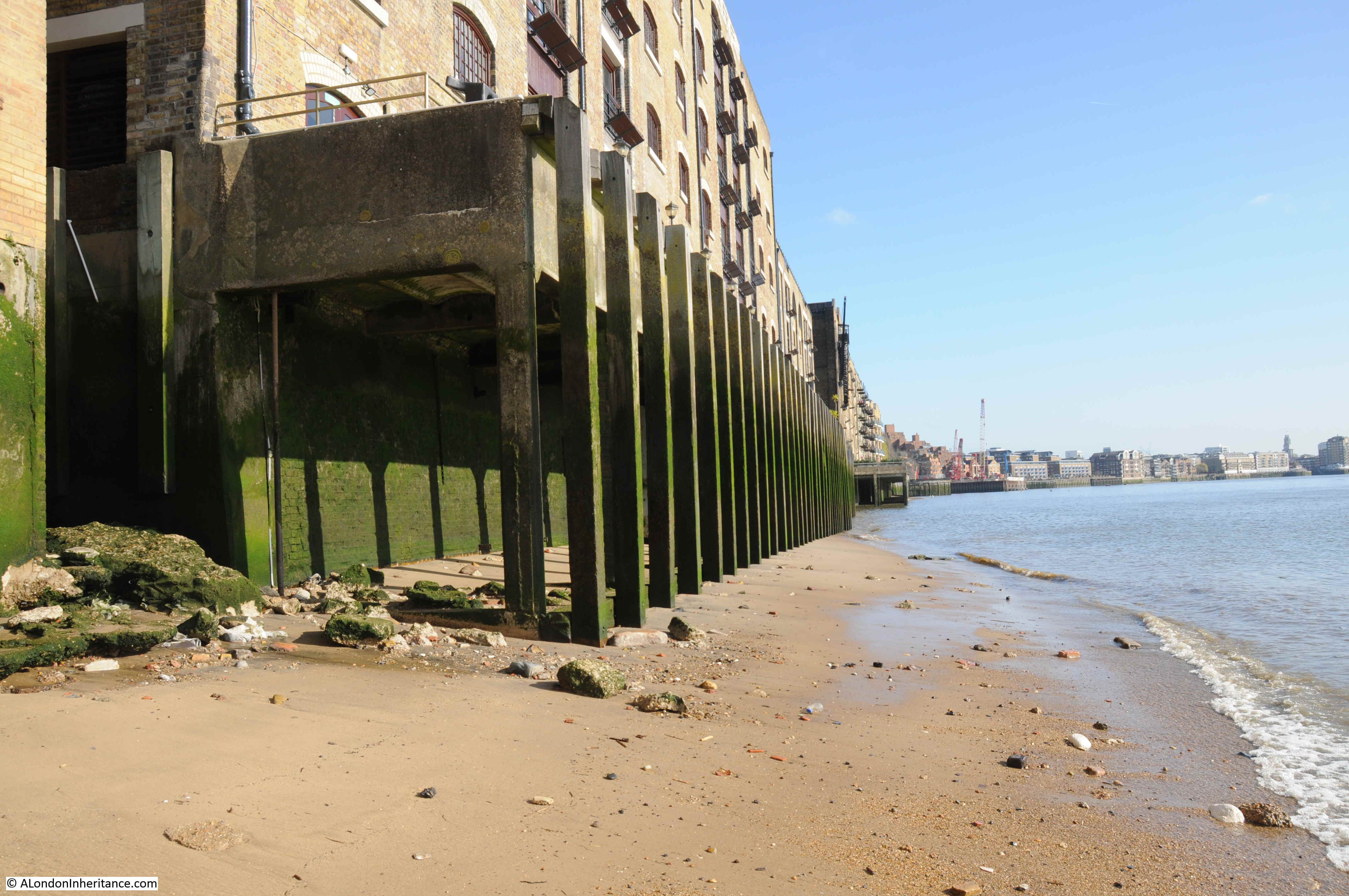
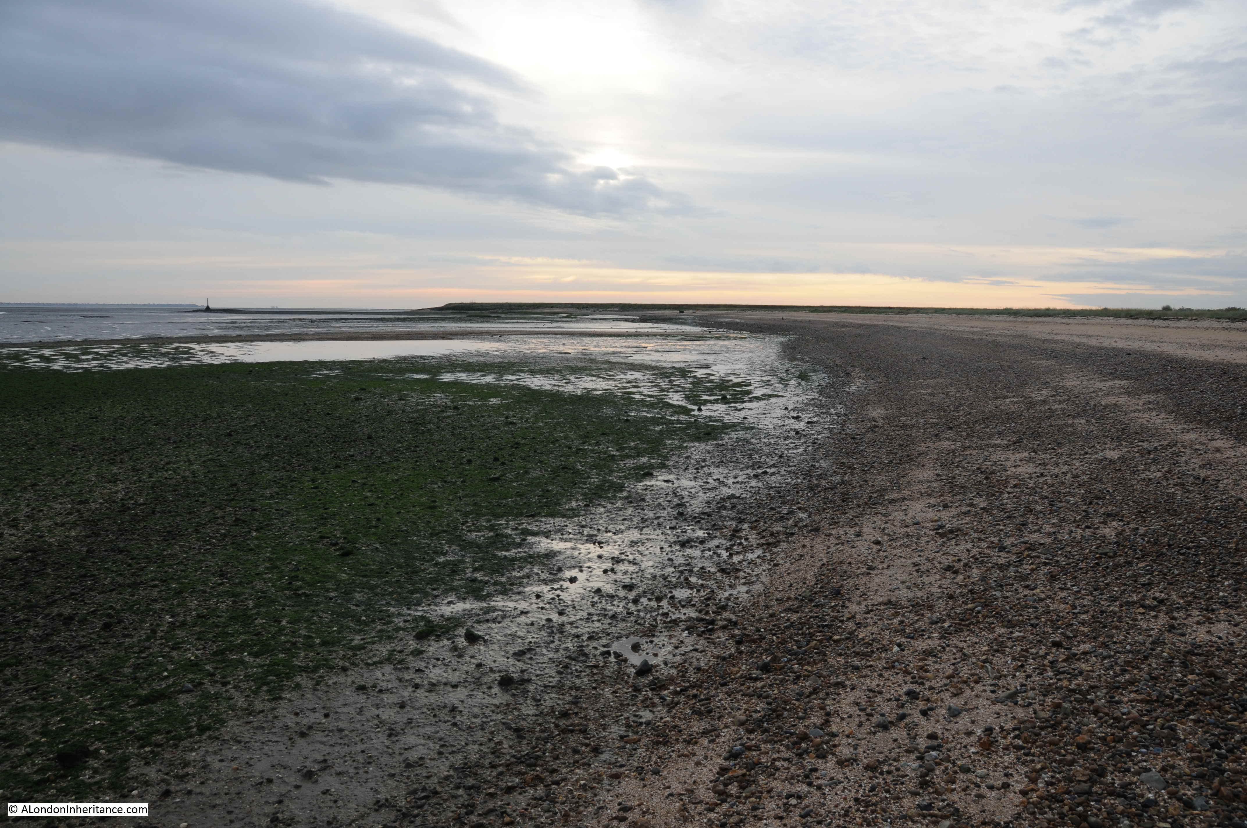
To the east (the above photo), the foreshore is almost beach like with a fine silt covering much of the surface. To the west as shown in the photo below there are more of the large concrete blocks:
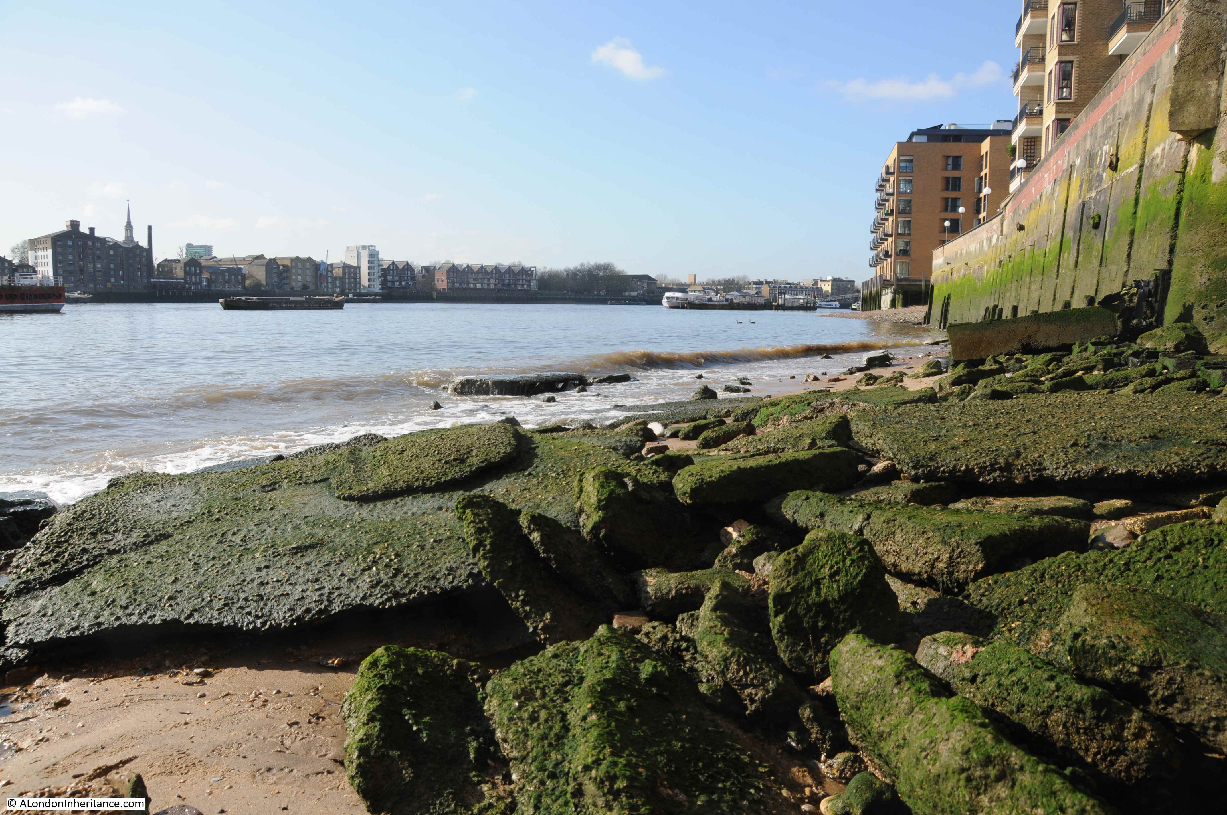
The foreshore is covered with the tide worn remains of bricks and the chalk blocks that were used to provide flat and firm bases on the foreshore for barges and lighters.

When the tide is low it is possible walk some distance along the foreshore, but not today – and always with care to watch the tide and access to and from the river.
A rather tragic event at New Crane Stairs in 1911 demonstrated the lack of care for people really struggling and probably with mental health problems. The following article was titled “A Lucky Escape”:
“James Rick, 48, a meat porter of Angle-street, Walworth, was charged with attempting to commit suicide by jumping into the River Thames at New Crane Stairs, Wapping.
Police-Sargent Anderson, stated that early on Saturday morning he saw the accused struggling in the water. He rowed to his assistance, and succeeded in getting him into the boat. When questioned at the station, the accused replied ‘I have lost my wife, and everything has gone wrong. Everything seems to have gone wrong with me’.
Prisoner was remanded for a week.”
That someone who had attempted suicide, and had been driven to that fate by who knows what tragedy had been treated as a criminal seems incredible, but was a standard approach at the time.
A different example, but which also shows how people were treated comes from 1832 when Hugh Elliot of the coal ship Flora from Sunderland was charged with assaulting John Morrison, a boy belonging to another collier.
The boy had been assaulted at midnight at New Crane Stairs where he was waiting for his master, when the prisoner and several other ‘north country seamen’ came down and asked the boy to row them to their ships. He refused as he was waiting for his Captain, and Hugh Elliot assaulted him with several blows about the face and body.
This was bad enough, but the boy had been waiting since 10 pm and was “almost perished with cold”. It was apparently common practice for the masters of colliers to get their apprentices to row them to shore, then wait in the cold whilst they got drunk in the pubs. The report adds that a few winters ago, two lads were found by their officers frozen to death while waiting for their captains.
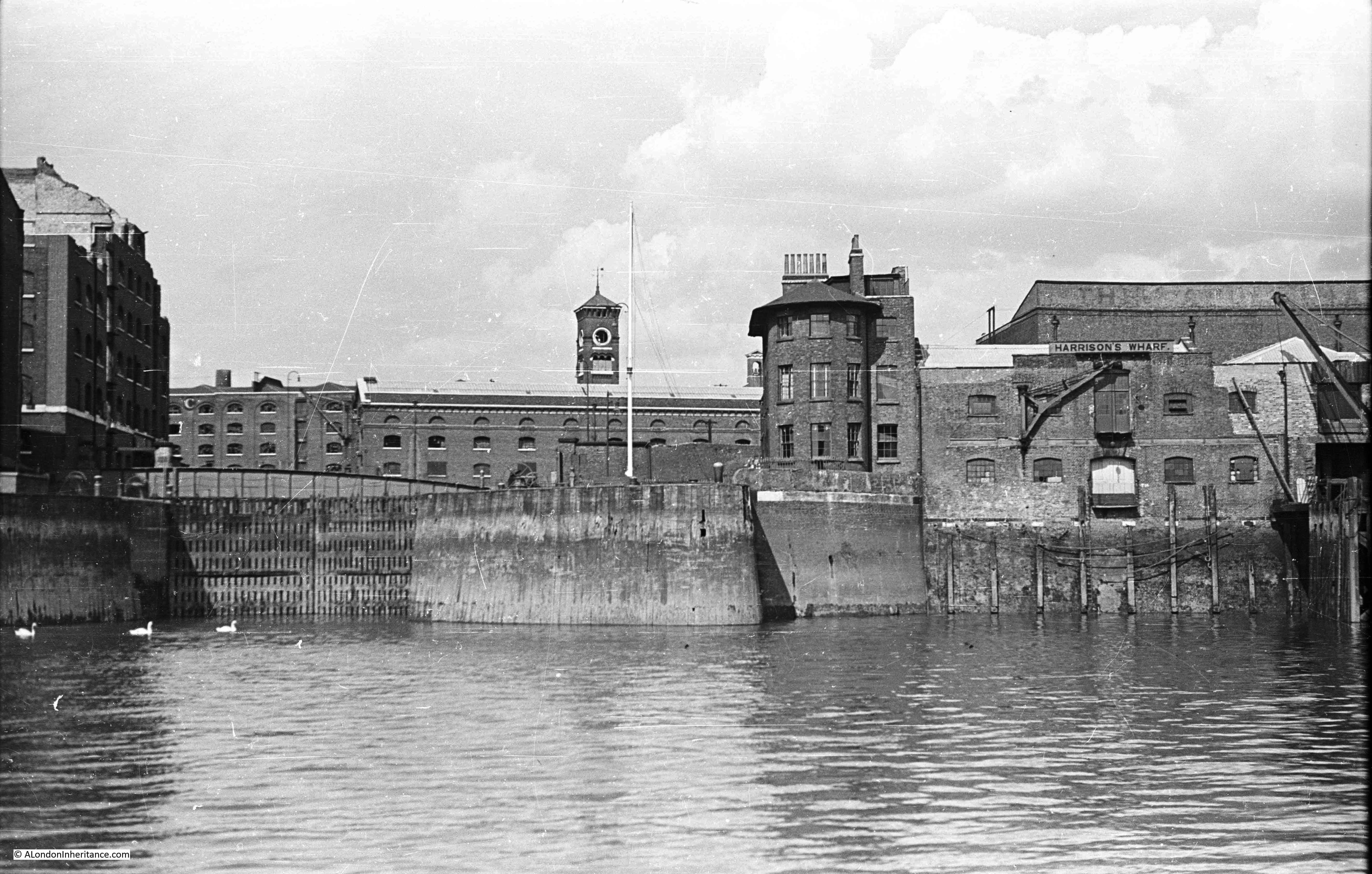
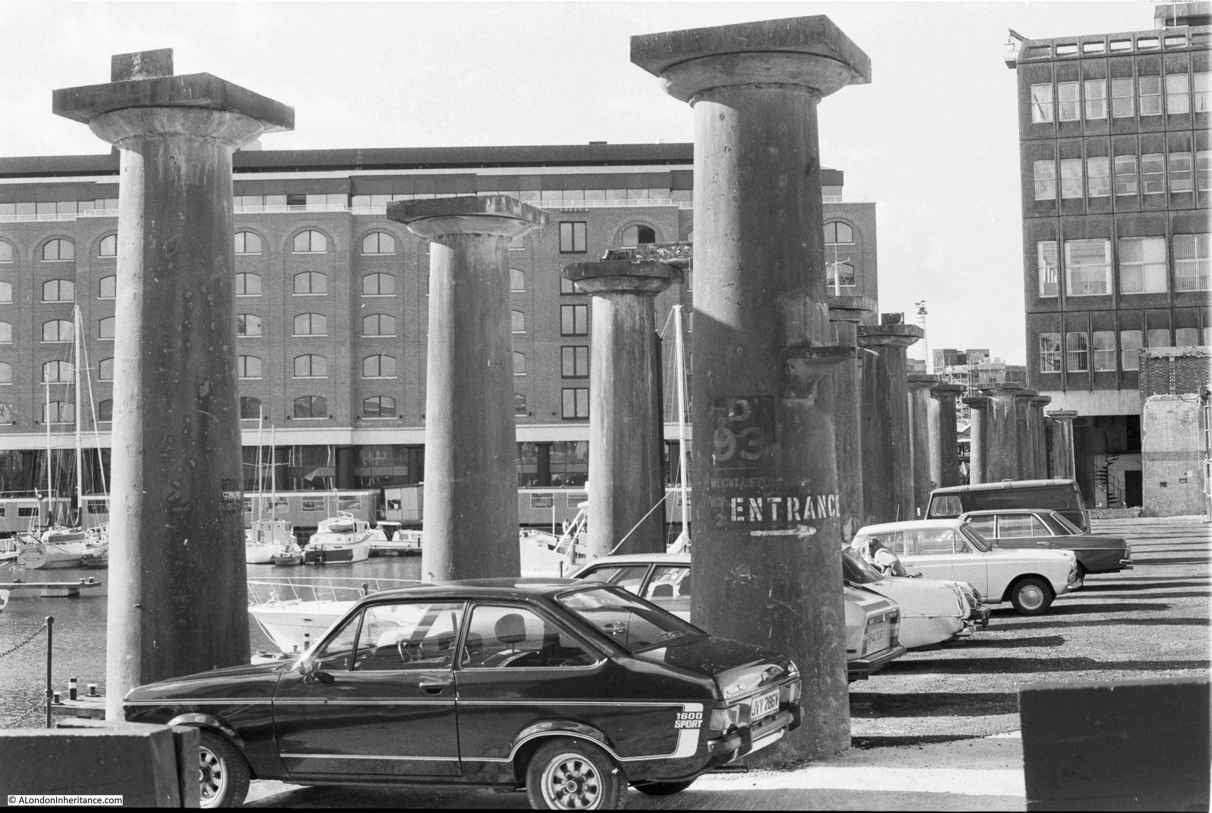
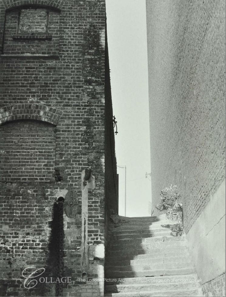
New Crane Wharf, to the east of the stairs is one of the pre-war warehouses, however the building to the west of the stairs is a new apartment building replacing a smaller building seen on the left of the following photo of New Crane Stairs in 1971:
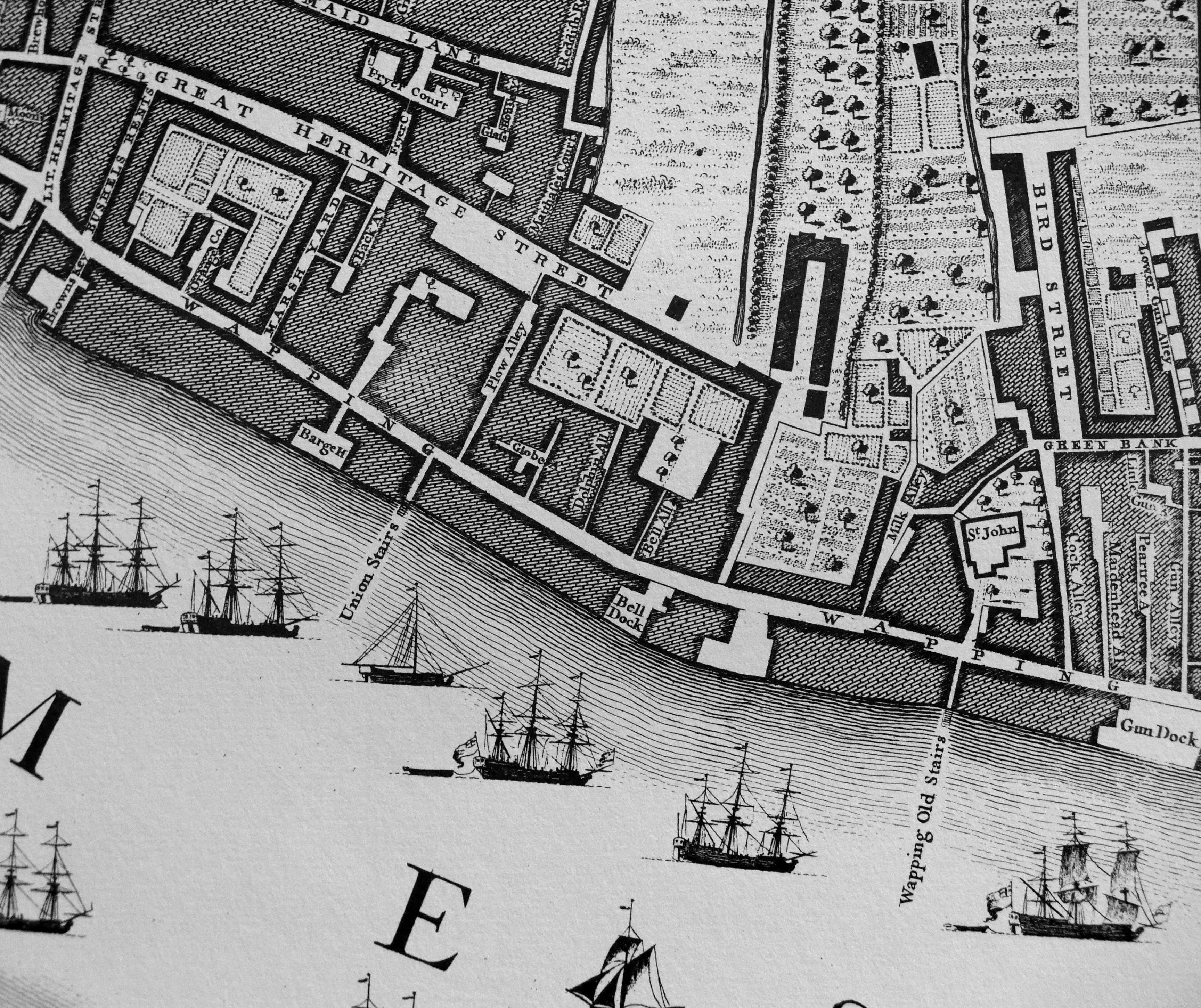
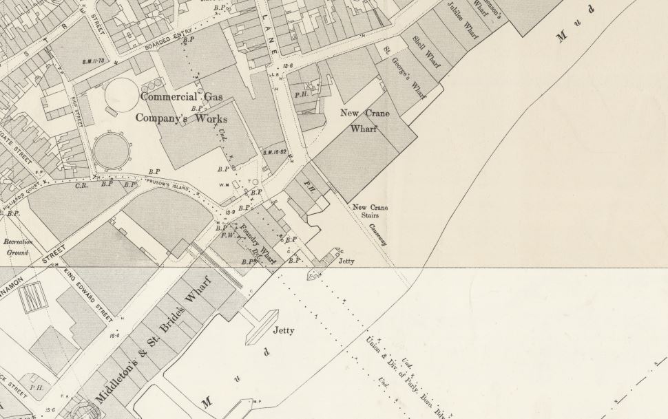
We can get an idea of the industry in the immediate vicinity of New Crane Stairs by looking at maps of the area. The following extract from the 1894 Ordinance Survey Map shows New Crane Stairs in the centre of the map, with a causeway extending out into the river.
Credit: ‘Reproduced with the permission of the National Library of Scotland’
There is a jetty extending into the river, and to the upper left of New Crane Stairs are a “Commercial Gas Company’s Works”. More detail can be seen in the 1948 Ordnance Survey Map below, where New Crane Stairs is shown with a “Hard” extending into the river, the pier is still there with a conveyor which I suspect was used for taking coal to the Gas Works, which by 1948 are now shown as disused.

Credit: ‘Reproduced with the permission of the National Library of Scotland’
There is a 1929 Britain from Above photo which shows the area covered by the above two maps. Ignore the large white ship, rather look to the right and there is a smaller ship with two square holds which I suspect carried coal which would then be transported via conveyor to the Gas Works, the area to the right of the gas holders.
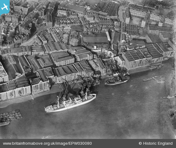
New Crane Stairs are to the upper right of the smaller ship, between the large warehouse (New Crane Wharf) and the smaller building.
Coal for the Gas Works was at continual risk of theft. An article in the East London Observer on the 29th May 1920 reported on two boys, John Vincent and John Bullman, both of Whitehorn-place, Wapping who were charged with the theft of 84lbs of coal, the property of the Commercial Gas Company. They had been seen by Constable 393 H who was on duty at New Crane Stairs coming from the barge Spaniard with a large sack.
They were up before the magistrate at Old Street Police Court and were given some “good advice” and bound over to be of good behaviour for twelve months.
I suspect the large amount of broken concrete blocks on the foreshore to the west of New Crane Stairs could be the remains of the jetty, or other infrastructure which was part of transporting coal from moored ships to the gas works.
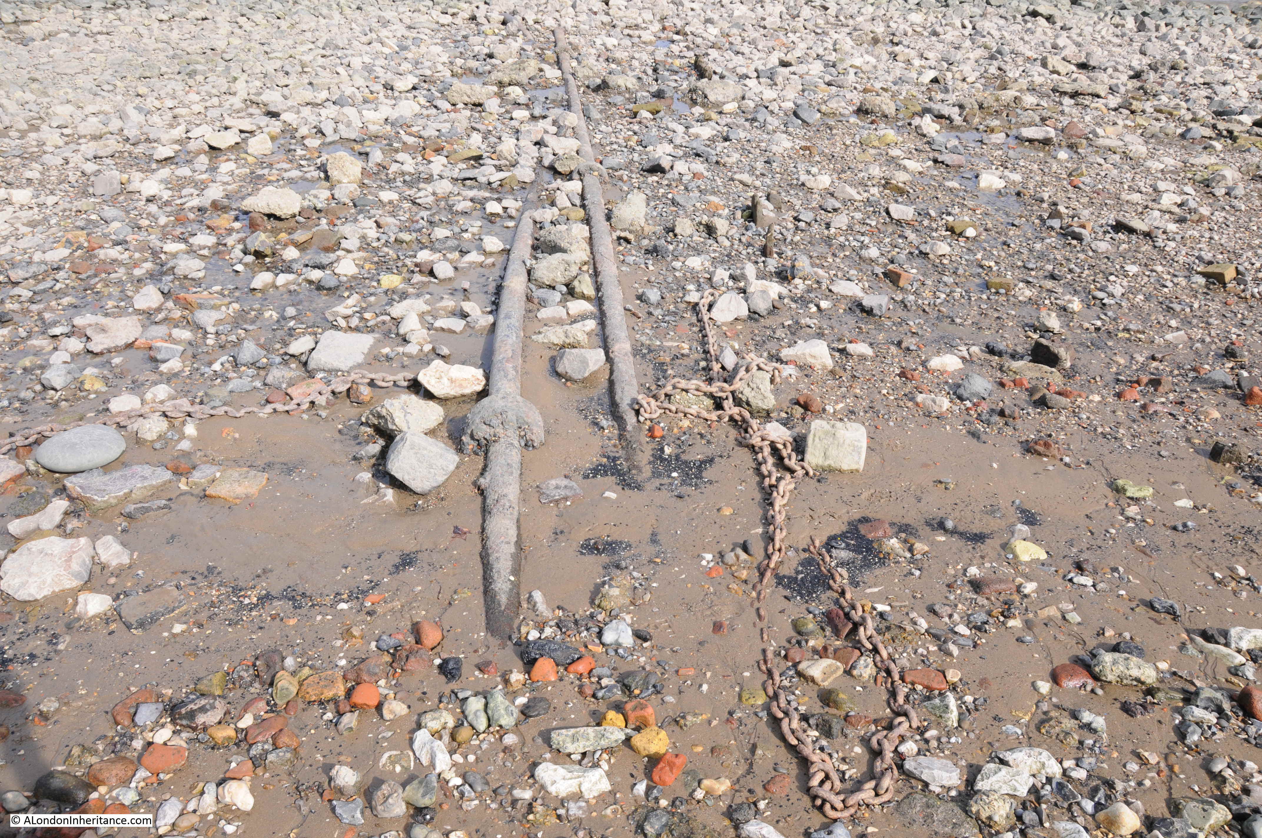
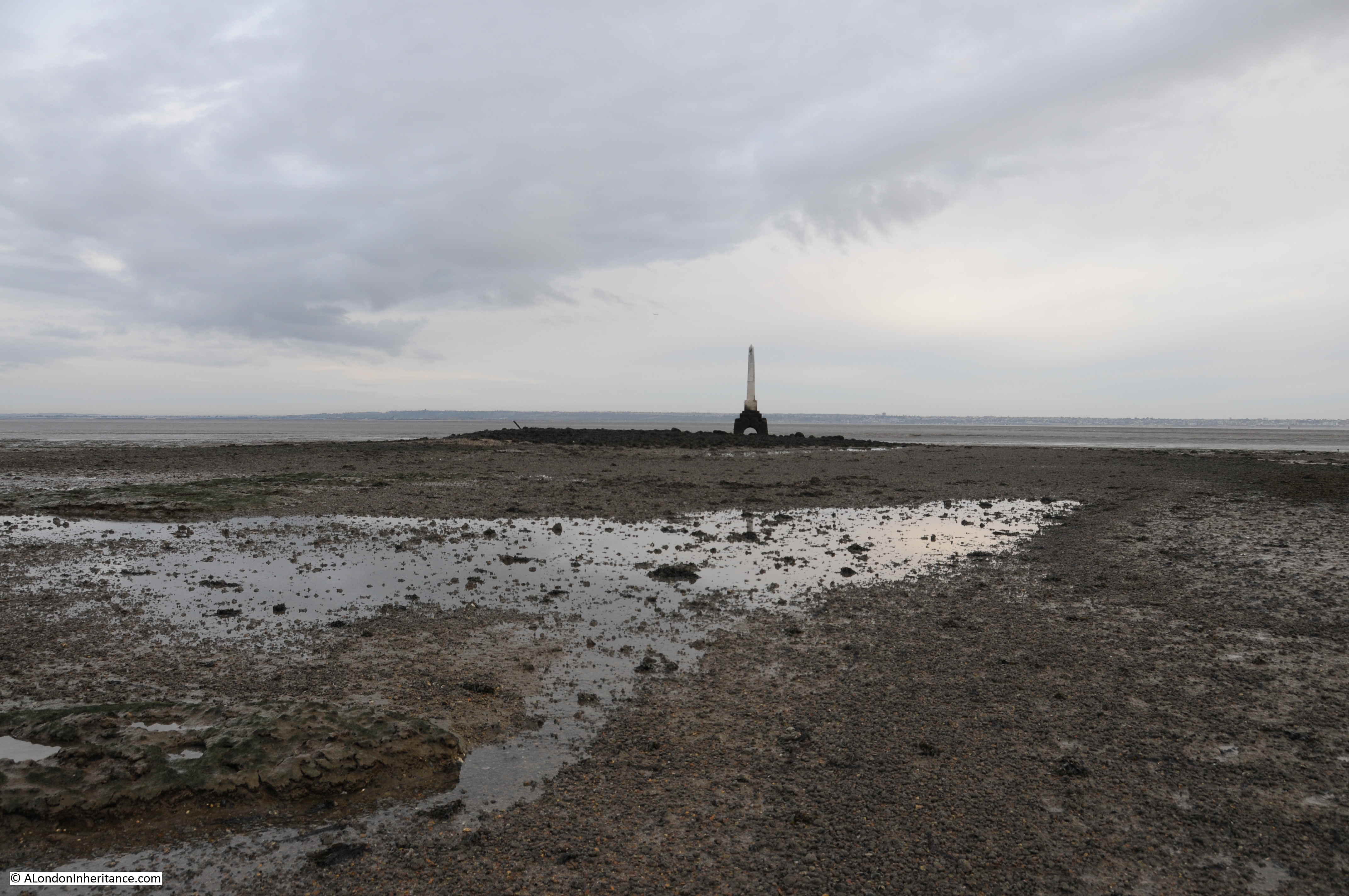
The two maps also show a causeway or hard extending from the stairs into the river. There was no sign of that on the day of my visit, however on a visit a couple of years ago when the tide was lower, remains of this feature were visible existing out from the silt of the foreshore into the river, as shown in the following photo:
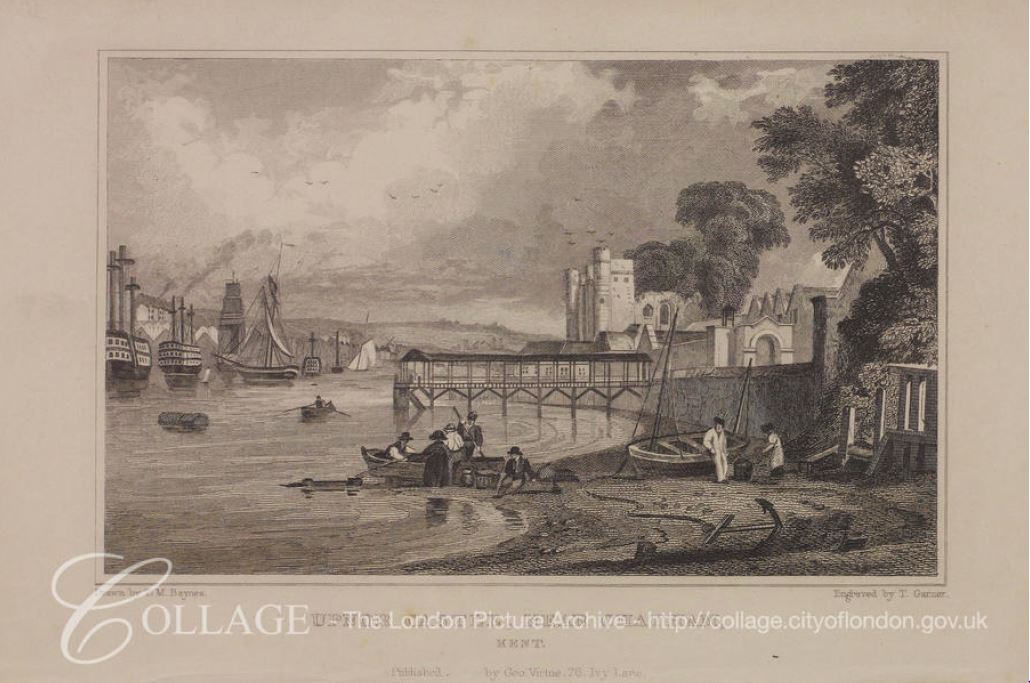
The following drawing from the LMA Collage archive, dated c1870, shows the New Crane Stairs on the far right, along with the smaller warehouse building shown in the maps, Britain from Above photo and the 1971 photo.
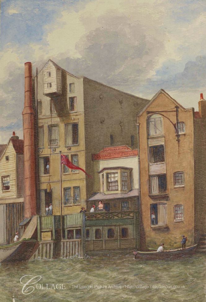
Image credit: London Metropolitan Archives, City of London: catalogue ref: p540958x
In the centre of the drawing is a pub. This is the Anchor and Hope public house, the building labeled P.H. just to the west of the stairs in the 1894 Ordnance Survey map.
I cannot find any photos of the pub, or much written about the pub, although there are plenty of newspaper references to the pub, either as a reference point for some event, or to activities using the pub. These references are always useful in understanding more about life in London as they record the day to day events that were important at time.
The unhealthy state of the River Thames is clear from an article in The Sportsman on the 14th January 1889 when the capture of a fish justifies an article:
” Perhaps the most startling incident in the world of sport during the last few days is the catch of a large carp in the Thames at Wapping. On Tuesday afternoon, opposite Mr Bat Murphy’s well-known hostelry, the Anchor and Hope, Wapping, a lighterman caught a very fine specimen of an English carp in the river, weighing more than 7lb. Mr Murphy has given instructions that this ‘below-bridge novelty’ should be stuffed and placed in a glass case.”
So perhaps the carp in its glass case was on display in the Anchor and Hope. The article goes on to mention a previous capture of a carp in the Thames, which was cooked for a special dinner to commemorate the capture of such a fish in the river, however after one bite, the taste was so bad that the diners had to reach for the brandy – a possible indicator of how bad the pollution of the river was in the 19th century.
Pigeon racing was a popular sport in East London and in August 1883, Mr Murphy, representing the Anchor and Hope came 3rd and won £3 in a race that started from the Derby Arms, Charlton.
In August 1880, the City of London, Tower Hamlets, Middlesex, Shadwell, Wapping and Ratcliffe Annual Regatta took place and all watermen and lightermen’s apprentices of the River Thames from Teddington to Gravesend were invited to enter their names at the Anchor and Hope, New Crane, Wapping for their annual coat and silver badge, and freedoms of the Watermen’s and Lightermen’s Company.
Pubs were used as a meeting point, both for activities at the pub and also as a reference point for unrelated activities. An event in 1806 is a reminder of how General Elections were very restricted and the appointment of MPs controlled by the MPs, who often held seats for very long periods of time.
In the November 1806 General Election, George Byng was returned to Parliament for Middlesex. He had already been an MP since 1790 and would remain an MP for Middlesex until his death in 1847.
Voting was limited to Freeholders, and one way to get Freeholders to vote was to arrange their transport, and George Byng was advertising in newspapers that on election day:
“the Friends of Mr Byng are respectively informed that Carriages are provided for the conveyance of Freeholders in that Gentleman’s interest, and stationed at the following places, viz. Near the Anchor and Hope, New Crane, Wapping.”
As well as the Anchor and Hope, the advert then lists an additional 8 locations across East London and the City where coaches would be provided to transport his supporters to the election at Brentford.
I can identify exactly how and when the Anchor and Hope pub closed. The following is from an article titled “Exciting Scenes At Wapping” in the Daily News on the 5th July 1904:
“The East-end was the scene of an exciting fire in the early hours of yesterday morning, at which two persons were injured and three had very narrow escapes.
Shortly before two o’clock a fierce fire burst out in the spirit stores on the first floor of the Anchor and Hope public-house, Wapping High-street. In a short time the entire floor was blazing.
When the Shadwell firemen arrived they were informed that there were people in the burning building. Dashing up the staircase, and beating back the flames with a hydrant as they went, the crew of the escape brought down a man and a woman – the latter, Mrs Margaret Allen, 68, being in a condition of semi-unconsciousness. Meanwhile a third person had leaped out of the second floor window to the foreshore of the Thames. Her name is Ann Donovan, 43, and when she was picked up and removed to hospital it was found that she had broken her leg in two places, and was otherwise injured.
The fire was not extinguished until the public-house and it contents had been practically destroyed.”
It may be that fires were at the start and end of the Anchor and Hope, probably built after the destruction of the 1763 fire, and destroyed in the 1904 fire. After the 1904 fire, the area once occupied by the pub seems to have been included in the space occupied between river and gas works, probably used for the movement of coal from river to gas works.
I continue to be fascinated by Thames Stairs. They are some of the oldest features to be found along the river and almost certainly date back many hundreds of years.
Most times when I walk down stairs and on to the foreshore, even on a glorious sunny day, they are quiet. It is not often I find someone else on the foreshore.
A perfect place to watch the river and consider the considerable human history centred around these places that form the boundary between land and river.