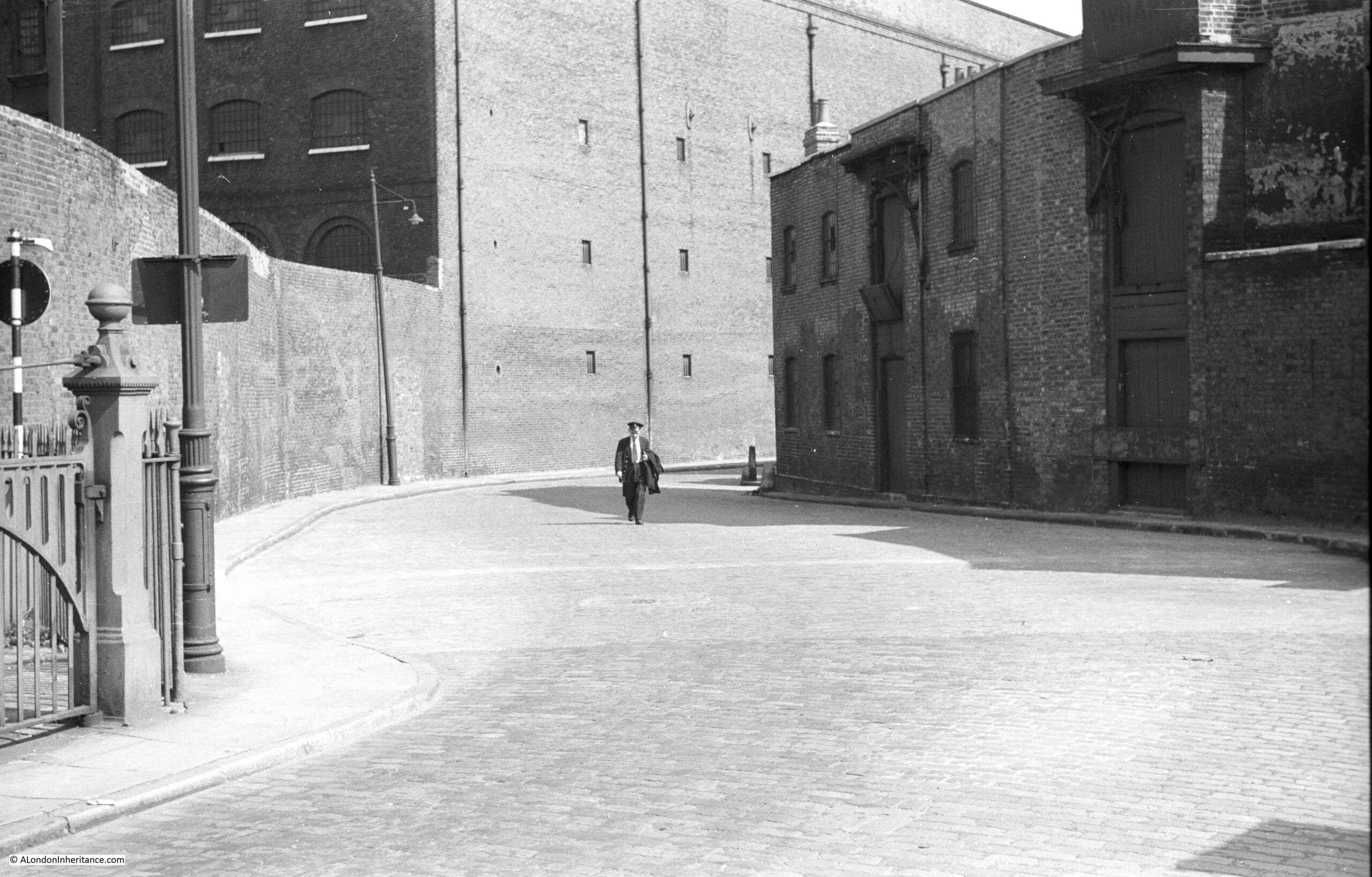
I was going to continue my journey along the Limehouse Cut in today’s post. However, it is the first post of a new month, when I feature a Resources section in the post, looking at resources to help with researching and exploring London, so to keep the post to a reasonable size, I am starting with a different subject.
Also, the problems with the blog that I mentioned a few weeks ago have been reoccurring, with the site occasionally going off line, and also with very slow performance. I hope to be able to bring in some additional technical support to try and get this resolved this coming week, but if the blog and posts disappear for a while, it will be back.
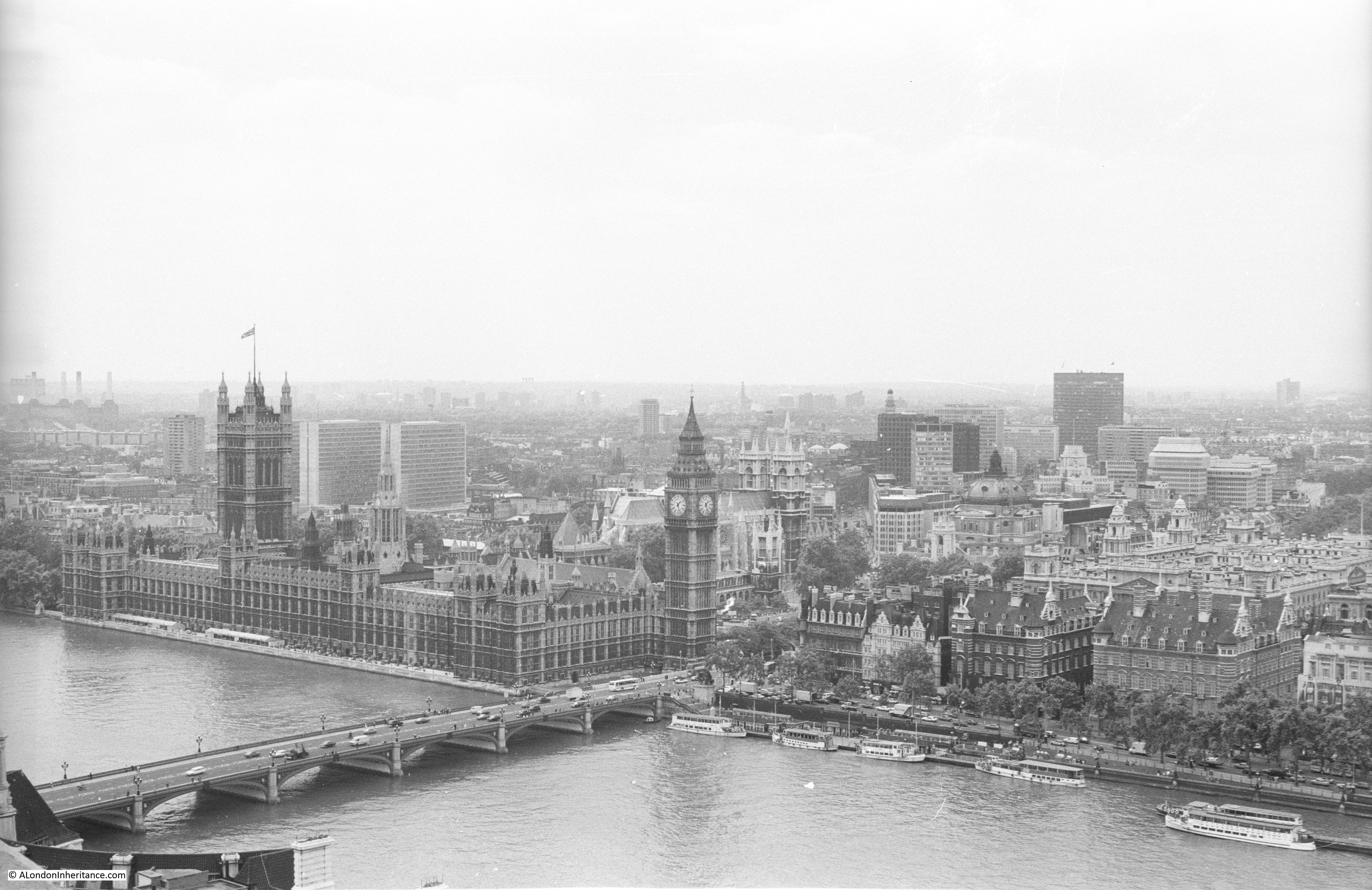
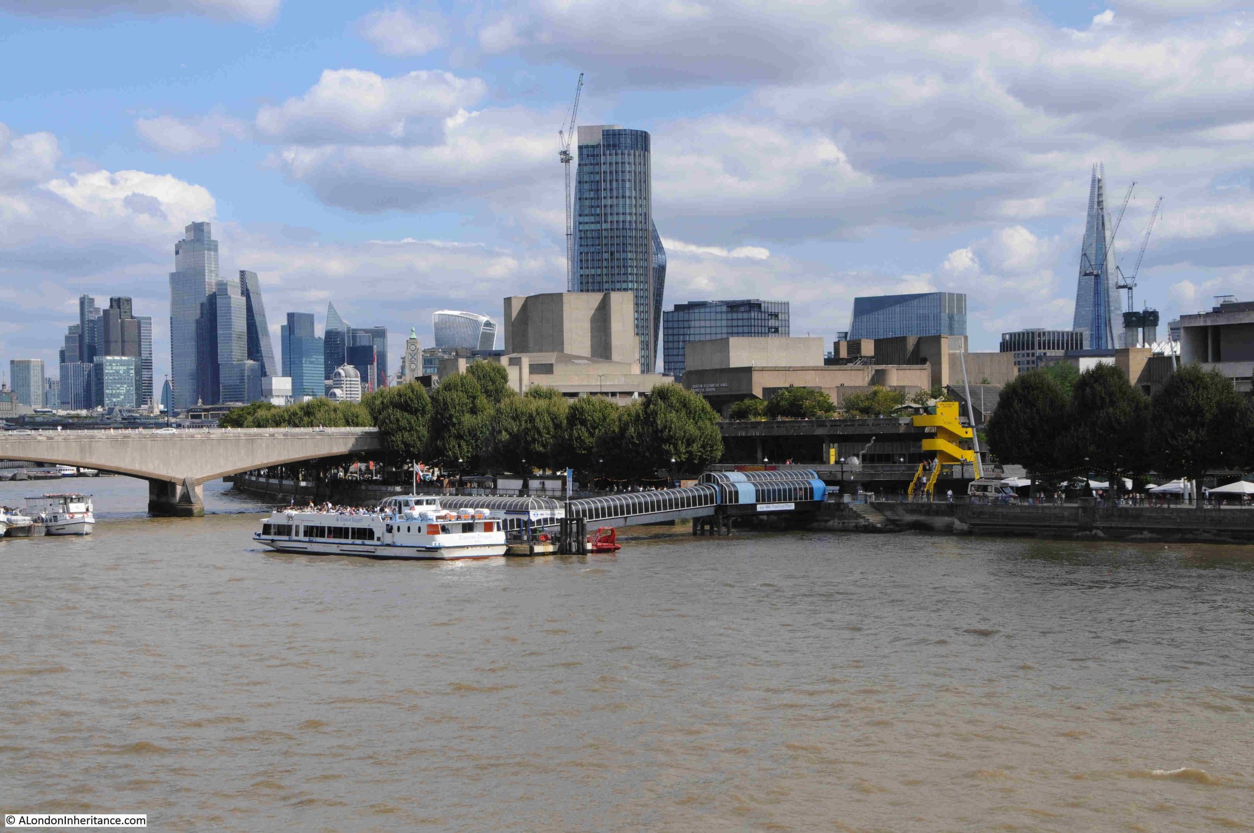
Last weekend I was walking across the footbridge alongside Hungerford Bridge, looking over at the very familiar view towards Waterloo Bridge, the City and along the Southbank, when I noticed that there was something missing:
For those of a certain age, the following clip may offer a clue:
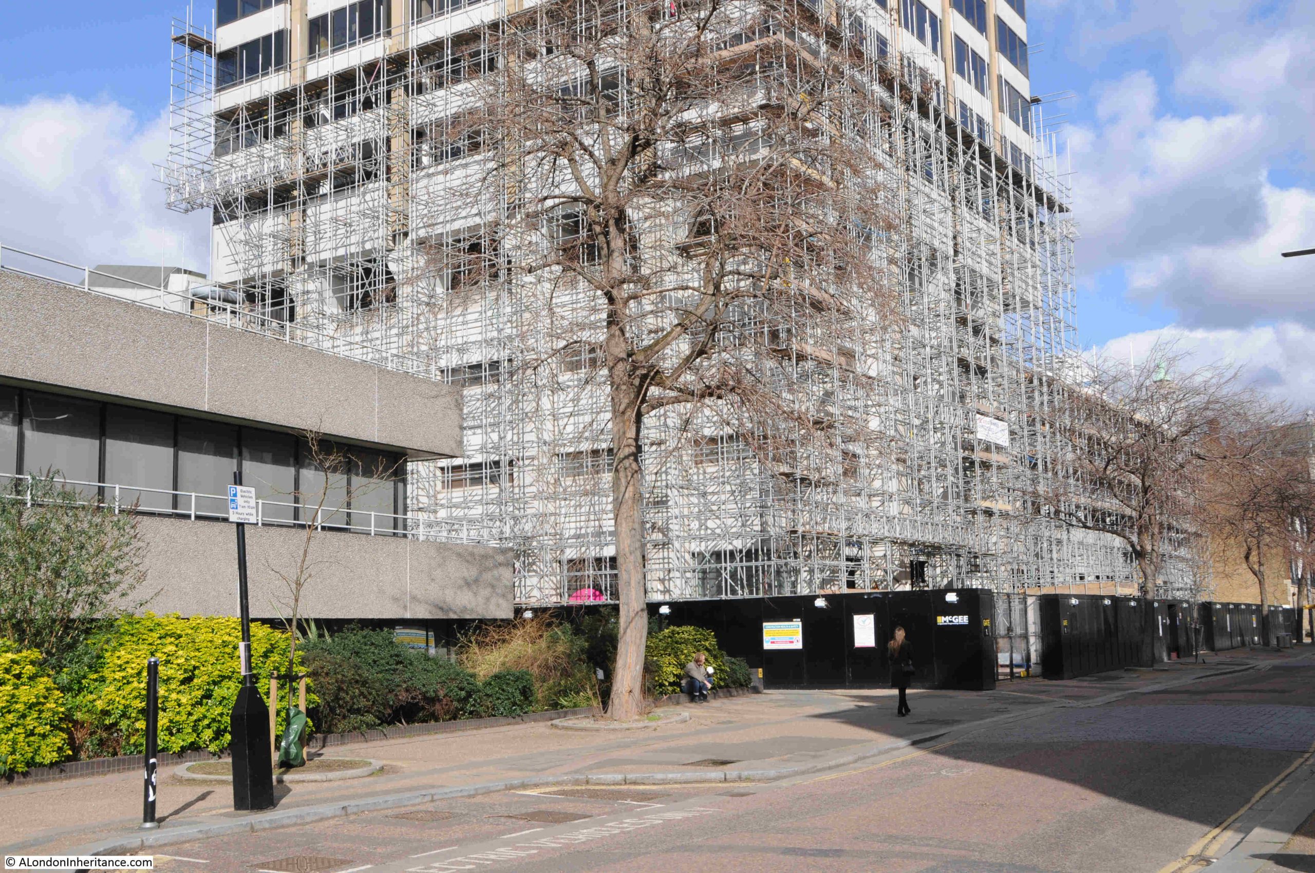
The missing feature is the white, square tower seen in the following photo, behind the right hand yellow crane, covered in scaffolding ready for demolition:
The tower was Kent House / the Southbank Television Centre / the London Studios, the original home of London Weekend Television, and in recent decades of ITV, with much of their national and local output coming from the studios that clustered around the base of the tower.
The building dates from a time when there were two independent TV stations covering London and the surrounding Home Counties. Thames Television broadcast from Monday to Friday, when on Friday evening Thames would handover to London Weekend Television who would broadcast until the following Monday morning.
London Weekend Television (LWT) took over the franchise for providing London’s weekend television service from ATV in 1968, with LWT’s first studios being at Wembley at facilities rented from Rediffusion.
LWT’s intention had been to have their own, purpose built, modern television studios along with space for offices so the company could be located in one place.
A site on the Southbank was available close to the National Theatre, and development of the new studios would continue the westward development of the south bank, and followed the 1944 Abercrombie plan for London which had proposed cultural, offices, residential and open space to replace the old industrial sprawl alongside the river.
The first transmission of TV programmes from the new studios was in 1972, with the site being fully complete two years later.
The tower block was mainly offices, although there was a studio higher up the tower for a number of years, when use was made of the view over London as a backdrop for programmes.
Surrounding the base of the tower were a number of studios used for the production of LWT and wider ITV national output as providing space which other broadcasters could use.
If you have watched almost any ITV live productions, game shows, dramas such as Upstairs, Downstairs, ITV’s World of Sport, BBC shows such as Have I Got News For You, QI, the Graham Norton Show, they were all filmed in the studios at the base of the tower on the Southbank.
The studios were also used by many other production companies and broadcasters.
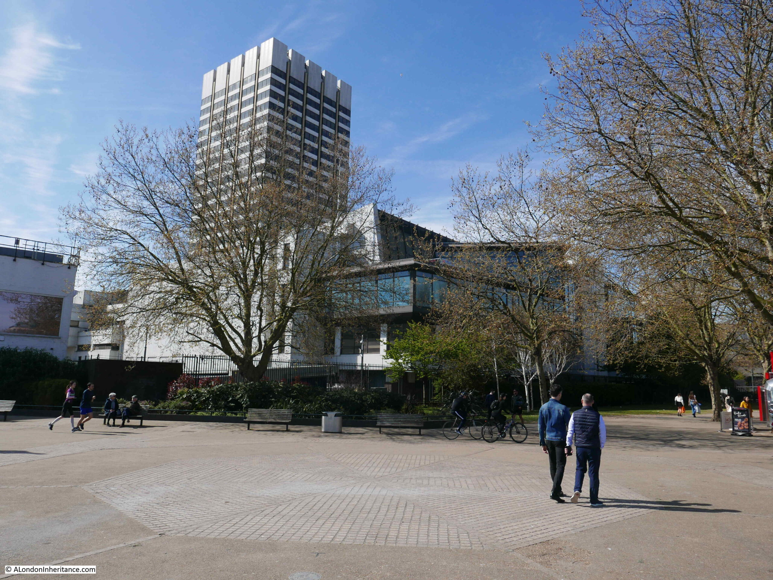
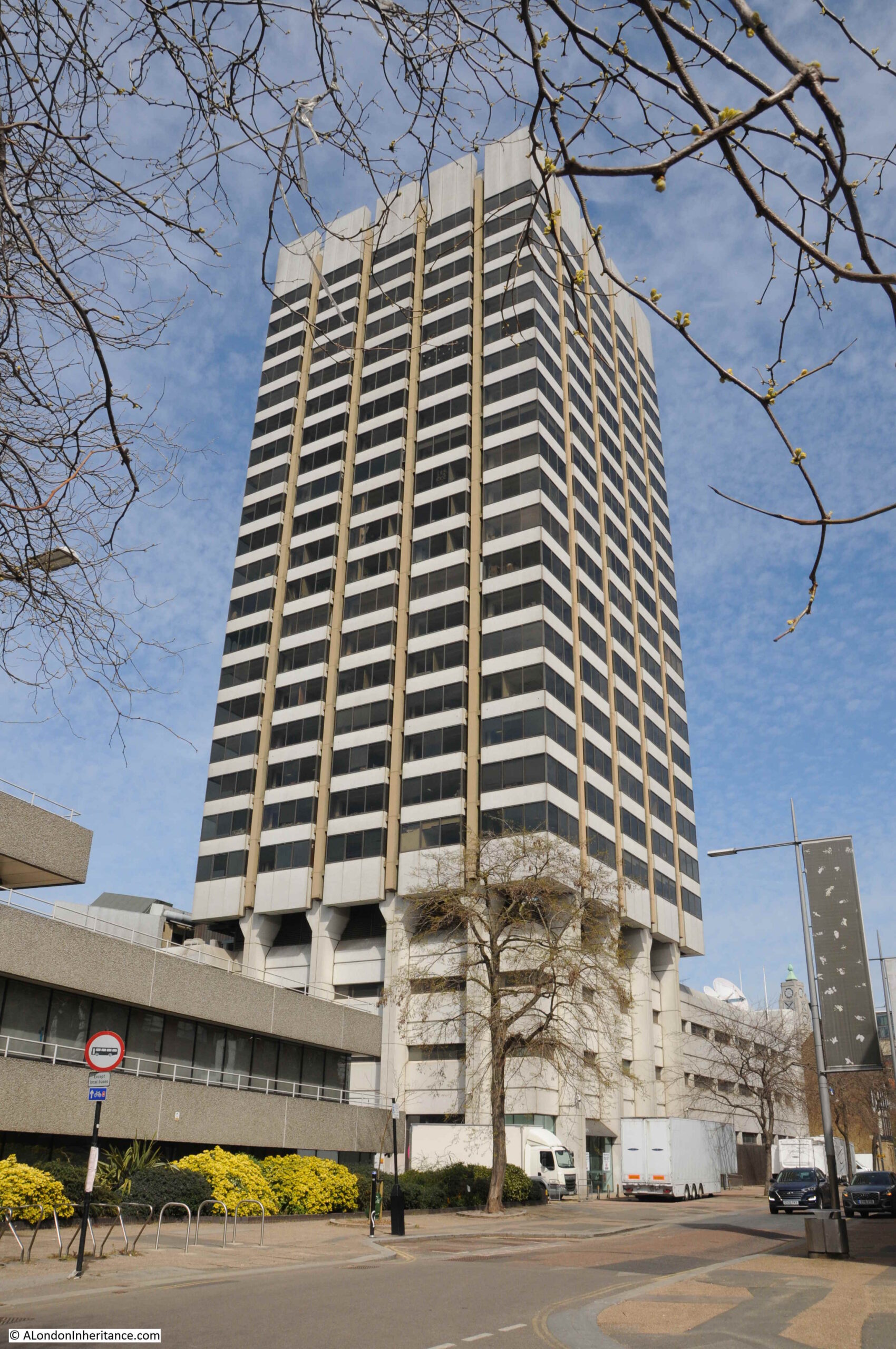
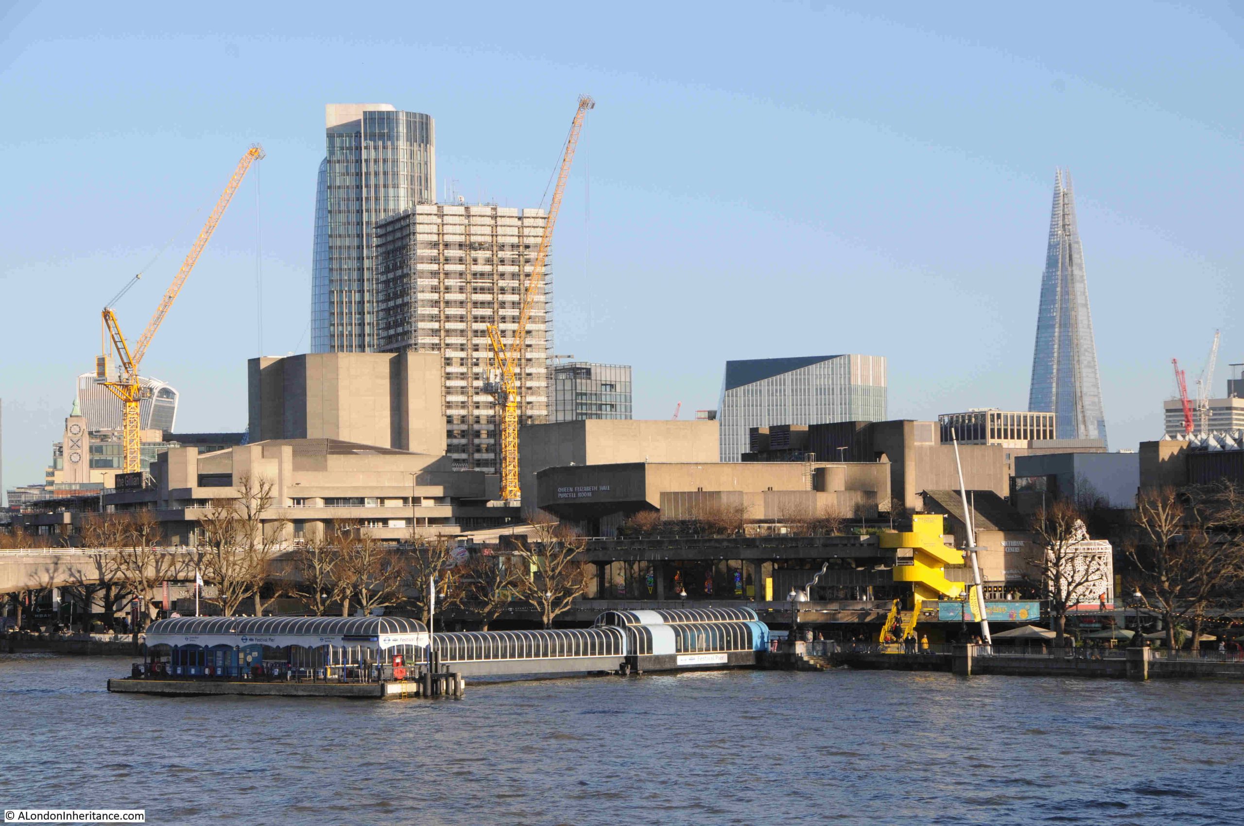
The tower has been a feature of many of my photos, dating back to the late 1970s. This is a photo from 2017 when it was still occupied by ITV:
This photo from 2022 shows the tower standing in isolation on the Southbank (the Shard is hidden behind the tower):
As the local independent television regions went through a period of change and consolidation, LWT was taken over by Granada in 1994. Carlton Communications had previously won the franchise for the London weekday service from Thames Television, and by 2004 Granada and Carlton merged all their operations which included the many regional operators they had taken over such as LWT, to form ITV as a public limited company.
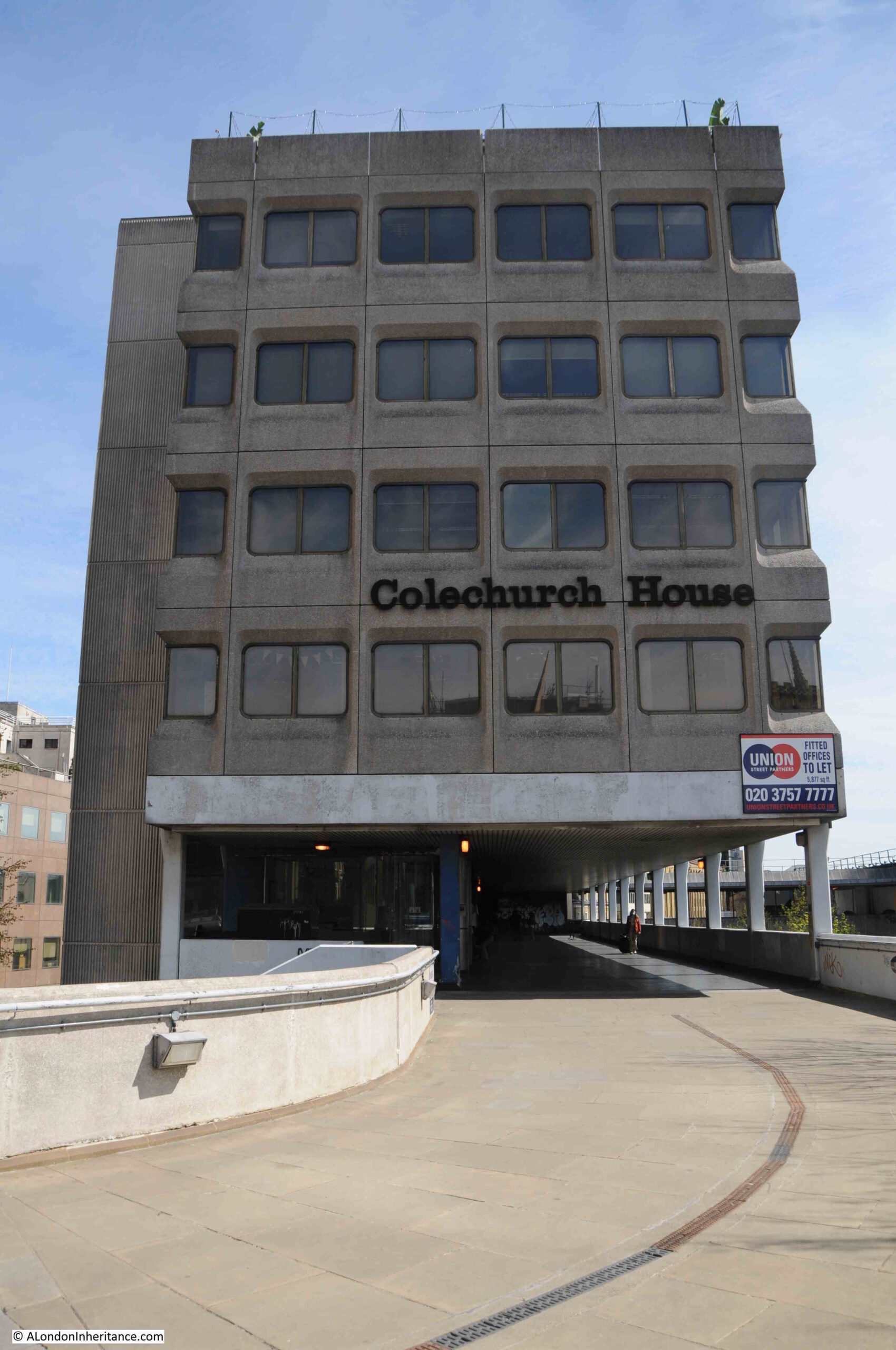
The studio complex also went through some changes from the South Bank Television Centre to The London Studios.
in 2018, ITV announced that the studios were to be closed allowing the buildings to be demolished to make way for new office and production facilities. ITV’s live broadcasts, mainly their daytime programmes would temporarily move to the old BBC Television Centre at White City as the BBC had moved out with the centre “donut” of offices being converted to apartments, and some of the studios remaining, and available for hire.
Later in the same year, it became clear that ITV would not be returning to any refurbished site, and they would use the studios at White City as a long term resource.
ITV had earlier purchased the freehold of the site from the properties division of the Coal Pension Fund, and I suspect they realised that the site was far more valuable if sold to developers, rather than the costs of refurbished studios and remaining on the South Bank.
The site was sold to Mitsubishi Estate, the Japanese property developer, and owner of a number of buildings across London.
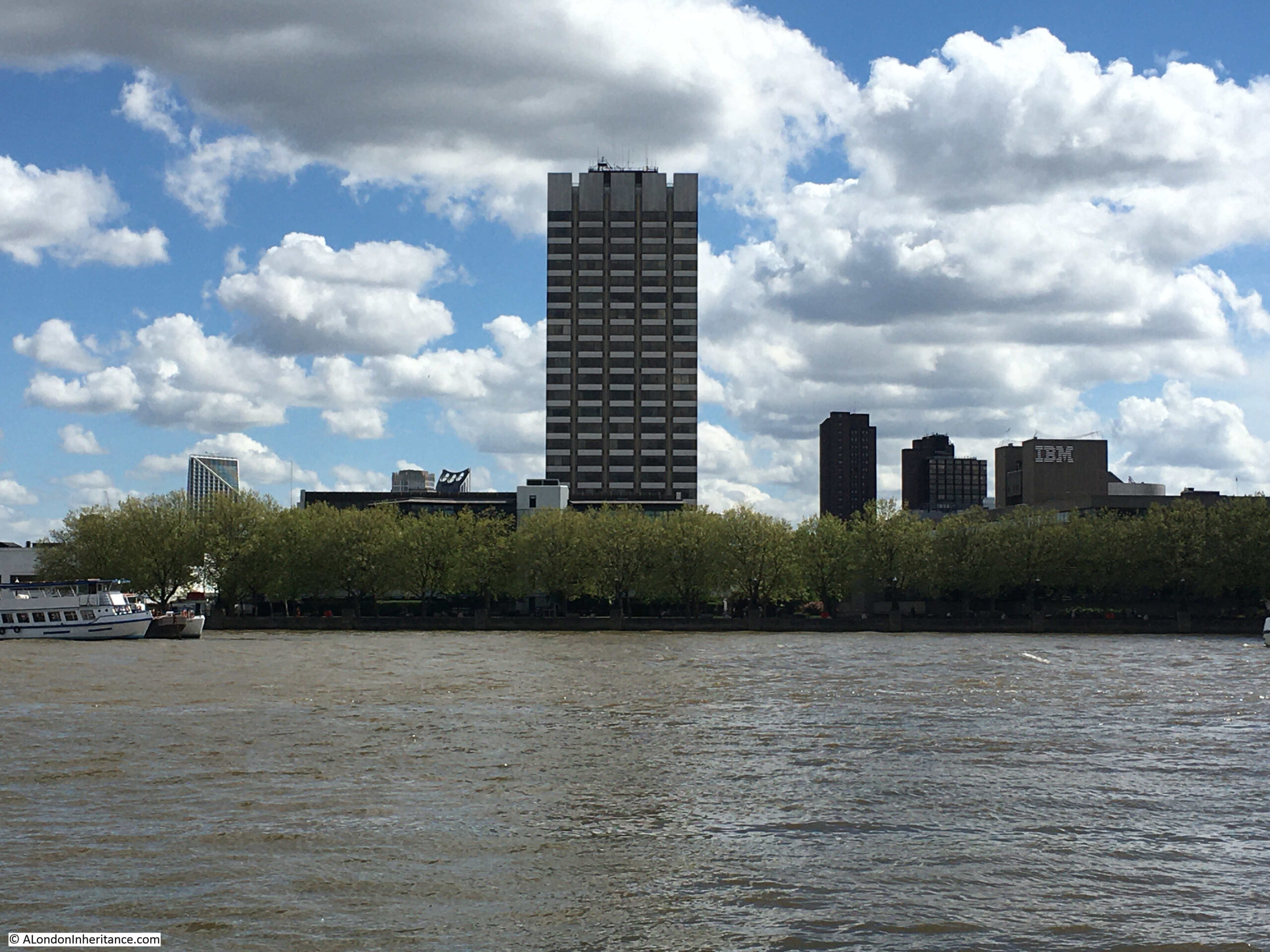
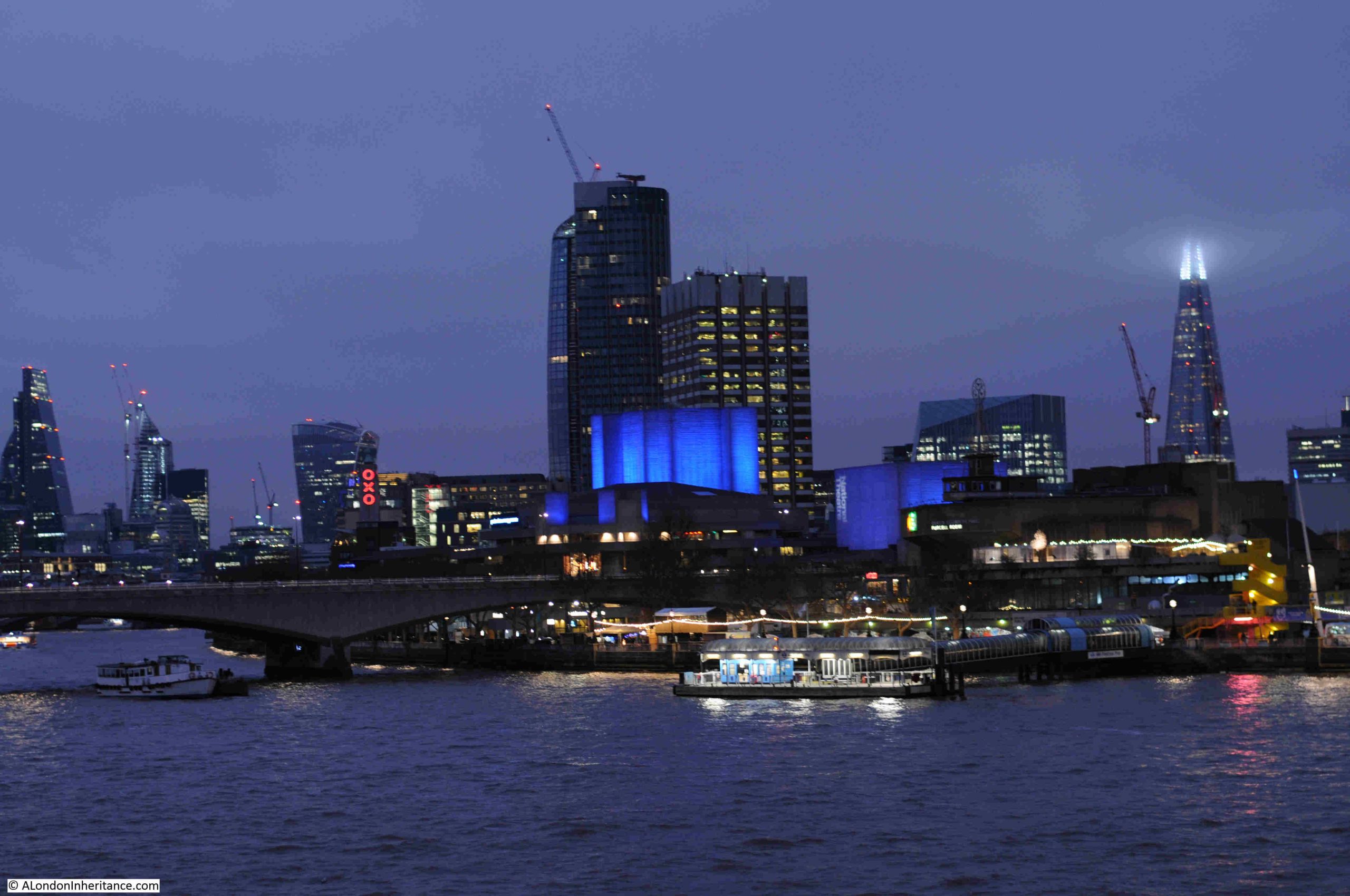
The view as was of the tower and the studios from the Embankment walkway:

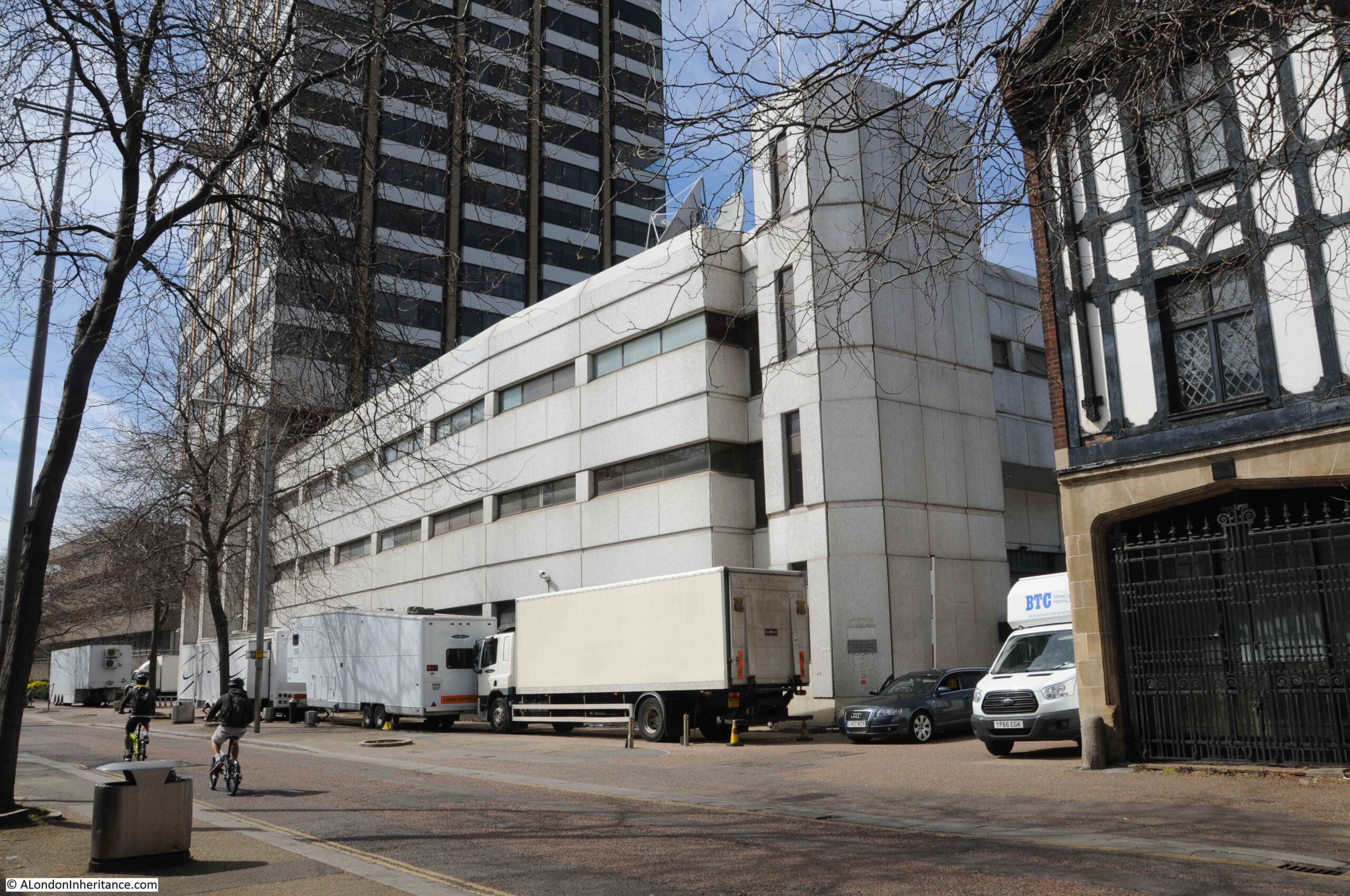
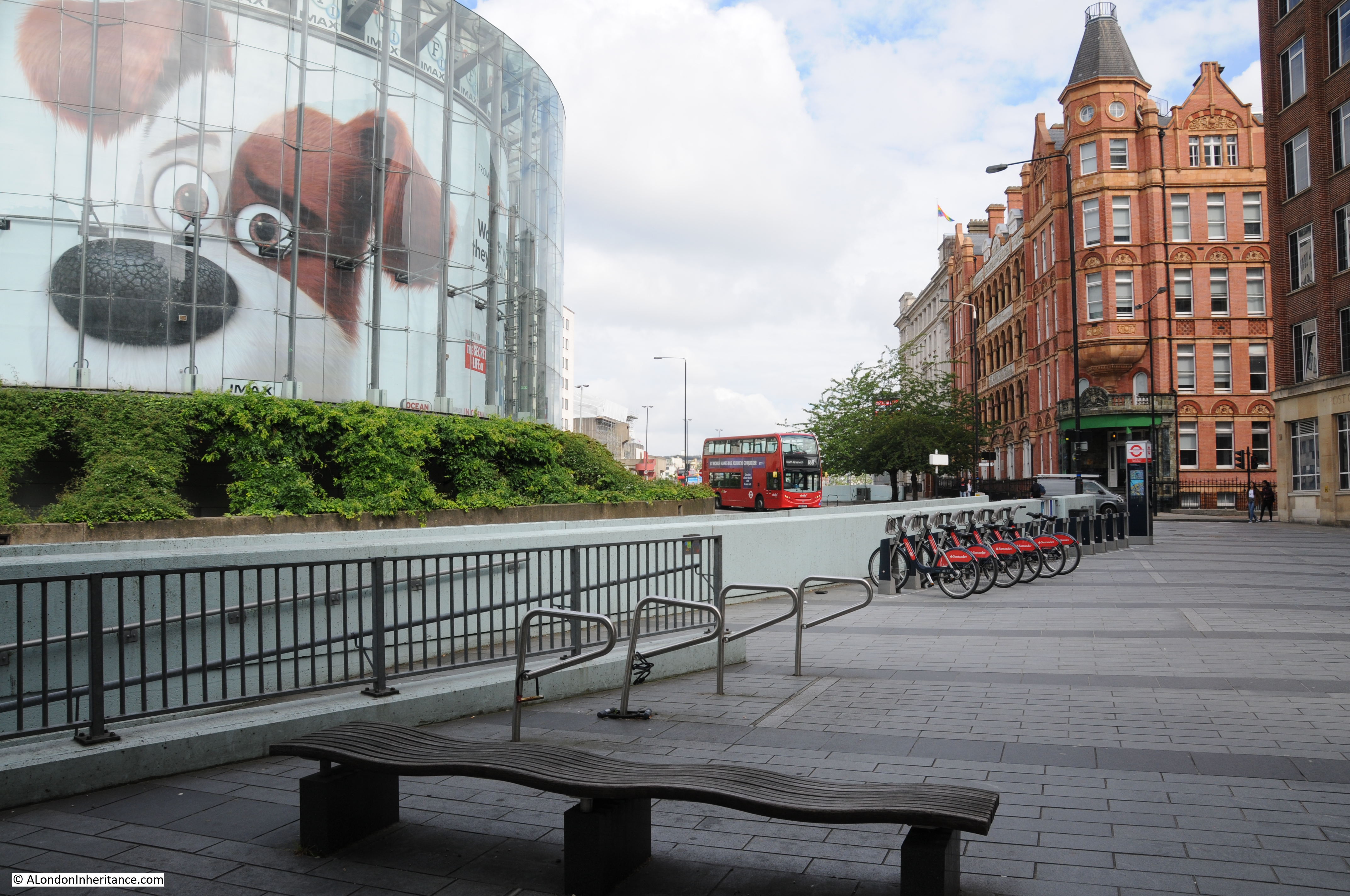
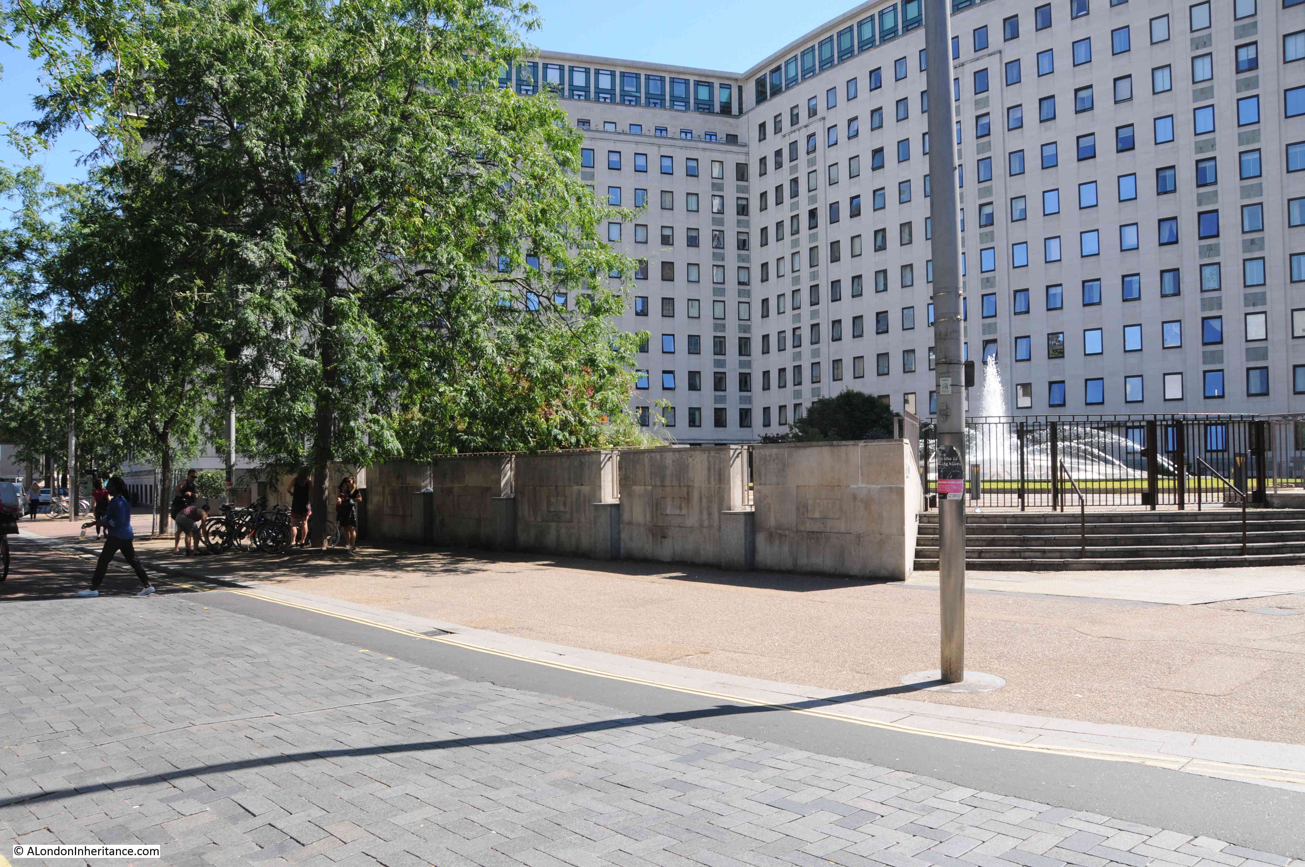
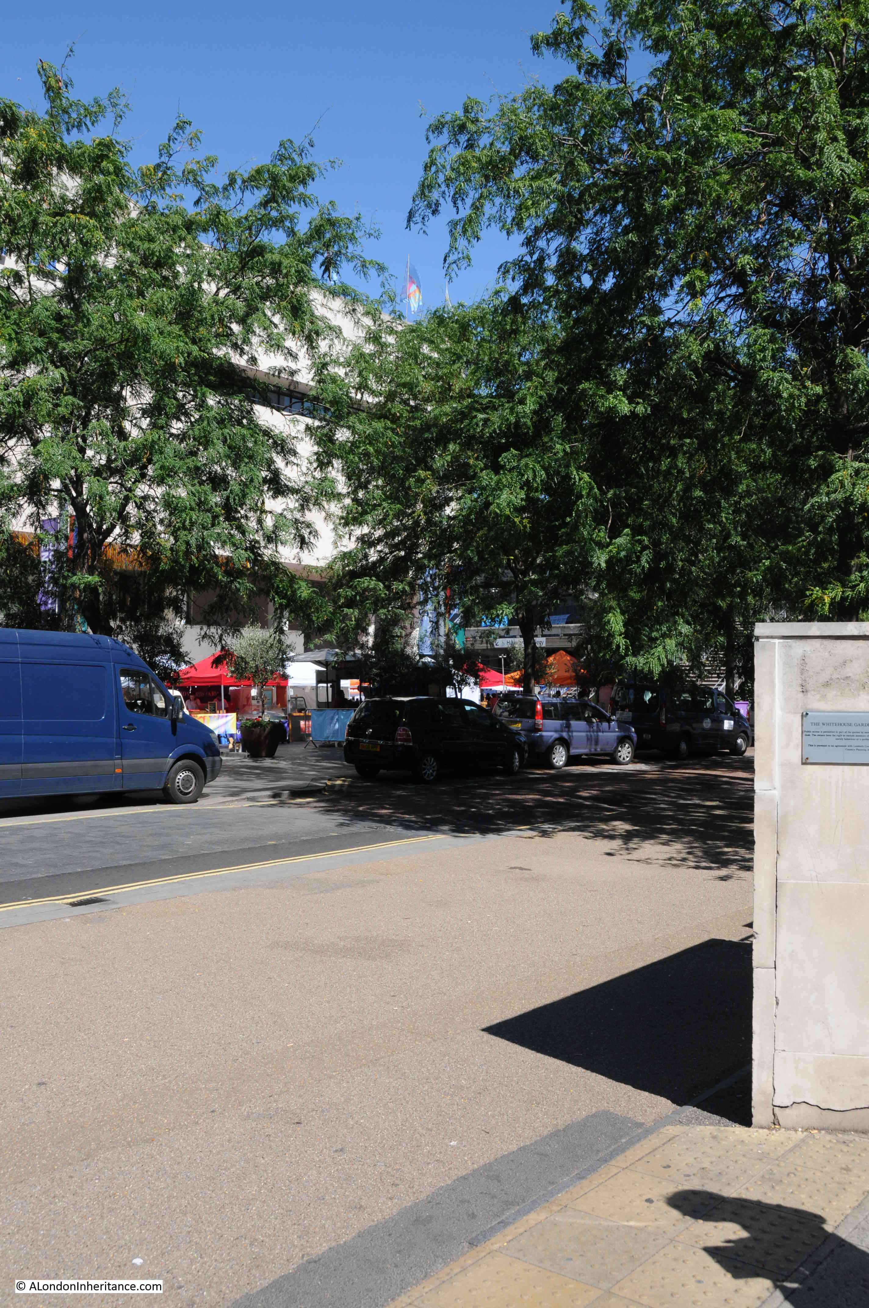
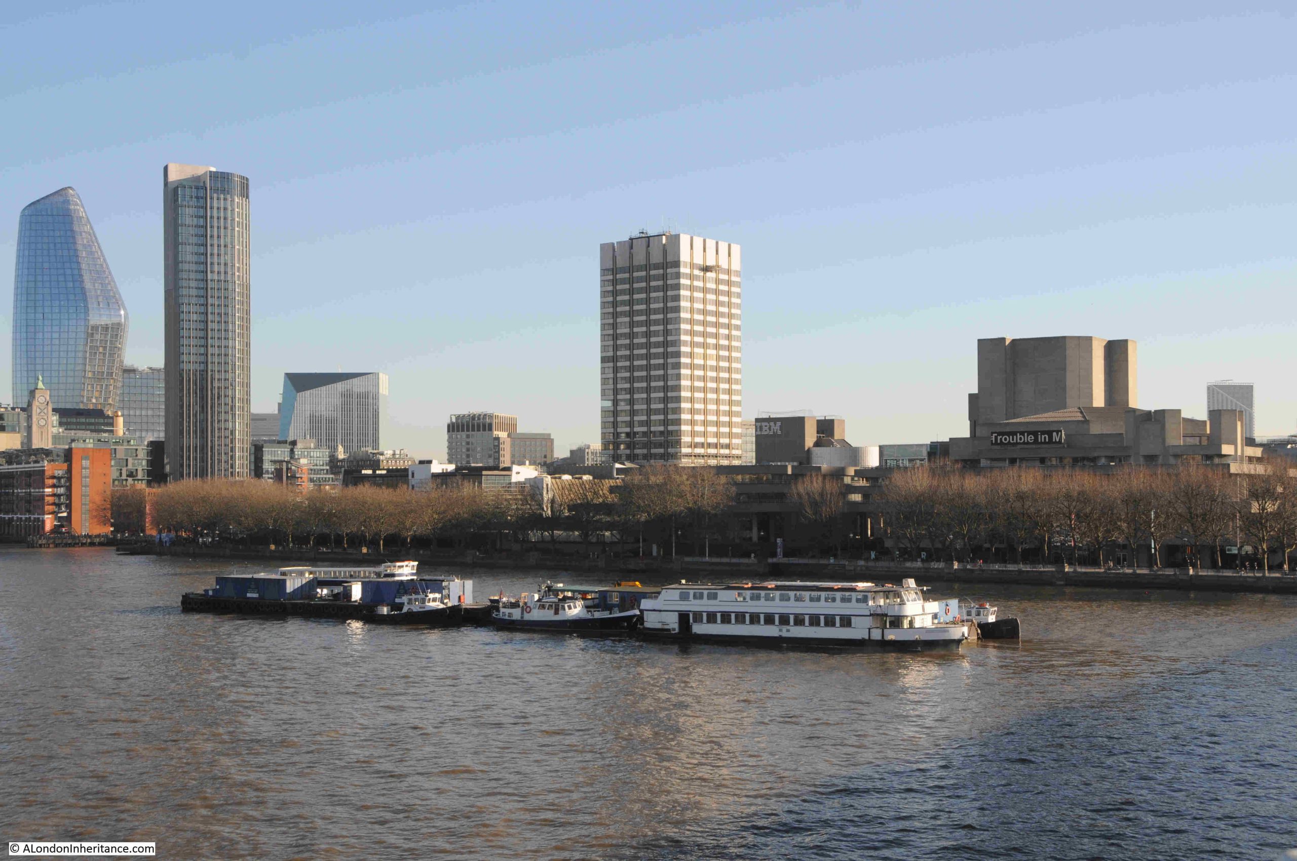
The view now that the tower and studios have been demolished:
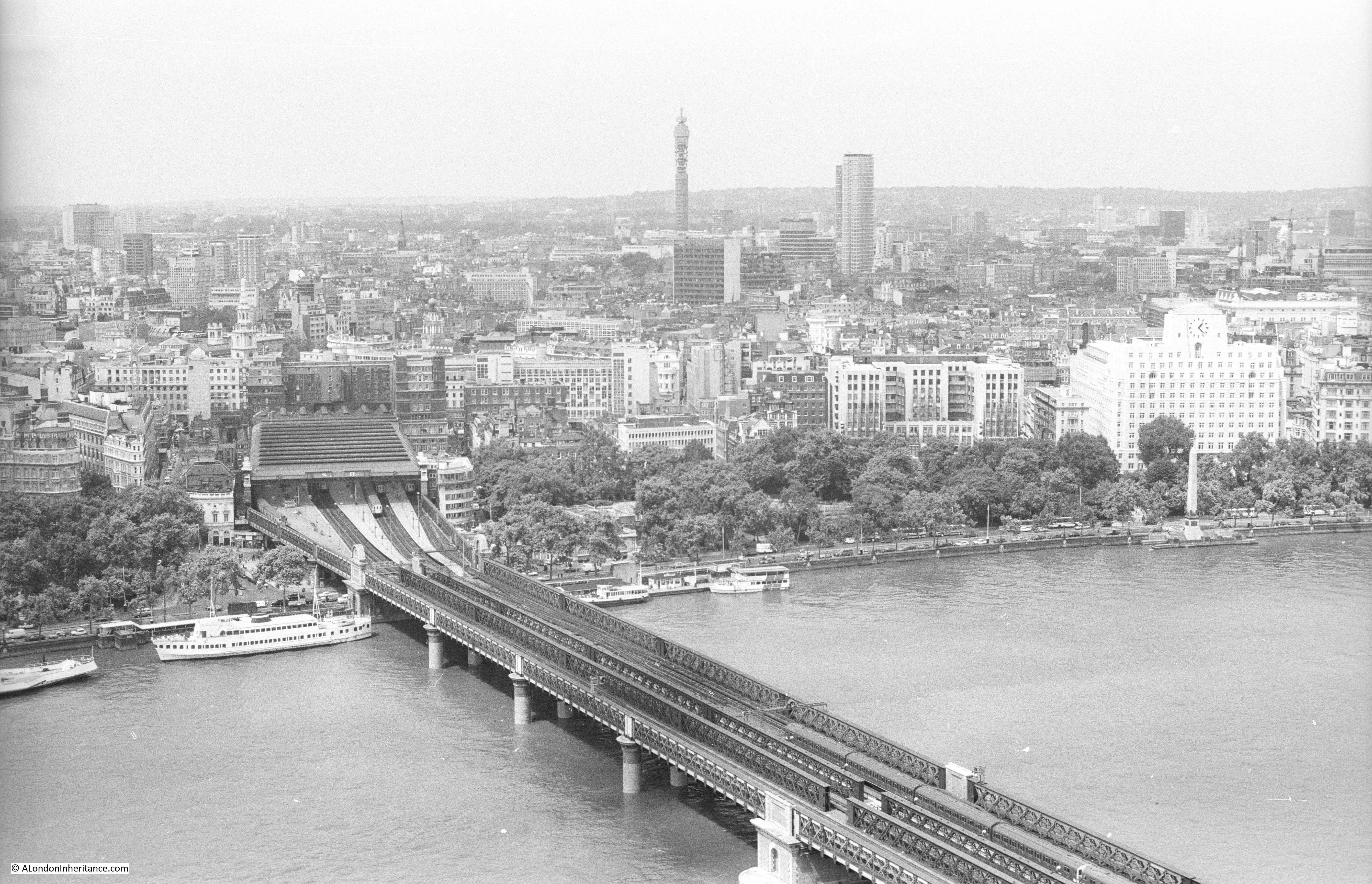
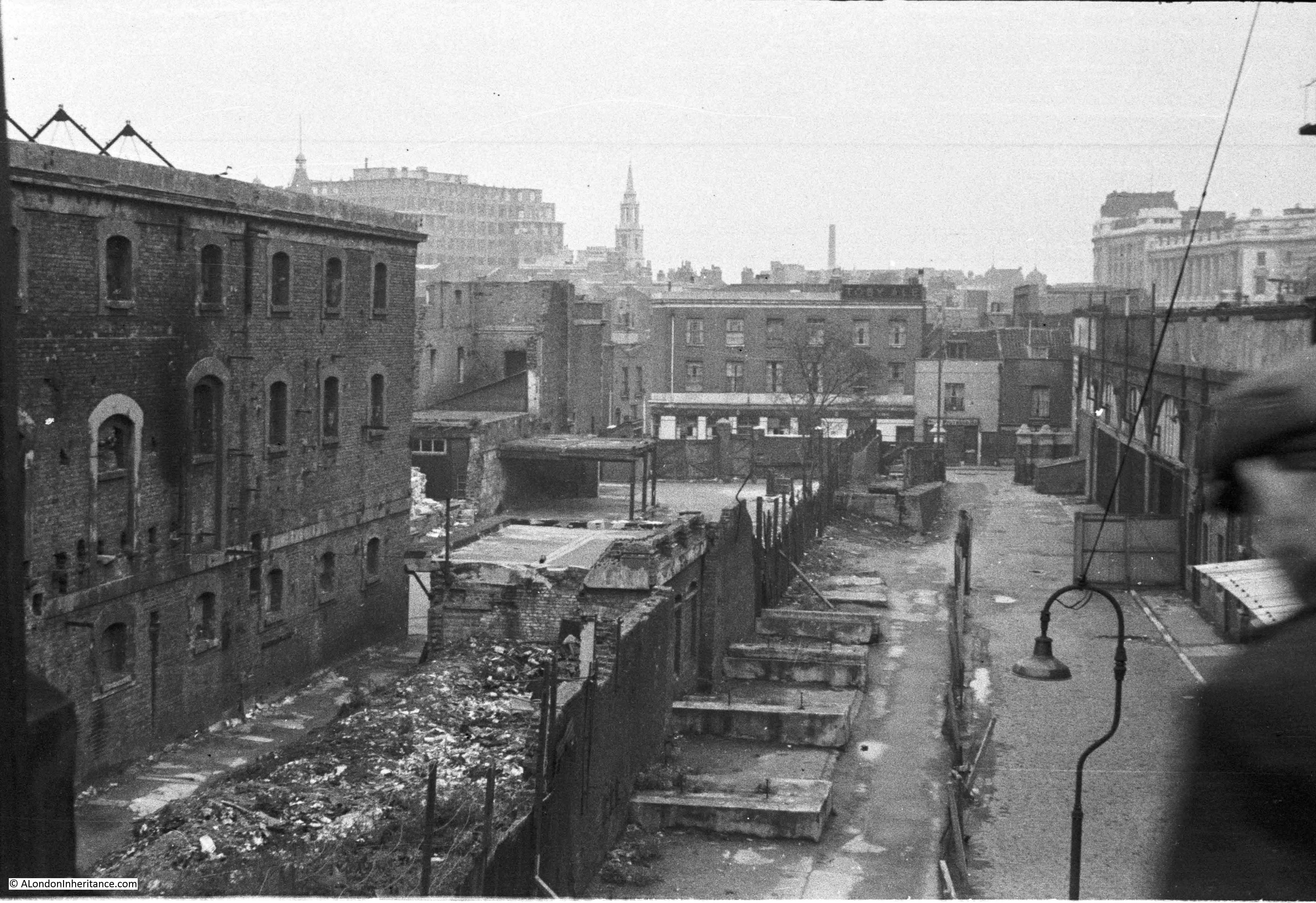
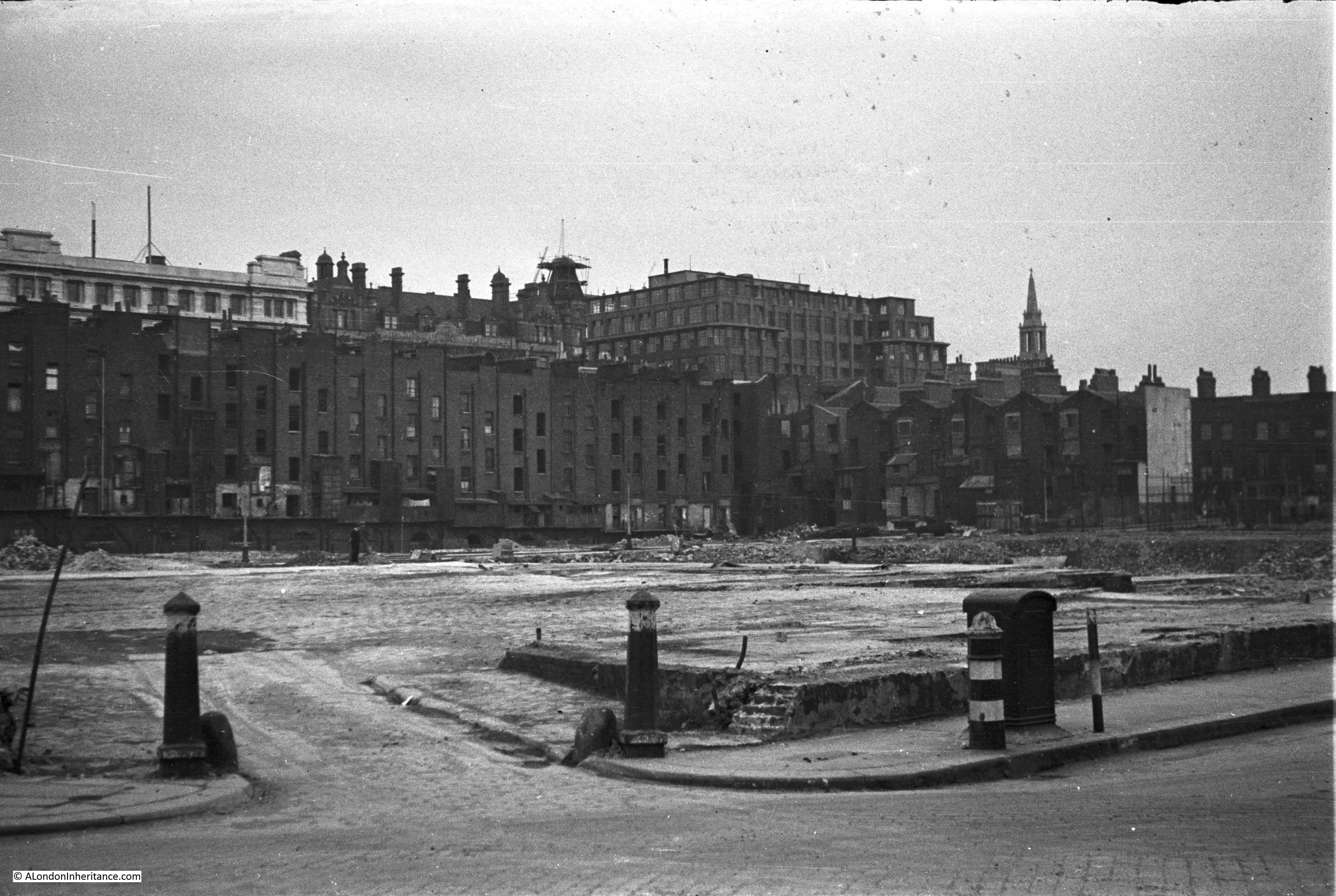
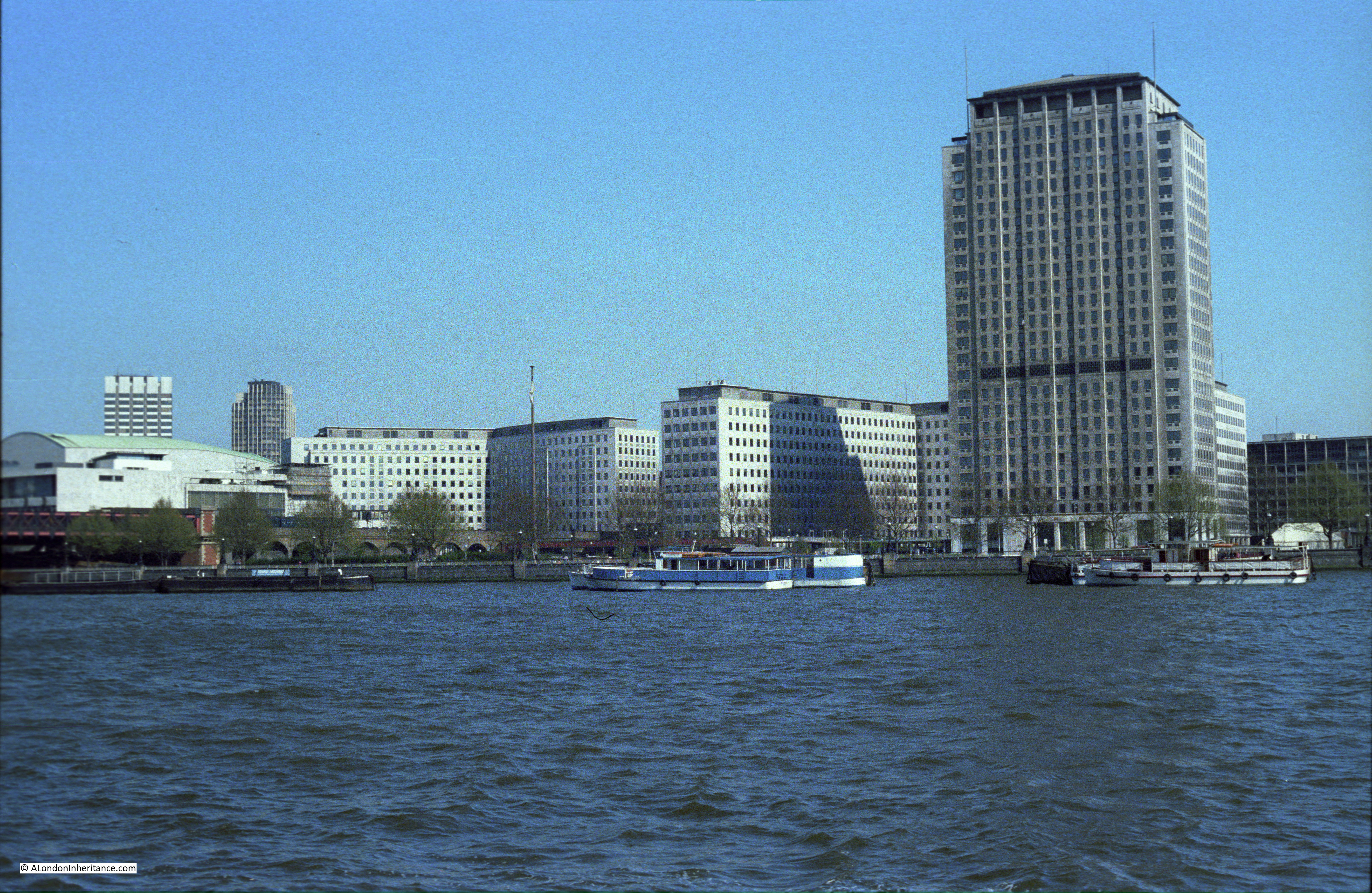
My first photo of the LWT tower and studio complex was in 1980, from the old walkway that ran alongside Hungerford Bridge:
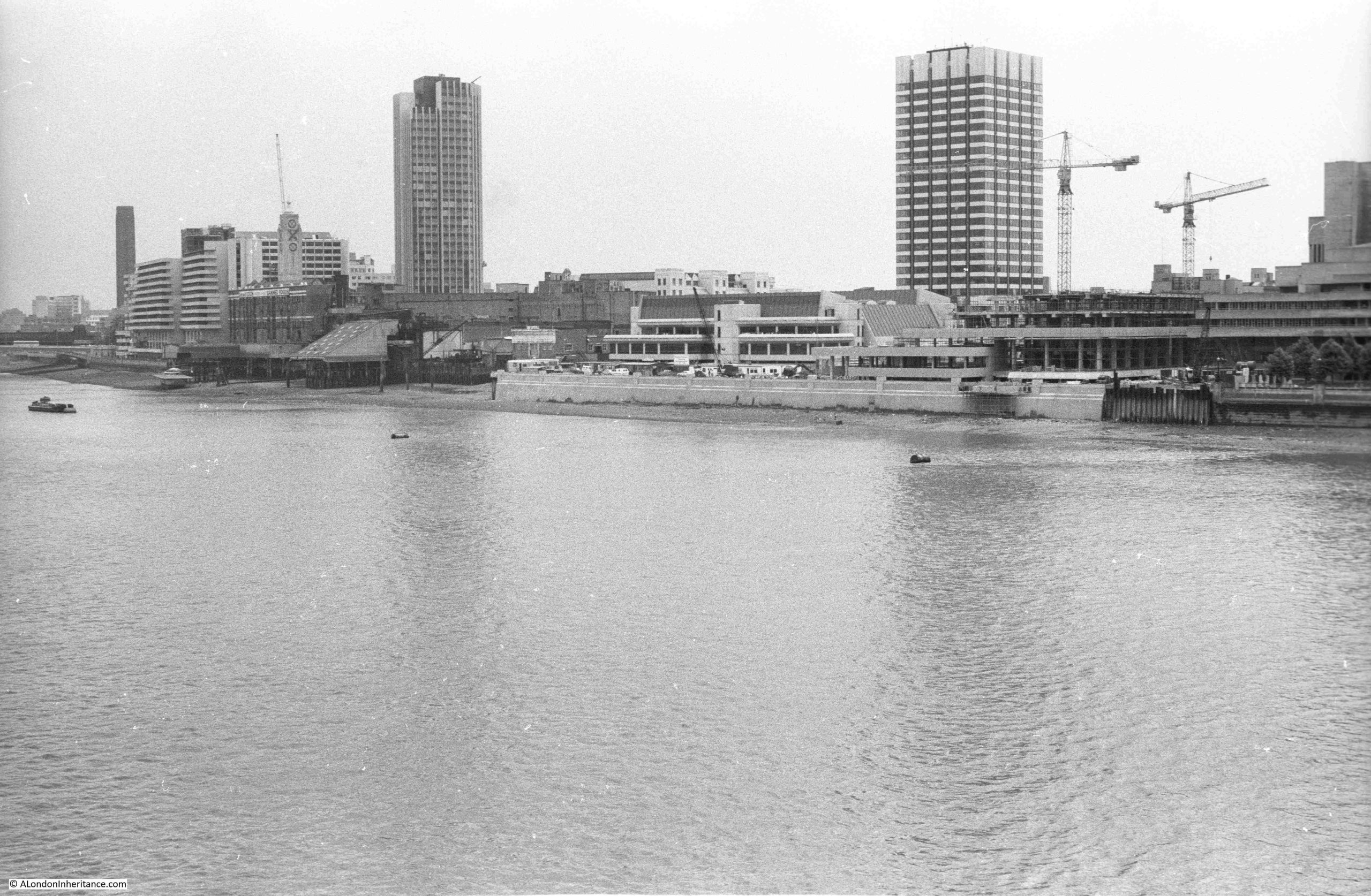
In the above photo, the tower is towards the back of the complex, with the lower studios surrounding the tower and facing on to the river.
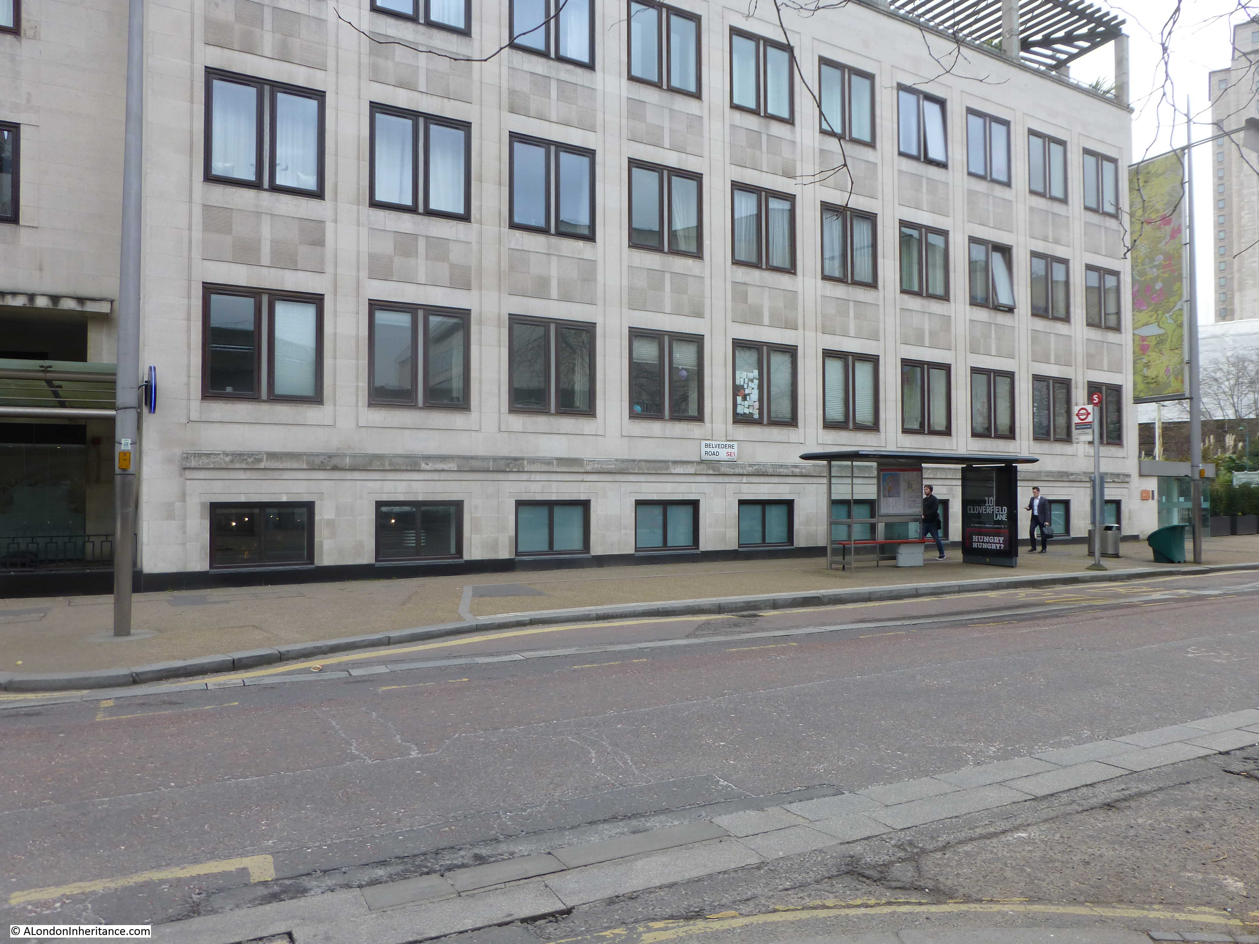
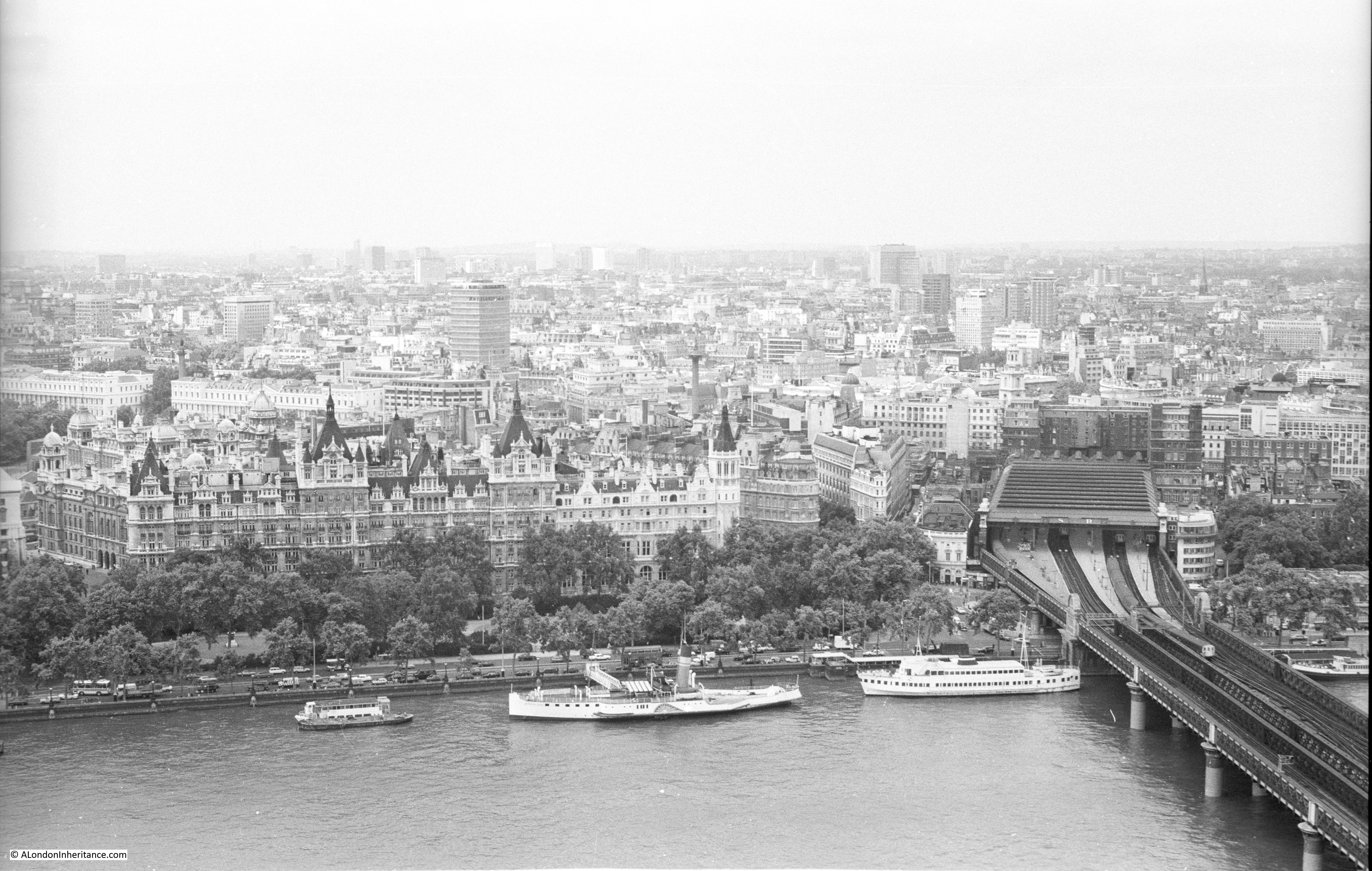
The Embankment wall and walkway was being extended in front of both the LWT studios and the new IBM building which was under construction just to the right of the ITV studios.
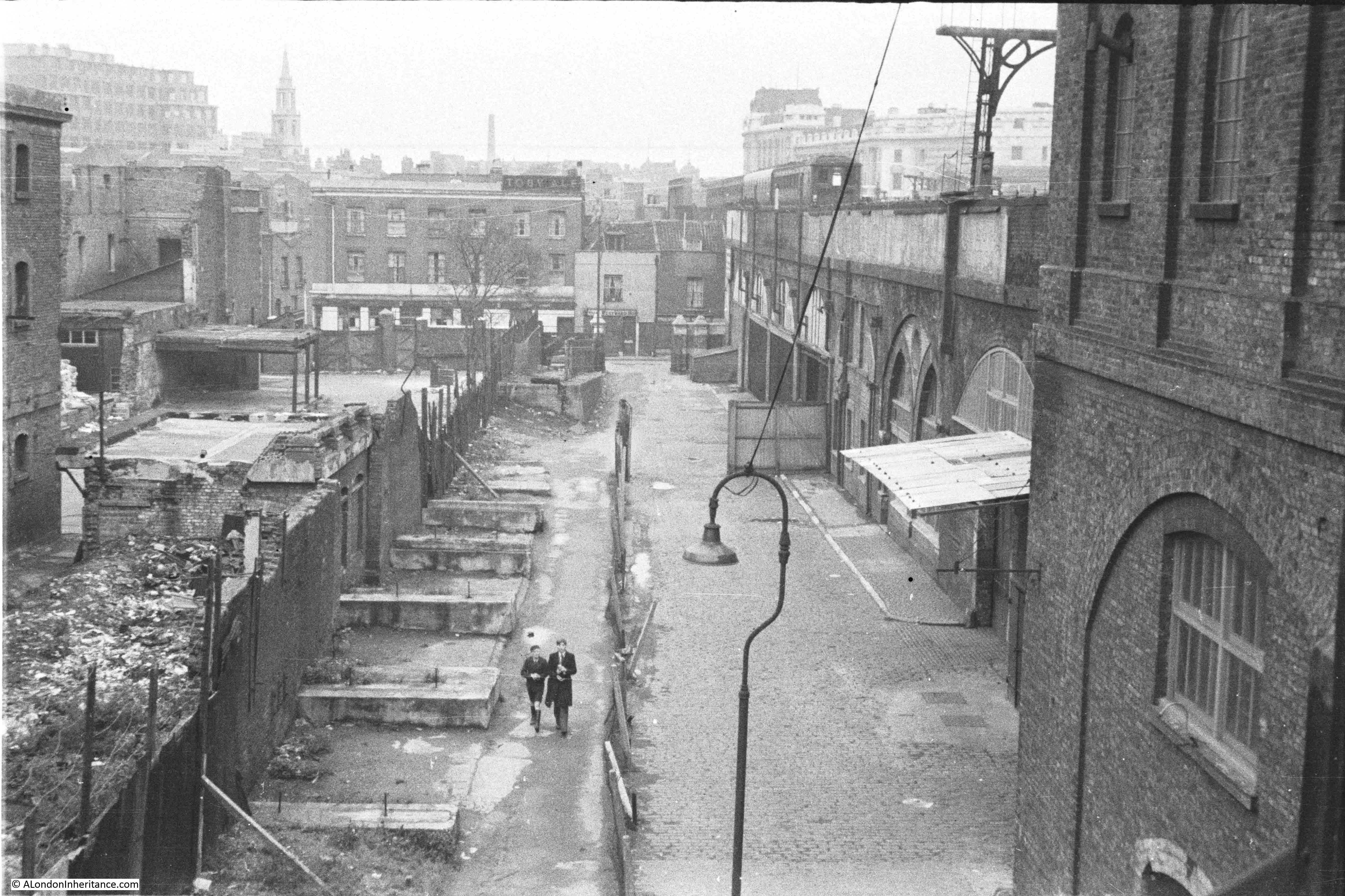
A different angle to the above view, further along the walkway, with the studios as the white building, and to the right, the IBM building under construction, a building designed by Denys Lasdun, who had also designed the National Theatre, seen to the right of the photo:
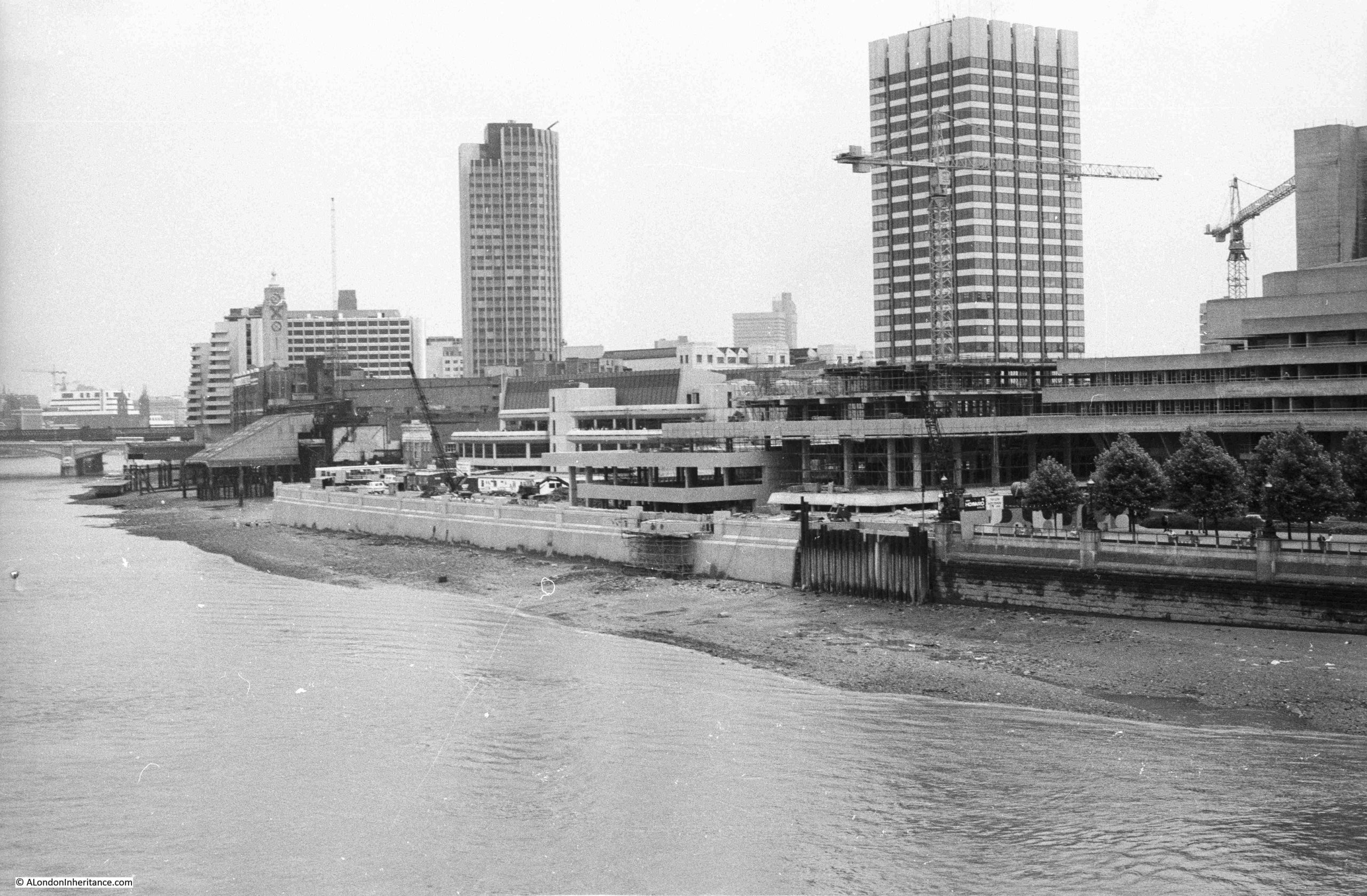
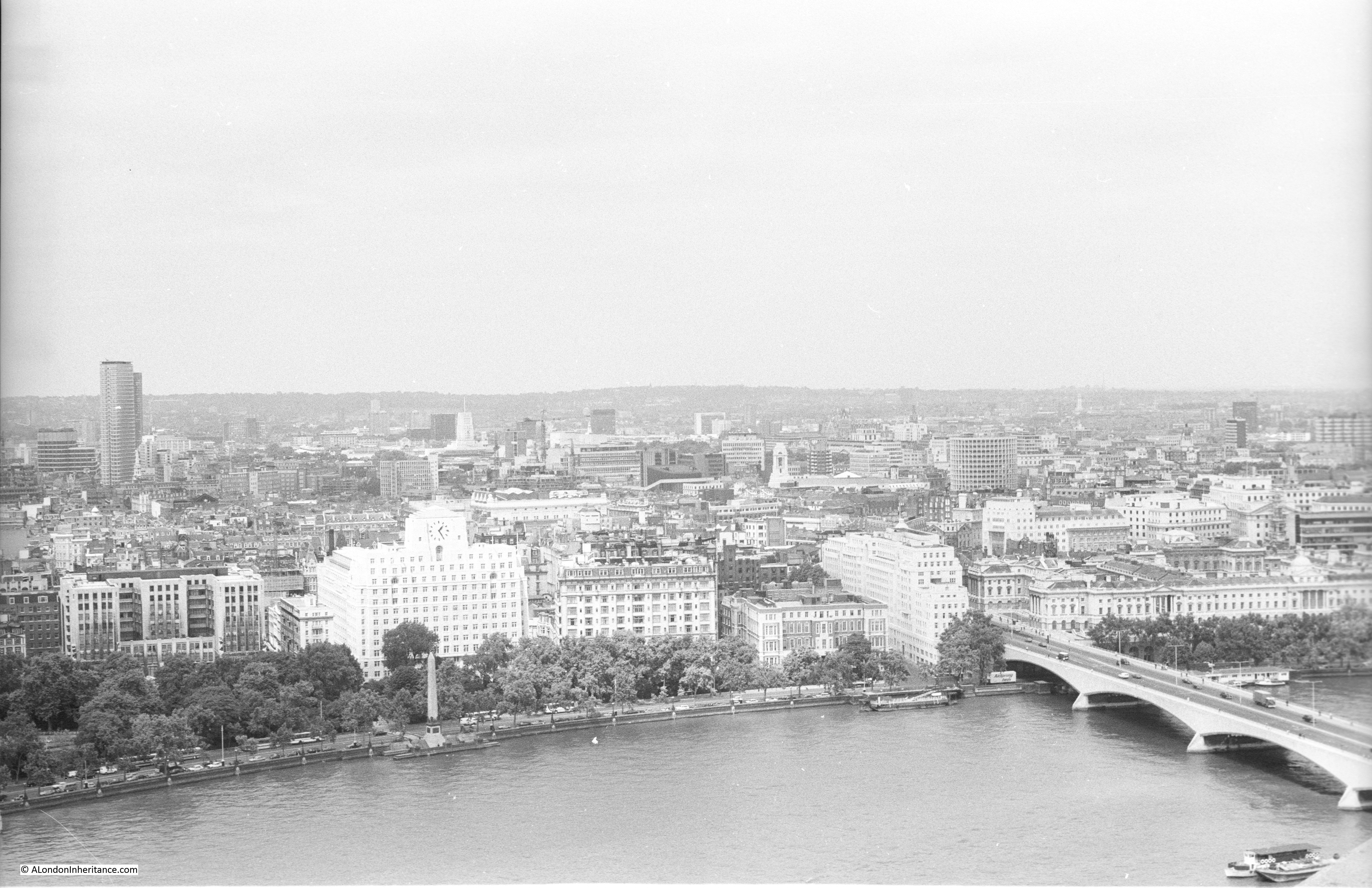
The tower to the left of the above two photos is Kings Reach Tower, formerly the home of IPC Magazines / IPC Media, now extended upwards and known as the Southbank Tower and converted to residential.
There is a bit of a mystery in the above two photos which I will come to later in the post.
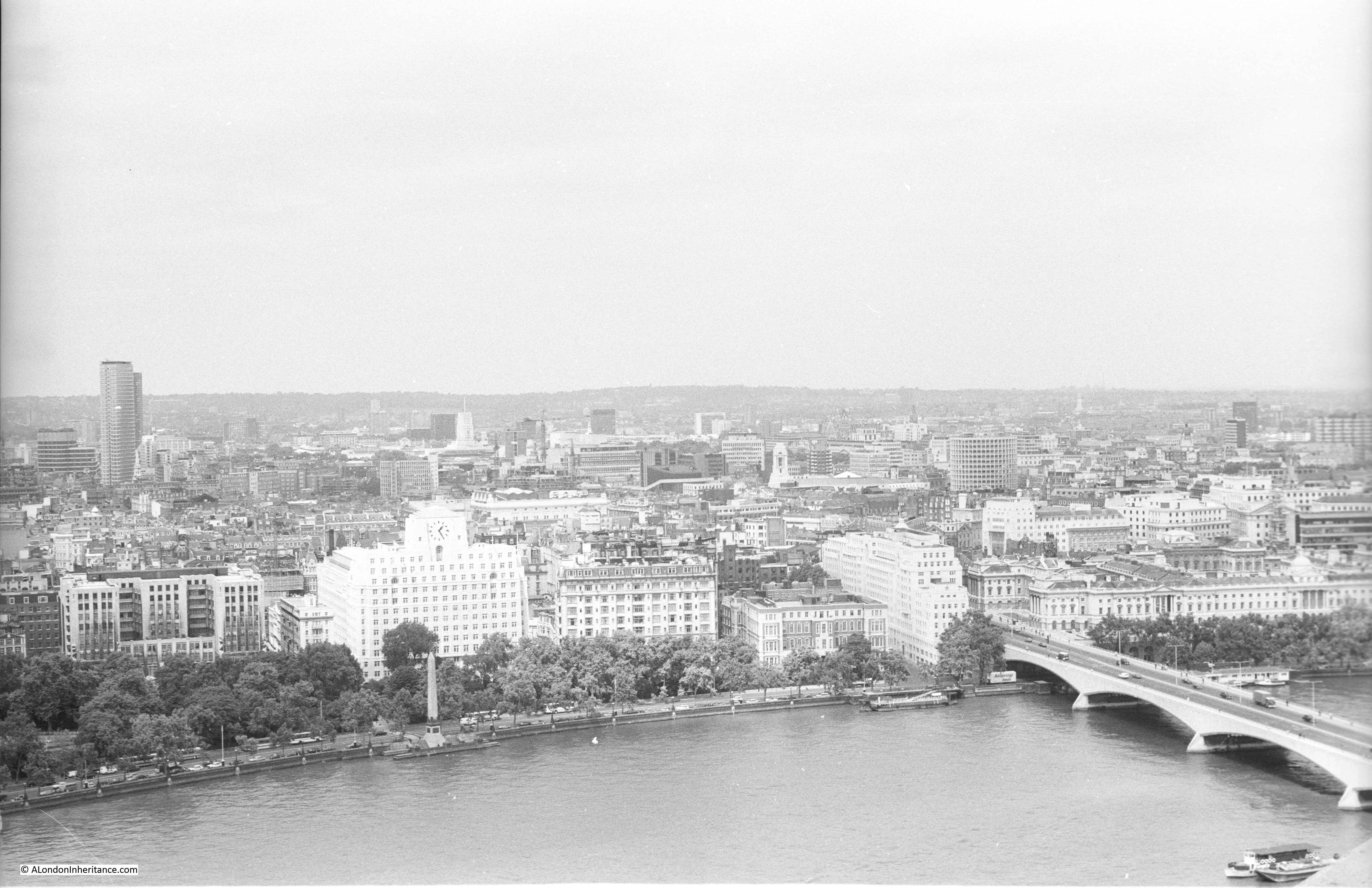
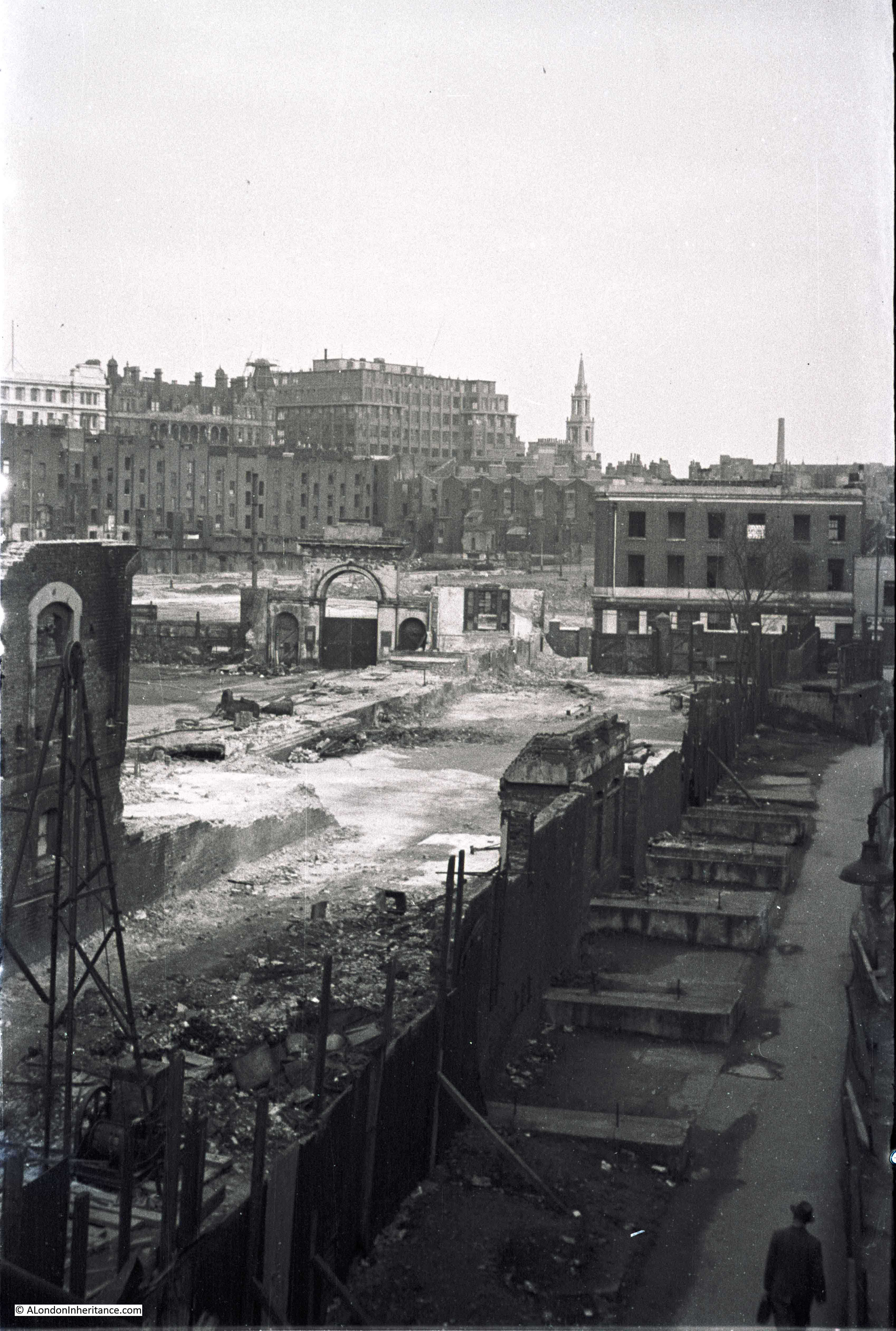
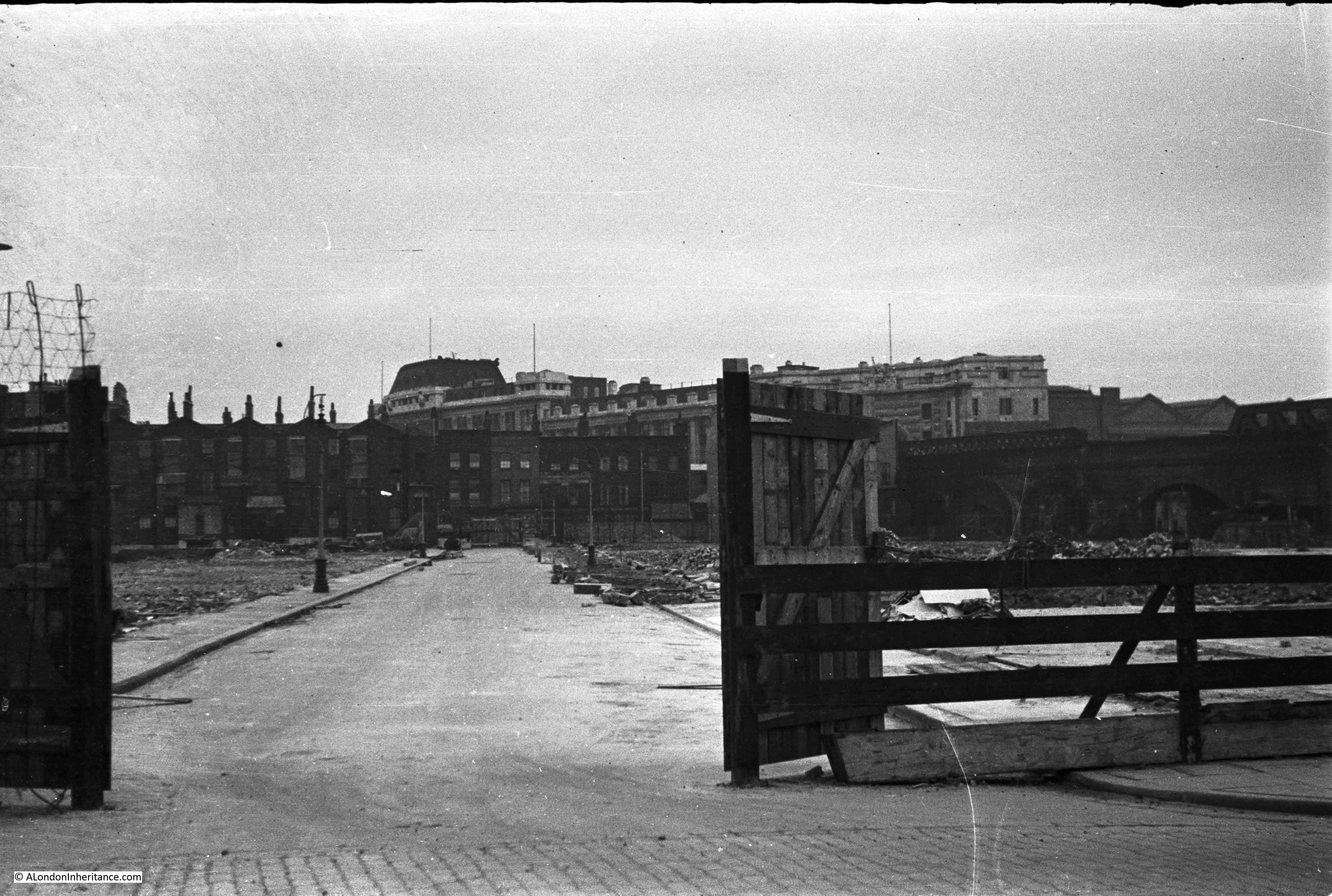
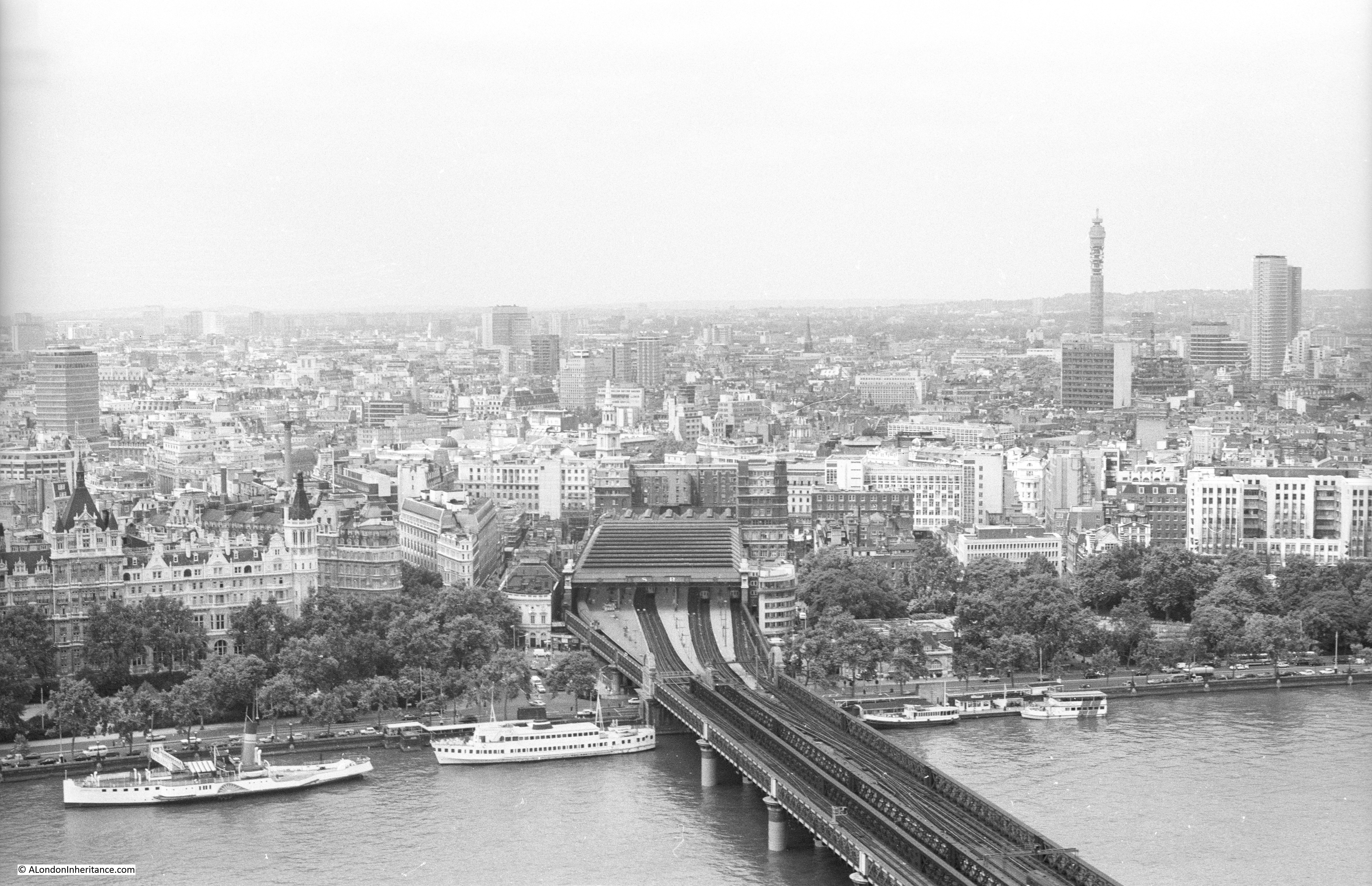
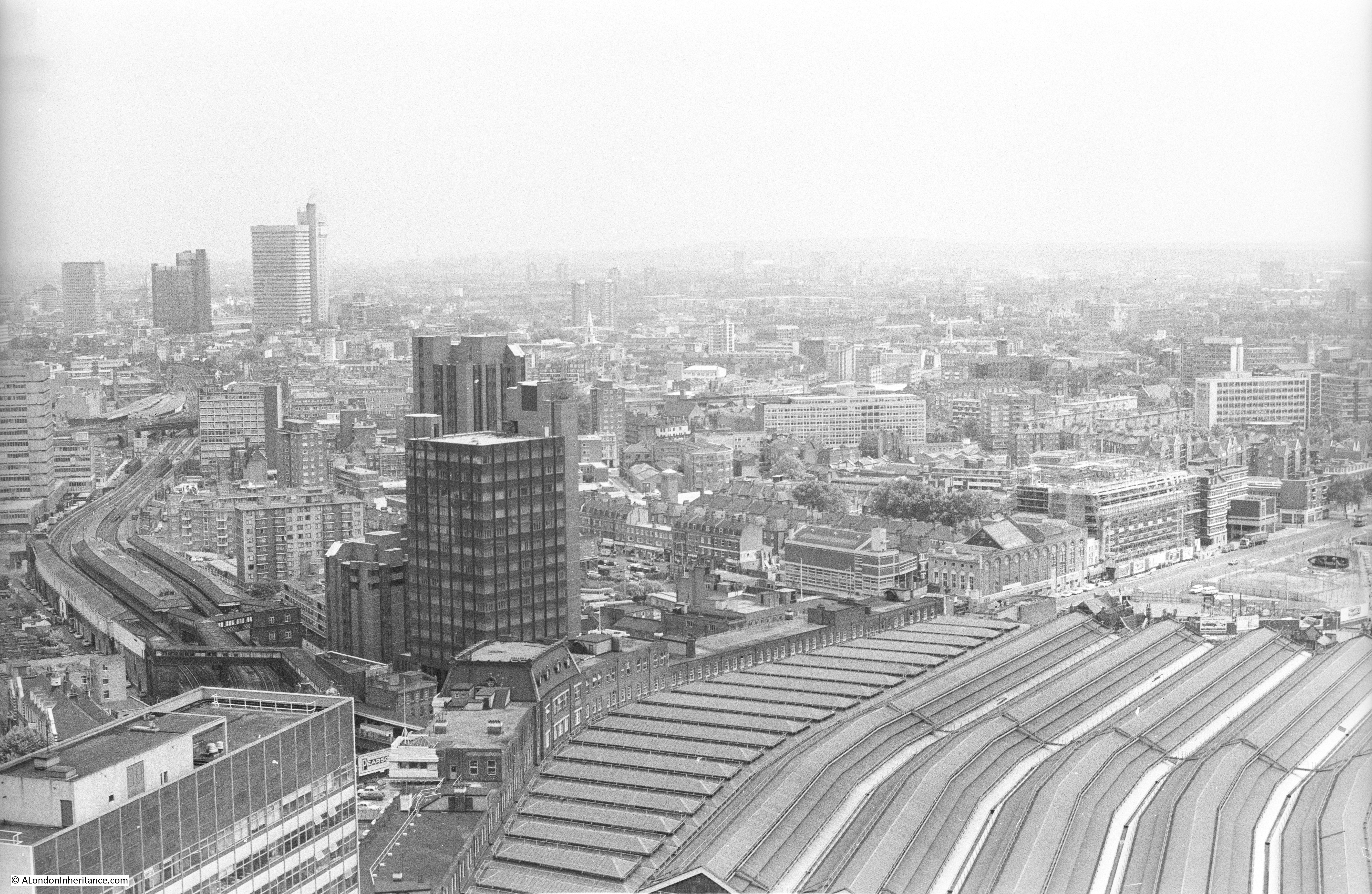
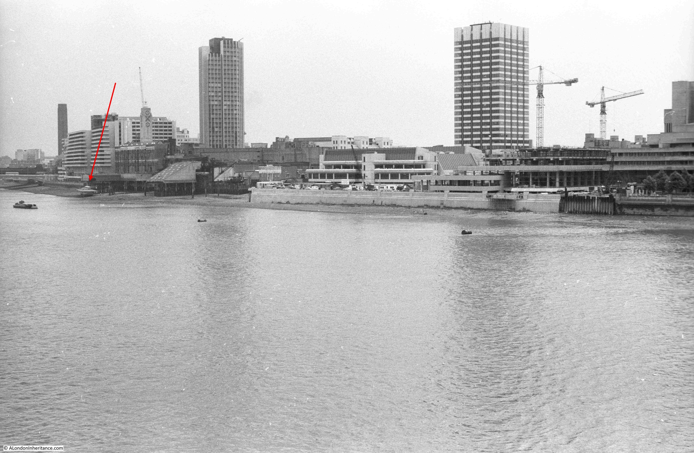
In 1980 I also took the following photo from the Shell Centre viewing gallery looking down on the LWT tower and studios:
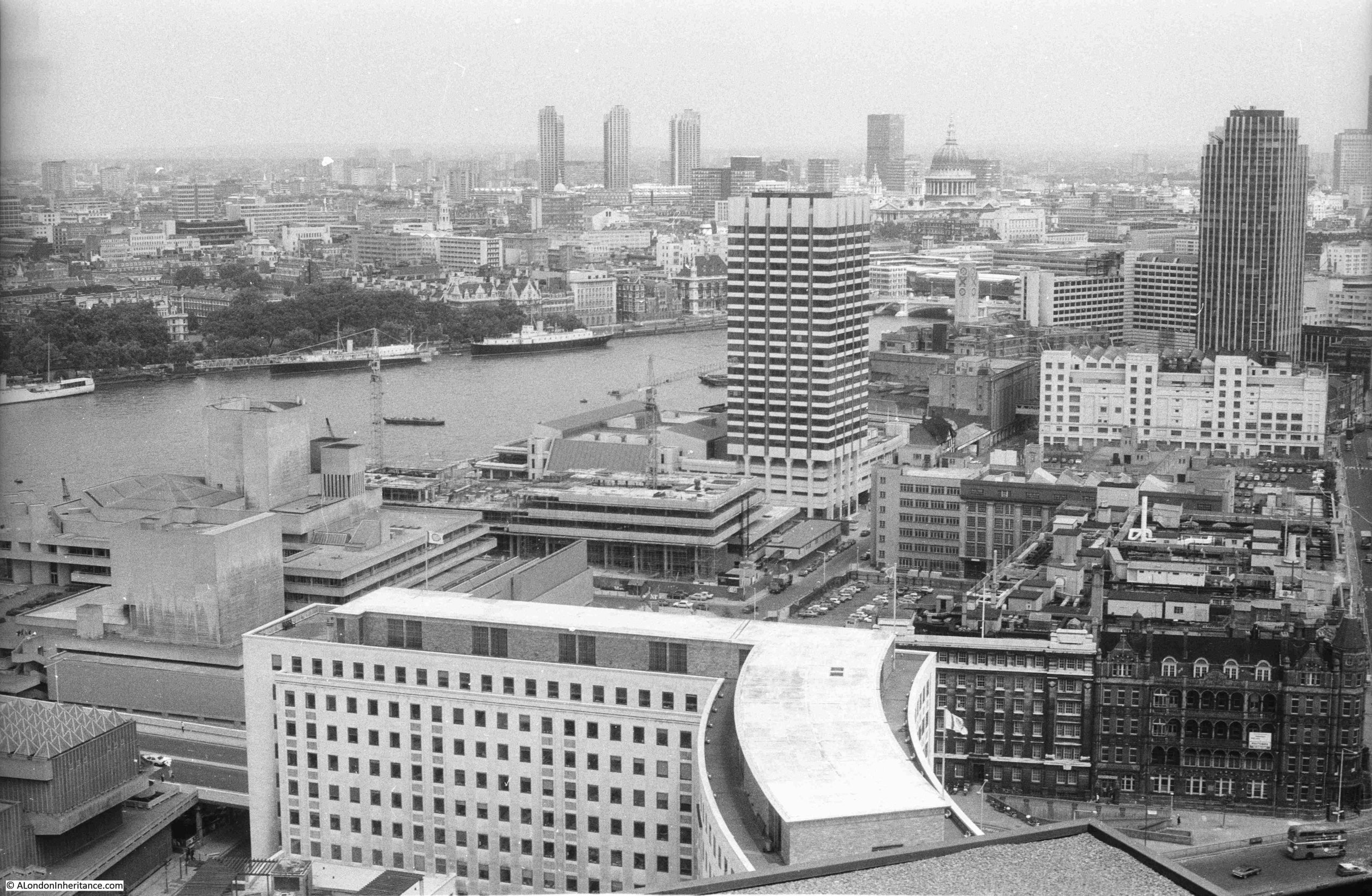
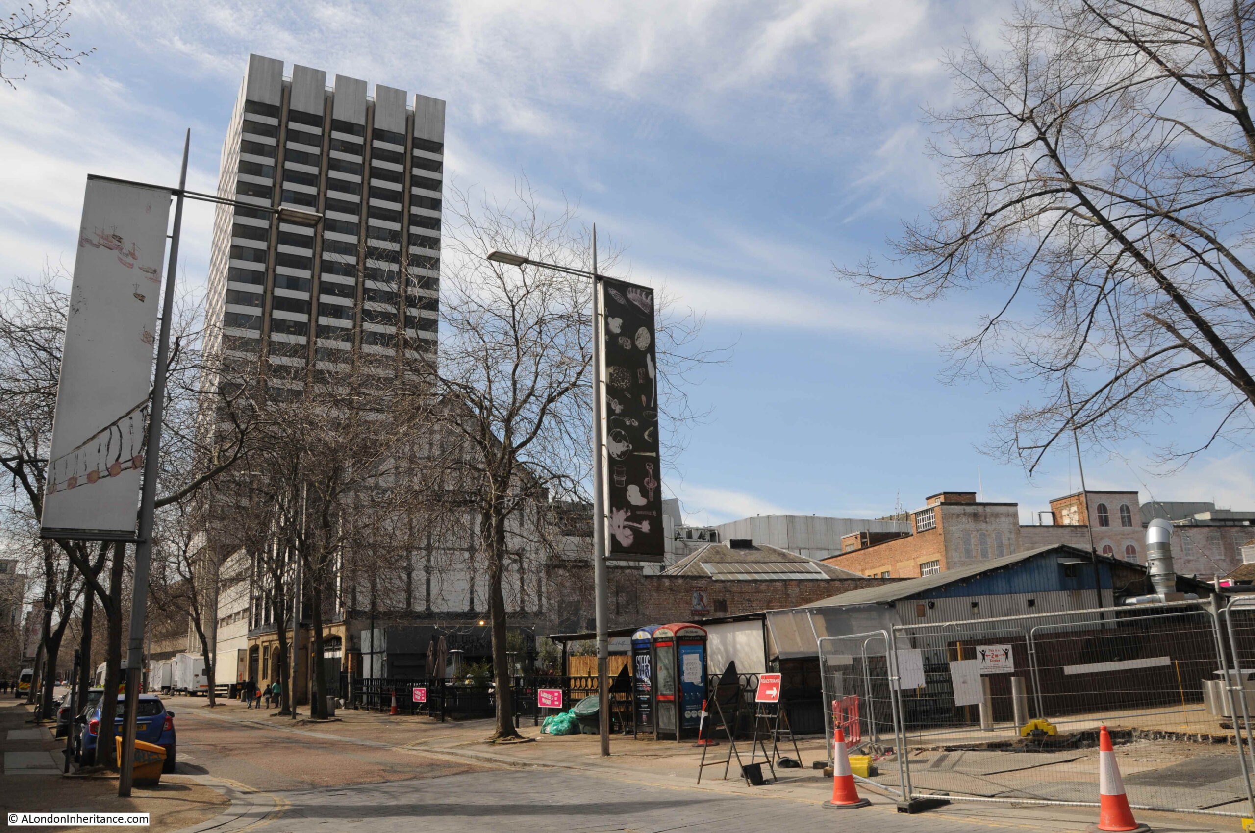
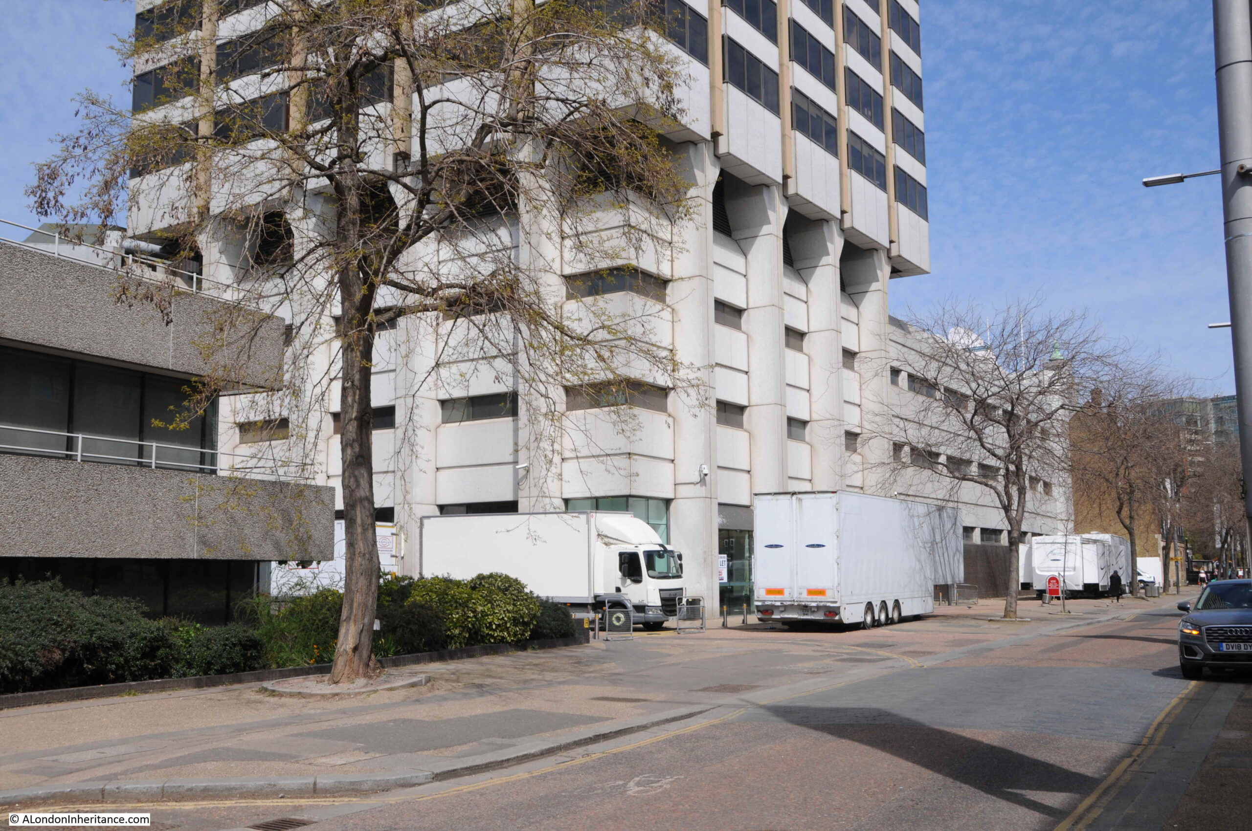
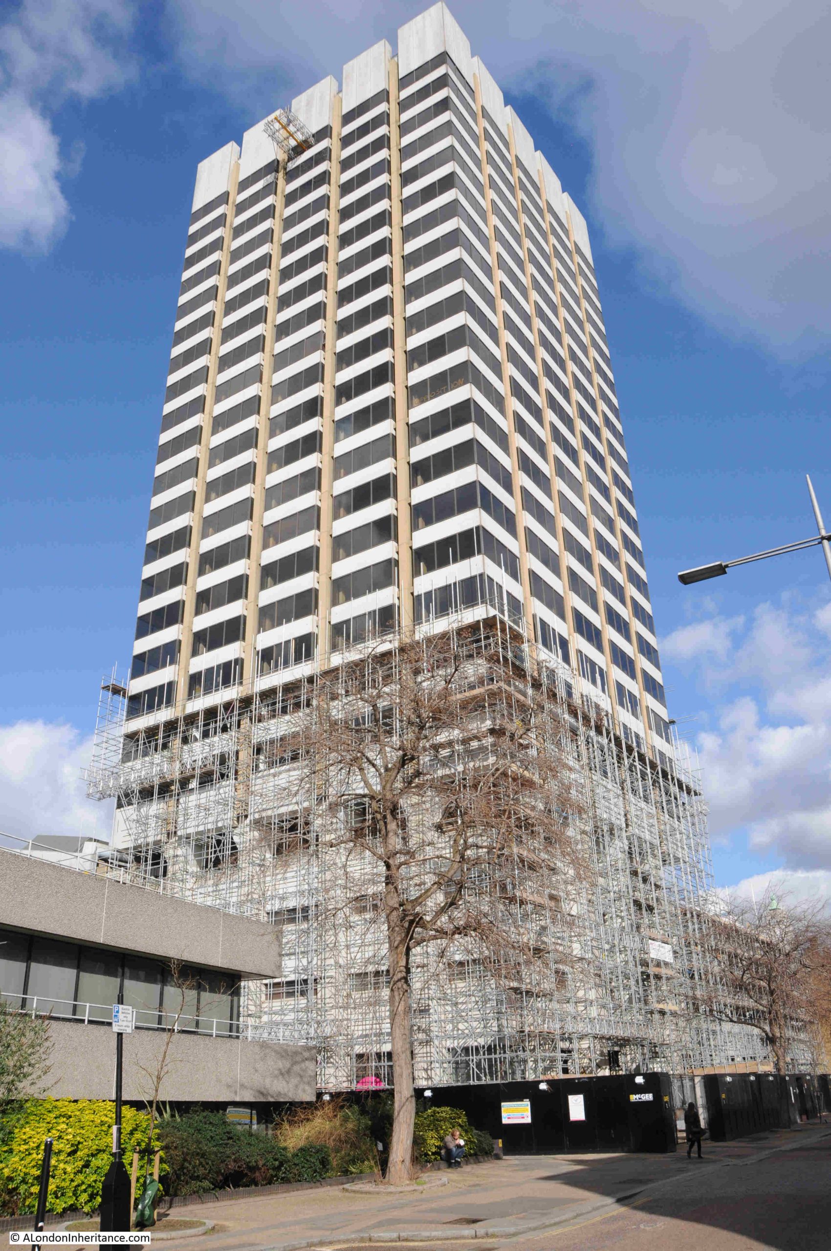
As can be seen in the above photo, the tower is a distance back from the river, with low rise studios between the tower and river. The tower faces onto the street Upper Ground, and this was the view from the street of the base of the tower a couple of years ago, with the first scaffolding that would eventually cover the tower:
A look up at the tower from Upper Ground (personally, I think it was a really well designed and visually pleasing building):
Demolition and development of the site had been delayed due to a large number of objections. Michael Gove approved the proposals at the start of 2024, and the High Court upheld Gove’s decision in December 2024, and the owners of the site then moved quickly to award a £500 million contract to Multiplex to redevelop the site, with demolition of the tower and studios being the first stage.,
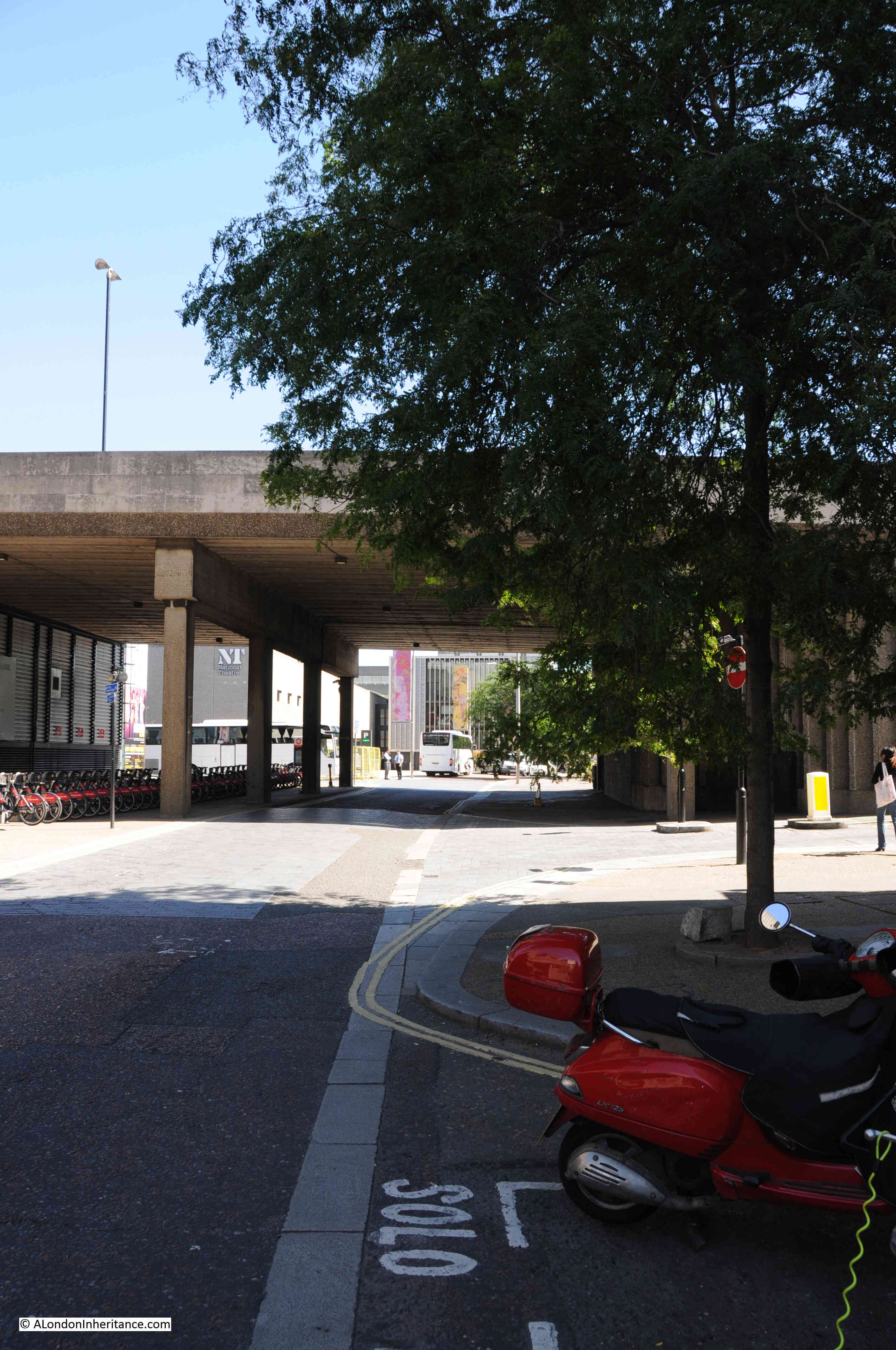
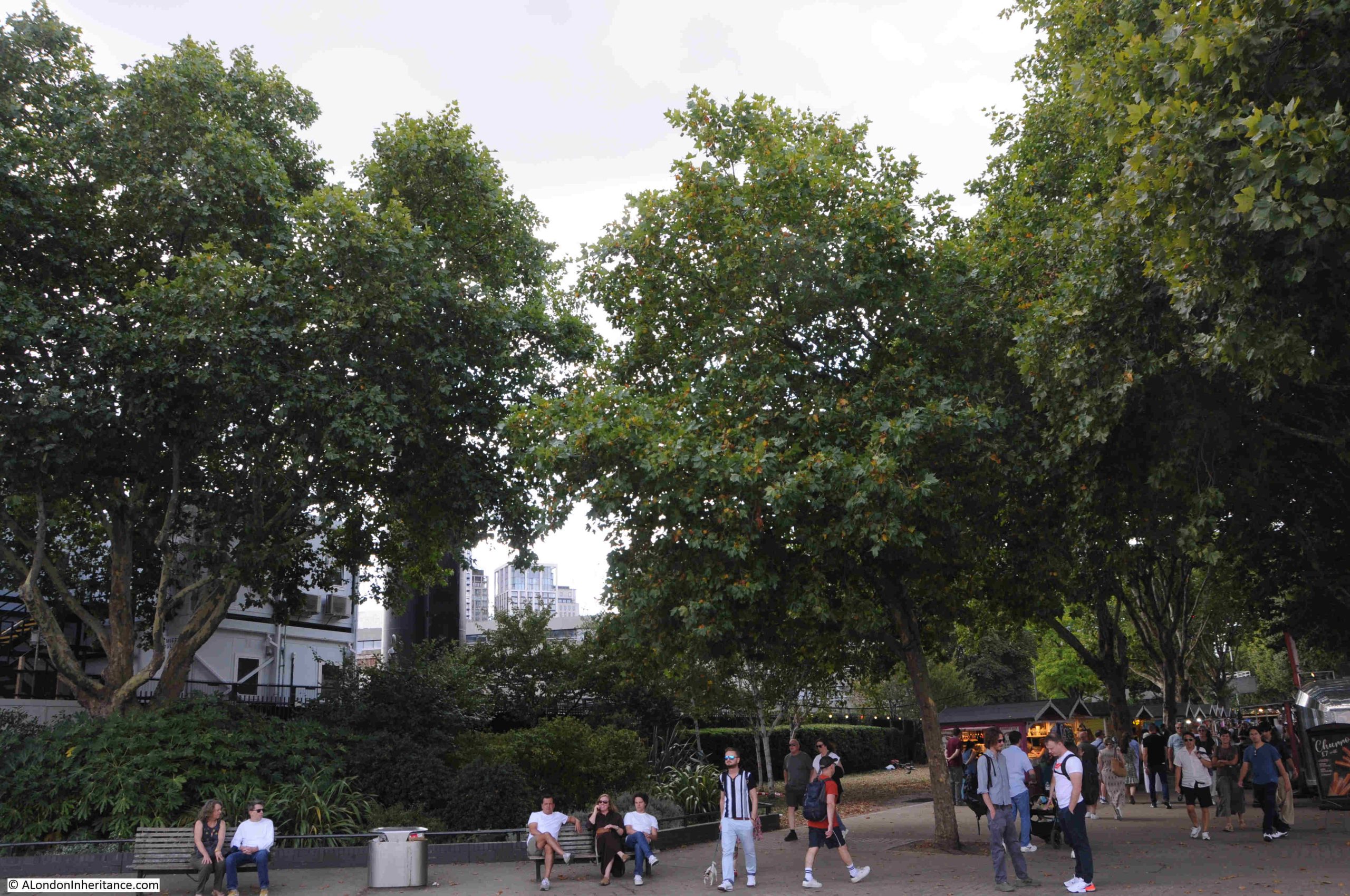
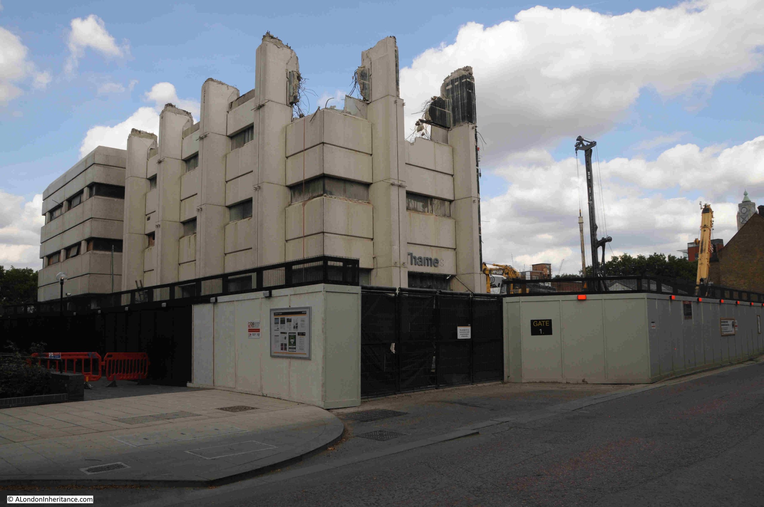
A walk along Upper Ground last weekend showed that demolition is now almost complete:
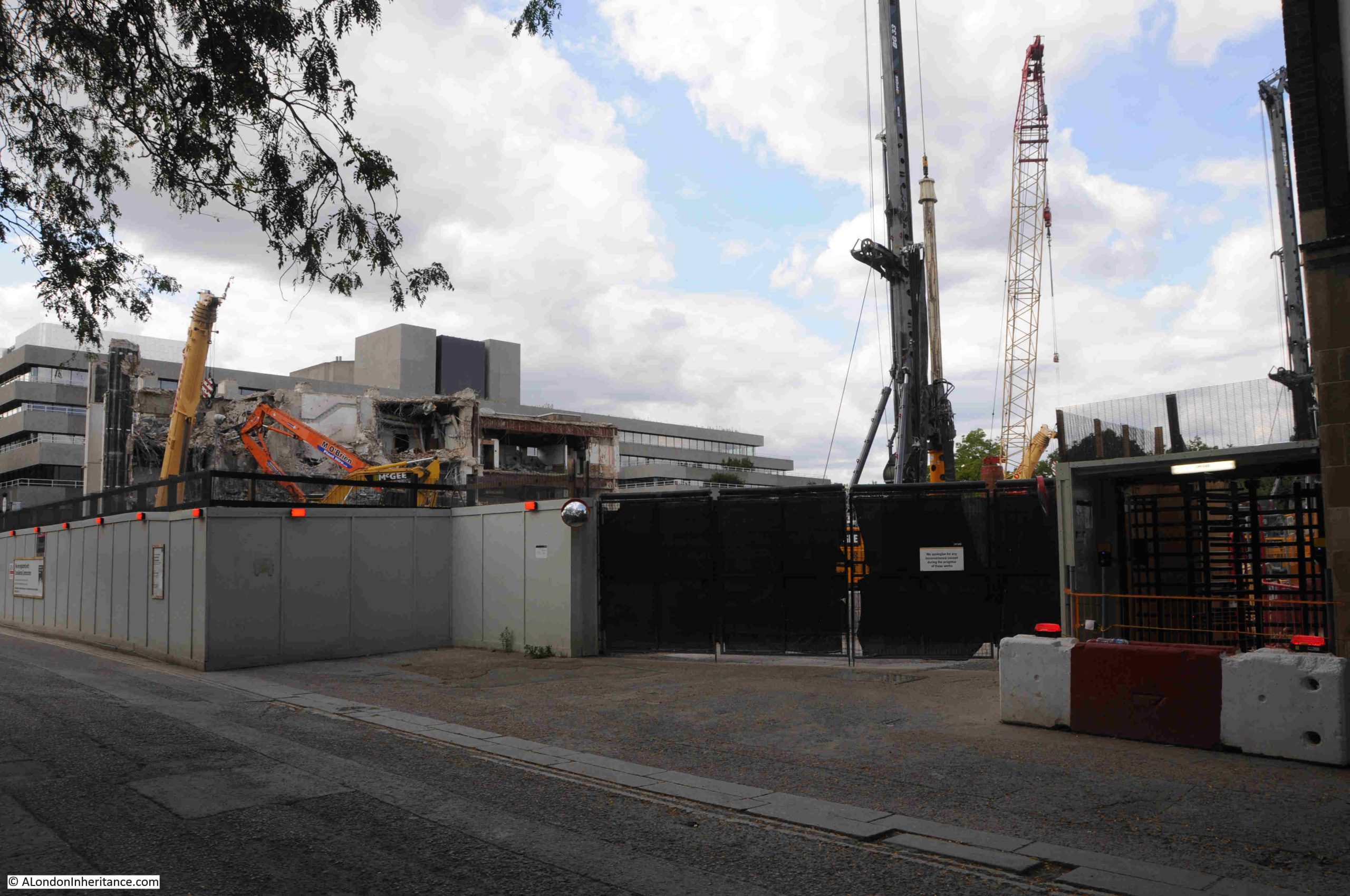
The south west corner of the complex was the only part remaining, and I suspect that by the time you read this, this remaining section will have gone.
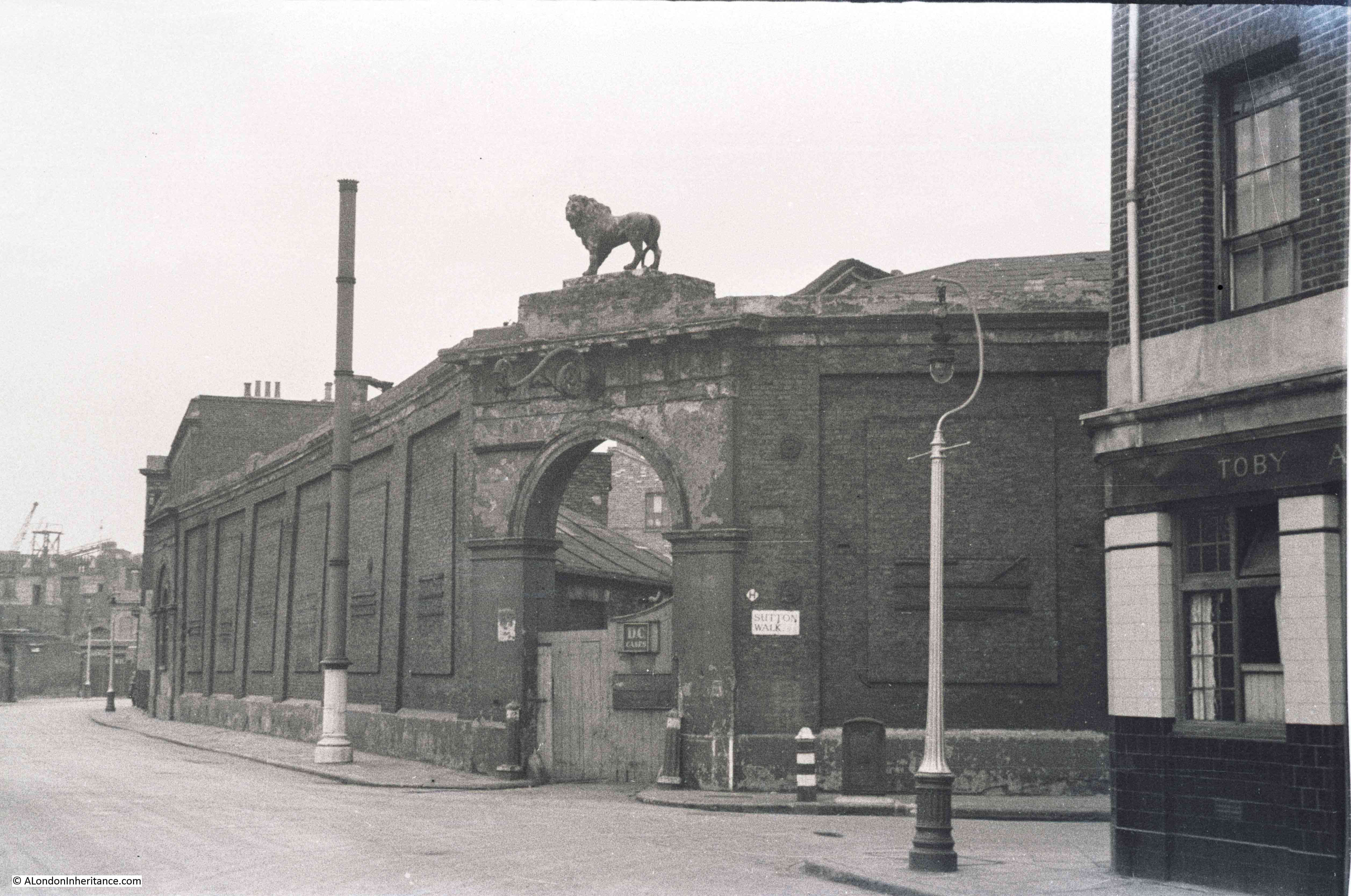
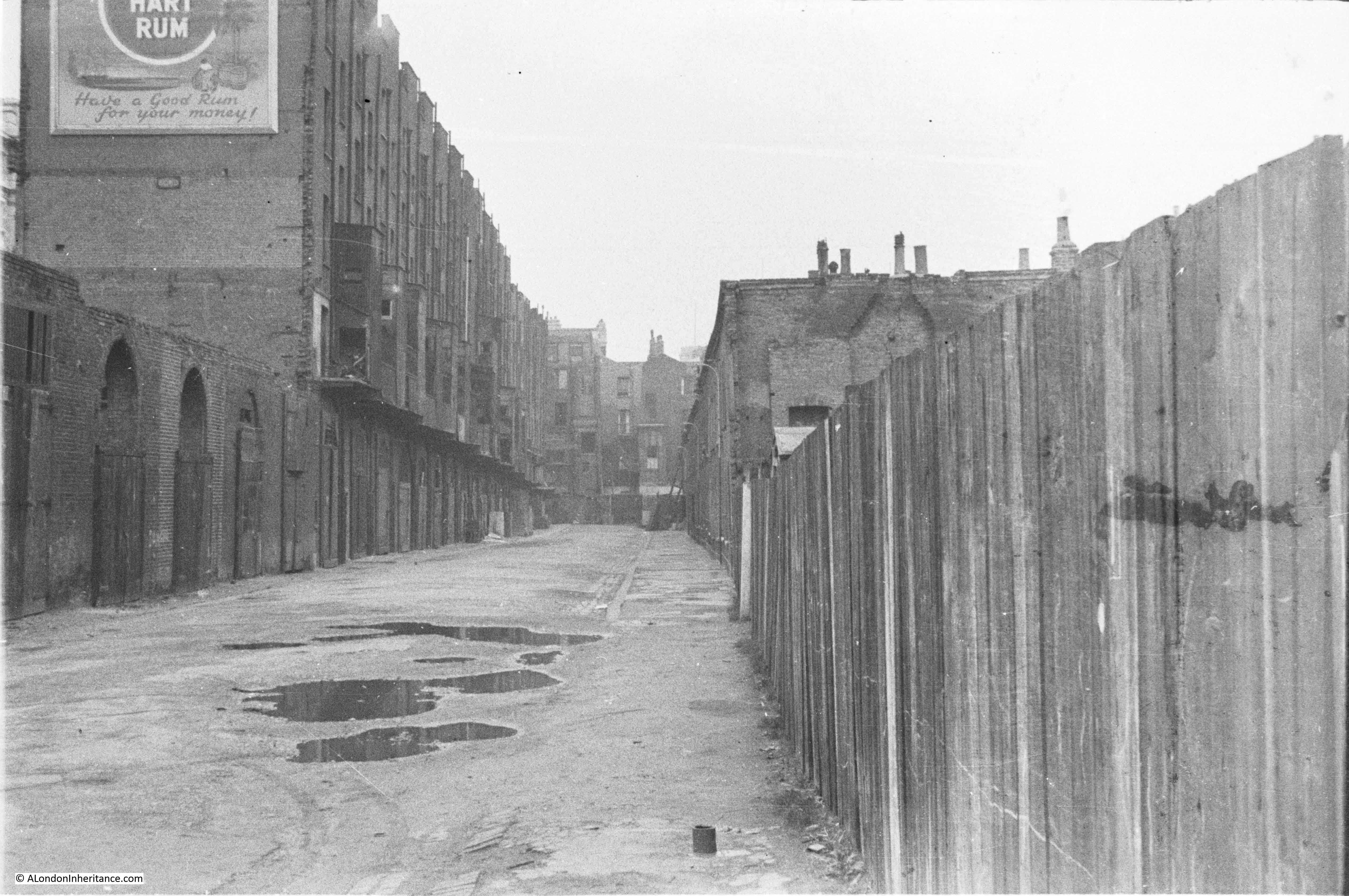
In the following photo, the main entrance was underneath the “Thame” lettering. A couple of years ago this was the name Thames Television, as one of the last productions filmed in the building was a recreation of the infamous Bill Grundy interview with the Sex Pistols in December 1976, which had been filmed in a Thames Television studio next to Euston Tower. This was for the 2022 TV mini series on the band.
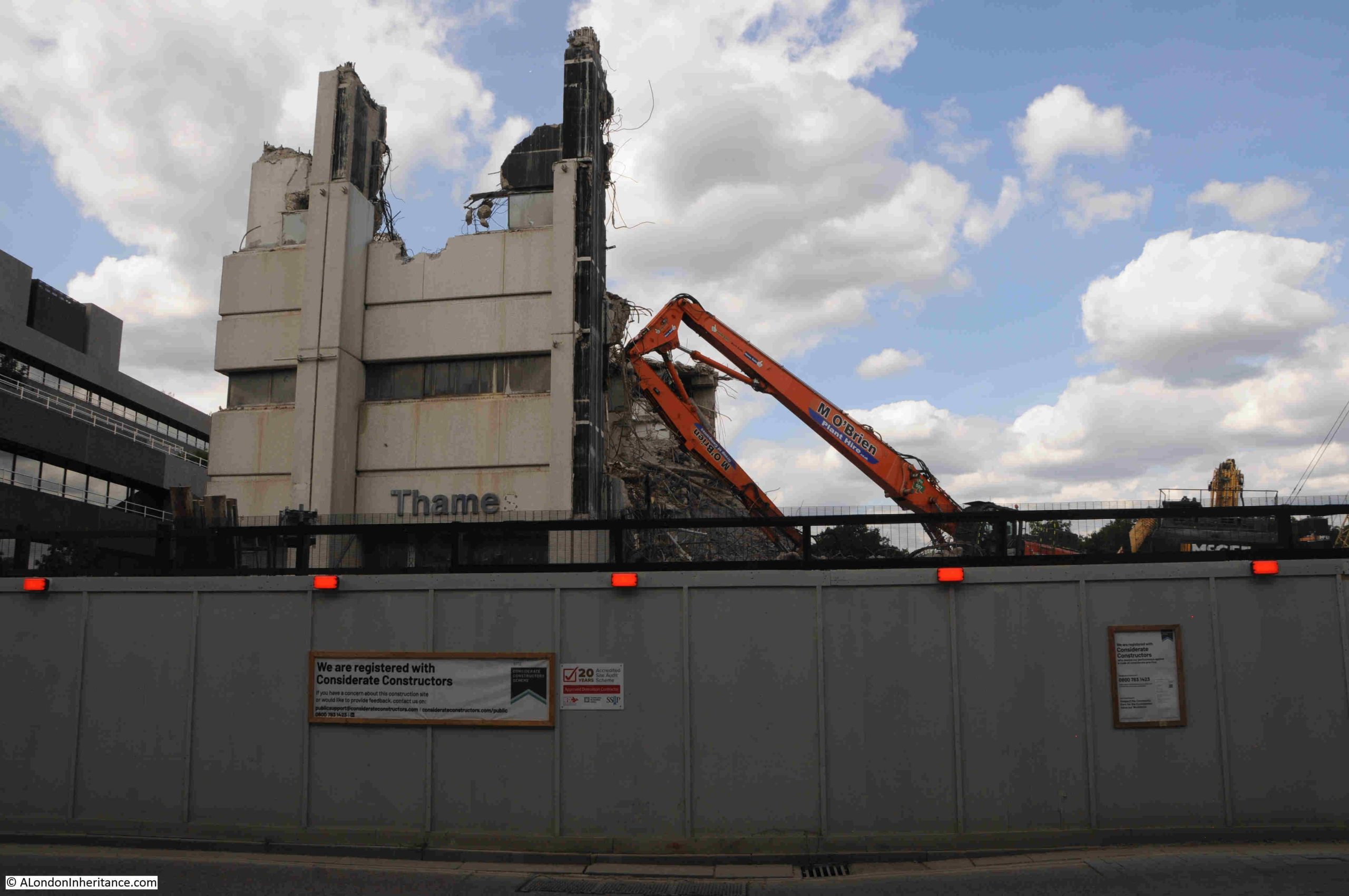
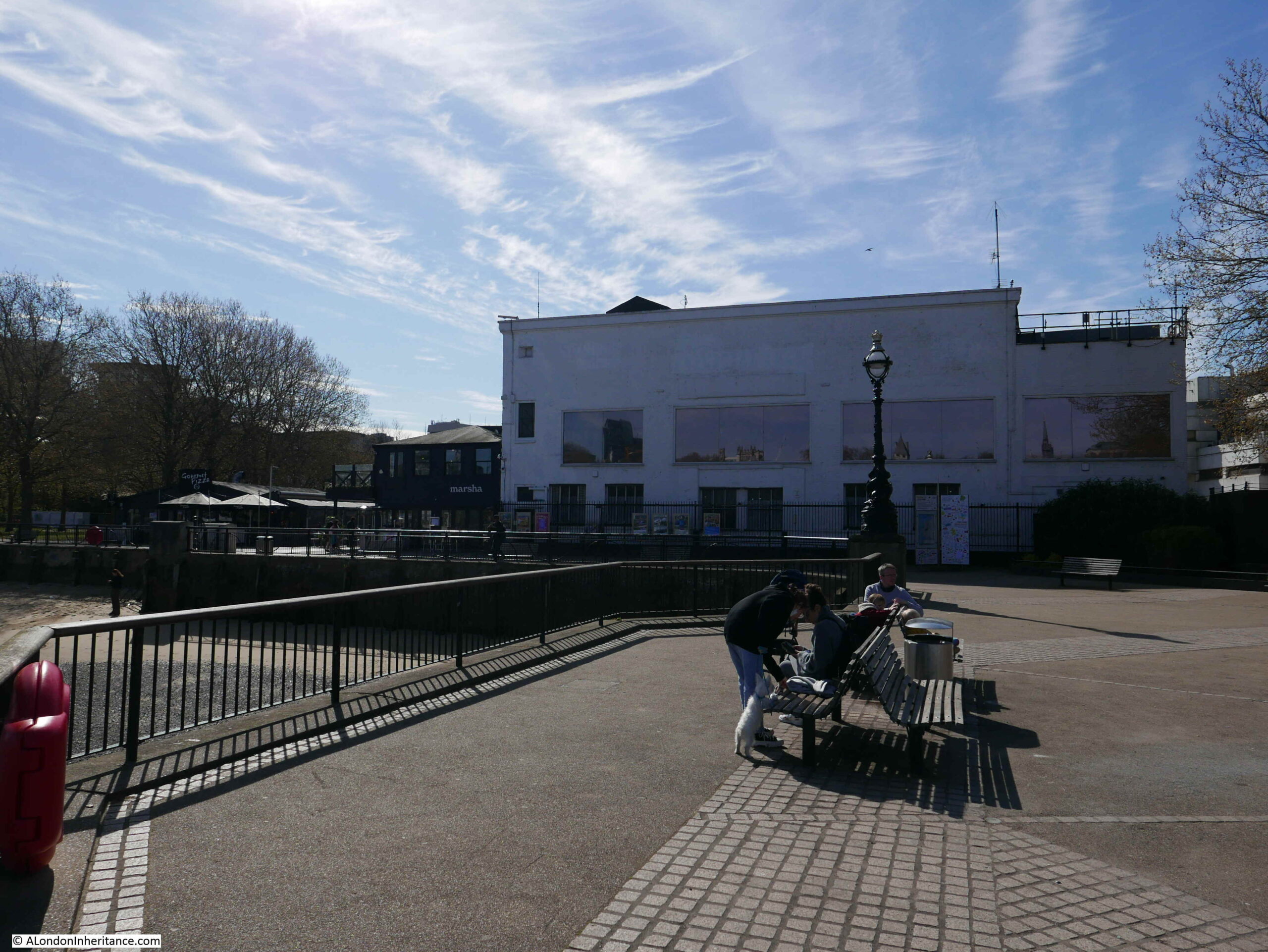
The remaining section looks almost like the ruins of a medieval castle. When I worked in the area in the late 1990s, it was common to see a queue of audience participants lining up along the base of the left of the building in the following photo, waiting to see what ever was being filmed that evening:
The new development will be very different, and will consist of a 25 storey office building, which will be connected to two further buildings of 14 and 6 storeys.
The space will provide offices and workspace, along with space “tailored to the needs of Lambeth’s emerging creative industries”. There will also be the obligatory open space, cafes, restaurants and a “cultural venue”.
See the page at the following link on the Matrix website (the company responsible for the development) to see an image of what the site will look like after completion, currently planned for 2029:
The image on the above page shows probably the most attractive view of the development, rather than the view looking across the river to the site where the new towers will dominate the area.
The image at the above page does not show the restaurants currently located at Gabriel’s Wharf, so whether these are hidden below the edge of new development, or whether the land will be included in the new development, I do not know.
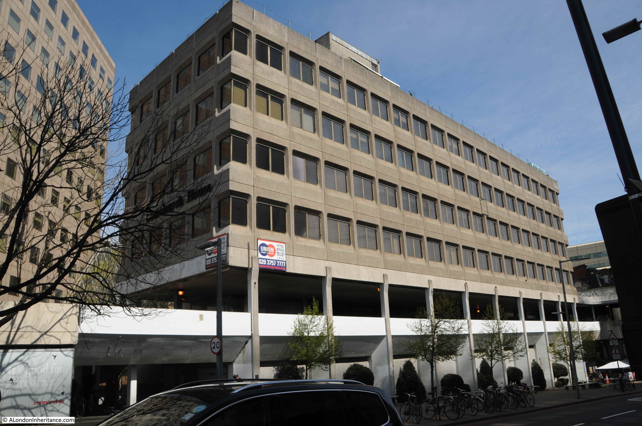
In many ways, the new development does continue the intentions of the 1944 Abercrombie plan regarding the use of the South Bank. The key issue is the sheer size of the development. If you look along the South Bank there is a reasonably consistent building height from County Hall down to the old IBM building, which has recently been refurbished, and is Grade II listed.
Kent Tower, the tower block of the LWT studios complex was the first tower along this sectionion of the South Bank, and as shown in my 1980s photo, it did stand out. It was though, set back from the river and did not dominate the IBM and National Theatre buildings.
I suspect that the new development will be very different, as will the view from the walkway alongside Hungerford Bridge in 2029.
A Southbank Mystery
I mentioned earlier in the post that there is a mystery in two of my 1980s photos.
Despite looking at these photos a number of times, there is a feature I had not noticed, and I cannot remember it from the time.
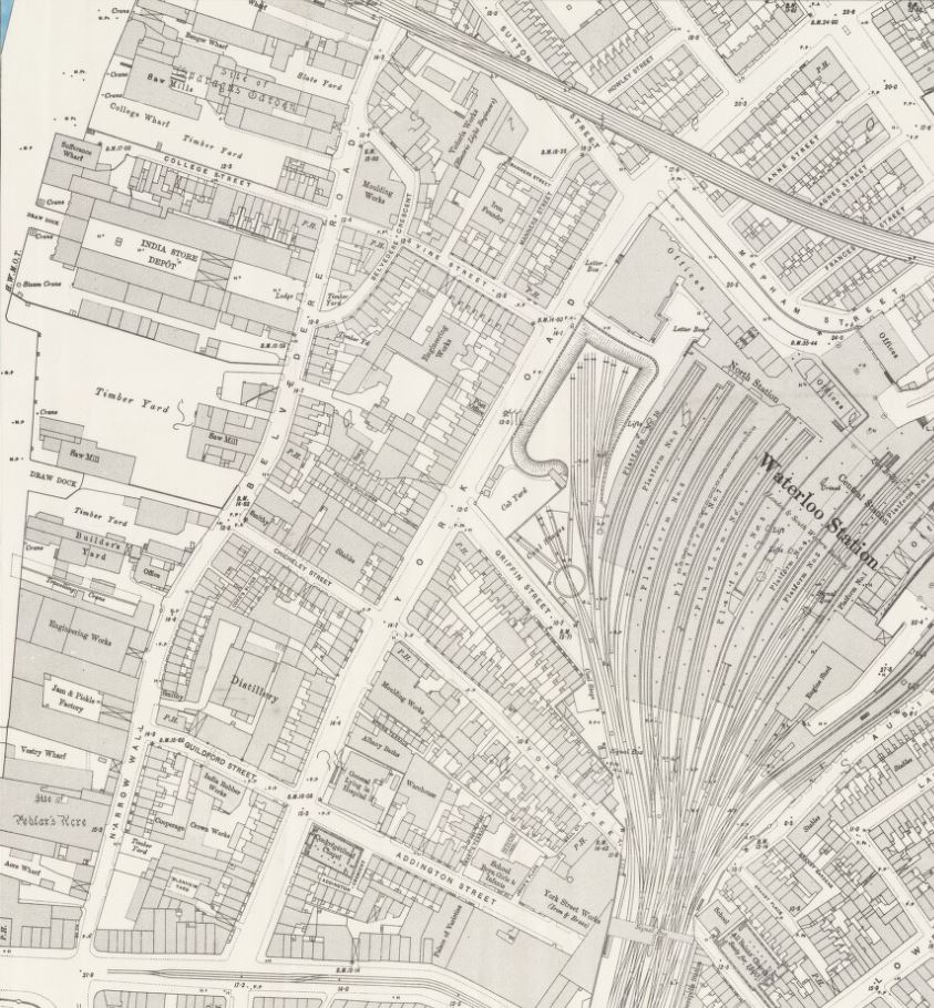
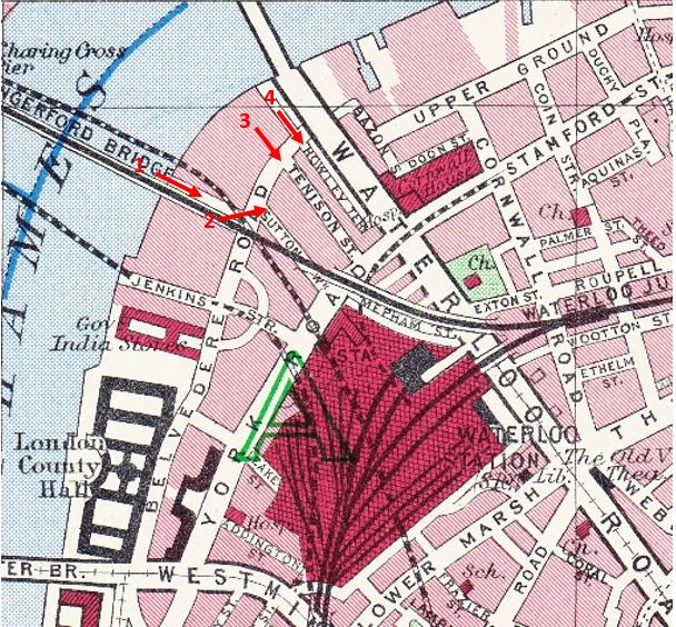
There is something on the foreshore at the end of the red arrow:
On a raised platform above the foreshore is a helicopter, the platform looks to be towards the end of Old Barge House Stairs:
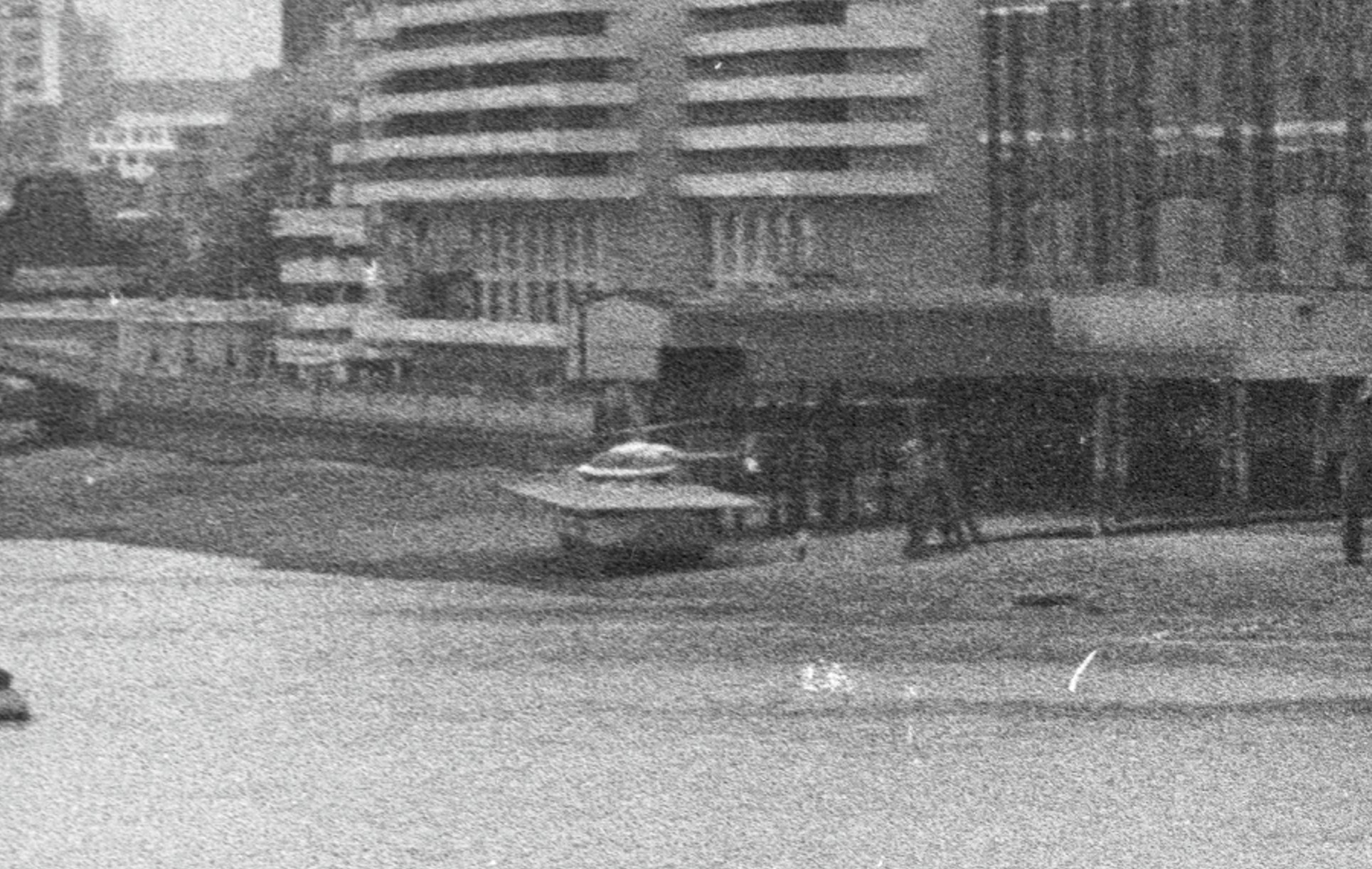
I cannot remember ever seeing or hearing about a helicopter here. The location looks rather precarious, and the platform appears to be below the high tide level.
I did wonder if it was a model, but it looks very realistic in these grainy extracts from my film photos.
Whether it was a one off, temporary, or provided a service for some time, again I just do not know, but it is always interesting to discover stuff I did not know.
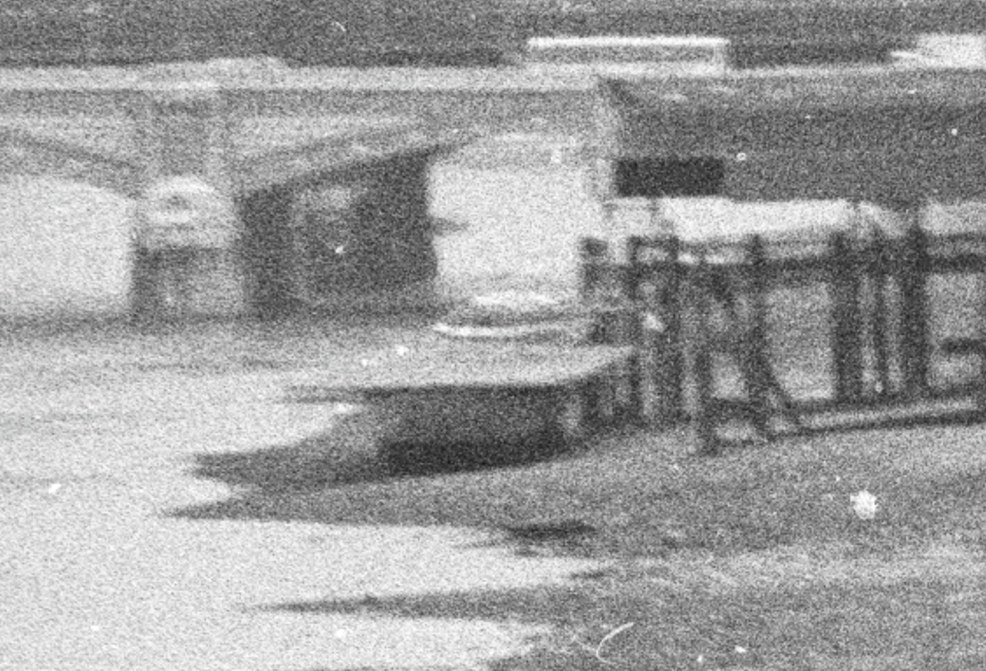
An even grainer view of the helicopter from a different angle:
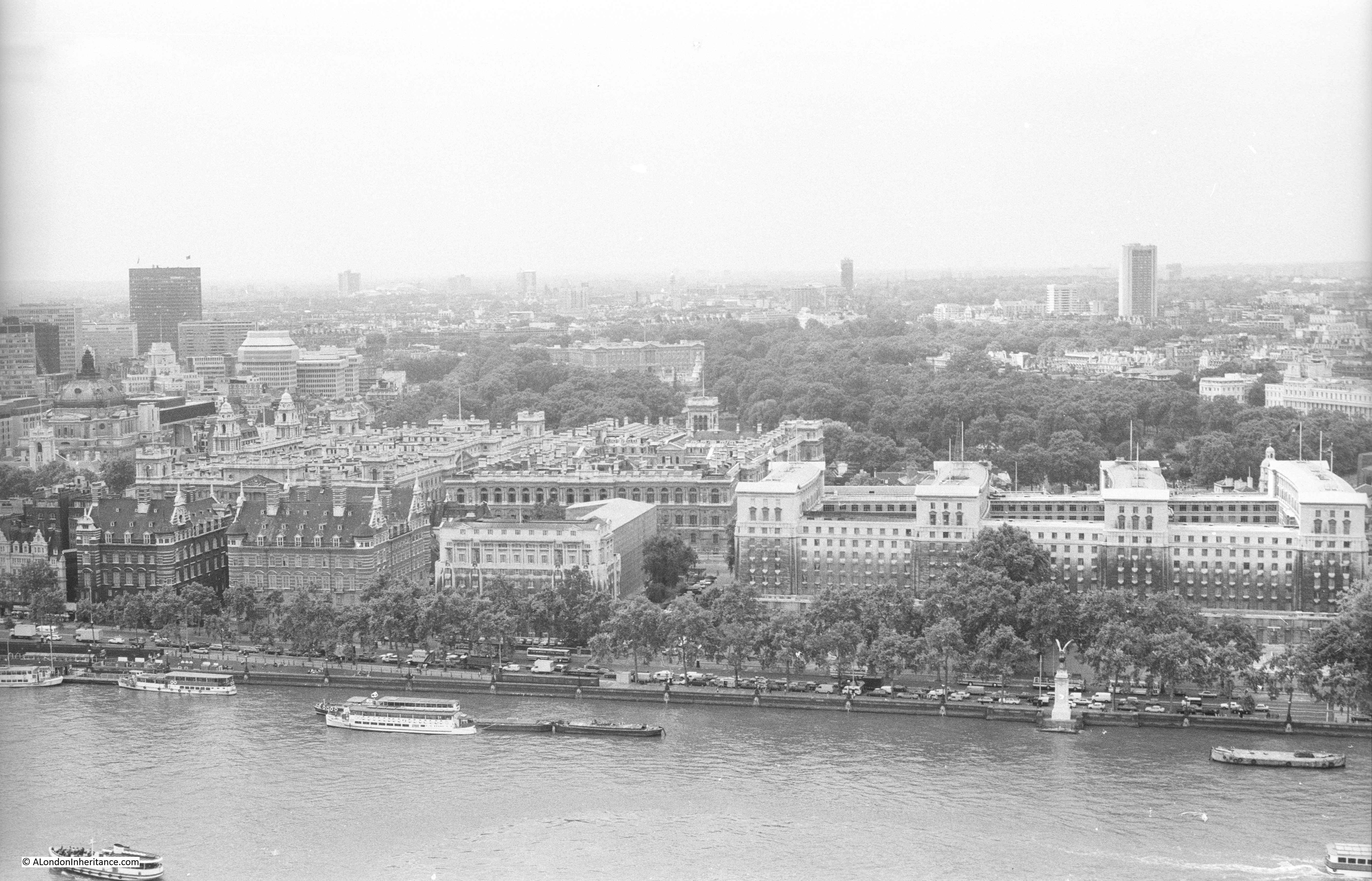
The southern side of the river has frequently been used for helicopter services.
The London Heliport at Battersea has been providing a helicopter service since 1959, and in the early 1950s, after the closure of the Festival of Britain, where the Jubilee Gardens is located today was the site of a helicopter service linking central London with Heathrow Airport.
You could check for your flight opposite Waterloo Station, board your helicopter, and be speeding above the traffic to the airport.
I found the following Pathe news film about the helicopter service from the South Bank:
Resources – Britain from Above
Continuing my monthly look at the resources available to research and explore London’s history, and for this month I am looking at the Britain from Above website, which can be found here:
https://britainfromabove.org.uk
Many of the resources I am covering are easy ways to get diverted and spend a whole evening looking at what is on the site, and Britain from Above is another example. There are very many photos covering the early to mid 20th century, not just of London but of the whole country.
The homepage:
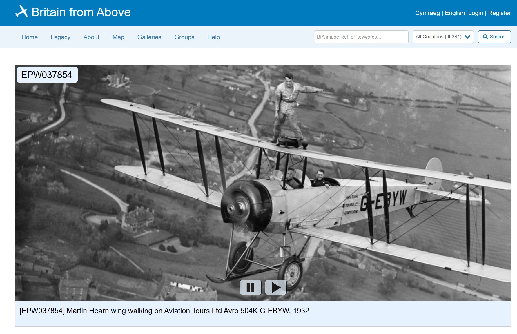
The first thing to do is register, which is free. By registering, you are able to go full screen and zoom in to images at much greater detail.
The easiest way to then get started is to enter the name of a location in the Image Ref or Keywords box on the menu bar, and then click search.
This will bring up all photos which fit the search criteria.
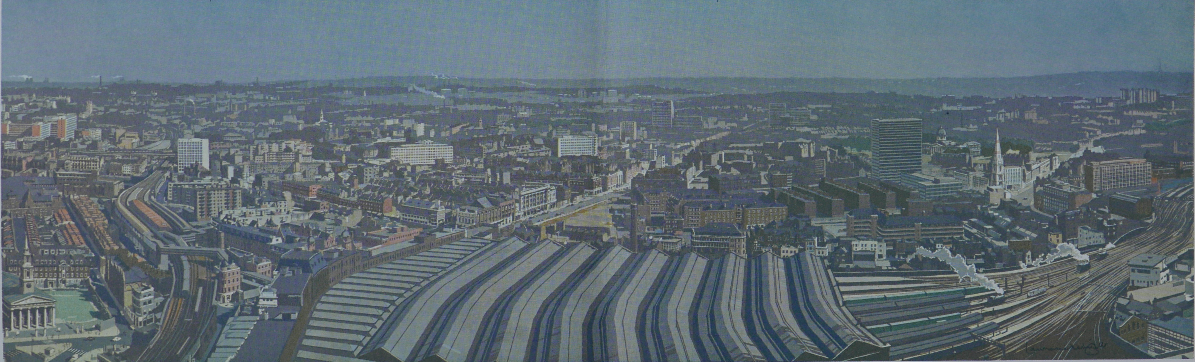
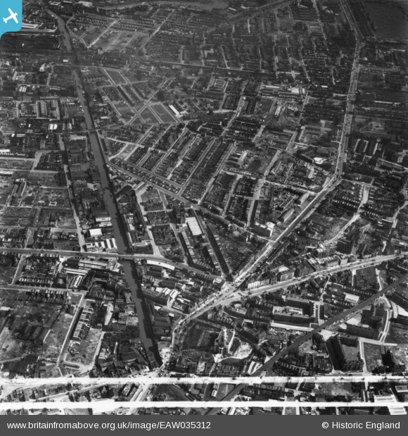
To demonstrate, I searched for the Limehouse Cut, the subject of last Sunday’s post, and of the many images available, the following is an example from 1951, which shows the Limehouse Cut, on the left side of the photo, and highlights that this was a very straight canal through former rural land which in the following years had been surrounded by industry and housing. Zooming in allows detail of the industry along the side of the Limehouse Cut to be seen:
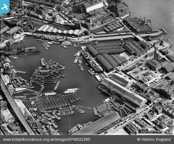
Searching for Limehouse Cut also brings up any images with the word Limehouse, and in the same search is this 1928 image of Regent’s Canal Dock. In 1928, the Limehouse Cut still used the original route into the Thames, and by zooming into the photo, this can still be seen, just to the north of the Regent’s Canal Dock (with the later redevelopment of the area, the Limehouse Cut would be diverted into the Regent’s Canal Dock, now known as the Limehouse Basin / Marina):
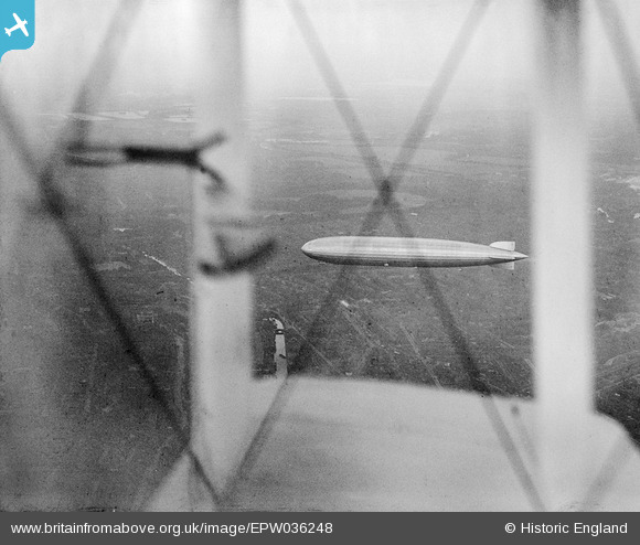
When searching, there are frequently some unusual photographic finds. In the same Limehouse Cut search is the following image of the Graf Zeppelin in flight over Limehouse in 1931, photographed through the wings of the biplane used by the photographer. The Limehouse Cut can be seen below and to the left of the wing. This must have been a remarkable sight for anyone on the ground at the time:
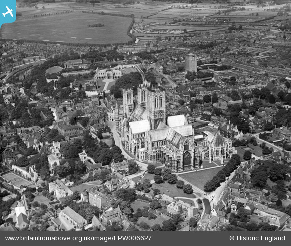
The archive covers much of the country, for example the following image is of St Mary’s Cathedral, Lincoln in 1921:
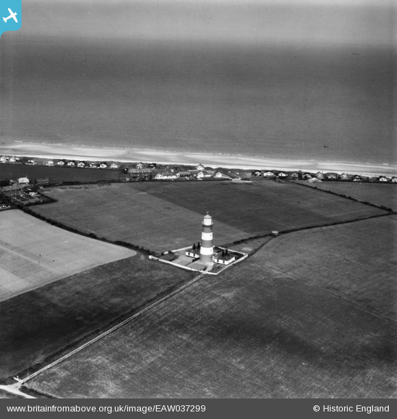
Land changes over the decades can be seen. The following image is of the Lighthouse at Happisburgh on the Norfolk coast in 1951. All those building along the edge have since been lost to coastal erosion.
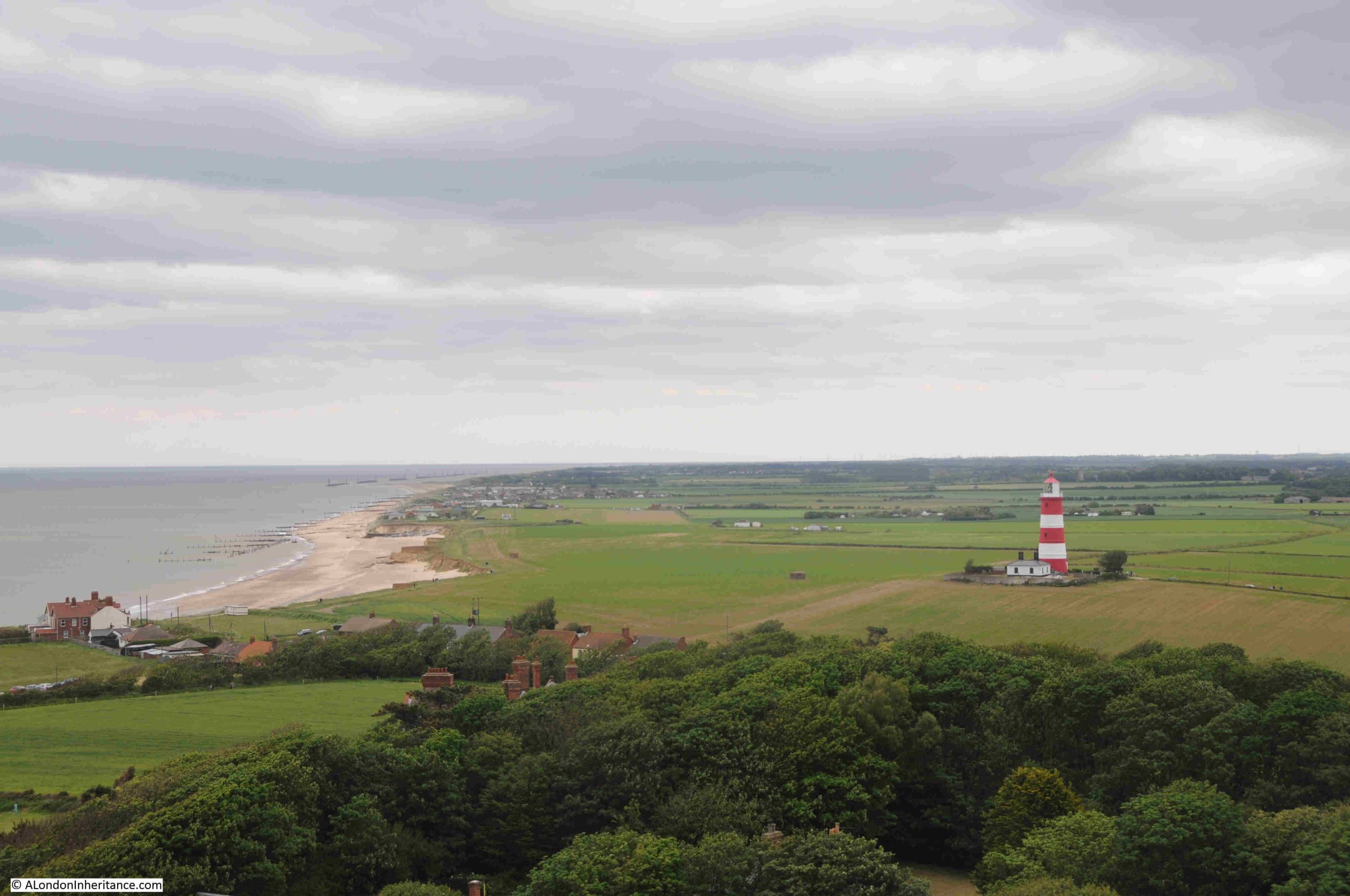
A few years ago, the Happisburgh lighthouse and the nearby Church of St Mary the Virgin, both had open days, when you could climb to the top of bother the lighthouse and the church tower. The following photo from the church tower shows the impact of coastal erosion on this part of the Norfolk coastline:
The Britain from Above archive is a wonderful archive of photos showing London and the rest of the country as it was. The use of photography helps provide an understanding of how places have changed. Aerial photos transforms maps into houses, industry, streets, fields, churches and cathedrals, canals and rivers, the coast, and even lighthouses.
Britain from Above allows reuse of the images, such to very reasonable rules of non-commercial use, no sale, no sub-licensing or use for advertising, making sure the link to the original image is shown and not clipped out of the image, which is really useful for a personal blog such as alondoninheritance.
An image from the site helped with the correct location of one of my father’s photos when I got the original location wrong in a post. Luckily there are readers who know far more about London than I do and provided an indication of the correct location.
An image from Britain from Above helped to confirm. See the post here: https://alondoninheritance.com/the-thames/st-katharines-way-ship-fires-thames/
Britain from Above is a really wonderful resource.
What I Am Reading – The Sun Rising by Anna Whitelock
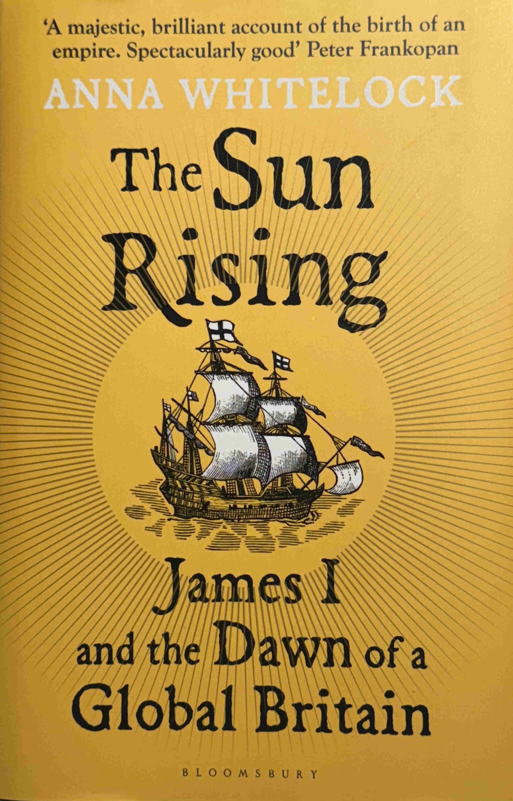
The Sun Rising – James I and the Dawn of a Global Britain by Anna Whitelock was a speculative buy after seeing the book, which was published this year, on the shelfs of a bookshop.
The book focuses on the reign of James I, the first Stuart king after the Tudor dynasty came to an end with the death of Queen Elizabeth. A critical time in the country’s history as the Queen had not had any children.
What makes this book different is that it is not just an account of James I, but as the subtitle to the book highlights, it is about Great Britain starting to play catch up with other European powers such as the Netherlands, Spain and Portugal, in establishing networks of world trade.
London does feature heavily in the book, not just with accounts of the processions through the City, but also as the place where many of the trading companies were established to further trade with the rest of the world.
The book does cover domestic events, such as the Gunpowder Plot, trying to unify England and Scotland, Protestant – Catholic conflict, and James’ attempts at trying to unify European Christian powers etc. but the clear emphasis is on Britain’s global trade.
There is the Virginia Company of London, trying to establish settlements in the US, the Plantation of Ulster, the Muscovy Company and the East India Company. Trade with the Shah or Persia, early trade with India.
William Adams from Gillingham, and apprenticed in Limehouse features as a key player in attempts to trade with Japan. See my post on Adams, here.
Pocahontas arrived in London from Virginia, and was taken seriously ill near Gravesend at the start of her return journey. She died in 1617 and was buried at Gravesend.
Although the British trading companies focus was trade, not taking land, we see the start of how this would develop with the first African slaves arriving in the Virginia Plantation in 1619 – the start of the triangular slave trade between Britain, Africa, the Caribbean and America.
We also see the failure in the management of the colony at Virginia by the Virginia Company of London leading the the take over of the land and colony by the Crown – again a sign of what would take place across the world in the coming centuries.
What I did not realise was just how far and how extensive, the network of trade was at the start of the 17th century. Attempts to trade in with Persia, India, the far East, to China, Japan and the Spice Islands.
Some of the horrors inflicted on indigenous populations in the name of trade are covered, including the Dutch massacre of thousands of Bandanese people (on one of the Banda Islands, now part of Indonesia and the source of large quantities of nutmeg, mace and cloves).
My fascination with Thames Stairs and the river includes the lives of people who have travelled out from the stairs and the river on journeys across the world, and this book is full of them – ambassadors, traders, explorers, and settlers – it is quite remarkable how extensive these journeys were in the early 1600s.
The book is a really good read, and helps to provide an understanding of how Britain’s early steps in global trade would develop over the following three hundred years, and many of the horrors that went with this expansion.
And at its root was money. King James I for the revenues that trade would bring to the Crown, and the London trading companies, for the profits of trade. It always comes down to money.