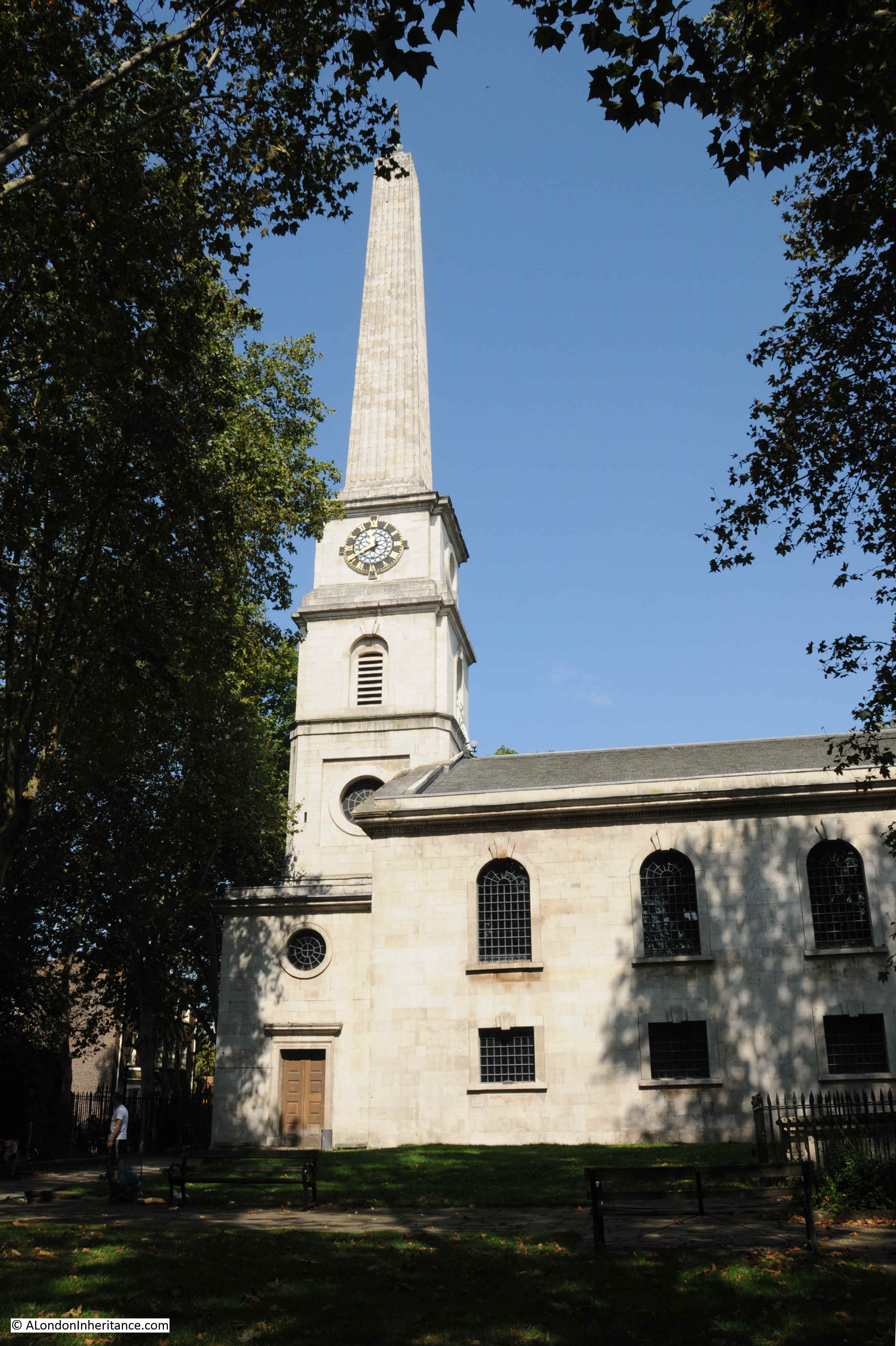
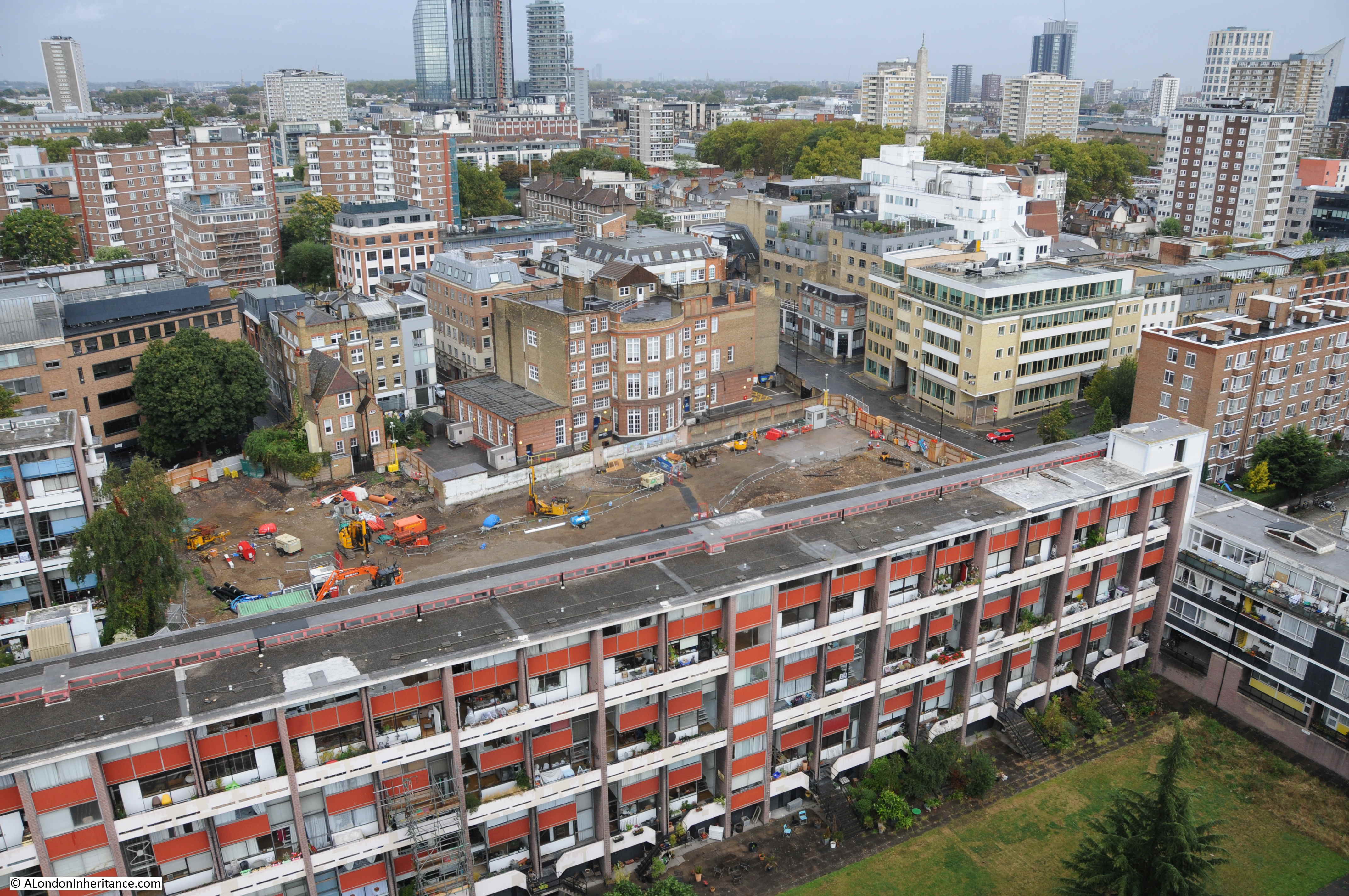
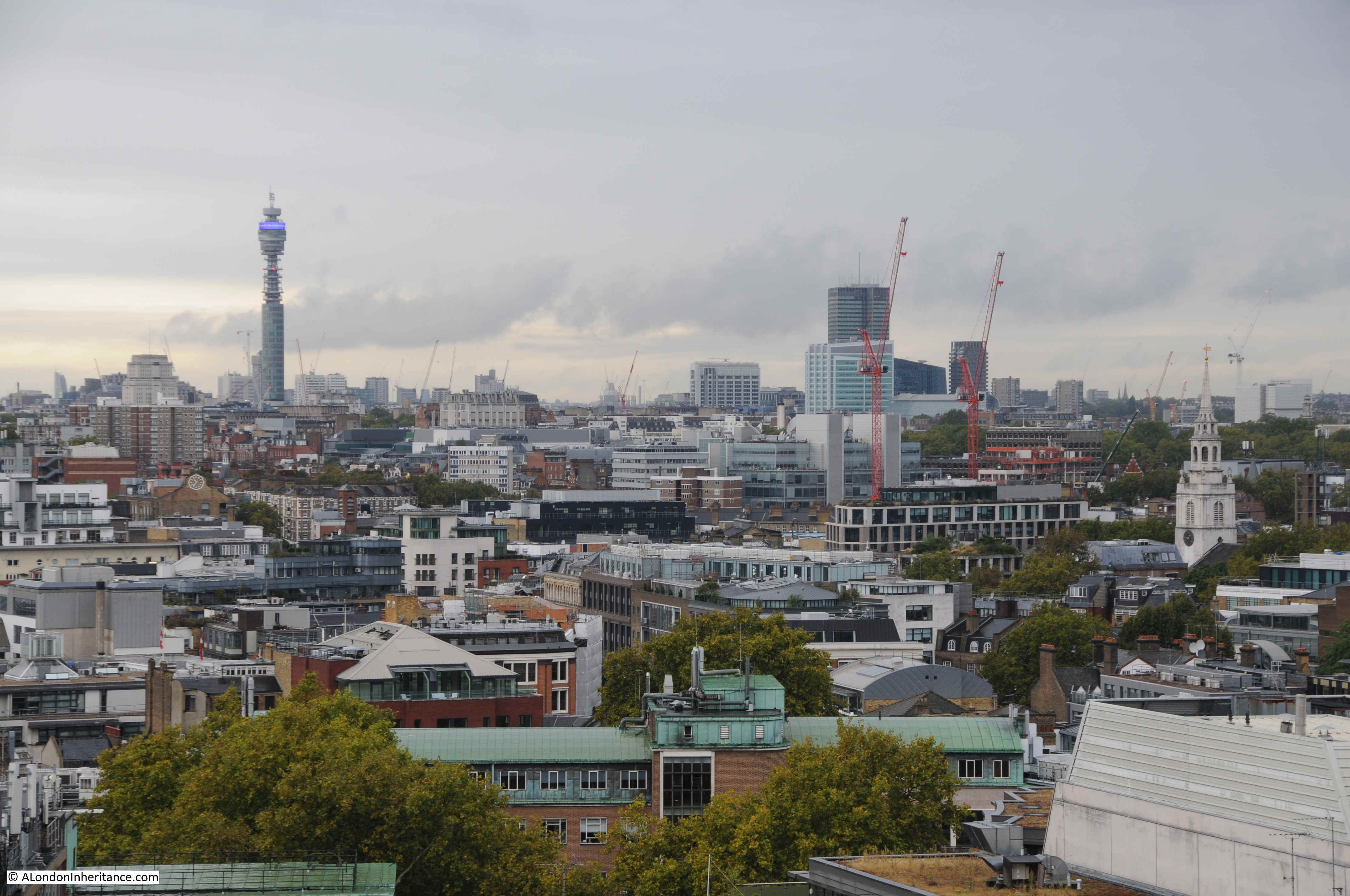
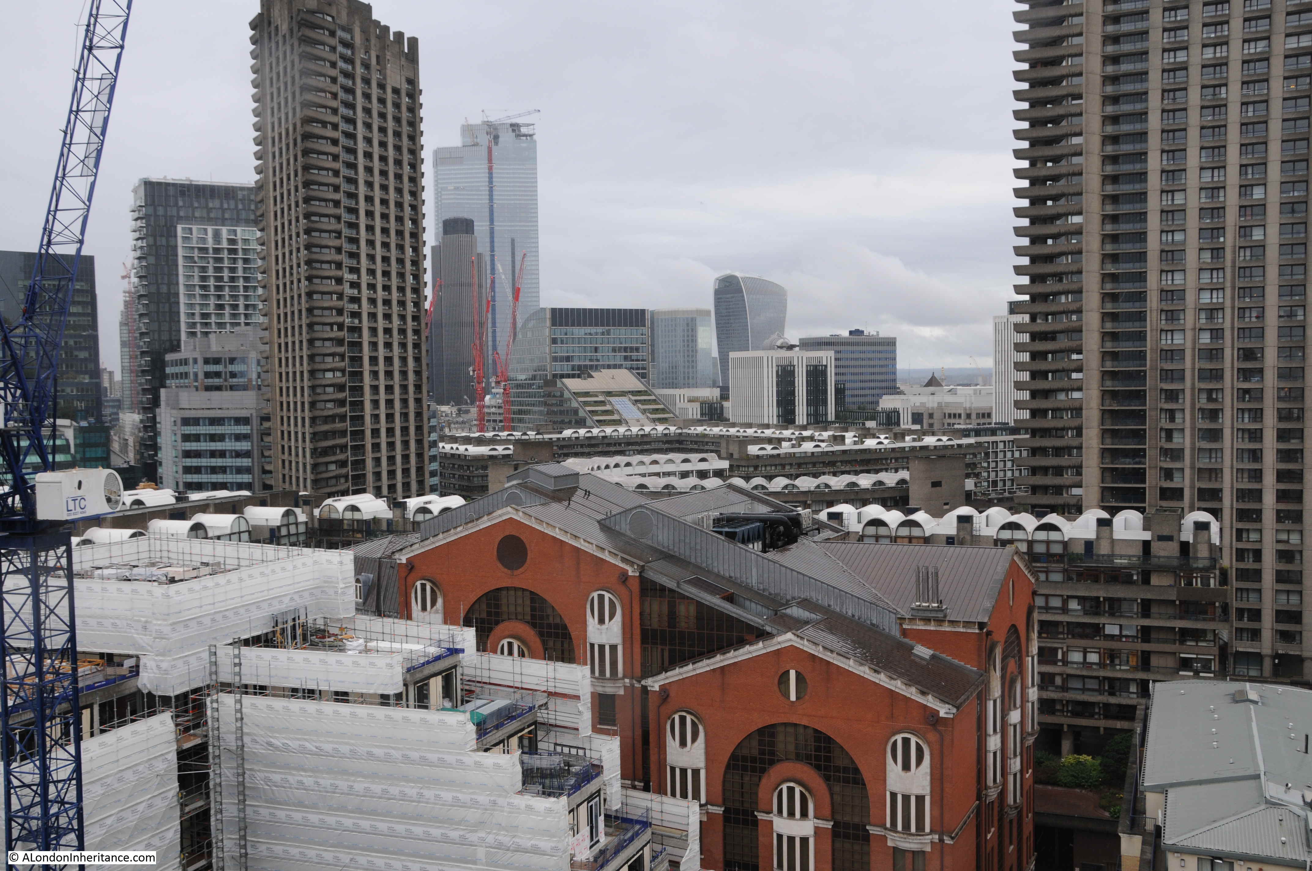
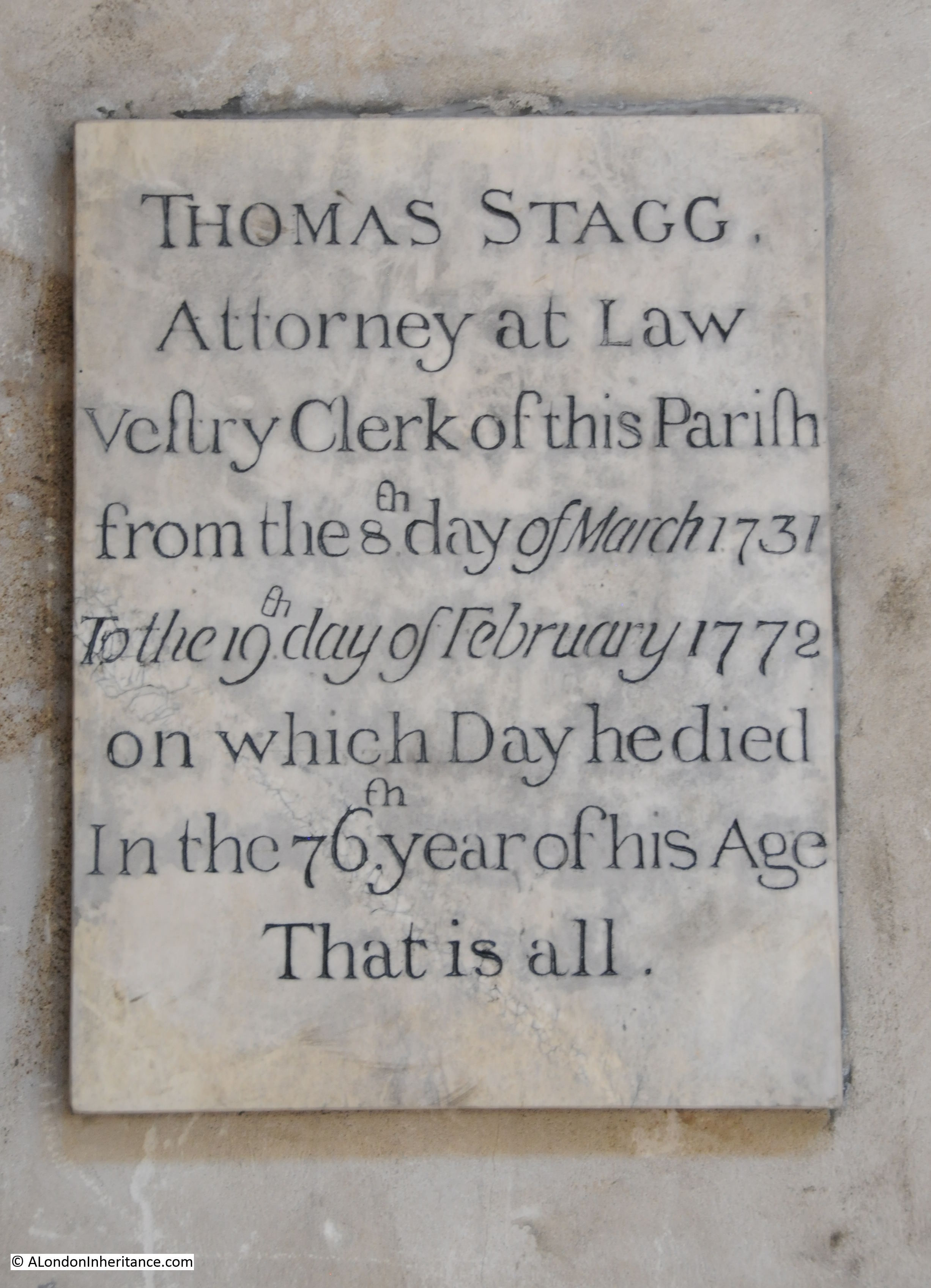
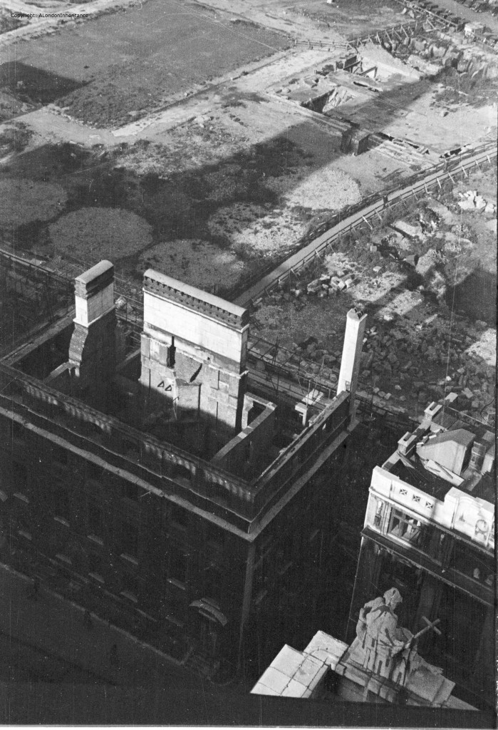
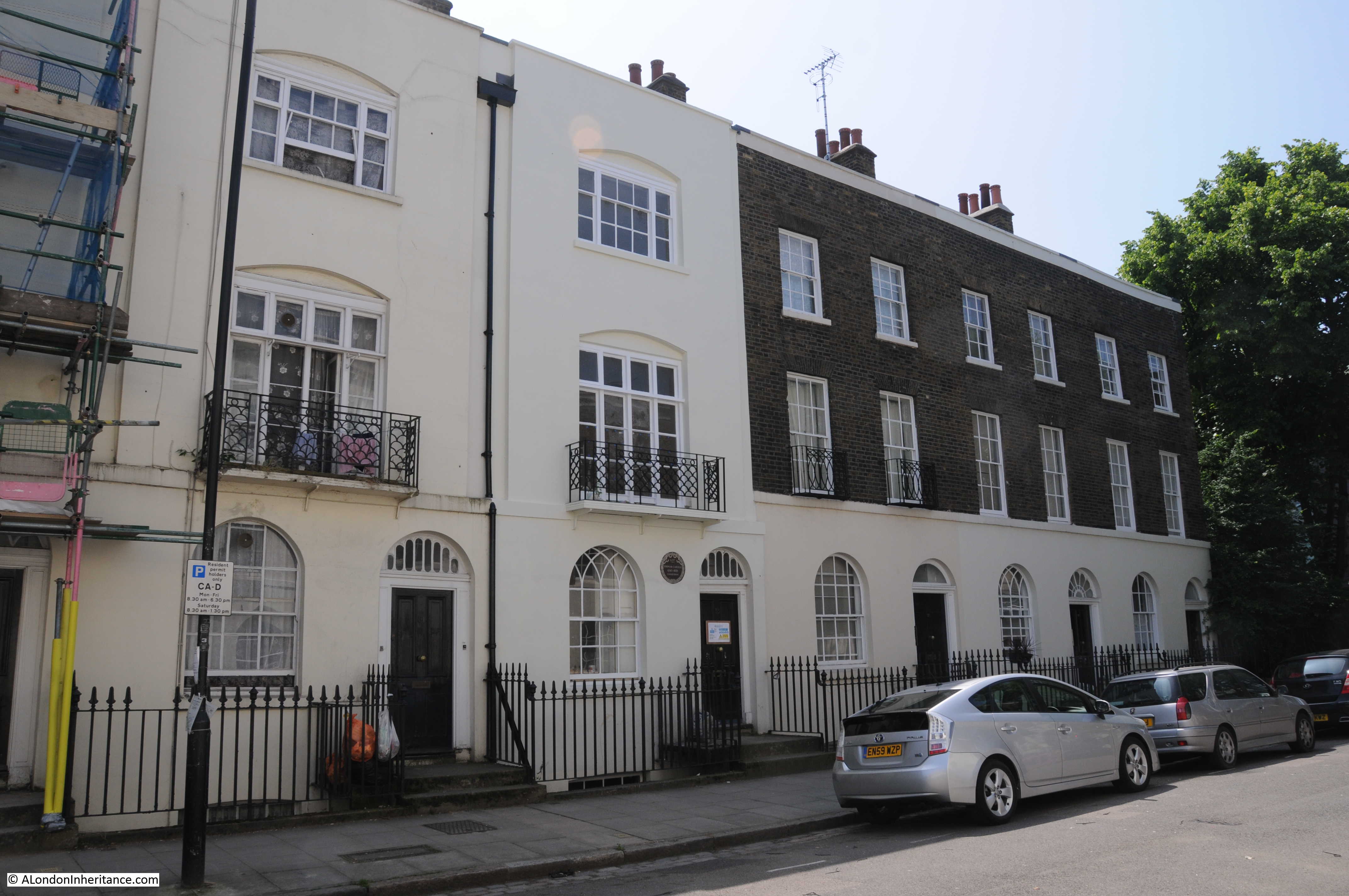
For today’s post, I am back in the area of the Barbican, Golden Lane Estate and Fann Street, searching for the locations of the photos taken by my father and showing a very different scene to that of today.
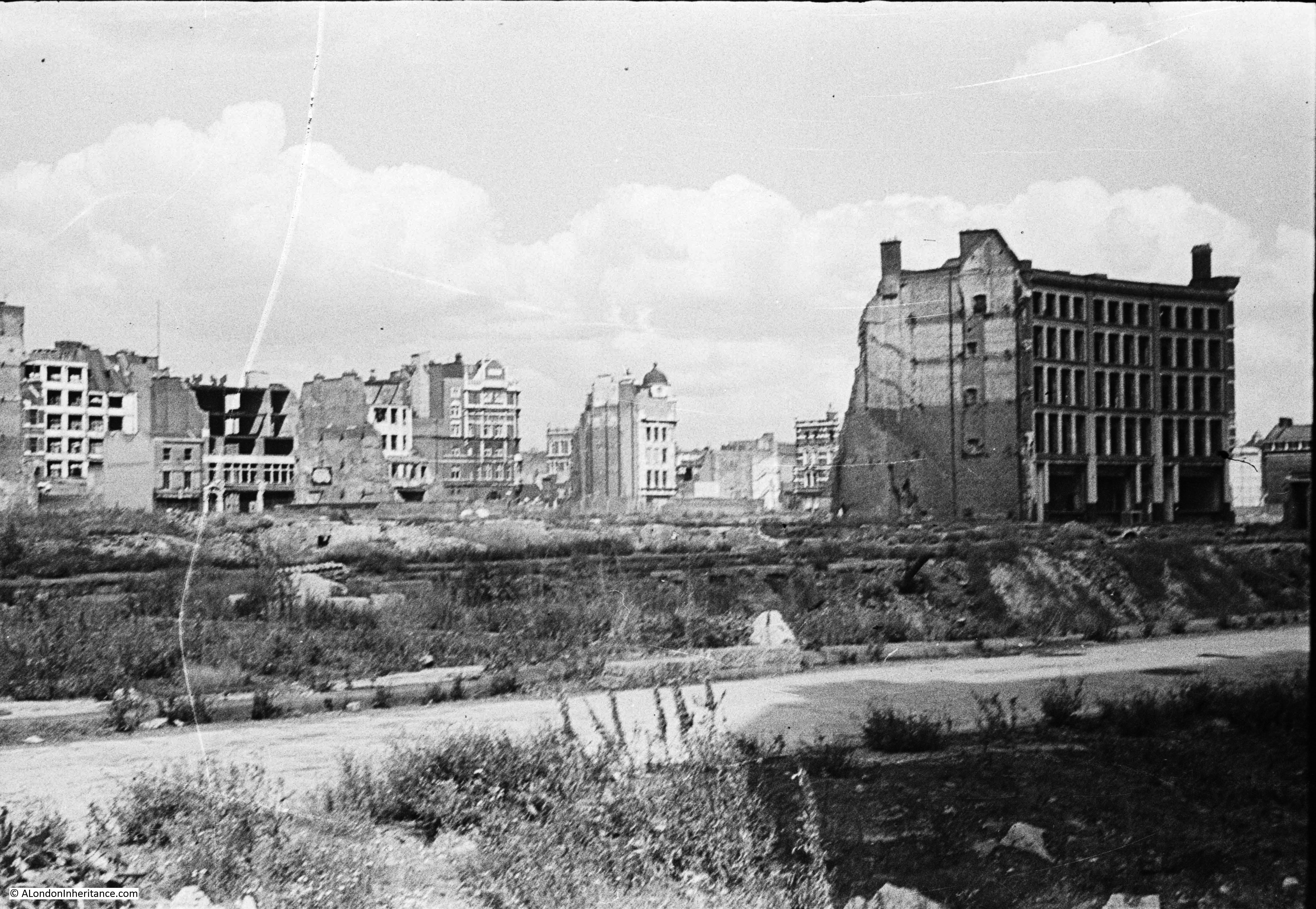
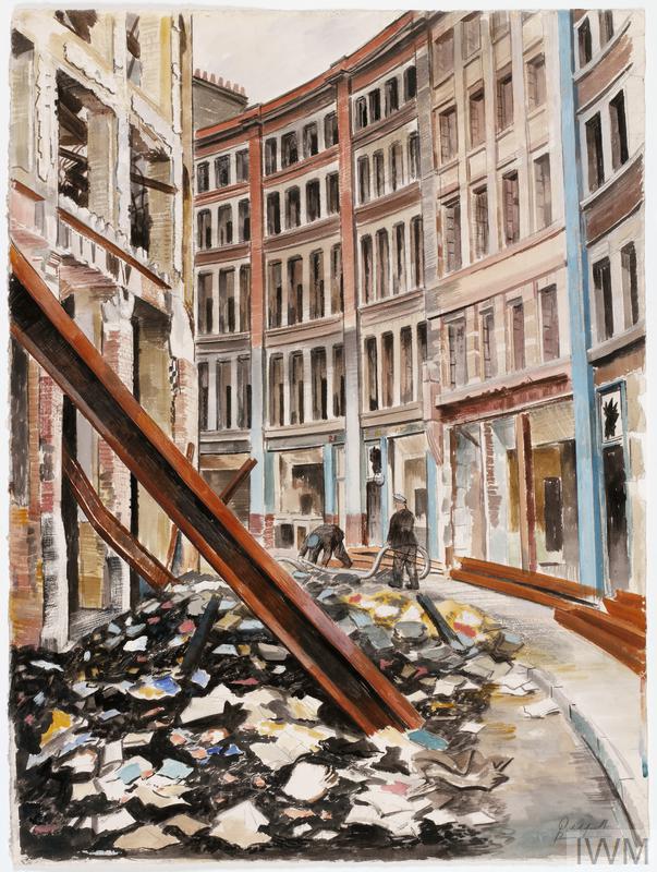
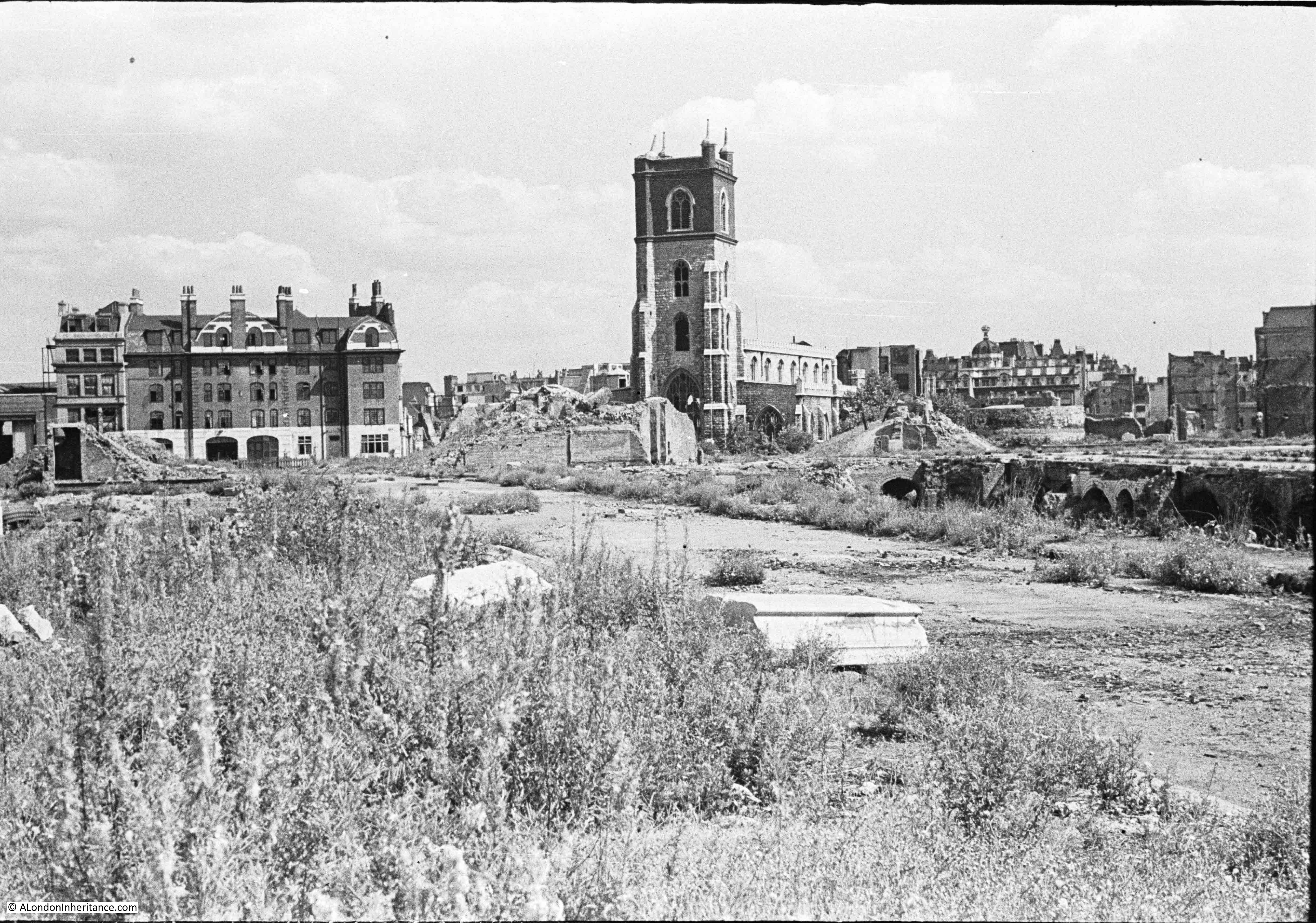
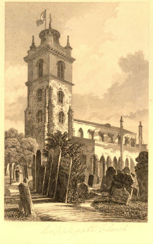
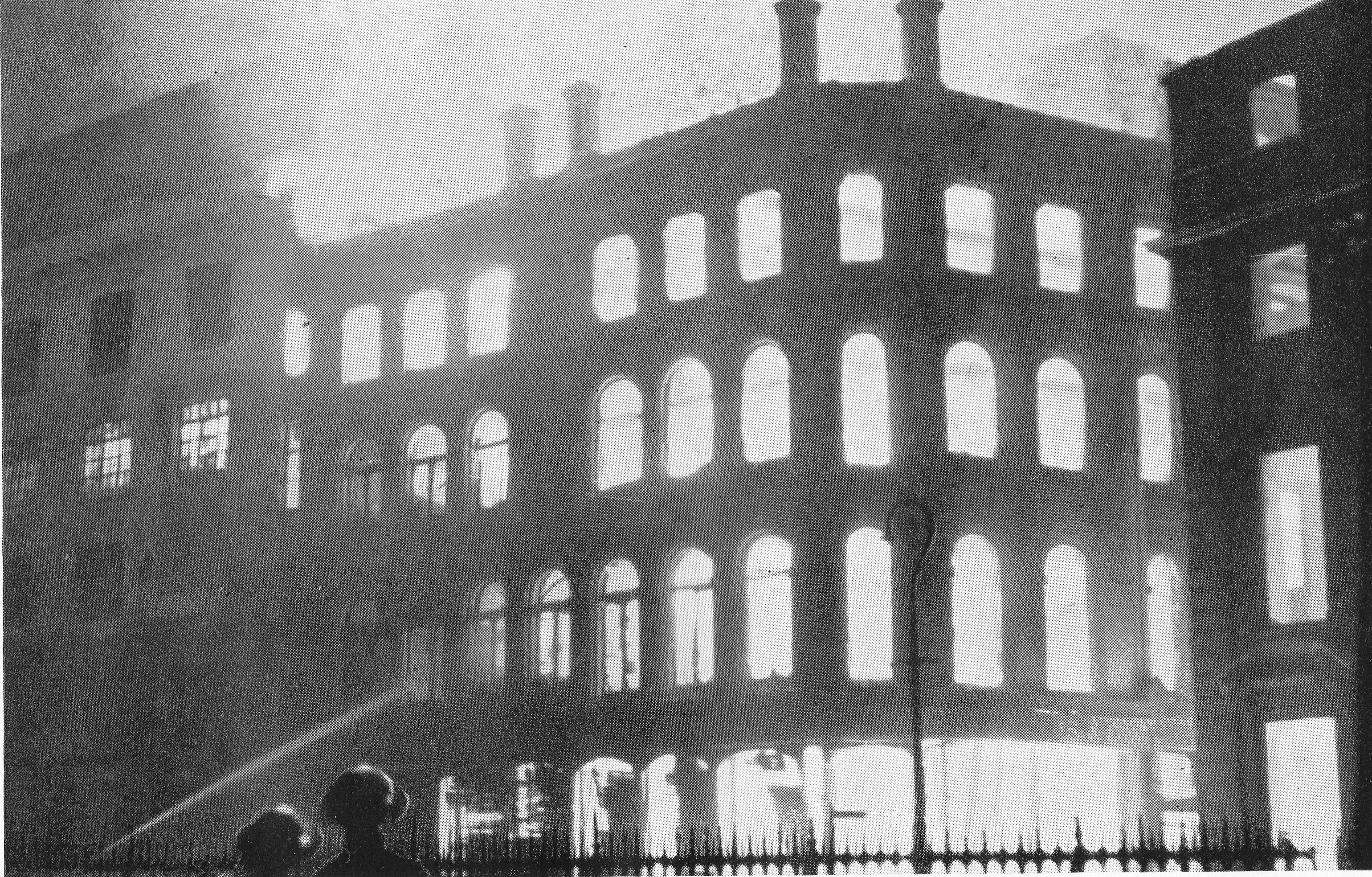
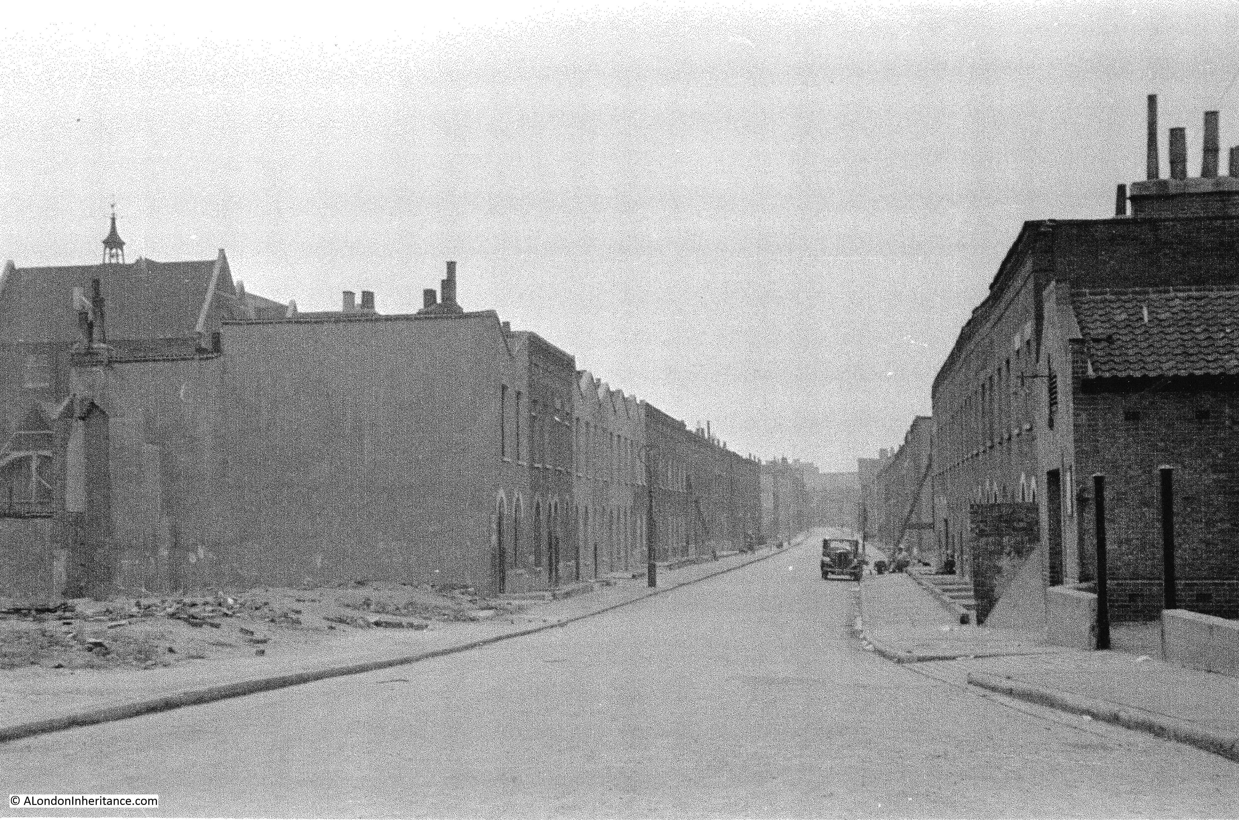
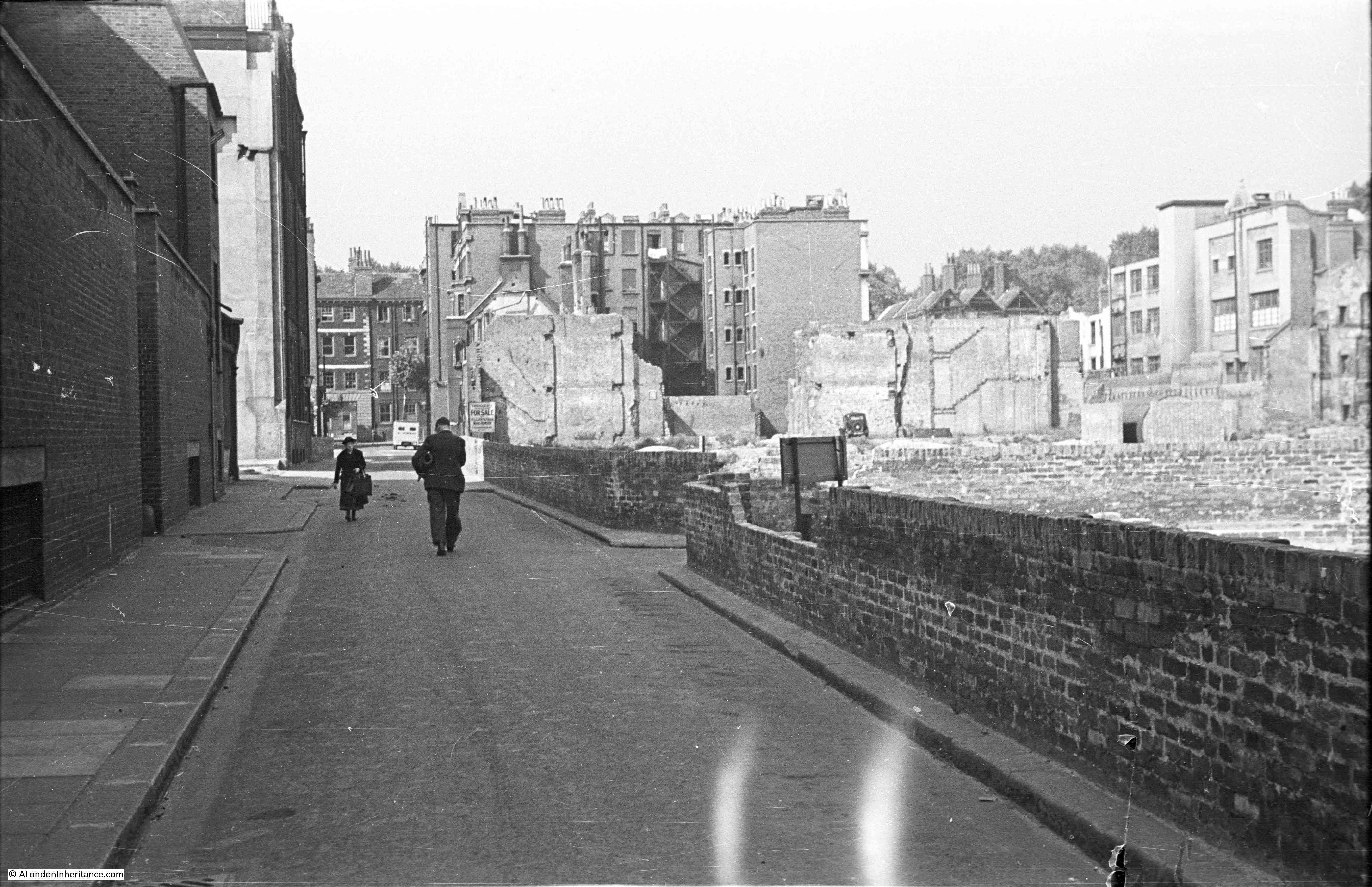
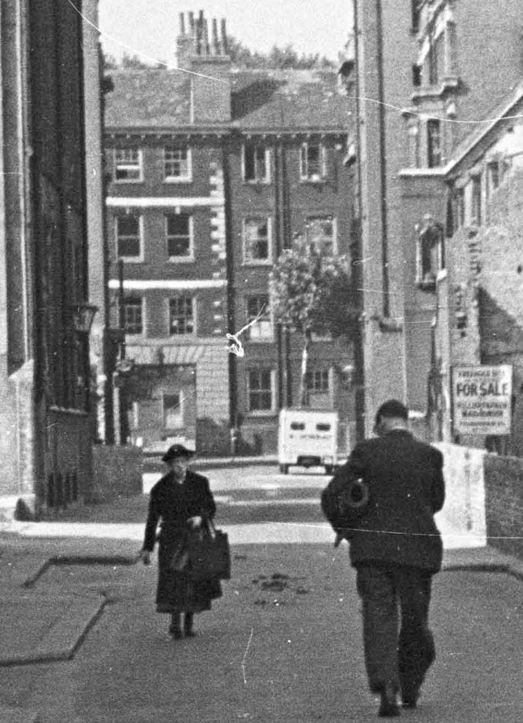
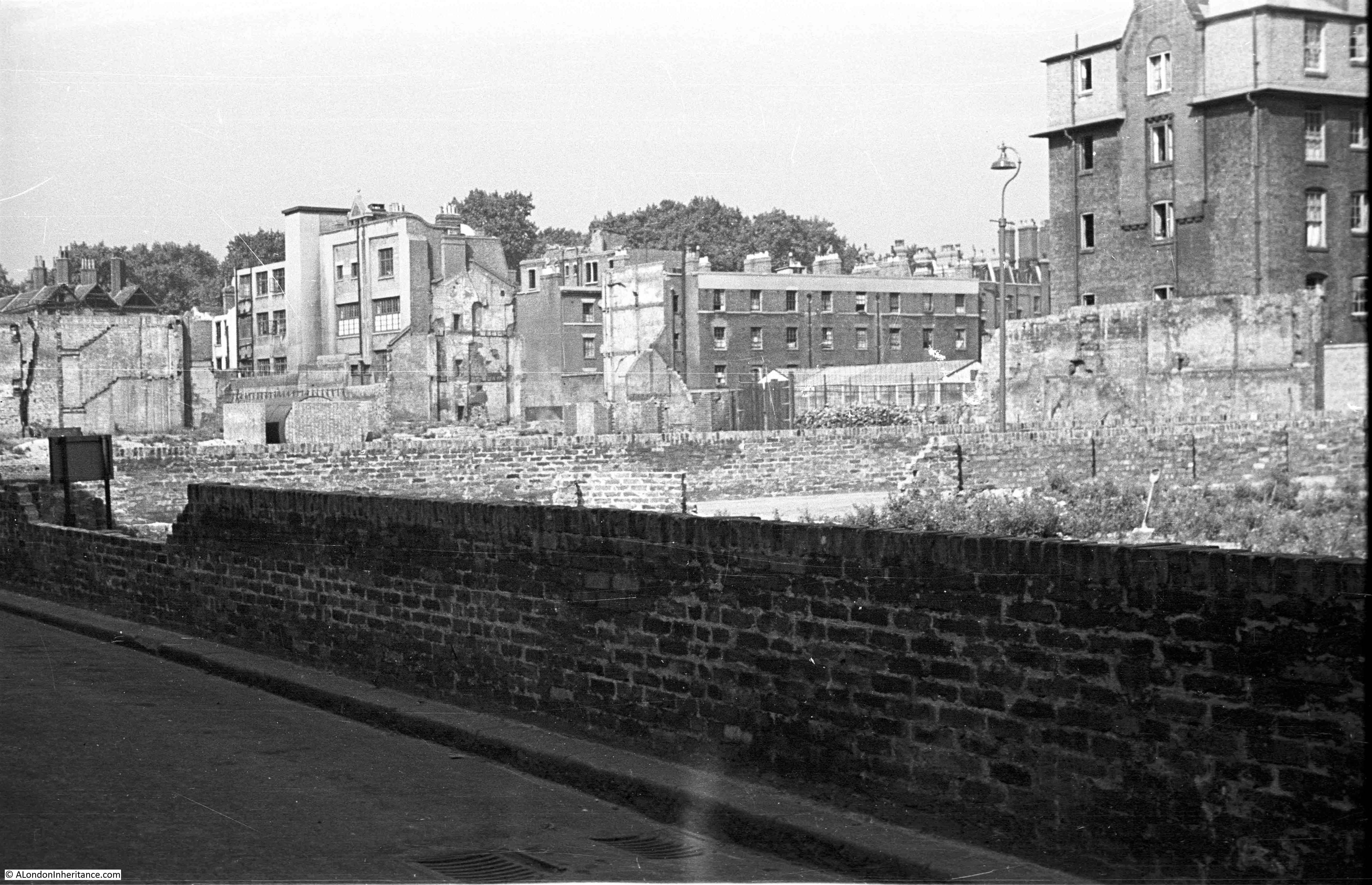
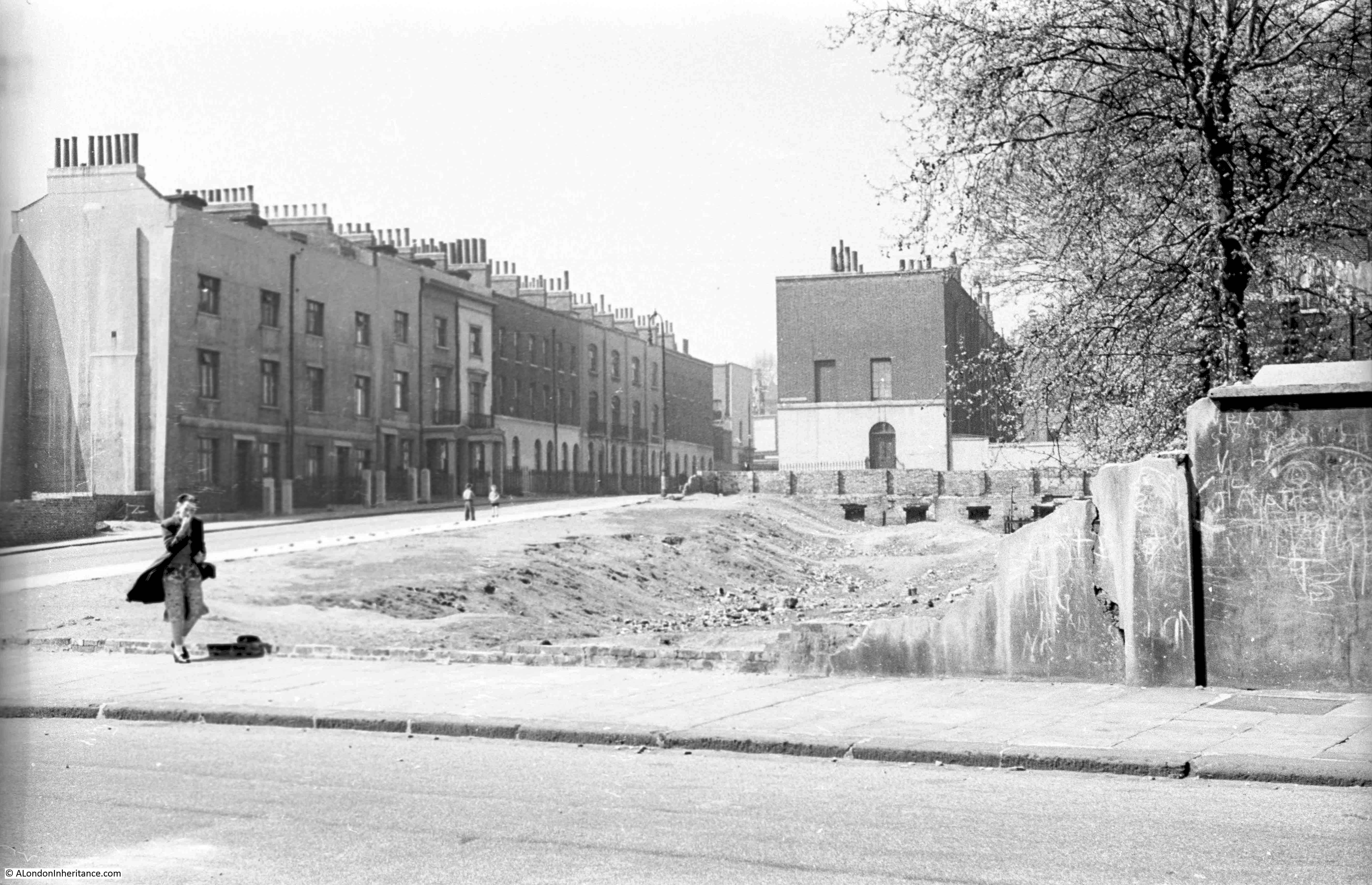
A few week’s ago, I wrote about the Baltic Street School as this appeared in one of the photos. This week’s photos are from roughly the same position, however looking east rather than to the north, and this was the post war view:
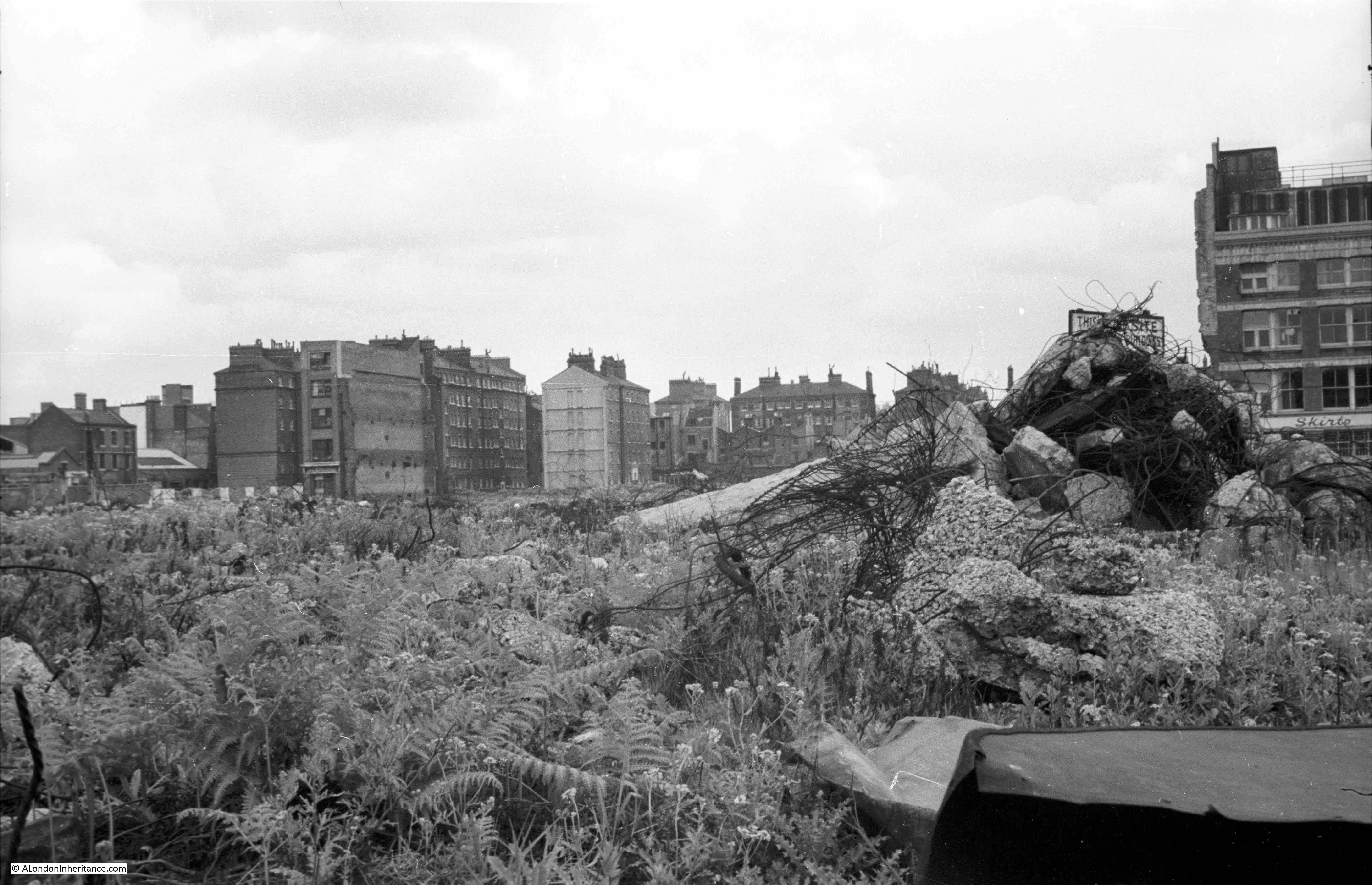
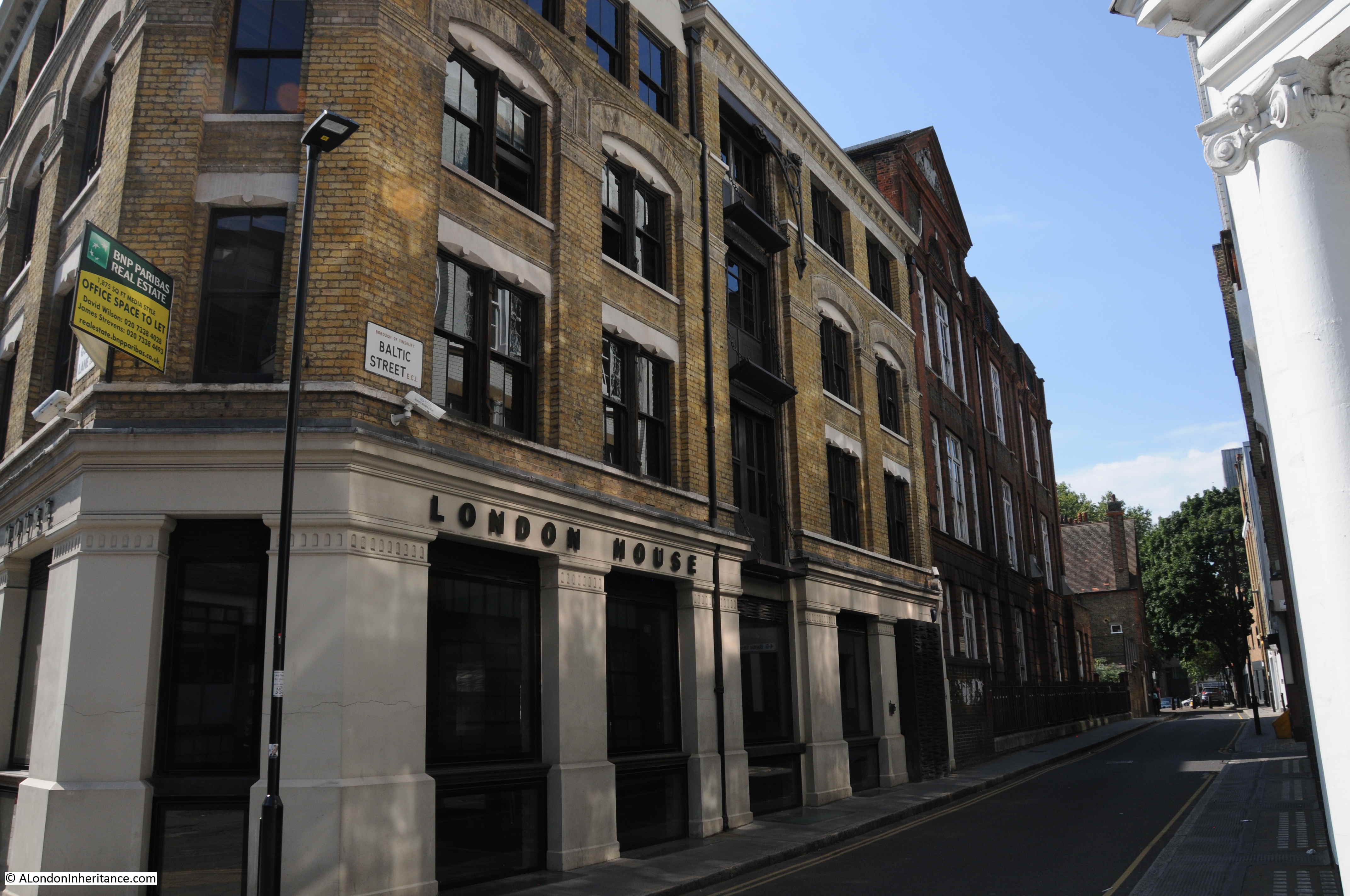
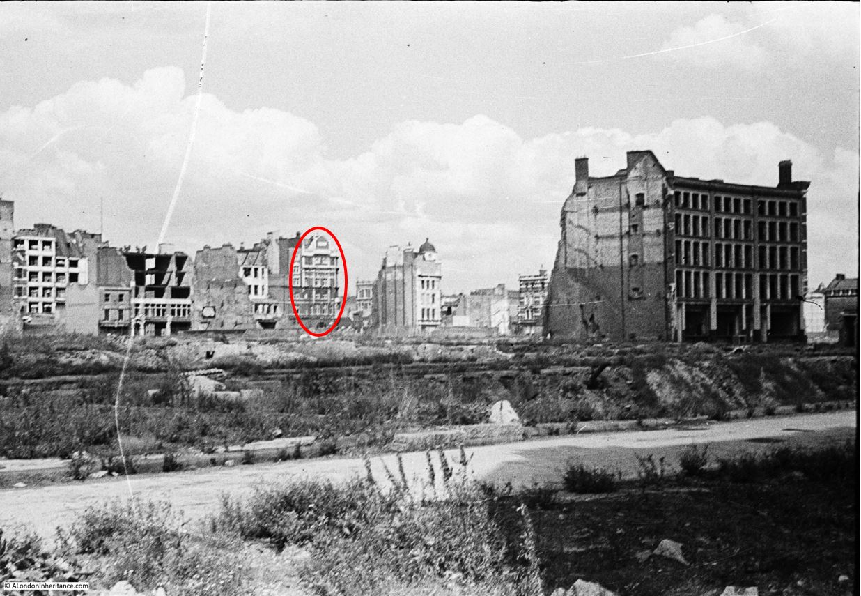
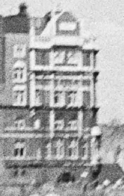
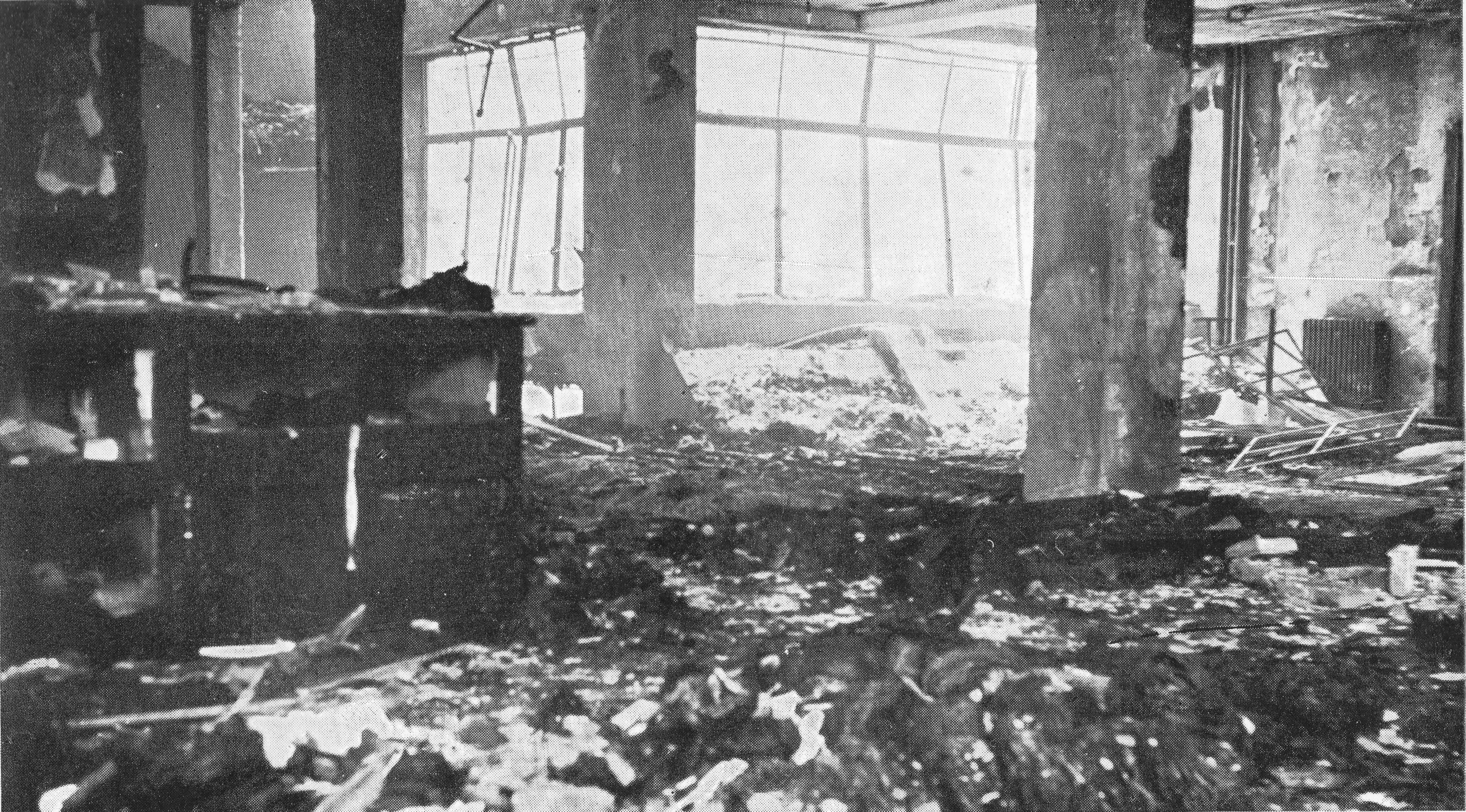
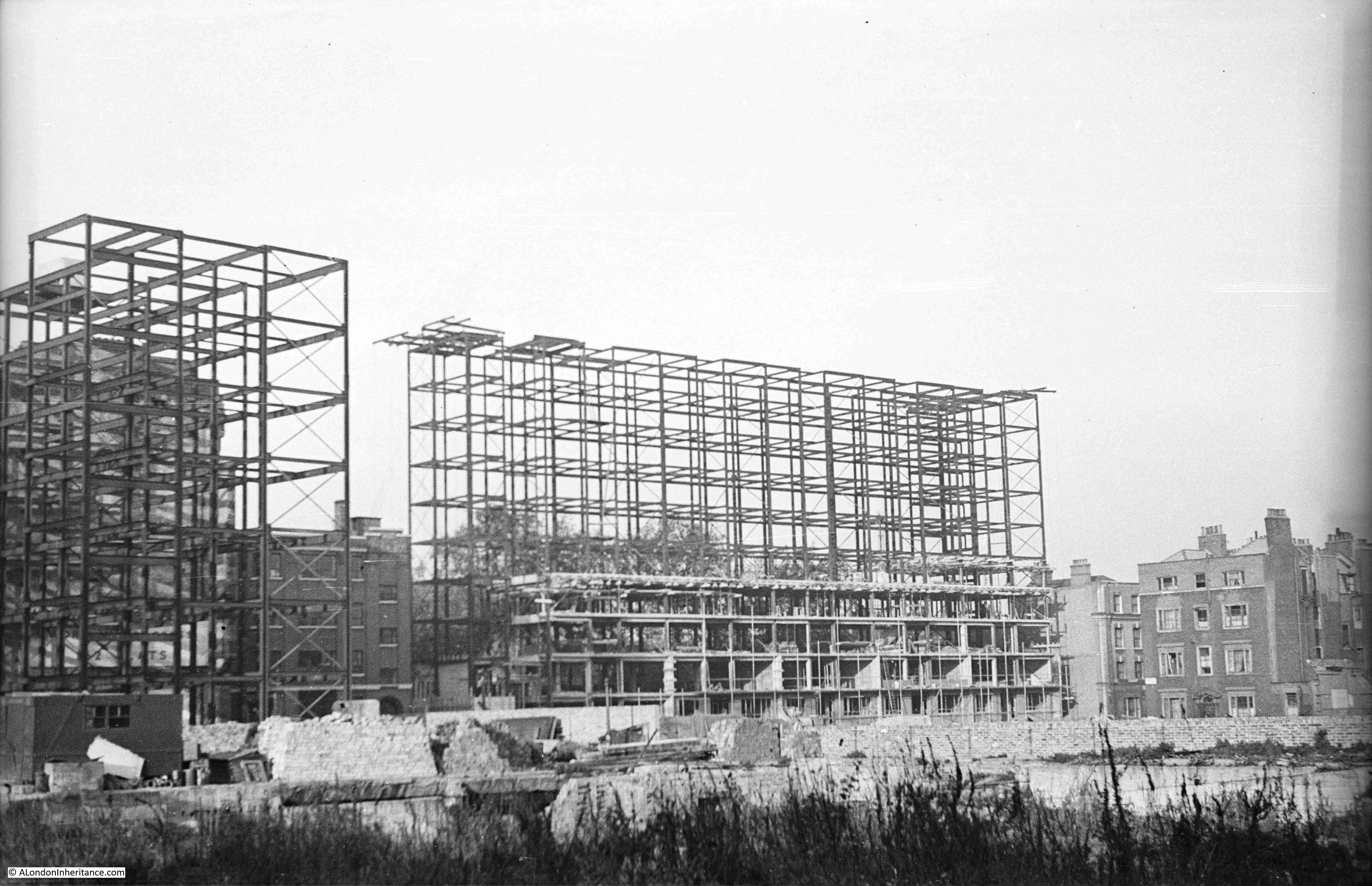
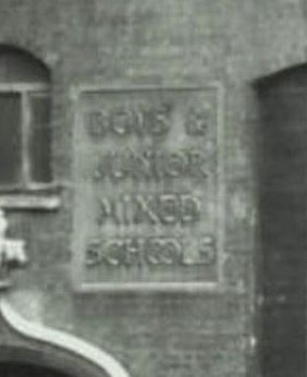
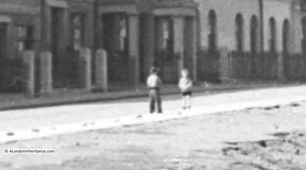
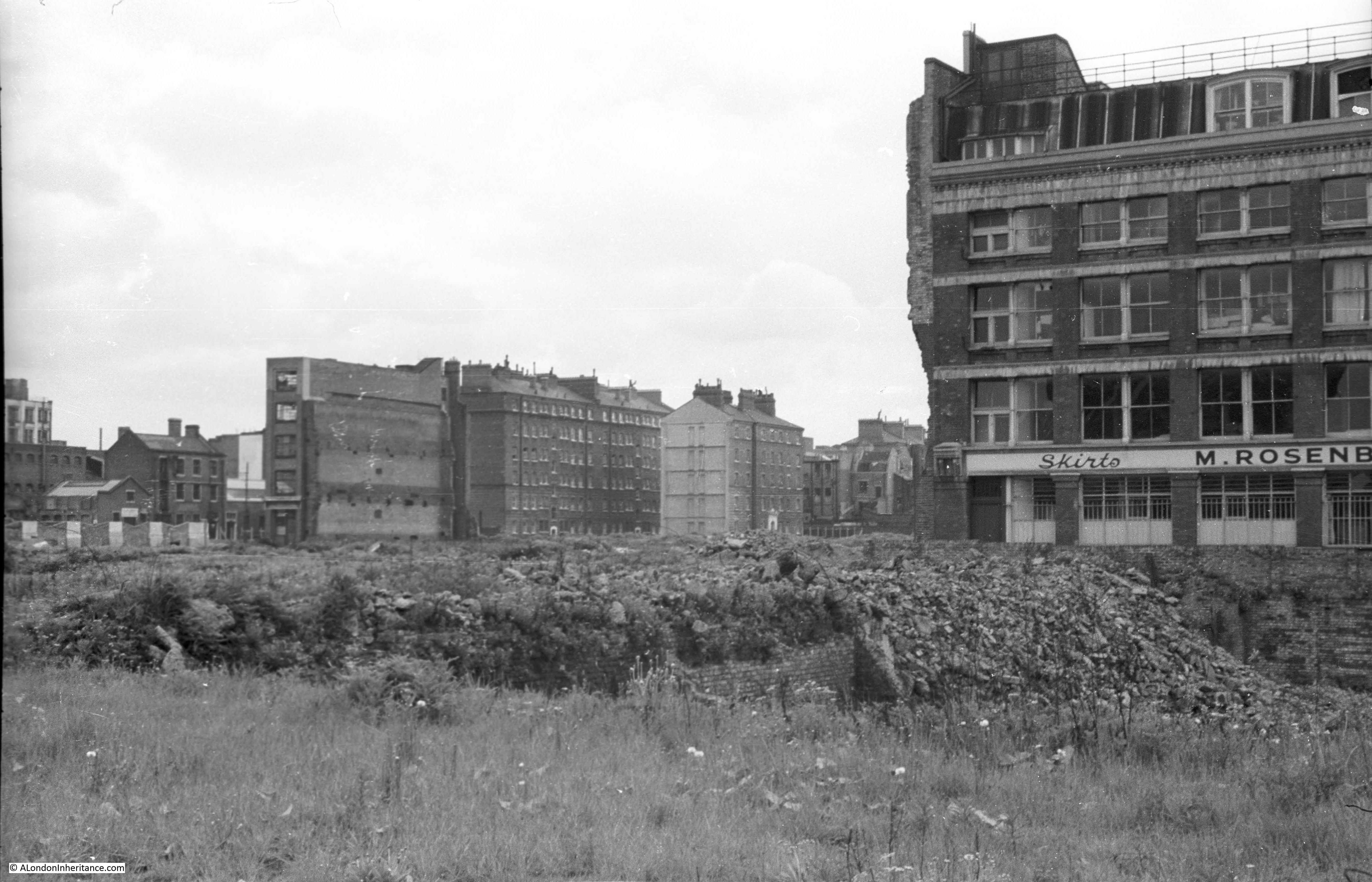
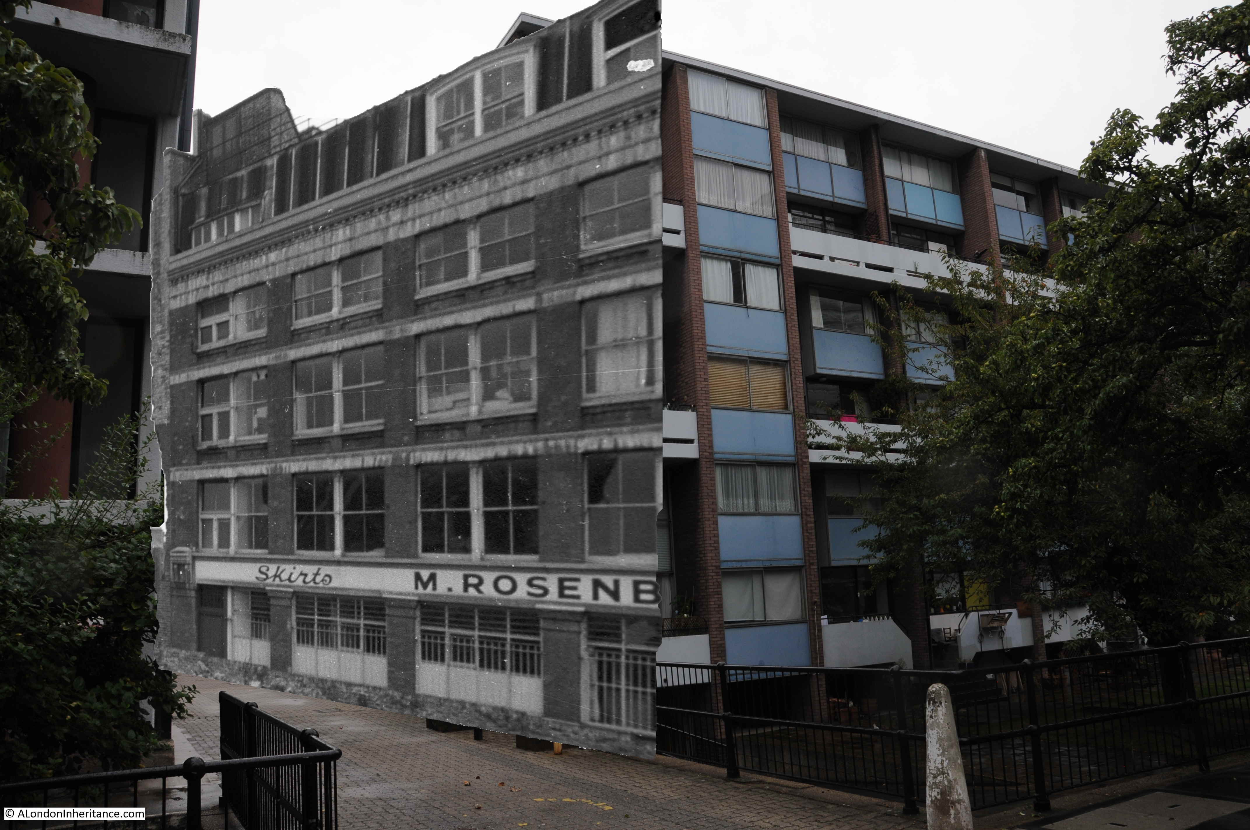
In the following photo, he had walked up closer to the building that remains on the site, and we can see part of the name of the business that occupied the building.
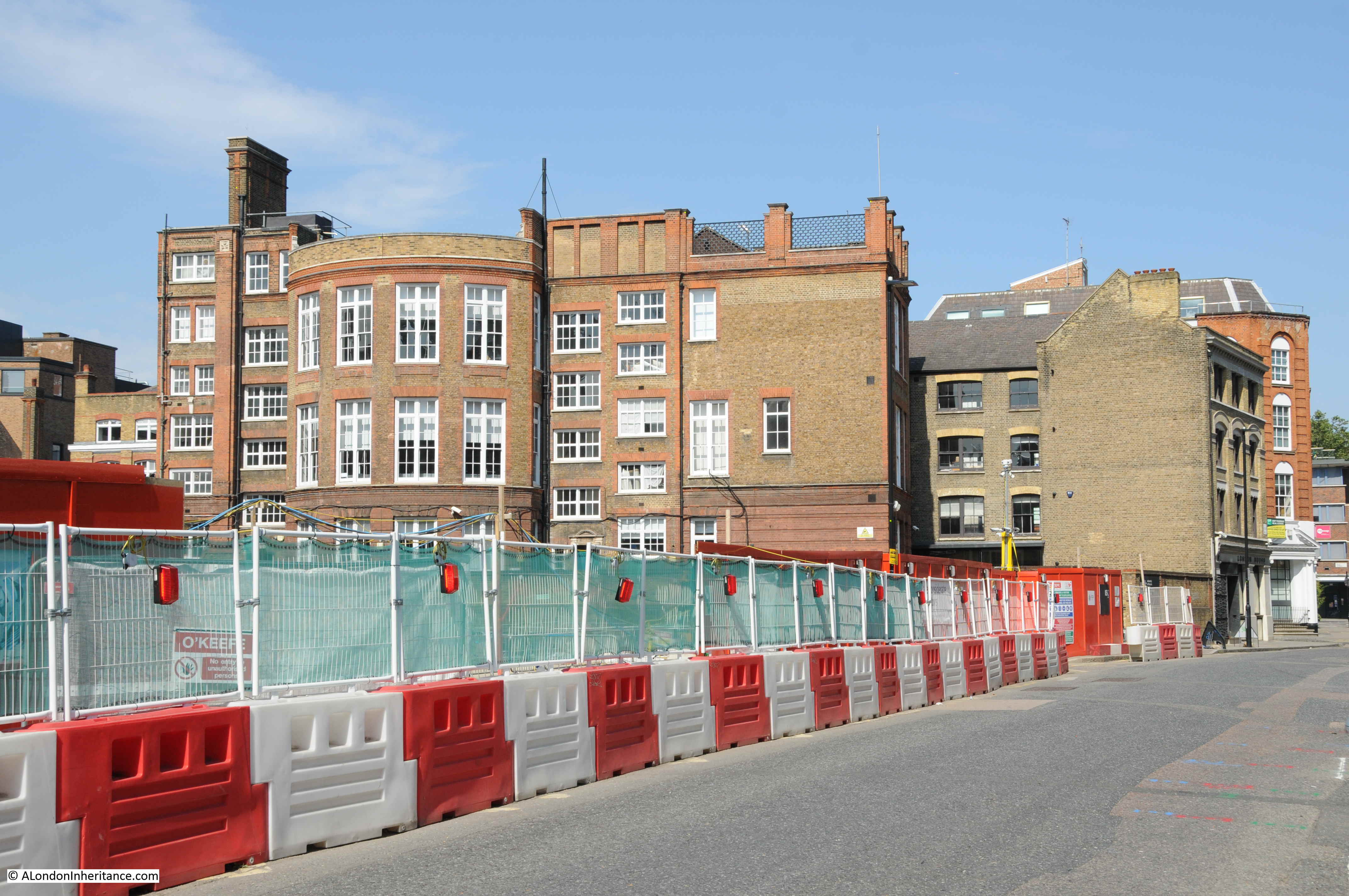
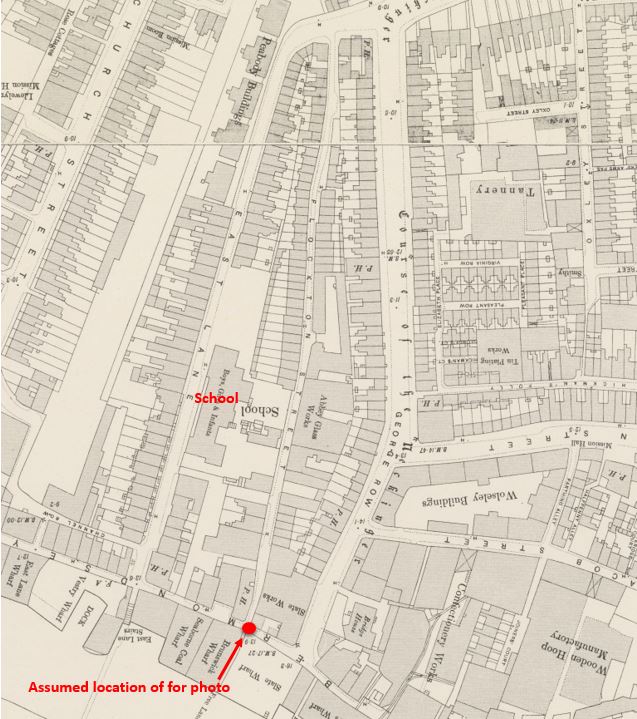
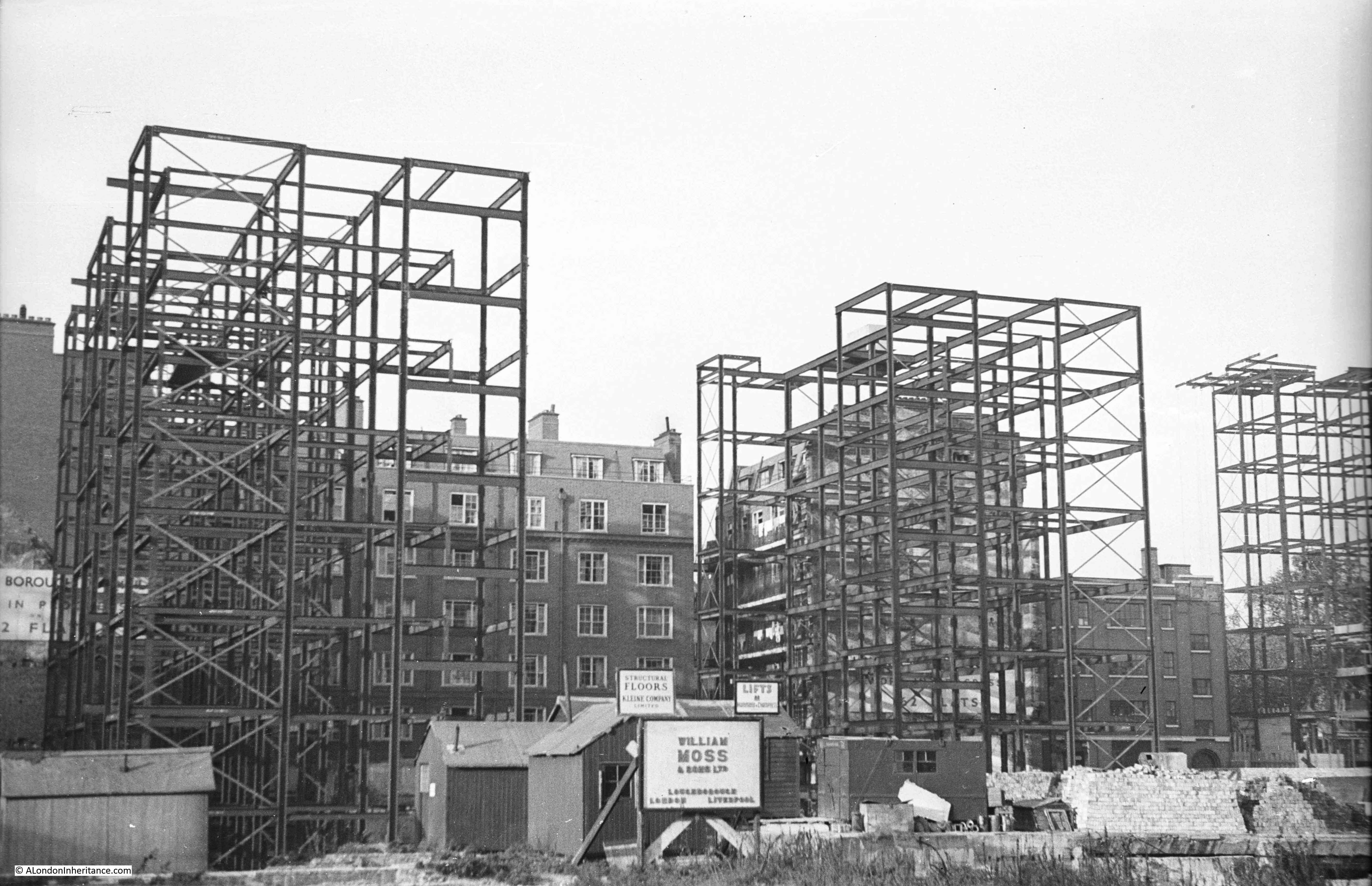
Locating the building was easy as I had already located the position from where the first photograph was taken to identify the Baltic Street School, and there is some overlap in the buildings in the distance.
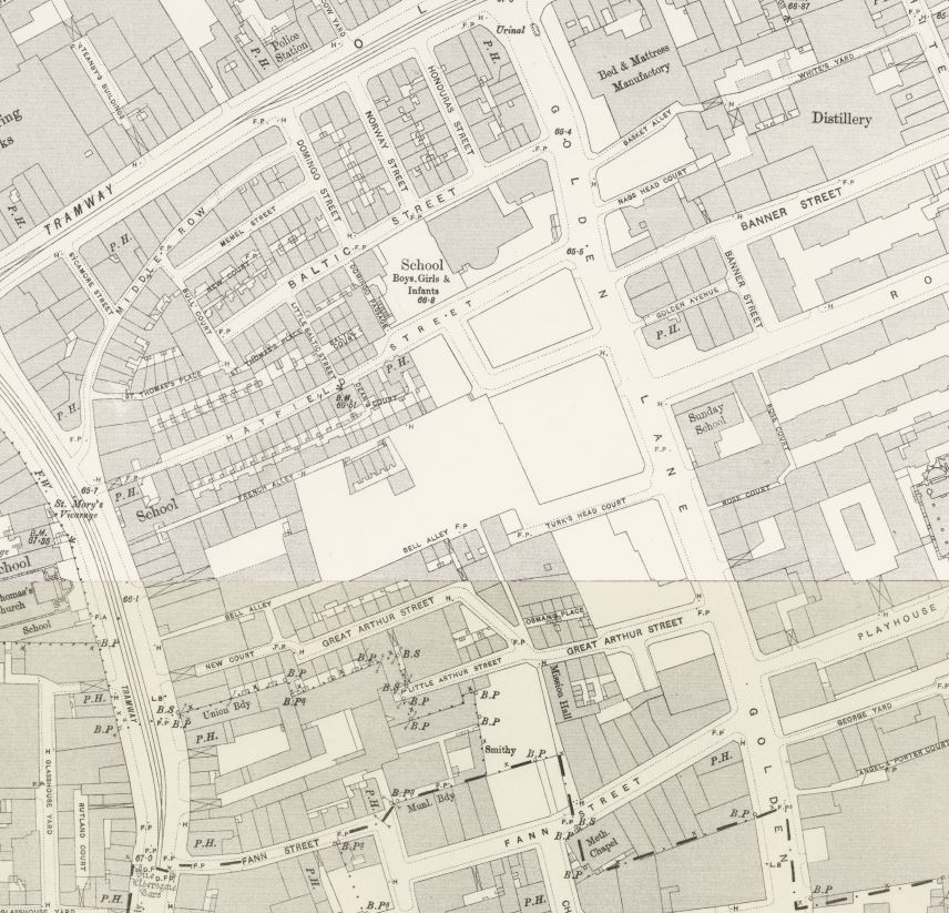
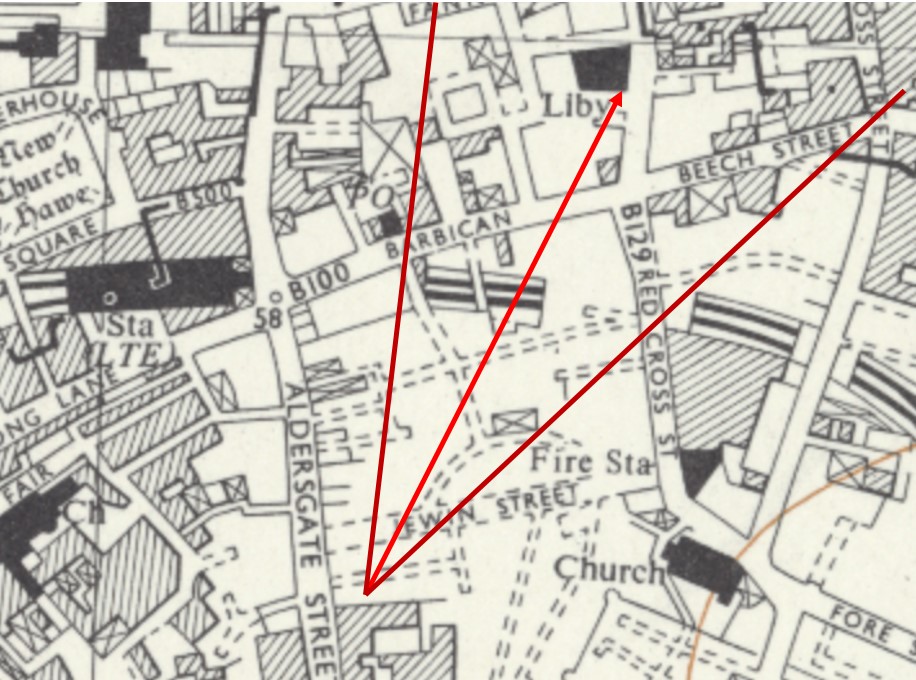
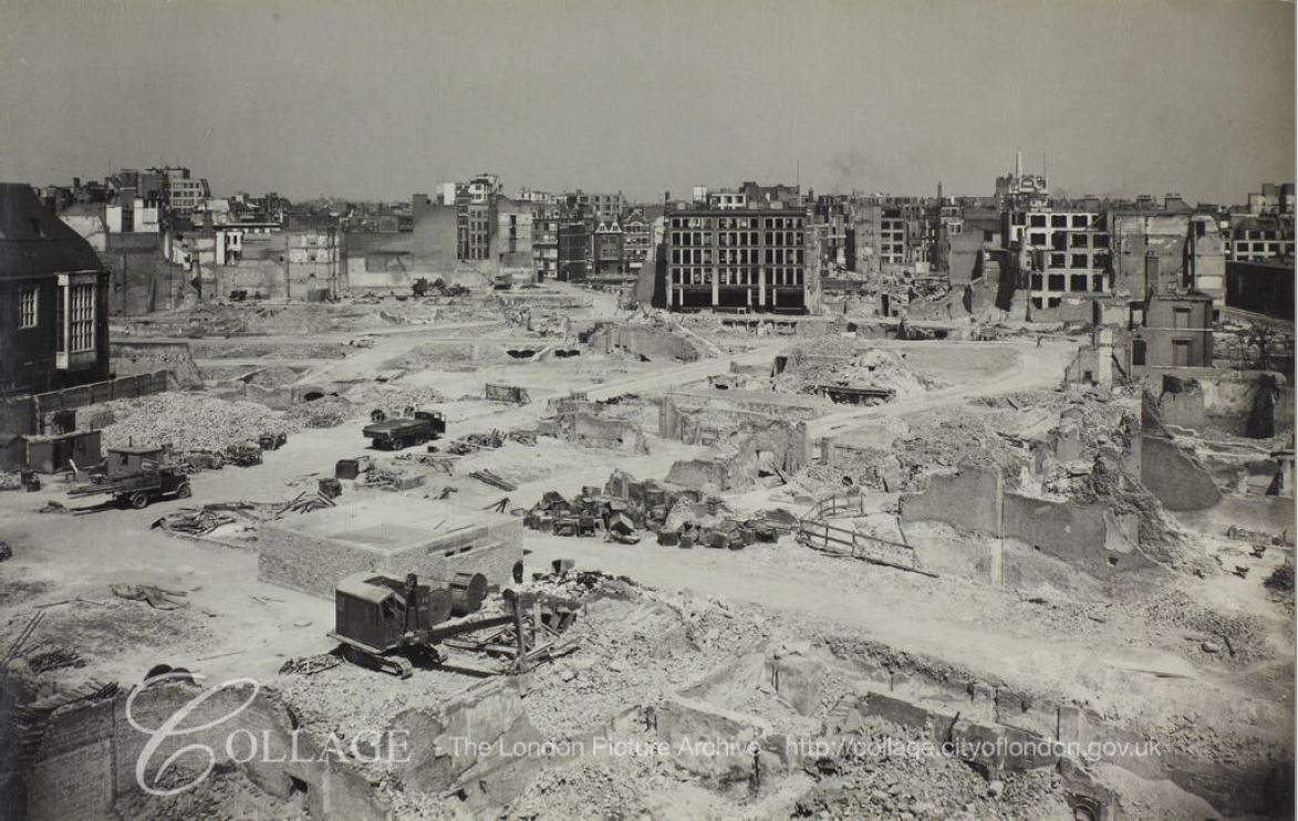
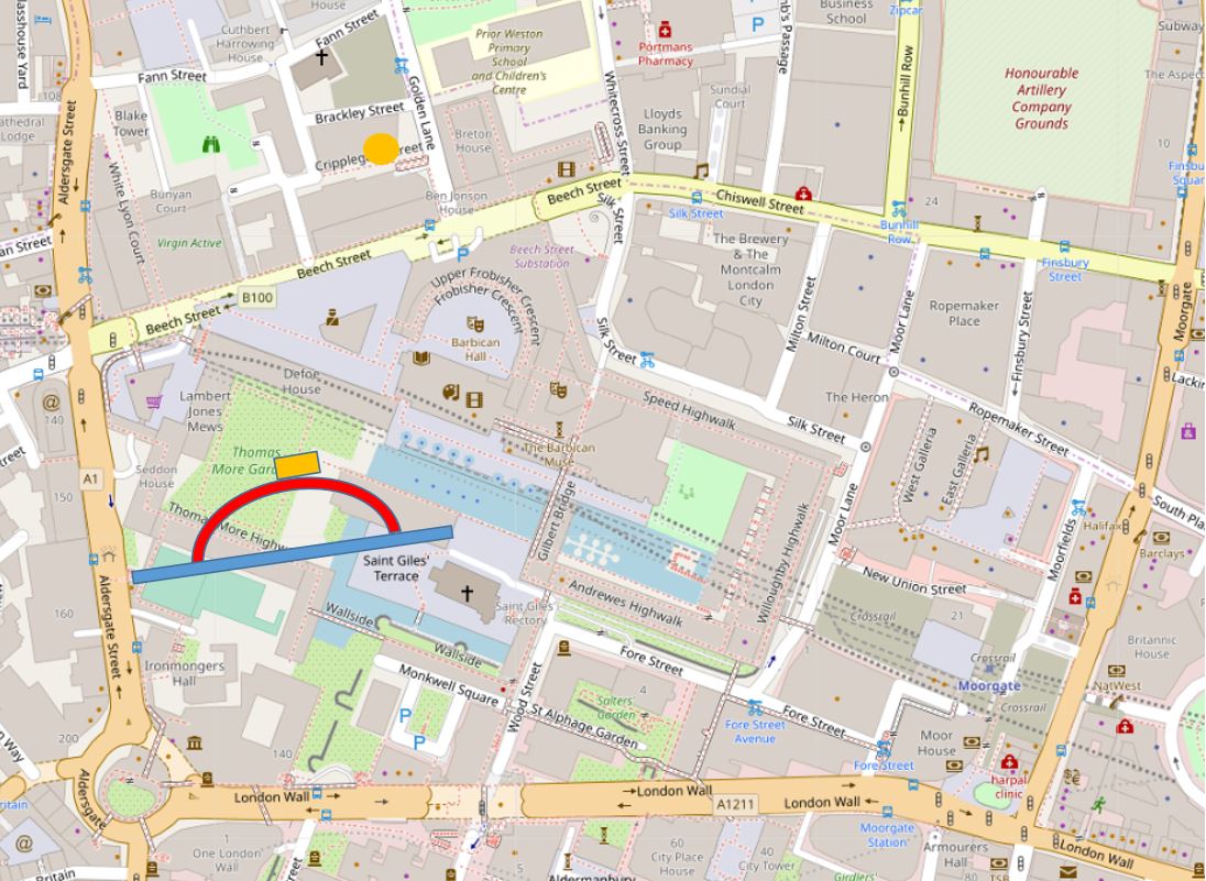
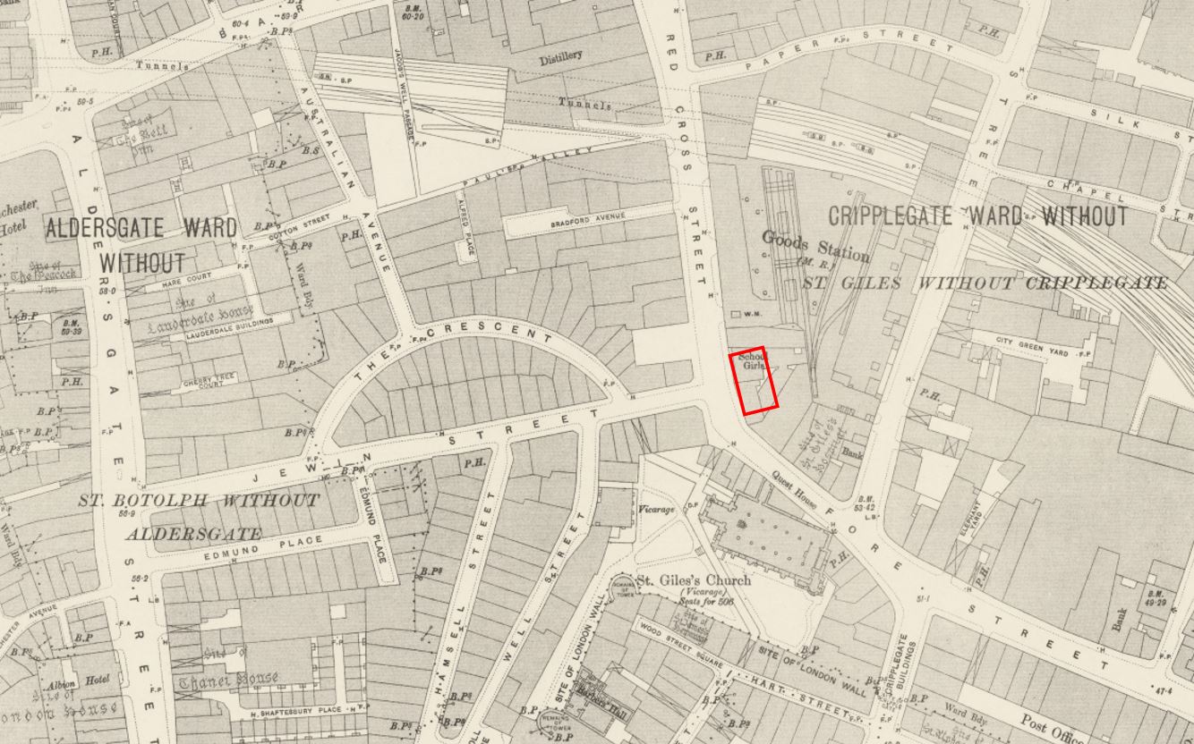
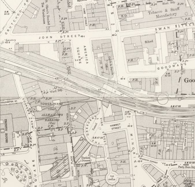
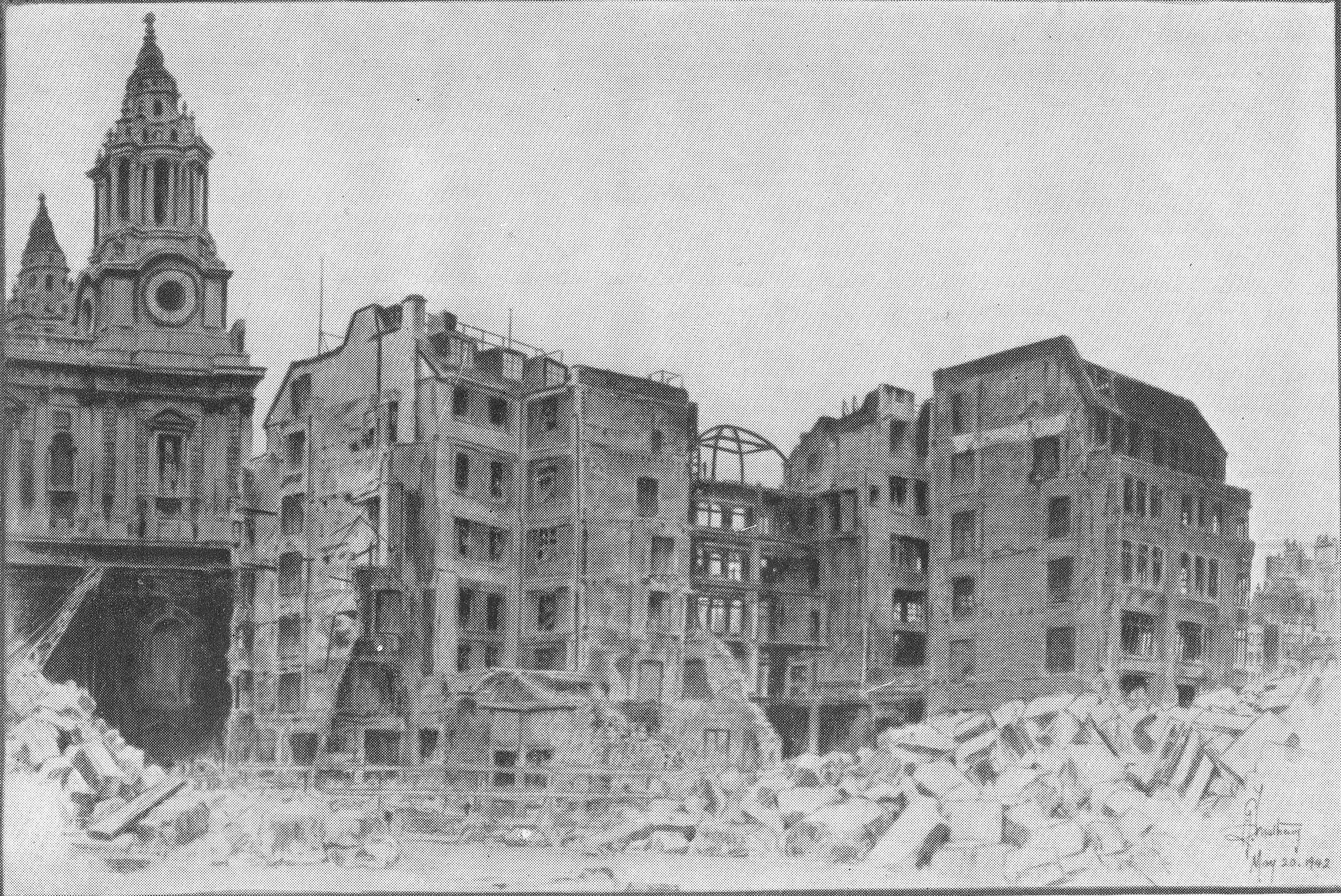
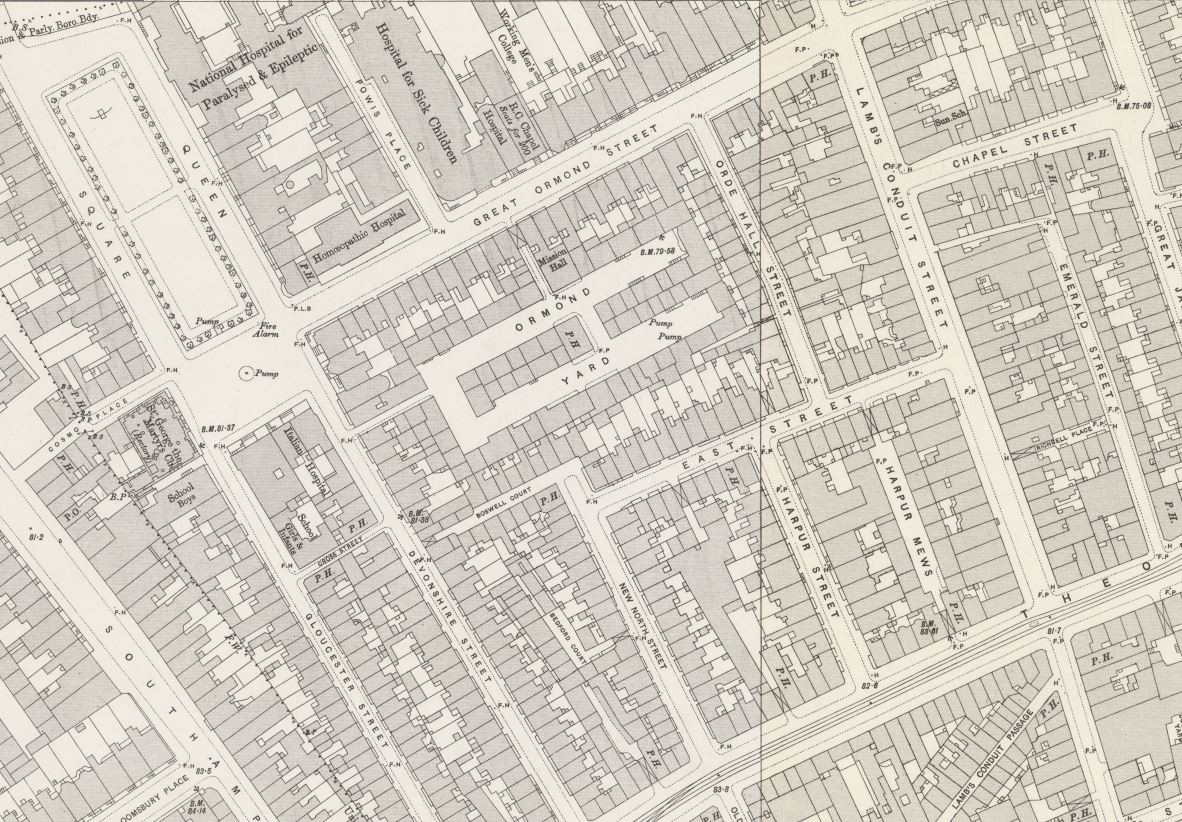
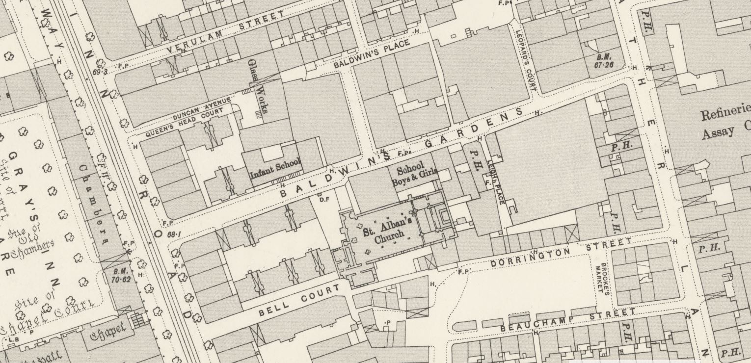
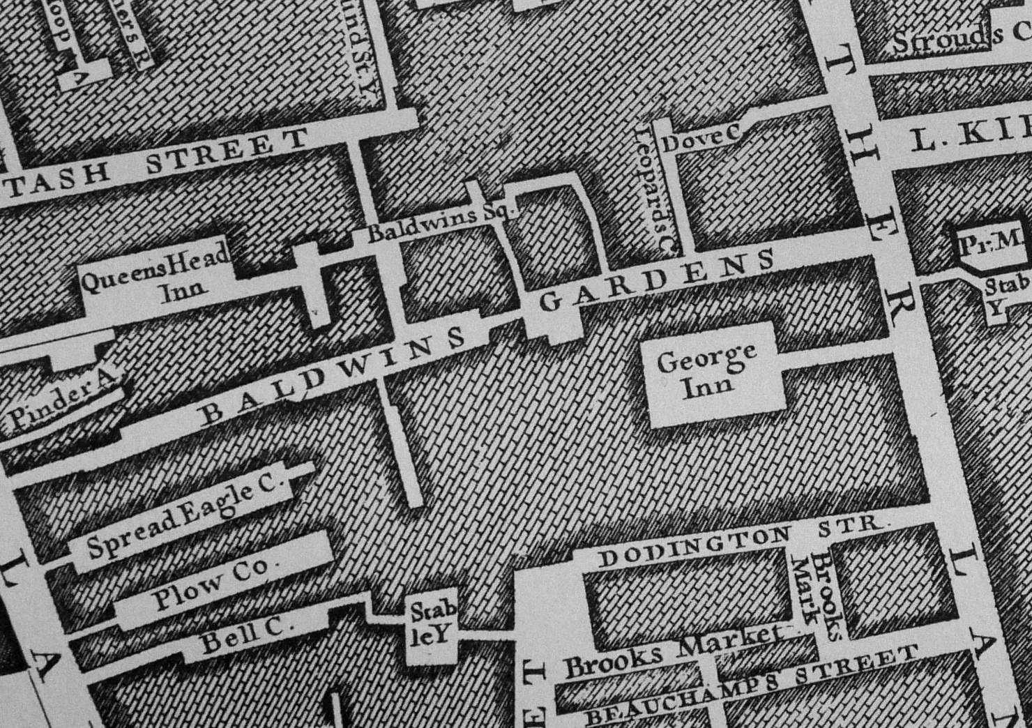
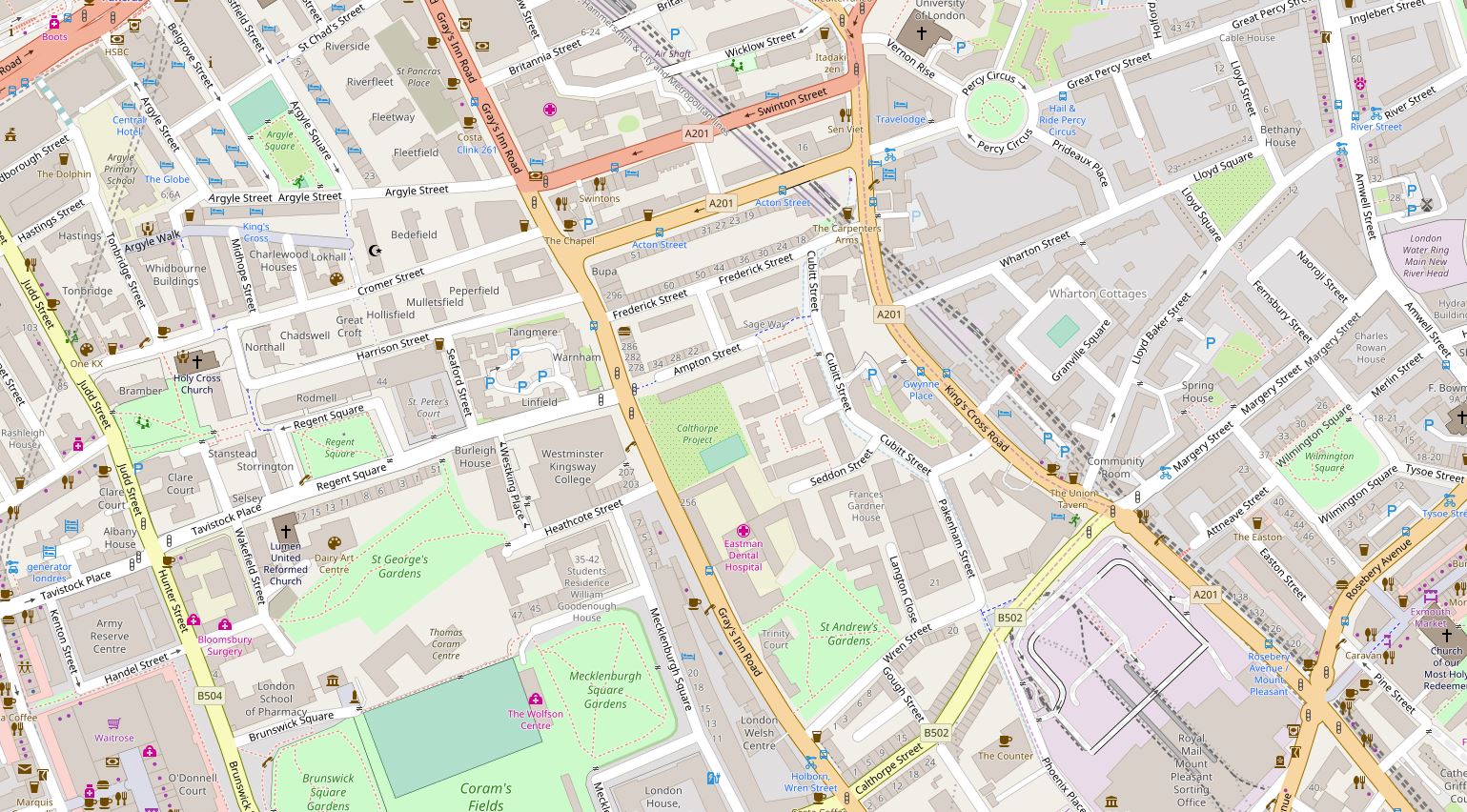
The following map extract shows the large area, with all the buildings demolished and cleared following wartime destruction, ready for the future construction of the Golden Lane Estate.
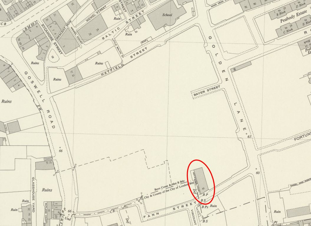
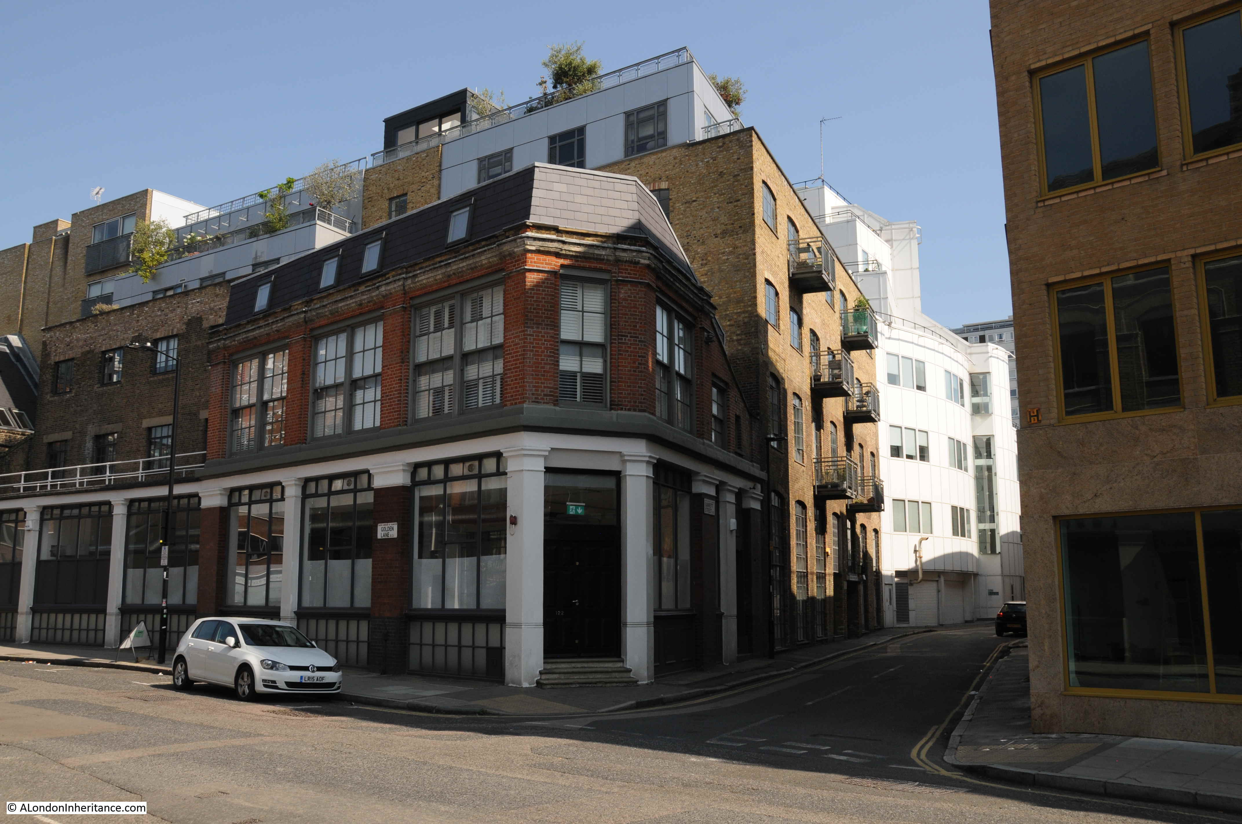
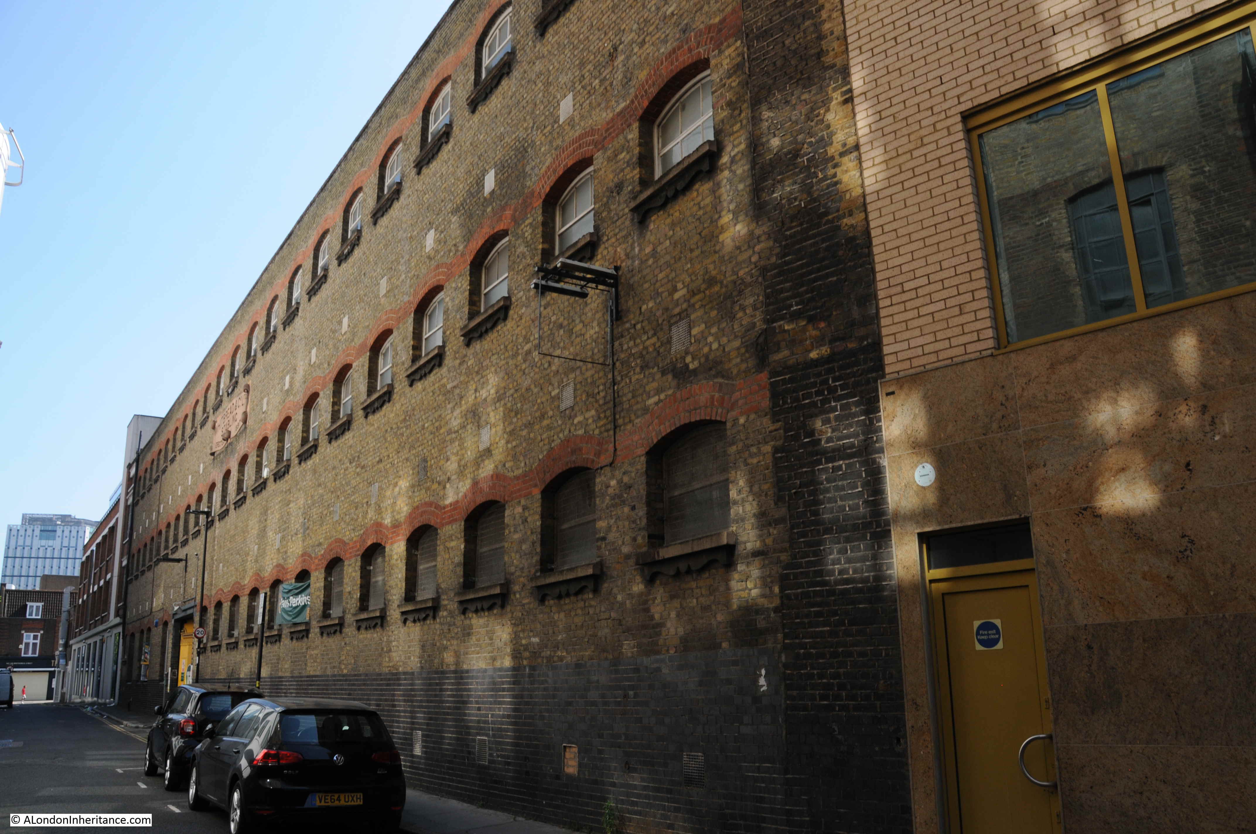
The building circled by the red oval is the building that appears in my father’s photos. The premises of Maurice Rosenberg – Skirt Manufacturer. The edge of the building is on to Fann Street and the long side of the building faces the wonderfully named Hotwater Court.
Hotwater Court, although not visible, would have been in front of the building in my father’s photos.
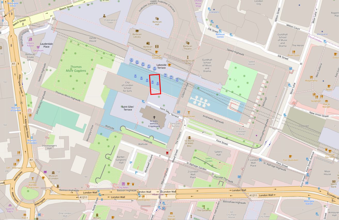
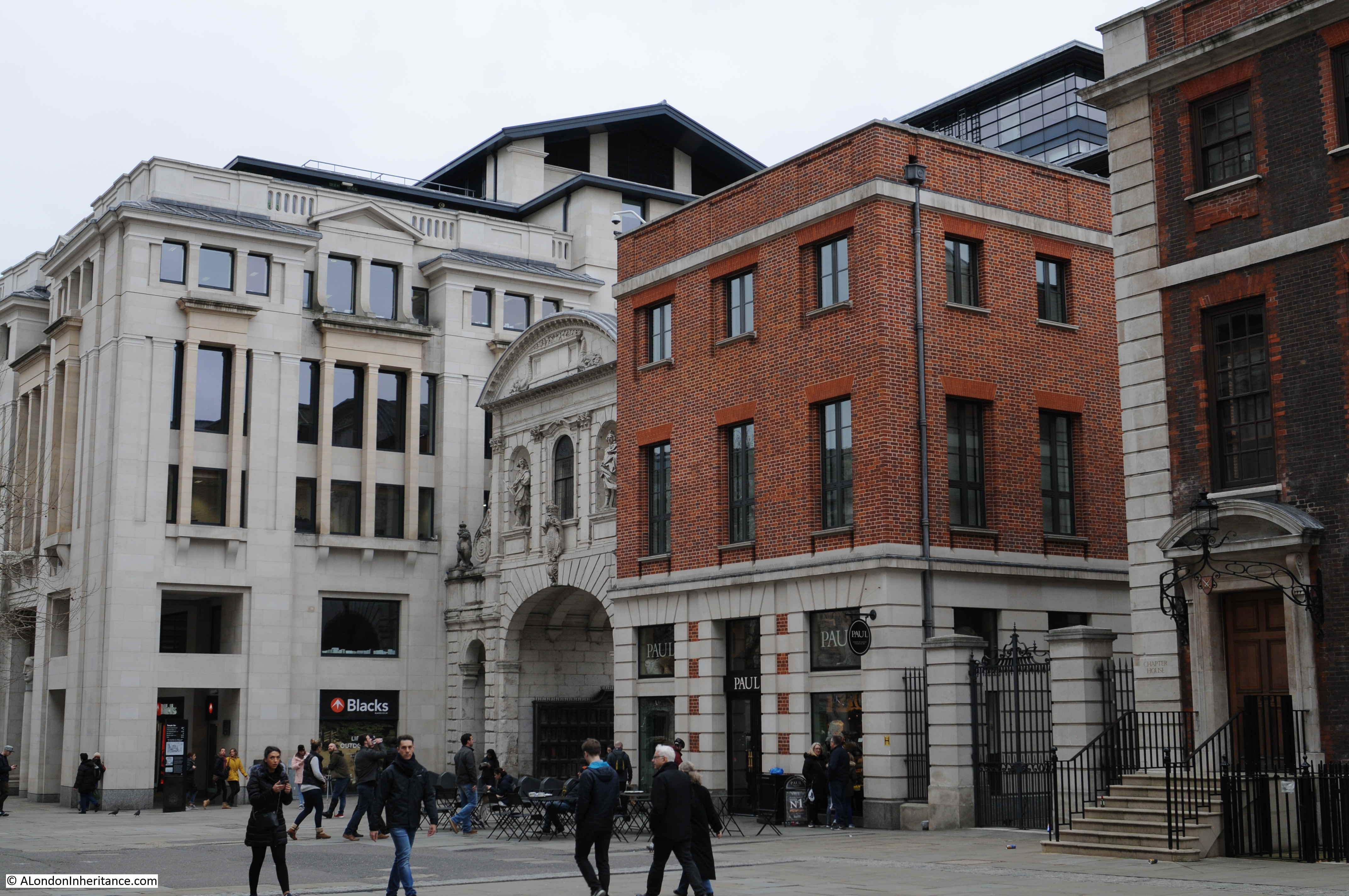
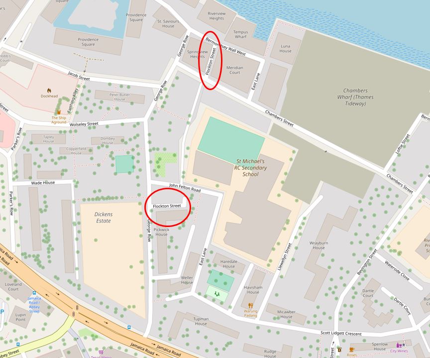
This is the same location today (Map © OpenStreetMap contributors):
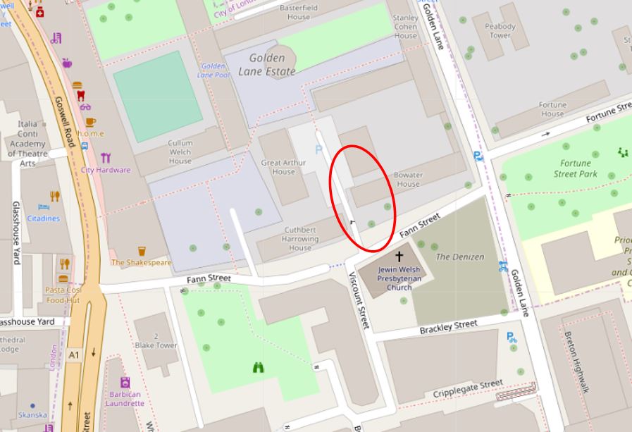
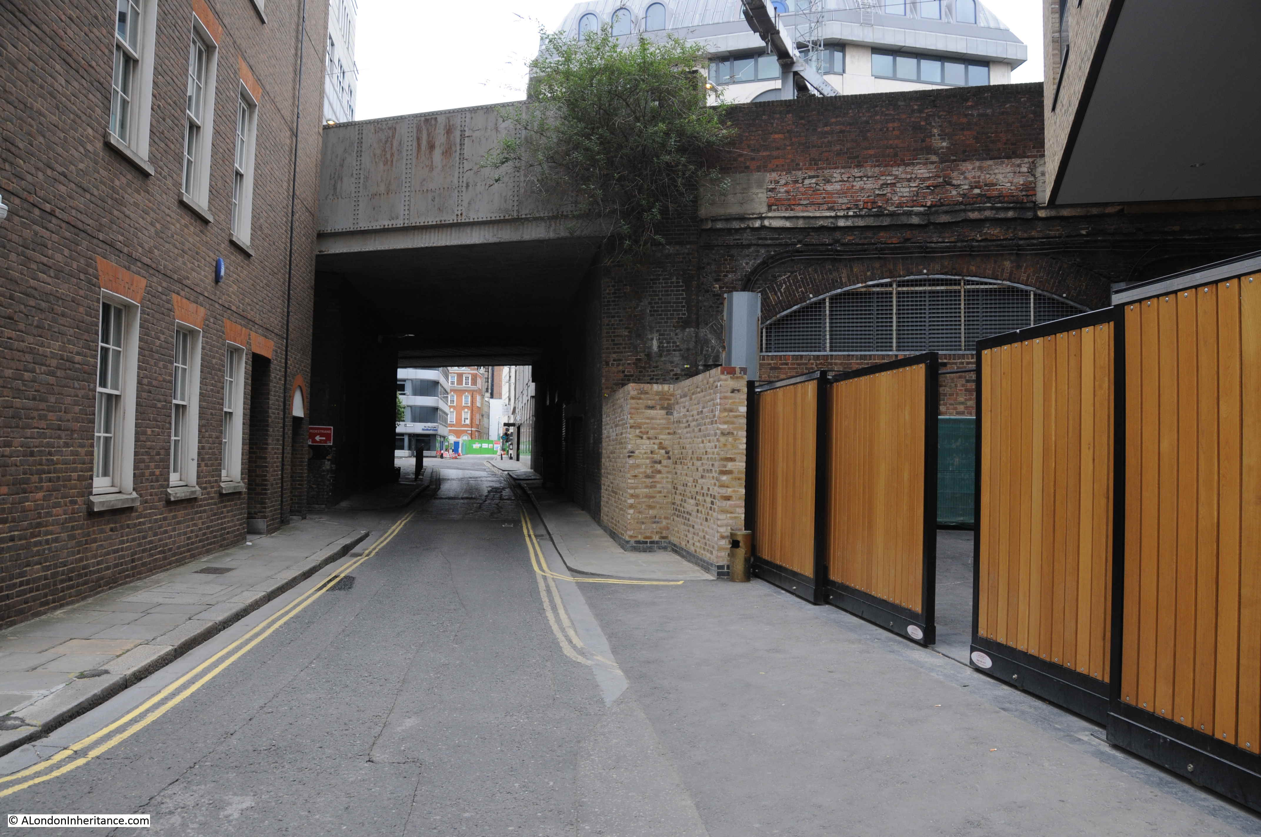
The overall length of Fann Street has been straightened out, however the section where Maurice Rosenberg’s premises were located is very much the same, and possible to identify in the street pattern of today.
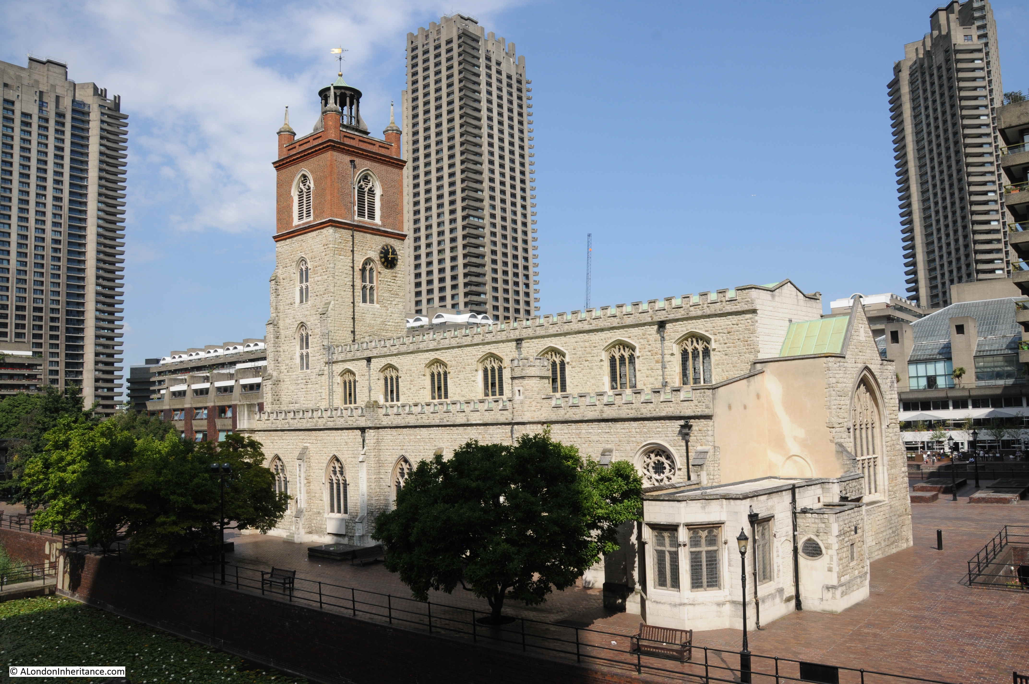
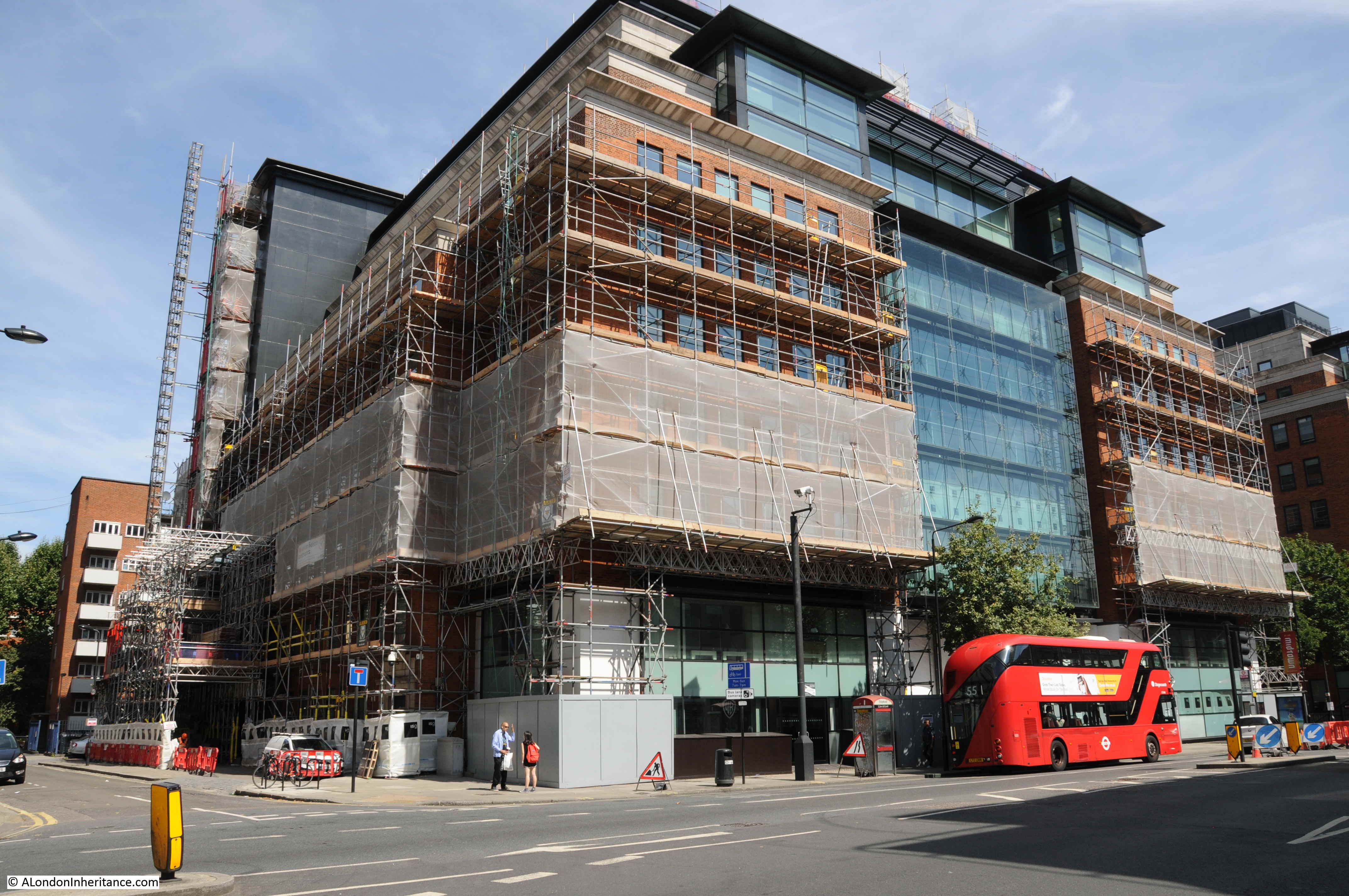
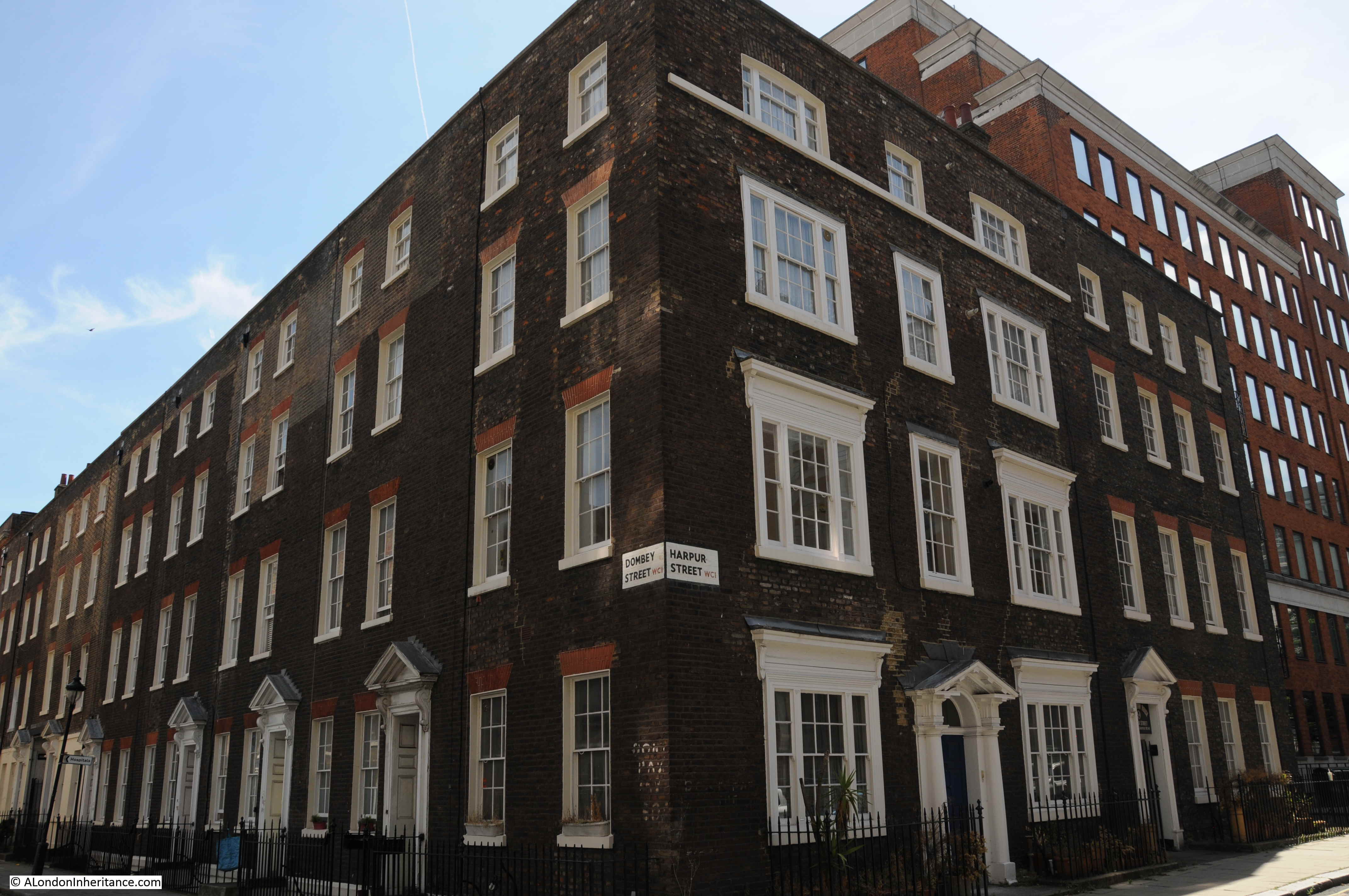
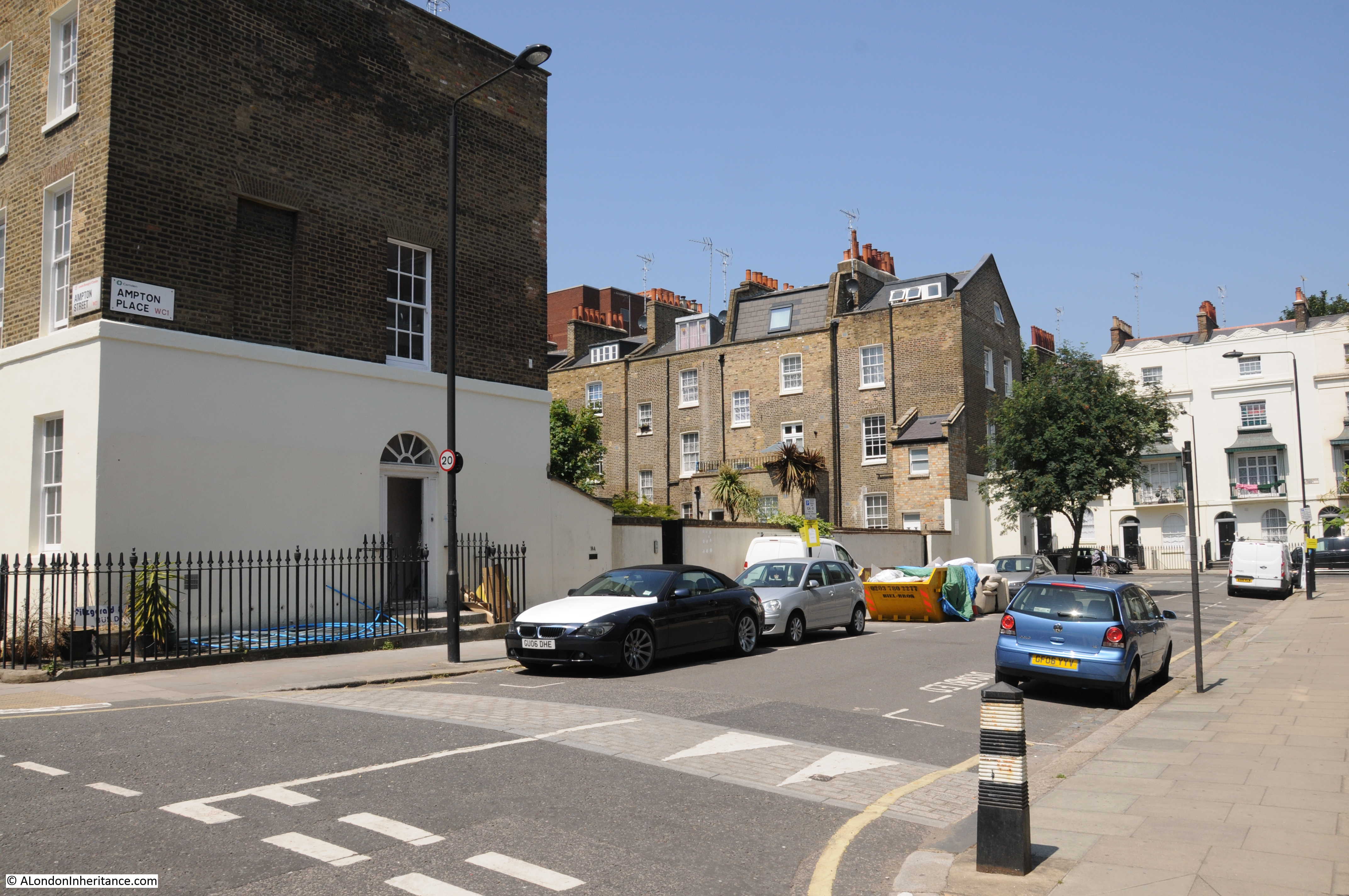
To the right of the junction of Viscount Street and Fann Street is the Jewin Welsh Church. This is marked on the 2019 map, and is marked as a “ruin” in the earlier Ordnance Survey map, however the current incarnation of the church stands on the same site as the original.
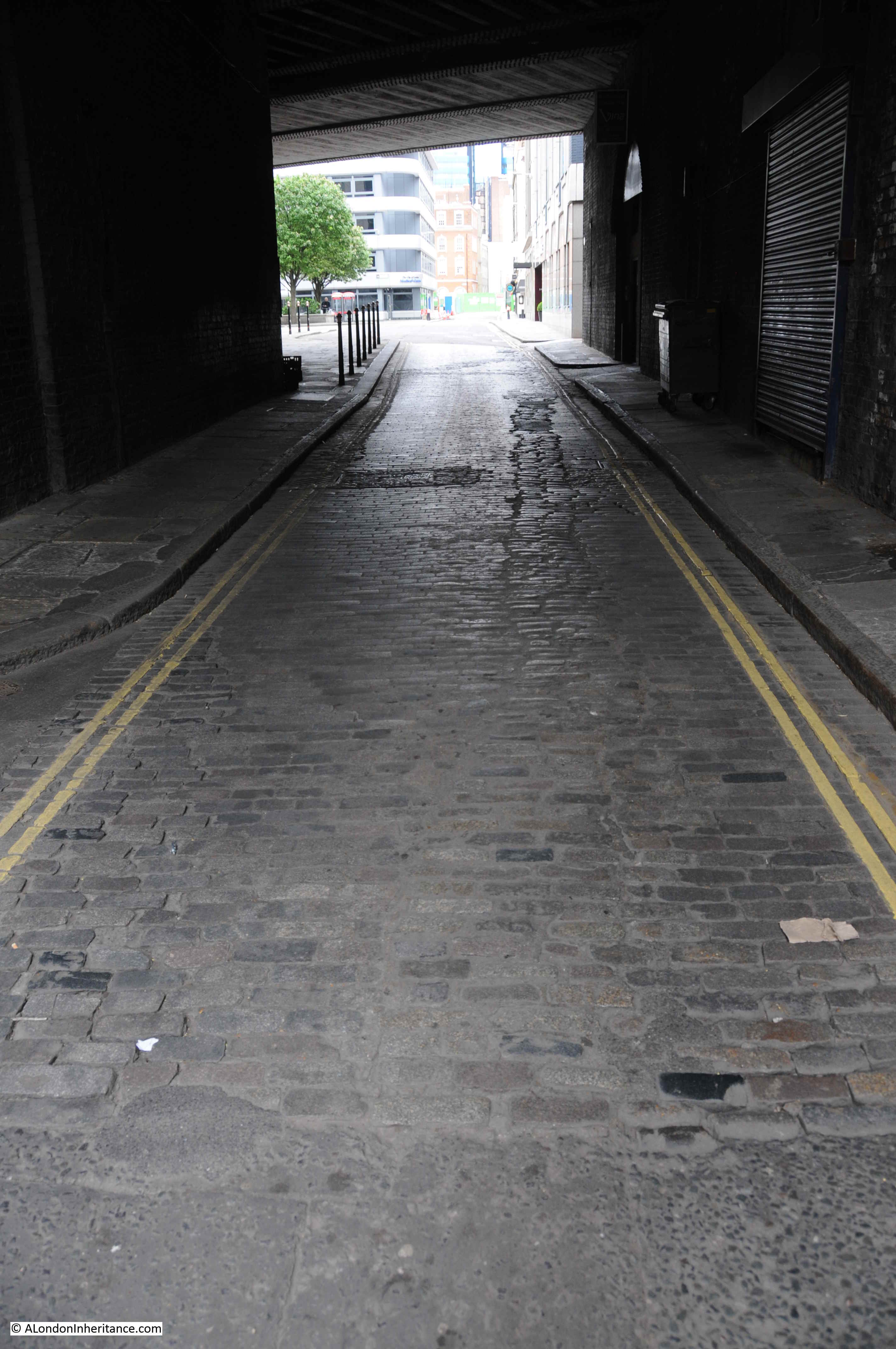
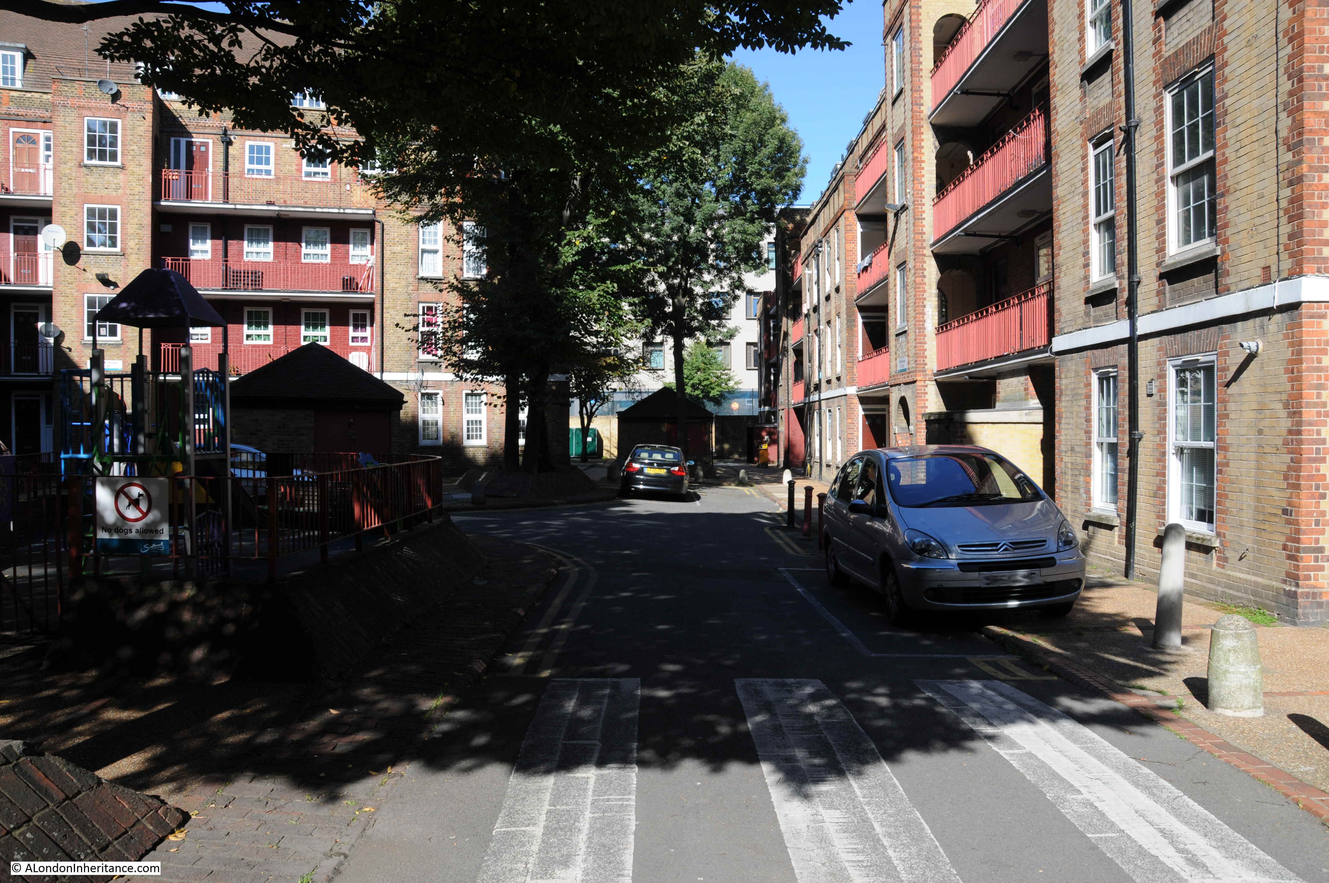
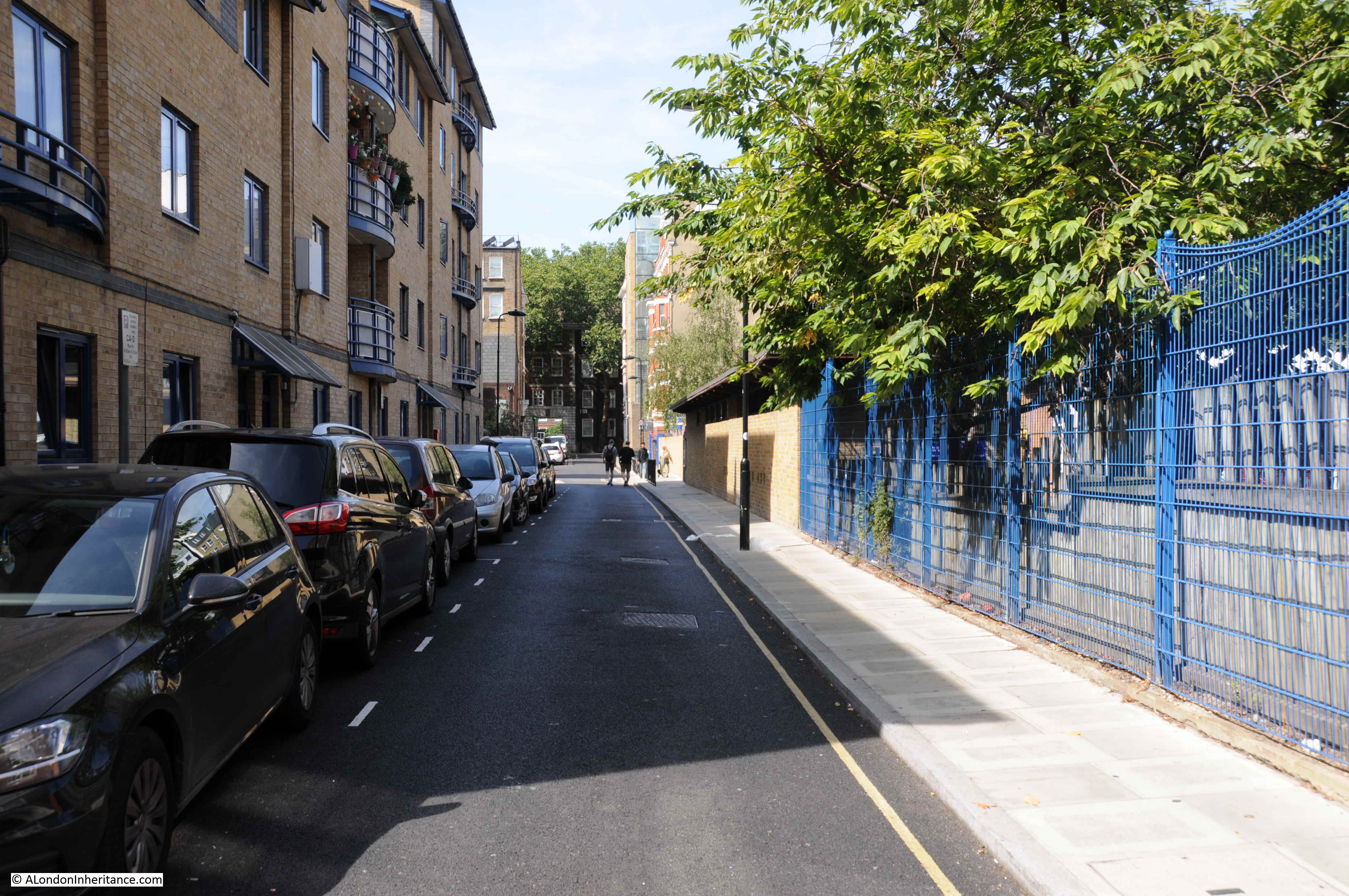
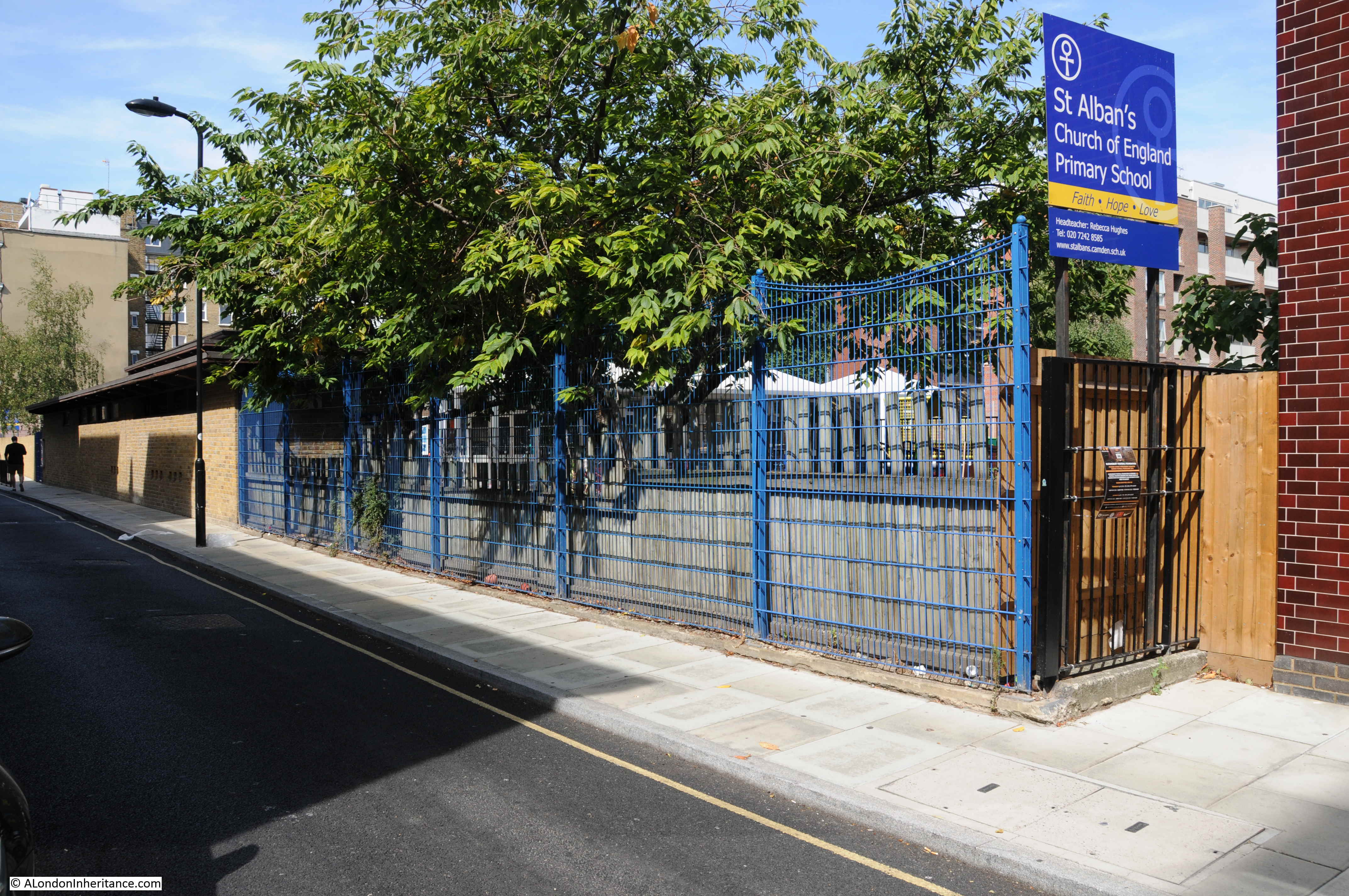
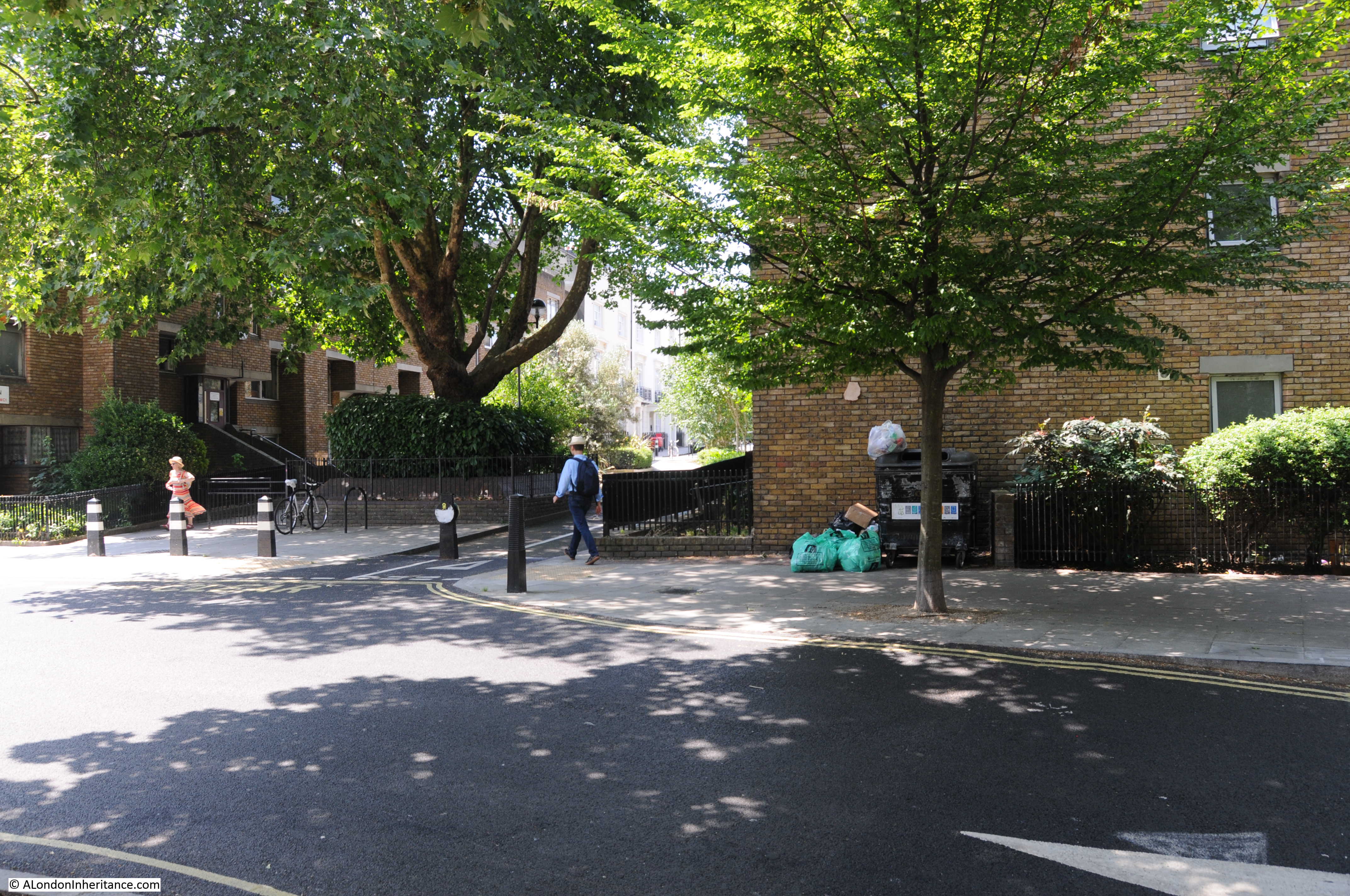
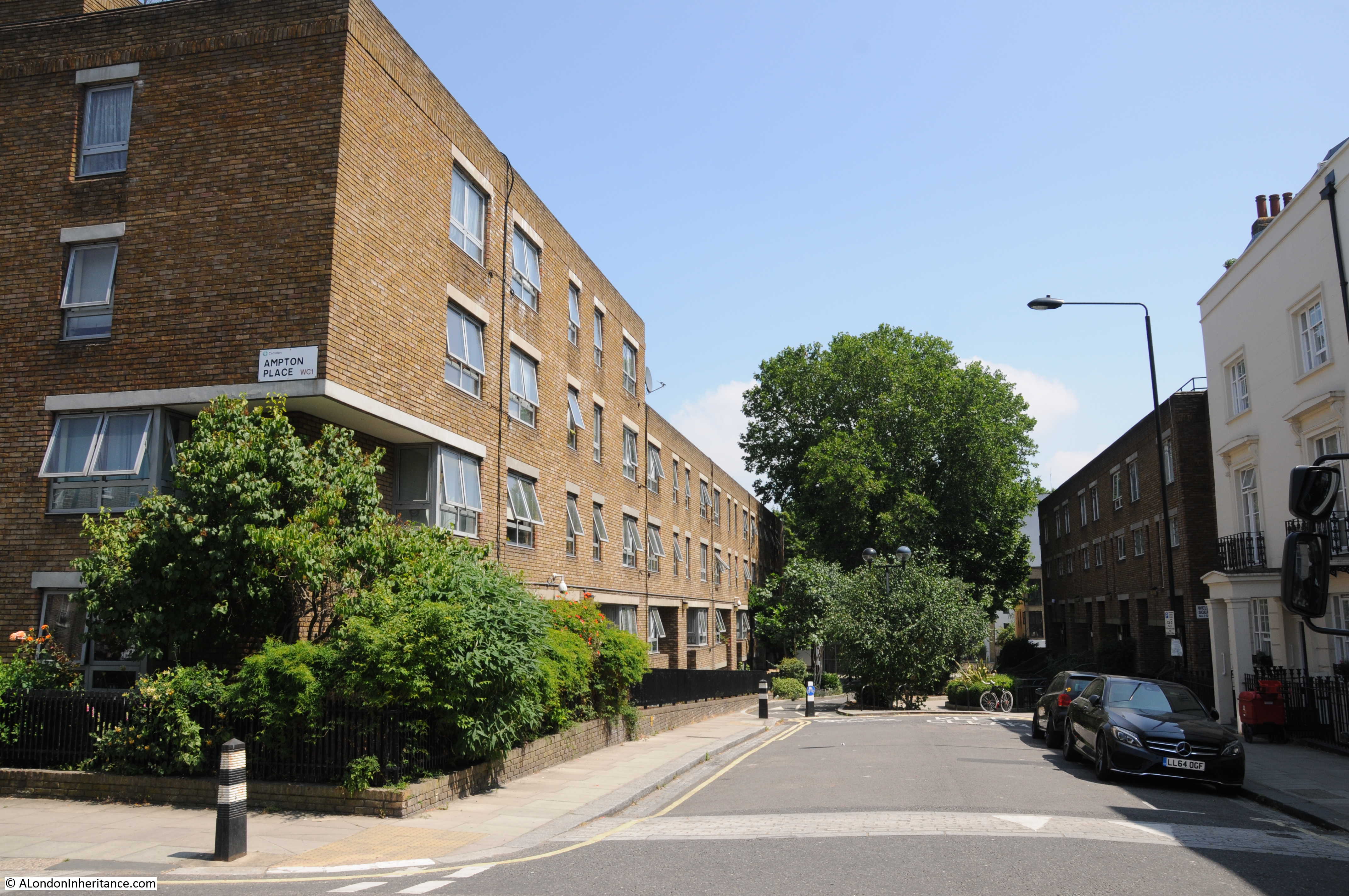
Hotwater Court was just across and to the right of the Viscount Street / Fann Street junction, and today’s map shows a narrow street leading north in the same location as the original Hotwater Court.
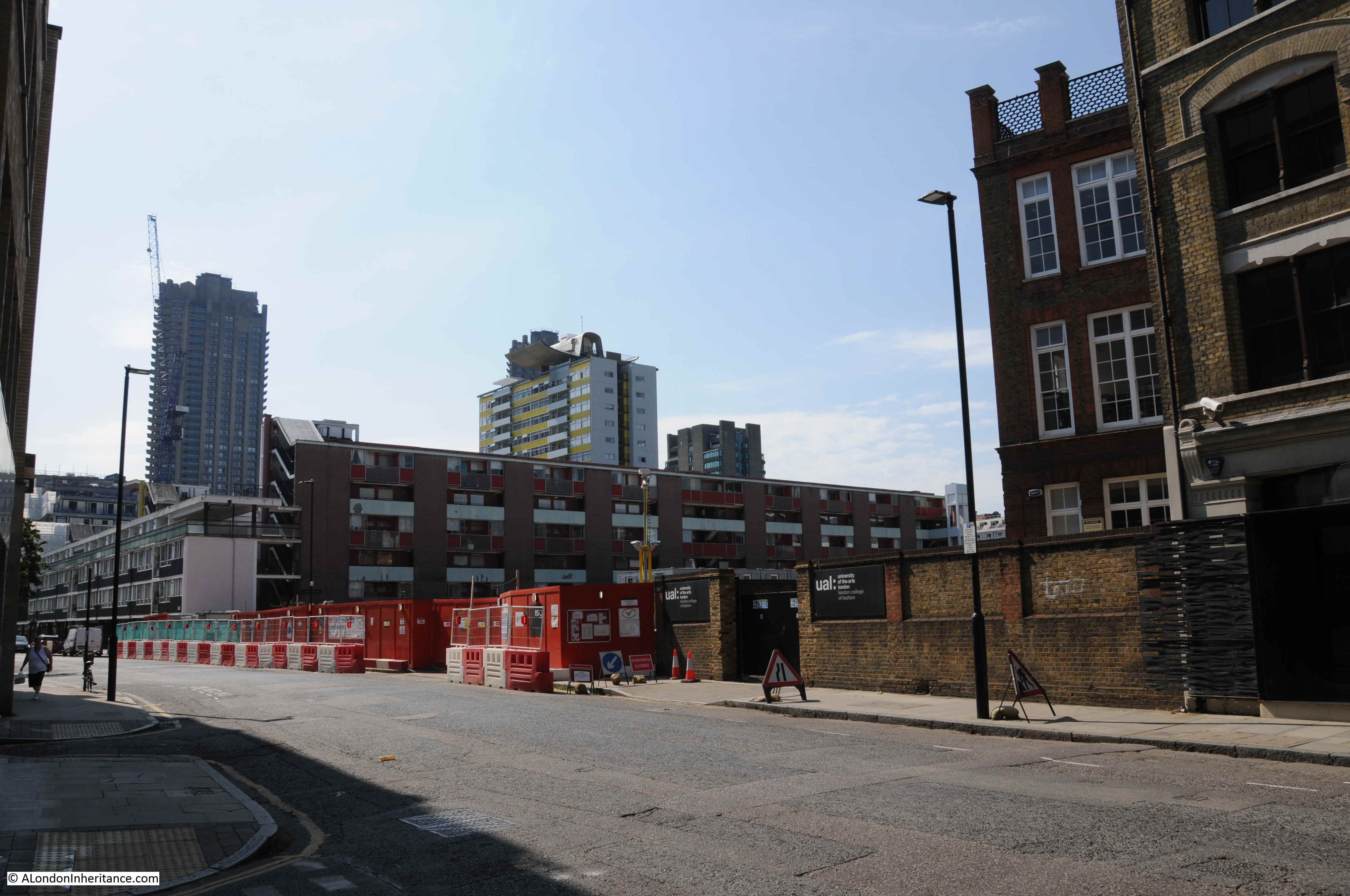
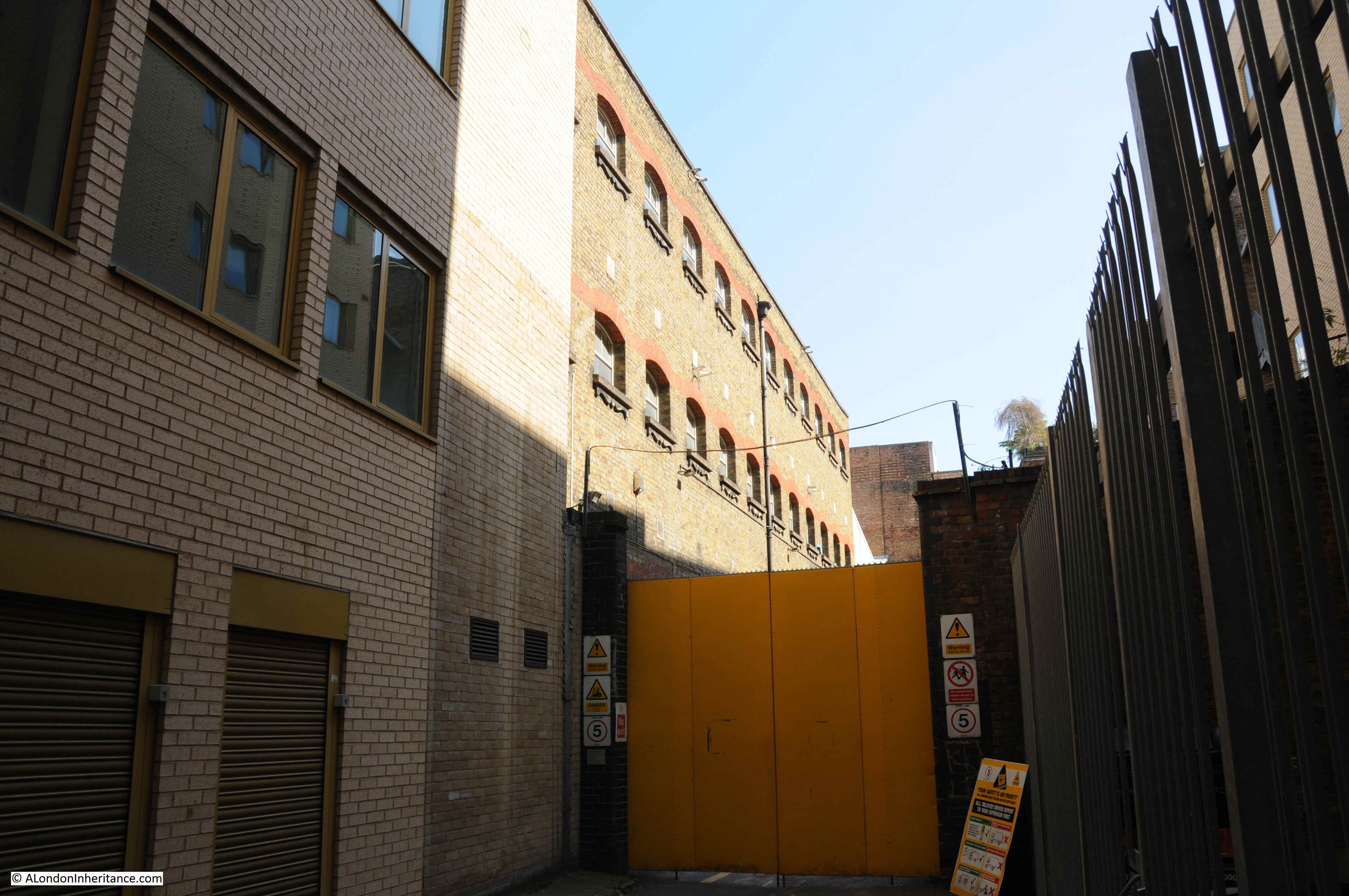
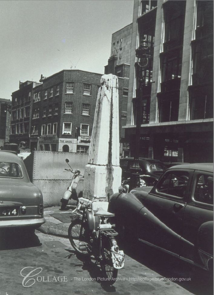
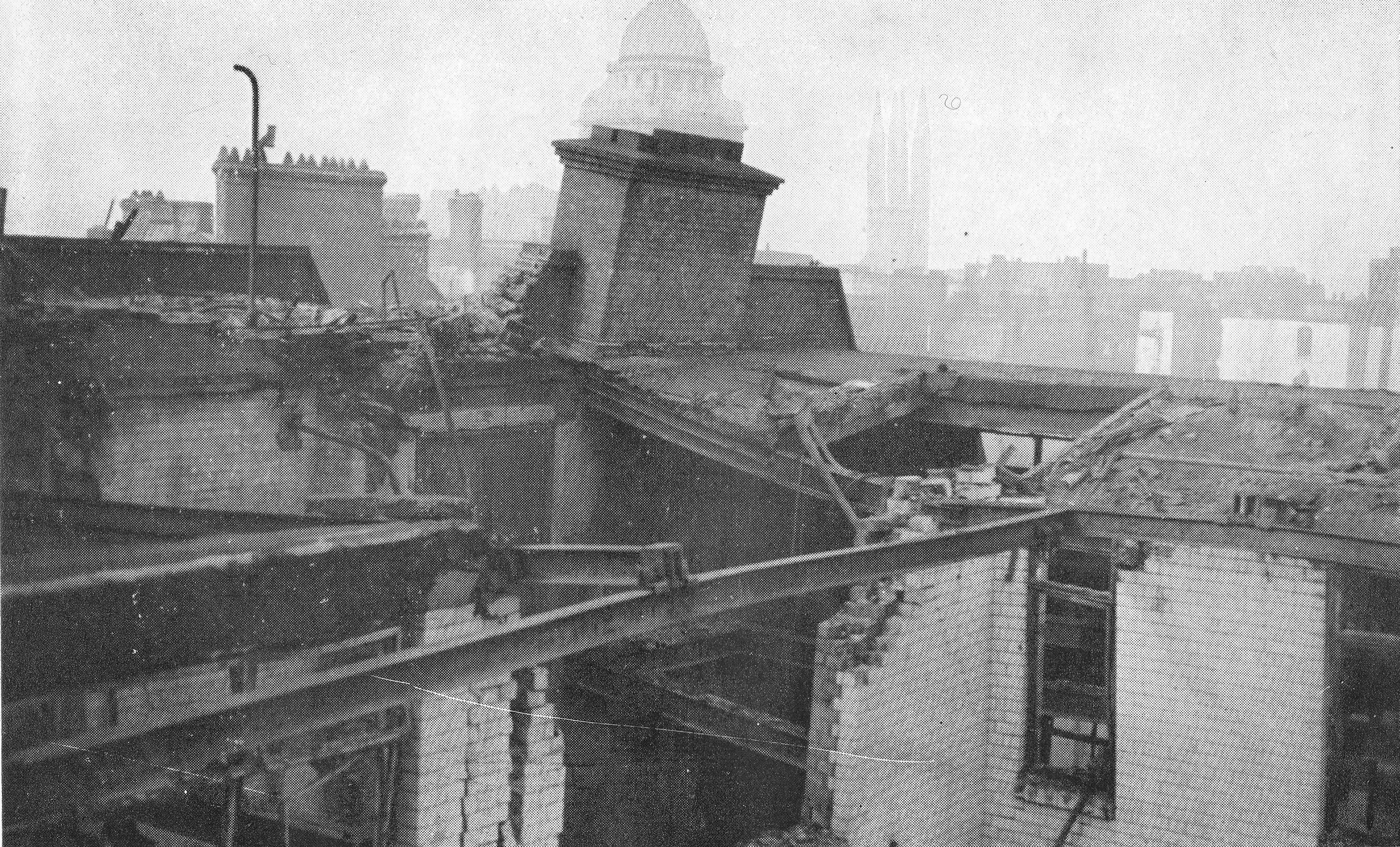
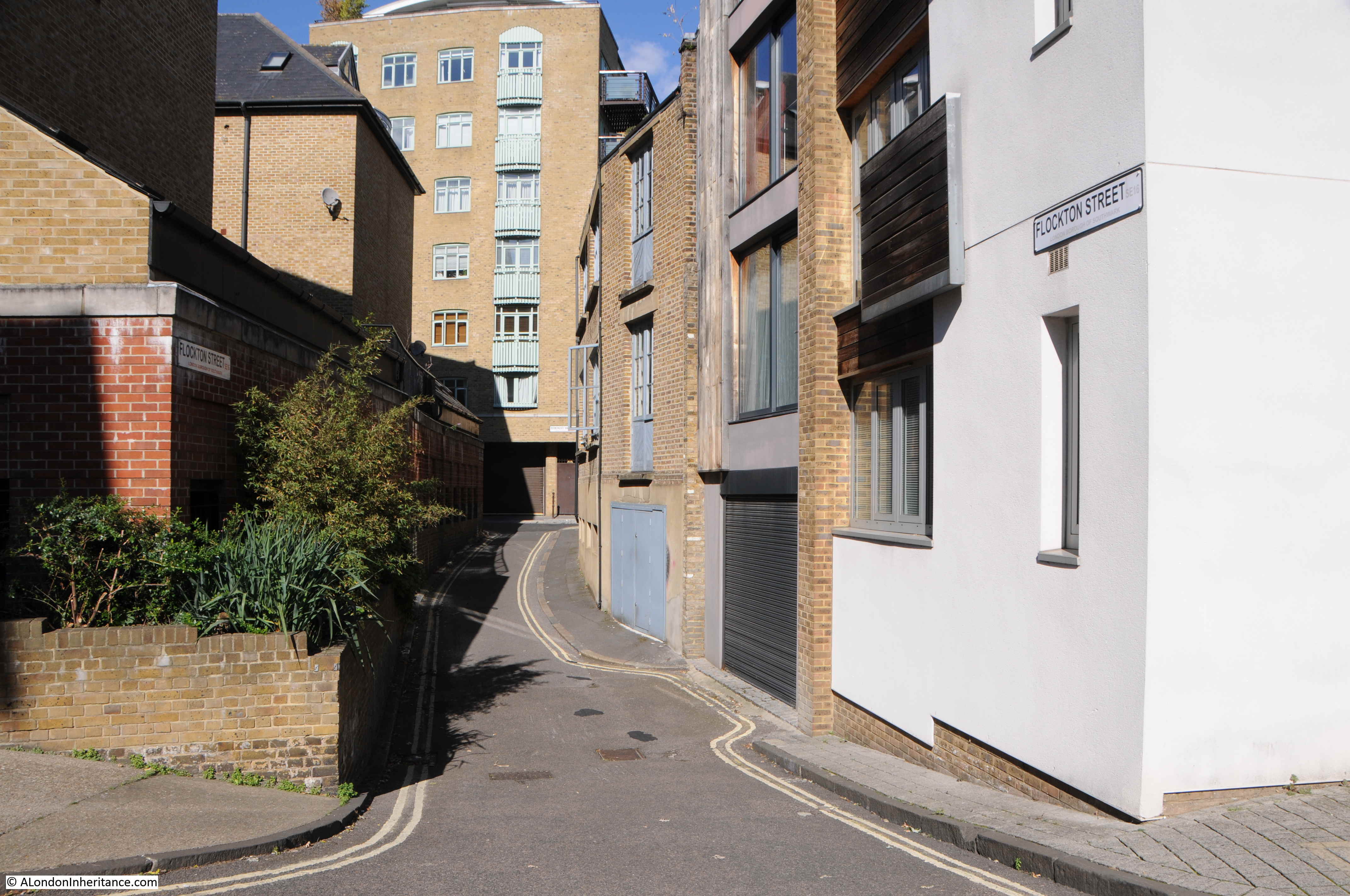
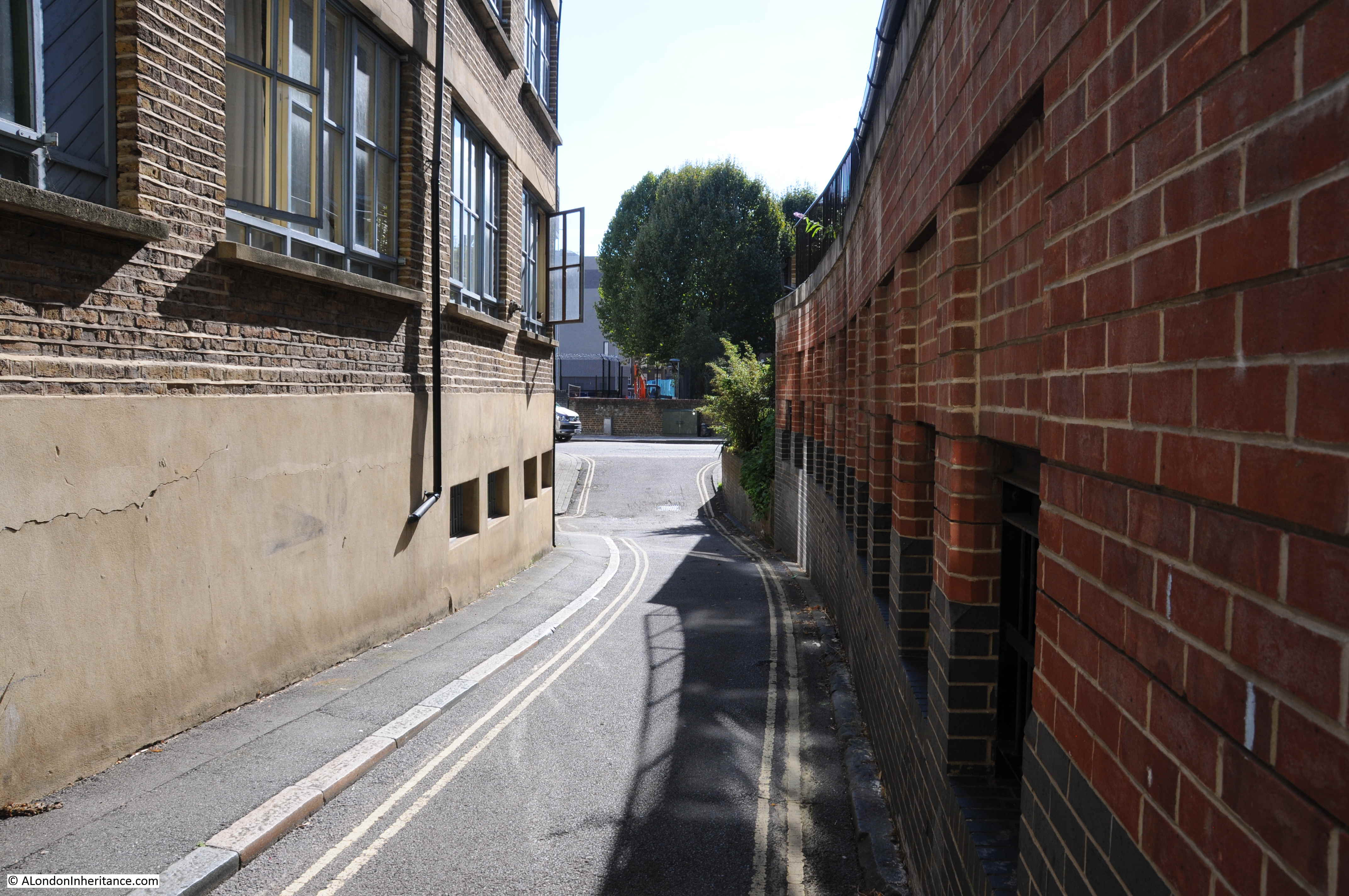
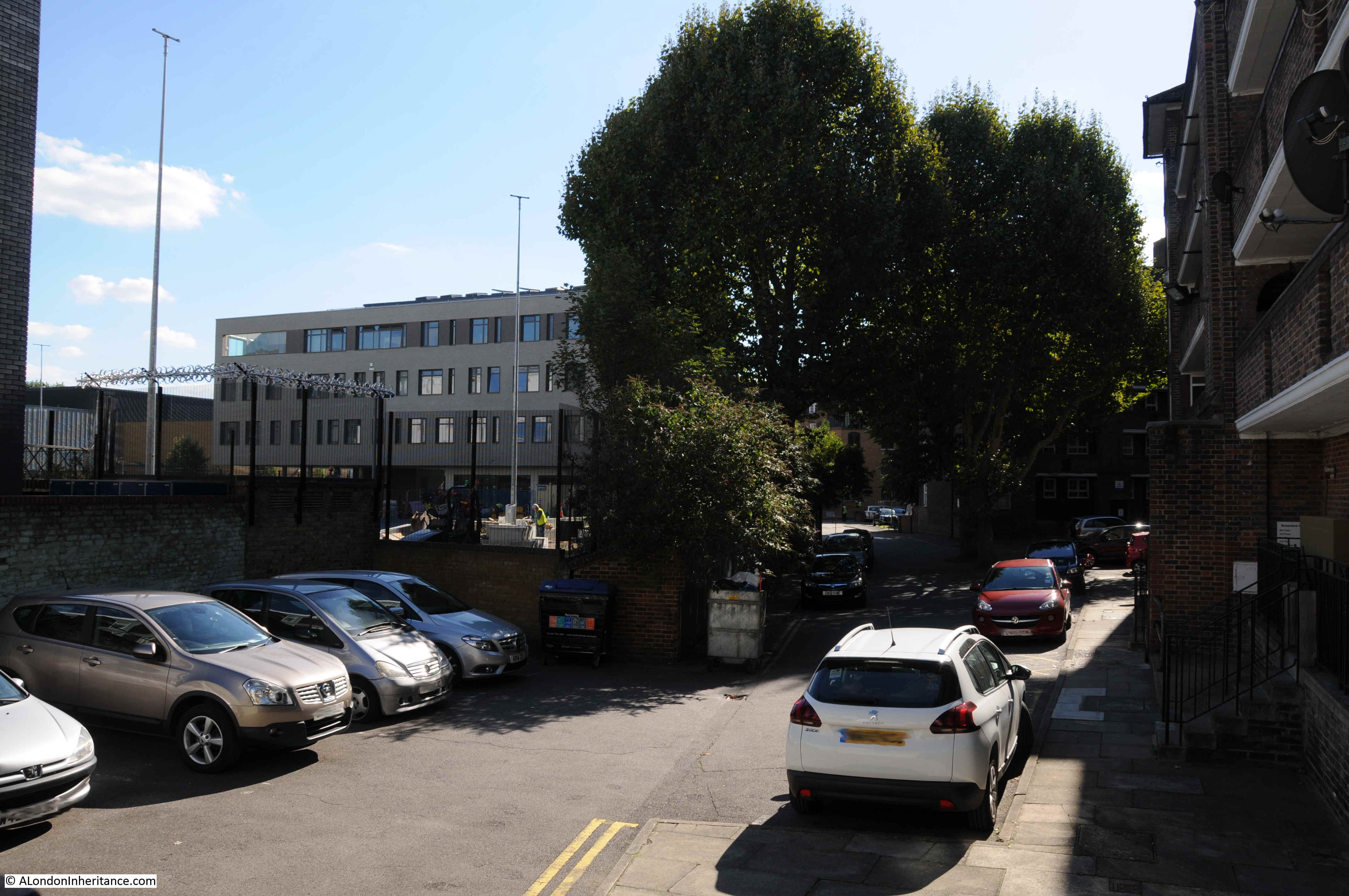
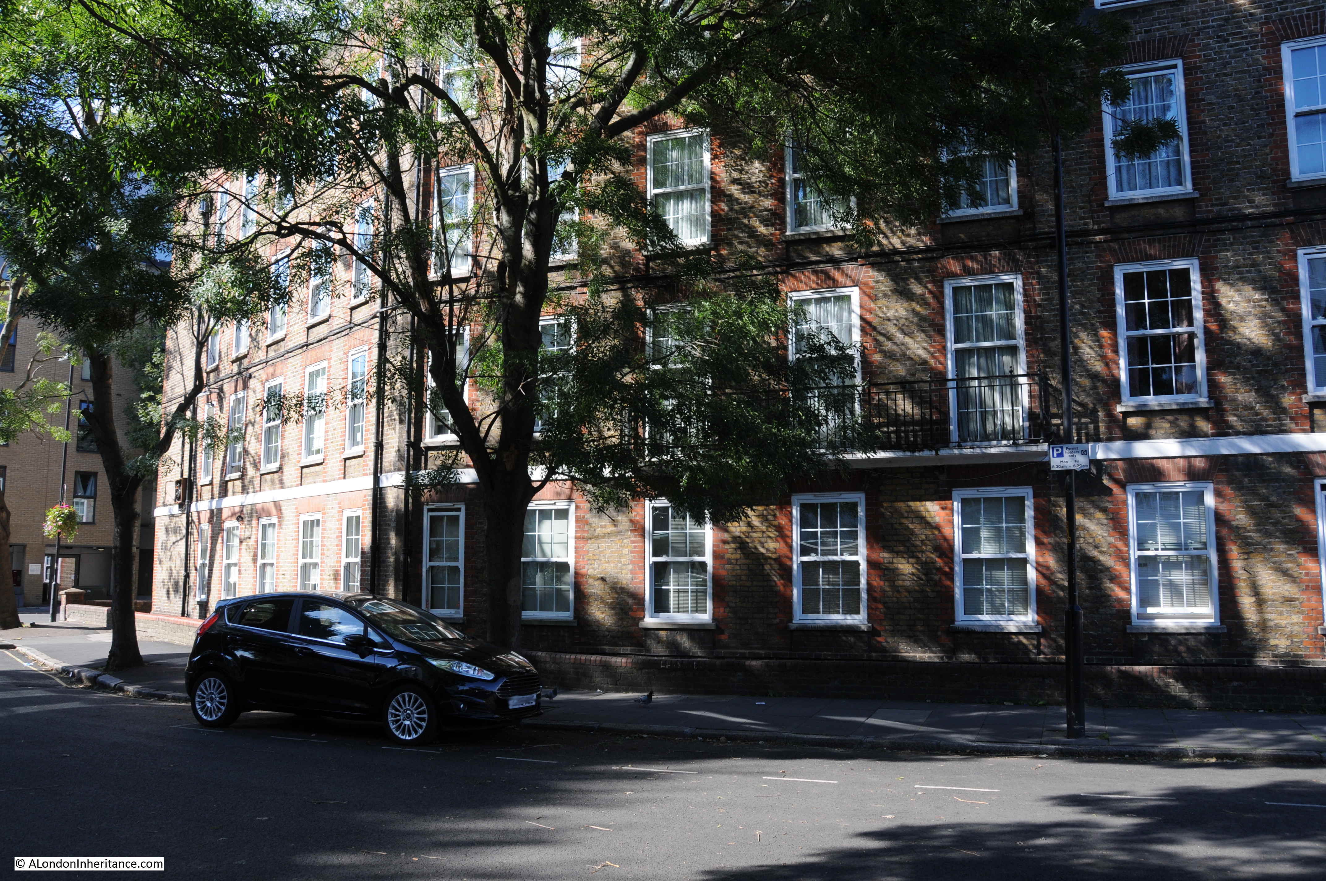
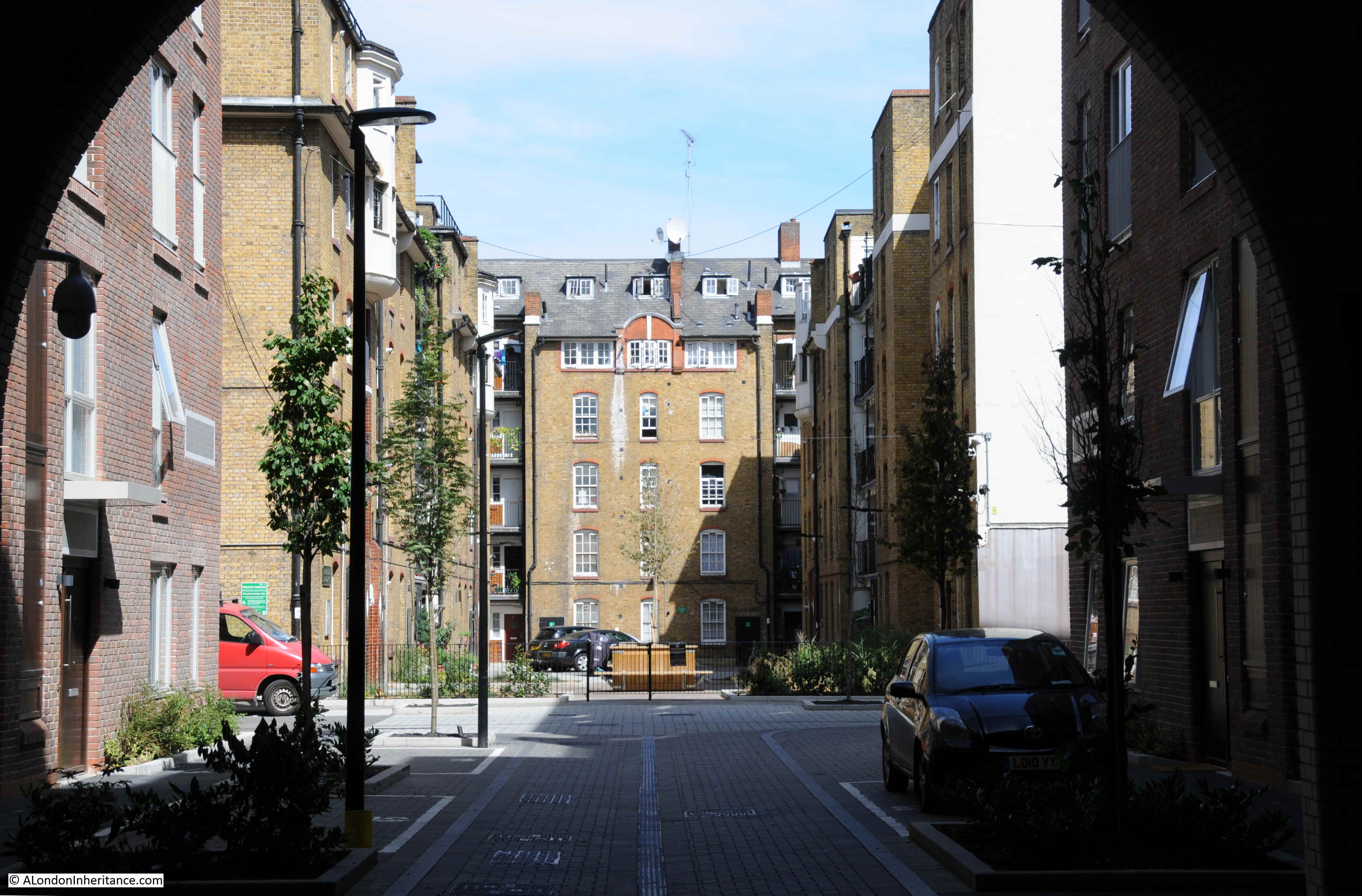
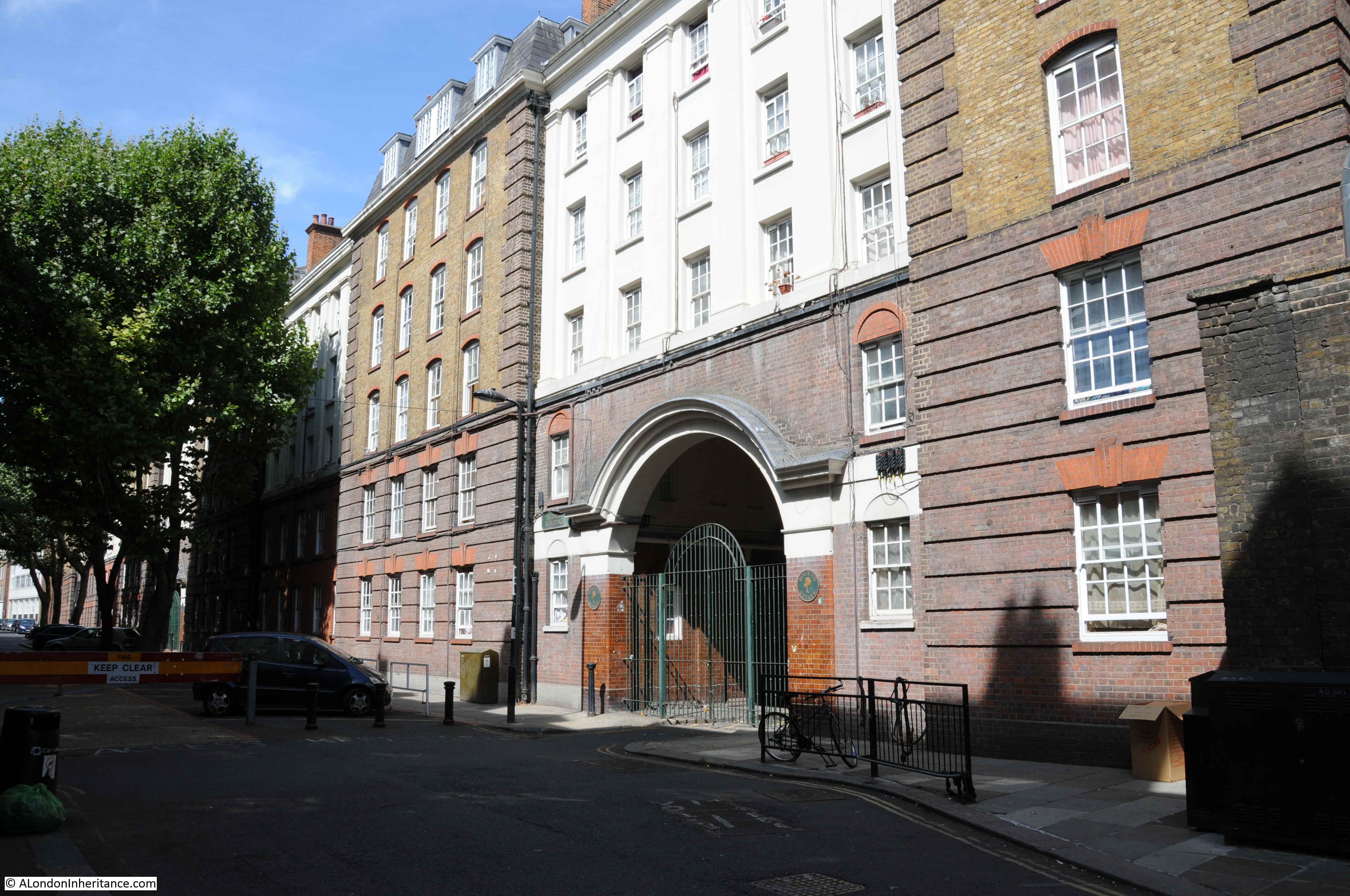
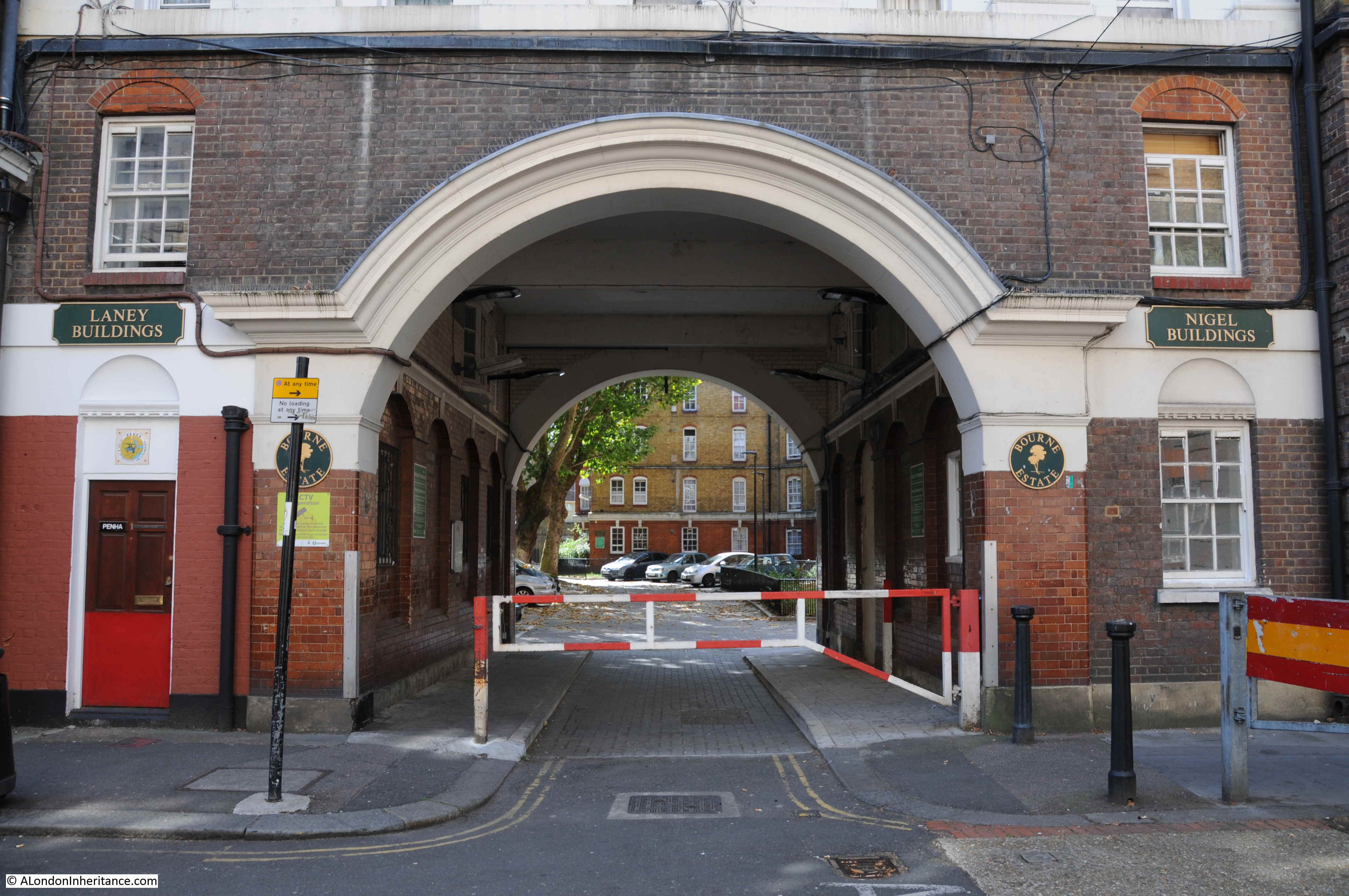
On a wet and overcast day, this was the view looking across from Fann Street to where Hotwater Court was located, which today provides an entrance from Fann Street into the Golden Lane Estate.

I tried some very amateur Photoshopping to show where the building in the original photo, facing onto Hotwater Court, would appear today – this was the result:
However, I can show a much better photograph. Post war London was used in a wide range of films in the late 1940s and 1950s, and following one of my earlier posts on the Golden Lane Estate, I was sent a reference to a 1950 film “No Place for Jennifer”, and a link to the wonderful Reel Streets site which features a number of locations from the film, including Fann Street and Hotwater Court.
I found a copy of the DVD online for £3.66, and ordered. The film dates from 1950 and tells the story of the impact on Jennifer of her parents divorce. Towards the end of the film, she runs away through the streets of London, Euston Station, the Underground, and at one point, hides from a strange pursuer in the ruins around what is now the Golden Lane Estate.
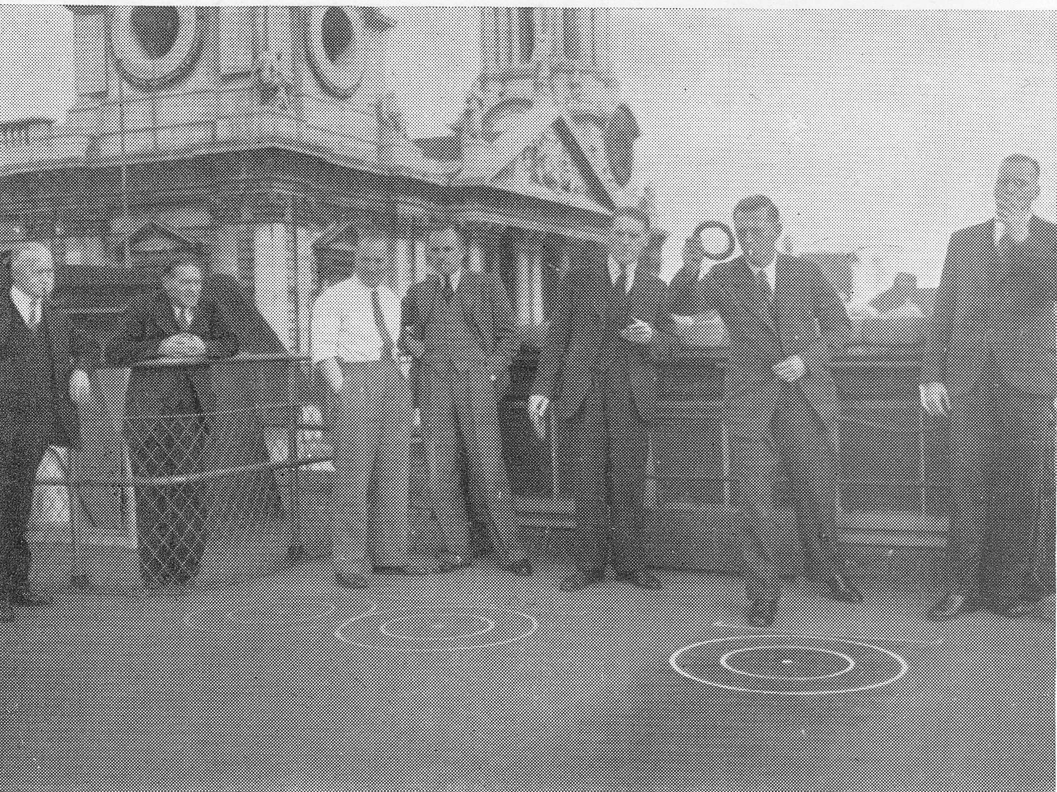
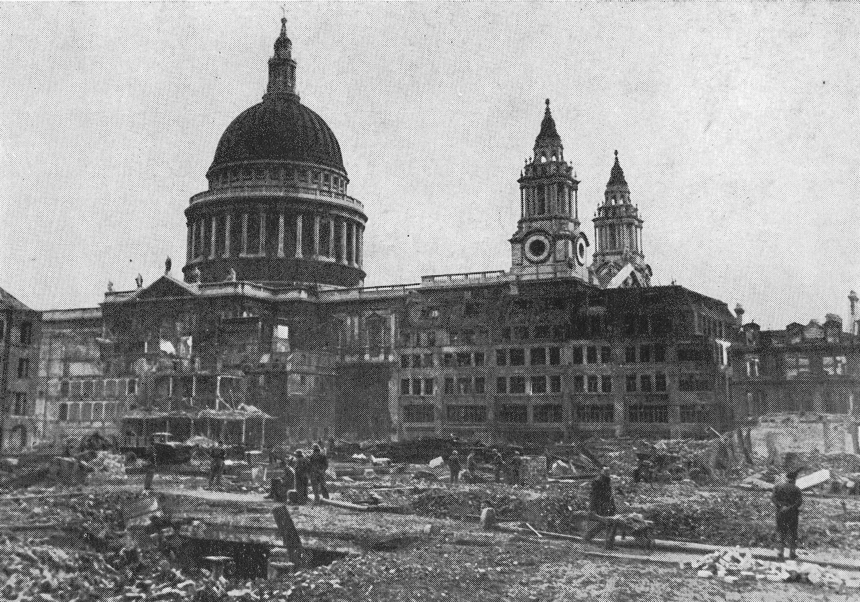
It is very much of its time, much of the dialogue is in received pronunciation, but the London street scenes are brilliant, and include a brief sequence looking across Fann Street to Hotwater Court, with the premises of Maurice Rosenberg on the corner:
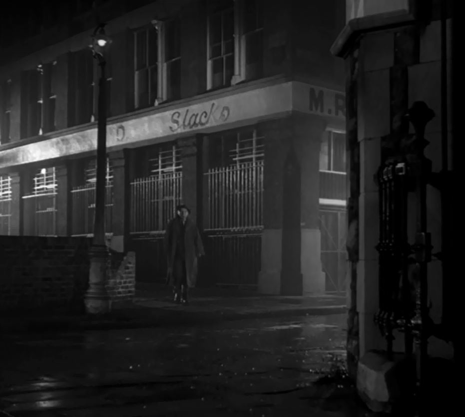
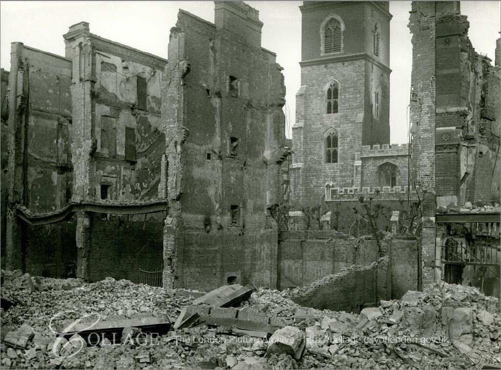
The building on the right edge of the above still from the film is part of the ruins of the Jewin Welsh Church.
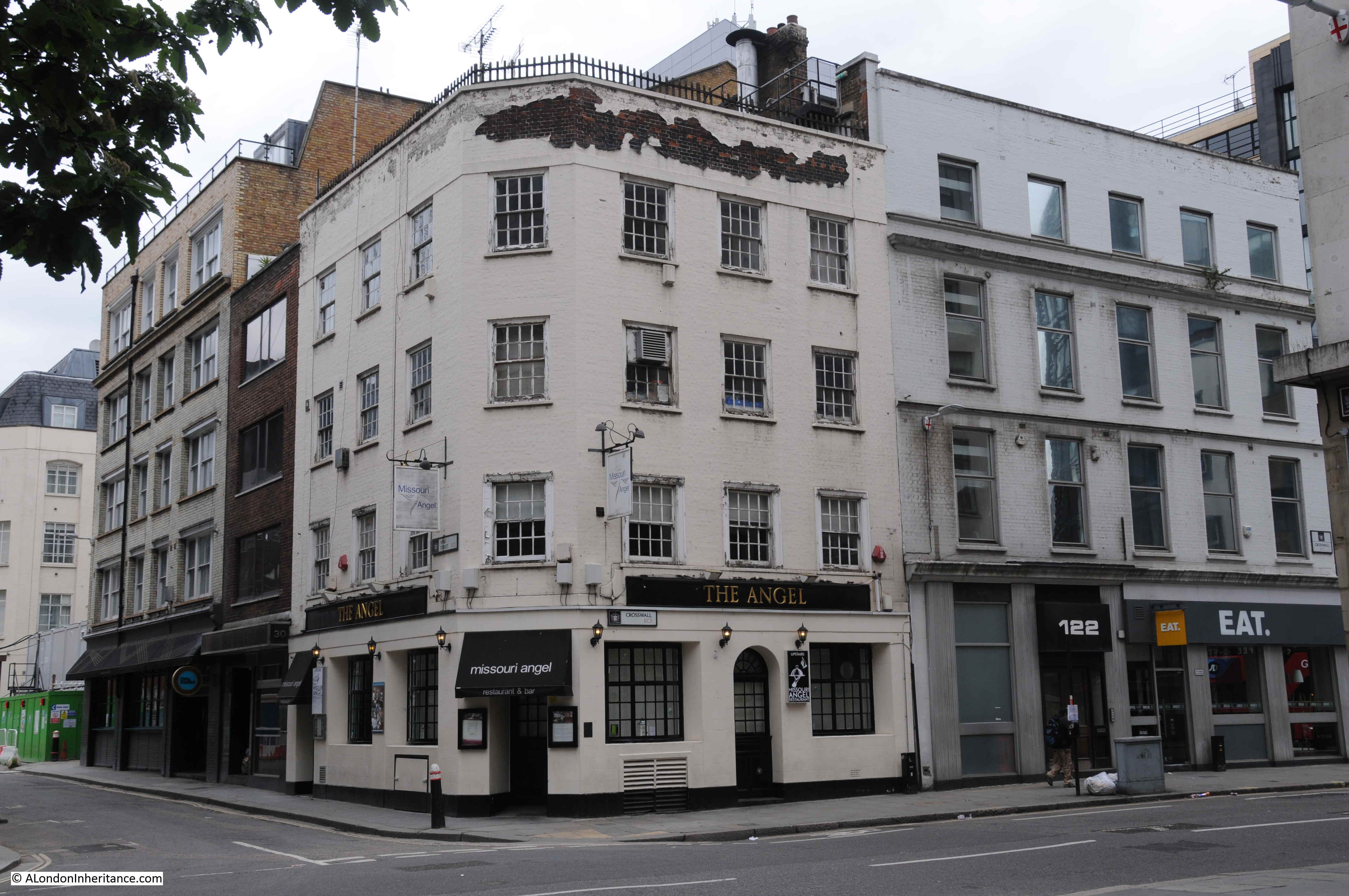
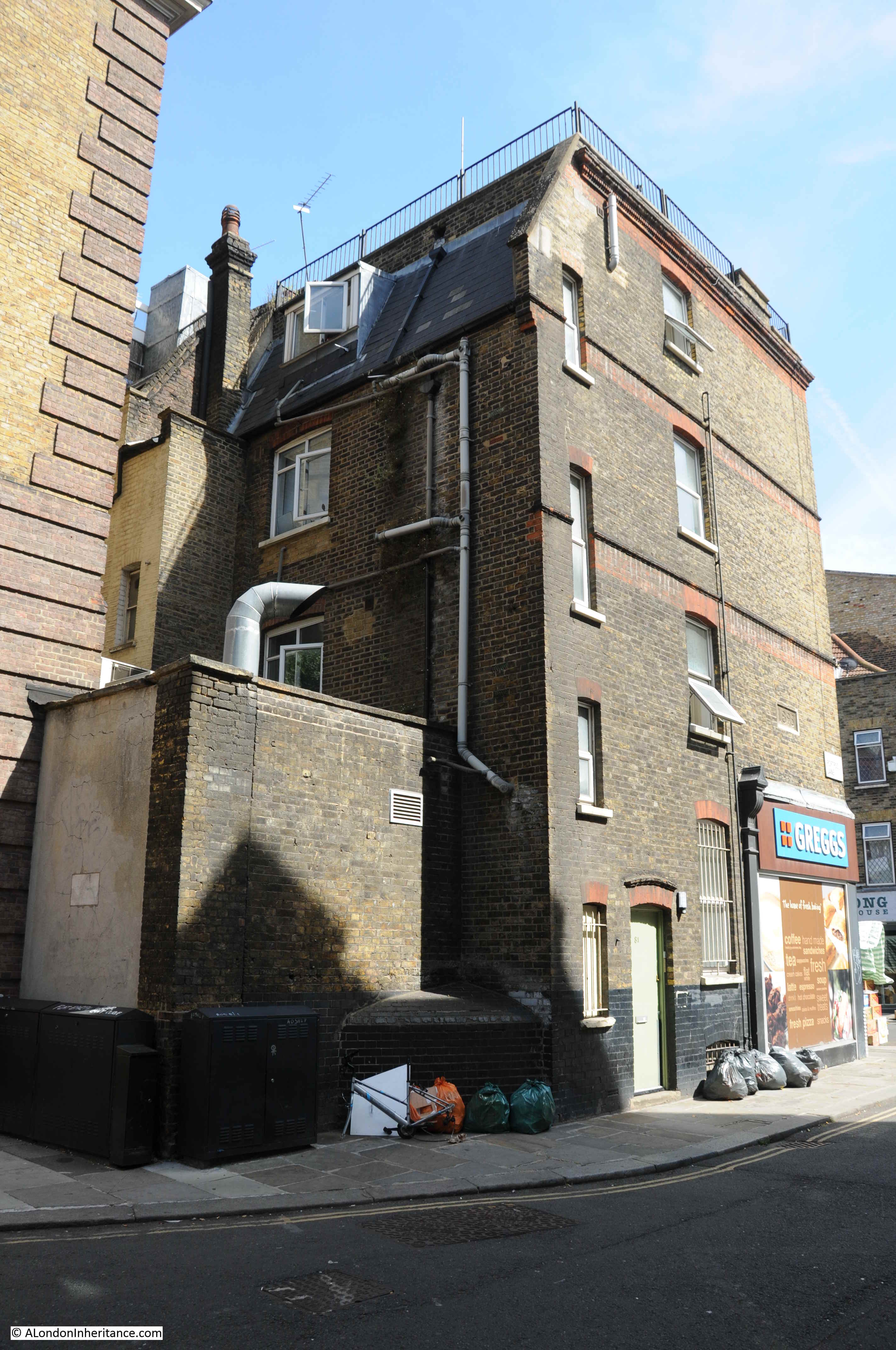
The building still looks intact, with none of the damage that the rest of the area suffered. No idea whether the building was just lucky, or whether it had been repaired after the bombing and resultant fires devastated so much of the area in 1940 / 41.
Checking the 1942 Kelly’s Post Office Directory, and the address of Maurice Rosenberg is still given as 40 Fann Street (although the longer edge of the building was on Hotwater Court, it had a Fann Street address). The entry also has an emergency address for Maurice Rosenberg at 87 Aldersgate, so he may have kept the original building and had some operations remain there, but had also moved to a building on Aldersgate Street possibly due to the damage around Fann Street.
Hotwater Court is an interesting name. I cannot find a source for the name, and Henry Harben in A Dictionary of London, states:
“Hot Water Court – North out of Fann Street at No. 49. A portion only within the City boundary. First mention: L.C.C List, 1901”
Although Harben gives 1901 as the first mention of the name, I did find earlier references to Hotwater Court, including the following letter printed in the Police Intelligence section of the London Sun on the 15th November 1847. It is a rather grim read, but does confirm the existence of the name at a much earlier date, and illustrates the dreadful conditions around Golden Lane in the mid 19th century:
“Sir, – I respectfully beg to submit the following report for your information, in consequence of illness and death in the neighbourhood of Barbican, Bridgewater-square &c, supposed to be caused by exhalations emanating from a burial ground situated in Golden-lane, part of which is within the City, belonging to a man named Bamford, who has it on a lease.
I sent police-constable 125 (Eade), who is on the beat, to the burial ground on Sunday last, when he saw 11 graves open, about 28 feet deep; one of them contained nine coffins on each other. the graves are merely covered over with planks, until they are quite full, leaving them about a yard from the surface when the ground is covered in.
They are frequently left open as described, for a week or ten days; the ground is therefore seldom free from the effluvium of decomposed matter. On my rounds at night I have witnessed the obnoxious smell arising from the rear of the graveyard in Sun-court, which is almost suffocating. I am also informed by police-constable 125 (Eade), that a shopkeeper named Bouverie, 10, Golden-lane, opposite the burial ground, states, that during the last three of four years he has kept the house, 32 persons have died there; and at certain times he has absolutely been compelled to fumigate his shop, the smell from the graveyard and sewers being so offensive.
A publican named Duffy, in Golden-lane, is very seldom without a medical man in his house attending his family. A person named Parrock,, 12, Brackley-street, is compelled to leave his business (although a good one) through illness.
The courts leading from Golden-court, Crown-court, Collins-court, Sun-court, Hotwater-court, Turk’s Head-court, and Willis’s-court are thronged by very poor persons, and are much affected by the stench.
The houses in those courts are small and thickly inhabited, nine or ten persons living in a room, which causes the fever to rage rapidly. A metropolitan police-constable informed police-constable Eade that six persons are now lying dead and a great number are lying very ill in the locality of Golden-lane, between the burial ground alluded to and another burial ground being only 300 yards apart in Golden-lane.
I further beg to call your attention to the undermentioned names, persons who have died within the last three weeks in the immediate neighbourhood of Golden-lane; also to the names of persons who at the present time are labouring under illness – it is presumed fever.”
An appalling account of conditions around Golden Lane in 1847. Not just how nine to ten people were crowded together in a single room, but they were also living almost on top of the dead.
The article does at least confirm that Hotwater Court was, along with a number of other courts, in existence in 1847.
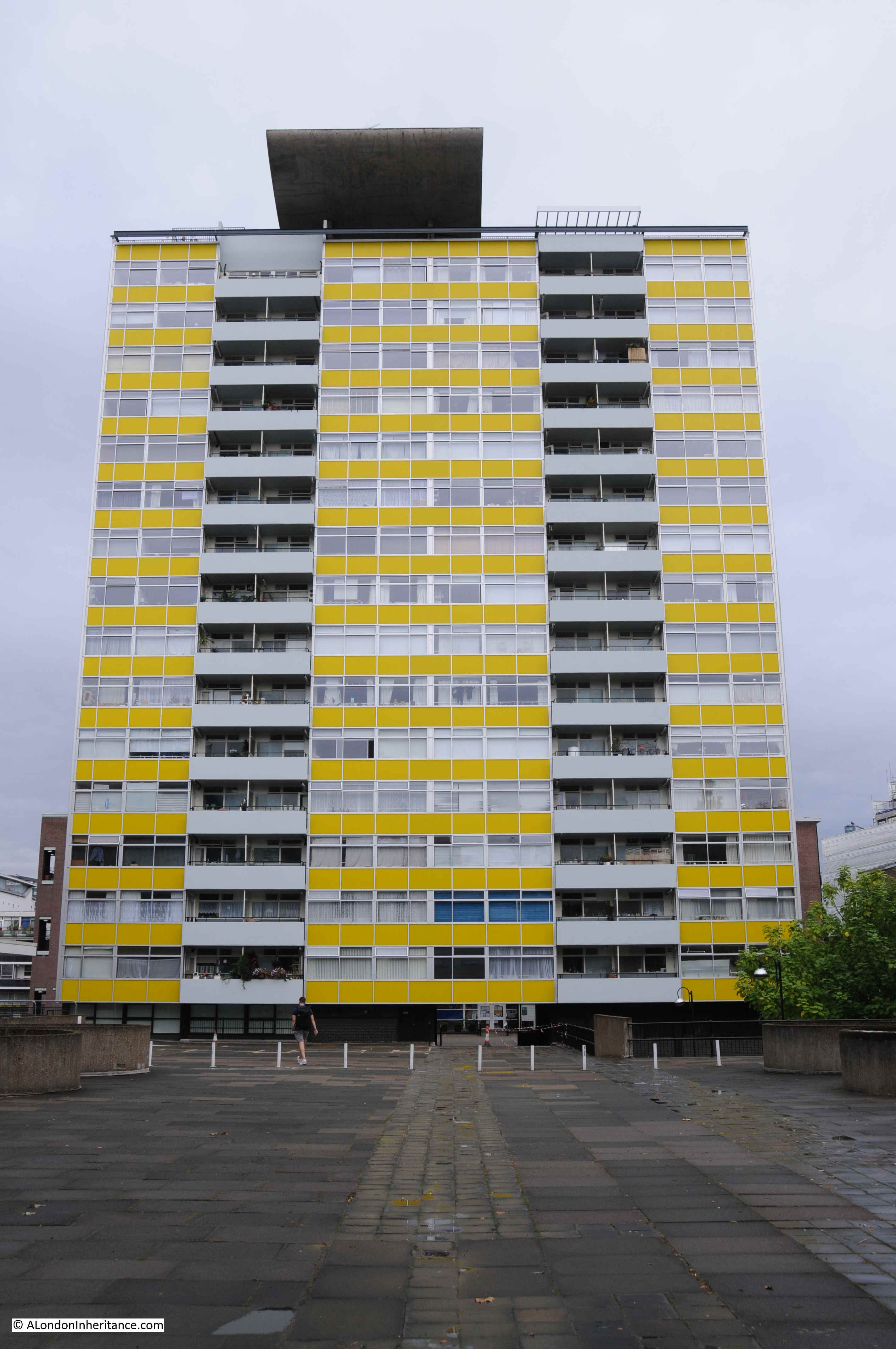
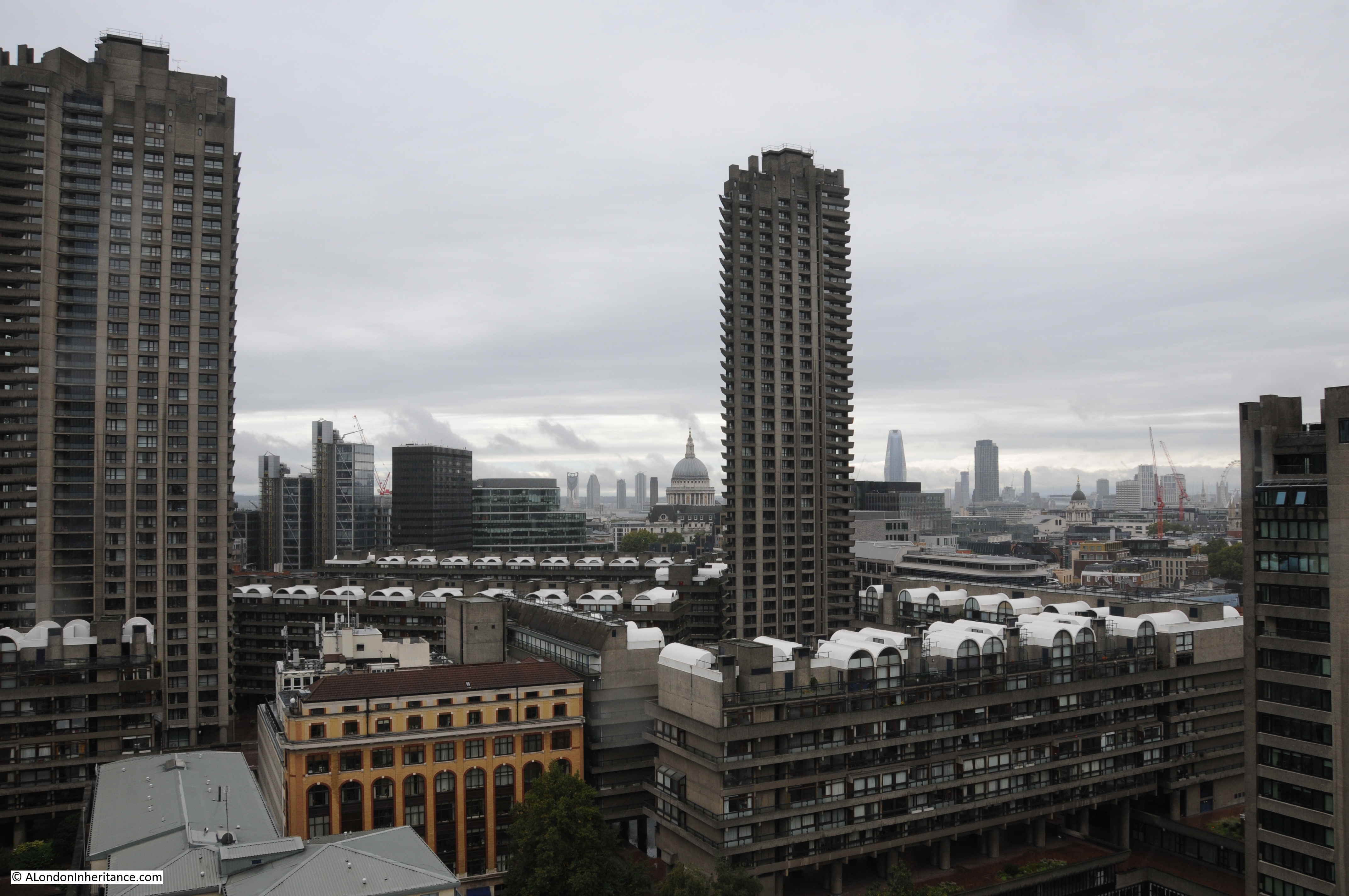
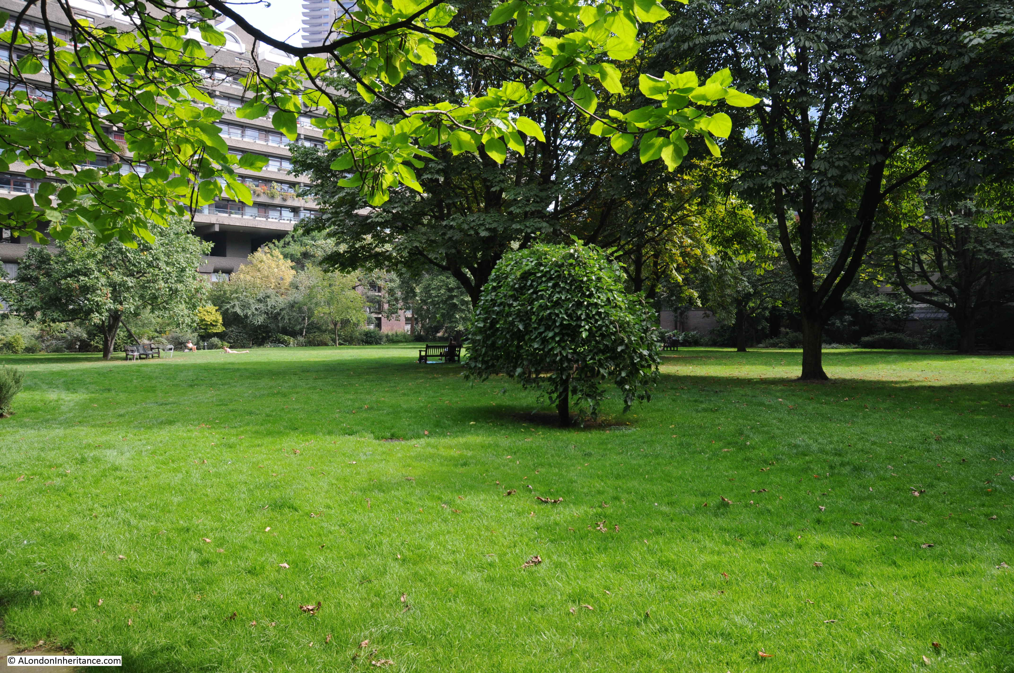
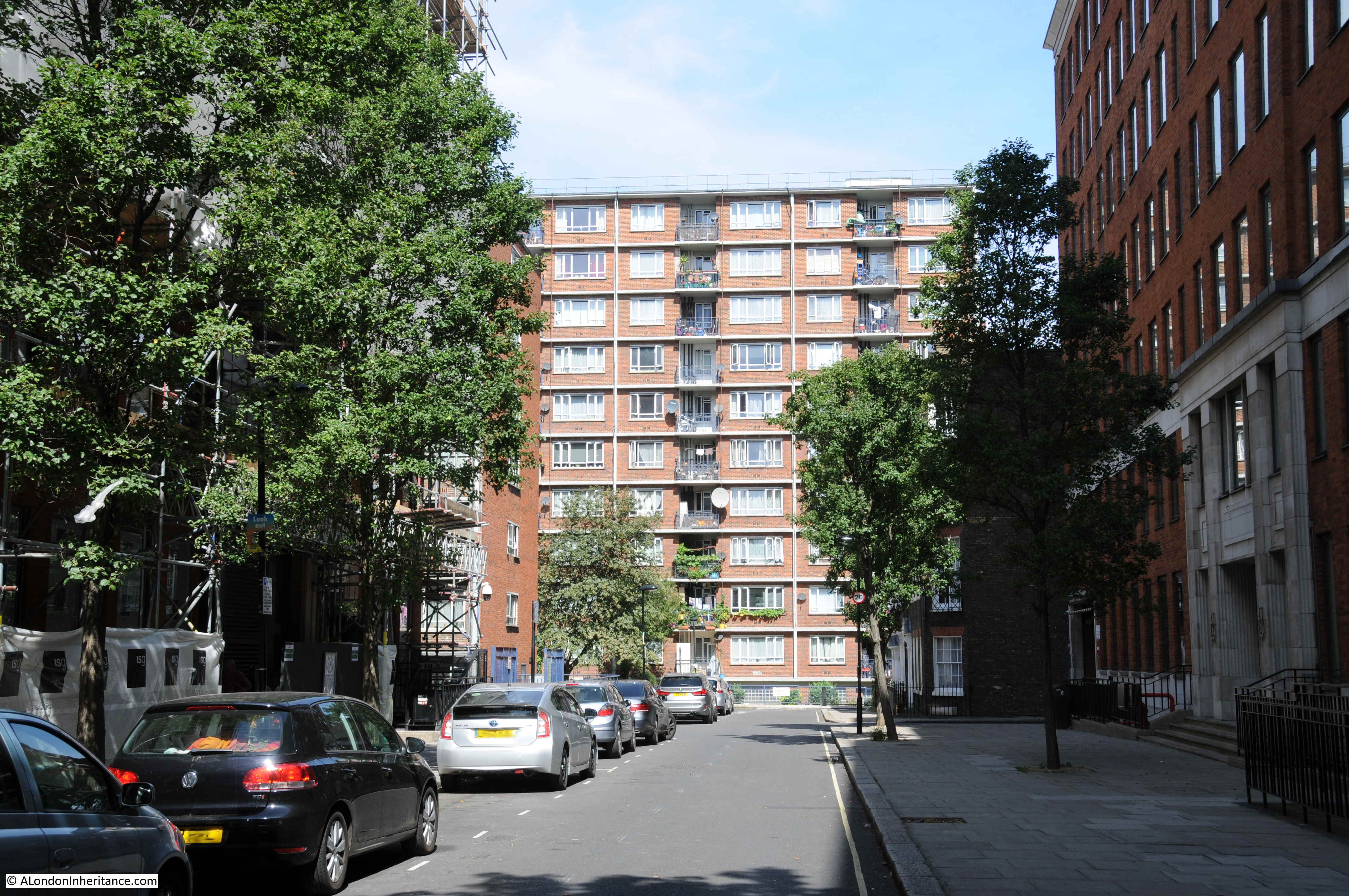
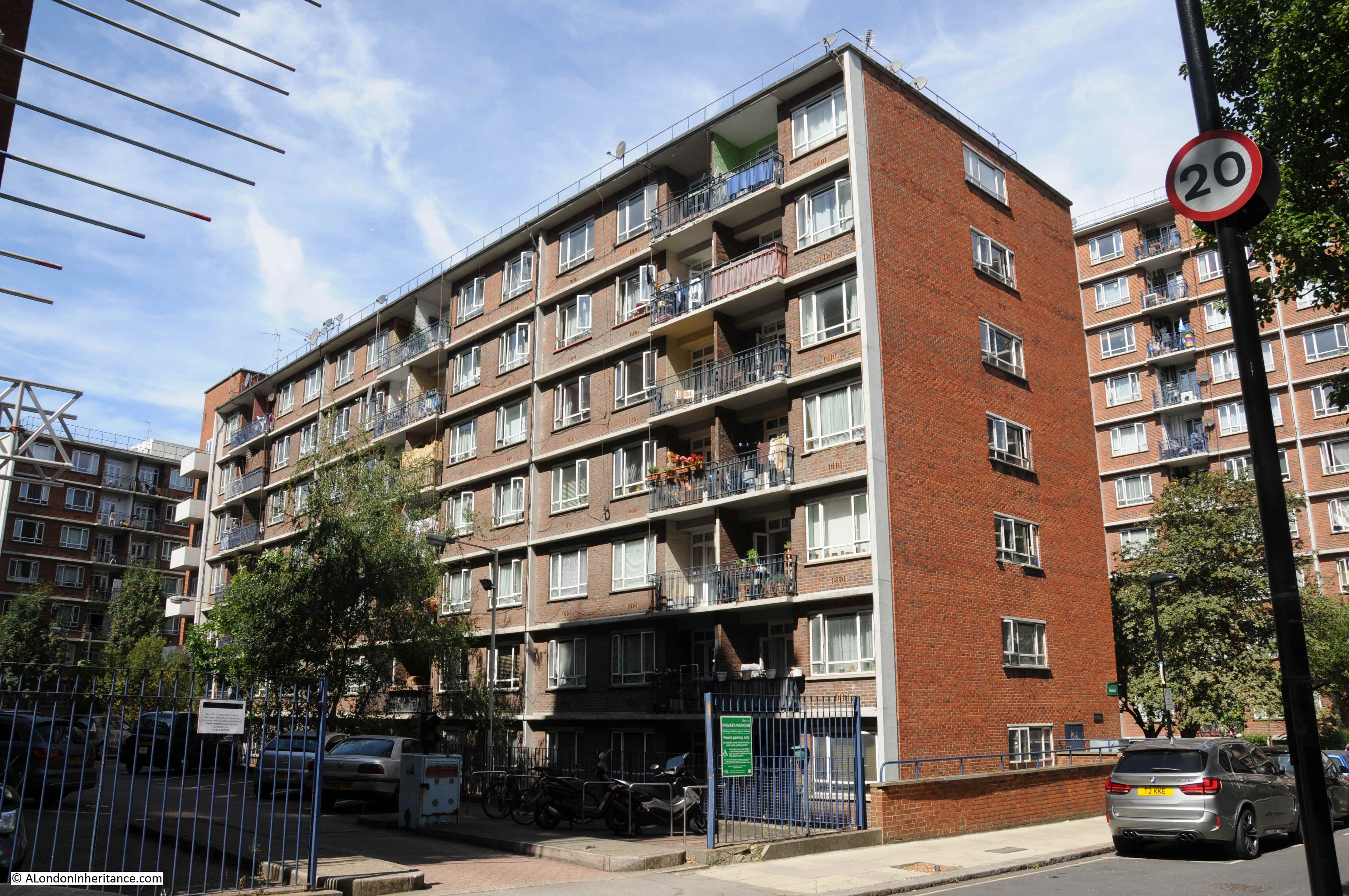
The area around Golden Lane is very different today, with empty space in the post war Ordnance Survey map now occupied by the 1950s and early 1960s Golden Lane Estate.
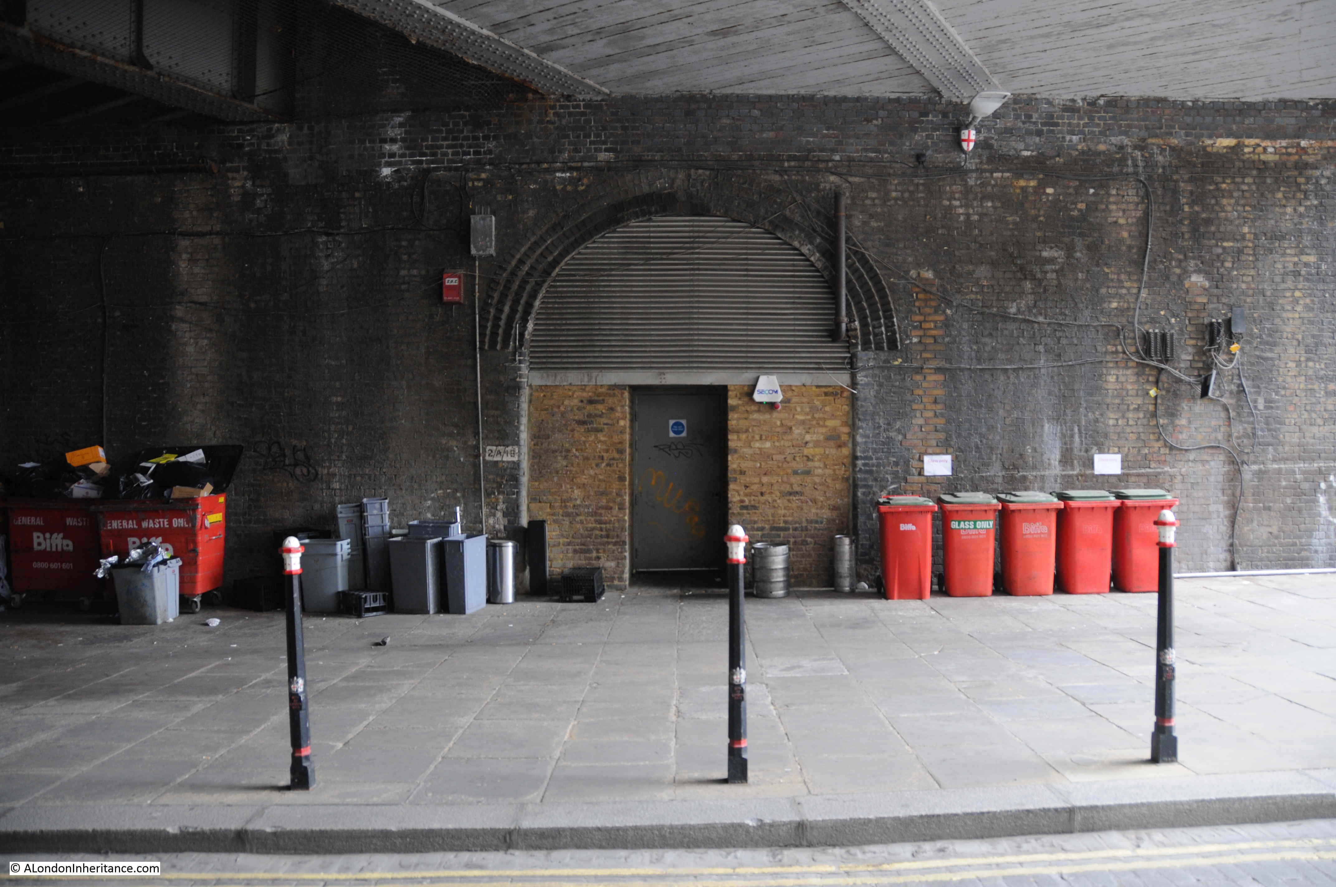
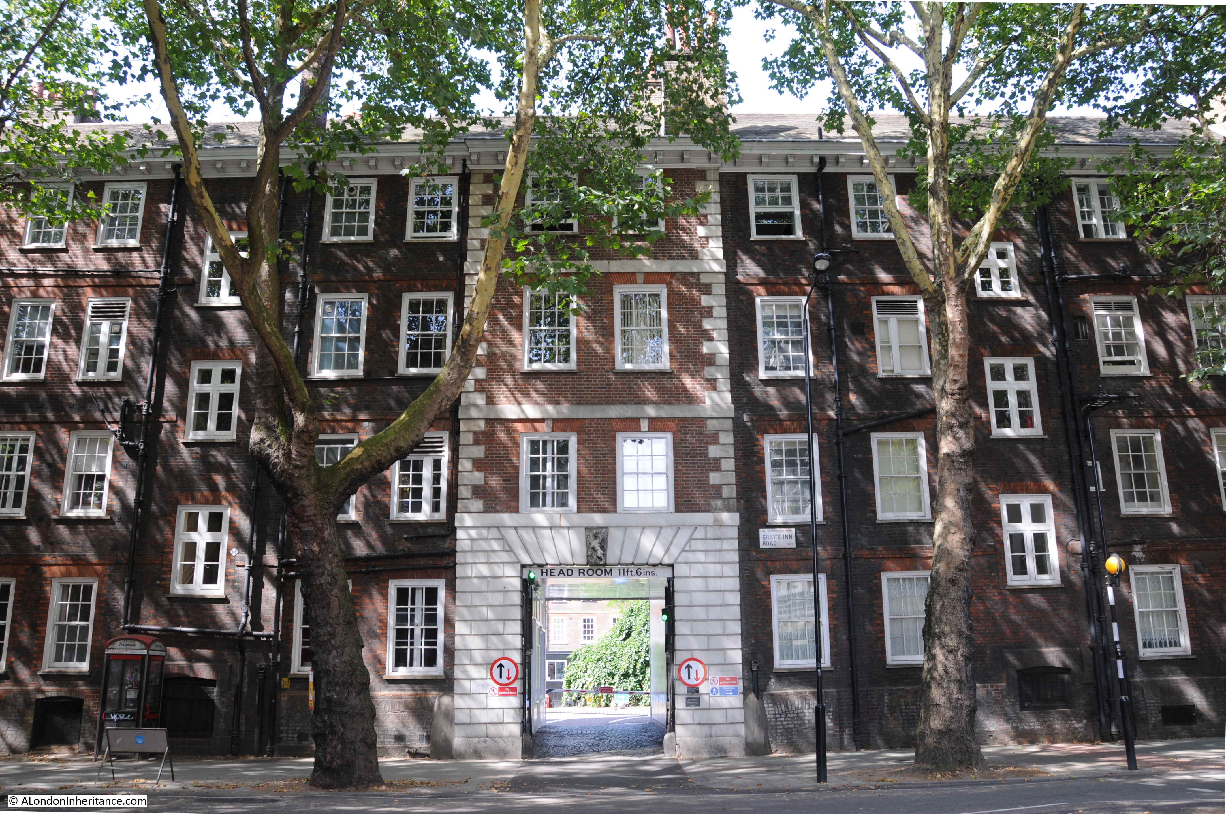
The building on the left of what was Hotwater Court is now Cuthbert Harrowing House, built between 1954 and 1956 and named after Public Health Committee former chair, Thomas Cuthbert Harrowing .
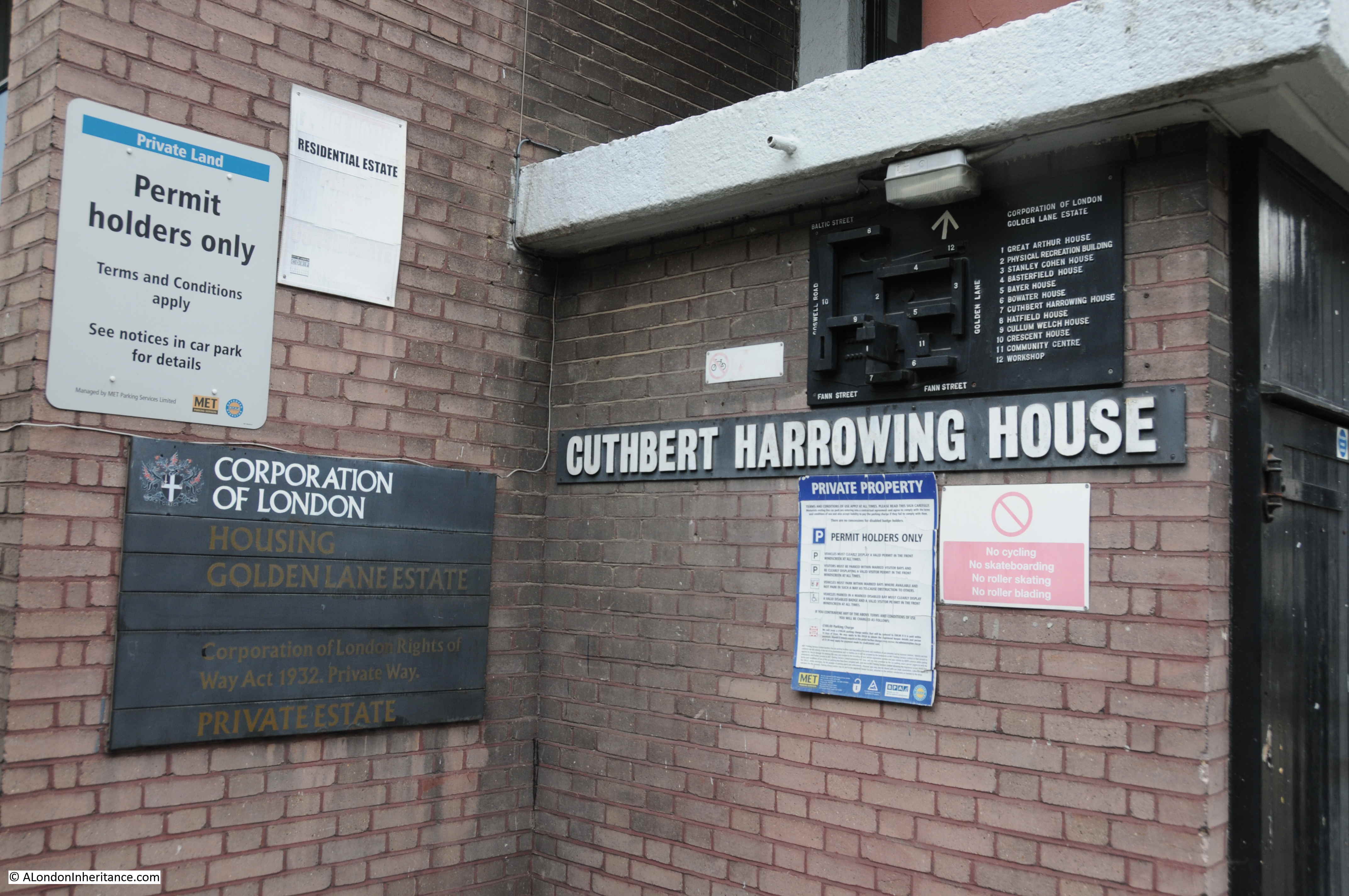
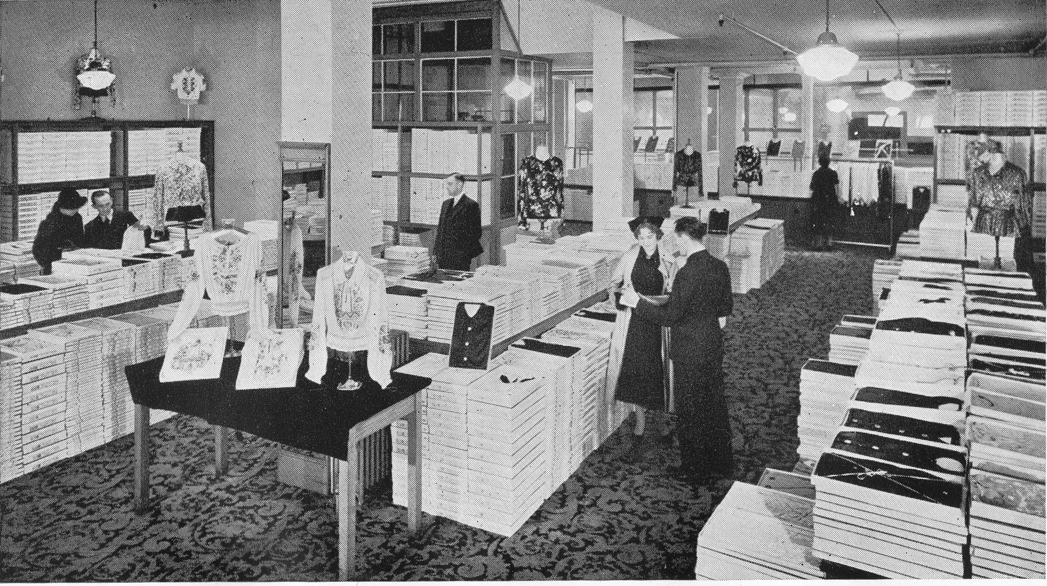
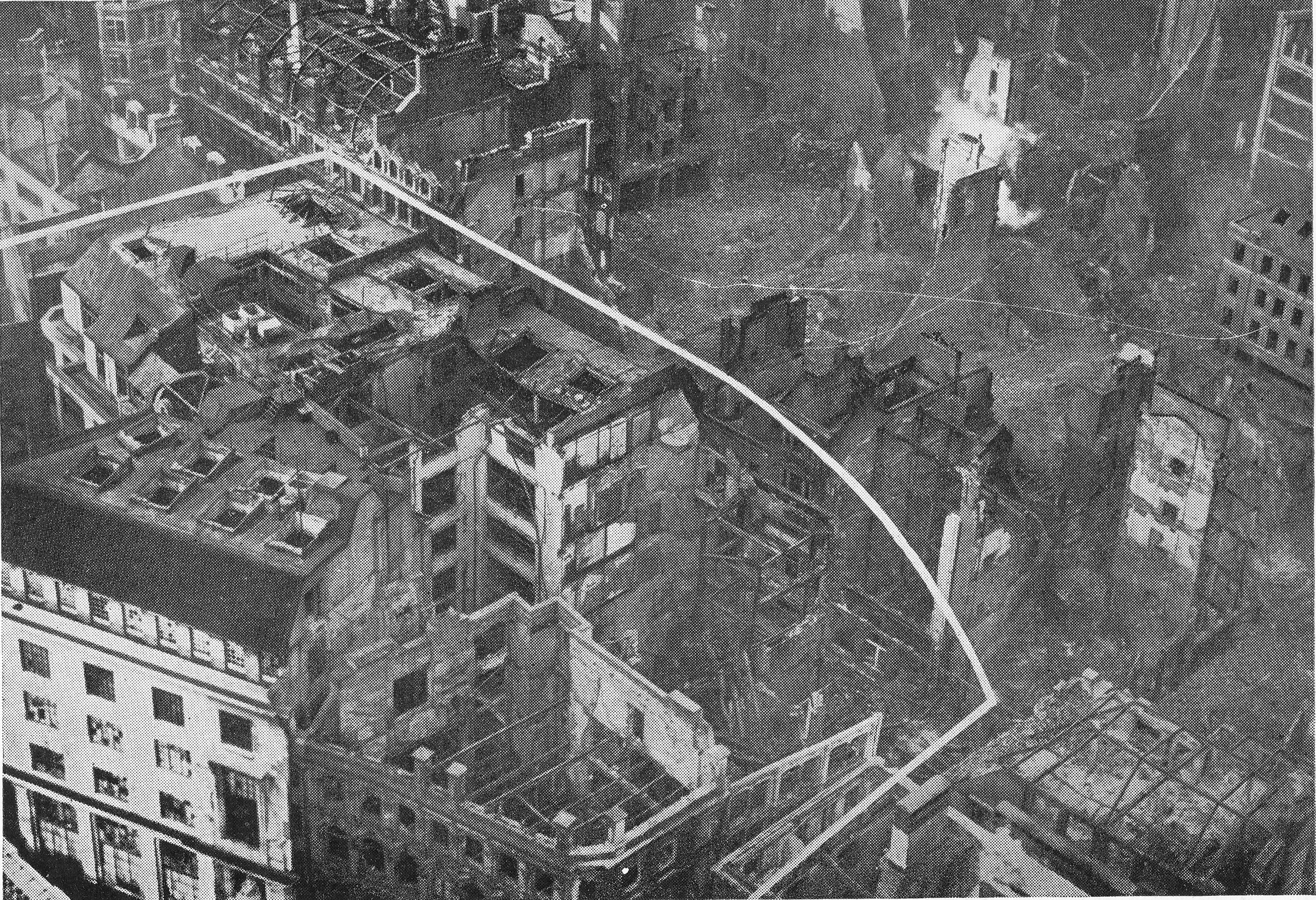
Adjacent to the entrance is this brilliant 3D map of the Golden Lane Estate, which I understand dates to around the time of construction of the estate.
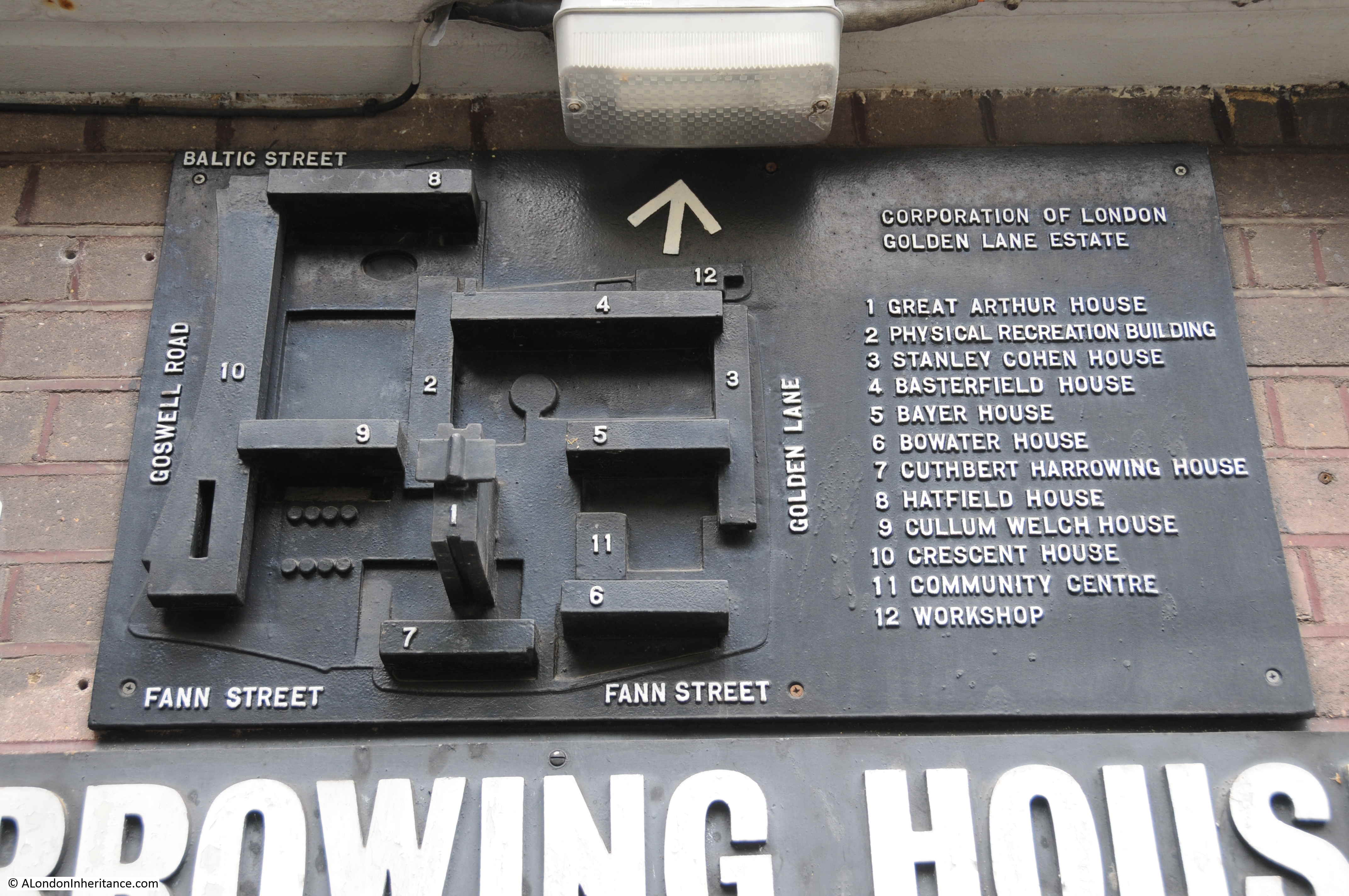
Whilst I was taking a photograph, I was talking to a resident of the estate, who knew about the map, but had not looked at the map in detail. Whilst the Community Centre is still there, he was not sure what building 12, the workshop was or is.
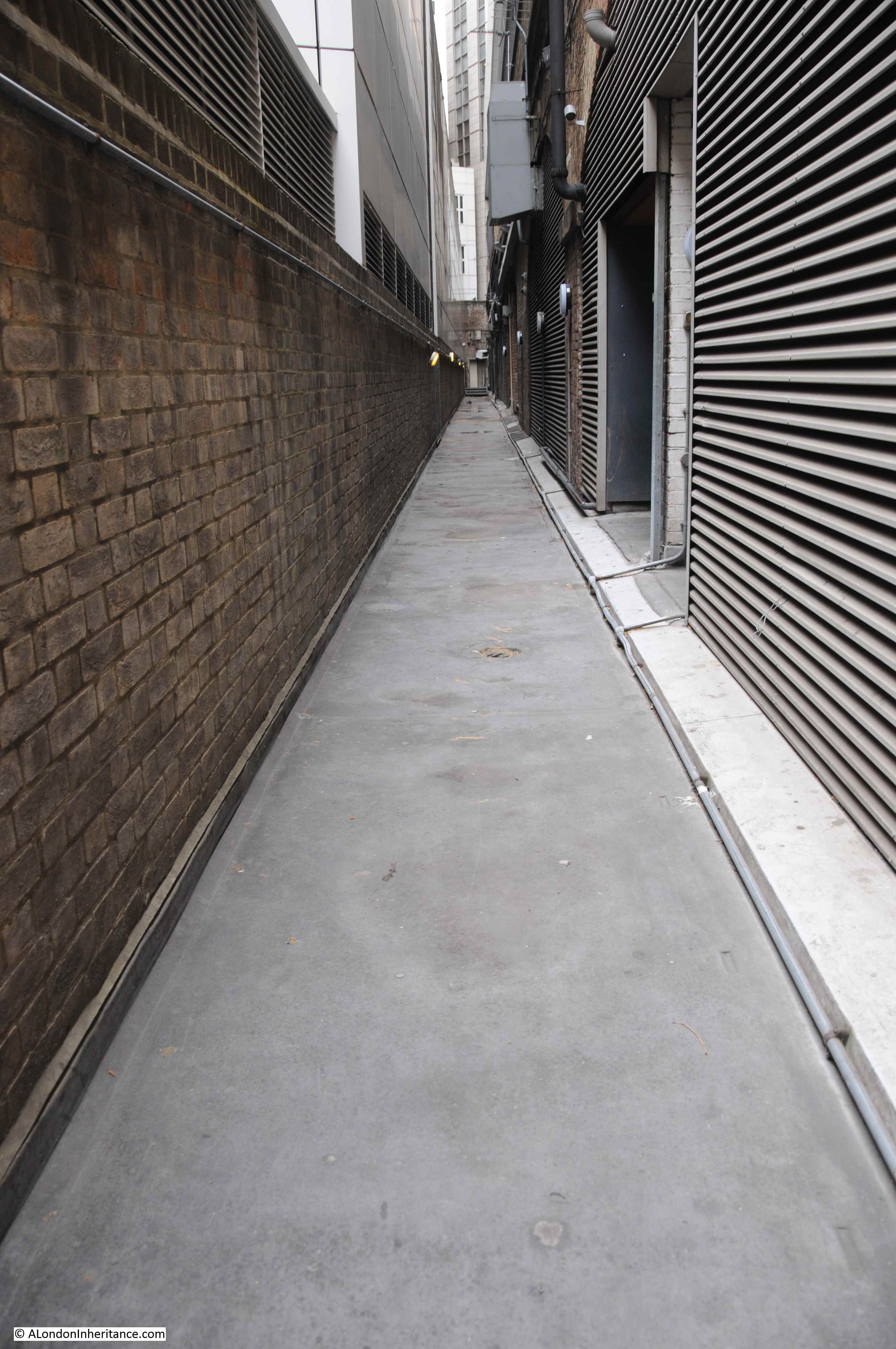
Building number 6, Bowater House, is the building where the Maurice Rosenberg building was located, and between buildings 6 and 7, and up alongside building 11 was the location of Hotwater Court.
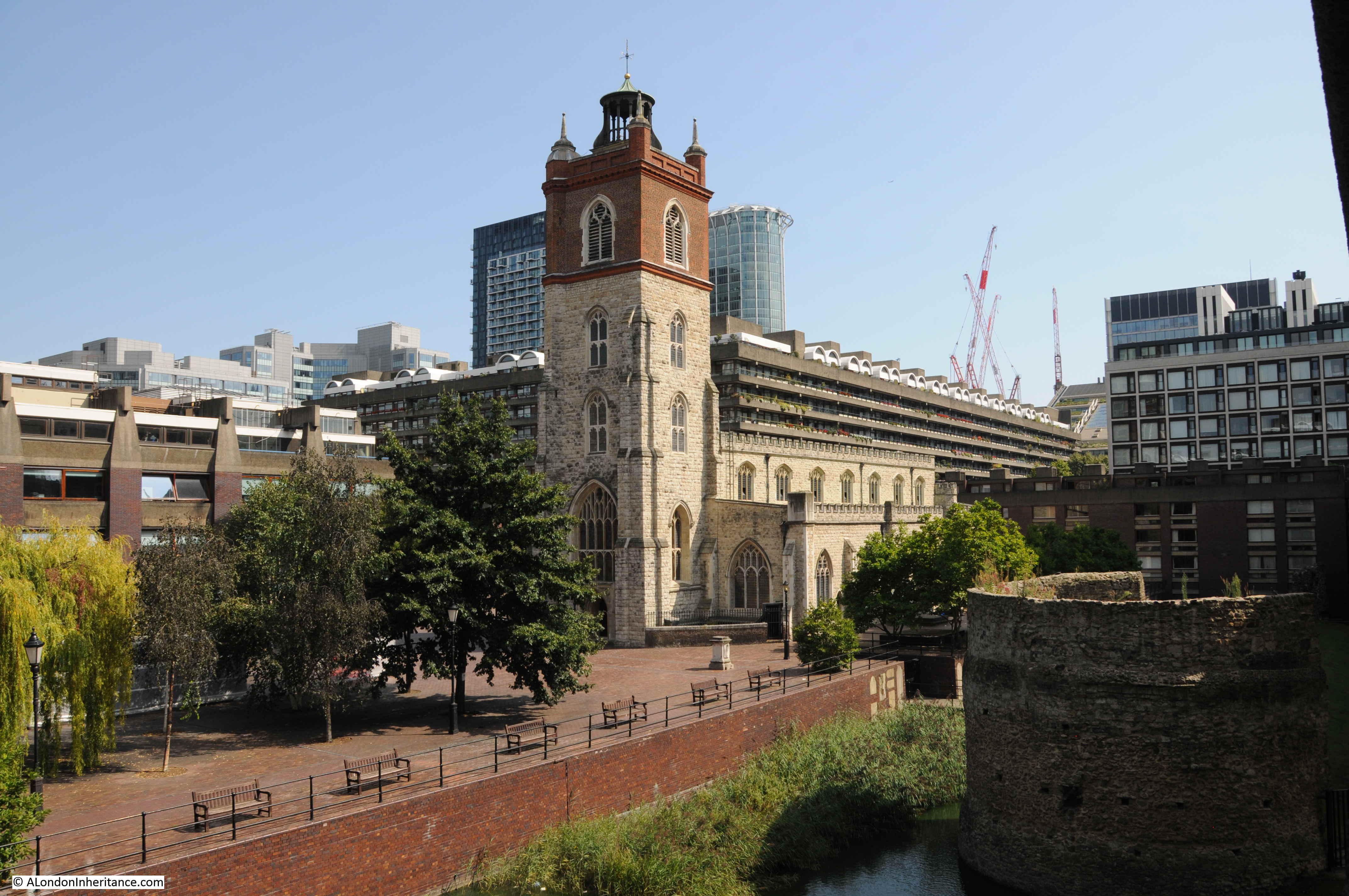
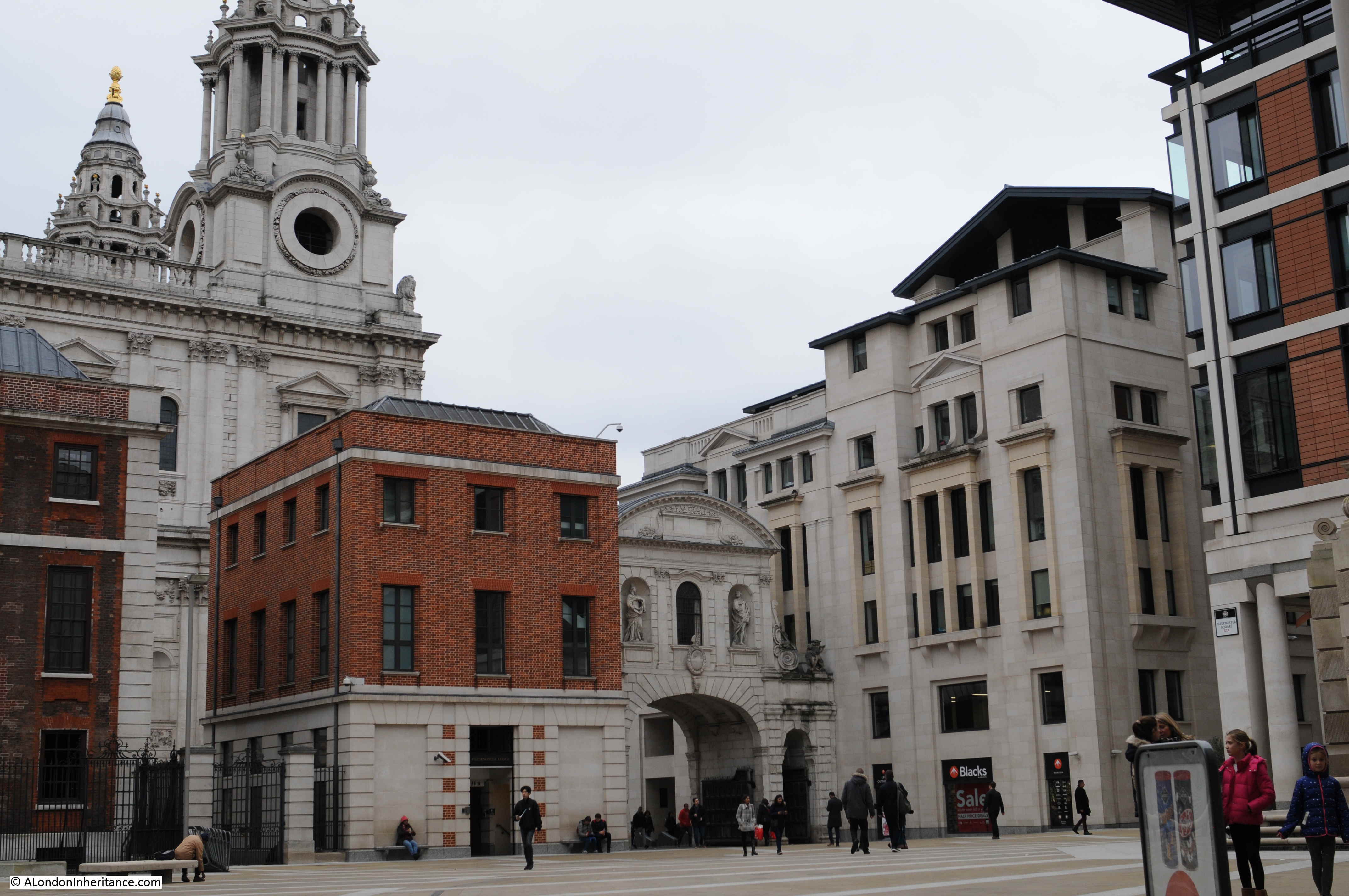
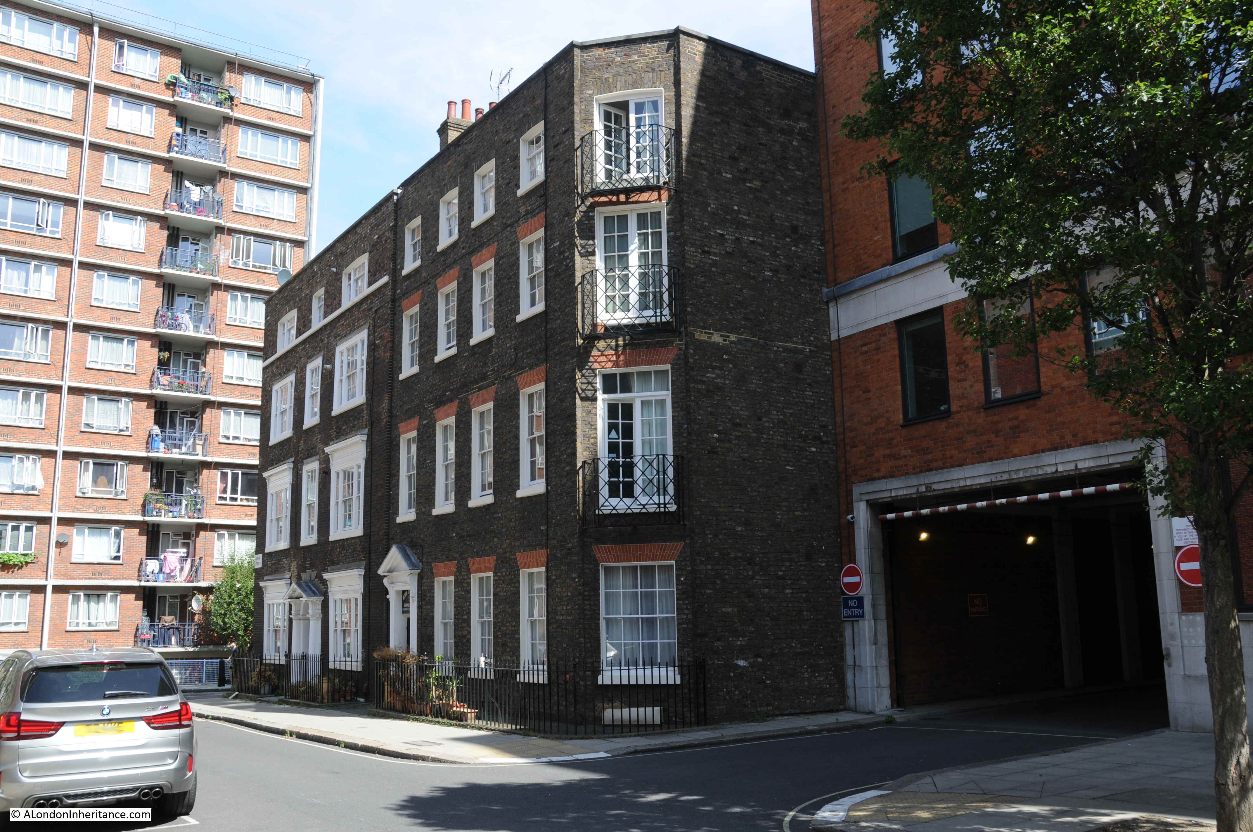
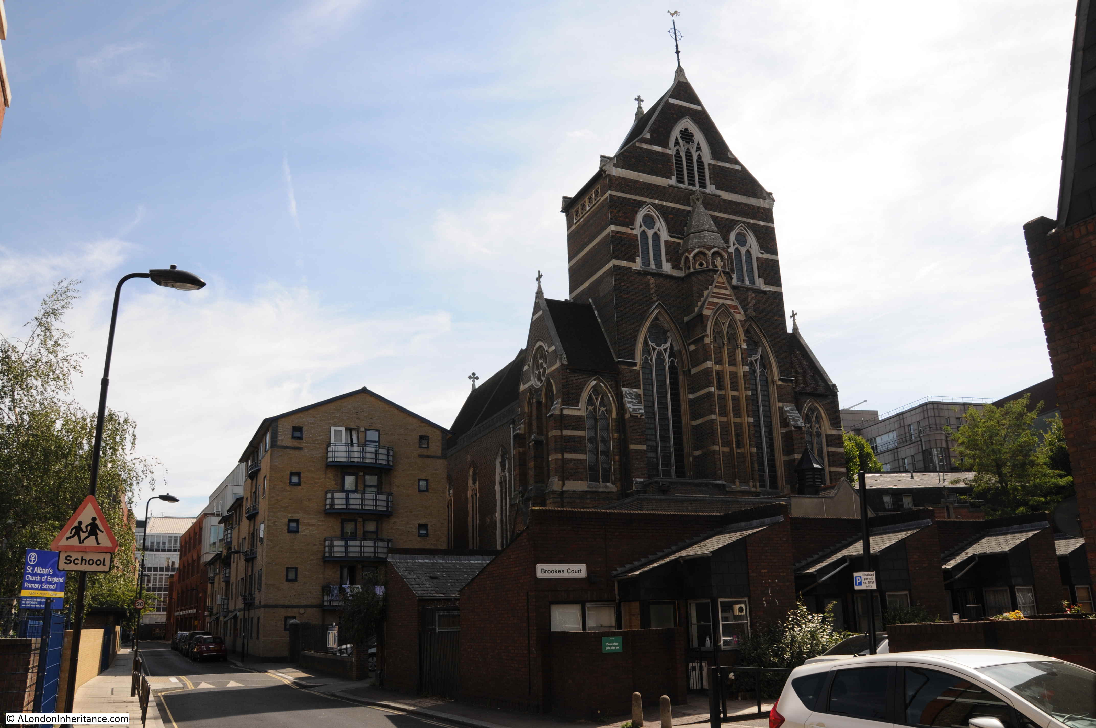
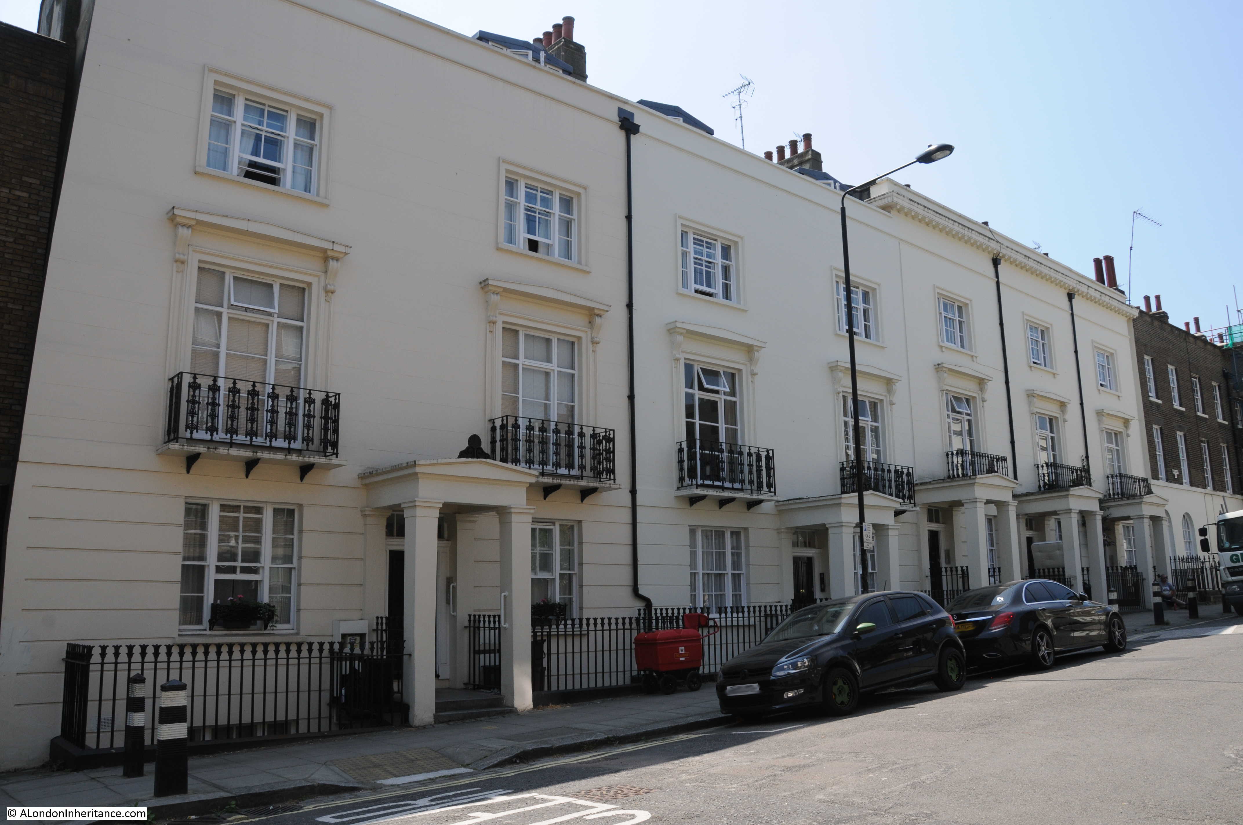
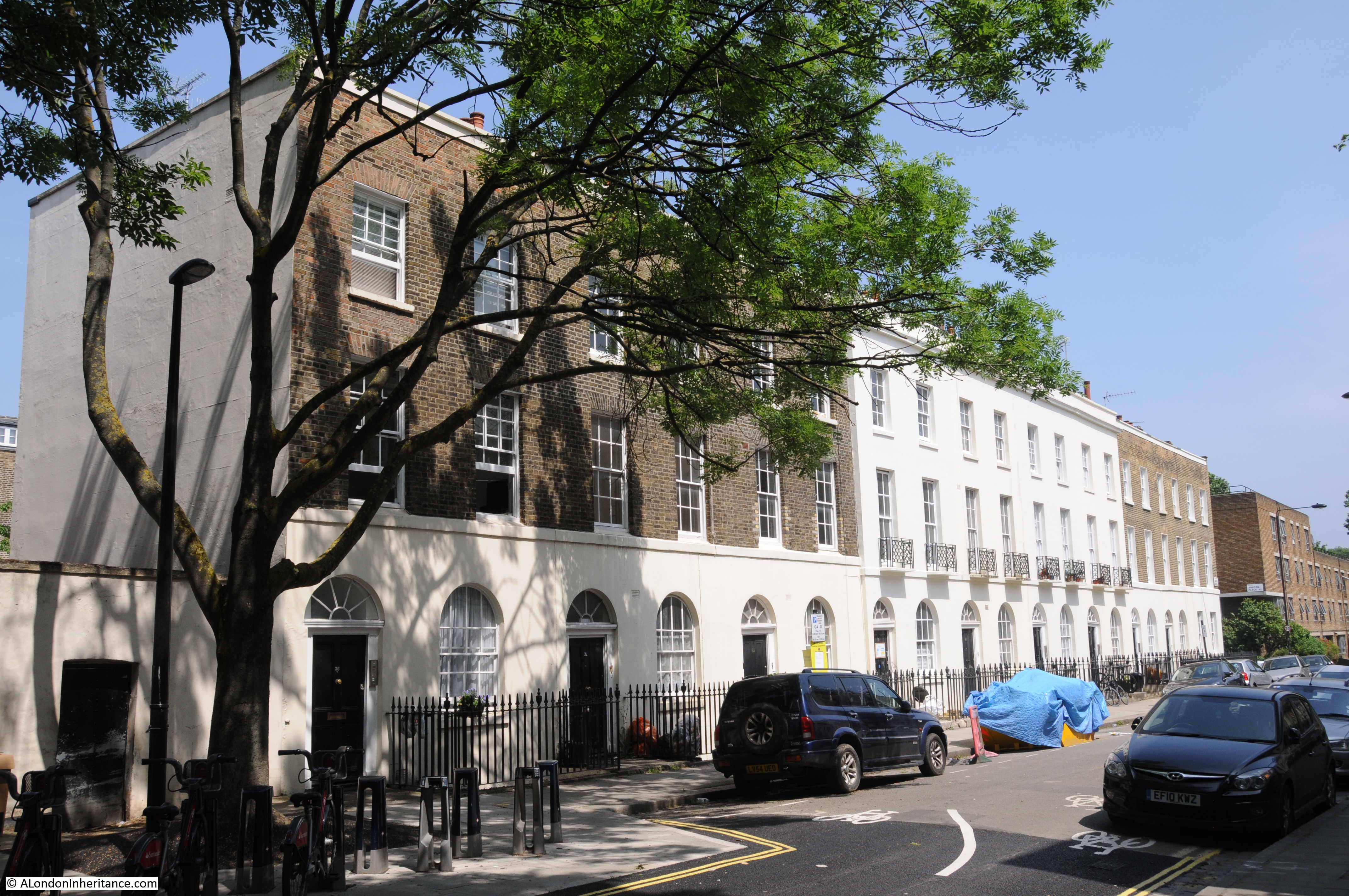
Directly opposite, on the corner of Fann Street and Viscount Street is the Jewin Welsh Presbyterian Chapel:
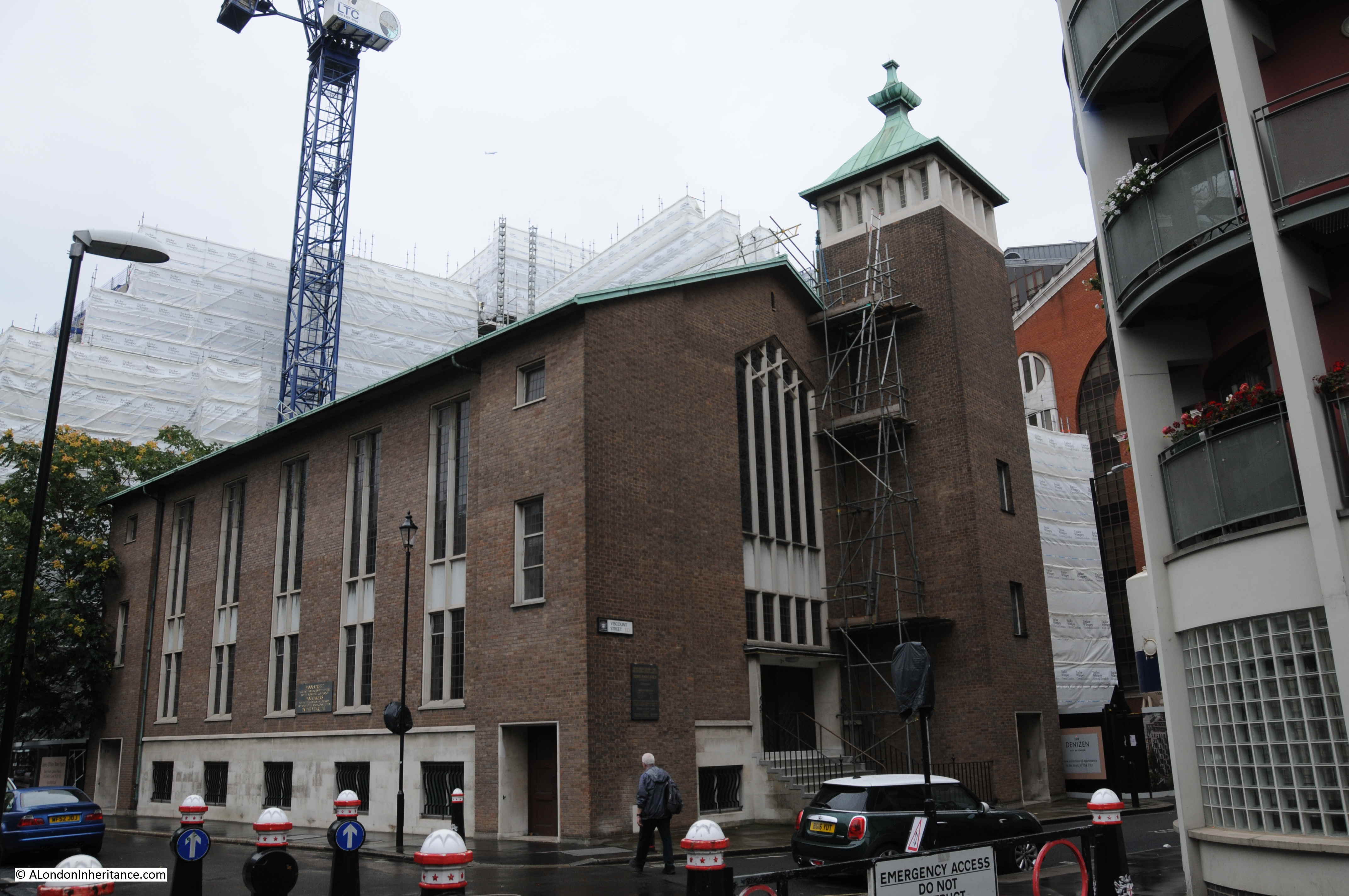
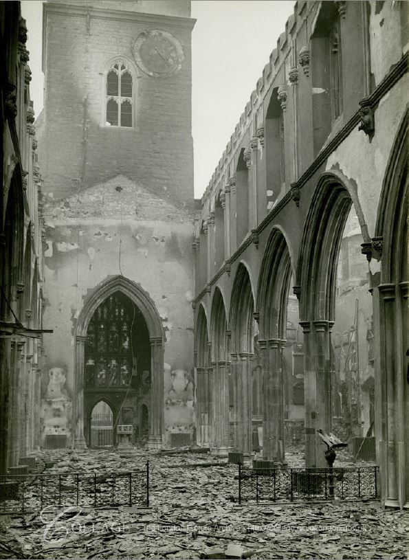
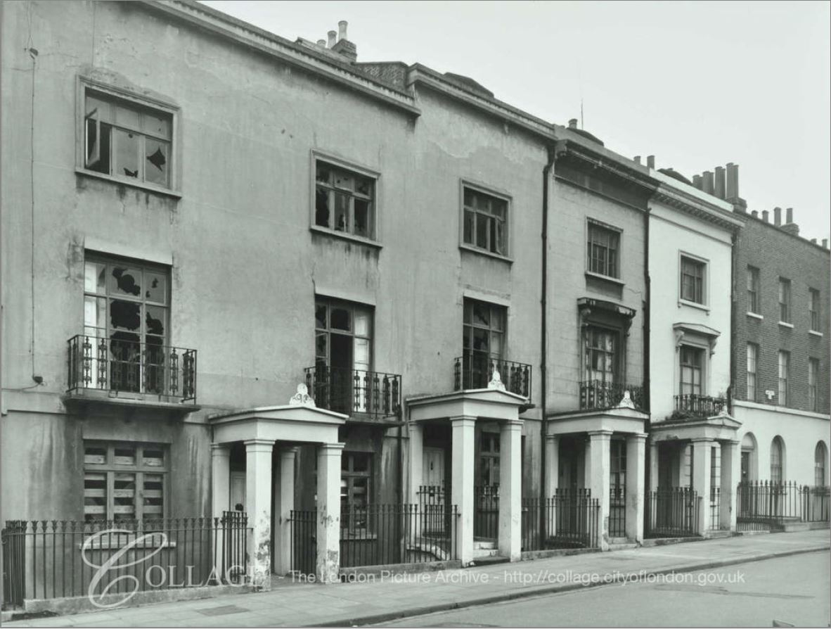
This is the building marked as a ruin in the Ordnance Survey map, and a corner of the building is seen in the film clip.
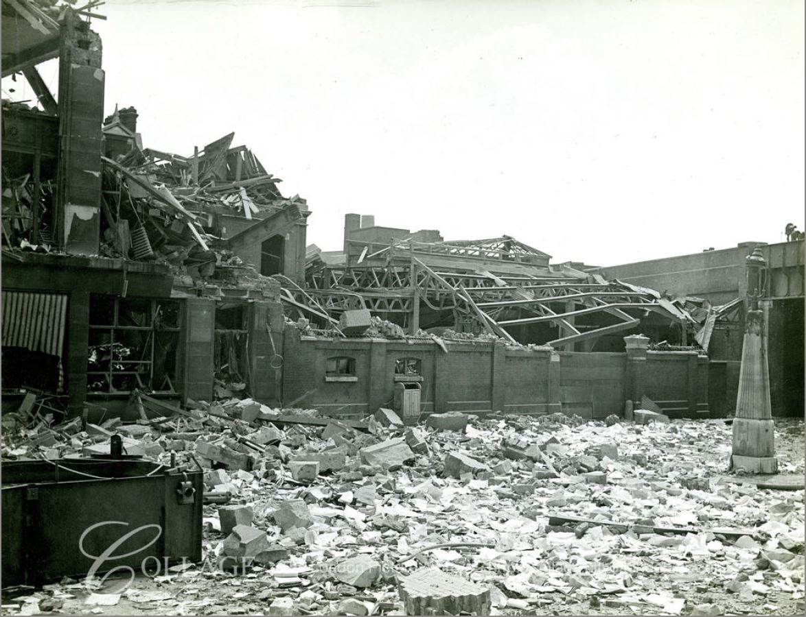
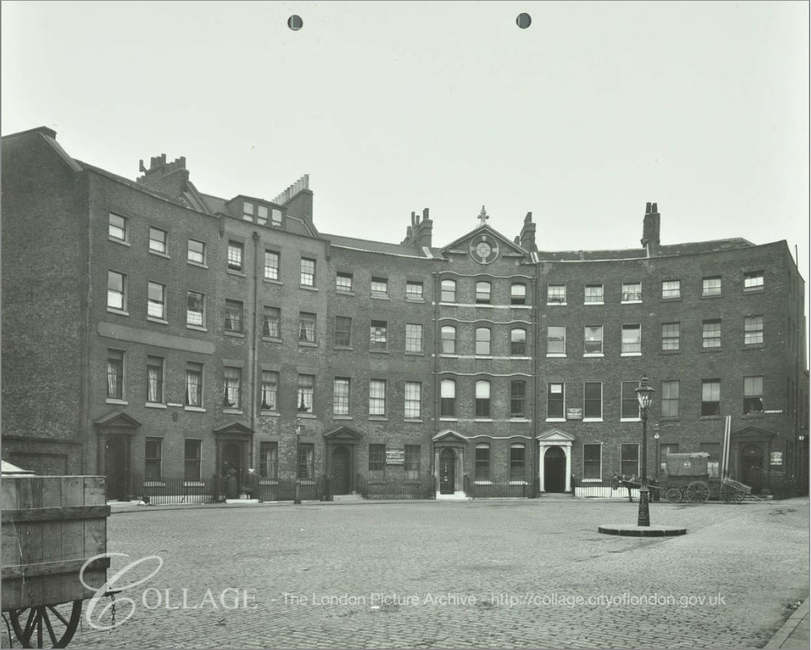
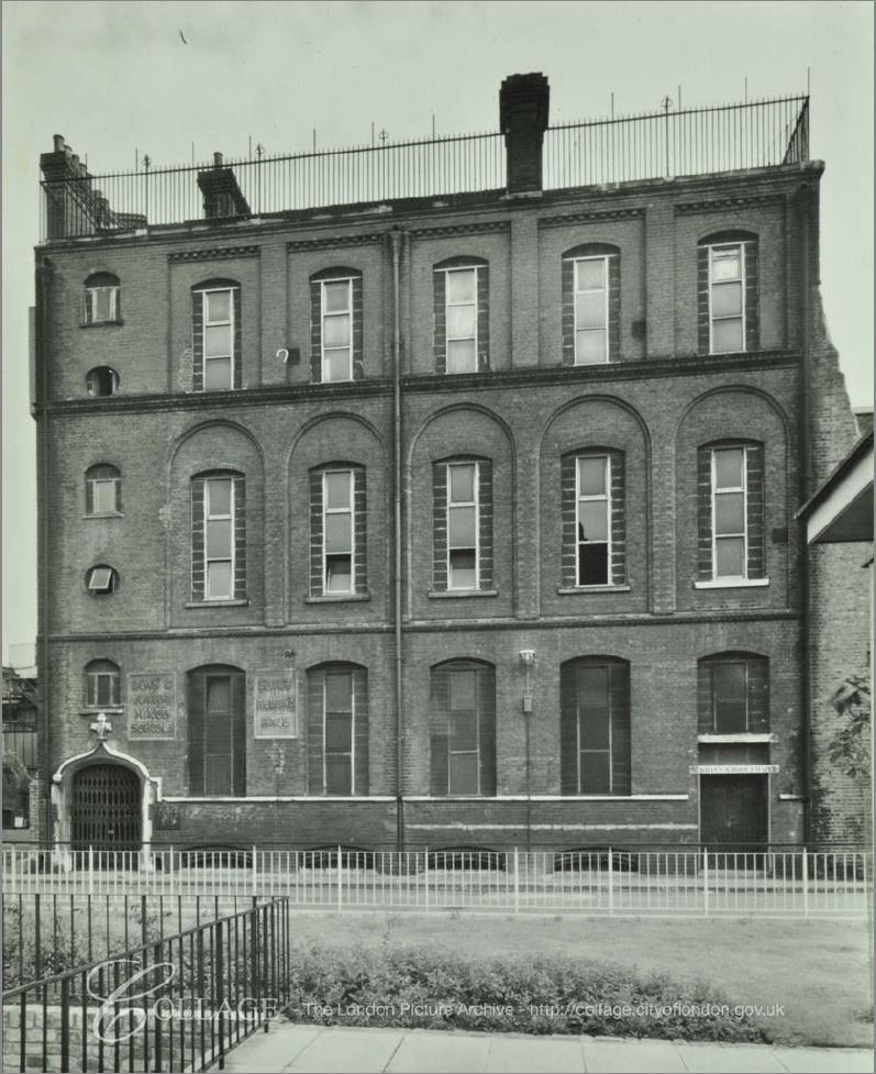
The roof and interior of the church had been destroyed during the war. The following photo from the LMA Collage site shows the front of the church in Viscount Street.
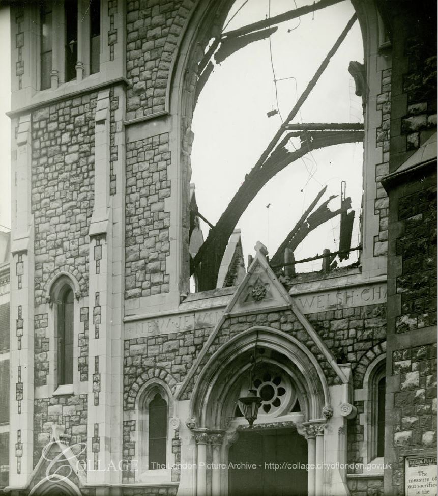
Image credit: London Metropolitan Archives, City of London: catalogue ref: M0078083CL
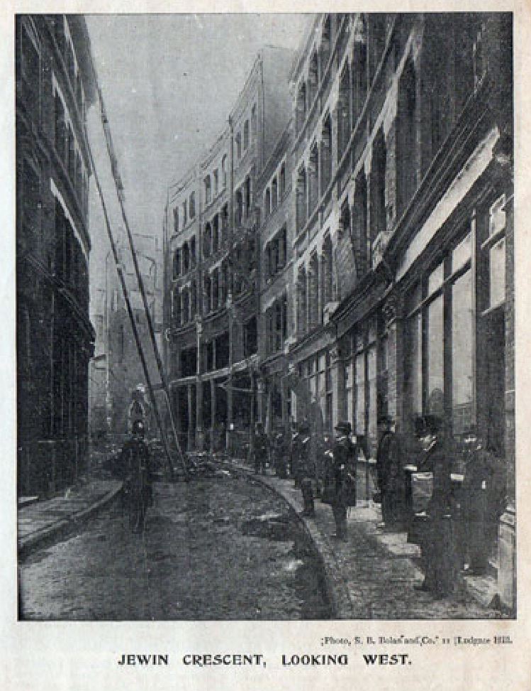
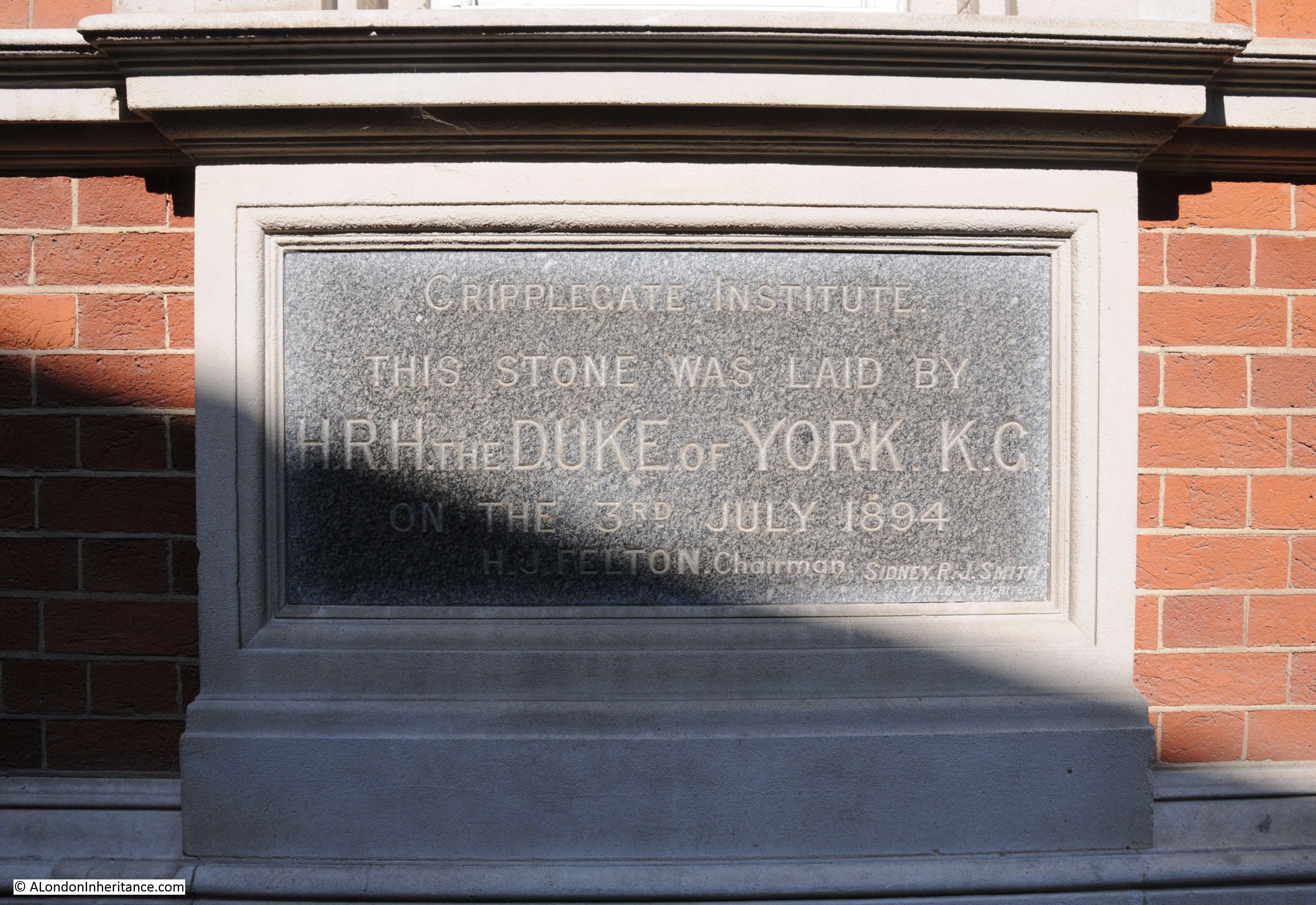
The Jewin Welsh Church or Chapel is the oldest Welsh church in London, although it has not always been at this location. Formed in Cock Lane, Smithfield in the 1770s, the church moved a couple of times before arriving in Jewin Crescent in 1823 (Jewin Cescent is one of the many streets lost under the Barbican development, I wrote about the street in my post on the Cripplegate Institute and Jewin Crescent.
The church moved from Jewin Crescent to the current location in 1879. A new church was built at a cost of around £10,000, and the church retained the name of Jewin, thereby providing a link between a church we can see today, and a street lost under the Barbican.
Apart from the outer walls, the church was destroyed in 1940, but rebuilt after the war, with the building we see today opening in 1960.
Dwindling attendance almost resulted in the closure of the chapel in 2013, however a campaign to raise awareness of the chapel resulted in closure being avoided, and although a relatively new building, it is good to see that the chapel remains and continues serving much the same function as when the original church formed in the 1770s.
There are a couple of interesting plaques along the Fann Street side of the church, one in the pavement, the second on the wall.
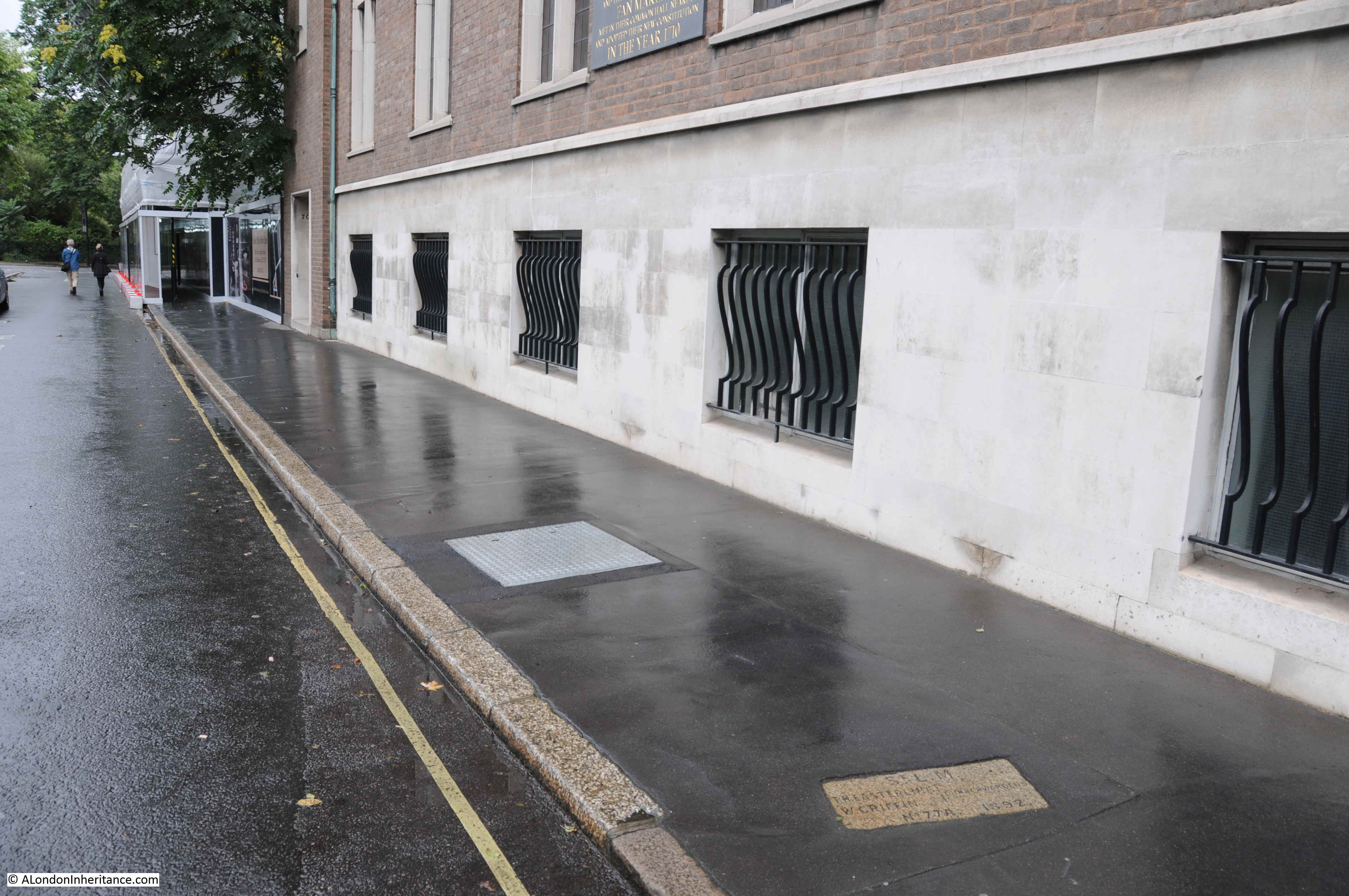
The plaque on the wall records the Huguenot Fan Makers who settled around Fann Street, and that the Worshipful Company of Fan Makers had their common hall nearby.

It would be an obvious association between the street name, and the fan making occupation, however this does not appear to be the case.
A number of references I checked with confirmed there was no association between the Fan making trade and the street name. Henry Harben in A Dictionary of London writes:
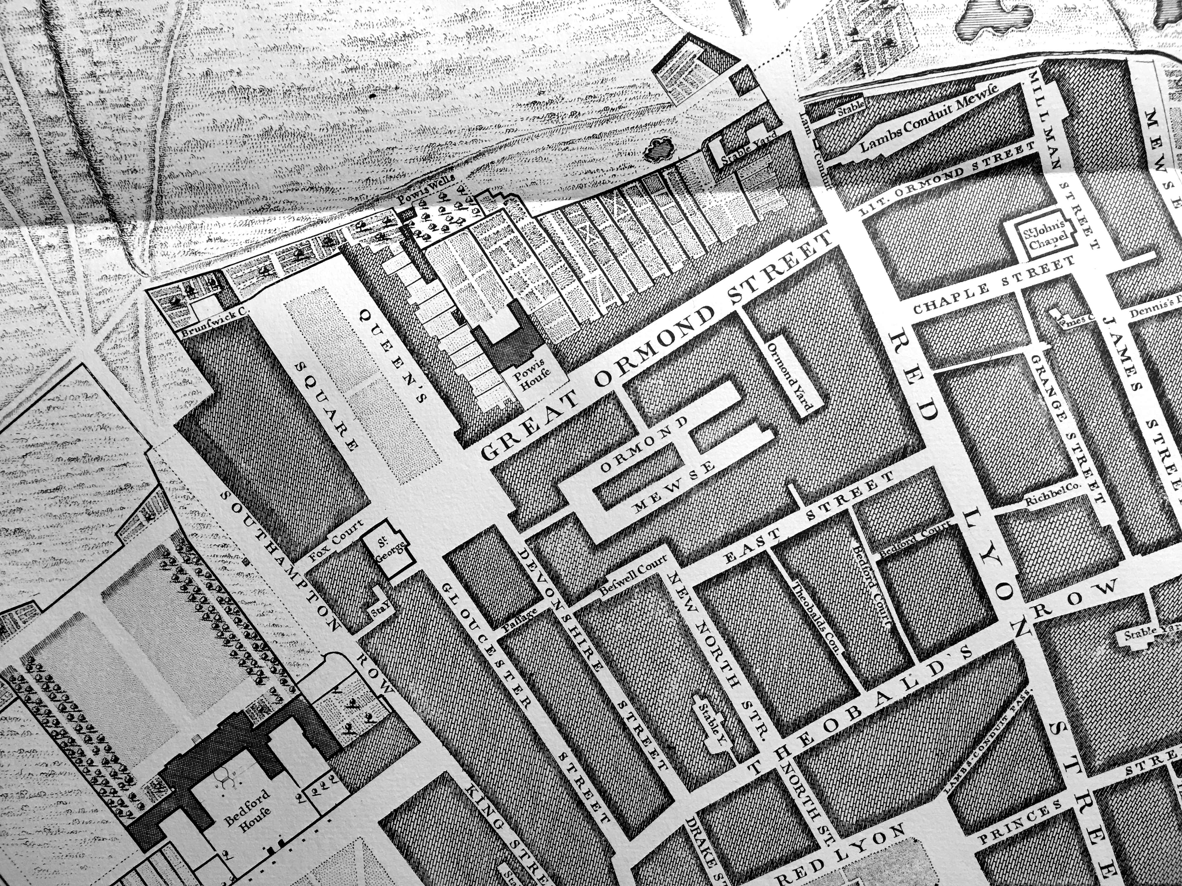
“Fann Street – east out of Aldersgate Street, at No 106 to Golden Lane. Part of the street is in Aldersgate and Cripplegate wards Without, and part is in the Borough of Finsbury outside the City boundary.
First mention: Fan Street (Horwood, 1799)
Former names: Fanns Alley (Ogilby and Morgan’s map of London 1677, Strype 1720)
Fanns Alley (Rocque, 1746)
Stanns Alley (Strype, 1720 and 1755)
Bridgewater Gardens (Company of Parish Clerks 1732, ordnance Survey, 1875)
In former times the street extended only from Aldersgate to Bridgewater Gardens, but in 1878 the name Fann Street was adopted for the whole street to Golden Lane, including Bridgewater Gardens.
The early forms suggest that it was named after an owner or builder.”
Other references suggest the same origins of the name, with The London Encyclopedia by Ben Weinreb and Christopher Hibbert stating that “The origin of the name is uncertain but it is thought to be that of a 17th-century land owner or builder.”
So no connection between the name of Fann Street and fan makers, however the Worshipful Company of Fan Makers is an interesting company, and demonstrates how a traditional City Livery Company has had to adapt to changing technologies and fashions, whilst maintaining an interest in the traditional craft.
The origins of the formation of the Fan Makers Company go back to the late 17th century, when there was a large influx of protestant fan makers from the Continent to London after the revocation of the Edict of Nantes in 1685. These were the Huguenot Fan Makers mentioned on the plaque on the side of the chapel.
The native fan makers started to organise to preserve their trade, and the Fan Makers were Incorporated on 19th April 1709 as a result of a petition to Queen Anne. They were concerned with both the impact of dilution on the indigenous trade by those migrating to the country, and also with the unrestricted import of fans.
The Company was granted Livery status in 1809, however by then the Company was past its peak as the Fan trade had peaked in the 18th century. It was then a story of gradual decline, but with occasional highlights including fan making competitions in the 1870s, the support of Queen Victoria (who donated £400 for prizes), and regular presentations of fans at events such as Coronations.
In the 20th century, the Fan Makers had to adapt further, and in 1939 extended their scope to the manufacture of industrial fans, and post war with aerospace technologies such as the fans used in jet engines.
The Fan Makers continue to champion the traditional fan, and have established an endowment fund to support the development and retention of fan making skills.
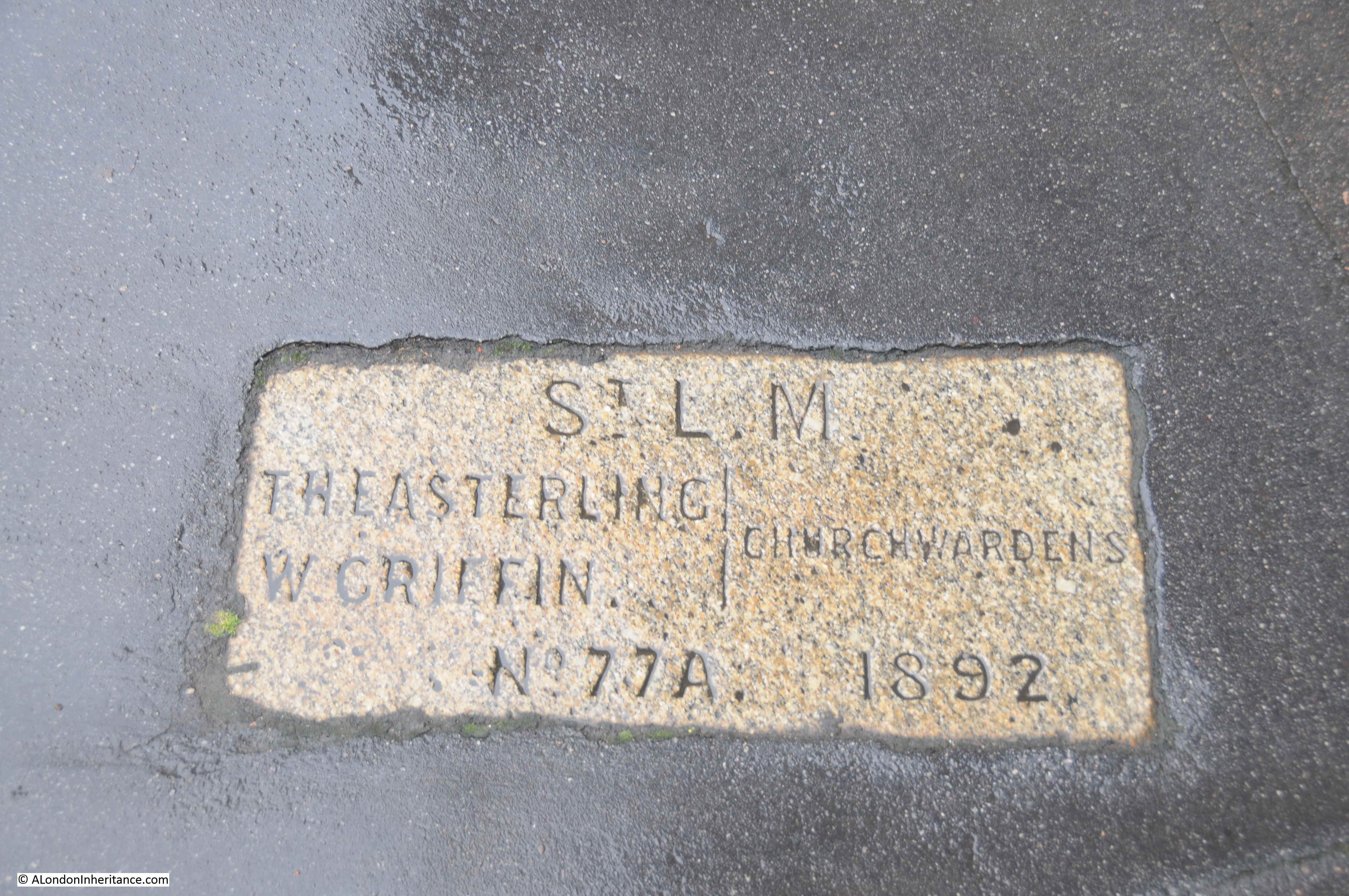
The Harben explanation of the street name includes a reference that part of the street is outside the City boundary, and physical proof of this can be seen along the pavement outside the Welsh Chapel where there is a boundary marker showing the boundary between St Luke’s Middlesex and the City of London.
The area bounded by Fann Street, Goswell Road, Golden Lane and Baltic Street is now unrecognisable from the dreadful description of the area in 1847. By the late 19th century many of the courts seem to have disappeared, although Hotwater Court, Turks Head Court and Bridgewater Square remained.
Late 19th / early 20th century development produced buildings of the type occupied by Maurice Rosenberg, however the area was devastated during the raids of 1940, and only recovered with the build of the Golden Lane Estate.
Few traces remain of the pre-war landscape, however the rebuilt Jewin Welsh Chapel continues the religious role, and association with the Welsh community of London from pre-war, and the lost Jewin Crescent.
Hotwater Court is an intriguing name. Names often had some local meaning, but I have not been able to find any reference as to the origins of the name.
The space occupied by Hotwater Court is today an entrance to the Golden Lane Estate – it would be nice to see the name return to maintain a link with the area’s history.