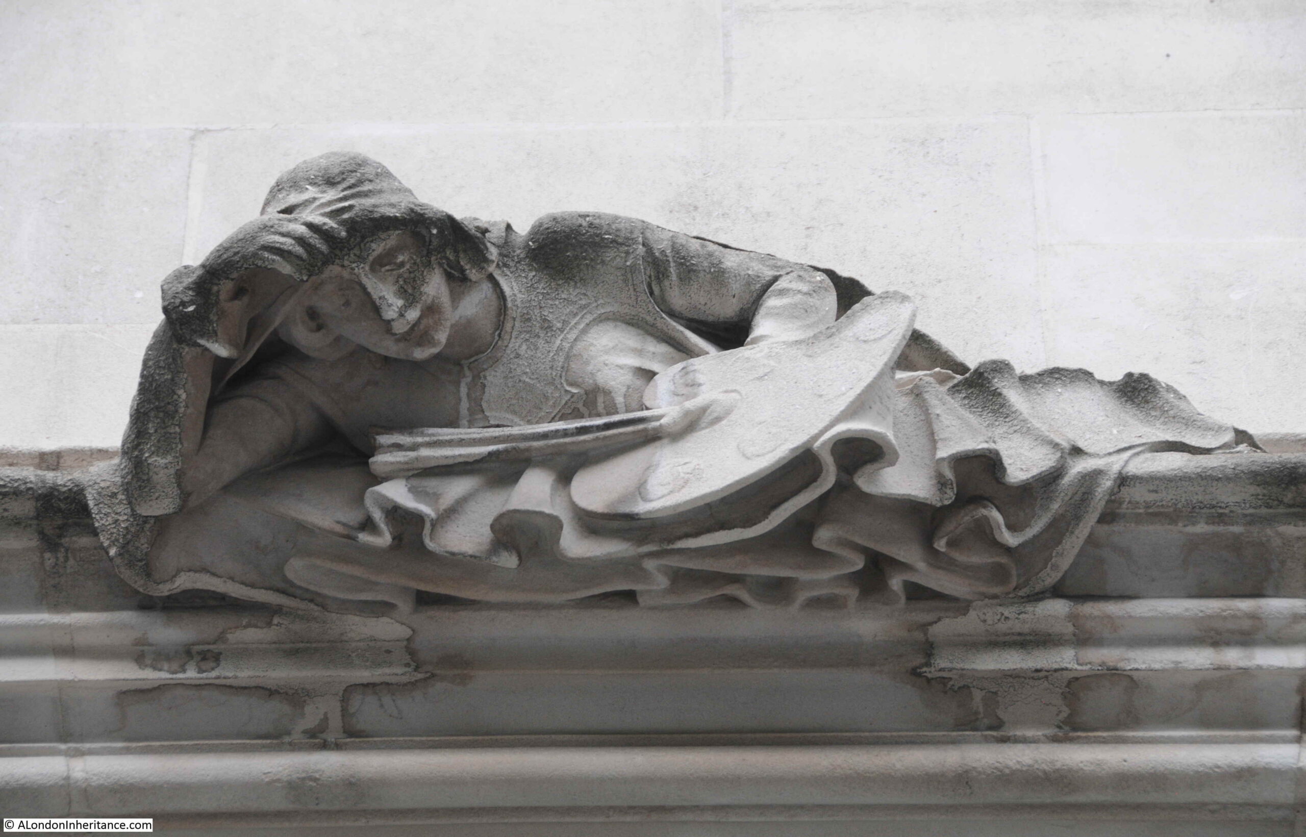
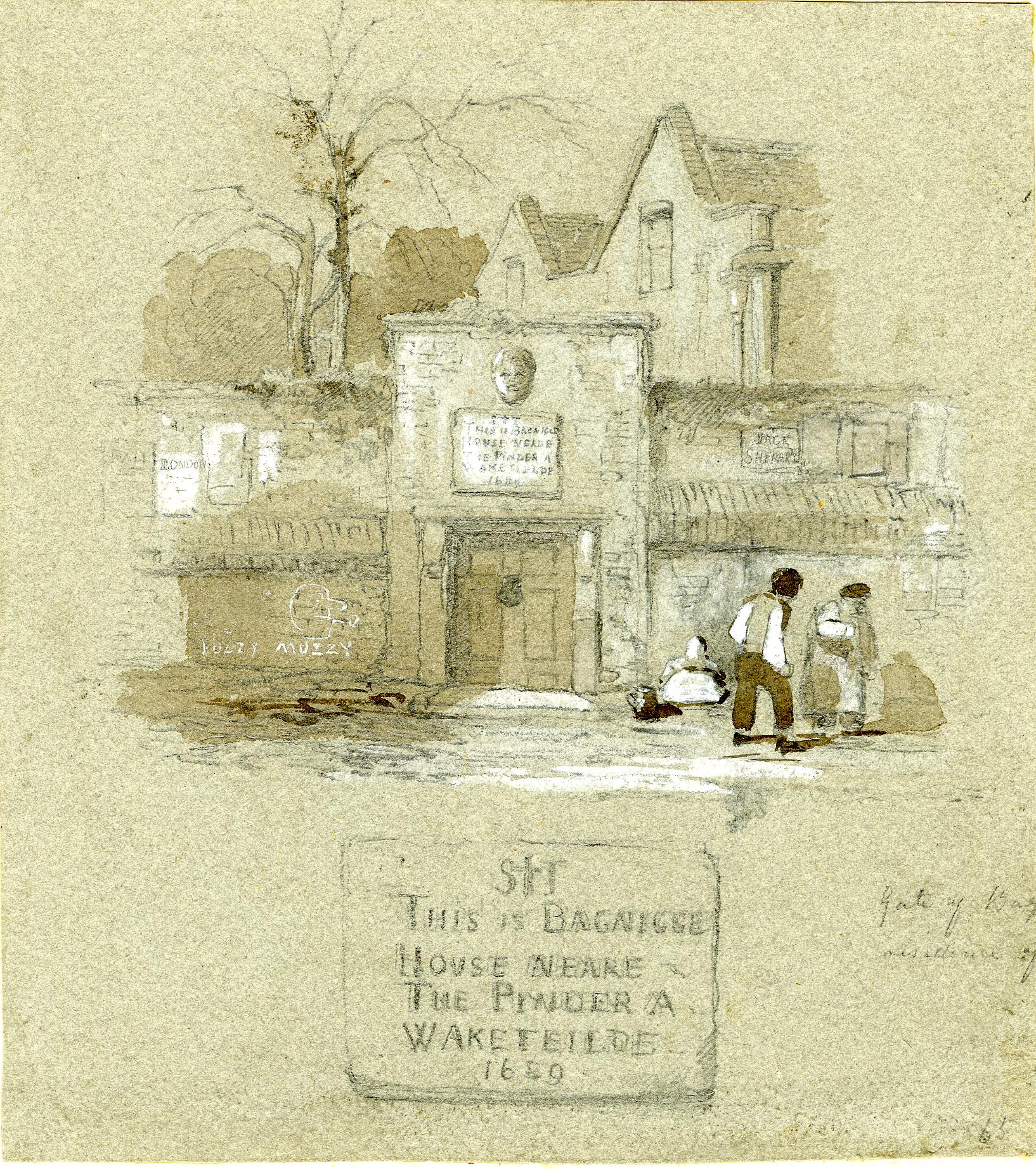
St Anne’s Soho, New River Company and Shaftesbury Avenue is a bit of a mix of very different subjects, however the following photo from one of the Wonderful London books provides the connection.
The caption to the photo reads: “Elm Trunks for Conduit Pipes dug up near St Anne’s, Soho. Wooden pipes like these were used to carry water from New River Head over the Holebourne for the citizens. Trunks used for conveying the fresh water supply were of elm which of all the timbers best withstands the exigencies of heat and cold. The New River Co. had a wharf at the bottom of Dorset Street where the elm trunks were landed and bored. Shaftesbury Avenue was opened February 26, 1887, and the excavations laid these old pipes bare.”
There is much to unpack in that single caption, far more than within the scope of a single post, but I will give it a go, starting with the elm trunk in the photo.
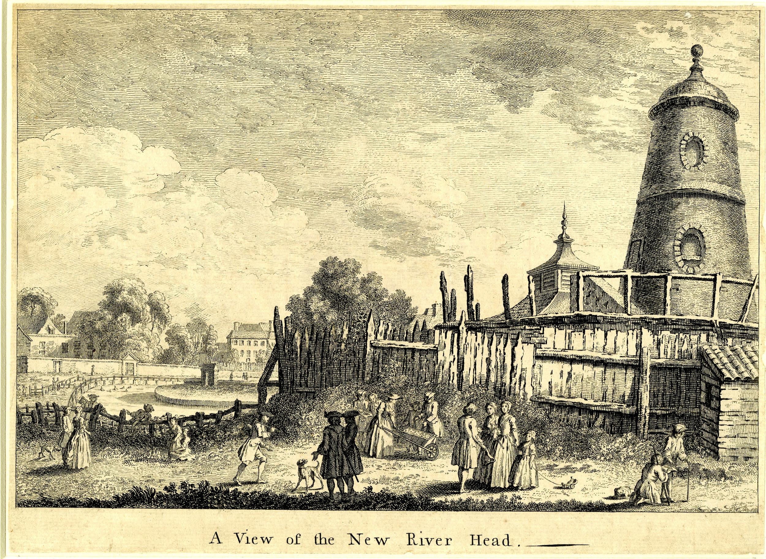
When the New River Company started to distribute water across the city from their pond at New River Head, the only method to carry water within pipes was to use bored tree trunks. Iron pipes would not become available for the New River Company to use for well over a hundred years from when the company started operations in 1613.
The photo shows how a tree trunk was converted into use as a pipe. A hole was bored through the centre of the pipe to carry water, and one end of the trunk was shaved down to a point around the hole so that it could be pushed into the next trunk in the series, trying to form as close a seal as possible to prevent the leakage of water.
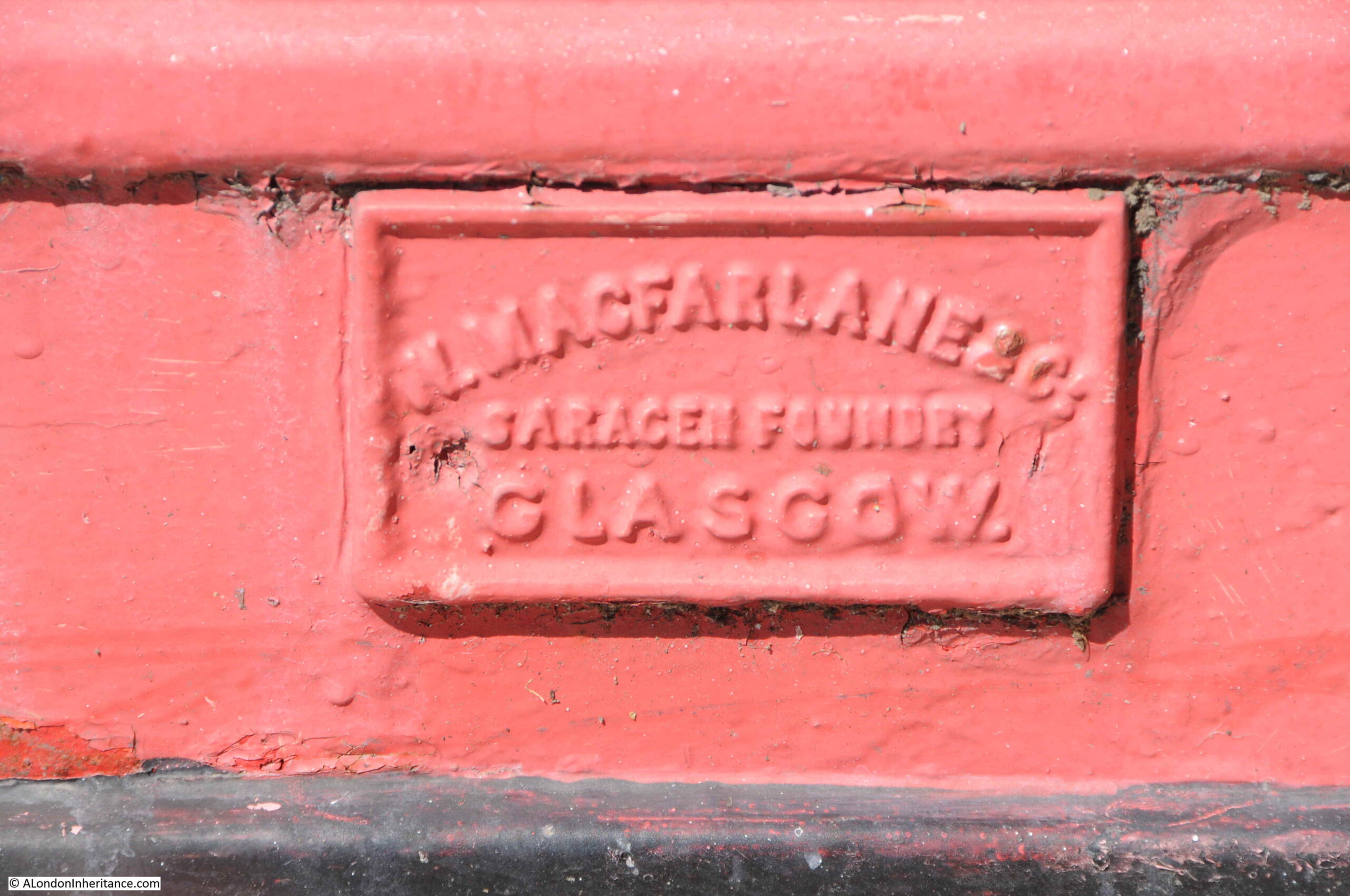
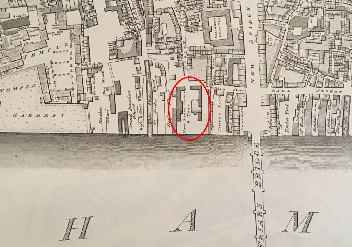
The New River Company had their main pond or reservoir at New River Head in north Clerkenwell, and their offices eventually moved to the same location, however as the caption states, they had a wharf at the bottom of Dorset Street, and their original offices were at the same location. It was here that elm trunks were delivered via the River Thames, bored and shaped ready to be used within their network of pipes.
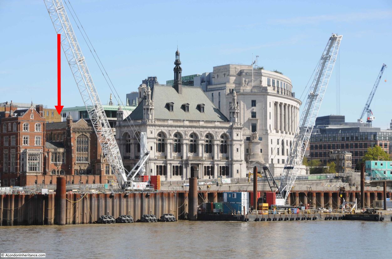
The caption states that the wharf was at the bottom of Dorset Street. The offices, yard and wharf are marked on Horwood’s 1799 map of London, just to the west of Blackfriars Bridge, circled in the following extract:
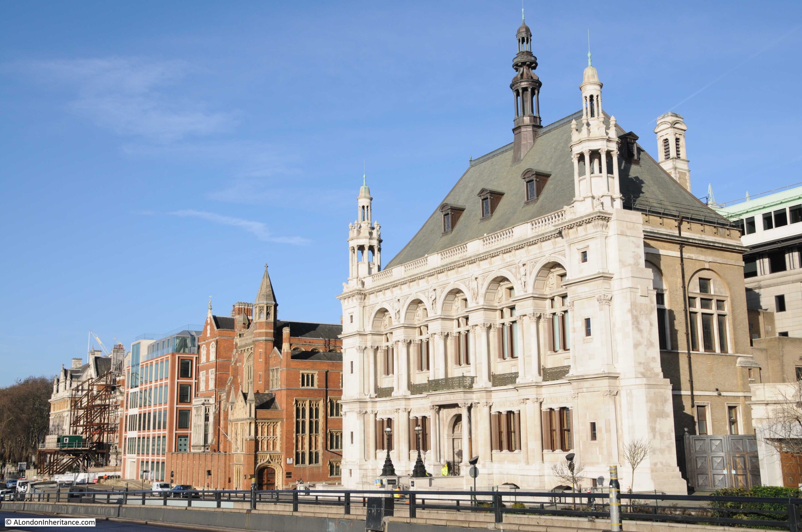
The location of the New River offices, yard and wharf are now separated from the river by the construction of the Victoria Embankment, however I have marked their location with the red arrow in the following photo, now covered by the brick building to the left of the old City of London School.
The area served by the New River Company was extensive, for example one of their large industrial customers was the Truman’s Brewery in Brick Lane to the east of the city, and as London expanded to the west, they buried their pipes along the streets to serve the new buildings.
Serving the new west London streets did however bring problems. New River Head was located at a height of 30 metres above sea level. The original customers in the City of London were at a height ranging from 15 metres in the north of the City down to 1 or 2 metres along the river. This worked well when gravity was being used to get the water from New River Head to the City.
The west of the city was a different matter, with the area around Shaftesbury Avenue and Soho being around 22 metres in height, only an 8 metre difference to New River Head and much higher than the City.
This led to supply problems along the new streets of Soho, with a good supply in the City, and poor supply due to low pressure in west London.
The New River Company was also facing competitive pressure from other water companies, and at the end of the 17th century, they brought in Christopher Wren to evaluate their water supply system, and make recommendations for improvements.
Wren’s view was that the system was an unplanned mess, that had grown without any planning or understanding of the areas being served and how water was affected by the length and size of pipes, and the difference in height across London.
Wren could not make any individual recommendations, he compared the system to a diseased body, with the New River Company looking only at one small part of the body to try and work out a cure. Wren recommended a system wide replanning that would take much of the following century to implement.
Wren’s recommendations were also supported by the ex-clergyman John Lowthorpe, also commissioned by the New River Company to examine the system. Lowthorpe also identified that the company had no audit or understanding of their pipe network, and that a single person should be responsible for the system’s design, the role of a Chief Surveyor.
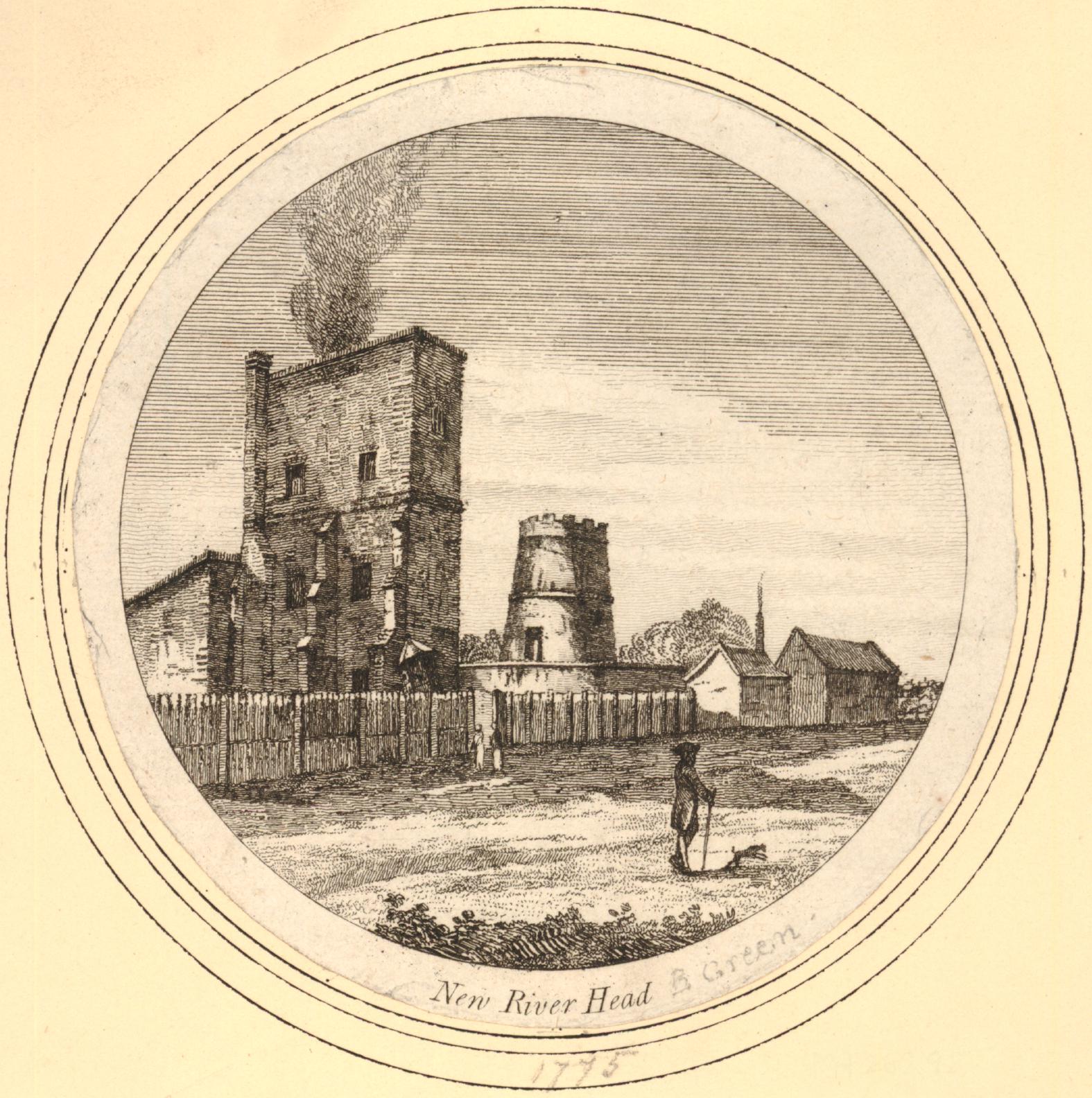
The New River Company did build an upper pond at Claremont Square, and the additional height of this new pond did overcome some of the pressure problems, but it would not be until wooden pipes were replaced with iron pipes, and steam engines were used to pump pressurised water rather than use gravity, that the supply across London would become reliable.
I have written more about New River Head and the New River Company here.
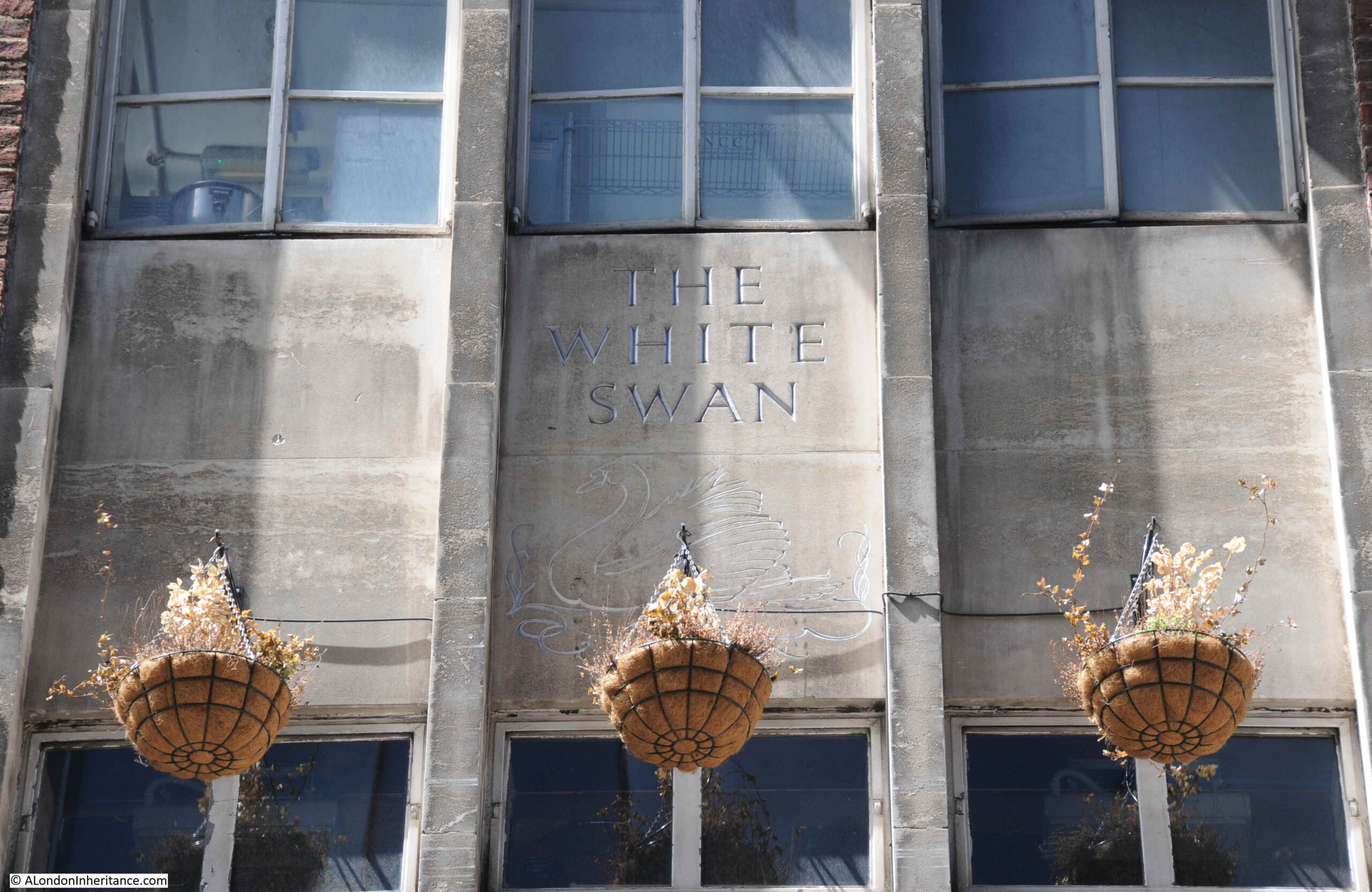
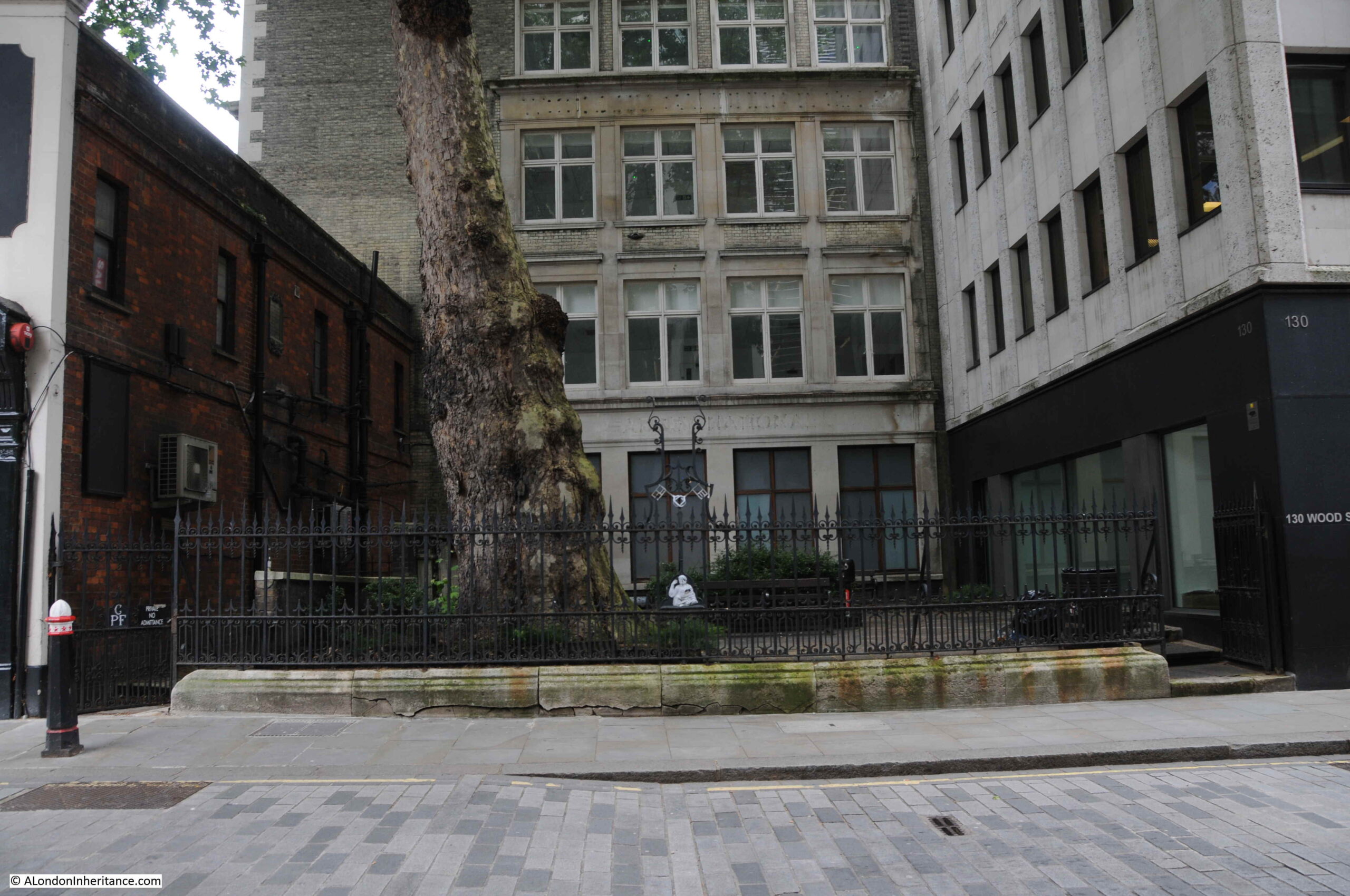
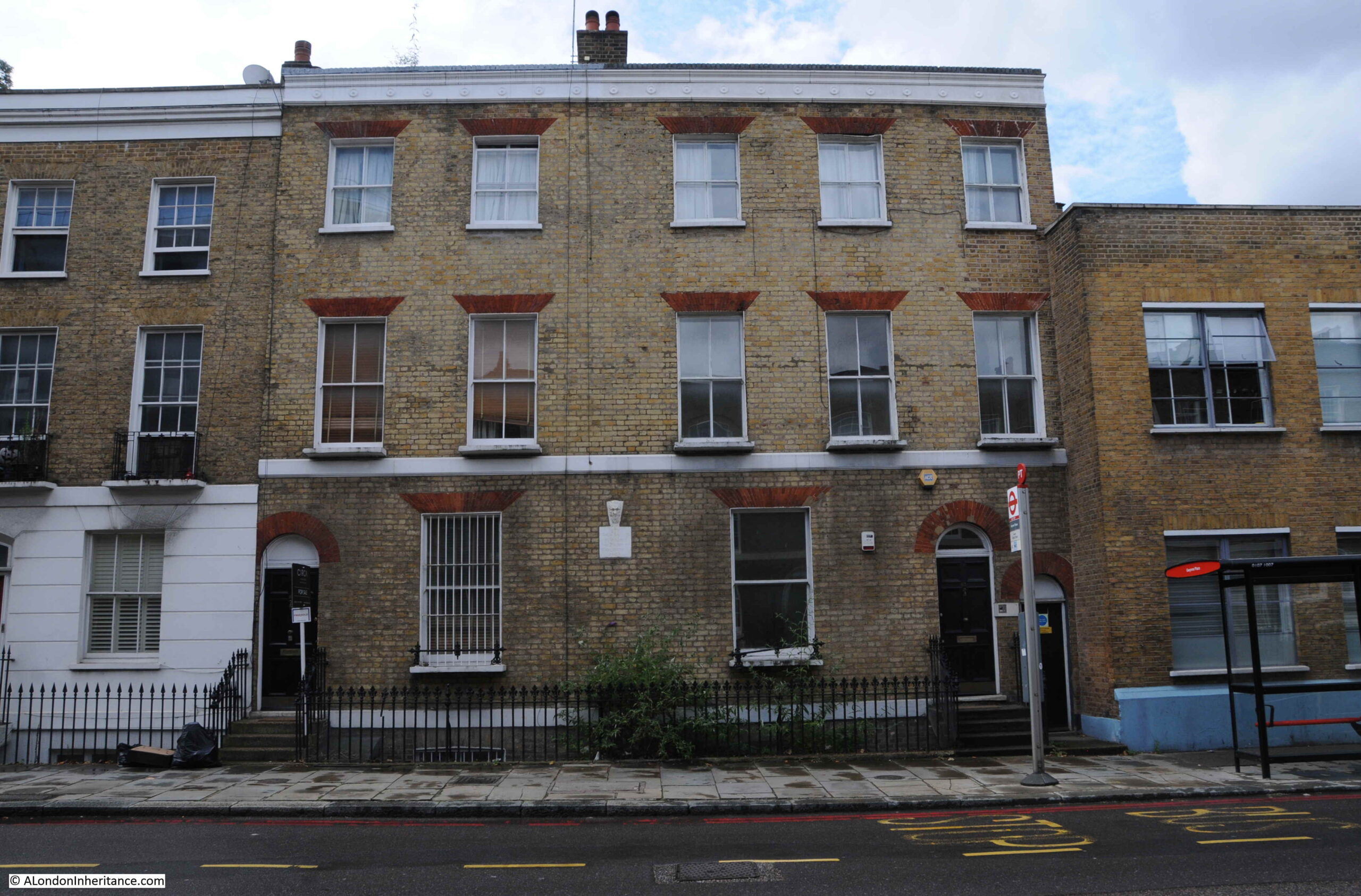
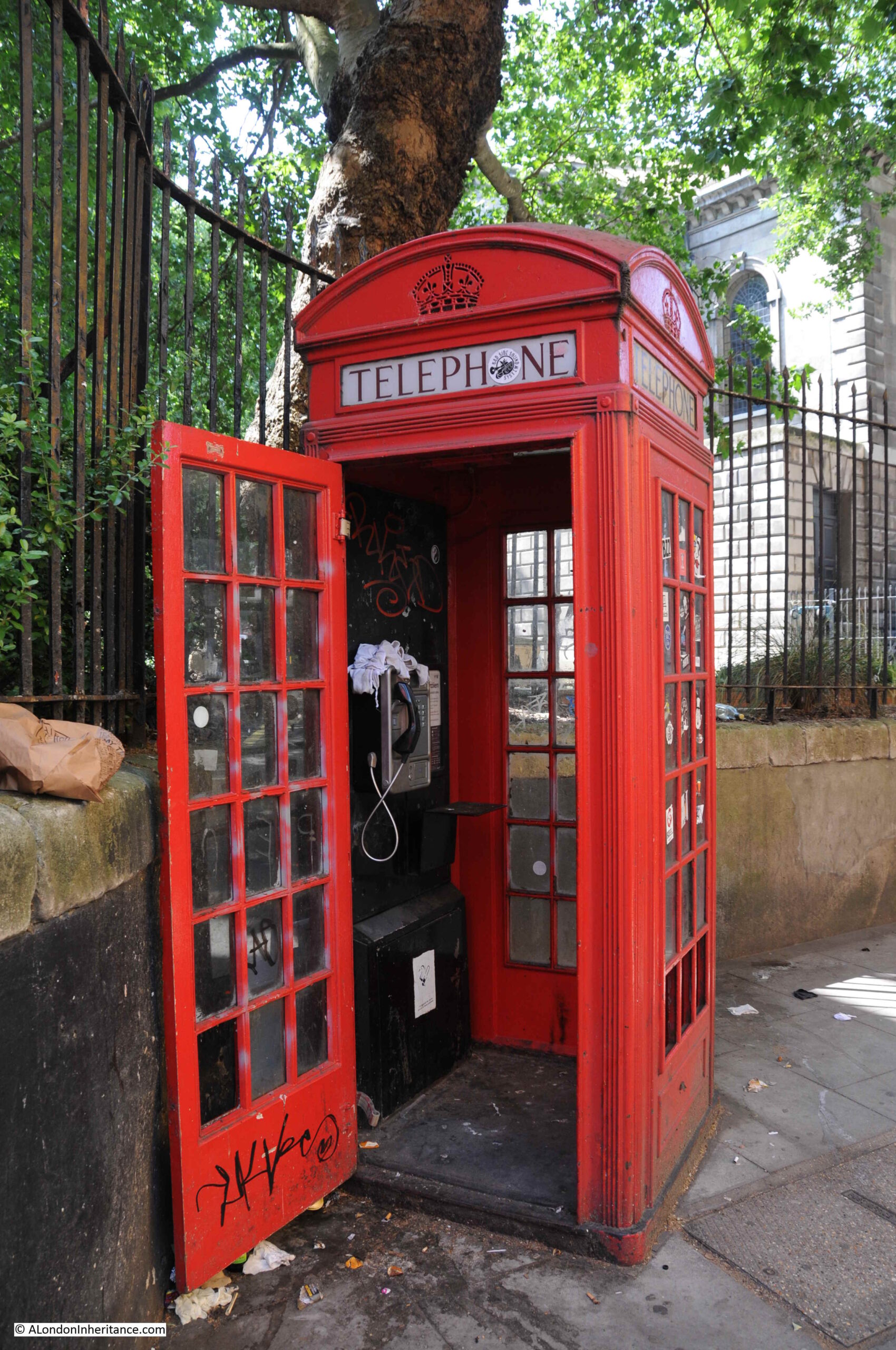
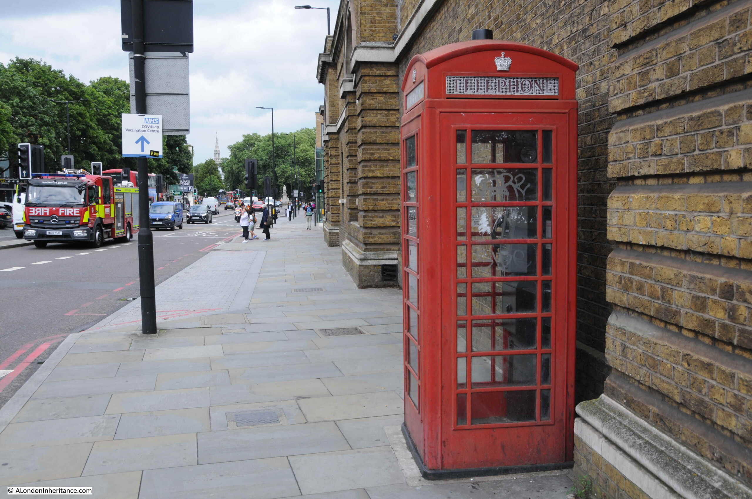
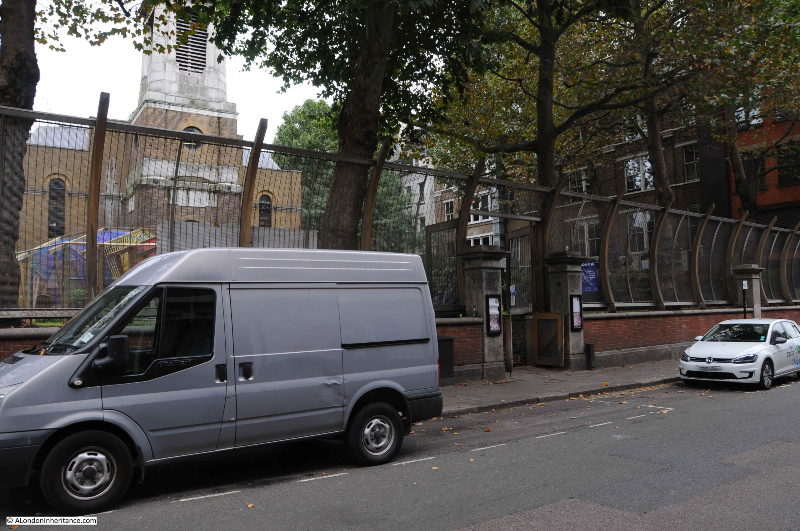
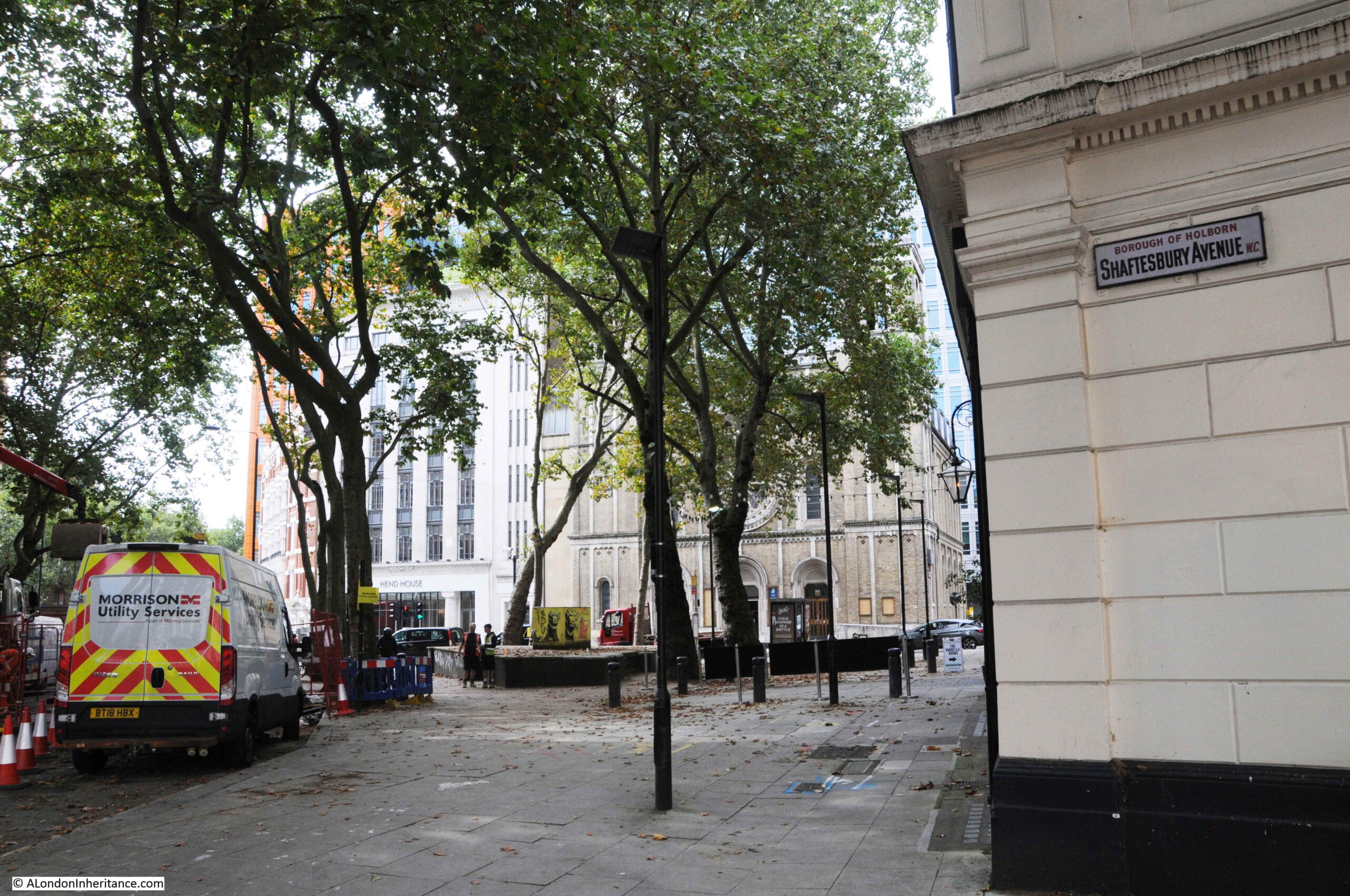
The photo of the elm pipe was taken outside the Wardour Street entrance to the church of St Anne’s, Soho. This is the same view today:
St Anne’s, Soho was built to serve the spiritual needs of those living in the expanding Soho streets. Plans for a new church were first being discussed in the 1670s, along with the search for a suitable location. The land on which the church would be built was owned by two speculators, brewer Joseph Girle and tiler and bricklayer Richard Frith (who would give his name to Frith Street).
There is no firm evidence of the architect of the church, there are references to both Christopher Wren, and one William Talman, but it is impossible at this distance in time, and loss of documentation over the years, to be clear of their individual role.
The new church was ready for use in 1685 and was consecrated by Bishop Henry Compton in either 1685 or 1686.
The church was very badly damaged during the blitz raids of September 1940. The body of the church was completely burnt out, the tower survived, but with considerable damage.
The church was partly restored in the decades after the war, before undergoing a full restoration between 1990 and 1991. The tower survives from the pre-war church, however the rest of the building is a modern rebuild.
The tower and church of St Anne’s, Soho:

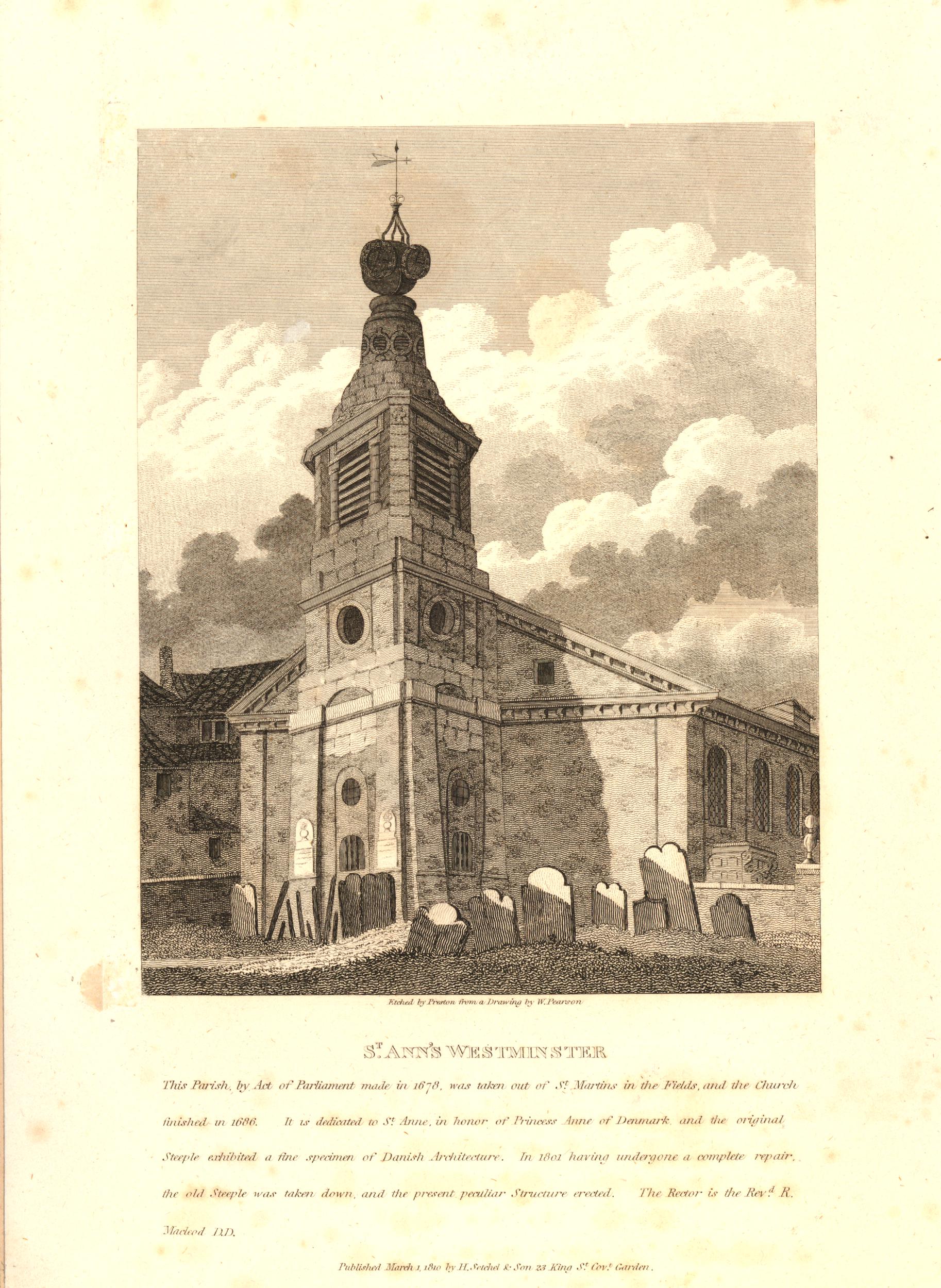
The church in 1810 (with the inclusion of Westminster in the name as it was within the parish):
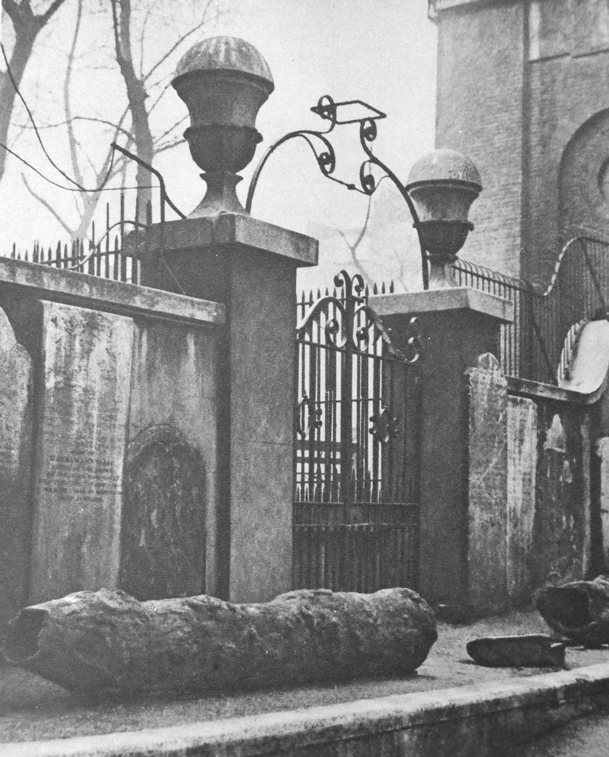
It is always easy to get distracted by the gravestones in the churchyard of an old London church, and St Anne’s is no exception. Although these are now separated from their original graves, they tell the story of some of the characters who were buried here:

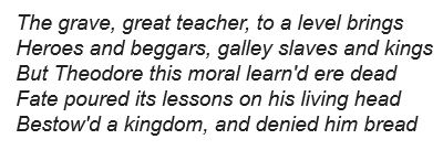
In the above photo, the stone on the upper right is to Theodore, King of Corsica:
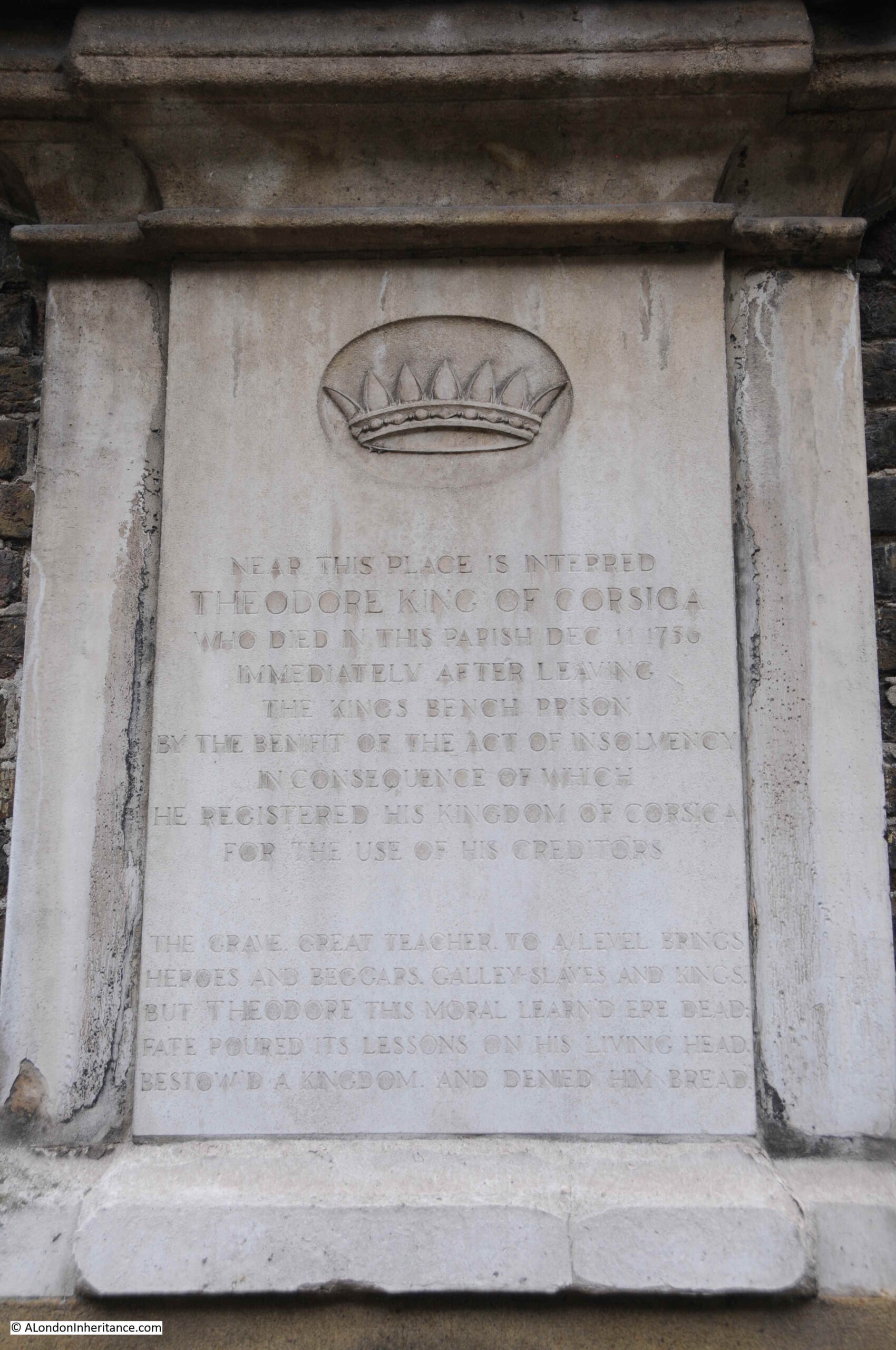
Theodore was born in Cologne, Germany in 1694, with the full name Theodor Stephan Freiherr von Neuhoff. He had a varied career, service with both the French and Swedish armies, negotiating on behalf of the Swedish king with England and Spain, and travelling widely.
It was whilst traveling in Italy that he became involved with rebels trying to free the island of Corsica from the rule of Genoa, one of the republics that made up Italy in the 18th century.
Theodore landed in Corsica in March 1736, and was made king of the island by the inhabitants. His rule did not last long. Disagreements within the rebels, and the Republic of Genoa putting a price on his head resulted in Theodore leaving the island in November of the same year.
He lived in the Netherlands for a while before moving to London, where he tried to get support for Corsica, and his role as king. He was not successful, had many money problems and ended up in the King’s Bench debtors prison.
Released in 1755 after declaring bankrupt, and registering his Kingdom of Corsica for the use of his creditors. He died the following year in 1756, and the gravestone includes the following text:
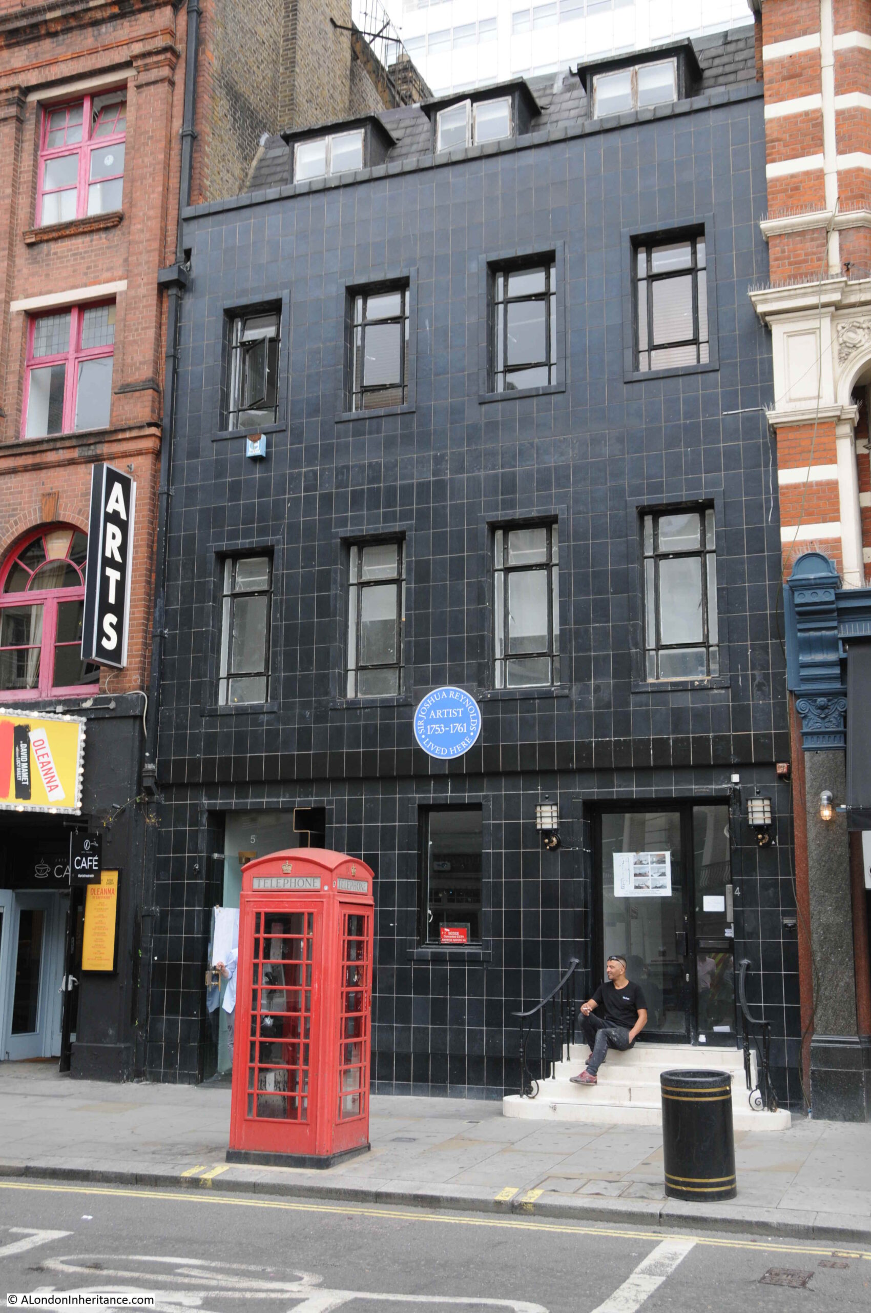
Another gravestone on the base of the tower is that of William Hazlitt, whose grave in the churchyard is marked by a recent memorial.
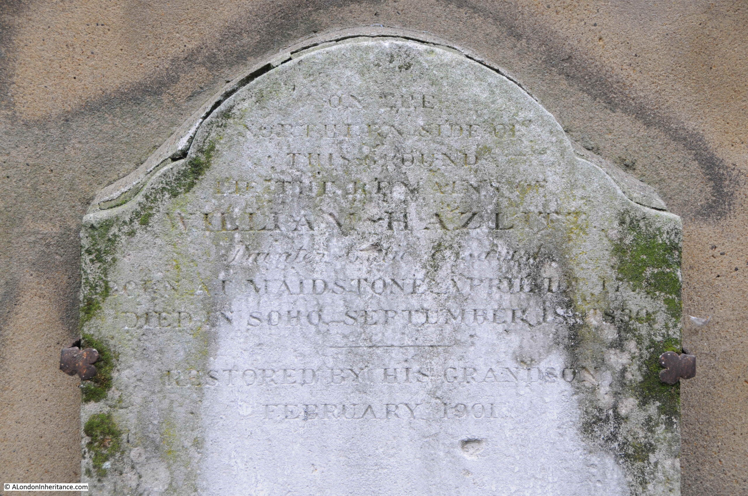
Hazlitt was one of the greatest English essayist’s of the late 18th and early 19th centuries, however he lived his last years in relative obscurity, partly in a flat in Frith Street which explains why he was buried in St Anne’s.
A report in The Atlas (A General Newspaper and Journal of Literature) on the 26th September 1830 finishes with a sentence that will probably ring true with the majority of authors:
“On Thursday last the body of William Hazlitt was borne beneath our windows; till that moment we were not aware that a man of genius, a popular writer – the author of no less that able a work than the life of Napoleon, which alas closed his literary labours – and an amiable man, had been our next door neighbour for months, enduring sickness and at length dying in indigence. We boast of our national generosity, glory on the flourishing state of our literature, and thunder forth the power of the press, the palladium of our liberties; in the meanwhile ‘the spirit of life’ is allowed to burn itself out in penury and privation. Publishers sport their carriages, or fail for a hundred thousand pounds; and those by whom they become publishers die for want of a dinner.”
So that covers a brief looks at the New River Company and their elm pipes, as well as St Anne’s, Soho. The caption to the photo has the following final sentence:
“Shaftesbury Avenue was opened February 26, 1887, and the excavations laid these old pipes bare.”
Which implies that the elm pipes were uncovered during the work to create Shaftesbury Avenue, so the creation of this famous West End street is what I wanted to explore next.
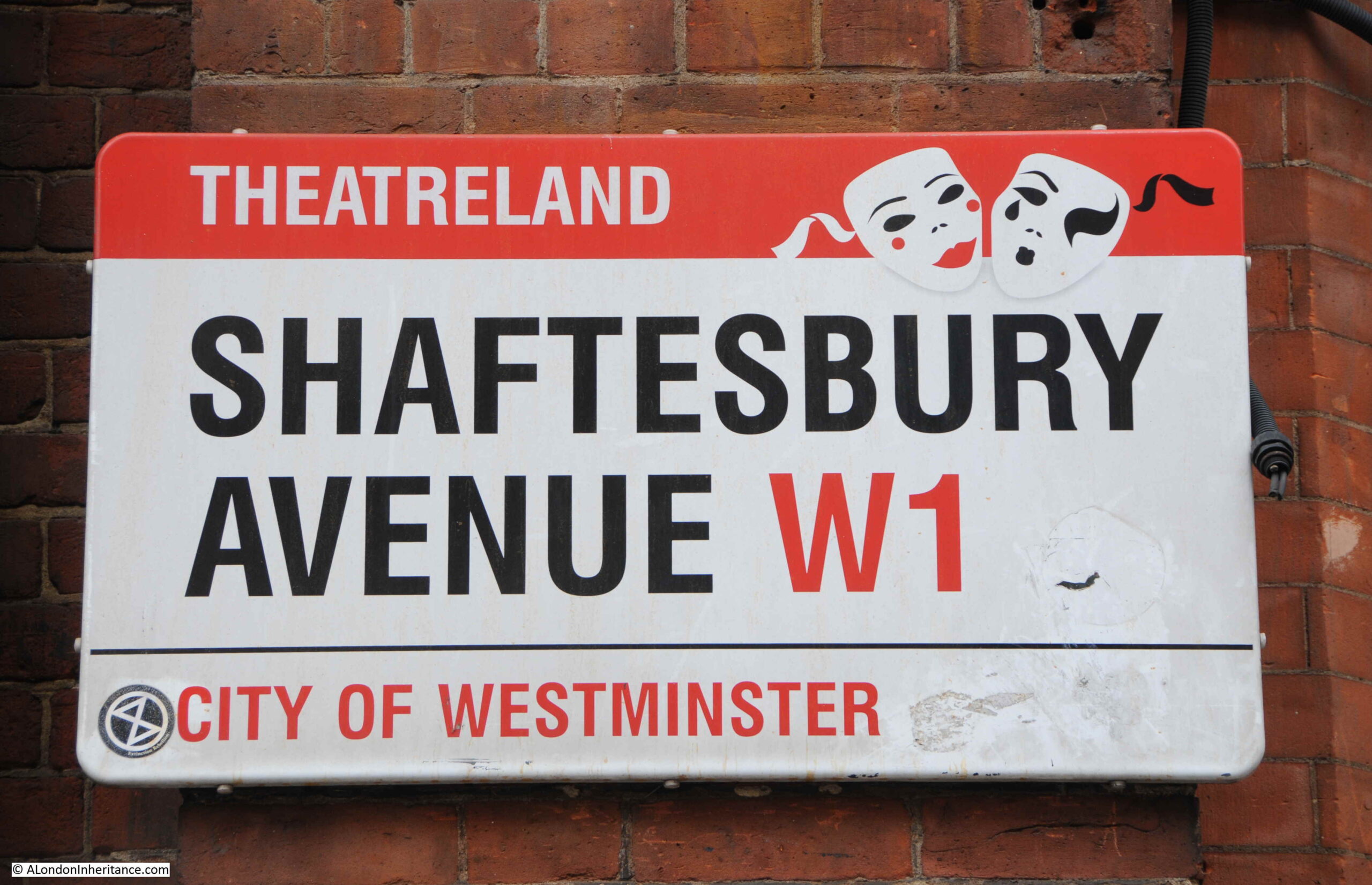
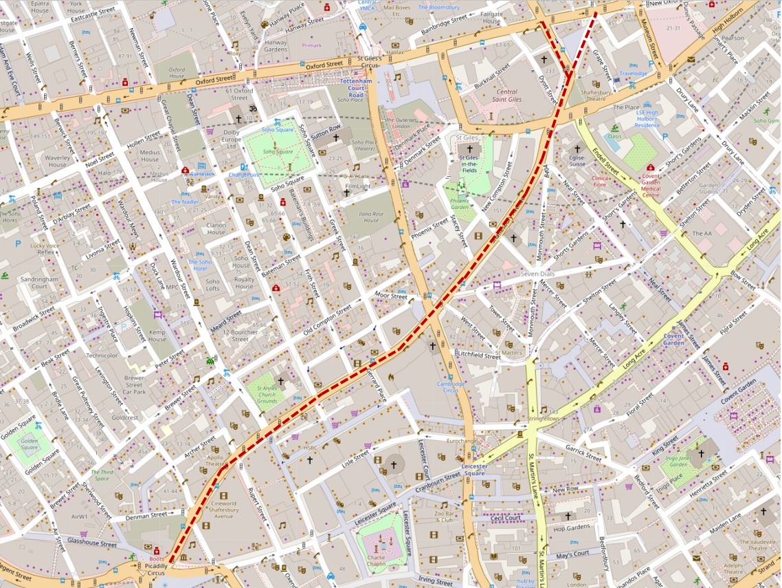
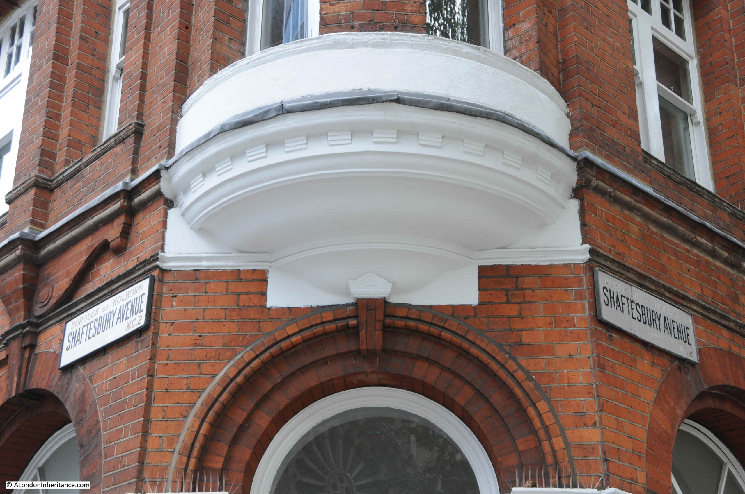
Shaftesbury Avenue is a long street that runs from New Oxford Street in the north down to Piccadilly Circus in the south. The street crosses Charing Cross Road, and it is the lower half that is probably best known as this is where the majority of the street’s theatres are located. As the street sign above confirms, Shaftesbury Avenue is in the heart of London’s theatre land.
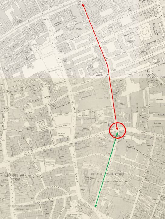
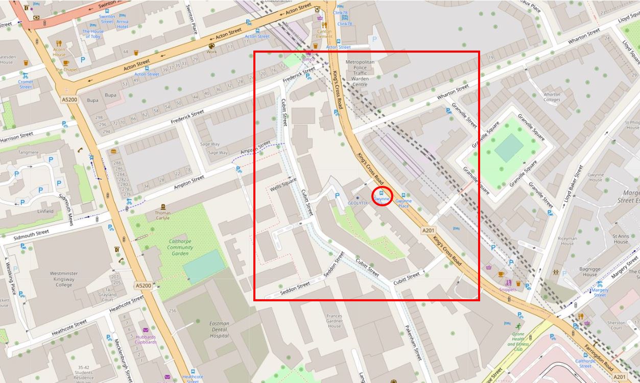
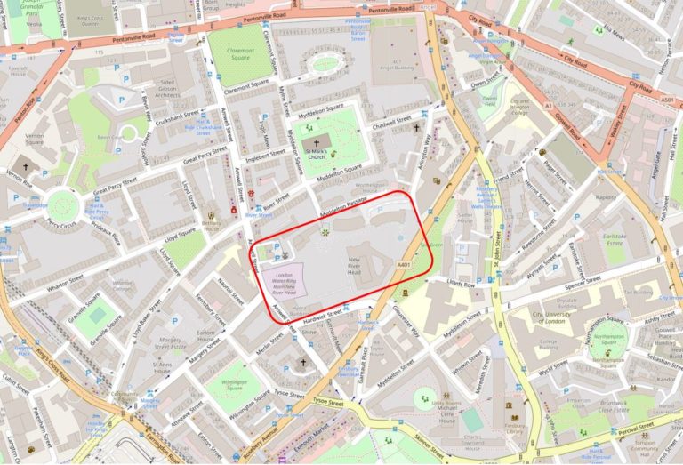
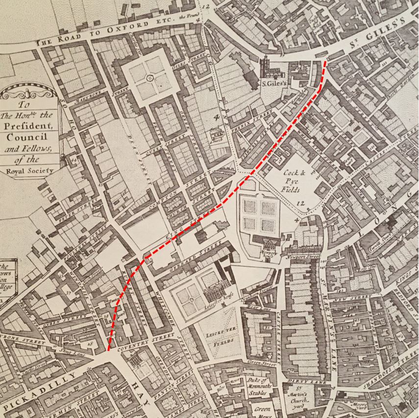
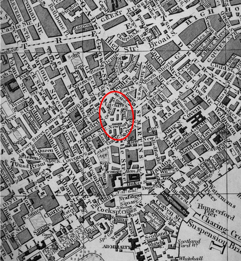
In the following map, I have marked the route of Shaftesbury Avenue with a a red dashed line (Map © OpenStreetMap contributors).
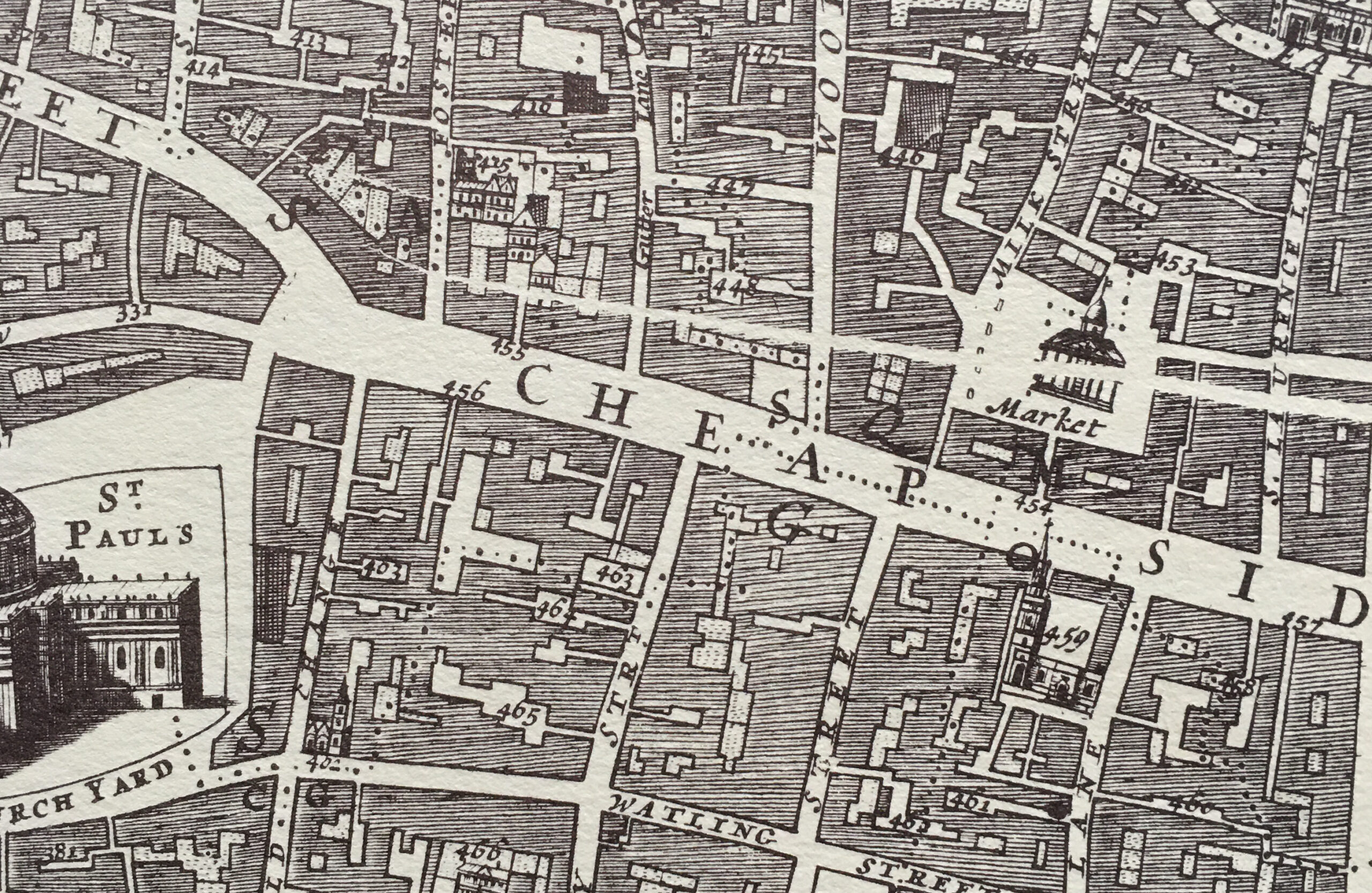
Shaftesbury Avenue cut through a series of streets and buildings that had existed from the time of London’s expansion westwards. The following map is from William Morgan’s 1682 map of London, again the red dashed line marks the future route of Shaftesbury Avenue.
During the second half of the 19th century there were a number of building schemes that carved new roads through what been been dense networks of streets and buildings. I have already written about Roseberry Avenue which was built between 1887 and 1892, and Charing Cross Road which was officially opened on the Saturday 26th February 1887.
Shaftesbury Avenue was part of the same scheme that included Charing Cross Road.
Proposals for roads improvements along the lines of Charing Cross Road and Shaftesbury Avenue dated back to the 1830s, when a Select Committee of the House of Commons stated that “several plans for affording greater convenience of intercourse between the southern and northern divisions of the metropolis” were considered due to increasing traffic flow and the need to provide much more direct and convenient links between locations such as the eastern end of Oxford Street, Charing Cross and Piccadilly Circus.
Nothing would come of these early proposals, and by the 1870s the situation was becoming more critical, with traffic added to by the arrival of railway stations to the north of the city and those along the river such as Charing Cross.
The Metropolitan Board of Works applied to parliament for permission to improve the streets between Oxford Street, Charing Cross and Piccadilly, and they were granted the powers to construct these streets through the Metropolitan Street Improvements Act of 1877.
Details of these improvements, along with so many others throughout London were published by the London County Council in a wonderful book published in 1898 called “History of London Street Improvements, 1855 – 1897”.
The book includes some detail on the Shaftesbury Avenue development, including the following two maps which detail the route. I have added a yellow line to highlight the route. The first map covers from Piccadilly Circus at lower left to just to the north west of Seven Dials at top right.
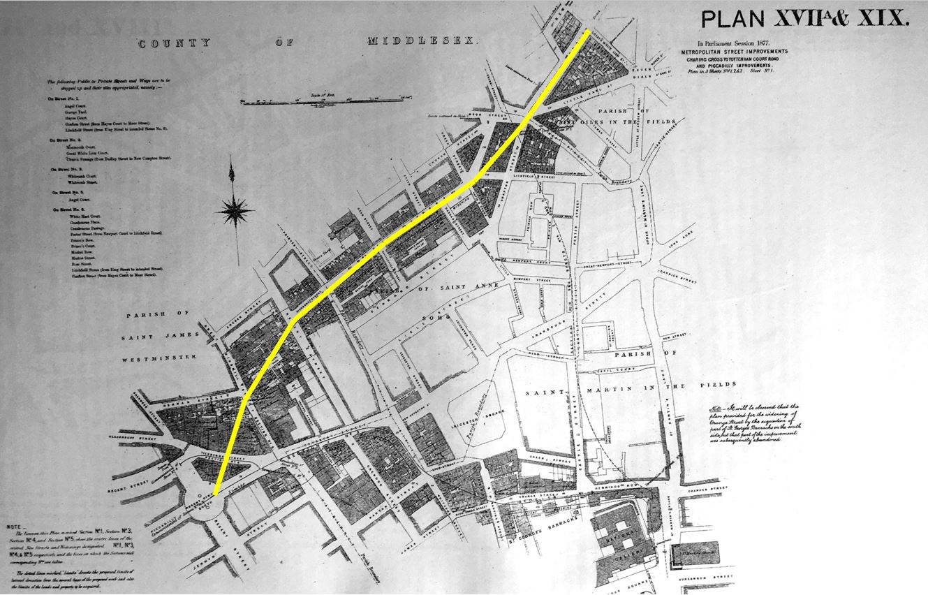
The following map includes a short overlap and covers the north eastern section of the street from Greek Street (top left) to New Oxford Street at lower right.

The route of Shaftesbury Avenue would take over and widen a number of existing streets and would run through a number of housing blocks.
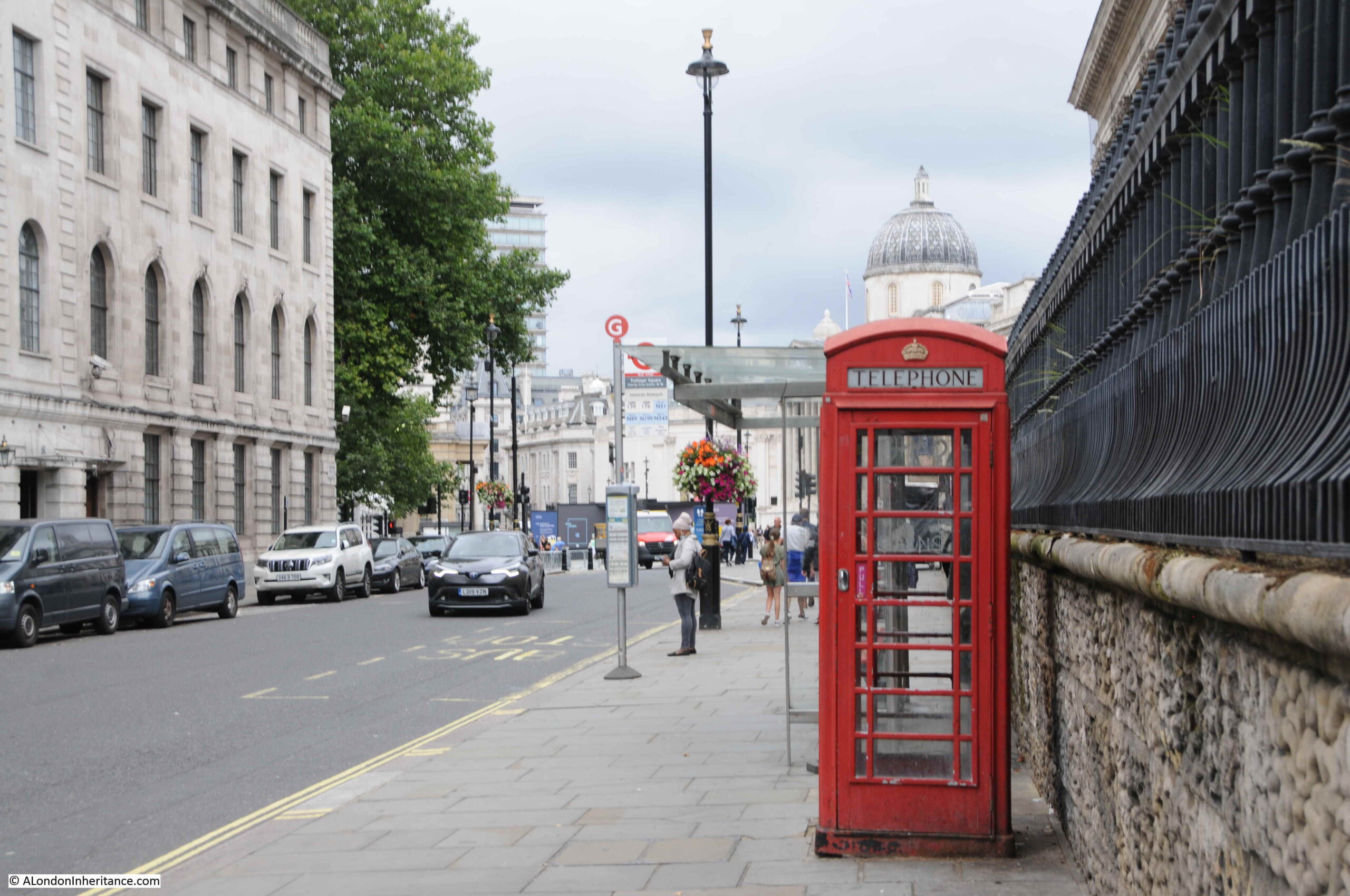
At the southern end of the route, Shaftesbury Avenue opens out onto Piccadilly Circus which is a major junction with Regent Street, Piccadilly, Regent Street St James, and Coventry Street.
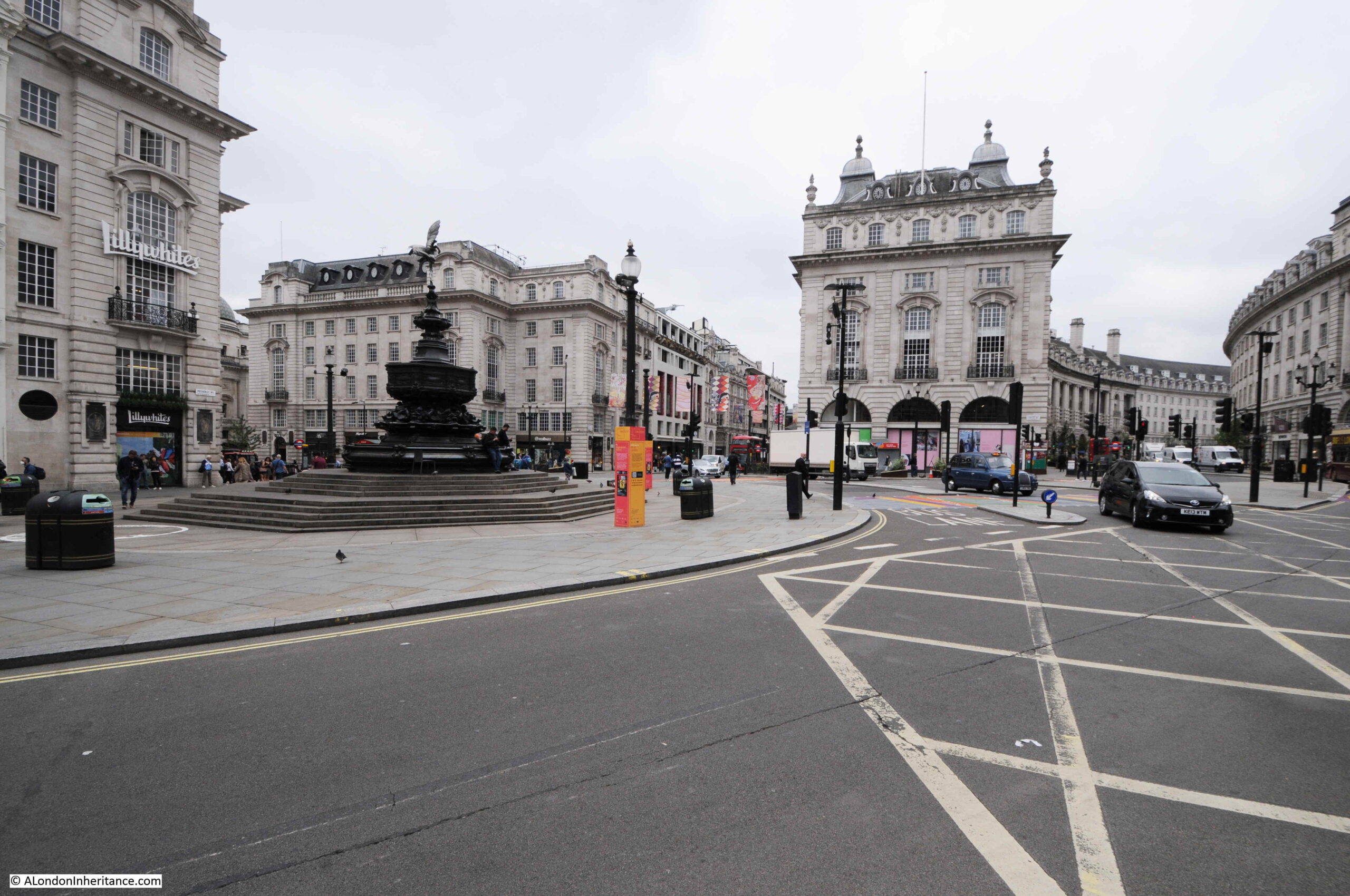
The view along Shaftesbury Avenue from the junction with Piccadilly Circus:
The 1877 Act imposed some difficult conditions on the Metropolitan Board of Works. Previous acts had allowed development to take place with conditions for the rehousing of the “labouring classes” who would be displaced, however the new Act stated that the Metropolitan Board of Works was “forbidden to take, without the consent of the Secretary of State, 15 or more houses occupied wholly or partially by persons of the labouring classes, until the Board had proved to the satisfaction of the Secretary of State that other accommodation in suitable dwellings had been provided”.
The new street would pass through some of the most densely populated parts of London, requiring the rehousing of hundreds of people, so this was a difficult condition for the Board.
The Metropolitan Board of Works tried through the following years to get the condition regarding 15 or more houses either removed or modified, however Parliament refused to change the original Act.
Whilst the Board had been trying to get the Act changed, it had also acquired the land of the old Newport Market and had been building large blocks of working class dwellings ready for those who would be displaced by the development of Charing Cross Road and Shaftesbury Avenue.
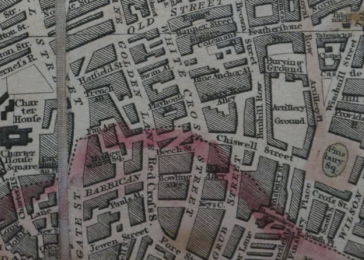
Newport Market was an area just to the south of the route of Shaftesbury Avenue. I have ringed the location in the following extract from Reynolds’s 1847 “Splendid New Map of London”:
The projects to build Charing Cross Road and Shaftesbury Avenue would eventually displace a total of 3,044 people, described of being of the “labouring classes”.
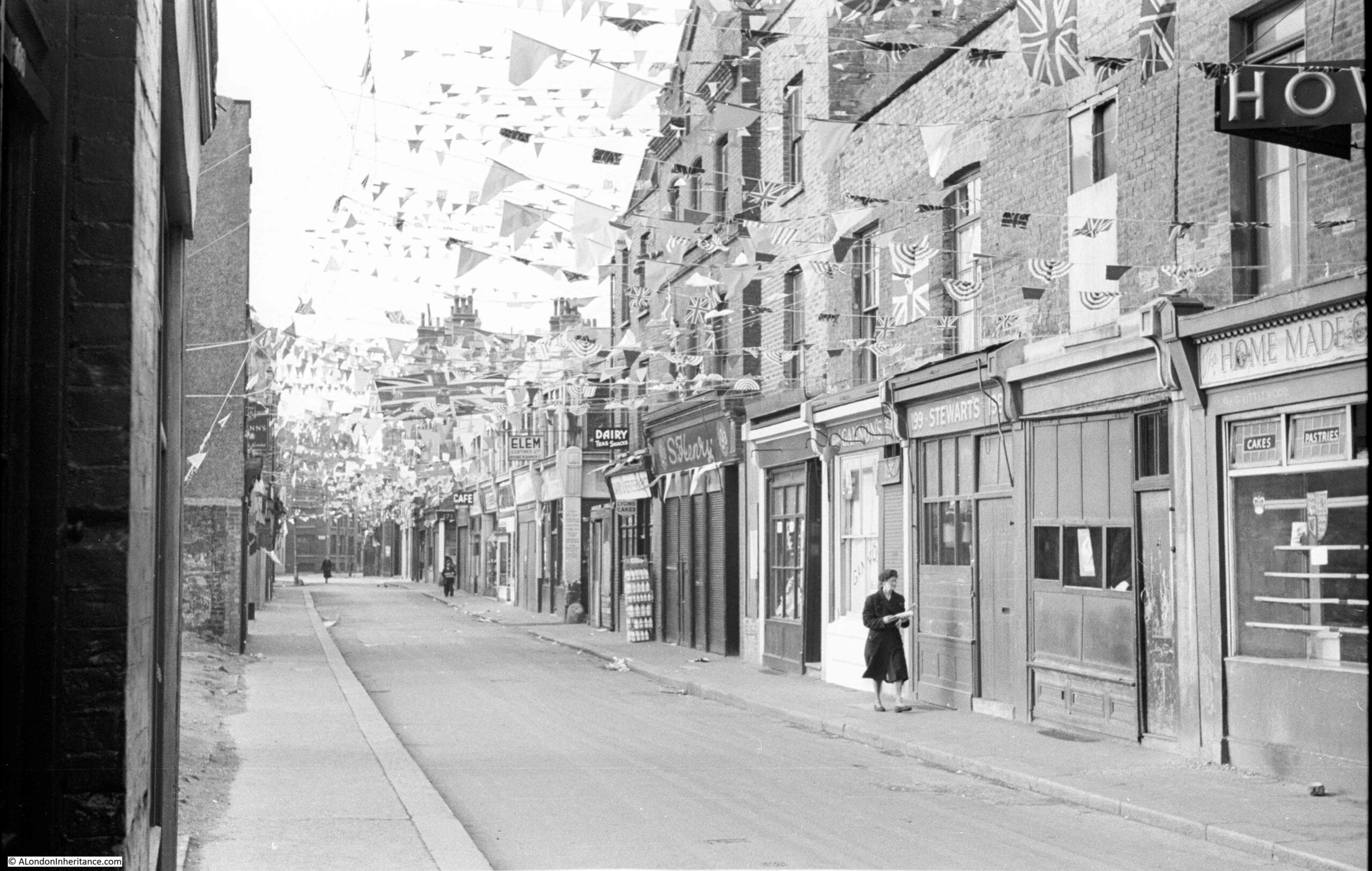
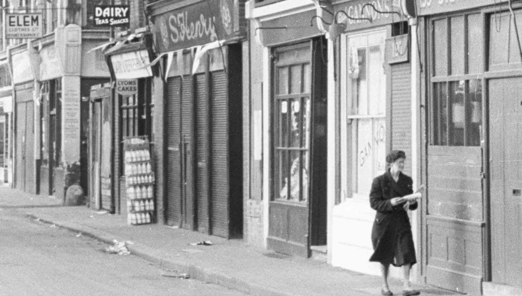
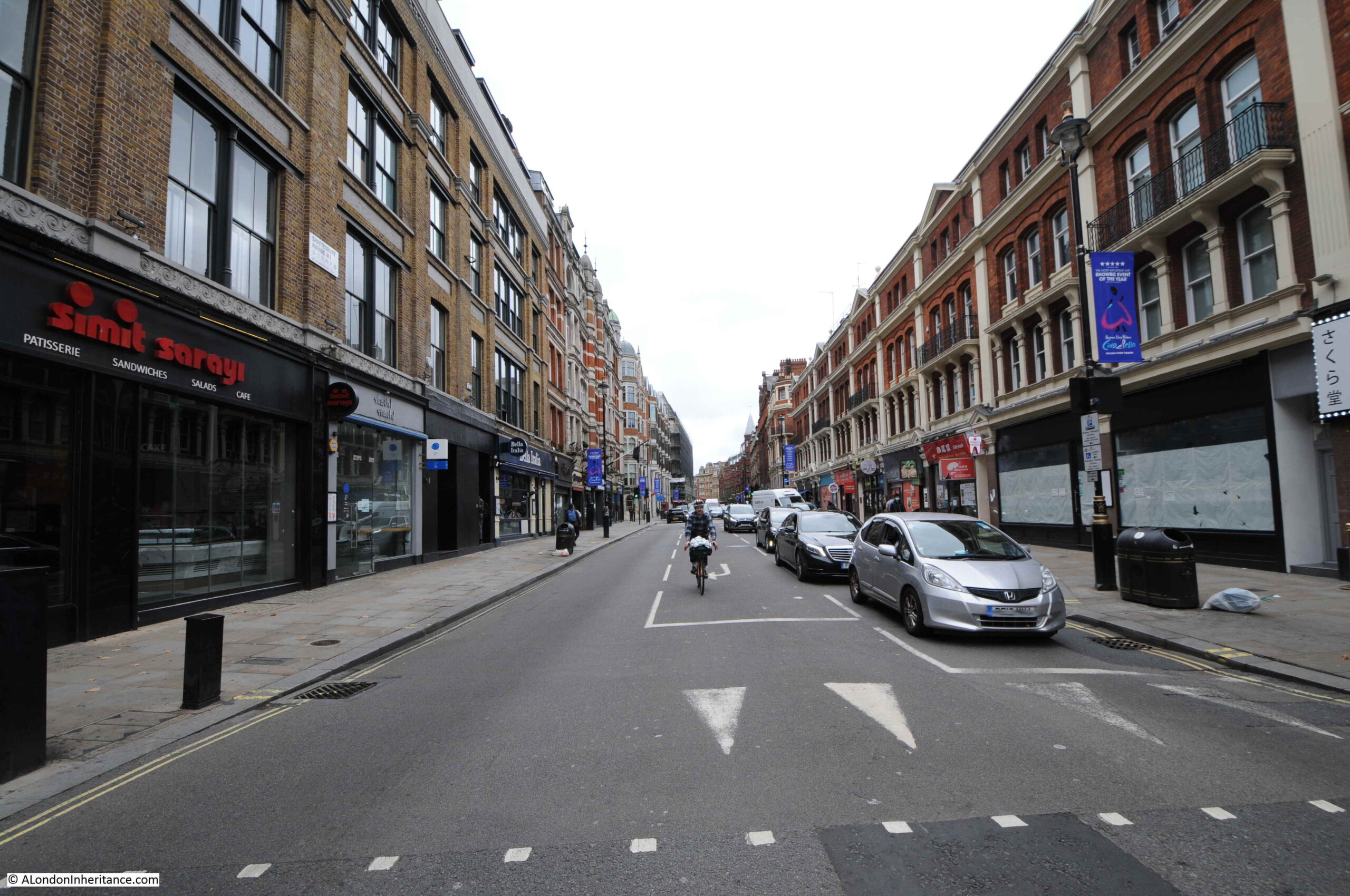
Starting to walk north along Shaftesbury Avenue. This stretch of the new road ran through areas of dense housing:
The Metropolitan Board of Works purchased the land for the new street. They tried to keep their purchases to a minimum as the costs were taken from the Rates.
In an example of how the ownership of land always was, and in many ways, continues to be a source of profit, without many of the associated costs, it was complained at the time that whilst the cost of improvements were recovered through the Rates, these were generally paid by the tenants of properties, not by the owner, although in developments such as Shaftesbury Avenue, the owner of land close to the new street would benefit by the increase in the value of his land due to the improvements to the area such a development would bring.
Very similar in the way that Crossrail increases the value of land around new stations.
Land purchased for the new road, often included land running along side. The Board was expected to sell excess land alongside the road to recover part of the construction costs.
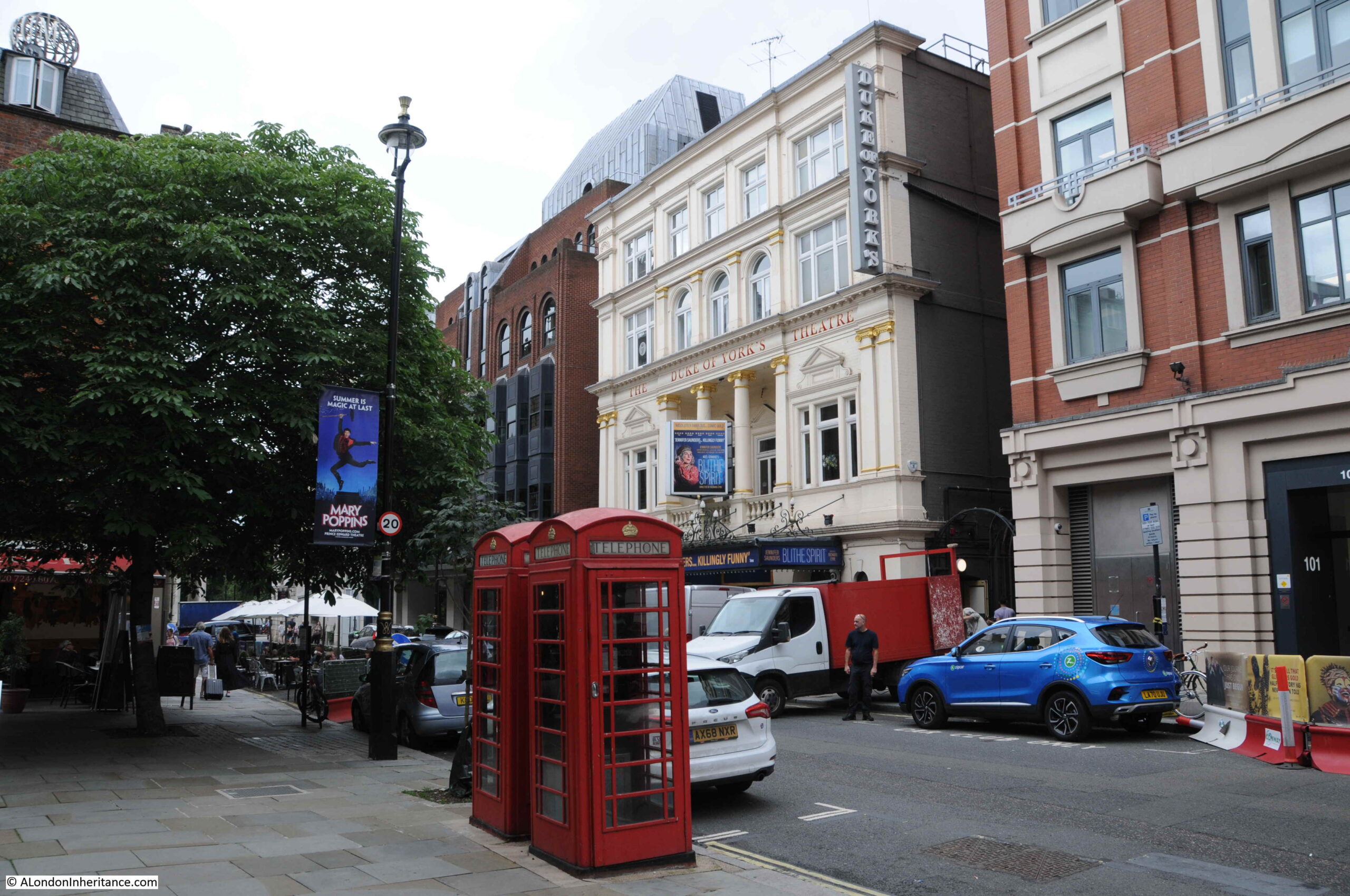
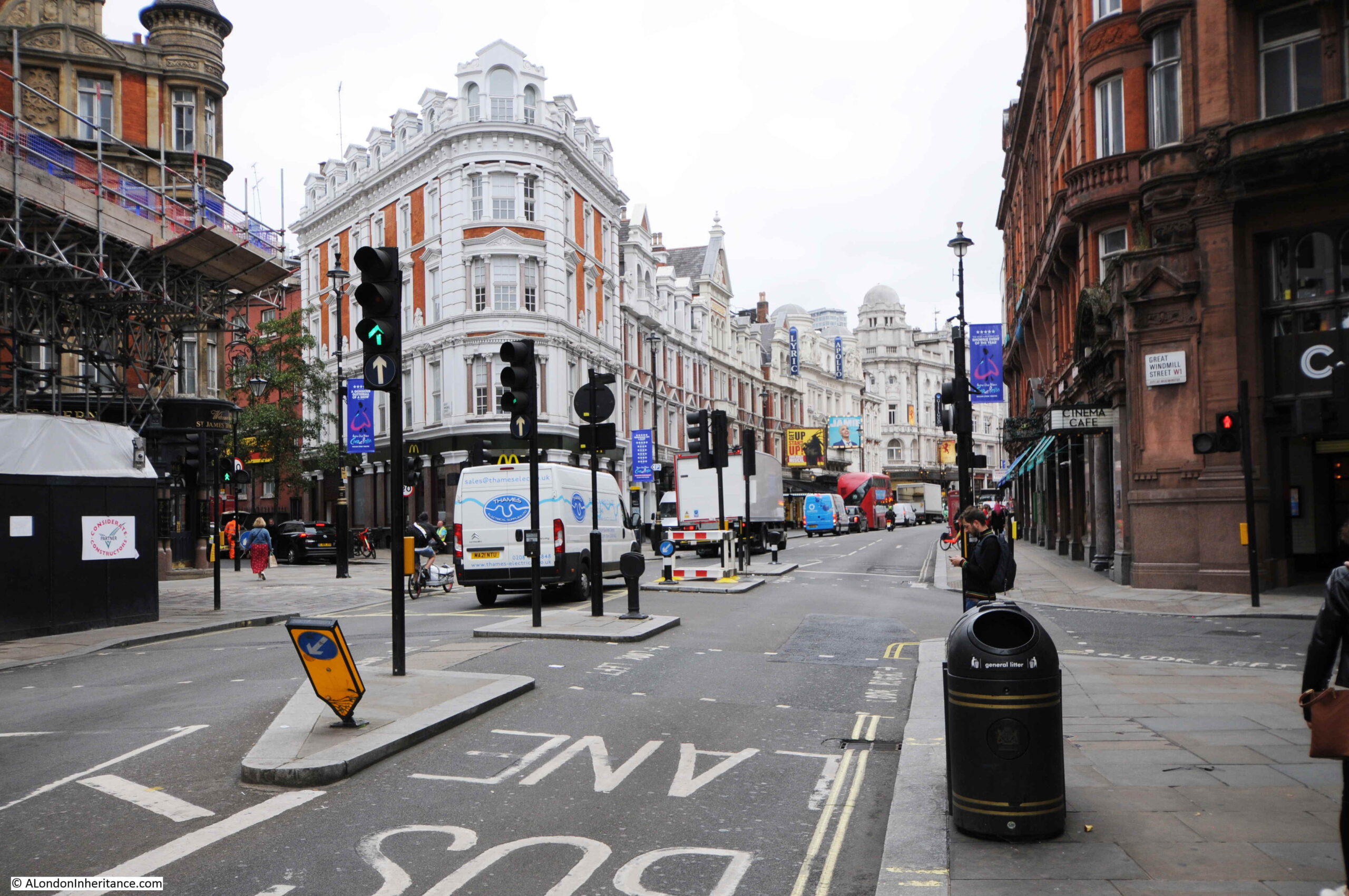
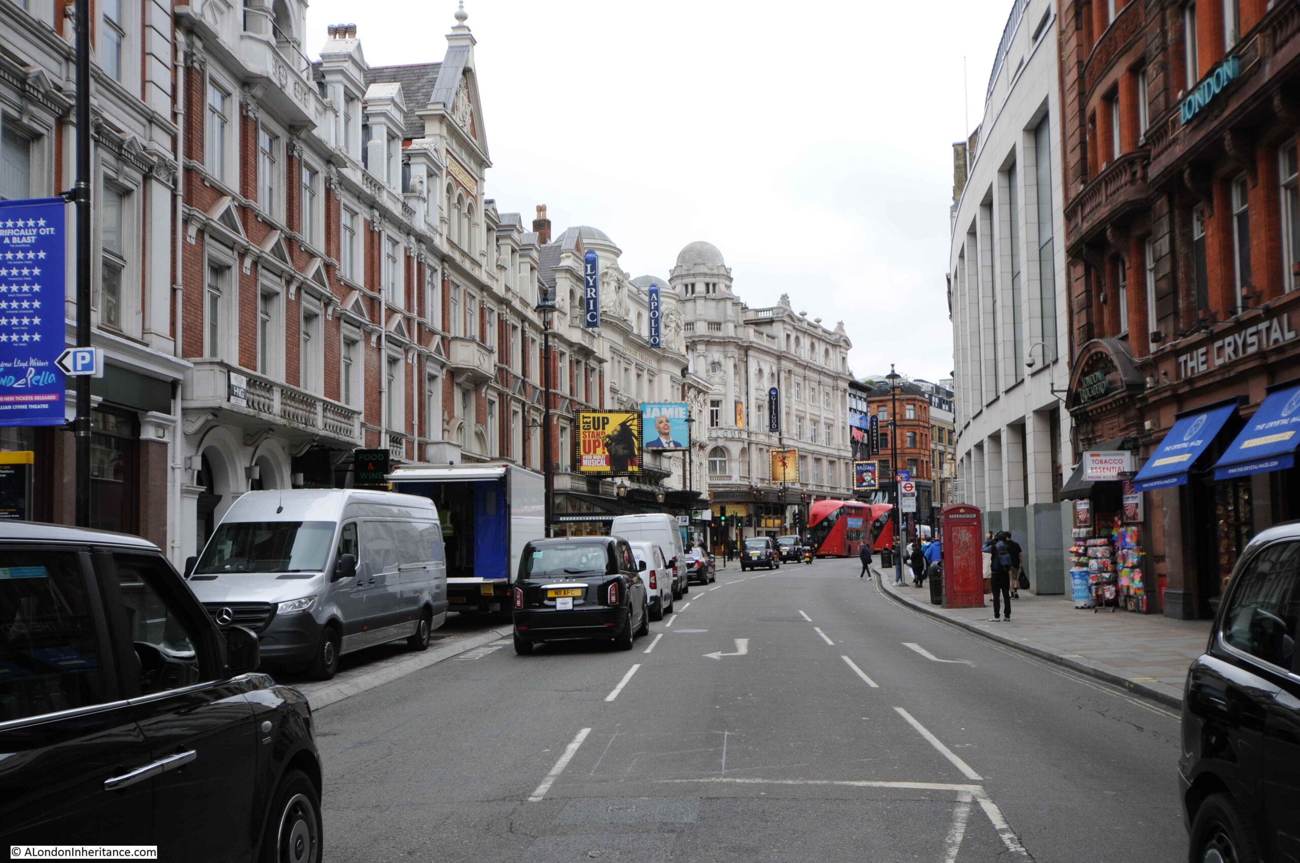
Completion of Shaftesbury Avenue would result in an explosion of building along the new route, which included many of the theatres that today line the street.
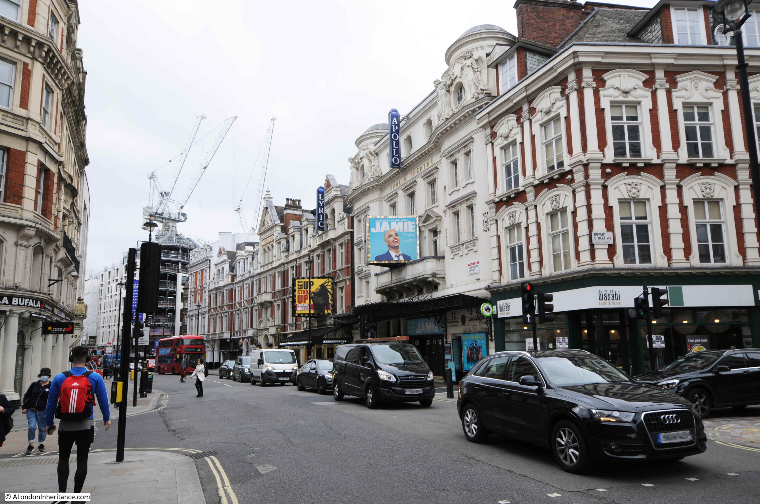
In the above photo, further from the camera on the right is the Lyric Theatre (1888) and with the “Jamie” advertising is the Apollo Theatre (1901).
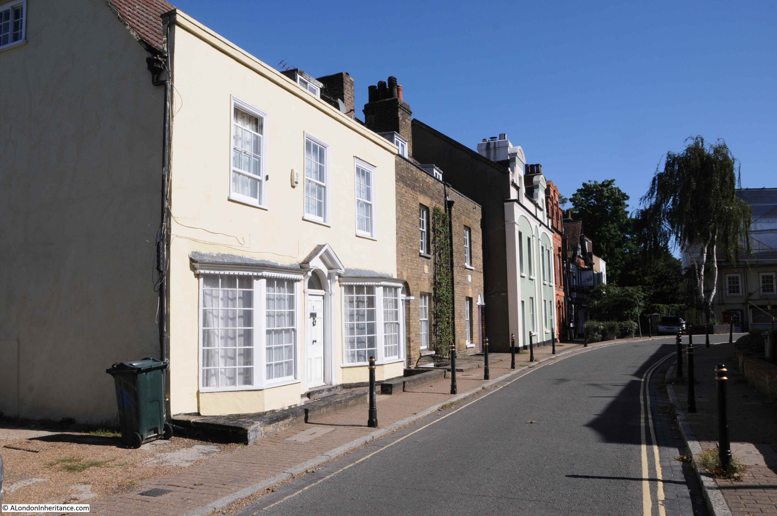
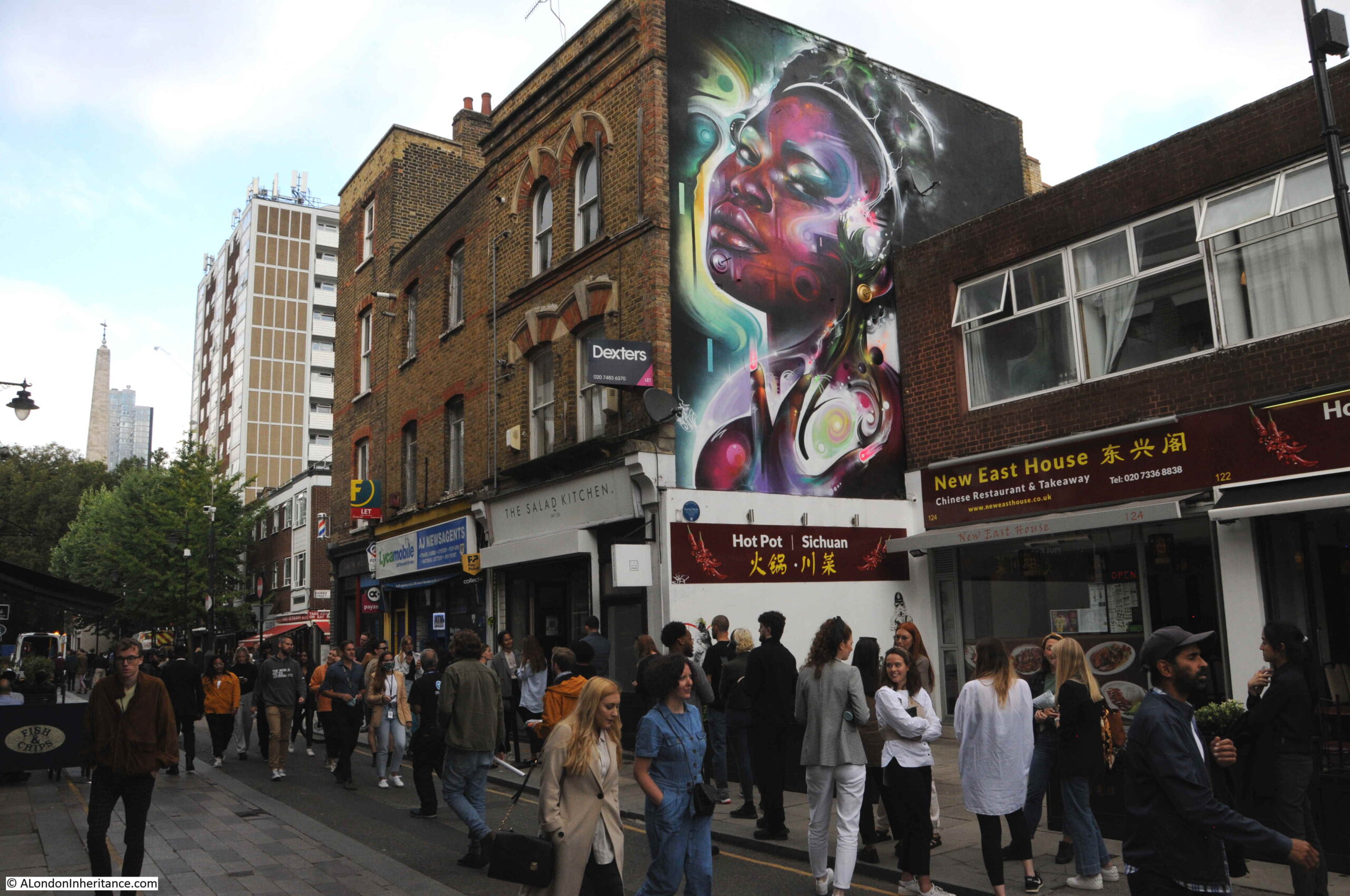
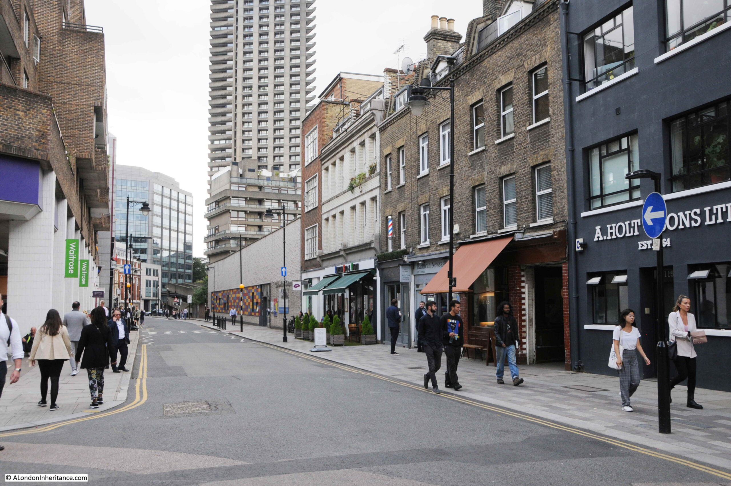
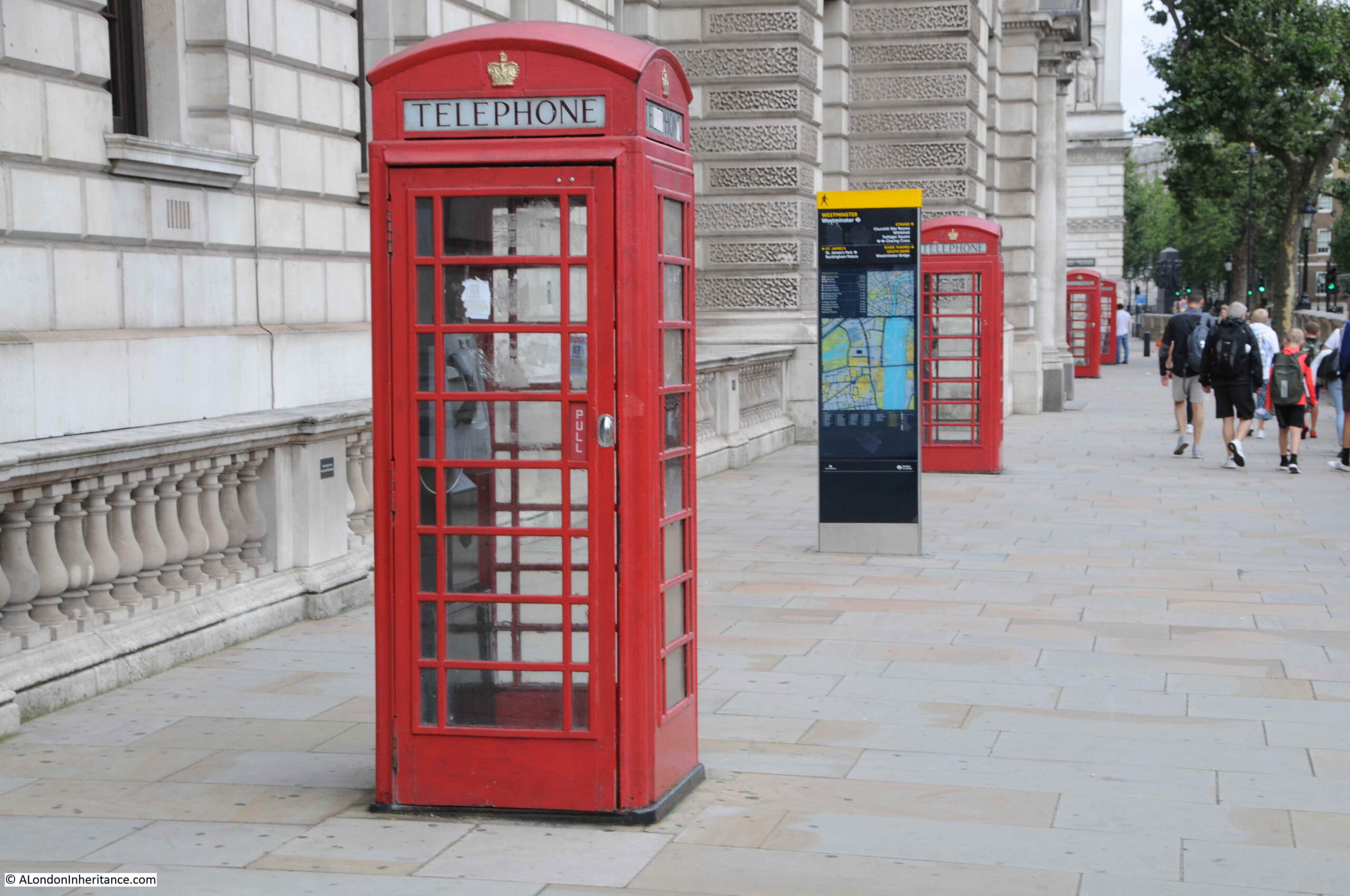
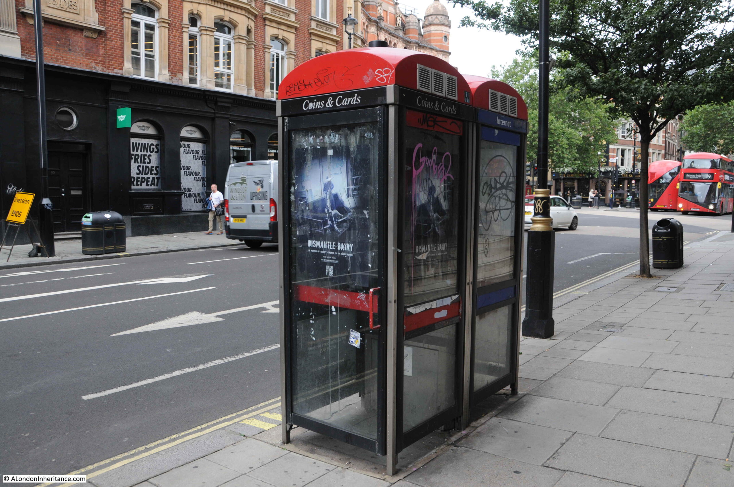
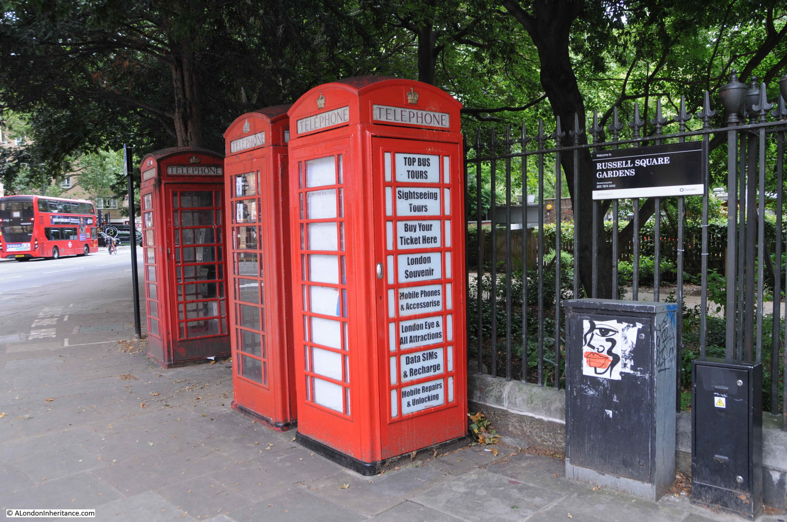
At the junction with Wardour Street. The church of St Anne’s, Soho is just up the street to the right.

Remarkable that as the original buildings and streets were being cleared ready for the construction of Shaftesbury Avenue that the 17th century elm pipes were being removed from the ground, and that in the 1880s these were fortunately considered important enough to photograph.
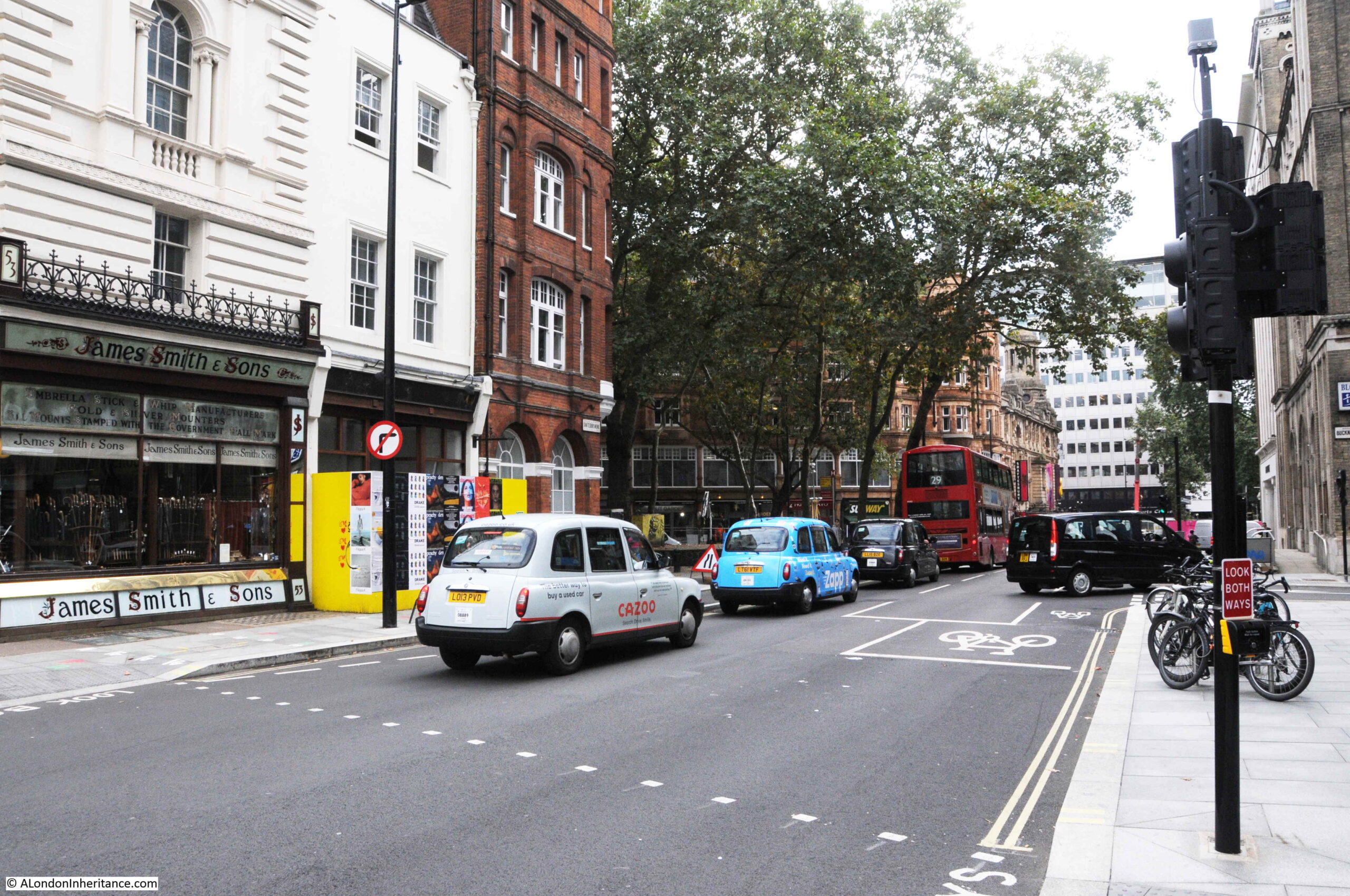
The following photo is looking north from the junction with Wardour Street, and is the stretch of Shaftesbury Avenue which was a much widened earlier King Street:
At the junction of Shaftesbury Avenue and Gerrard Place, there is a modern fire station:
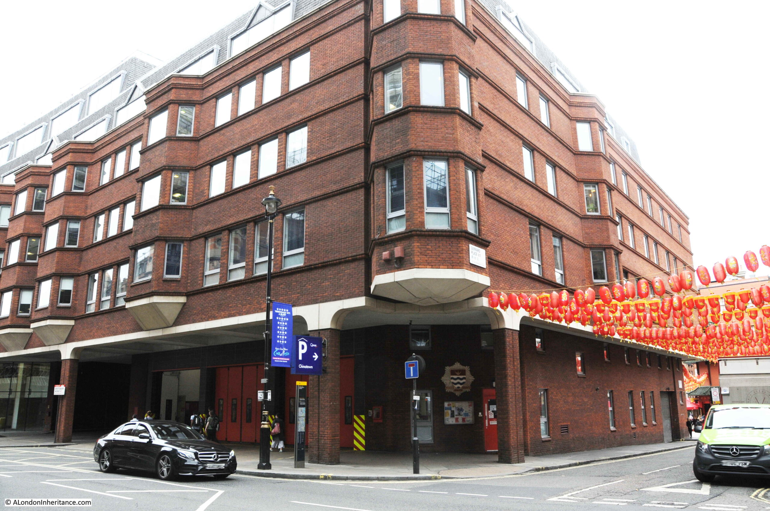
The site has been a fire station from the construction of the street. In 1886, the Metropolitan Board of Works leased the land to a private fire fighting organisation, the London Salvage Corps, with the first fire station being built the following year in 1887. In 1920 the site was acquired by the London County Council as a site for the London Fire Brigade.
Looking south from outside the fire station:
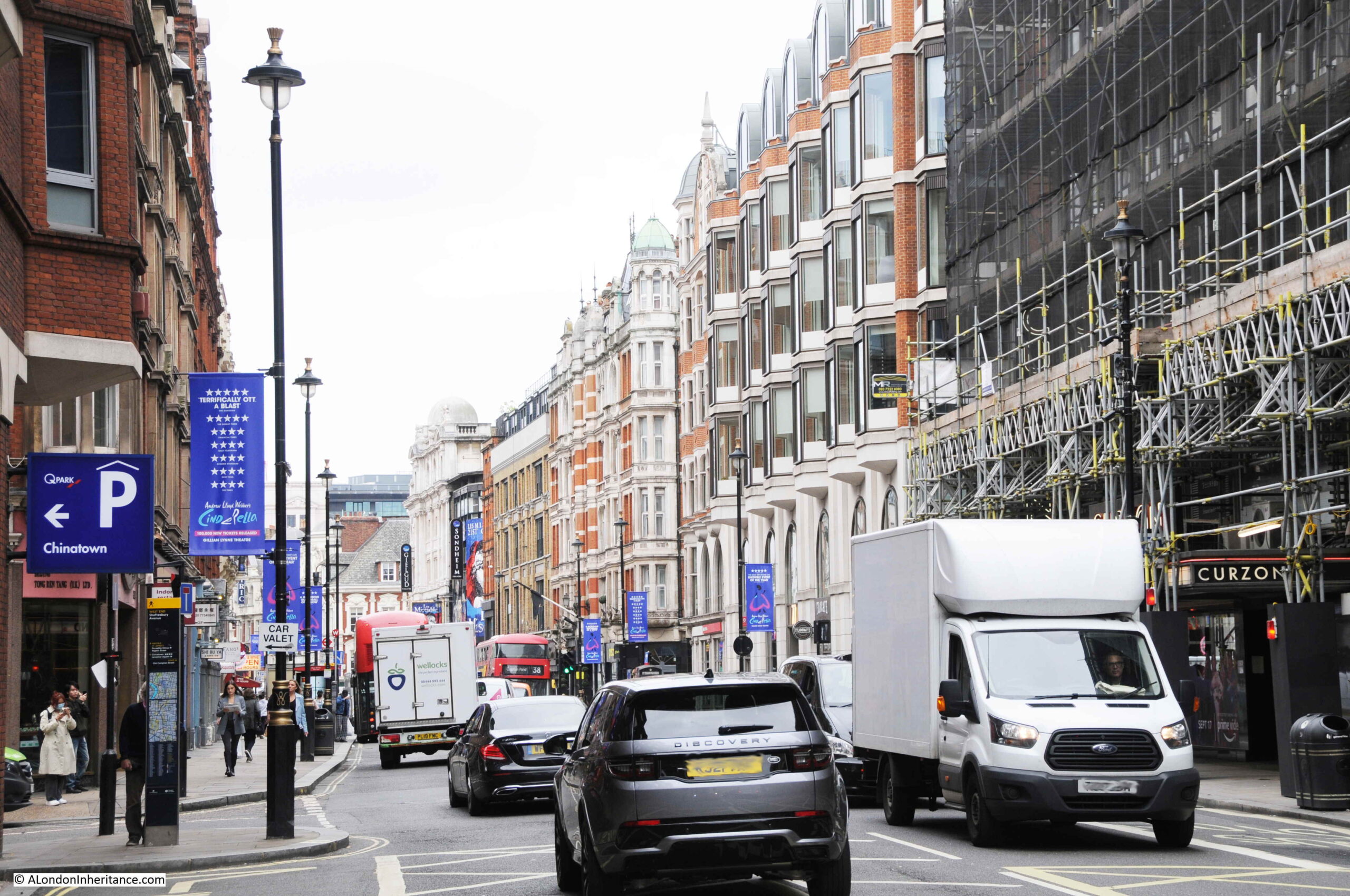
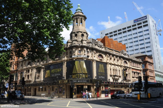
Turning north, and it is here that Shaftesbury Avenue crosses Charing Cross Road, which was also being developed at the same time:
At the junction of Shaftesbury Avenue and Charing Cross Road is the Palace Theatre:
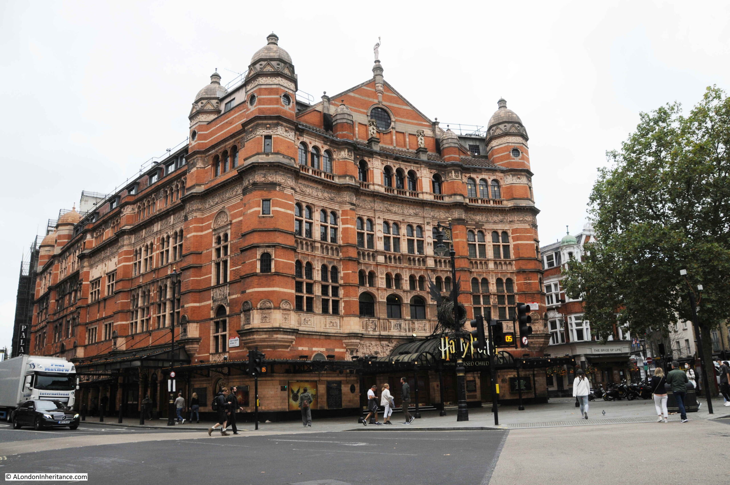
The Palace Theatre is a large, red brick building with a capacity for 1,400 theatre goers.
The theatre was opened in 1891 (soon after the completion of the two new streets) for Richard D’Oyly Carte who intended the theatre to be the home of English opera and on opening the theatre was known as the Royal English Opera House. The first production was Arthur Sullivan’s Ivanhoe, however when this closed there was no follow up production and the Royal English Opera House closed.
D’Oyly sold the building and in 1911 it opened as the Palace Theatre of Varieties, commencing a theme of musical productions which have run for most of the theatre’s time. With the emphasis on musicals rather than variety productions, the theatre dropped the last part of the name to become the Palace Theatre.
Today, the Palace Theatre is hosting probably one of the biggest productions in the West End for some years, J.K. Rowling’s “Harry Potter and the Cursed Child”.
Continuing north along Shaftesbury Avenue and on the corner with Mercer Street is the Soho Baptist Chapel:
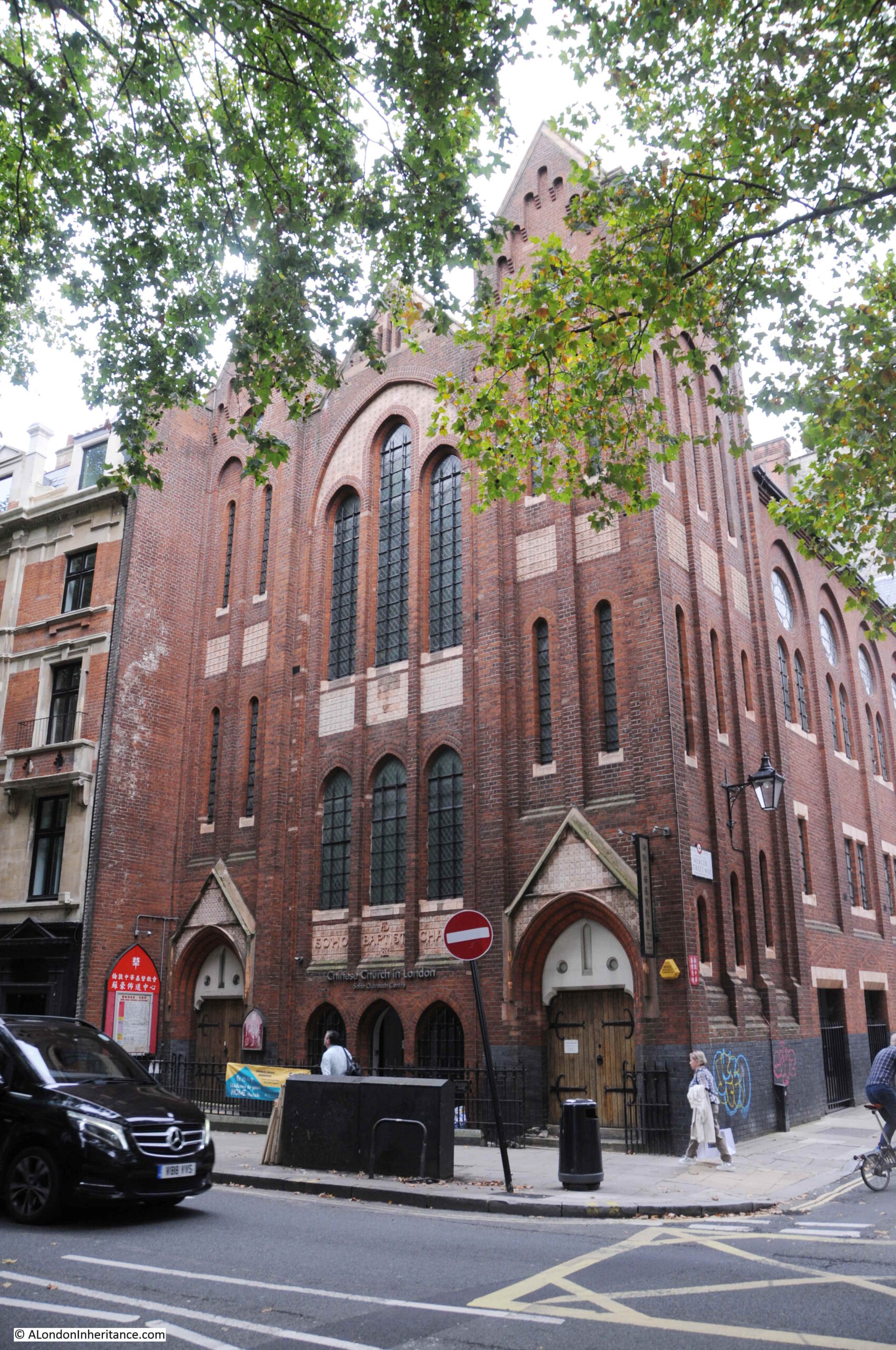
Built between 1887 and 1888 (the building work along the street in the few years after completion must have been considerable). The building is now the Chinese Church in London.
Further along is the Shaftesbury Avenue Odeon:
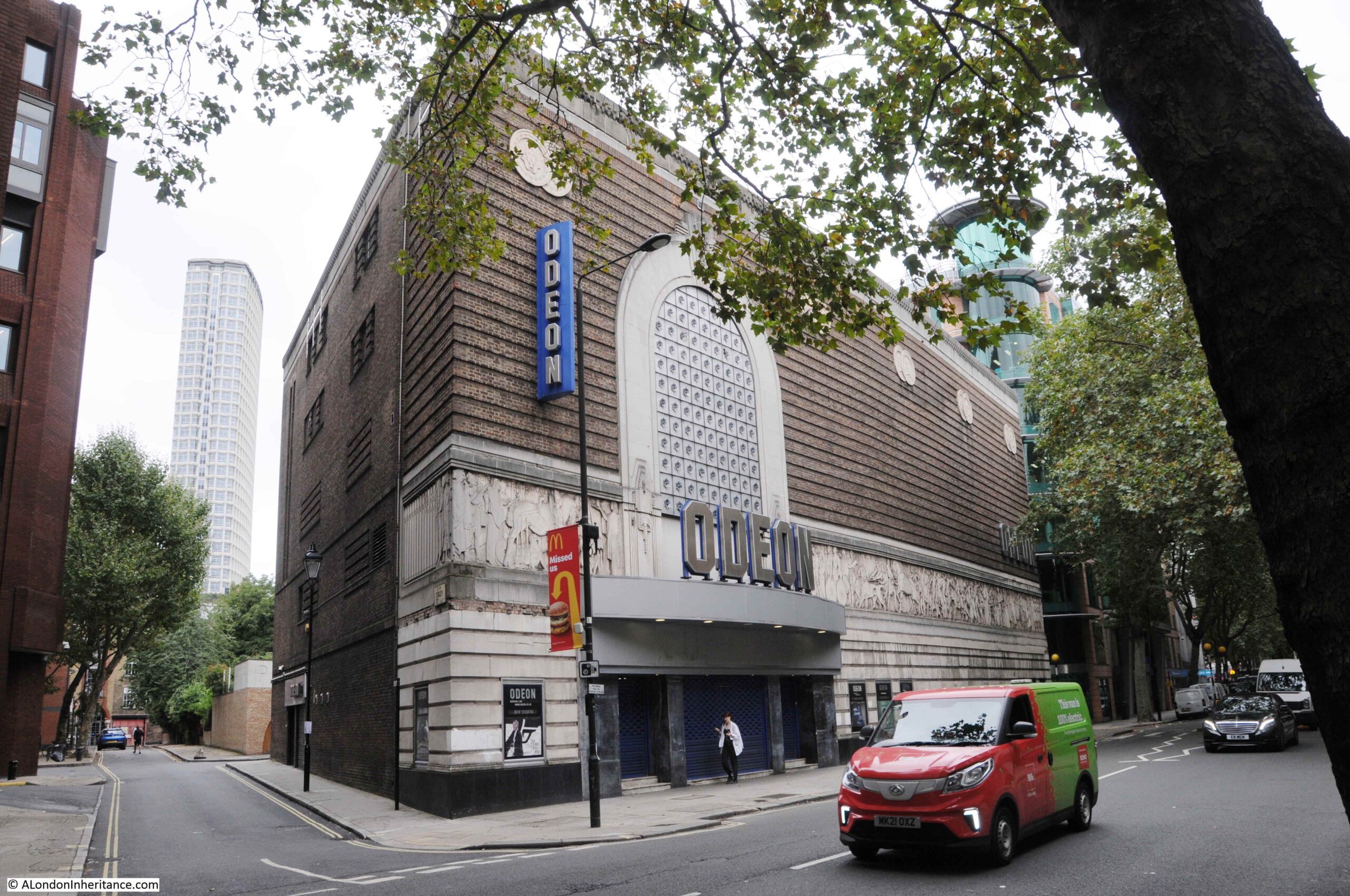
The facade is not what you would typically associate with a cinema and gives away the building’s original function. This building was originally the Saville Theatre.
The Saville Theatre opened in 1931 and according to an introduction to the theatre in one of the early theatre programmes was “built by Messrs Gee, Walker and Slater of 32, St. James’s Street, SW1 from plans of the Architects, Messrs T.P. Bennett and Son, of 41 Bedford Row, WC1 who were also responsible for the whole colour scheme, lighting, furnishing etc.”
The exterior of the building looks much the same today as when it first opened as the Saville Theatre, apart from the canopy over the entrance and the glass blocks that now replace the wrought iron windows in the enclosed area above the canopy.
Further along Shaftesbury Avenue is what was the “Hospital et Dispensaire Francais”, or the French Hospital:
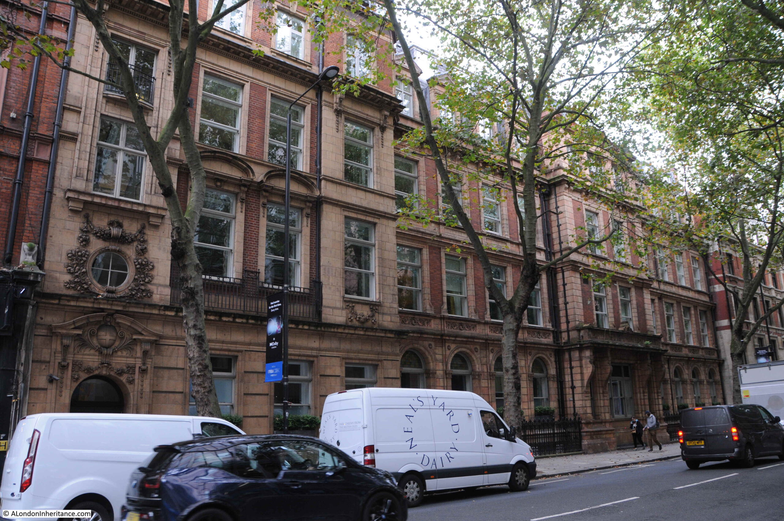
The French Hospital was originally at 10 Leicester Place where it had been opened in 1867 by Eugene Rimmel, for “the benefit of distressed foreigners of all nations requiring medical relief”.
The hospital quickly outgrew the original site, and the land adjacent to Shaftesbury Avenue was acquired from the Metropolitan Board of Works, with the new hospital building opening in 1890. A hospital would continue on the site until 1992.
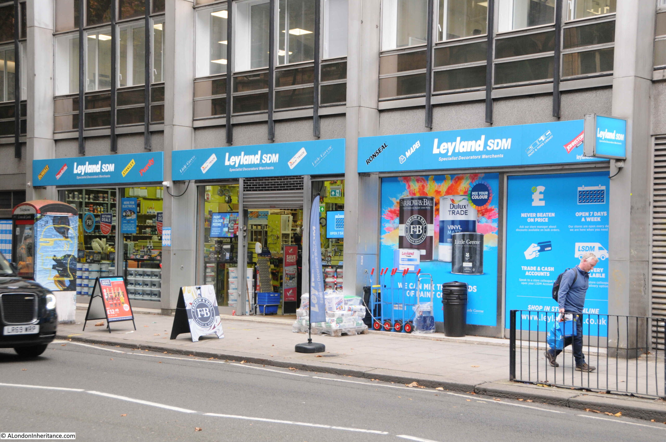
Towards the junction with St Giles High Street and High Holborn, Shaftesbury Avenue has left behind the theatres of the southern part of the street, and we find different types of shops, including a decorating / hardware store:
Forbidden Planet:

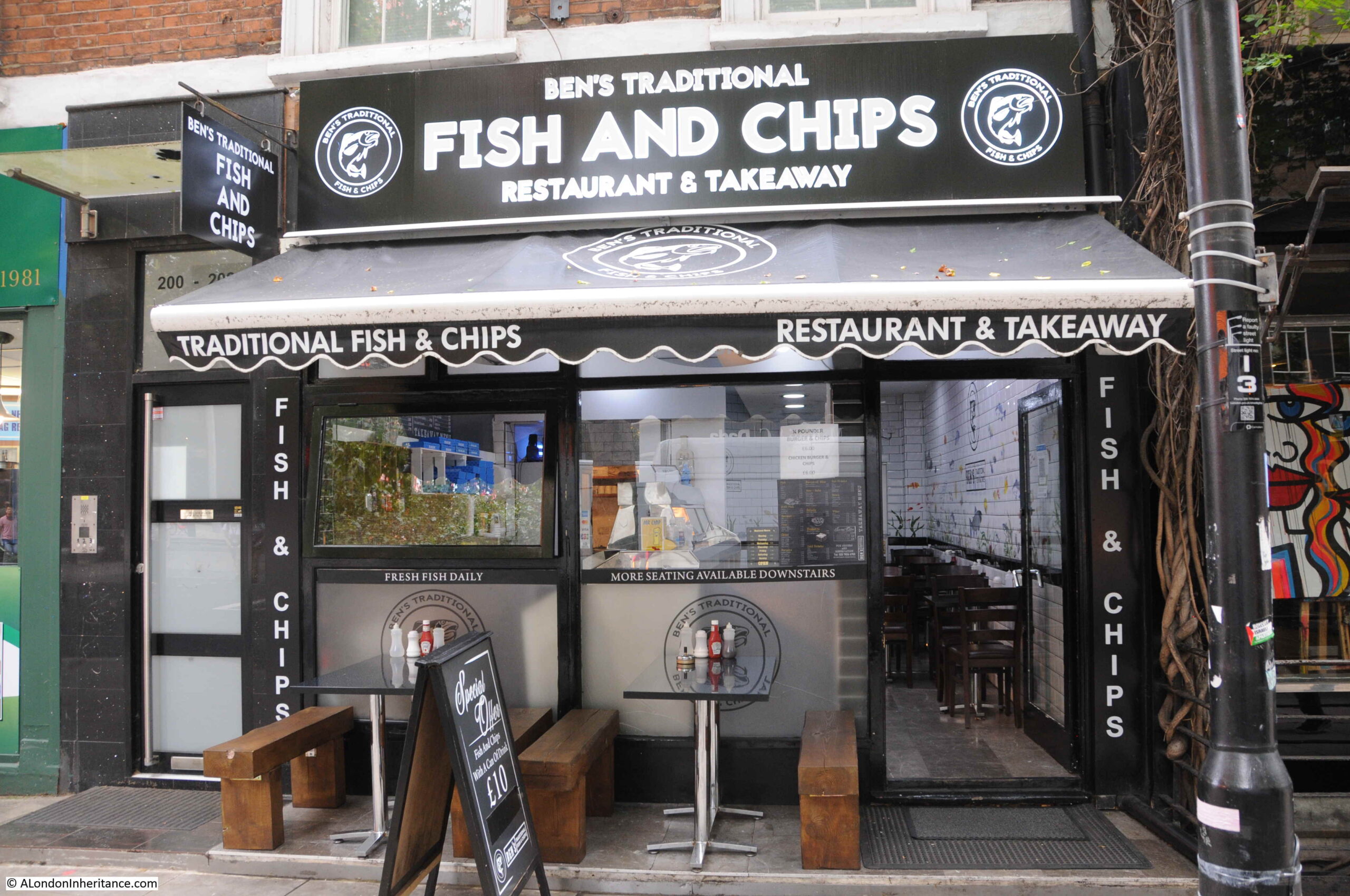
And Ben’s Traditional Fish and Chips:
This was also the site of the now closed Arthur Beale, ships chandler.
Looking north across the junction with St Giles High Street on the left and High Holborn on the right with Shaftesbury Avenue continuing north:

Although the majority of the street’s theatres are in the section of street between Charing Cross Road and Piccadilly Circus, there is another theatre on the corner of Shaftesbury Avenue and High Holborn – the Shaftesbury Theatre:
The Shaftesbury Theatre occupies a prominent corner location. Opened in 1911 it was originally called The Princes Theatre. For over a century the Shaftesbury Theatre has hosted musicals, plays and comedies and in 1968 the run of the musical Hair commenced in September, made possible by the ending of theatre censorship laws on the 26th September 1968 when after 231 years of theatre censorship, the Lord Chamberlain had his powers to censor plays removed.
Hair ran for almost 2,000 performances before it was forced to close owing to structural problems in the building that required urgent restoration work. During closure, there were attempts to redevelop the building, however it was saved as a theatre and reopened in 1974.
We are now coming into the final part of the street, where it joins New Oxford Street, however, there is a change to the original route.
in the following map, the yellow line indicates the route of Shaftesbury Avenue to New Oxford Street on the right, with the text “Termination of Street” showing where the new street would end.
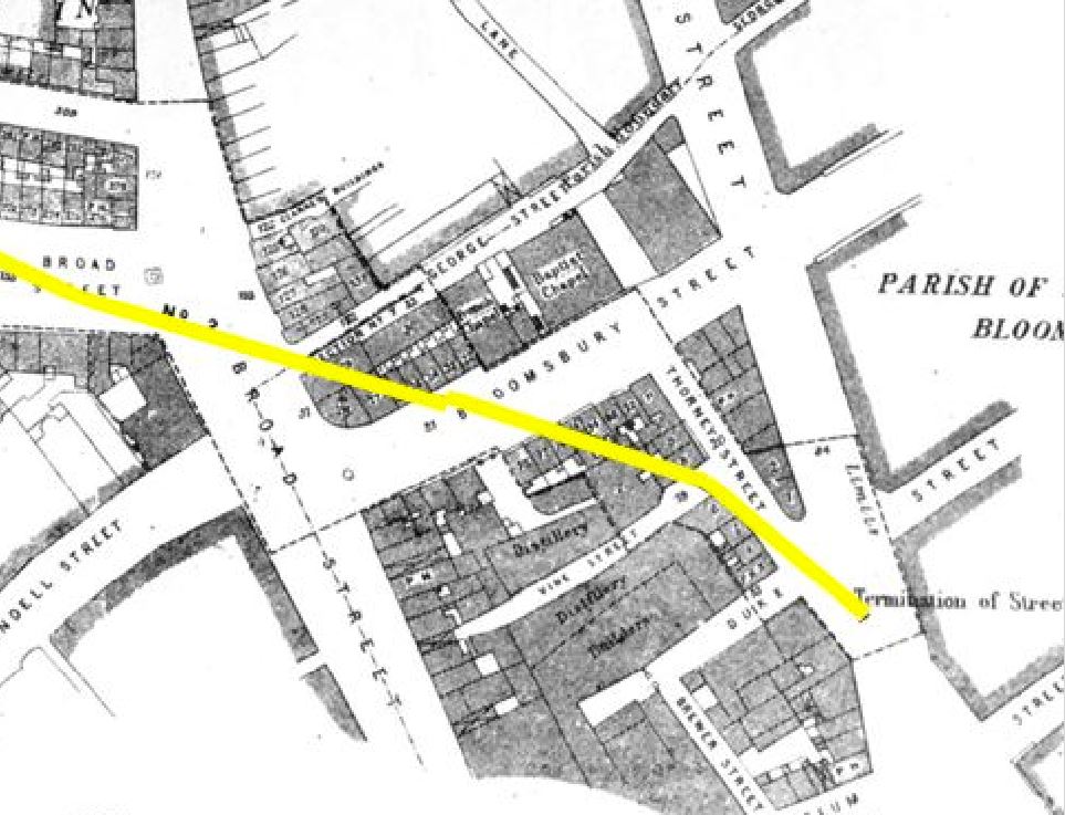
The above map shows the street cutting across a stretch of street labeled Bloomsbury Street, however today, both this small section of Bloomsbury Street and the new street are called Shaftesbury Avenue as shown on the building in the corner where the two sections of the street run to left and right:
Today, the original section of Shaftesbury Avenue is mainly paved, but with a short stretch of street running along one side:
This view is from New Oxford Street looking down where Shaftesbury Avenue originally joined New Oxford Street:

And this is the view down what was the short section of Bloomsbury Street that now forms the junction of Shaftesbury Avenue with New Oxford Street.
Shaftesbury Avenue was completed in January 1886, and provided a new direct route from New Oxford Street to Piccadilly Circus, as well as driving a considerable explosion of building that has resulted in the street we see today, a street that is at the heart of the West End theatre industry.
The street was 3,350 feet long and 60 feet wide. A subway was constructed along the length of the street for gas, water and other assorted pipes.
The gross cost of constructing Shaftesbury Avenue was £1,136,456. The net cost was £758,887 after the sale of surplus land at £377,569.
The street was named after Anthony Ashley-Cooper, 7th Earl of Shaftesbury, who had died in 1885, the year before the new street was completed. The Shaftesbury name was also given to the Shaftesbury Memorial Fountain (probably better known as Eros), in Piccadilly Circus.
Newspapers at the time of his death were full of the philanthropic work of the Earl of Shaftesbury, and his work in Parliament to try and improve working and living conditions. One of these was the so called “Ten Hours Bill”, which although not strictly living up to its name, did look to reduce the hours of work for children.
Considering that this was considered a great improvement, the changes that the bill looked to implement were still horrendous by today’s standards.
With the exception of silk and lace mills, children under the age of nine were not to be employed in factories, while the labour of those under thirteen was to be limited to 48 hours a week, and the employers of all children were required to provide them with not less than two hours schooling a week.
So, going back to the caption at the top of the post, unpacking everything in the photo from the New River Company’s elm pipe excavated when Shaftesbury Avenue was built, and the church of St Anne’s Soho reveals a fascinating history of a small part of the West End.
It would be brilliant to think that there are still some elm pipes buried below the city’s streets just waiting to be discovered.
If you have managed to get to the end of the post, you may be interested in one of my walks. All the Barbican walks have sold out, and there are just a few tickets remaining for the Southbank walk, which can be booked here.