
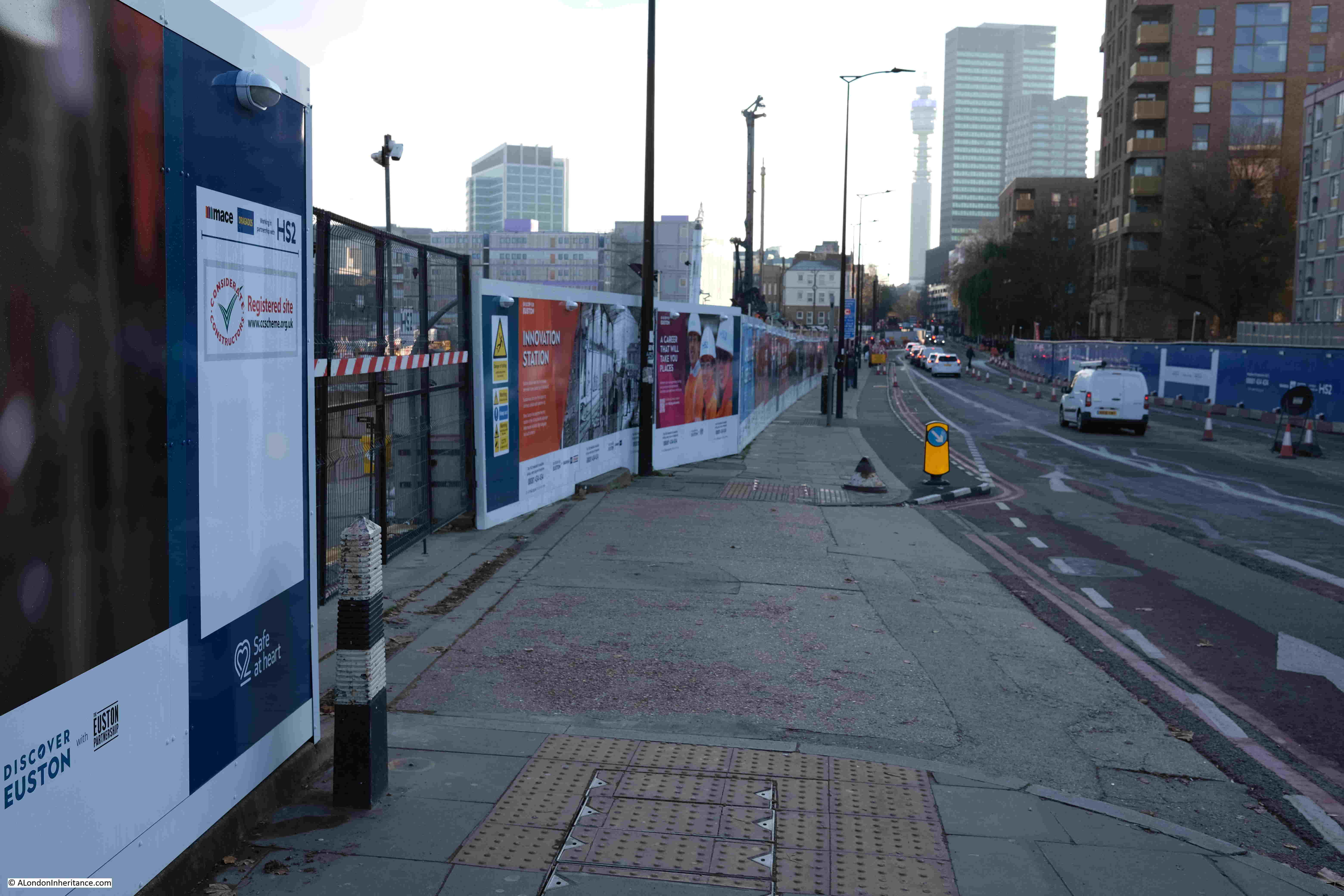
In today’s post, I am continuing my walk around the Royal Victoria Dock, completing the second half of the walk, along with a couple of short diversions to look at how the area around the dock along with Silvertown has, and continues to be, redeveloped.
The following map shows the route of today’s post, starting at the circle at lower right, which was where I ended the walk in the previous post, and ending at Royal Victoria DLR station at upper left (© OpenStreetMap contributors):

And this was my first diversion away from the dock, with a walk down to see the Thames Barrier Park:

Thames Barrier Park was completed, and opened in November 2000. Whilst it is a “normal” park, consisting of open green space, trees etc. there is one really unique feature in the park, which can be seen in the map on the poster.
This is a slightly angled, 130 foot long sunken garden, which has parallel lines of planting and hedges, which have been trimmed to give the impression of a series of waves running along the length of the garden.
The following view is looking along the sunken garden from the north, down to the Thames Barrier, which can just be seen in the distance:

I did wonder if the sunken garden occupied the space of a dock, however after checking OS maps of the area, there was no dock covering the length of the garden, although there was a small dock that covered part of the lower section of the sunken garden, towards the river, so whilst this may have been the inspiration for the sunken garden, the large area we see today was down to the construction of the park.
The site was occupied by chemical works (as was so much of the Silvertown riverside), with petrochemical and acid products being processed and manufactured. So great was the contamination of the soil, that a six foot layer of crushed concrete was placed on top of the original ground level to protect the new topsoil.
Whilst I can see that this applied to the area of the park surrounding the sunken garden, as this part of the park is slightly raised, the land of the sunken garden must have been specially treated.
Looking north along the sunken garden, where a DLR train can be seen entering the Pontoon Dock station:

The park is named after the Thames Barrier, and there is a good view of the barrier from the southern end of the park:

The following photo is looking to the east along the river, showing the gently sloping foreshore along this part of the river, along with new apartment buildings and industrial sites on the far side of the river:

Walking back up to North Woolwich Road, and we can see one of the defining industrial features of the area, the Grade II listed Grain Silo D:

Grain Silo D was built in the early 1920s alongside one of the finger channels in Pontoon Dock, off the south side of the Royal Victoria Dock.
The silo was used to extract and store grain from ships moored in the channel alongside, using either a bucket conveyor or by a suction elevator. Grain in the silo would be transported onwards, either by barge, or by the rail network that crossed the area between the mills to the south of the Royal Victoria Dock, and the wider rail network.
Silo D was built on the site of an original silo which was damaged in the Silvertown explosion of January 1917 (the subject of a future post). The following 1921 photo from Britain from Above shows Silo D under final construction to lower left, with the original silos A, B, and C surrounding the new silo (Image Source: EPW006144 ENGLAND (1921). Industrial buildings and wharfage, Silvertown, 1921):

In the above photo, you can see the rail tracks to the left of the silos, with a shed covering part of the track next to each silo. Grain would have been transported by conveyor belt from the silos to the sheds, where is was loaded onto the goods wagons on the rail network, for processing in the nearby Millennium Mills.
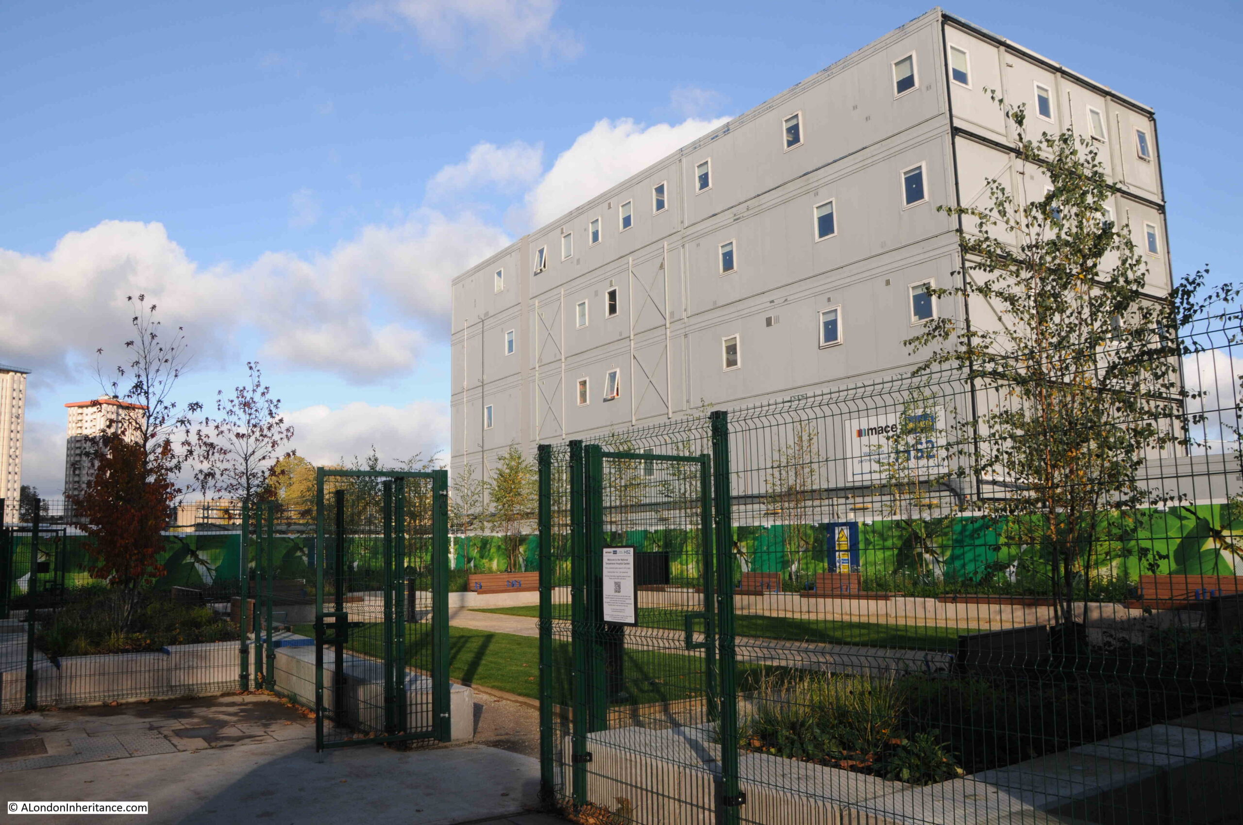
Silo D is Grade II listed, and will be retained within the extensive redevelopment which is taking place around Pontoon Dock. It will have its own “Quarter” – the Silo D Quarter, where the building will sit alongside the retained dock water, but surrounded by new developments.
.Another “Quarter” in the redevelopment of the area around Pontoon Dock is the Mills Quarter, which will be based around the old Millennium Mills. At the top of the Lendlease Silvertown website page accessed via the above link, is an image of the rear of the Millennium Mills buildings, once development of the area is complete.
The rear of the building as seen in 2024:

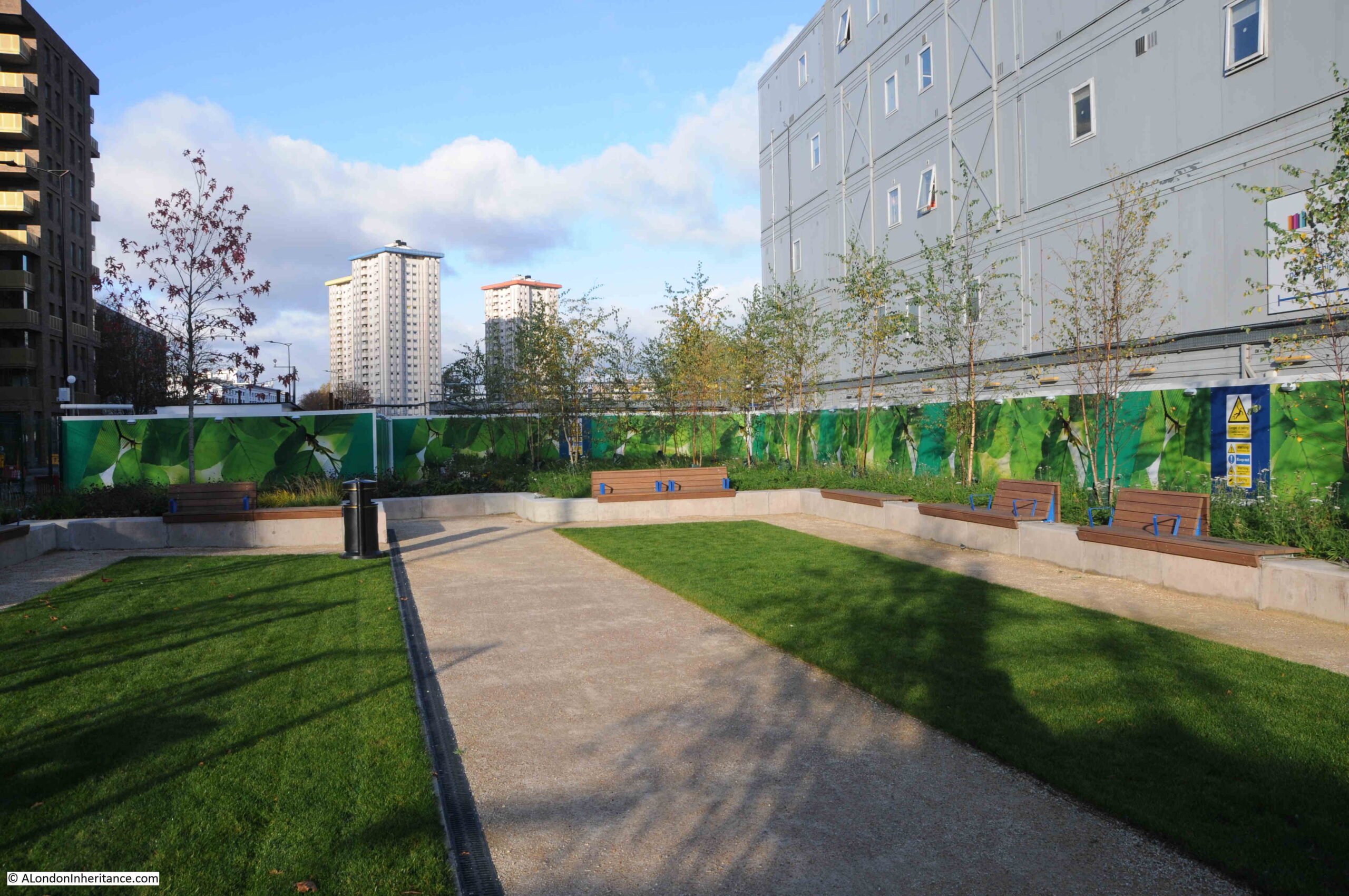
The map at the top of the page on the Lendlease Silvertown website shows just how large the redevelopment is, along the south east section of the Royal Victoria Dock.
Whilst redevelopment of the area that has been derelict for so long is much needed, as are the homes that will be built, the issue I have is the identikit design of the buildings, very similar to almost all other areas of London also undergoing development.
Also, the way (particularly with Silo D), new buildings appear to crowd around those that remain from the working docks.
Having said that, this type of identical housing blocks is a similar approach to the streets of terrace housing that covered so much of the land over which London expanded during the 19th and early decades of the 20th centuries.
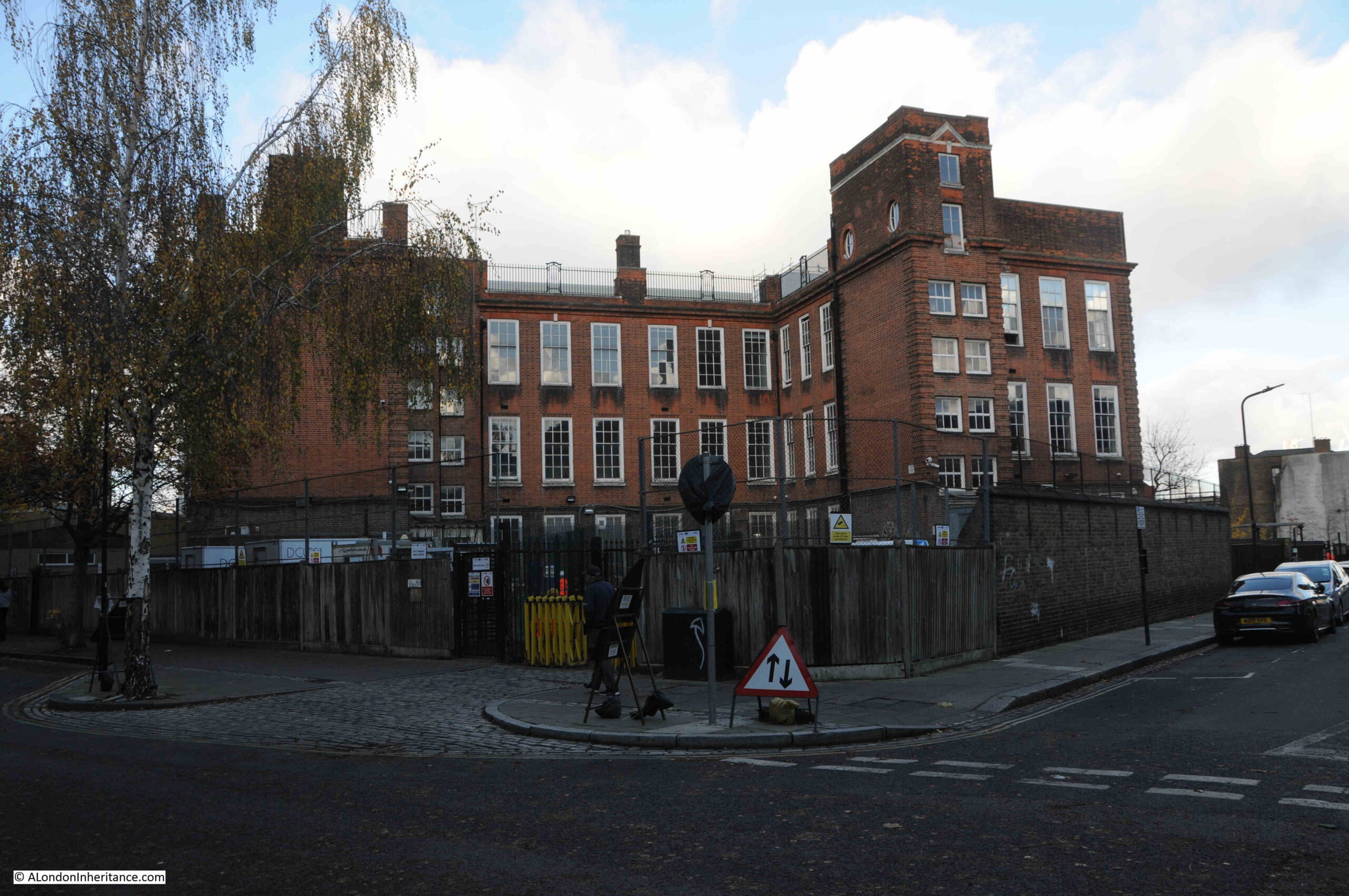
There is very little left of pre-war housing around Silvertown. One stretch is along Mill Road just to the west of Silo D, where there is a row of houses on the eastern side of the street, although only the first ten are pre-war, the rest of the street (from just past the lamp post along the street) dates from the late 1950s / early 1960:

In the above photo, a chimney can be seen at the end of Mill Road, and walking to the northern end of the street, close to the Royal Victoria Dock, we can see the chimney in the centre of a roundabout:

I will show the original surroundings of the chimney later in the post as it is a remarkable survivor, however at the end of Mill Road, we can see the western side of the Millennium Mills complex:

Along with the rear of Silo D:

And by the roundabout with the chimney at the centre, if we look at one of the turn offs from the roundabout, which ends abruptly at a gate, we can see the Millennium Mills buildings:

The Millennium Mills we see today are not the original buildings bearing the name.
The Royal Victoria Dock was long a centre for grain storage and flour milling, and the company William Vernon & Sons built the first Millennium Mills in 1905 to mill flour.
Vernon’s produced flour using the brand name “Millennium Flour”, and they won awards and gained a considerable market, based on advertising which featured the quality of their flour, and the expertise that went into their milling process, for example, from the Evening News on Saturday the 13th of February 1909:
“Science controls the ‘Millennium’ Mills. It dictates the operations resulting in ‘Millennium’ Flour, which the good housewife knows makes the best-flavoured and most nutritious bread on the market. Say ‘MILLENNIUM’ to Baker – always.”
And from the Evening News on Friday the 23rd of April 1909:
“Millennium Flour cannot be surpassed. All that science can do has been done at ‘Millennium’ Mills to ensure the production of perfect flour. only the highest grade wheat is used, and absolute cleanliness in every process is insisted upon. Say ‘Millennium’ to Baker – always.”
Vernon’s milling and cleanliness was such that they also advertised that their flour was the purest white on the market.
As well as alongside the Royal Victoria Dock in London, Vernon’s also had a similar mill in Liverpool, another port where imported grain was received. In 1910 they were advertising “Remarkable Facts” about the capacity of their two mills, with:
“The daily capacity of the Millennium Mills is equal to an output of 9,600 bags of 140 lbs. each; i.e. about 3,000,000 per annum – sufficient to supply the seven million people of London with bread for two months and a half.
The loading out capacity into barges or lighters at each mill is 3,000 bags per hour. the Granary departments have a storage capacity of 250,000 sacks of wheat.”
The original Millennium Mills buildings were damaged in the Silvertown explosion, with the mill back in full operation in 1920 as William Vernon & Sons were advertising an auction of all the surplus material left over from the rebuilding process, which included 30,000 stock bricks, 3 Tons of bolts, ladders, barrows, tools etc.
In the same year, William Vernon & Sons amalgamated with Spillers Ltd, another business who started as flour millers in Bridgewater, Somerset in 1829, (although it looks more like a take over by Spillers).
Throughout the 1920s, the business was expanding rapidly, and in the following decades, the buildings alongside the Royal Victoria Dock were rebuilt. Luckily, the buildings have their year of construction at the very top, so going back to the photo above, the smaller building on the right dates from 1933:

And the larger building on the left dates from 1954, which was part of the post war rebuild of the site following bomb damage during the Second World War:

Whilst the name of William Vernon, the company that originally started milling at the Royal Victoria Dock has disappeared, the brand name of their flour “Millennium” can still be seen on the mill building today, alongside the name of the company that took them over – “Spillers”:

The end came n 1981 with the closure of the Royal Docks, although the mill had been in decline for some years before.
And since closure it has remained empty and derelict, but has been been used in numerous films, TV programmes, music videos and, in the case of Jean-Michel Jarre’s Destination Docklands, the building was painted white and used as a backdrop for the concert.
Music videos that have included the mill, along with other views of the docks include Ask by the Smiths:
And Take Back the City by Snow Patrol:
Along with Fluorescent Adolescent by the Artic Monkeys:
There are many others.
From the roundabout, there is a view of the chimney and the Millennium Mills:

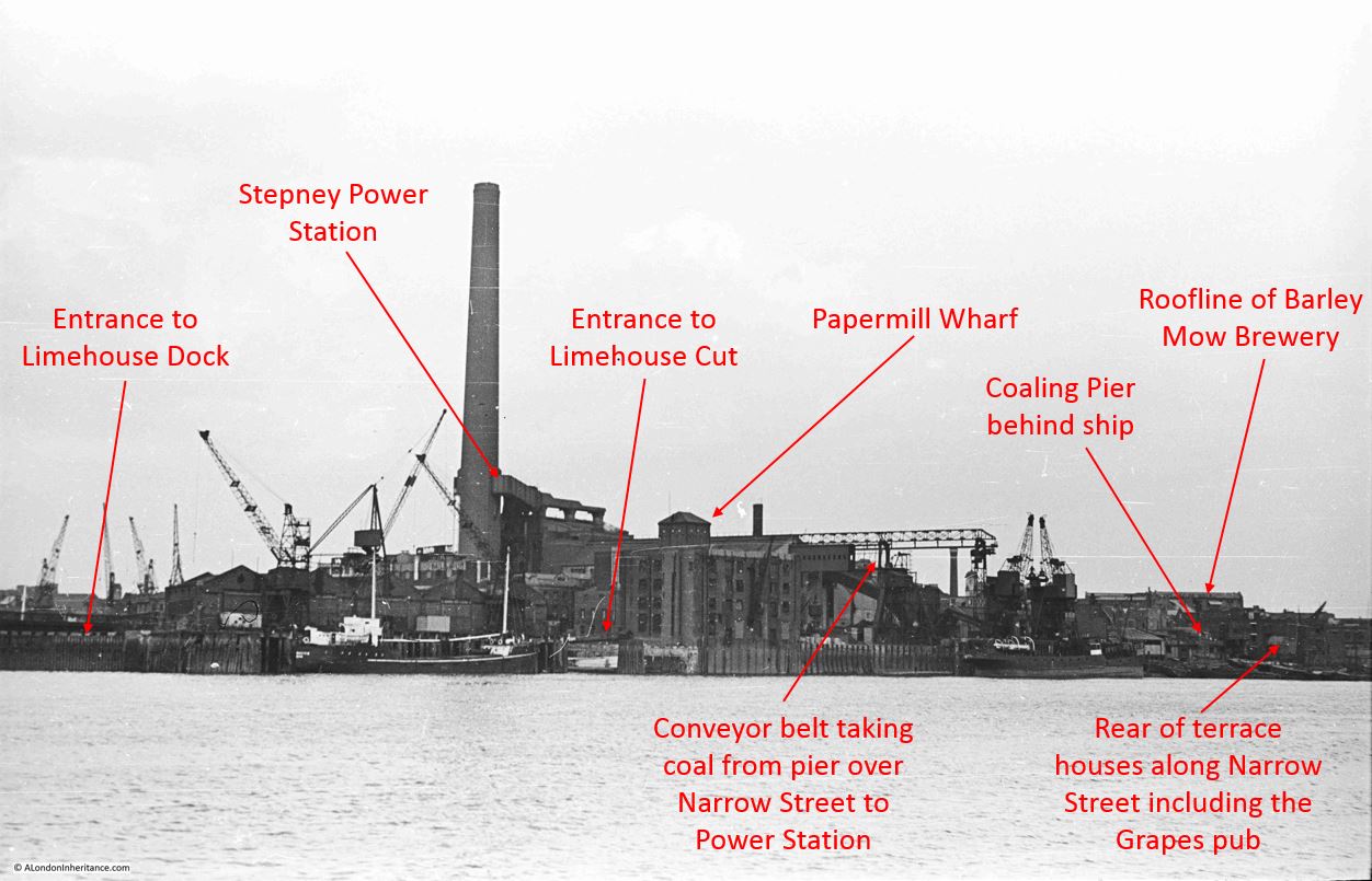
And using one of the photos from Britain from Above, it is possible to locate where the chimney was, in relation to the rest of the buildings that were on the site, both remaining and demolished (Image source: https://www.britainfromabove.org.uk/image/EAW035762)

The arrows point to the following:
- The red arrow is pointing to the chimney that now stands alone at the centre of a small roundabout
- The oranage arrow is pointing to the 1933 building that can be seen today
- The yellow arrow points to the 1954 building, which can also be seen today
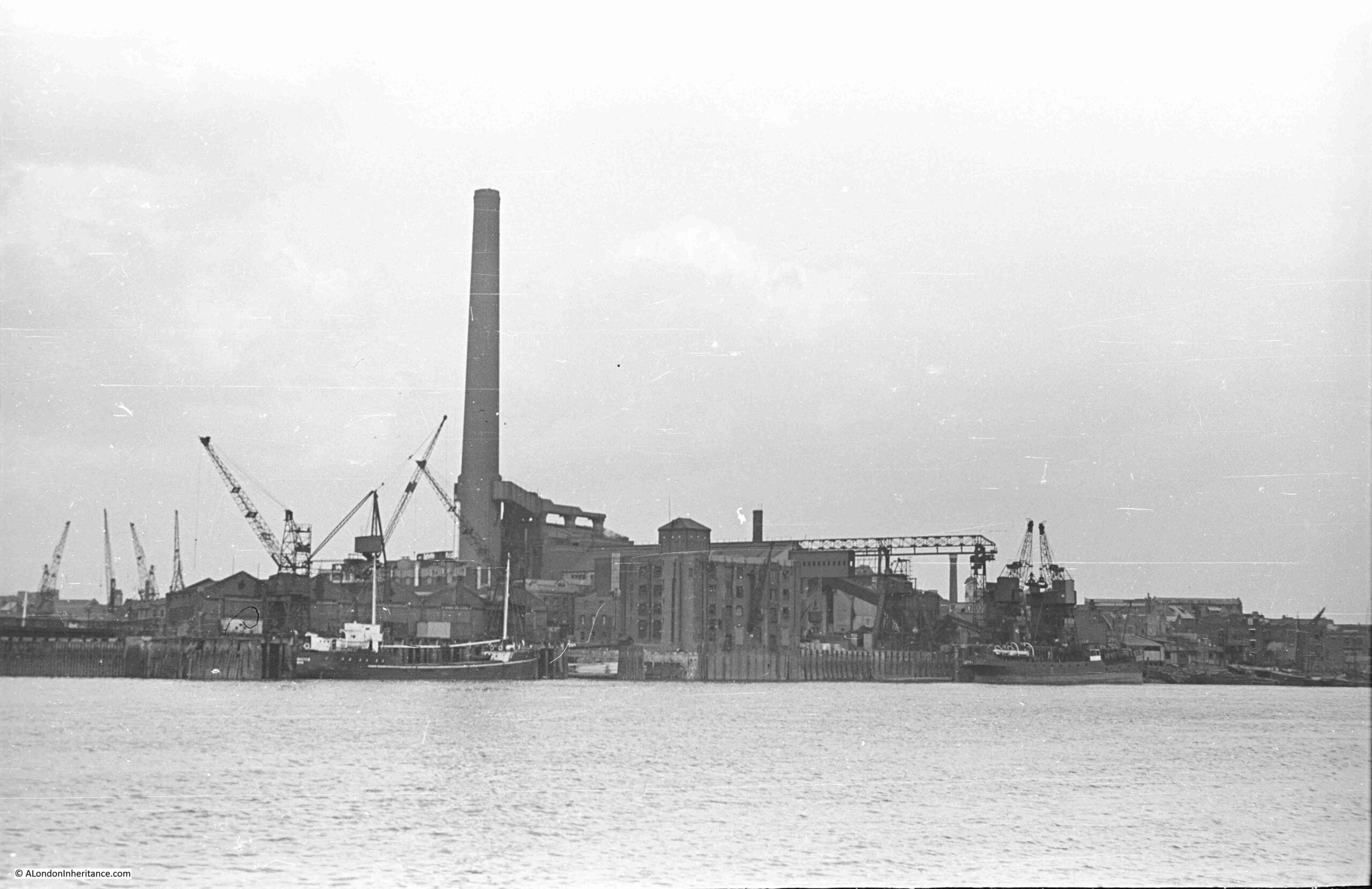
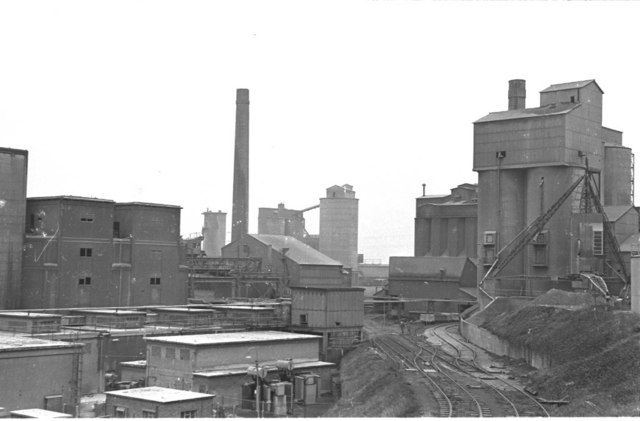
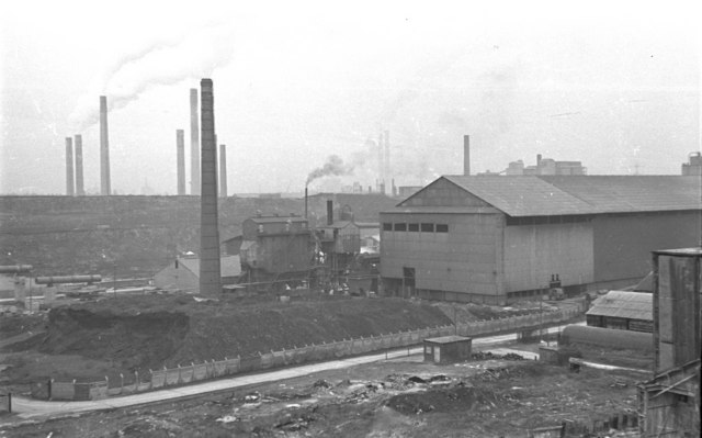
- The green arrow is pointing to the infrastructure that was used to extract grain from ships and move to the mill buildings. i have included my father’s photo of these structures from his 1953 visit, below:

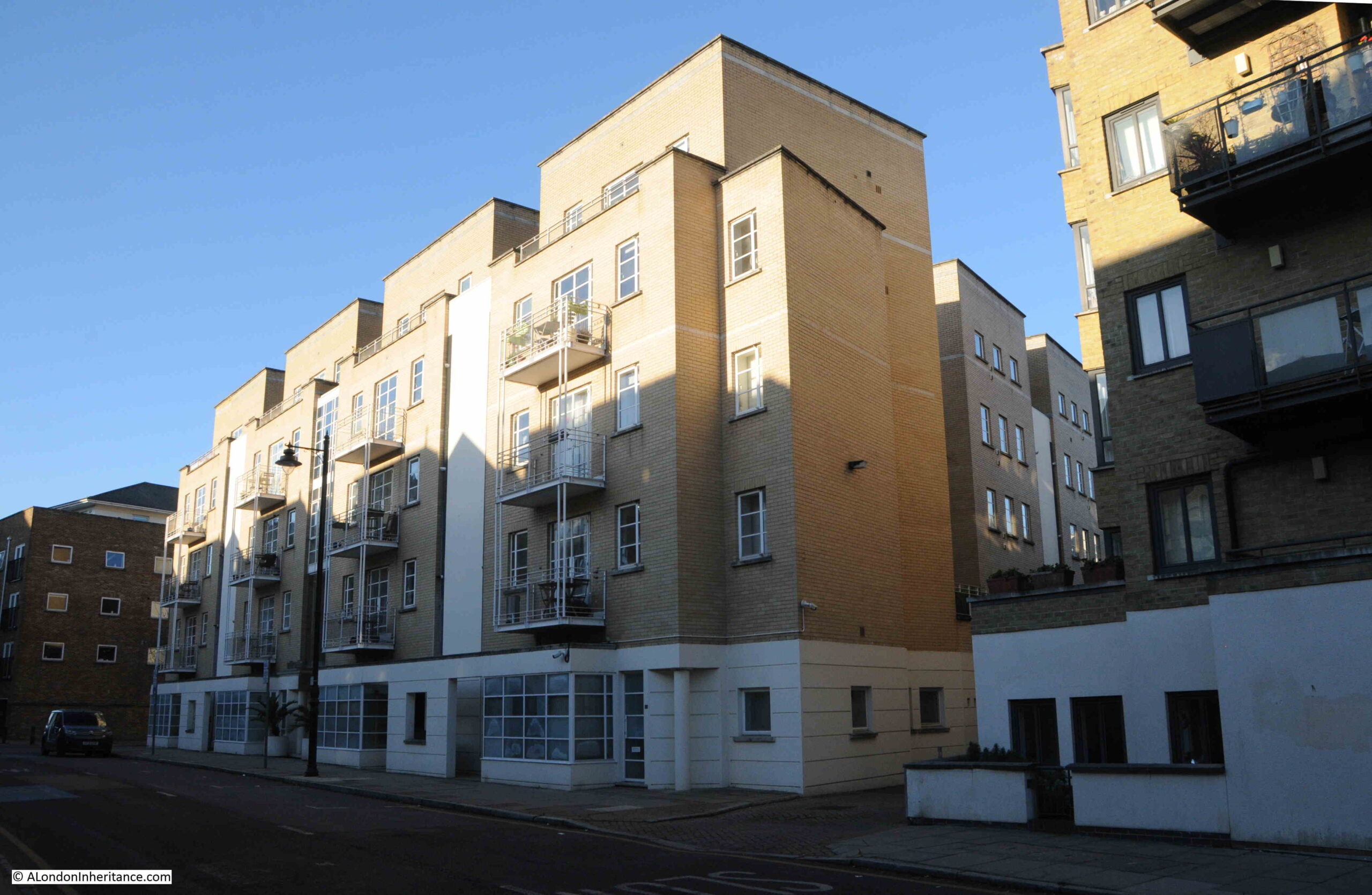
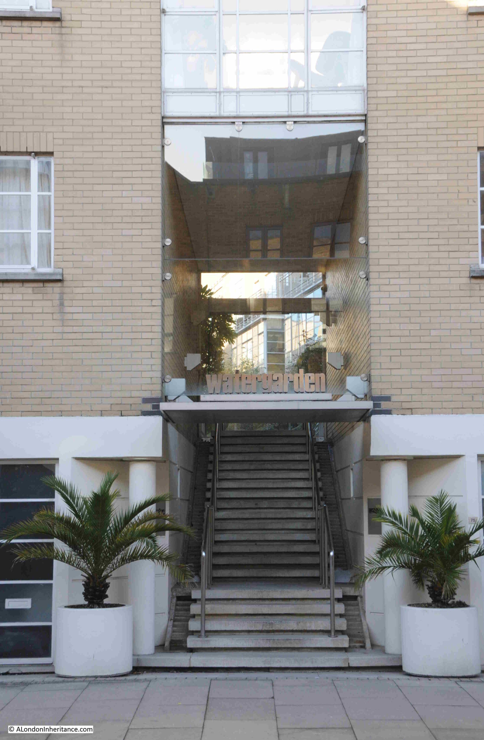
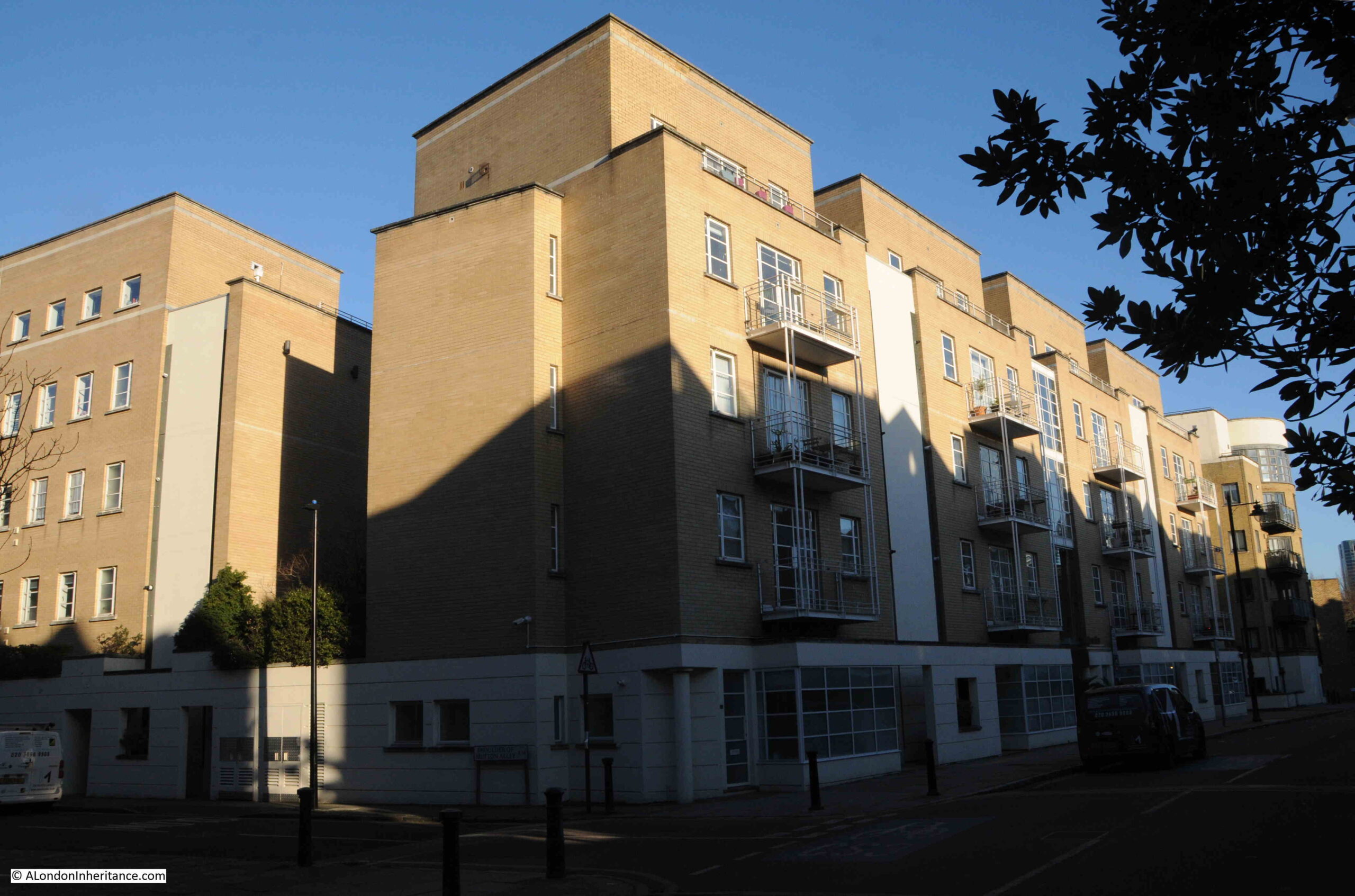
I have now reached the edge of the dock, and one of the first areas that was redeveloped around the Royal Victoria Dock – Britannia Village:

Britannia Village occupies the south west corner of the Royal Victoria Dock and was built during the 1990s and consists of, by today’s standards, relatively low rise housing, typically up to four or five floors.
Between the houses that face onto the dock, and the dock, there is a walkway along the old quay, where a number of original cranes have been retained:

The cranes are all Grade II listed, and were made by Stothert and Pitt Cranes of Bath. The majority date from 1962, however there are two 1950’s cranes included in those still standing around the dock.
All the industry that once surround the Royal Docks has long gone, as has the majority of industry along the river, however there were two places that I wanted to find that have survived, because they are dependent on the river rather than the docks.
I will cover the main site when I walk around the Royal Albert and King George V docks, but for today, it was a short walk south from the south west corner of the Royal Victoria Dock to find the factory that makes Lyle’s Golden Syrup:

Abram Lyle was born in Greenock, Scotland in 1820 and operated a cooperage and shipping business, with many of his ships transporting sugar cane.
In 1881, he expanded on this involvement in the sugar trade, by building a sugar refinery along the Thames.
Part of the process to refine sugar produces a thick treacle like substance, and Lyle used this byproduct to produce a syrup which could be used in cooking and as a sweetener. This was originally called “Goldie”.
The name soon changed to Lyle’s Golden Syrup, and in 1885, the syrup was sold for the first time in tins, with the same branding that has survived to this day (the company holds a Guinness World Record for the longest running brand), and the company today has one of the tins on the corner of their building:

The trademark on the tin names Abram Lyle & Sons, Sugar Refiners, with an image of a lion in the centre surrounded by bees. This image is a result of Abram Lyle’s religious convictions as the image is based on a story in the Old Testament of the Bible of Samson’s lion and bees, which results in the slogan “Out of the strong came forth sweetness”, which can be seen just below the lion.
Abram Lyle’s company merged with the sugar refining company of Henry Tate, who also had a nearby sugar refinery (in a later post), to form Tate & Lyle.
Tate & Lyle sold their sugar refining business, which included Lyle’s Golden Syrup in 2010 to American Sugar Refining, Inc. (part of their ASR name can just be seen in the above photo), with Tate & Lyle focusing on specialty ingredients. Part of the sale included American Sugar Refining continuing to use the Tate & Lyle and Lyle’s Golden Syrup branding.
The factory on the banks of the Thames today produces over one million tins of Lyle’s Golden Syrup, which is also sold in different formats such as plastic bottles, and is exported across the world.
A wonderful survivor from when this part of the river was end to end industry.
To the east of the Lyle’s factory is a large open space, which is not included in the main Silvertown development to the south of the Royal Victoria Dock, and around Pontoon Dock, however its location next to the river makes it a prime future redevelopment site:

After this brief diversion, I have returned to the Royal Victoria Dock, and am now at the south west corner, looking east along the dock:

To the left, I can see the western end of the Royal Victoria Dock, indeed of the whole Royal Docks complex. Where the white floats in the water are located was the locked entrance between the River Thames and the Royal Victoria Dock, the original and only entrance when the Victoria Dock was first built:

This locked entrance was completely filled in after the closure of the docks, but the outline of the entrance can still be seen at this corner of the dock. To the right is the latest site of City Hall – the location of the Mayor of London and London Authority.
And from the end of the dock, I can look east along the full length of the Royal Victoria Dock, a view which shows the sheer scale of this dock, just one of three that eventually made up the Royal Docks complex:

In the above photo, the thin line of the walkway bridge that spans the dock roughly half way along can be seen in the distance.
Zooming in, we can see the bridge, and behind that the Connaught Bridge where the Royal Victoria meet the Royal Albert Dock, and this later dock is much longer than the Victoria:

There is very little that has survived from the time when the docks were operational. The cranes are the most obvious features, and at this western end of the dock there is an old capstan:

Which was also made by Stothert and Pitt of Bath, the same company that made the cranes that remain around the dock:

Looking across the western end of the dock, and we can see the start (or end) of the cable car that runs over the river to the Greenwich Peninsula:

Before continuing round the western end of the docks, I took another quick diversion down towards the river, to see a construction site for a new route across the river that will soon be operational:

This is a large area between the west end of the Royal Victoria Dock, and the river, all to the west of the Lyle Golden Syrup factory. Boarded off so it is not yet possible to walk down to the river, and with part of the Docklands Light Railway running across, which provides a good view of the site:

This is the site on the north of the river where the Silvertown Tunnel is being constructed.
The Silvertown Tunnel is expected to open in 2025 and and as well as lanes for traffic, it will also include a dedicated bus lane. First proposed in 2012, the tunnel is intended to address congestion issues at the Blackwall Tunnel by providing additional capacity across the river.
Construction of the Silvertown Tunnel along with ongoing operation and maintenance has all been privately financed, and when the tunnel opens there will be a charge applied to vehicles using the tunnel, and to stop people continuing to use the Blackwall Tunnel as a free alternative, a charge will also be introduced to use the Blackwall Tunnel.
Looking through one of the access gates to the construction site, we can see the distinctive building that is on top of the northern access portal to the tunnel, where traffic running to and from Silvertown Way and Lower Lea Crossing, will be able to access the tunnel to and from the Greenwich Peninsula:

When complete, the area around the tunnel portal will be landscaped, and completion of construction work will free up a considerable area of land around the portal, and down to the Thames for further development.
It will be interesting to return towards the end of next year when the tunnel should be in operation. It will continue to be a construction site, but then probably lots of apartment blocks.
Returning to the western end of the Royal Victoria Dock and this is the new City Hall building, home of the Mayor of London and the London Authority:

The building was originally called the Crystal and was built by the engineering company Siemens and opened in 2012 as an exhibition centre, learning and global knowledge hub focusing on the future of the city and on sustainability.
When it opened, Boris Johnson, the Mayor of London said that “It is a clear sign of the confidence in London’s ability to nurture and support eco-enterprises that Siemens has chosen to locate its flagship centre of sustainability here in the UK capital. The Crystal is set to sit at the heart of a brand new Green Enterprise District, which will sweep across east of the city. We envisage that the district will be a vibrant, international hub incubating dozens of low carbon businesses.”
Four years later, Siemens sold the building back to the Greater London Authority and left the building a few years later after an early surrender of their 7 year lease on the building.
In 2021, the London Authority used a break clause in their lease of the City Hall building on the south of the Thames, next to Tower Bridge. The London Authority did not own the original City Hall, it was leased from the the Kuwaiti owned St Martin’s Property Group, who also own the surrounding land and buildings between Hay’s Wharf and Tower Bridge.
The move to a building the London Authority already owned was planned to saved a large amount of money over the following years, along with being part of the regeneration of the Royal Docks complex, by moving a significant London institution, along with a large number of staff, to the docks.
It is interesting that the London Authority and Mayor of London are now based in a building that was until 1965, part of Essex, when the implementation of the London Government Act 1963 transferred the area to the east of the River Lea from Essex to Greater London.
The same comment applies to the Royal Docks, as for most of their operational life, they were in Essex, rather than London.
in the same year as the Crystal building opened (2012), the cable car also opened, taking passengers across the river to the Greenwich Peninsula, and opposite the new City Hall building is the Royal Victoria Dock entrance to the cable car, where gondolas start their journey across the river:

The Cable Car has never been the success expected during planning, and after an initial peak of users after opening in 2012, the annual number of travelers on the cable car has dropped considerably, with summer peaks showing that the cable car is mainly used by visitors to the Royal Docks and Greenwich Peninsula, rather than commuters or workers.
The following graph shows the number of travelers in millions from 2012 on the left to April 2024. For the reporting period of 2023 / 2024, the maximum usage was 180,000 a month, with the minimum usage being 70,000 a month.

Gondolas leave and arrive over the Royal Victoria Dock:

I am now on my final part of the walk around the Royal Victoria Dock, and leaving the dock at the north west corner, I cross the Western Gateway, which is the main approach road to the Excel exhibition centre. Fully redeveloped with a bit of retail, hotels, restaurants and residential:

On the opposite side of the Western Gateway, where Seagull Lane heads to the DLR station, is this strange structure:

This was built between 1987 and 1988 as one of the early projects in the regeneration of the Royal Docks.
The building is one of the storm-water pumping stations around the docks, and the surface structure conceals the majority of the infrastructure which extends 25 metres below ground level. There are some interesting diagrams and photos of the pumping station here.
The blue painting of the circular structures is now rather faded. When completed, this was a deep blue, with red and yellow for additional features of the station.
These colours were chosen as “from the outset the building was meant to be a visual delight, an oasis in the drab industrial environment of Silvertown”.
Much of the area around the Royal Victoria Dock has changed considerably in the years since the pumping station was completed, and there is not that much of the “drab industrial environment” left.
And a short distance further, I reached the Royal Victoria DLR station, a fitting end to a walk around the whole of the Royal Victoria Dock:

I hope the last three posts on the Royal Docks and a walk around the Royal Victoria Dock has shown just how interesting the area is, from the vast area of the water that made up the original dock, to the way that the dock evolved and developed, the industries that surrounded the dock, and the potential future of the dock.
The development around Pontoon Dock, the old Millennium Mill and Silo D will be transformative in one way or another.
I just hope that some reference to the history of the docks survives and the story of those who built and worked at the docks is embedded into the new developments, and that the area does not become another densely packed area of identikit towers.
And to finish, if you would like to relive the Jean Michel Jarre, Destination Docklands concert back in 1988, held in the Royal Victoria Dock, with the mill buildings in the background, including the building that was in one of my father’s photos in last week’s post, before it was demolished a few years later, the film is here:
If I remember correctly, the concert was on a barge on the dock (which was probably why children in the choir were wearing lifejackets). I have no idea how the electrical equipment they were using continued to work given the very wet weather on the day.
I still have to cover the Royal Albert and King George VI Docks, however rather than a continuous run of posts on the Royal Docks, for next week’s post I will be visiting a very different place.


