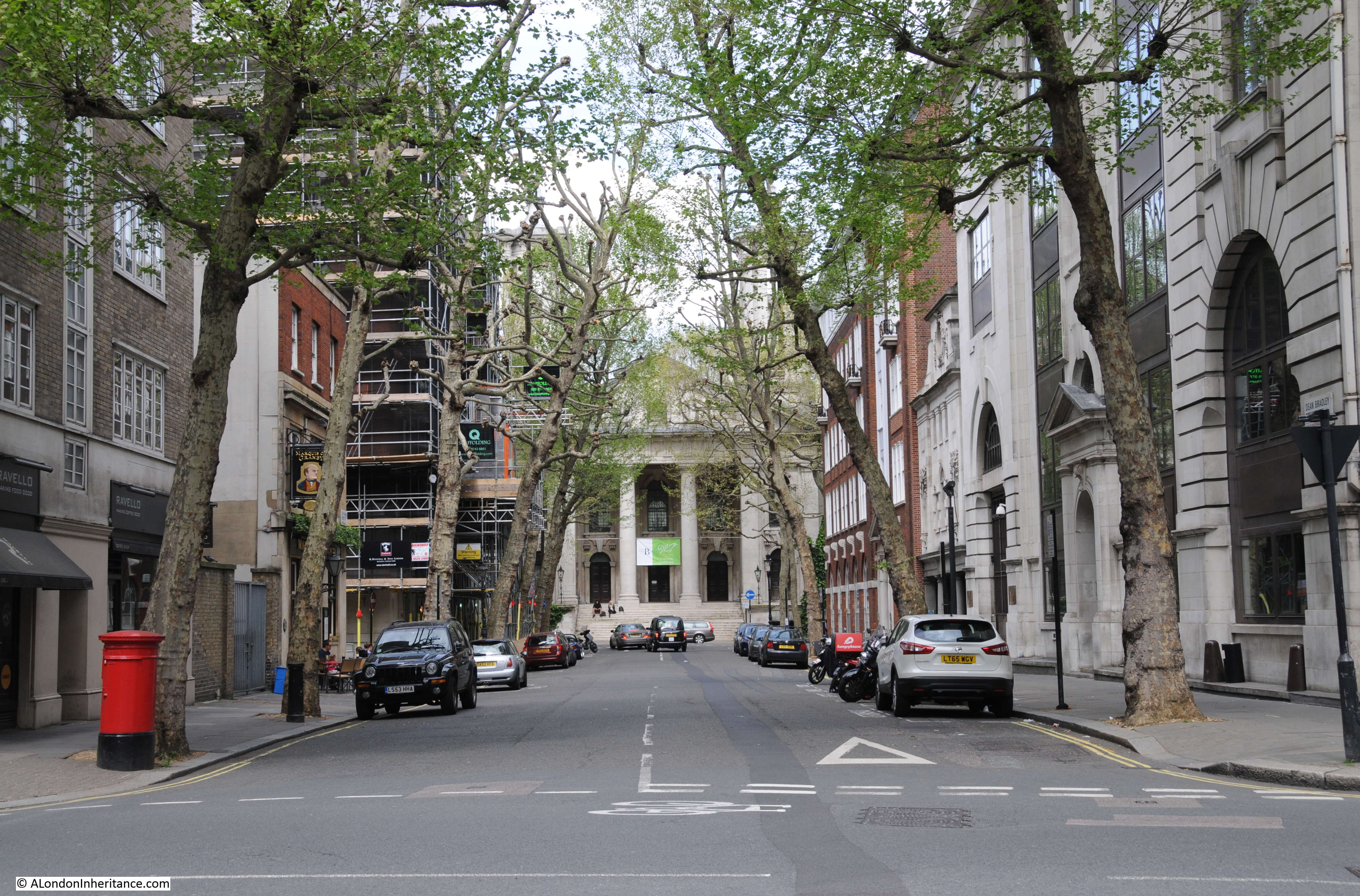
For New Year’s Day, can I suggest a walk along Wapping High Street and Wapping Wall to explore a fascinating area of London where many features can still be found that date back to the time when these streets were lined with working warehouses, wharves, pubs and all the associated life that went with the proximity of Wapping to the River Thames.
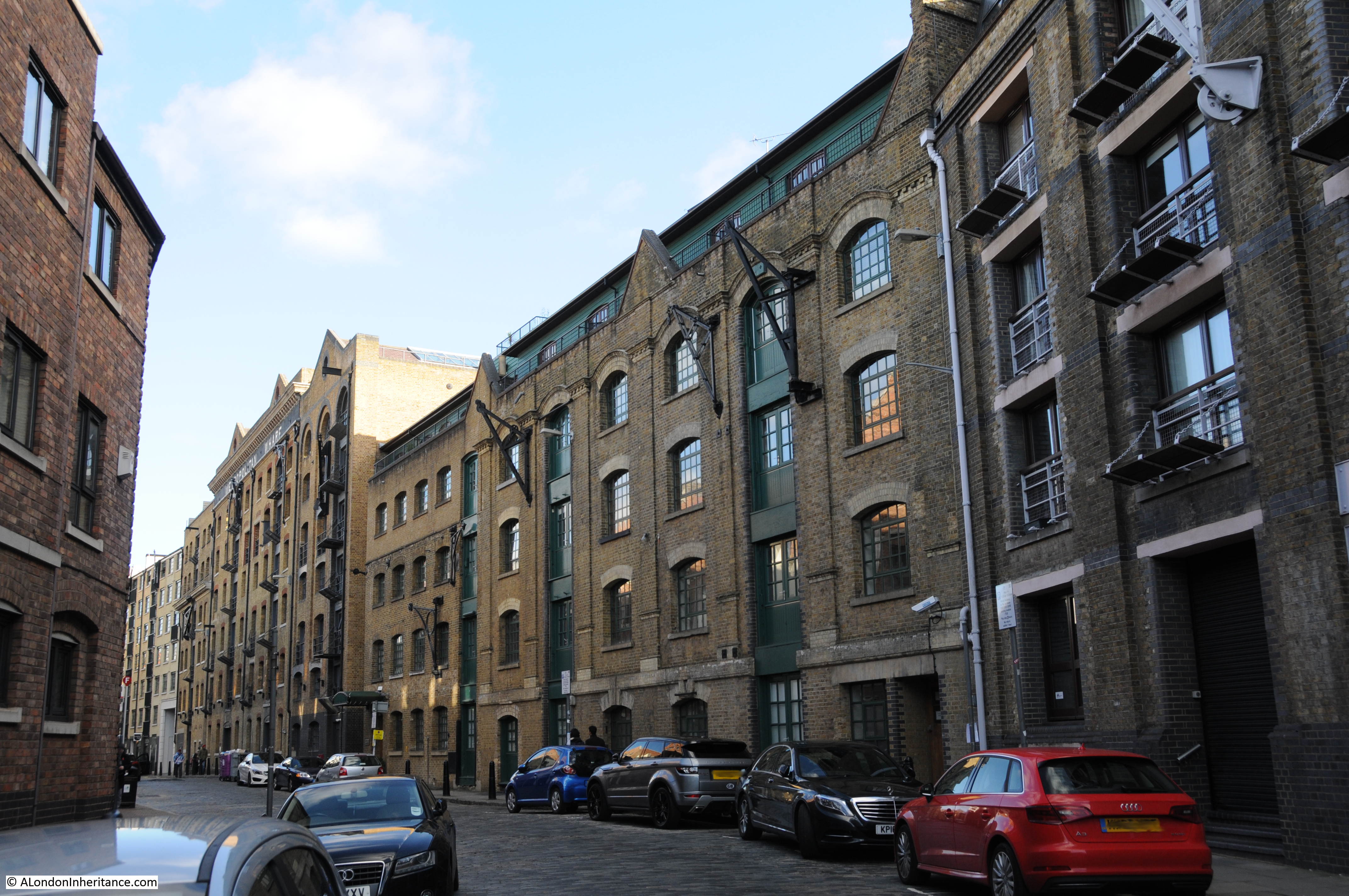
Starting off from St. Katherine Docks and walking the length of Wapping High Street before turning onto Wapping Wall, there are still many of the original stairs down to the river, warehouse buildings and pubs.
The streets are now much quieter and the only goods being pushed along the streets today are likely to be Ocado deliveries to the expensive apartments that now line the river, rather than goods being transferred to and from the ships that once lined the river and headed inland to the London Docks.
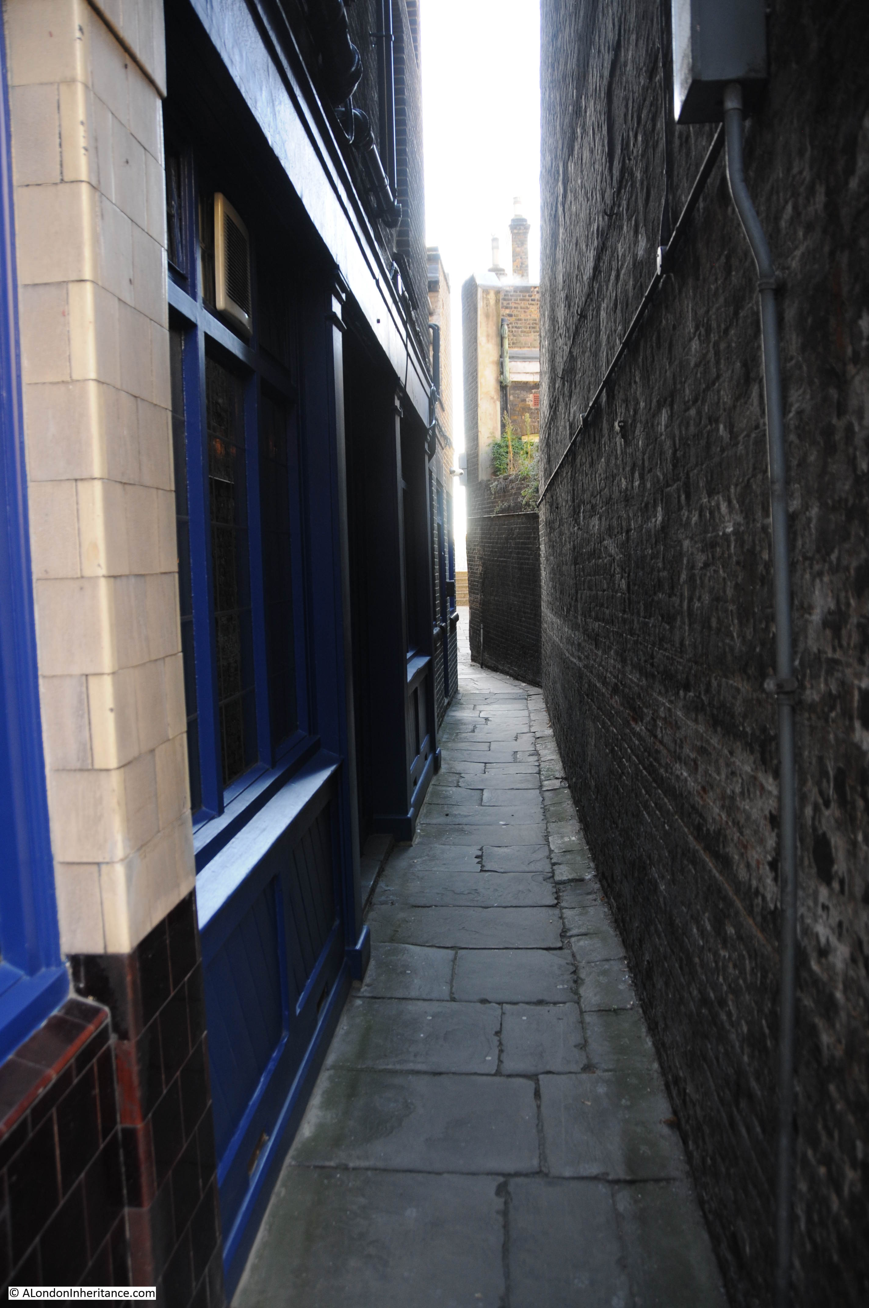
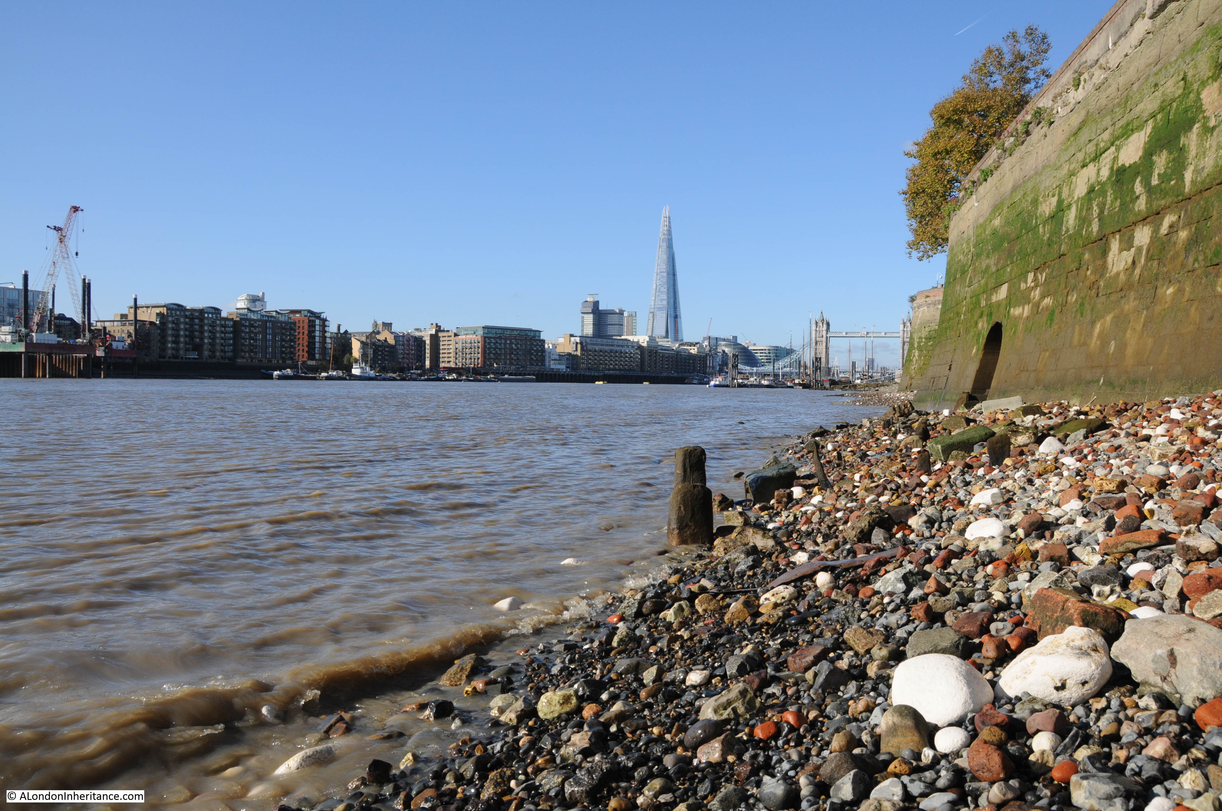
Starting in St. Katherine’s Way and the first steps to the river are Alderman Stairs. As is common with the river stairs in Wapping, a narrow alley leading to a set of steps down to the river. High warehouse buildings on either side. Water, mud and growths of algae on the steps make them rather dangerous to climb down to the foreshore.
Reading newspapers from the last couple of centuries and there are frequent reports of drownings happening from the stairs that line the river. A report from the 28th August 1933 reads:
“On Saturday evening a five year old Italian boy – Denno Mendessi, of Wapping – was playing on Alderman Stairs, Wapping when he fell into the Thames, and was drowned.”
Two lines in a newspaper column that report one of many such tragedies.
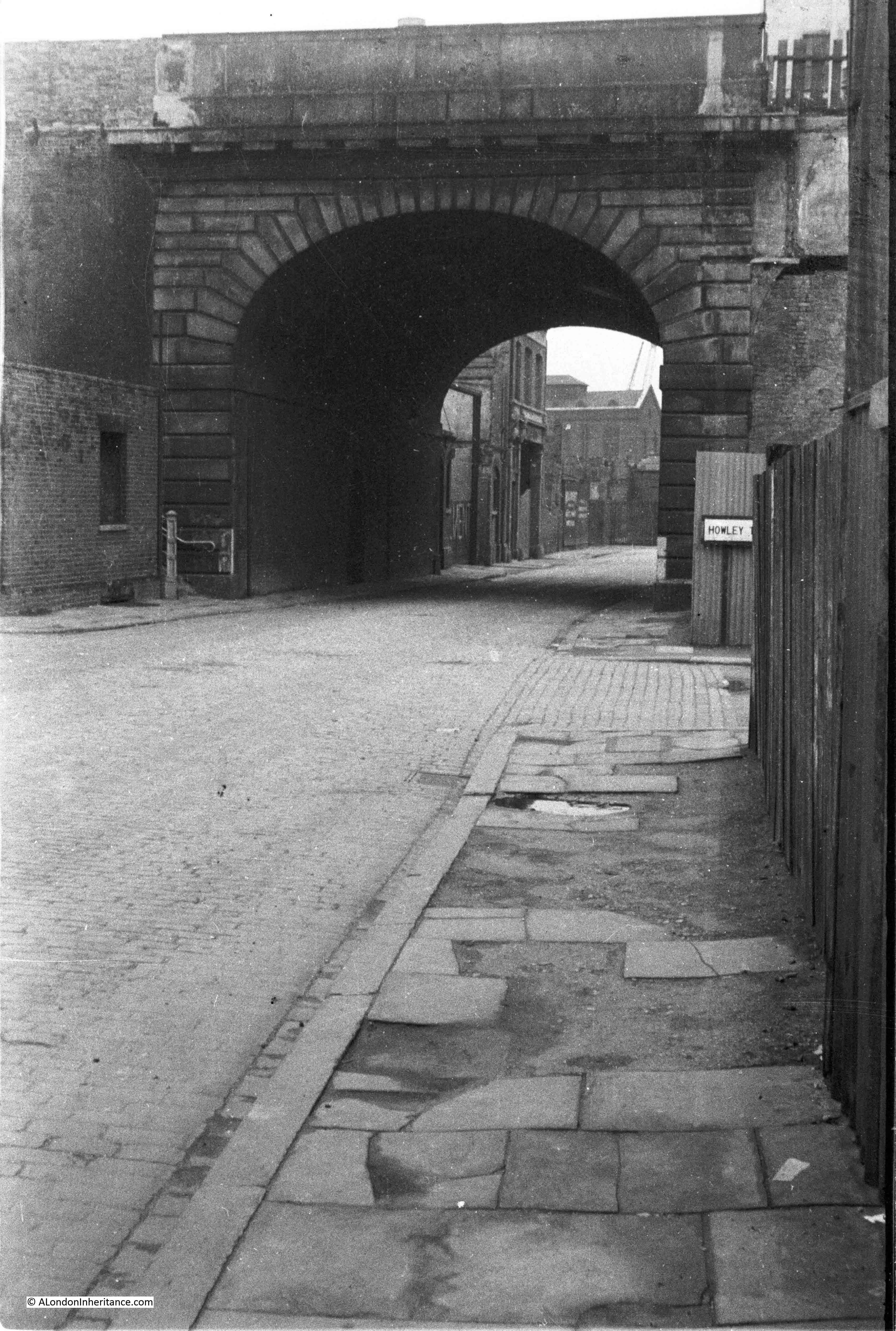
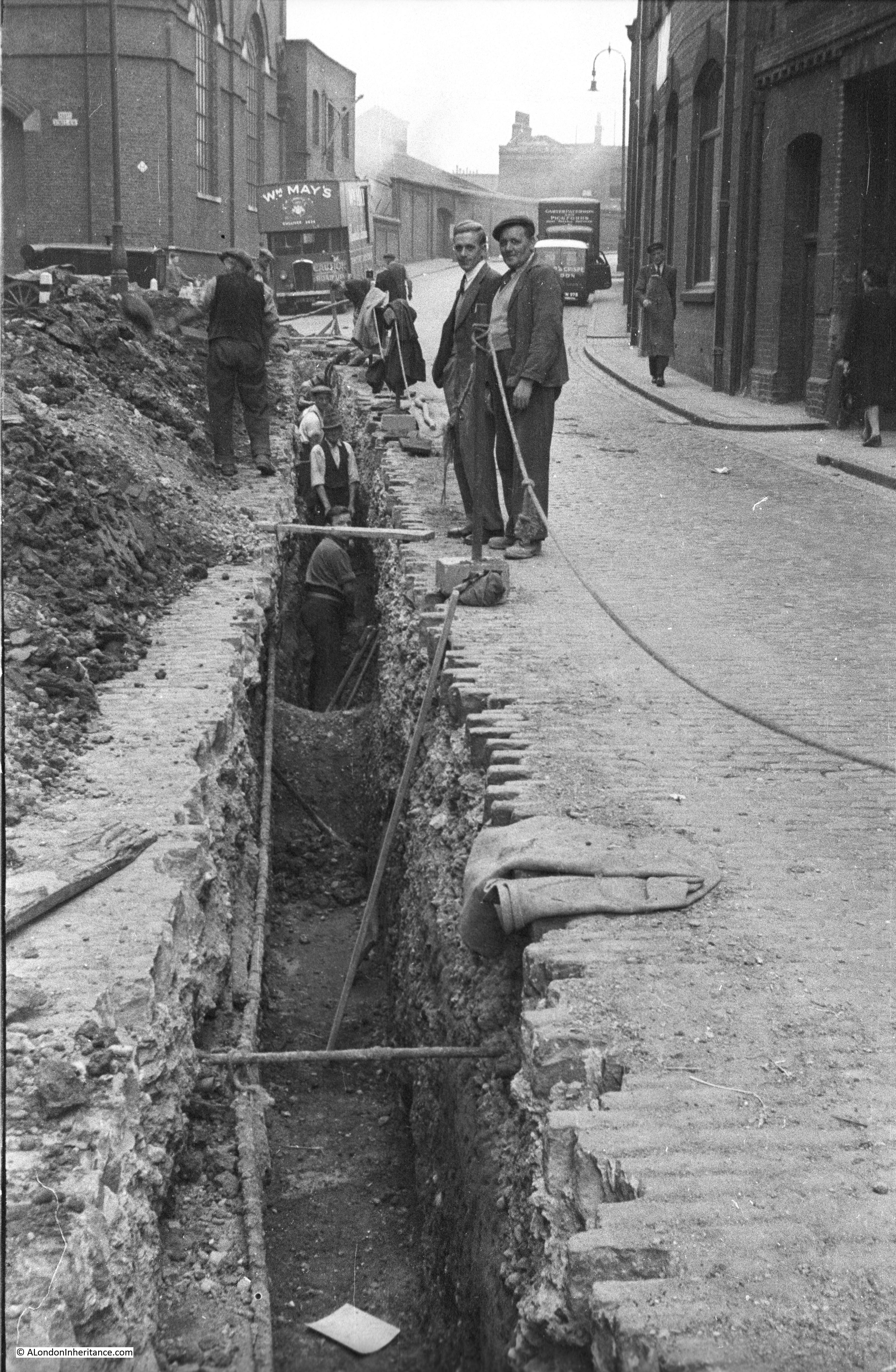
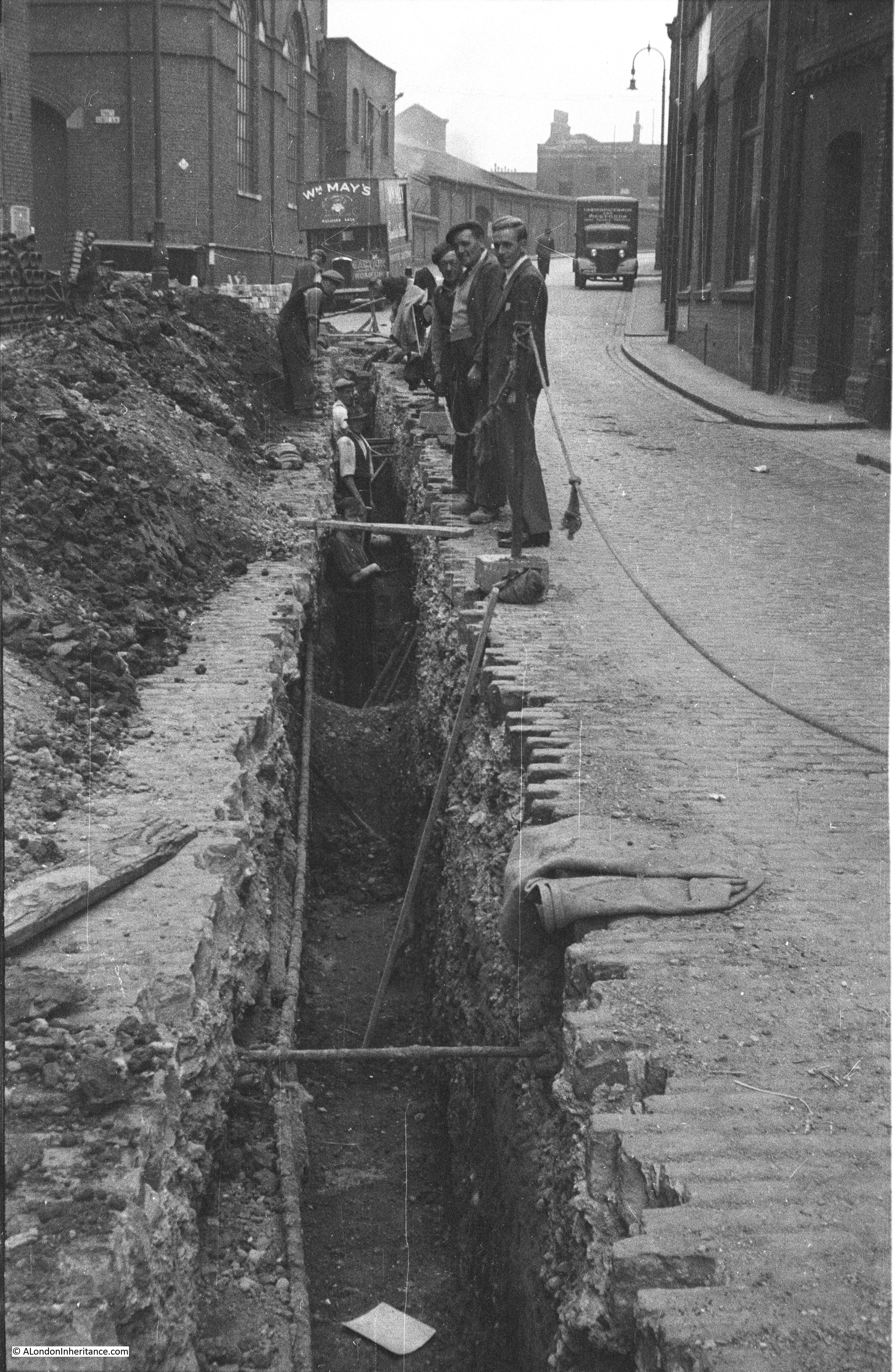
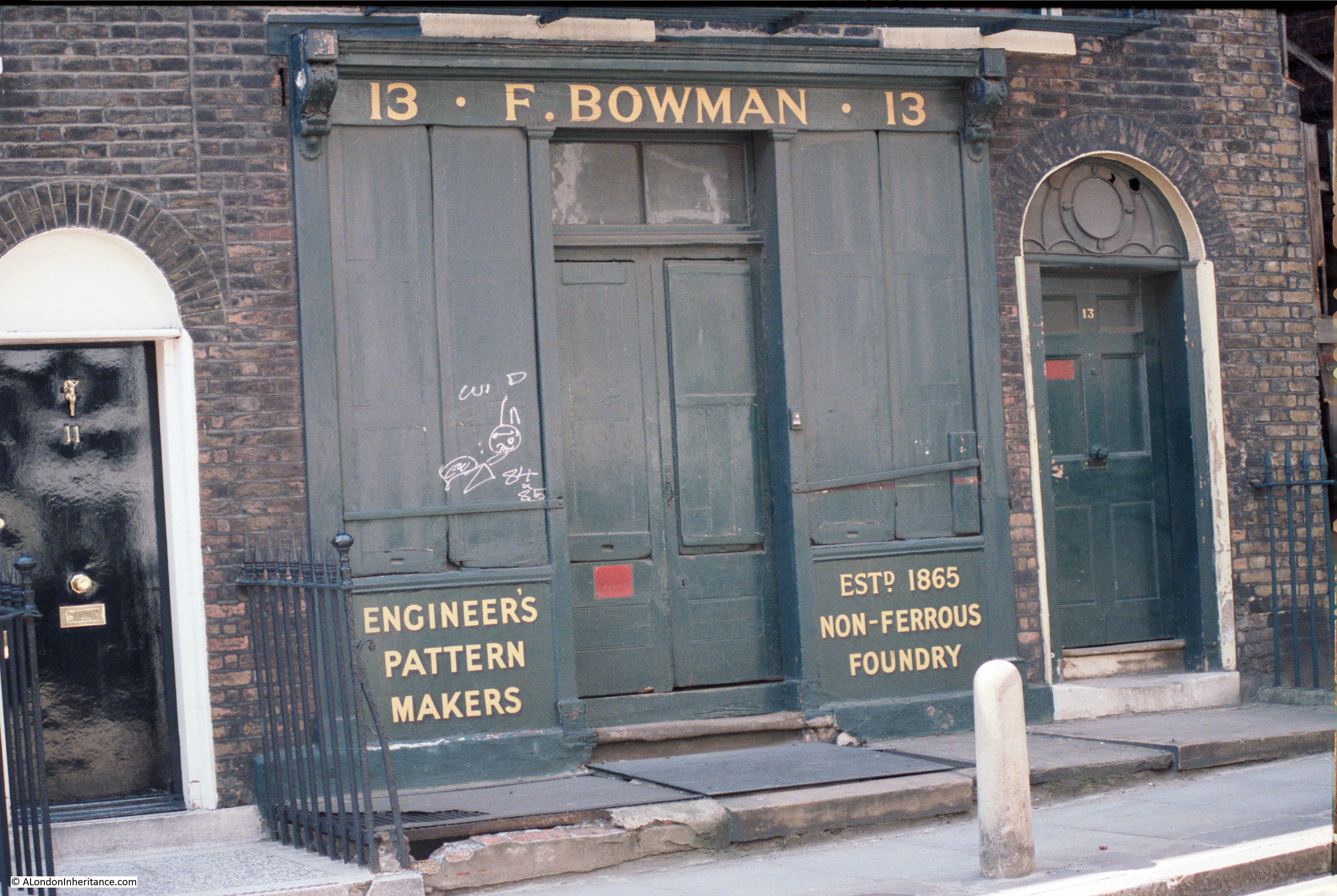
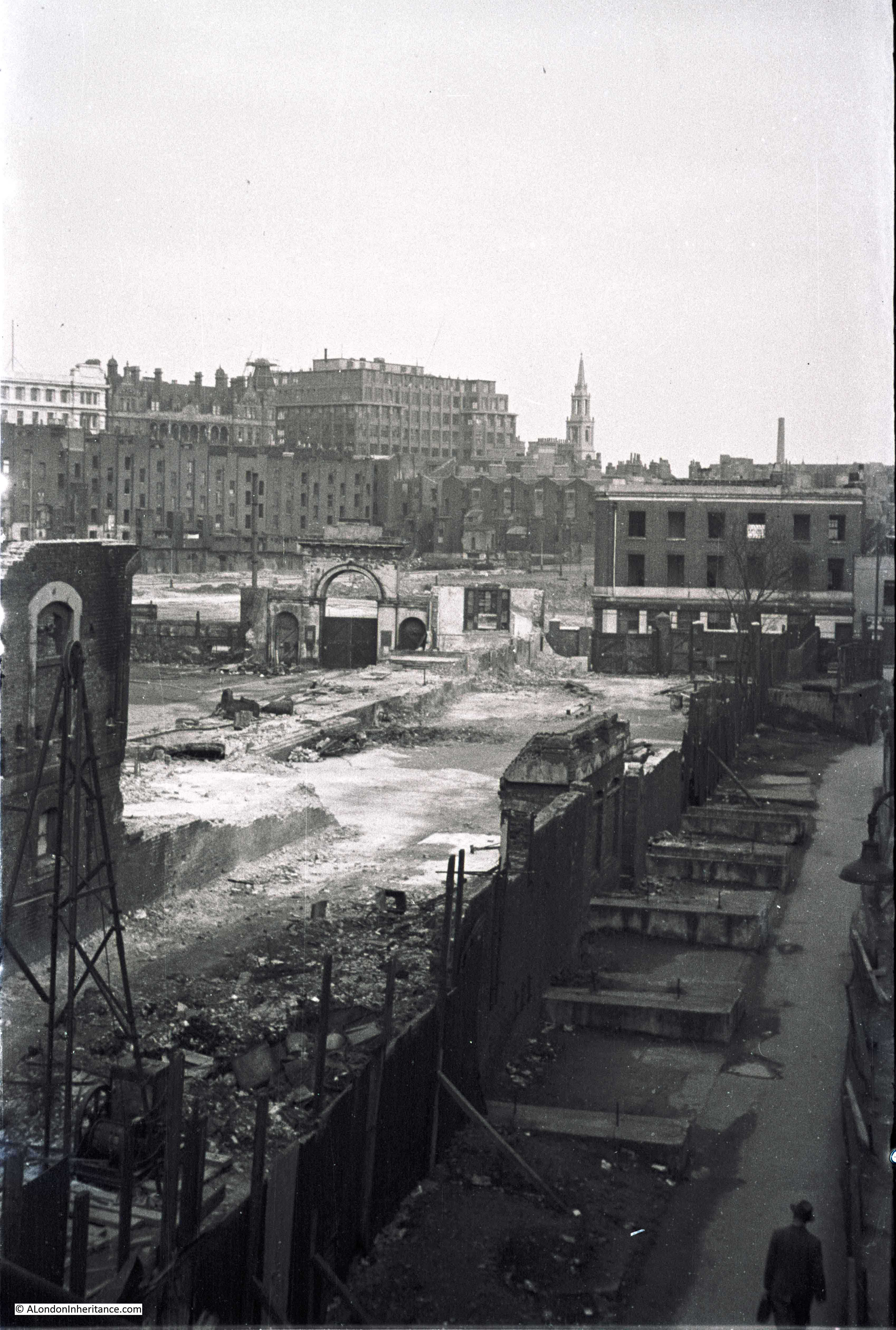
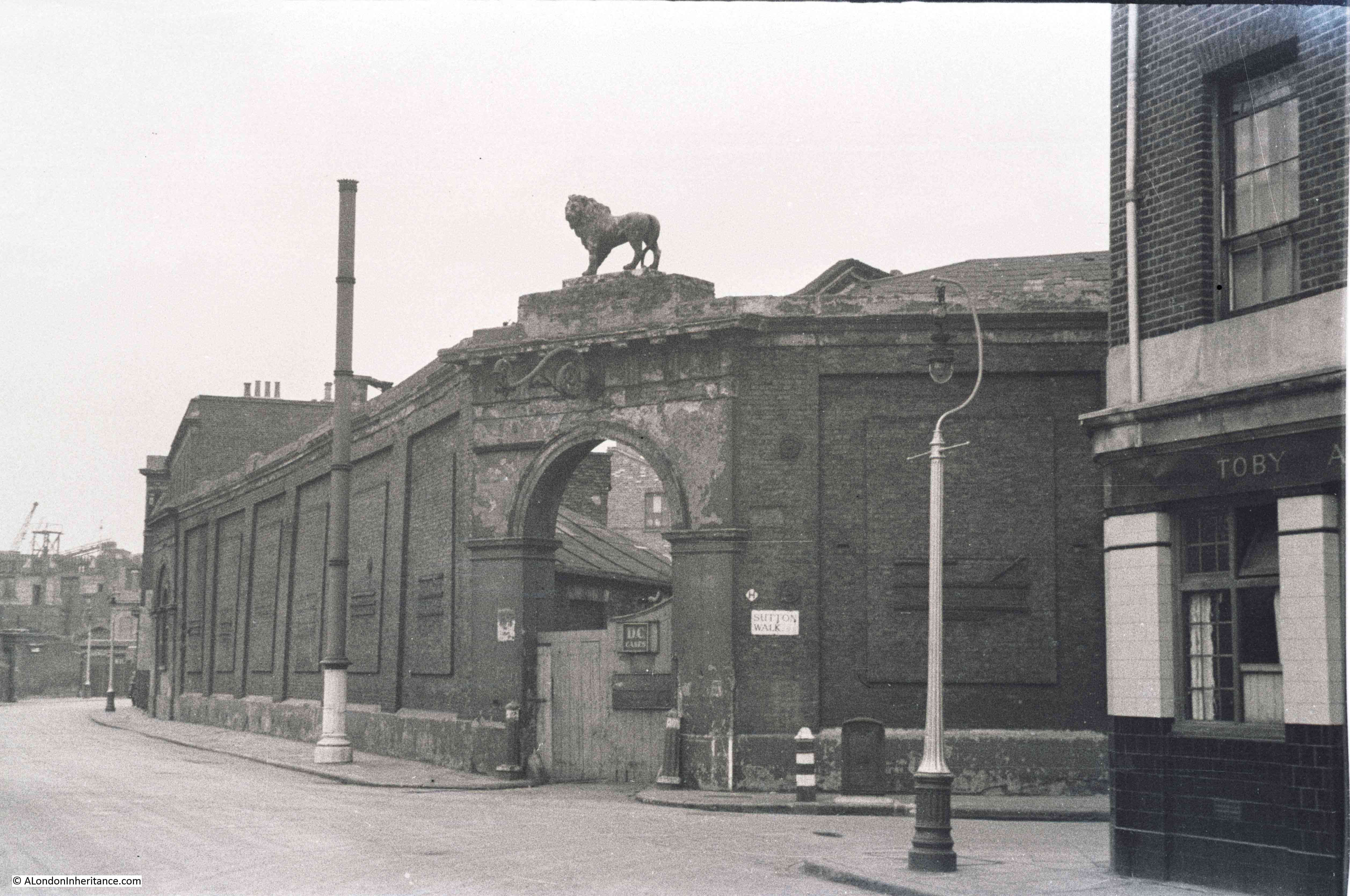
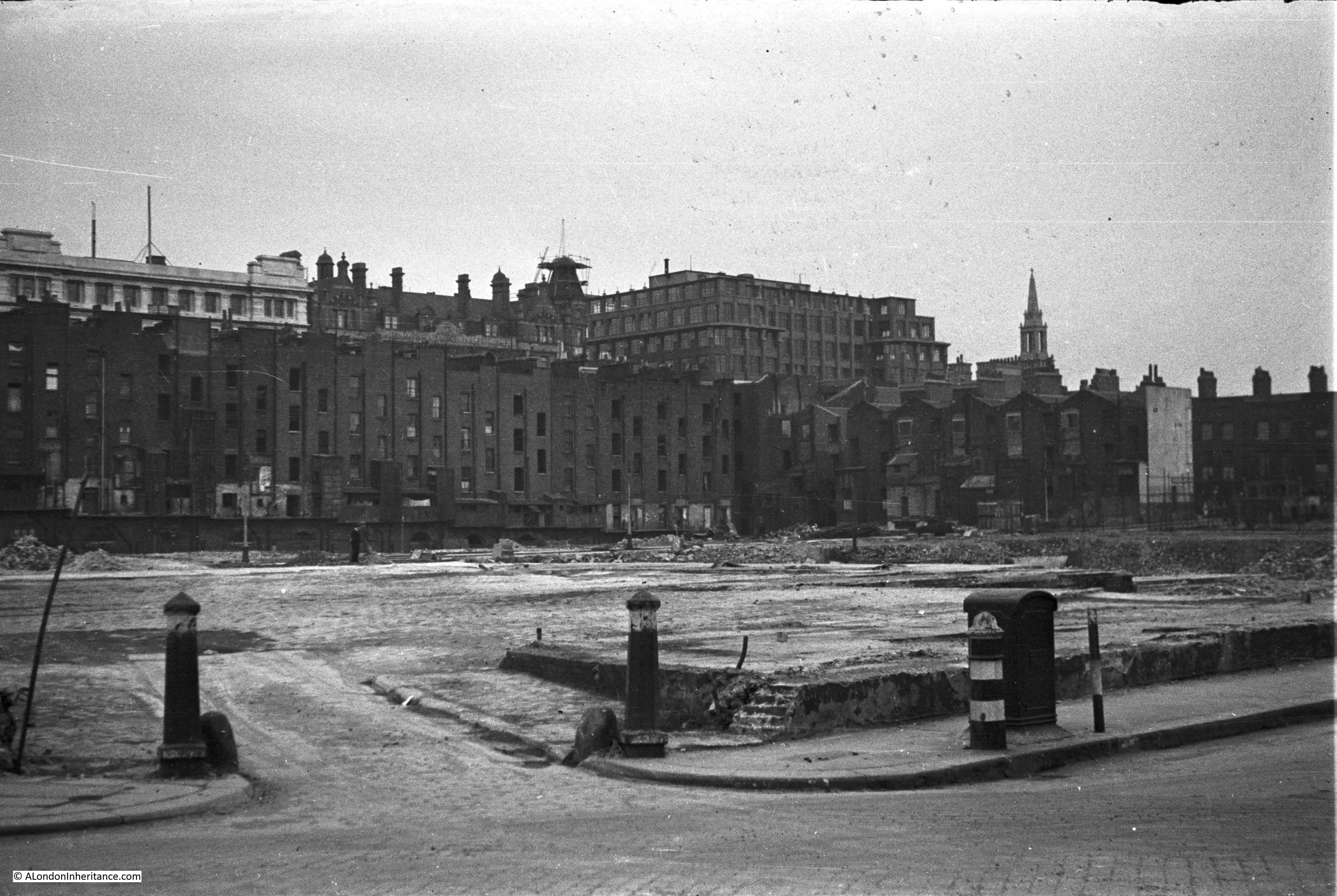
All over Wapping there are the remains of the original buildings and docks that once covered the area from the River Thames to The Highway (the A1203 running from East Smithfield to Limehouse). I have an ongoing project to find and photograph all these remnants.
Here is an original entrance to the western most basin that led in from the river to the London Docks.
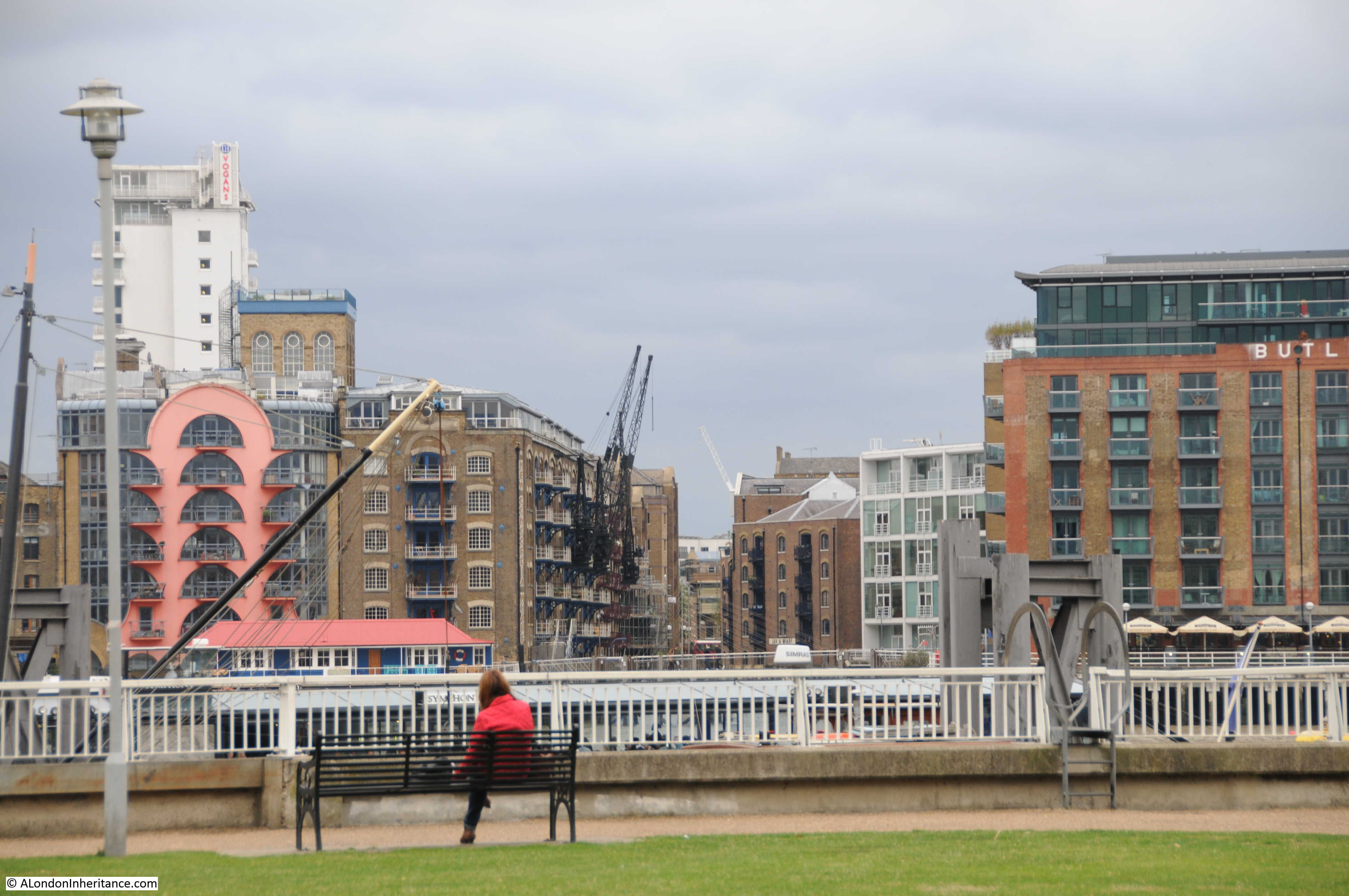
On walking into Wapping High Street, on the right are the Hermitage Memorial Gardens, built in memorial of the East London civilians who lost their lives during the bombing of this area during the last war.
In the photo below we are looking across the gardens to the entrance to St. Saviour’s Dock on the south side of the river.
Wapping has always been associated with the Thames, along with the trades and people who worked on the river, in the warehouses, the sailors who would arrive in Wapping up one of the many steps leading to the river in search of a diversion whilst their ship was being unloaded and loaded.
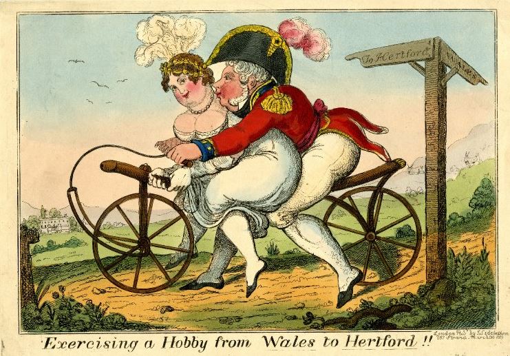
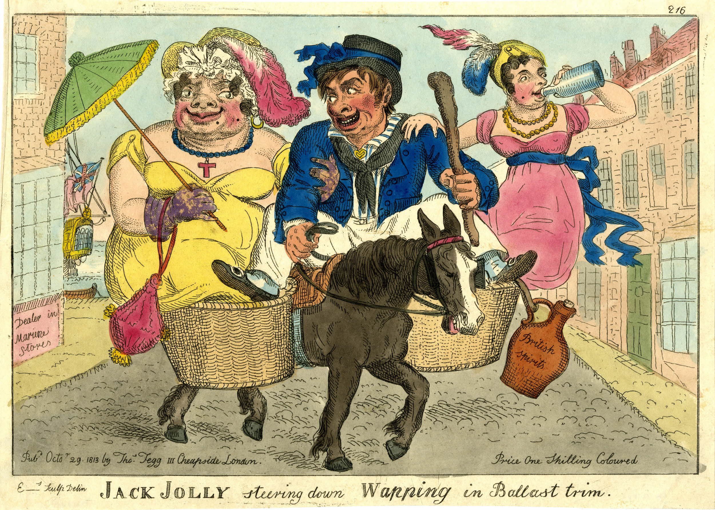
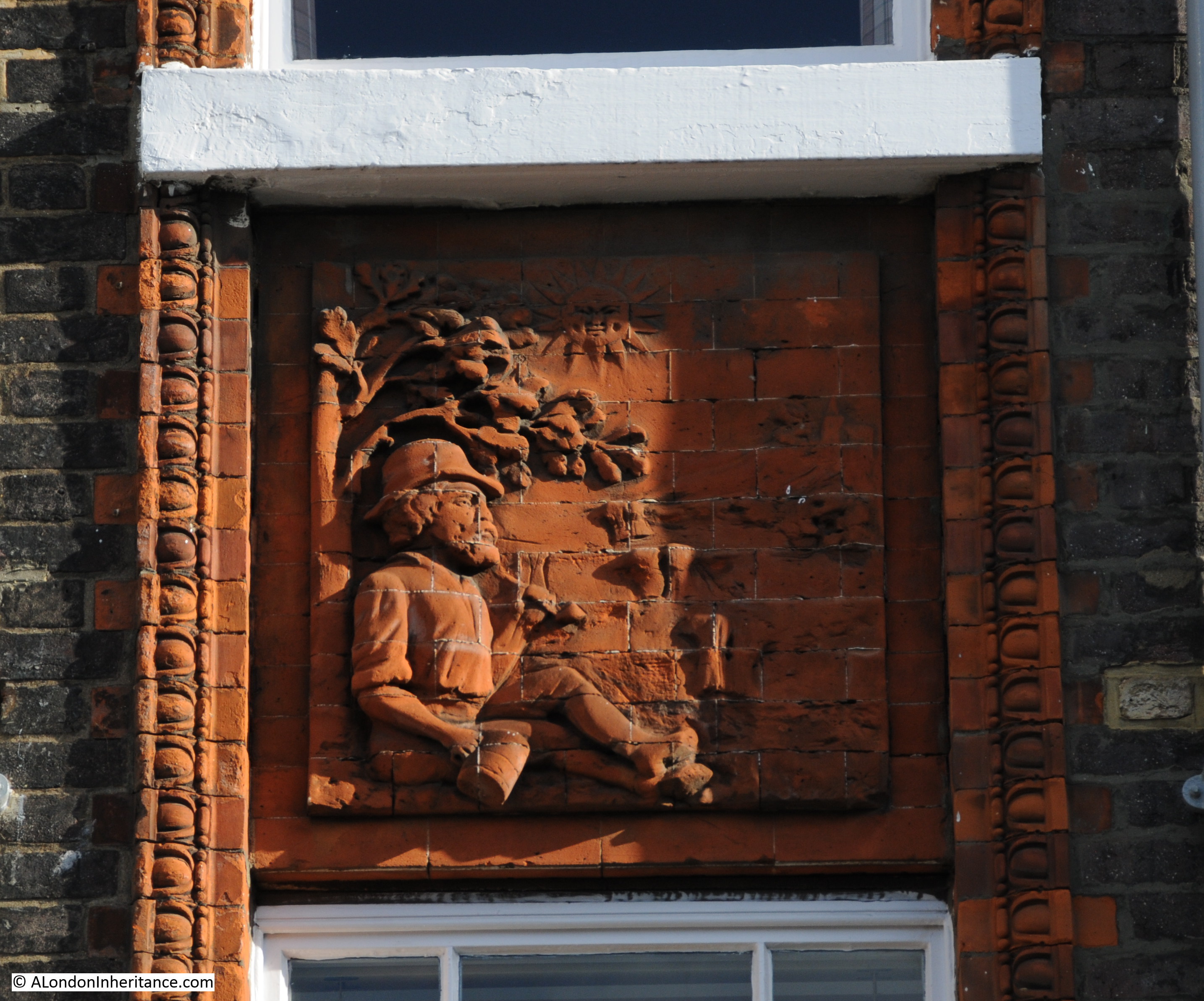
Wapping was portrayed in a number of different prints and pamphlets that all tended to dwell on the seedier side of Wapping. Typical is the following from 1818 (©Trustees of the British Museum).
The British Museum description to this print reads:
“A jovial sailor bestrides a mis-shapen horse with panniers, a foot in each basket. In each basket sits a bedizened prostitute, each holding one of his arms. He grins amorously towards the one on his right who is immensely fat, with a patched face and coarse features. She wears long gloves, holds up a parasol, and a reticule dangles from her arm. The other, who is less repulsive, drinks from a bottle; from her pannier dangles a jar of ‘British Spirits’. Both wear feathered hats and low-cut dresses with very short sleeves, necklaces, and ear-rings. They are in a wide cobbled street leading to the Thames, which resembles the sea; behind a corner shop (left), inscribed ‘Dealer in Maritime Stores’, appears the stern of a ship flying an ensign”
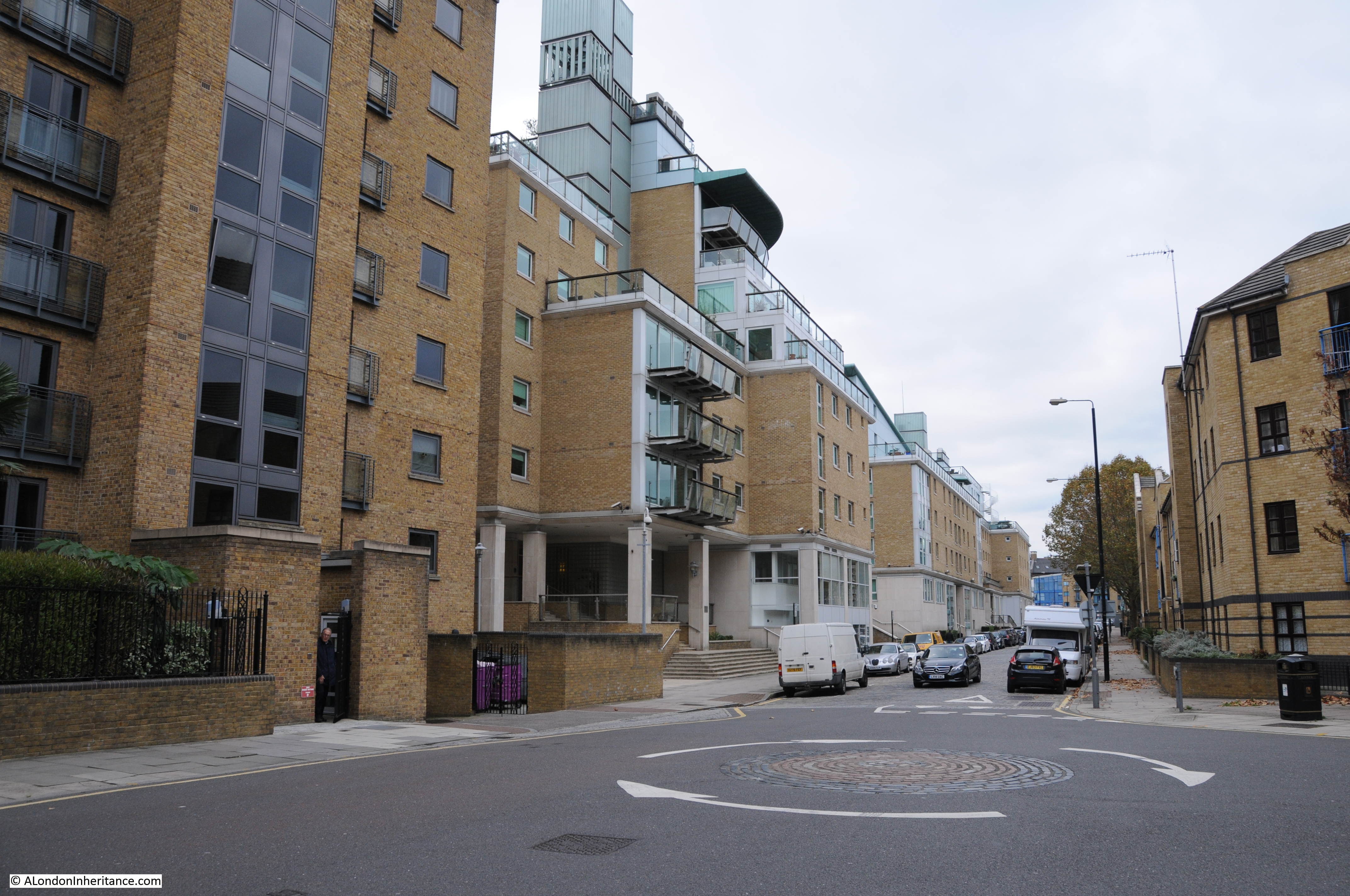
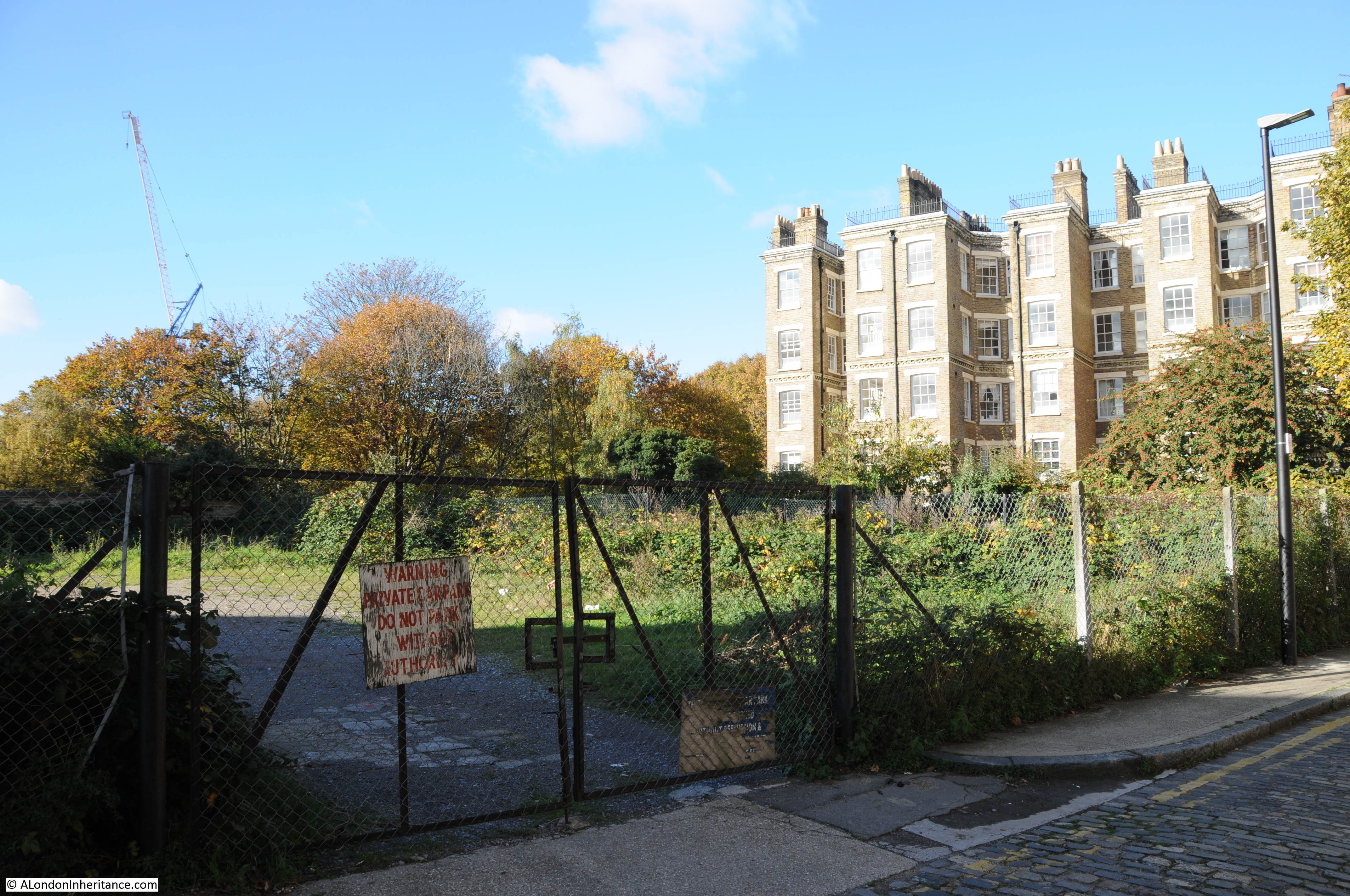
The section of Wapping High Street up to the junction with Sampson Street is mainly new developments. Looking west along Wapping High Street, and rather than the original warehouses, new blocks of flats line the space between river and road.
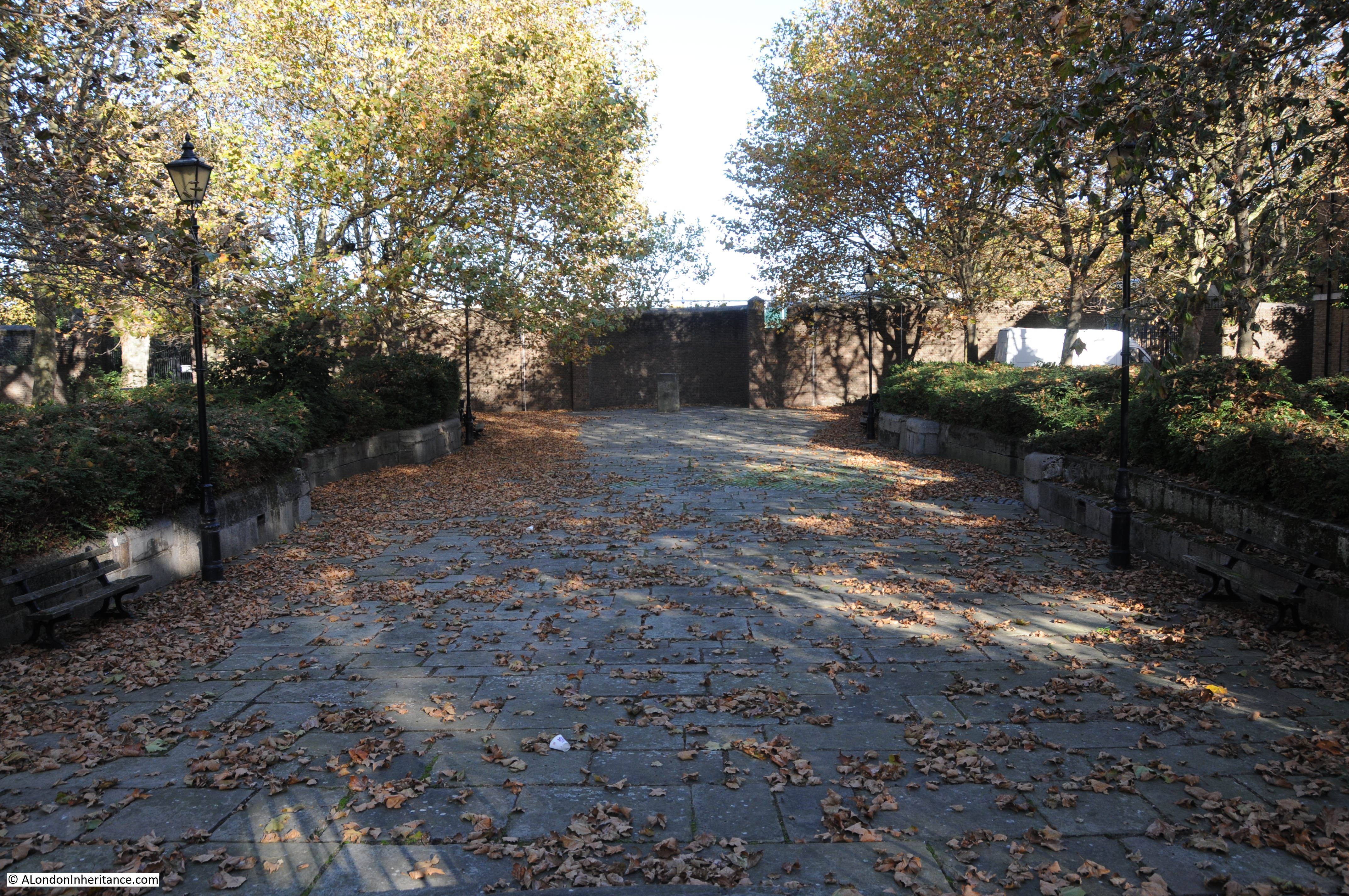
Walking on, and here the road crosses over the entrance to the Wapping Basin and the London Docks. Now long filled in, the entrance is still very clear when looking left and right as you walk along this part of the road.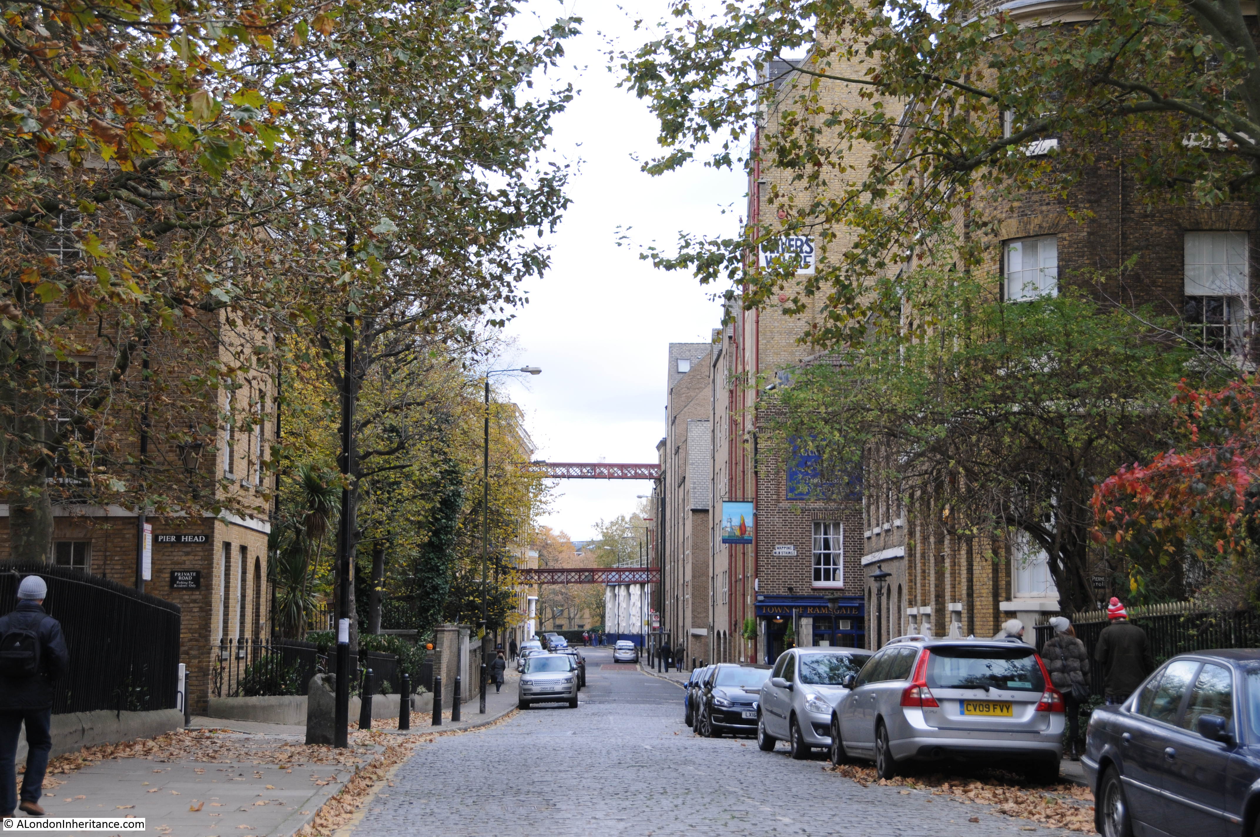
This Aerofilms photo from 1922 shows the entrance when these docks were still in operation. The narrow channel leading from the Thames to Wapping Basin is shown on the left of the photo with Wapping High Street crossing the entrance at the half way point.
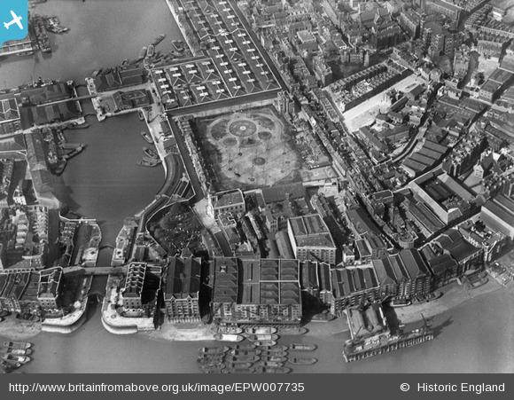
Stopping on Wapping High Street and looking inland towards where Wapping Basin was once located provides this view. The channel is still clearly visible with the original walls still on either side.
I have written more about this small immediate area in a post on the Gun Tavern, which can be found here.
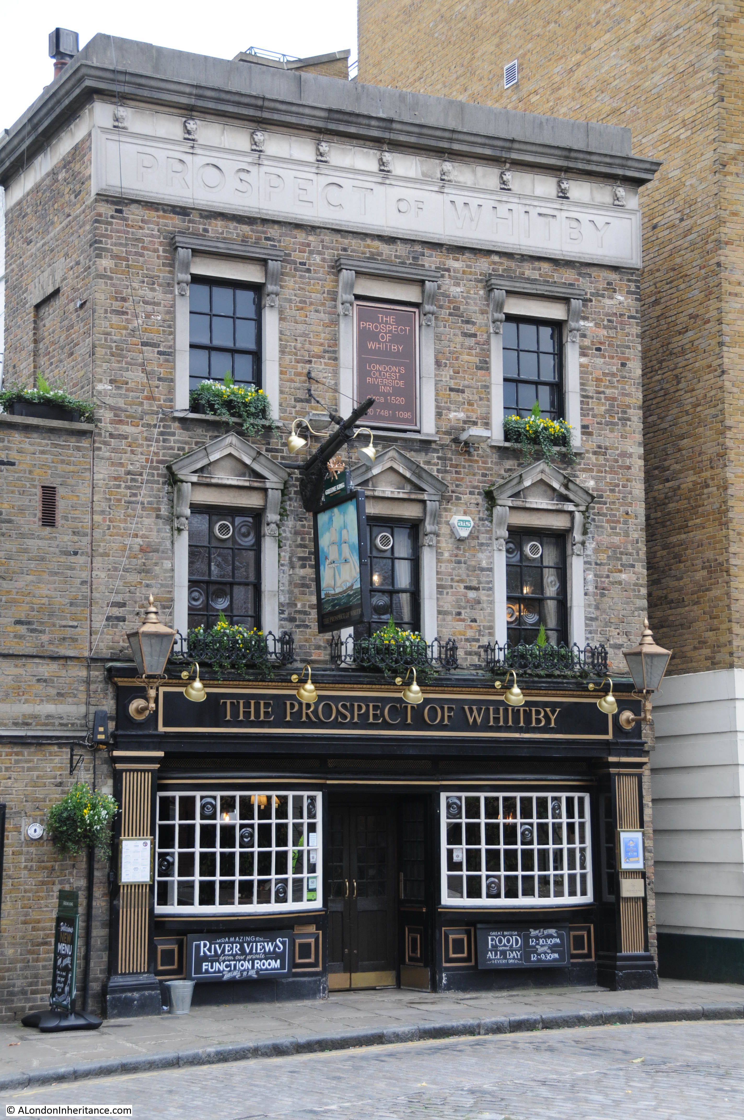
We now come to the Town of Ramsgate pub, possibly the site of a pub dating back to the 15th Century. Known from 1533 as The Red Cow, then the Ramsgate Old Town and finally from 1811 as the Town of Ramsgate.
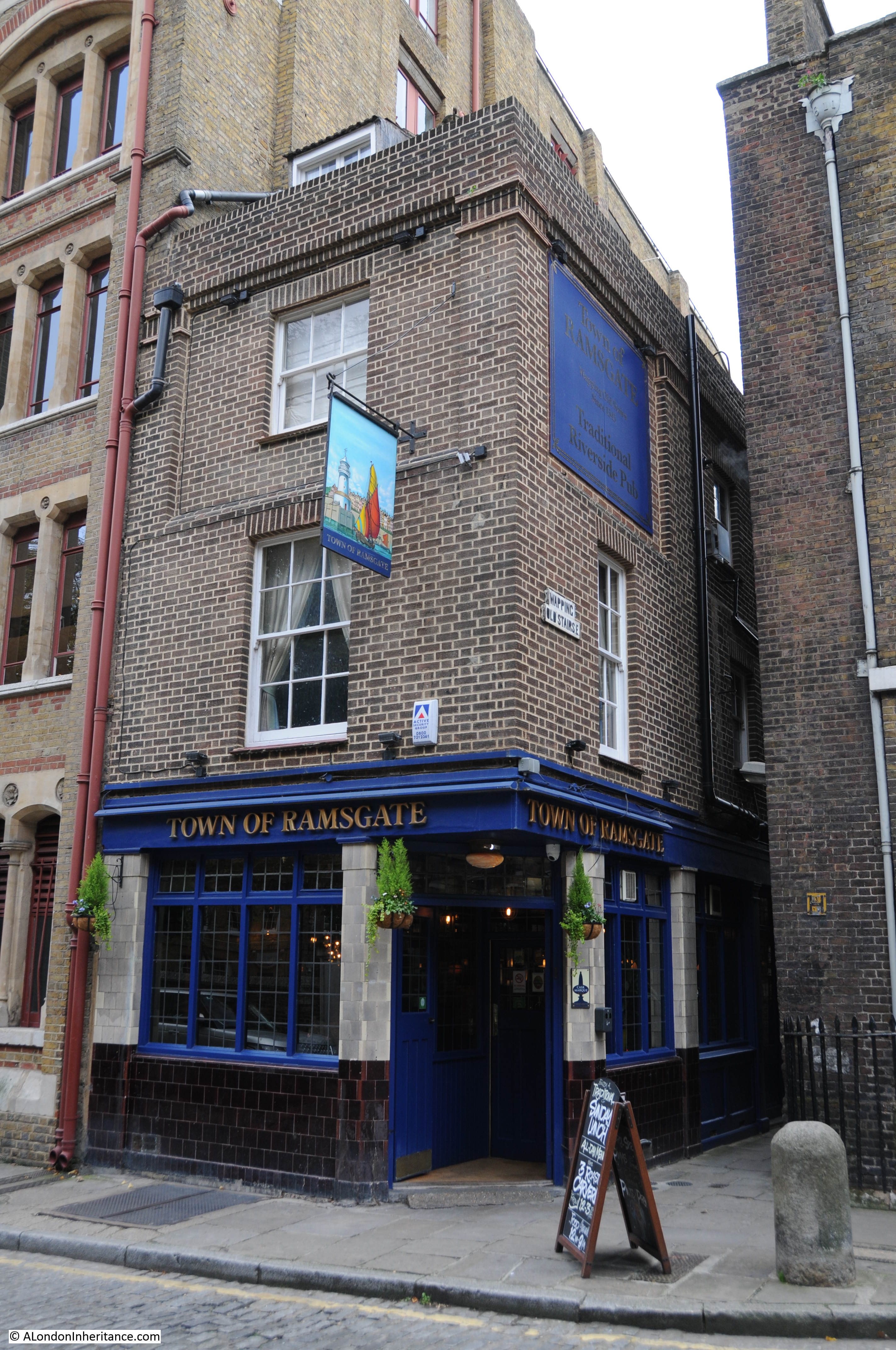
The Town of Ramsgate was allegedly where the notorious Lord Chief Justice Jeffreys was captured whilst trying to escape by boat. Jeffreys had been the judge during the trials of those who participated in the Monmouth Rebellion in the west country. The Monmouth Rebellion was an attempt to overthrow the Catholic James II who had become king after the death of his brother Charles II. The rebellion was led by James Scott, 1st Duke of Monmouth who was an illegitimate son of Charles II.
During 1685 Judge Jeffreys presided over the Autumn Assizes in Winchester, Dorchester, Taunton and Wells. Hundreds of people were tried for various offences as part of the rebellion and the majority were sentenced to death, although many of the sentences were later changed to transportation. It is estimated that as many as 250 people were still hanged, including an elderly woman Alice Lyle whose only offence was in helping two of the rebels, she did not participate in the rebellion.
James II was in turn overthrown by William of Orange during the Glorious Revelation of 1688 and it was this event which caused Judge Jeffreys to attempt to escape the country, having lost the king he did so much to support.
In Old and New London, Walter Thornbury describes the capture of Judge Jeffreys in Wapping using a description from Macaulay:
“A scrivener who lived at Wapping, and whose trade was to furnish the sea faring men there with money at high interest, had some time before lent a sum on bottomry. The debtor applied to equity for relief against his own bond and the case came up before Jeffreys. The counsel, for the borrower, having little else to say, said that the lender was a trimmer. the chancellor instantly fired. ‘A trimmer! where is he? Let me see him. I have heard of that kind of monster. What is he made like?’ The unfortunate creditor was forced to stand forth. The chancellor glared fiercely on him, stormed at him, and sent him away half dead with fright. ‘While I live’ the poor man said as he tottered out of court, ‘I shall never forget that terrible countenance.’
And now the day of retribution had arrived. The ‘trimmer’ was walking through Wapping when he saw a well known face looking out the window of an ale-house. He could not be deceived. The eyebrows, indeed had been shaved away. The dress was that of a common sailor from Newcastle and was black with coal-dust; but there was no mistaking the savage eye and mouth of Jeffreys. the alarm was given. In a moment the house was surrounded by hundreds of people, shaking bludgeons and bellowing curses. The fugitive’s life was saved by a company of the Trainbands; and he was carried before the Lord Mayor.
The mayor was a simple man, who had passed his whole life in obscurity, and was bewildered by finding himself an important actor in a mighty revolution. The events of the last twenty-four hours and the perilous state of the city which was under his charge, had disordered his mind and body. When the great man, at whose frown, a few days before, the whole kingdom had trembled, was dragged into the justice room begrimed with ashes, half dead with fright, and followed by a raging multitude, the agitation of the unfortunate mayor rose to the height. He fell into fits, and was carried to his bed, whence he never rose. Meanwhile, the throng without was constantly becoming more numerous and more savage. Jeffreys begged to be sent to prison. An order to that effect was procured from the Lords who were sitting at Whitehall; and he was conveyed in a carriage to the Tower.
Two regiments of militia were drawn out to escort him, and found the duty a difficult one. It was repeatedly necessary for them to form, as if for the purpose of repelling a charge of cavalry, and to present a forest of pikes to the mob. The thousands who were disappointed of the revenge pursued the coach, with howls of rage to the gate of the Tower, brandishing cudgels, and holding up halters full in the prisoners view. The wretched man meantime was in convulsions of terror. He wrung his hands, he looked wildly out, sometimes at one window, sometimes at the other, and was heard, even above the tumult crying, ‘Keep them off, gentlemen ! For God’s sake, keep them off !’. At length having suffered far more than the bitterness of death, he was safely lodged in the fortress, where some of his most illustrious victims had passed their last days, and where his own life was destined to close in unspeakable ignominy and terror.”
Judge Jeffreys died of kidney disease while being held in the Tower in April 1689. He was originally buried in the Tower but in 1692 his body was moved to the City church of St. Mary Aldermanbury. The church was badly damaged during the Blitz when Jeffreys tomb was also destroyed. The remains of the church were shipped to the US and the site of the church is now a garden. See my post on St Mary Aldermanbury which can be found here.
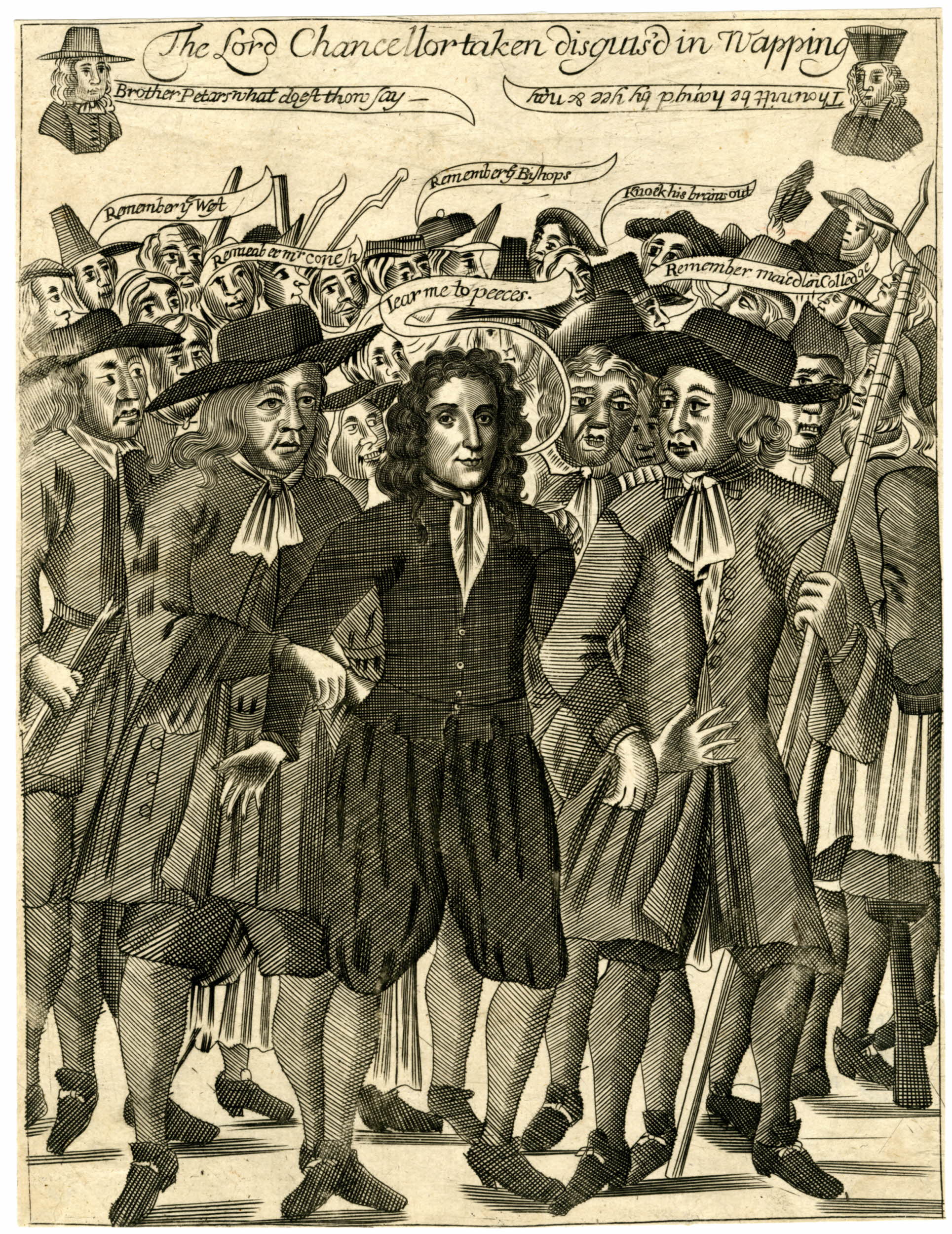
The following print (©Trustees of the British Museum) from the time illustrates the arrest of Lord Chancellor Jeffreys.
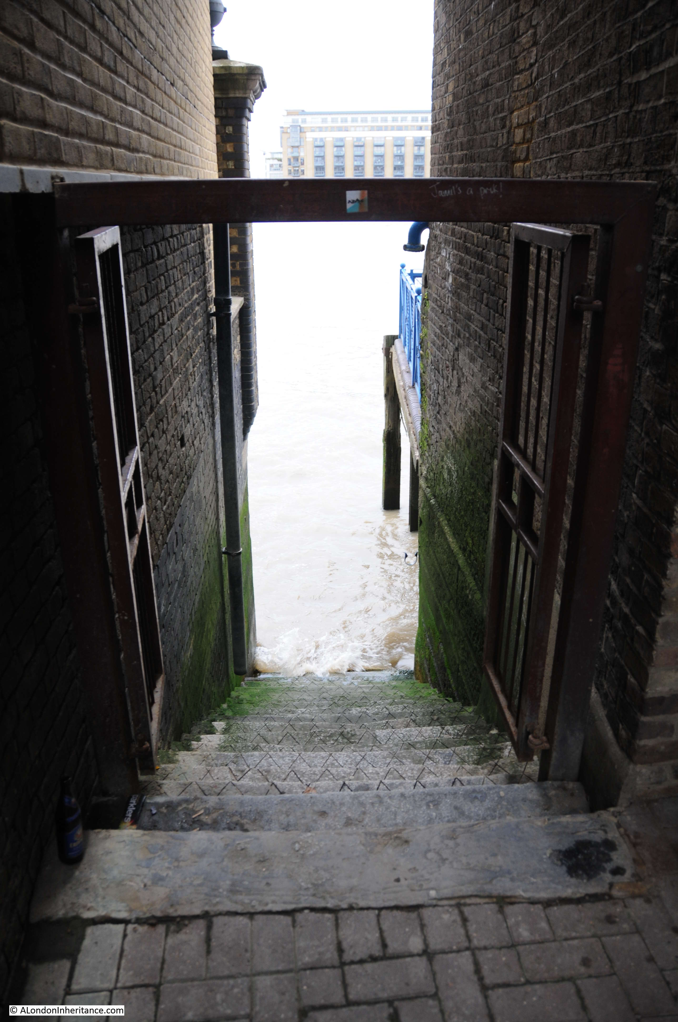
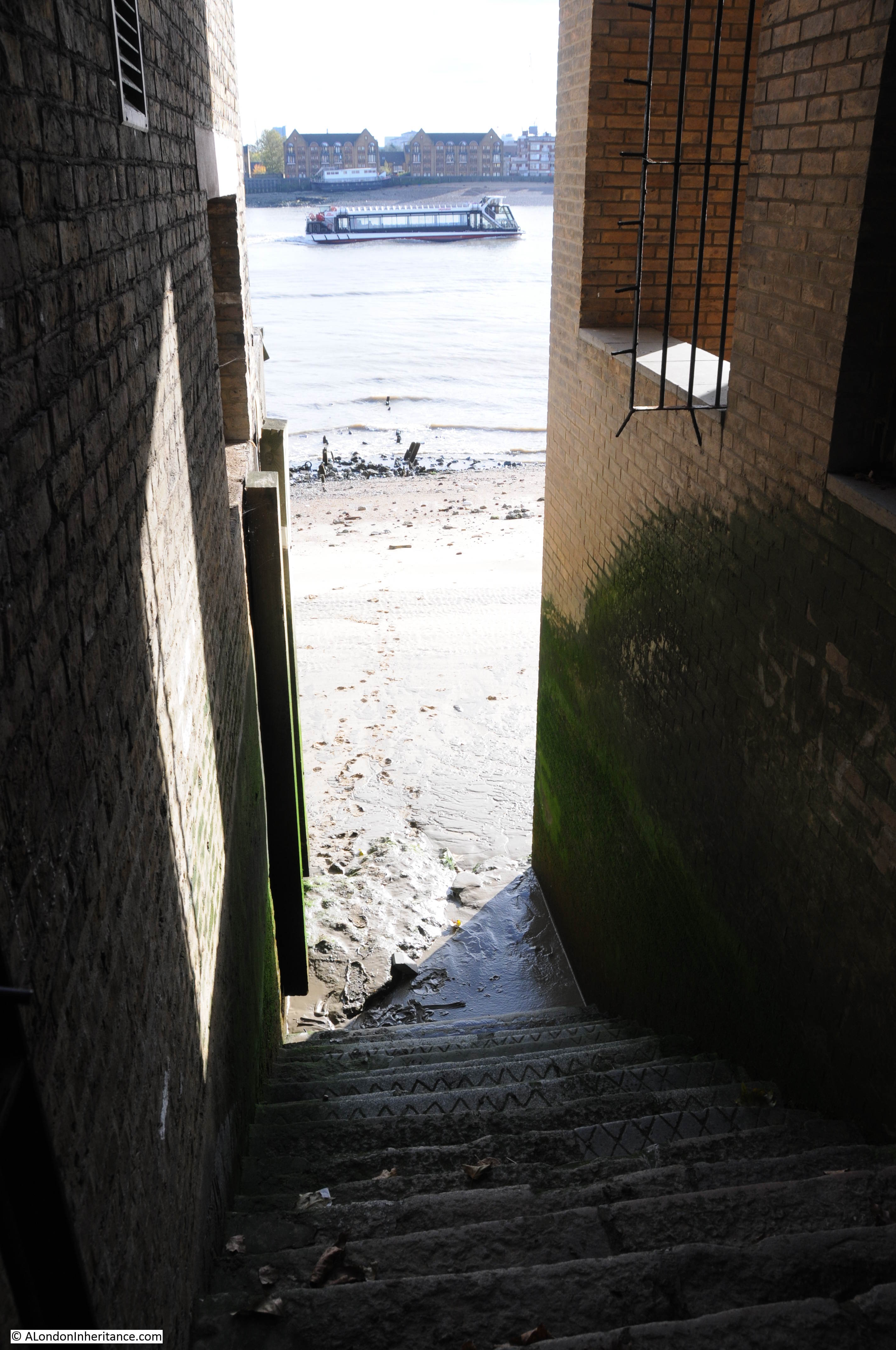
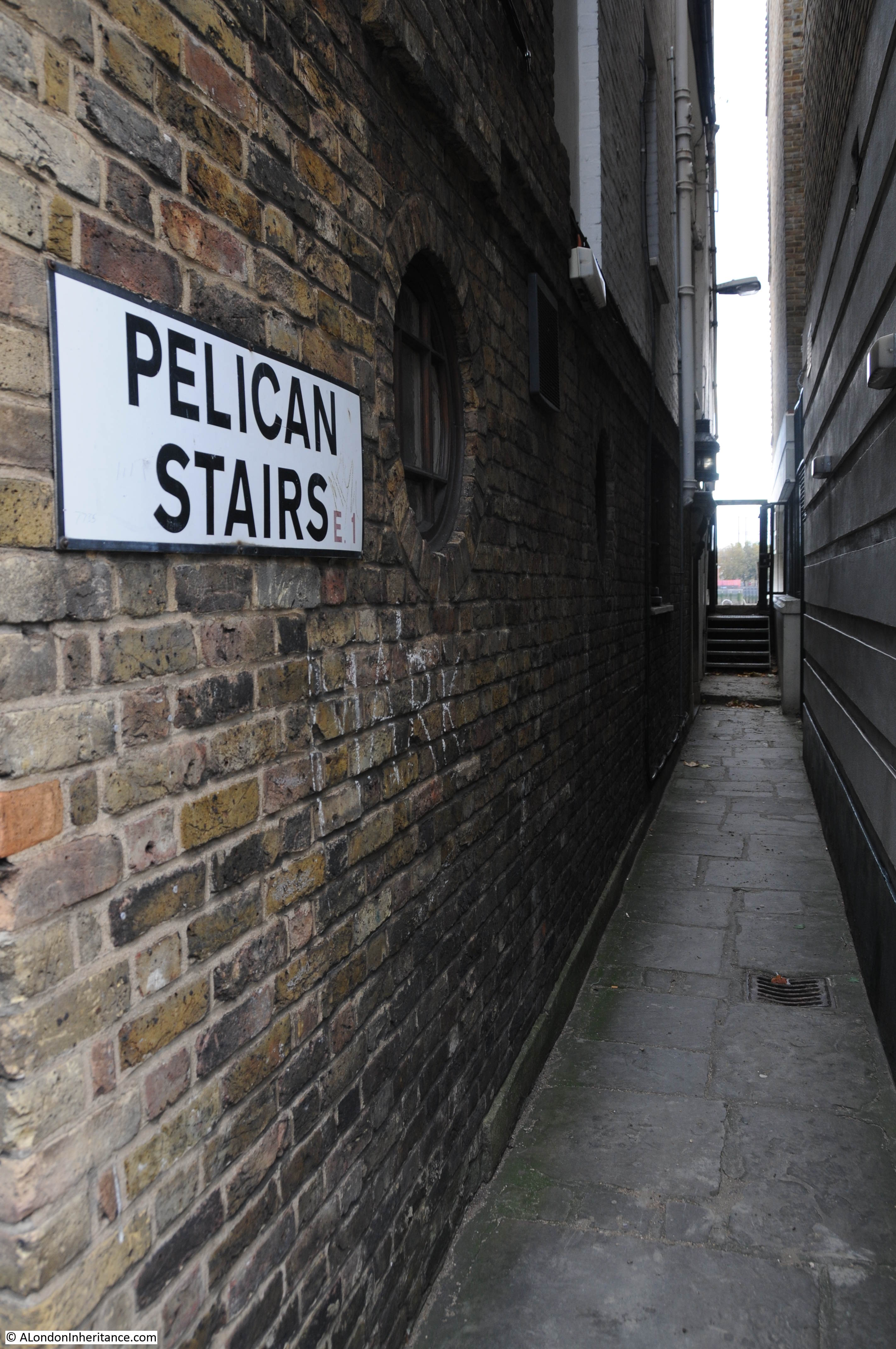
At the side of the Town of Ramsgate is an alley leading to Wapping Old Stairs.
The view from the top of the stairs. Fortunately my visit coincided with a low tide so I could make my way down to the river, although this was somewhat precarious as the steps were covered in a thin layer of very slippery mud and water.
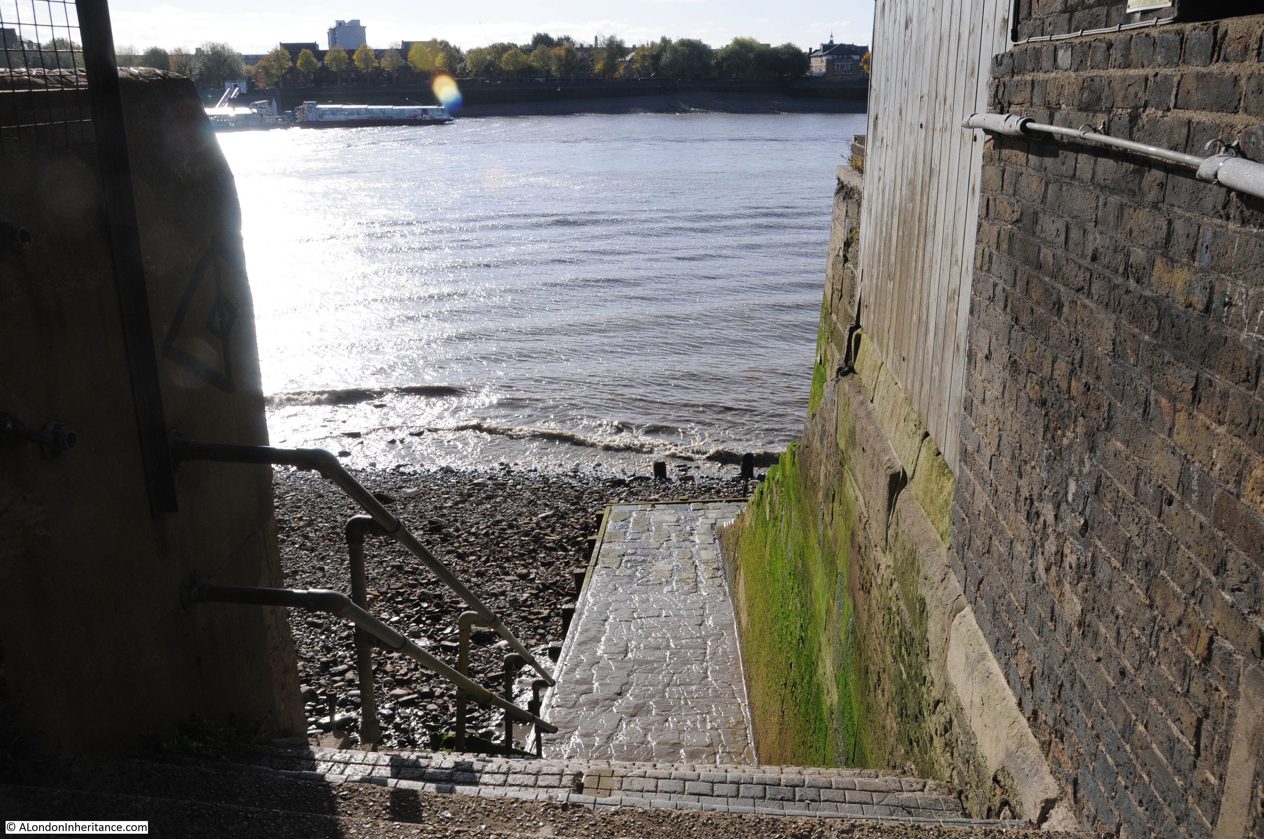
The view from the foreshore looking back up at Wapping Old Stairs.
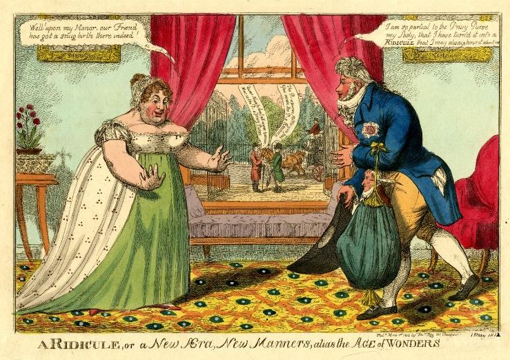
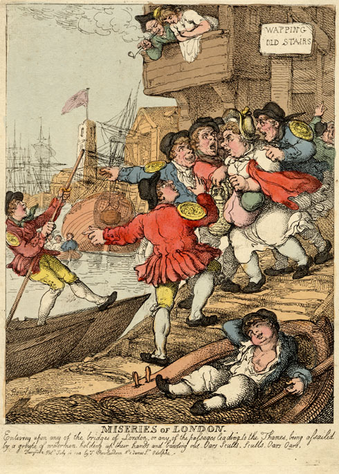
Wapping Old Stairs were one of the many stairs providing access to the river to reach the ships that would be moored, to get transport along the river or to load / unload cargo and passengers. The print below (©Trustees of the British Museum) from 1807 and titled “Miseries of London” shows a potential passenger at Wapping old Stairs being accosted by a group of watermen after his custom. The badge on their arms identifies them as Thames Watermen. They are calling out “Oars, Sculls, Sculls, Oars, Oars.”
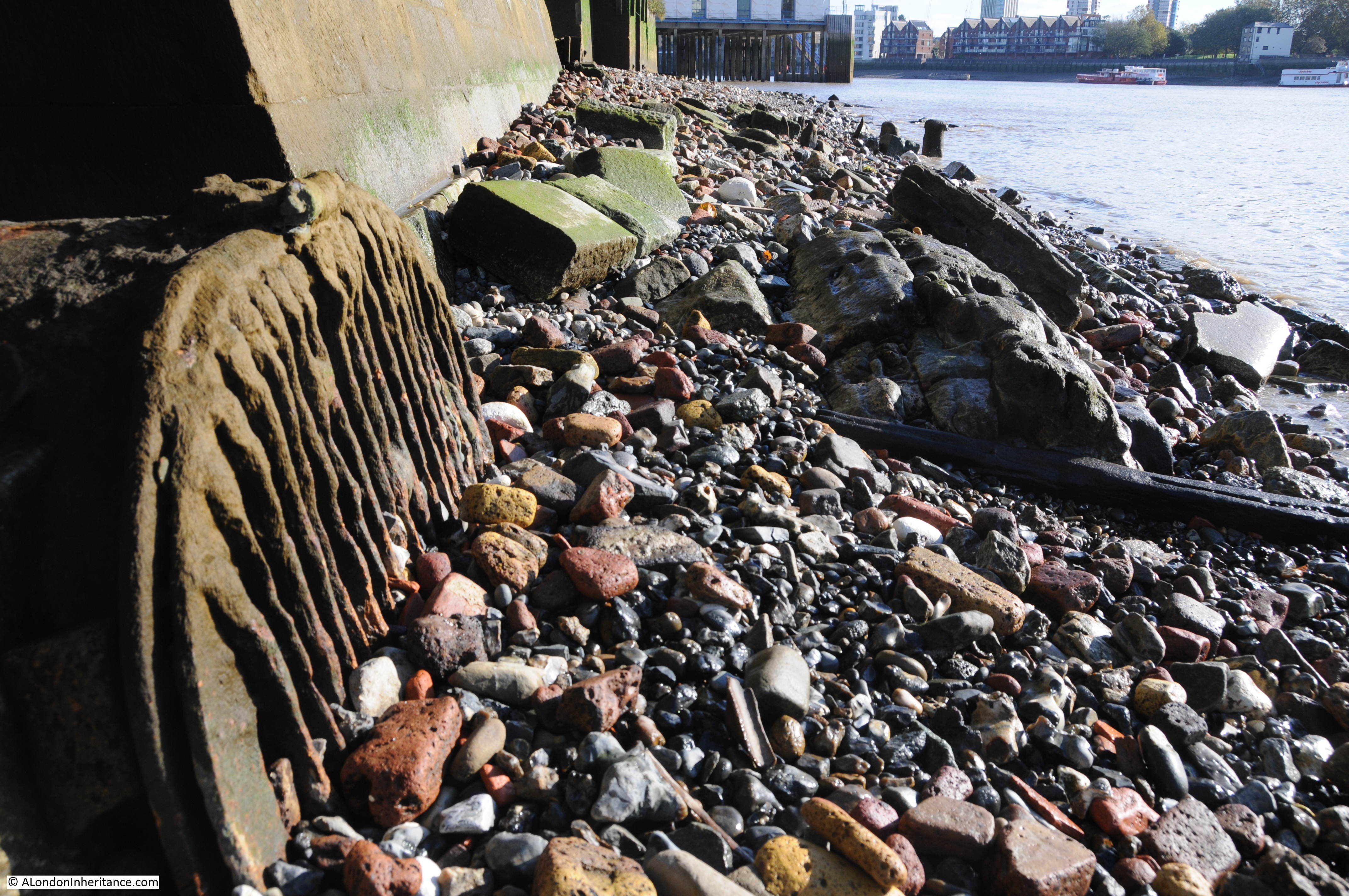
The foreshore at Wapping Old Stairs, looking towards Tower Bridge. The large white stones are lumps of chalk. These can be found all along the foreshore in central London as chalk was used to provide a flat layer on which barges could settle. Chalk would be pressed into the foreshore to provide a flat and relatively smooth bed. The remains of some of these are still visible, however for most, the chalk has now washed away and can now be found as individual lumps of chalk, washed smooth by the tides, along the foreshore.
In the above photo, the break in the river wall can just be seen which once led into Wapping Basin and the London Docks. There is also a smaller entrance in the river wall. Within this was a long out of use, rusted and silted up outflow from somewhere inland, into the river.
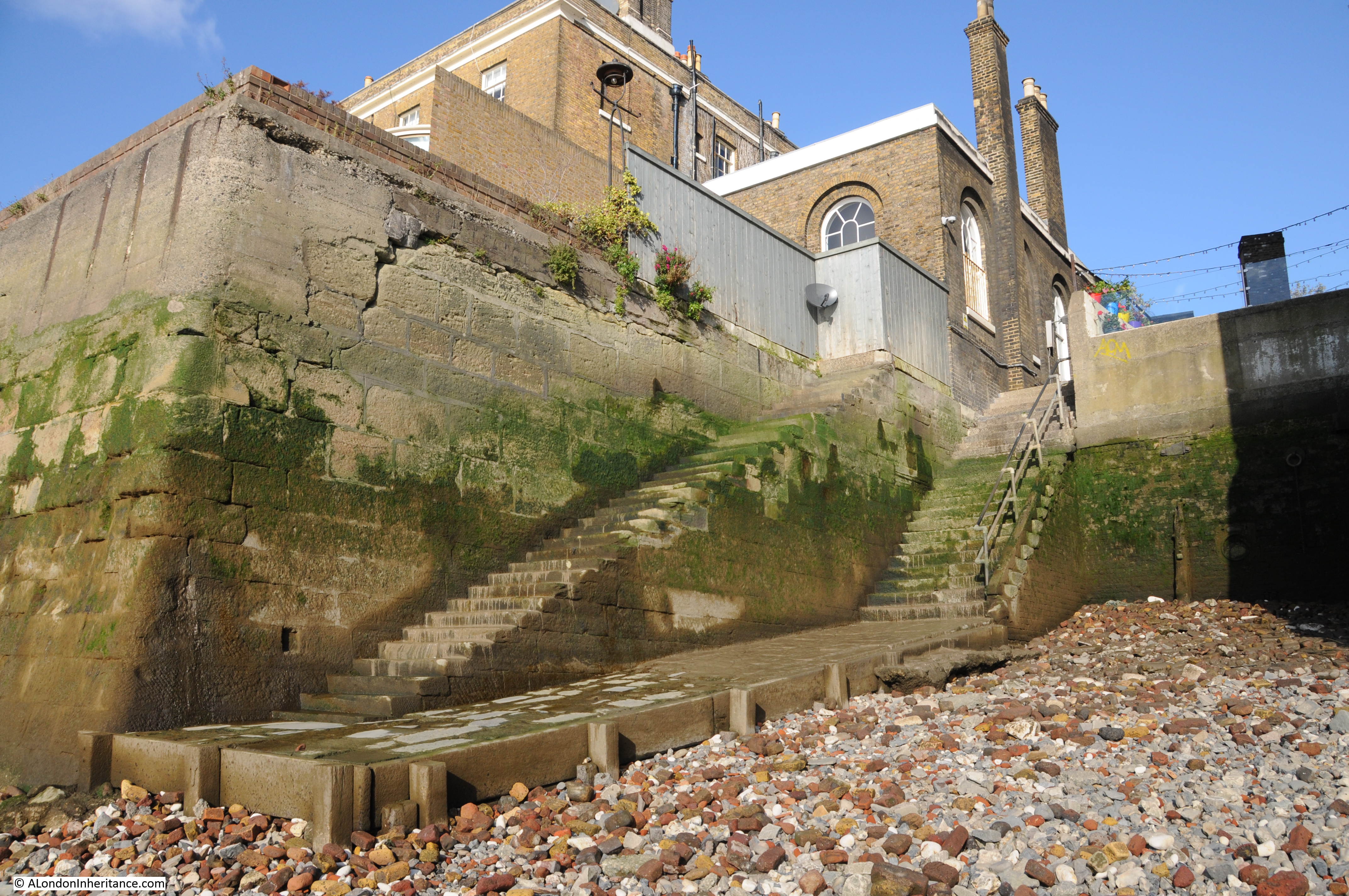
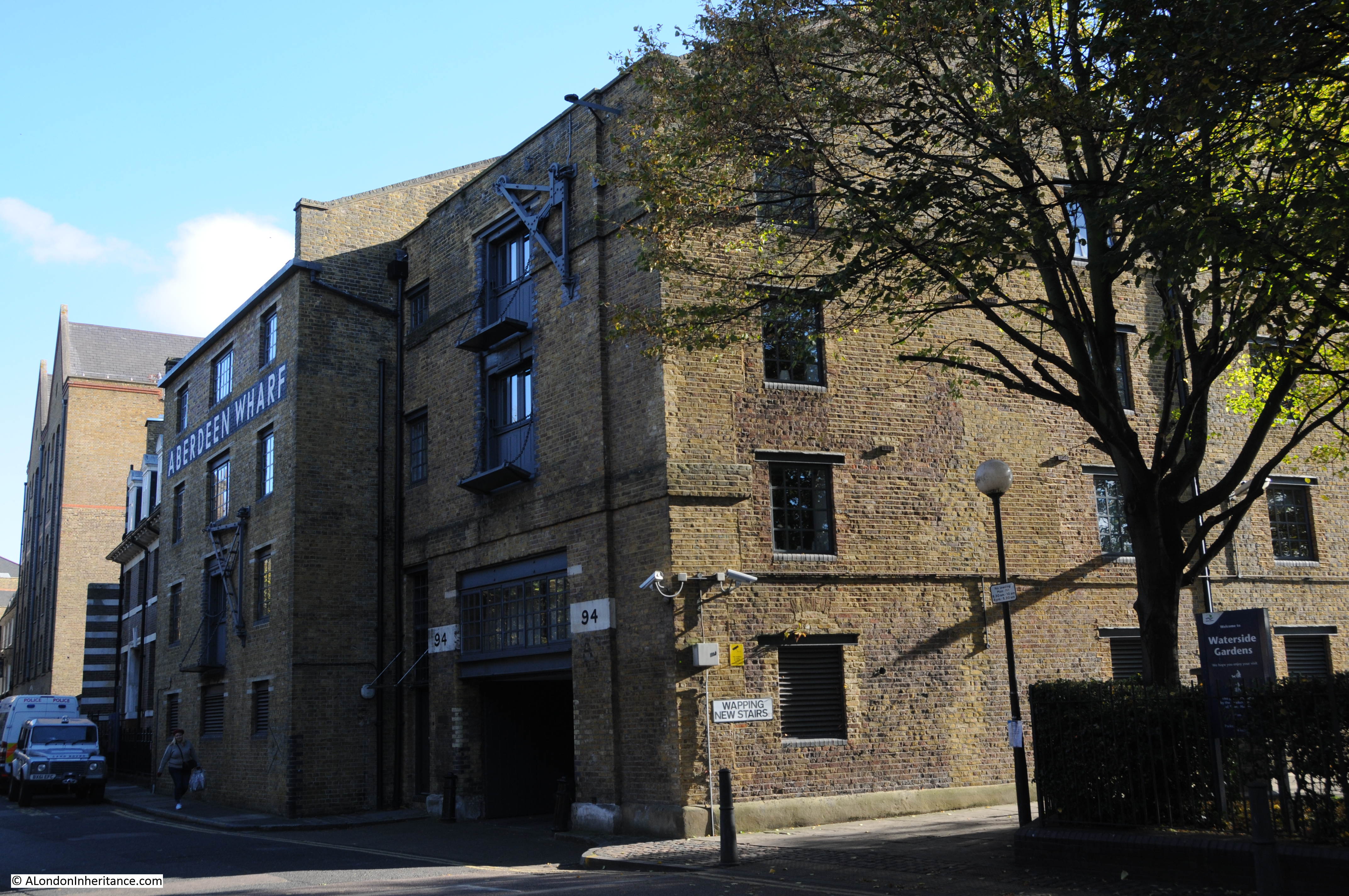
Back in Wapping High Street and these buildings were once the Aberdeen Wharf. The entrance to the right leads to Wapping New Stairs.
At the top of Wapping New Stairs.
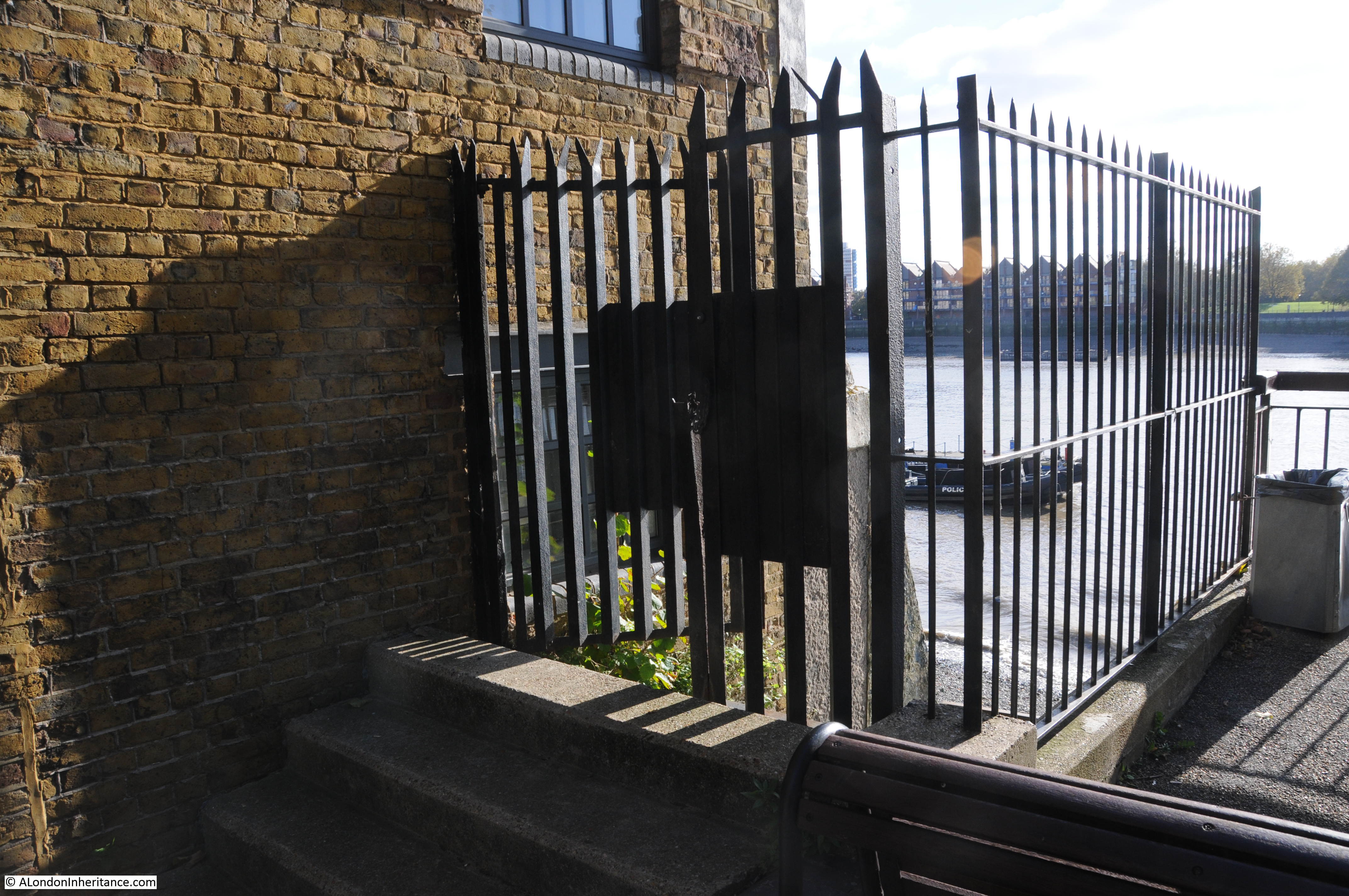
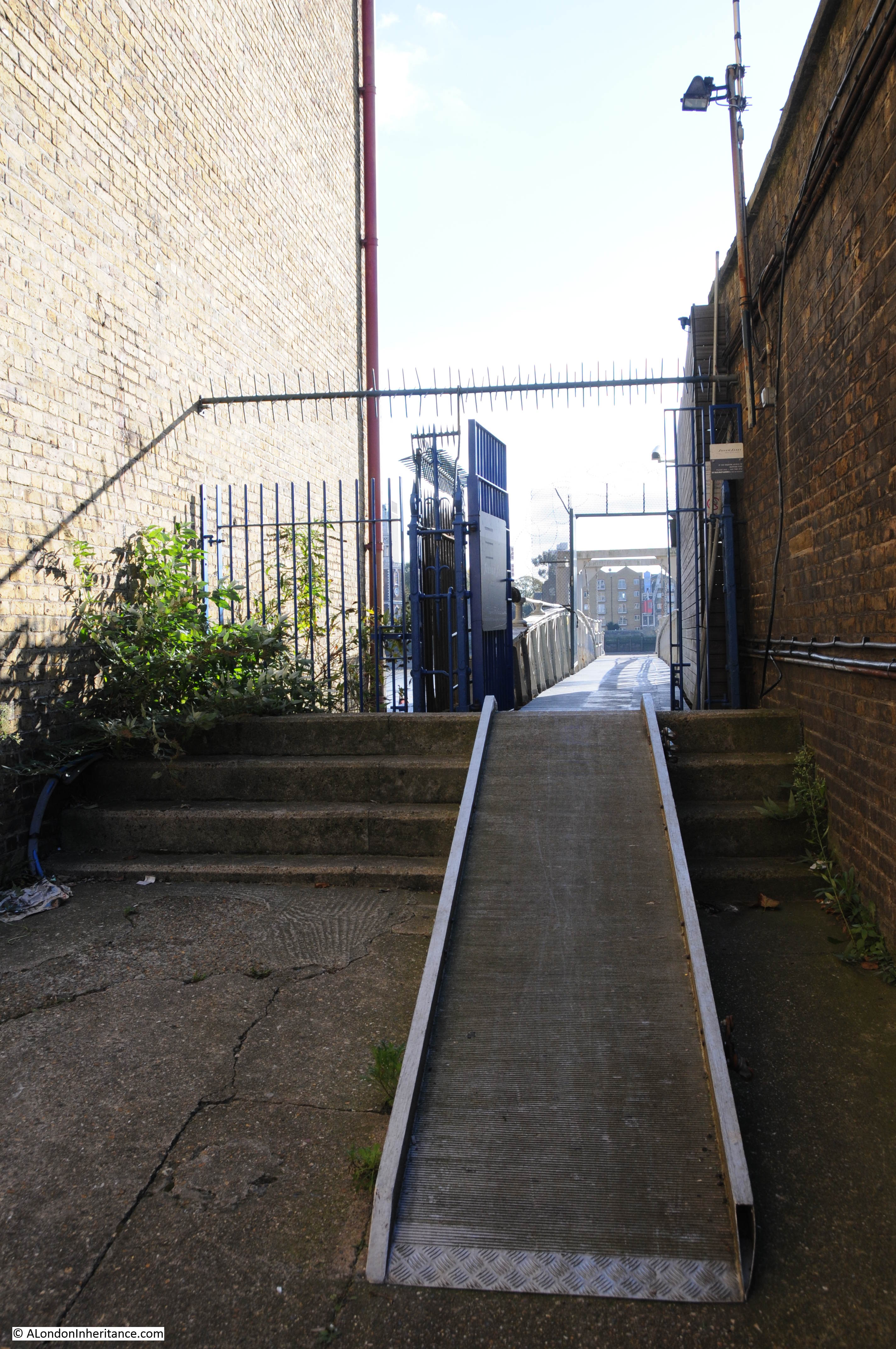
View from the top of Wapping New Stairs looking east towards the pier belonging to the river police.
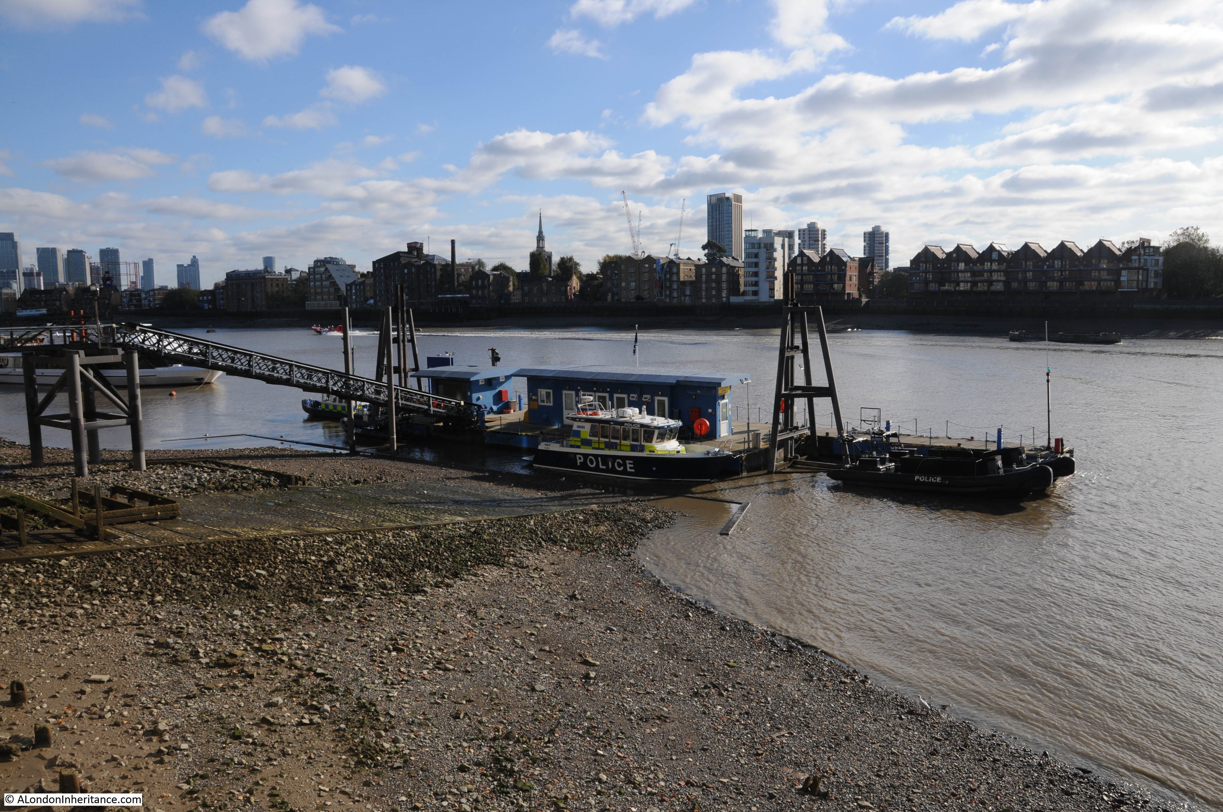
The building of the Marine Policing Unit, the original Thames River Police.
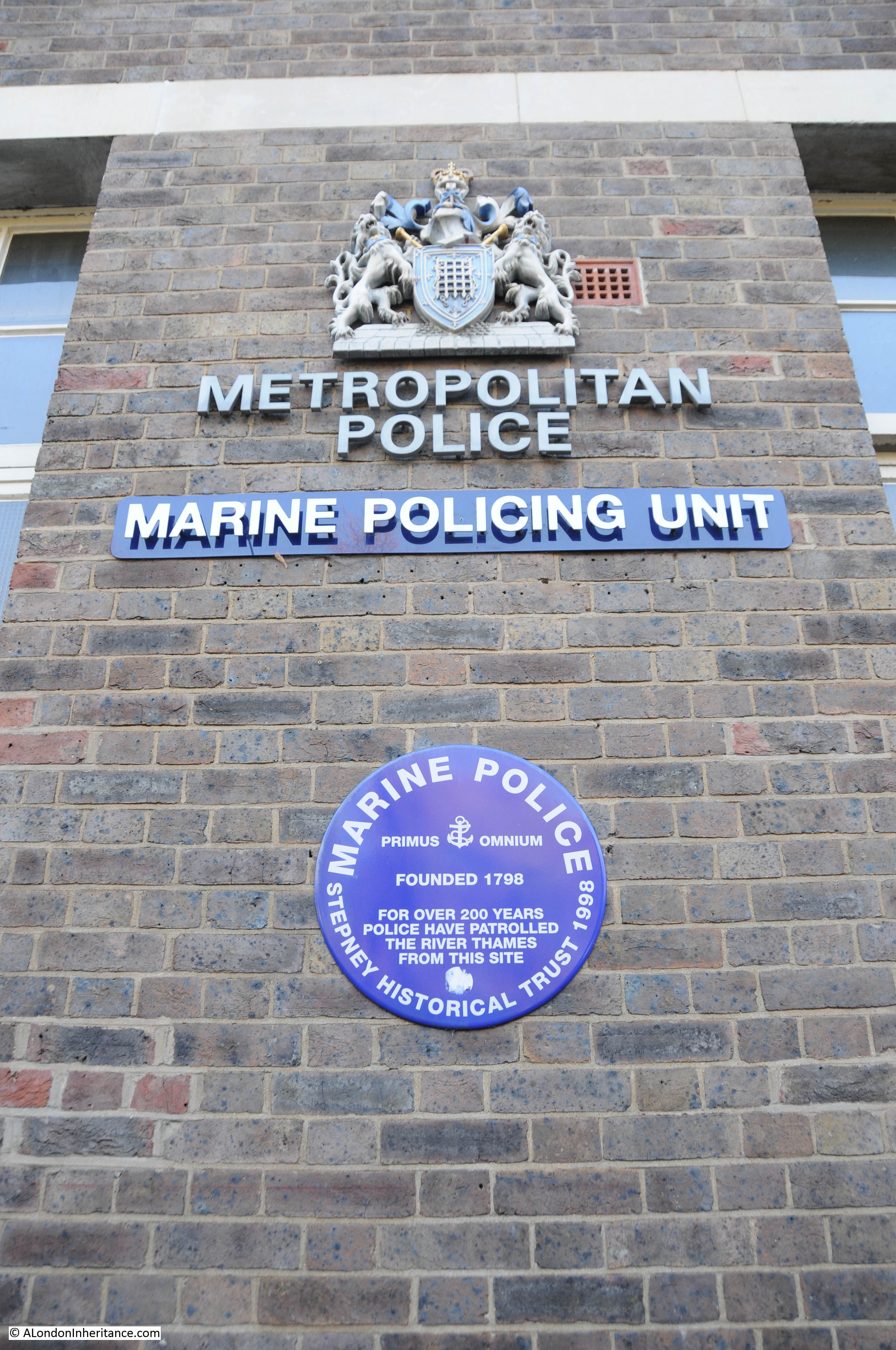
Theft from boats moored along the river was a very serious problem, a small boat could moor alongside and cargo stolen whilst the crew were onshore or asleep. This was such a problem in the 18th Century that in 1798 the Thames River Police was set-up specifically to police the river.
Much of the theft that occurred was petty pilfering of part of a consignment of goods in transit between ship, warehouse and onward distribution. A typical case reported in the Evening Mail of the 27th April 1842 records that a prisoner was found with a number of small bottles of brandy and one of Champagne in his house. Whilst it was not possible to prove where this had come from it was reported that there were 2,000 to 3,000 casks of brandy and wine on the quays, from which, in the darkness of the night, any quantity could be abstracted. Two or three casks had brandy missing in the warehouse in which the prisoner worked, but again it was not possible to prove that the brandy was the same as in the bottles found in the prisoners house. Due to the lack of evidence, the judge could not send the accused to the Old Bailey, however the judge did impose the maximum penalty he could which was two months imprisonment with hard labour.
I suspect that although there was a lack of evidence, the judge wanted to impose the maximum penalty in his power mainly as a deterrent to others who might think about taking a small quantity of the goods that were found in every warehouse and wharf along Wapping.
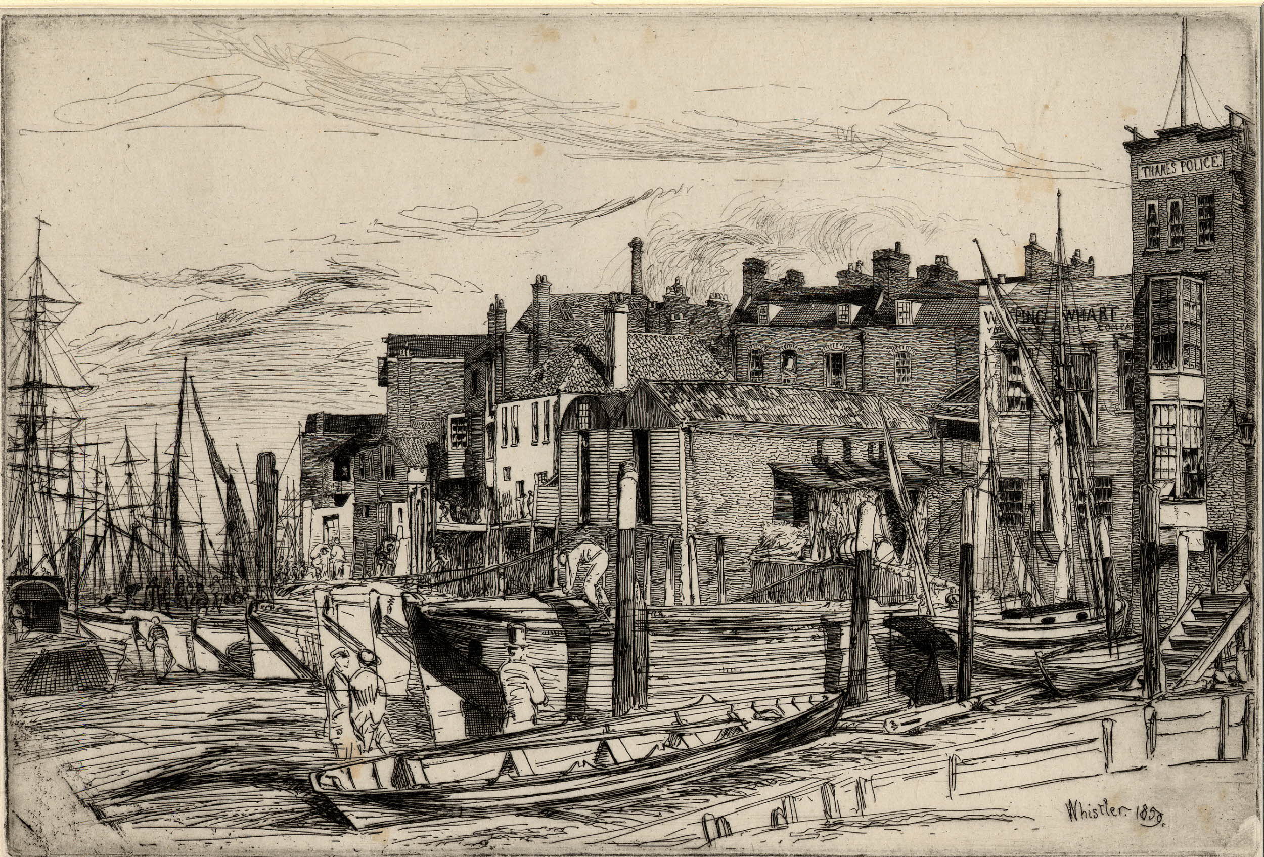
Print showing the original Thames Police building on the right.
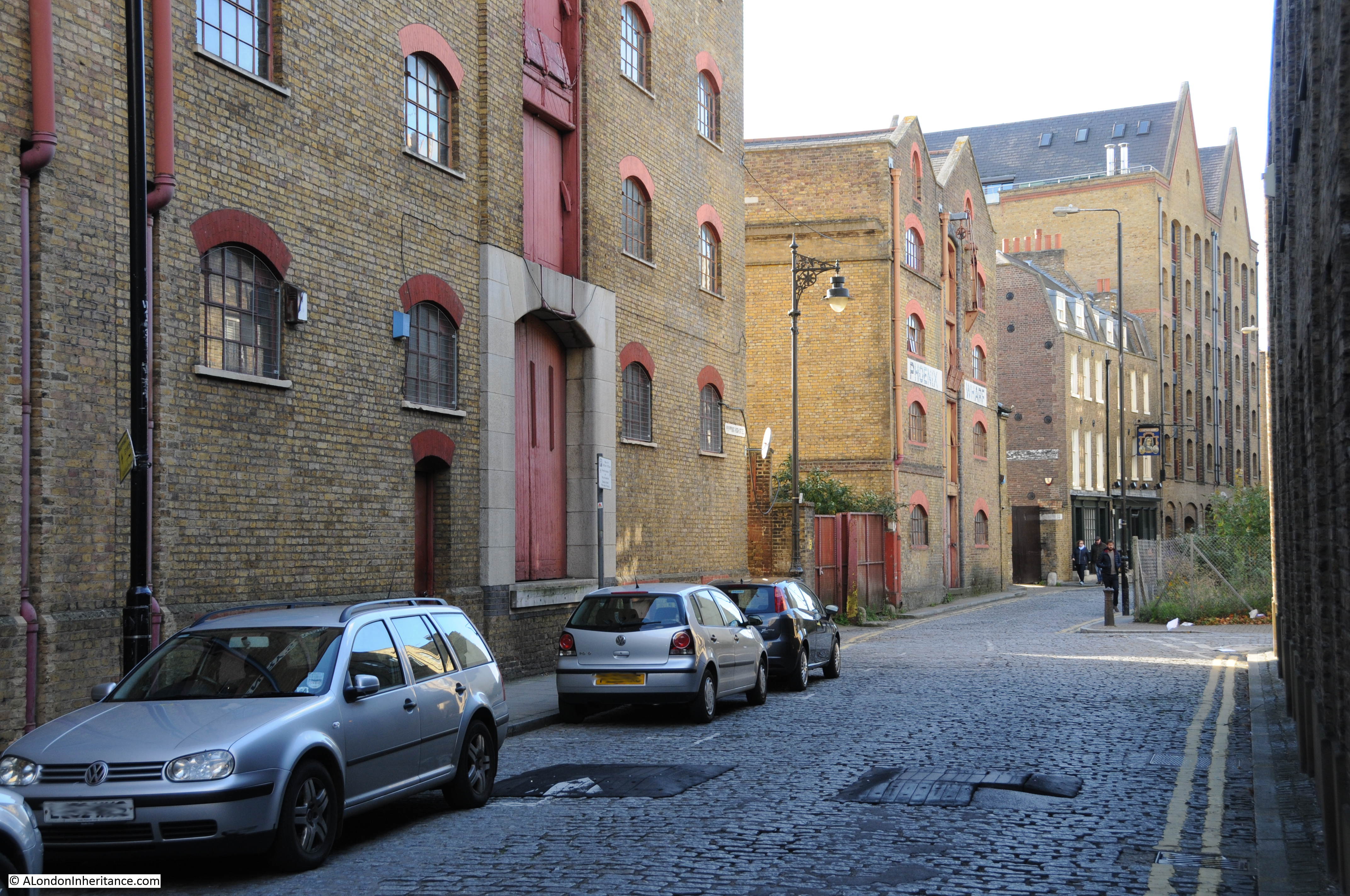
Looking east past the Captain Kidd pub, not an old pub as it dates from the 1980s. The tall warehouses that line the river casting Wapping High Street into a deep shadow on a sunny day.
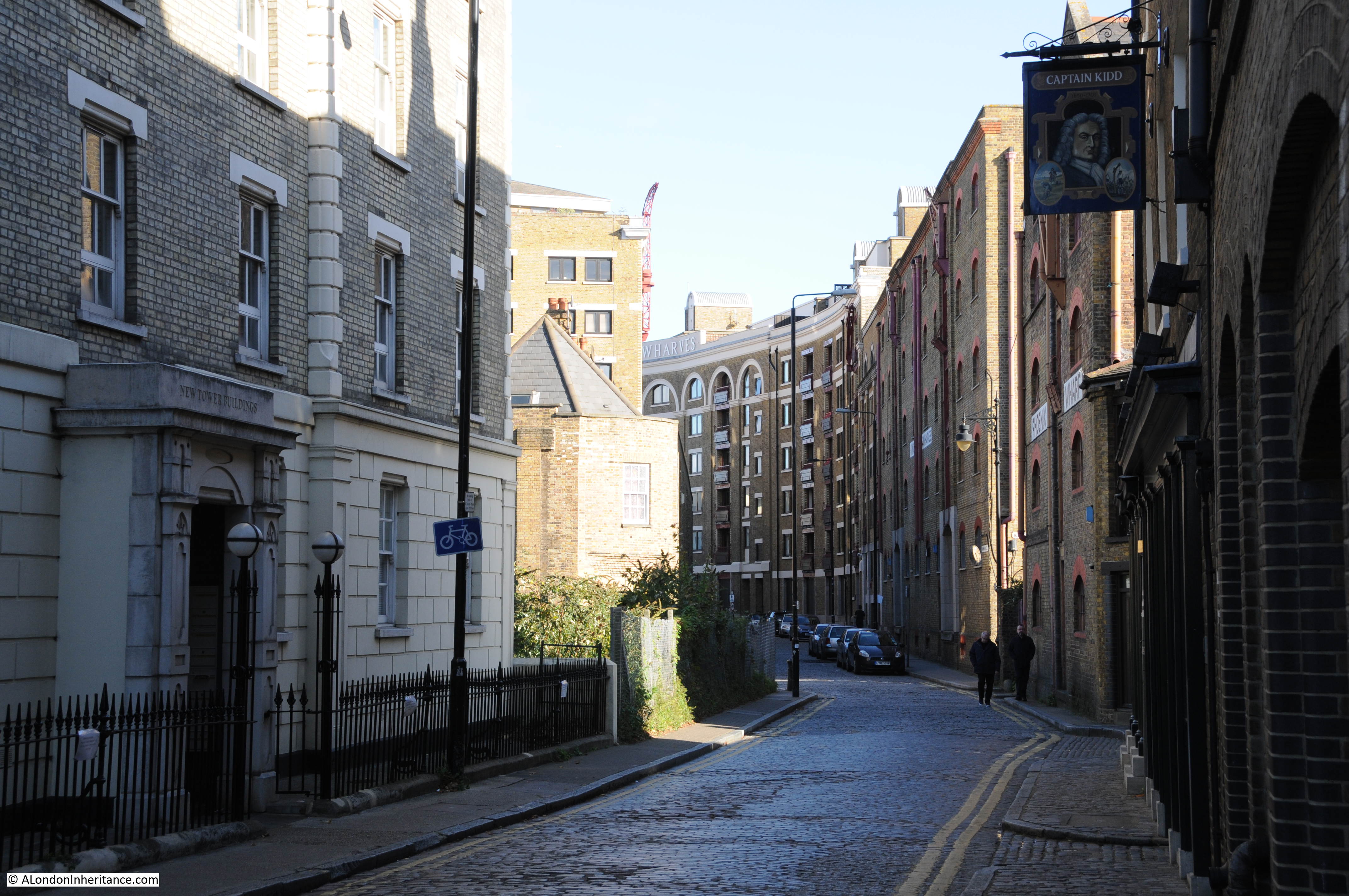
The only area along here that has not been redeveloped in some way.
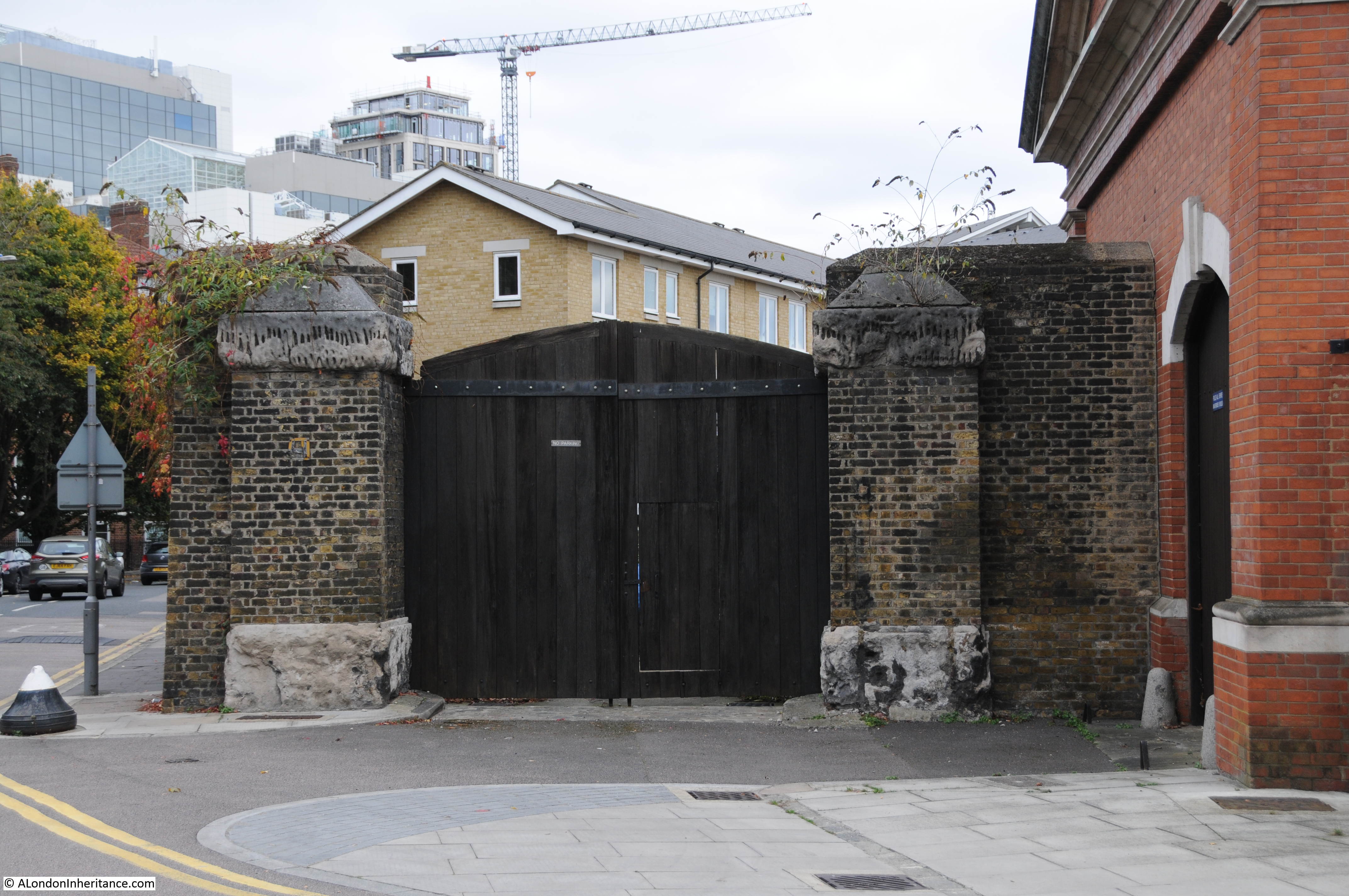
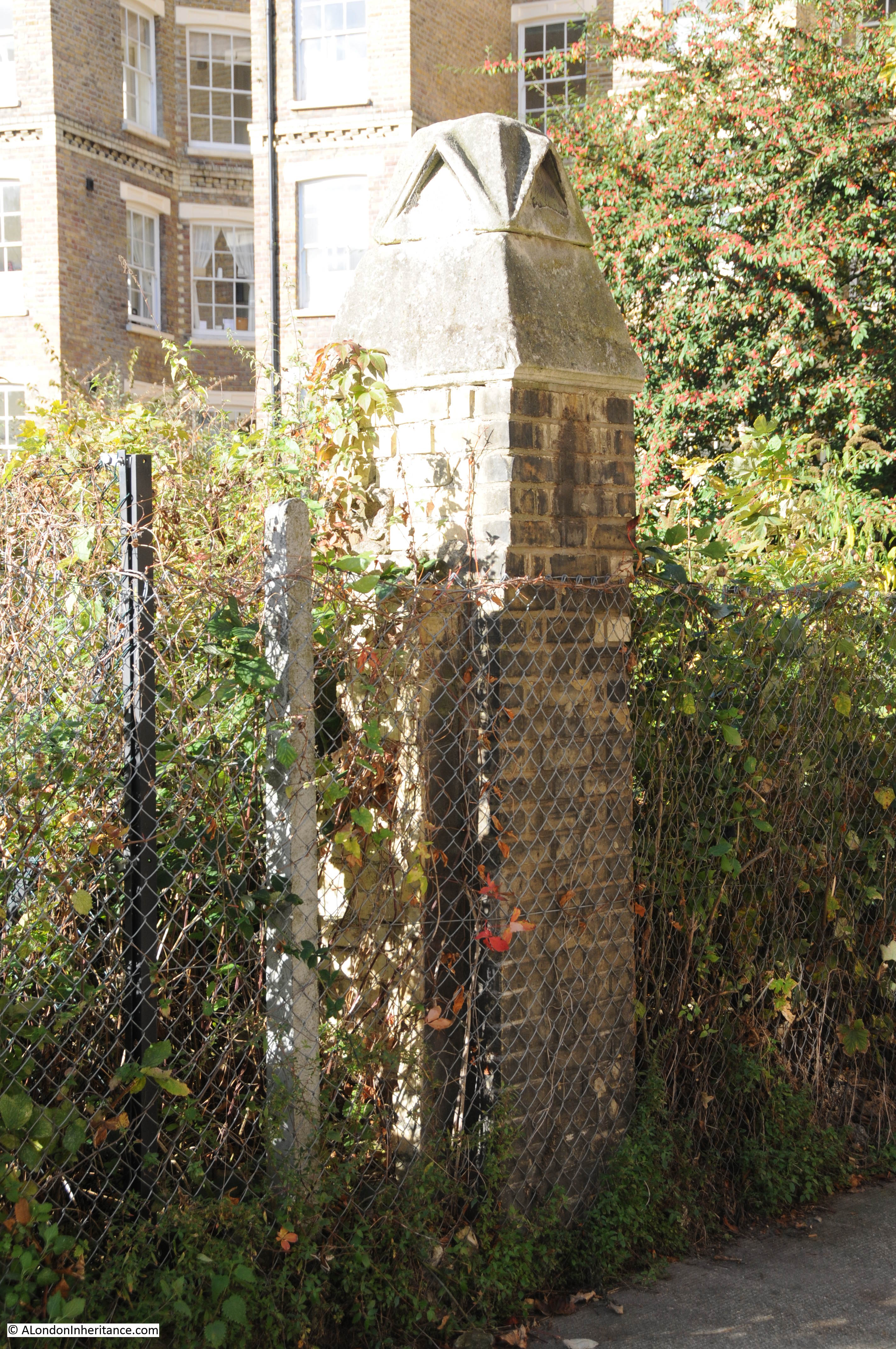
Walk off Wapping High Street, a short distance down the narrow Bridewell Place and this pillar is still in place that would have been part of the original entrance and wall around the warehouse that once stood here.
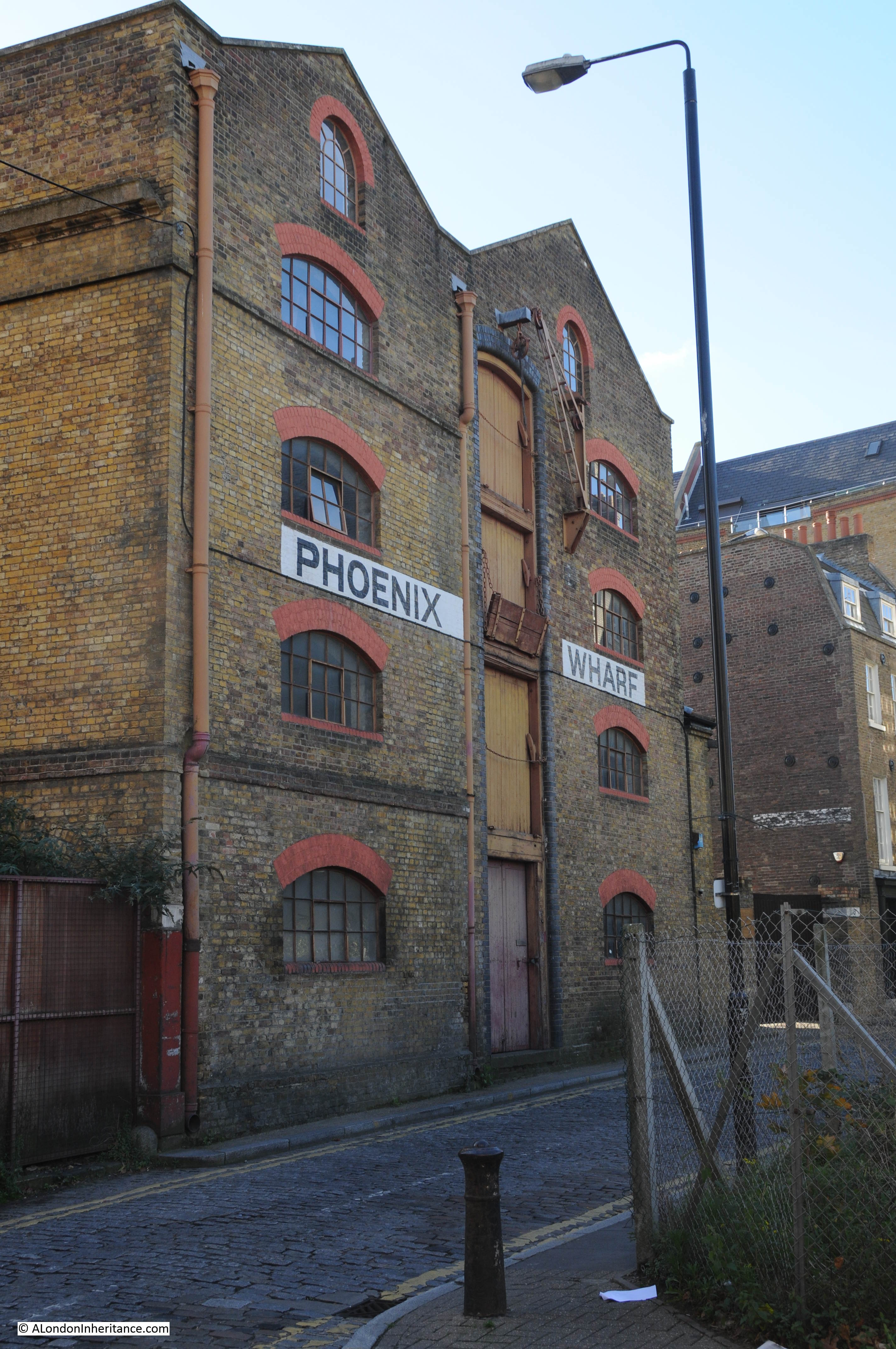
Phoenix Wharf. There were plans dating from 2013 to redevelop Phoenix Wharf, into eight private flats along with building on the empty land opposite as shown in the photos above. I am not sure of the latest status of these plans, but over three years later and work does not appear to have started.
The entrance to King Henry’s Stairs in the photo below. These stairs now seem to be private property and there has been a pier here from many years. There is a report in the East London Observer from the 14th July 1860 that states:
“Thames Conservancy – New Pier at Wapping. By order of the Conservators of the River Thames a new landing pier has been placed at King Henry Stairs, Wapping. This landing station is near to the Thames Tunnel, and fixed in lieu of the old Tunnel Pier, which has been removed altogether. The new pier is of elegant design, and when completed will no doubt contrast very favourably with the old pier, which for years has been declared unfit for its purpose. At the opening of the new pier several of the Conservators were present, but not any public demonstration was made.”
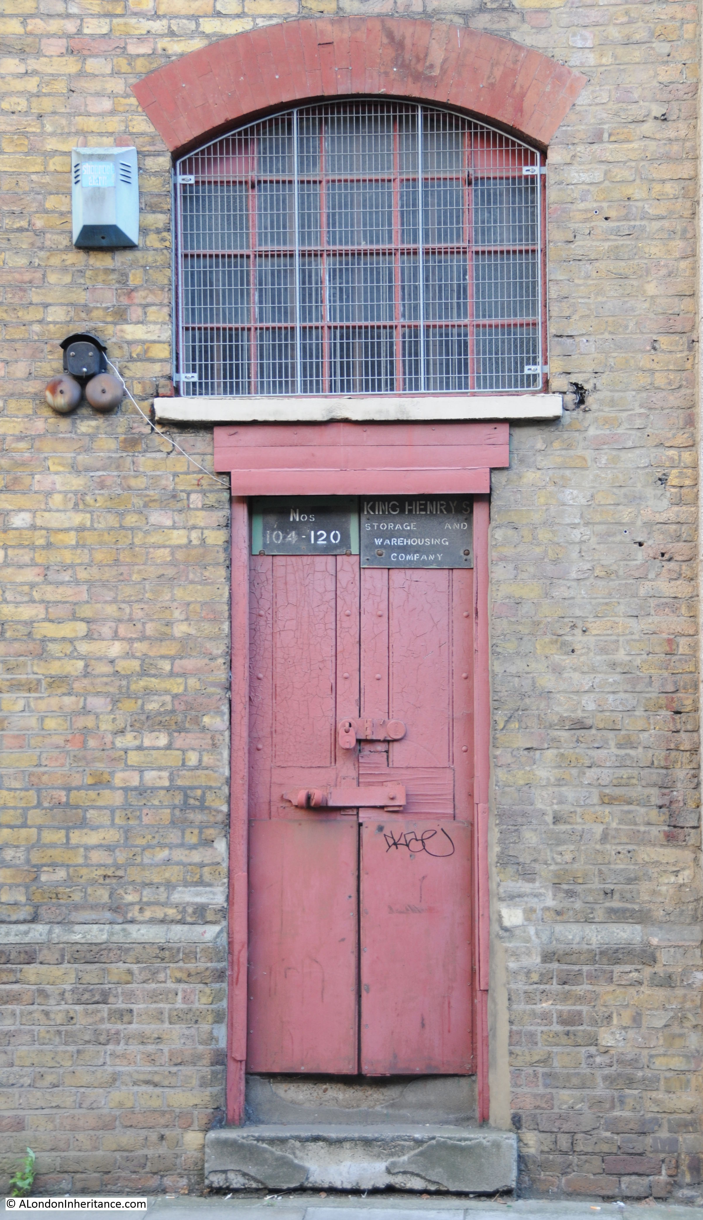
The photo below shows Phoenix Wharf and the building to the left of the photo is King Henry’s Wharf which was also included in the development plans mentioned above, with 27 private flats planned for King Henry’s Wharf. The plans included using the original large loading doors for a main entrance and boarding up the remaining entrances.
Original door and signage on King Henry’s Wharf. i wonder how long this will still be there?
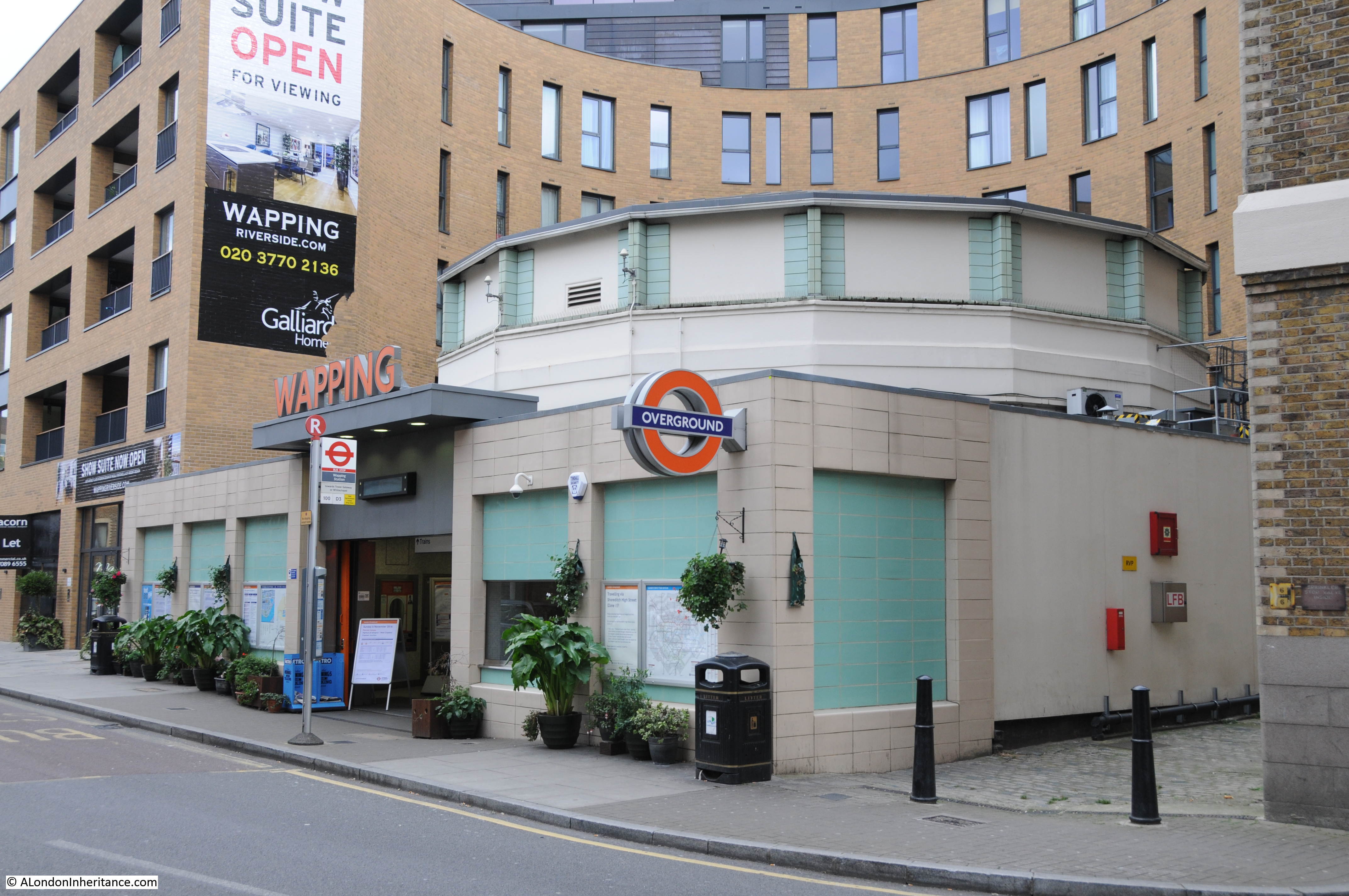
Further along, we then come to Wapping Station, which although part of the Overground network, at this point is below ground, as this station is at the northern end of Brunel’s original Thames Tunnel which now carries this section of the Overground below the Thames. See my post here on walking through the Thames Tunnel from Rotherhithe to Wapping.
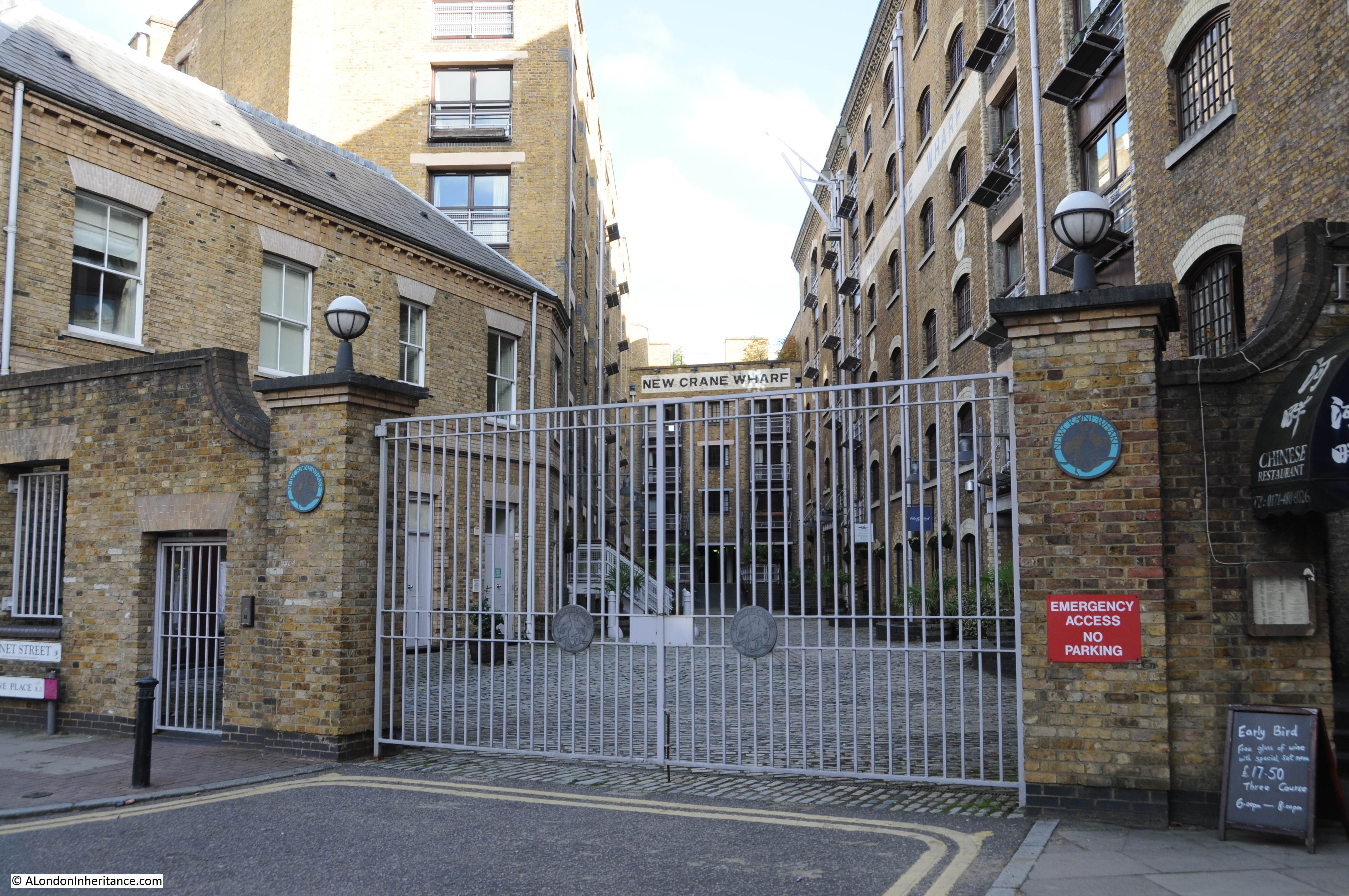
At the end of Wapping High Street is New Crane Wharf, all converted into apartments.
Adjacent to New Crane Wharf are New Crane Stairs shown in the photo below. There were many accidents at night at these stairs resulting in drowning which was put down to the lack of lighting.
There is a letter in the East London Observer dated the 1st March 1873 from a Mr Saxby Munns who has been trying to get additional lighting installed at New Crane Stairs for a number of years. Saxby Munns writes:
“Having applied to the Board for sufficient light to prevent accidents, and that, after five years, not having been provided, I felt the right method would be to bring it publicly before their notice. There is a lamp which has been removed from one side to the other of the street frontage of the landing, and utterly useless as regards the stairs and landing. Of whom could the surveyor have complained that he should have been unable to hear of people being drowned at these particular stairs. Did he ask the water police, or the watermen at the stairs? or did he inquire of the coroner’s officer and the sergeant of police? who on occasion of the last person drowned had to grope their way early in the morning, by aid of the sergeant’s bull-eye – although conducted by myself through the arched-over passage. This was the second body I picked up within two months, and both by evidence drowned from New Crane Stairs, and not ‘turned up’ by any particular eddy.
The surveyor thanked Mr Hopson for bringing the subject to his notice. I also thank him, and am certain that if these two gentlemen will take the trouble, on any dark night, to approach the stairs, either by river or road, their recommendation to the Board will have the desired effect of causing a necessary precaution to be taken, viz., a light on the river frontage, like that at Horslydown, and adopted at many other stairs of a similar dangerous character, and thus largely decrease the number of fatal accidents that occur at New Crane Stairs.”
Even on a bright sunny day it is easy to see how dangerous these stairs could have been in the dark.
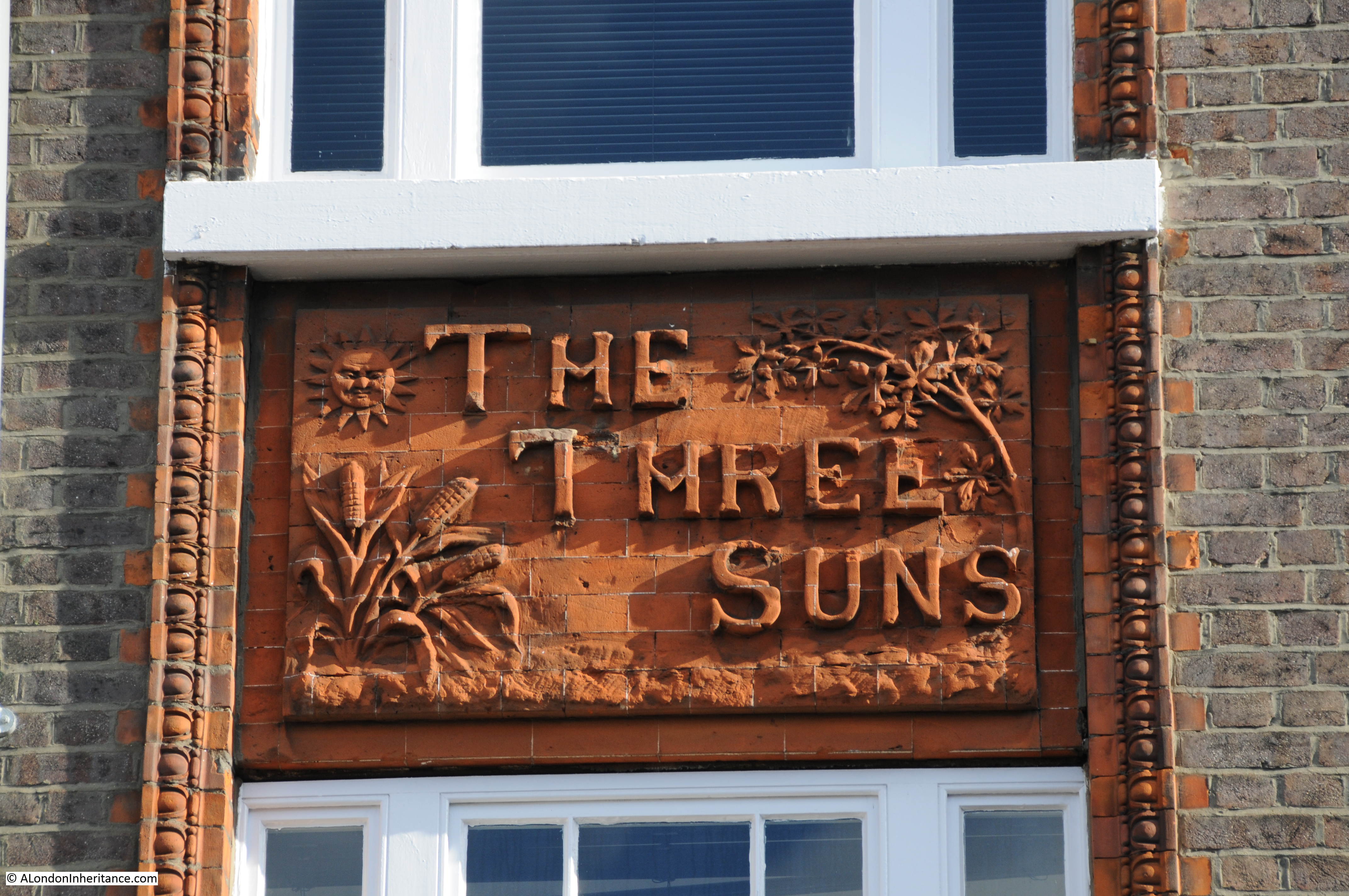
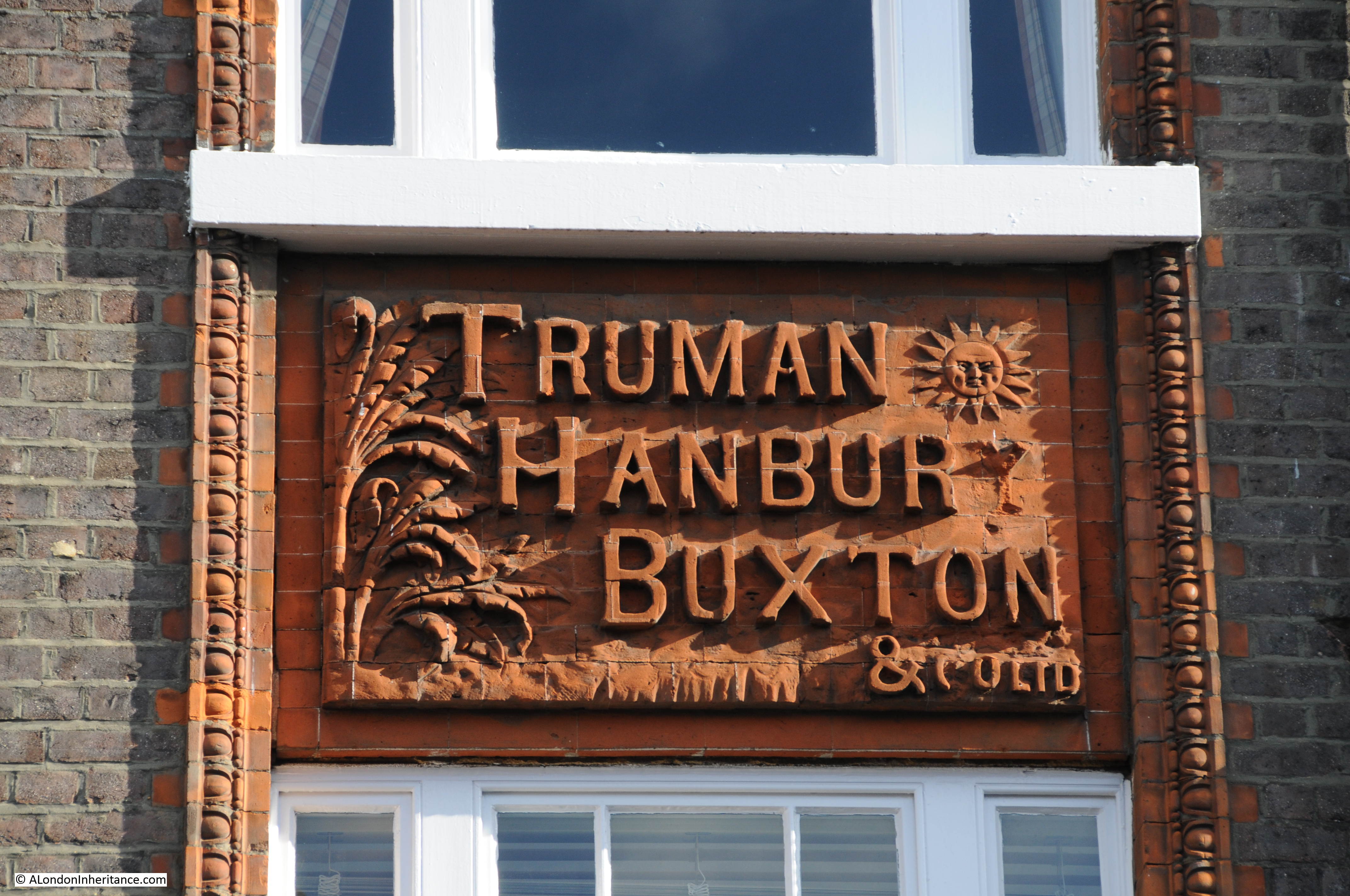
Wapping High Street now turns inland for a short distance before becoming Garnet Street with Wapping Wall turning off to the right. Here we find the old Three Suns pub. Still serving alcohol, but now a wine bar and shop.
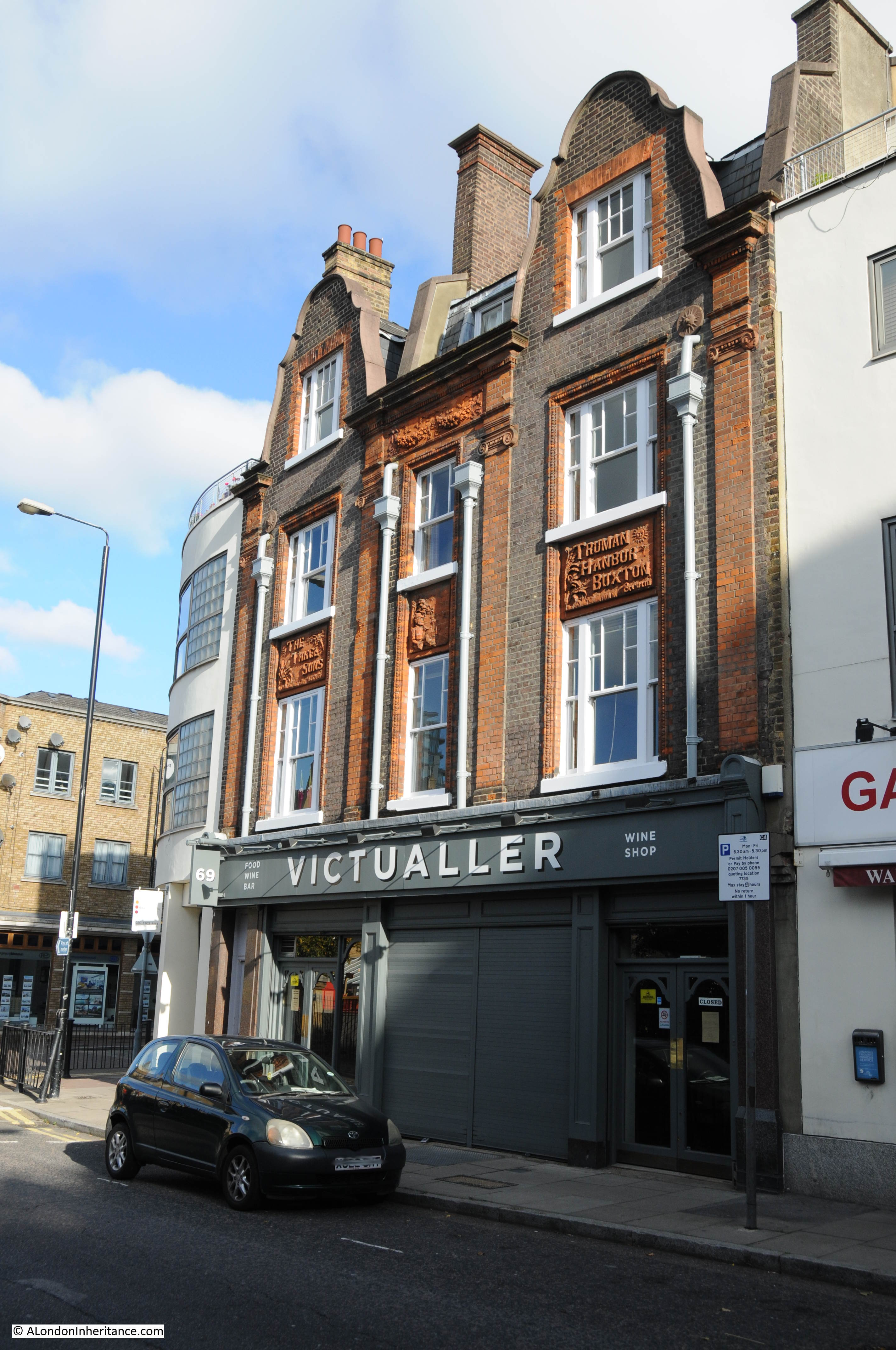
The pub was built in 1880 and closed in 1986. The building still retains some fantastic decoration from the time when the building was the Three Suns pub.
We now turn into Wapping Wall and a familiar wall of warehouses line the street, adjacent to the river.
Wapping Wall takes its name from the original defensive wall built to prevent the river from spilling over onto the marshland that once covered most of this area of Wapping. Drainage of the marshland and construction of defensive walls had begun around 1327. Breaches of the wall continued to be a problem until the late 16th Century when the construction of wharves started between the river and the wall which had the impact of strengthening the defenses.
Wapping Wall follows the eastern part of this original defensive wall.
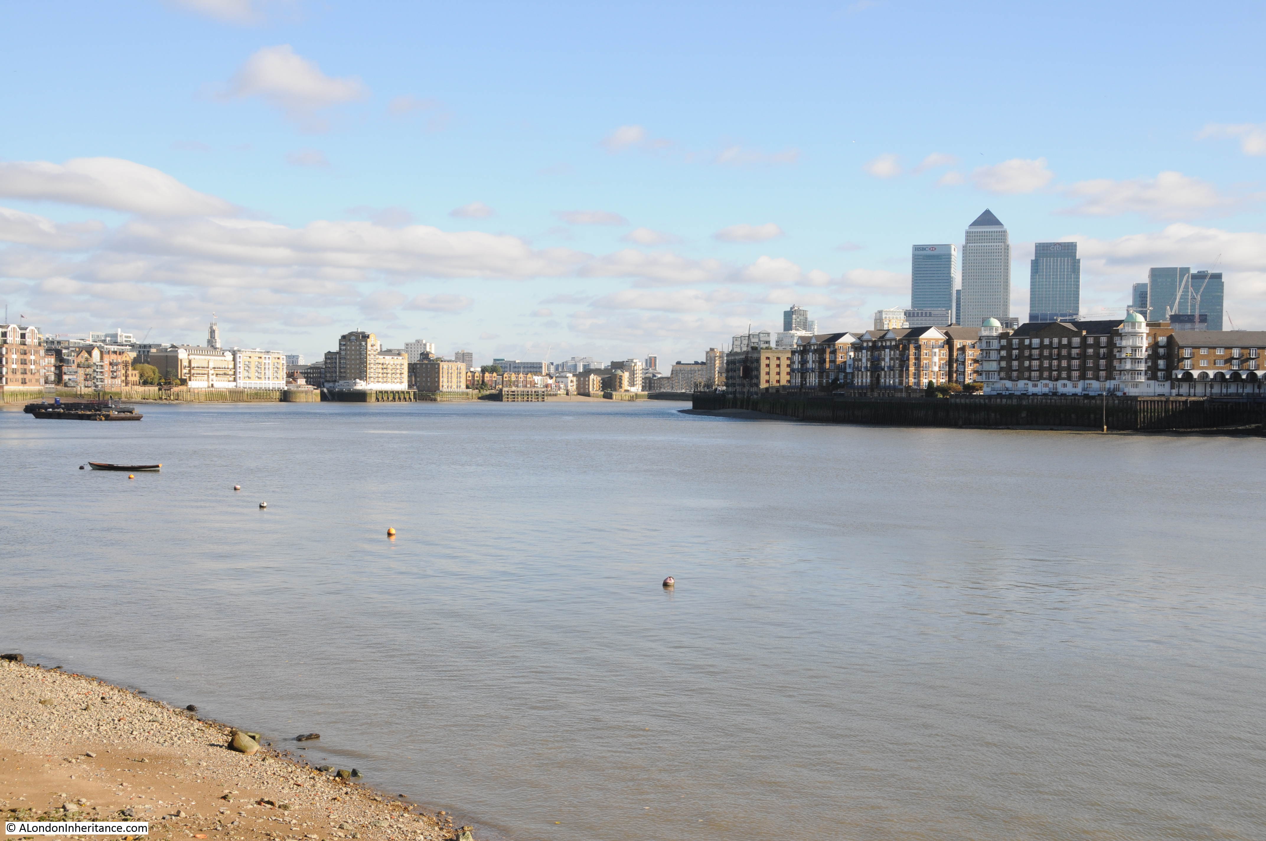
Wapping Wall is today a row of warehouses converted into flats until we reach the Prospect of Whitby pub, which I covered a few weeks ago in my post on the Prospect of Whitby and Shadwell Basin which you can find here.
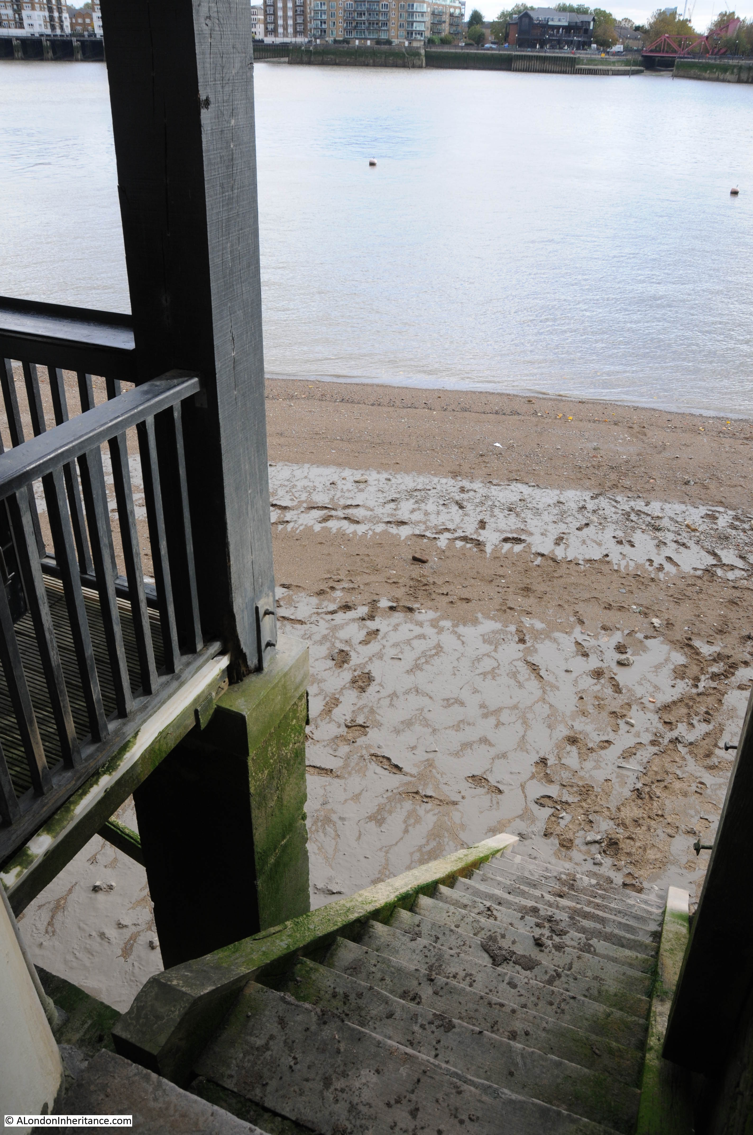
Pelican Stairs running alongside the pub…..
…..down to the river:
From here, the walk can continue on towards the Isle of Dogs, but for now it is a good opportunity to enjoy the view of the river from the Prospect of Whitby and perhaps reflect on the long history of this fascinating area which retains so much despite the onslaught of development.