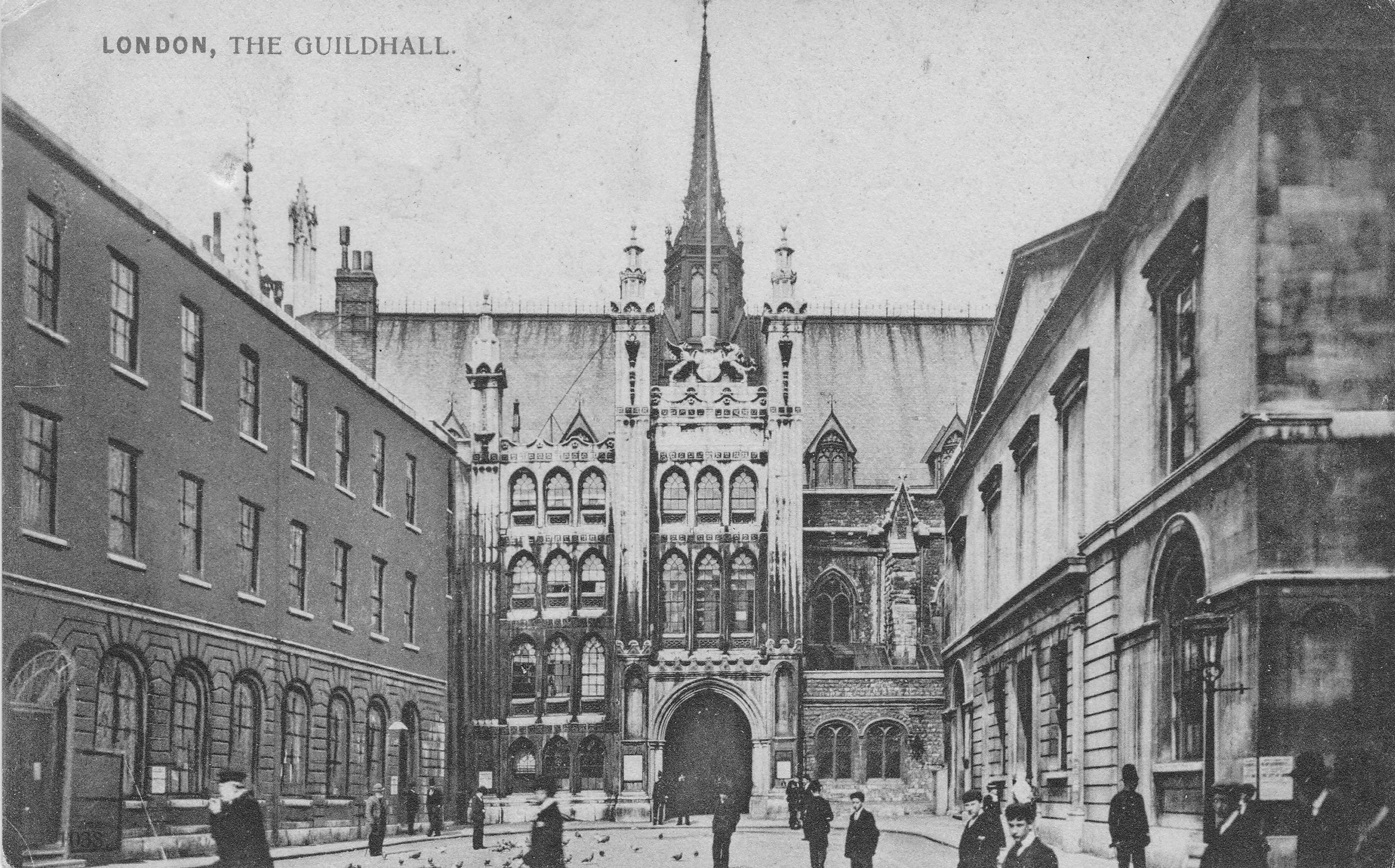
At the end of the last war, there were a range of booklets published by local authorities, postal and transport organisations, police, fire service etc. documenting London at war and their participation in the six years during which the destruction of the city would be at a level not seen since the Great Fire of London. These were published quickly, and reading them they have a common theme of wanting to set on record the challenges of the last six years before the country quickly moved on to what was hoped to be a period of reconstruction and prosperity. I have already featured two of these booklets, “It Can Now Be Revealed” and “The Post Office Went To War”.
My father bought a large number of these as they were published, and in this week’s post I want feature another of these publications.
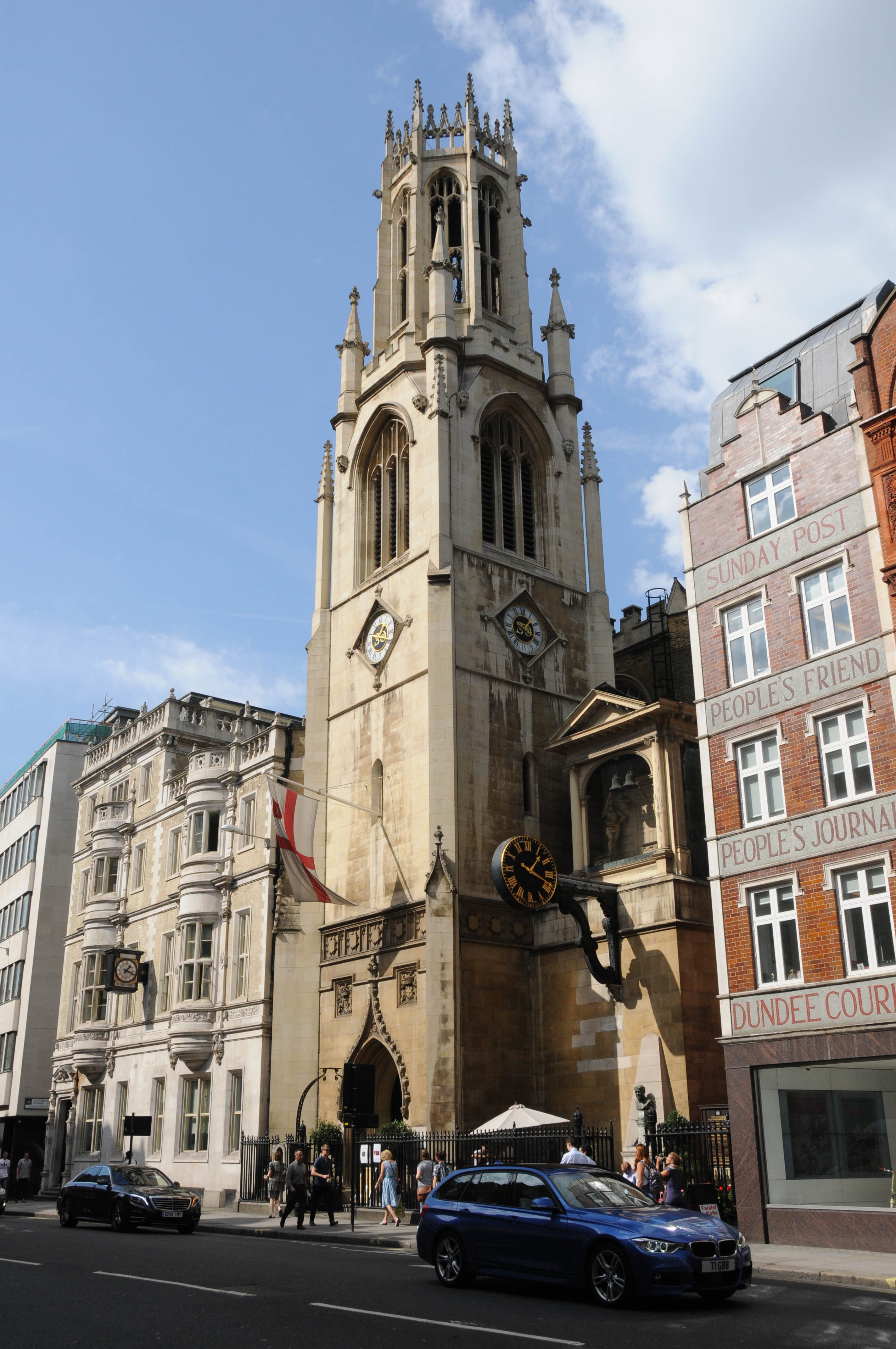
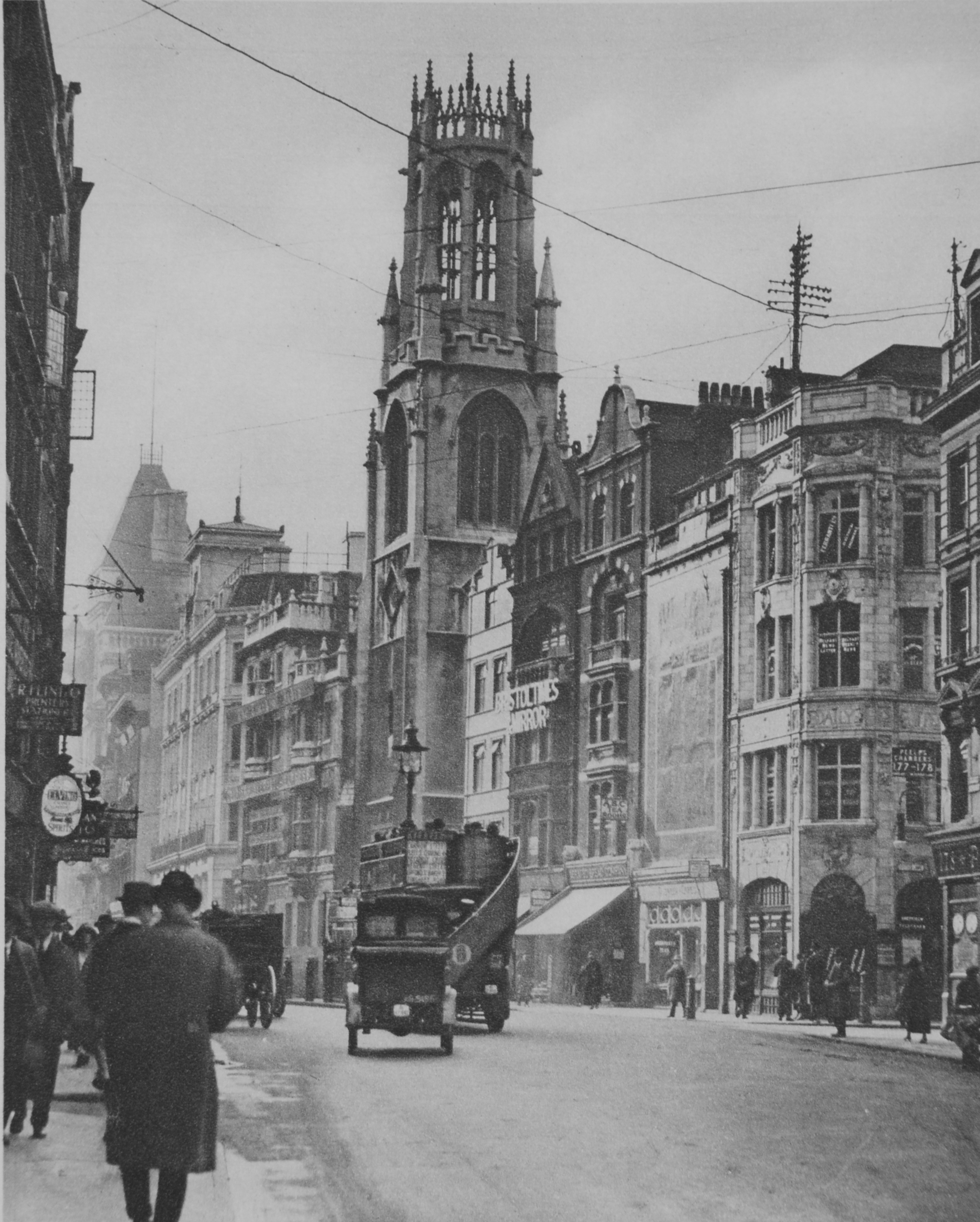
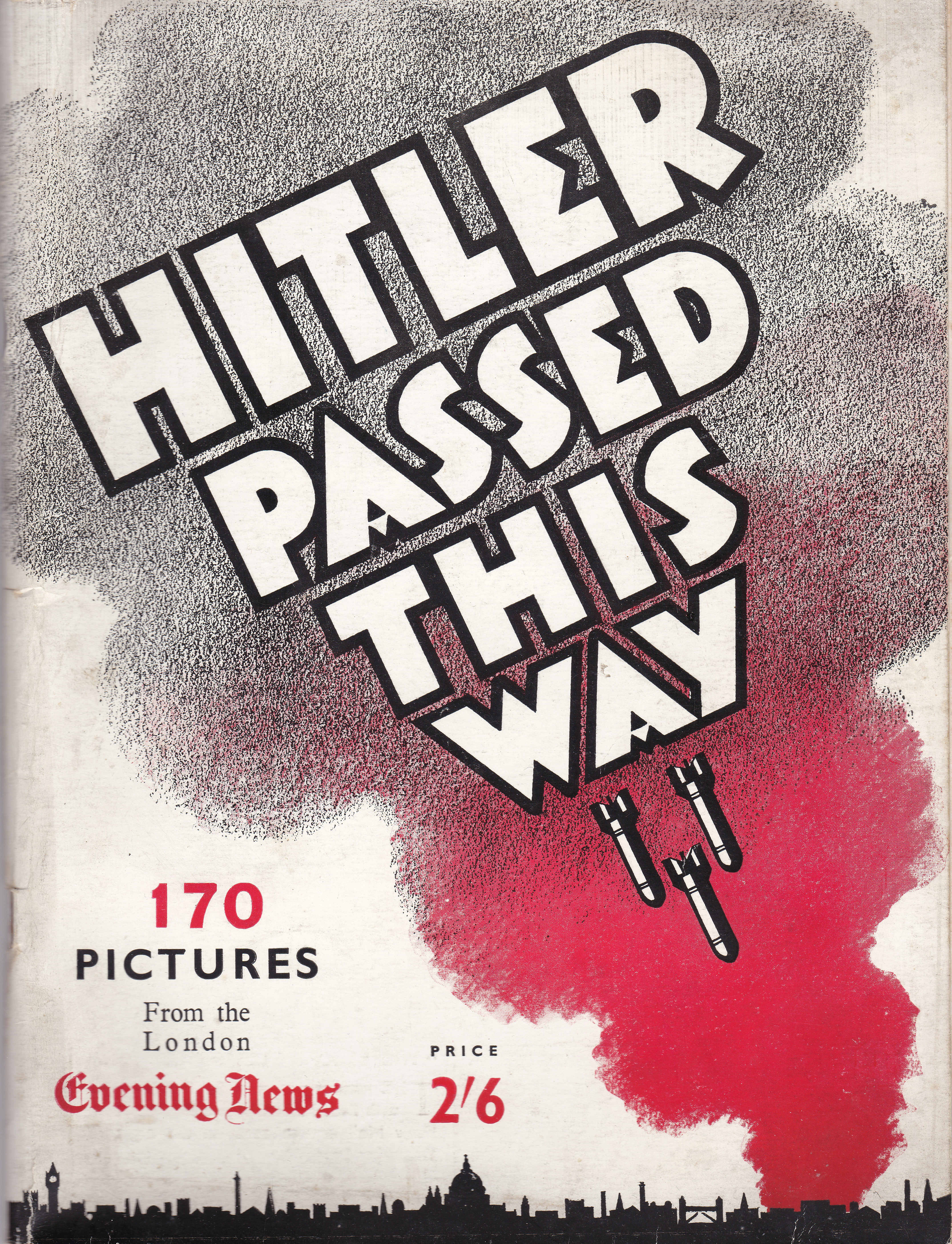
“Hitler Passed This Way” records the damage across London following years of bombing by using before and after photos to show what had been lost. The booklet also provides a short history and a record of the casualties at each location. Looking through the photos, there are some where my father also took photos of the same area, some almost identical. I have found this in a number of books where I suspect he went out to photo the scenes recorded in many of the London books he owned.
The introduction to the booklet reads as follows:
“In these pages are pictured examples of what Hitler, would-be world conqueror, did to London during four years and seven months of relentless and intensive bombing.
They present the aftermath of the new kind of war in which non-combatants were to be killed off like insects, and their homes, hospitals, schools and churches were to be smashed to pieces. This tremendous and forceful terrorism was to reduce all opposition to cringing, whimpering fear, and easy subjection. And this it partly did in Europe for a time.
Many times from September, 1940, until March 1945, did Hitler single out London for his major effort of destruction. The docks, the City, the east end, the west end, north and south London, the railways, the bridges and the suburbs, all had their turns of high explosive bombs, great and small. Night after night Hitler rained incendiary bombs on London. He dropped huge land mines by parachute to wipe out whole districts. To make certain the killing of large numbers of non-combatants, women and children alike, he employed delayed action bombs of devilish ingenuity.
London took these grave wounds, month after month, year after year, with heroic fortitude, as all the world knows. In course of time damage will be repaired and vacant spaces gradually will be filled. But what Hitler did to London, must never be forgotten. It is believed these photographs will help us to remember well, and to pass on our grim, hard memories of 1939-1945 to the generations to come.”
So, to continue the aim of the last paragraph of the introduction, here are a sample of the photos and text from “Hitler Passed This Way”:
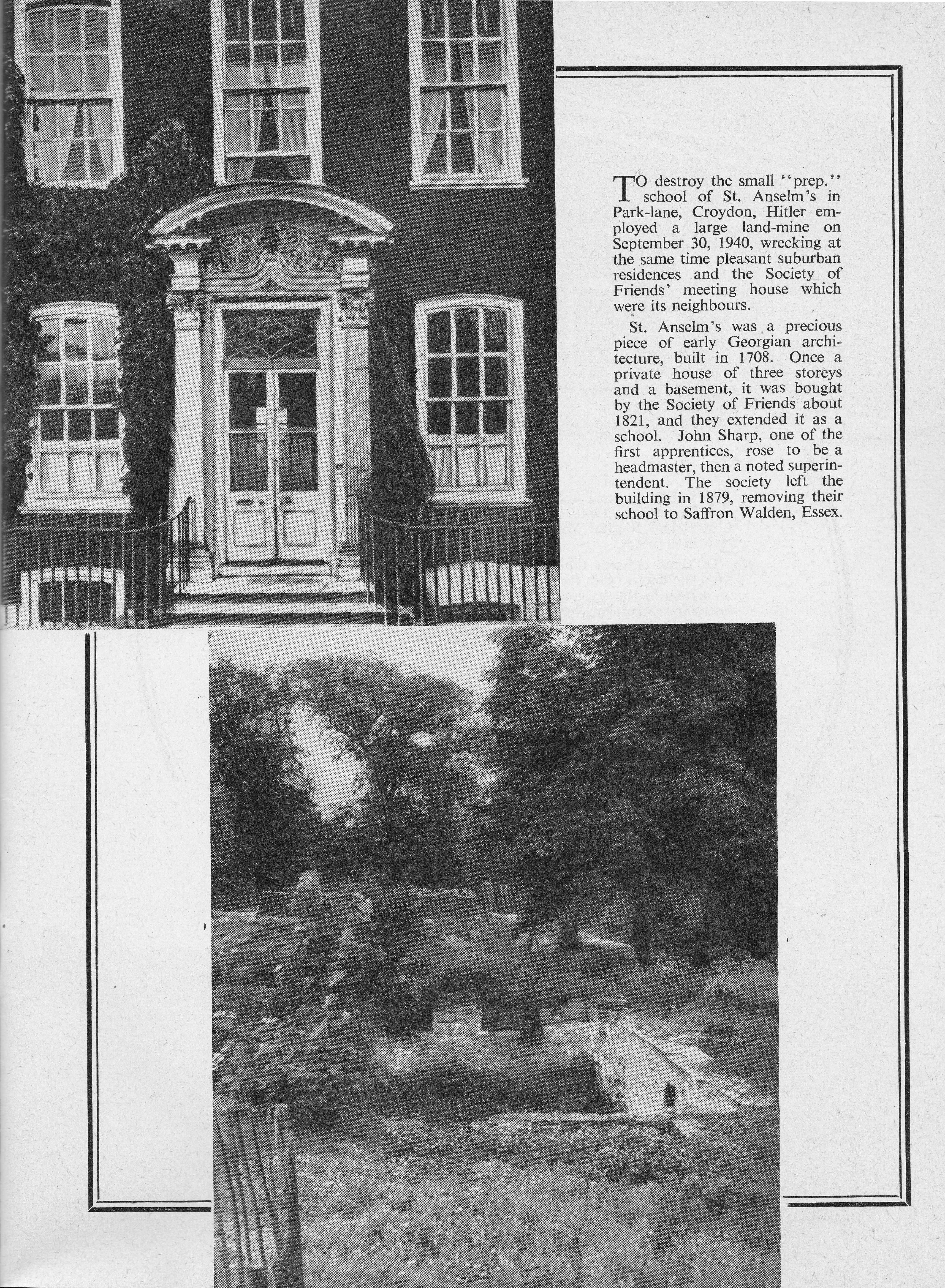
St. Anselm’s Prep School, Park Lane, Croydon
John Lewis, Oxford Street

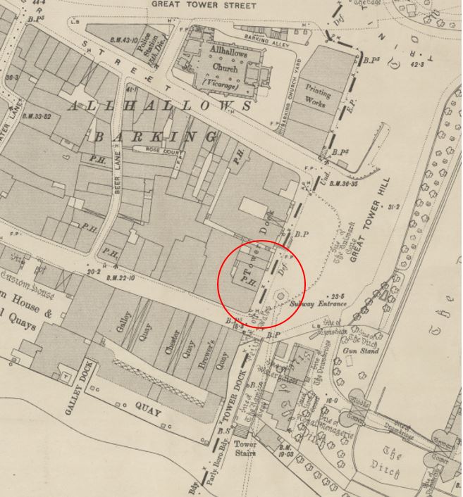
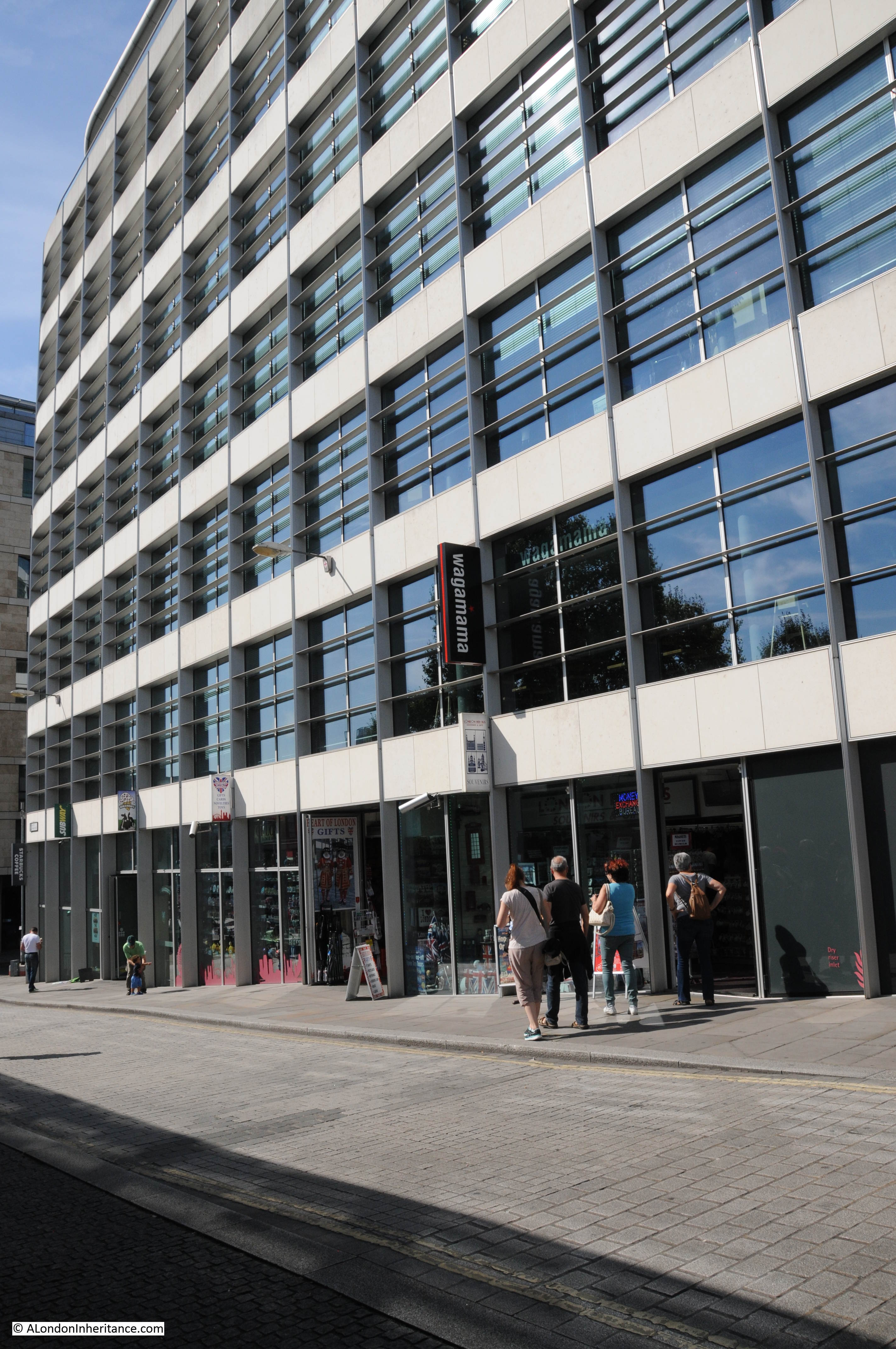
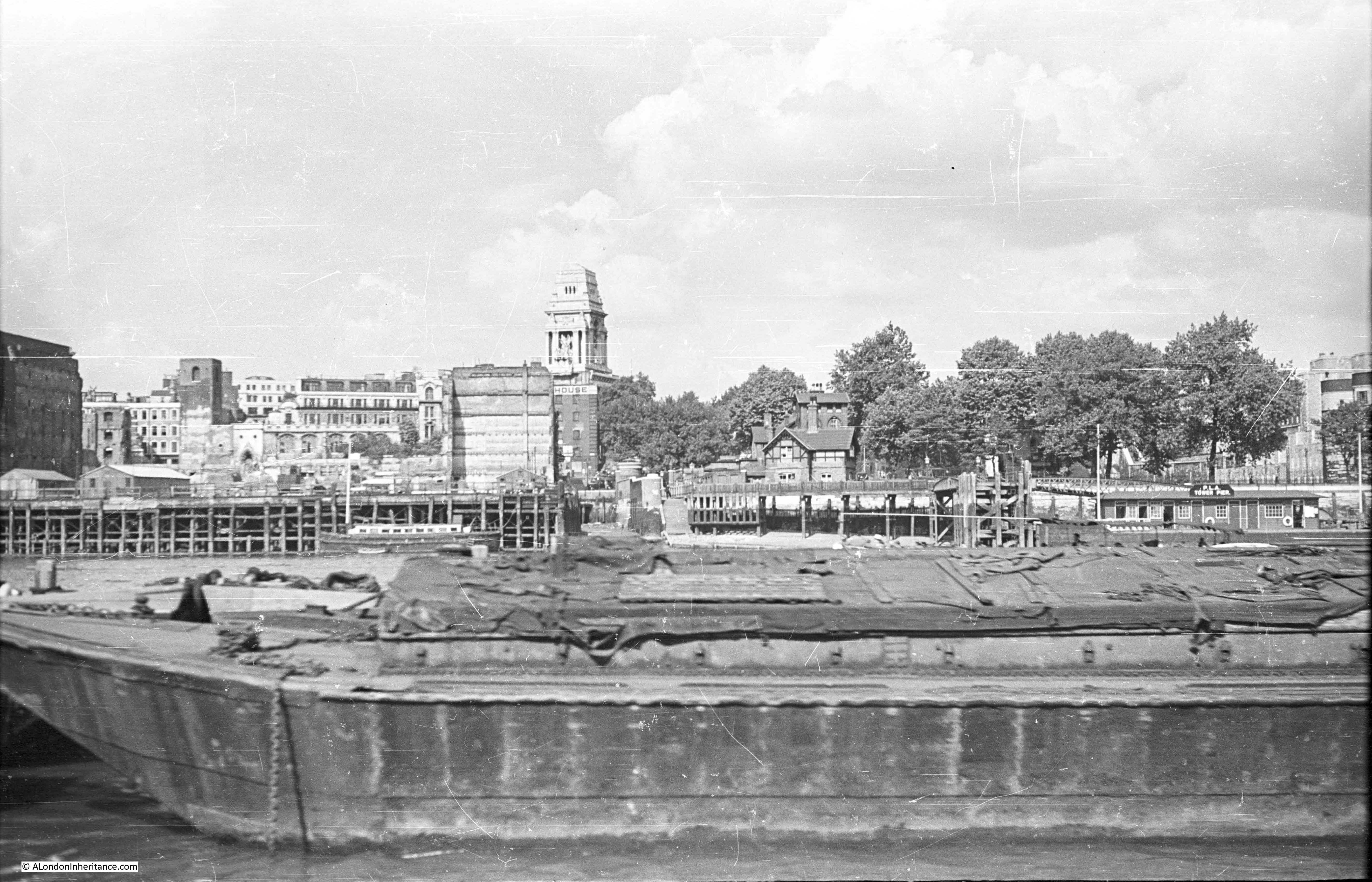
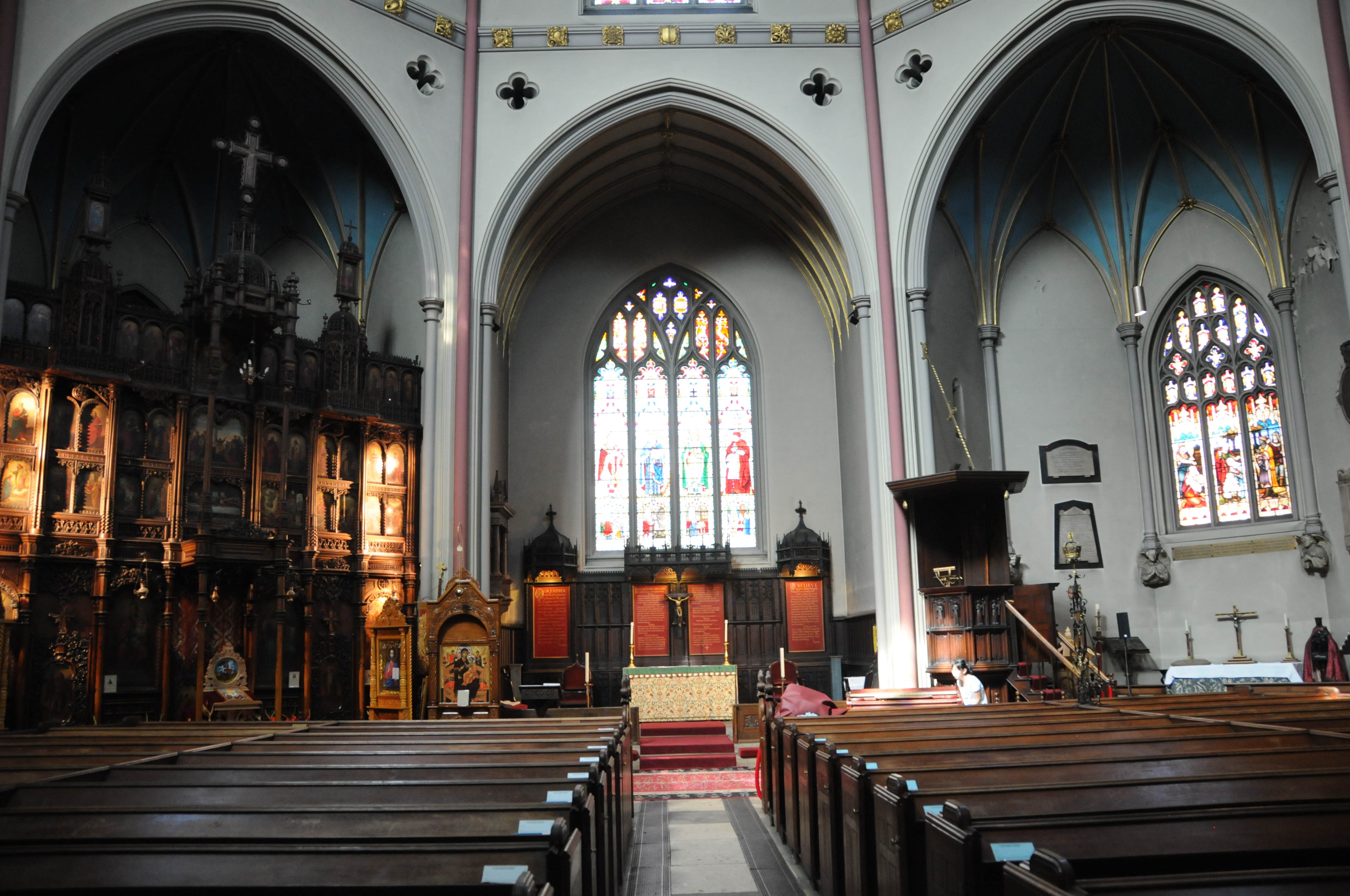
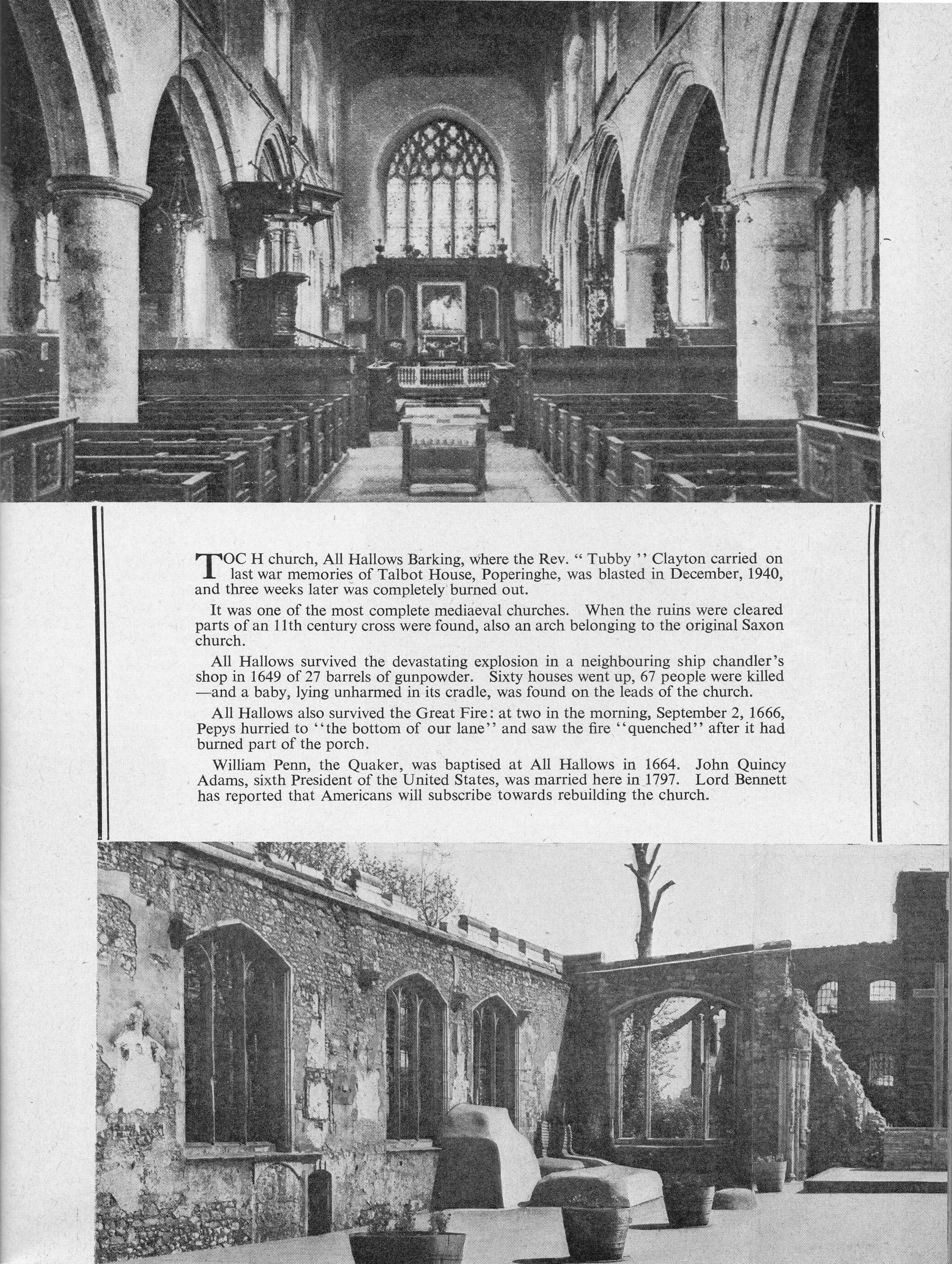
All Hallows, Barking. Tower Hill
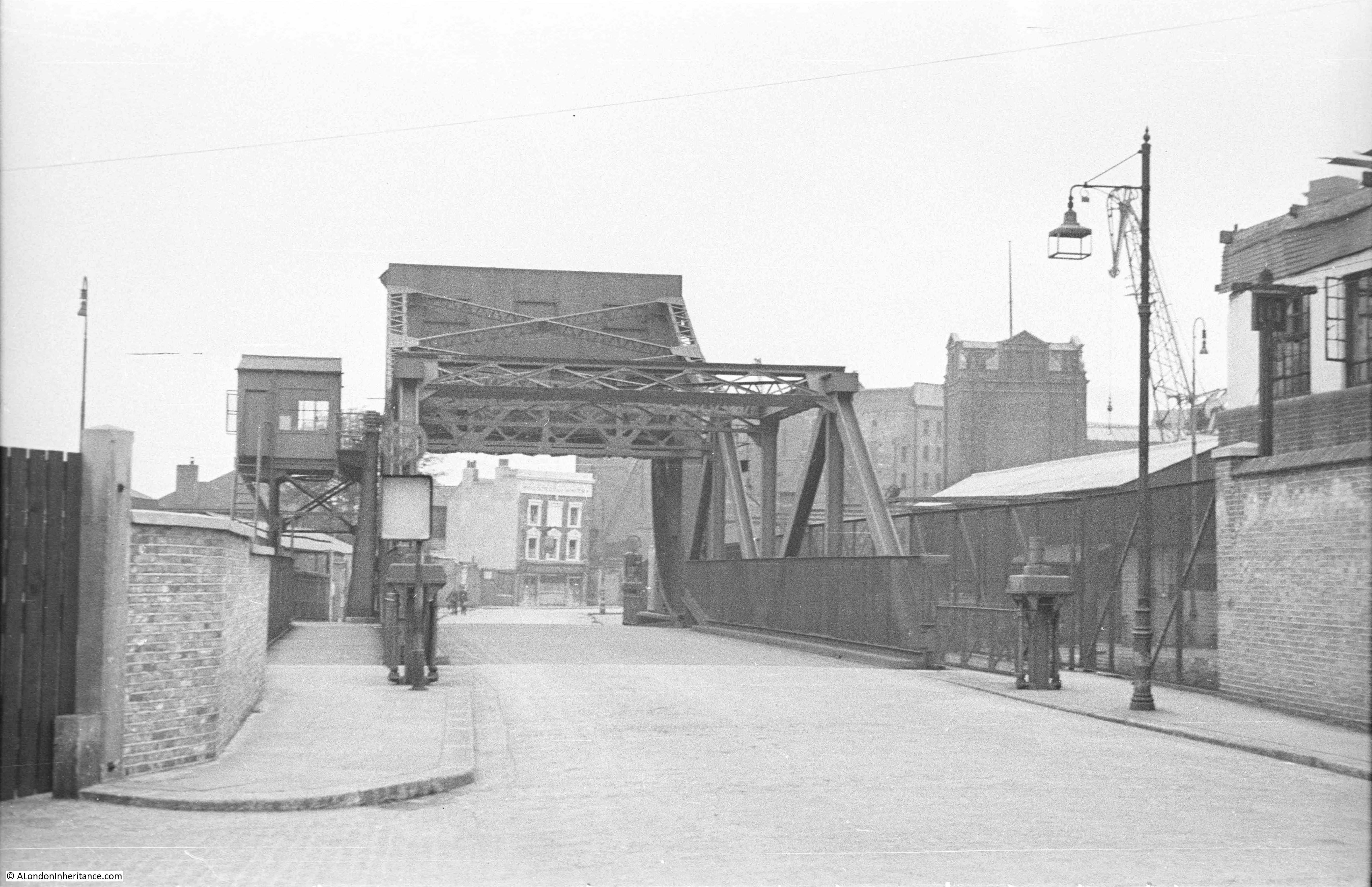
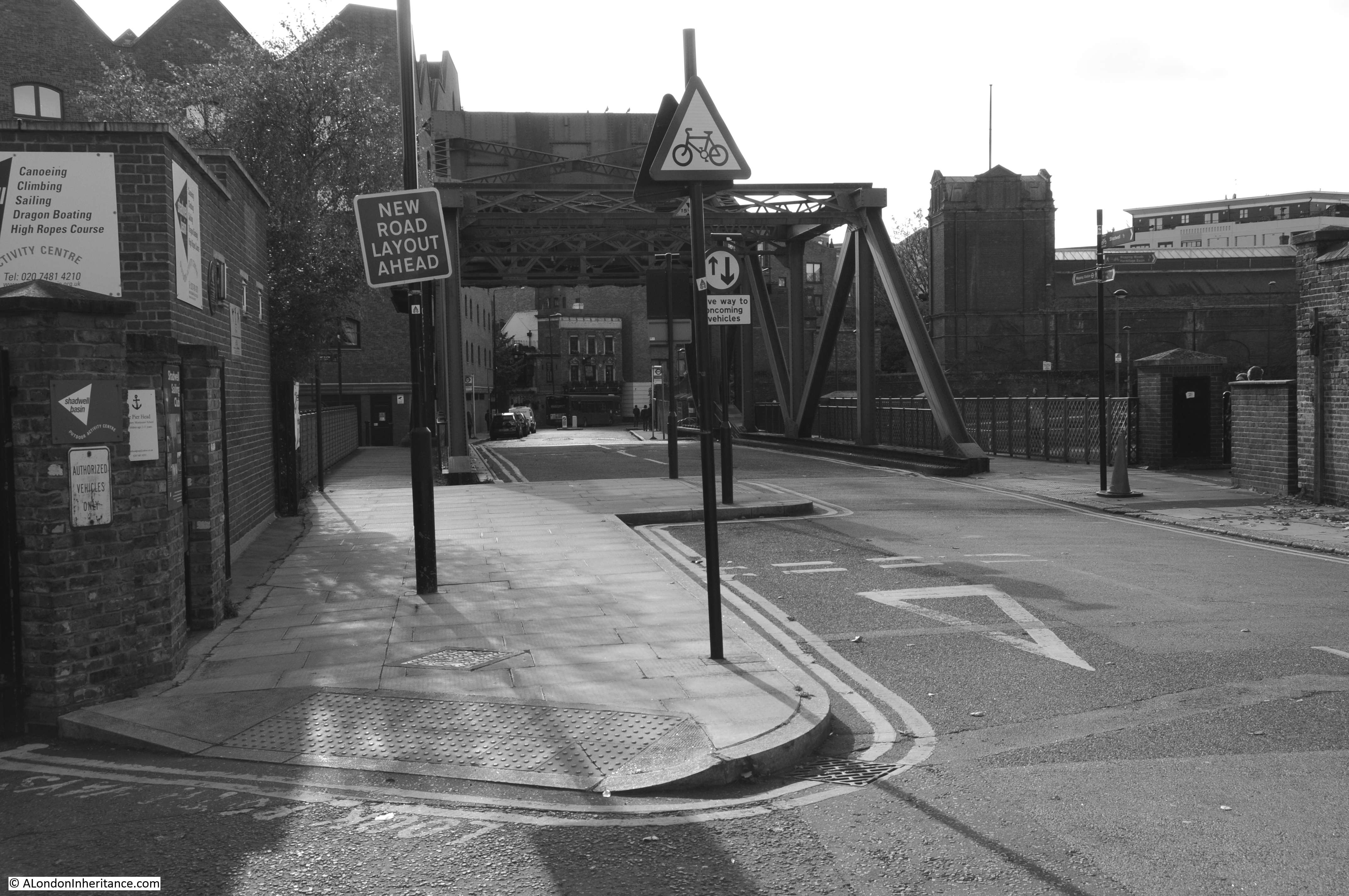
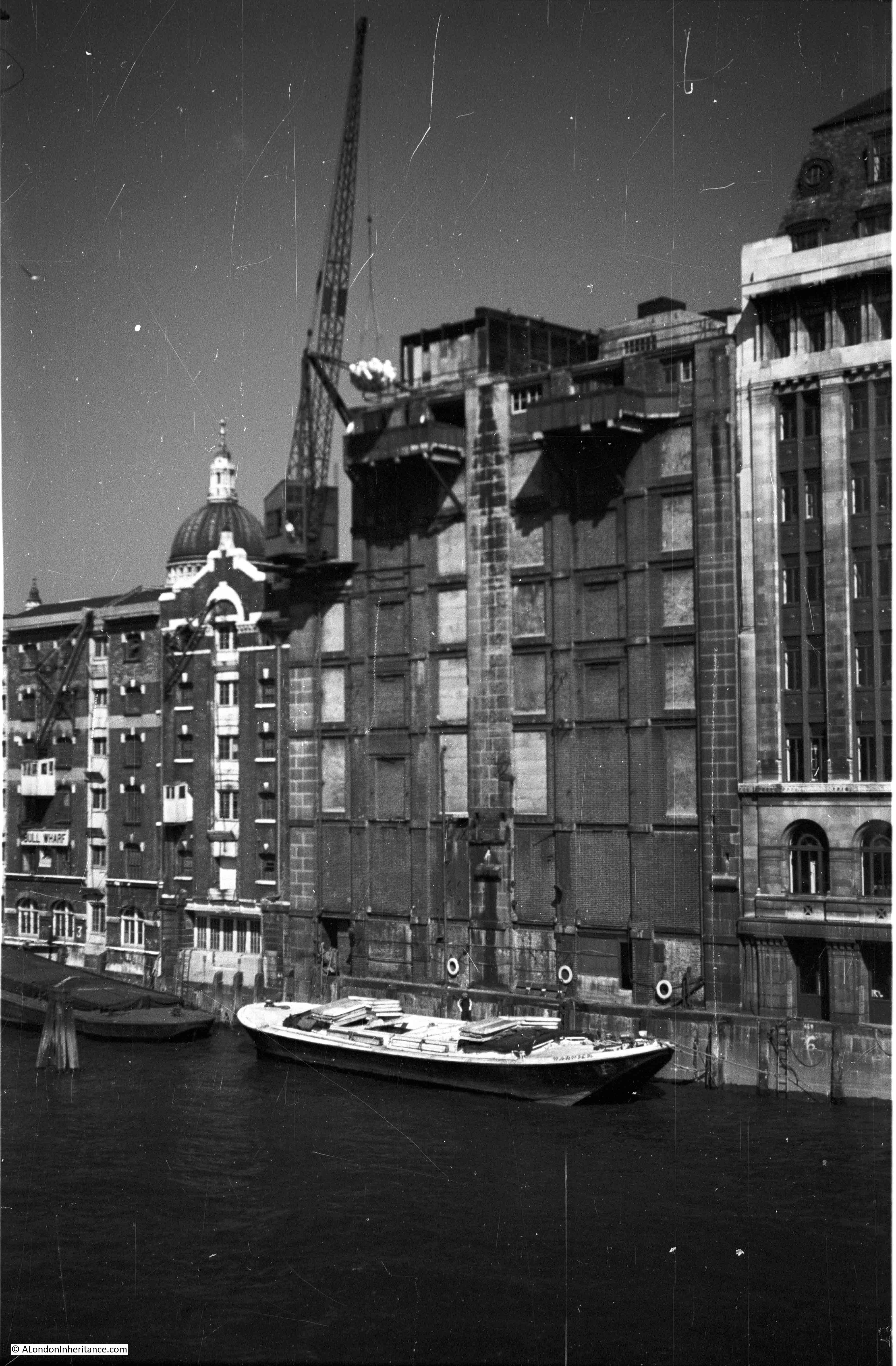
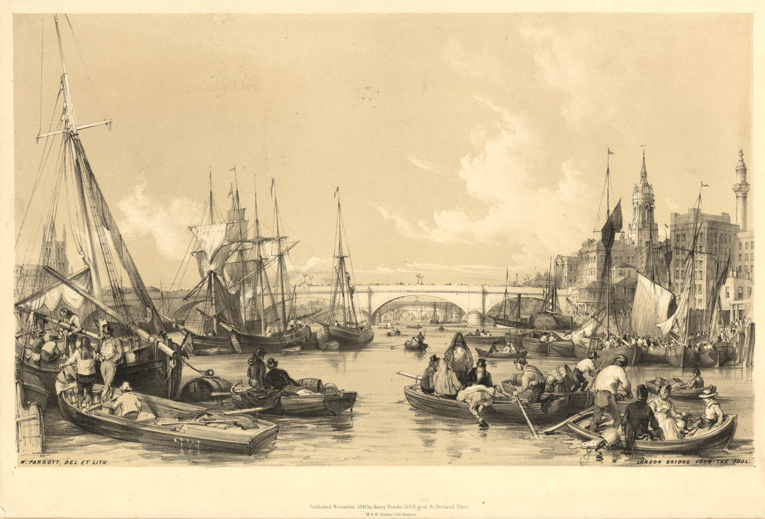
Brewers Quay, Tower Stairs
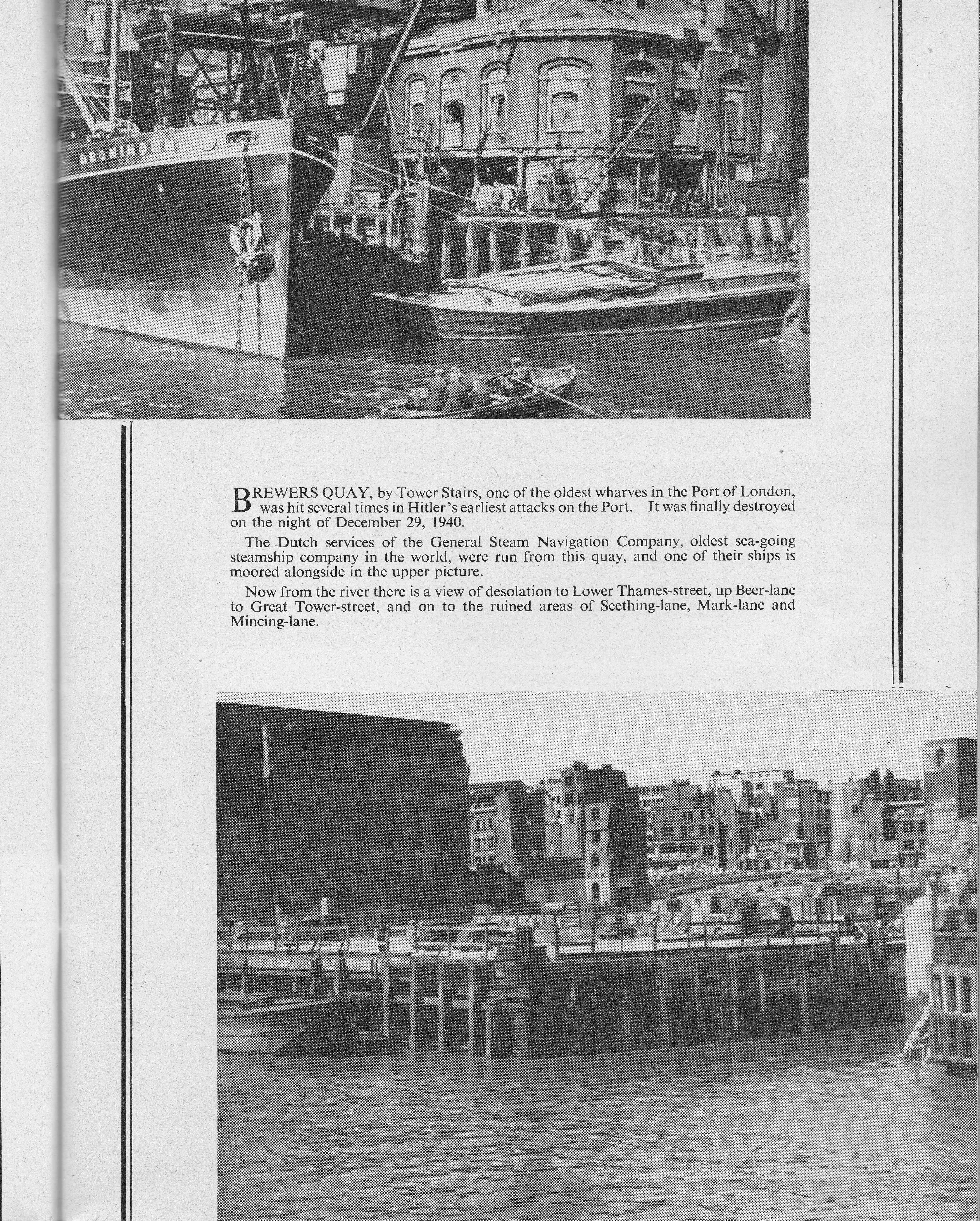
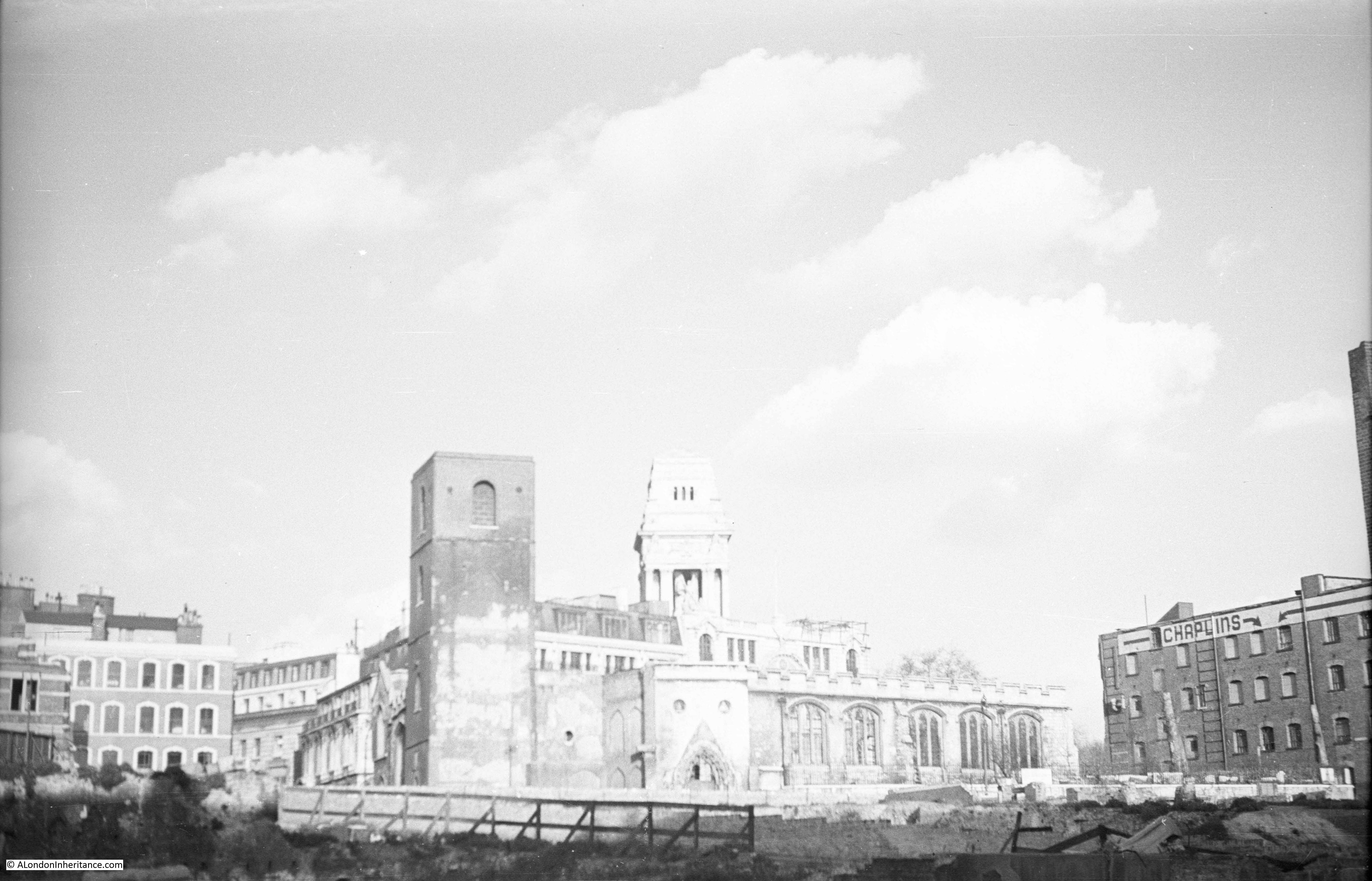
On the far right of the above photo is the tower of the church of All Hallows. My father took a photo of the remains of the church from the bombed area in the above photo. This is his photo below:
St. James’s Church, Piccadilly
Sloane Square Underground Station
Manchester Hotel, Aldersgate Street
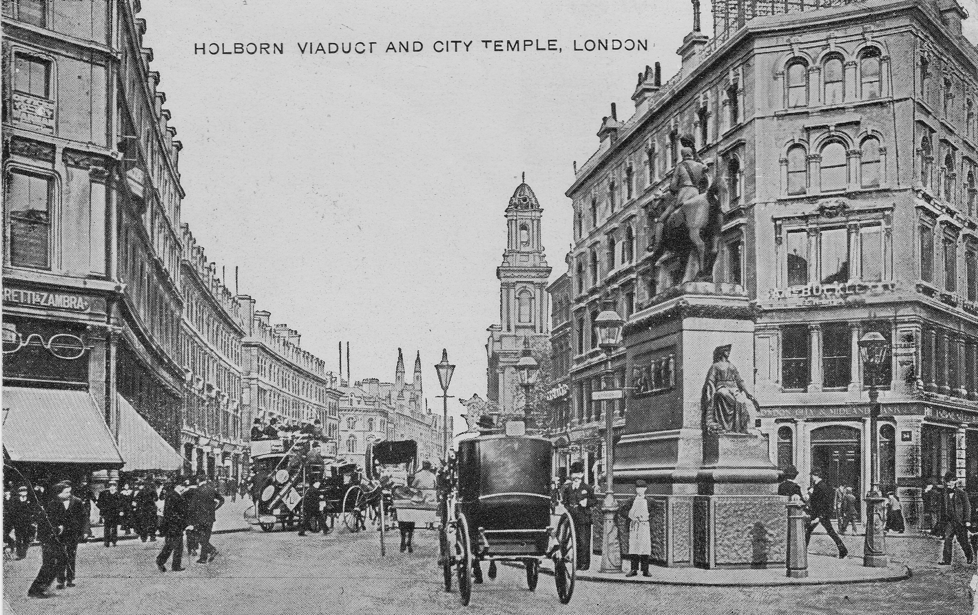
Negretti & Zambra, Holborn Circus
The Ring, Blackfriars Road
Cordwainers’ Hall, Cannon Street
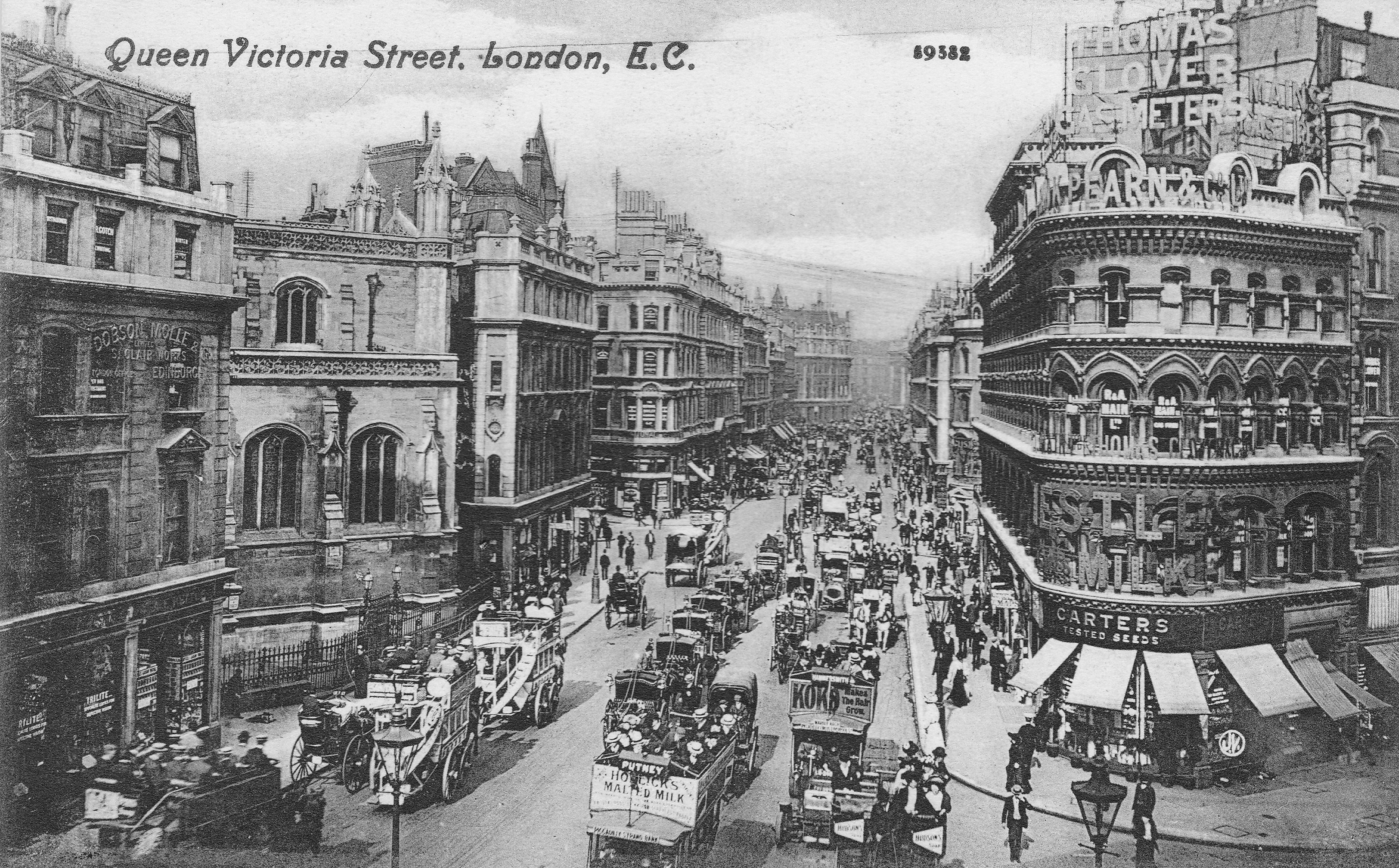
The Salvation Army, Queen Victoria Street
Chelsea Old Church
My father’s photo of Chelsea Old Church is below, almost identical to the one in the booklet.
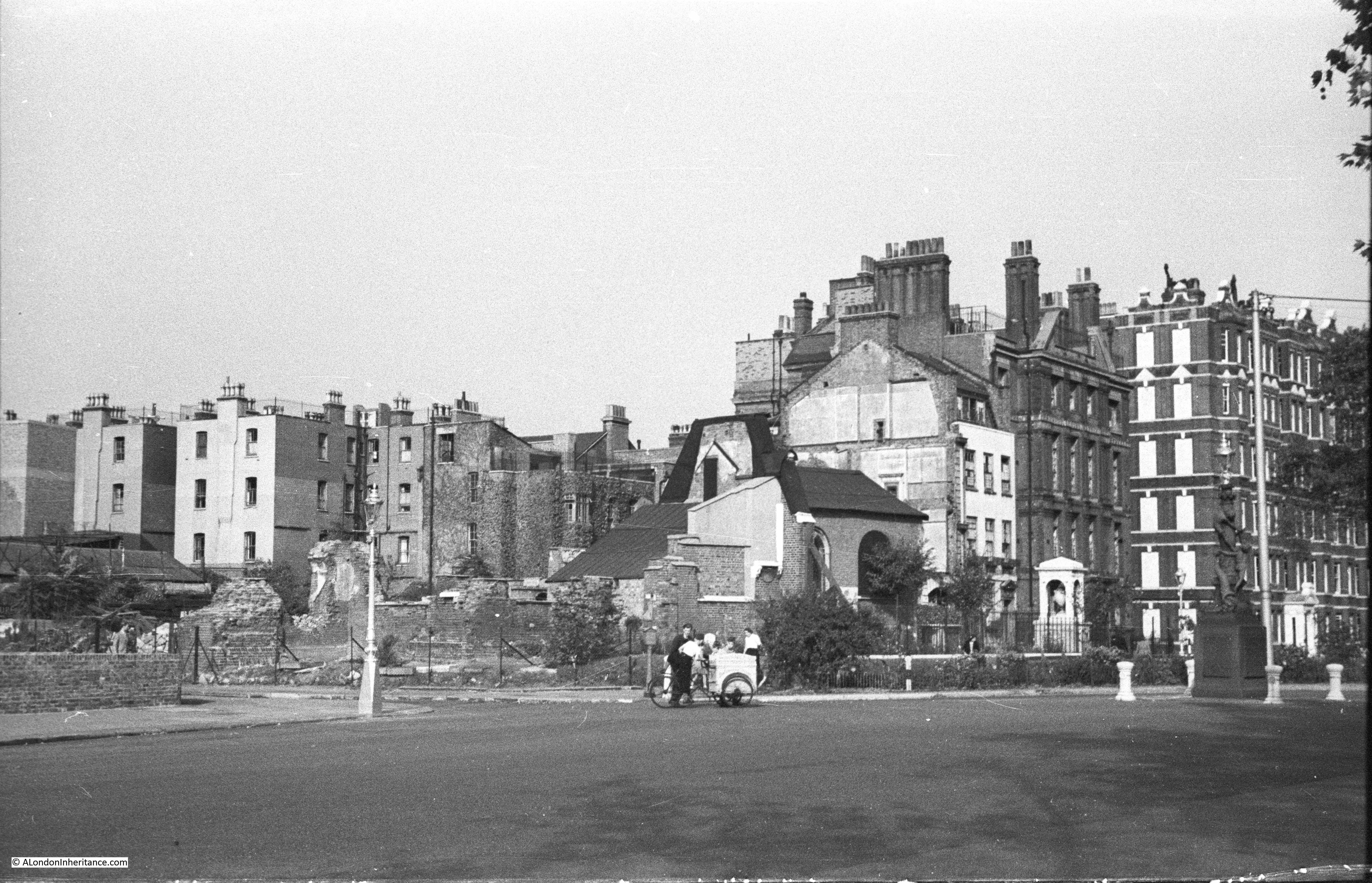
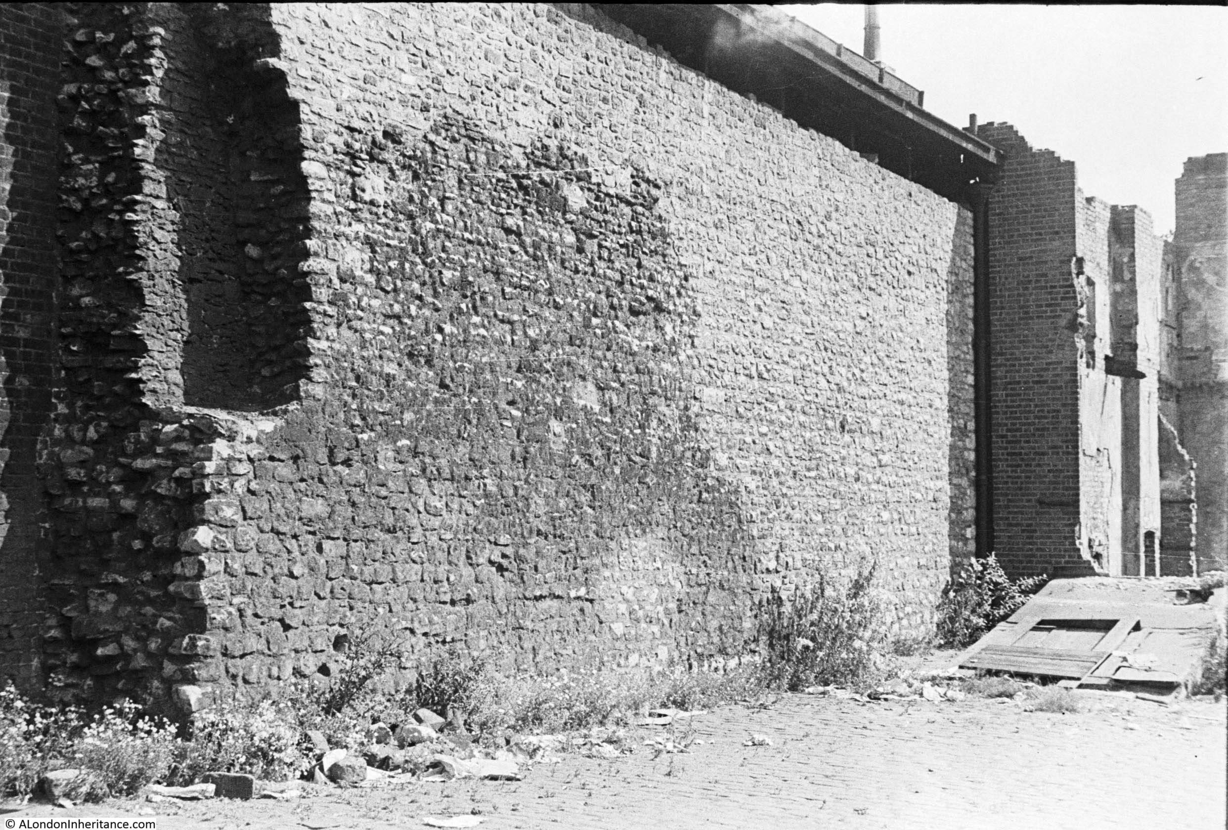
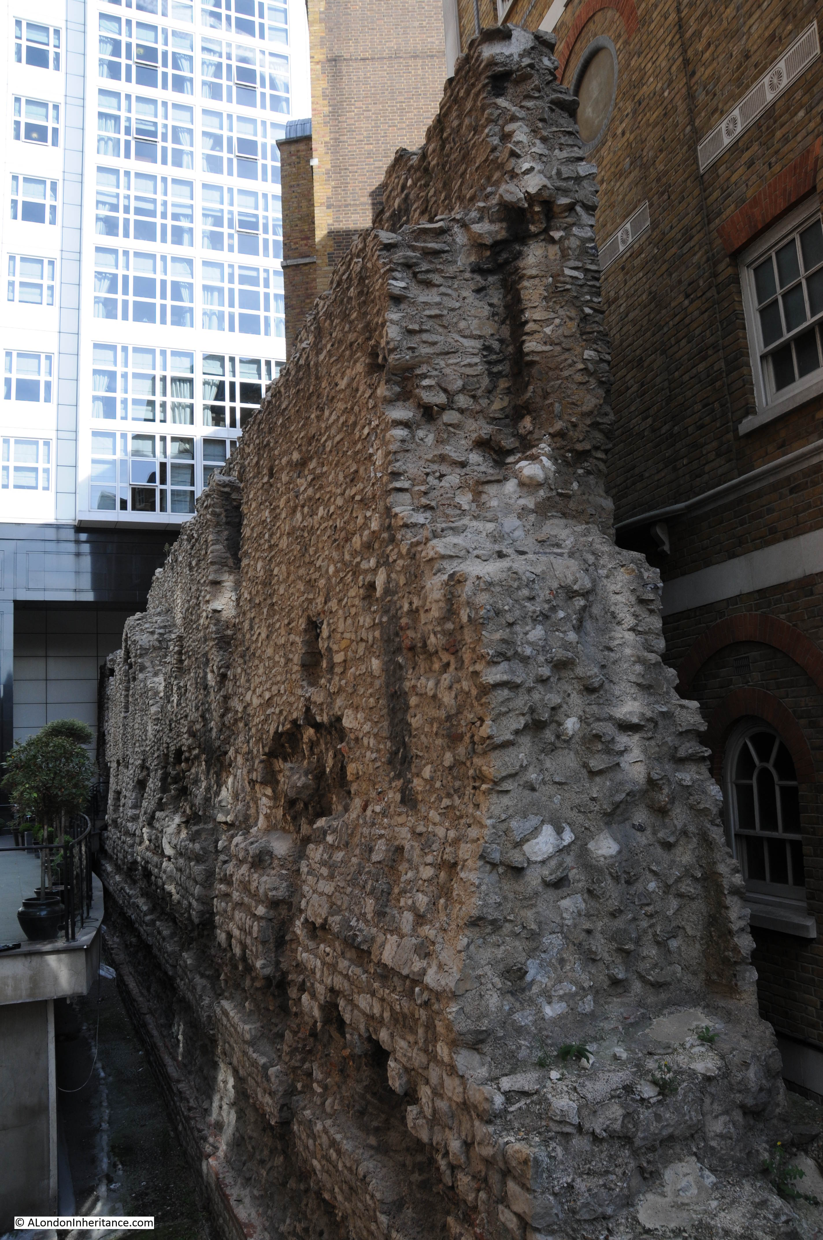
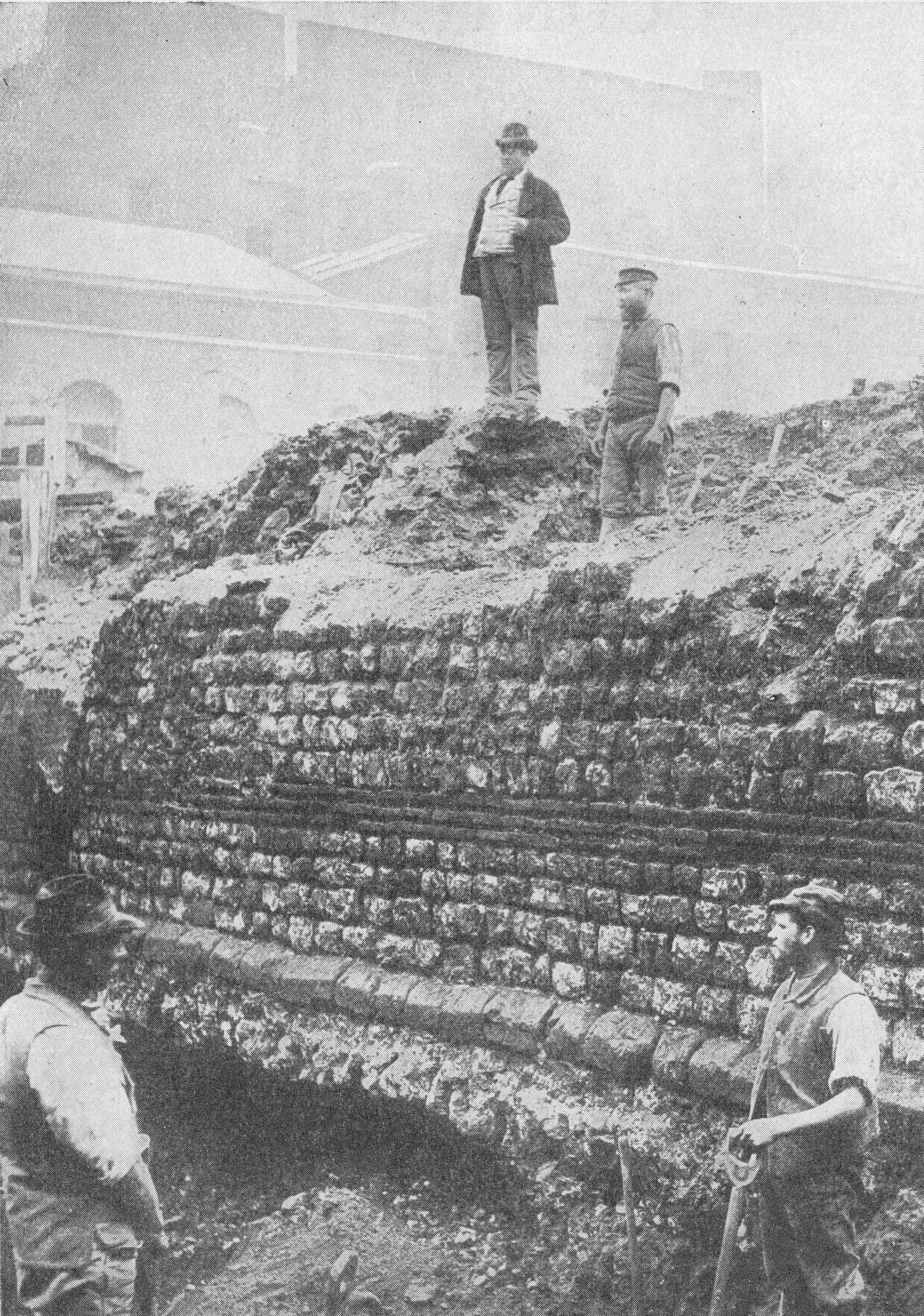
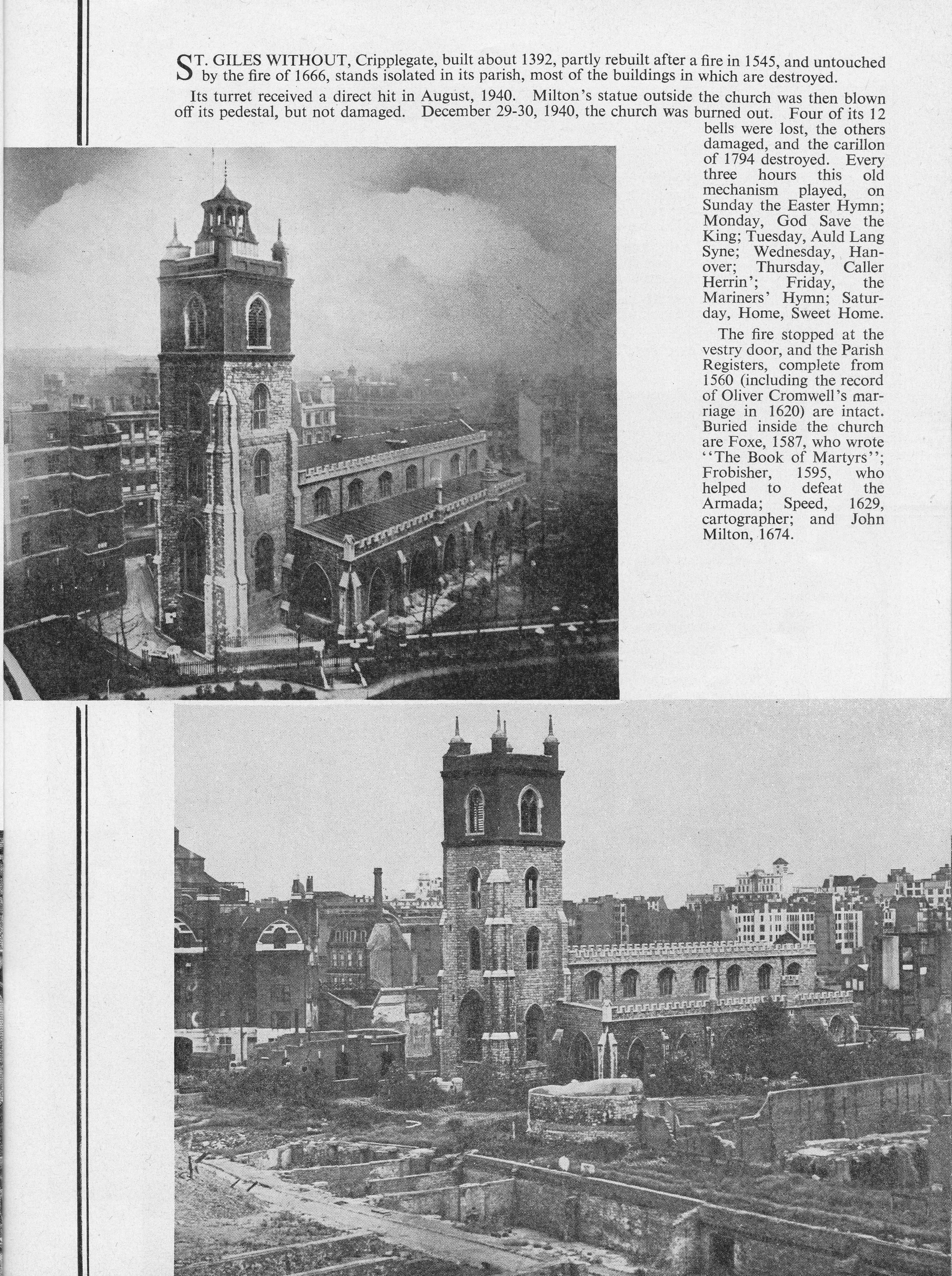
St. Giles Without, Cripplegate
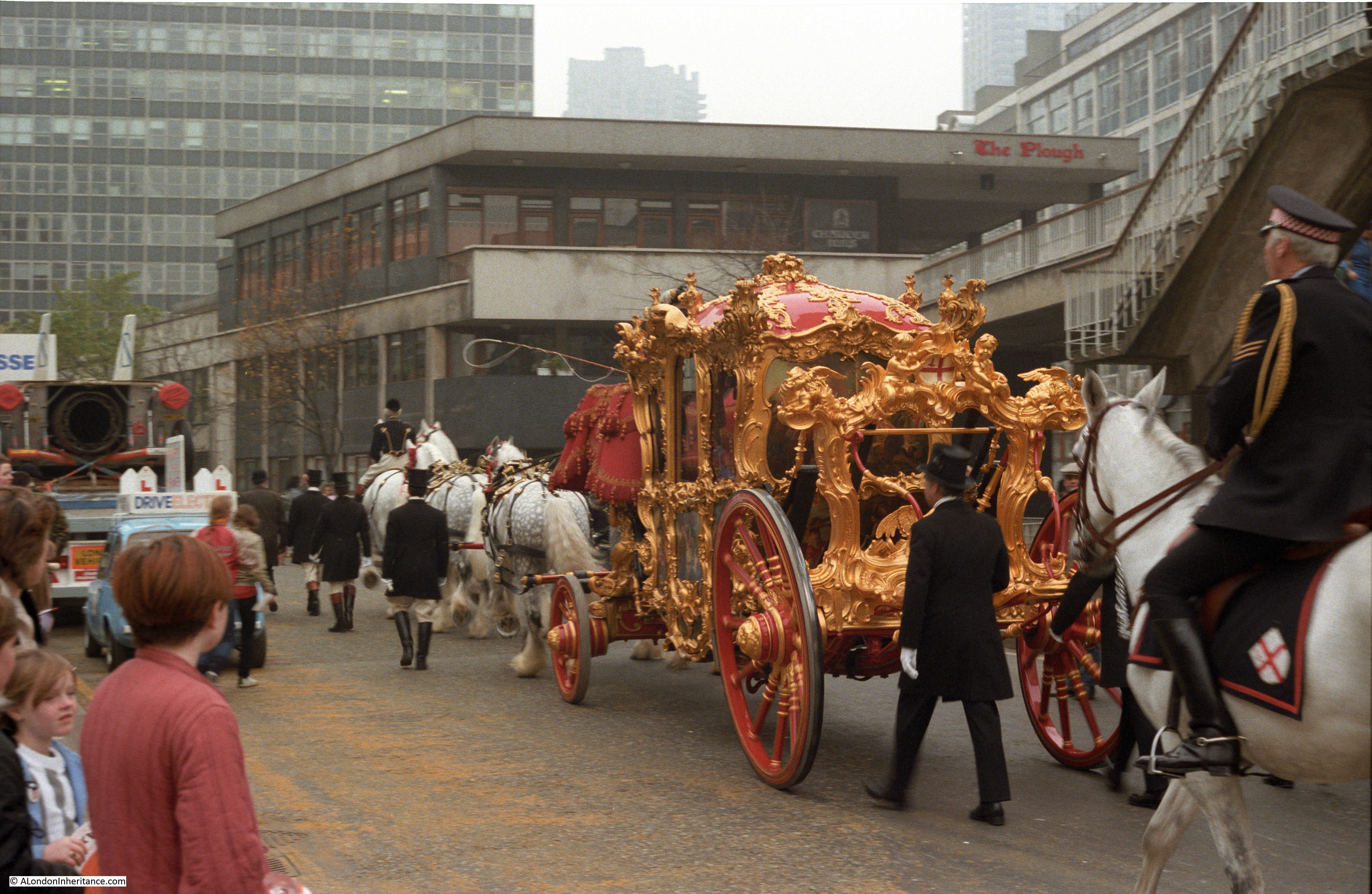
My father took a number of photos across this area that would later become the Barbican development which would obliterate the streets and lanes that had occupied this area for hundreds of years. I plan a future post on the landscape that now lies beneath the Barbican in the future.
In the lower photo above, to the left of the church can be seen part of the Redross Street Fire Station. It was here that London Fire Brigade Commander, Sir Aylmer Firebrace spent part of the night of the 29th December 1940 and later recorded the following:
“In the control room a conference is being held by senior London Fire Brigade (LFB) officers. How black – or, more realistically, how red – is the situation, only those who have recently been in the open realise.
One by one the telephone lines fail; the heat from the fires penetrates to the control room and the atmosphere is stifling. earlier in the evening, after a bomb falls near, the station lights fail – a few shaded electric hand lamps now supply bright pin-point lights in sharp contrast to a few oil lamps and some perspiring candles.
The firewomen on duty show no sign of alarm, though they must know, from the messages passing, as well as from the anxious tones of the officers, that the situation is approaching the desperate.
A women fire officer arrives; she had been forced to evacuate the sub-station to which she was attached, the heat having caused its asphalt yard to burst into flames. It is quite obvious that it cannot be long before Reccross Street Fire Station, nearly surrounded by fire will have to be abandoned.
The high wind which accompanies conflagrations is now stronger than ever, and the air is filled with a fierce driving rain of red-hot sparks and burning brands. The clouds overhead are a rose-pink from the reflected glow of the fires, and fortunately it is bright enough to pick our way eastward down Fore Street. Here fires are blazing on both sides of the road; burnt-out and abandoned fire appliances lie smouldering in the roadway, their rubber tyres completely melted. the rubble from collapsed buildings lying three and four feet deep makes progress difficult in the extreme. Scrambling and jumping, we use the bigger bits of masonry as stepping stones, and eventually reach the outskirts of the stricken area.
A few minutes later L.F.B. officers wisely evacuate Redcross Street Fire Station, and now the only way of escape for the staff and for the few pump crews remaining in the area lies through Whitecross Street (also now lost under the Barbican development)”.
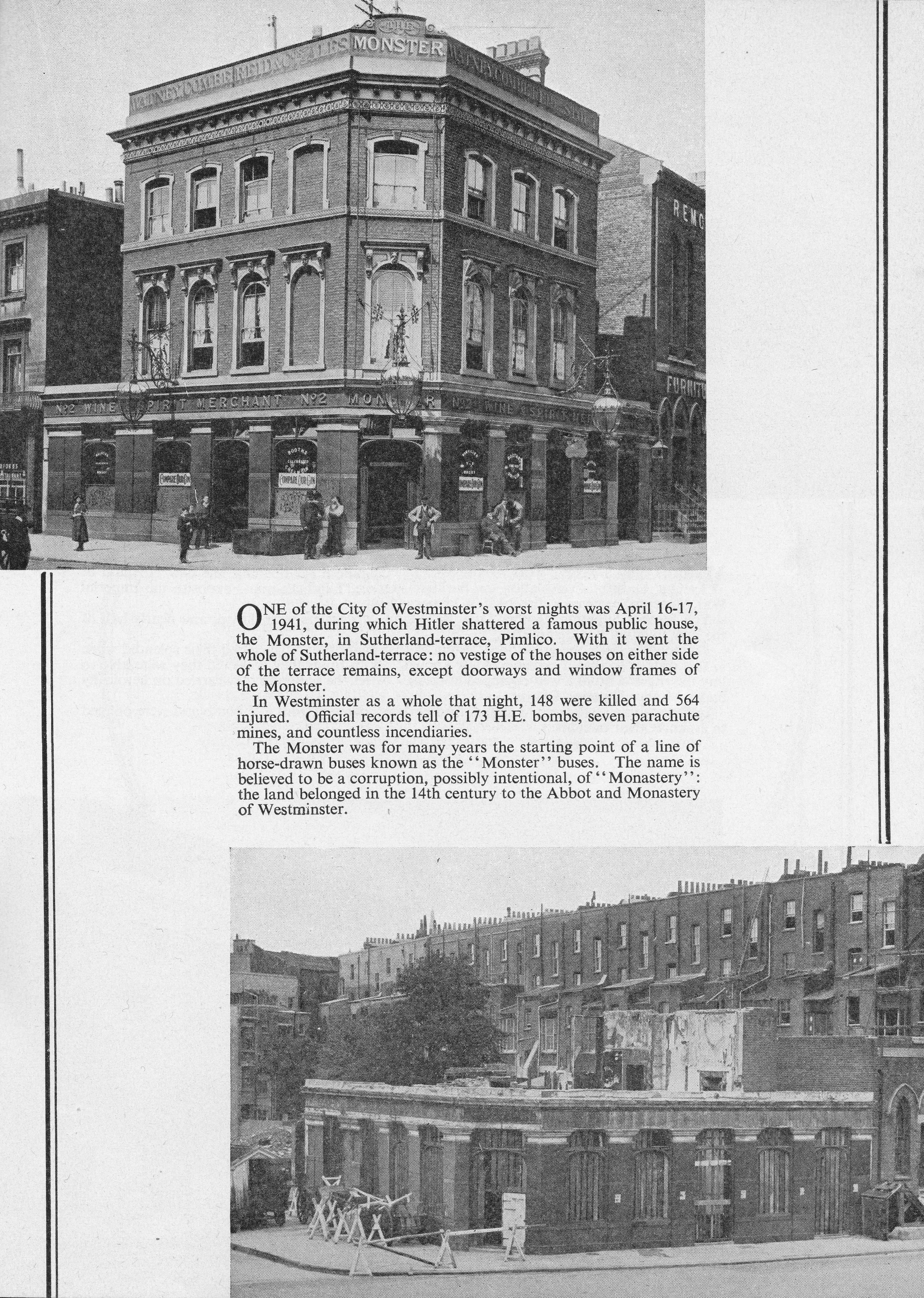
The Monster Public House, Pimlico
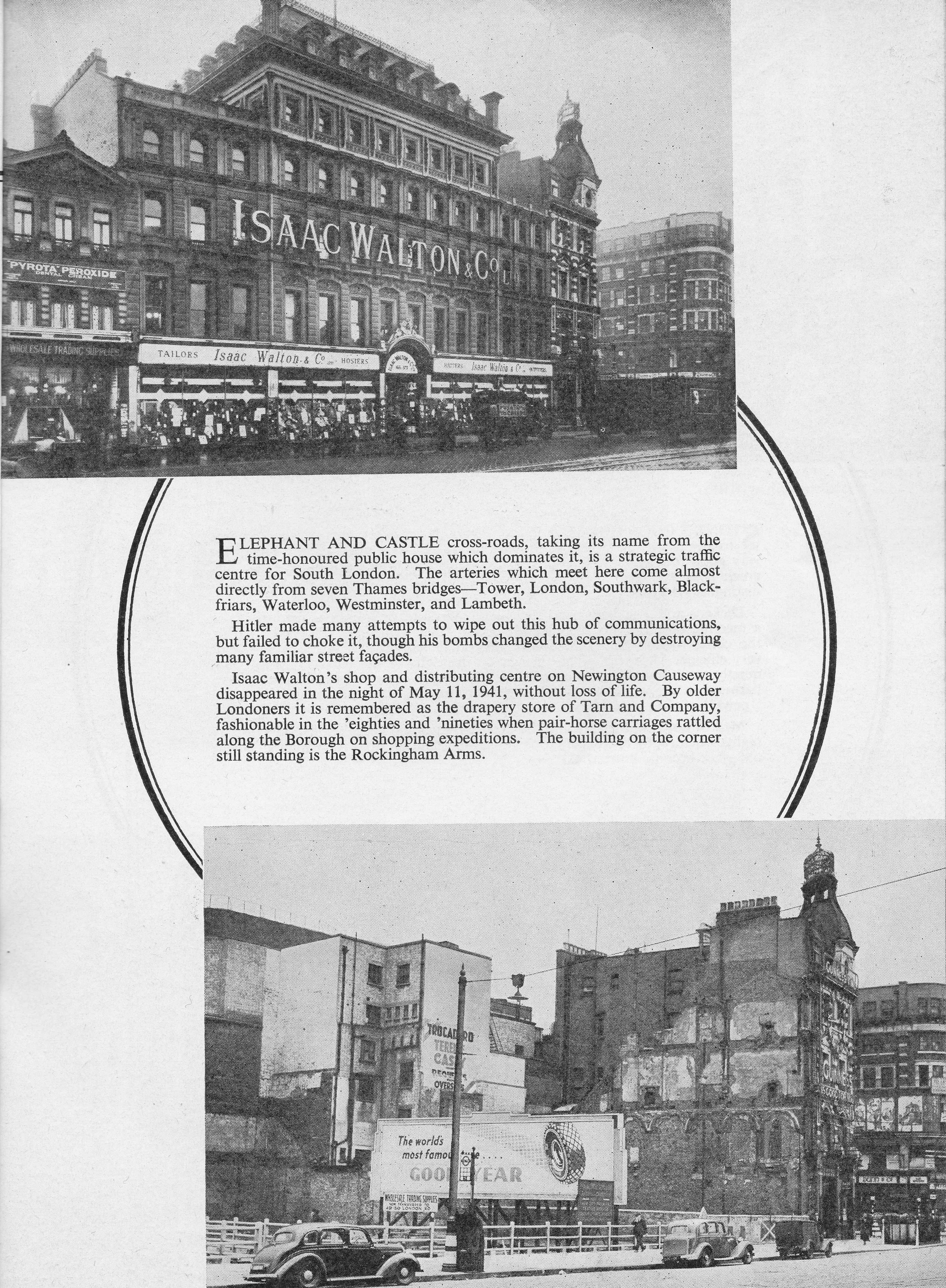
Isaac Walton’s Shop And Distribution Centre, Elephant and Castle
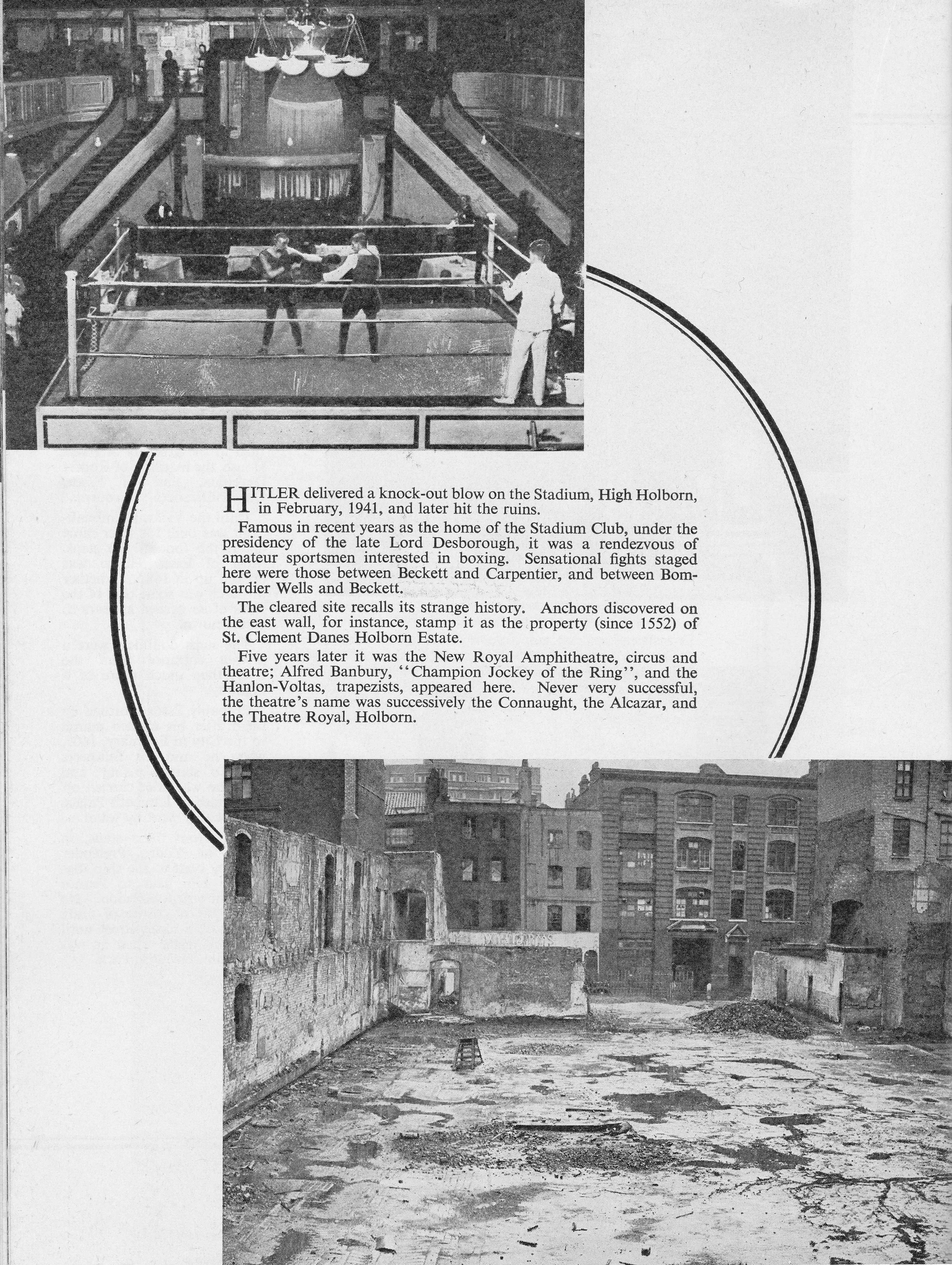
The Stadium Club, High Holborn
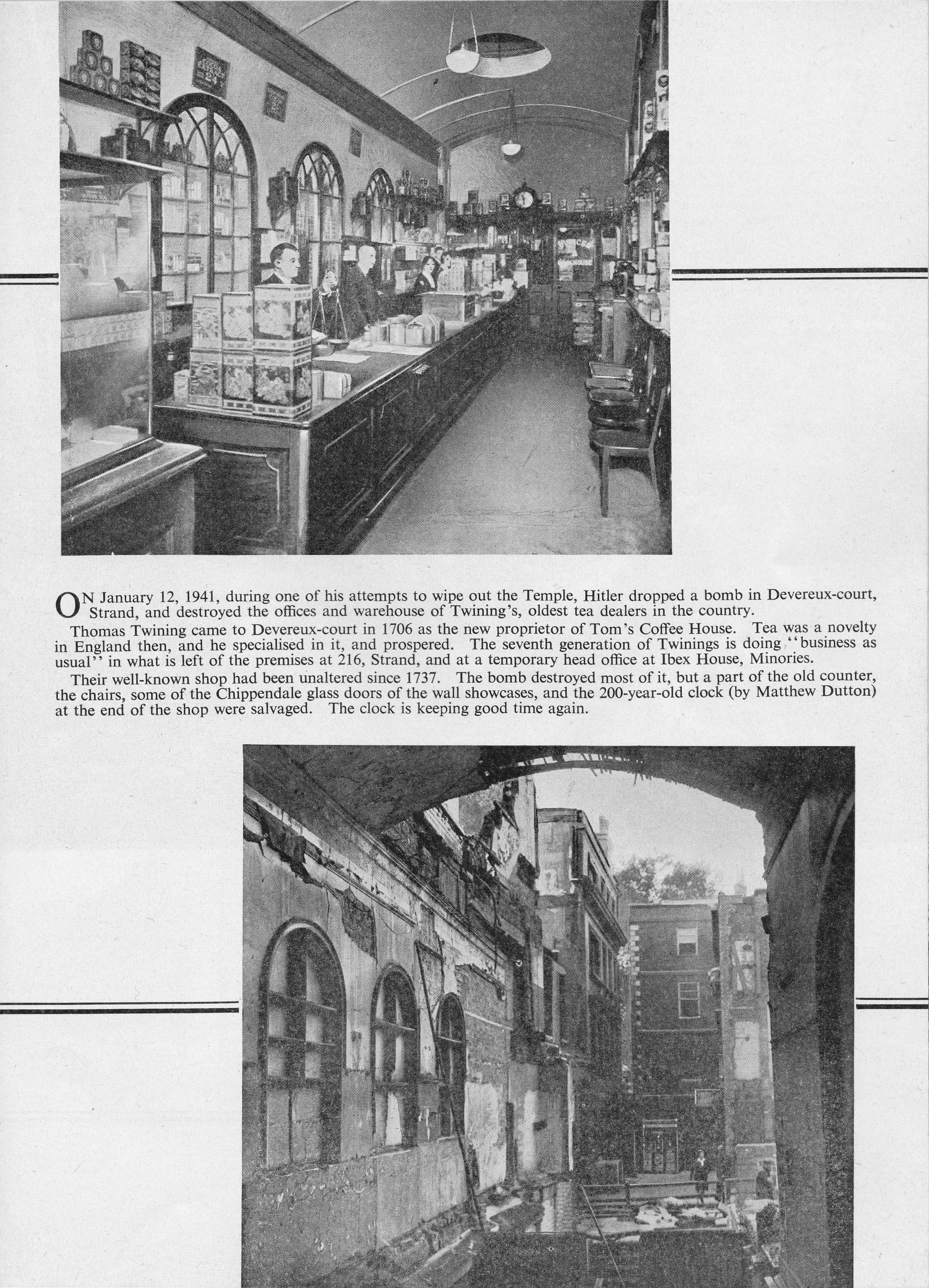
Twinings, Devereux Court
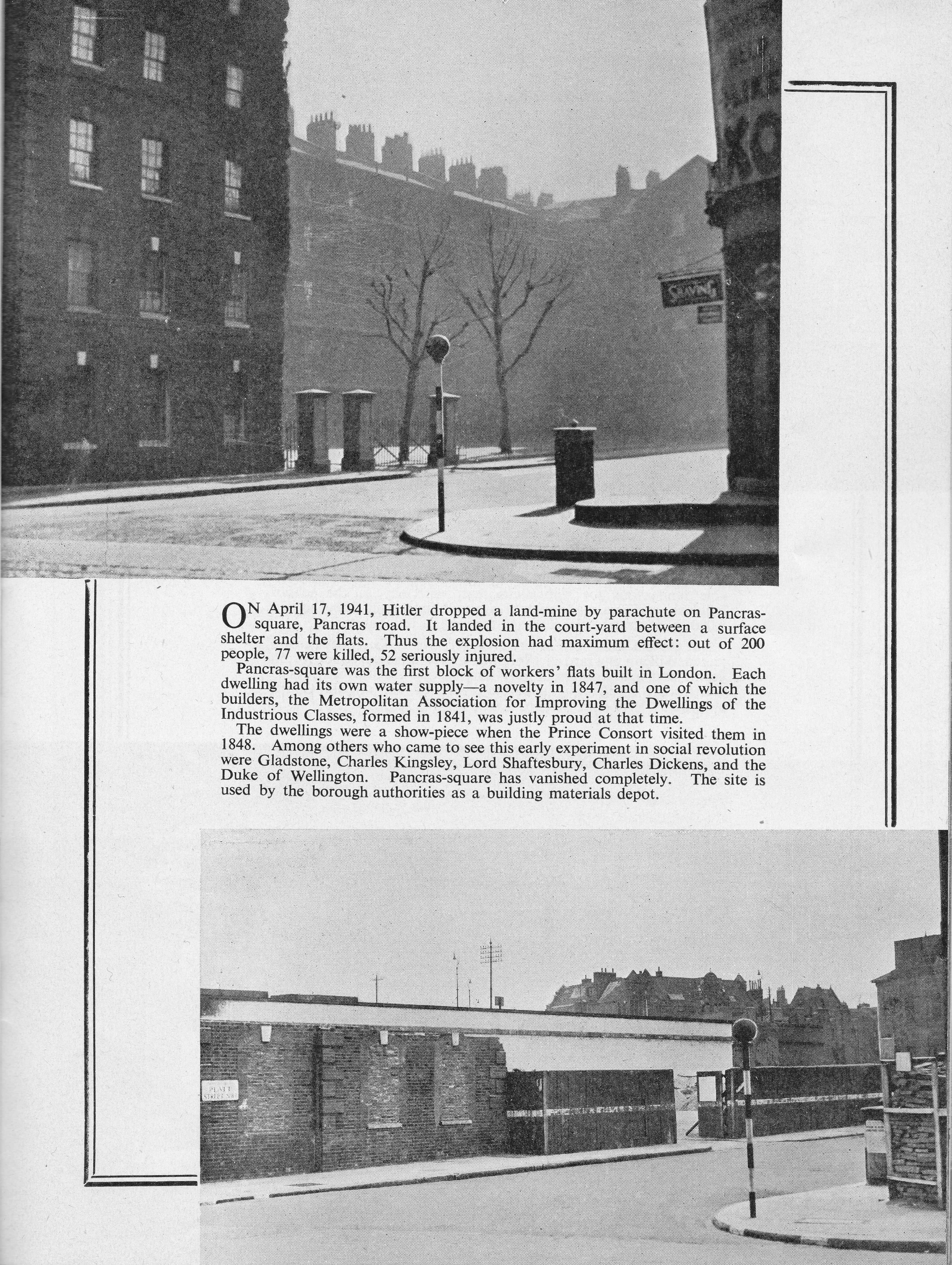
Pancras Square, Pancras Road
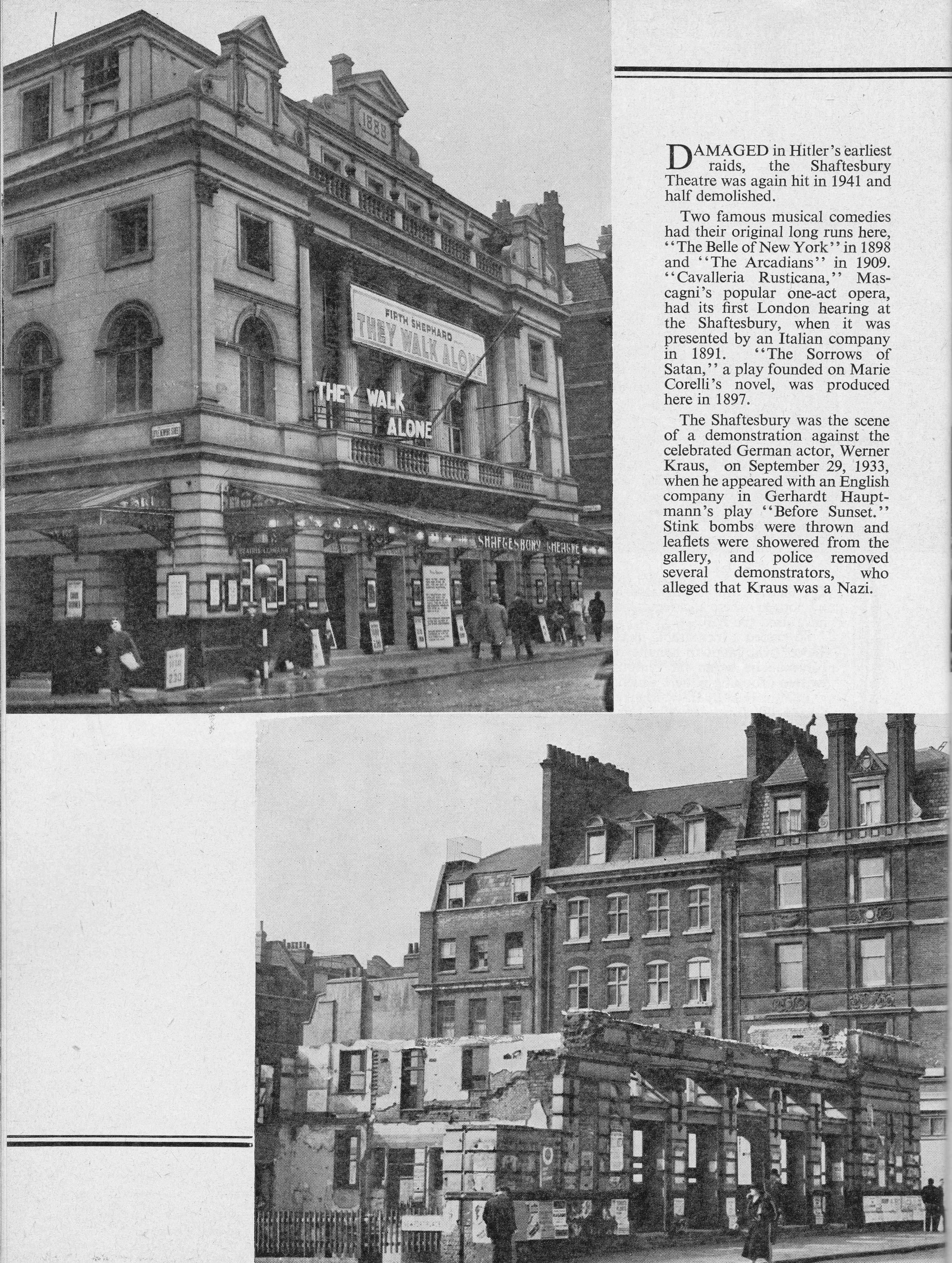
The Shaftesbury Theatre
Britannia Theatre, Hoxton Street, Shoreditch
Whitefield Memorial Church, Tottenham Court Road
Jamaica Road, Bermondsey
Pollock’s Toy Theatre Shop, Hoxton Street, Shoreditch
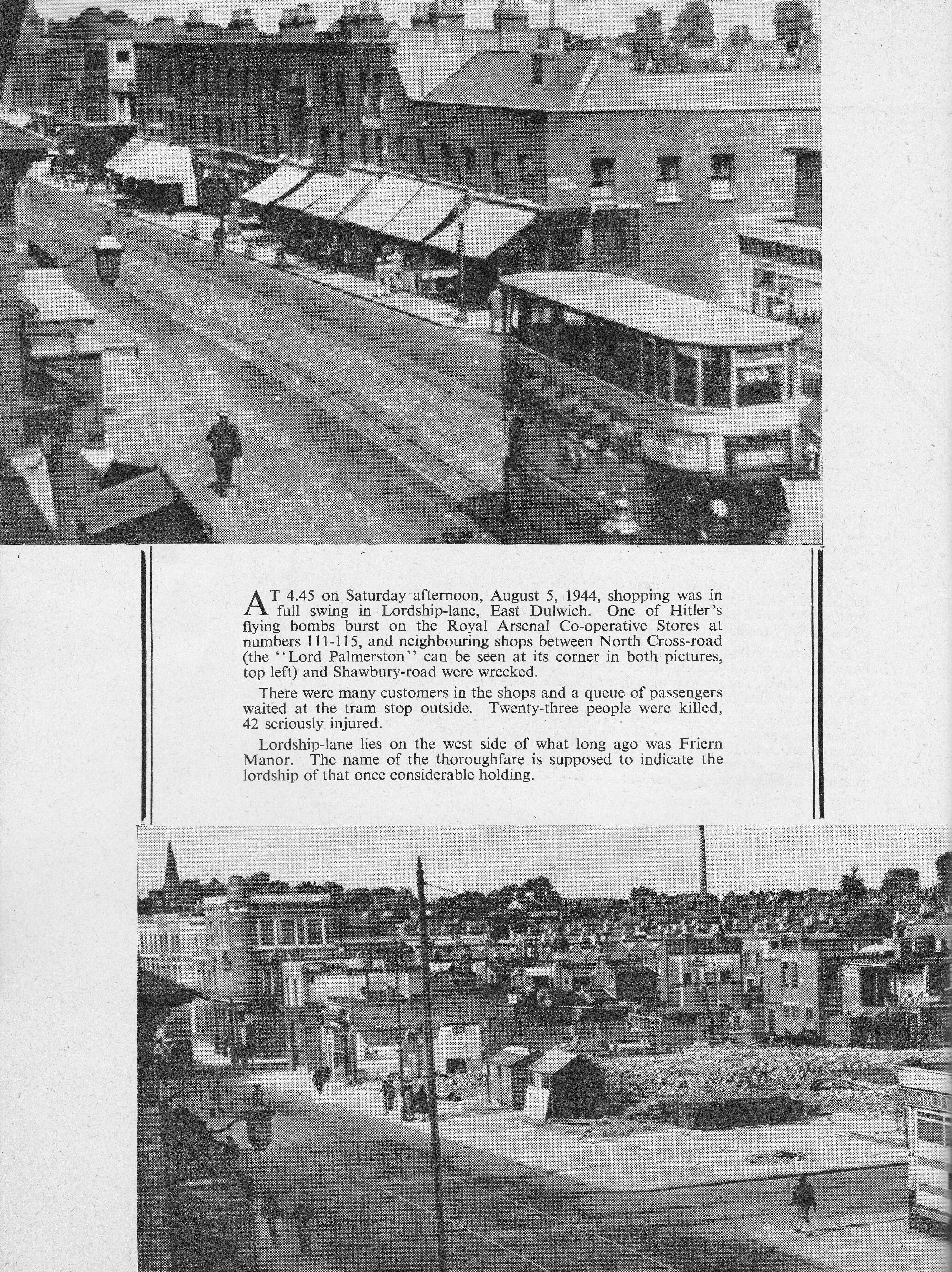
Shops In Lordship Lane, East Dulwich
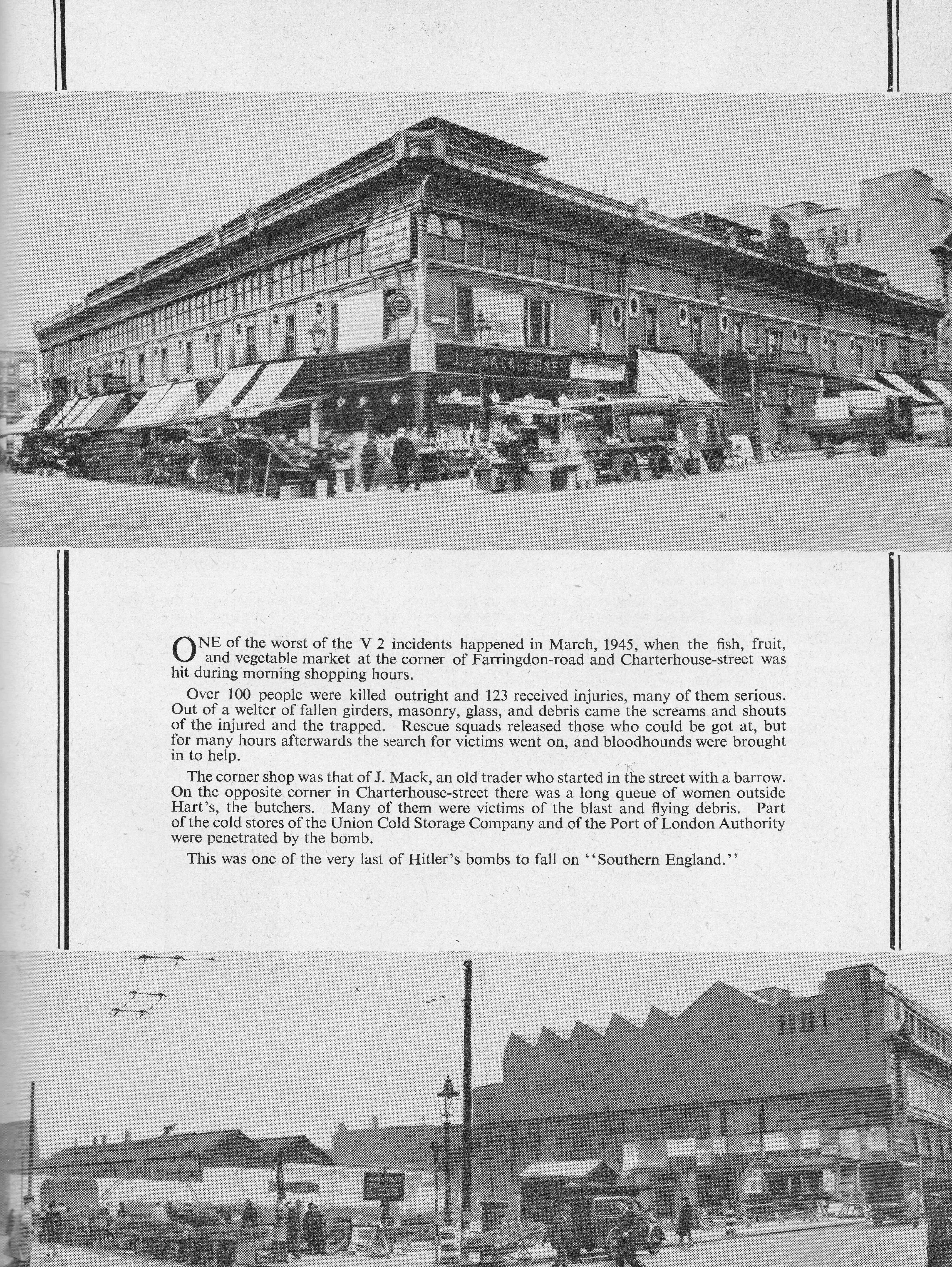
Market, Corner Of Farringdon Road And Charterhouse Street
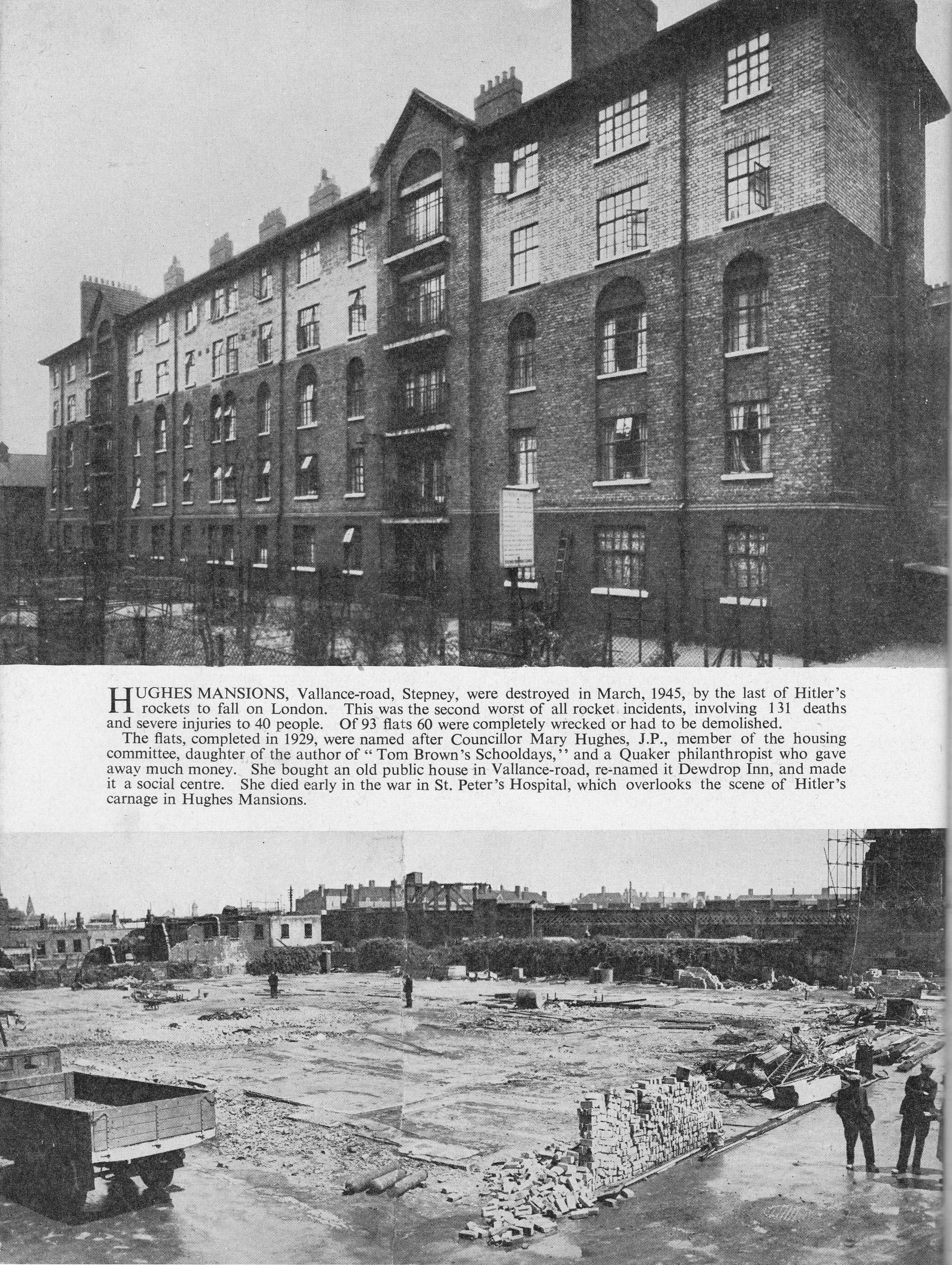
Hughes Mansions, Vallance Road, Stepney
The booklet provides a summary of the damage and casualties across London:
In the London Region:
Hitler killed 29,890 civilians and injured (detained in hospital) 50,497 civilians.
Hitler destroyed or damaged beyond repair, more that 100,000 houses and damaged about 1,650,000 houses. (In 10 months he damaged by rockets and flying bombs over 1,000,000 houses.)
687 air raid incidents affected hospitals, or kindred institutions, in London region. 84 such incidents were caused by flying bombs and 33 by rockets. 326 hospitals, or kindred institutions were actually hit.
In the Square Mile of the City of London:
Hitler destroyed buildings covering 164 acres out of the 450 acres of built-up land.
Hitler destroyed or heavily damaged 20 City livery company’s halls.
Hitler destroyed or damaged heavily, 4 medieval churches, and 2 other churches of historic value – all in the City of London.
It can be rather depressing to read of the number of casualties and the lost buildings across London, however the booklet really does achieve its target: “It is believed these photographs will help us remember well, and to pass on our grim, hard memories of 1939-1945 to the generations to come”.