For the past five years, I have written an annual post on the work around Euston to create the extension to the station for HS2, recording the area from before work started to some point in the future, when the new station will be operational.
I then went back in 2019 as demolition started.
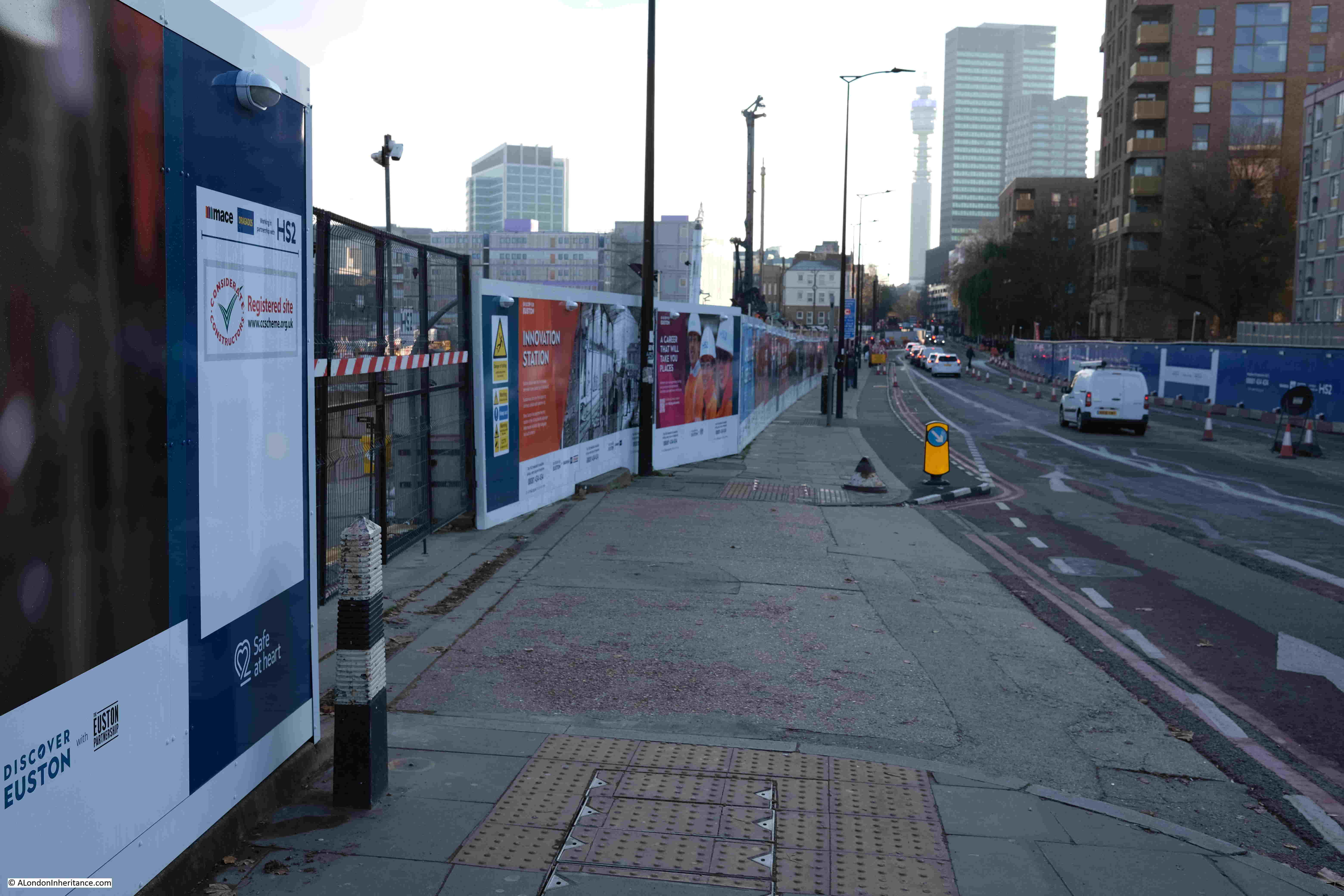
And in June 2021 I went back for another walk around the edge of the construction site.
It has been on my list to revisit for a 2022 update, but it always seemed a lower priority to other places, and with the end of the year approaching, I really wanted to walk the edge of the site again. After a morning in Fitzrovia in early December, the afternoon left time to visit Euston.
It was a lovely sunny, but cold, December day. Whilst the clear sky was welcome, the resulting low sun produced deep shadows which do not work very well with photographing scenes in a built area, but it was my last chance for 2022.
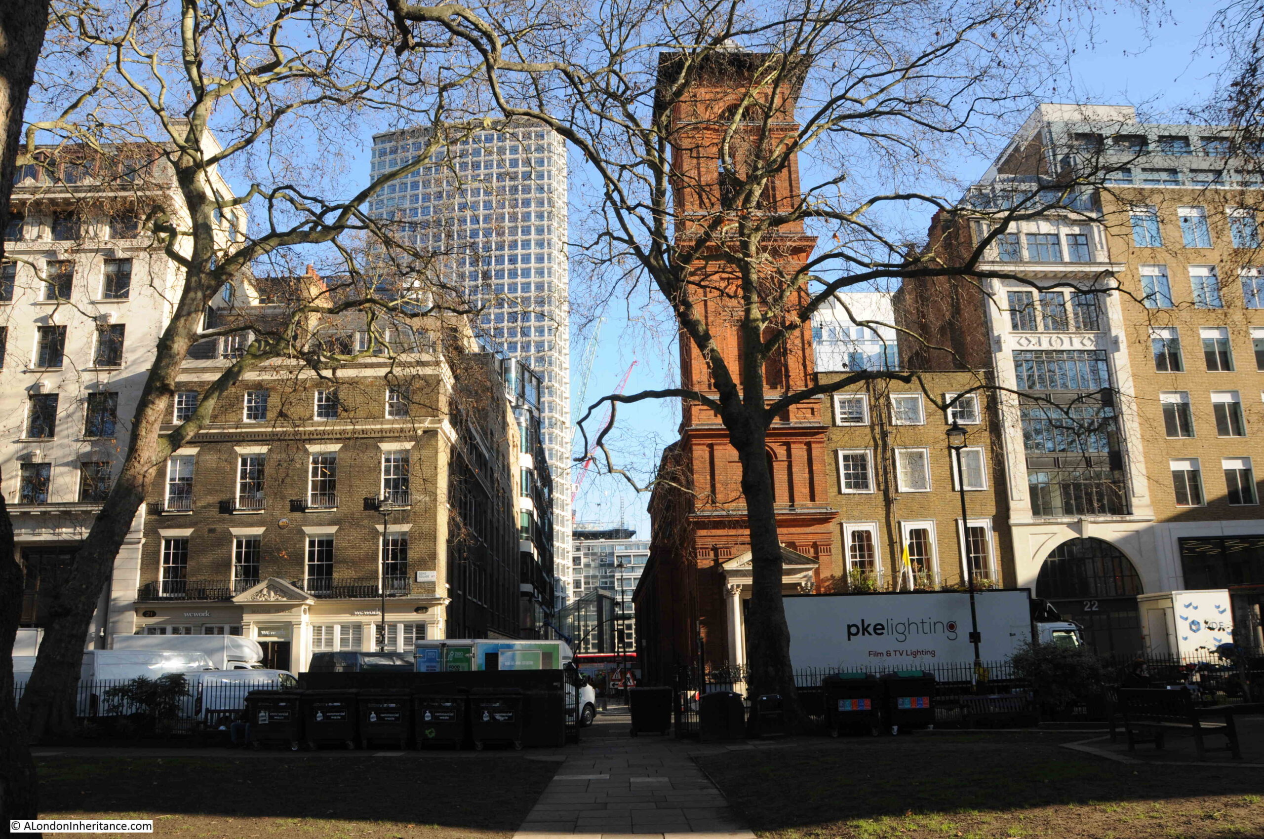
The size of the construction site is remarkable. In front off, and to the west of Euston Station, along Hampstead Road, up to the point where the rail tracks from Euston cross under Hampstead Road. The construction site then extends west alongside the rail tracks.
There continues to be background rumblings about the cost of HS2 and that it should be cancelled. Walking around the Euston site demonstrates what has been put into the site so far, and the sheer size. If it was cancelled what would happen to the space – another place of random towers as with Vauxhall?
The name HS2 I suspect is part of the project’s problem. Whilst it will offer a faster journey, the main benefit seems to be the extra capacity released on the existing lines by moving fast trains to the HS2 route. This extra capacity allowing services to improve to the places along the route – assuming there is the money and political will to do so.
Whilst the scale of the project at Euston is remarkable, this is only the London terminus of the route. There is a considerable amount of work along the whole of the route, and if you have driven along the M25, just north of the M40 junction, the massive work site can be glimpsed where tunneling starts on the 10 mile tunnel under the Chilterns.
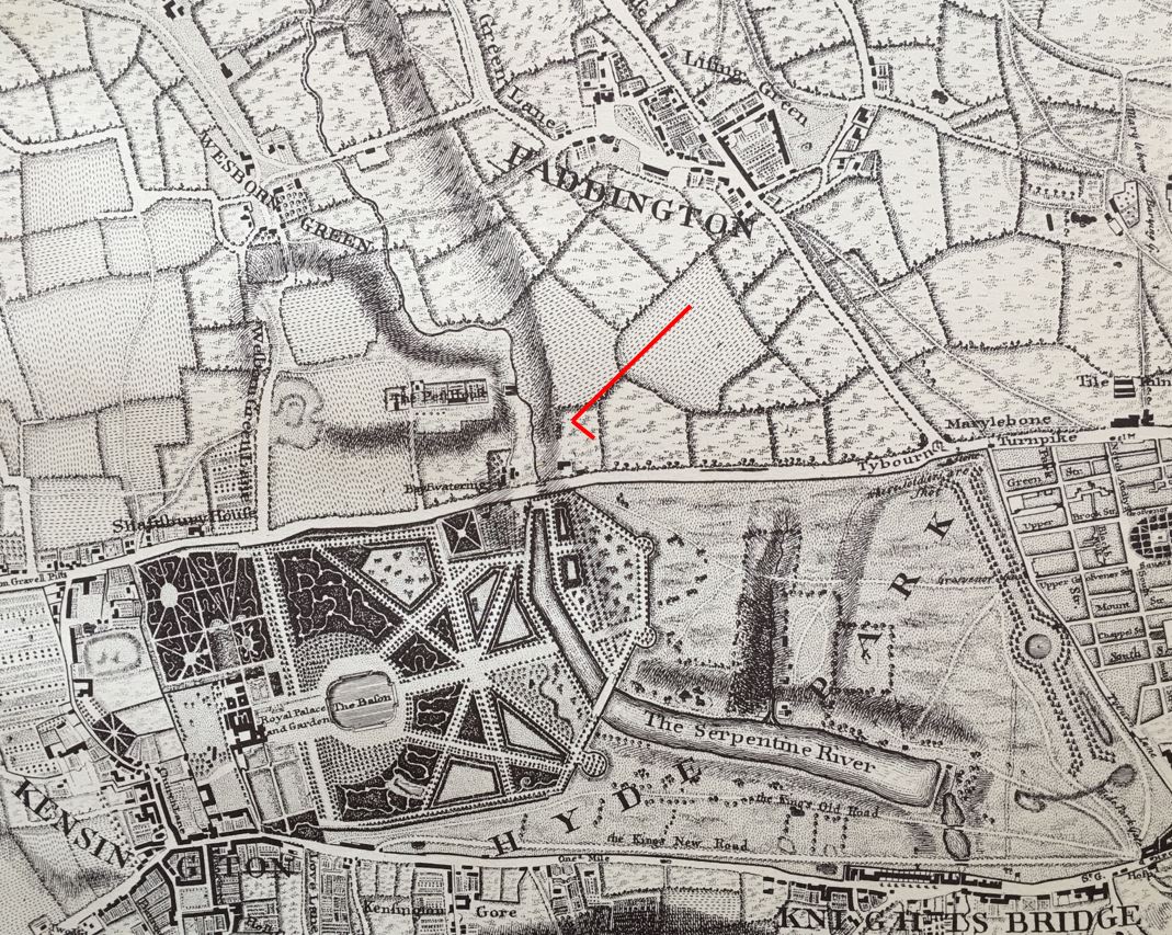
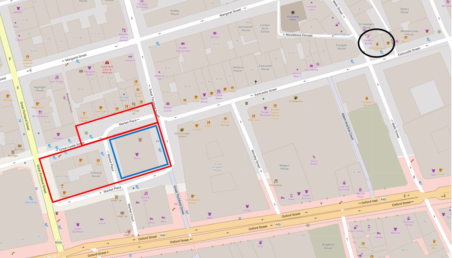
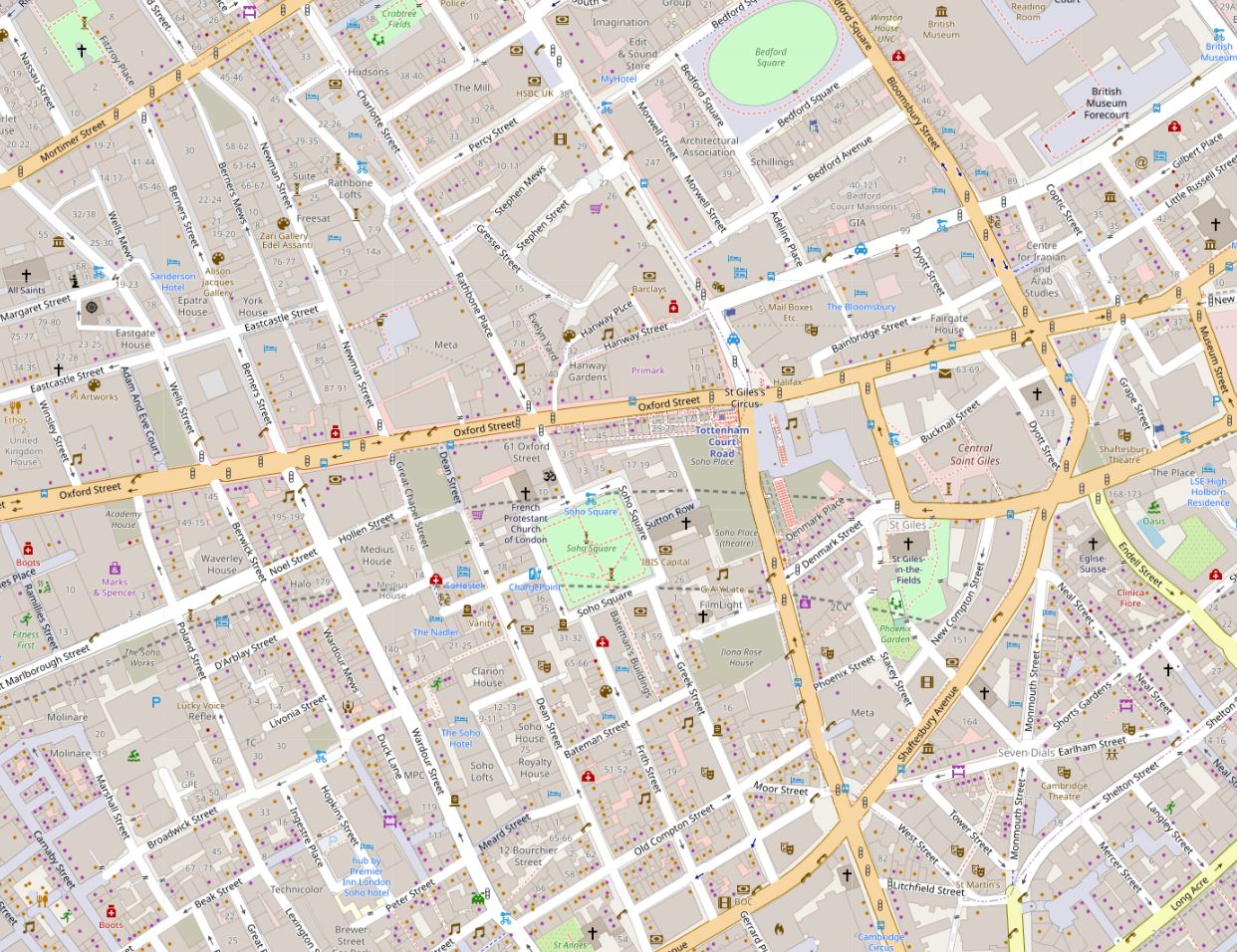
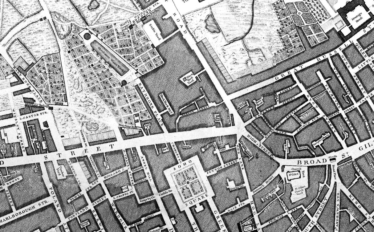
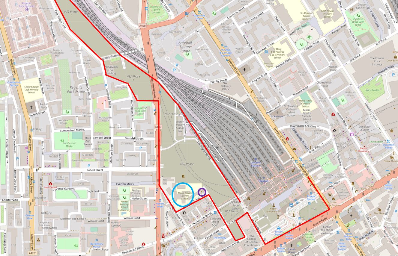
Back to Euston, and the following map shows the area where work is underway, which I have outlined in red. There are two circled places which I will come to later in the post(Map © OpenStreetMap contributors).
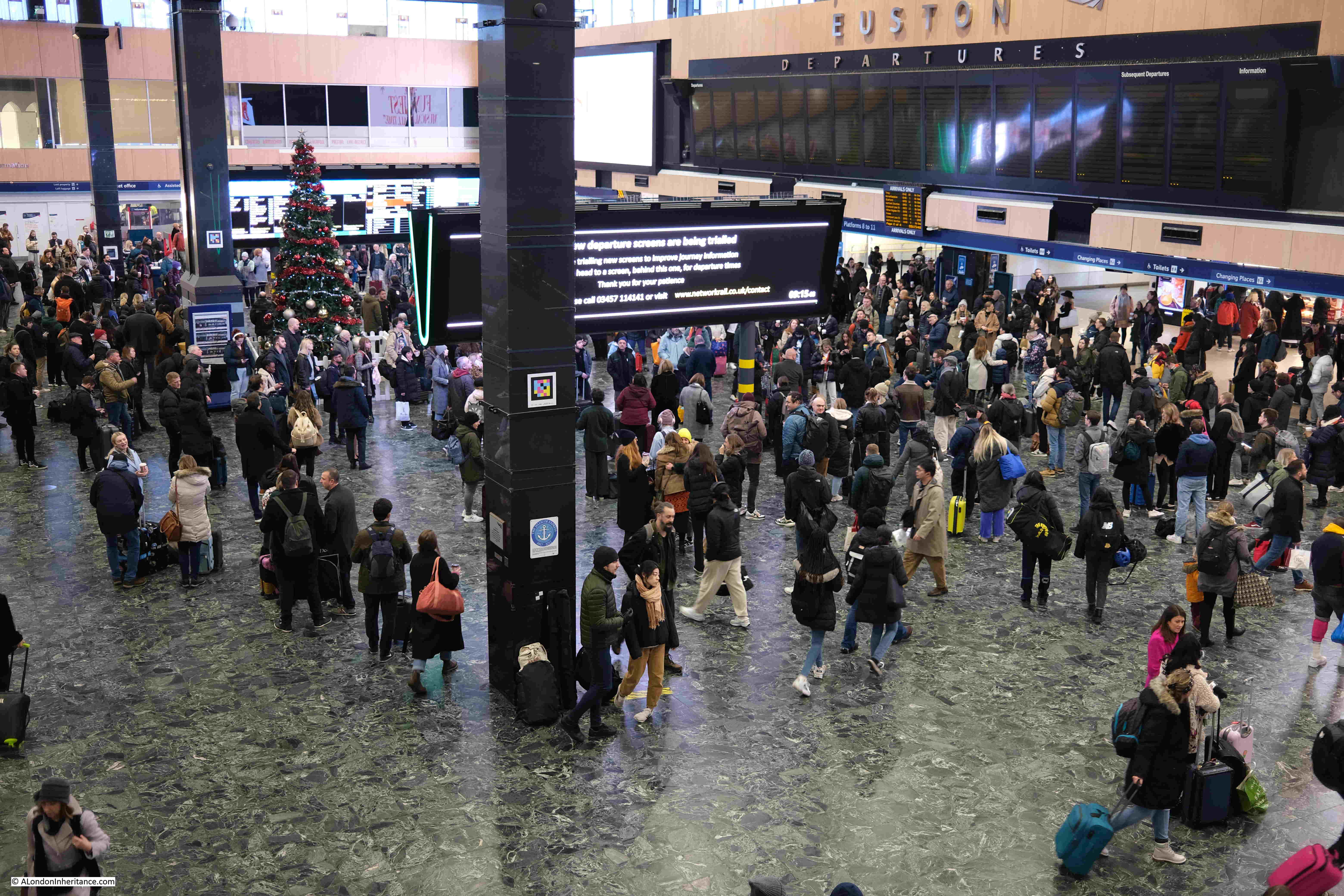
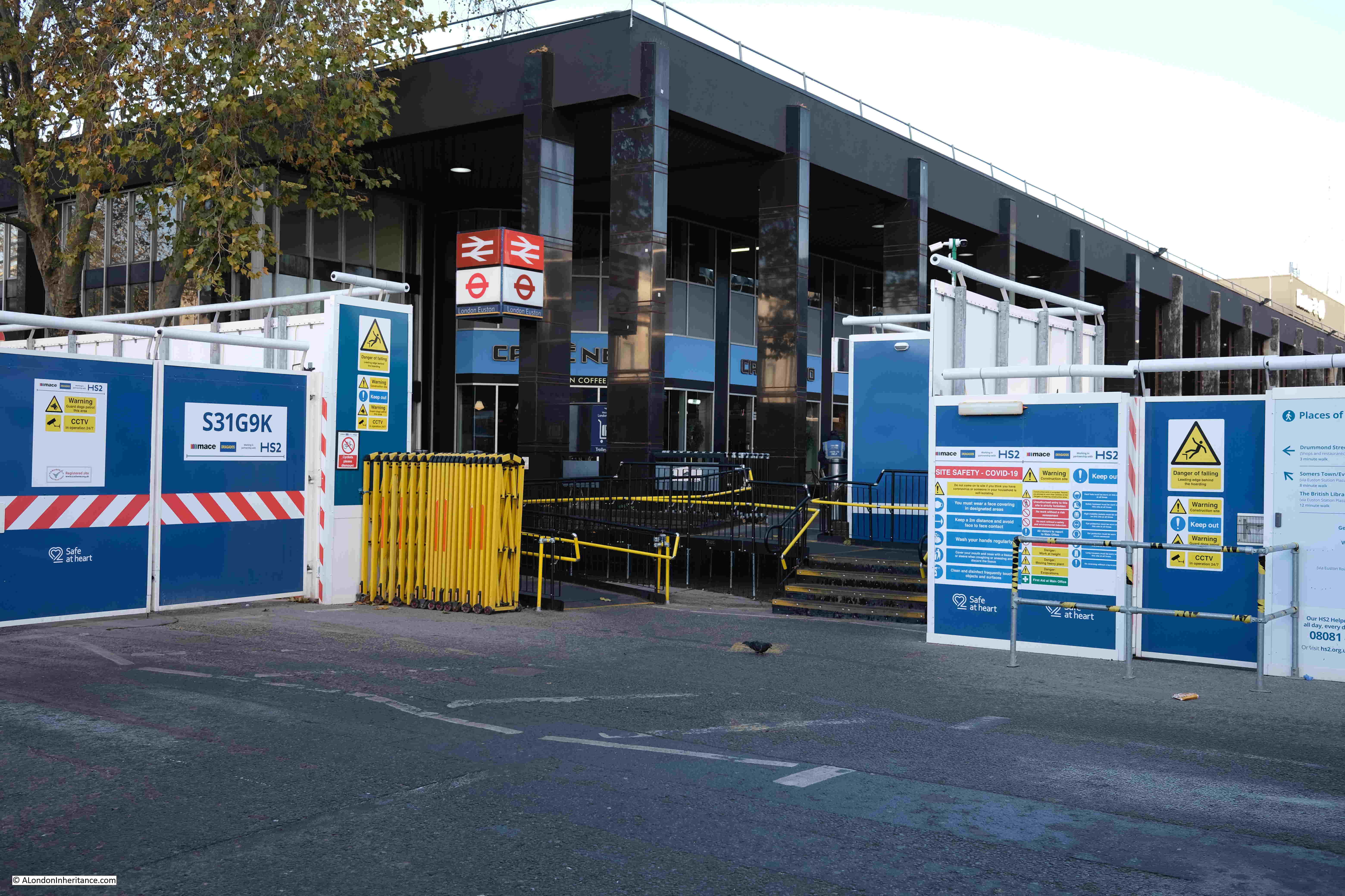
This year, I started in Euston Station:
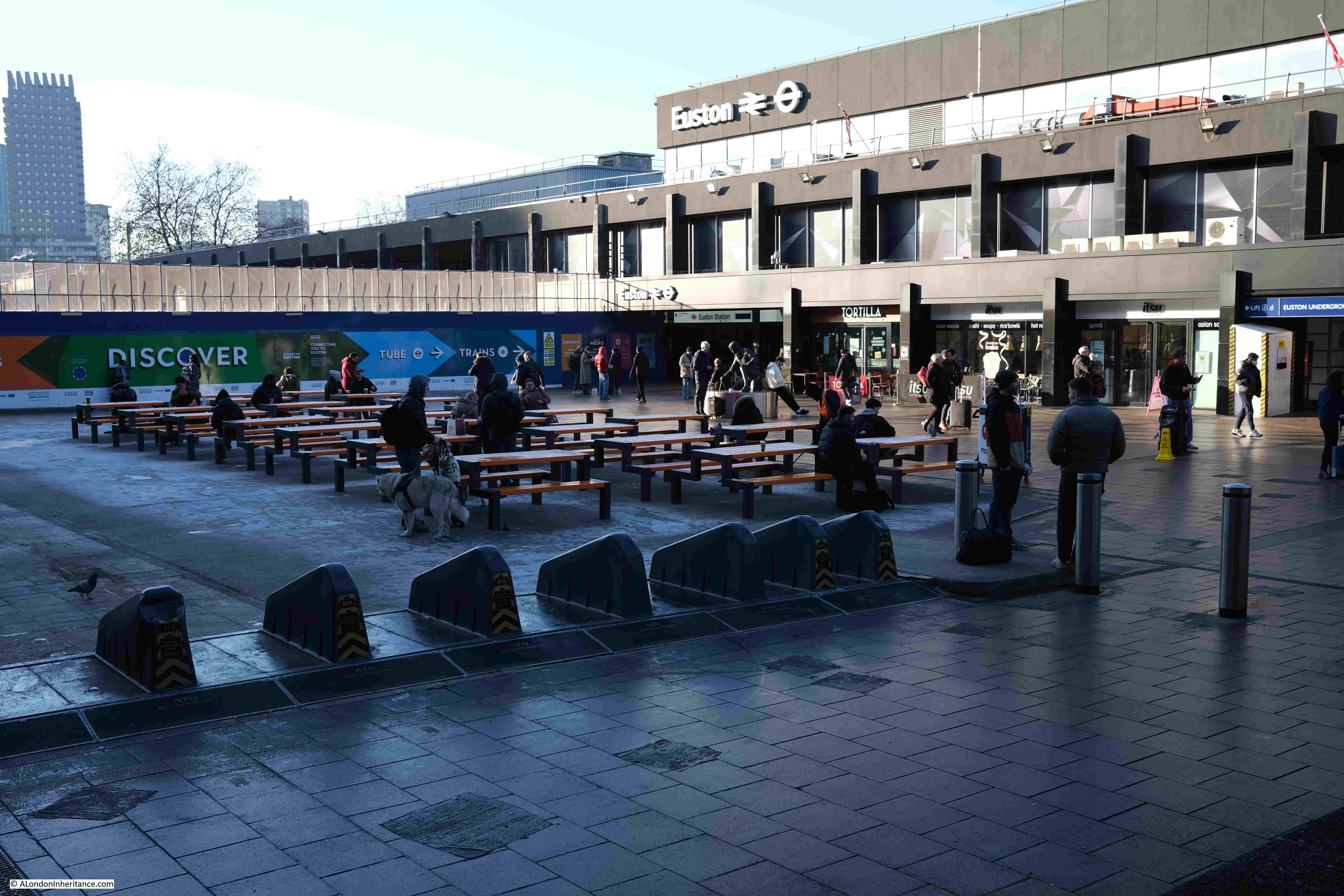
Then headed outside to see the front of the station, here the western side:
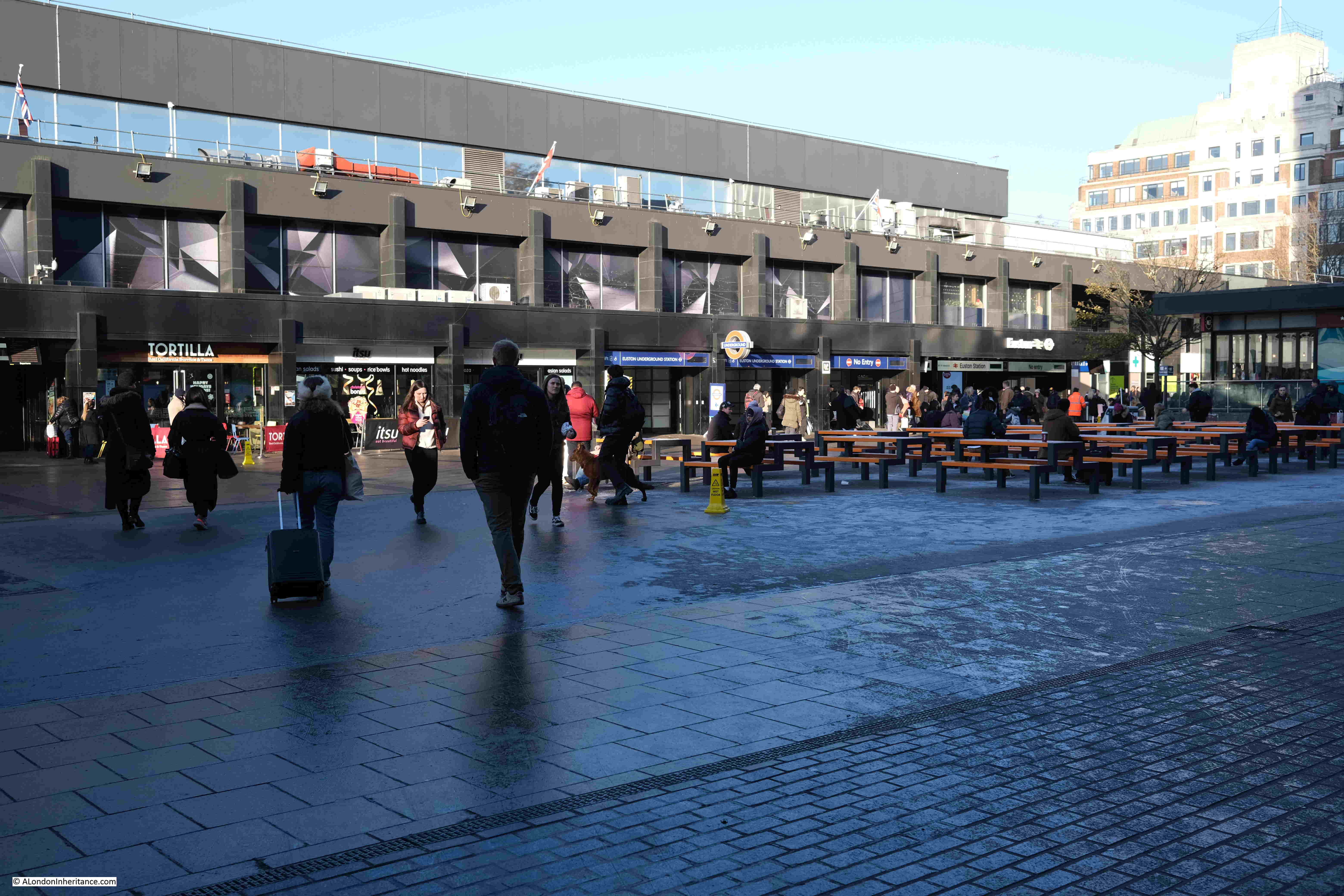
And the eastern side of the station:
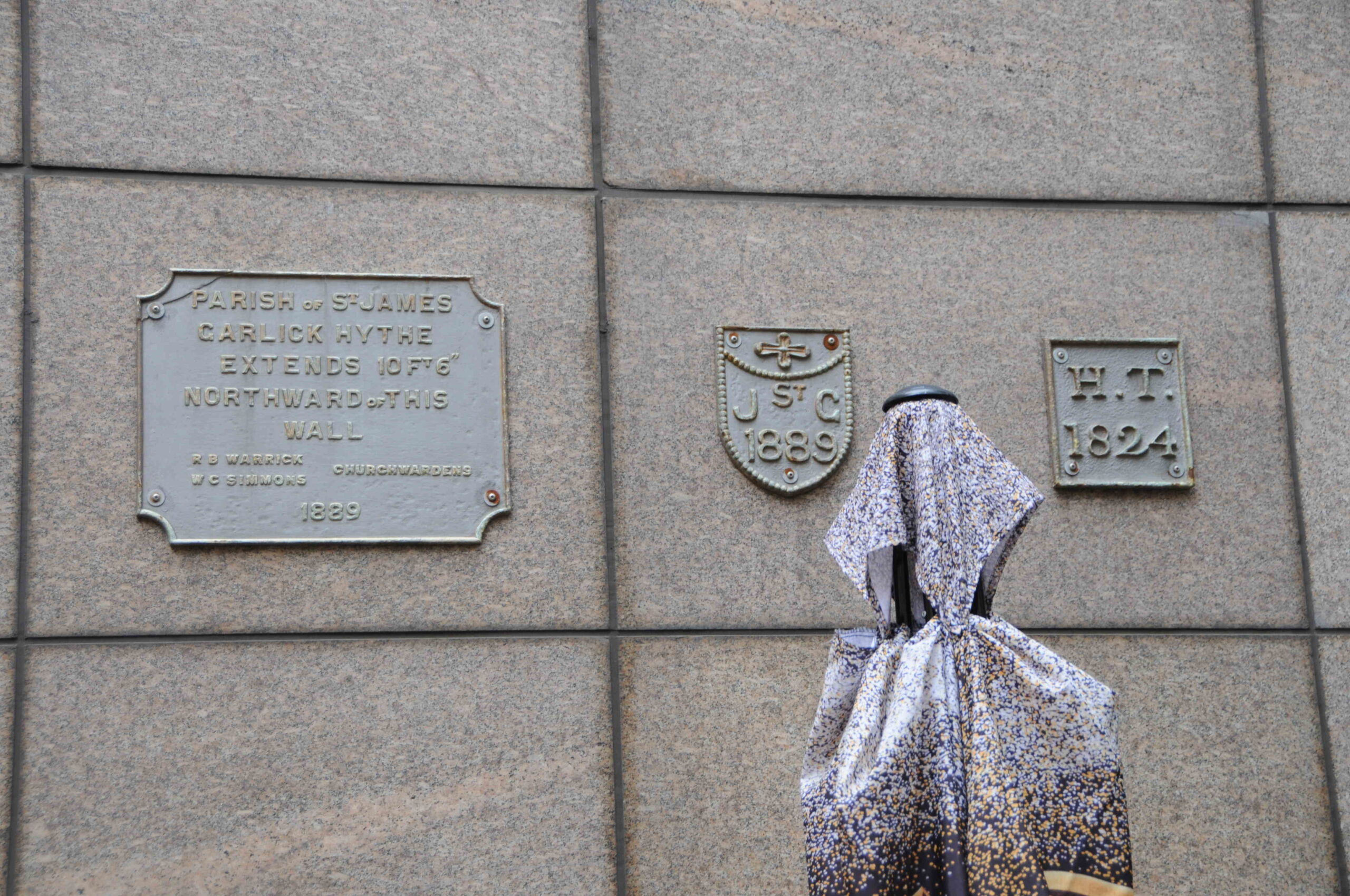
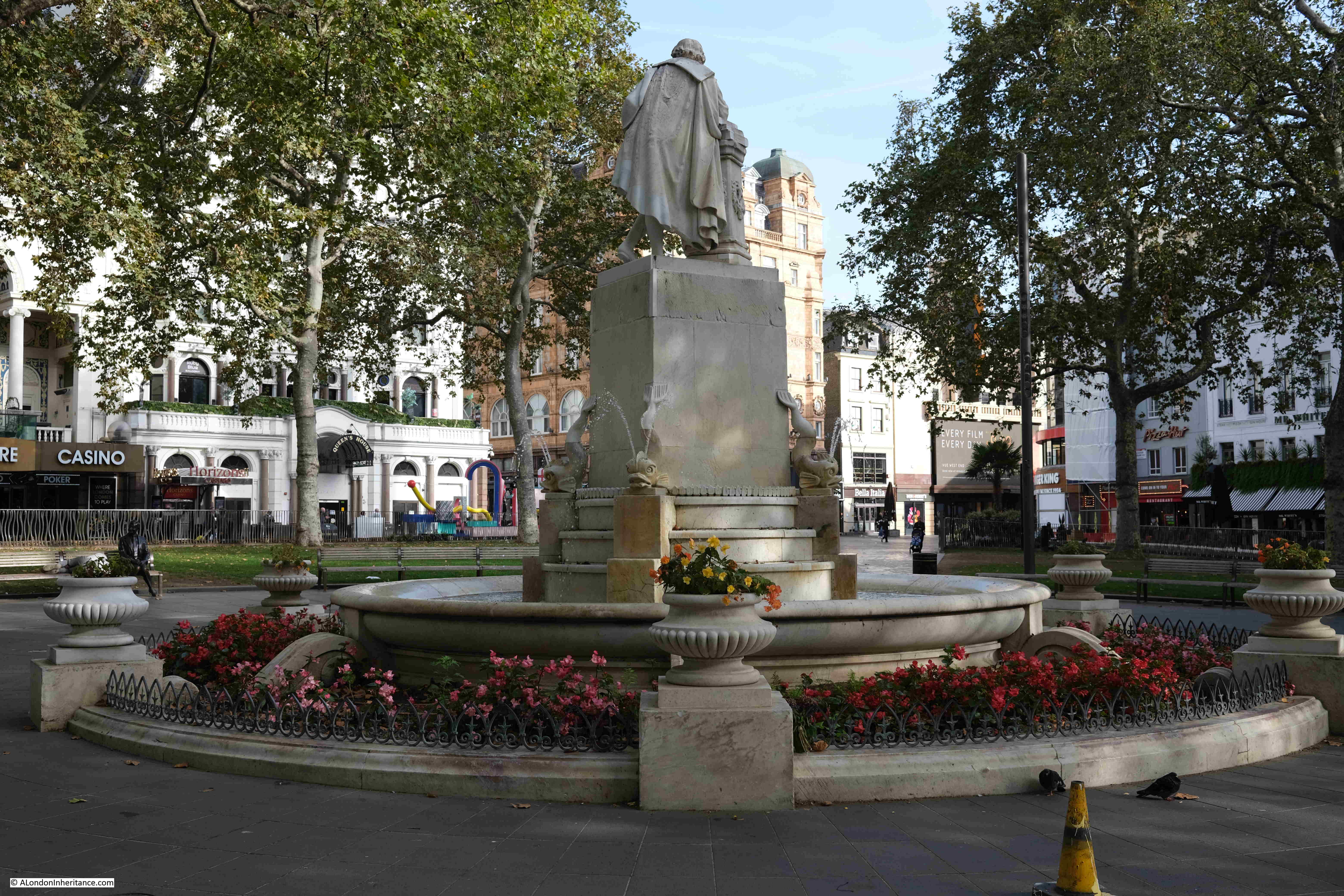
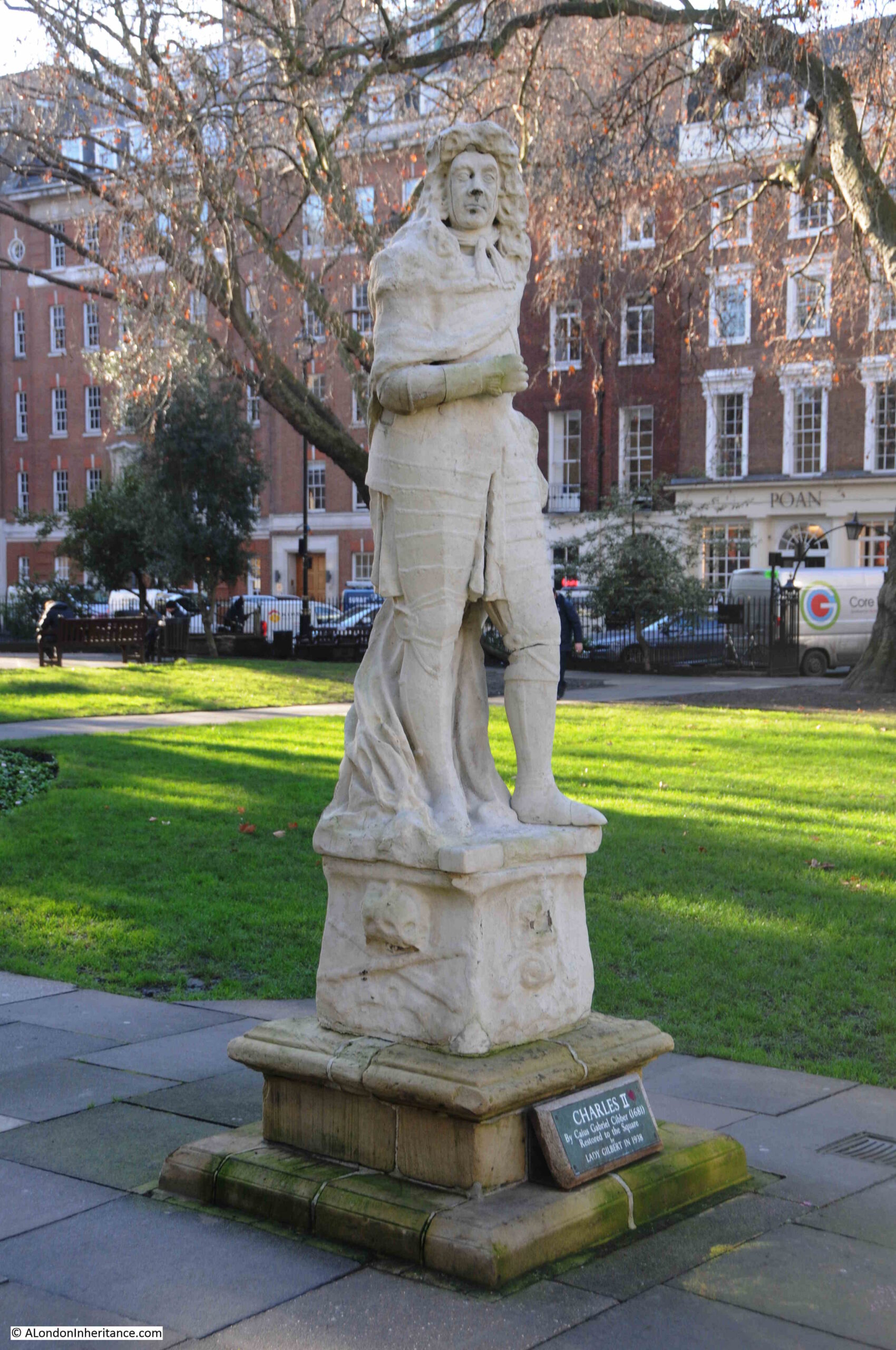
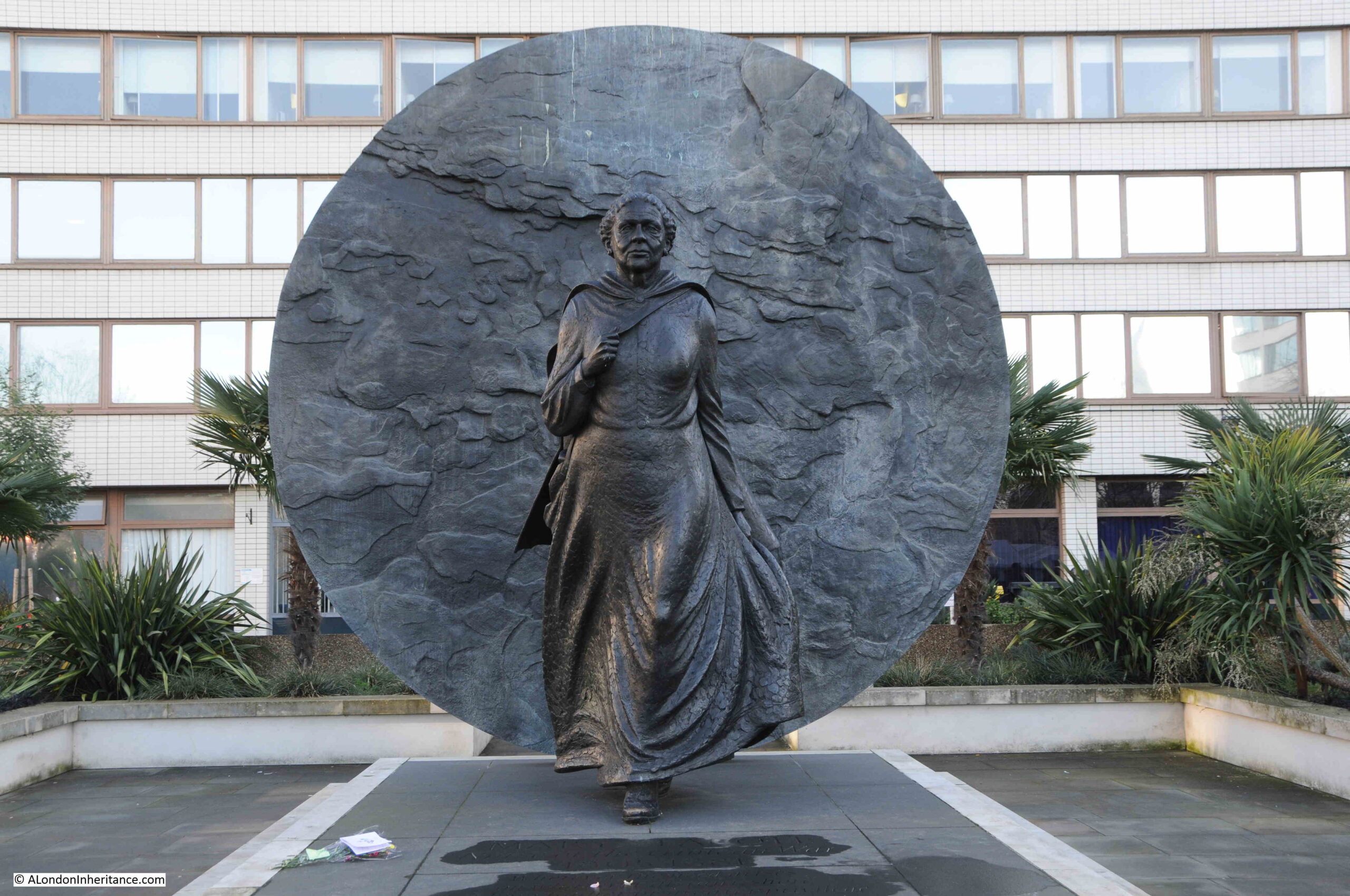
In the forecourt of the station, is a statue to one of those buried in the cemetery at St James Gardens. An area where the graves have been excavated and the gardens now part of the overall construction site. See the 2017 post for a walk through St James Gardens. The statue is of Matthew Flinders:
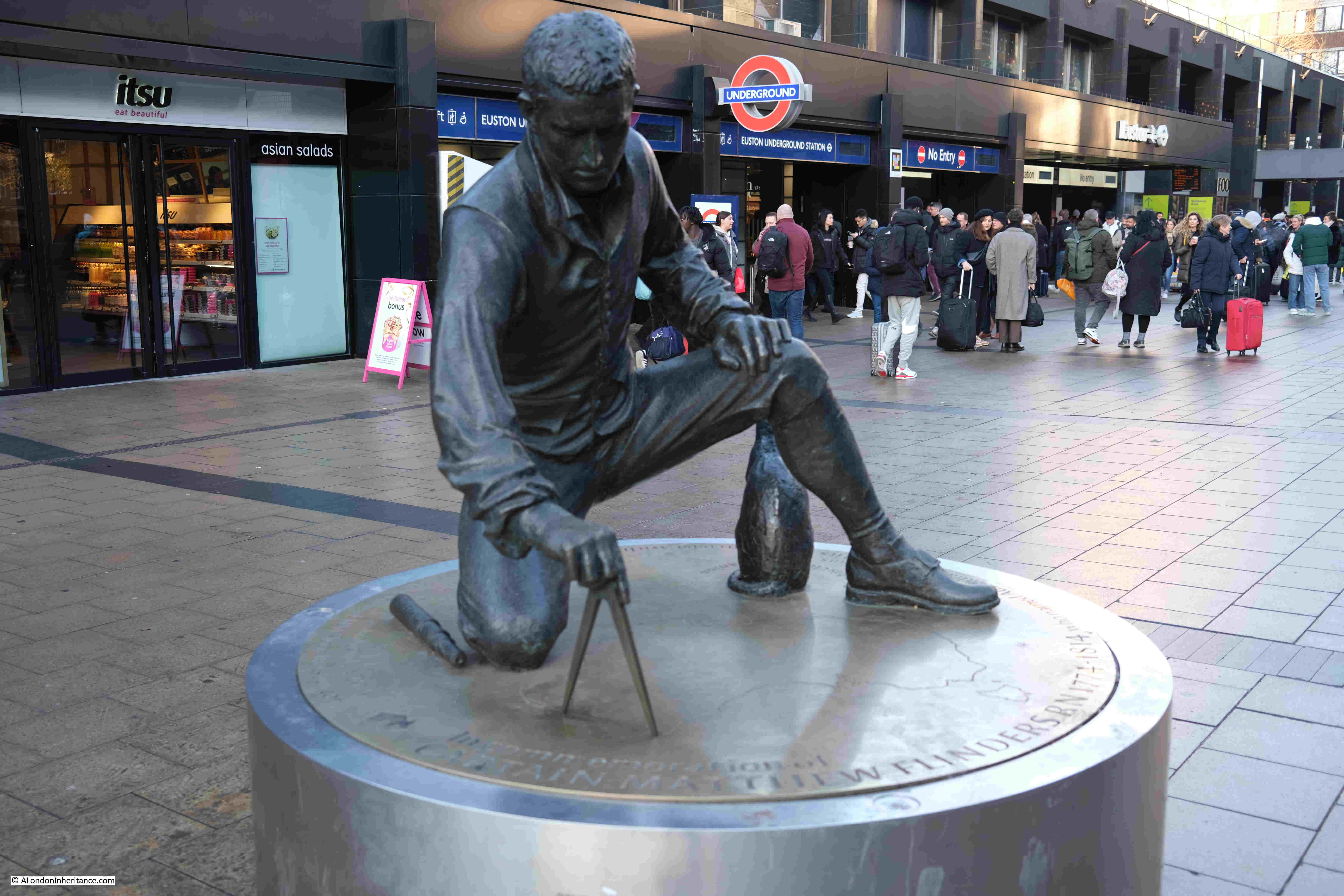
Matthew Flinders was born in Lincolnshire on the 16th of March 1774. He joined the Royal Navy and in the early years of the 19th century he mapped much of the coast of Australia, and was the first to demonstrate that Australia was one single continent.
His chart of Australia, or Terra Australis, was published in 1814. Although the name Australia had been in use, Flinders use of the name for his chart, was the first to apply the name to the overall land mass of the country.
He had a lengthy return to London, however after his return his health deteriorated rapidly, His life at sea had taken a considerable toll on him, and he died at the age of 40 on the 19th of July 1814.
A brief announcement of his death in the London Evening Mail gives a hint of the challenges he had faced: “On Tuesday last, Captain Matthew Flinders, of the Royal Navy, greatly lamented by his family and friends. This Gentleman’s fate has been as hard as it has been eventful. Under the direction of the Admiralty, he sailed in 1801, on a voyage of discovery to Terra Australis; where, after successfully prosecuting the purposes of his voyage, he had the misfortune to run upon a coral rock and lose his ship: out of the wreck he constructed a small vessel that carried him to Mauritius, where, shocking to relate, instead of being received with kindness, as is the practice of a civilised nation to nautical discoverers, he was put in prison by the Governor and confined for six years and a half, which brought upon him maladies that have hastened his death. Fortunately for mankind and his own name, he survived a few days for finishing of the printing of the account of his voyage.”
His account of the voyage was published on the 5th of December 1814 as two volumes and “one very large volume, folio of Charts, Headlands and Botanical subjects”.
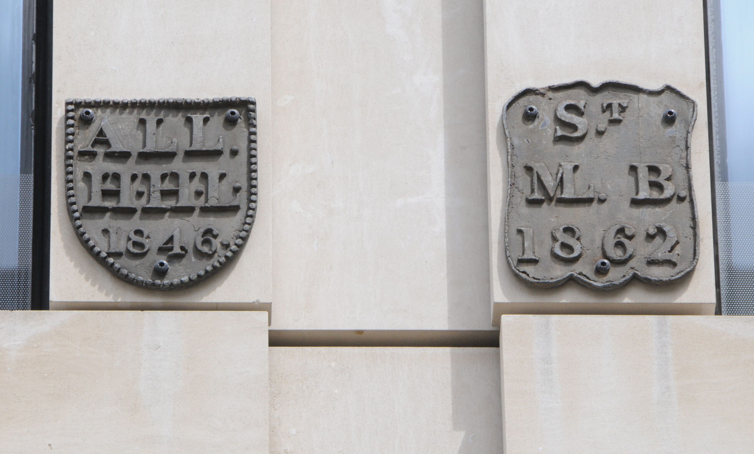
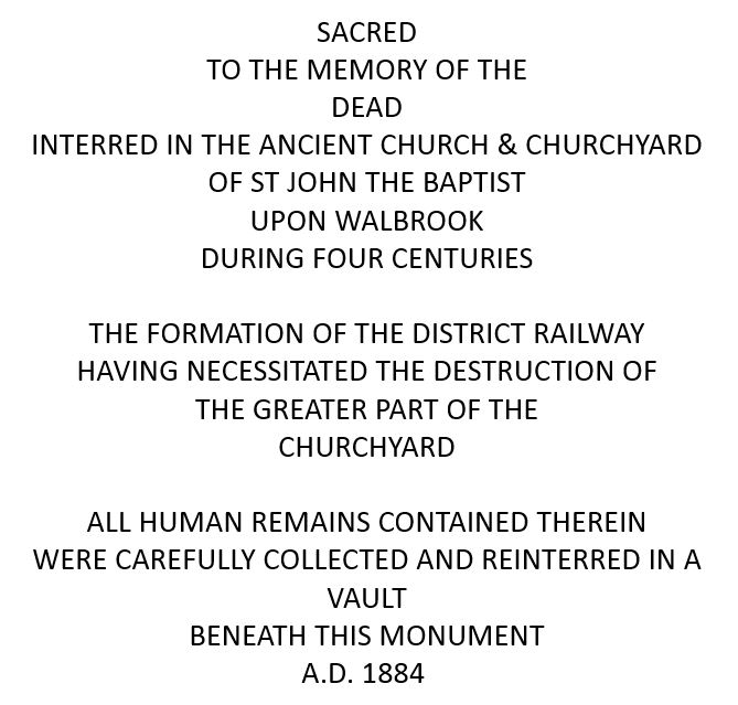
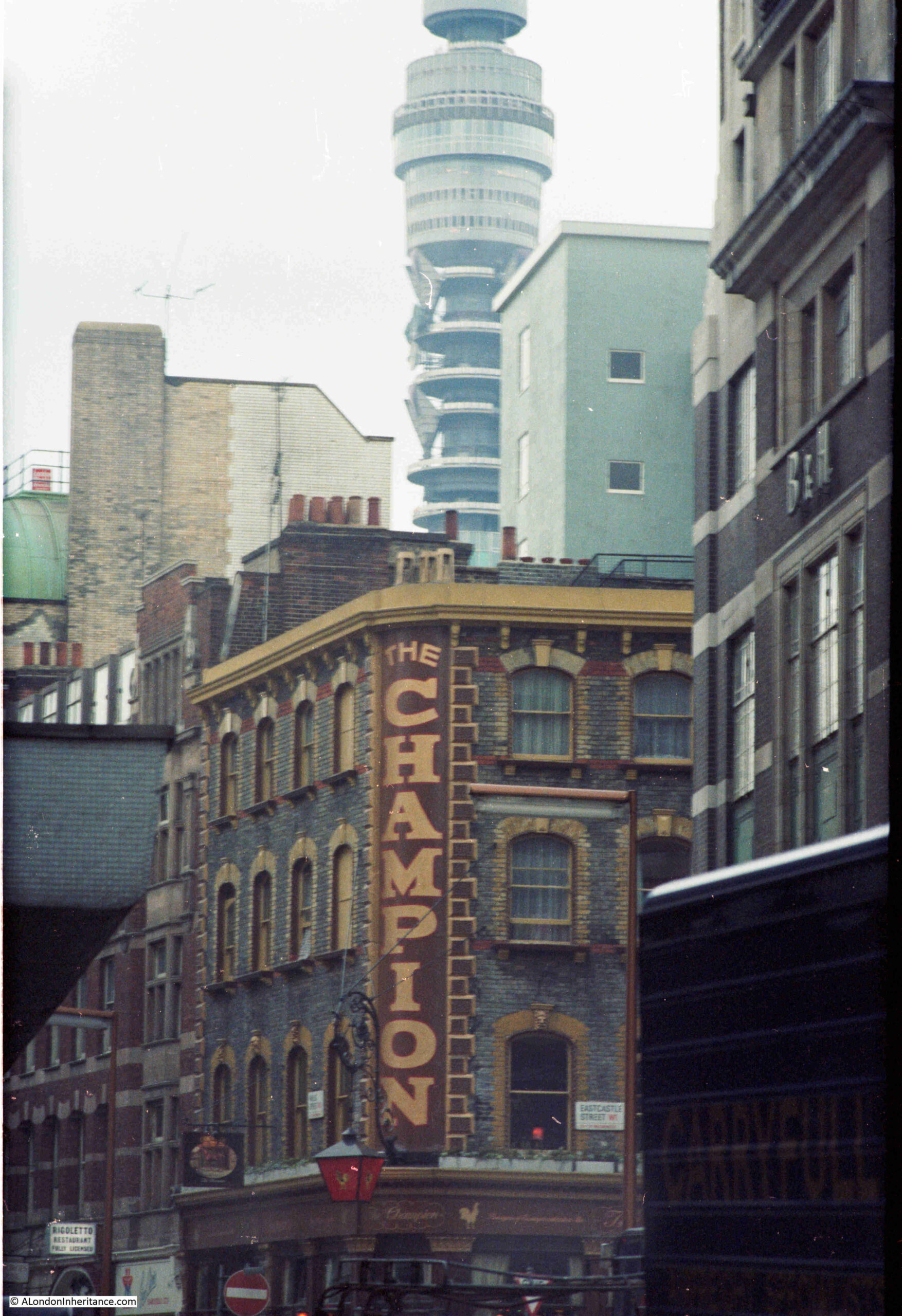
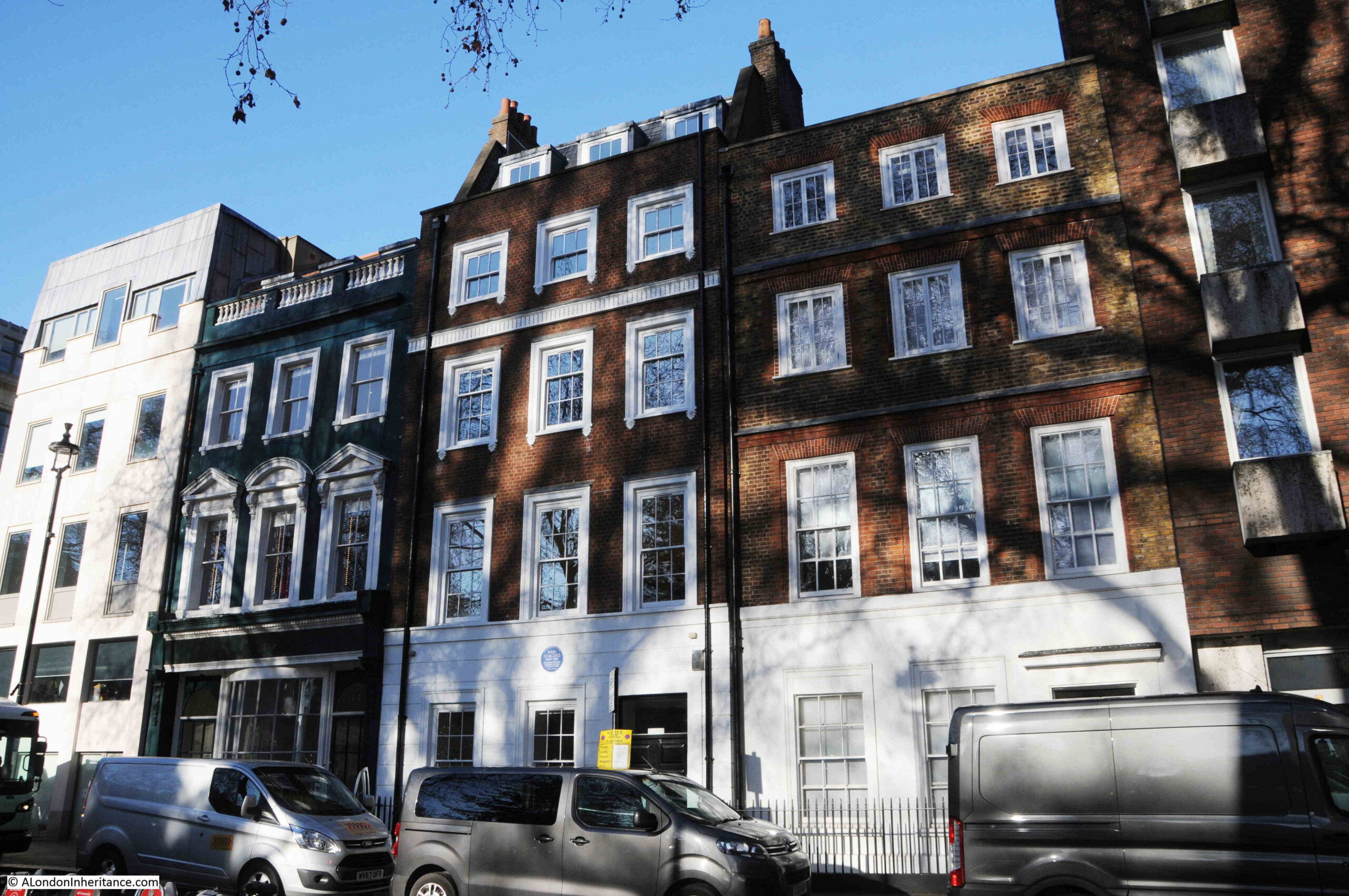
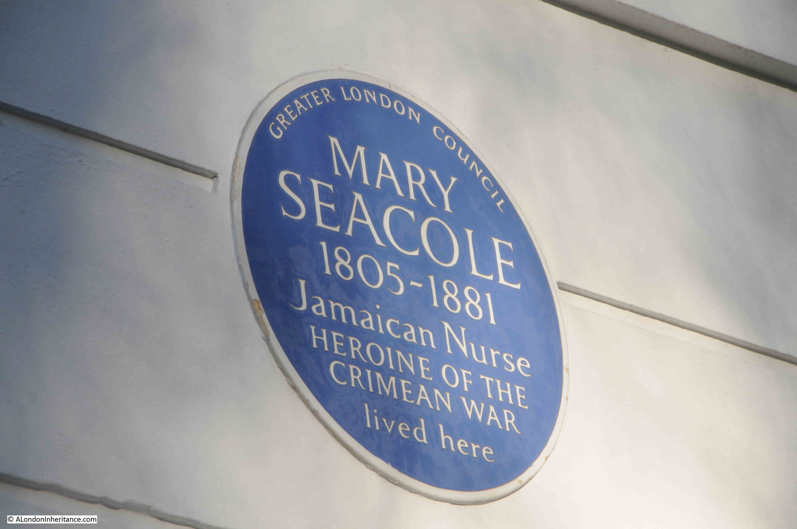
He died in a street roughly where the BT Tower is today and was buried in the burial ground for the parish of St. James Piccadilly, which was in use between 1790 and 1853, and which became St James Gardens until becoming part of the Euston HS2 construction site.
Matthew Flinders grave was discovered during the excavations to recover the bodies buried in the gardens, and his remains are due to be reburied at St Mary and the Holy Rood church in Donington, the village of his birth.
The statue, by sculptor Mark Richards, was initially unveiled at Australia House in 2014, before being moved to the forecourt of Euston Station.
Office block at the eastern edge of the forecourt:
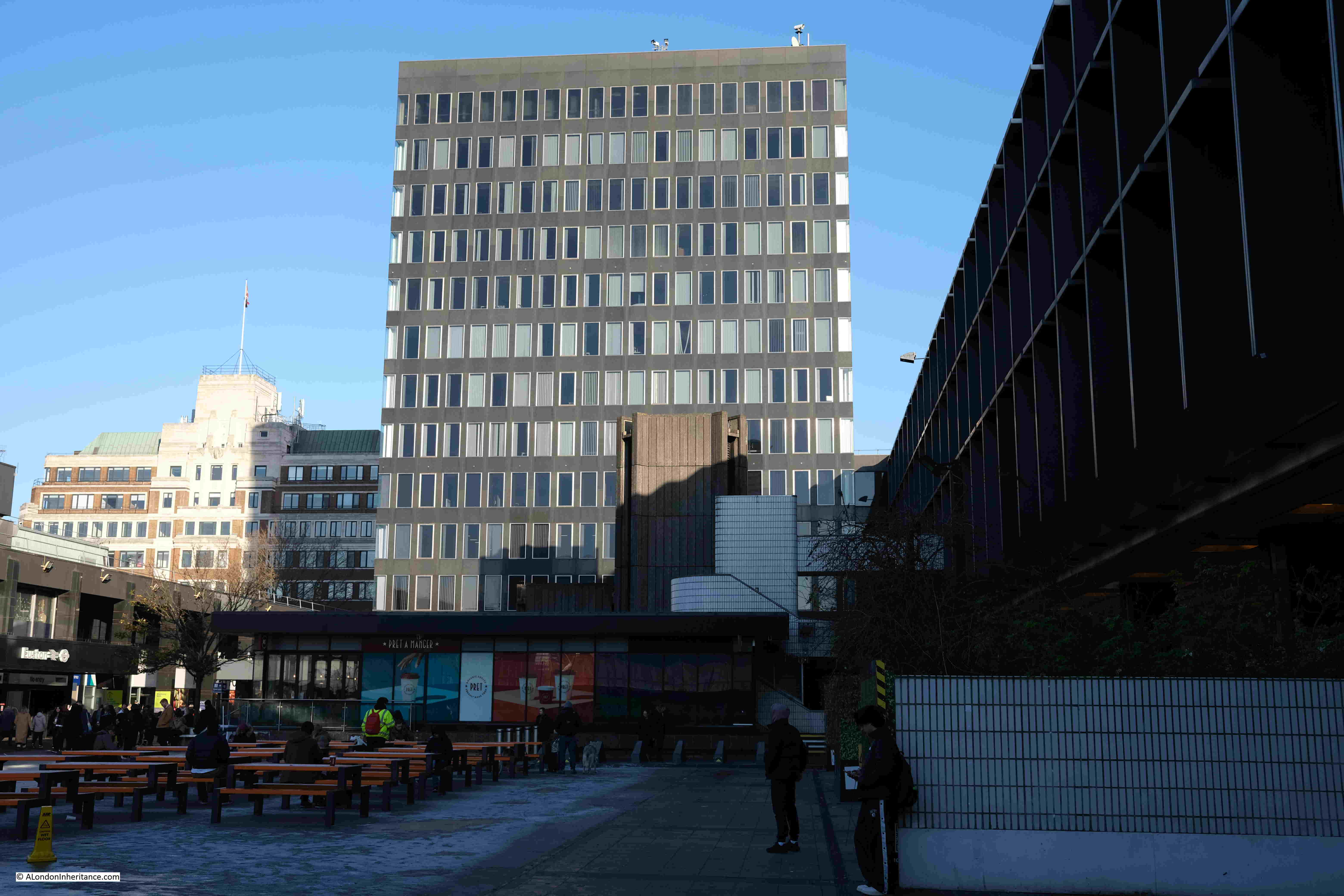
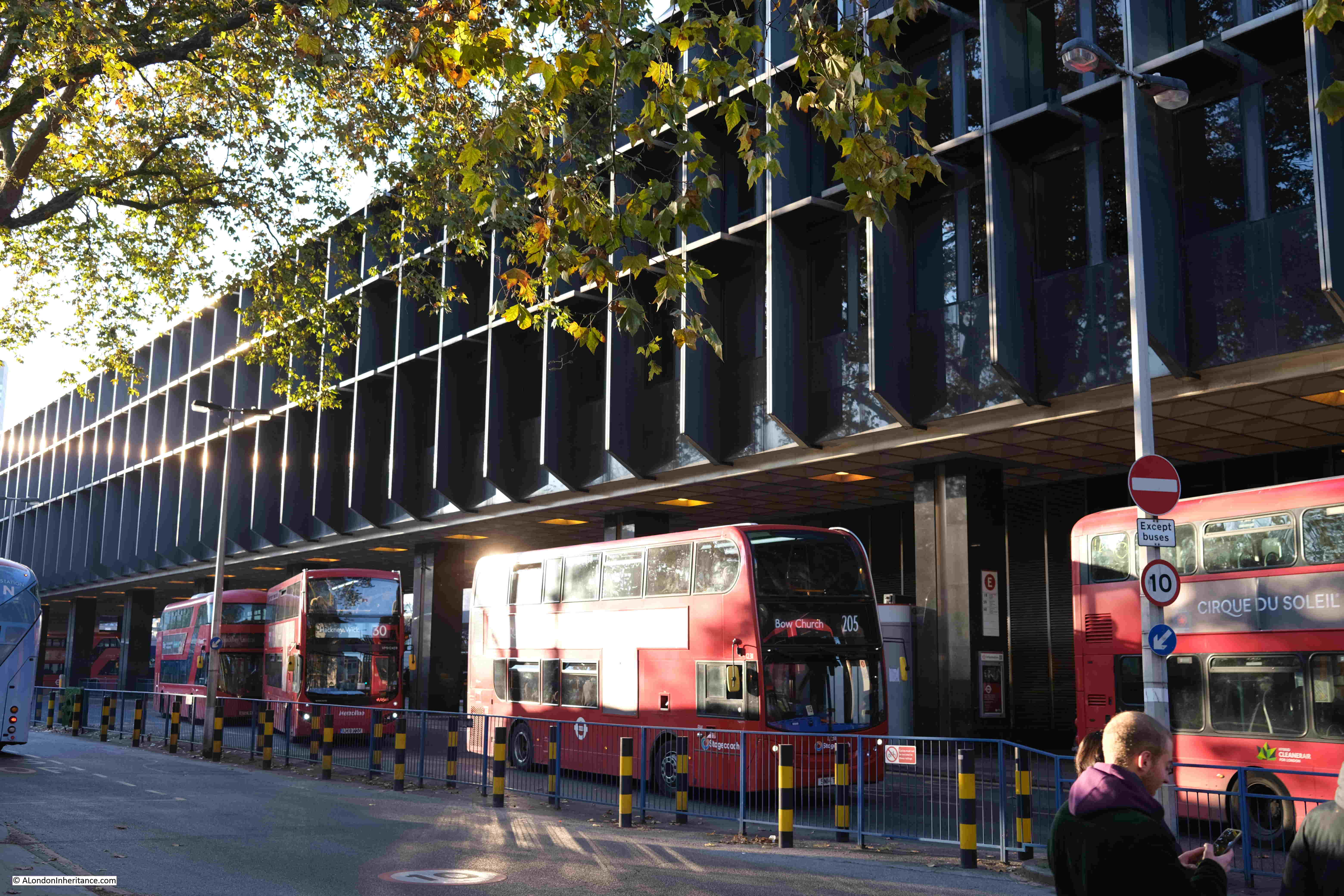
Directly in front of Euston Station is an open space, where the Flinders statue is located. There is then a row of office blocks, under which is a bus station:
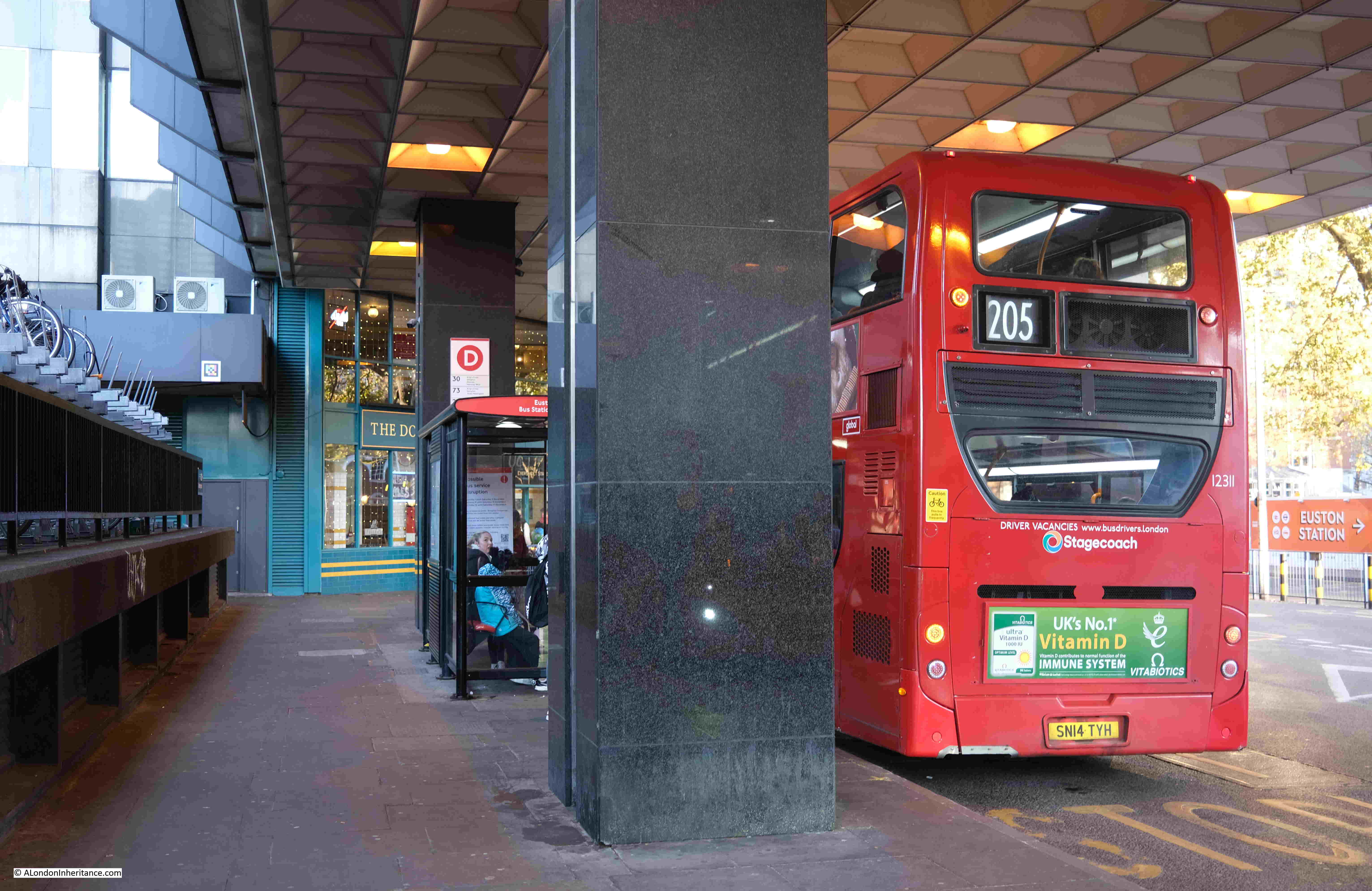
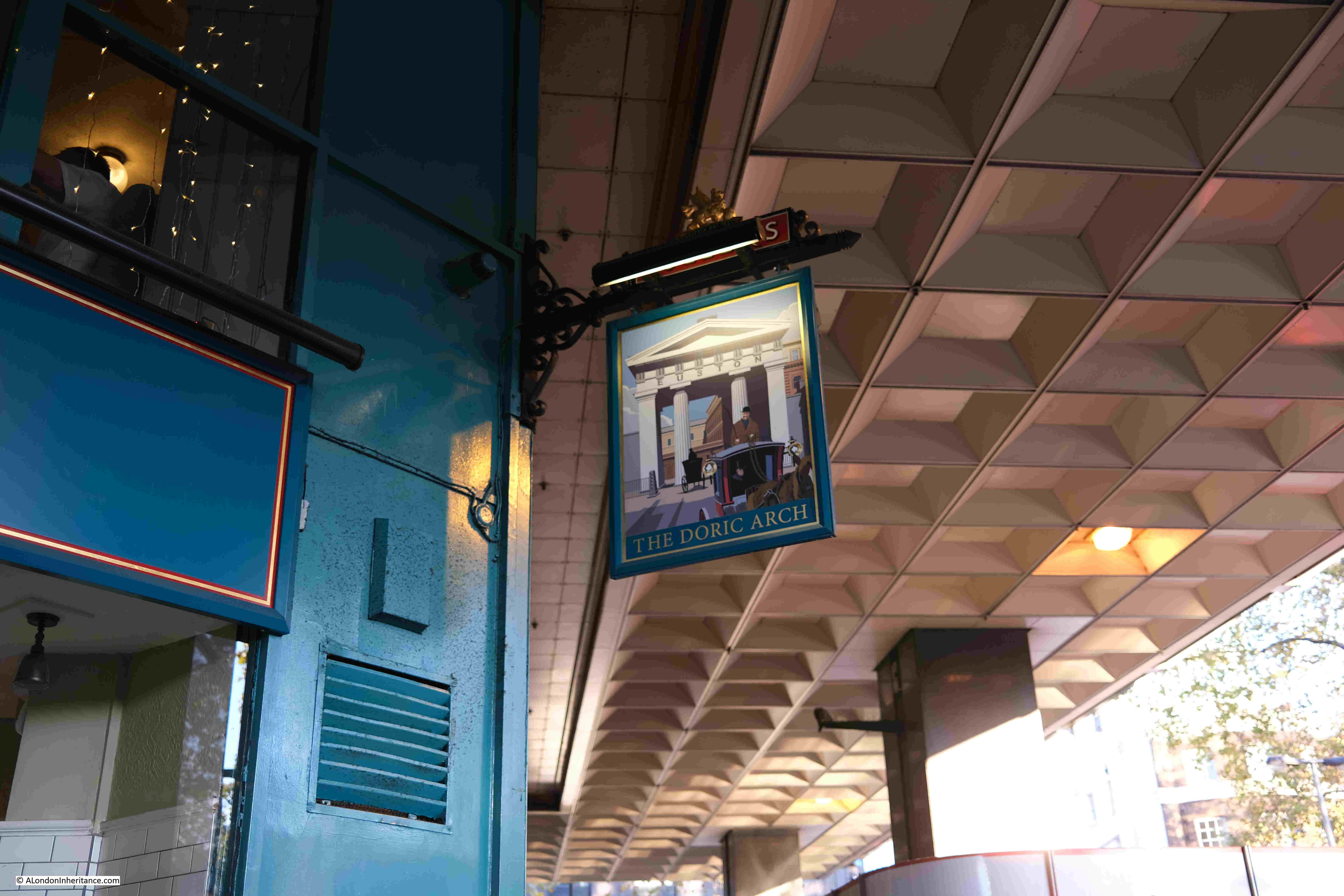
And a pub, the Doric Arch, part of which can just be seen in the above photo, and the following photo is one I took a while ago, after dark;
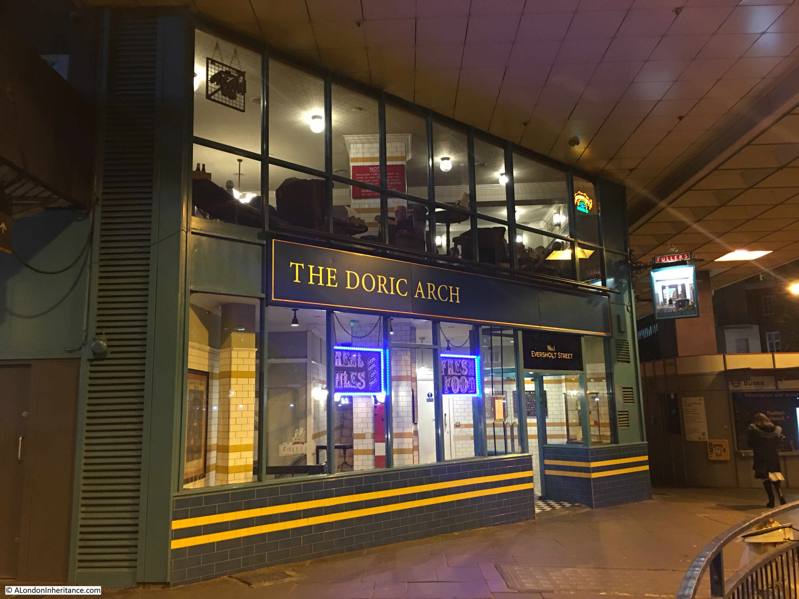
The entrance to the pub, and toilets, occupy the ground floor, with the main pub on the first floor, which is surprisingly good, given its location and modern construction in the base of an office block. Despite the appearance in the above photo, it can also get very busy.
The Doric Arch was originally called the Head of Steam, but changed name to the arch that once stood in front of Euston Station when the pub was taken over by Fullers around 2008.
The Doric Arch is still run by Fullers, and according to the pub’s website, one of the stones from the original Euston Arch after which the pub is named, is on display behind the bar. I have no idea how I have missed this, but it is a good excuse for a return visit.
The pub sign is now an image of the Euston arch:
Buses queue to leave their stops, underneath the office block in front of Euston Station:
In front of the office block is the London and North Western Railway War Memorial. Designed by the railways’ architect, Reginald Wynn Owen, to commemorate the railway company’s workers who died in the first world war:
The following photo shows the memorial in the same position, prior to the demolition of the original Euston Station and hotel:
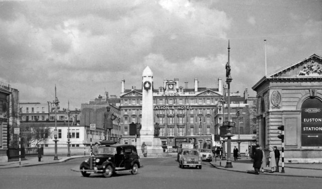
Entrance to Euston Station, after removal of Doric Arch cc-by-sa/2.0 – © Ben Brooksbank – geograph.org.uk/p/2991077
On the right of the above photo is one of the gatehouses that are still on either side of the entrance to Euston Station. The gatehouse can still be seen today, although the gardens that were behind the gatehouse, running alongside Euston Road, are now fenced off and are part of the considerable area of works surrounding the station.
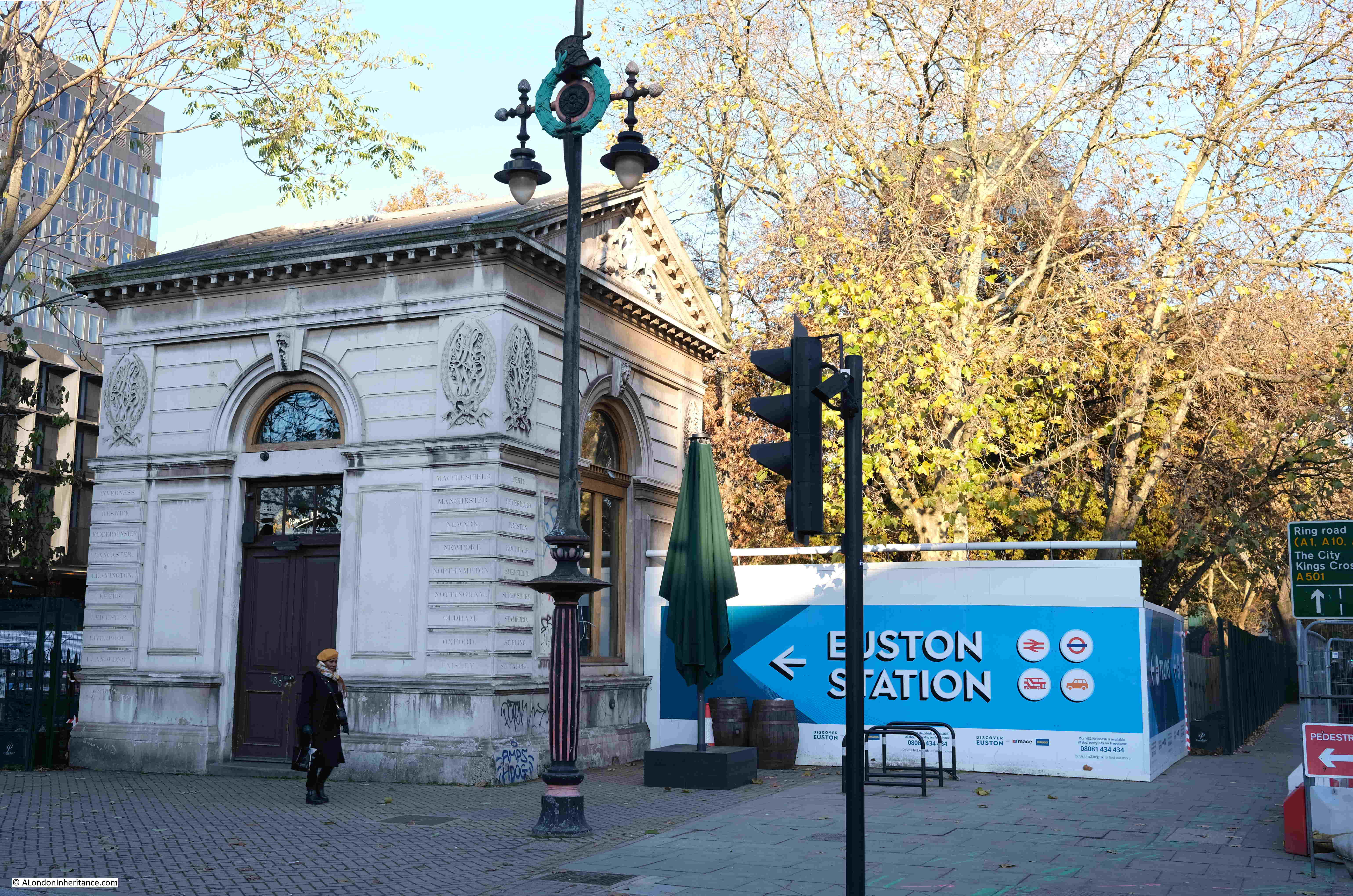
Walking to the west of the station, and this is the view along Melton Street, which is now closed off, apart from being a construction site access gate:
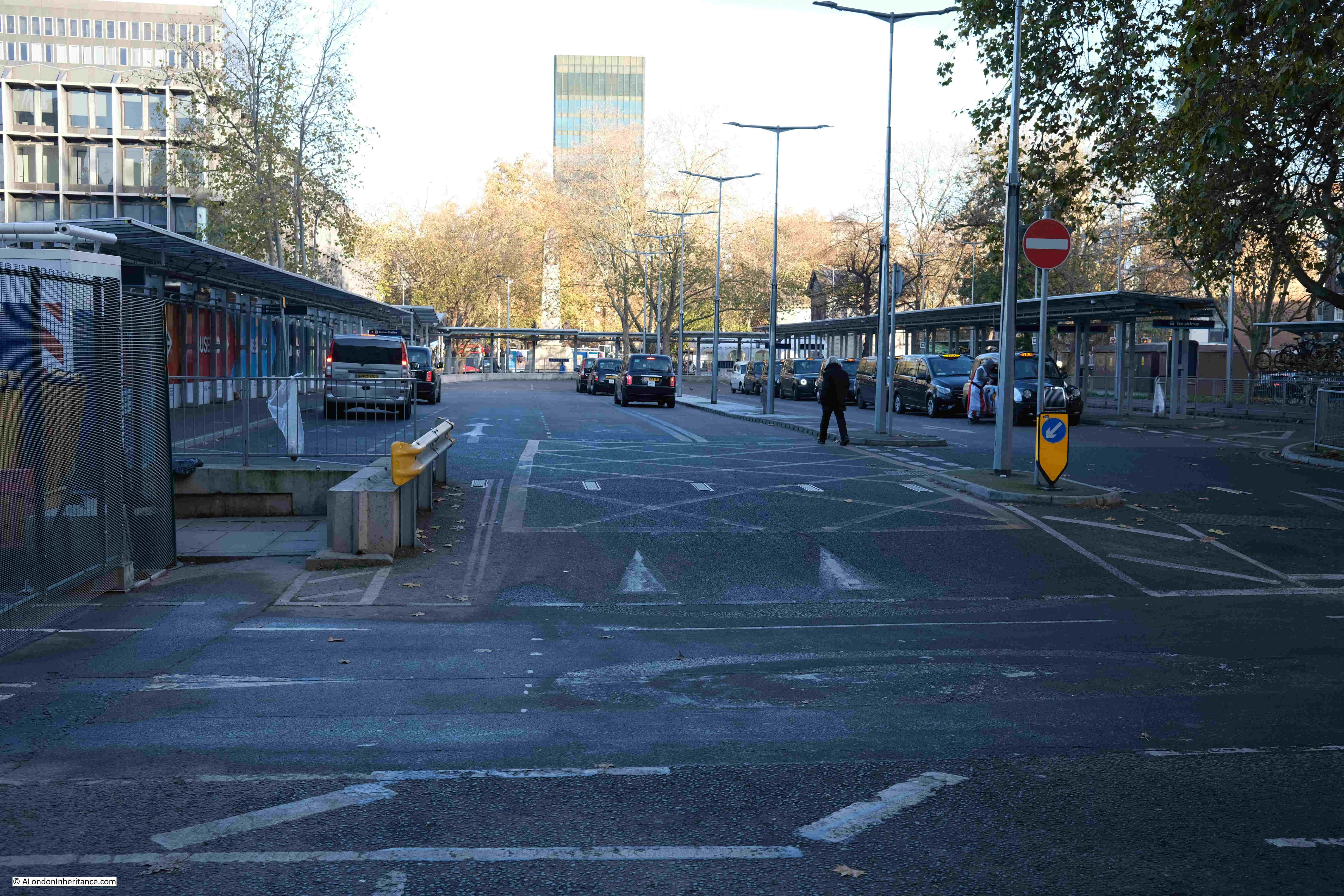
To the right of the above photo is the taxi drop off and pick up point for Euston Station:
There is still a walking route to the west of the station, along Melton Street, however this is lined by hoardings on either side:
The western walking route into the station:
Continuing on along Melton Street, with the station on the right:
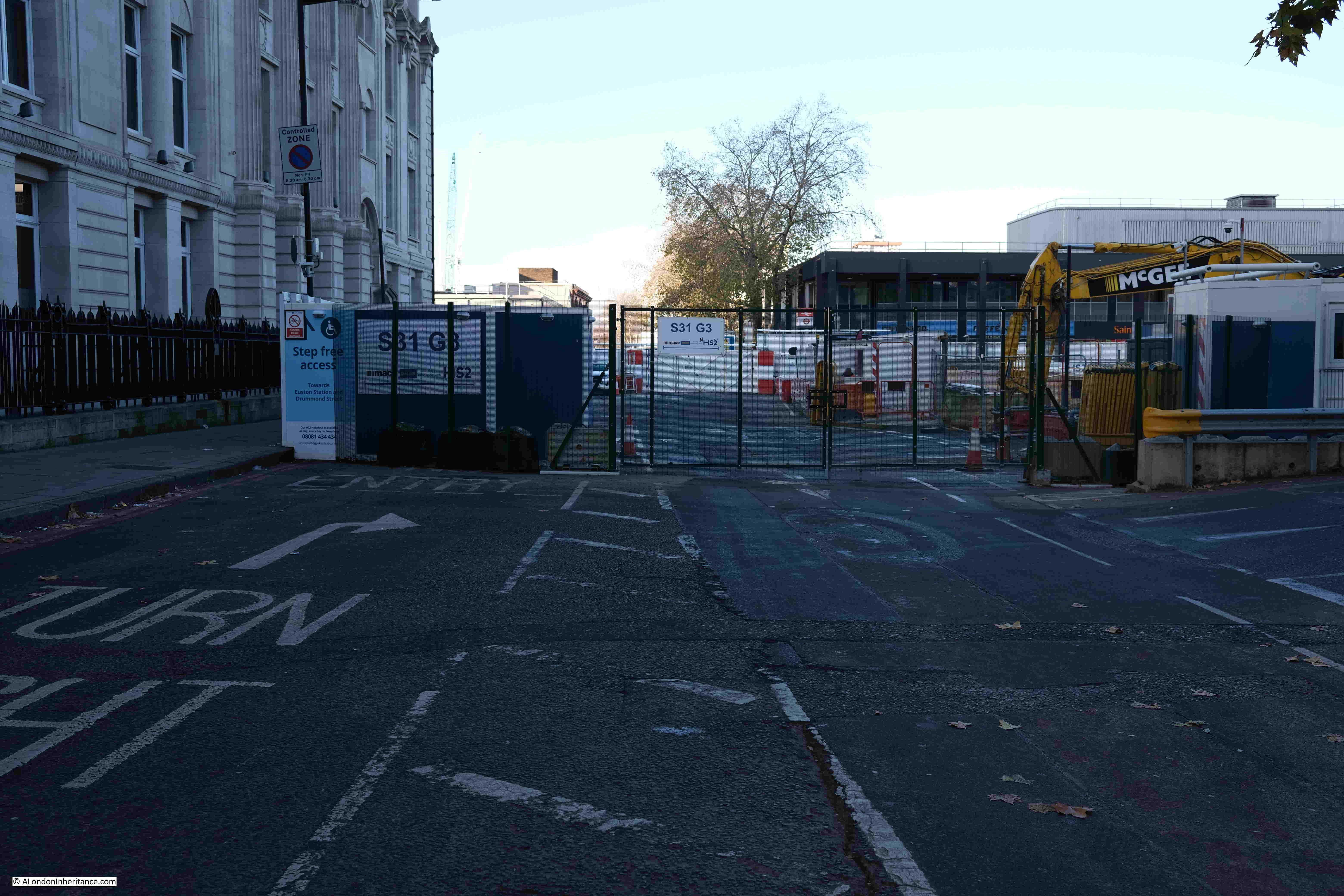
Another construction access gate:
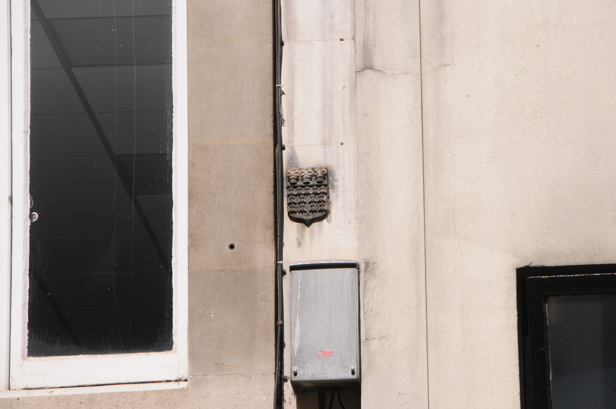
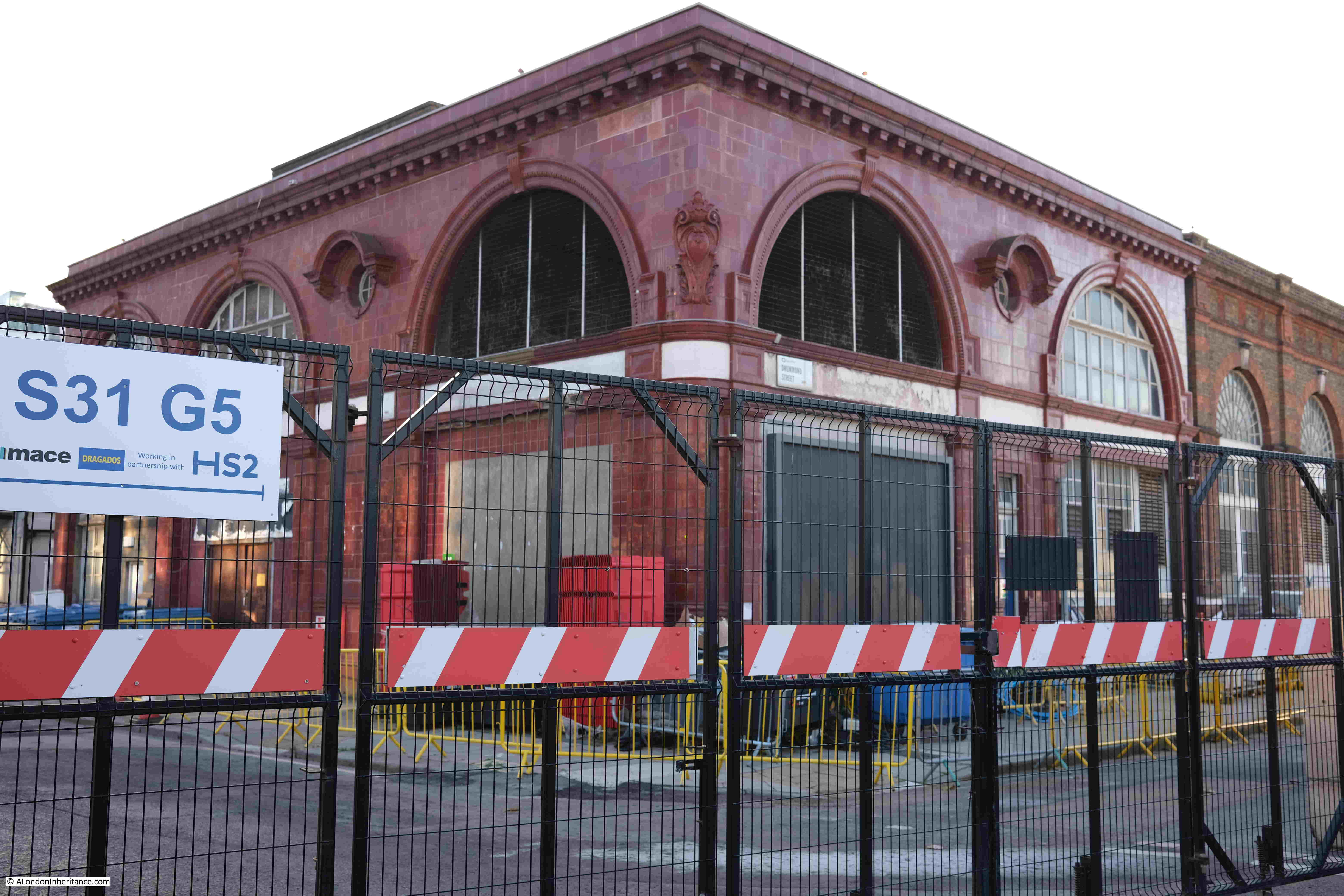
Where on the corner of what was Melton Street and Drummond Street is the original Euston station of the Charing Cross, Euston and Hampstead Railway. The station is one of Leslie Green’s distinctive station designs, and whilst all the buildings surrounding the station have been demolished, it still survives, probably due to all the infrastructure within and below the station (I visited the tunnels below in this post):
From alongside the station, we can look down what was Cardington Street. It was along here on the left that St James Gardens were located:
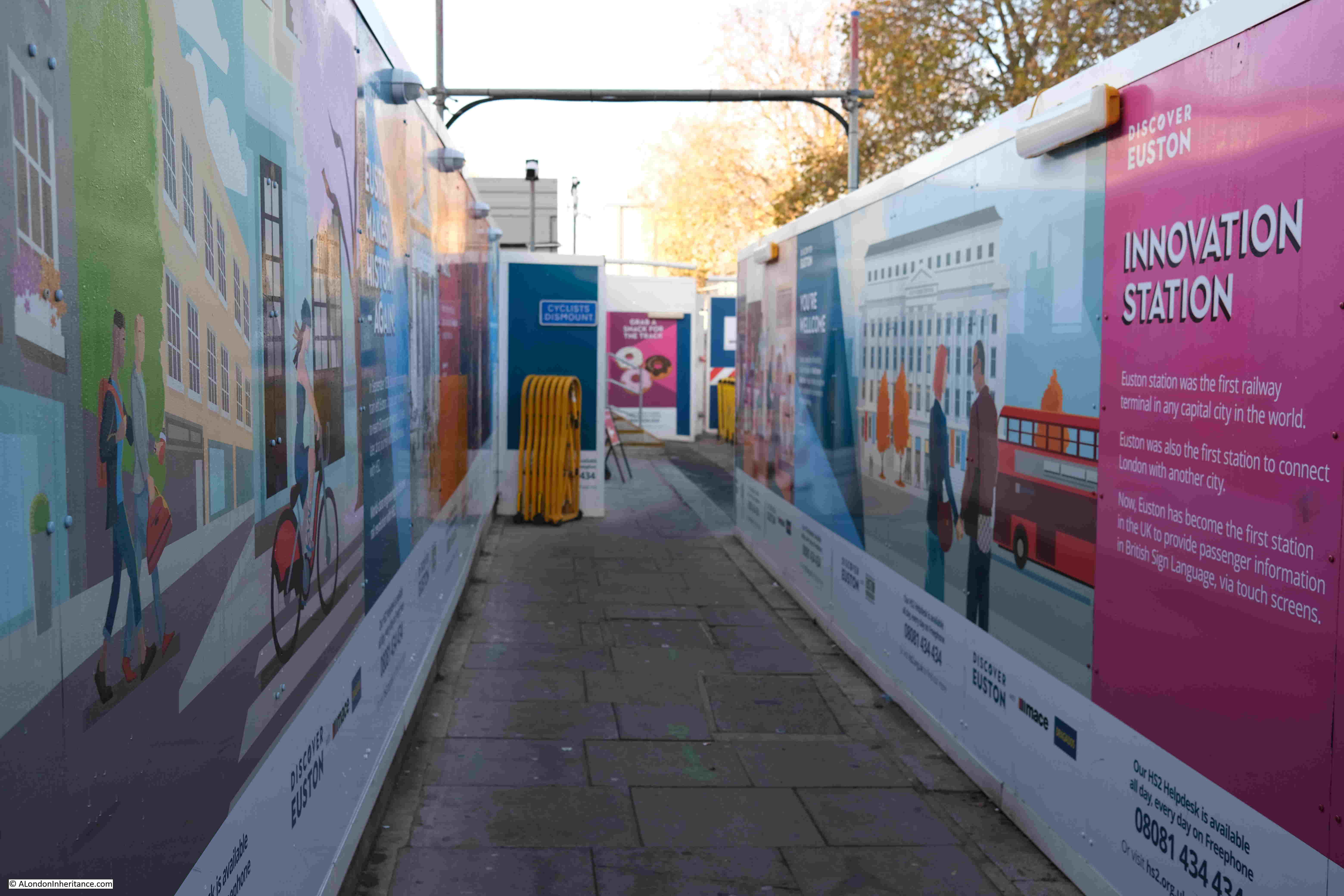
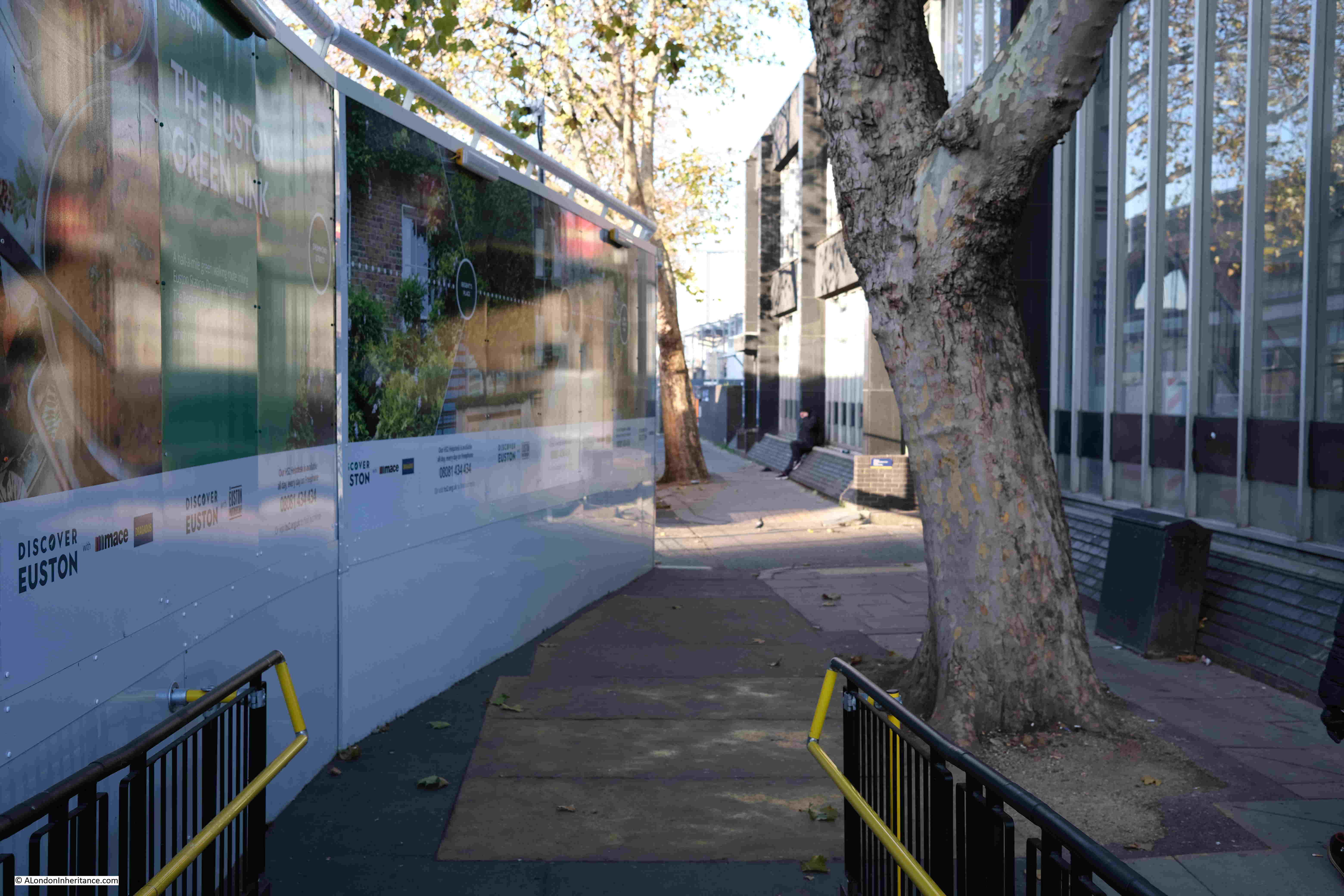
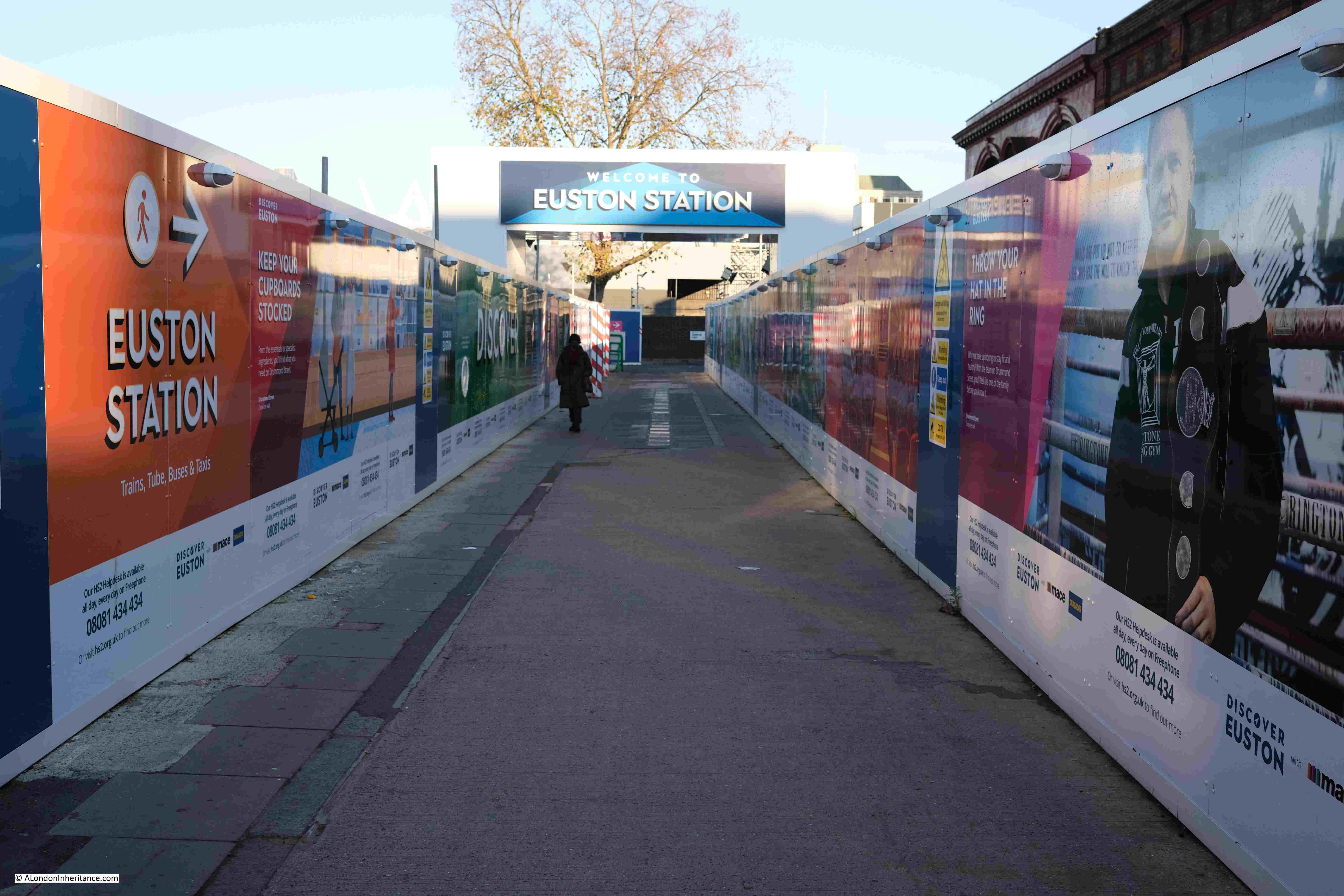
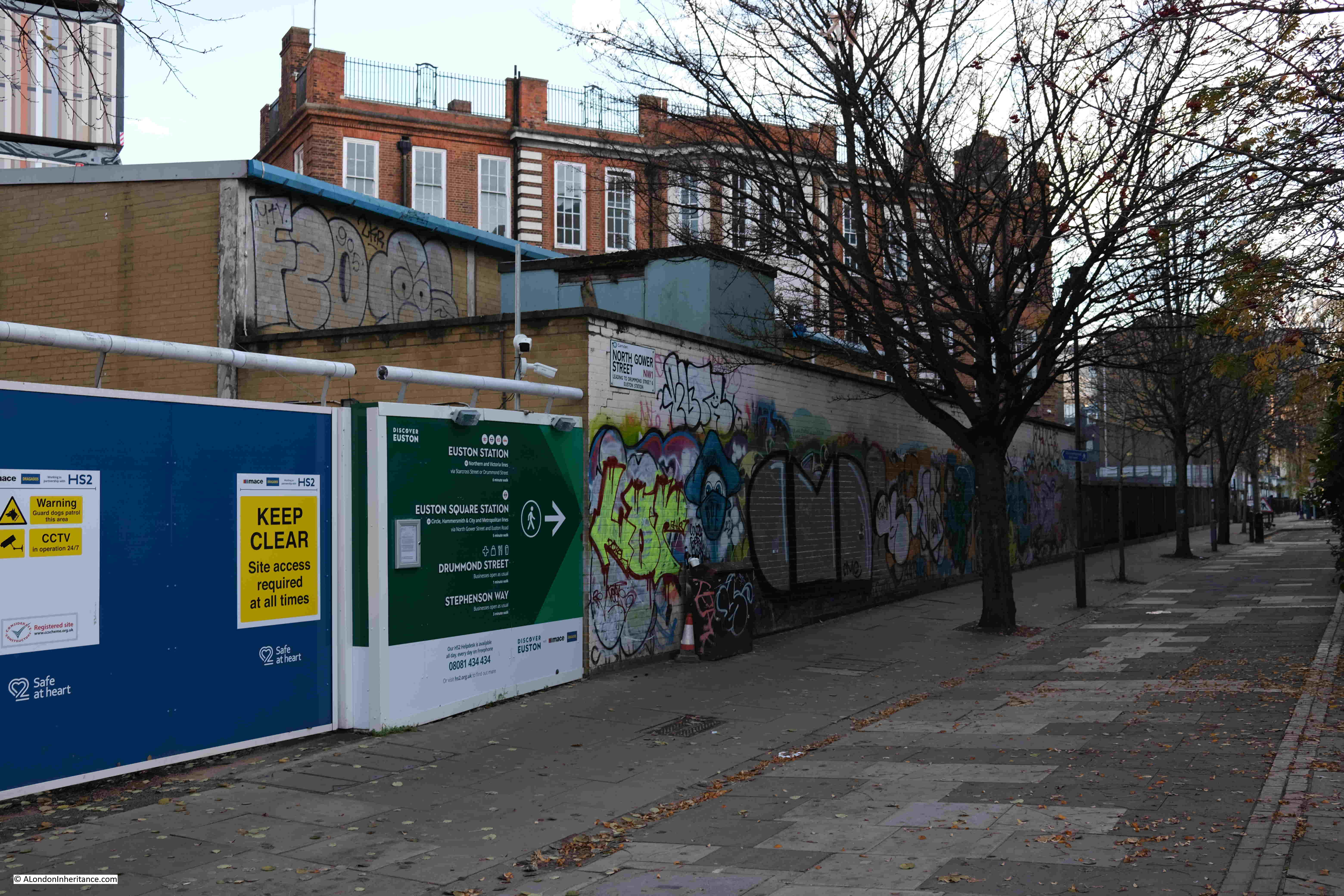
To exit the overall Euston site, the walker heads west through a corridor lined with hoardings (a theme of the entire site), towards Drummond Street:
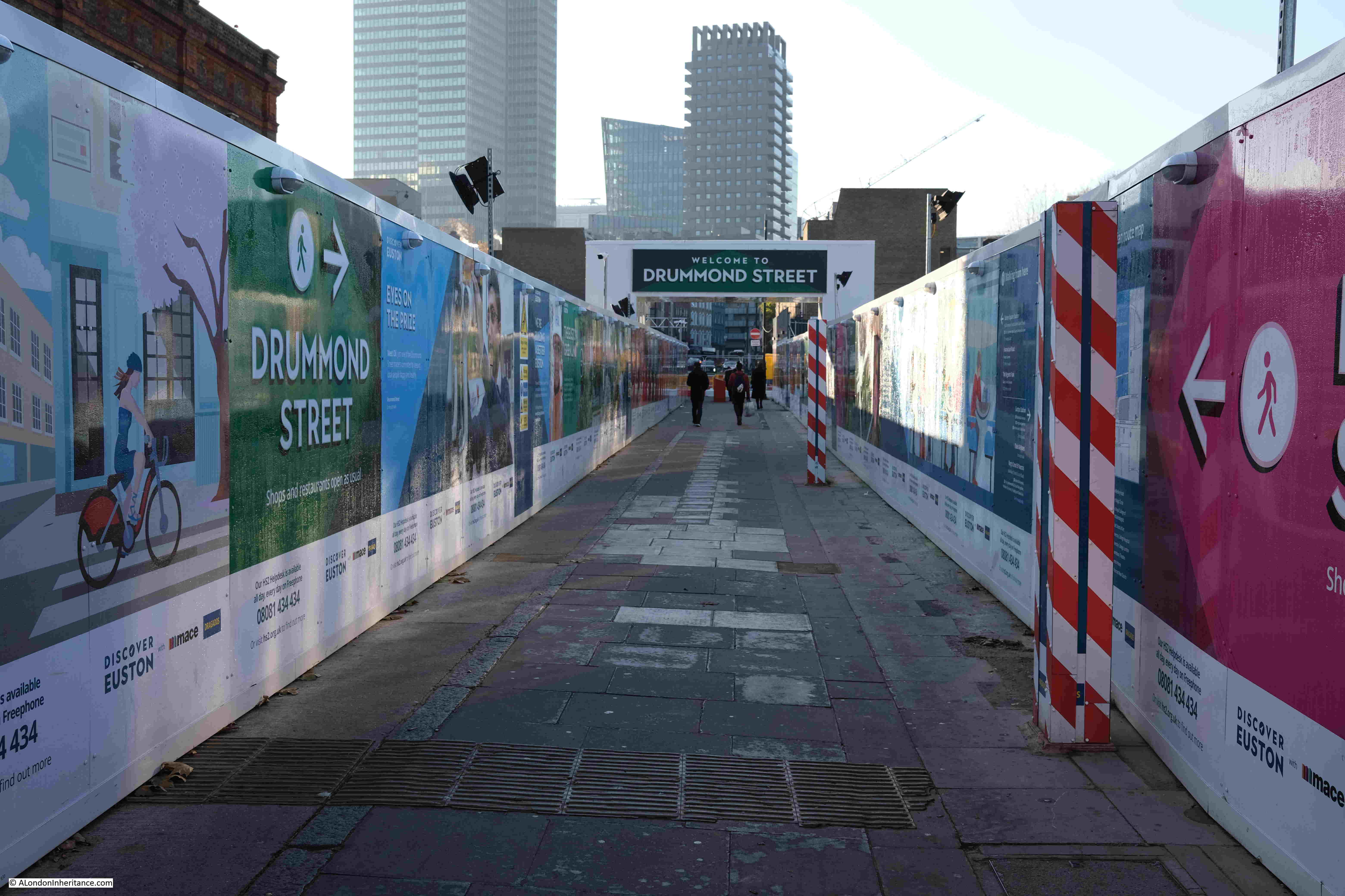
Looking back, and the route is signposted to Euston Station:
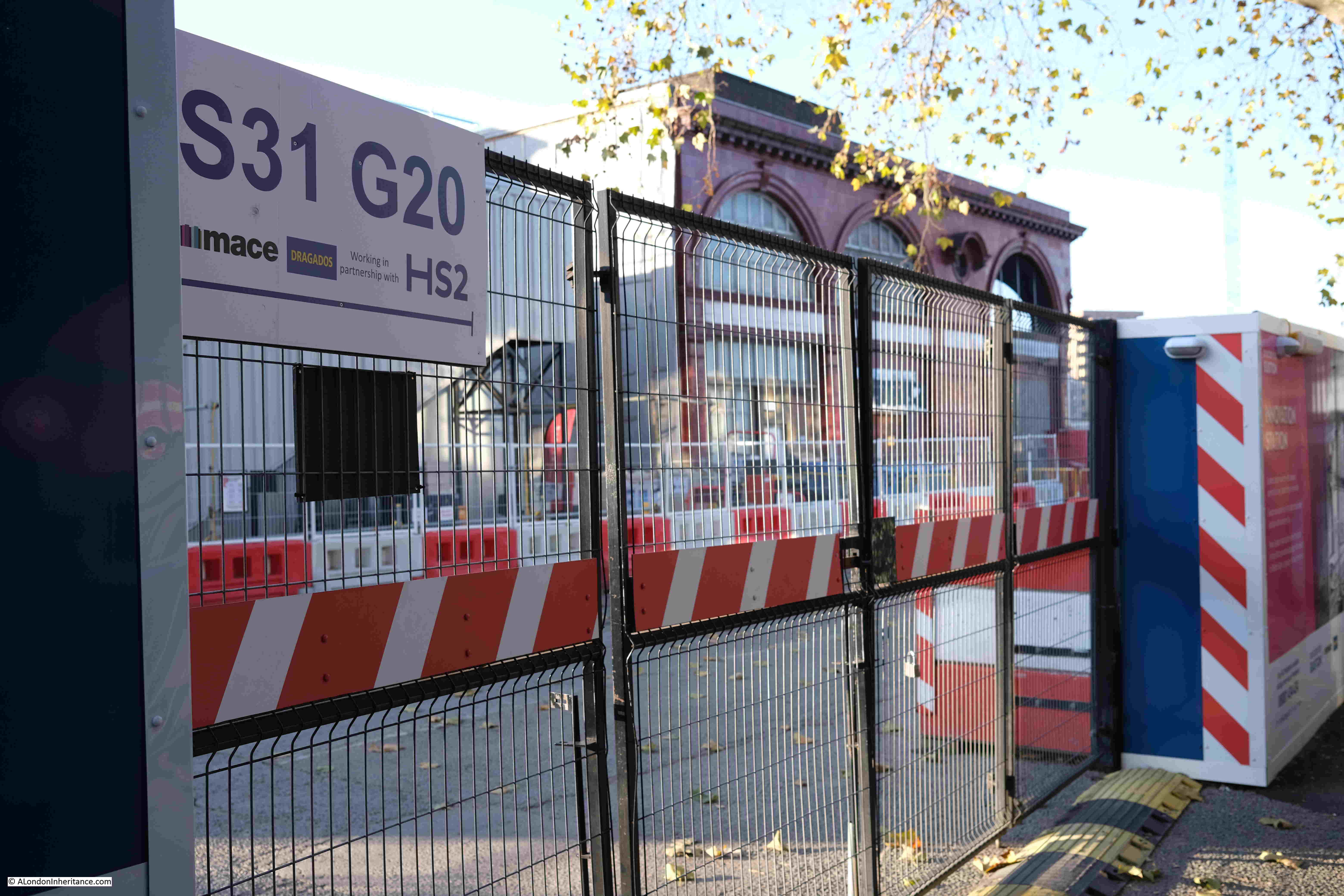
A glimpse between the hoardings shows the size of the construction site running north from Euston Station:
This is the view to what was the corner of Cobourg Street and Euston Street. The Bree Louise pub was just on the left of the photo:
Looking north along Cobourg Street which is now fenced off, apart from the footpath to the left:
At the end of Cobourg Street is another gate to the main construction site:
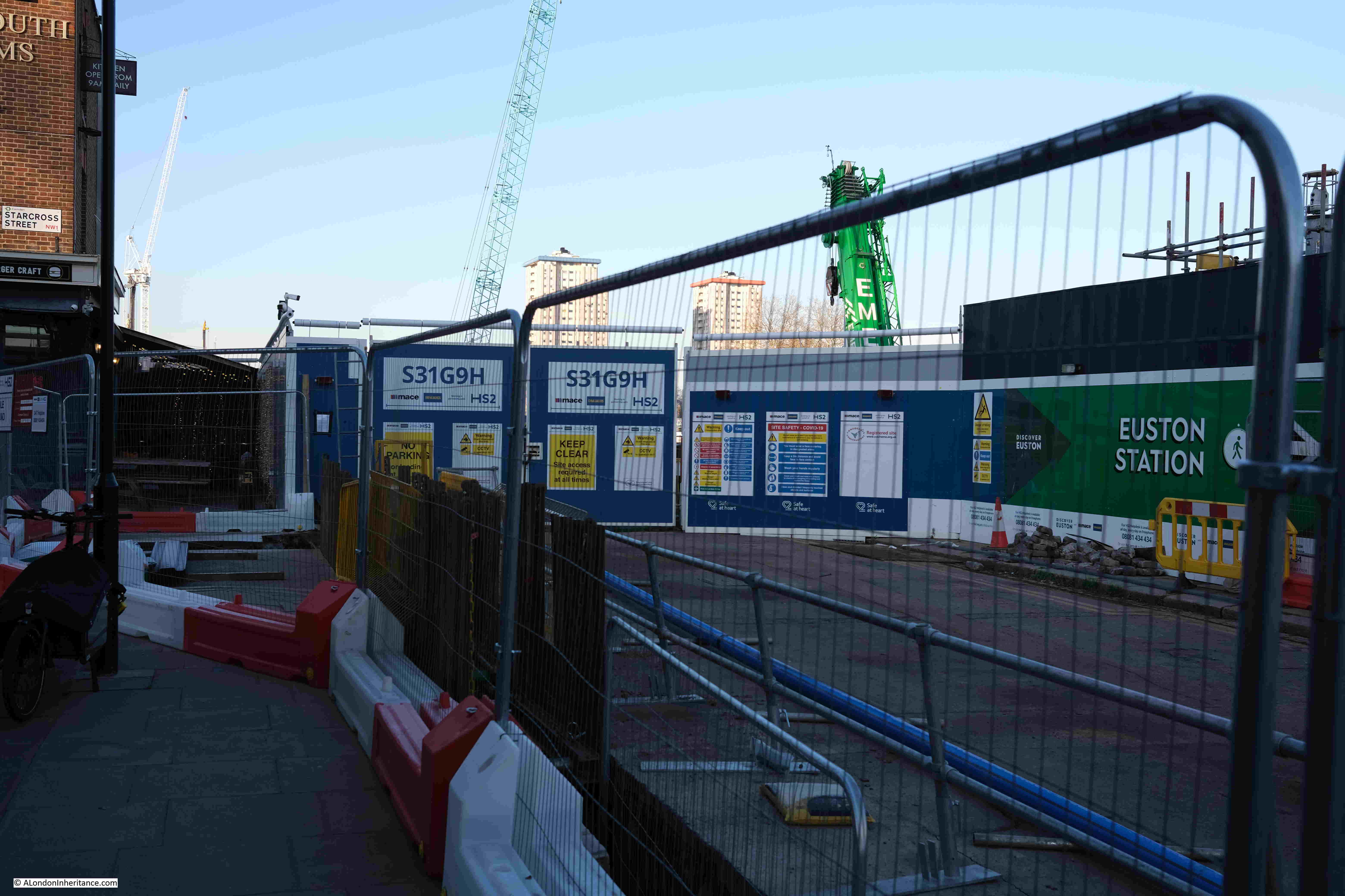
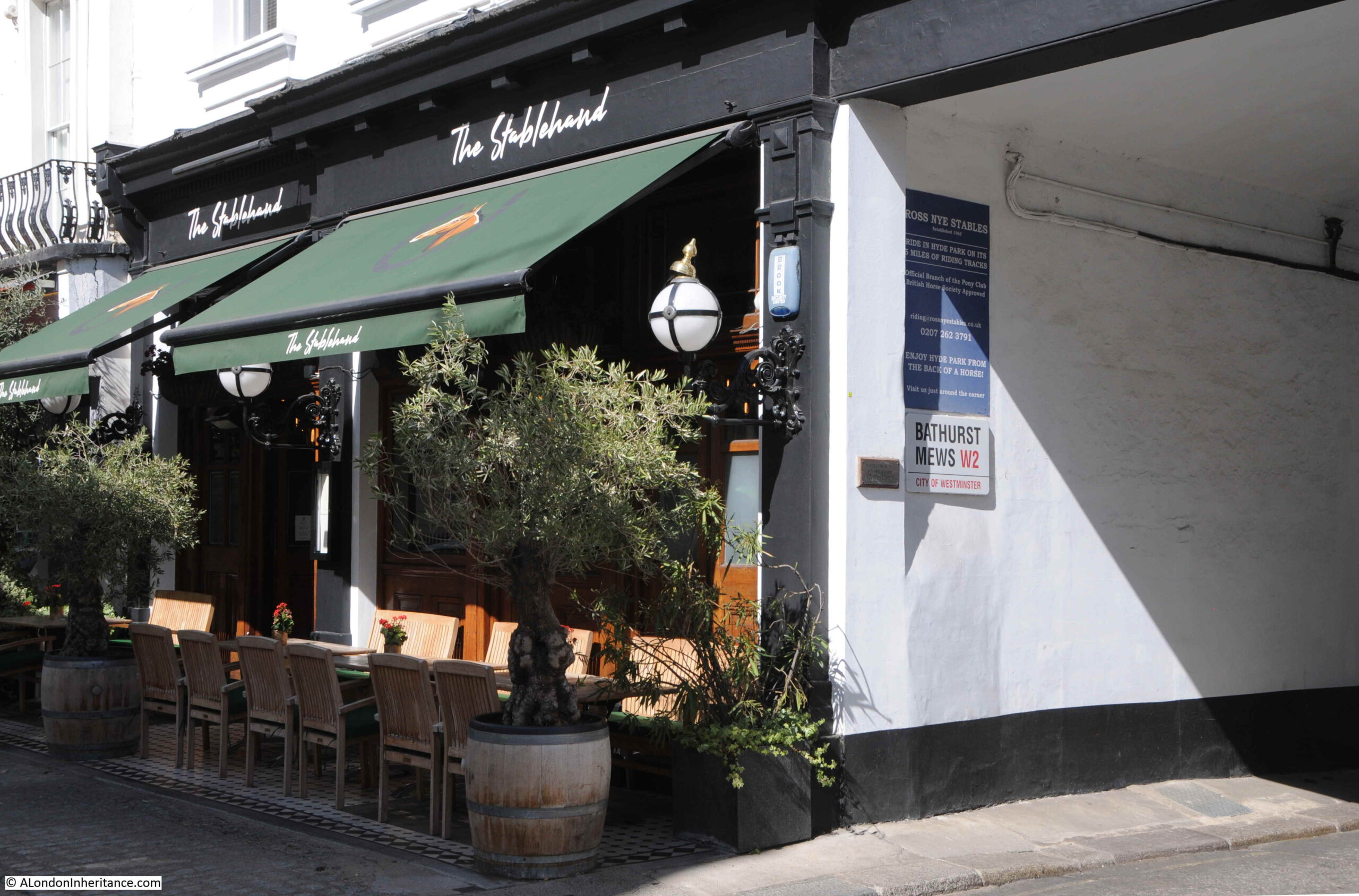
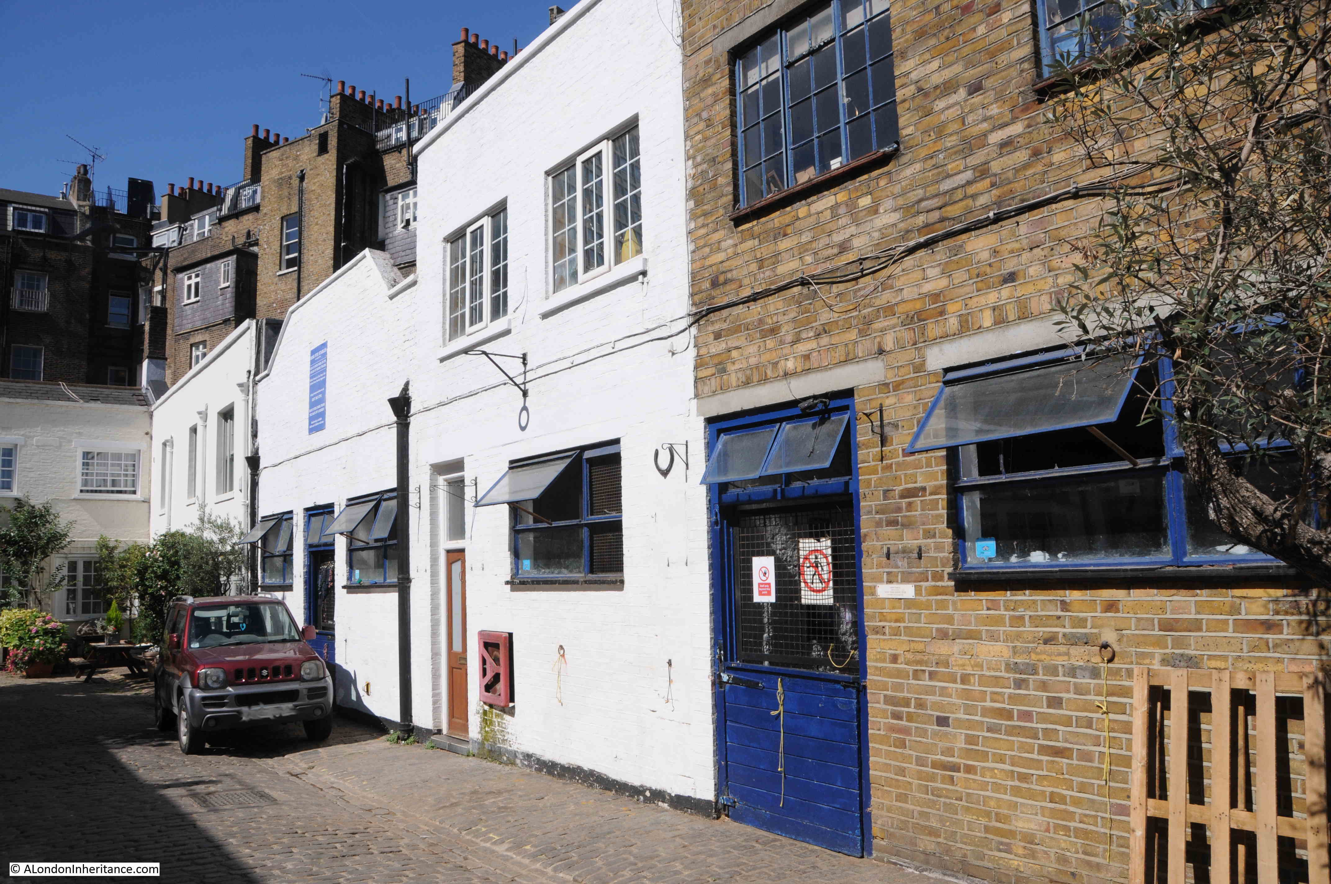
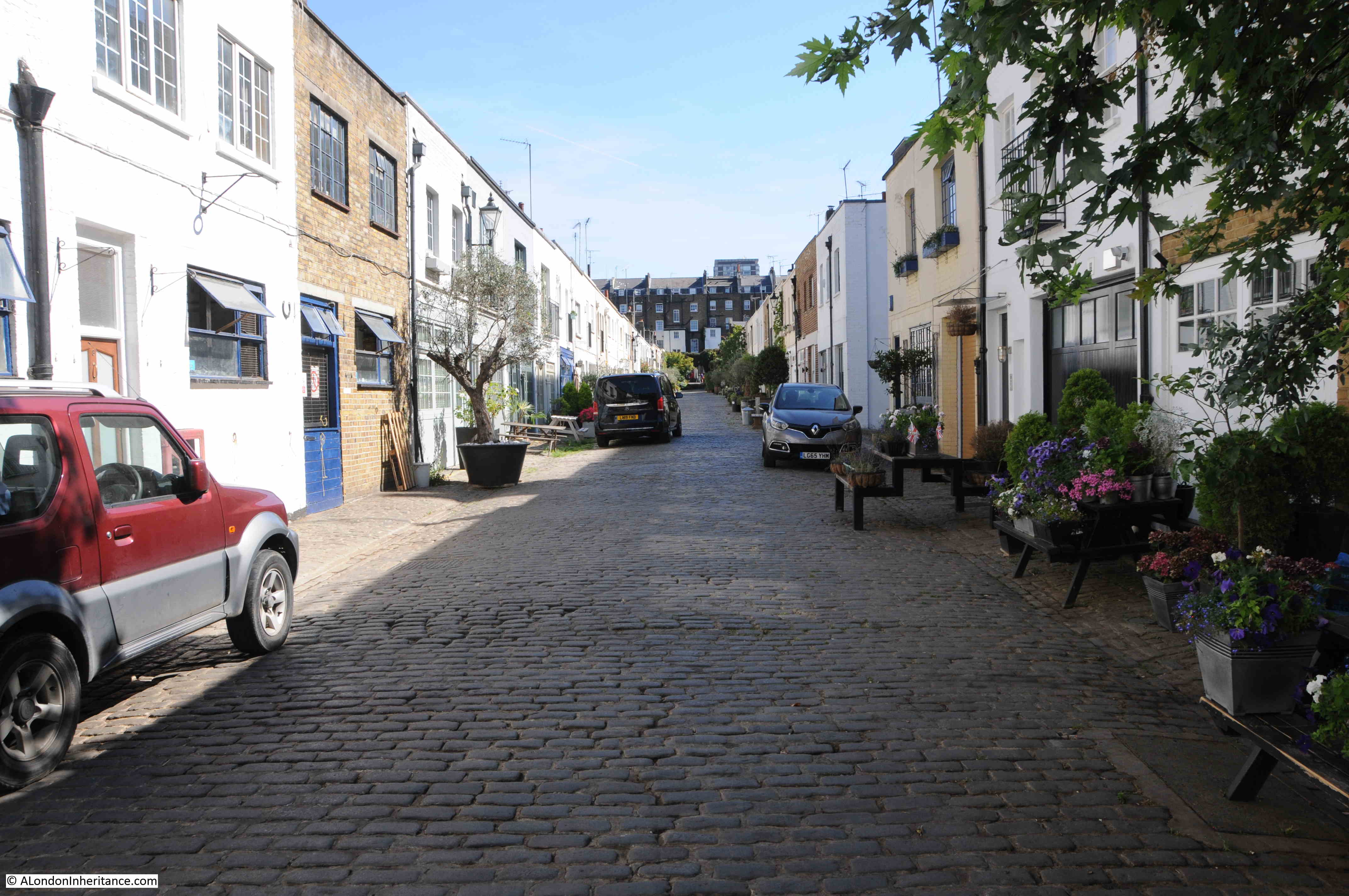
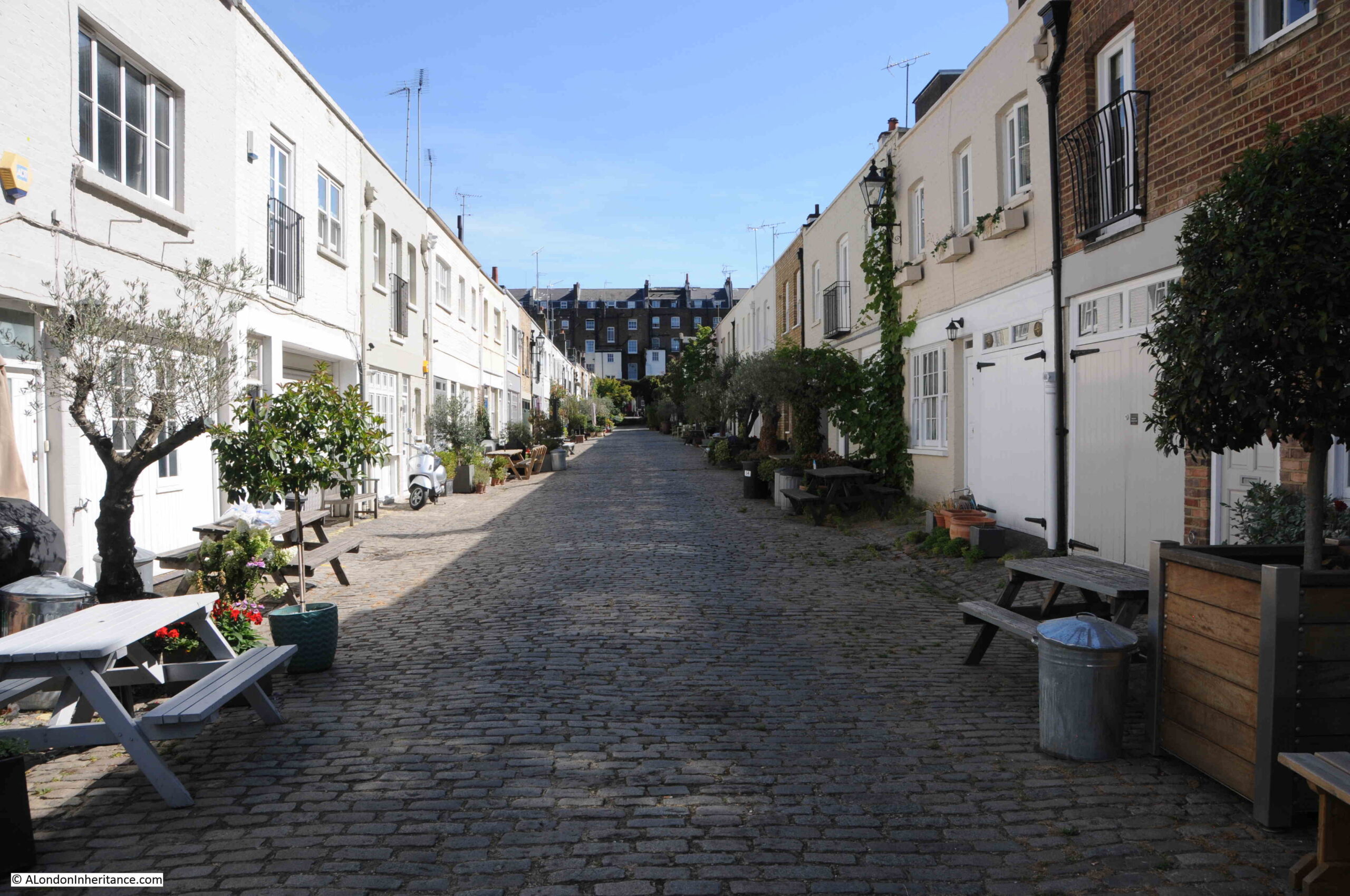
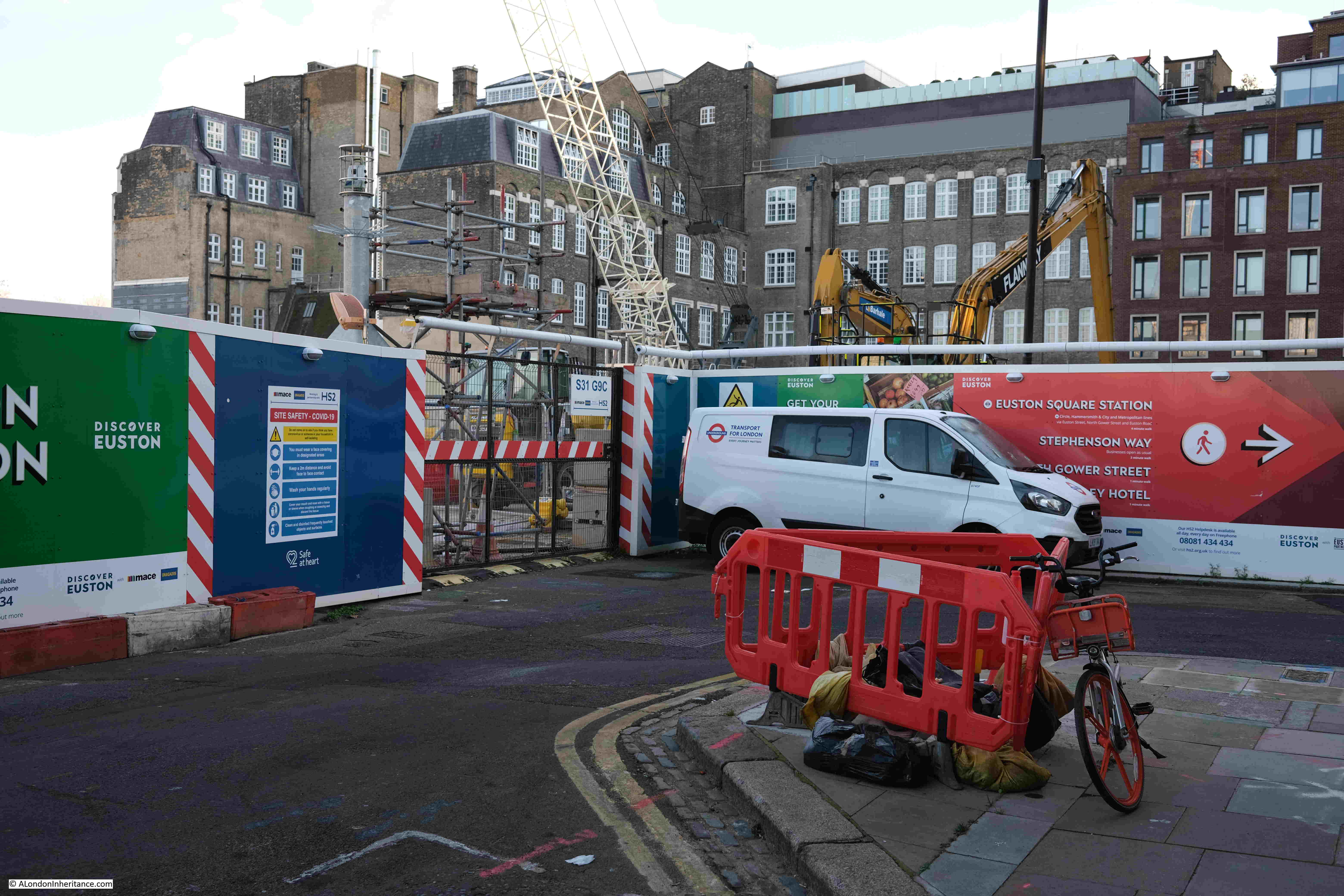
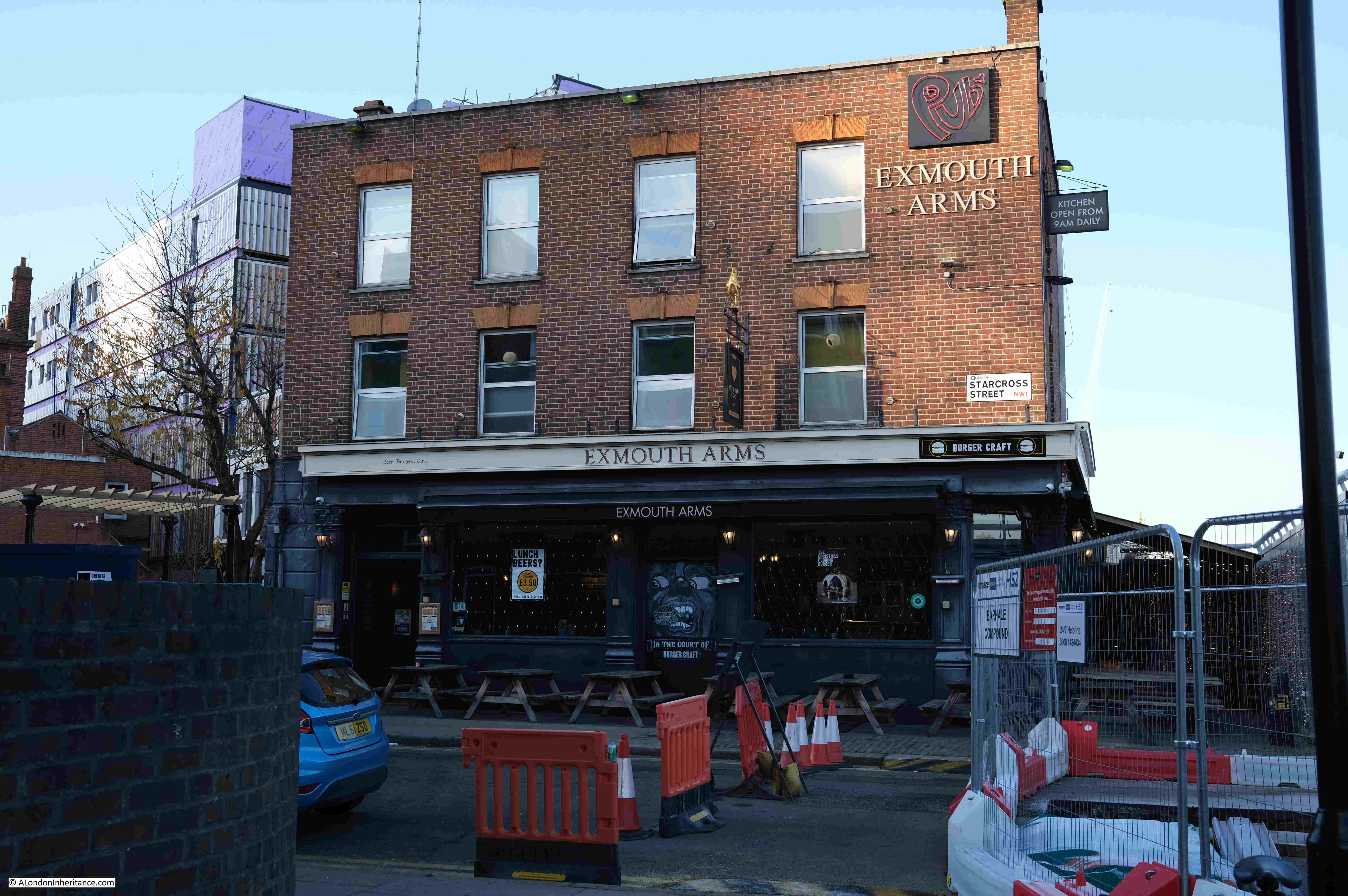
And on the corner of Cobourg Street and Starcross Street, the Exmouth Arms is still there, and still open (small circle in the map at the start of the post):
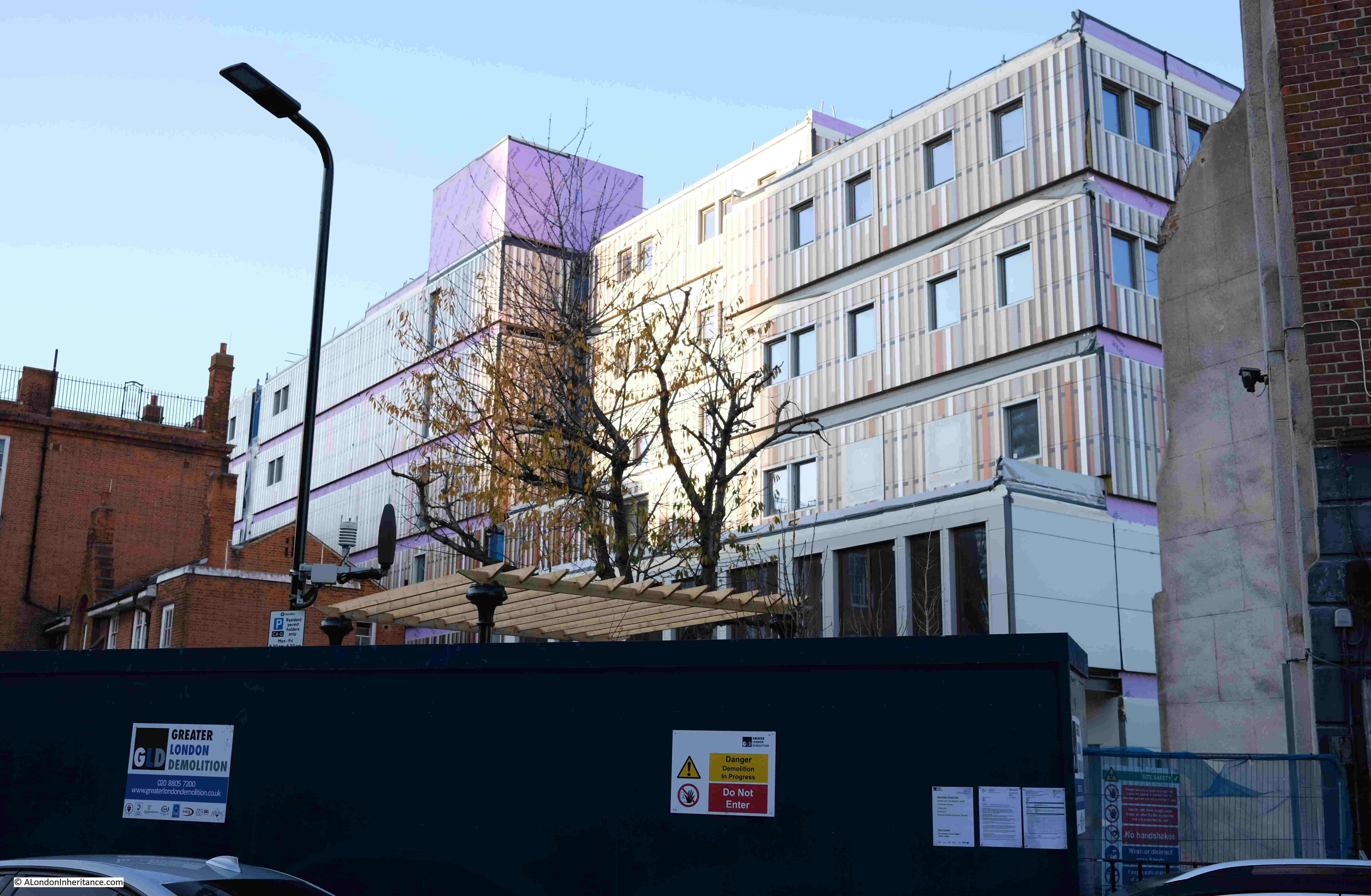
Just behind, and to the west of the Exmouth Arms is a new building:
At the end of Starcross Street are these school buildings (large circle in the map at the start of the post):
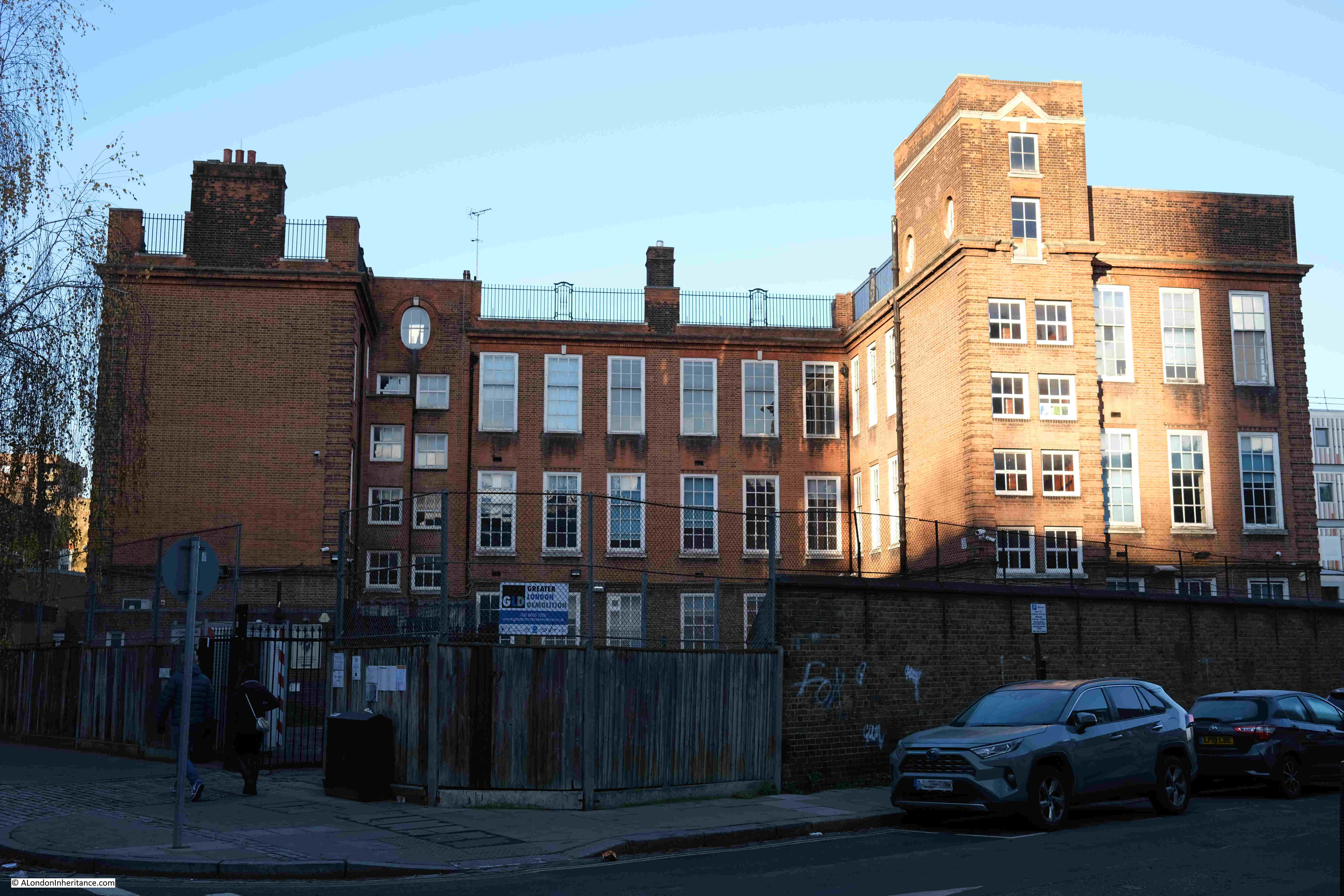
The buildings were home to the Maria Fidelis School.
To free up the school site, HS2 have built a new school between Drummond Crescent and Phoenix Road, and the site in Starcross Street is now closed.
HS2’s plans for the school, also reveal the use of the new building between the school and the Exmouth Arms. From the HS2 website, the school and new building will “include welfare accommodation for HS2 site and management staff, and a Construction Skills Centre, including training rooms, workshops and interview rooms”.
The following view is the best I could get of the front of the old Maria Fidelis School, which shows a typical early 20th century brick school, with central curved section, and the playground area on the roof which is surrounded by metal fencing:
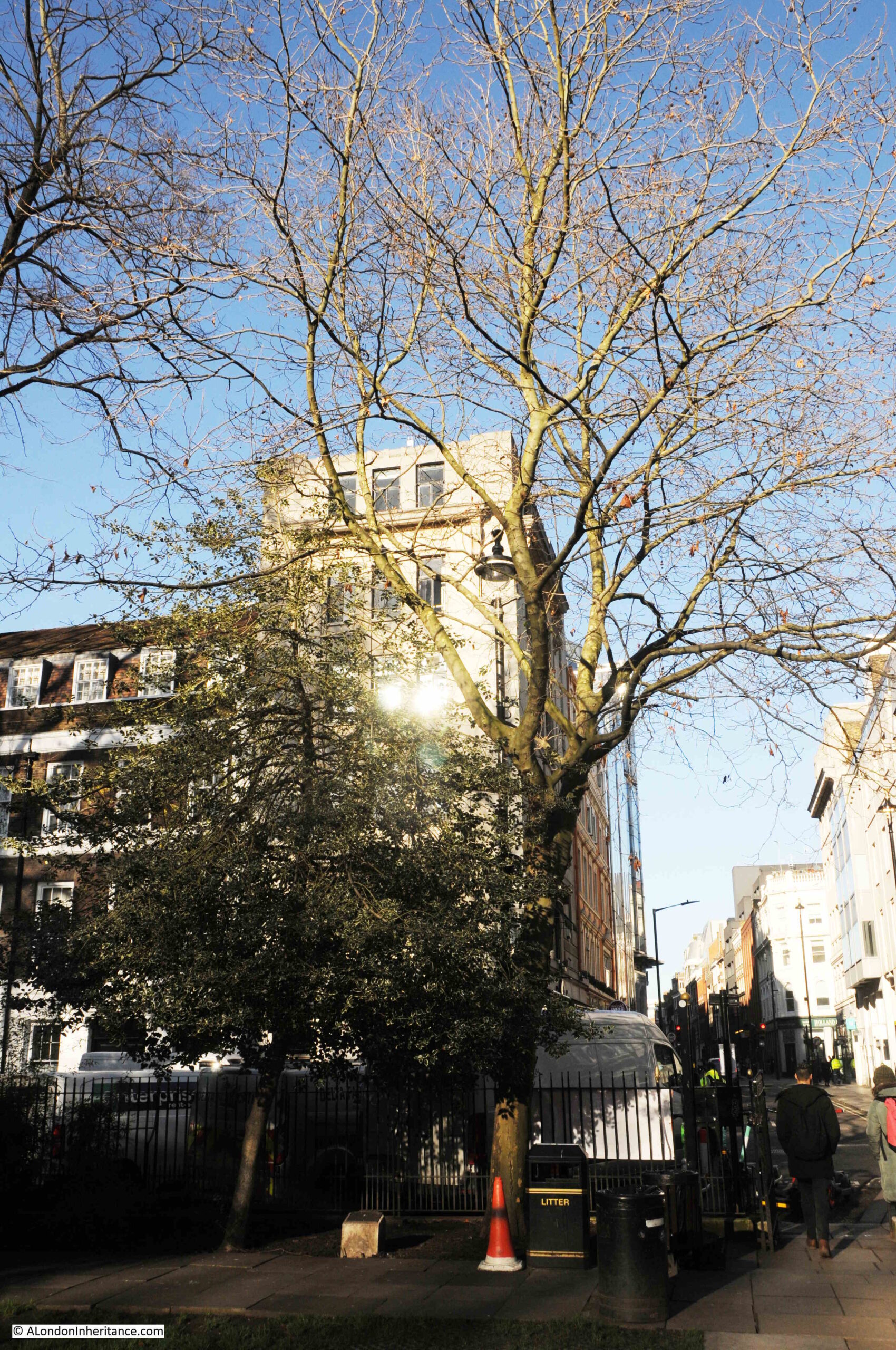
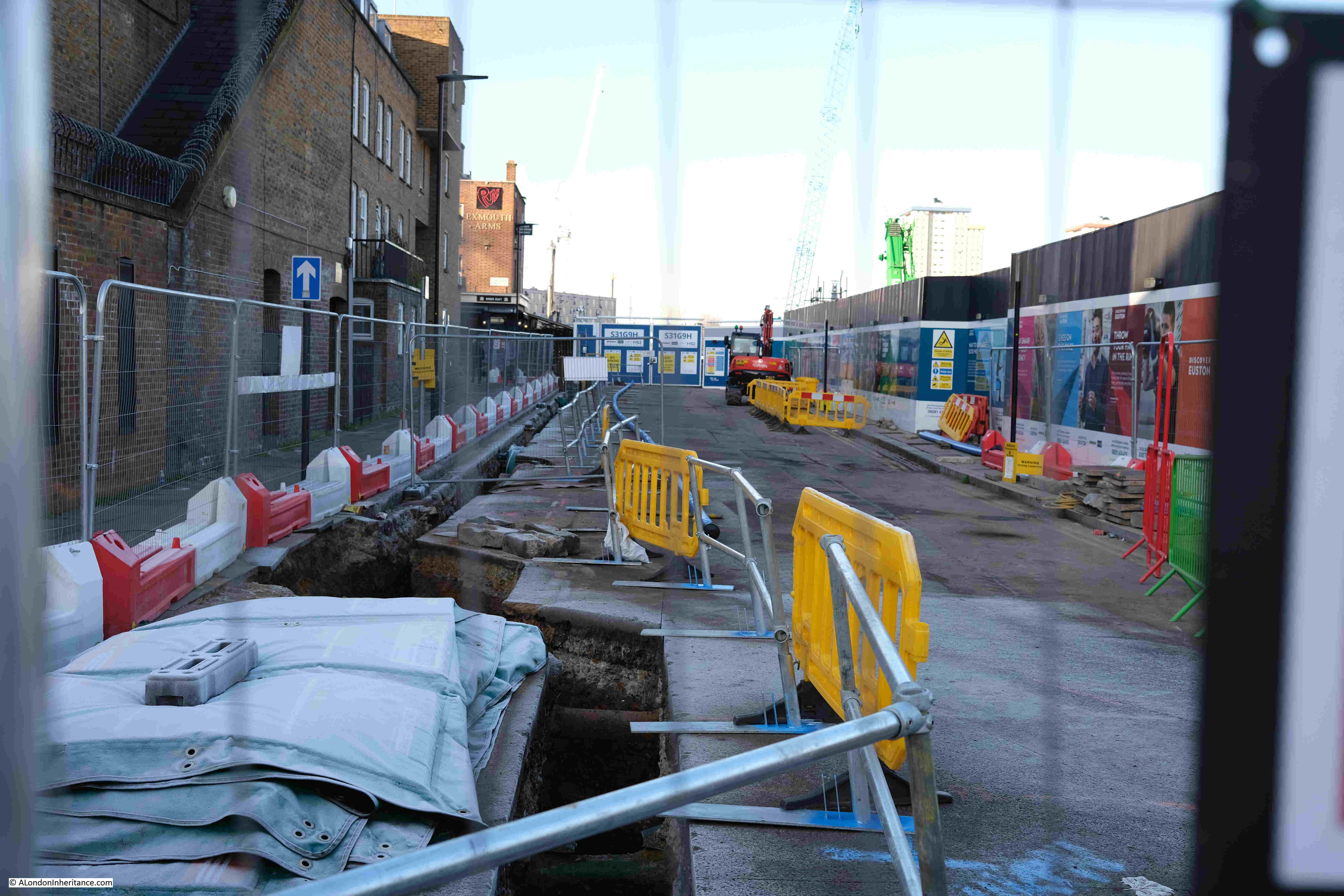
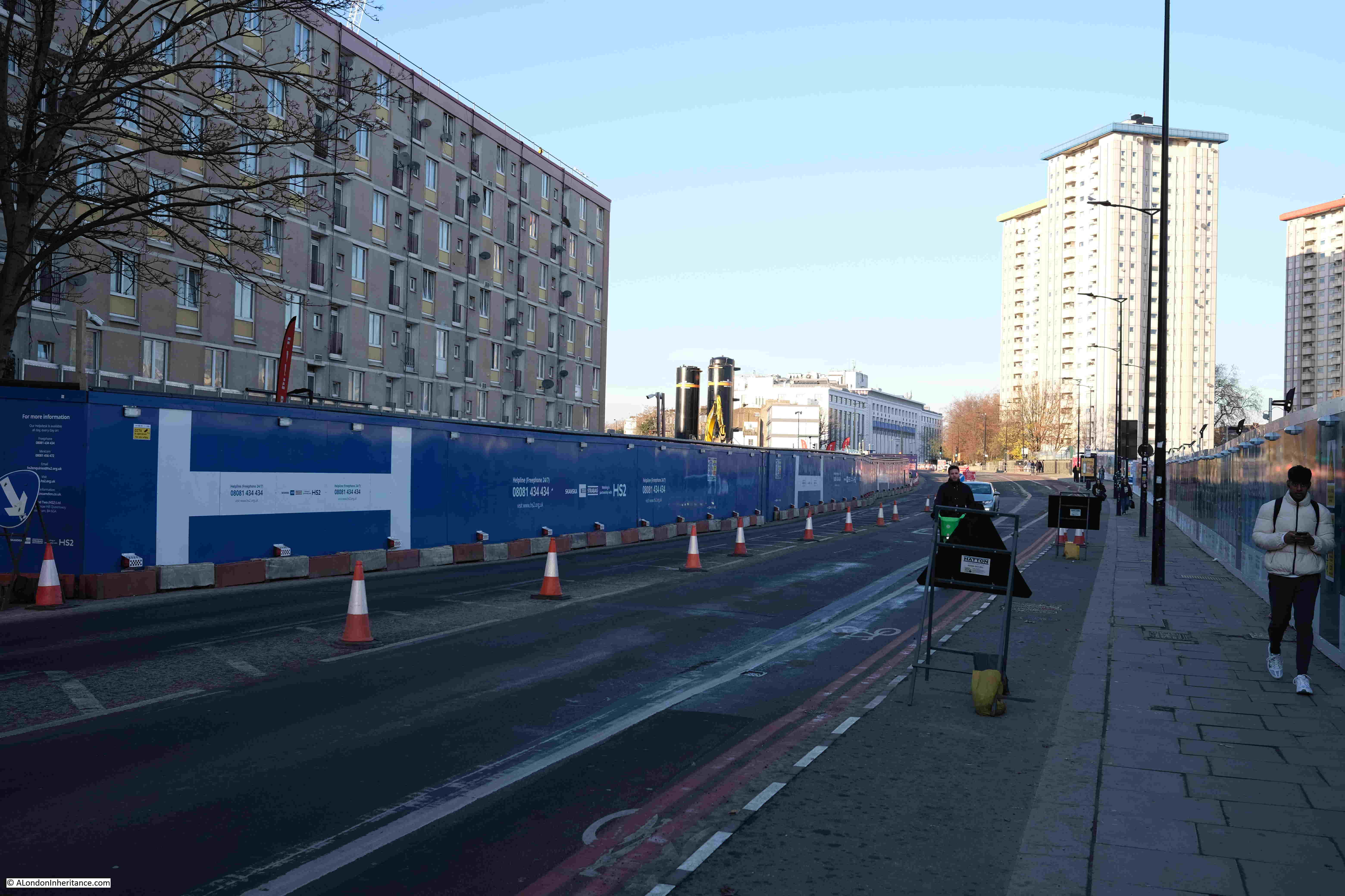
We have now reached the Hampstead Road, and the following view is looking north. Hoardings continue to screen off the construction site, and as well as the standard information panels, they are covered in site and health and safety information:
Looking down what was the northern end of Cardington Street, where it joined Hampstead Road:

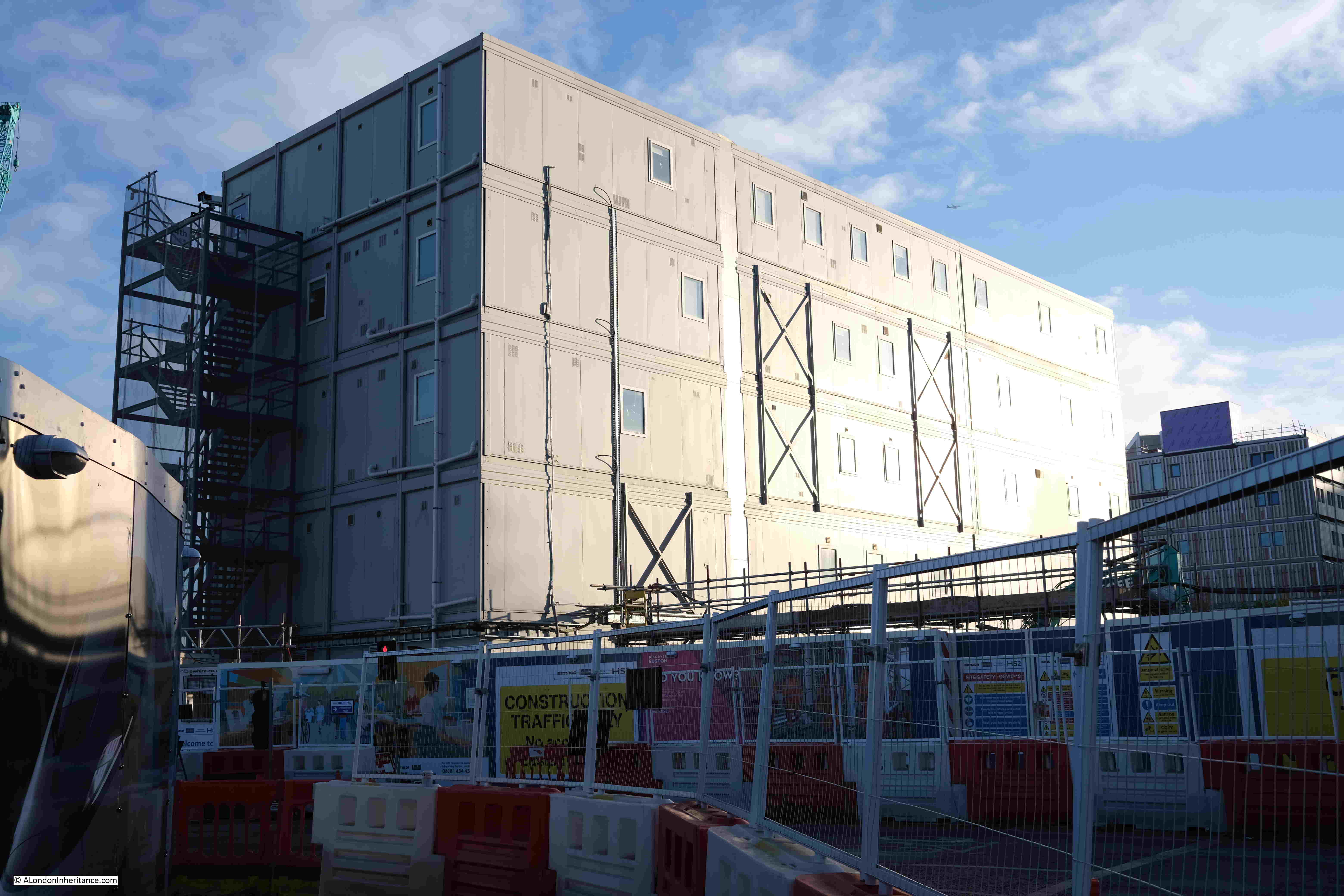
Where to the right of the above photo there is a large temporary office complex:
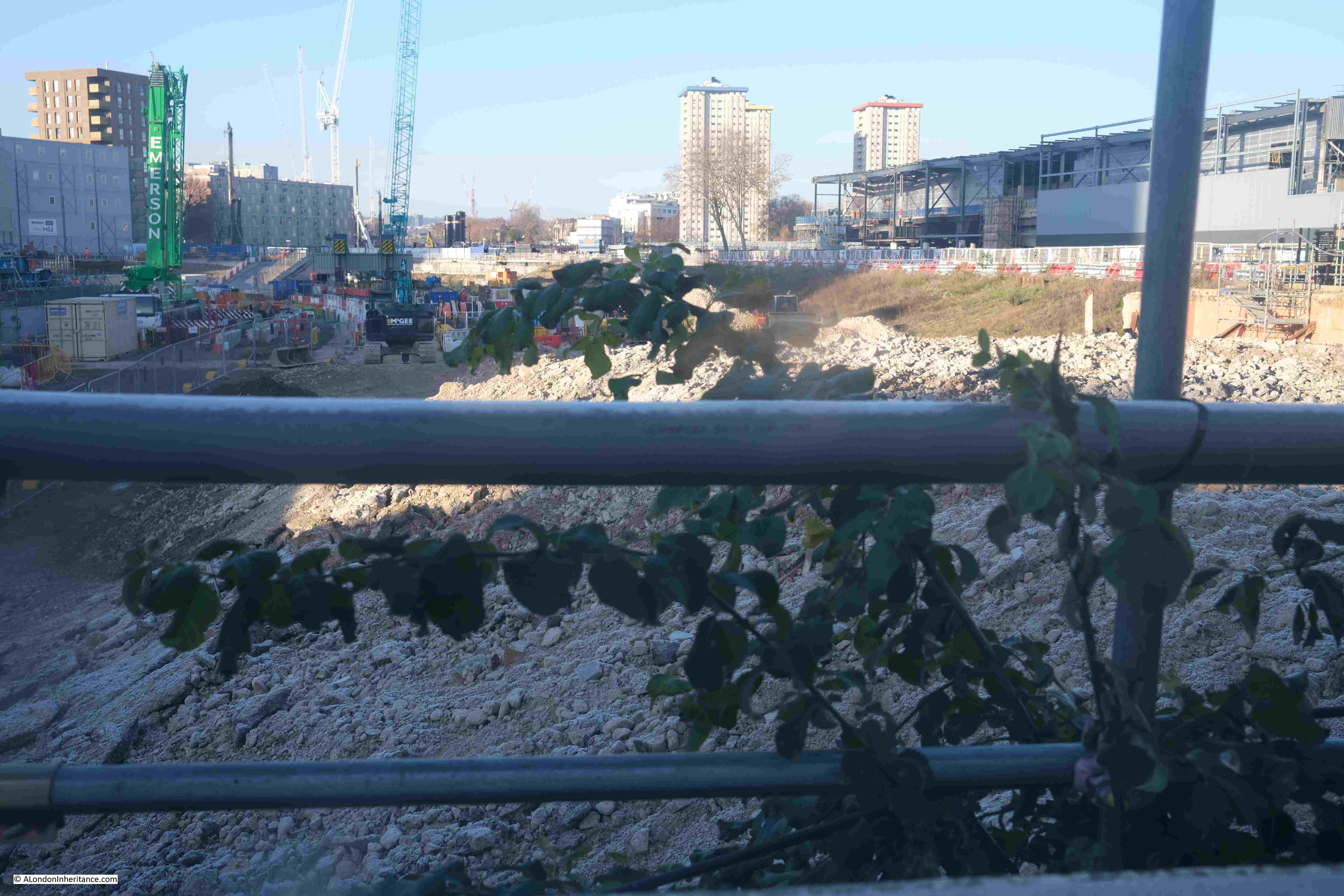
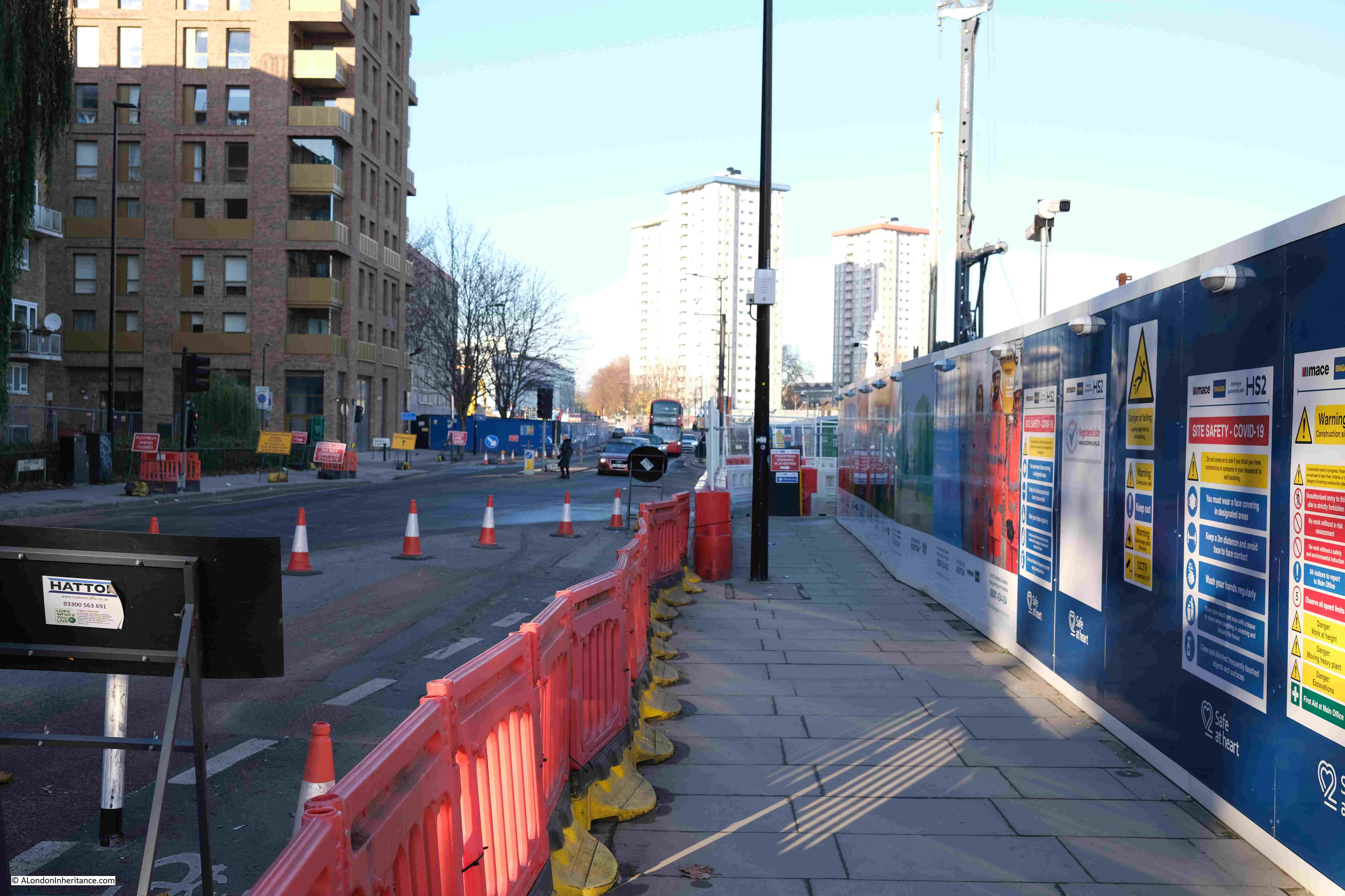
Looking north from the old junction with Cardington Street, and construction works continue on both sides of the street. To give an idea of how far these works run, Mornington Crescent underground station is not that far after the tower blocks in the photo:
This is looking across Hampstead Road to where construction continues heading west, parallel to the existing railway tracks that run into and out off Euston Station.
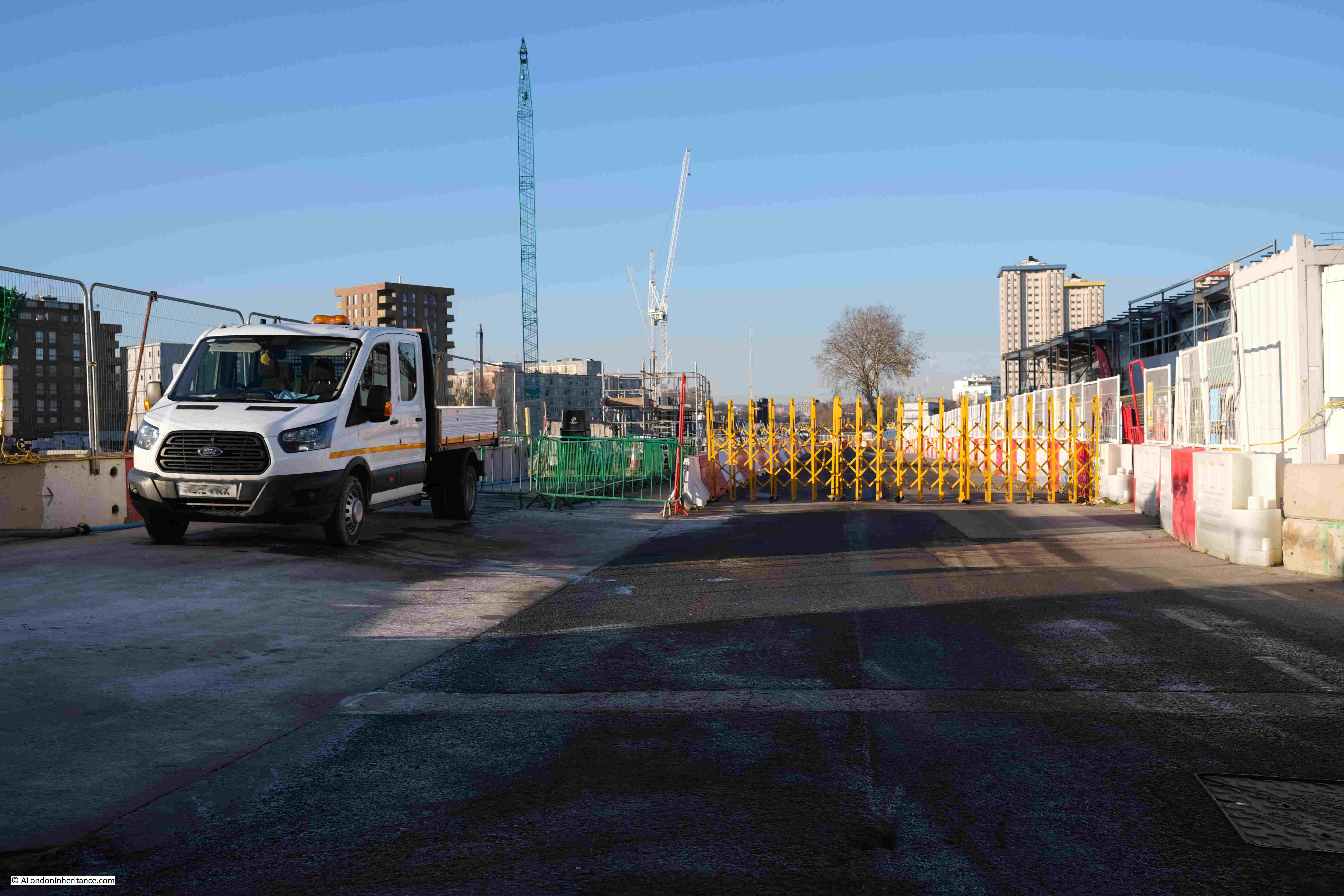
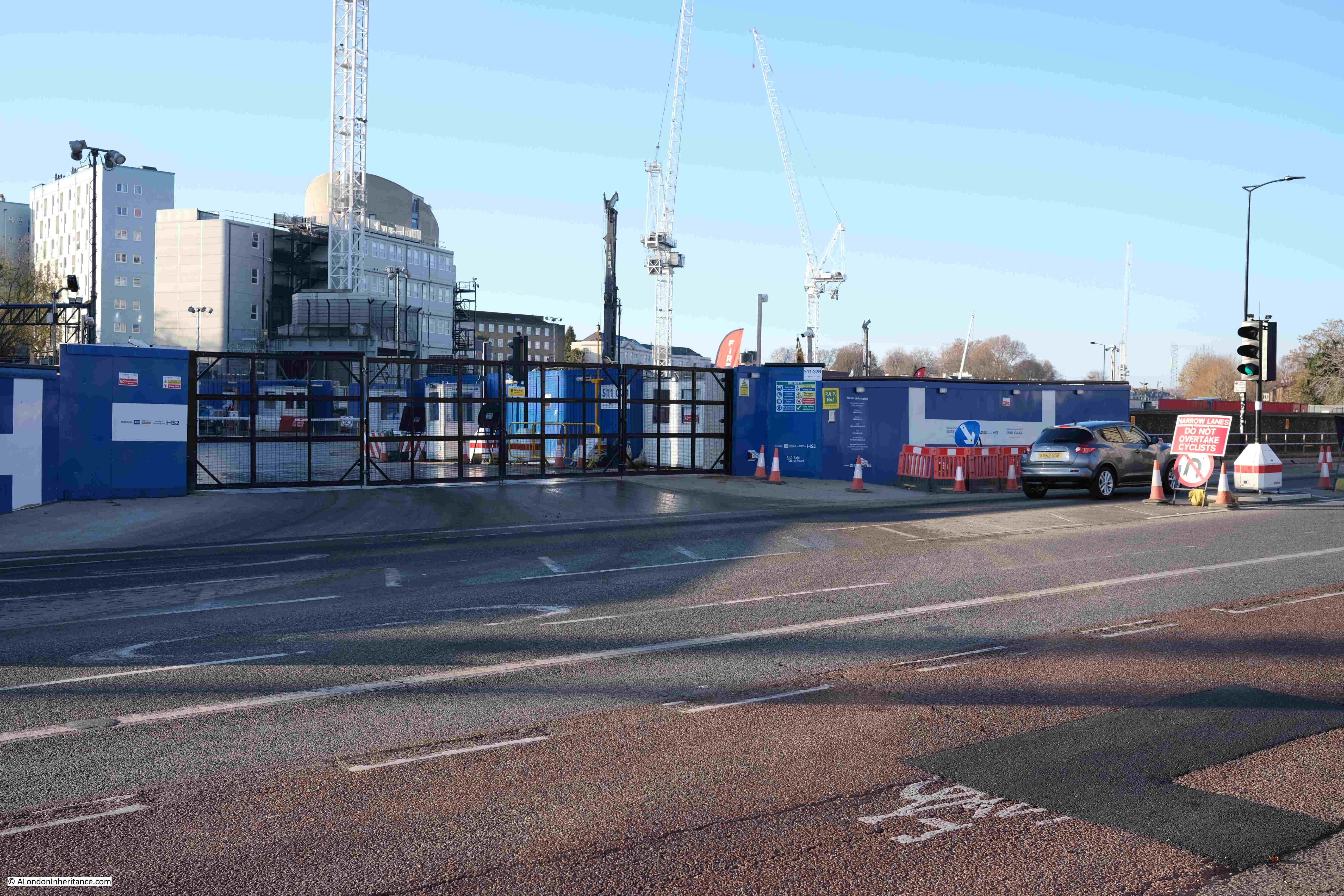
Where there is another access gate:
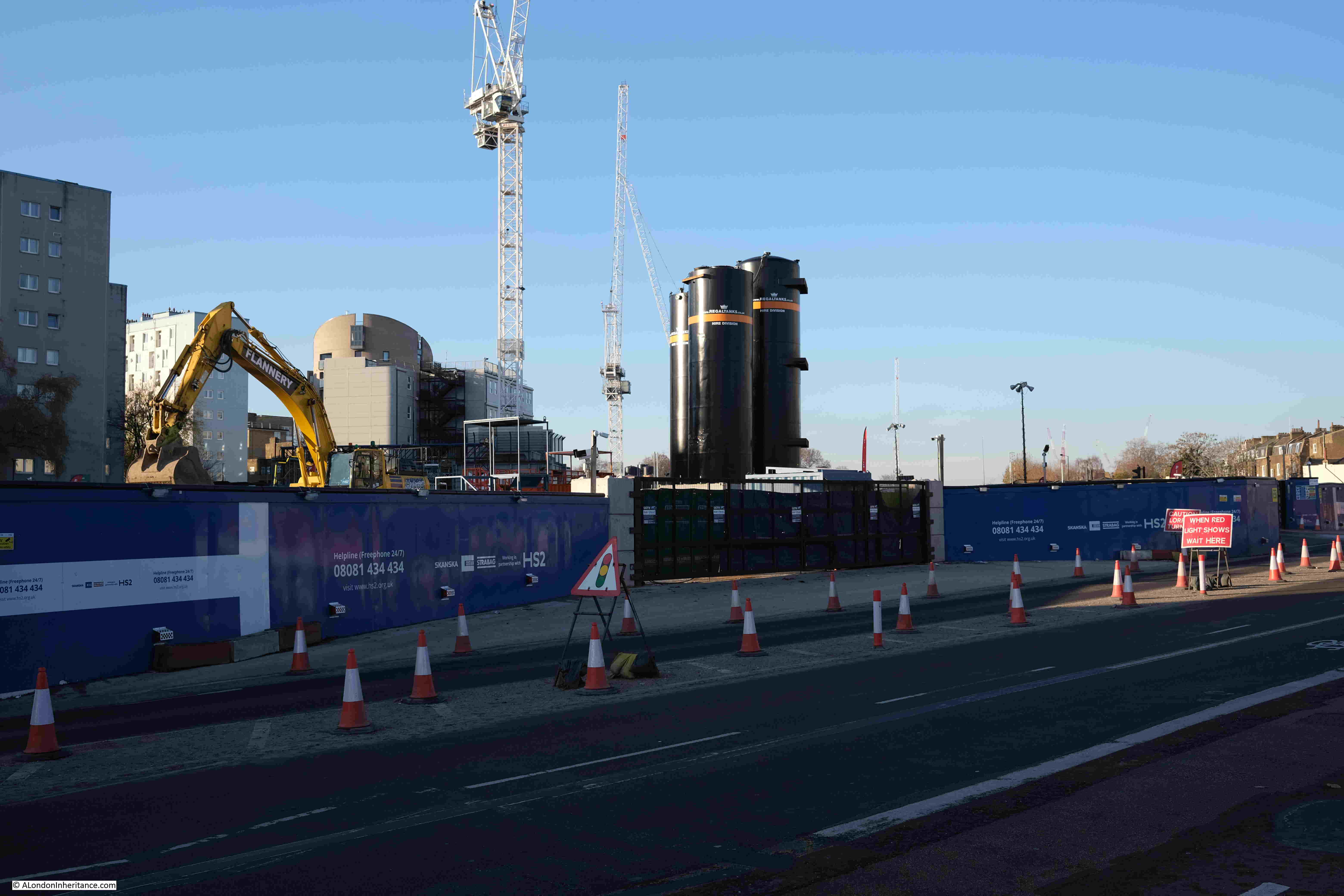
The photo above and the photo below give an indication of the scale of HS2 construction works around Euston. In the above photo, work s continue for some distance from Hampstead Road west, parallel to the existing rail tracks.
At some point, a new bridge will be needed to take Hampstead Road across the extra railway tracks into Euston Station.
The works heading west of Hampstead Road in the above photos lead to the wonderfully named “Euston Cavern”, which is described in the HS2 Euston Approaches FAQ as “a very large, underground structure at the Parkway end of the worksite, to enable one tunnel to split into two, so that trains can access the tunnels from the necessary range of platforms at Euston”. This tunnel takes the tracks away from Euston and heads towards a new station at Old Oak Common.
In the photo below, I am looking south along Hampstead Road, with the hoardings fencing off the construction site disappearing into the distance. Although it cannot be seen, Euston Station is to the left, some considerable distance across the construction site.
The HS2 construction works around Euston are considerable, and construction on the line is continuing all the way to Birmingham.
My last walk round the site was in June 2021, eighteen months ago. From alongside the construction site, not too much appears to have changed. The fenced off area has expanded slightly, but looking in from the outside, it is still a massive ground level construction site.
According to the HS2 website, phase one of the route from Euston to Birmingham is scheduled to open between 2029 and 2033 – it will be fascinating to have watched the site evolve from the original streets, gardens and pubs to the latest iteration of Euston Station.